
Updated on March 12, 2022
Day 3 of 2022 Arizona Trip, Sedona
Third day of my 2021 Arizona trip. My friend and I would spend the day hiking among Sedona’s buttes and canyons, among its red rocks that had been a defining character of America’s west.
Devils Bridge
After leaving the warmth of Tucson, we arrived in Sedona last night, and would spend the next two days exploring places around it.
Sedona was a popular tourist destination, known for its arrays of red sandstones and the many outdoor activities it afforded. In particular, it was known for its mystical vortexes (they believe it’s so unique that they didn’t use the conventional plural of “vortices”) that were believed to be centers of energies for meditation, enlightenment and healing. Despite there were no scientific explanations for the vortexes, which was a big red flag that they were between a lie perpetrated by the local tourism board and an outright cult, enough followers of the vortexes flocked to Sedona every year to experience their spiritual powers.
Apart from its eluding vortexes power, Sedona’s popularity could also be attributed to its higher elevation and relatively cooler climate, making it a great summer escape for people from Phoenix just over an hour’s drive away. In this aspect summer was its peak season for tourism. But for nonlocals like us, winter turned out to be a great time to visit Sedona. The weather’s perfectly mild, not too cold that we were wearing single-layers on the hiking trails, also not too hot that we didn’t sweat at all. The trees didn’t seem to shed leaves in winter so the scenery was as spectacular. Adding that to the rather cheap hotels, it was just perfect except for the limited daylight hours.
A dashcam video clip of our drive from the Village of Oak Creek to Sedona.
Devils Bridge
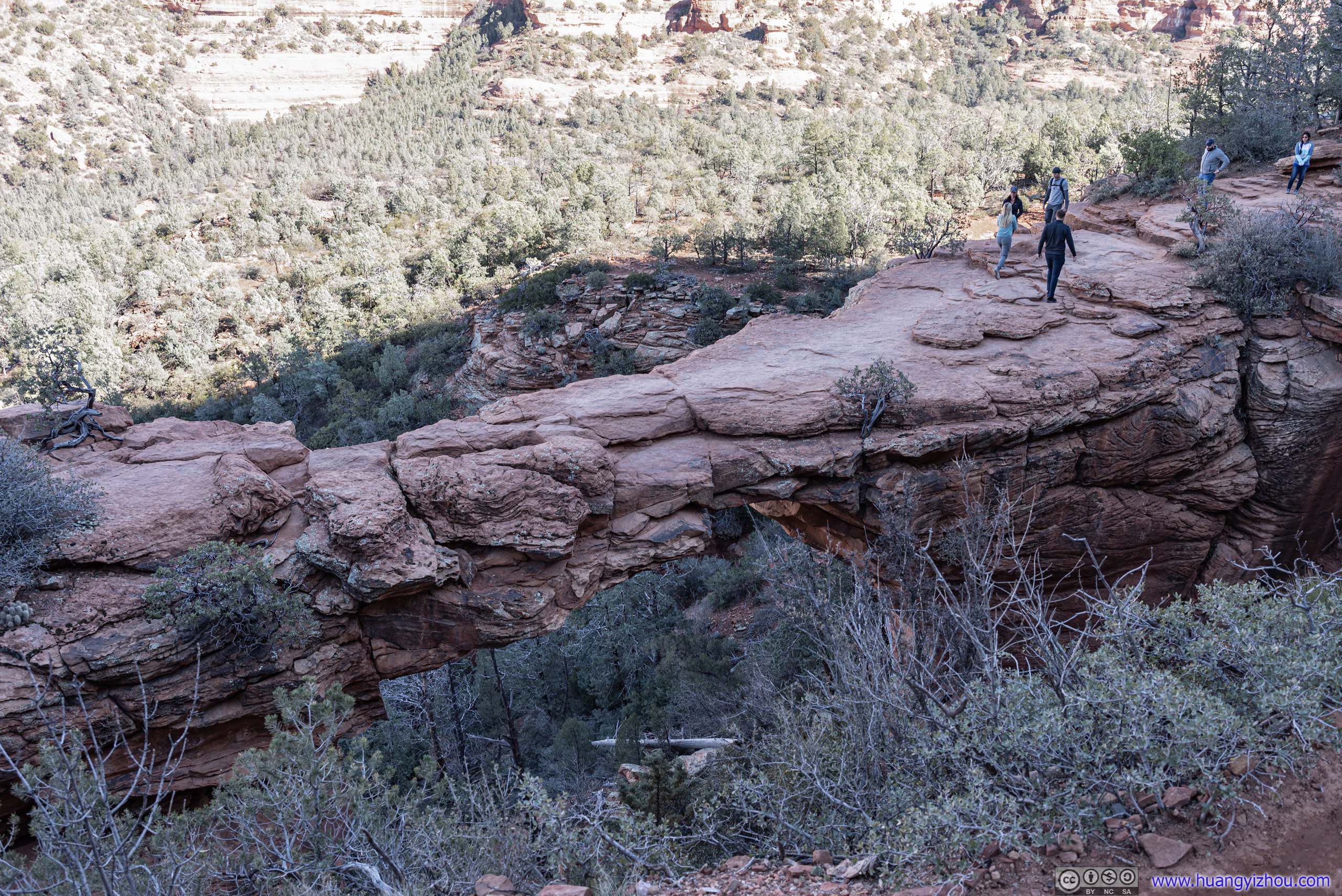
Speaking of red rocks, Arizona’s northern neighbor of Utah was synonymous with this impressive landscape that it boasted about its “Mighty Five”, the five national parks in its borders (three of which I visited two years ago). While only one of those five was called “Arches”, each of them contained at least one iconic arch. Following that convention, it seemed only appropriate for Sedona to have one too, and that turned out to be Devils Bridge, which my friend and I picked for our first stop in Sedona. It turned out that Devils Bridge was the second most popular trail on AllTrails, next to Angels Landing.
After some teleconference in the morning, we only made it to the trailhead of Devils Bridge at 10:50am. The small “Dry Creek Trailhead” didn’t have enough space for the popularity of Devils Bridge (luckily we pulled into a space just as another vehicle left), so a few people parallel parked along the nearby Boynton Pass Road as overflow parking.
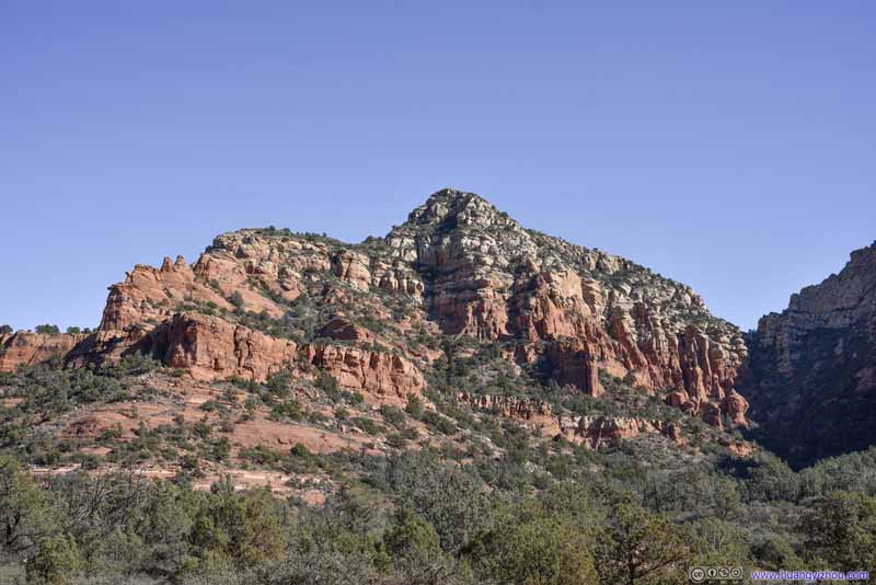
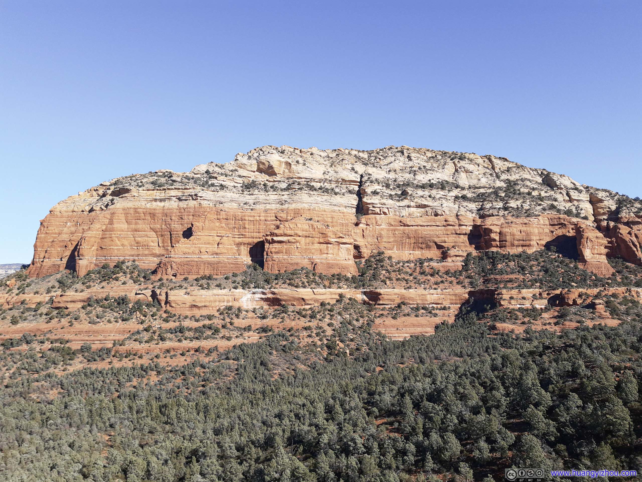
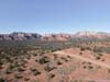
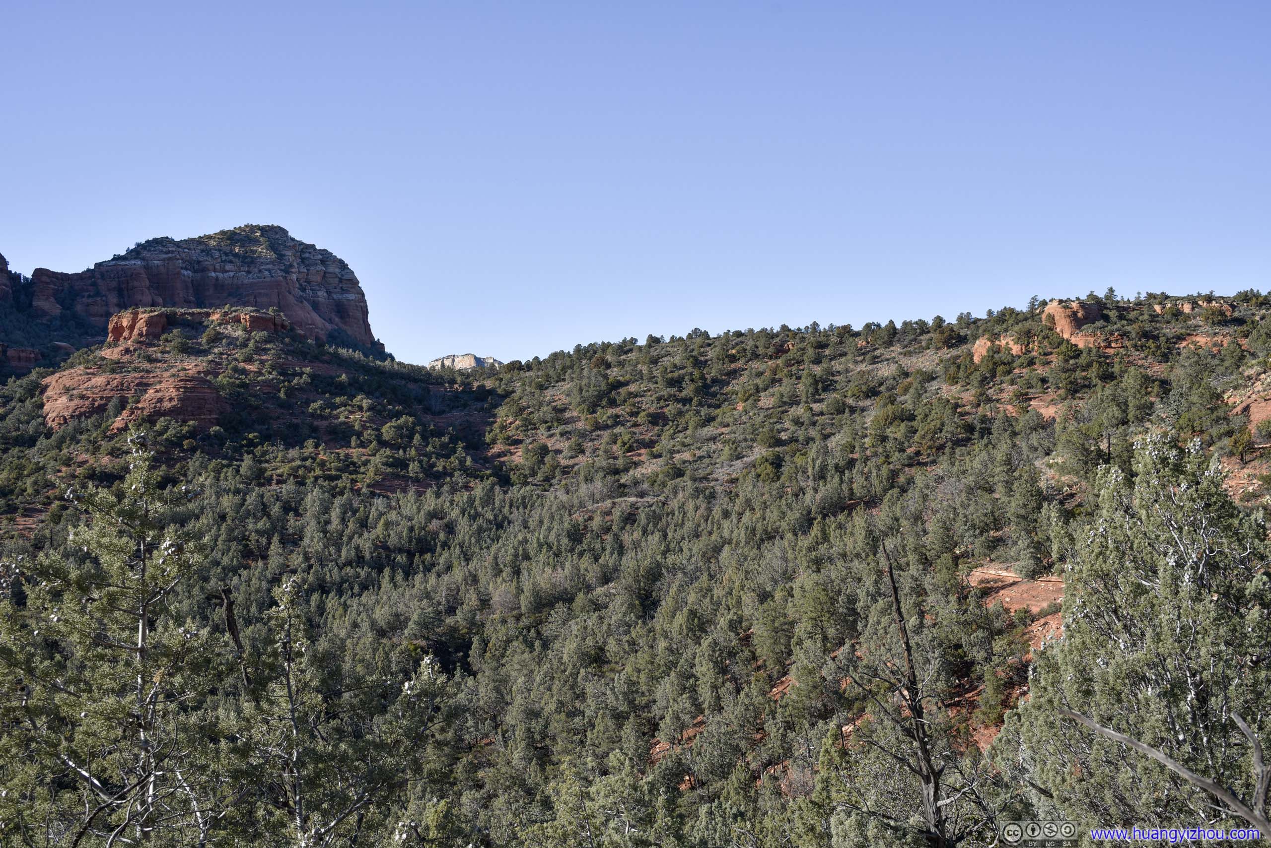
The trail was 6.3km out-and-back with not much elevation change, with about half the distance along a dirt road that could be traveled by high clearance vehicles. There wasn’t much view along the way, except for the constant sight of Soldier Heights and distant Maroon Mountain in the sun.
Here’s GPS tracking:
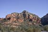
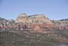
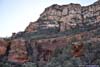
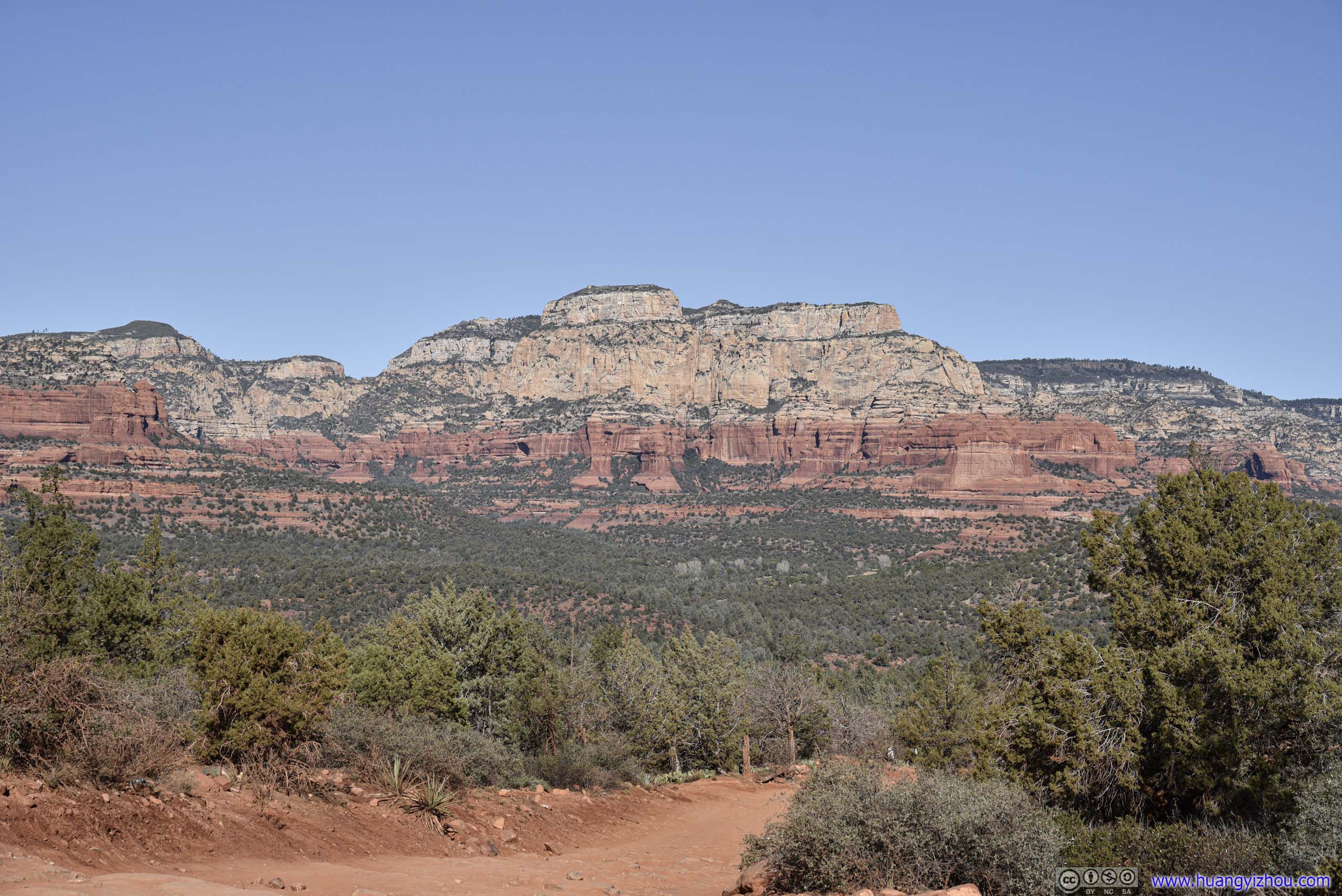
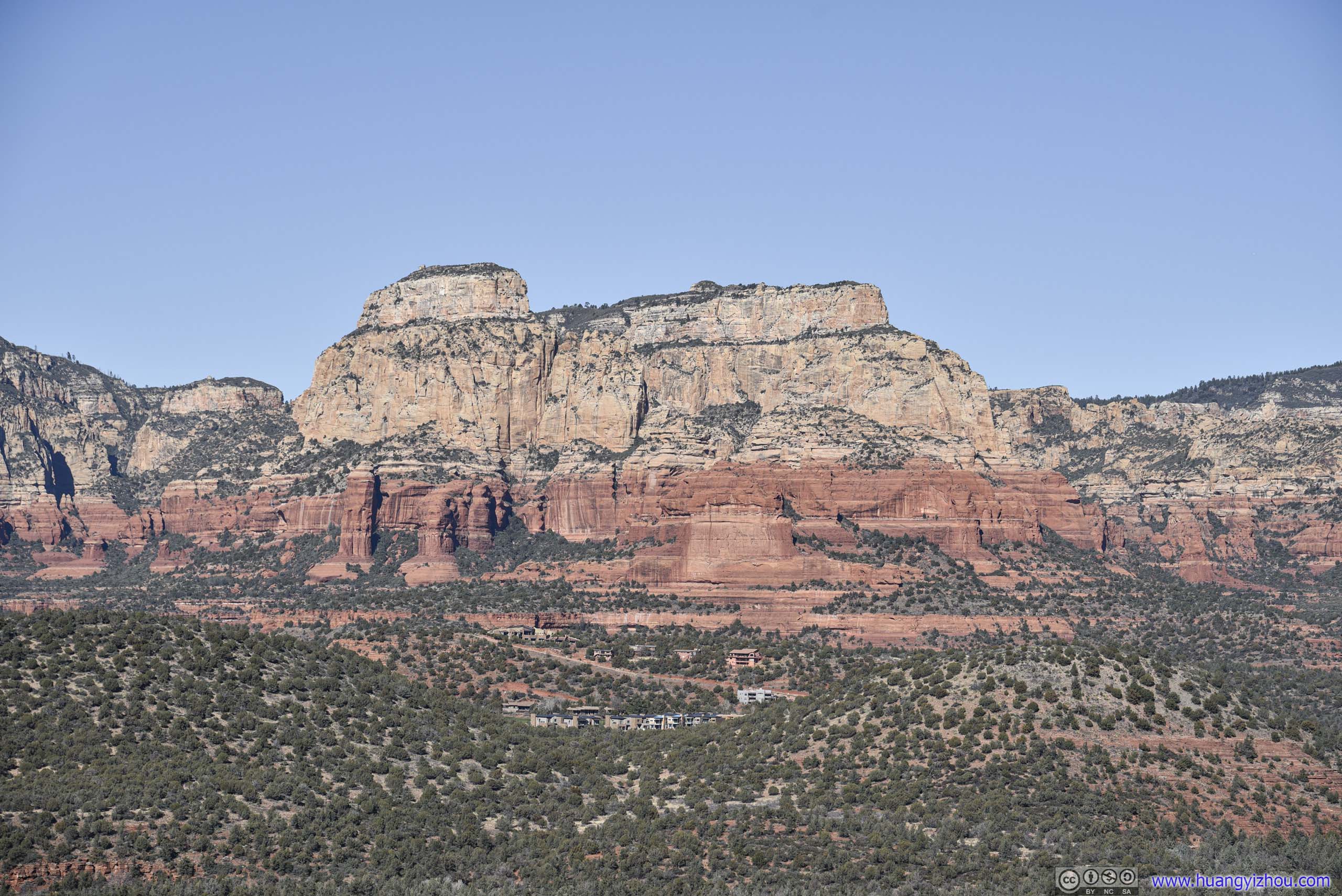
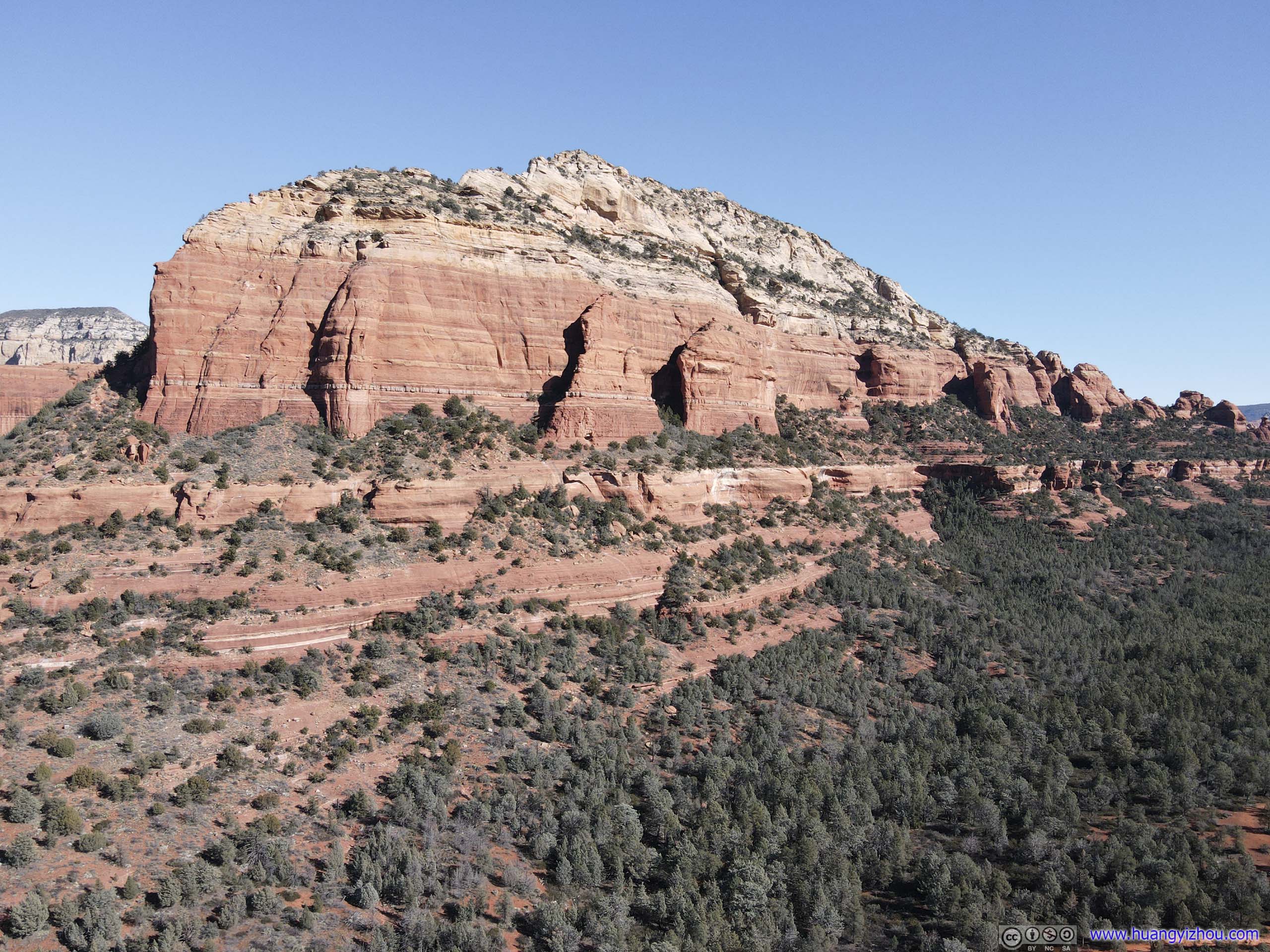
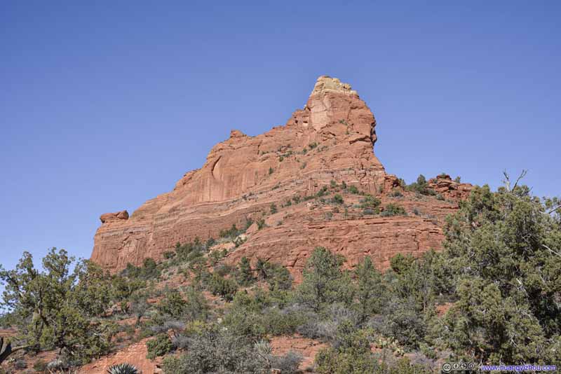
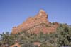
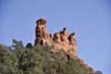
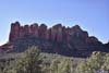
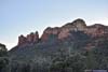
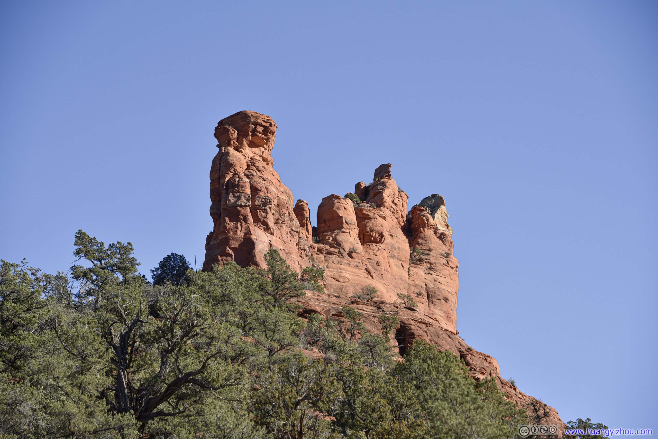
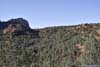
 ButteDevils Bridge was located on the back side of it.
 ButteDevils Bridge was located on the back side of it.
 Dry Creek Road
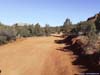
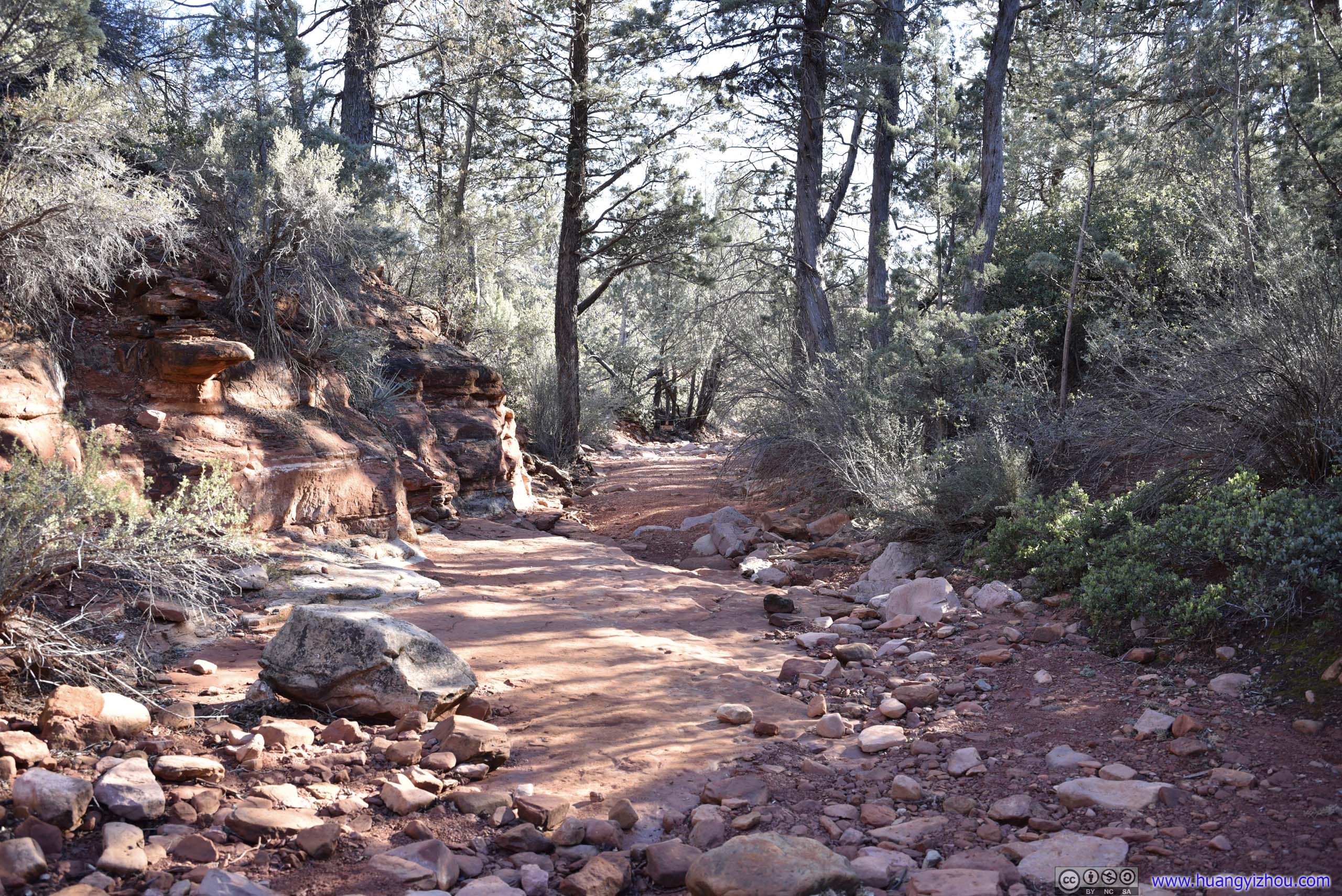
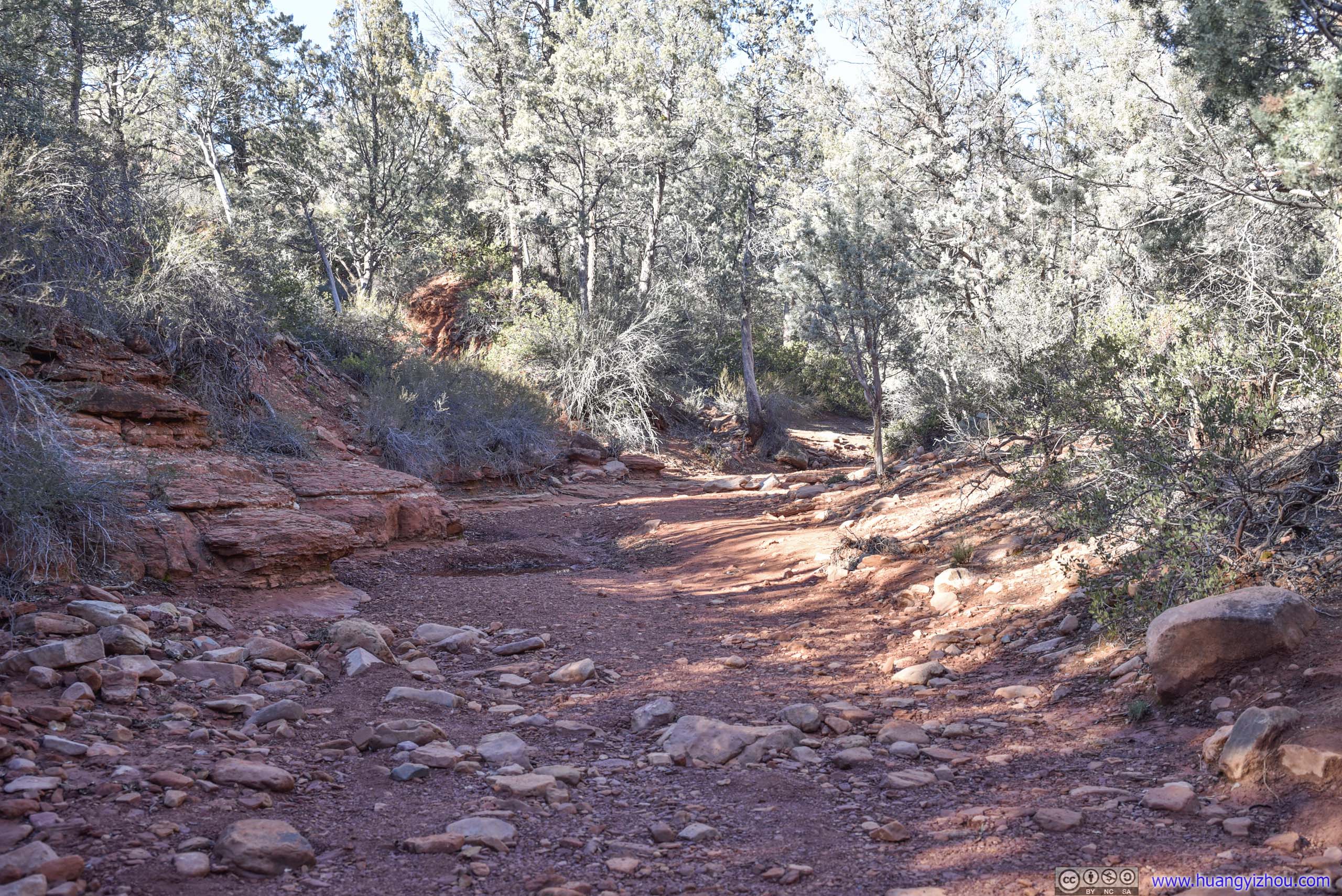
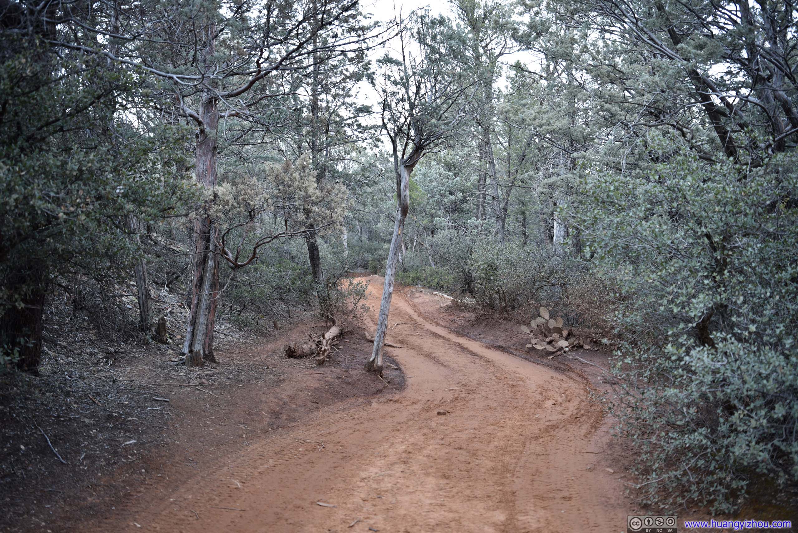
The first and last 1.8km of the trail was along this Dry Creek Road. With an offroad vehicle, one may opt to drive instead of hike through this part. During our trip we encountered a few ATV’s, and from time to time we had to wait along the trail for their dusts to settle.
Dry Creek Road
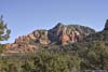
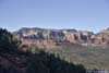
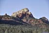
The first and last 1.8km of the trail was along this Dry Creek Road. With an offroad vehicle, one may opt to drive instead of hike through this part. During our trip we encountered a few ATV’s, and from time to time we had to wait along the trail for their dusts to settle. Maroon Mountain
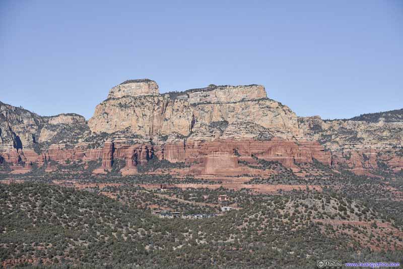 Maroon Mountain
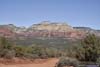
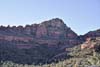
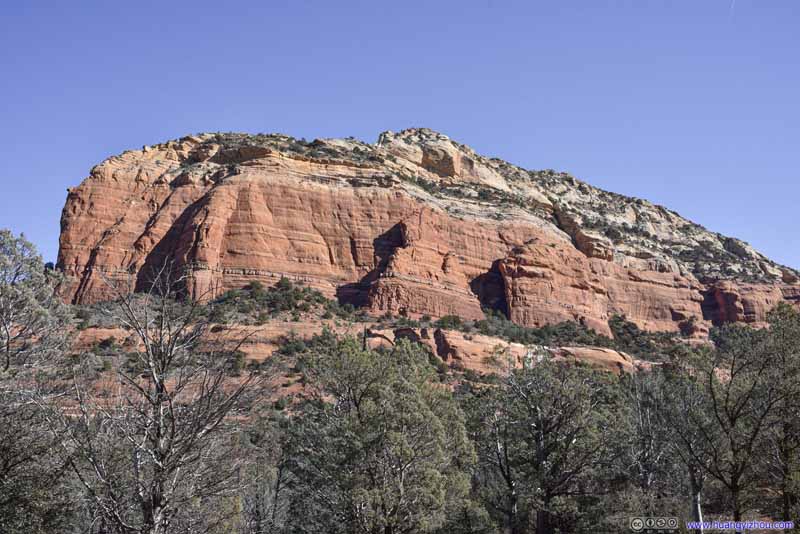 Soldier HeightsA constant sight opposite of Devils Bridge, in the sun.
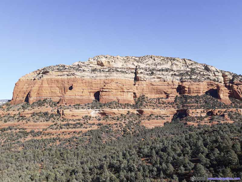 Soldier HeightsA constant sight opposite of Devils Bridge, in the sun.
 Looking up towards Devils Bridge
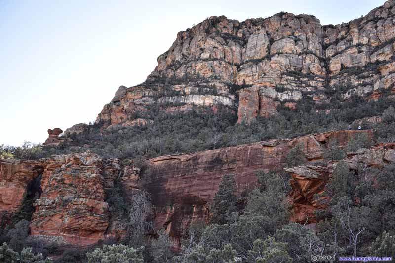 Looking up towards Devils Bridge
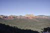
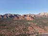
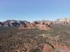
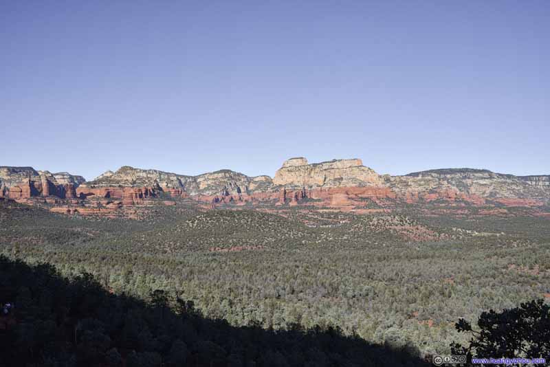 Mountains to the West
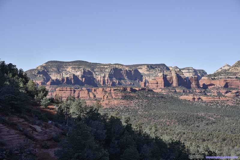 Mountains to the WestBear Mountain
Click here to display photos of the slideshow

 ButteDevils Bridge was located on the back side of it.

Dry Creek Road
 Maroon Mountain
Soldier HeightsA constant sight opposite of Devils Bridge, in the sun.
Soldier HeightsA constant sight opposite of Devils Bridge, in the sun.
Looking up towards Devils Bridge

Looking up towards Devils Bridge
Mountains to the West

Mountains to the WestBear Mountain
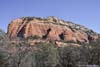
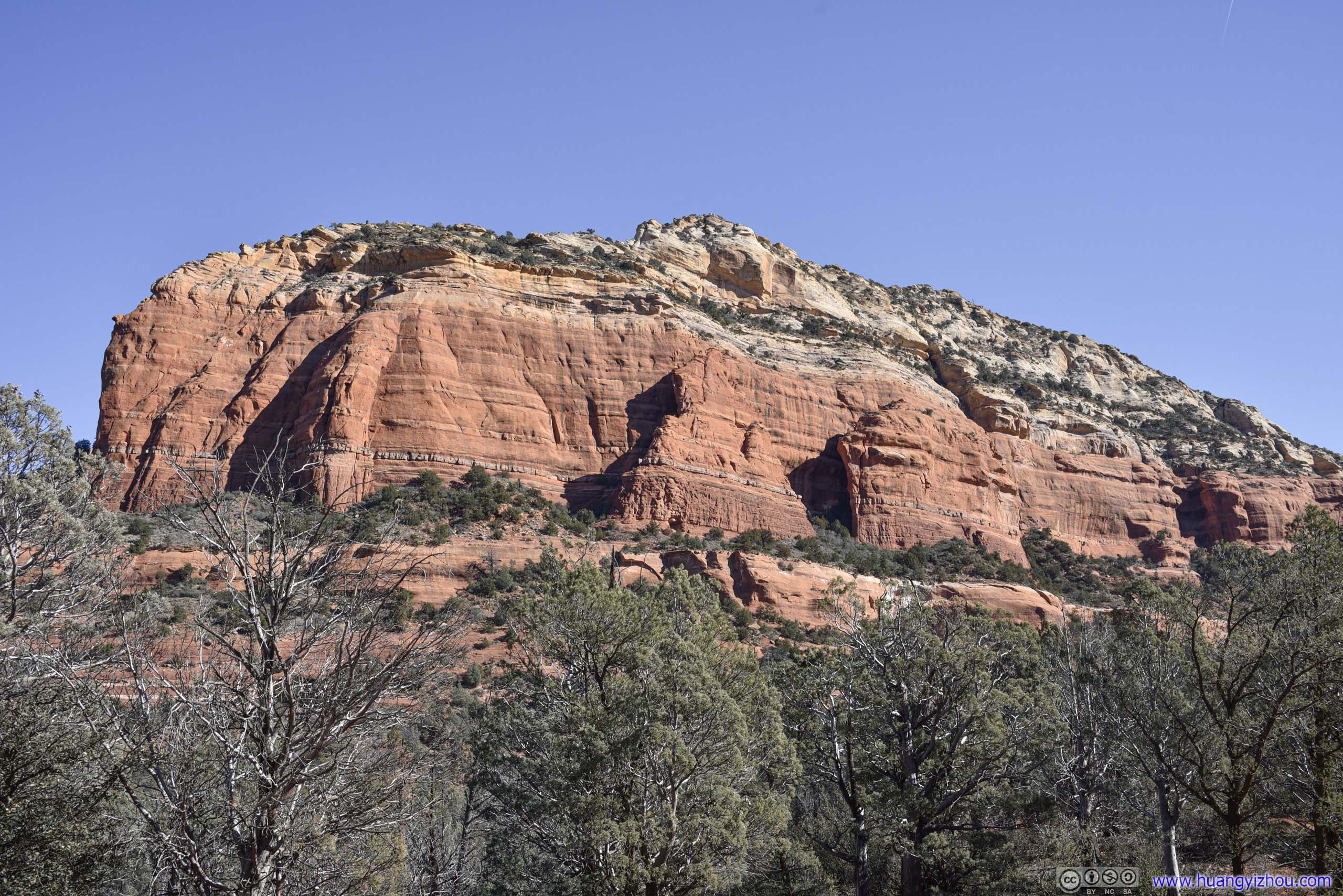
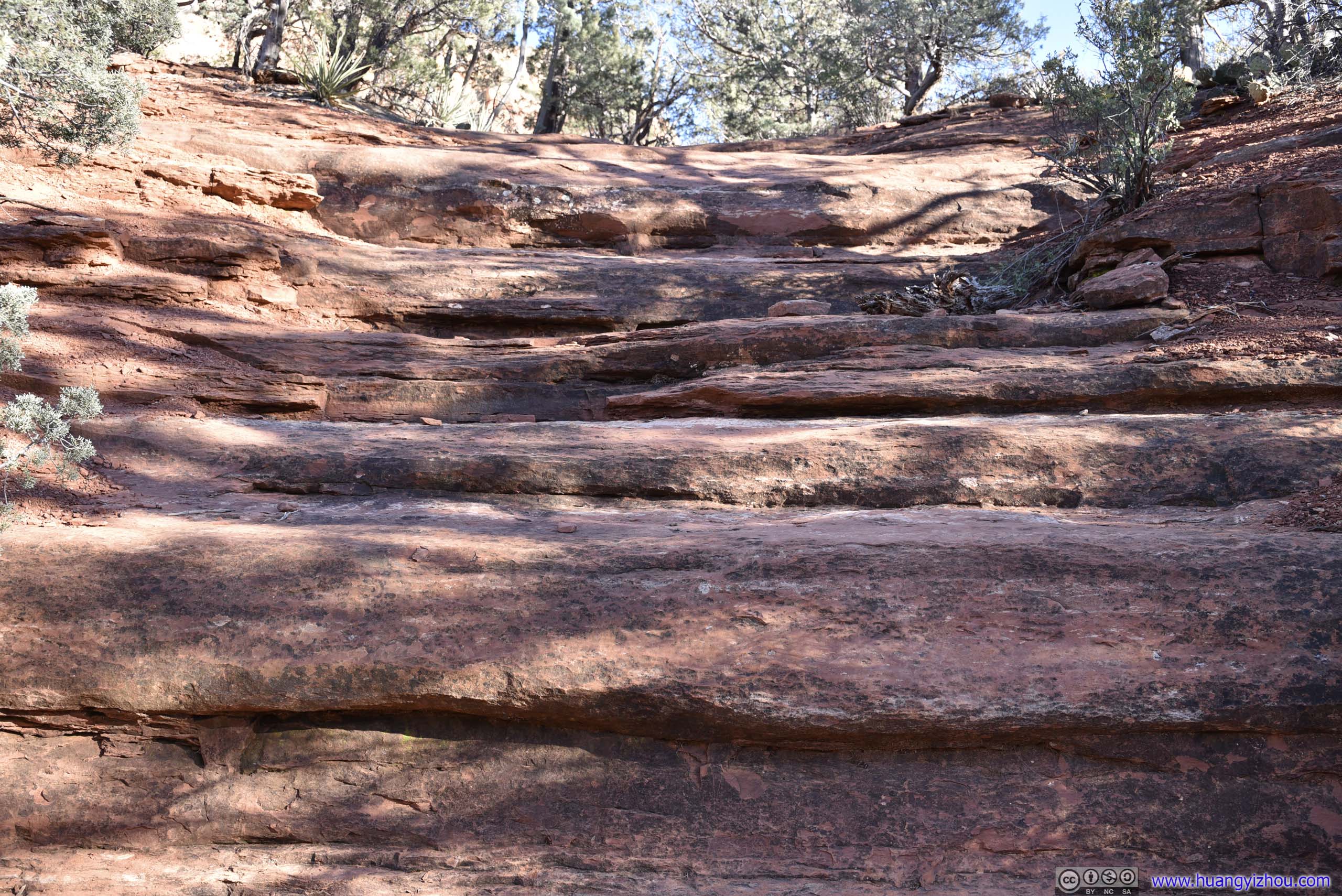
Devils Bridge was on the northern slope of a mountain. As the trail approached it from the north, we crossed from the sun into the shade, and immediately felt the difference in ambient temperature. I put on my coat, and with the trail going uphill, it wasn’t that much an issue.
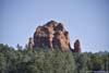
View near Devils Bridge
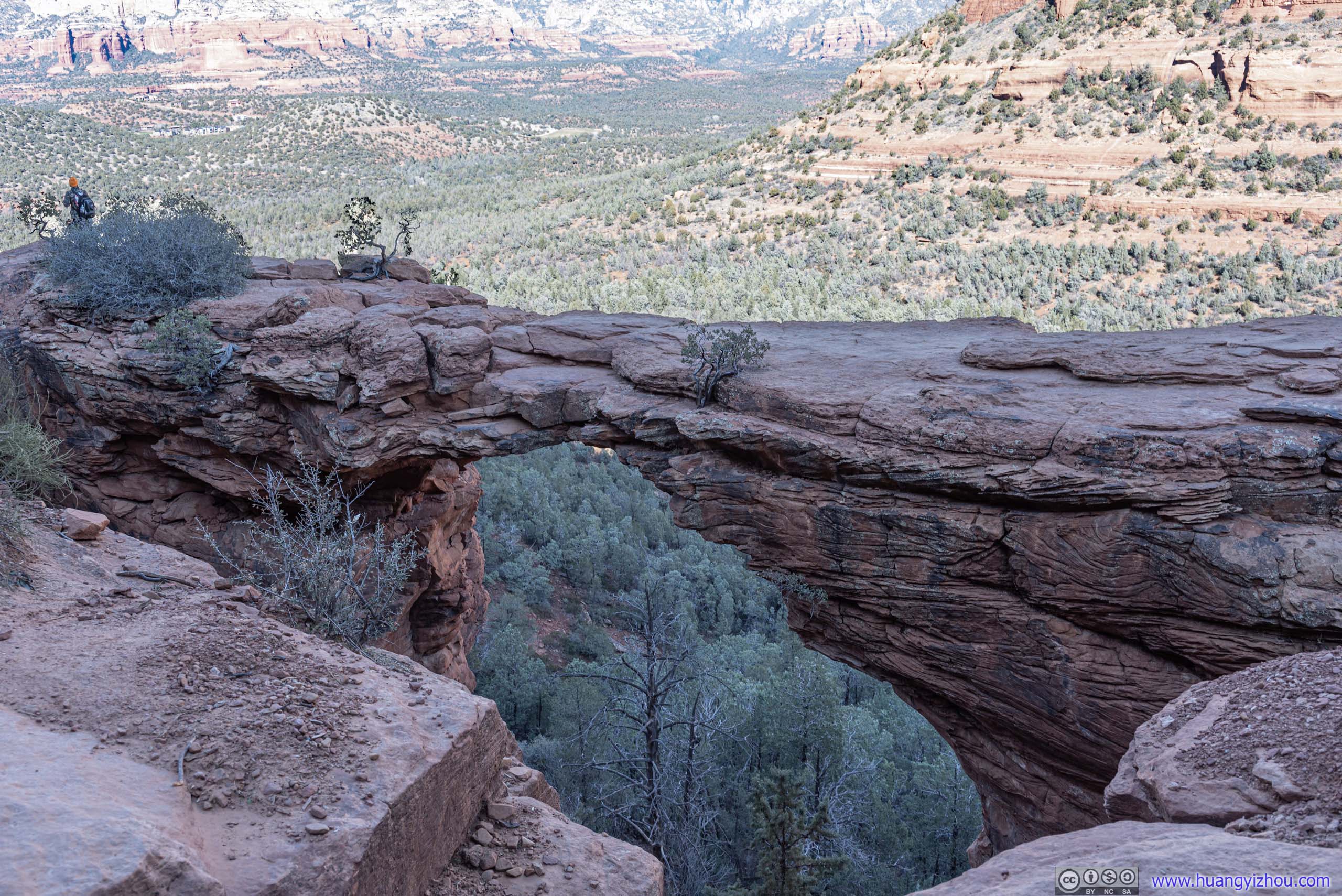
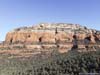
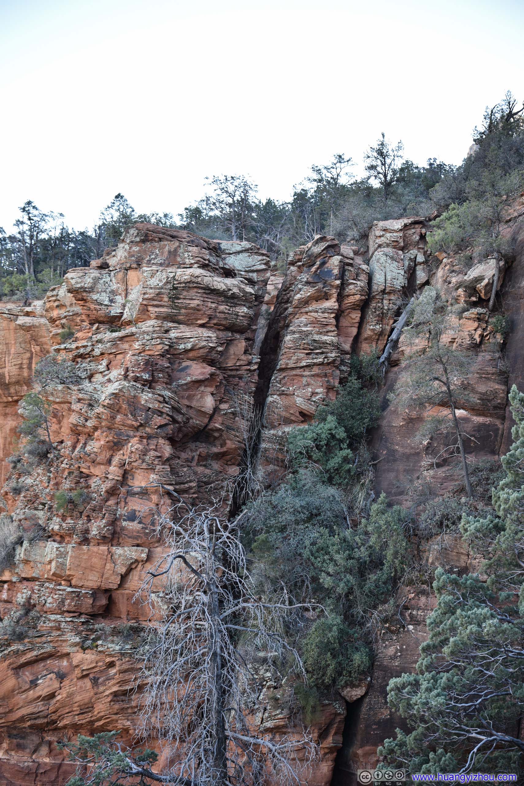 Devils Bridge
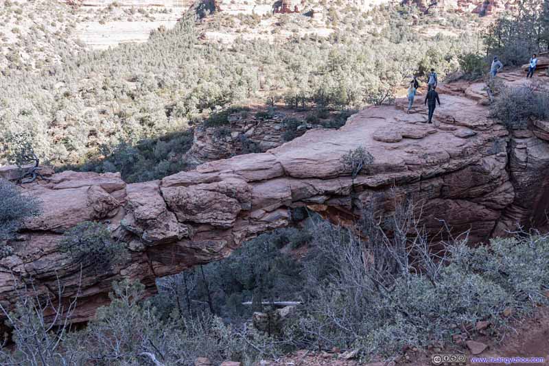
We got to Devils Bridge at around 11:50am. Typically, some people would step onto the bridge and pose for photos, with their photographers back away from the bridge. Not everyone was brave enough to do so, but with its popularity, there was always a line.
Unfortunately, with Devils Bridge on the northern slope of a mountain, the background contrast between areas of light and shade was demanding on a camera’s dynamic range, so I did my best post-processing to make them look natural.
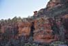
 Devils Bridge
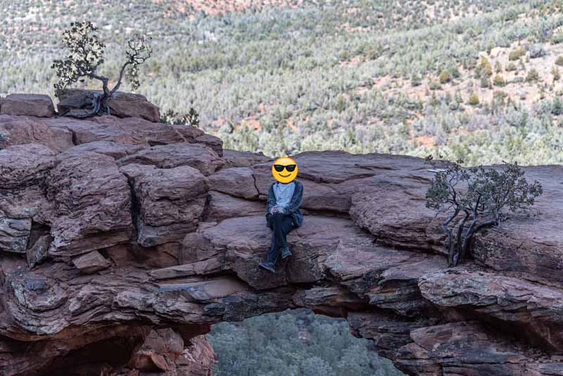 Devils Bridge
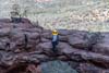
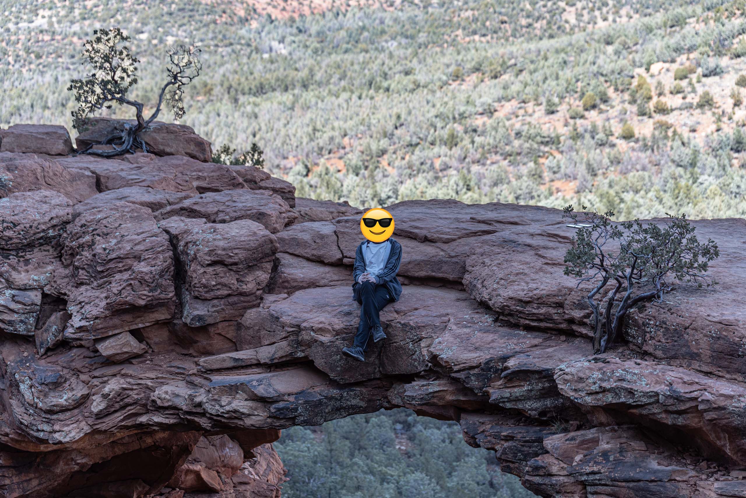
I was among the most mischievous that decided to sit on the edge of the bridge.
Devils Bridge
I was among the most mischievous that decided to sit on the edge of the bridge.
Click here to display photos of the Devils Bridge.
Devils Bridge
Devils Bridge
Between waiting in line, posing for photos, resting and eating snacks, we weren’t moving a lot near Devils Bridge. It was a bit cold in the shade, so after less than 30 minutes, we felt we had to get going before the bitterness would overwhelm us, and thus we started to head back to the trailhead.
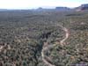
We got back to the trailhead at 1:15pm. But before we left, I thought the open valley around us was a great place for an aerial tour from my drone.
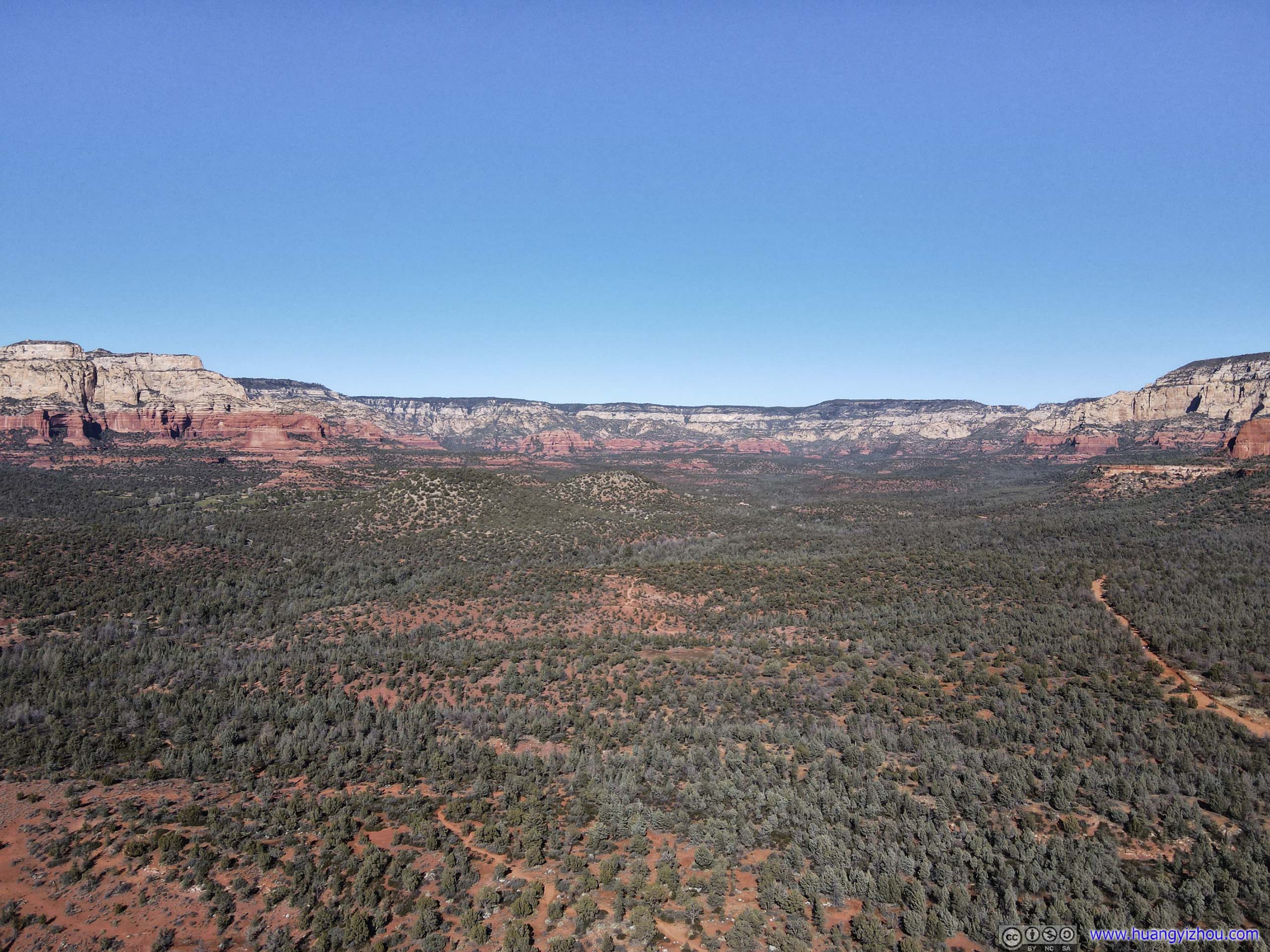
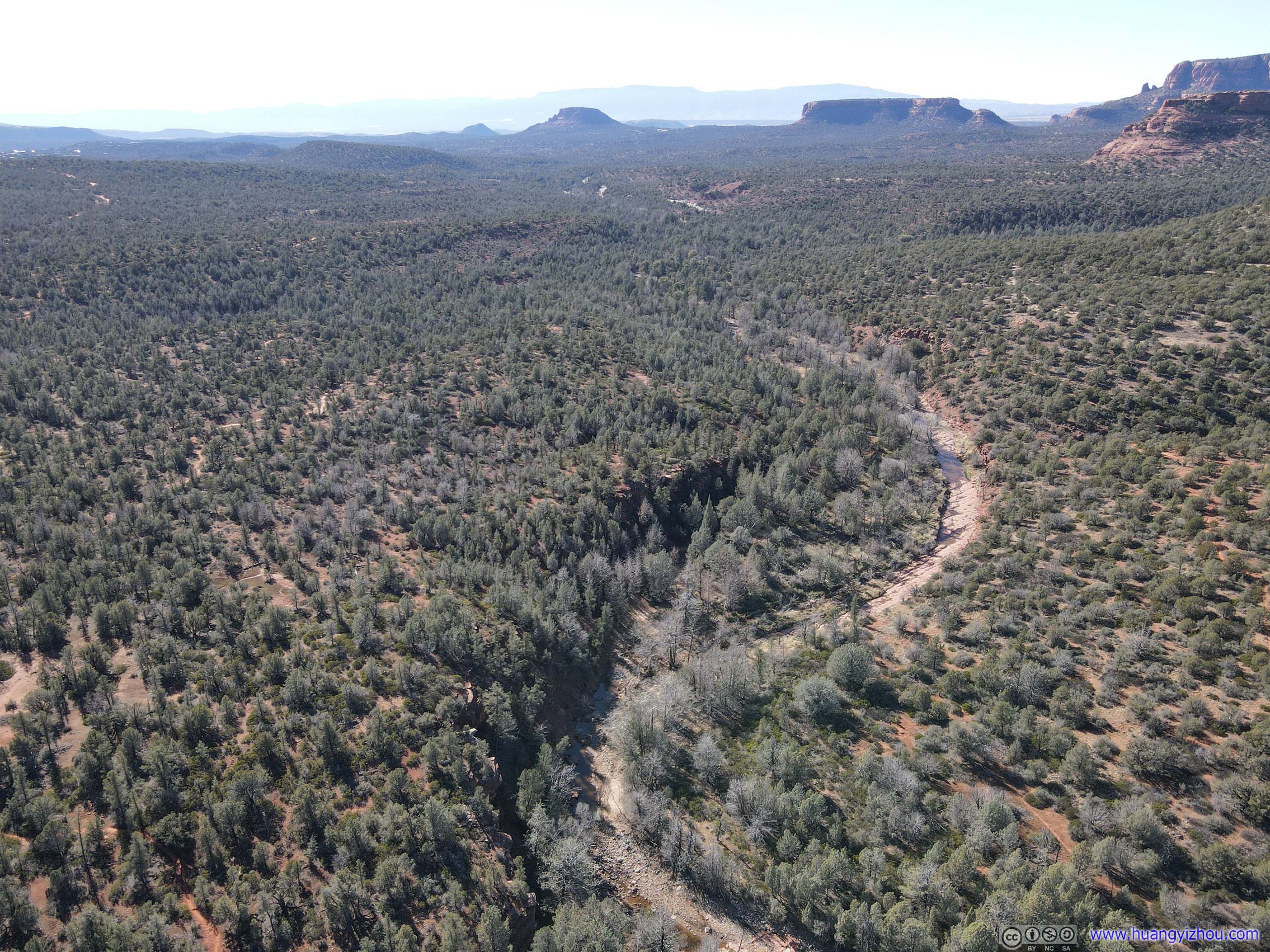
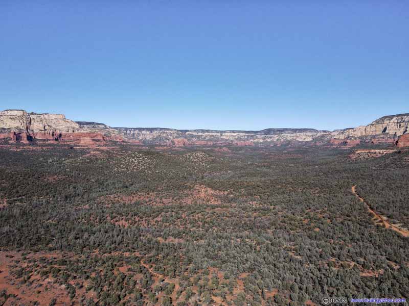 Valley
Where Dry Creek flew through. Capitol Butte and Solder Heights towards the right, Bear Mountain and Maroon Mountain towards the left.
Valley
Where Dry Creek flew through. Capitol Butte and Solder Heights towards the right, Bear Mountain and Maroon Mountain towards the left. Soldier Heights
 Soldier Heights
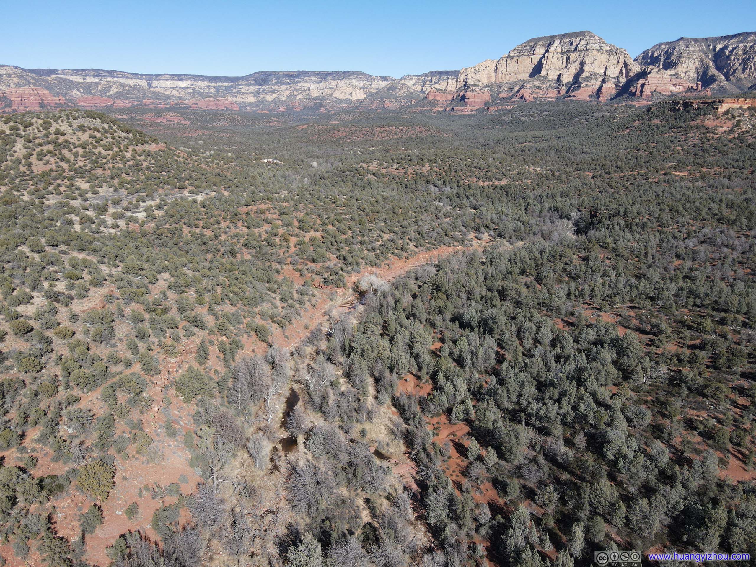
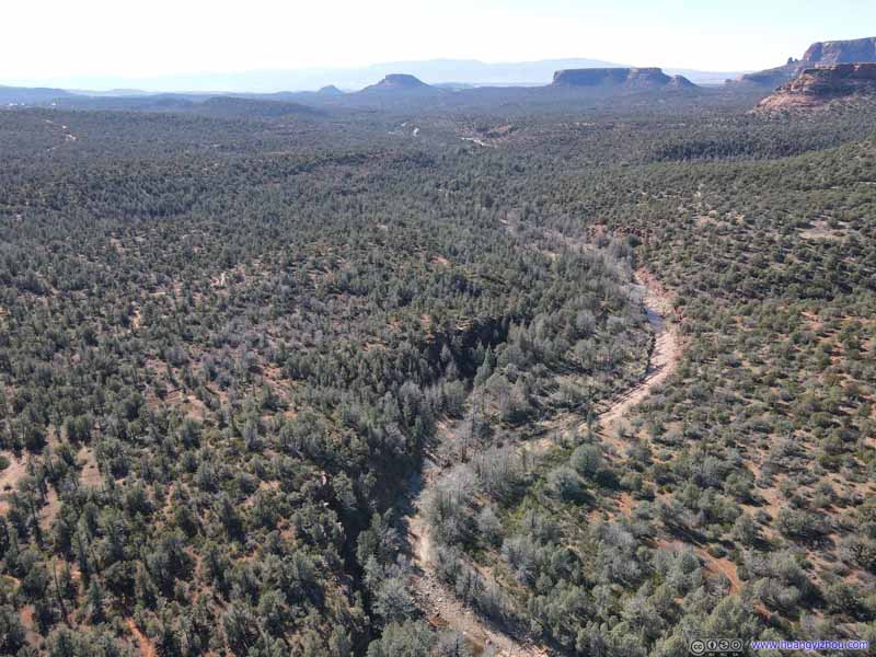 Dry CreekThe first part of the trail towards Devils Bridge followed a nearby road named after this creek.
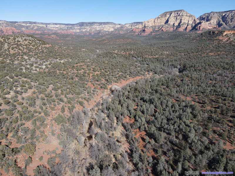 Dry CreekThe first part of the trail towards Devils Bridge followed a nearby road named after this creek.
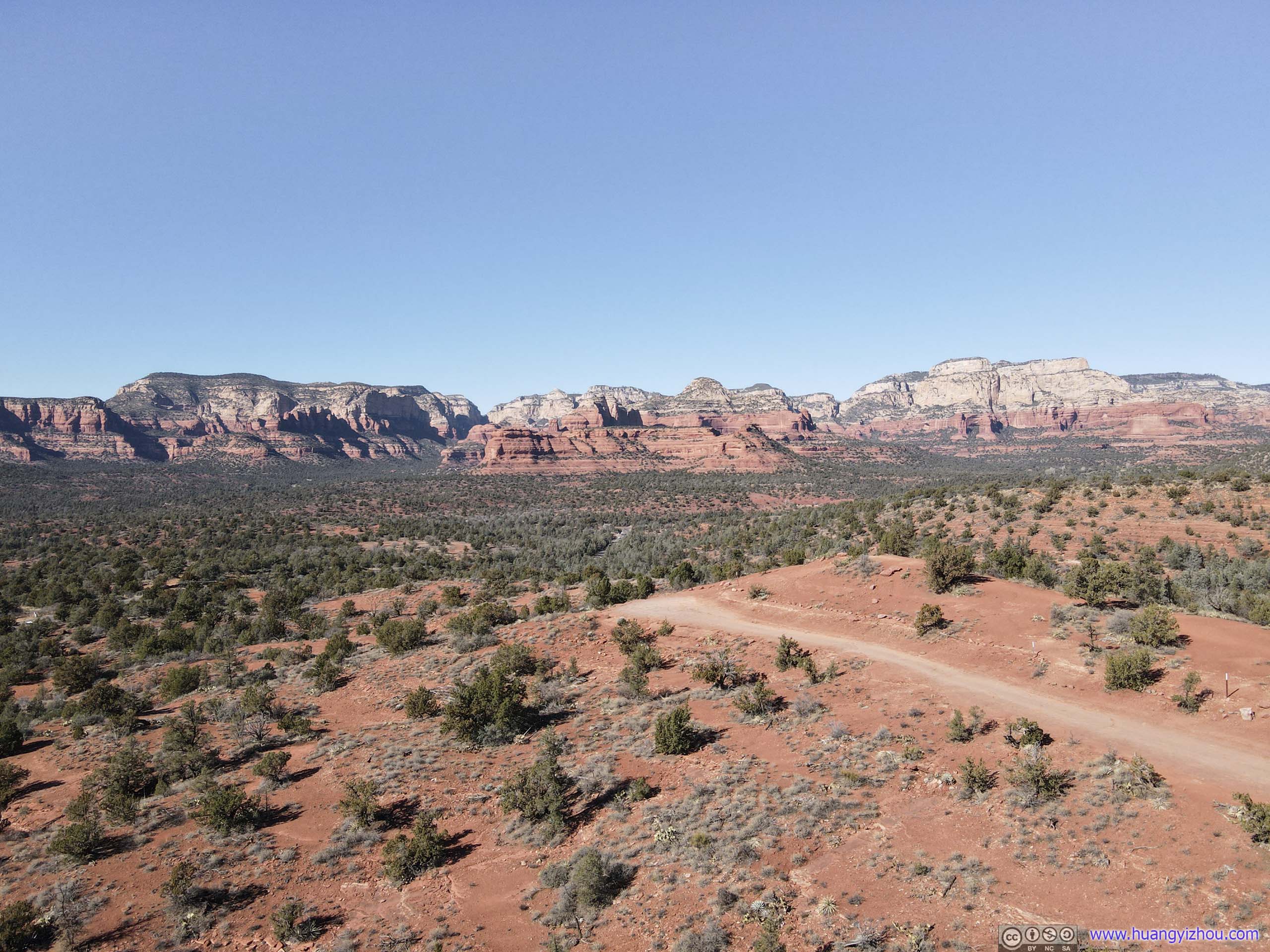
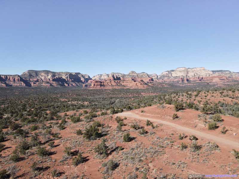 Mountains to the WestMescal Mountain in the foreground.
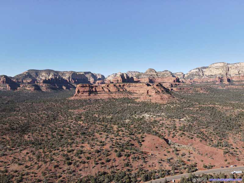 Mountains to the WestMescal Mountain in the foreground.
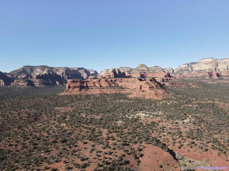 Mountains to the WestMescal Mountain in the foreground.
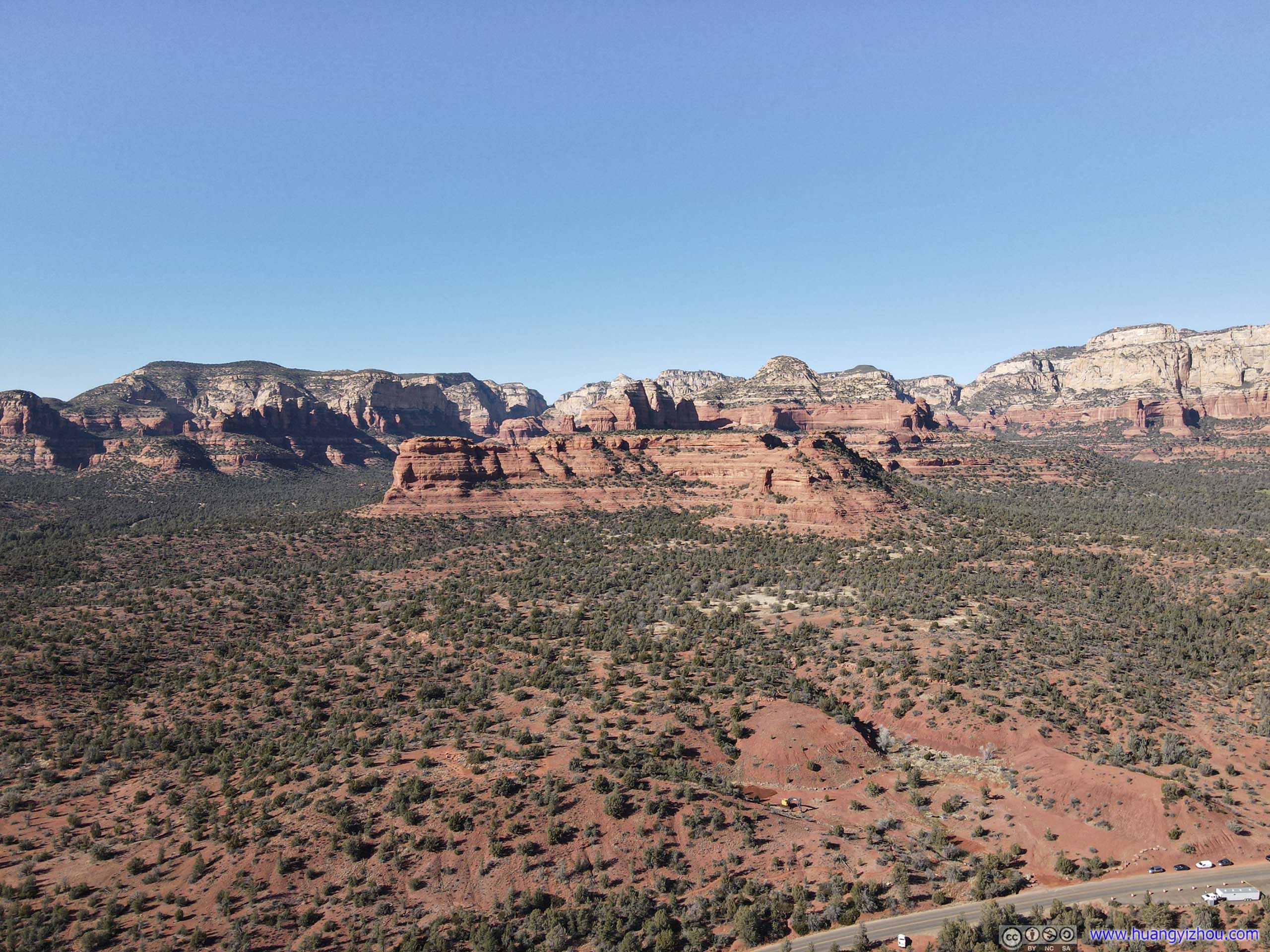
 Mescal Mountain
 Mescal Mountain

Click here to display photos of the slideshow
Valley

 Soldier Heights
 Dry CreekThe first part of the trail towards Devils Bridge followed a nearby road named after this creek.
 Mountains to the WestMescal Mountain in the foreground.
Mescal Mountain
Mescal Mountain
And here’s a video:
 Rocks of SedonaTaken south (top) and north (bottom) of Soldier Heights, over the valley where Dry Creek flew through.
Soldier Pass
We left the trailhead of Devils Bridge at around 2pm. There was still time left in the day, so my friend and I opted for some more hiking, and we decided on Soldier’s Pass Trail.
For Soldier’s Pass, its official parking lot was in a residential neighborhood and had space for 15 or so cars, and the gate closed at 6pm daily. There was no obvious overflow parking in the nearby residential neighborhood, so we ended up queuing for about 25 minutes for other vehicles to leave, quite a turn of fortune as earlier today we pulled right into an available spot at Devils Bridge’s trailhead. While doing so, I guessed the property owner nearby mustn’t be happy with us waiting in front of his/her driveway. There were proposals of running a shuttle bus to the trailhead from downtown Sedona, hopefully that will address this issue in the future.
An alternative was to use Jordan Road Trailhead (required Red Rock Pass or parking permit), about 2km away on foot. That’s certainly a better idea if one wanted to hike the loop trail circumventing Brins Butte.
Here’s GPS tracking:
In the end, it’s almost 3pm by the time we set off from the parking lot. Following the trail for a few minutes, we were at Devils Kitchen.
Devils Kitchen
 Devils Kitchen
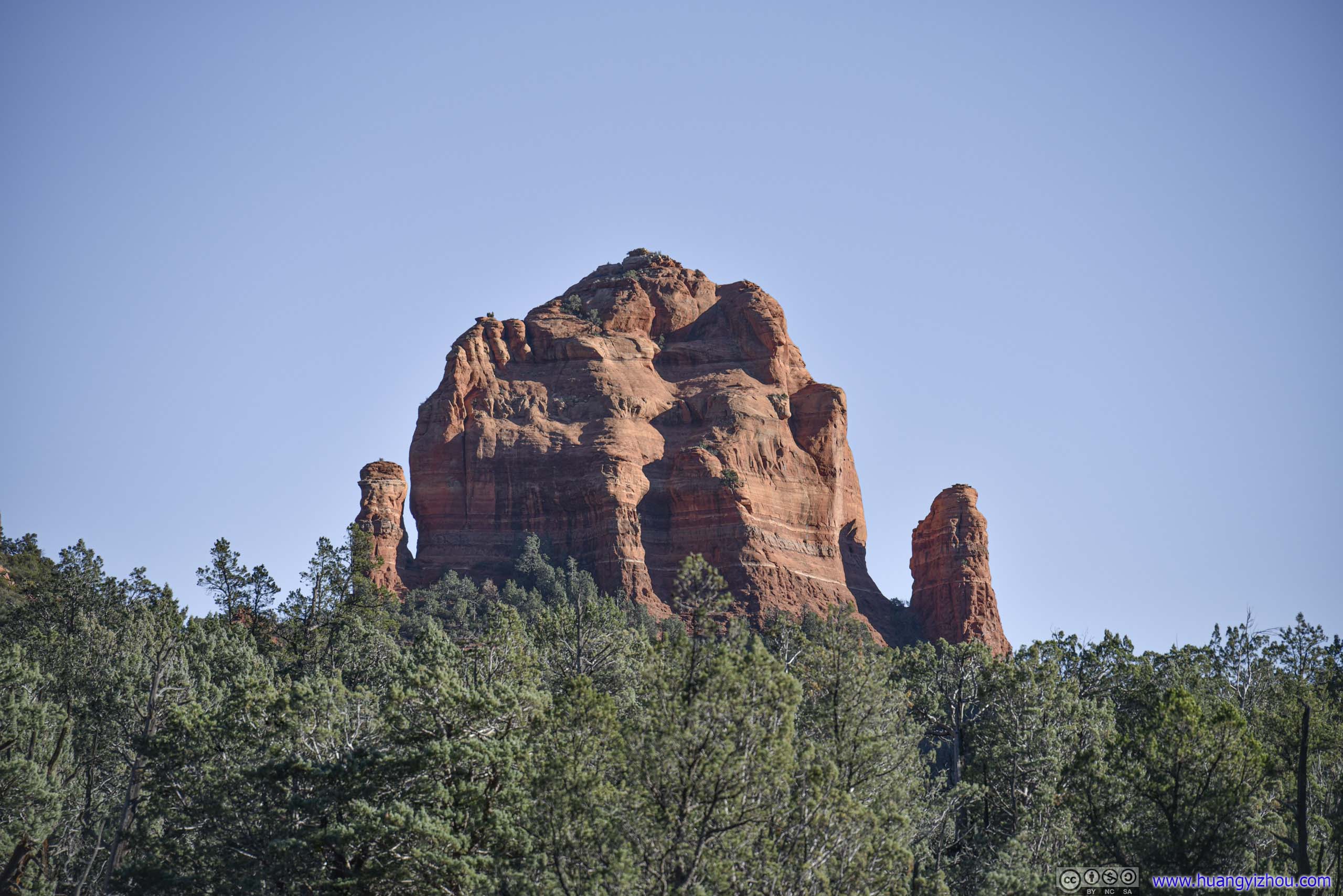
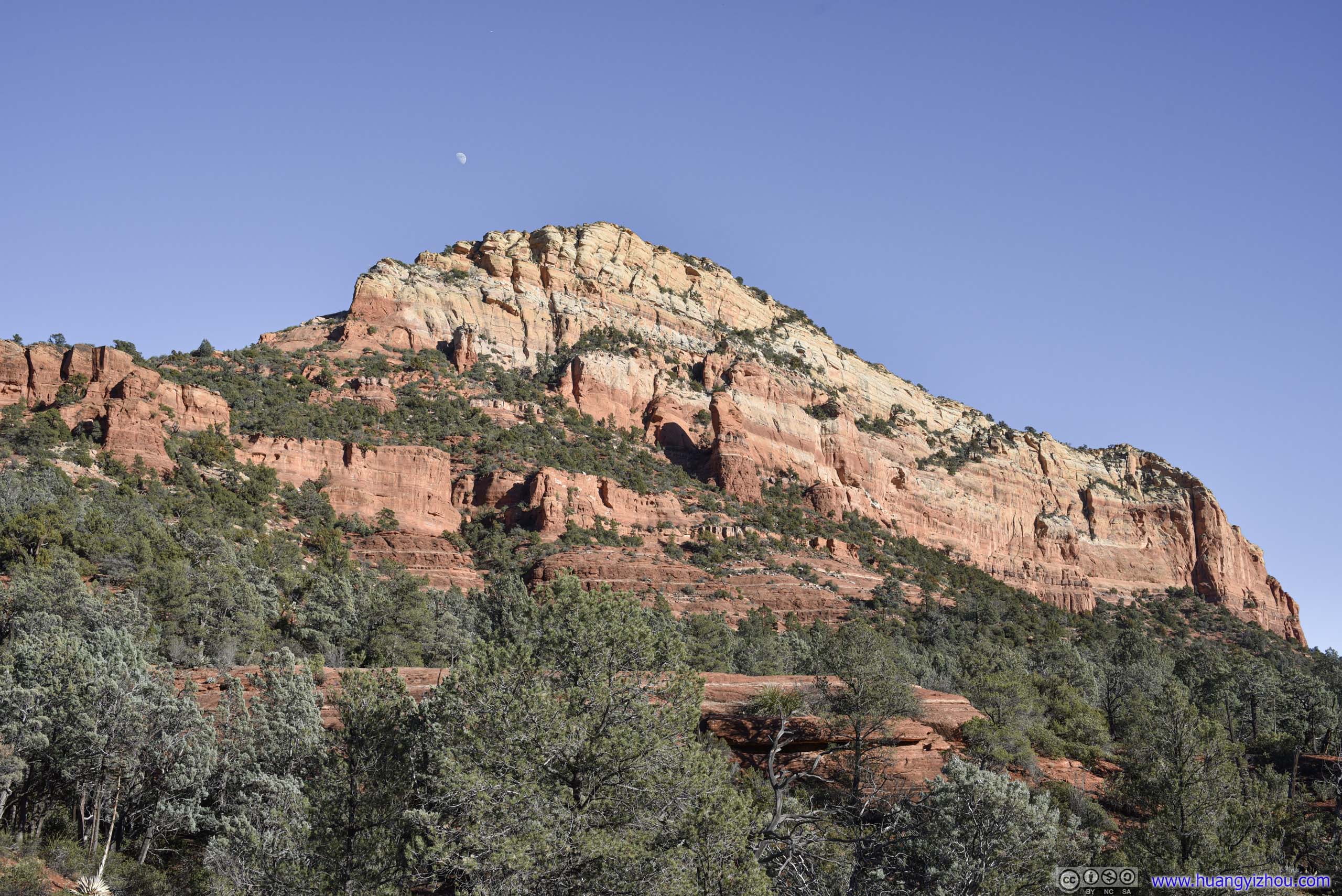
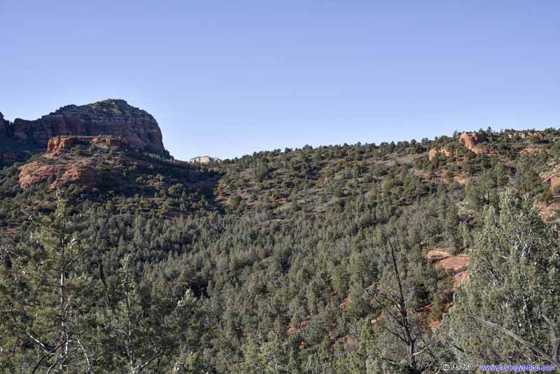
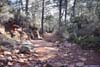
After that, the trail wound its way on the side of a valley, with sights of various hills and boulders around us, some in rather interesting shapes.
 Morning Glory Spire
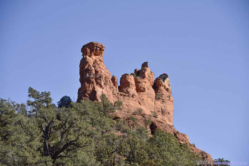 Morning Glory SpireLooked pretty narrow from this angle.
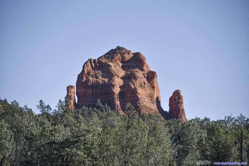 Cibola MittenAnother spire to the east of Morning Glory Spire.
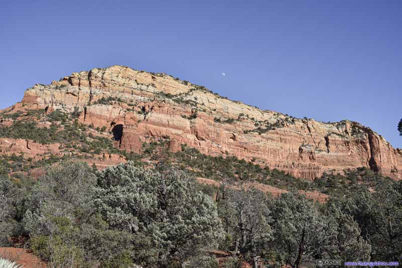 Brins Ridge
 Brins Ridge
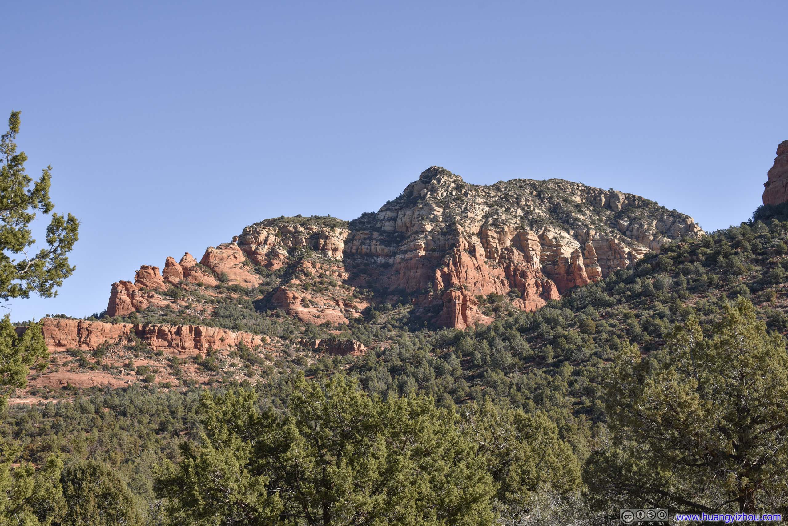
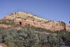
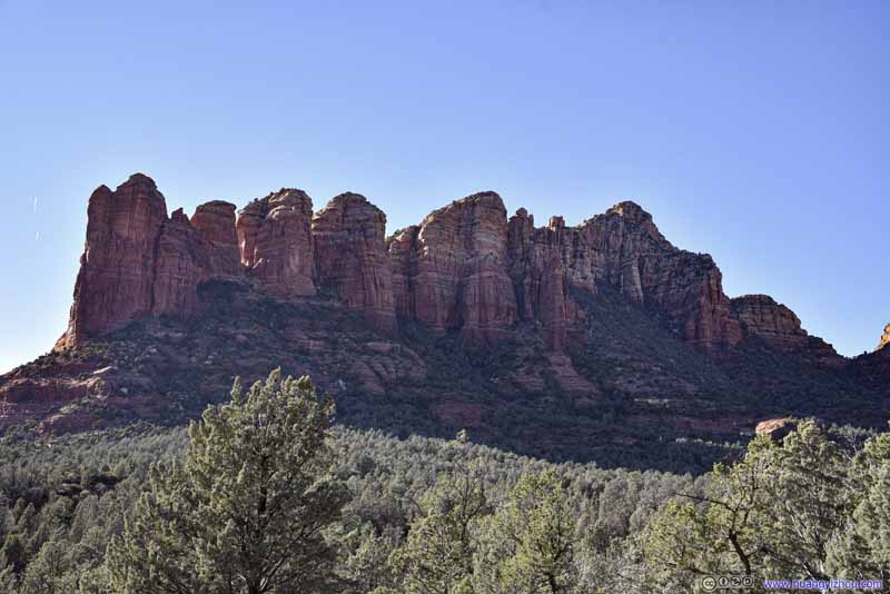 Hills to the WestCoffeepot Rock on the left.
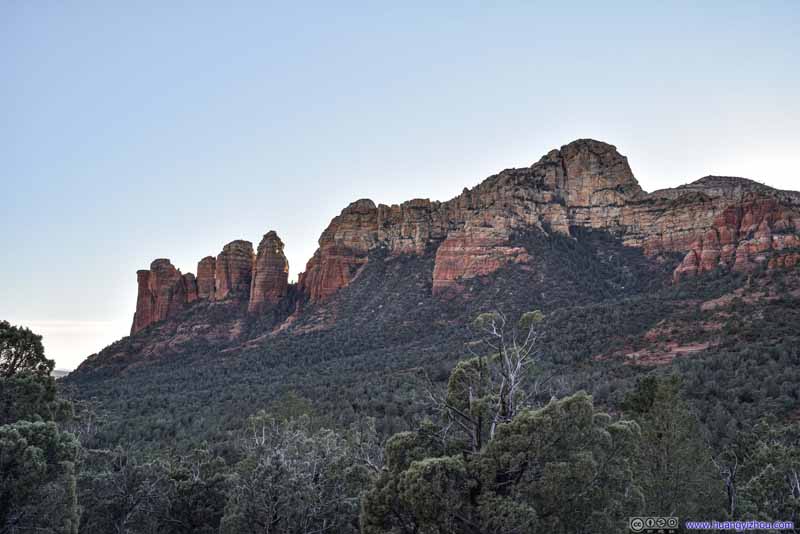 Hills to the West
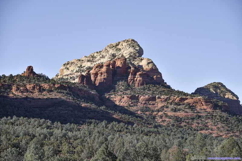 Soldier HeightsThe top white part didn’t look that lofty from Devils Bridge earlier today.
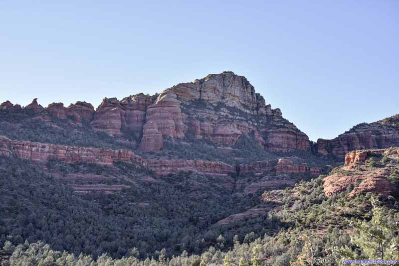 Soldier Heights

Click here to display photos of the slideshow

Morning Glory Spire
Morning Glory SpireLooked pretty narrow from this angle.
Cibola MittenAnother spire to the east of Morning Glory Spire.

 Brins Ridge

Hills to the WestCoffeepot Rock on the left.
Hills to the West
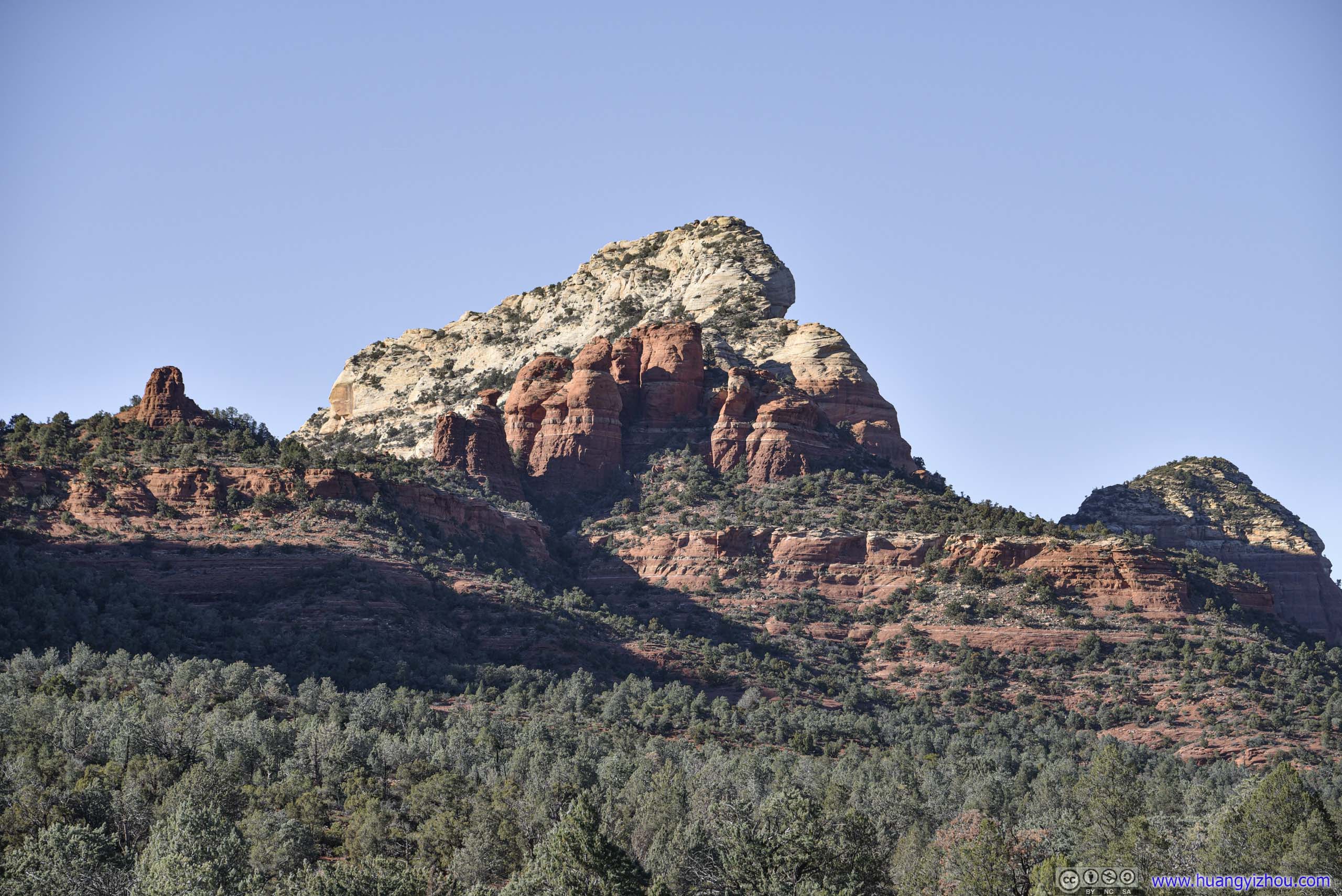
Soldier HeightsThe top white part didn’t look that lofty from Devils Bridge earlier today.

Soldier Heights
About 2km from trailhead, the trail would reach an intersection, a right turn would lead onto a spur trail to Soldier Pass Cave, while continuing forward would lead to Soldier Pass (and the Brins Butte loop). The AllTrail map we relied on visited both branches, but we were pressed on time and picked Soldier Pass Cave over Soldier Pass.
That meant after leaving the intersection, the trail started to gain elevation. But Soldier Pass Cave was only about 400m from the intersection, and we reached it at 3:45pm.
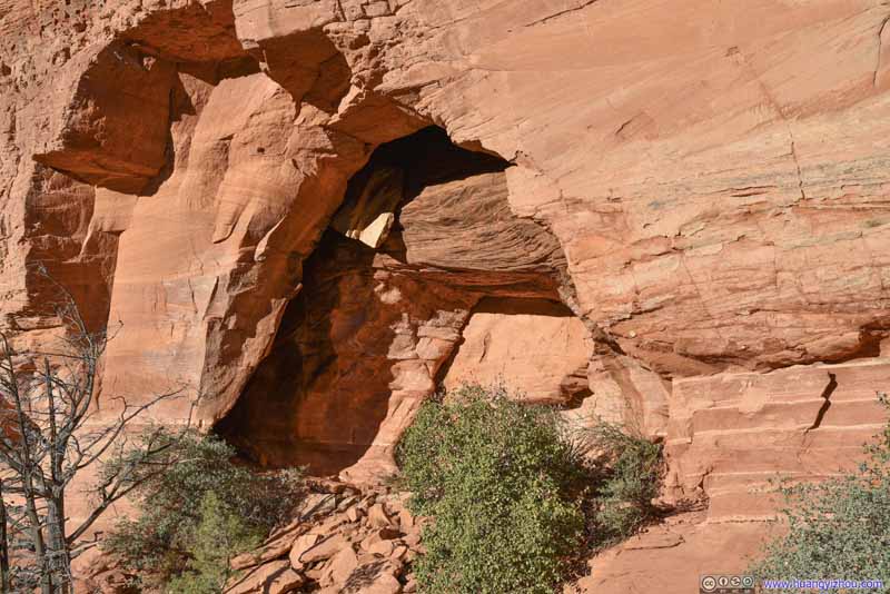
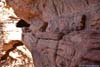
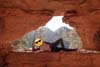
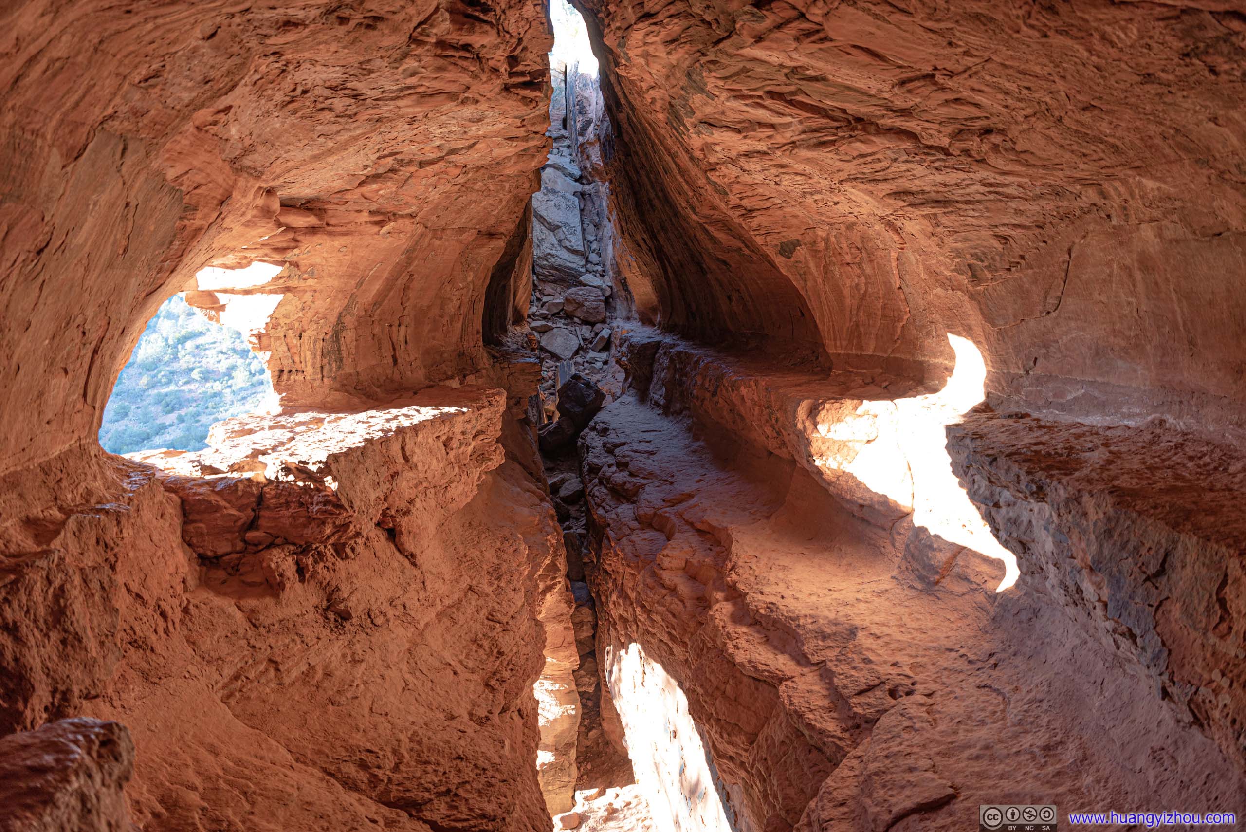
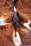
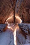
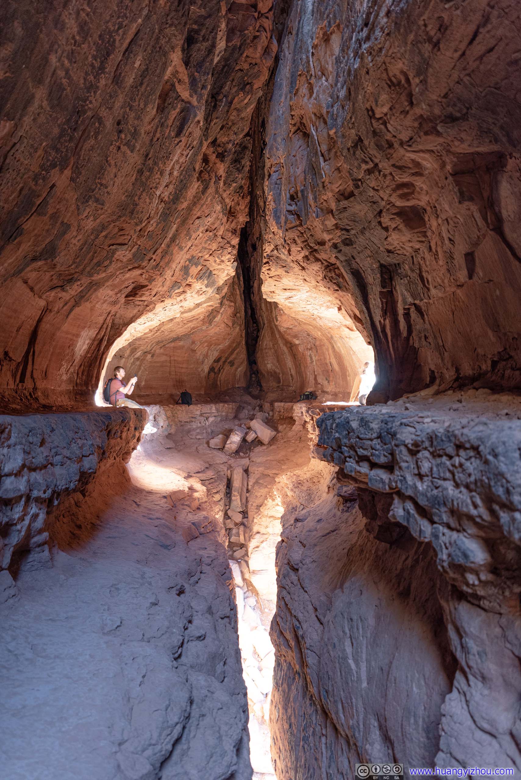
Soldier Pass Cave
Soldier Pass Cave was an interesting cave on the side of Brins Butte. Despite its name, it’s more like a crack that opened up in the rocks, as one could still see the sky from inside. My friend and I took some time to find its proper entrance (see photos below), which required some scrambling. But it’s well worth the effort as the cave’s interior was just too fascinating to miss.
 Soldier Pass Cave
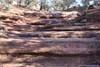
 Benches at Entrance
For those not in shape to climb through a narrow and steep set of rocks into the cave. The entrance to the cave was towards the right of this set of benches.
Benches at Entrance
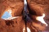
For those not in shape to climb through a narrow and steep set of rocks into the cave. The entrance to the cave was towards the right of this set of benches. Opening above Soldier Pass Cave
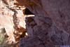
At first my friend and I didn’t find the entrance to the cave. Instead, we were attempting to enter the cave through an opening from a ledge towards its right.
Opening above Soldier Pass Cave
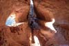
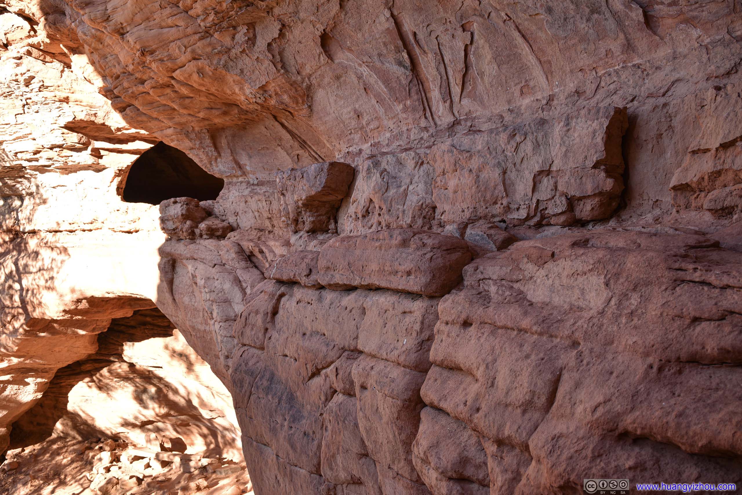
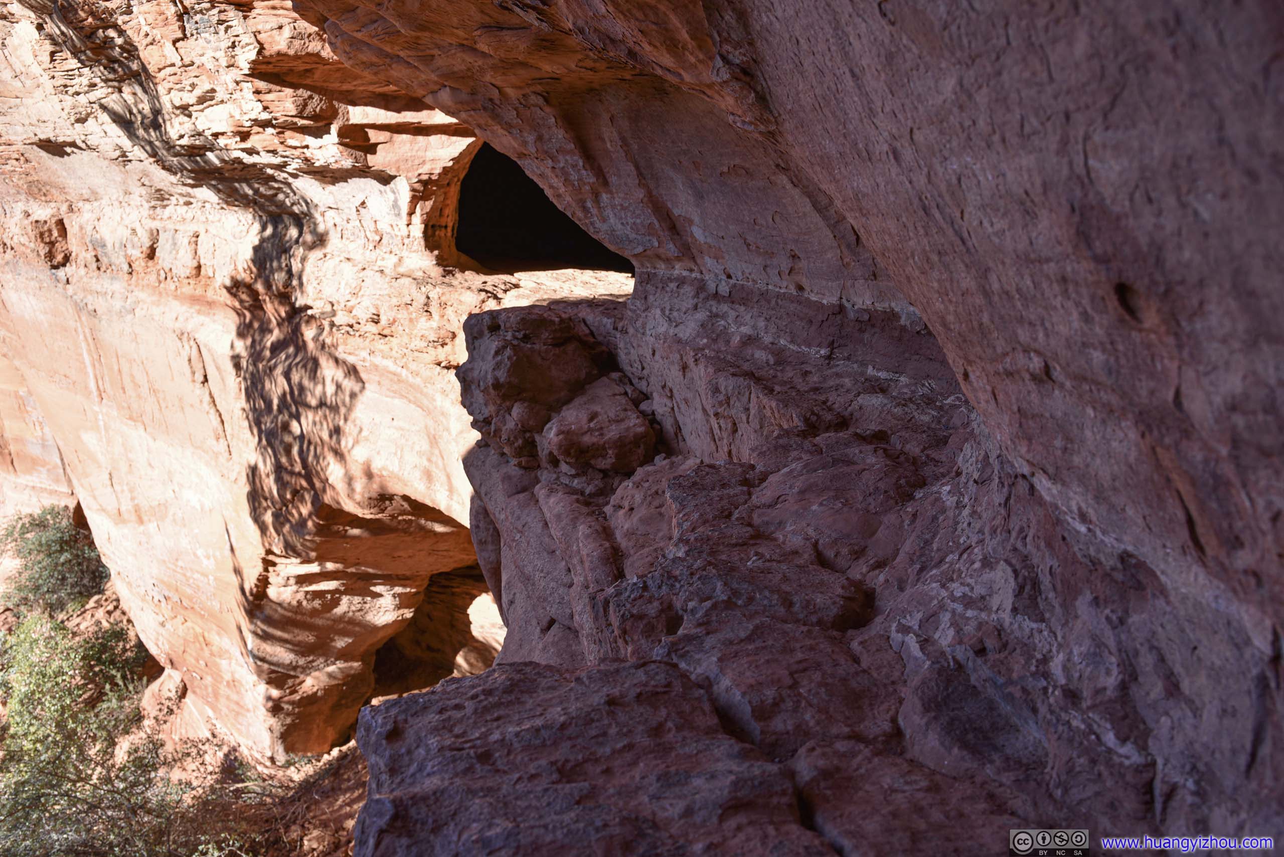
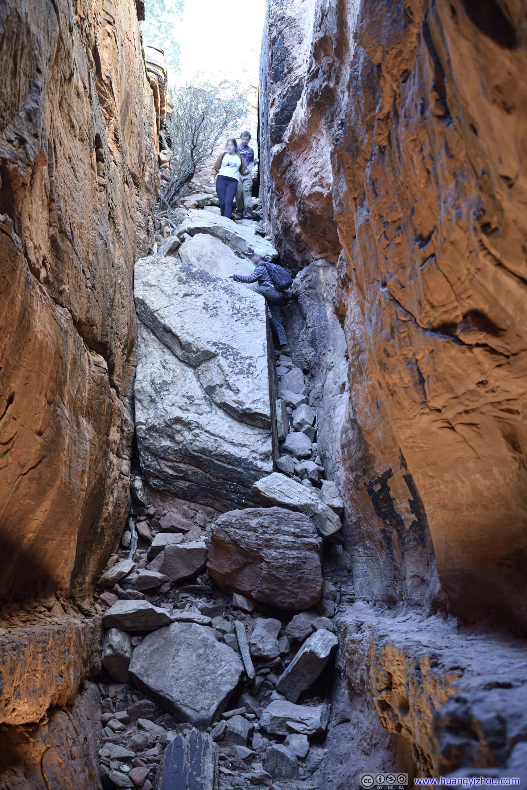
At first my friend and I didn’t find the entrance to the cave. Instead, we were attempting to enter the cave through an opening from a ledge towards its right.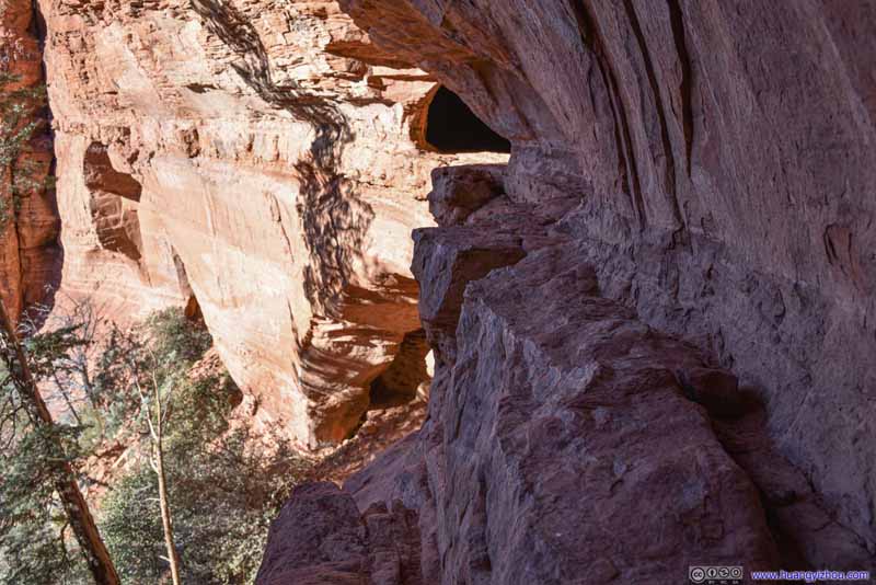 Narrow Ledge
However, the ledge (photo’d here) was narrow and cramped at places, we didn’t feel comfortable about this path and backed off. That’s when we found the proper entrance underneath.
Narrow Ledge
However, the ledge (photo’d here) was narrow and cramped at places, we didn’t feel comfortable about this path and backed off. That’s when we found the proper entrance underneath.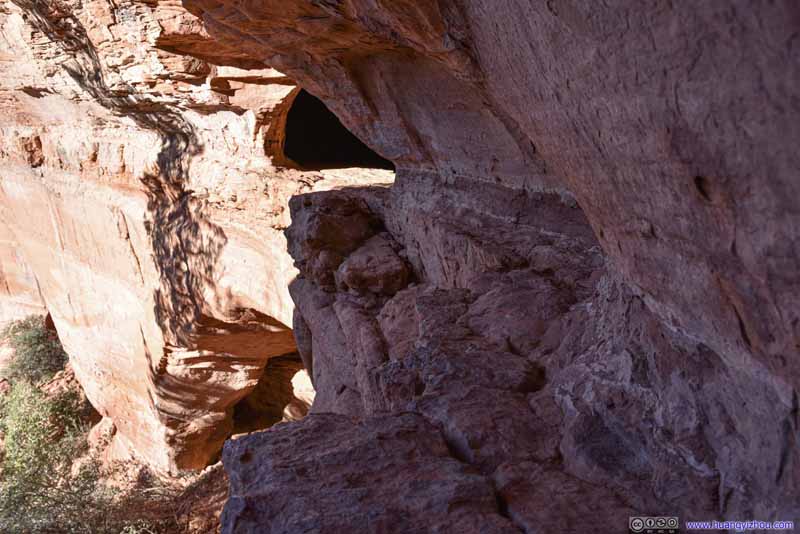 Narrow Ledge
However, the ledge (photo’d here) was narrow and cramped at places, we didn’t feel comfortable about this path and backed off. That’s when we found the proper entrance underneath.
Narrow Ledge
However, the ledge (photo’d here) was narrow and cramped at places, we didn’t feel comfortable about this path and backed off. That’s when we found the proper entrance underneath.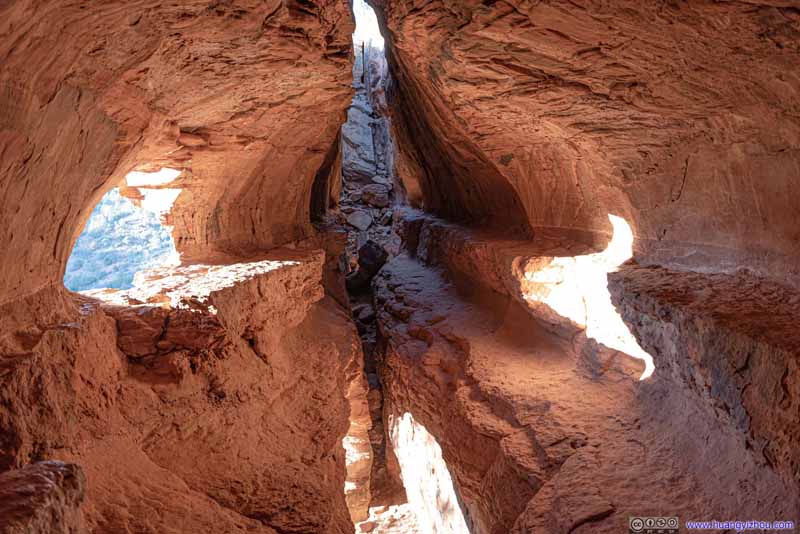 Soldier Pass Cave
A popular photography site inside the cave was the aforementioned opening, in the left of this photo. The access to that opening was safer inside the cave.
Soldier Pass Cave
A popular photography site inside the cave was the aforementioned opening, in the left of this photo. The access to that opening was safer inside the cave.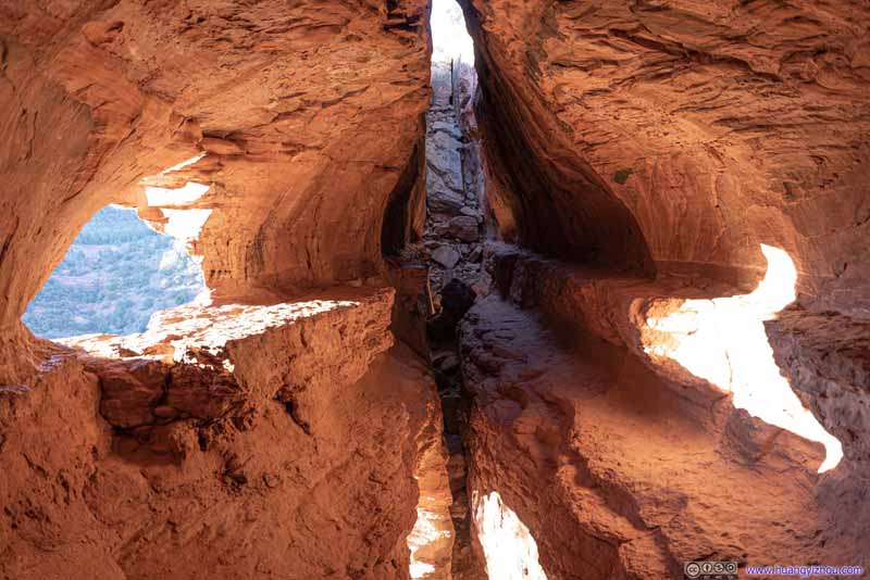 Soldier Pass Cave
A popular photography site inside the cave was the aforementioned opening, in the left of this photo. The access to that opening was safer inside the cave.
Soldier Pass Cave
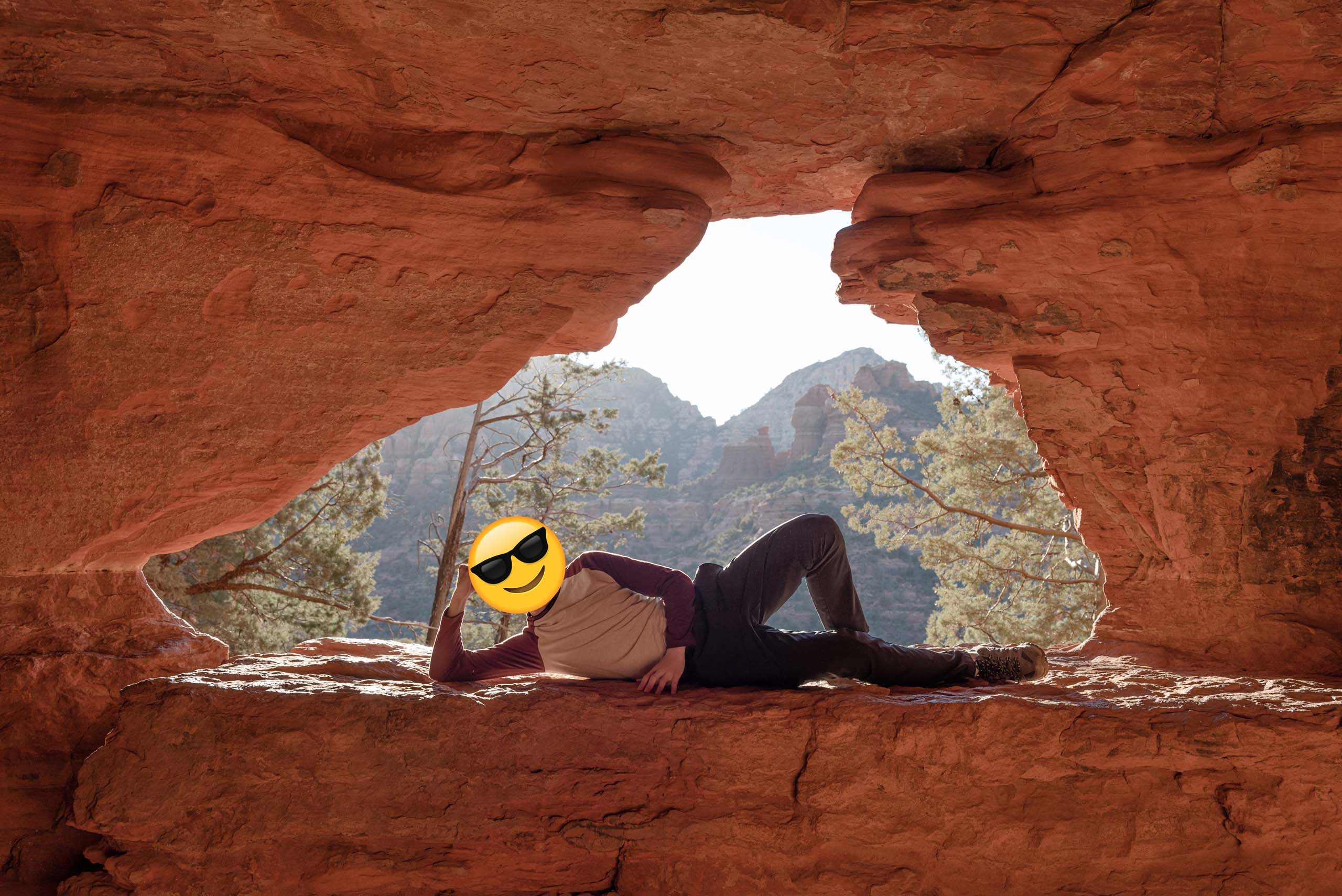
A popular photography site inside the cave was the aforementioned opening, in the left of this photo. The access to that opening was safer inside the cave. Soldier Pass CaveLike how I posed for my photo here.
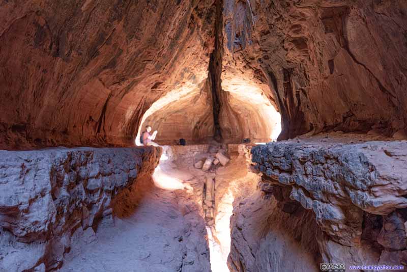 Soldier Pass CaveLooking south.


Click here to display photos of Soldier Pass Cave.

Soldier Pass Cave

Benches at Entrance
Opening above Soldier Pass Cave

 Narrow Ledge
 Soldier Pass Cave
Soldier Pass CaveLike how I posed for my photo here.

Soldier Pass CaveLooking south.
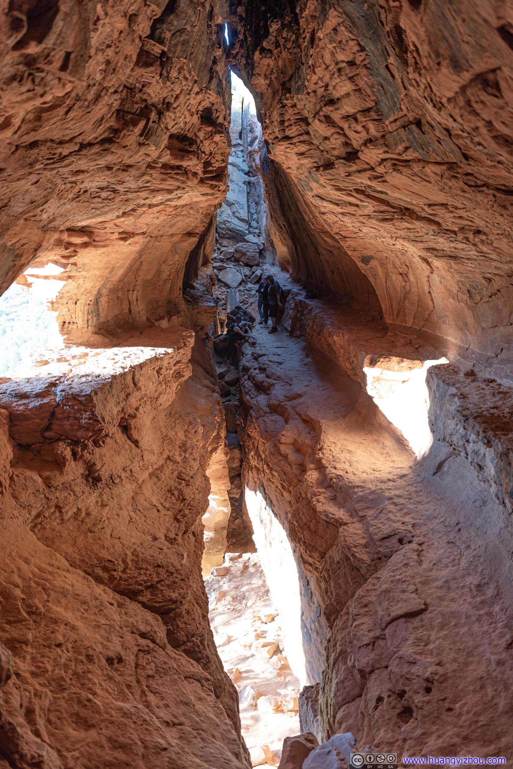
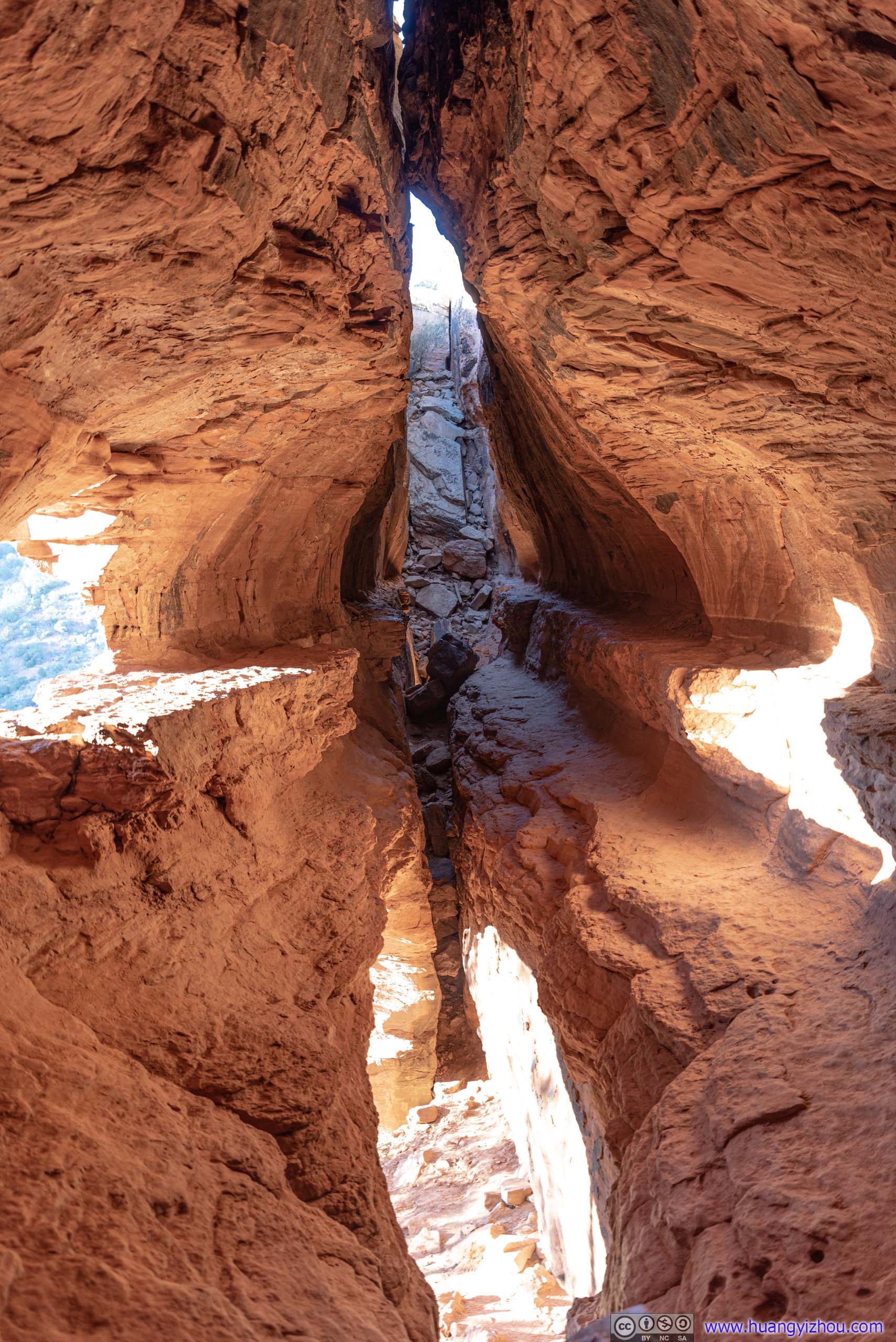
The crack/slit that made up Soldier Pass Cave ran throughout the entire length of the cave. Once inside, there was a ledge on the eastern side of the slit that’s barely wide enough for passage. A popular posture for photos was to straddle between the slit, near the northern end of the cave (photos below).
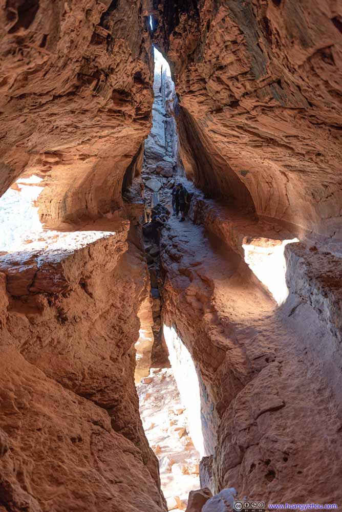 Soldier Pass CaveLooking north from the southern end.
 Soldier Pass CaveLooking north from the southern end.
 Soldier Pass CaveLooking south. This was a popular place to people to straddle across and pose for photos.
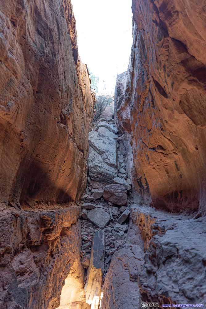 Soldier Pass Cave
Looking north. One may opt to carefully traverse the narrow ledge on the right of this photo and climb over the rocks at the end of it to ascend onto Brins Butte.
Soldier Pass Cave
Looking north. One may opt to carefully traverse the narrow ledge on the right of this photo and climb over the rocks at the end of it to ascend onto Brins Butte. Soldier Pass CaveA few rock climbers. I wasn’t dressed in climbing gear so I opted to stay back.


Click here to display photos inside Soldier Pass Cave.
 Soldier Pass CaveLooking north from the southern end.
Soldier Pass CaveLooking south. This was a popular place to people to straddle across and pose for photos.

Soldier Pass Cave
Soldier Pass CaveA few rock climbers. I wasn’t dressed in climbing gear so I opted to stay back.
During our visit we shared the cave (and the many photography ideas it offered) with a few other groups of visitors, and we spent about 45 minutes at the cave for all its fascinations before we started to head back. We wanted to catch sunset later at Sedona Airport vista, so we didn’t have time for Soldier Pass farther north, as indicated by AllTrails map.
 Soldier Pass
The trail would find its way through these woods onto the plateau in front. We were pressed on time so we didn’t continue beyond the spur towards Soldier Pass Cave.
Soldier Pass
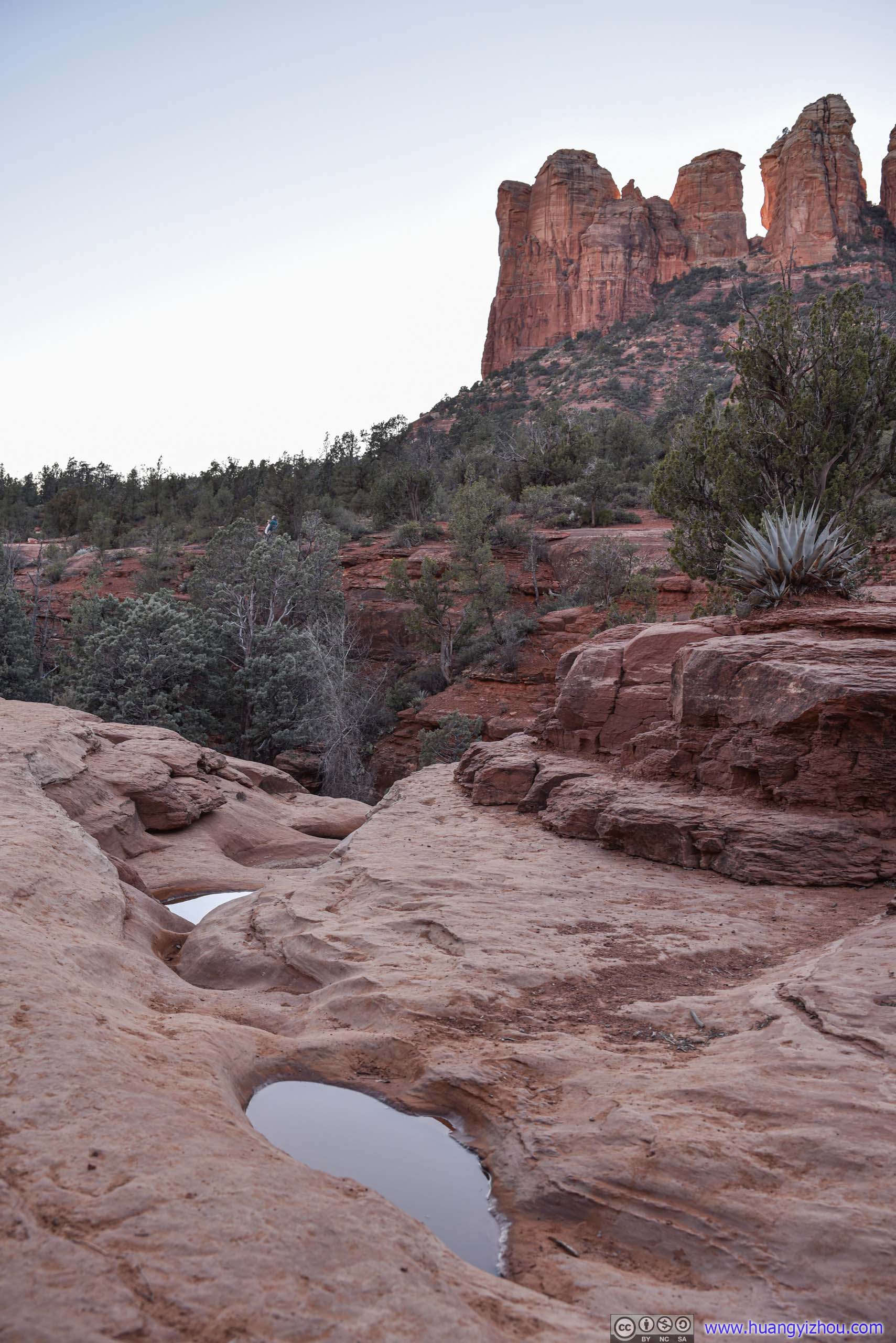
The trail would find its way through these woods onto the plateau in front. We were pressed on time so we didn’t continue beyond the spur towards Soldier Pass Cave.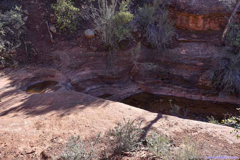 PoolsIn addition to Seven Sacred Pools, this was another set of fewer pools along the trail.
 CascadeOnly that it’s dry.
 Soldier WashRiverbed that’s dry. The trail crossed Soldier Wash multiple times.
 Soldier WashRiverbed that’s dry. The trail crossed Soldier Wash multiple times.
 Soldier Pass Road
A road for high clearance vehicles that could shave 1.6km (one-way) of hiking towards Soldier Pass. We spent more time at Soldier Pass Cave than expected, thus in order to catch sunset, we followed this dirt road (instead of trail) back to parking lot.
Soldier Pass Road
A road for high clearance vehicles that could shave 1.6km (one-way) of hiking towards Soldier Pass. We spent more time at Soldier Pass Cave than expected, thus in order to catch sunset, we followed this dirt road (instead of trail) back to parking lot.

Click here to display photos of the slideshow
Soldier Pass

PoolsIn addition to Seven Sacred Pools, this was another set of fewer pools along the trail.
CascadeOnly that it’s dry.
 Soldier WashRiverbed that’s dry. The trail crossed Soldier Wash multiple times.
Soldier Pass Road
Then we found out that for most of the main trail towards Soldiers Pass, a dirt road ran in parallel with it. The dirt road was in thicker forest and didn’t offer much view, but since it’s late in the day and most of the surrounding rocks were in shades, that’s not a problem for us. The dirt road had fewer curves and less elevation change, which helped us hurry back towards the trailhead.
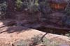
Seven Sacred Pools
About 900m from trailhead, there was another attraction called “Seven Sacred Pools”. They were seven cascading pools naturally carved by a seasonal stream.
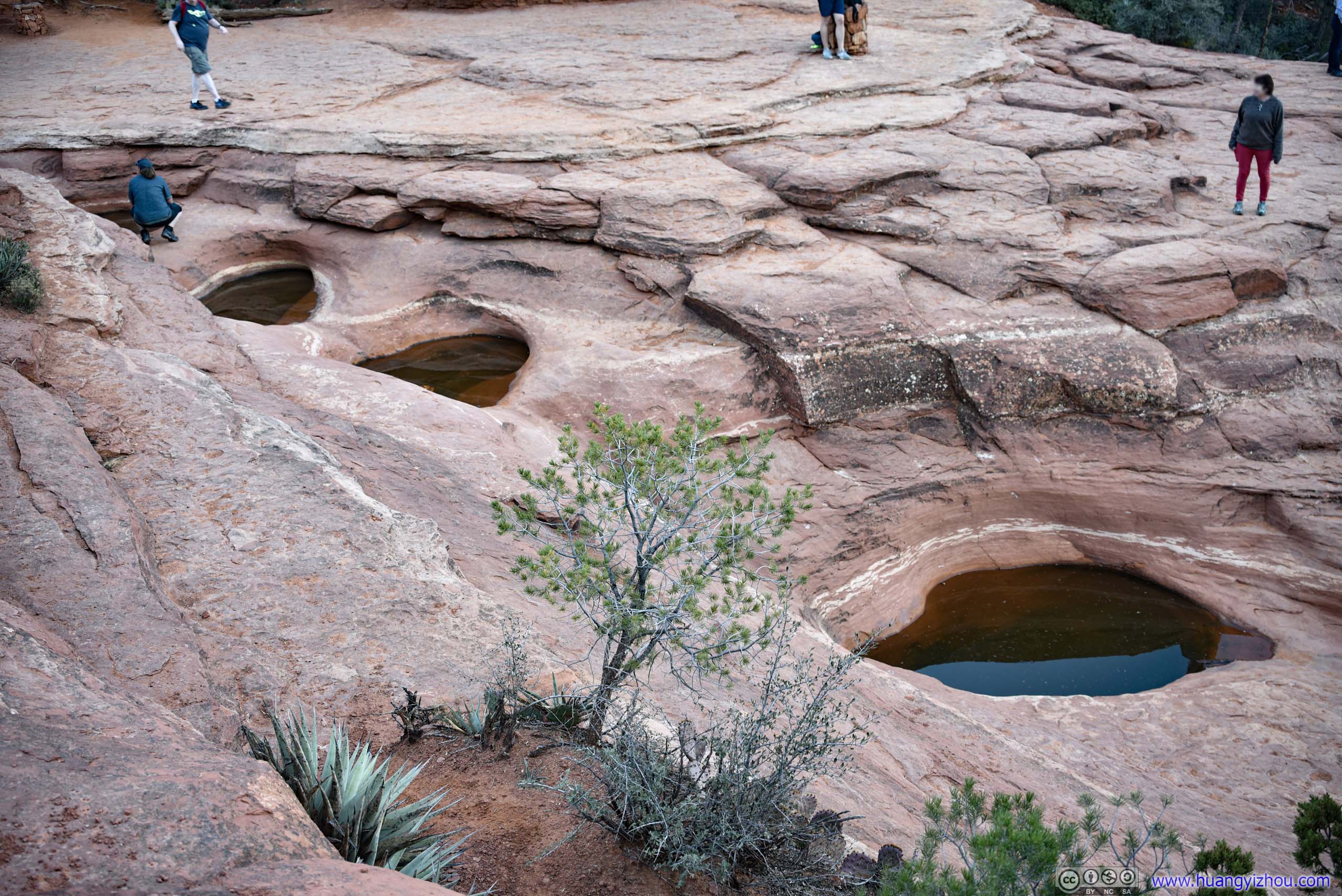
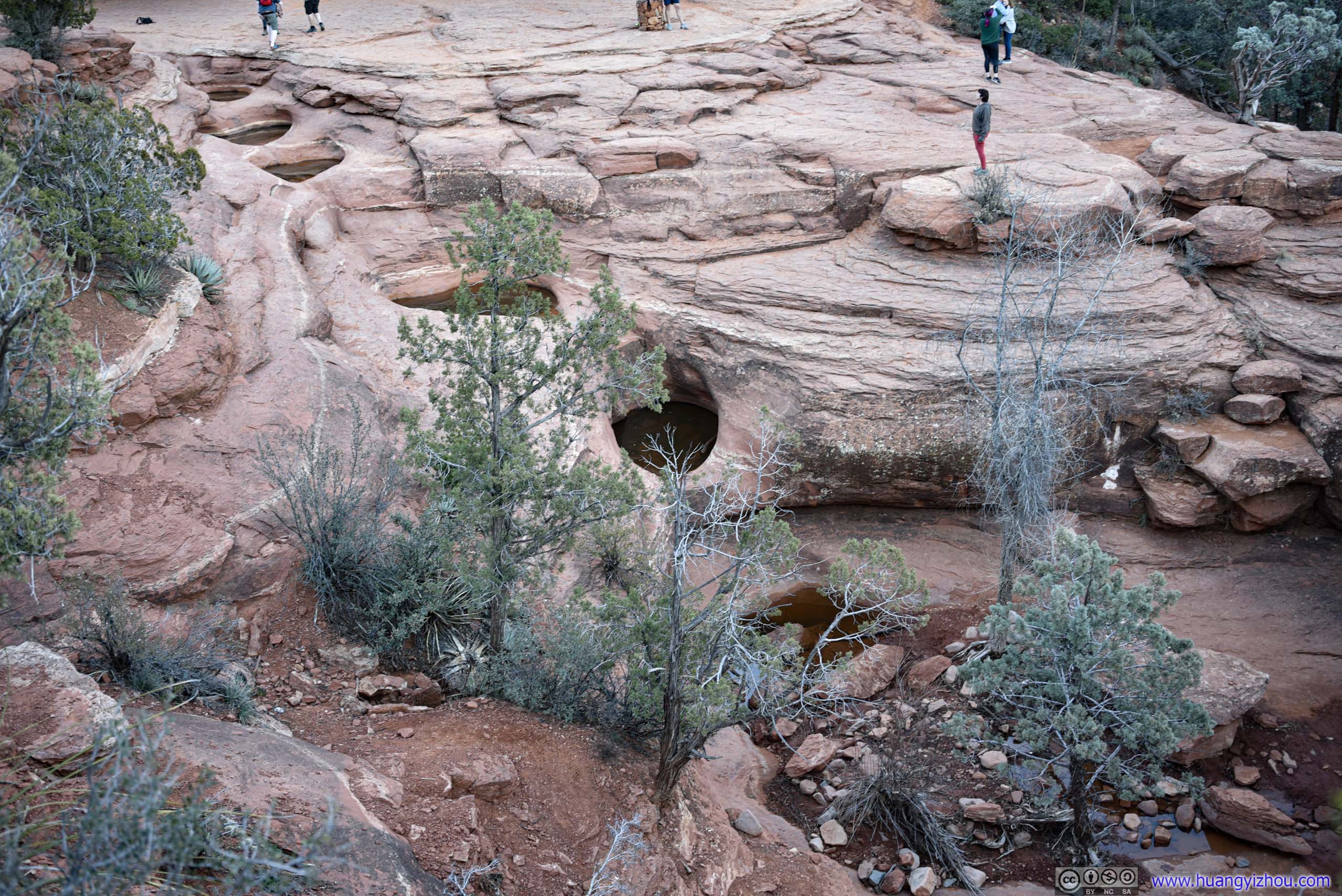
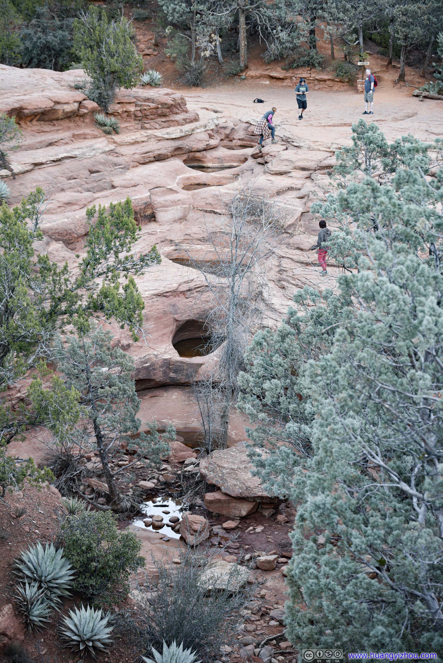 Seven Sacred Pools
It was just past 5pm by the time we got back to the parking lot, about half hour before sunset. After that, we headed towards Sedona Airport Vista, a great place to view sunset.
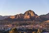
Sunset at Sedona Airport Vista
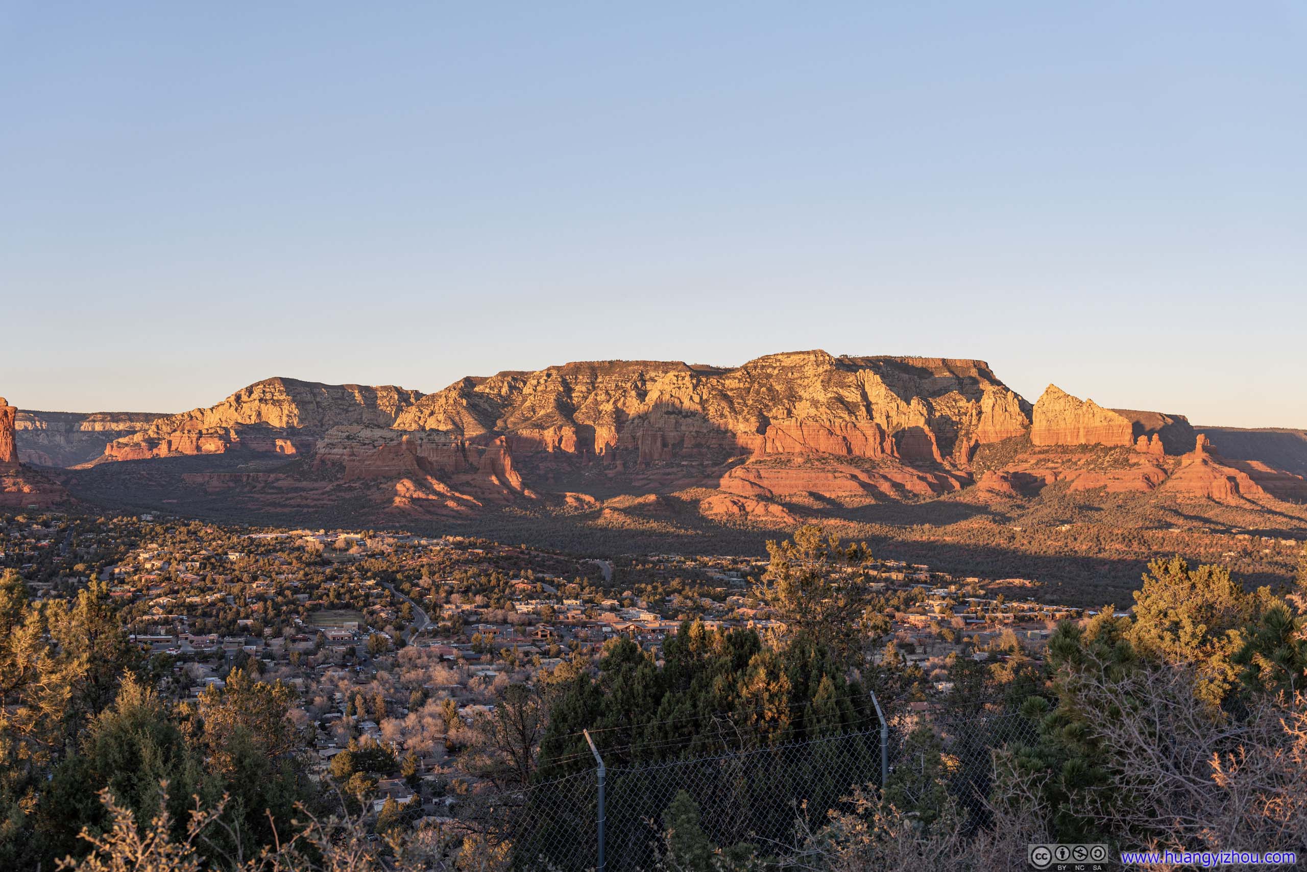
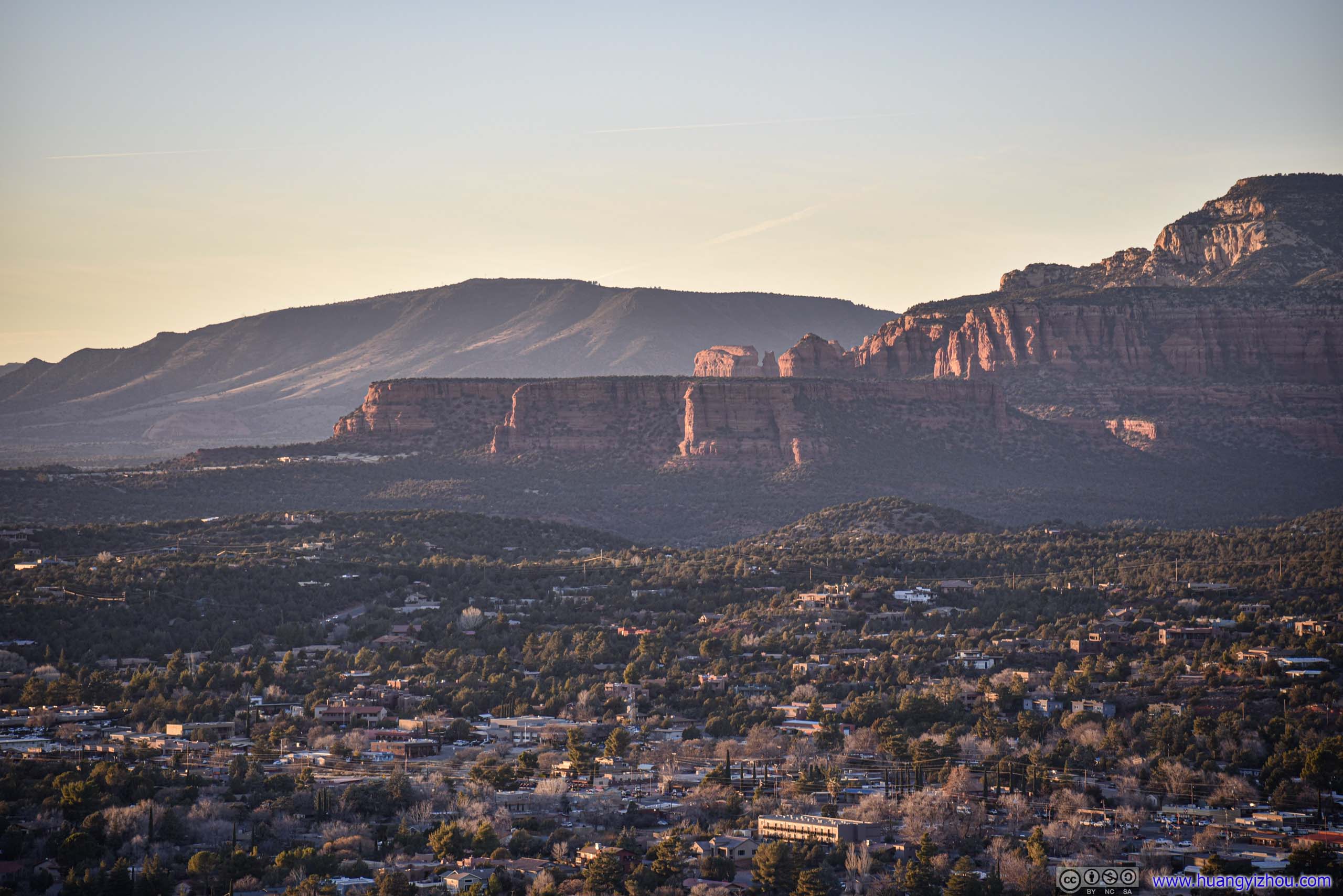
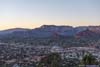
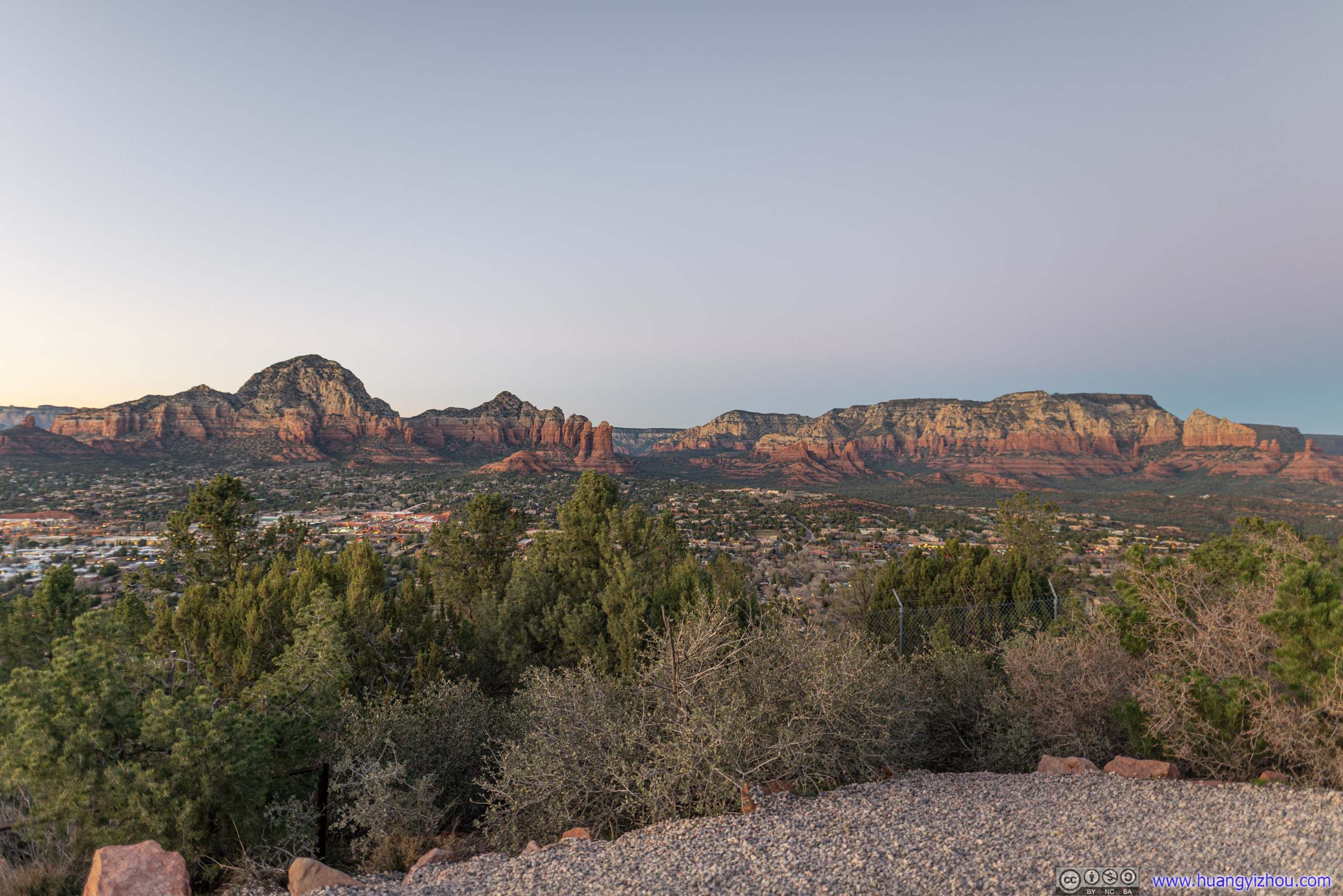
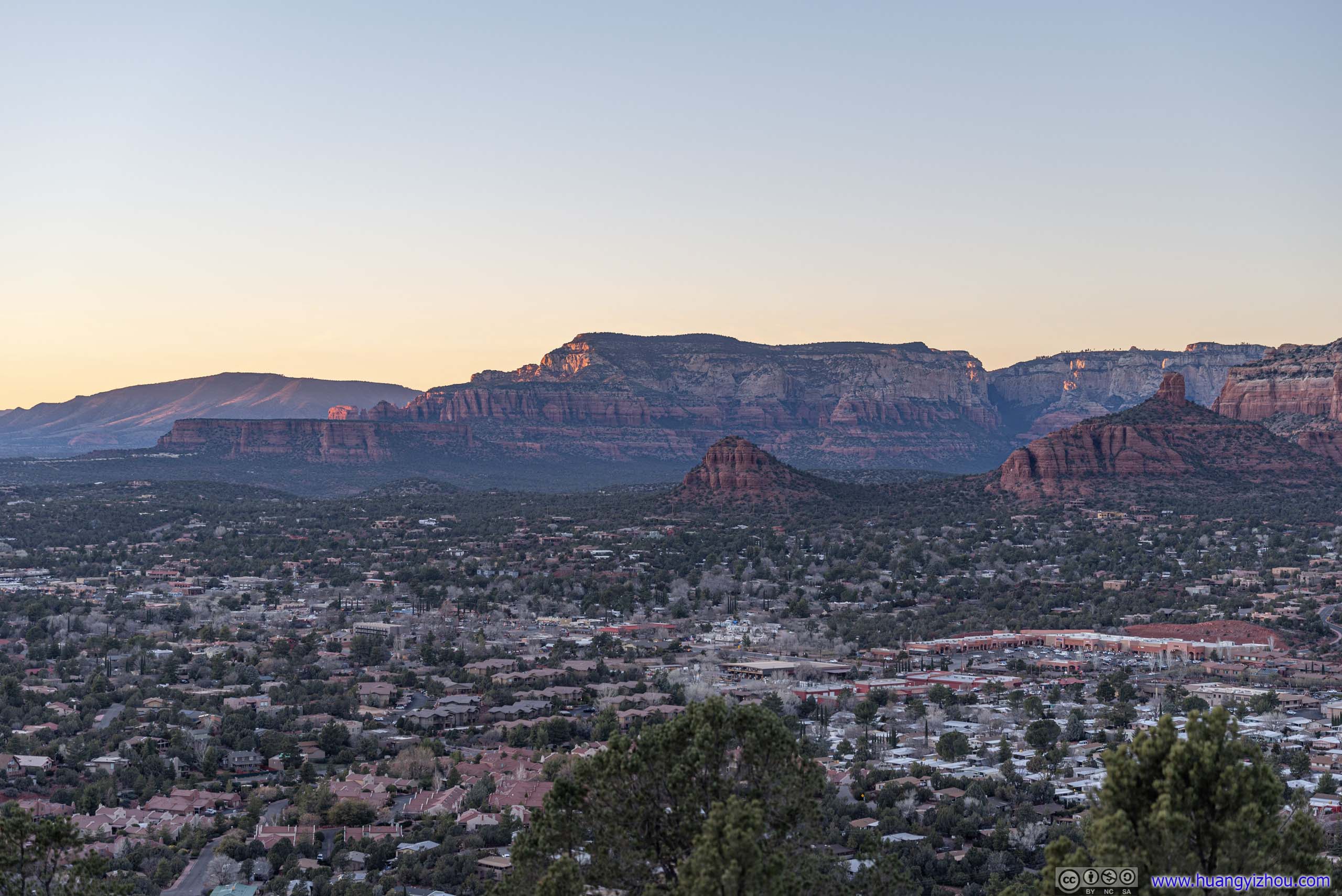
Given its mountainous landscape, Sedona built its airport on top of a long and narrow mesa (now called “Airport Mesa”). Near the airport’s entrance was a vista directly overlooking the town of Sedona, backdropped by various buttes and mountains.
The airport offered convenient parking ($3 per day) to the vista. We arrived at 5:20pm to join throngs of spectators for sunset.
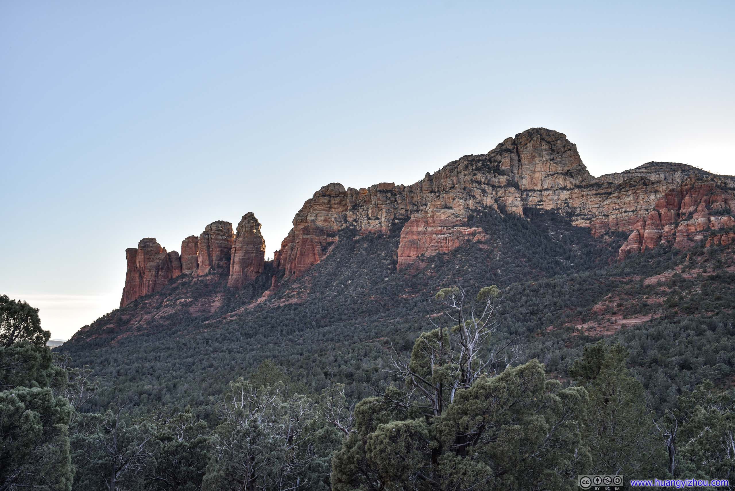
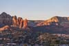
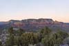
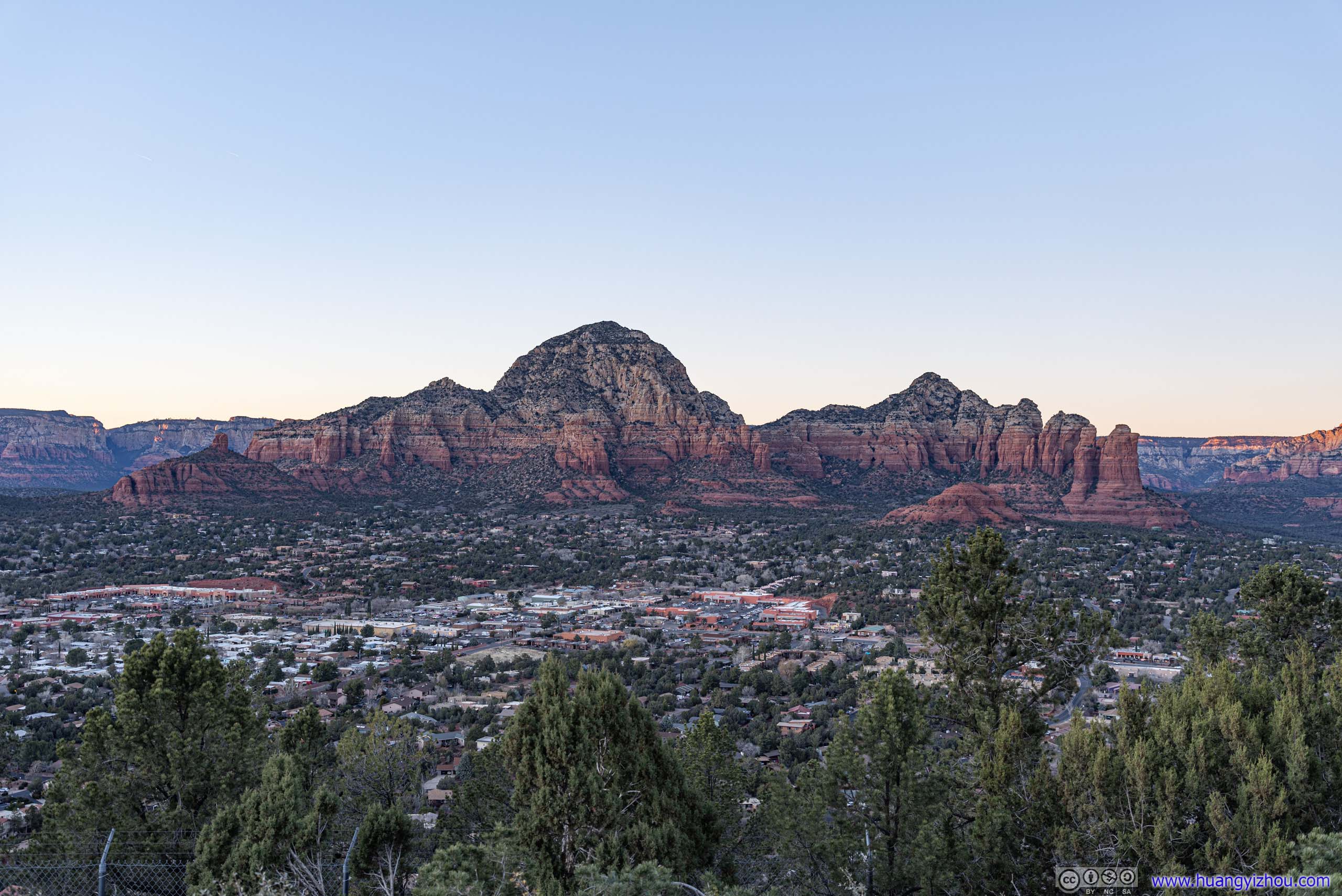
 Capitol Butte
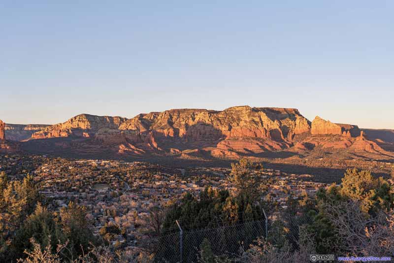 Brins Butte
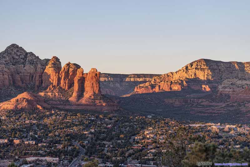 ValleyBetween Capitol Butte and Brins Butte, where Soldier Wash flew through and we hiked just hours ago.
 Mescal Mountain
Click here to display photos of the slideshow
Capitol Butte
Brins Butte
ValleyBetween Capitol Butte and Brins Butte, where Soldier Wash flew through and we hiked just hours ago.
Mescal Mountain
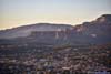
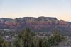
It’s winter so the sun set at a southernly angle, from airport vista it’s obstructed by some trees. But on a different angle, the sight of Capitol Butte and Brins Butte in front of us bathing in the soft and vibrant twilight colors was sure a spectacular way to end the day.
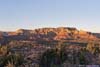
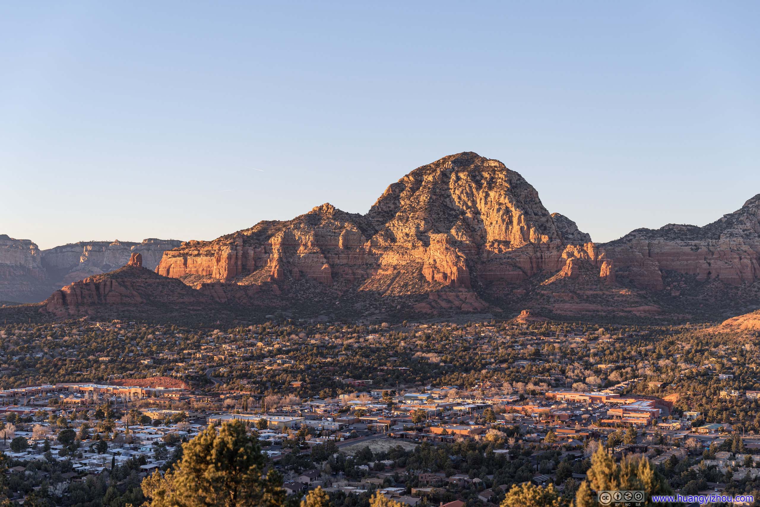
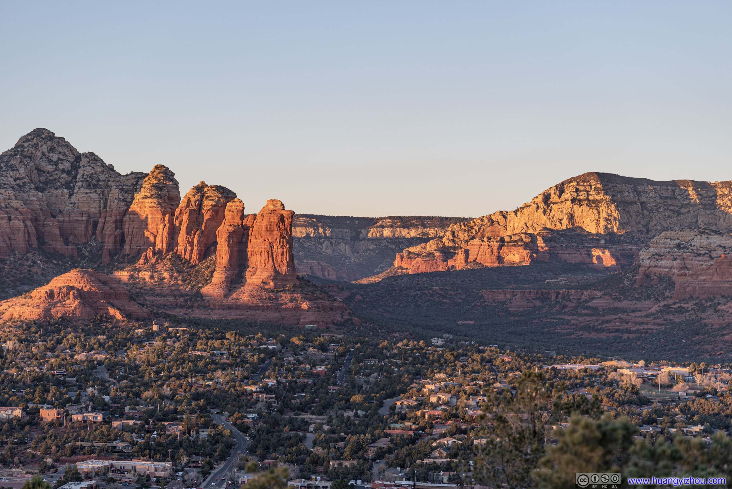
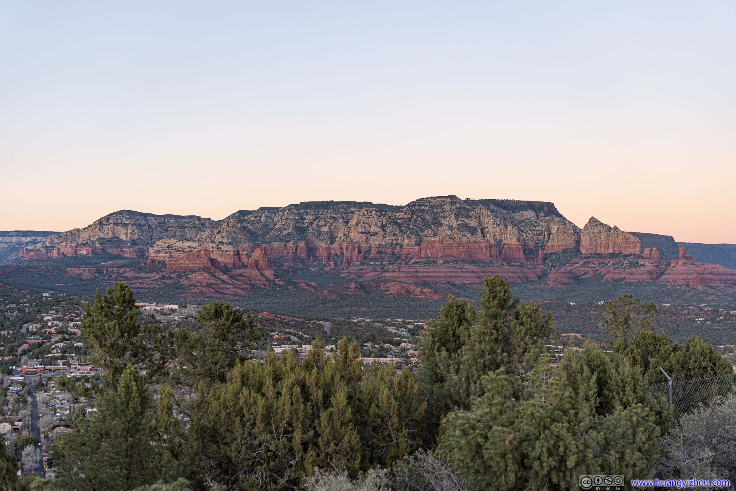
Red Rocks of Sedona from Airport Overlook
 Mountains under Sunset GlowCapitol Butte and Brins Butte
 Capitol Butte
 Brins Butte
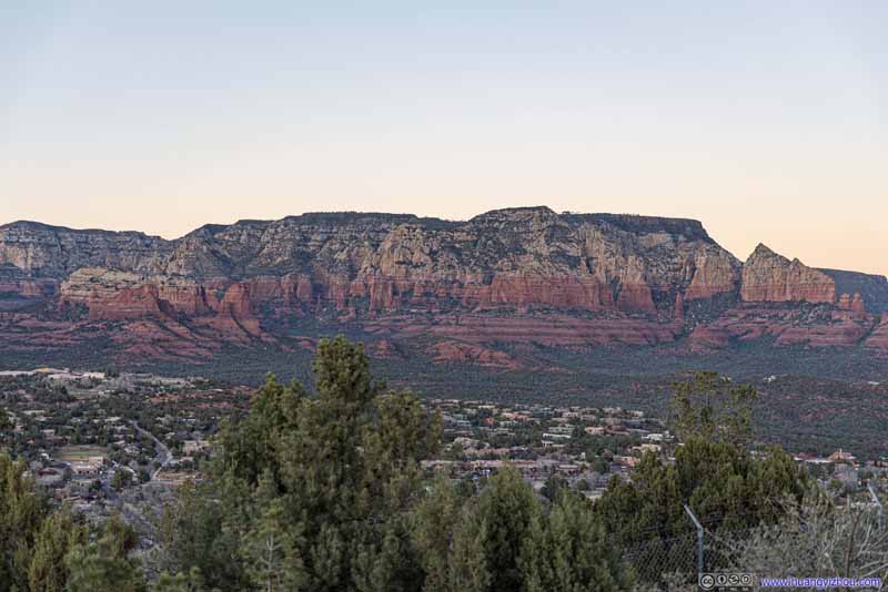 Brins Butte
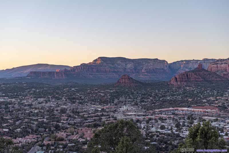 Mountains to the West
Click here to display photos of the slideshow
Mountains under Sunset GlowCapitol Butte and Brins Butte
Capitol Butte
 Brins Butte
Mountains to the West
Only that without obstacles, wind was strong at airport vista, and temperature was plummeting once the sun set below the horizon, and we weren’t dressed for that. So not long after sunset, we packed up and headed back to our hotel, concluding the day.
END
![]() Day 3 of 2022 Arizona Trip, Sedona by Huang's Site is licensed under a Creative Commons Attribution-NonCommercial-ShareAlike 4.0 International License.
Day 3 of 2022 Arizona Trip, Sedona by Huang's Site is licensed under a Creative Commons Attribution-NonCommercial-ShareAlike 4.0 International License.