
Updated on March 27, 2022
Day 4 of 2022 Arizona Trip, Sedona
Fourth day of my 2021 Arizona trip. Like the previous day, my friend and I would spend the day hiking near Sedona. For the day, we visited Bell Rock, Boynton Canyon and Cathedral Rock.
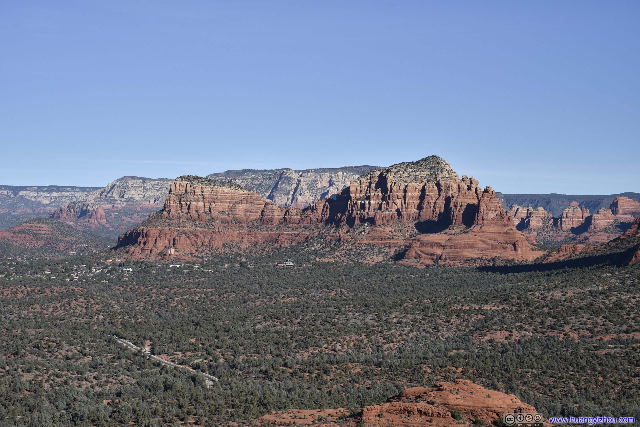
Fields from Bell Rock
The areas surrounding the town of Sedona offered so much to explore. On our second day around town, we picked more trails to hike.
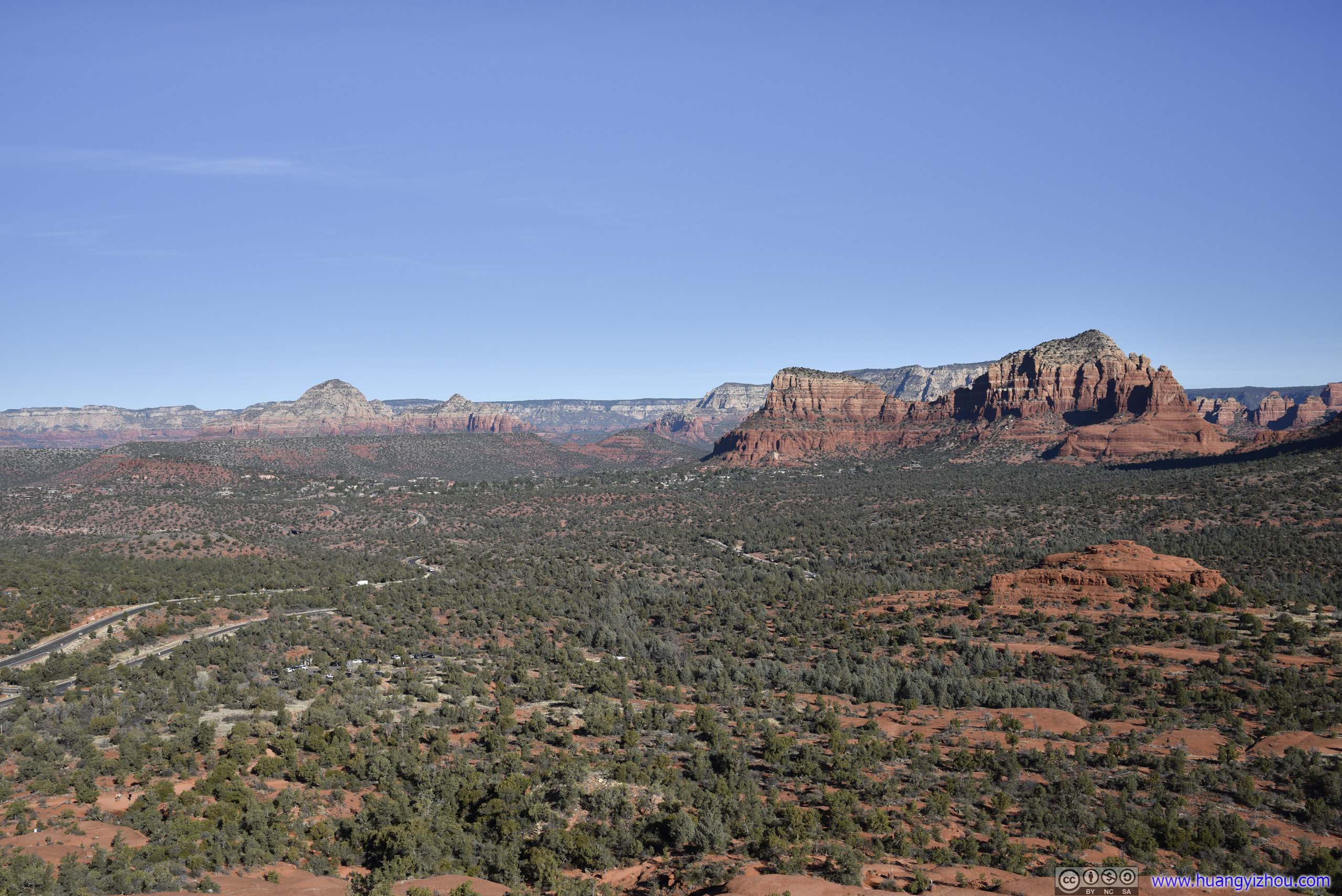
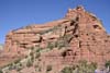
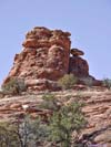
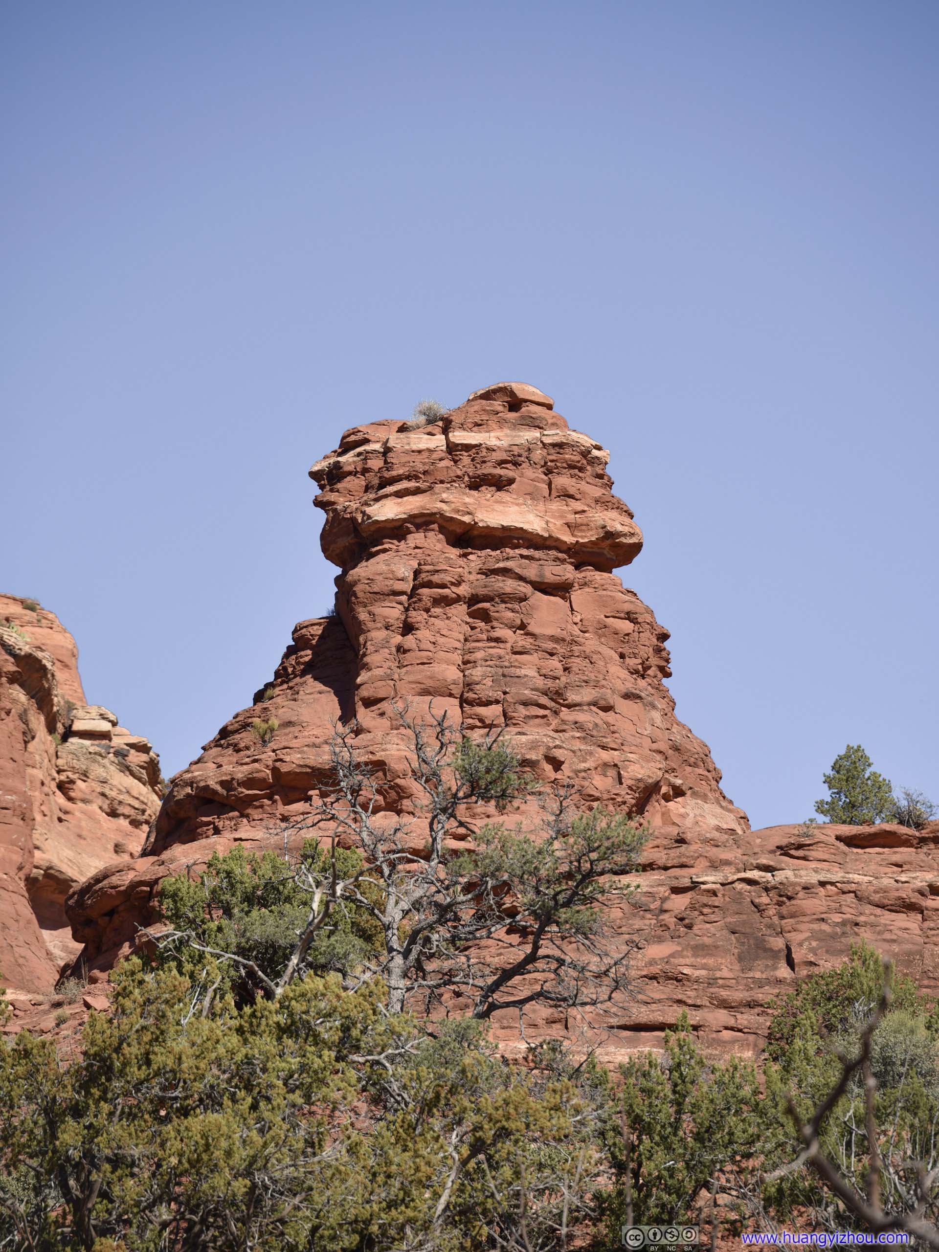
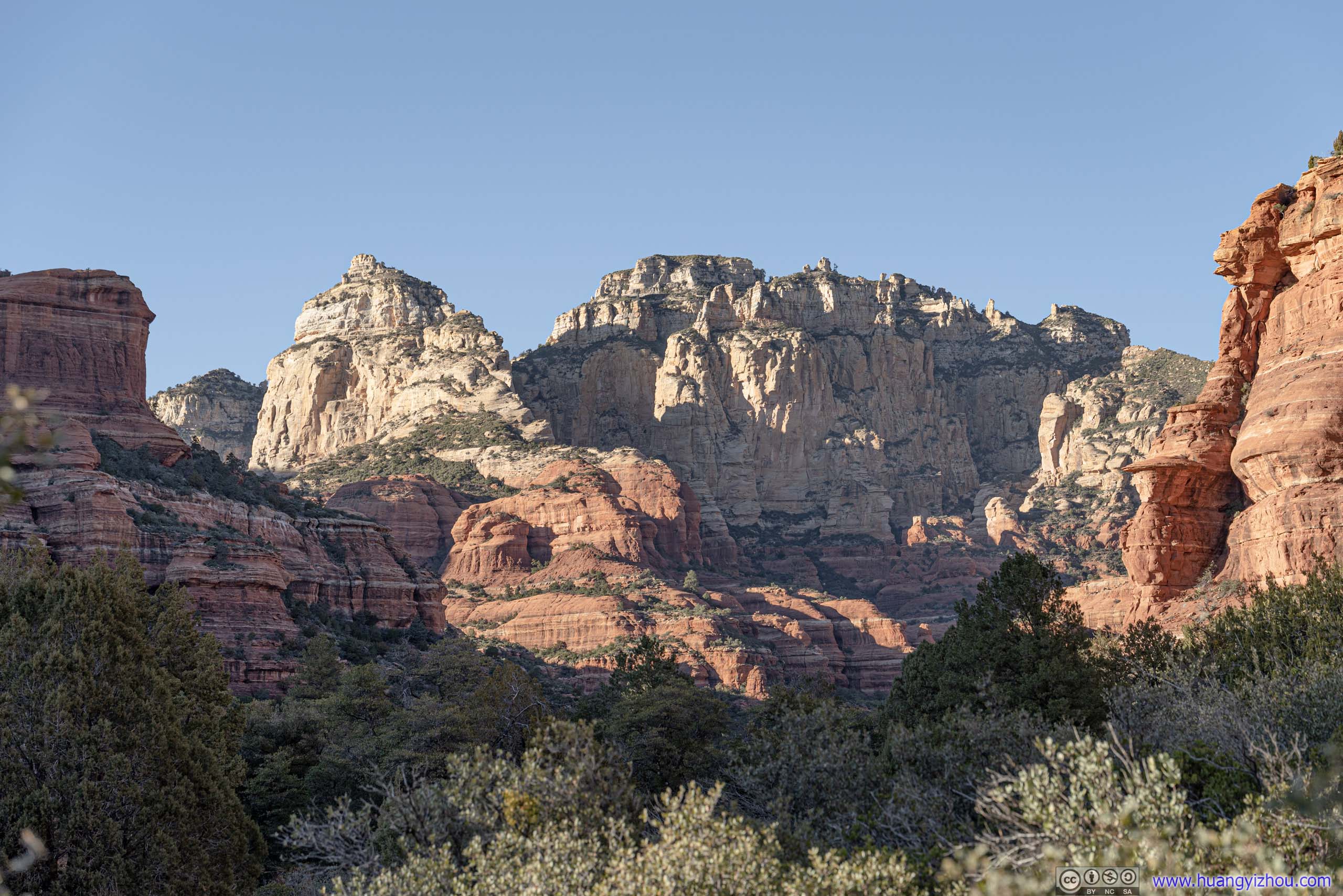
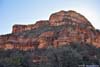
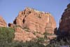
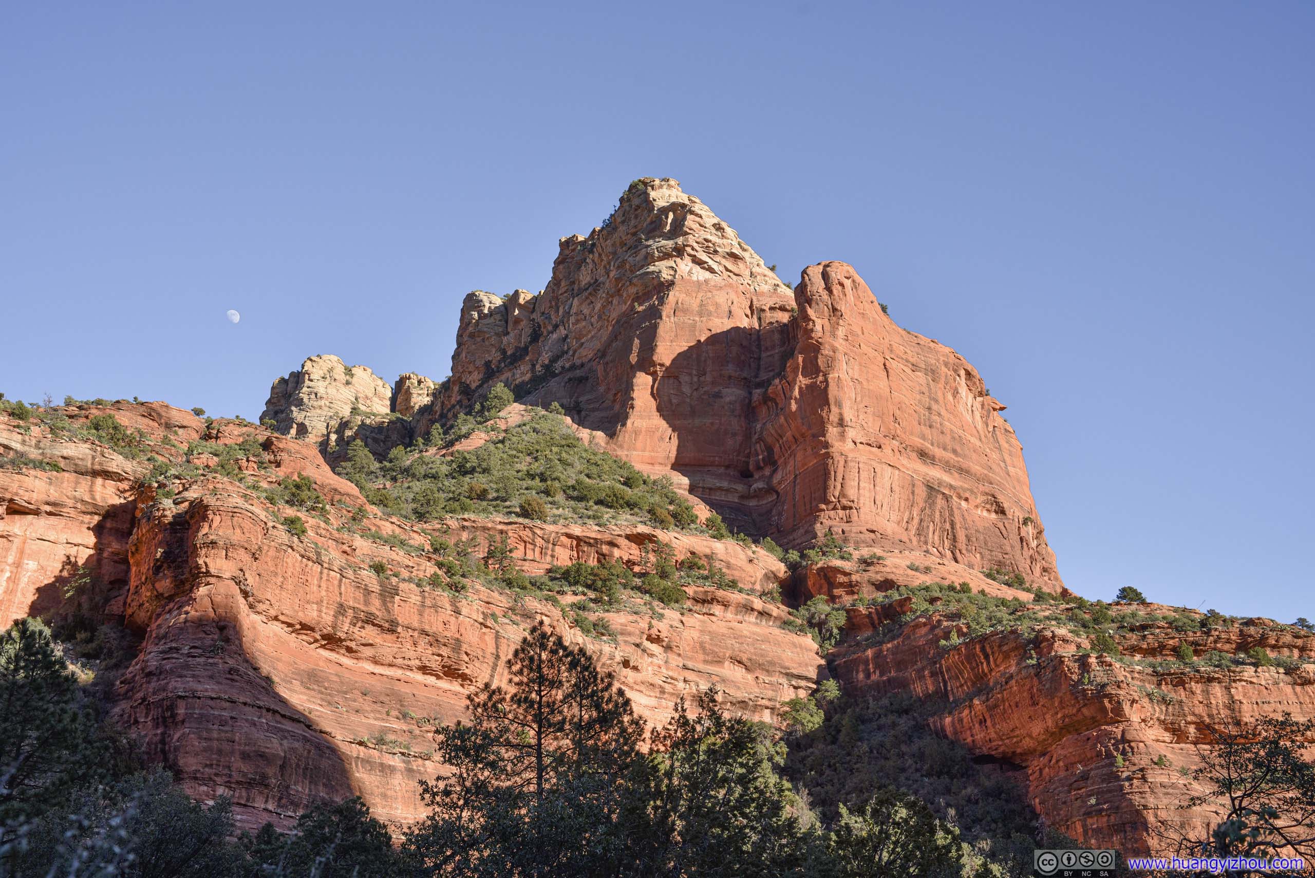
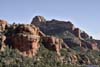
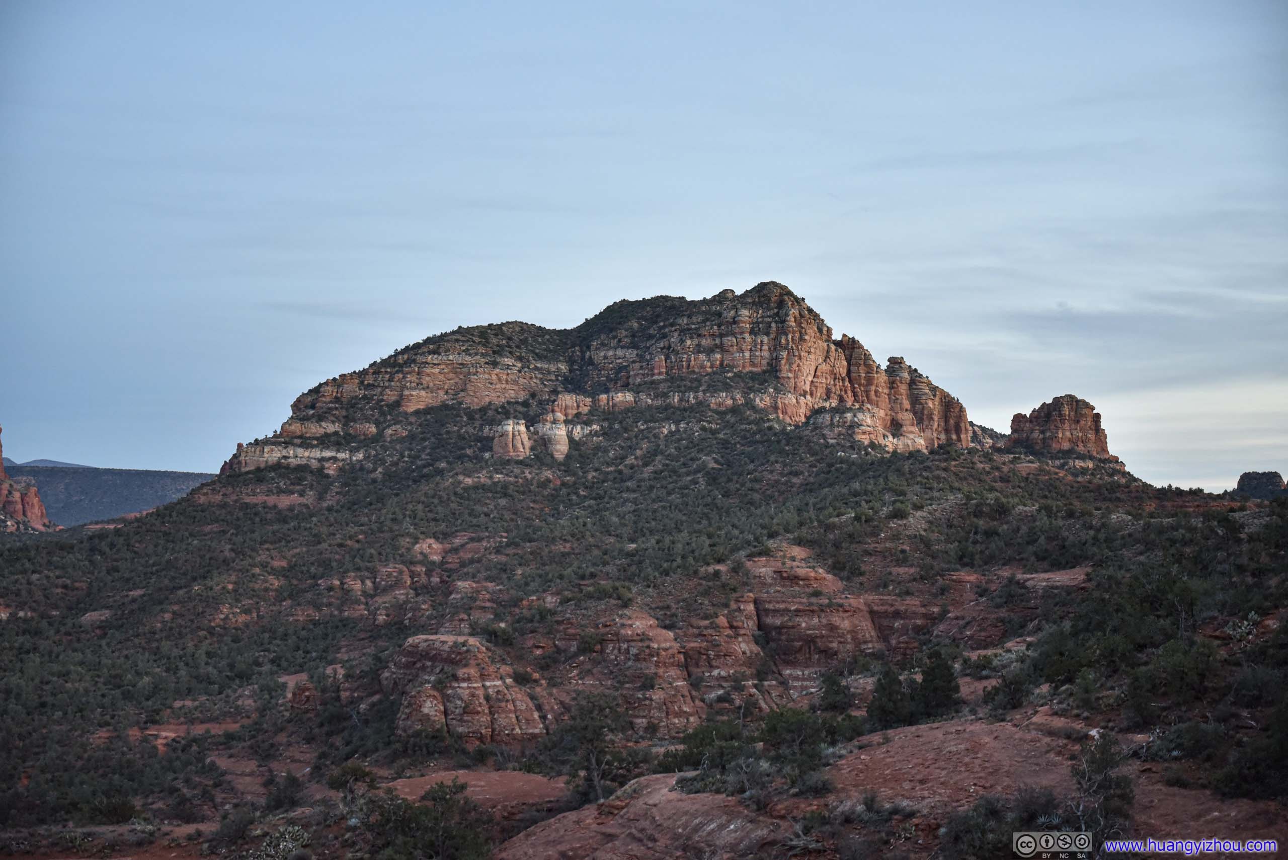
Bell Rock
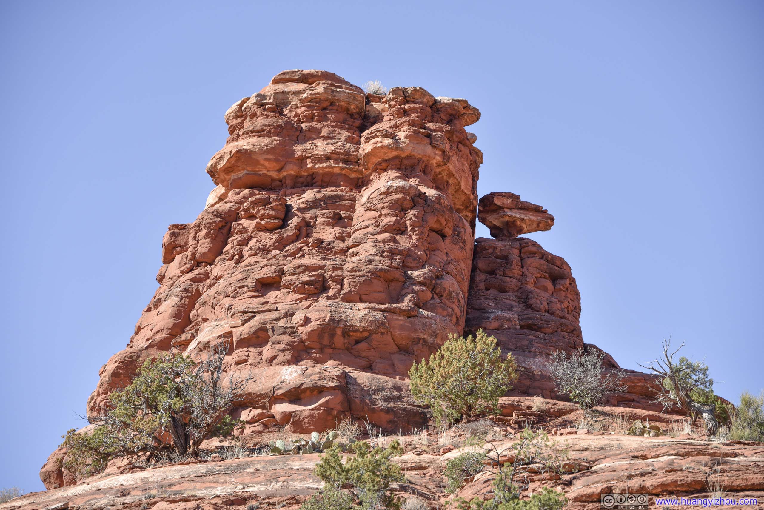
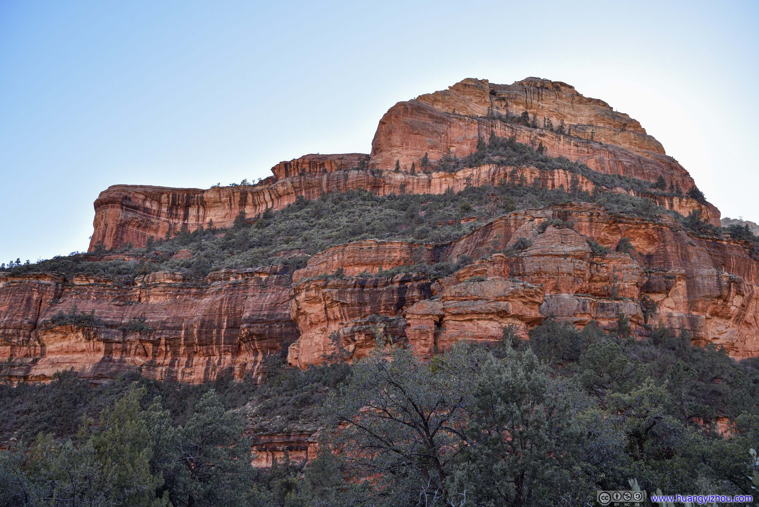
After a teleconference in the morning, we reached the trailhead of Bell Rock just before 10am. Bell Rock was a rather recognizable rock formation right next to a busy highway (actually visible from our hotel in Village of Oak Creek), and for vertex believers a source of spiritual power. (A pass or fee was required to park at the trailhead.)
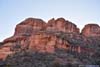
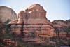
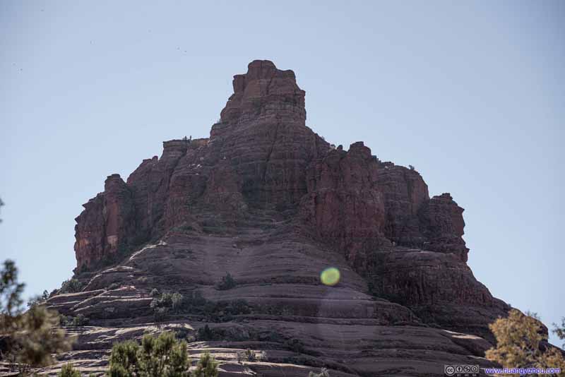 Bell Rock
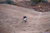
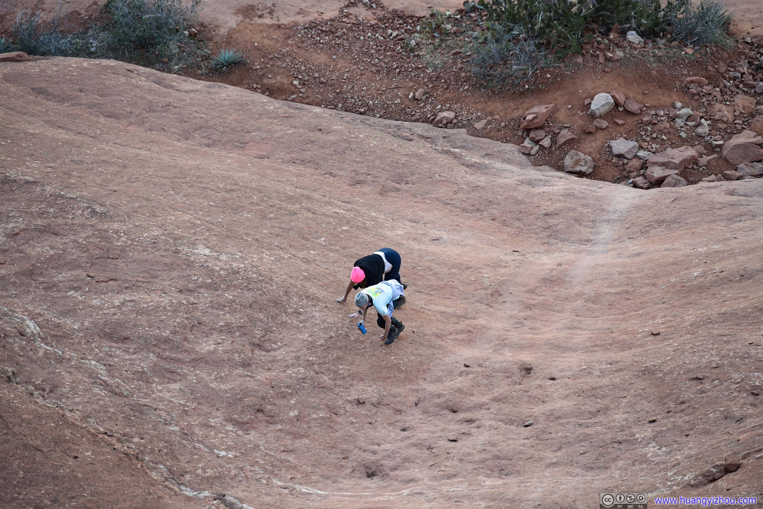
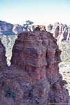
As seen near the parking lot. A sole climber in white was at the platform where we finally reached. Beyond that, two climbers were at a higher platform after that.
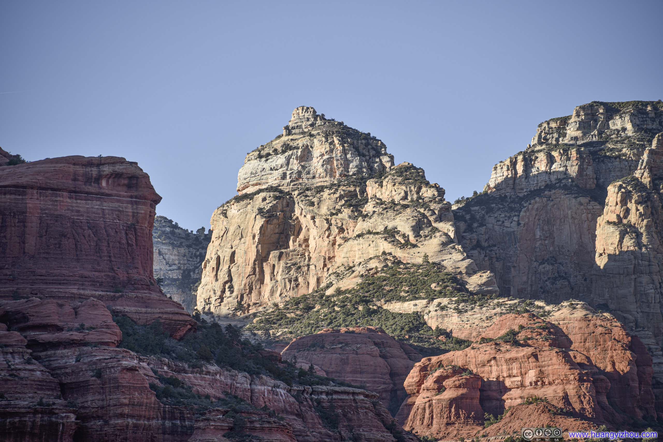
Bell Rock
As seen near the parking lot. A sole climber in white was at the platform where we finally reached. Beyond that, two climbers were at a higher platform after that.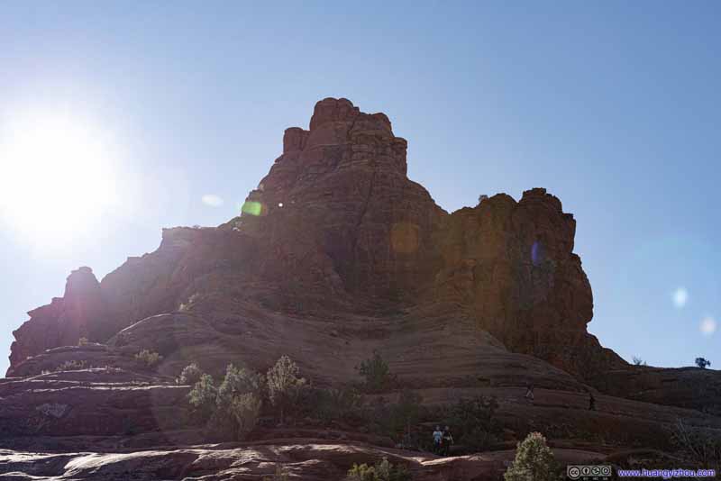 Bell Rock
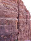
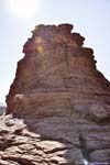
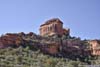
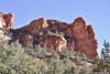
As seen along the trail. With these photos taken against the sun, I used the best of my post-processing to recreate the texture of the rocks.
Bell Rock
As seen along the trail. With these photos taken against the sun, I used the best of my post-processing to recreate the texture of the rocks.

Click here to display photos of the Bell Rock.
Bell Rock

Bell Rock
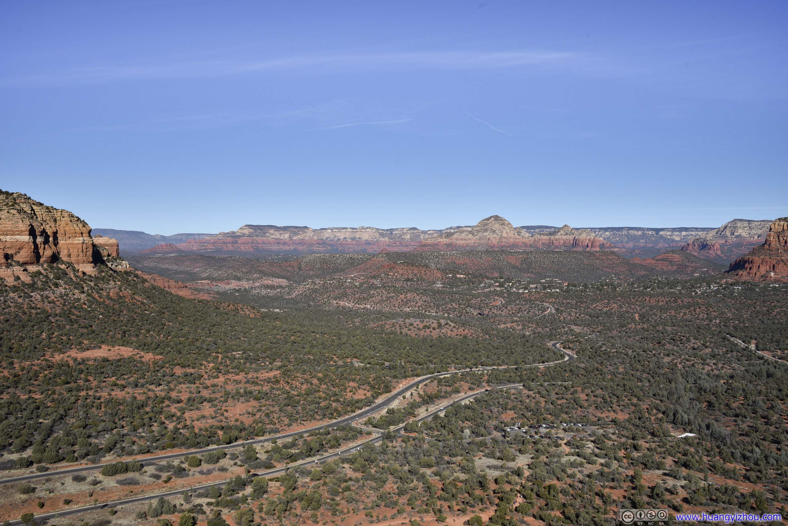
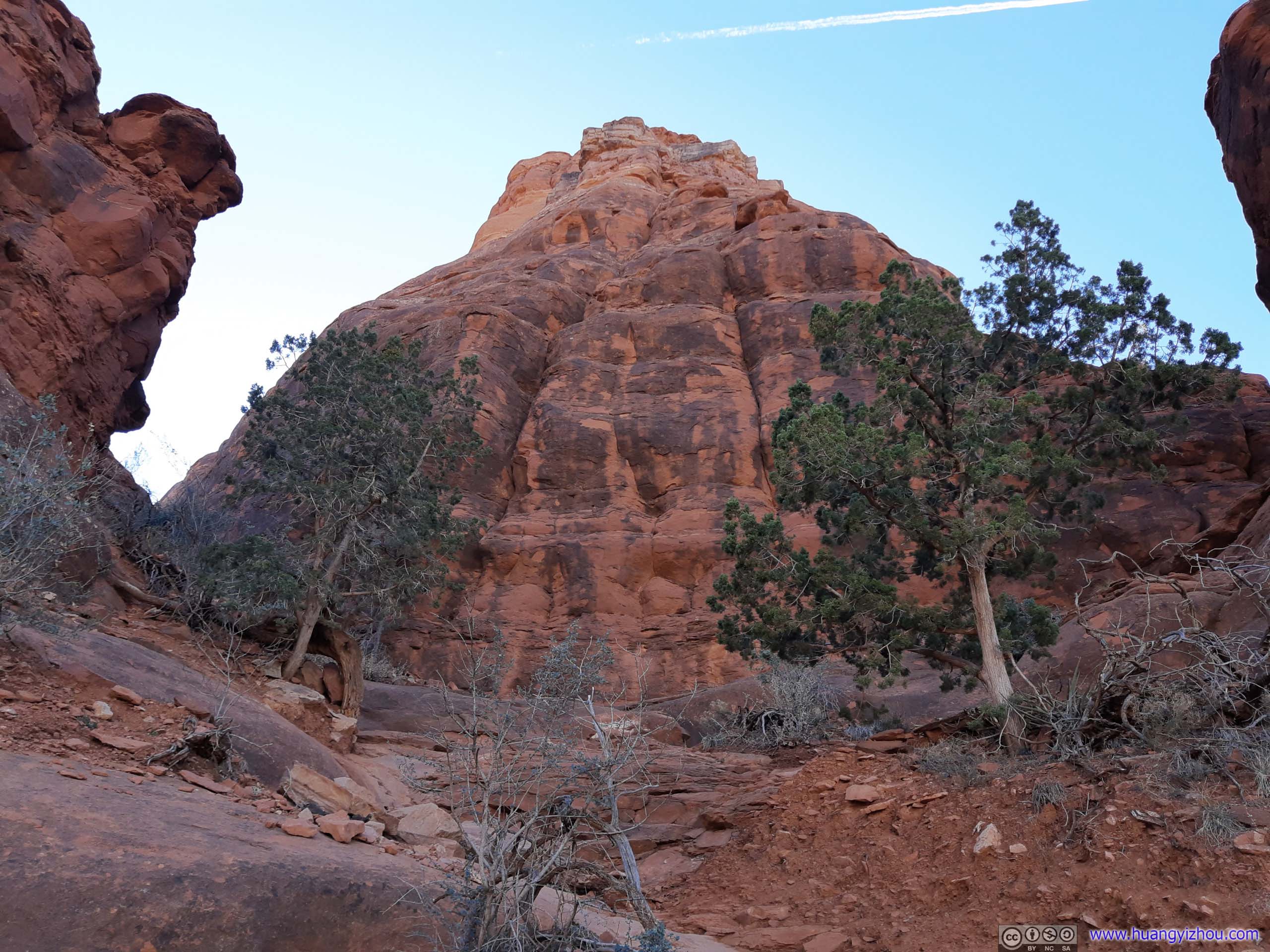
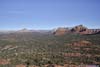
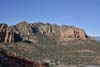
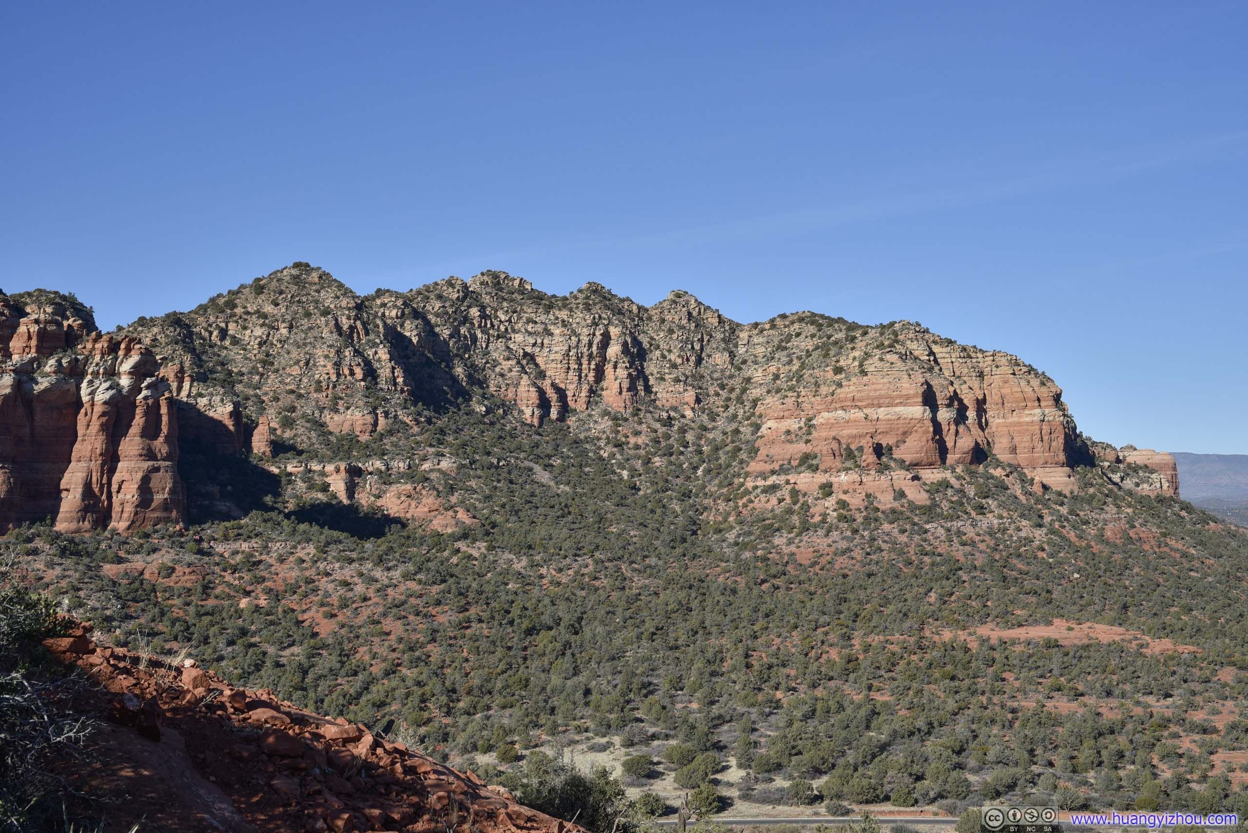
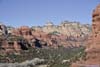
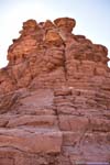
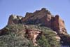
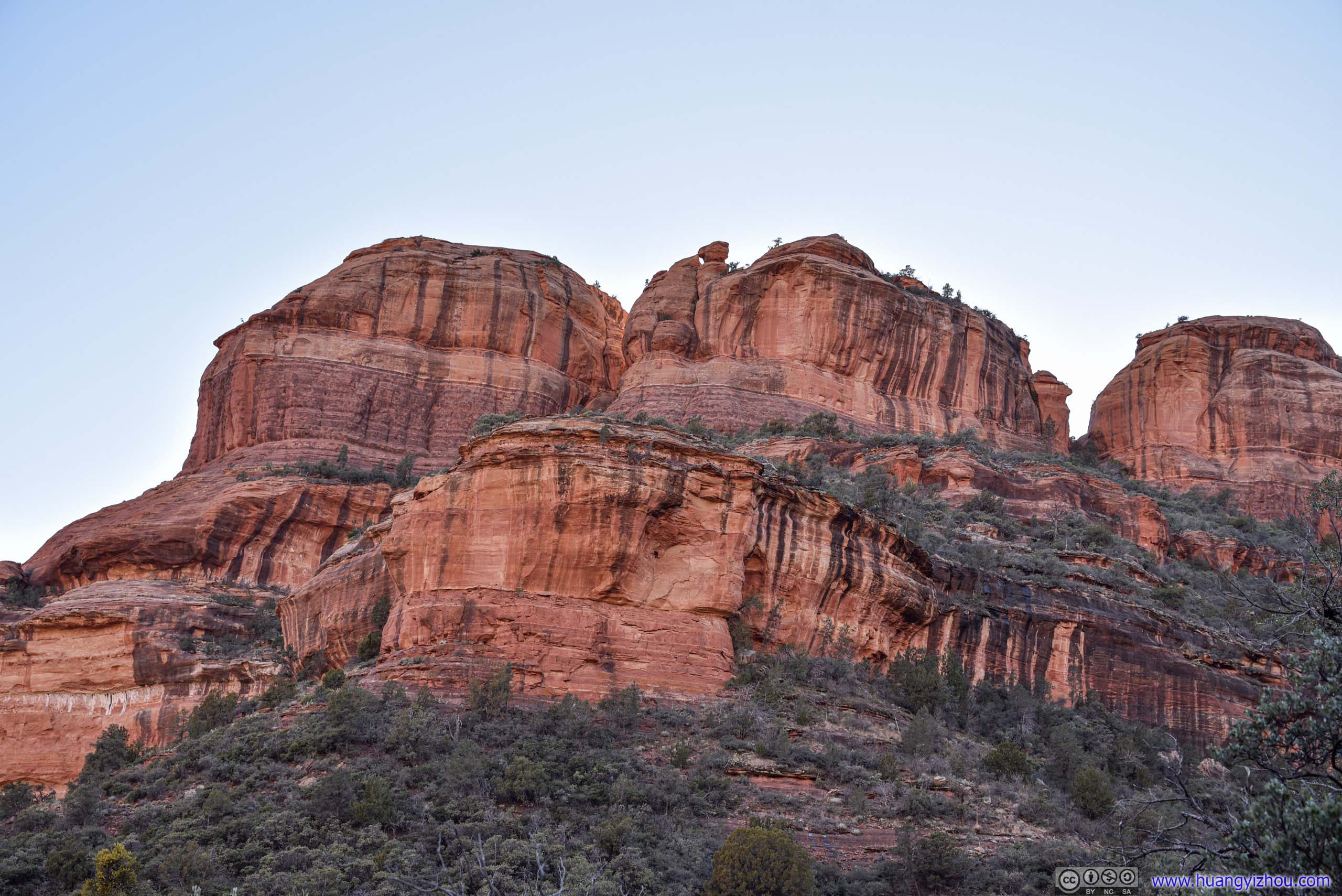
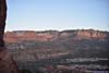
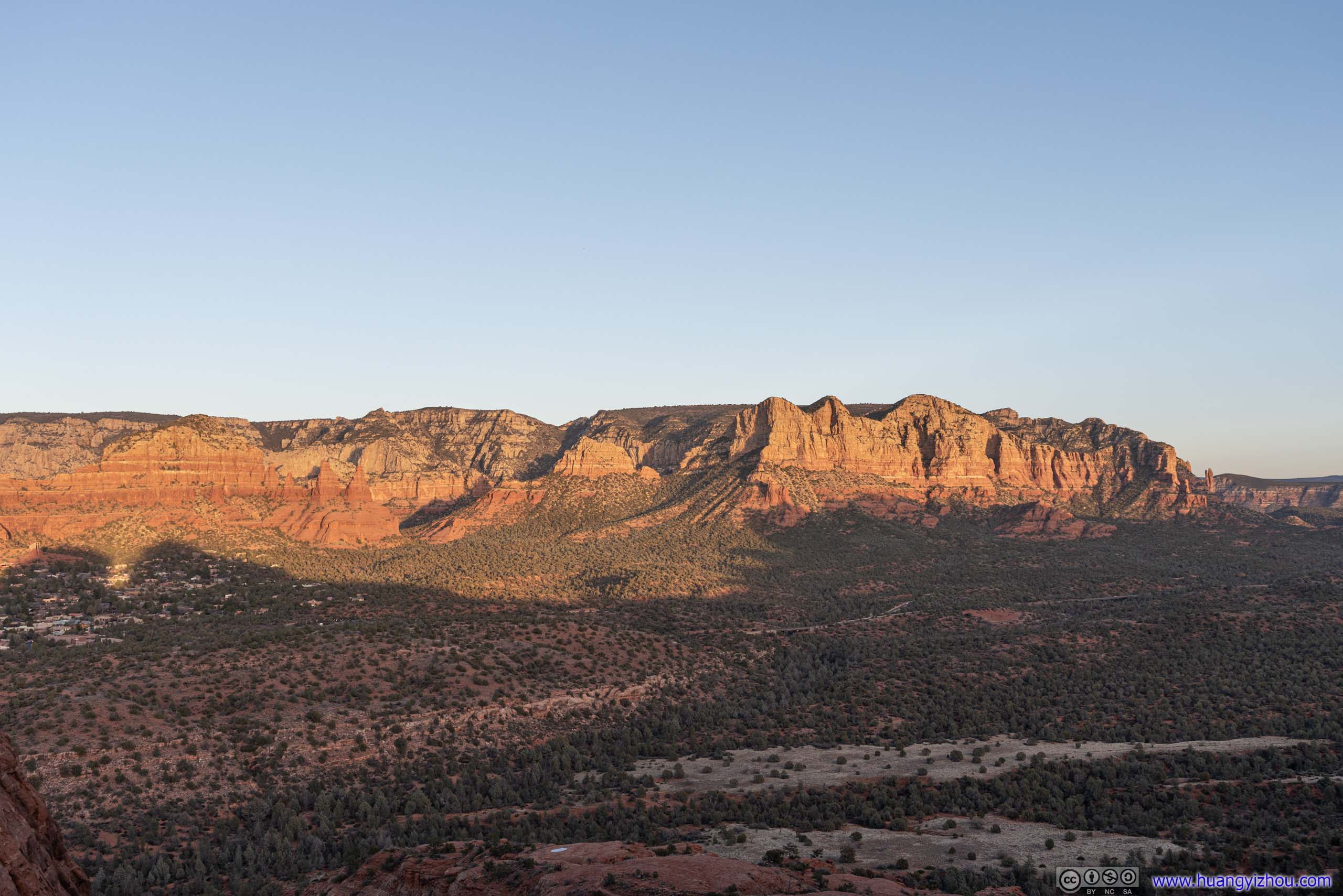
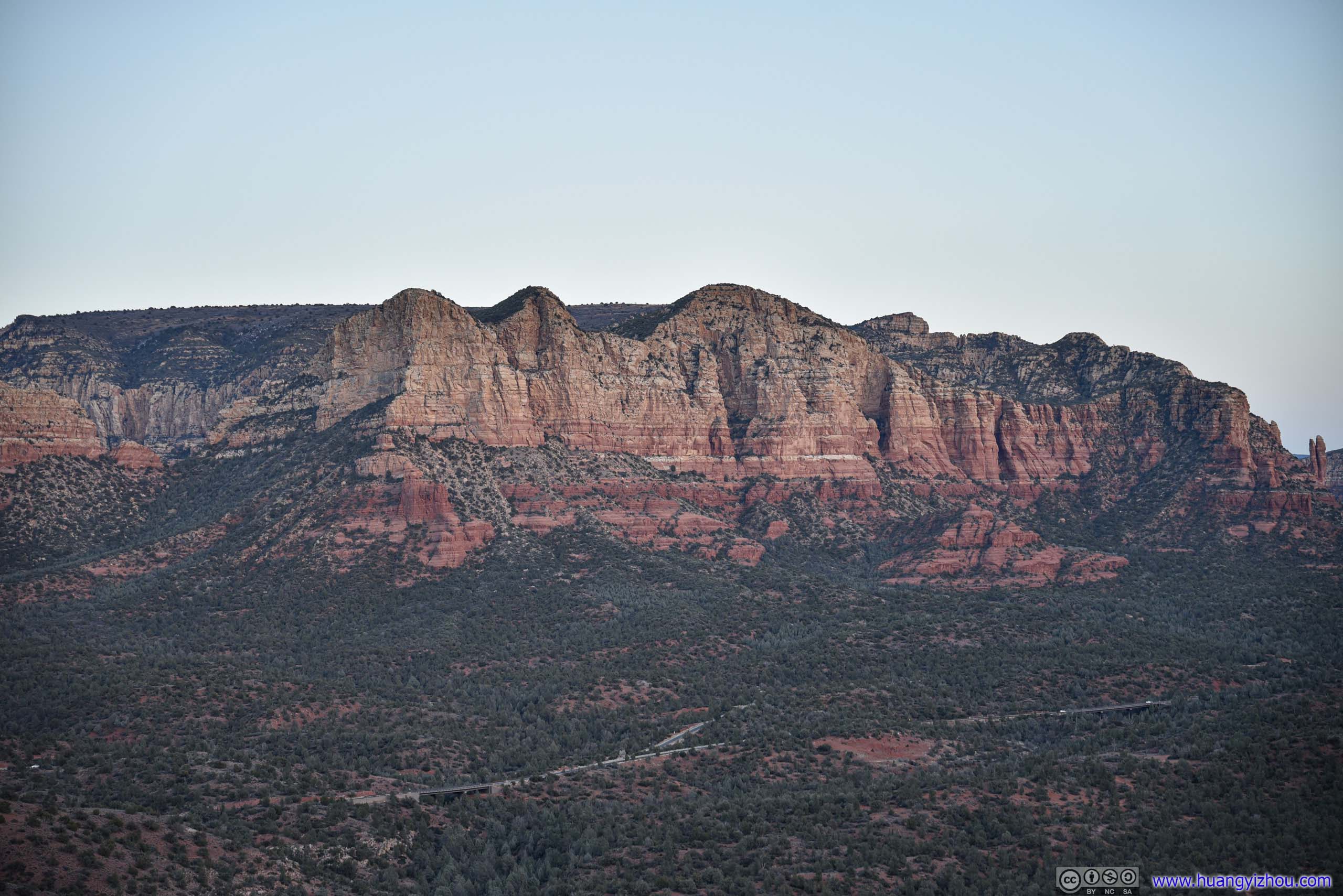
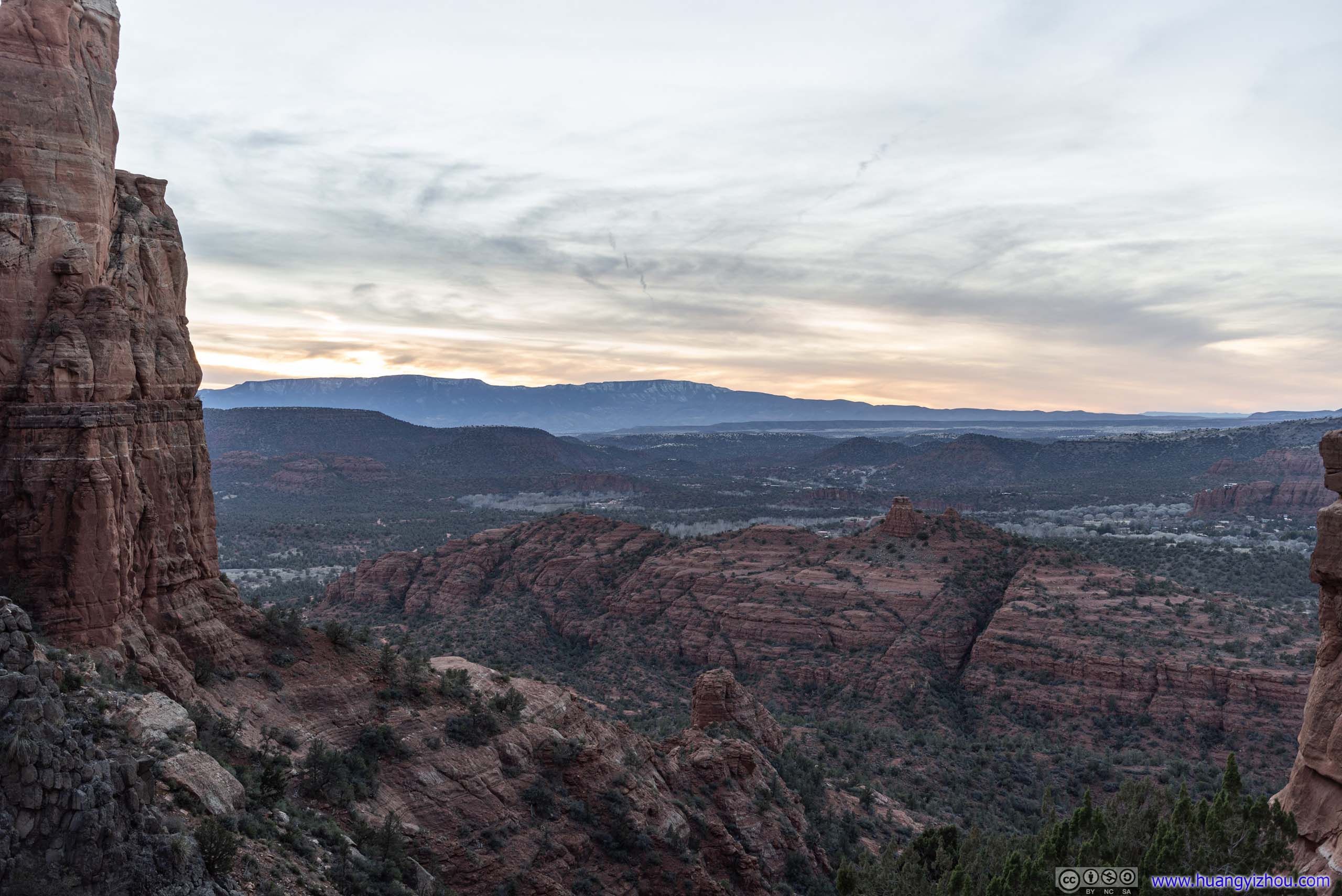
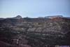
After leaving the trailhead, we followed a designated trail halfway up Bell Rock, with views of open fields and distant buttes towards the north. That’s when I started to appreciate the popularity of this trail. It’s short, so far not technical, and offered great and open views with most of the buttes in the light.
Fields to the NorthTaken roughly halfway along the climb towards Bell Rock, approximately where the trail markings ended and the slope started to become technically steep.
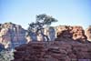
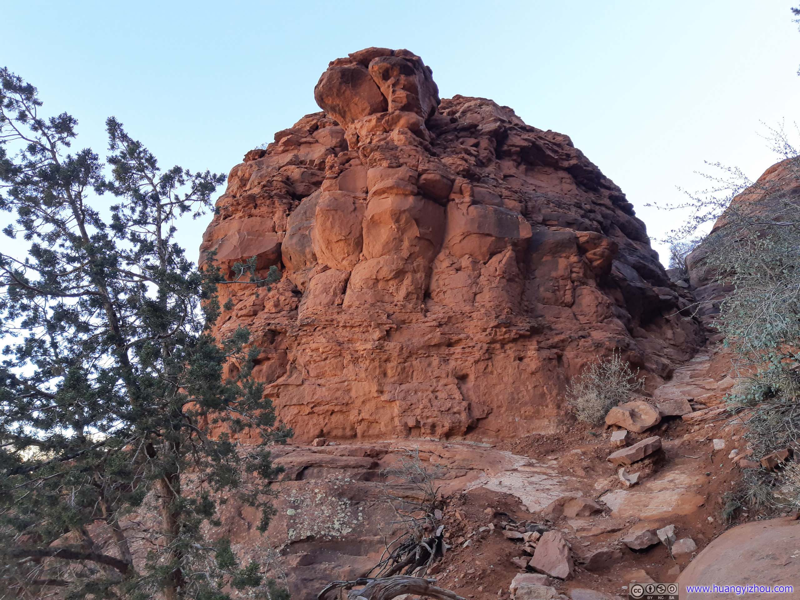
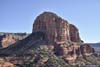
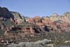
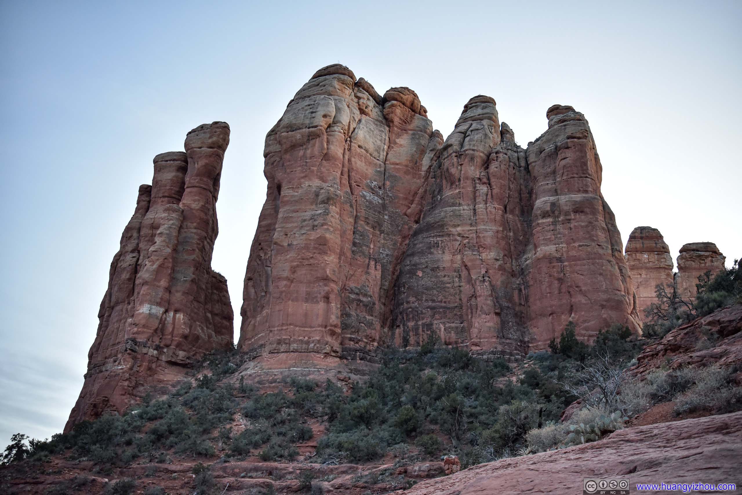
Before our visit, my friend and I knew Bell Rock could be summitted, but we didn’t know how technical that would be and weren’t planning on climbing Bell Rock. However, it always seemed to us that the views would be better if we stepped on the higher platform in front of us, so we ended up with some climbing nonetheless.
There were no trail markings along the climbing route. A very vague suggestion was that, when the path straightforward became seemingly too steep, try turning east (left) for a detour where there was a less steep path upwards. http://www.sedonahikingtrails.com/bell-rock_trail_3.htm had a few pictures with rough sketches of the path.
 Bell RockCaptured during our descent. The green arrow marked the platform which we were about to reach.
 Climbing Route to Bell Rock
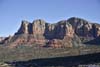
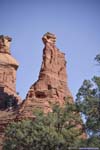
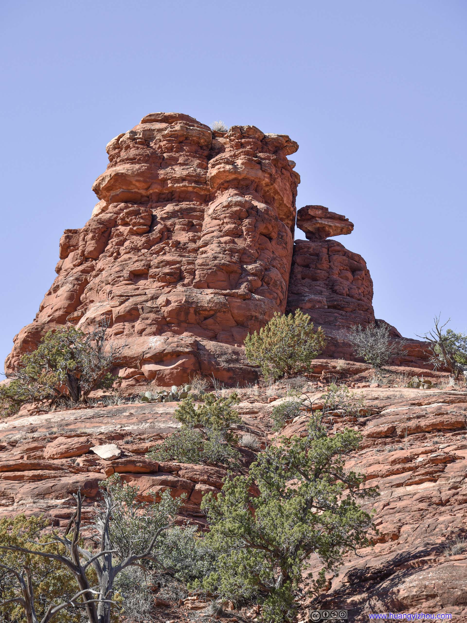
Taken at roughly the same place as the two climbers in the previous photo. It’s easy to see one giant “bell” in front and two smaller “bells” at the side from this location (see previous photo). After some scouting, we determined that the “bell” to our left could be safely accessed.
Climbing Route to Bell Rock
Taken at roughly the same place as the two climbers in the previous photo. It’s easy to see one giant “bell” in front and two smaller “bells” at the side from this location (see previous photo). After some scouting, we determined that the “bell” to our left could be safely accessed. Platform
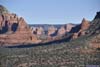
The “bell” to our left, taken at similar place as previous photo. A trail on the right of this photo would lead to the top of this platform.
Platform
The “bell” to our left, taken at similar place as previous photo. A trail on the right of this photo would lead to the top of this platform. Looking BackTwo other climbers behind us.
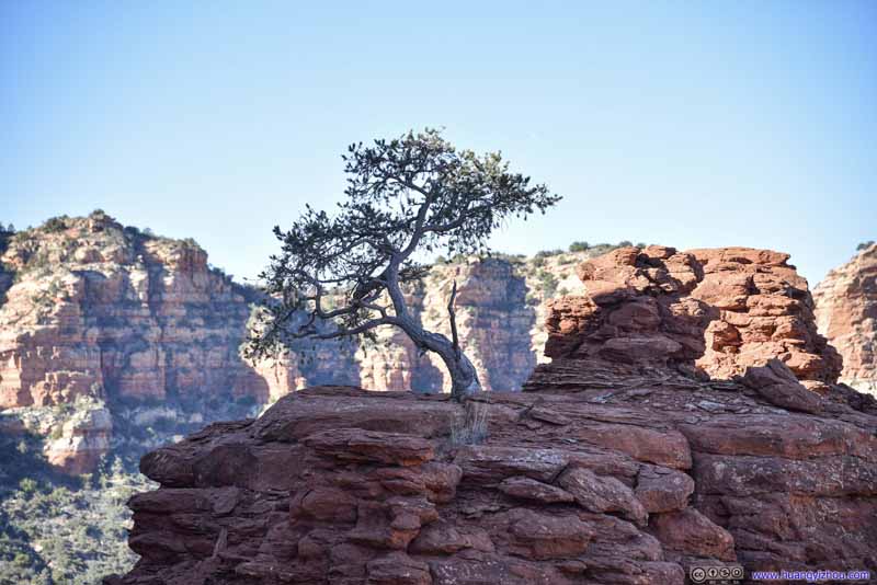 Tree on Platform
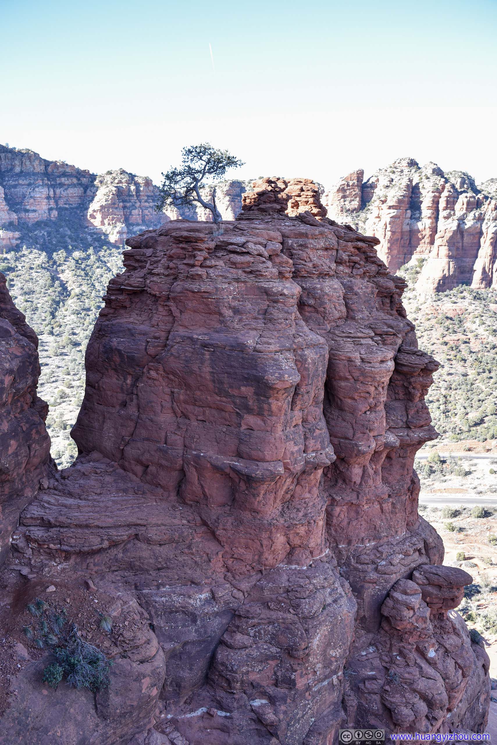
The other side “bell” that we didn’t reach. This tree seemed to be sprouting out of nowhere from the cracks of the rocks.
Tree on Platform
The other side “bell” that we didn’t reach. This tree seemed to be sprouting out of nowhere from the cracks of the rocks.
Click here to display photos of the slideshow

Bell RockCaptured during our descent. The green arrow marked the platform which we were about to reach.
Climbing Route to Bell Rock
Platform
Looking BackTwo other climbers behind us.

Tree on Platform
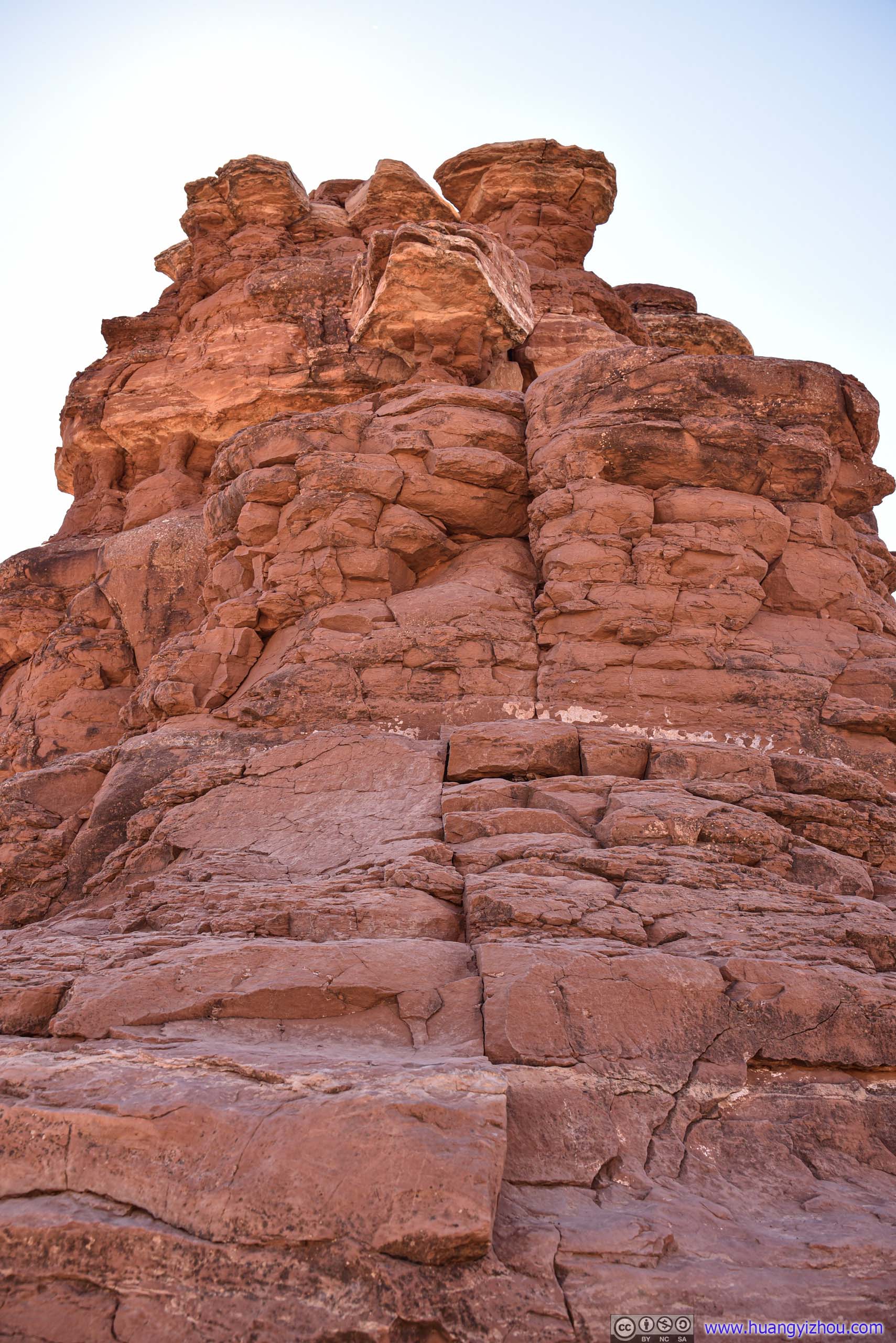
In the end, we reached the top of a platform/spire (p1 above). I carried a full-frame camera during the climb, so I would rate it as YDS class 2 tops. Sections of the path did require good balancing abilities though. It seemed possible to continue higher beyond where we stopped (we saw a few people did that during our descent), but we weren’t in climbing gear and we ended up pretty content with where we reached.
 Twisted Tree
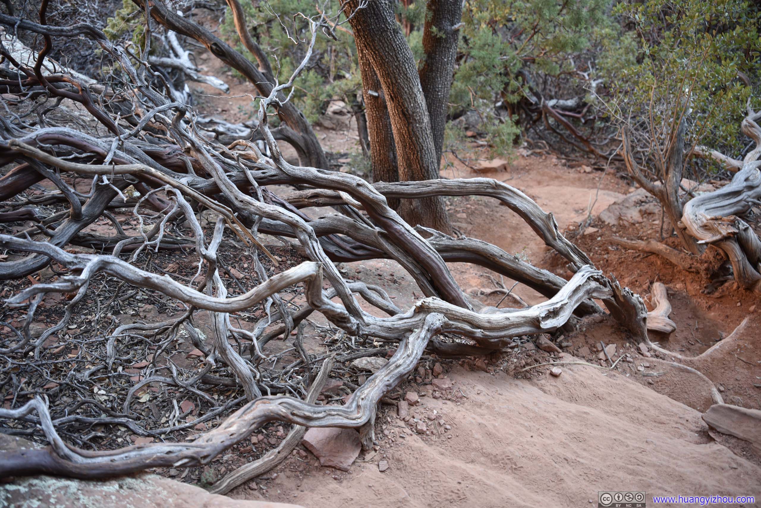
Sedona was known for its vortices, which was said to exert strong and unfathomable powers on creatures. Trees with twisted barks were often seen as a sign of the vortices. Except in my biologist friend’s opinion, this was simply due to chirality of plant cells.
Twisted Tree
Sedona was known for its vortices, which was said to exert strong and unfathomable powers on creatures. Trees with twisted barks were often seen as a sign of the vortices. Except in my biologist friend’s opinion, this was simply due to chirality of plant cells. PlatformThe other side “bell” that’s less accessible.
 Crack on Bells Rock
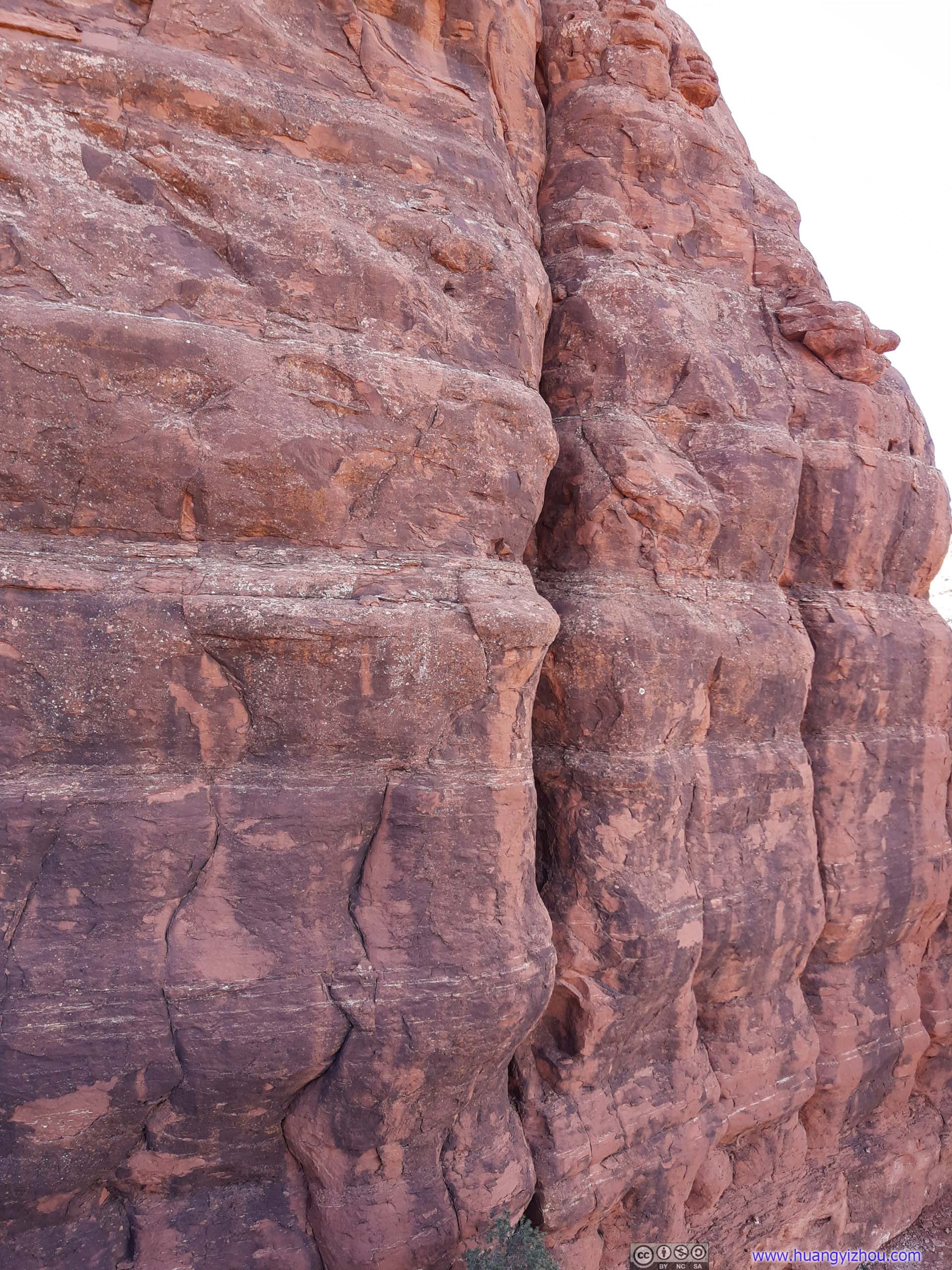
This crack was large enough to be an accessible climbing path onto Bell Rock to my friend, if he had the proper equipment.
Crack on Bells Rock
This crack was large enough to be an accessible climbing path onto Bell Rock to my friend, if he had the proper equipment. Bell RockThe crack from previous photo viewed at a different angle.
 Side BellLooking from below.


Click here to display photos of the slideshow

Twisted Tree
PlatformThe other side “bell” that’s less accessible.
Crack on Bells Rock
Bell RockThe crack from previous photo viewed at a different angle.
Side BellLooking from below.
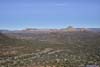
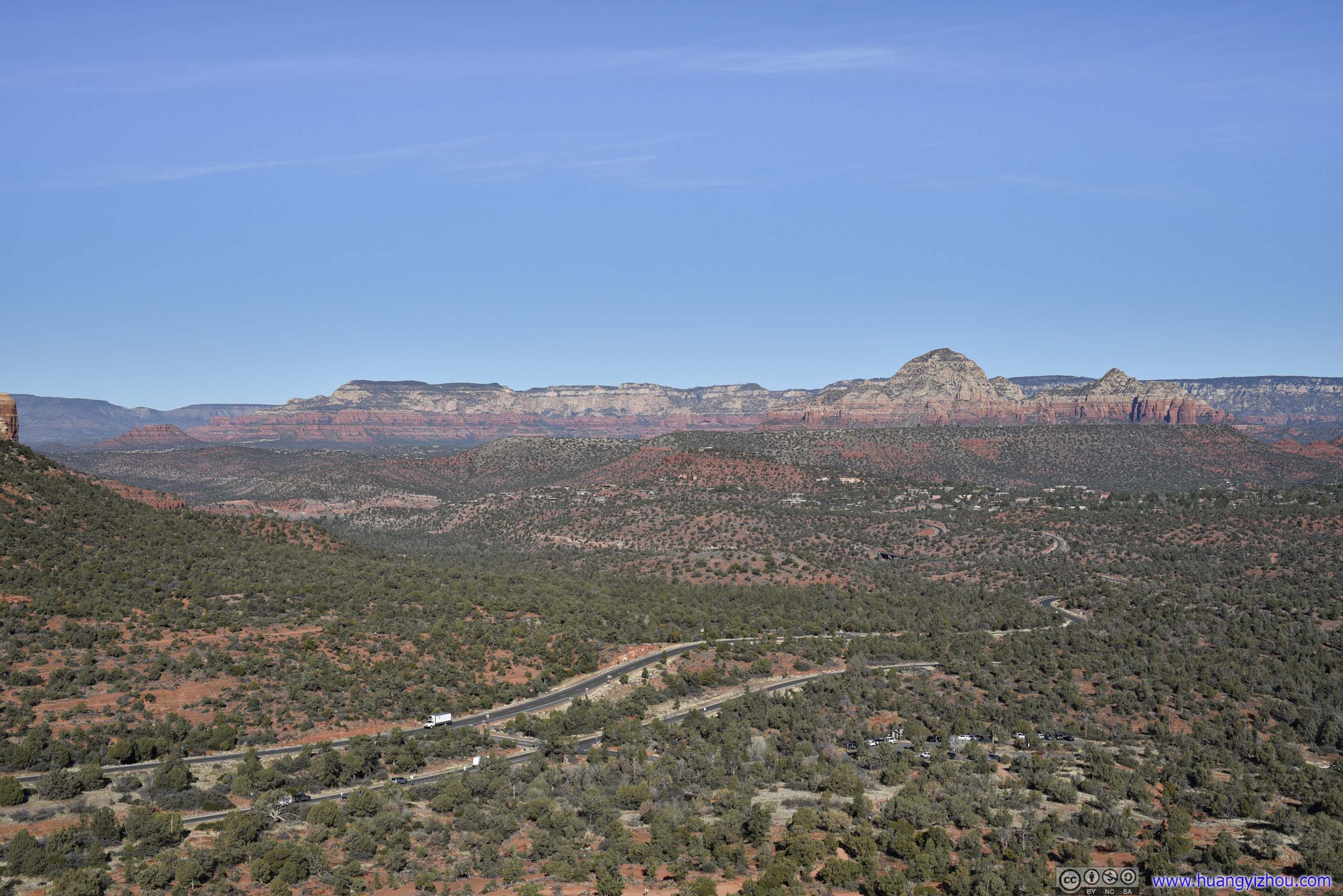
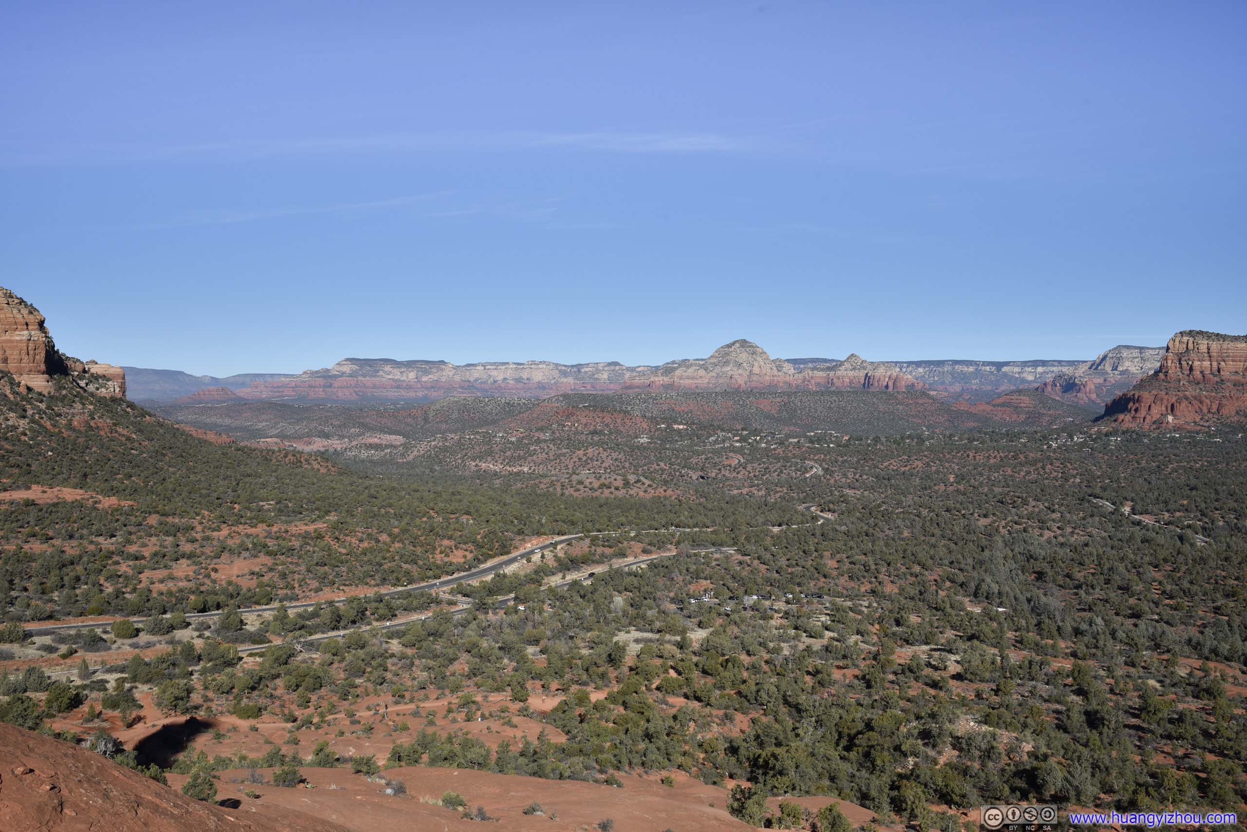
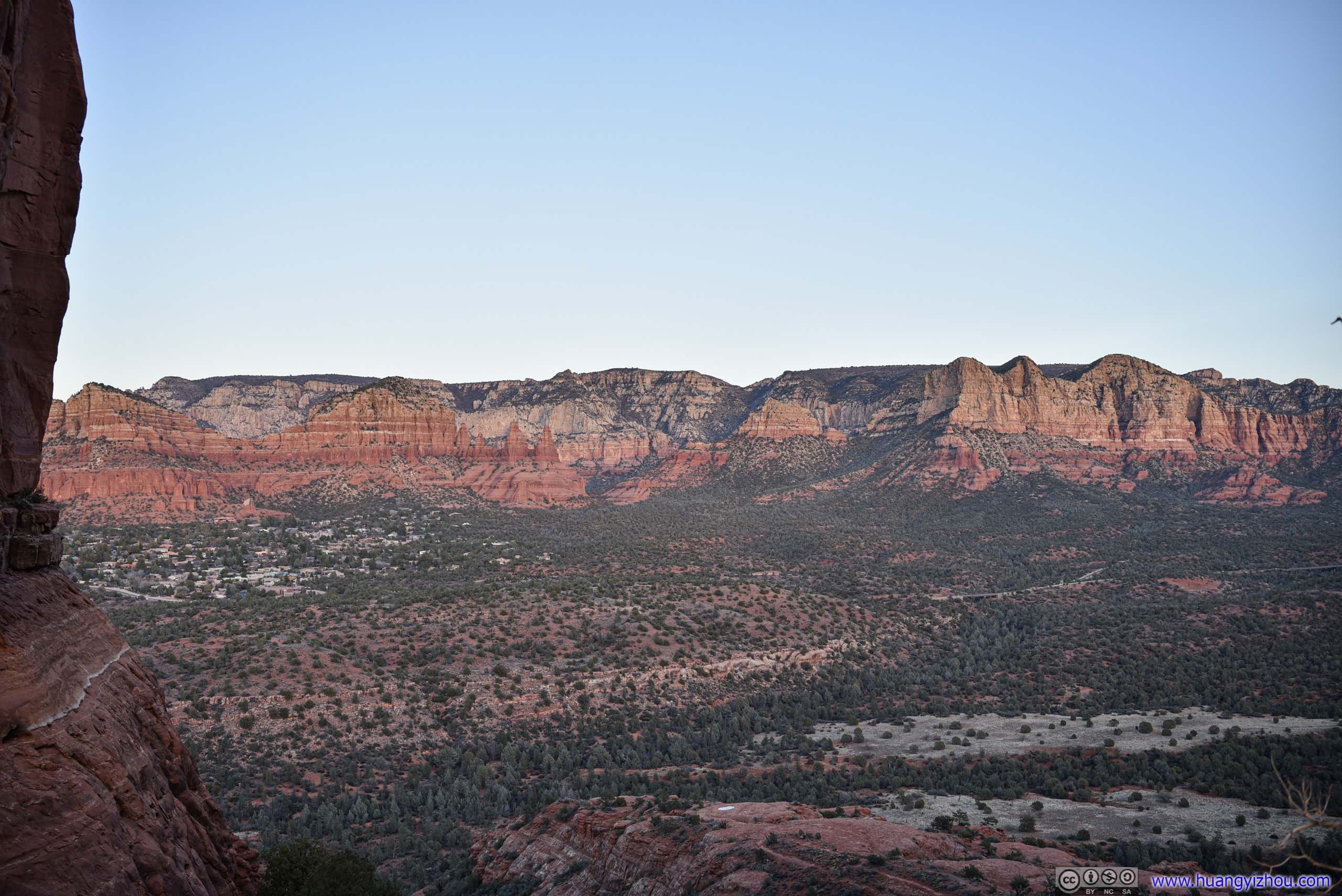
Fields to the NorthTaken at the end of our climb.
We had the entire platform/spire to us while we were enjoying the breeze and sceneries, and it’s truly a bliss.
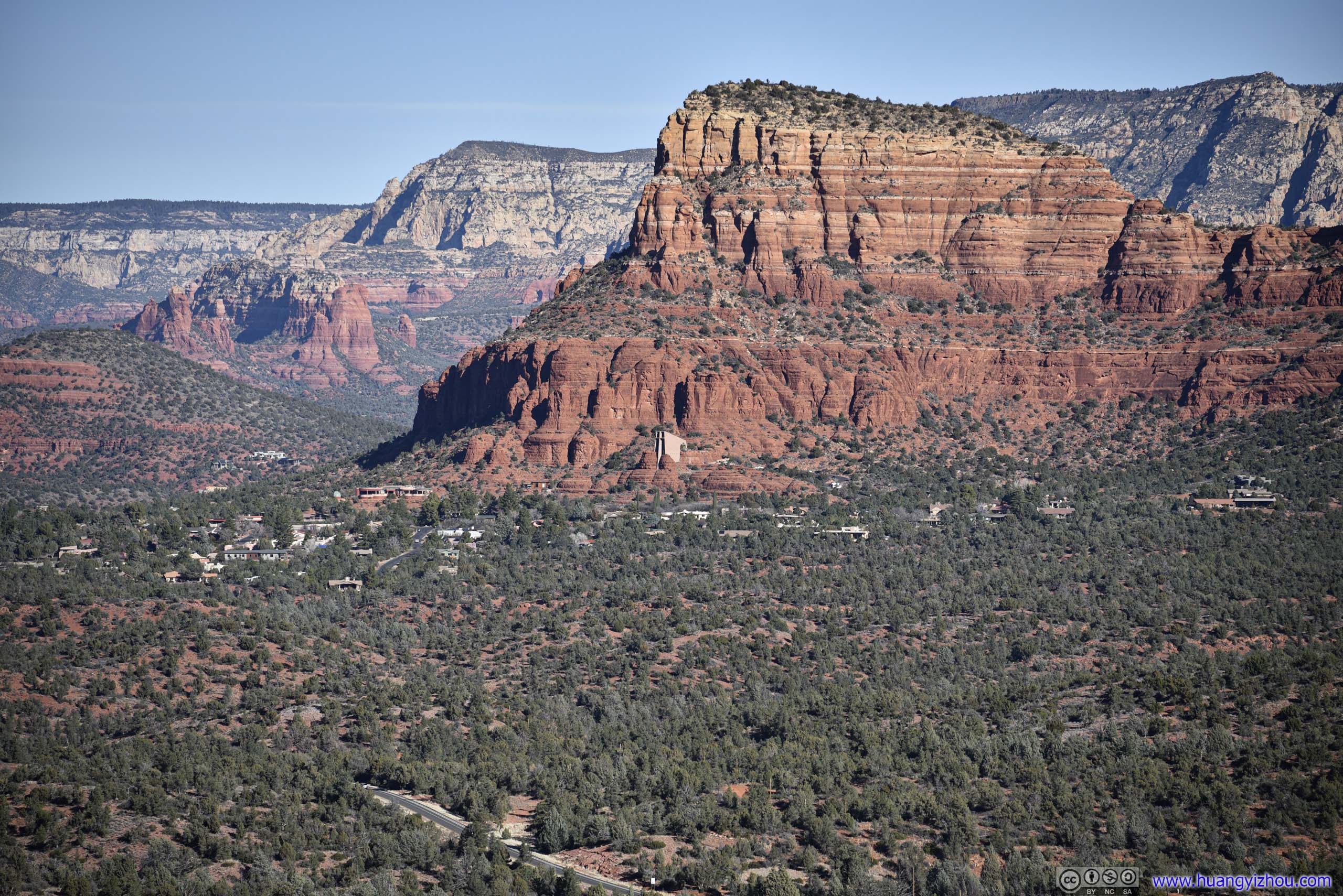
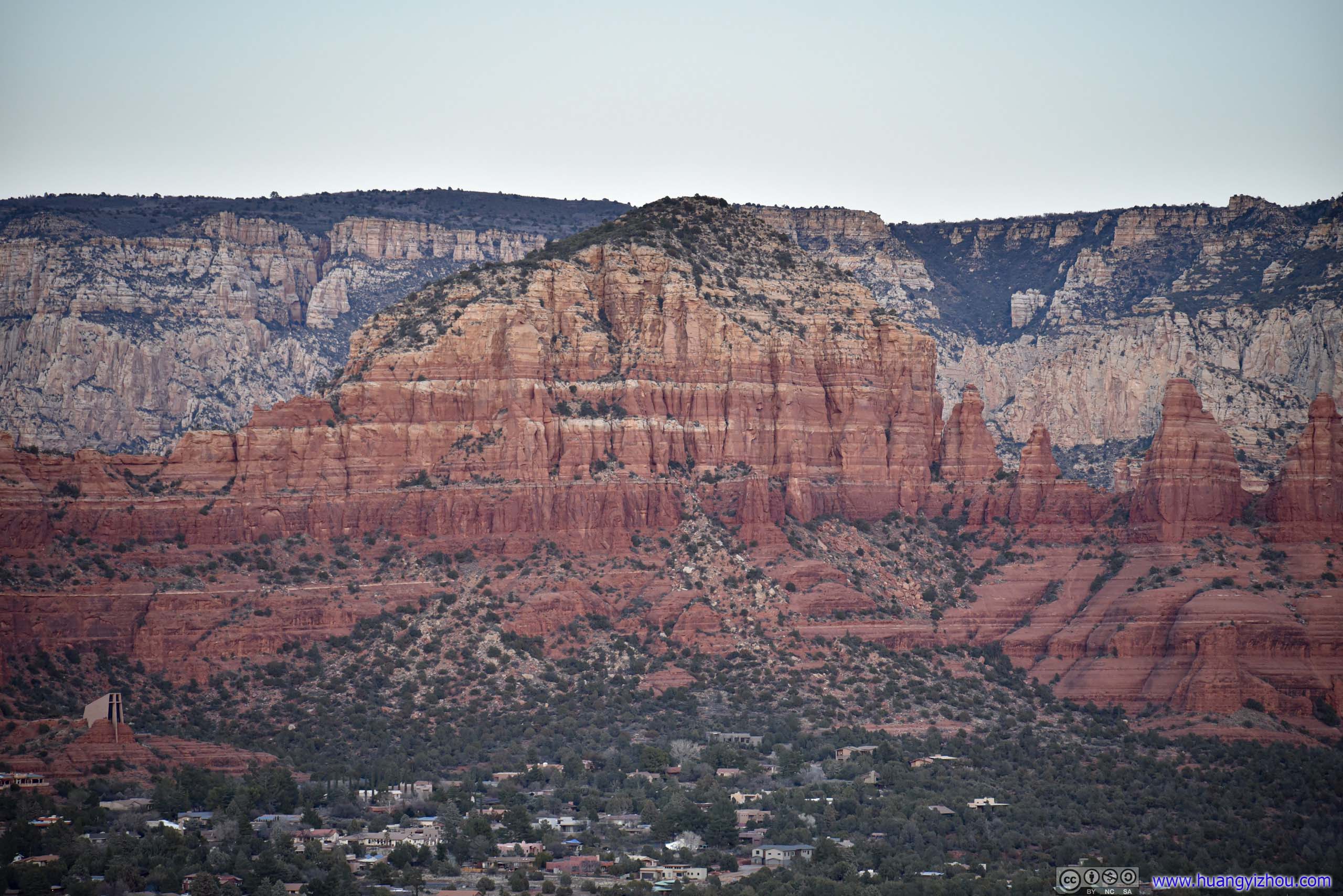
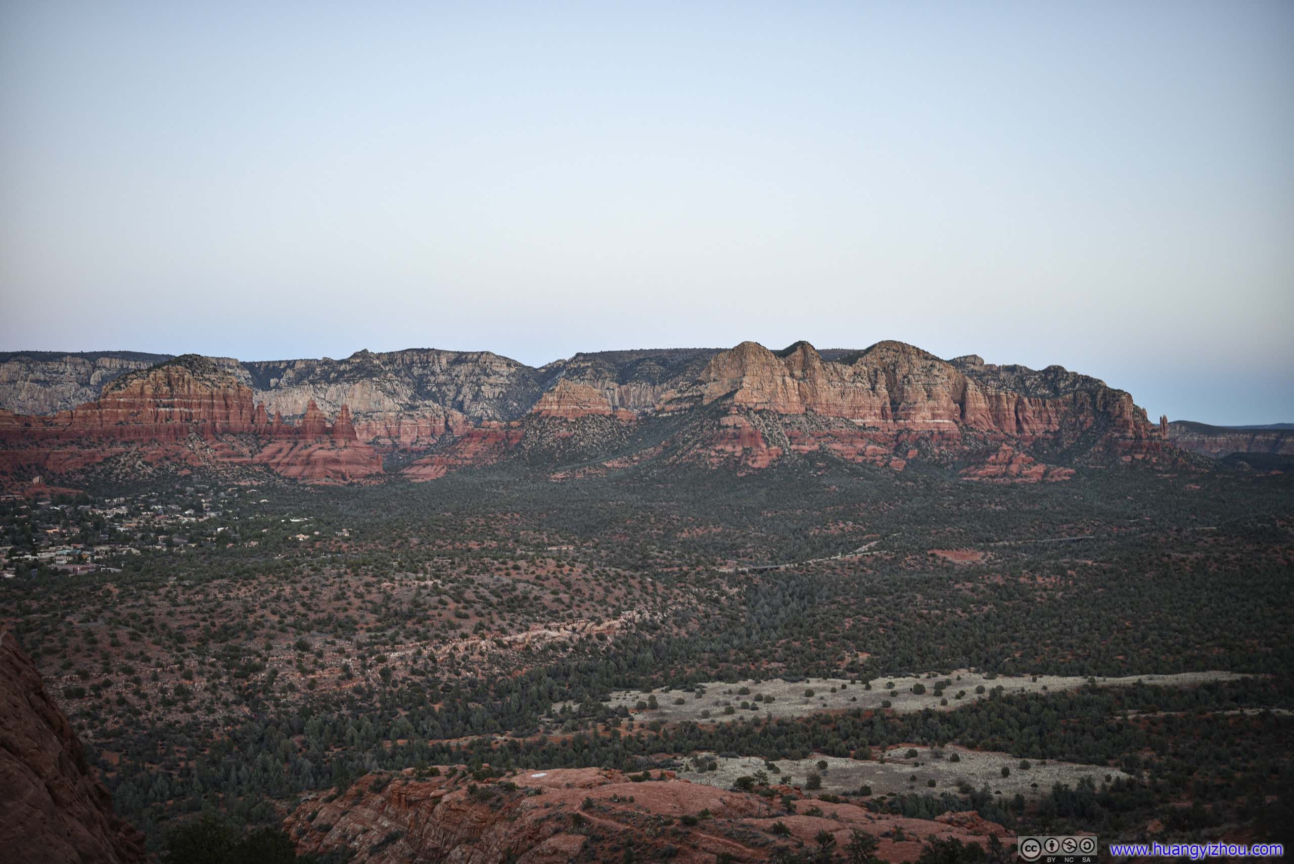
 Distant Chapel of the Holy Cross
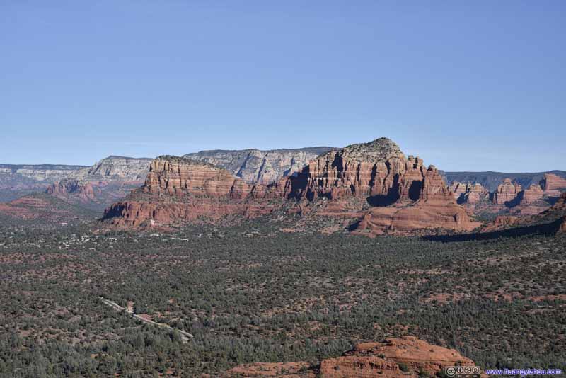 Twin Buttes
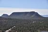
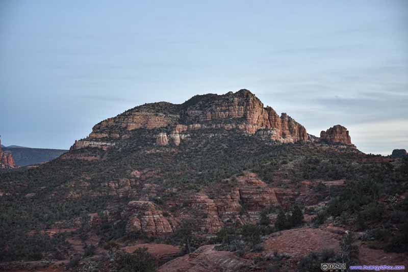
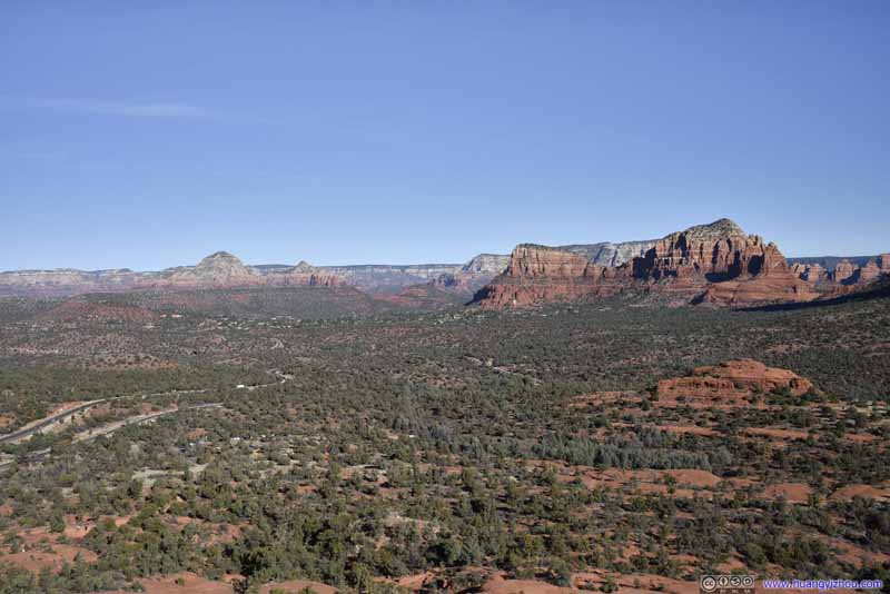 Fields to the NorthCapitol Butte, Airport Mesa and Twin Buttes.
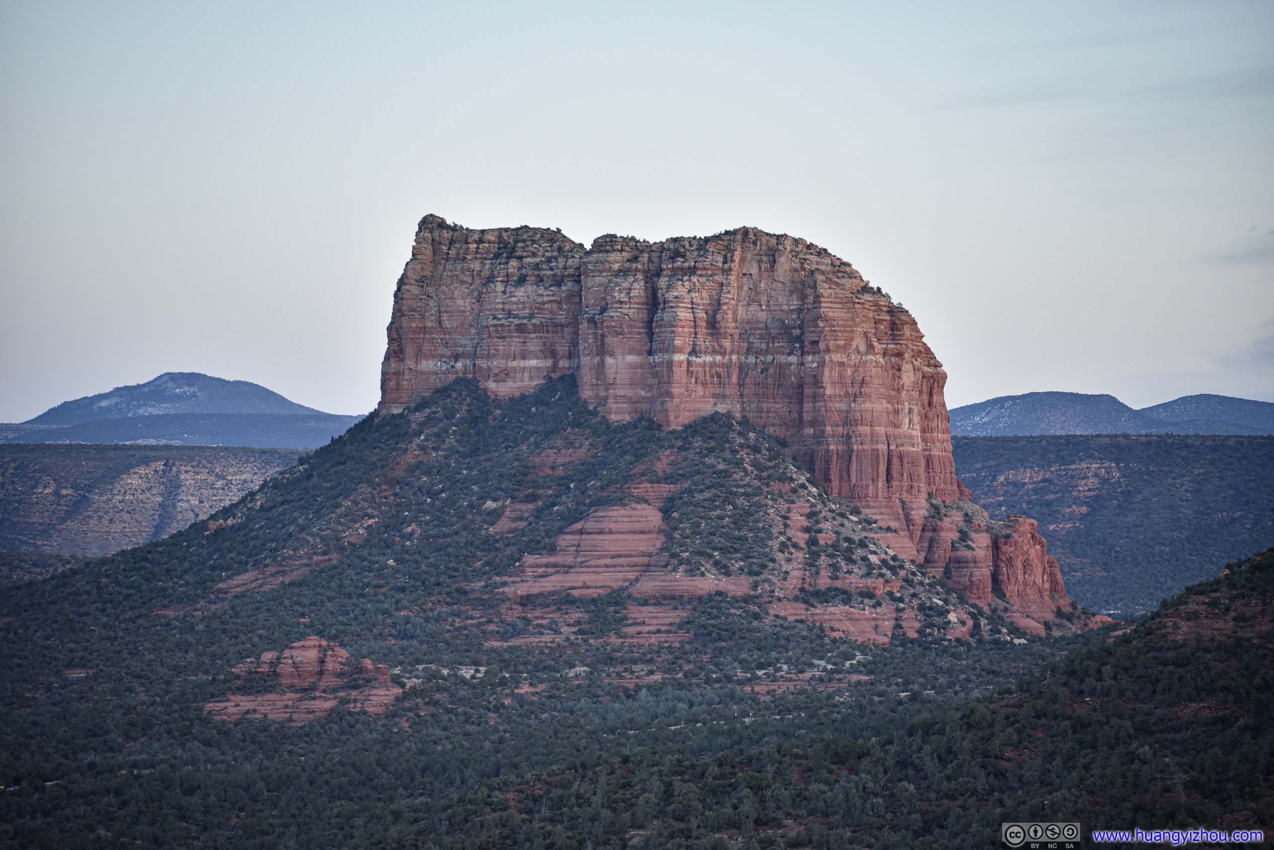
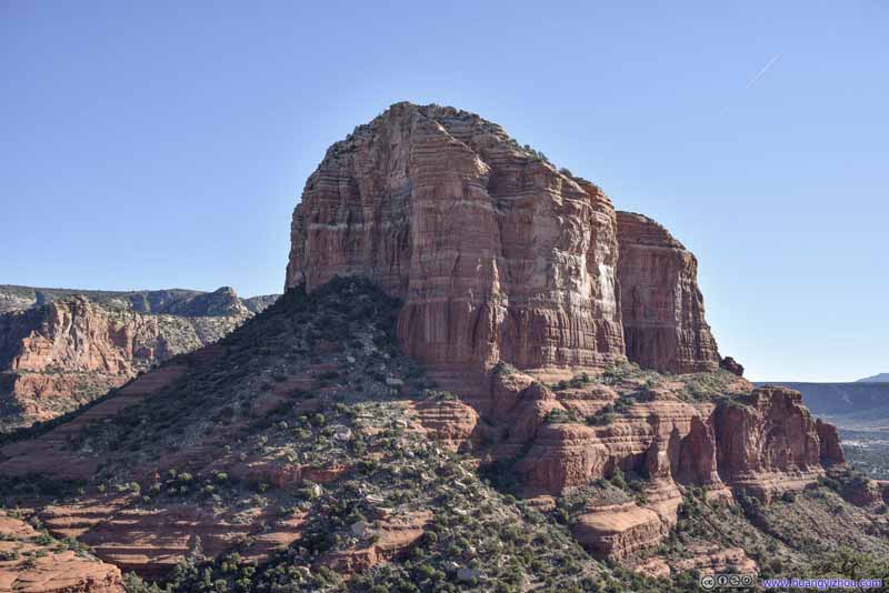 Courthouse Butte
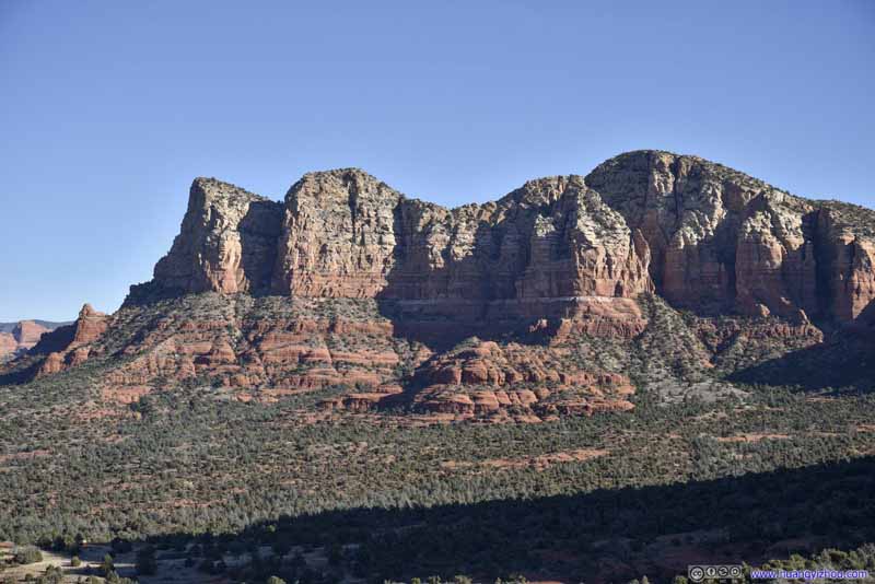 Mountains to the Northeast
 Distant HillsPart of Broken Arrow Trail. Impressive variety of shapes of rocks.
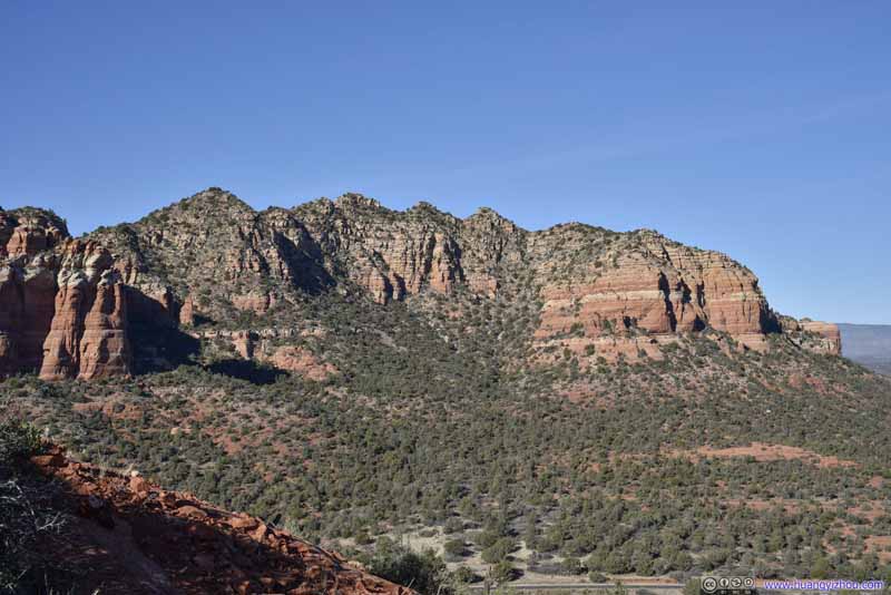 Mountains to the West
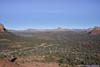
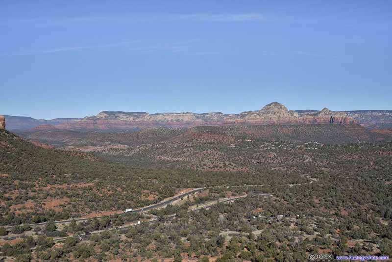 Distant FieldsAirport Mesa, Capitol Butte.
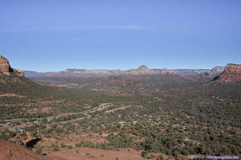 Distant FieldsAirport Mesa, Capitol Butte.
 Fields to the NorthFrom the mini summit that we reached.


Click here to display photos from the top of spire.
Distant Chapel of the Holy Cross
Twin Buttes
Fields to the NorthCapitol Butte, Airport Mesa and Twin Buttes.

Courthouse Butte
Mountains to the Northeast
Distant HillsPart of Broken Arrow Trail. Impressive variety of shapes of rocks.
Mountains to the West
Distant FieldsAirport Mesa, Capitol Butte.
Distant FieldsAirport Mesa, Capitol Butte.
Fields to the NorthFrom the mini summit that we reached.
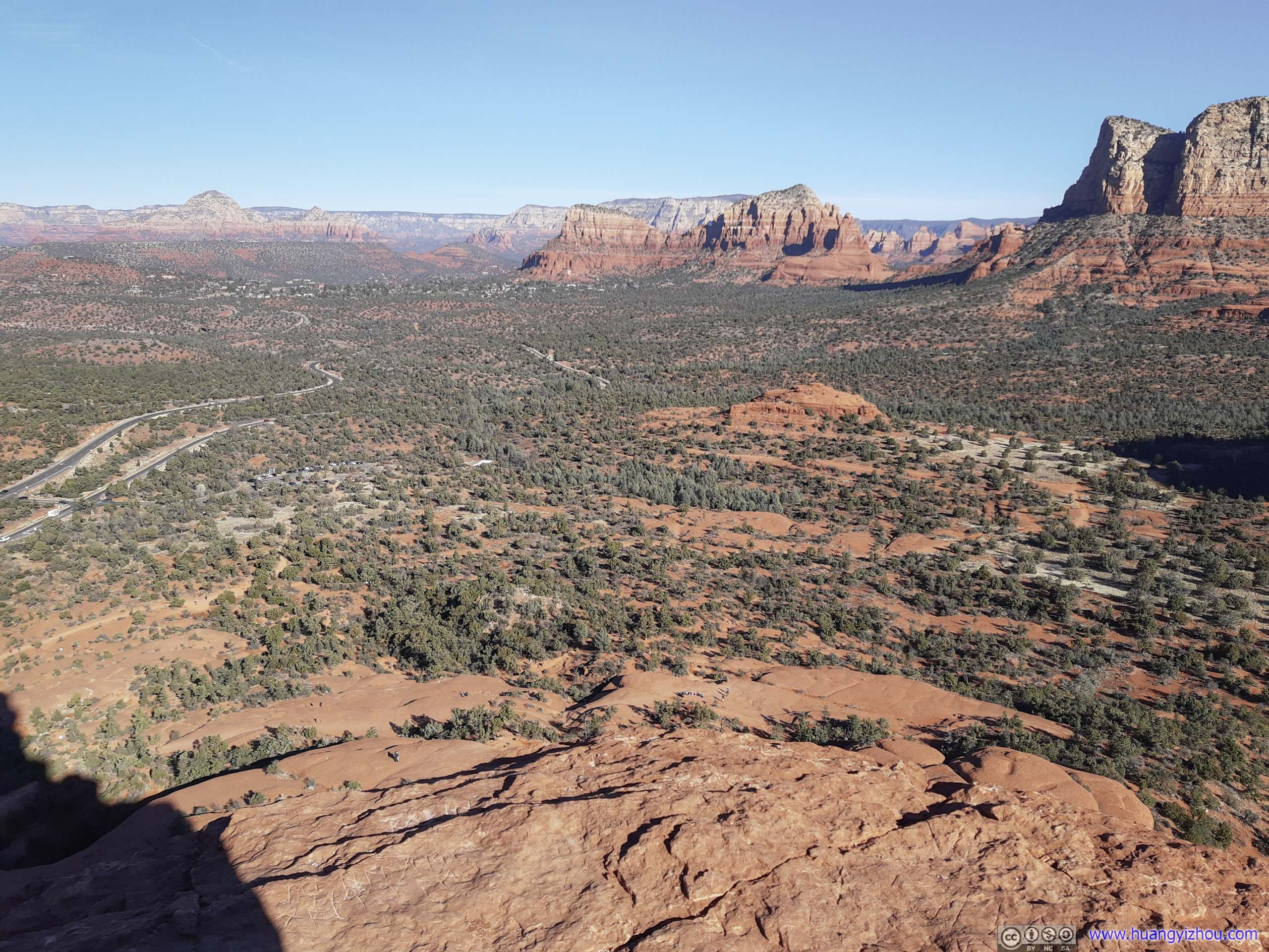
With this unexpected climb, we only got back to the parking lot after more than an hour at Bell Rock. It’s a pity that sights of Cathedral Rock, another iconic rock in the Sedona region, were blocked by some other mountains. Partly to make that up and partly spellbound by the scenery, I launched my drone for an aerial tour.

Bell RockThe south side in the sun with better light conditions.
 Bell Rock and Surrounding Buttes
And here’s a brief video of portions of the flight:
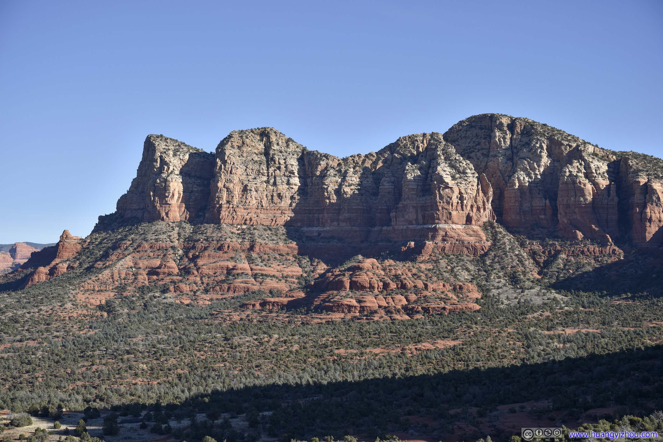
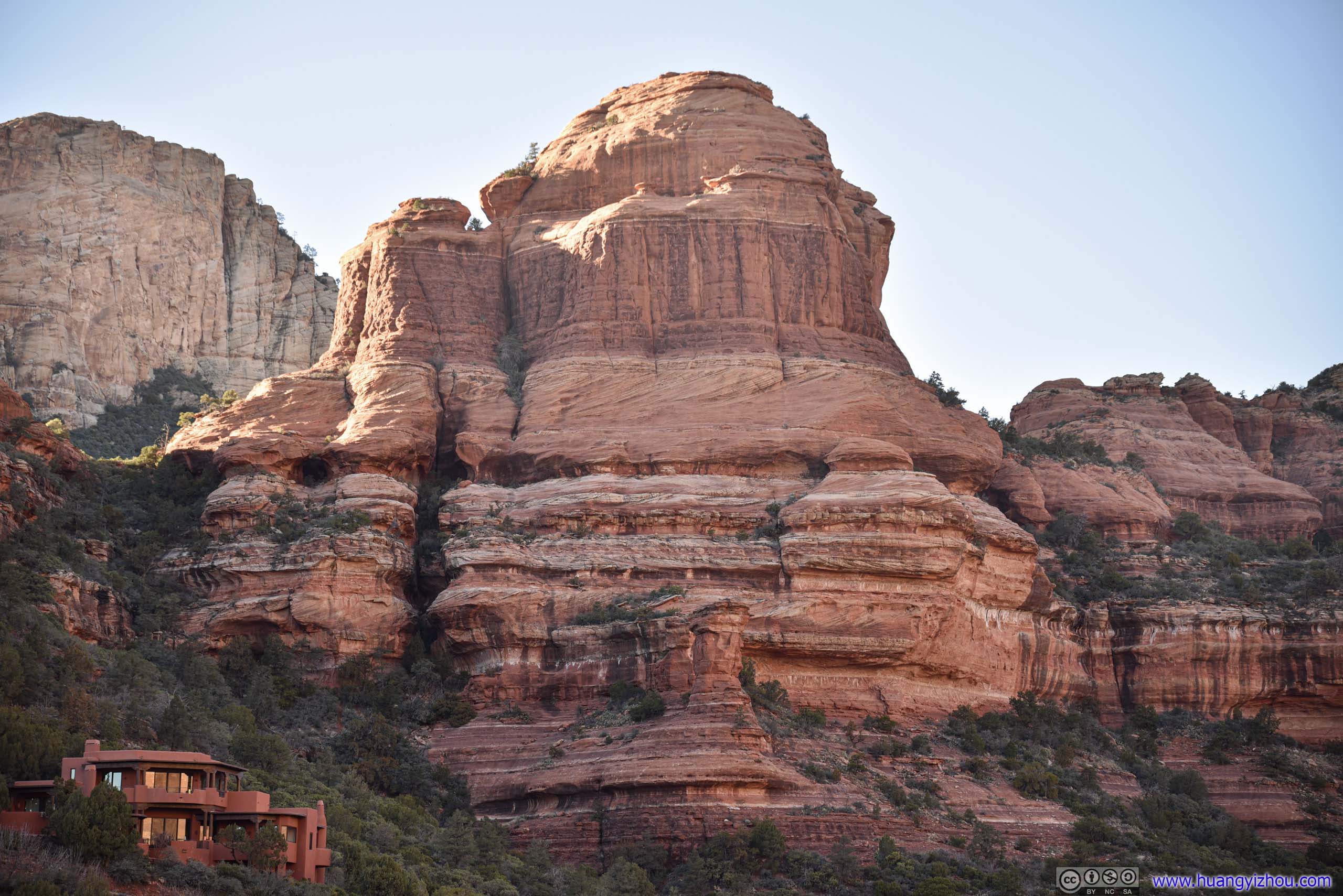
Boynton Canyon
After Bell Rock, we drove across the town of Sedona towards our next stop of the day, Boynton Canyon, another popular place for hiking near Sedona.
In fact, it’s so popular that by the time we arrived at the parking lot, it’s completely full. (A pass or fee was required to park at the trailhead.) Instead, we joined a group of other cars that used the shoulders of Boynton Pass Road as overflow parking. This added about 600m to our roundtrip distance.
Here’s GPS tracking:
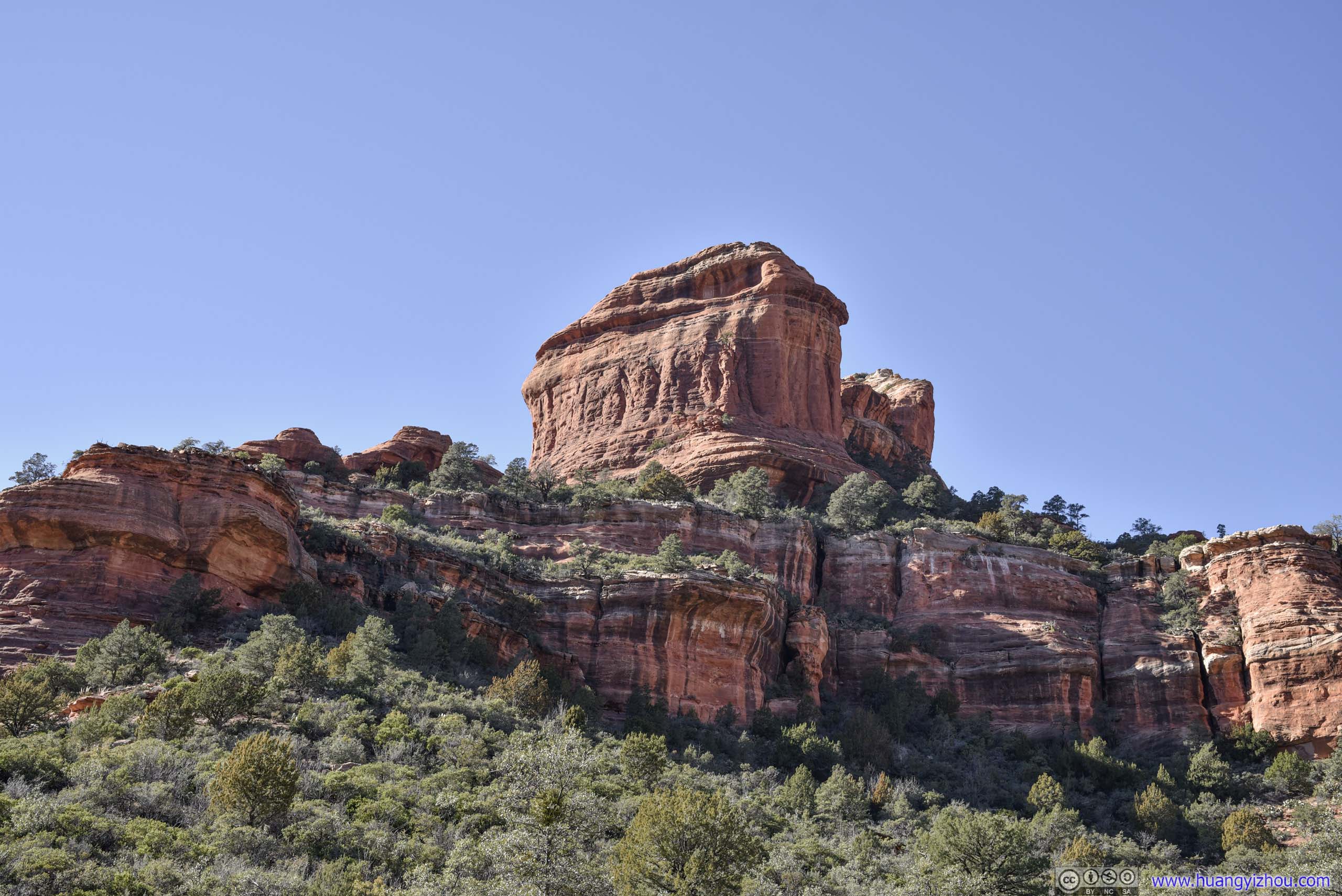
Boynton Knoll
Not far from the trailhead, a short spur trail was leading towards a knoll. It’s also said to be home to the Boynton Canyon Vortex. We saw a few people on top of that knoll, and since unexpected climbing was the theme of our day, we climbed on top of it for panoramic views.
 Knoll
Knoll Lost Wilson Mountain
 Distant Mountain
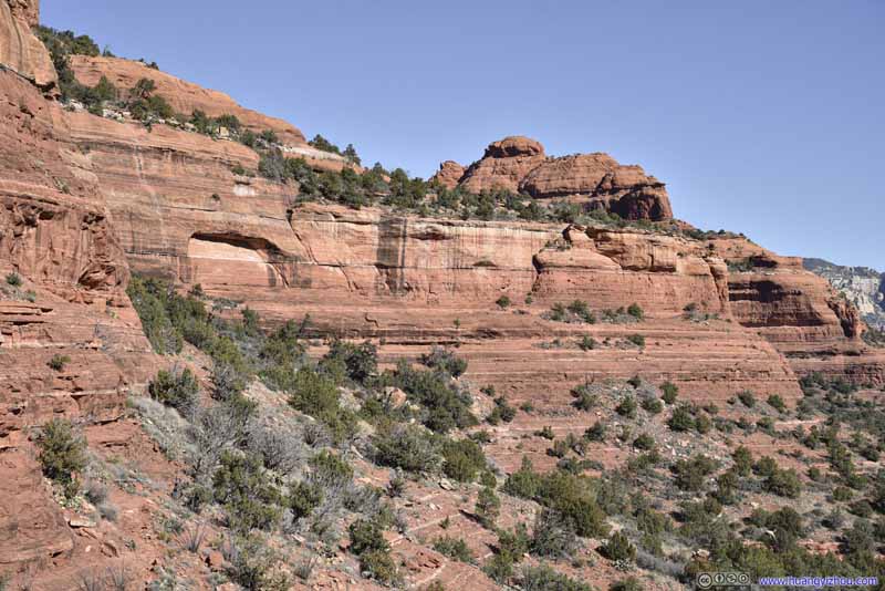 Red Rock
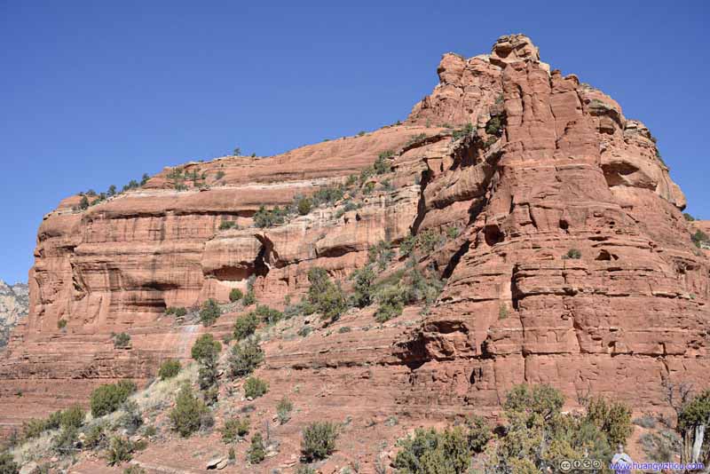 Red Rock
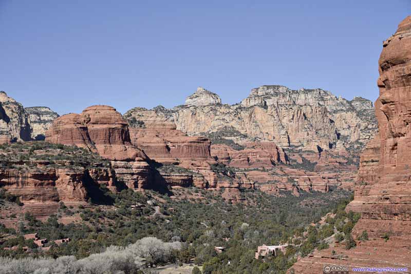 Distant MountainsDeep in the canyon.
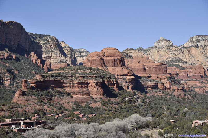 Red Rocks
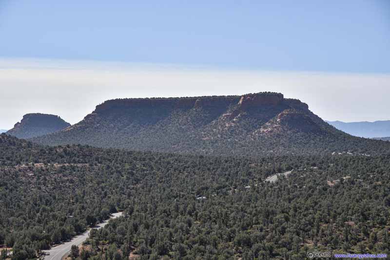 Doe Mountain
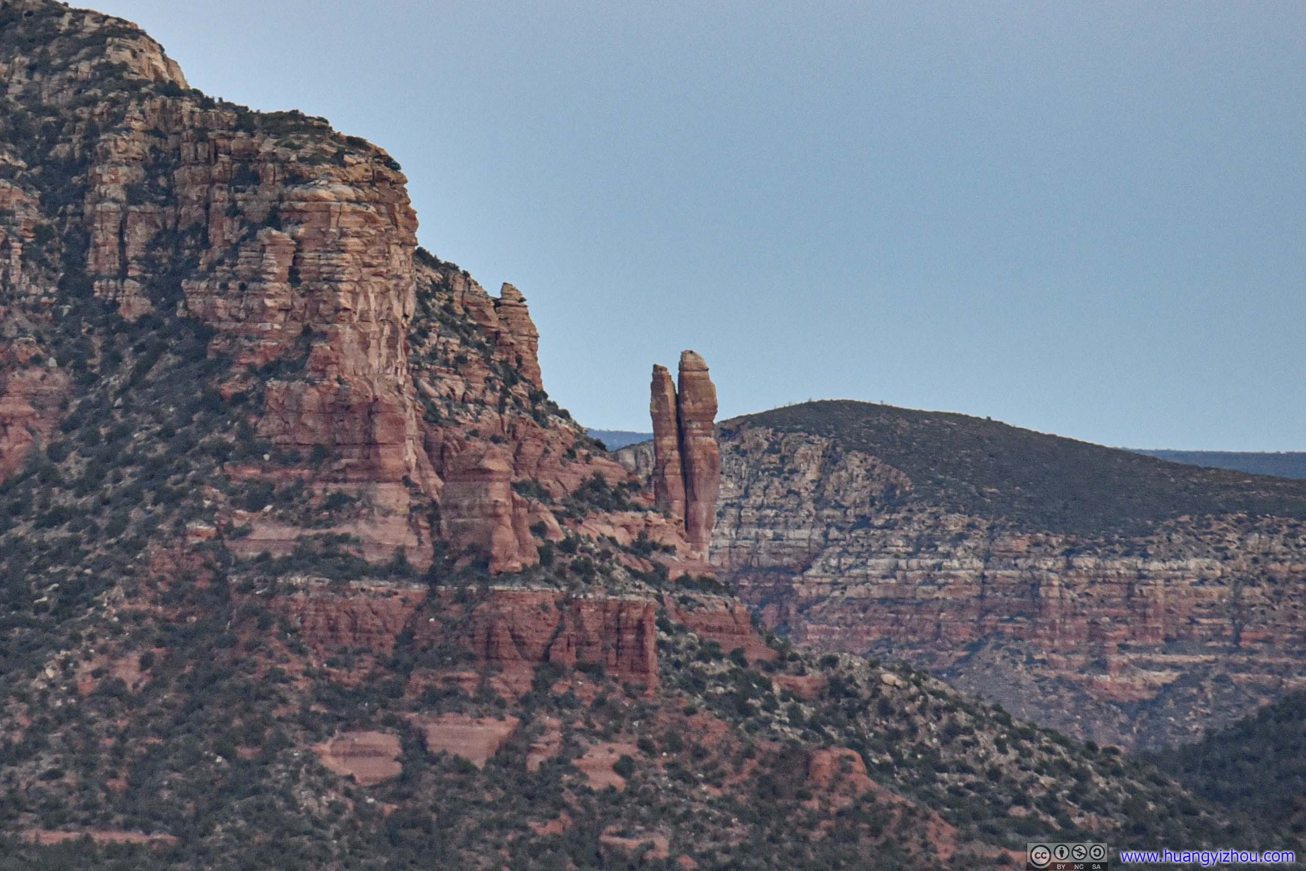
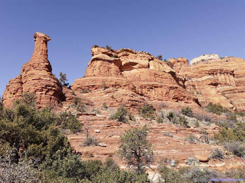 Red RockKachina Woman in the left of this photo.


Click here to display photos of the slideshow
Knoll
Lost Wilson Mountain

Distant Mountain
Red Rock

Red Rock
Distant MountainsDeep in the canyon.

Red Rocks
Doe Mountain

Red RockKachina Woman in the left of this photo.
View from Boynton Knoll
 KnollSouthwestern side as seen from the trail.
 Knoll
As seen from the east. The small rock balanced perfectly on the right, providing a way for people to climb onto the top of the knoll.
Knoll
As seen from the east. The small rock balanced perfectly on the right, providing a way for people to climb onto the top of the knoll.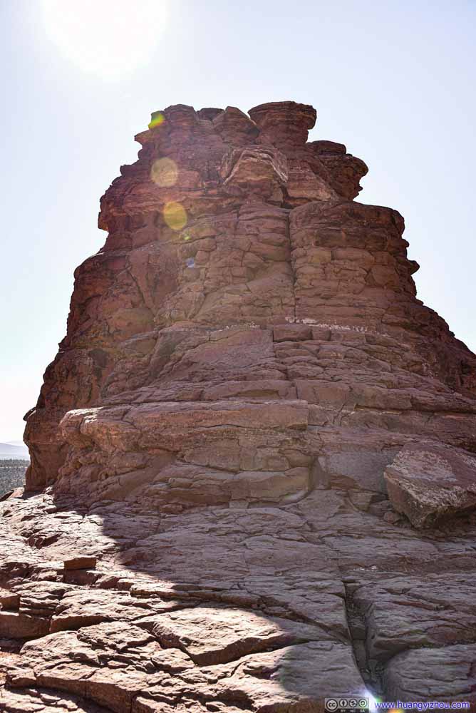 Knoll
Seen from the north where it only took a few steps to climb on top of it. I found it easiest to start from the western (right of this photo) side.
Knoll
Seen from the north where it only took a few steps to climb on top of it. I found it easiest to start from the western (right of this photo) side.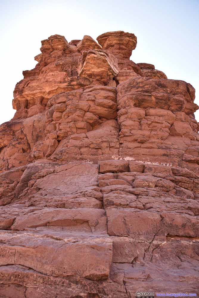 KnollSeen from the north where it only took a few steps to climb on top of it.
 View to the NorthI was on top of the knoll. “Kachina Woman” was a spire-shaped rock in front.
 Kachina WomanAnother nearby spire that’s obviously harder to climb on top of.
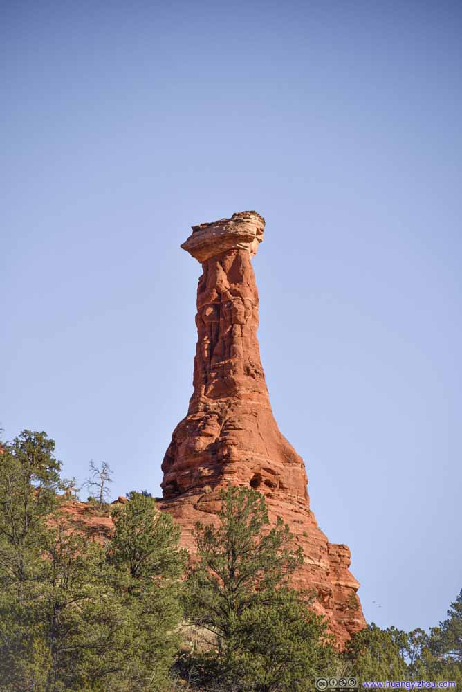 Kachina WomanAnother nearby spire that’s obviously harder to climb on top of.


Click here to display photos of the Boynton Knoll and Kachina Woman
KnollSouthwestern side as seen from the trail.
Knoll

Knoll
KnollSeen from the north where it only took a few steps to climb on top of it.
View to the NorthI was on top of the knoll. “Kachina Woman” was a spire-shaped rock in front.
 Kachina WomanAnother nearby spire that’s obviously harder to climb on top of.
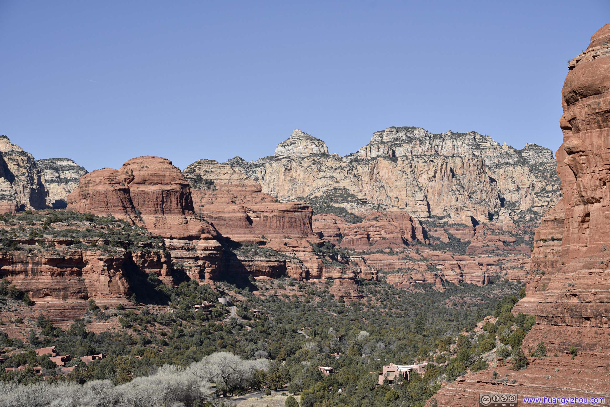
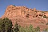
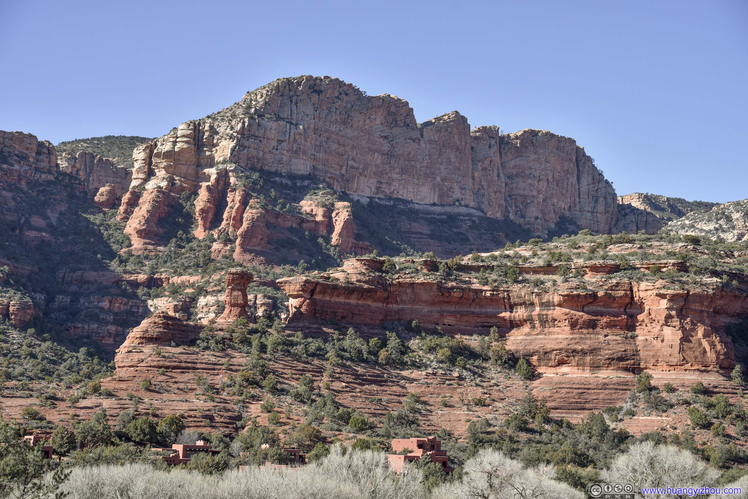
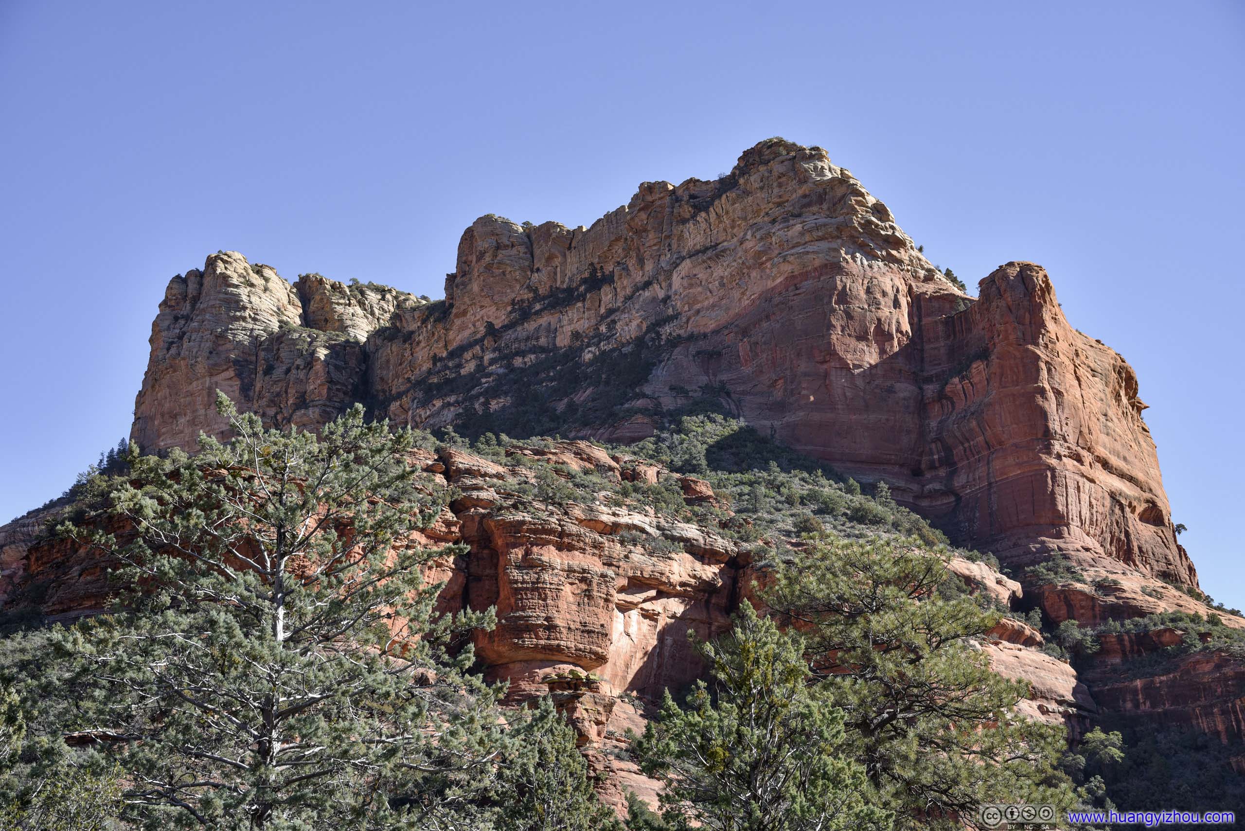
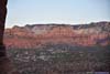
After that, we continued to follow the trail deeper into Boynton Canyon. The first (and last) 2km of the trail was along the perimeter of Enchantment Resort, a gated private property, otherwise the trailhead would be set at the end of that property and shaved 4km of roundtrip distance.
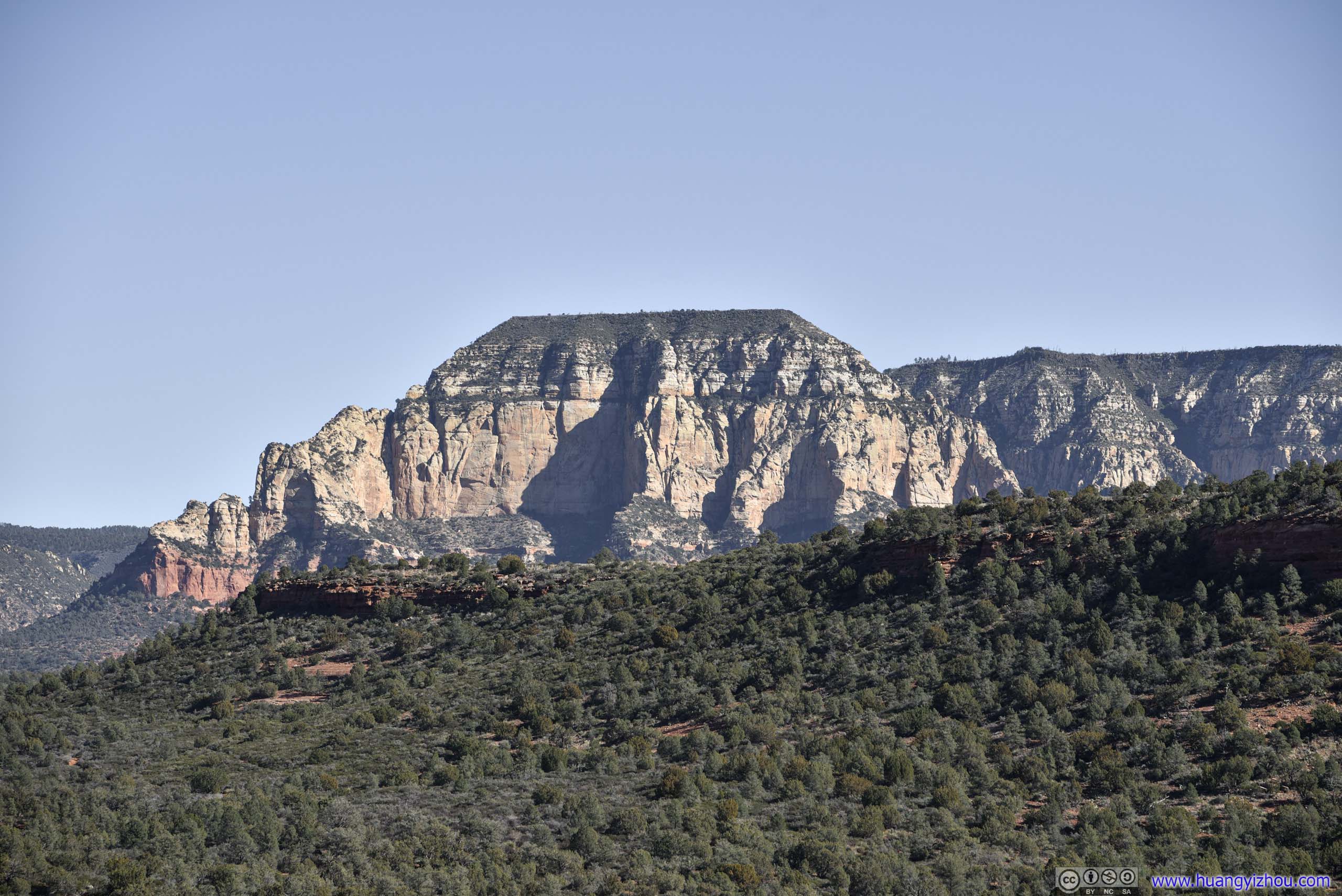
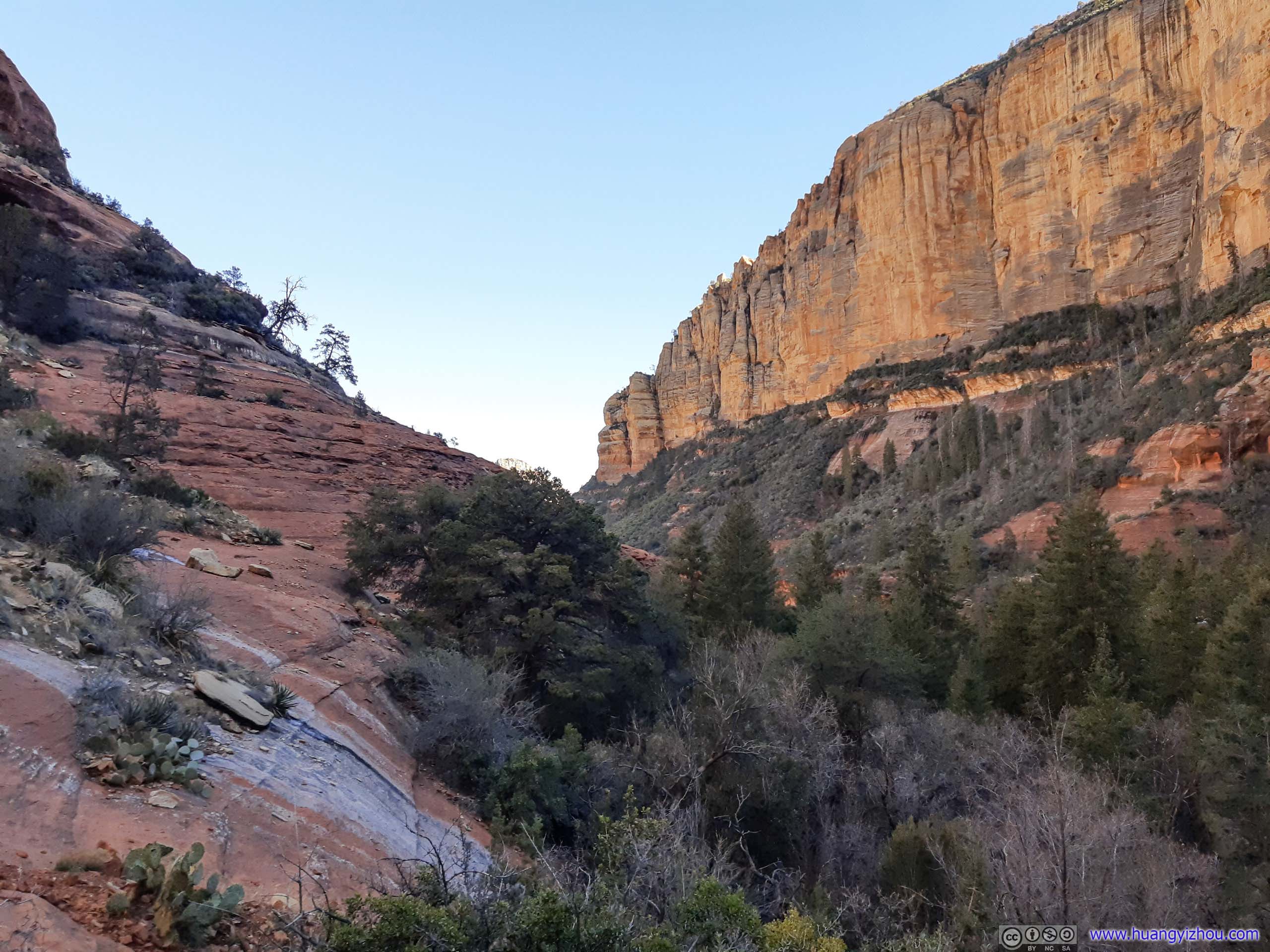
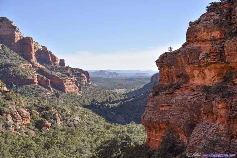
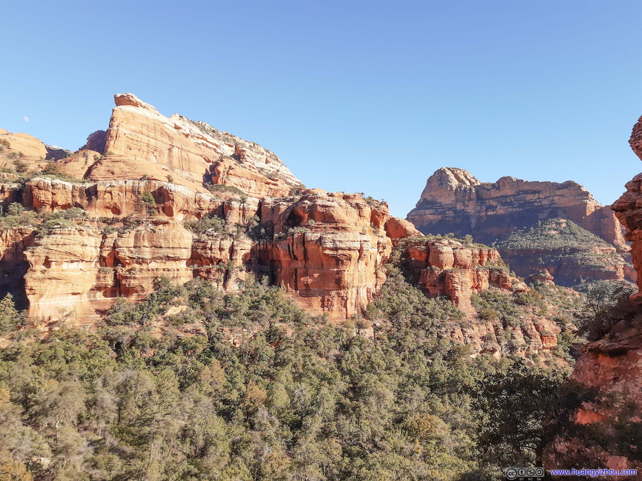
But while the trail was passing Enchantment Resort, it’s at higher elevation than the canyon floor, offering great views of distant rugged mountains deep inside the canyon.
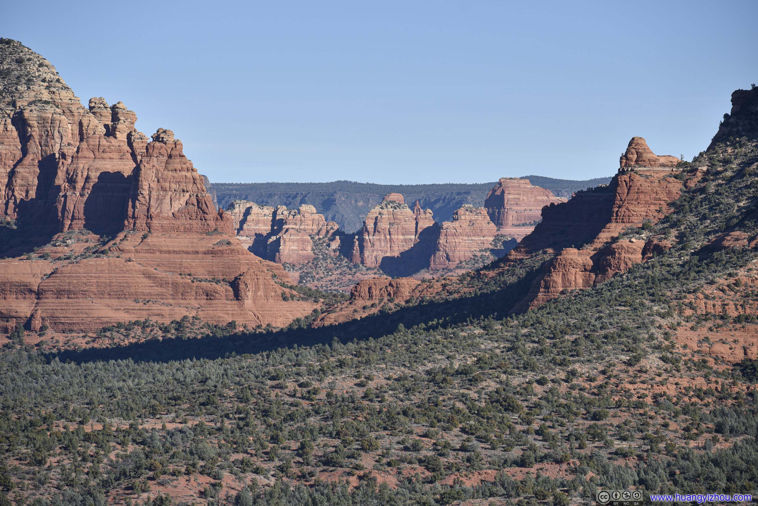
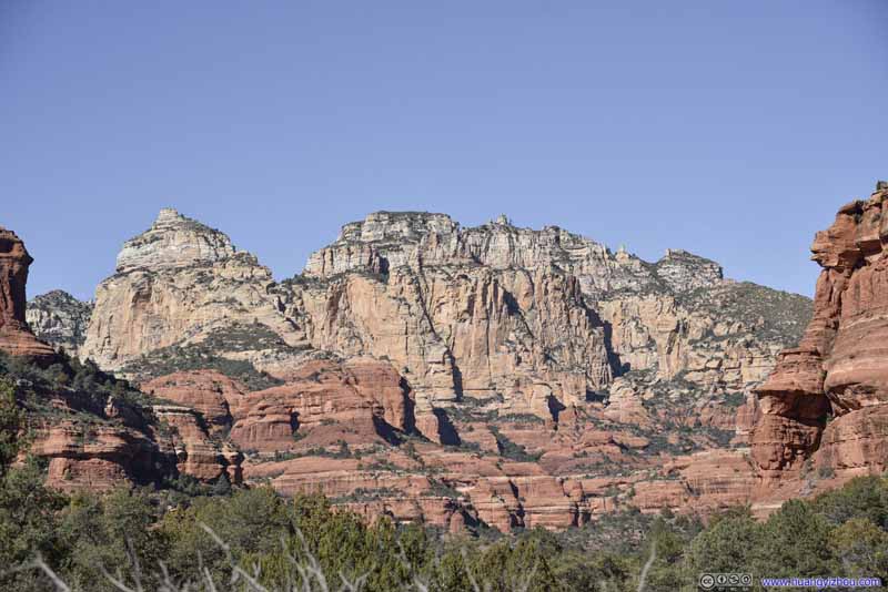 Distant Mountains
The imposing sight of these distant rugged rocks in distinctive layers was certainly a highlight of the hike.
Distant Mountains
The imposing sight of these distant rugged rocks in distinctive layers was certainly a highlight of the hike.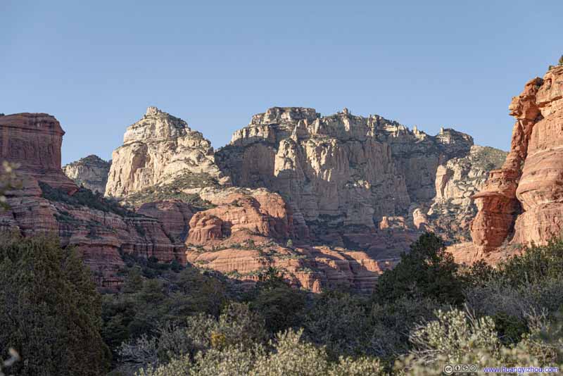 Distant MountainsThis was taken later in the day where most of the rocks were in shadows.
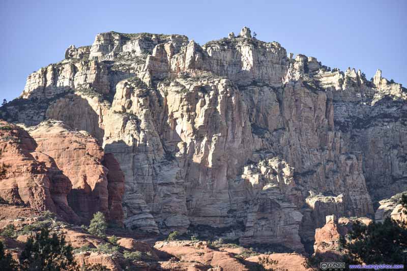 Distant Rocks
 Distant Hill

Click here to display photos of the slideshow

Distant Mountains
Distant MountainsThis was taken later in the day where most of the rocks were in shadows.

Distant Rocks
Distant Hill
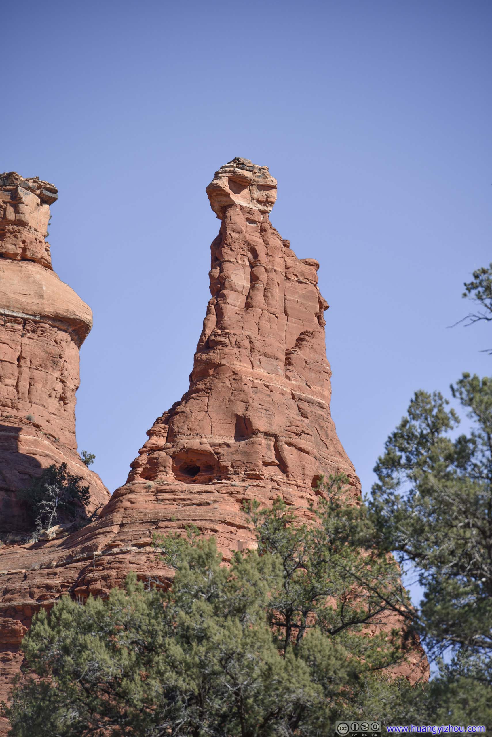
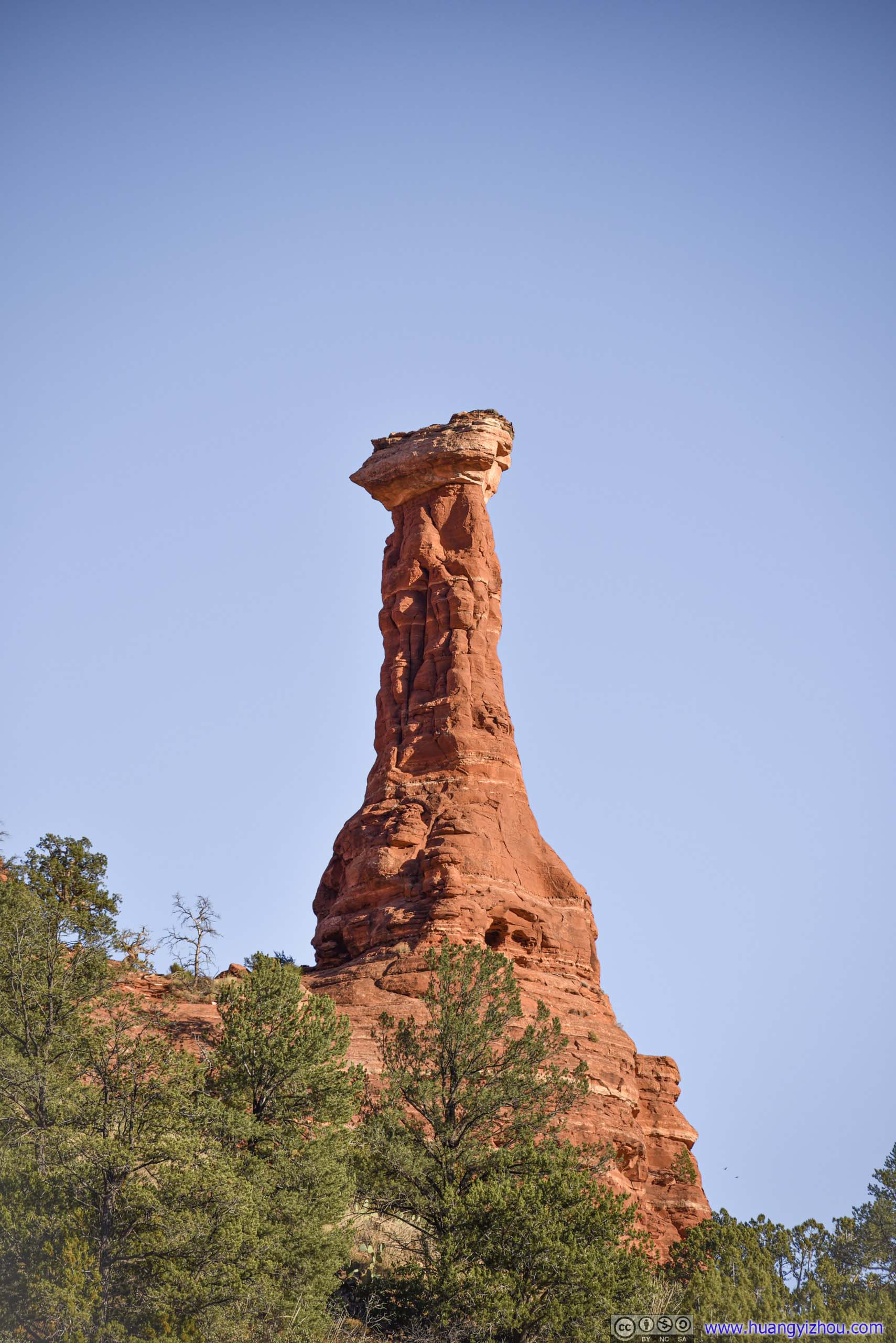
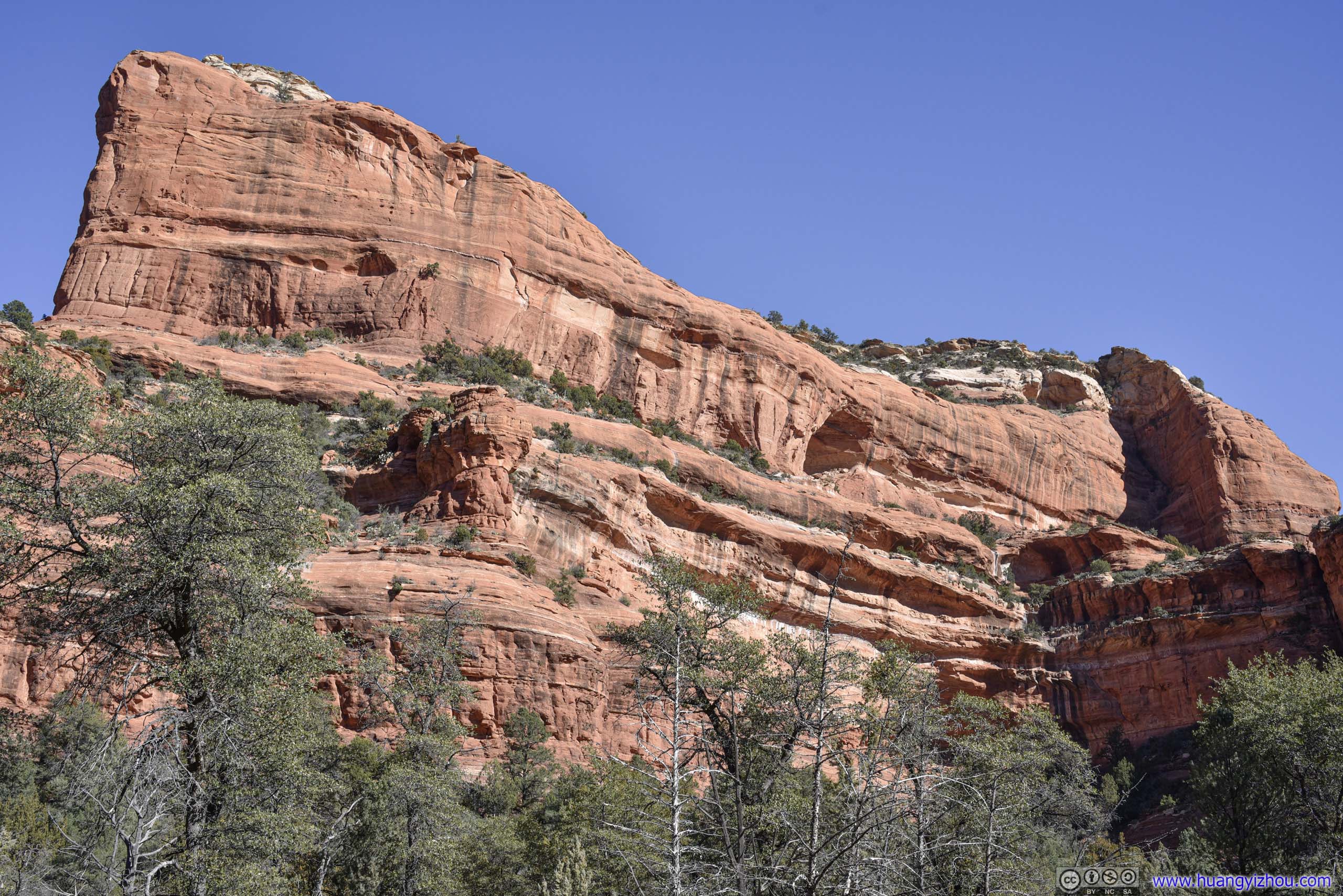
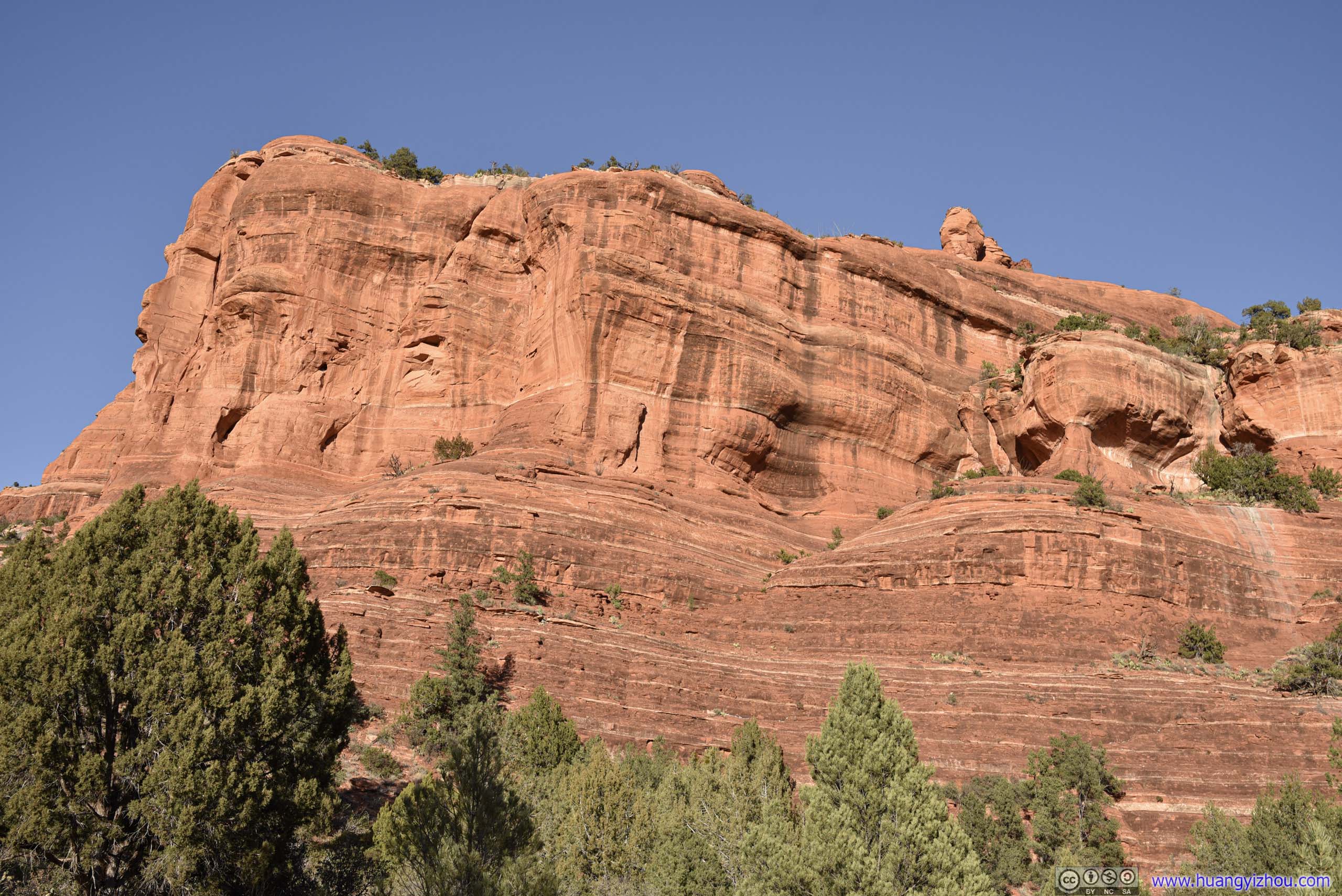
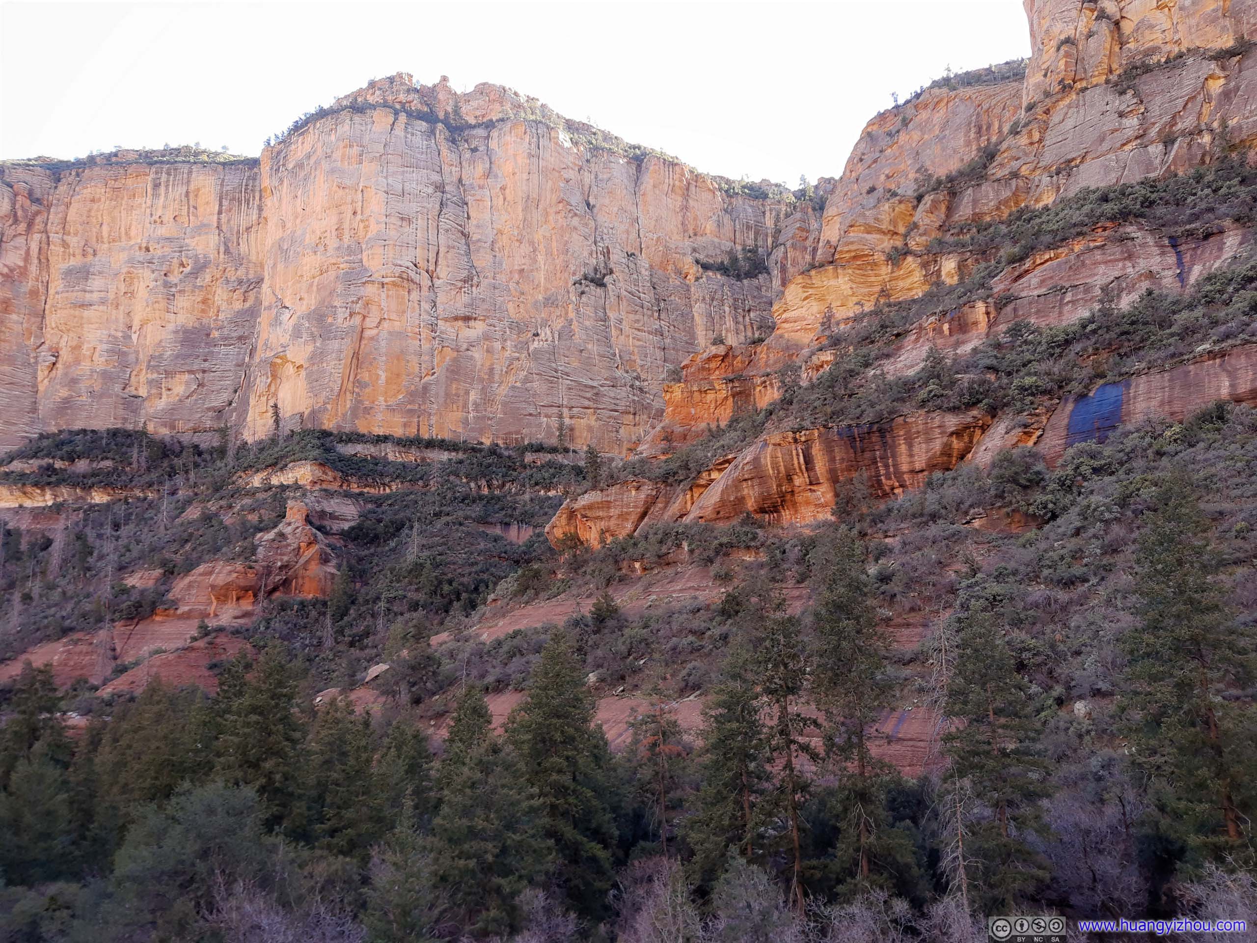
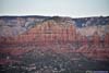
Apart from the distant hills, the rock formations near Boynton Canyon were also a sight to behold.
 Mountain
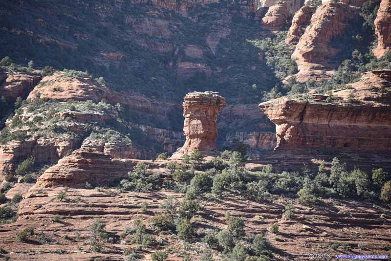 Rock Tower
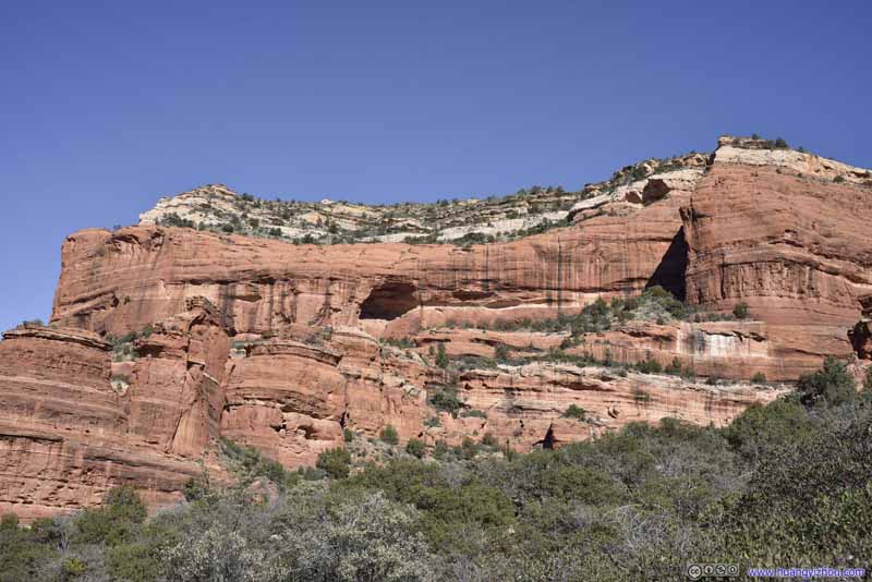 Mountain
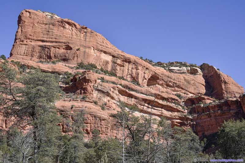 Mountain
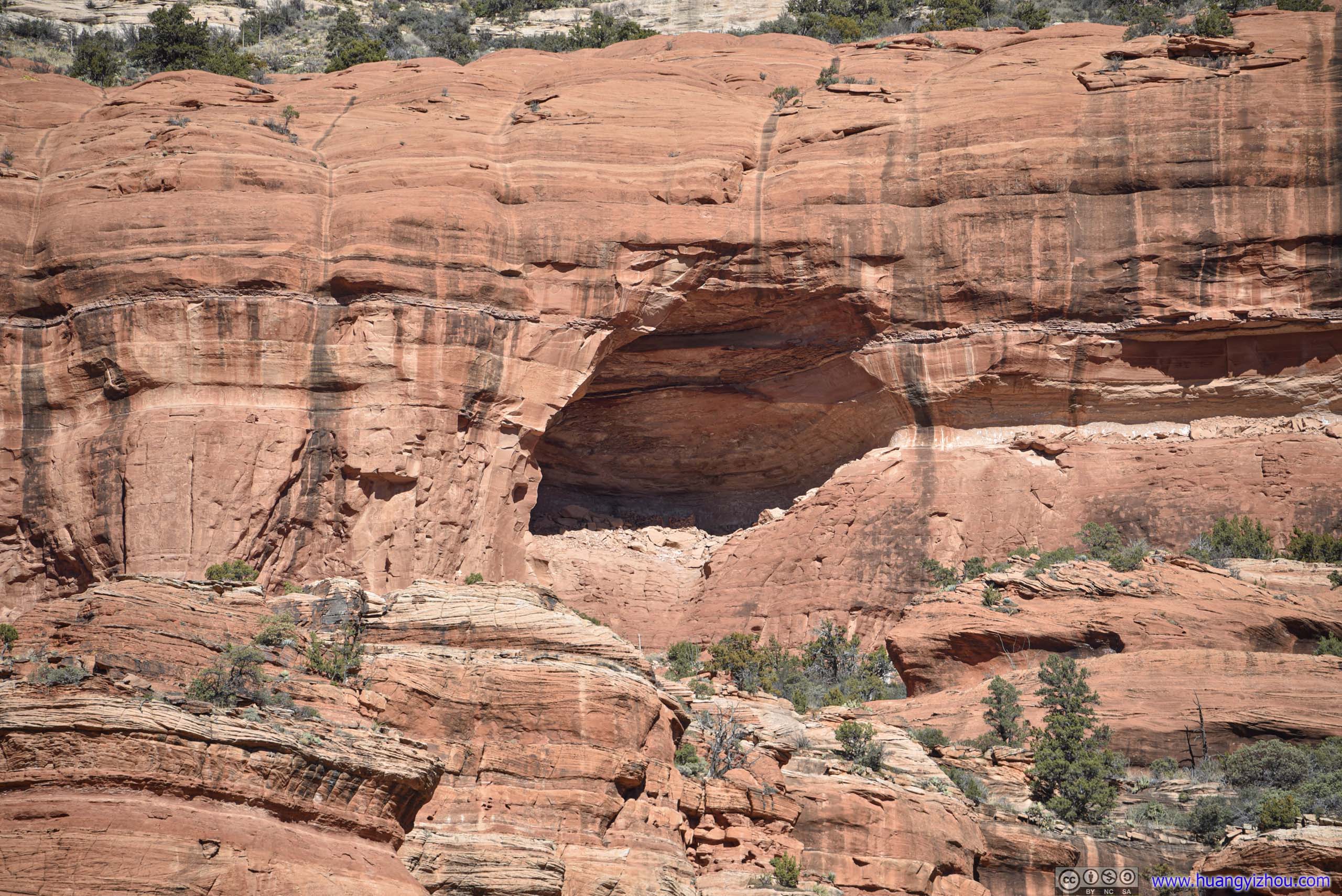
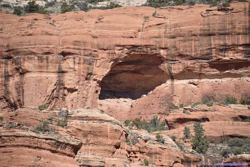 Alcove
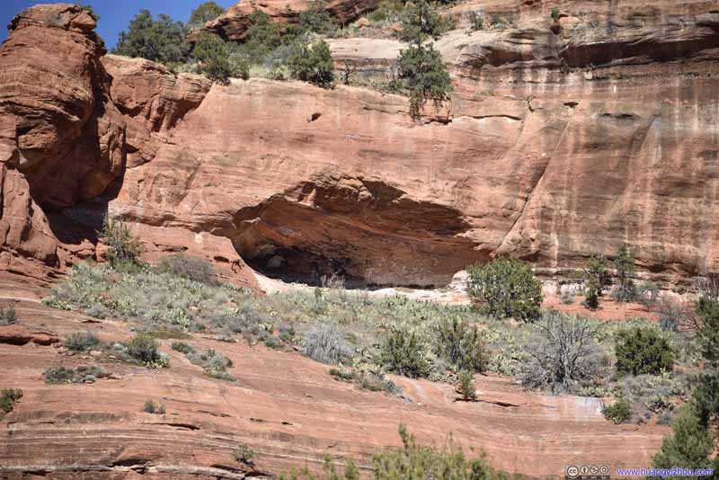 Alcove
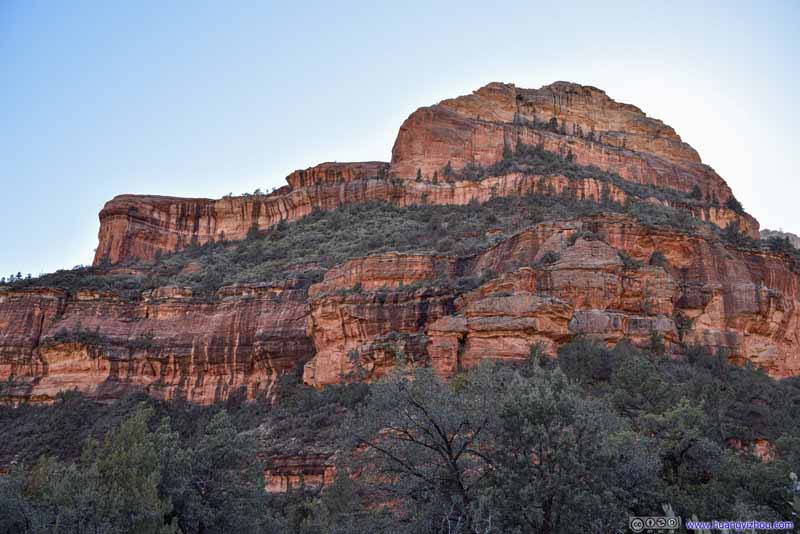 Mountain
 Mountain
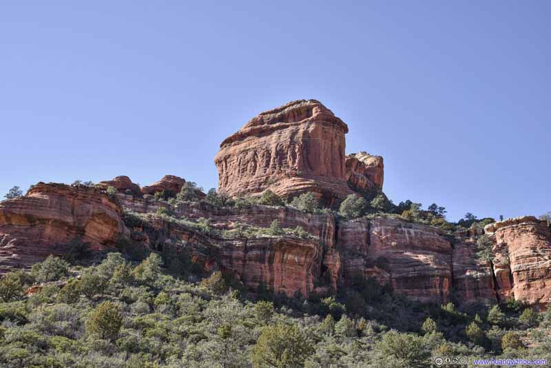 Boulder
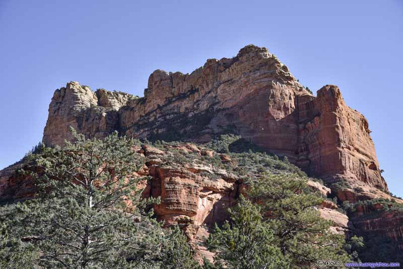 Mountain
 Mountain
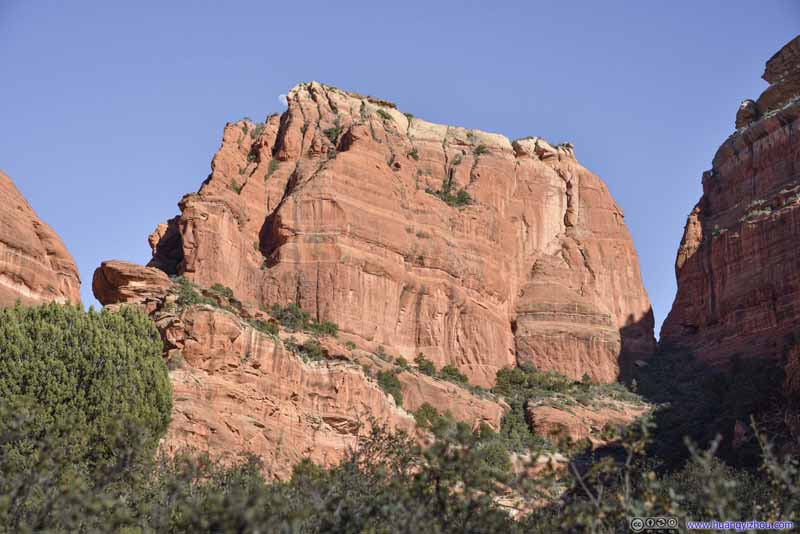 Boulder
 Mountain
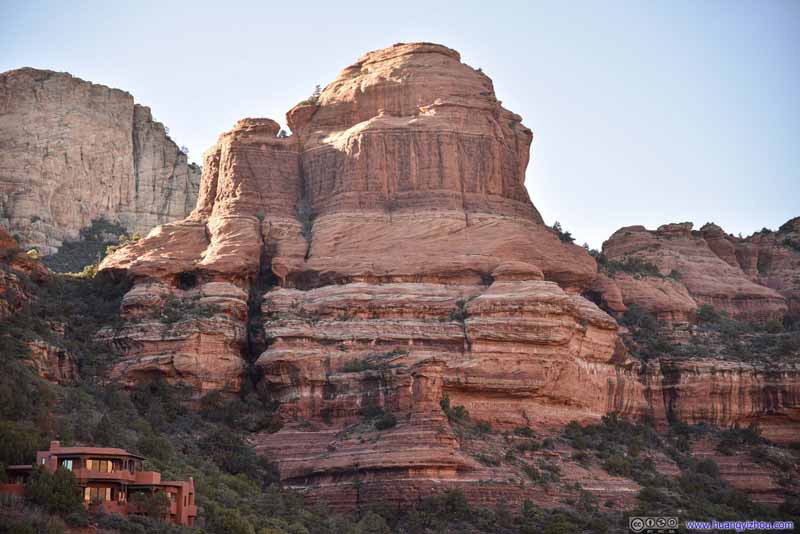 Hill
Hill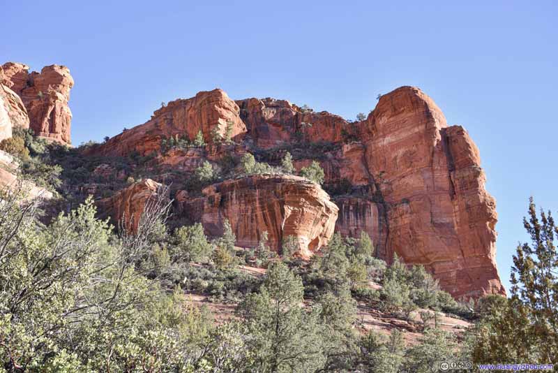 Hill
Hill Mountain
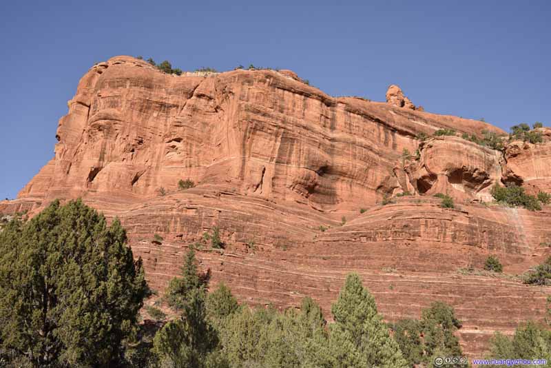 Mountain


Click here to display photos around Boynton Canyon.
Mountain

Rock Tower

Mountain
Mountain
Alcove

Alcove
Mountain
Mountain
Boulder
Mountain
Mountain

Boulder

Mountain
Hill

Hill

Mountain
Mountain
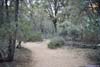
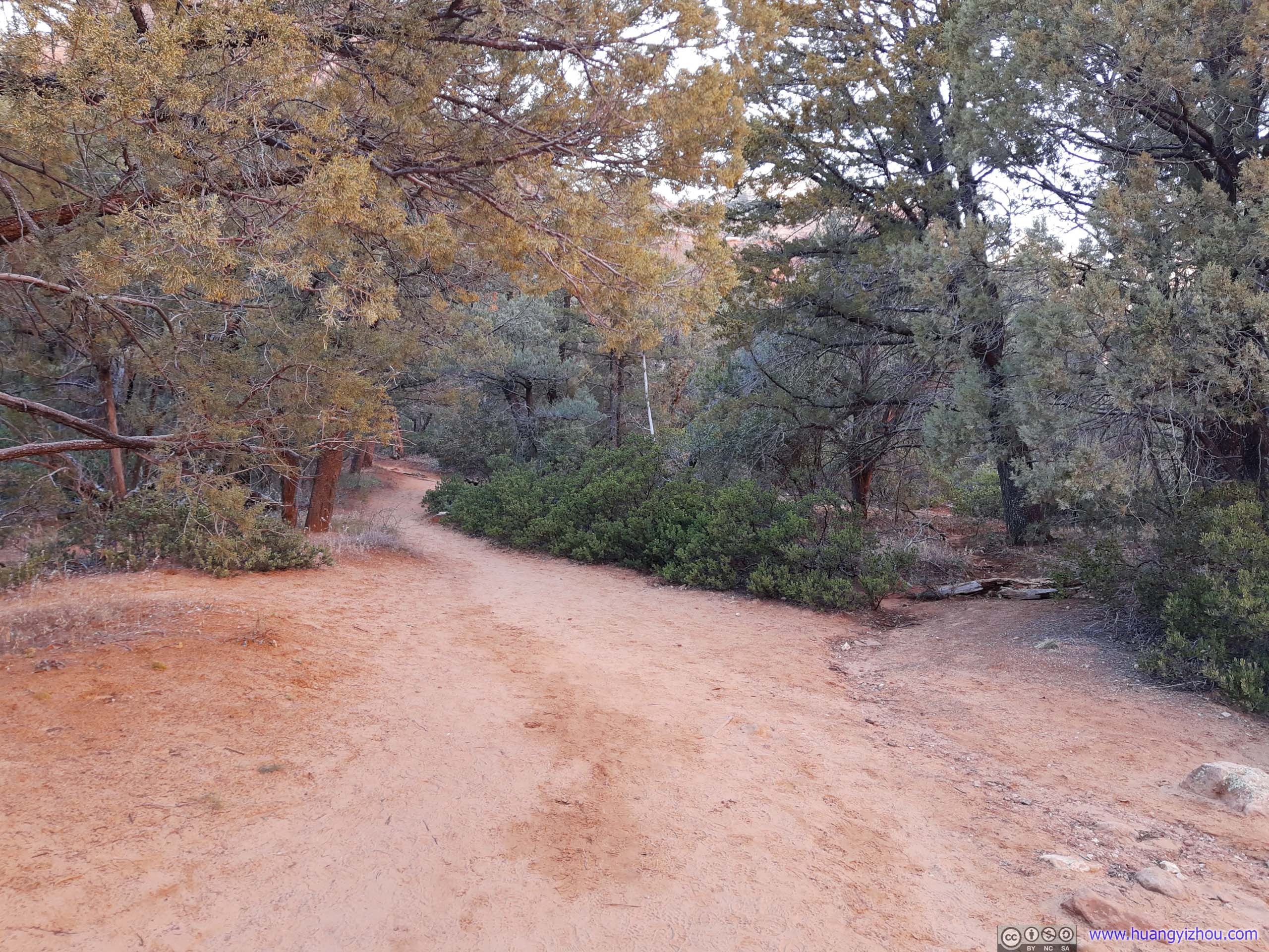
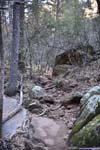
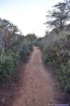
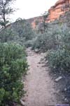
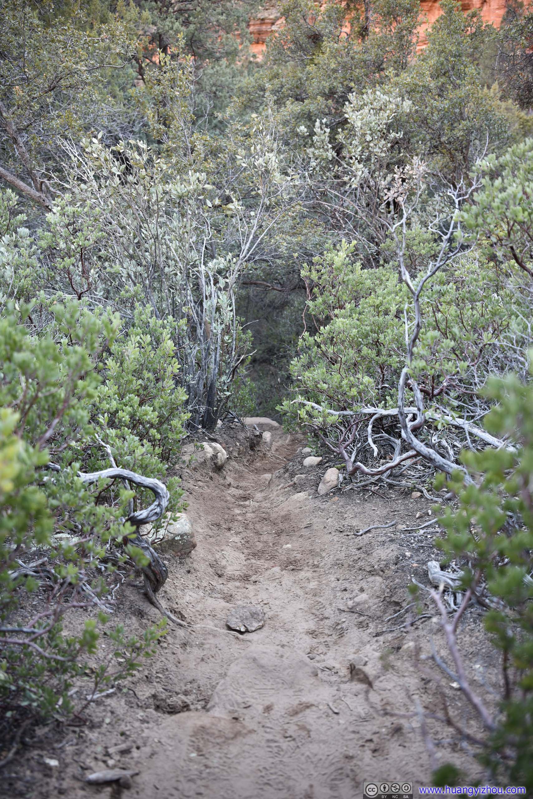
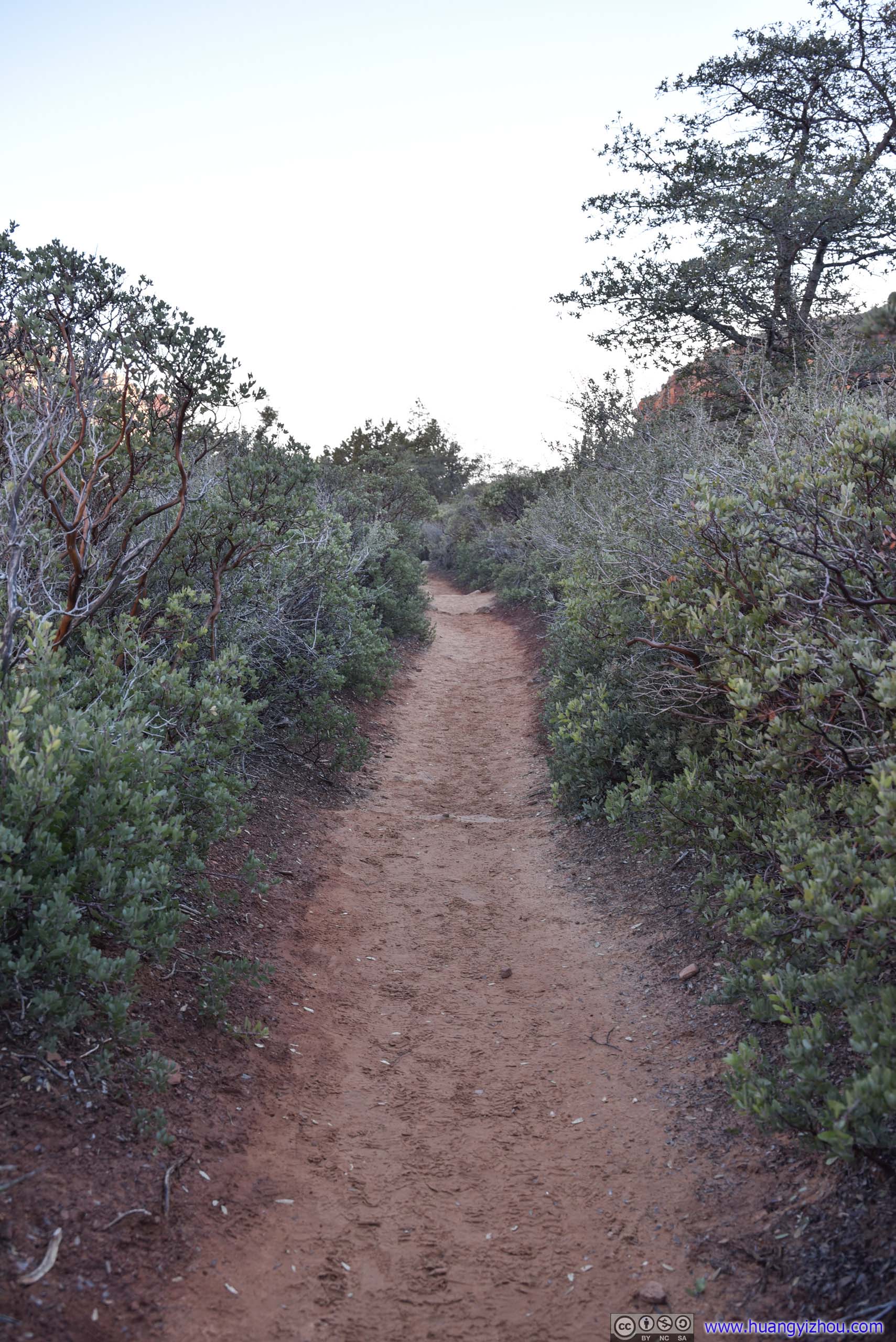
 Trail
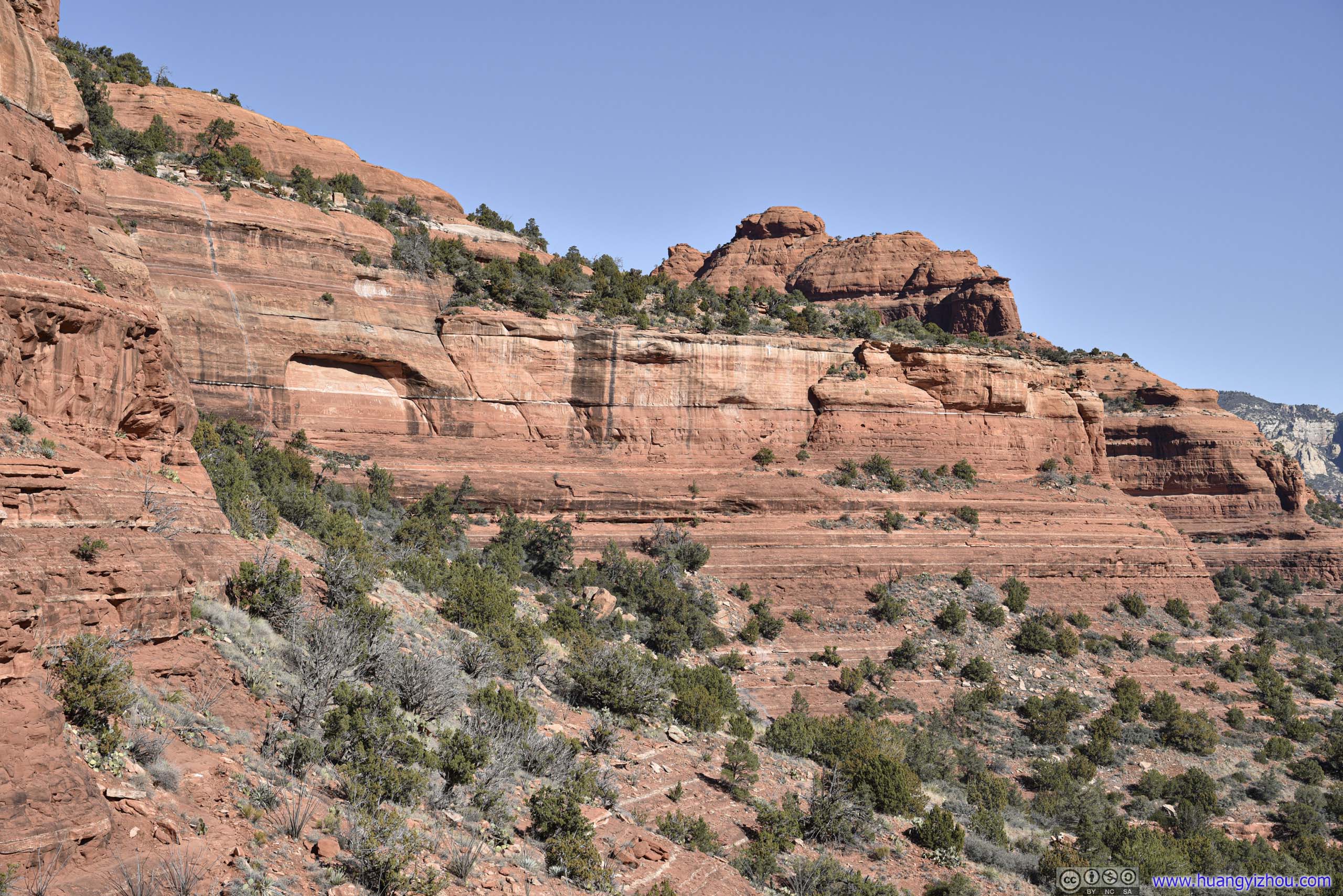
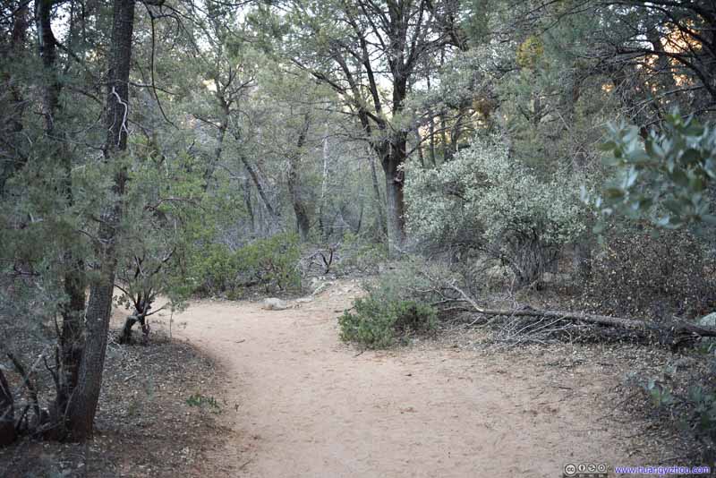
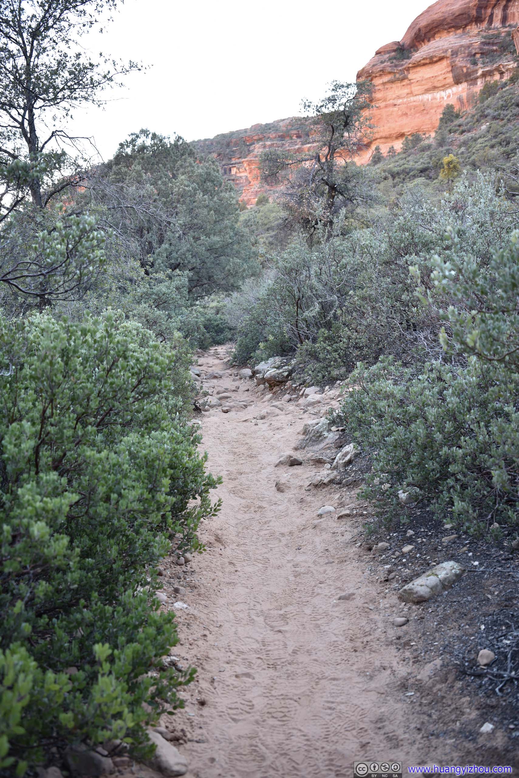
After leaving Enchantment Resort the trail was following Boynton Canyon, and was relatively flat and easy to tackle.
Trail
After leaving Enchantment Resort the trail was following Boynton Canyon, and was relatively flat and easy to tackle.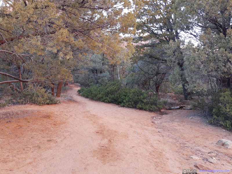 Trail
After leaving Enchantment Resort the trail was following Boynton Canyon, and was relatively flat and easy to tackle.
Trail
After leaving Enchantment Resort the trail was following Boynton Canyon, and was relatively flat and easy to tackle.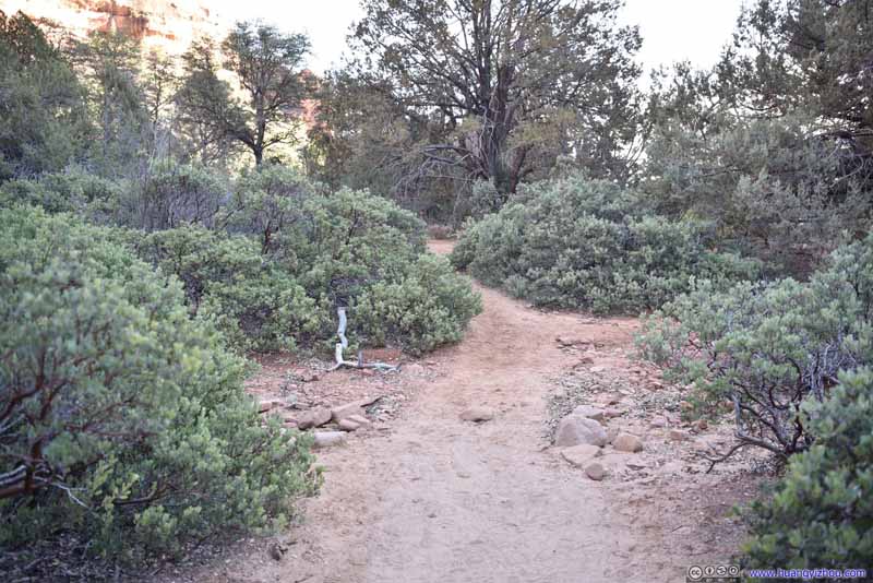 Trail
After leaving Enchantment Resort the trail was following Boynton Canyon, and was relatively flat and easy to tackle.
Trail
After leaving Enchantment Resort the trail was following Boynton Canyon, and was relatively flat and easy to tackle. Trail
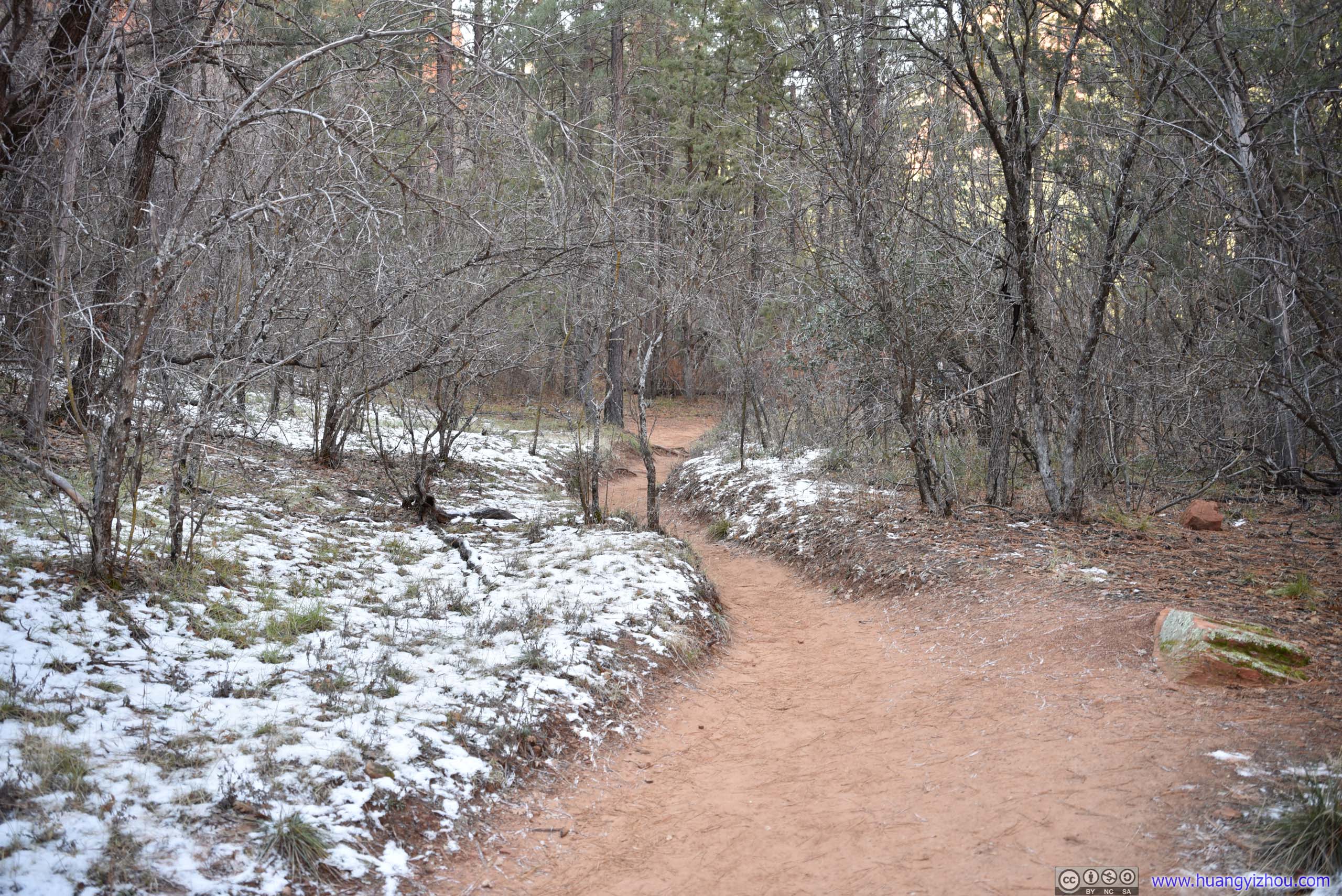
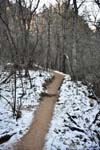
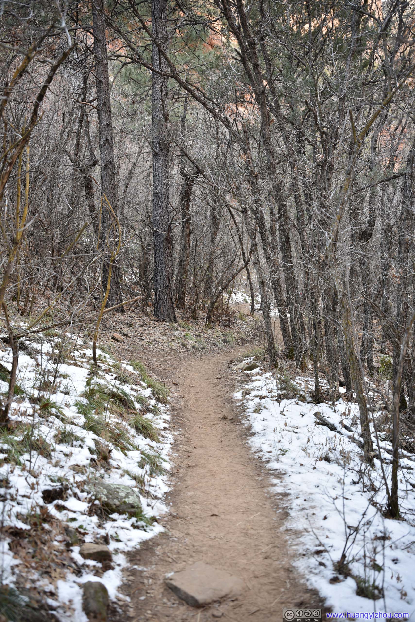
Deeper in the canyon in shaded areas, there were patches of snow along the trail. My friend and I definitely felt the coldness when walking past them.
Trail
Deeper in the canyon in shaded areas, there were patches of snow along the trail. My friend and I definitely felt the coldness when walking past them.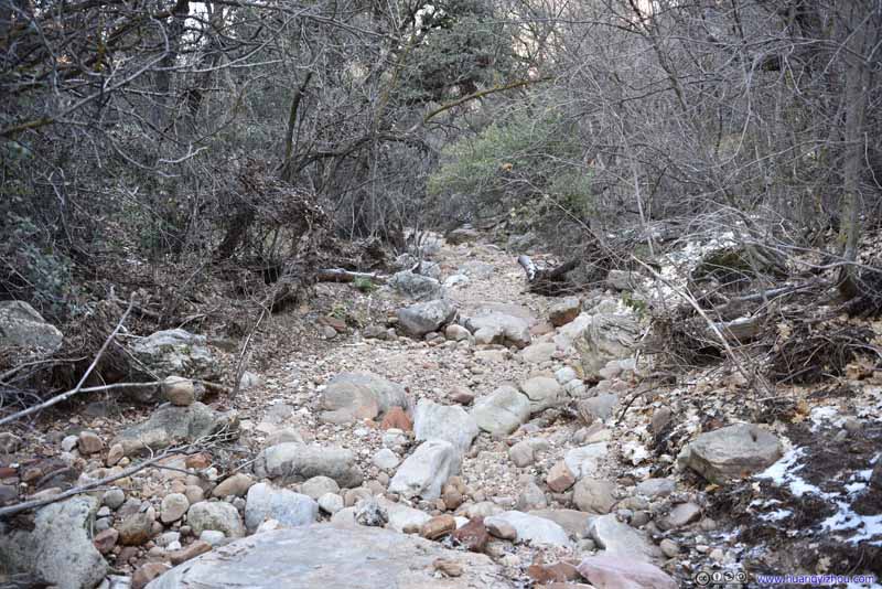 RiverbedThe trail was following a dried creek for the most part after Enchantment Resort.
 RiverbedFather west and shaded by Bear Mountain, there was more snow along the trail.
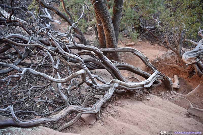 Twisted BranchesSome twisted branches near the entrance of Boynton Subway, maybe due to the vortexes power?


Click here to display photos of the slideshow

 Trail
Trail
Trail
RiverbedThe trail was following a dried creek for the most part after Enchantment Resort.

RiverbedFather west and shaded by Bear Mountain, there was more snow along the trail.
Twisted BranchesSome twisted branches near the entrance of Boynton Subway, maybe due to the vortexes power?
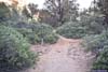
About 3.9km from trailhead (including the detour towards Boynton Knoll), the trail forked into two branches, one continuing towards End of Trail Vista, the other towards Boynton Subway. We were hoping to visit the more interesting Subway first, but the intersection wasn’t marked (and we were overconfident about the trail’s popularity that we didn’t prepare offline maps), so we ended up missing that intersection, and headed towards End of Trail Vista first.
The section of Boynton Canyon past that intersection was shaded by the soaring Bear Mountain towards the south, and thus very cold with patches of snow on the ground. My friend and I were wearing single layer, and we sure regret not bringing extra clothes with us.
 Trail
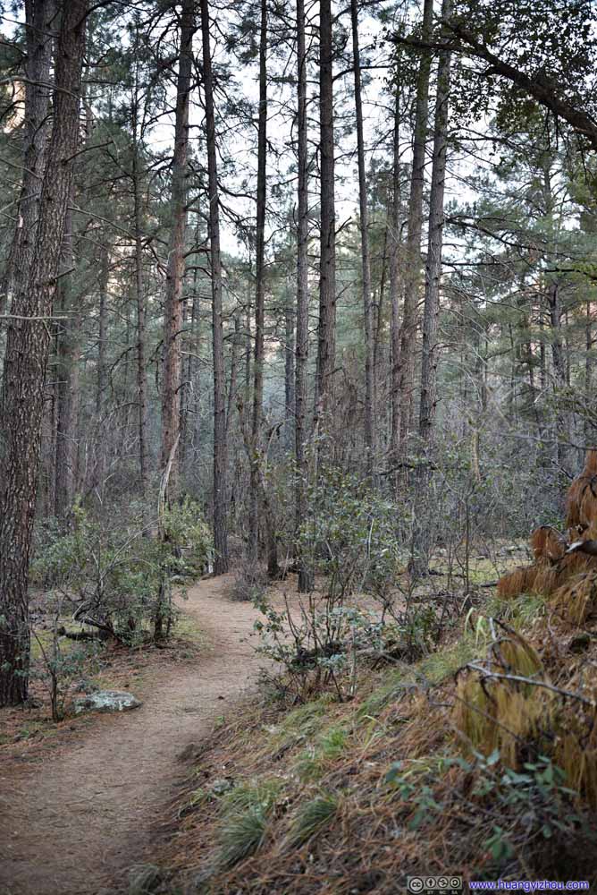
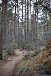
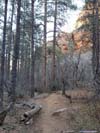
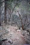
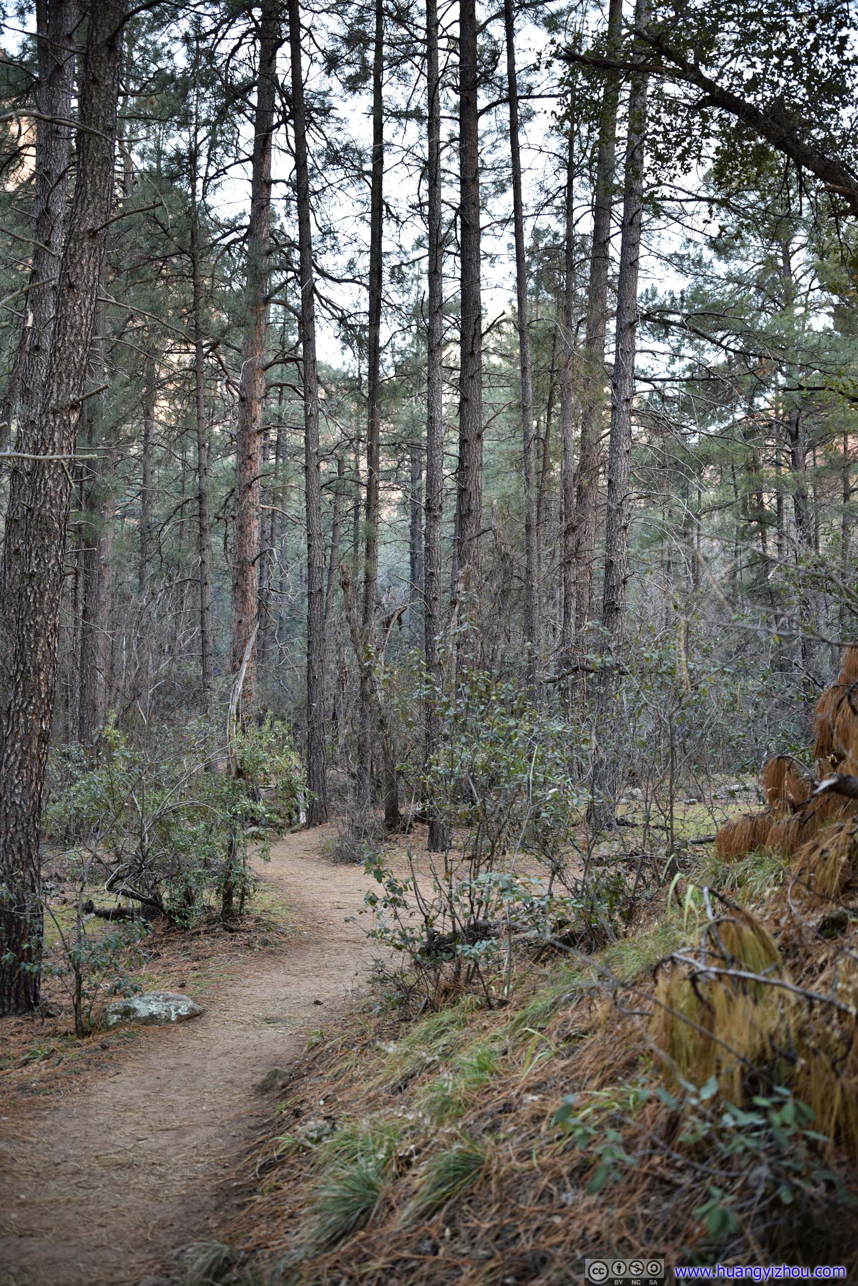
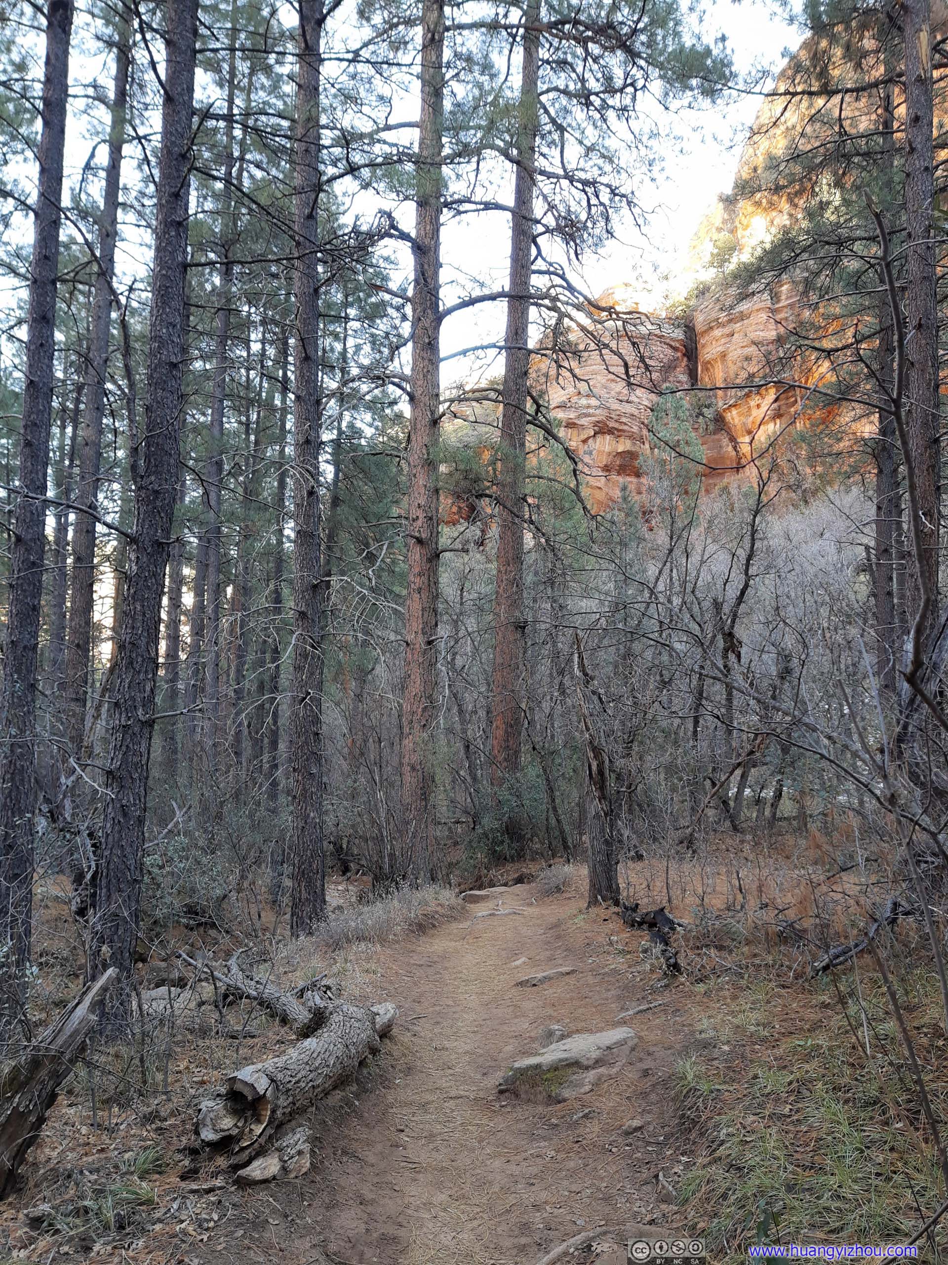
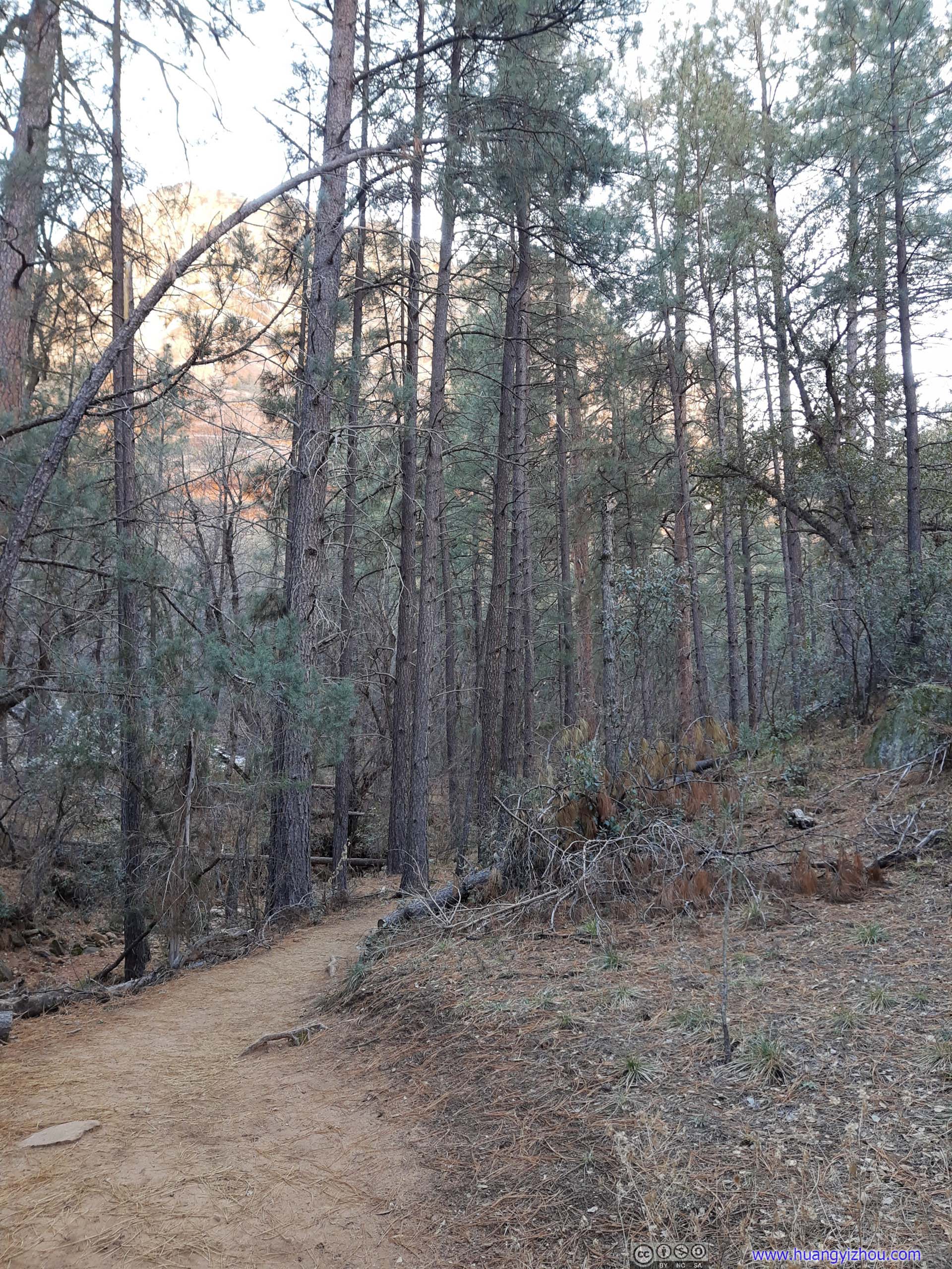
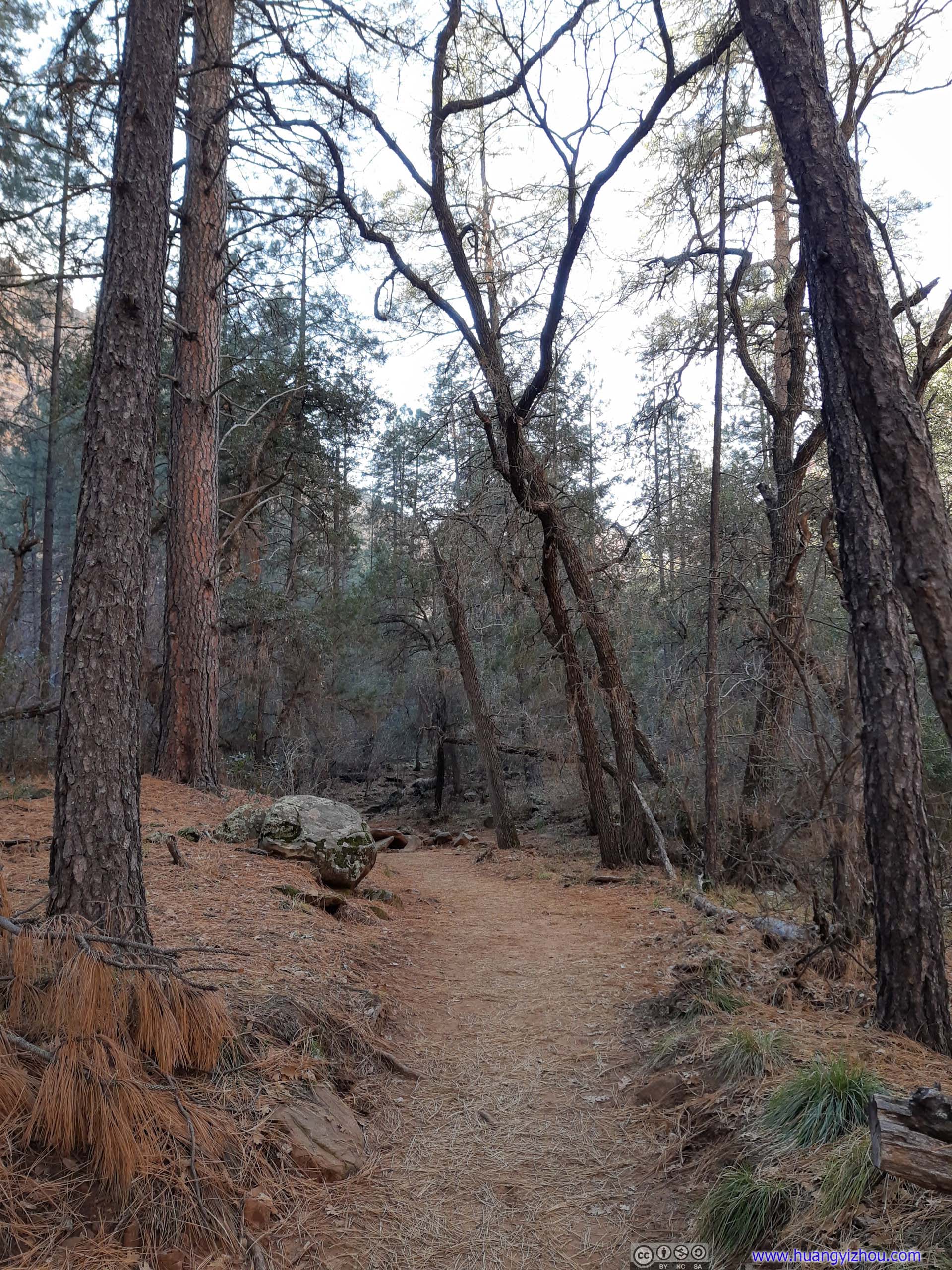
As the trail headed deeper into canyon, pine trees that were used to harsher environments took the place of more leafy plants and bushes earlier.
Trail
As the trail headed deeper into canyon, pine trees that were used to harsher environments took the place of more leafy plants and bushes earlier. Trail
As the trail headed deeper into canyon, pine trees that were used to harsher environments took the place of more leafy plants and bushes earlier.
Trail
As the trail headed deeper into canyon, pine trees that were used to harsher environments took the place of more leafy plants and bushes earlier.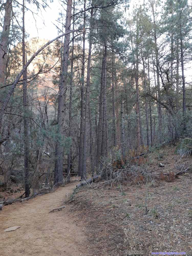 Trail
As the trail headed deeper into canyon, pine trees that were used to harsher environments took the place of more leafy plants and bushes earlier.
Trail
As the trail headed deeper into canyon, pine trees that were used to harsher environments took the place of more leafy plants and bushes earlier.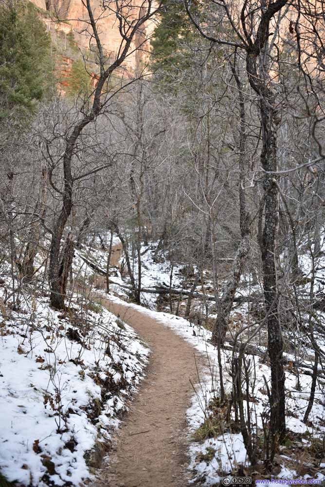 Trail
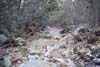
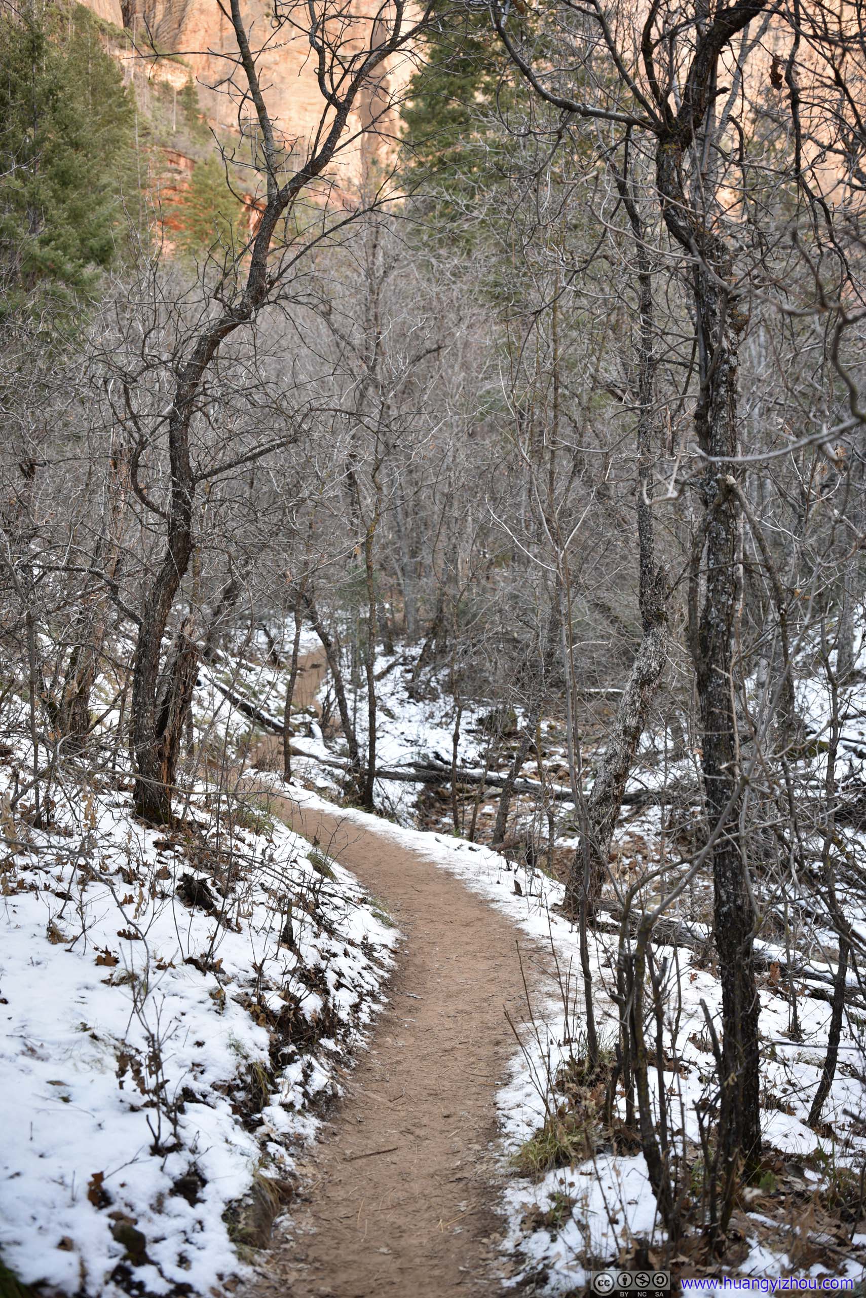
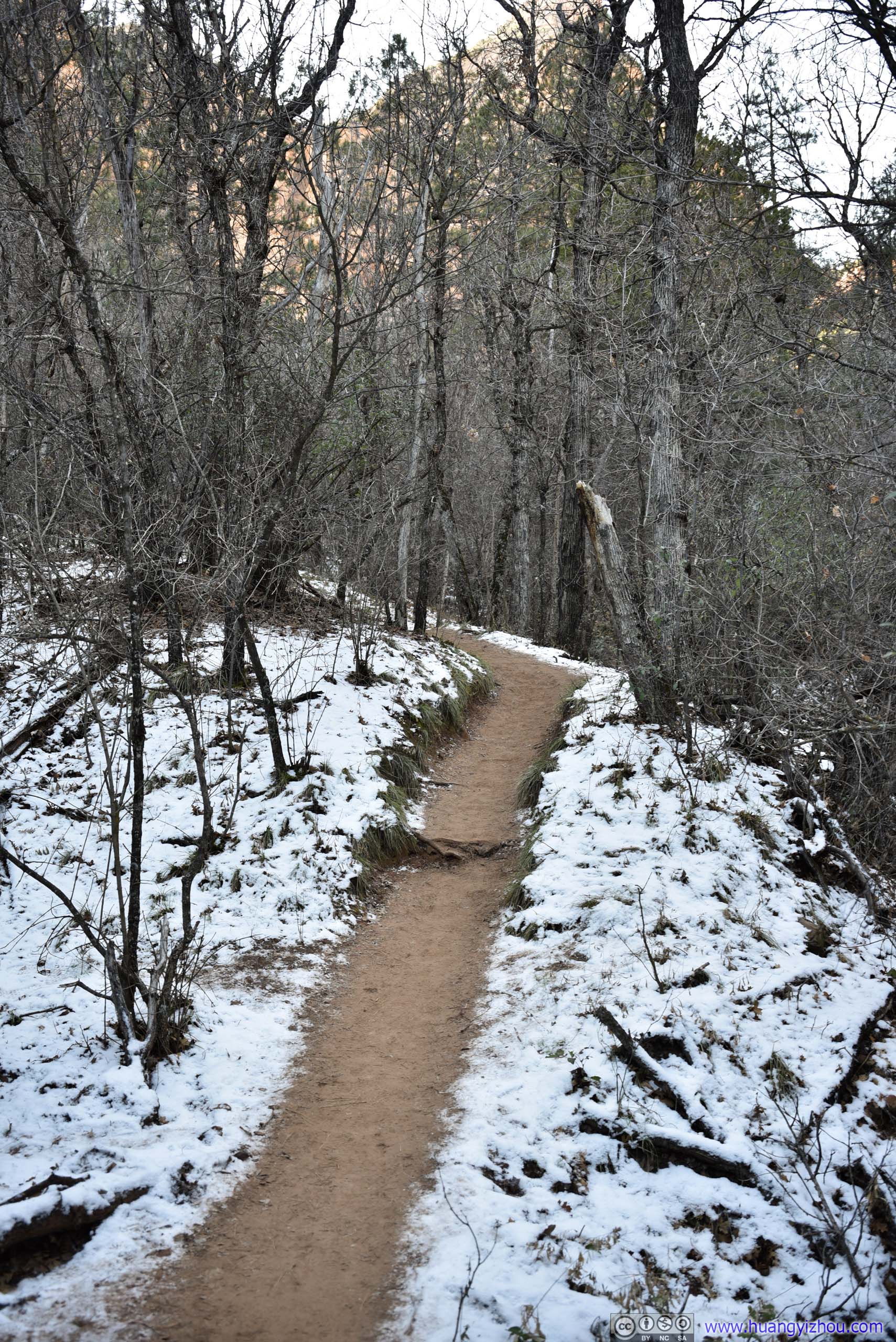
Then farther west, snow began to decorate the landscape that’s shaded by Bear Mountain to the south.
Trail
Then farther west, snow began to decorate the landscape that’s shaded by Bear Mountain to the south.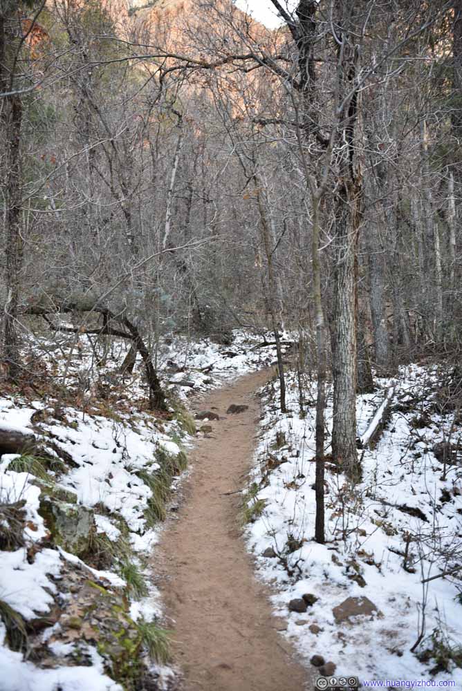 Trail
Then farther west, snow began to decorate the landscape that’s shaded by Bear Mountain to the south.
Trail
Then farther west, snow began to decorate the landscape that’s shaded by Bear Mountain to the south. Trail
Then farther west, snow began to decorate the landscape that’s shaded by Bear Mountain to the south.
Trail
Then farther west, snow began to decorate the landscape that’s shaded by Bear Mountain to the south.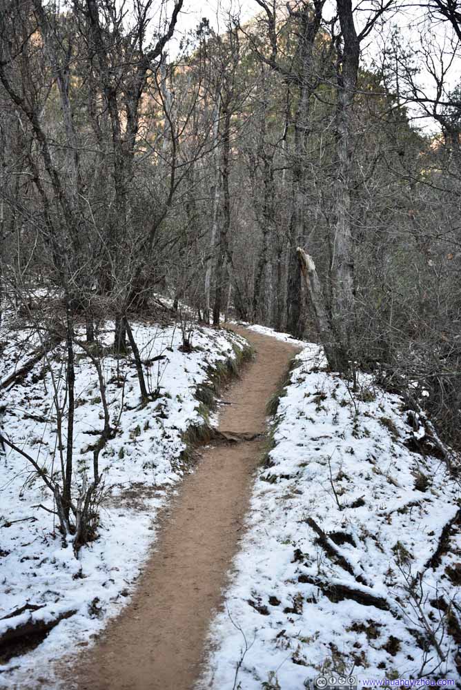 Trail
Then farther west, snow began to decorate the landscape that’s shaded by Bear Mountain to the south.
Trail
Then farther west, snow began to decorate the landscape that’s shaded by Bear Mountain to the south.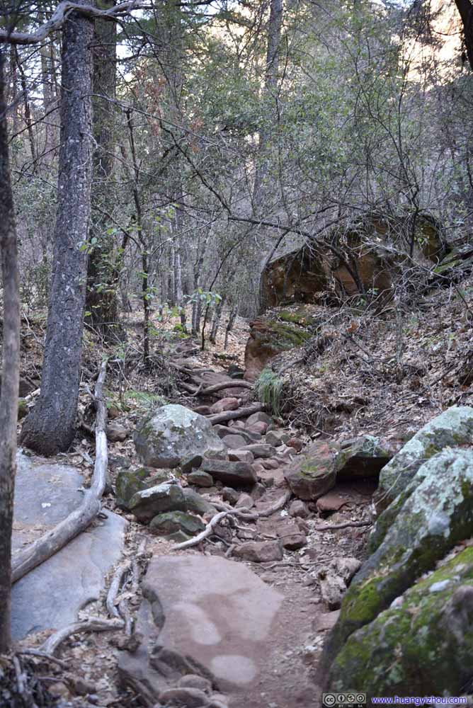 Trail
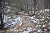
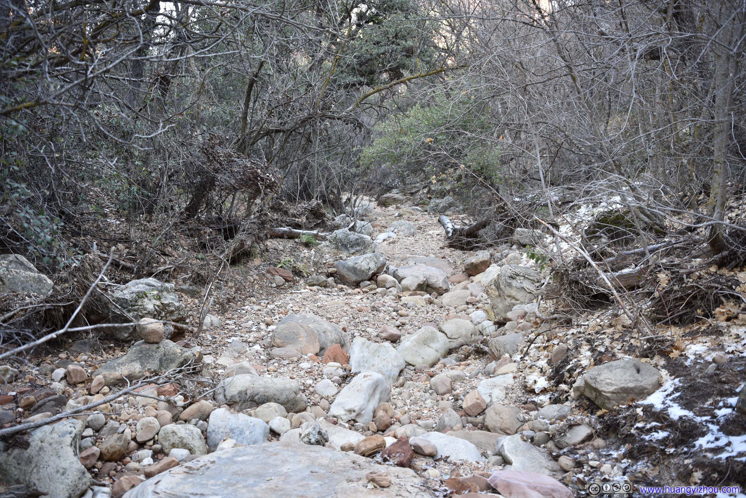
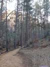
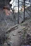
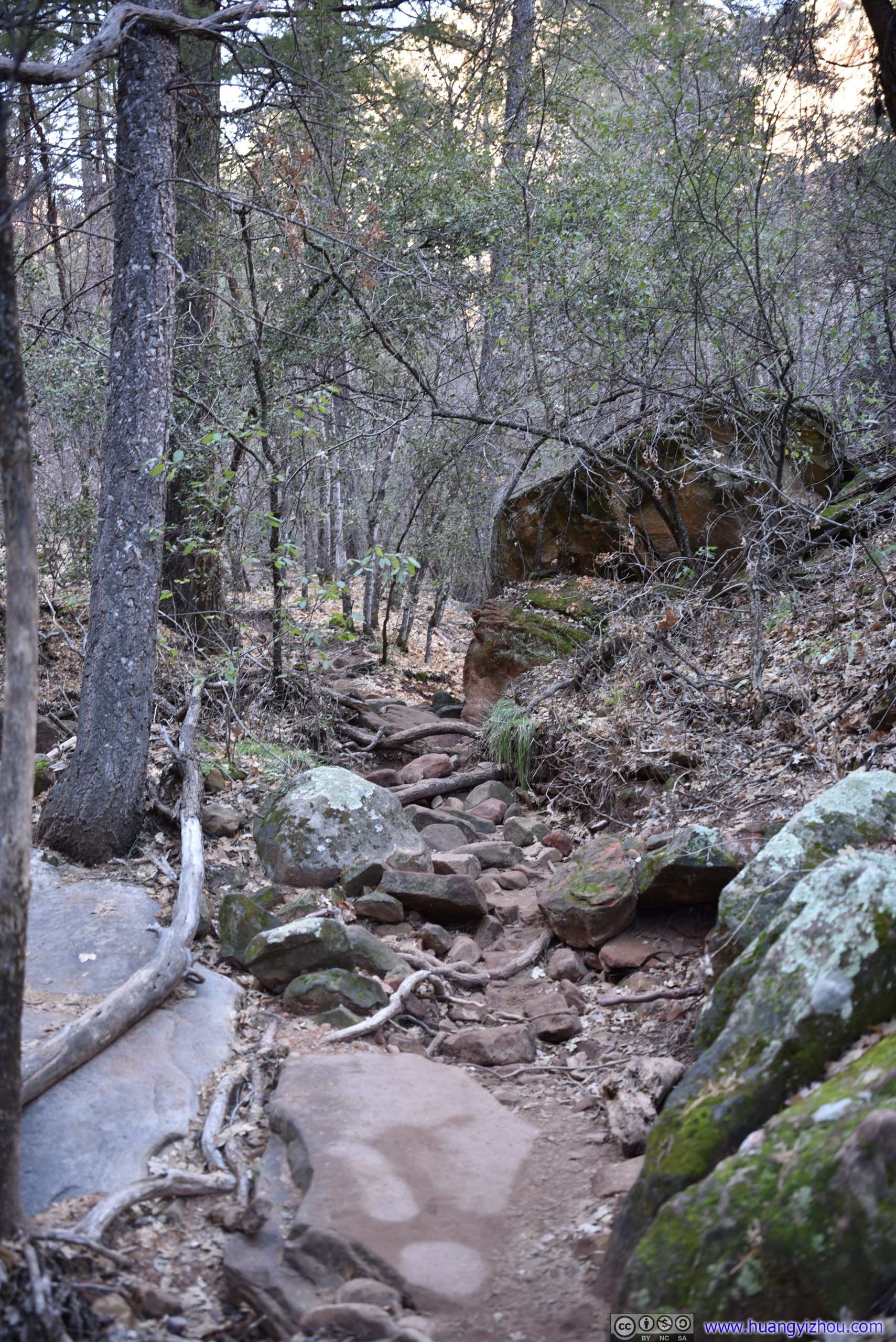
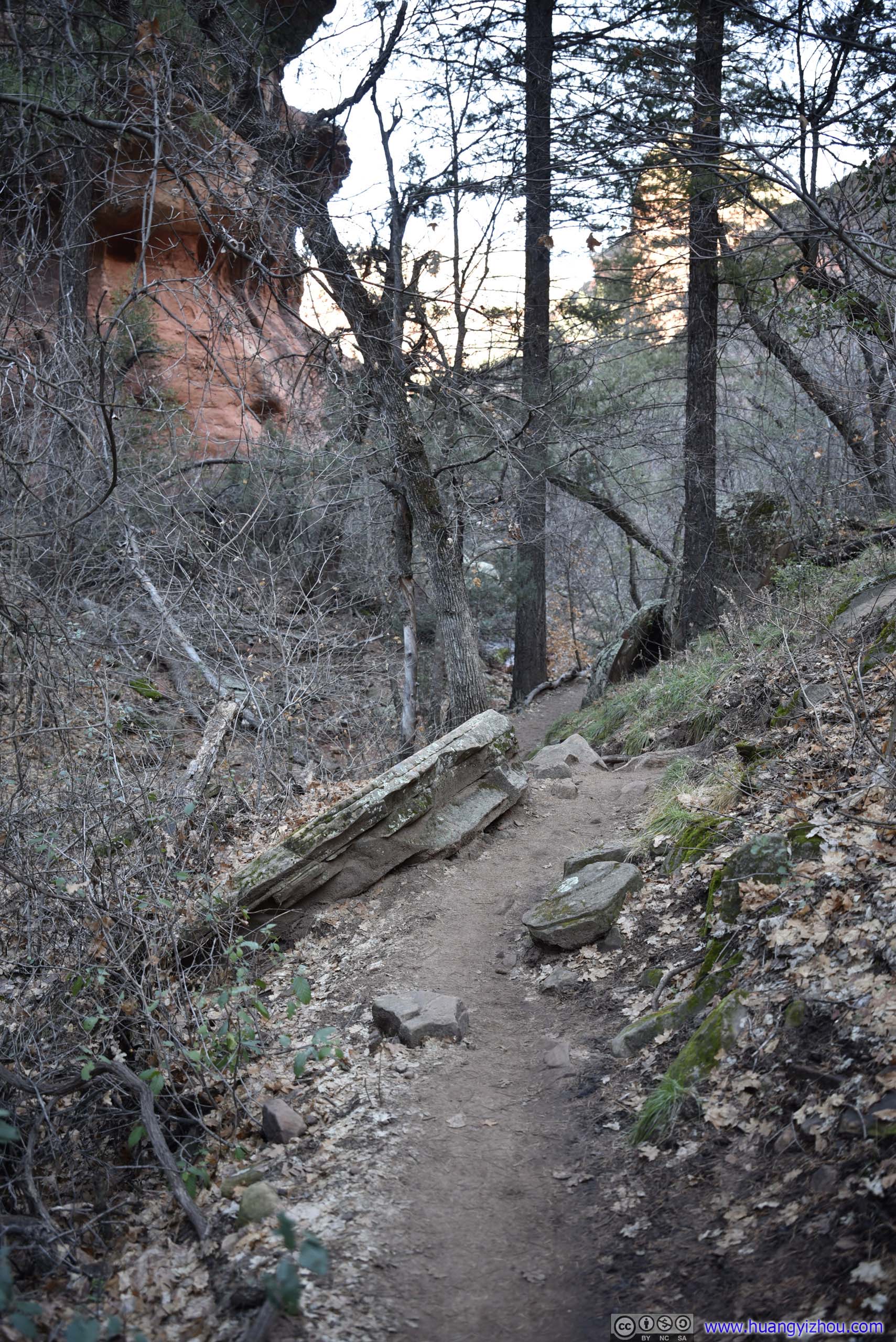
Approaching the end, the trail started to pick up elevation gain and became rockier. To my friend and I, we had to give ourselves a rush, as a means to stay warm.
Trail
Approaching the end, the trail started to pick up elevation gain and became rockier. To my friend and I, we had to give ourselves a rush, as a means to stay warm.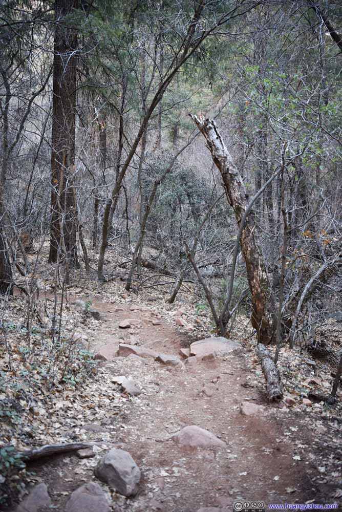 Trail
Approaching the end, the trail started to pick up elevation gain and became rockier. To my friend and I, we had to give ourselves a rush, as a means to stay warm.
Trail
Approaching the end, the trail started to pick up elevation gain and became rockier. To my friend and I, we had to give ourselves a rush, as a means to stay warm.


Click here to display photos of the trail.
Trail
Trail
Trail
Trail
Trail

Trail
Trail
Trail
Trail

Trail
Trail
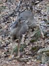
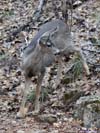
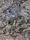
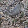
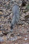
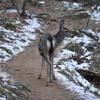
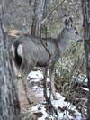
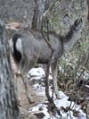
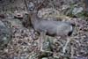
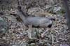
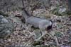
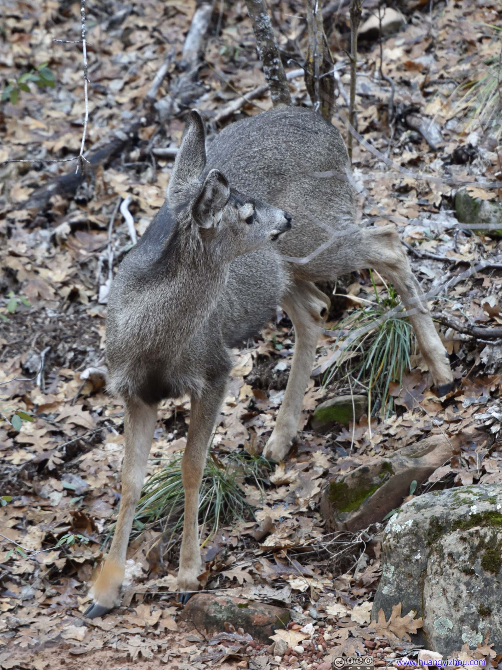
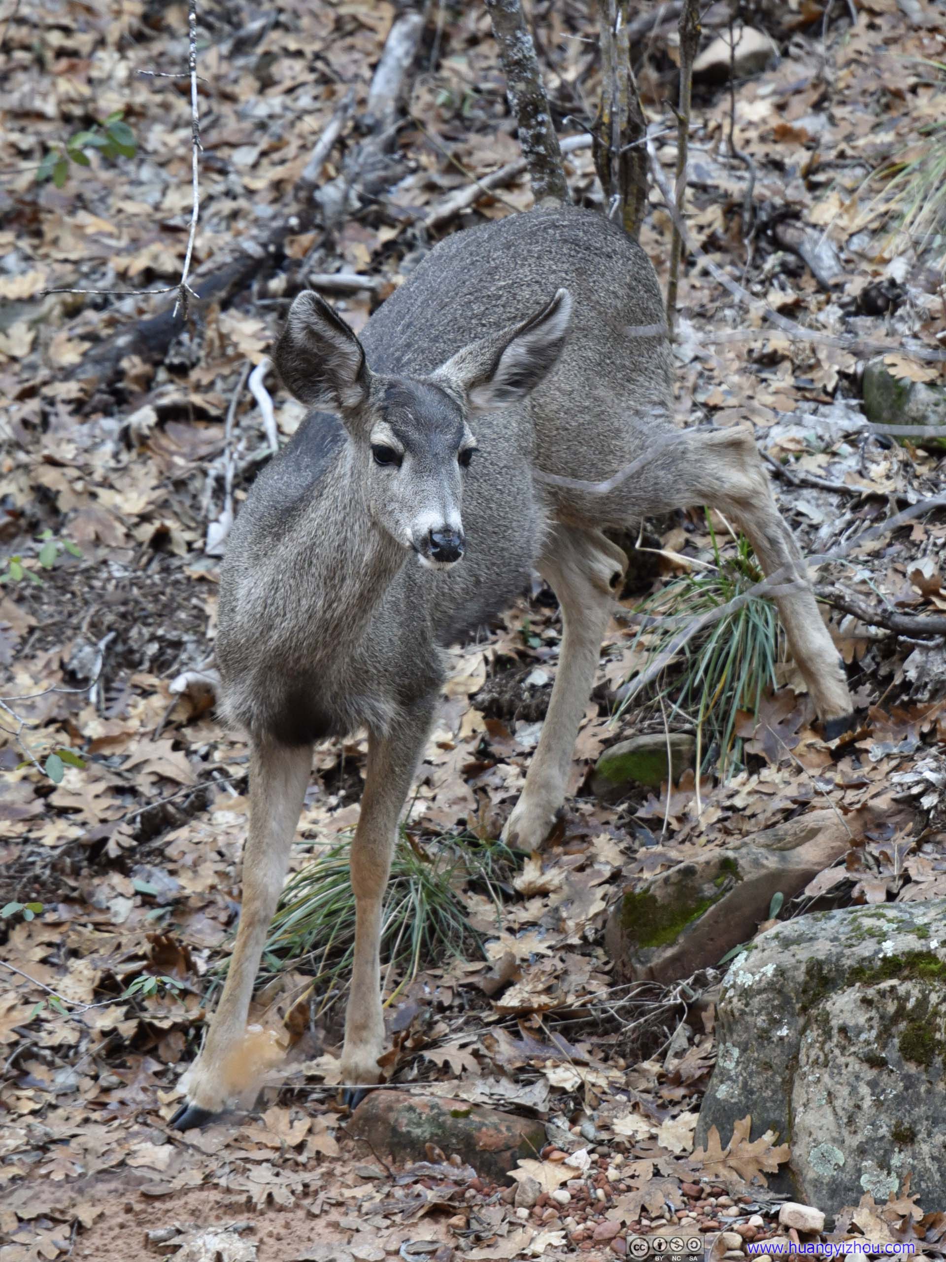
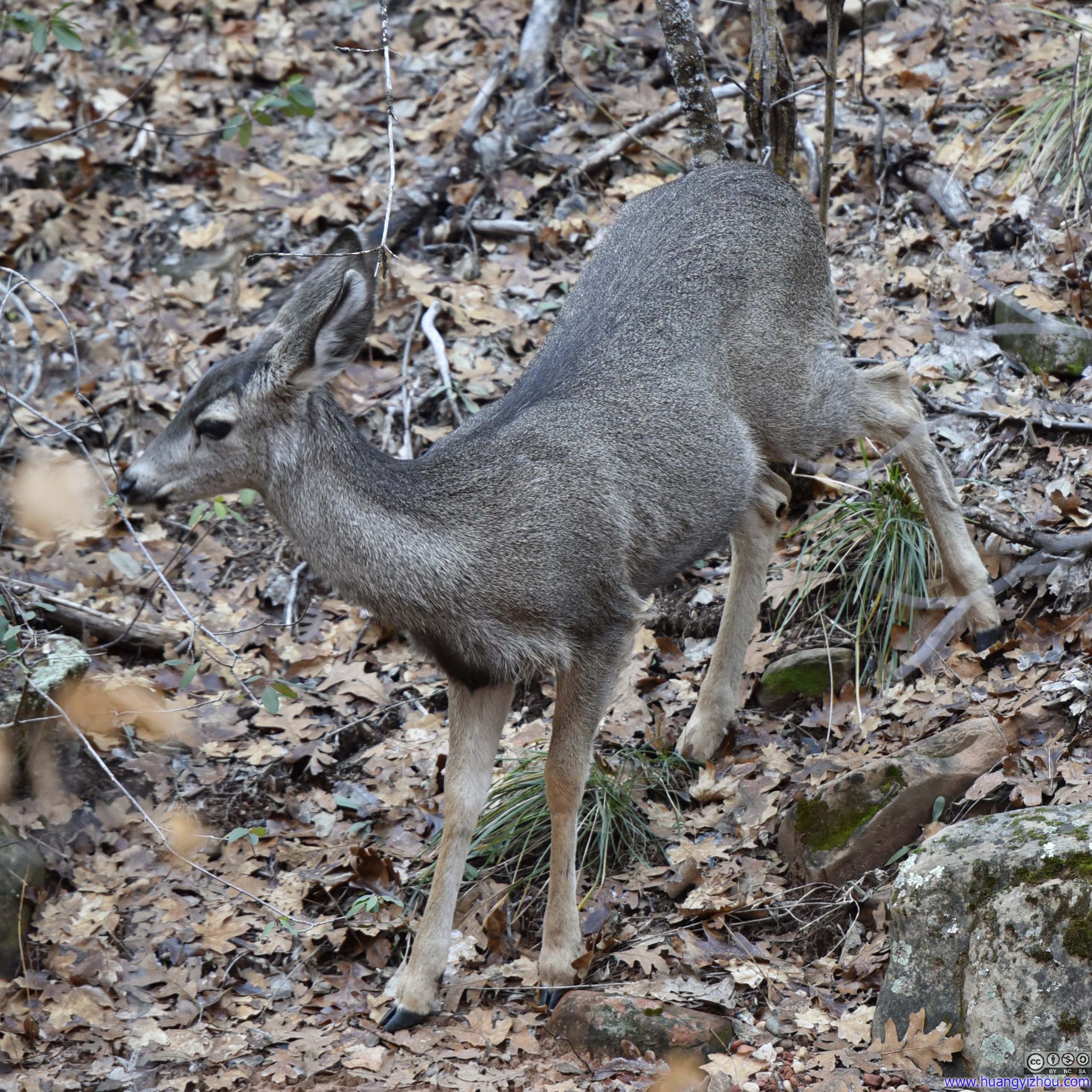
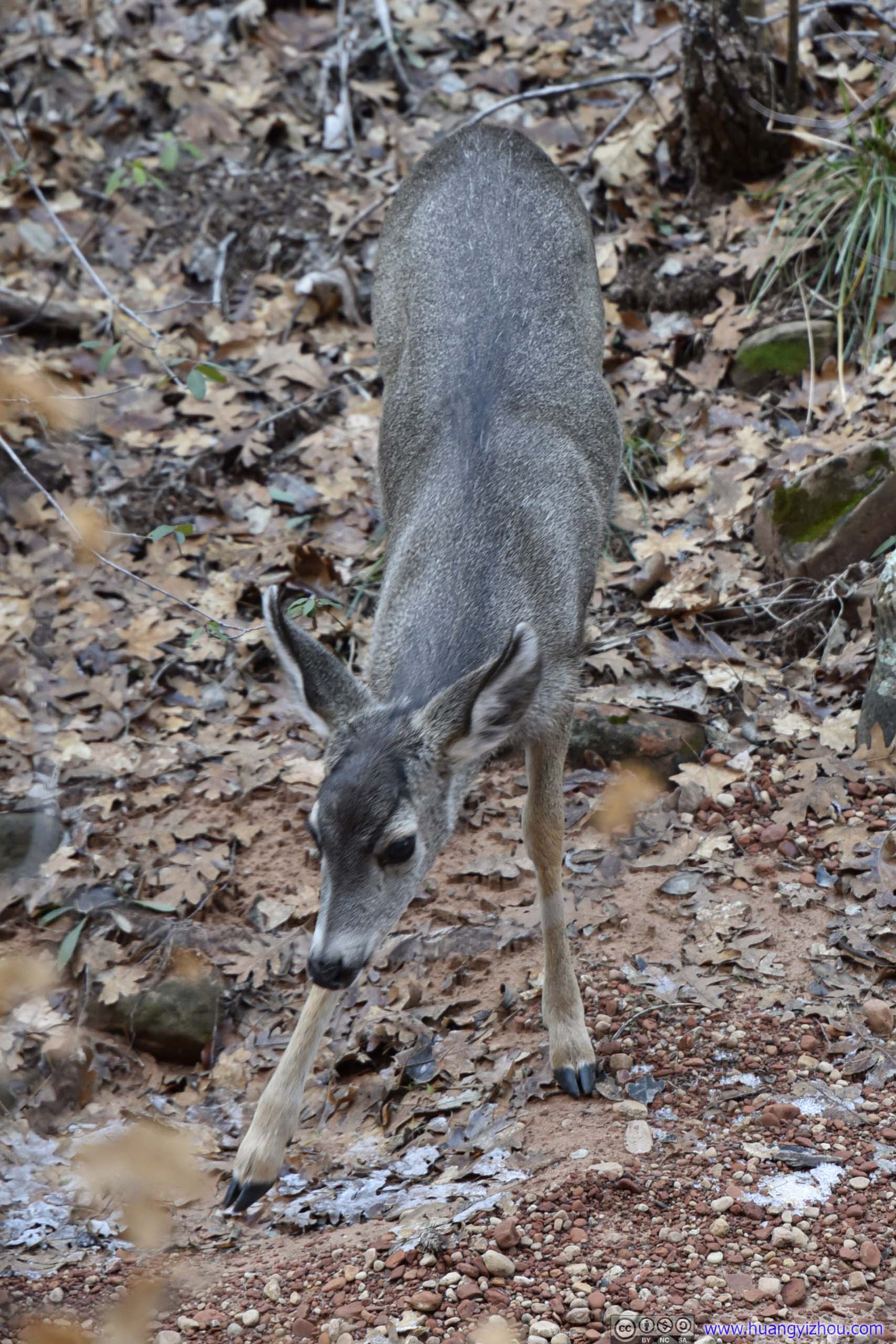
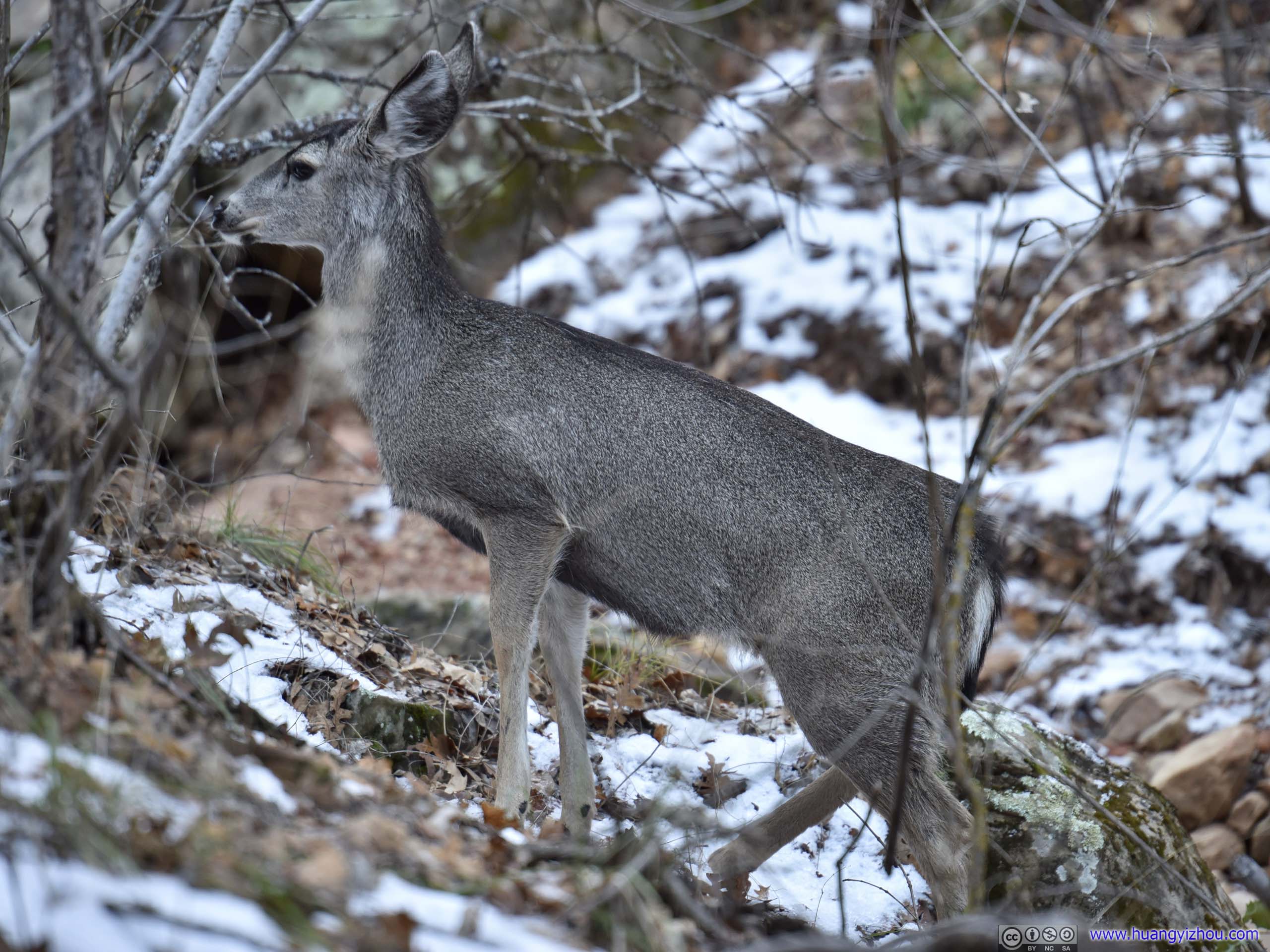
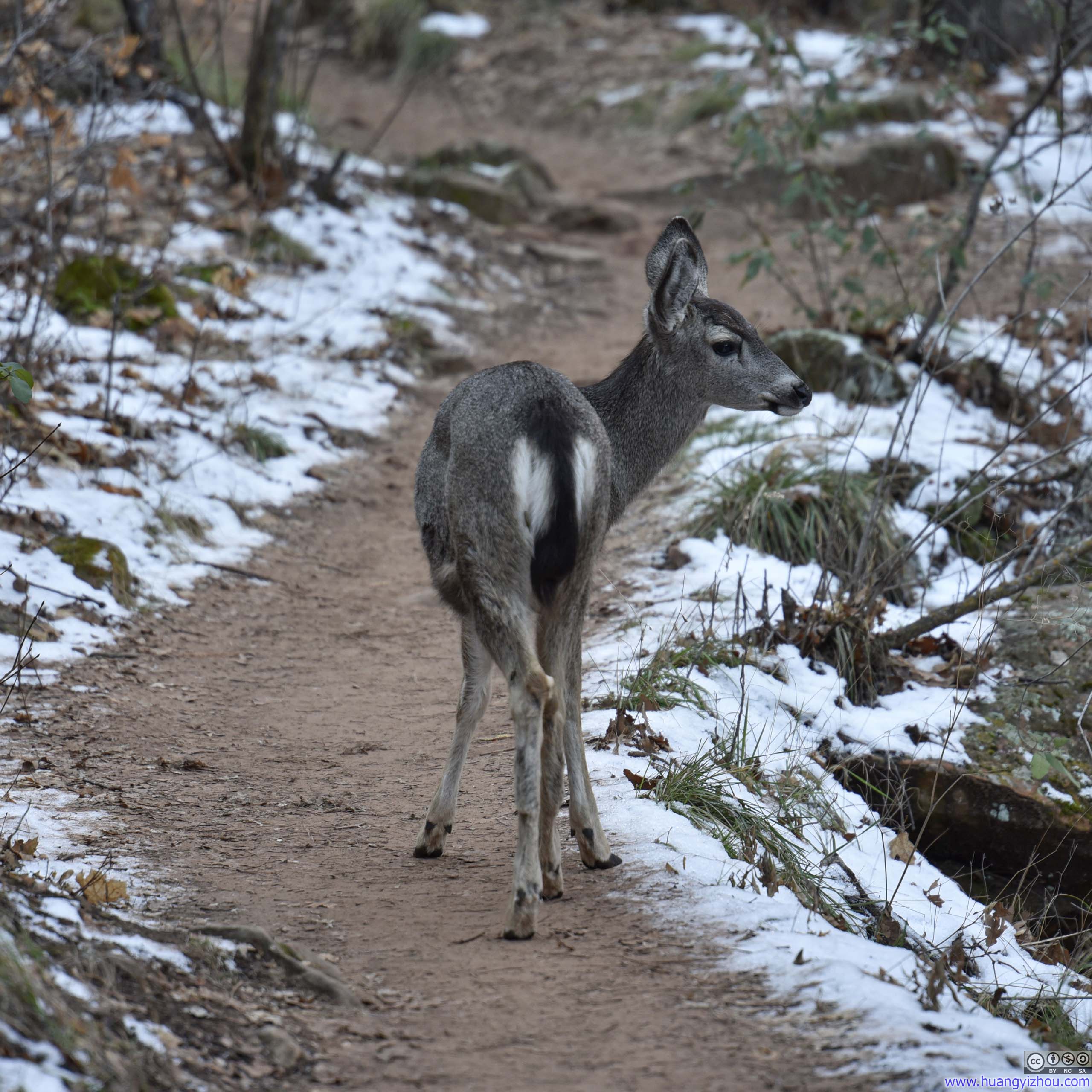
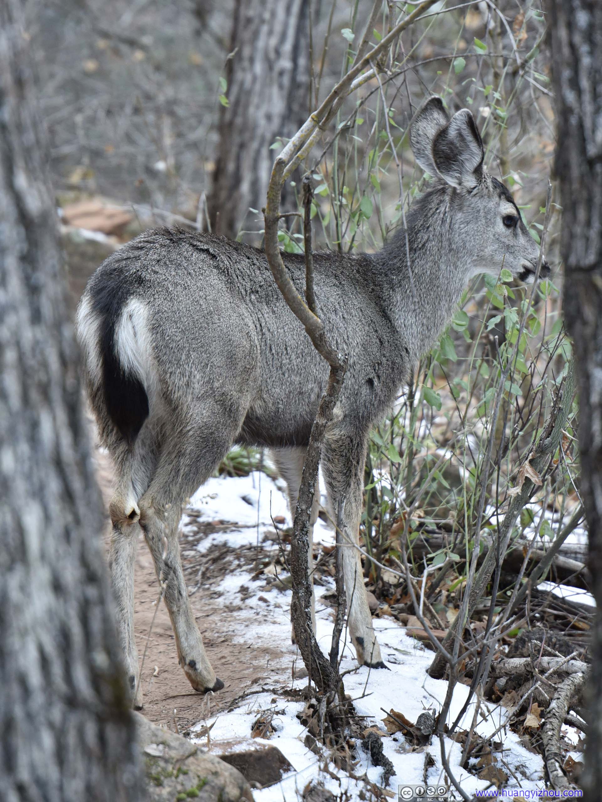
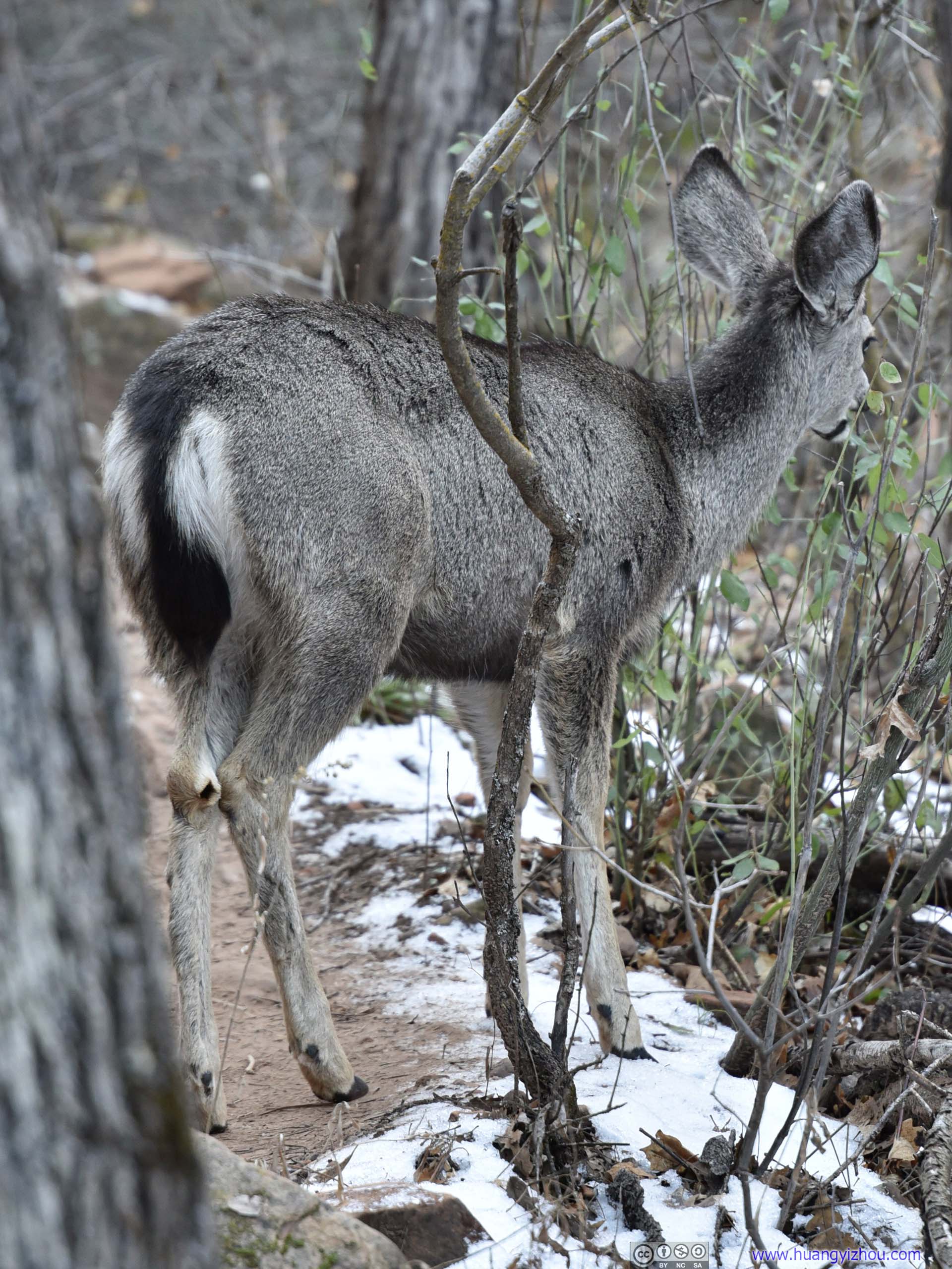
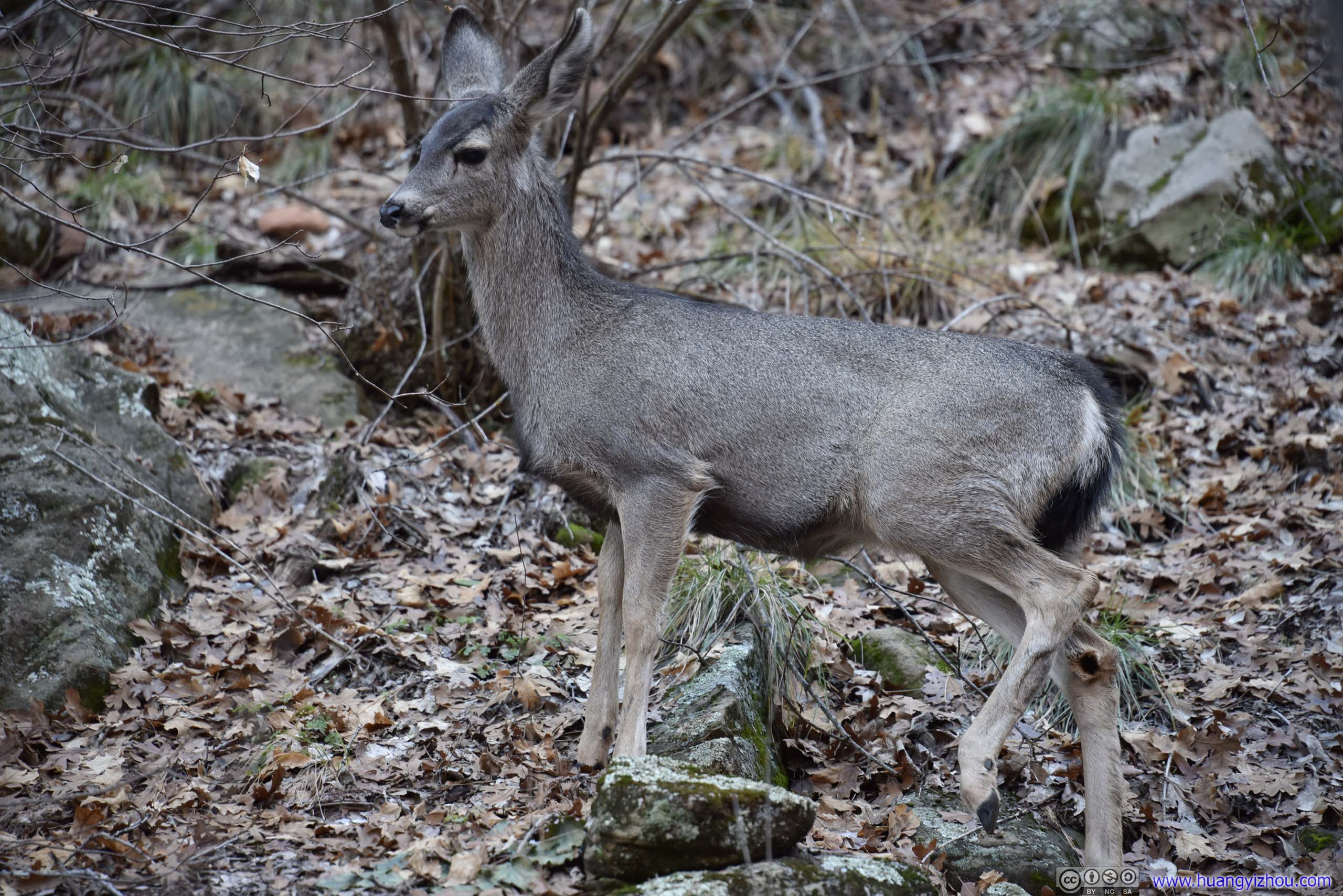
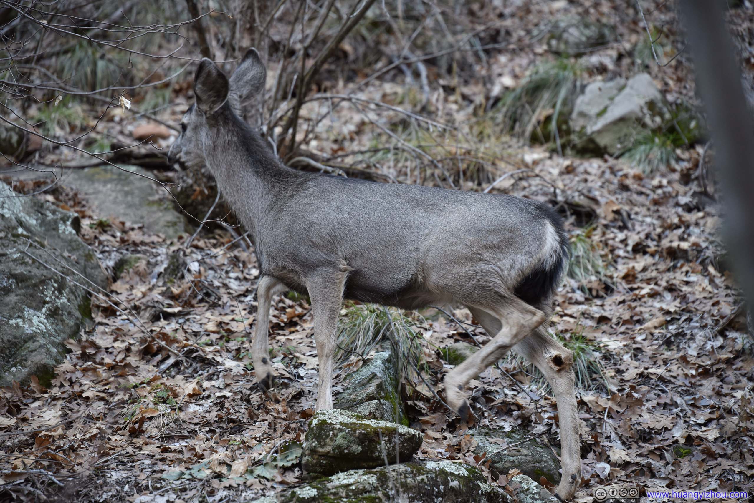
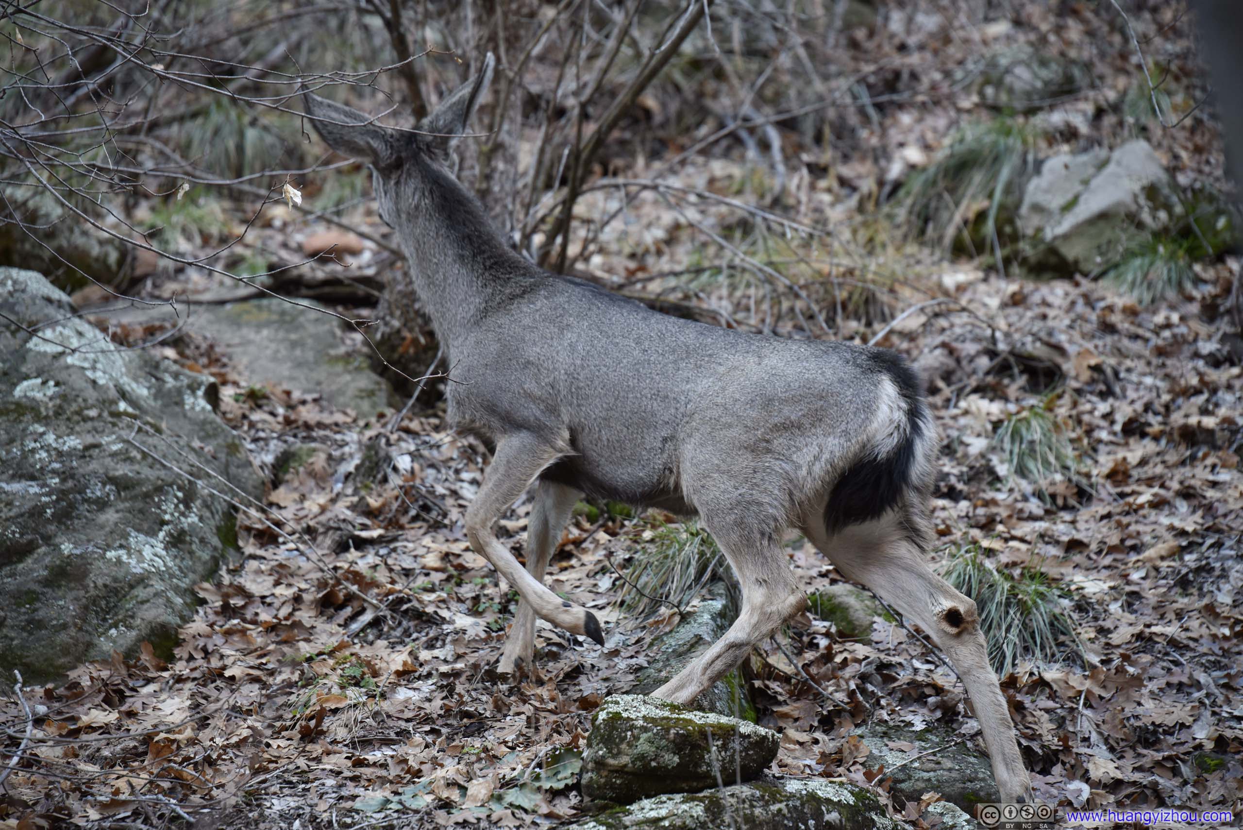
As we approached End of Trail Vista, my friend (with some hunting experience!) spotted a family of deer not far from the trail. They sure weren’t afraid of the bitterness.
Deer

Click here to display photos of the deer that we encountered.
Deer

Deer
Deer
Deer
Deer
Deer
Deer
Deer
Deer
Deer
Deer
Deer
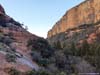
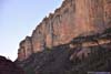
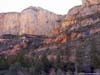
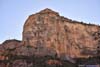
End of Trail Vista
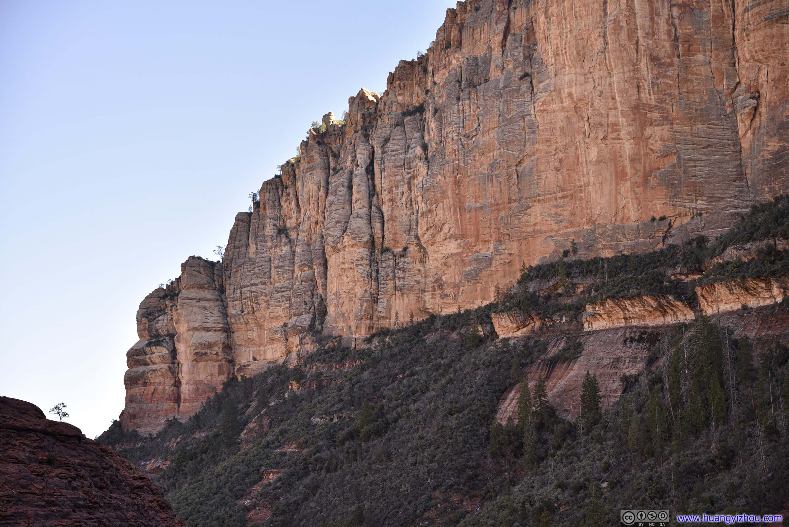
Finally, we reached the end of Boynton Canyon Trail, which was higher in elevation than the canyon floor. That provided reprieve from the bitter temperature lower down the canyon, together with an opportunity to appreciate the majestic towering canyon walls in front of us.
 Canyon Wall
 Boynton Canyon
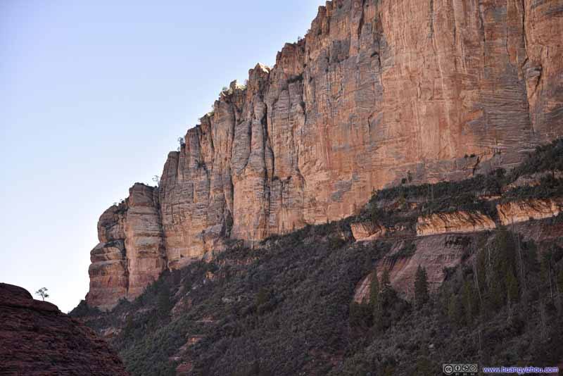 Canyon Wall
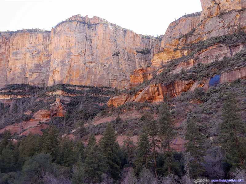 Canyon Wall
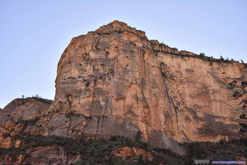 Canyon Wall
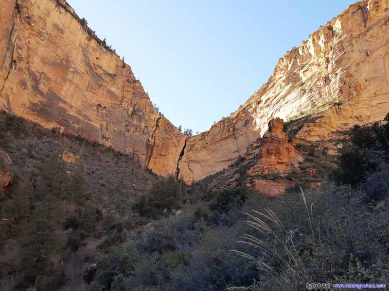 Boynton Canyon
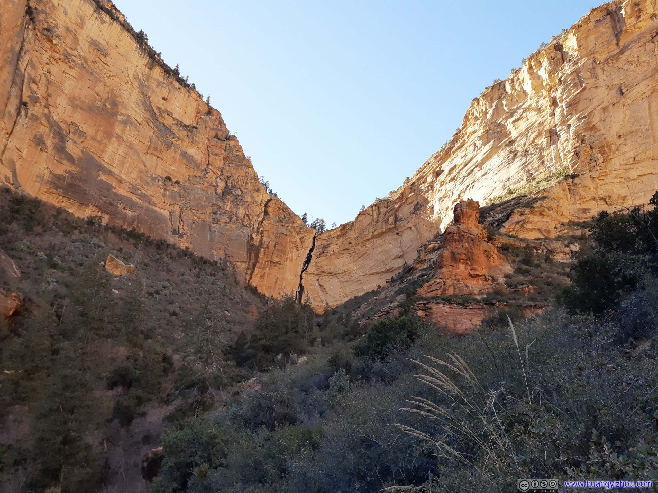
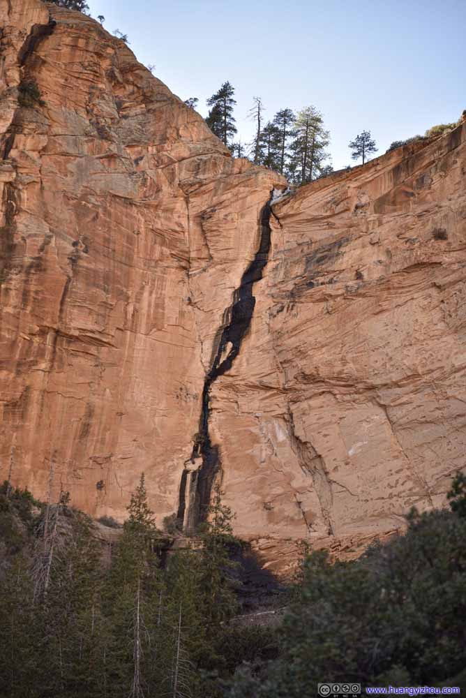 Crack in CanyonWith a small waterfall in the middle.


Click here to display photos from the end of Boynton Canyon Trail.

Canyon Wall
Boynton Canyon
Canyon Wall
Canyon Wall

Canyon Wall
Boynton Canyon

Crack in CanyonWith a small waterfall in the middle.
Boynton Canyon
I had hoped that the “End of Trail Vista” would be on the brink of the canyon with better views, unfortunately that’s not the case. In addition, while stationary our bodies quickly cooled down. So after spending only about 10 minutes at End of Trail Vista and with the arrival of another group of hikers, we started our descent.
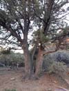
Bifurcating TreeMy friend suggested this could be the creation of Tom the cat.
Luckily, my friend got some cellular coverage (Verizon) in the canyon, so we were able to pinpoint an exact location of the spur towards Boynton Subway. It turned out to be marked by a rather uniquely looking tree.
Mosaic Tree
 Trail
The spur trail to Boynton Subway. Coming from west Boynton Canyon, we were so glad that parts of this spur trail were in the sun, bringing us some much-needed warmth.
Trail
The spur trail to Boynton Subway. Coming from west Boynton Canyon, we were so glad that parts of this spur trail were in the sun, bringing us some much-needed warmth. Twisted Tree next to TrailPower of vortexes!
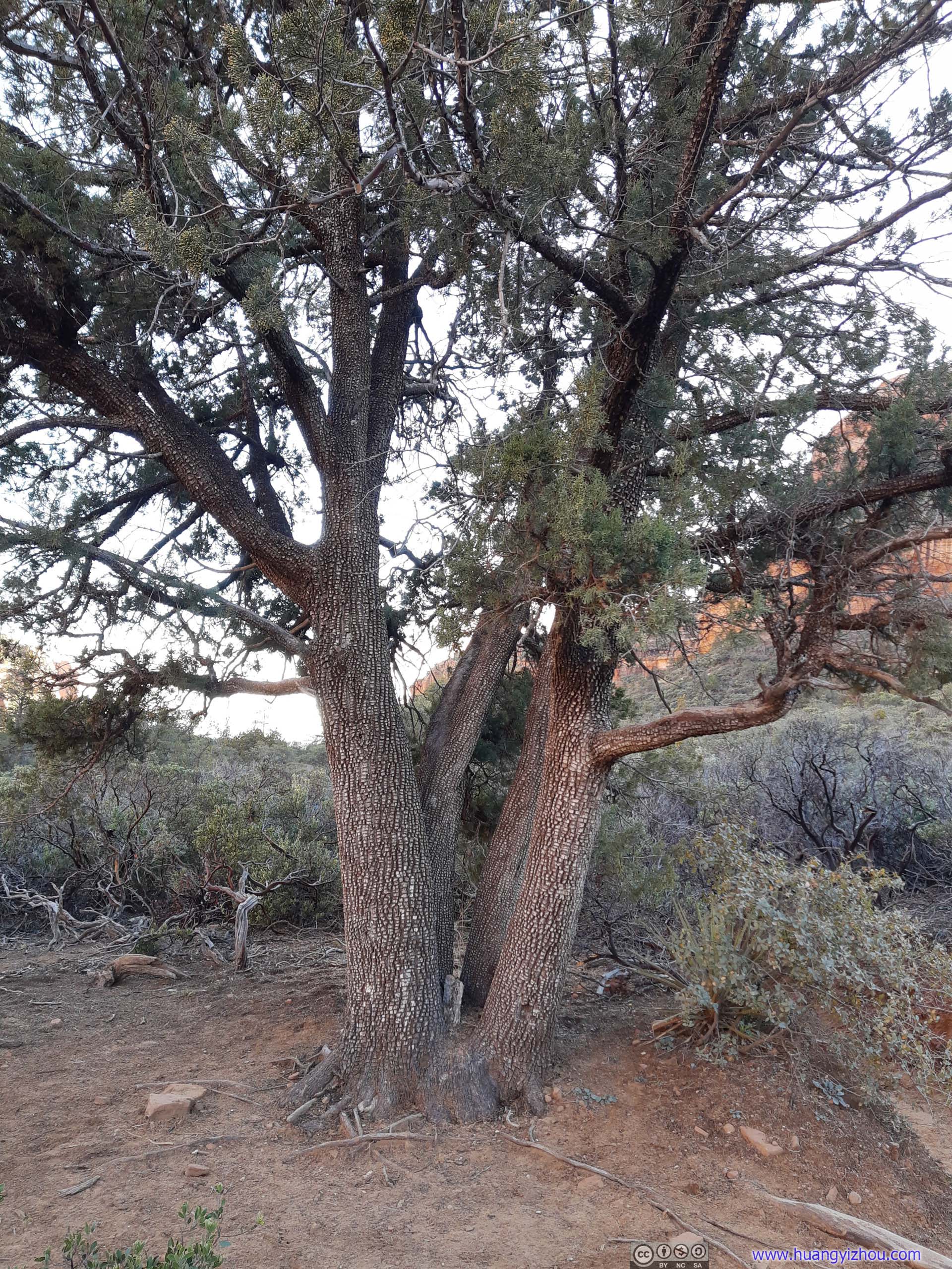
 TreeFour trunks sharing one base. And it had got the mosaic bark.
 TrailHeading back to trailhead.
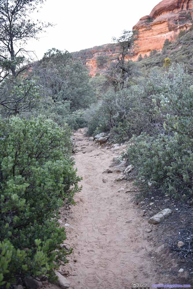 TrailHeading back to trailhead.

Click here to display photos of the slideshow
Trail

Twisted Tree next to TrailPower of vortexes!
TreeFour trunks sharing one base. And it had got the mosaic bark.
TrailHeading back to trailhead.
TrailHeading back to trailhead.
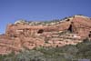
 Entrance to Boynton Subway
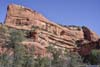
Boynton Subway
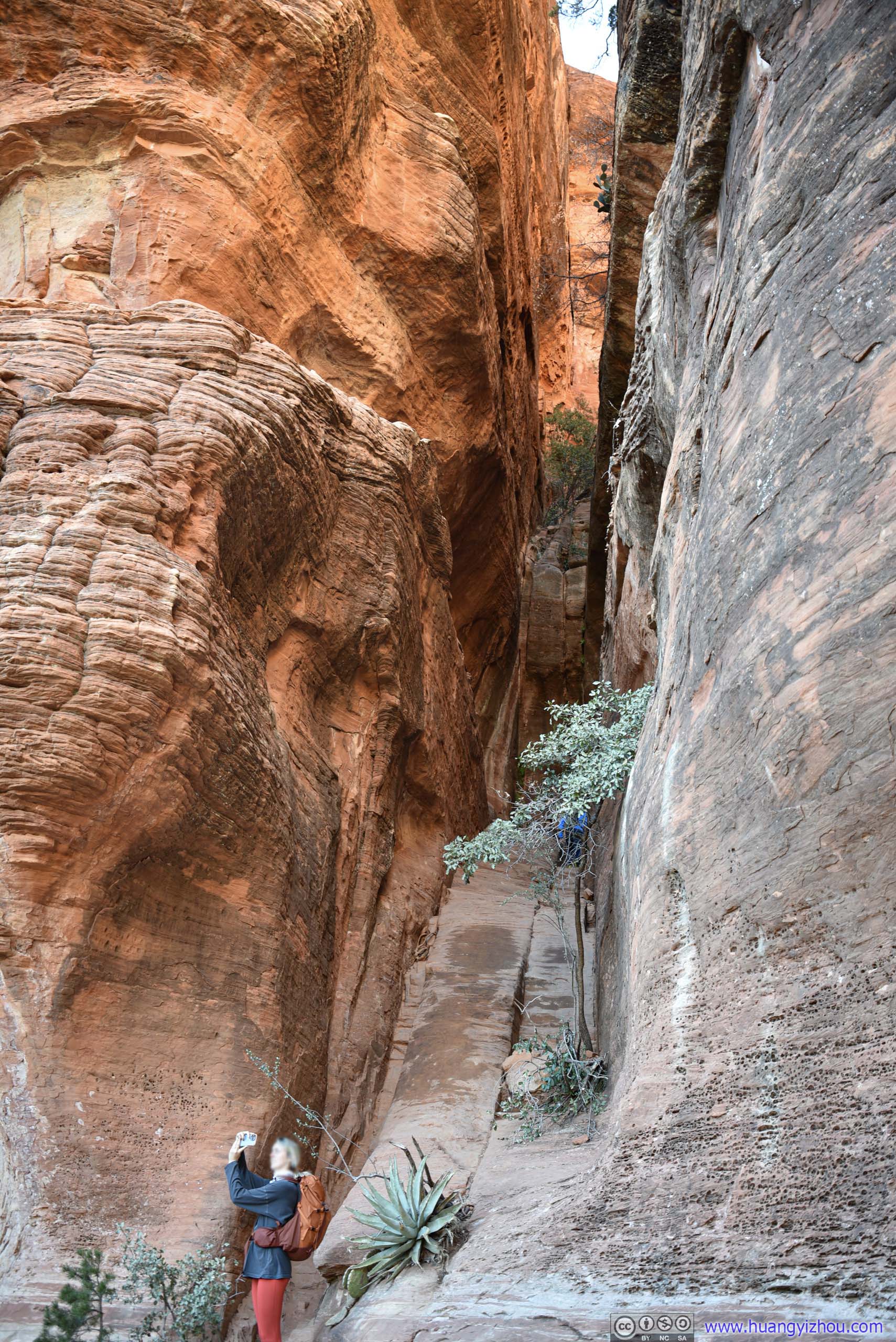
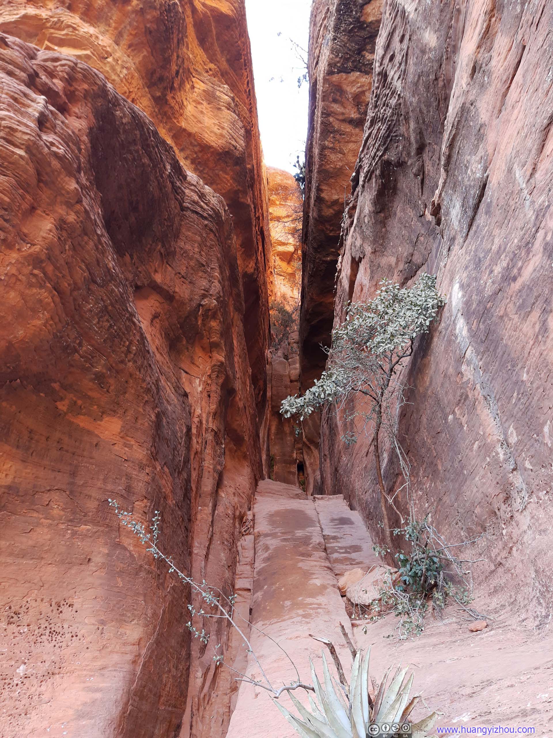
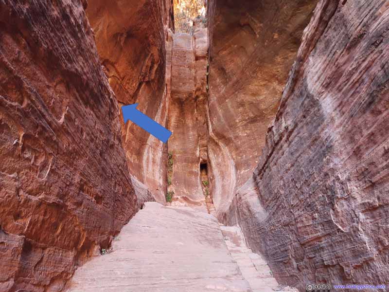
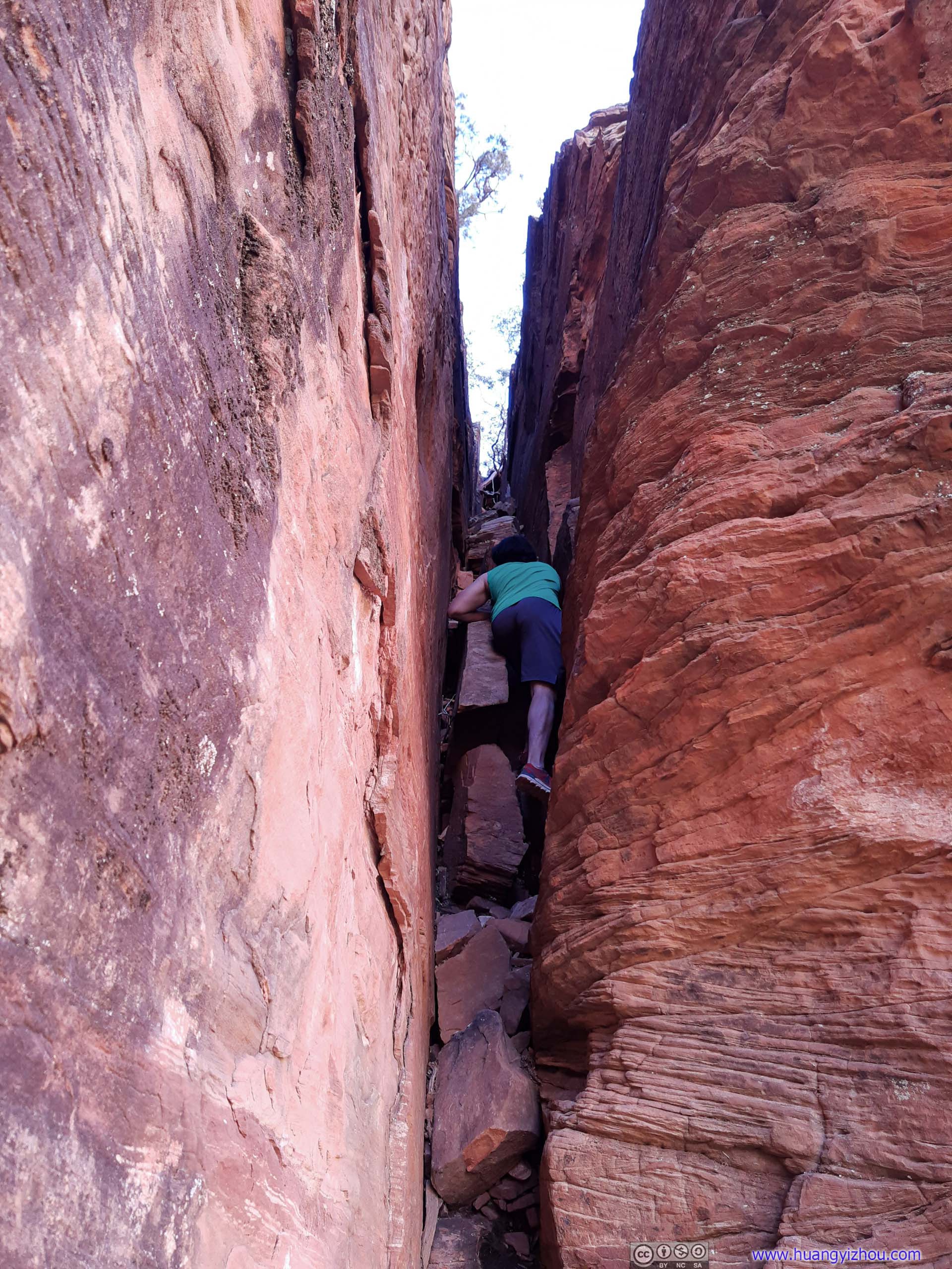
About 10 minutes on the spur trail we reached the entrance of Boynton Subway. It would take some scrambling (YDS class 2 tops) to reach the top of it, after which one would find a giant slit in the rocks with two ledges on its sides, in a shape that resembled a subway platform (photo below).
Boynton Subway
Furthermore, it seemed that one of the ledges would lead to more areas for exploration (slideshow below). It involved some exposure, but that’s easily manageable by us.
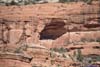
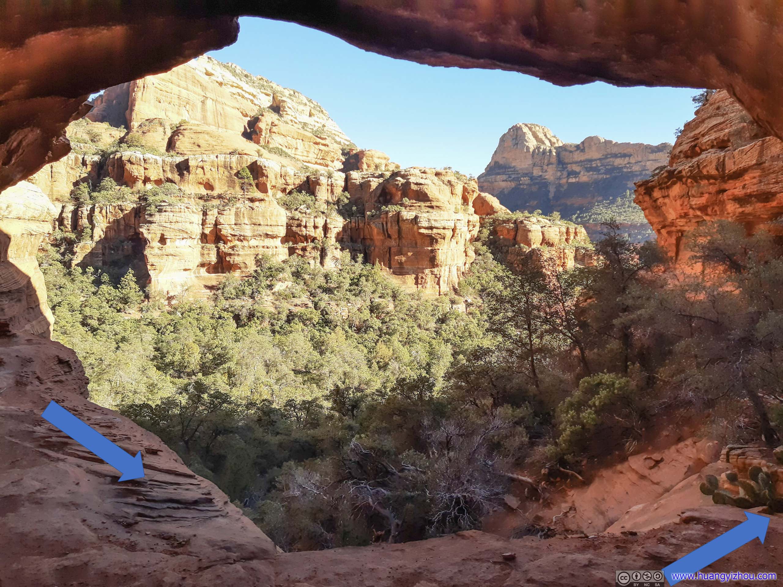
 Boynton Subway Entrance
Looking back at the end of this entrance slope, the shape of the cave resembled a subway tunnel, and the ledges on both sides resembled subway platforms. The south side of the ledge (blue arrow) would lead to more areas of exploration.
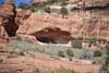
Boynton Subway Entrance
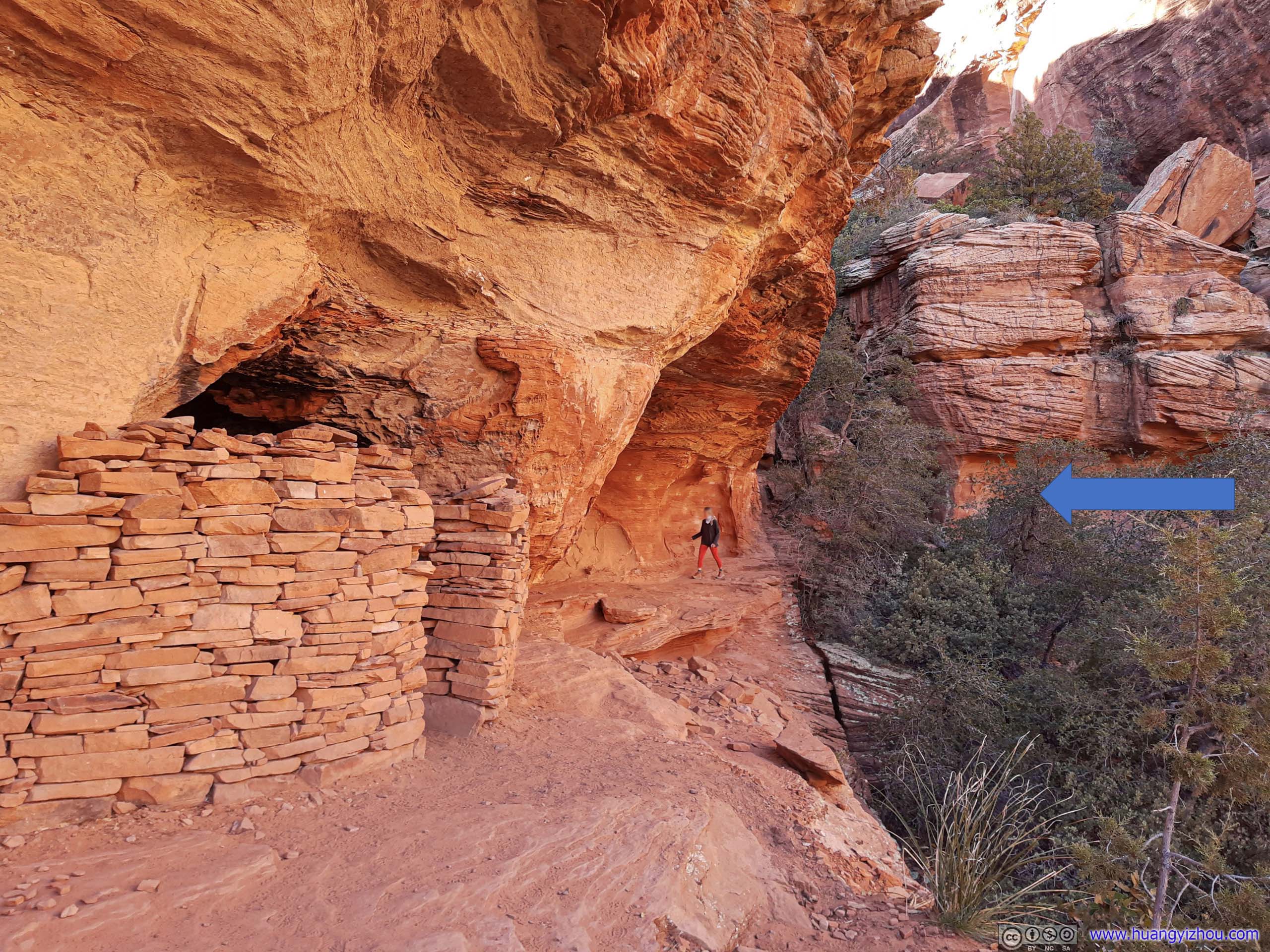
Looking back at the end of this entrance slope, the shape of the cave resembled a subway tunnel, and the ledges on both sides resembled subway platforms. The south side of the ledge (blue arrow) would lead to more areas of exploration.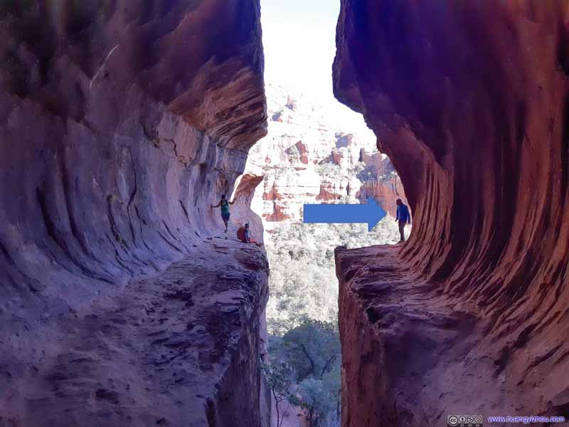 Boynton Subway
The ledge on the south side continued around the mountain (blue arrow). The lower-right hand side of this photo was a small incline that shouldn’t post dangers if treated properly.
Boynton Subway
The ledge on the south side continued around the mountain (blue arrow). The lower-right hand side of this photo was a small incline that shouldn’t post dangers if treated properly.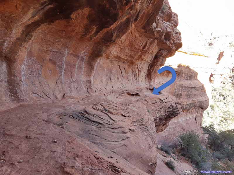 LedgeHow the ledge continued after wrapping around the mountain.
 Alcove
Rocks of Sedona seen from an alcove along the way. The ledge continued from left to right since the previous photo.
Alcove
Rocks of Sedona seen from an alcove along the way. The ledge continued from left to right since the previous photo. Ledge
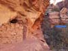
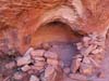
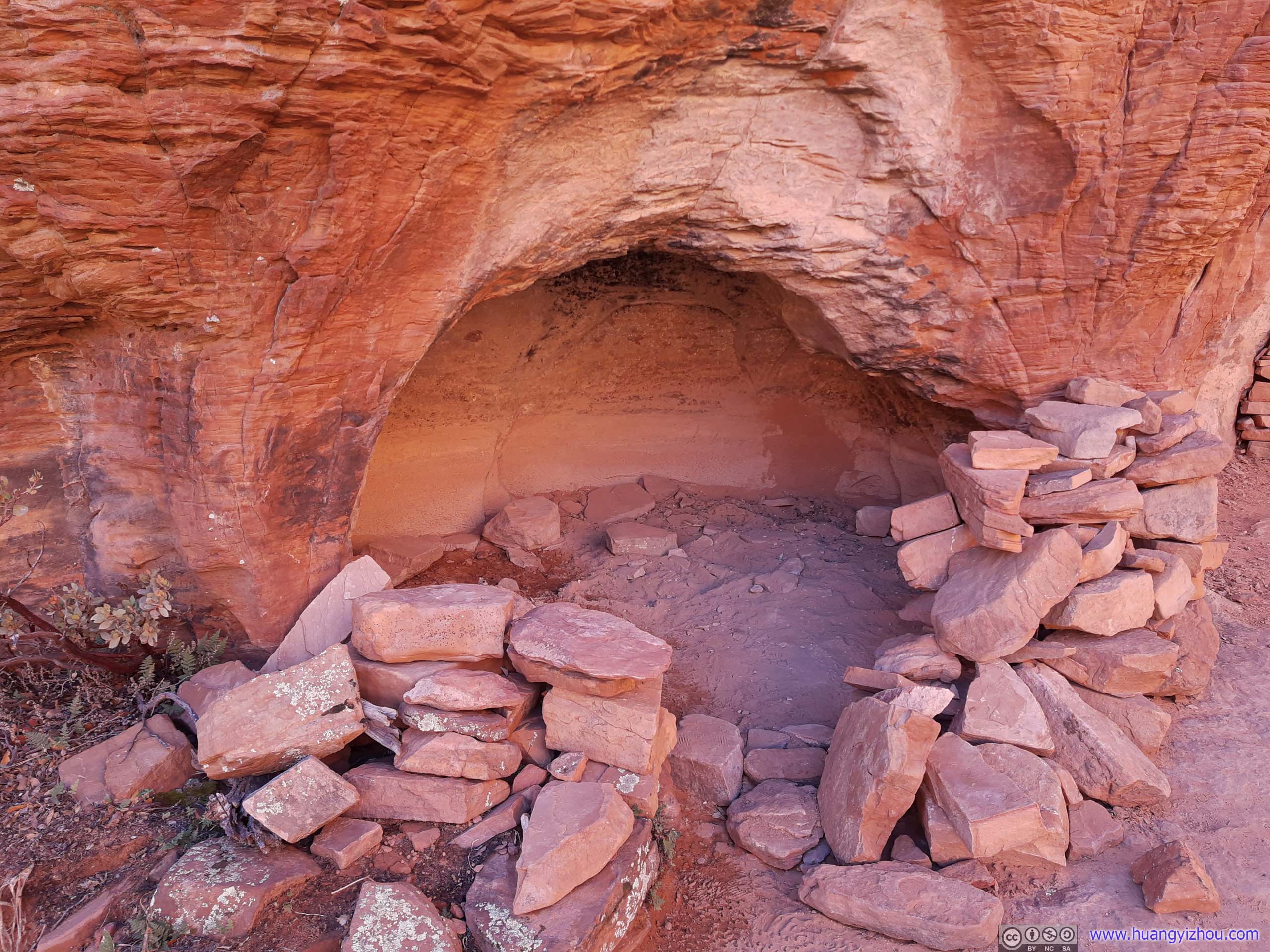
The ledge continued from the alcove in the previous photo and wrapped around the mountains. My friend and I weren’t sure what the pile of bricks in the left foreground was for.
Ledge
The ledge continued from the alcove in the previous photo and wrapped around the mountains. My friend and I weren’t sure what the pile of bricks in the left foreground was for.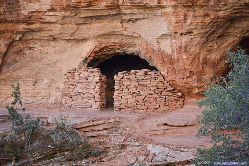 Alcove with Brick Wall
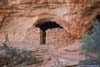
Same alcove as the one in the previous photo. Its interior didn’t seem spacious enough for residential use.
Alcove with Brick Wall
Same alcove as the one in the previous photo. Its interior didn’t seem spacious enough for residential use.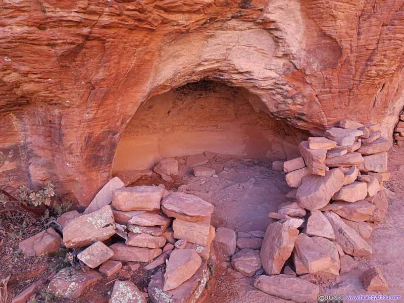 AlcoveAnother smaller one.


Click here to display photos of the slideshow

Boynton Subway Entrance

Boynton Subway

LedgeHow the ledge continued after wrapping around the mountain.
Alcove
Ledge

Alcove with Brick Wall
AlcoveAnother smaller one.
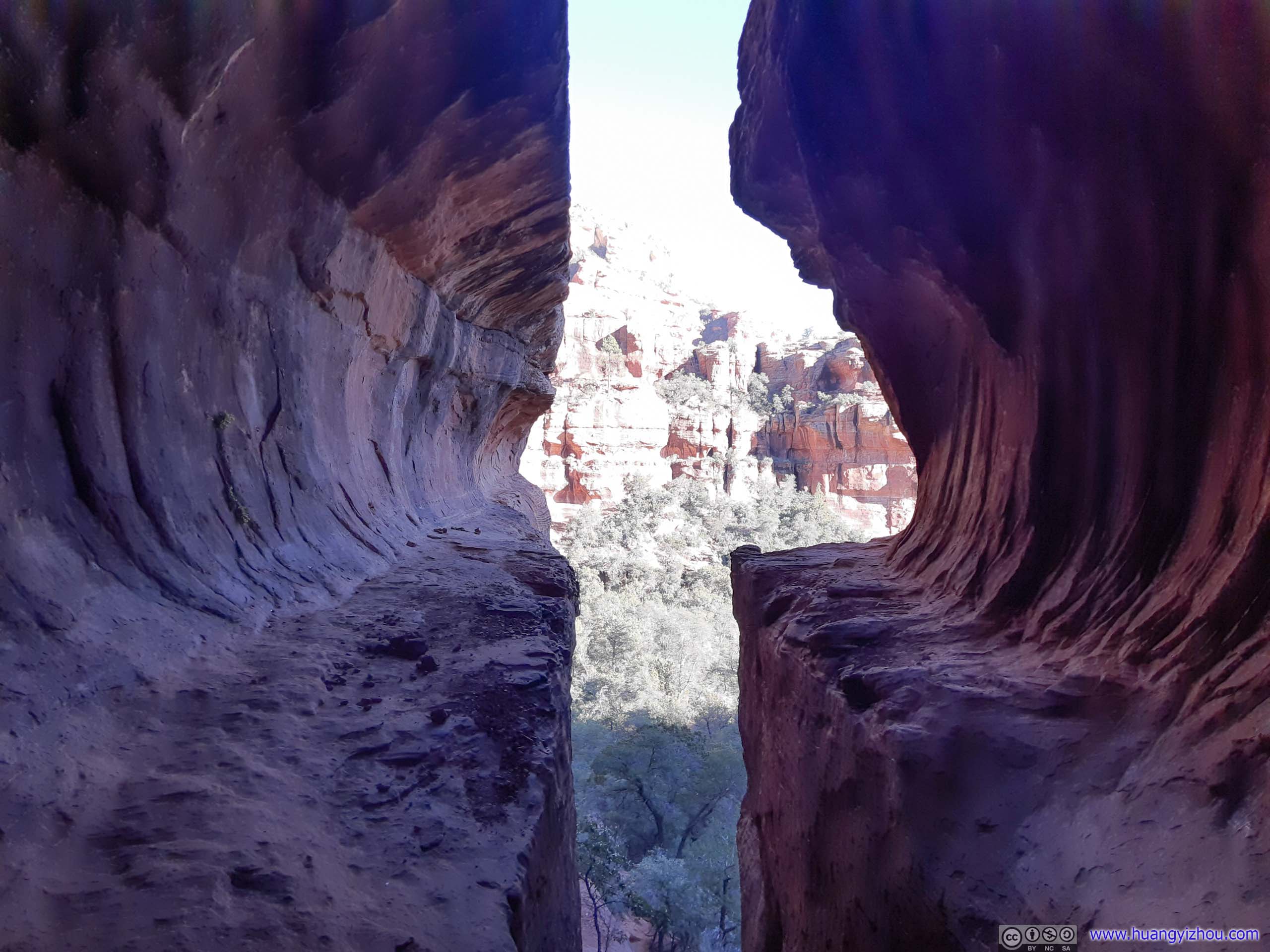
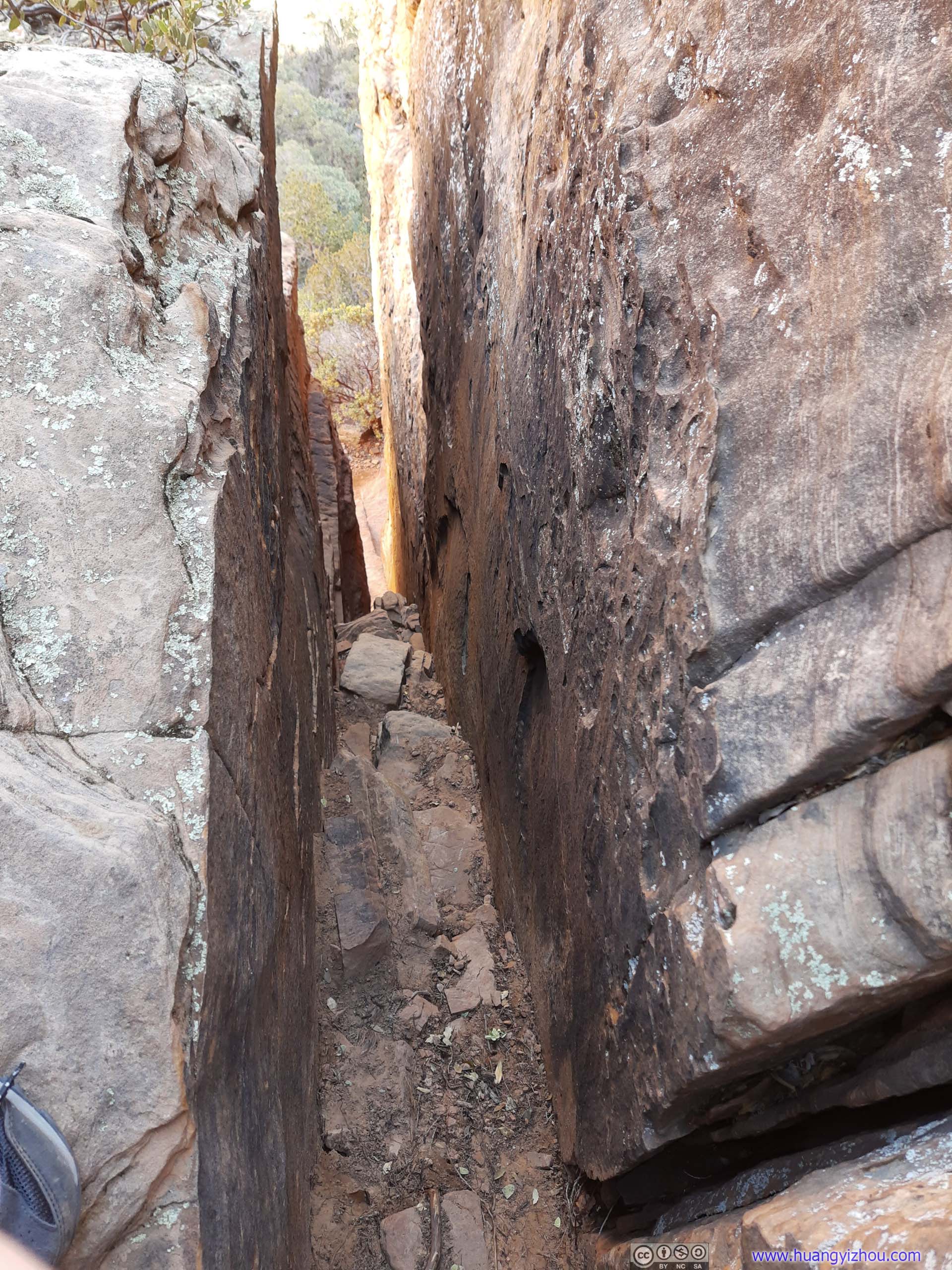 Narrow Gap
And here were the views beyond the end of subway platform, but not necessarily up the narrow slit.
 Valley
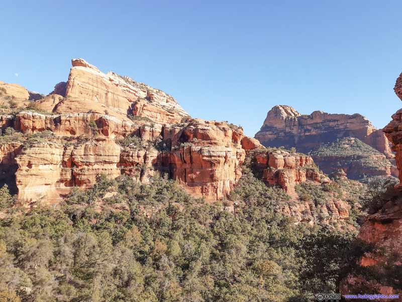 Mountains
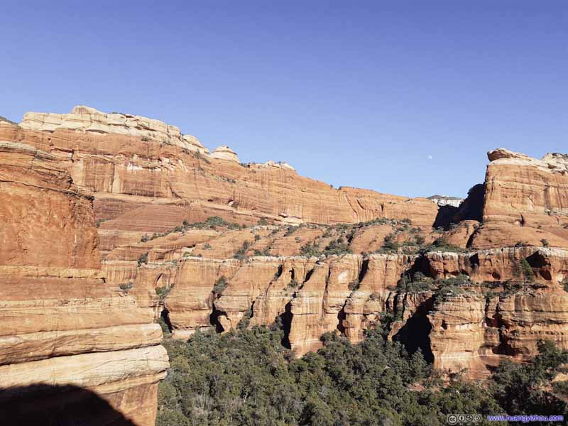 Mountains
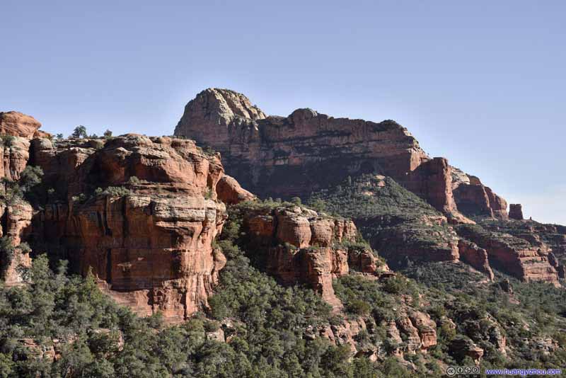 Mountains
 CreekCaptured at the entrance of Boynton Subway.


Click here to display photos of the slideshow

Valley
Mountains

Mountains

Mountains

CreekCaptured at the entrance of Boynton Subway.
After this climbing excursion, we headed back towards the trailhead. It’s about 4:30pm by the time we reached our car, an hour from sunset. Just like yesterday, we wanted to watch the sunset somewhere scenic, and my friend and I decided on Cathedral Rock for that.
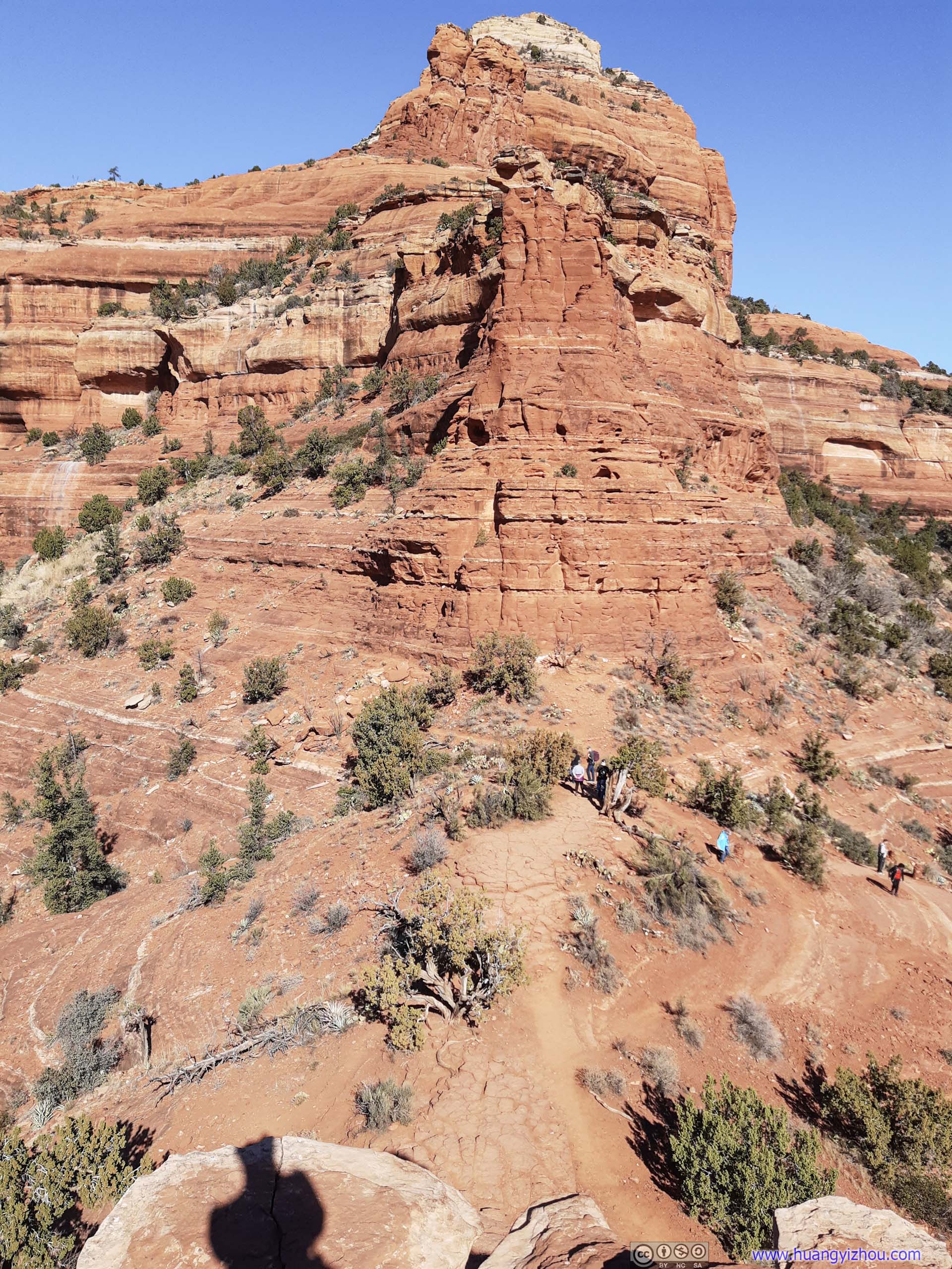
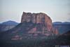
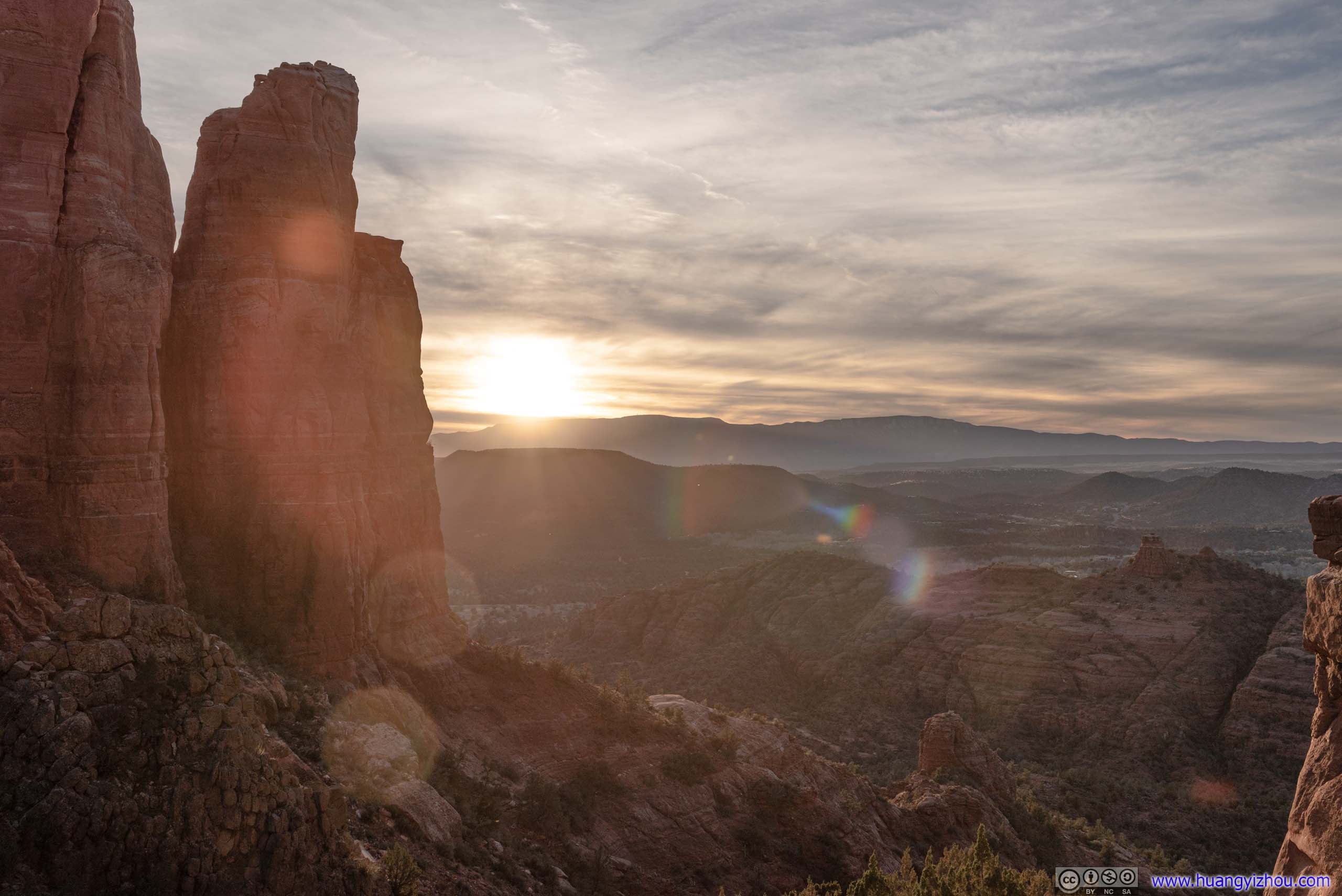
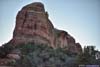
Cathedral Rock
Cathedral Rock shared many similarities with the Bell Rock that we visited this morning. It’s a short trail or climb that offered spectacular views, and thus popular with visitors. (Both required a pass or fee for parking.) Due to its rock formation, the trail to Cathedral Rock actually ended up at a saddle point. So unlike Bell Rock, the views varied along the trail and it felt like a new world with refreshing sights emerging beyond the horizon as one reached the end of its trail.
We only reached the trailhead at 5pm, about half an hour before the official sunset. With mountains towards the west at higher elevation, the sun would set earlier than that. Since I didn’t want to miss the sunset, once off the car I raced all the way up the rock. The steep 1km one-way trail involved some scrambling sections for most people, but didn’t present any technical difficulties to me. Despite I carried a full frame camera, I managed the trail with minimal use of hands (so I would rate that as YDS class 2 tops). And in a mere 20 minutes, I arrived at the end of the trail with heavy panting and a golden horizon in front of me.
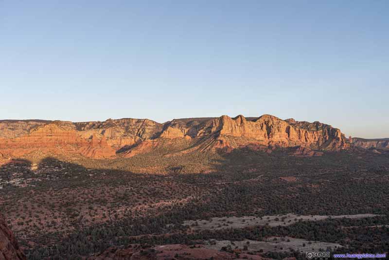
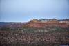
But the highlight of sunset from Cathedral Rock should be the mountains to the west, bathing in the warm and soft colors at sunset.
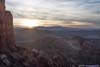
 Mountains to the EastGlowing under the setting sun.
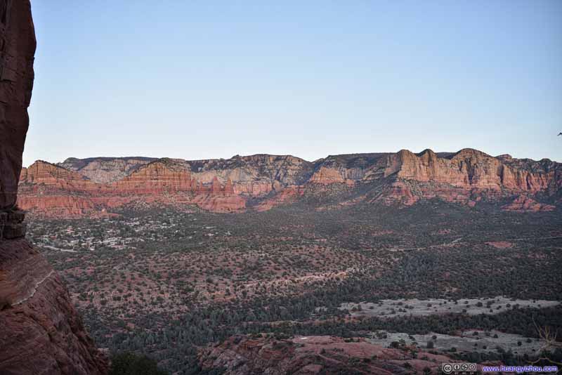 Mountains to the East
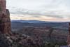
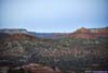
10 minutes later the sun had set below the opposite mountains, so these rocks took on a milder appearance.
Mountains to the East
10 minutes later the sun had set below the opposite mountains, so these rocks took on a milder appearance.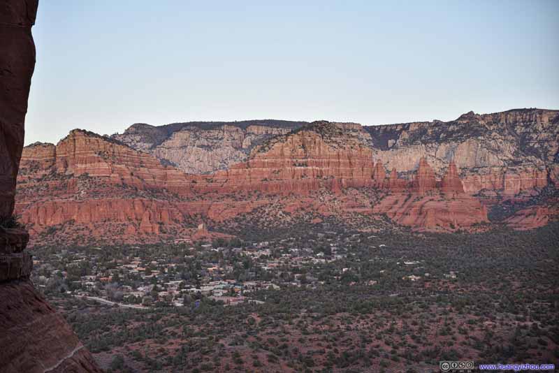 Twin ButtesChapel of Holy Cross visible below the mountains.
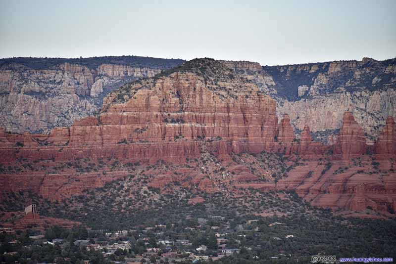 East Twin Butte
 Courthouse Butte
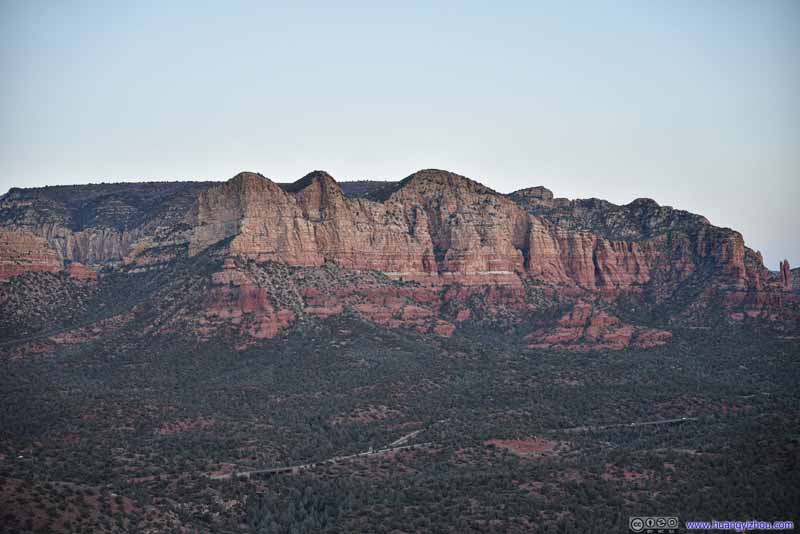 Mountains to the East
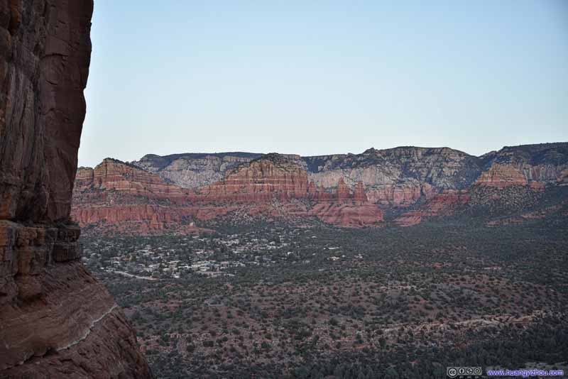 Mountains to the East6 more minutes later things started to get dark.
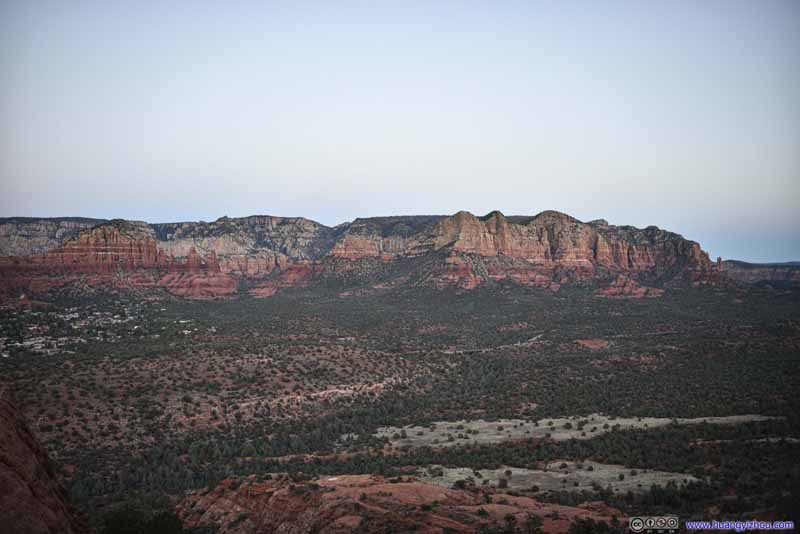 Mountains to the East8 more minutes later, the remaining of the rocks’ colors were beginning to fade to darkness.
 SpireWeirdly that I couldn’t find its name online.
Click here to display photos of the slideshow
Mountains to the EastGlowing under the setting sun.
Mountains to the East

Twin ButtesChapel of Holy Cross visible below the mountains.
East Twin Butte
Courthouse Butte
Mountains to the East

Mountains to the East6 more minutes later things started to get dark.
Mountains to the East8 more minutes later, the remaining of the rocks’ colors were beginning to fade to darkness.
SpireWeirdly that I couldn’t find its name online.
In comparison, the views towards the west weren’t as broad, and didn’t come with enough iconic red rocks as the eastern side of Cathedral Rock.
 Setting Sun
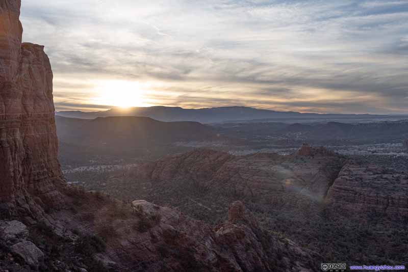 Setting Sun
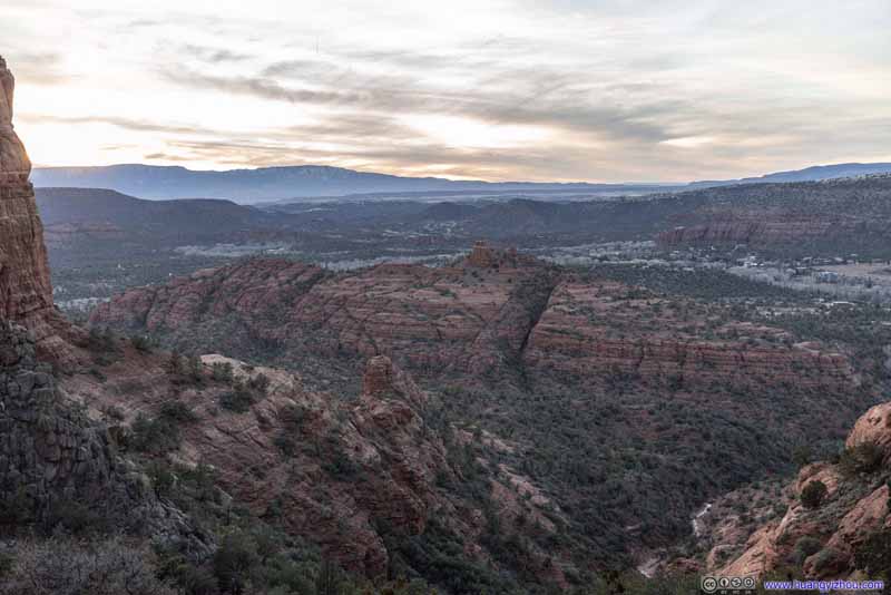 Landscape after Sunset
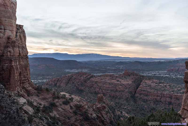 Landscape after Sunset
Click here to display photos of the slideshow
Setting Sun

Setting Sun

Landscape after Sunset
Landscape after Sunset
Between posing for photos and watching the sun set below the distant horizon, and the transition of colors on the rocks towards the east, my friend and I spent about 25 minutes at Cathedral Rock. Due to the rock formation funneling the wind through, wind was strong at Cathedral Rock, and after sunset it was getting cold pretty quickly. So at around 7:45pm, we started our descent.
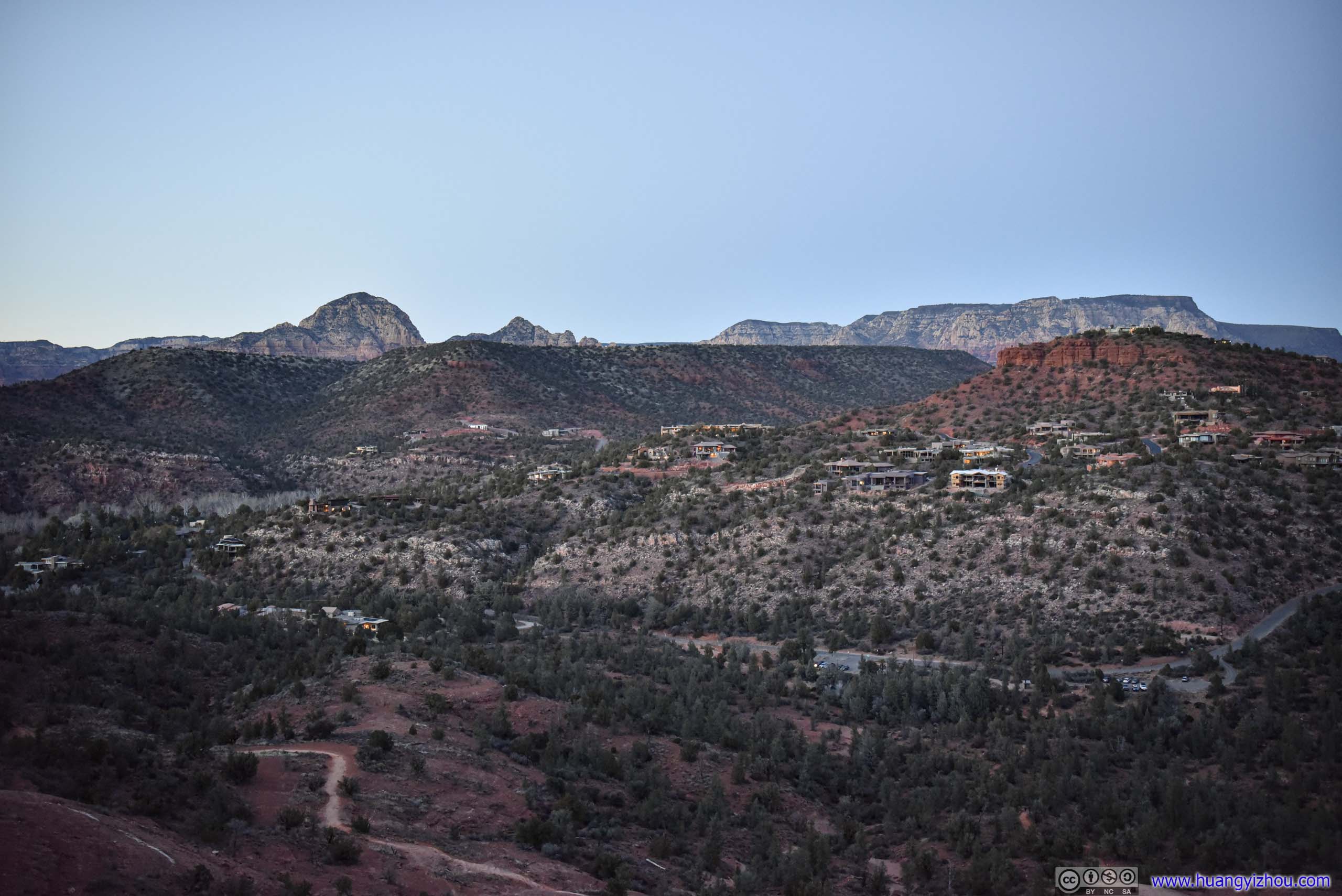
That’s when we found that halfway up Cathedral Rock, the views were actually broader, with Airport Mesa and Capitol Butte also in sight. Heading downhill, we watched these mountains rested in tranquility under the dark blue sky as night fell.
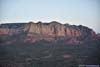
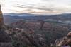
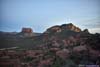
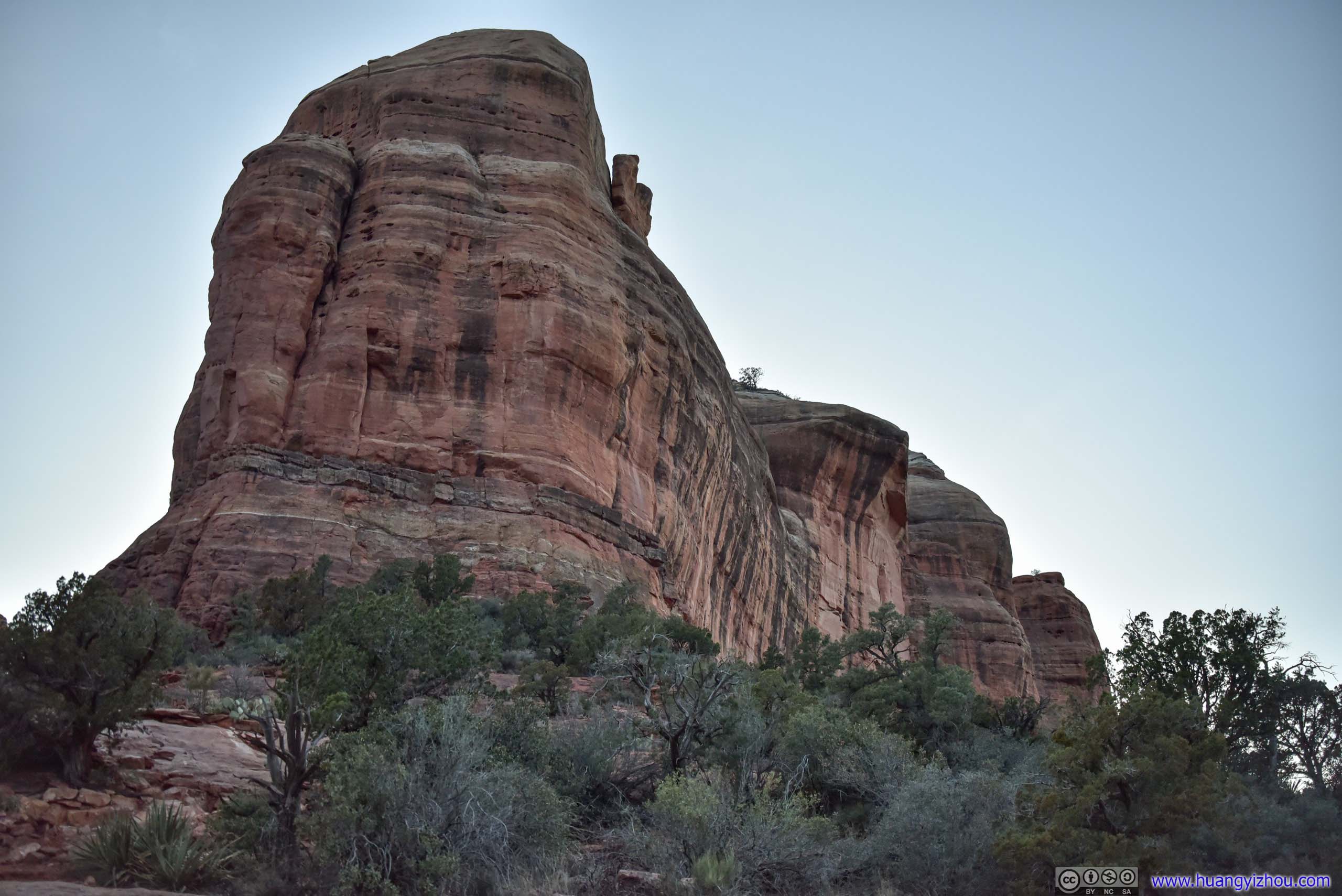
 Mountain to the South
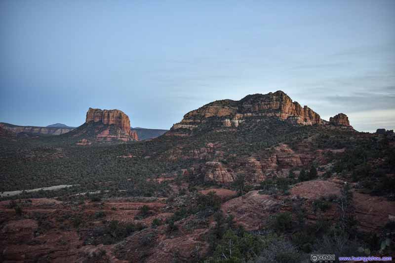 Mountains to the South
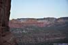
 Cathedral RockThe southern part.
 Cathedral RockThe northern part.
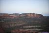
 Red Rocks after Sunset
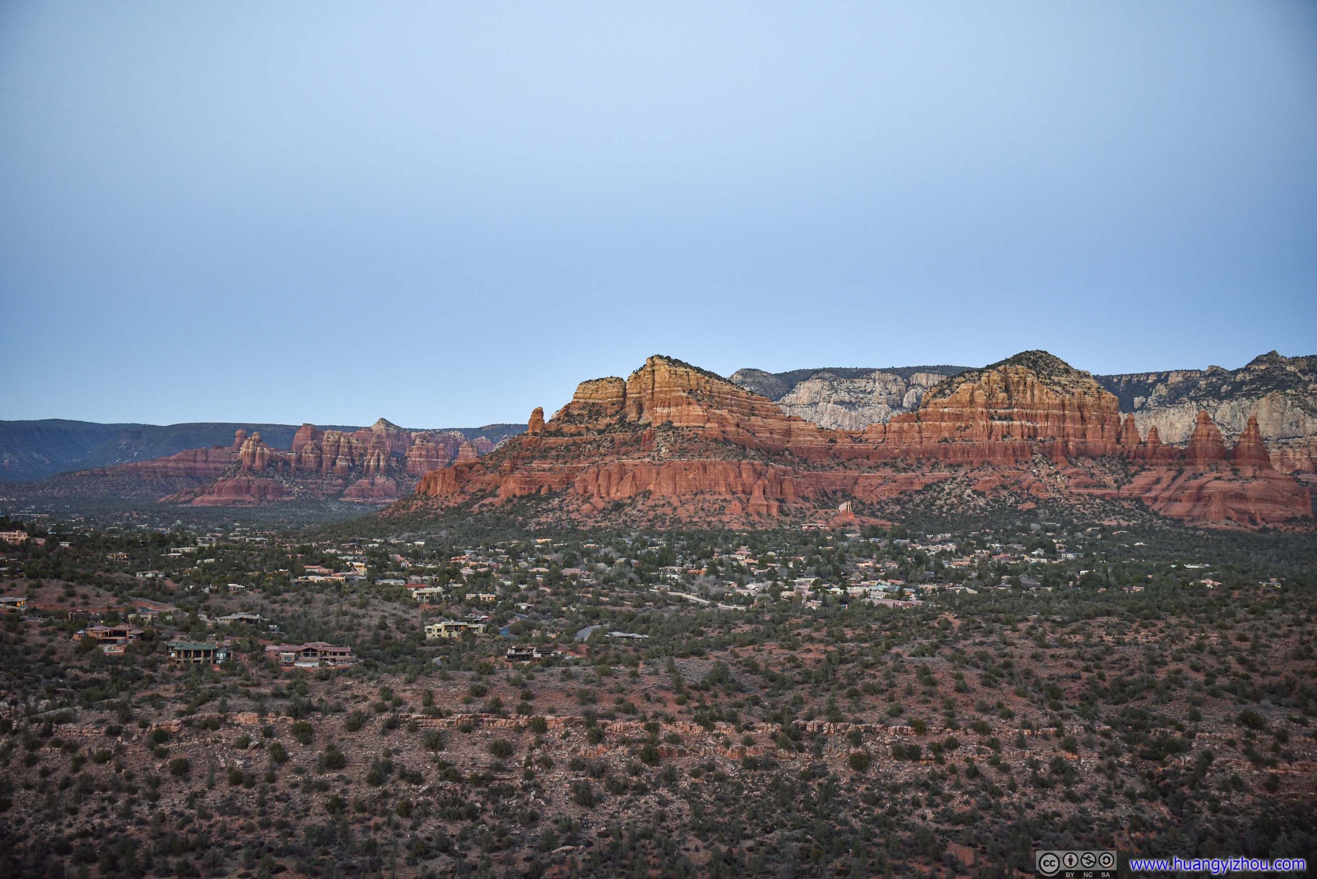
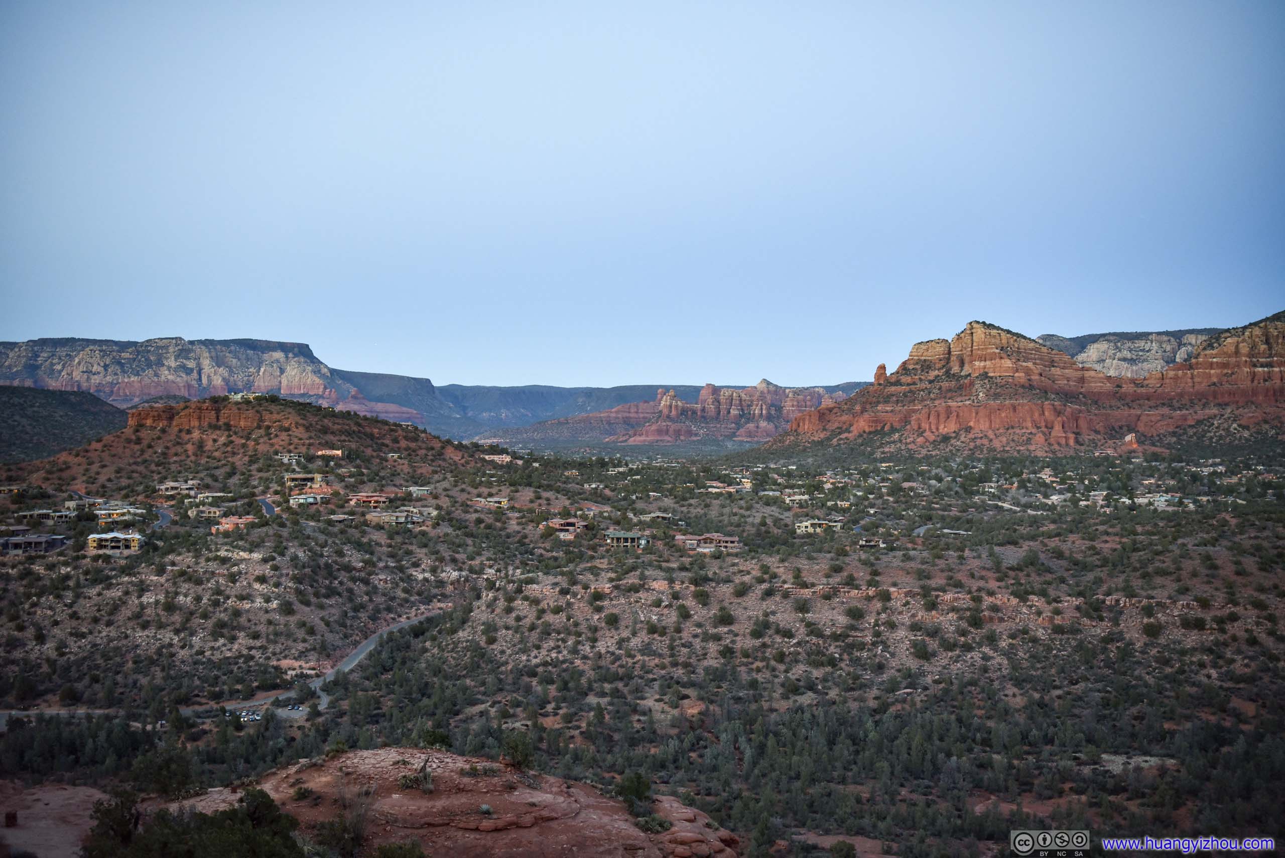
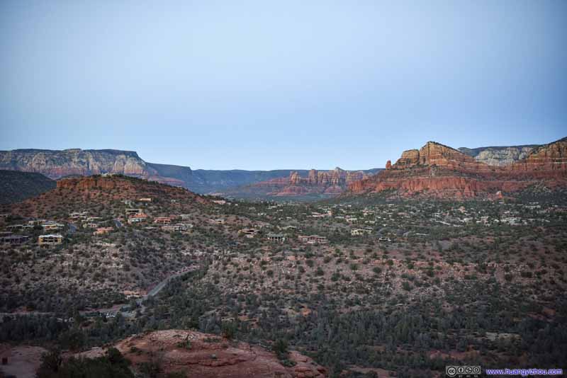 Fields to the Northeast
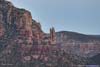
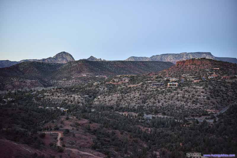 Fields to the NorthVillages before Airport Mesa. Capitol Butte and Brins Butte in the background.
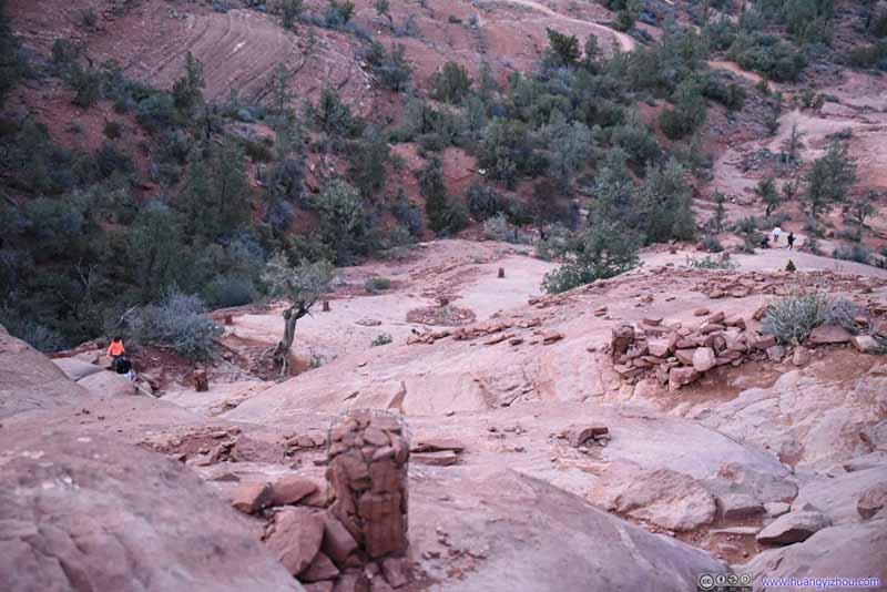 Trail to Cathedral RockTaken during our descent when it’s almost dark. A sign of its steepness.

Click here to display photos of the slideshow
Mountain to the South

Mountains to the South
Cathedral RockThe southern part.
Cathedral RockThe northern part.
Red Rocks after Sunset
Fields to the Northeast
Fields to the NorthVillages before Airport Mesa. Capitol Butte and Brins Butte in the background.

Trail to Cathedral RockTaken during our descent when it’s almost dark. A sign of its steepness.
Finally, we got back to the trailhead parking lot at 6:10pm. After that, we drove back to the hotel and concluded the day.
END
![]() Day 4 of 2022 Arizona Trip, Sedona by Huang's Site is licensed under a Creative Commons Attribution-NonCommercial-ShareAlike 4.0 International License.
Day 4 of 2022 Arizona Trip, Sedona by Huang's Site is licensed under a Creative Commons Attribution-NonCommercial-ShareAlike 4.0 International License.