
Updated on April 9, 2022
Day 5 of 2022 Arizona Trip, Driving from Sedona to Grand Canyon
Fifth day of my 2021 Arizona trip, my friend and I would be leaving Sedona and heading for Grand Canyon. Along the way we would visit Sunset Crater and Wupatki National Monument.
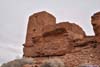
Wupatki Pueblo
Having hiked a few popular trails near Sedona for the previous two days, we would be leaving for Grand Canyon today. The drive towards Grand Canyon via its east entrance would only take about 2.5 hours, however, we decided to make a few stops along the way, making it a day-long itinerary.
Chapel of the Holy Cross
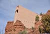
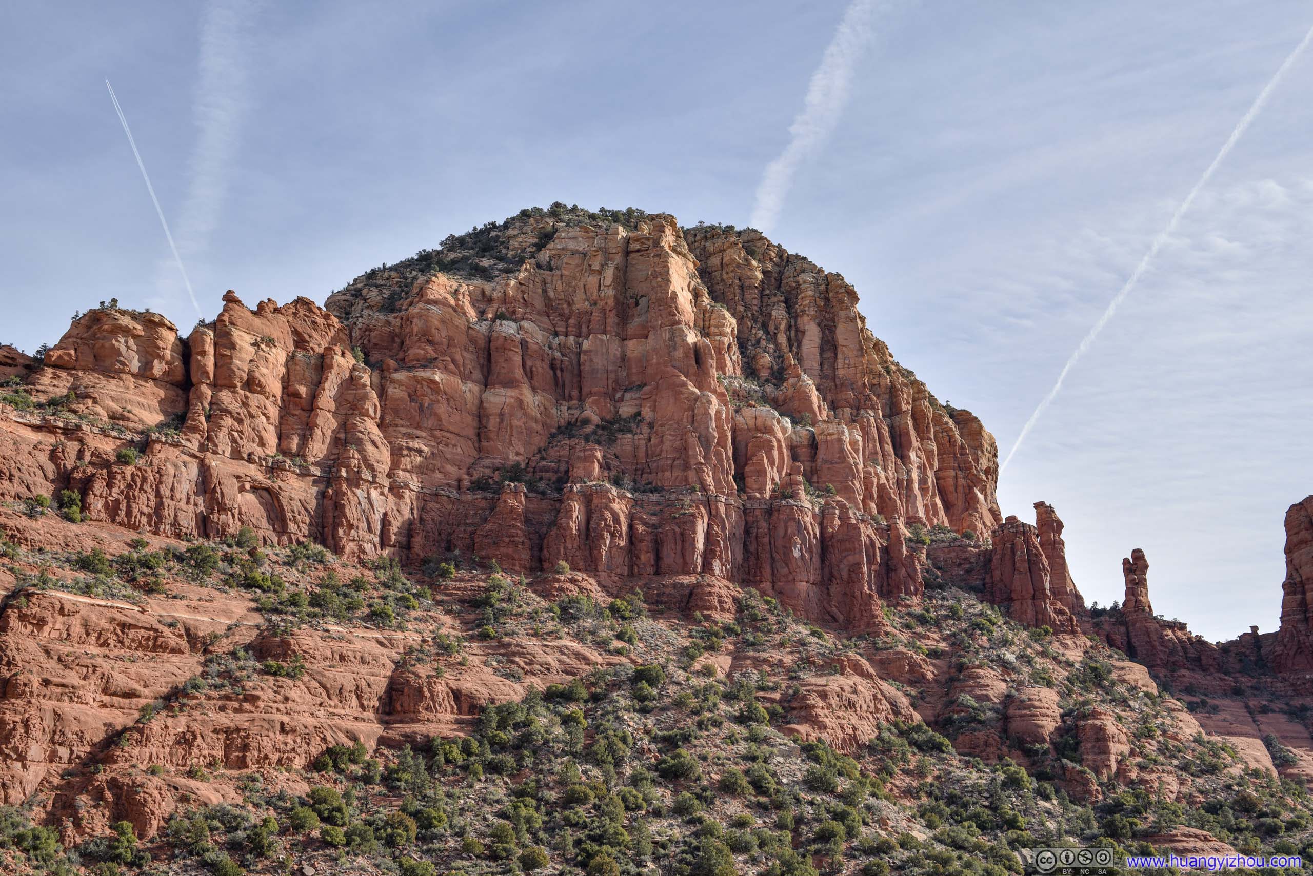
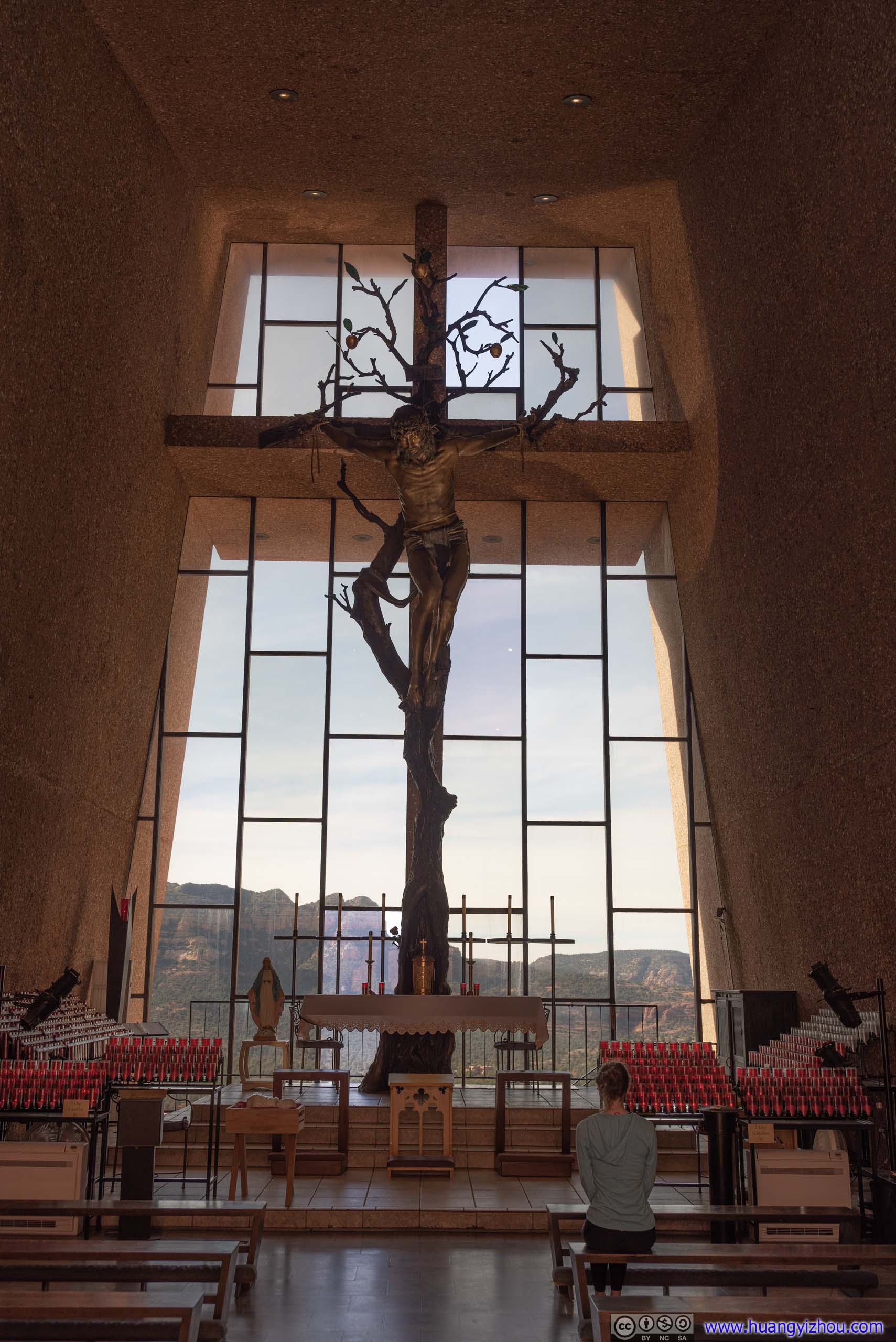
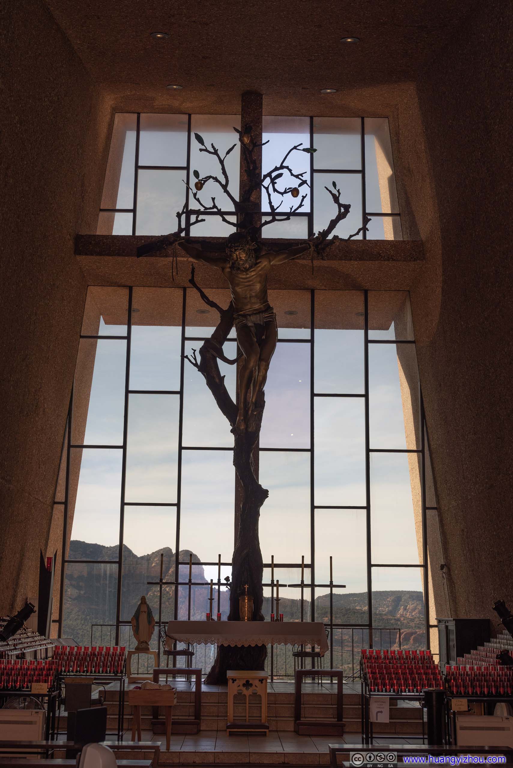
After some teleconferencing in the morning, we first reached the Chapel of the Holy Cross, a popular attraction in Sedona. The chapel was built on a small butte, backdropped by Twin Buttes and overlooking extensive fields towards the south. Its simple geometrical shape was a striking sight that blended into the background of rugged red rocks.
 Chapel of the Holy Cross
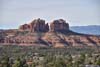
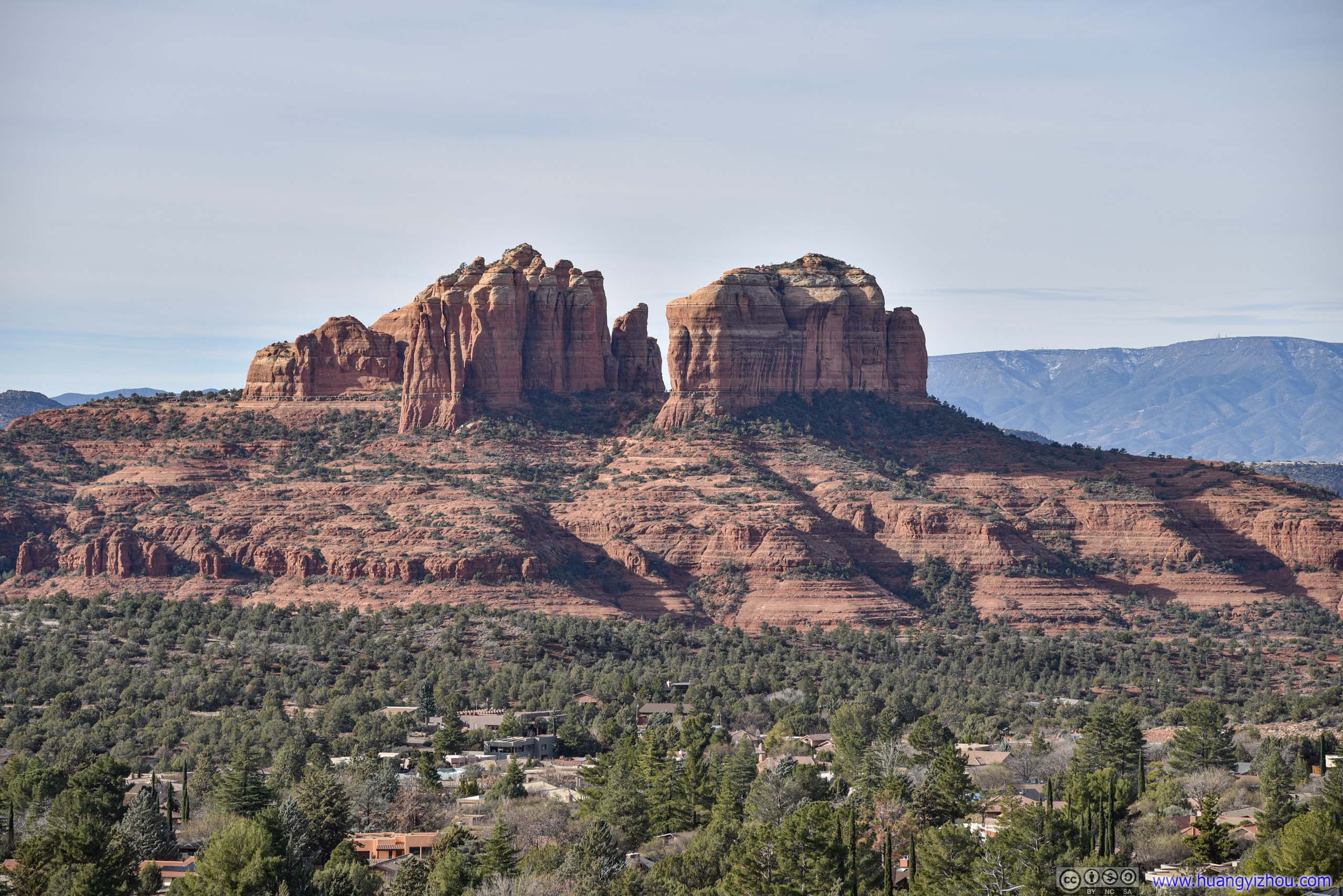
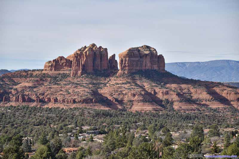 Cathedral Rock
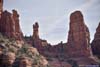
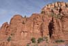
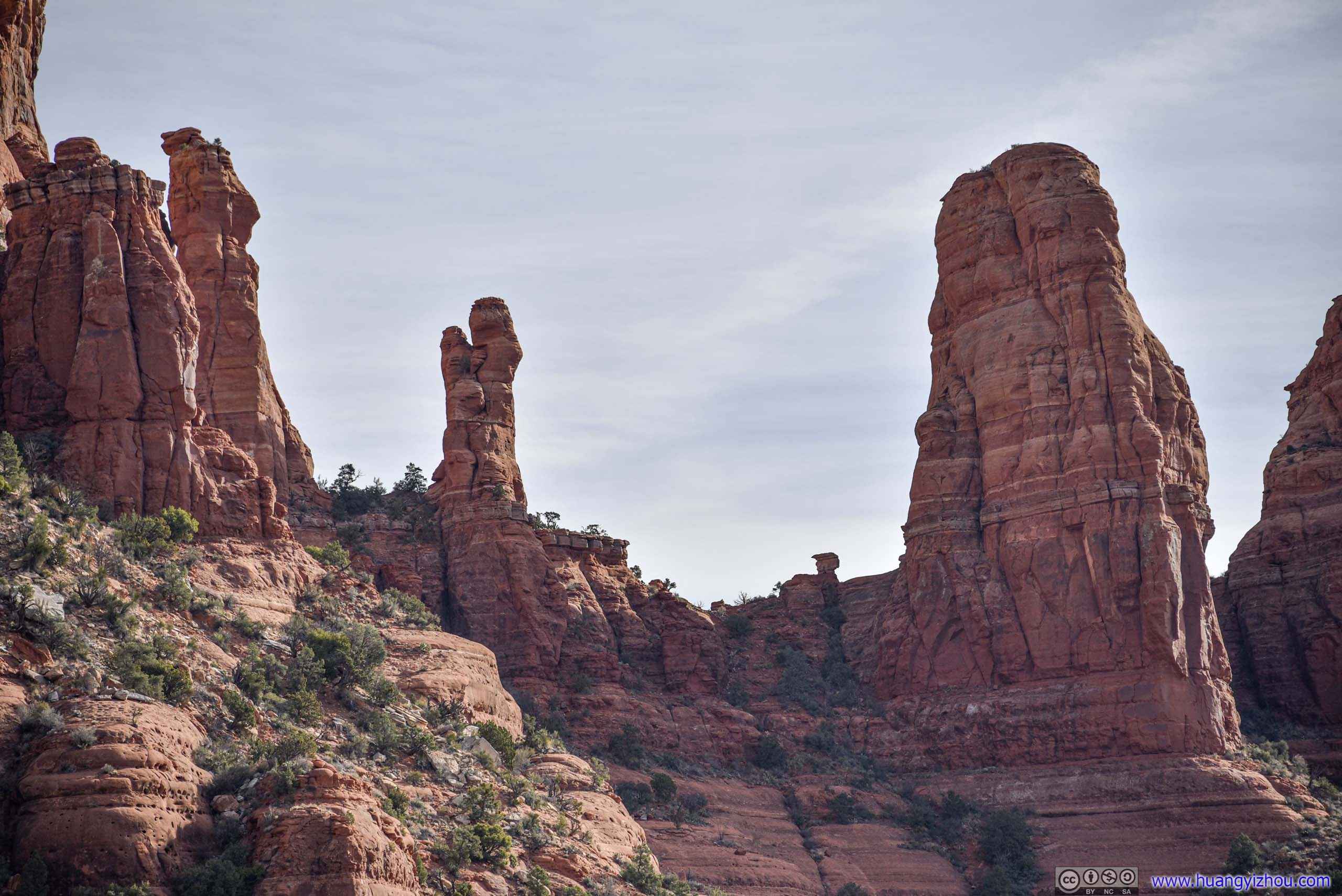
 Rock Towers
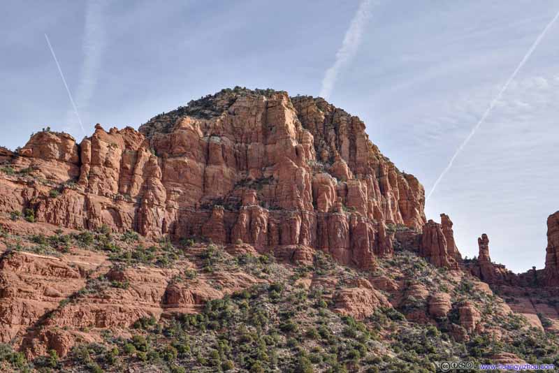 East Twin Butte
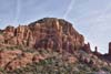
 Red Rocks
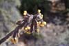
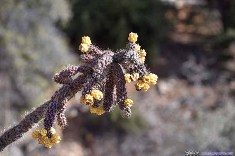 Blooming CactusIts purple color looked rather exotic.
 MansionAt the foot of the hill, overlooked by the chapel.

Click here to display photos of the slideshow

Chapel of the Holy Cross
Cathedral Rock
Rock Towers
East Twin Butte

Red Rocks

Blooming CactusIts purple color looked rather exotic.
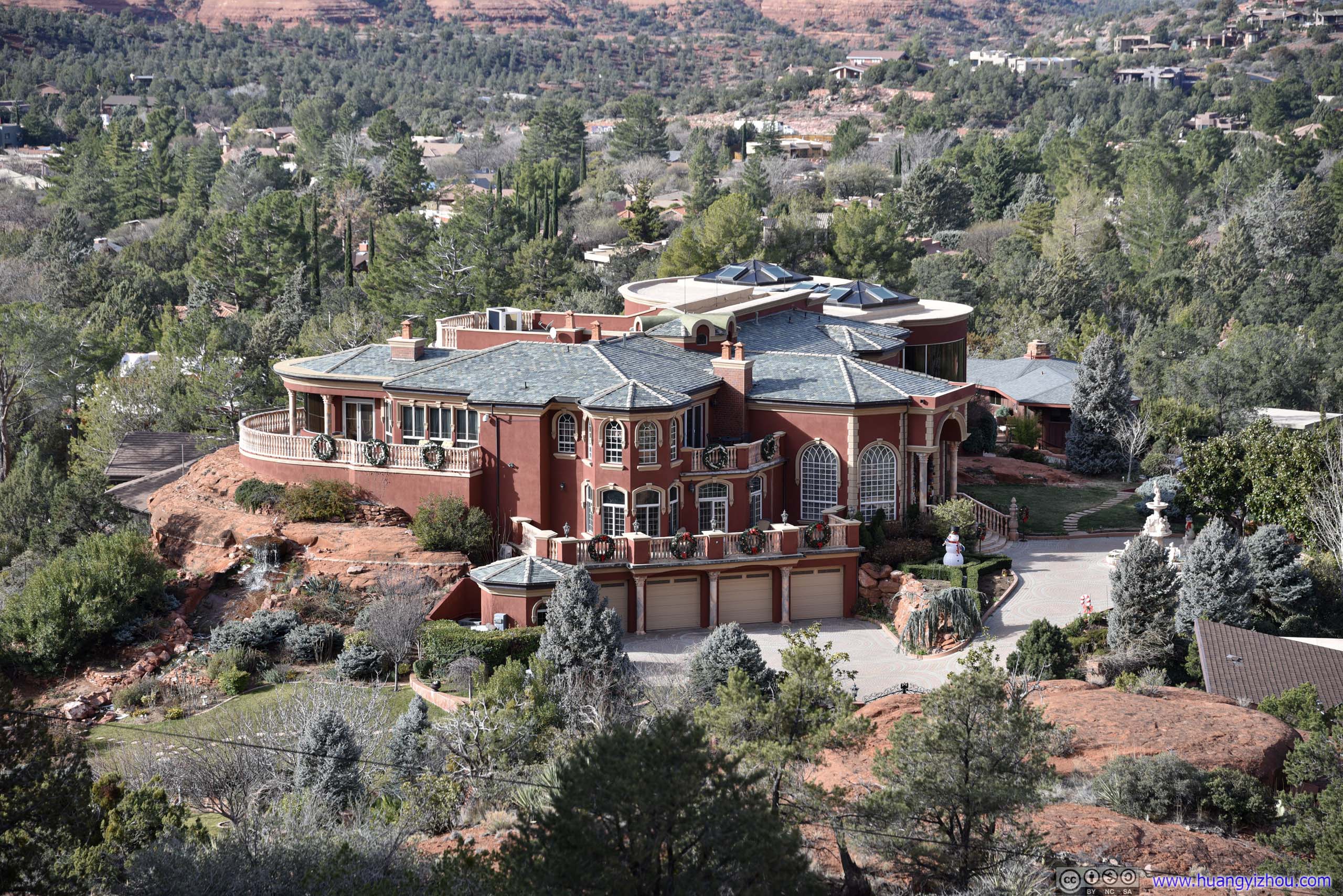
MansionAt the foot of the hill, overlooked by the chapel.
 Chapel of the Holy Cross
Oak Creek Canyon
After that, we grabbed some snacks in downtown Sedona before continuing our way towards Grand Canyon, along US Route 89A. After leaving Sedona, US 89A followed Oak Creek Canyon north, with glimpses of Sedona’s signature red rocks on the left.
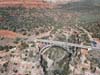
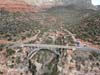
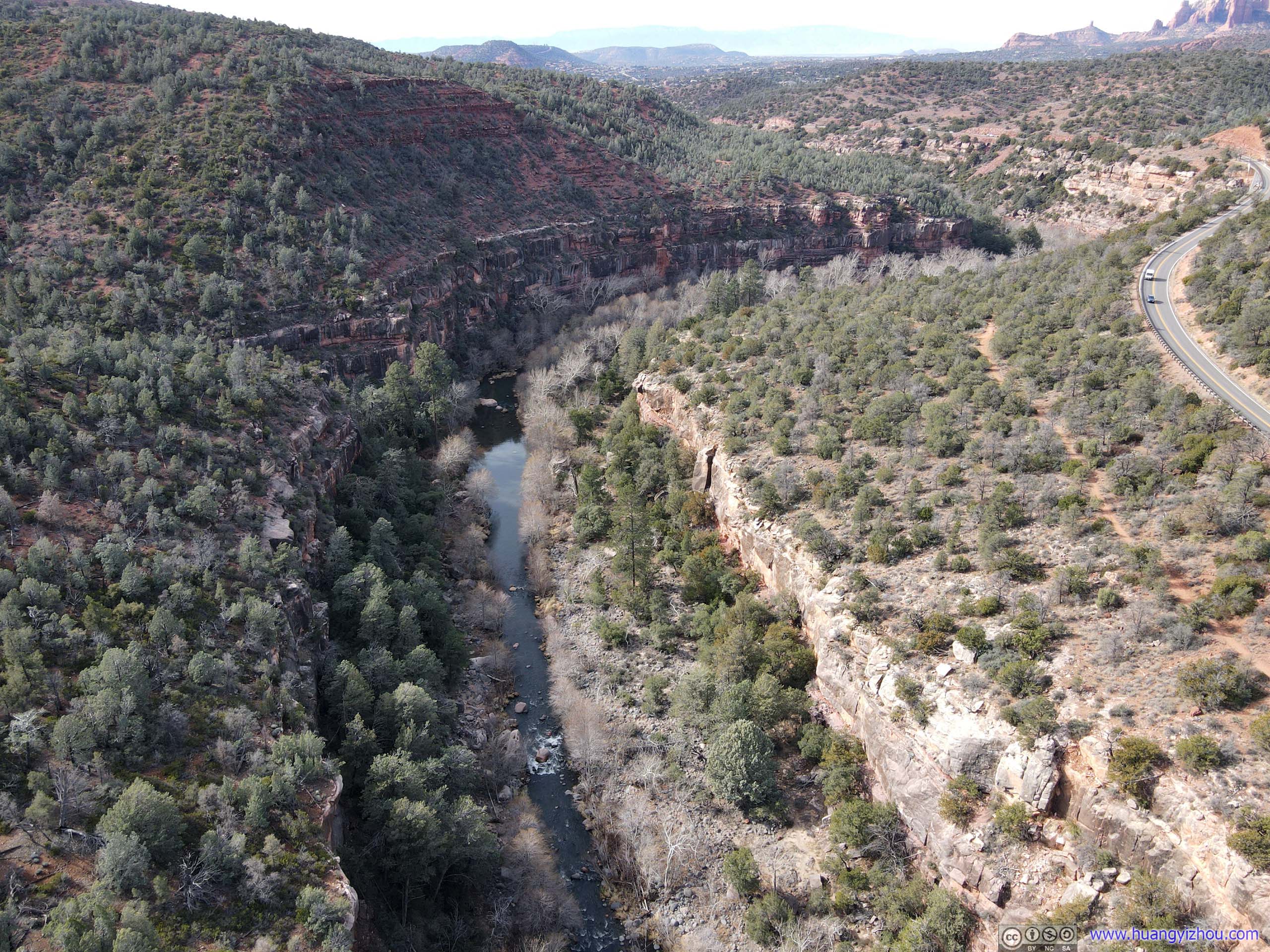
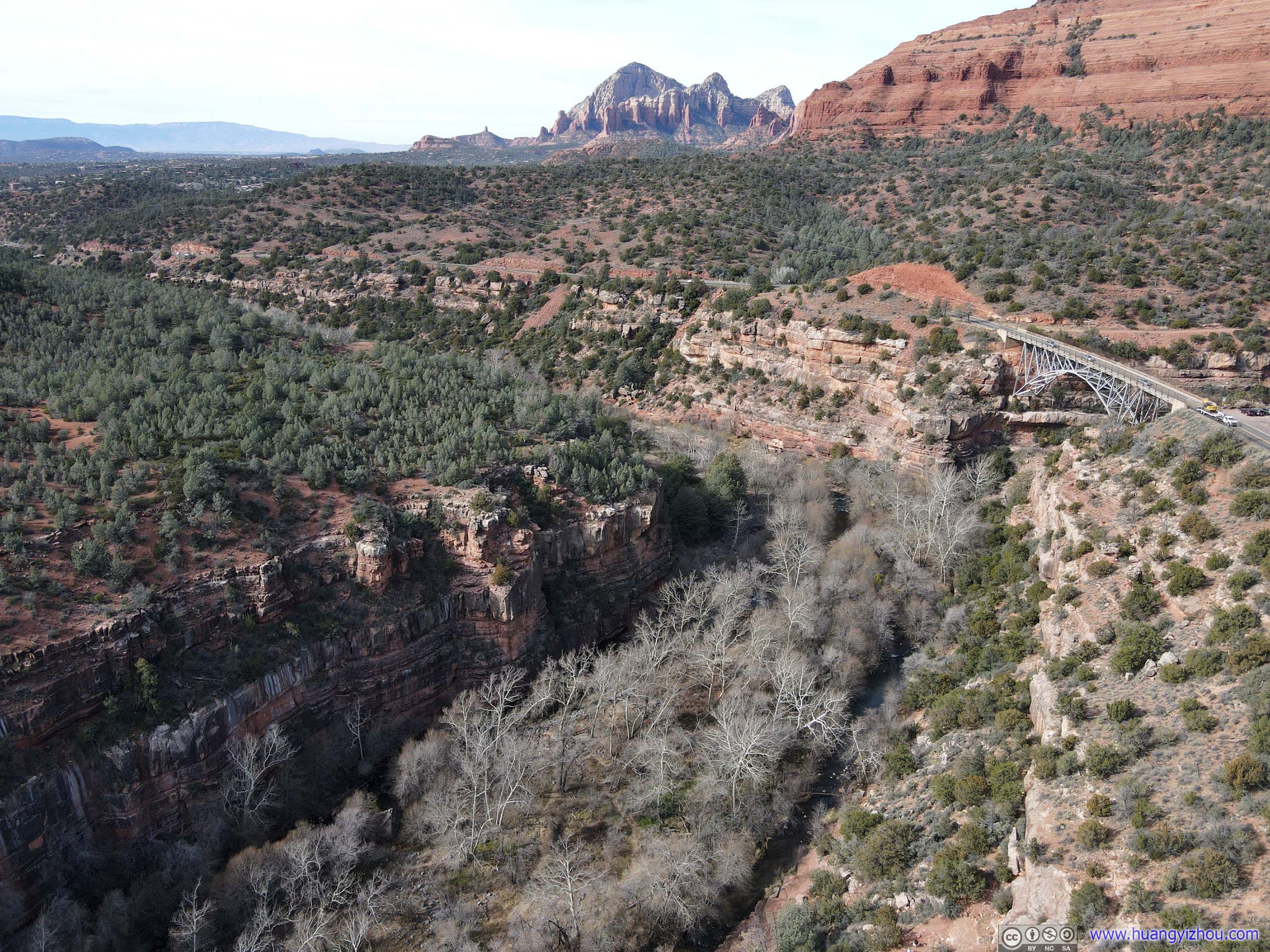
In particular, my friend and I originally planned to stop at Midgley Bridge and took a short hike around its canyon landscape. Unfortunately, the small parking lot at Midgley Bridge was full, so instead we drove to the next turnout and I took an aerial tour with my drone instead.
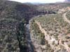
Overlooking Oak Creek and Midgley Bridge
 Oak Creek
 Oak Creek
 Oak Creek
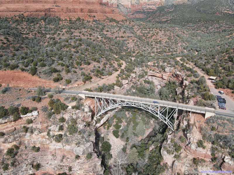 Midgley Bridge
 Midgley Bridge
Click here to display photos of the slideshow
Oak Creek
Oak Creek

Oak Creek
Midgley Bridge

Midgley Bridge
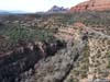
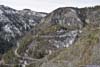
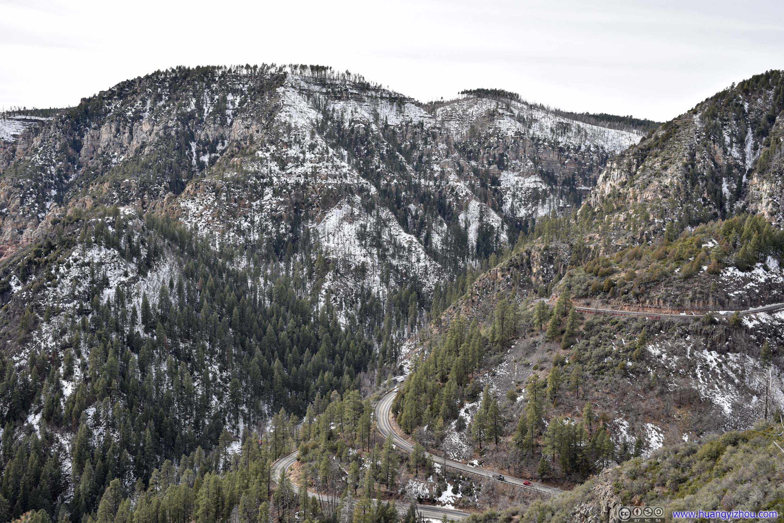
After leaving Midgley Bridge, US 89A followed Oak Creek Canyon till its end, where the route took on a few switchbacks and ascended onto the canyon. Here’s a dashcam video of the process:
Oak Creek Vista
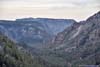
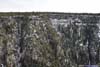
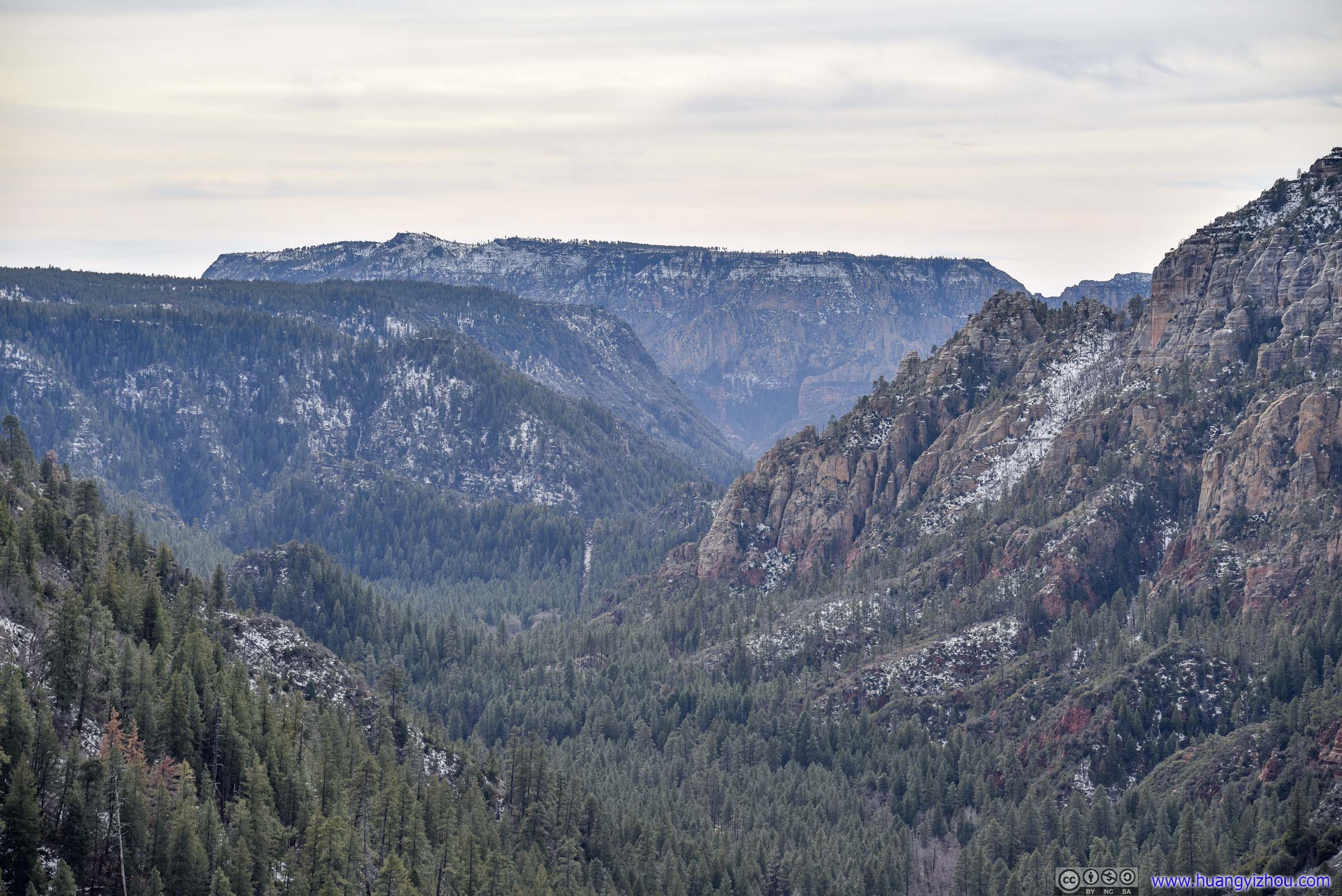
At the rim of the canyon there was a vista point overlooking the valley to the south, where we made a brief stop appreciating the landscape. Here elevation was higher and the northern slopes of the canyons in sight were dotted with the enchanting color of white snow. Oak Creek Canyon followed a fault line, so rock formations were higher on the western side, which was clearly visible from the vista.
Valley from Oak Creek Vista
 Oak Creek Canyon
 Distant Red RocksWilson Mountain in the background of this photo.
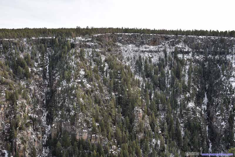 Eastern Rim of Oak Creek Canyon
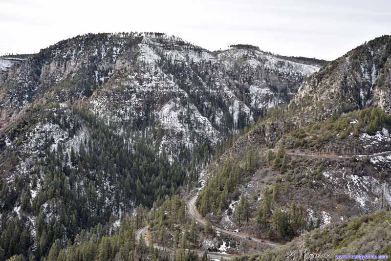 Mountains to the WestAnd the winding mountain road up Oak Creek Vista.
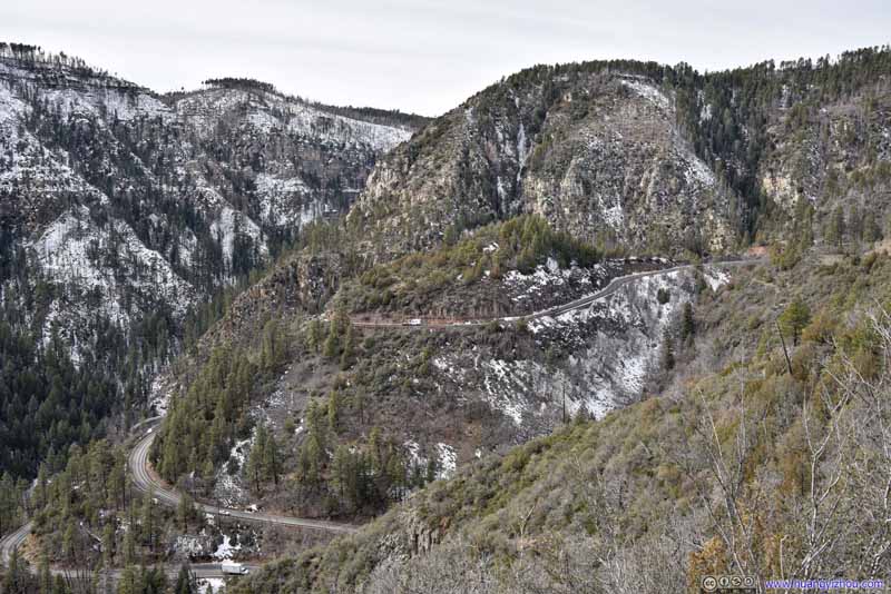 Mountains to the WestAnd the winding mountain road up Oak Creek Vista.


Click here to display photos from Oak Creek Vista.

Oak Creek Canyon
Distant Red RocksWilson Mountain in the background of this photo.

Eastern Rim of Oak Creek Canyon
Mountains to the WestAnd the winding mountain road up Oak Creek Vista.

Mountains to the WestAnd the winding mountain road up Oak Creek Vista.
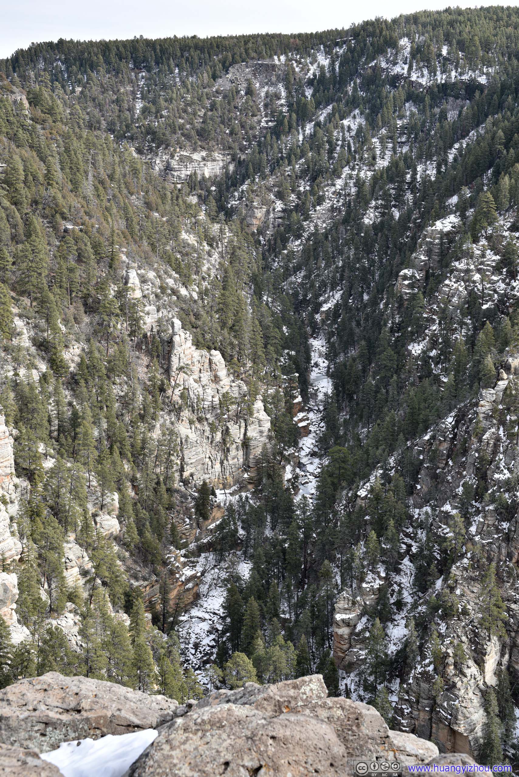
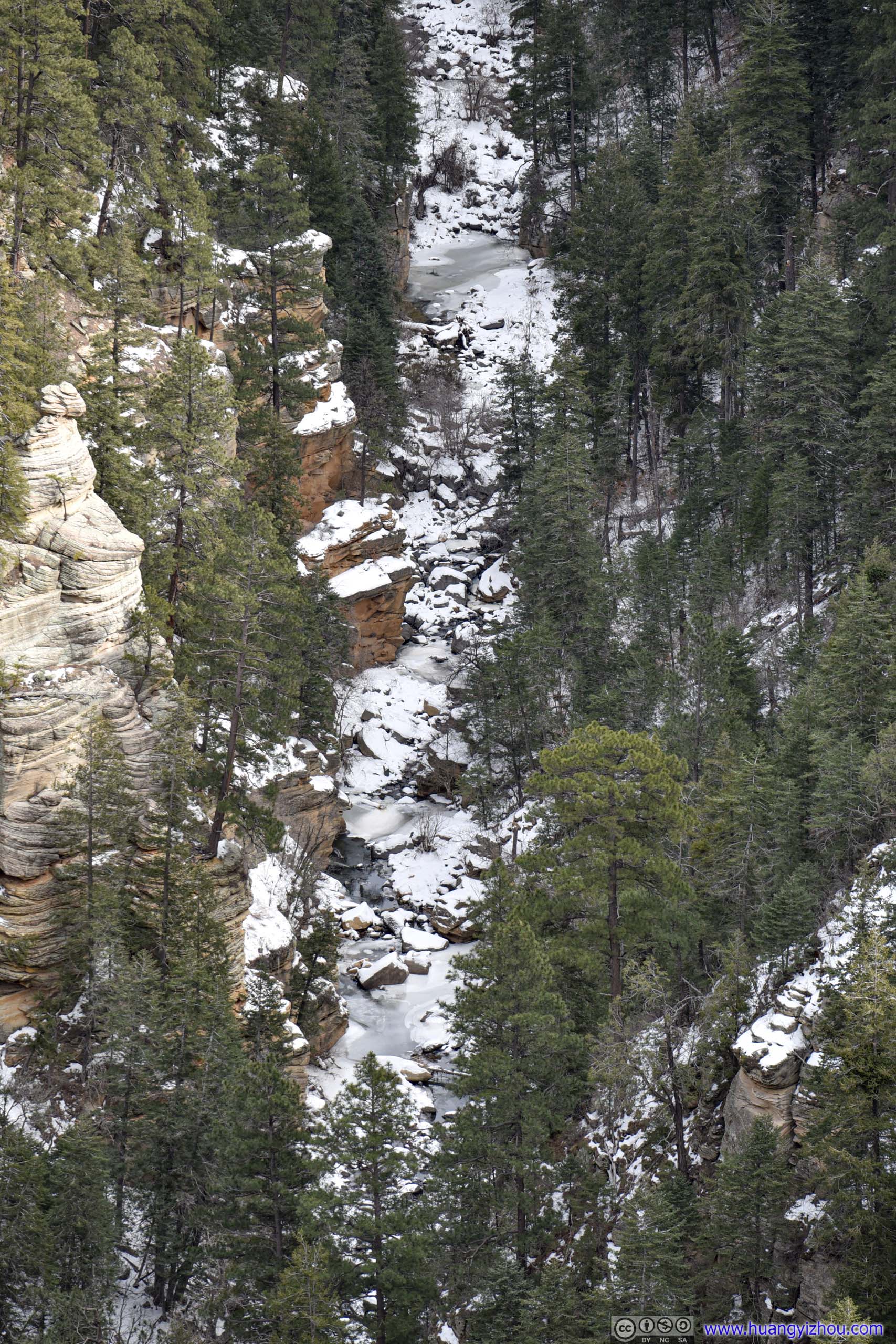 Pumphouse WashA creek in Coconino National Forest, the origin of Oak Creek. Looking closer, one may identify its frozen surface.
After that, we continued north. We made a stop at the city of Flagstaff for food and supplies, as the last major town before Grand Canyon.
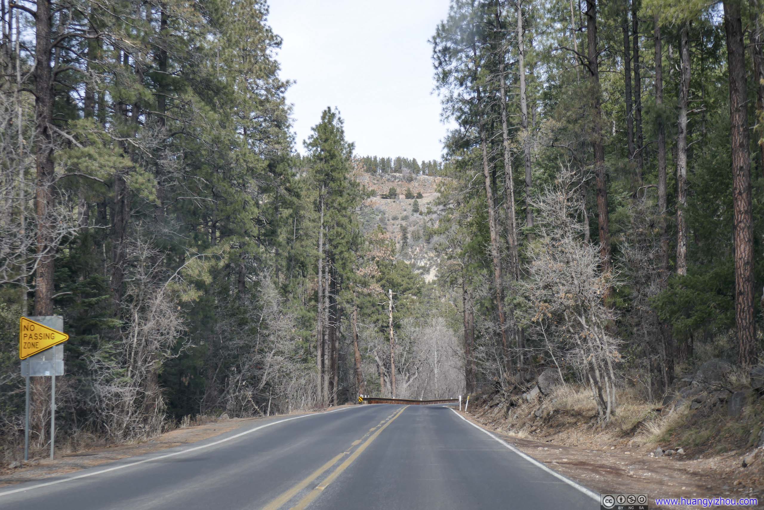
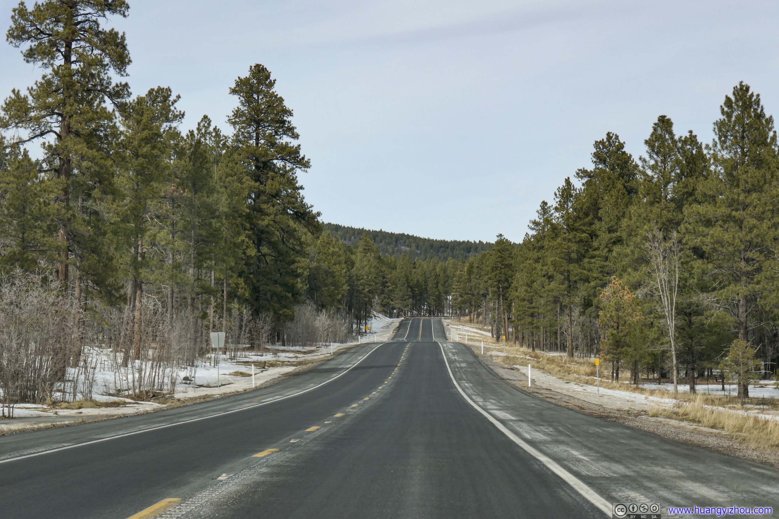 Road
Road
From Flagstaff there were three routes to reach Grand Canyon Village, where we would be spending the night.
- The western route of I40-AZ64 was the fastest. A small detour and one could visit the town of Williams on historic US Route 66.
- The central route of US180-AZ64 was the shortest. It passed along the foot of Humphreys Peak, the highest mountain in the state of Arizona before joining the previous one.
- The eastern route of US89-AZ64 was the longest. However, unlike the previous two it followed the south rim of Grand Canyon for a considerable distance, meaning we could stop along the way to appreciate its magnificence.
By the time we left Flagstaff it was 2pm. Since it would be too soon for us to arrive at our overnight hotel via the first two routes, we decided to take the longer route of US89-AZ64. Even more, we thought the few NPS managed sites east of Flagstaff, meaning Walnut Canyon, Sunset Crater and Wupatki were quite interesting. In the end, we decided to visit the latter two as they involved less of a detour.
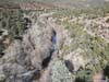
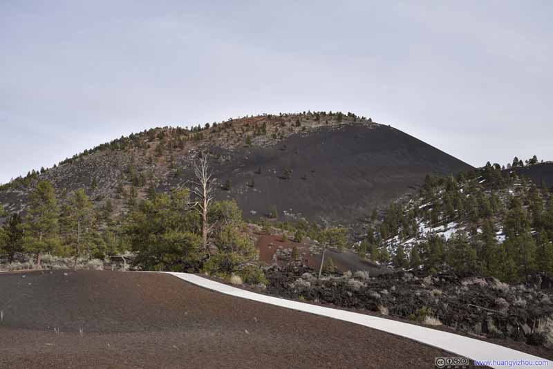
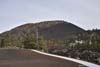
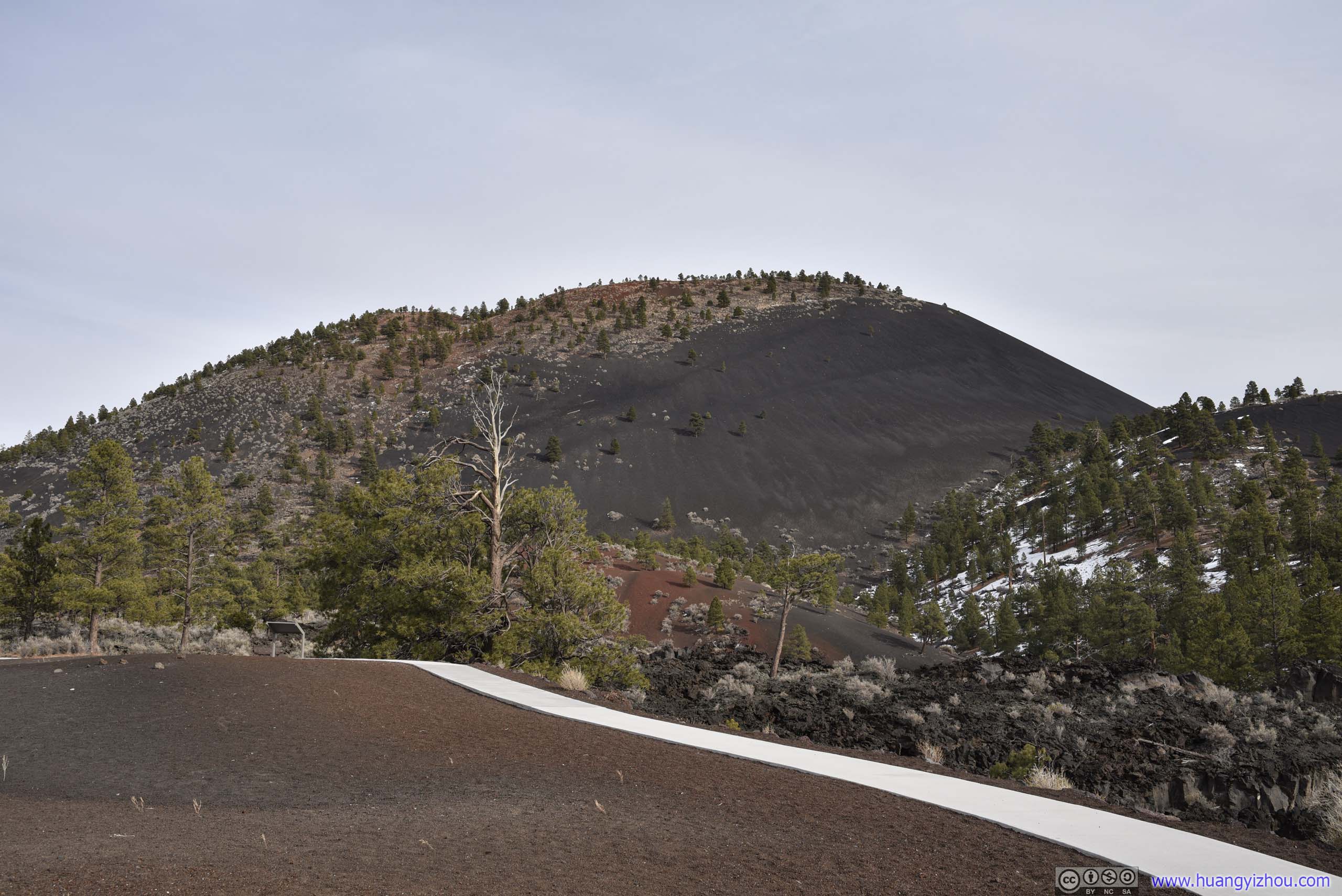
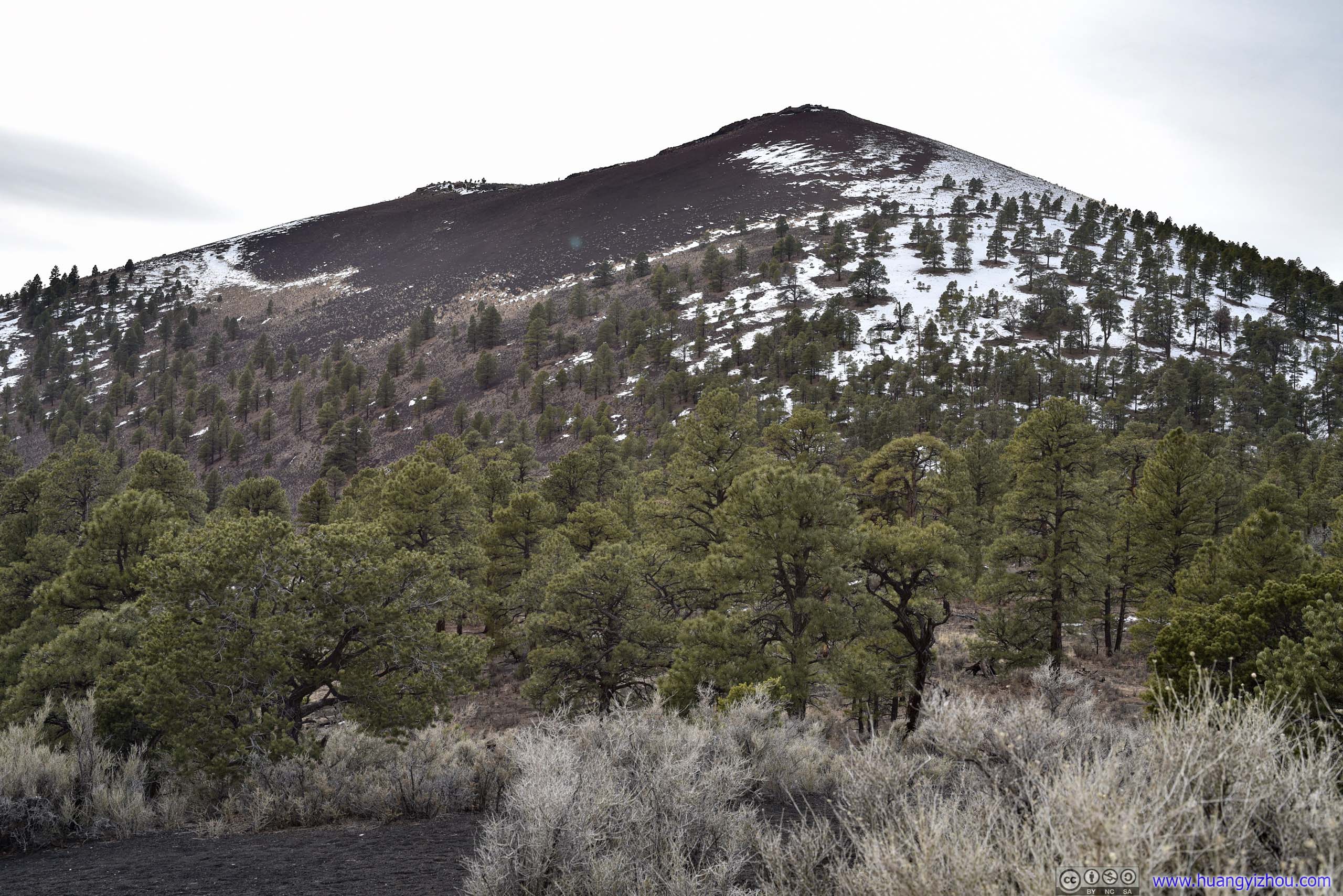
Sunset Crater
Sunset Crater was the youngest of a group of volcanoes in the vicinity, with its last eruption in the 11th century. It’s commonly believed to be an extinct volcano nowadays.
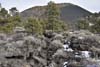
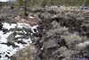
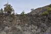
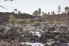
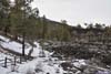
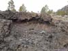
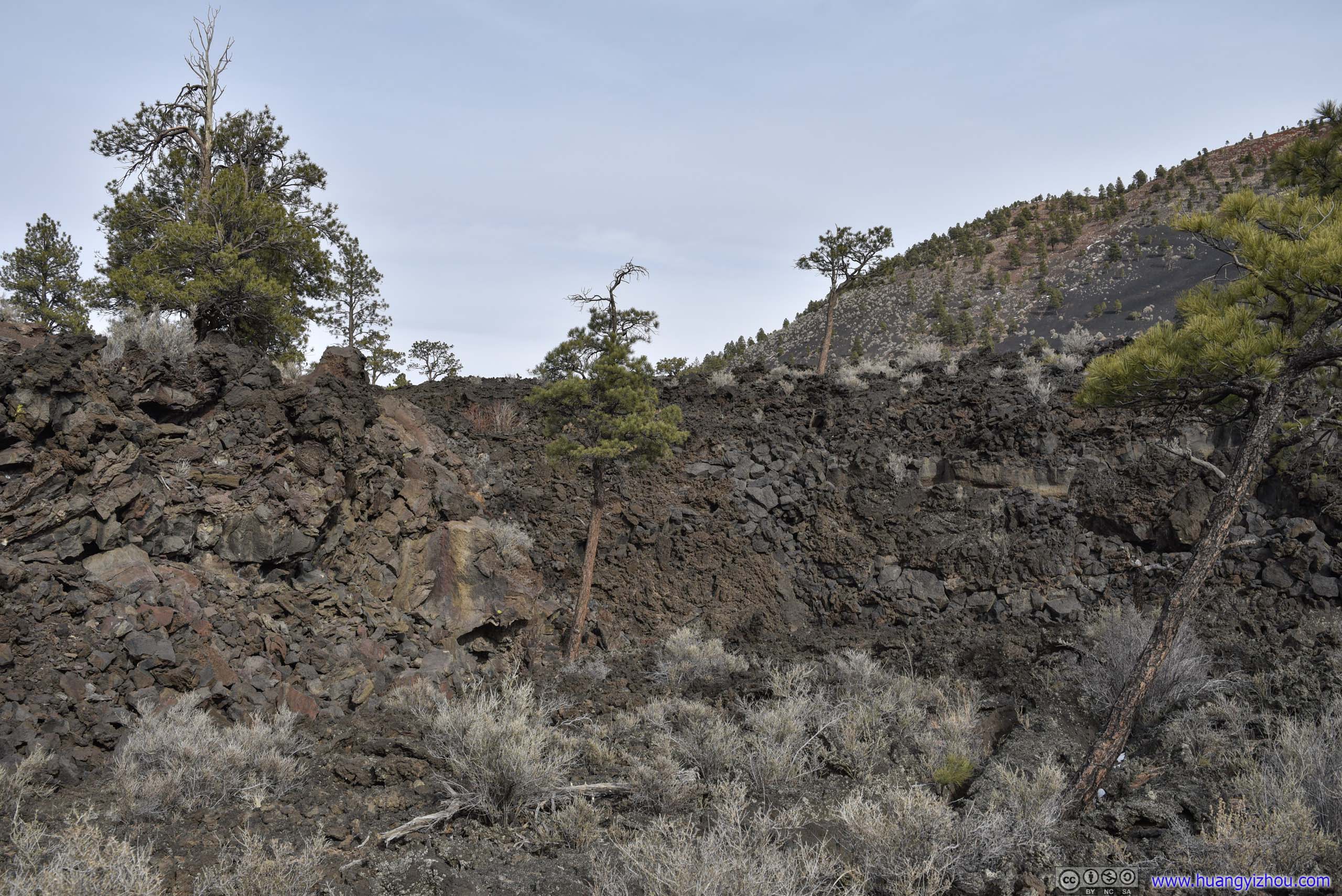
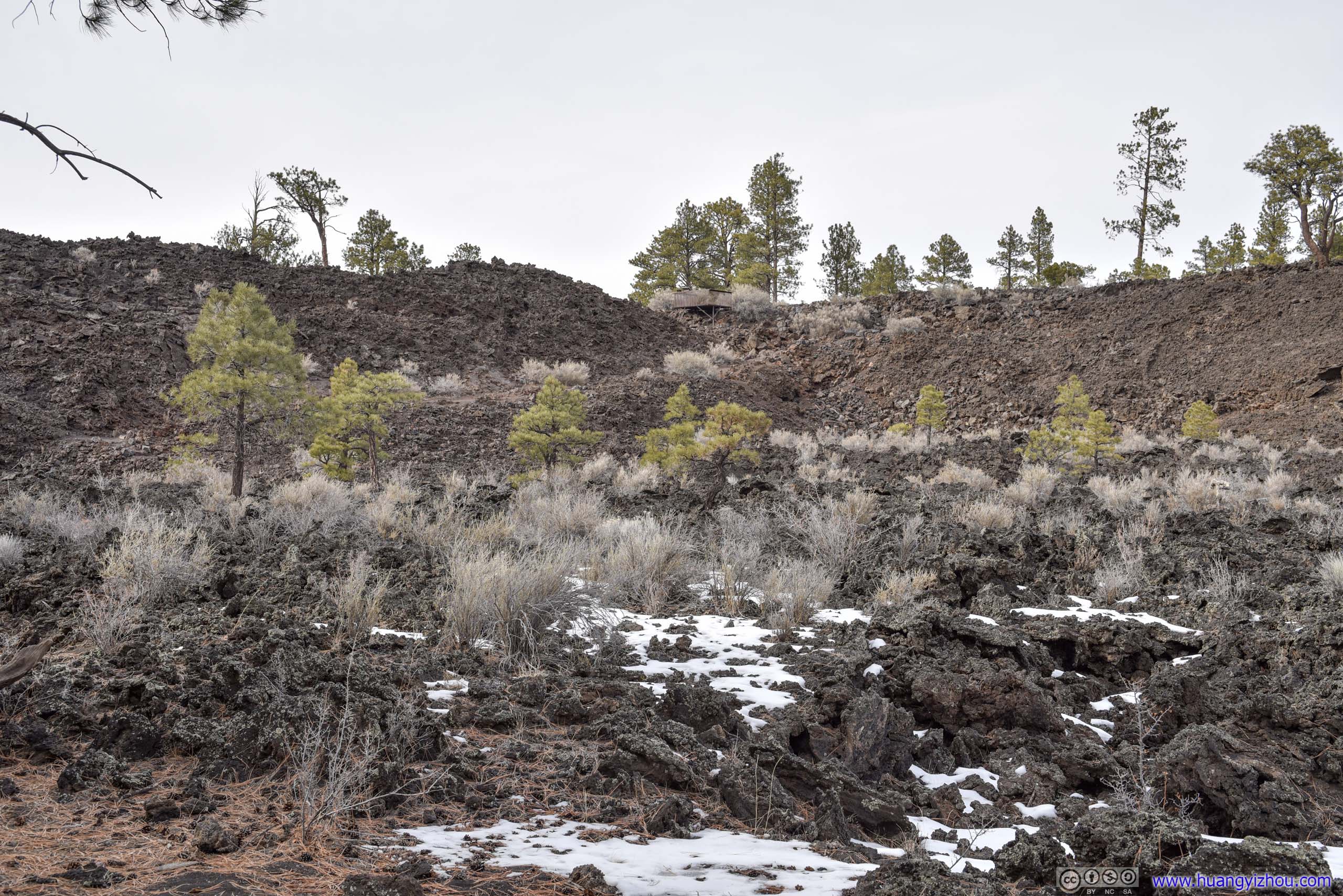
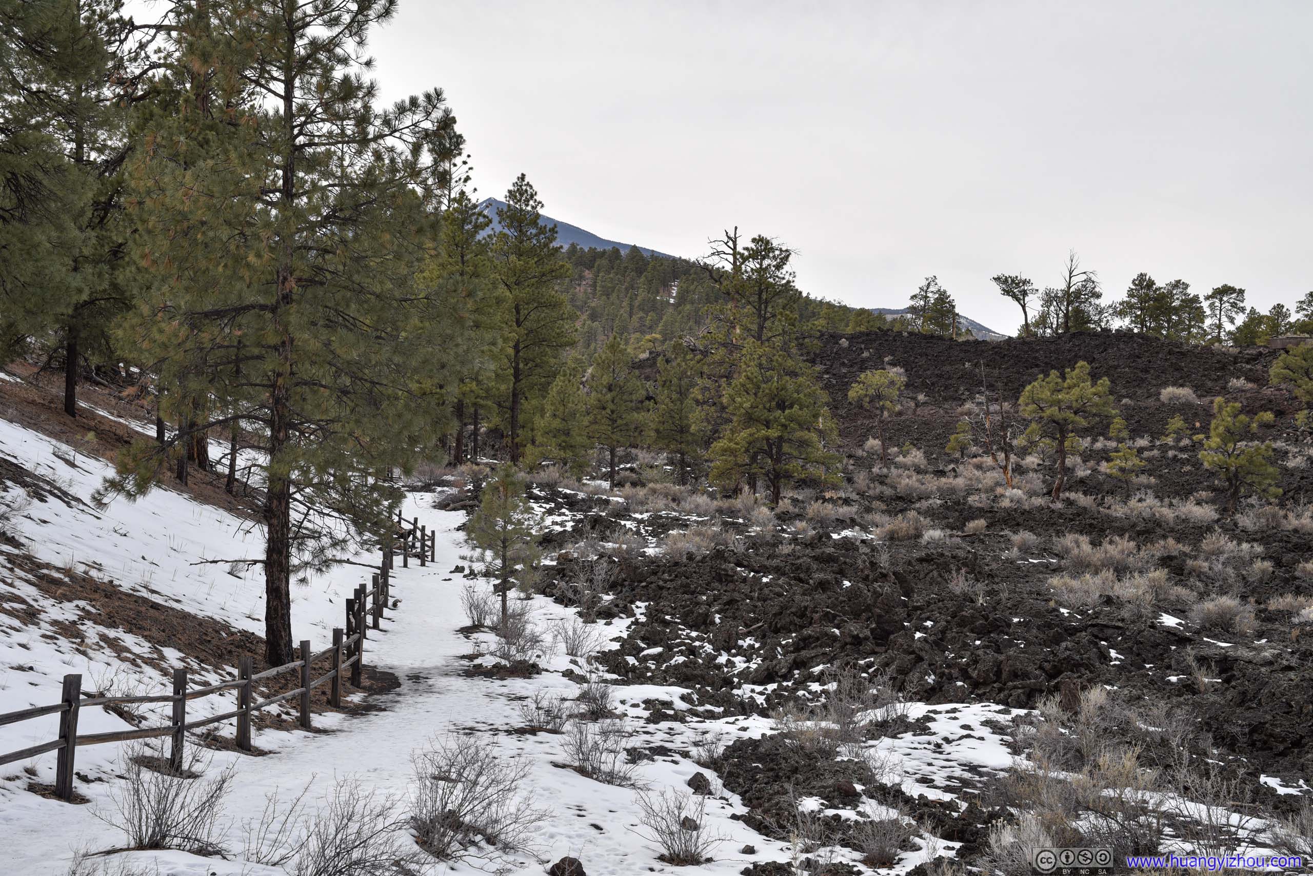
Due to its fragile ecosystem, climbing Sunset Crater was prohibited. However, next to the crater, a field of lava from its last eruption was pretty visible, with a 1.3-km maintained “Lava Flow Trail” that threaded through the lava field, which my friend and I paid a visit to.
 Sunset Crater
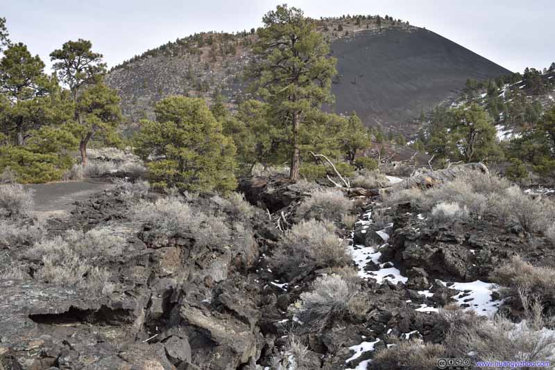 Solidified Lava
 Solidified Lava
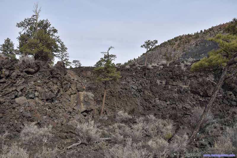 Solidified Lava
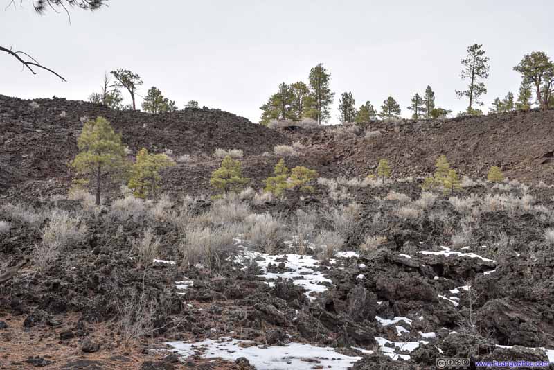 Lava Field
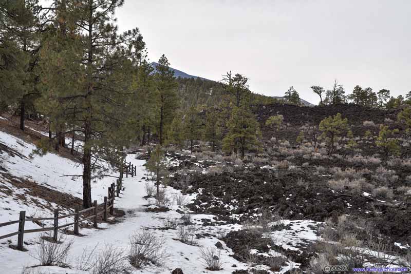 Trail by Lava Field
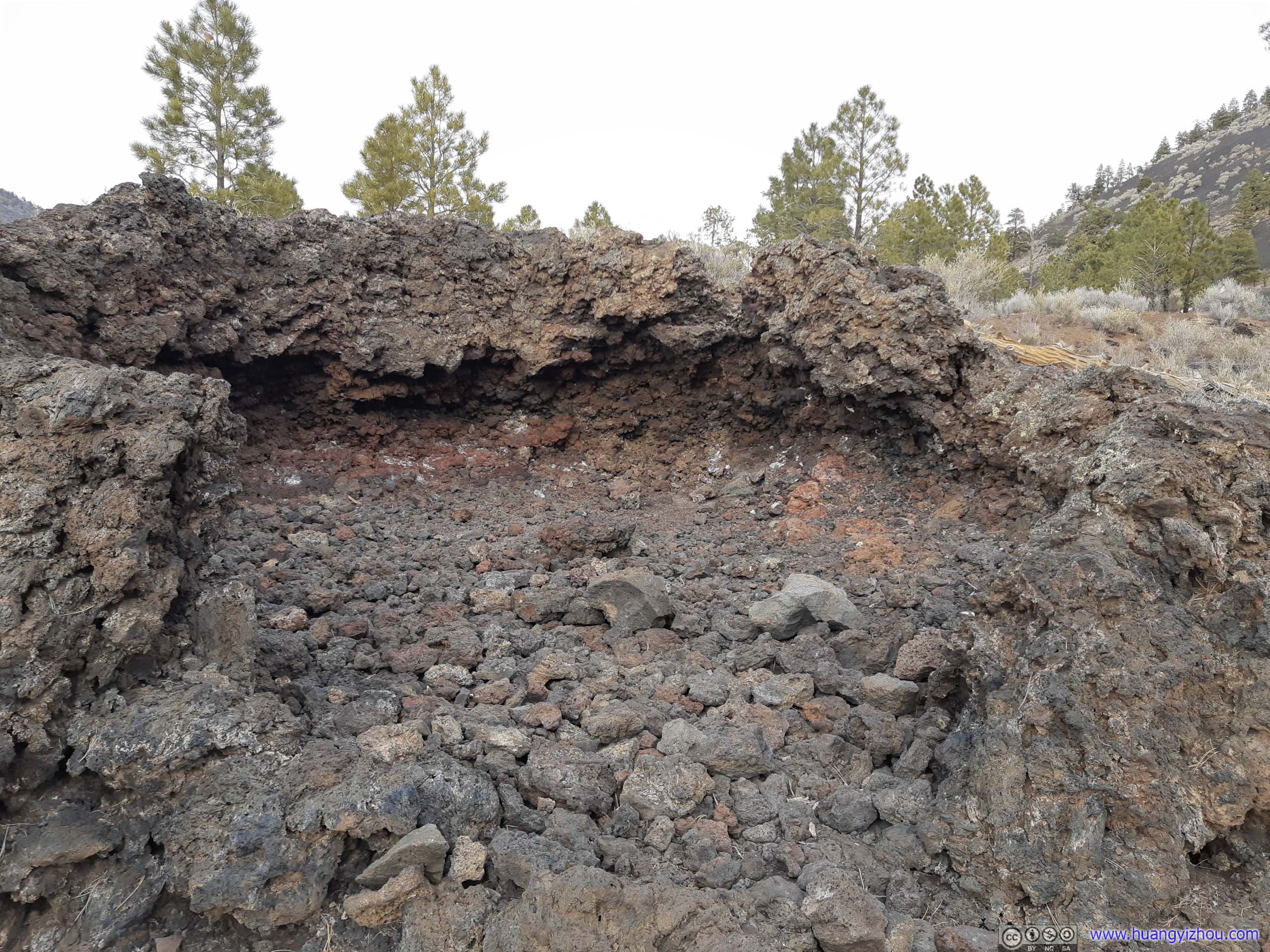
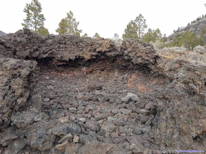 Spatter Cone
Spatter cones form when lava is forced up through an opening in the cooled surface of a lava flow. They are fed by the underlying flow rather than a deep magma conduit. Imagine fluid fragments of liquid lava bursting upward as gases are released – like bubbles from a carbonated drink. Drops fall, congeal, and create a circular mound around the opening.
Spatter Cone
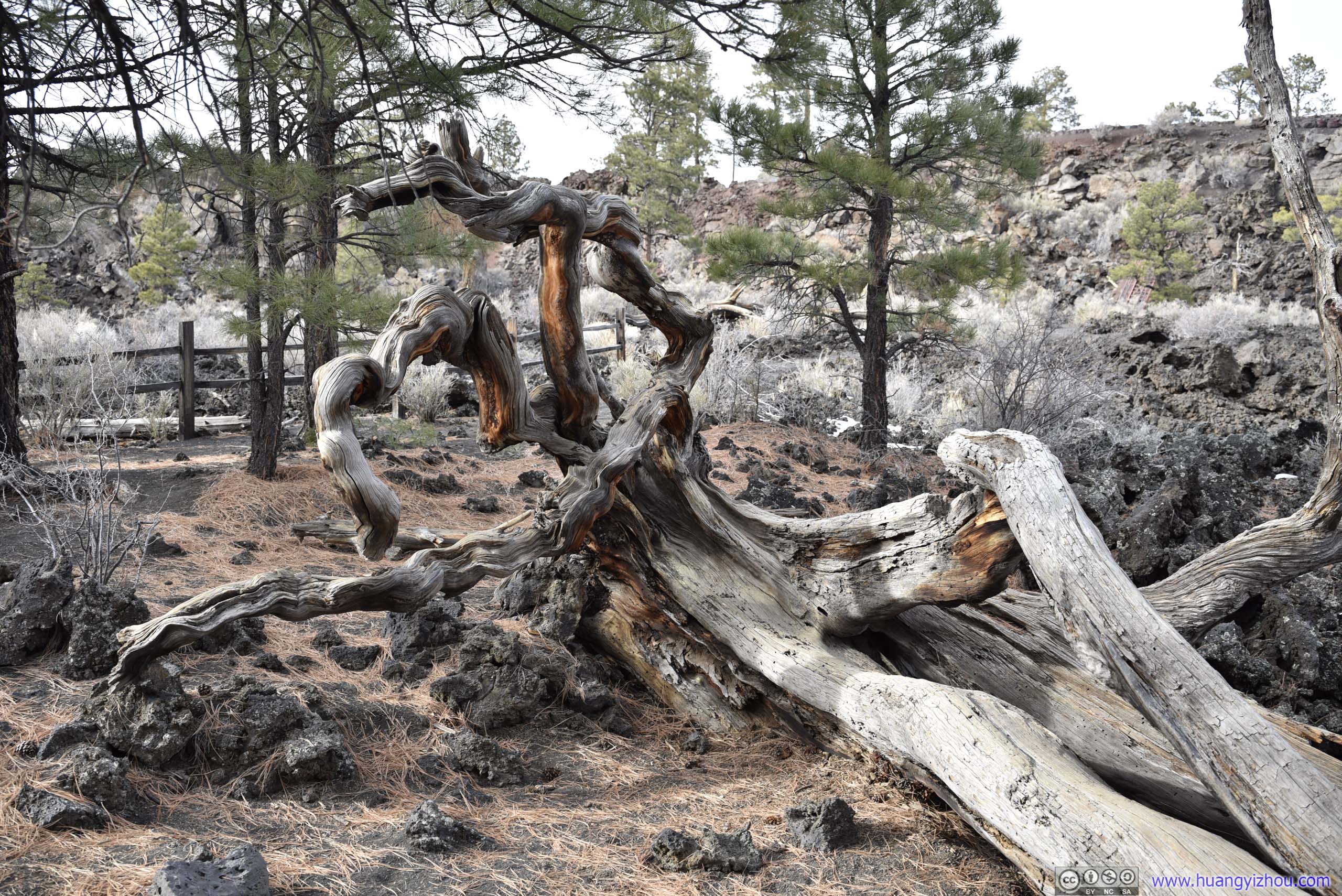
Spatter cones form when lava is forced up through an opening in the cooled surface of a lava flow. They are fed by the underlying flow rather than a deep magma conduit. Imagine fluid fragments of liquid lava bursting upward as gases are released – like bubbles from a carbonated drink. Drops fall, congeal, and create a circular mound around the opening. Twisted TreeWell, this mustn’t be Sedona’s vortex.
Click here to display photos along Lava Flow Trail.
Sunset Crater

Solidified Lava

Solidified Lava
Solidified Lava
Lava Field
Trail by Lava Field
Spatter Cone
Twisted TreeWell, this mustn’t be Sedona’s vortex.
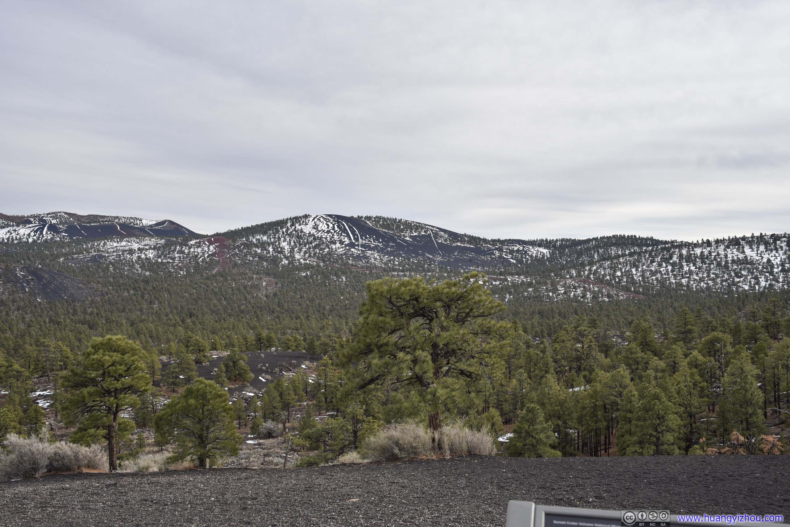
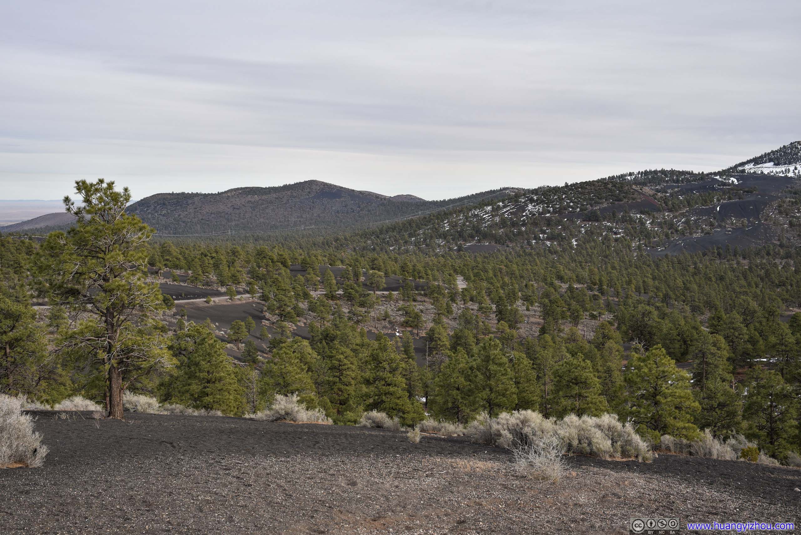
Cinder Hills Overlook
Not far down the road was Cinder Hills Overlook, a small overlook on the opposite side of Sunset Crater as Lava Flow. Here a few other volcanoes to the southeast were also visible.

Mountains from Cinder Hills Overlook

 Mountains
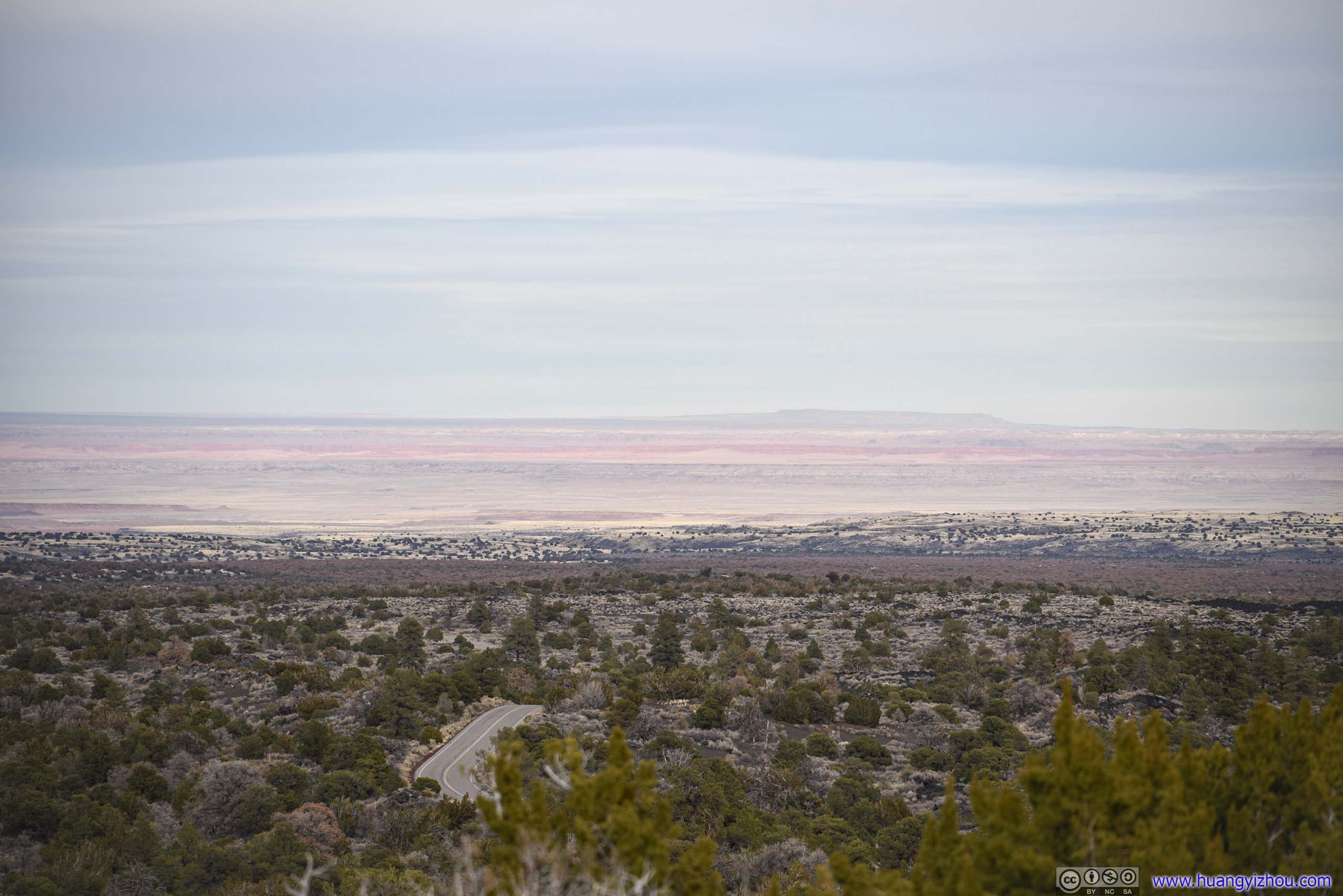
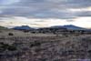
Painted Desert Vista
About 4 miles down the road there was another roadside vista, this one with clearer sights of distant desert wearing vivid colors.

 Distant Desert
Distant Painted Desert
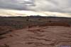
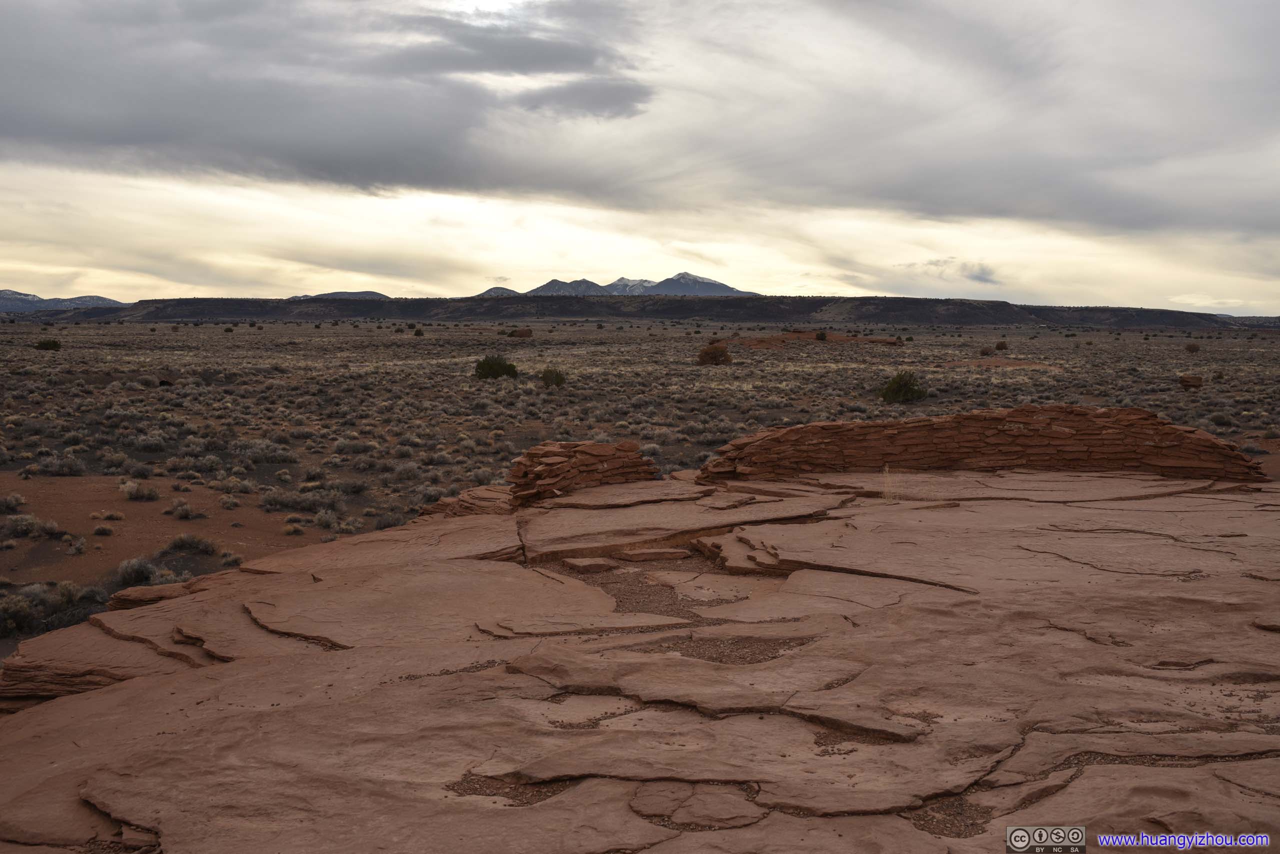
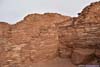
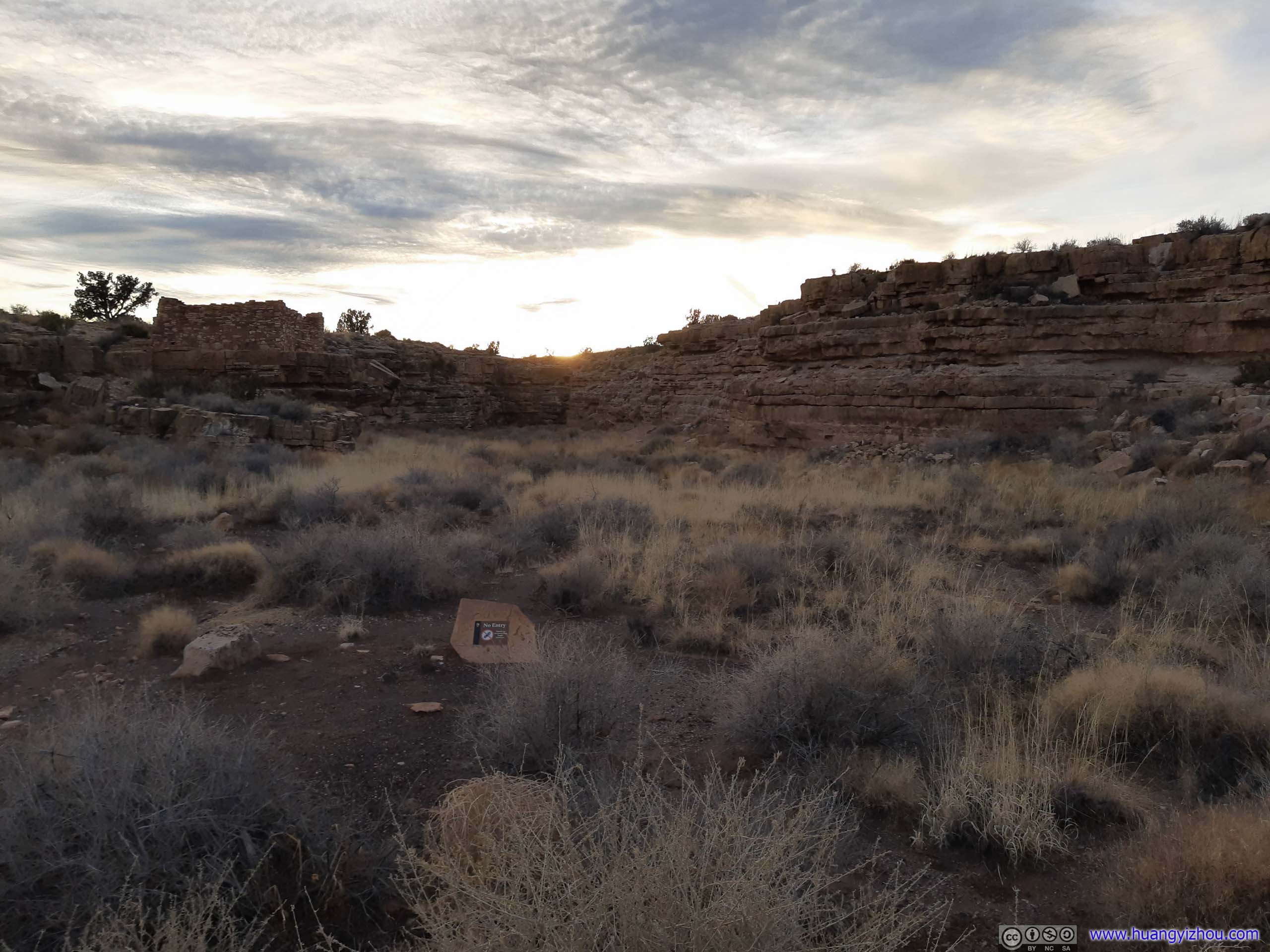
Wupatki National Monument
Continuing forward, we entered Wupatki National Monument. A few ruins of Ancient Pueblo People scattered around the site.
In addition, the area received less precipitation than nearby Sunset Crater, so I found the grassland landscape with the open views it afforded both appealing and humbling. Here’s a dashcam video of our drive towards Wukoki Pueblo.
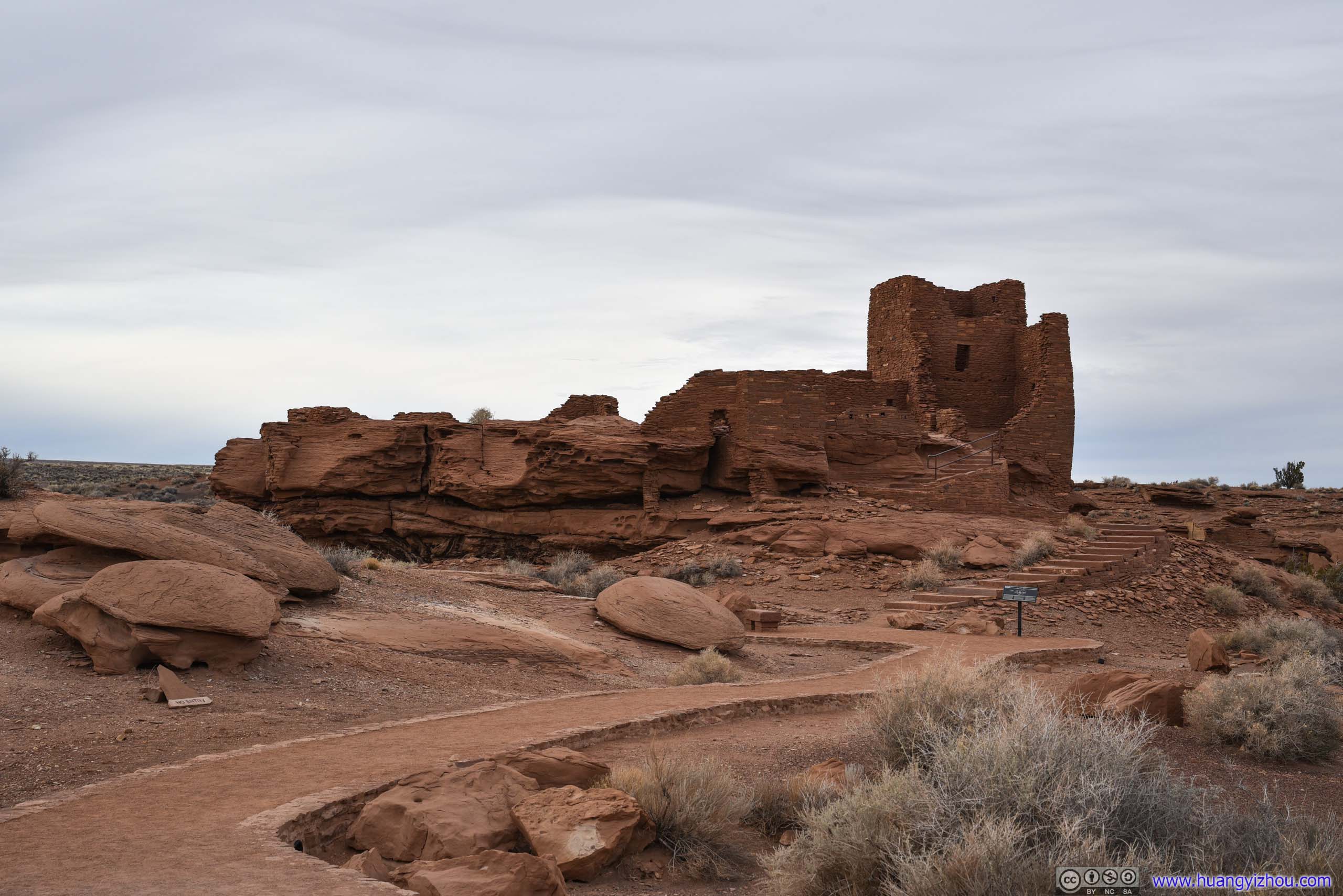
Wukoki Pueblo
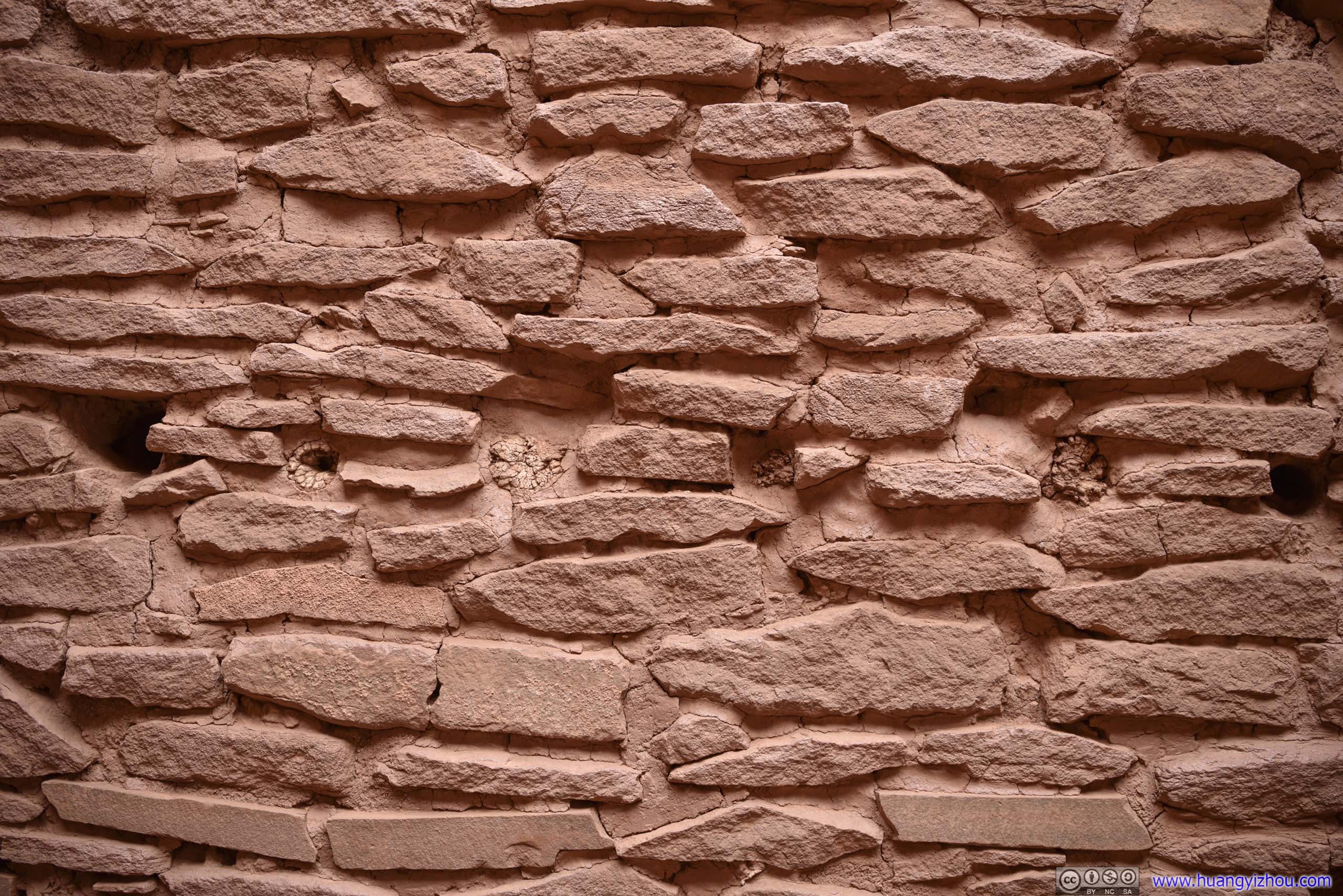
In English, “Wukoki” means “big house”. Wukoki Pueblo was built on an open field and thus its towering presence was visible from afar during its occupation in the 1100s. That combined with its position atop a sandstone outcrop led some to believe this was a “focal” site to the indigenous people. Originally as a three-story building, now only part of the building remained.
 Wukoki Pueblo
 Wukoki Pueblo
 Wukoki Pueblo
 Wukoki Pueblo
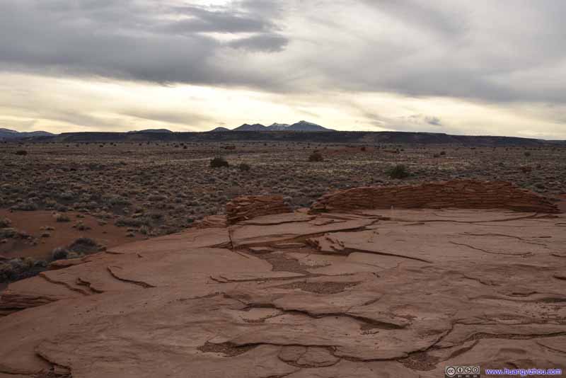 View from Wukoki PuebloThe building probably used to occupy the entire foundation on the foreground.
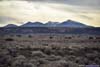
 San Francisco MountainsHumphreys Peak (3851m) as the highest peak in Arizona in the right.
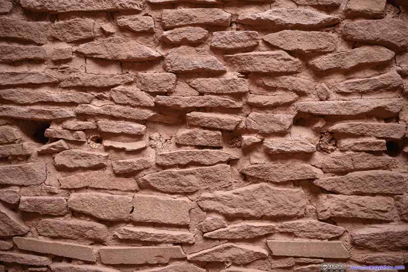 Holes in WallWhich my friend and I believed were for beams that held floors.
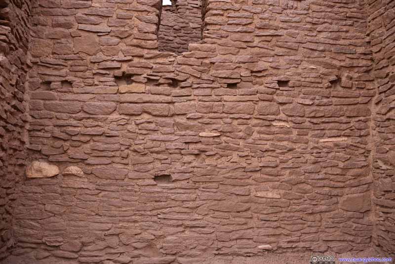 Room Interior
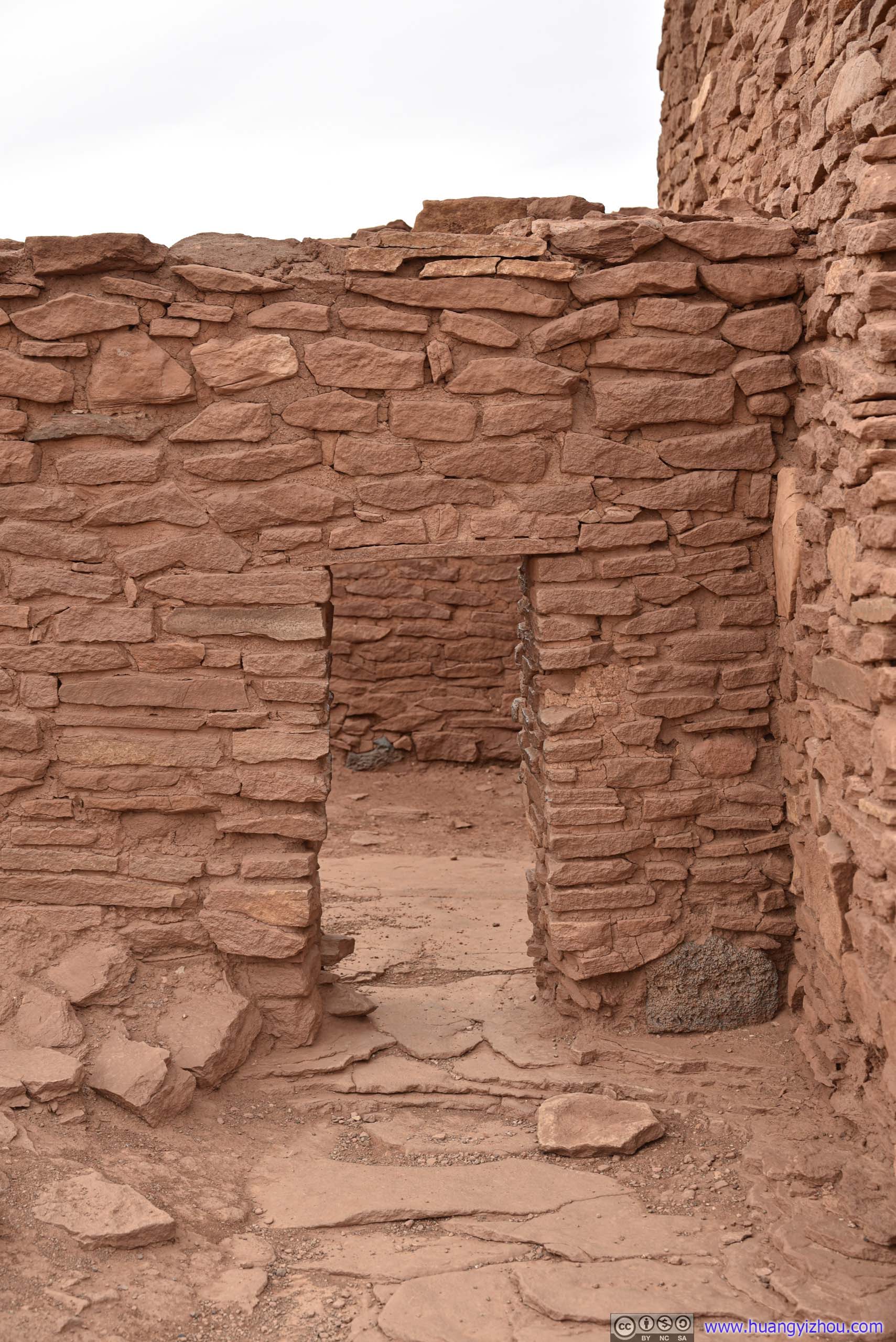
 Doorway
Somehow, the doorways at these native American ruins were all very small. We had to bend over in order to walk through them.
Doorway
Somehow, the doorways at these native American ruins were all very small. We had to bend over in order to walk through them.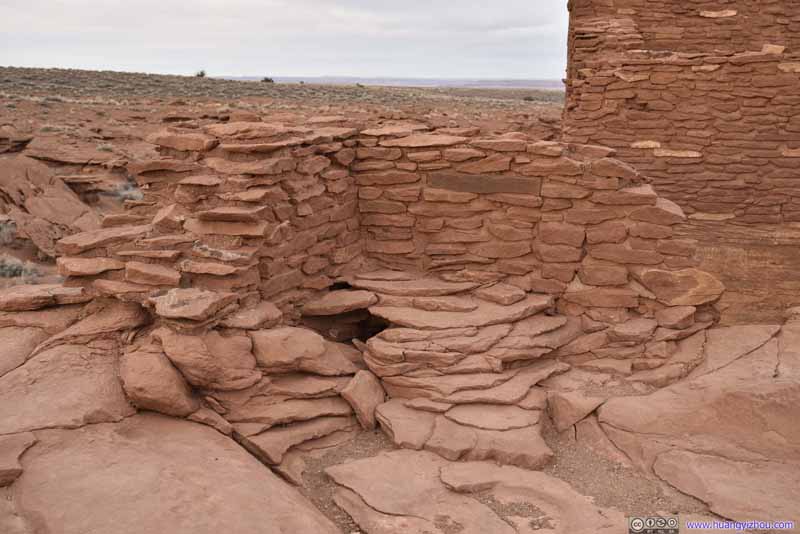 Opening in the GroundMy friend and I believed this was site of a toilet.
 Opening in the WallThis looked like a drainage to us.


Click here to display photos in and around Wukoki Pueblo.
Wukoki Pueblo
Wukoki Pueblo
Wukoki Pueblo
Wukoki Pueblo
View from Wukoki PuebloThe building probably used to occupy the entire foundation on the foreground.
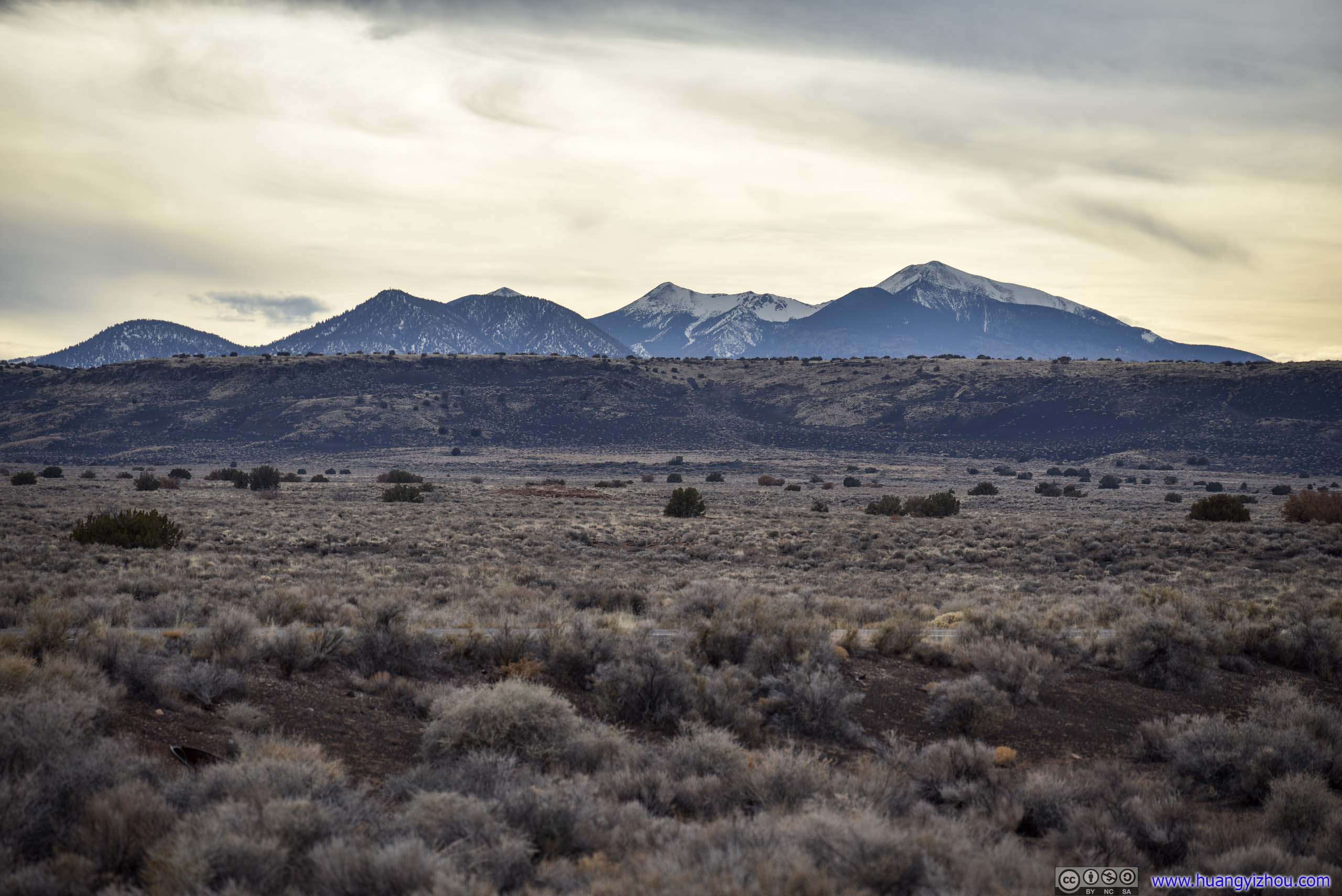
San Francisco MountainsHumphreys Peak (3851m) as the highest peak in Arizona in the right.
Holes in WallWhich my friend and I believed were for beams that held floors.

Room Interior
Doorway
Opening in the GroundMy friend and I believed this was site of a toilet.
Opening in the WallThis looked like a drainage to us.
Fields from Wukoki Pueblo
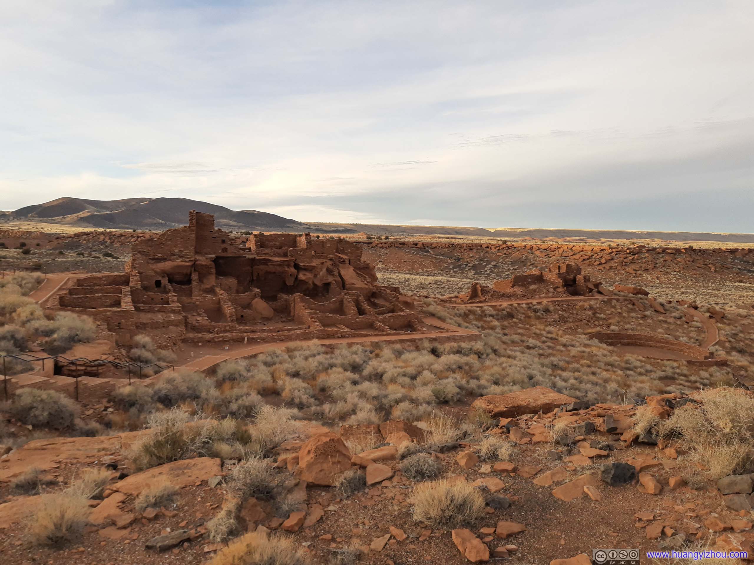
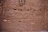
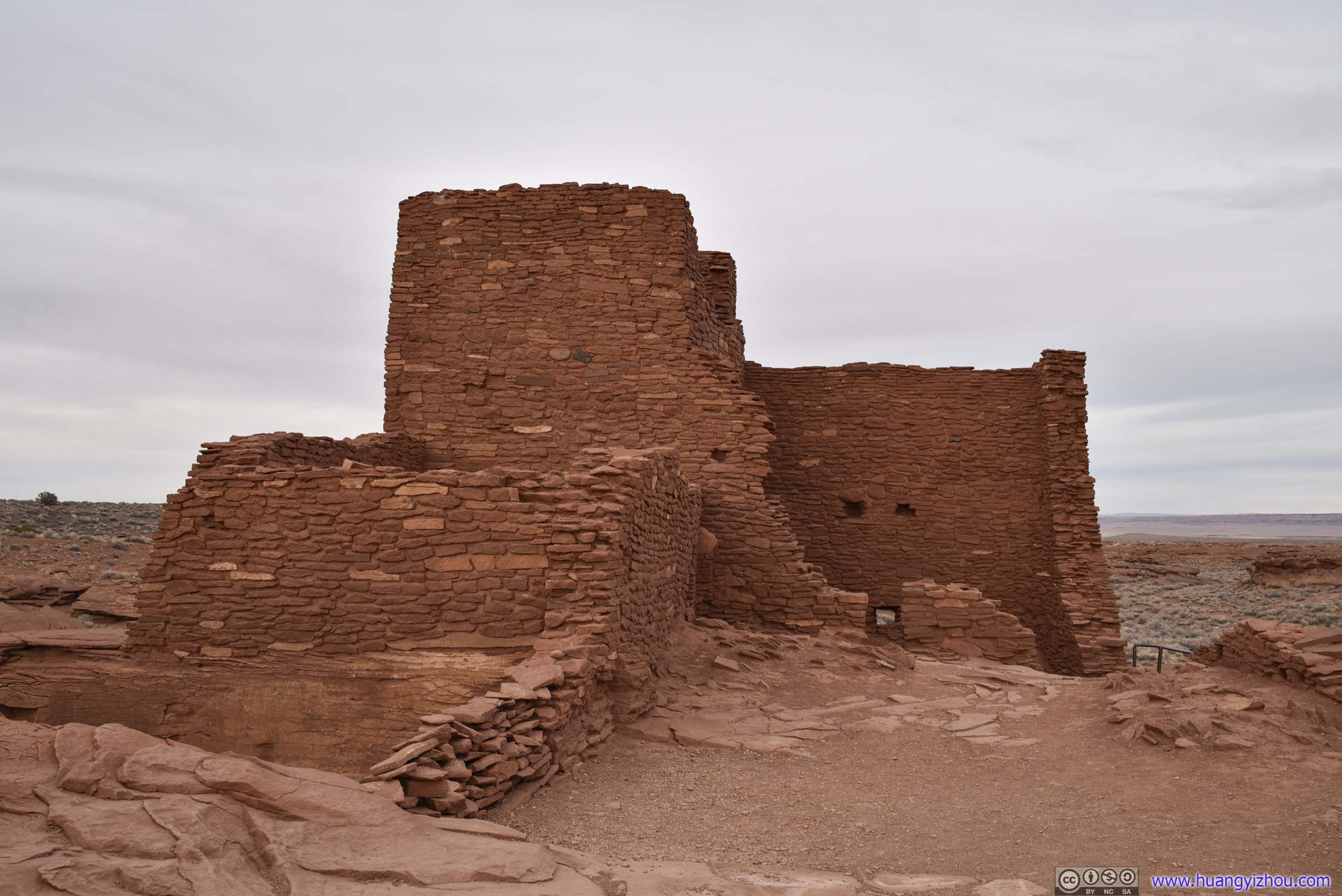
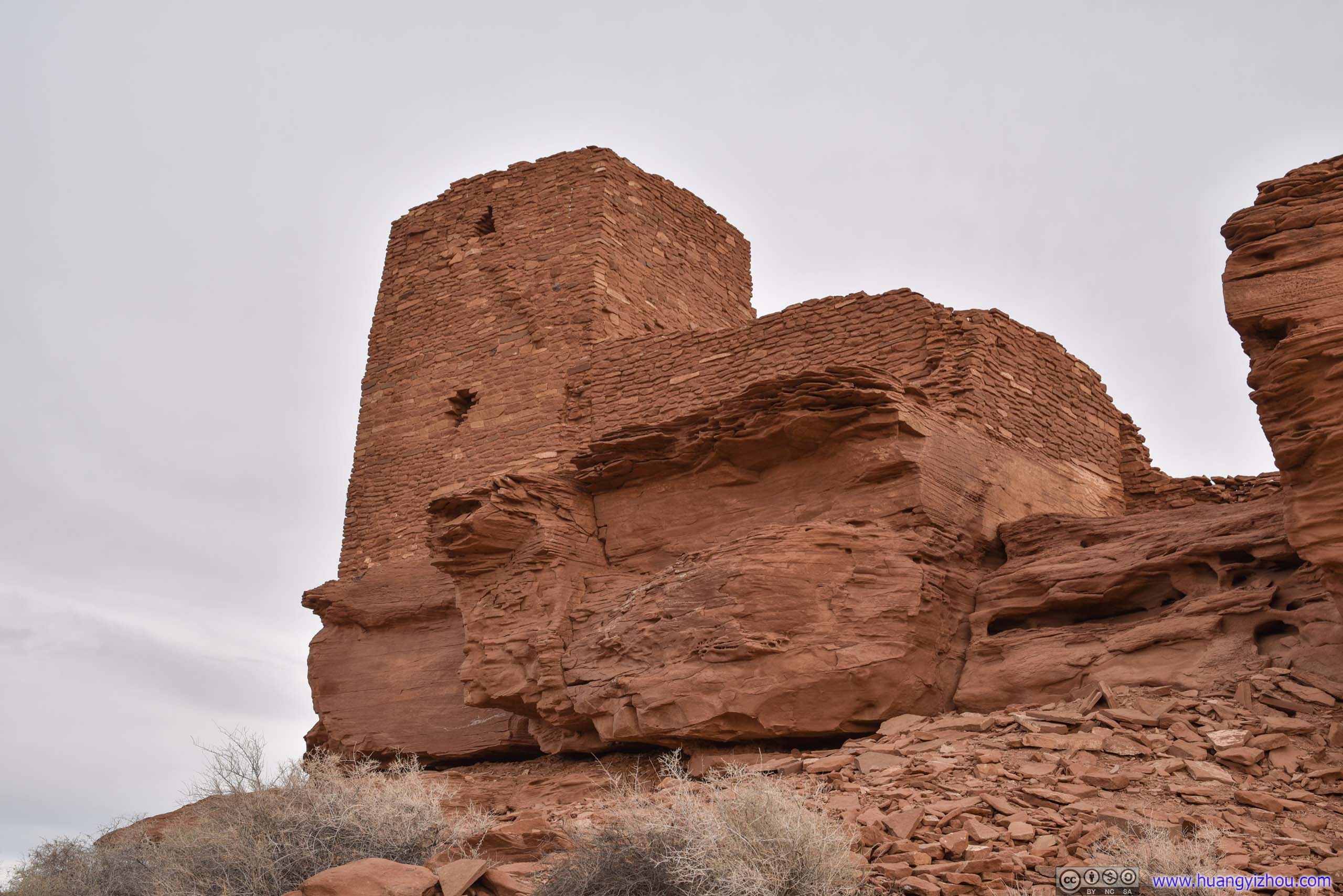
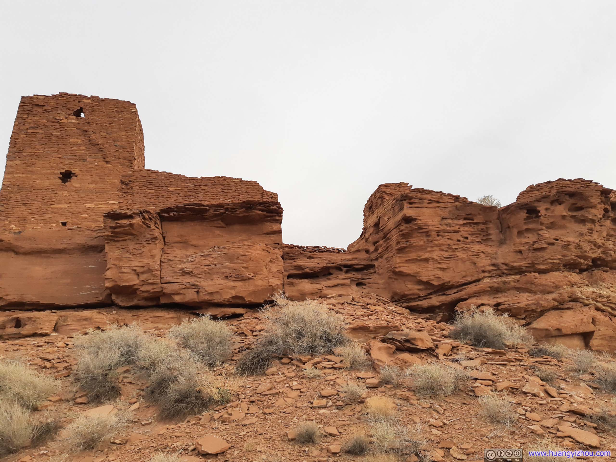
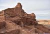
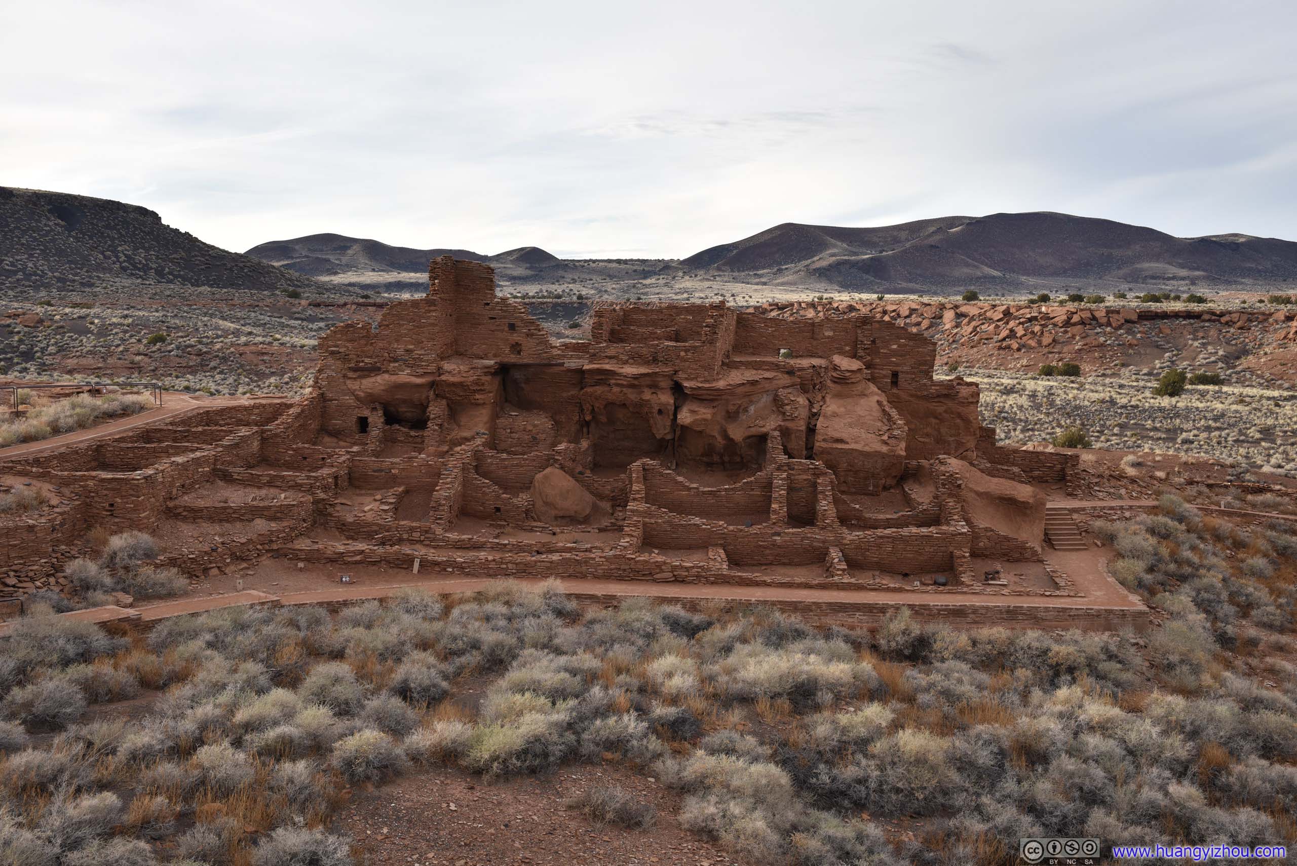
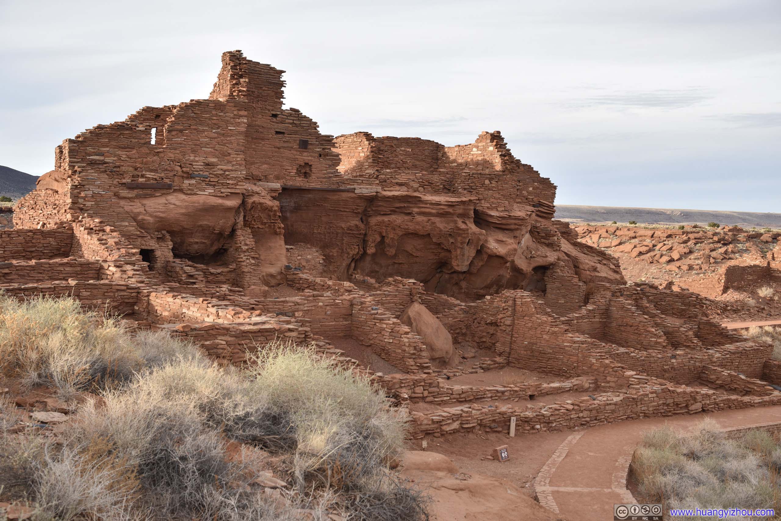
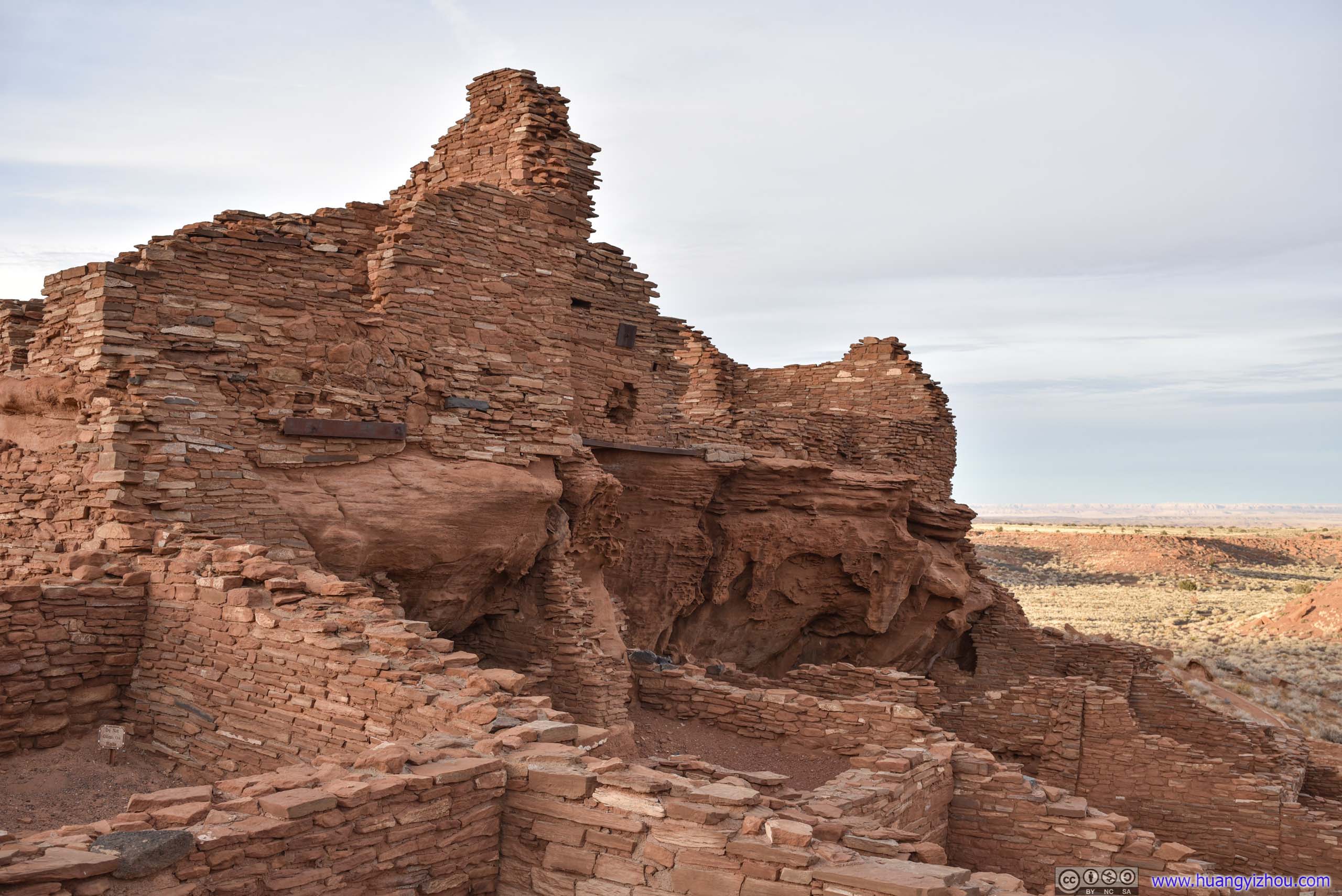
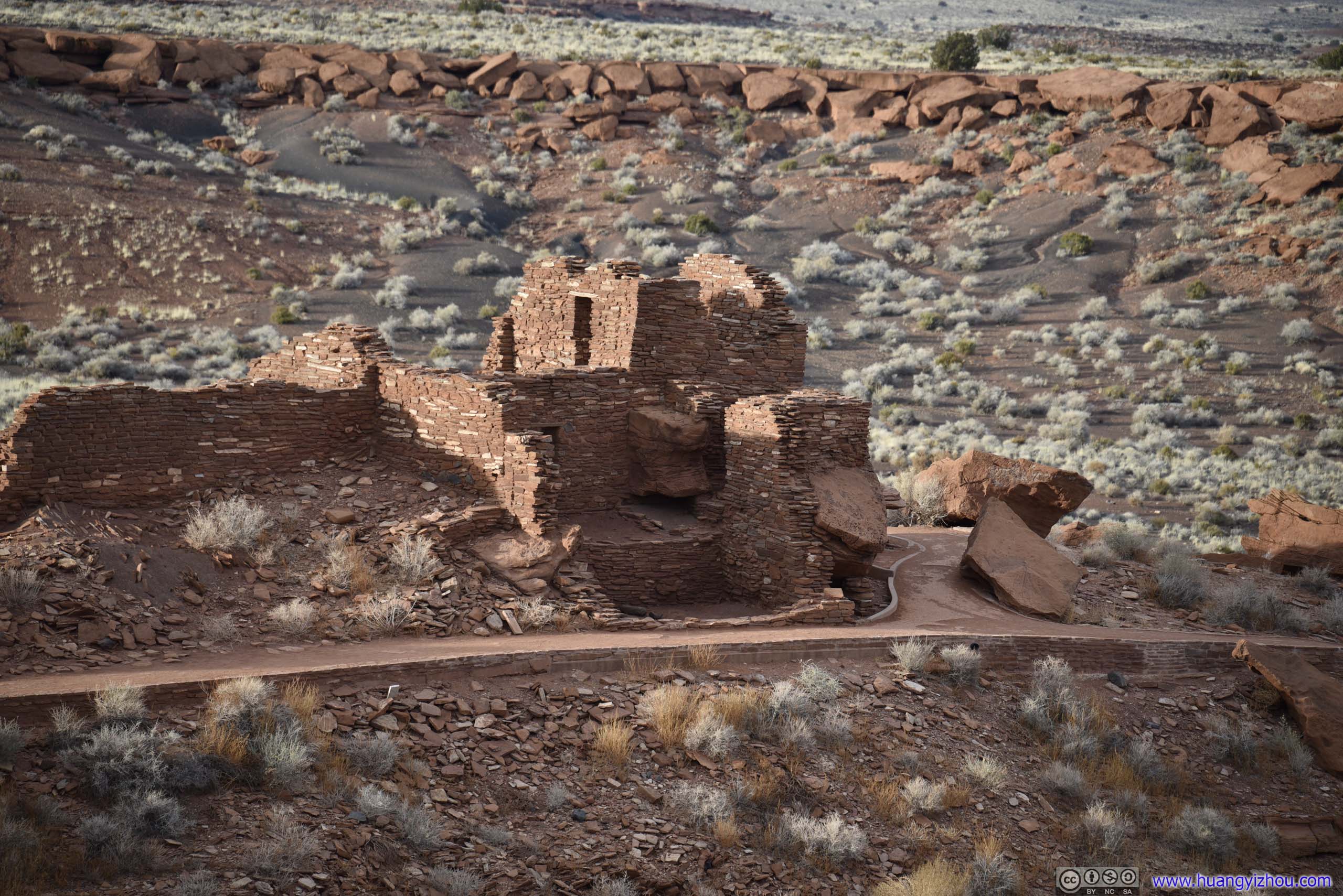
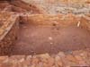
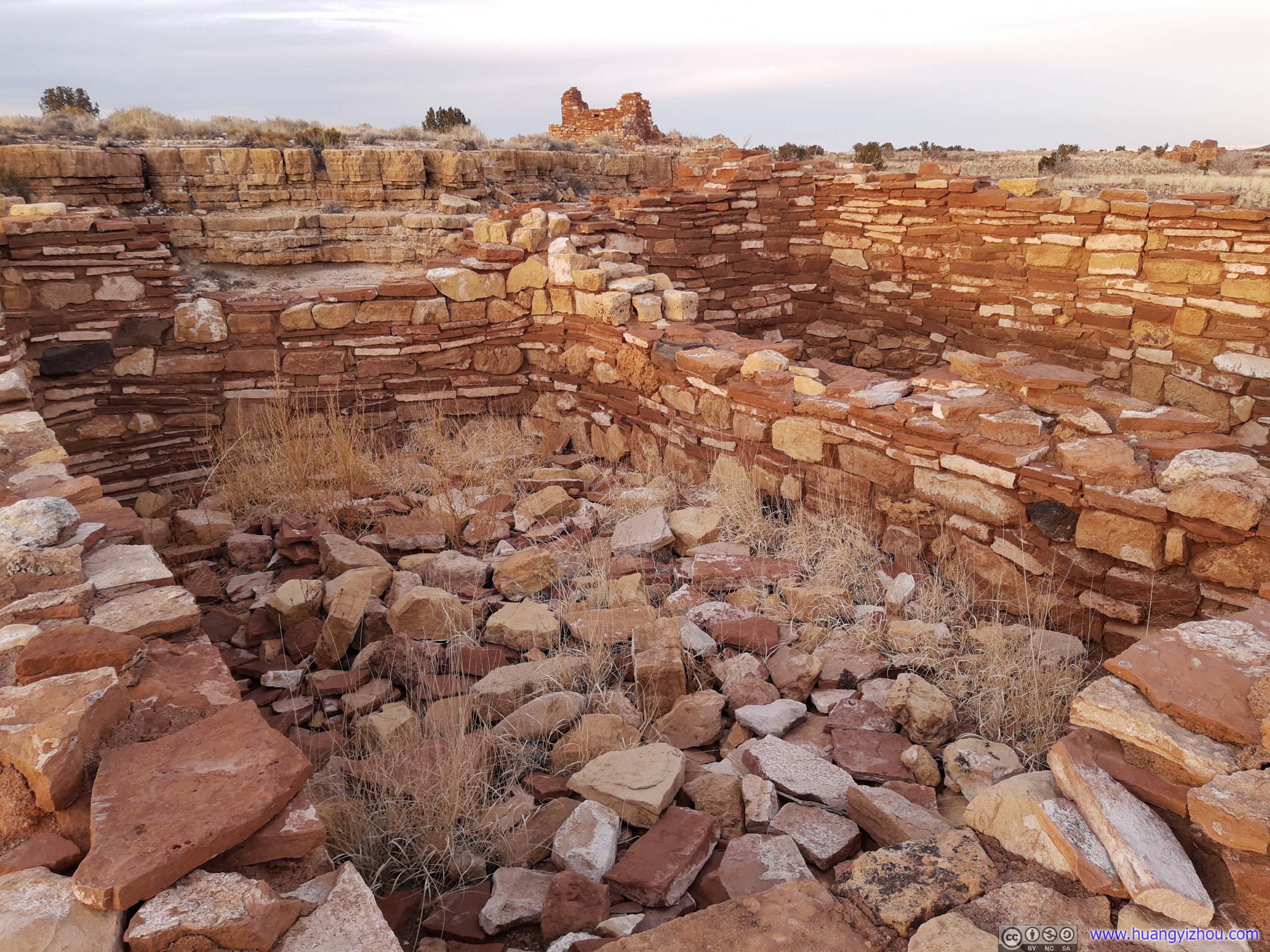
Wupatki Pueblo
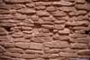
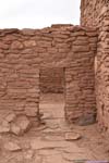
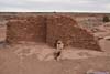
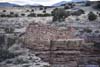
Next, we reached the nearby Wupatki Pueblo, which was much larger than Wukoki, and also housed the park’s visitor center.
In English, “Wupatki” means “tall house”. It’s the largest housing unit in the region, with about 100 rooms at its peak, with separate community rooms and ballcourts.
I was puzzled to learn that most entrances to the rooms were through roofs, but somehow the residents managed a complex system of multi-story labyrinth of walls and ladders just fine.
It’s believed that Wupatki Pueblo housed a farming community, but excavations also revealed trade activities with distant locations. At around 1200s, most houses in the vicinity (including Wupatki and Wukoki) were abandoned, I guessed that’s due to the farming boom brought by Sunset Crater’s eruption in the late 1000s had ended, and the Pueblo had to leave for land that’s more arable.
 Wupatki Pueblo
 Wupatki Pueblo
 Wupatki Pueblo
 Wupatki Pueblo
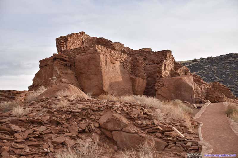 Wupatki Pueblo
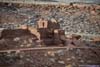
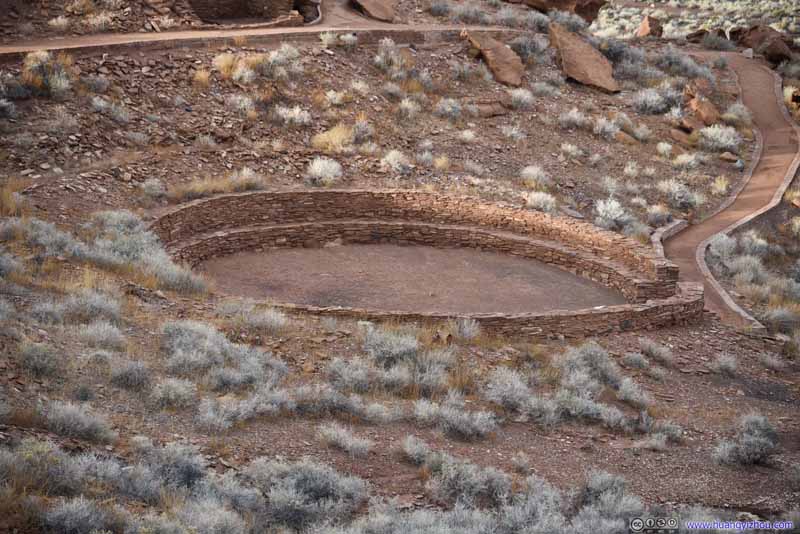 Community Room
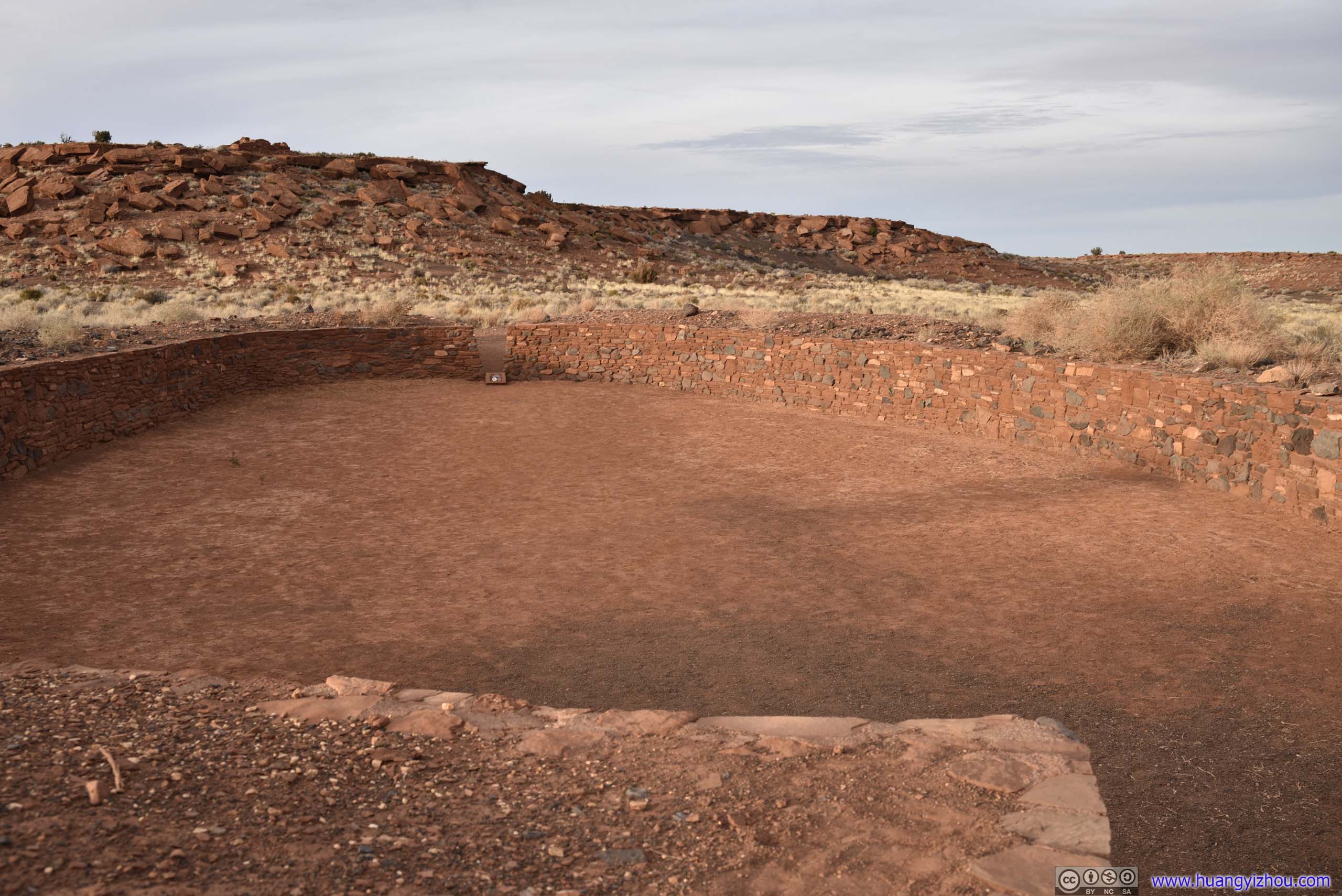
The ballcourt and community room seemed to serve similar functions to me, I couldn’t understand their differences.
Community Room
The ballcourt and community room seemed to serve similar functions to me, I couldn’t understand their differences. Ballcourt
The ballcourt and community room seemed to serve similar functions to me, I couldn’t understand their differences.
Ballcourt
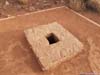
The ballcourt and community room seemed to serve similar functions to me, I couldn’t understand their differences.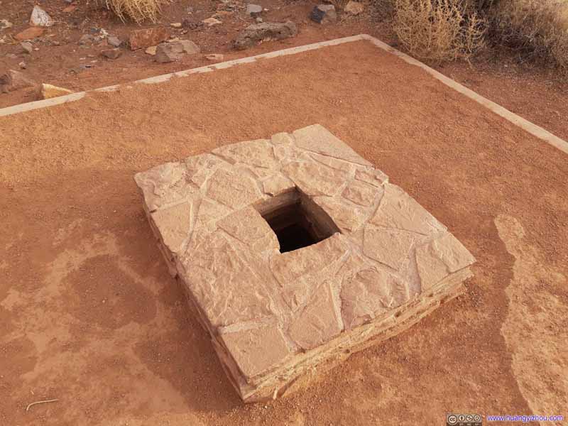 BlowholeAt the end of the trail, warm air was blowing out of this hole upwards.


Click here to display photos in and around Wupatki Pueblo.
Wupatki Pueblo
Wupatki Pueblo
Wupatki Pueblo
Wupatki Pueblo

Wupatki Pueblo

Community Room
Ballcourt

BlowholeAt the end of the trail, warm air was blowing out of this hole upwards.
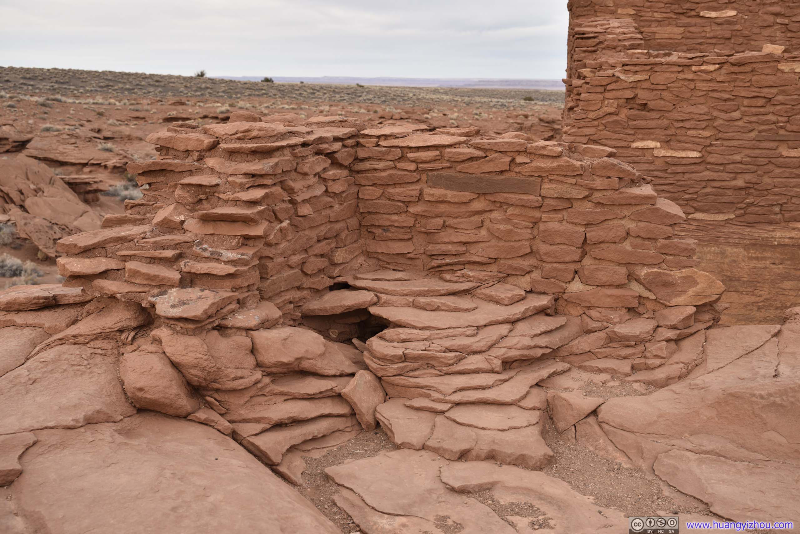
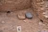
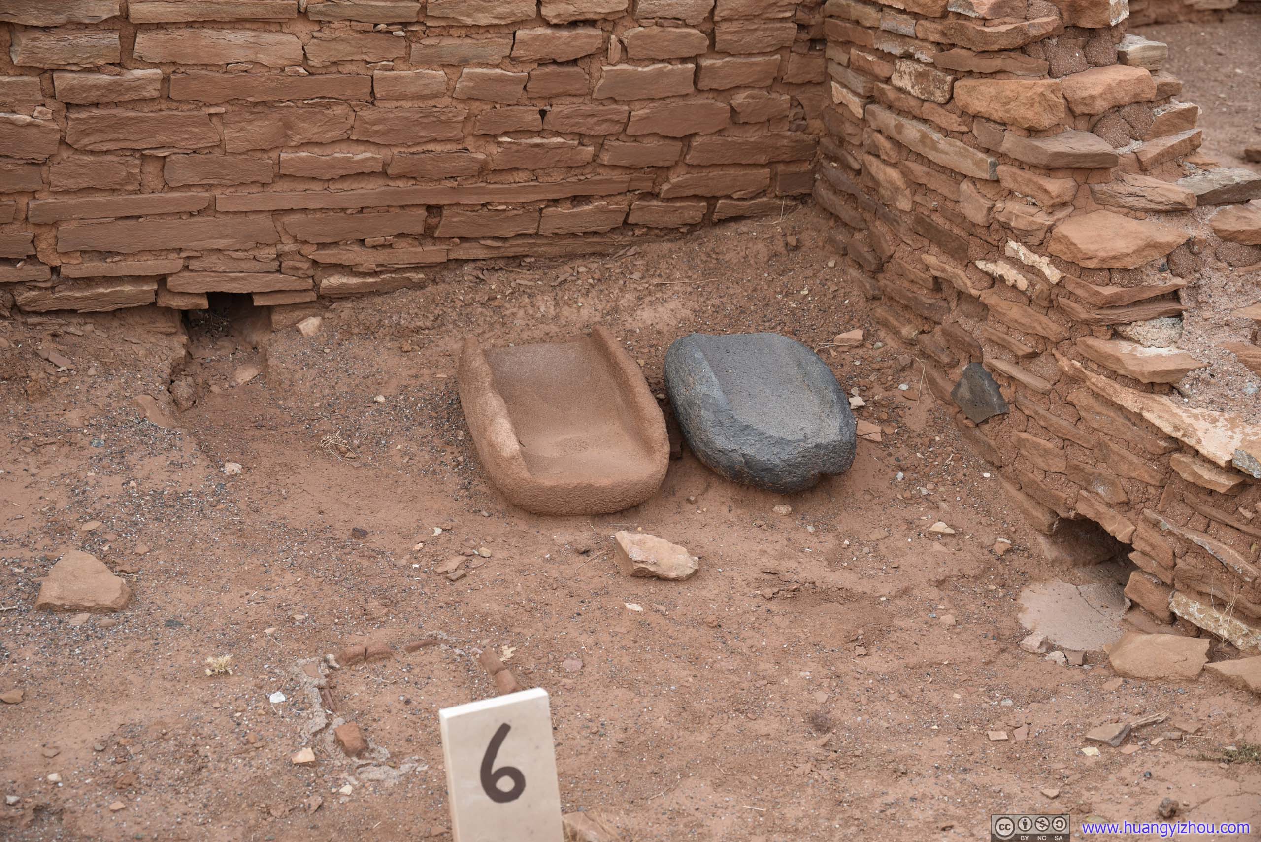
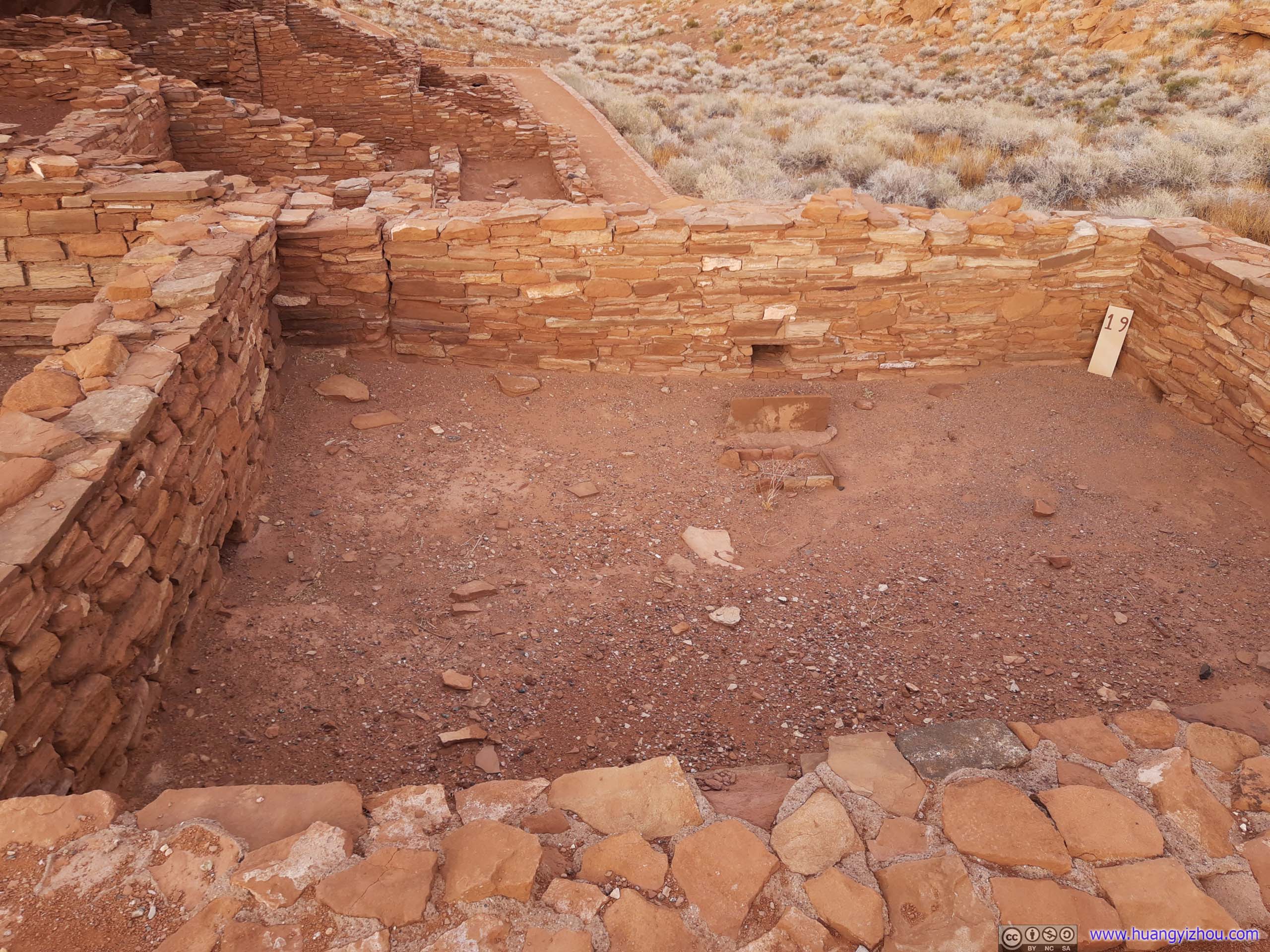
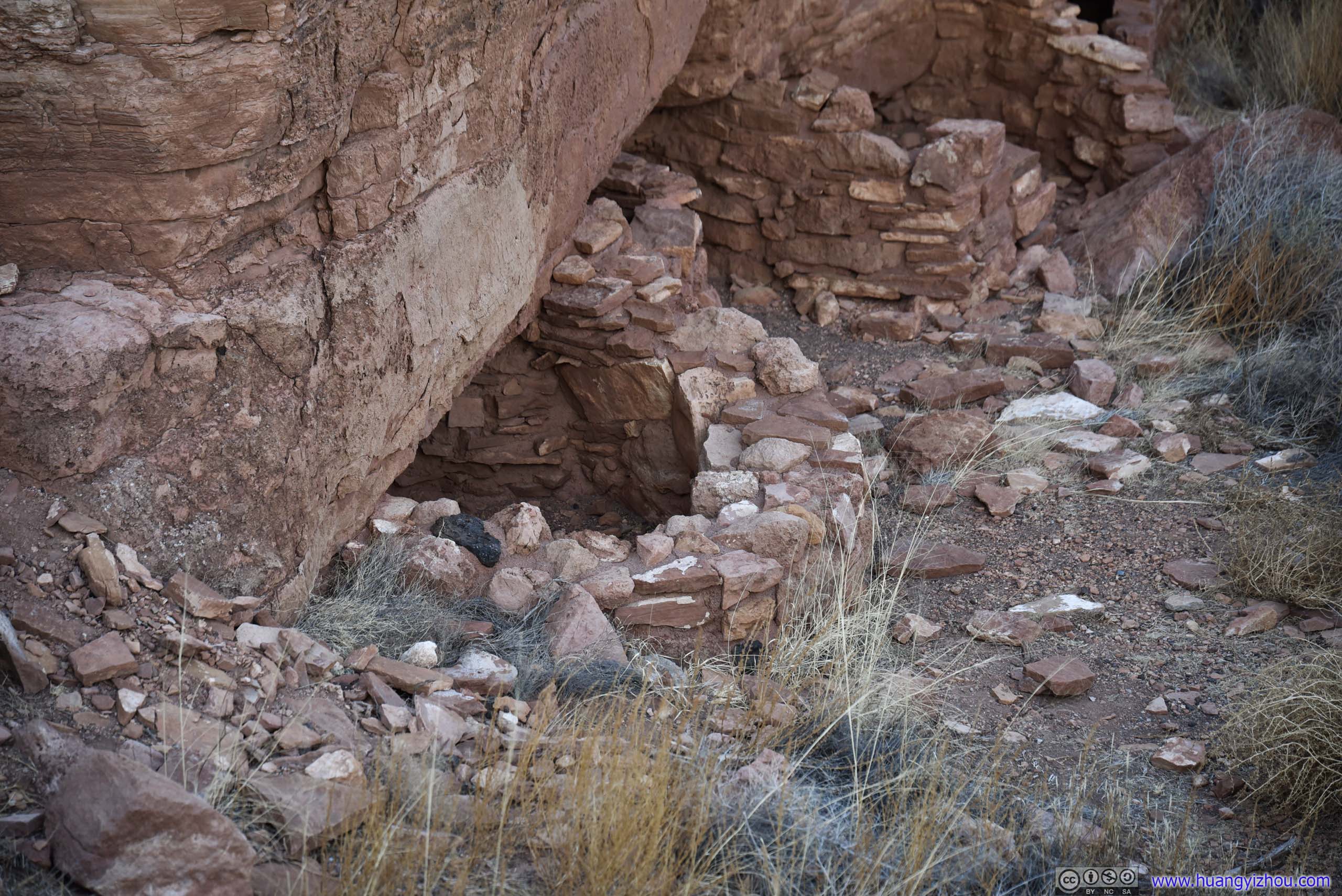
And here were some individual rooms. I was a bit shocked to find that NPS rangers used to live in one of them, and the excavations of the site involved tearing down the roof and some of the walls first.
 Room with Drainage
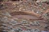
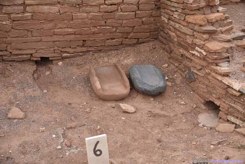
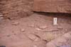
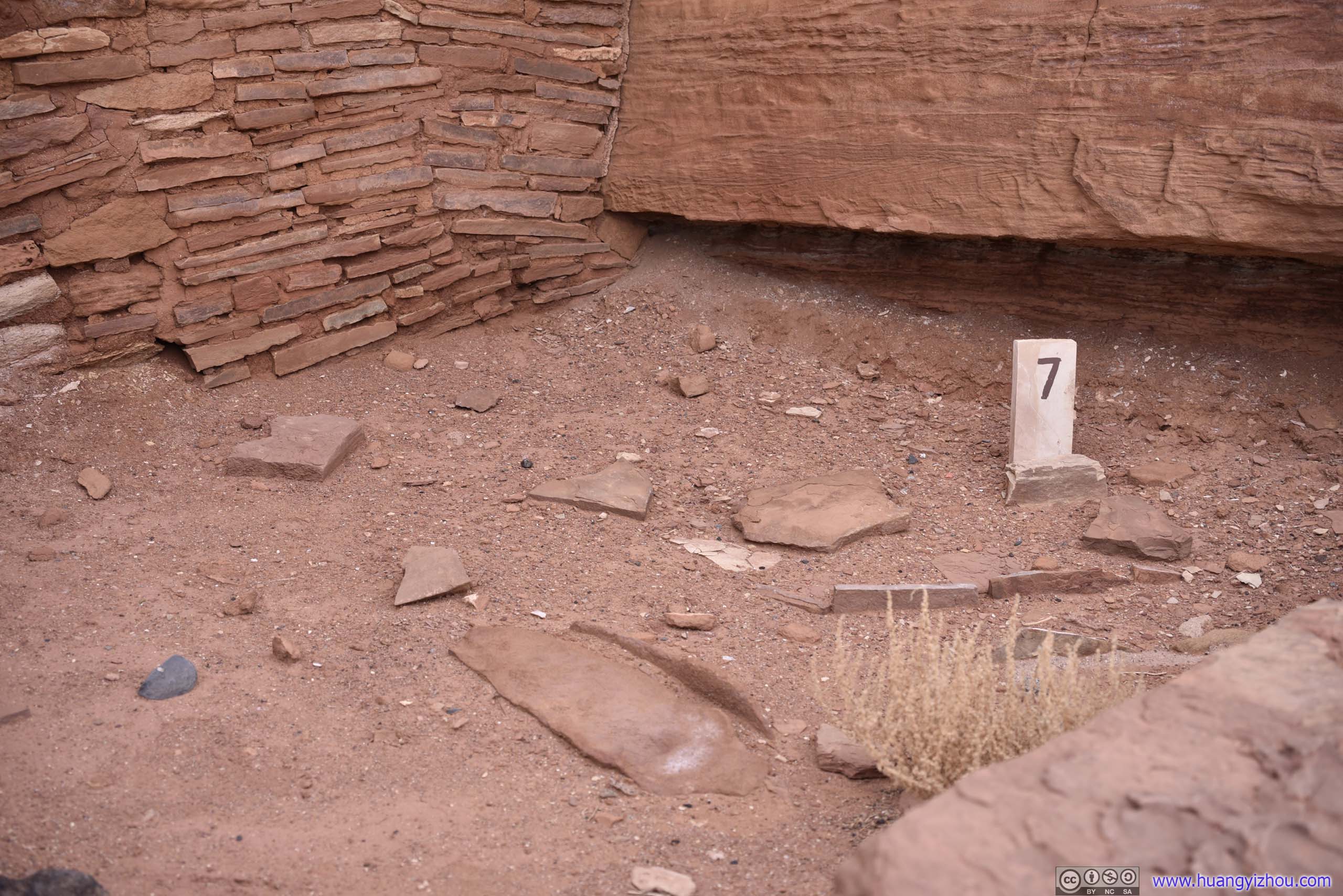
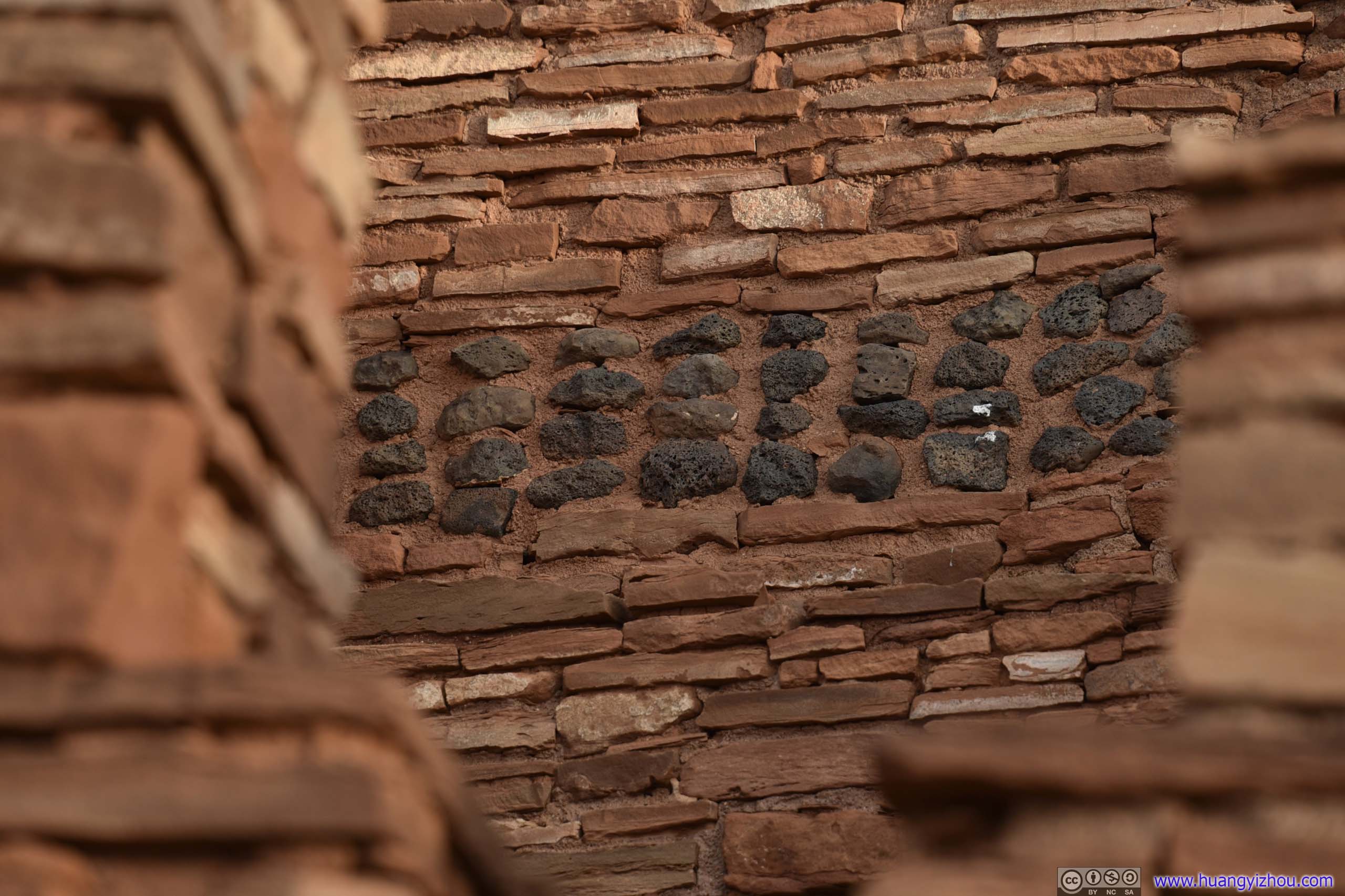
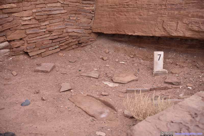 Air Circulation System
The ventilator trench (below the “7” slab) was used for ventilation. At its leftmost end, a vertical slab would block the incoming air from a fire pit to its left (buried underground).
Air Circulation System
The ventilator trench (below the “7” slab) was used for ventilation. At its leftmost end, a vertical slab would block the incoming air from a fire pit to its left (buried underground).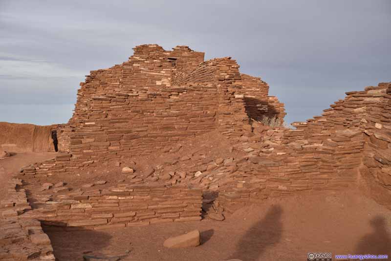 Room
Room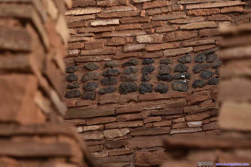 Floor Support Structures
 Room
Room Room
This room, on the southeastern corner of pueblo, is one of the largest yet without household tools or utensils. This suggested the room could be a ceremonial room known as a kiva.
Room
This room, on the southeastern corner of pueblo, is one of the largest yet without household tools or utensils. This suggested the room could be a ceremonial room known as a kiva.

Click here to display photos in and around Wupatki Pueblo.
Room with Drainage
Air Circulation System

Room
Floor Support Structures

Room
Room
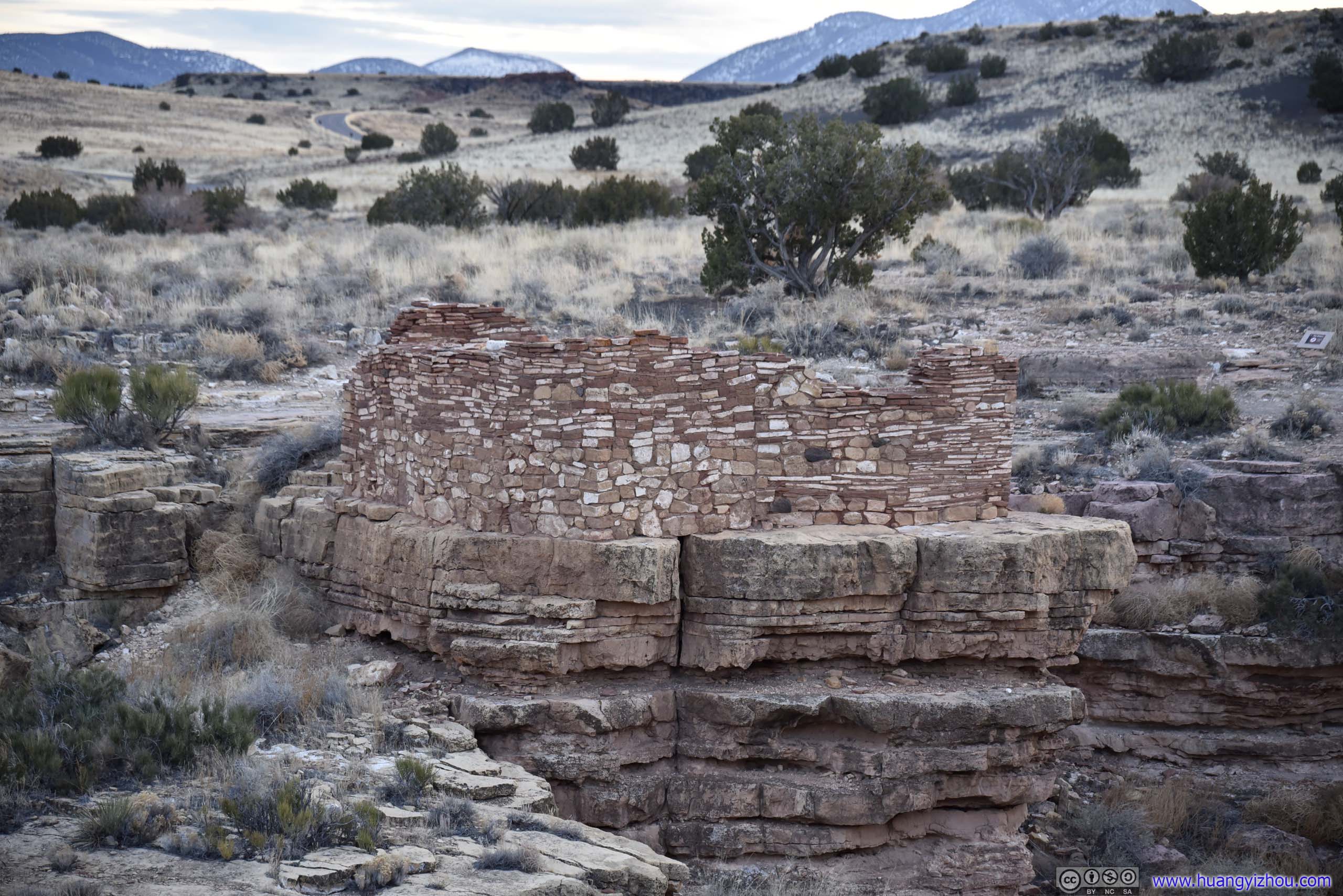
Lomaki Pueblo
By the time we left Wupatki Pueblo, it’s already 5pm, not long from sunset. Apart from Wupatki and Wukoki, there were a few scattered ruins in Wupatki National Monument. So on our way to Grand Canyon, we decided to make a final stop, and checked out Box Canyon Ruins and Lomaki Pueblo.
In English, “Lomaki” means “beautiful house”, as archeologists believed the house was coated with plaster in the 1100s.
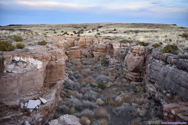 CanyonNext to Lomaki Pueblo.
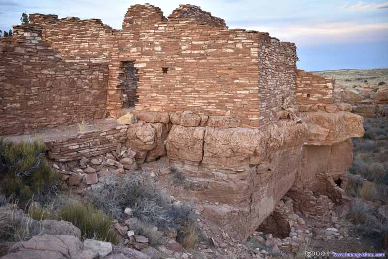 Lomaki Pueblo
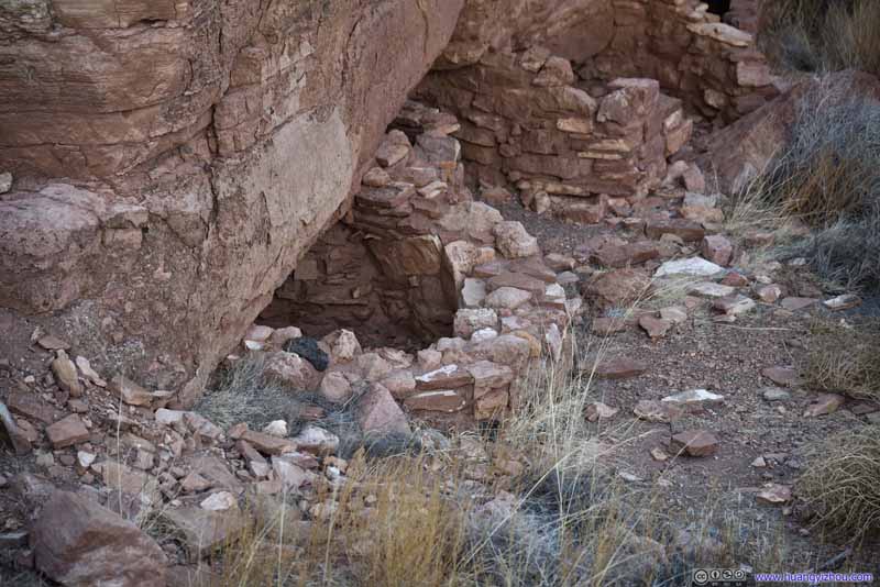 Lomaki PuebloBasement entrance or storage rooms, we guessed.
 Lomaki Pueblo
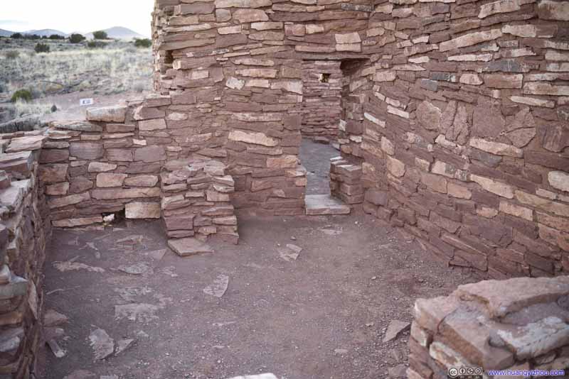 Room in Lomaki PuebloNot very spacious and with small doorways. Entrance to these rooms were mostly through roofs.
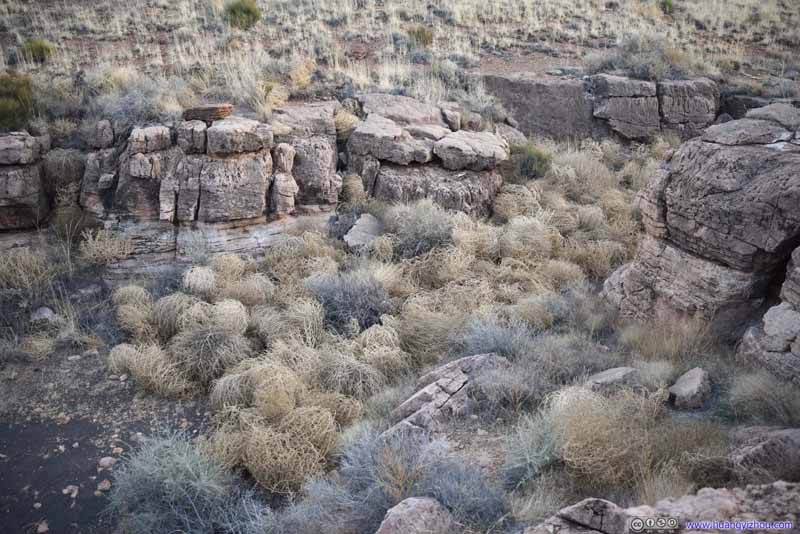 Plants
These plants were supposed to roll on such open prairie until they set root into wet soil. Unfortunately these ones ended up stuck at the end of this canyon.
Plants
These plants were supposed to roll on such open prairie until they set root into wet soil. Unfortunately these ones ended up stuck at the end of this canyon.
Click here to display photos in and around Lomaki Pueblo.

CanyonNext to Lomaki Pueblo.

Lomaki Pueblo
Lomaki PuebloBasement entrance or storage rooms, we guessed.

Lomaki Pueblo

Room in Lomaki PuebloNot very spacious and with small doorways. Entrance to these rooms were mostly through roofs.

Plants
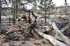
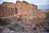
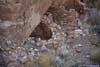
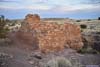
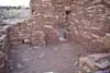
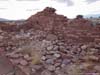
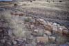
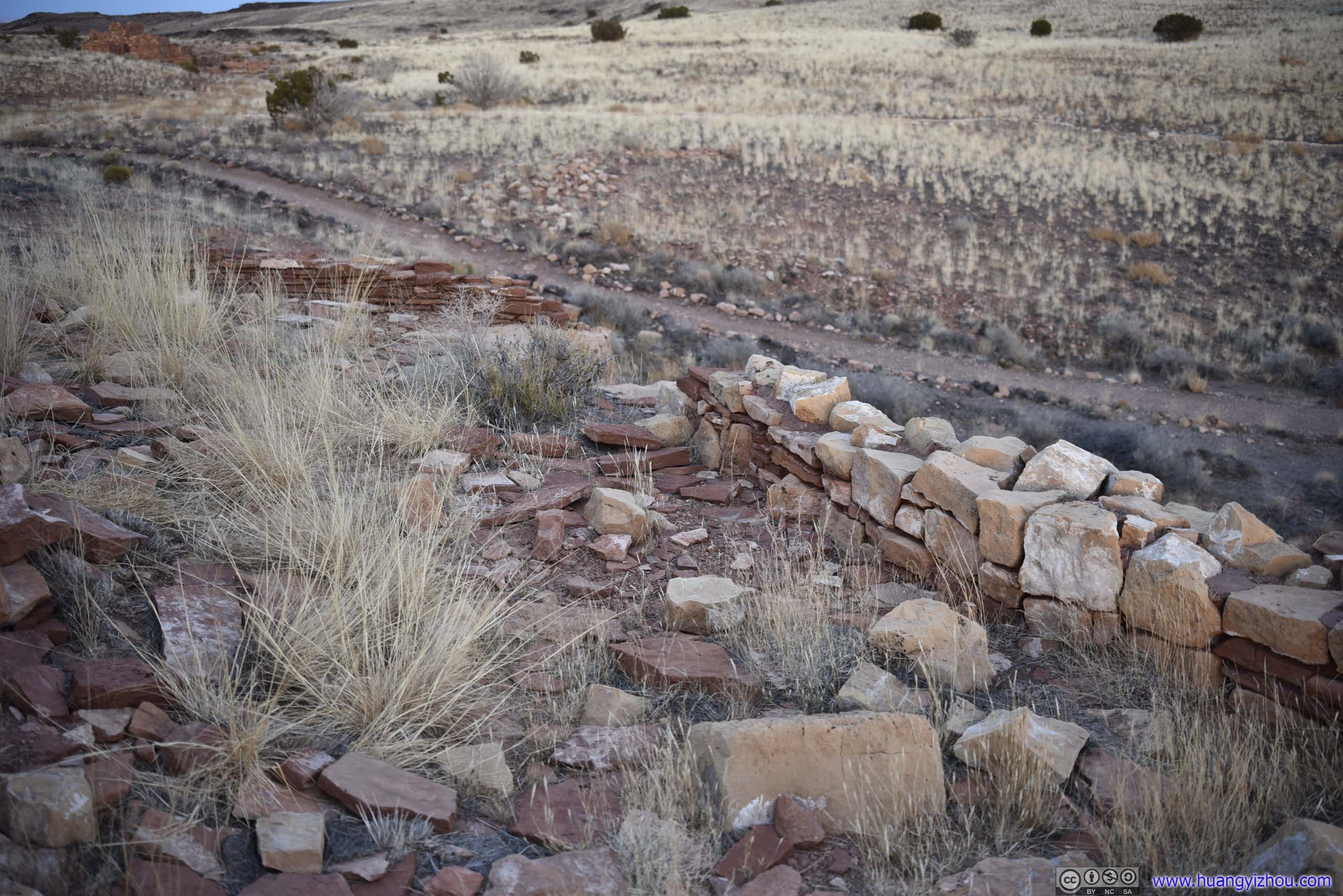
Next to Lomaki Pueblo were Box Canyon Ruins. There were two ruins on both sides of the canyon at a commanding location, sort of like defensive fortresses to me (although the canyon was shallow and I didn’t see too much of a point of defense). These buildings were single floor with timber roofs that were long gone. The nearby information board did mention that earthcracks like Box Canyon offered the most fertile soil for dry farming.
 Box Canyon
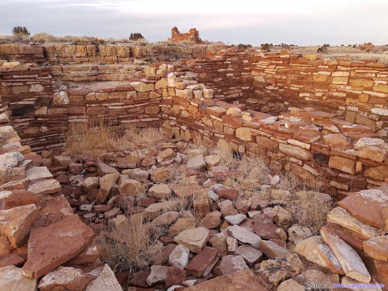 Box Canyon Ruins
 Box Canyon Ruins
 Box Canyon Ruins
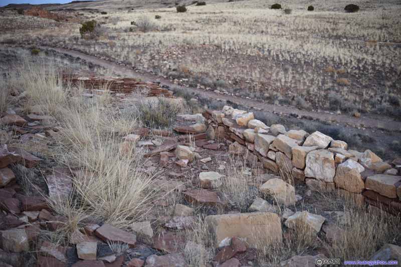 Box Canyon Ruins
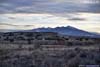
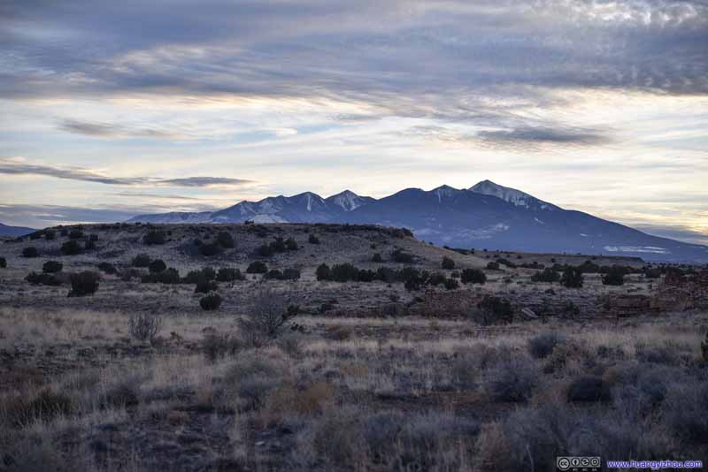 San Francisco Mountains
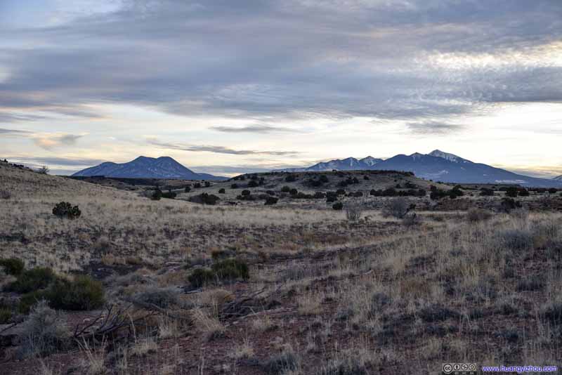 Distant MountainsO’Leary Peak and San Francisco Mountains.
Click here to display photos in and around Box Canyon Ruins.
Box Canyon
Box Canyon Ruins

Box Canyon Ruins
Box Canyon Ruins
Box Canyon Ruins

San Francisco Mountains
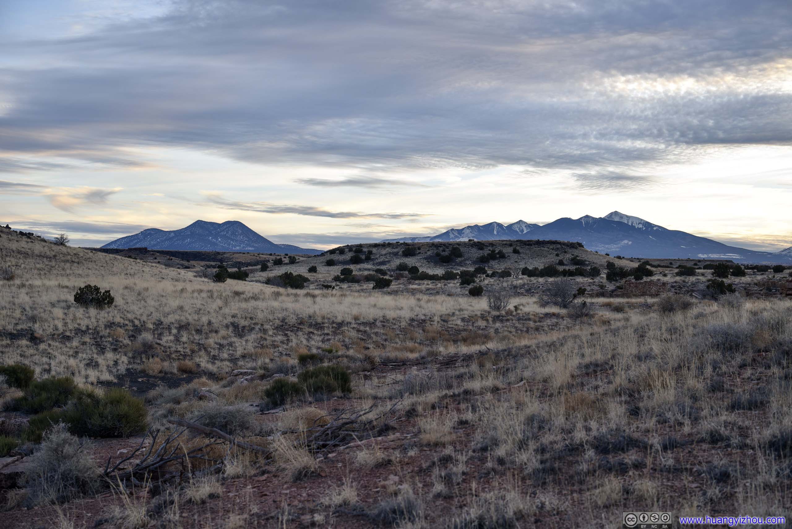
Distant MountainsO’Leary Peak and San Francisco Mountains.
After that, it’s getting dark. We hit the road, and reached our overnight lodge in Grand Canyon Village just past 7pm, concluding the day.
END
![]() Day 5 of 2022 Arizona Trip, Driving from Sedona to Grand Canyon by Huang's Site is licensed under a Creative Commons Attribution-NonCommercial-ShareAlike 4.0 International License.
Day 5 of 2022 Arizona Trip, Driving from Sedona to Grand Canyon by Huang's Site is licensed under a Creative Commons Attribution-NonCommercial-ShareAlike 4.0 International License.