
Updated on April 22, 2022
Day 7 of 2022 Arizona Trip, Grand Canyon National Park
Seventh and last day of my 2021 Arizona trip, my friend and I would spend the day visit the few vistas along the southern rim of Grand Canyon National Park, before driving back to Phoenix later in the day for our flight back to the east coast.
Bright Angel Canyon
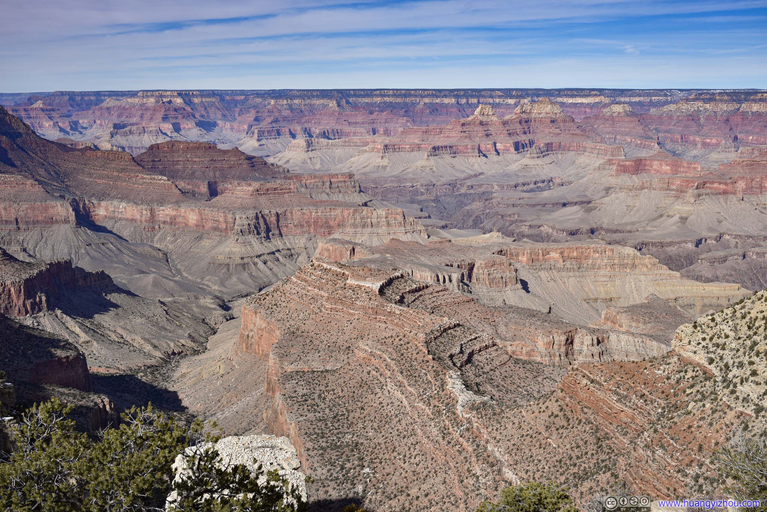
After yesterday’s epic hike of Bright Angel Trail to Colorado River and back, my friend and I decided to spend the final day of our Arizona trip in a more leisure manner, visiting the few vistas along the southern rim of Grand Canyon National Park. Between Hermit’s Rest in the west and Desert View in the east, it’s more than 30 miles of view of Grand Canyon. While it did get a bit repetitive at places (since the geological layers were similar), I never got bored at the constant stream of awesome sights.
Hermit Road
This morning we started our tour at Hermit Road, where we left off the previous day. During the few winter months Hermit Road was open to private vehicles, otherwise one have to take the park shuttle.
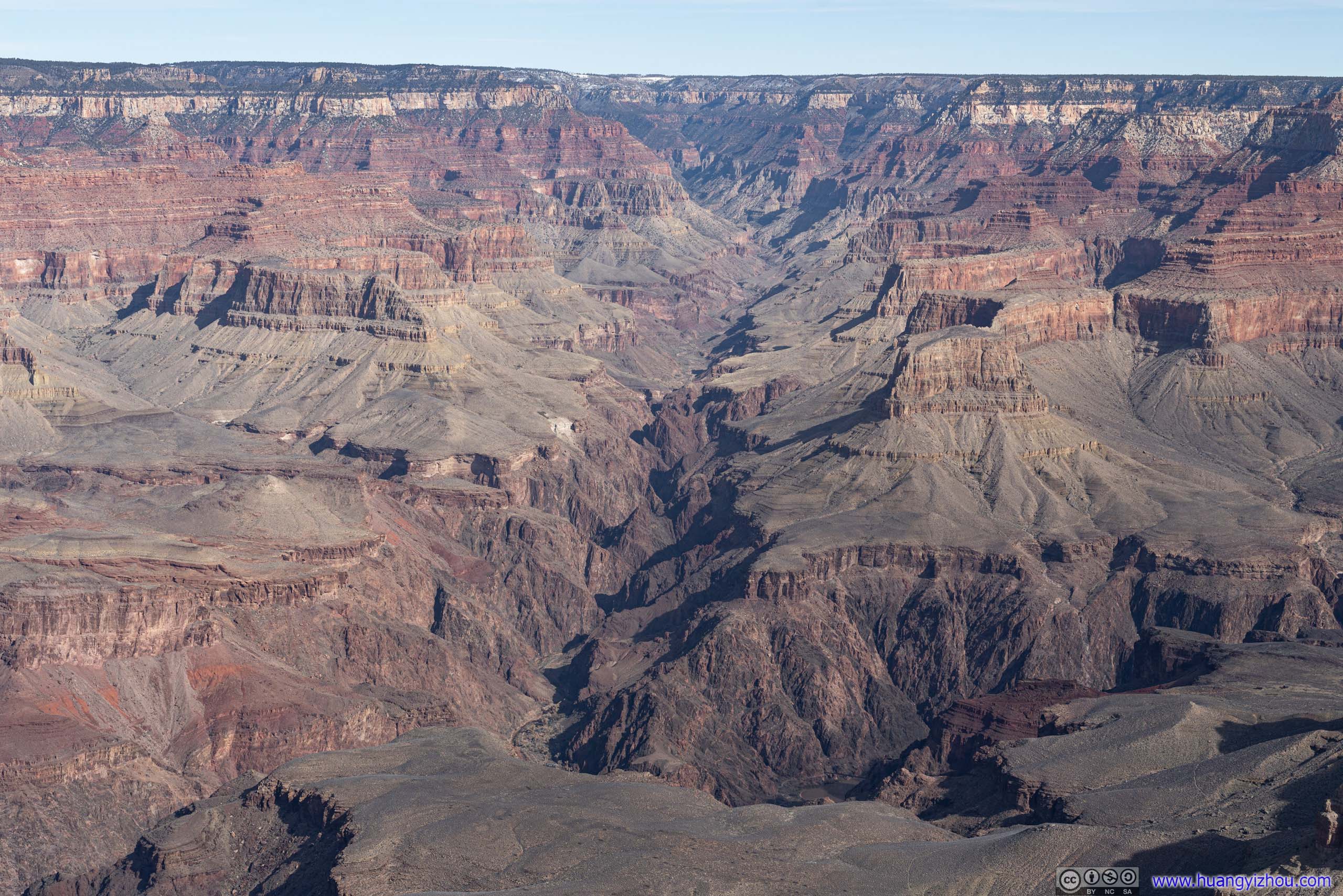
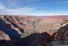
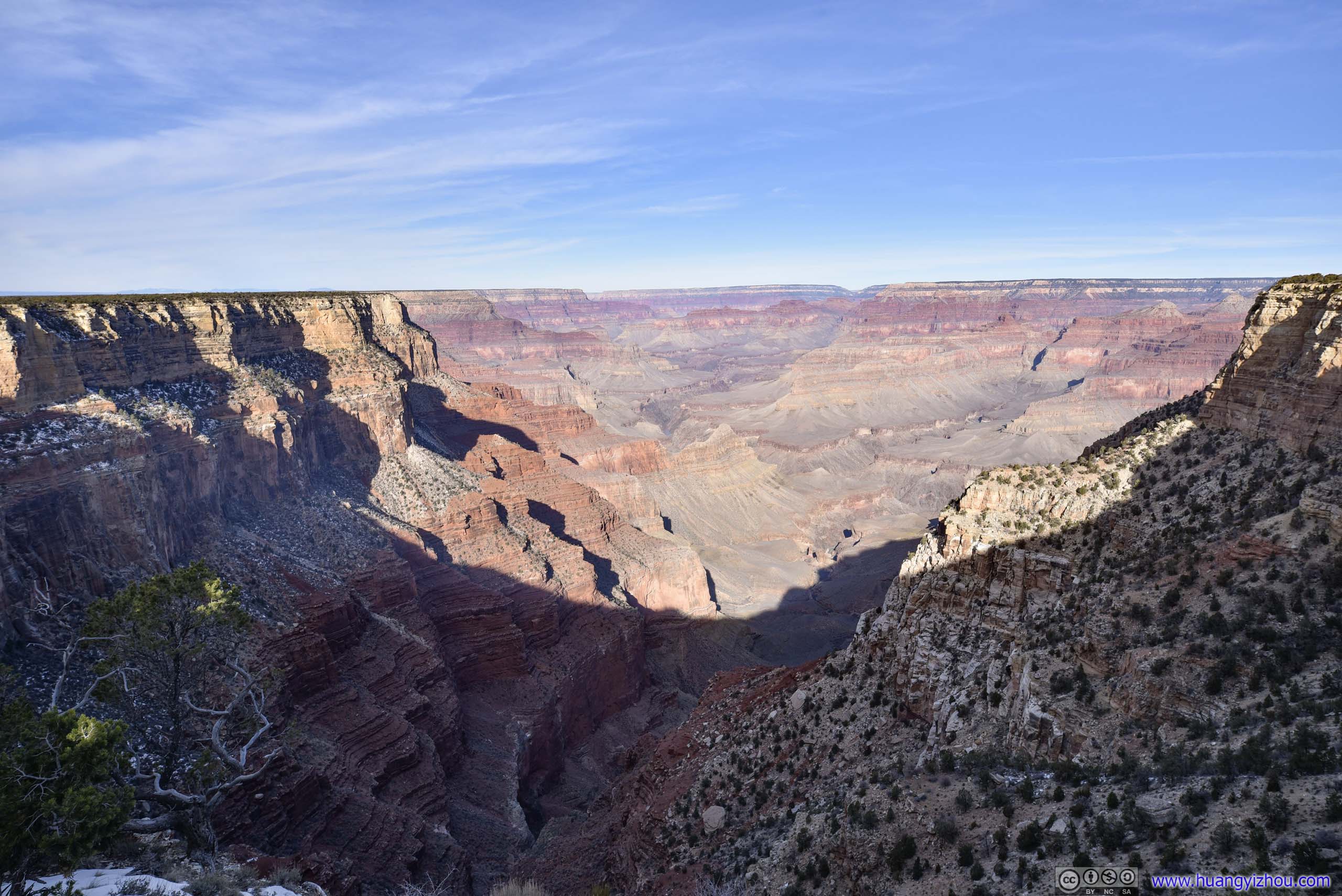
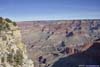
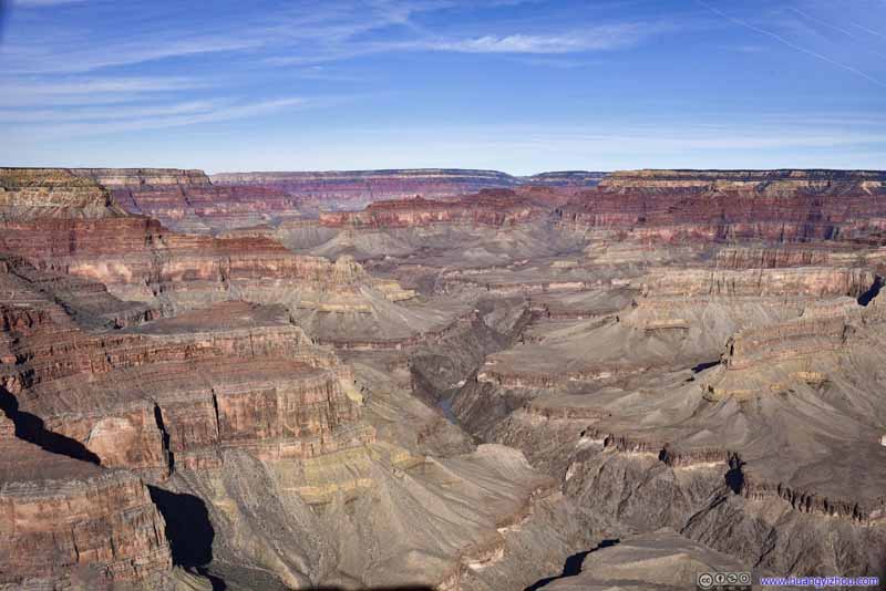
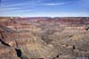
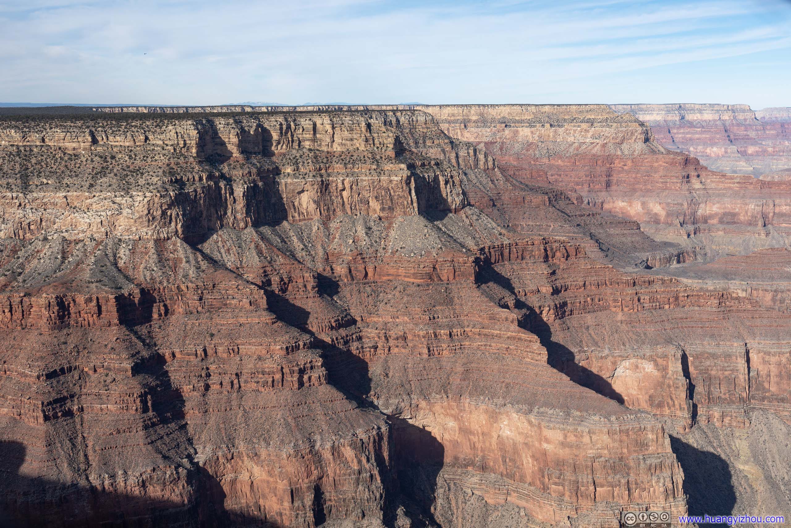
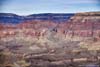
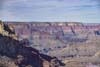
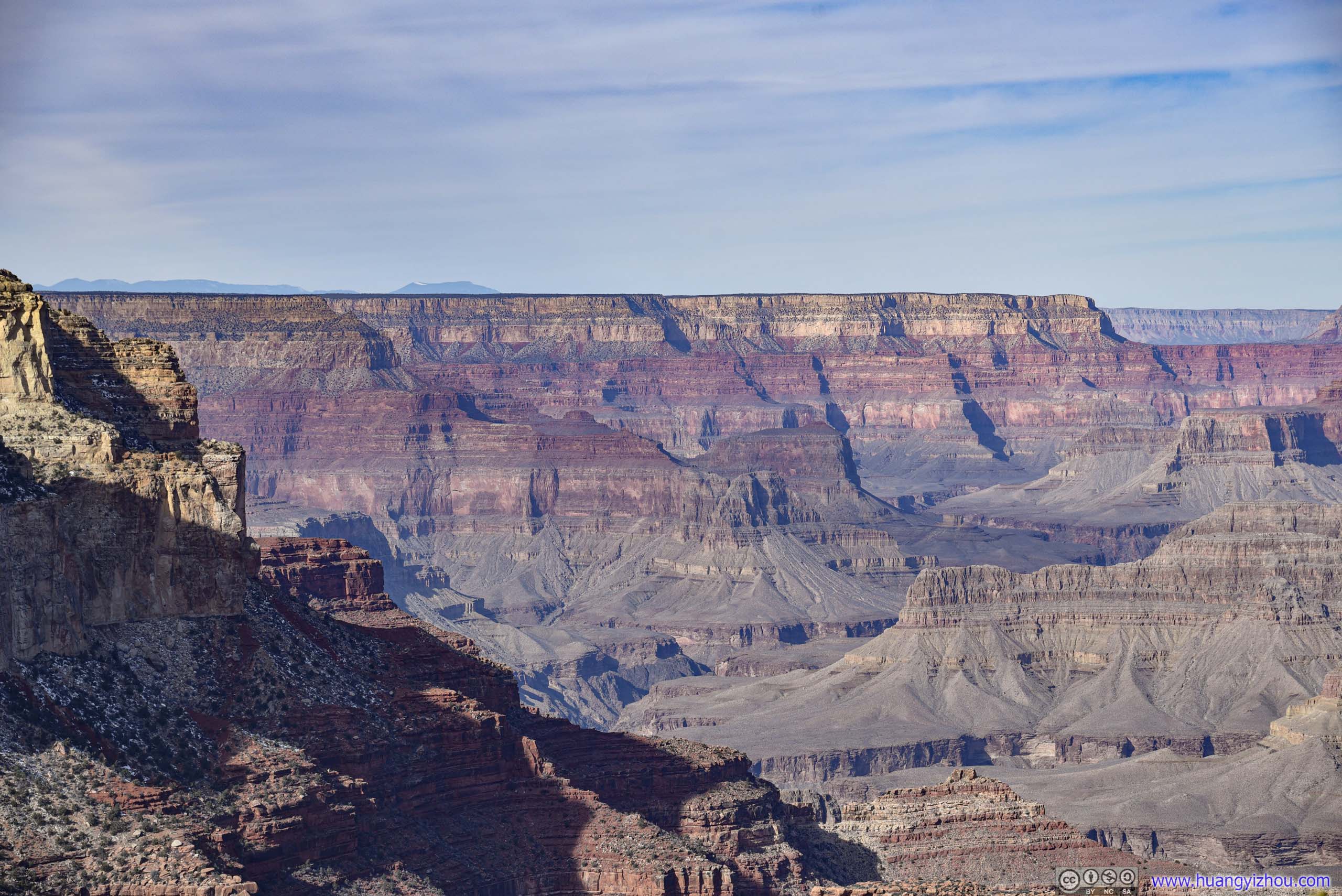
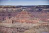
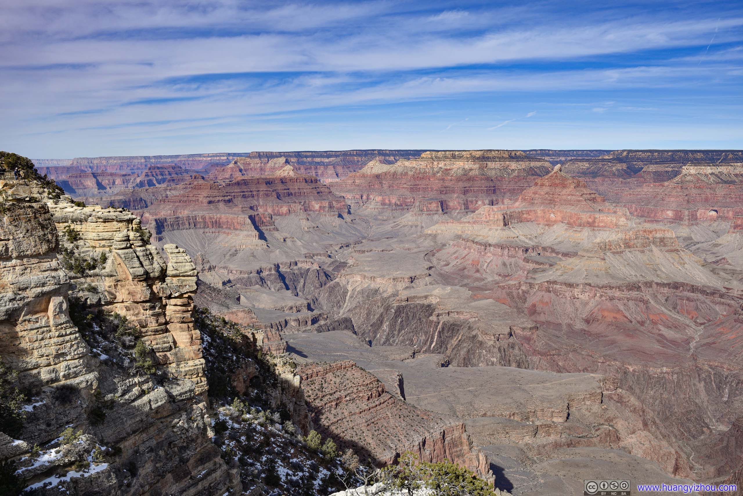
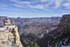
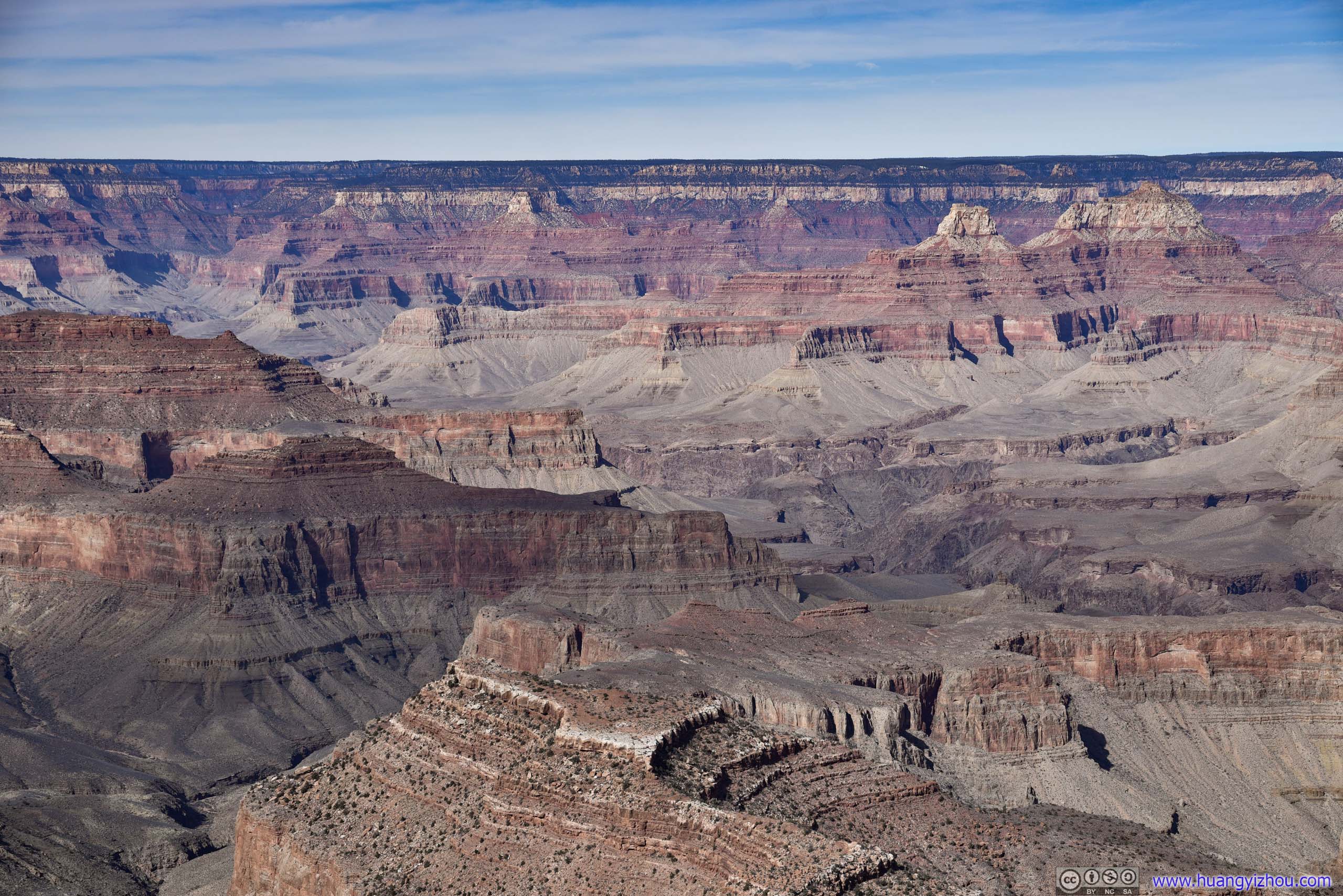
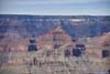
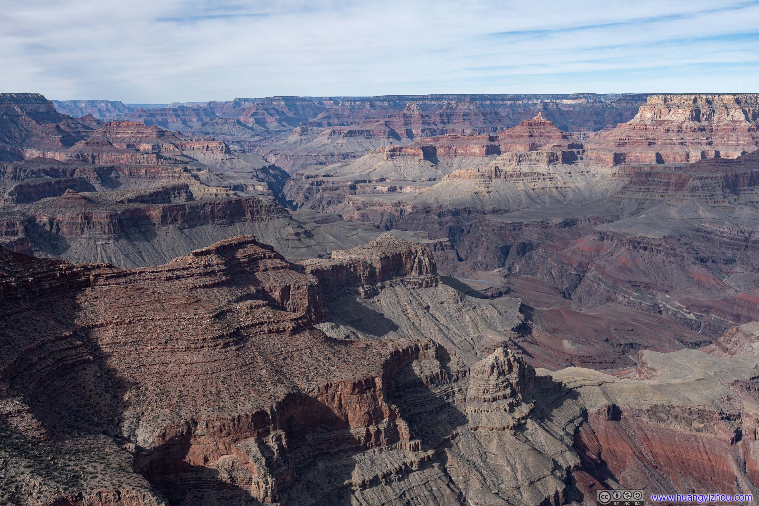
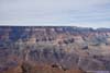
 Grand Canyon from Mohave Point
 South RimFrom Mohave Point, an awesome sight that the fields beyond the canyon rim seemed flat all the way to the horizon.
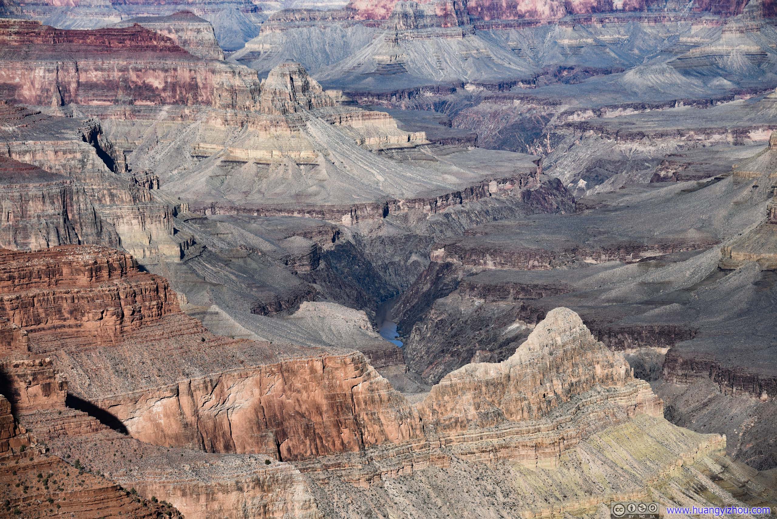
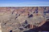
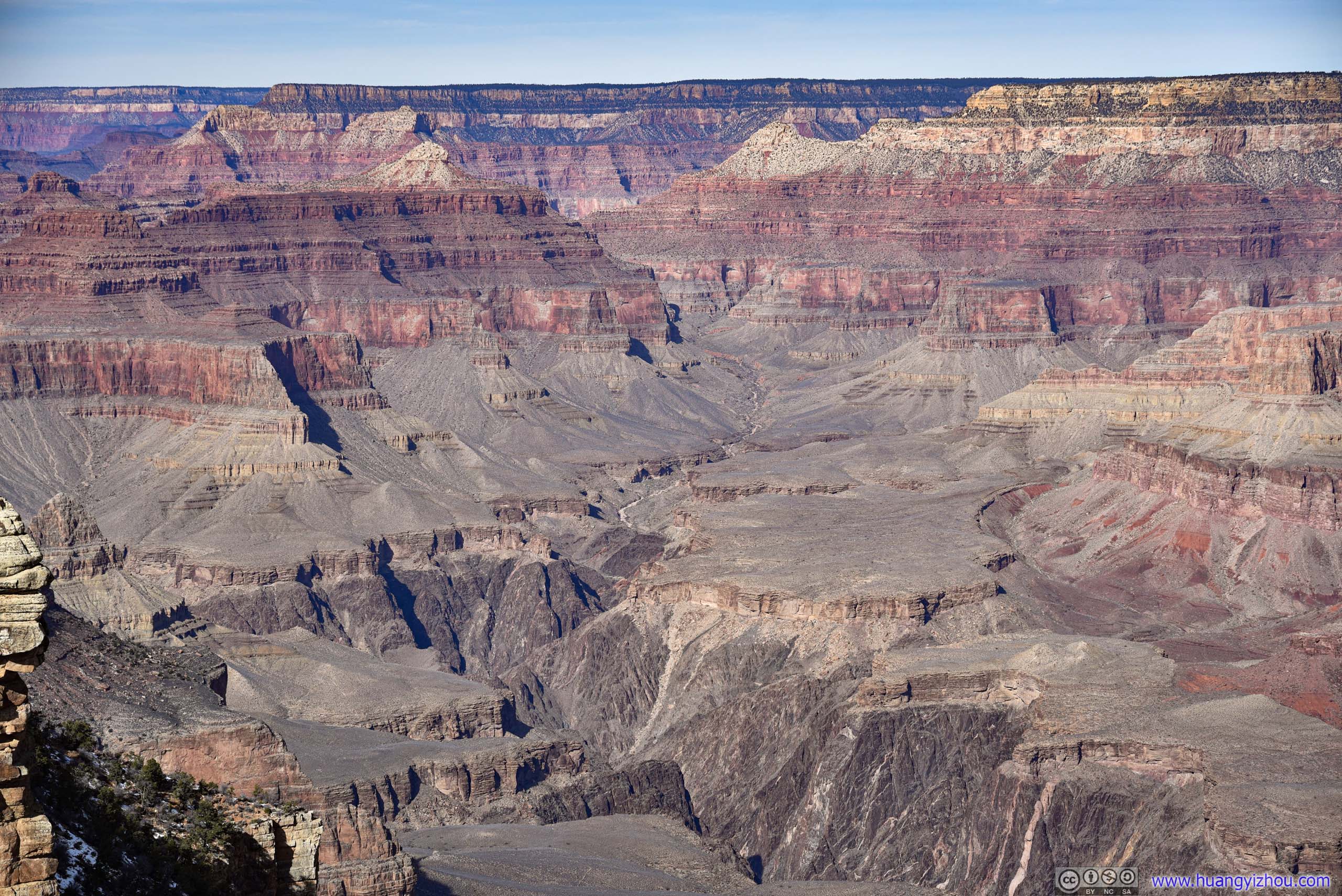
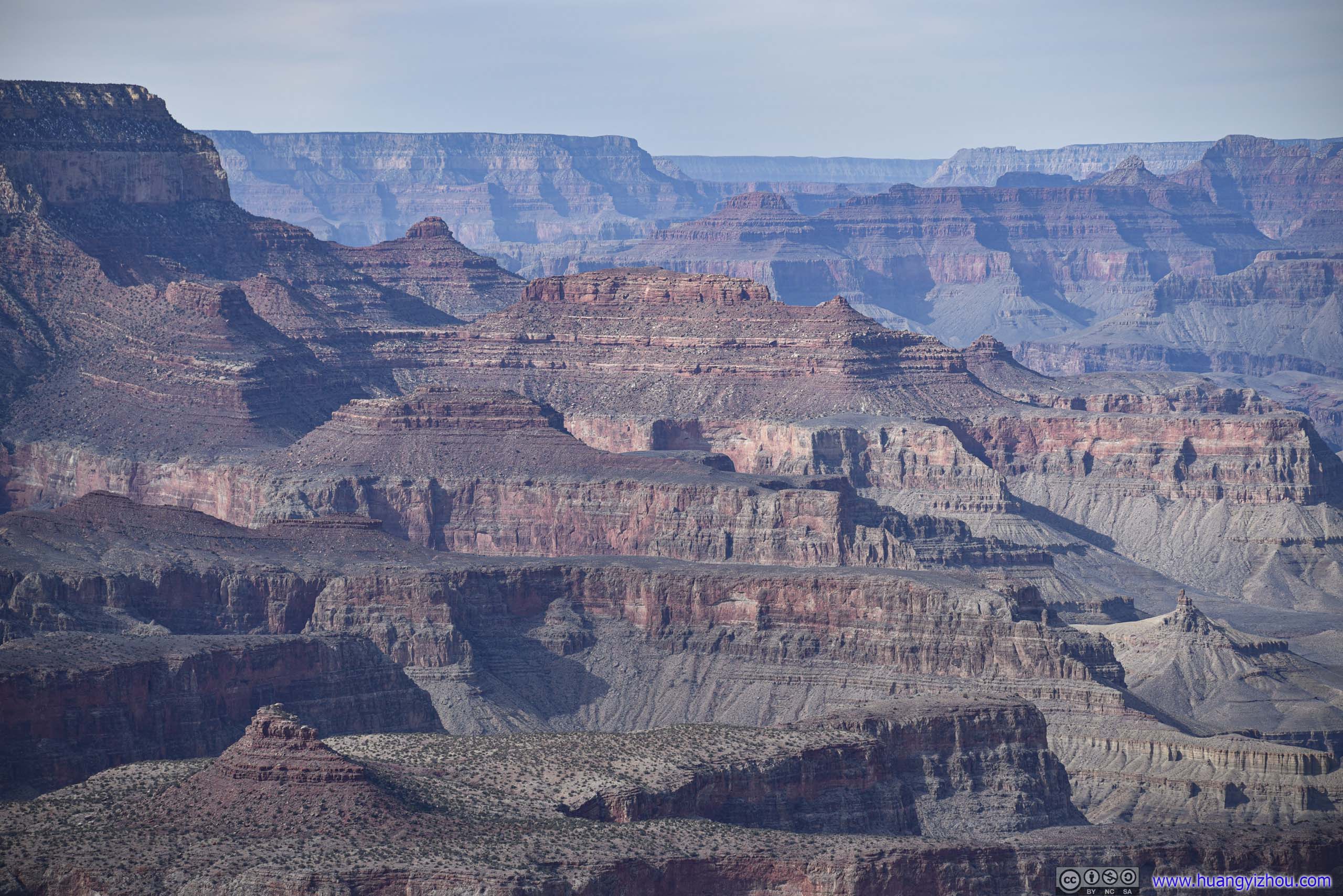
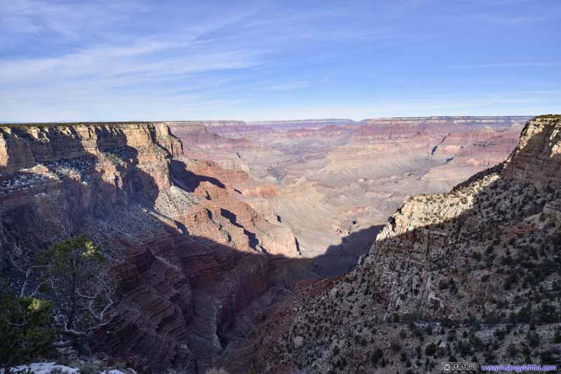 View from The AbyssFrankly, this didn’t feel like that much a steep abyss to me.
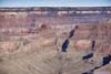
 Colorado RiverFrom “The Abyss”. Cope Butte in the foreground.
 CanyonFrom “The Abyss”.
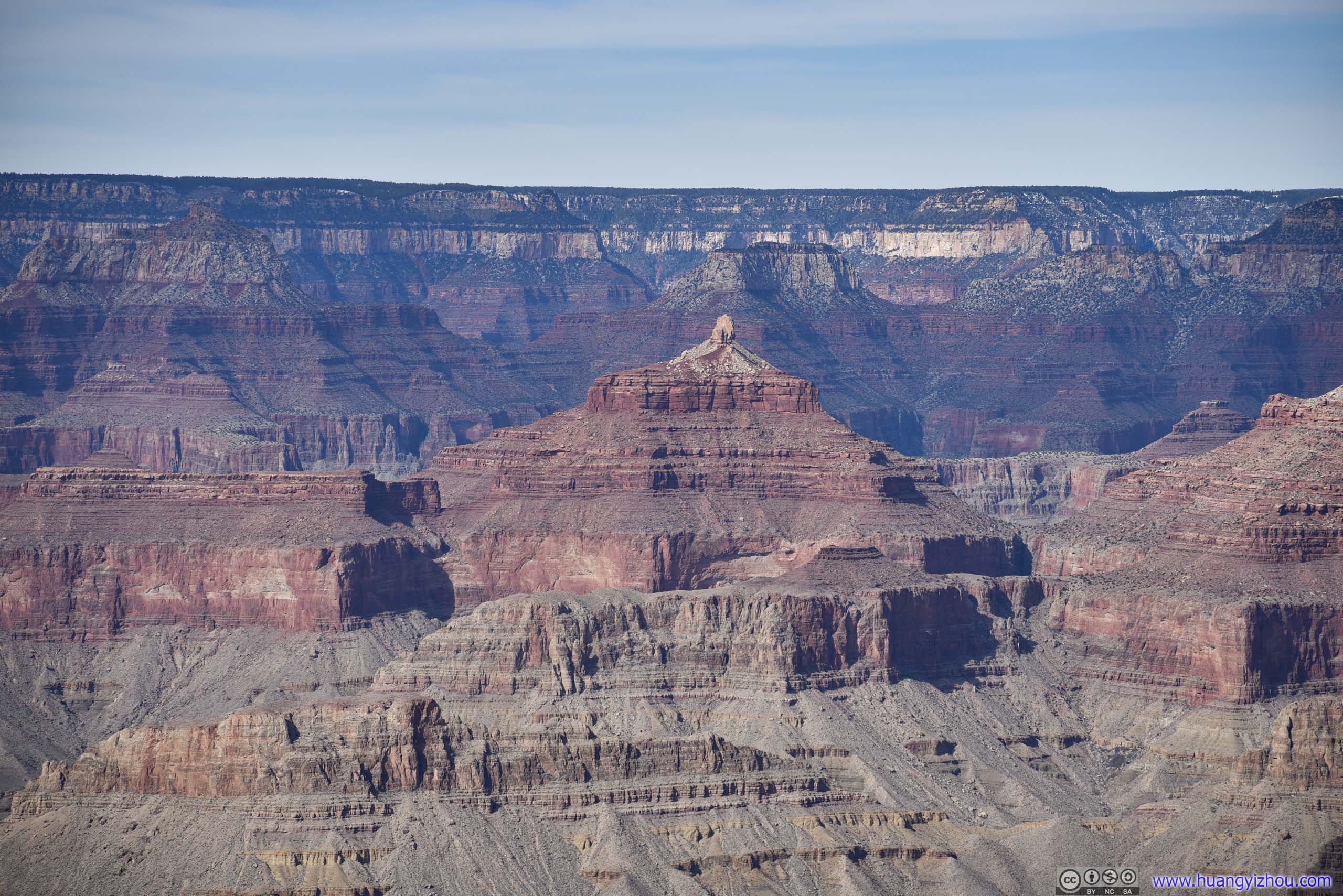
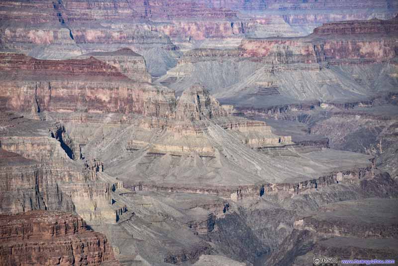 Marsh ButteFrom “The Abyss”.

Click here to display photos of the slideshow

Grand Canyon from Mohave Point

South RimFrom Mohave Point, an awesome sight that the fields beyond the canyon rim seemed flat all the way to the horizon.
View from The AbyssFrankly, this didn’t feel like that much a steep abyss to me.
Colorado RiverFrom “The Abyss”. Cope Butte in the foreground.

CanyonFrom “The Abyss”.

Marsh ButteFrom “The Abyss”.
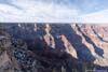
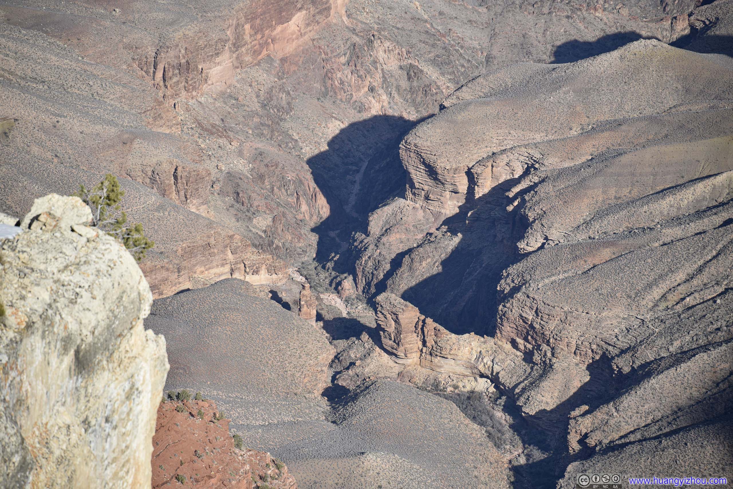
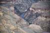
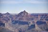
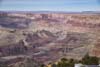
Monument Creek Vista
This was a vista point overlooking a small canyon, with a creek inside. One could probably make a hiking trail in it to rival the Bright Angel Trail that we hiked the previous day (unfortunately, there wasn’t).
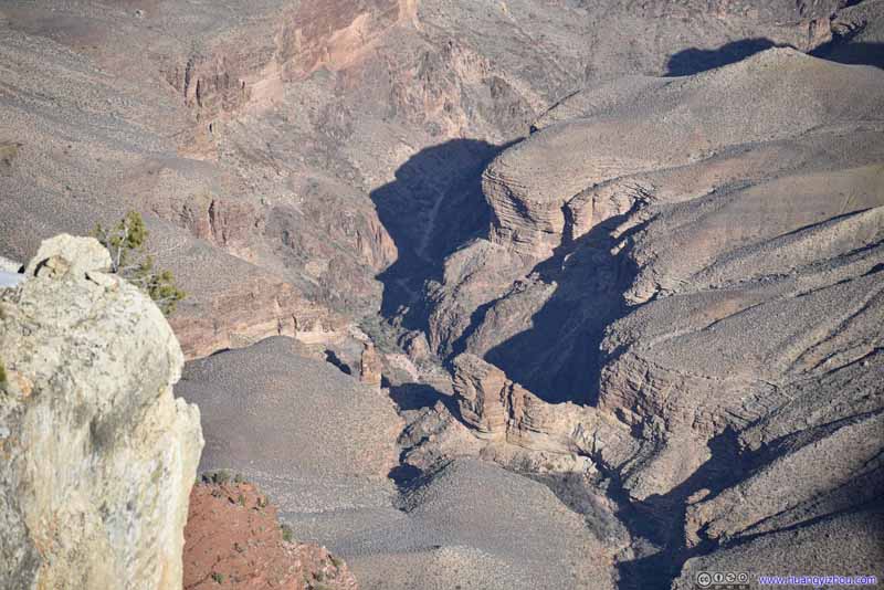 Monument Creek
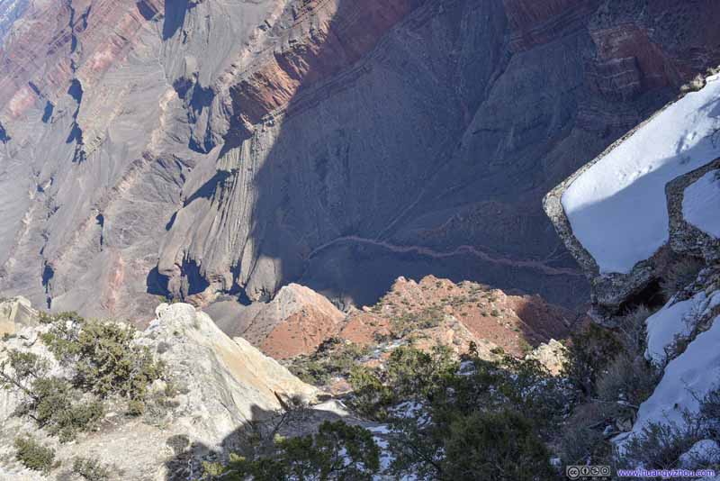 Monument CreekThe upper part that’s mostly dry.
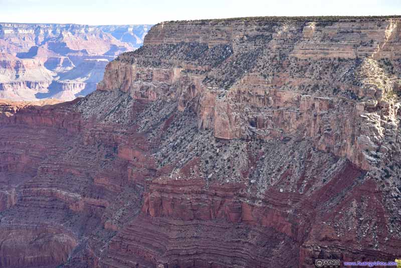 Mohave Wall
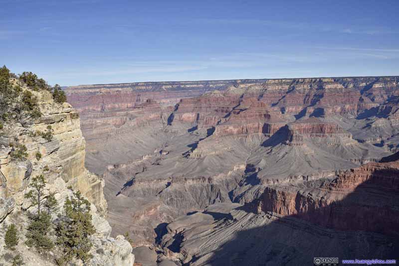 Grand Canyon
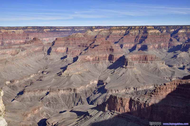 Grand Canyon
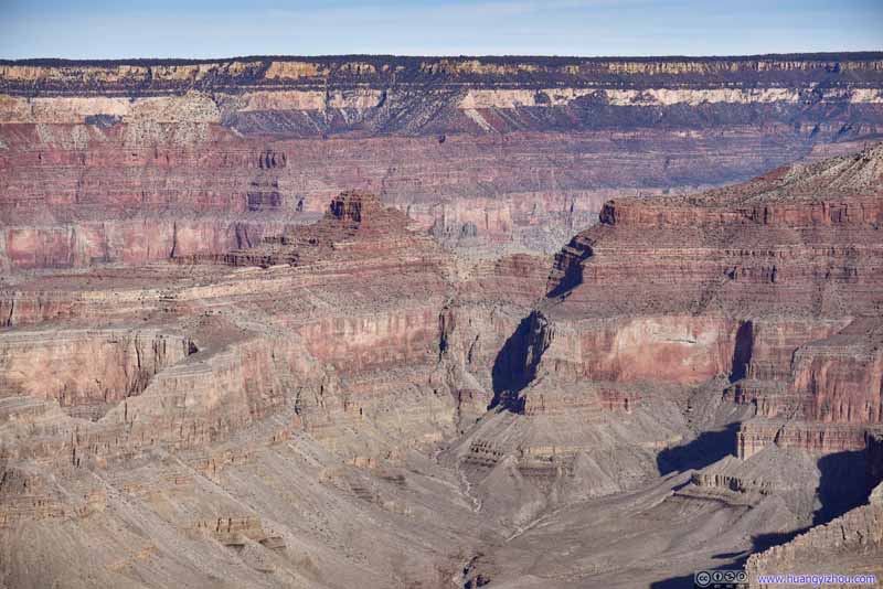 Tower of Ra
Click here to display photos from Monument Creek Vista
Monument Creek
Monument CreekThe upper part that’s mostly dry.

Mohave Wall
 Grand Canyon
Tower of Ra
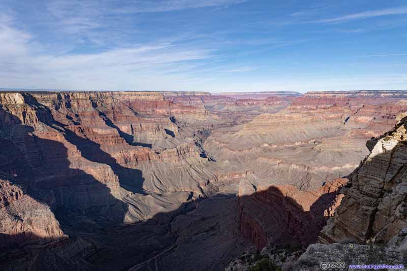
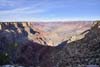
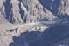
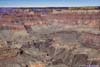
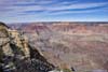
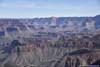
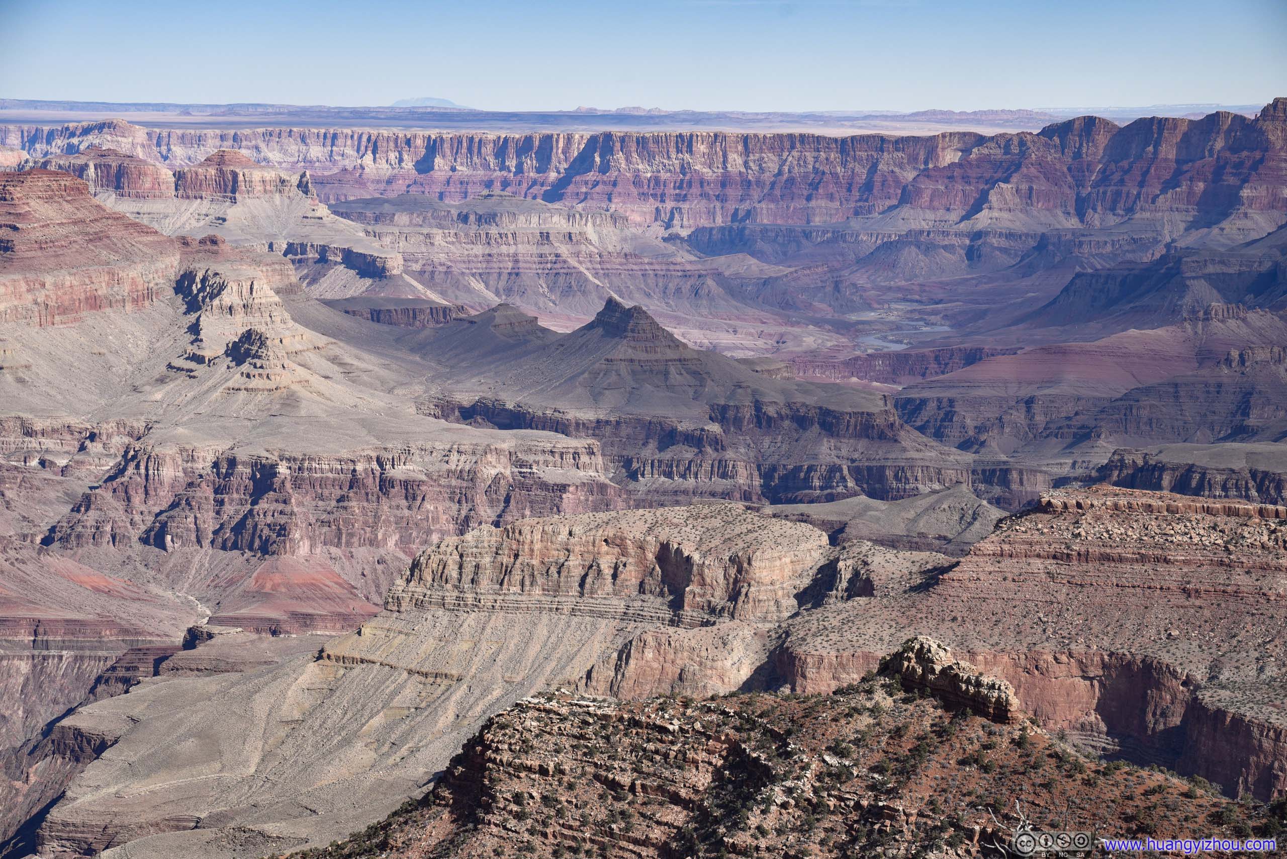
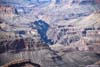
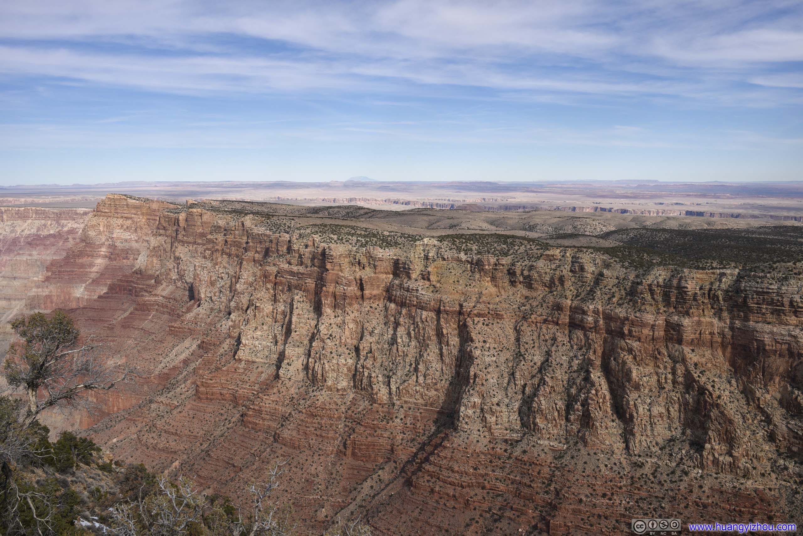
Pima Point
Grand Canyon from Pima Point
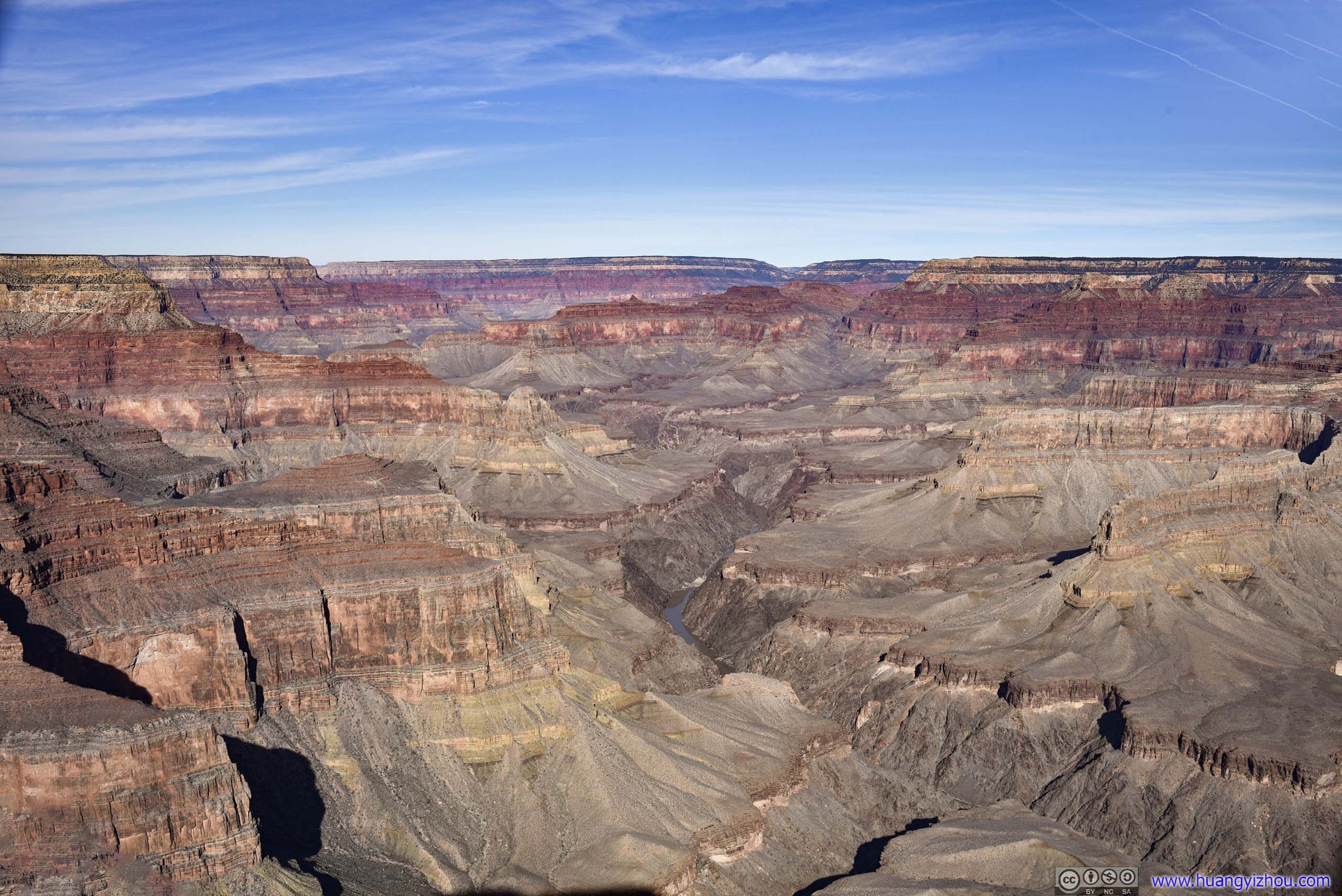
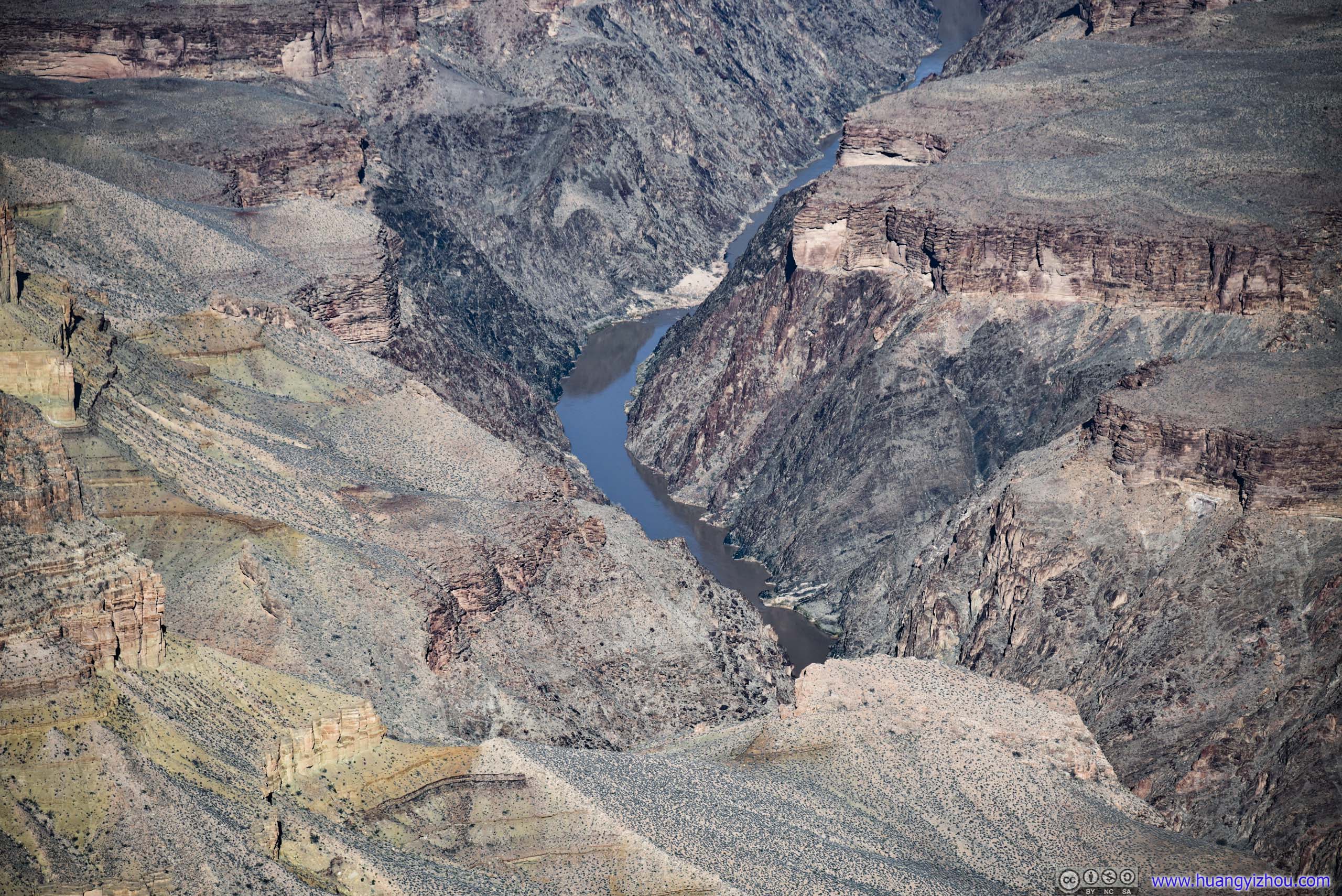
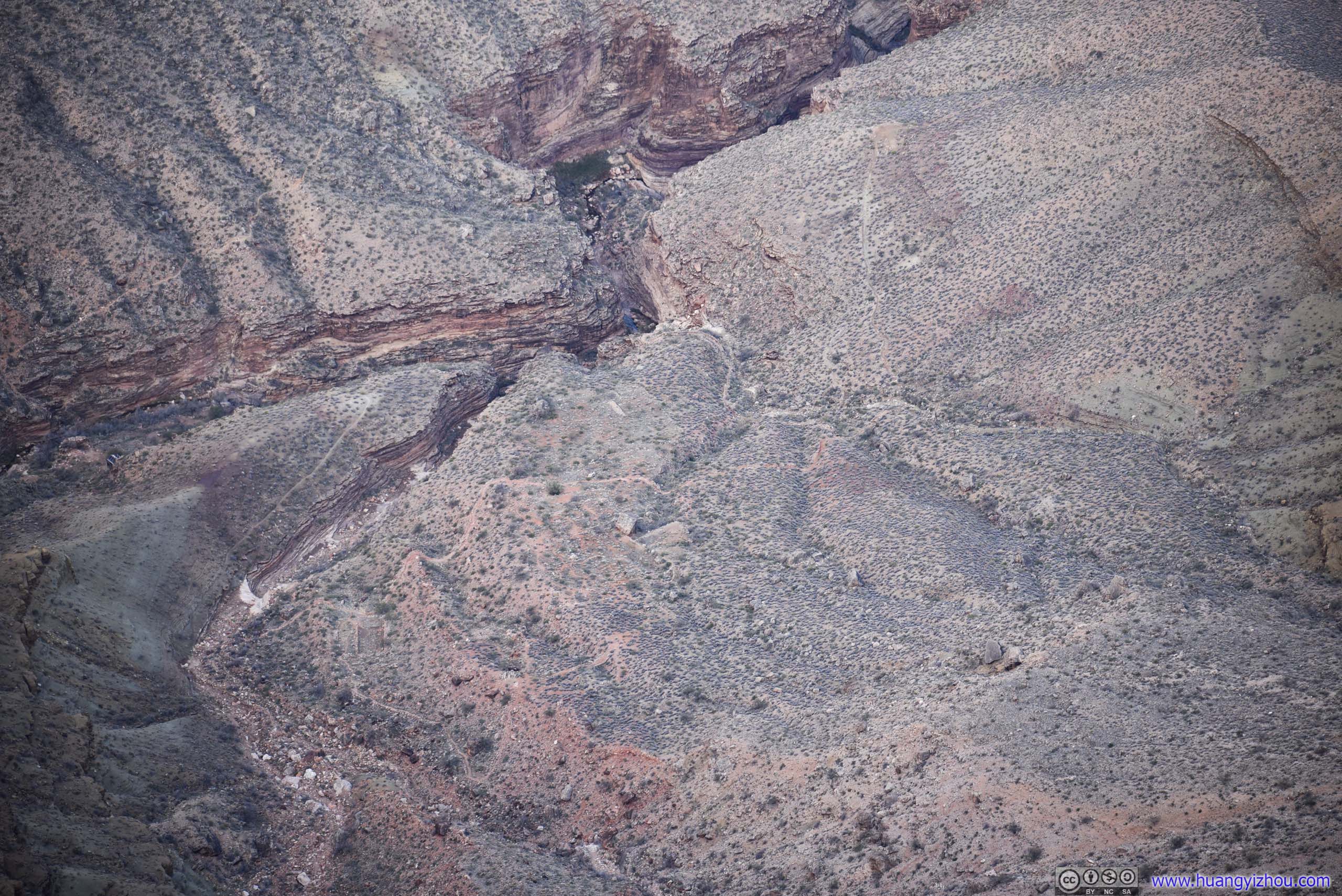
Just like Hopi Point, Pima Point was located on some sort of rocky outcrop, thus offering panoramic views of the surrounding Grand Canyon. From here, it felt like the Colorado River was so tangibly close, that one could clearly identify the contours of its flow from the canyons below, while its raging waters popped into view for a few times.
In addition, one could also see portions of the trail leading from the nearby Hermit Point to the west down to Colorado River. In the early days of Grand Canyon tourism, Santa Fe Railway Company would transport visitors from its train station in Grand Canyon Village to here, and offered them mule rides into the canyon. Since the Bright Angel Trail at Grand Canyon Village was tolled, they offered this alternative to avoid tolls. It’s said that Hermit Trail was maintained to a very high standard back in those days, with stone-paved sections (that unfortunately are gone nowadays).
 Grand Canyon
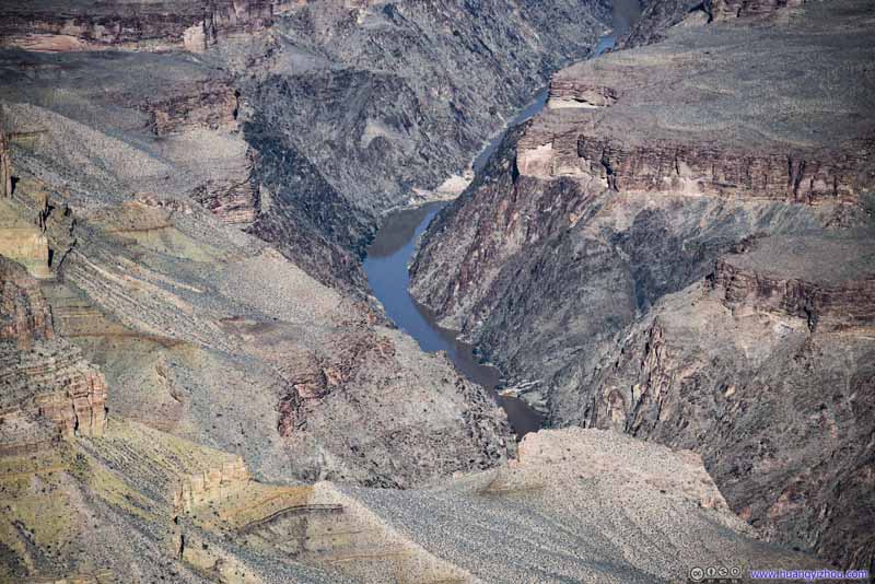 Colorado River
 White Water Rapids
Created by a documented thunderstorm on Monument Creek, triggering a rock avalanche that deposited rocks into the Colorado River.
White Water Rapids
Created by a documented thunderstorm on Monument Creek, triggering a rock avalanche that deposited rocks into the Colorado River. South Rim
 Tonto Trail
 Hermit TrailFrom this point on it followed Hermit Creek.
Click here to display photos from Pima Point.
Grand Canyon
Colorado River

White Water Rapids
South Rim

Tonto Trail
Hermit TrailFrom this point on it followed Hermit Creek.
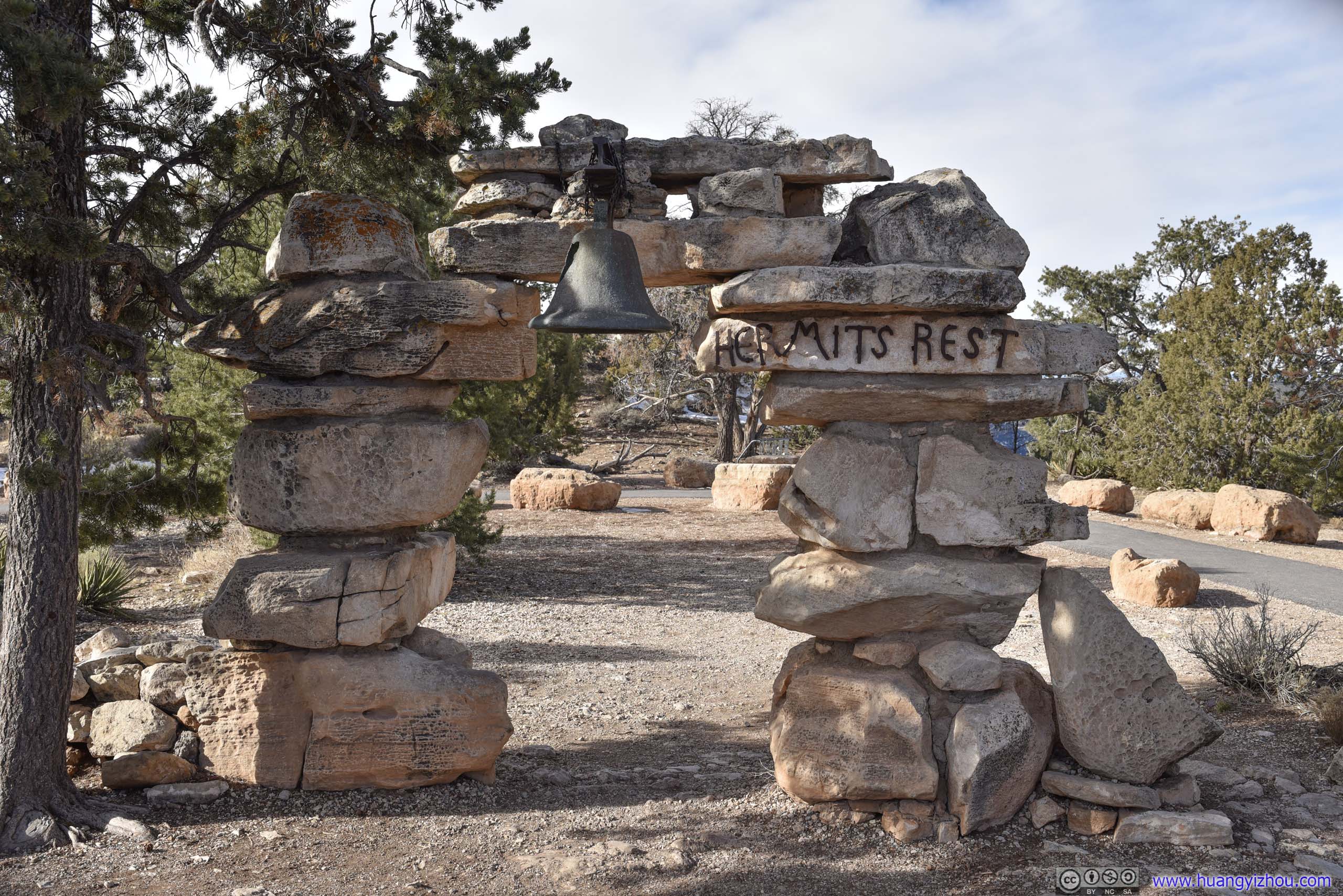
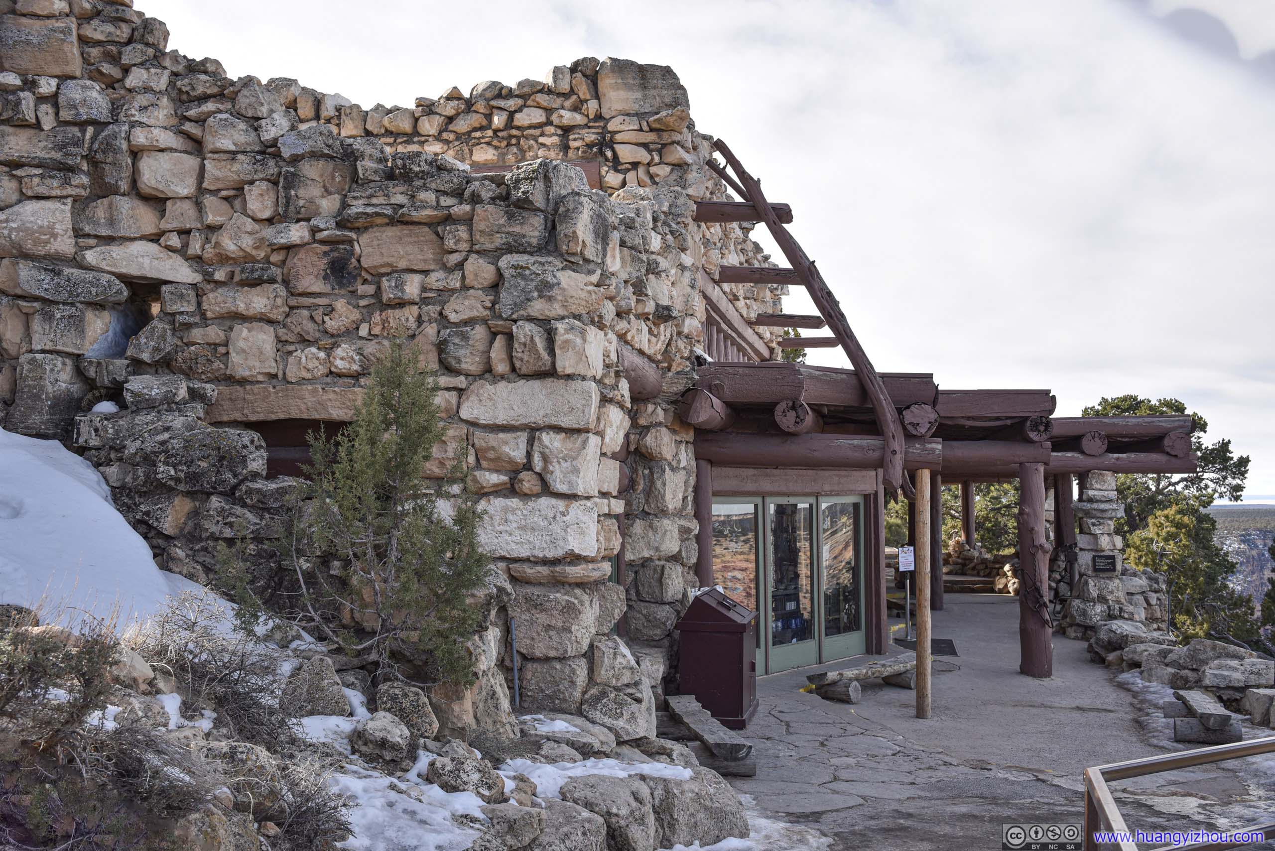
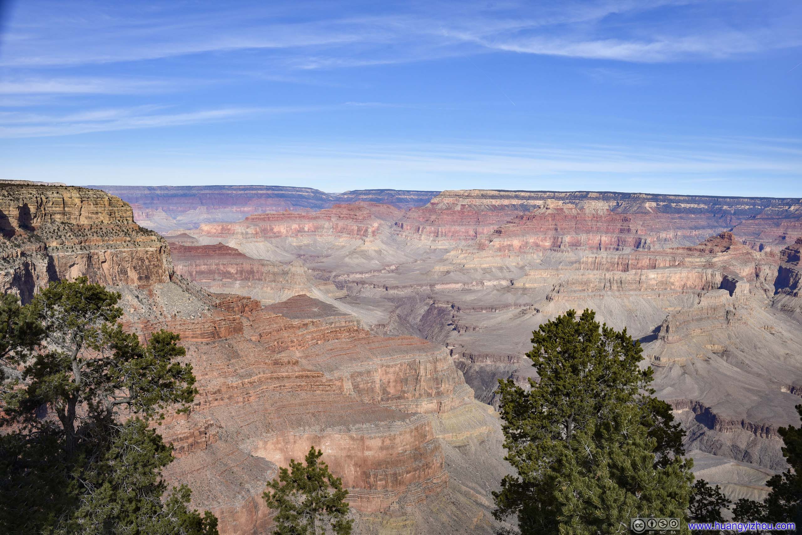
Hermit Rest
Finally, at the end of Hermit Road was Hermit Rest, a small building that, for guests of Santa Fe Railway, served as the basecamp for the mule ride down the canyon. Nowadays, the building was a convenience store. We didn’t bother to retrieve our masks so we stayed outside.
As much as views were concerned, I didn’t think the views at Hermit Rest were that great. So we didn’t stay here for long.
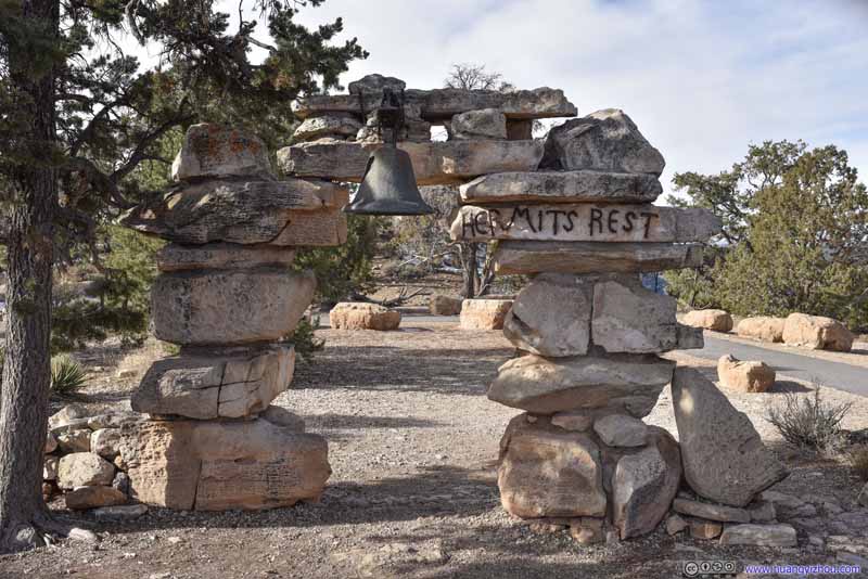 Hermit’s Rest ArchAt its entrance greeting guests since the early 20th century.
 Hermit’s RestNow a store.
 Grand Canyon from Hermit’s Rest
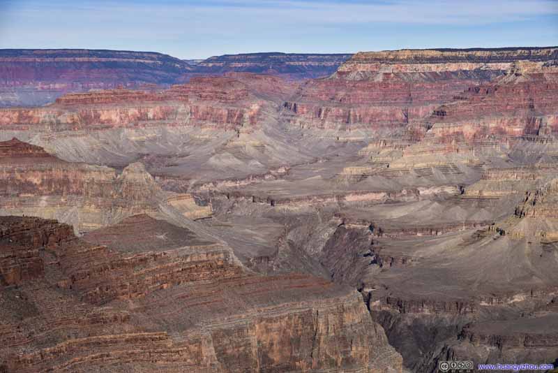 Grand Canyon from Hermit’s Rest
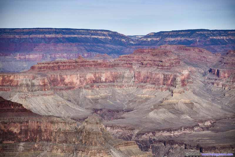 Grand Canyon from Hermit’s Rest
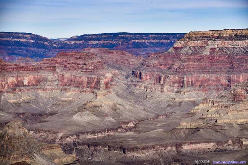 Grand Canyon from Hermit’s Rest


Click here to display photos of the slideshow
Hermit’s Rest ArchAt its entrance greeting guests since the early 20th century.
Hermit’s RestNow a store.
Grand Canyon from Hermit’s Rest
 Grand Canyon from Hermit’s Rest
Along Rim Drive
Yavapai Point
After the excursion to Hermit Drive, we were back at the popular and developed Grand Canyon Village. Our first stop here was Yavapai Point, which housed a geology museum for its location overlooking the most stunning and geologically diverse portions of the Grand Canyon.
Grand Canyon from Yavapai Point
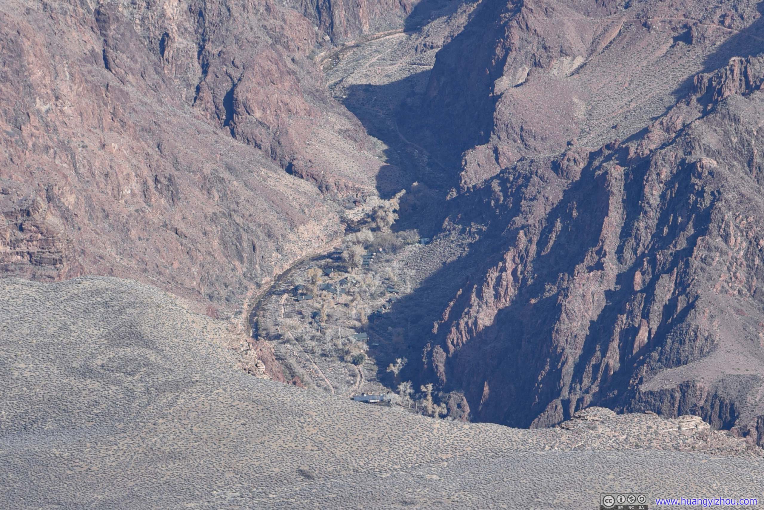
 Bright Angel Canyon
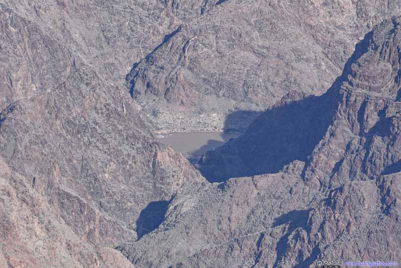 Colorado RiverAt the end of Bright Angel Trail, which we hiked the previous day.
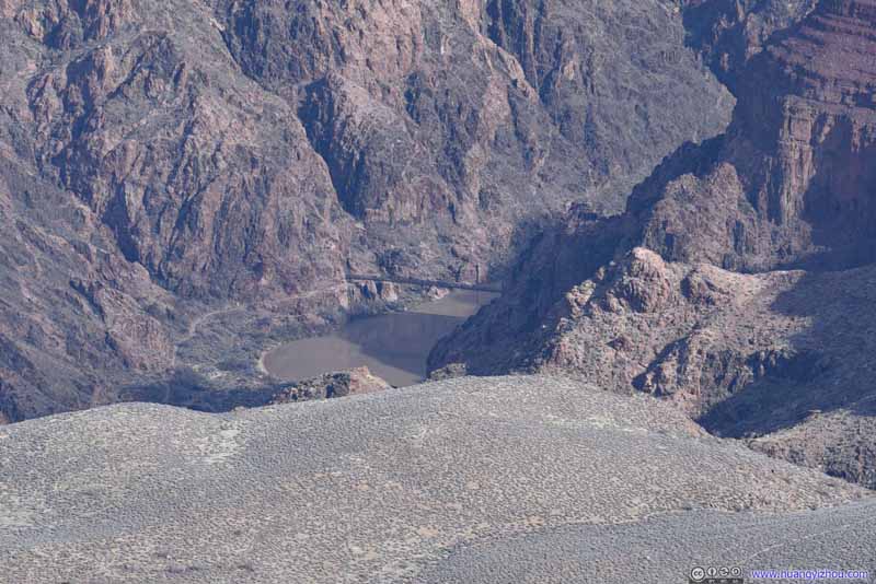 Kaibab Suspension Bridge
One of the two footbridges across Colorado River. The other one being Bright Angel Suspension Bridge, slightly downstream behind the mountain.
Kaibab Suspension Bridge
One of the two footbridges across Colorado River. The other one being Bright Angel Suspension Bridge, slightly downstream behind the mountain. Phantom RanchA campground at the bottom of Grand Canyon.
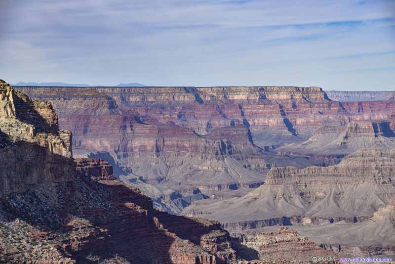 Grand Canyon
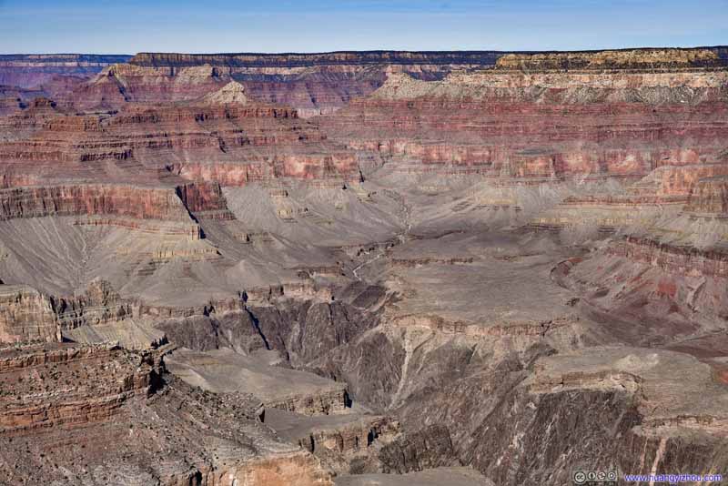 Grand Canyon
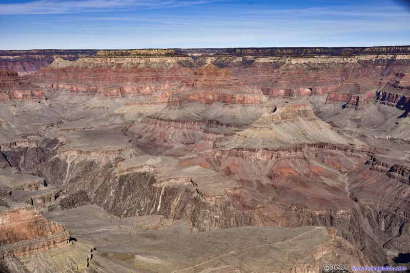 Grand Canyon
 Grand Canyon
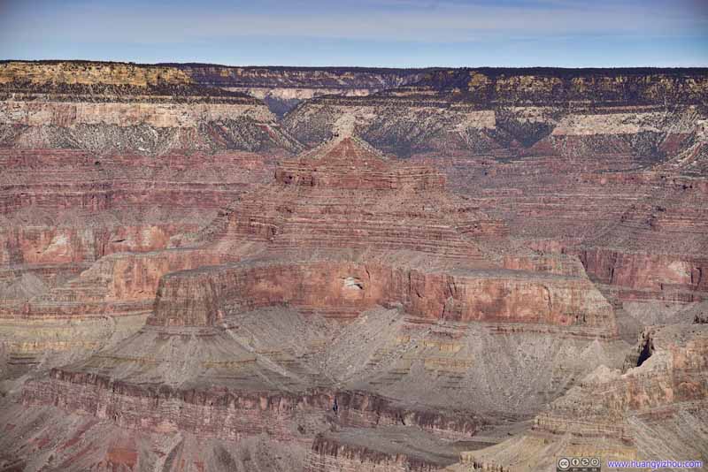 Isis Temple


Click here to display photos from Yavapai Point.

Bright Angel Canyon

Colorado RiverAt the end of Bright Angel Trail, which we hiked the previous day.

Kaibab Suspension Bridge
Phantom RanchA campground at the bottom of Grand Canyon.
Grand Canyon

 Grand Canyon
Isis Temple
A highlight of Yavapai Point was that, it was directly facing Bright Angel Canyon, a long canyon perpendicular to the Colorado River, leading up to North Rim of Grand Canyon. After yesterday’s epic hike of Bright Angel Trail, a rim-to-rim hike that it afforded was ever more within my reach. And inside the geology museum, one could appreciate its magnificence while sheltered from the elements.
Mather Point
Next we went to Mather Point, an overlook closest to the visitor center. Unfortunately, the visitor center was surrounded by many parking lot (for its summer shuttle volume), and we happened to park at a lot that’s farthest from Mather Point.
Grand Canyon from Mather Point
Mather Point was an even smaller rocky outcrop than the previous ones, and with its proximity to the visitor center, the park authorities aggressively set up fences so that people don’t fall off the canyon accidentally.
 Grand Canyon
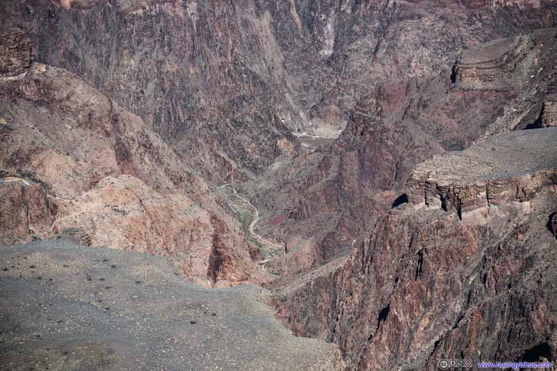 Bright Angel Trail
This was the final part of Bright Angel Trail, leading up to Colorado River. We hiked Bright Angel Trail the previous day.
Bright Angel Trail
This was the final part of Bright Angel Trail, leading up to Colorado River. We hiked Bright Angel Trail the previous day.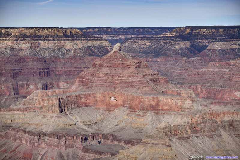 Isis Temple
 Grand Canyon
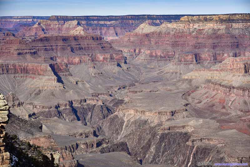 Grand Canyon
 Toppled RocksSo that they were fenced off.

Click here to display photos from Mather Point.

Grand Canyon

Bright Angel Trail

Isis Temple
 Grand Canyon
Toppled RocksSo that they were fenced off.
After that, we followed East Rim Drive for the exit of the park.
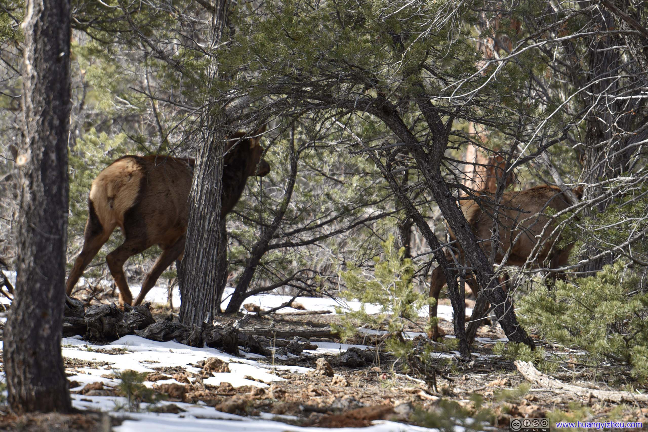
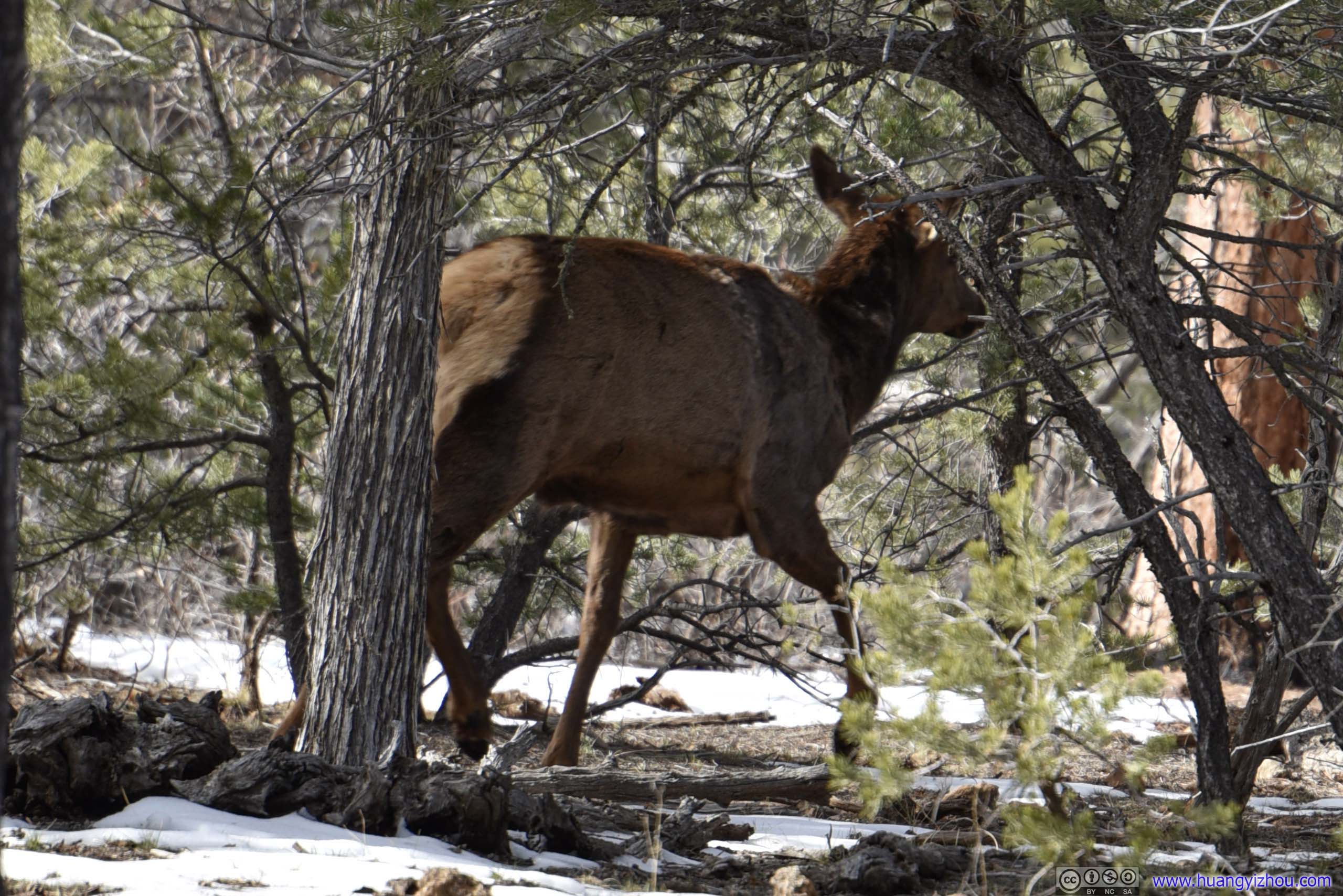 Moose
Moose
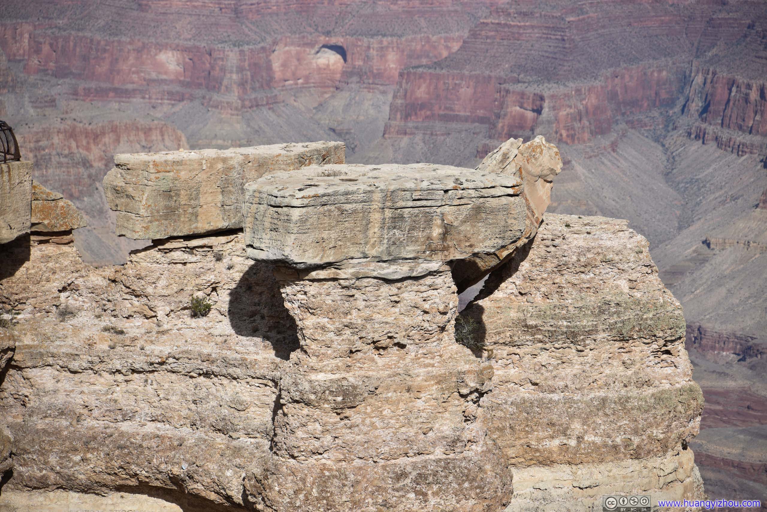
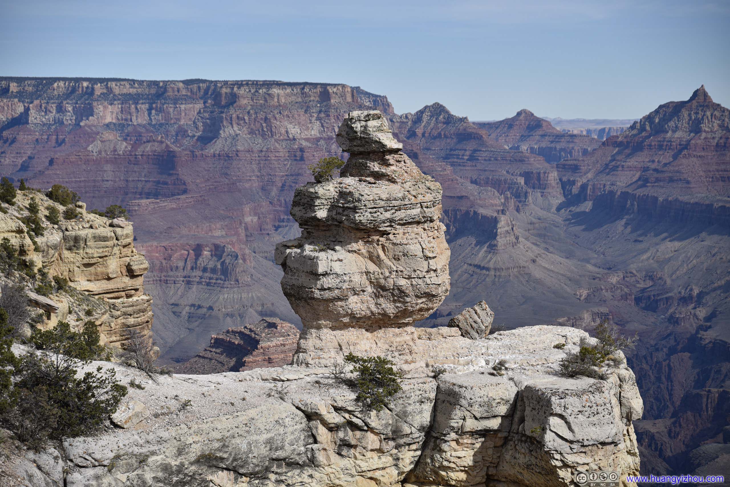
Duck on a Rock Viewpoint
 Duck on a RockIt took quite some imagination to think of this as a duck.
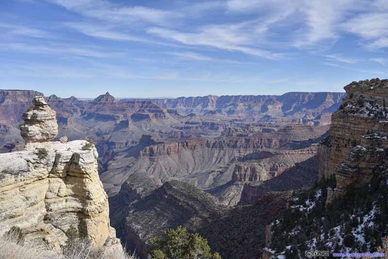 Grand CanyonBut its white-colored rocks were still a refreshing sight in front of the Grand Canyon behind it.
 Grand Canyon
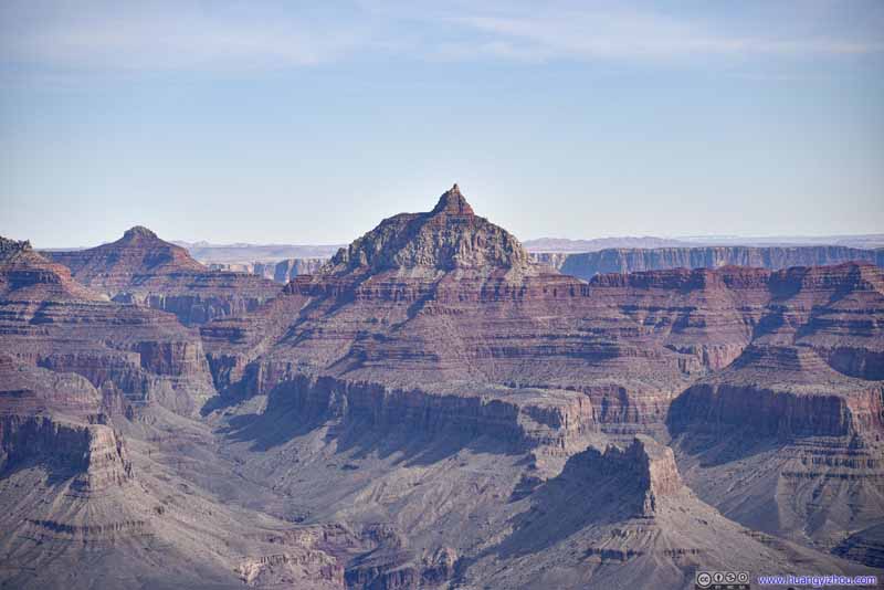 Vishnu Temple
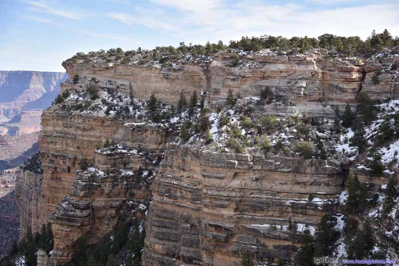 Canyon Rim

Click here to display photos of the slideshow
Duck on a RockIt took quite some imagination to think of this as a duck.

Grand CanyonBut its white-colored rocks were still a refreshing sight in front of the Grand Canyon behind it.

Grand Canyon

Vishnu Temple
Canyon Rim
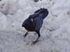
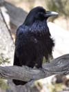
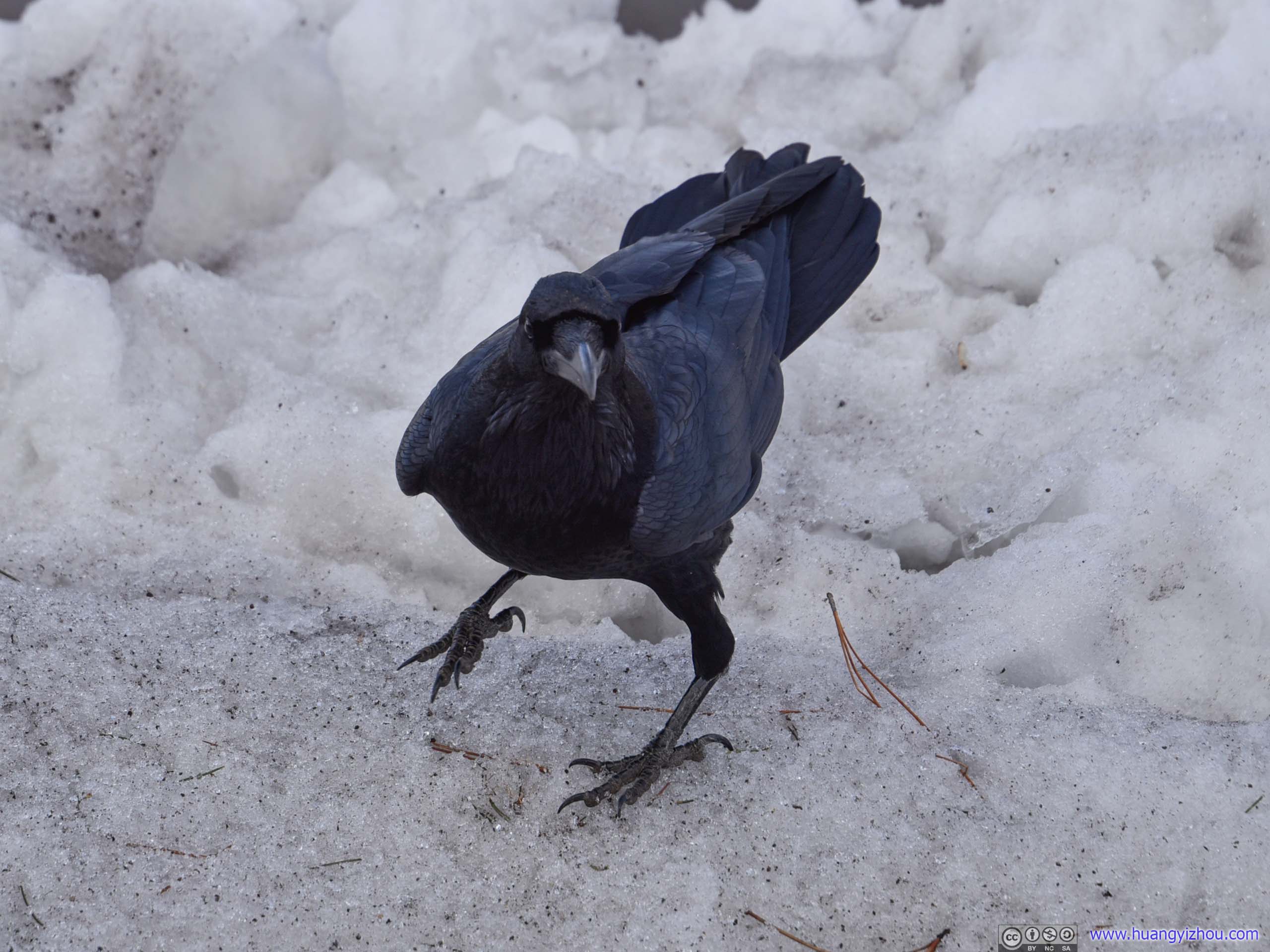
While the viewpoint was obviously named for the shape of the rock (picture above), I was having a hard time associating that with the shape of a duck. But instead, we found another bird hanging around in its parking lot.
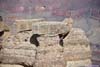
 RavenAt the parking lot of “Duck on a Rock”, we ran into another kind of bird.
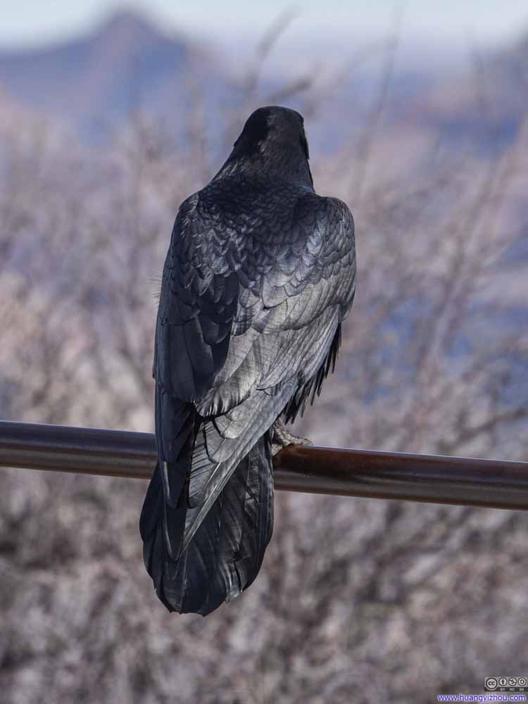 RavenAt the parking lot of “Duck on a Rock”, we ran into another kind of bird.
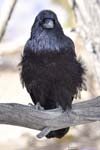
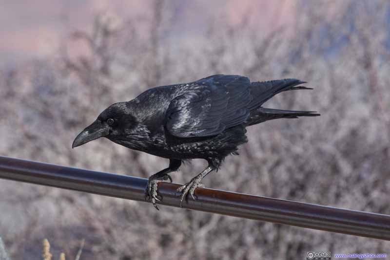 RavenAt the parking lot of “Duck on a Rock”, we ran into another kind of bird.
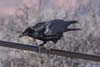
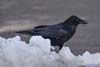
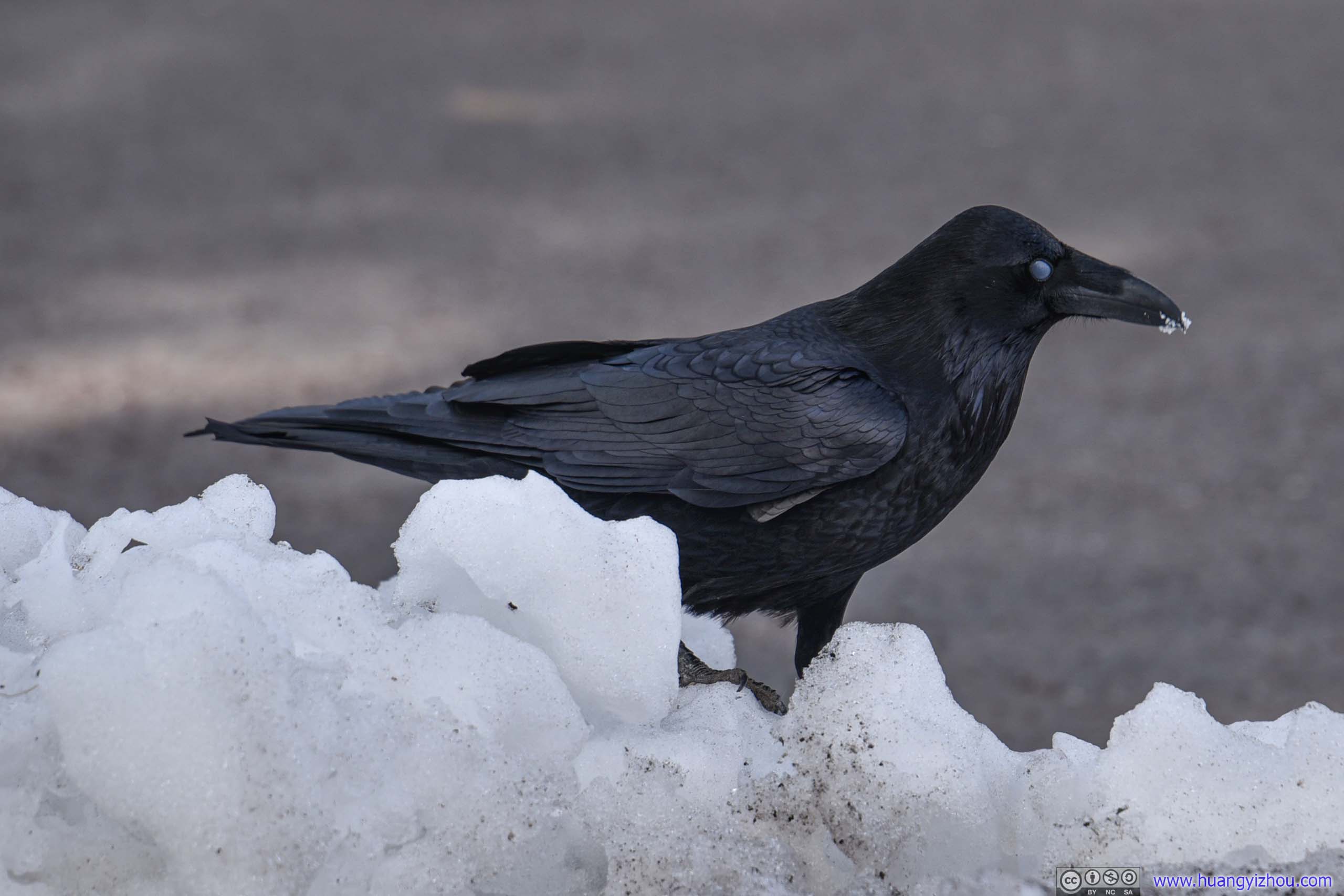
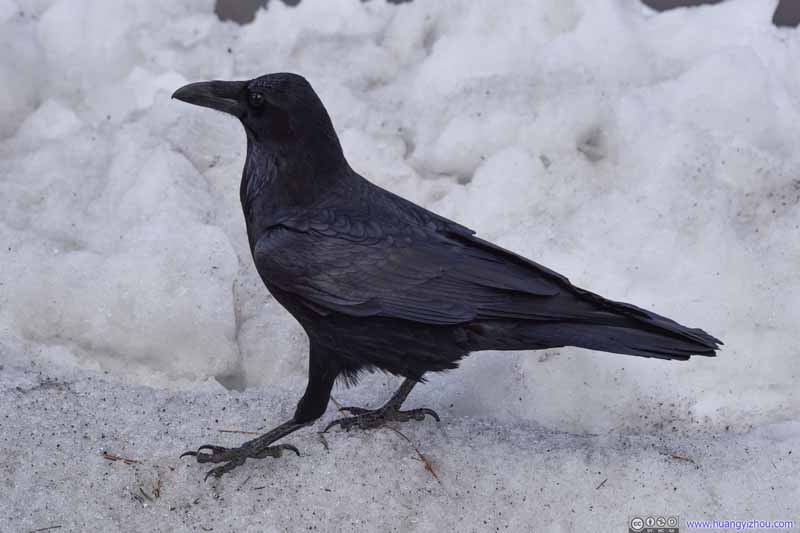 RavenAfter leaving the previous handrail, it went on a little excursion on the ice.
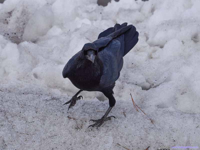 RavenAfter leaving the previous handrail, it went on a little excursion on the ice.
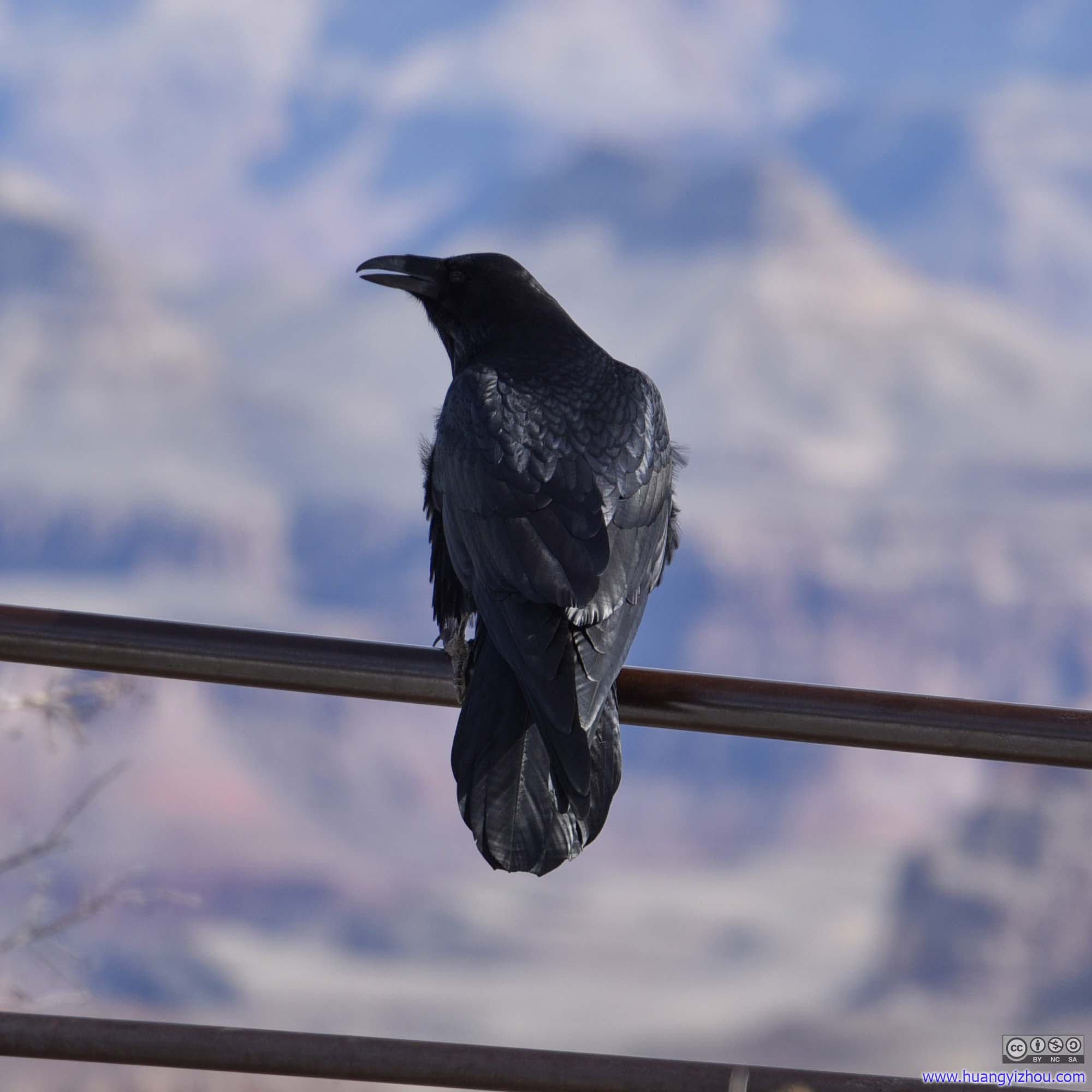
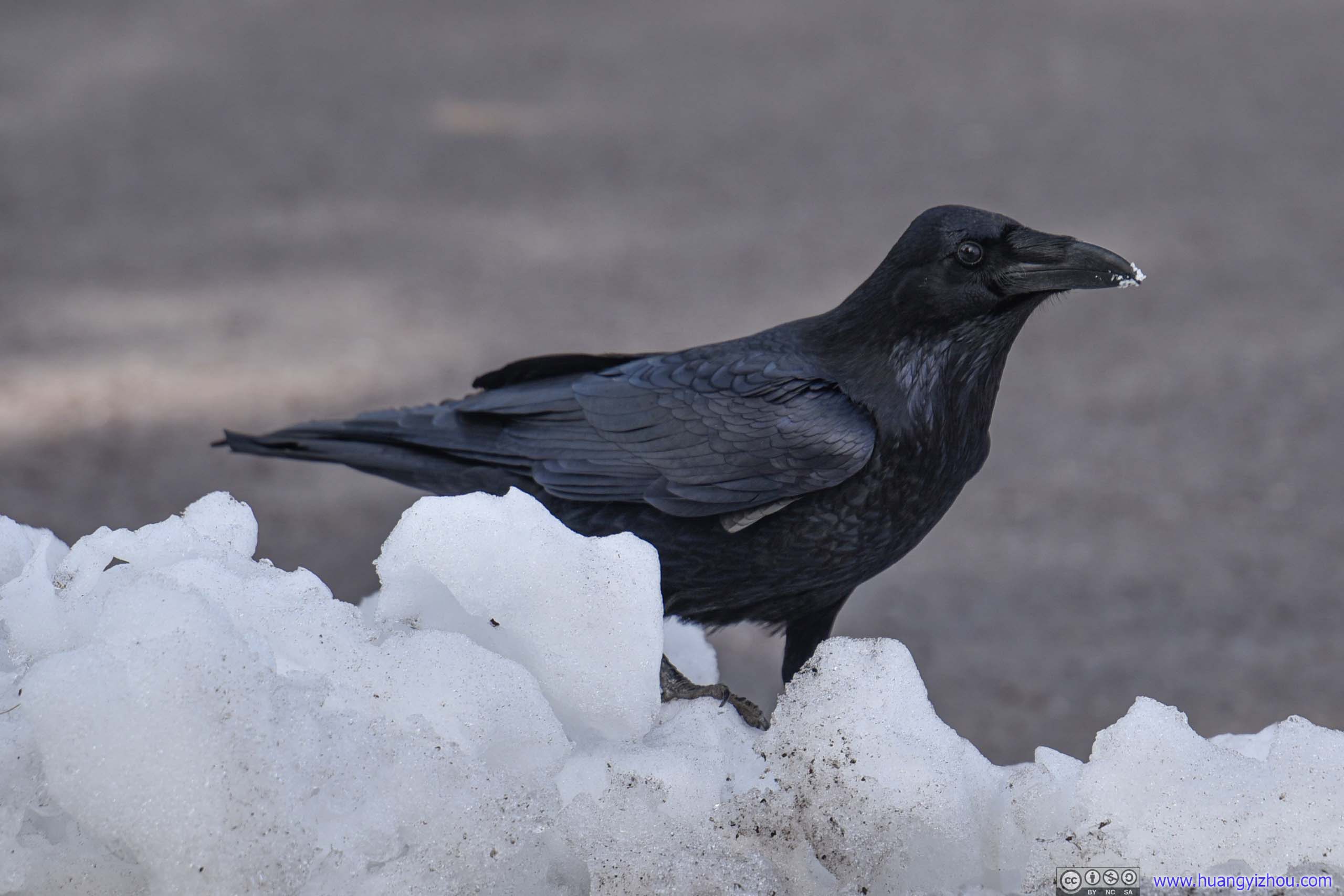
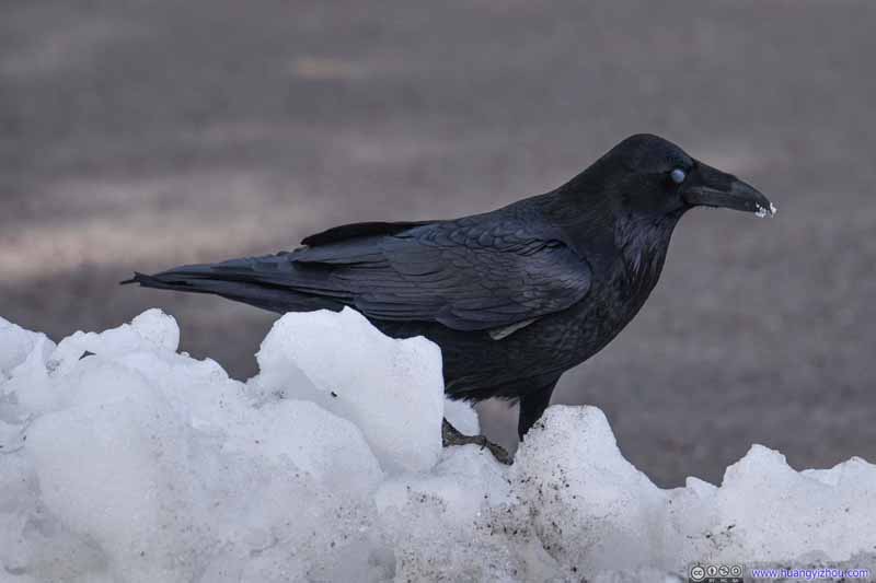 RavenOh, its eyeball.
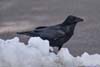
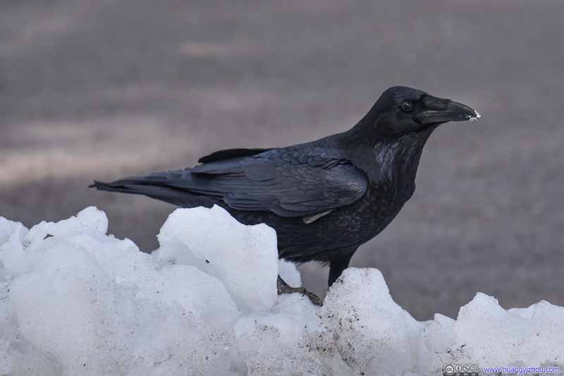 RavenIt must be so thirsty that it’s eating ice?
 Raven
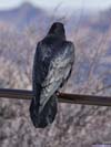
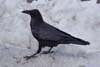
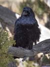
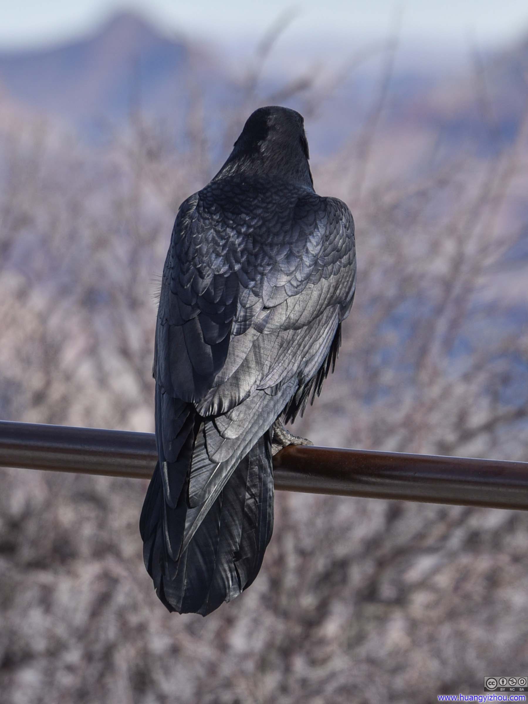
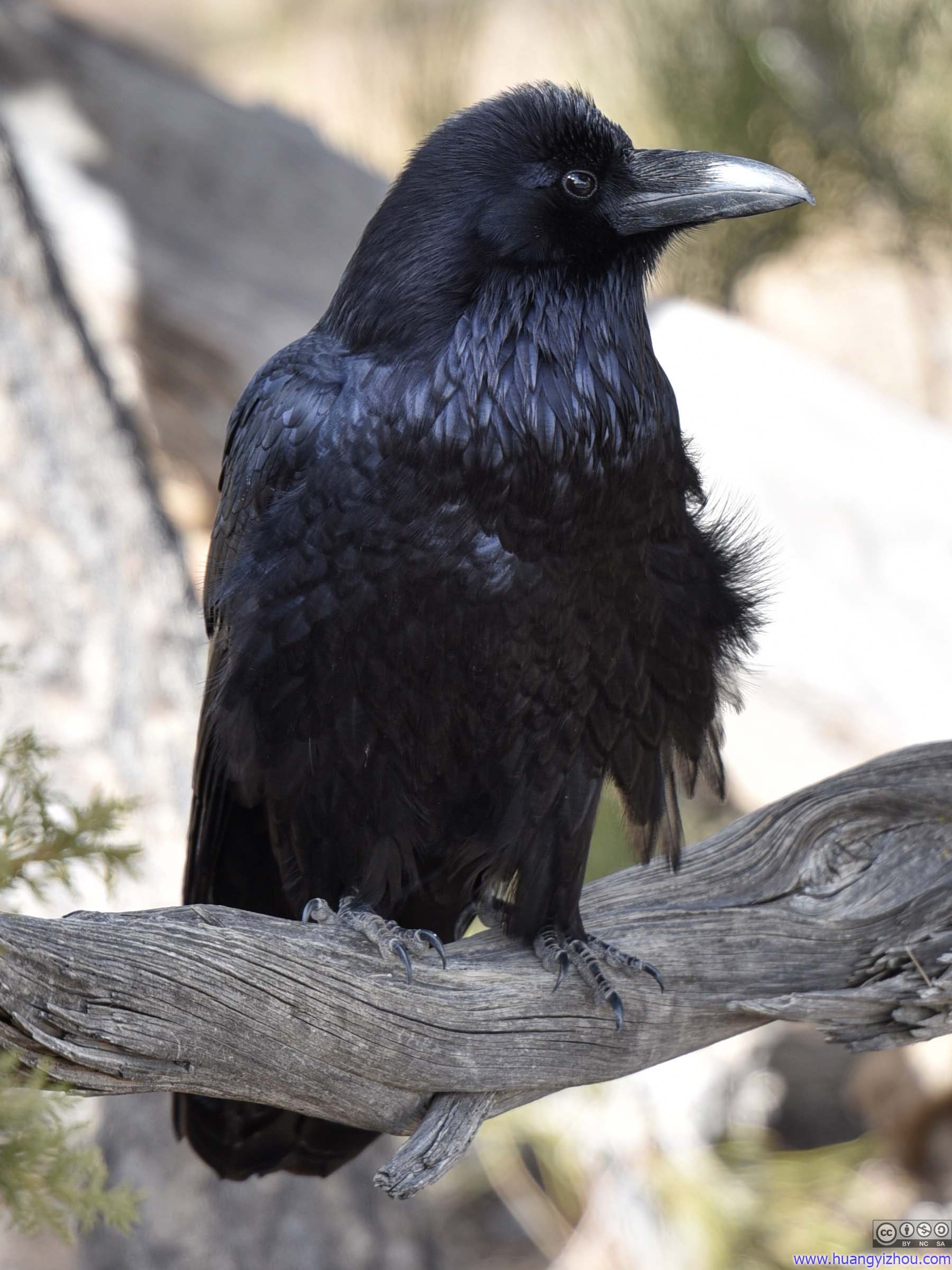
Later at the parking lot of Moran Point, we ran into another raven. This one was pretty content hiding back in the bushes.
Raven
Later at the parking lot of Moran Point, we ran into another raven. This one was pretty content hiding back in the bushes. Raven
Later at the parking lot of Moran Point, we ran into another raven. This one was pretty content hiding back in the bushes.
Raven
Later at the parking lot of Moran Point, we ran into another raven. This one was pretty content hiding back in the bushes.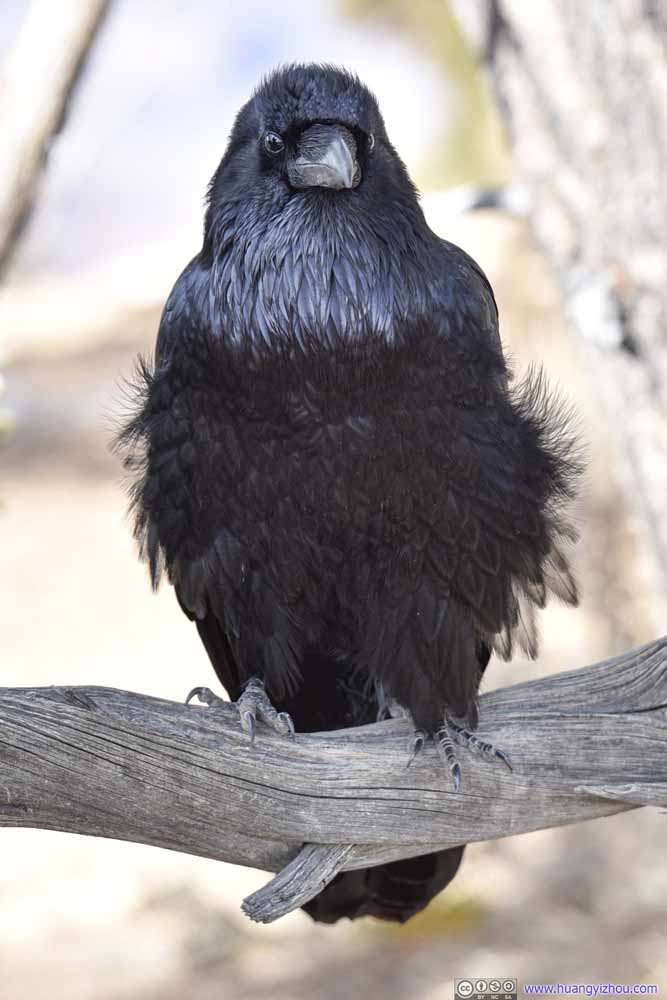 Raven
Later at the parking lot of Moran Point, we ran into another raven. This one was pretty content hiding back in the bushes.
Raven
Later at the parking lot of Moran Point, we ran into another raven. This one was pretty content hiding back in the bushes.

Click here to display photos of the slideshow
RavenAt the parking lot of “Duck on a Rock”, we ran into another kind of bird.
RavenAt the parking lot of “Duck on a Rock”, we ran into another kind of bird.

RavenAt the parking lot of “Duck on a Rock”, we ran into another kind of bird.

RavenAfter leaving the previous handrail, it went on a little excursion on the ice.
RavenAfter leaving the previous handrail, it went on a little excursion on the ice.
RavenOh, its eyeball.
RavenIt must be so thirsty that it’s eating ice?

Raven
Raven
Raven
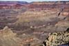
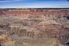
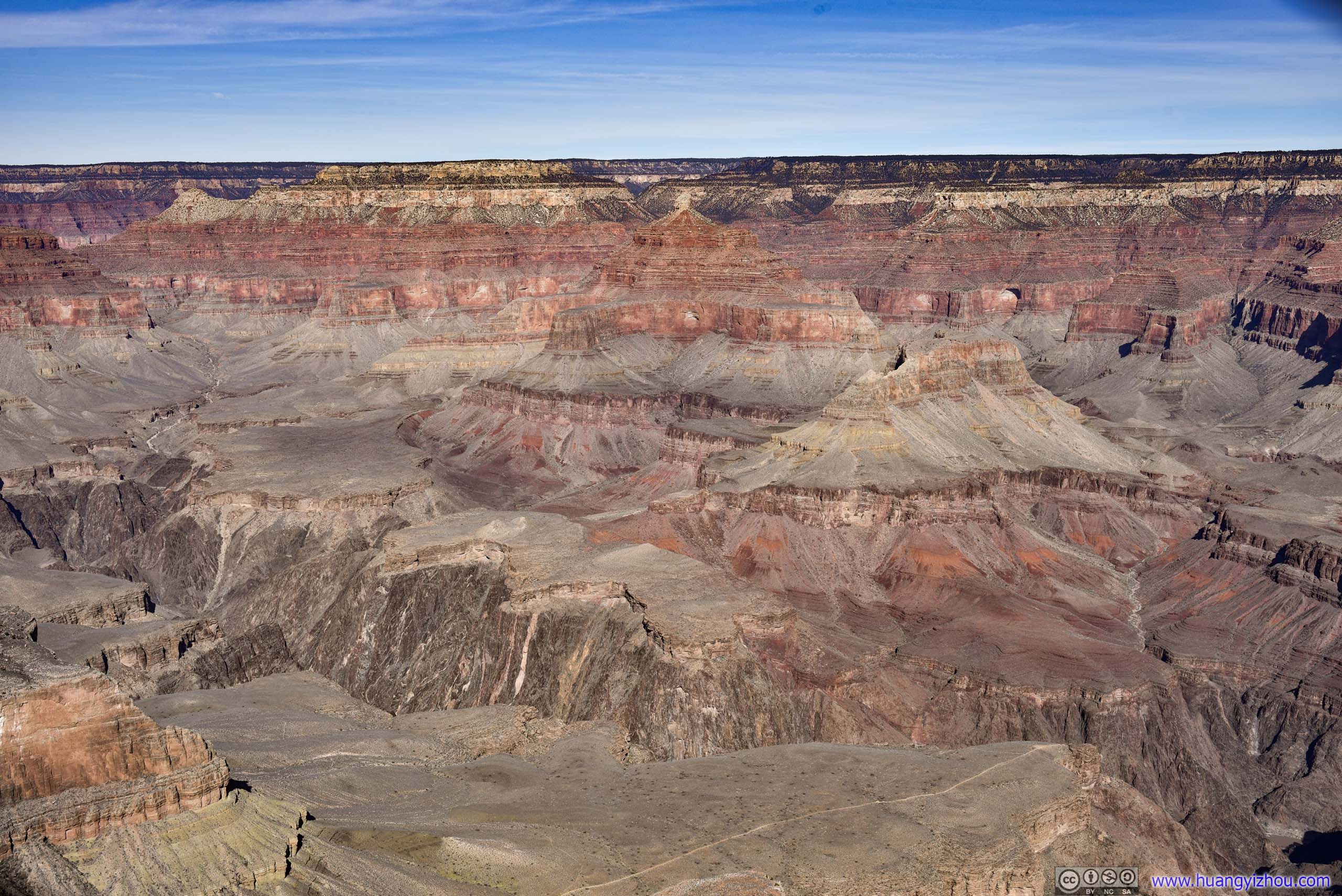
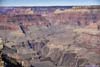
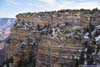
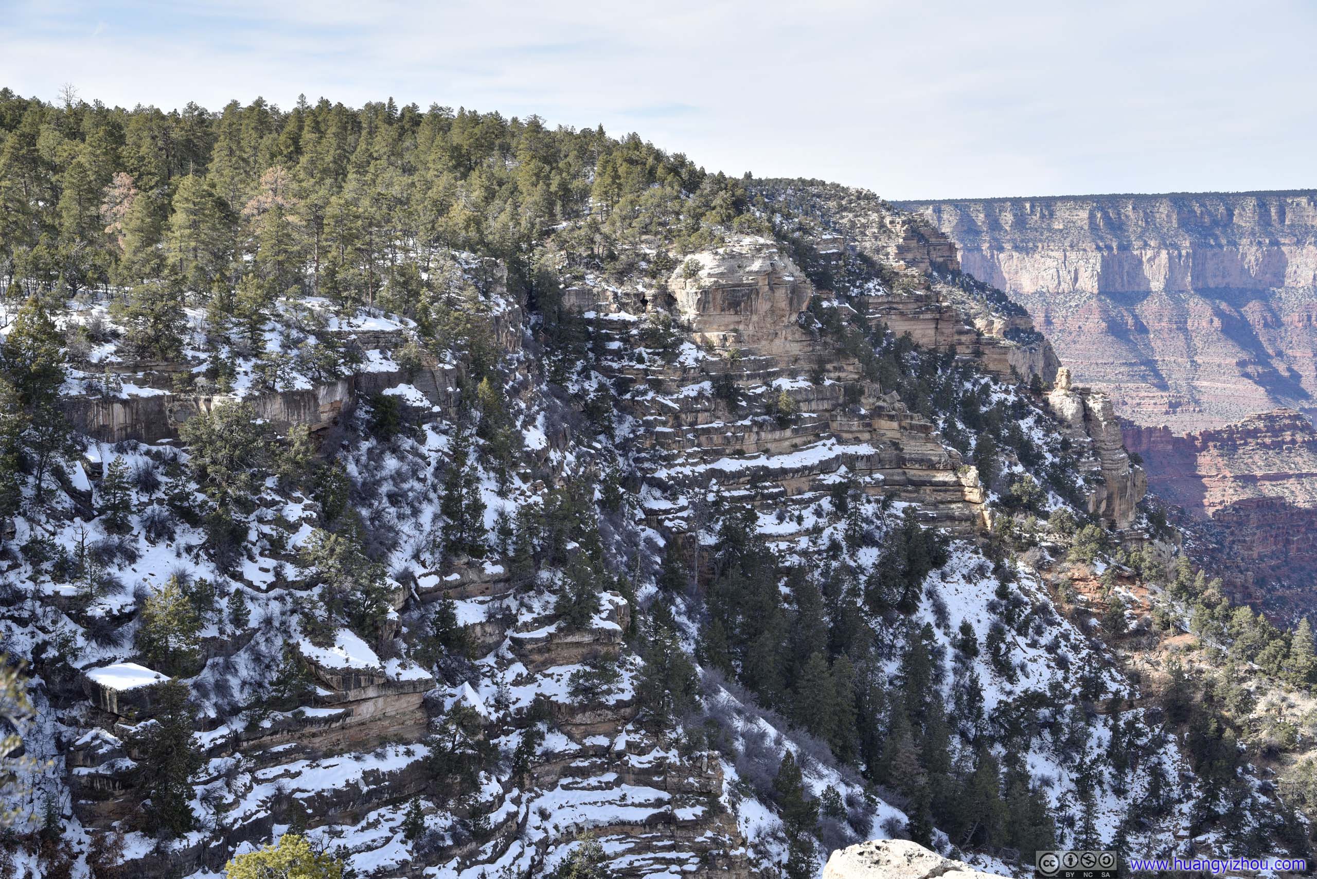
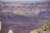
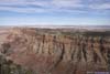
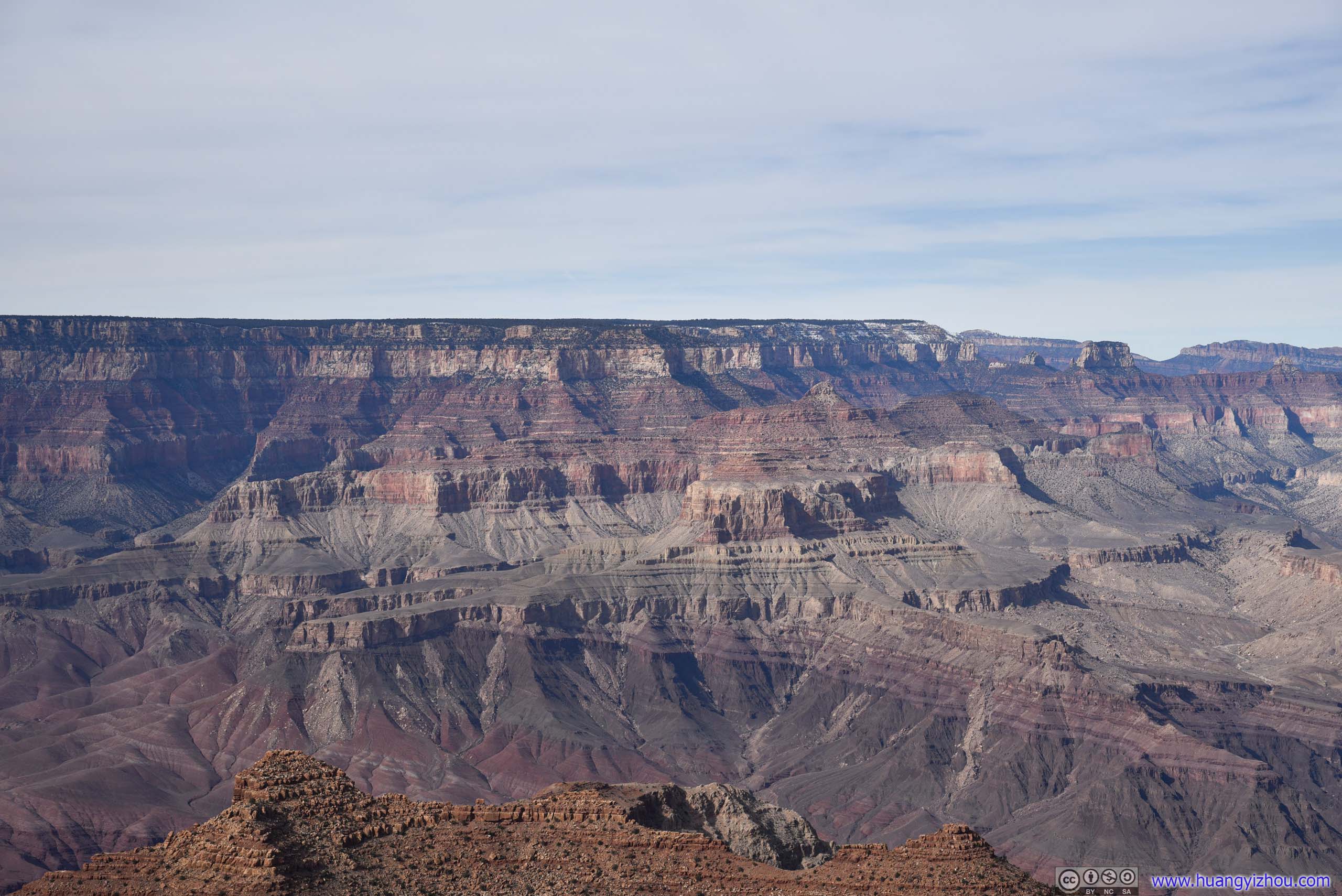
Grandview Point
Next we reached Grandview Point. Nearby was the site of a prosperous copper mine at the turn of 19/20 century. But unfortunately the difficulty of bringing ore back to canyon rim meant the mine didn’t stay profitable for long. Yet with the mining infrastructure, Grandview Point was the site of Grand Canyon’s first hotel, attracting tourists before the railway age.
Grand Canyon from Grandview Point
 Grand CanyonHorseshoe Mesa in the lower foreground.
 Grand Canyon
 Grand Canyon
 Distant Colorado River
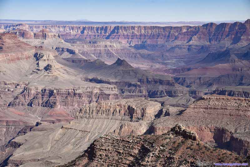 Grand Canyon
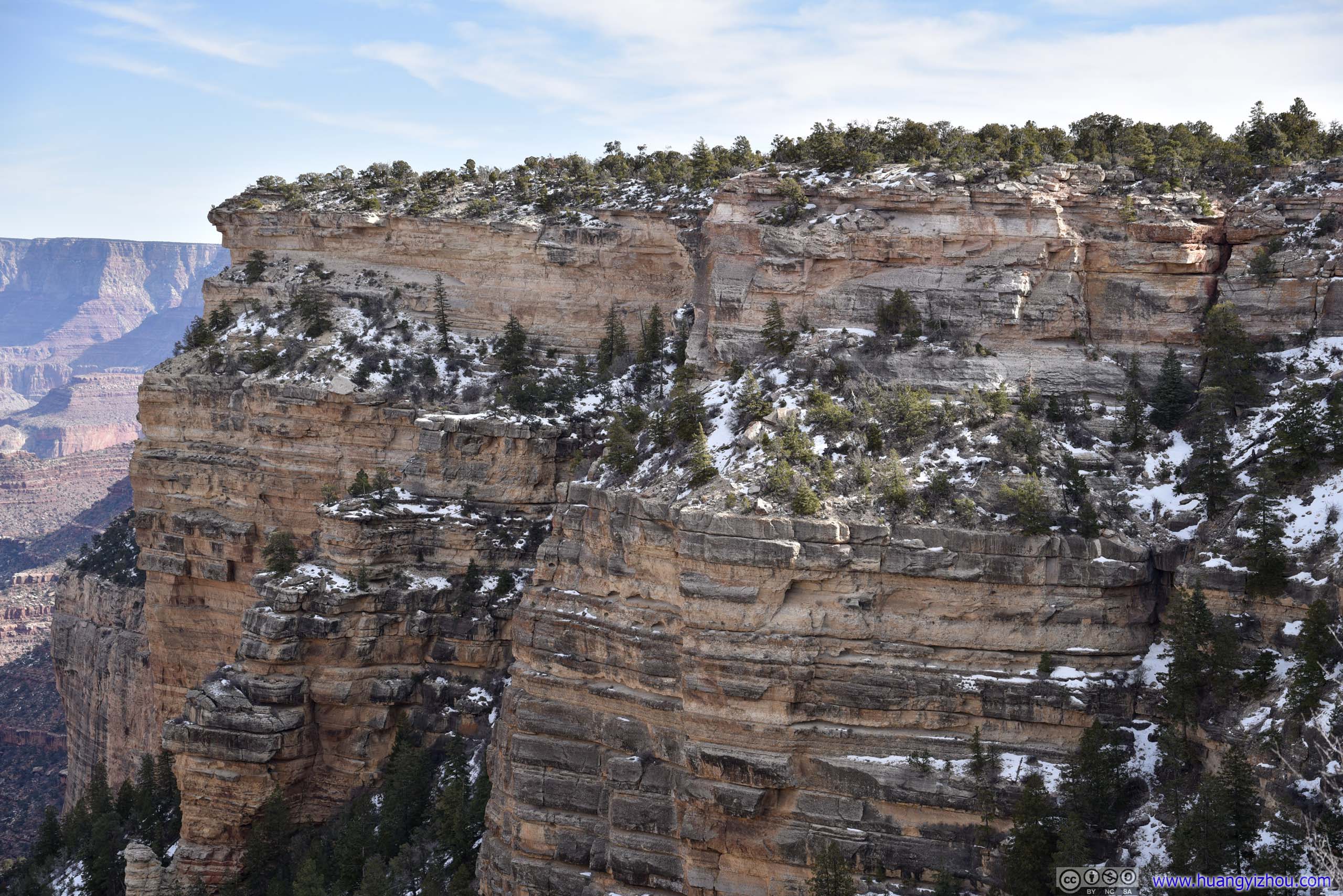
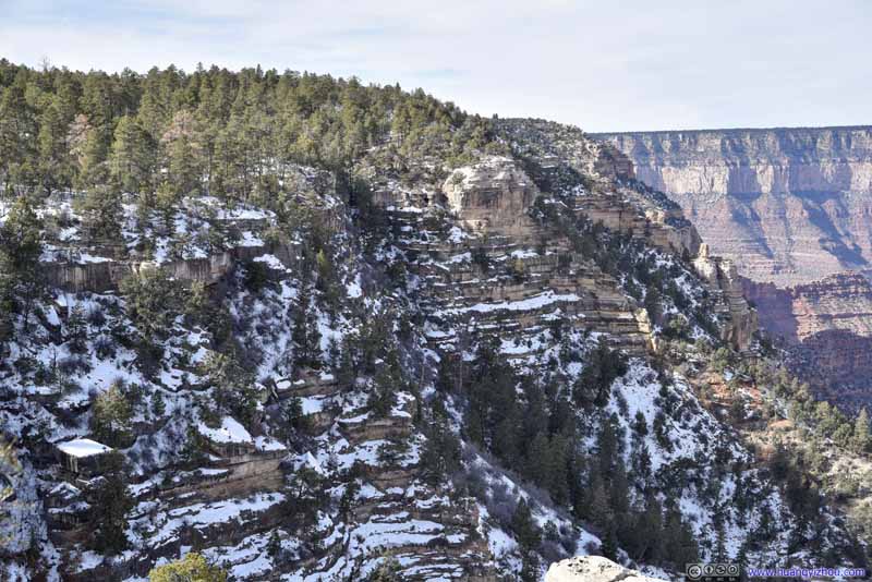 Canyon Rim with Snow

Click here to display photos from Grandview Point.

Grand CanyonHorseshoe Mesa in the lower foreground.
Grand Canyon
Grand Canyon

Distant Colorado River
Grand Canyon
Canyon Rim with Snow
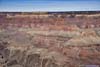
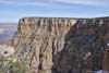
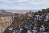
Moran Point
This vista was named after Thomas Moran, who accompanied John Powell for his survey of the Colorado River in 1873.
 Grand Canyon
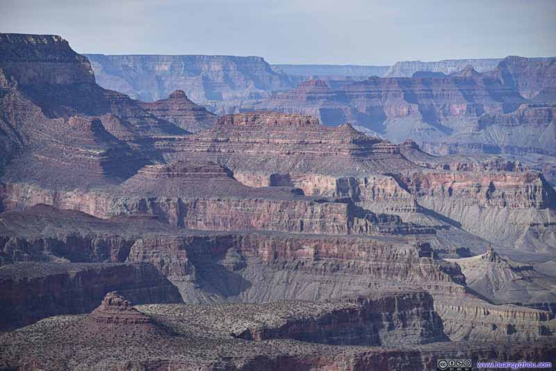 Grand CanyonNewton Butte and O’Neill Butte.
 Angels Gate
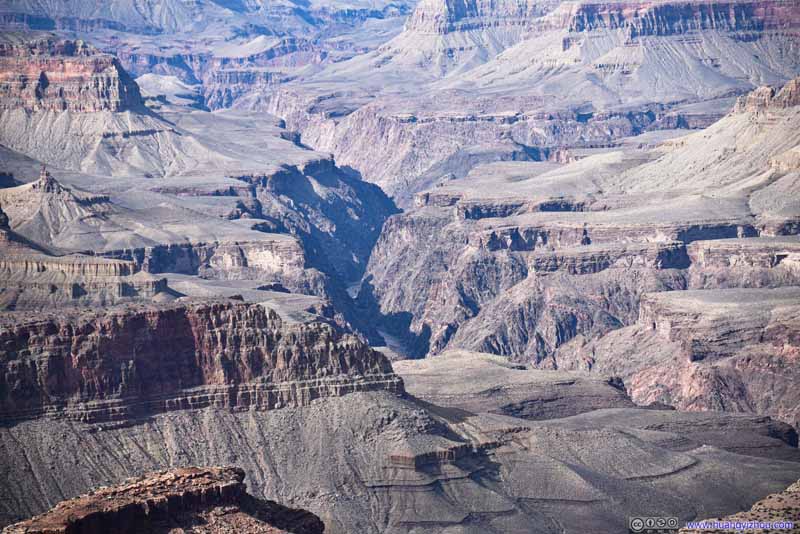 Colorado River
 Colorado RiverUpstream towards the east, the canyon opened up and didn’t feel as grand.
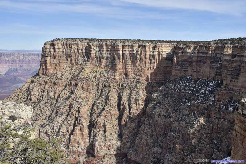 Canyon Rim
Click here to display photos of the slideshow
Grand Canyon
Grand CanyonNewton Butte and O’Neill Butte.
Angels Gate

Colorado River
Colorado RiverUpstream towards the east, the canyon opened up and didn’t feel as grand.

Canyon Rim
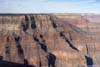
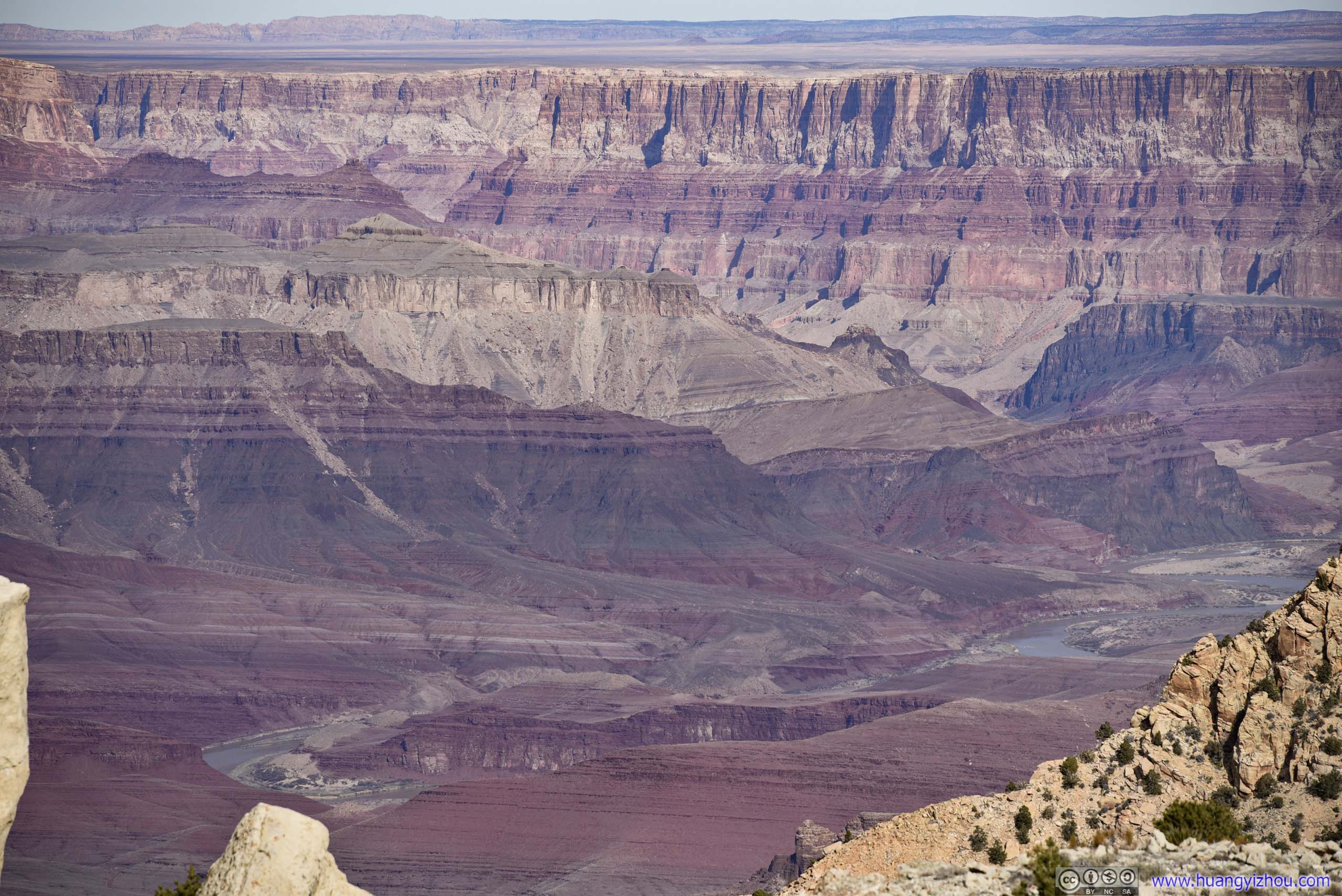
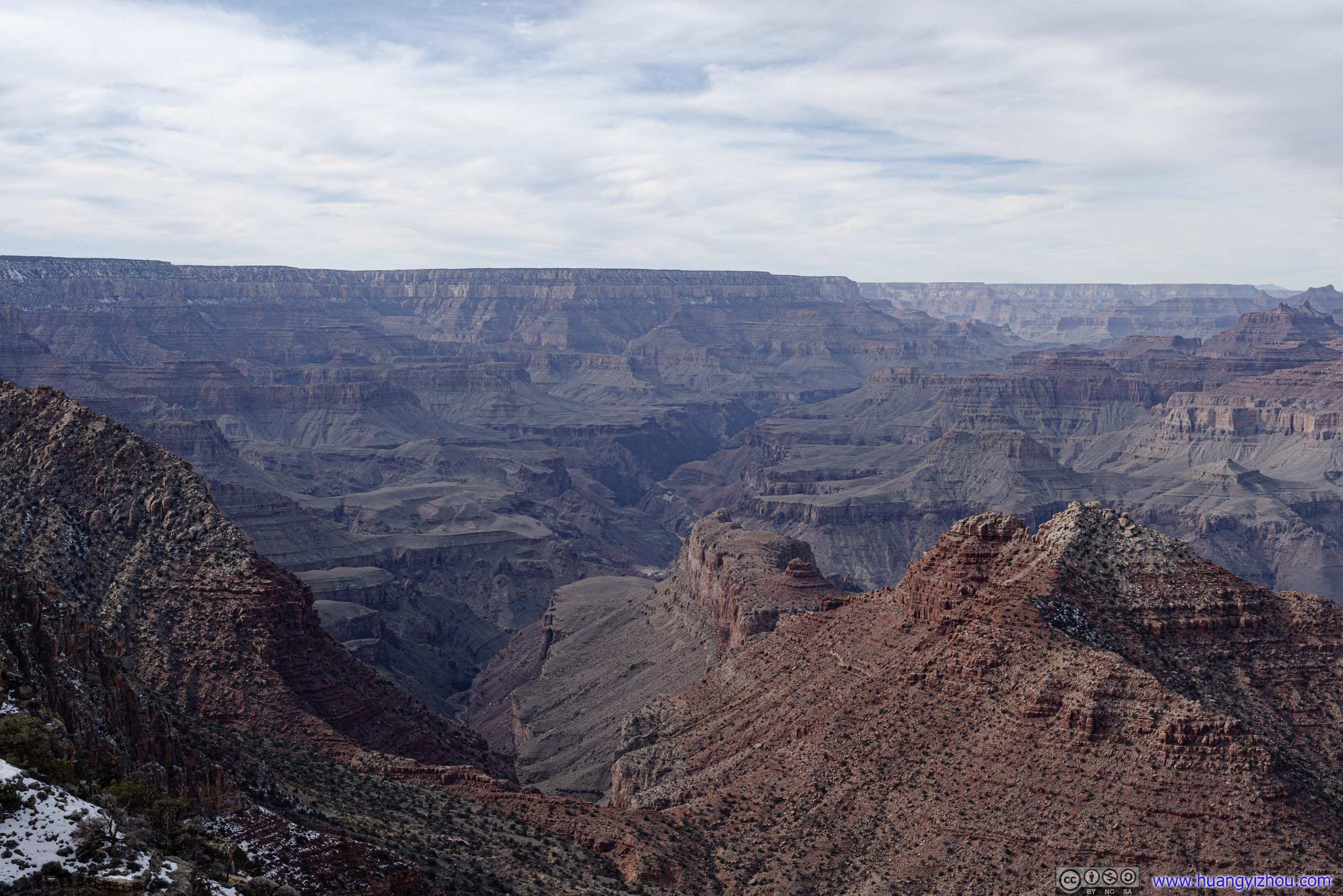
Desert View Point
Finally, we reached Desert View Point at around 1:30pm, the easternmost vista in the park.
Here it felt like the edge of the Grand Canyon. Towards the east, it’s the layered canyons that we felt so familiar throughout our 2-day tour. Towards the north where the Colorado River came from, it’s still a canyon landscape, but less convoluted, less steep, and more straightforward, as the river simplified the geological layers around it.
This sight in front reminded me of the metaphor of life. In the north the river was in its youth, vibrantly beaming in the sun. Below the viewpoint it made a turn towards the west as it matured, with all its bewildering magnificence in full display before envied eyes. But at the same time, its labyrinth of canyons was both sophisticated and aloof, in somber colors against the sun. Like a man in his prime age, decorous and solemn.
Grand Canyon from Desert View
 Grand Canyon
 Grand Canyon
 Grand CanyonJupiter Temple, Venus Temple and Apollo Temple.
 Colorado RiverFrom this point upstream the canyon wasn’t as grand with fewer geological layers.
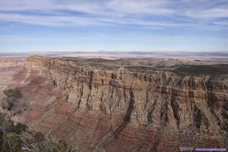 Fields to the EastThe canyon of Little Colorado River was barely visible in the center.
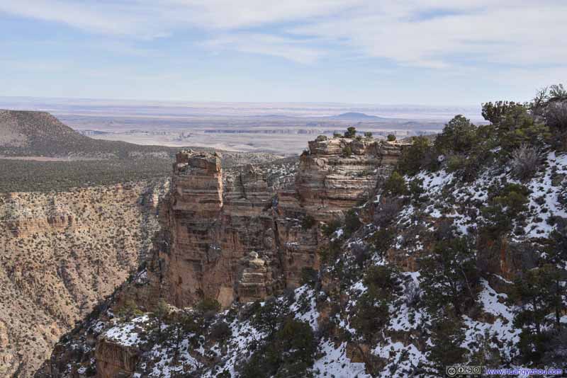 Boulders and Fields to the East
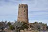
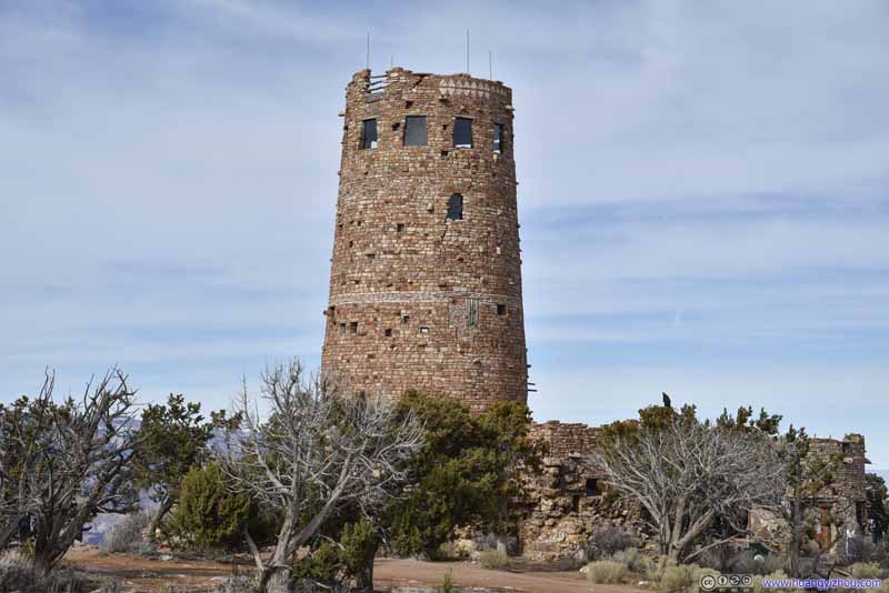 Desert View TowerUnfortunately closed due to COVID.

Click here to display photos of the slideshow
 Grand Canyon
Grand CanyonJupiter Temple, Venus Temple and Apollo Temple.

Colorado RiverFrom this point upstream the canyon wasn’t as grand with fewer geological layers.
Fields to the EastThe canyon of Little Colorado River was barely visible in the center.

Boulders and Fields to the East

Desert View TowerUnfortunately closed due to COVID.
Drive towards Phoenix
After that, we left the park and headed east.
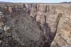
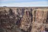
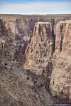
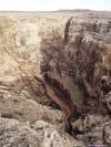
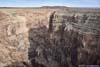
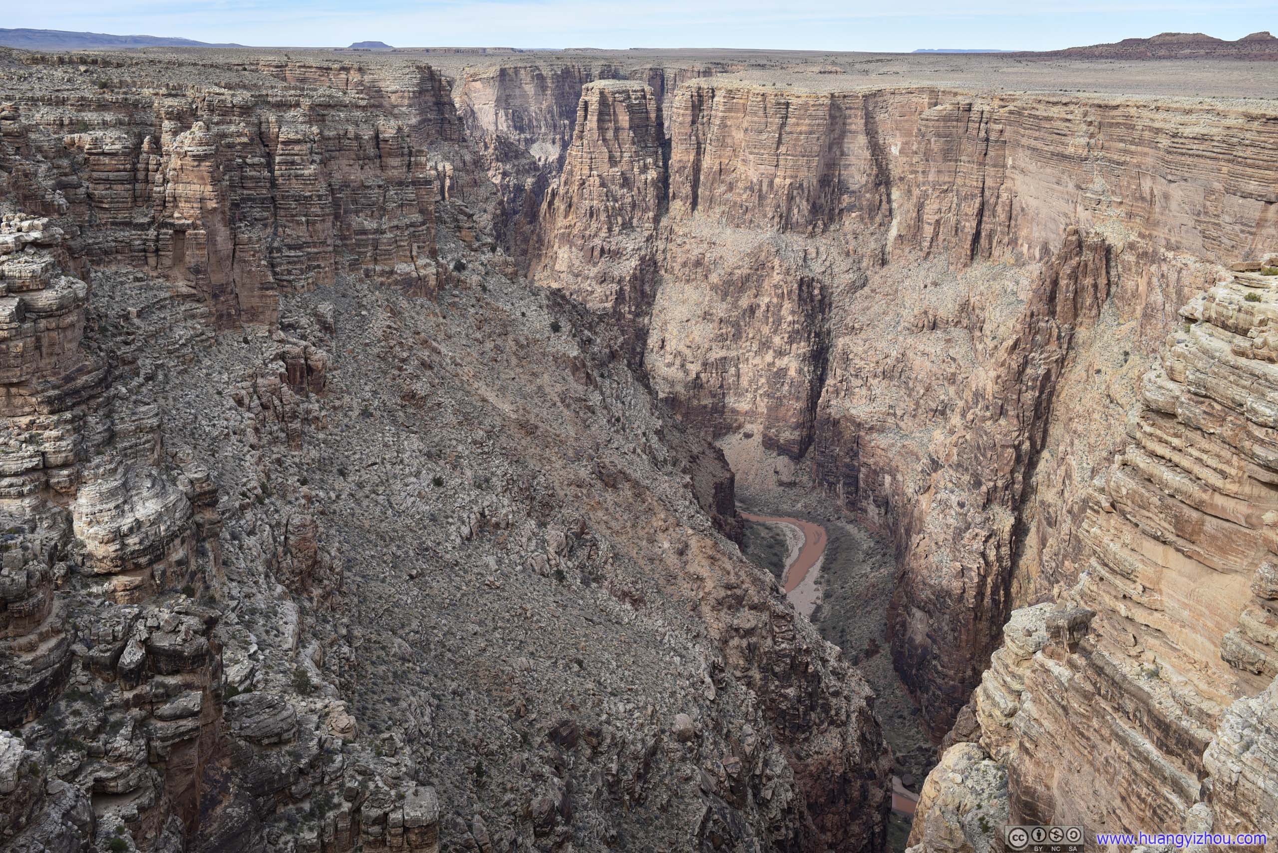
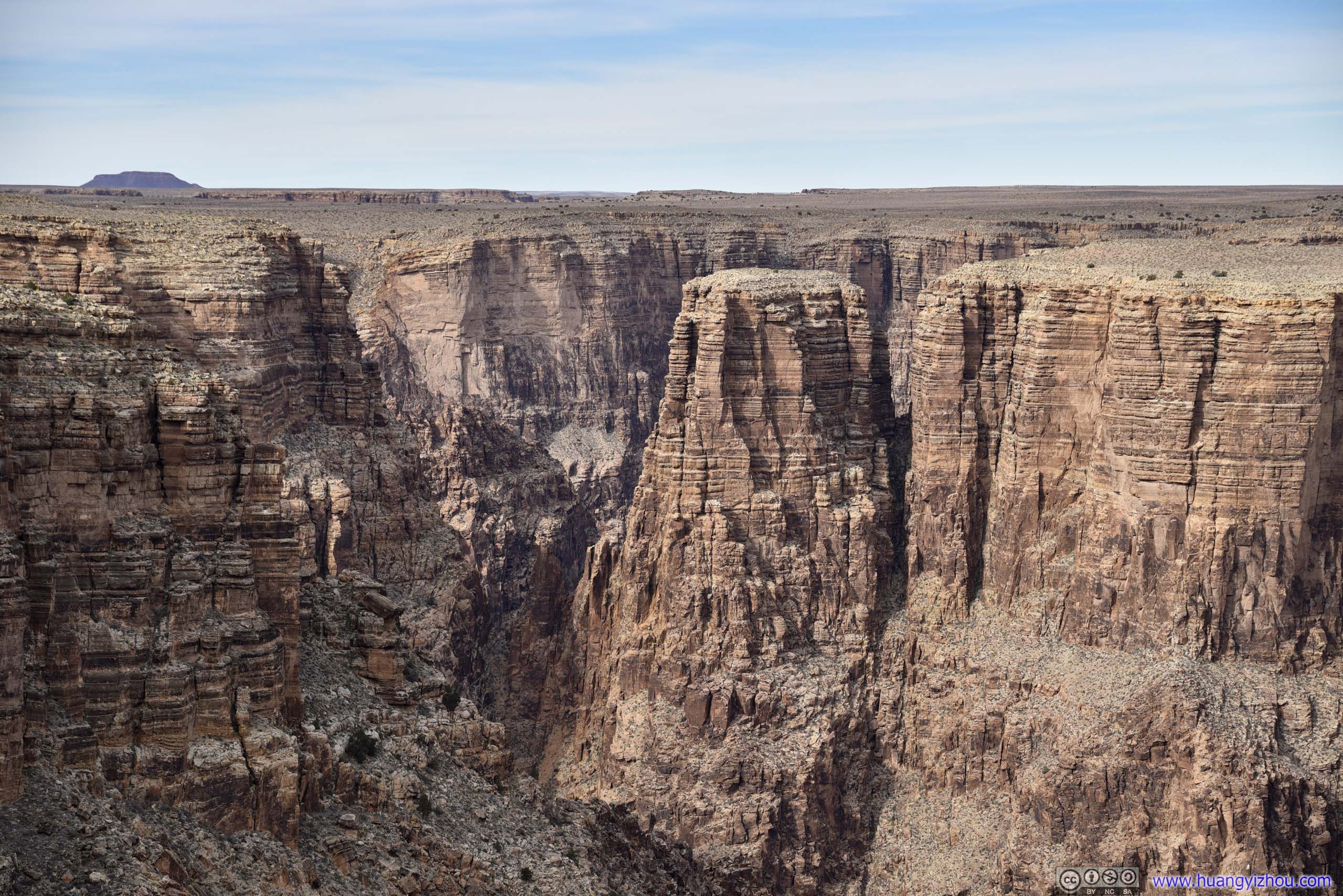
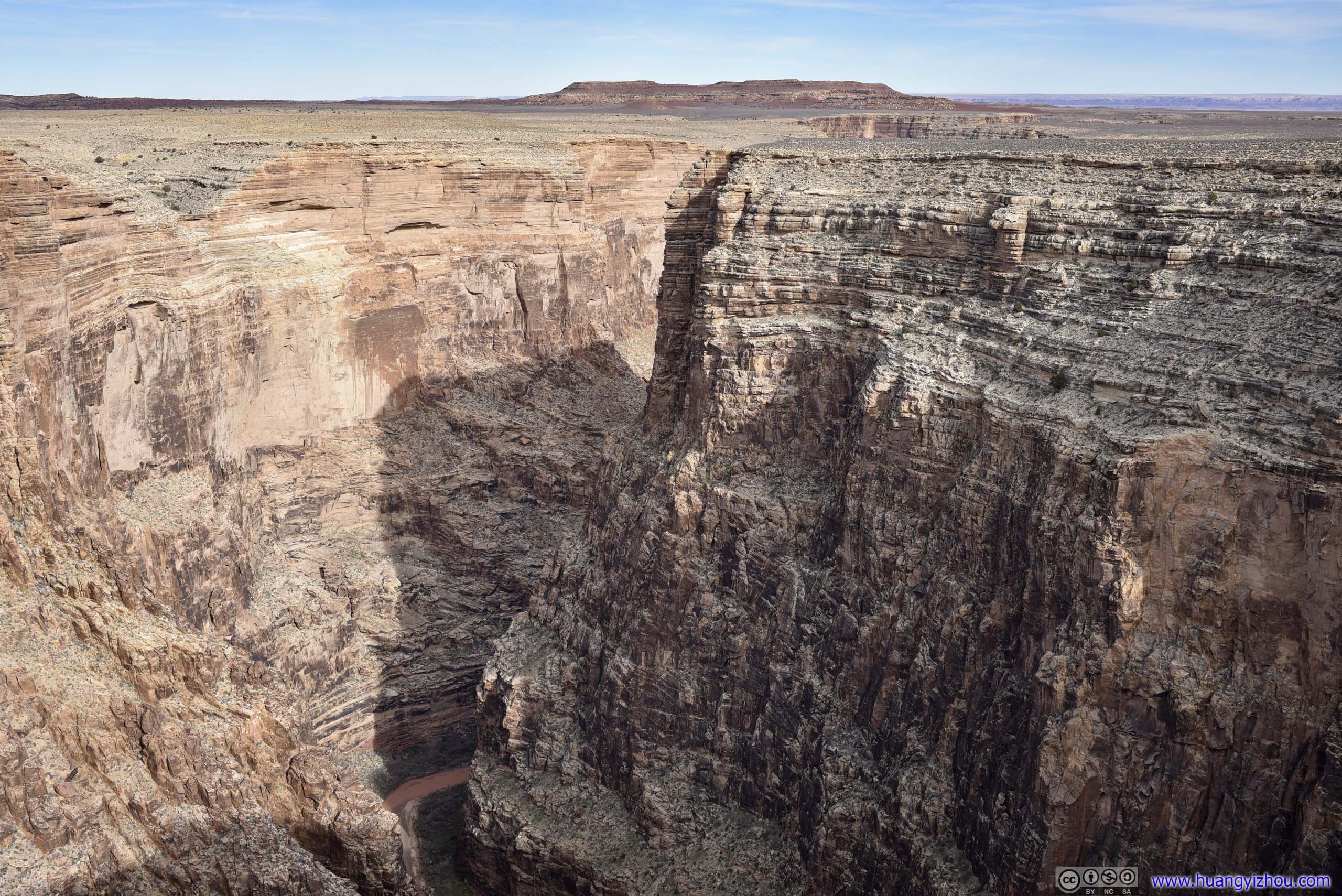
Compared with its bigger brother of Grand Canyon National Park, this Navajo tribal park didn’t see nearly as many visitors. Yet just 600 meters from its parking lot, we were at the edge of Little Colorado River Canyon, a Tributary of Colorado River.
Here the canyon wall didn’t contain as many geological layers as the nearby Grand Canyon, but the steep drop-off of 500 meters was a different scene not often seen in Grand Canyon. To spice things up, here Little Colorado River made a 180-degree turn, so it’s a sight that rivaled the Horseshoe Bend of the Colorado River. Except the rocks here weren’t that rich in color, and the viewpoint was off-center, two unfortunate factors for its lack of popularity.
Canyon of Little Colorado River
 Little Colorado River Gorge
 Little Colorado River Gorge
 Little Colorado River Gorge
 Little Colorado River Gorge
 Little Colorado River Gorge
Click here to display photos of the Little Colorado River.
Little Colorado River Gorge
Little Colorado River Gorge

Little Colorado River Gorge

Little Colorado River Gorge
Little Colorado River Gorge
Ribs
After many vistas along the way and a late lunch in town, by the time we left Flagstaff, it’s 4:30pm.
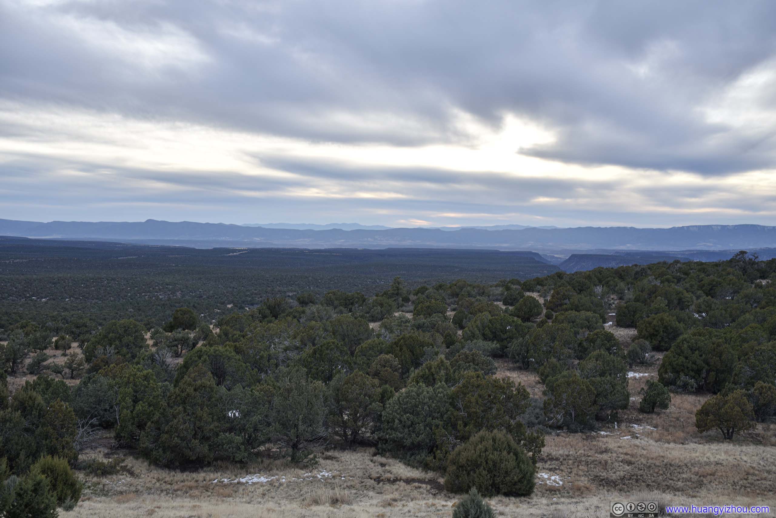
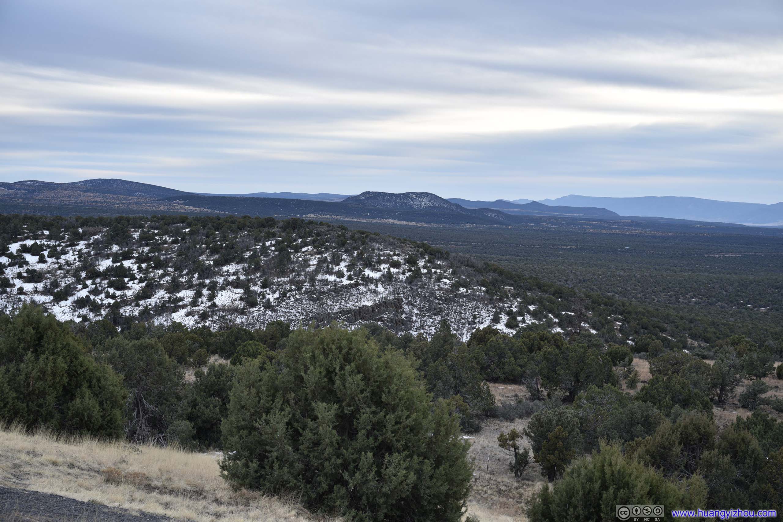
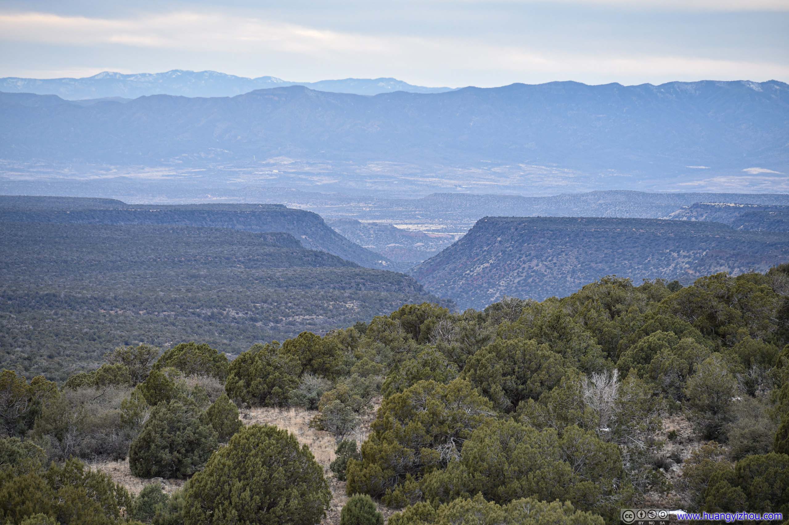
I70 Scenic View
A not-so-scenic view along I70, east of Sedona, southbound lanes only. After that, the highway went on a long and continuous downhill until reaching Camp Verde.
View from I70 Scenic View
 Landscape
 Mountains
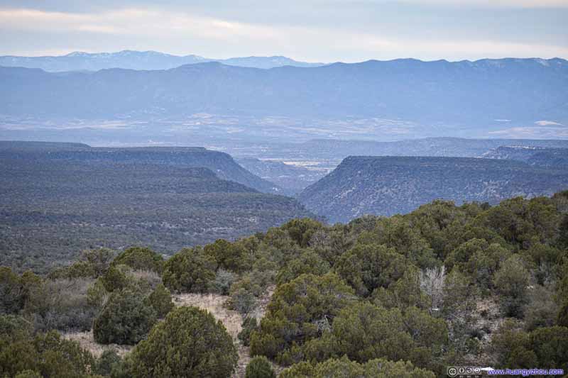 CanyonMost likely Woods Canyon, leading to the south of Village of Oak Creek.
Click here to display photos from roadside scenic view.
Landscape
Mountains
CanyonMost likely Woods Canyon, leading to the south of Village of Oak Creek.
Piestewa Peak Park
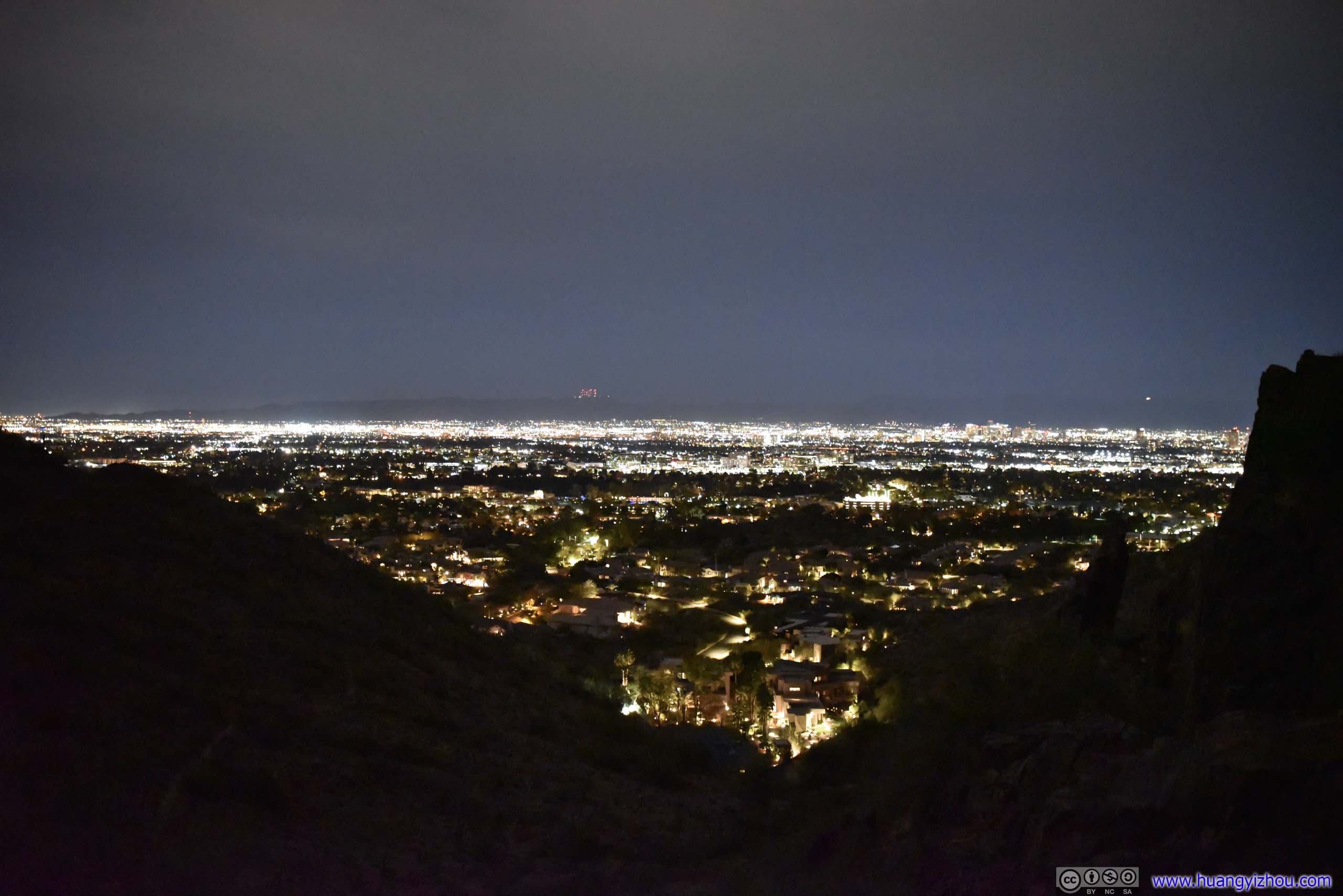
It was almost 7pm by the time we reached the outskirts of Phoenix, but our flight back to Detroit wasn’t supposed to depart until 10:45pm. With some time to kill, we decided to find somewhere with views of Phoenix’s skyline at night, and we picked Piestewa Peak Park.
We made it inside the park before its entrance gate closed at 7pm. The park was pretty quiet at night, except for some Latino families hosting festive celebrations. While from Piestewa Peak the Phoenix Skyline should be clearly visible, we weren’t in the mood for more exercise in the dark, after yesterday’s odyssey of Bright Angel Trail. So we picked a small hill not far from the parking lot and went up there.
Unfortunately that meant our views of city lights were limited. But nonetheless we sat there and chatted for half an hour in gentle breeze, before continuing towards Phoenix.
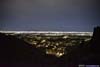
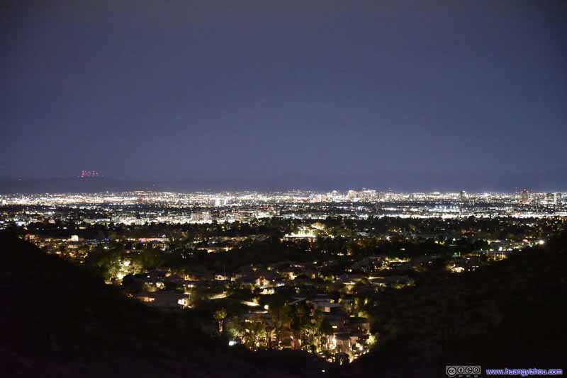 Phoenix at Night
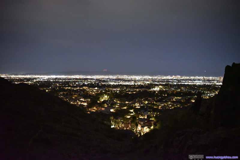 Phoenix at Night
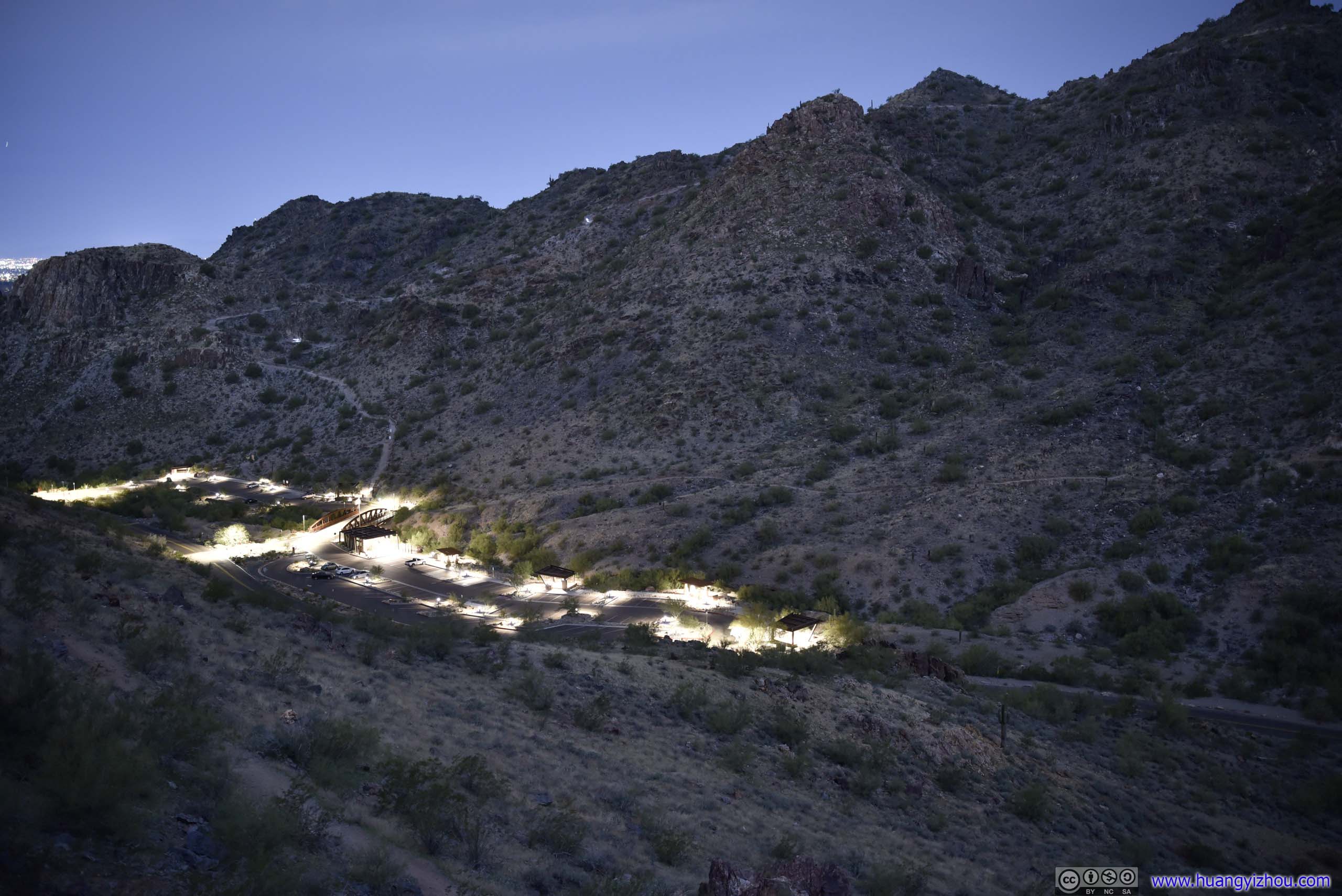
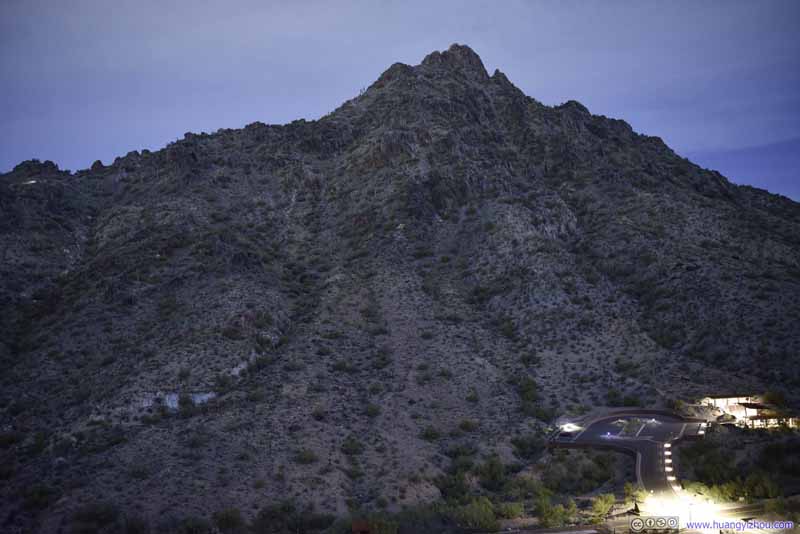 Piestewa Peak at NightA few brief hikers were on the mountain with their cellphone lights.
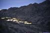
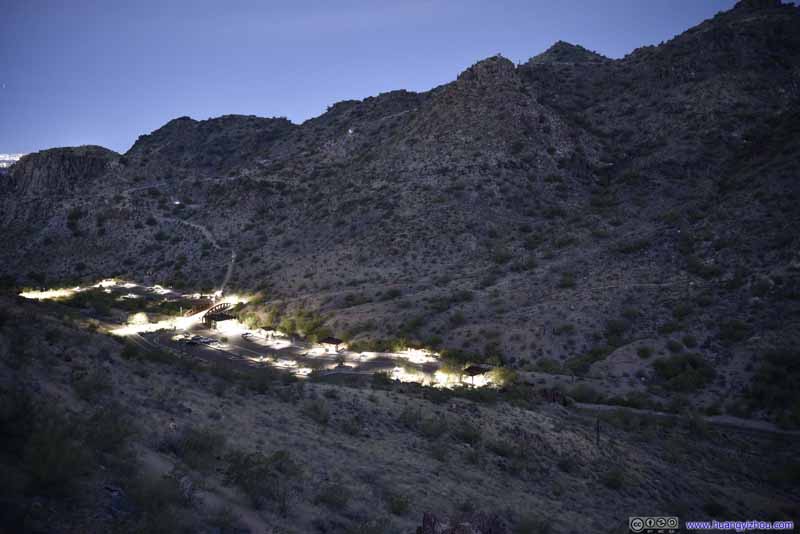 Parking Lots

Click here to display photos of the slideshow

Phoenix at Night
Phoenix at Night

Piestewa Peak at NightA few brief hikers were on the mountain with their cellphone lights.
Parking Lots
After that, we returned the rental car and made our way to the airport, ready for our flight back.
END
![]() Day 7 of 2022 Arizona Trip, Grand Canyon National Park by Huang's Site is licensed under a Creative Commons Attribution-NonCommercial-ShareAlike 4.0 International License.
Day 7 of 2022 Arizona Trip, Grand Canyon National Park by Huang's Site is licensed under a Creative Commons Attribution-NonCommercial-ShareAlike 4.0 International License.