
Updated on May 22, 2022
Day 5 of 2020 Utah Trip, Dead Horse Point and Canyonlands Parks
Fifth day of my Utah trip. I would be spending the day between Dead Horse Point State Park and Canyonlands National Park. The two parks were located close to each other, both offered views of magnificent landscapes combined with short hiking trails.
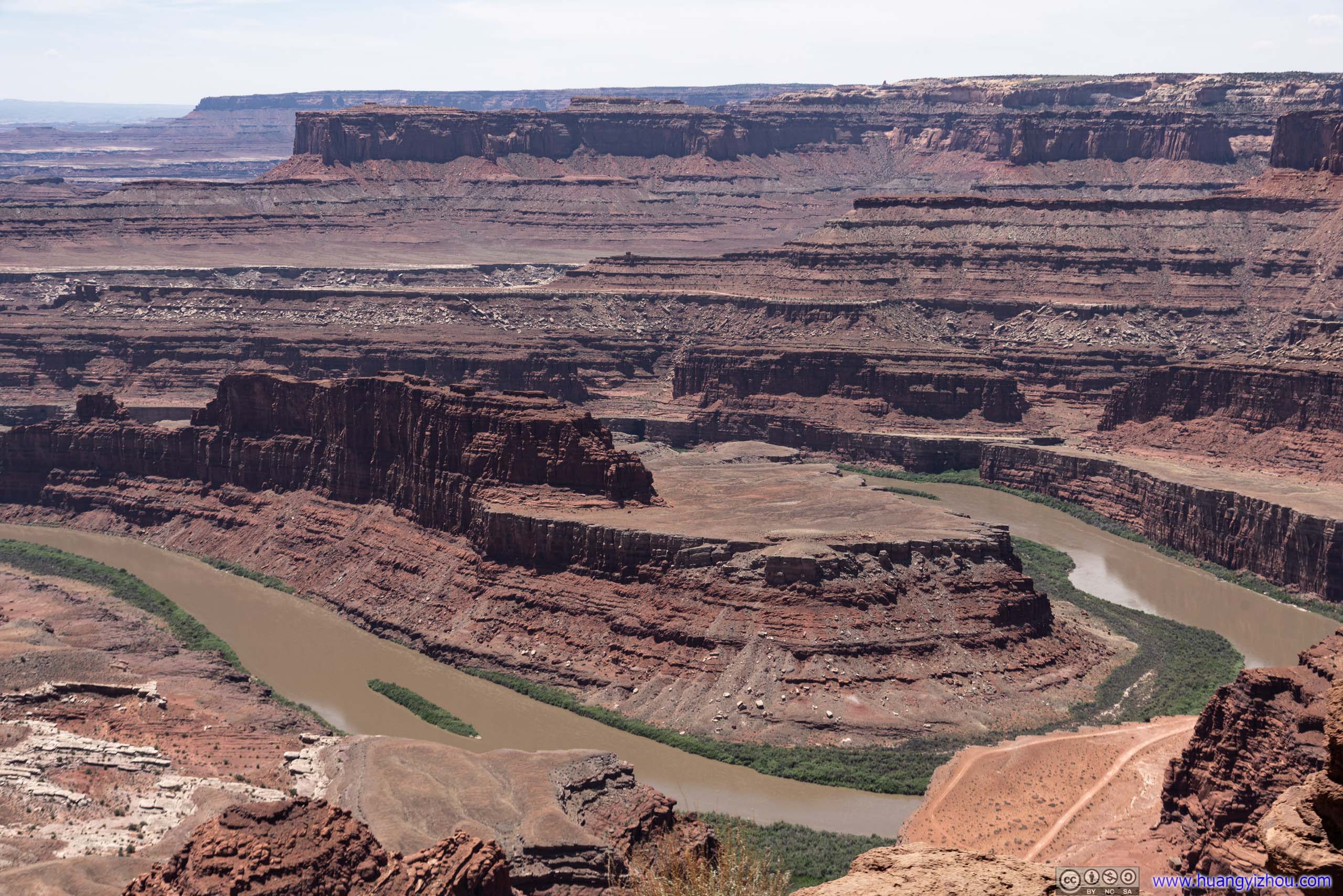
Colorado River from Dead Horse Point
Unlike the previous two days, today I wouldn’t be driving back to Moab for a midday nap on my hotel bed (the return trip took 2 hours), and that I only got back to the hotel after dark the previous night, I stayed in bed late this morning and left the hotel at almost 11am.
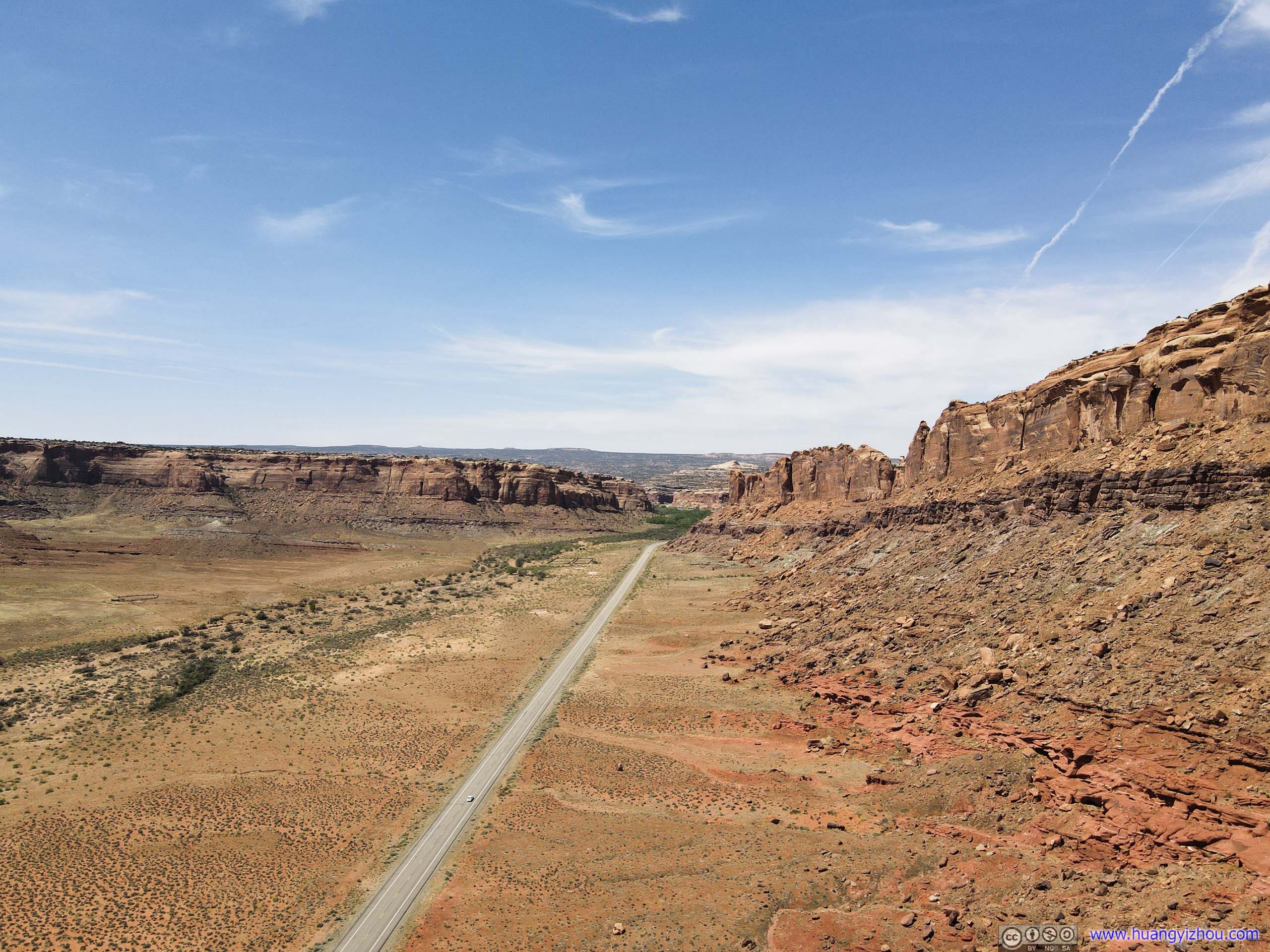
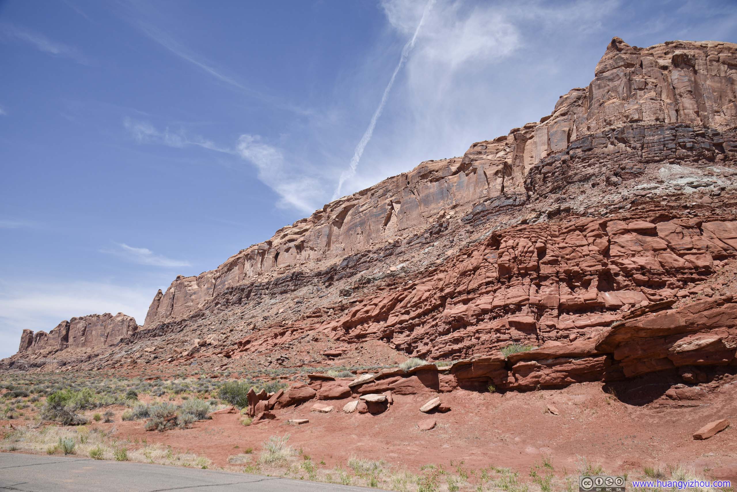
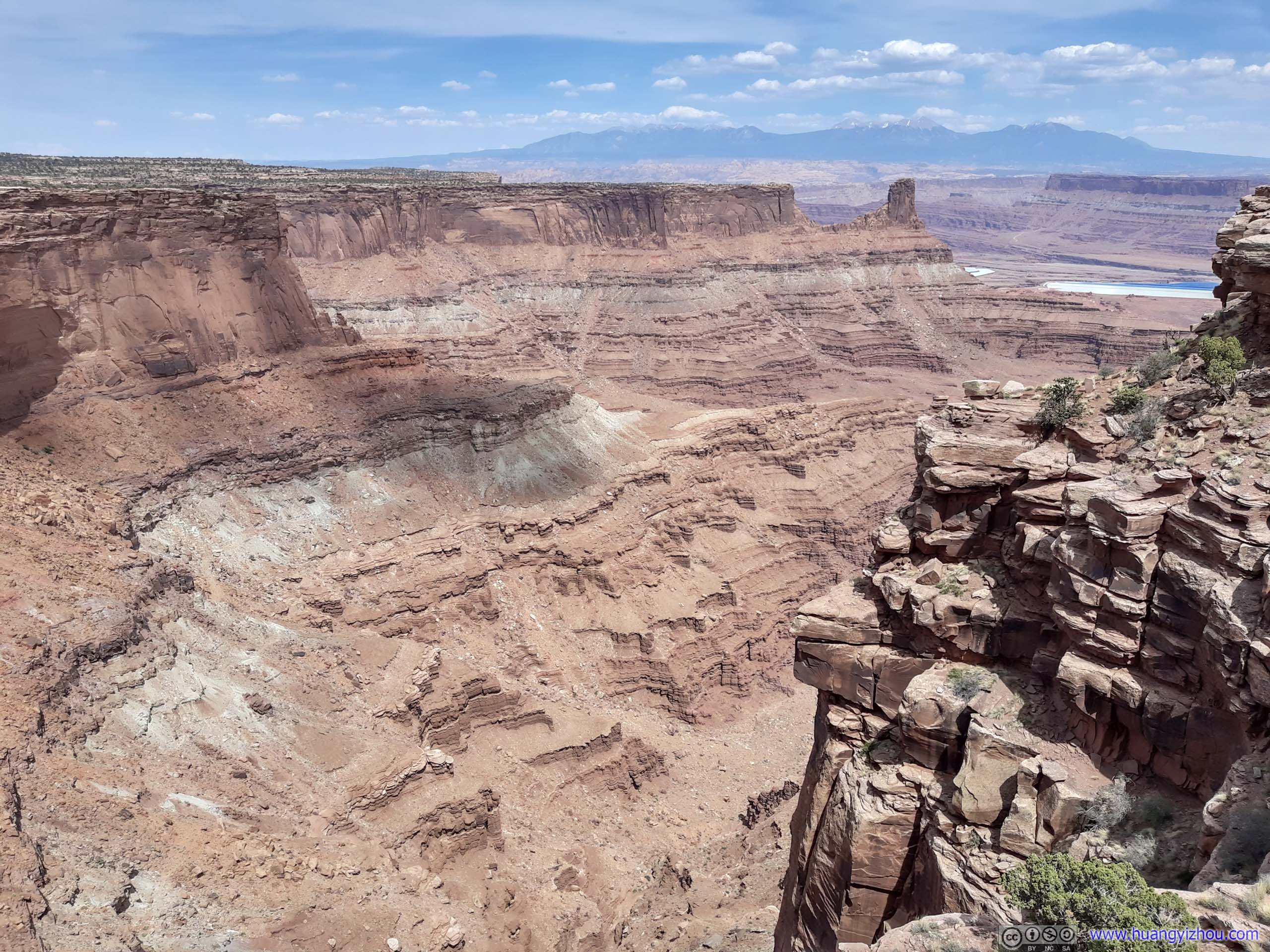
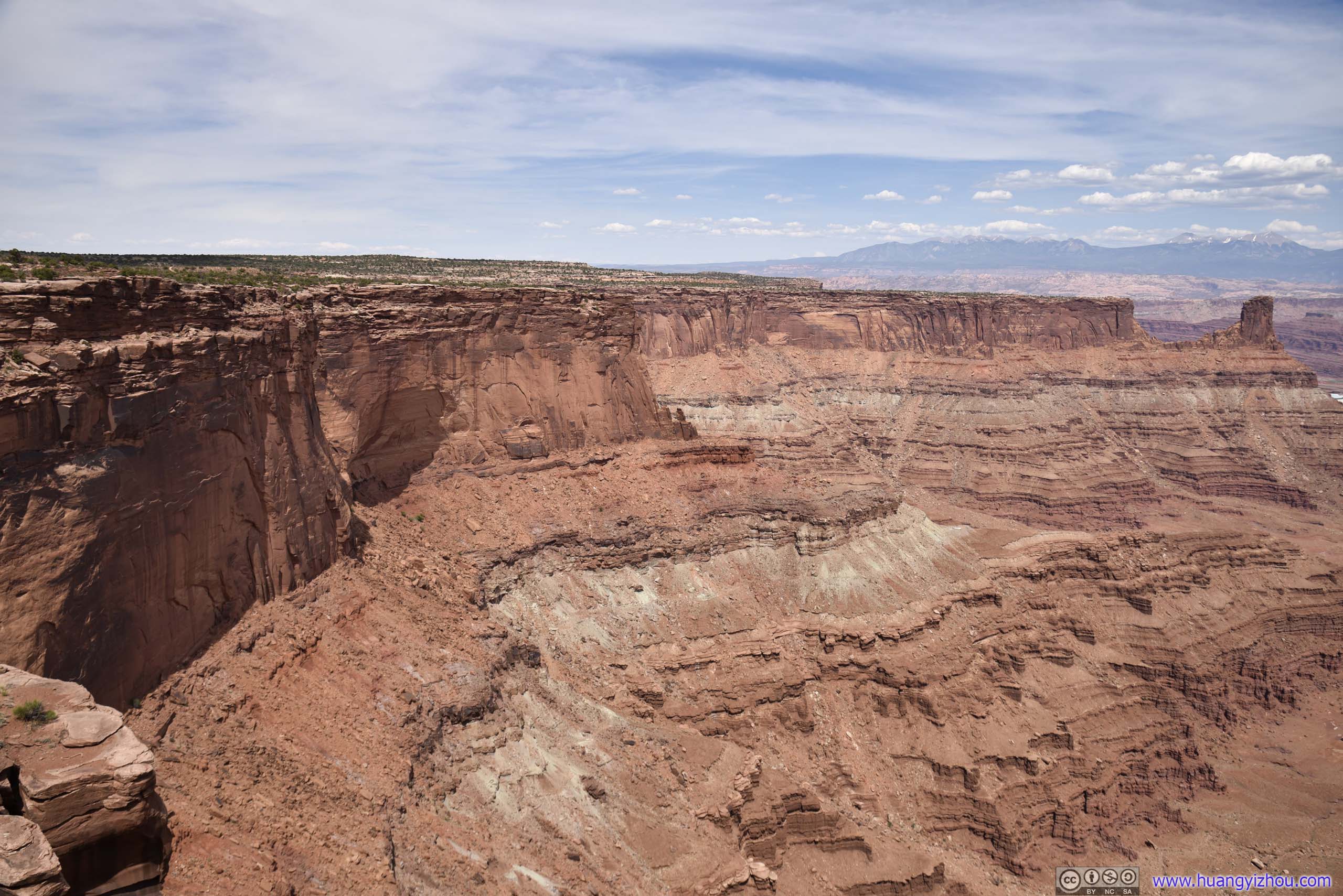
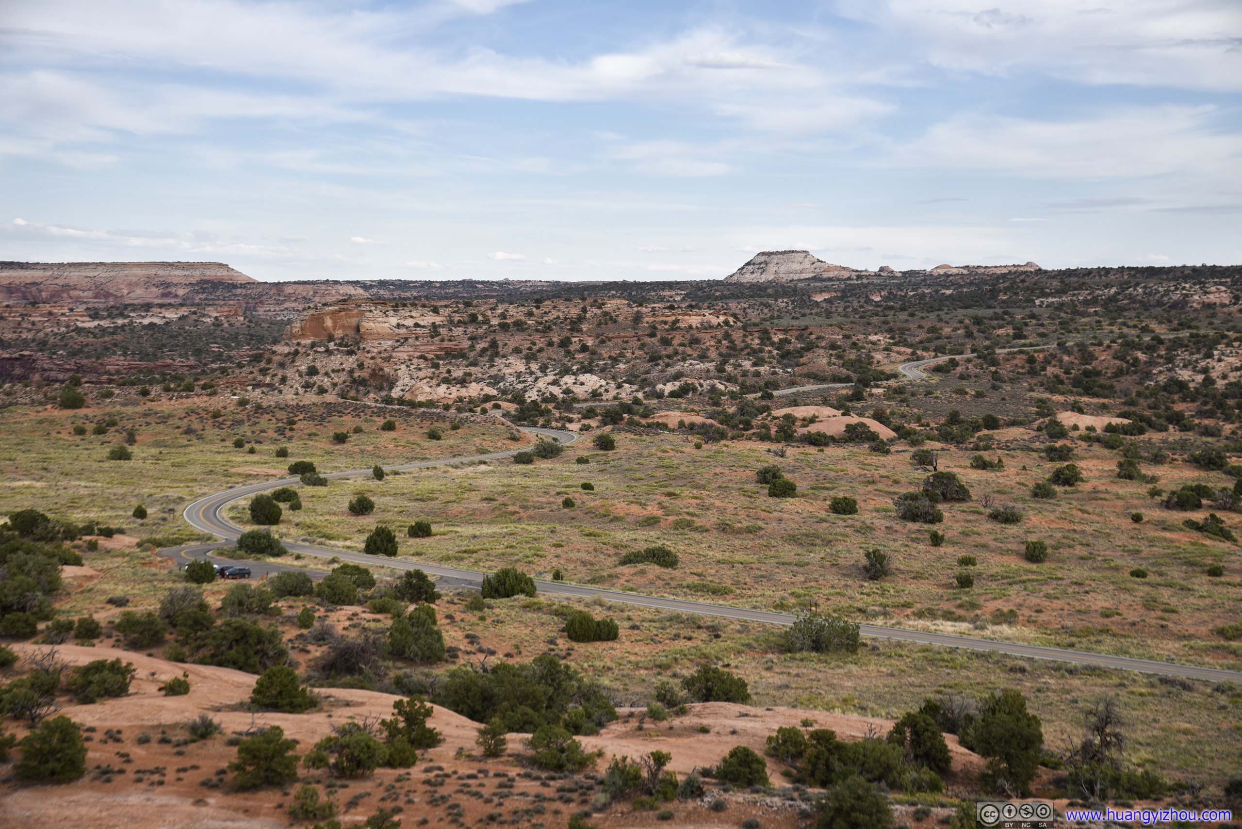
Roadside Overlooks
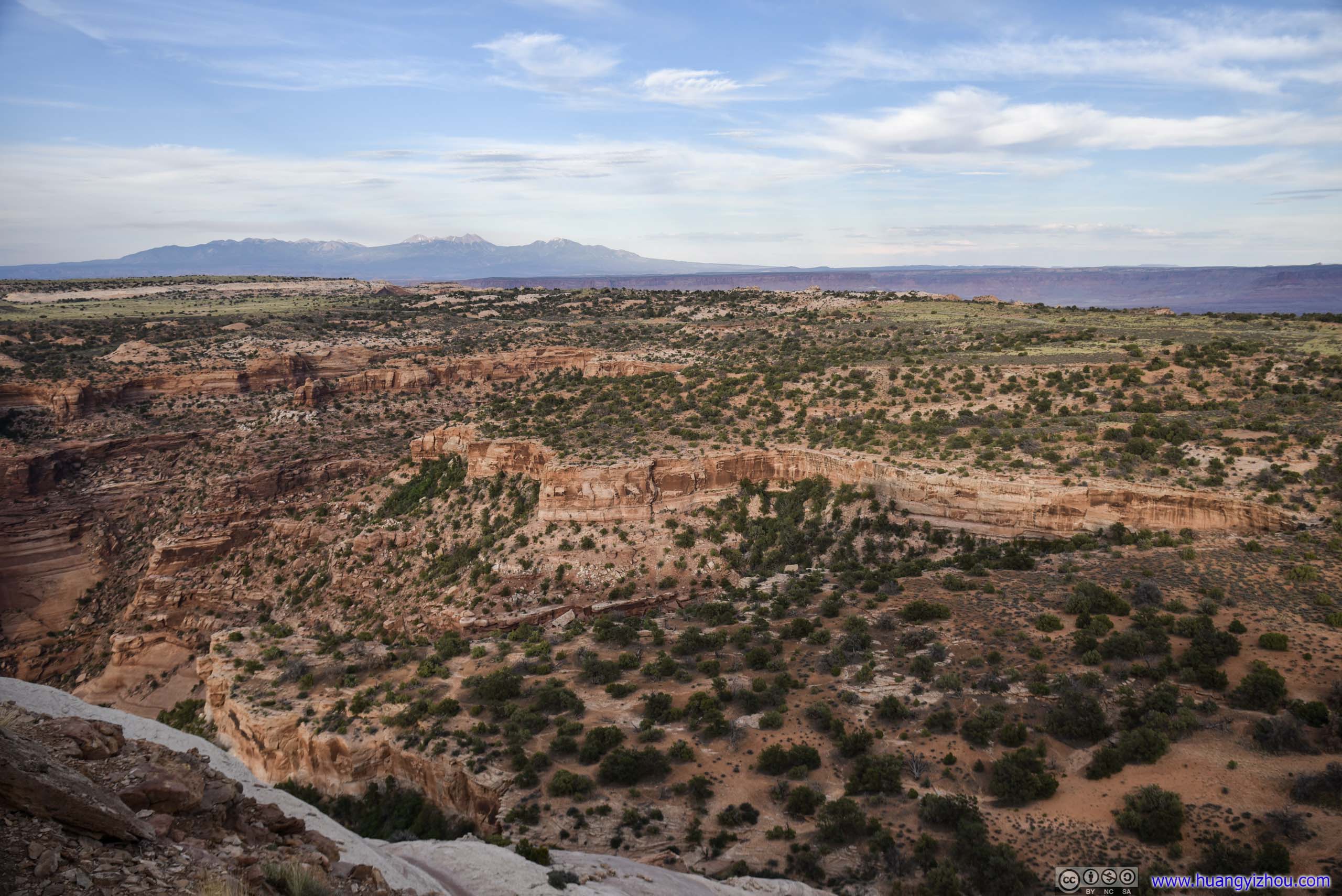
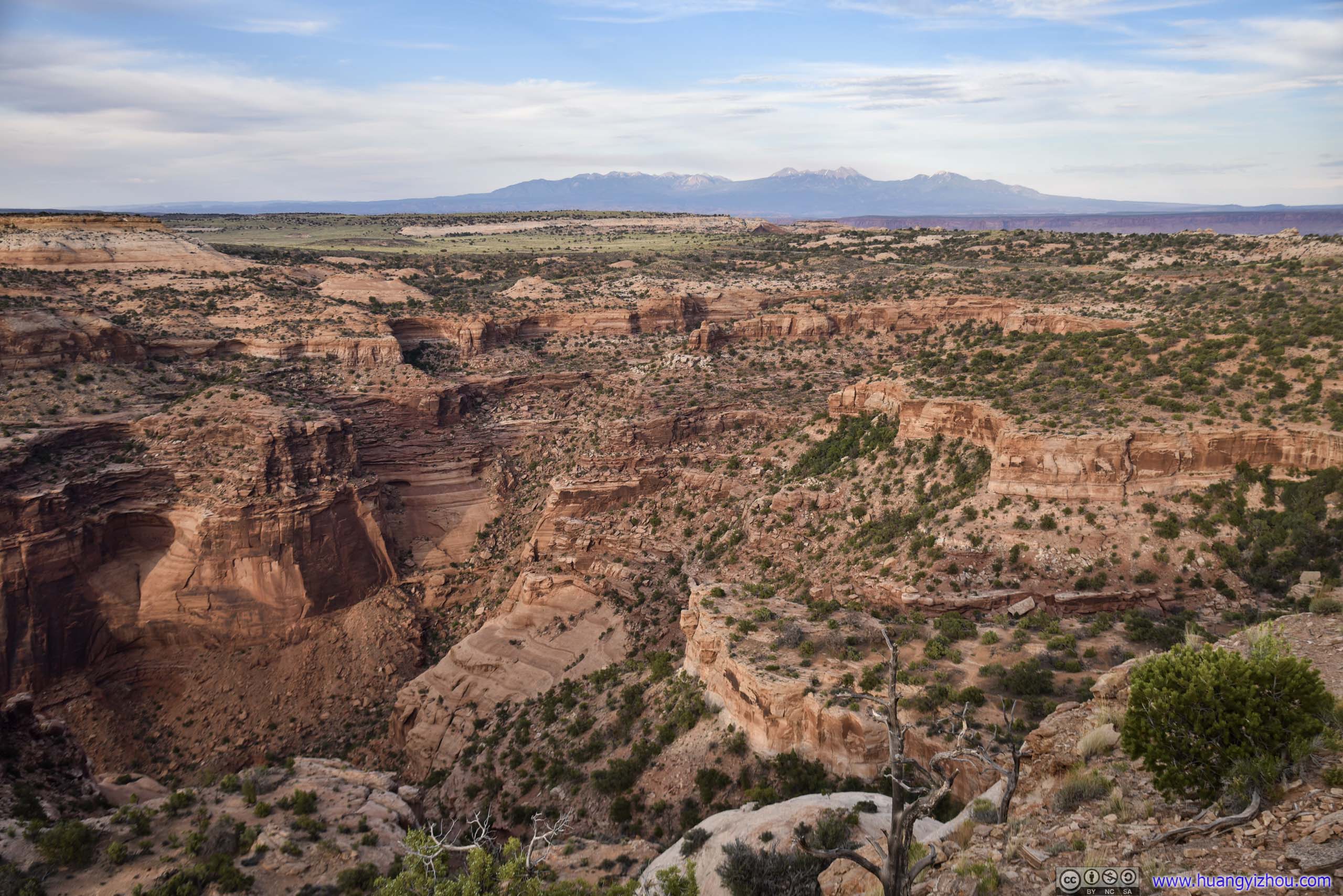
On my way from Canyonlands back to the hotel the previous day, I passed by a few view areas / rest stops with views of various buttes and mesas. So I stopped at some of them today.
US191 & UT313
This is a roadside rest area just off the junction of US191 and UT313. That being said, it’s just a parking lot with an information board, not even a pit toilet as the basic amenities of a “rest stop”.

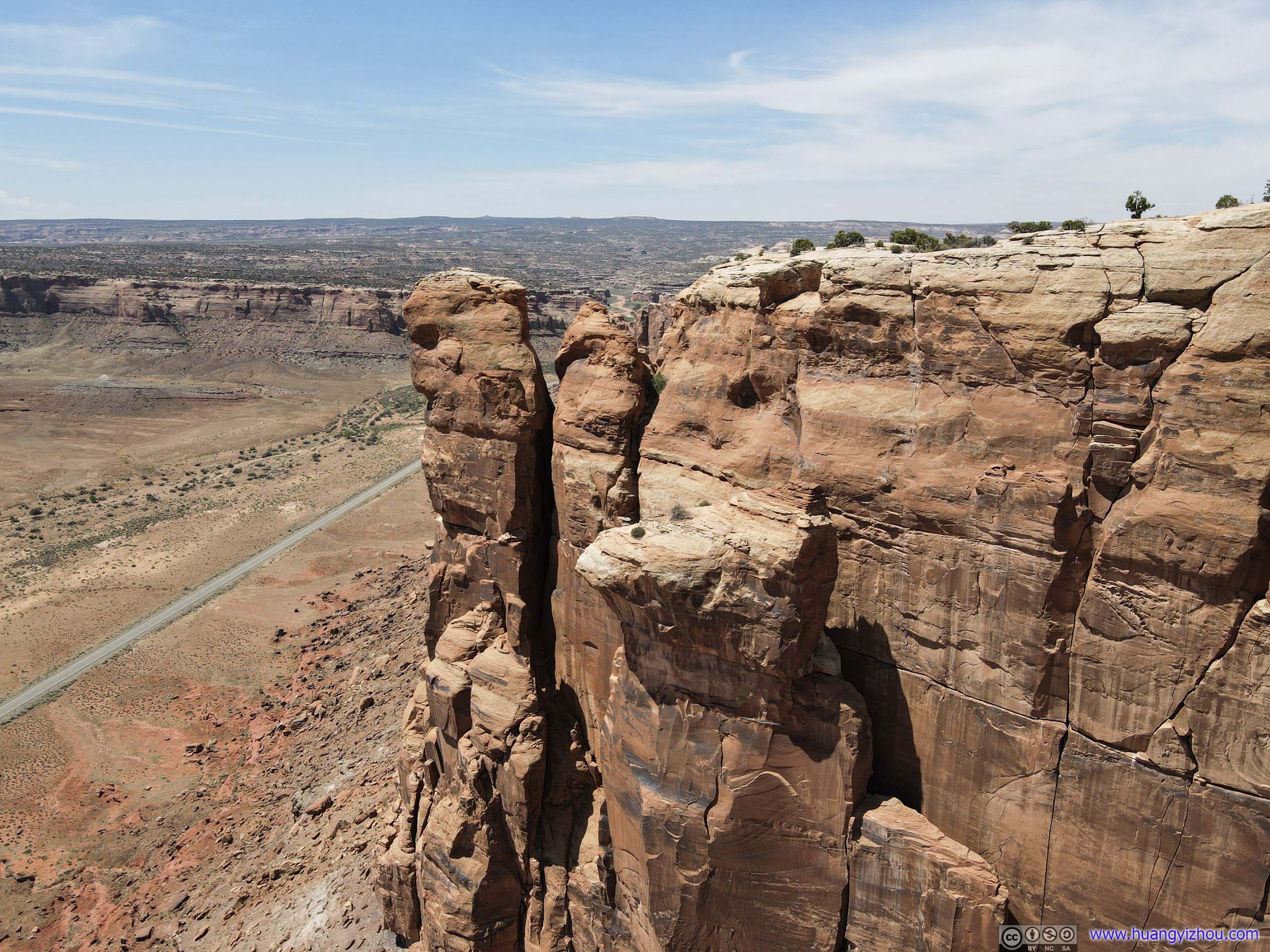
 Road in Canyon
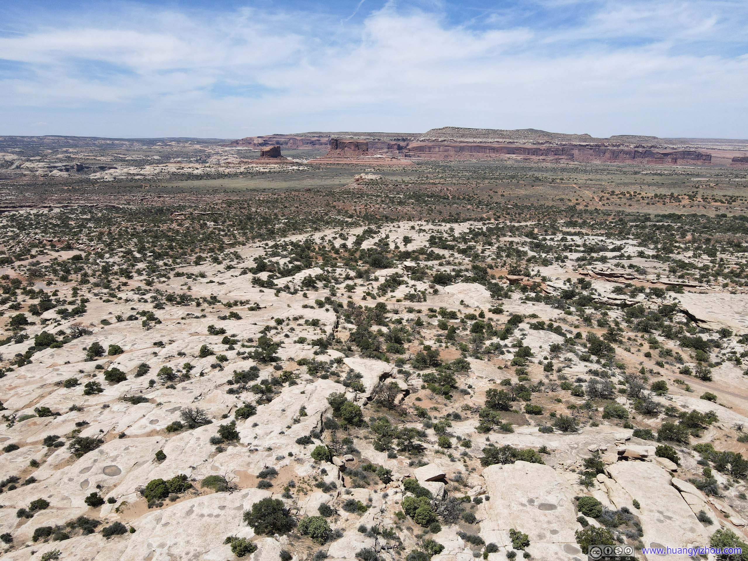
 Mesa
Mesa
And here’s footage from my drone.
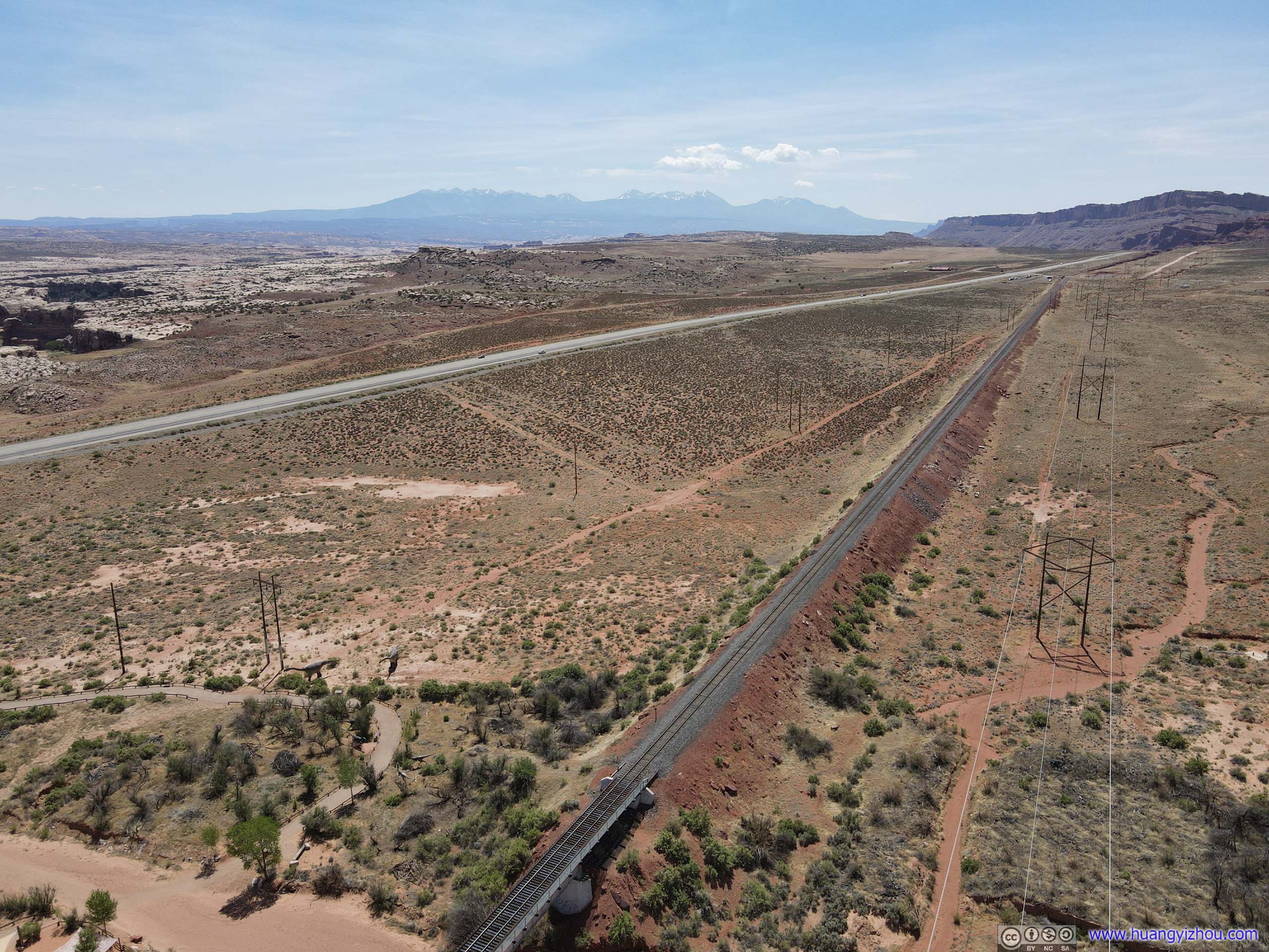
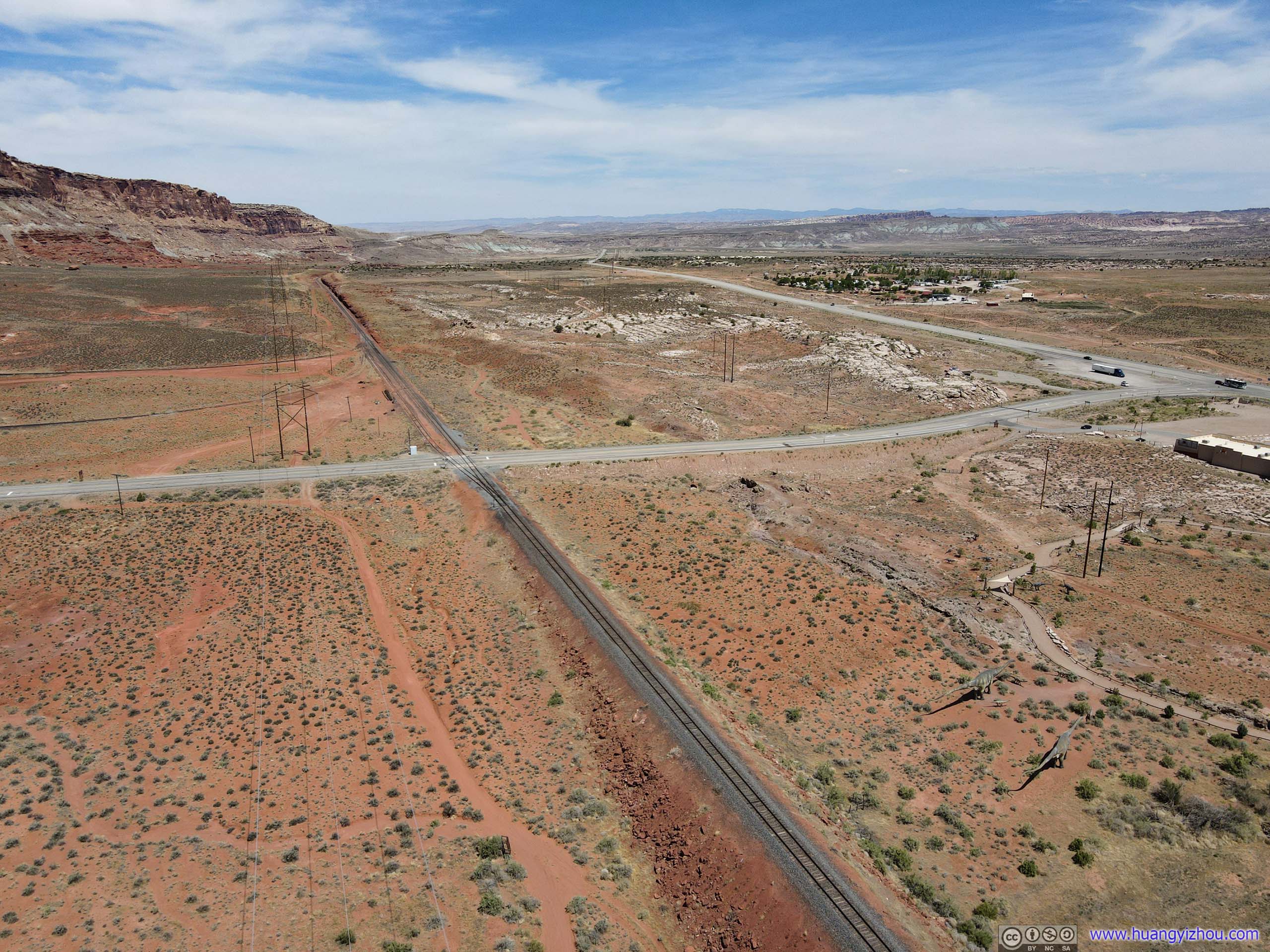 Railway
Grounds above Mesa
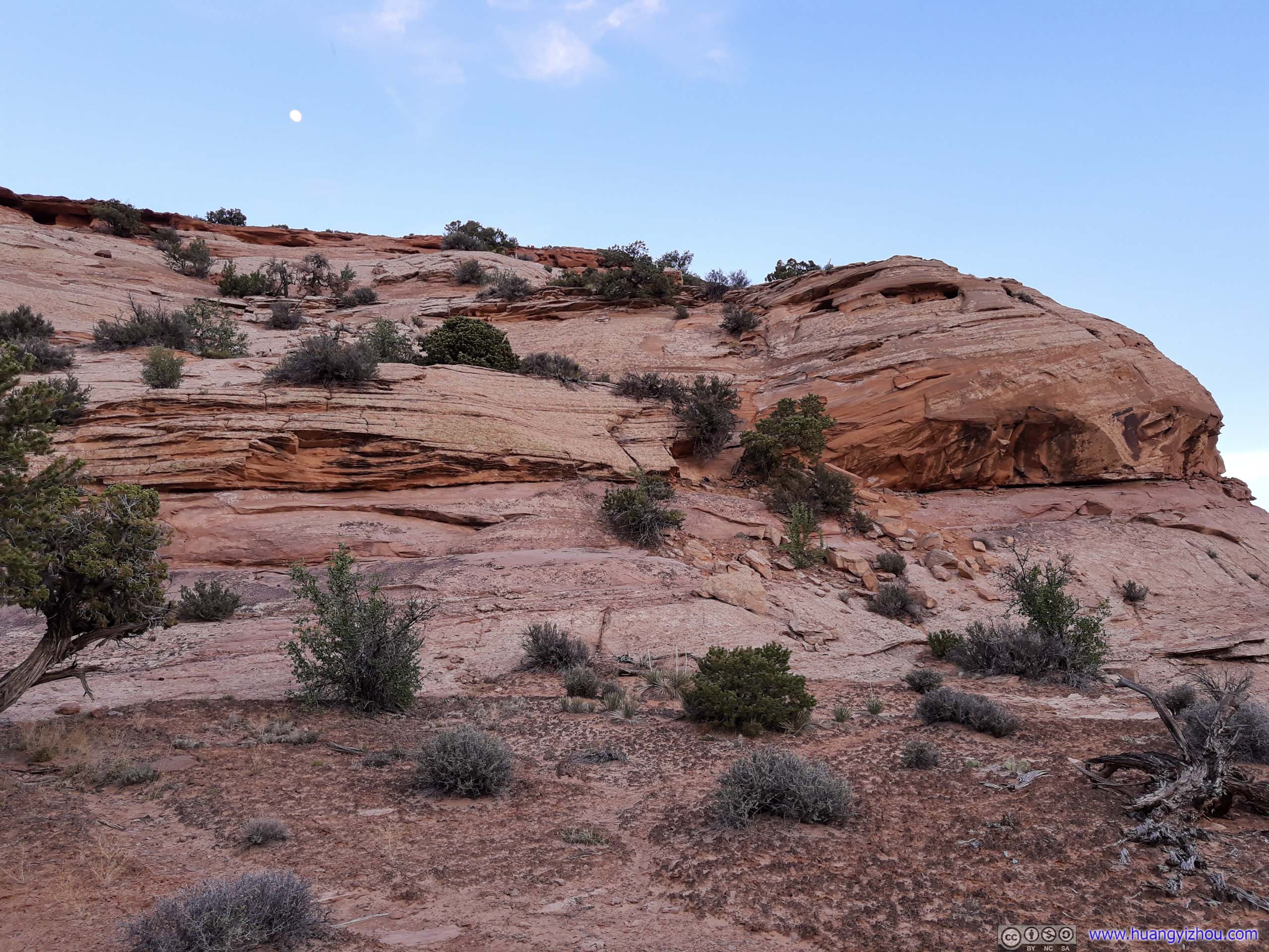
Rocks

 Mesa
Mesa
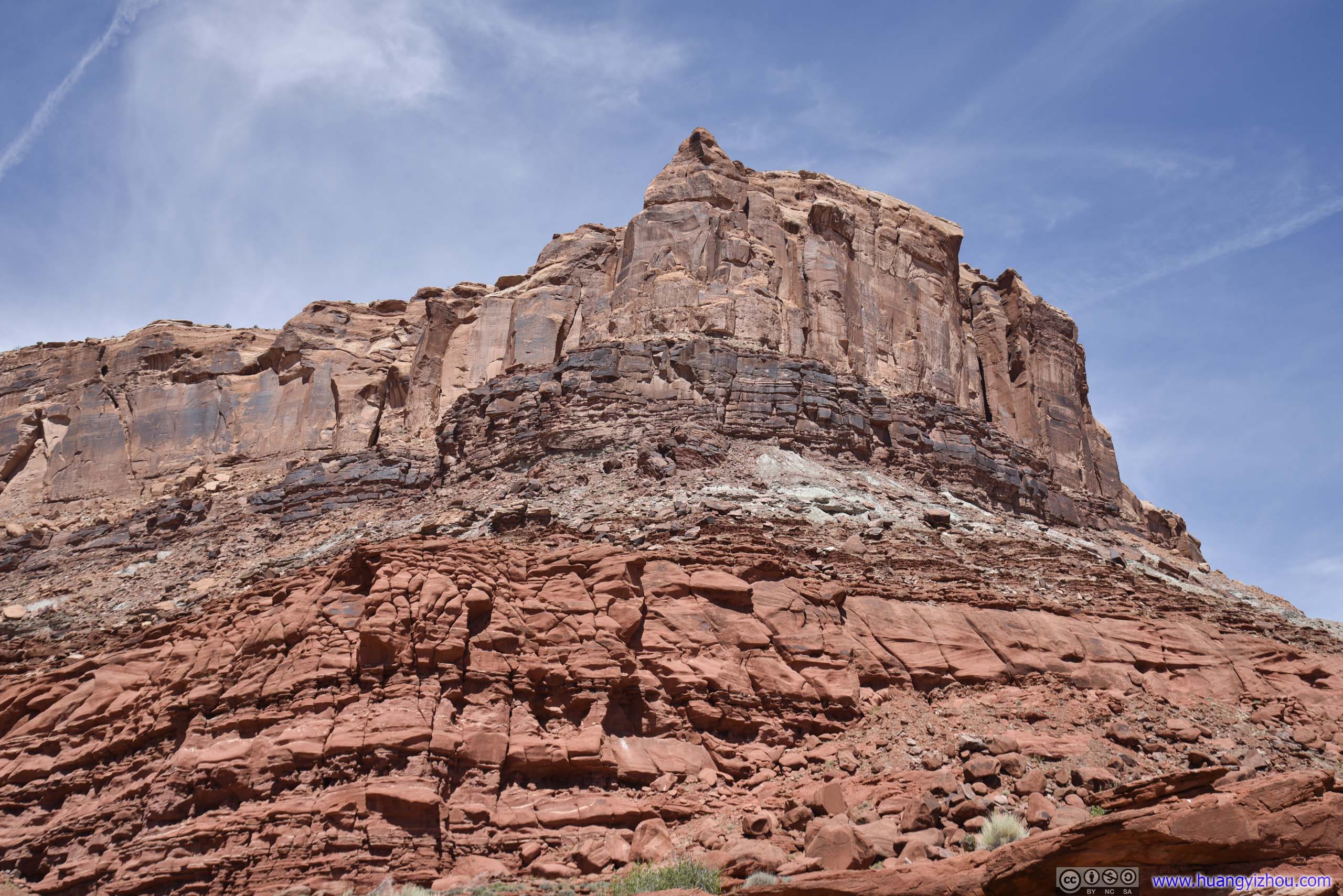
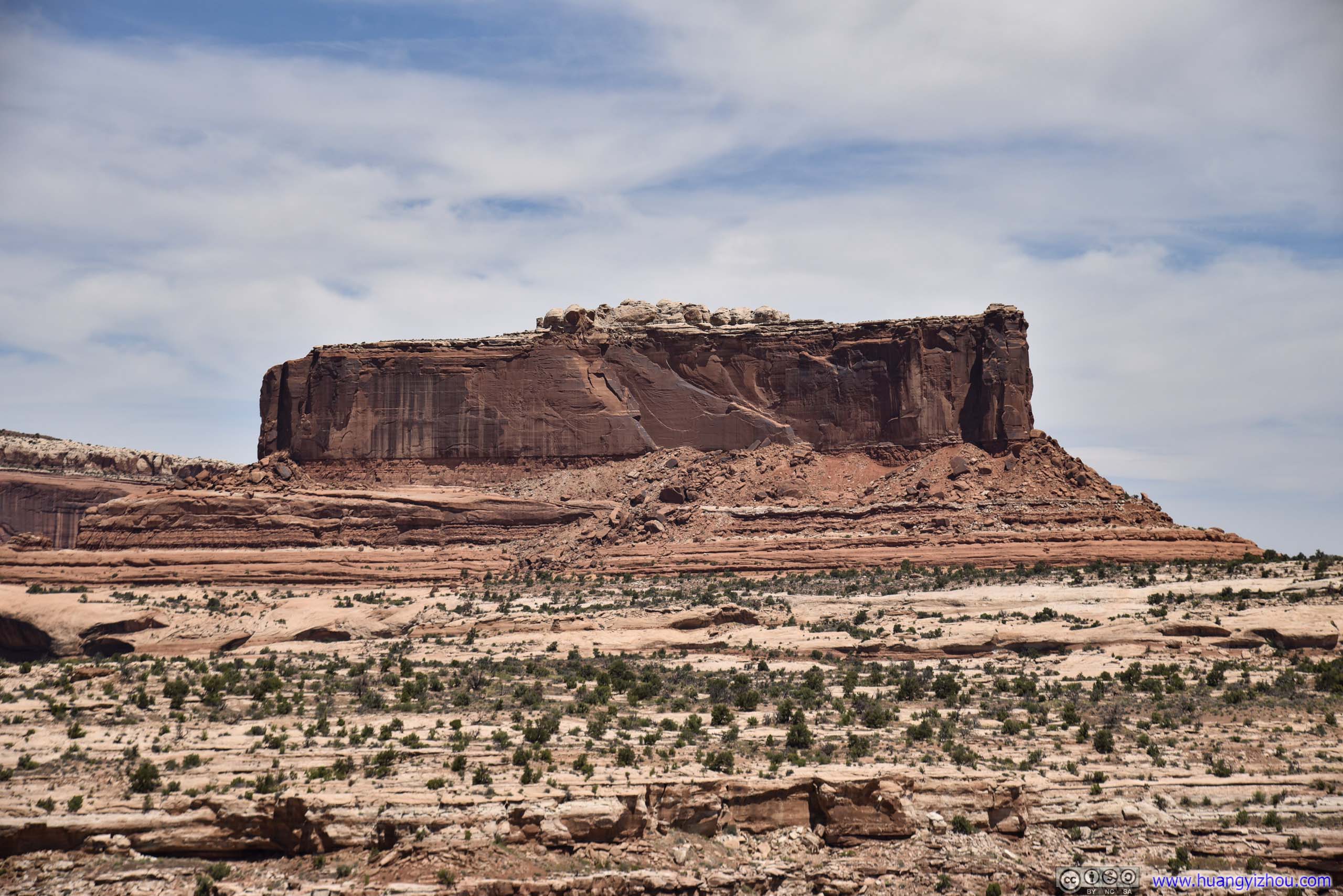
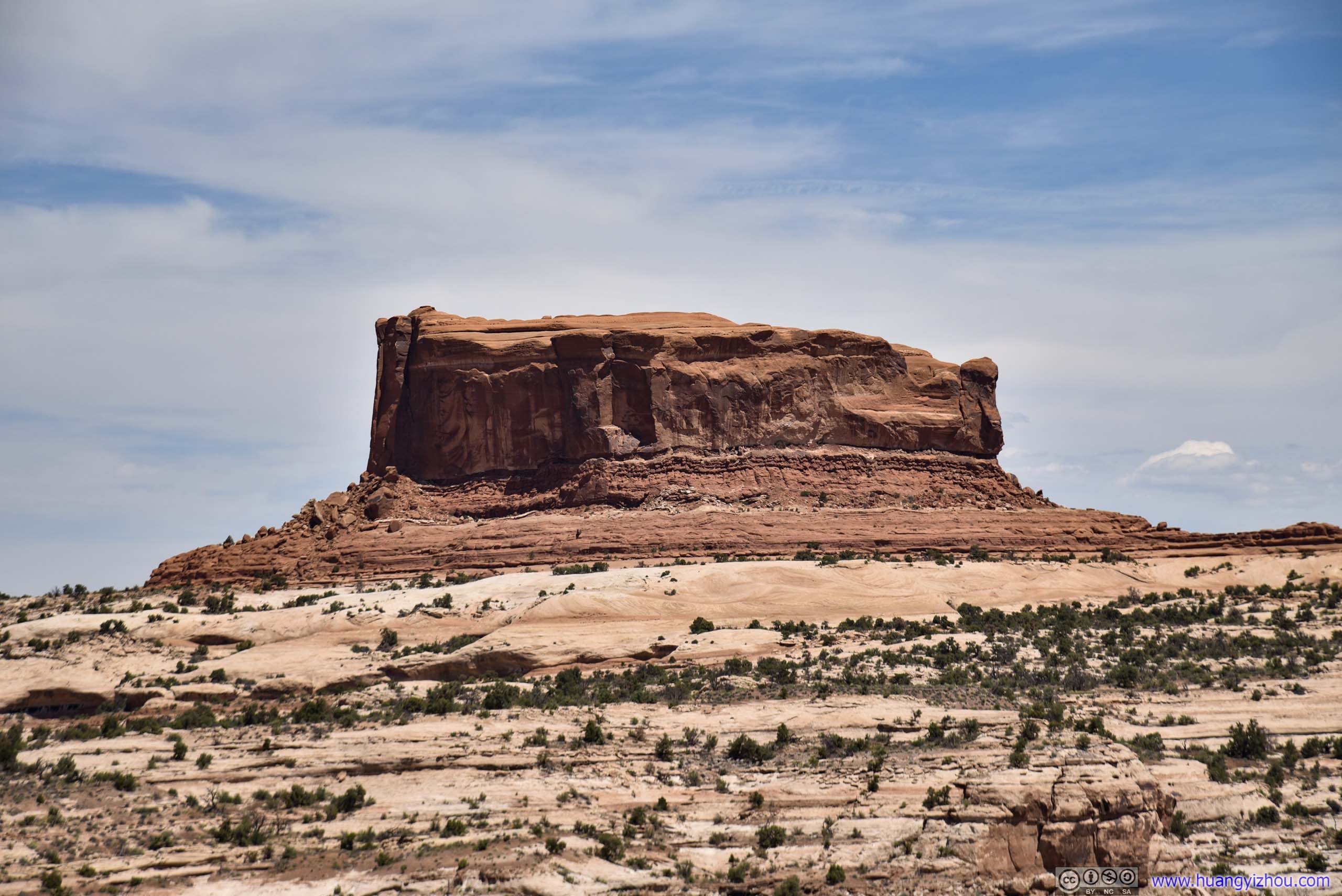
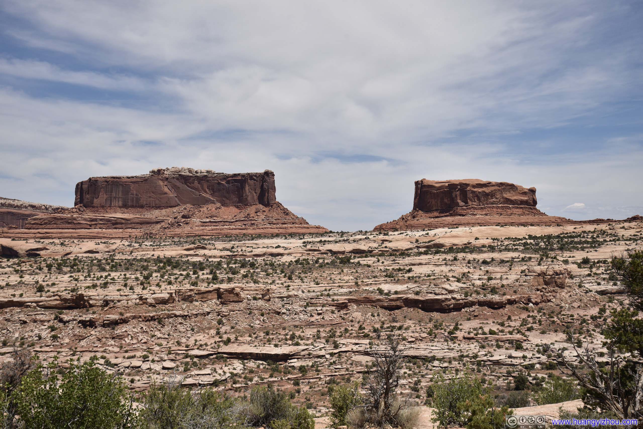
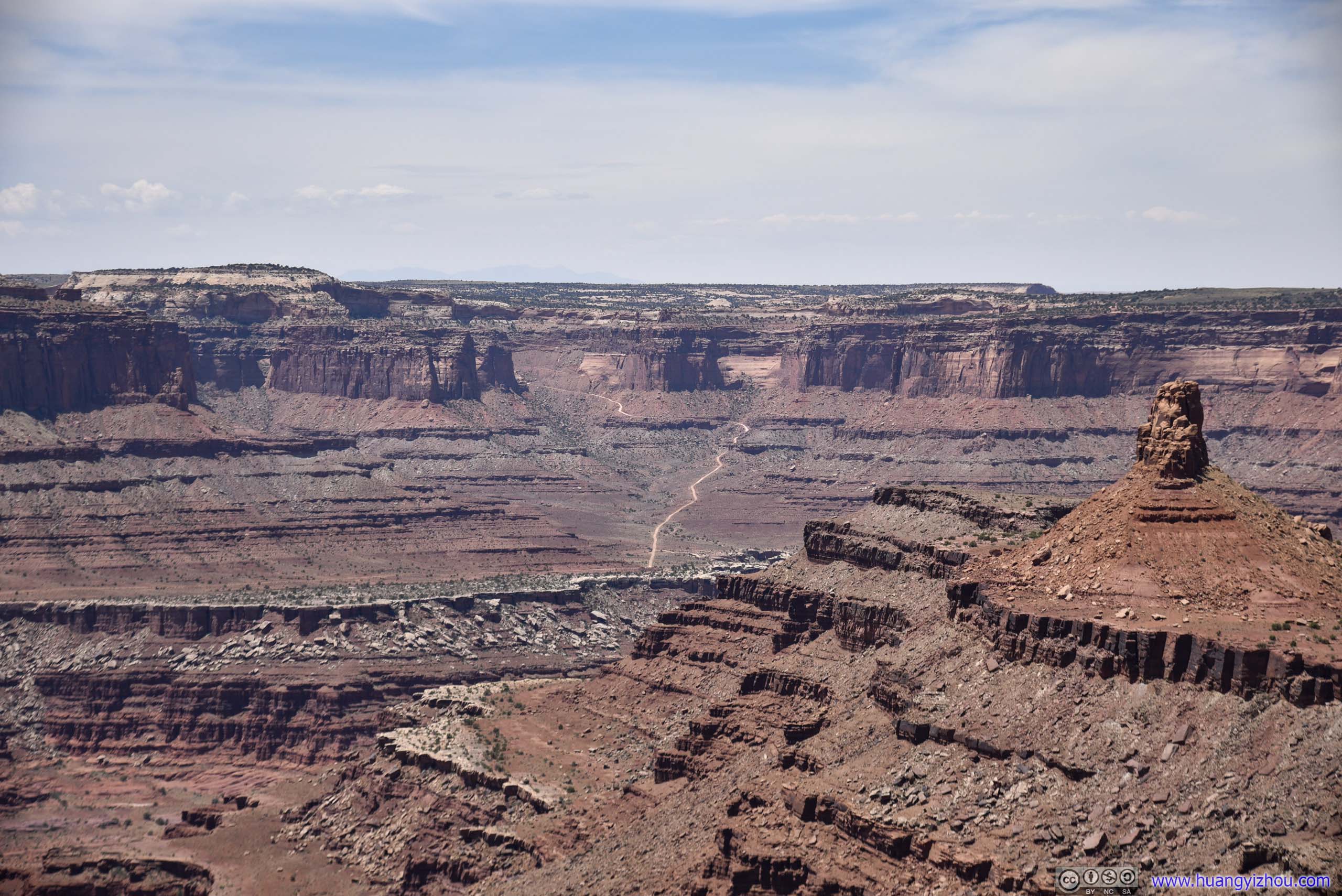
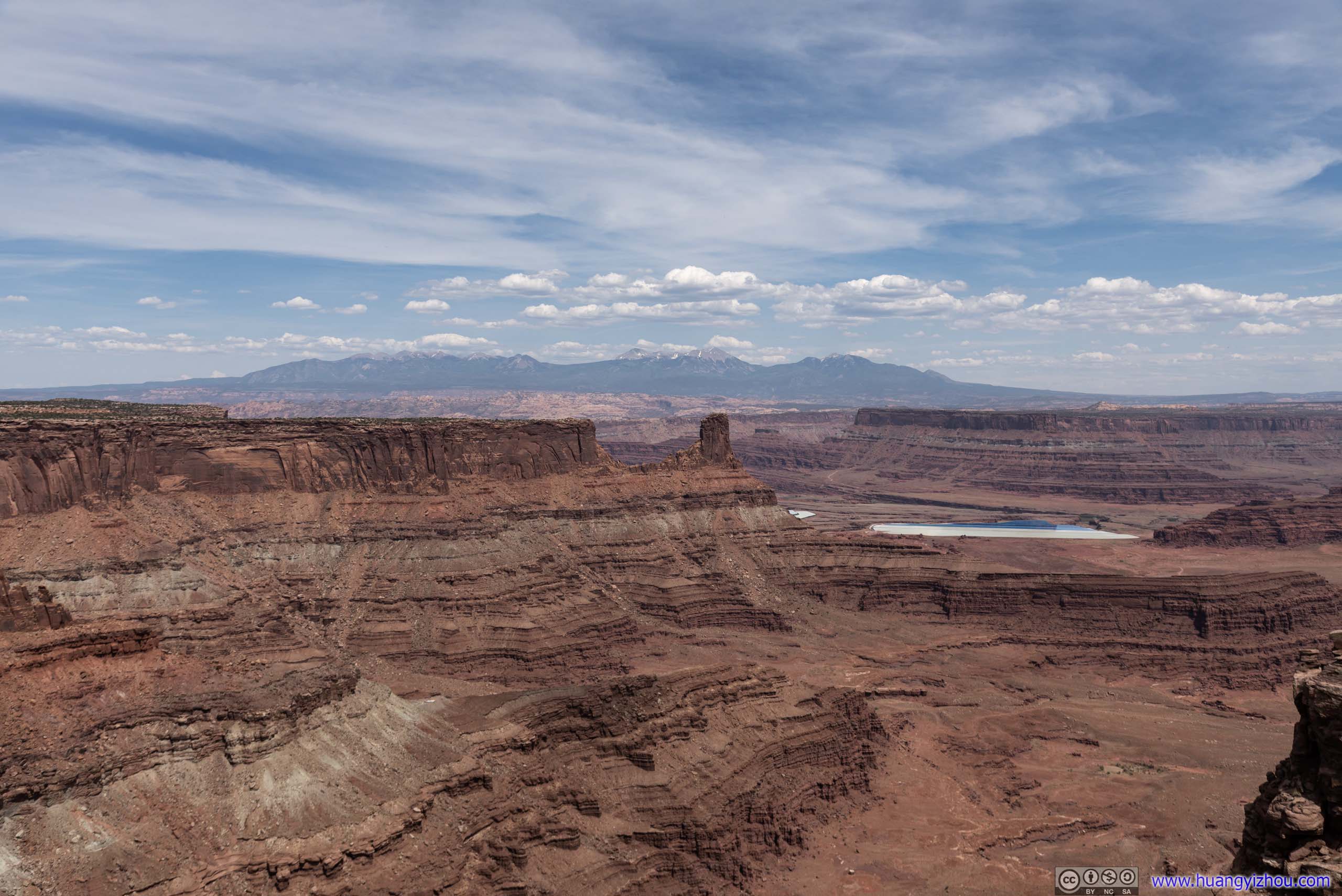
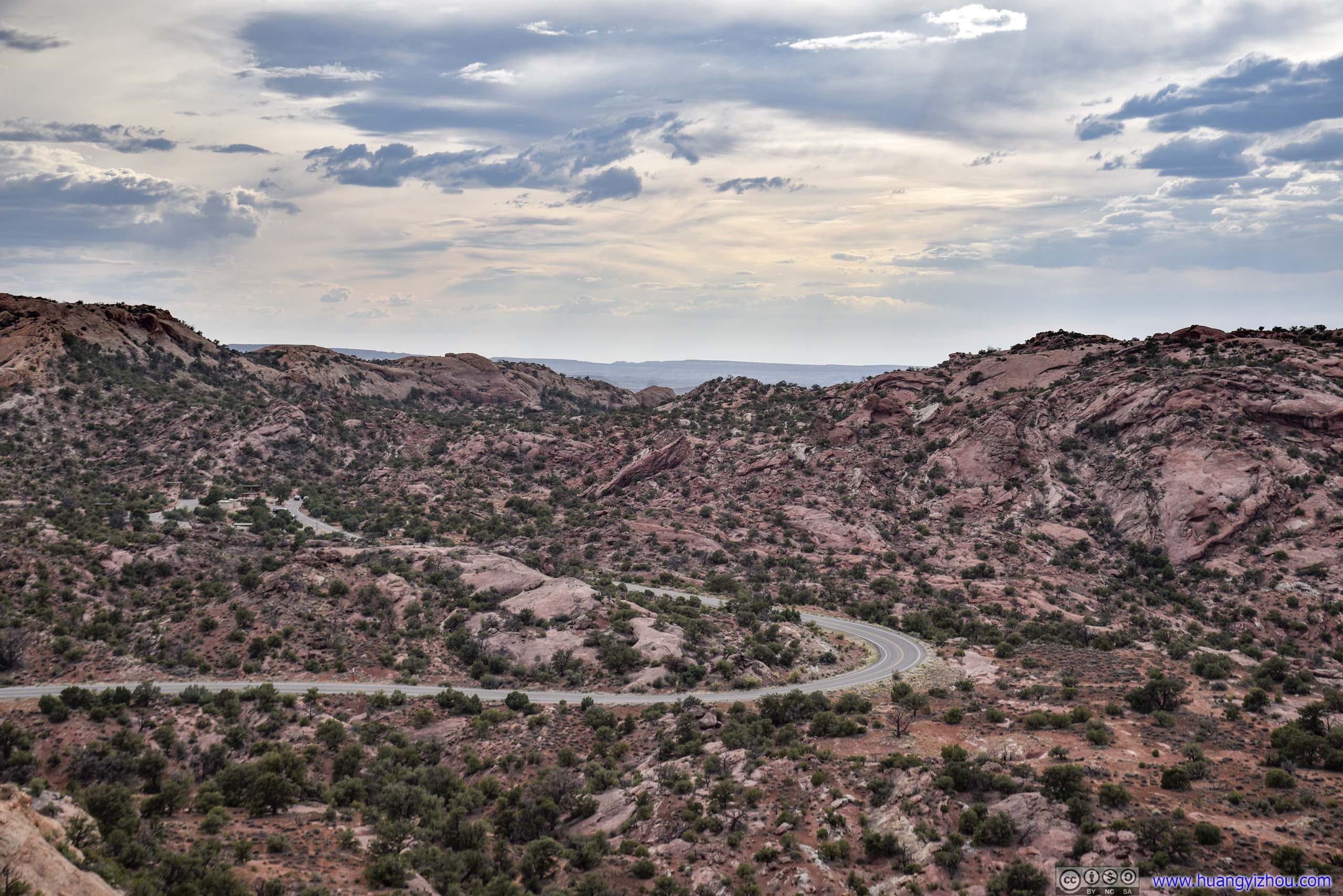
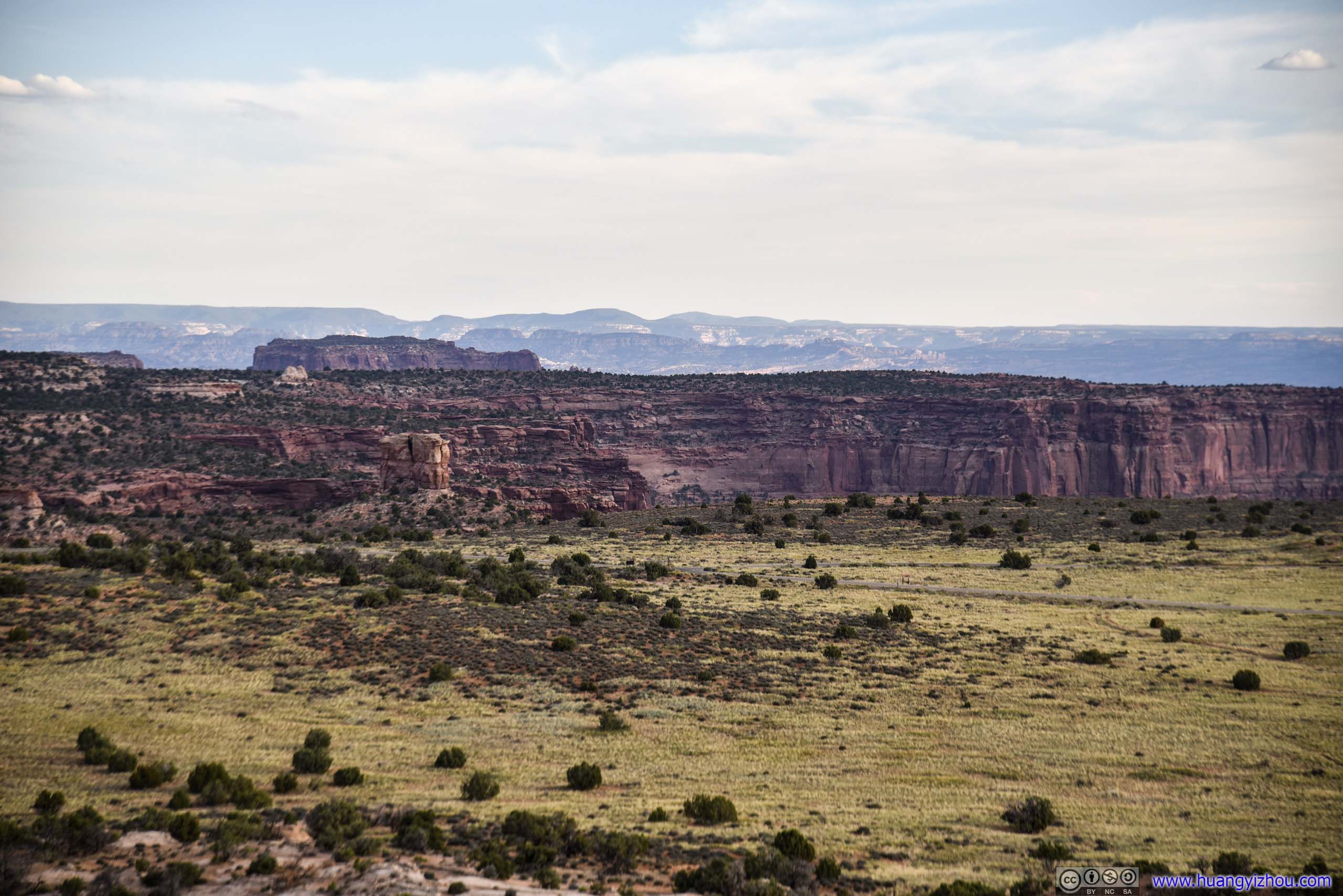
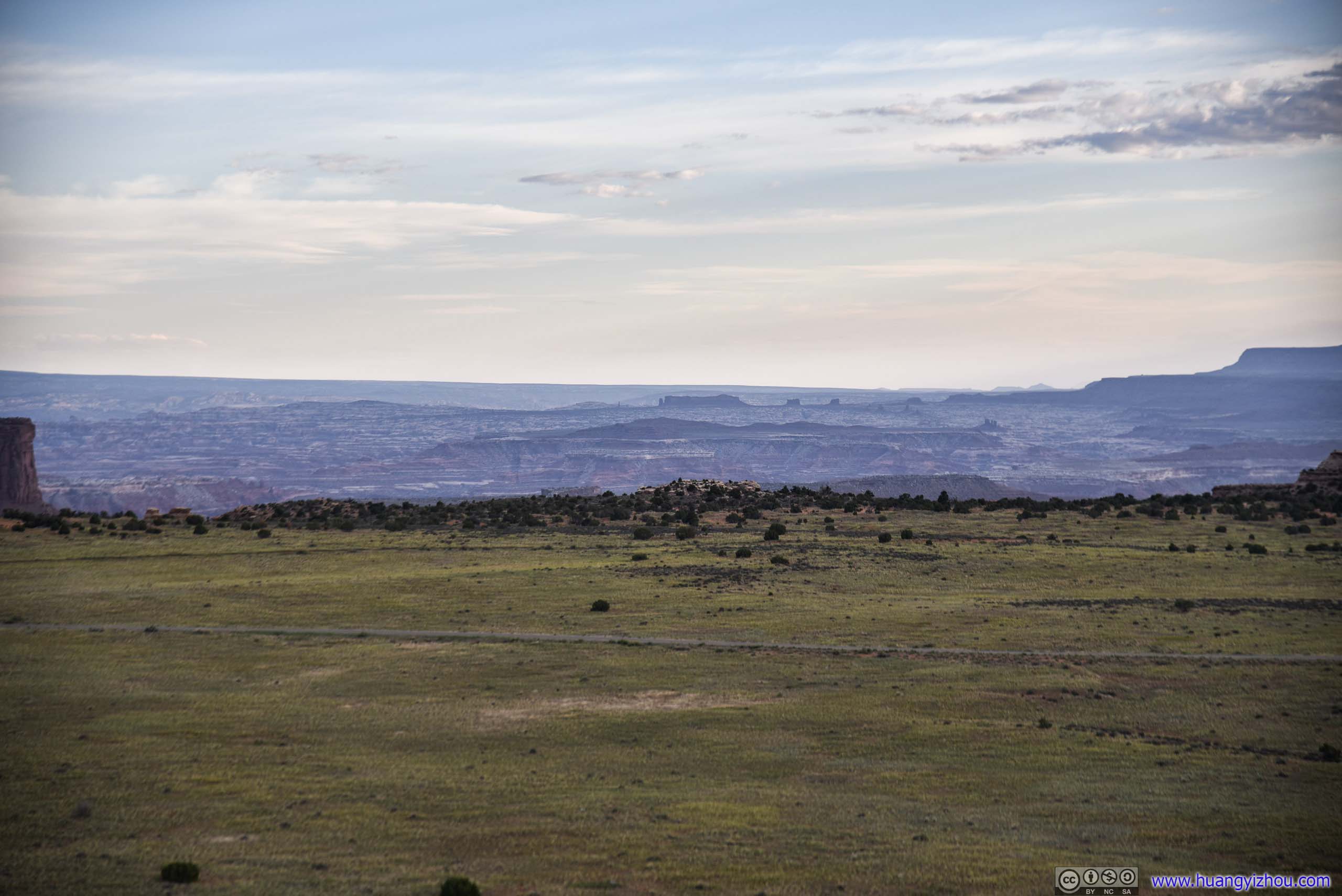
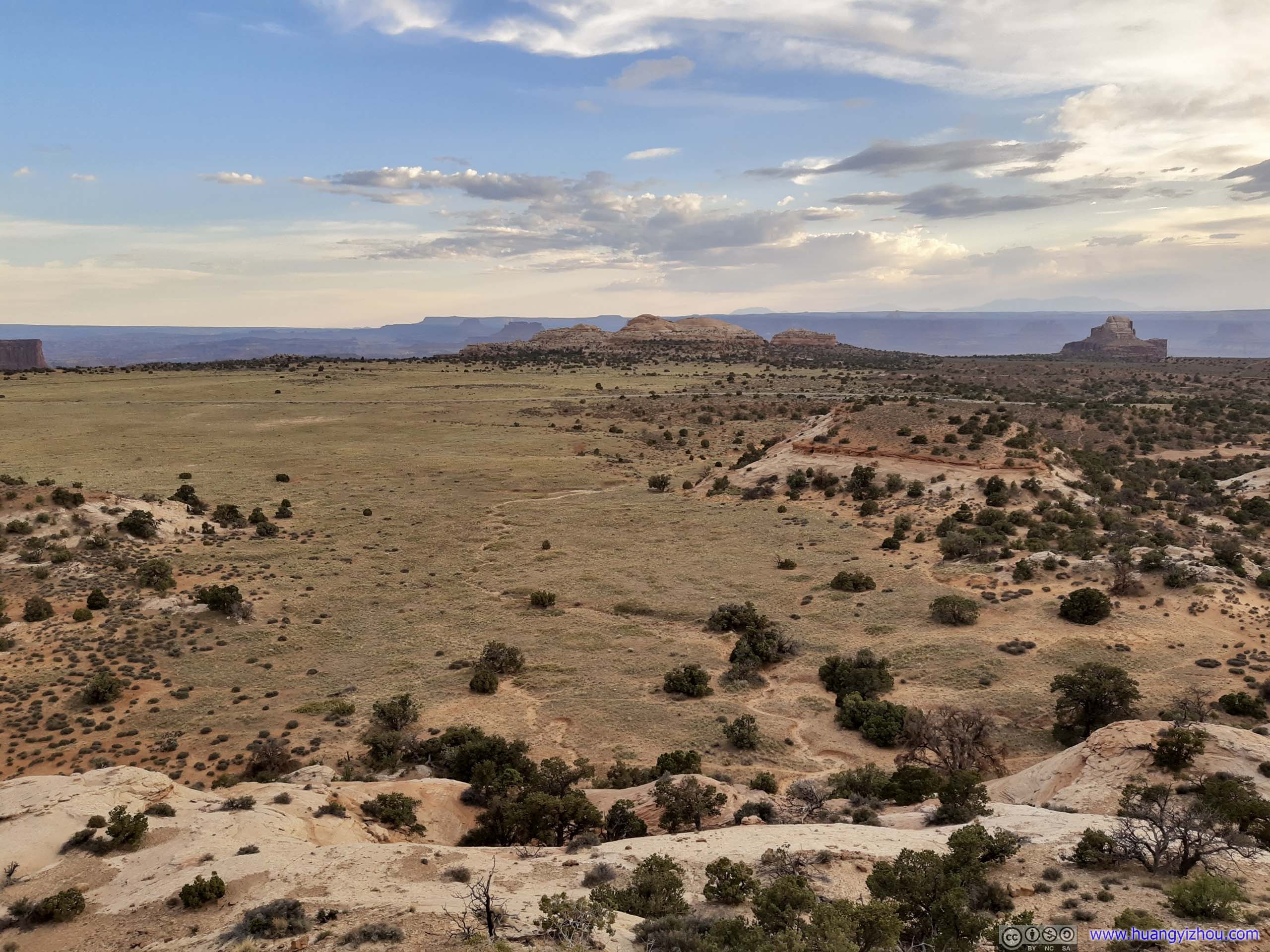
Merrimac and Monitor Butte
This rest stop was just after the series of switchbacks. Merrimac and Monitor Buttes were named after two civil war ironclad ships.
 Merrimac and Monitor Butte
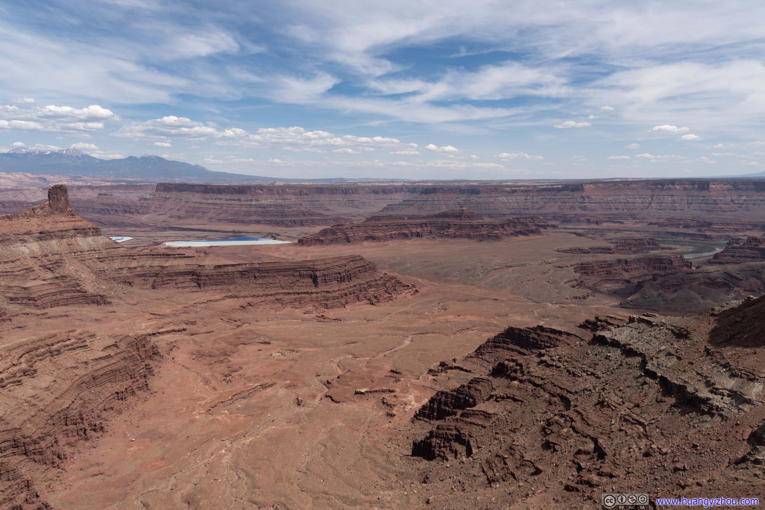
Dead Horse Point State Park
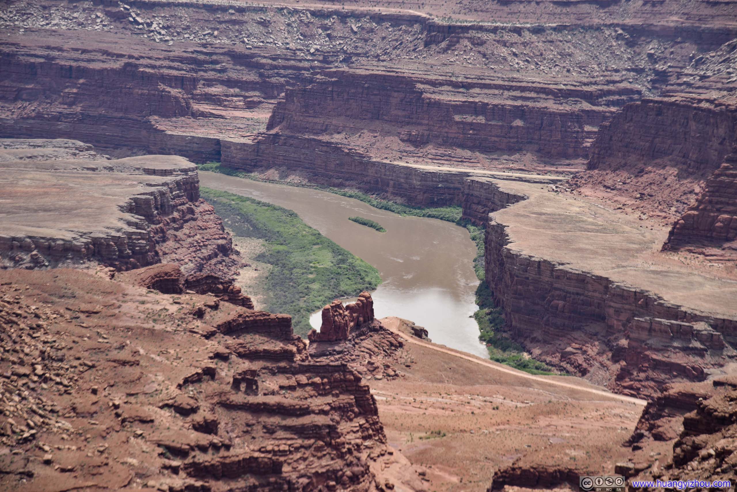
The park featured a dramatic overlook of the Colorado River, that, if not for a few boulders standing in the way, had a view that could dwarf the famous Horseshoe Bend. The park only covered a tiny footprint on the map, overshadowed by the nearby Canyonlands National Park. I guessed that, NPS started off designating the most scenic lands as national parks, then Utah State Park picked the leftover as Dead Horse Point State Park, then BLM got left with the remnants (Corona Arch).
As for the ominous name, some say it’s because it’s used as a natural corral by cowboys in the 19th century, where horses often died of exposure (source). Others point to some horse-shaped rocks (below) just next to the Colorado River.
Horse Shaped Rocks
The Neck
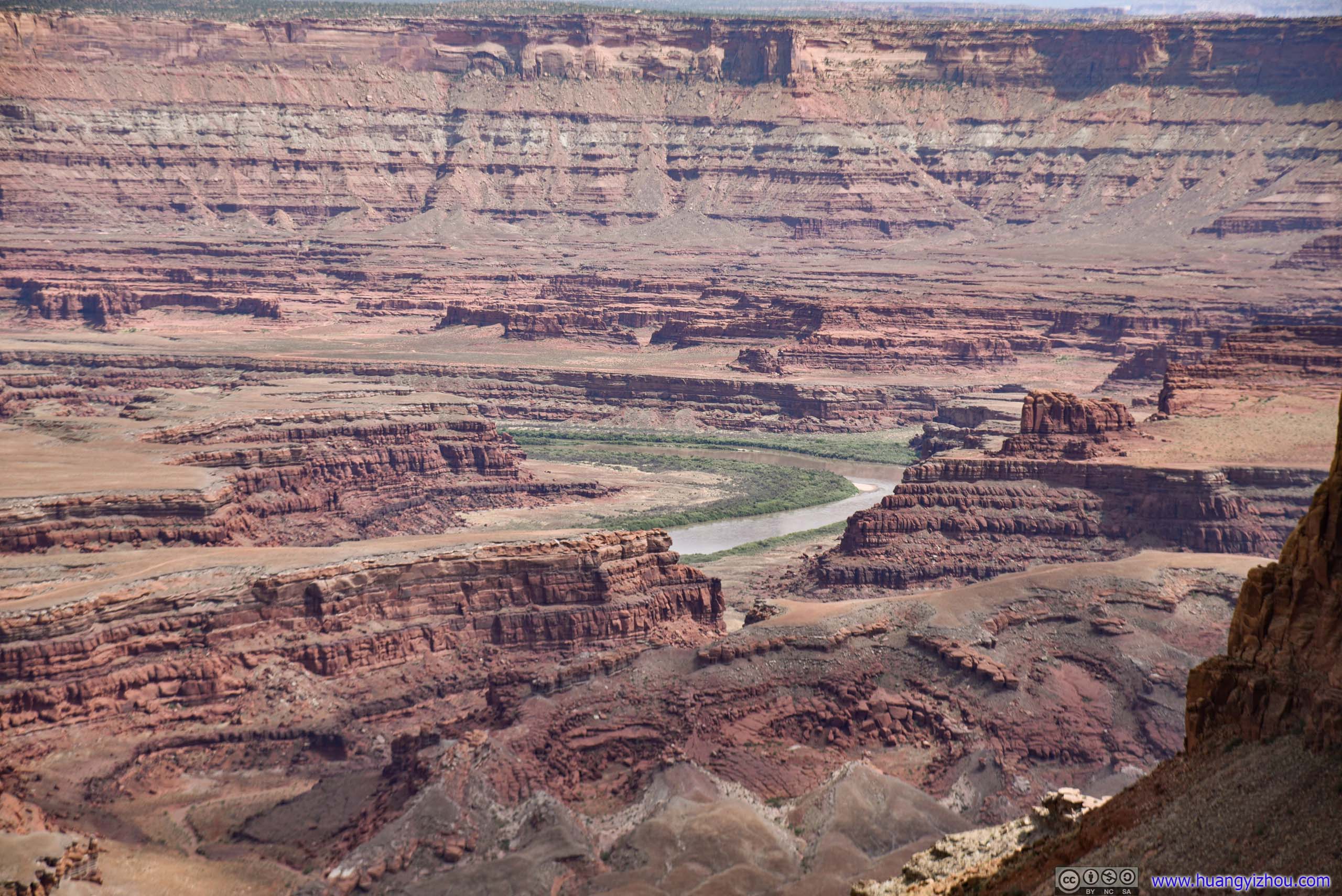
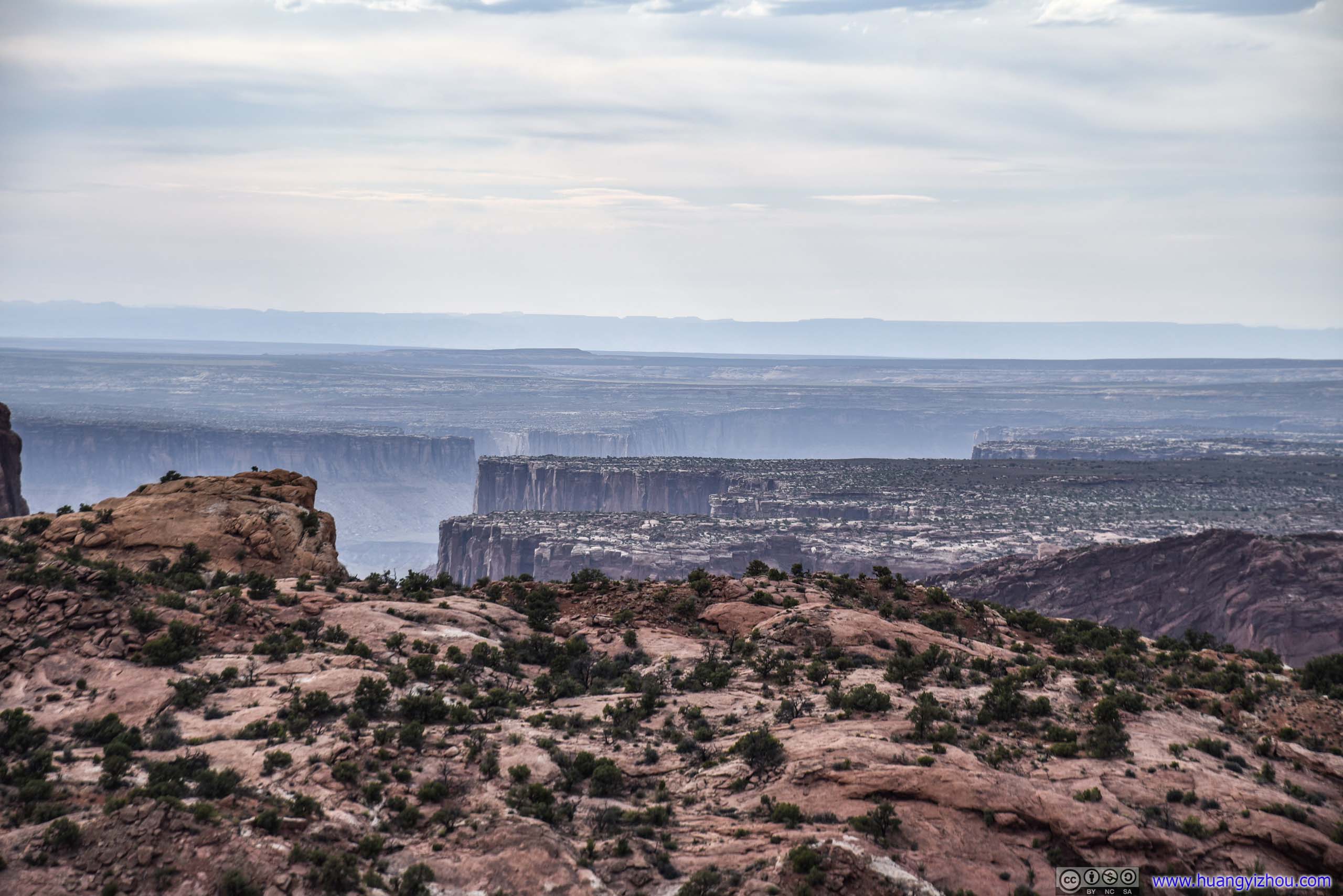
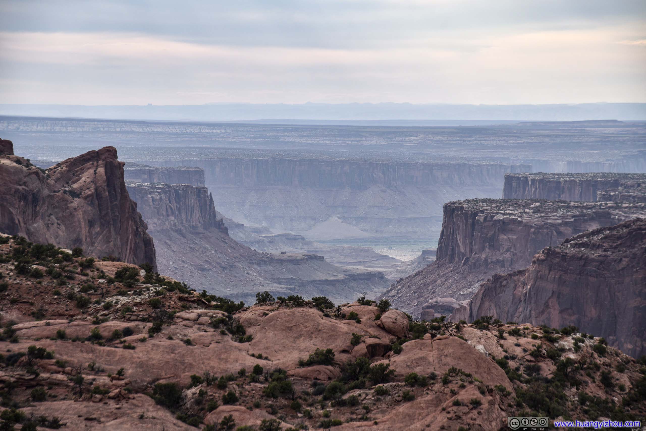
I made a brief stop at a place called “The Neck”. It’s close to the southern tip of the park, where the mesa that the park sat on narrowed down to not much wider than the road itself. Meander and Shafer Canyon trails also started from there.
Colorado River among Canyons

Colorado River and Canyons from The Neck
 Colorado River among Canyons
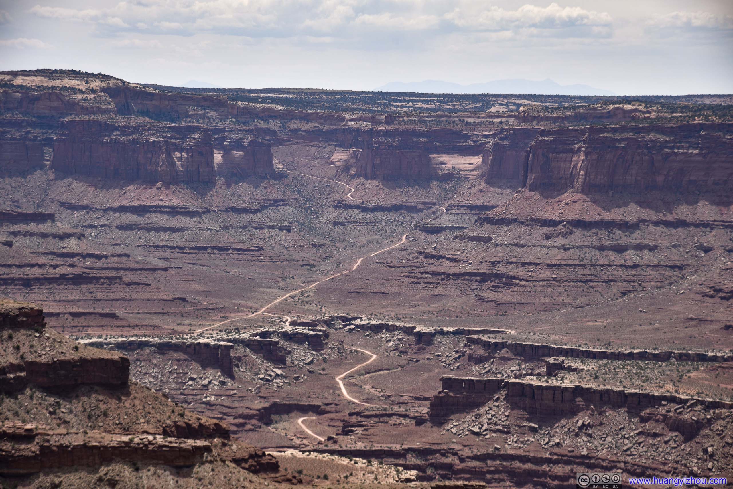 Roads in Shafer Canyon
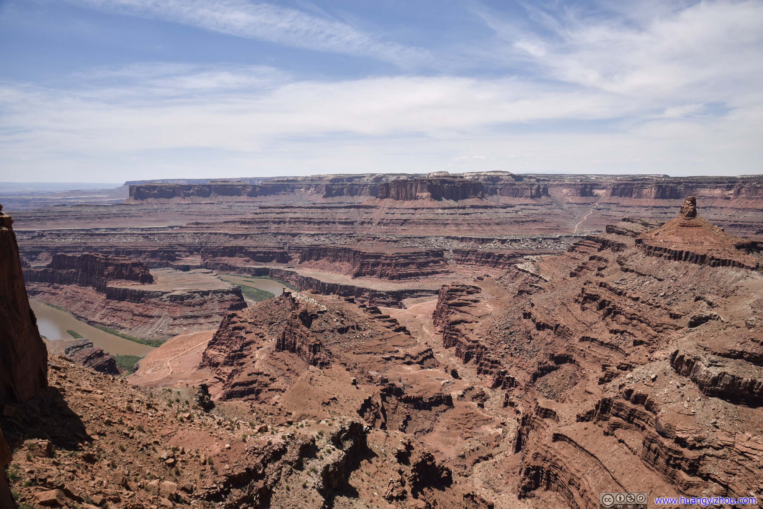
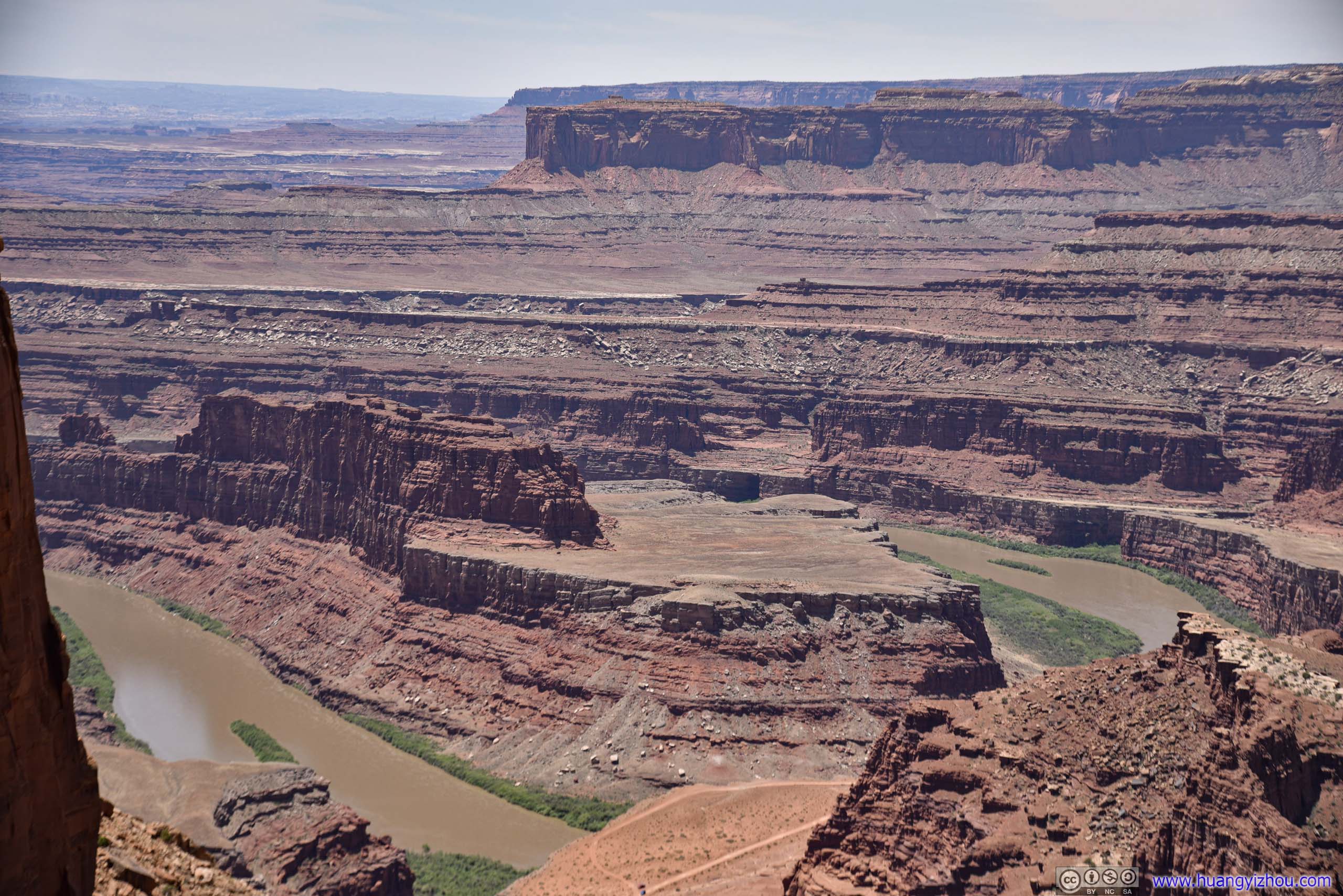
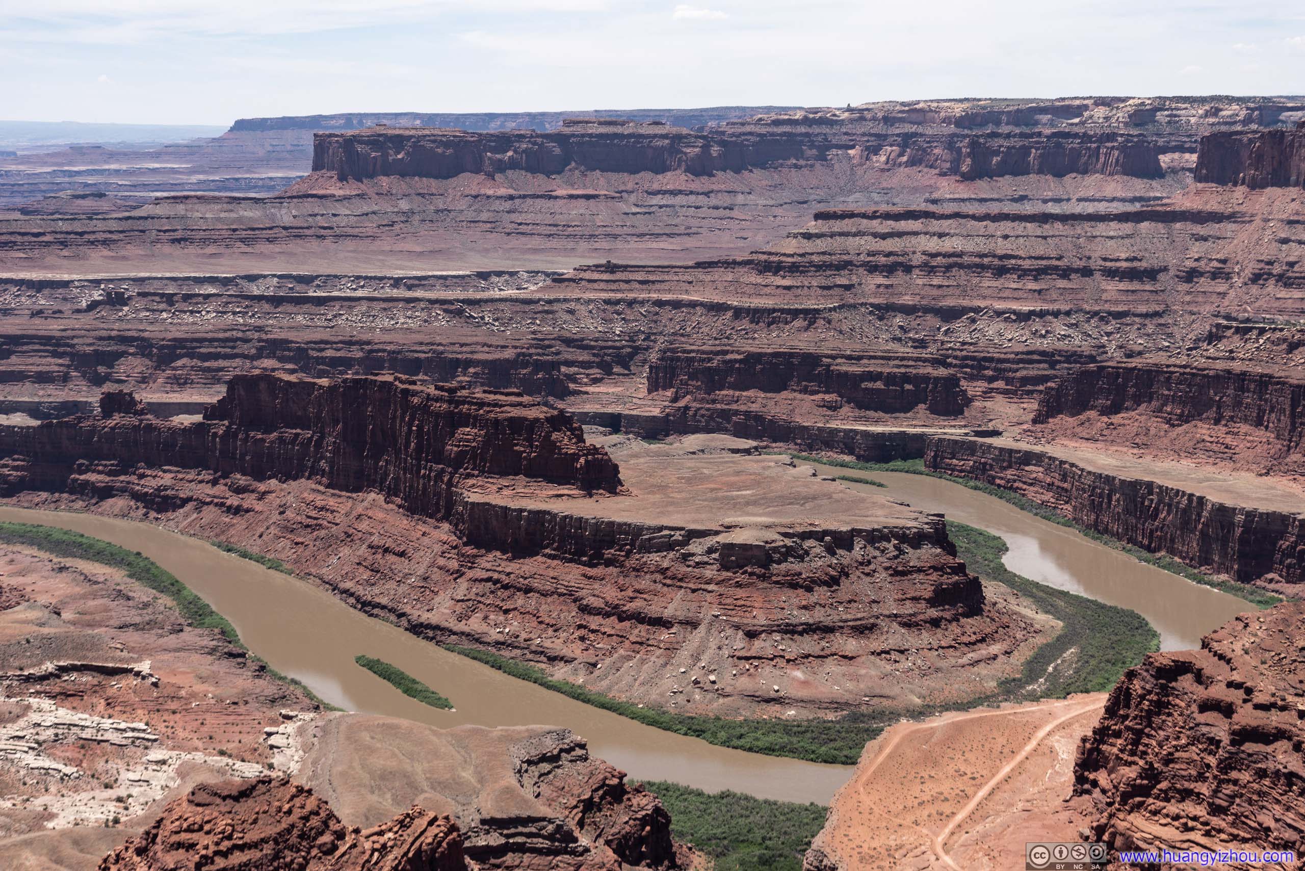
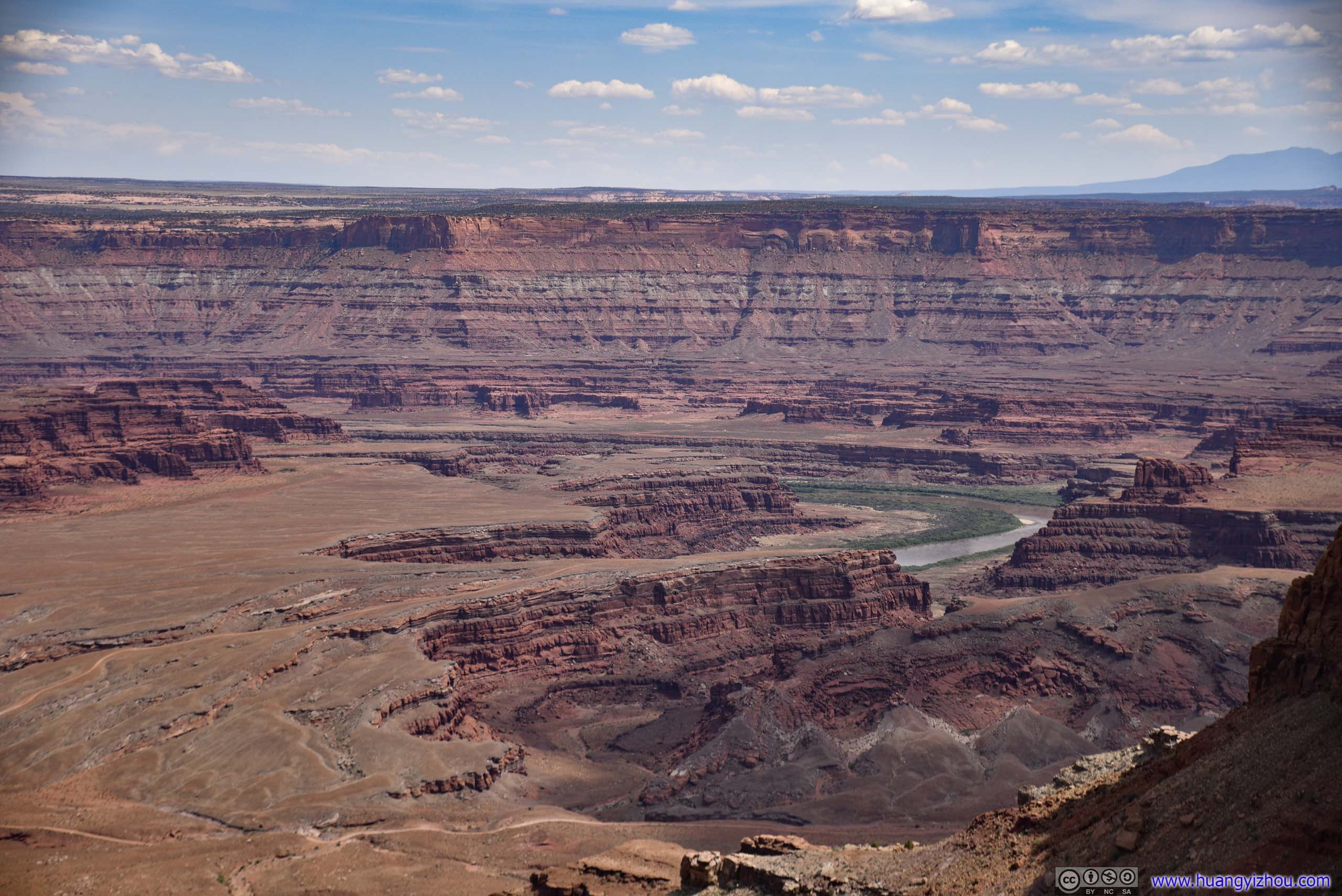
Dead Horse Point
The southern end of the park with spectacular views of the winding Colorado River and surrounding canyons.
 Dead Horse Point
It might sound unbelievable, but with so many amenities, I spent an hour at Dead Horse Point, between taking photos (while fighting off bugs, of course), enjoying my packed lunch, or just taking a nap under its huge roof.
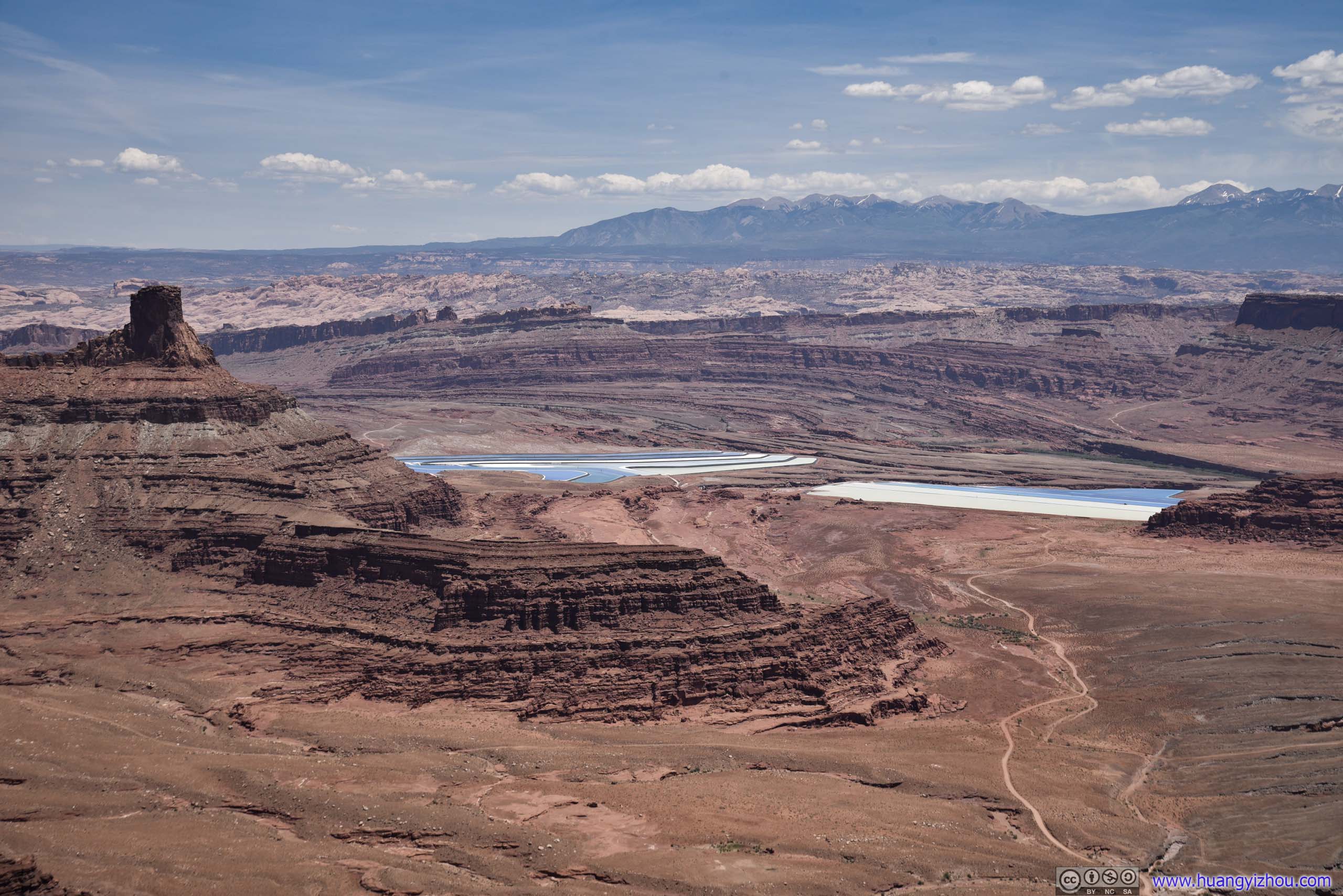
Solar Evaporation Ponds
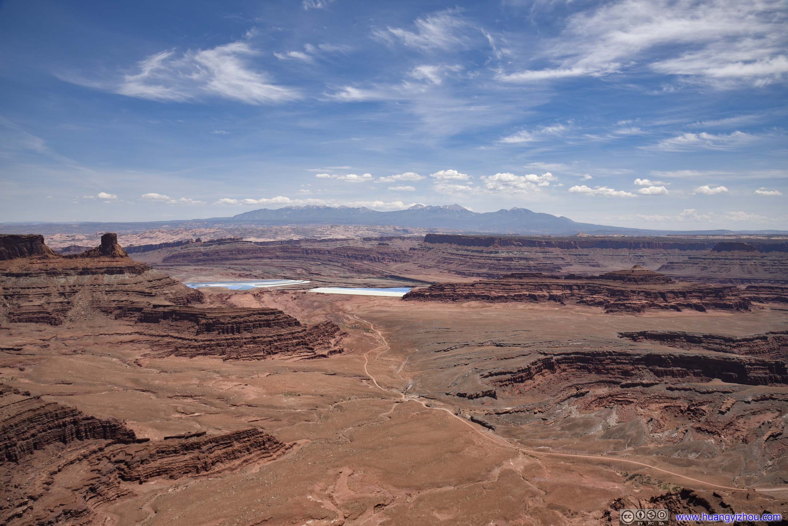
Distant La Sal Mountains

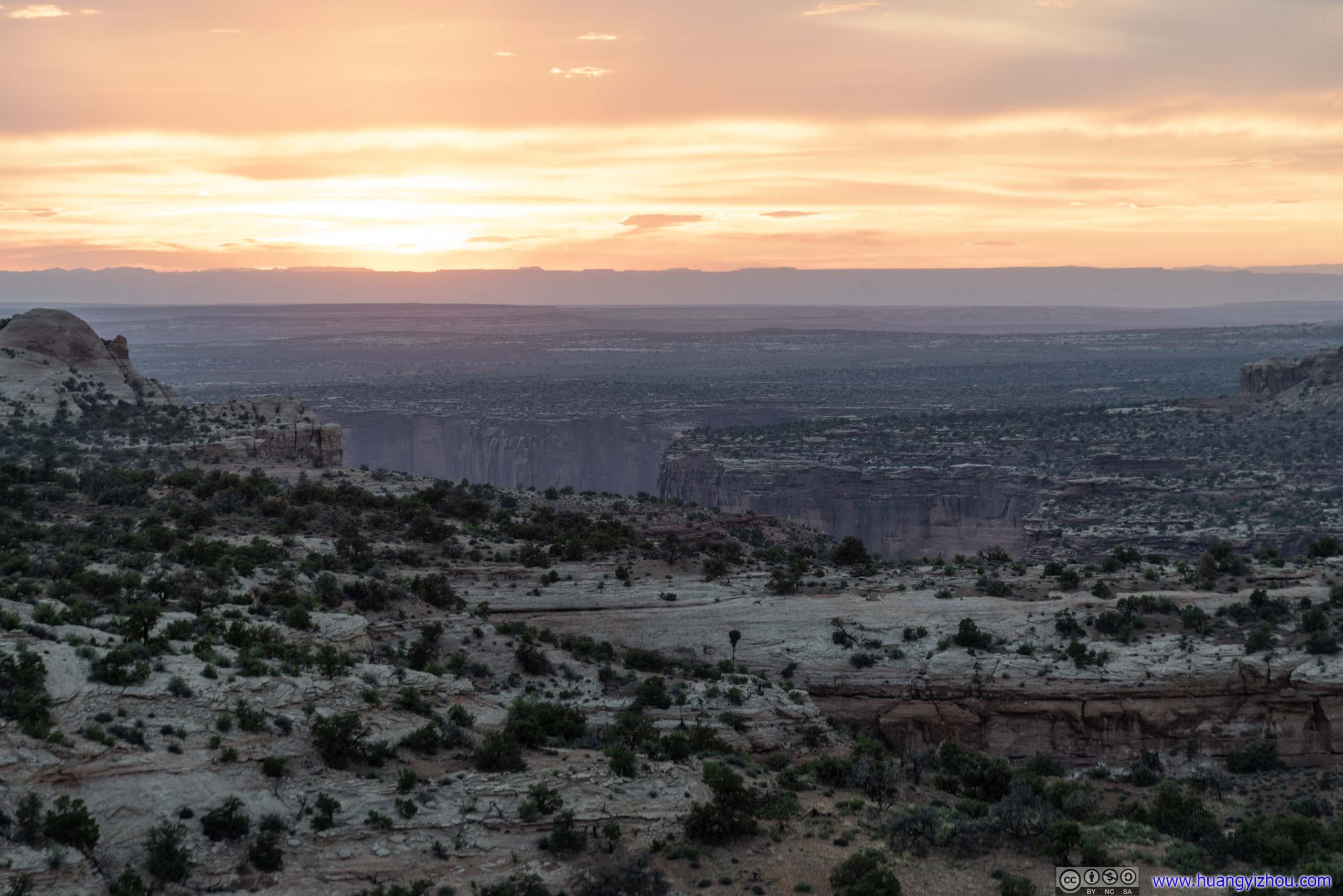
 Colorado River among Canyons
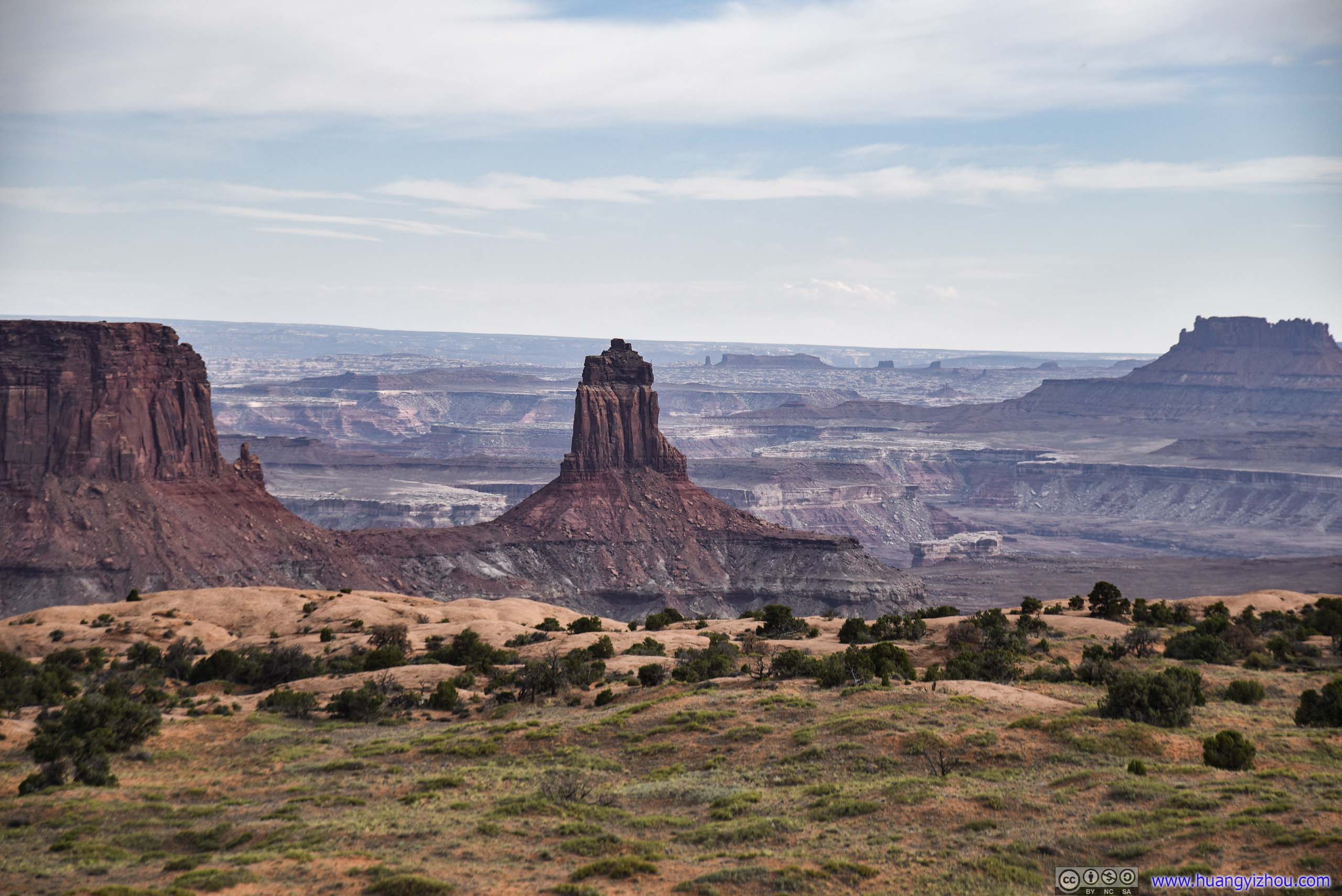
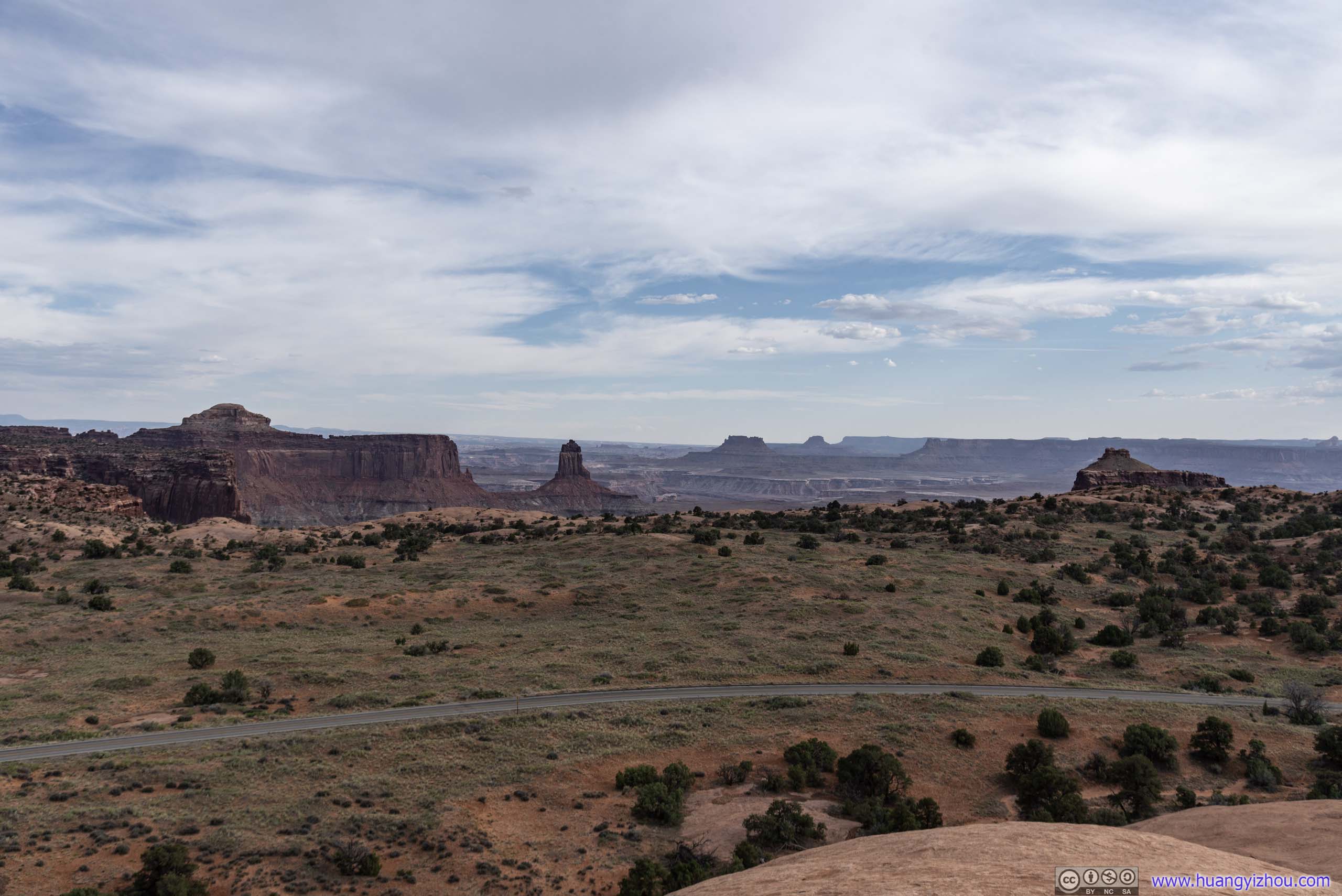
ButteLike a castle standing not too far from Dead Horse Point.
 Colorado River from Dead Horse Point
Canyons from Dead Horse Point
Landscape
Meander and Shafer Canyon Overlook Trail
The park also offered many (short and unchallenging) hiking trails, so I opted to hike to Shafer Canyon Overlook. It’s just under 3km round trip, starting from “The Neck” and passing Meander Overlook along the way. Two birds with one stone.
Here’s GPS tracking:
 Trail
Trail
It took me less than 15 minutes to reach “Meander Overlook”.

 Colorado River from Meander Overlook

Winding Colorado RiverThis scene probably gave the overlook its name of “meander”.
CliffOr, less likely, it’s named after these curving cliffs.
After that, I moved on to Shafer Canyon Overlook, which was a short 10-minute stroll away.
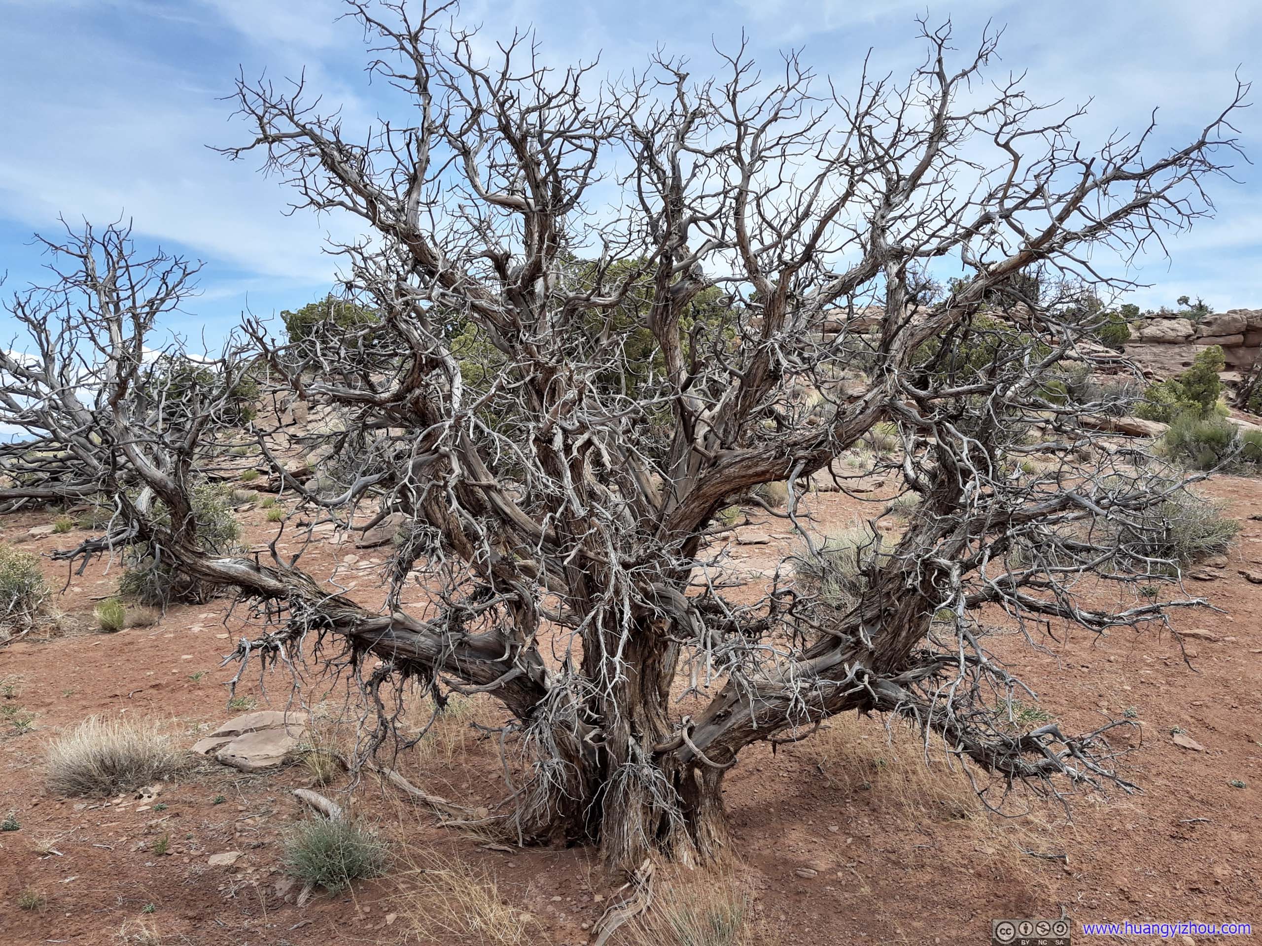
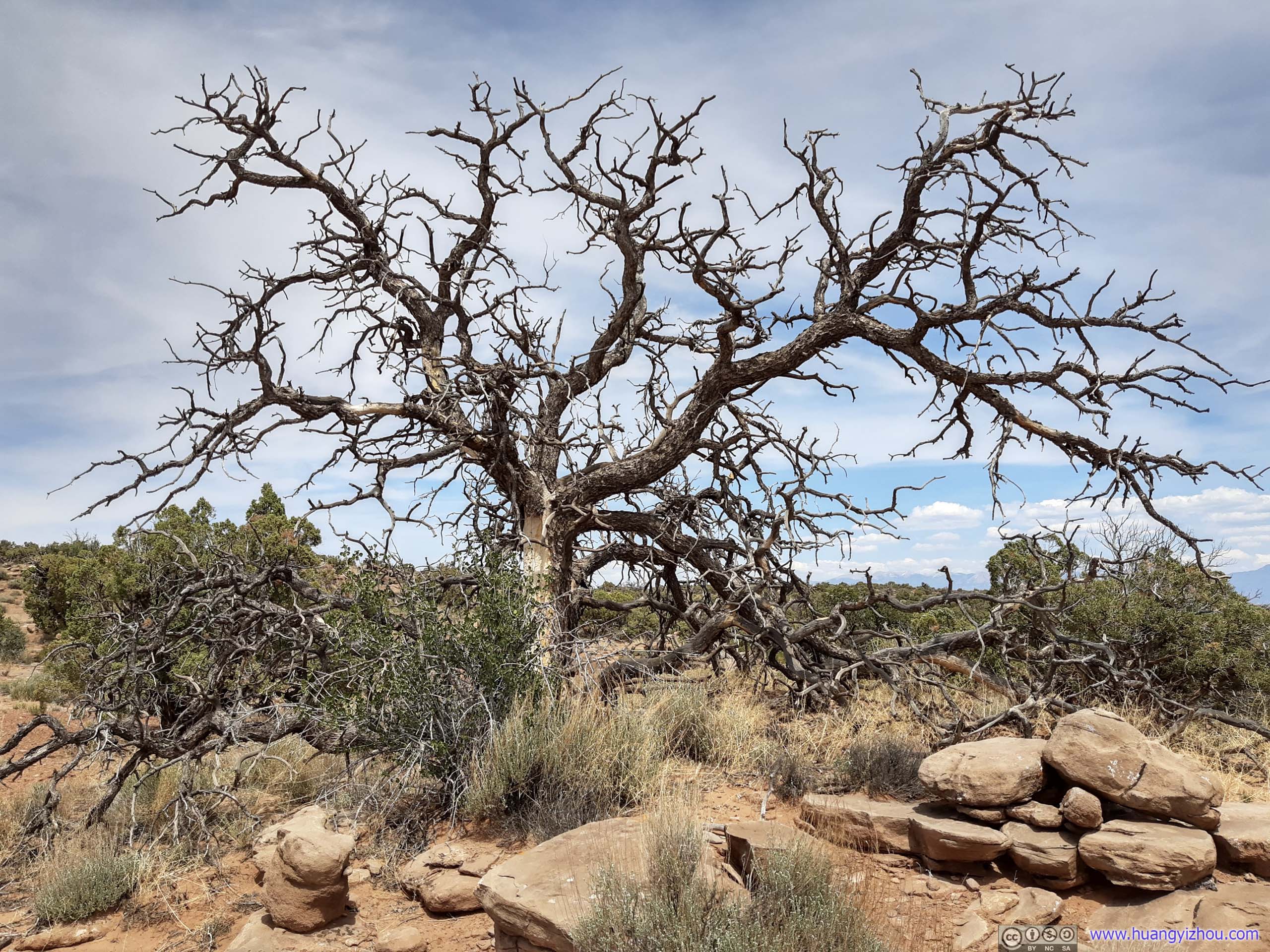 Dead Tree
Colorado River
 Butte
Butte
Overlooking Shafer Canyon
Canyon
It didn’t seem that the hiking trails of Dead Horse Point State Park were popular among visitors, I only bumped into two other groups during my hike.
An hour later, I was back at “The Neck”. After warding off the bugs that were circling my car, I headed North to Visitor Center for some refreshments.
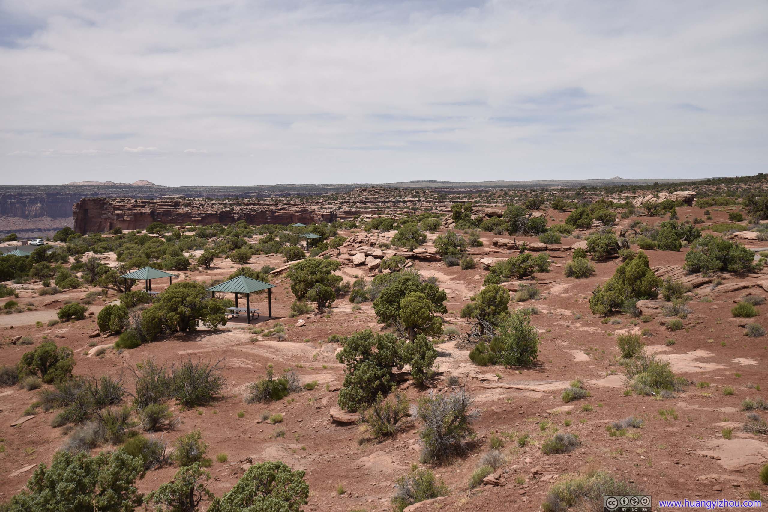
Visitor Center Overlook
Unlike the national parks near Moab, the daunting Utahn people thought it’s already safe to open visitor centers, despite that precautions were still taken as part of the visitor center which seemed to be a former dining room was cleared out. Combined with a patio, they were perfect for viewing canyons and mountains to the east.
Distant La Sal Mountains
 Layered Rocks

Butte
Landscape
 Colorado River

Canyons from Dead Horse Point Visitor Center
After that, I drove out of Dead Horse Point Park, and headed for the nearby Canyonlands National Park.
Canyonlands National Park
Shafer Canyon Overlook
My first stop in Canyonlands was Shafer Canyon Overlook. Canyonlands and Dead Horse Point were on opposite sides of the canyon.
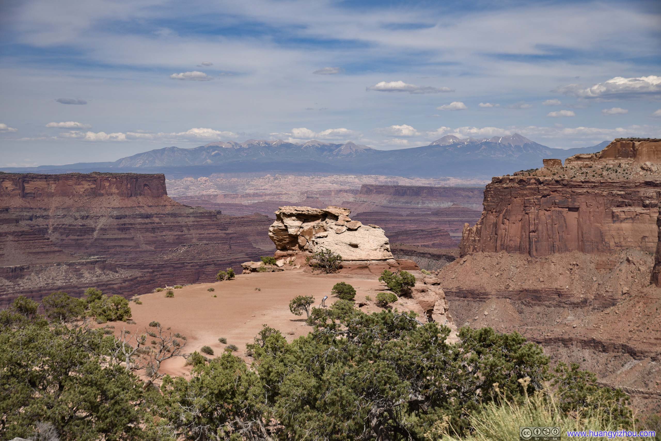
Shafer Canyon Overlook
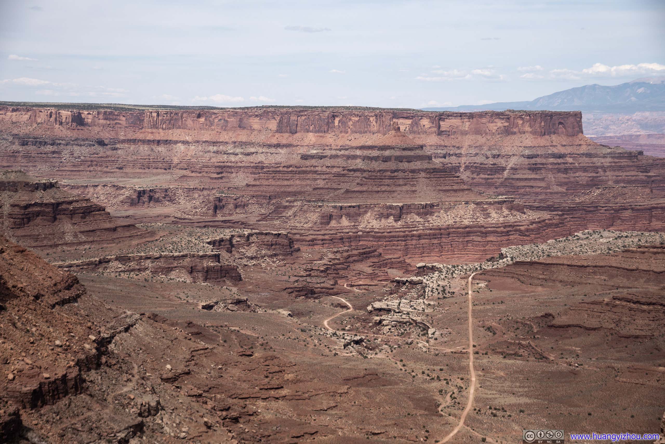
Shafer Canyon
 Road up Shafer Canyon

La Sal Mountains beyond Shafer Canyon
Overlooking Shafer Canyon
At the fork of roads, I took the southern route to Grand View Point the previous day, so today I took the western route and headed for Upheaval Dome.
ButteFrom a random roadside turnout.
Upheaval Dome Trail
This was a 2.8km roundtrip trail to two overlooks of Upheaval Dome, with only mild elevation gain. It also shared the start with the 13.3km Syncline Loop Trail, which NPS kindly reminded people was strenuous, difficult to follow, and had no crater view.
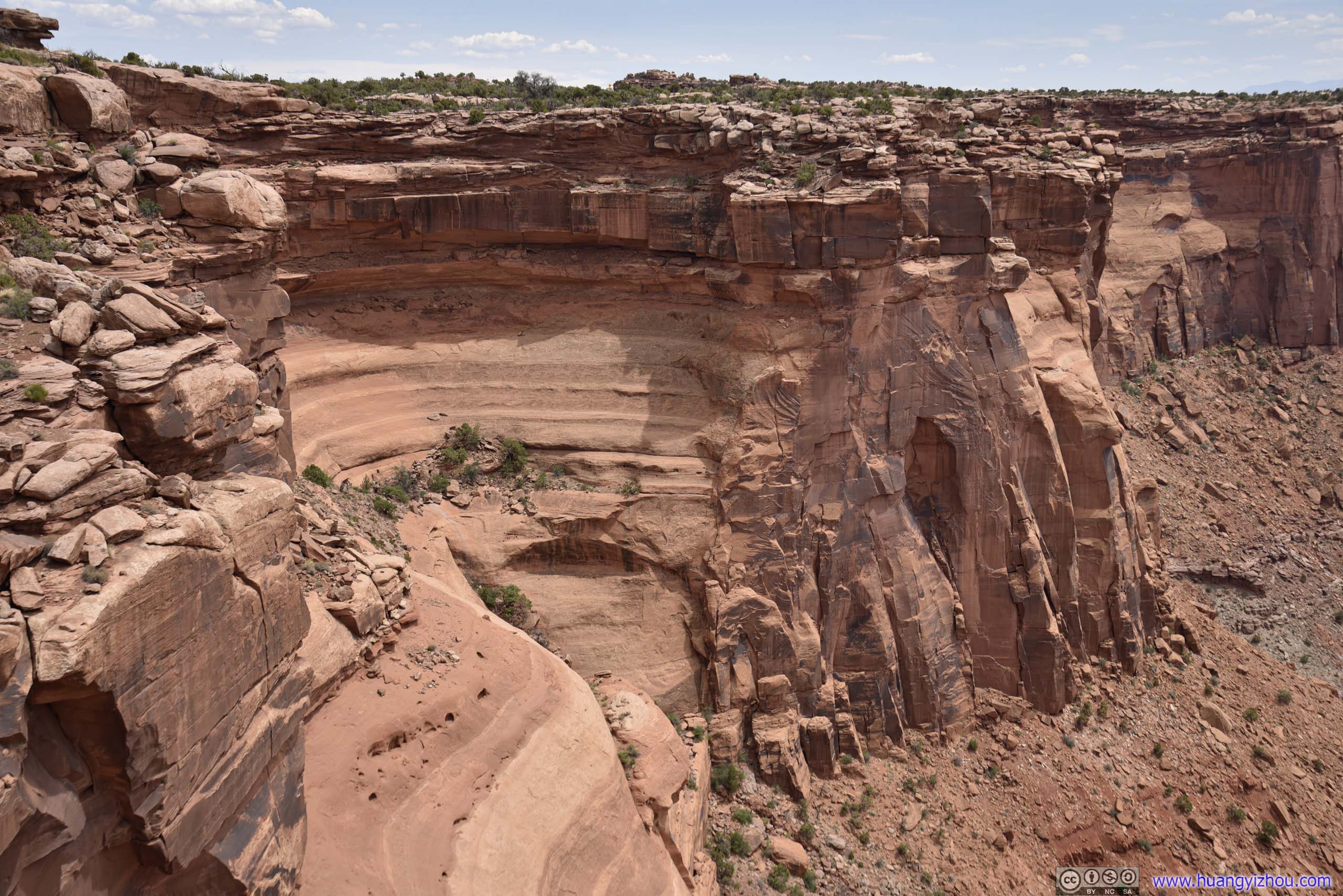
As for Upheaval Dome, it’s a crater-like structure where rocks in the center were pushed up into a dome-like structure. The rocks in the center were also noticeable in whiter color than the surrounding brownish landscape. It’s believed that the dome was either formed by dried sea salt flowing up the rock layers as they were less dense, or by meteorite impact exposing deep underground rock layers.
Here’s GPS tracking:
 LandscapeTerrain that Upheaval Dome Trail travelled through.
 Trail
Trail
At the first overlook, there was an information board displaying two possible formations of the magnificent dome in front of me.
I also found that one could descend beyond the information board for about 20 meters for much less obstructed views.
 Upheaval Dome
Upheaval Dome from First Overlook
 Cliffs Surrounding Upheaval Dome
15 minutes from the first overlook, I was at the second overlook. Truthfully, the views weren’t any more (or less) stunning than the first, it’s just that one got to view it from a different angle.
Oh, if one was visiting in the afternoon like me, then there would be some shade, which was certainly a plus.
 Upheaval Dome
Upheaval Dome from Second Overlook
So overall, I spent an hour and 10 minutes with Upheaval Dome Trail. The trailhead was also a picnic area with a dozen tables, ideal for people looking for some rest after hiking.
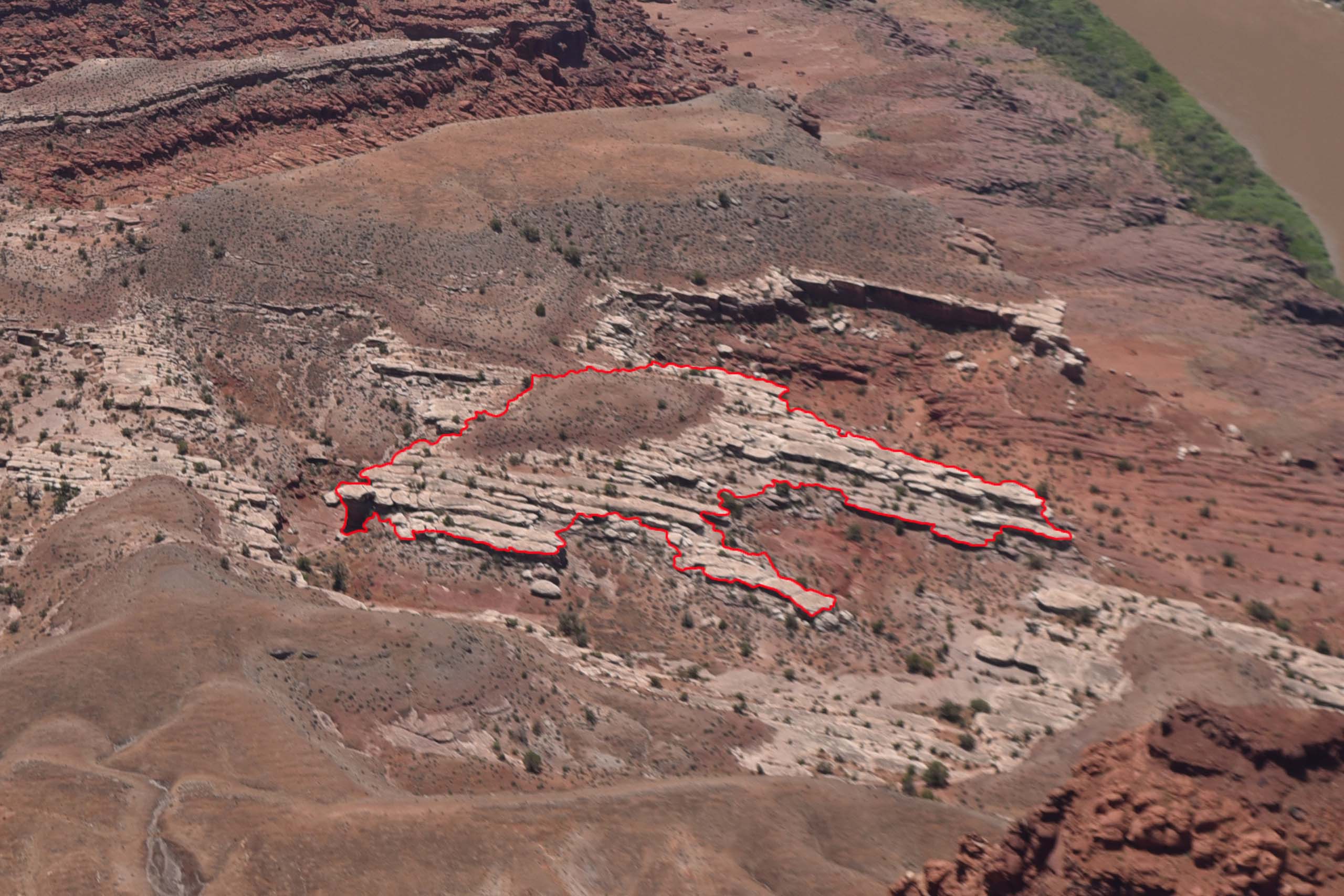
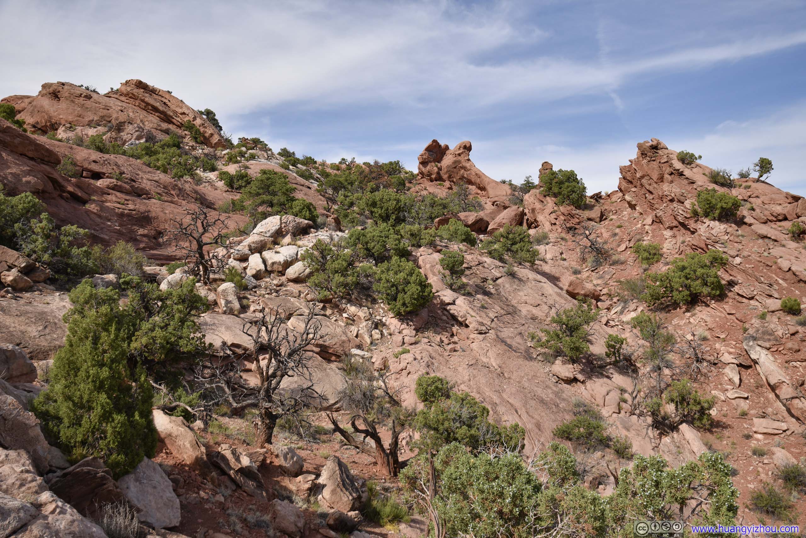
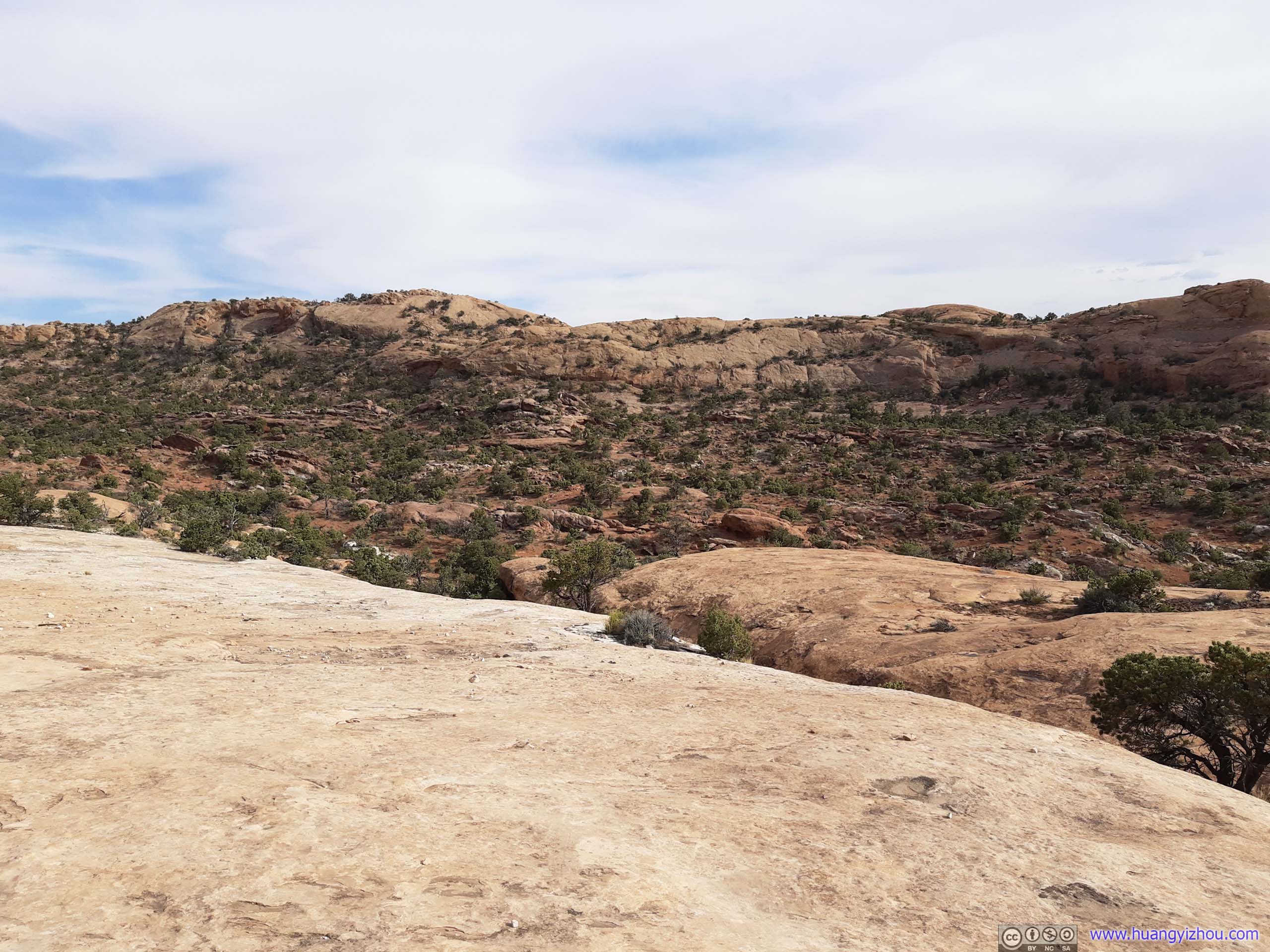
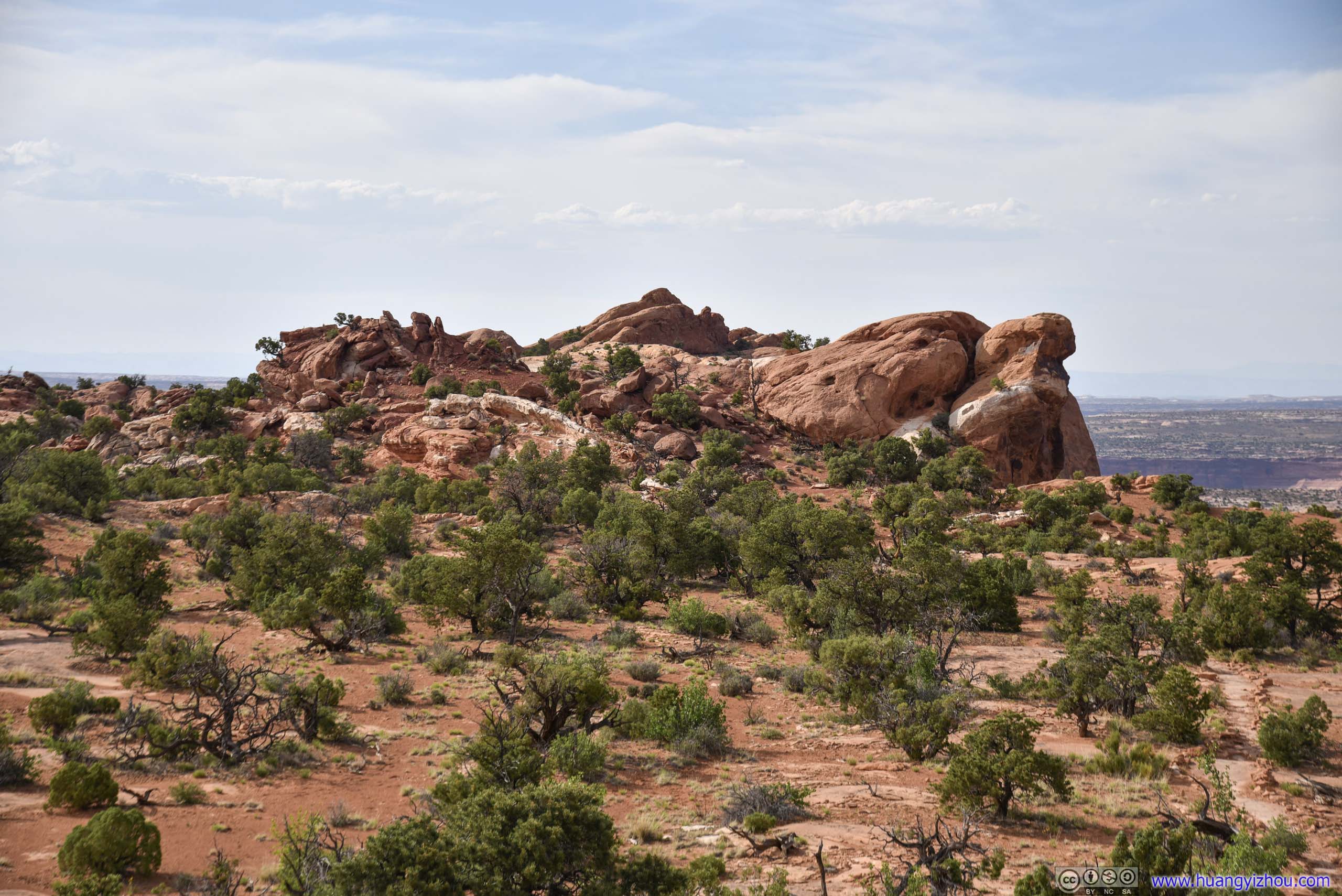
Whale Rock Trail
After that, I decided to hike Whale Rock Trail, which was not far down the road.
It was a 1.6km roundtrip trail to a series of rocks that’s presumably called Whale Rock, for their long and rounded shape. Well, I thought the shape was best appreciated from satellite images than at the scene.
From satellite images one could also found that Whale Rock was part of the outer rim of Upheaval Dome.
LizardOne that wasn’t camera shy.
 Rocks
Rocks
 Park RoadThe road leading from junction (left) to Upheaval Dome (right).
And once on top of the rocks, one would find the sceneries well worth the short hike.

 Buttes
 Canyons
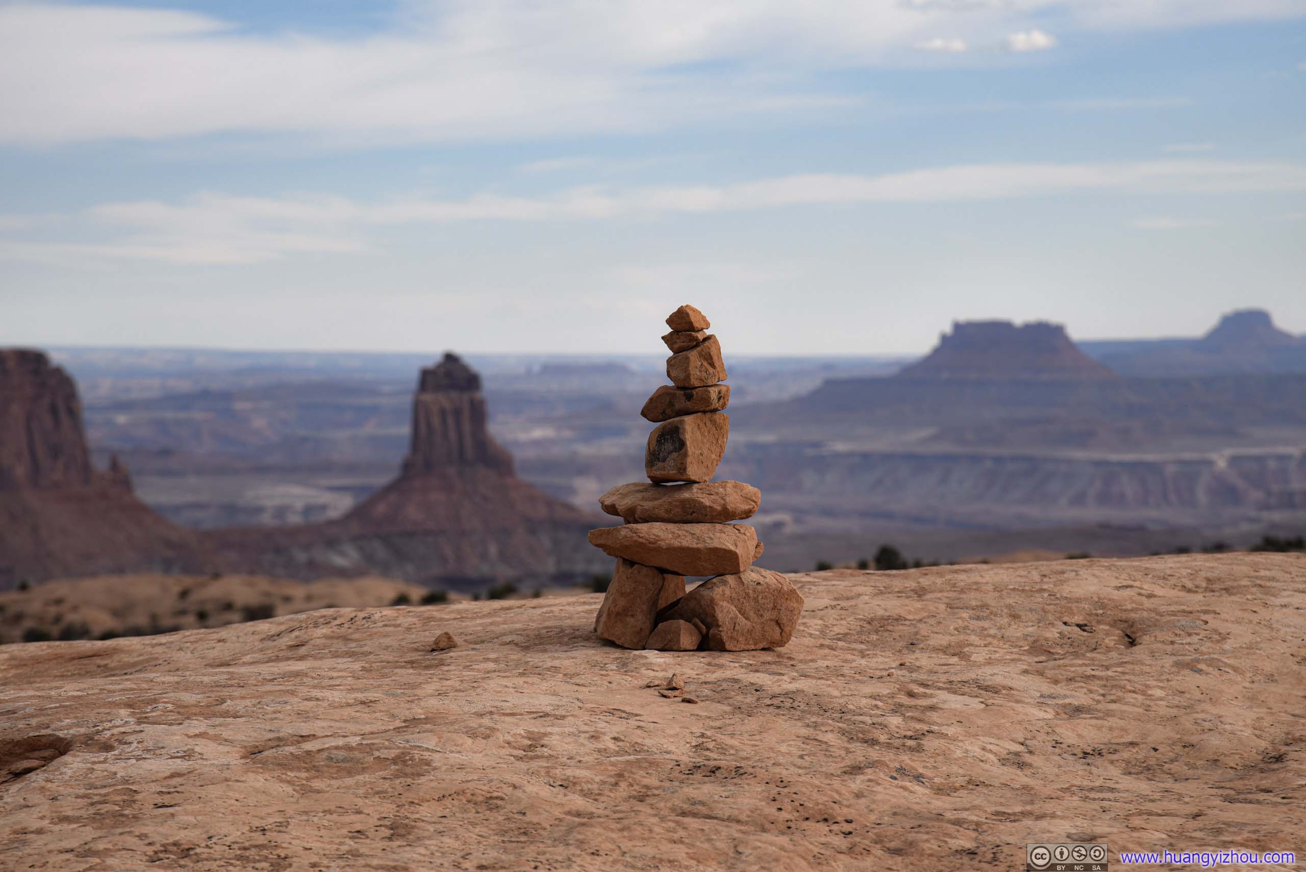
CairnThis fitted into the background perfectly.
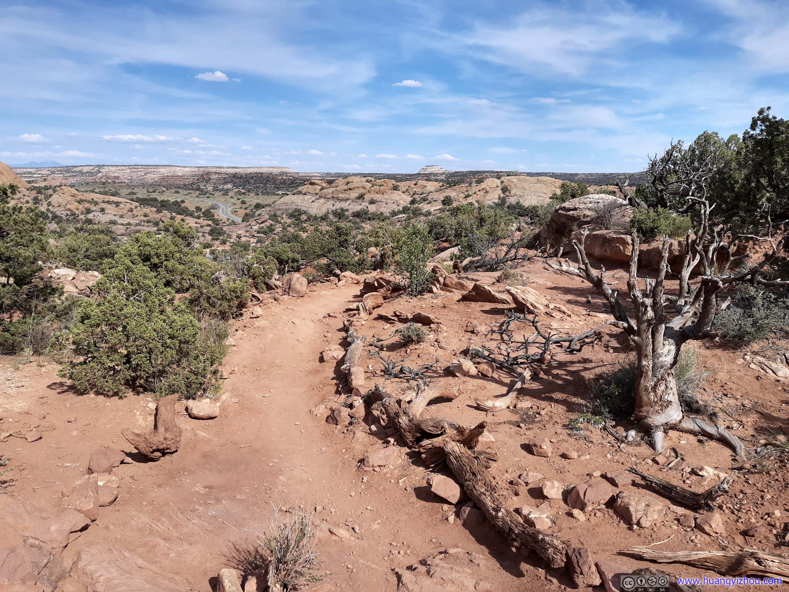
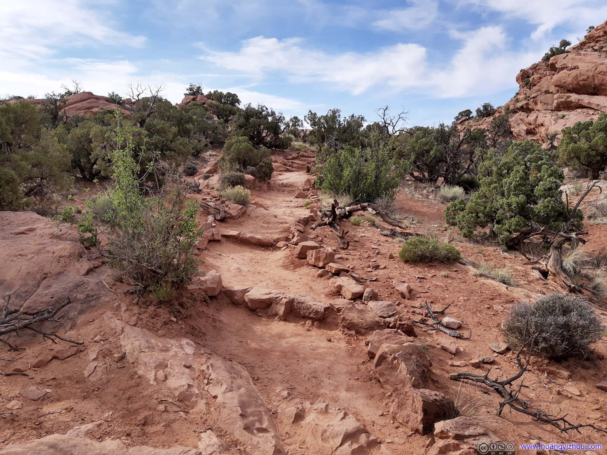
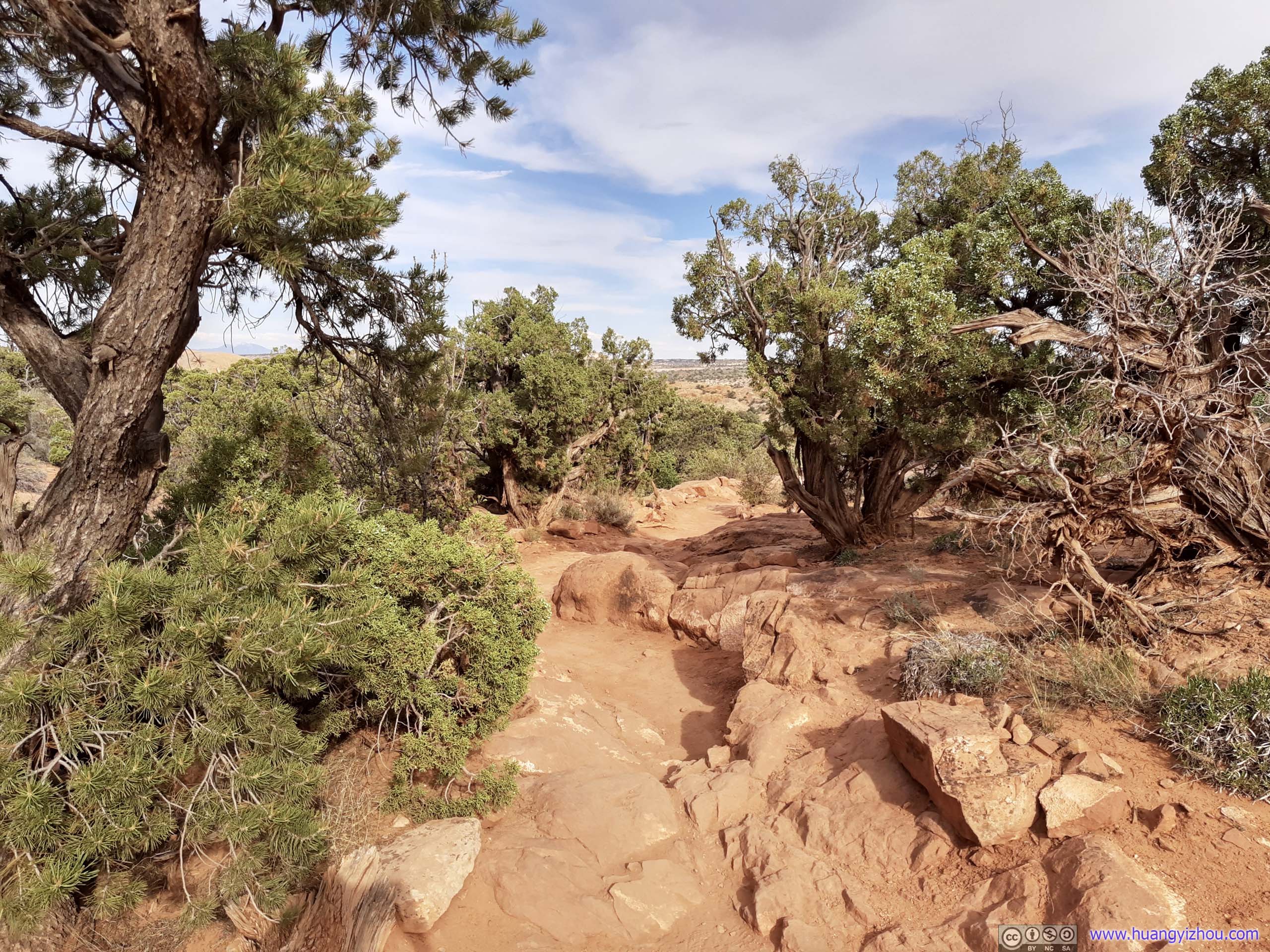
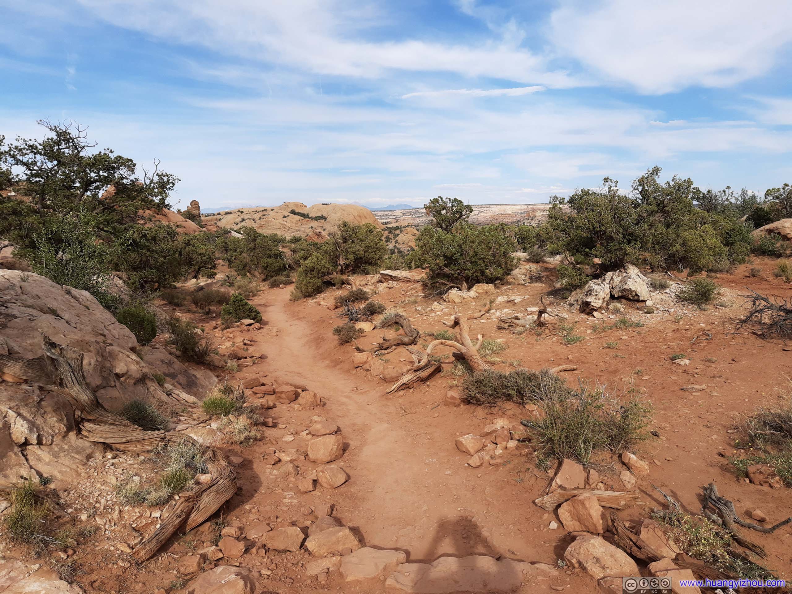
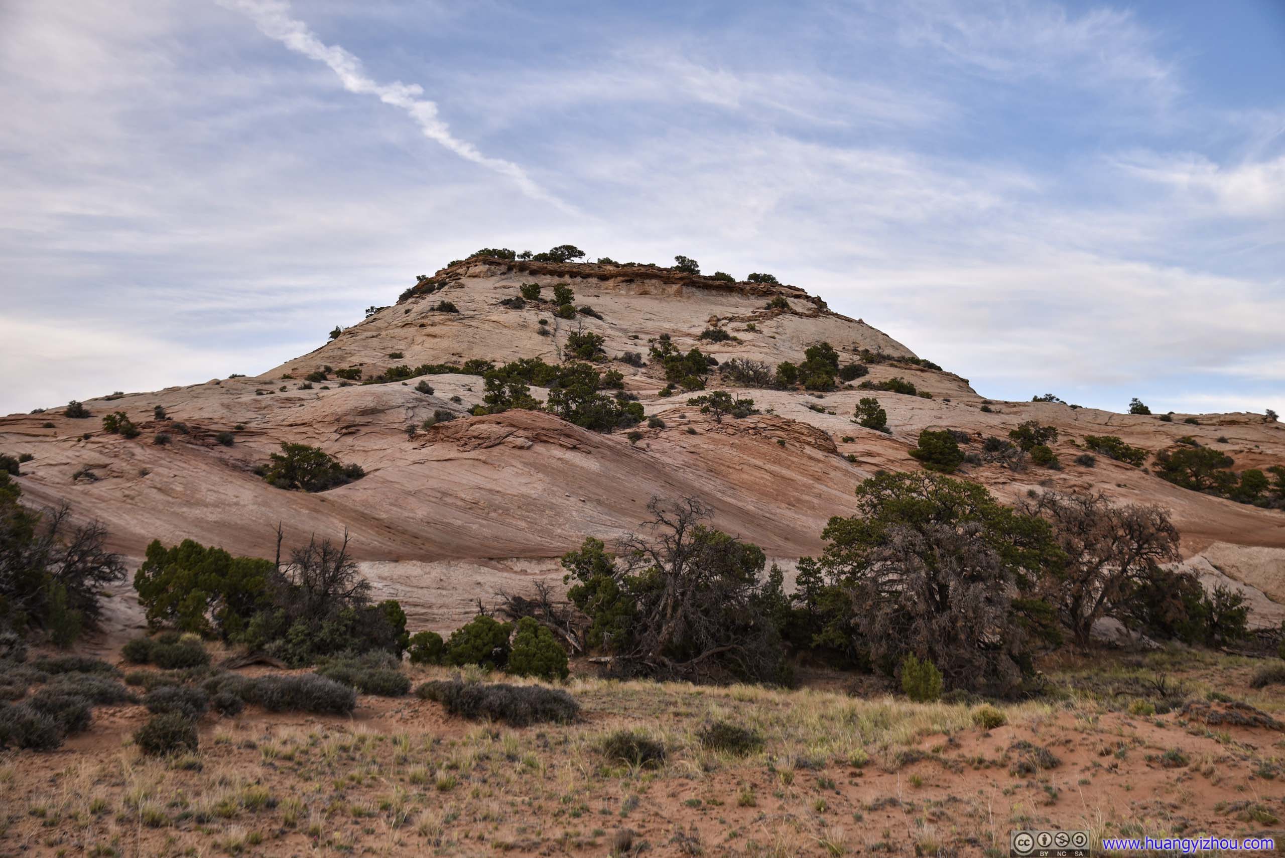
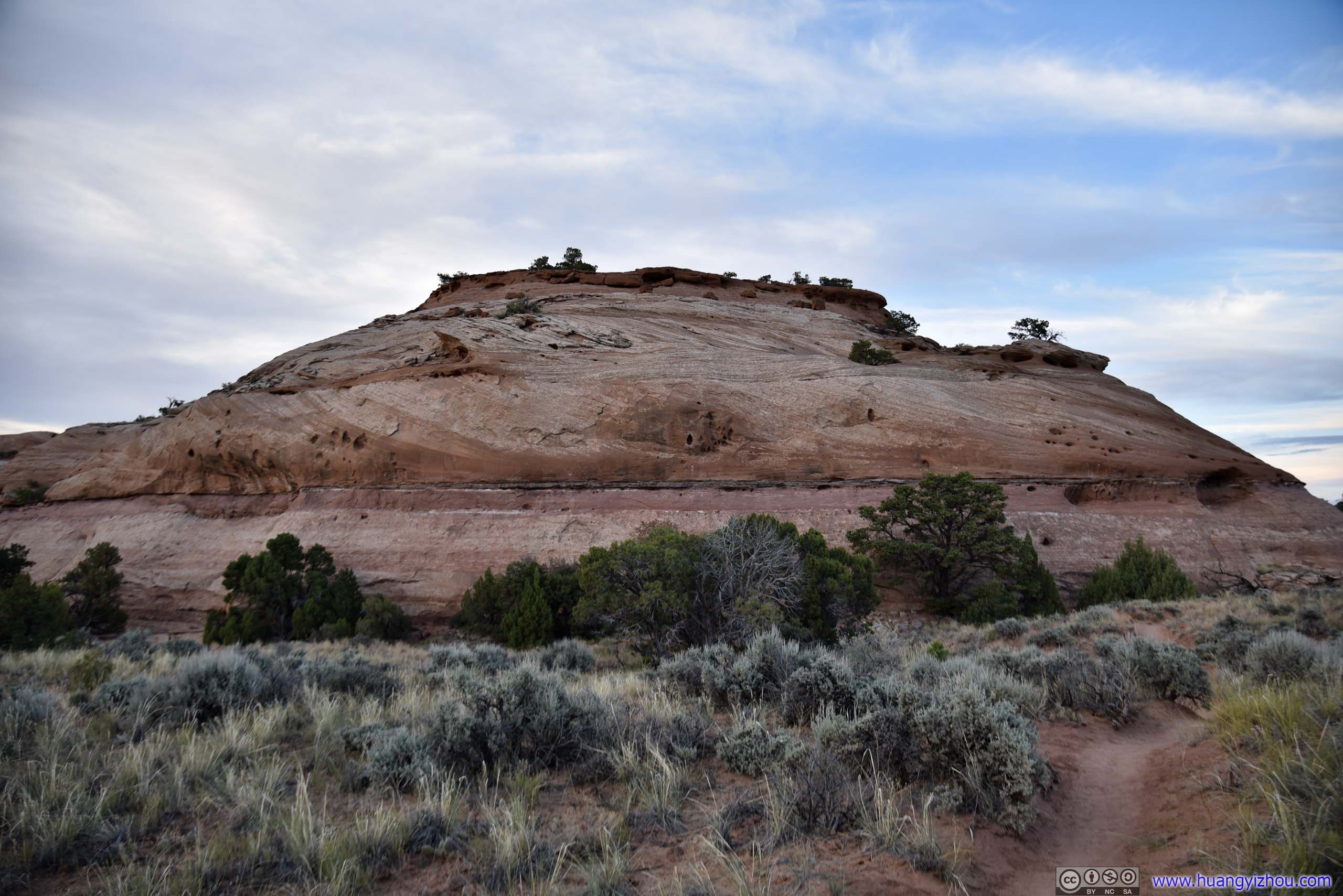
Aztec Butte Trail
On my way back, I made another stop to hike Aztec Butte Trail. The 2.4km roundtrip trail took one on top of Aztec Butte, with views of a nearby canyon made of twisted cliffs and convoluted rocks.
Aztec Butte
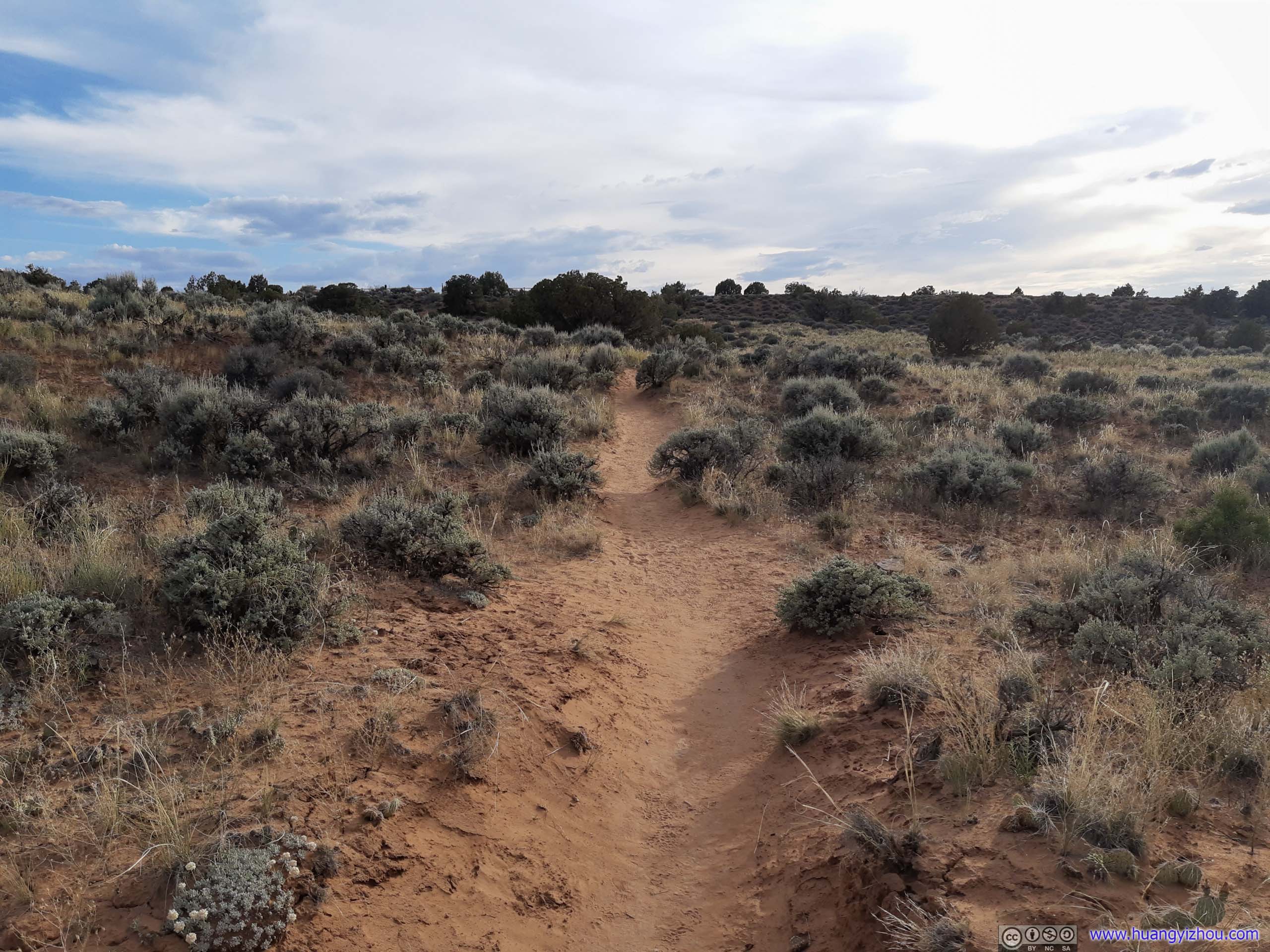
 Trail
Trail

 Trail
Trail
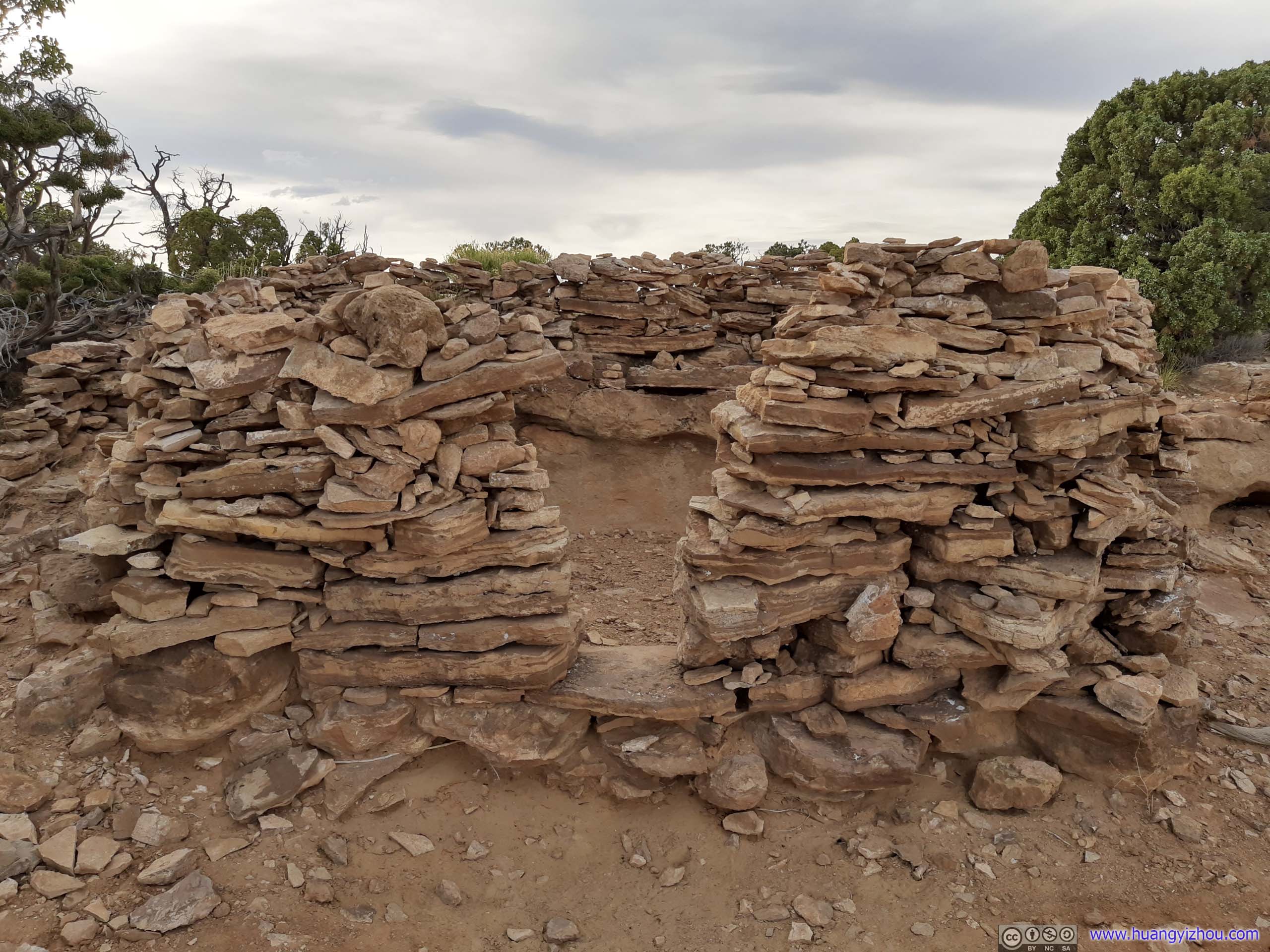
Brick WallsOn top of Aztec Butte, I didn’t know what these bricks were for.
Once on top of Aztec Butte, one was rewarded with views of distant buttes, beyond the plateau that one drove through.
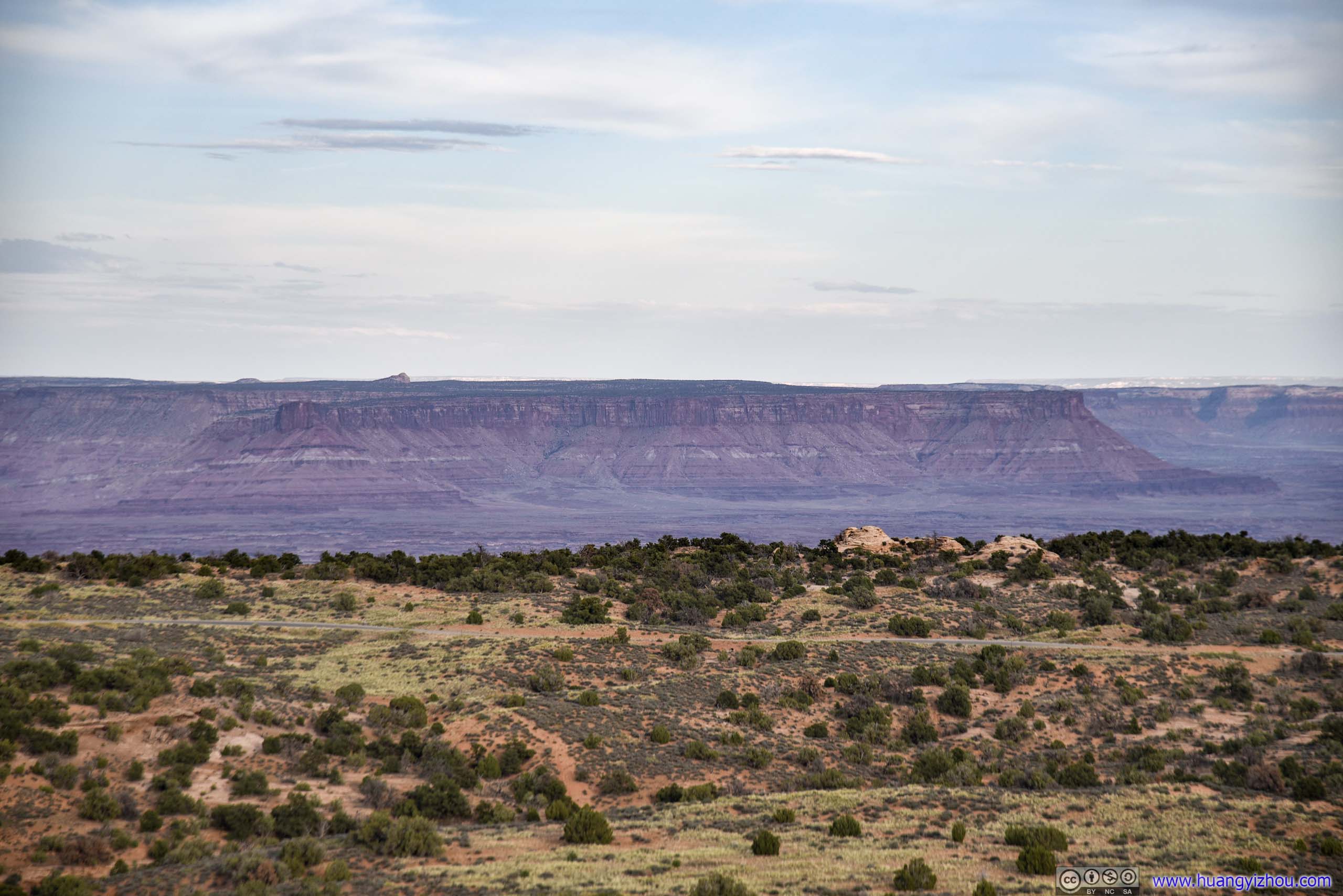

 Distant Buttes
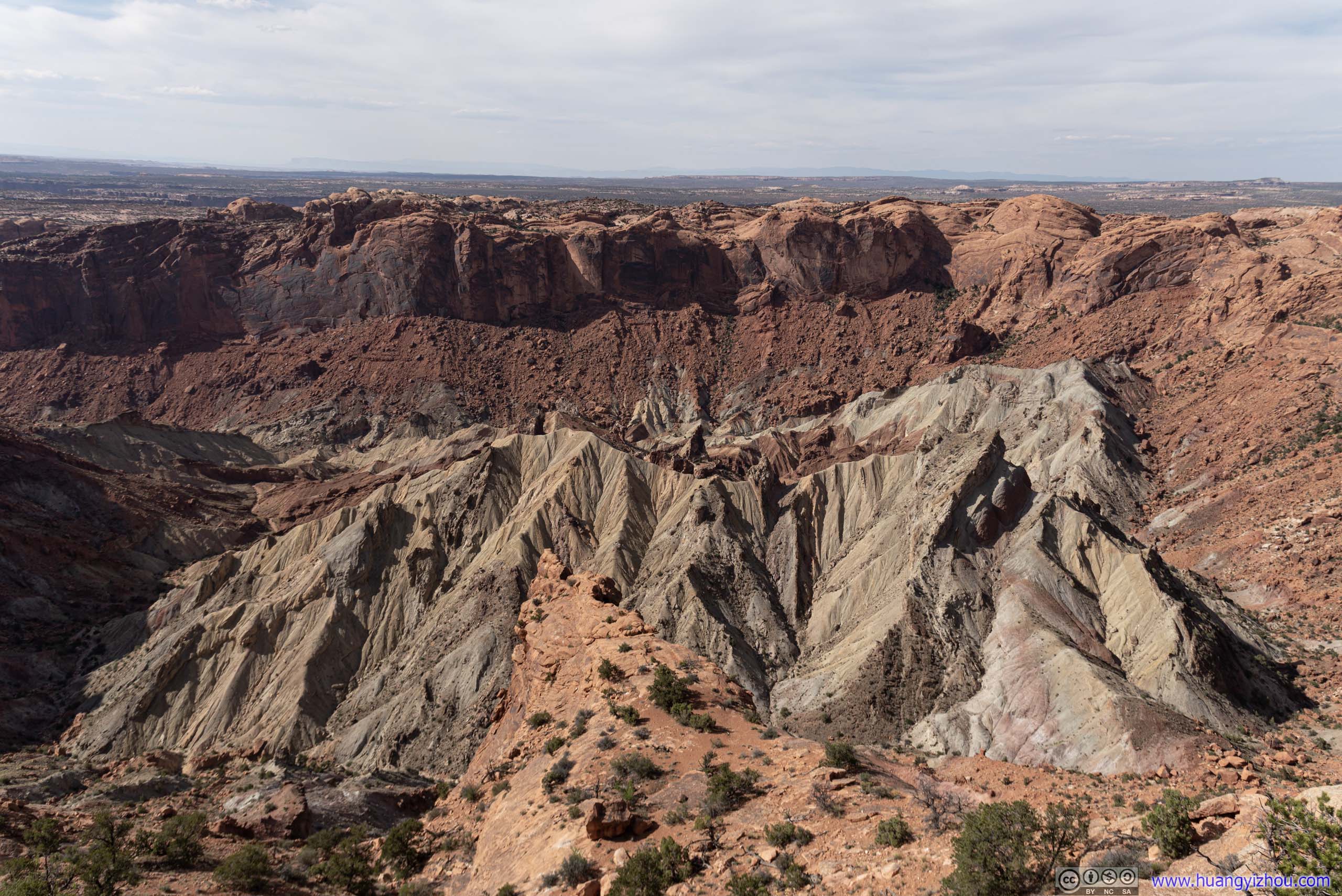
Even better, the north side of the Butte was directly overlooking a series of winding canyons, the scenery unlike anywhere else in the park.
 Canyons from Aztec Butte
 Canyons

Landscape from Aztec Butte
Landscape
FieldOverlooking from Aztec Butte, with a faint trail among bushes.
Between trailhead and Aztec Butte there was another smaller butte, where one could find an ancient granary/pantry/storage room tucked underneath one of the rocks.
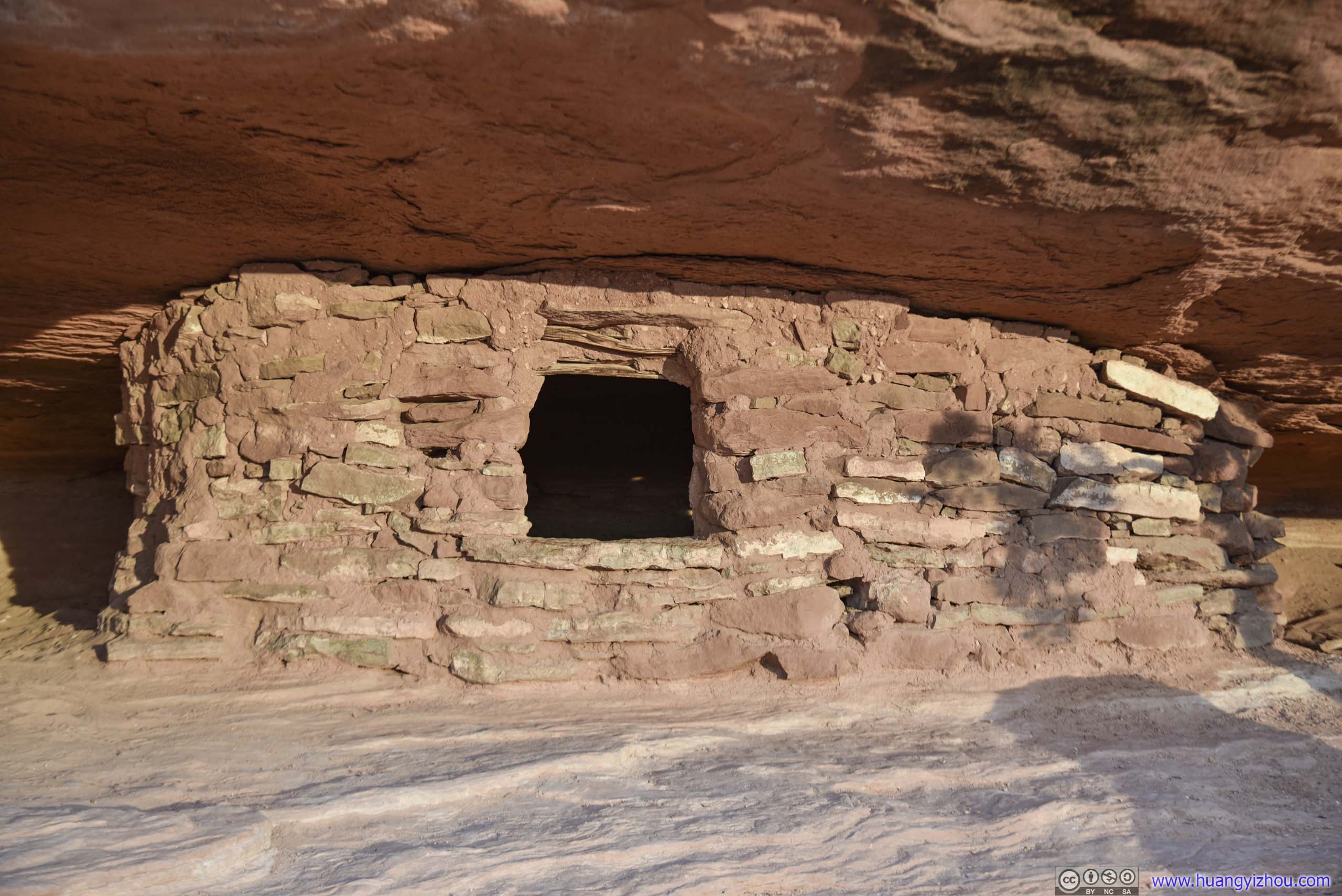
Ancestral Puebloan Pantry
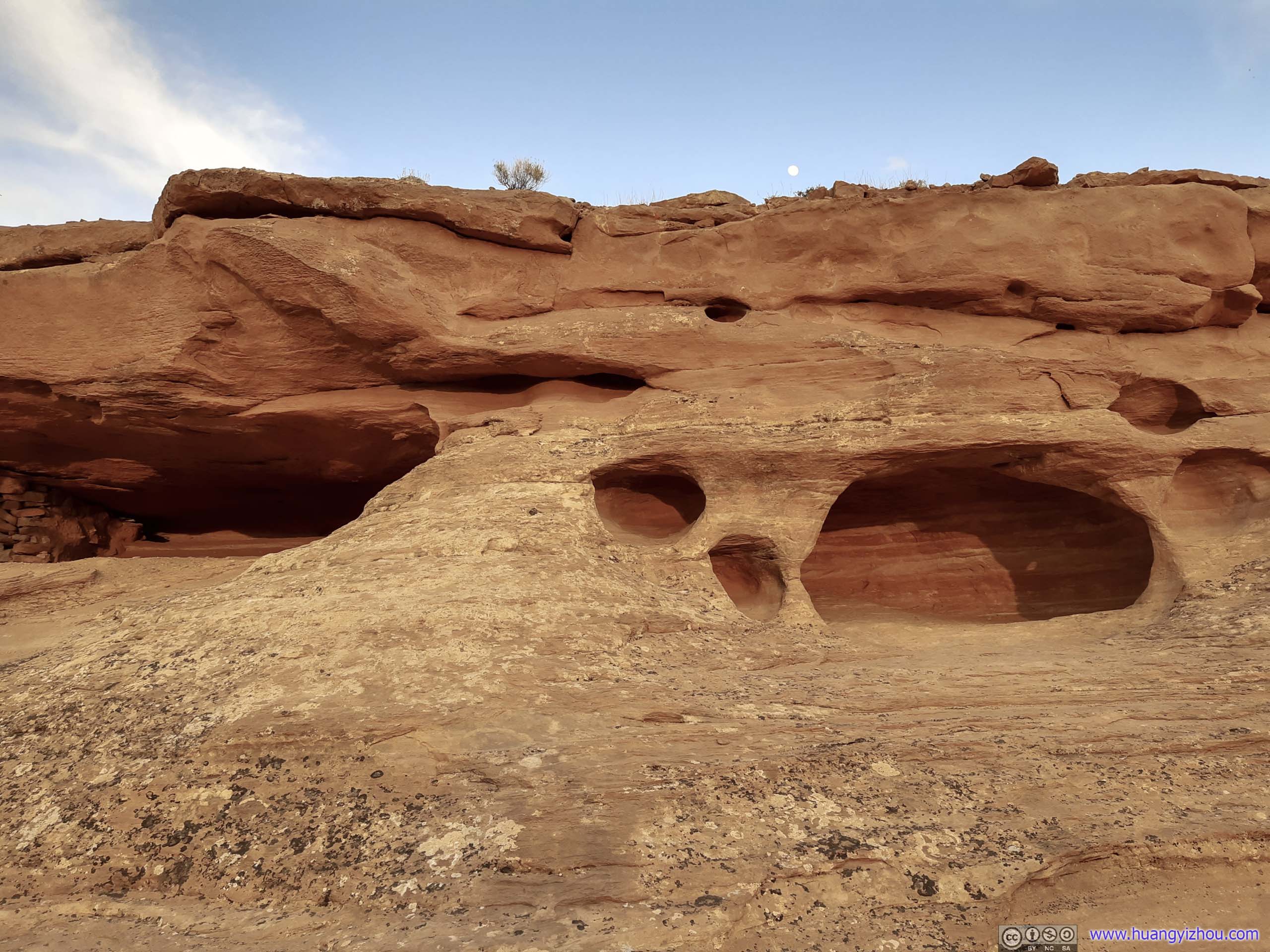
 Rocks
Rocks
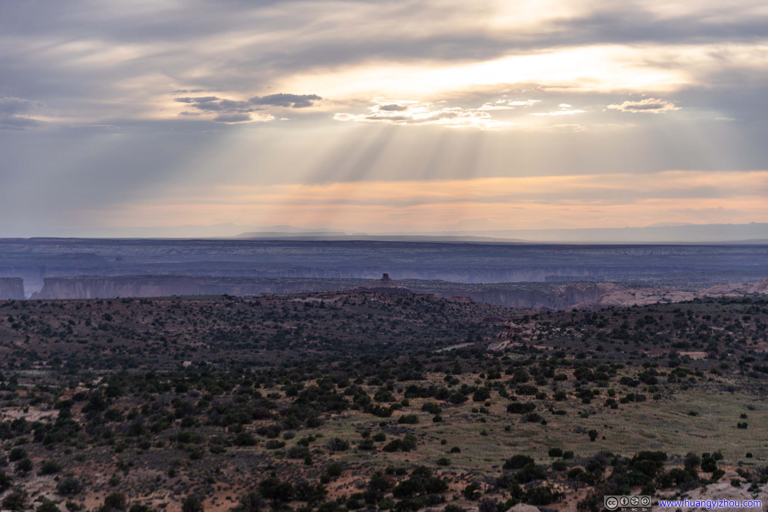
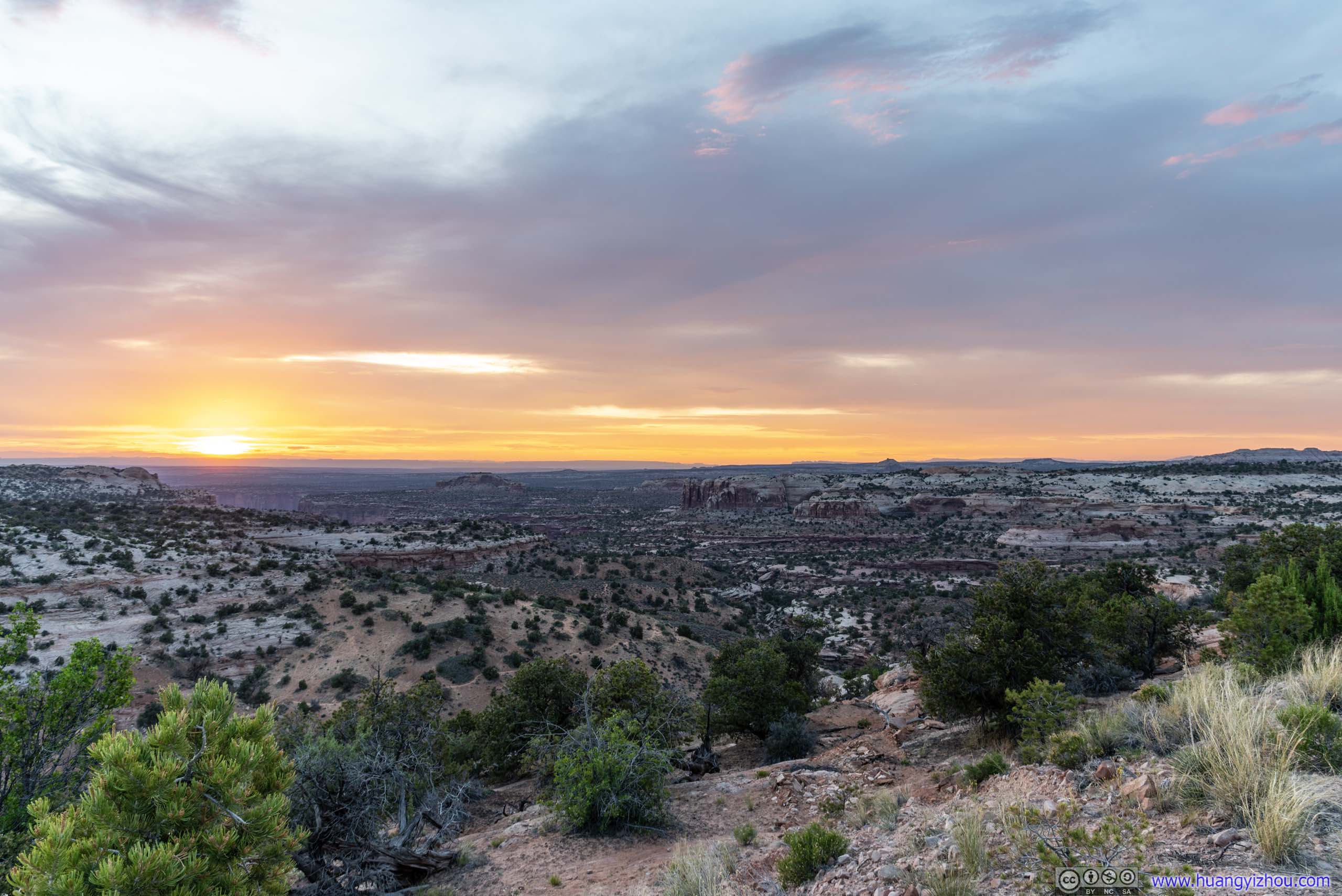
Sunset
It’s past 8pm by the time I left Aztec Butte Trailhead. On my way out of the park, I was paying attention to find a good spot to watch the sunset. And I found one just South of “The Neck”, with fields and canyons and buttes.
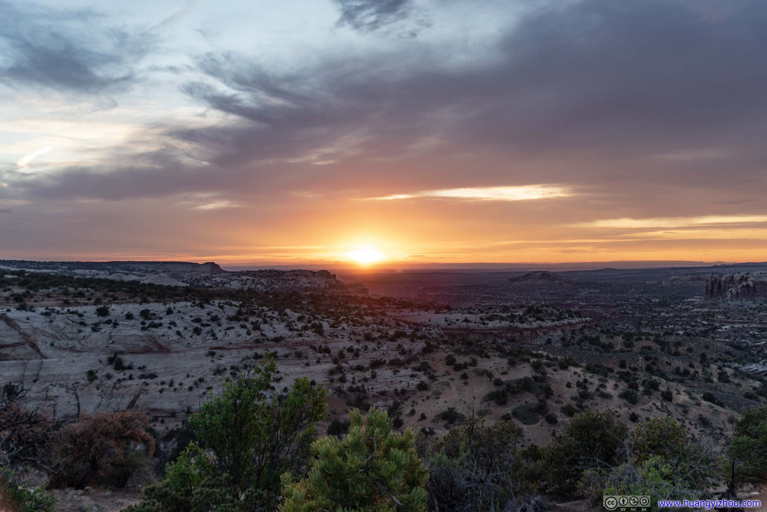
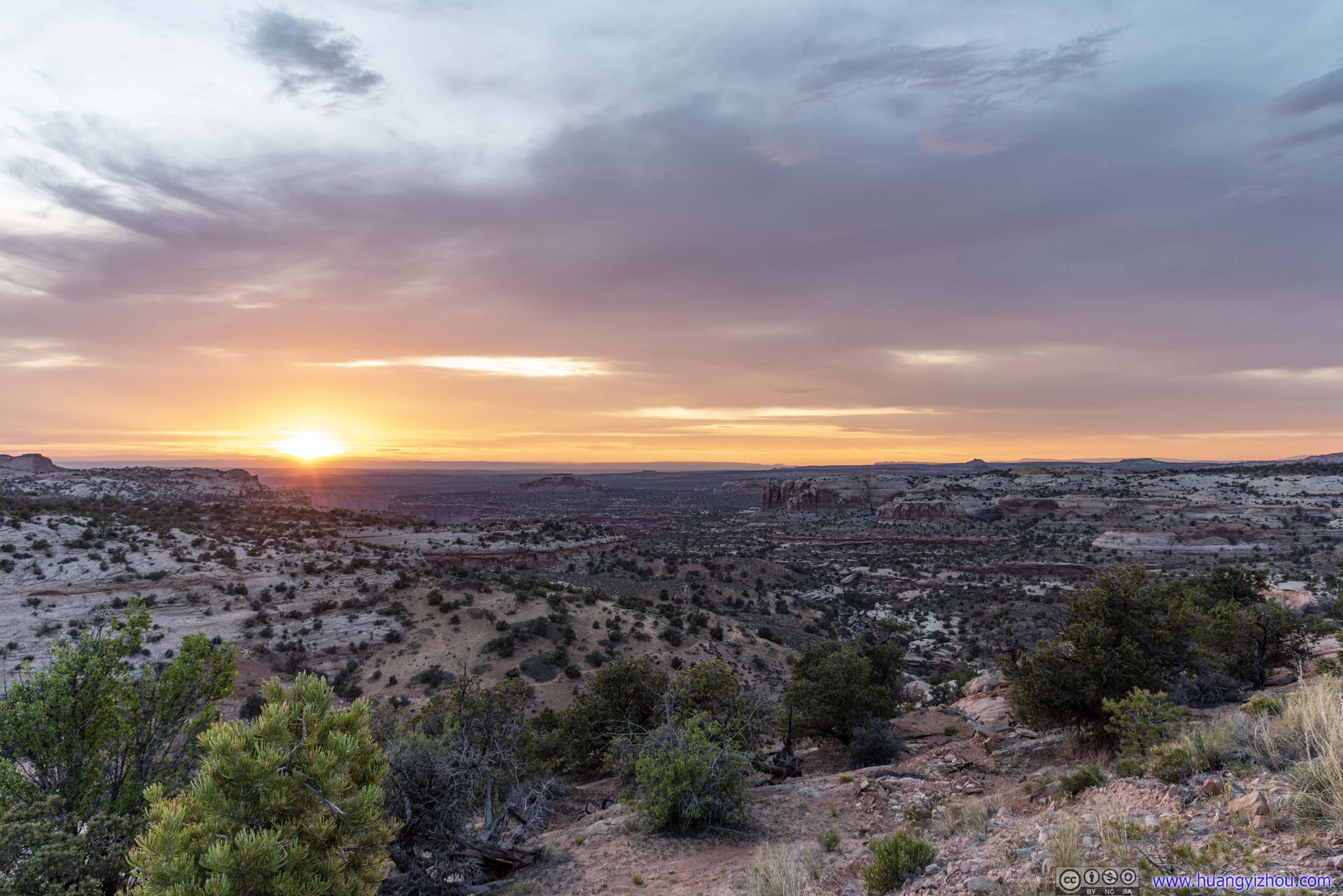
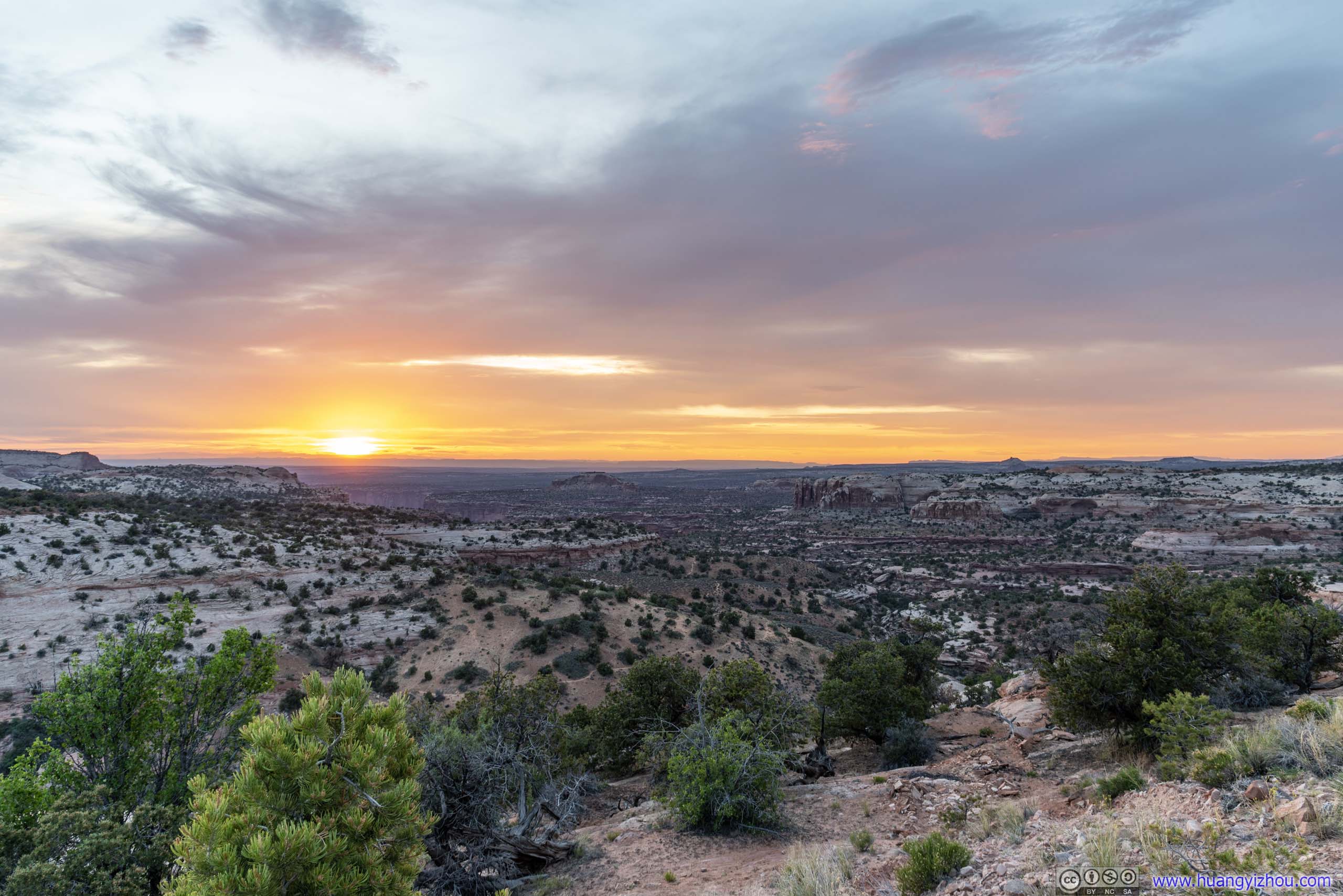
 Setting Sun over Fields

Sunset
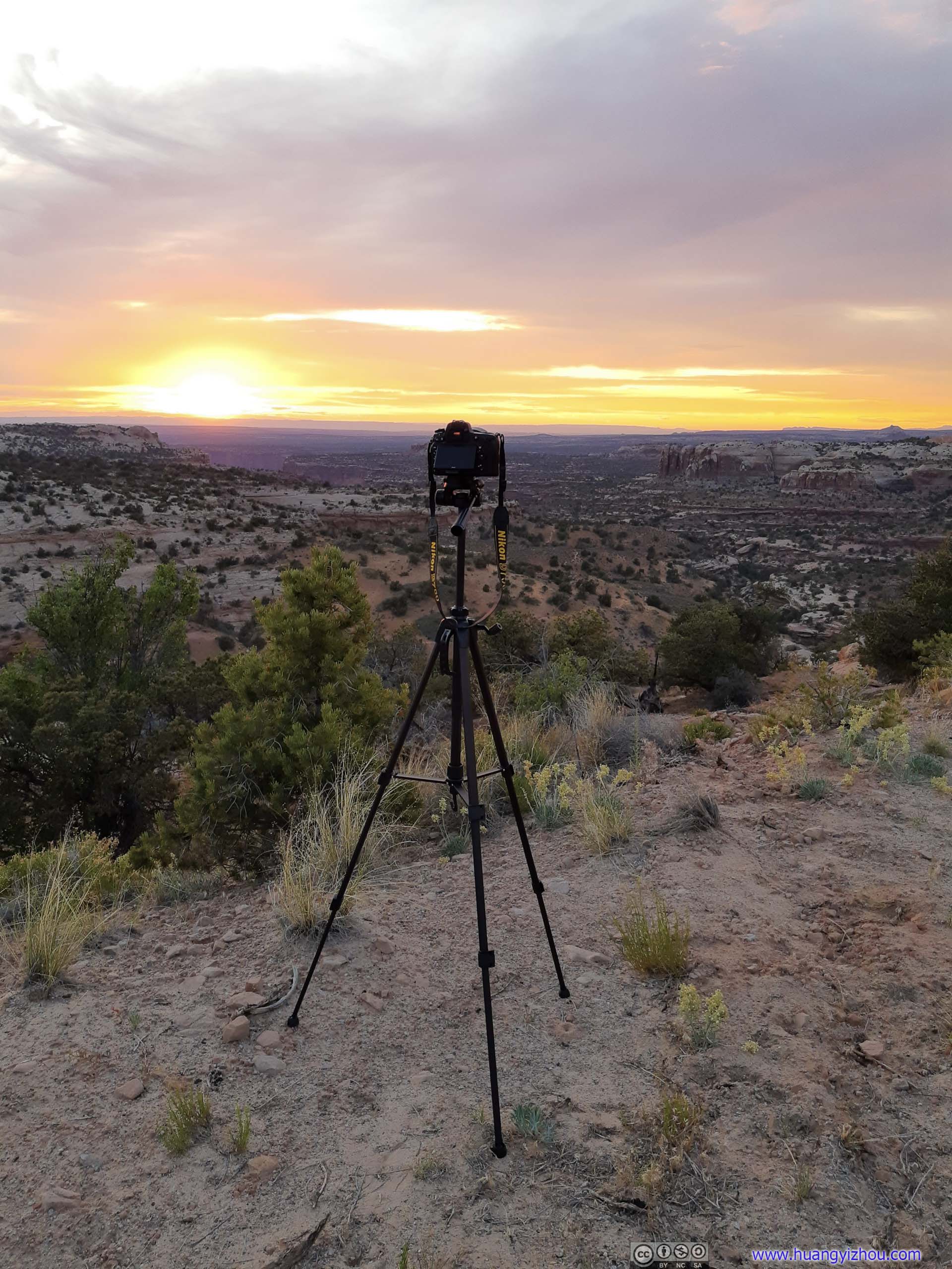
Capturing SunsetIt’s a wonderful experience working with such beautiful scenes. That is, if not for the constantly annoying bugs it would be perfect.
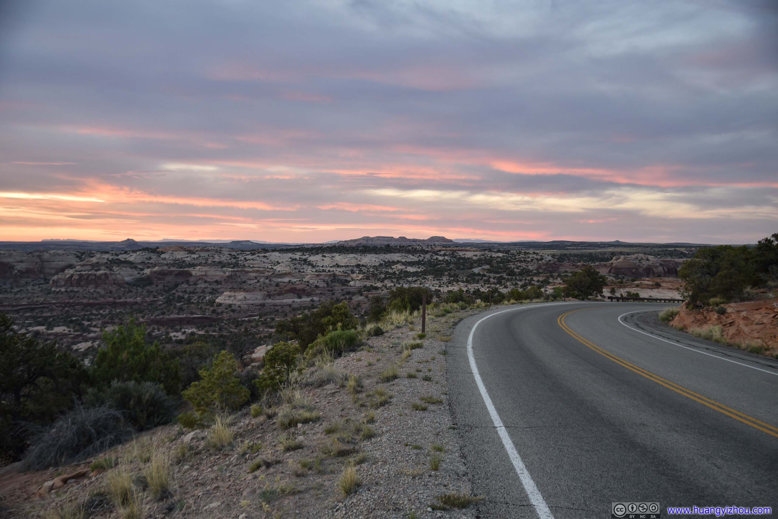
And even after the sun had tuck behind the horizon, the fiery colors of the clouds were still spectacular.

 Distant Mountains
Canyons under Sunset
Sunset
Fiery Clouds
And this shall conclude a fruitful day in Dead Horse Point and Canyonlands Parks.
END
![]() Day 5 of 2020 Utah Trip, Dead Horse Point and Canyonlands Parks by Huang's Site is licensed under a Creative Commons Attribution-NonCommercial-ShareAlike 4.0 International License.
Day 5 of 2020 Utah Trip, Dead Horse Point and Canyonlands Parks by Huang's Site is licensed under a Creative Commons Attribution-NonCommercial-ShareAlike 4.0 International License.