
Updated on May 20, 2022
Day 4 of 2020 Utah Trip, Canyonland and Arches National Park
Fourth day of my Utah trip. I would be stargazing and sunrise watching in Canyonlands National Park in the morning, and then visit Arches National Park for a second time in the afternoon.

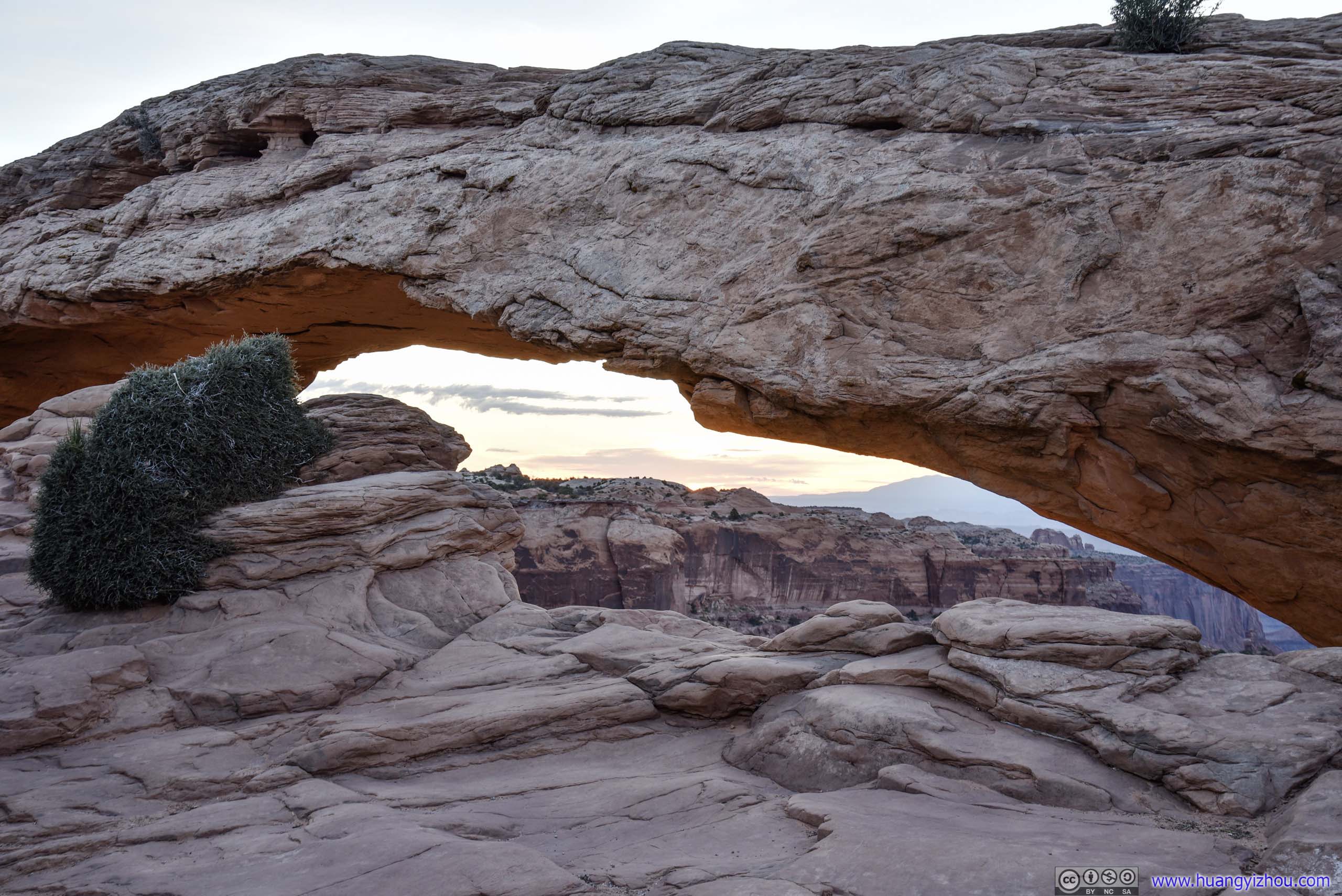
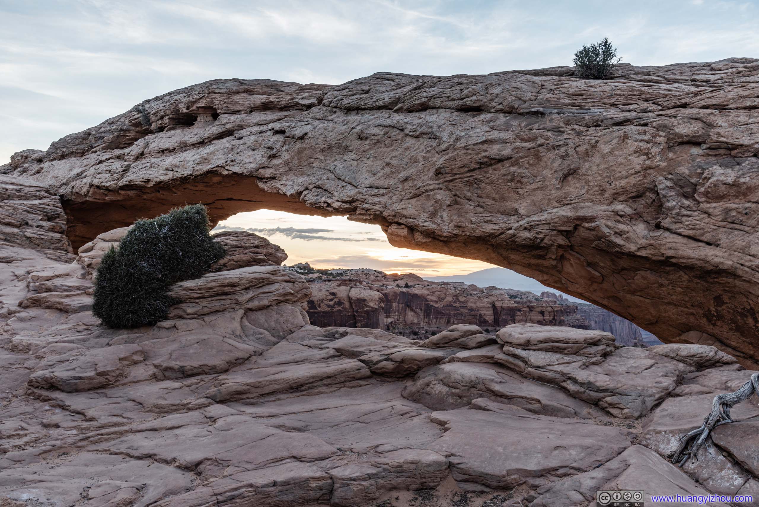
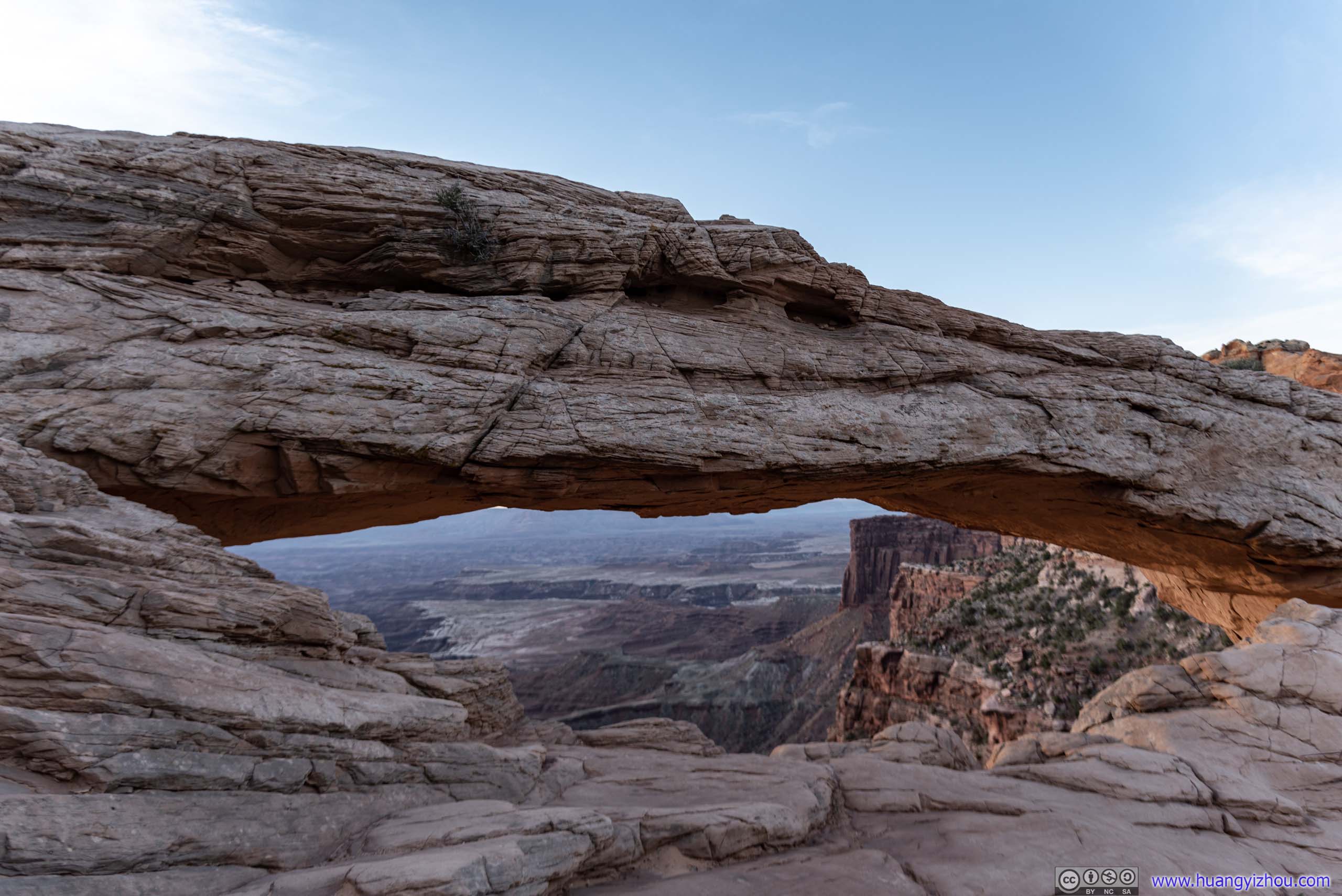
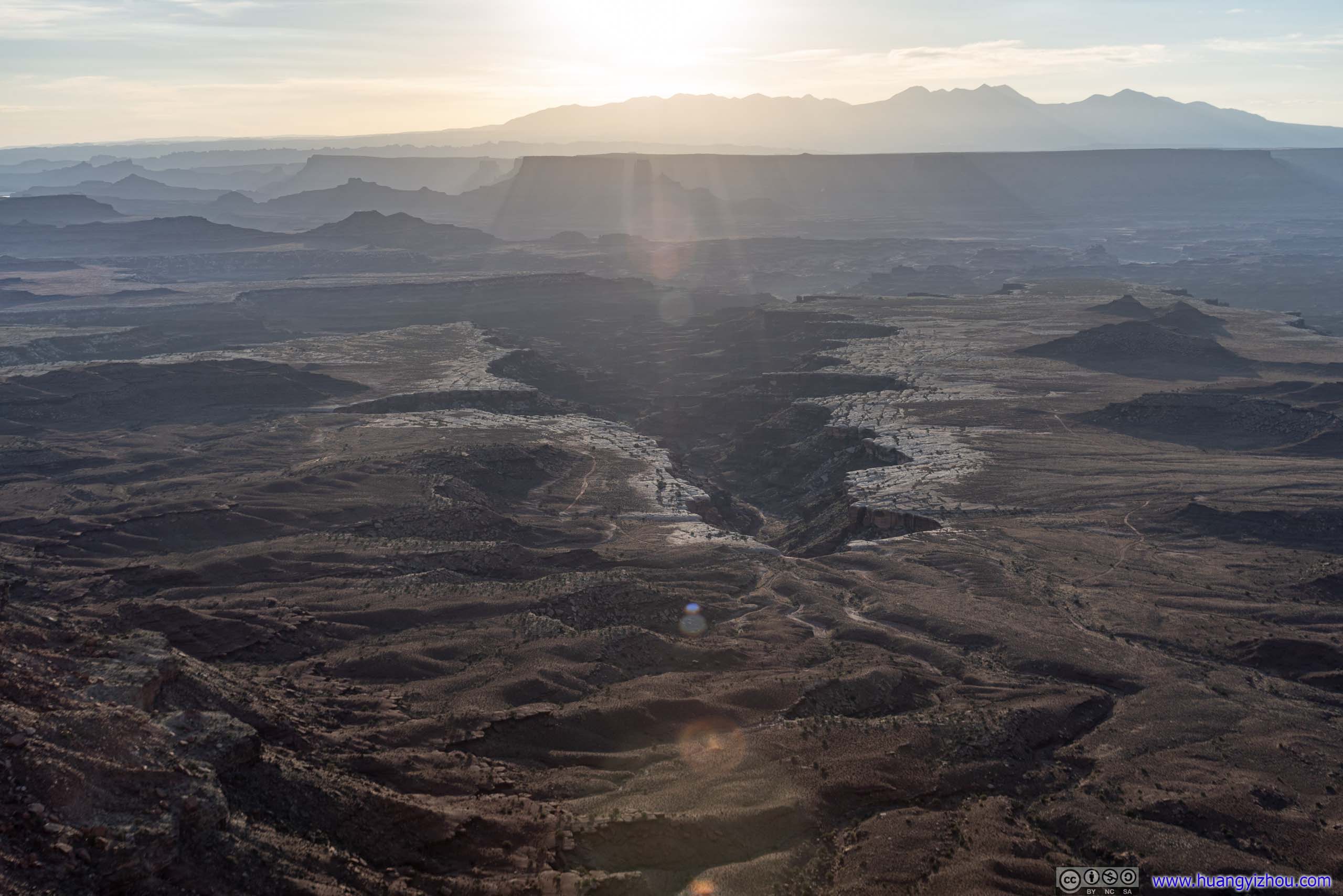
Mesa Arch against Rising Sun
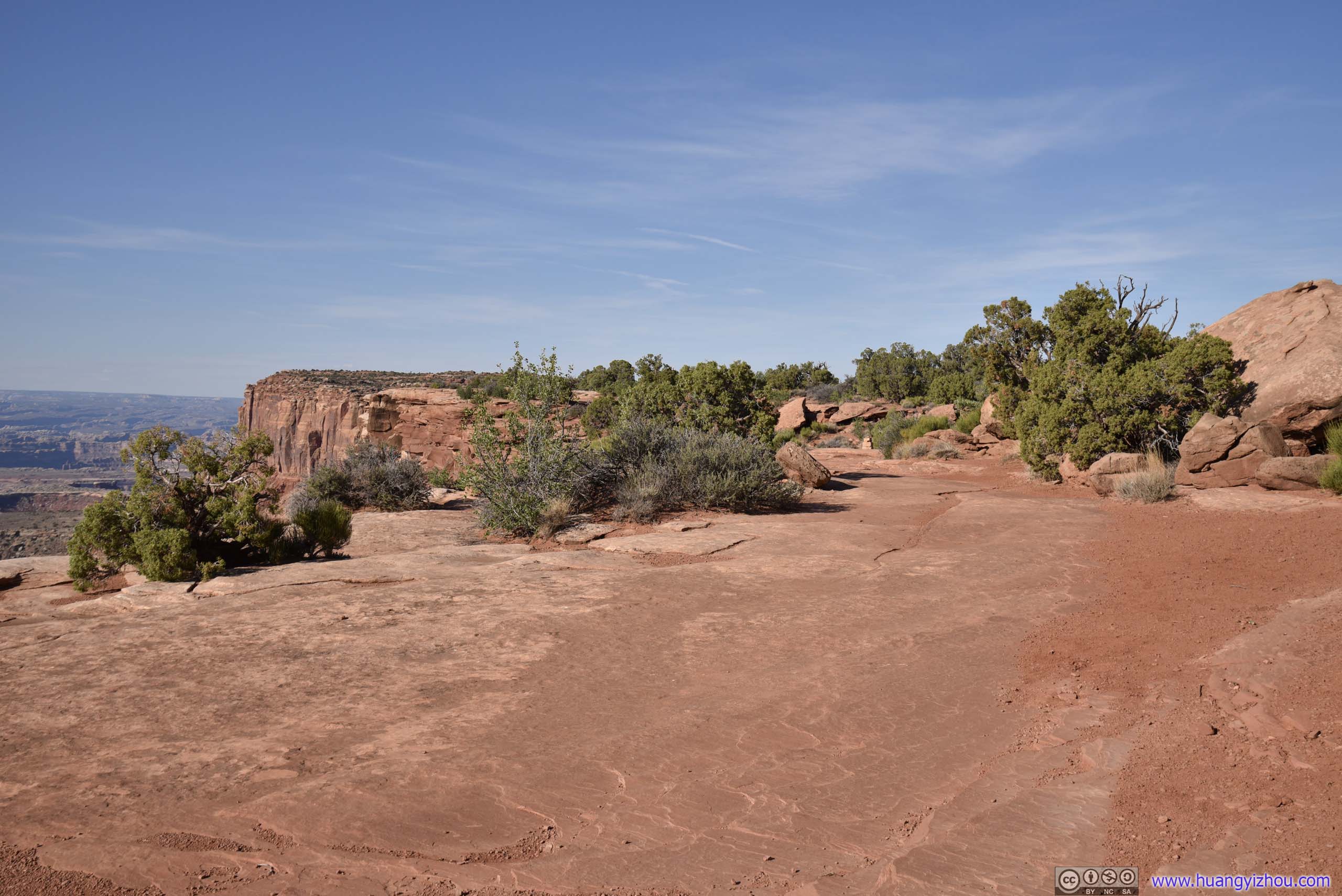
It’s my second day in the Moab area. I fancied watching the sunrise this morning. Of all the locations to watch the sunrise, Mesa Arch was probably the best, for it being an arch and its background of canyons and buttes. It’s also not far from the road (450m trail).
In addition to that, I decided to head out earlier, so that I could have some time for stargazing before the skies were lit up. I thought photographing Mesa Arch under a starry sky would be wonderful. Yet probably because 20mm still wasn’t wide enough, or because it wasn’t the best time of day that the Milky Way was just above the Arch, my photos turned out to be a bit underwhelming compared with starry skies across Delicate Arch, that one could easily find online.
The hotel that I stayed at (Days Inn Moab) still advertised free breakfast, despite that for COVID, it was downgraded to a take-out bag consisting of W apples, X muffins, Y chocolate bars and Z boxes of juice. It’s very interesting that during my three nights of stay, the exact number of items X/Y/Z/W per bag varied, and I never got two identical bags. Given that I was spending less than 200 dollars for three nights, I didn’t have much of an issue with their lack of standardization with breakfast preparations.
And on the plus side, I could bring my breakfast with me when I left the hotel for star-gazing, at 2:15am.
Canyonlands National Park
Mesa Arch Star Gazing
It took me 45 minutes to drive from Moab to the parking lot of Mesa Arch, passing more deer than vehicles. After that, it was a 450m trail to the cliff where the Arch was located. Following the trail with tripod in one hand and cell phone light in another was challenging, considering I also had to occasionally fight off bugs, but certainly doable.
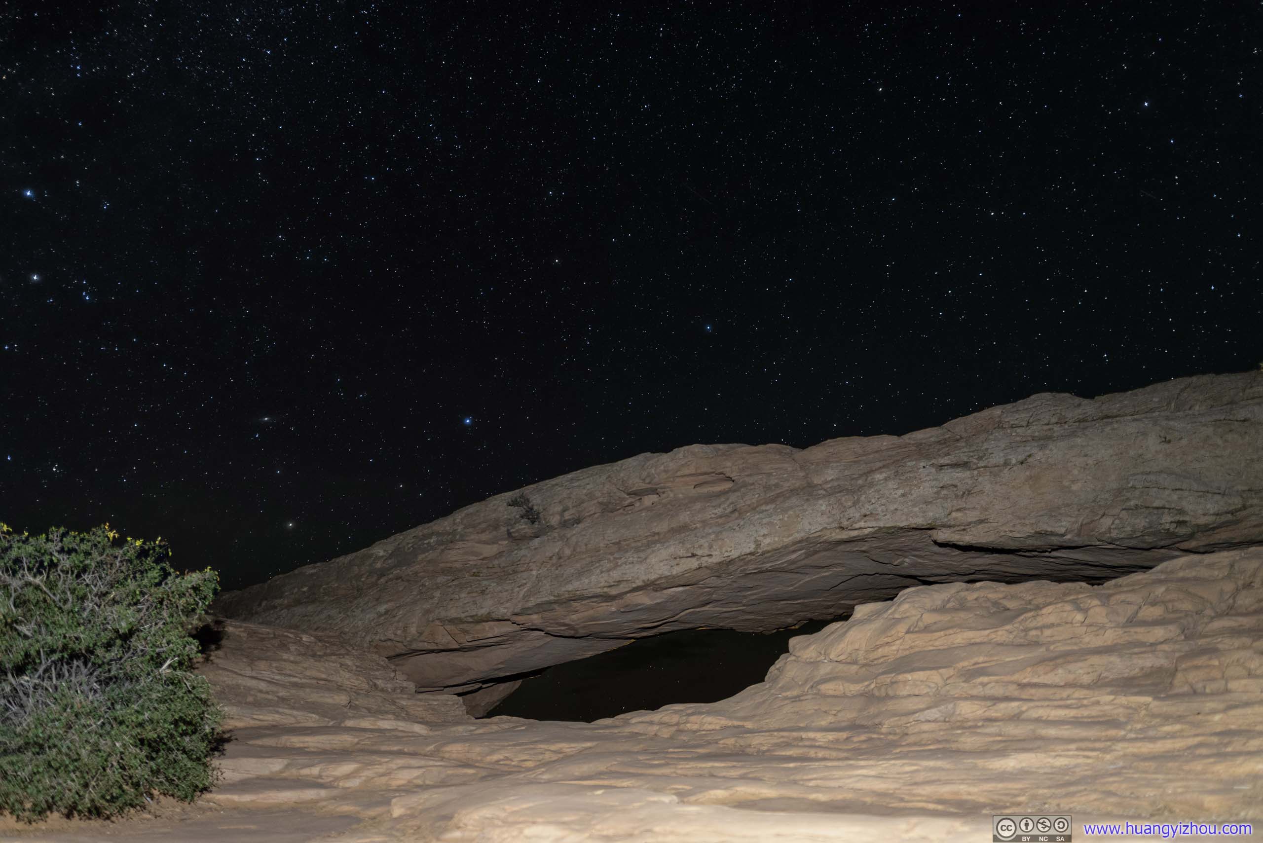
Mesa Arch under Starry Sky
Unfortunately, at this time, something disastrous happened.
Since I was trying to put both Mesa Arch and the starry sky behind it in one frame, I set my tripod very low, that meant its legs weren’t spanned very far apart, which compromised stability. After I moved my tripod to a different location which was at a slight incline, it tipped over and the lens cover of my Sigma 20mmF1.4 hit the ground.
It was a moment of sheer panic. Luckily, most of the impact was absorbed by the lens cap. A crack formed on it, which turned out to be the bulk of damage. A small piece of plastic fell off the lens hood, leaving two scratches on the front lens element. Later back home, I managed to wipe one of those off (! amazing build quality !), the other being right on the edge, which wasn’t very consequential. A blessing in disguise.
After narrowly avoiding writing off a 700-dollar lens, I decided my camera probably didn’t like Mesa Arch in the dark, so I retreated back to the parking lot.
To confirm there’s no optical damage to the lens, I took the following photos at the parking lot. They turned out to be as sharp (as it should be), breathing a sigh of relief. It’s just that I had to decommission the battered Sigma 20mmF1.4 until I got home with the right equipment to clean the dust off.

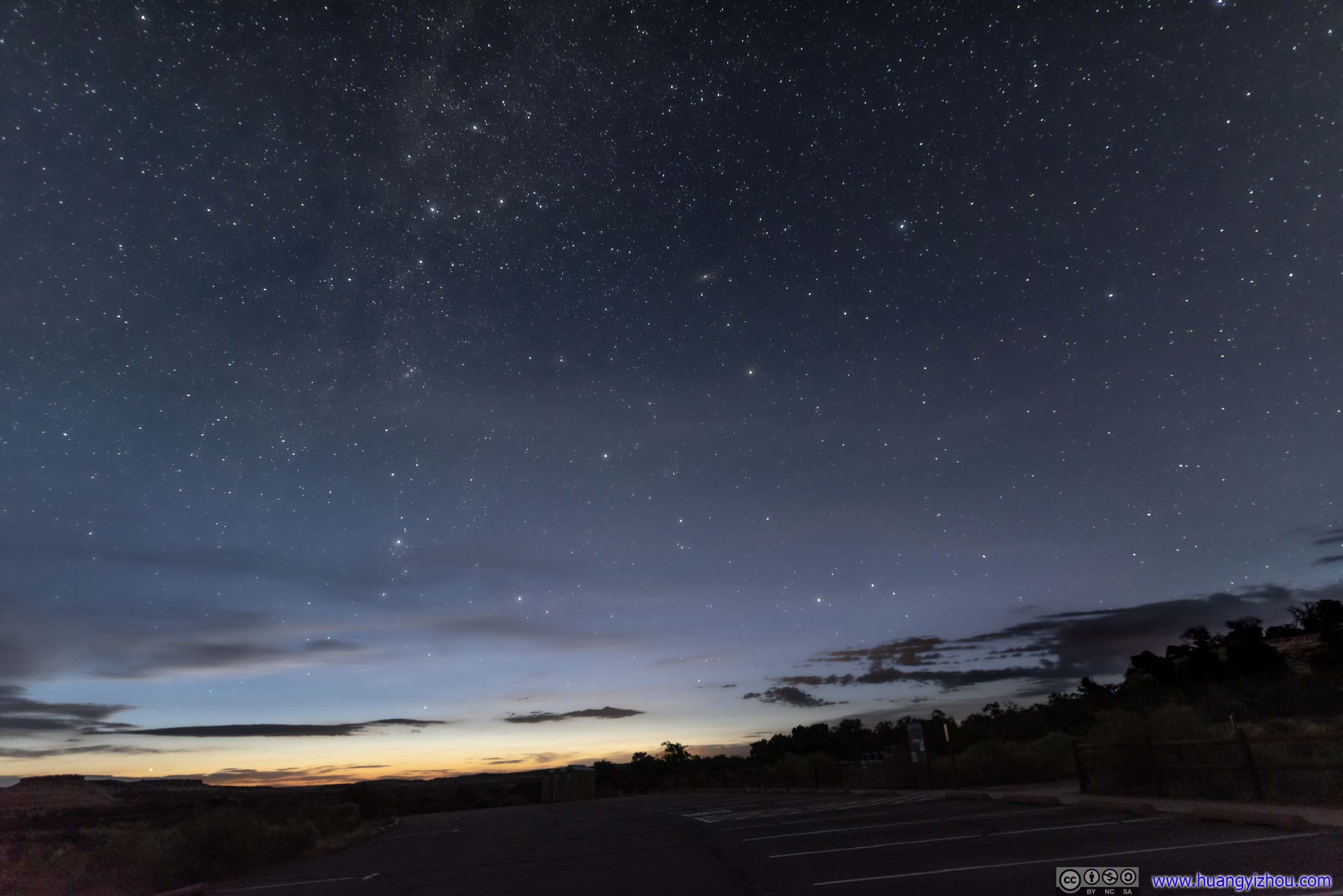 Starry SkyThe two photos taken 18 minutes apart as astronomical twilight was ending.
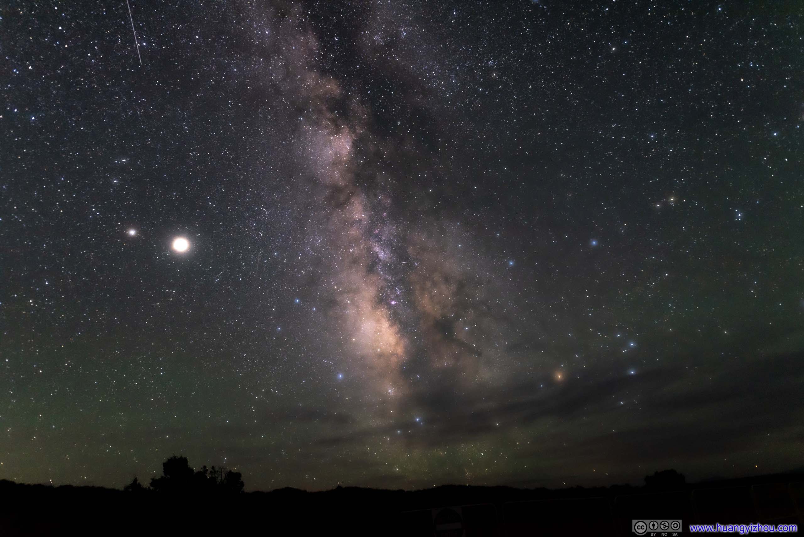
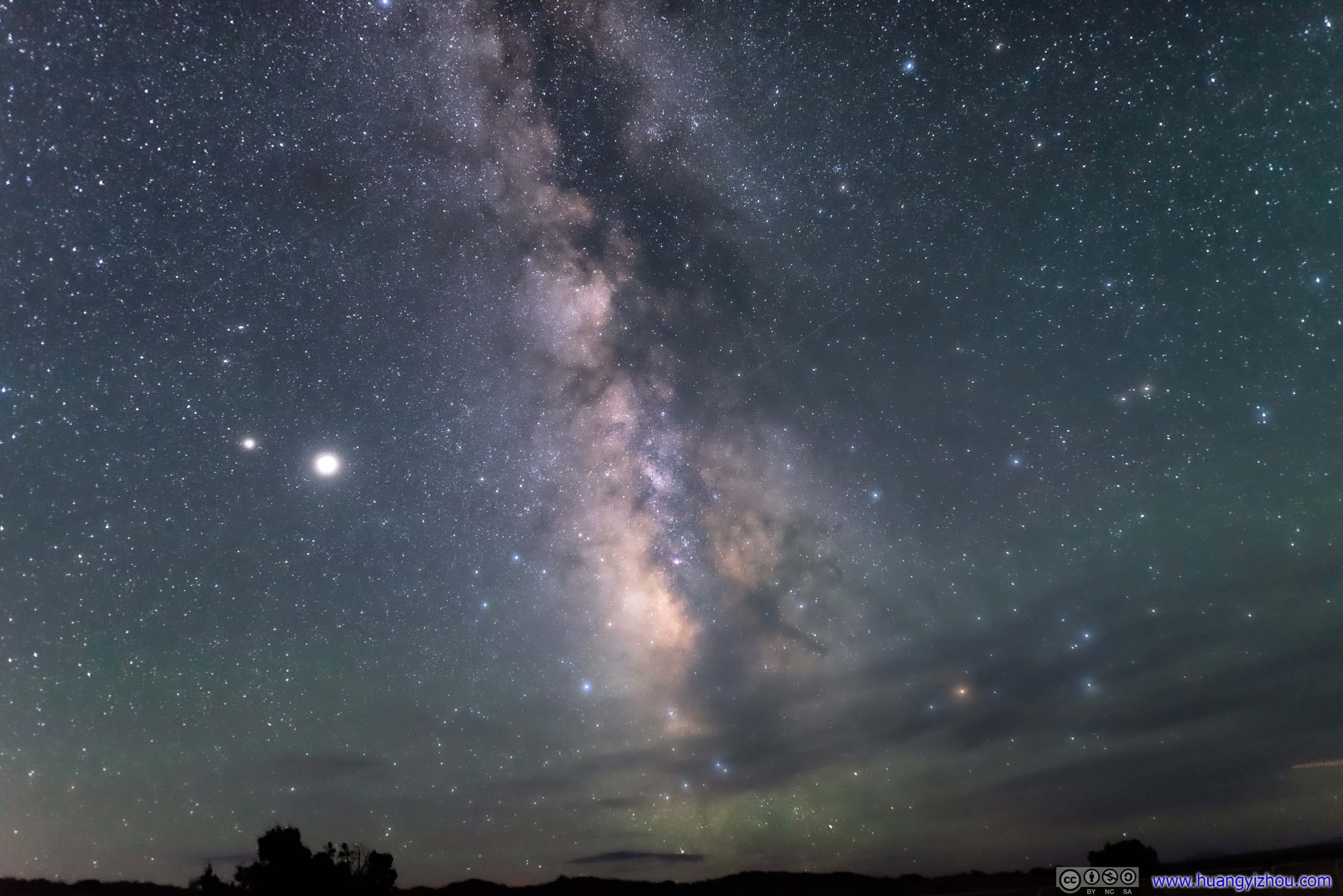
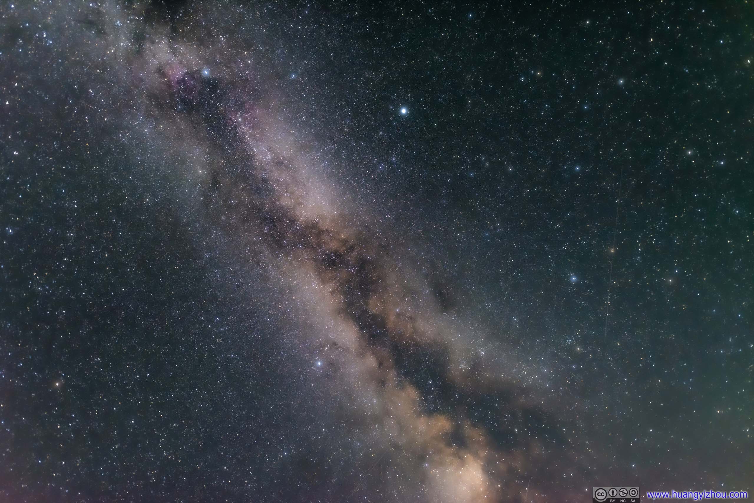 Galaxy
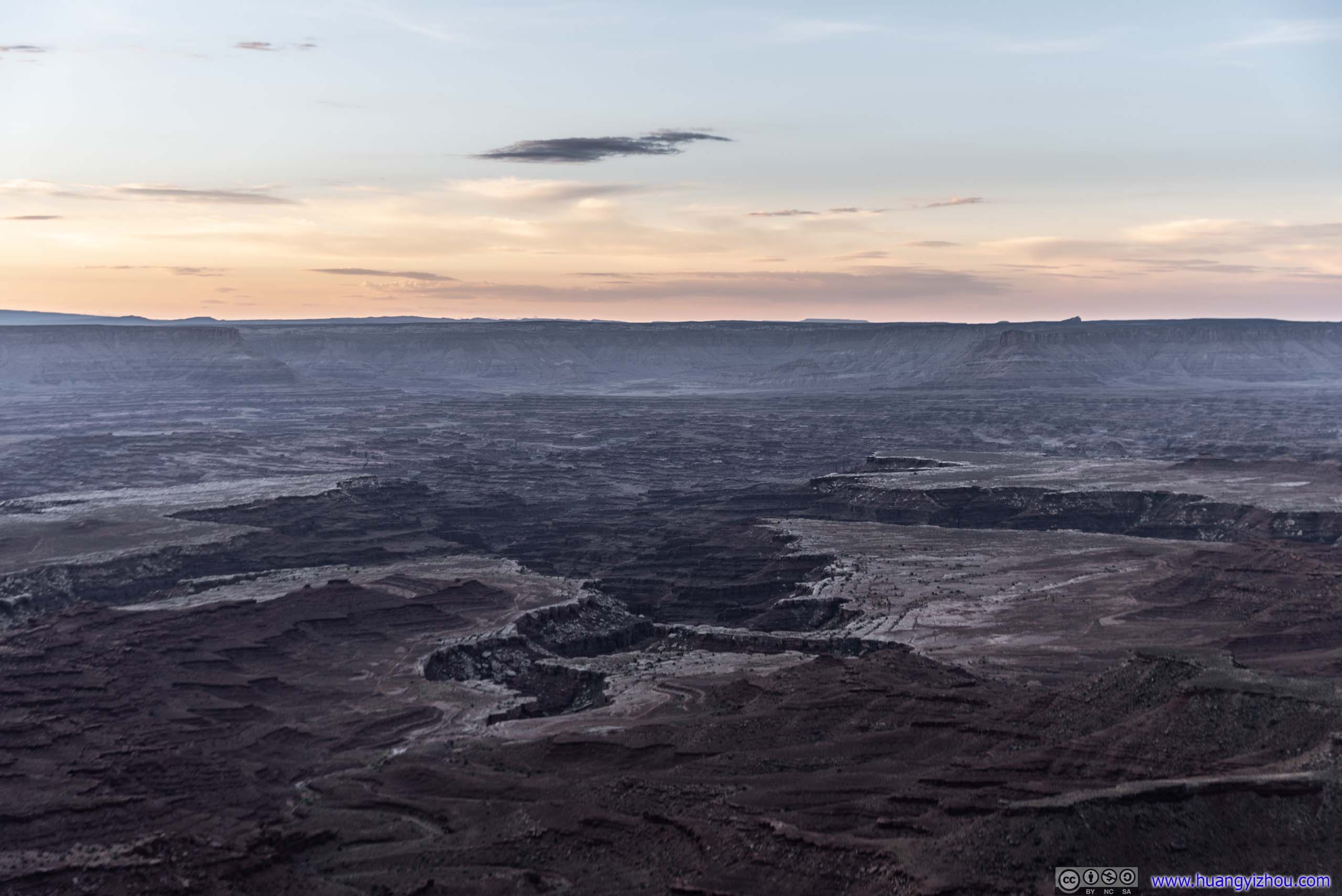
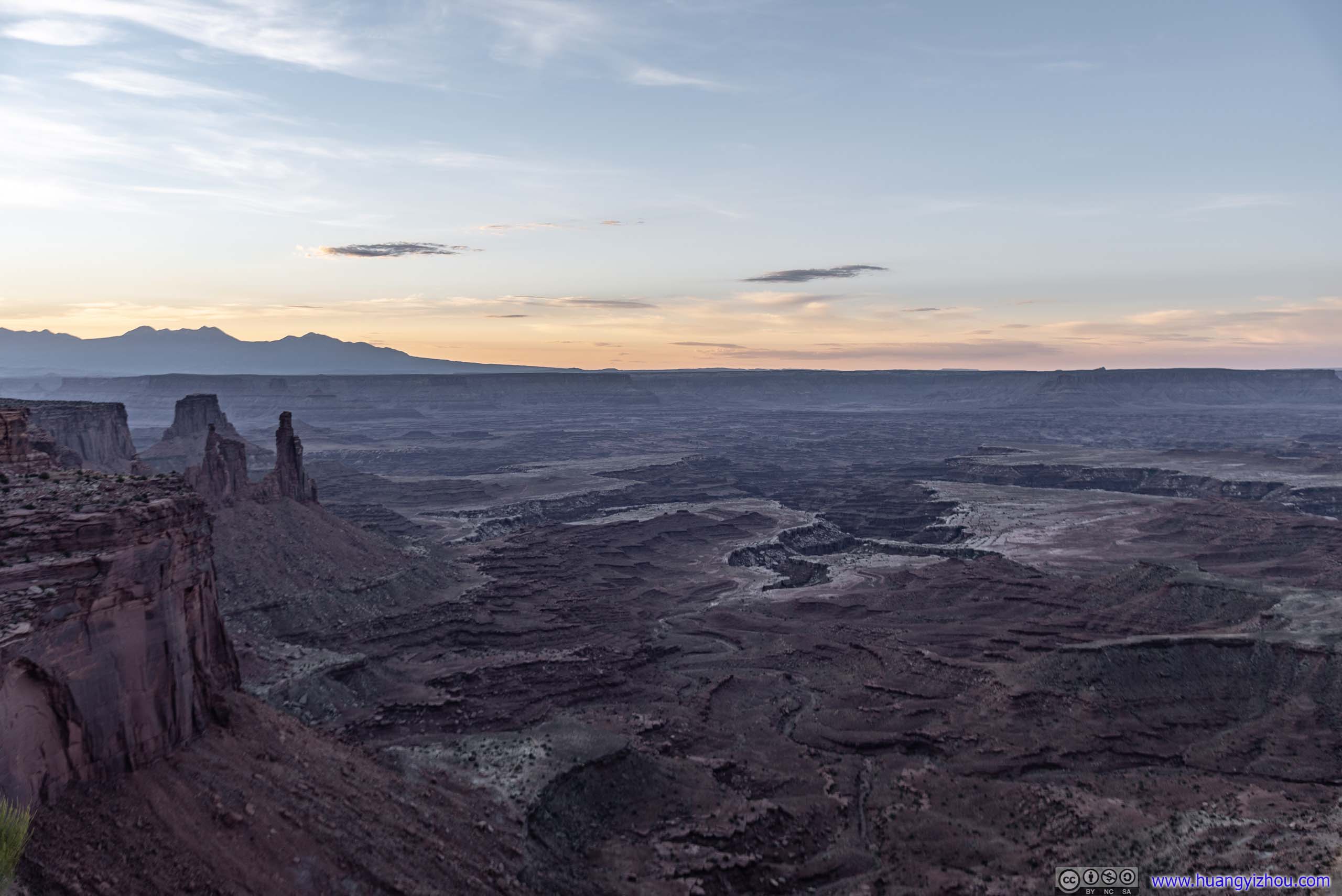
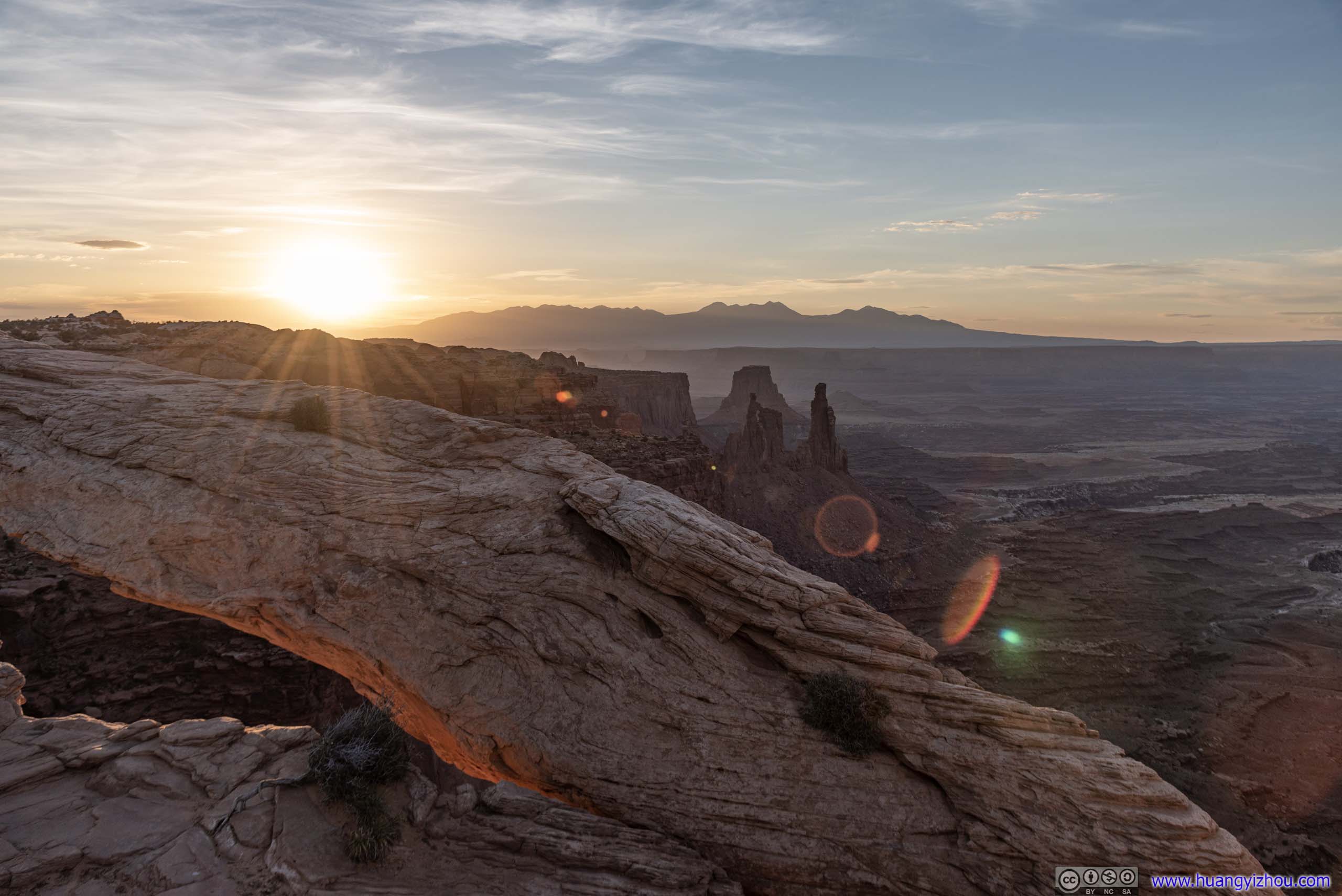
Mesa Arch Sunrise
After taking an hour-long nap in my car, I went back to Mesa Arch, this time, for sunrise. To turn fortunes around, I deliberately picked a different trail to Mesa Arch this time.
Mesa Arch was a popular spot to watch the sunrise, about 20 or so people were gathering near the Arch waiting for distant horizons to glow. Despite it being an open space before the Arch, social distancing seemed to take a second place to the search of the perfect photography angle.
 Sunrise Glow beyond Horizon
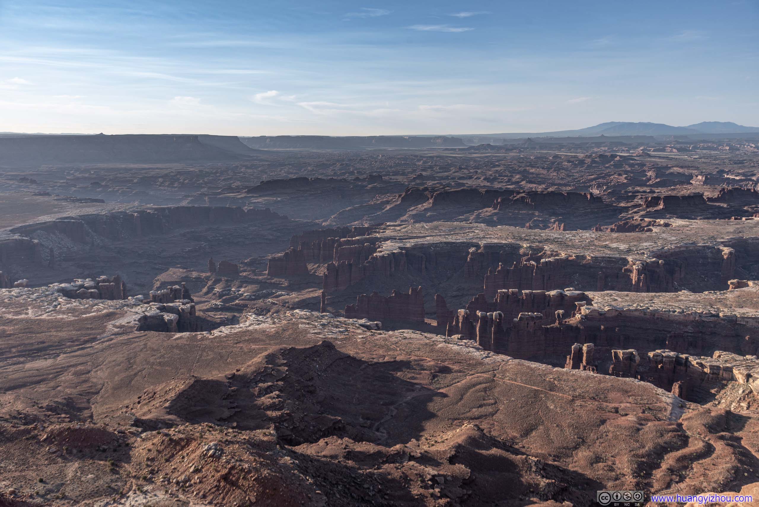
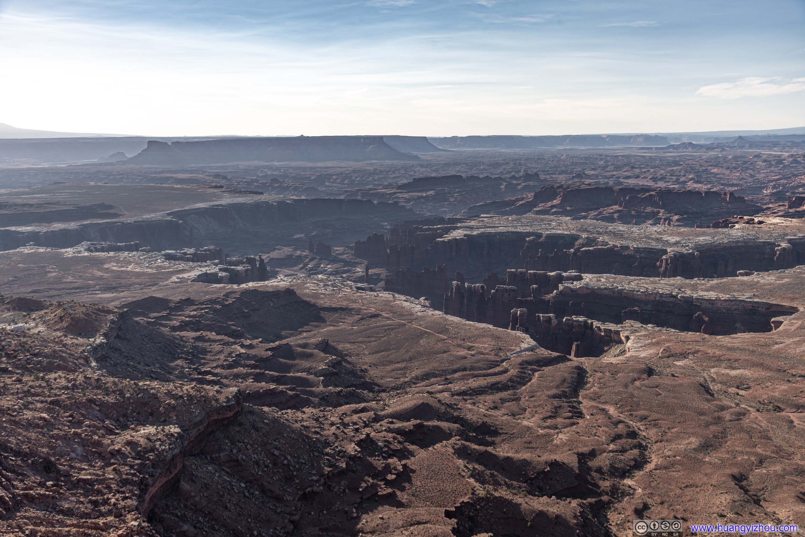
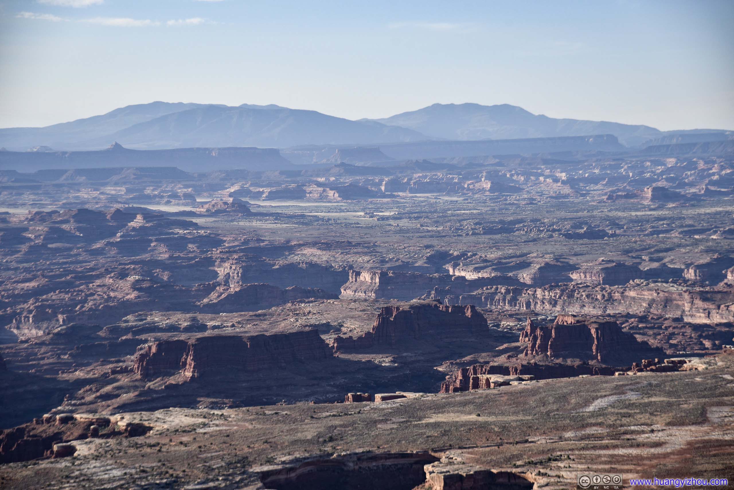
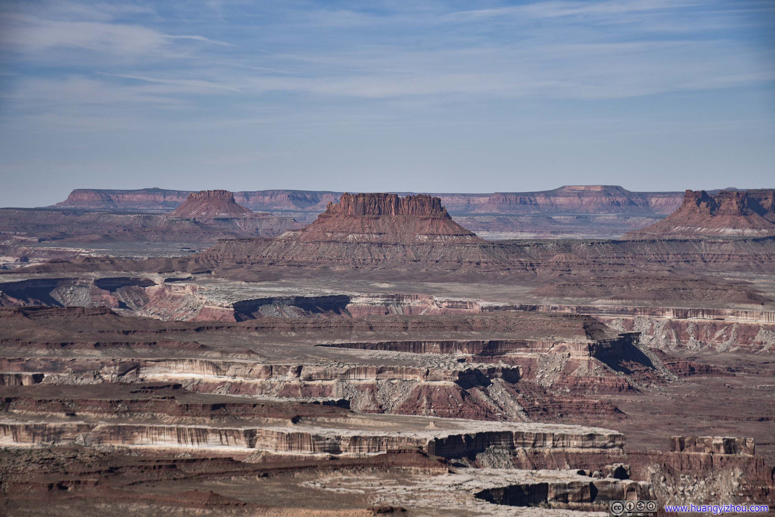
Unfortunately, summer wasn’t the best season to photograph Mesa Arch at sunrise, as the sun would be rising from a north-eastern direction (photos above). For an ideal shot of Mesa Arch spanning across distant landscapes (photo below), the sun should ideally be rising from an eastern (or slightly to the south) direction.
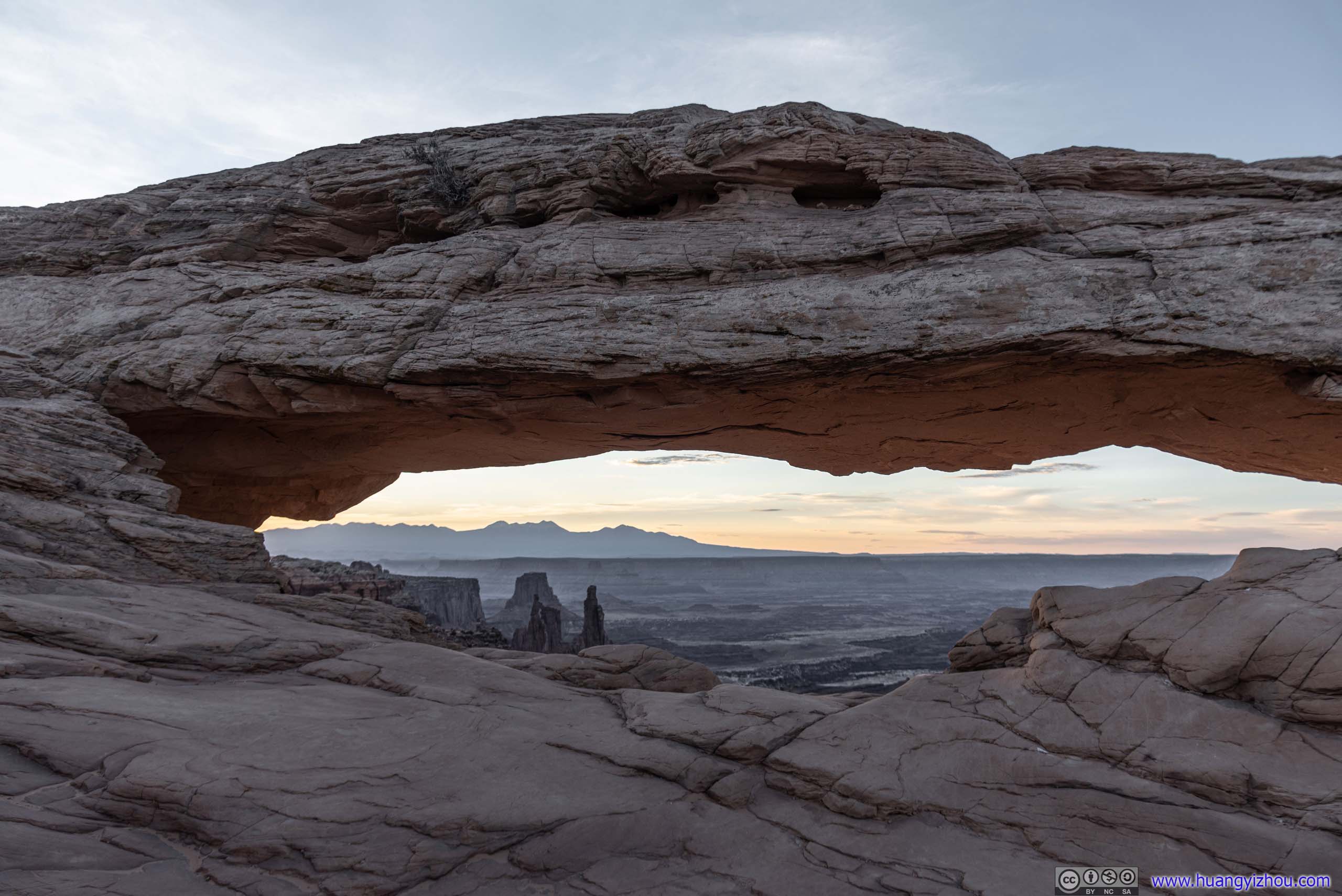
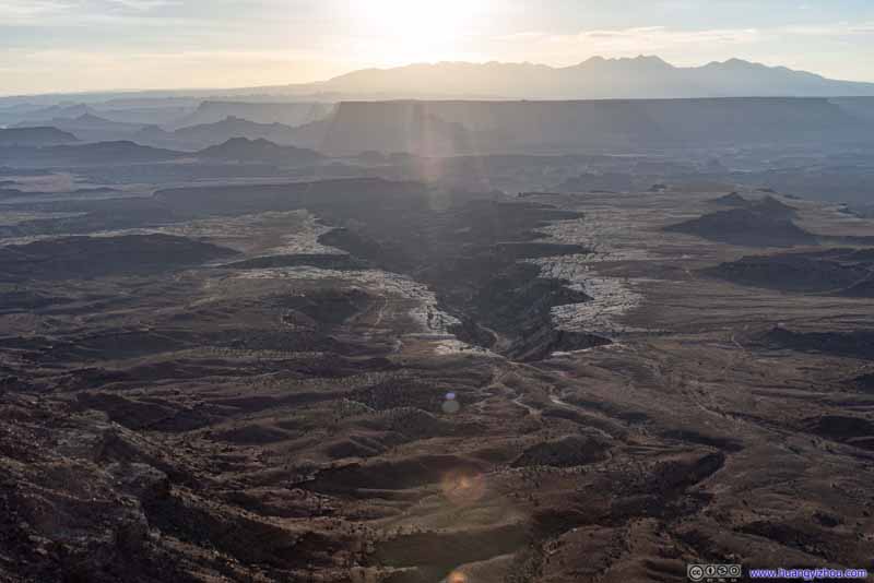
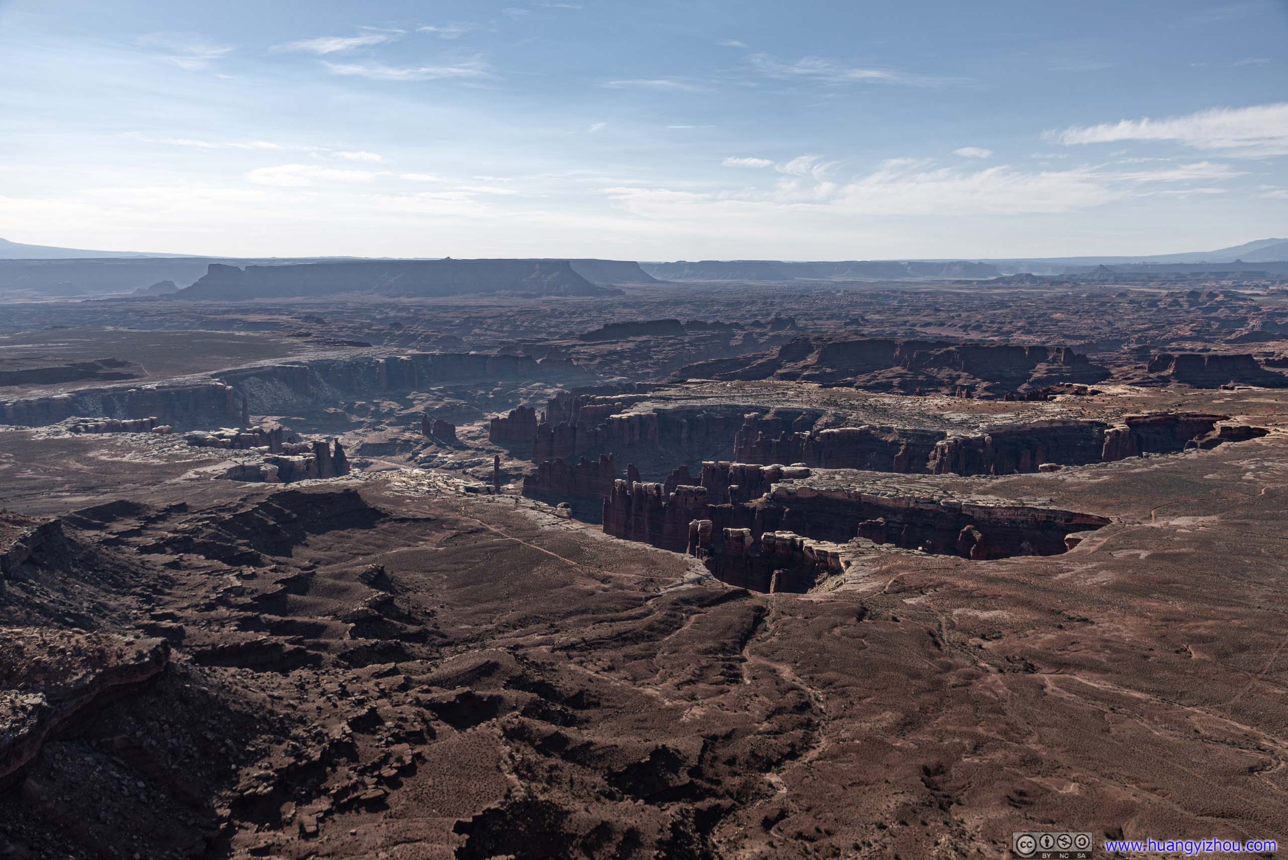
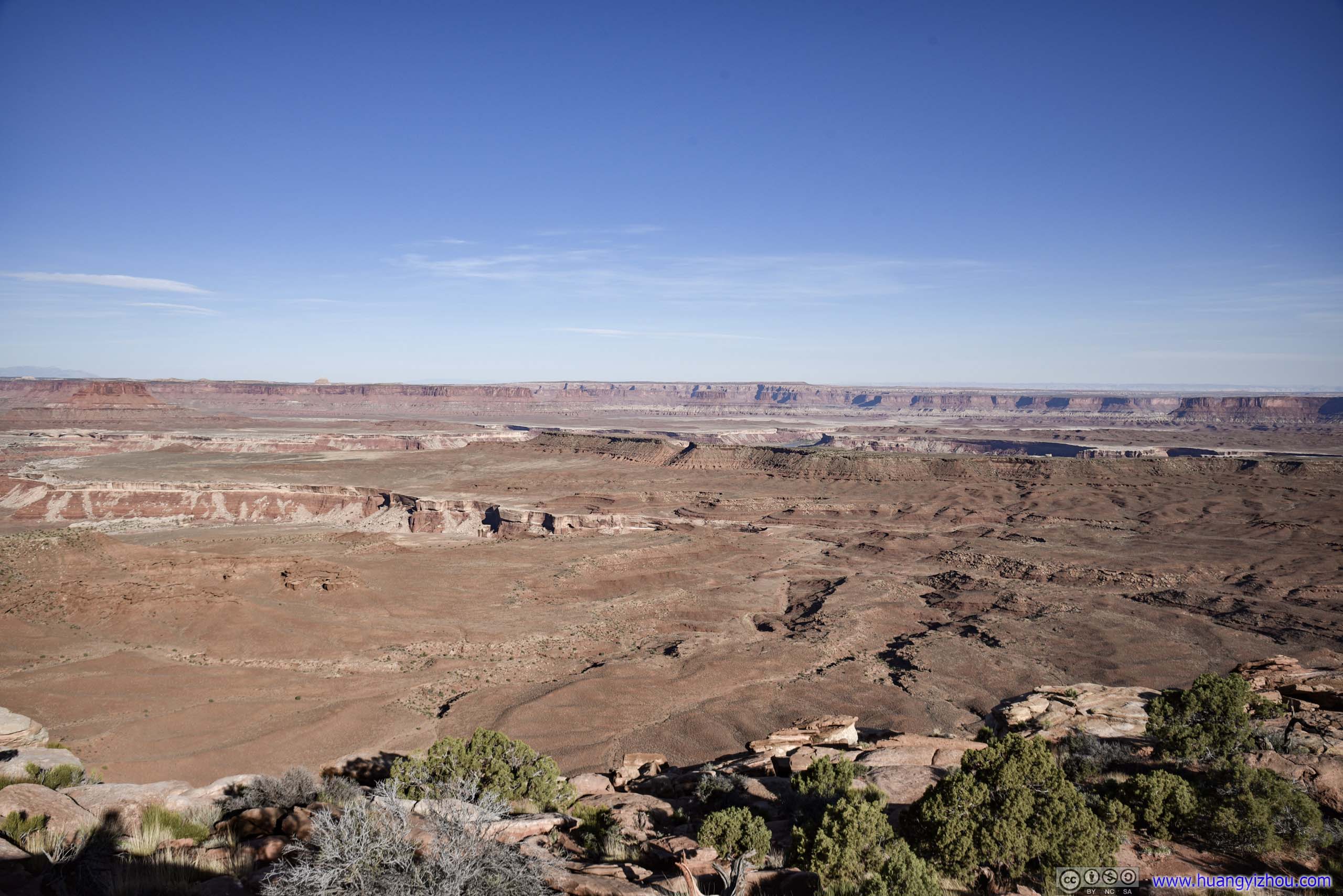
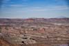
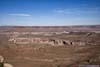
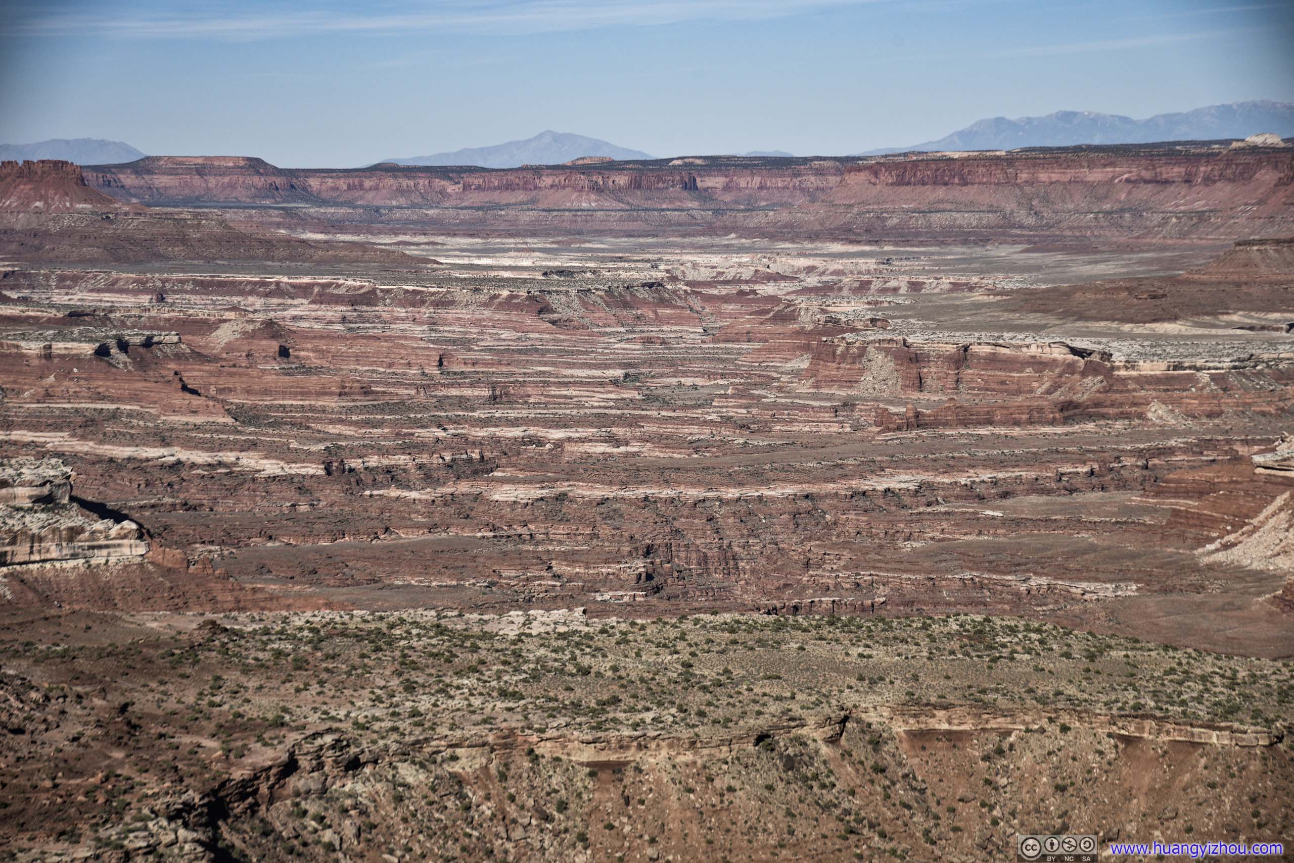
Landscape beyond Mesa Arch
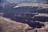
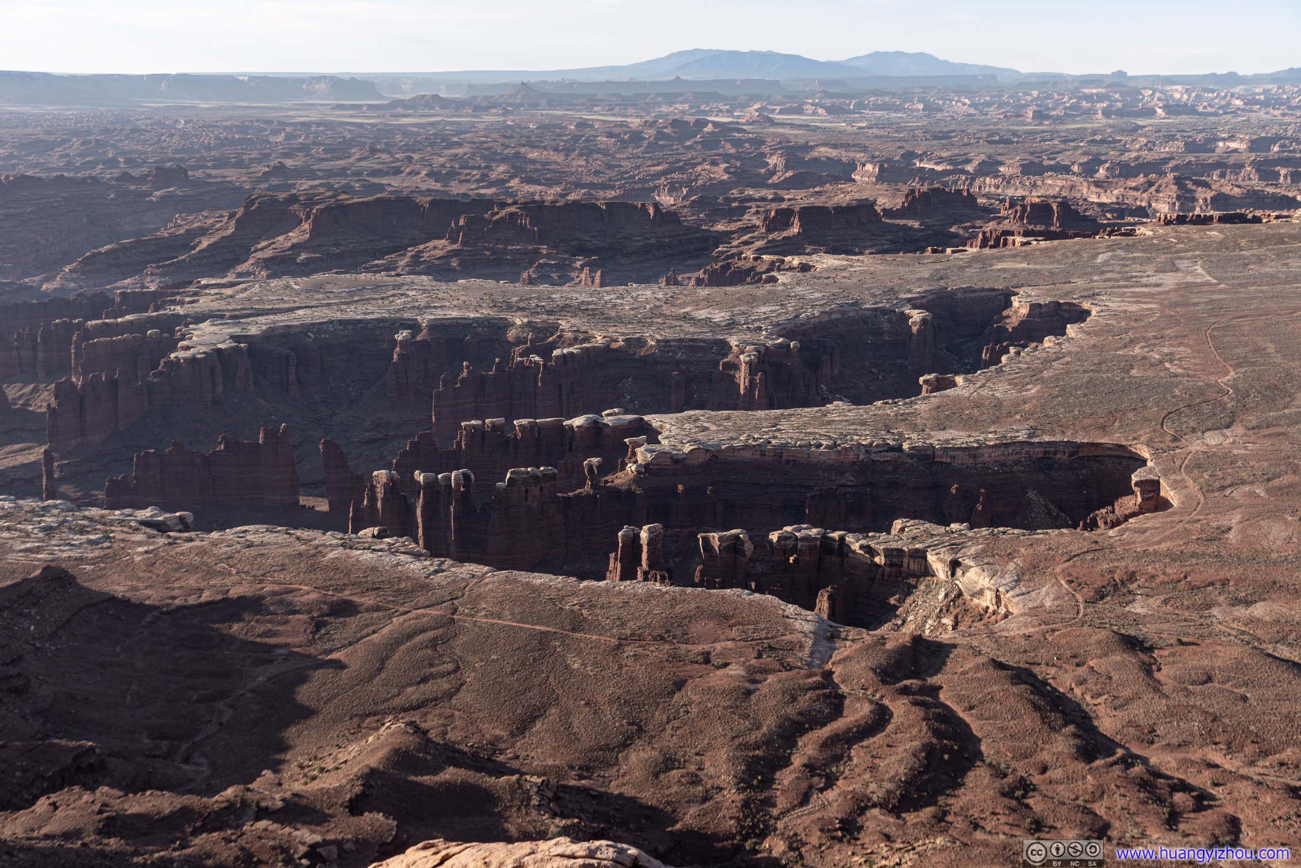
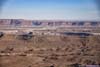
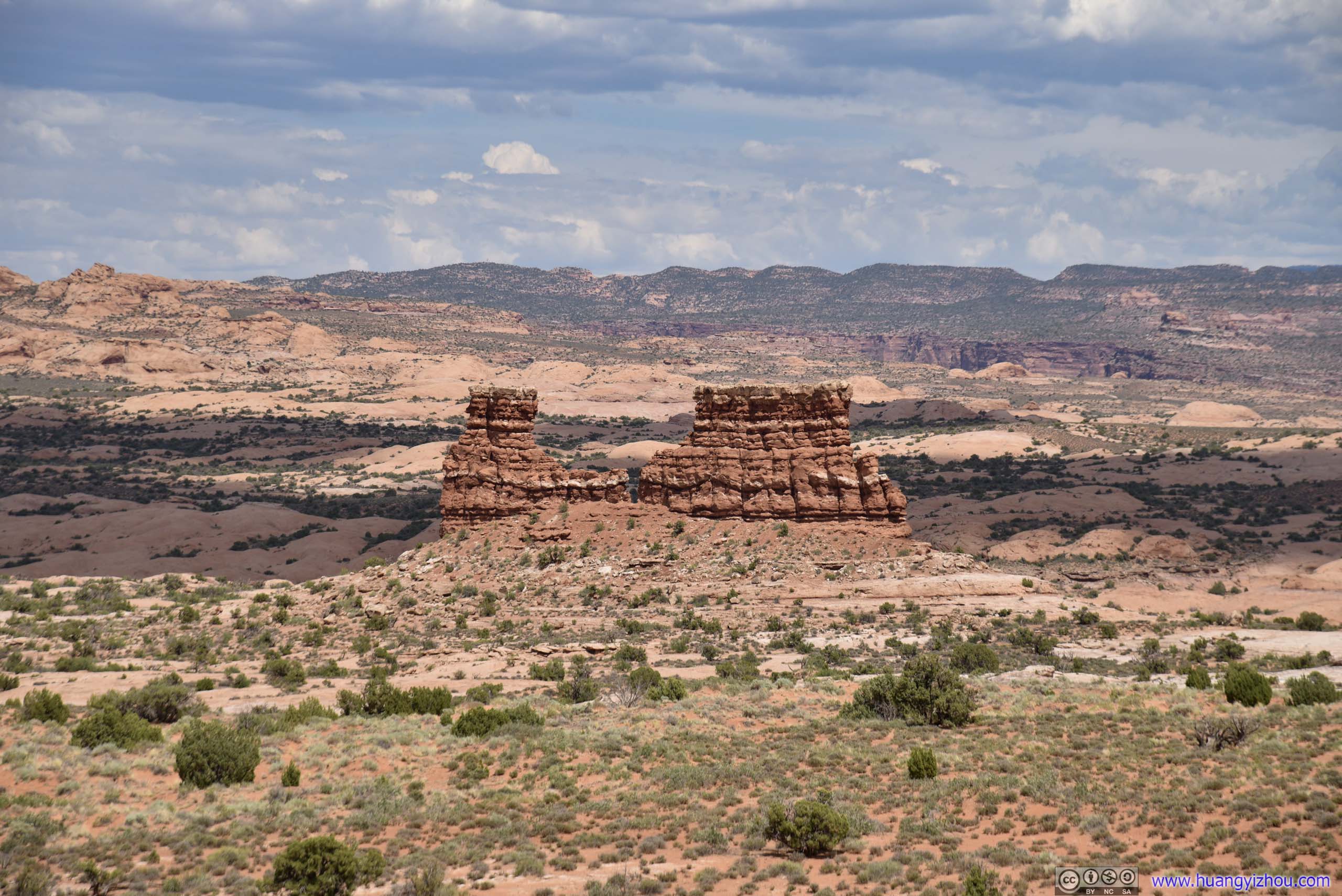
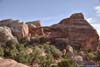
 Buck Canyon
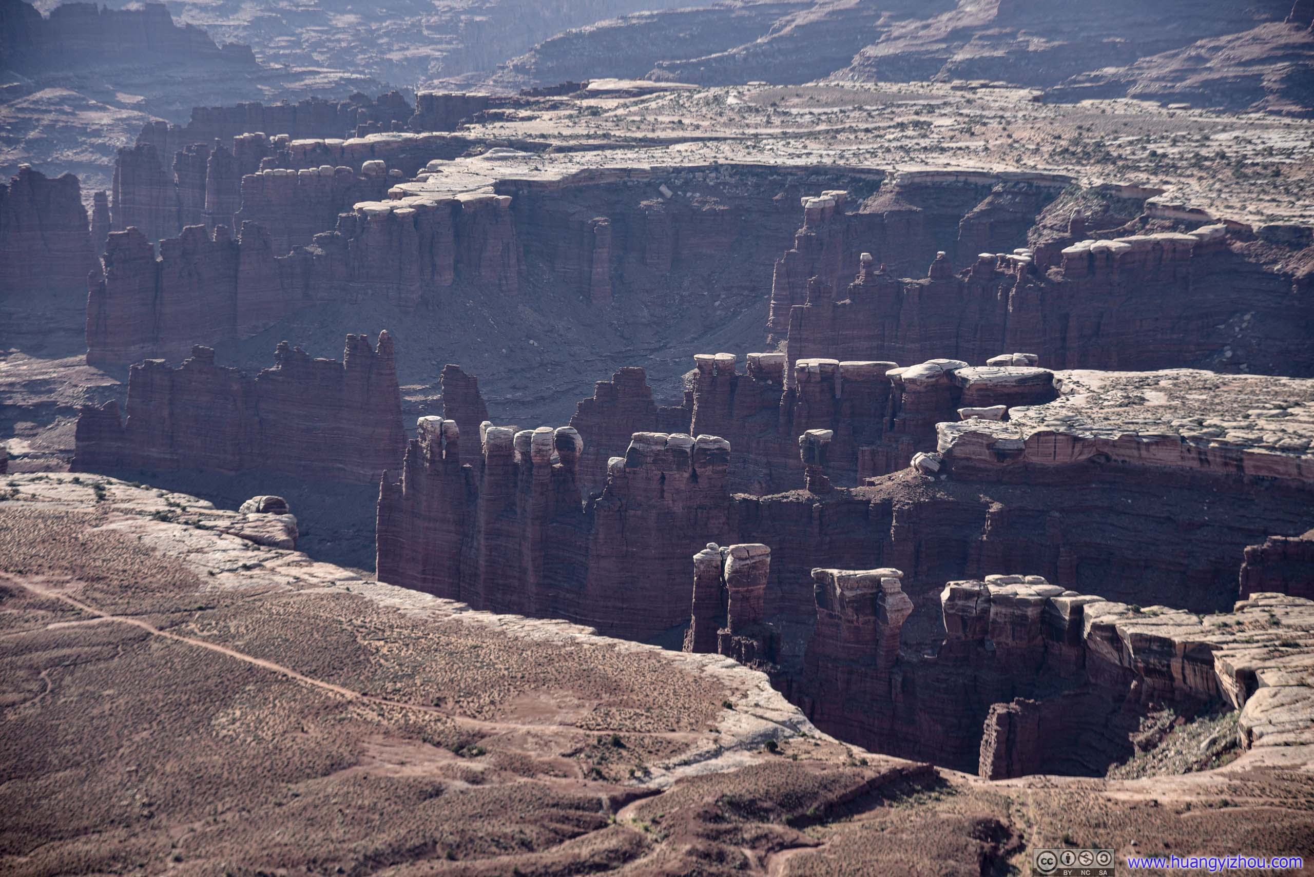
 Fins of Rocks
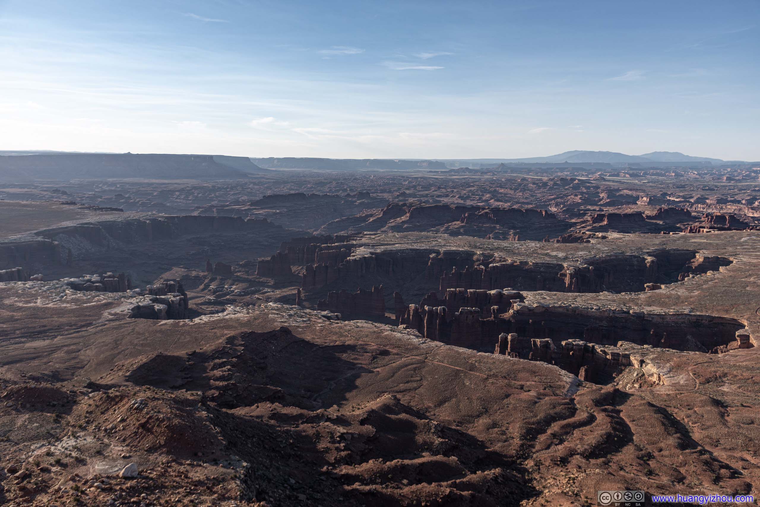
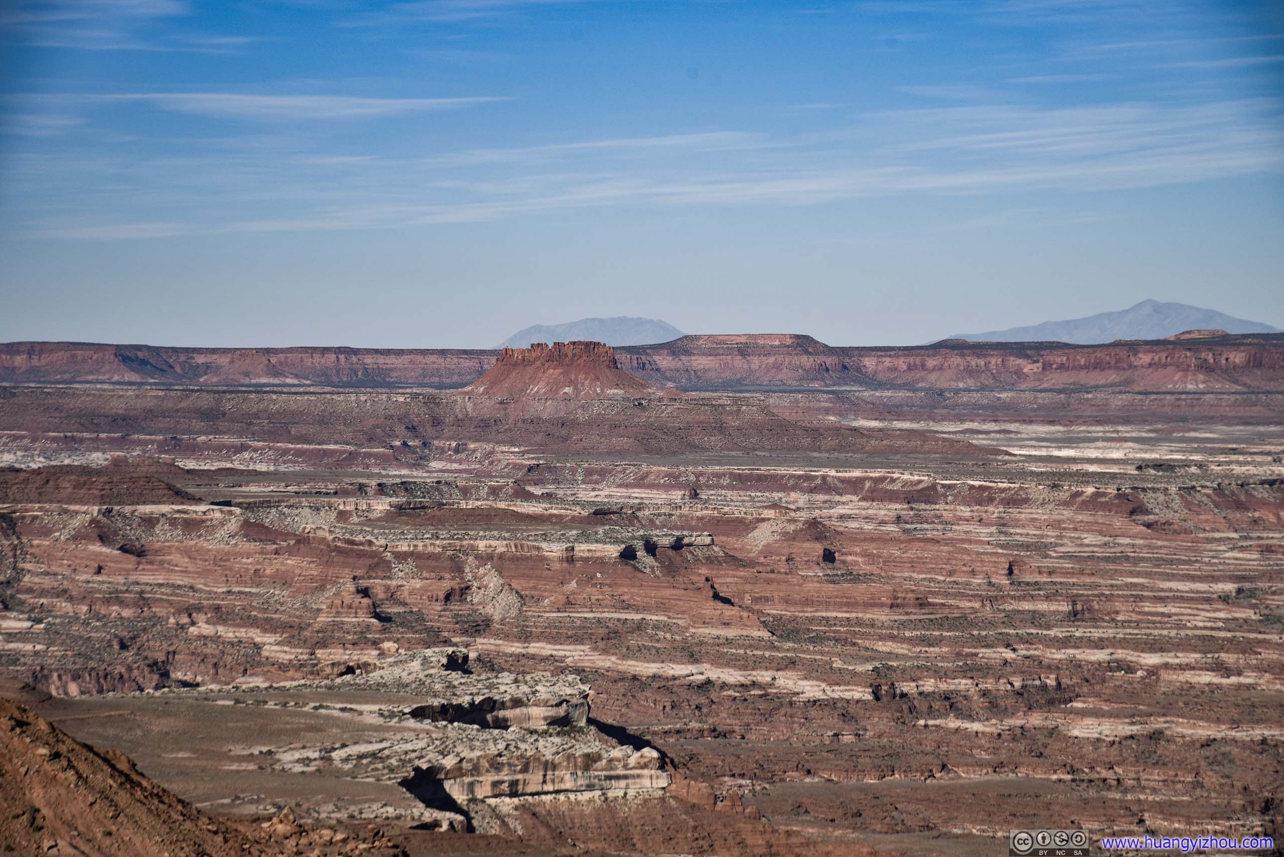
Canyons beyond Mesa Arch

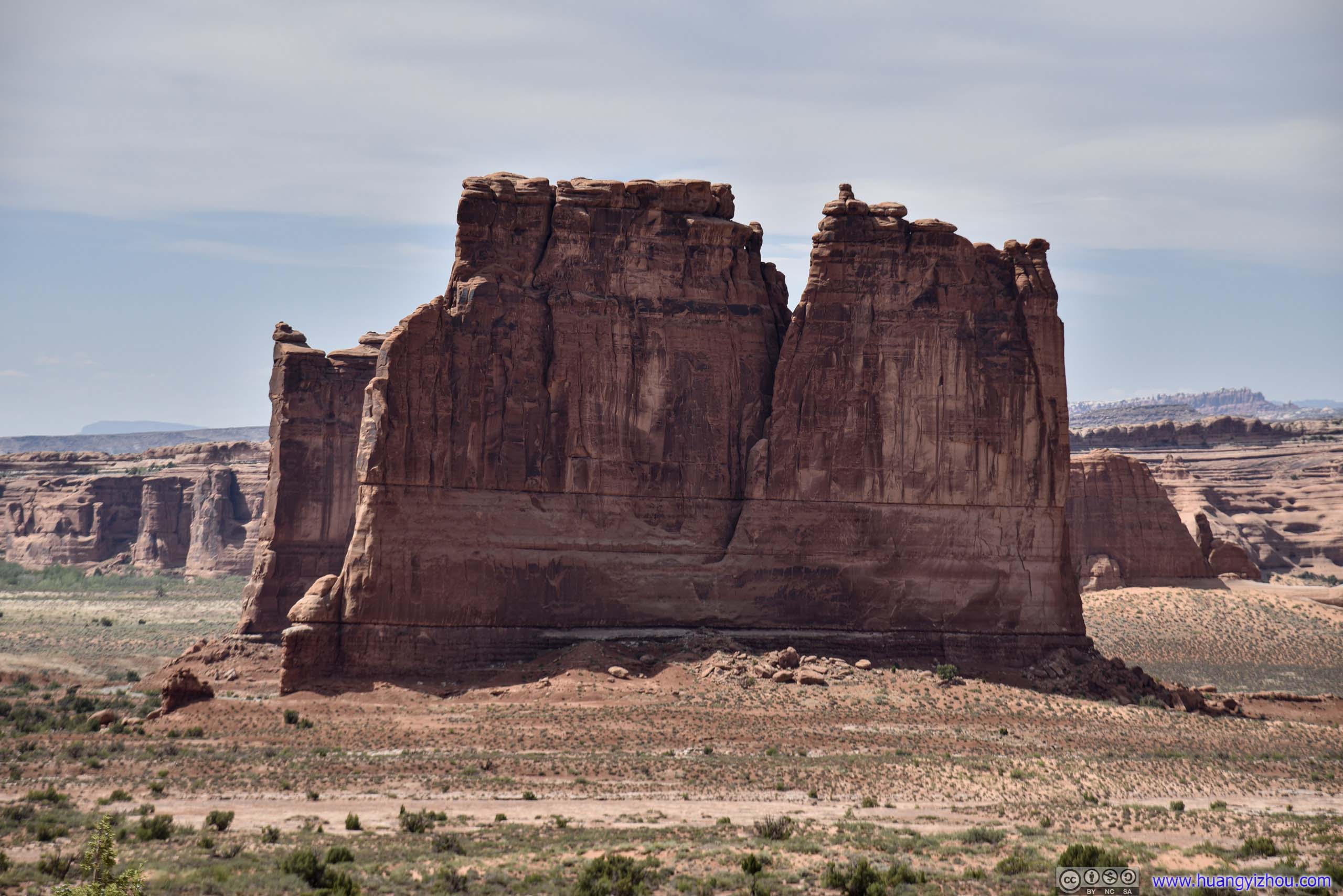
Cliff under Sunrise Light
Rising Sun above Mesa Arch
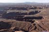
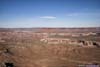
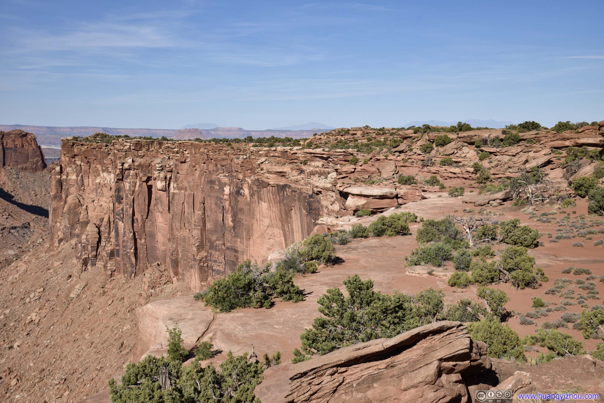
Buck Canyon Overlook
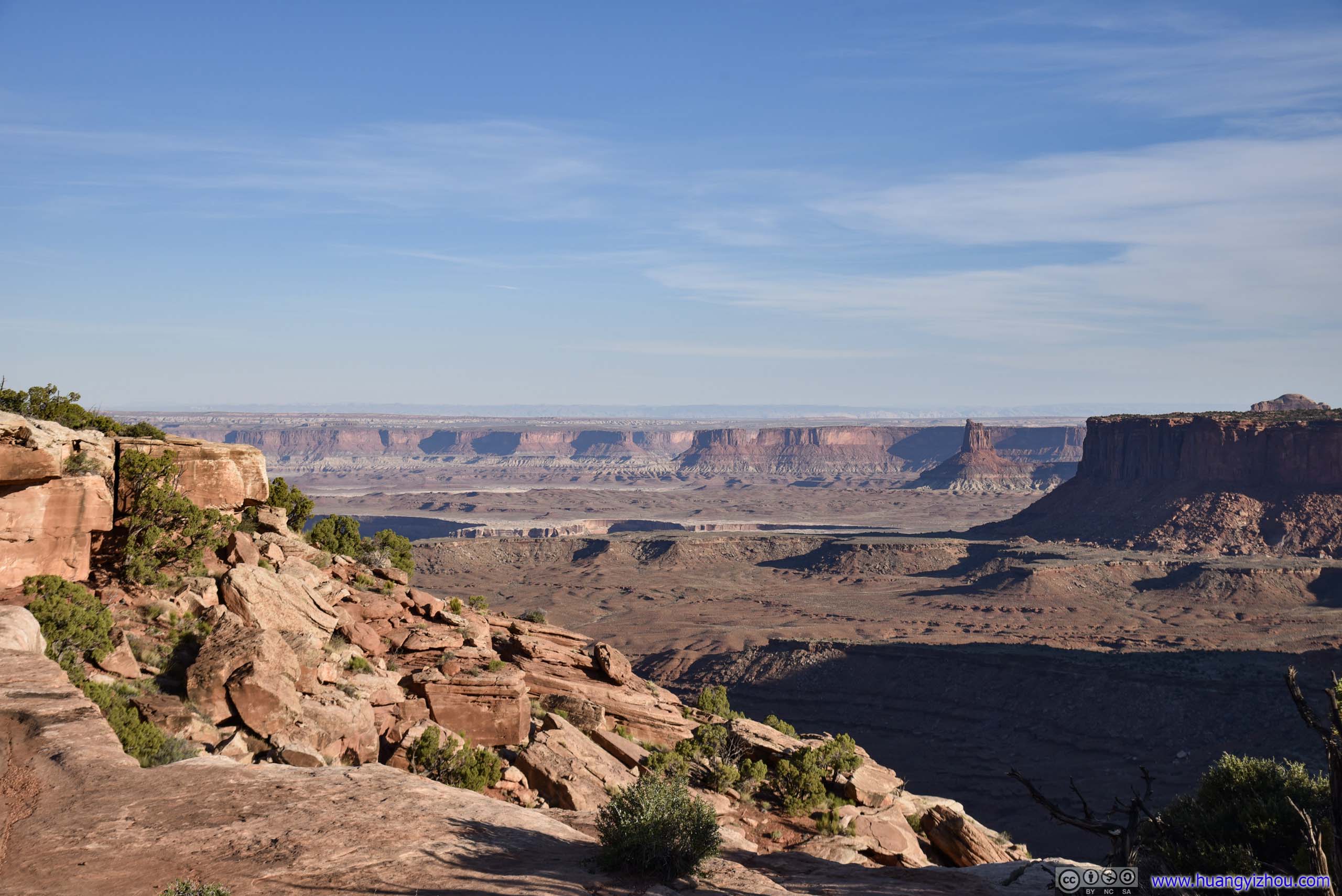
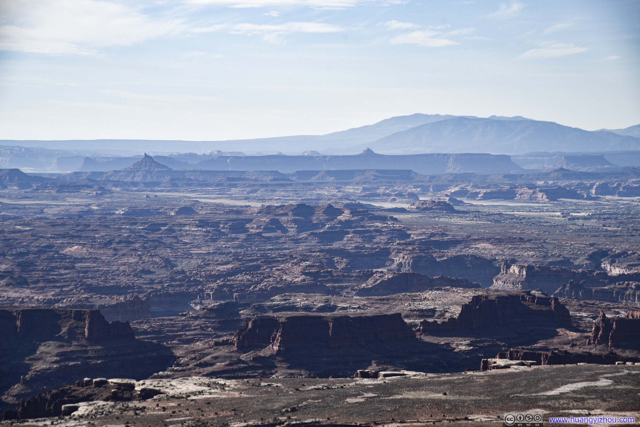
After leaving Mesa Arch, I headed South towards Grandview Point. Along the way, I passed by Buck Canyon Overlook, which was a roadside turnout with views of Buck Canyon. Similar views of Mesa Arch, just minus the magnificent arch itself. For someone that didn’t want to hike the 900m trail to and from Mesa Arch, this offered an alternative.
 Buck Canyon
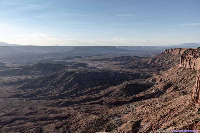 Canyon Landscape
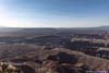
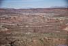
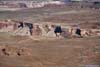
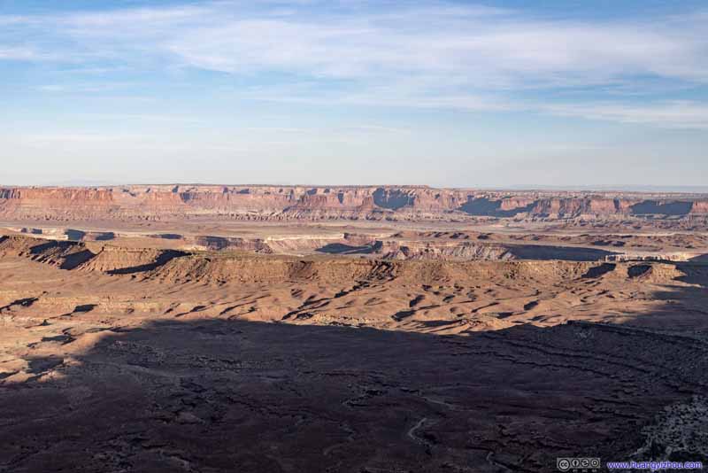 Distant Canyons
From “Orange Cliff Overlook”, a roadside turnout with views of distant canyons and buttes to the West. It had similar relation to Grand View Point as Buck Canyon Overlook to Mesa Arch, conveniently accessible without hiking, but the views weren’t as up-close and stunning.
Distant Canyons
From “Orange Cliff Overlook”, a roadside turnout with views of distant canyons and buttes to the West. It had similar relation to Grand View Point as Buck Canyon Overlook to Mesa Arch, conveniently accessible without hiking, but the views weren’t as up-close and stunning.
Click here to display photos of the slideshow
Buck Canyon

Canyon Landscape

Distant Canyons
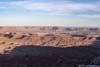
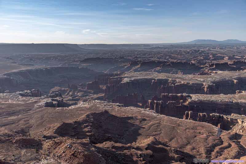
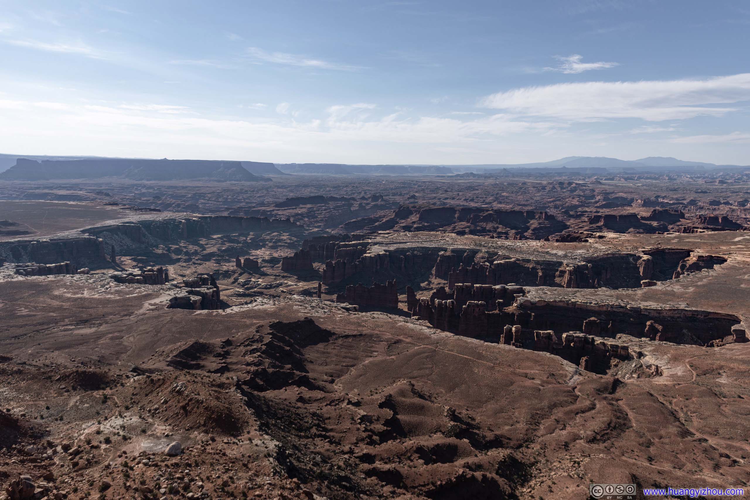
Grand View Point
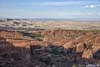
A 3km out-and-back trail to the end of the big mesa that made up Island in the Sky district of Canyonlands National Park. The trail offered views of Monument Basin along the way (which can also be viewed at an overlook near the parking lot if hiking wasn’t your thing), and various canyon landscapes, including Junction Butte, at the end.
Here’s GPS tracking:
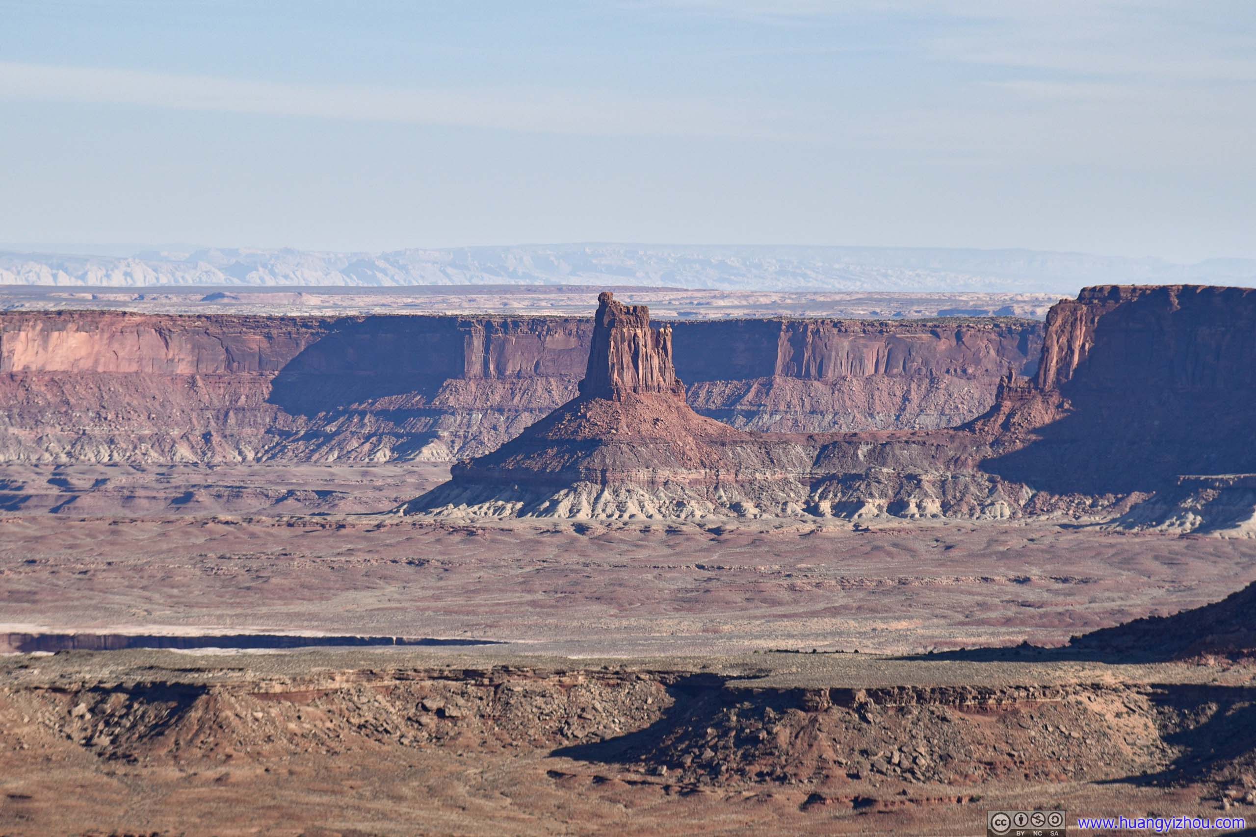
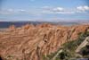
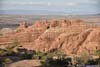
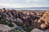
First off the parking lot was Monument Basin. The name was probably a tribute to the famous Monument Valley, as both were made of many vertical towers/buttes from erosion. Just that Monument Basin didn’t have the wide-open views of the latter.
 Monument Basin
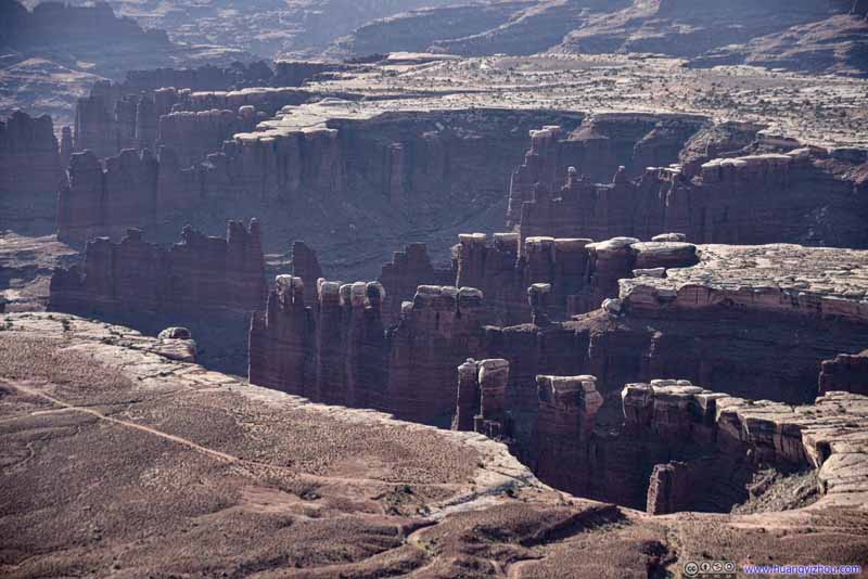 Rock Towers in Monument Basin
 Monument Basin
 Monument Basin
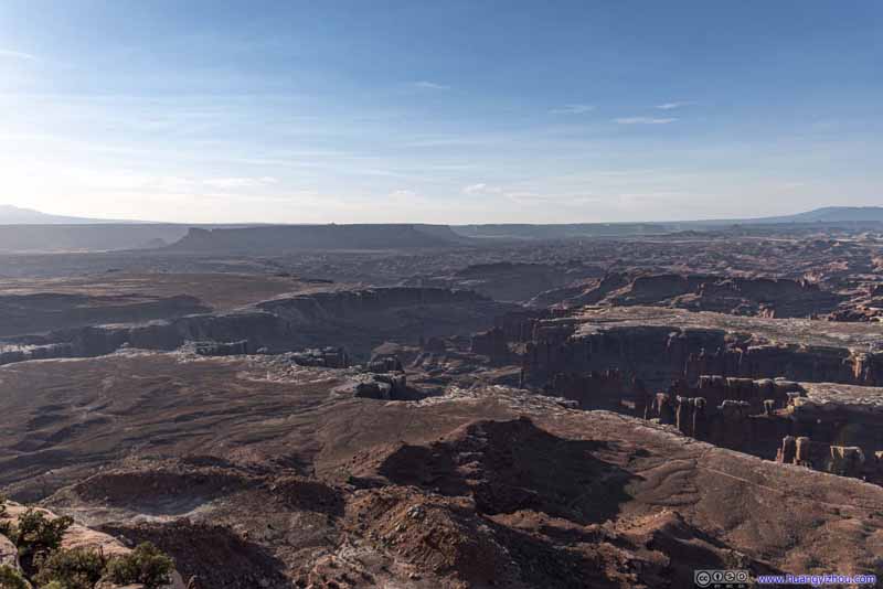 Monument Basin
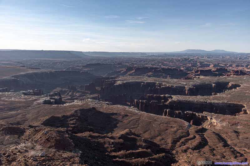 Monument Basin
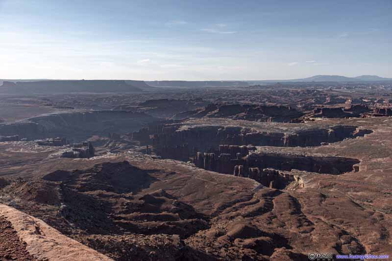 Monument Basin
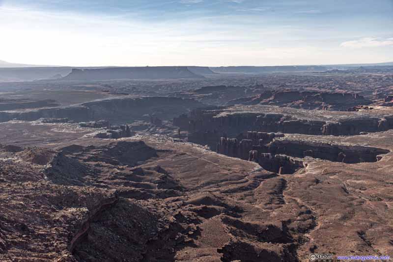 Monument Basin


Click here to display photos of Monument Basin.
Monument Basin
Rock Towers in Monument Basin
Monument Basin
Monument Basin

Monument Basin
Monument Basin

Monument Basin
Monument Basin
A sandstone layer on the perimeter of Monument Basin, visibly white and thus called White Rim, protected weaker layers below from erosion. Deeply entrenched beyond Monument Basin was the winding Colorado River.
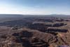
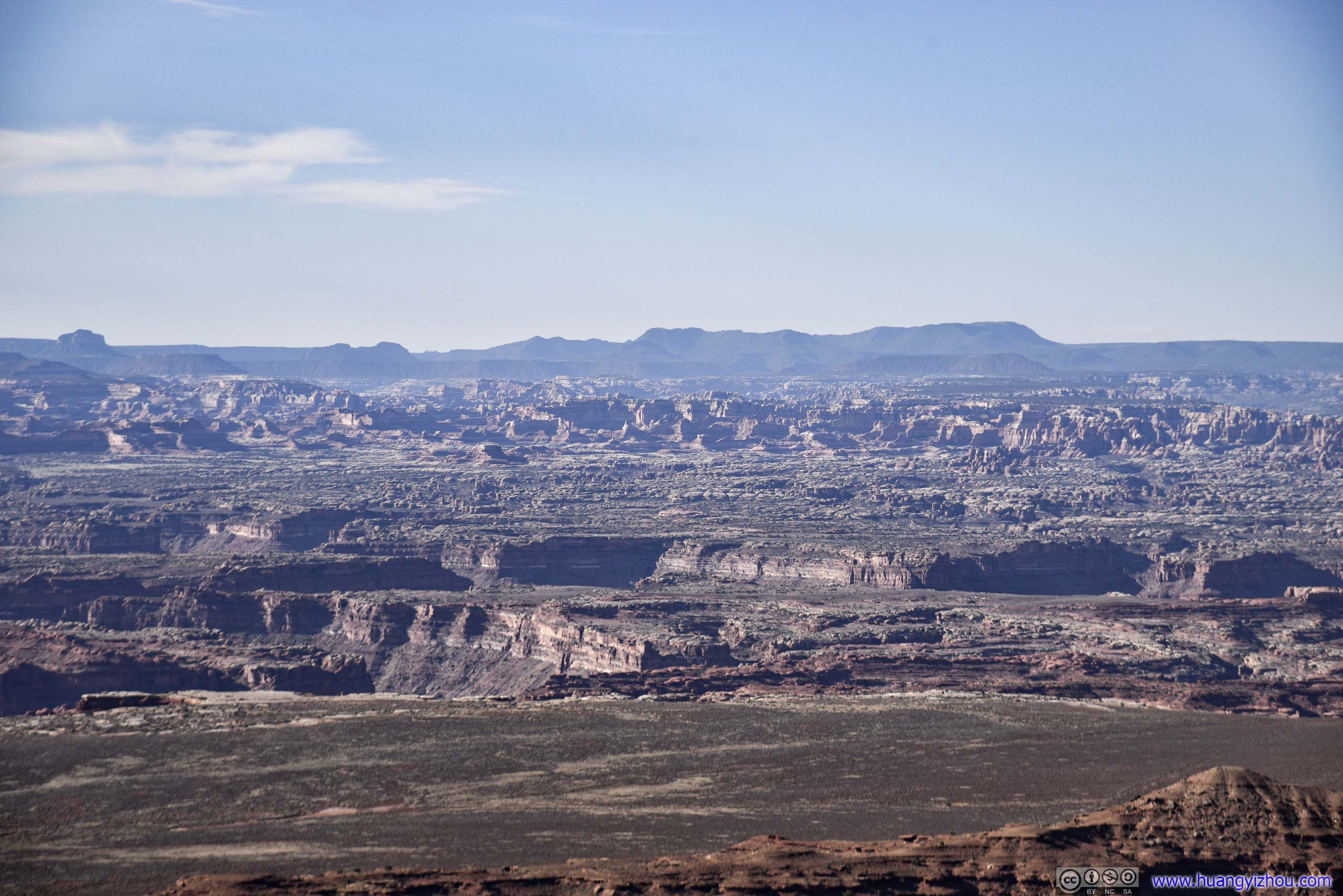
 Canyons
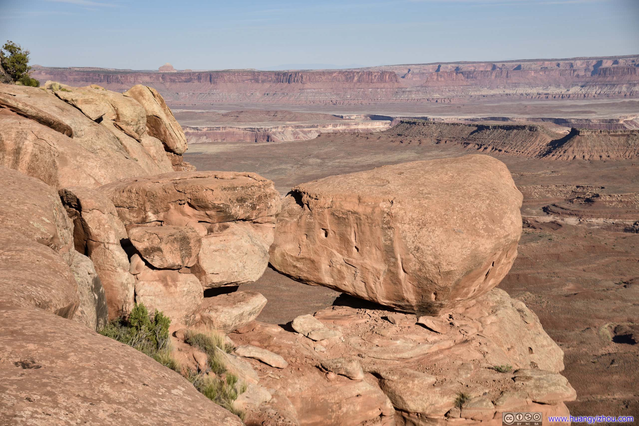
Balanced Rocks
Finally, 45 minutes from the parking lot, I was at the end of the trail, Grand View Point.
Junction Butte
Canyons
Click here to display photos of the canyons.

Canyons
Canyons
Canyons
Canyons

Canyons
Canyons

Canyons

Grand View Point
Since it’s at the tip of the mesa/cliff, there were also views to the North, like this outstanding butte.
Distant Candlestick Tower
Then I went on the way back.
Distant Needles District
 Landscape
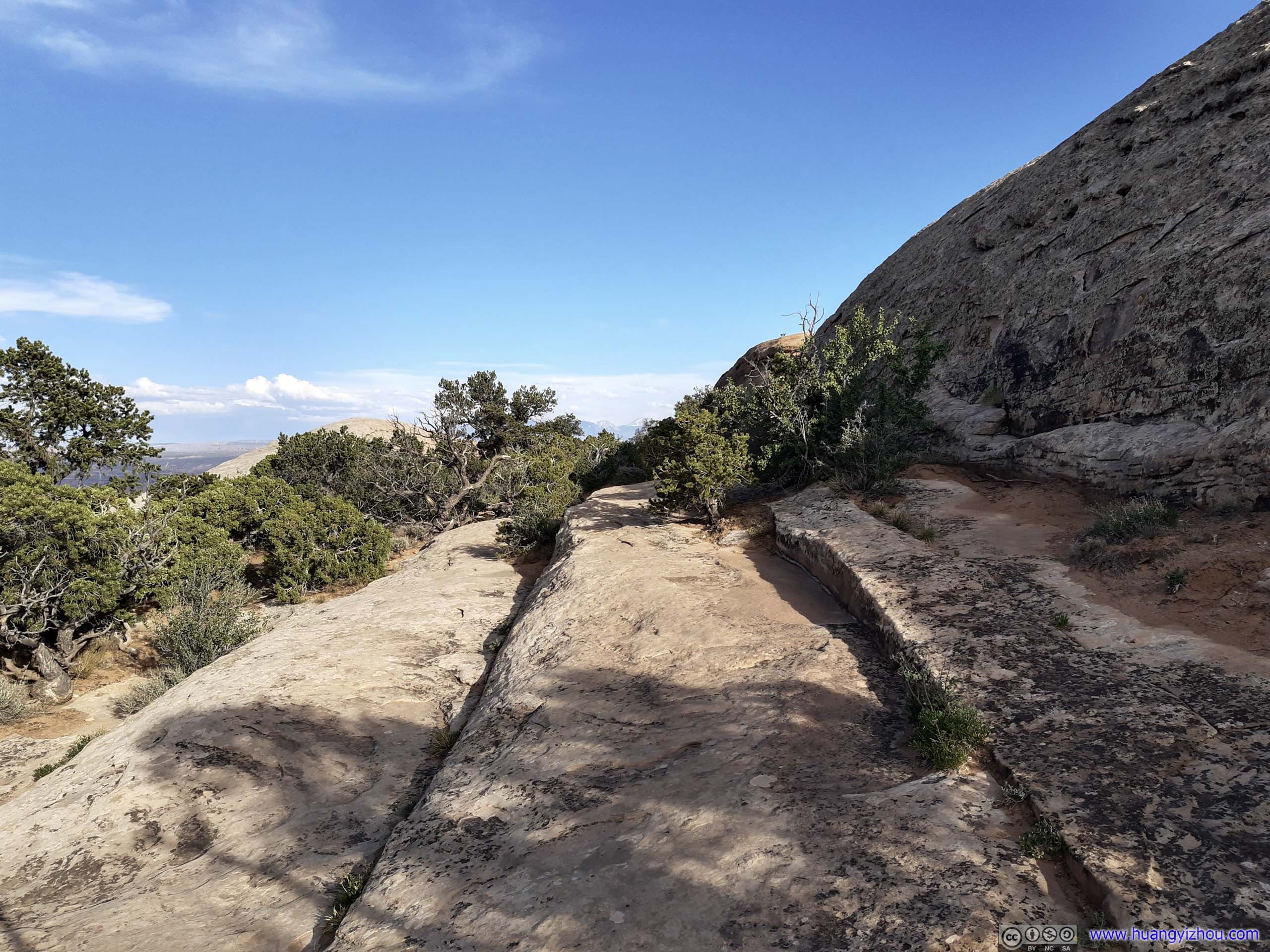
 Trail
Trail
Trail along Cliff
Monument Basin
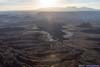
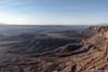
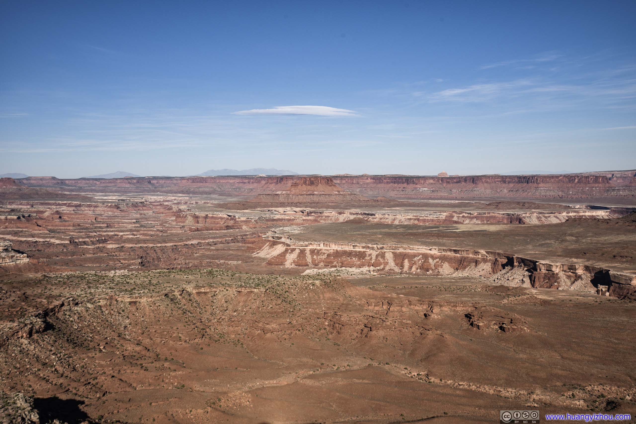
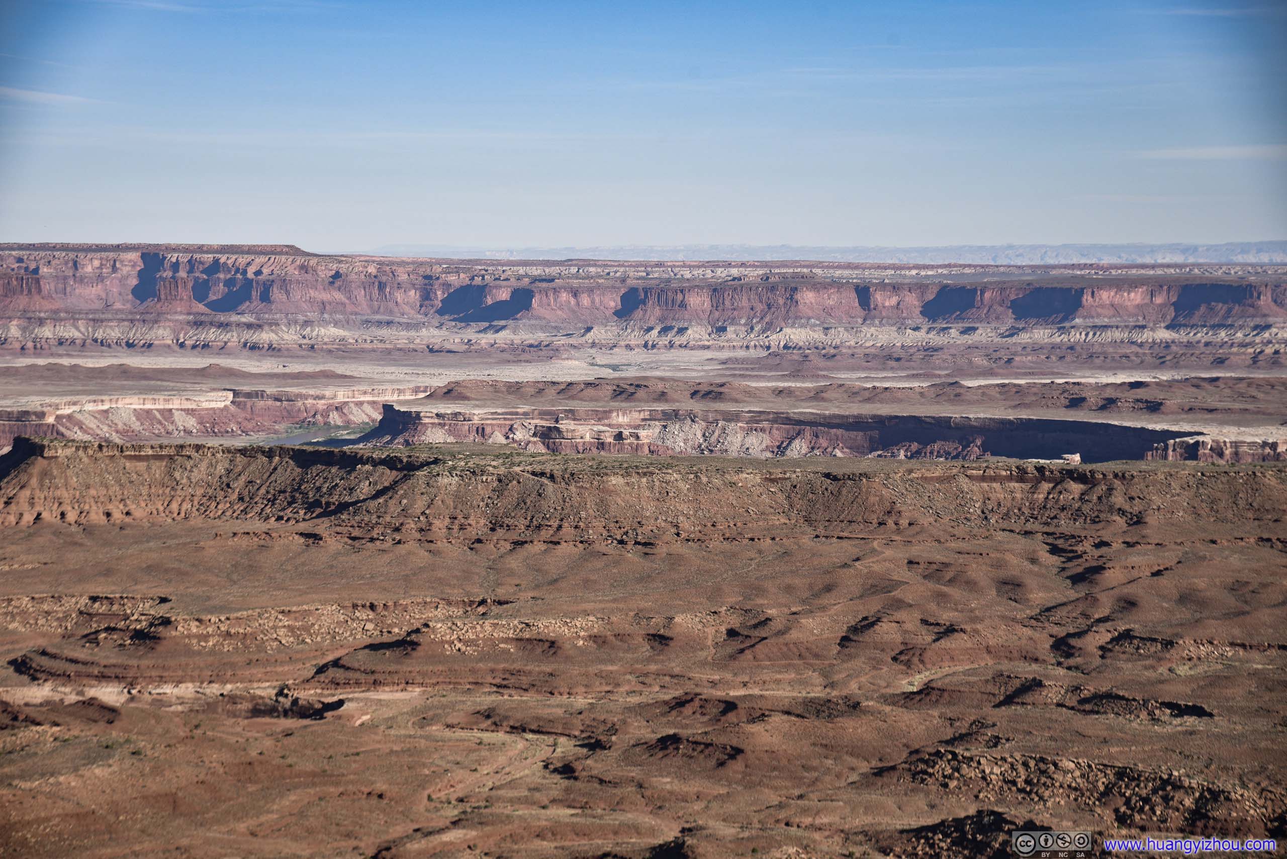
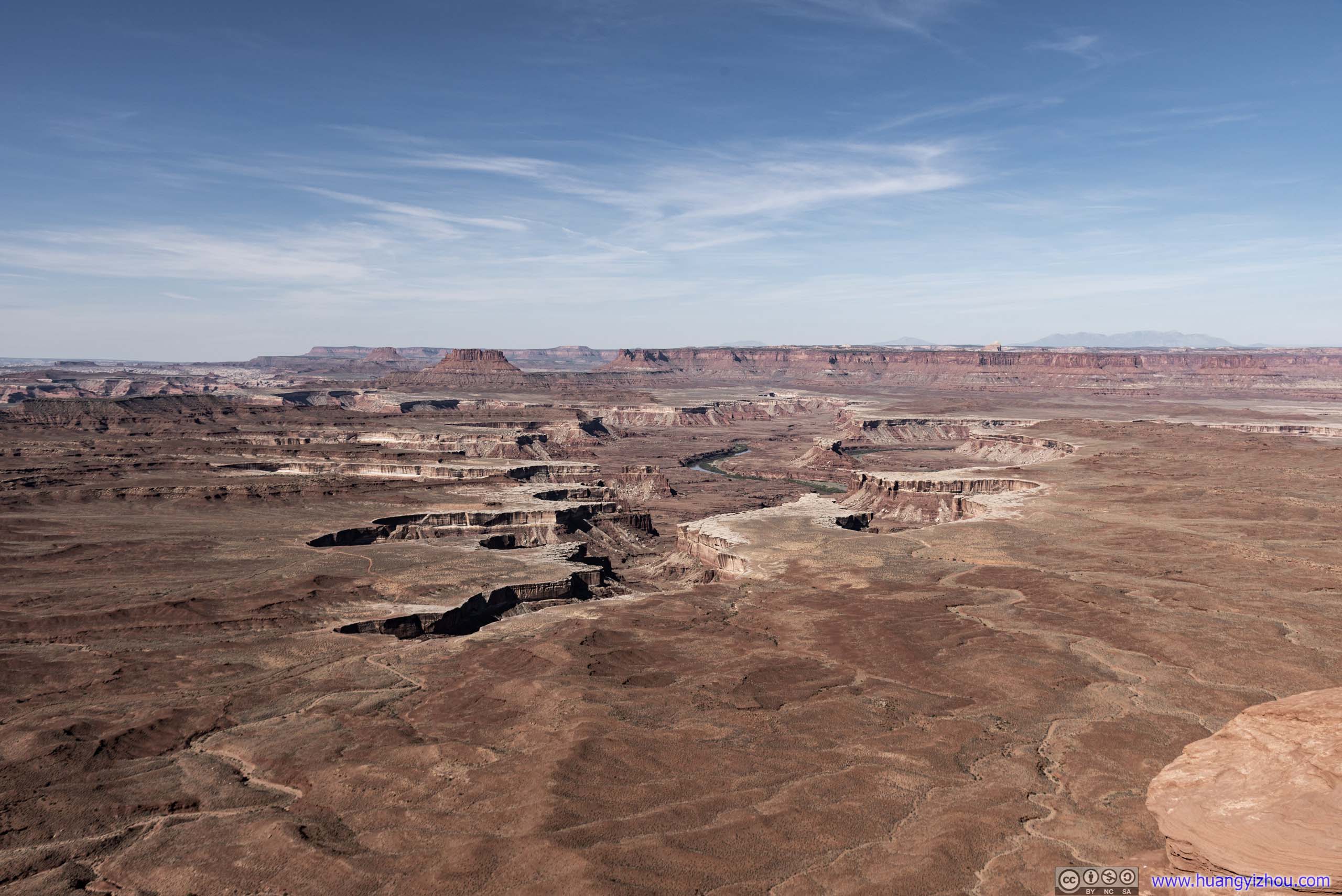
Green River Overlook
It’s 8:30am and fatigue from early rising started to creep around my body. So I started heading back towards Moab. I made a few stops along the way, first of which being Green River Overlook.
Most of (car accessible) Canyonlands National park was on a plateau overlooking various canyons and buttes, with Green River and Colorado River deeply entrenched behind them. Green River Overlook was probably the only place in the park, with views of a winding river along steep canyon walls.
 Overlooking Green River
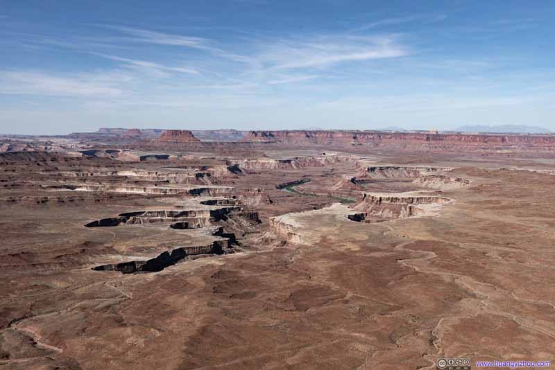 Overlooking Green River
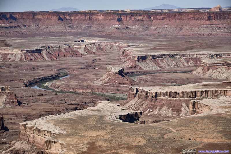 Turks Head along Green RiverNamed by John Wesley Powell for its resemblance to a Turkish turban.
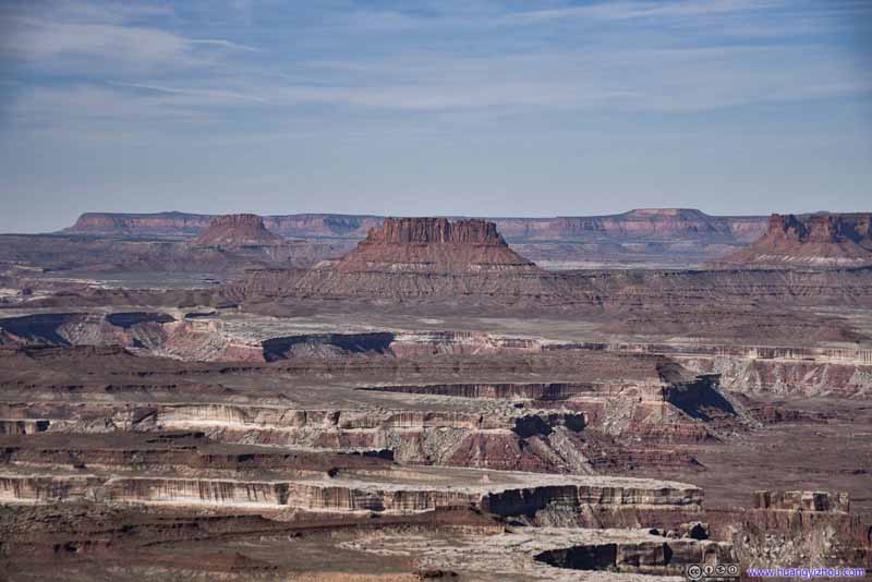 Ekker ButteNamed for the Ekker family, who were pioneer ranchers in the area.
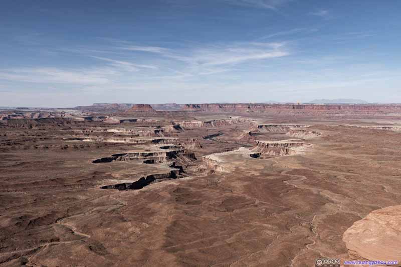 Overlooking Green River

Click here to display photos from Green River Overlook.

Overlooking Green River

Overlooking Green River

Turks Head along Green RiverNamed by John Wesley Powell for its resemblance to a Turkish turban.
Ekker ButteNamed for the Ekker family, who were pioneer ranchers in the area.
Overlooking Green River
If one could only visit one spot in the park, then this should be it. It’s easily accessible by car, it has gorgeous views, representative of the canyons that gave the park its name.
 Cliffs
Green River Overlook
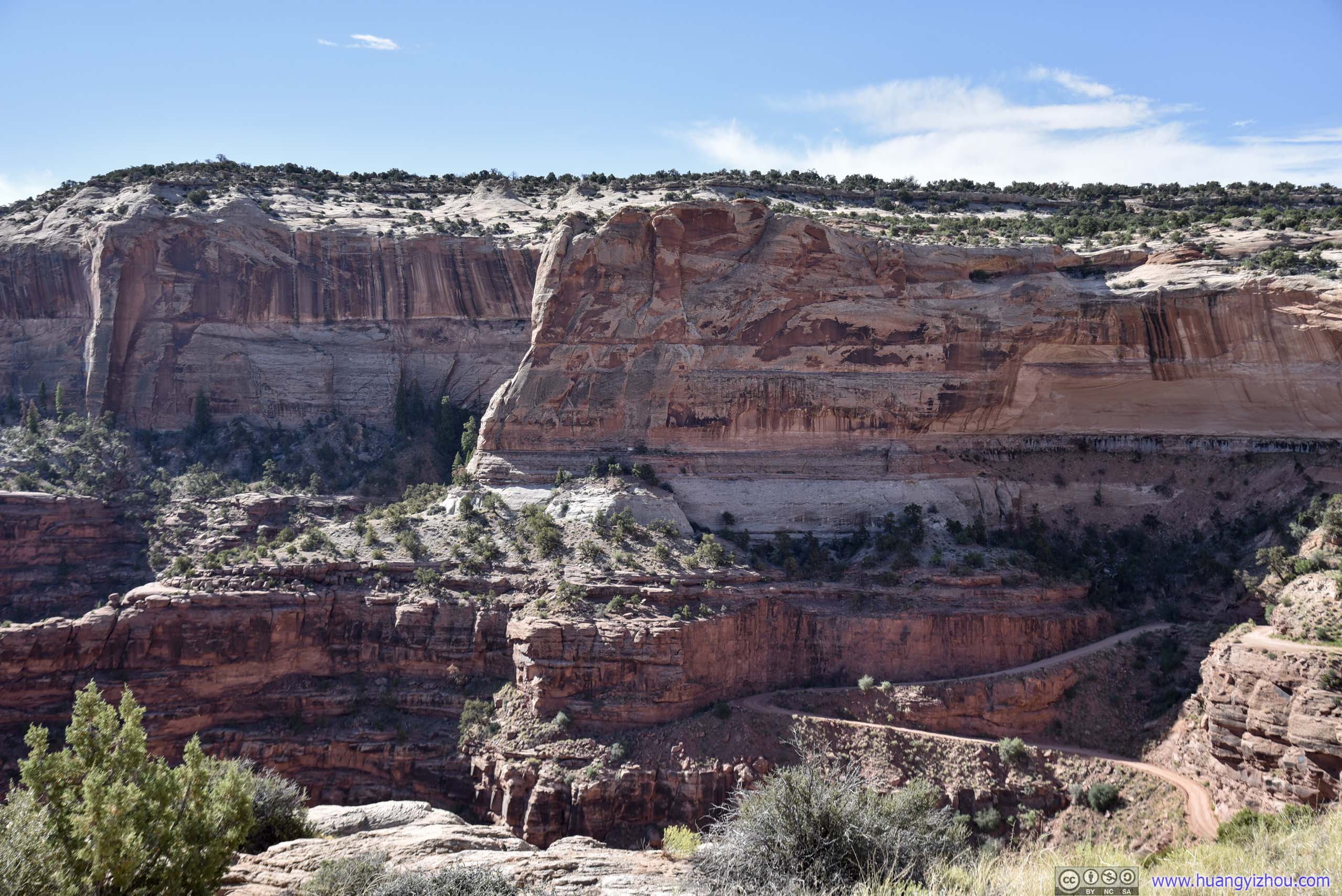
Shafer Canyon Overlook
Another place that I stopped along the road. It’s close to a place called “The Neck”, where the plateau/mesa that the park road traveled through narrowed to about 50 meters wide, with steep cliffs on both sides.
Shafer Canyon
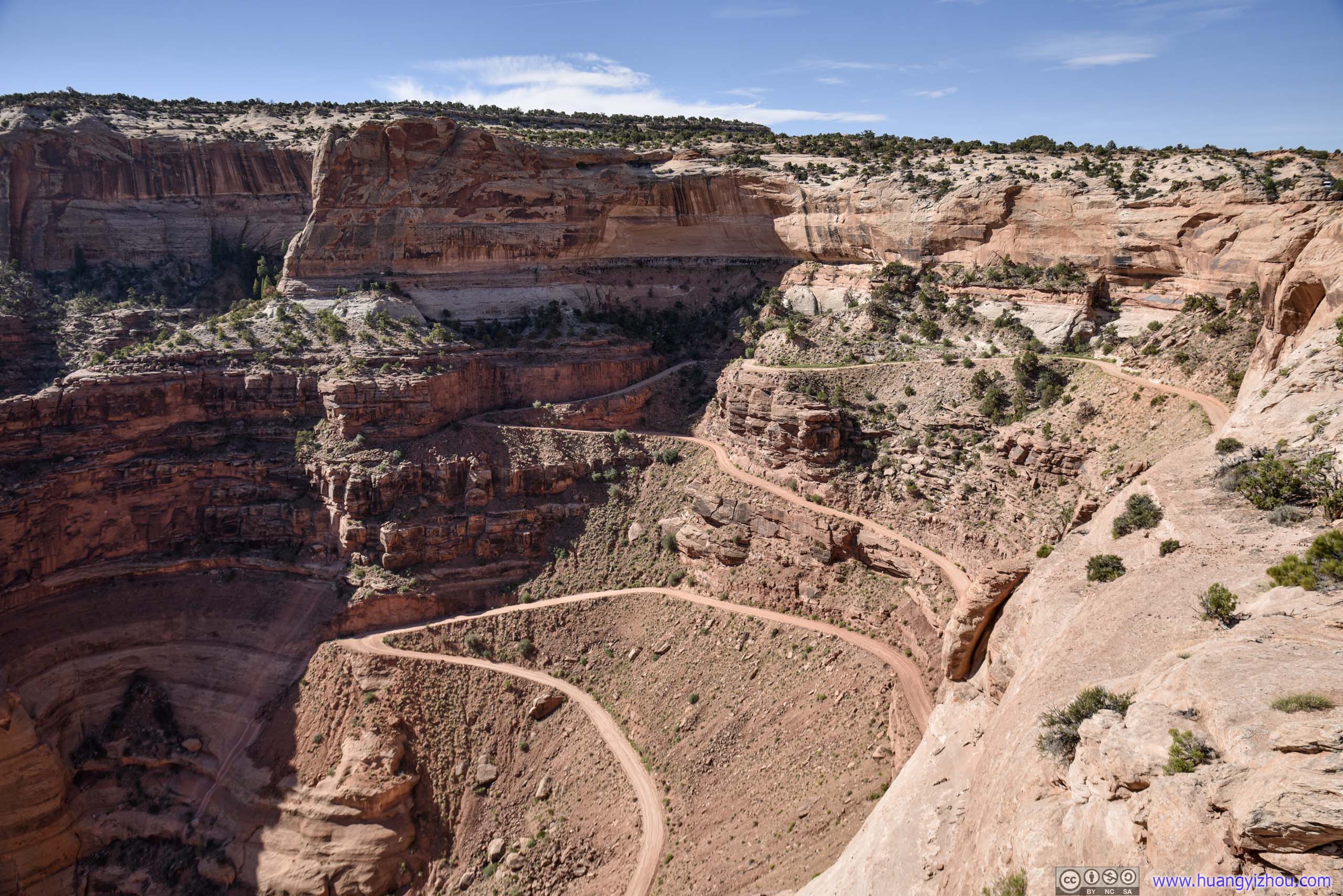
 Roads up Shafer Canyon
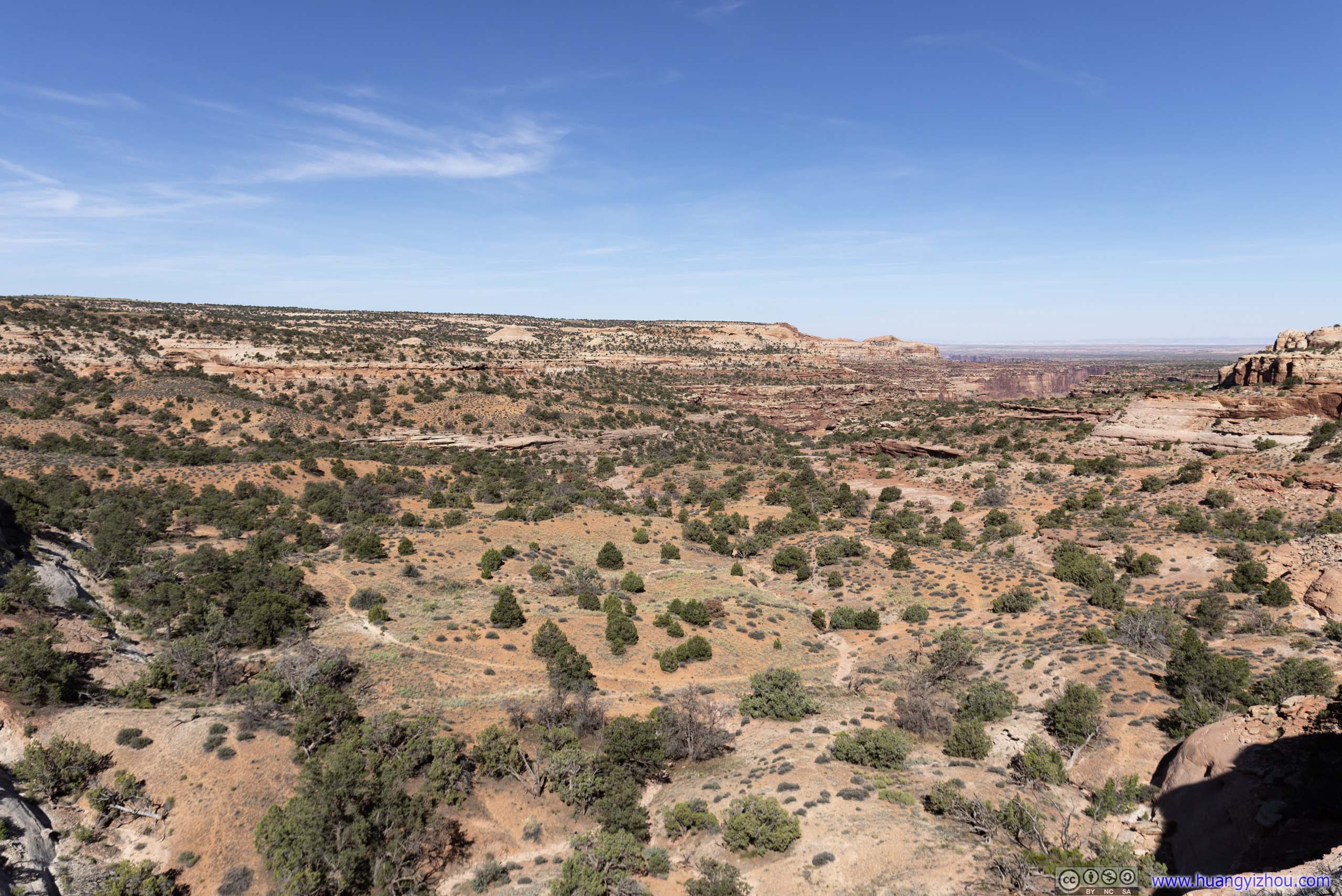
Neck Spring Area
Then I got out of the park.
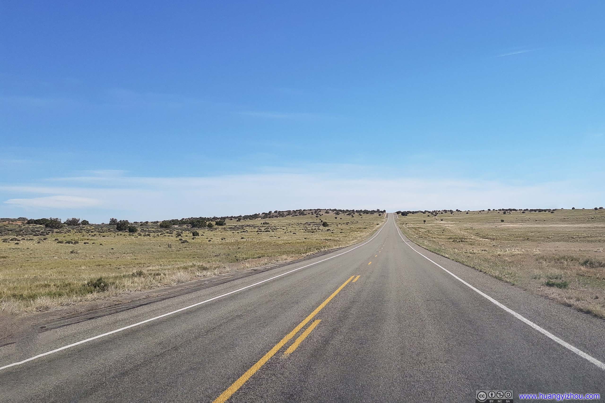
Country RoadThe road from Moab to Canyonlands and Dead Horse Point Parks were through open ranches like this after climbing the plateau. It’s hard to imagine that these ranches would extend to some scenic cliffs.
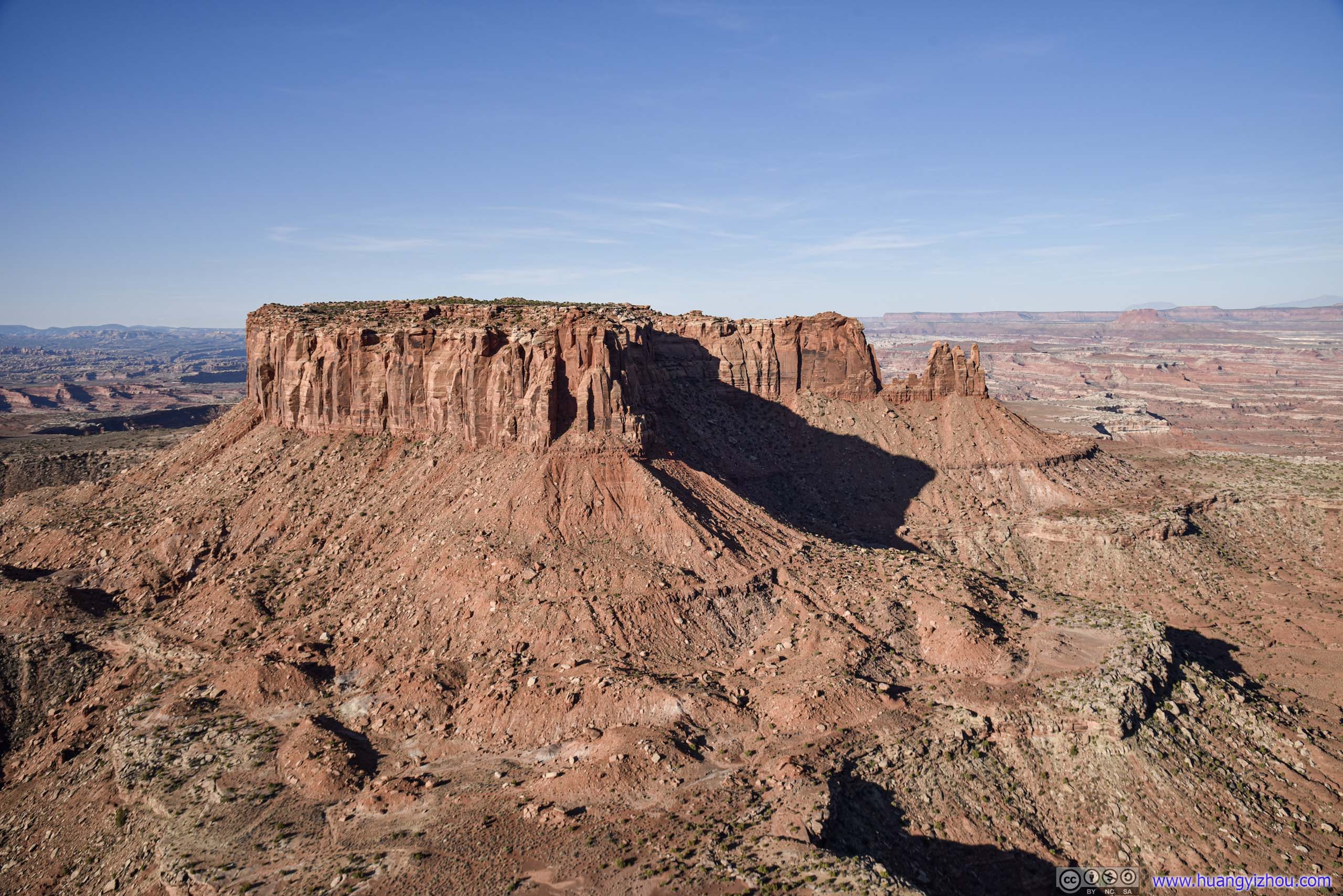
Big Mesa Viewpoint
It’s a roadside view area / rest stop, while Route 313 was climbing up the plateau of Canyonlands National Park. I made a final stop here before heading back to the hotel for some good rest.
 Big MesaNot a very innovative name.
Big Mesa
By the time I got back to the hotel, it was past 10am and I was totally exhausted from the 8-hour excursion this morning. I immediately retreated back to bed, and by the time I woke up again, it was 3pm.
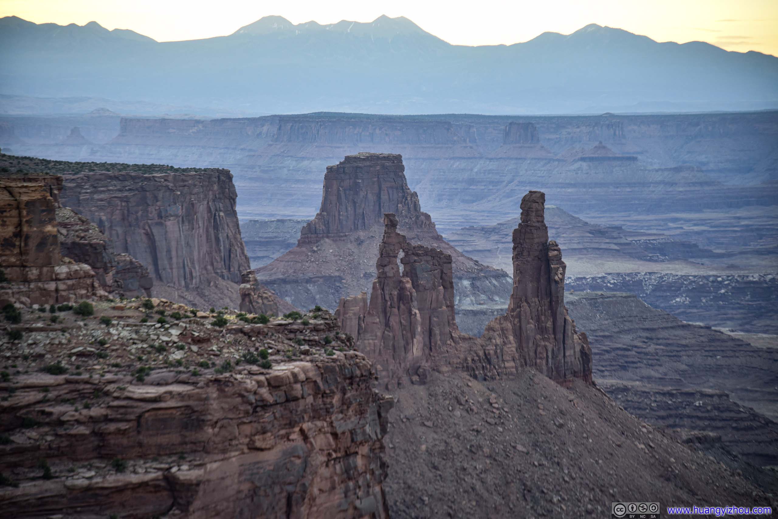
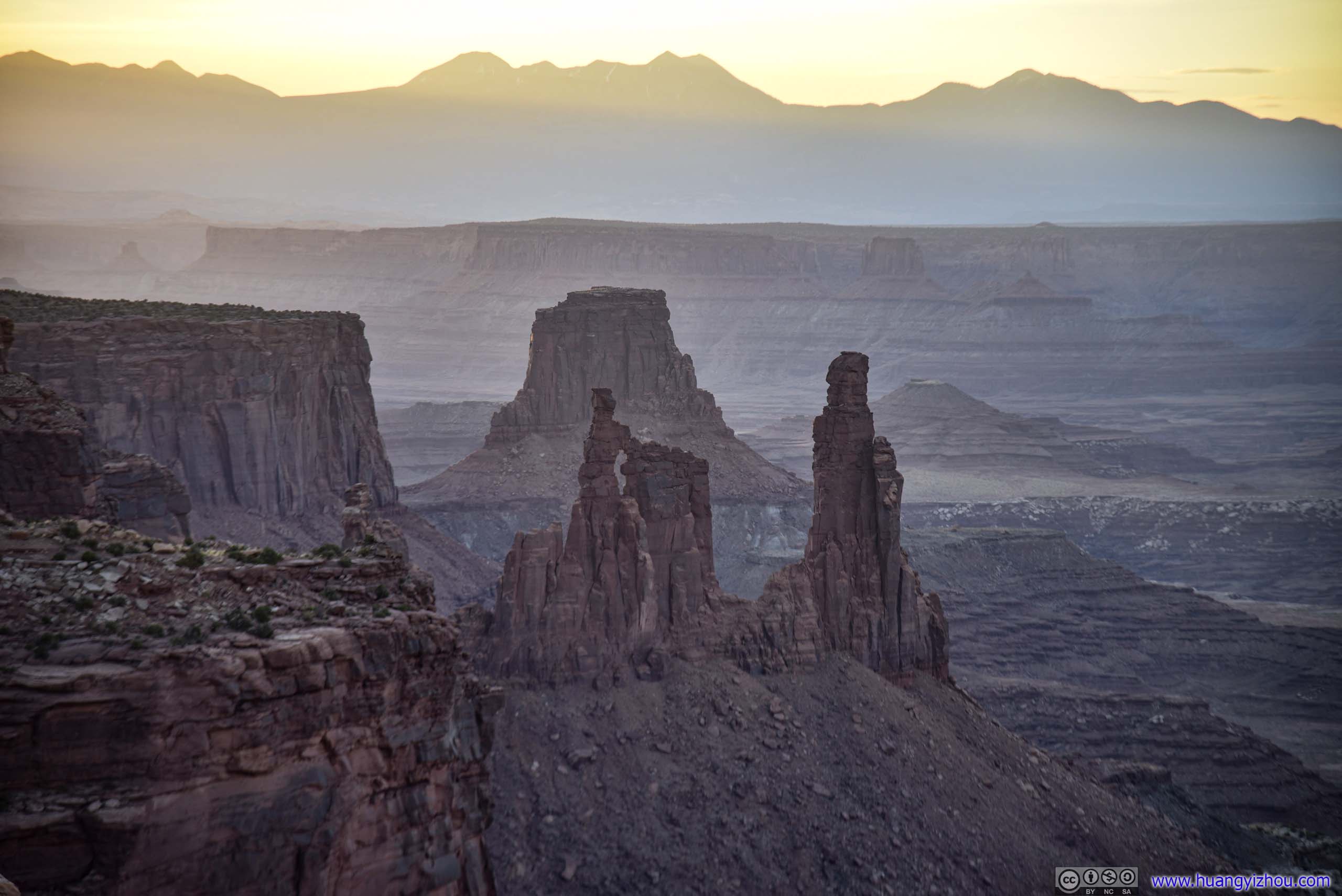
For the afternoon, I planned to visit Arches National Park for a third and final time. Since Fiery Furnace area was closed for COIVD, I would be hiking Devils Garden Trail that’s lined with many arches, together with a few roadside turnouts.
Arches National Park
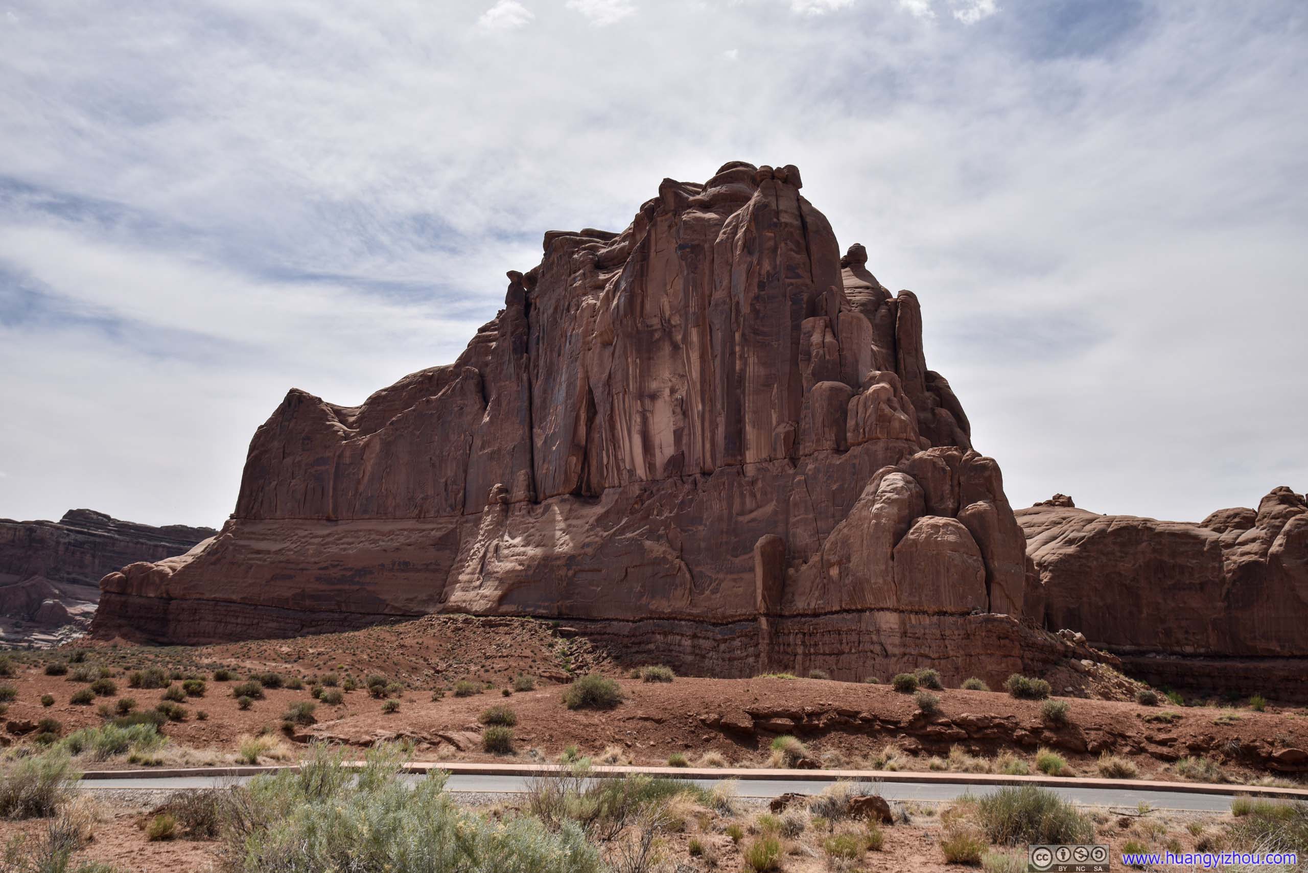
La Sal Mountains Viewpoint
My first stop in the park. Visibility was better today, as distant La Sal Mountains and fields in between were crystal clear.
La Sal Mountains
The Organ
 Rocks
Rocks
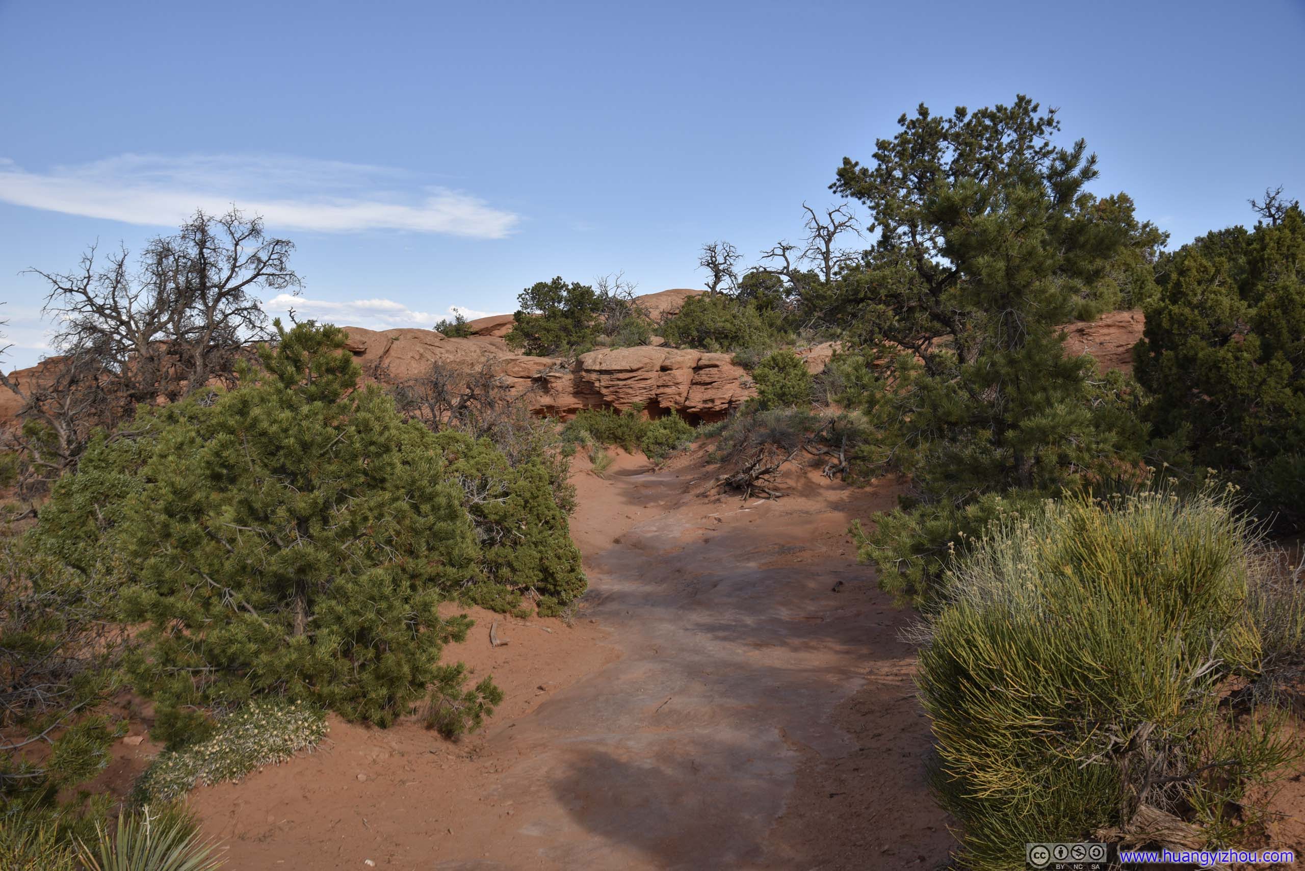
Sand Dune Arch Area
It’s the final large parking lot before Devils Garden, I decided to pay it a visit.
Unfortunately, this marked the start of my misery with another element, sand.
It turned out that only the first 50 meters of trail from the parking lot was “improved” with gravel. The rest was all loose sand, the kind one would expect in a desert. It’s probably how the arch got its name. At the end of the day, loose sand in sneakers was really hard to clean off. I attempted to wash my shoes back in the hotel, but getting them dry overnight was really a struggle.
Here’s GPS tracking:
 Trail to Sand Dune Arch
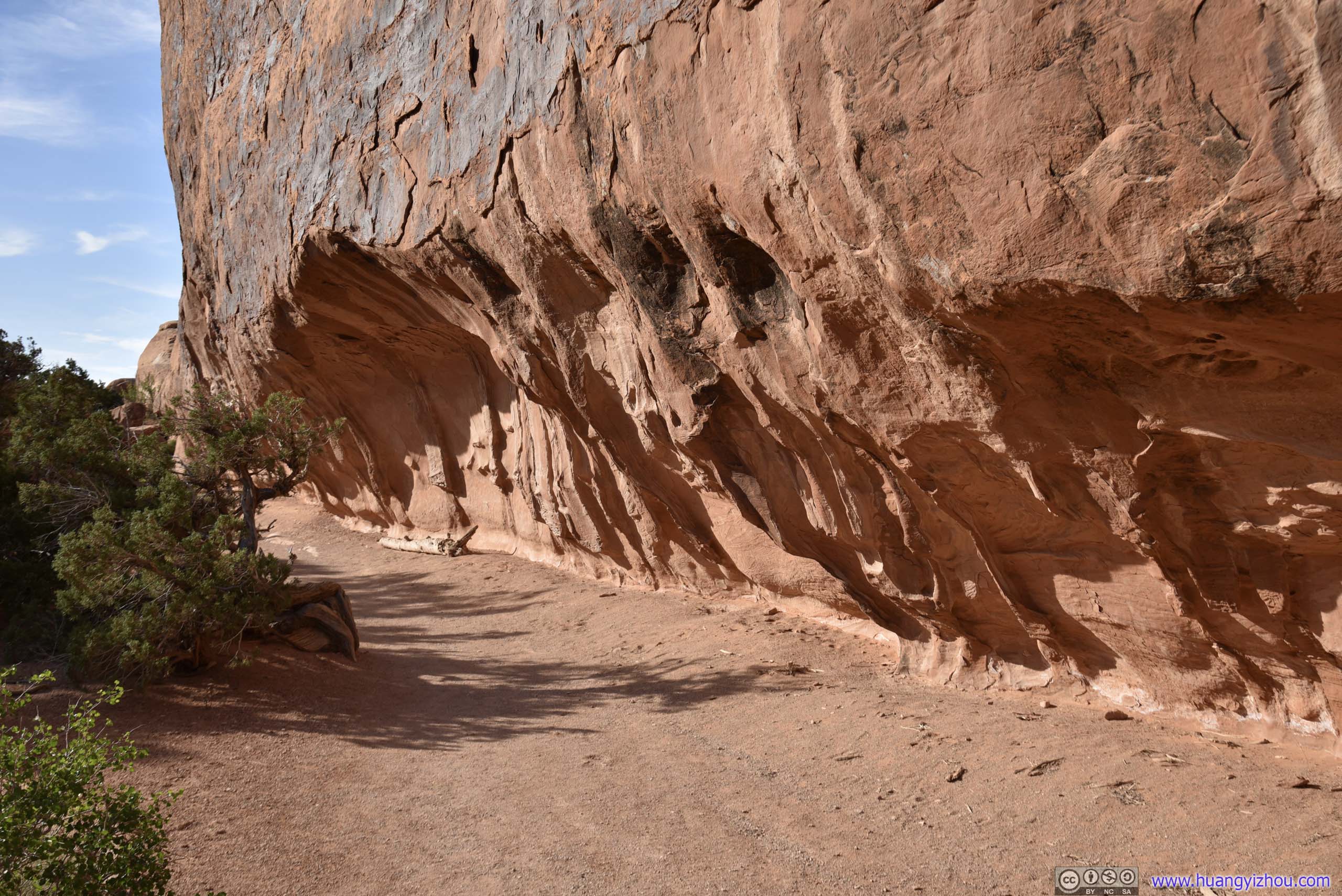
To make matters worse, the trail to Sand Dune Arch passed through a valley of two rock slabs, which was the ideal shape to channel and amplify wind. Fighting gusts of sandstorms, the 150m valley walk turned out to be much longer than expected.
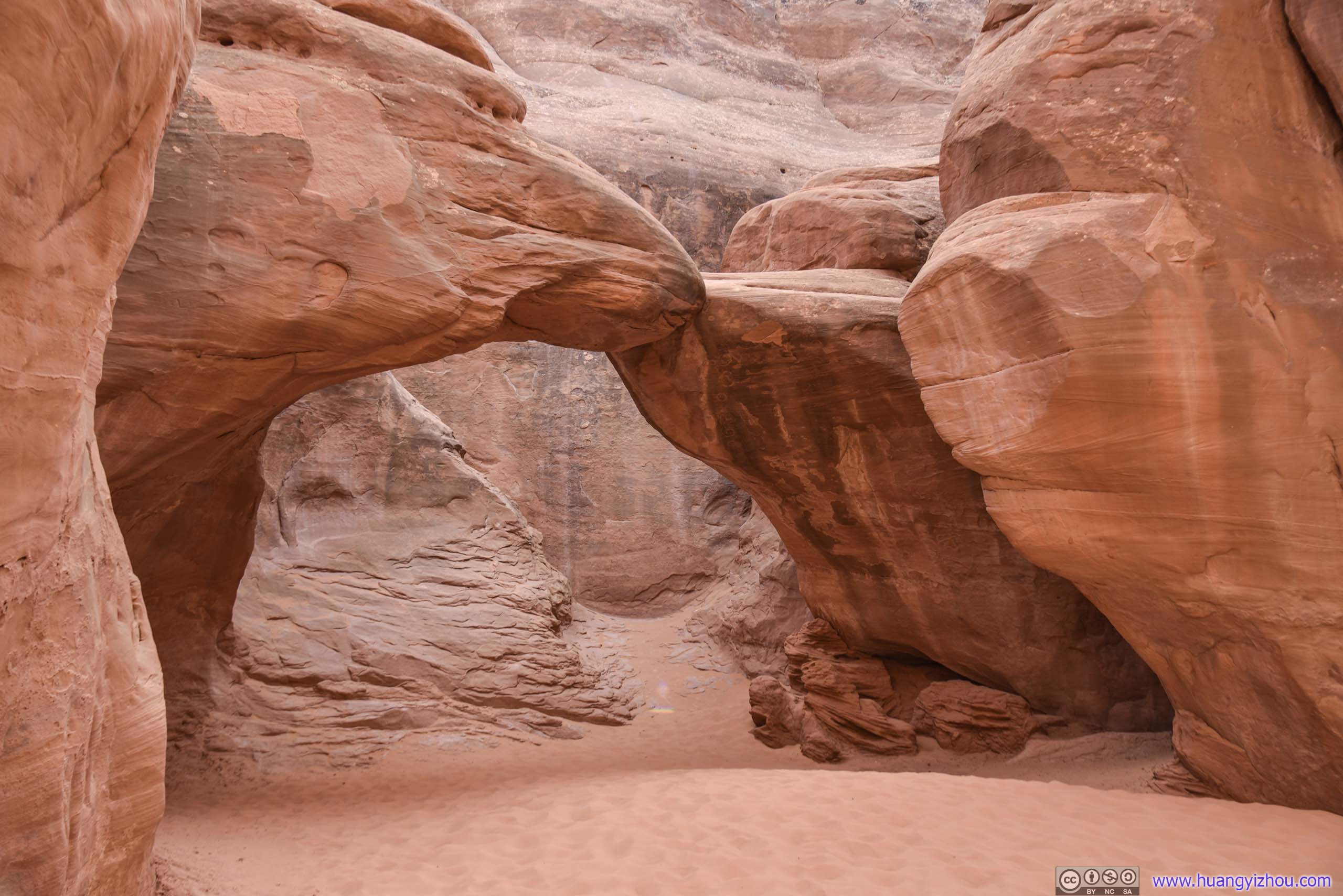
Sand Dune Arch
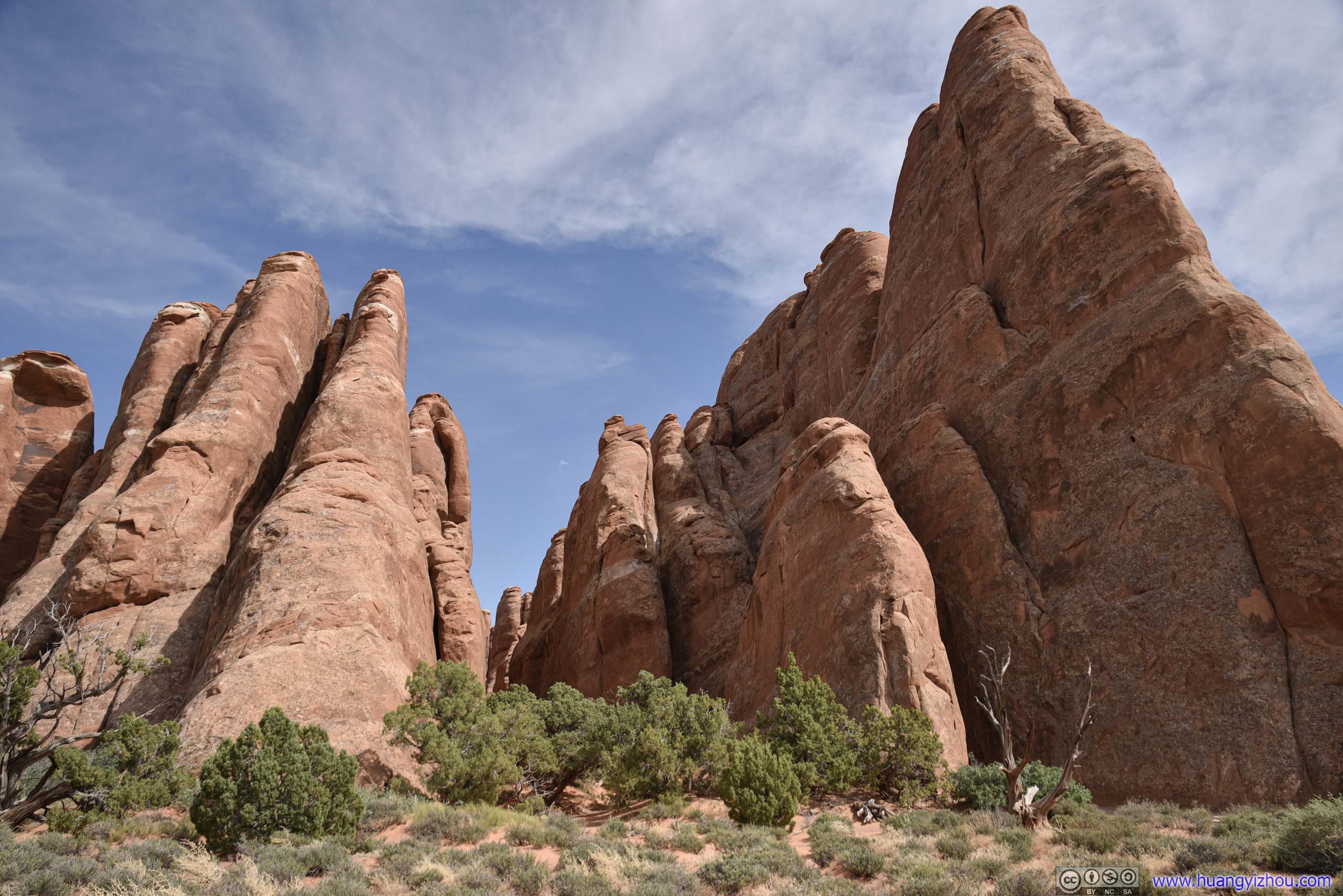
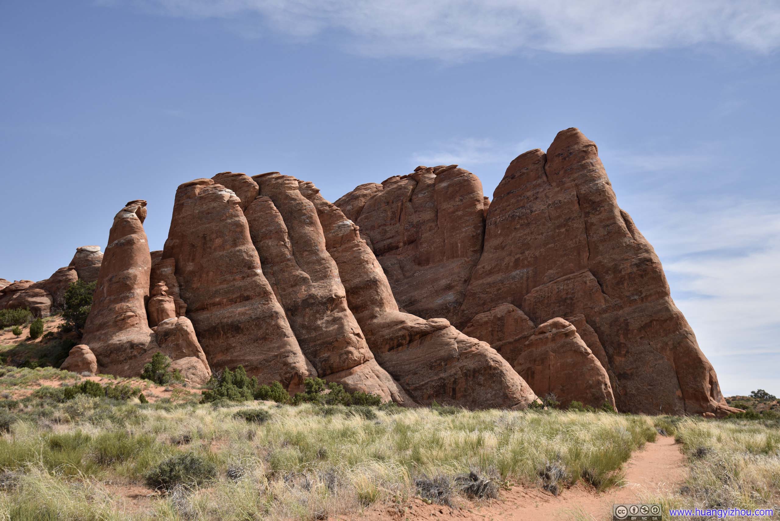
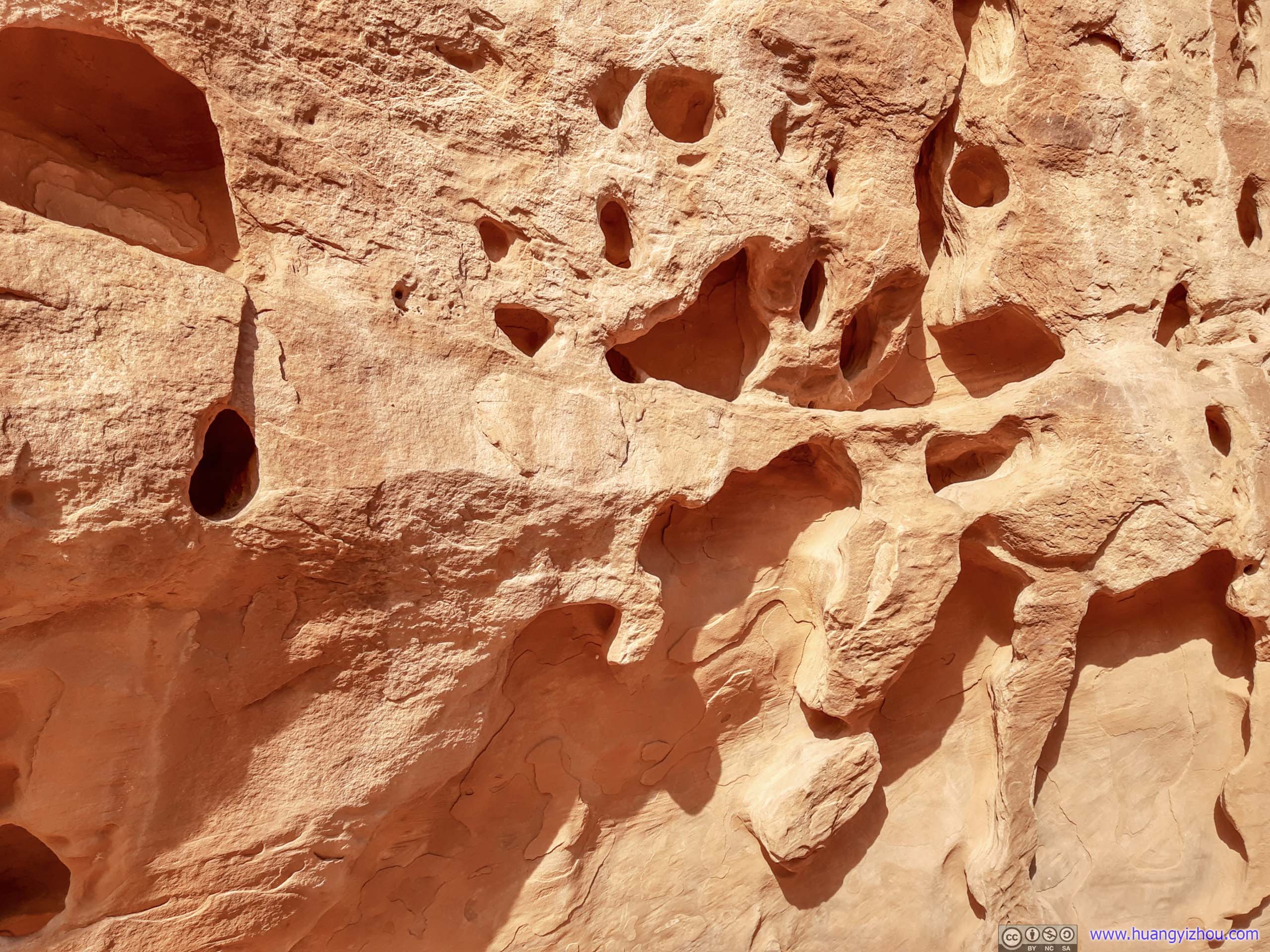
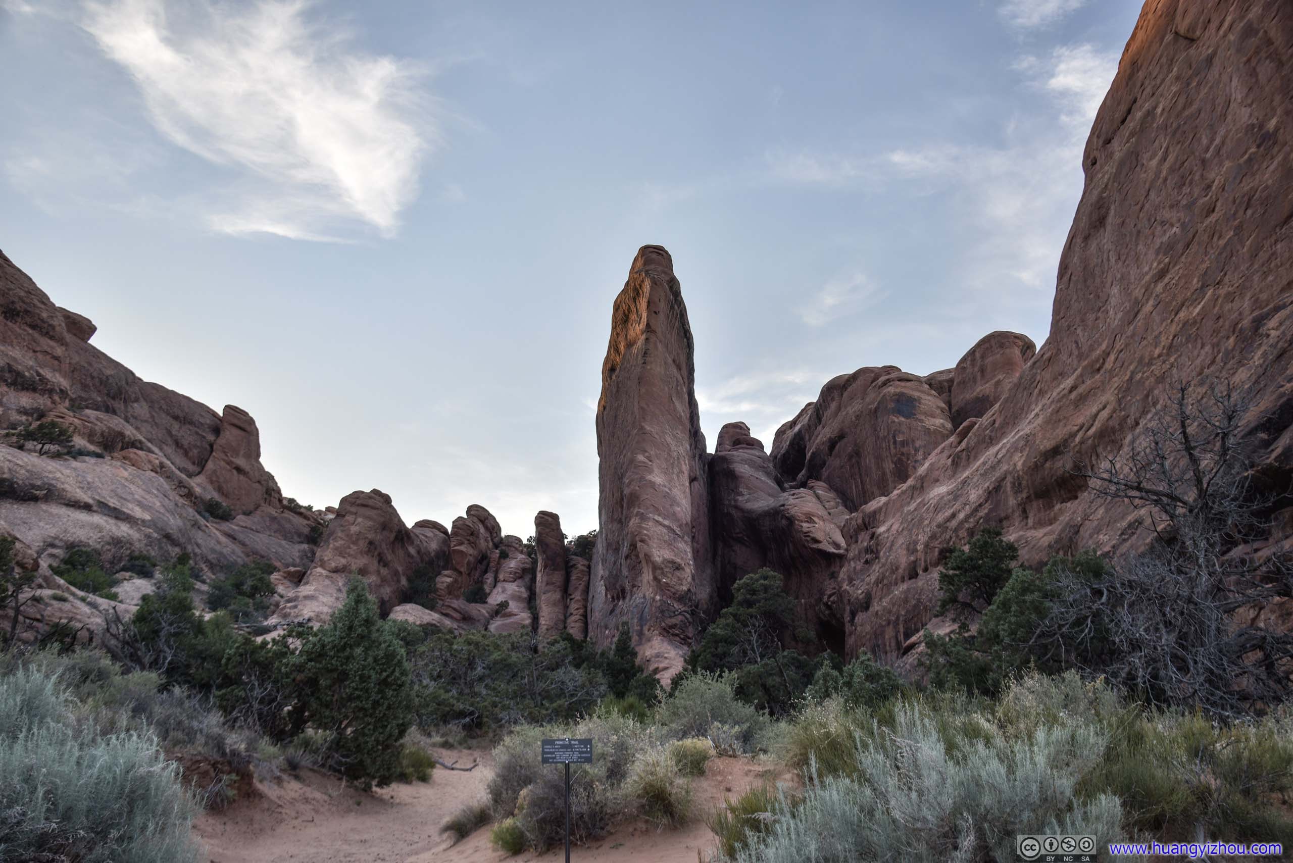
 Rock FinsA pretty prevalent sight in the Devils Garden region.
After that, I saw from the map that there’s a 900m (one-way) trail leading to a “Broken Arch”, which I decided to pay a visit to.
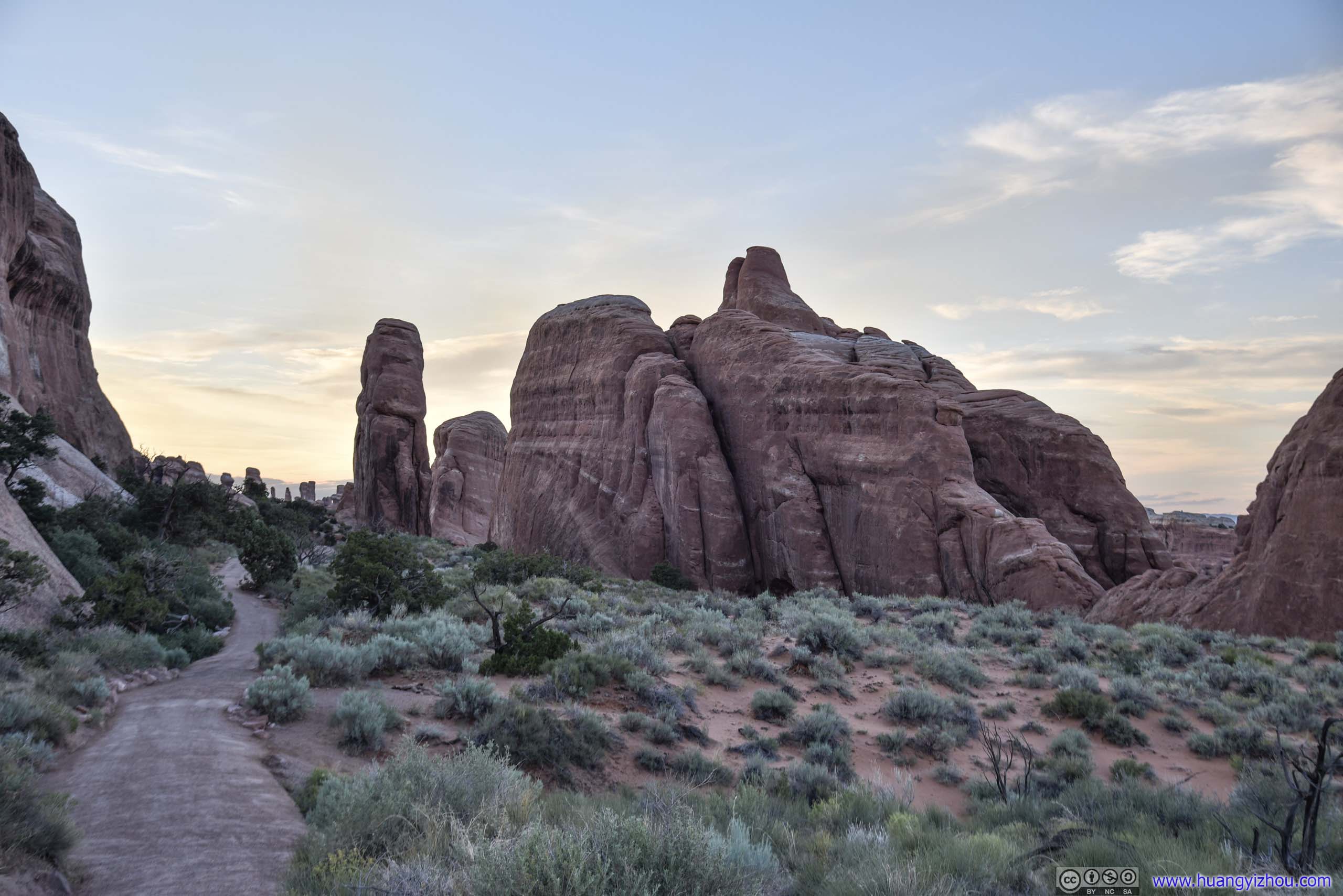
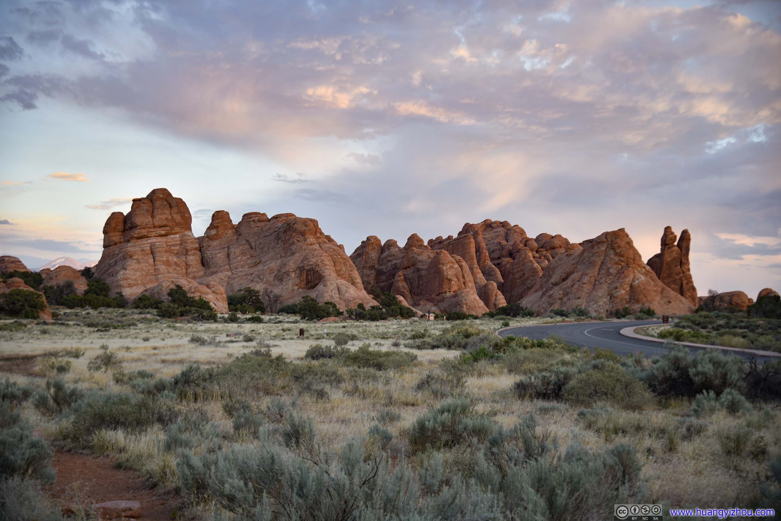 Devils Garden
At times, the trail offered visitors a close look of the various rock fins of Devils Garden. However, its surface was mostly loose sand, like the previous Sand Dune Arch Trail, and my shoes and socks certainly didn’t like that.
And a big disappointment that the arch wasn’t broken.
Broken Arch

 Devils Garden
Devils Garden Trail
Finally, it’s the star of the day, Devils Garden Trail. The loop trail passed along 7 arches (I would visit 6 for the day and skipped Private Arch along the primitive trail) plus a rock spire.
The trail up to the famous Landscape Arch was paved (!), but from that point onwards it involved some rock scrambling (not difficult, can be done hands free) and many unpleasant sandy sections.
Here’s GPS tracking:

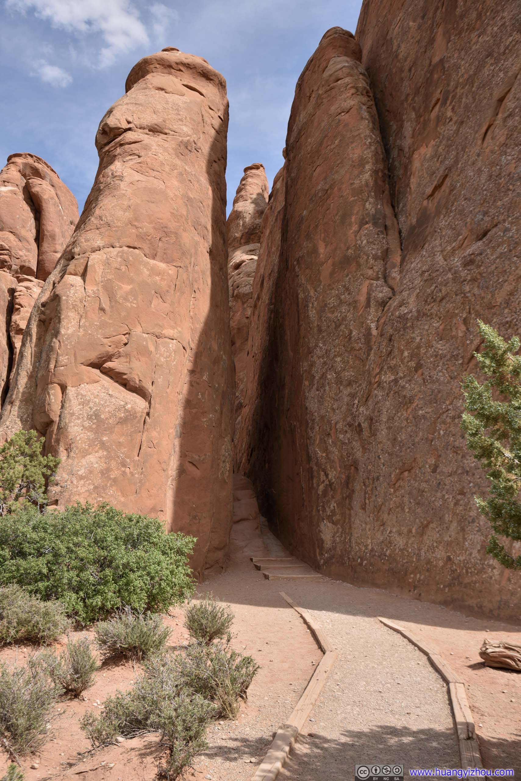
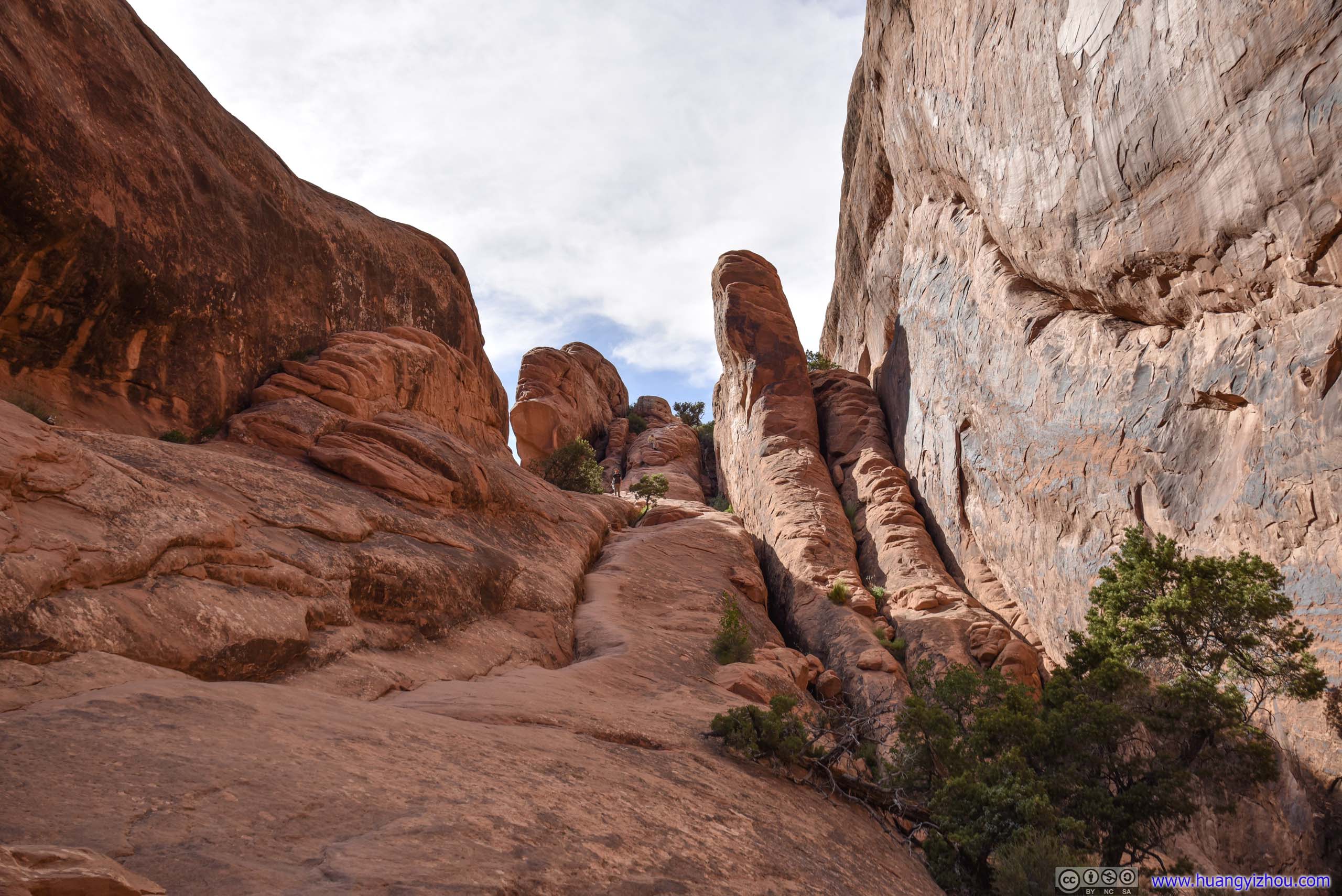
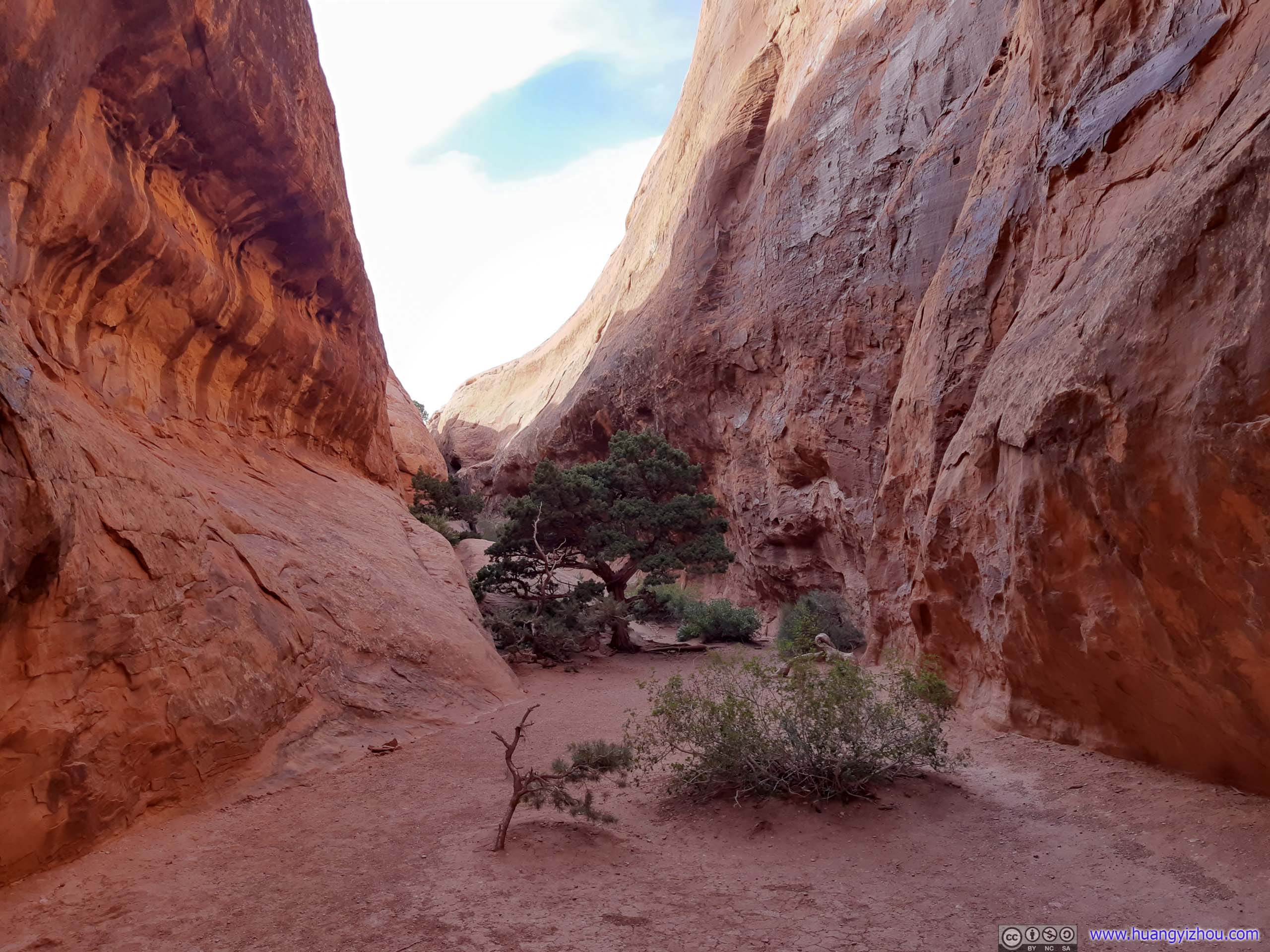
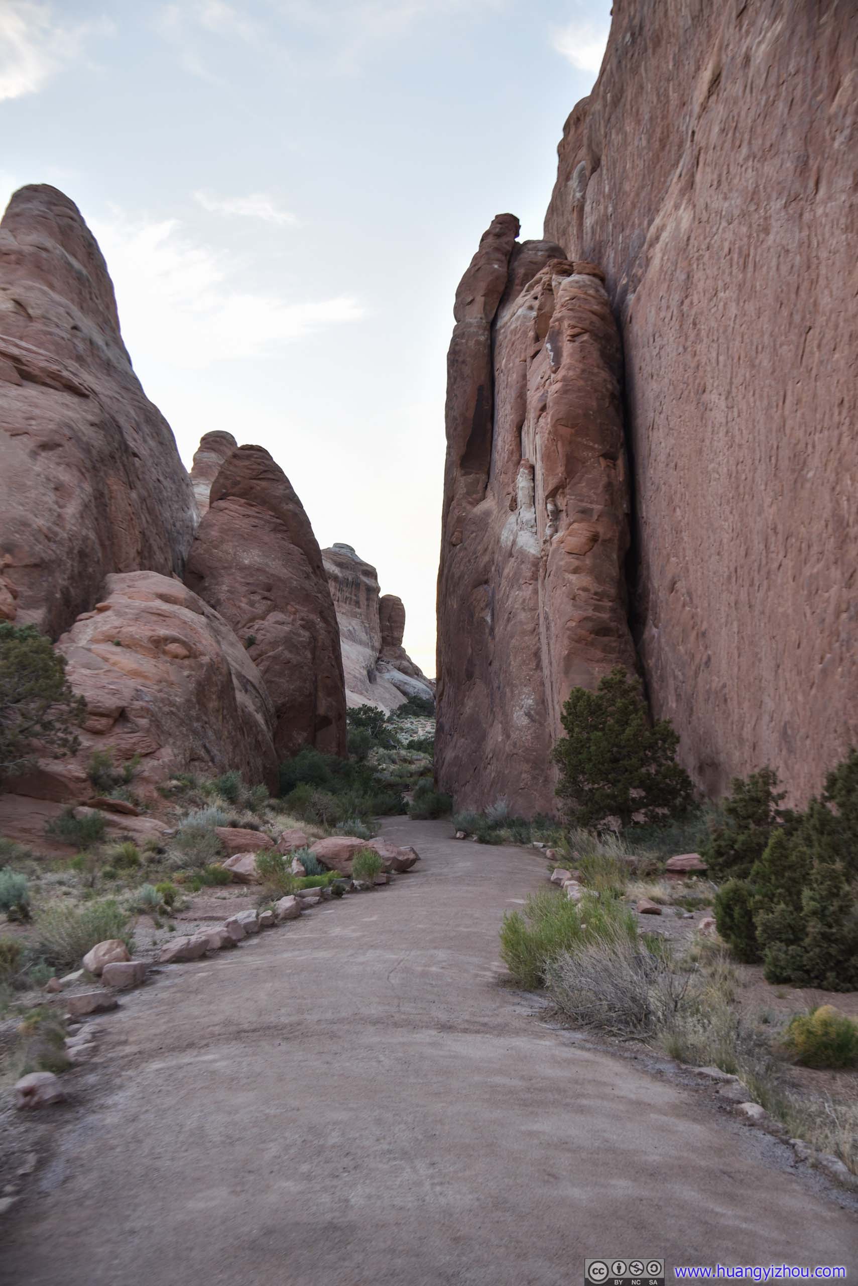 TrailThe first part of Devils Garden Trail was between two huge slabs of rocks like this.

 Rocks
Rocks
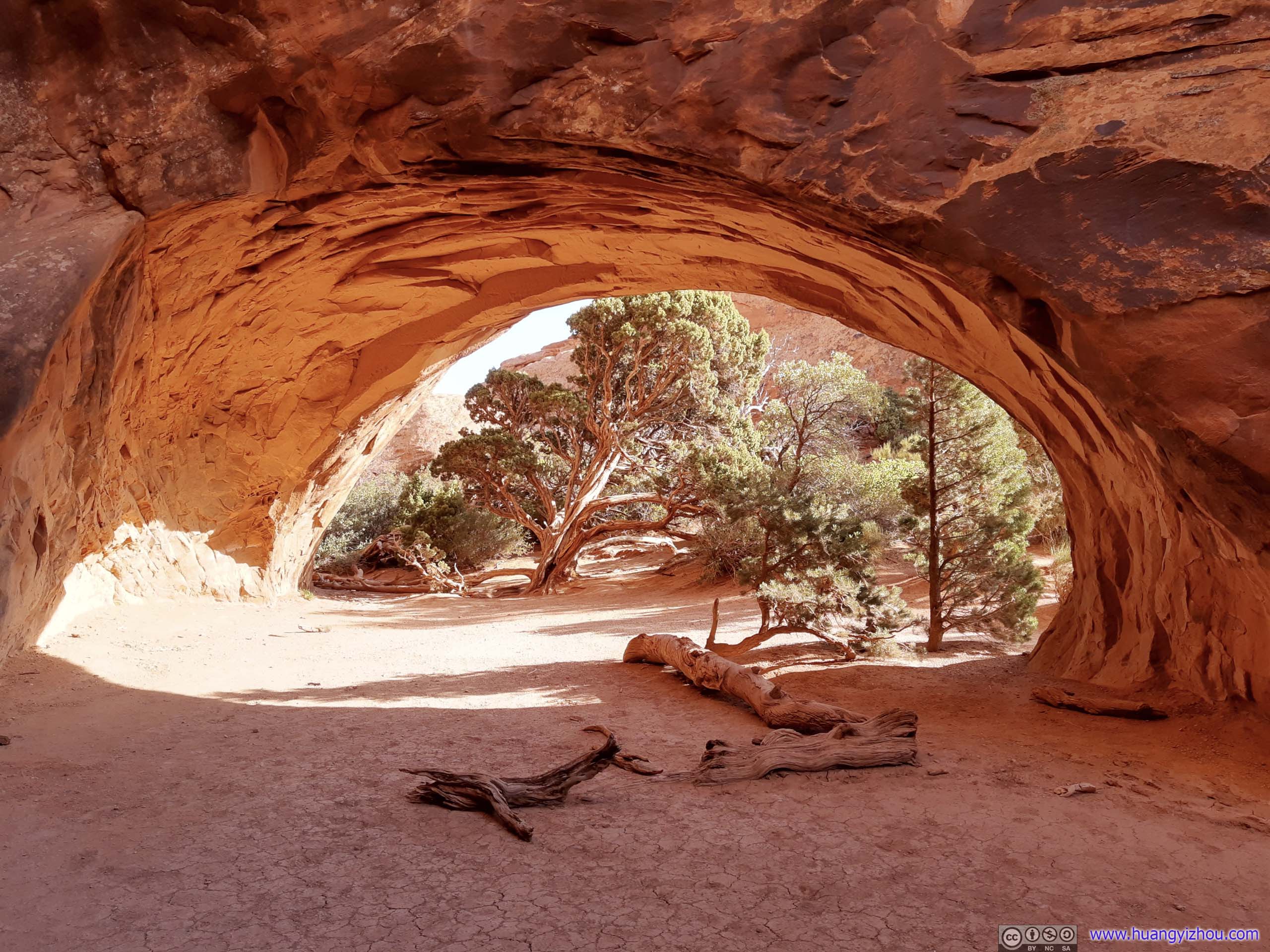
Tunnel Arch
 Distant Rocks
Not far from Tunnel Arch was Pine Arch. I didn’t know why it’s called this name.
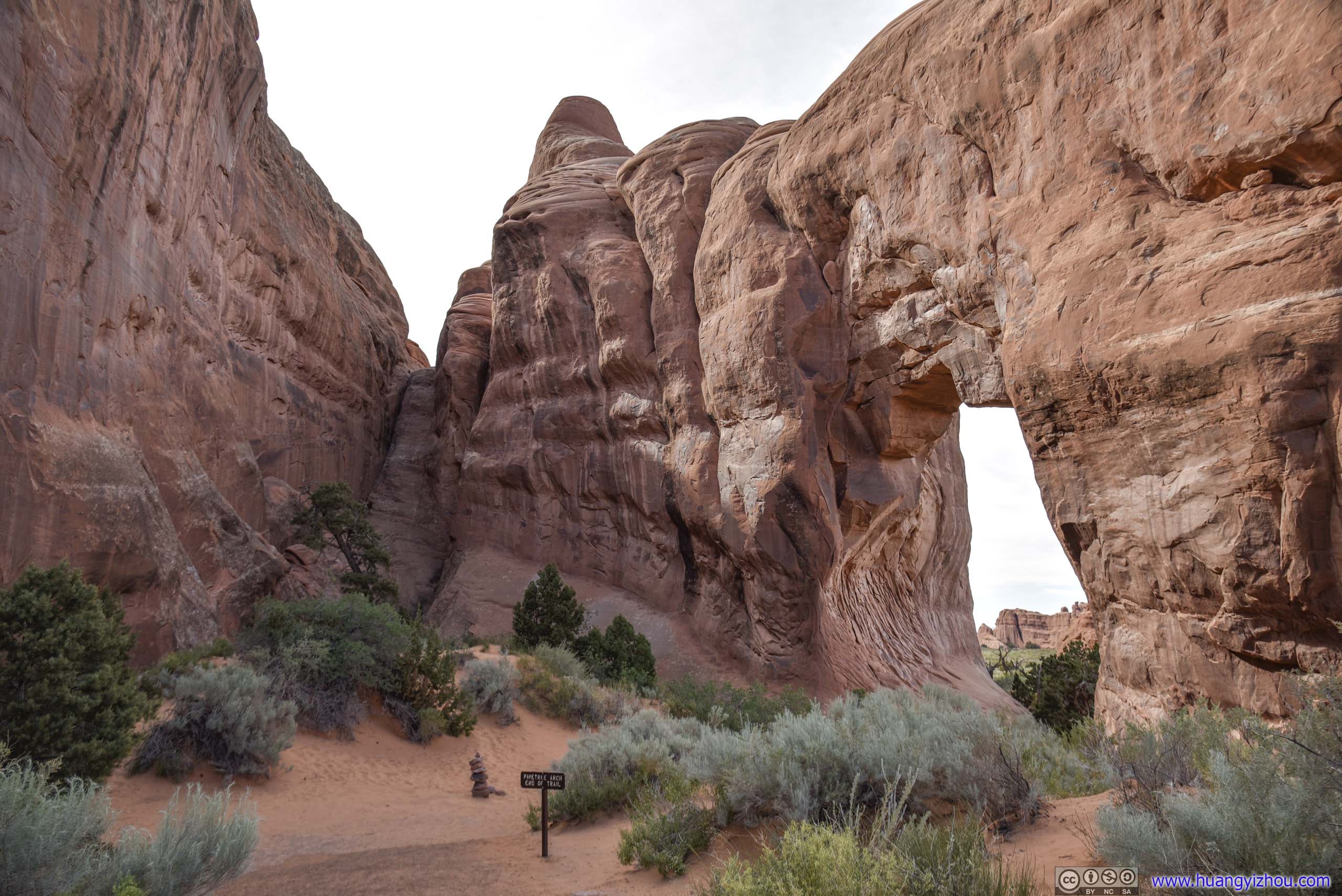 Pine Arch
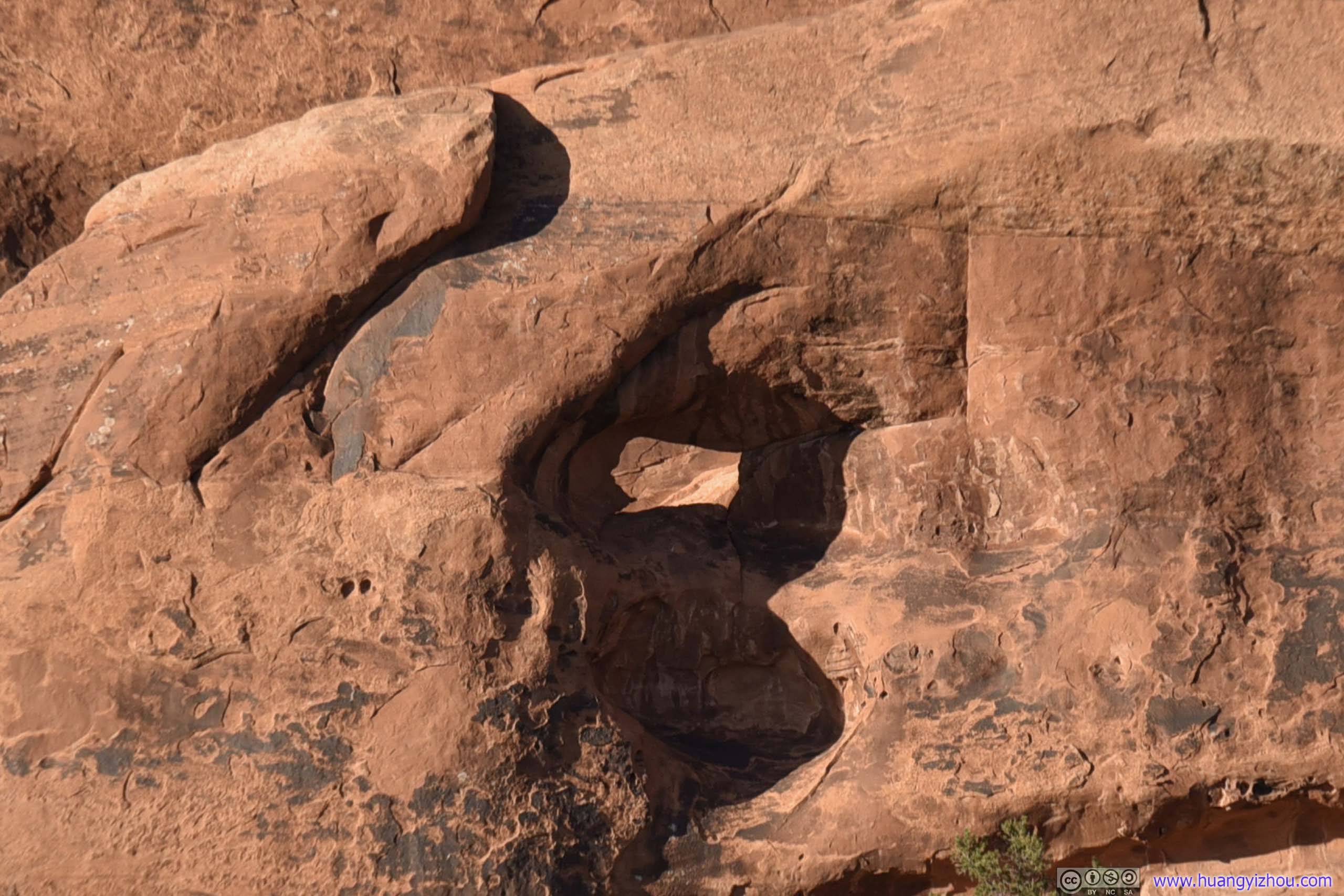
Distant RocksAnd a hole in it.

Rocks
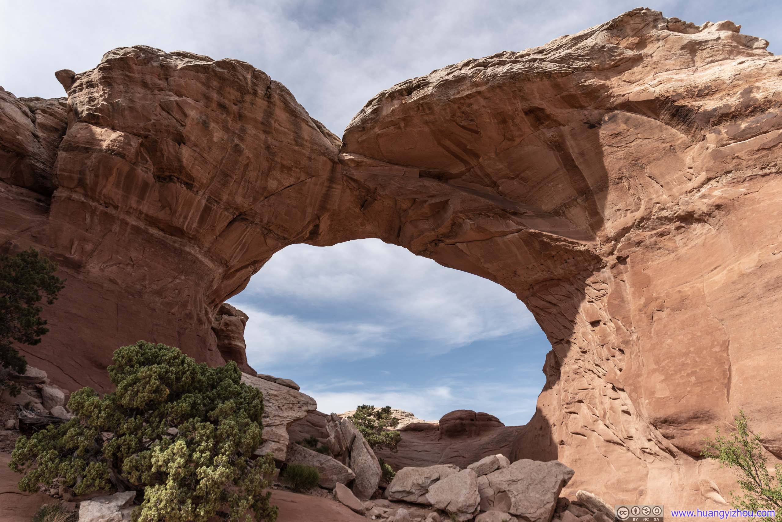
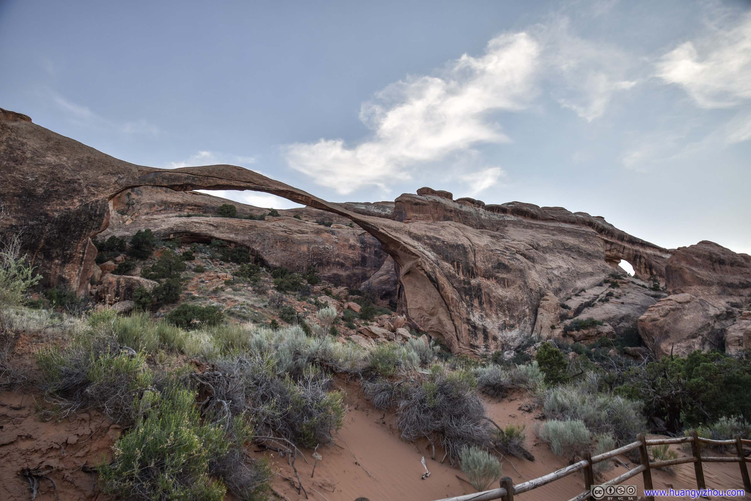
Crossing a few hills from Tunnel and Pine Arches, one would arrive at Landscape Arch, an elegant and delicate ribbon of rocks spanning a hillside. It’s the fifth longest arch in the world, after four others in China.
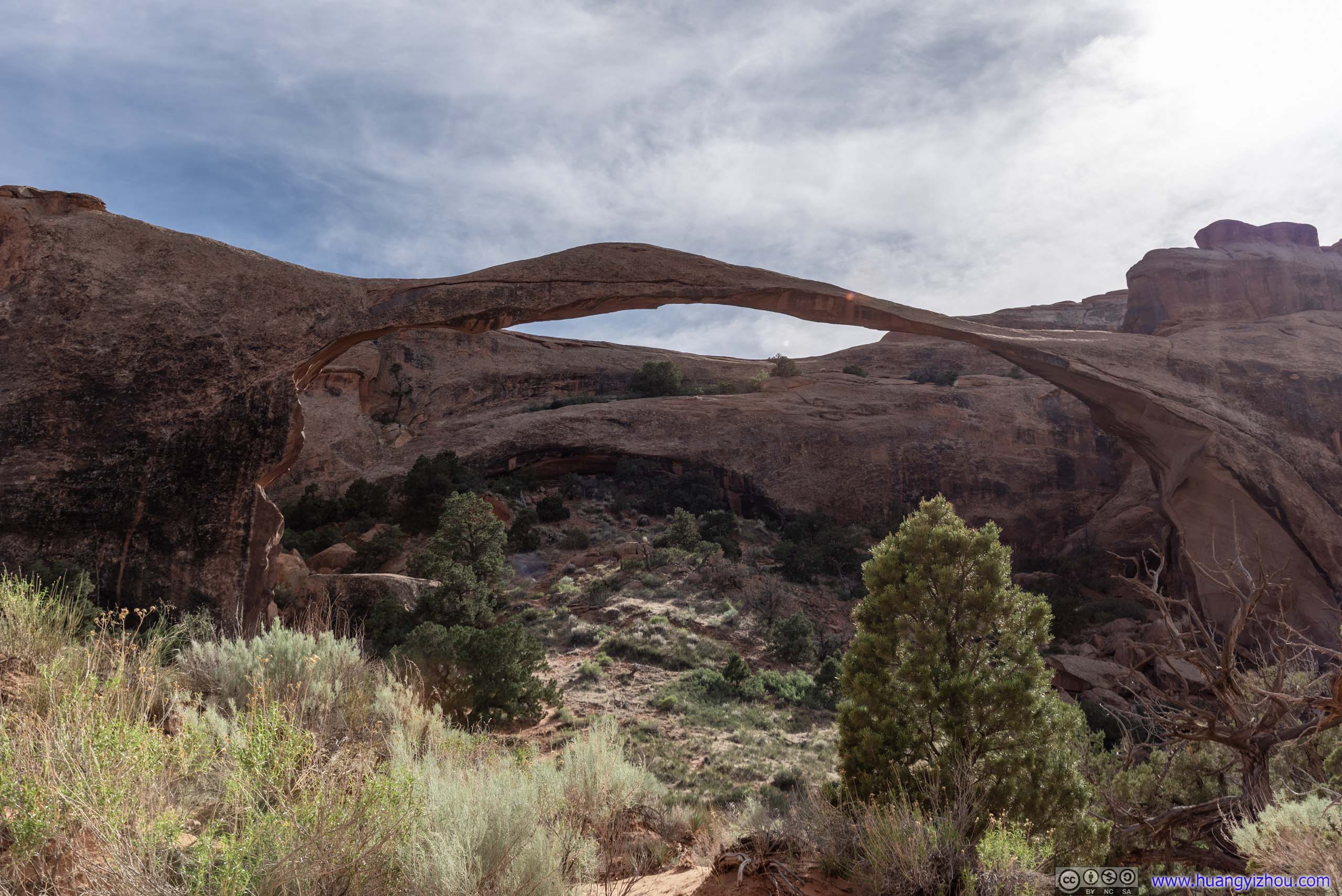
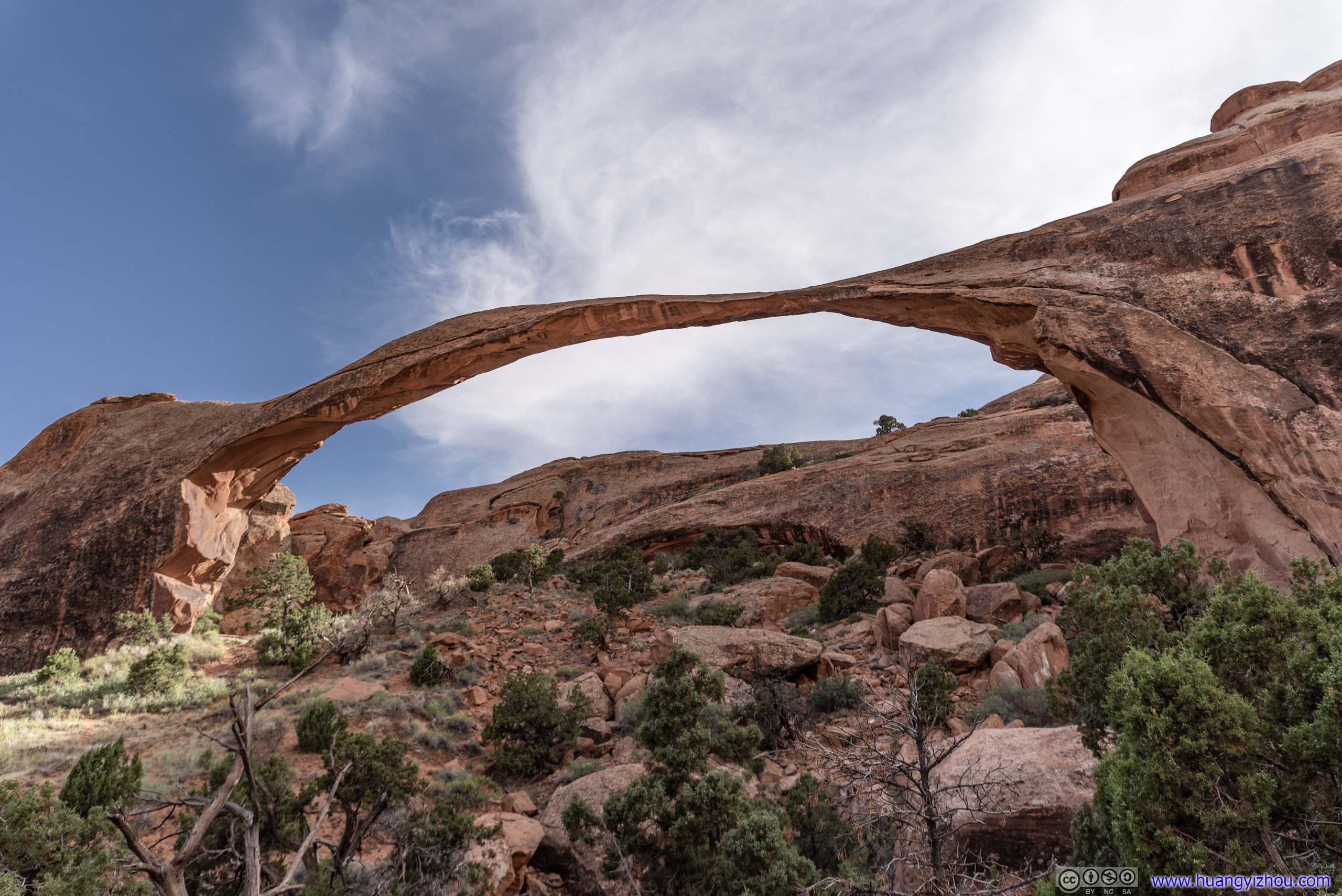
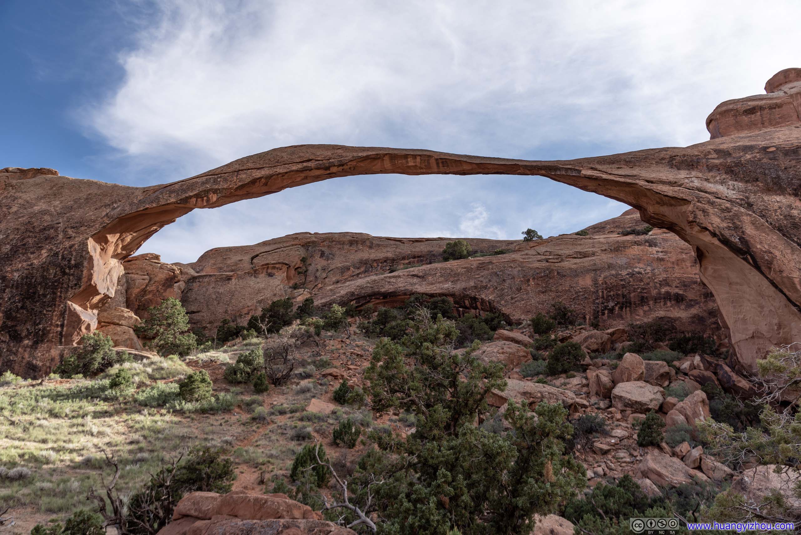 Landscape Arch
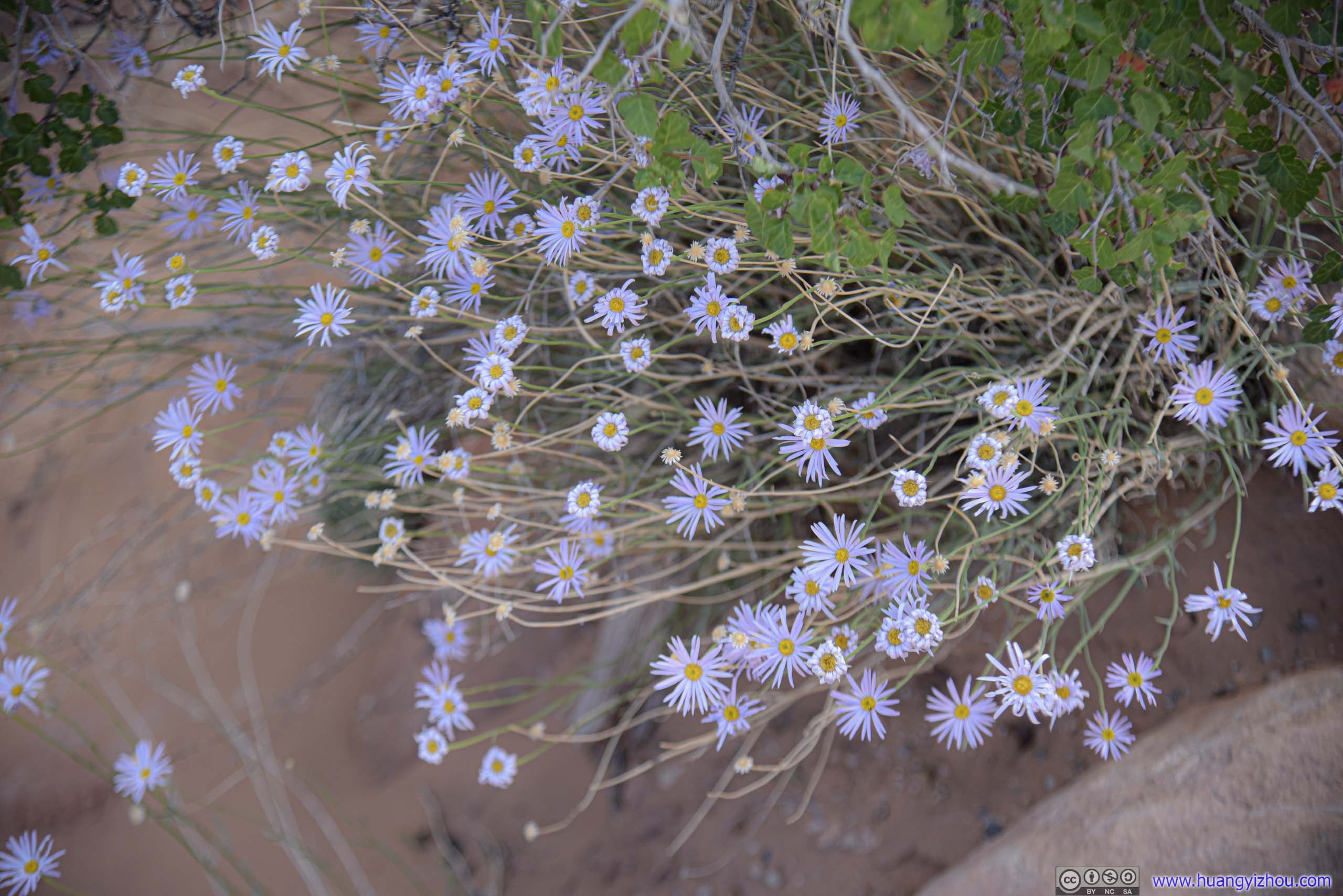
FlowersNot many signs of life like this in the desert.
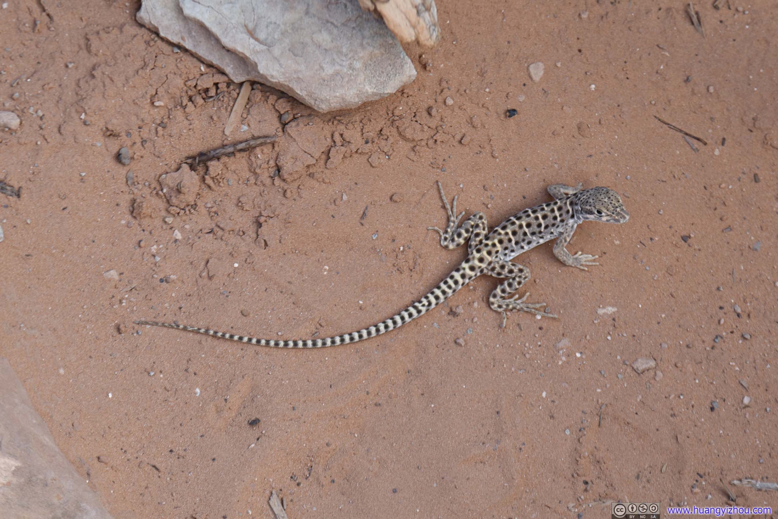
LizardI encountered a lot of them during my visit to Utah parks. Finally, here’s one that’s not camera shy.
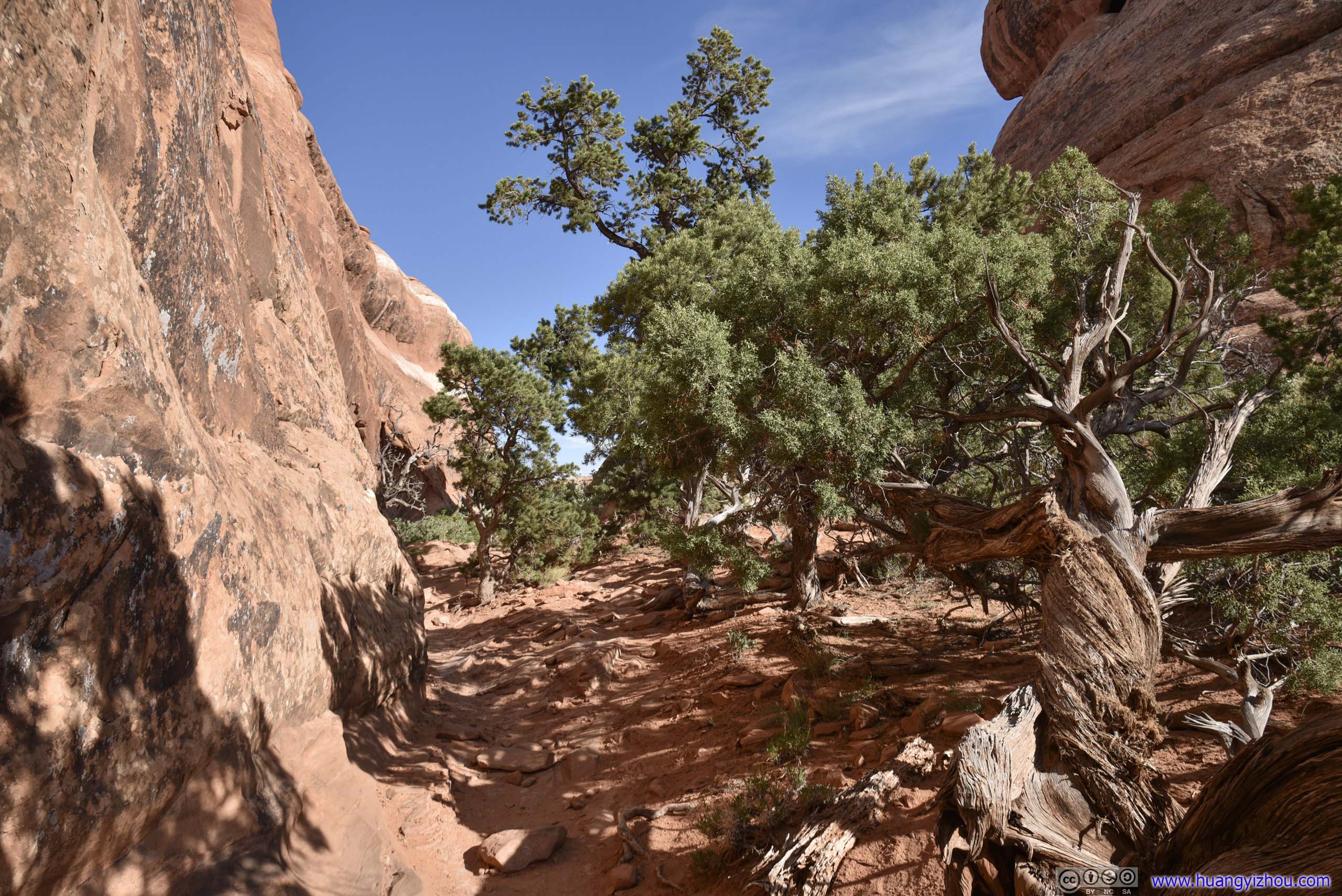
Unfortunately, Landscape Arch also marked the end of paved road for Devils Garden. Beyond that, the trail consisted of either giant rock surfaces, or loose desert sand. My sneakers certainly weren’t friend of the latter.
Trail on RocksAfter Landscape Arch, the trail took on an ascent on rock surfaces like this.
Trail on RocksWall Arch used to span between the two pieces of rocks on the right. It collapsed in 2008.
After scaling the giant rock slab from Landscape Arch, two trails forked from the main trail, leading to Partition Arch and Navajo Arch respectively.
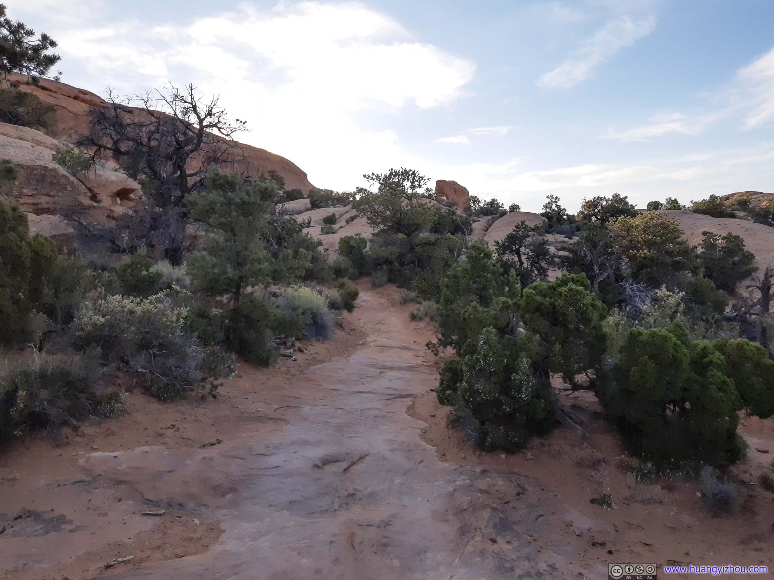
 Trail
Trail
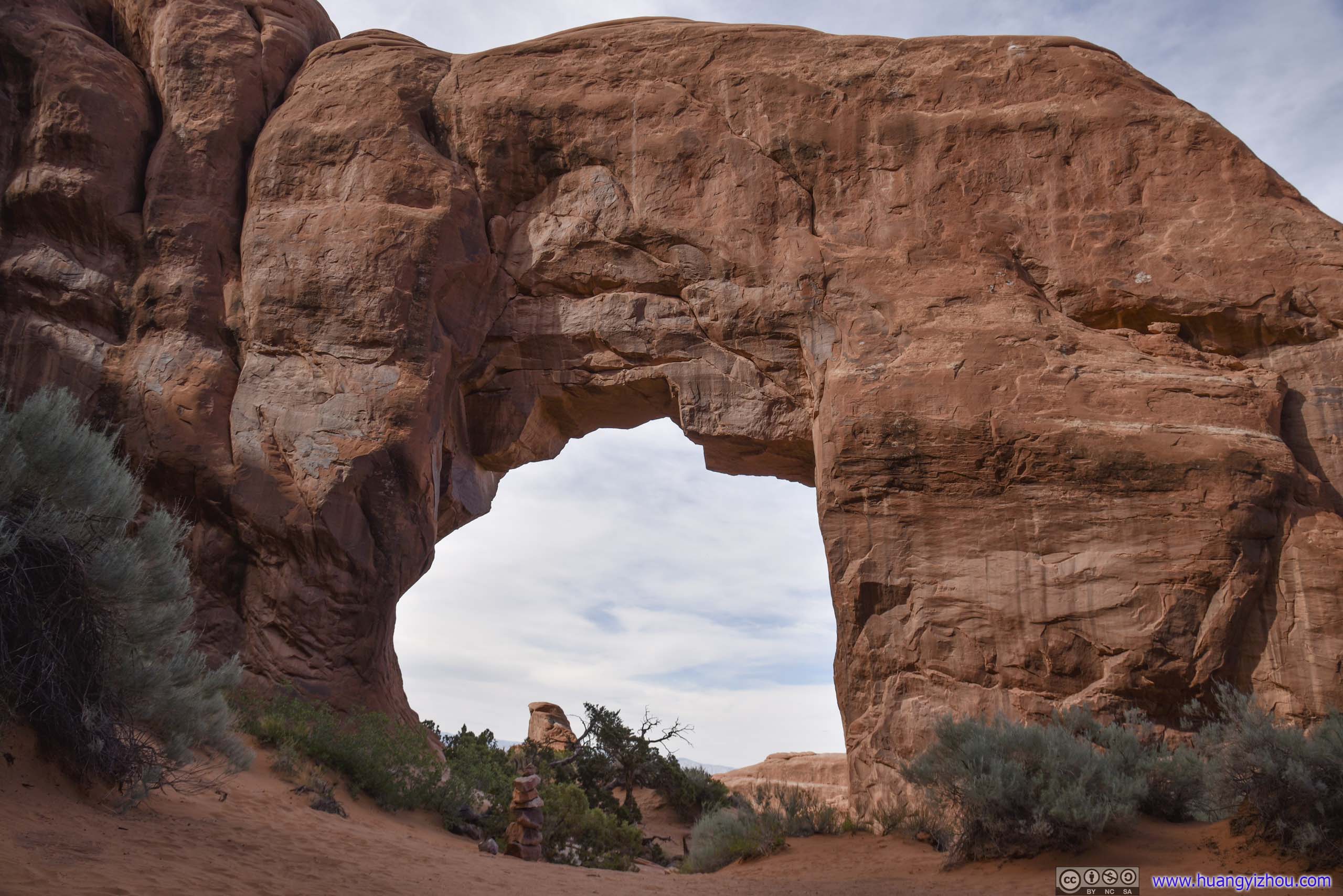
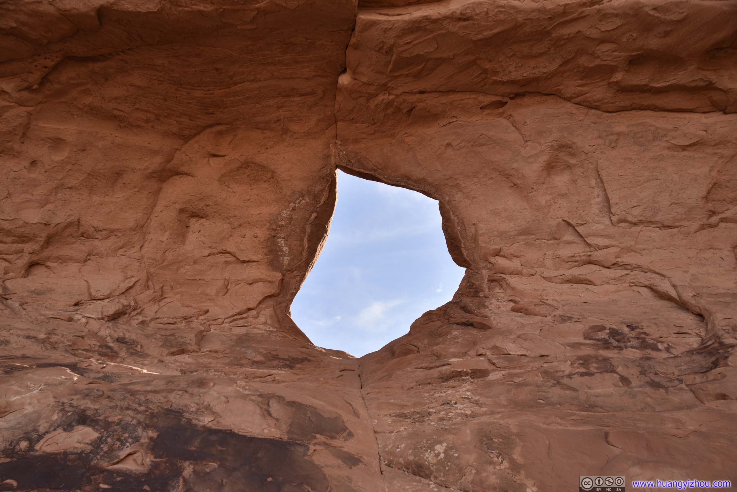
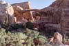
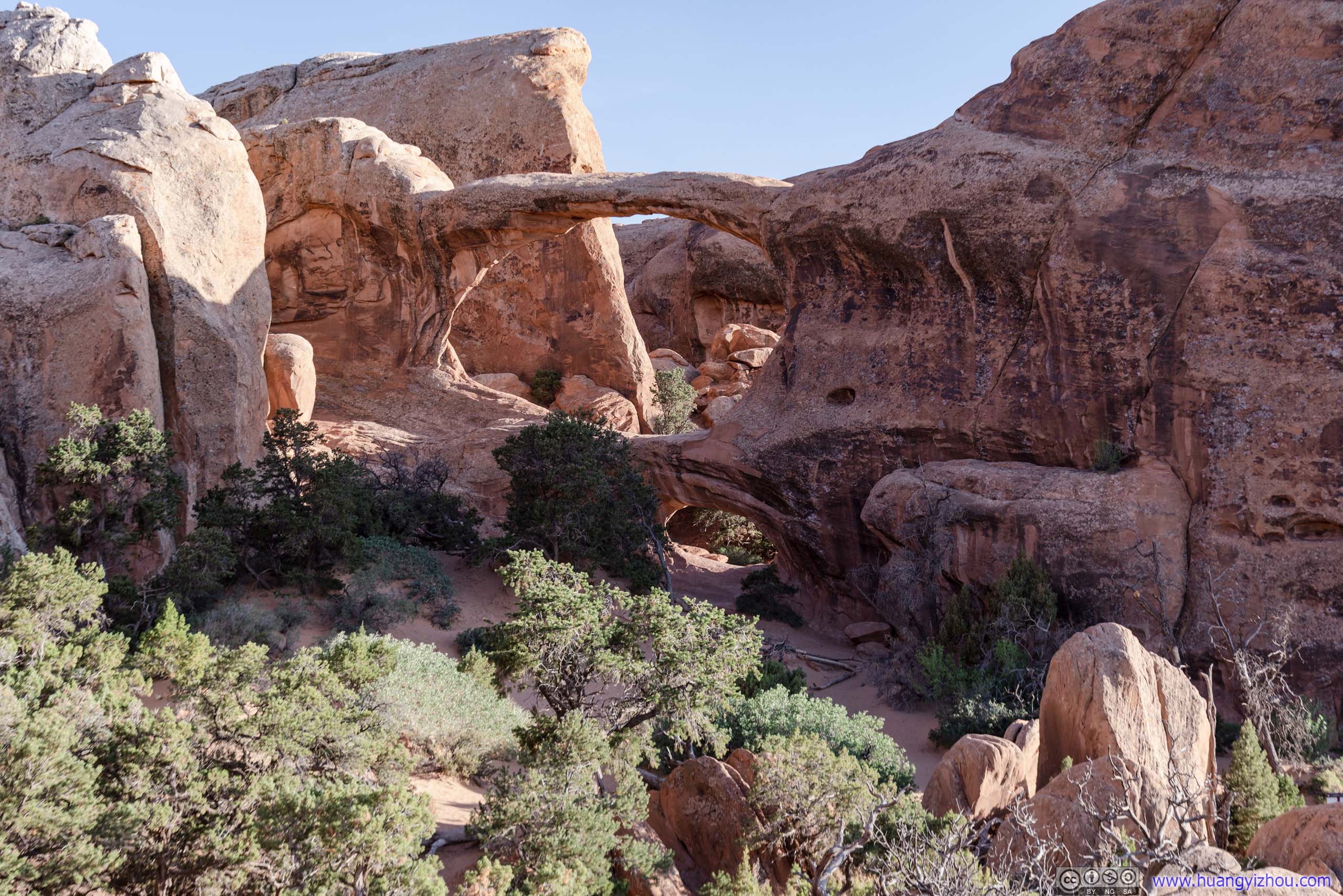
The closer of the two was Partition Arch, which was a larger and a smaller hole in next to each other on the same slab of rocks.
 Partition Arch
 Distant Rocks

 Tree
Tree
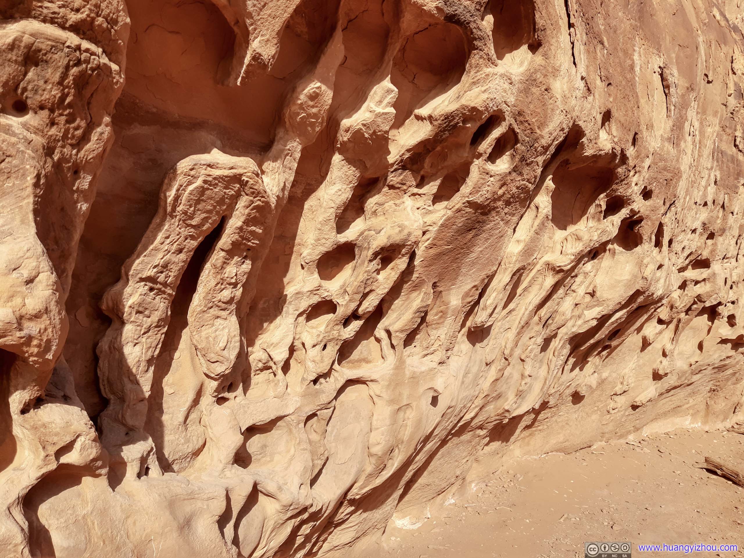
 Rocks with Erosion
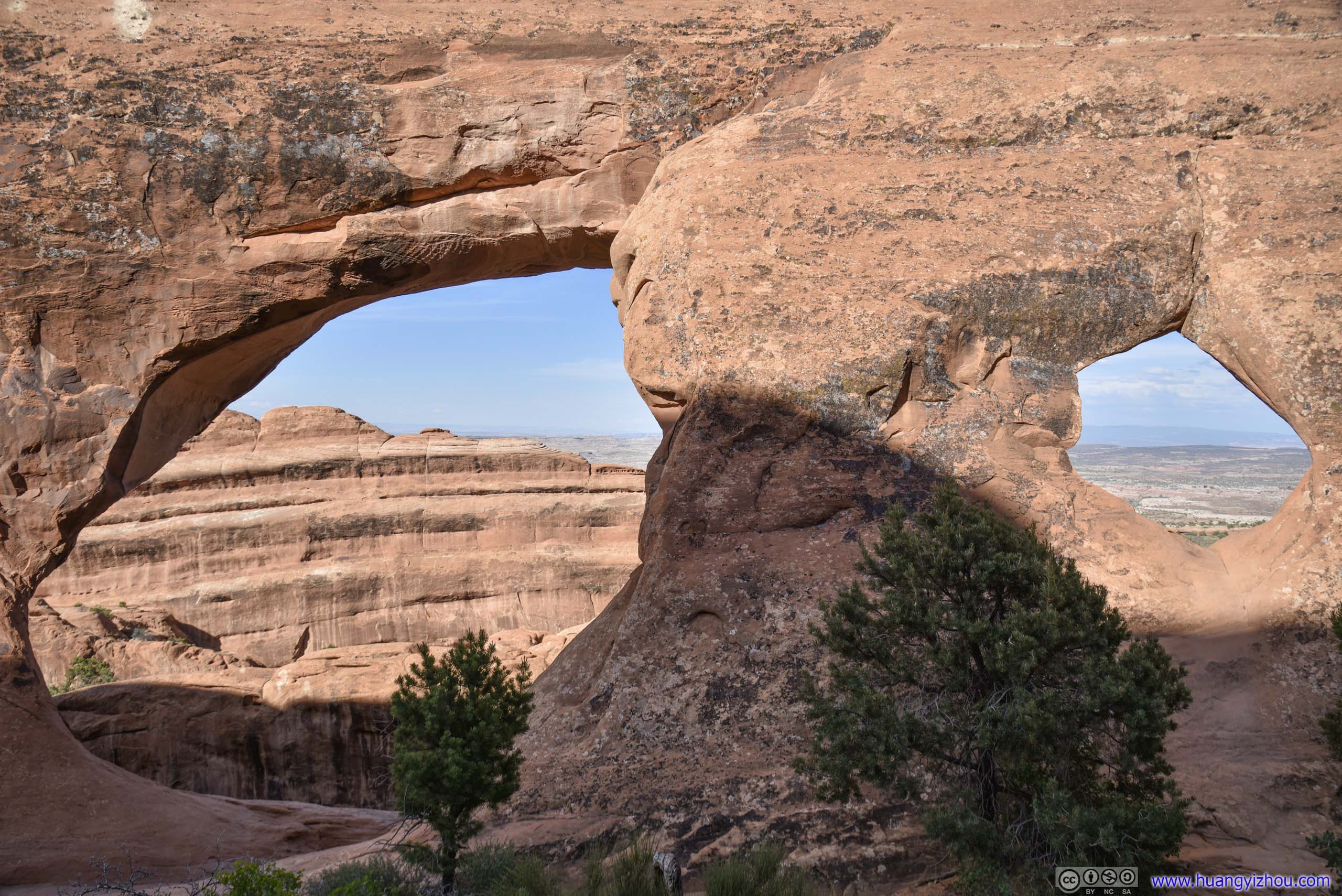
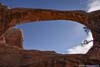
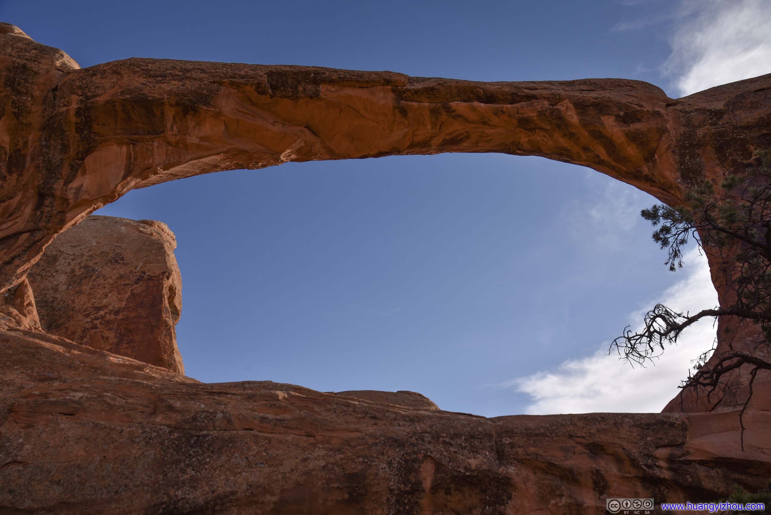
Then it’s Navajo Arch, located on a parallel slab of rock farther to the West.

 Navajo Arch
Small Canyon behind Navajo Arch
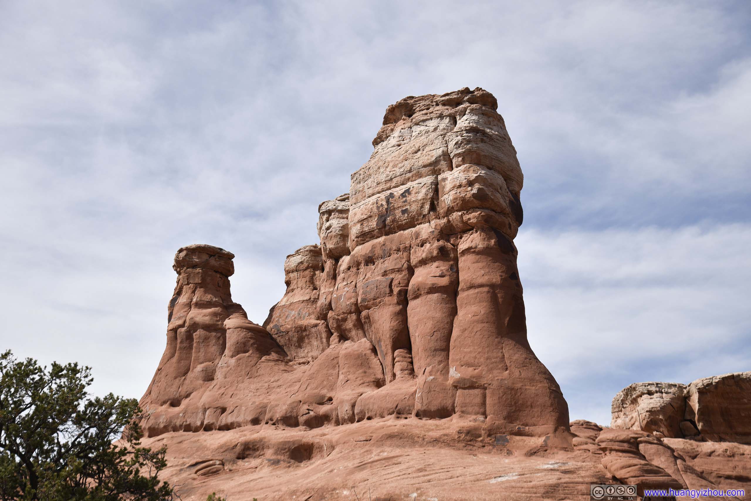
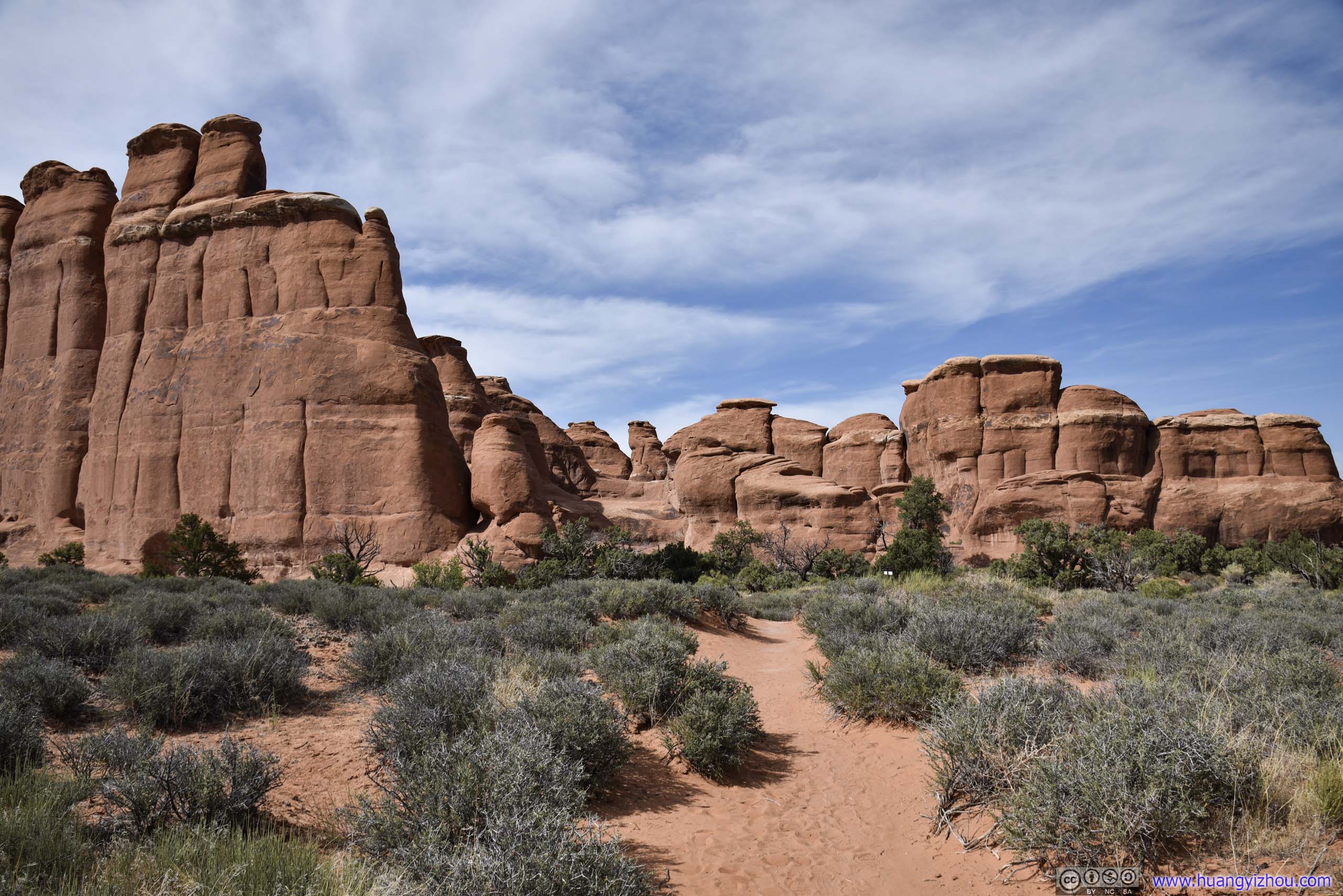
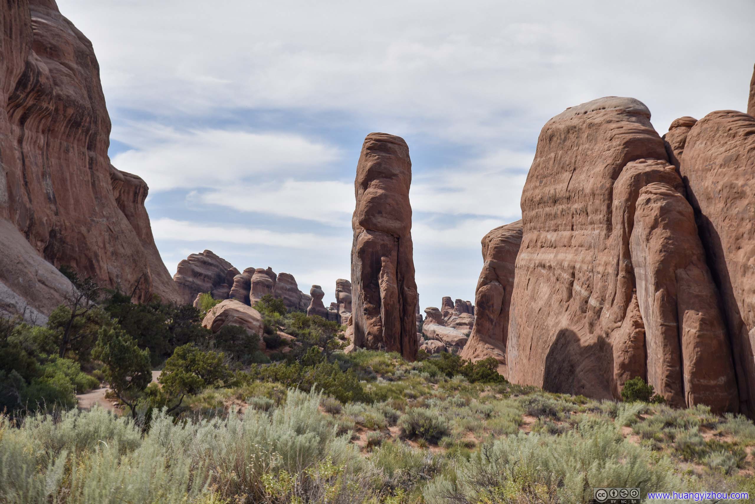
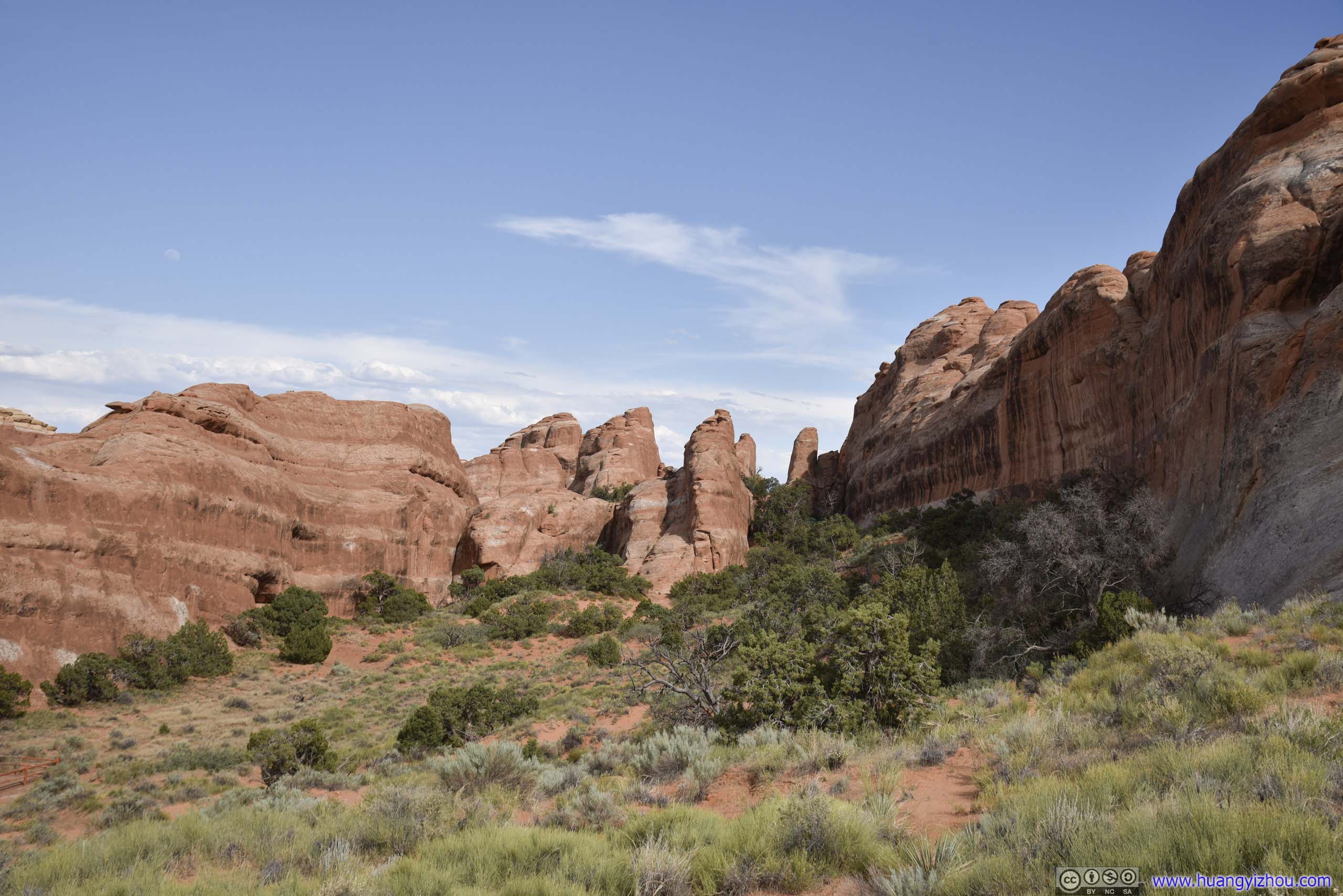
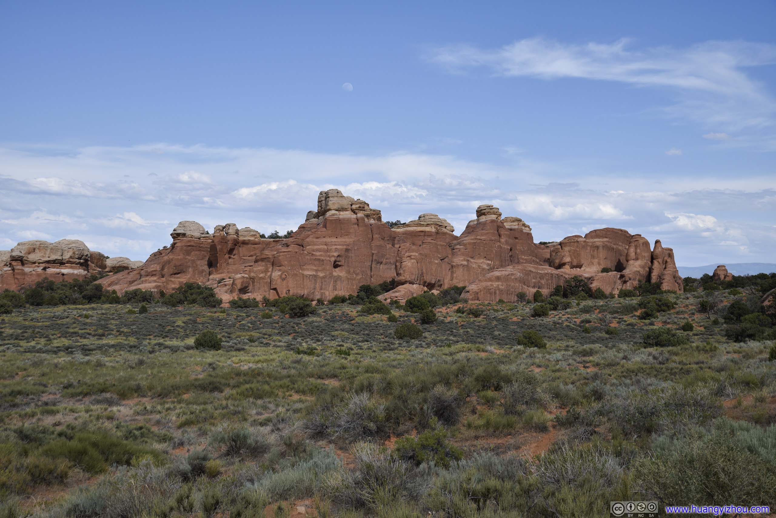
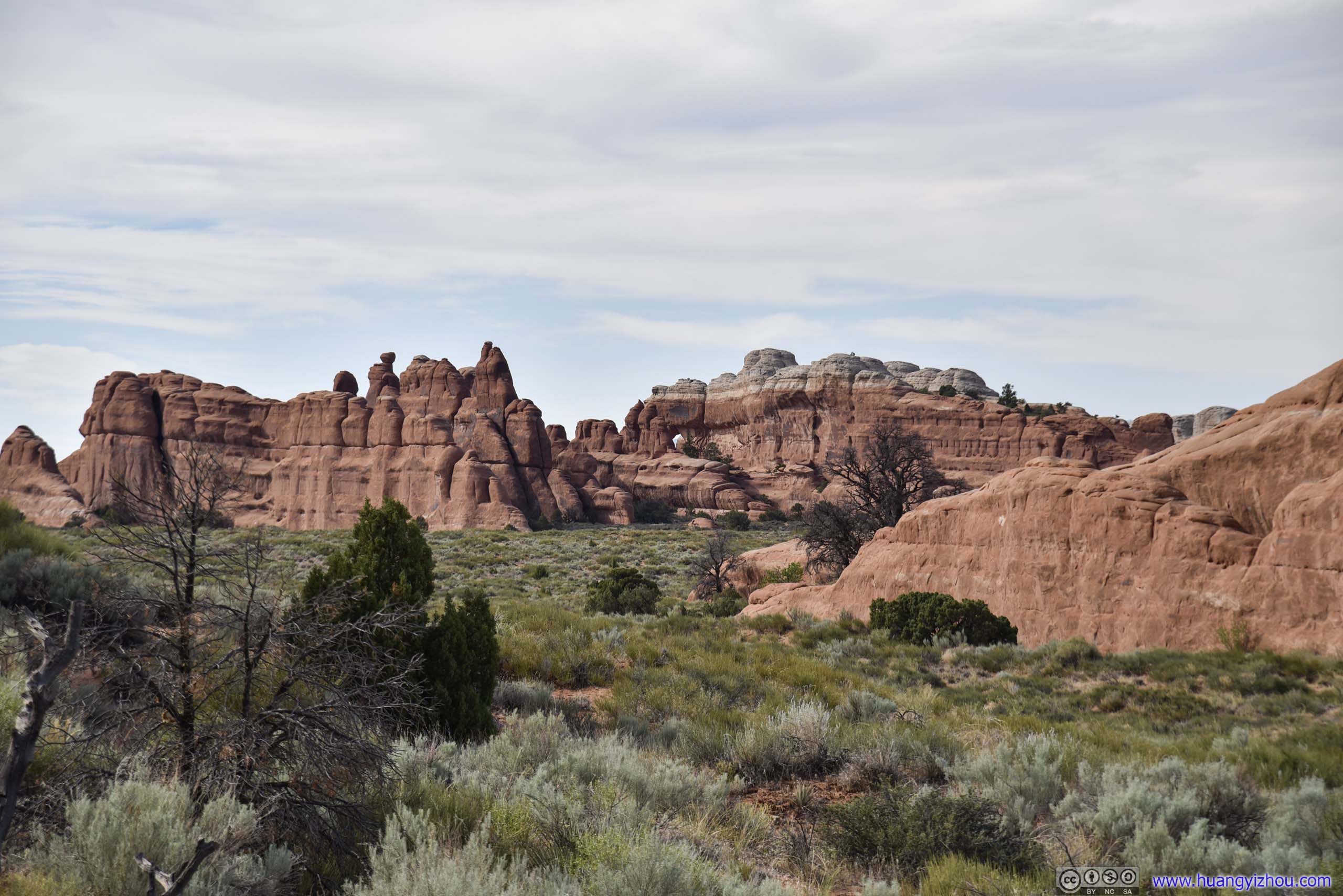
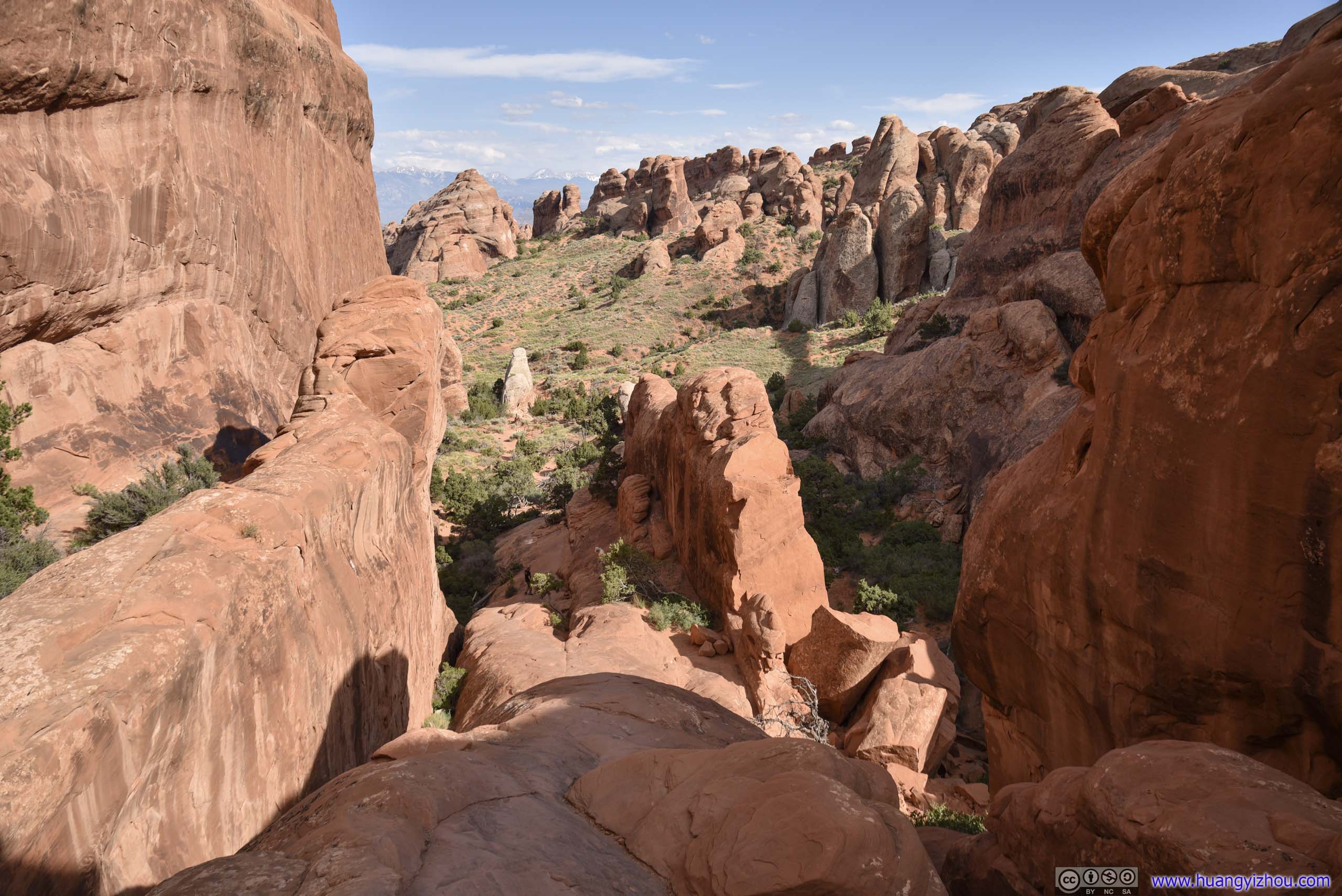
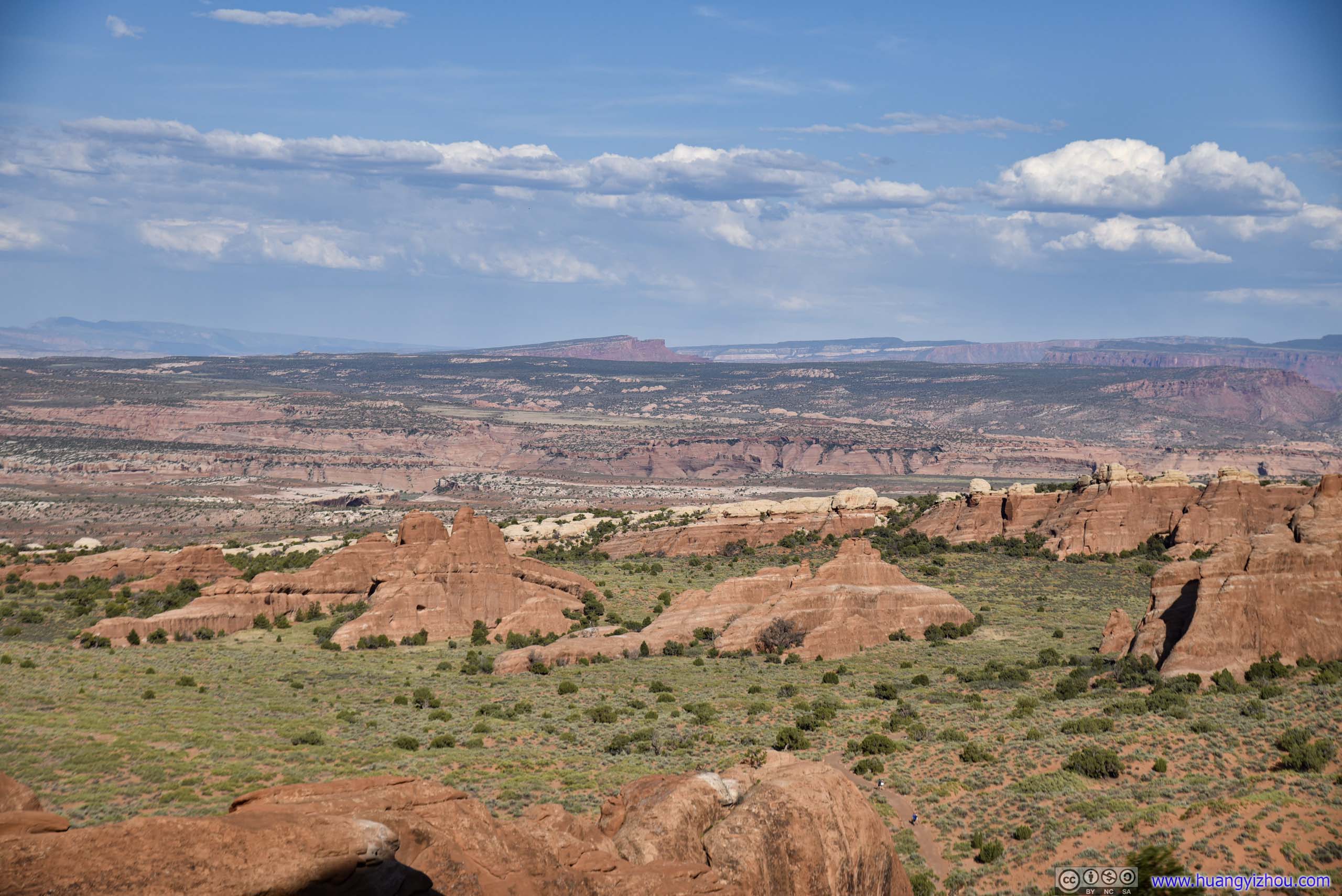
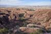
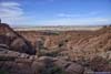
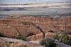
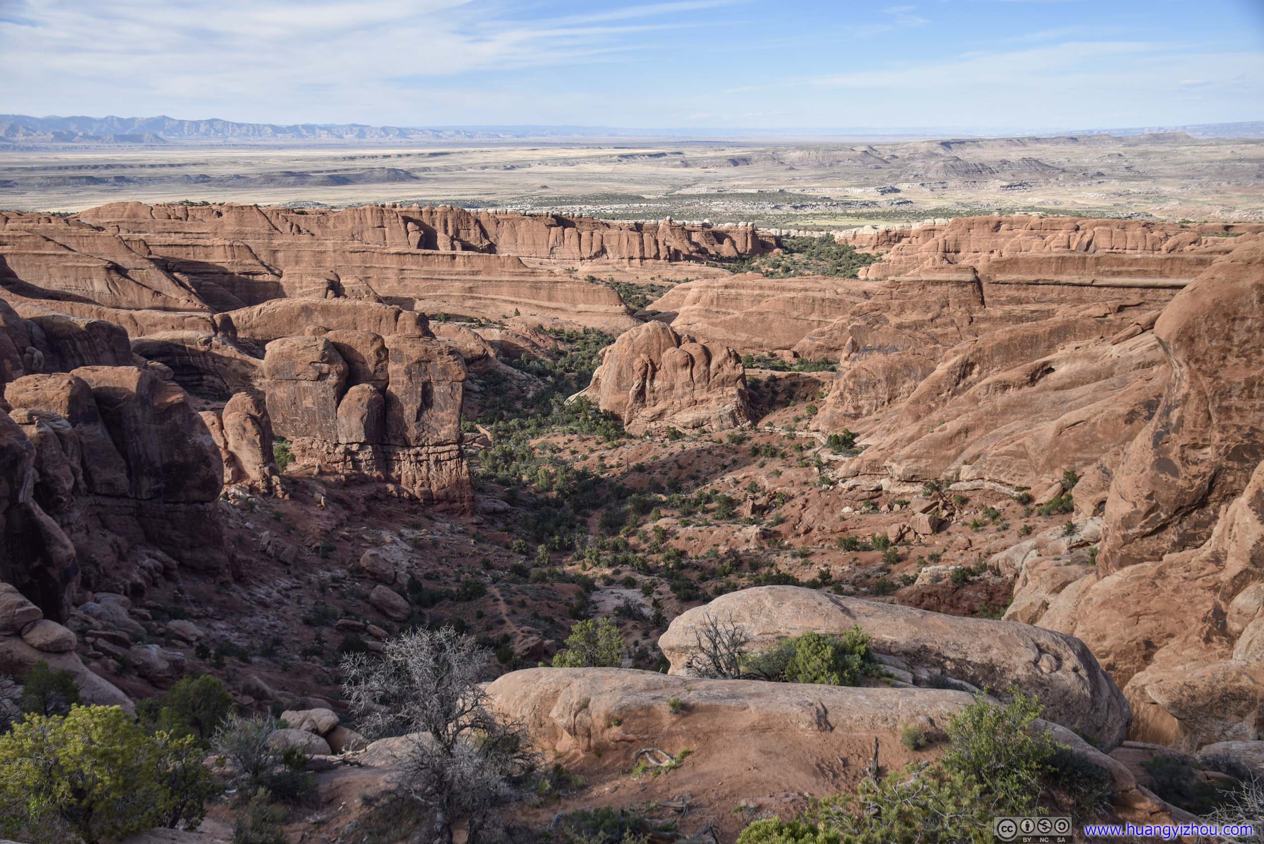
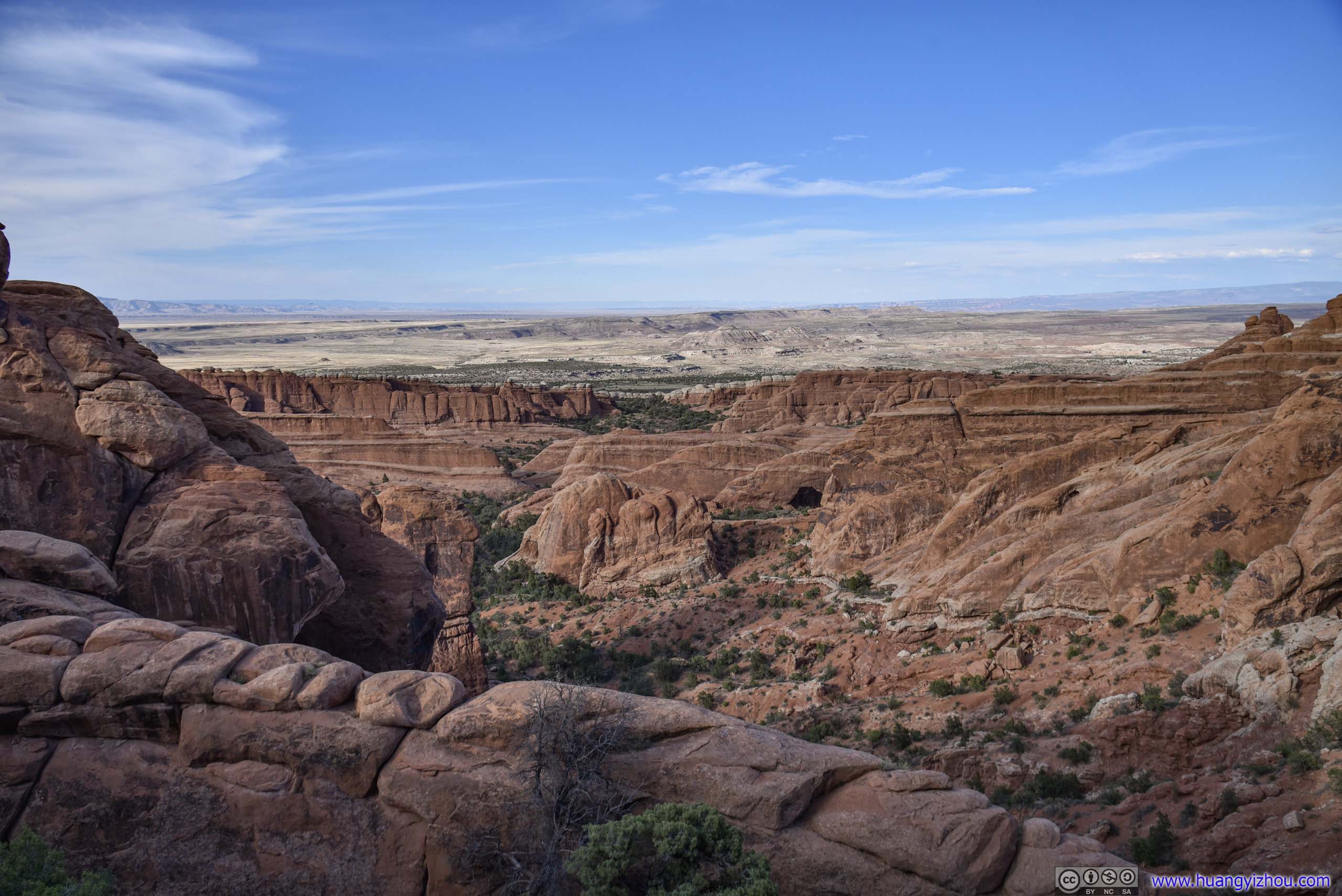
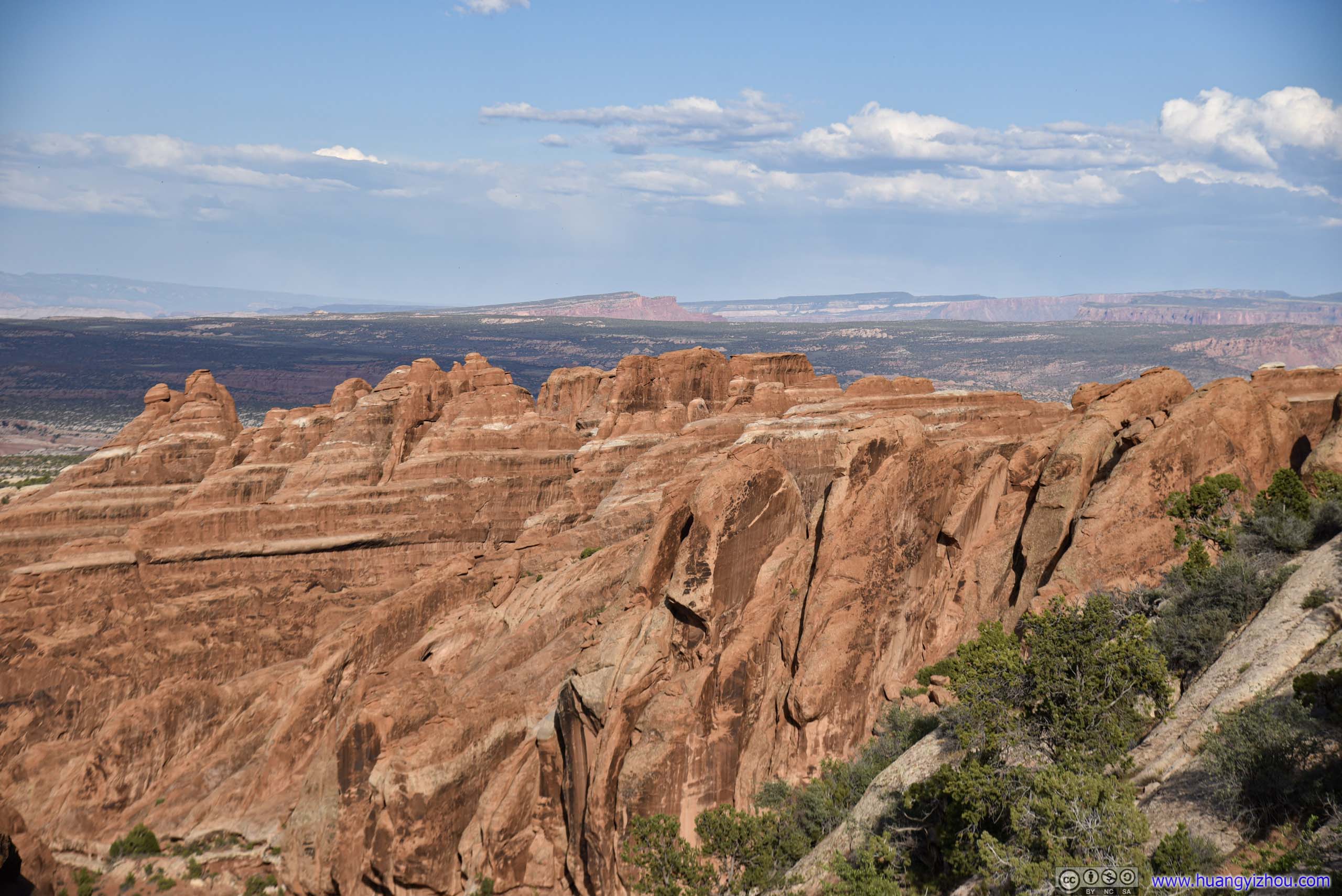
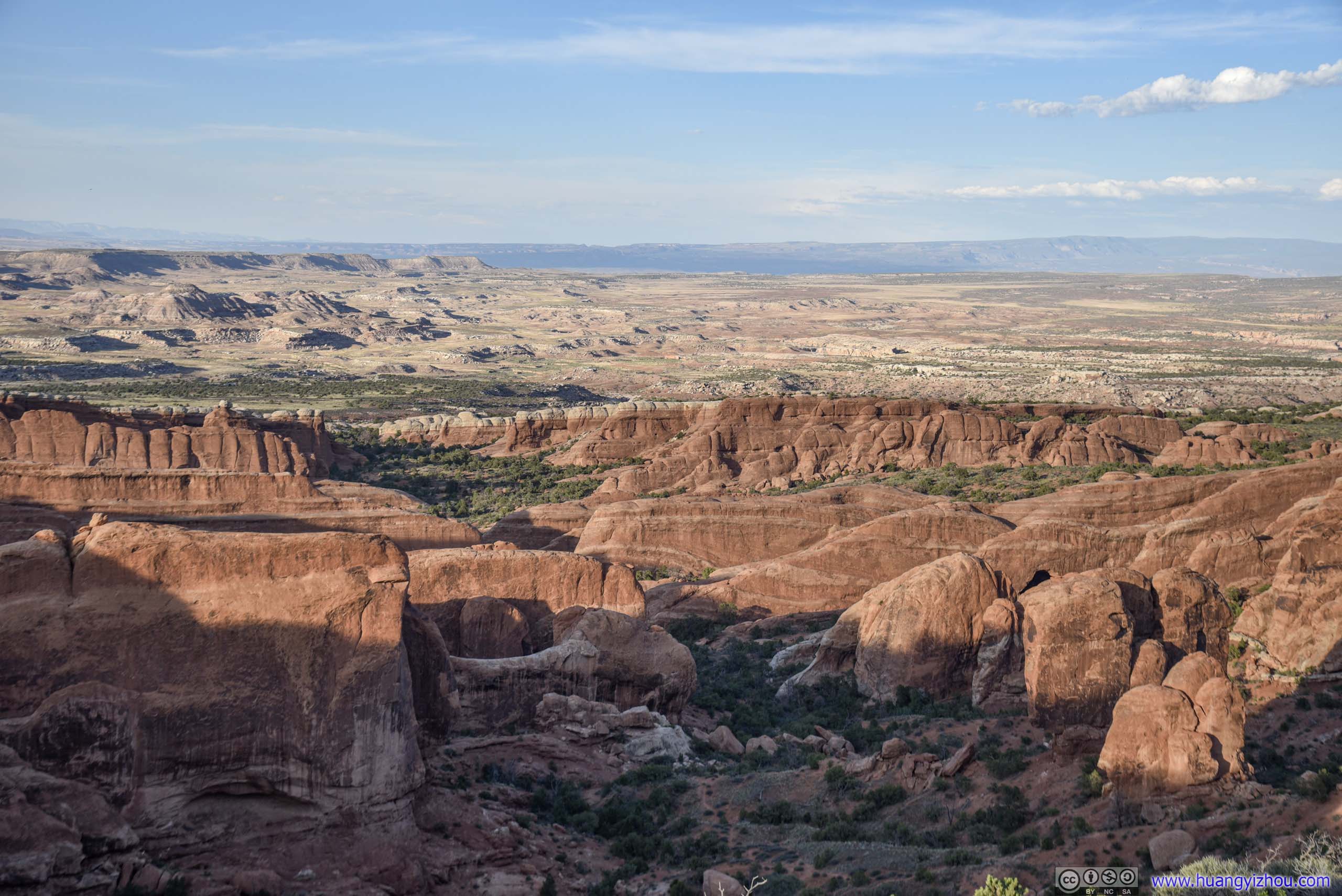
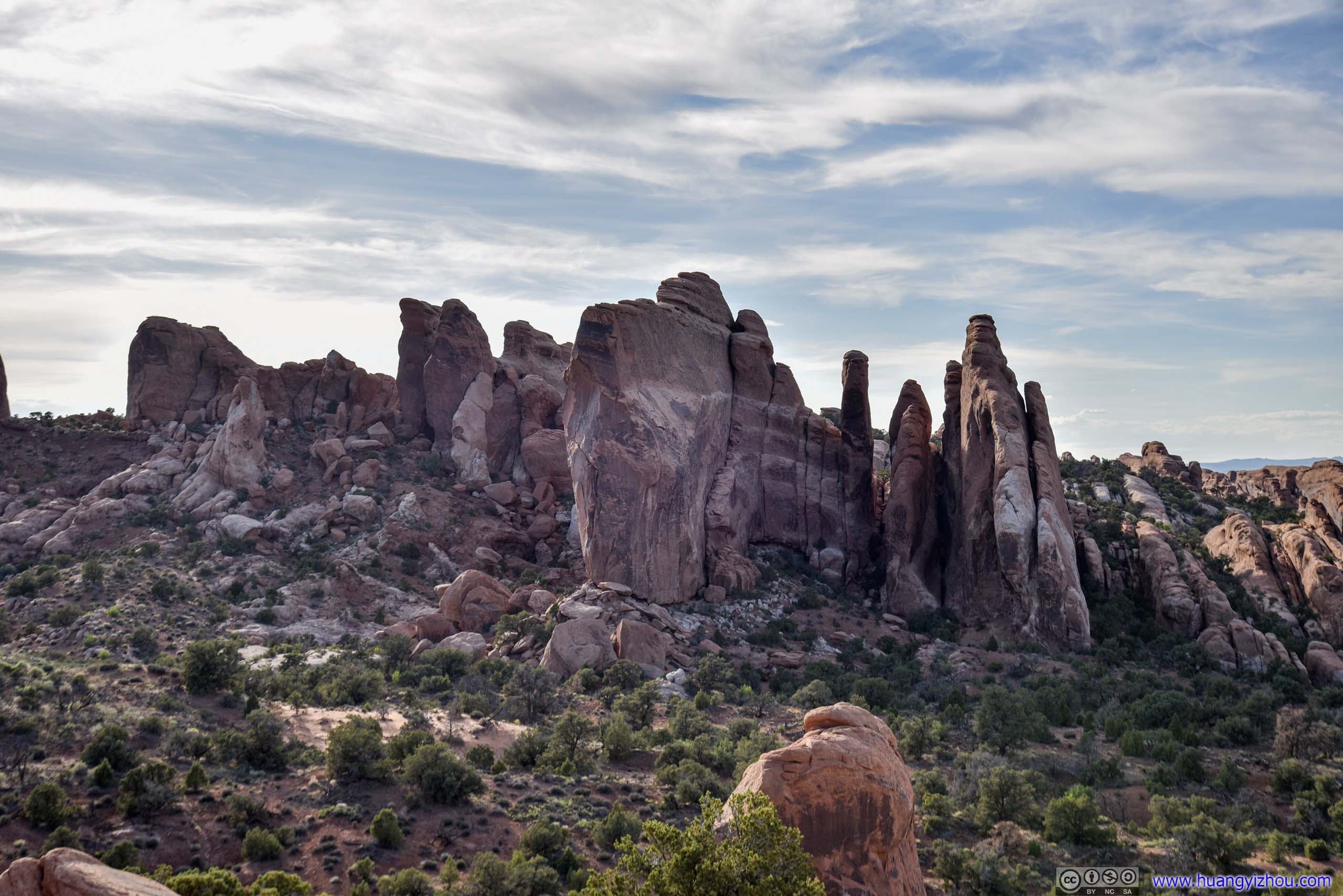
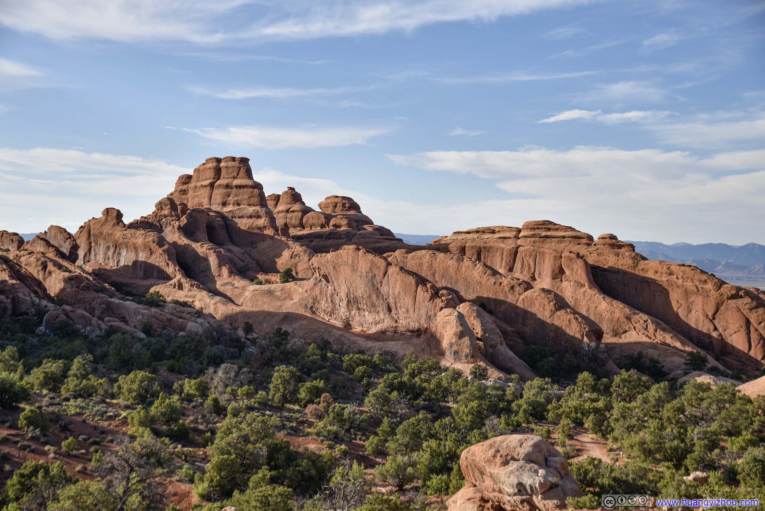
After that, the trail leading to Double O Arch followed a rock ridge, overlooking more fin-shaped rocks and distant wilderness to the East.
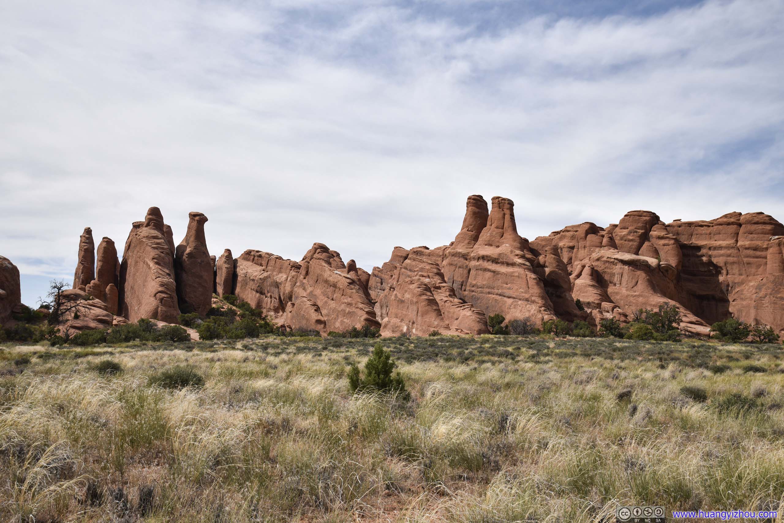
 Basin of Rocks
 Basin of Rocks
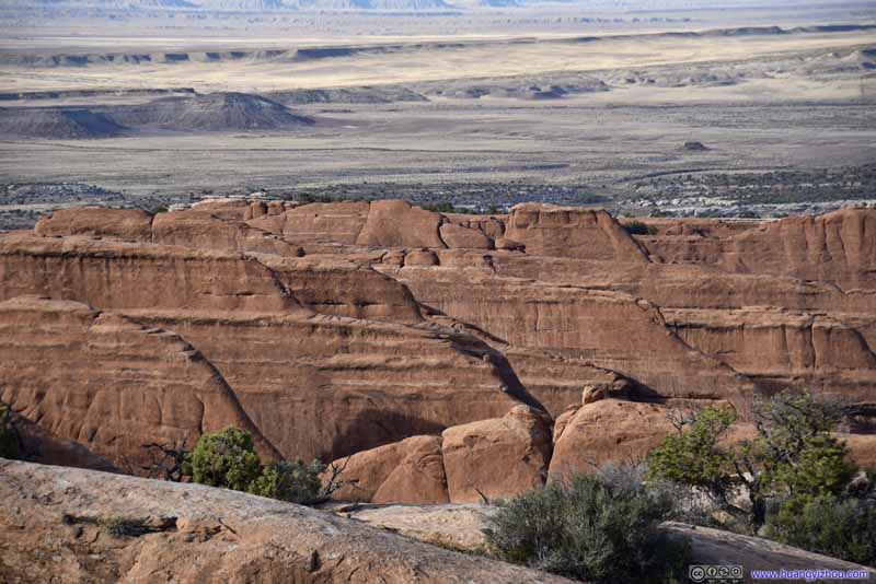 Rock Fins
 Rock Fins
 Basin of Rocks
 Rock Fins
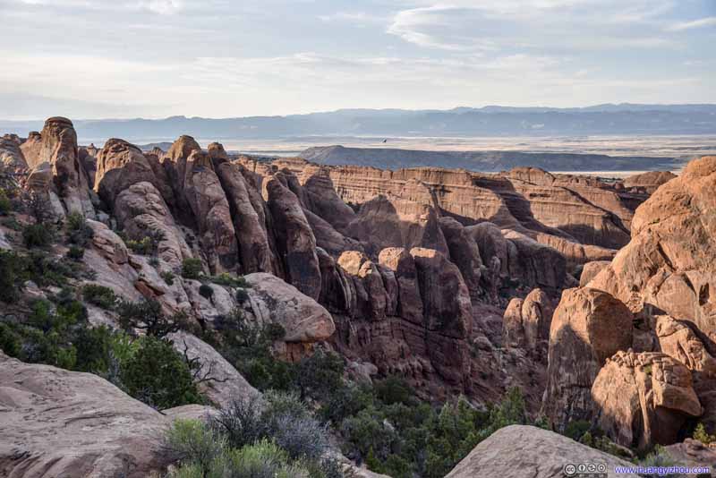 Rock Fins
Click here to display photos of the slideshow
Basin of Rocks
Basin of Rocks
Rock Fins
Rock Fins
Basin of Rocks

Rock Fins

Rock Fins
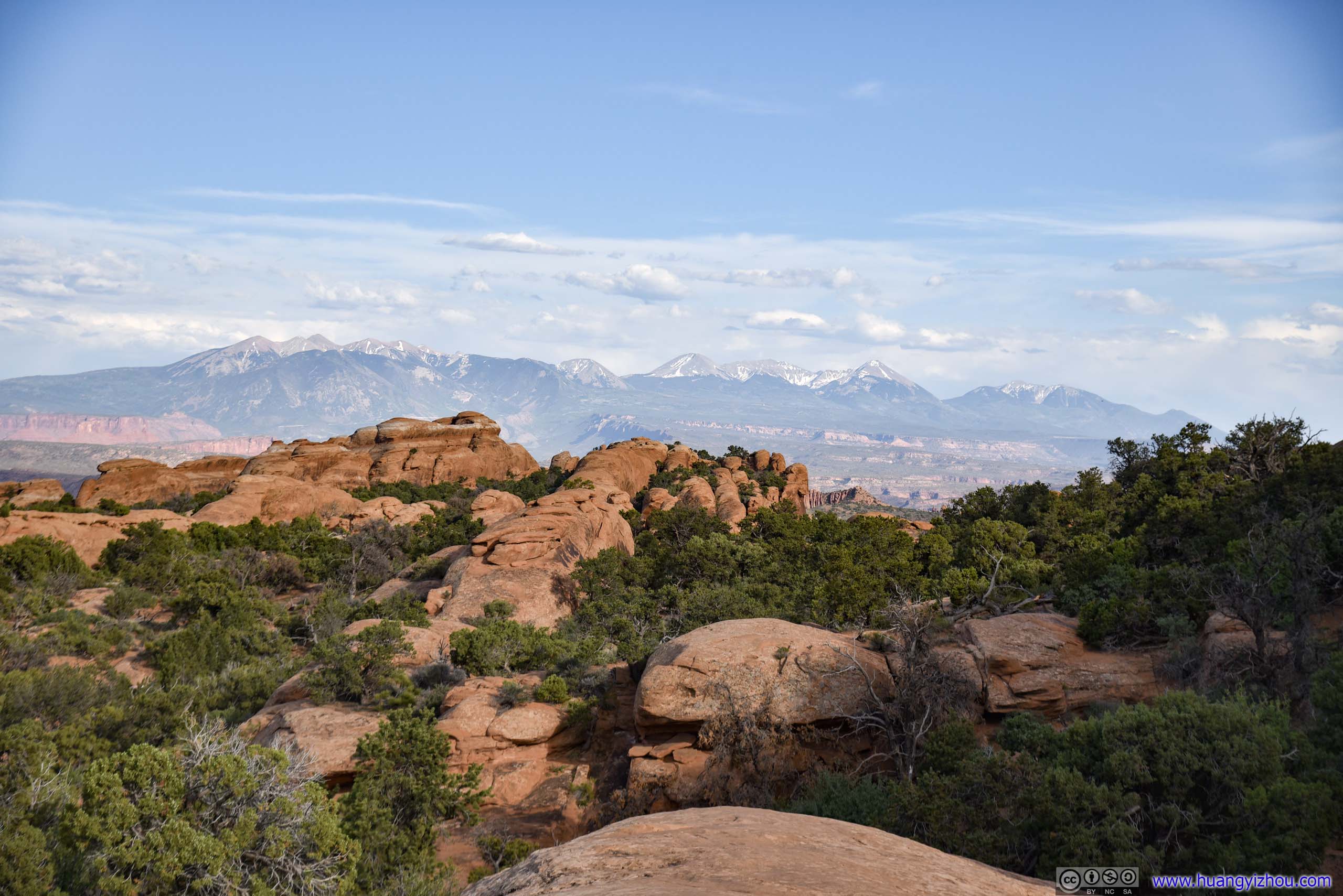
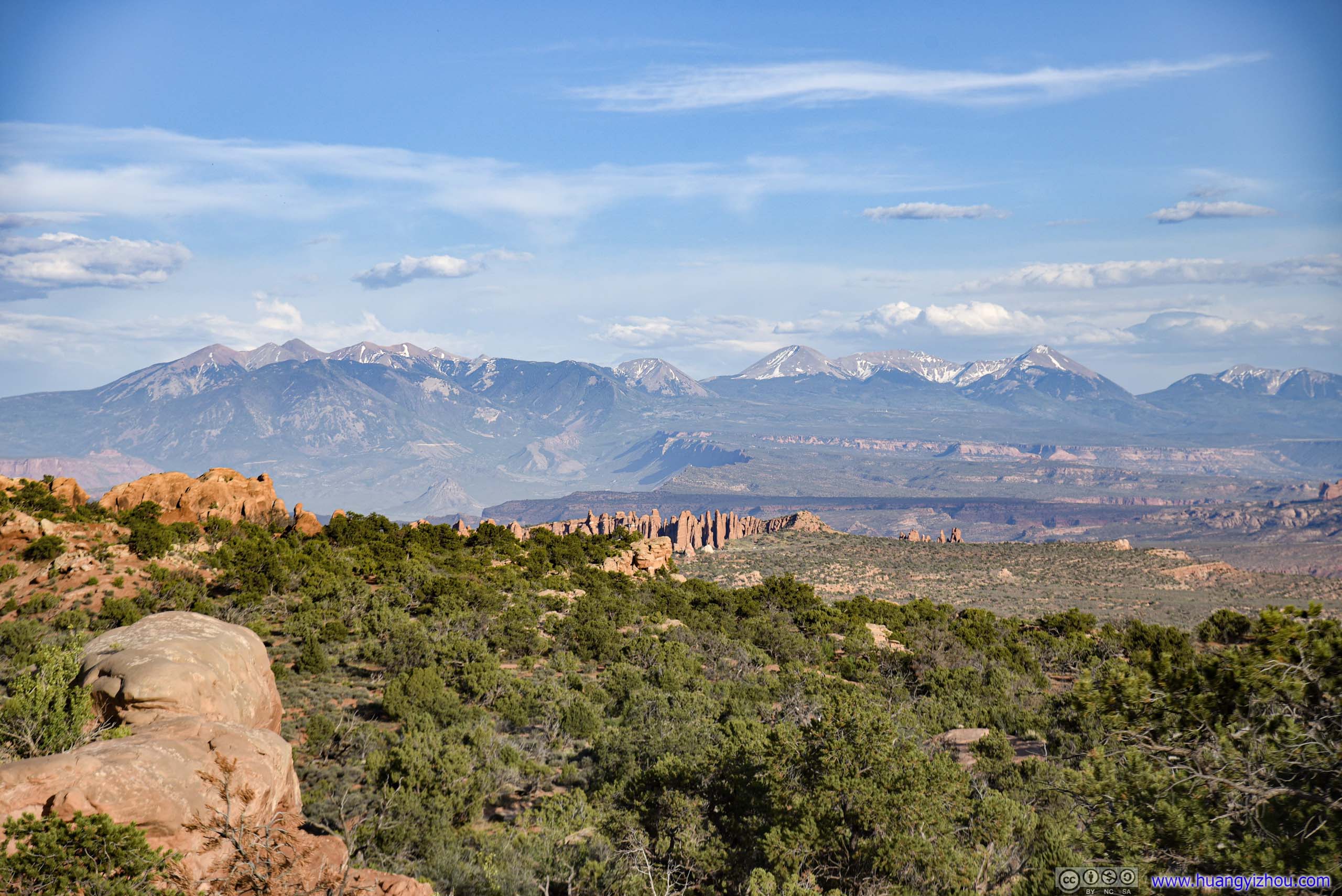 Distant La Sal Mountains
Trail and Distant MountainsBefore reaching Black Arch Overlook, a section of the trail was on exposed rock ridge like this.
Black Arch
 Trail
Trail
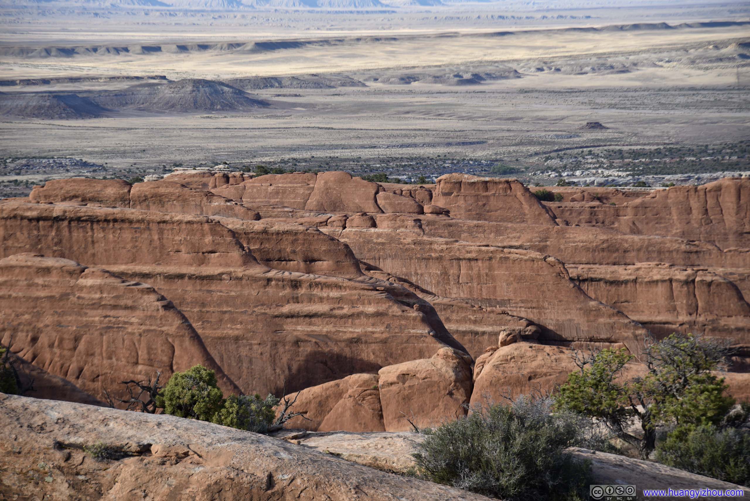
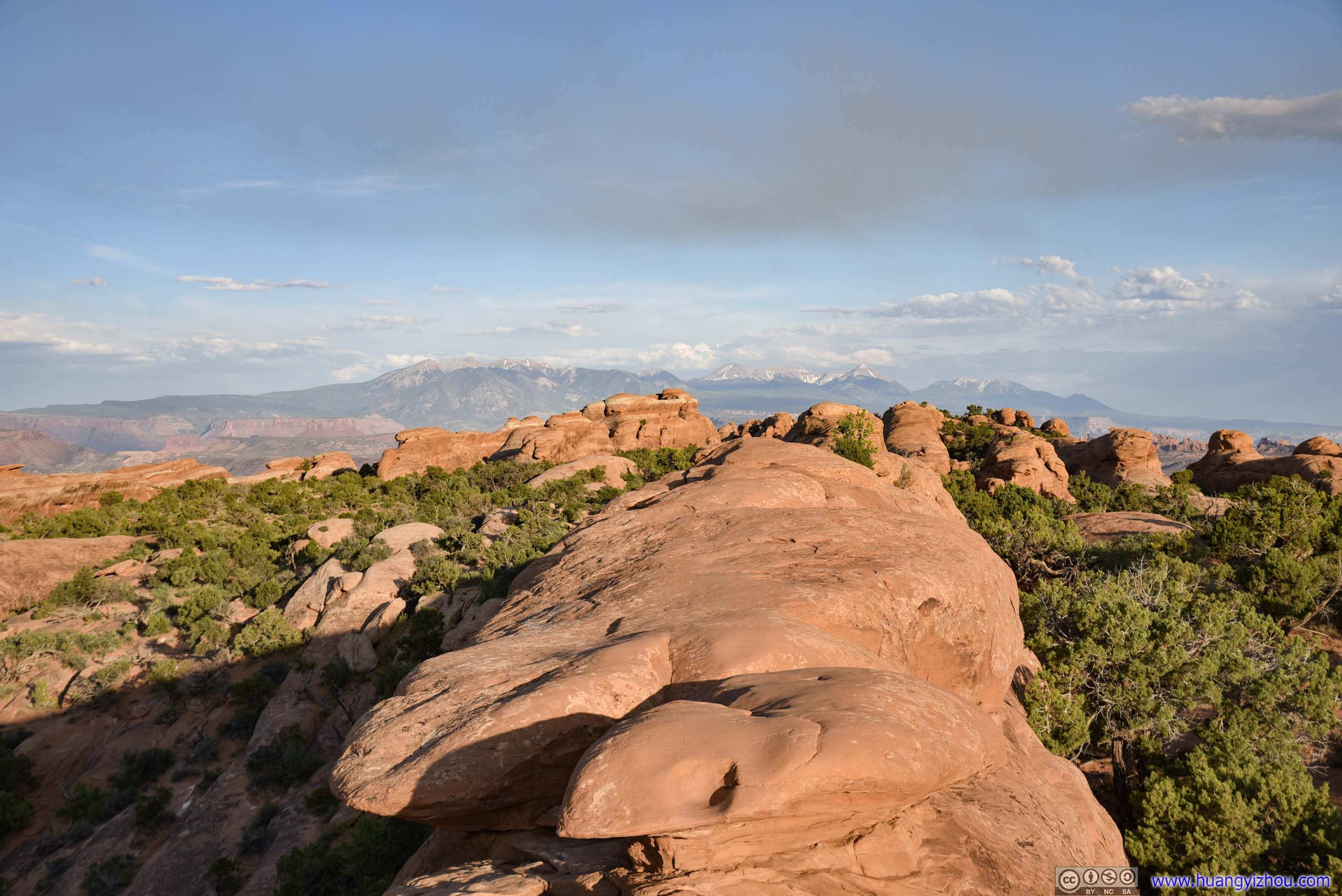
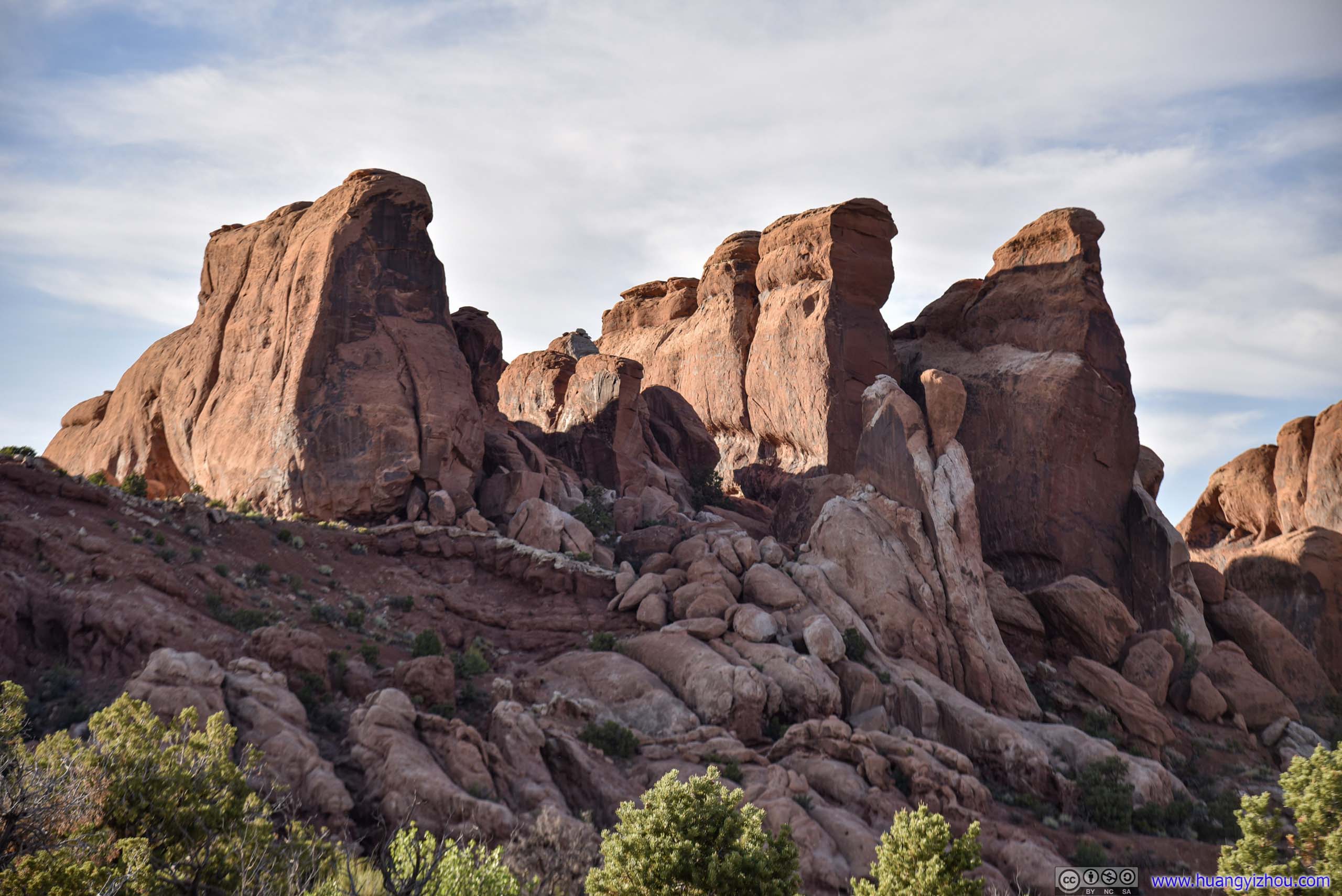
Array of Rocks from Devils Garden Trail
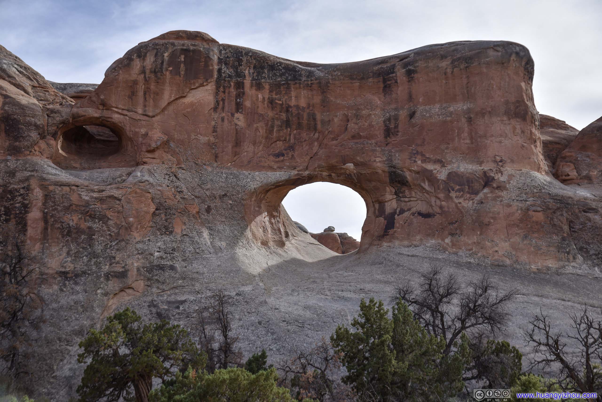
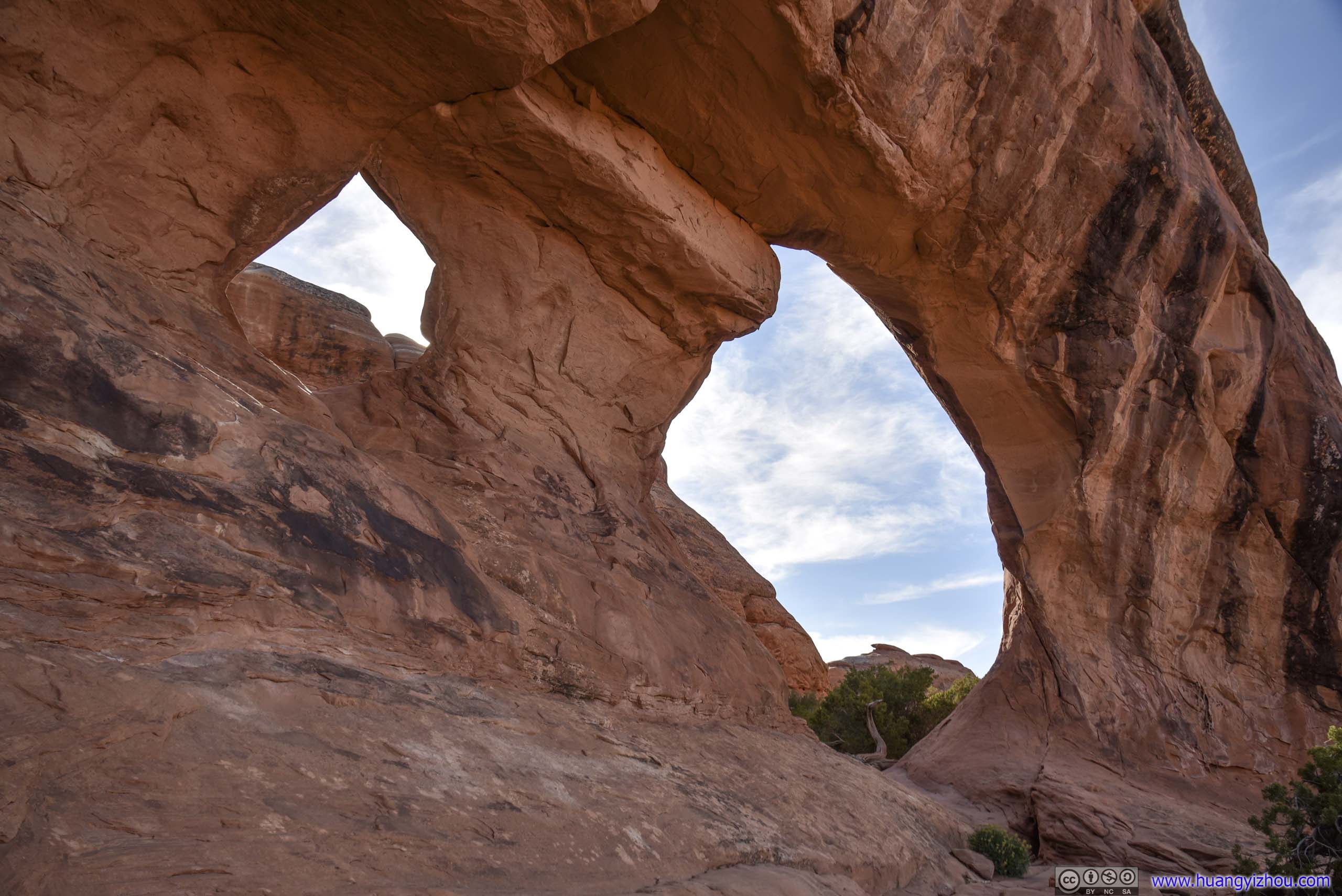
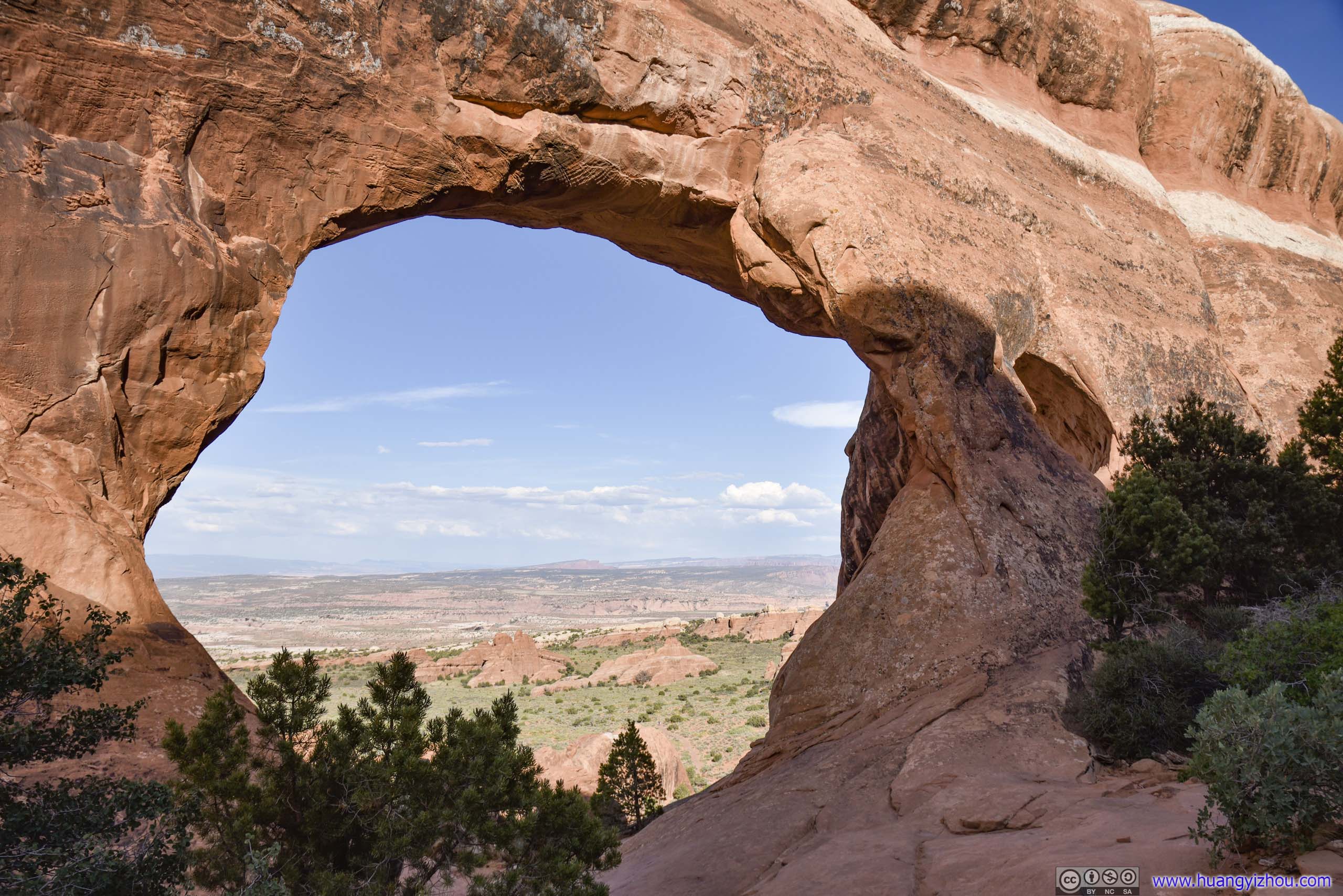
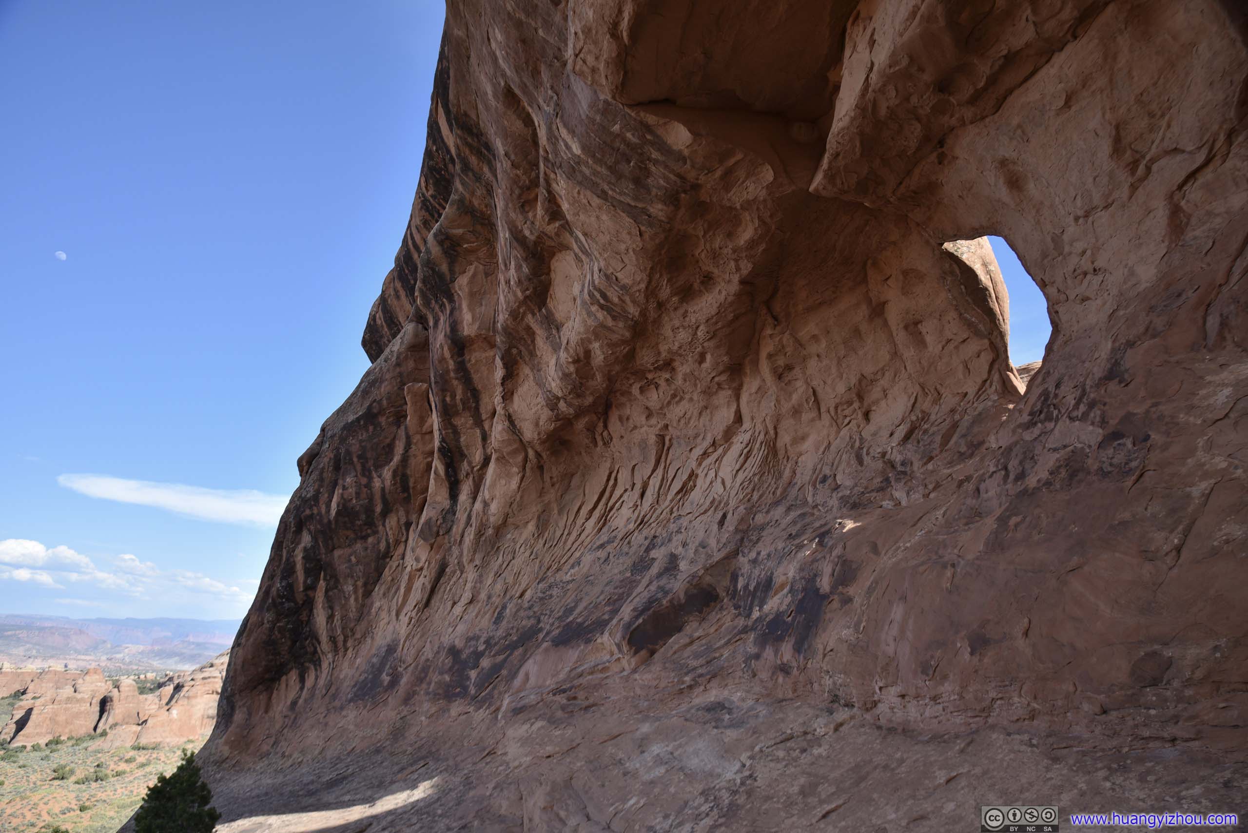
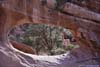
Finally, it’s Double O Arch.
Just like Partition Arch, it’s two holes on the same slab of rocks. But this time, the two holes were up and down, they were also larger in size.
 Double O Arch
 Double O Arch
 Double O Arch
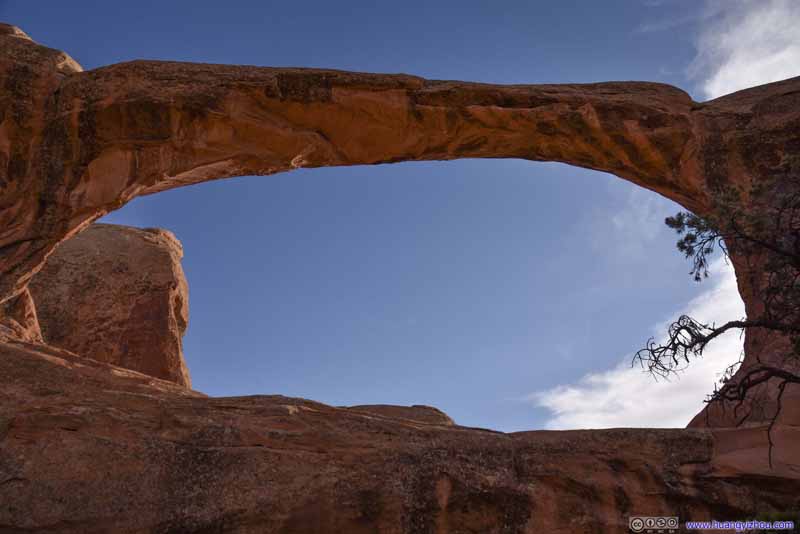 Double O Arch
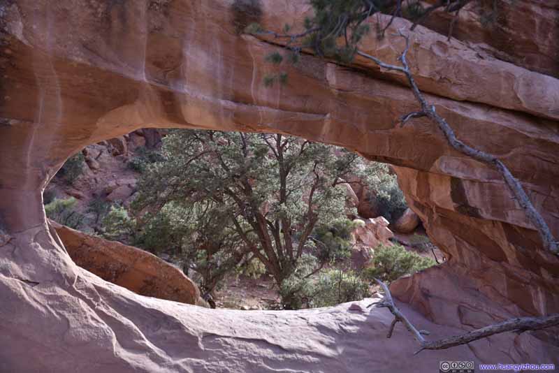 Double O Arch
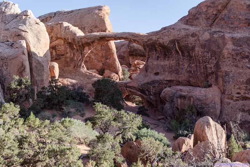 Double O Arch
 ArchA small and nameless one.

Click here to display photos of the Double O Arch.

Double O Arch

Double O Arch

Double O Arch
Double O Arch

Double O Arch
Double O Arch
ArchA small and nameless one.
For every map I came across, Devils Garden Trail extended to “Dark Angel”, which was a giant sandstone tower. It’s the only spot on the map that wasn’t an arch, so I thought it’s probably worth paying a visit.
 Rocks
Rocks
It’s a 700m one-way trail from Double O Arch to Dark Angel. Unlike previous trails, this part passed through an open hillside, which meant it’s easy for one to stray away from the trail, if GPS wasn’t followed closely. Along the trail one could view Upper Double O Arch from its other side.

 Upper Double O Arch

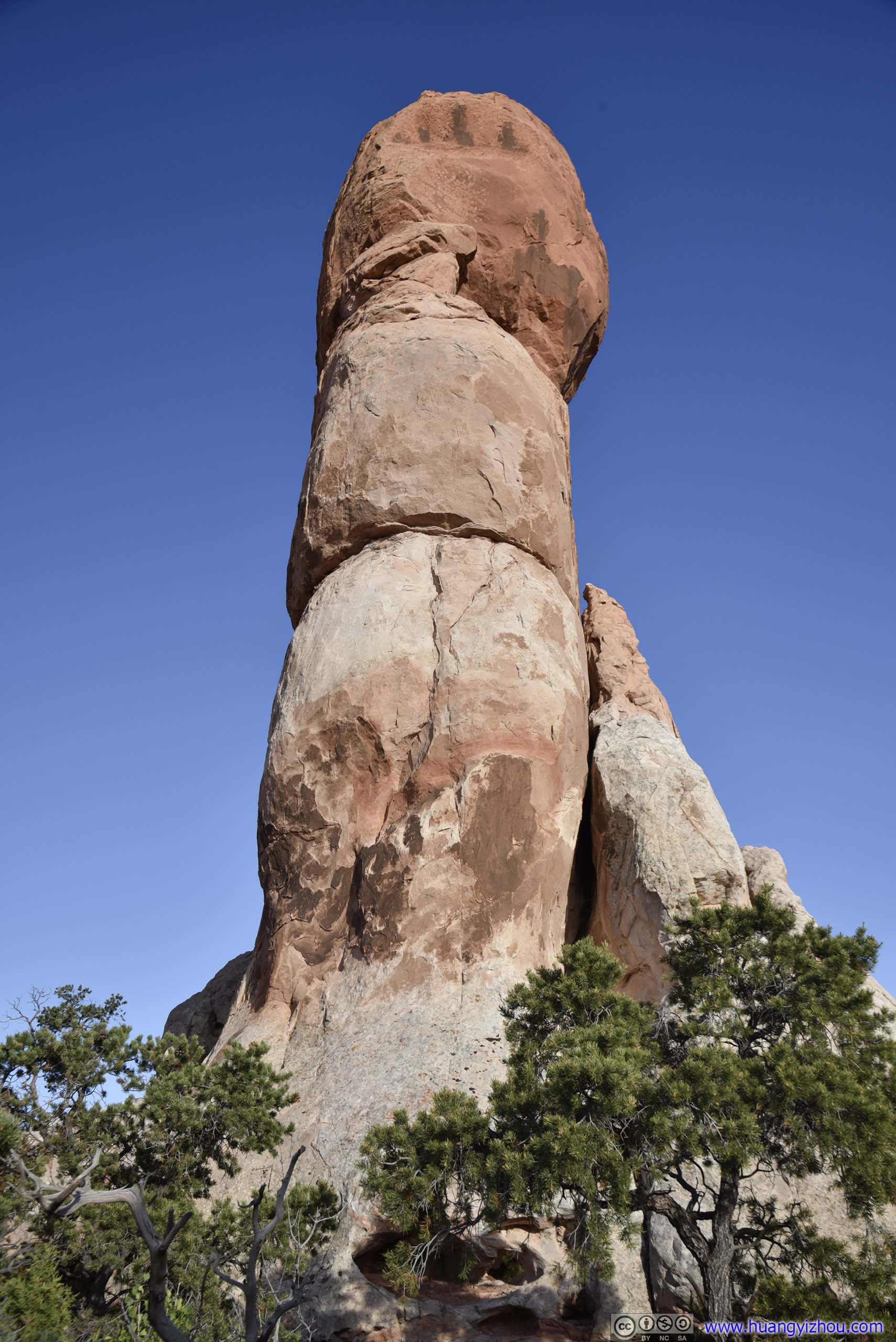
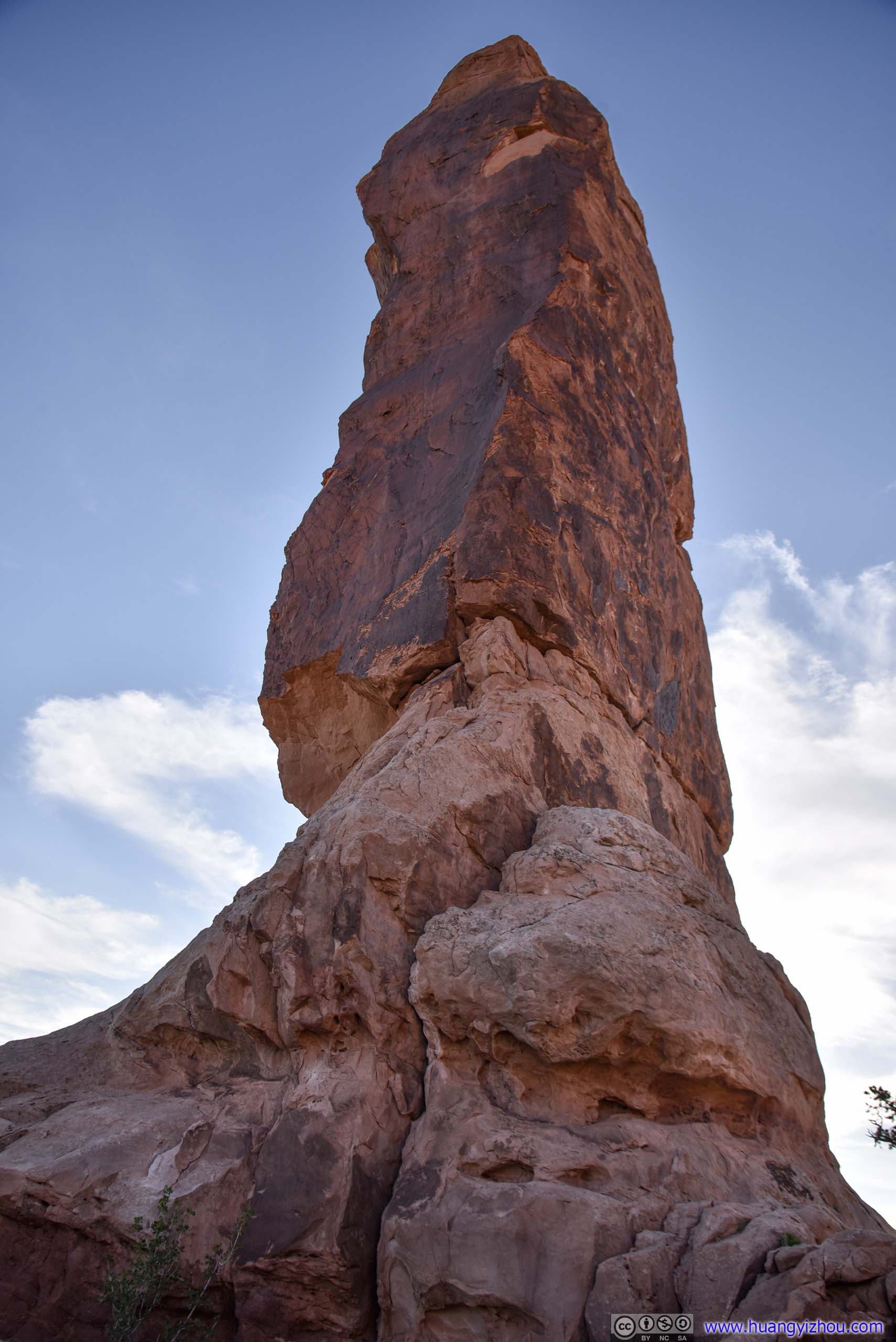
 Dark Angel
It turned out that I wasn’t as excited to reach this sandstone tower called “Dark Angel”. Probably because it wasn’t dominating the nearby fin rocks in height, probably because it’s visible from Double O Arch, diminishing the excitement, or probably because I had had a brutal battle against sand and bugs and scorching sun, and I was on the losing side. So after a few photos, I went back on the return trip.

 Rocks
Rocks

 Distant Buttes
Back at Double O Arch, I had the option to take a primitive trail back to Landscape Arch, forming a loop instead of taking the same trail again. The primitive trail also had a spur leading to Private Arch. It’s longer in distance, and I wasn’t a fan of getting more sand in my shoes, so I took the shorter developed trail back.
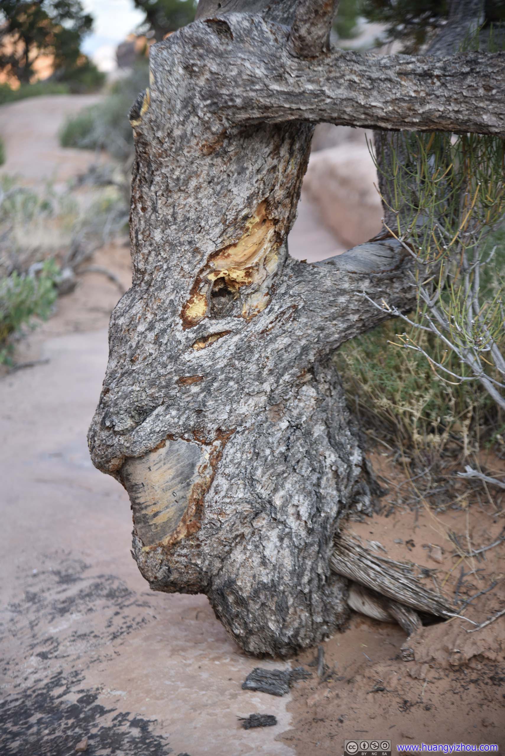
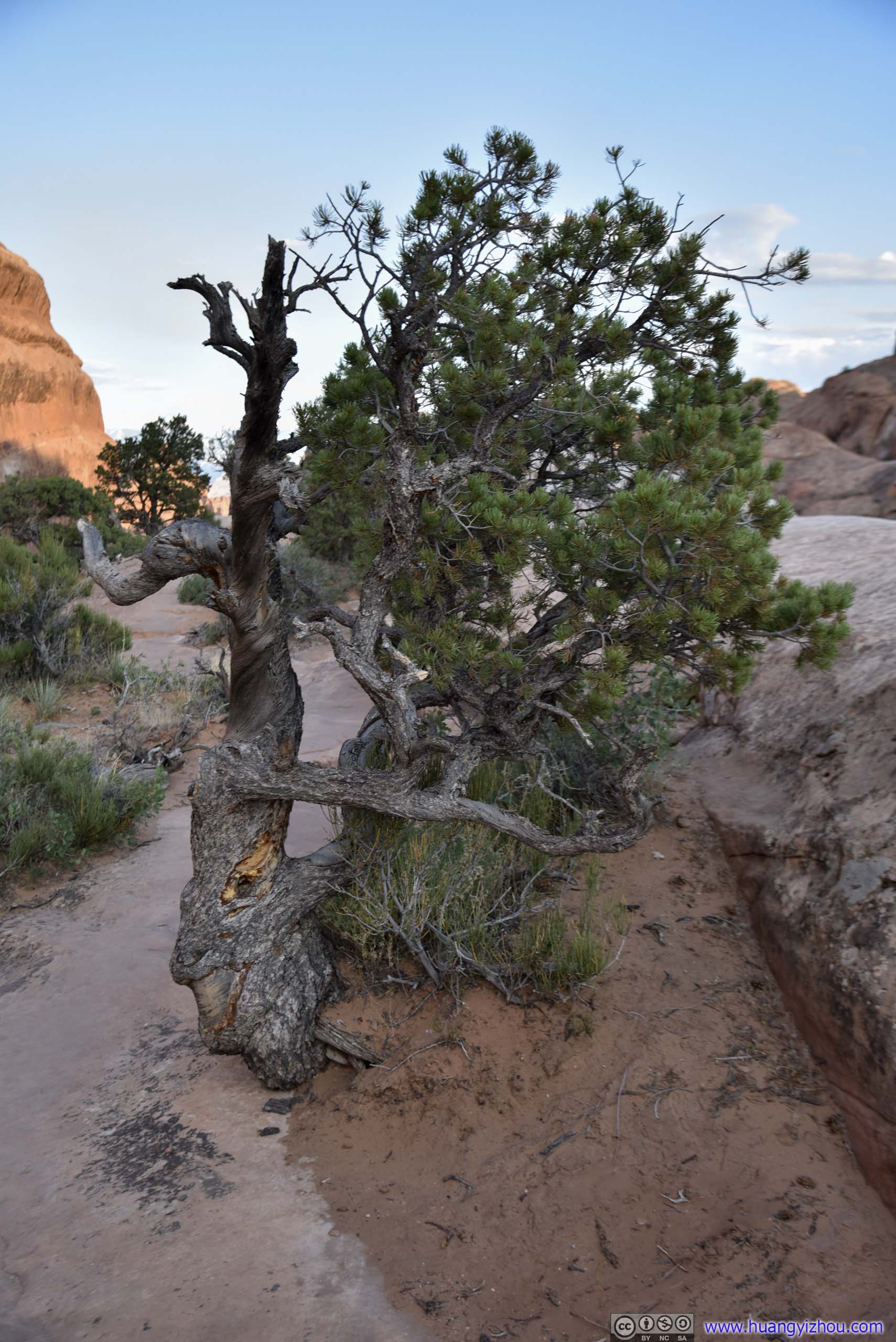 TreeThe scars at the bottom of the trunk looked like a smiling face to me.
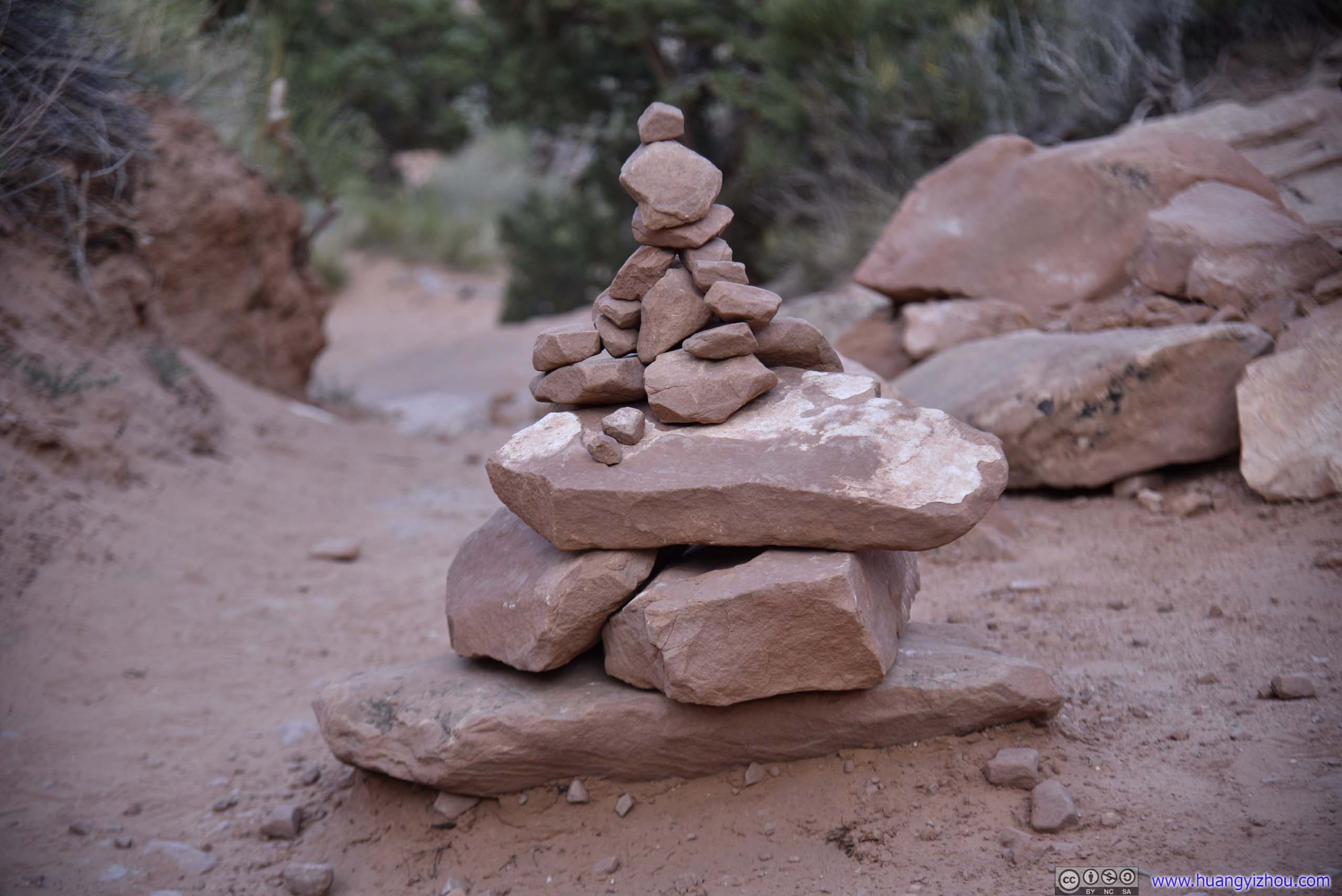
Cairn
It’s a common practice in the desert to use cairns as route markers. Whenever I saw a well piled one like this, memories of the Sculptor’s Idols in “Sekiro: Shadows Die Twice” came back to me. Both were reminders that one was on the right track.
 Rocks
Rocks
Landscape and Partition Arch
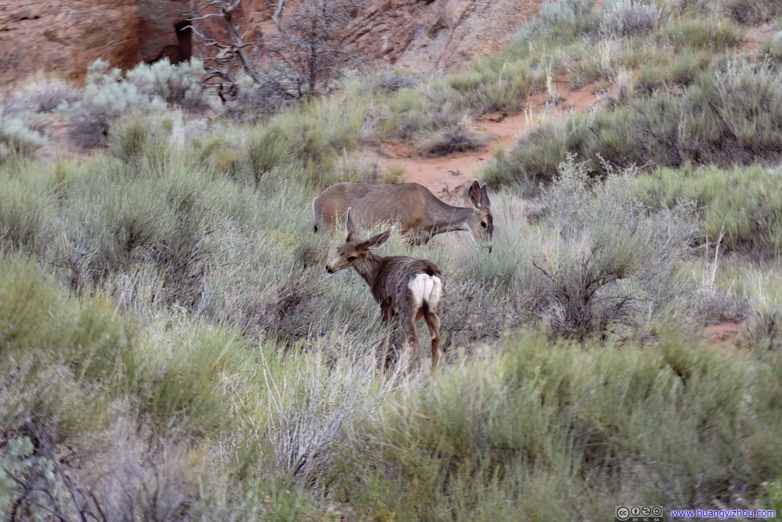
DeerThe bushes before Landscape Arch were off visitor limits. This offered them some grazing ground.
So 3.5 hours and 11km later, I was back at Devils Garden Trailhead. It was getting dark, and I was on my way back.
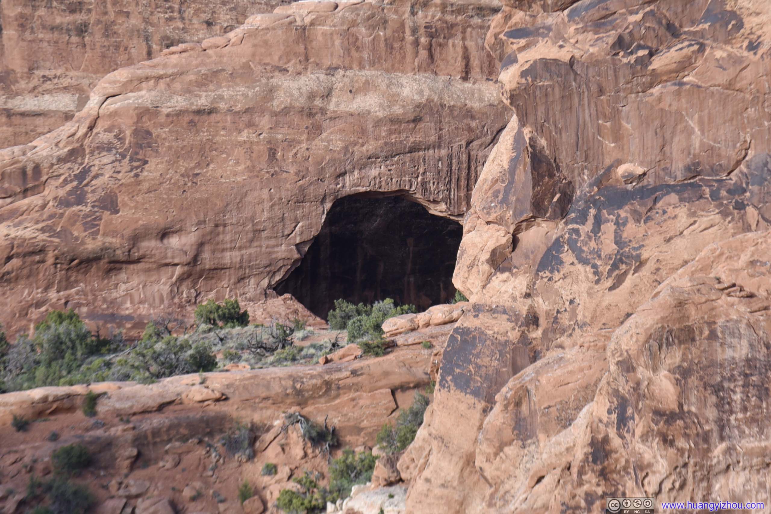
Skyline ArchAnother arch in Devils Garden Area, between trailhead and Sand Dune Arch.
Trying to find a place to watch the sunset, I made a few stops along the way on my way back. Unfortunately, distant clouds were thick, and views of sunset not so good.
Fiery Furnace Overlook
Made of a labyrinth of narrow passages between towering sandstone walls, Fiery Furnace was another famous hiking spot in the park. Since it’s easy to get lost in the area, the park organized ranger-led hikes of the area, in addition to individual permits. Since COVID, both were suspended.
View of Fiery Furnace
La Sal Mountains beyond Salt Valley
Distant Ham Rock

 Landscape in Sunset Glow
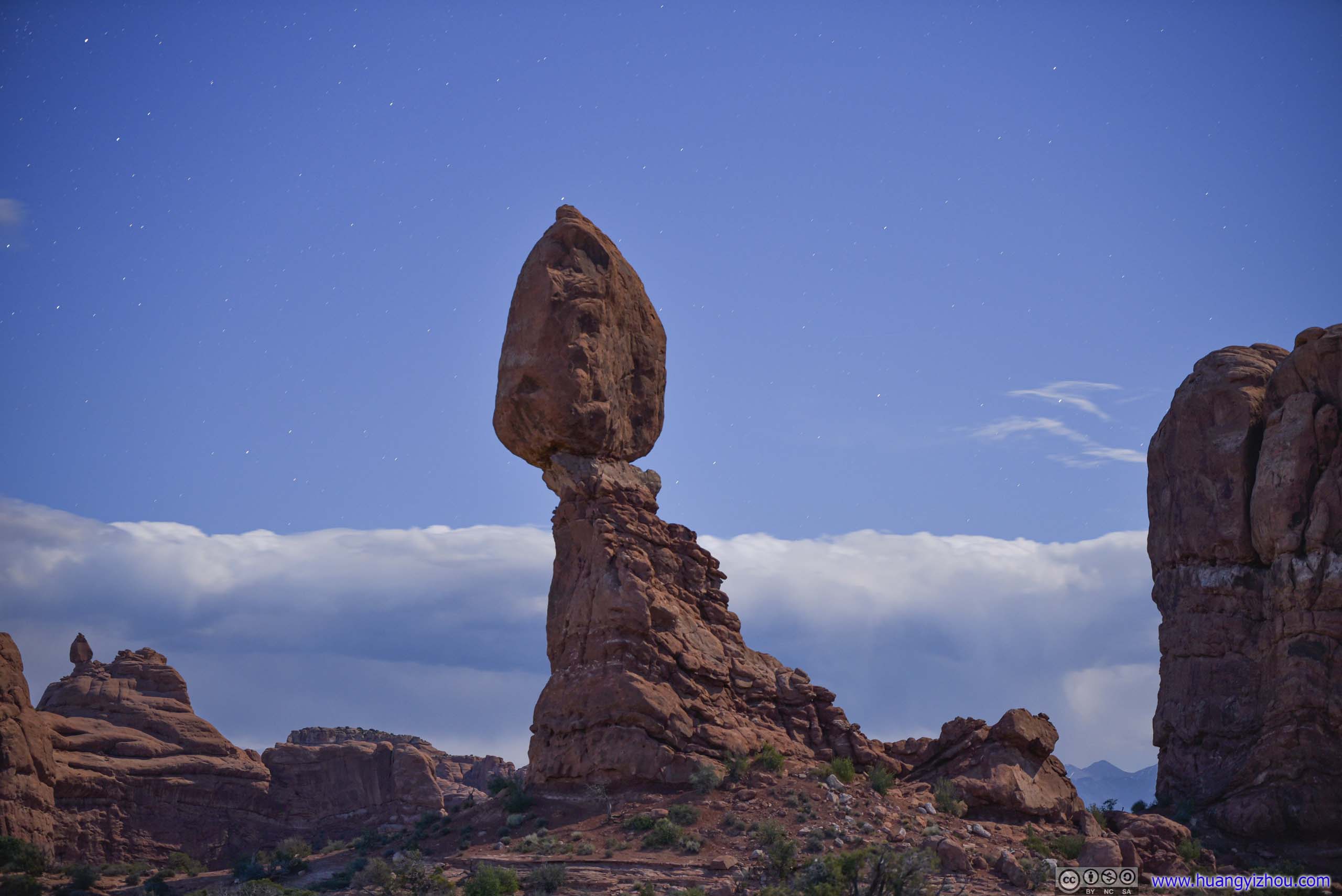
Balanced Rock
END
![]() Day 4 of 2020 Utah Trip, Canyonland and Arches National Park by Huang's Site is licensed under a Creative Commons Attribution-NonCommercial-ShareAlike 4.0 International License.
Day 4 of 2020 Utah Trip, Canyonland and Arches National Park by Huang's Site is licensed under a Creative Commons Attribution-NonCommercial-ShareAlike 4.0 International License.