
Updated on July 15, 2022
Day 1 of May 2022 Virginia Trip, Hiking Tinker Cliffs
During the Memorial Day weekend last year, I hiked McAfee Knob and Dragon’s Tooth trails near Roanoke, Virginia, which I really enjoyed. So this year, I felt it’s only appropriate for me to finish the remainder of Virginia’s Triple Crown, Tinker Cliffs. While the views were spectacular, rain and muddy trails made it a rather disappointing trip.
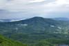
Fields and Mountains
This was actually the Friday before Memorial Day. The weather forecast indicated a morning storm followed by periods of sunshine, with probability of storm developing later in the afternoon. I saw an opening of weather in the “sunshine” at noon, and decided to set off for Virginia in the morning. (This actually turned out to be a mistake.)
Just as forecasted, I encountered some heavy storm on I81 passing Strasburg. But by the time I got to Andy Layne Trailhead for Tinker Cliffs at 1:30pm and started my hike, there was only sunshine. Things looked great for my adventure.
Here’s GPS tracking:
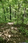
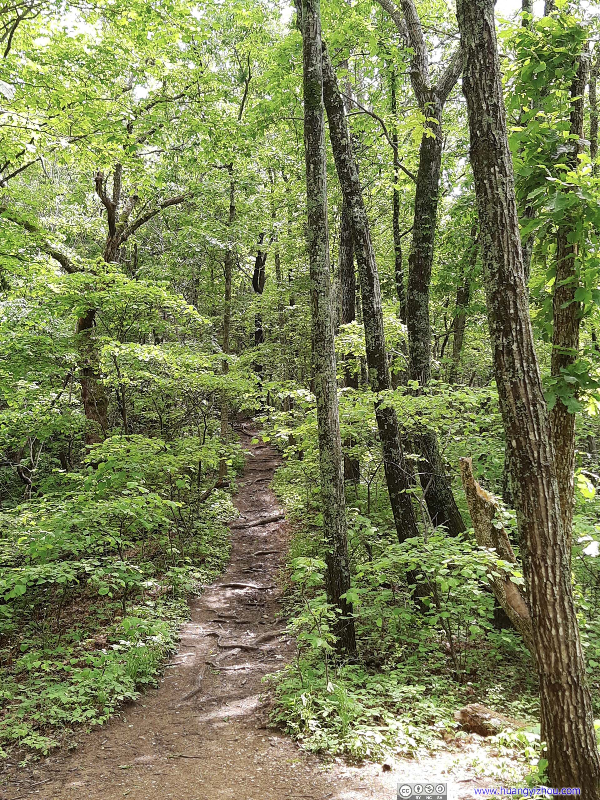
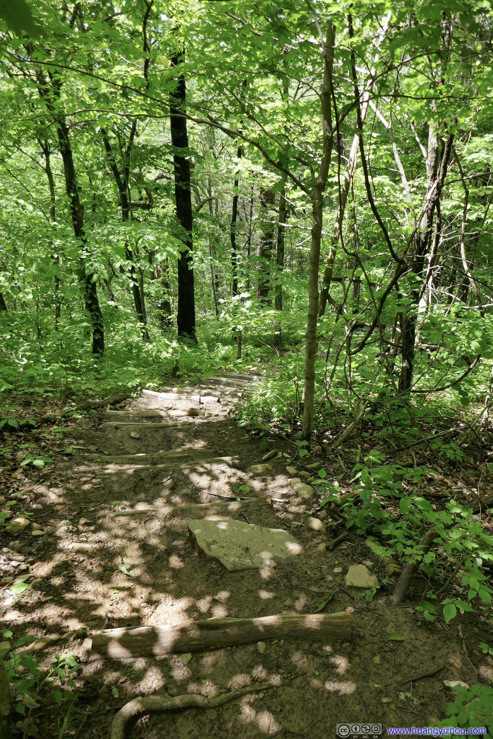
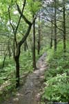
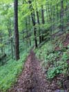
 Trail
Trail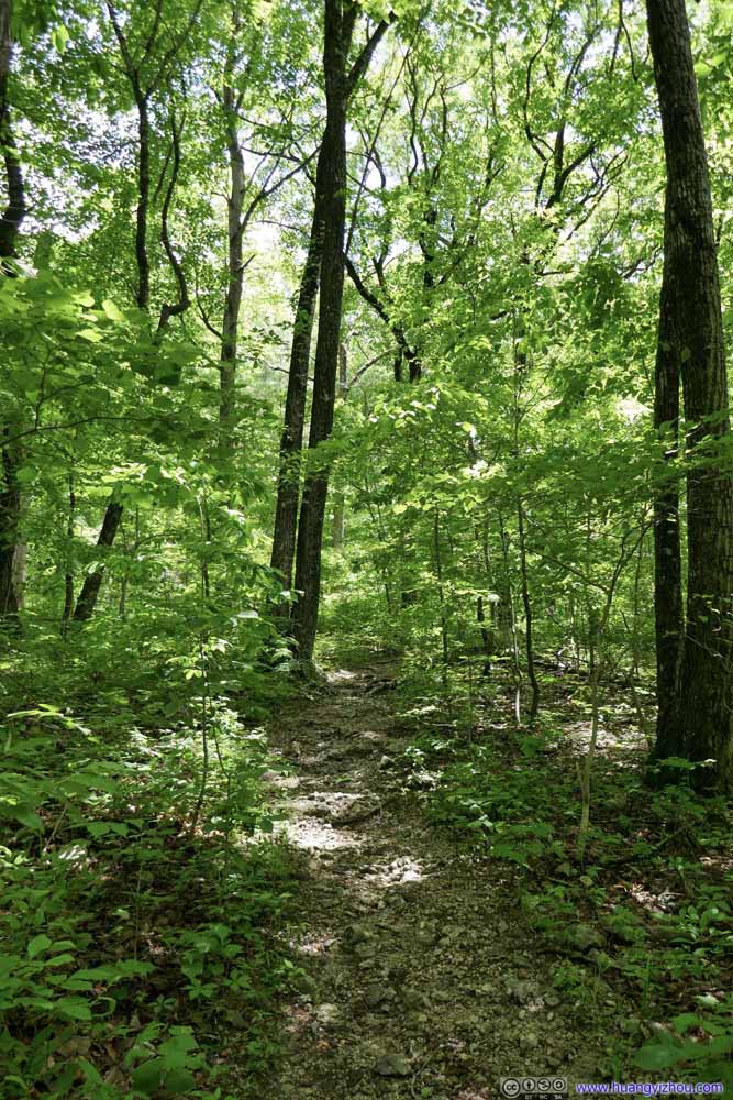 Trail
Trail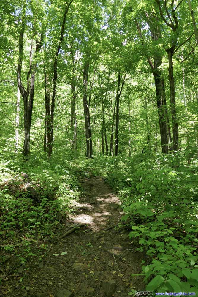 Trail
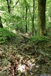
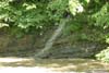
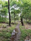
Trail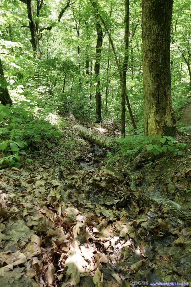 CreekMostly covered in leaves.
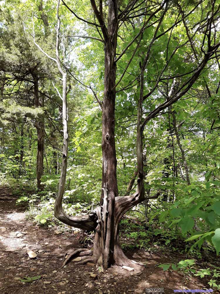 TreeShaped like a trident.
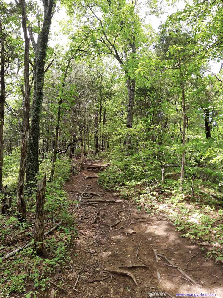 Trail
Trail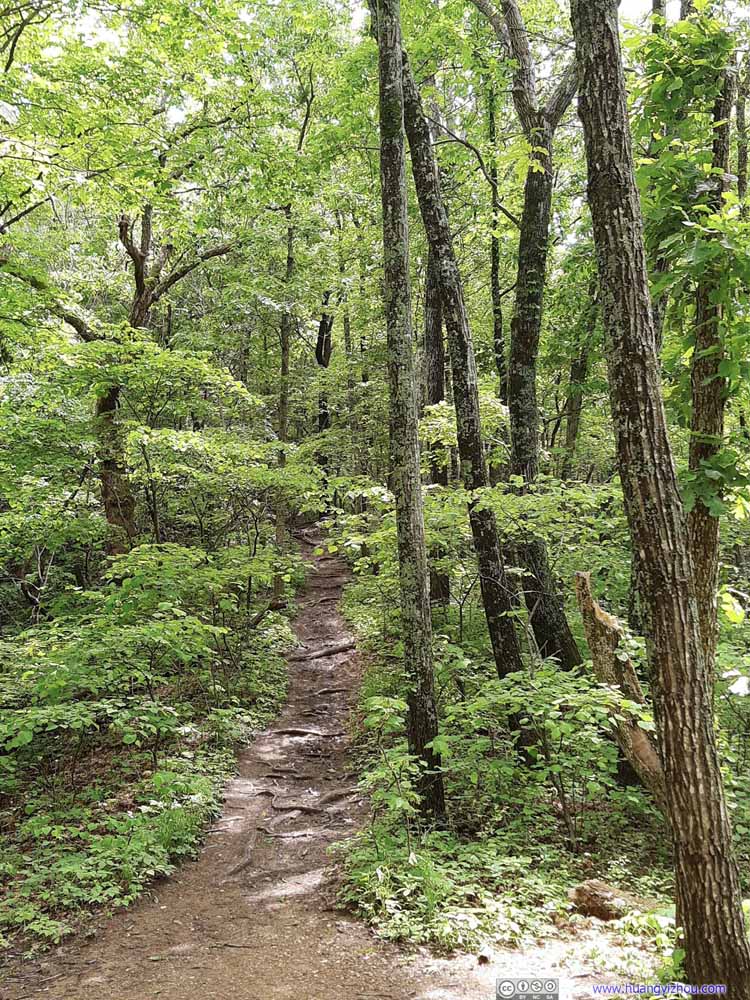 Trail
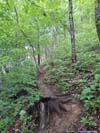
Trail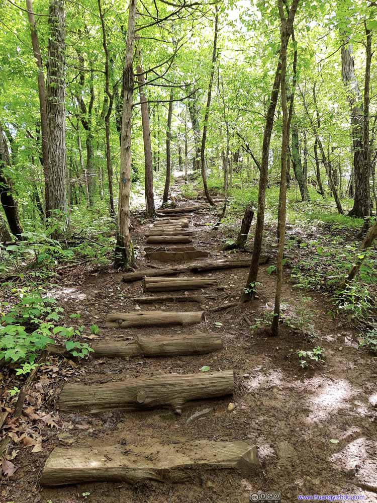 TrailAbout halfway at a steep slope, the only signs of improvement along the trail with these steps.
 TrailAbout halfway at a steep slope, the only signs of improvement along the trail with these steps.
 Trail
Trail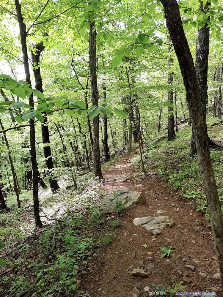 Trail
Trail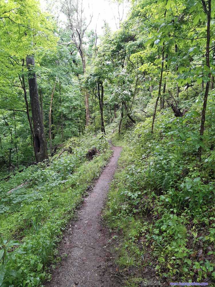 Trail
Trail


Click here to display photos of the slideshow

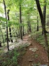
Trail
Trail
Trail
CreekMostly covered in leaves.

TreeShaped like a trident.
Trail
Trail
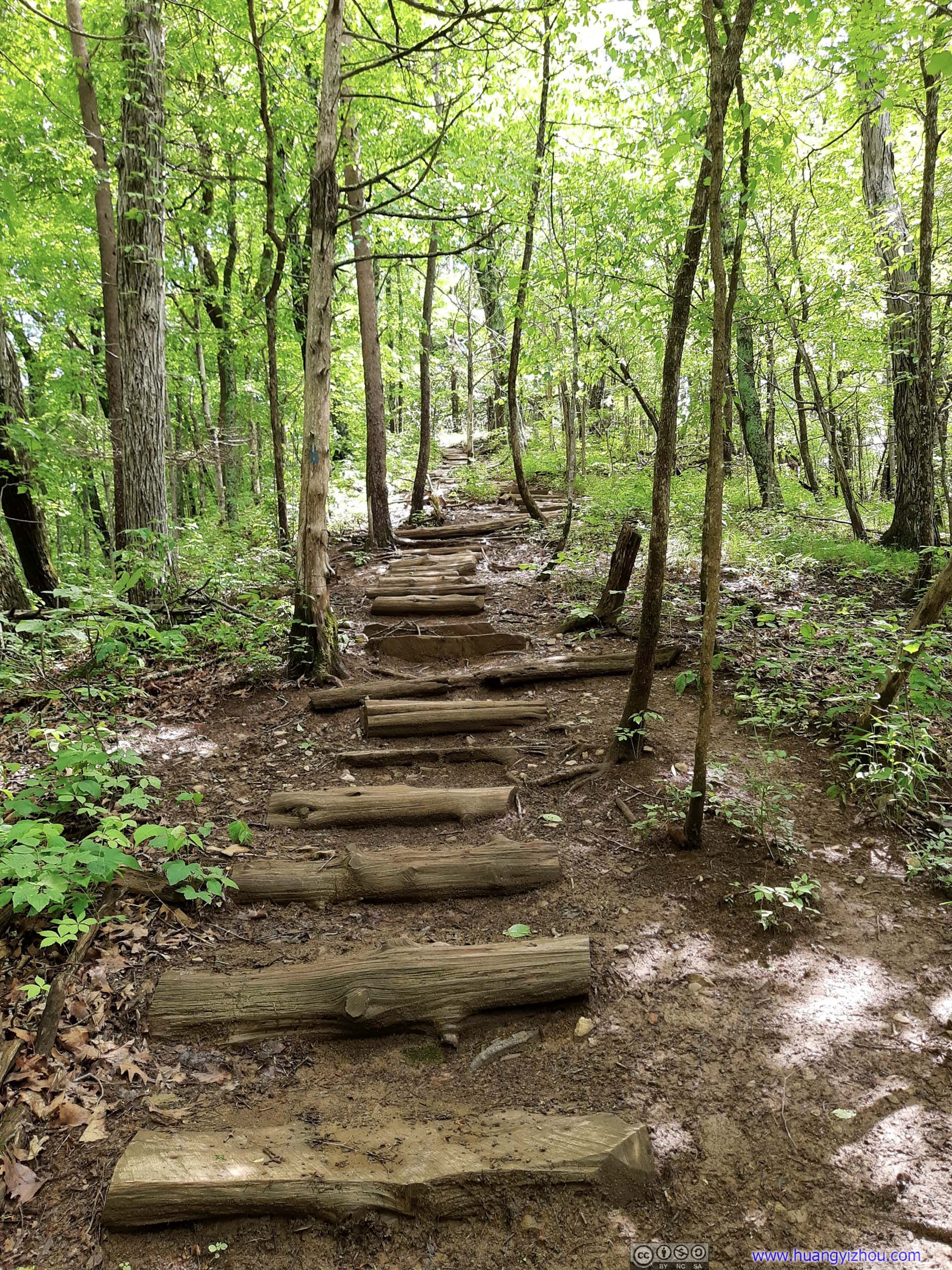
TrailAbout halfway at a steep slope, the only signs of improvement along the trail with these steps.
TrailAbout halfway at a steep slope, the only signs of improvement along the trail with these steps.

Trail

Trail

Trail
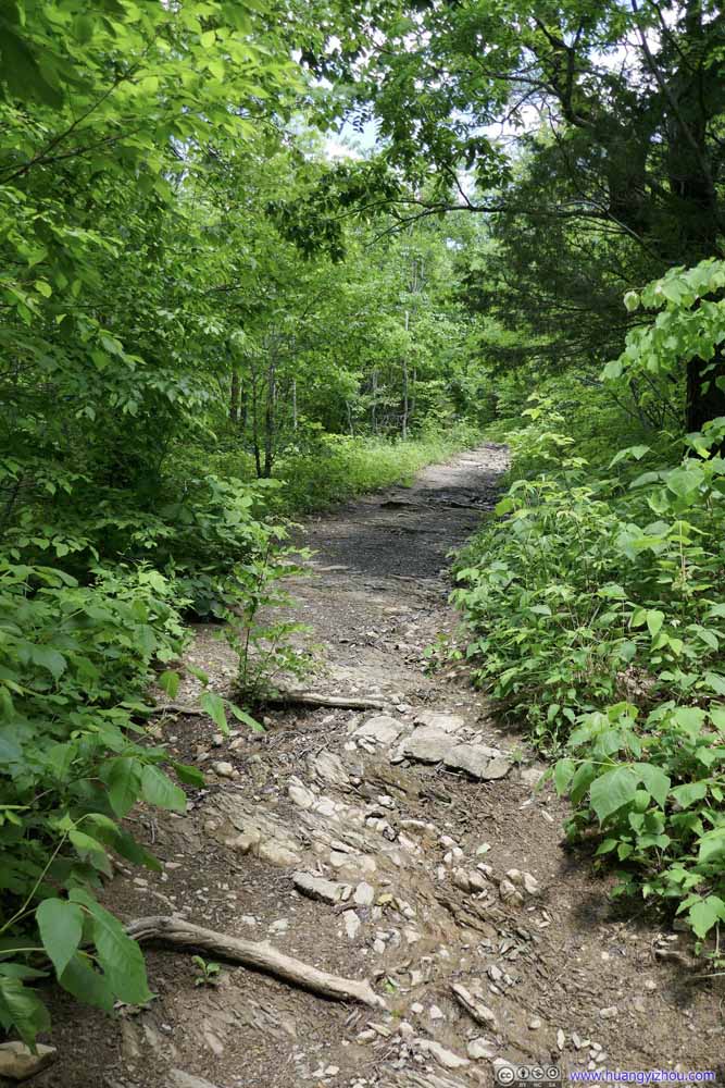
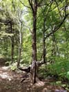
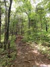
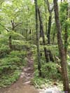
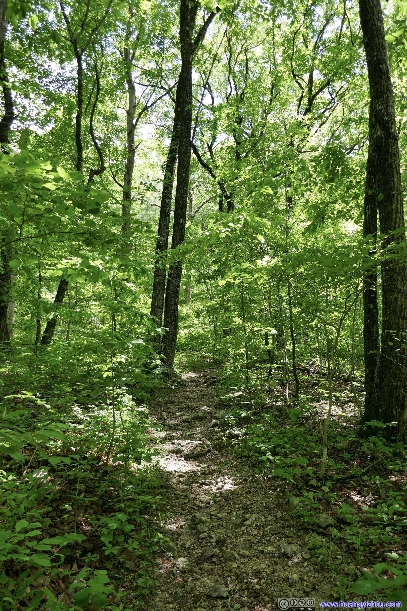
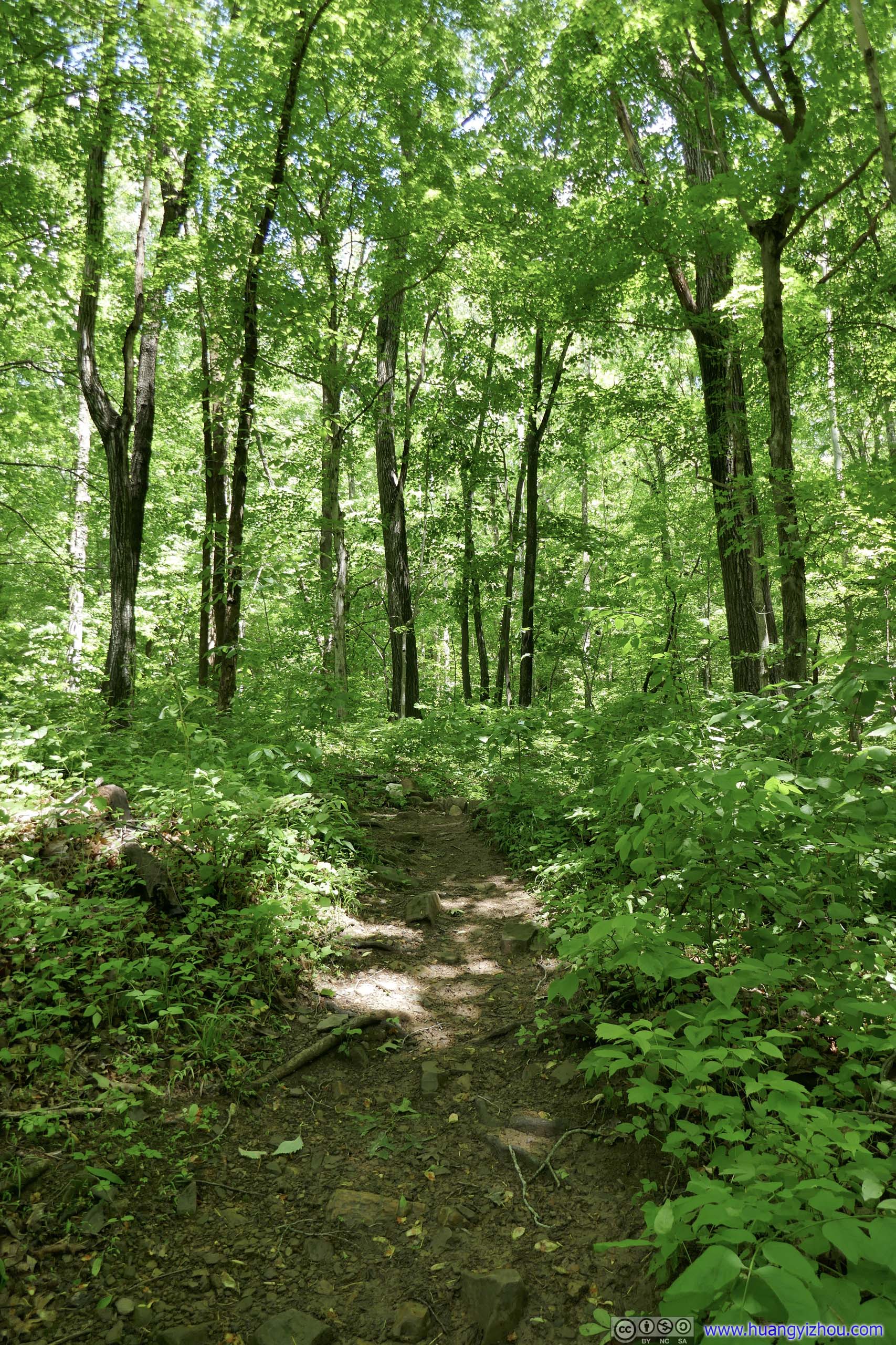
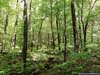
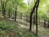
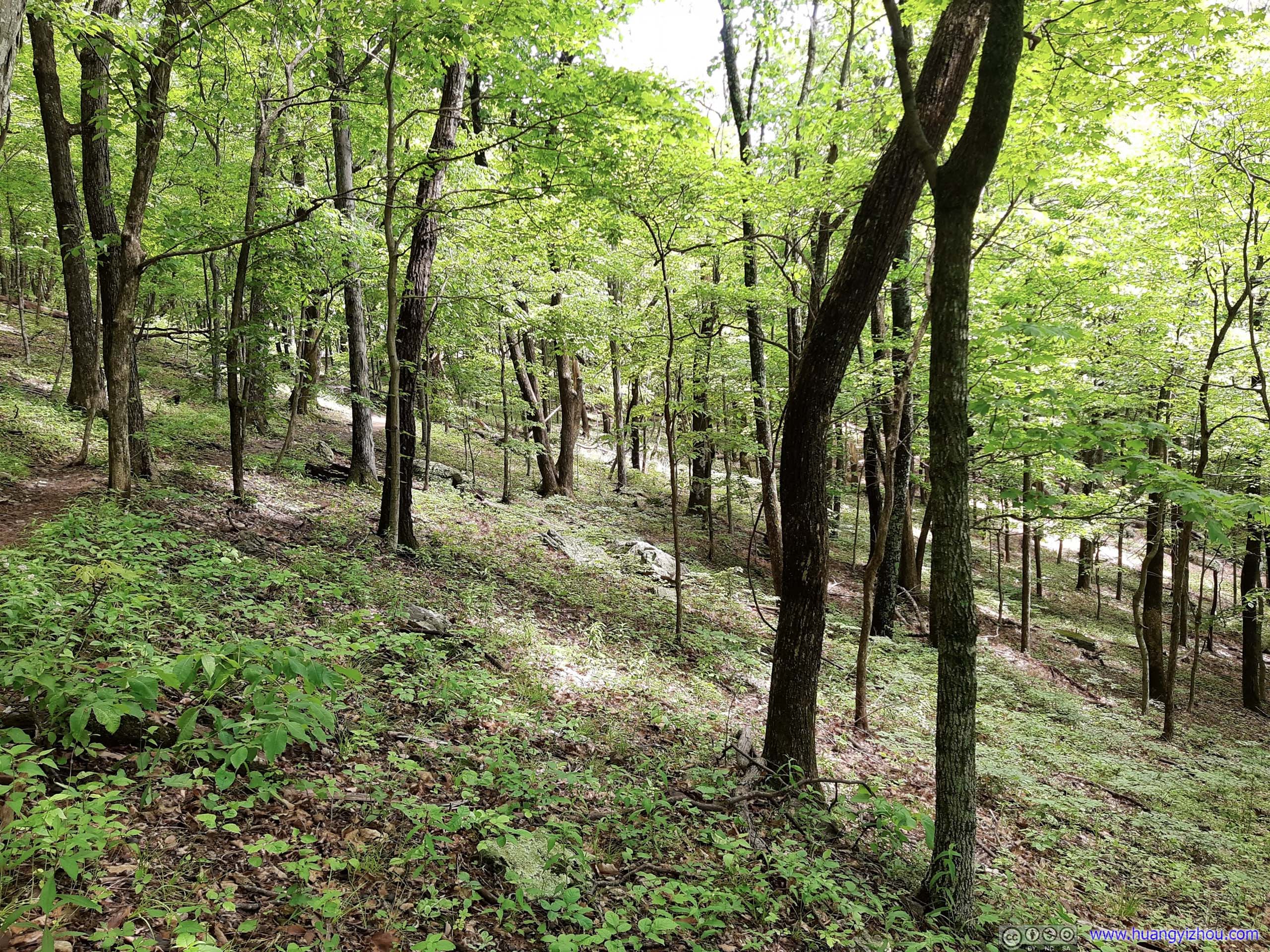
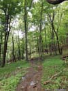
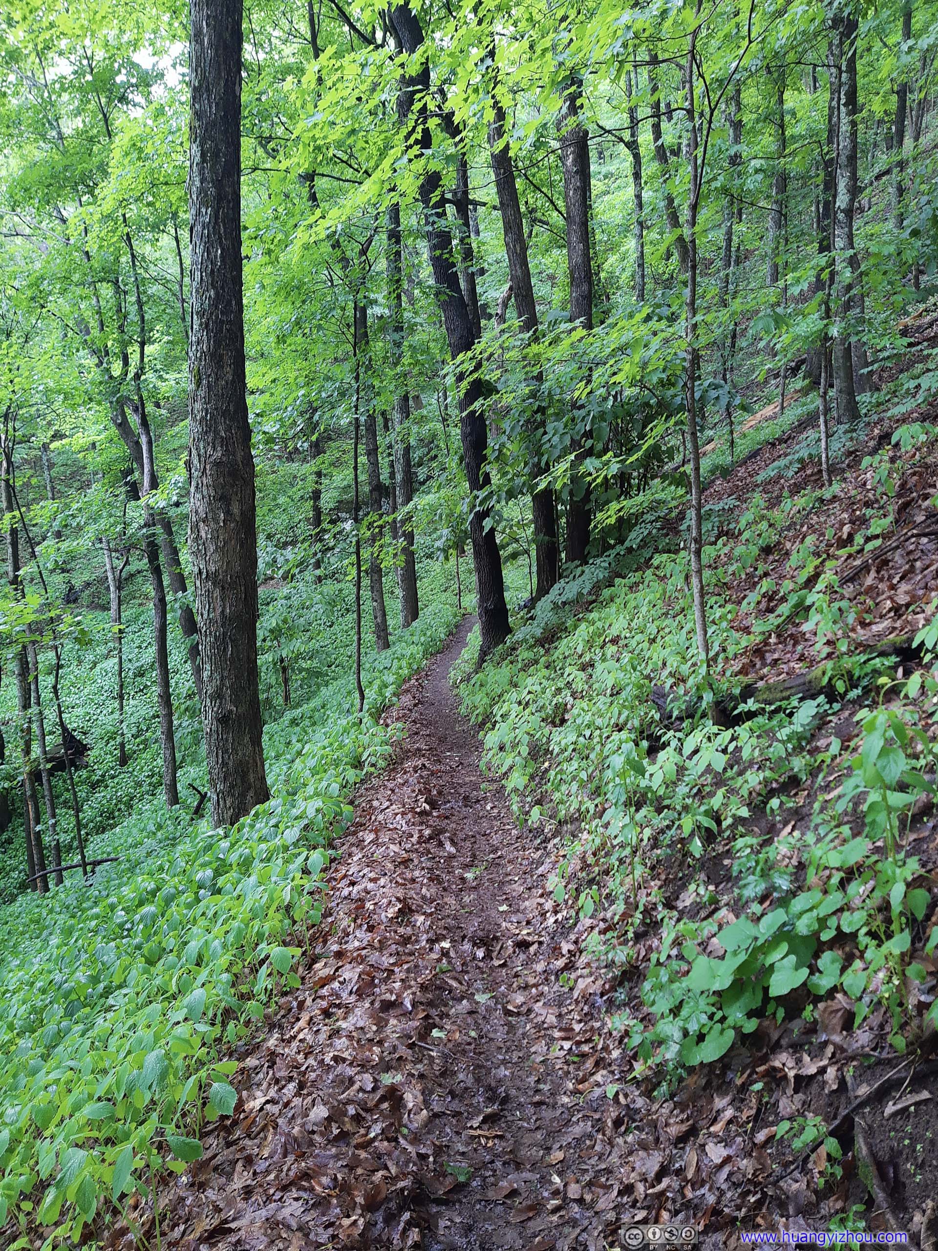
Tinker Cliffs were a section of cliffs along the Appalachian Trail, offering views of mountains to the west. It’s just like McAfee Knob, longer in its span but without the made-for-picture rocky outcrop and thus less crowded. It’s a 11.7km out-and-back trail to Tinker Cliffs with 593m of elevation gain, most of which were in the woods (pictured above). At first, I was enjoying myself, thinking my skin would love the shade from sunshine.
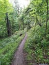
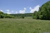
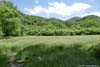
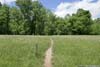
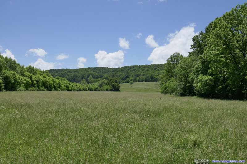 Field
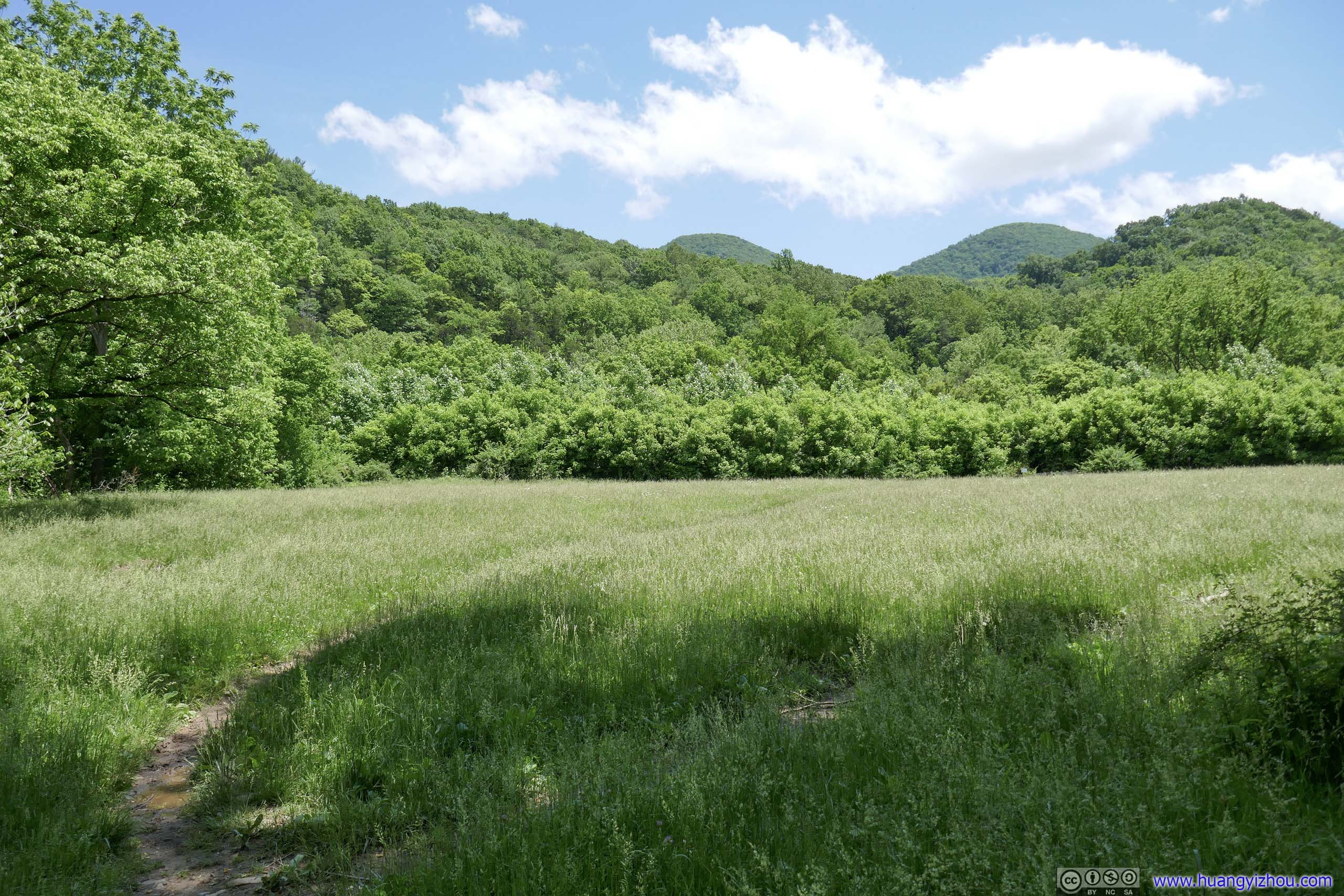
Apart from this small open field at the lowest elevation point of the entire route, the trail was mostly in woods.
Field
Apart from this small open field at the lowest elevation point of the entire route, the trail was mostly in woods. Field
Apart from this small open field at the lowest elevation point of the entire route, the trail was mostly in woods.
Field
Apart from this small open field at the lowest elevation point of the entire route, the trail was mostly in woods.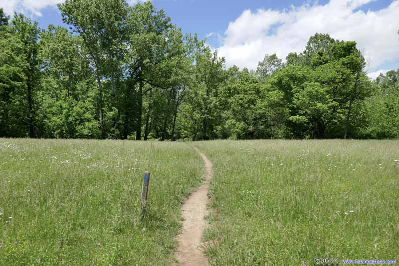 Field
Apart from this small open field at the lowest elevation point of the entire route, the trail was mostly in woods.
Field
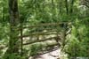
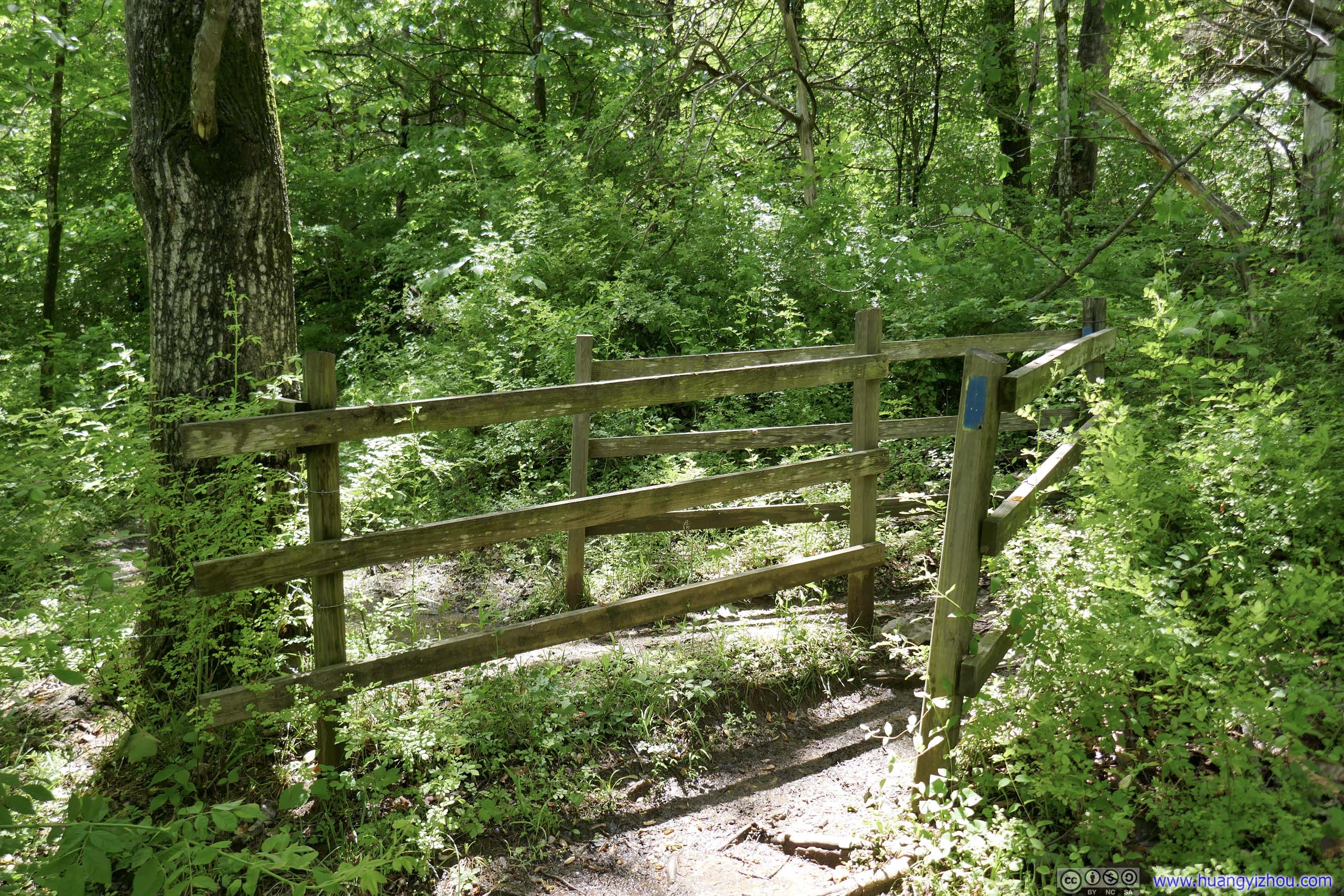
Apart from this small open field at the lowest elevation point of the entire route, the trail was mostly in woods.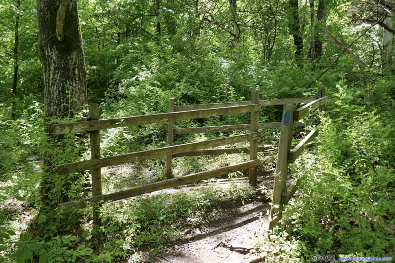 FencesProbably as a way to keep cyclists and horses off the trail.
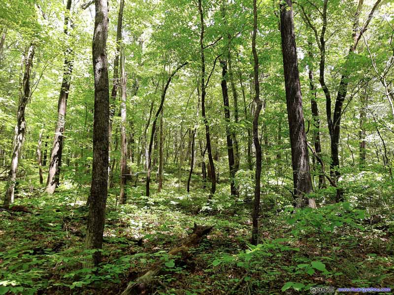 Forest
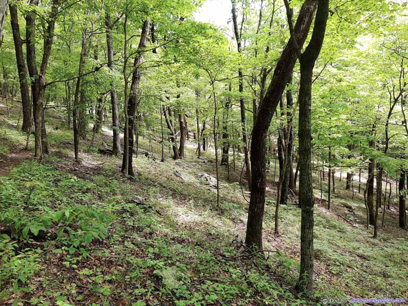 Forest
Click here to display photos of the slideshow

Field
Field

Field
FencesProbably as a way to keep cyclists and horses off the trail.

Forest
Forest
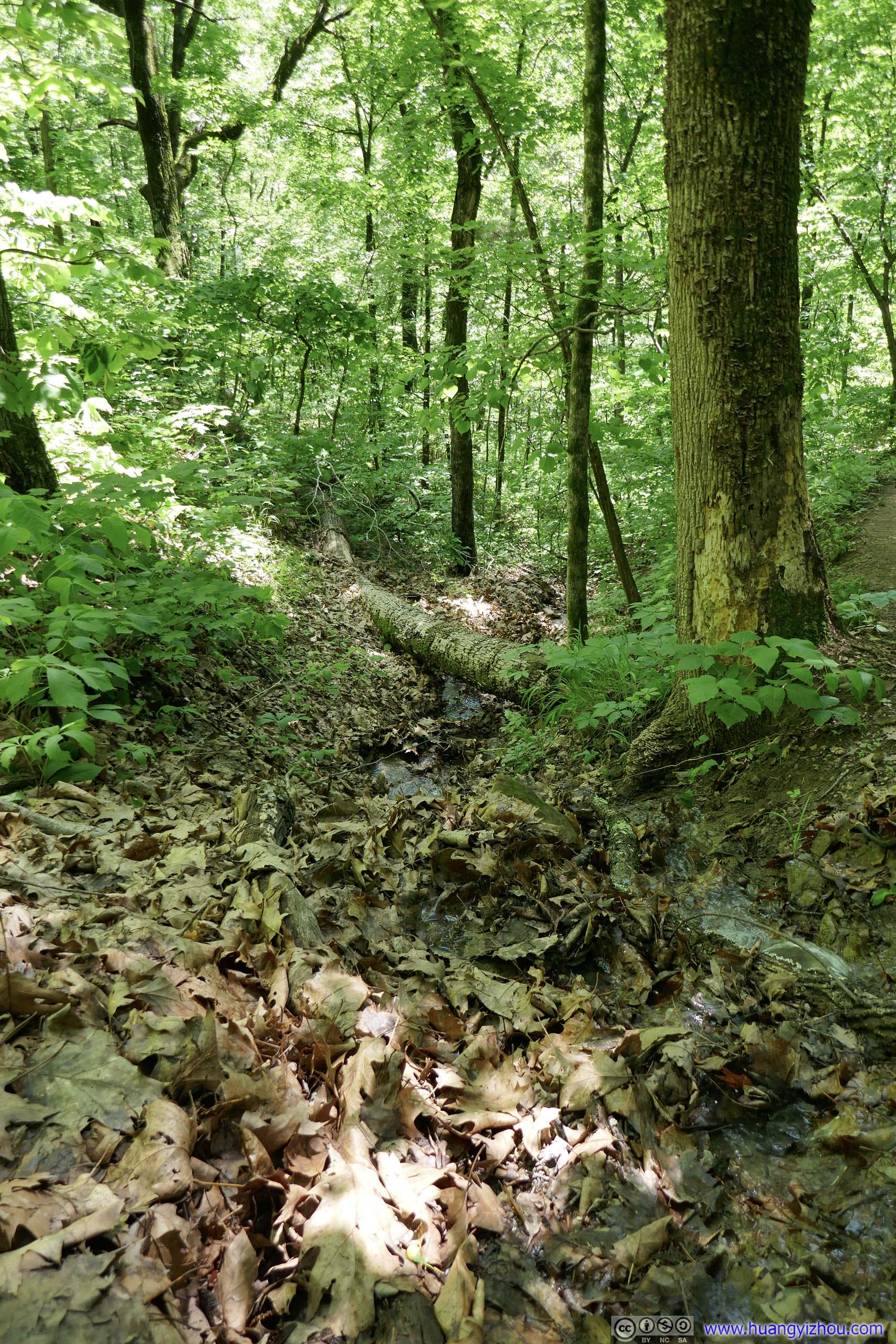
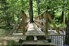
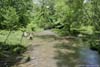
 FootbridgeFor two river crossings.
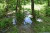
 PondsThe worst part of the muddy trail, right next to one of the water crossings.
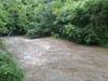
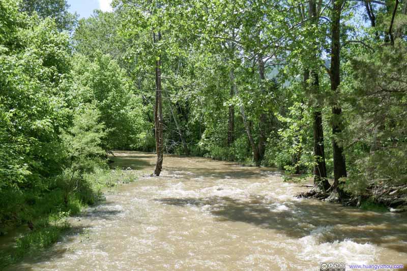 Raging WatersThere was a major storm earlier today so water flow along these creeks were quite high.
 Raging WatersThere was a major storm earlier today so water flow along these creeks were quite high.
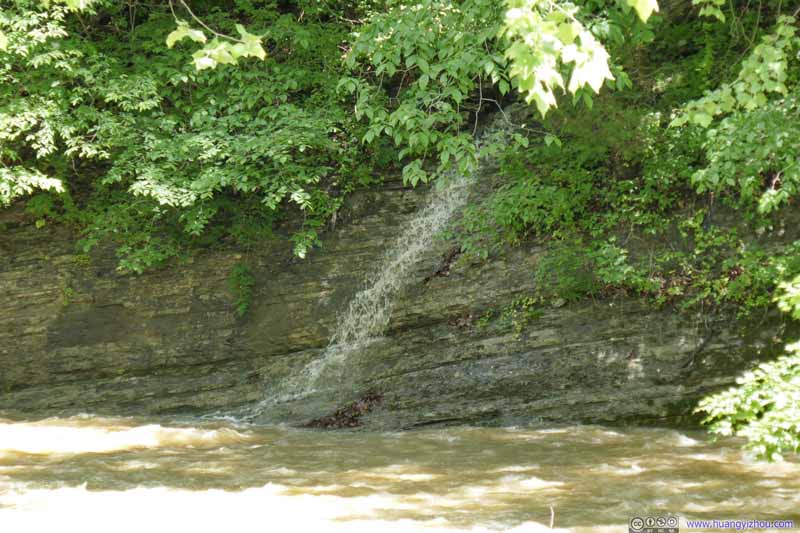 Waterfall
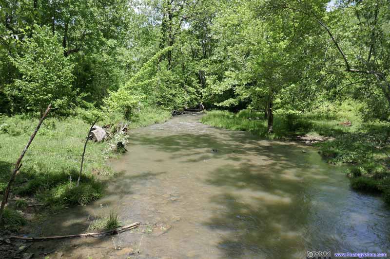 Raging WatersThere was a major storm earlier today so water flow along these creeks were quite high.
Click here to display photos of the slideshow
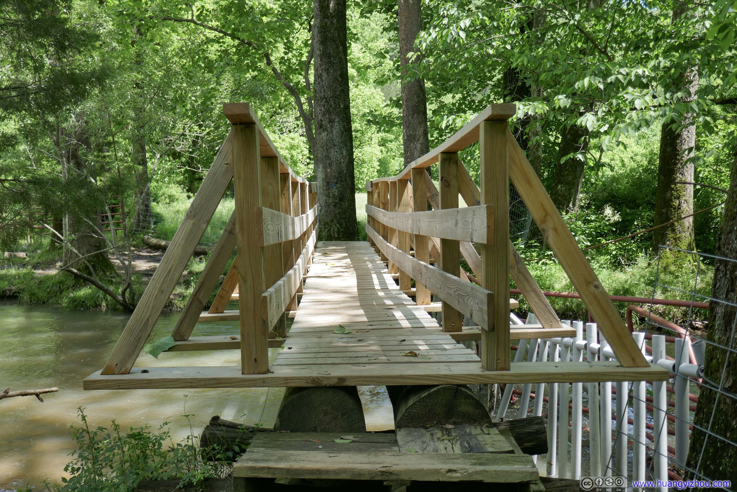
FootbridgeFor two river crossings.

PondsThe worst part of the muddy trail, right next to one of the water crossings.
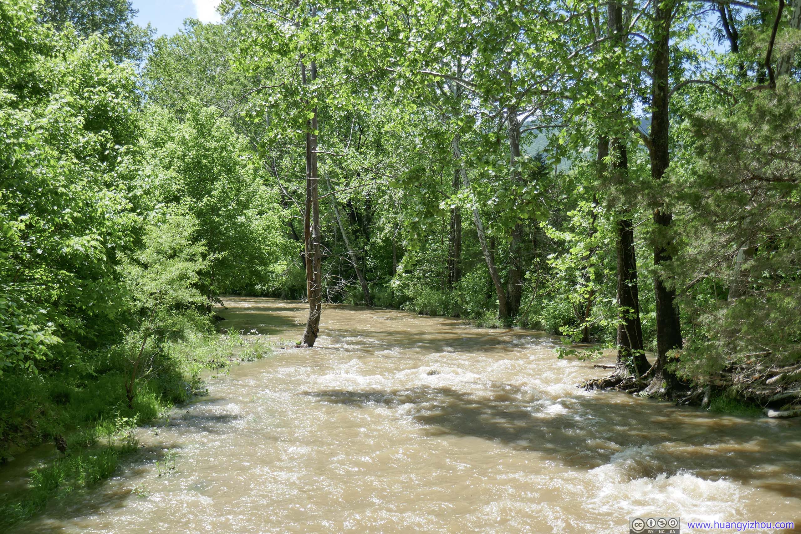
Raging WatersThere was a major storm earlier today so water flow along these creeks were quite high.
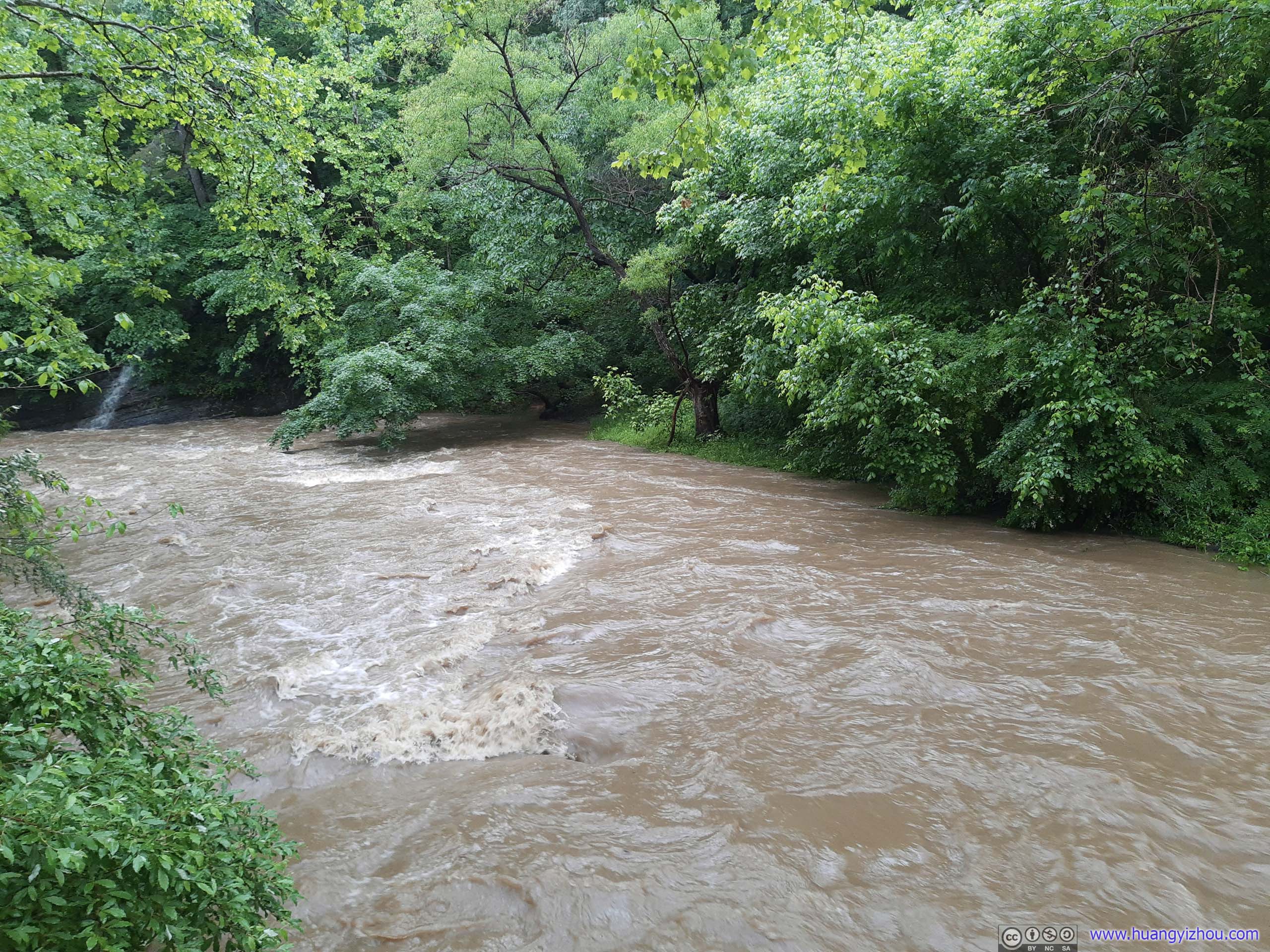
Raging WatersThere was a major storm earlier today so water flow along these creeks were quite high.
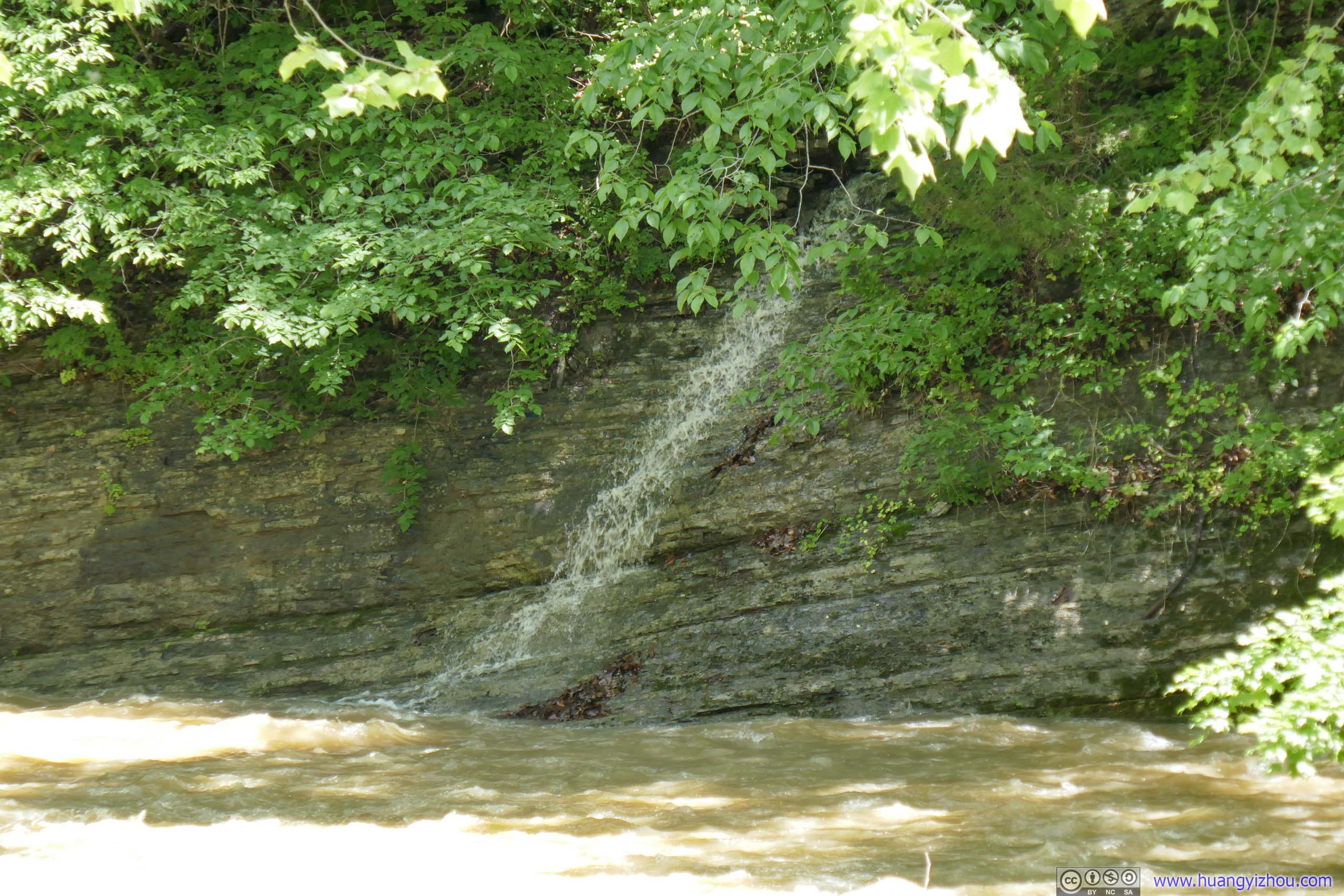
Waterfall

Raging WatersThere was a major storm earlier today so water flow along these creeks were quite high.
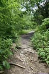
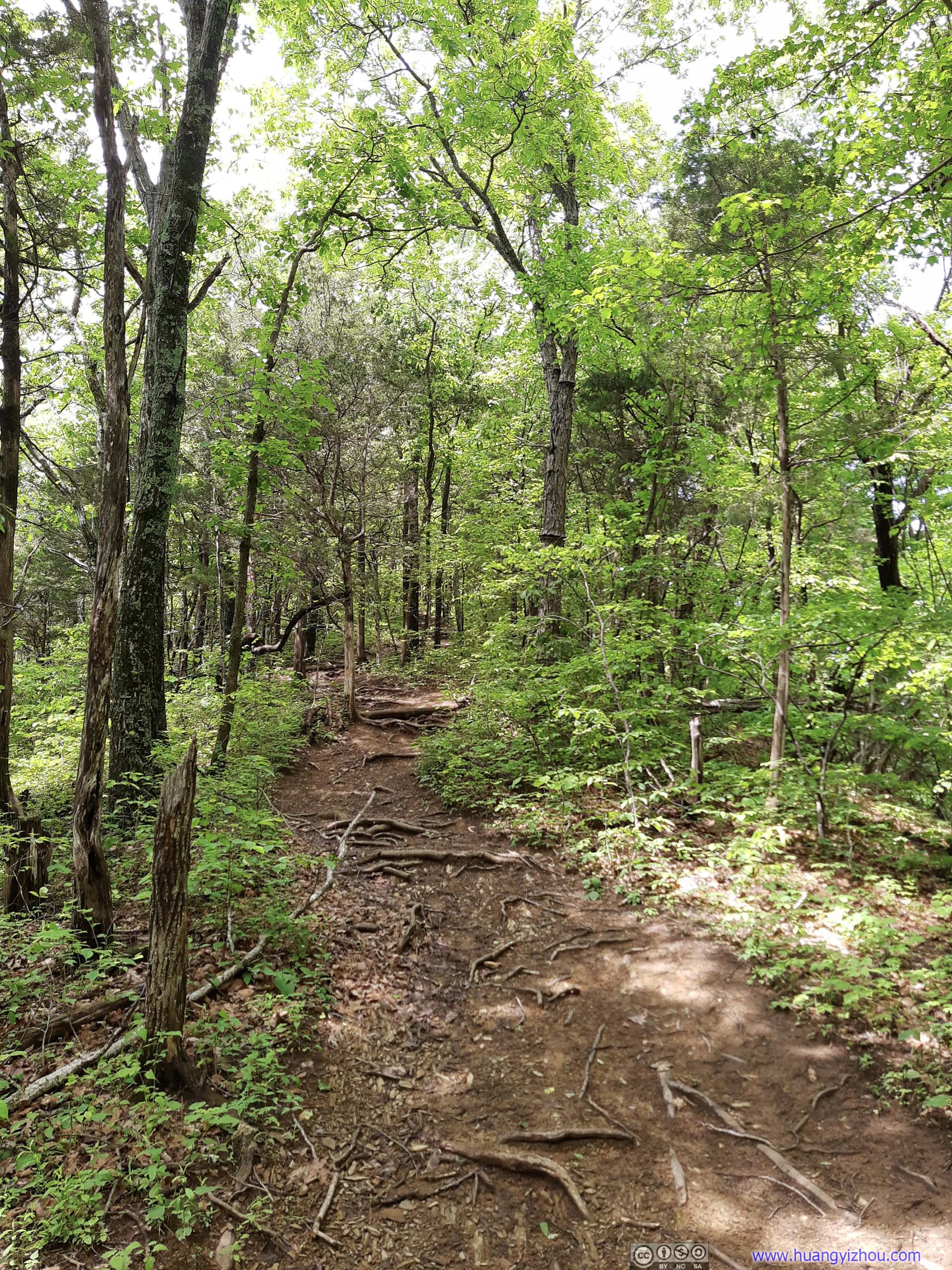
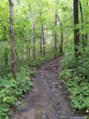
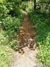
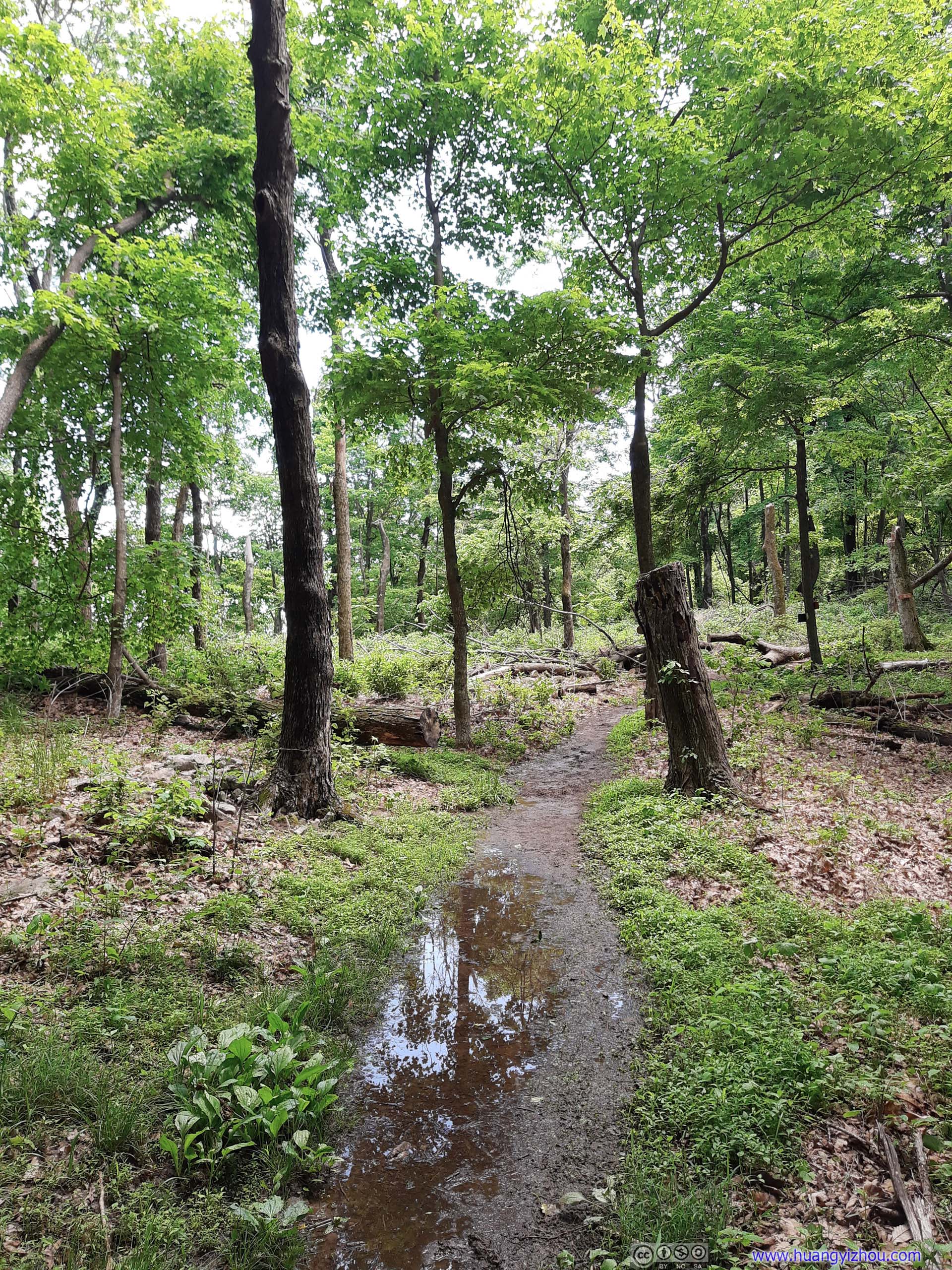
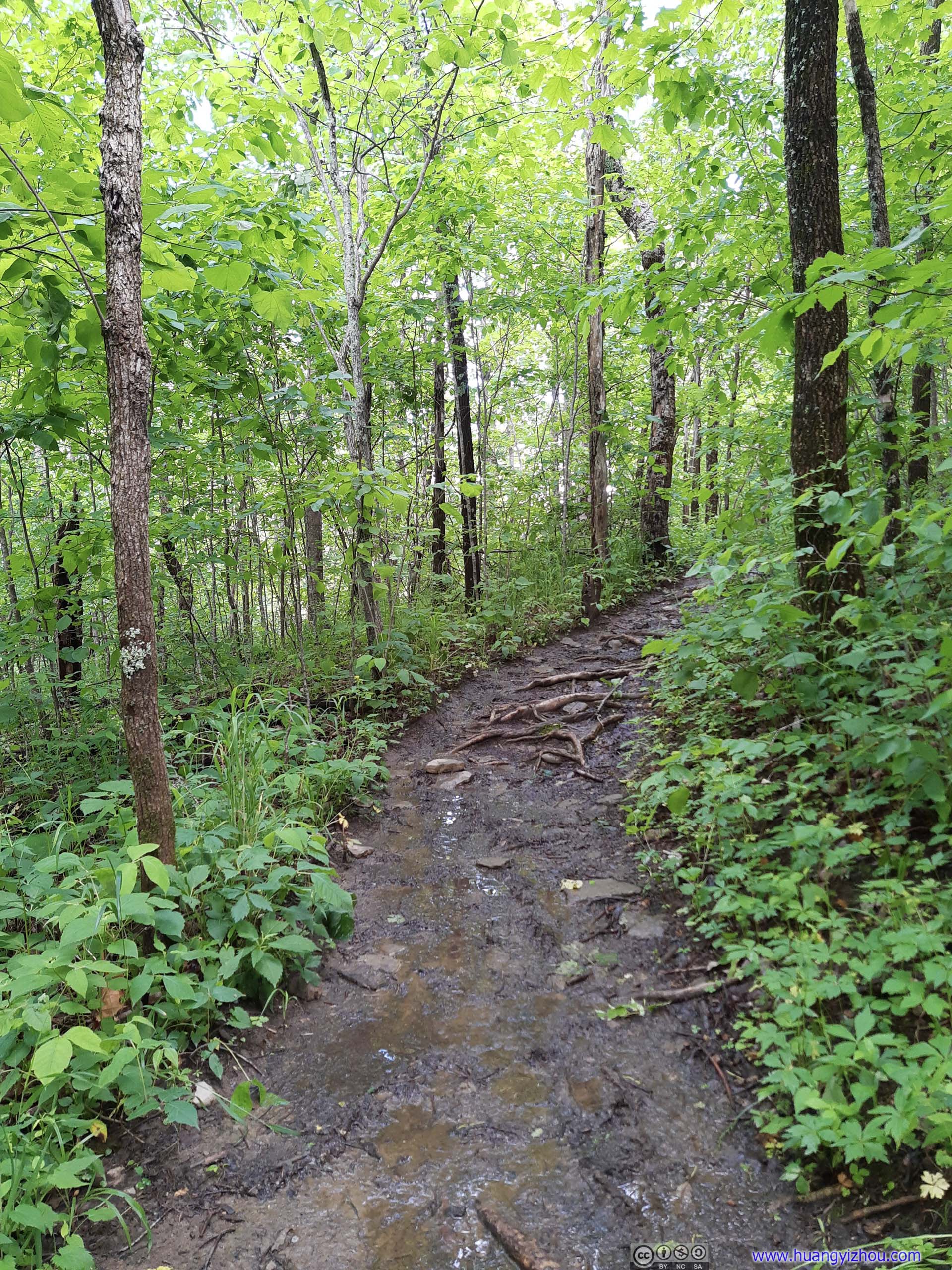
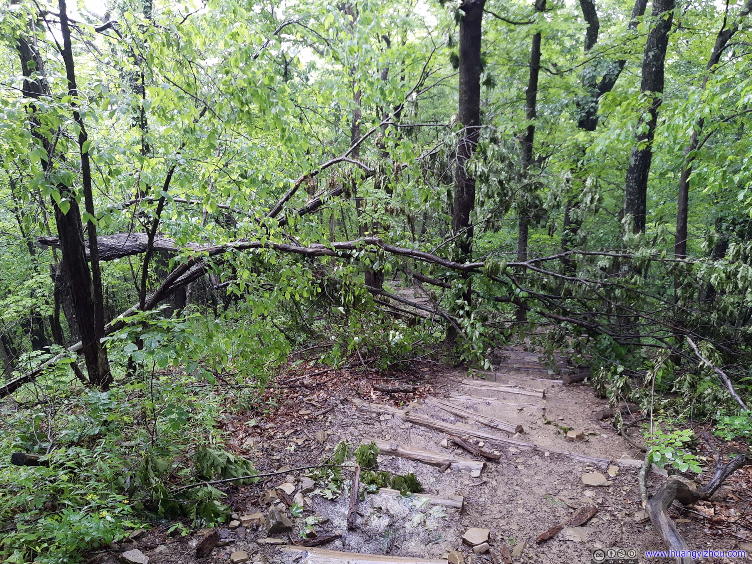
However, a major issue with the trail during my visit was its excessive amounts of mud. While the weather was great (during my ascent), the storm earlier today left the ground very saturated, which I didn’t factor in studying weather forecasts. And since most of the trail was on dirt (as opposed to more mud-resistant rocks), there were numerous muddy spots along the way, and by getting my shoes and trousers dirty they greatly slowed me down and deprived me of the enjoyment I should have had with a great day out. In addition, the mud had become so abhorrent that the sound of my shoes stepping on them was to some degree, traumatic. I brought my hiking poles, which slightly alleviated the problem, but it still ended up as a terrible day.
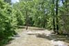
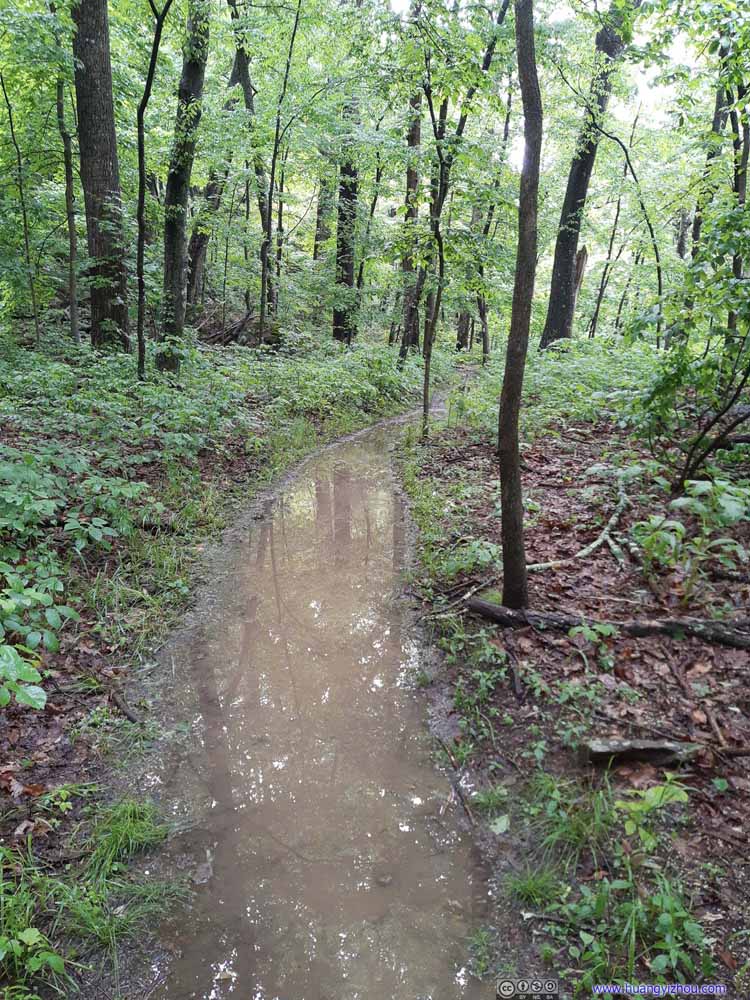 Muddy Trail
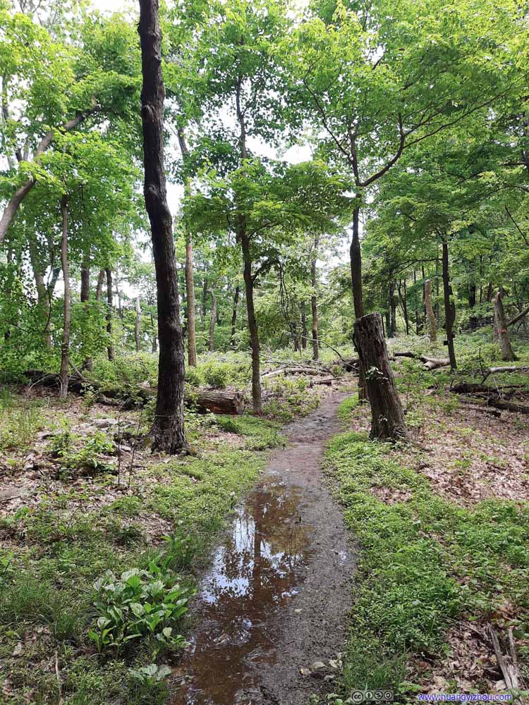 Muddy Trail
 Muddy Trail
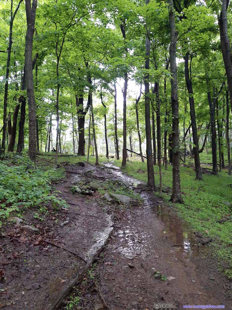 Muddy Trail
 Muddy Trail
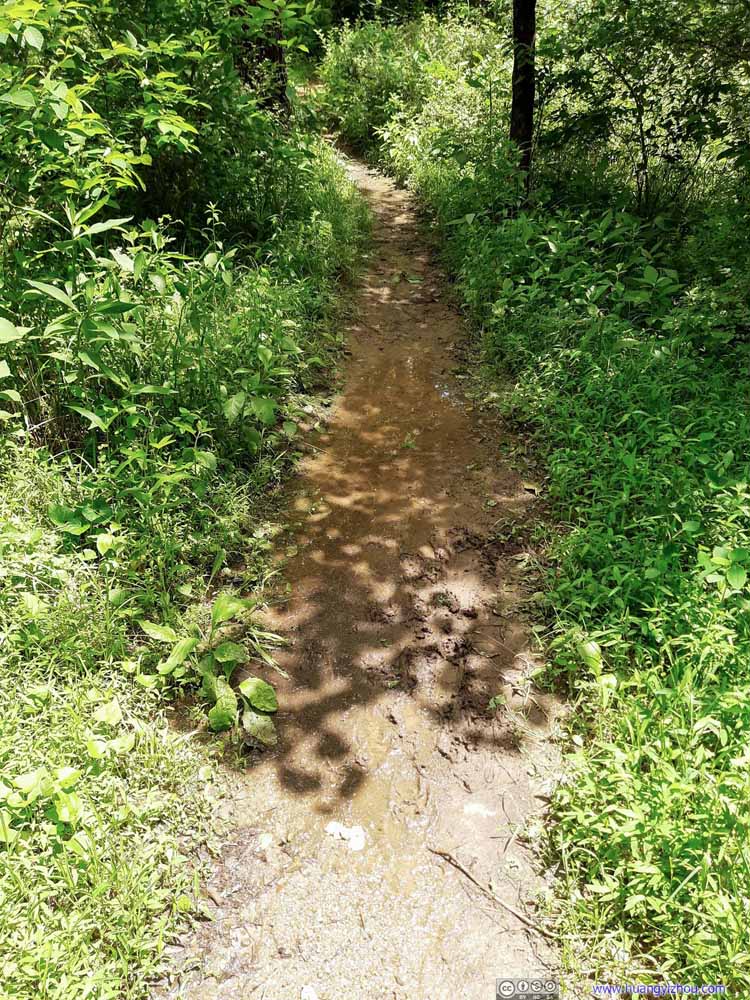 Muddy Trail
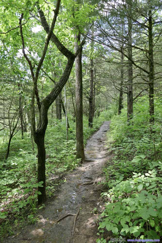 Muddy Trail
 Muddy Trail

Click here to display photos of the slideshow

Muddy Trail
Muddy Trail

Muddy Trail

Muddy Trail
Muddy Trail

Muddy Trail

Muddy Trail
Muddy Trail
With all the mud slowing me down, I only made it to Tinker Cliffs at almost 4pm, more than 2 hours after I started.
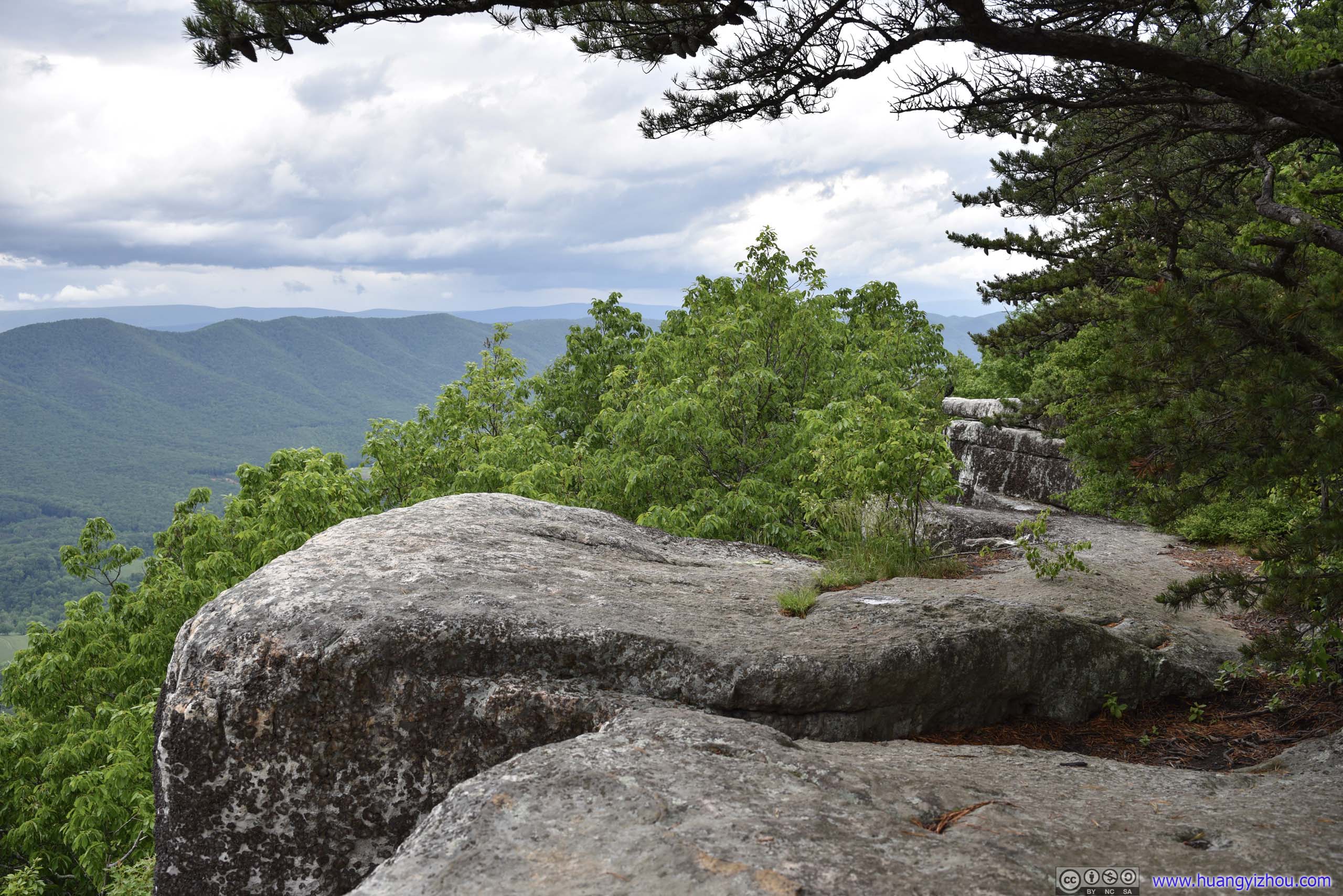
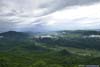
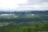
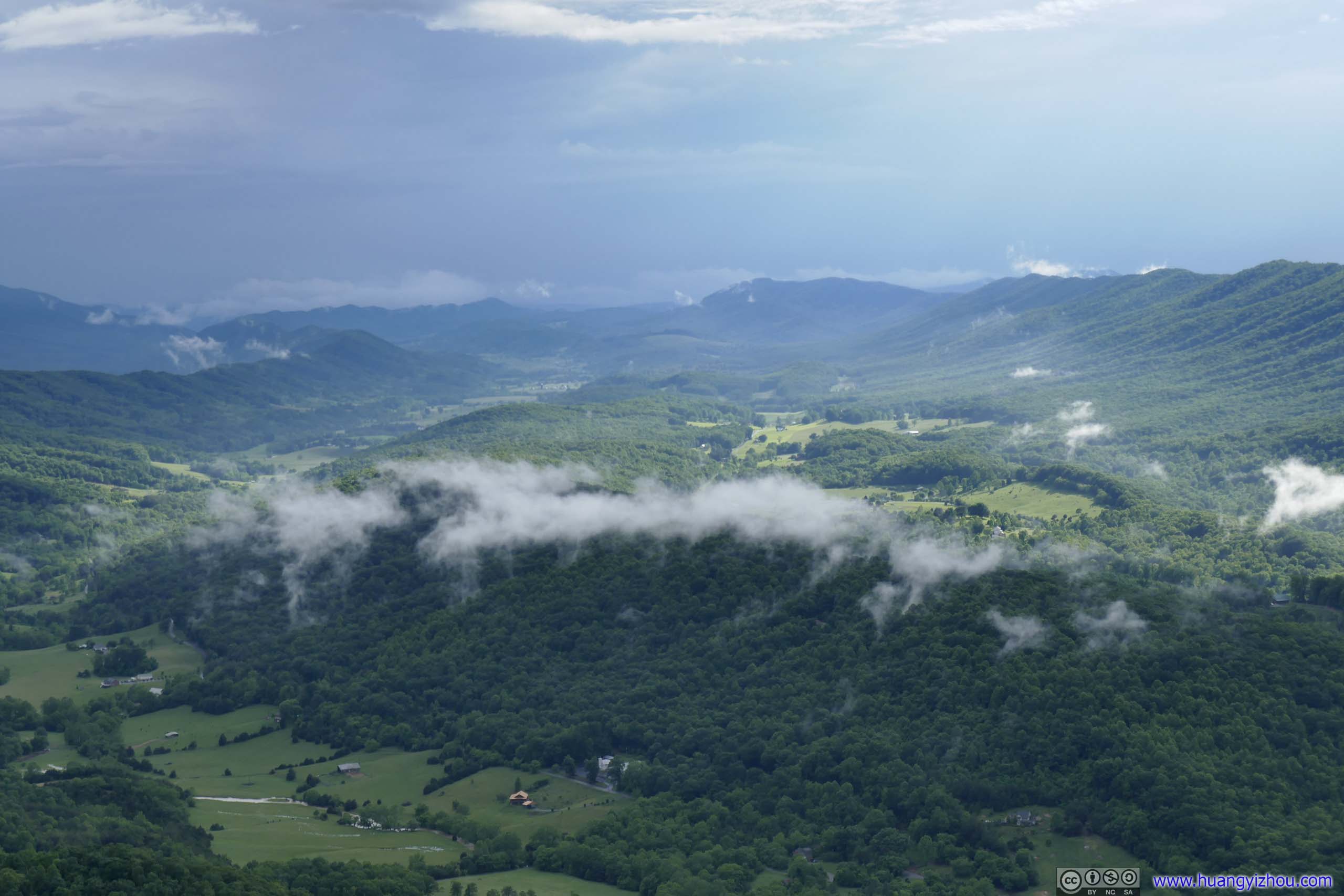
By that time I only shared the entire section of the cliffs with another bird, and it’s nice to watch the distance mountains in gloomy blue underneath the clouds, in reflection of the name “Blue Ridge Mountains”.
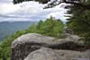
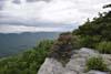
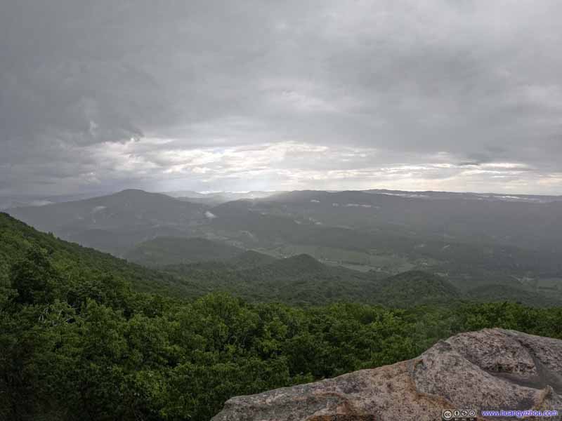
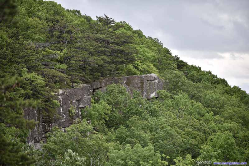 Tinker Cliffs
 Tinker Cliffs
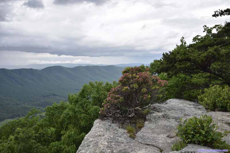 Tinker Cliffs
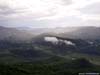
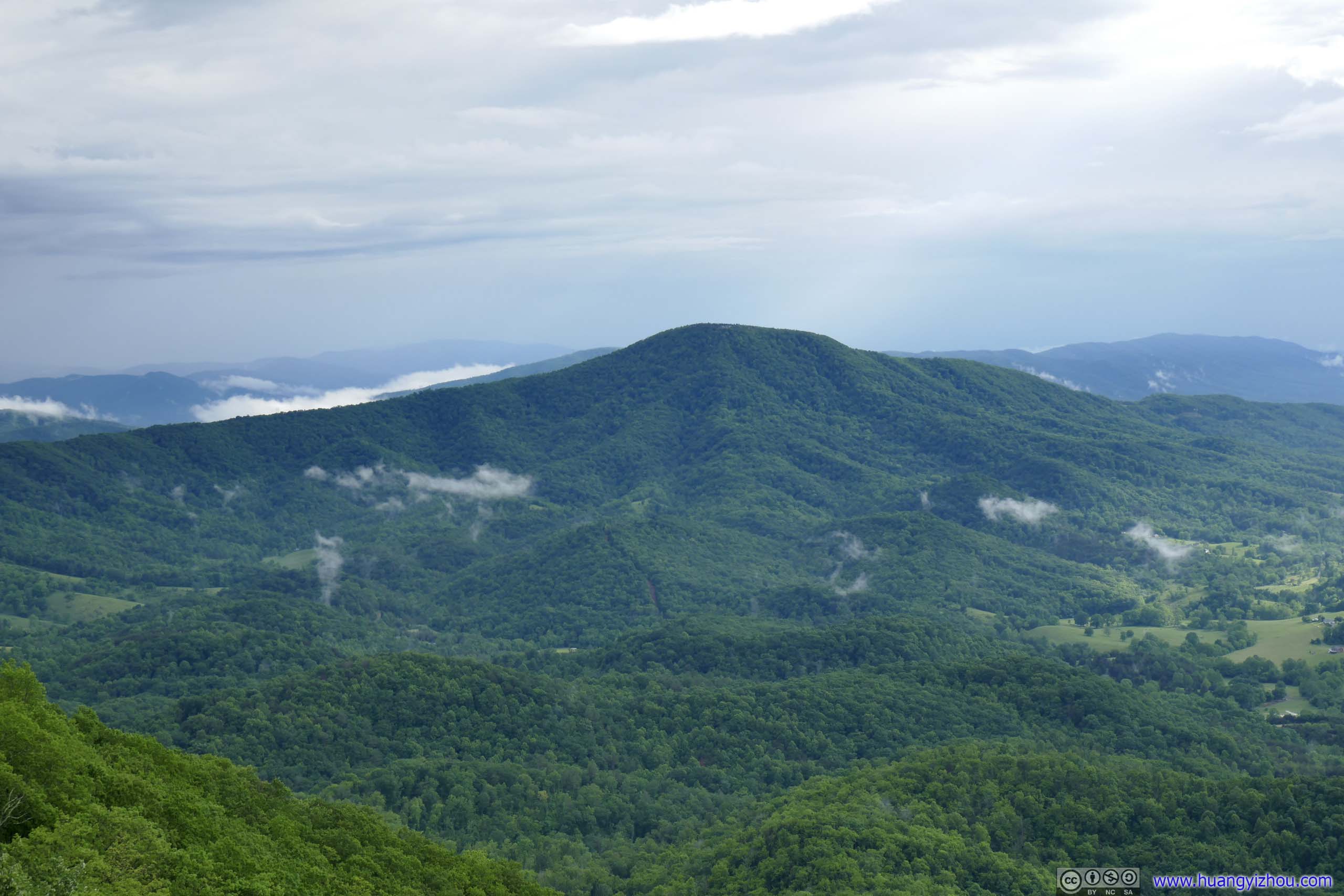
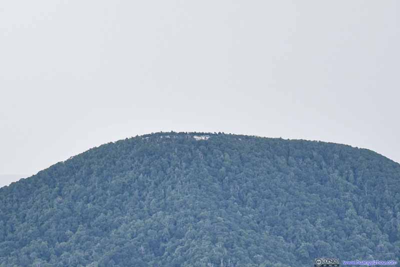 Distant McAfee KnobAlso part of Virginia Triple Crown, which I visited last Memorial Day.
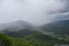
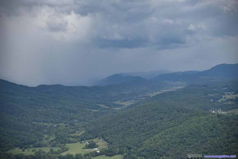 Distant Mountains in CloudsA rather appropriate sight for the name of “Blue Ridge Mountains”.
 Mountains in Clouds
Just 8 minutes after the previous shot, the clouds were starting to cover McAfee Knob, sign of impending storm.
Mountains in Clouds
Just 8 minutes after the previous shot, the clouds were starting to cover McAfee Knob, sign of impending storm.

Click here to display photos from Tinker Cliffs.

Tinker Cliffs
Tinker Cliffs

Tinker Cliffs
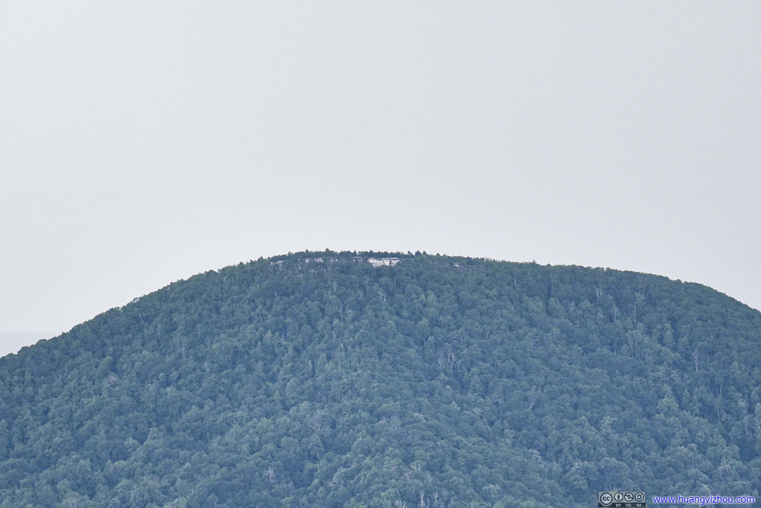
Distant McAfee KnobAlso part of Virginia Triple Crown, which I visited last Memorial Day.
Distant Mountains in CloudsA rather appropriate sight for the name of “Blue Ridge Mountains”.

Mountains in Clouds
 Bird
Bird
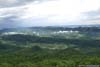
View from Tinker Cliffs before the Storm
Unfortunately, my excitement of reaching Tinker Cliffs was short-lived, as I quickly lost sight of McAfee Knob among the mountains to the south to dense mist, that’s when I realized a storm was coming. At first, I thought I might have enough time to appreciate the scenery before the storm reached Tinker Cliffs, which wasn’t the case. A mere 10 minutes after I took the first photo at Tinker Cliffs, rain started to fall, combined with roars of thunder. So I retreated back into the woods for shelter, waiting for the rain to pass.
The storm had been very intense at times, which was more than what my umbrella could handle, and it didn’t show signs of letting up for almost an hour.
It wasn’t pleasant, cramped underneath an umbrella waiting for an uncertain end of the storm without internet. But when it’s finally abating, I headed back to Tinker Cliffs and took some photos and videos of its end, of the rays of sun breaking through clouds and the mountains dressed in patches of mists, as much as I could to salvage the day’s experience.

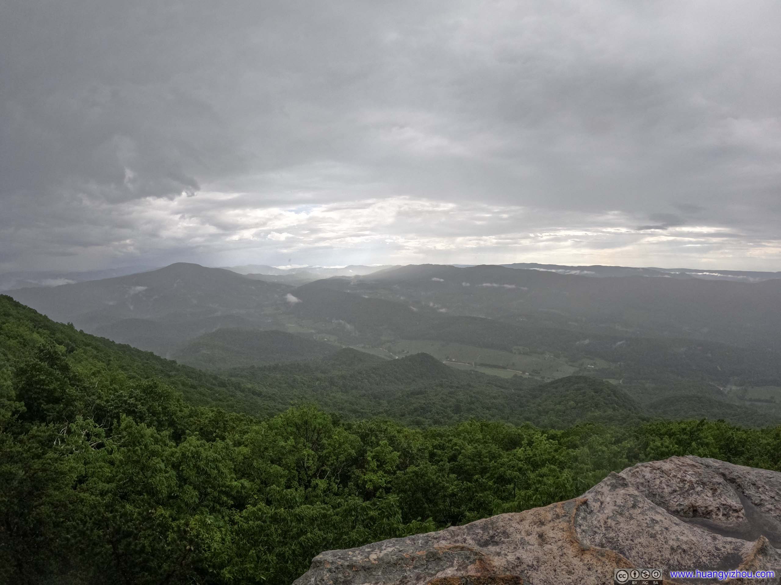
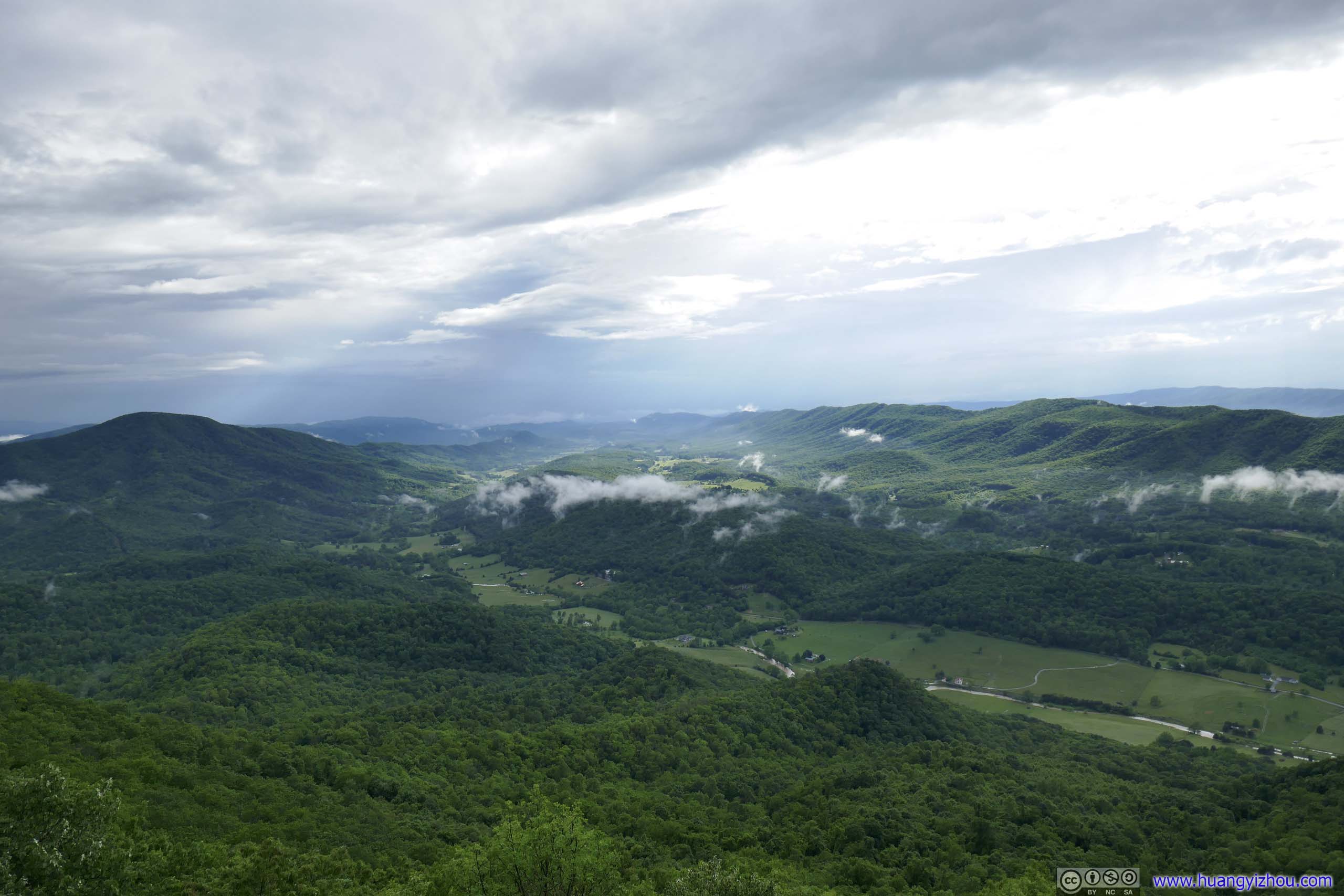
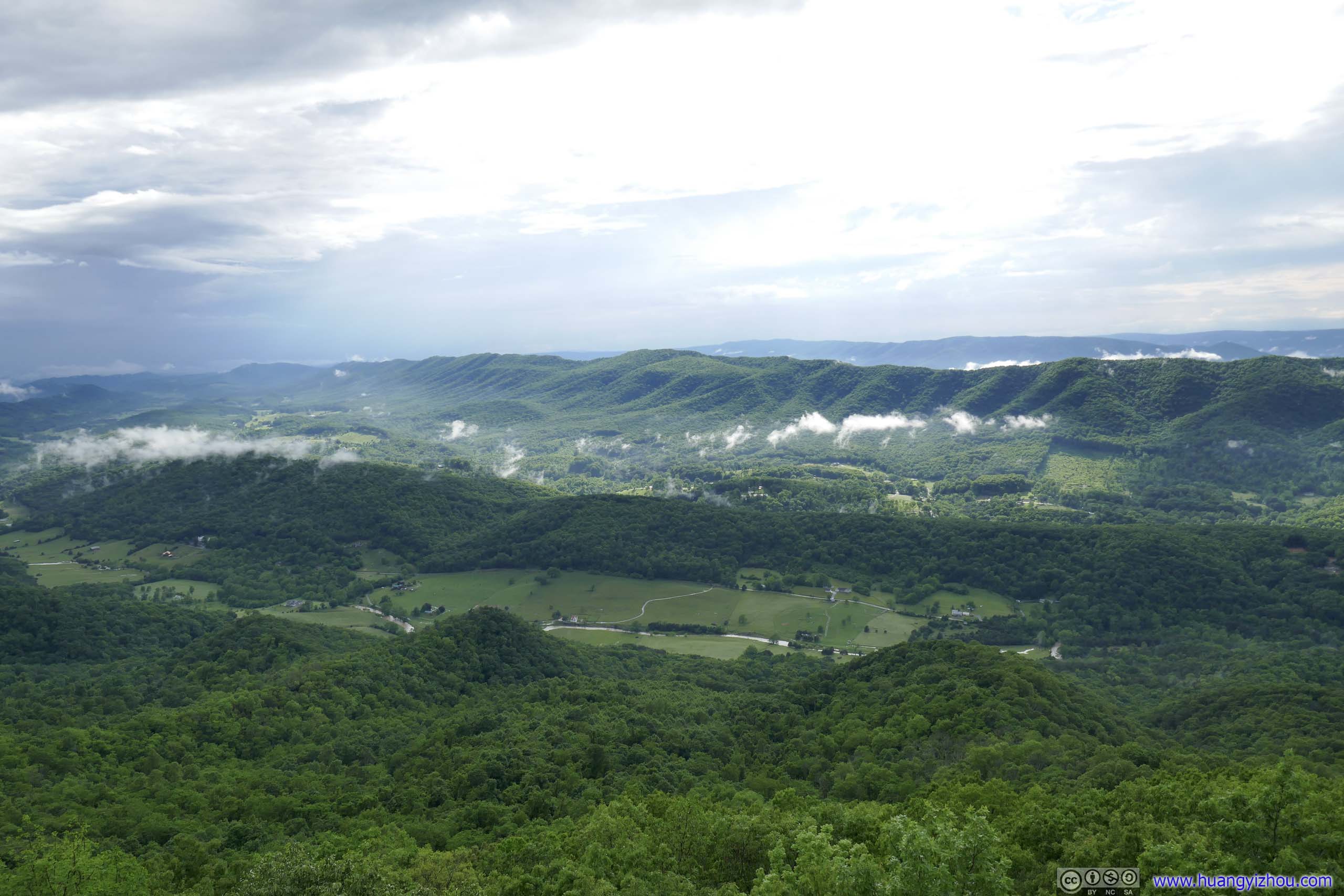
View from Tinker Cliffs after the Storm
 End of Storm in Sight
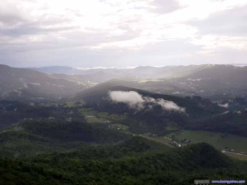 Storm Ending
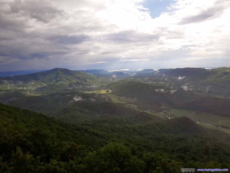 Storm Ending
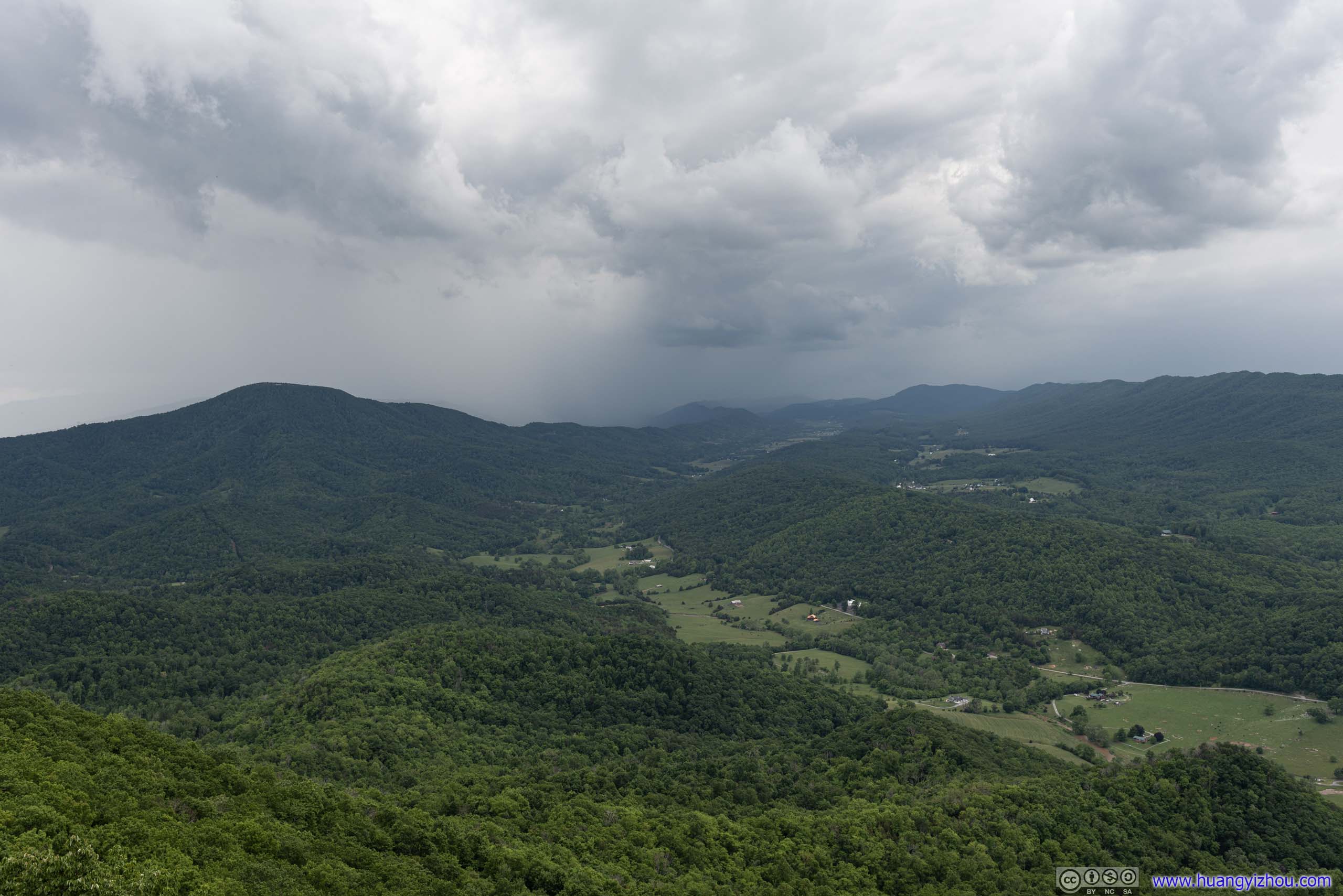
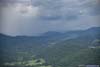
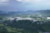
 Fields and Mountains after Storm
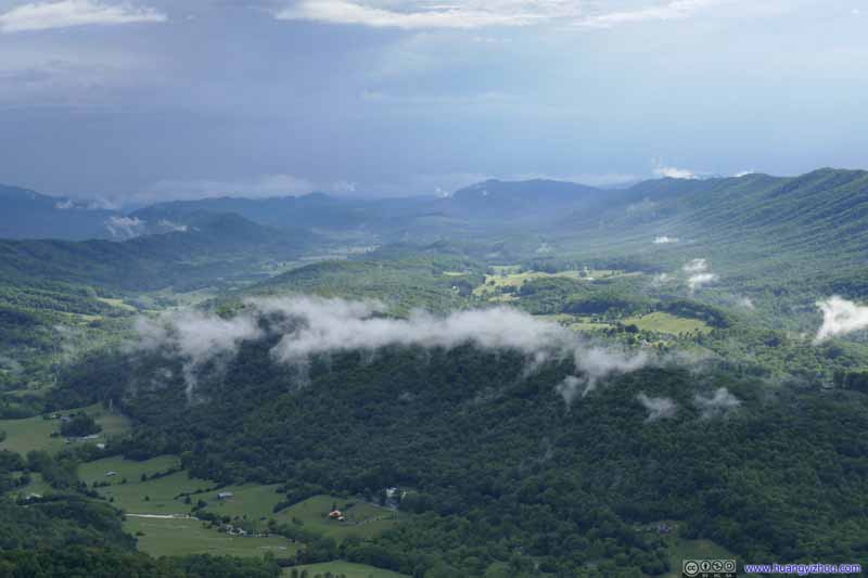 Fields and Mountains after Storm
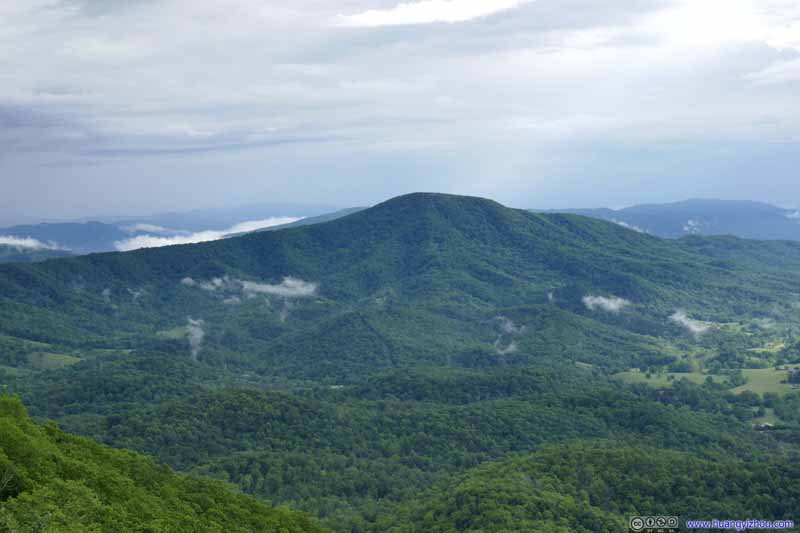 McAfee Knob after Storm
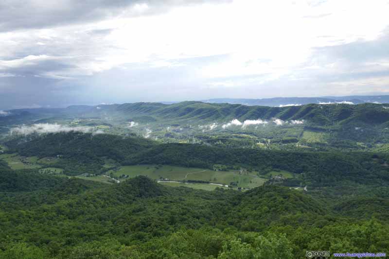 Fields and Mountains after Storm
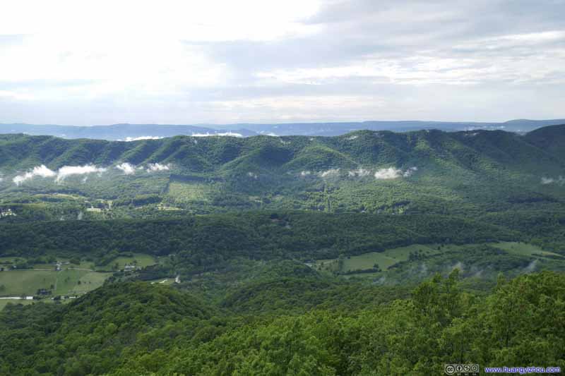 Fields and Mountains after Storm

Click here to display photos of the slideshow
End of Storm in Sight

Storm Ending

Storm Ending
 Fields and Mountains after Storm
McAfee Knob after Storm
Fields and Mountains after Storm

Fields and Mountains after Storm
Finally, I left Tinker Cliffs at 5:50pm and headed back downhill. With the storm that I just sheltered through, the mud condition along the trail could only get worse. To make matters worse, there was occasional light rain during my descent, which certainly didn’t help. As a result, it took me 2 hours and 25 minutes to get back to the trailhead, which was longer than my ascent.
Obstacle
In hindsight, the morning storm cleared Strasburg at about 10:30am, which was slightly earlier than the weather forecast, by which time I should have realized maybe the afternoon storm would also arrive earlier. That combined with my failure to foresee the mud situation meant I moved a lot slower than expected along the trail, otherwise the afternoon storm would hit during my descent, which was much safer than the top of the mountain in a thunderstorm.
After that, I headed back to town for some dinner. My planned hotel for the night in Roanoke was unfortunately fully booked, so I picked a backup one in Blacksburg, which added about half an hour’s drive, after a long and somewhat miserable day.
END
![]() Day 1 of May 2022 Virginia Trip, Hiking Tinker Cliffs by Huang's Site is licensed under a Creative Commons Attribution-NonCommercial-ShareAlike 4.0 International License.
Day 1 of May 2022 Virginia Trip, Hiking Tinker Cliffs by Huang's Site is licensed under a Creative Commons Attribution-NonCommercial-ShareAlike 4.0 International License.