
Updated on July 17, 2022
Day 2 of May 2022 Virginia Trip, Hiking Angel’s Rest
The second day of my 2022 Memorial Day weekend trip. After waking up in Blacksburg, I would try out more hiking trails in the towns nearby, most notably Angel’s Rest Trail in Pearisburg.

Angel’s Rest
After some unexpected delays the previous day (mostly due to mud on the hiking trail), I only reached my overnight hotel in Blacksburg at 10pm. So I took a good night’s rest, and set off at a reasonably late 11am this morning. After grabbing some breakfast, I first set off for Mountain Lake in Jefferson National Forest, with a short hike to Bald Knob.

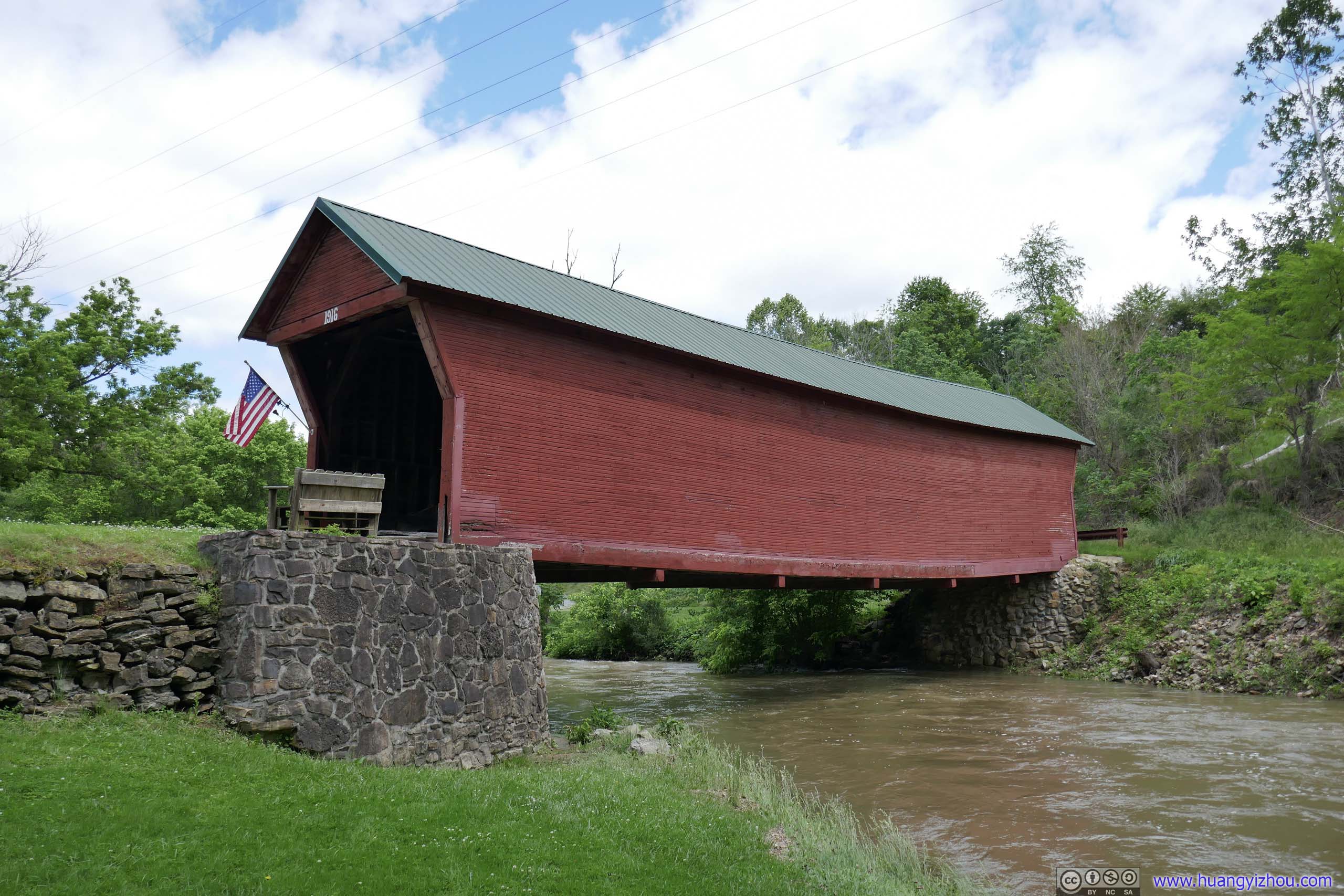 Clover Hollow Covered BridgeA stop I made along the way. Built in 1916 as a way to cross the Sinking Creek, renovated in 2000 as a community project.
After that, I took Virginia State Route 700 up into the mountains. The twisty mountain road was great fun to drive, with the following dashcam video.
Observation Deck along SR 700
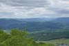
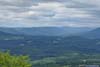
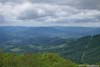
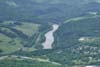
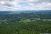
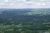
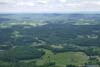
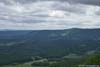
Along the way I made a brief stop on a roadside observation deck, with views of rolling mountains.
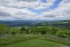
 Fields and Mountains
 Distant Mountains
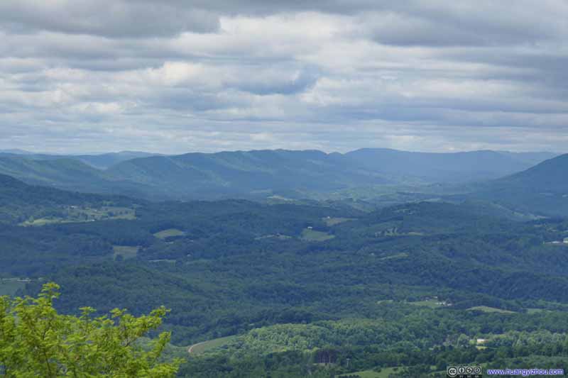 Distant Mountains
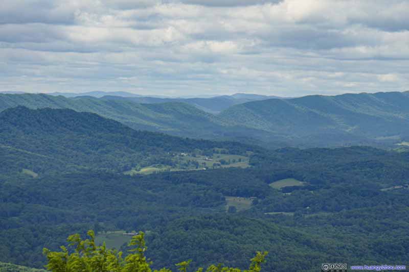 Distant Mountains
Click here to display photos of the slideshow

Fields and Mountains
Distant Mountains

Distant Mountains

Distant Mountains
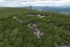
 View of MountainsFrom my drone (top) and from observation deck (below).
Then, I continued towards Mountain Lake, which featured a resort hotel and gift shops. At the intersection of VA700 and VA613, there was a gravel field for day-use parking for free.
Bald Knob
From the parking lot, Bald Knob was a short 700m stroll away, with 140m elevation gain. The trail was in great condition, but sort of steep. Alternatively, one could use the longer Bald Knob Tower Road for a more gradual ascent.
 Trail
Trail Trail
Trail Trail
Trail Trail
Trail Trail
Trail Trail
Trail Trail
Trail


Click here to display photos of the trail to Bald Knob.
Trail
Trail
Trail

Trail

Trail
Trail
Trail
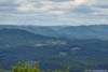
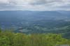
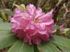
Bald Knob was made of a series of boulders that were slightly higher than the surrounding trees, offering views of surrounding mountains and villages. It’s just like Tinker Cliffs that I visited the previous day, without the steep dropoff.
 Mountains from Bald Knob
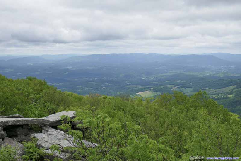 Mountains from Bald Knob
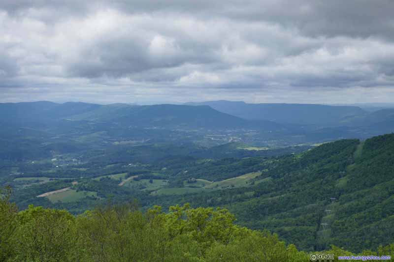 Fields and Mountains from Bald Knob
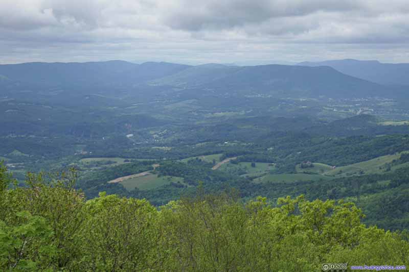 Fields and Mountains from Bald Knob
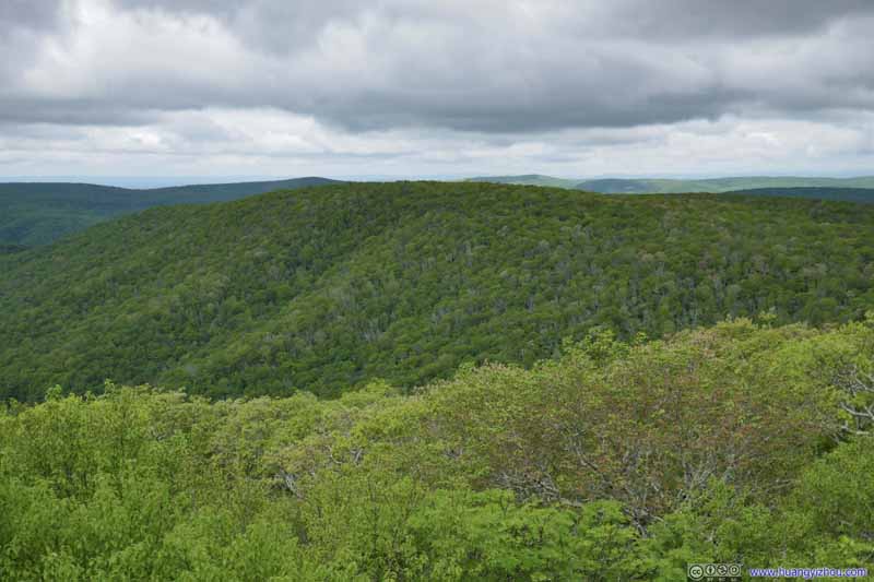 Doe MountainBeyond which were Cascades Falls, a popular site in Jefferson National Forest.
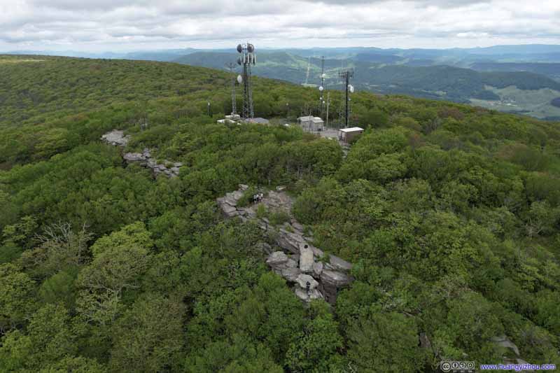 Overlooking Bald Knob

Click here to display photos from Bald Knob.
Mountains from Bald Knob

Mountains from Bald Knob
Fields and Mountains from Bald Knob
Fields and Mountains from Bald Knob
Doe MountainBeyond which were Cascades Falls, a popular site in Jefferson National Forest.

Overlooking Bald Knob
In line with my tradition, I commemorated the moment with a drone video:
2x playback speed, 22 seconds, 2160p60fps, 54MB file size.
Valleys off Bald Knob
And I also took a brief video of my drone flying through the valleys.
2x reversed playback speed, 28 seconds, 2160p60fps, 15Mbps/77MB for H265, 17Mbps/85MB for H264.
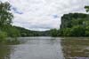
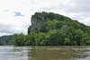
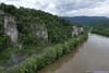
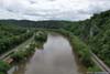
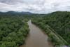
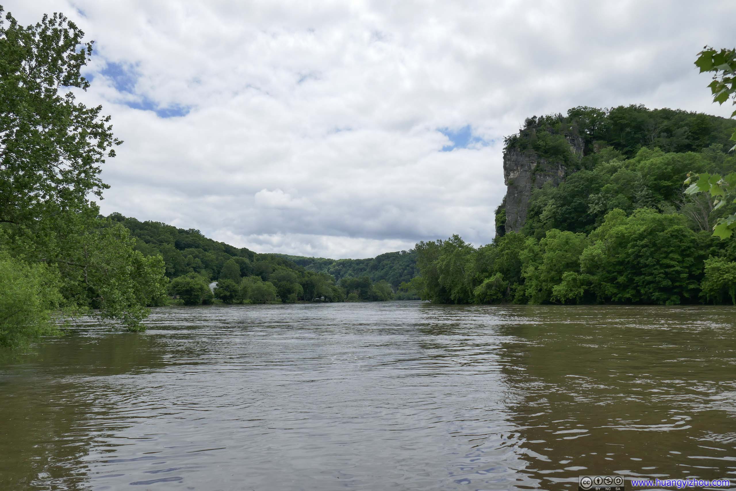
After I got back to my vehicle, I set off for Pearisburg. But along the way, I made a stop at Pembroke Boat Landing first. It’s a public dock where New River made a hairpin turn, with some exposed rocks on the opposite side making for a perfect backdrop.
Pembroke Boat Landing
 New River
 Cliff along New River
 Cliffs along New River
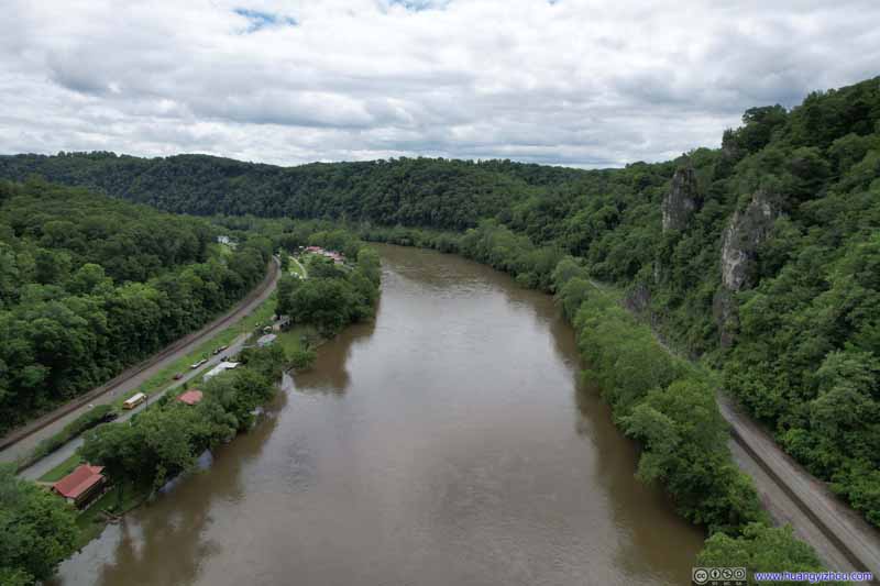 New River
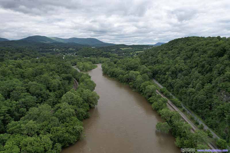 New River
Click here to display photos of the slideshow
New River
Cliff along New River

Cliffs along New River
New River
New River
Overlooking New River
In addition, I used my drone for a tour along the New River. With yesterday’s heavy rain, the river’s flow was murky and strong.
After that, I set off for Angel’s Rest Trail.
Angel’s Rest Trail
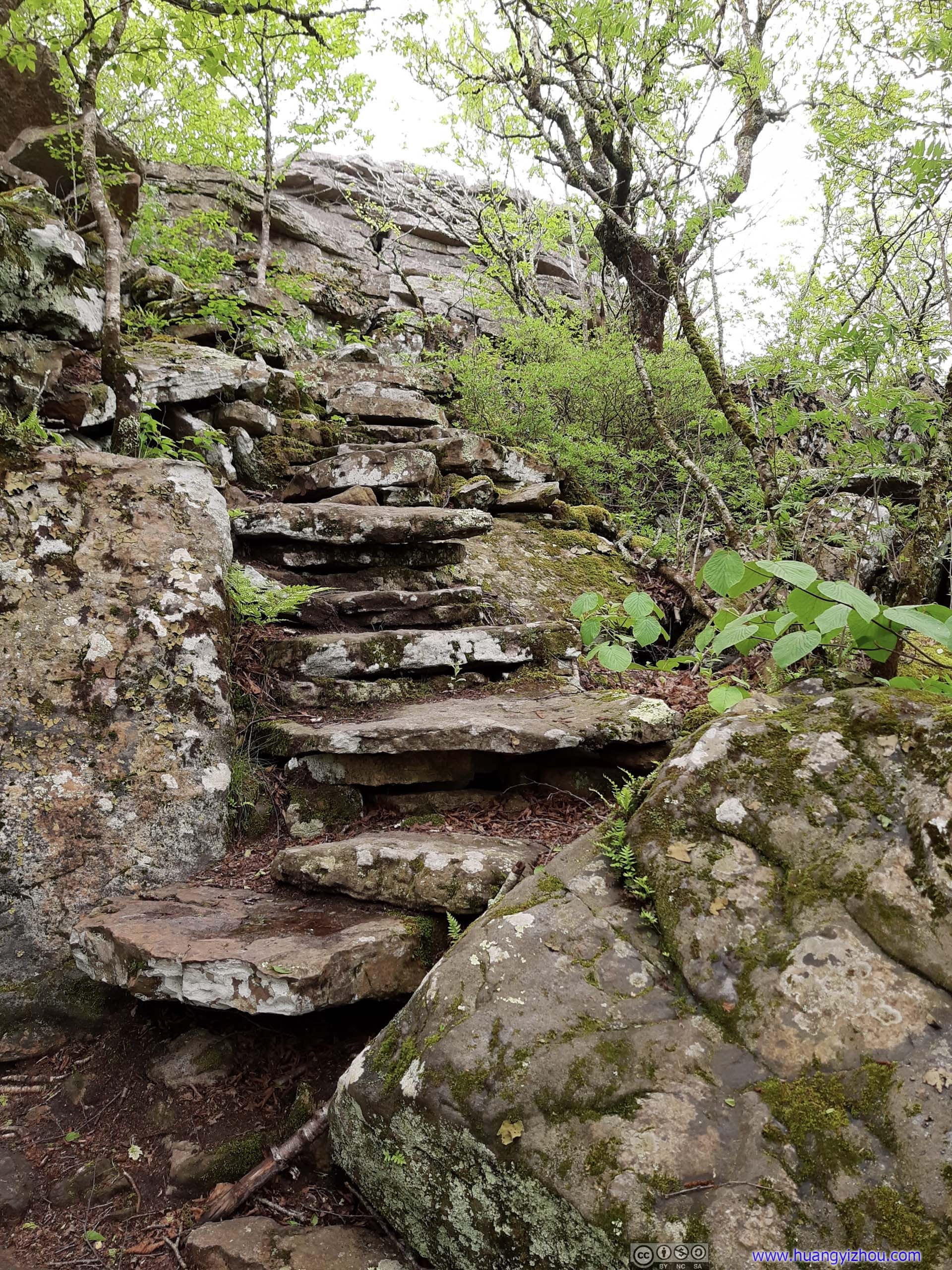
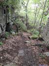
This was a relatively popular section of the Appalachian Trail outside Pearisburg, with two overlooks along the way. Its upper trailhead was along Virginia Route 793, a country road that saw few traffic, about 80m west of the Appalachian Trail crossing. The small roadside turnout had space for about 3-4 vehicles, which was amazingly empty by the time I arrived. From this trailhead, Angel’s Rest and Pearis Mountain (the two overlooks) was an 8km out-and-back with 540m elevation gain. If this parking lot was full, there was additional parking along Virginia Route 100, which would add about 2km of distance each way.
After some warmup, I started my hike at 2:45pm.
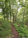
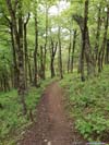
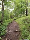
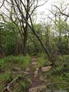
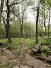
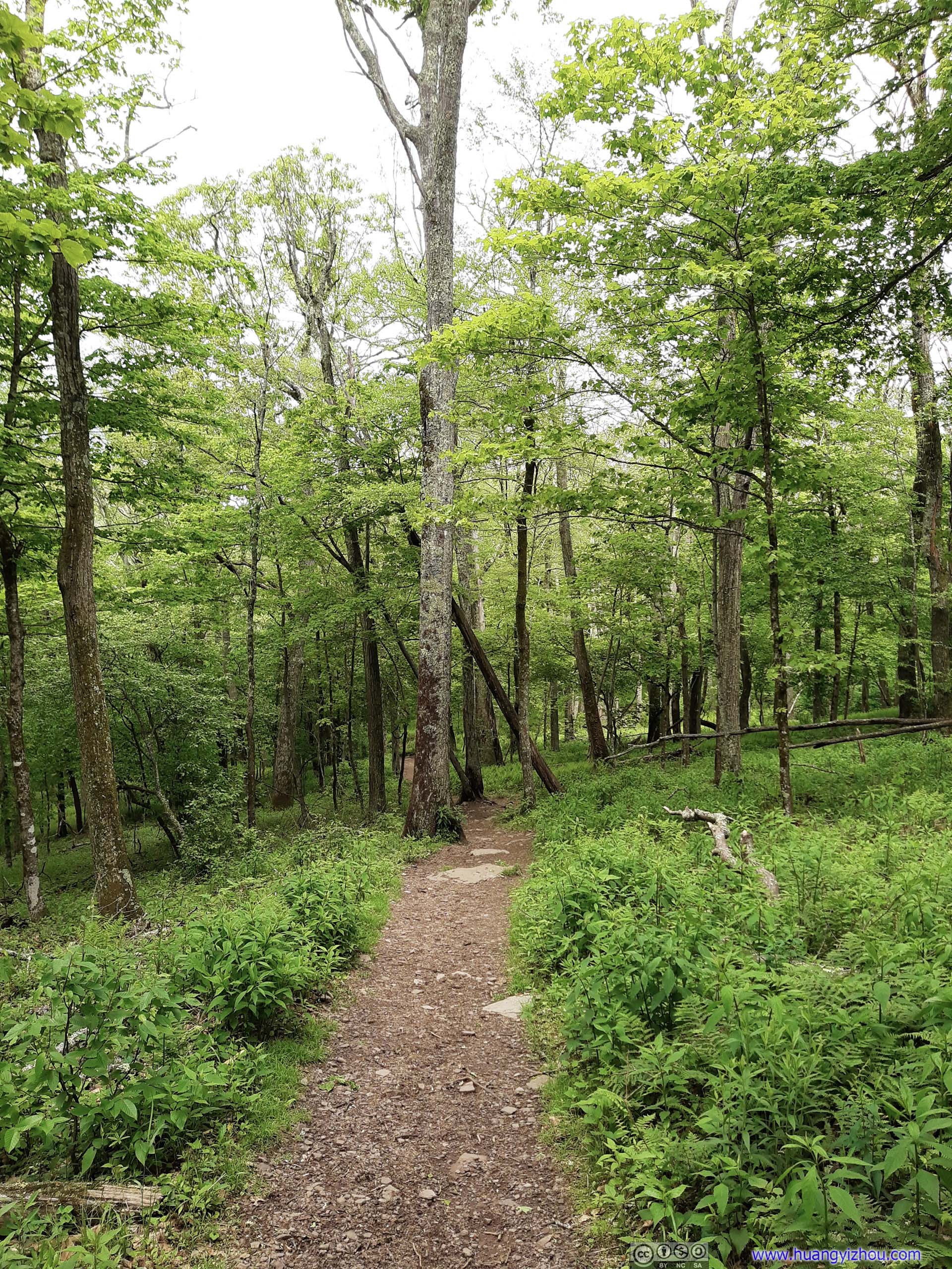
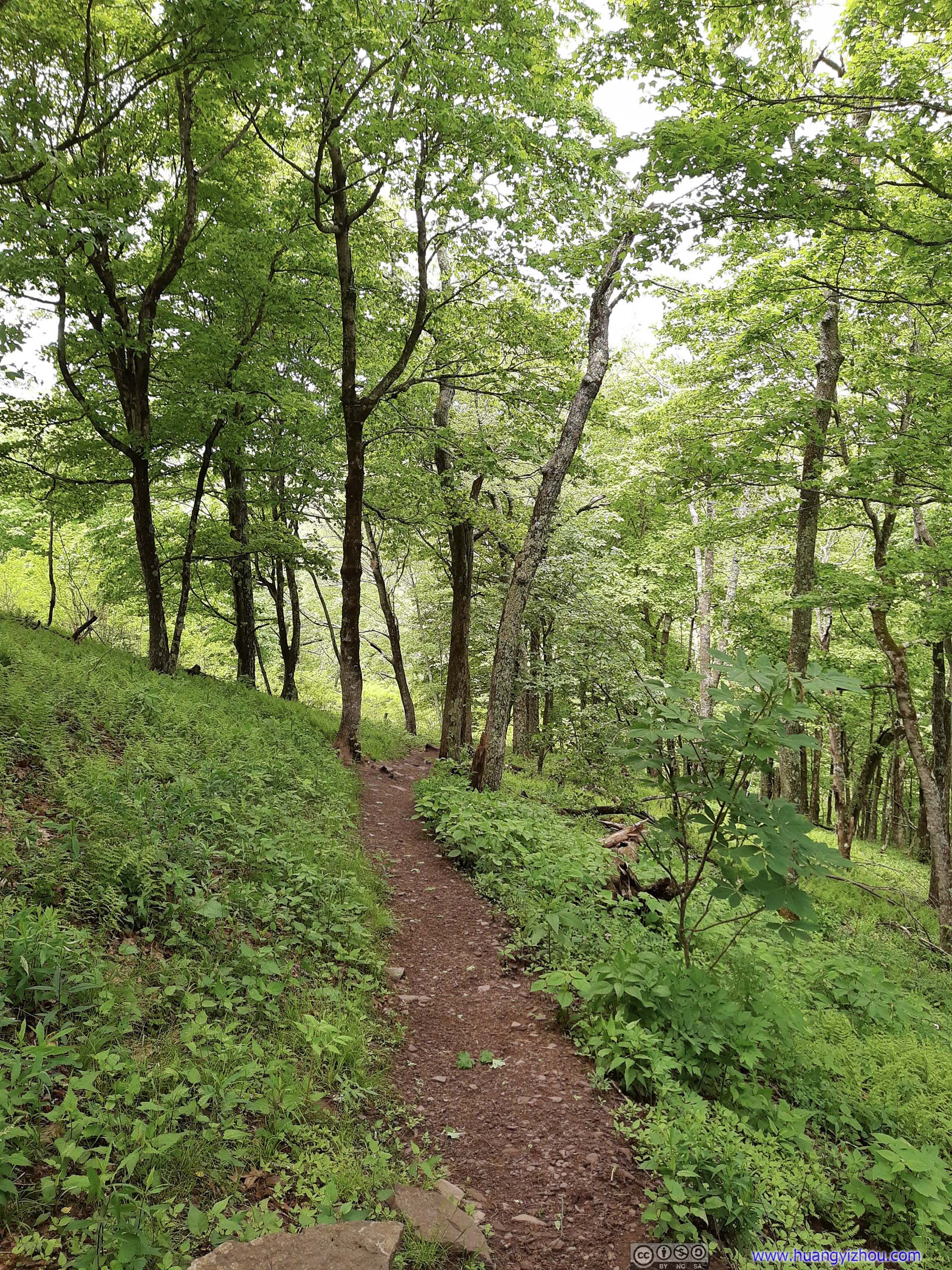
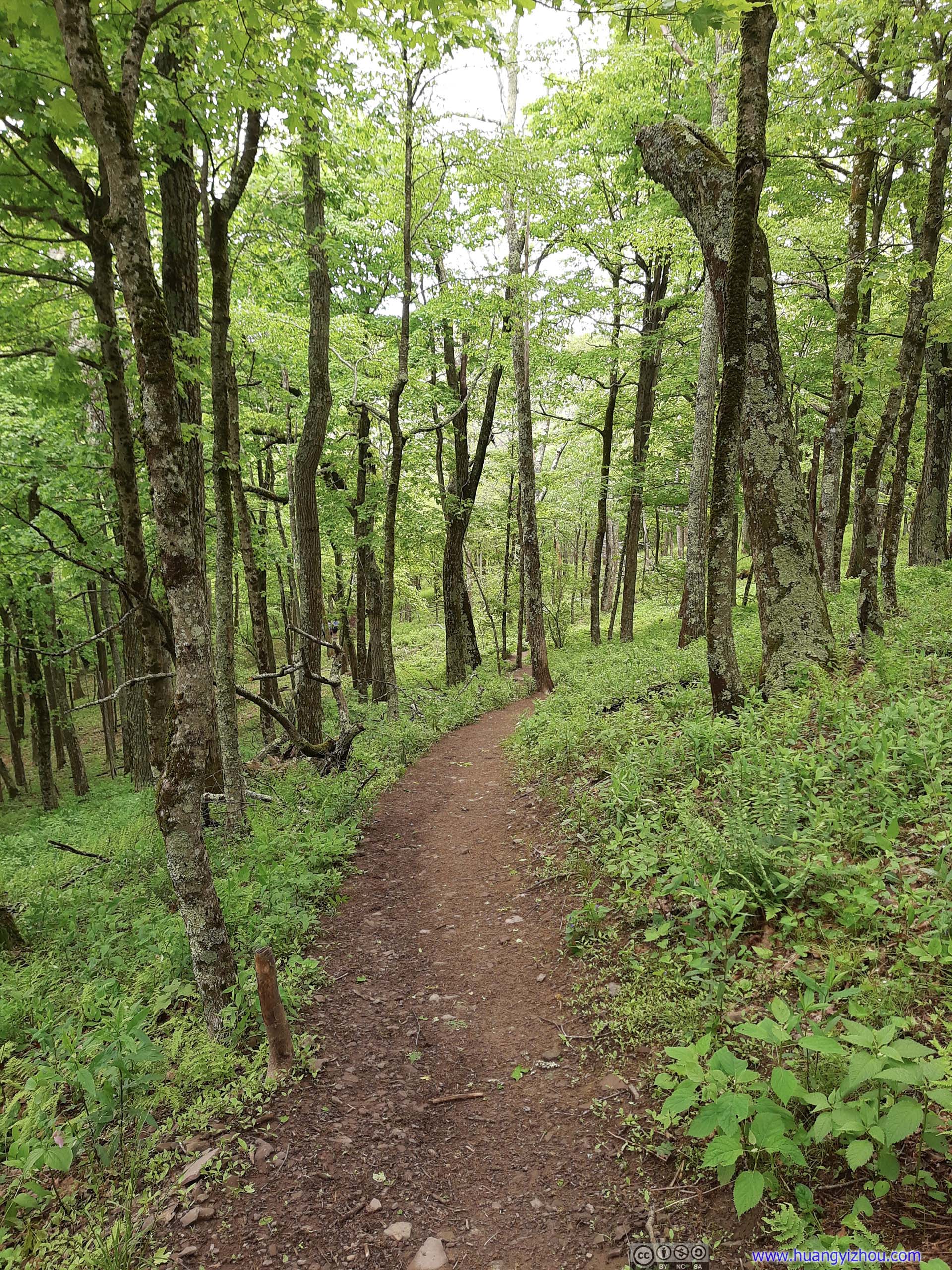
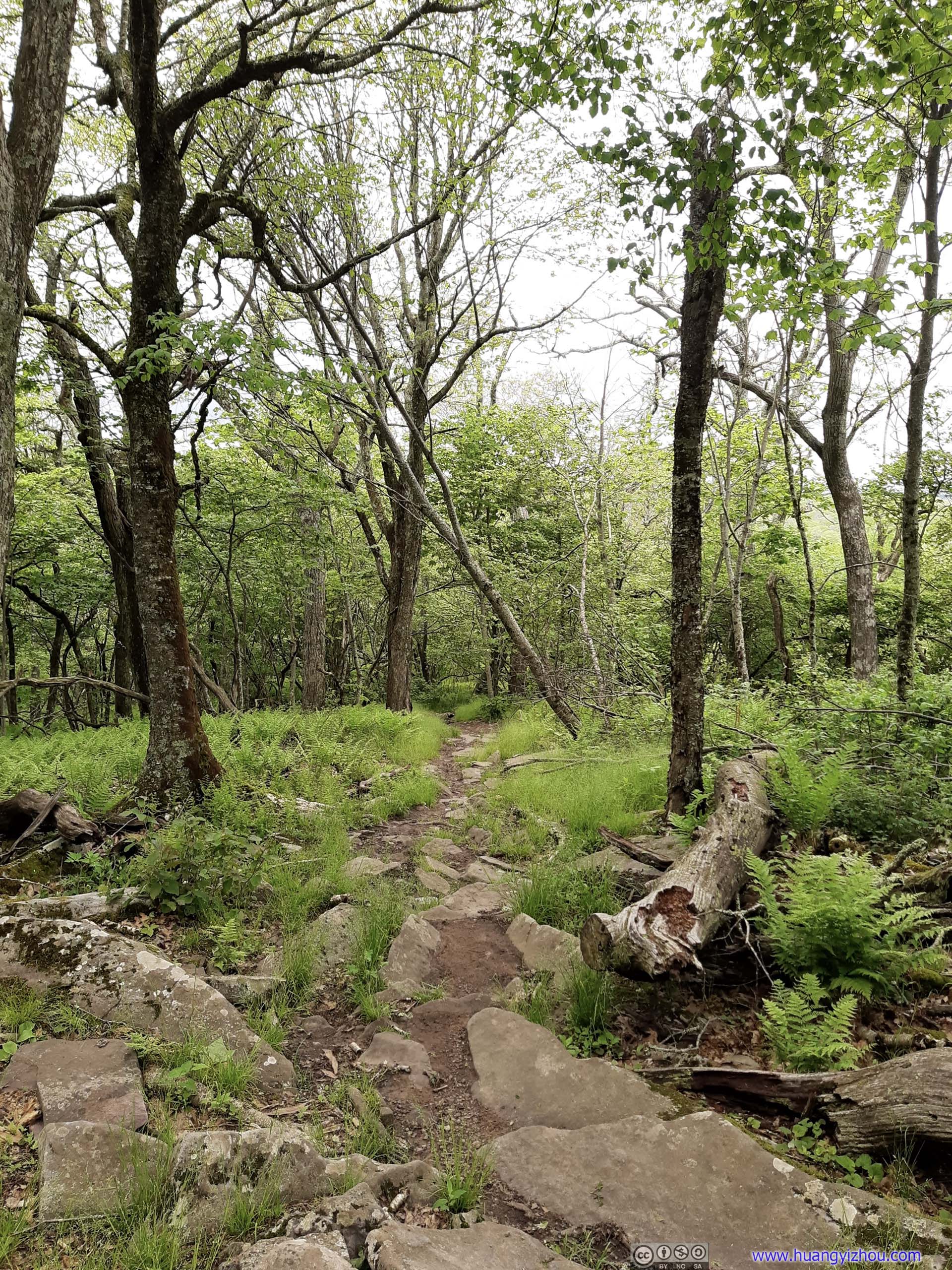
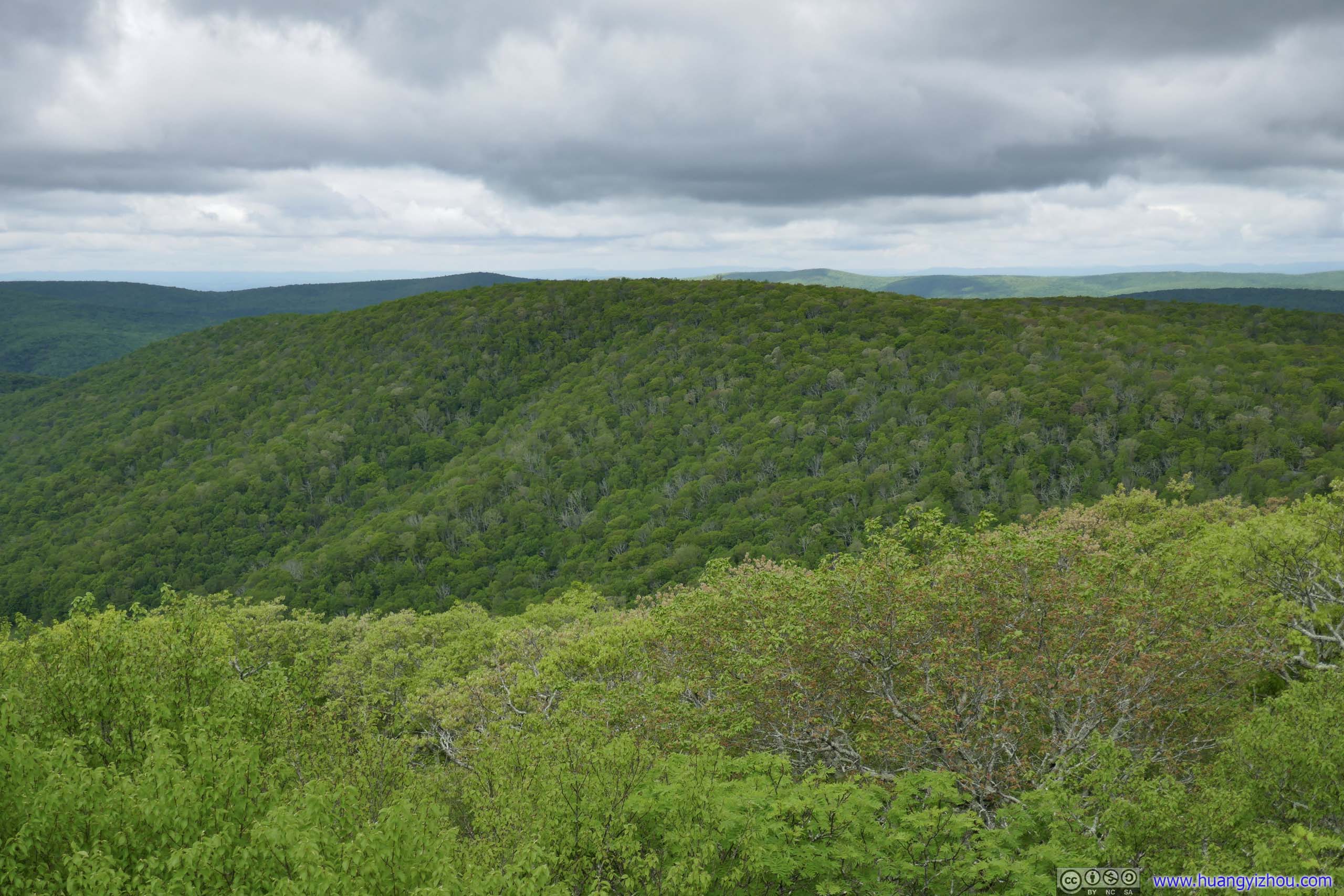
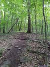
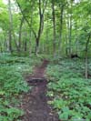
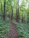
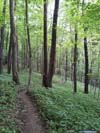
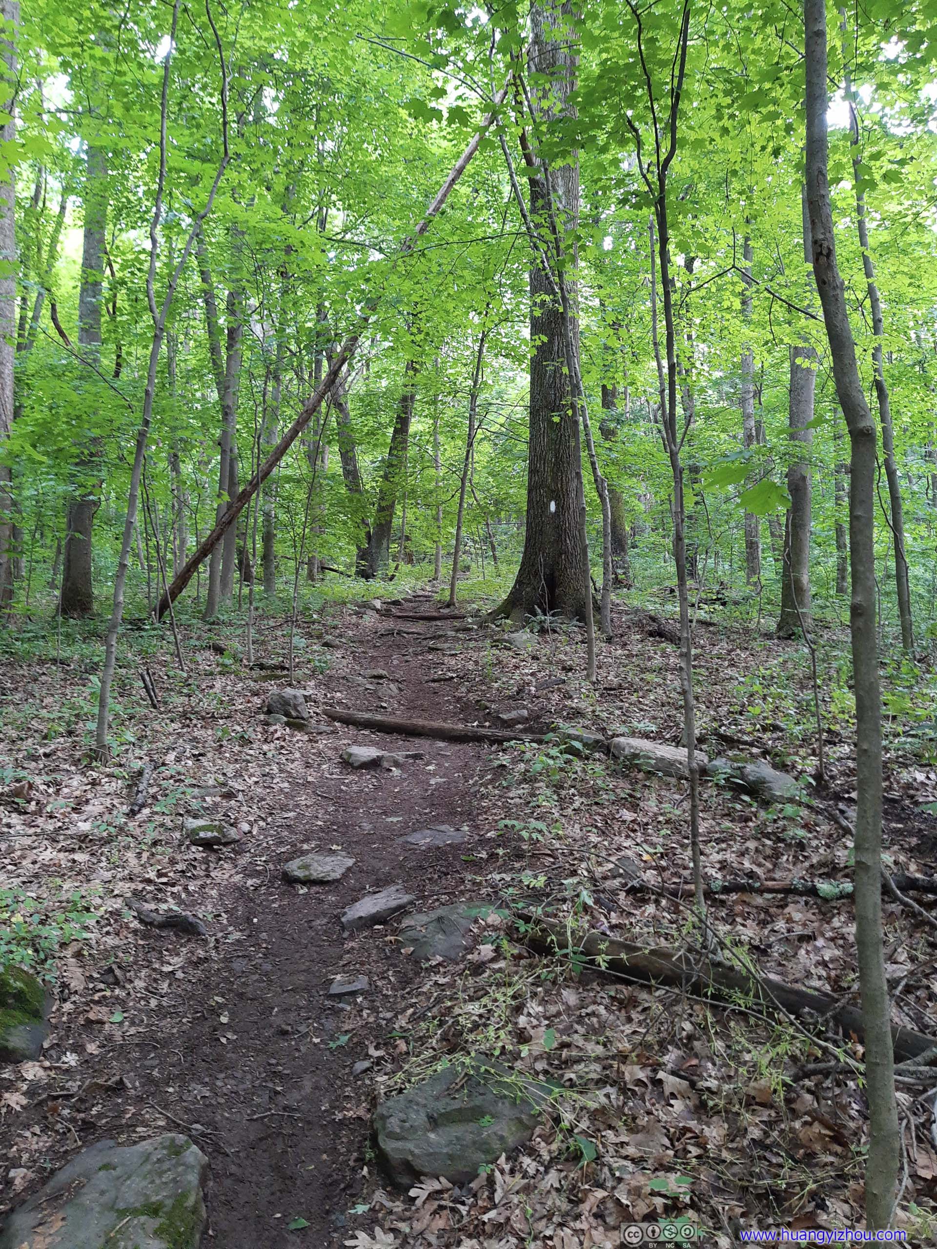
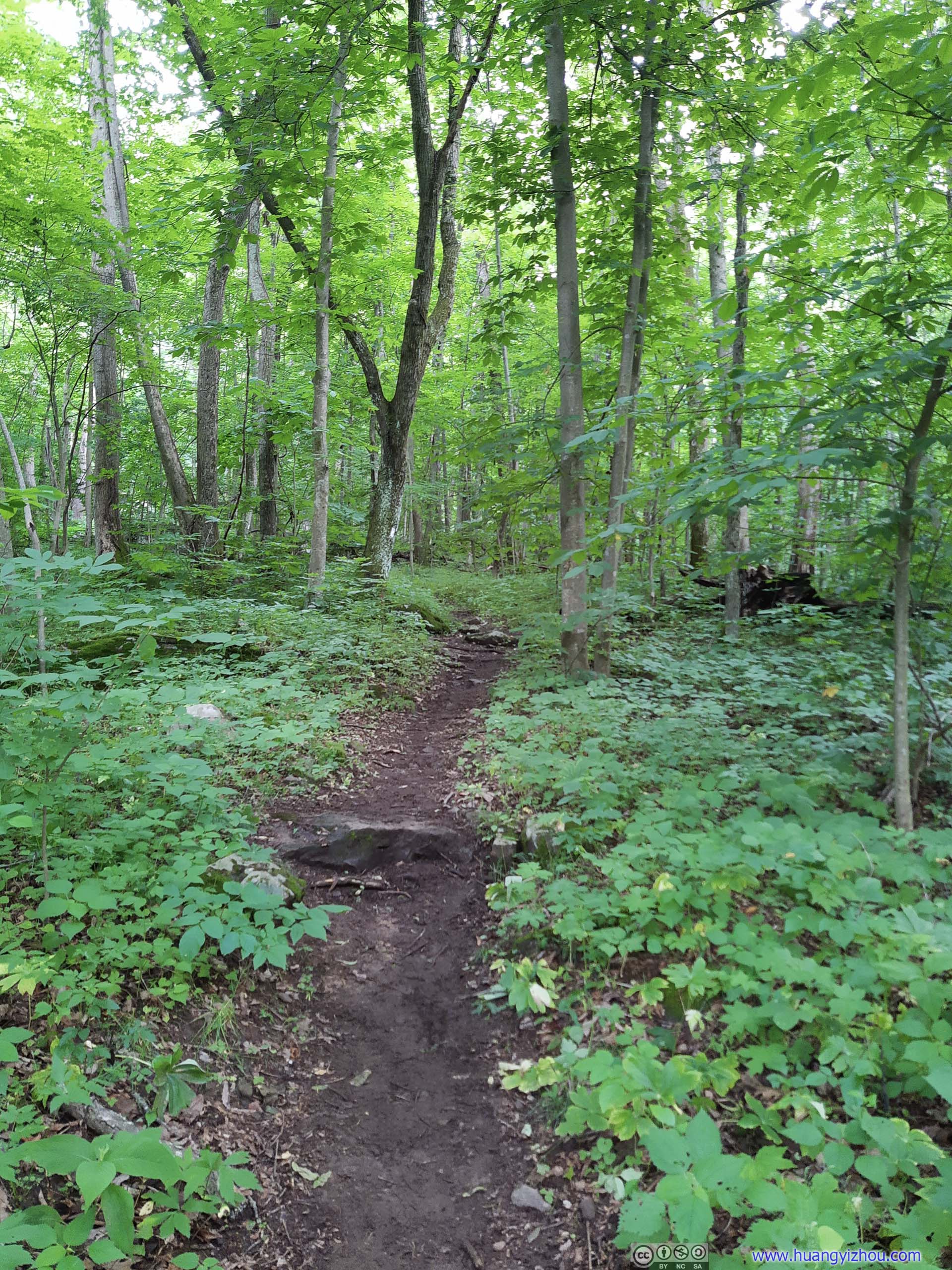
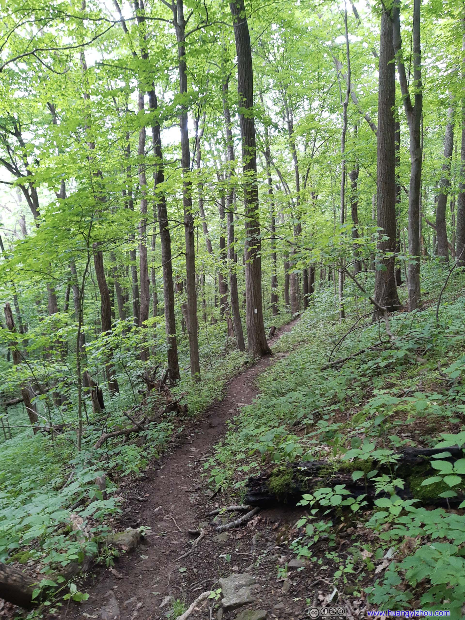
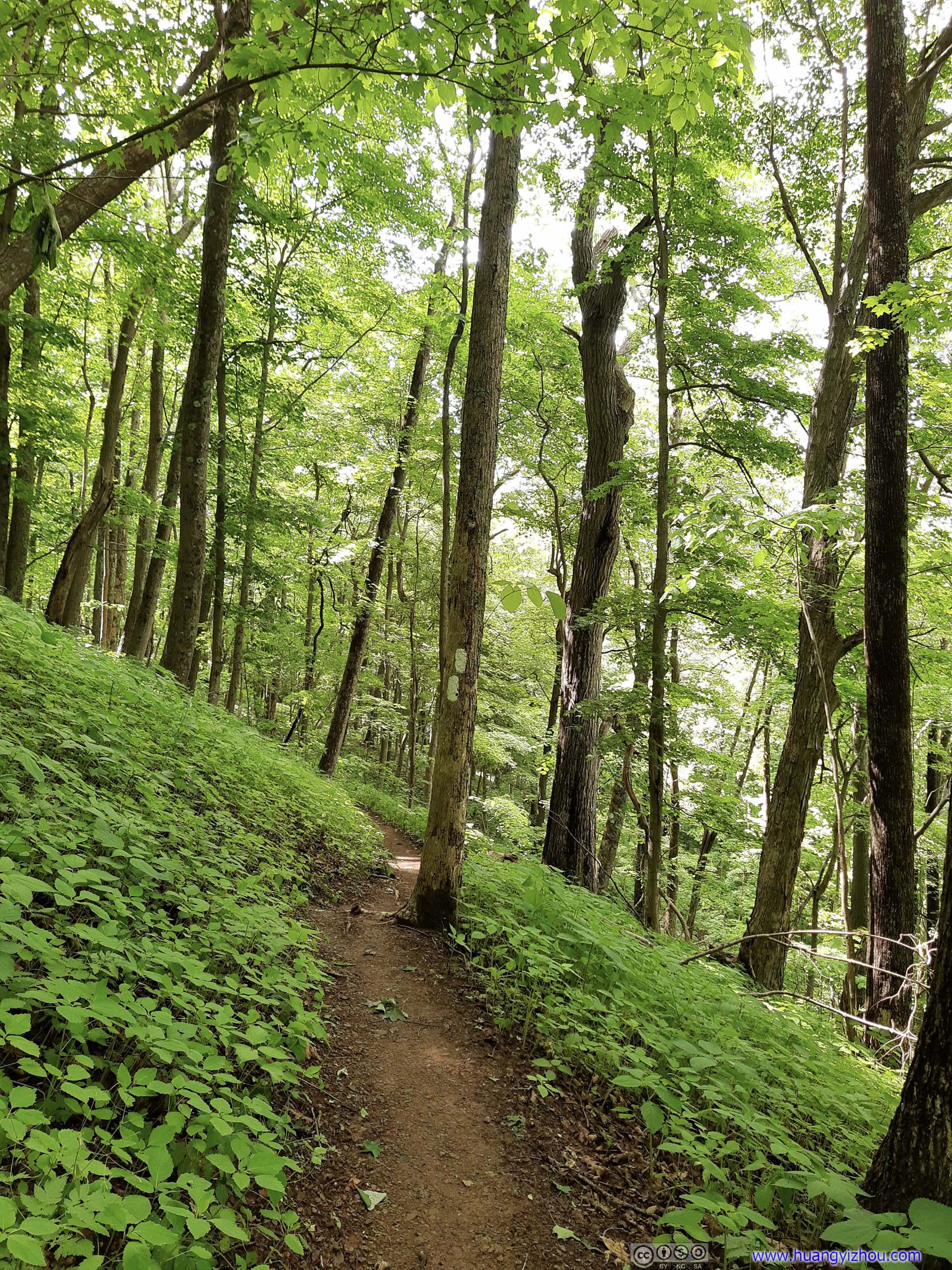
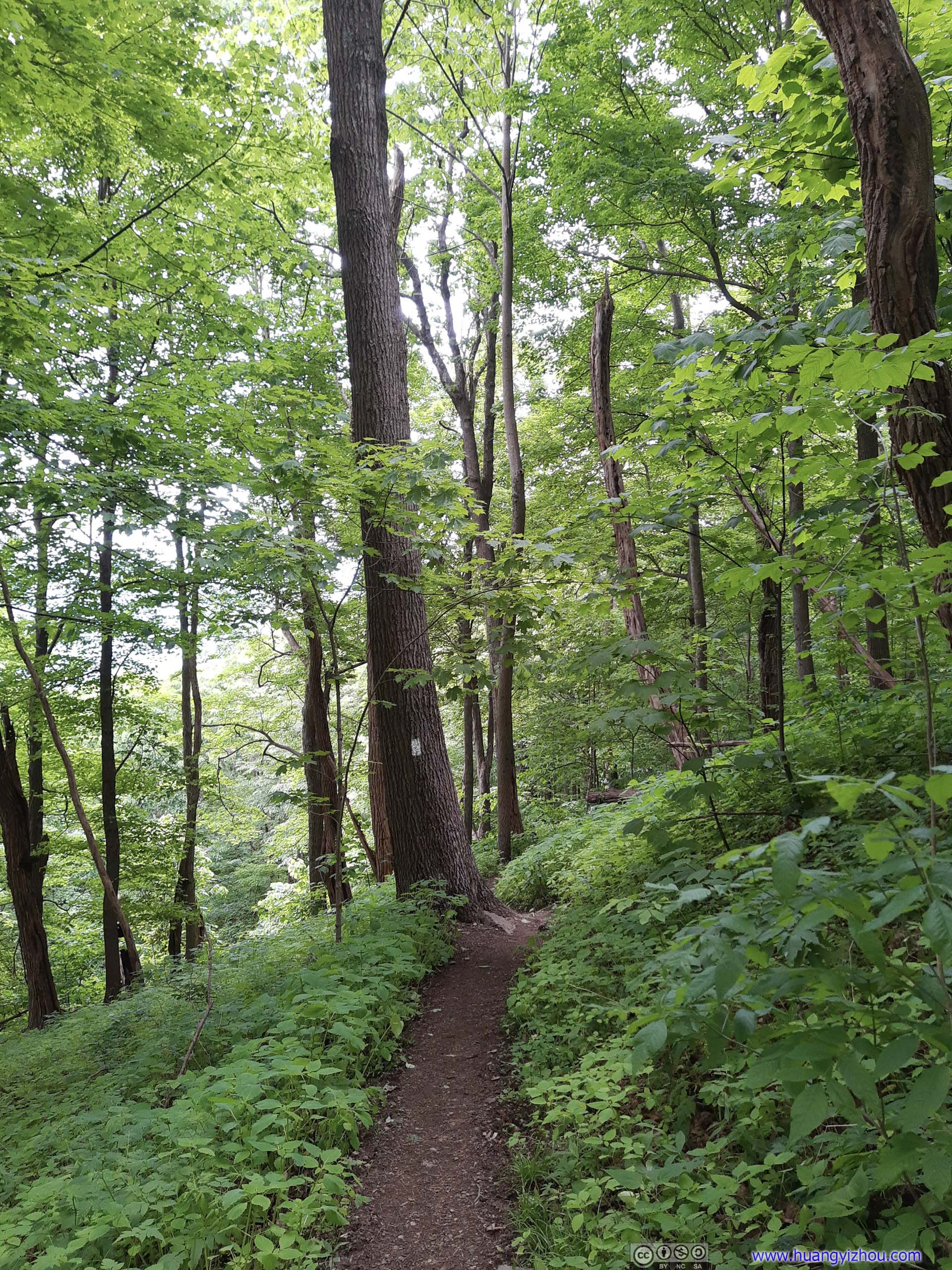
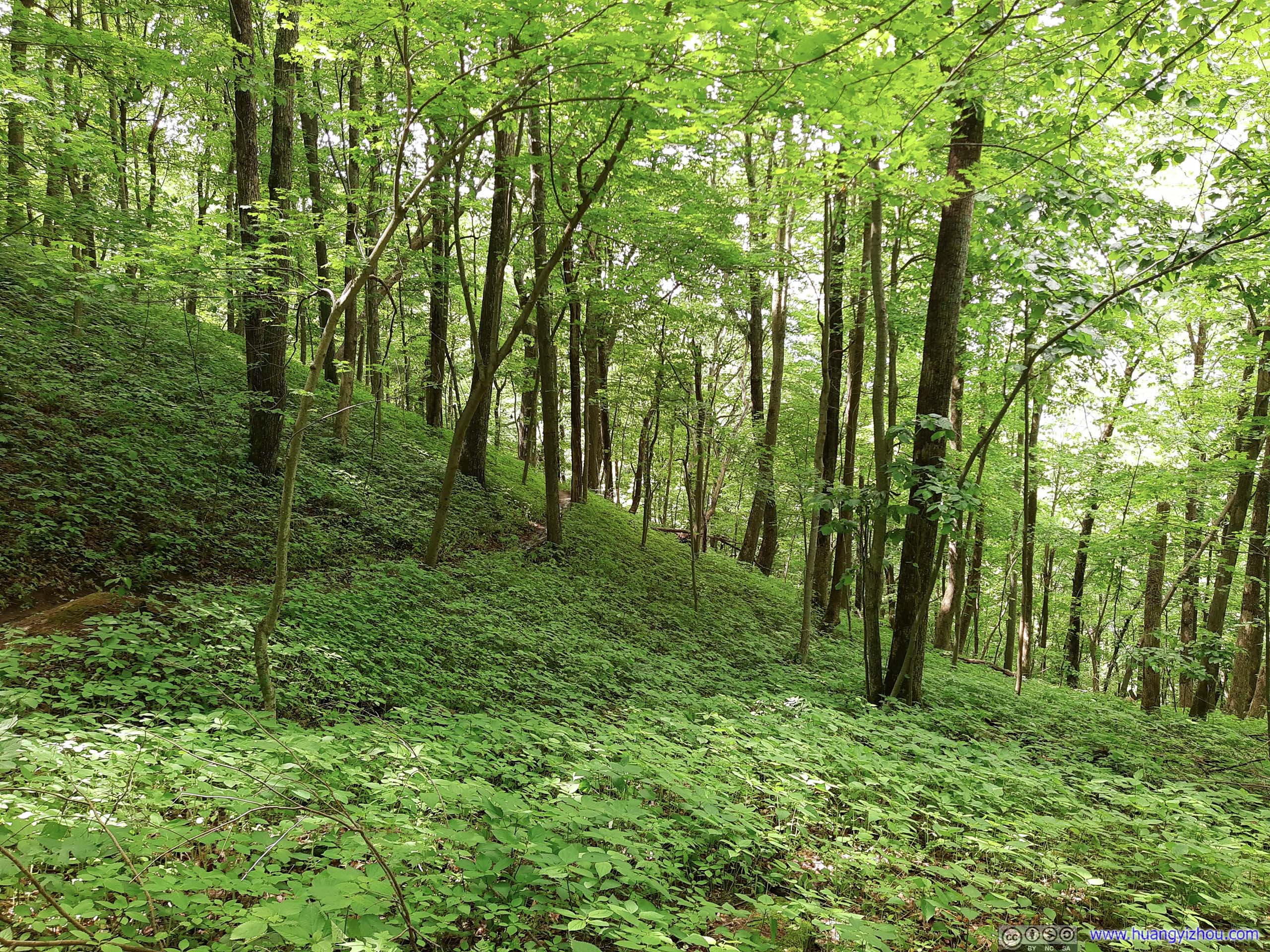
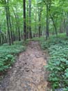
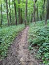
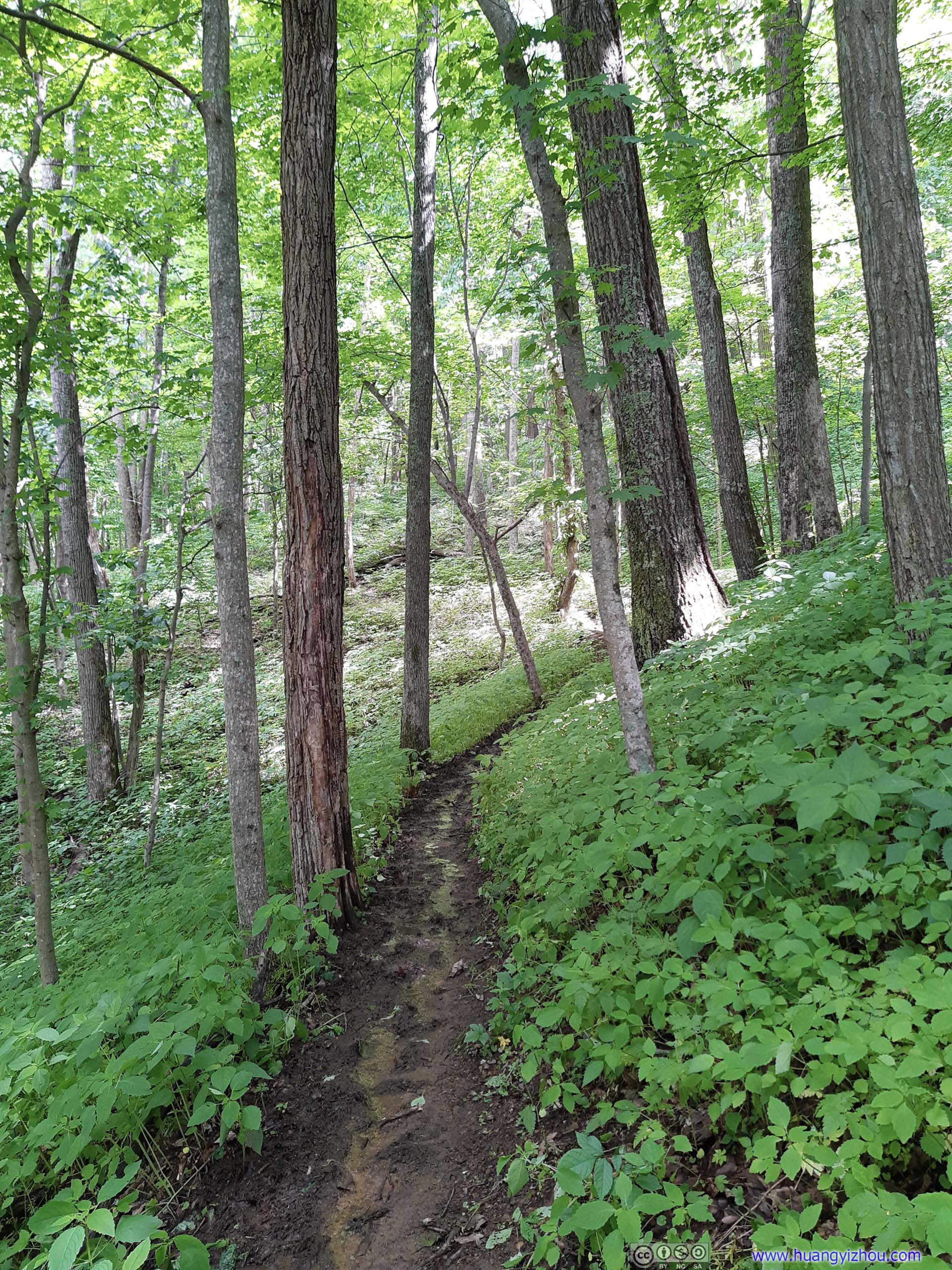
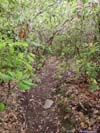
Most of the initial hike was in dense forest, with canopies of soaring trees, just like yesterday on Tinker Cliffs Trail.
 Trail
Trail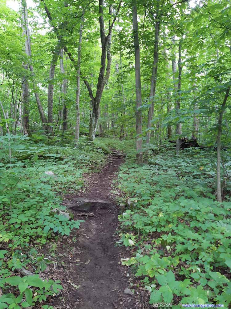 Trail
Trail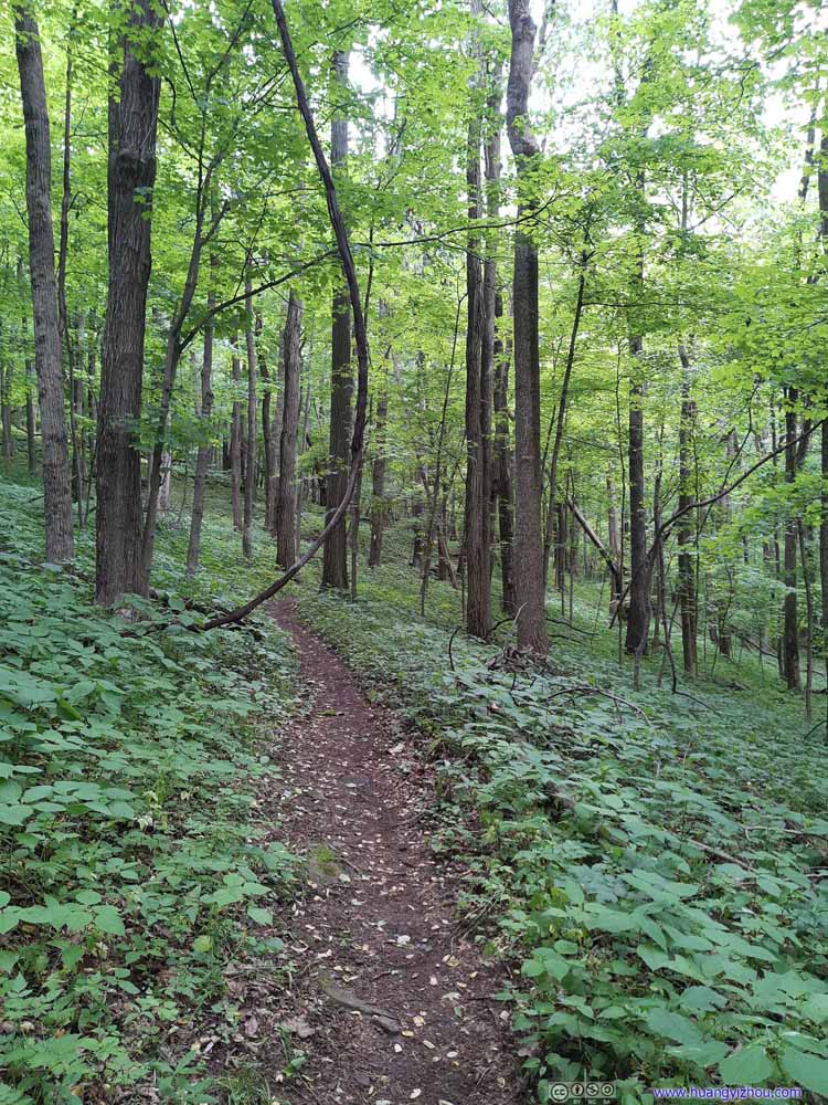 Trail
Trail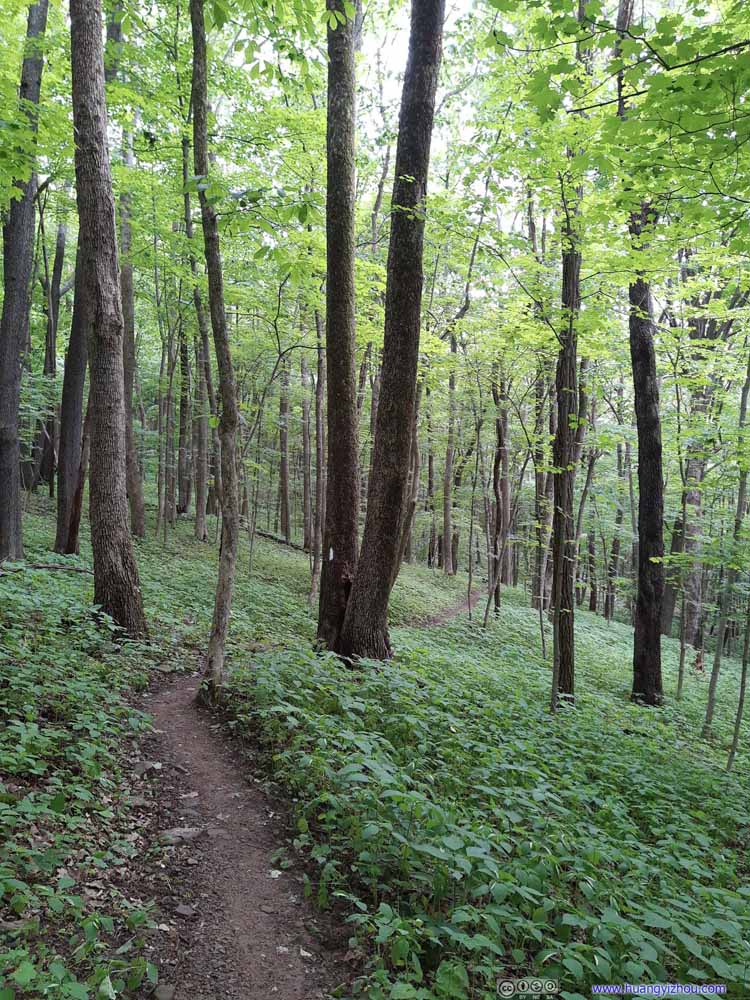 Trail
Trail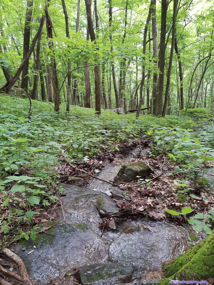 Creek
Creek Trail
Trail Trail
Trail Forest
 Trail
Trail Trail
Trail

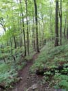
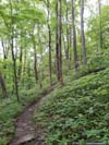
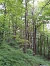
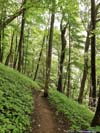
Click here to display photos of the trail.
Trail
Trail

Trail

Trail
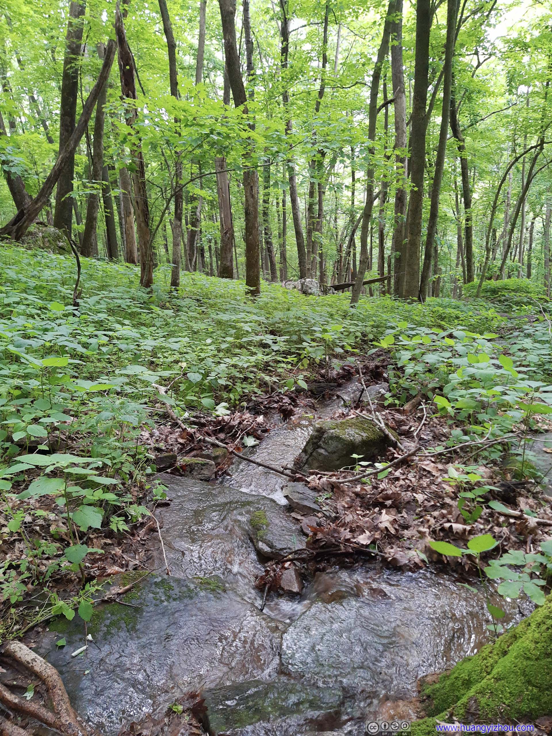
Creek
Trail

Trail

Forest
Trail
Trail
 Trail in Forest
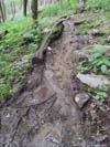
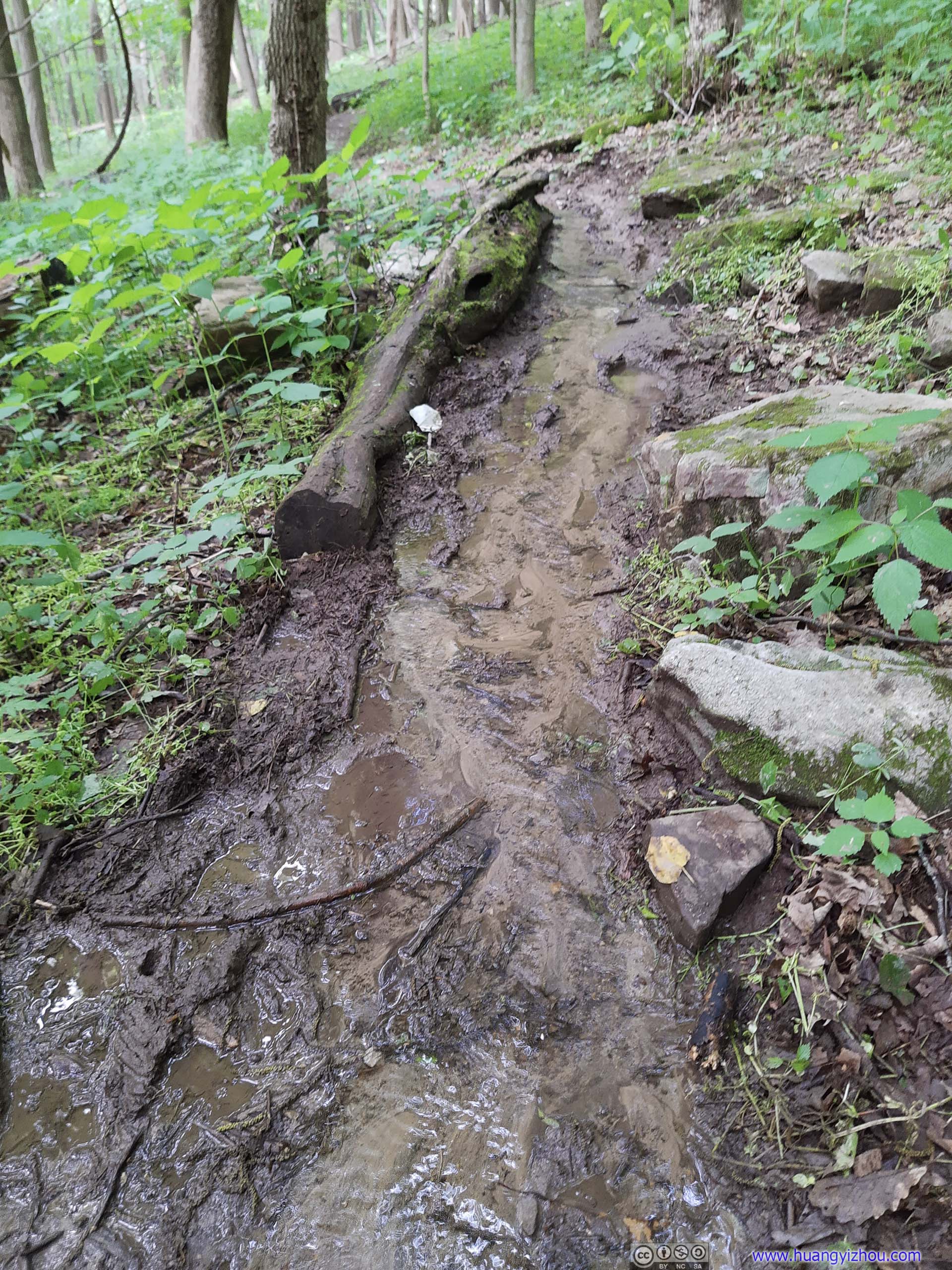
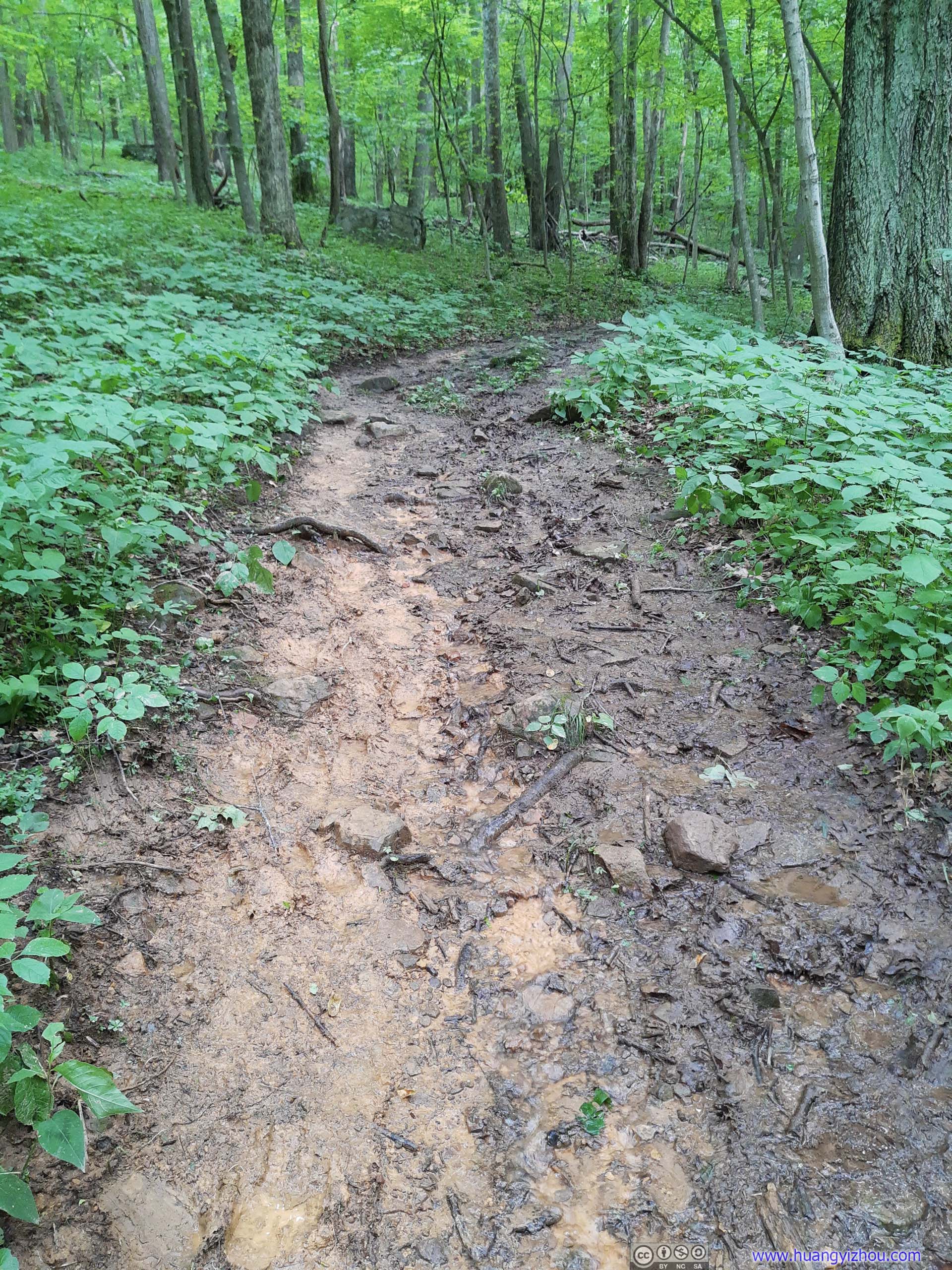
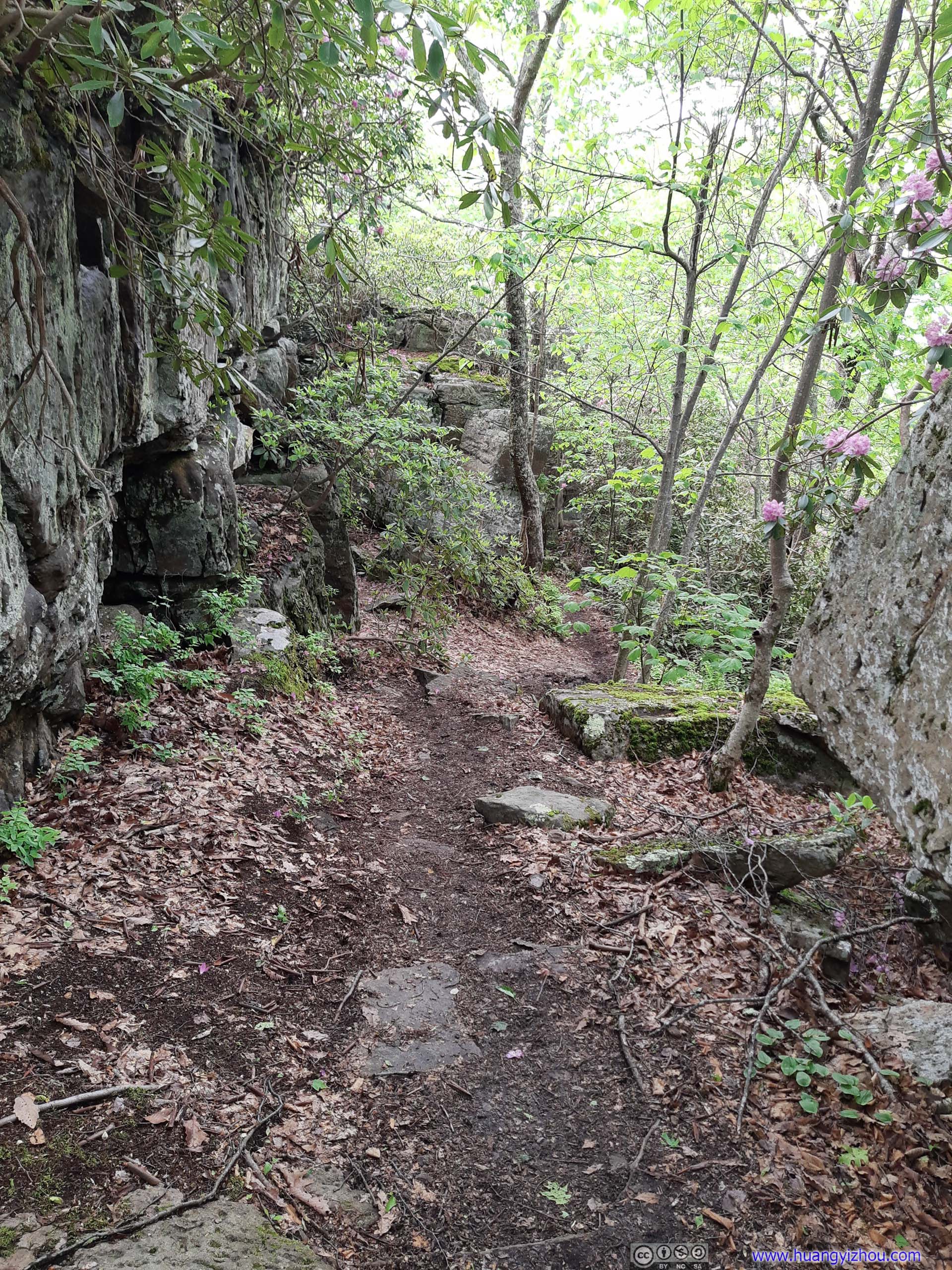
Unfortunately, just like yesterday, I suffered greatly from the mud condition along the trail. In particular, the few switchbacks about 1km from trailhead was muddy as hell (even worse than the worst of mud that I encountered yesterday at Tinker Cliffs Trail). Despite it’s only along a small portion of the trail, the intensity of such mud certainly took away much of the enjoyment.
 Muddy Trail
 Muddy Trail
 Muddy Trail
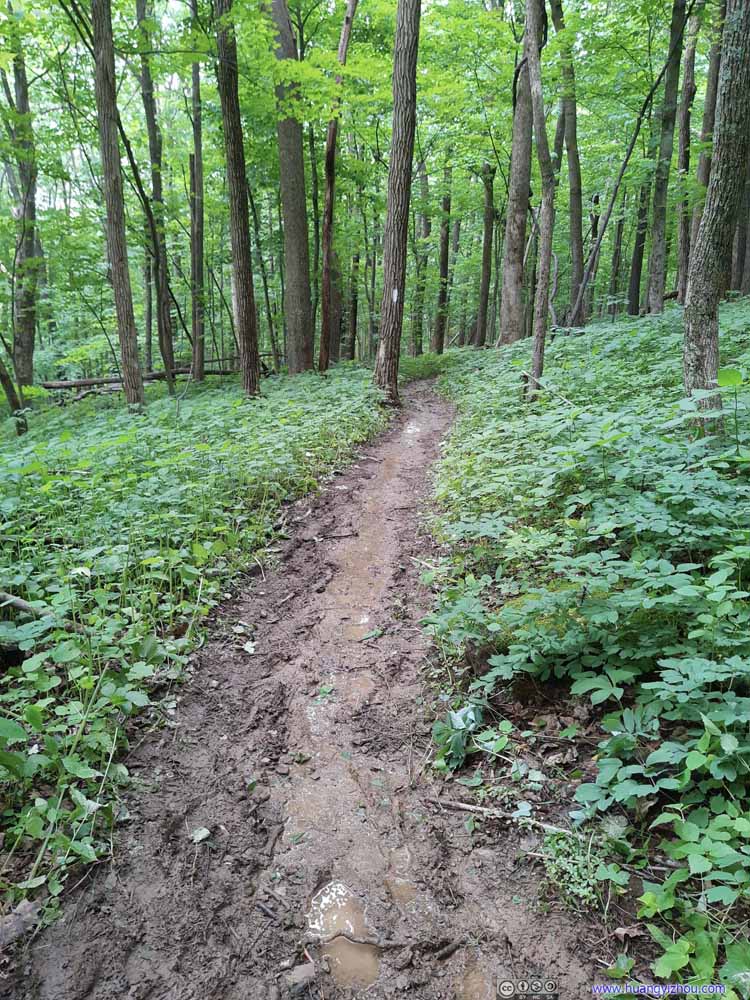 Muddy Trail
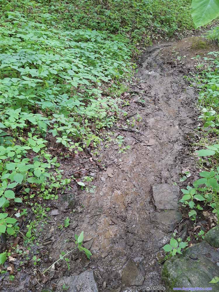 Muddy Trail
 Muddy Trail


Click here to display photos of the muddy trail.
Muddy Trail

Muddy Trail
Muddy Trail

Muddy Trail

Muddy Trail
Muddy Trail
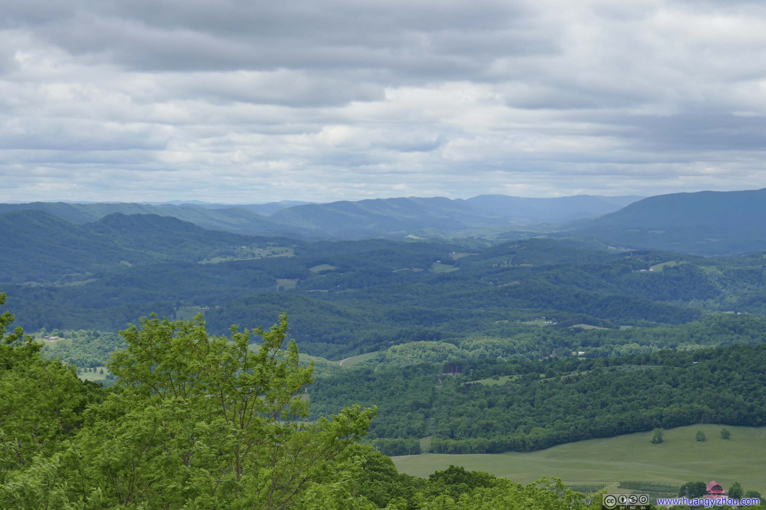
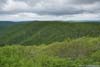
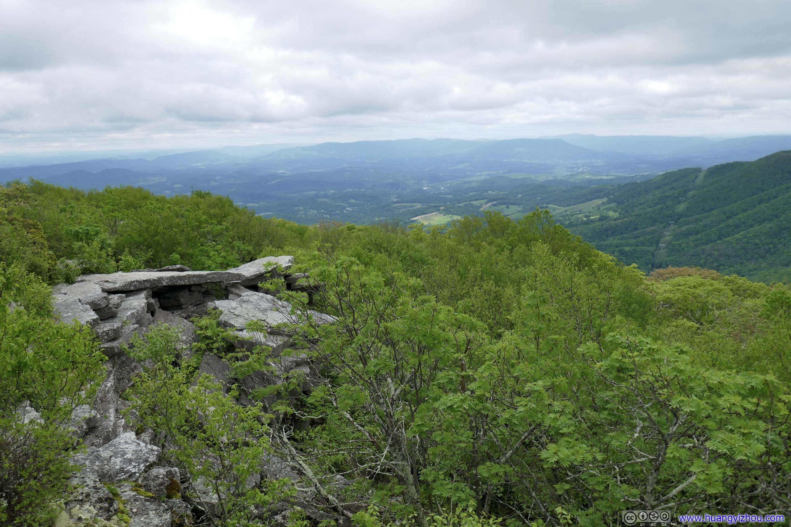
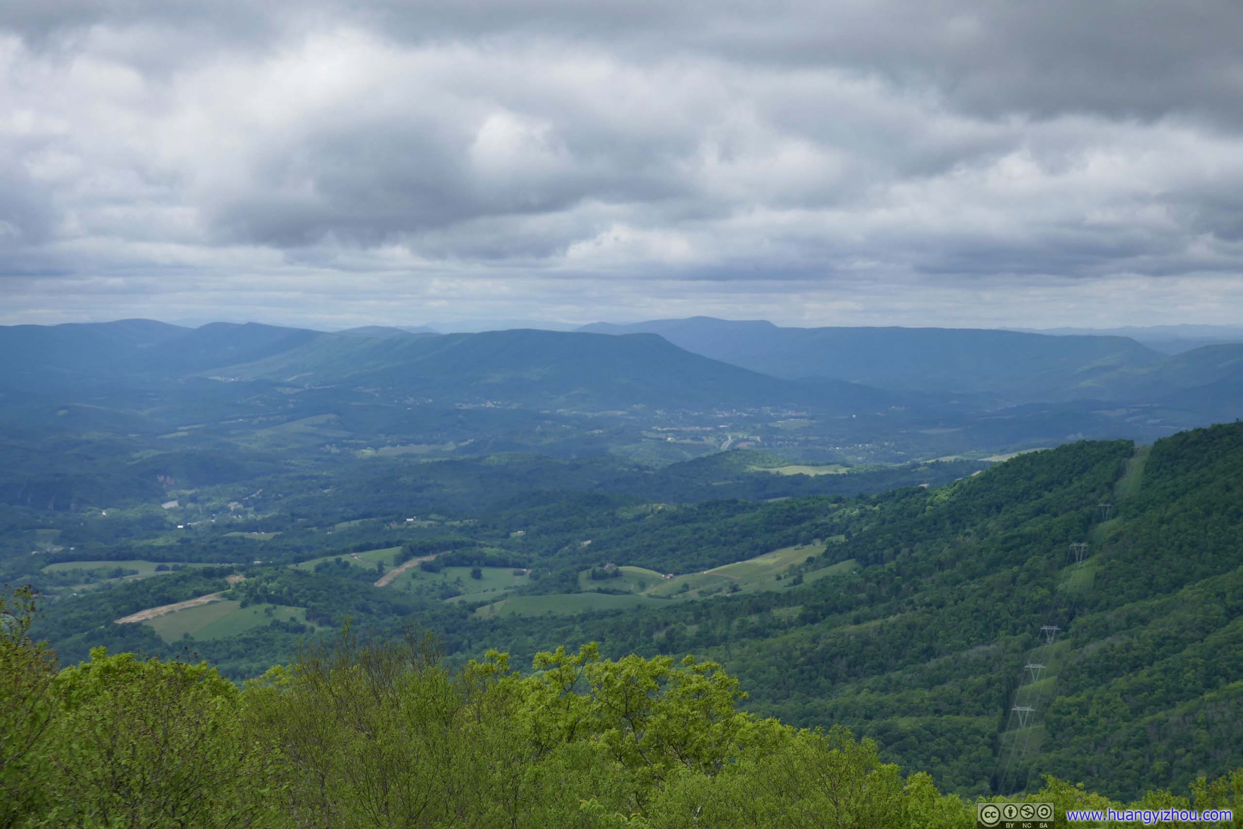
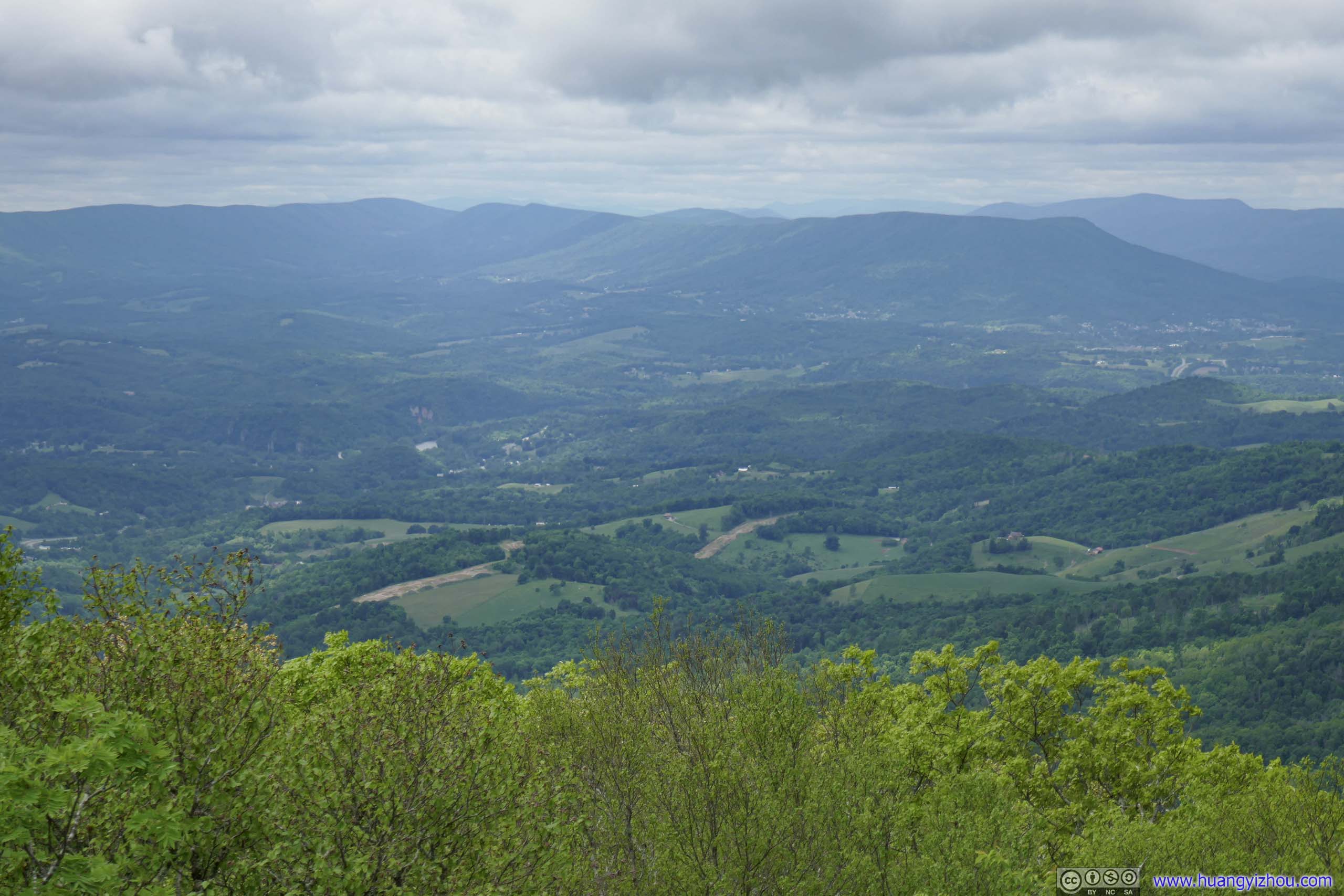
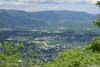
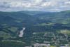
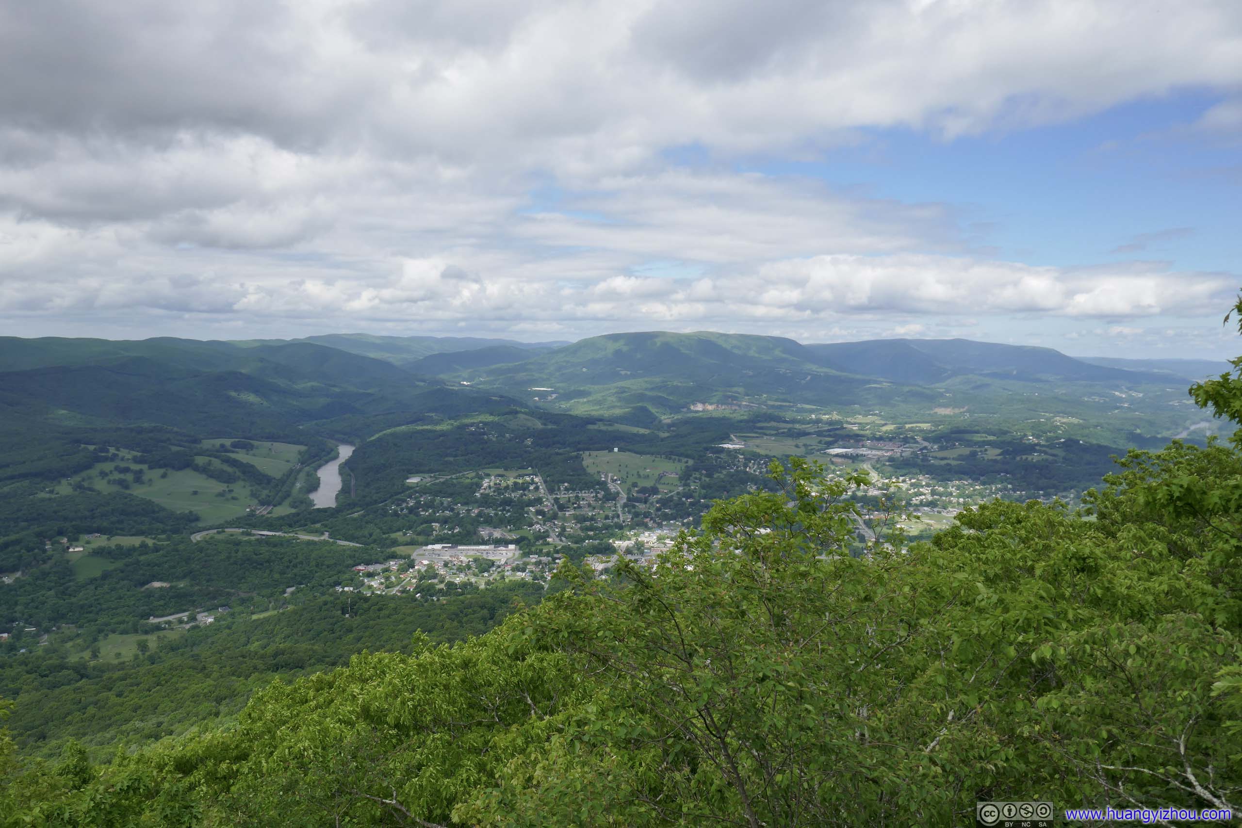
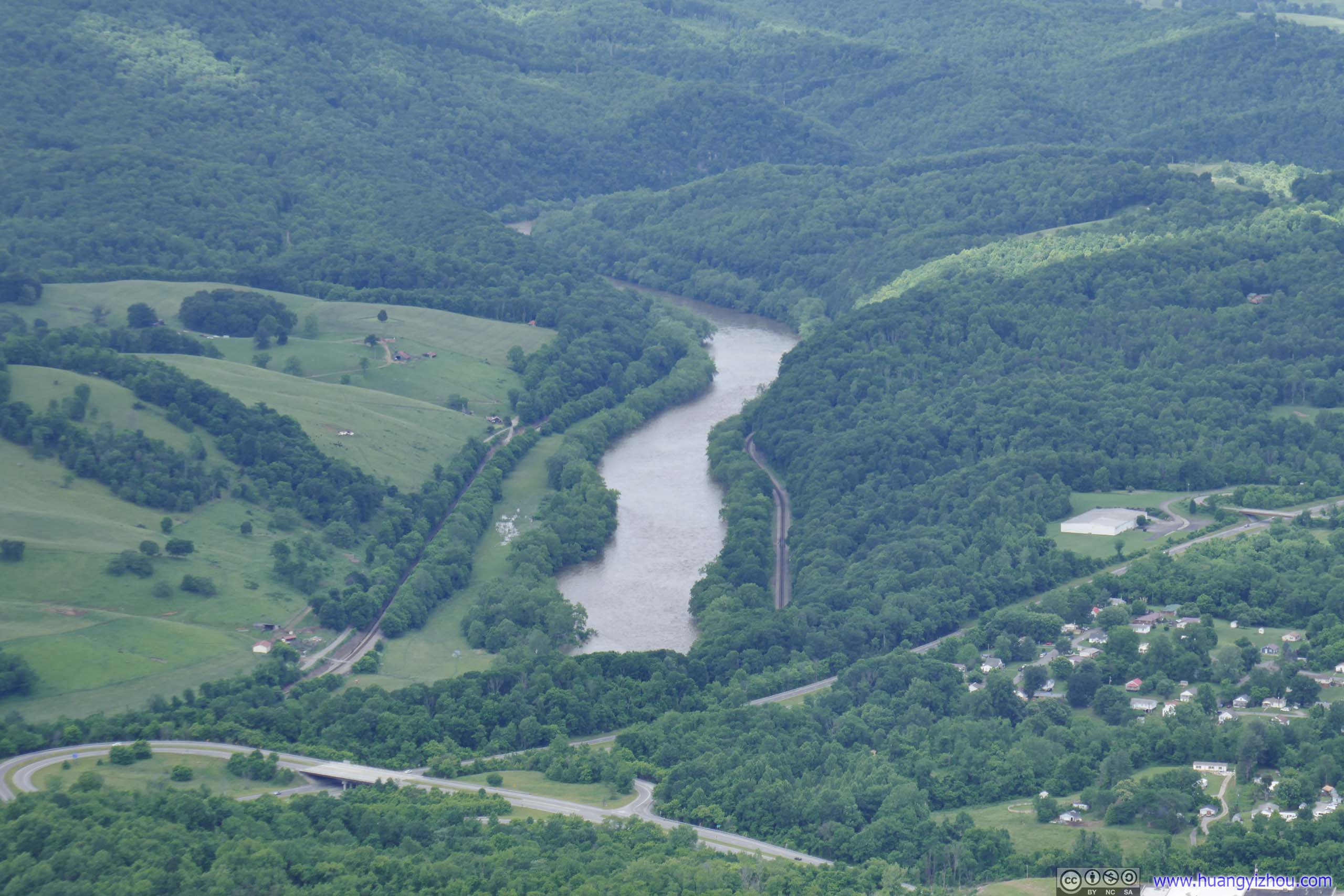
Finally, I reached Angel’s Rest at 4pm, which was some rocks at the end of a tunnel of flowers, with views to the north, of the winding New River and the numerous towns it crisscrossed.
Mountains and Villages from Angel’s Rest
I wasn’t too content with experiences earlier today, of having to tread through the unpleasant mud, of having to do that again on my return trip. So the views in front, although beautiful, felt at the same time distant, as if the negative experiences were an invisible barrier between us. In the end, Angel’s Rest was a small opening in the trees, a peephole, as if not designed for the full immersion into the sceneries ahead.
 Towns and Mountains from Angel’s Rest
 Towns and Mountains from Angel’s RestTowards the direction of Bald Knob where I was earlier today.
 Towns and Mountains from Angel’s Rest
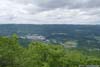
 Celanese Corporation Factory
 Cliffs along New River
 Towns and Mountains from Angel’s Rest
 New River

Click here to display photos from Angel’s Rest.
Towns and Mountains from Angel’s Rest
Towns and Mountains from Angel’s RestTowards the direction of Bald Knob where I was earlier today.

Towns and Mountains from Angel’s Rest
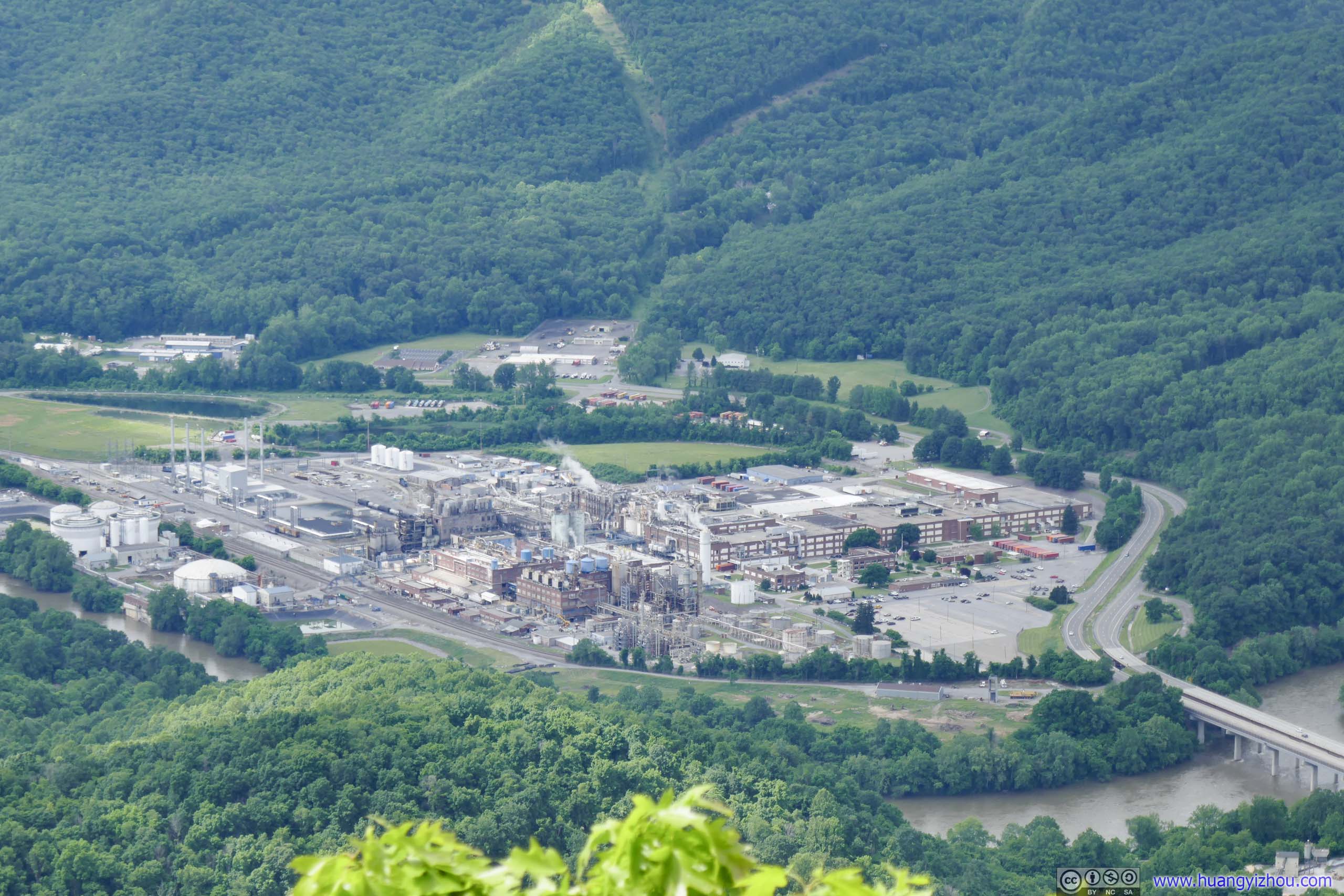
Celanese Corporation Factory

Cliffs along New River

Towns and Mountains from Angel’s Rest
New River
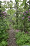
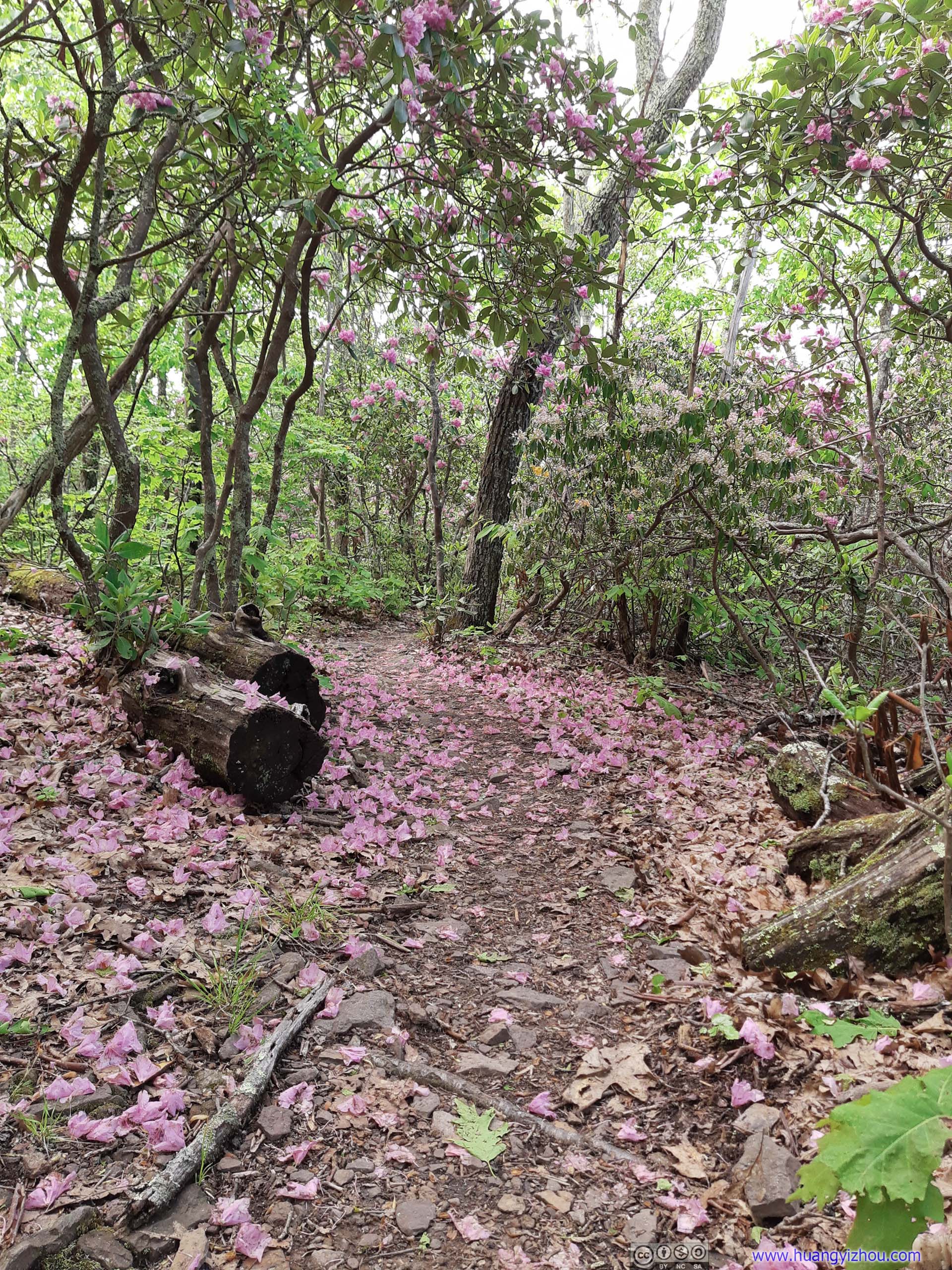
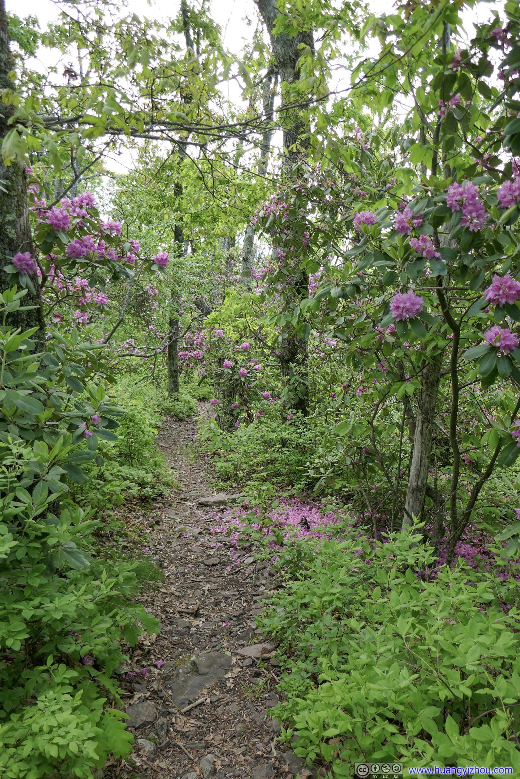
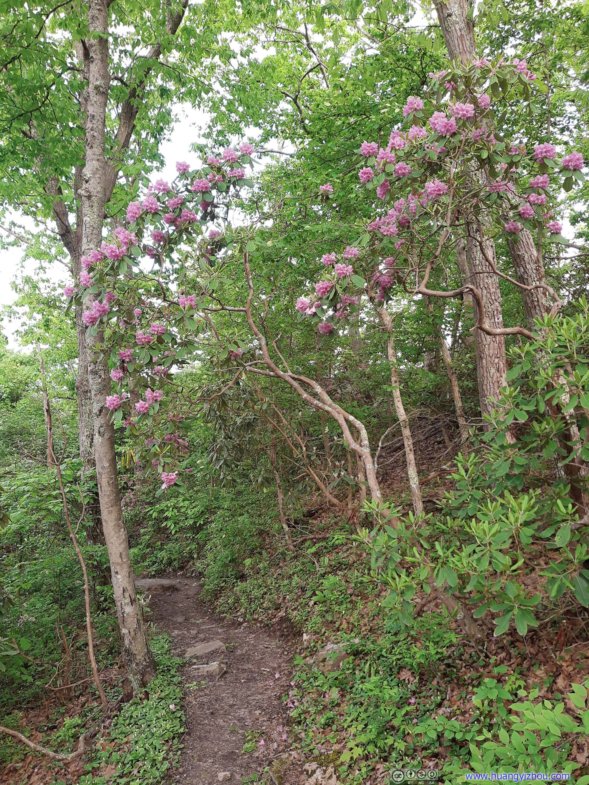
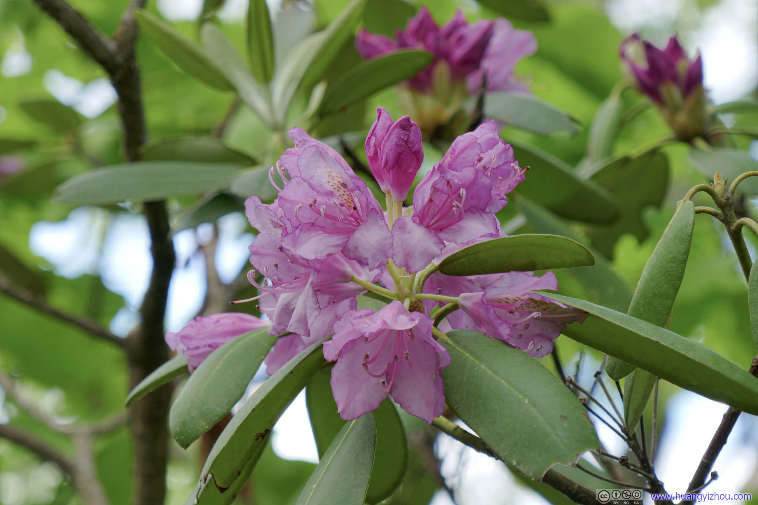
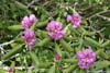
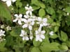
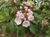
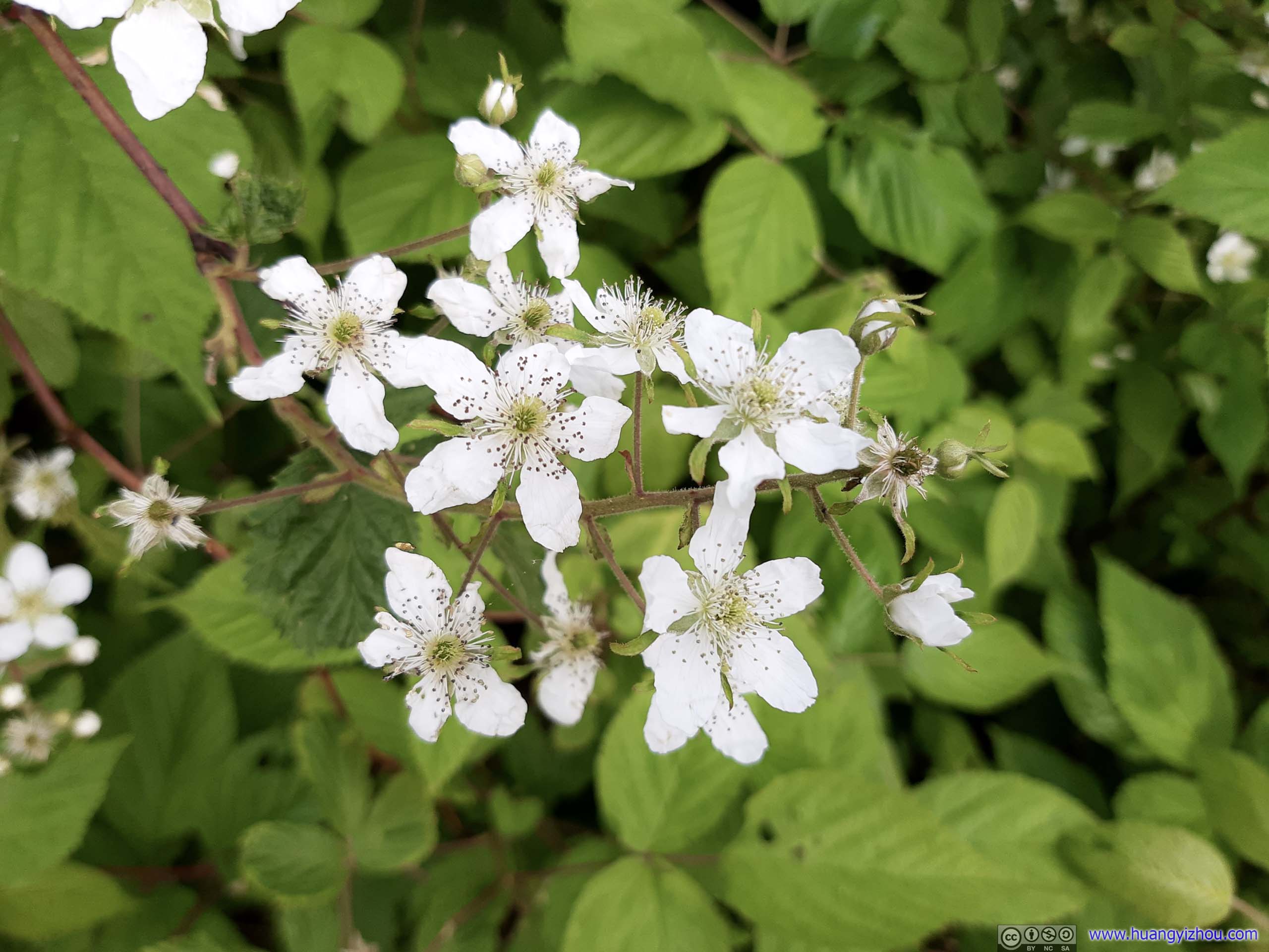
After about 35 minutes at Angel’s Rest, I continued on to Pearis Mountain Overlook, which was 1km away on a mostly flat trail. To cheer me up, this section of the trail was lined with a dazzling display of wildflowers in bloom.
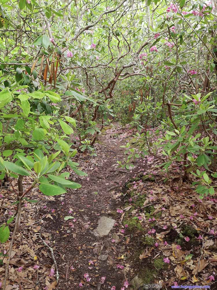 TrailLeading to Angel’s Rest, like a tunnel of flowers.
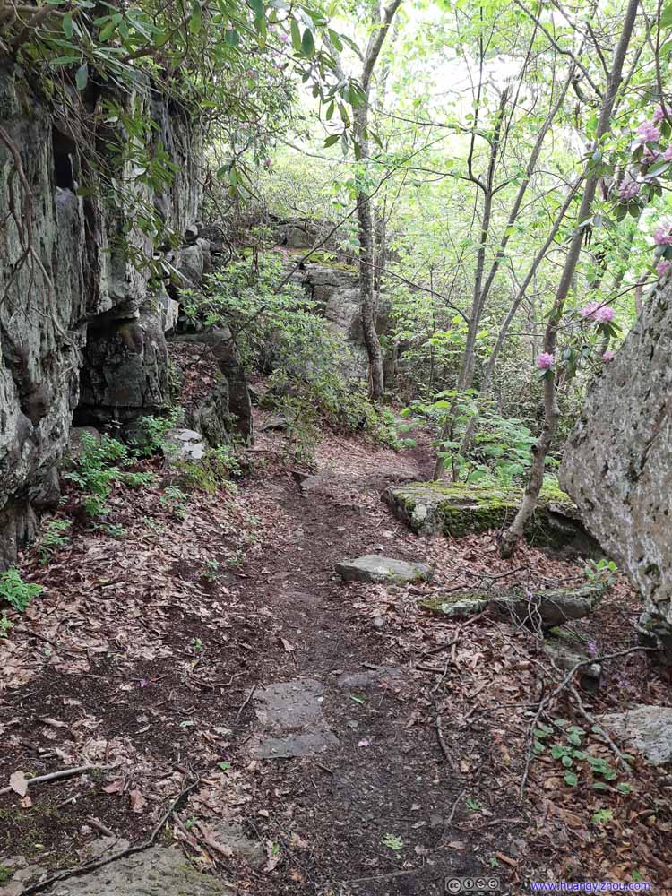 TrailA short uphill section, lined by boulders from Angel’s Rest, before the trail flattened out.
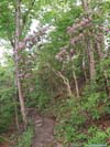
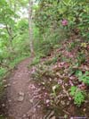
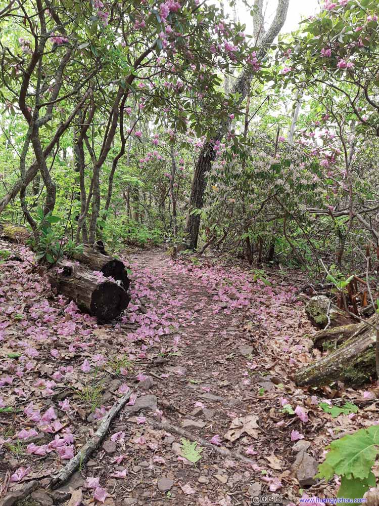 TrailBetween Angel’s Rest and the viewpoint, the trail was lined with flowers.
 TrailBetween Angel’s Rest and the viewpoint, the trail was lined with flowers.
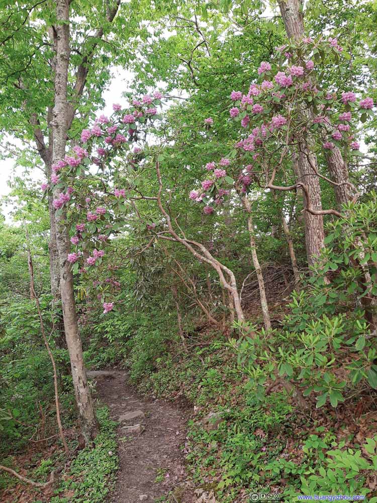 TrailThere were also patches of flowers below Angel’s Rest.
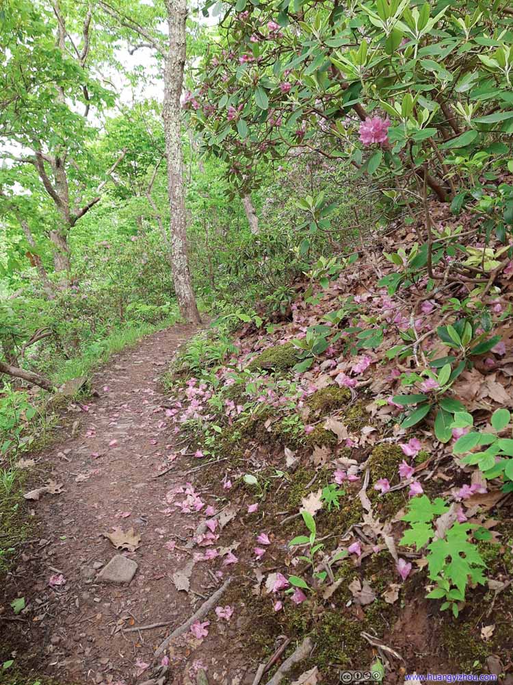 TrailThere were also patches of flowers below Angel’s Rest.

Click here to display photos of the slideshow

TrailLeading to Angel’s Rest, like a tunnel of flowers.
TrailA short uphill section, lined by boulders from Angel’s Rest, before the trail flattened out.
TrailBetween Angel’s Rest and the viewpoint, the trail was lined with flowers.
TrailBetween Angel’s Rest and the viewpoint, the trail was lined with flowers.
TrailThere were also patches of flowers below Angel’s Rest.

TrailThere were also patches of flowers below Angel’s Rest.
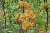
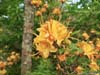
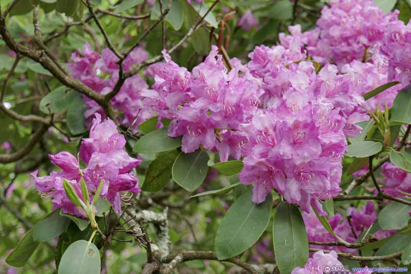 Flowers
 Flowers
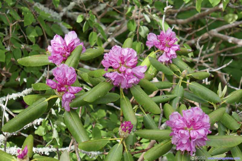 Flowers
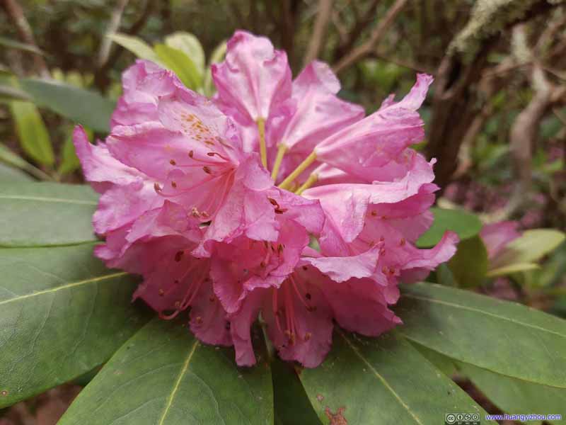 Flowers
 Flowers
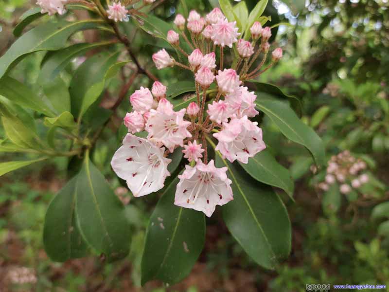 Flowers
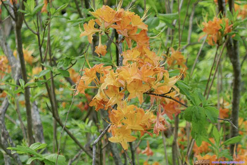 Flowers
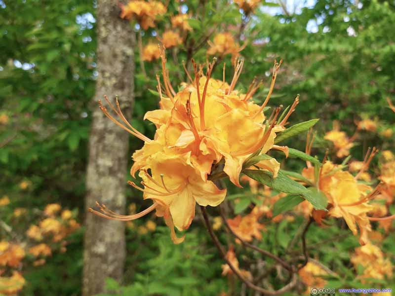 Flowers
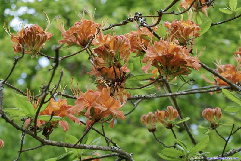 Flowers
 Flowers on Ground
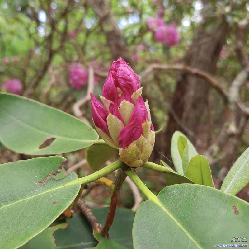 Budding Flowers


Click here to display photos of the slideshow

Flowers
Fields and Mountains

Flowers

Flowers
Flowers

Flowers

Flowers

Flowers

Flowers

Flowers on Ground

Budding Flowers
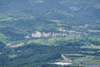
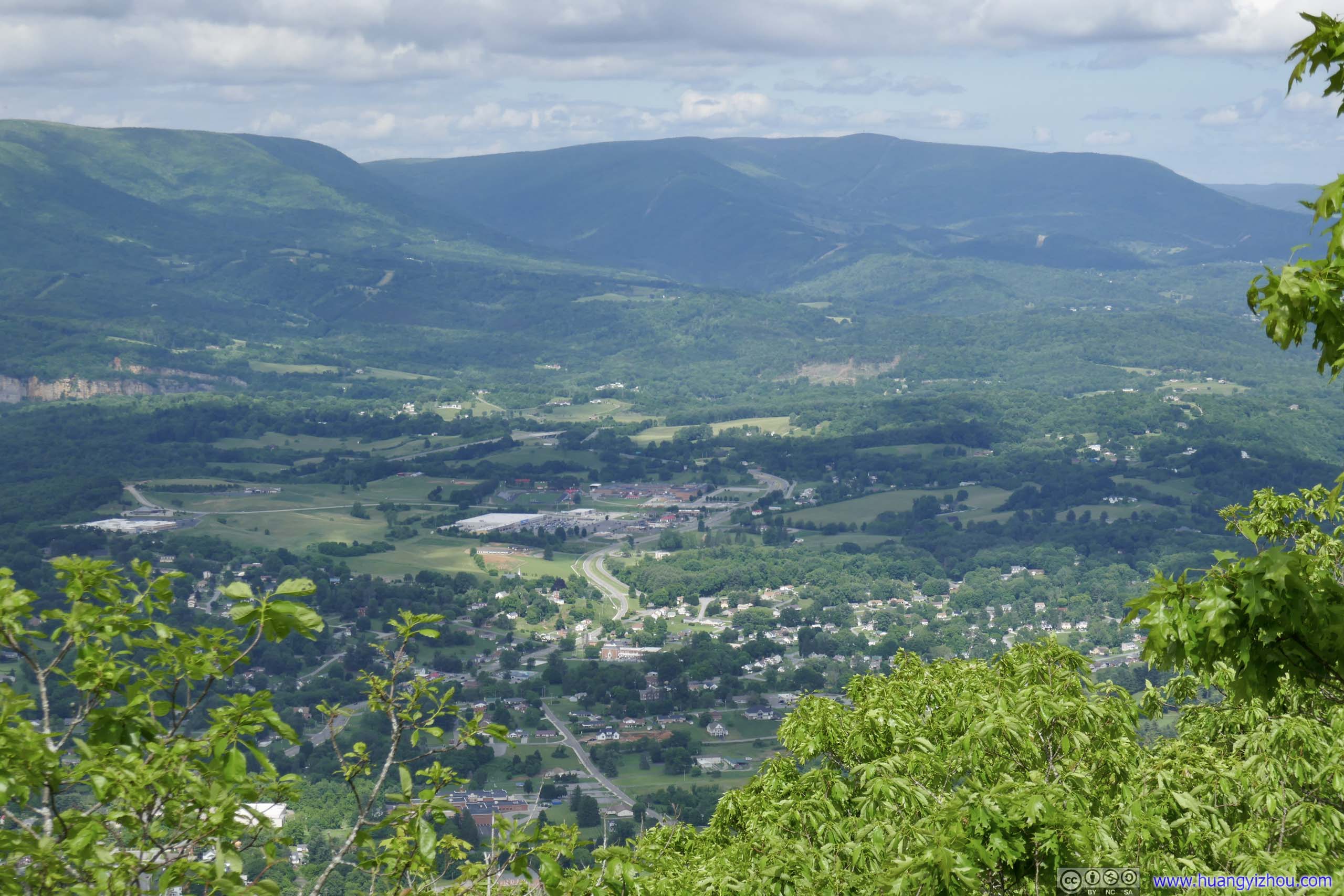
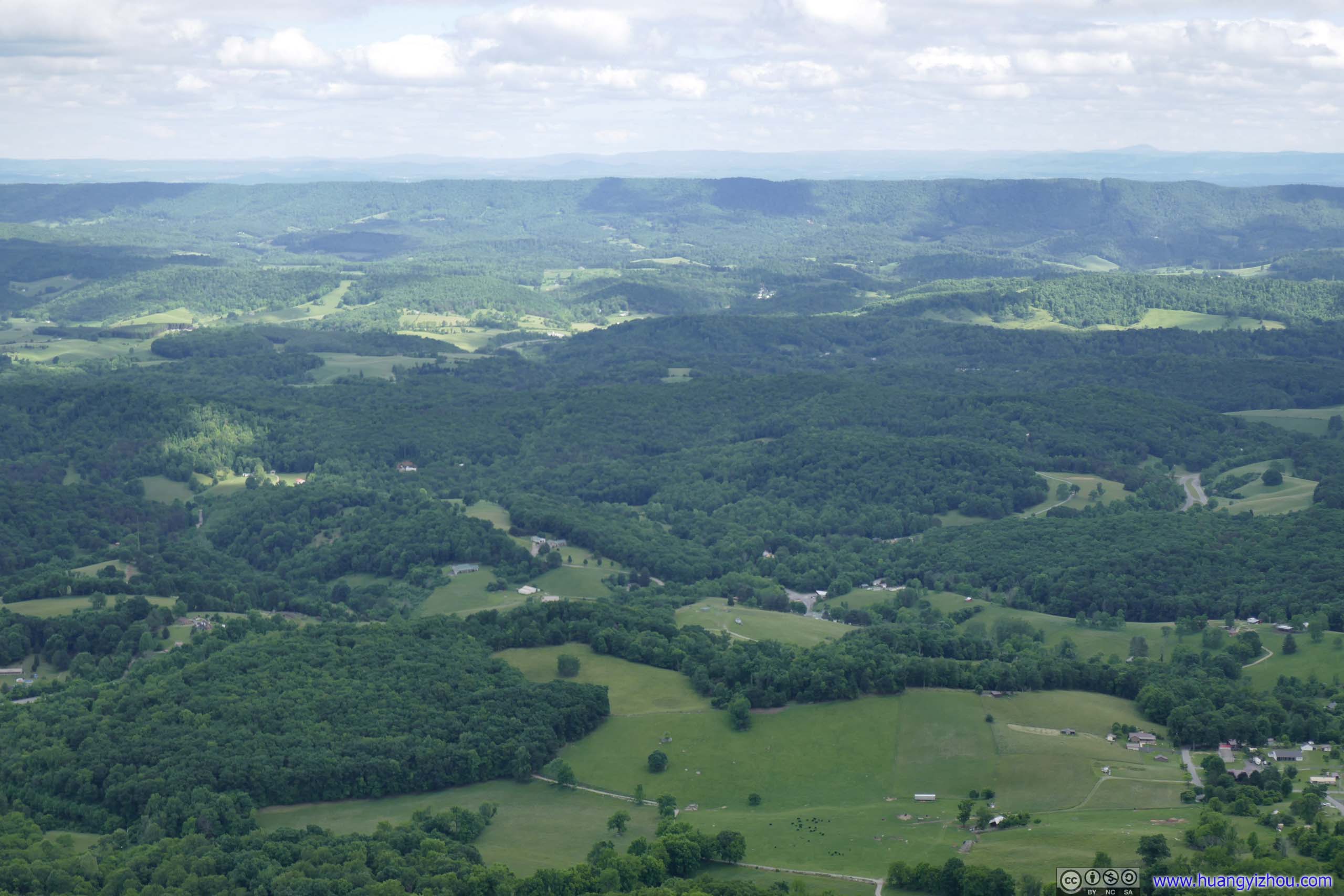
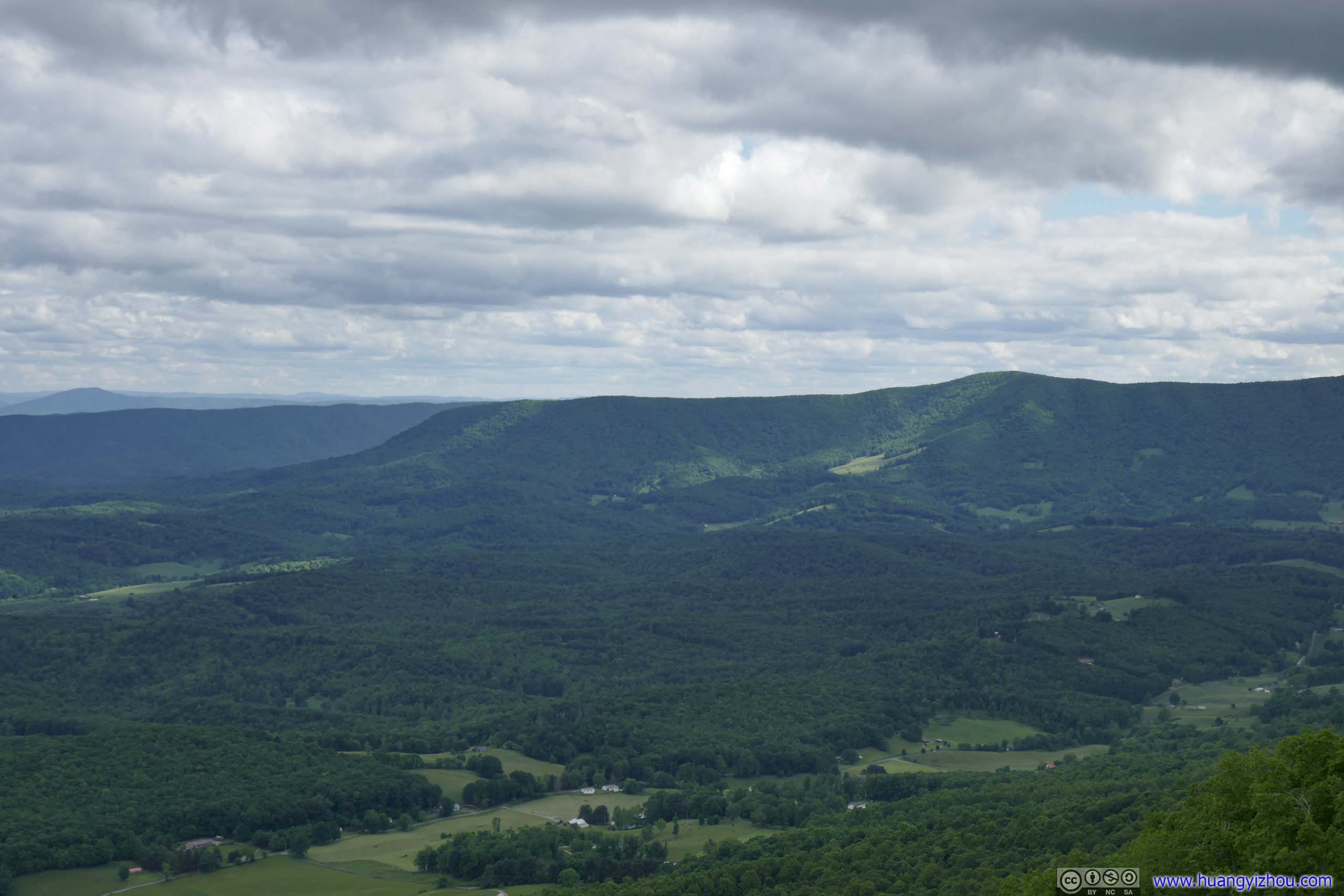
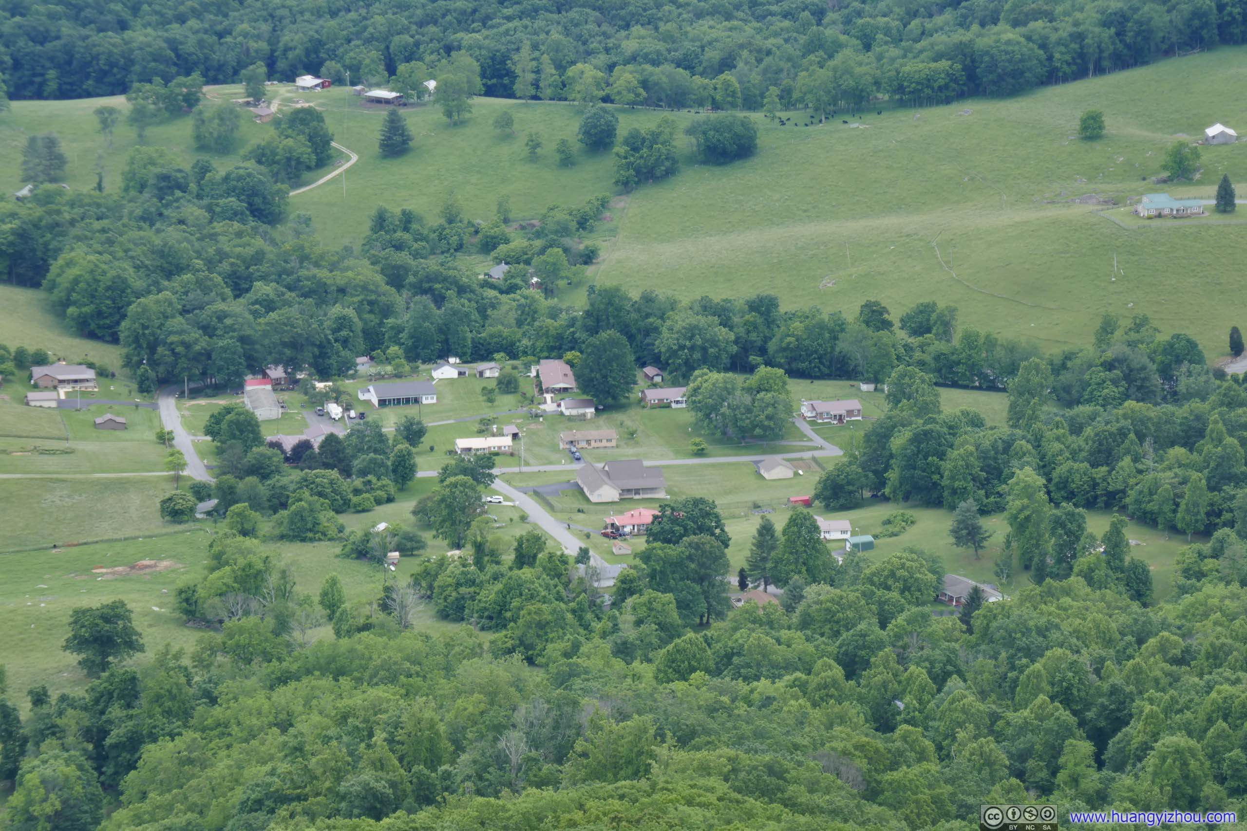
Finally, I reached Pearis Mountain Overlook in about 15 minutes. The overlook wasn’t marked, but it was right next to the trail with open views towards the east, that’s impossible to miss. It’s about 300 meters short of “Pearis Mountain” on OpenStreetMap though.
Mountains and Villages from Pearis Mountain
Here it’s a different view towards the east, where small villages and farmlands replaced the industrial complex as seen from Angel’s Rest. Also missing in view was the winding New River (thus in my opinion it’s less exciting). On the good side, the views here were less obstructed. In the afternoon, the overlook was in the shade, and the villages were in the light, making it great conditions for photography.
 Overlook on Pearis Mountain
 Fields and Mountains
 Fields and Mountains
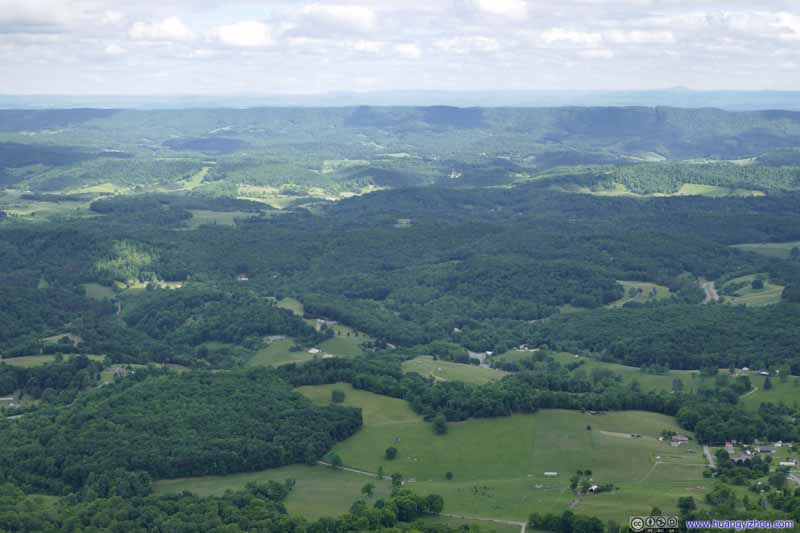 Fields and Mountains
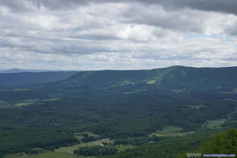 Mountains
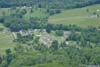
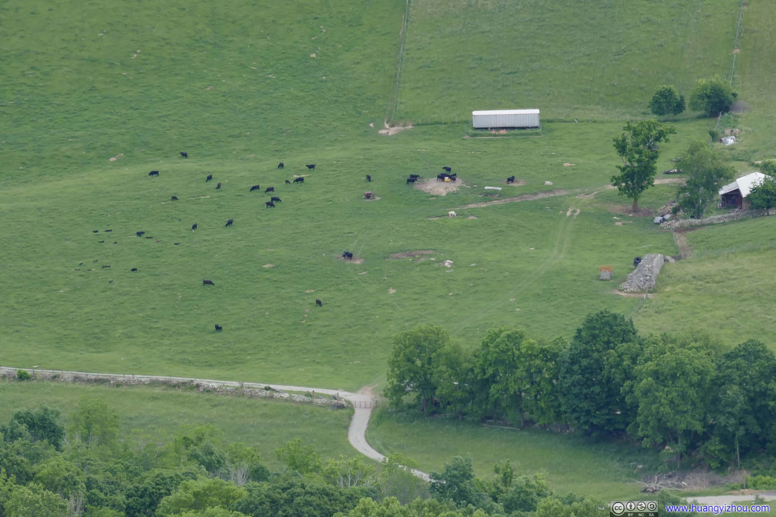
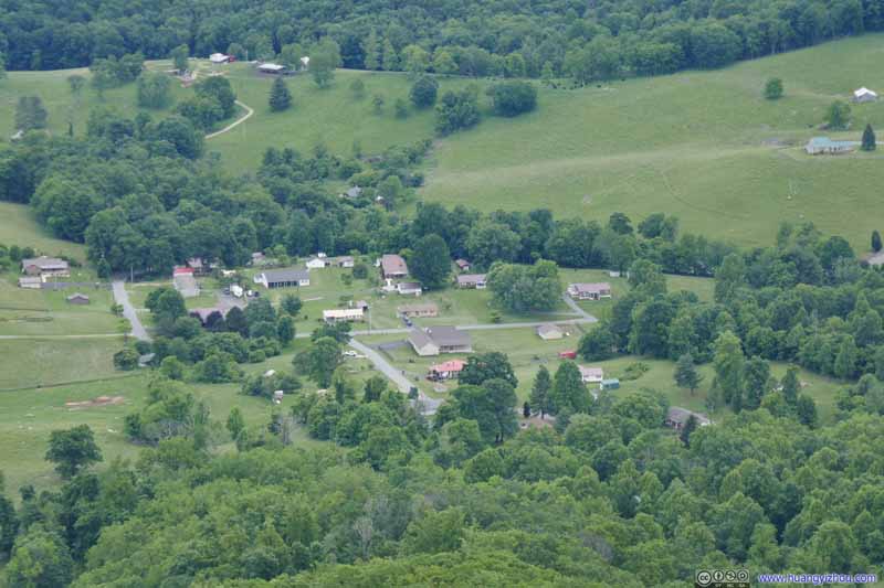 Village
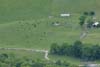
 Ranch
Ranch
Click here to display photos from Pearis Mountain.

Overlook on Pearis Mountain

Fields and Mountains

Fields and Mountains
Fields and Mountains
Mountains
Village
Ranch
I spent about 20 minutes at Pearis Mountain Overlook, before heading back down to the trailhead. After going through the misery of muddy trail, I was back in my car at 6:40pm, spending just shy of 4 hours on the hike.
After that, I made my way to the town of Wytheville where I would be spending the night, and called it a day.
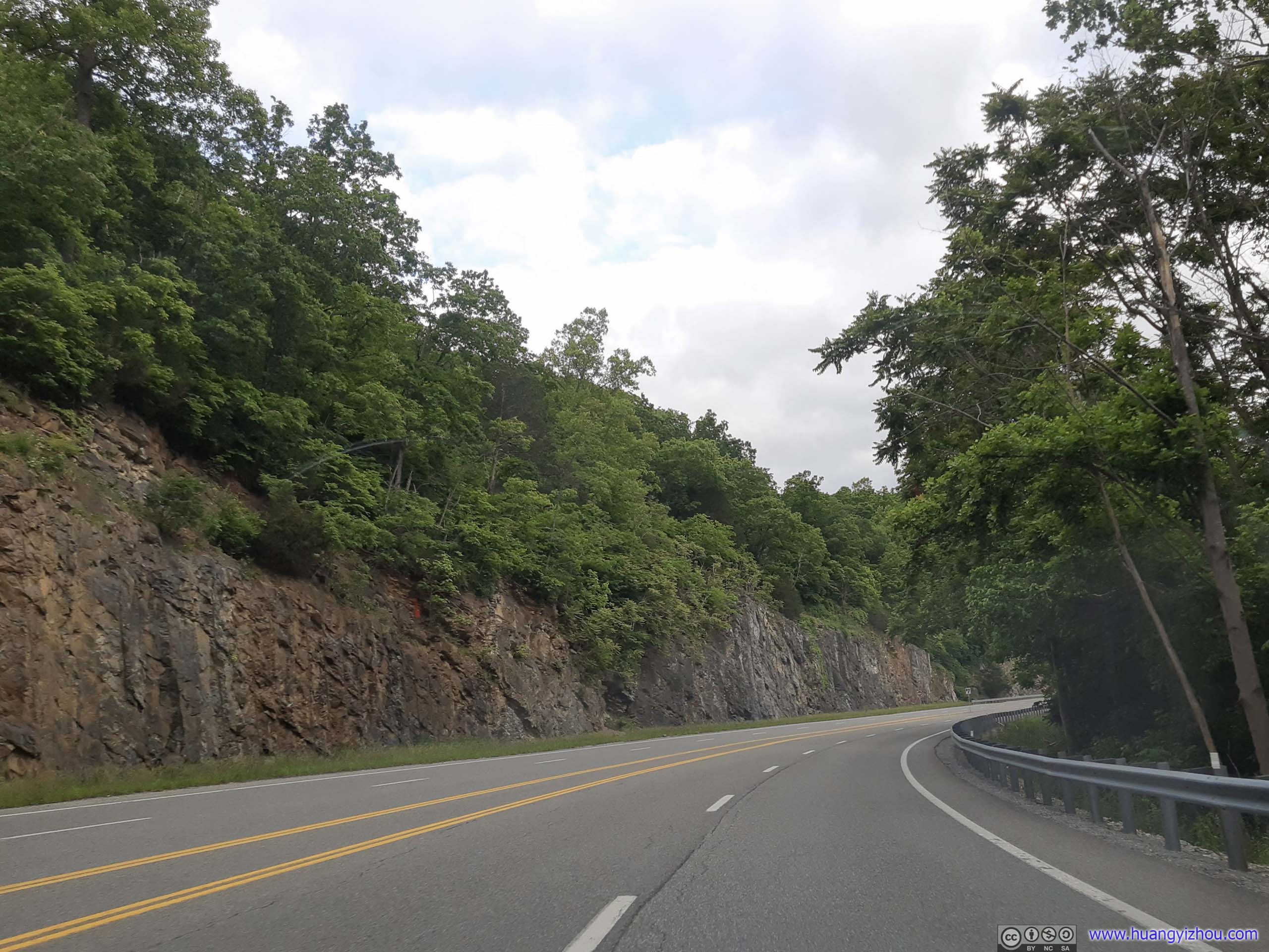
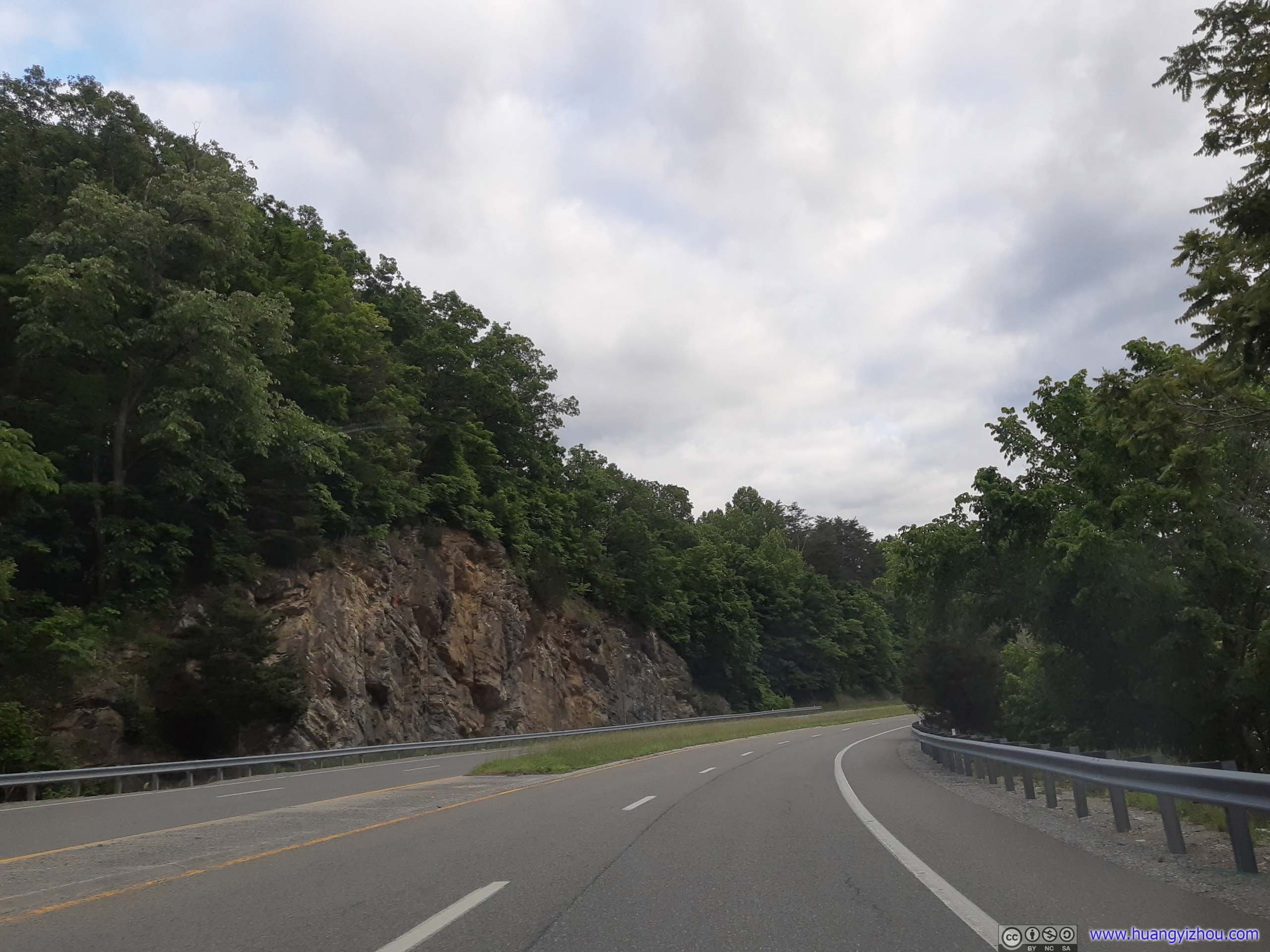 RoadPulaski Giles Turnpike, along Walker Creek.
END
![]() Day 2 of May 2022 Virginia Trip, Hiking Angel’s Rest by Huang's Site is licensed under a Creative Commons Attribution-NonCommercial-ShareAlike 4.0 International License.
Day 2 of May 2022 Virginia Trip, Hiking Angel’s Rest by Huang's Site is licensed under a Creative Commons Attribution-NonCommercial-ShareAlike 4.0 International License.