
Updated on October 1, 2024
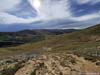
Day 1 of 2022 Colorado Trip, Grizzly Peak, Taste of Colorado
The first day of my 2022 Colorado trip. My friend and I would be driving from Denver Airport to our overnight lodge outside the town of Breckenridge where we would spend the next four nights. Along the way, we would pass by Loveland Pass, where we decided to do an acclimatization hike.
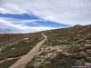
Trail to Grizzly Peak
After spending the previous night in a hotel not far from the airport, I made my way back to the airport this morning to greet a friend, who would be joining me for this week of mountaineering. He had some delay getting out of the airport, but since I was on the airport WiFi watching the F1 Belgian Grand Prix, I couldn’t complain anymore. After that, we grabbed a rental car off the airport, headed back to my hotel for breakfast, and by the time we left for the mountains west of Denver, it’s already 10am.
With a few day hikes ahead of us for the rest of this week, we didn’t want this acclimatization hike to be too long, so we figured we had some time to say hi to some of his friends in Denver before heading into the mountains. Unfortunately, I entered the wrong address in the navigation app my navigation app doesn’t like the street names of Denver, and we made a few wrong turns, so by the time we reached Loveland Pass, it’s already 1pm.
I guessed that’s late enough that some of the morning hikers had finished their trips, so we found a parking spot at the very space-constrained Loveland Pass.
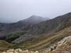
Sitting on the Continental Divide and at an elevation of 3655m, Loveland Pass is the highest mountain pass in the state of Colorado that is open year-round. From there, Mount Sniktau and Grizzly Peak are two peaks that can be accessed by (relatively) short trails.
My friend and I were both feeling energetic, so we decided to go for the slightly longer Grizzly Peak Trail, which according to AllTrails, is 10.8km roundtrip with 800m elevation gain. Weather forecast indicated a 25% chance of precipitation in the afternoon, so the few scattered clouds in the sky didn’t bother us.
Here’s GPS tracking:
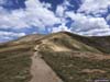
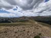
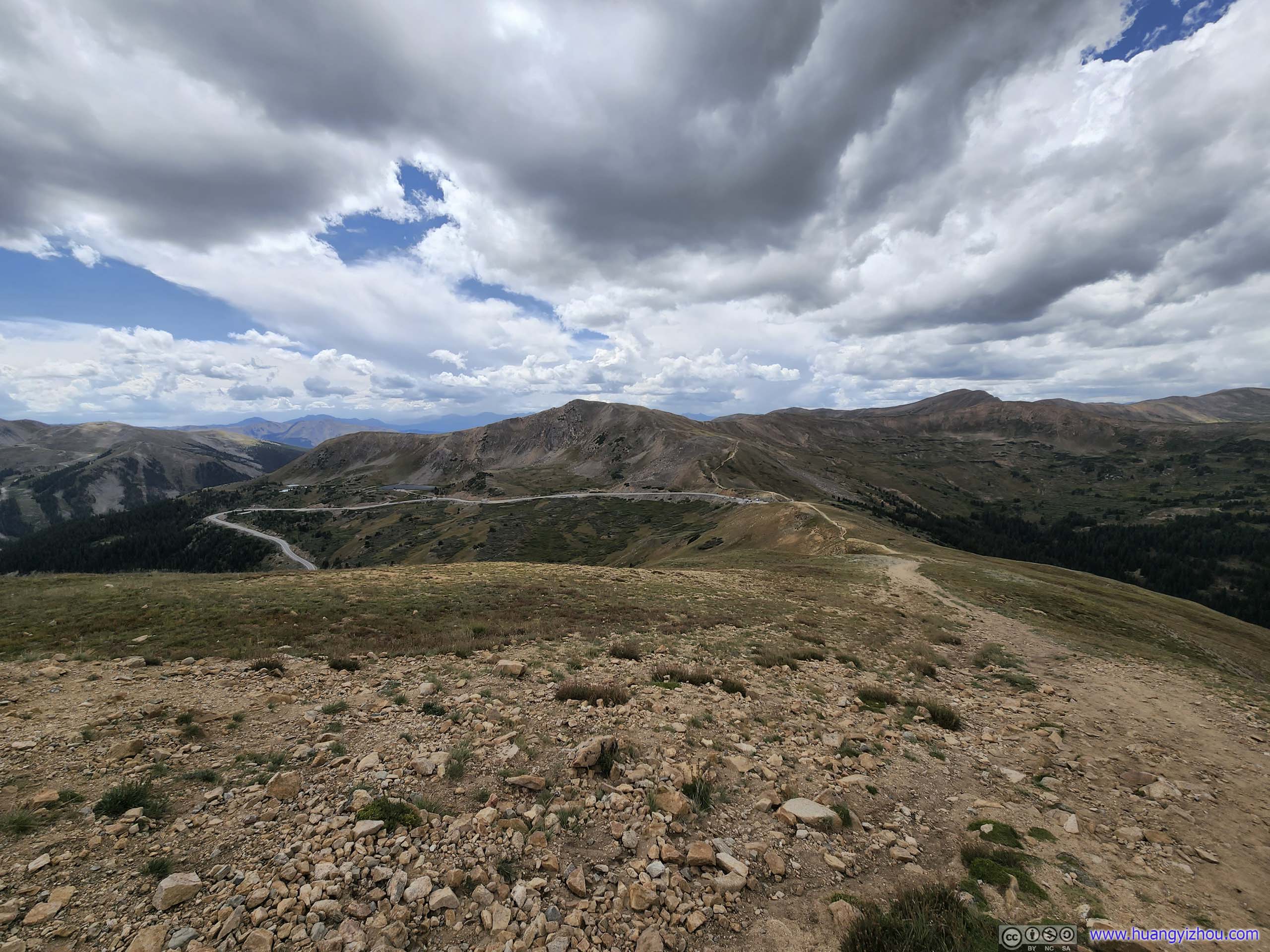
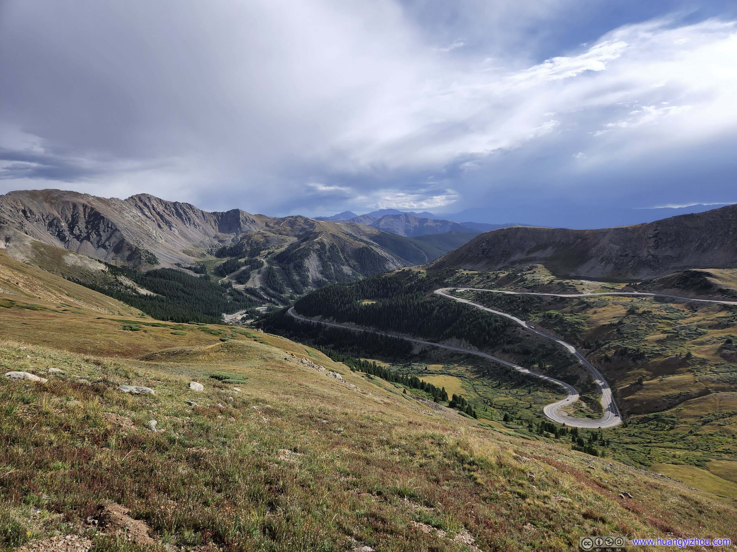
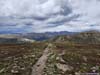
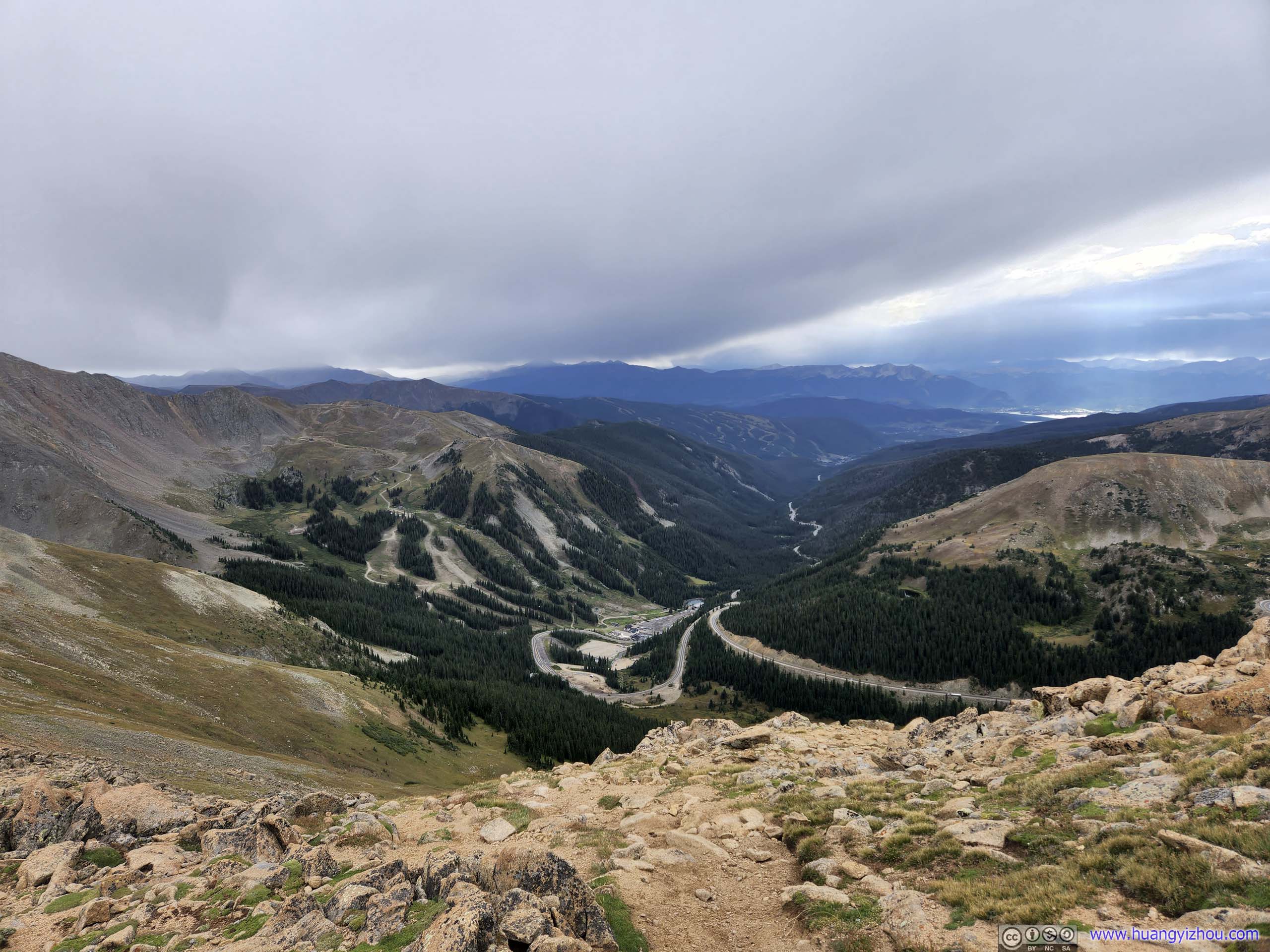
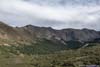
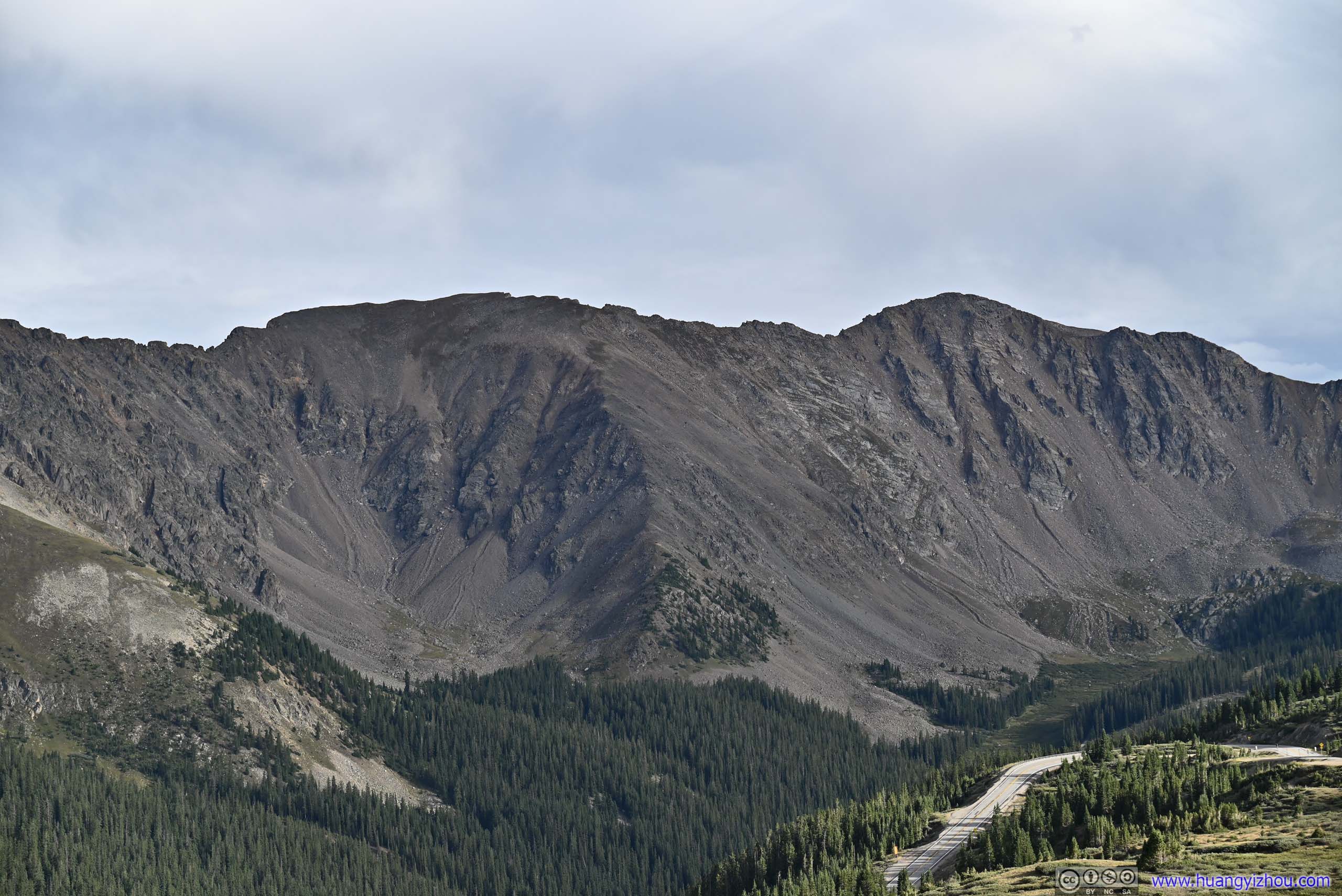
Leaving the trailhead, the trail followed Continental Divide up a gentle incline, with views on both sides, including the various mountains to the north behind Interstate 70.
 Trail
Trail Trail
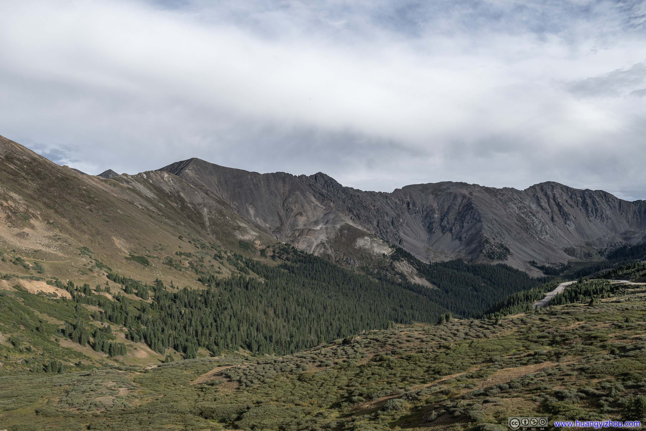
Trail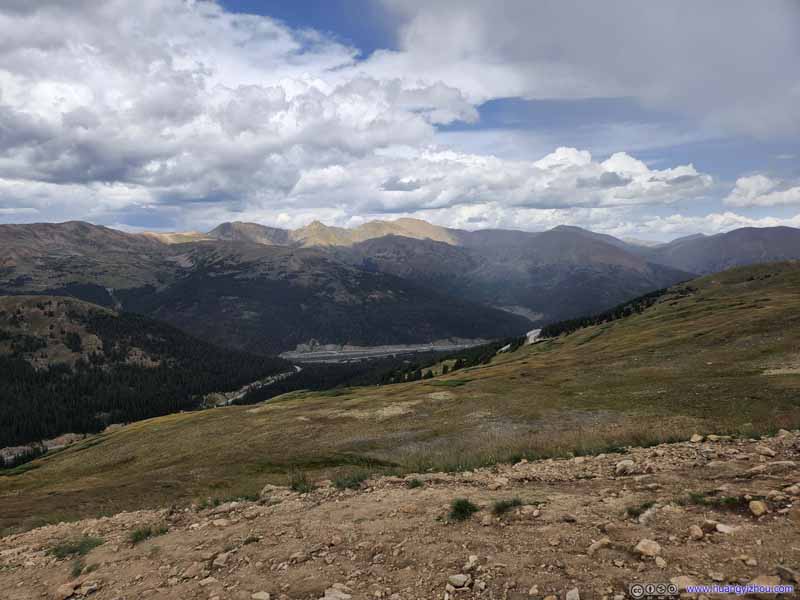 Mountains to the NorthInterstate 70 in between the mountains, a constant sight for the beginning part of the hike.
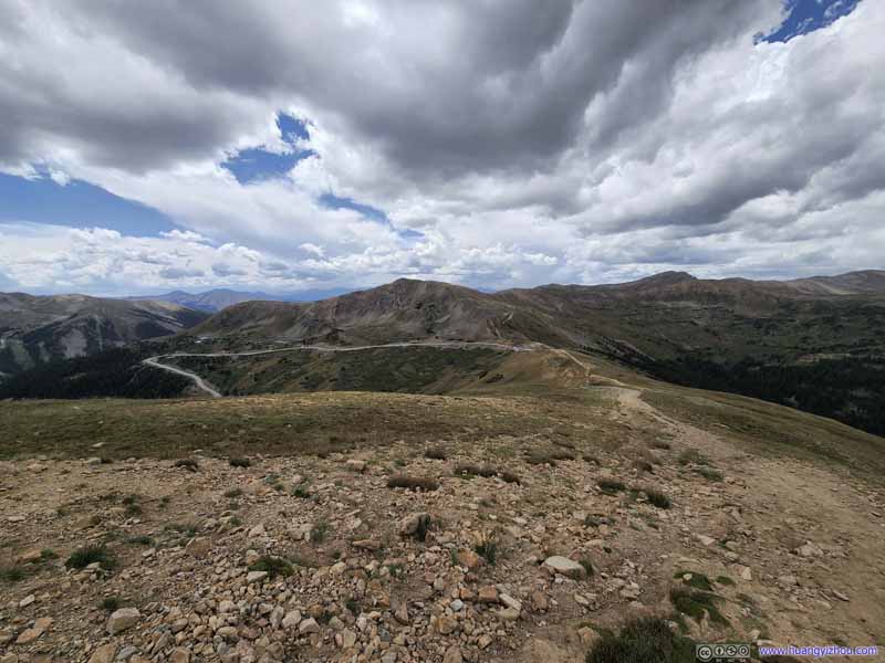 TrailLooking back at trailhead.
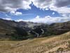
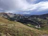
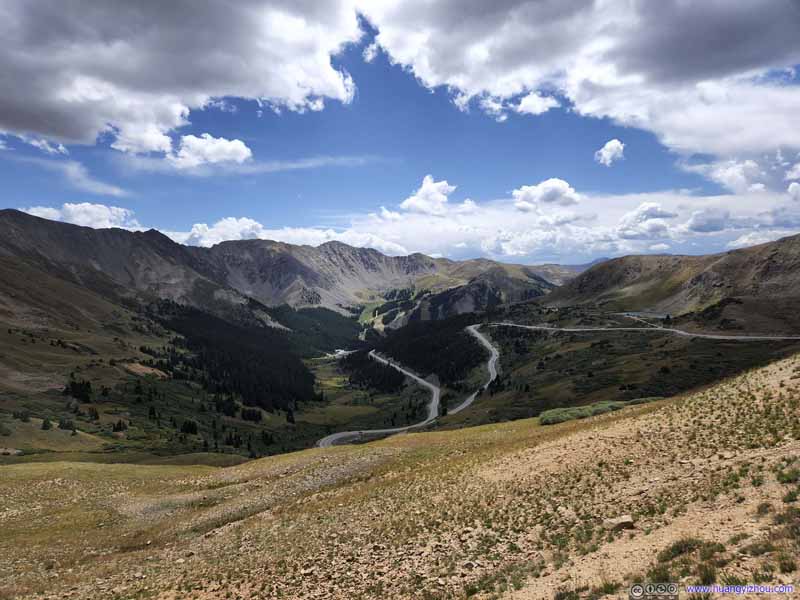 Mountains to the SouthUS Route 6 winding through the mountains.
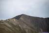
 Mount Sniktau
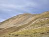
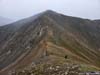
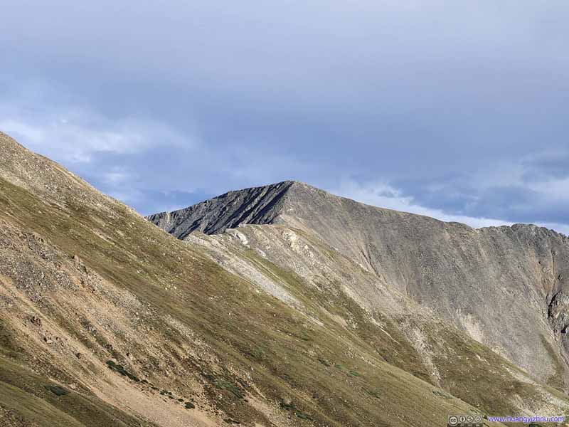 Grizzly Peak in the Distance
Click here to display photos from the beginning part of the hike.

Trail

Trail

Mountains to the NorthInterstate 70 in between the mountains, a constant sight for the beginning part of the hike.
TrailLooking back at trailhead.

Mountains to the SouthUS Route 6 winding through the mountains.
Mount Sniktau

Grizzly Peak in the Distance
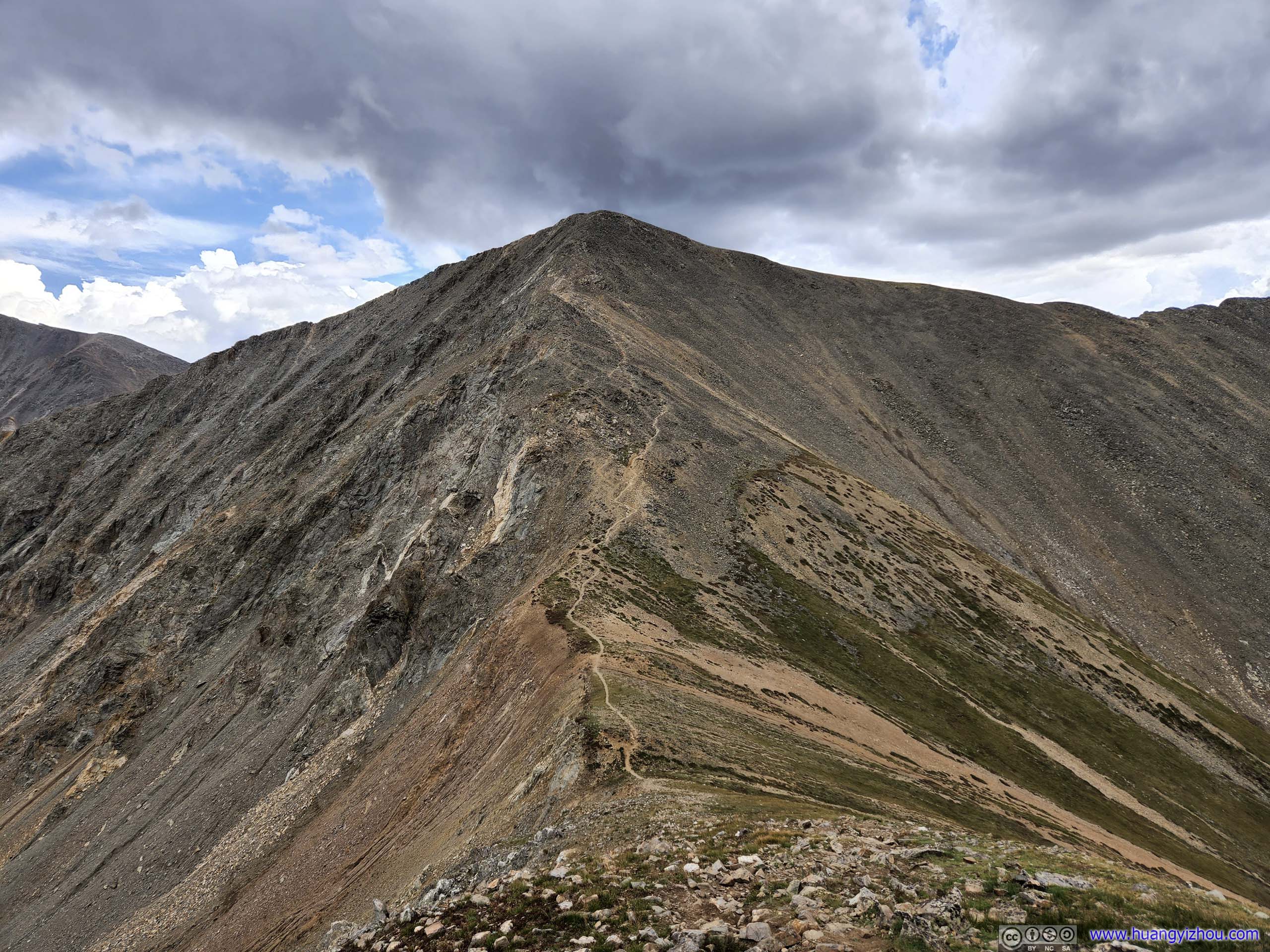
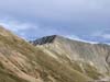
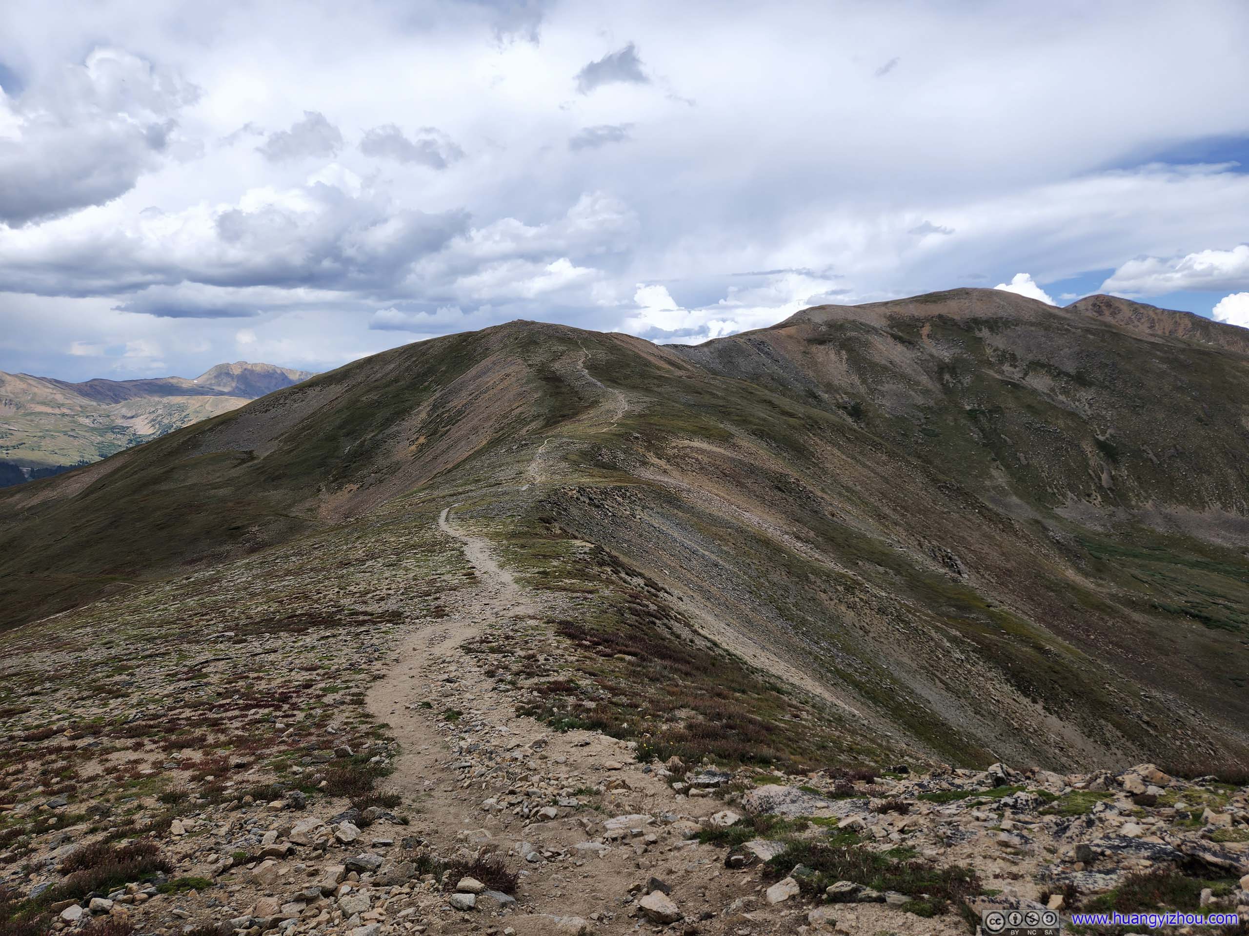
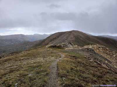
About 900m from the trailhead, the trail reached an intersection. According to some returning hikers, a right turn here and we would be on a shortcut towards Grizzly Peak, traversing a small hill instead of walking up and down its ridges, as indicated in the AllTrails route. This would save us some distance, and firmed up our desire to head for the more distant Grizzly Peak.
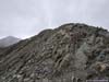
 Trail to Grizzly Peak
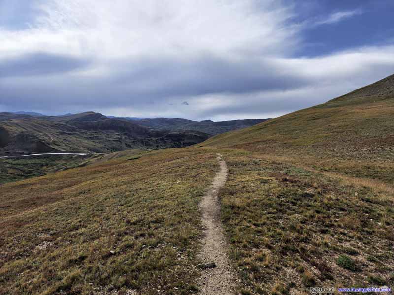 Trail to Grizzly Peak
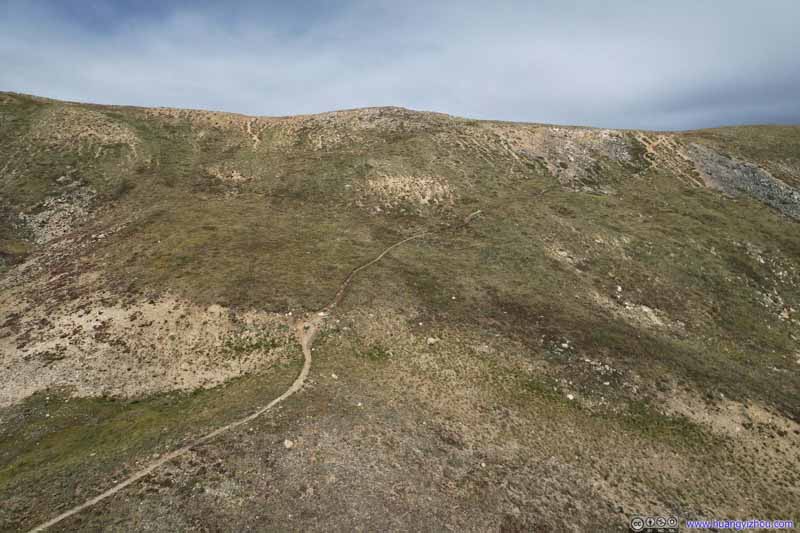 Trail to Grizzly Peak
Taken from my drone. The final section of this “shortcut” trail, in the upper right of this photo, was very steep.
Trail to Grizzly Peak
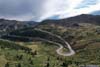
Taken from my drone. The final section of this “shortcut” trail, in the upper right of this photo, was very steep.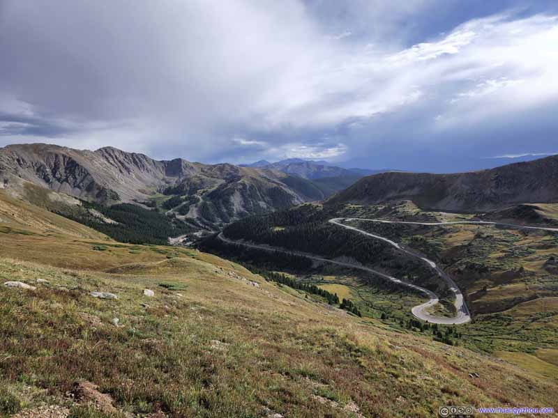 Mountains to the SouthUS Route 6 winding down the hill.
 US Route 6Taken from my drone.
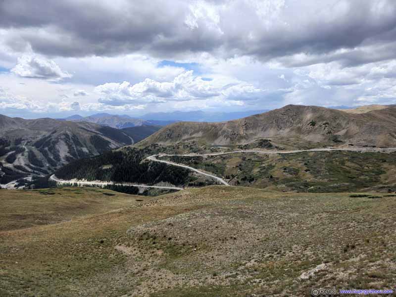 Mountains to the West
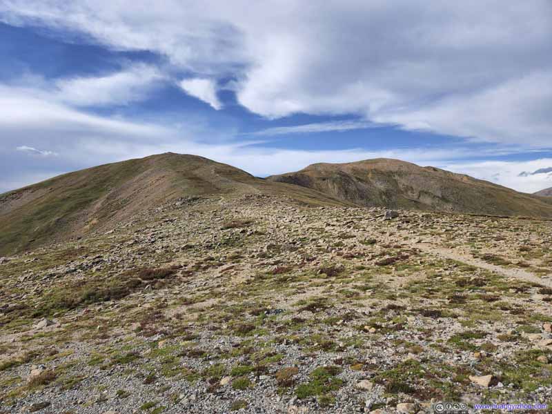 TrailComing from Mount Sniktau.
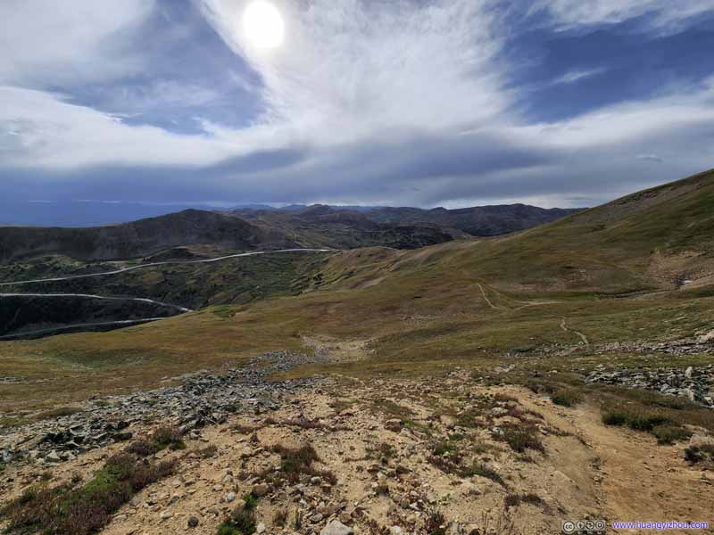 TrailAt the intersection with the main trail from Mount Sniktau, looking back towards trailhead.
Click here to display photos along the trail.

 Trail to Grizzly Peak

Trail to Grizzly Peak
Mountains to the SouthUS Route 6 winding down the hill.

US Route 6Taken from my drone.

Mountains to the West
TrailComing from Mount Sniktau.

TrailAt the intersection with the main trail from Mount Sniktau, looking back towards trailhead.
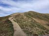
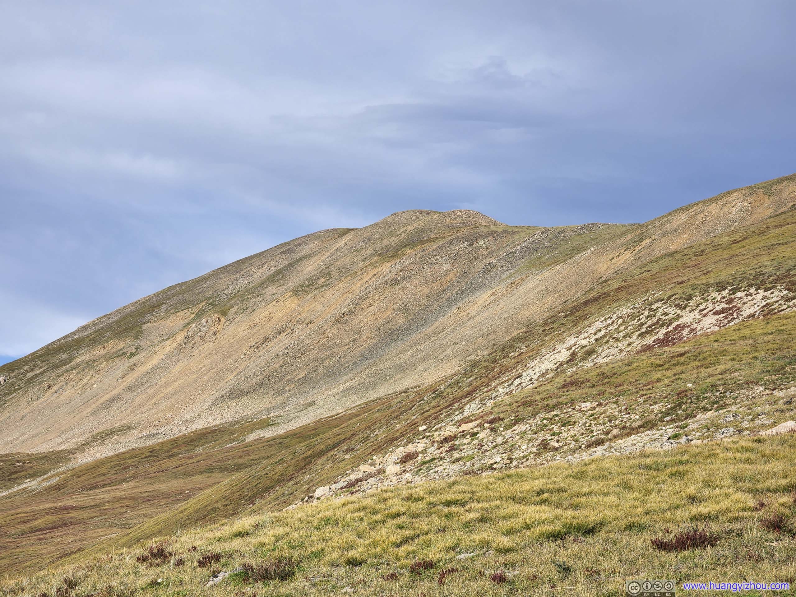
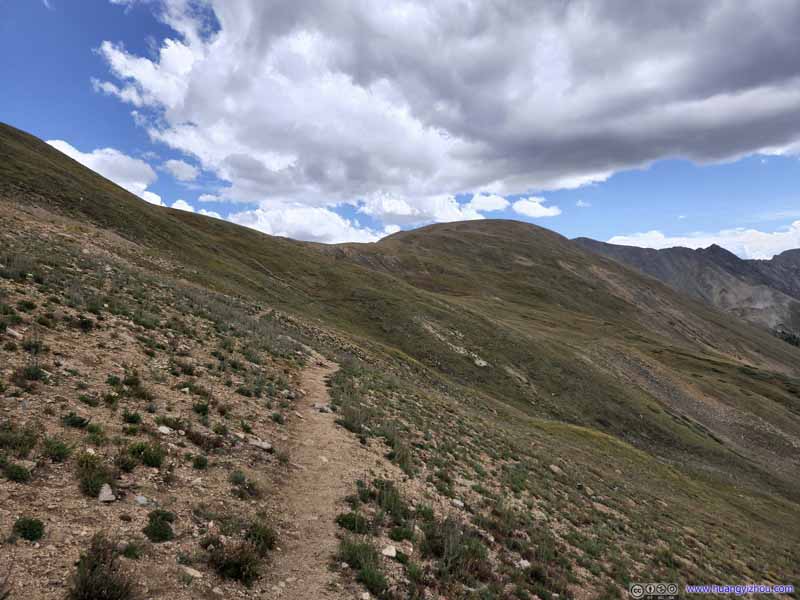
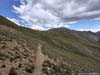
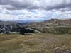
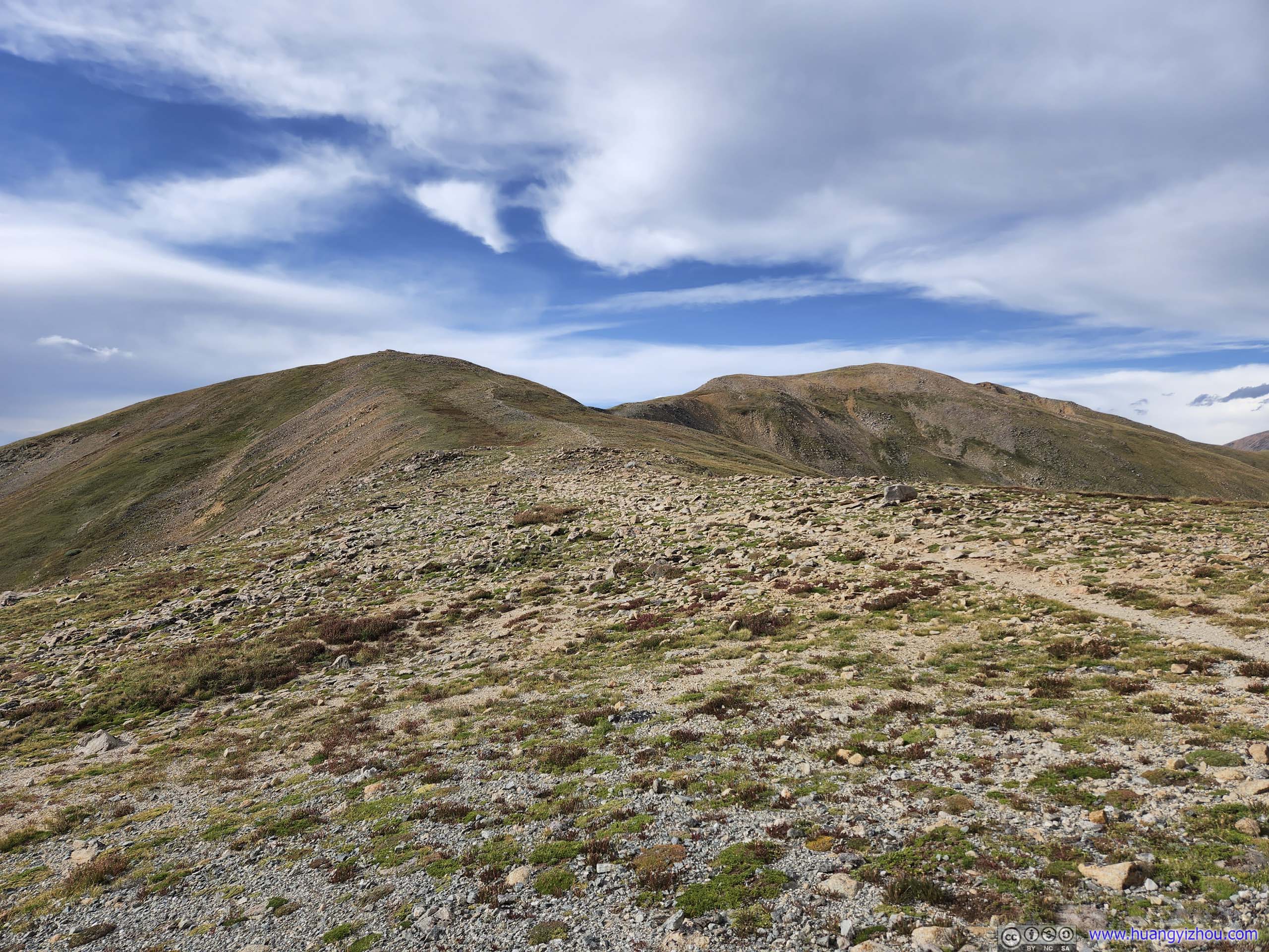
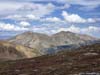
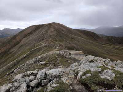
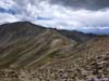
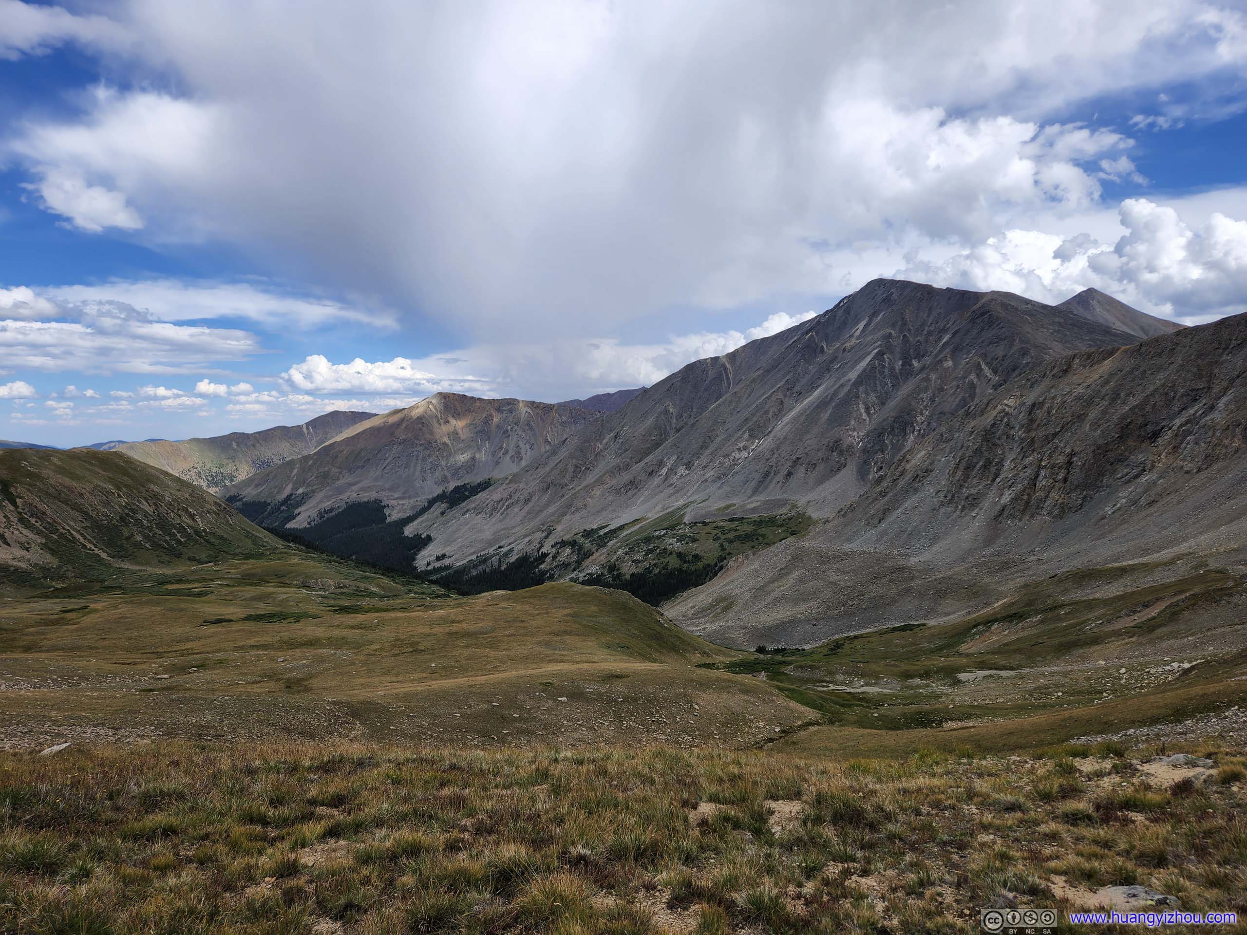
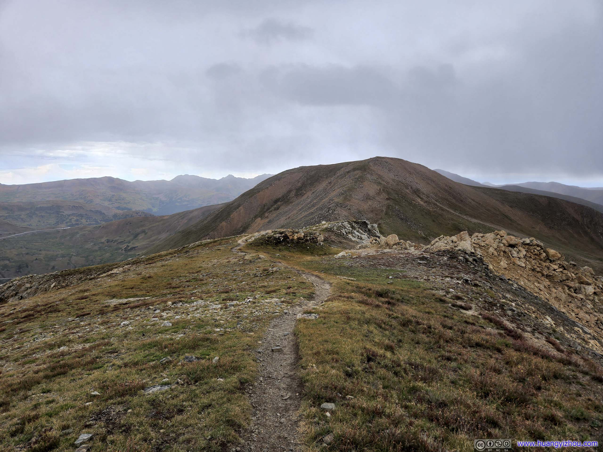
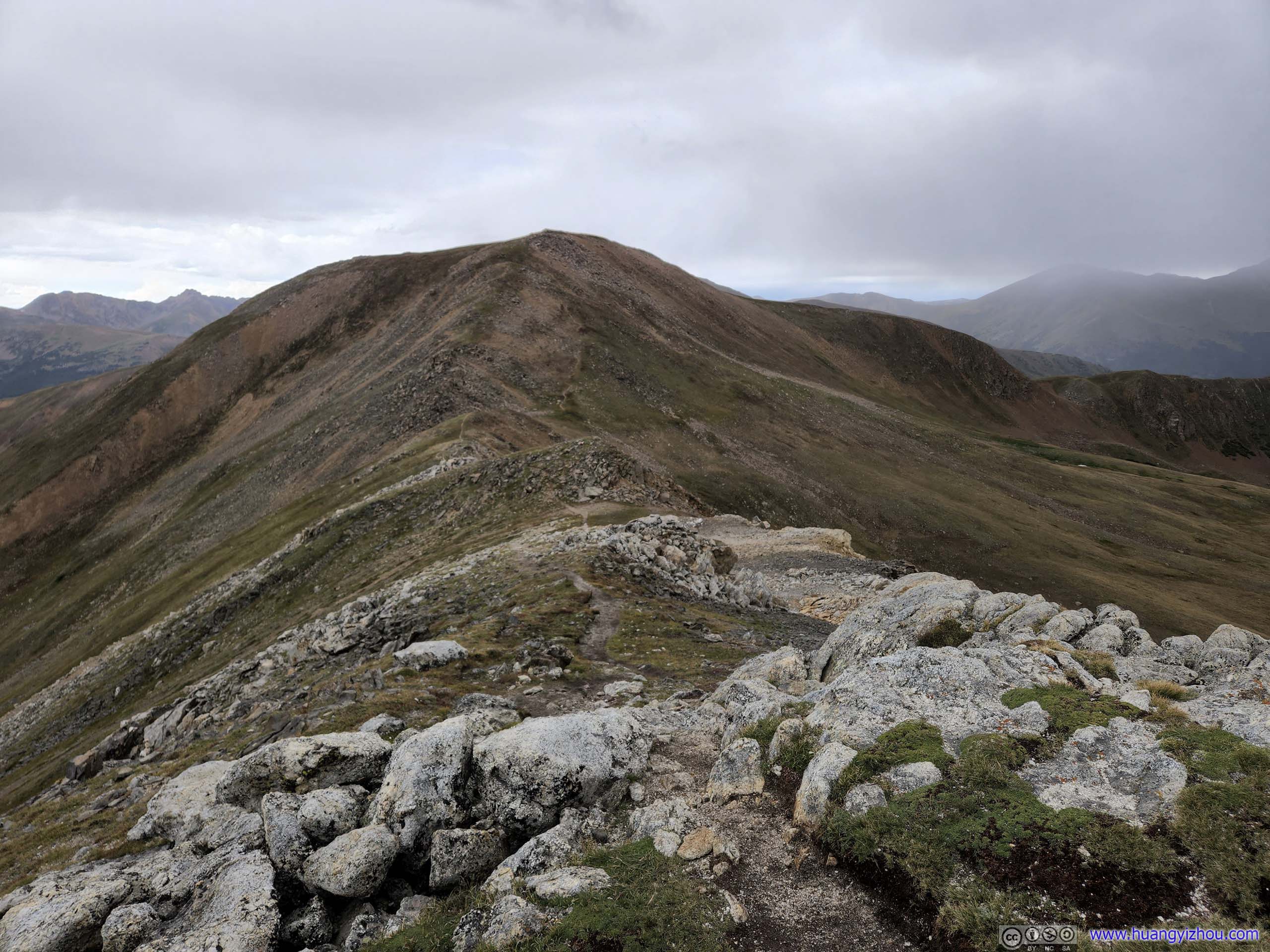
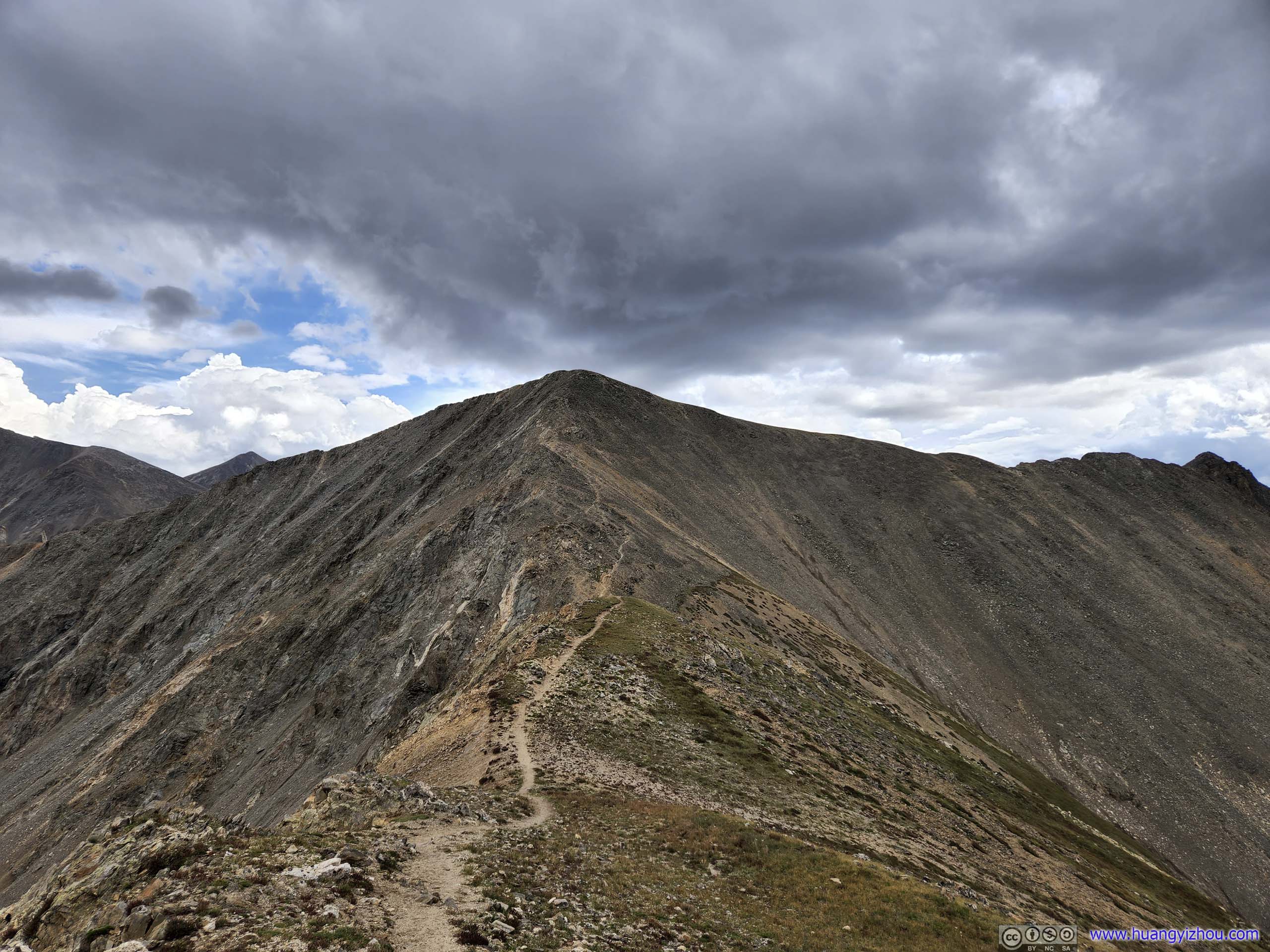
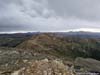
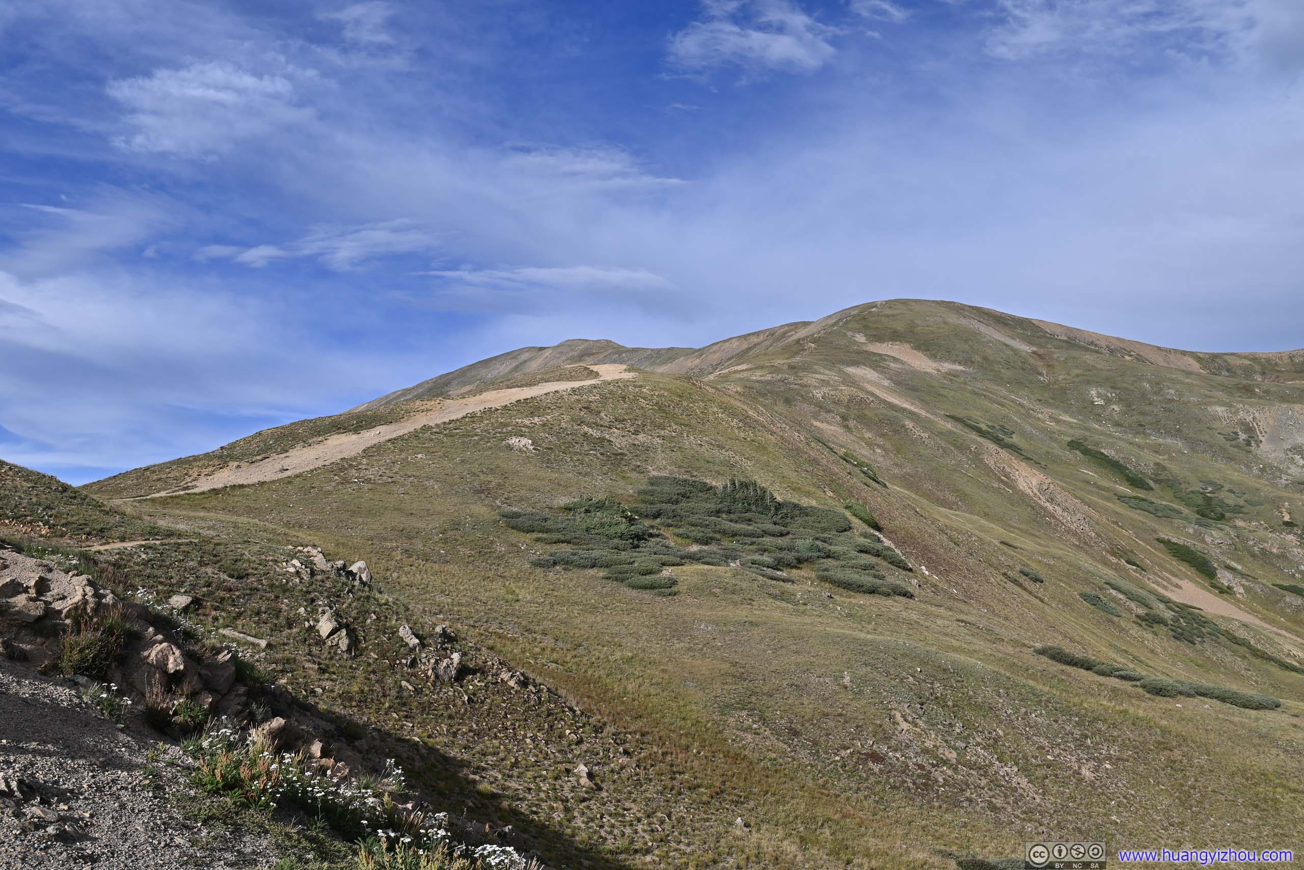
The shortcut trail lasted about 800m, after which we were on Grizzly Peak Trail, along the ridge of Continental Divide, through some rolling hills.
 TrailLooking back towards the direction of the intersection.
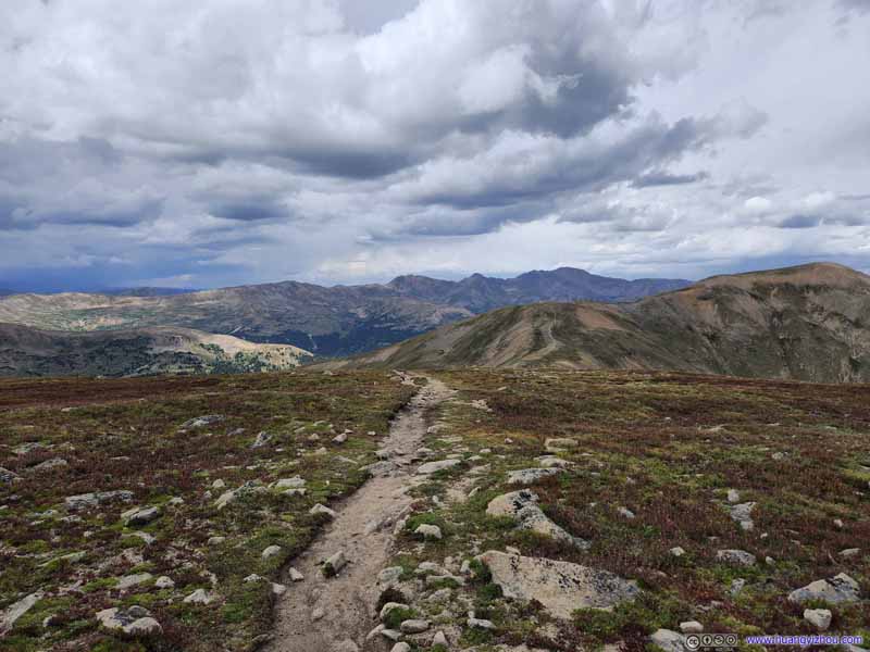 Trail
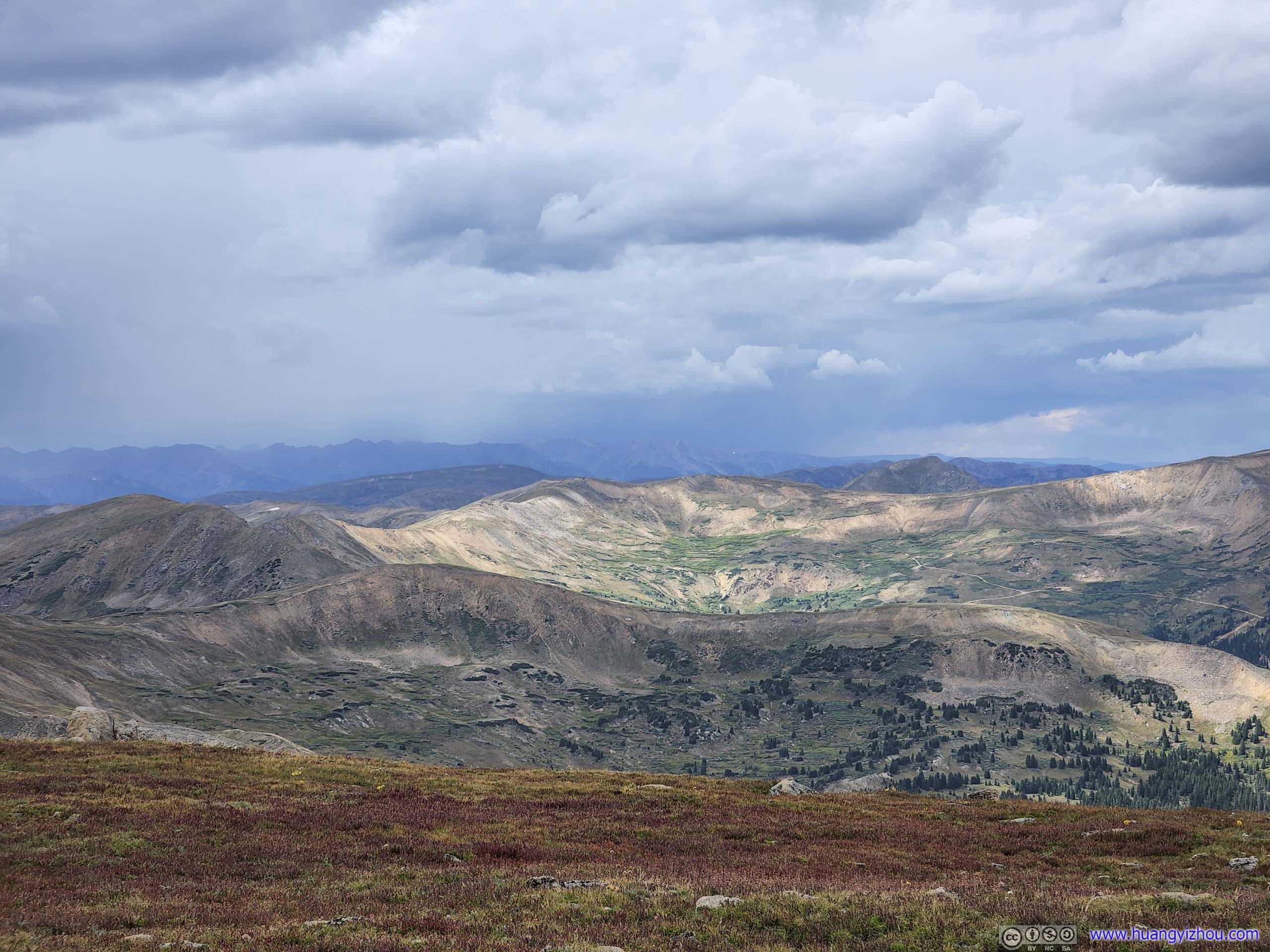
Trail Mountains to the NortheastBard Peak and Mount Parnassus
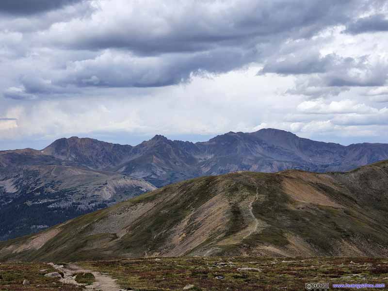 Mountains to the North
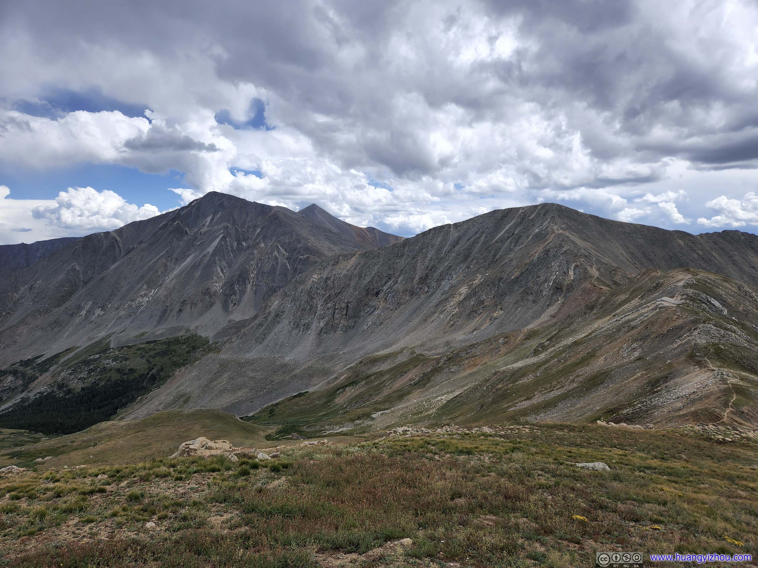
From left to right, Hagar Mountain, The Citadel, and Pettingell Peak, three peaks on the Continental Divide.
Mountains to the North
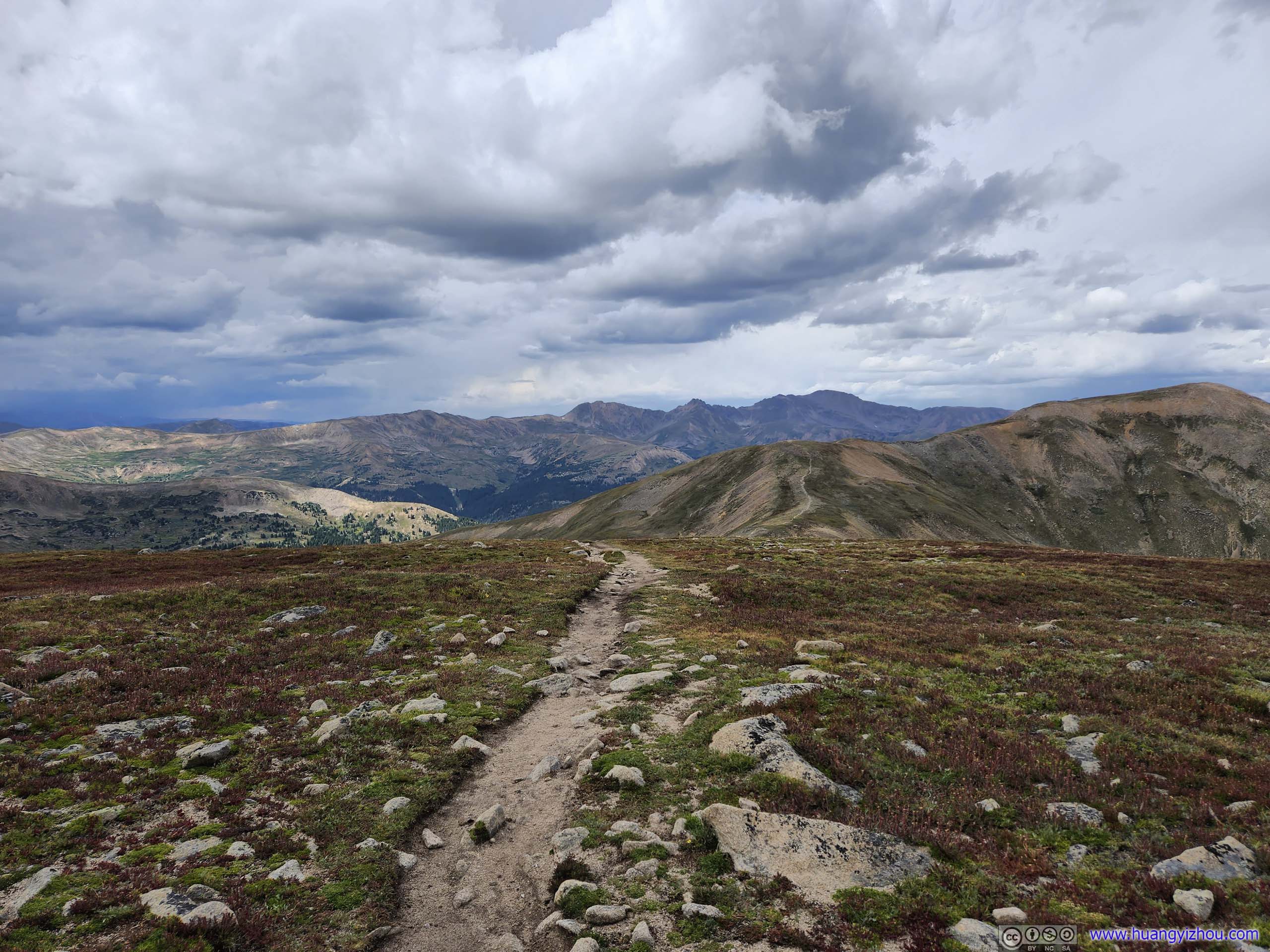
From left to right, Hagar Mountain, The Citadel, and Pettingell Peak, three peaks on the Continental Divide. Mountains to the NorthwestUnbeknownst to us, a distant storm was brewing.
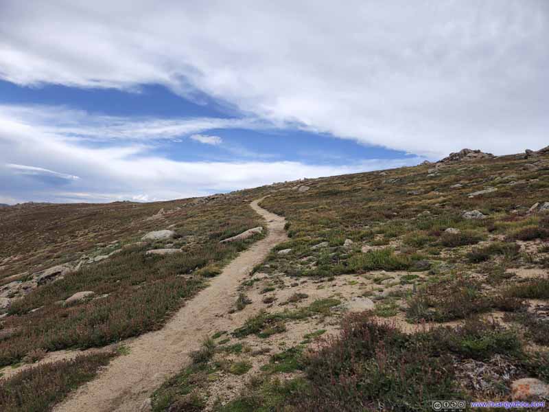 Trail
Taken on our way back. Cupid Peak is to the right of this photo, possibly being one of the random piles of rocks. It’s off trail and didn’t offer as great views, so we skipped it.
Trail
Taken on our way back. Cupid Peak is to the right of this photo, possibly being one of the random piles of rocks. It’s off trail and didn’t offer as great views, so we skipped it.
Click here to display photos of the slideshow
TrailLooking back towards the direction of the intersection.
Trail
Mountains to the NortheastBard Peak and Mount Parnassus

Mountains to the North
Mountains to the NorthwestUnbeknownst to us, a distant storm was brewing.

Trail
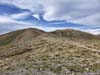
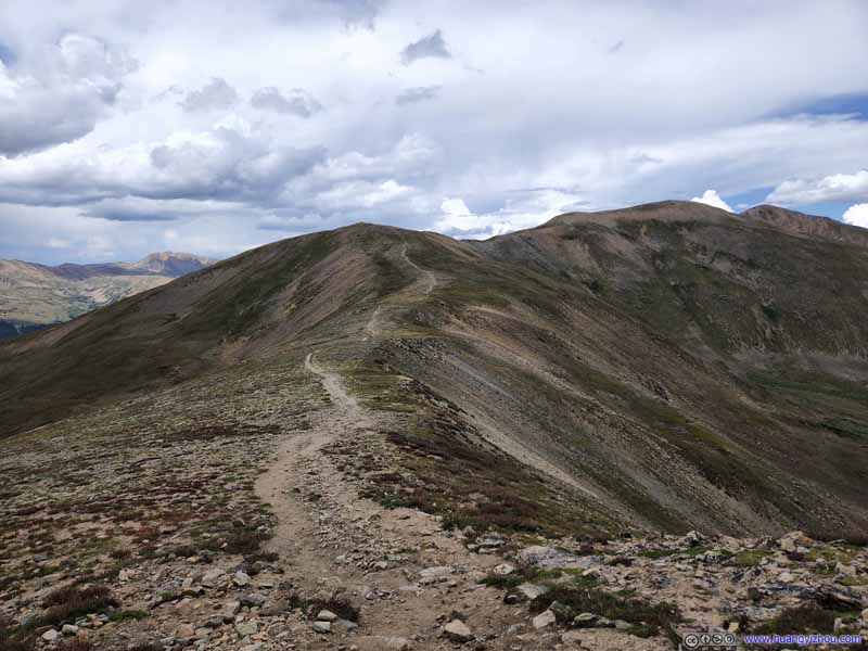
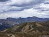
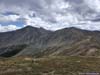
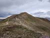
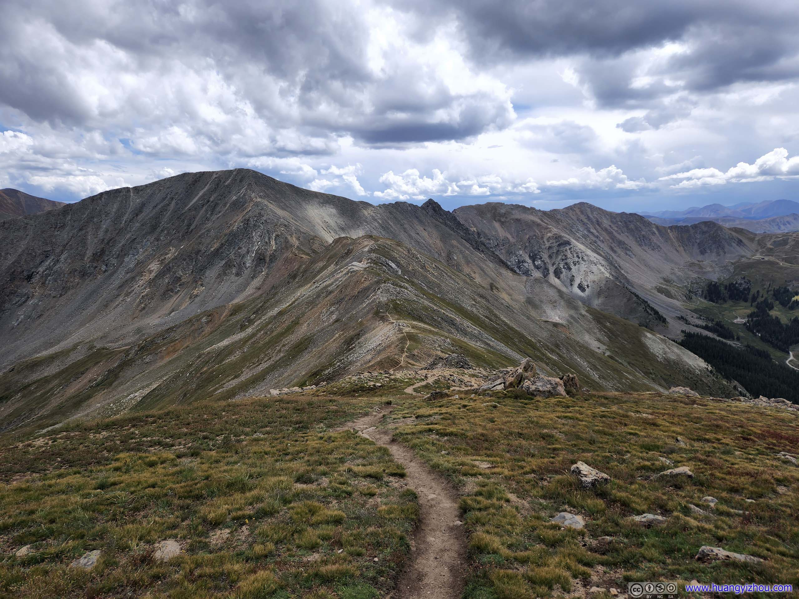
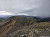
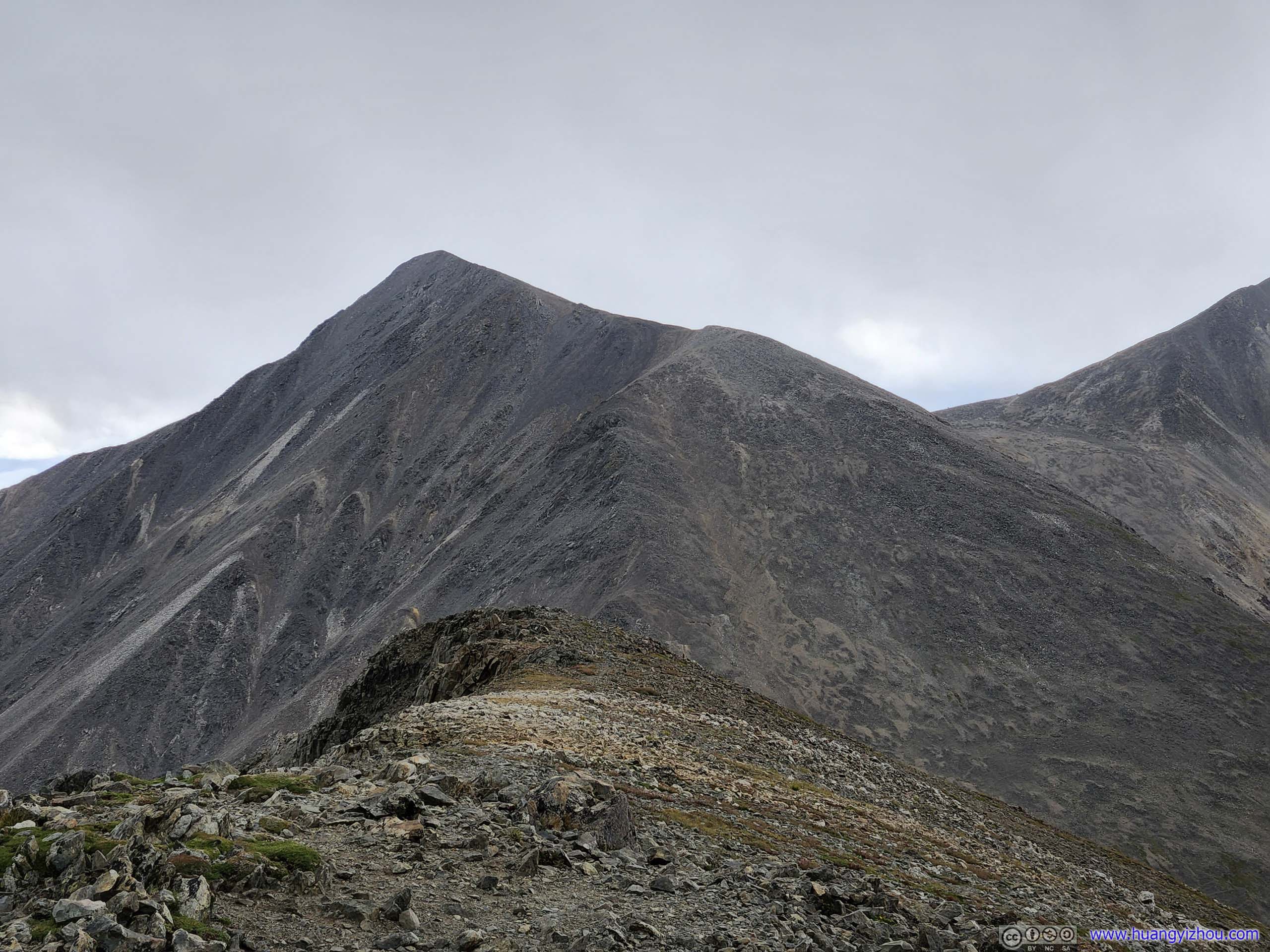
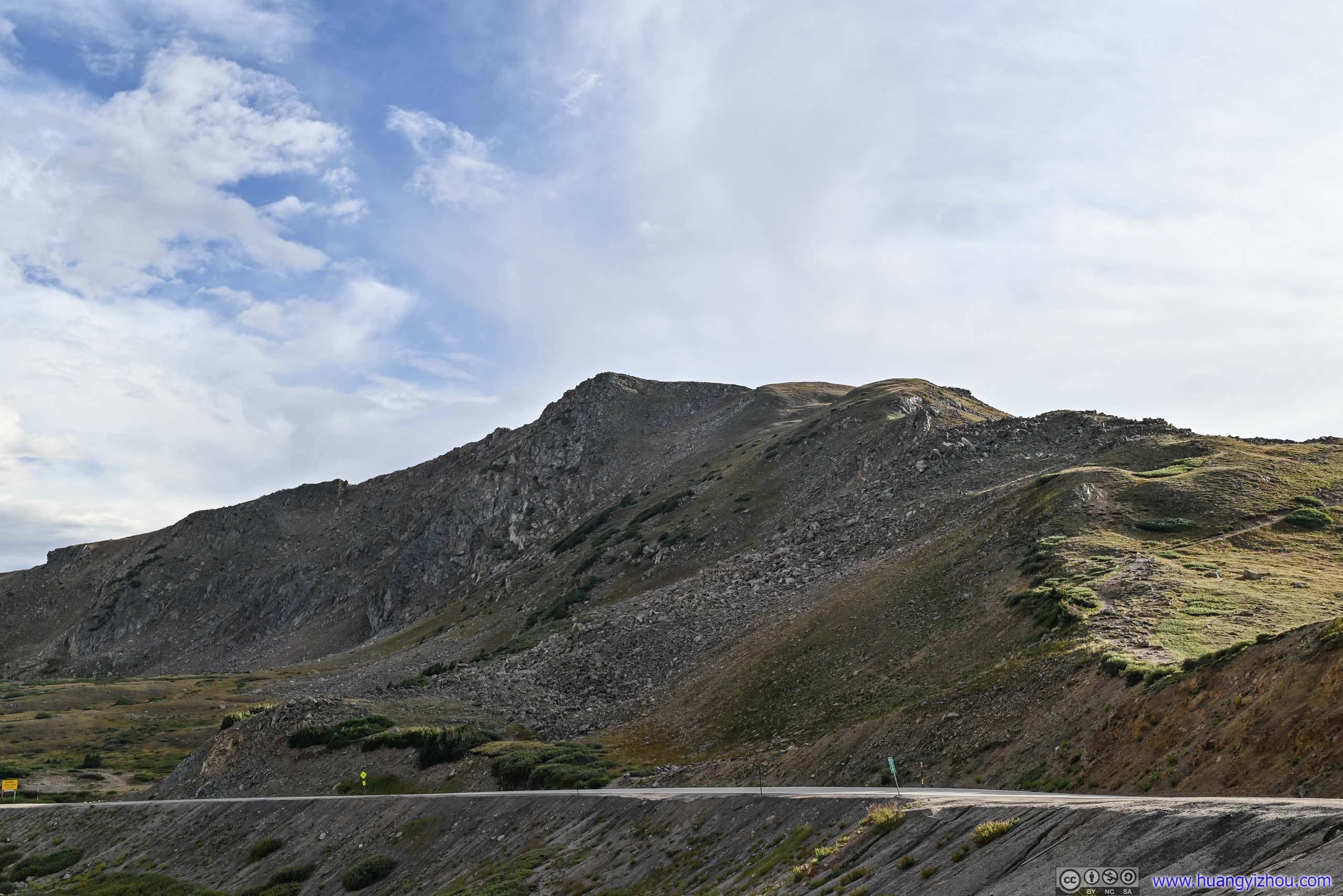
After passing by Cupid Peak, which if not for the marking on the map would be hardly noticeable, the trail went through a relatively steep descent to a saddle point before the final stretch up Grizzly Peak. Hiking poles were helpful during the descent, but even without them, I would still rate that section as YDS class 1.
 Mountains
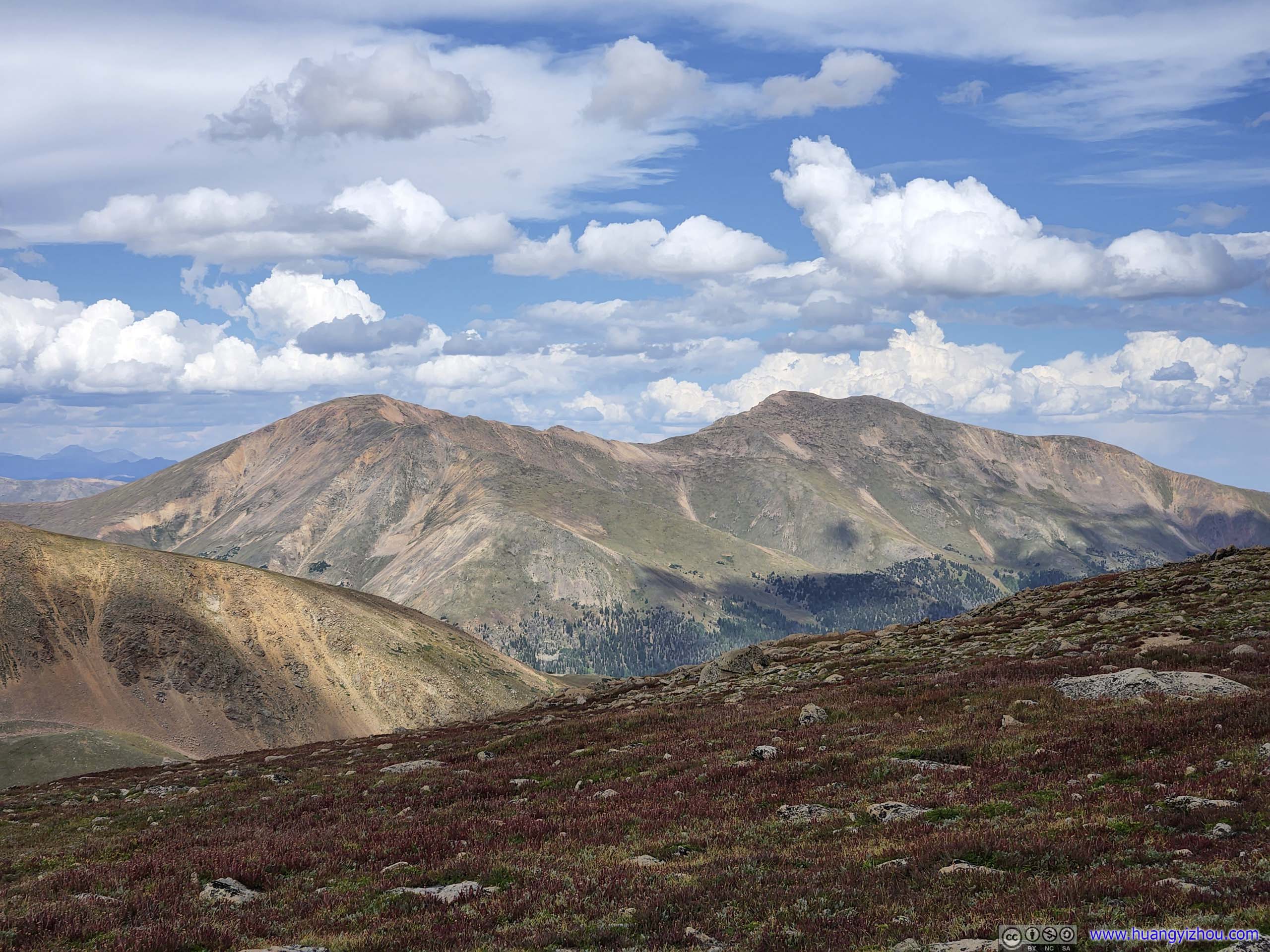
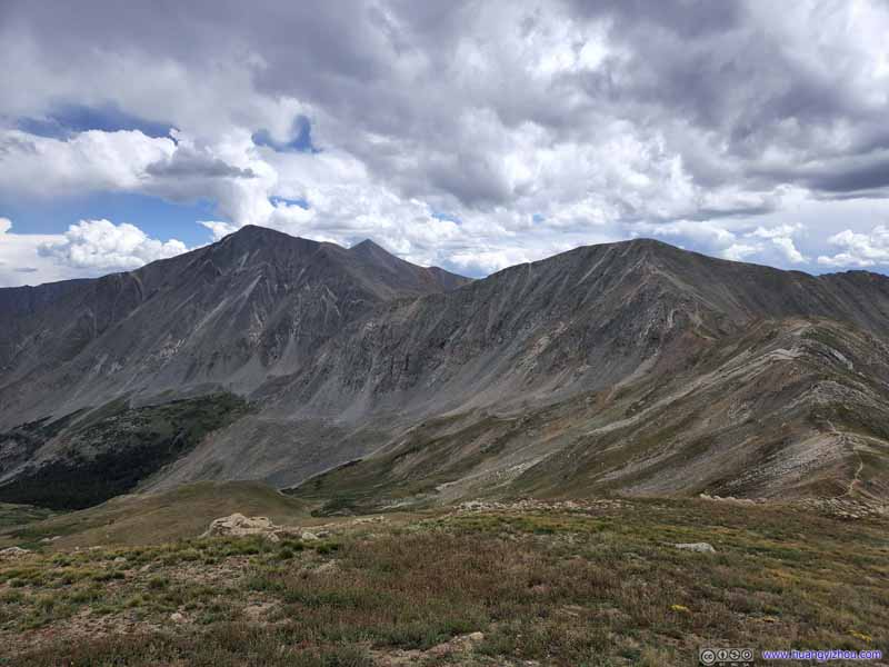
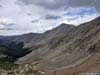
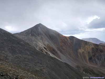
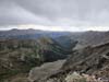
Torreys Peak and Grays Peak, two 14ers, on the left. Grizzly Peak as their little brother on the right.
Mountains
Torreys Peak and Grays Peak, two 14ers, on the left. Grizzly Peak as their little brother on the right. Arapahoe BasinSite of a ski resort.
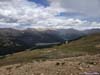
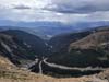
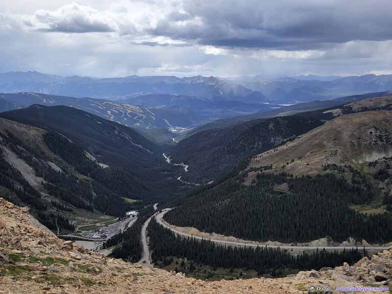 Arapahoe BasinUS Route 6 passing the ski town of Keystone before the Dillon Reservoir in the distance.
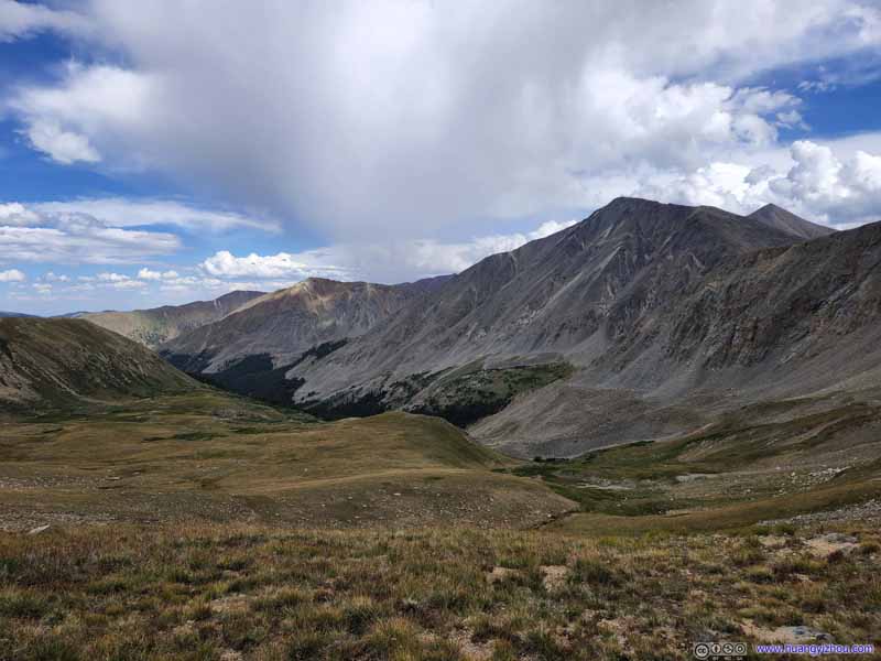 ValleyNorth of Torreys and Grays Peak.
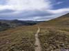
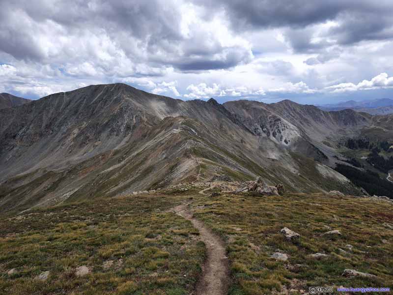 Trail to Grizzly PeakAlong a few rolling hills.
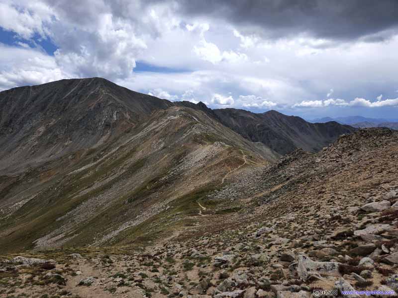 Trail to Grizzly PeakAlong a few rolling hills.
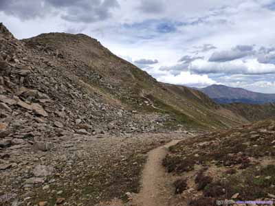
 TrailThrough rolling hills.


Click here to display photos of the slideshow
Mountains
Arapahoe BasinSite of a ski resort.

Arapahoe BasinUS Route 6 passing the ski town of Keystone before the Dillon Reservoir in the distance.
ValleyNorth of Torreys and Grays Peak.
 Trail to Grizzly PeakAlong a few rolling hills.

 TrailThrough rolling hills.
 Trail
Trail
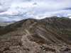
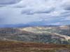
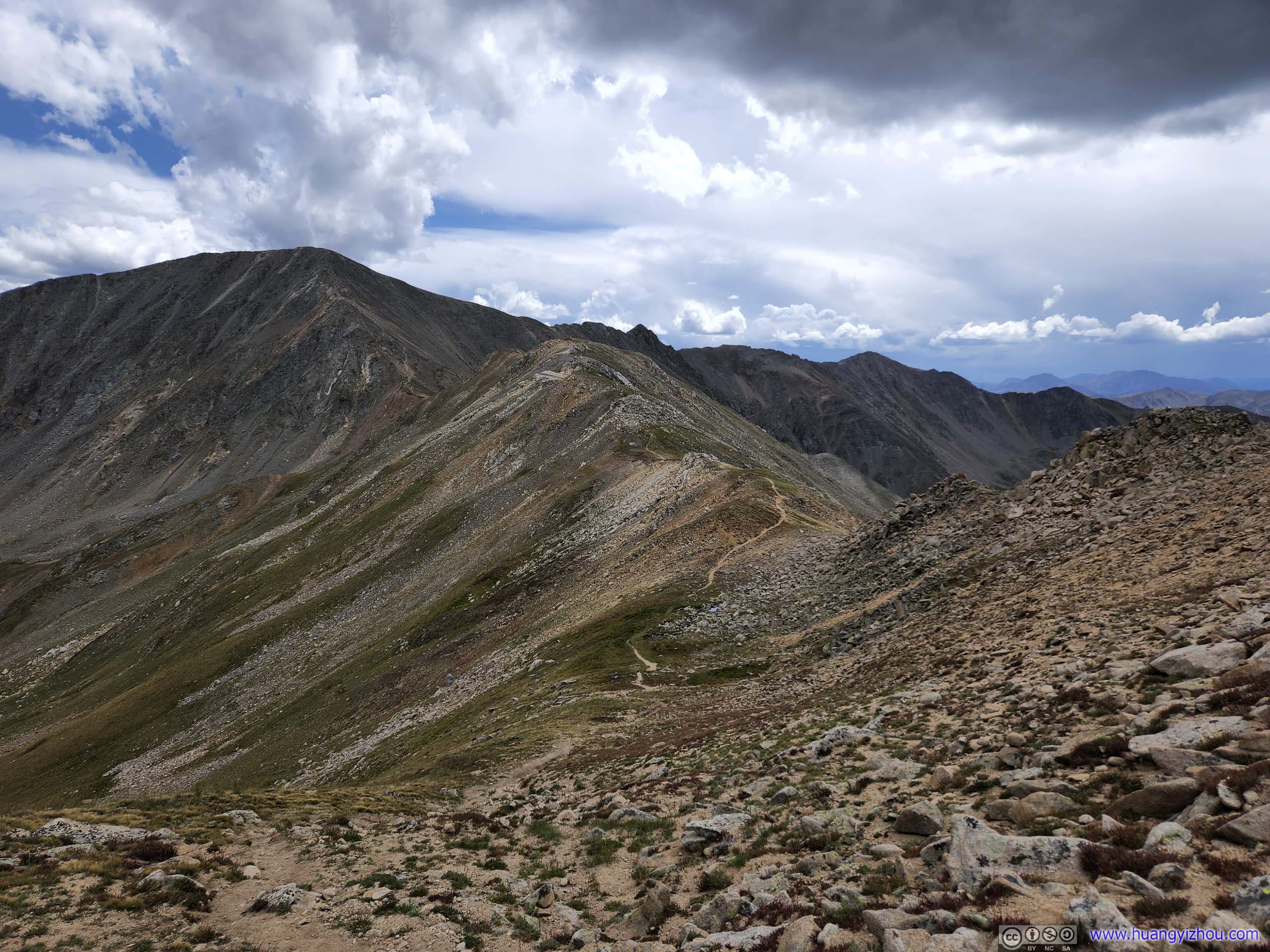
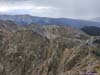
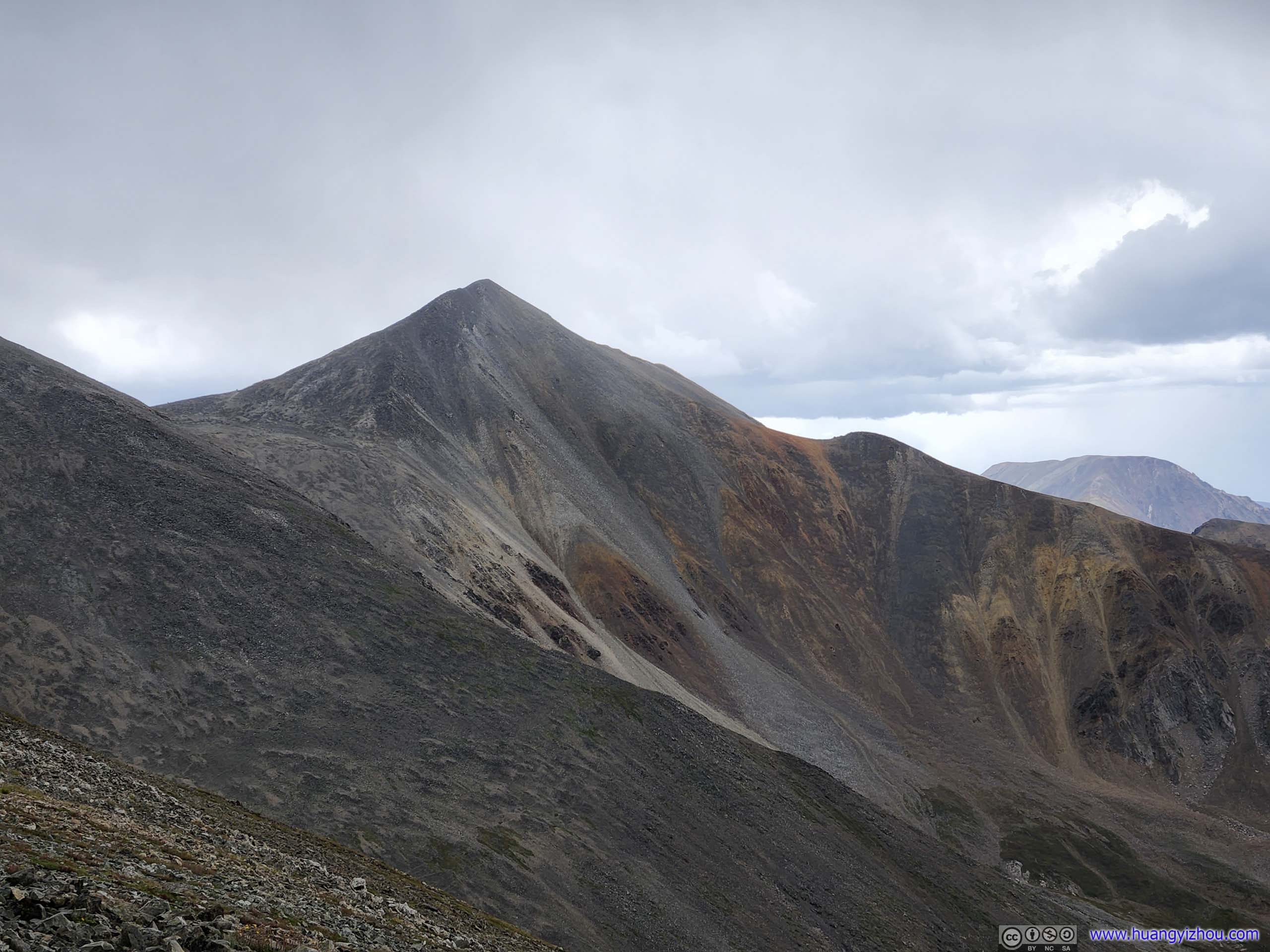
The final stretch up Grizzly Peak was the steepest, only after this trip did I know it’s commonly rated as YDS class 2. Compared with other class 2 hikes later in the week (Mount Democrat / Mount Sherman), I felt this was certainly the easier class 2, the rocks felt solid and the incline very manageable. I never felt the slightest possibility that my foothold would slip.
 Trail to Grizzly PeakThe final stretch of the trail being the steepest.
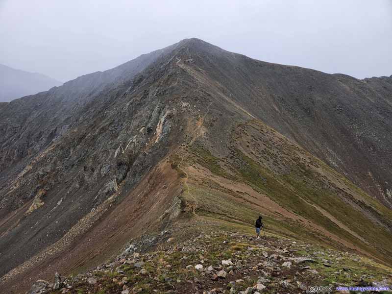 Trail to Grizzly PeakThis was taken during our descent when the storm had reached the peaks.
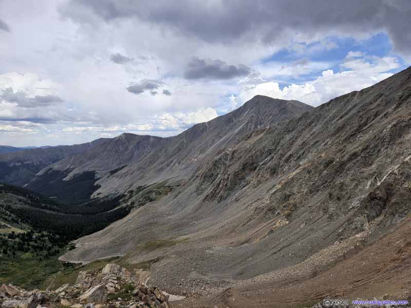 Northern Slope of Grizzly PeakThe rugged-looking textures of the boulders.
 Torreys and Grays Peak in StormTaken during descent after the storm.
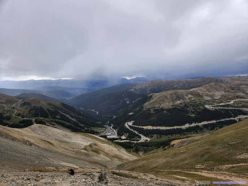 Arapahoe Basin
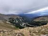
It seemed that the storm had reached Dillon Reservoir. Unfortunately, we weren’t paying much attention to it as it didn’t look too bad.
Arapahoe Basin
It seemed that the storm had reached Dillon Reservoir. Unfortunately, we weren’t paying much attention to it as it didn’t look too bad.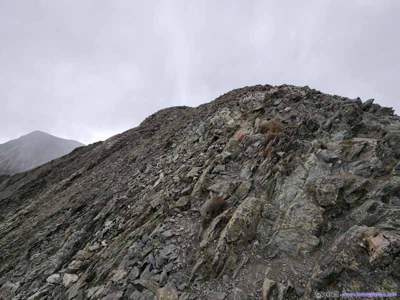 Path up Grizzly Peak
Typical class 2 terrain, sort of steep but for me, it’s marginally manageable without using hands. This was taken close to the summit.
Path up Grizzly Peak
Typical class 2 terrain, sort of steep but for me, it’s marginally manageable without using hands. This was taken close to the summit.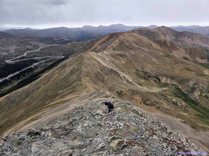 Looking BackMy friend descending from Grizzly Peak in the foreground.

Click here to display photos from the trail up Grizzly Peak.
Trail to Grizzly PeakThe final stretch of the trail being the steepest.

Trail to Grizzly PeakThis was taken during our descent when the storm had reached the peaks.

Northern Slope of Grizzly PeakThe rugged-looking textures of the boulders.

Torreys and Grays Peak in StormTaken during descent after the storm.
Arapahoe Basin

Path up Grizzly Peak

Looking BackMy friend descending from Grizzly Peak in the foreground.
And here’s a video I took on my way up Grizzly Peak, first with my head-mounted GoPro then with my drone, from the saddle point up the summit of Grizzly Peak:
Impending Storm
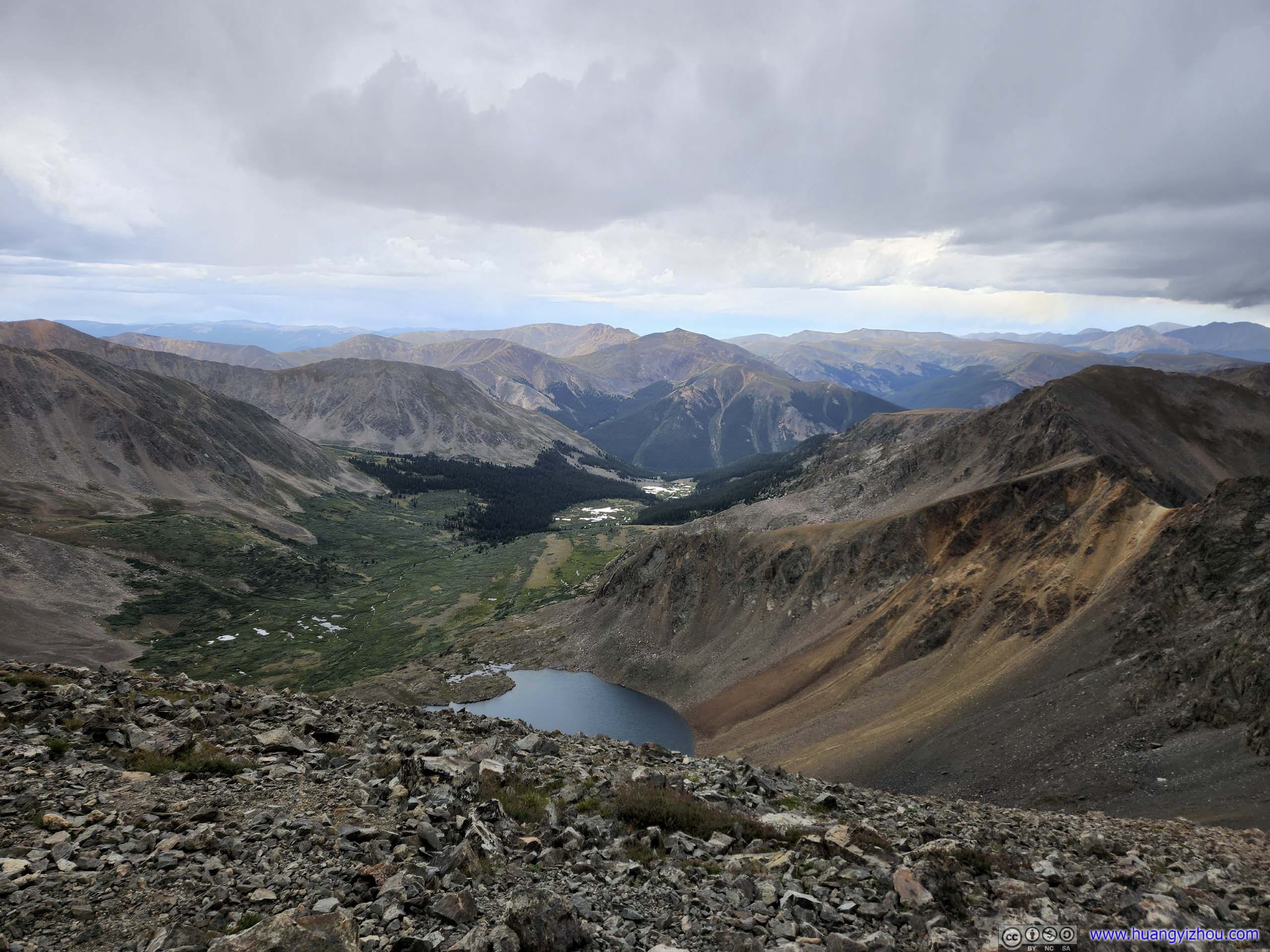
Finally, we reached the summit at 3:17pm and started to appreciate the scenery.
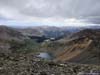
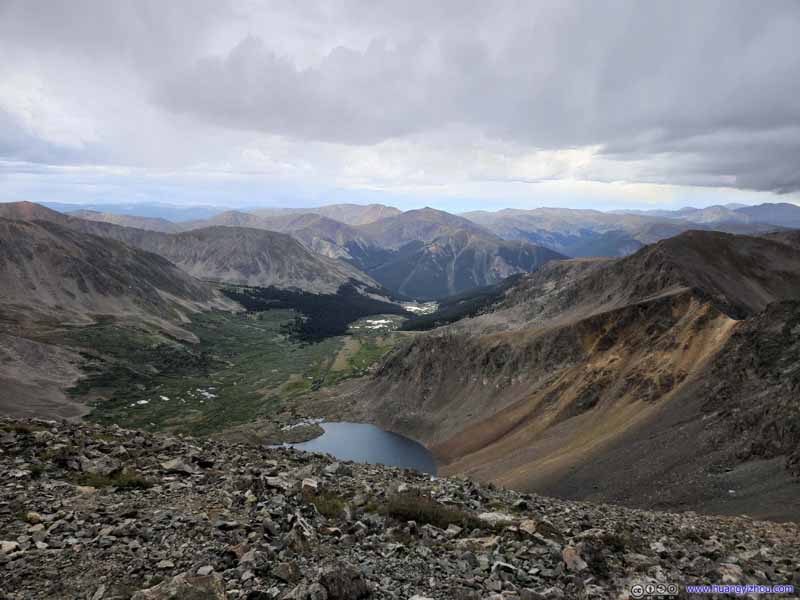 Chihuahua Lake before Mountains
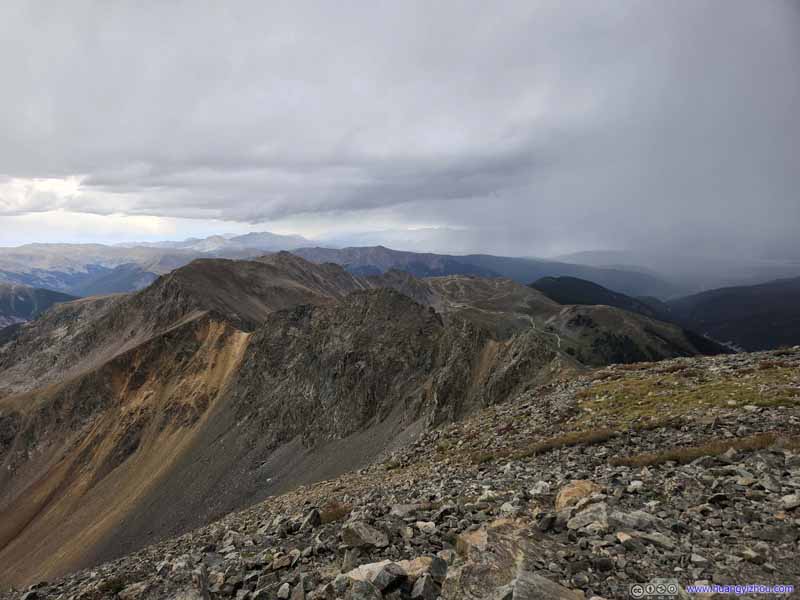 Rugged Ridge to Lenawee Mountain
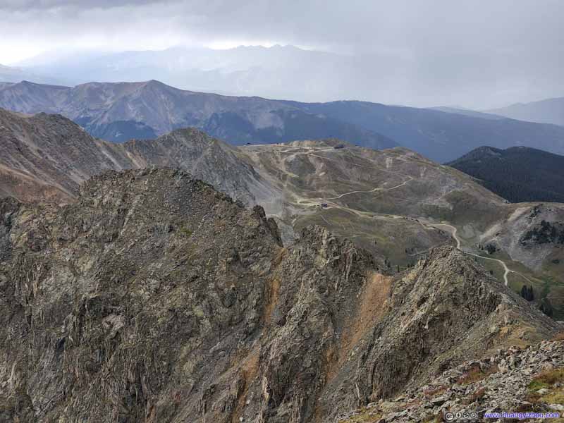 Rugged Ridge to Lenawee Mountain
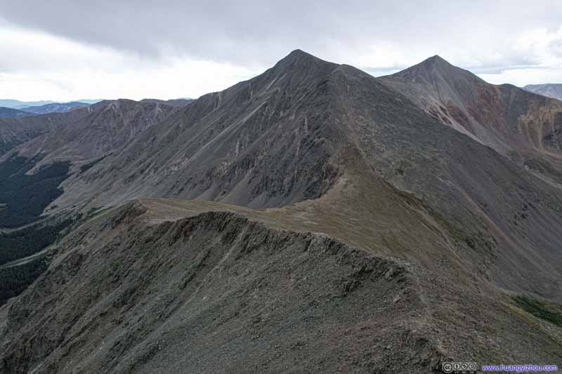 Ridge to Torreys and Grays PeakTwo 14ers nearby. Captured from my drone.
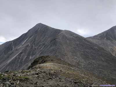
 MountainsTorreys Peak, Grays Peak, Mount Sniktau, Bard Peak and Mount Parnassus.
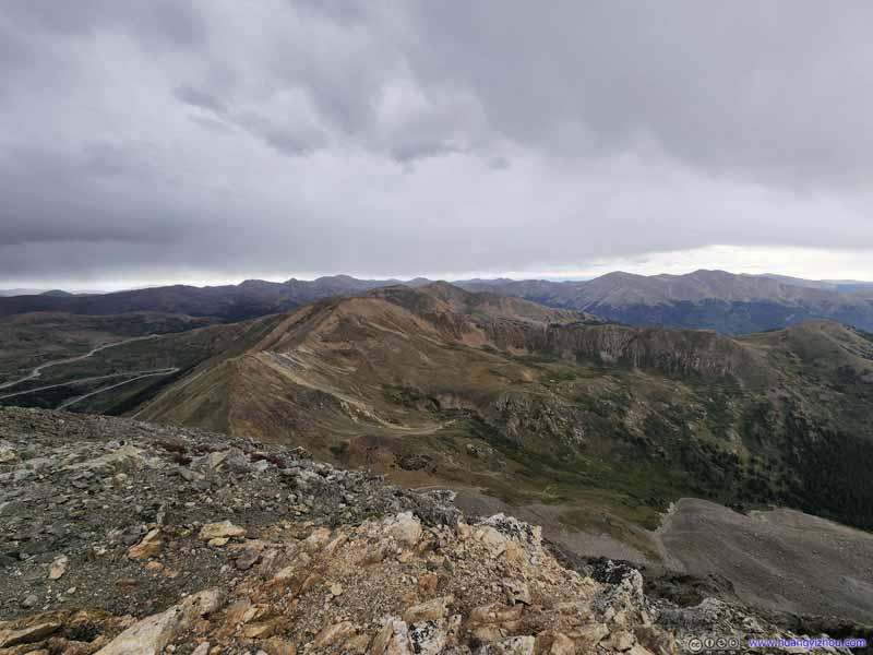 Mountains to the North
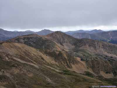
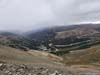
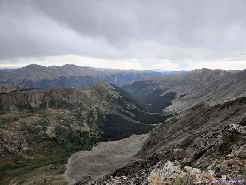 Valley
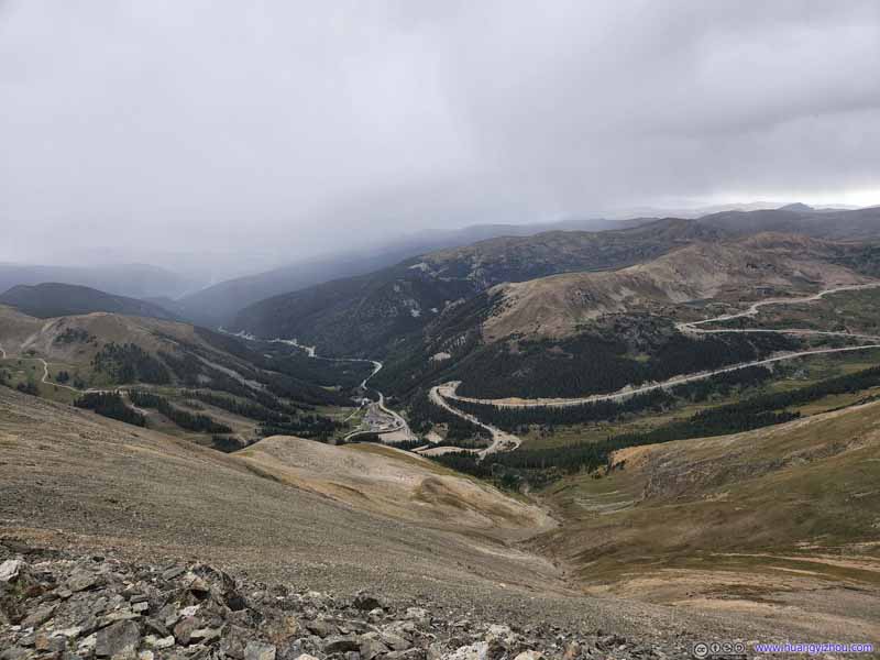 Arapahoe Basin
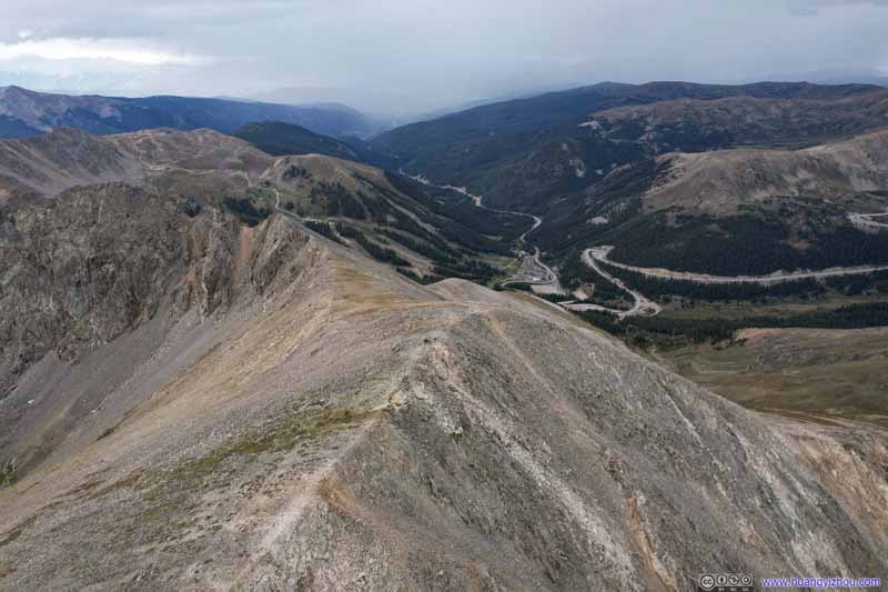 Grizzly Peak before Arapahoe BasinCaptured from my drone. The summit didn’t look that imposing from this angle.

Click here to display photos from the summit of Grizzly Peak.
Chihuahua Lake before Mountains

Rugged Ridge to Lenawee Mountain
Rugged Ridge to Lenawee Mountain

Ridge to Torreys and Grays PeakTwo 14ers nearby. Captured from my drone.
 MountainsTorreys Peak, Grays Peak, Mount Sniktau, Bard Peak and Mount Parnassus.

Mountains to the North

Valley
Arapahoe Basin

Grizzly Peak before Arapahoe Basin
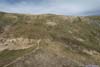
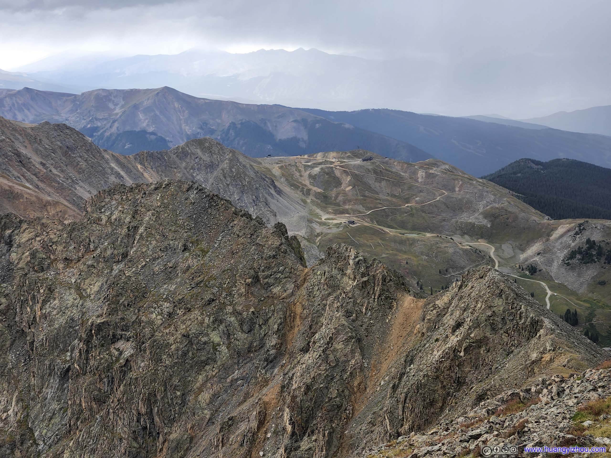
Mountains around Grizzly Peak
Path up Grizzly PeakA rough sketch of the trail that we took up Grizzly Peak, over this drone photo.
And in line with my tradition, I commemorated the moment with a drone video:
26 seconds, 2160p60fps, 16Mbps/51.8MB for H265, 18Mbps/57.1MB for H264.
With the impending storm, we didn’t stay long at the summit before heading down. Unfortunately, the bulk of the storm hit us at 3:33pm, not long after we started our descent.
The storm brought some hail, which was actually quite an enchanting sight watching it dance in the wind. Fortunately, the hail was very limited in size (~1mm), and was never intense enough that the rocks (and the subsequent trail) stayed mostly dry throughout our descent from Grizzly Peak. Even more importantly, no lightning was spotted in the vicinity.
It’s just that the wind felt really bitter with hail mixed in it, and with that, I could feel my fingers losing temperature.
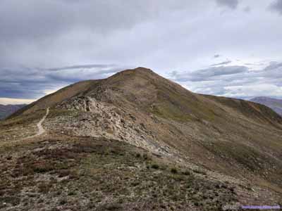
Luckily, the storm passed quickly, and was almost gone by the time we got back to the saddle point between Cupid Peak and Grizzly Peak.
TrailAt the intersection where the shortcut met the main Grizzly Peak trail.
After that, the rest of the way back stayed uneventful. I even had the mood to test out my drone’s “follow” feature along a wide open section of the trail.
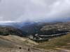
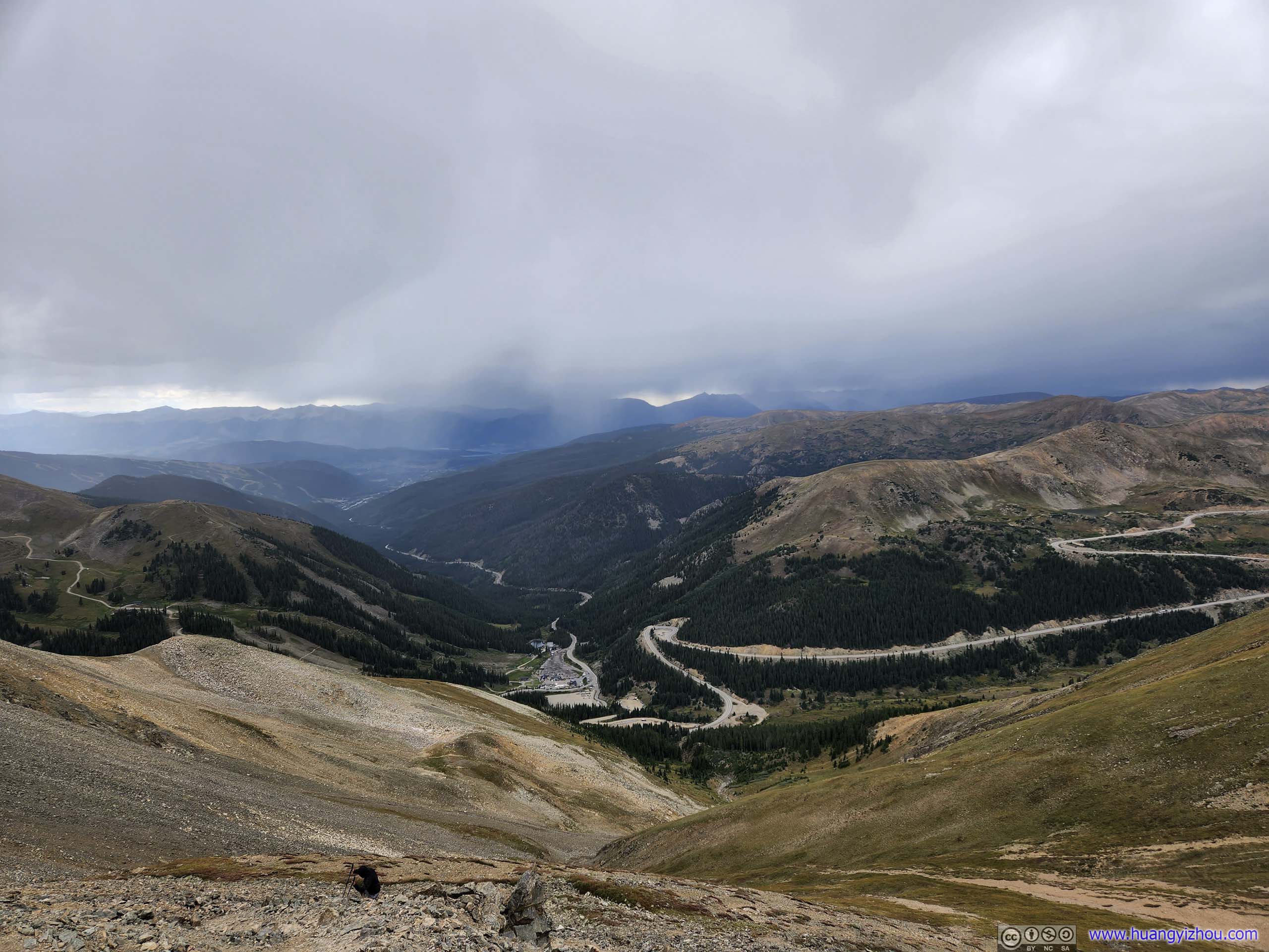
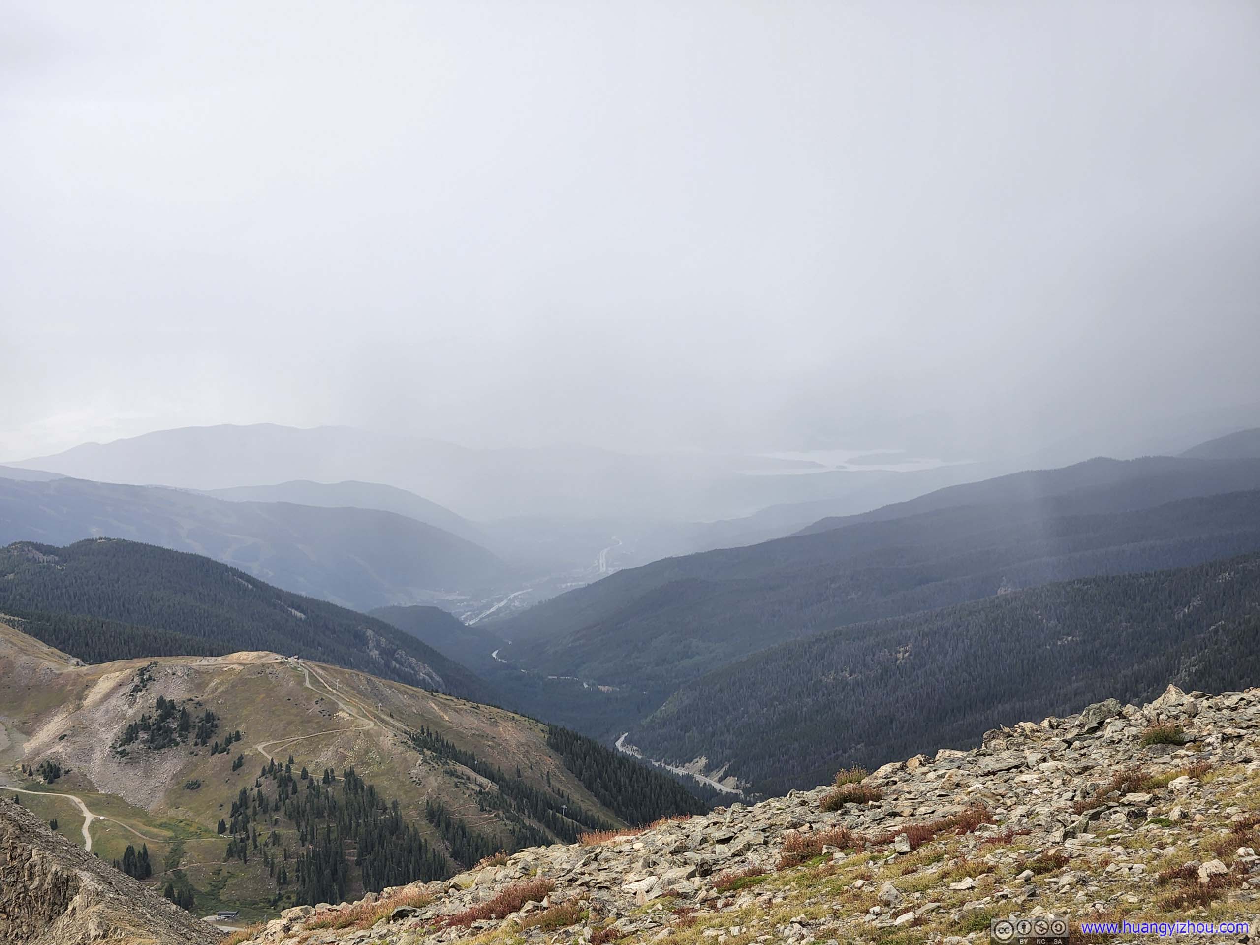
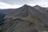
Finally, we were back at Loveland Pass at 5:40pm. I grabbed a few photos of the nearby mountains in gorgeous sunlight after the storm passed, before we drove to our overnight lodge outside Breckenridge.
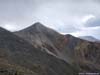
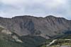
 Mountains to the SouthGrizzly Peak being the tallest of the group.
 Grizzly Peak
 Mountains to the SouthThe ridge between Grizzly Peak and Lenawee Mountain looked pretty rugged.
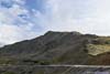
 Trail
Trail PeakA nameless one to the southwest of Loveland Pass.

Click here to display photos from Loveland Pass.
Mountains to the SouthGrizzly Peak being the tallest of the group.

Grizzly Peak
Mountains to the SouthThe ridge between Grizzly Peak and Lenawee Mountain looked pretty rugged.
Trail
PeakA nameless one to the southwest of Loveland Pass.
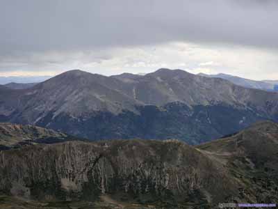
Mountains from Loveland Pass
END
![]() Day 1 of 2022 Colorado Trip, Grizzly Peak, Taste of Colorado by Huang's Site is licensed under a Creative Commons Attribution-NonCommercial-ShareAlike 4.0 International License.
Day 1 of 2022 Colorado Trip, Grizzly Peak, Taste of Colorado by Huang's Site is licensed under a Creative Commons Attribution-NonCommercial-ShareAlike 4.0 International License.