
Updated on February 1, 2023
October 2022 Foliage, Charlies Bunion and Clingmans Dome of Great Smoky Mountain National Park
This was the first of a four-day road trip to the south, where I chased some great foliage colors in October 2022. Today, I hiked to Charlies Bunion, a popular trail in Great Smoky Mountains National Park, before catching sunset at Clingmans Dome.
Charlies Bunion and Mountains to the North
Early October 2022, foliage times for the Blue Ridge Mountains. While I visited much of the Blue Ridge Mountains in Virginia, building renovations at my workplace meant I had an opening to venture further south, so I planned this trip to Great Smoky Mountains National Park and the southern part of Blue Ridge Parkway.
The overall plan for this trip would span between October 8-11, I would spend the first two days in Great Smoky Mountains National Park, and the last two days driving up Blue Ridge Parkway. Under this plan, I left home on the afternoon of October 7. While I thought I could beat the rush-hour traffic in northern Virginia, it’s a Friday afternoon and traffic was certainly worse than what I anticipated. Including a few breaks hear and there, it took me 6.5 hours to make the trip to Wytheville, Virginia. I used this town as an outpost for my trip earlier this year for Mount Rogers. I liked it so that I spent the night there before continuing for another 3.5 hours to Great Smoky Mountains National Park the next morning.
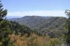
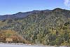
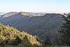
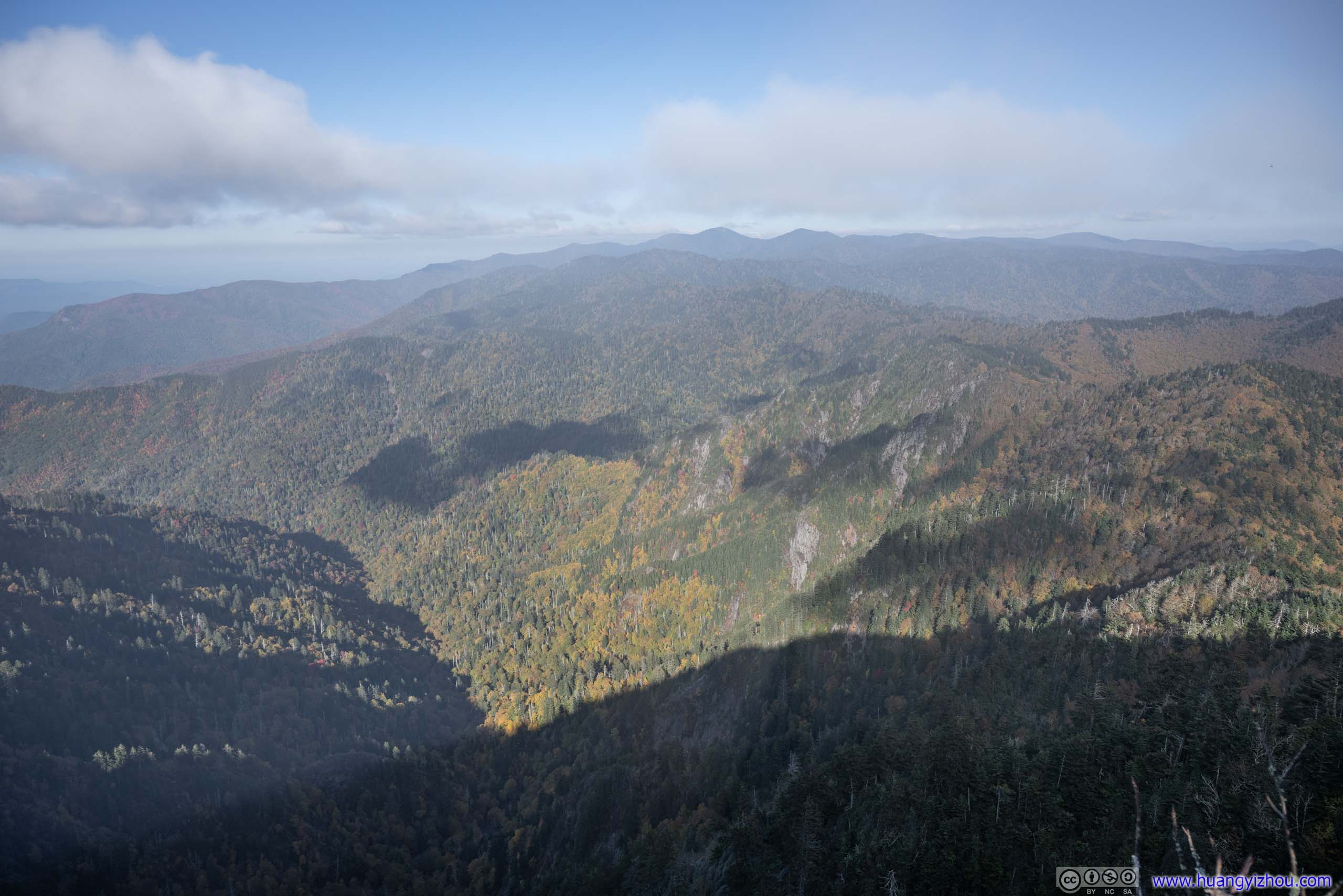
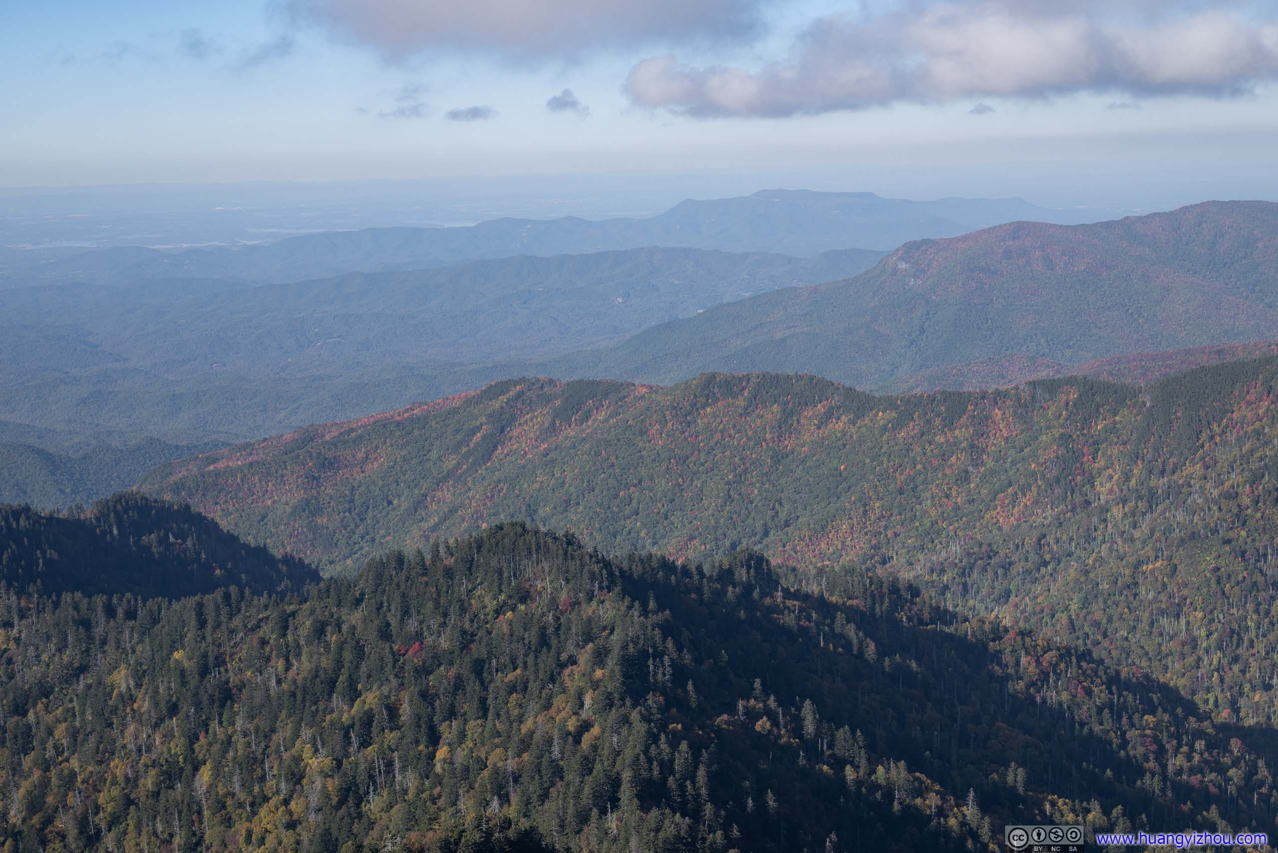
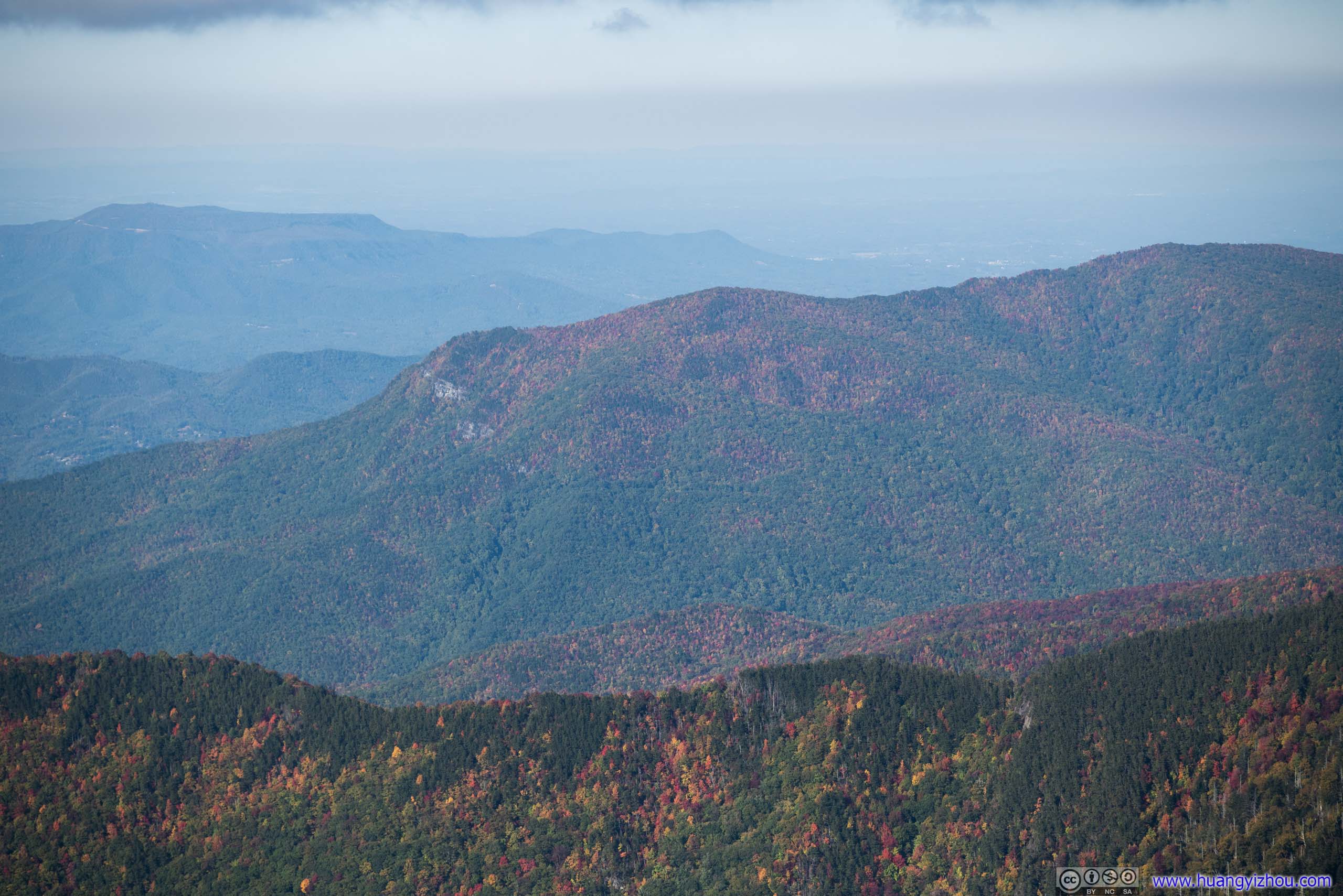
In the end, I made it to Newfound Gap at 12:40pm. It sat at the boundary between Tennessee and North Carolina, where the main park road crossed Blue Ridge Mountains. It had a sizeable parking lot, but probably not large enough for peak autumn visitations. As some online comments suggested, most people only stopped for a short time at Newfound Gap admiring the views, only a small fraction would go on to hike Appalachian Trail, so parking spaces opened up regularly.
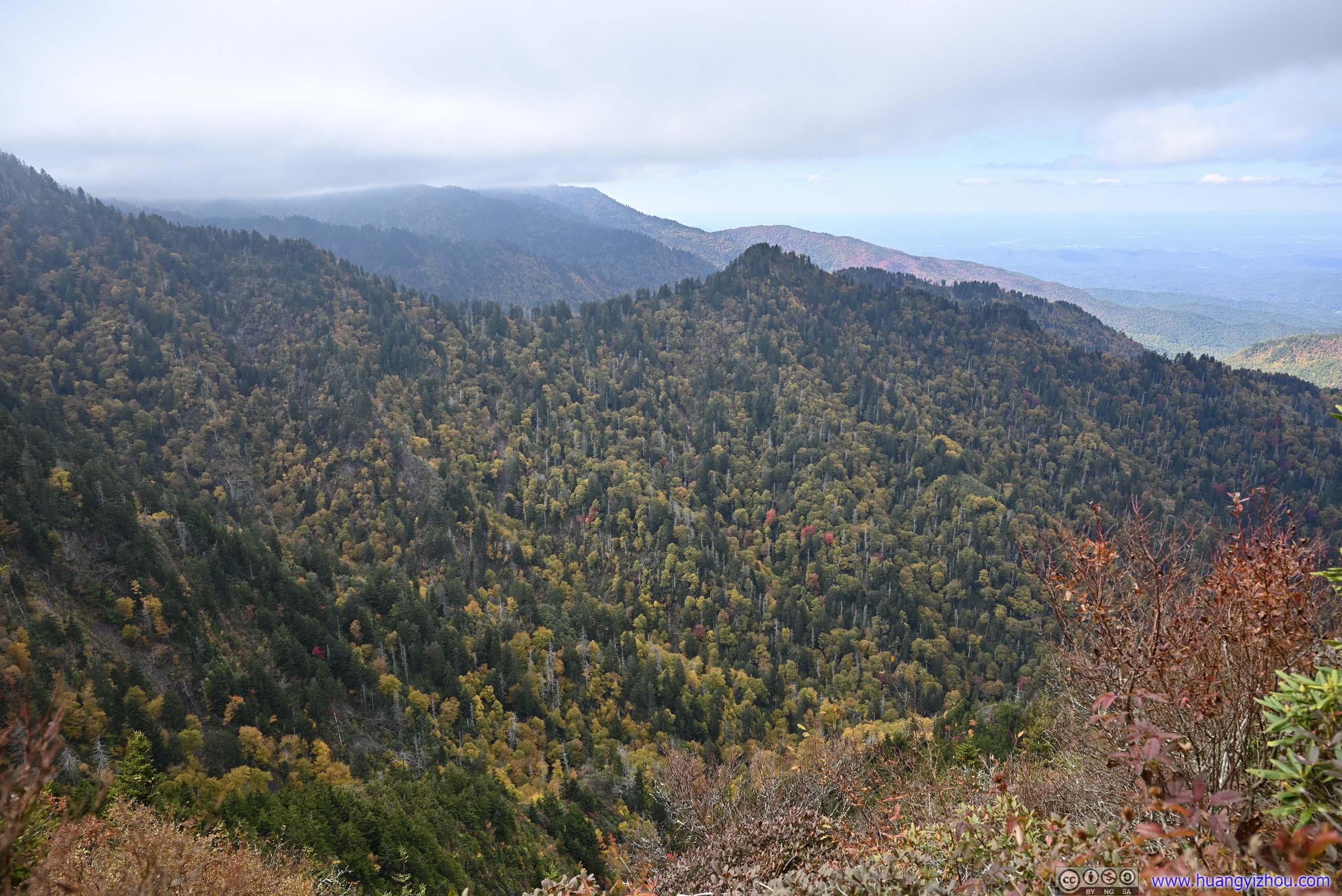
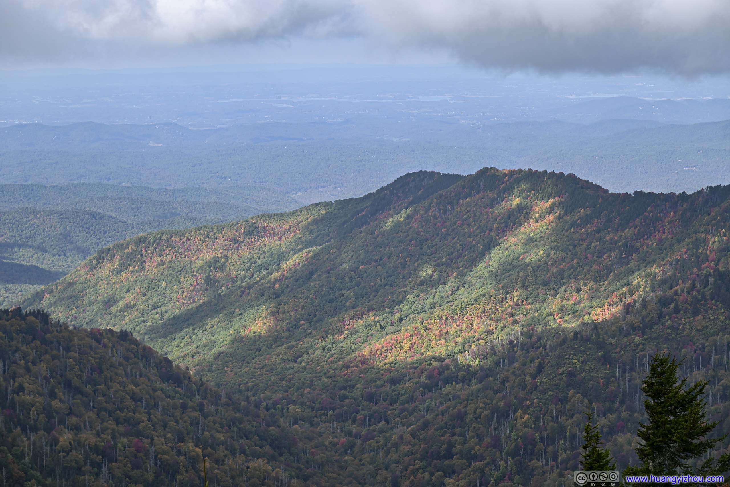
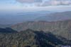
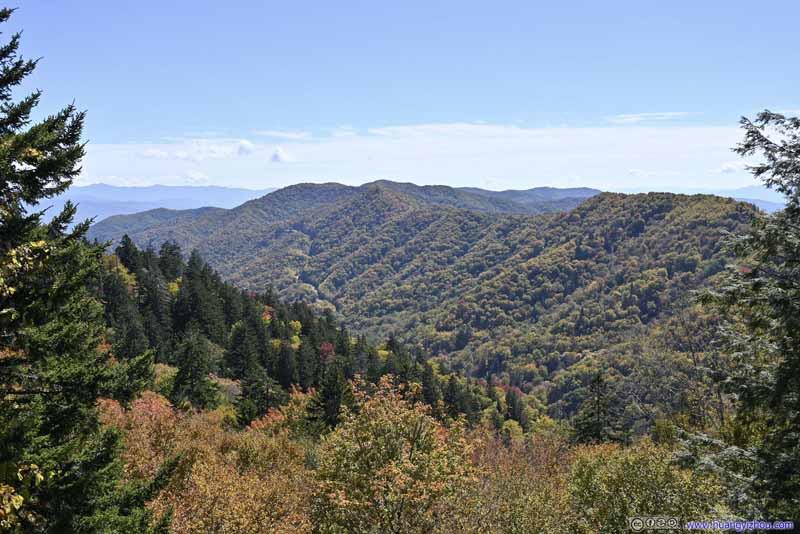 Great Smoky MountainsFrom Newfound Gap, looking southeast.
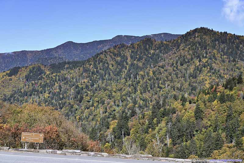 Great Smoky MountainsFrom Newfound Gap, looking northwest.
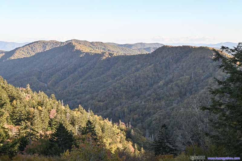 Great Smoky Mountains
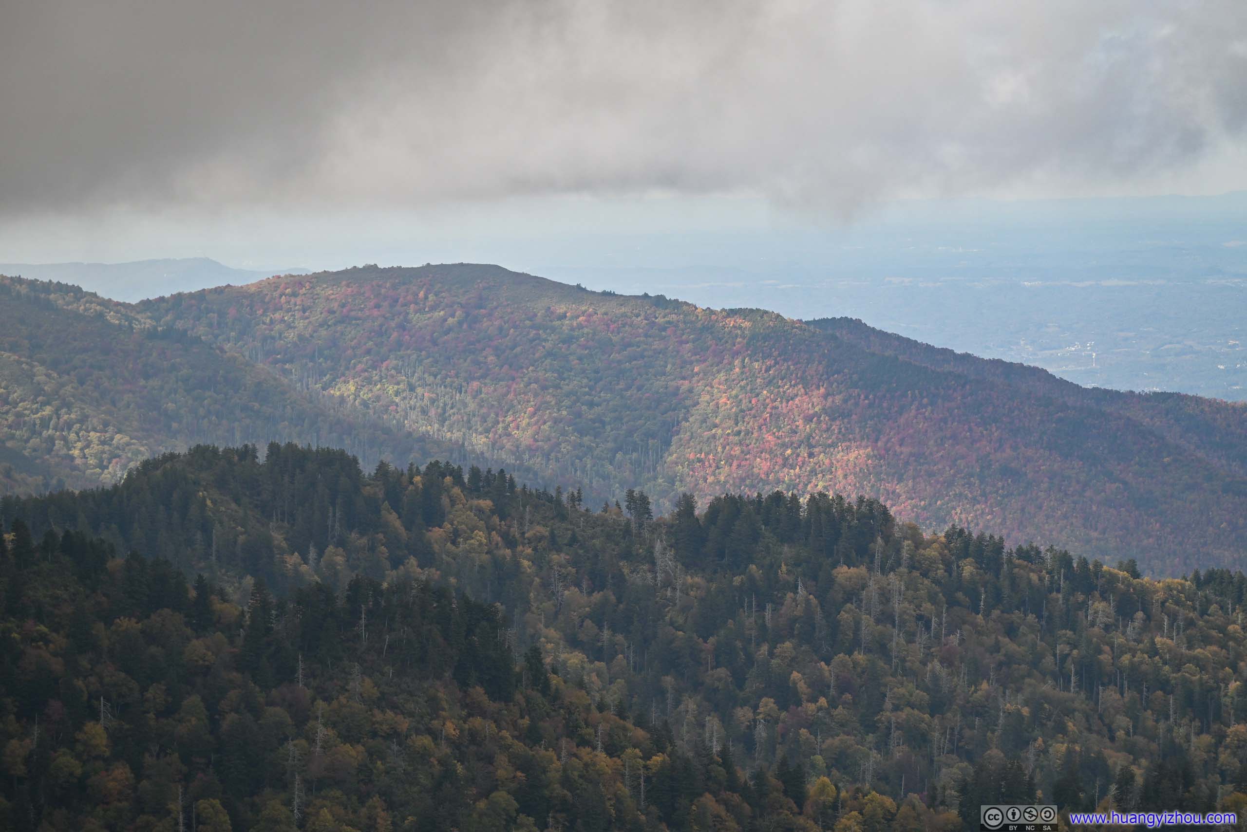
From Newfound Gap, looking southeast. This was taken later in the day when the mountains were in the shade.
Great Smoky Mountains
From Newfound Gap, looking southeast. This was taken later in the day when the mountains were in the shade.
Click here to display photos from Newfound Gap.

Great Smoky MountainsFrom Newfound Gap, looking southeast.

Great Smoky MountainsFrom Newfound Gap, looking northwest.

Great Smoky Mountains
Before starting the hike, I snapped the above photos from Newfound Gap.
Charlies Bunion Trail
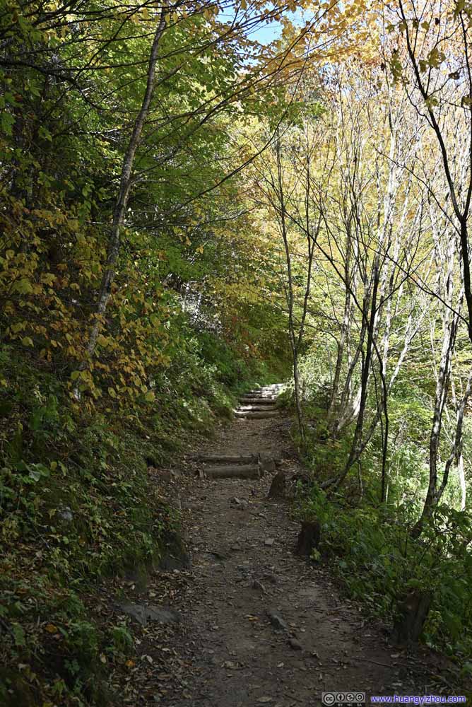
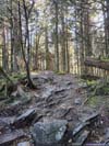
The hike to Charlies Bunion is 12.9km out-and-back with 575m elevation gain, most of which along the Appalachian Trail. The rock formation got this name for resembling the shape of a bunion (pdf link of Tennessee government website). It offered great views of various mountains to the north. I picked this trail for its relative short distance that fitted into my schedule (I drove from Wytheville), and the great views that it offered. Here’s GPS tracking:
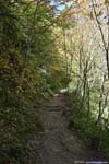
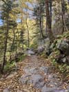
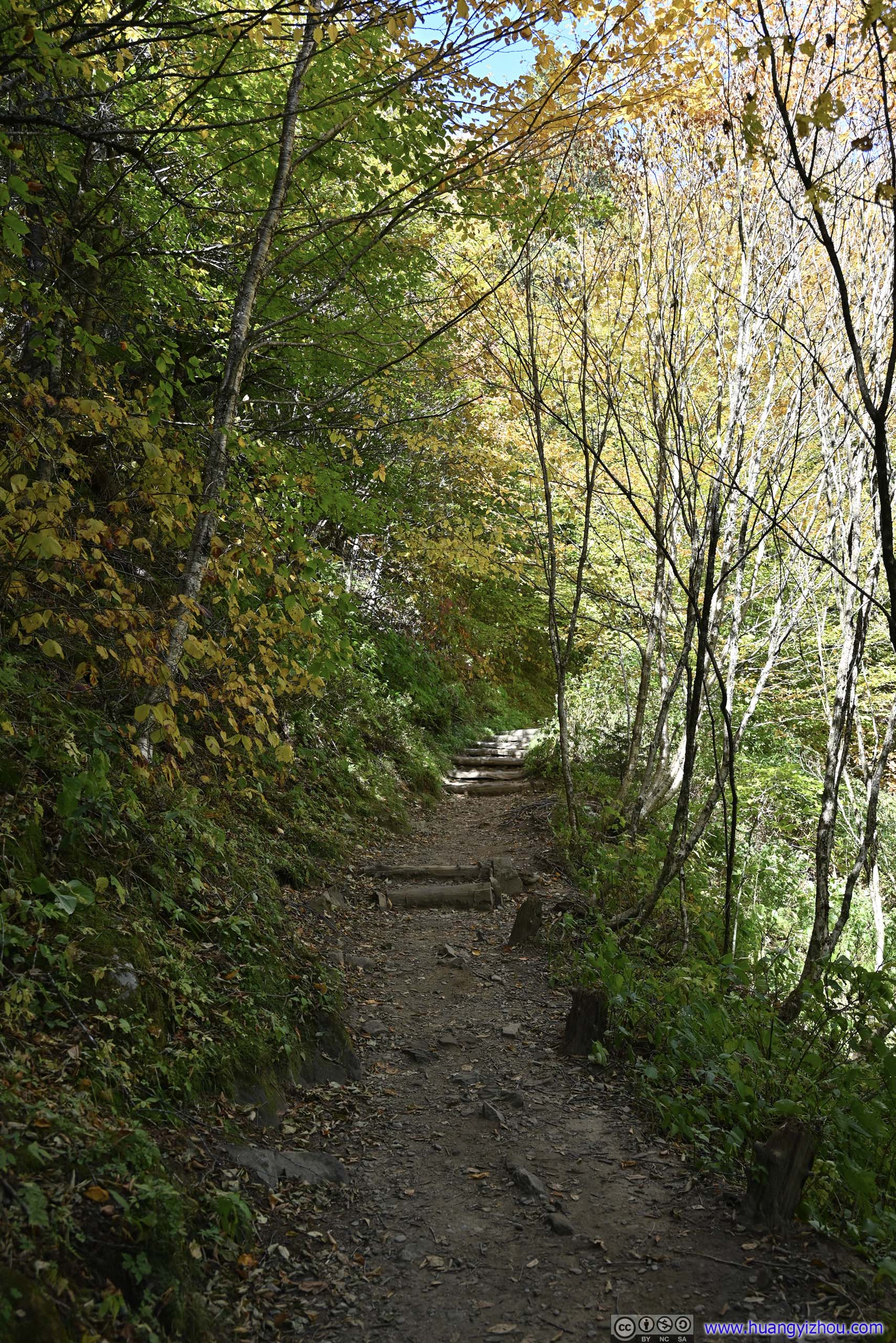
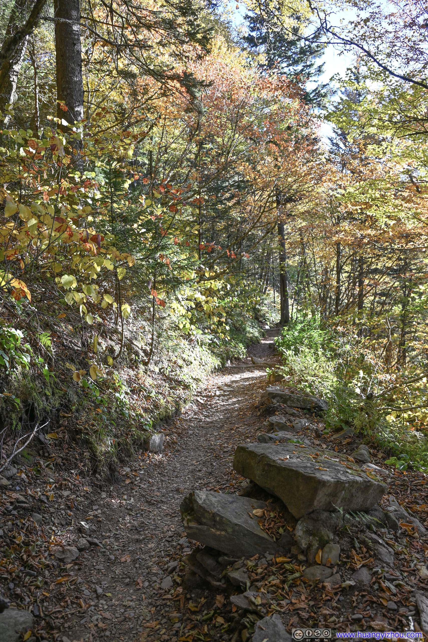
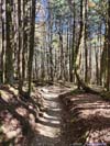
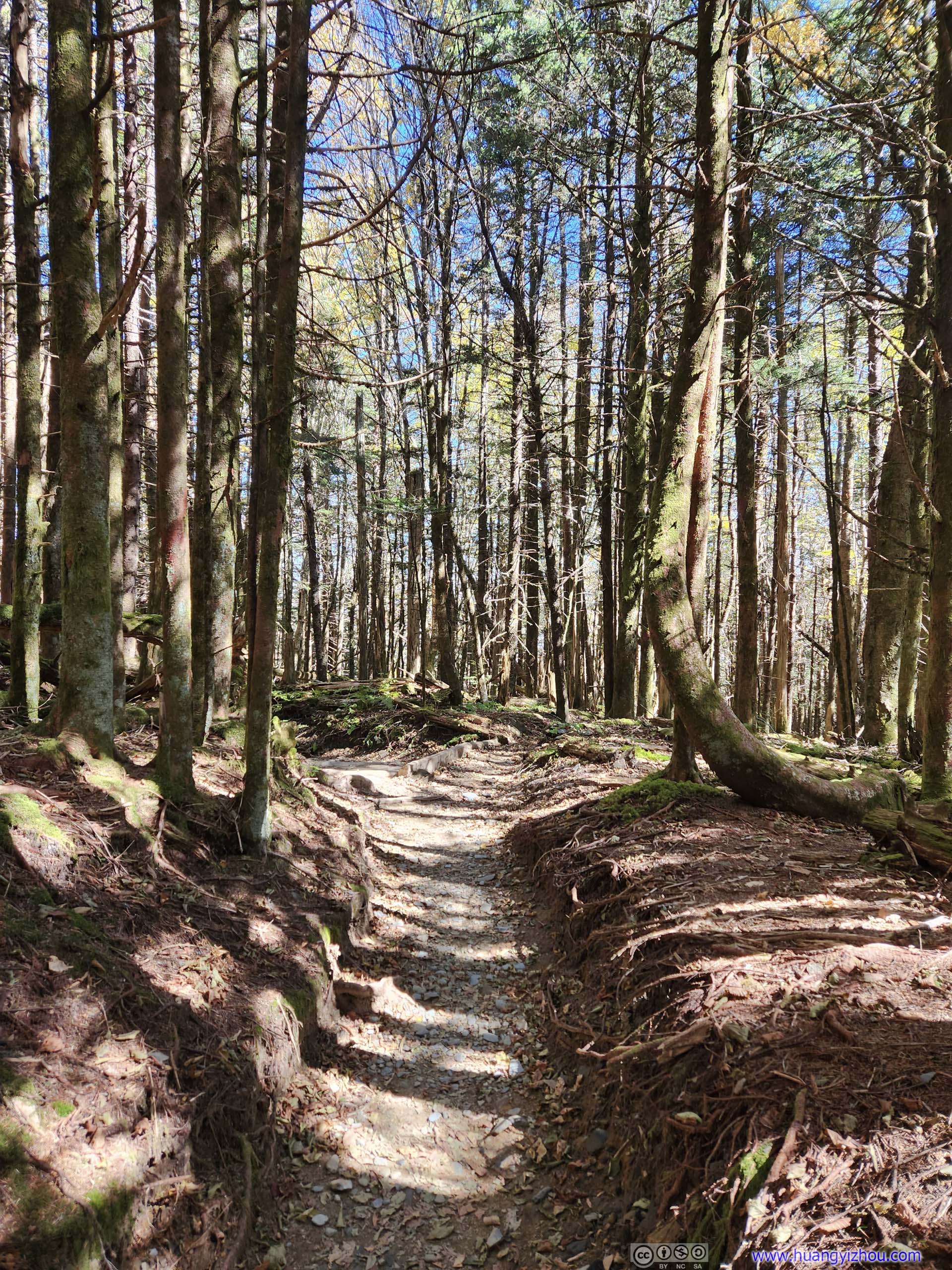
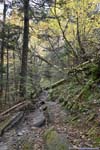
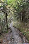
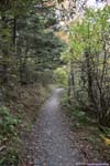
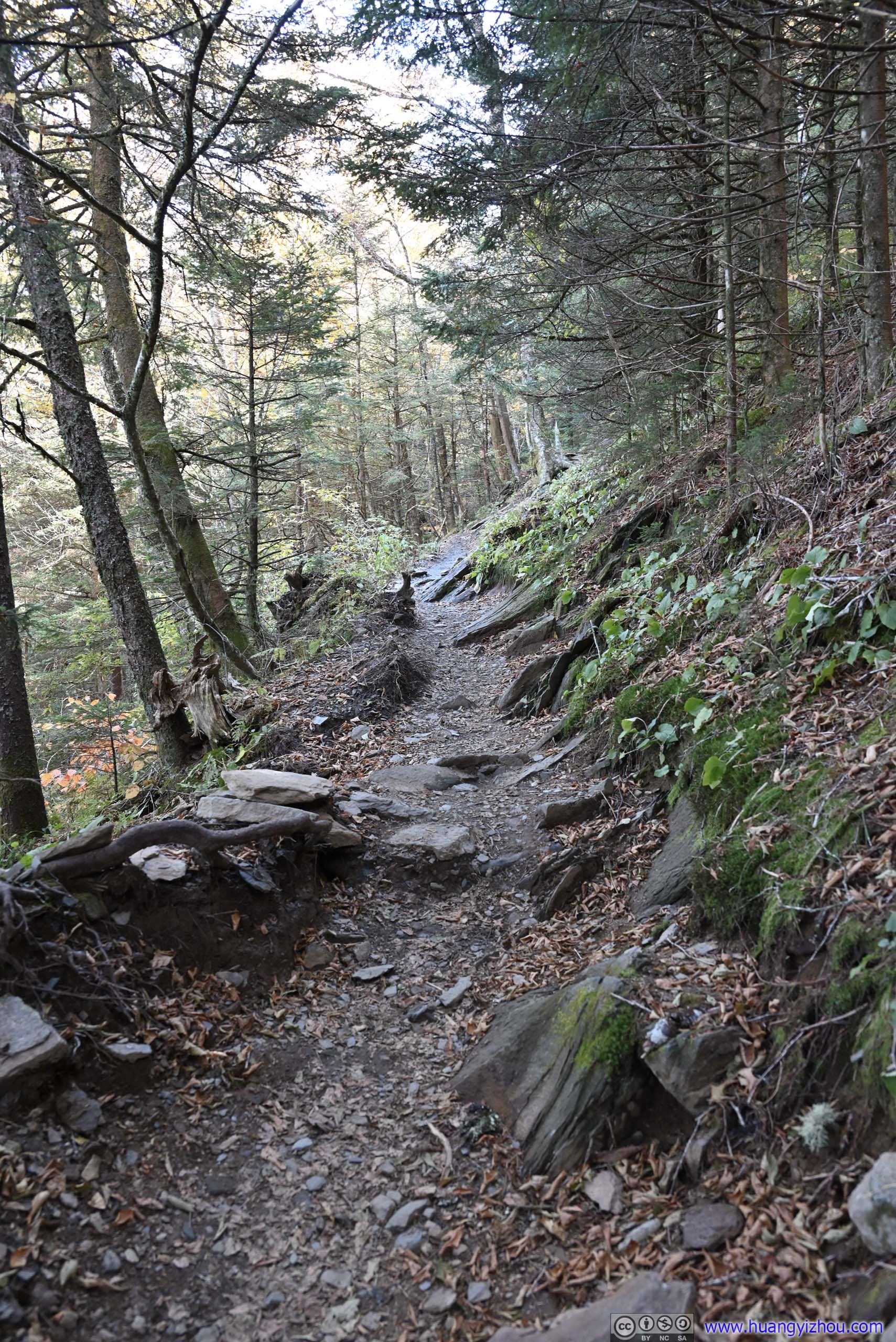
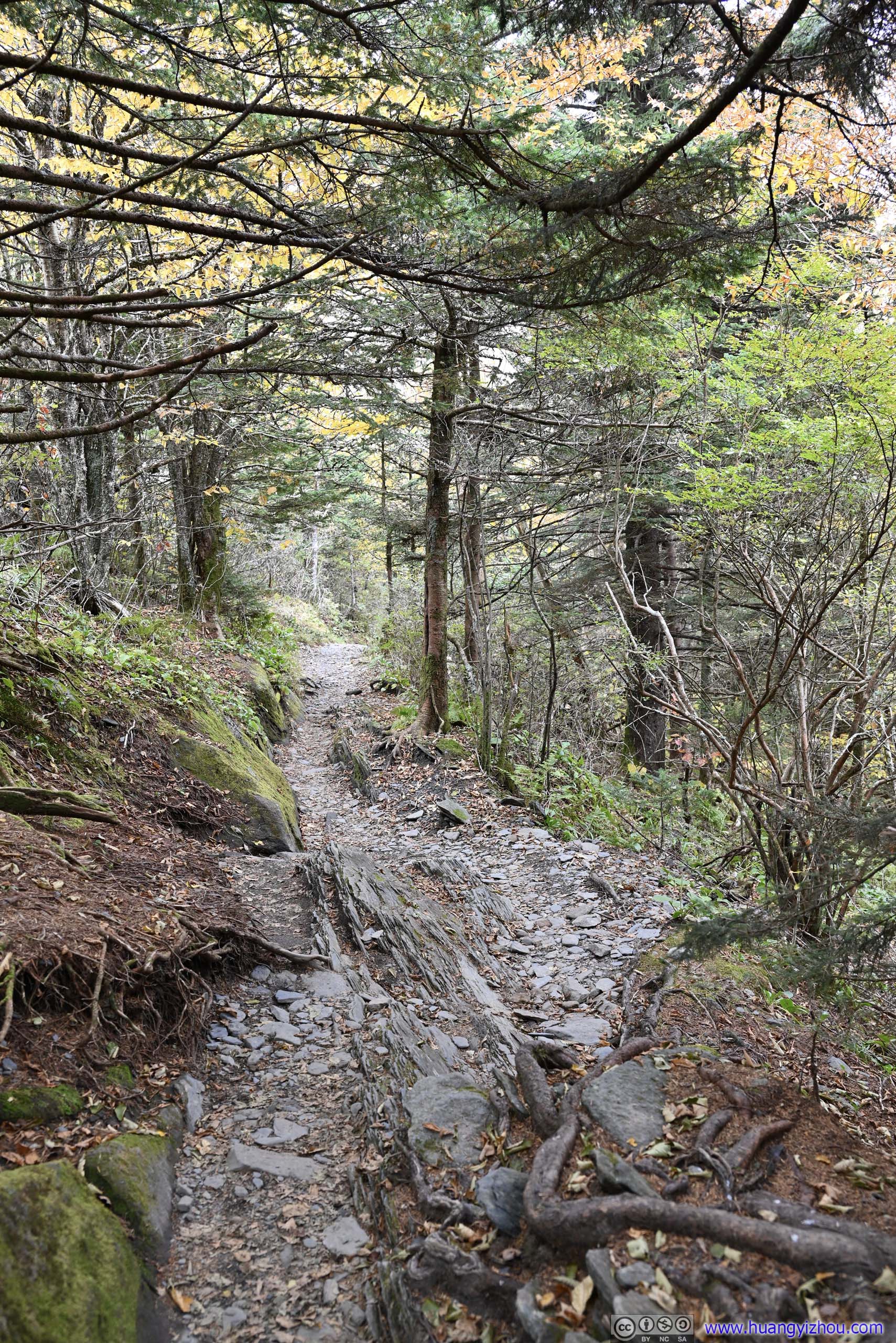
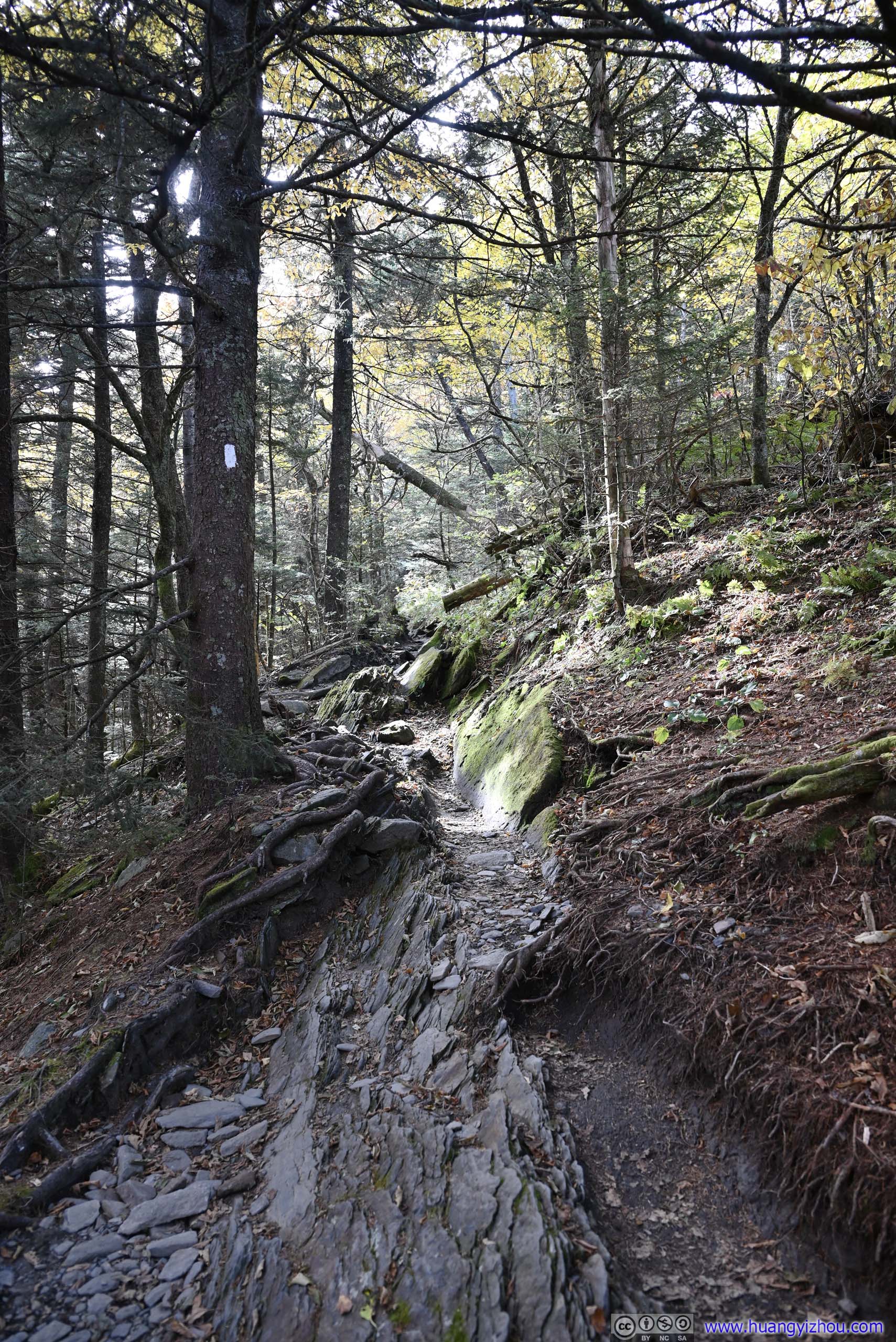
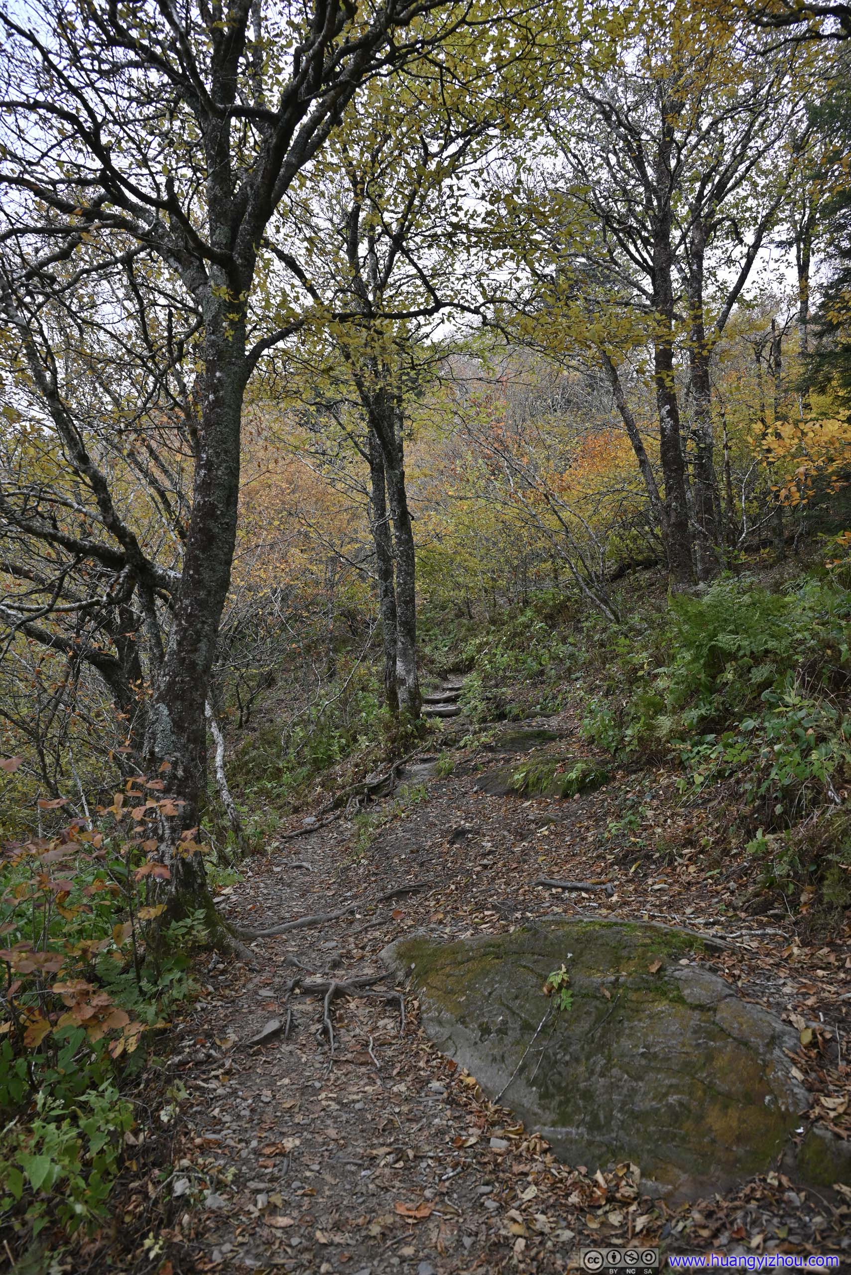
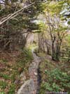
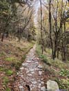
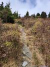
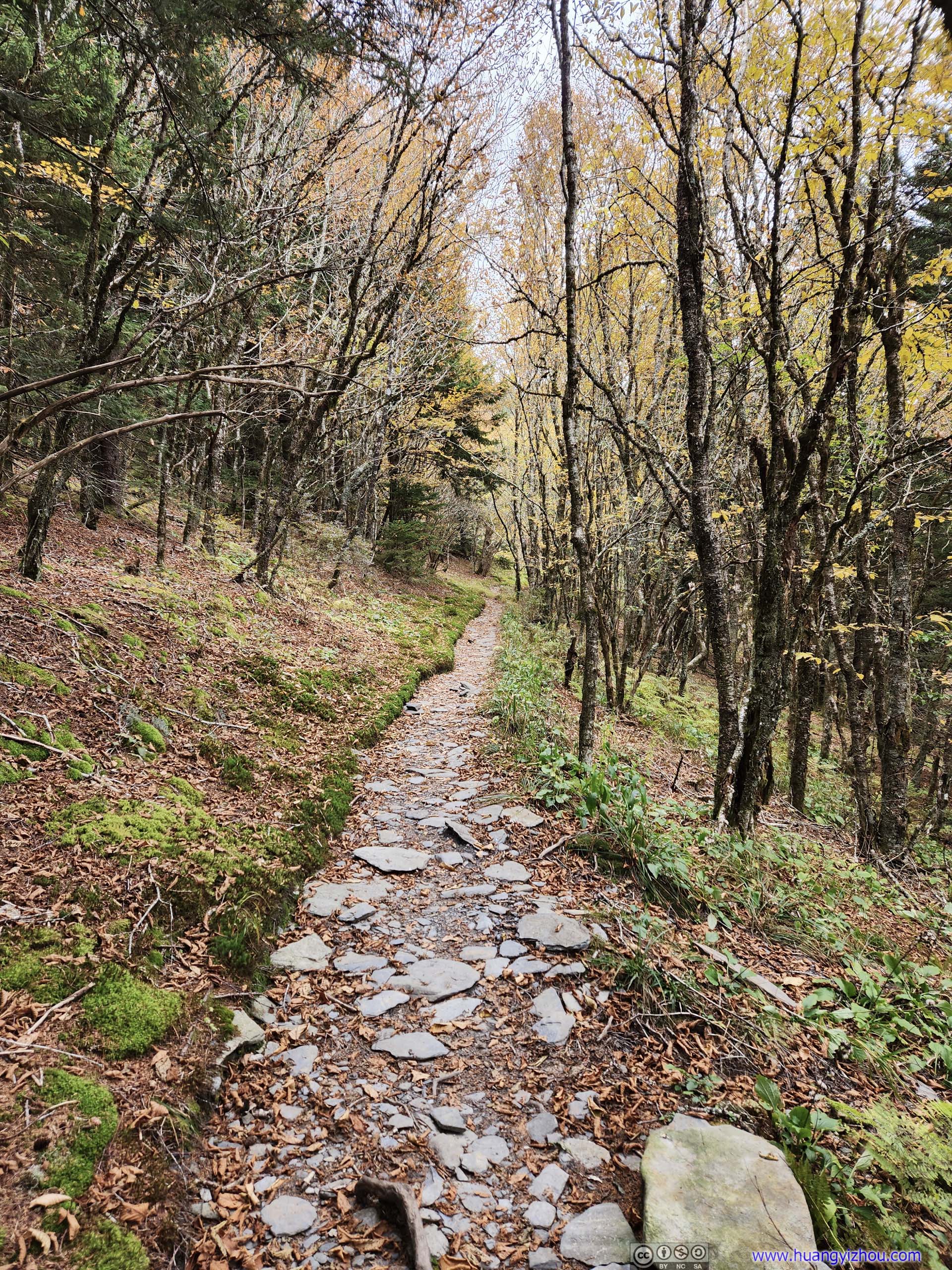
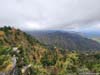
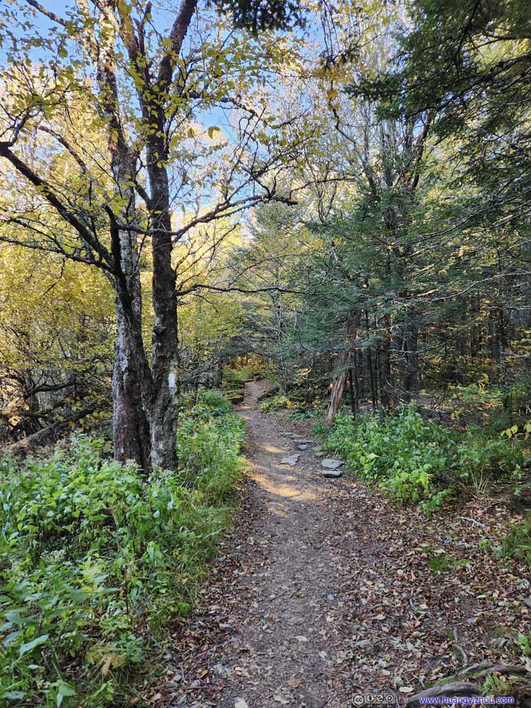
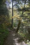
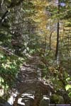
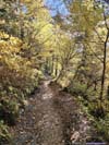
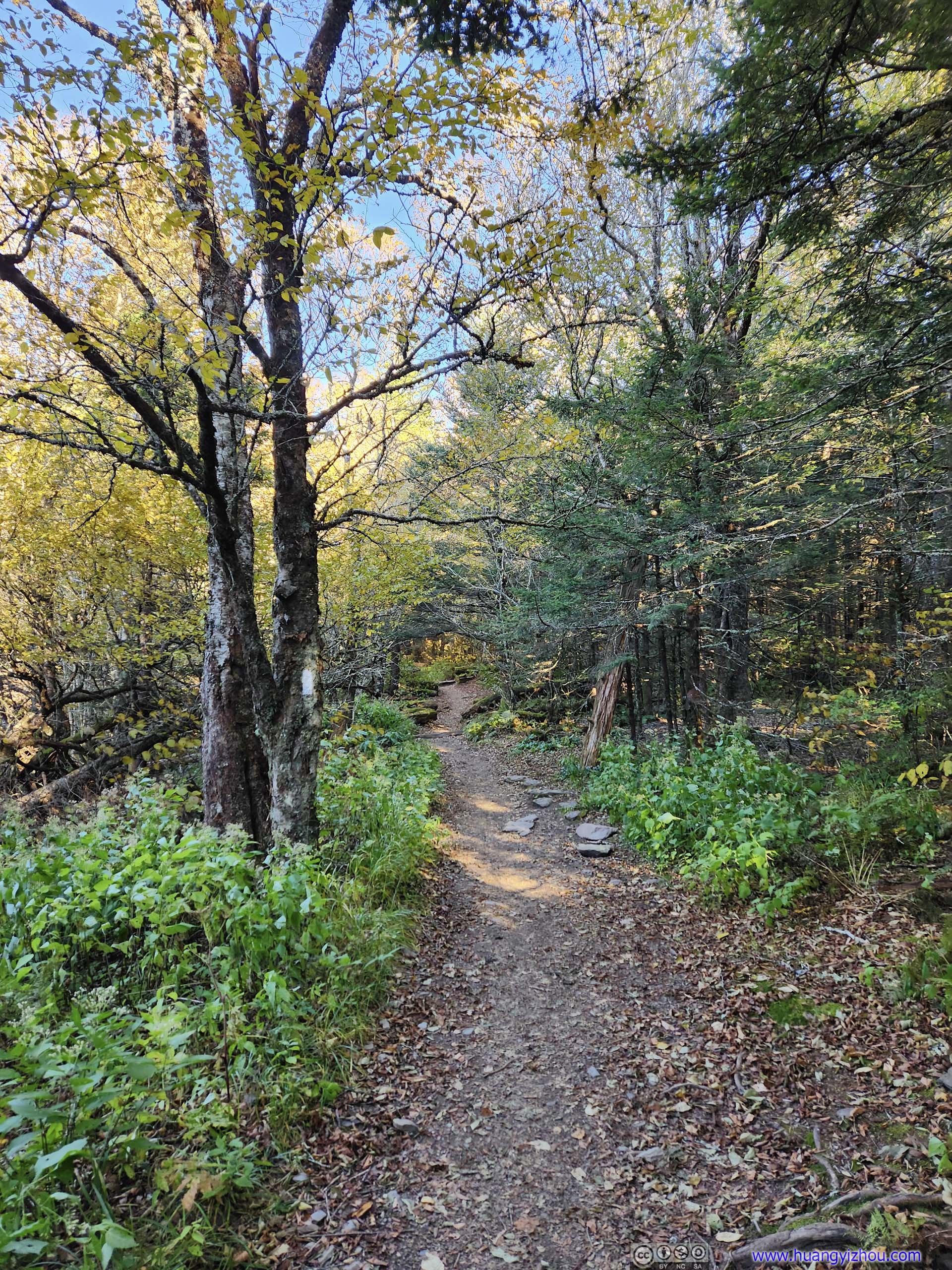
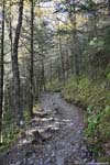
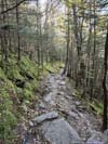
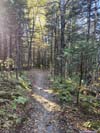
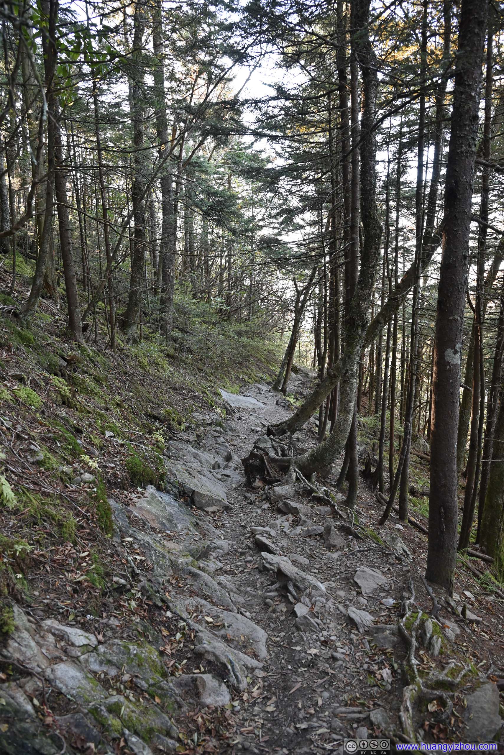
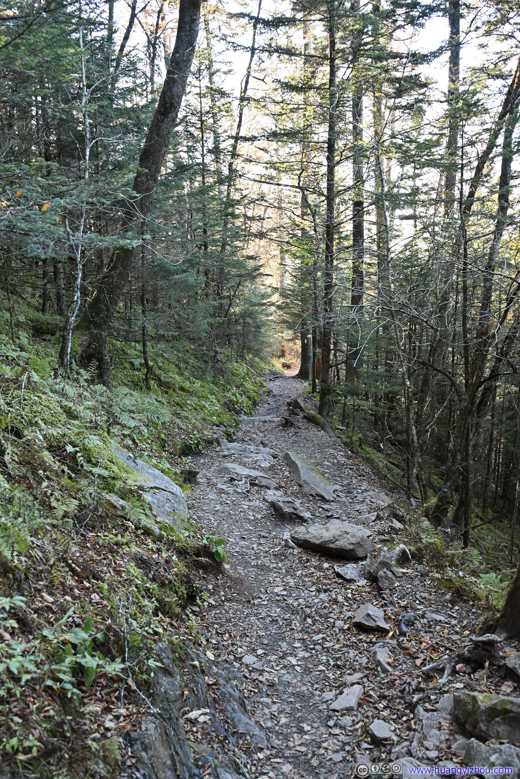
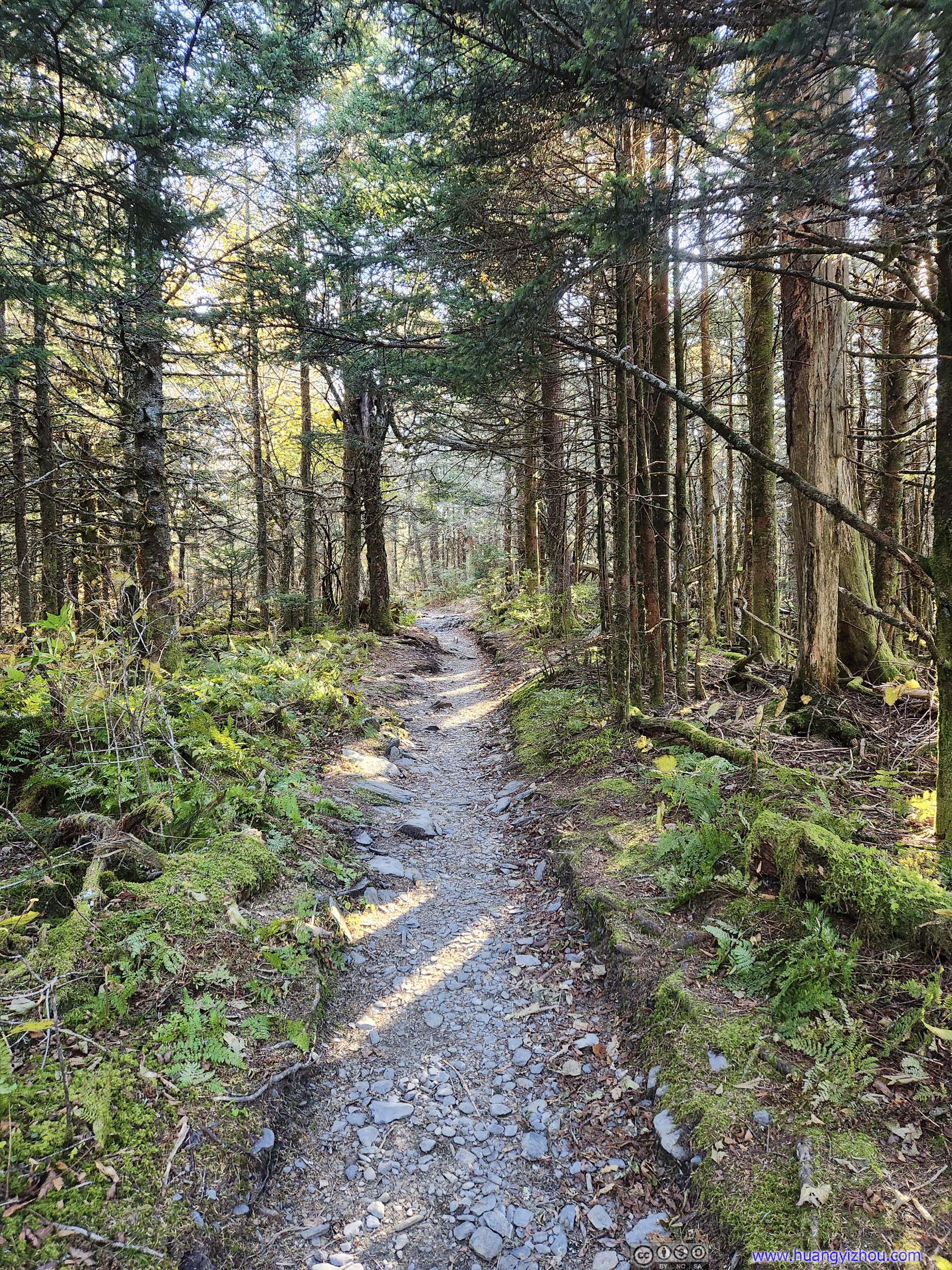
After some warmup, I started the hike at 1pm. Autumn colors were very visible along the trail.
 Trail
Trail Trail
Trail Trail
Trail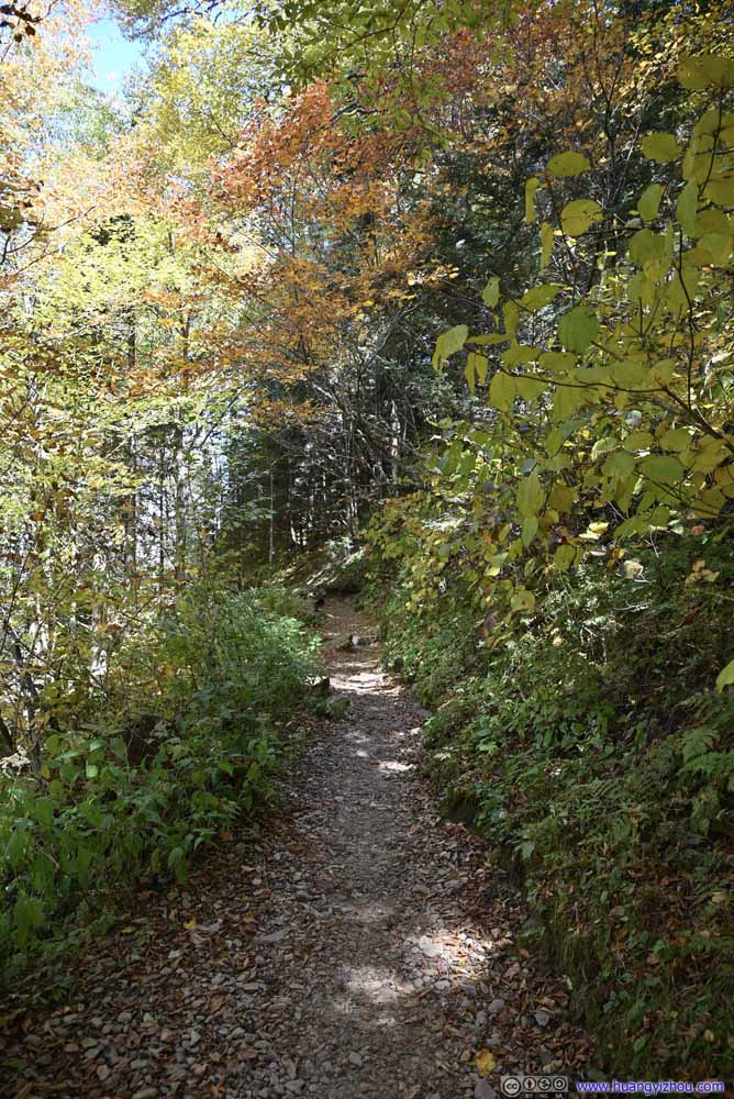 Trail
Trail Trail
Trail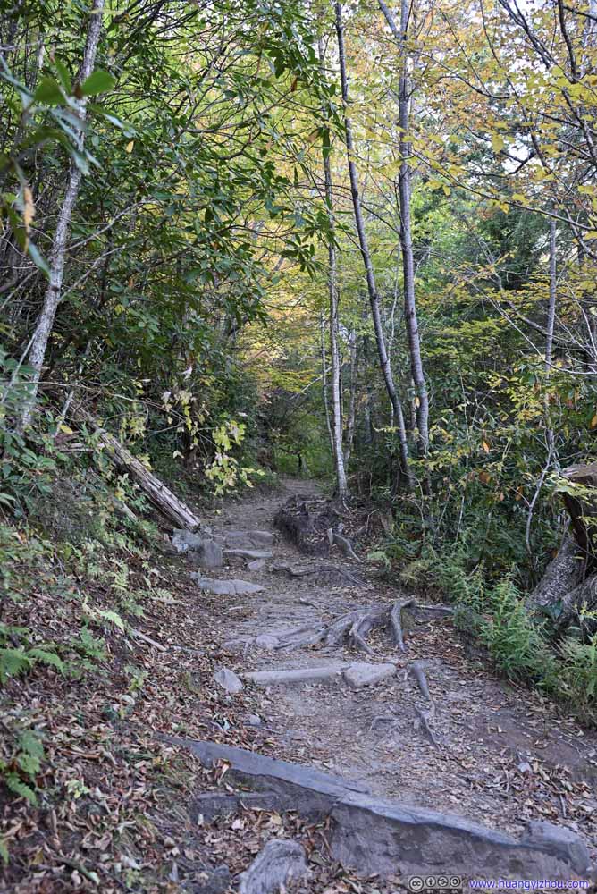 Trail
Trail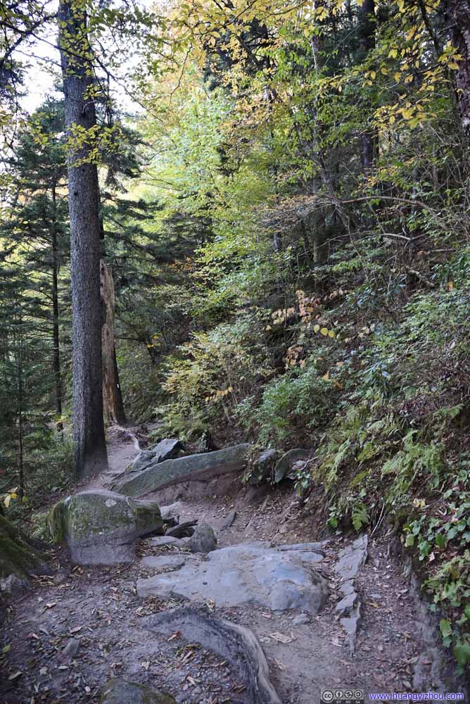 Trail
Trail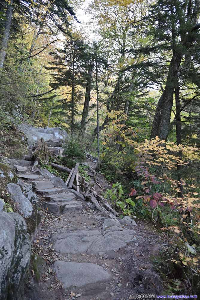 Trail
Trail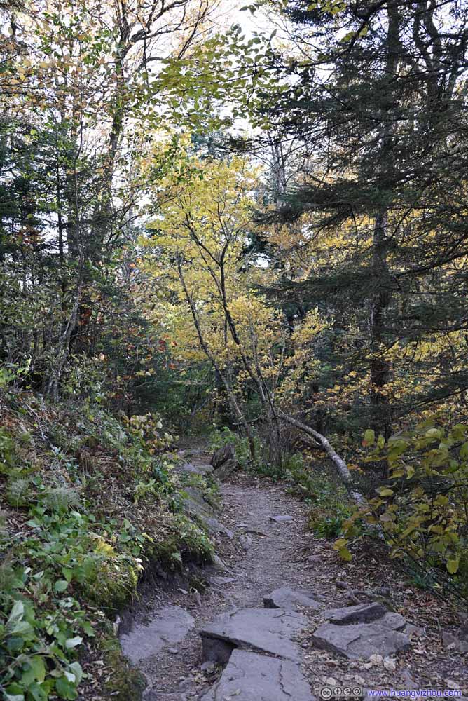 Trail
Trail
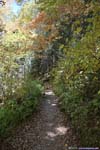


Click here to display photos of the trail.
Trail
Trail
Trail
Trail
Trail
Trail

Trail
Trail

Trail
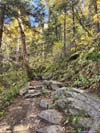
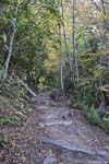
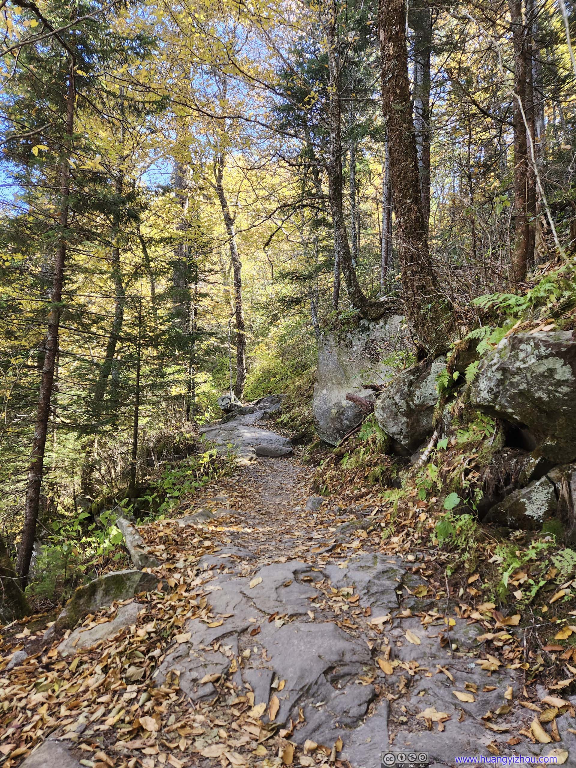
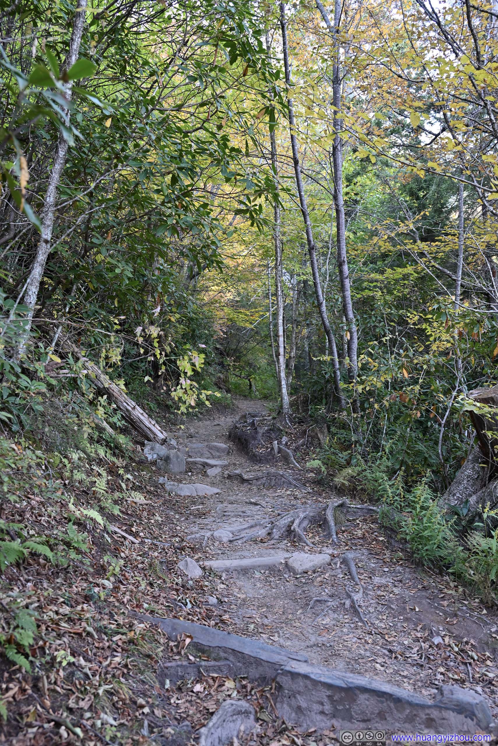
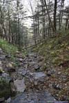
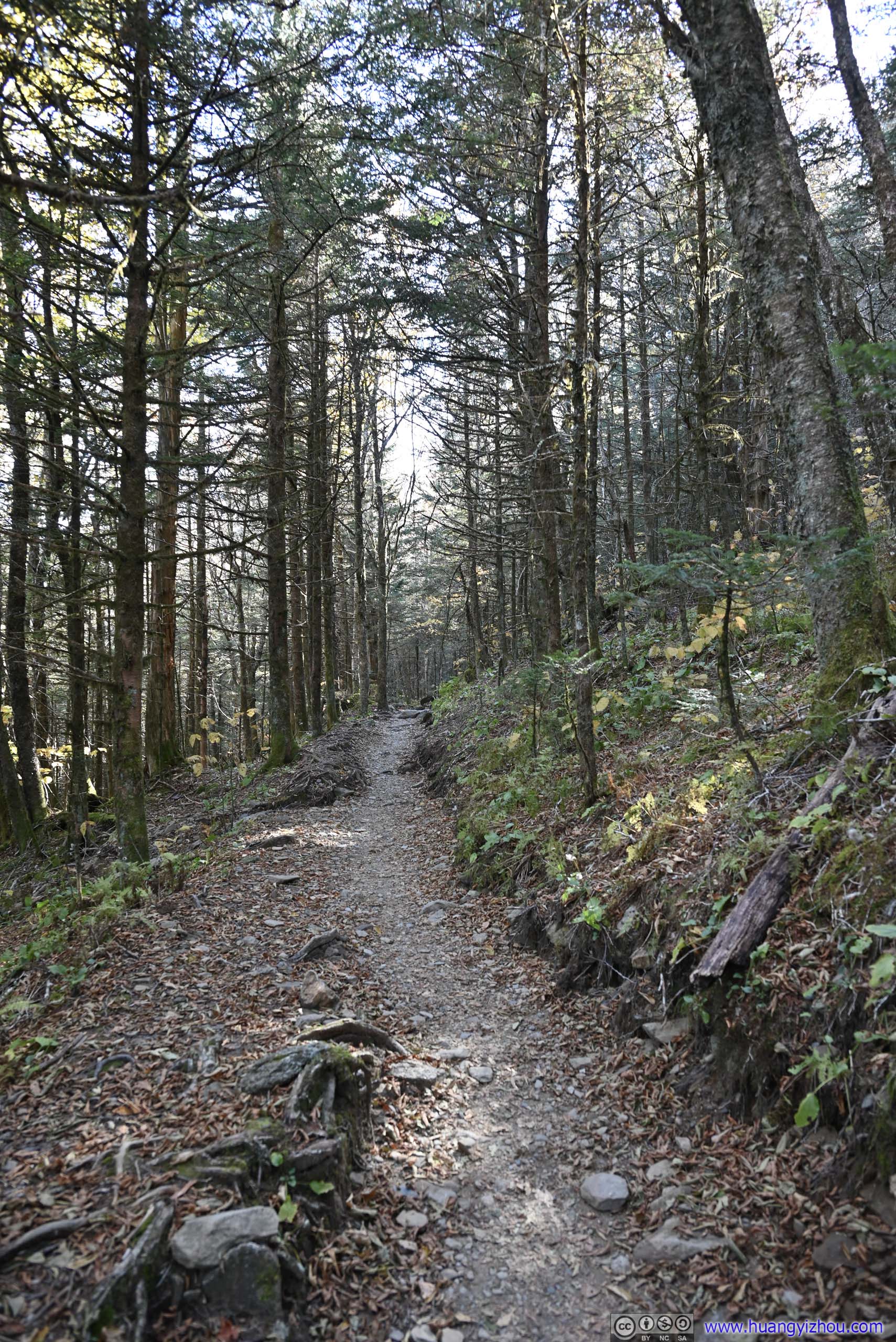
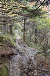
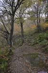
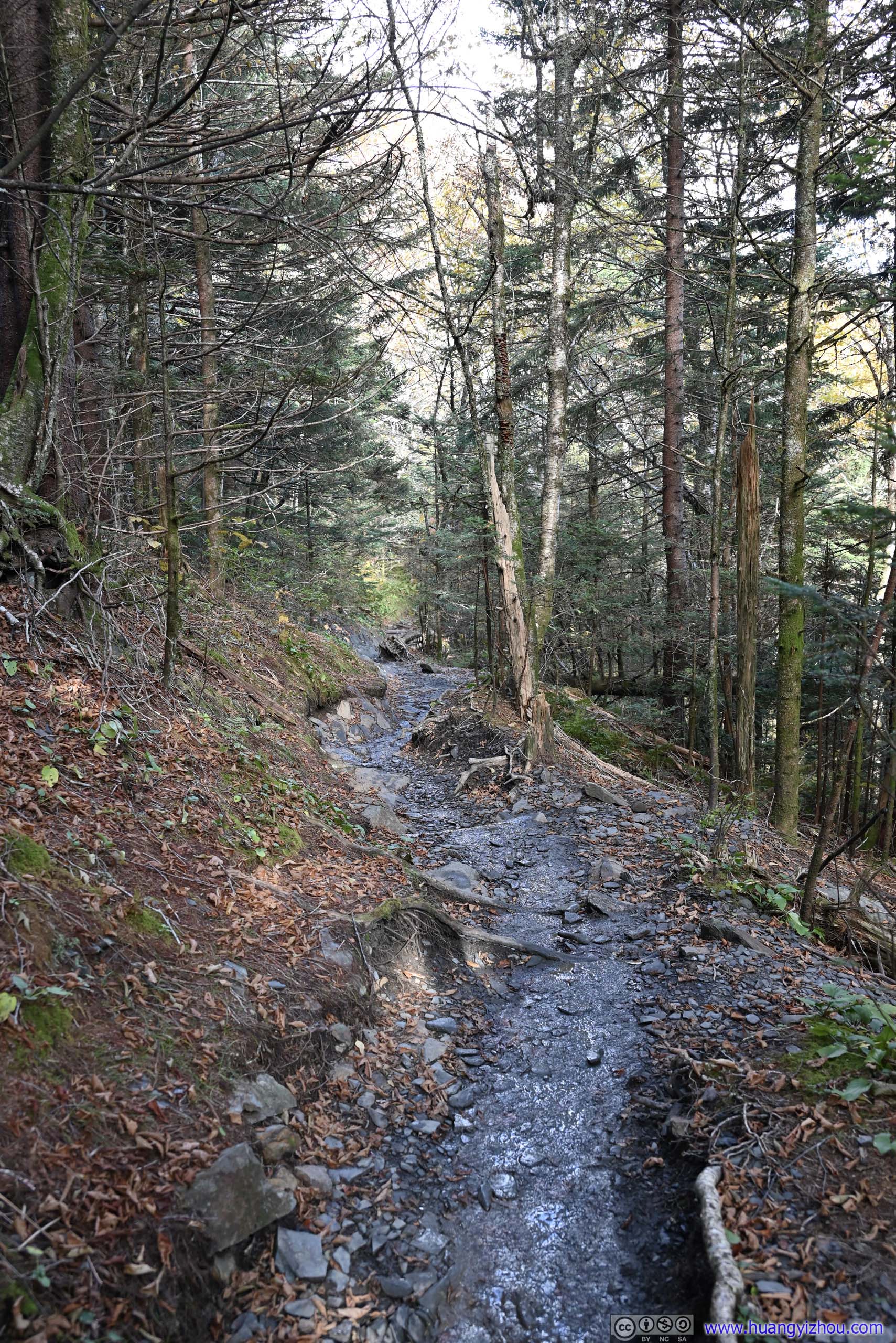
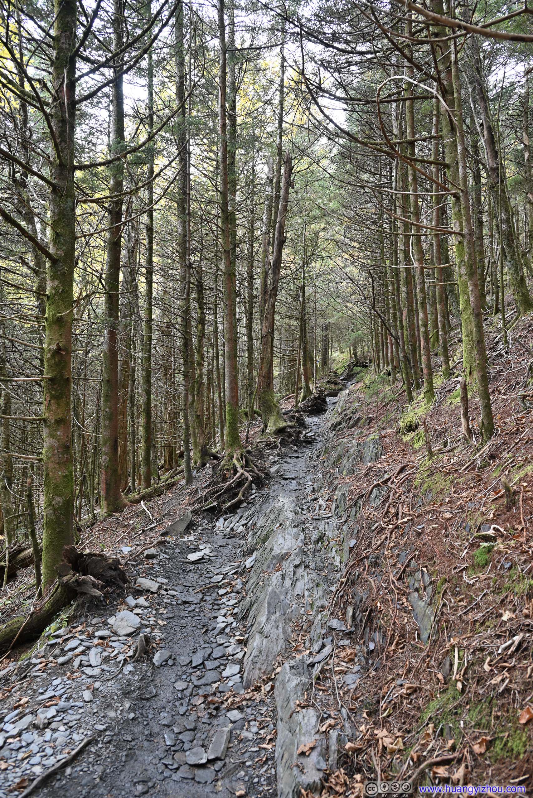
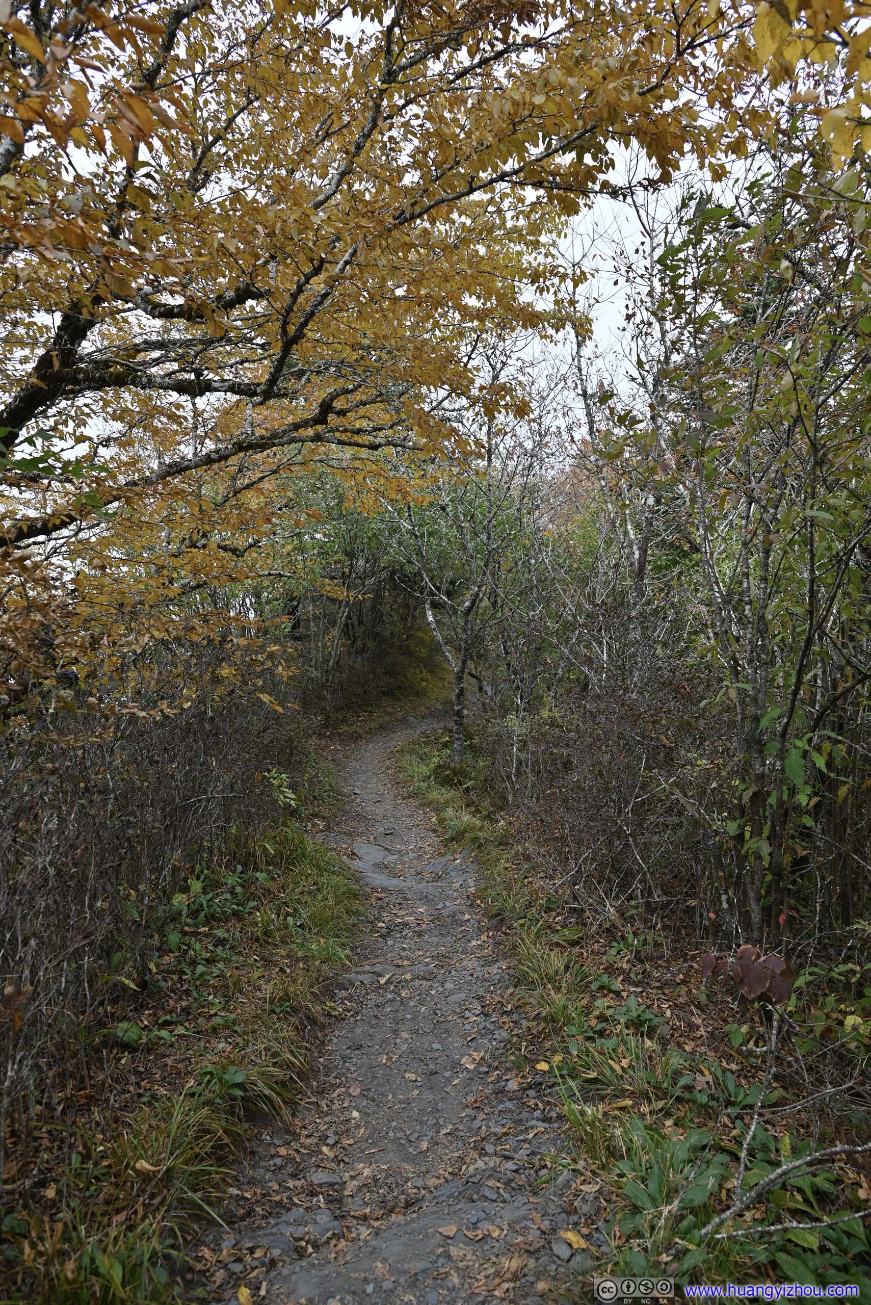
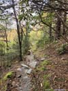
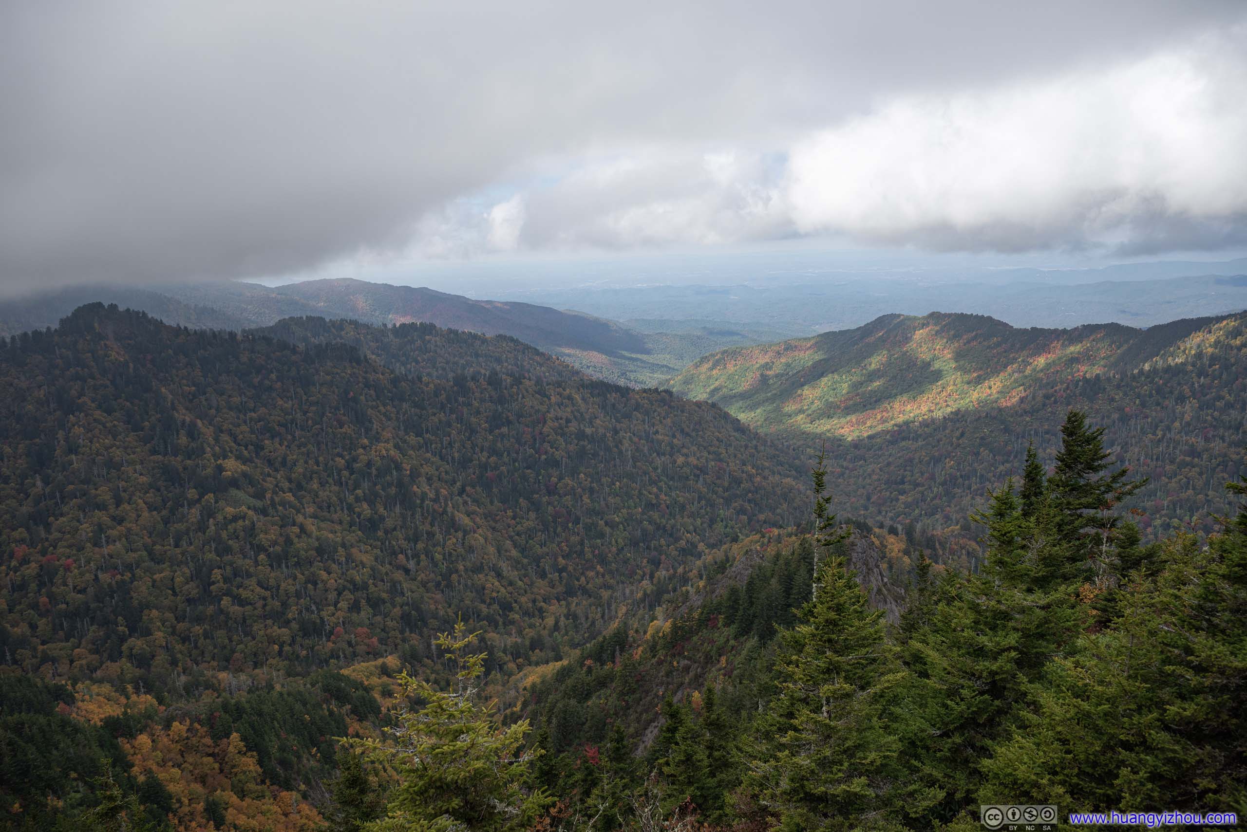
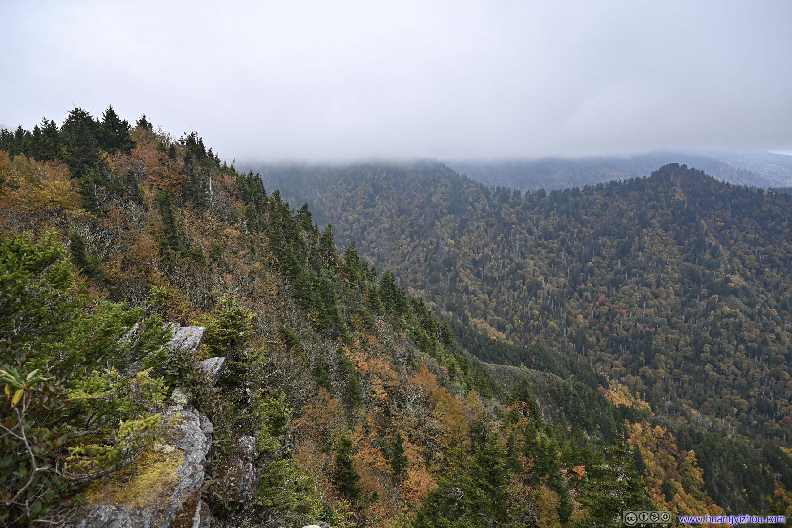
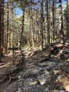
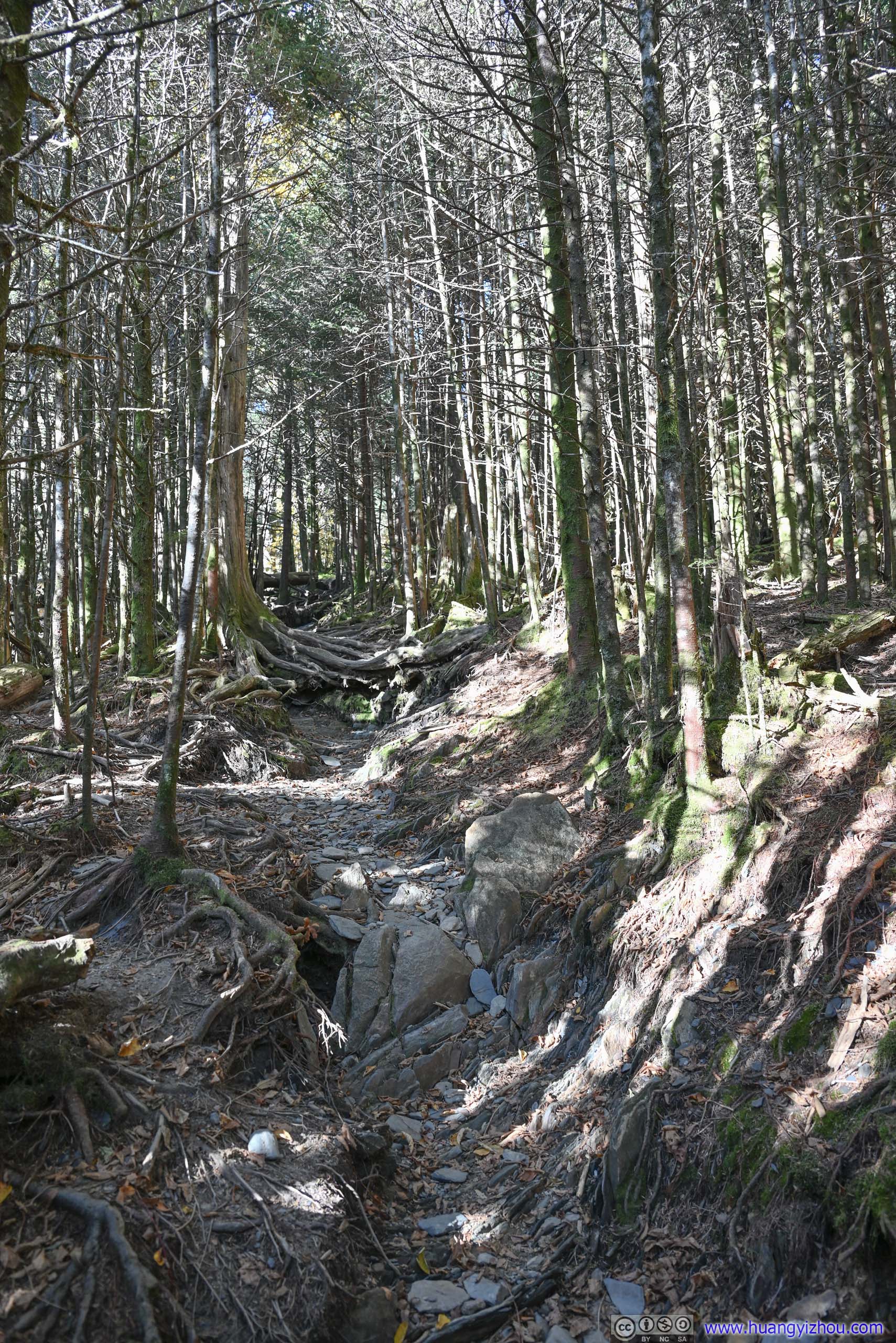
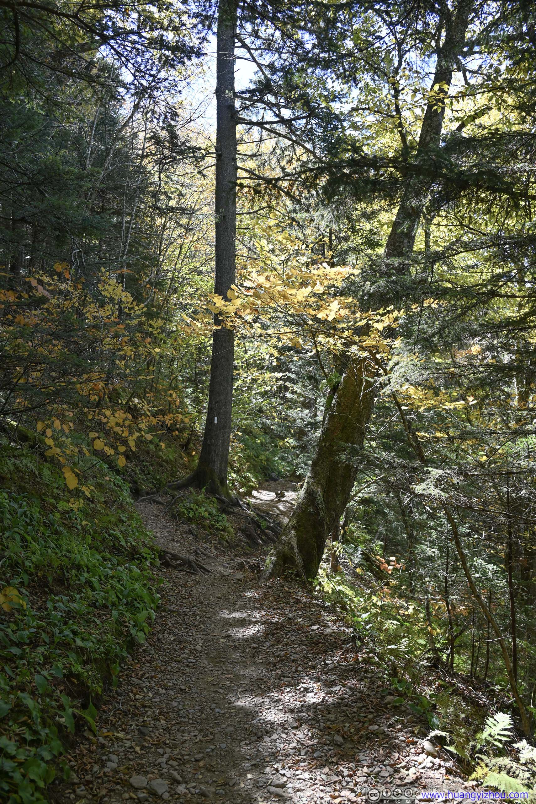
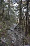
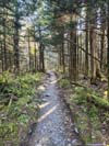
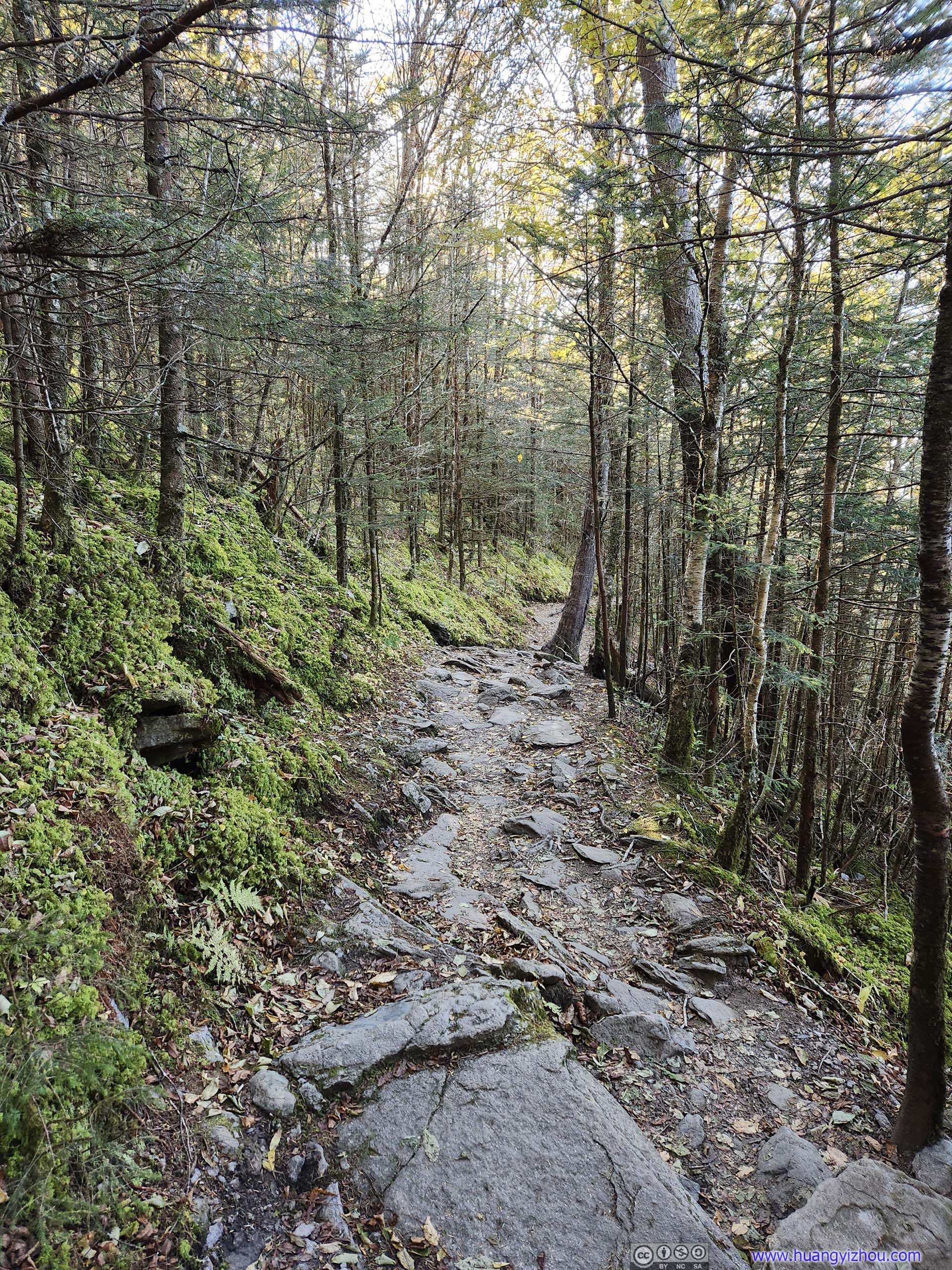
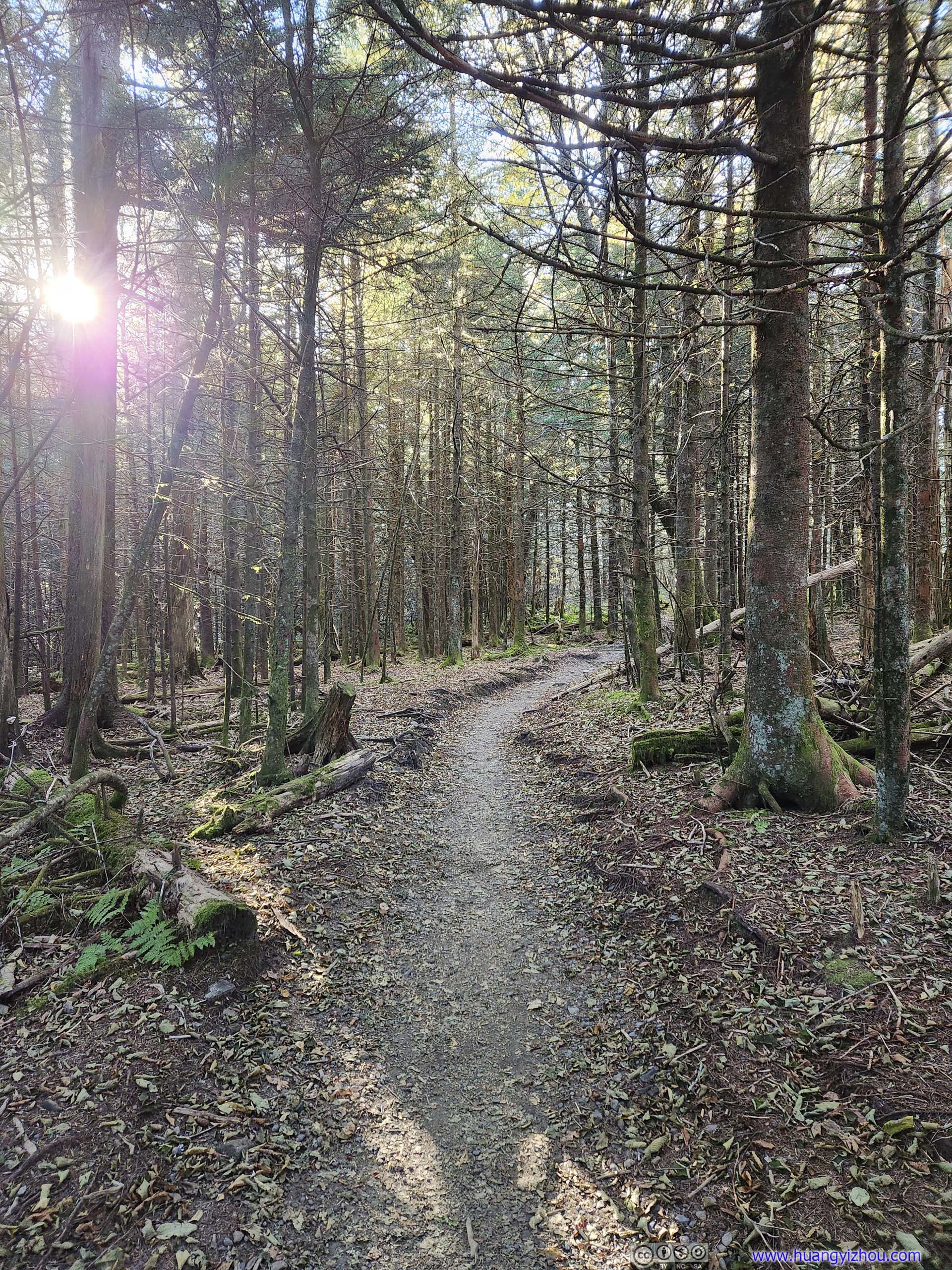
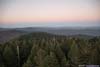
Approaching Boulevard Trail Junction, approximately the highest elevation of the entire hike, there were sections of the trail where pine trees seemed to dominate the landscape, and undergrowth disappeared. It felt grave and immense, a departure from the otherwise cheerful colors of the day.
 Trail
Trail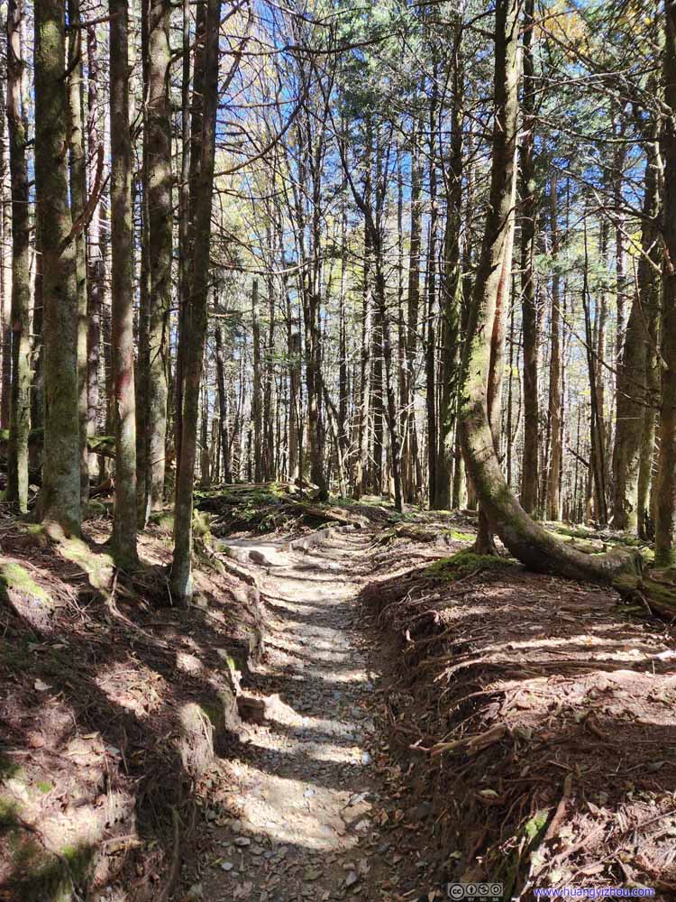 Trail
Trail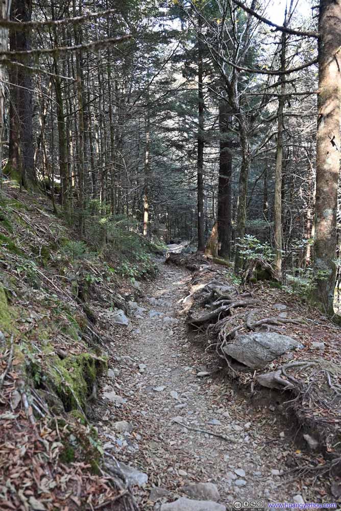 Trail
Trail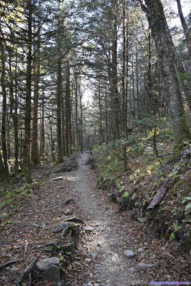 Trail
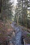
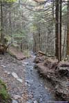
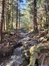
Trail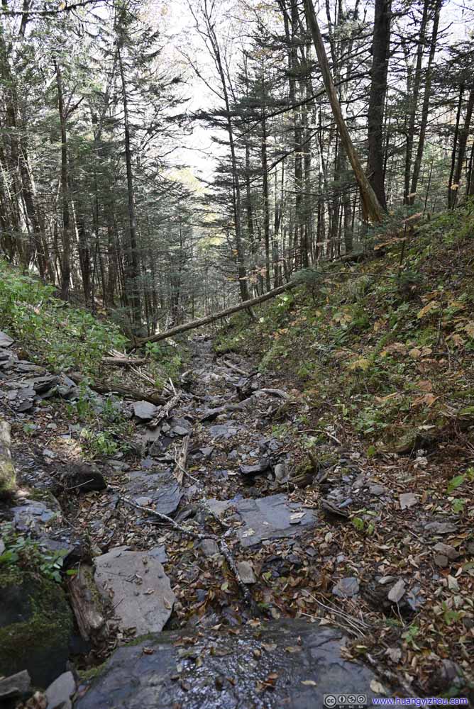 Creek
Creek

Click here to display photos of the trail near Boulevard Trail Junction.

Trail
Trail

Trail
Trail

Creek
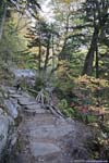
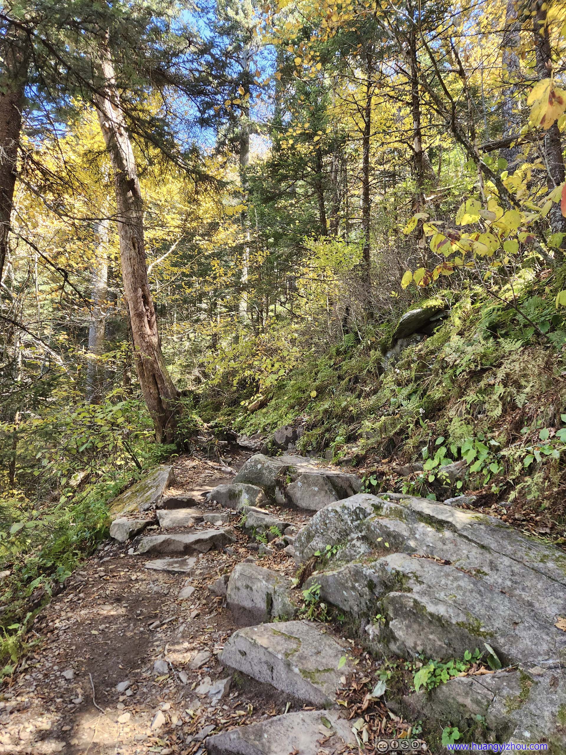
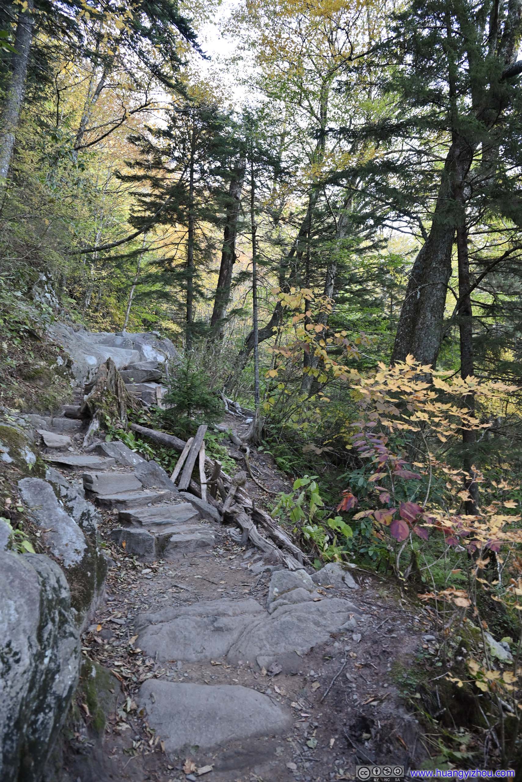
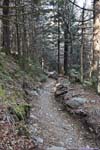
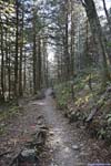
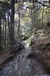
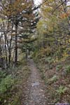
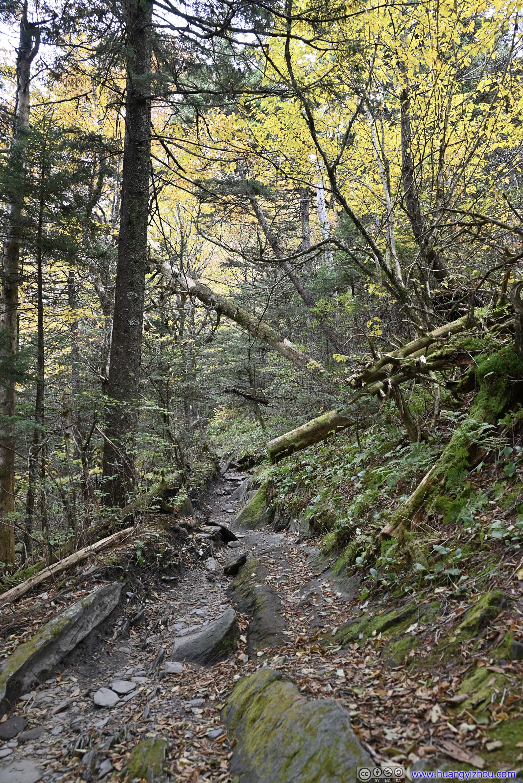
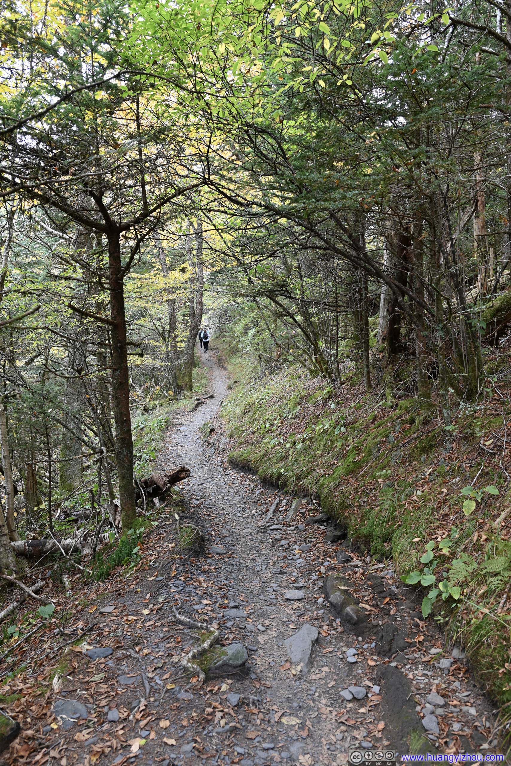
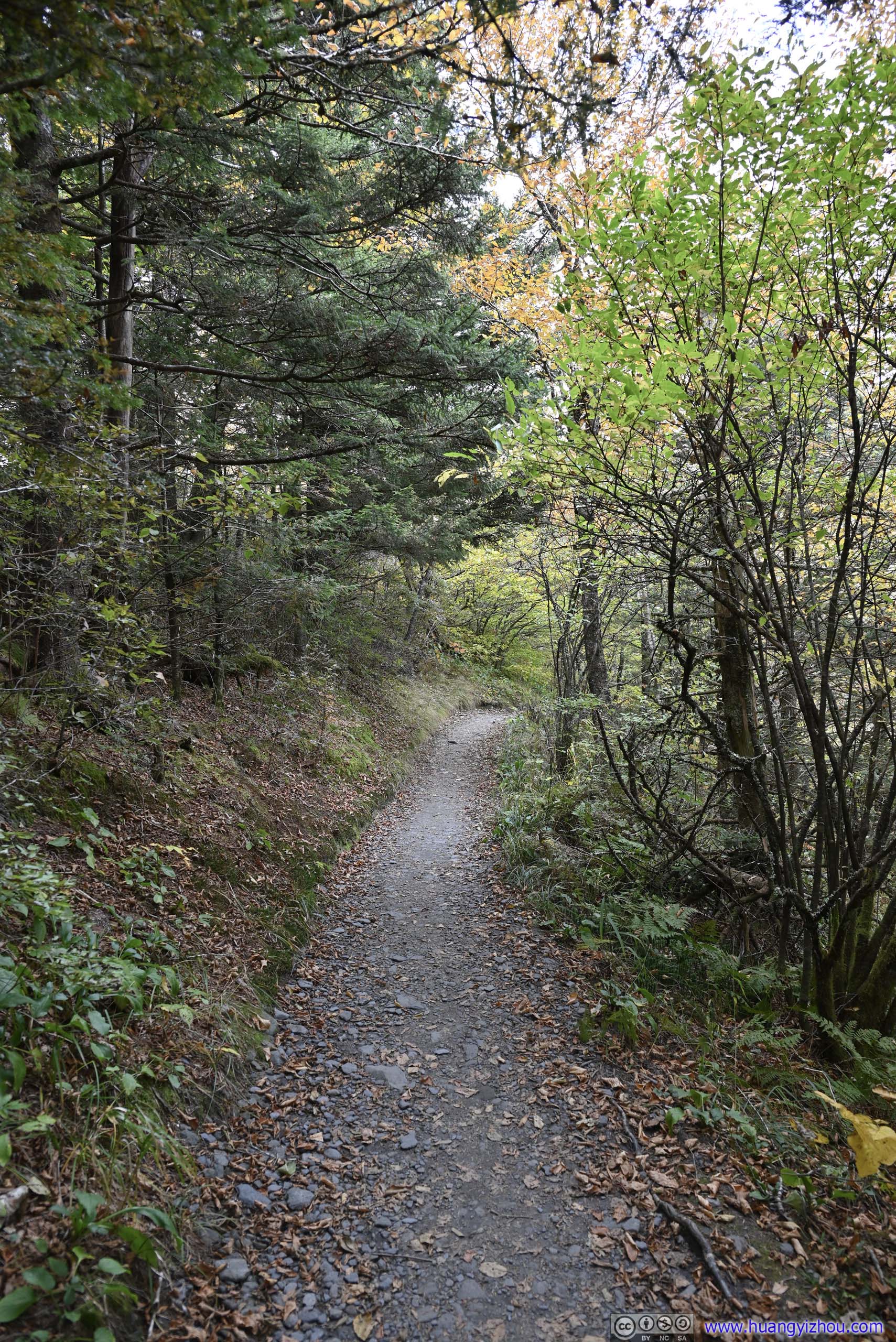
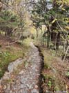
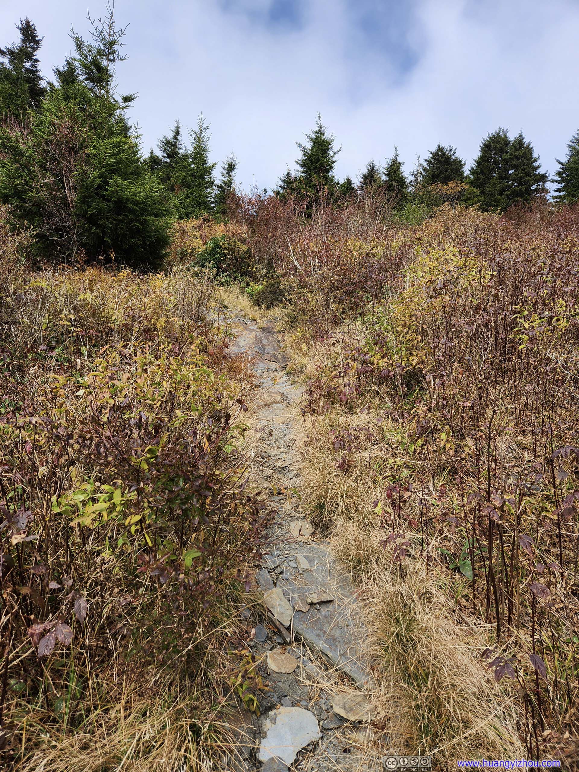
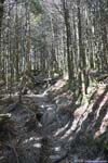
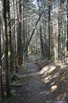
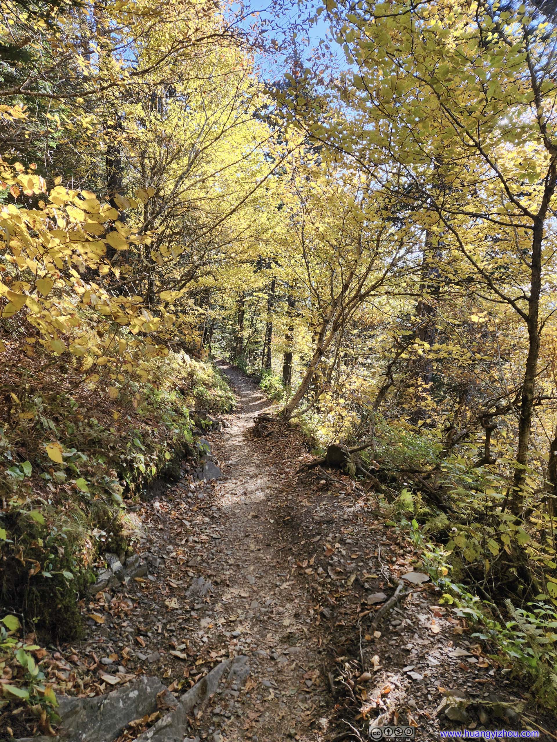
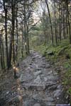
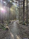
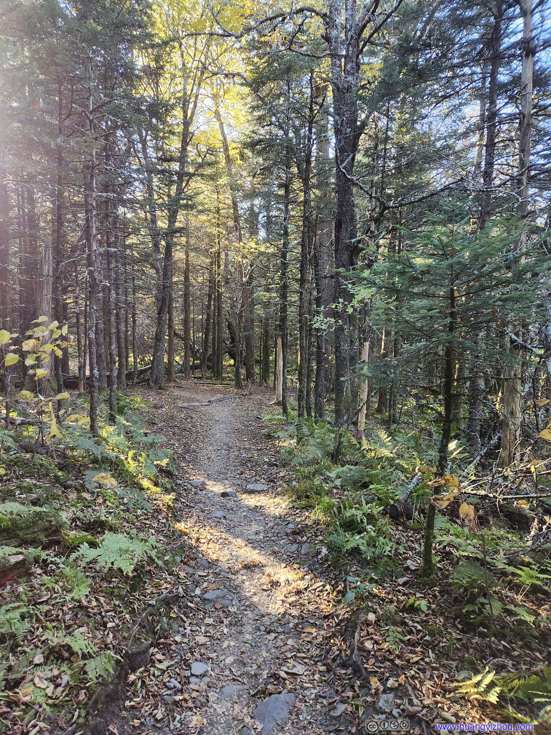
After that, the trail went on a gentle downhill towards Charlies Bunion.
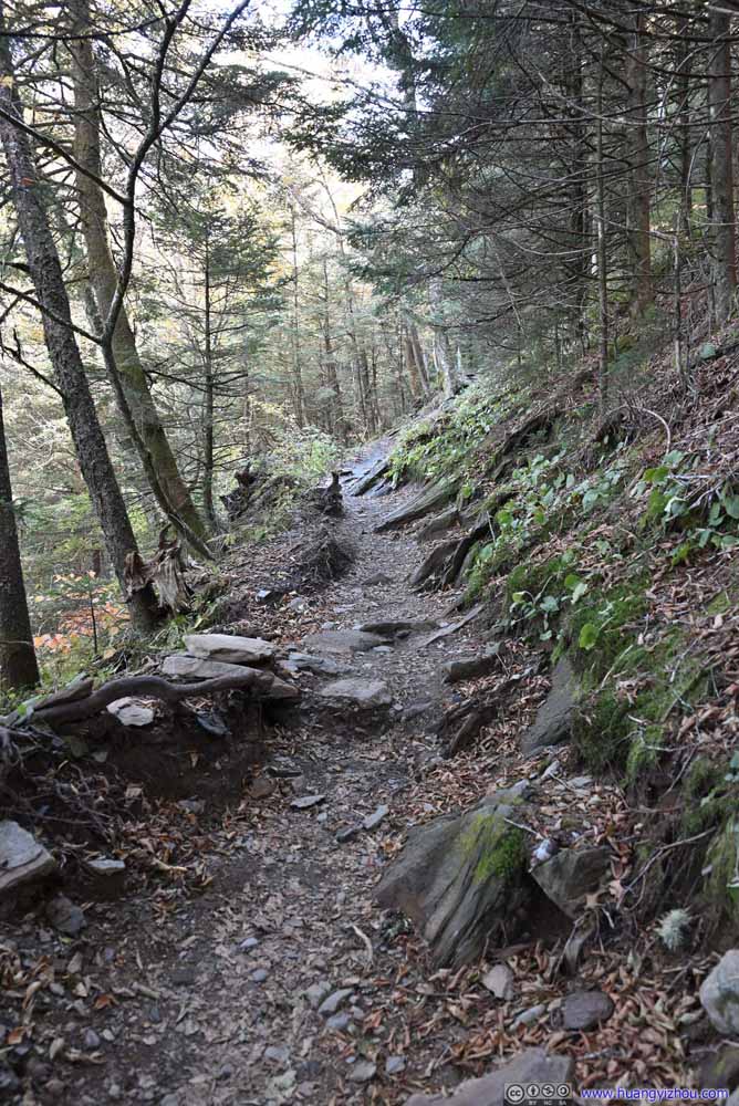 Trail
Trail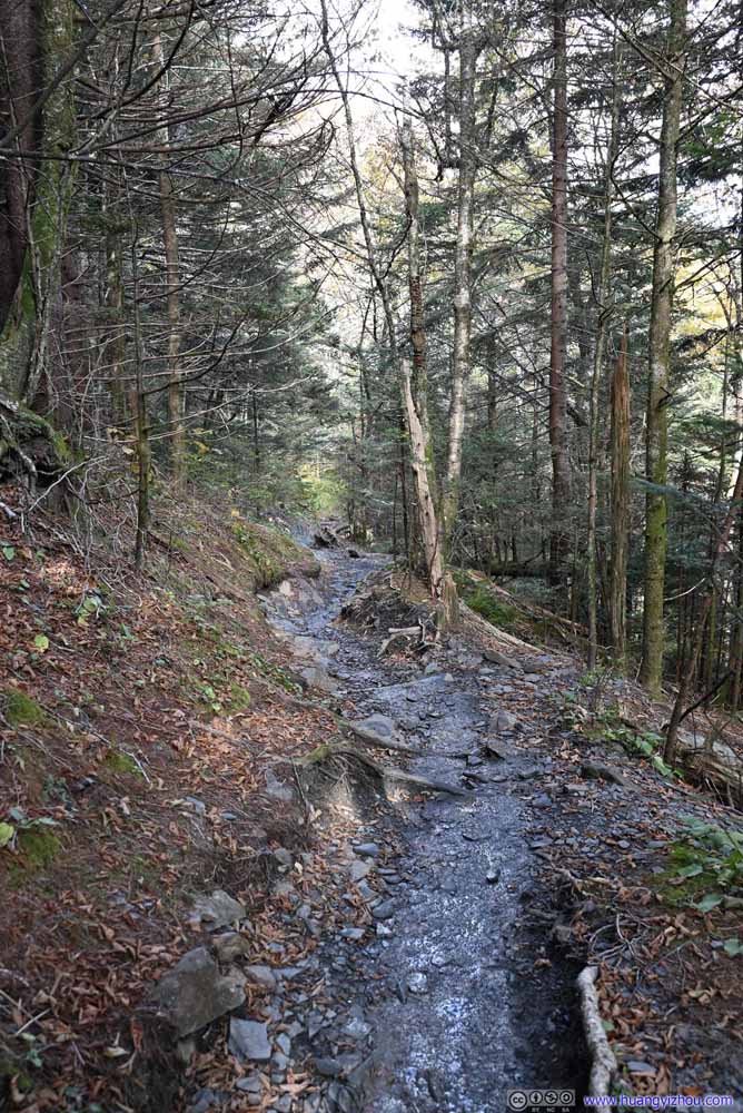 Trail
Trail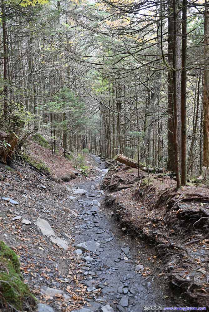 Trail
Trail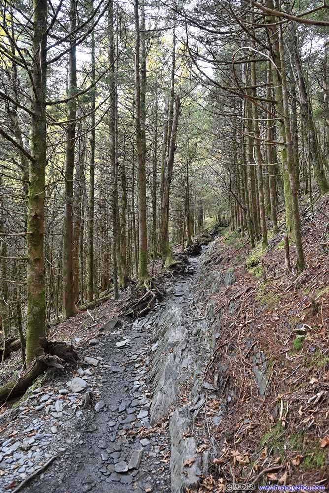 Trail
Trail Trail
Trail Trail
Trail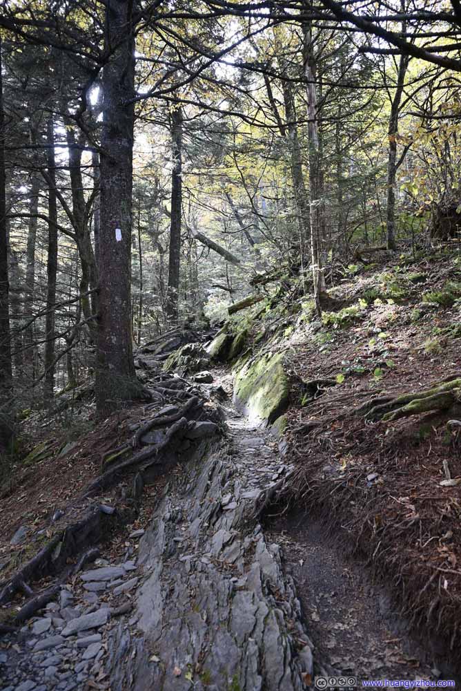 Trail
Trail Trail
Trail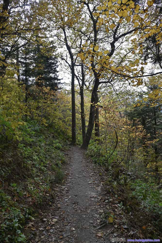 Trail
Trail Trail
Trail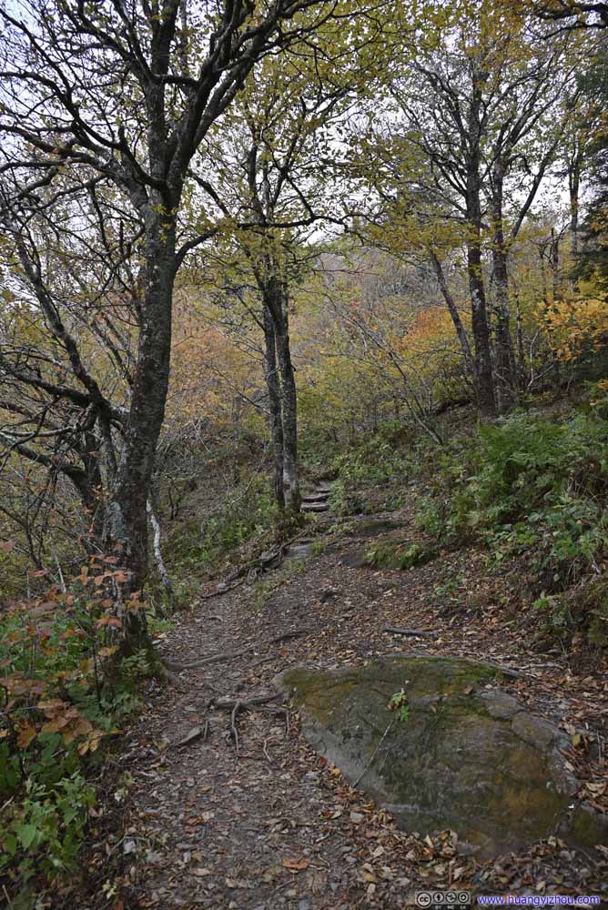 Trail
Trail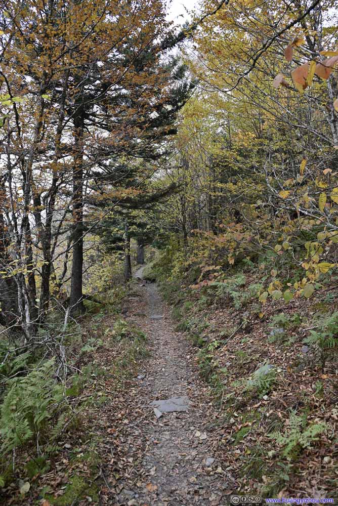 Trail
Trail Trail
Trail


Click here to display photos of the trail.
Trail
Trail

Trail
Trail
Trail
Trail
Trail
Trail

Trail
Trail
Trail

Trail
Trail
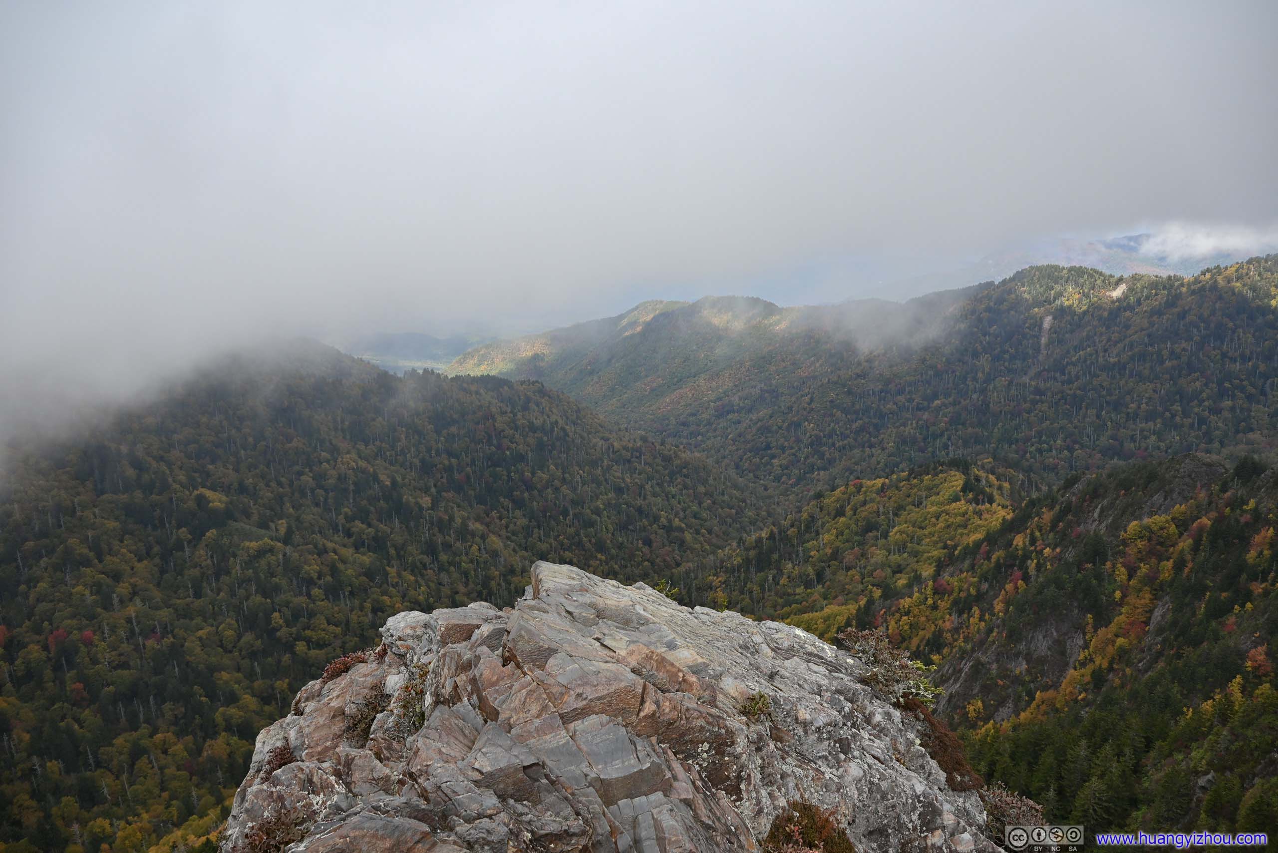
Charlies Bunion Overlook
At about 2:40pm, I reached the overlook of Charlies Bunion.
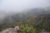
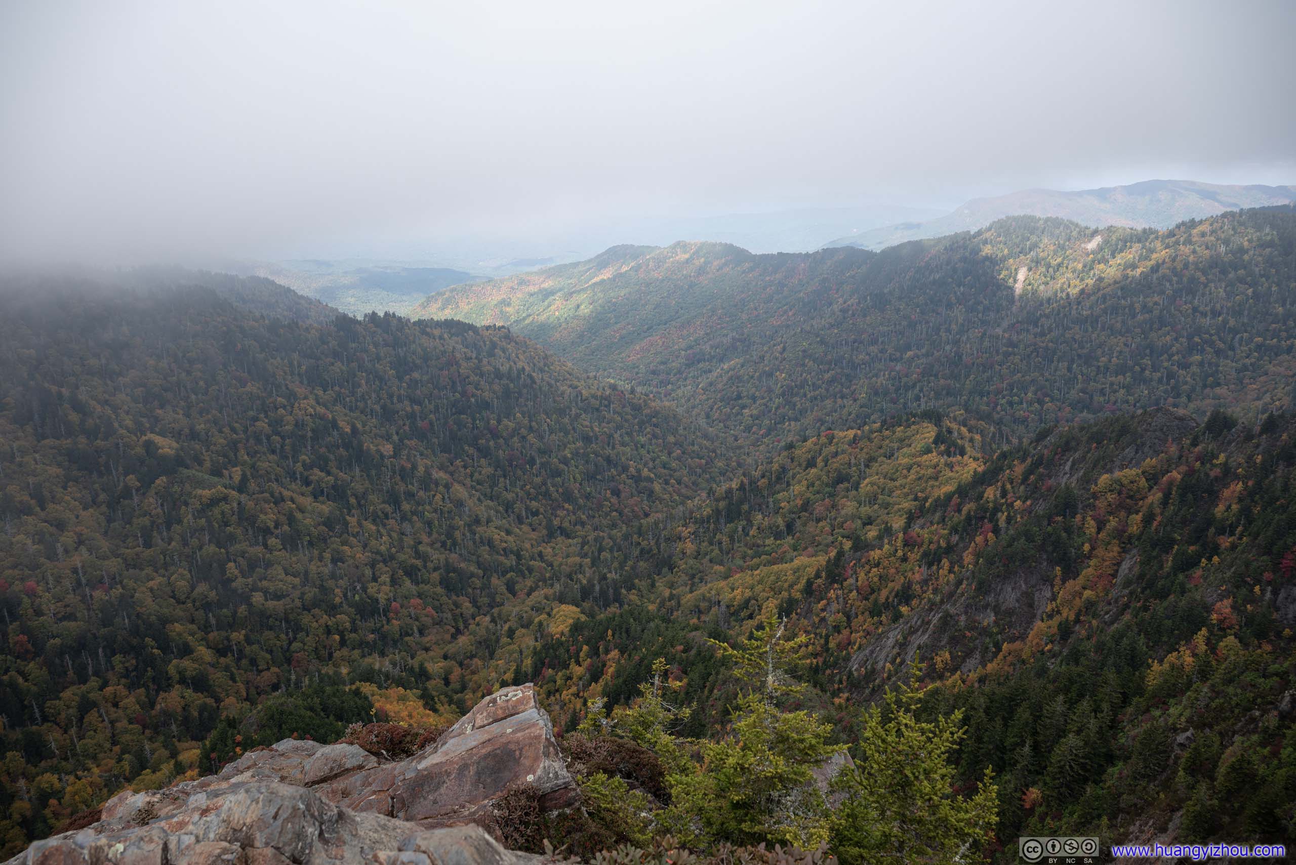
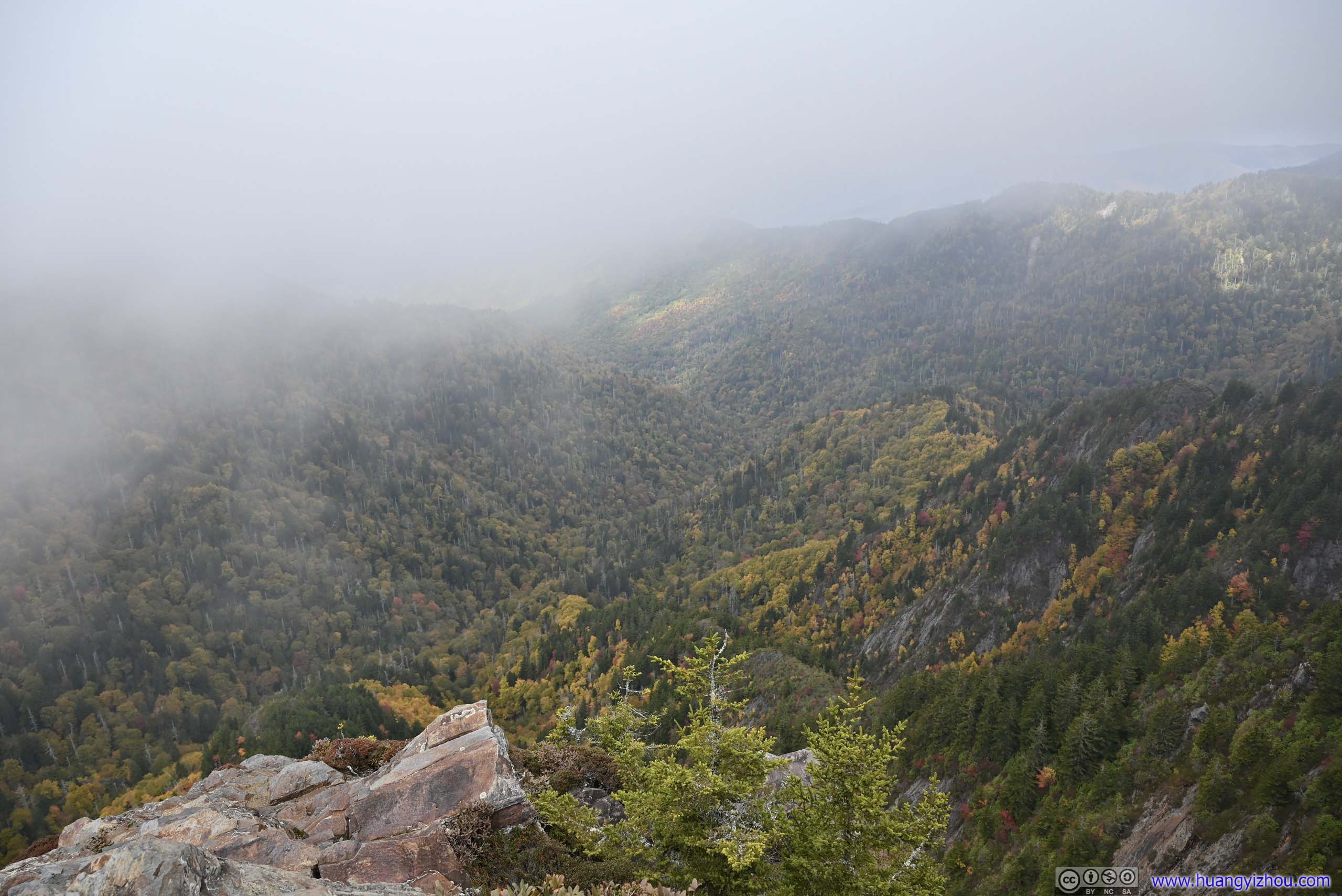
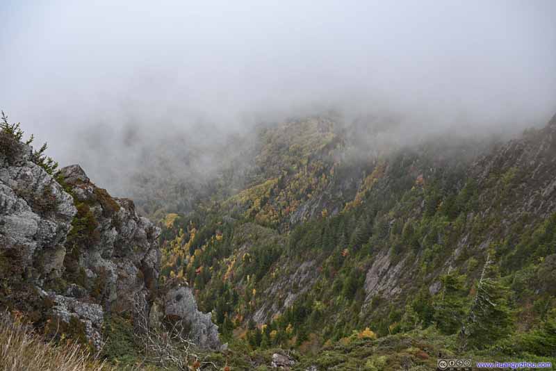
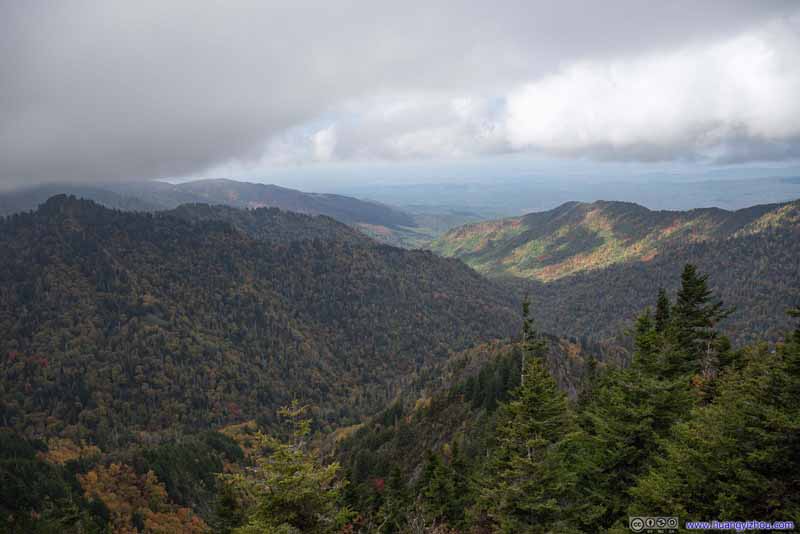
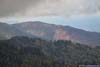
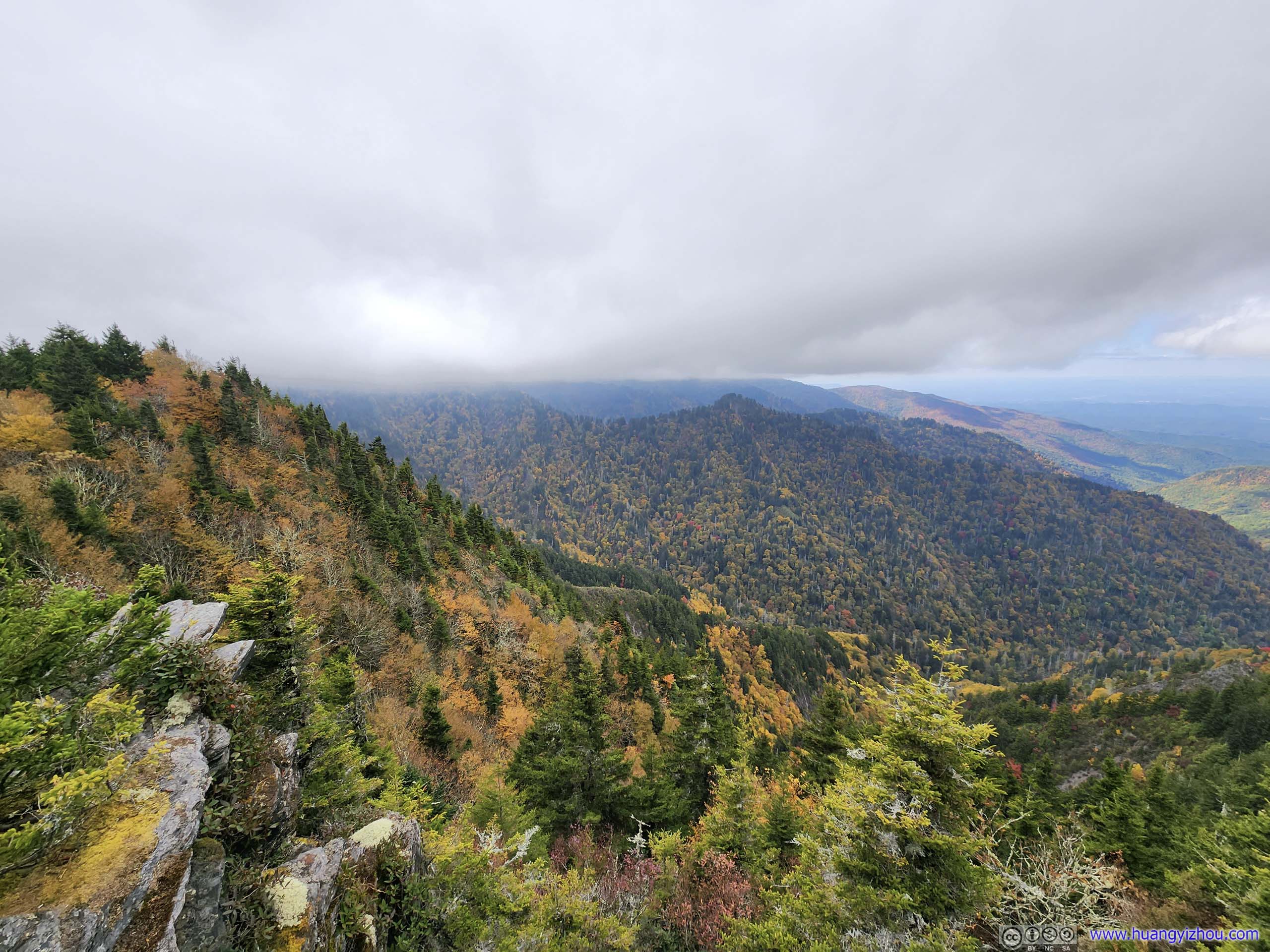
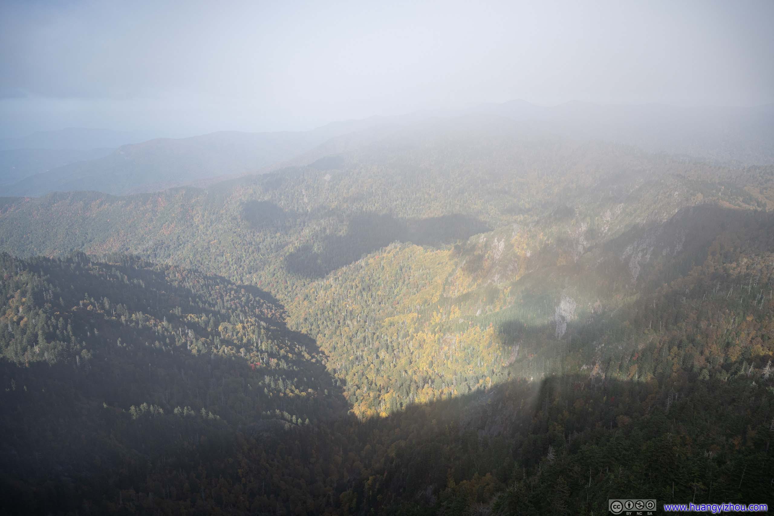
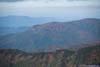
As the park’s name suggested, it’s a misty day in the mountains up till this point, I could often see passing clouds above me as I made the hike towards Charlies Bunion (that had me worried about the views). When I first reached the overlook, I could tell it’s facing a valley, where some of the leaves were starting to turn yellow. I knew they would look nice, but much of the view was concealed behind layers of mist.
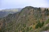
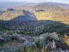
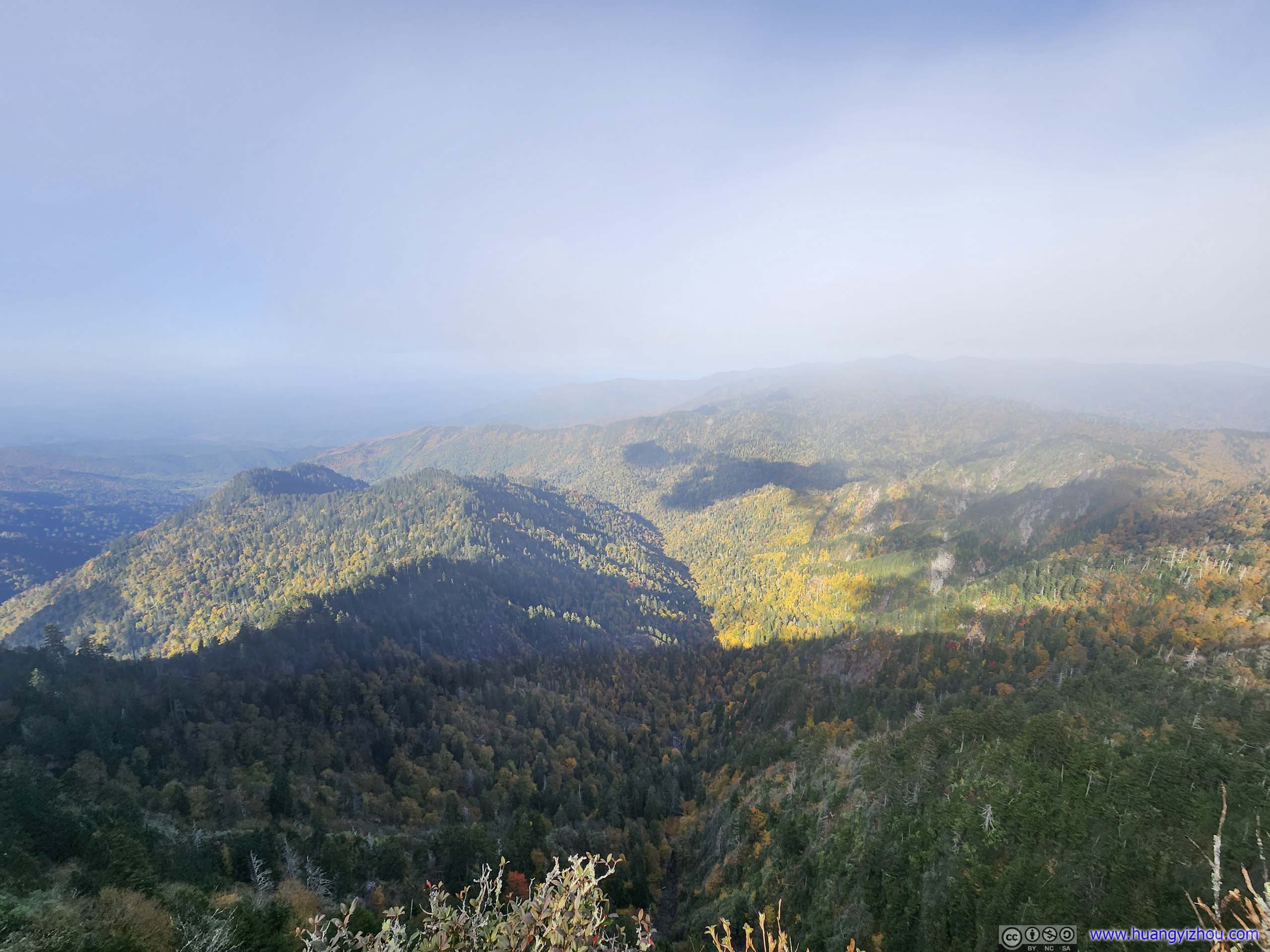
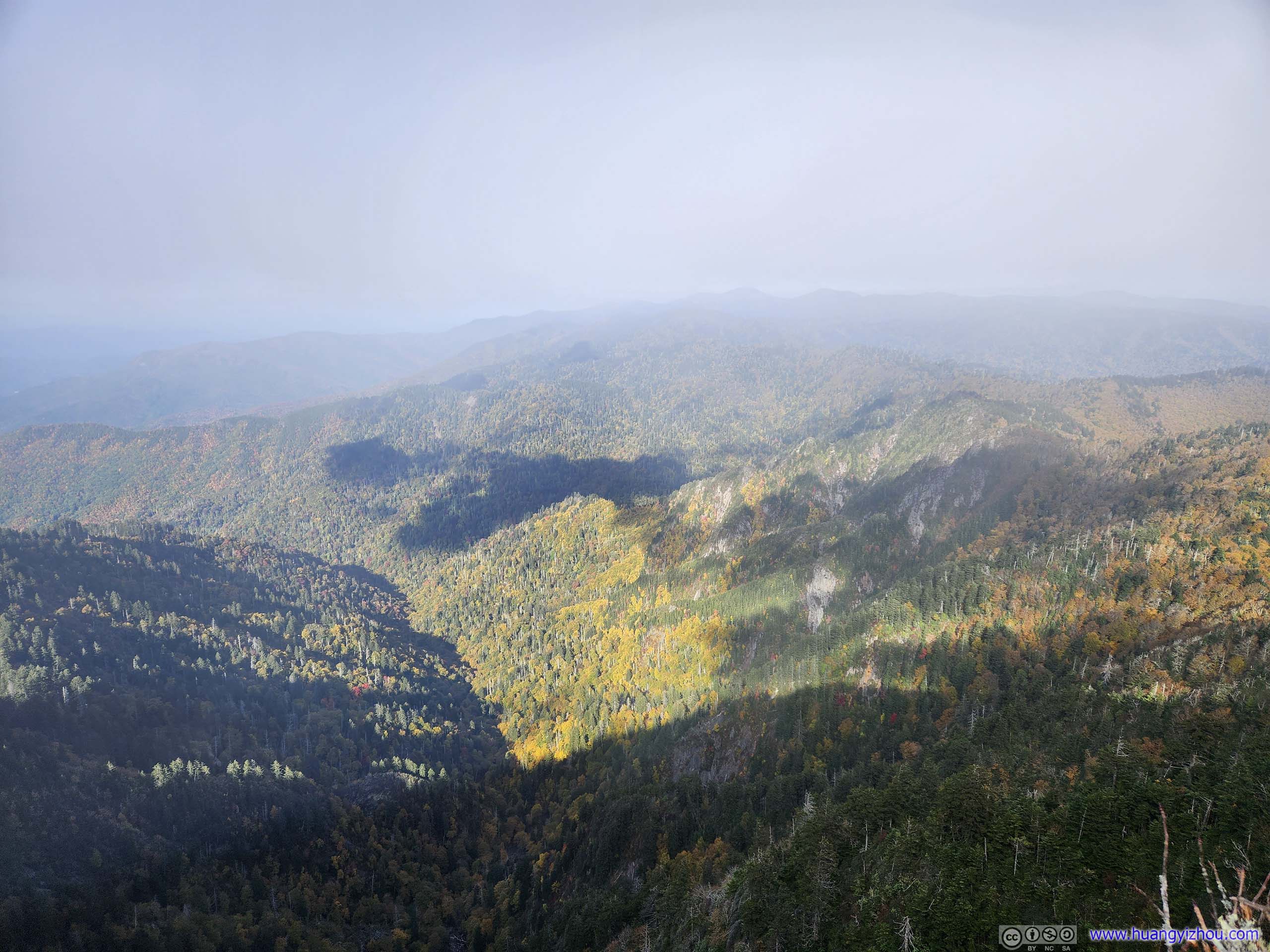
 Charlies Bunion and Mountains to the North
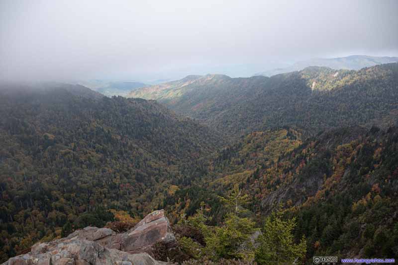 Charlies Bunion and Mountains to the North
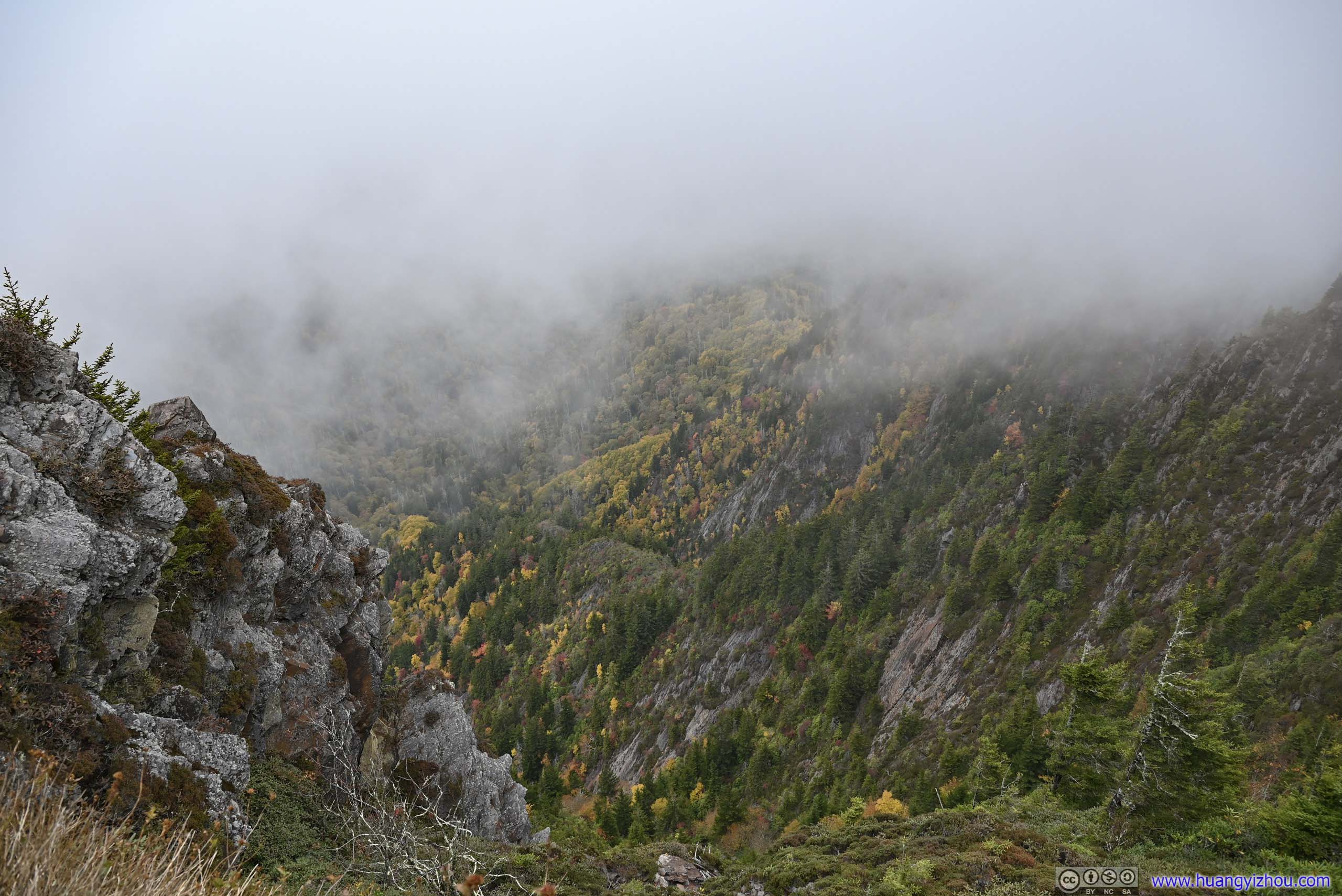
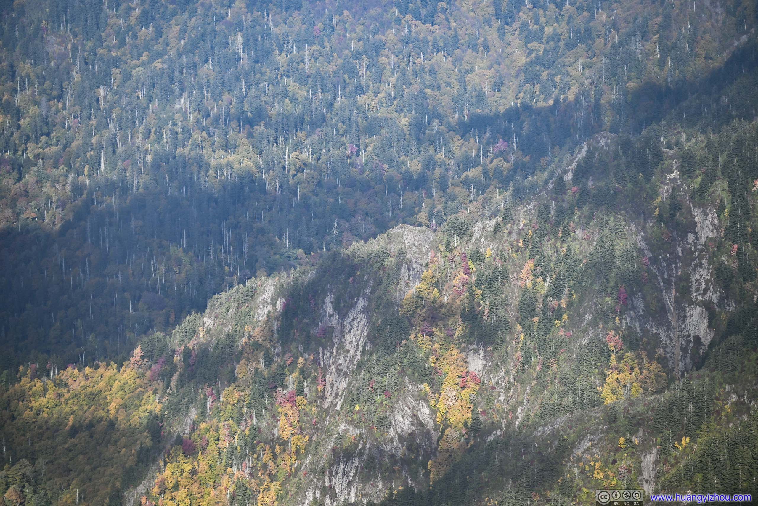
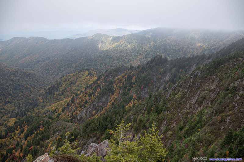 Cliffs to the East
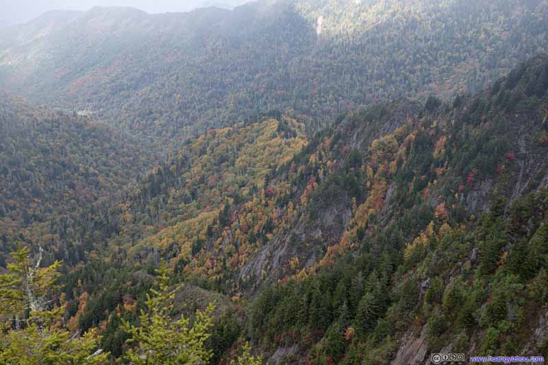 Cliffs to the East
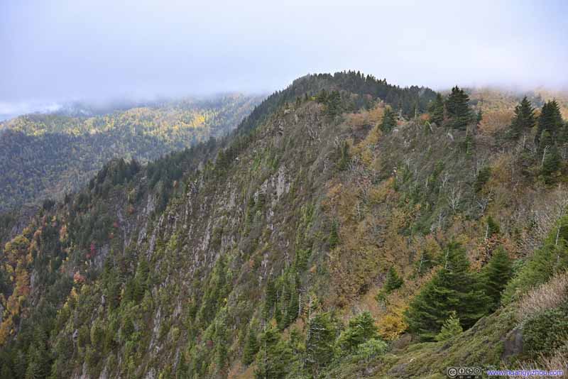 Cliffs to the East
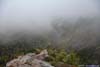
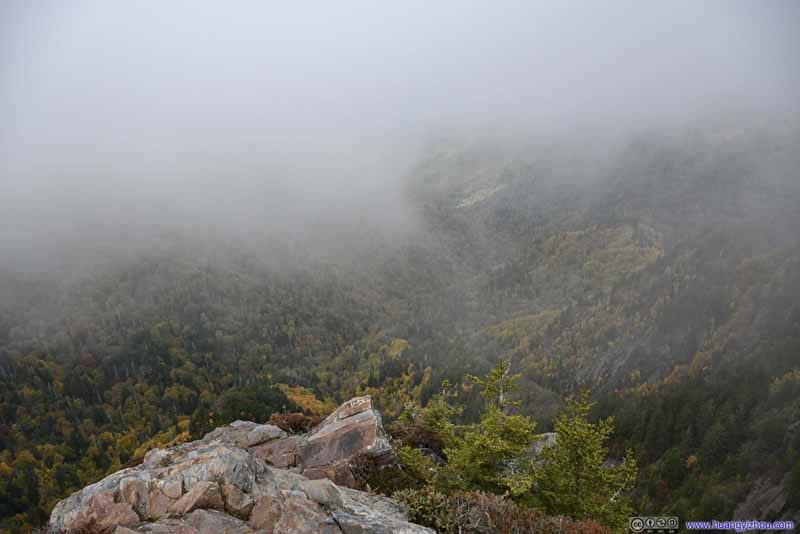 Mists beyond Charlies BunionFrom time to time, “Great Smoky Mountains” lived up to its name.
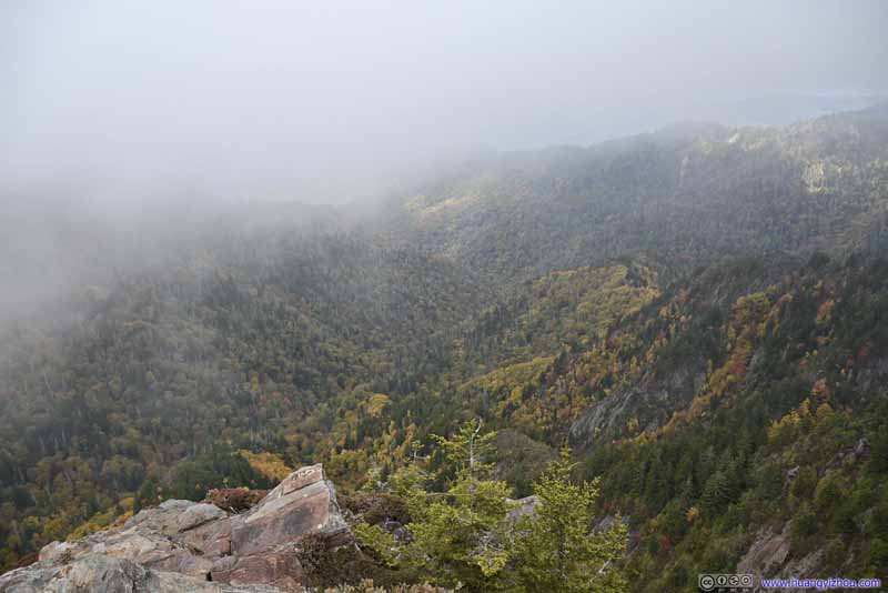 Mists beyond Charlies BunionFrom time to time, “Great Smoky Mountains” lived up to its name.

Click here to display photos from Charlies Bunion.
Charlies Bunion and Mountains to the North
Charlies Bunion and Mountains to the North
Cliffs to the East

Cliffs to the East
Cliffs to the East

Mists beyond Charlies BunionFrom time to time, “Great Smoky Mountains” lived up to its name.
Mists beyond Charlies BunionFrom time to time, “Great Smoky Mountains” lived up to its name.
Nonetheless, the passing clouds made the scenery dynamic, instead of presentation it became a discovery. I took some time enjoying it with my snacks.

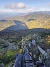
View from Charlies Bunion
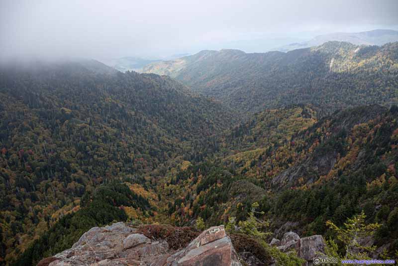
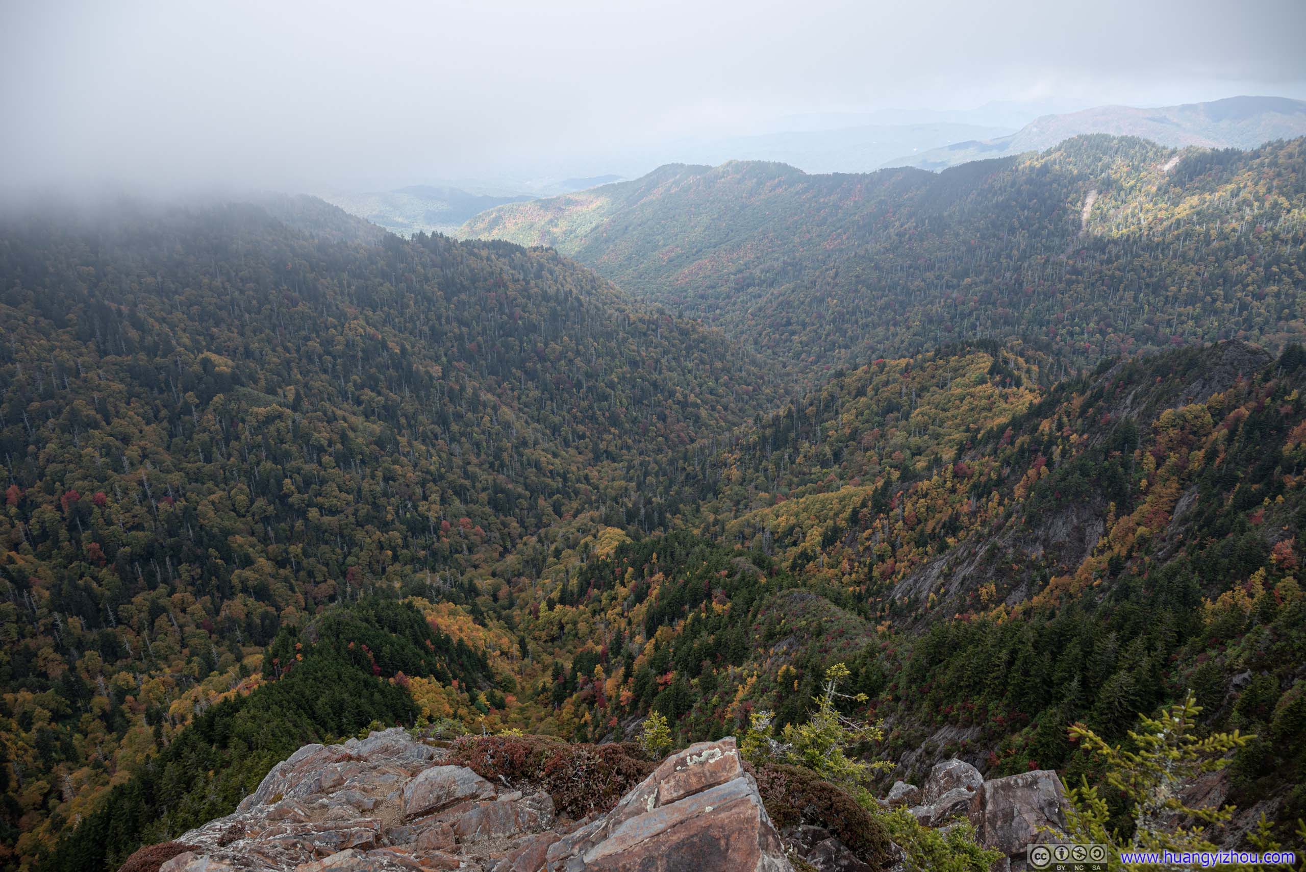
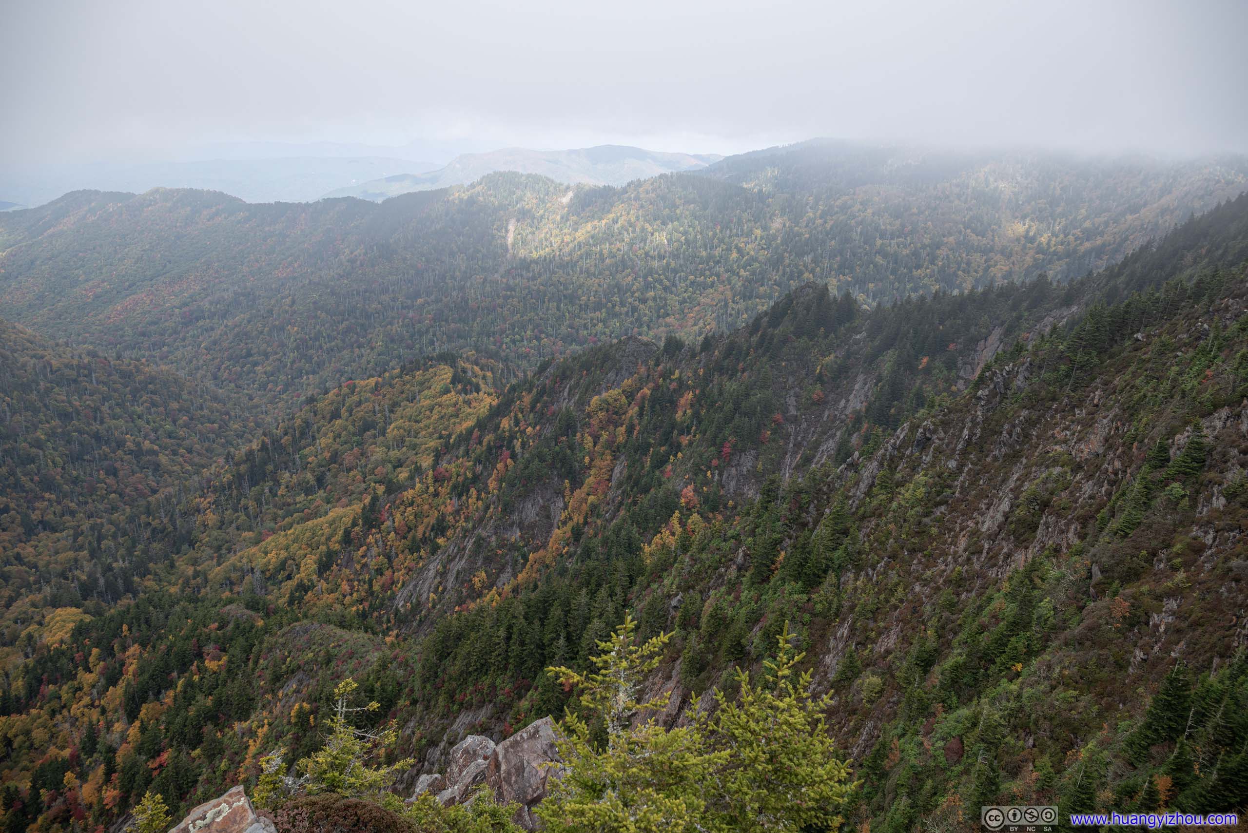
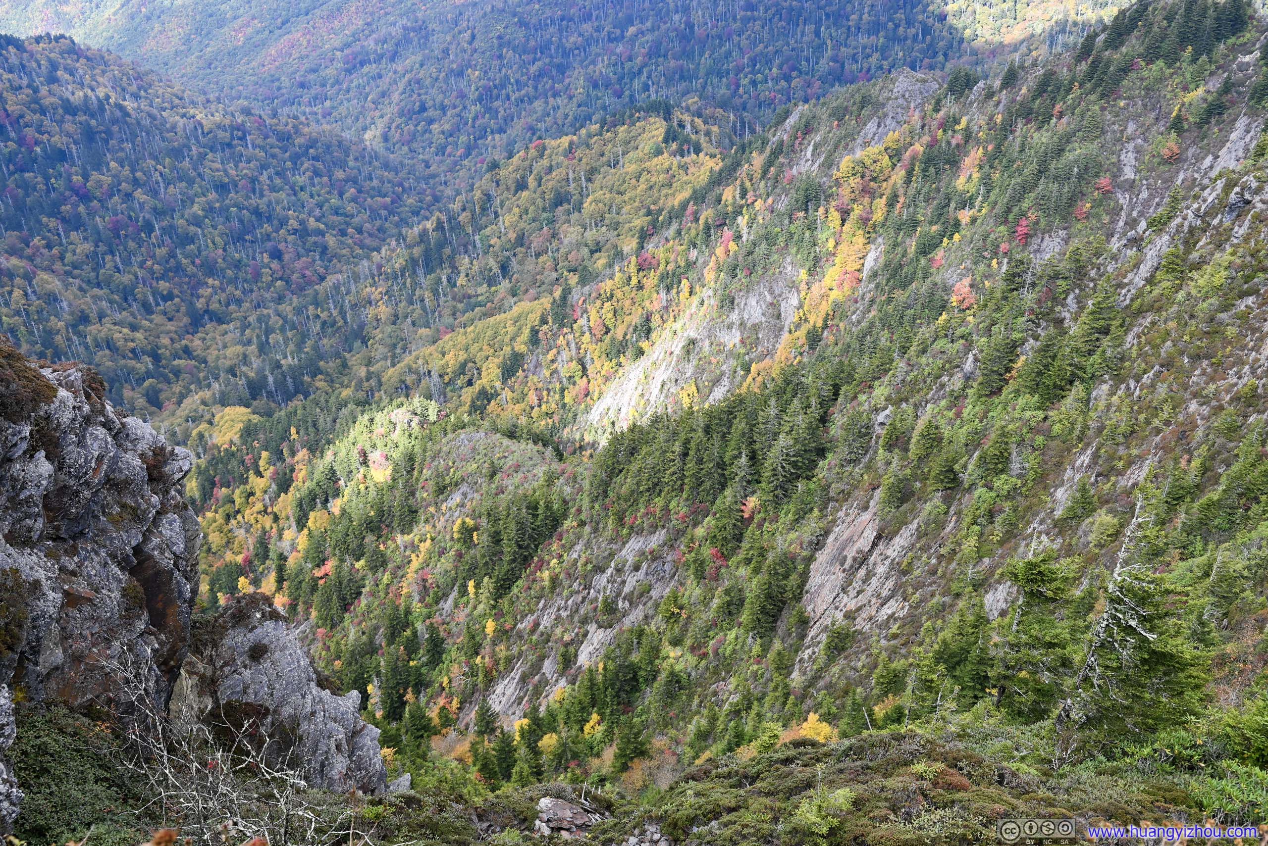
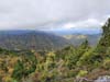
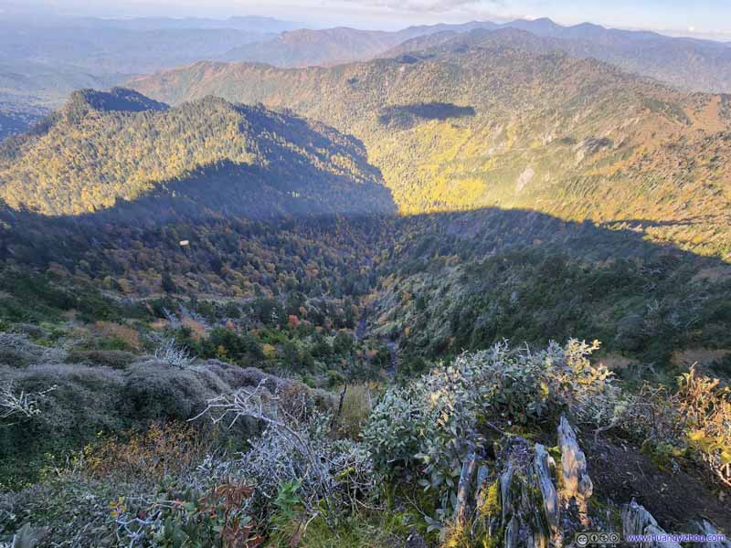
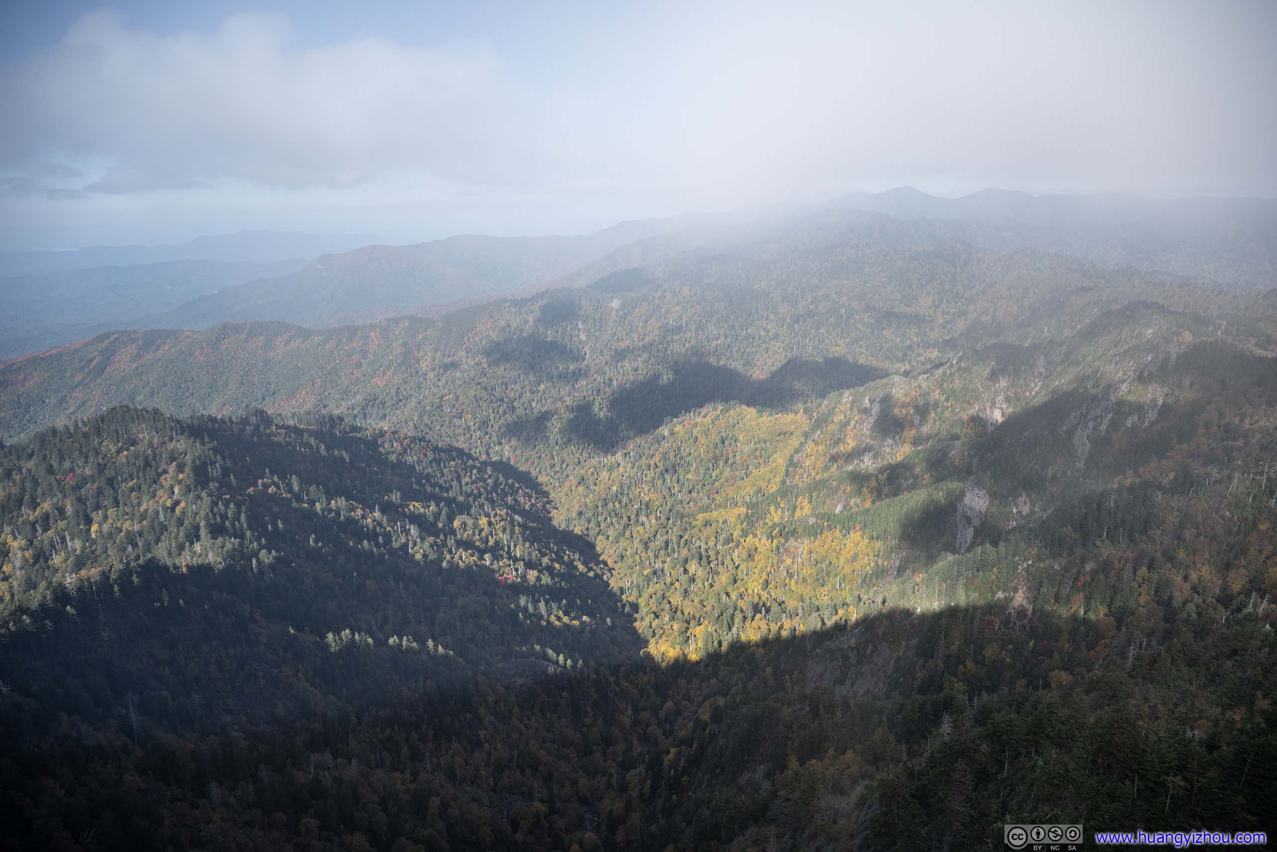
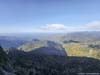
About an hour after I first arrived at the overlook, I passed it again, and this time, the clouds cleared up and the views broadened. If not for the hard shadows on the mountains, it would be perfect.

View from Charlies Bunion in the Clear
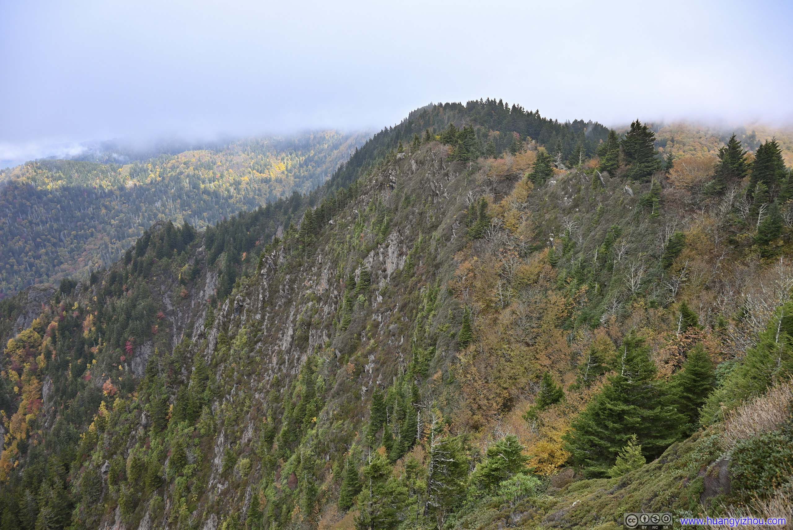
 Steep ValleyTowards the east of Charlies Bunion.
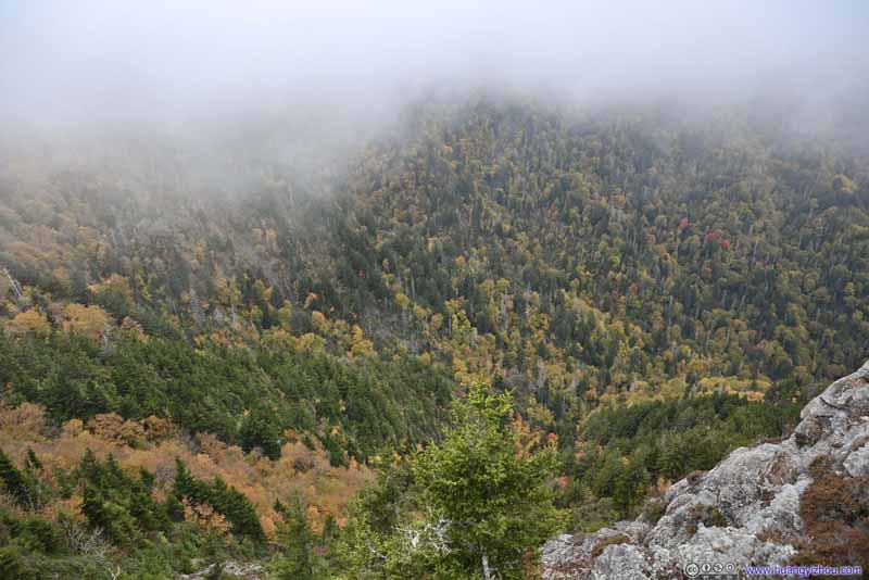 ValleyTowards the west of Charlies Bunion.
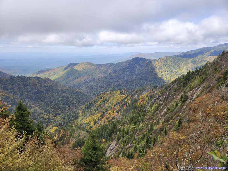 Mountains to the NorthTaken about an hour later when the skies cleared up.
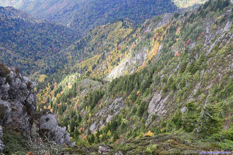 Steep ValleyTowards the east of Charlies Bunion. Now that the clouds were cleared.
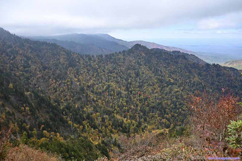 Mountains to the WestVisibility recovered when the clouds cleared.
Click here to display photos Charlies Bunion.
Steep ValleyTowards the east of Charlies Bunion.

ValleyTowards the west of Charlies Bunion.

Mountains to the NorthTaken about an hour later when the skies cleared up.
Steep ValleyTowards the east of Charlies Bunion. Now that the clouds were cleared.
Mountains to the WestVisibility recovered when the clouds cleared.
I mentioned earlier that there was a separate “Charlies Bunion” on maps further down the Appalachian Trail. So out of curiosity, I decided to check that out.
 TrailContinue on Appalachian Trail to “Charlies Bunion” on maps. I liked the peace and quiet here.
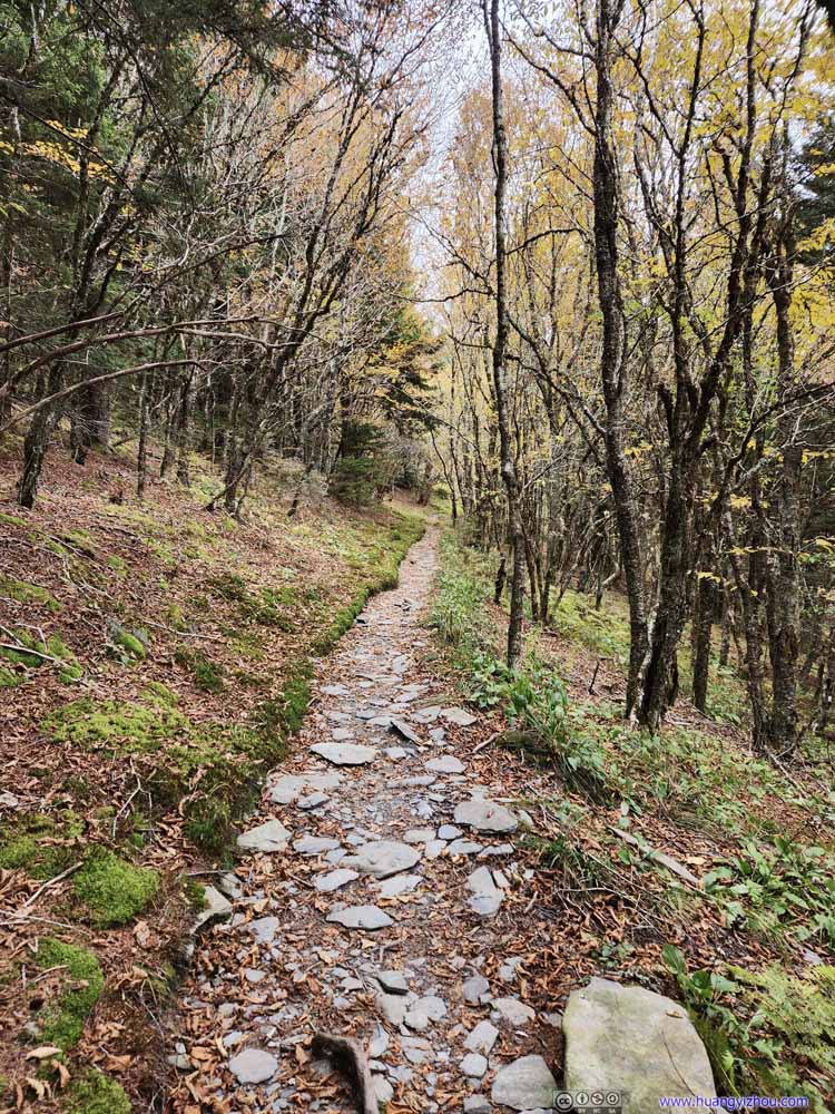 TrailContinue on Appalachian Trail to “Charlies Bunion” on maps. I liked the peace and quiet here.
 TrailContinue on Appalachian Trail to “Charlies Bunion” on maps. I liked the peace and quiet here.
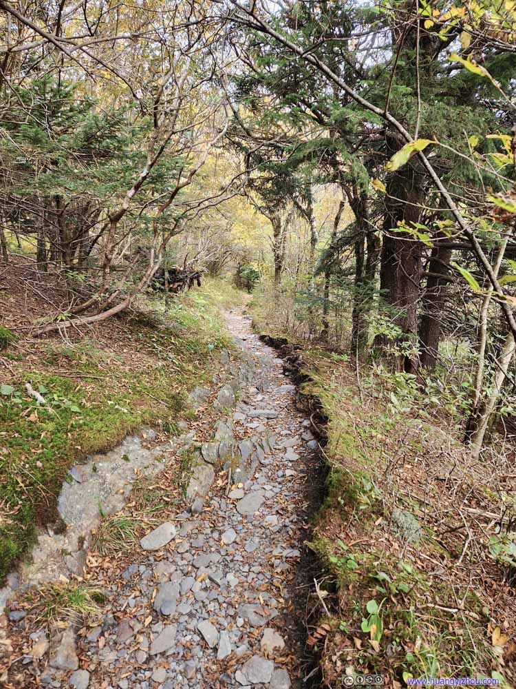 TrailContinue on Appalachian Trail to “Charlies Bunion” on maps. I liked the peace and quiet here.
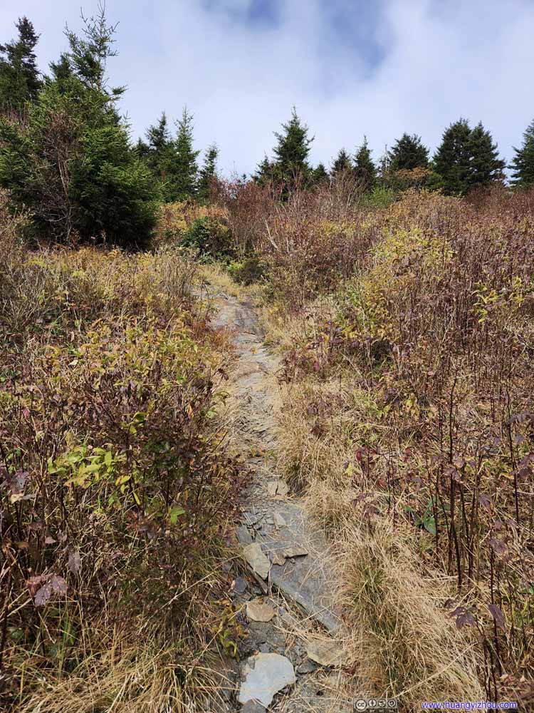 TrailContinue on Appalachian Trail to “Charlies Bunion” on maps. I liked the peace and quiet here.
Click here to display photos of the trail.

TrailContinue on Appalachian Trail to “Charlies Bunion” on maps. I liked the peace and quiet here.
TrailContinue on Appalachian Trail to “Charlies Bunion” on maps. I liked the peace and quiet here.

TrailContinue on Appalachian Trail to “Charlies Bunion” on maps. I liked the peace and quiet here.

TrailContinue on Appalachian Trail to “Charlies Bunion” on maps. I liked the peace and quiet here.
TrailContinue on Appalachian Trail to “Charlies Bunion” on maps. I liked the peace and quiet here.
Charlies Bunion on Maps
It turned out this “Charlies Bunion” was an additional 600m from the previous overlook, 100m from the Appalachian Trail. The 100m spur “trail” involved heavy bushwhacking (pushing overgrown plants aside), which wasn’t pleasant.
And the views (below), albeit decent, couldn’t justify the additional toll of reaching it.
 Mountains to the North
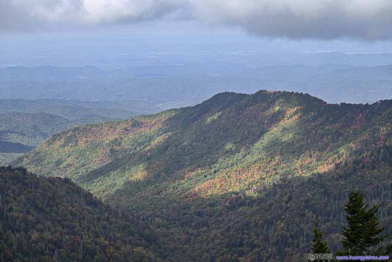 Mountains to the North
 Mountains to the West
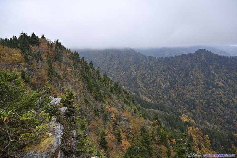 Mountains to the West
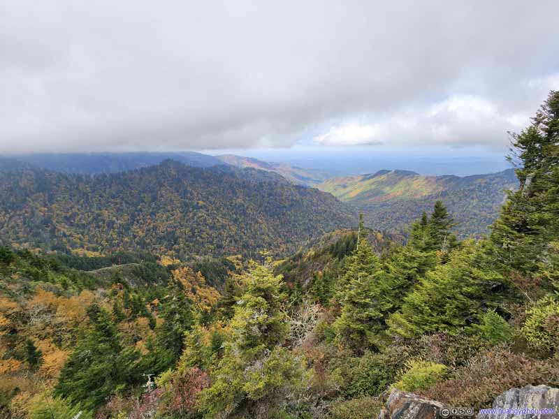 Mountains to the North
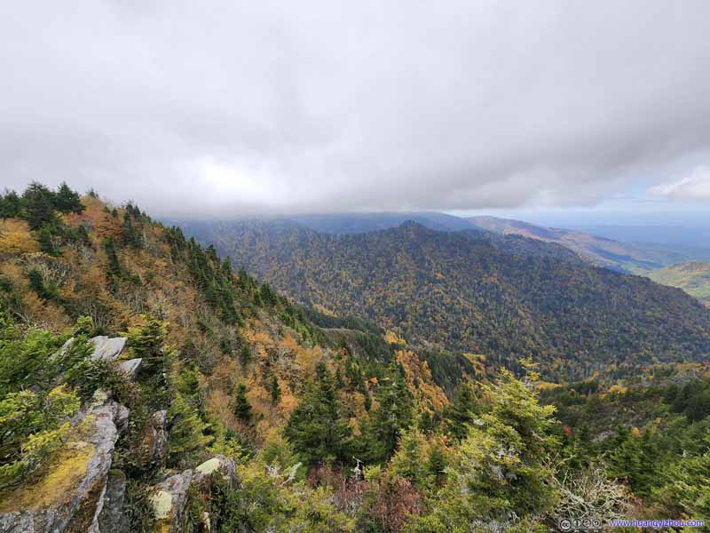 Mountains to the West


Click here to display photos of the slideshow
Mountains to the North
Mountains to the North
Mountains to the West
Mountains to the West
Mountains to the North
Mountains to the West
In the end, I had about 15 minutes of solitude at this overlook, greeted by only one additional hiker who informed me about a series of additional overlooks up the hill if I was into bushwhacking. I kindly wished him good luck and headed back.

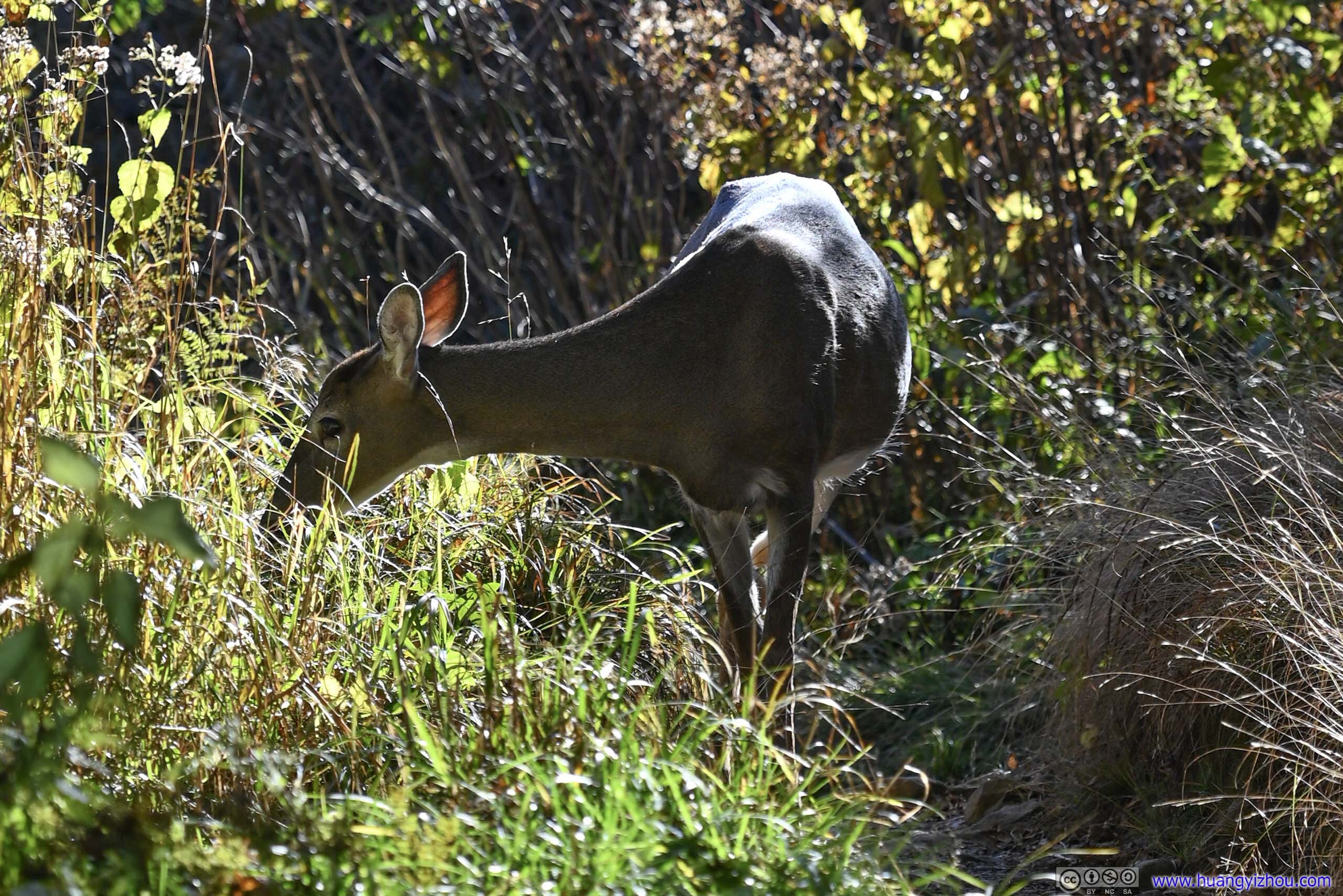 Deer
Deer
The Jumpoff
I arrived back at Boulevard Trail Junction at 4:30pm. There’s still plenty of time left before sunset, so I decided to take a detour and visit “The Jumpoff”. This would add about 1.4km of distance to my hike.
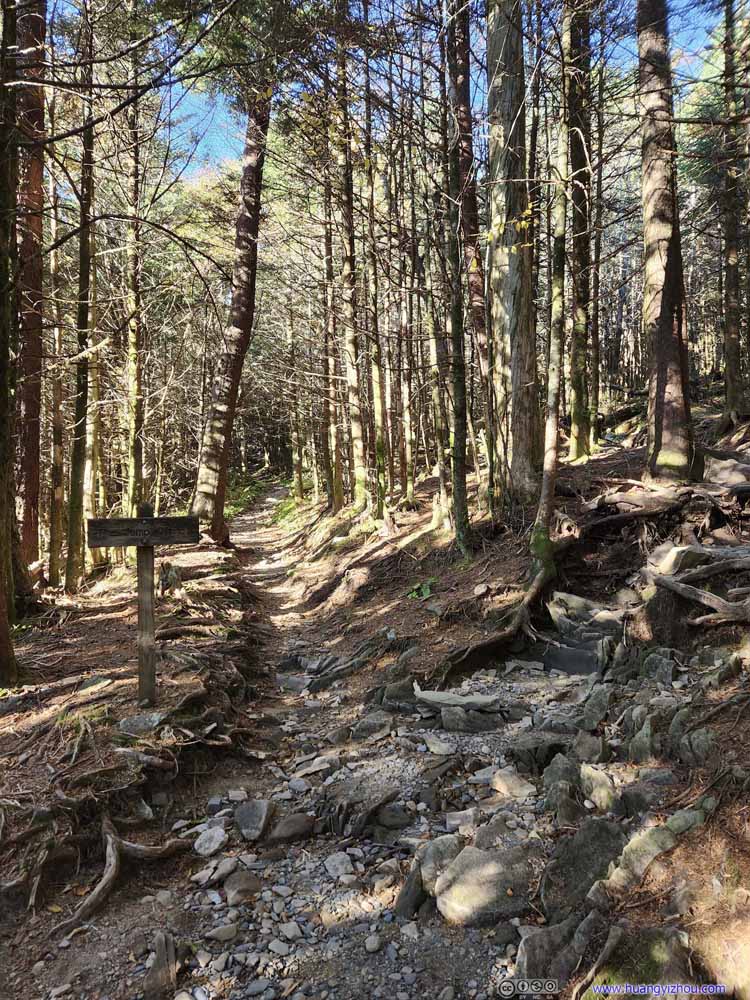 Trail
The spur towards “Jump Off” was towards the right of this intersection. If not for the sign, it’s easy to miss.
Trail
The spur towards “Jump Off” was towards the right of this intersection. If not for the sign, it’s easy to miss.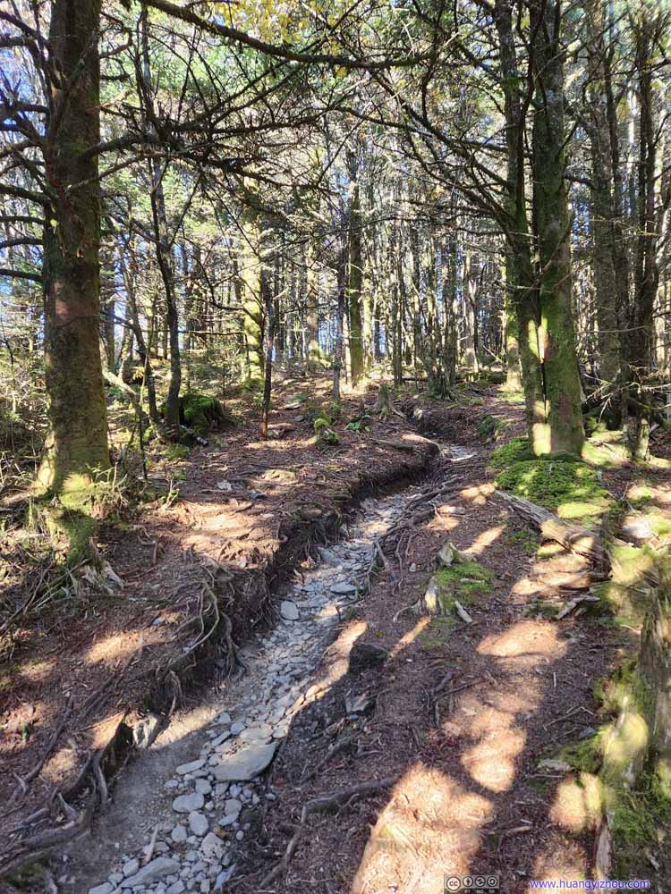 TrailAfter that, the trail was narrow and went on steep elevation gain.
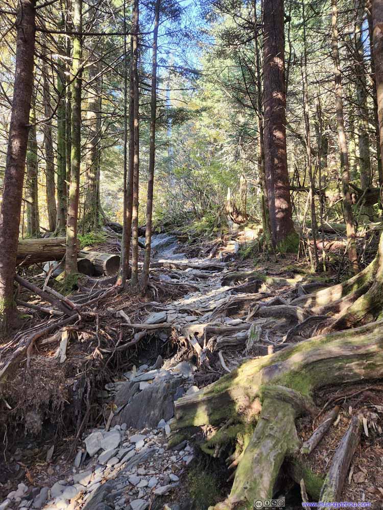 TrailThe mingled roots of trees sometimes provided footholds.
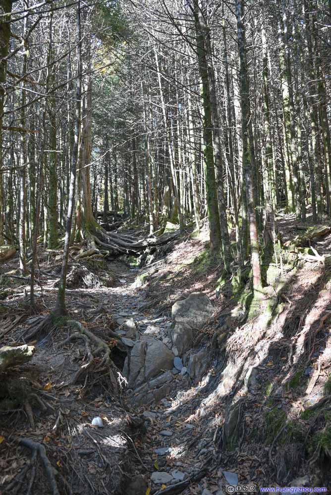 TrailThe mingled roots of trees sometimes provided footholds.
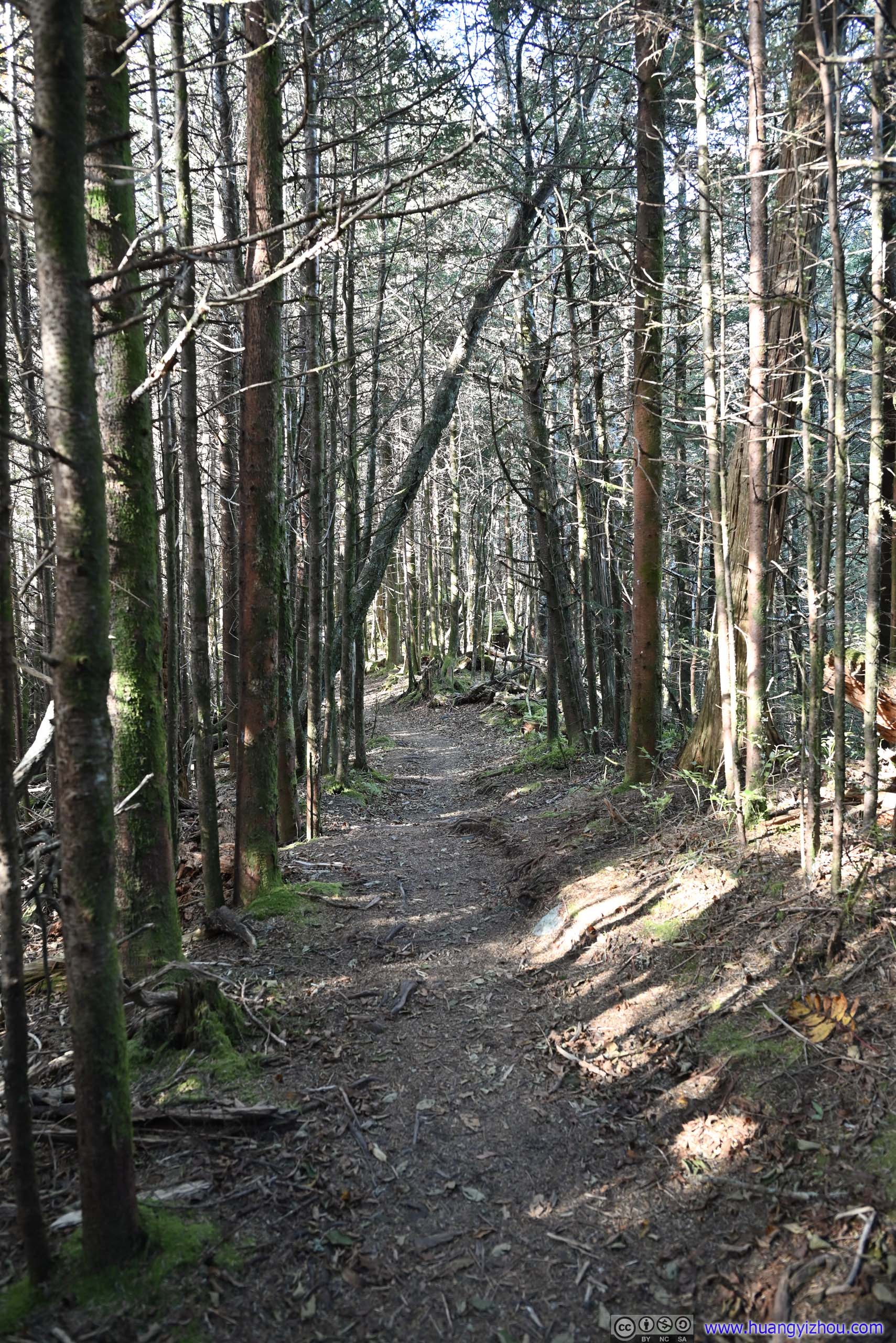
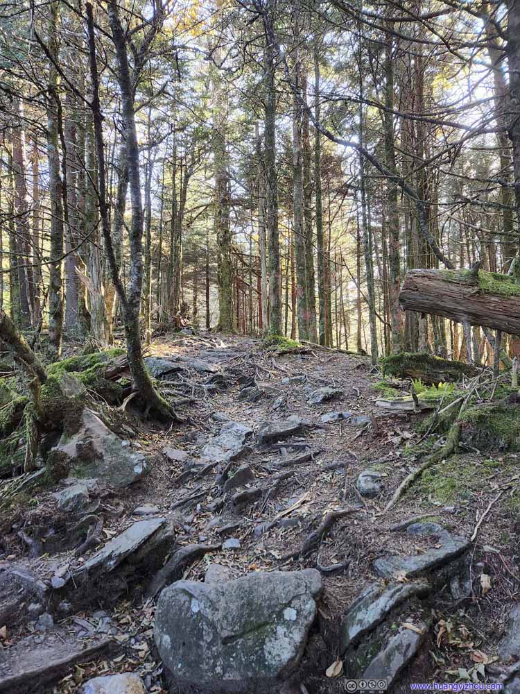 TrailAfter elevation gain eased up, the trail traversed some pine forests.
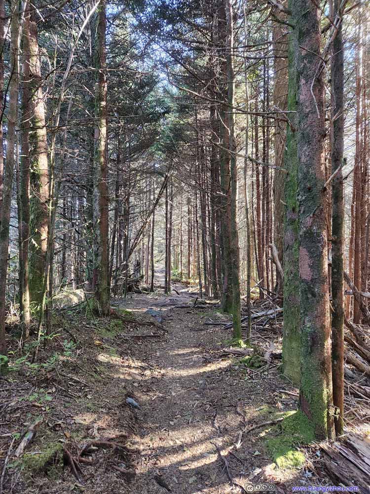 TrailAfter elevation gain eased up, the trail traversed some pine forests.
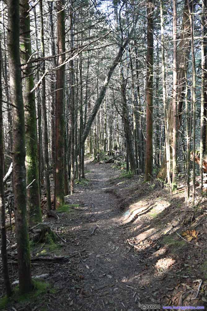 TrailAfter elevation gain eased up, the trail traversed some pine forests.


Click here to display photos of the trail to “The Jumpoff”.

Trail

TrailAfter that, the trail was narrow and went on steep elevation gain.

TrailThe mingled roots of trees sometimes provided footholds.
TrailThe mingled roots of trees sometimes provided footholds.

TrailAfter elevation gain eased up, the trail traversed some pine forests.

TrailAfter elevation gain eased up, the trail traversed some pine forests.
TrailAfter elevation gain eased up, the trail traversed some pine forests.
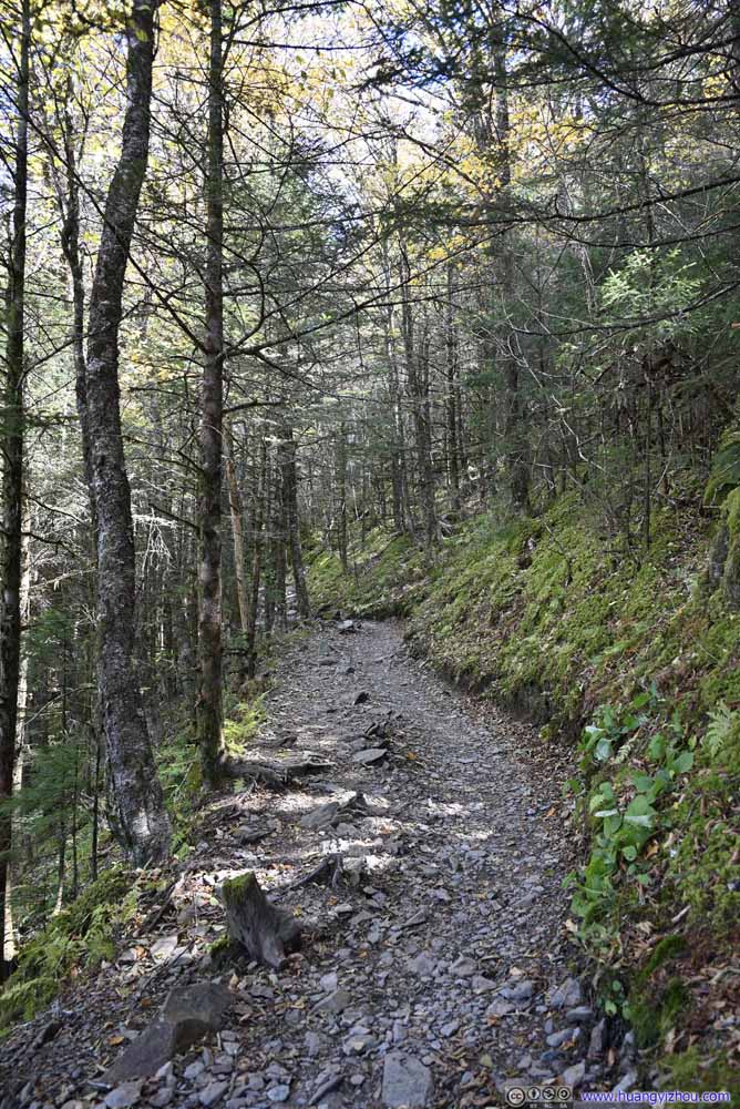
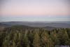
The Jumpoff wasn’t as popular as Charlies Bunion, so the trail leading to it was steeper and more primitive.
 Jumpoff
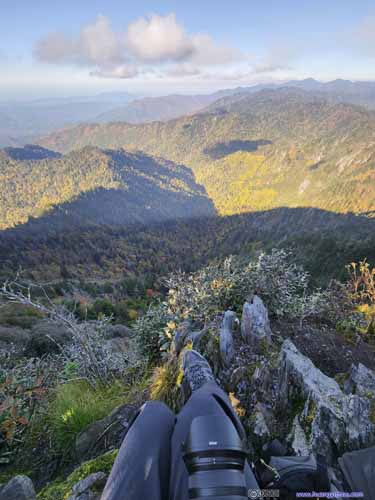
 Cliff at JumpoffLeft: I found some rocks to relax my legs while enjoying the views. Right: A cliff on the trail to Jumpoff.
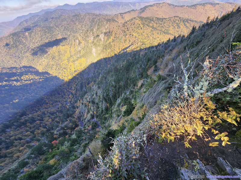 Jumpoff

Click here to display photos from The Jumpoff.

Jumpoff
 Cliff at JumpoffLeft: I found some rocks to relax my legs while enjoying the views. Right: A cliff on the trail to Jumpoff.

Jumpoff
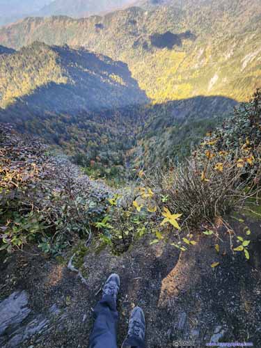
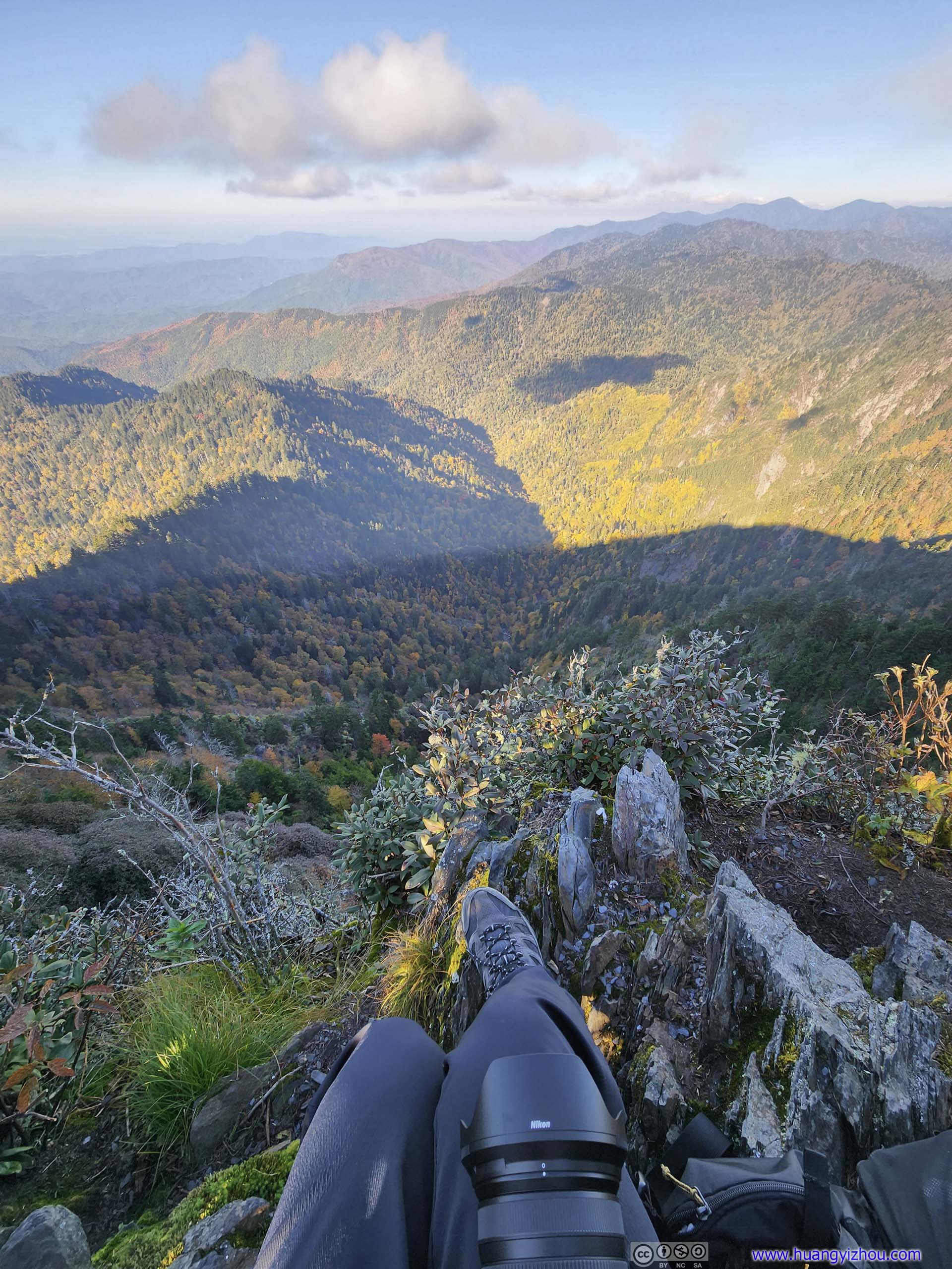
12 minutes later, I arrived at “The Jumpoff” which was a steep cliff leading down to the valley below. The trail passed right along the cliff’s edge, giving it such a name.
When I first arrived, the mountains were partially in mist, just like my experience with Charlies Bunion. Much to my surprise, I found my own shadows in the clouds below, a most marvelous sight beyond what words could describe and photos could capture.
 Mountains in Mist
 Mountains in Mist
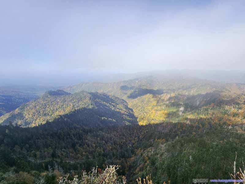 Mountains in Mist
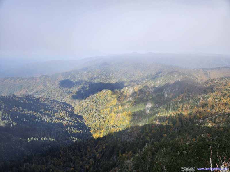 Mountains in Mist
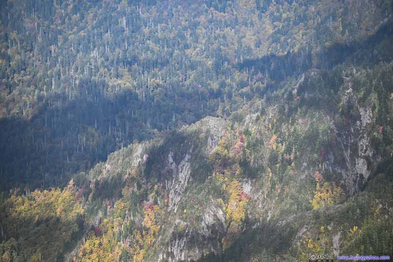 Cliffs


Click here to display photos from The Jumpoff.
Mountains in Mist
Mountains in Mist
Mountains in Mist
Mountains in Mist
Cliffs
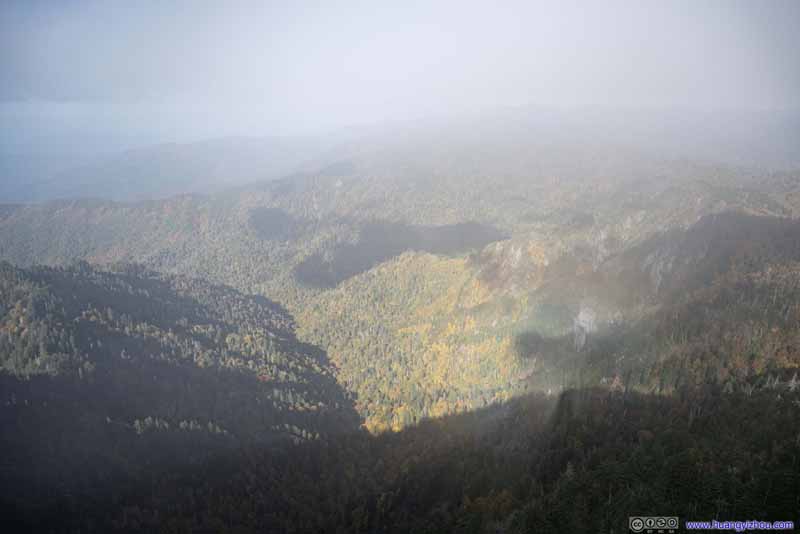
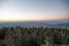
Just like Charlies Bunion, I waited a few minutes and the clouds slowly cleared, so I could enjoy the full glory of the mountains in autumn colors. It’s getting late in the afternoon so the hillsides closer to me were in shadows, otherwise I thought the views here could rival that from “Charlies Bunion”. It must be the exposure and a scary name that prevented people from visiting this place.
 Mountains
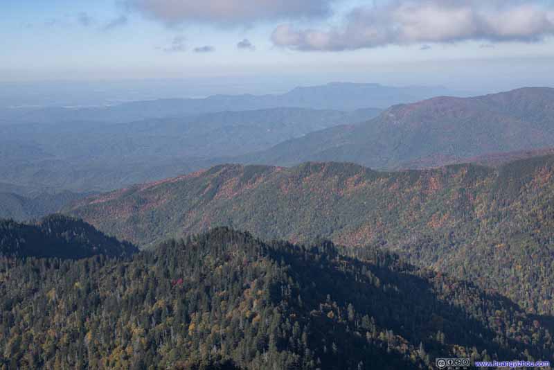 Mountains
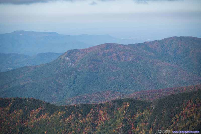 Mountains
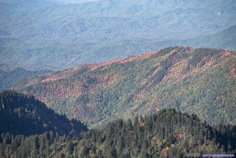 Mountains
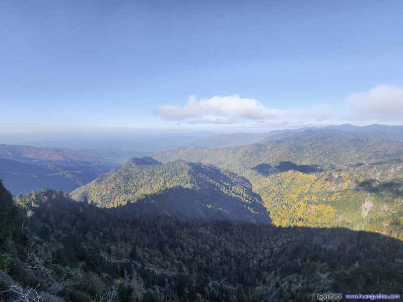 Mountains
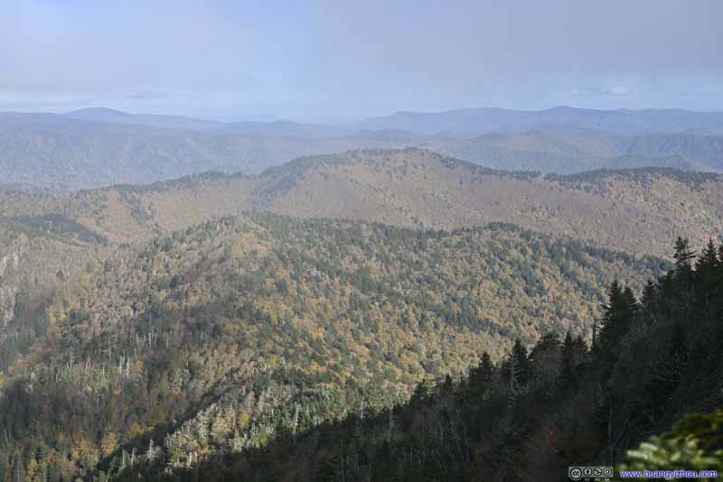 Mountains
 Charlies BunionAfter some extensive search, I finally located Charlies Bunion, where I was earlier.


Click here to display photos from The Jumpoff.
Mountains
Mountains
Mountains
Mountains

Mountains
Mountains
Charlies BunionAfter some extensive search, I finally located Charlies Bunion, where I was earlier.
View from The Jumpoff
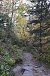
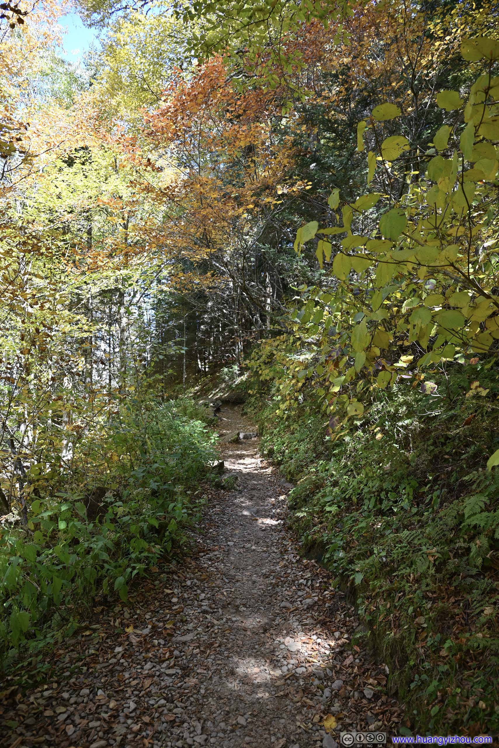
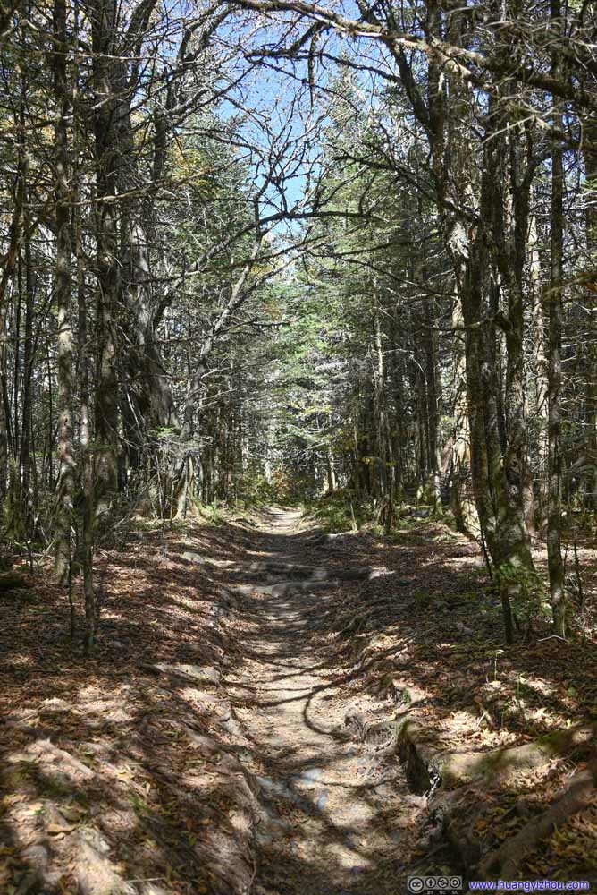
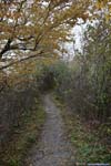
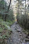
After spending about 20 minutes at the Jumpoff, I started to head back, picking up more autumn colors along the trail.
 Trail
Trail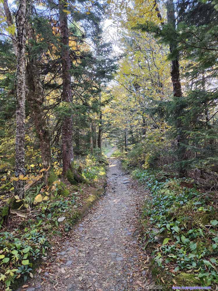 Trail
Trail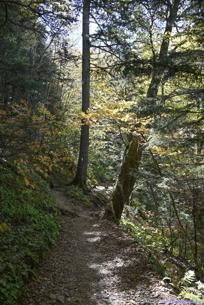 Trail
Trail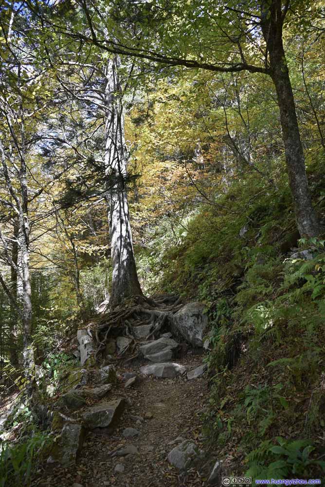 Trail
Trail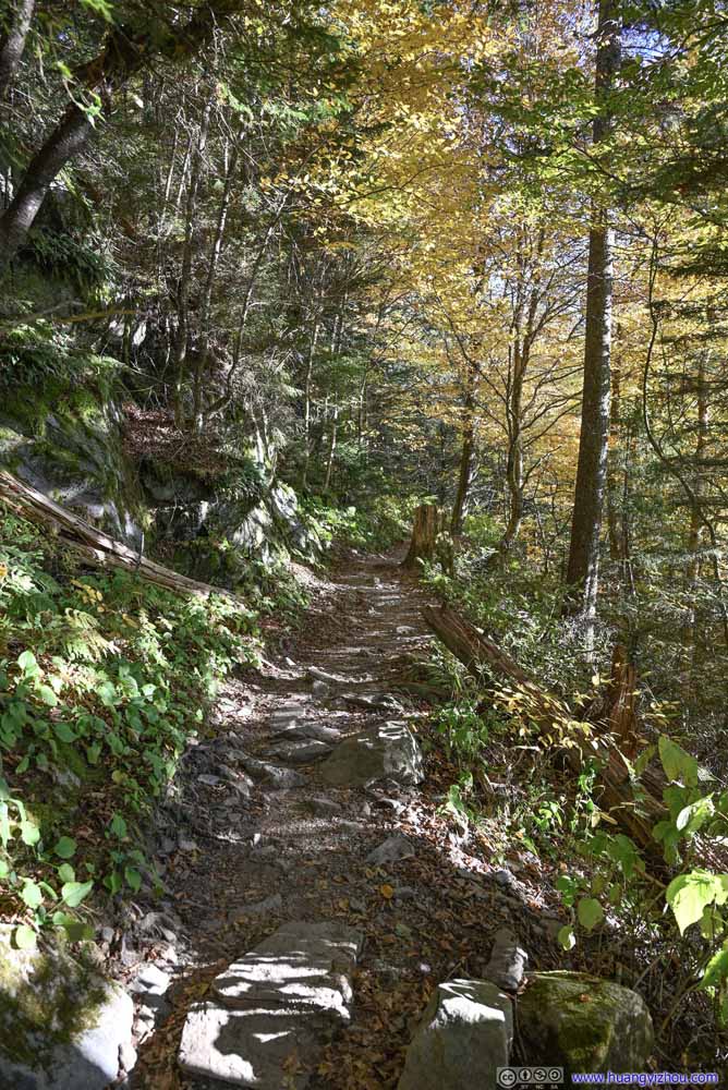 Trail
Trail Trail
Trail


Click here to display photos of the trail.
Trail

Trail
Trail

Trail

Trail
Trail
 Trail
Trail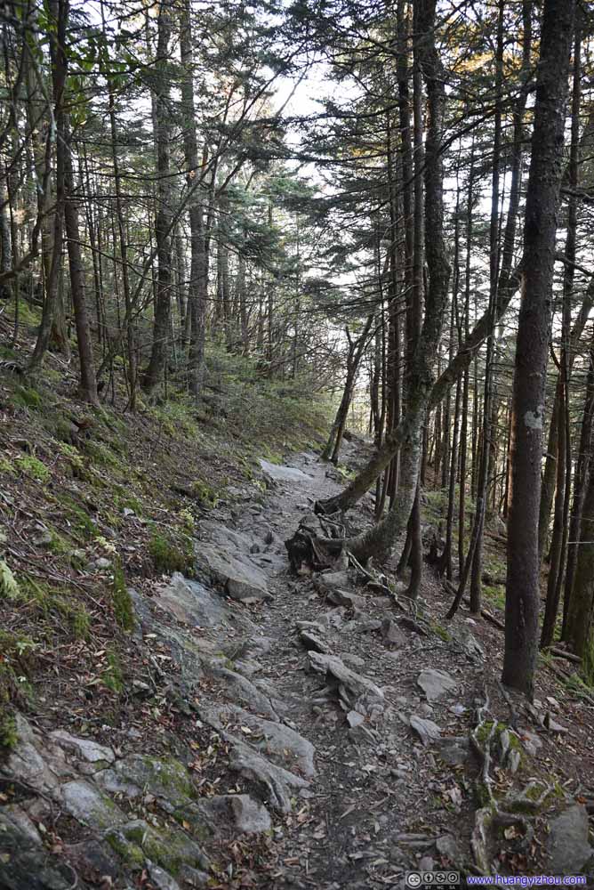 Trail
Trail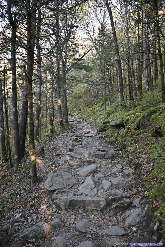 Trail
Trail Trail
Trail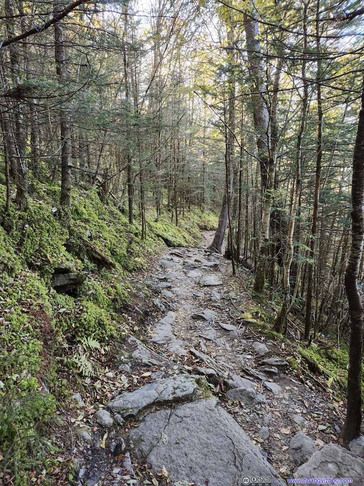 Trail
Trail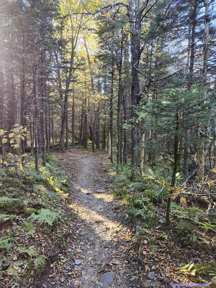 Trail
Trail Trail
Trail Trail
Trail
Click here to display photos of the trail.

Trail
Trail

Trail
Trail
Trail
Trail
Trail
Trail
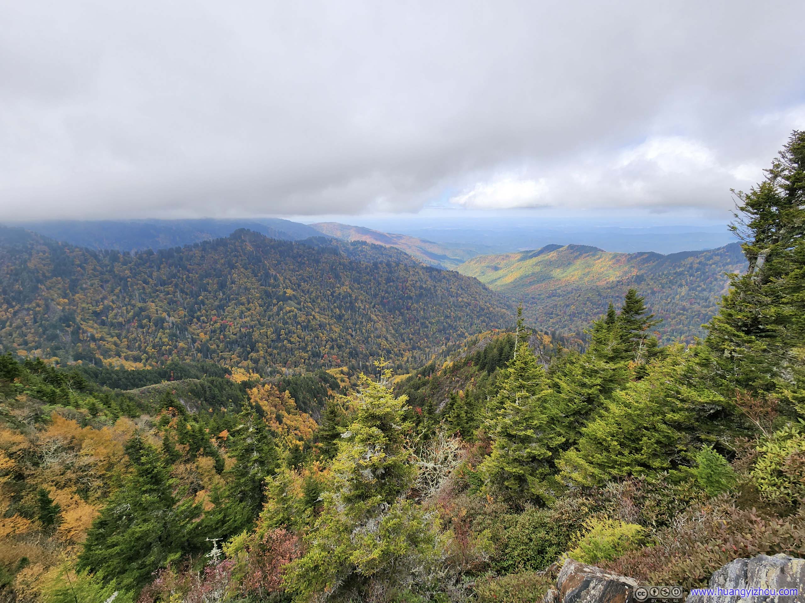
Finally, I got back to Newfound Gap at 6:20pm. After that, I drove up to Clingmans Dome, hoping to catch the sunset.
Clingmans Dome
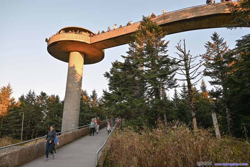
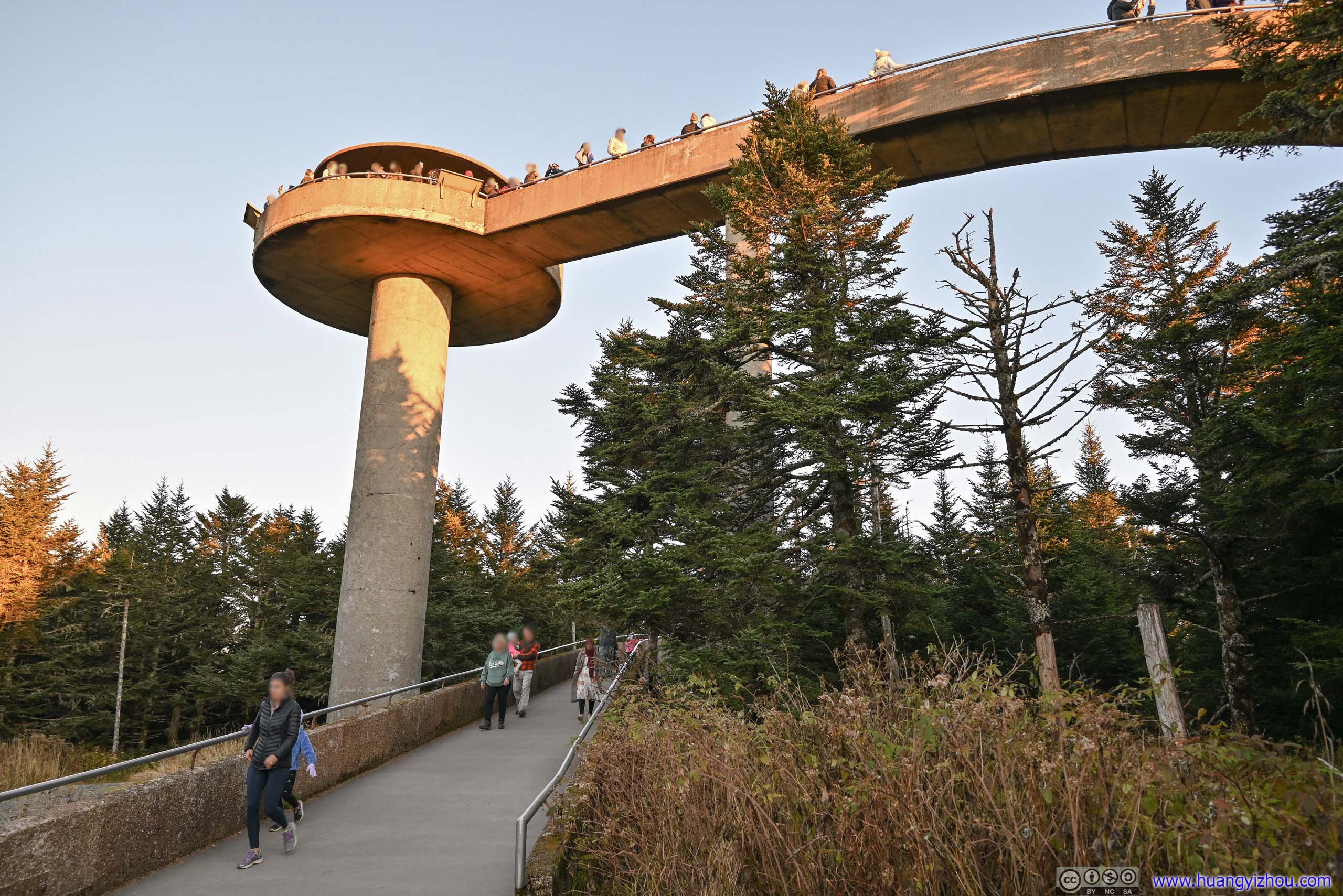
Sitting on the boundary between Tennessee and North Carolina, Clingmans Dome is the highest mountain in Great Smoky Mountains National Park, and the highest in the state of Tennessee. The peak featured an observation tower with a spiral ramp, affording visitors with panoramical views.
Parking was hard to find at Clingmans Dome during peak visitation seasons, as I drove past lines of cars parked (illegally) along the access road. But I seemed to have good luck with parking for the day, as I pulled into a spot just as another car was leaving.
From the parking lot, it was an additional 900m one-way uphill trail to the observation tower. The trail was paved, but at an incline. I anticipated the tower to be next to the parking lot, and this hike towards the end of the day was unpleasantly unexpected.
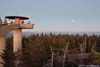
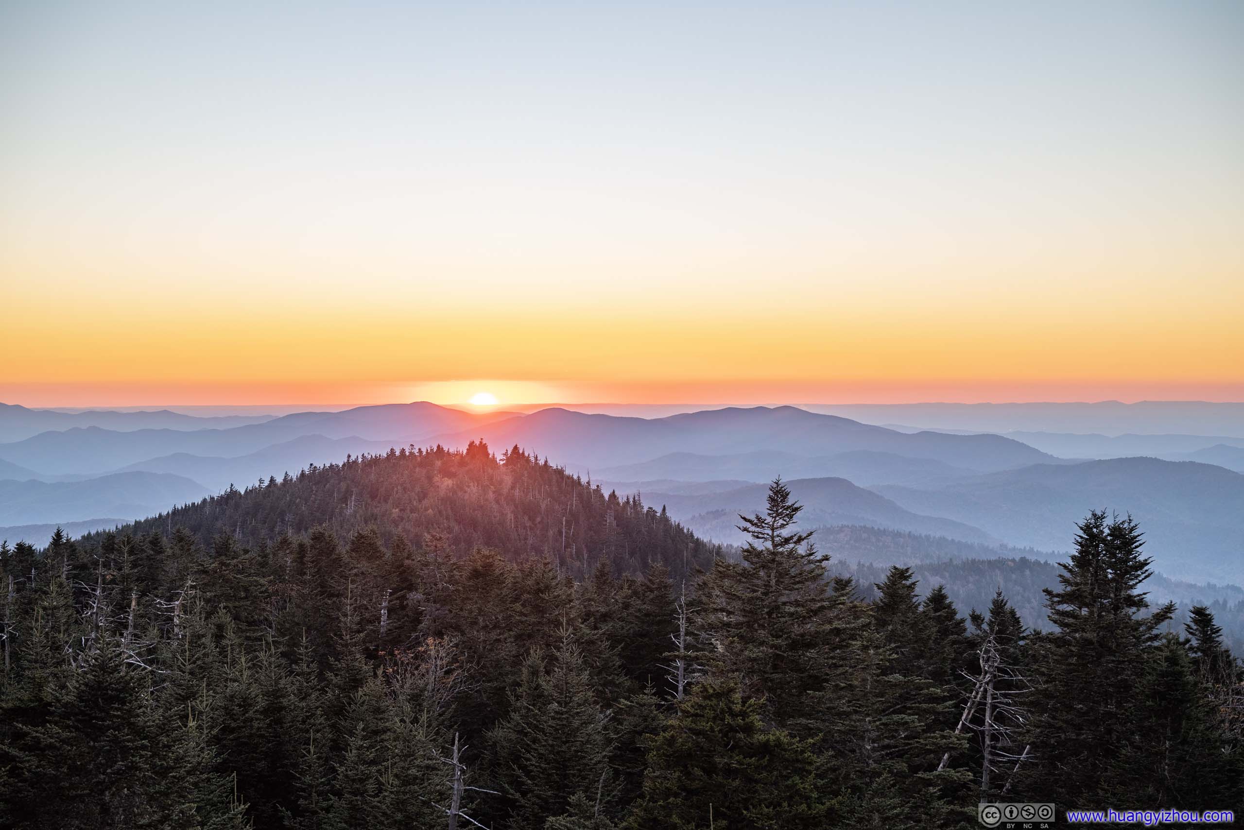
 Clingmans DomeI arrived 10 minutes before sunset.
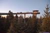
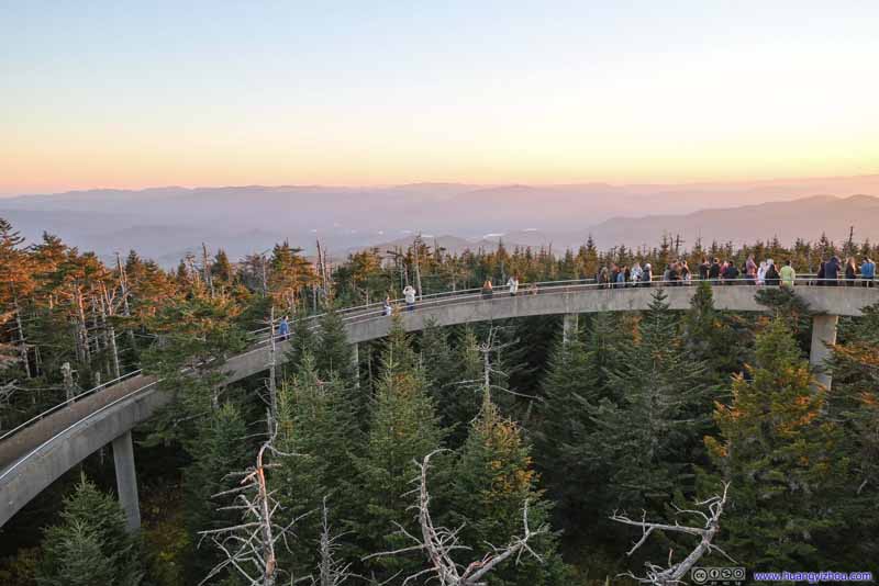 Path onto Observation TowerThe crowds gathered along the pathway for sunset.
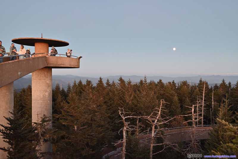 Clingmans Dome Observation Tower20 minutes after sunset, there were still a few people left when I started to head back.
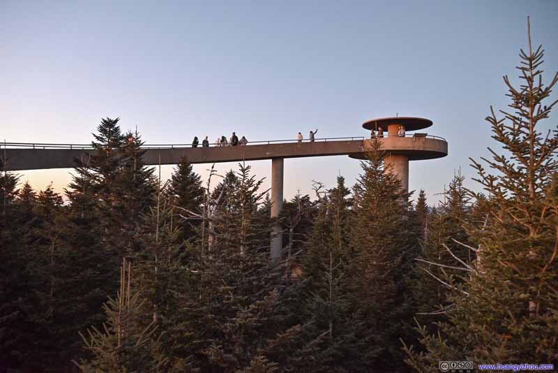 Clingmans Dome Observation Tower20 minutes after sunset, there were still a few people left when I started to head back.
Click here to display photos of the observation tower.
Clingmans DomeI arrived 10 minutes before sunset.
Path onto Observation TowerThe crowds gathered along the pathway for sunset.

Clingmans Dome Observation Tower20 minutes after sunset, there were still a few people left when I started to head back.

Clingmans Dome Observation Tower20 minutes after sunset, there were still a few people left when I started to head back.
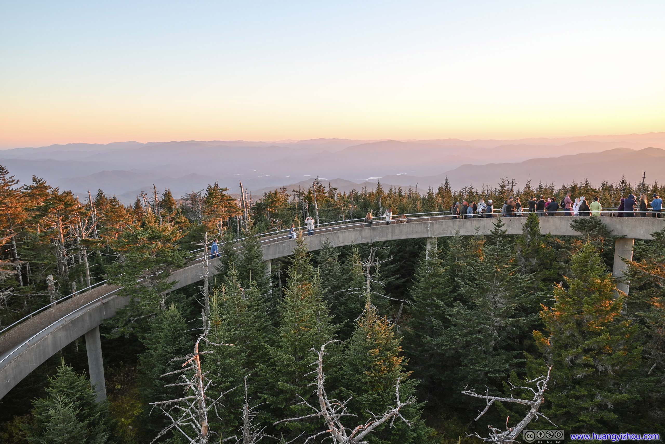
Finally, I arrived at the observation tower just in time, and join the crowds lining the spiral pathway for sunset.
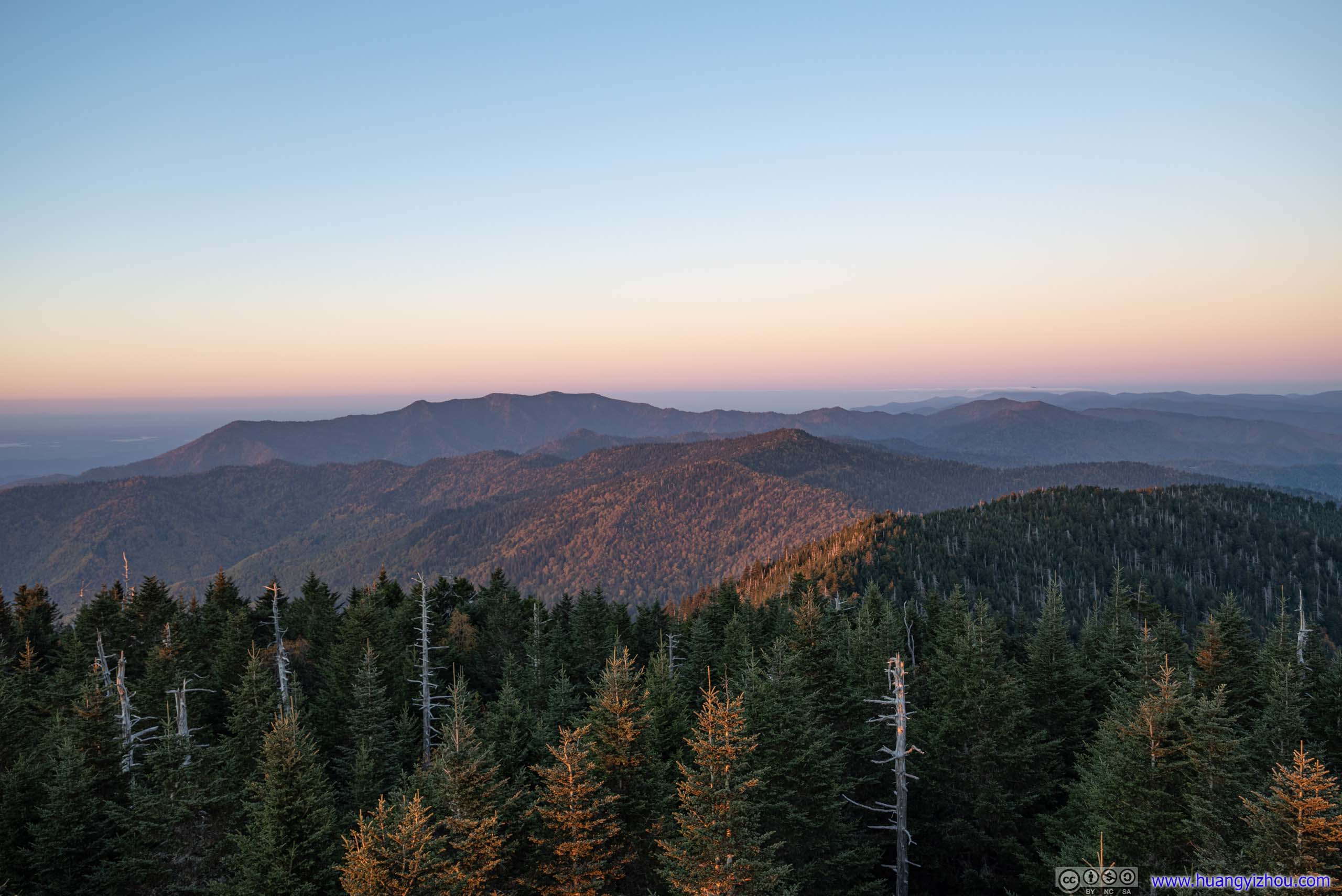
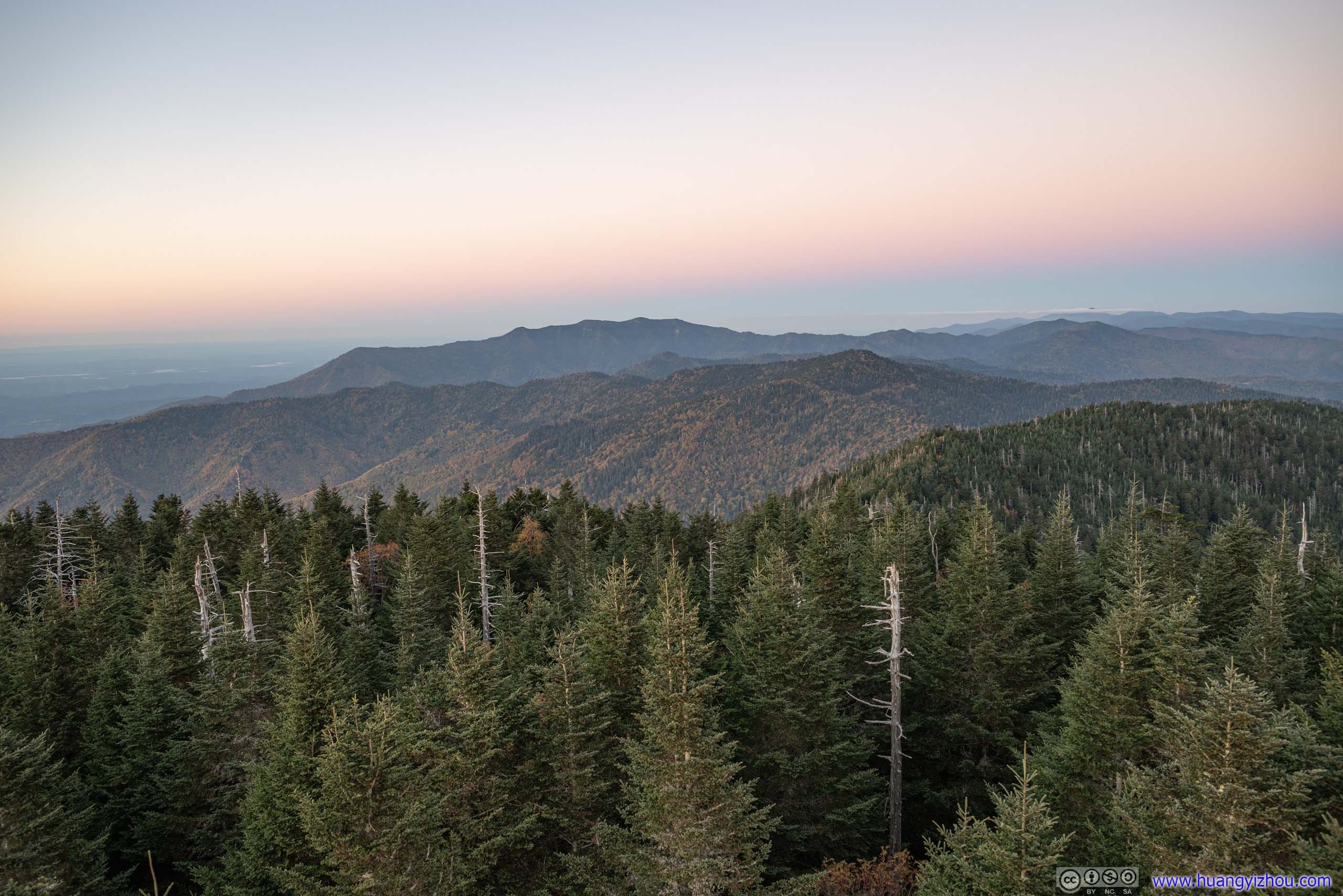
Usually, I prefer the soft and vivid colors of twilight after sunset, but when I went through the photos I took at Clingmans Dome, I found the setting sun was lighting up the tips of fir trees surrouding the tower, and their interplay with shadows was making the perfect photos.
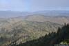
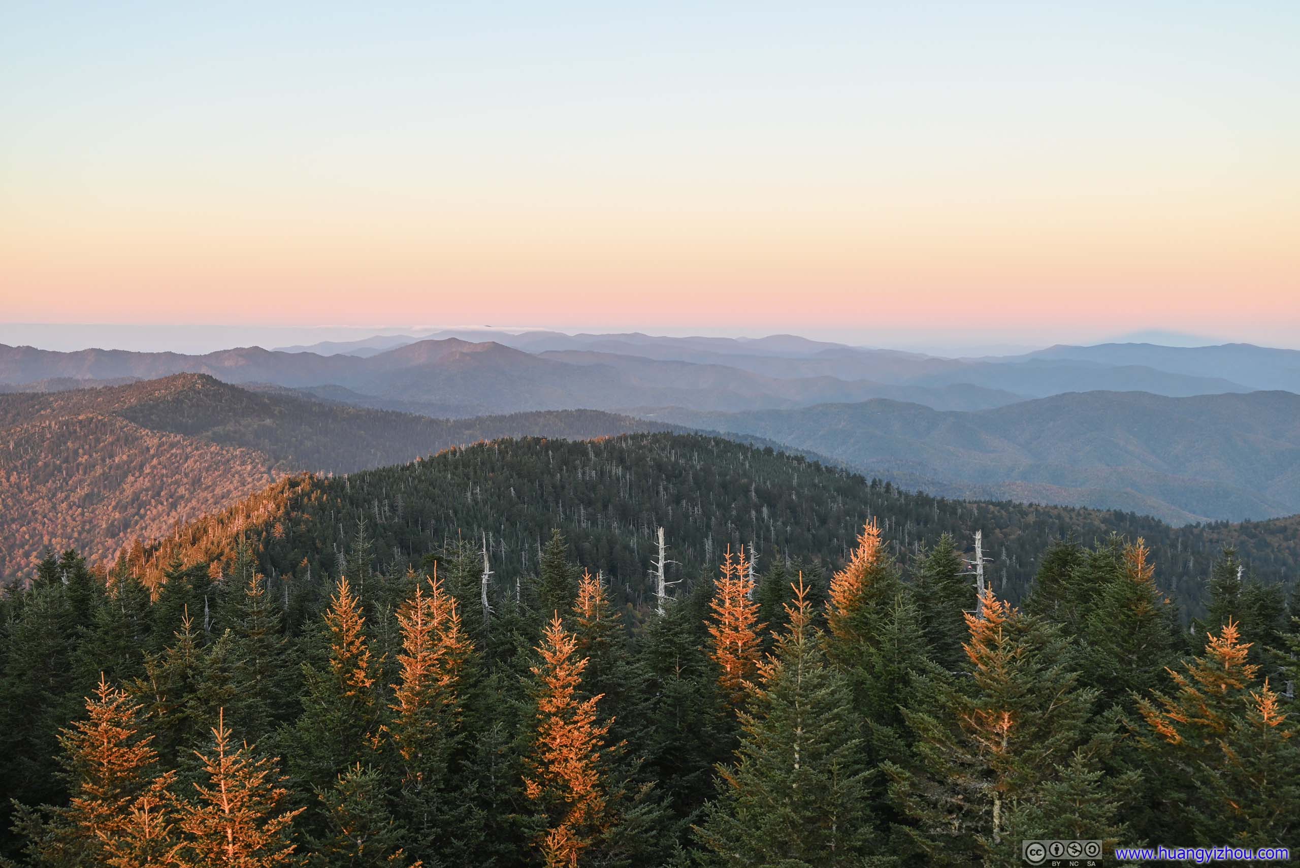
 Mountains to the NorthMount Le Conte, a prominent mountain in the background.
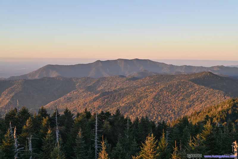 Mountains to the NorthMount Le Conte, a prominent mountain in the background.
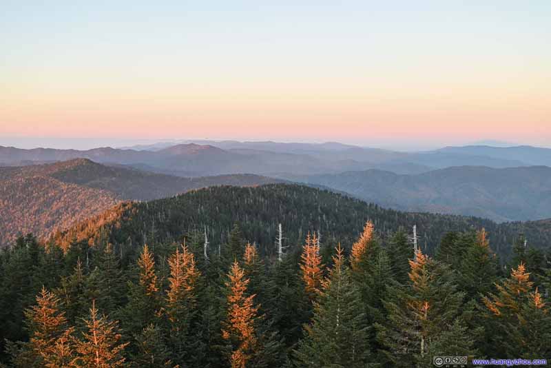 Mountains to the Northeast
 Fields and Mountains to the Northwest
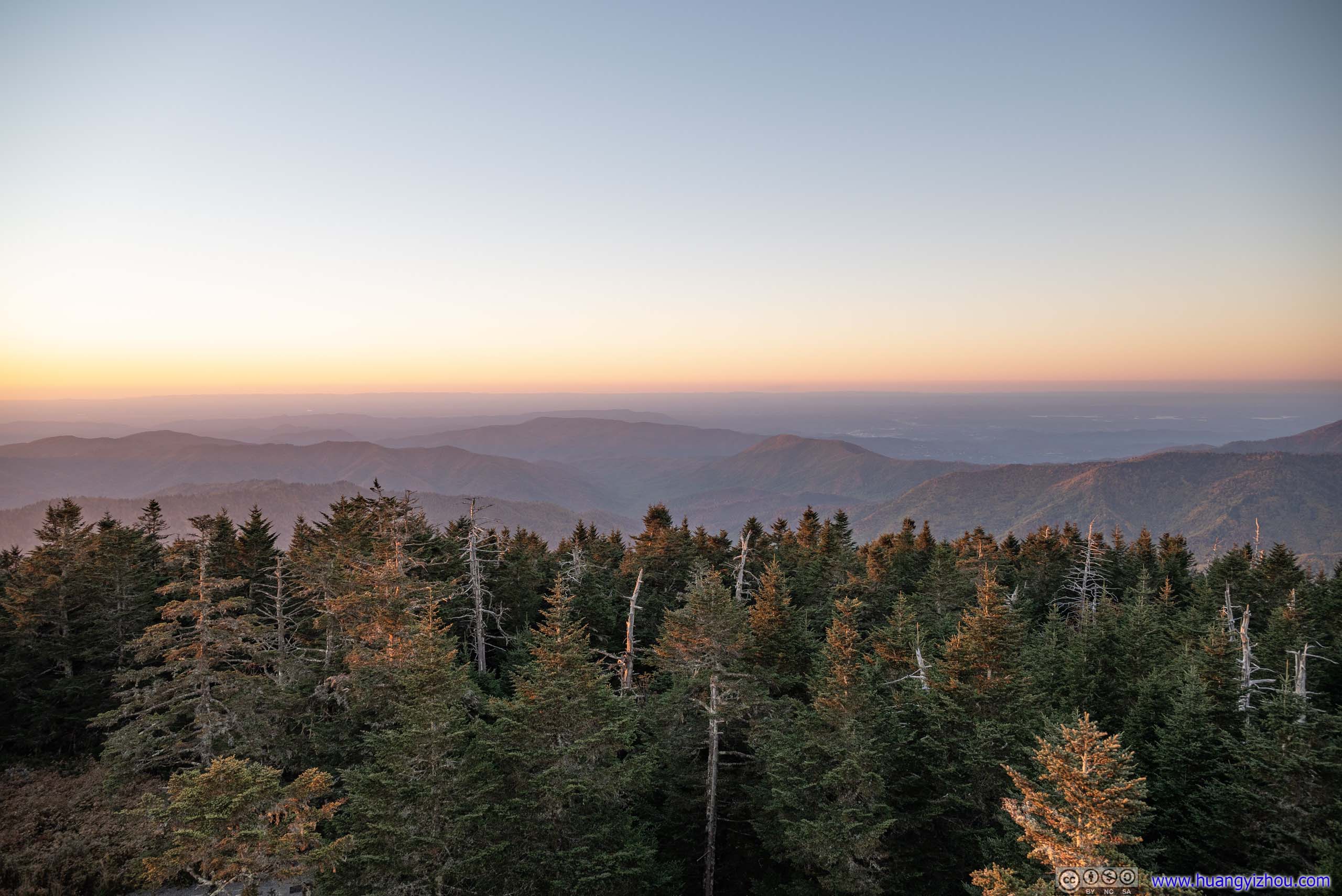
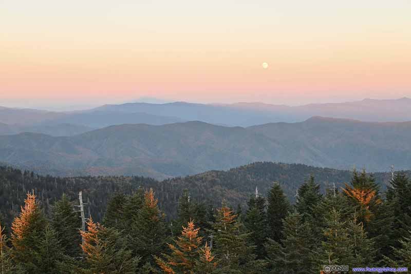 Mountains to the East
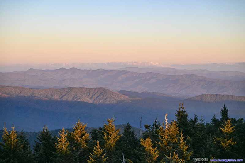 Mountains to the EastThe ones along southern part of Blue Ridge Parkway, like Richland Balsam and Shining Rock.
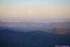
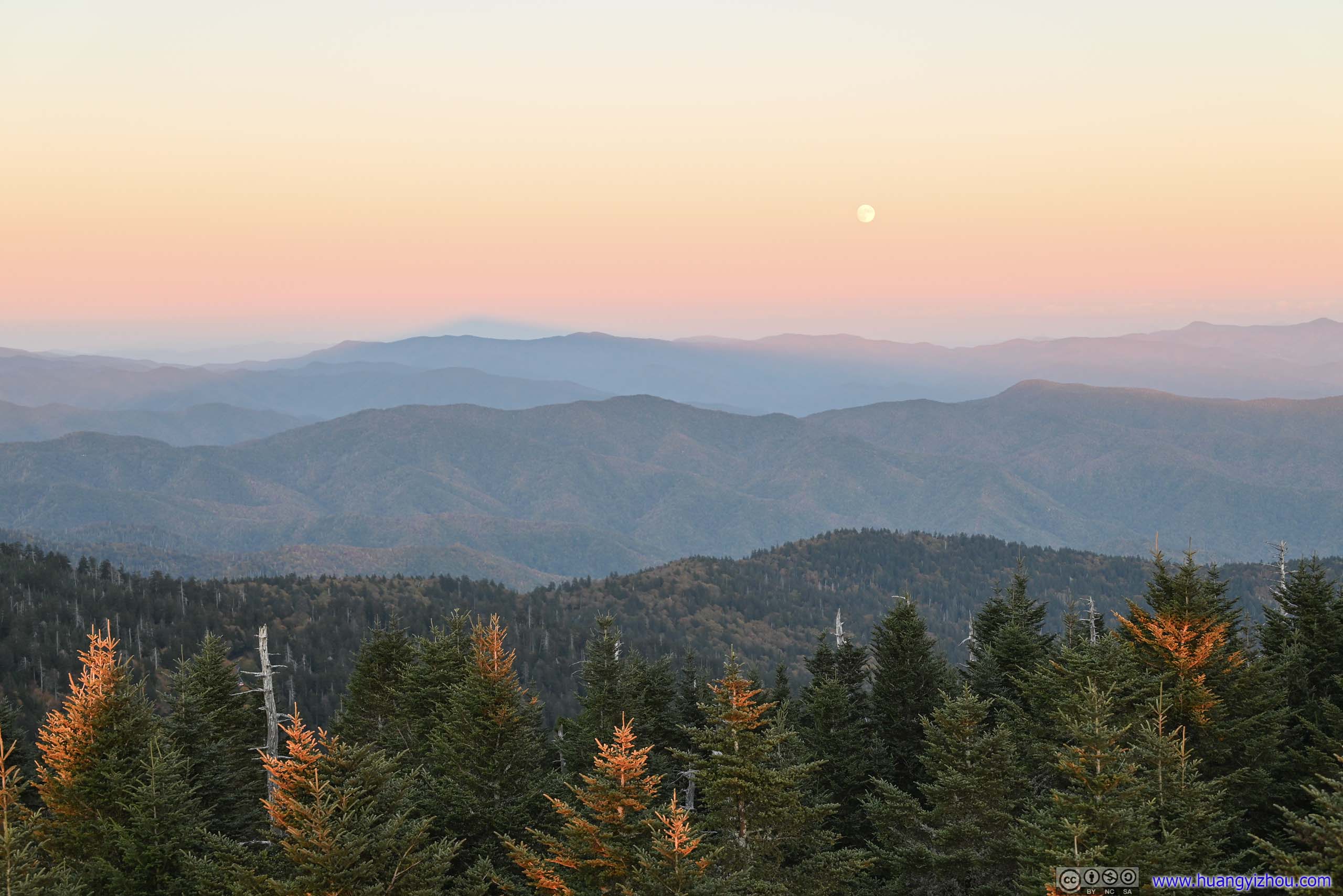
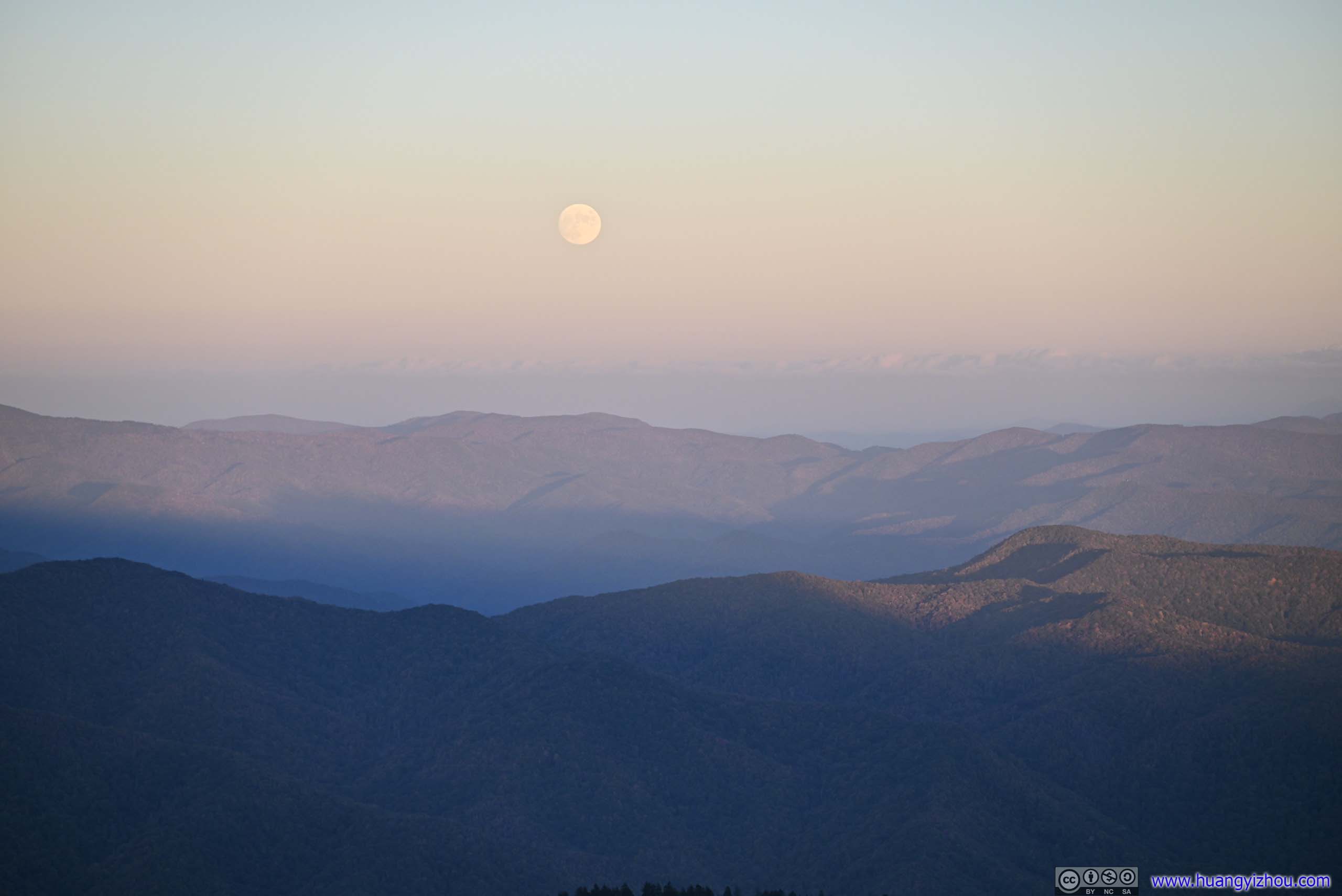
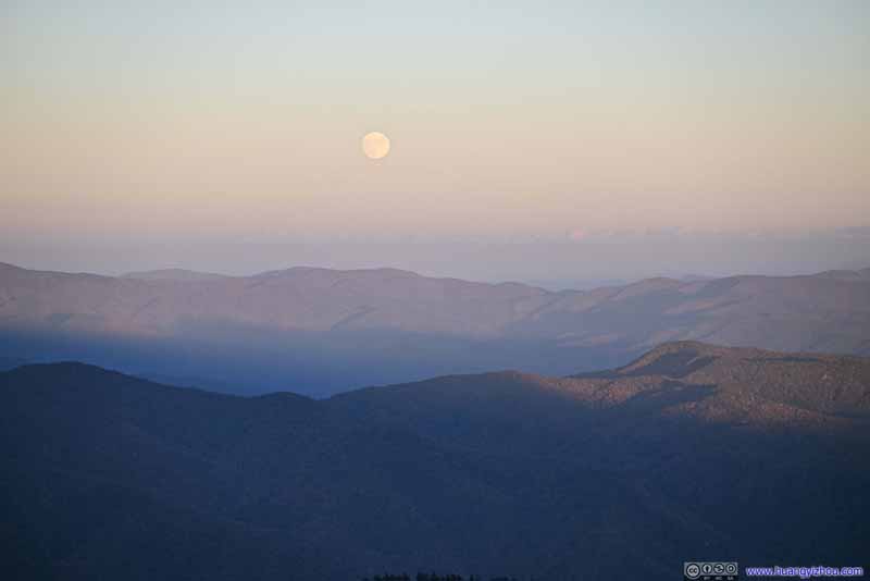 Rising Moon

Click here to display photos of the mountains before sunset.
Mountains to the NorthMount Le Conte, a prominent mountain in the background.

Mountains to the NorthMount Le Conte, a prominent mountain in the background.
Mountains to the Northeast
Fields and Mountains to the Northwest
Mountains to the East

Mountains to the EastThe ones along southern part of Blue Ridge Parkway, like Richland Balsam and Shining Rock.
Rising Moon
With that, I was most fond of the mountains to the north, like Mount Le Conte which I was to summit the next day. In comparison, the sunset just didn’t seem as spectacular. (Another reason being it’s rather crowded on the side facing the sunset.)
Sunset
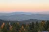
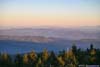
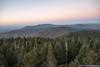
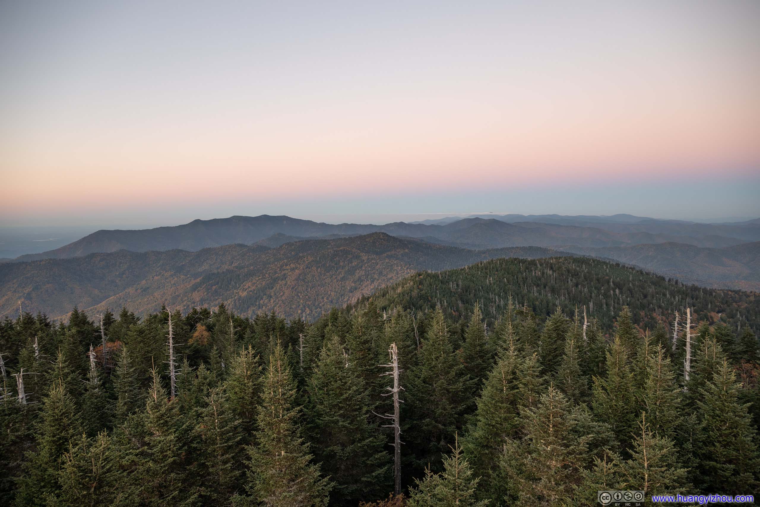
And finally, the tranquil colors of the mountains after sunset.
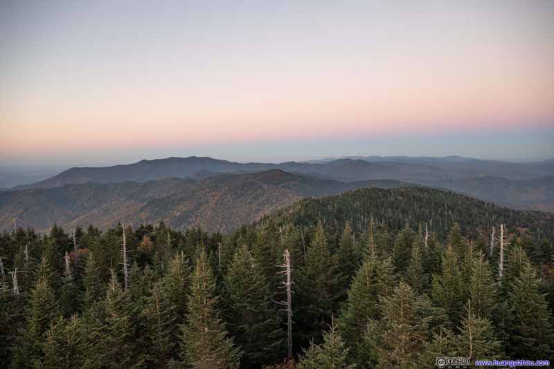 Mountains to the North
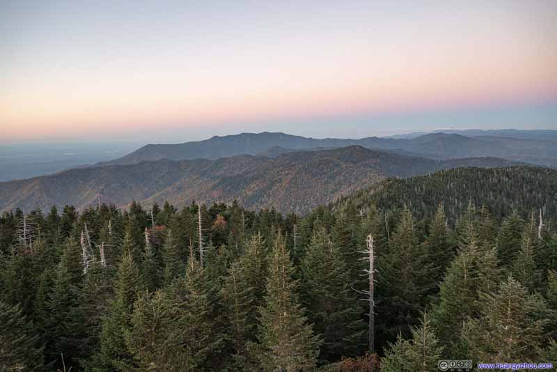 Mountains to the North
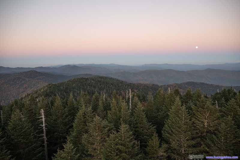 Mountains to the Northeast
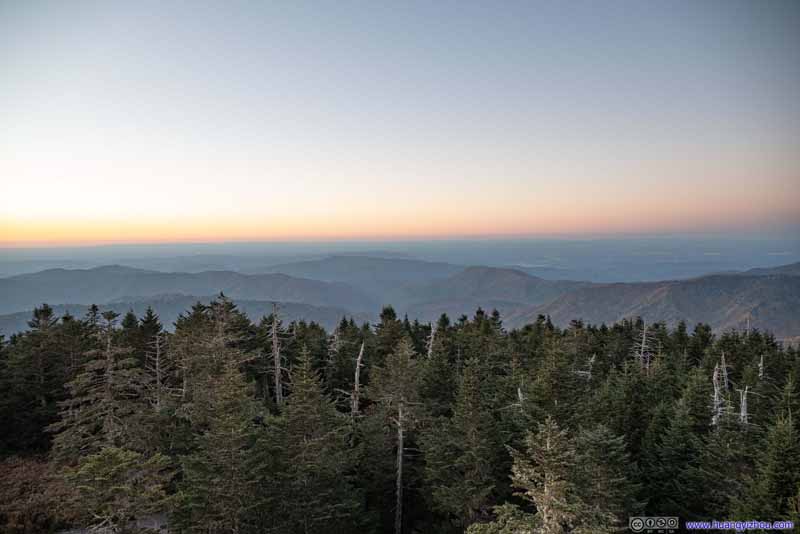 Fields and Mountains to the Northwest
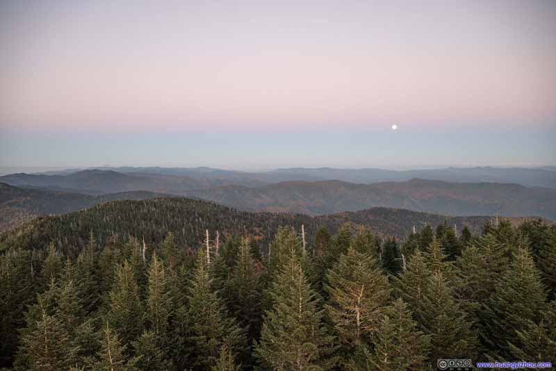 Mountains to the East
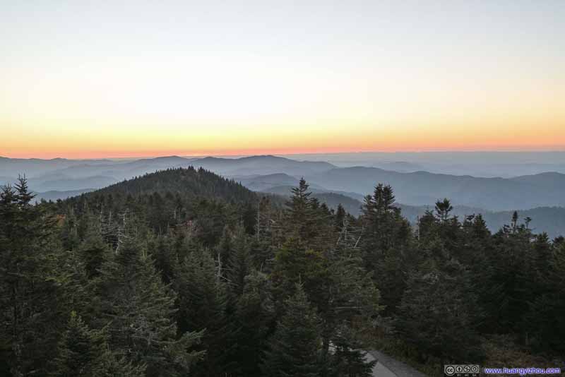 Mountains to the West after Sunset
Click here to display photos of the mountains after sunset.
Mountains to the North
Mountains to the North

Mountains to the Northeast
Fields and Mountains to the Northwest
Mountains to the East
Mountains to the West after Sunset
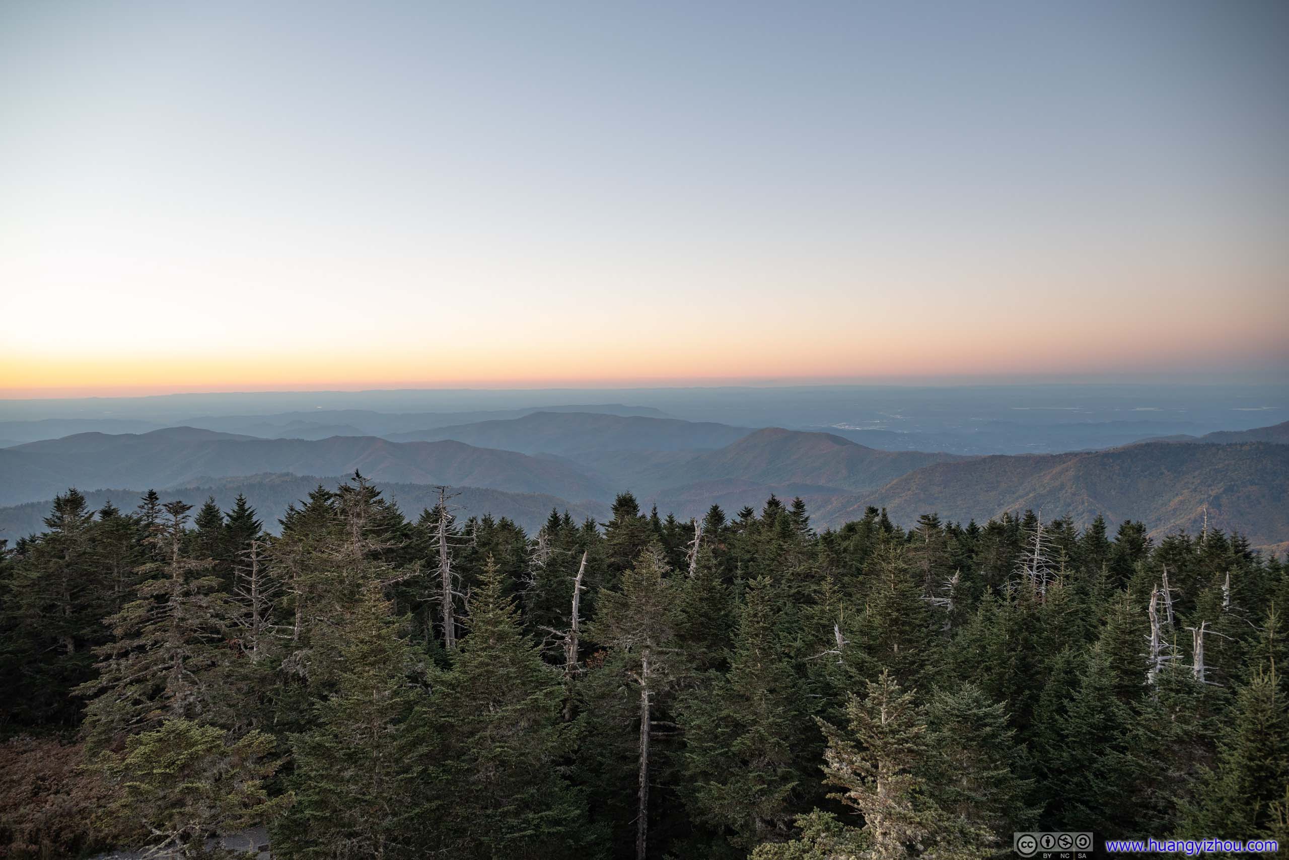
 View from Clingmans DomeTowards the northwest (top) and northeast (bottom).
After sunset, it got both dark and cold rather quickly. So not long after that, I retreated back to the car. (The bitterness and the steep incline combined didn’t work well with my knees.) Then I drove to the town of Pigeon Forge where I would spend the next two nights.
END
![]() October 2022 Foliage, Charlies Bunion and Clingmans Dome of Great Smoky Mountain National Park by Huang's Site is licensed under a Creative Commons Attribution-NonCommercial-ShareAlike 4.0 International License.
October 2022 Foliage, Charlies Bunion and Clingmans Dome of Great Smoky Mountain National Park by Huang's Site is licensed under a Creative Commons Attribution-NonCommercial-ShareAlike 4.0 International License.