
Updated on February 21, 2023
Hiking Riprap Trail of Shenandoah National Park
A trip on a popular hiking trail in the southern part of Shenandoah National Park that I went with my school’s outdoor club.
Chimney Rock
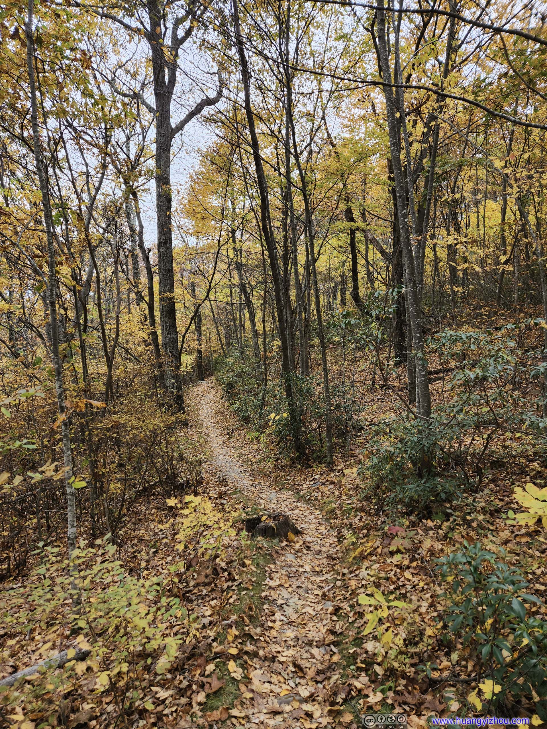
Riprap was a popular trail in the southern part of Shenandoah National Park. At 15km long, it formed a loop that featured diverse terrains from creeks and swimming ponds to rocky and scenic overlooks. This trip happened on the third Saturday of October, about peak foliage time in the park.
We reached Swiftrun Gap entrance of Shenandoah National Park just before 10am, with a short queue of cars that attested to the park’s popularity in autumn. By the time we reached Riprap Trail Parking, it’s 10:40am and we managed to park in the last spots of the tiny parking lot. (Since it’s a loop trail, the alternative parking was at “Wildcat Ridge Parking”, which was our backup option that’s presumably not as popular.)
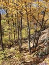
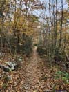
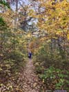
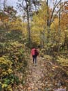
After some warmup, it’s 10:50am by the time we started the hike. We decided to take the loop in the counterclockwise direction, scenery first.
Here’s GPS tracking:
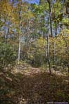
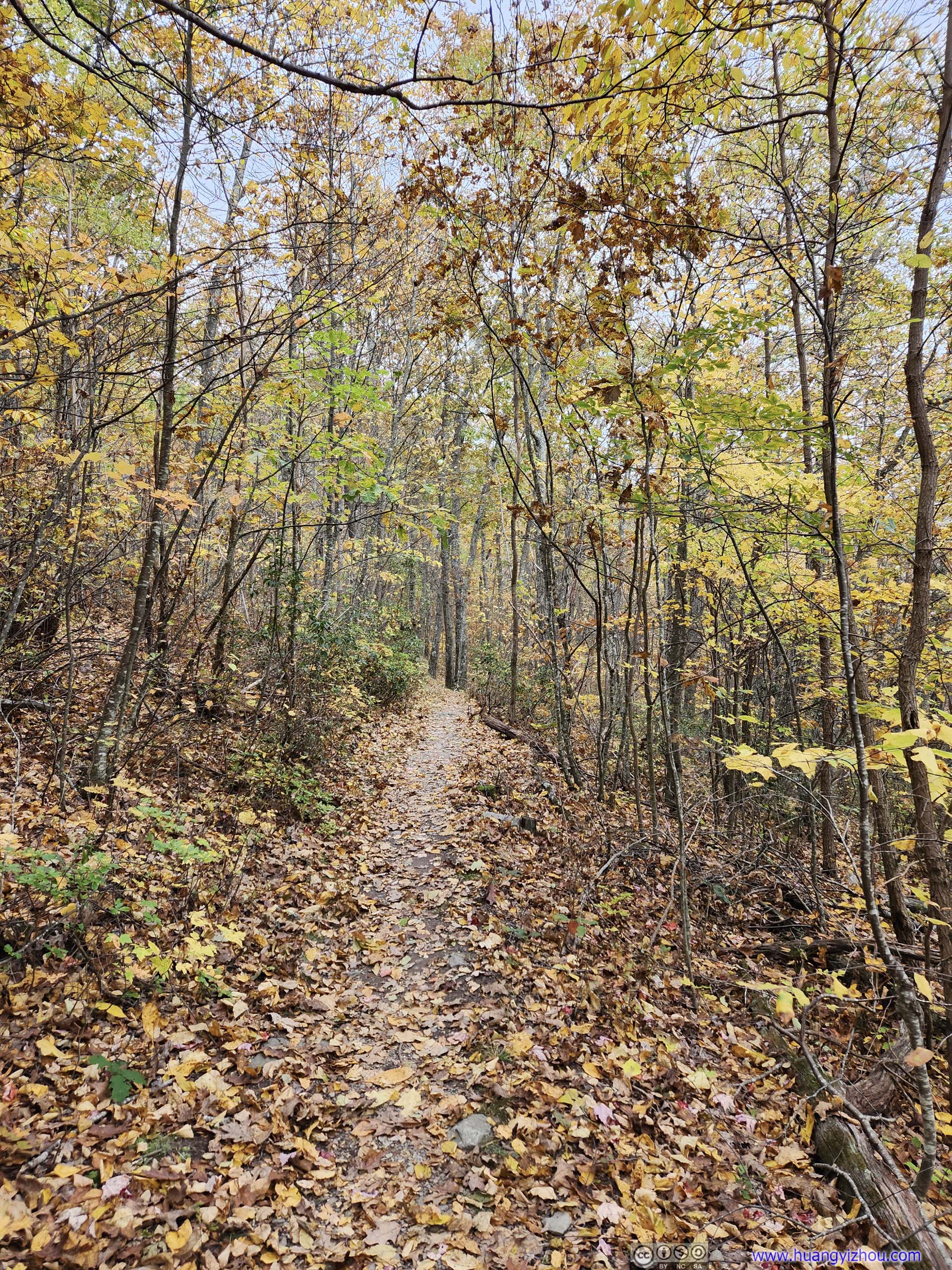
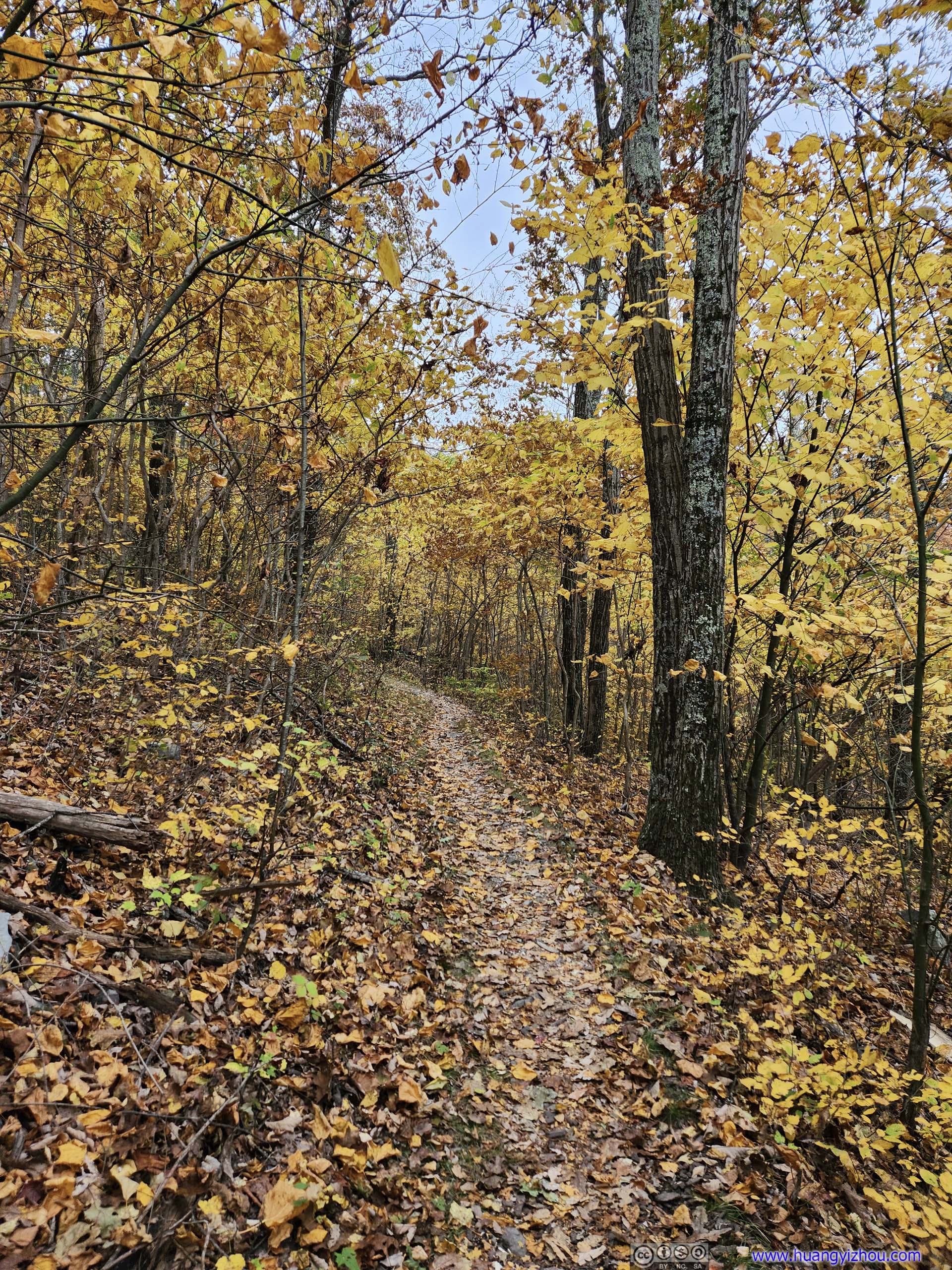
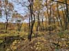
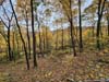
 Trail
Trail

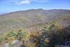
 Hill and Distant Fields
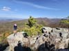
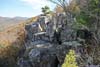
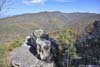
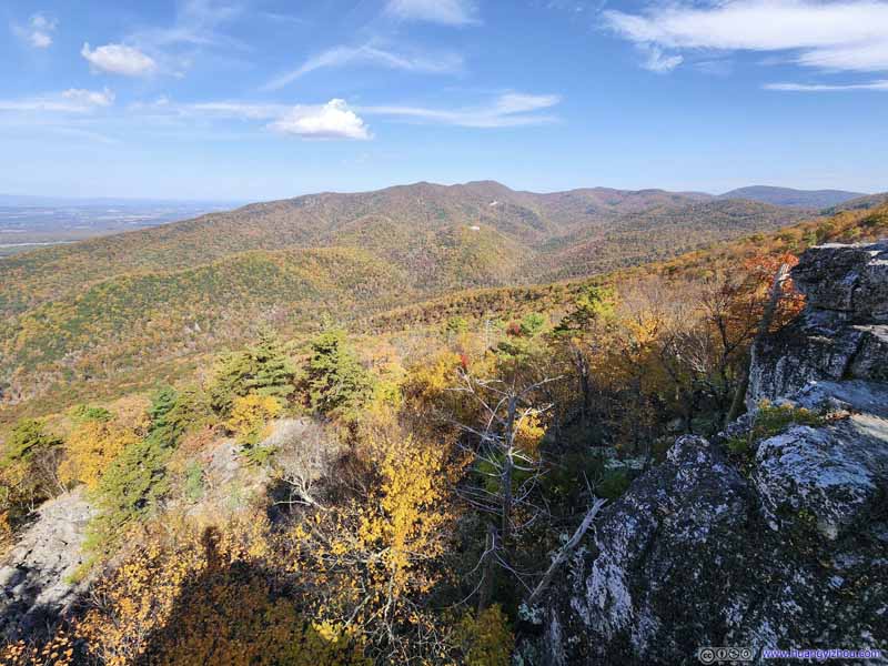
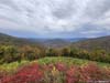
Finally, around 11:40am, we reached Chimney Rock.
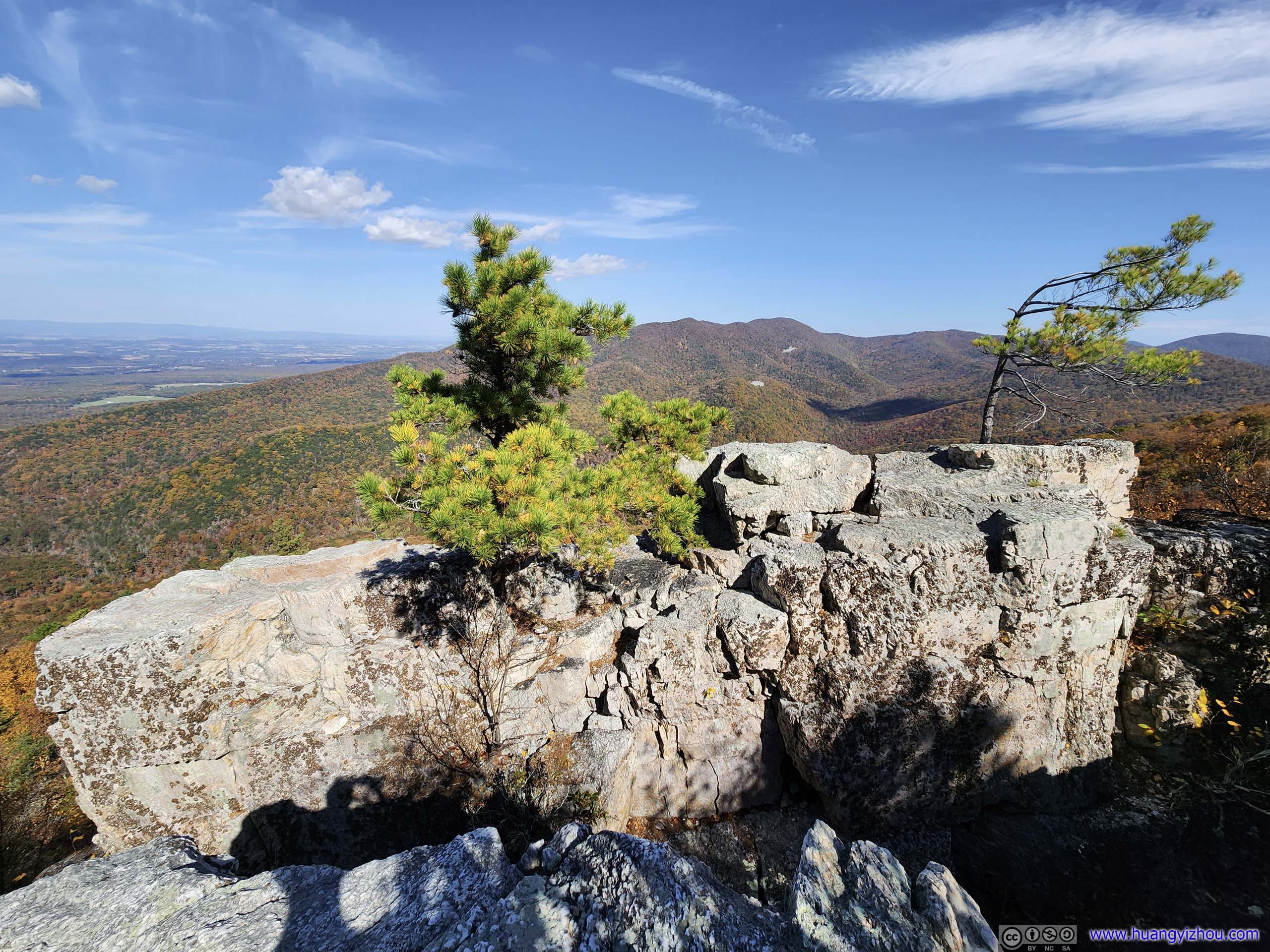
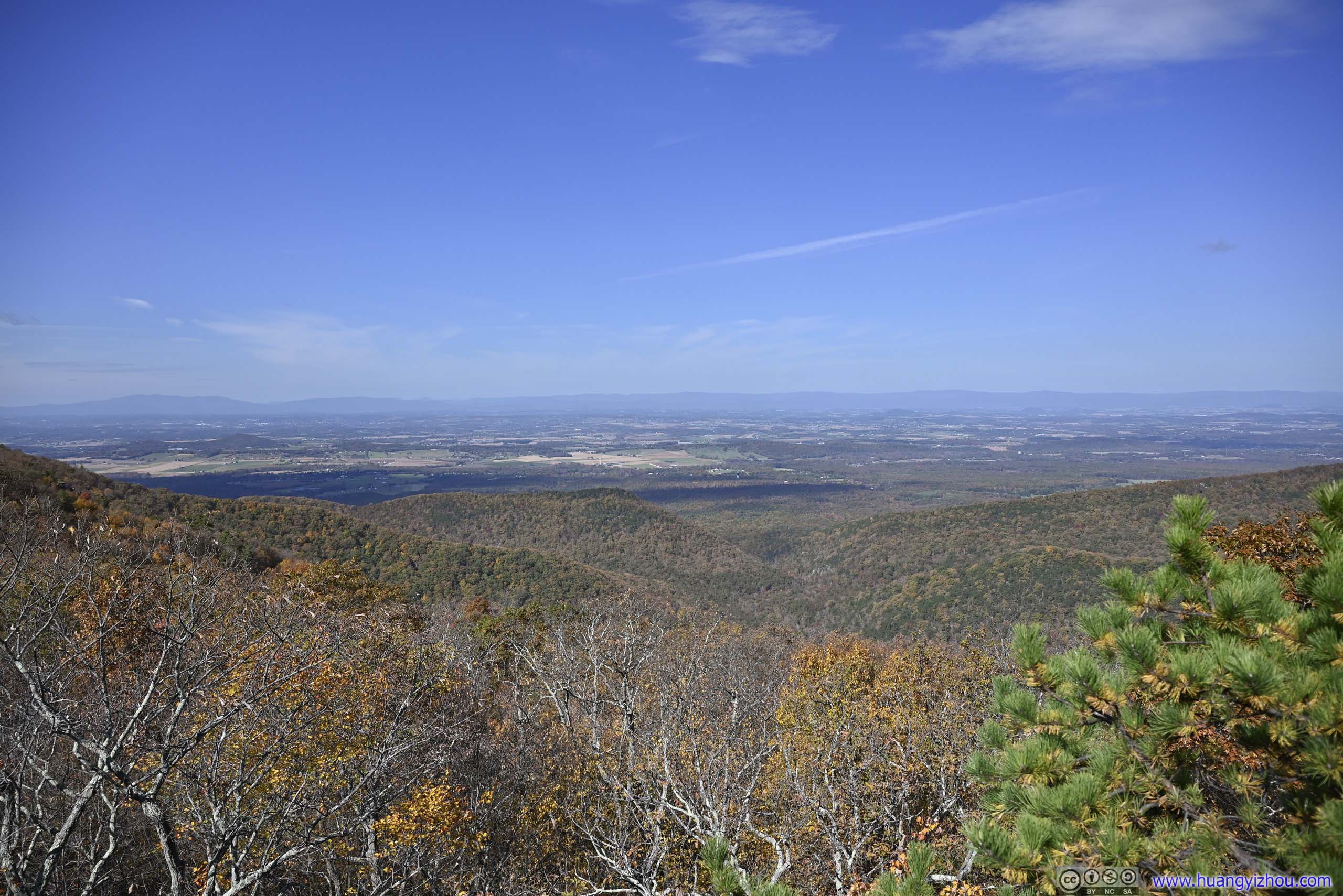
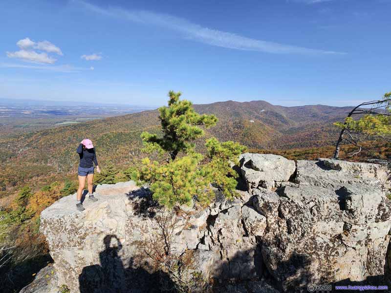
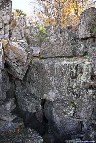
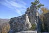
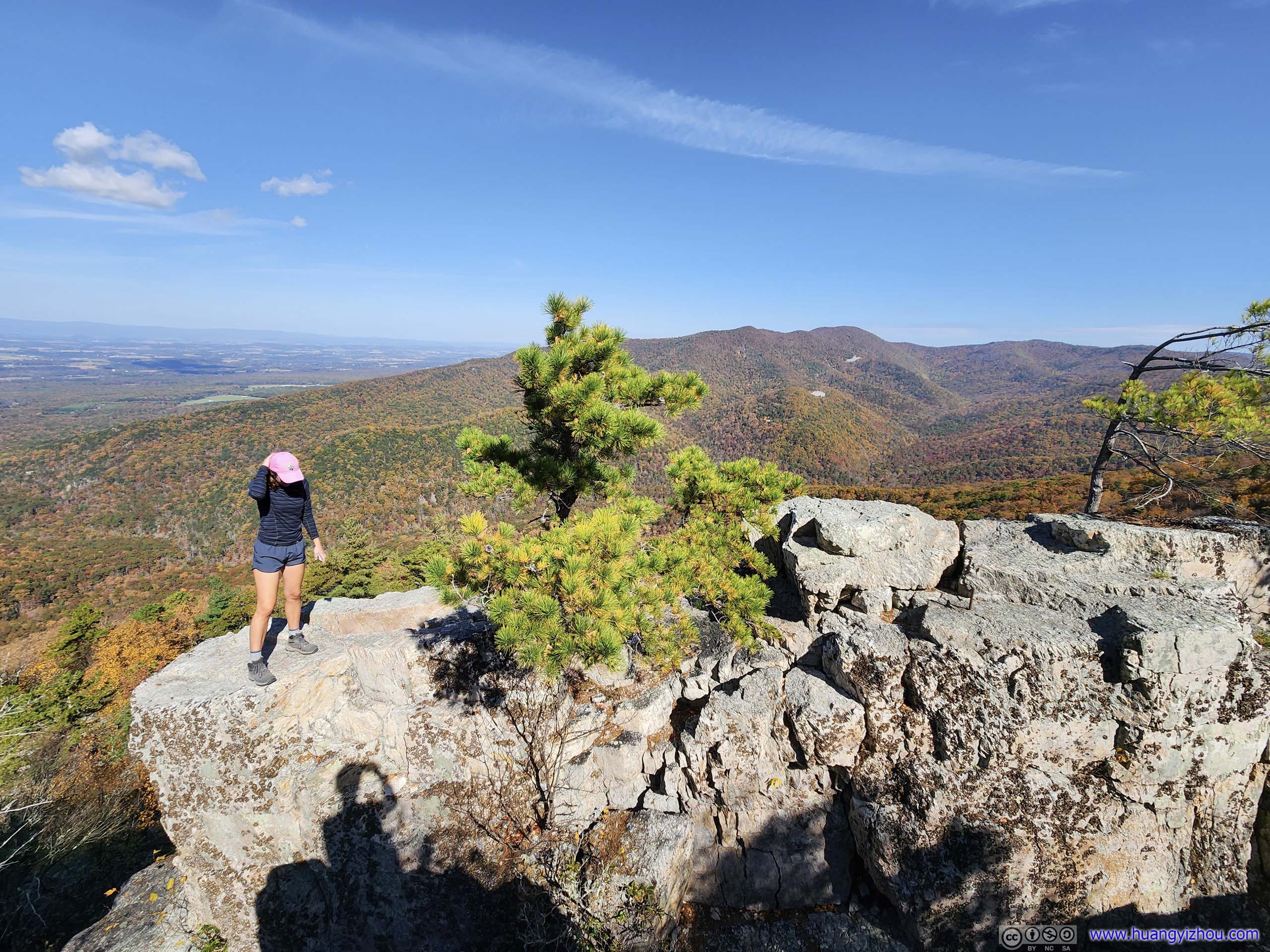
Chimney Rock was a series of boulders, offering views of Trayfoot Mountain to the north and Shenandoah Valley to the west. The most prominent was a flattop boulder (p1 below, I had no idea how the lady managed to get on top of it) that took either a leap of faith (I don’t recommend that), some scrambling (p3-4 below) or magic to reach. I wasn’t in scrambling gear so I didn’t give it a try.
 Chimney Rock
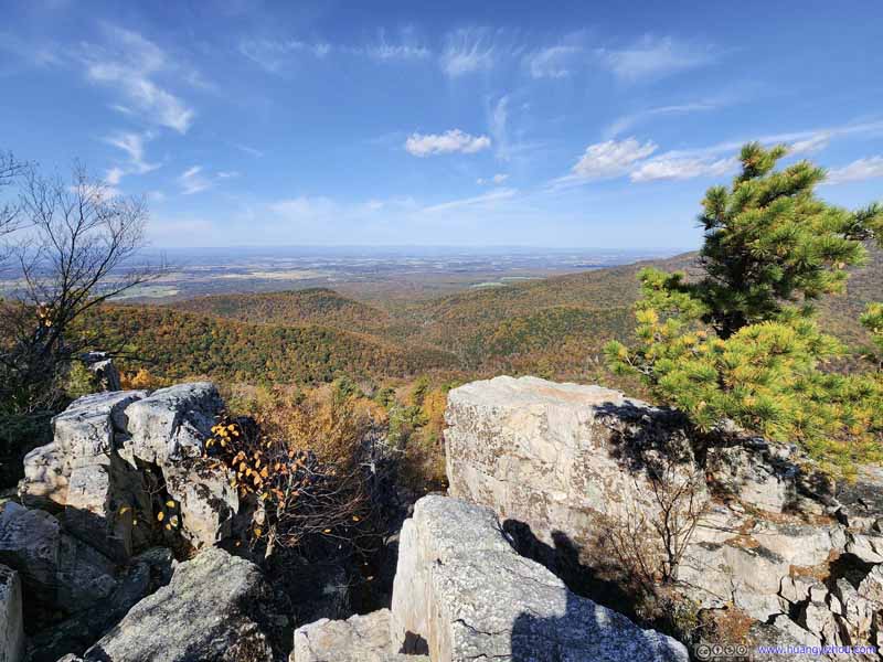 Chimney Rock
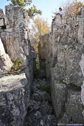
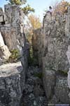
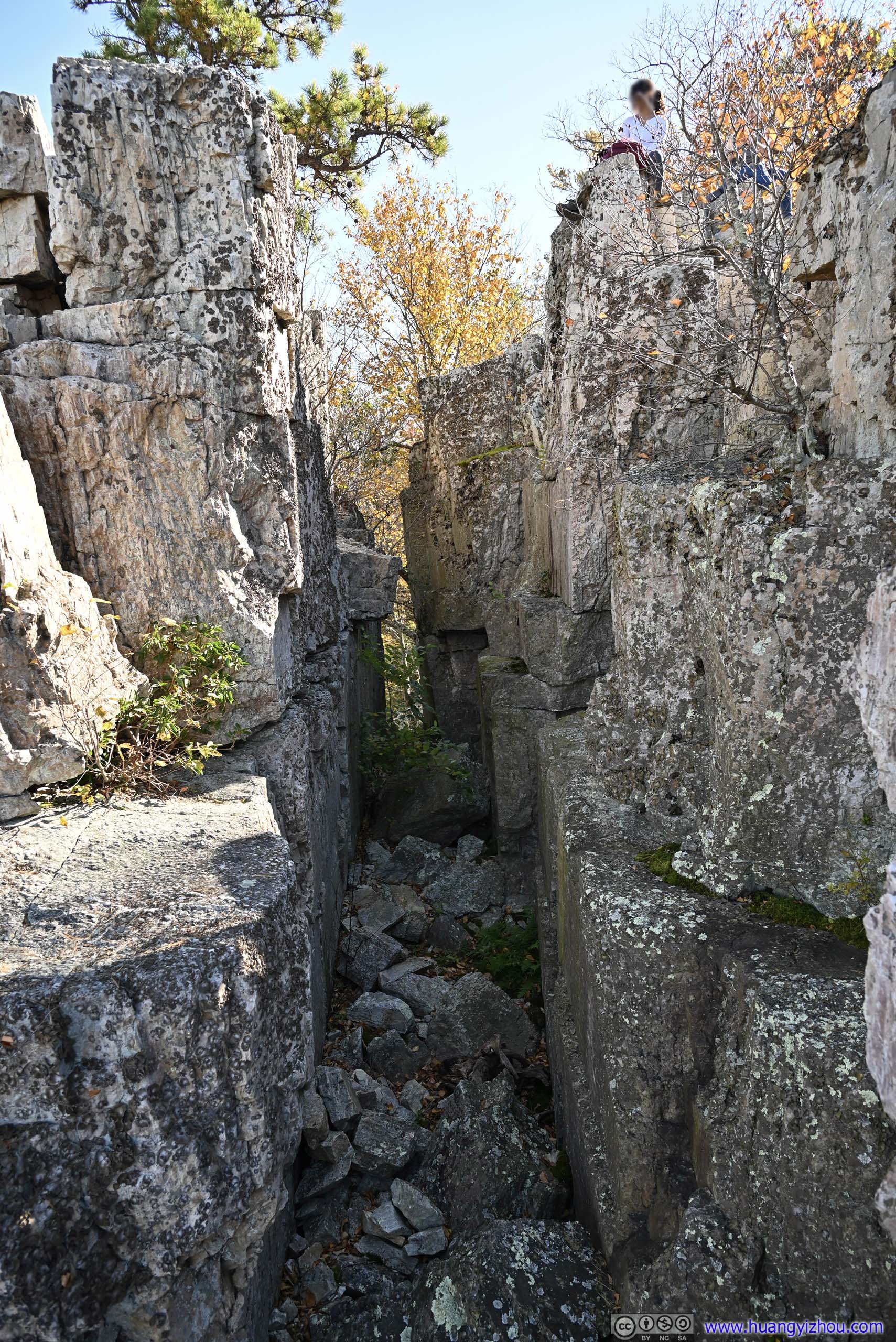
 Scrambling Section
I didn’t see a clear way of scrambling up to Chimney Rock (left), so I decided on a more obvious route (right) to a platform where I could stretch my legs.
Scrambling Section
I didn’t see a clear way of scrambling up to Chimney Rock (left), so I decided on a more obvious route (right) to a platform where I could stretch my legs. Chimney RockViewed from the platform where I decided to take some rests.
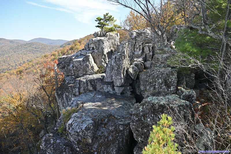 Chimney Rock
From the second overlook slightly to the west. The platform in the foreground was where I decided to rest my legs.
Chimney Rock
From the second overlook slightly to the west. The platform in the foreground was where I decided to rest my legs.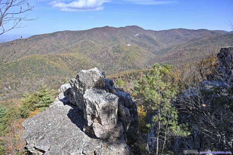 MountainsFrom the second overlook slightly to the west. This rock was much more accessible.

Click here to display photos of Chimney Rock.
Chimney Rock

Chimney Rock
 Scrambling Section

Chimney RockViewed from the platform where I decided to take some rests.

Chimney Rock

MountainsFrom the second overlook slightly to the west. This rock was much more accessible.
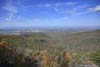
Otherwise, Chimney Rock was spacious enough for people to spread out and enjoy the views, which were spectacular at the height of autumn. My friends found a smaller overlook slightly to the west of Chimney Rock, which was much more accessible.
 Mountains
 Mountains
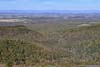
 Fields
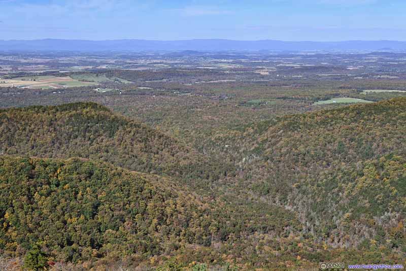 Fields beyond Lefthand Hollow
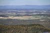
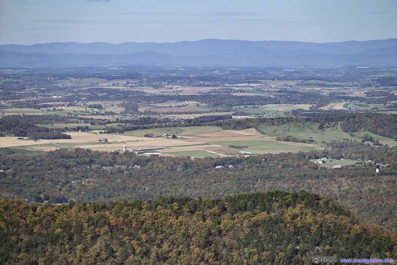 Distant Fields
Click here to display photos from Chimney Rock.
Mountains
Mountains
Fields

Fields beyond Lefthand Hollow

Distant Fields
 View from Chimney RockFrom the first (top) and second (bottom) overlook.
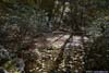
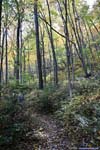
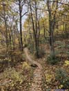
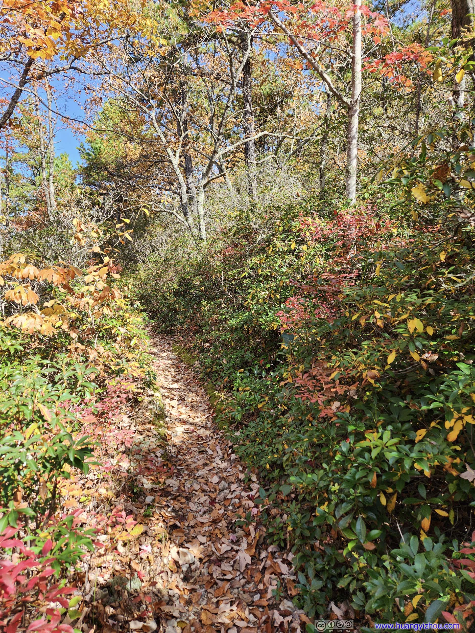
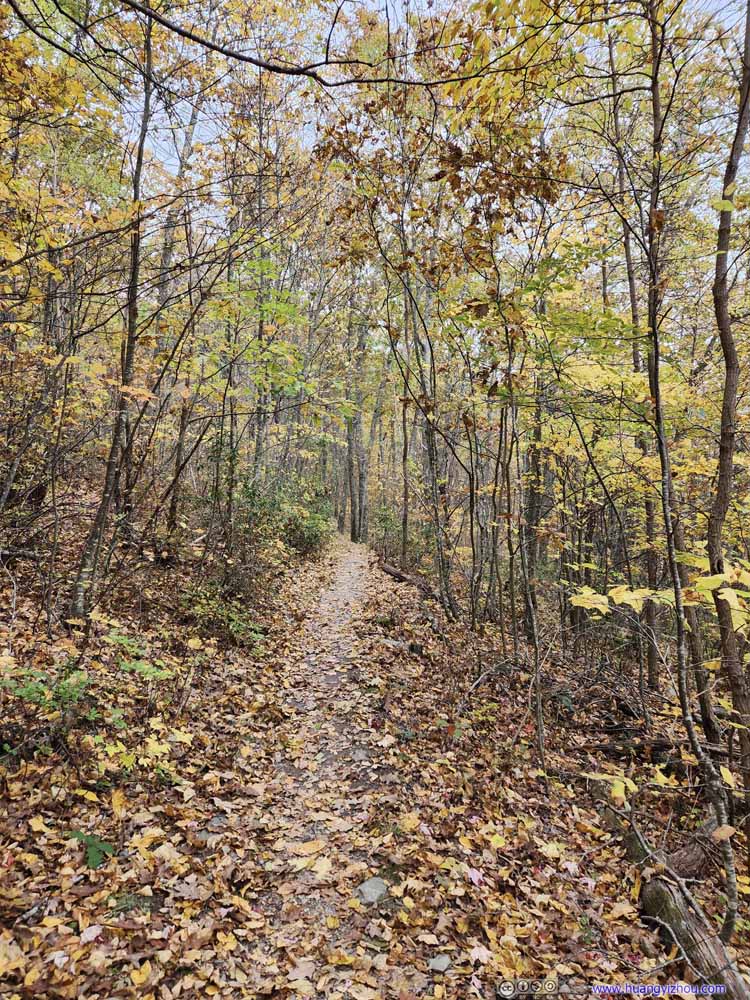
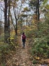
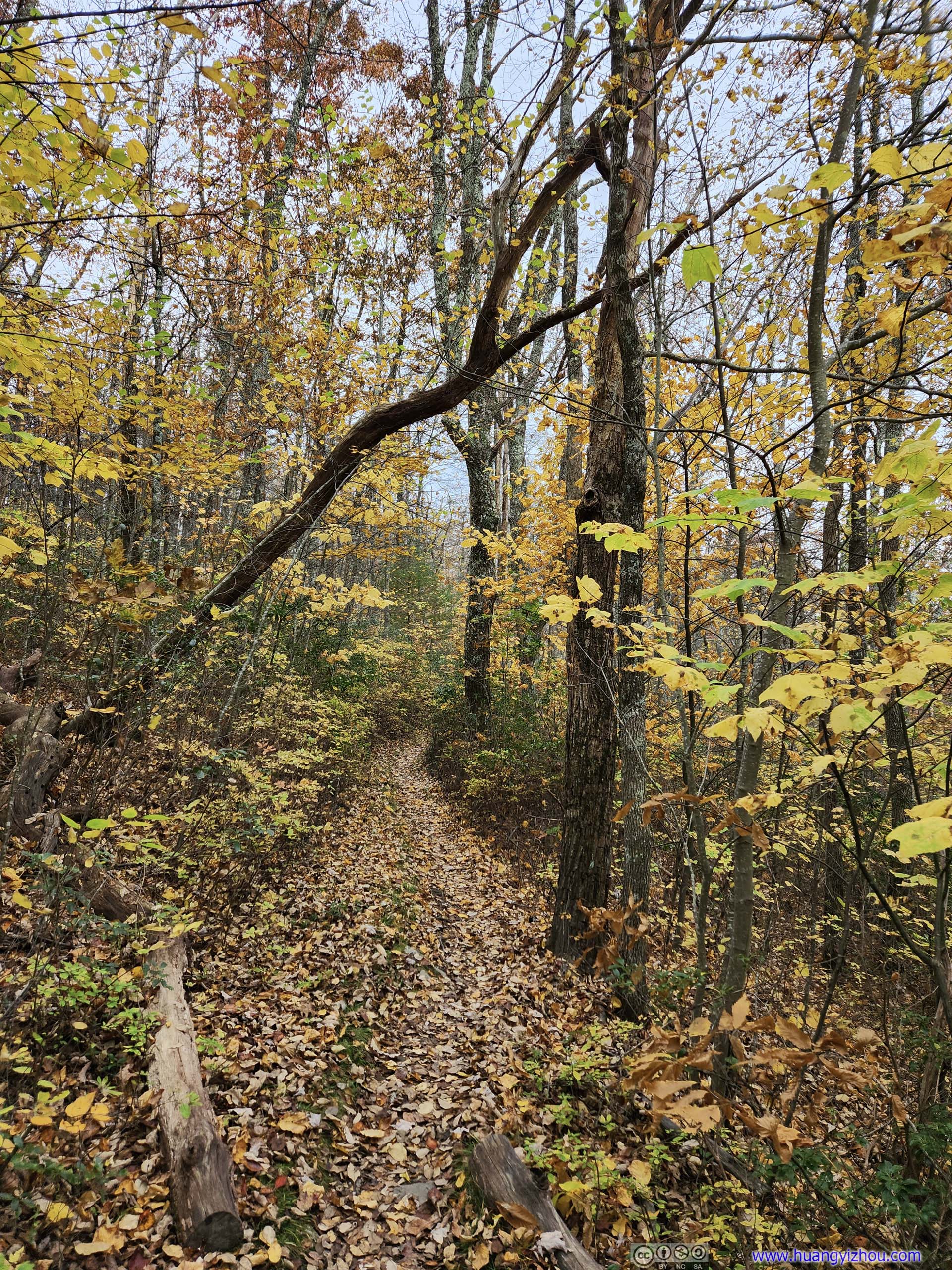
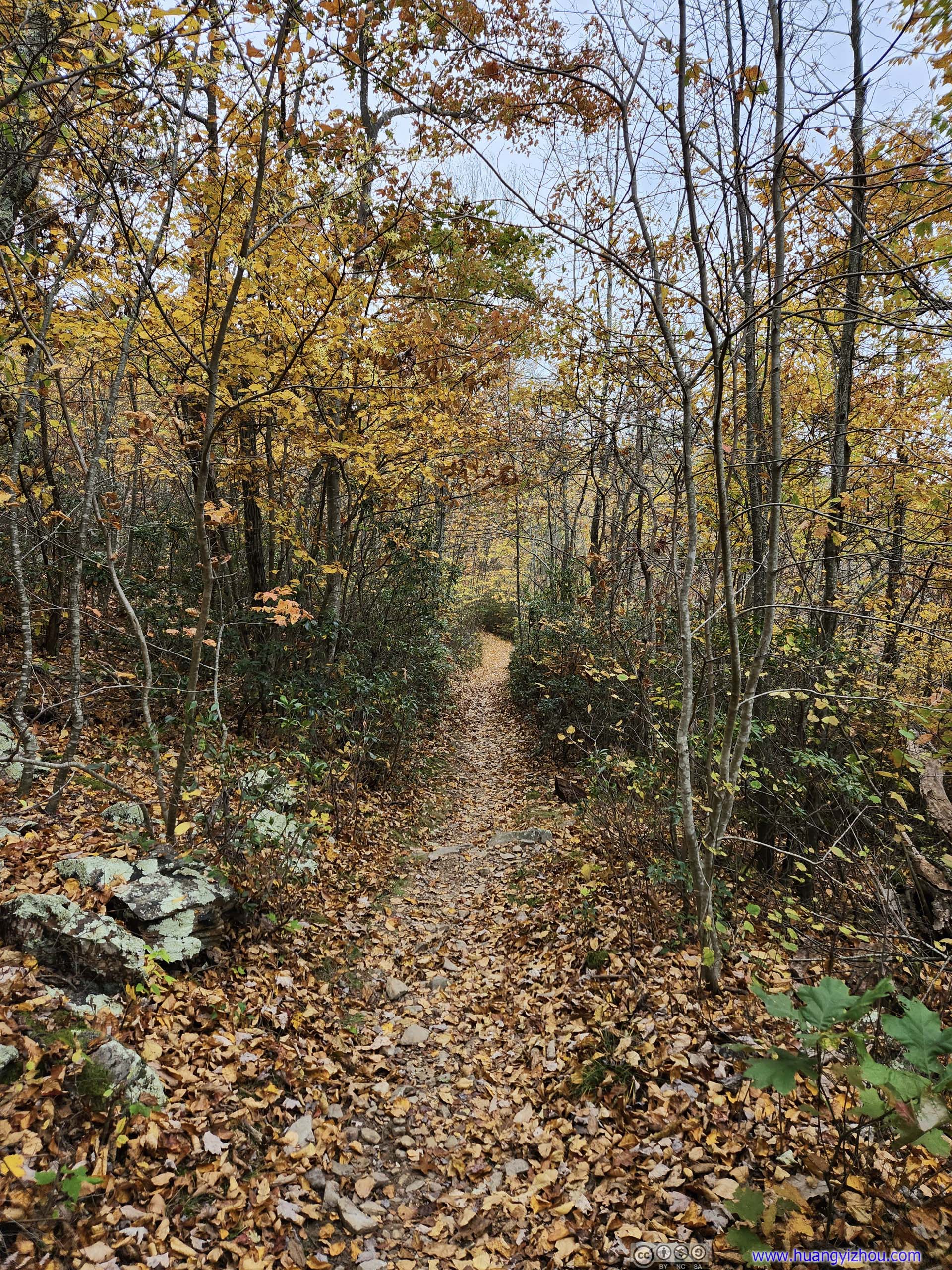
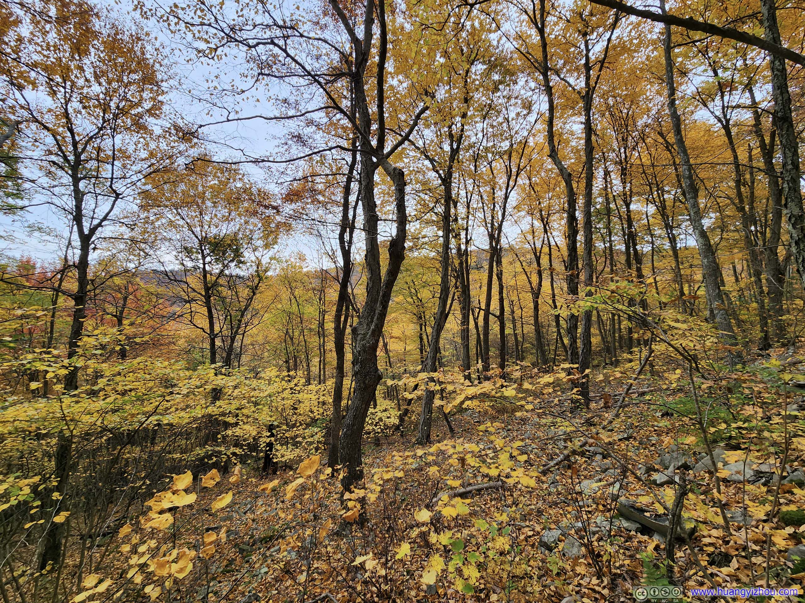
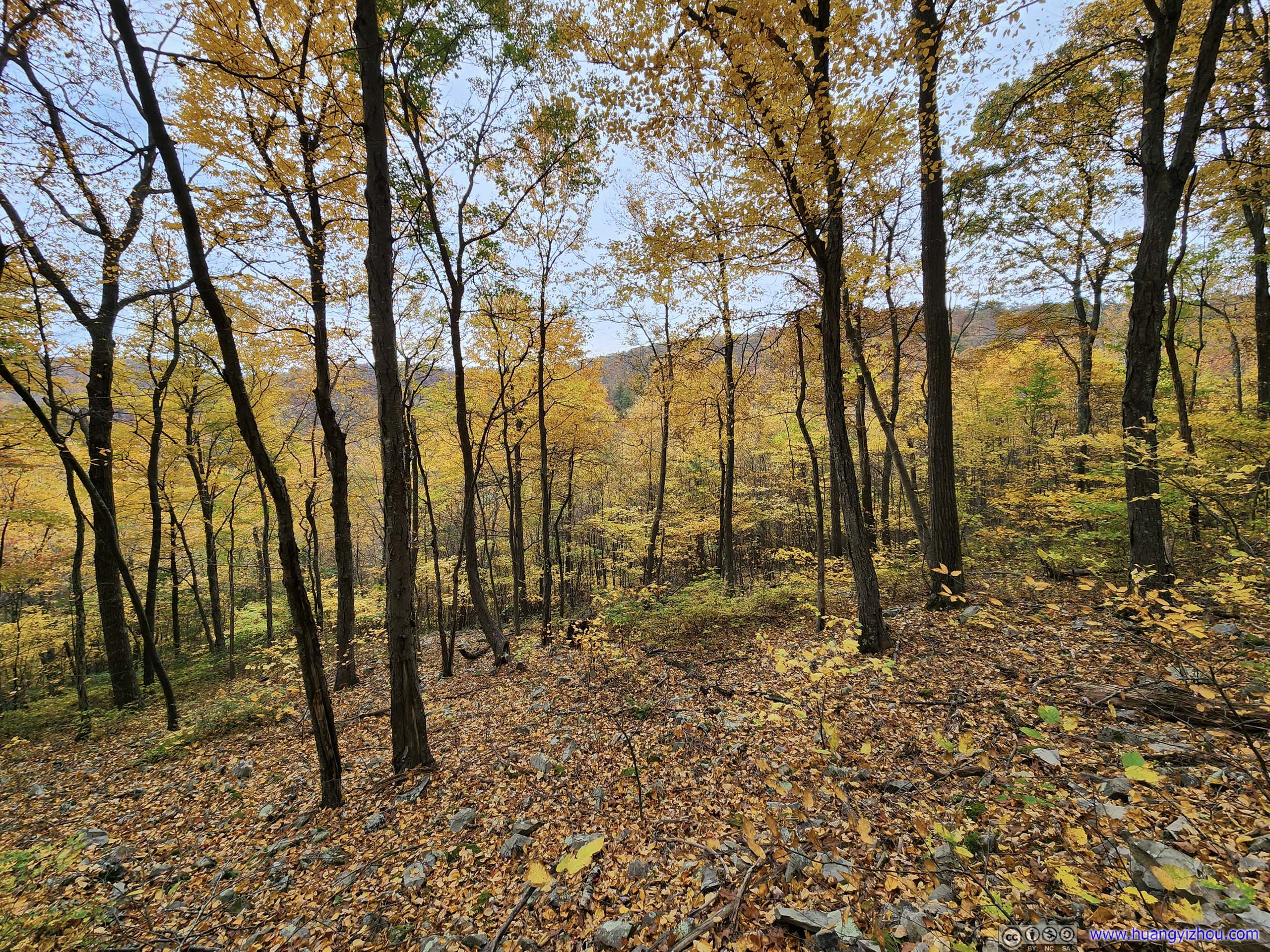
At about 12:10pm, we left Chimney Rock and continued our hike. Views occasionally broke free from the vegetation along the trail, the final encores of scenery before the trail descended down into a valley.
 Trail
Trail Trail
Trail Trail
Trail Trail
Trail Trail along Riprap Creek
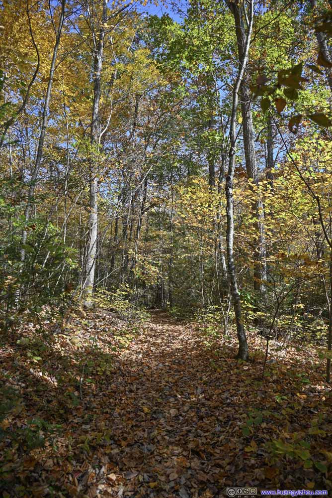 Trail
Trail


Click here to display photos of the trail.

Trail
Trail
Trail
Trail
Trail along Riprap Creek

Trail
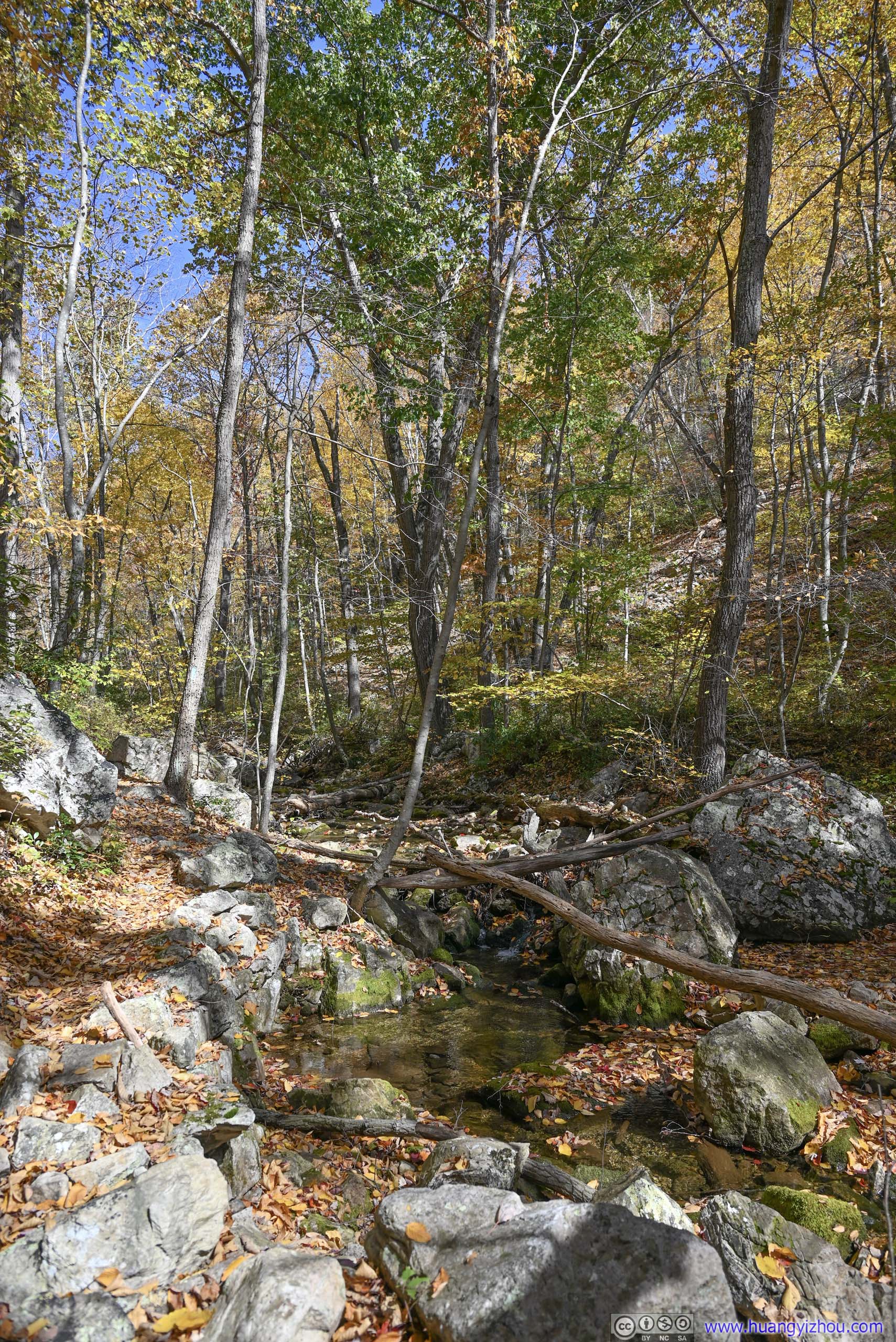
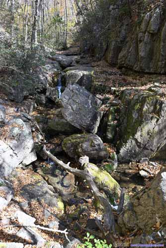
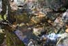
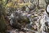
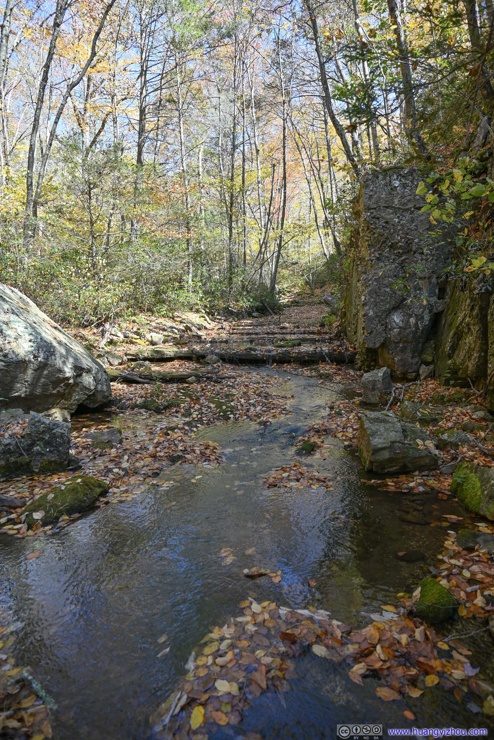
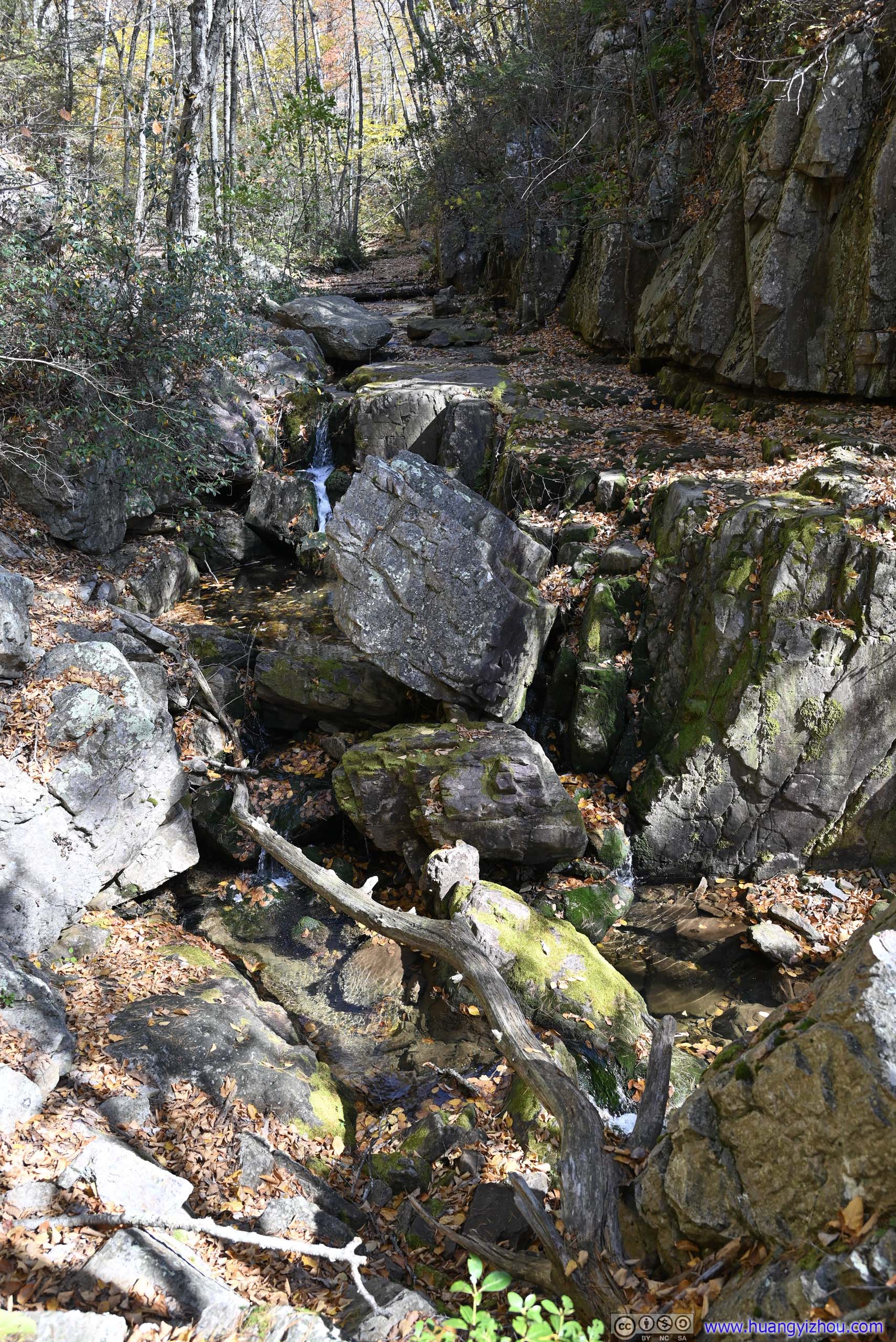
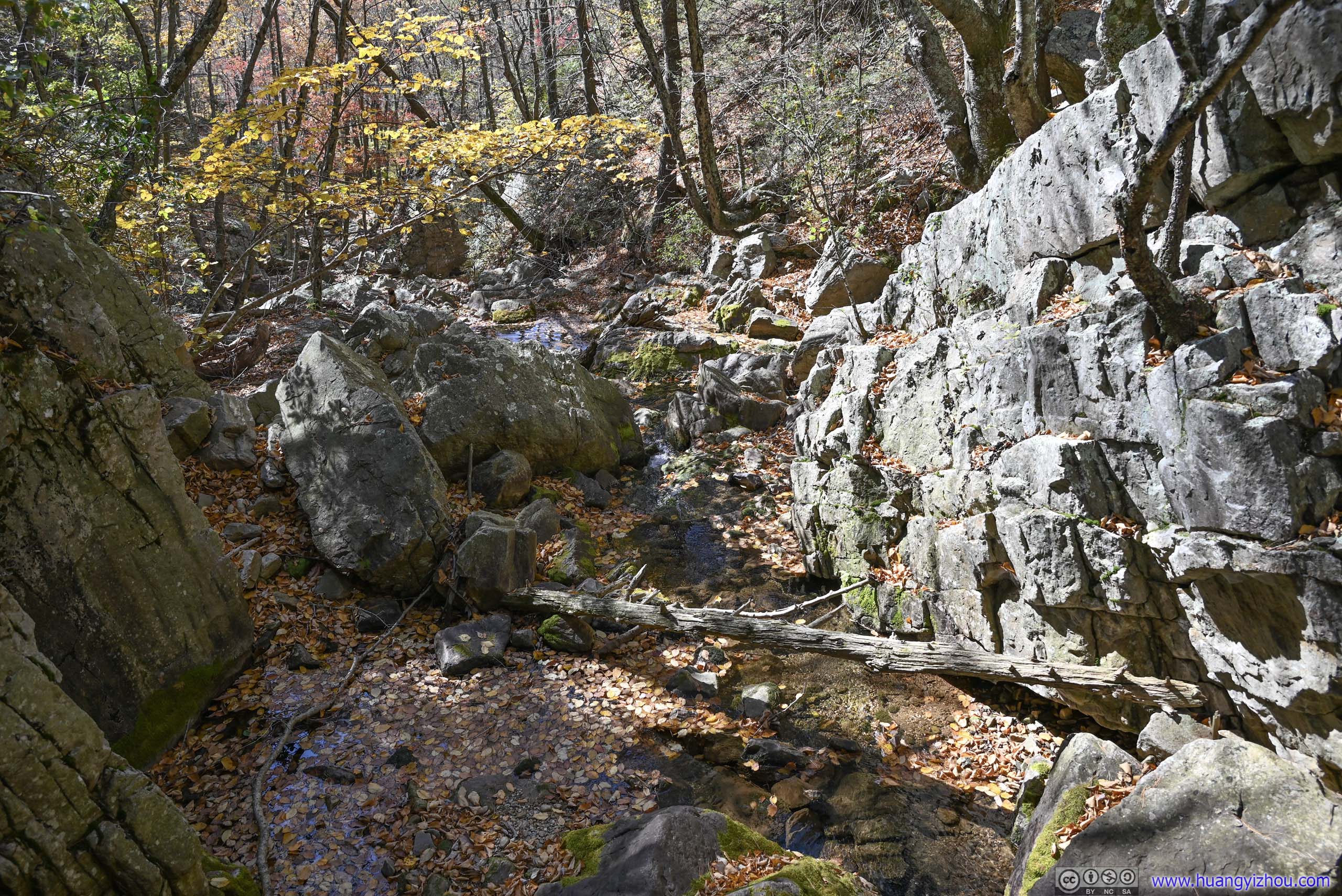
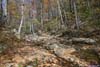
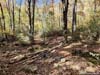
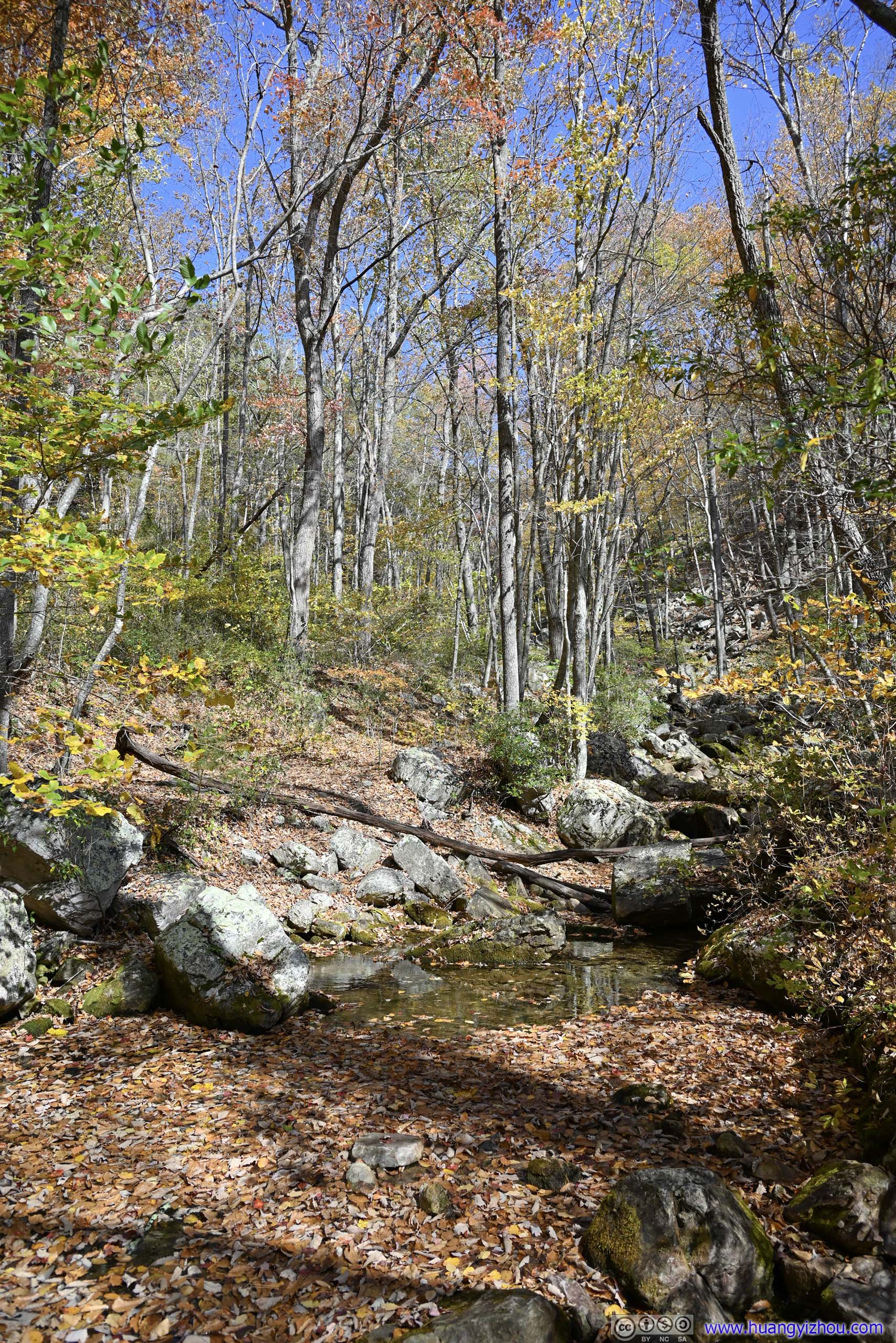
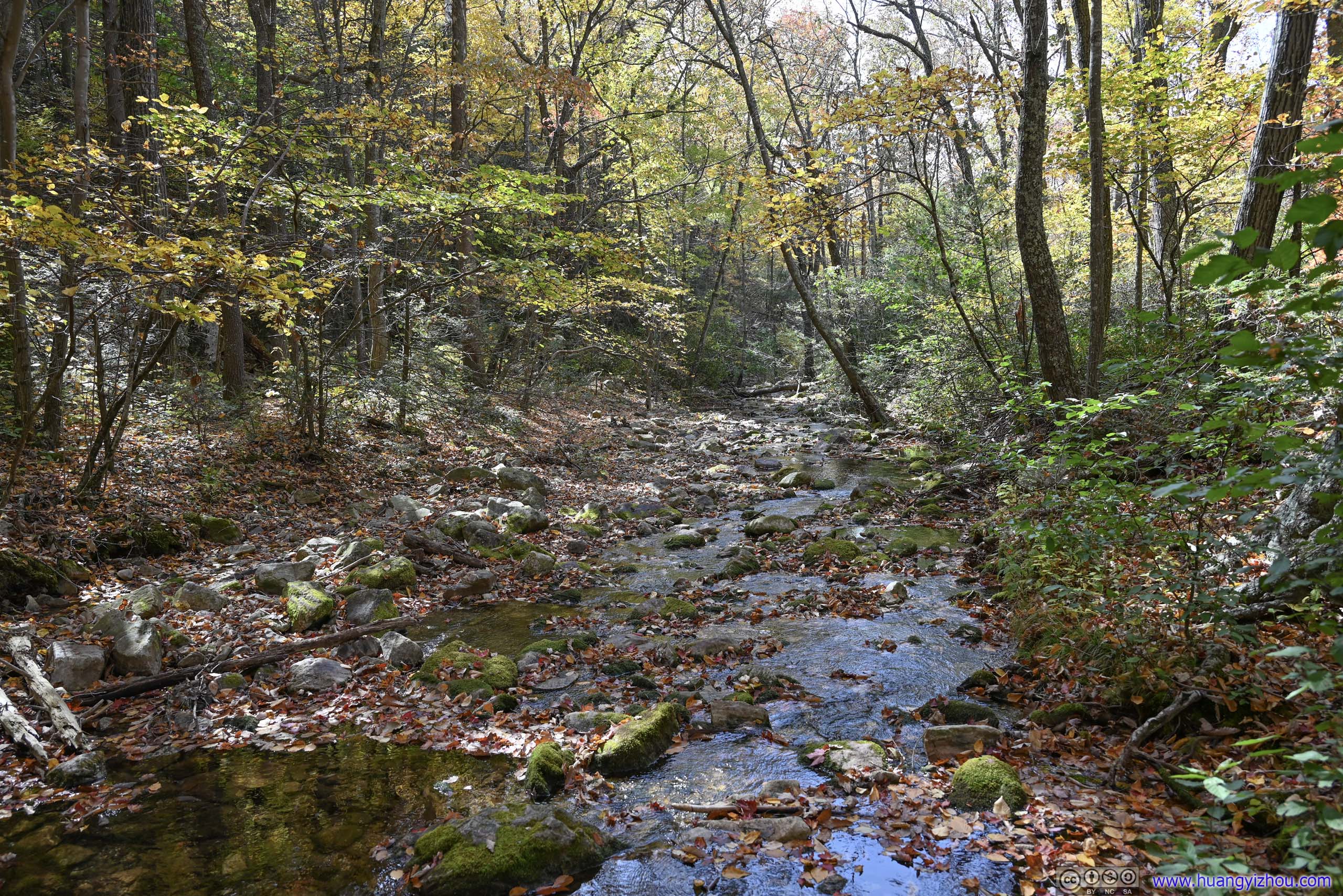
At around 12:50pm the trail joined Riprap Creek at what looked like a mini gorge. On the internet, this was the most popular waterfall of Riprap Trail, so we stopped here to appreciate the scenery. I liked that the fallen leaves were floating on Riprap Creek, together with the moss that grew on the few exposed rocks made for a perfect collection of colors.

 Creek and Waterfalls
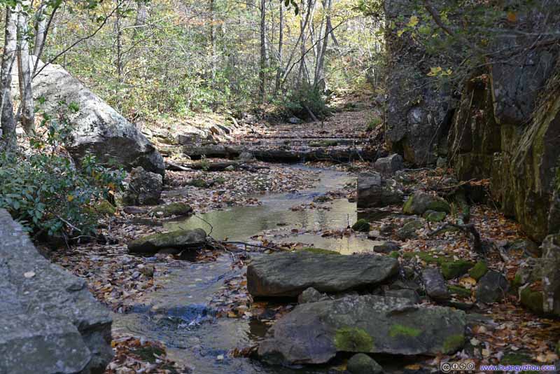 Creek
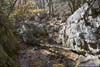
Upstream, a few logs spanned across Riprap Creek. They were obviously artificial, but we didn’t know what they were for.
Creek
Upstream, a few logs spanned across Riprap Creek. They were obviously artificial, but we didn’t know what they were for.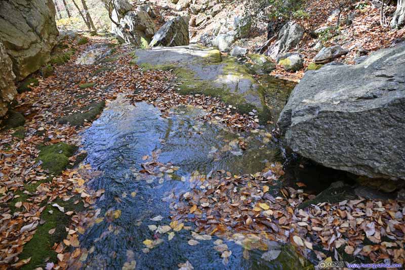 CreekThe fallen leaves that decorated the creek.
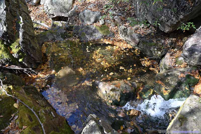 CreekThe fallen leaves that decorated the creek.
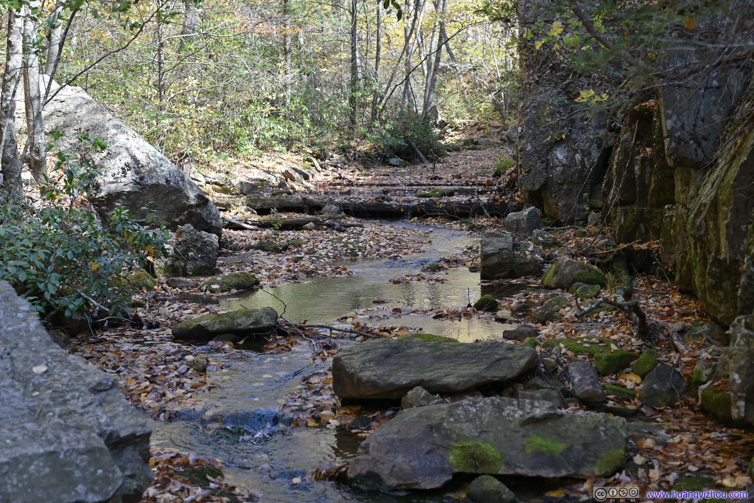
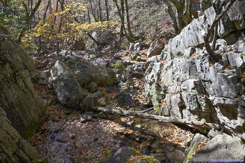 Gorge DownstreamDownstream, where the trail continued to follow Riprap Creek.
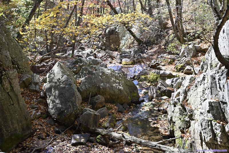 Gorge DownstreamDownstream, where the trail continued to follow Riprap Creek.


Click here to display photos of the slideshow
 Creek and Waterfalls
Creek

CreekThe fallen leaves that decorated the creek.

CreekThe fallen leaves that decorated the creek.
Gorge DownstreamDownstream, where the trail continued to follow Riprap Creek.

Gorge DownstreamDownstream, where the trail continued to follow Riprap Creek.
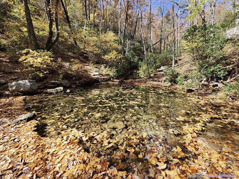
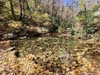
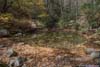
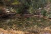
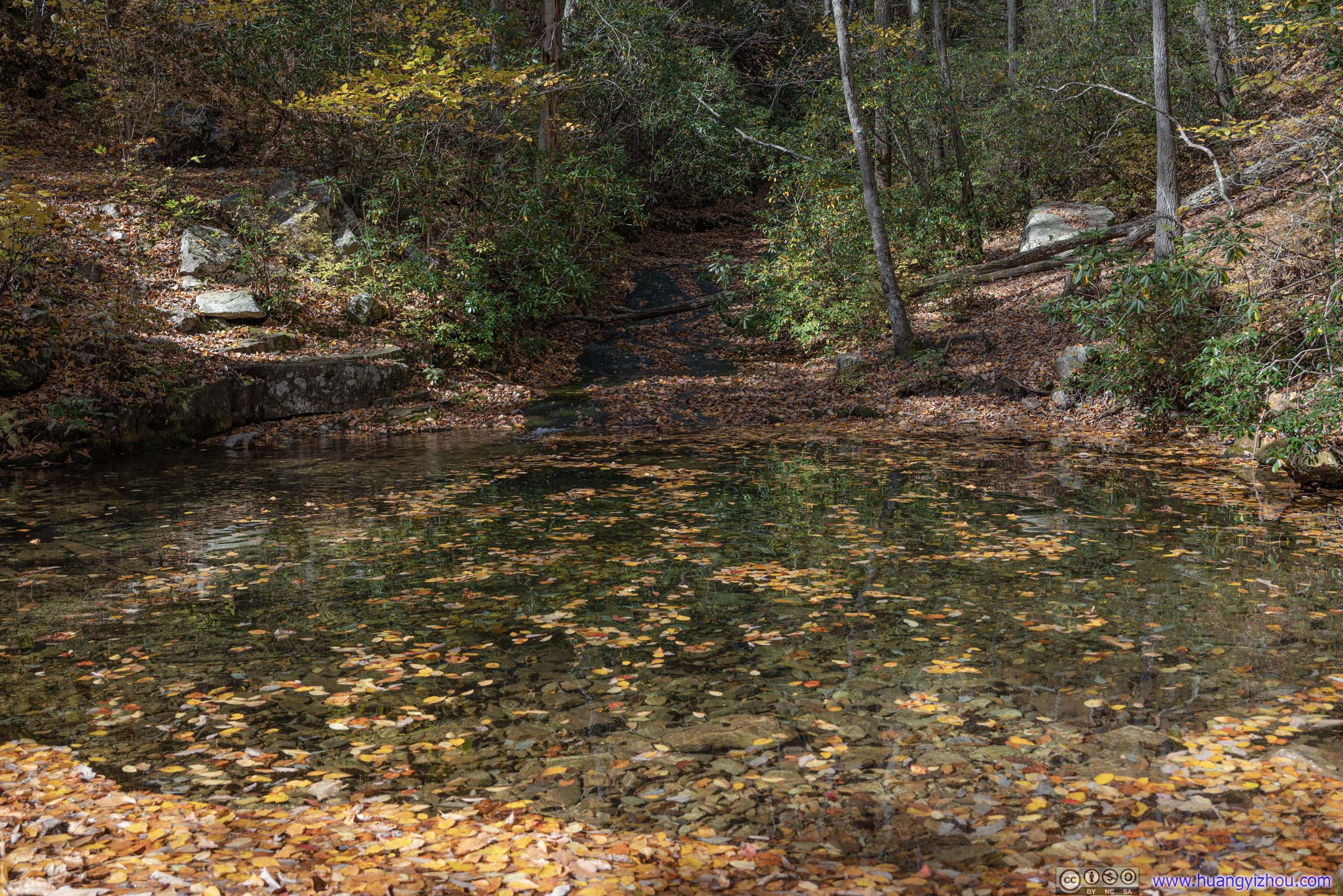
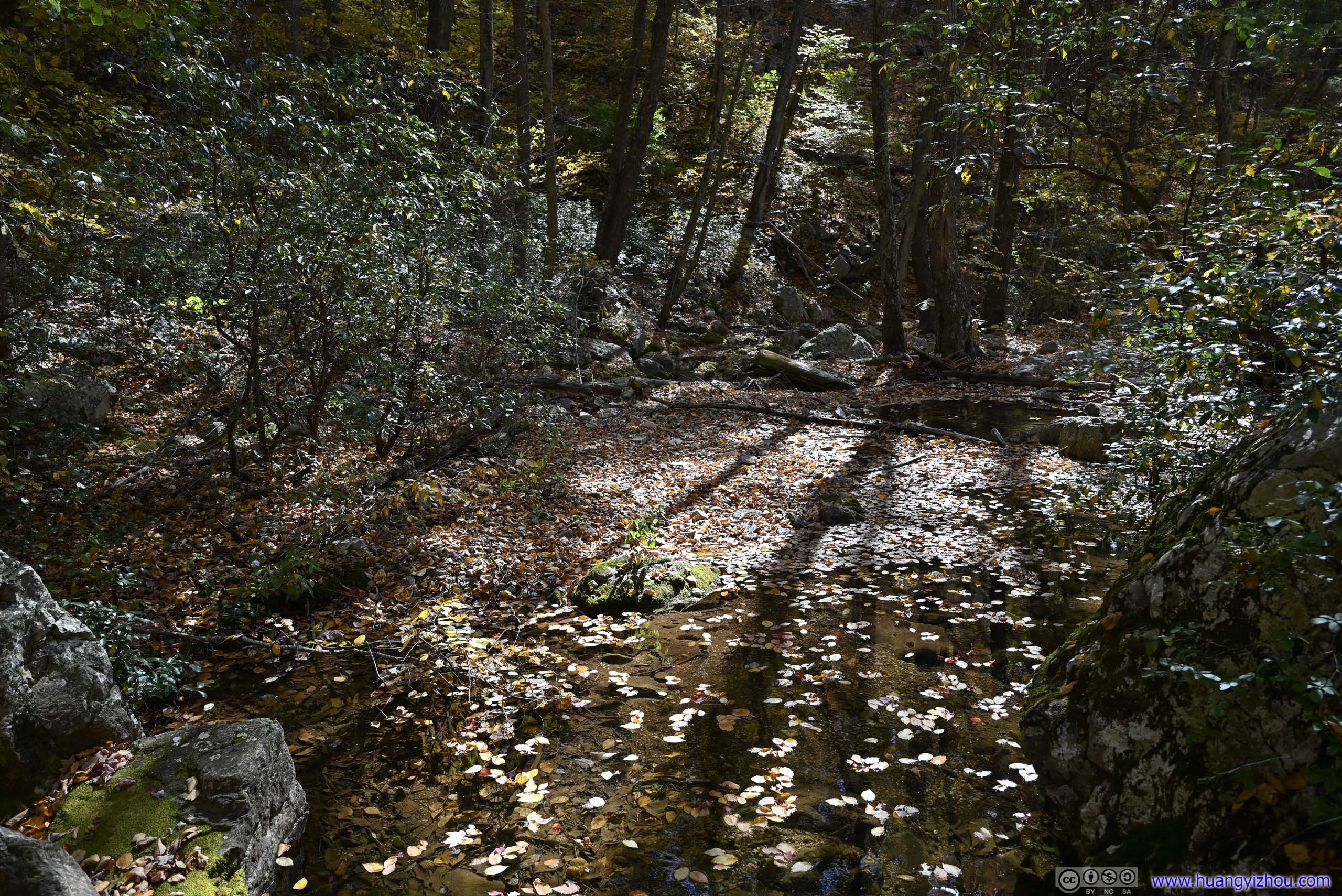
A short distance down the trail, Riprap Creek entered a pond. It’s believed that in summer, people used this as a swimming destination. During our visit the pond appeared largely covered in the golden color of fallen leaves, one that blended seamlessly into the surrounding tranquil landscape.
Much to our surprise, we found a few fish in this pond.
 Pond
Pond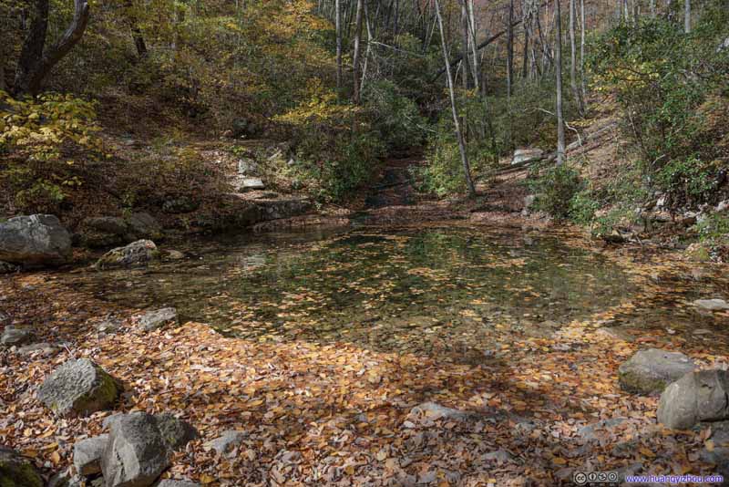 Pond
Pond Pond
Pond
Click here to display photos of the pond.

Pond

Pond
Pond
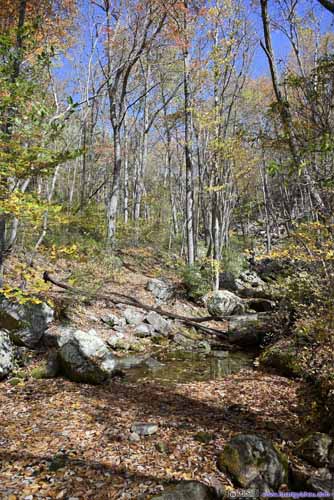
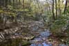
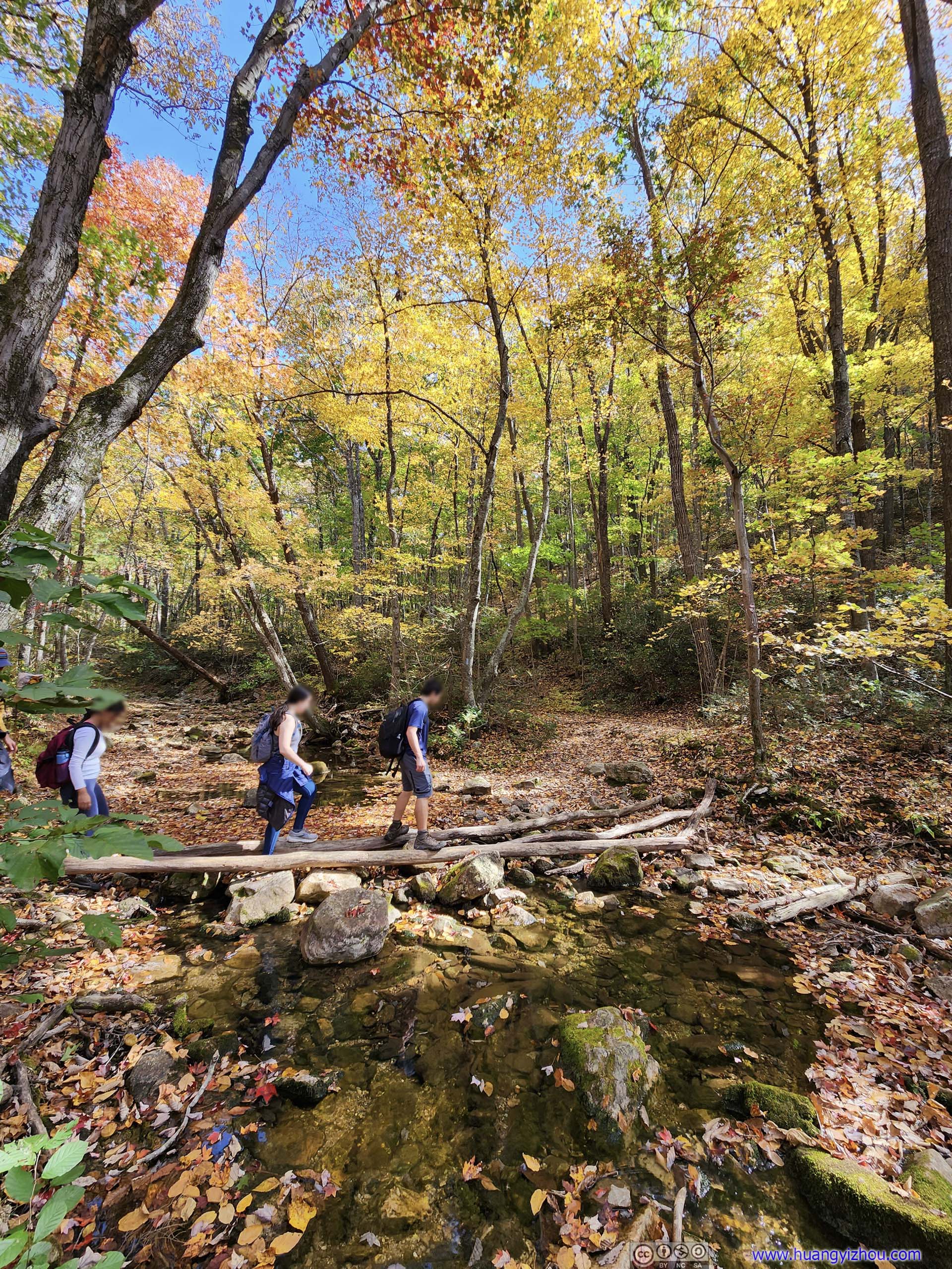
Continuing on, the trail crossed Riprap Creek for a total of three times. During our visit none of the water crossings presented any challenges, and I easily managed to stay dry.
 Water CrossingThe first (left) and last (right) crossing of Riprap Creek.
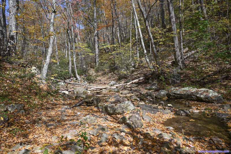 Trail along Riprap CreekAutumn colors were abundant along this section.
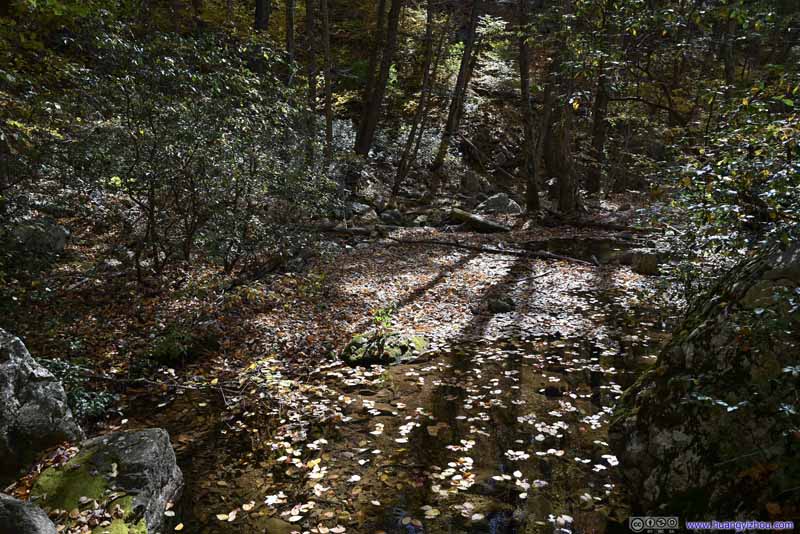 Riprap CreekThe floating leaves on the creek as the last colors of the season.
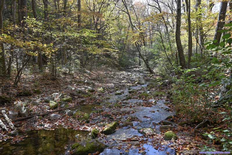 Riprap CreekFrom the last water crossing along Wildcat Ridge Trail.
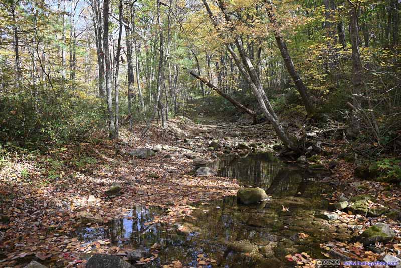 Riprap CreekFrom the last water crossing along Wildcat Ridge Trail.
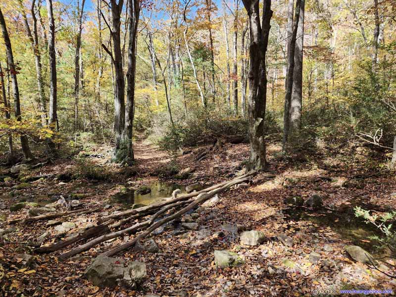 Water CrossingThe last crossing of Riprap Creek before ascending on Wildcat Ridge Trail.
Click here to display photos of the slideshow
 Water CrossingThe first (left) and last (right) crossing of Riprap Creek.

Trail along Riprap CreekAutumn colors were abundant along this section.
Riprap CreekThe floating leaves on the creek as the last colors of the season.
Riprap CreekFrom the last water crossing along Wildcat Ridge Trail.

Riprap CreekFrom the last water crossing along Wildcat Ridge Trail.

Water CrossingThe last crossing of Riprap Creek before ascending on Wildcat Ridge Trail.
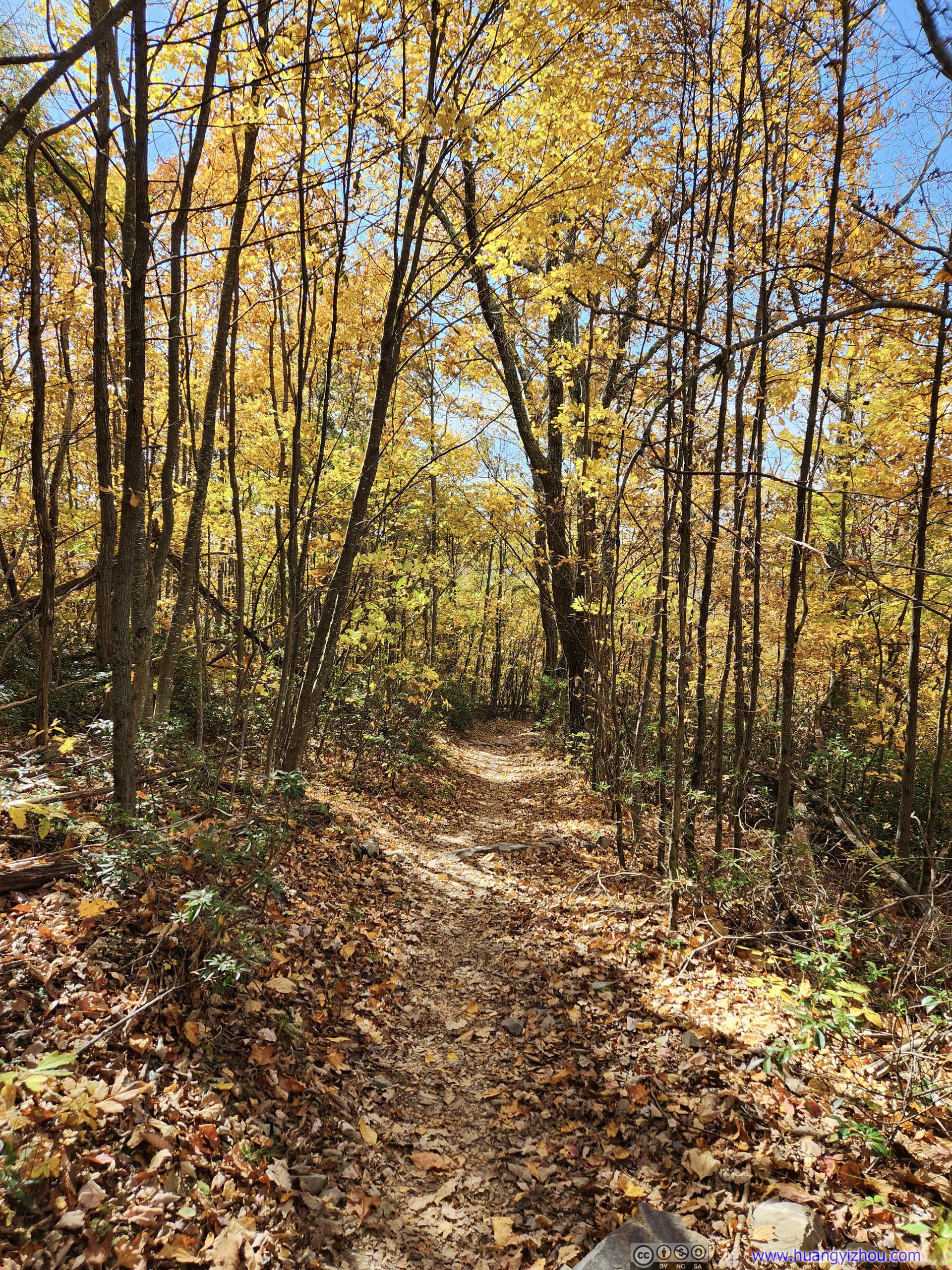
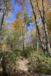
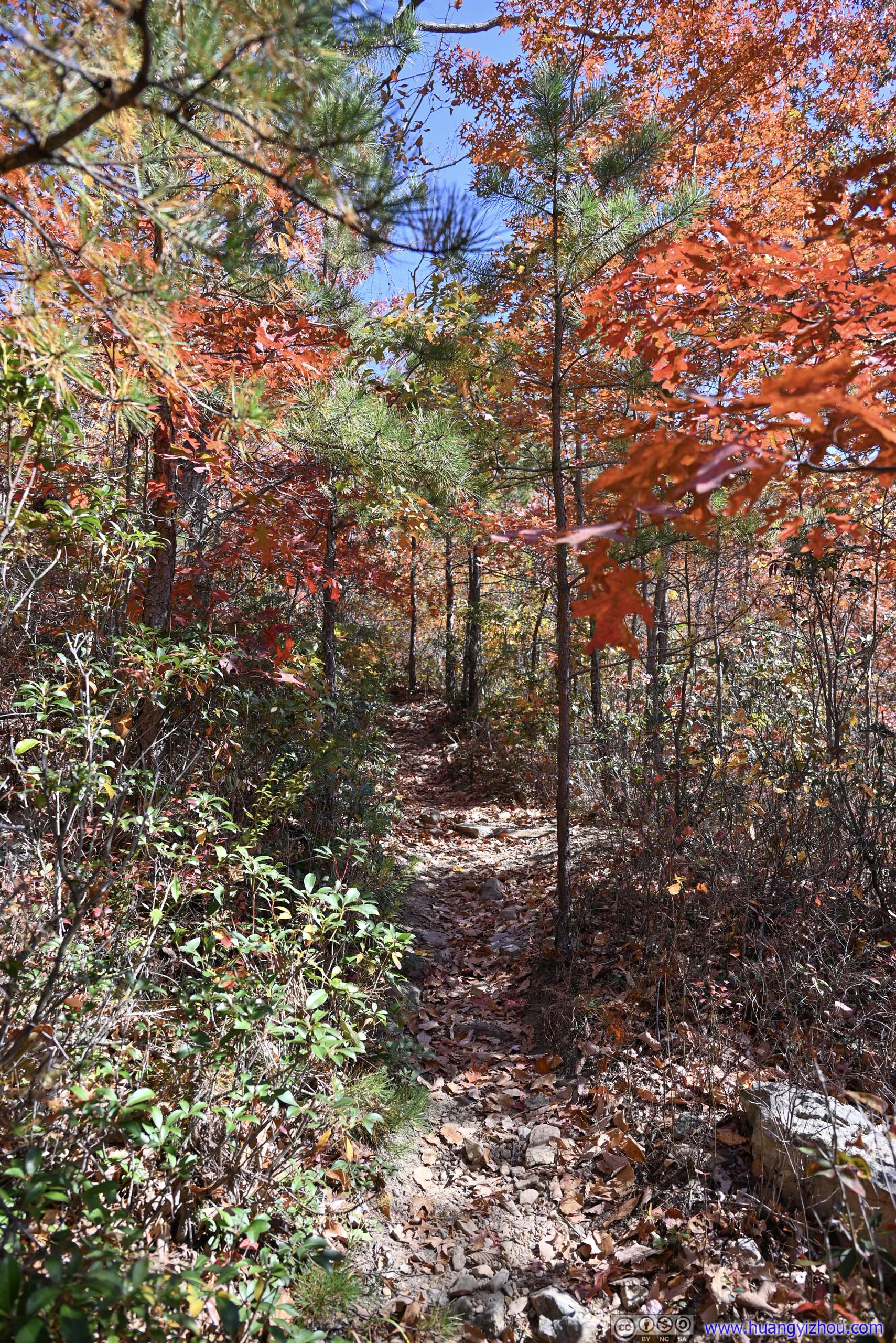
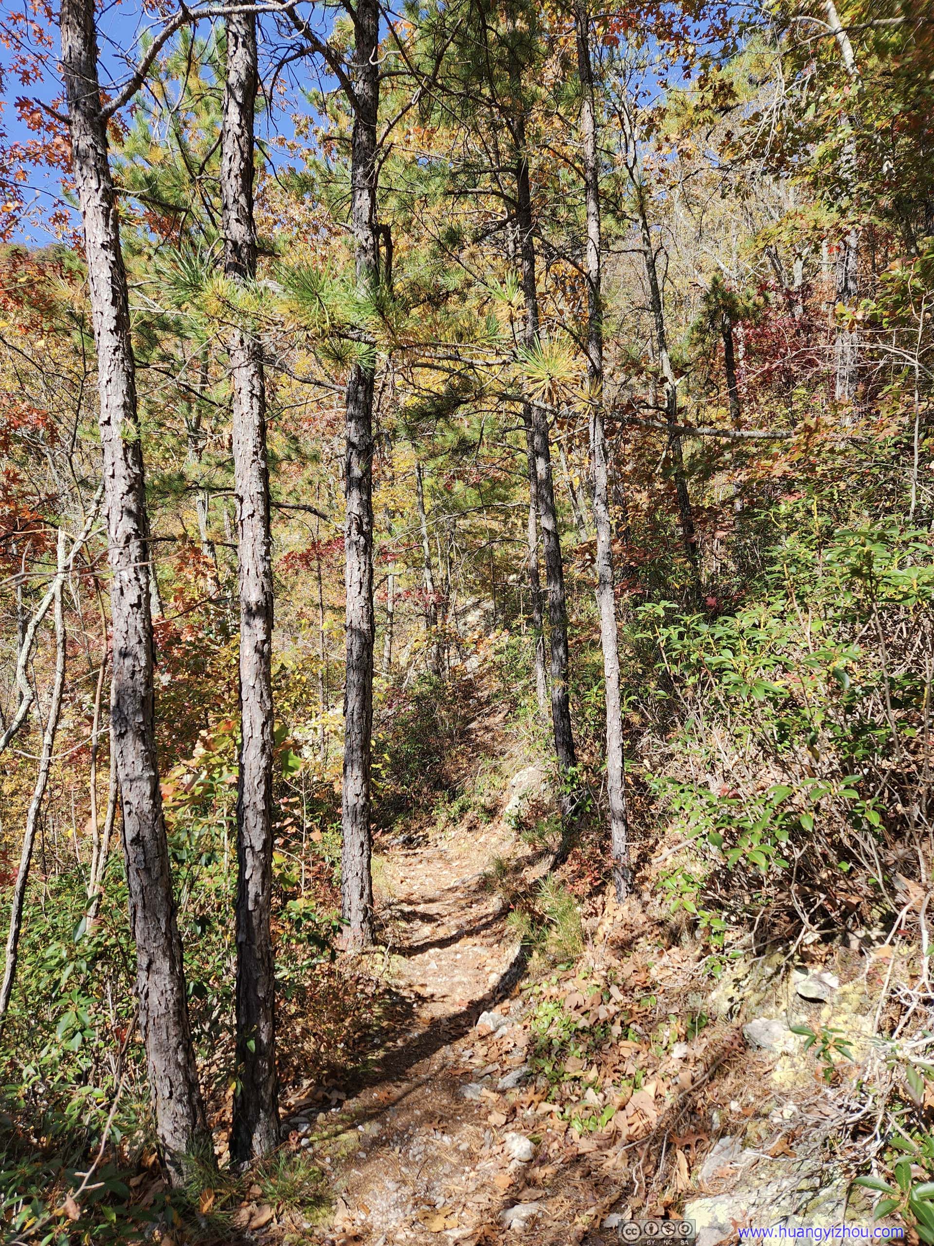
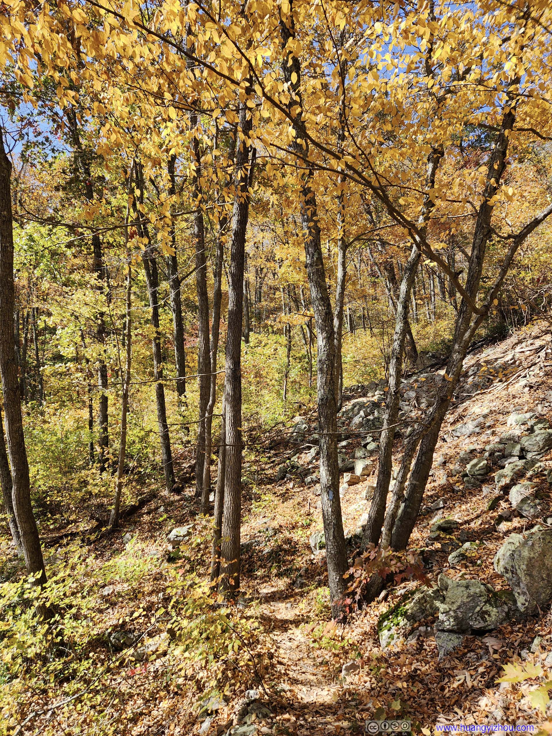
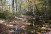
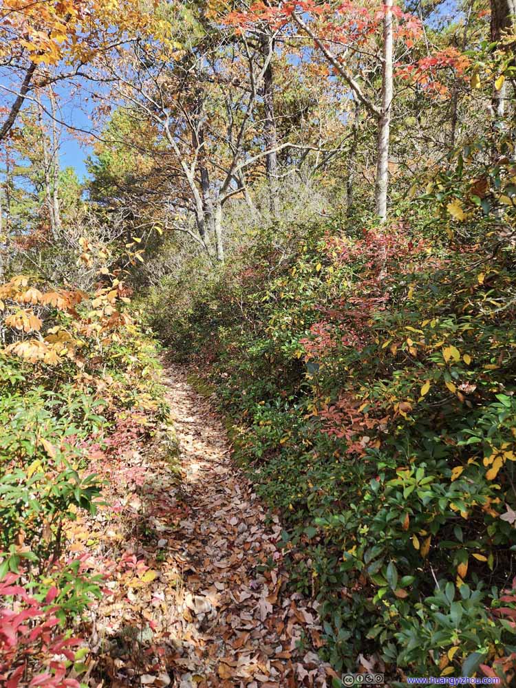
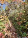
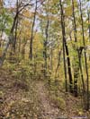
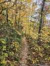
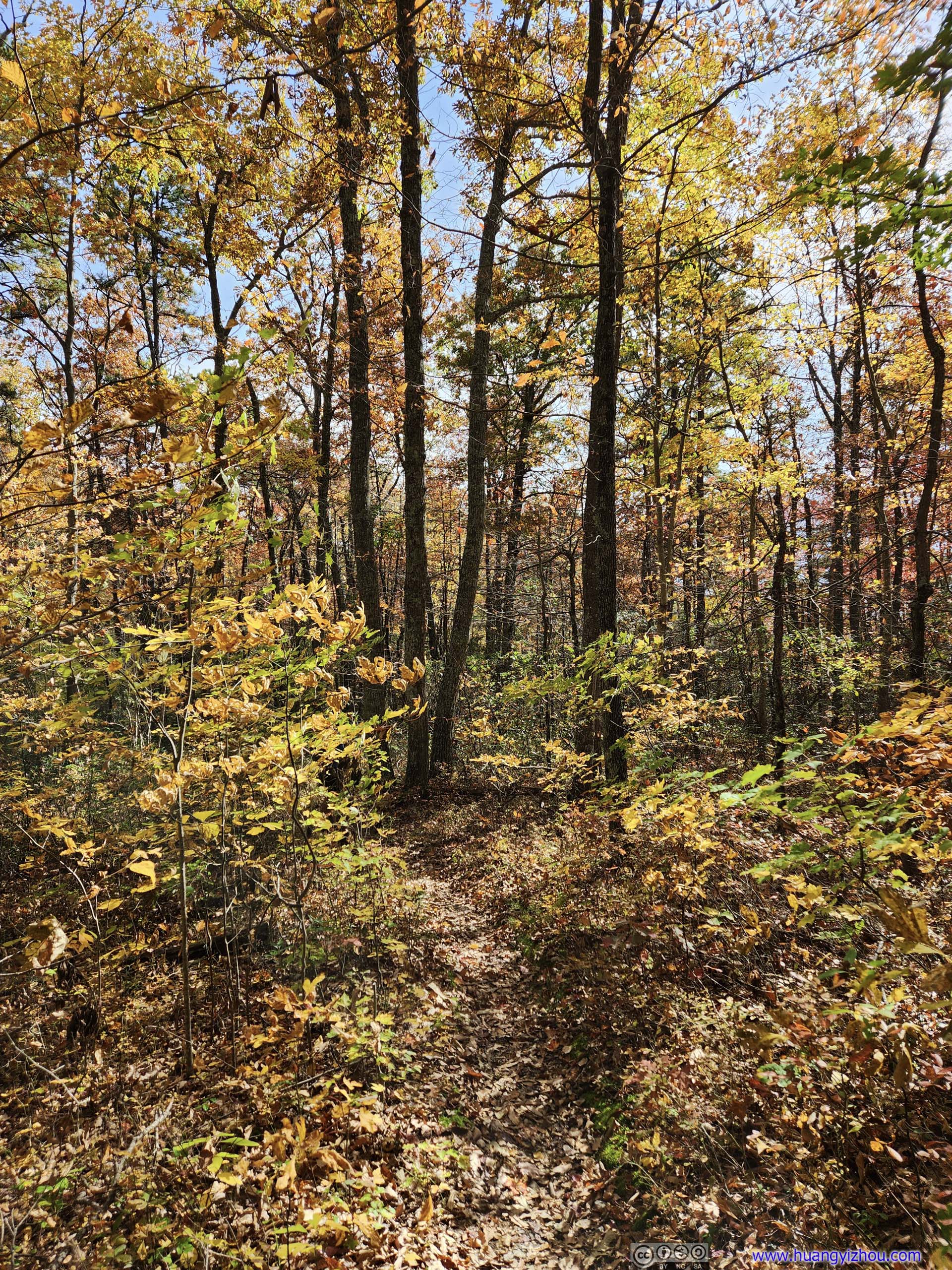
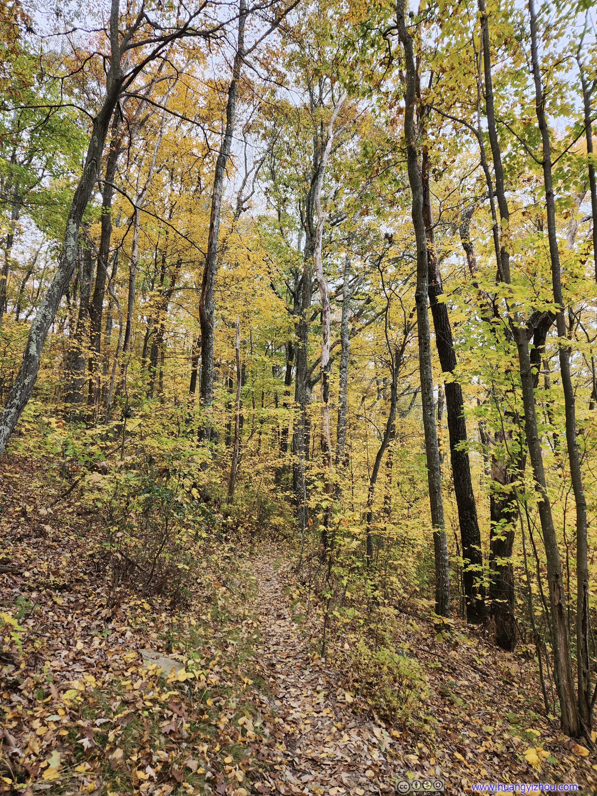
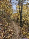
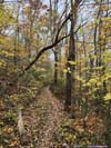
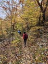
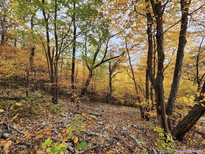
Just before the last water crossing, we made a turn onto Wildcat Ridge Trail, and started to regain the elevation back towards Skyline Drive. This section featured the best colors of foliage, with a few leaves turning red, a color I wasn’t so used to in Shenandoah.
 Trail
Trail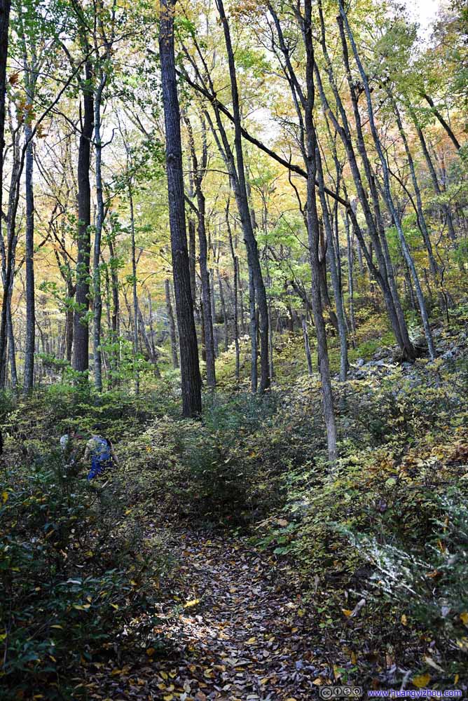 Trail
Trail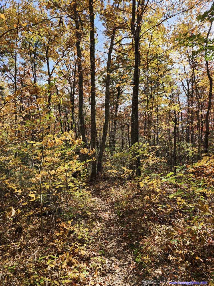 Trail
Trail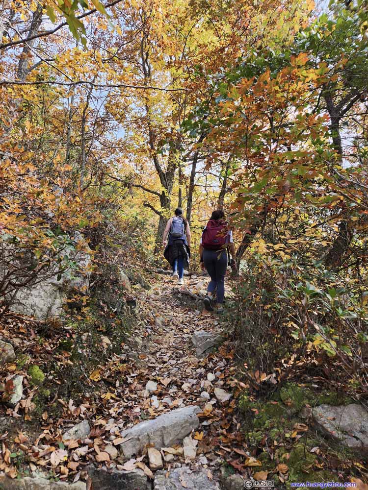 Trail
Trail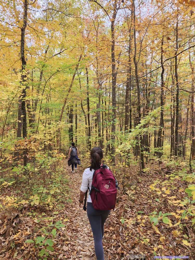 Trail
Trail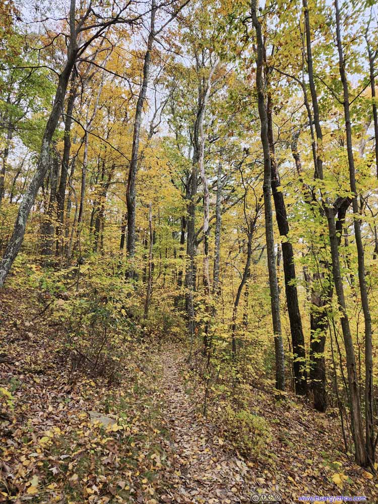 Trail
Trail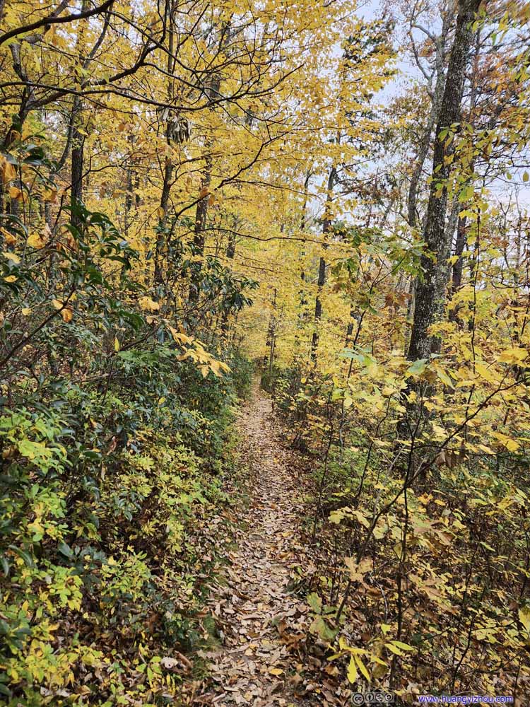 Trail
Trail Trail
Trail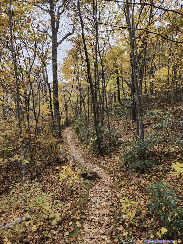 Trail
Trail


Click here to display photos of the trail.
Trail

Trail
Trail

Trail

Trail
Trail

Trail
Trail
Trail
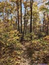
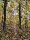
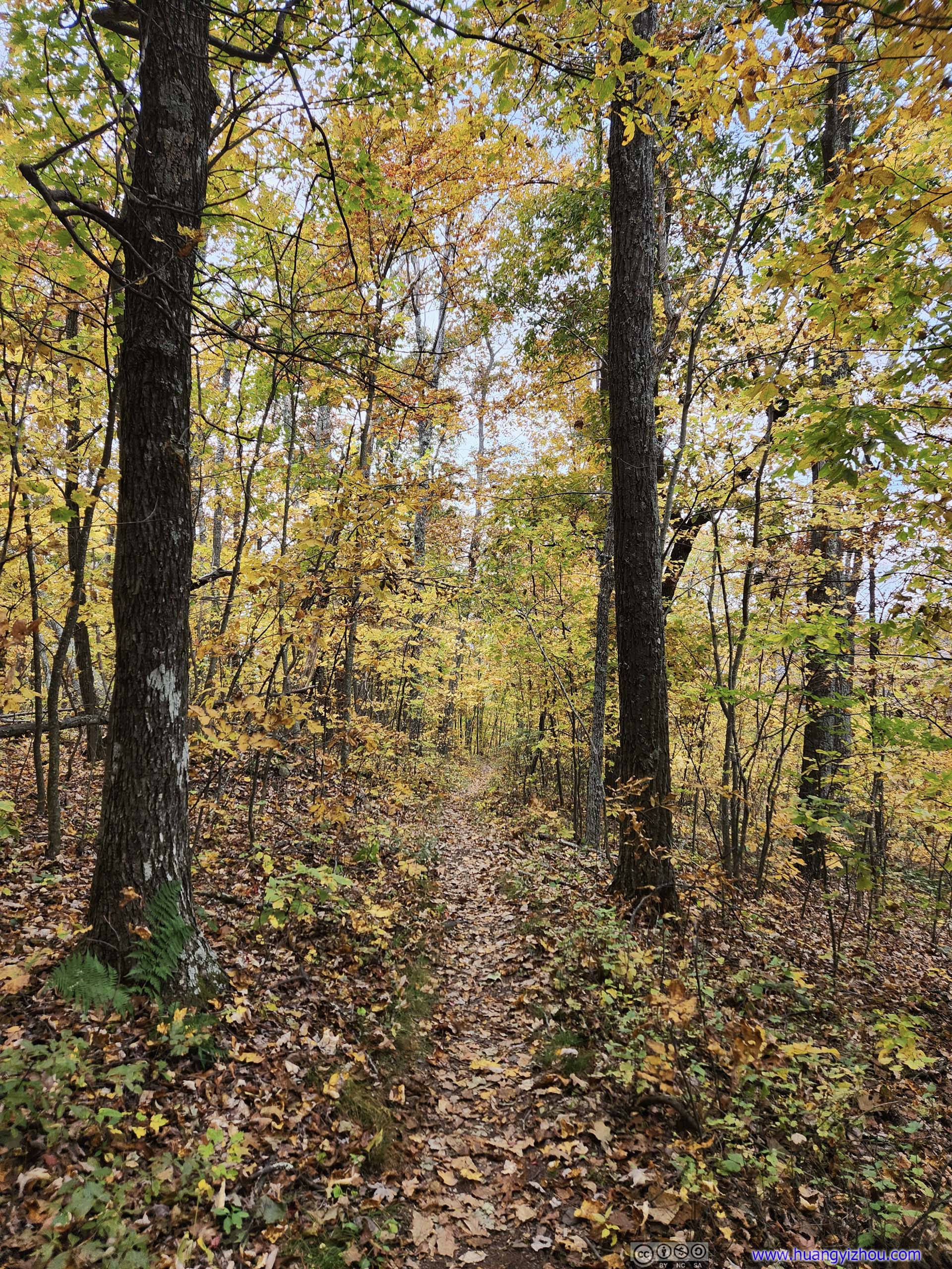
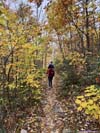
At 2:40pm, we reached the intersection with the Appalachian Trail. My phone’s barometer could sense a change in the weather as a few clouds were rolling in. We hastened our pace as an afternoon drizzle arrived, as the weather forecast predicted. Glad that we covered the scenic portions around Chimney Rock first.
 Trail
Trail Trail
Trail Trail
Trail Trail
Trail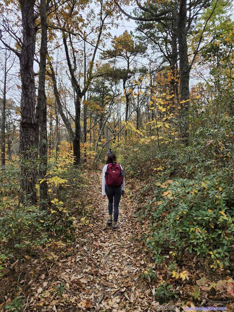 Trail
Trail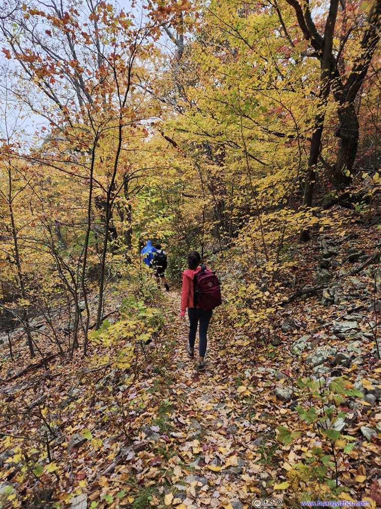 Trail
Trail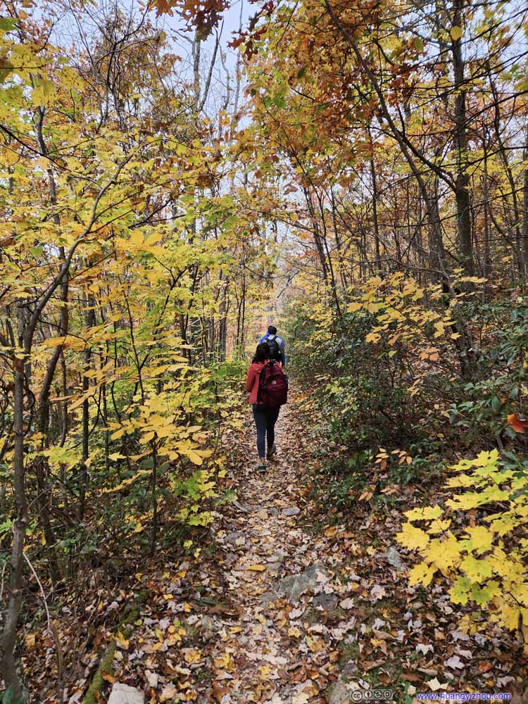 Trail
Trail Trail
Trail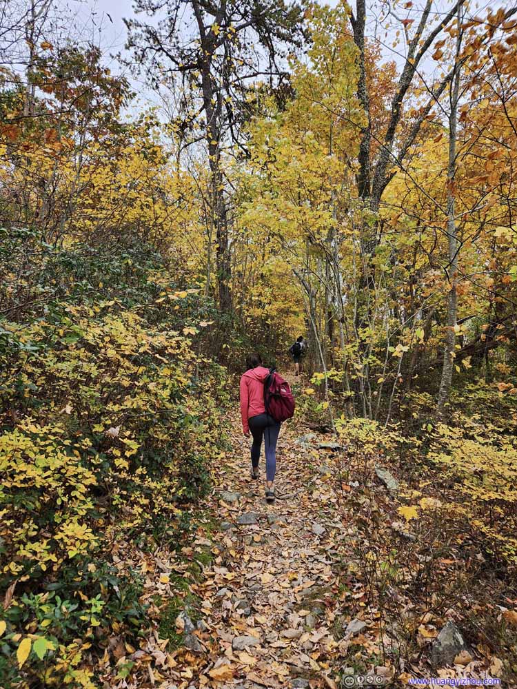 Trail
Trail

Click here to display photos of the trail.
Trail
Trail
Trail
Trail

Trail

Trail

Trail

Trail

Trail
Luckily, the drizzle was never strong enough to wet our clothes, as we made our way back to the cars just before 3:50pm, finishing the loop in just under 5 hours.
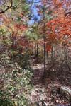
 Forests
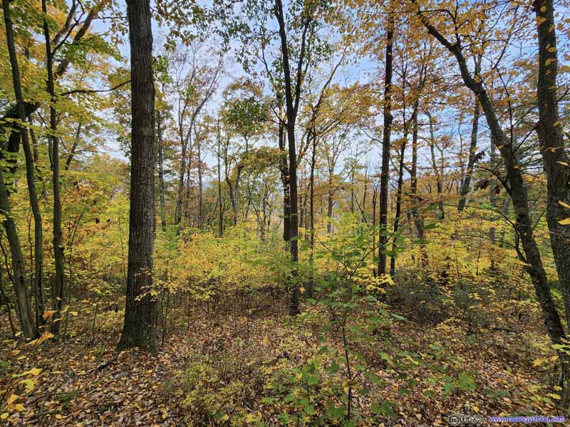 Forests
 Forests
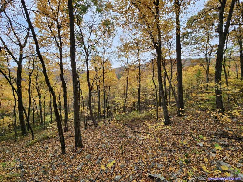 Forests
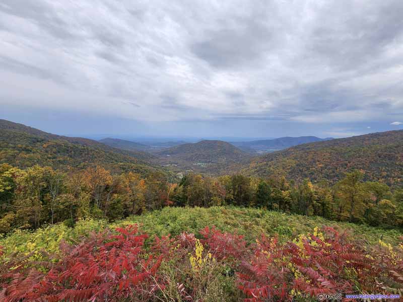 Mountains from Loft Mountain Overlook
Click here to display photos of the slideshow

Forests

Forests
Forests
Forests

Mountains from Loft Mountain Overlook
And that almost concluded our day, if I exclude the unusually heavy traffic back to Washington DC, even on US29, as if the entire city was heading back from foliage hunts during the day.
END
![]() Hiking Riprap Trail of Shenandoah National Park by Huang's Site is licensed under a Creative Commons Attribution-NonCommercial-ShareAlike 4.0 International License.
Hiking Riprap Trail of Shenandoah National Park by Huang's Site is licensed under a Creative Commons Attribution-NonCommercial-ShareAlike 4.0 International License.
“the views, which was spectacular at the height of autumn”
*the views, which were spectacular at the height of autumn
“Sceneries occasionally broke free from the vegetation along the trail”
*Overlooks occasionally broke free from the vegetation along the trail
“It’s believed that in summer, people took this as a swimming destination.”
*it’s believed that in summer, people use this as a swimming destination
“…we stopped here to appreciate the sceneries”
*we stopped here to appreciate the scenery
Corrected. Thanks for pointing them out. 🤣
While the online dictionaries treat “scenery” as both countable and uncountable, I find out it’s much less used in the “sceneries” form.
I went to the mountains for my first time on oct 10 1997 with my husband I was 46 years old. I wanted a picture on a rock formation. My husband said we would revisit. He loved the mountains. He got sick. He was unable to go back again because he became ill. After he passed in 2021 I returned to the same rock formation. There is a rock missing. Is there a way to find out what happened. I have an unbelievable picture. I would love to find out.
You mean the rock formations of Chimney Rock, right? I wish they carry fond memories of you. Rocks got eroded and fell apart all the time.