
Updated on October 7, 2023
Day 3 of 2022 Big Bend National Park Trip, The Window and Lost Mine Trail
The third day of my 2022 Thanksgiving trip to Big Bend National Park. I plan to hike two popular trails in the park, The Window and Lost Mine.
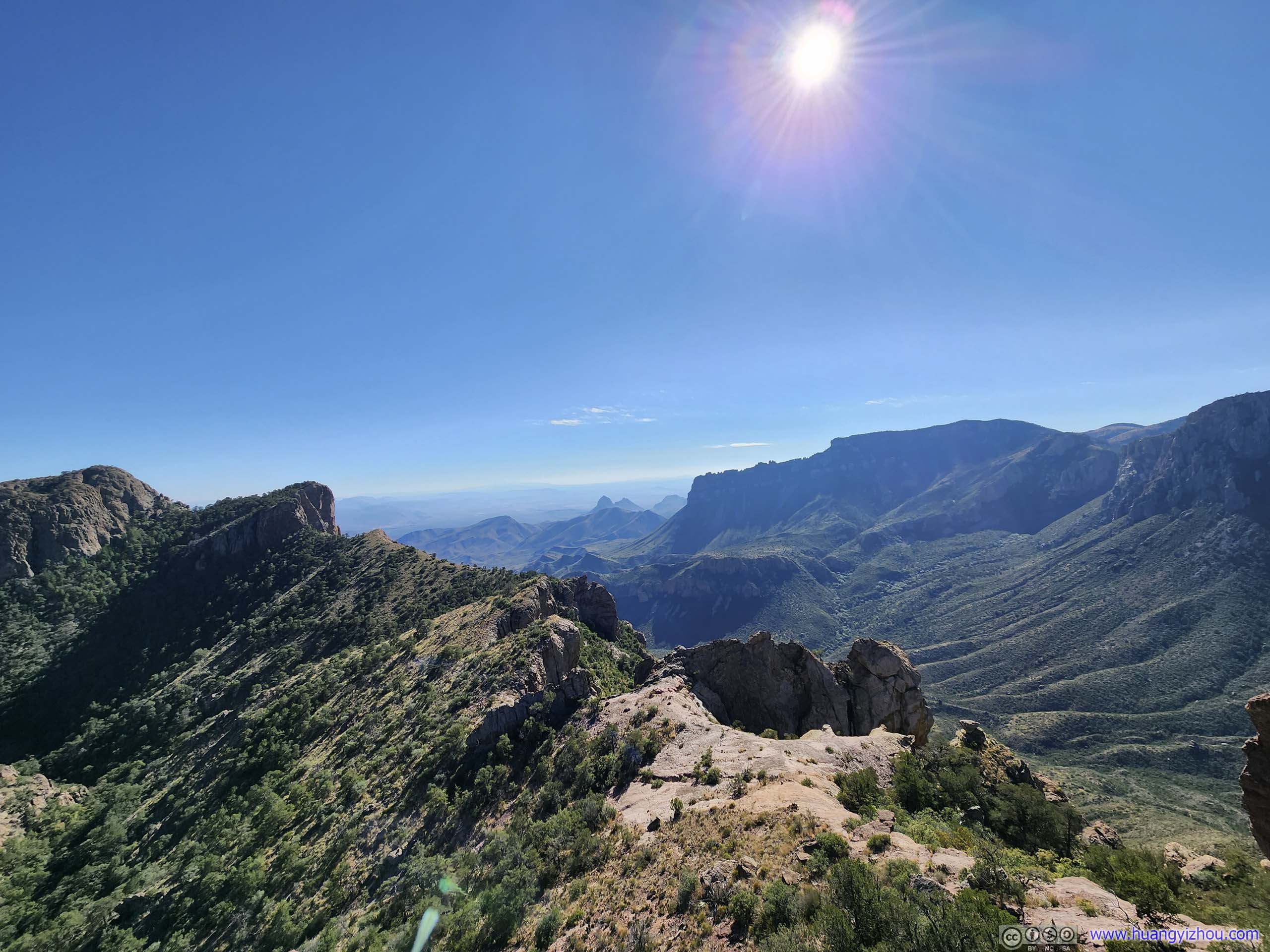
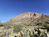
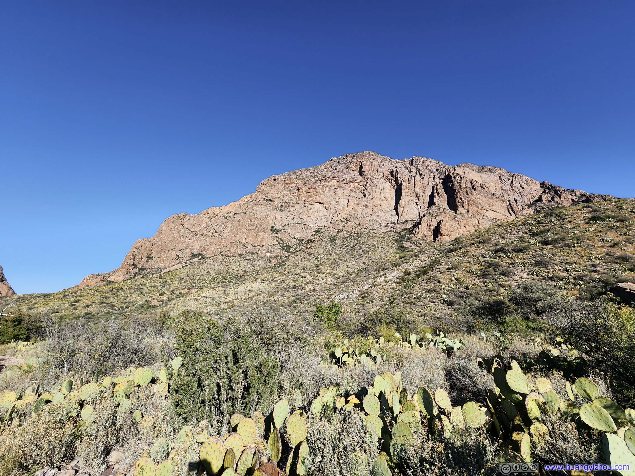
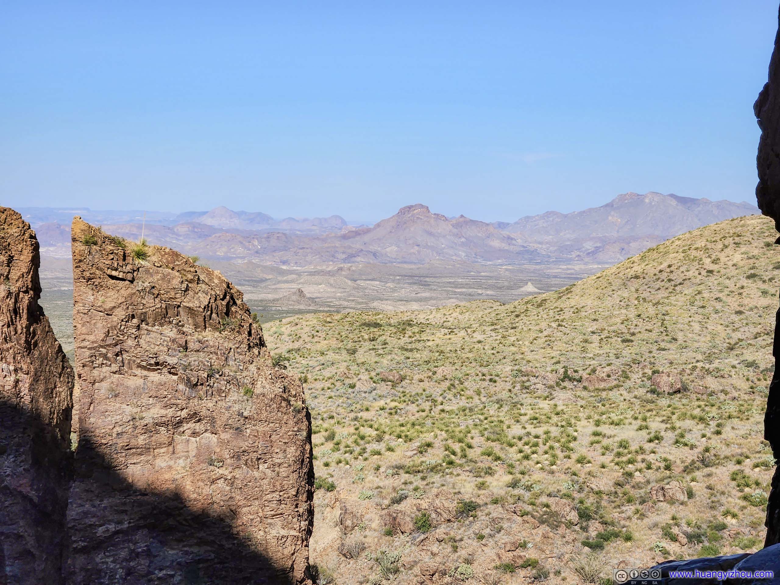
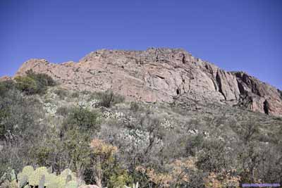
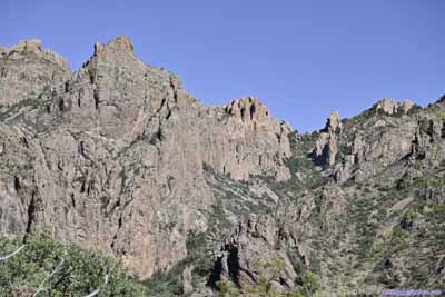
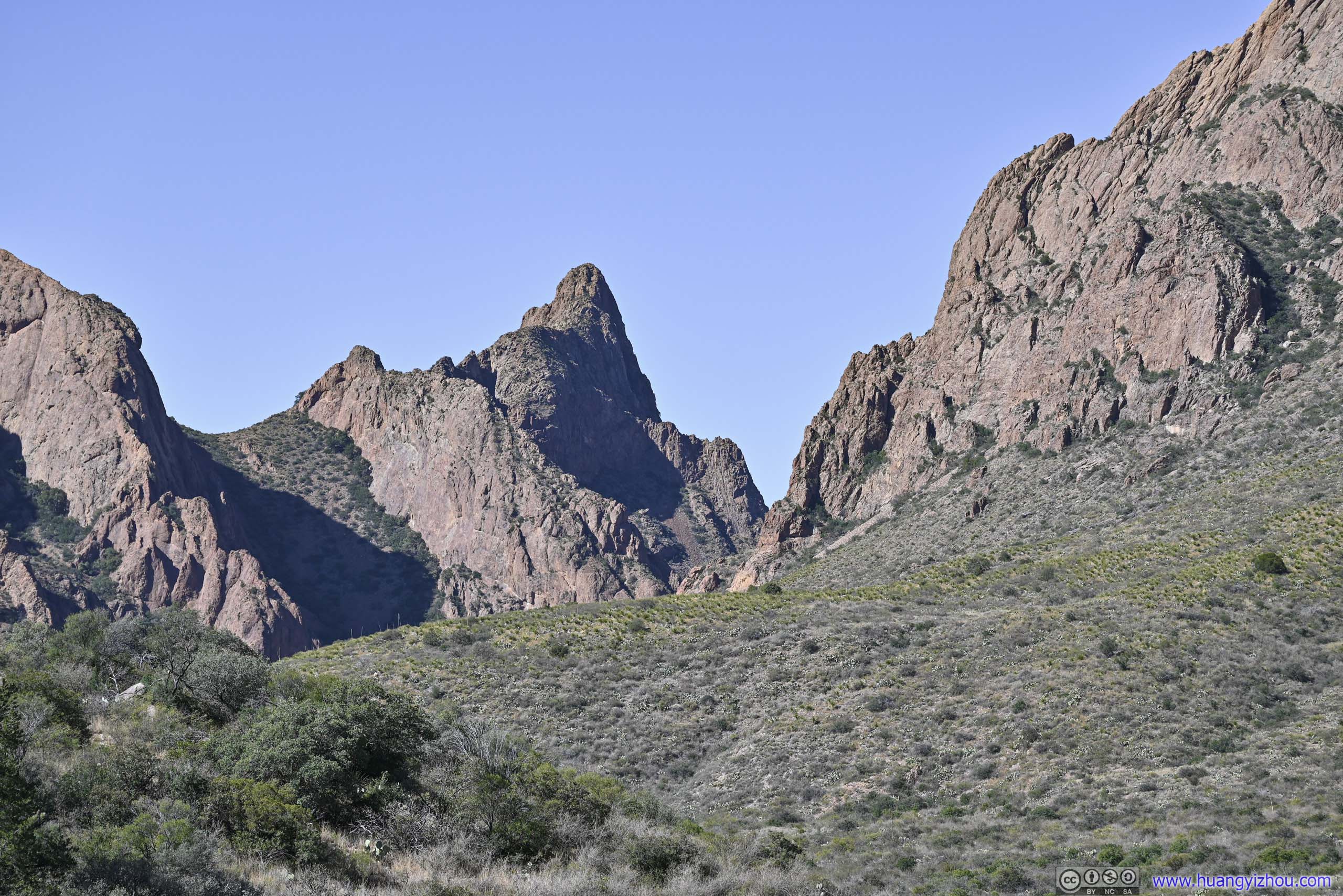
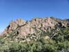
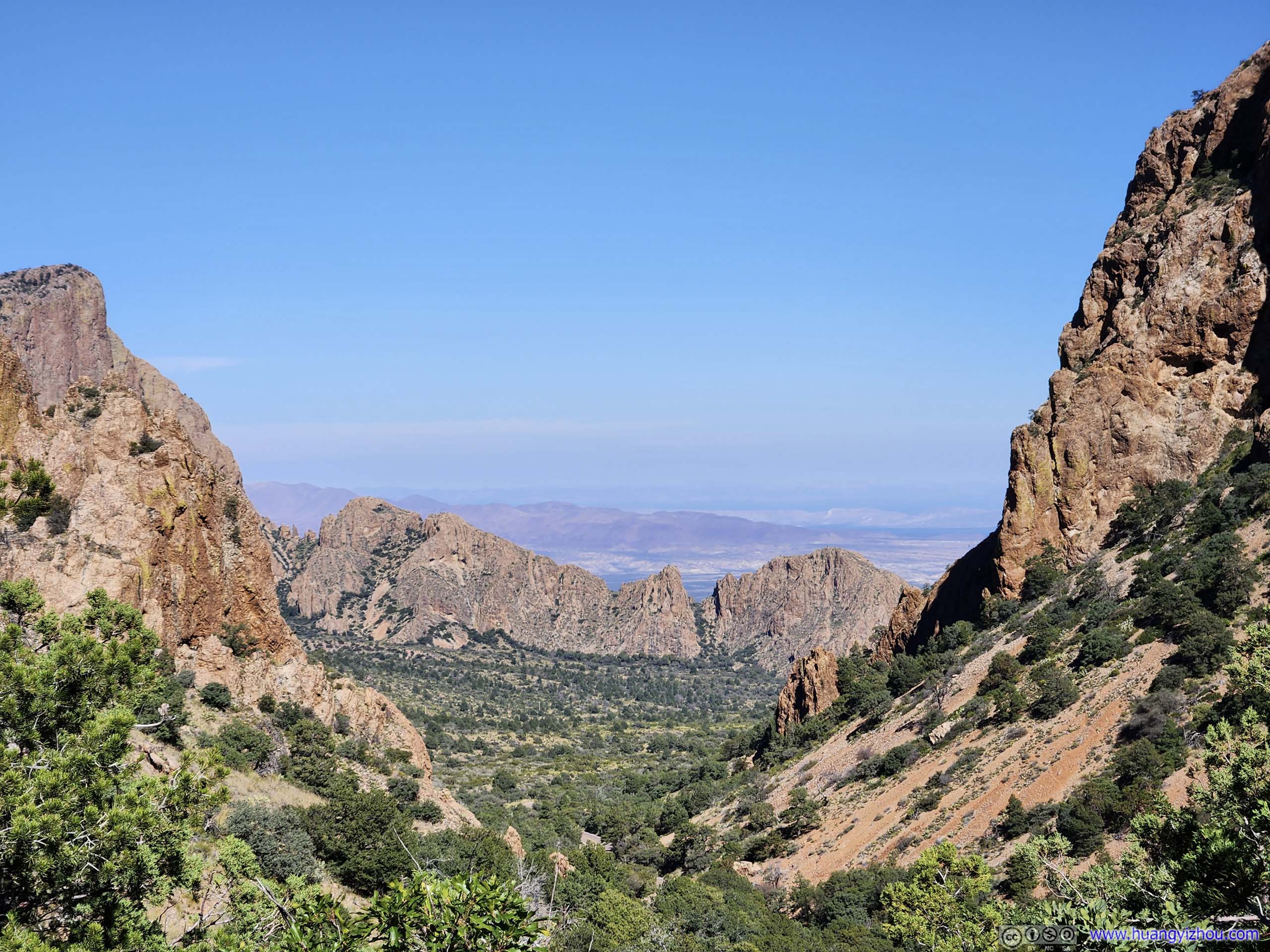
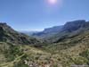
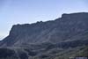
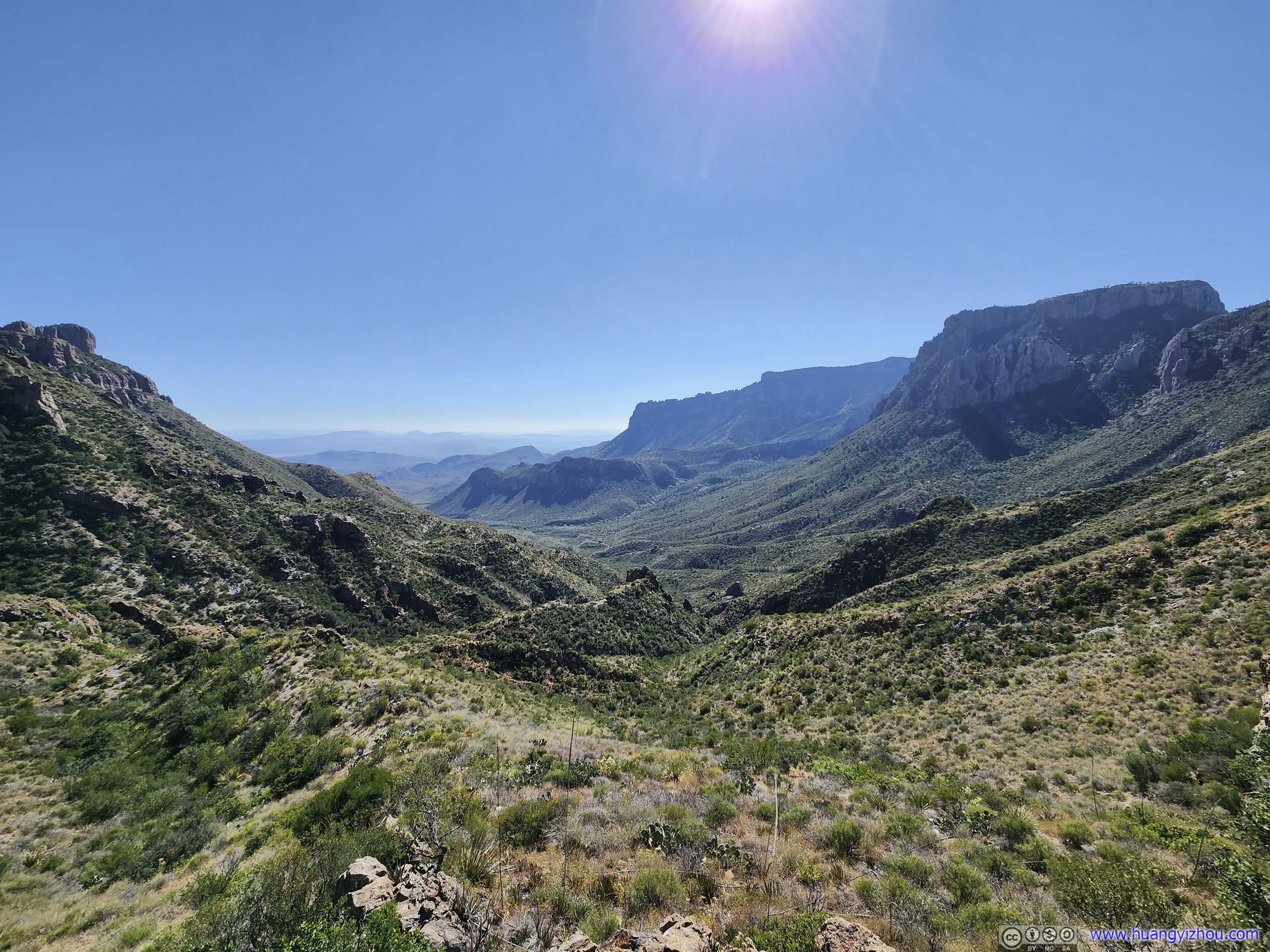
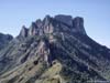
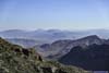
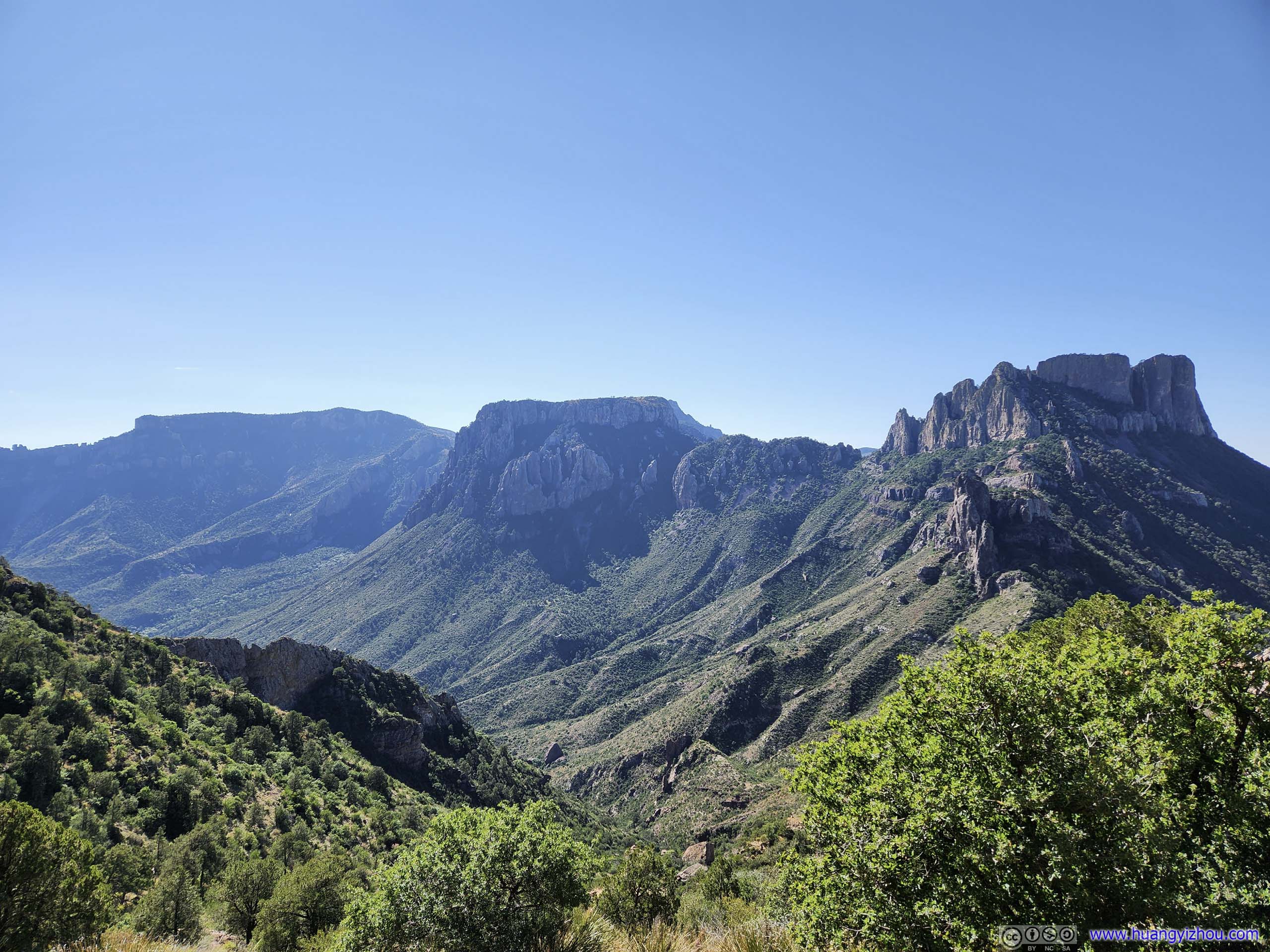
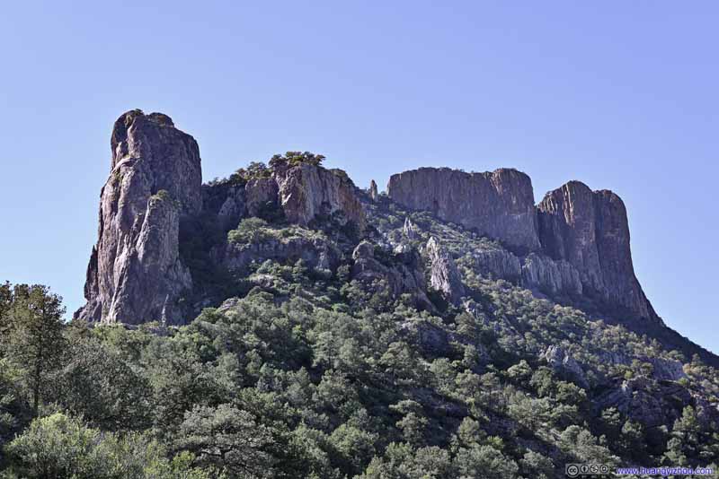
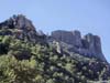
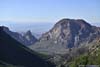
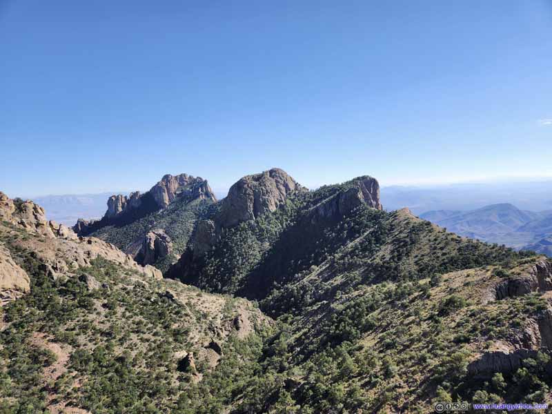
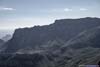
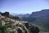
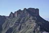
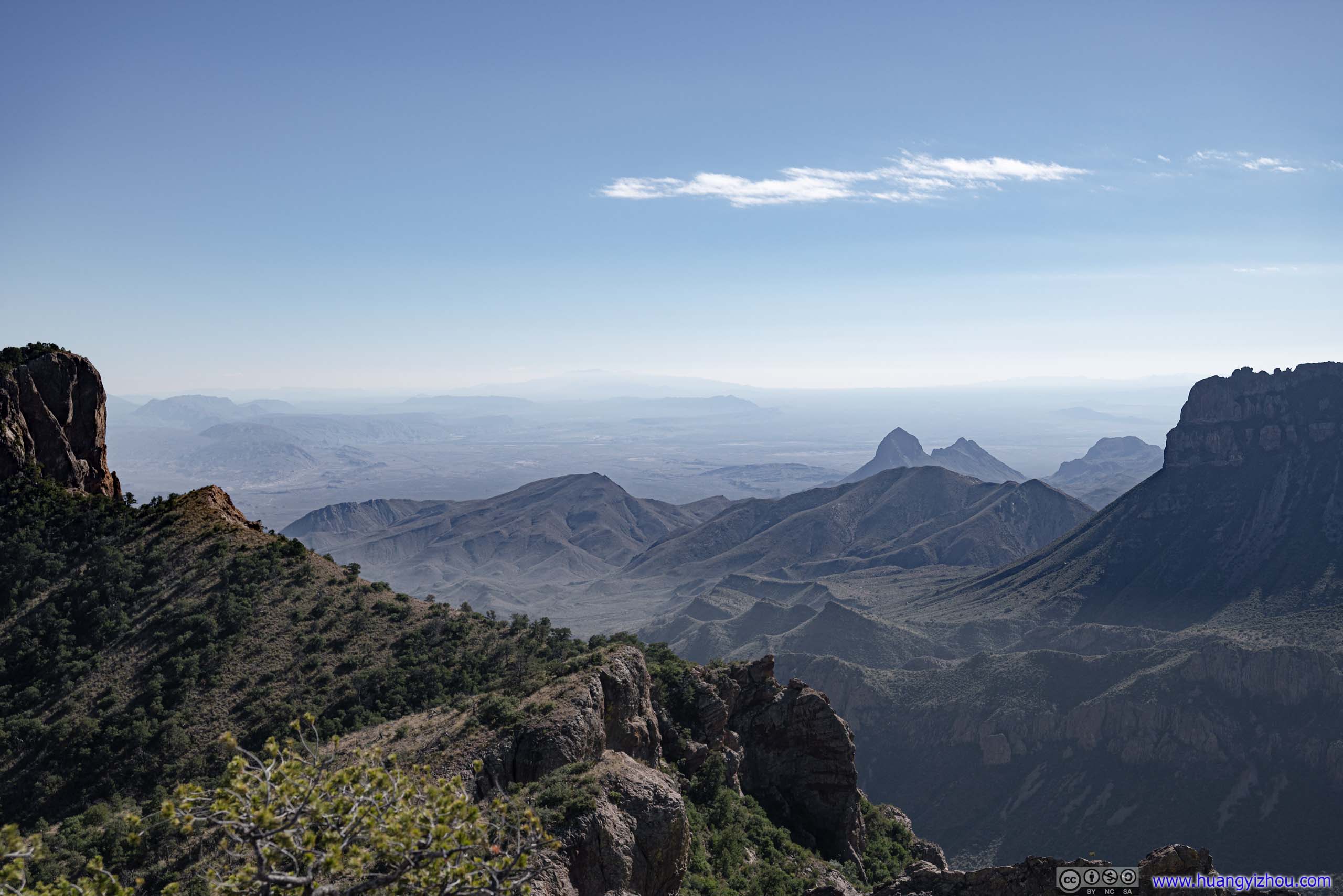
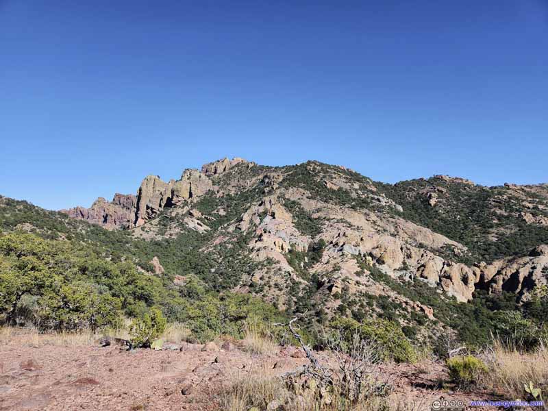
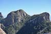
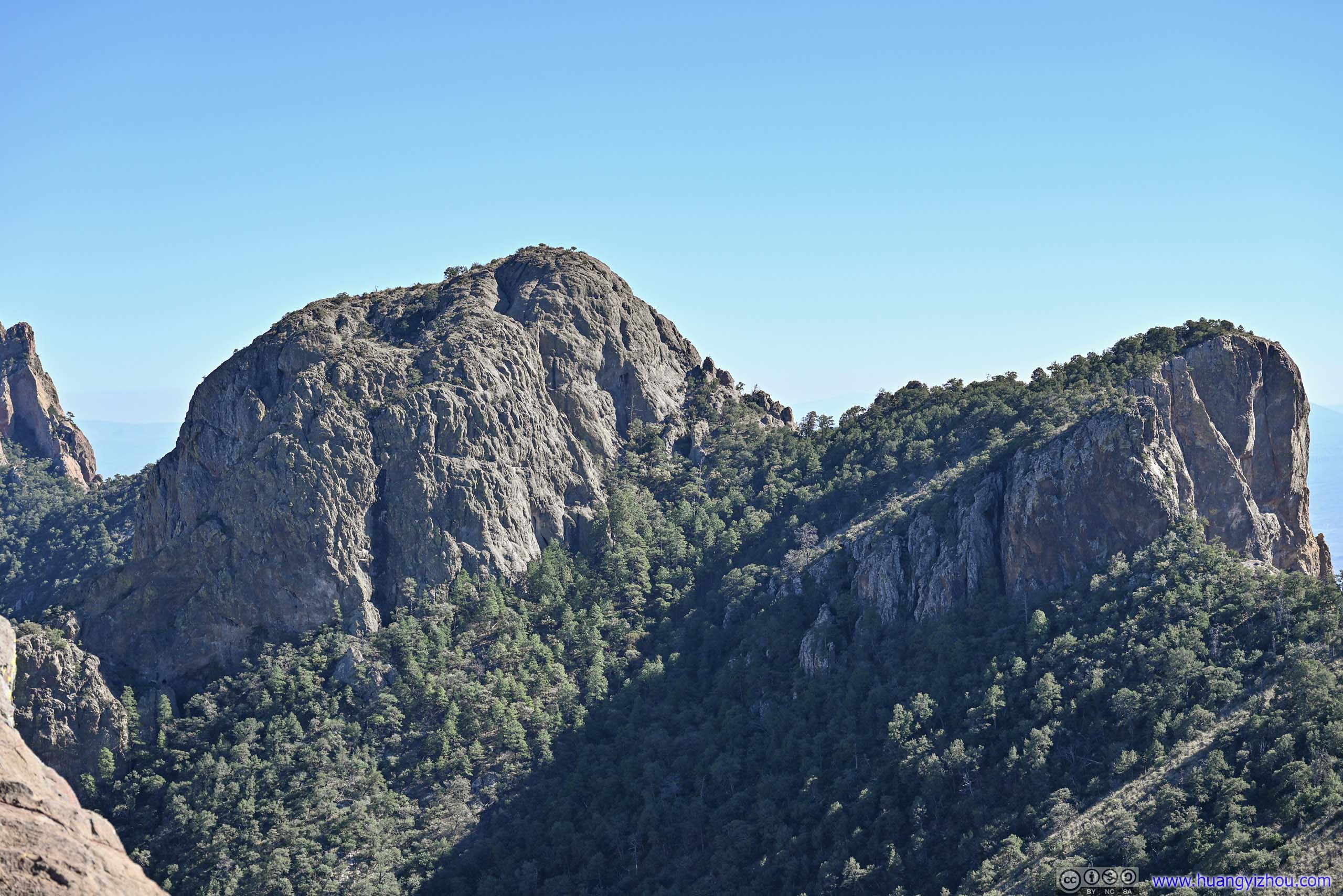
Mountains and Canyons from Lost Mine Trail’s End
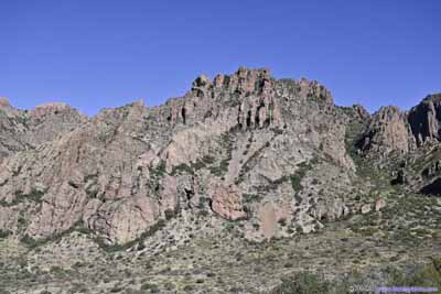
Both the Window and Lost Mine are two popular trails in the Chisos Basin region. They are not too long (around 7km roundtrip), not too difficult (mostly gradual incline with well-maintained trails), and offer spectacular views, especially for Lost Mine.
For the first two days in Big Bend National Park, my original plan was to hike one of them each day, as they seemed great options for half-day hikes. Unfortunately, the sceneries along Ross Maxwell scenic drive took me much longer than expected the previous day, as a result, I had to combine these two hikes in one day.
The Window
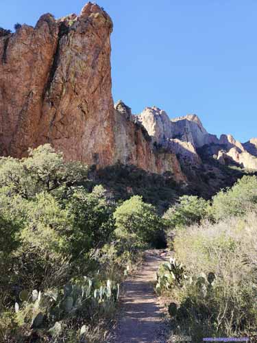
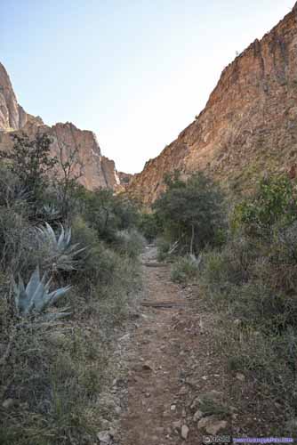
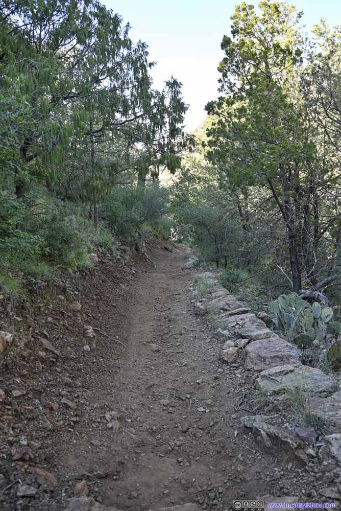
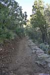
From the visitor center at Chisos Basin, The Window is a 8.4km out-and-back trail with 290m elevation gain. The trail followed Oak Canyon down to a pour-off, with views of distant desert landscape and rock formations. For those not staying in Chisos Basin Campground, the parking lot at the amphitheater would shave off some distance of the hike. Luckily for me, I could start from my campsite, this saved me a total of 2km together with some elevation gain.
Here’s GPS tracking:
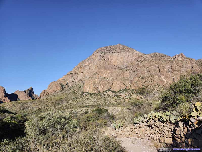
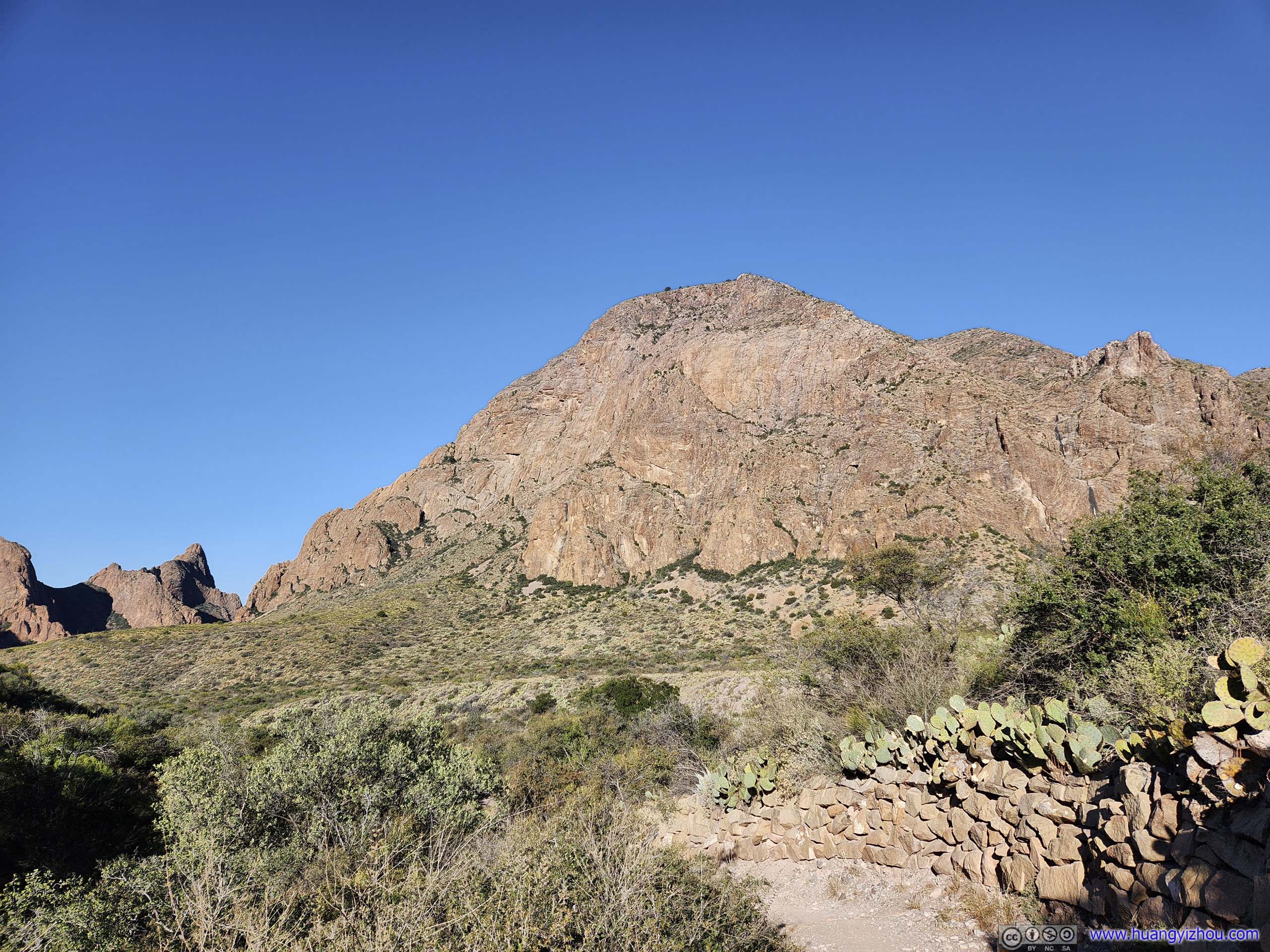
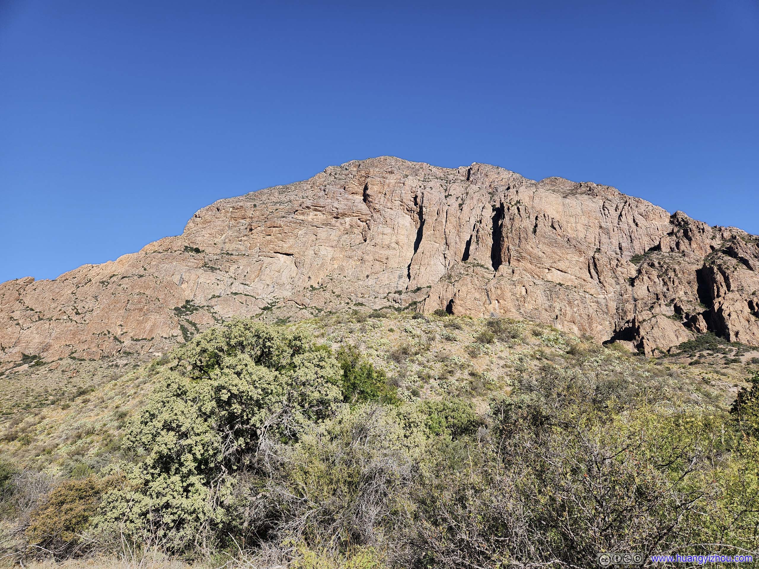
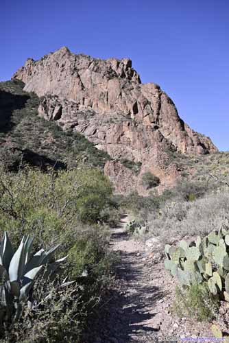
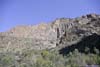
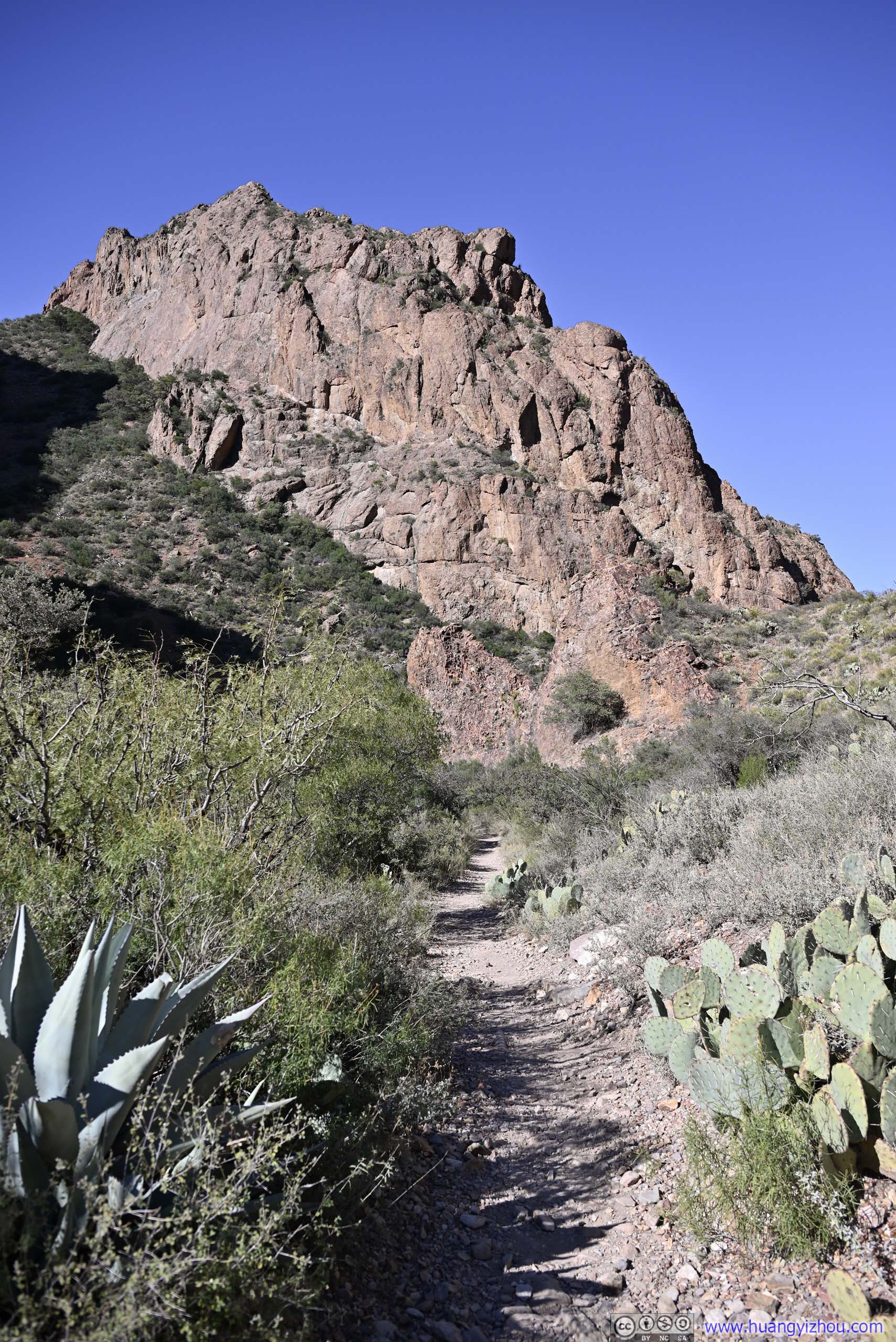
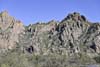
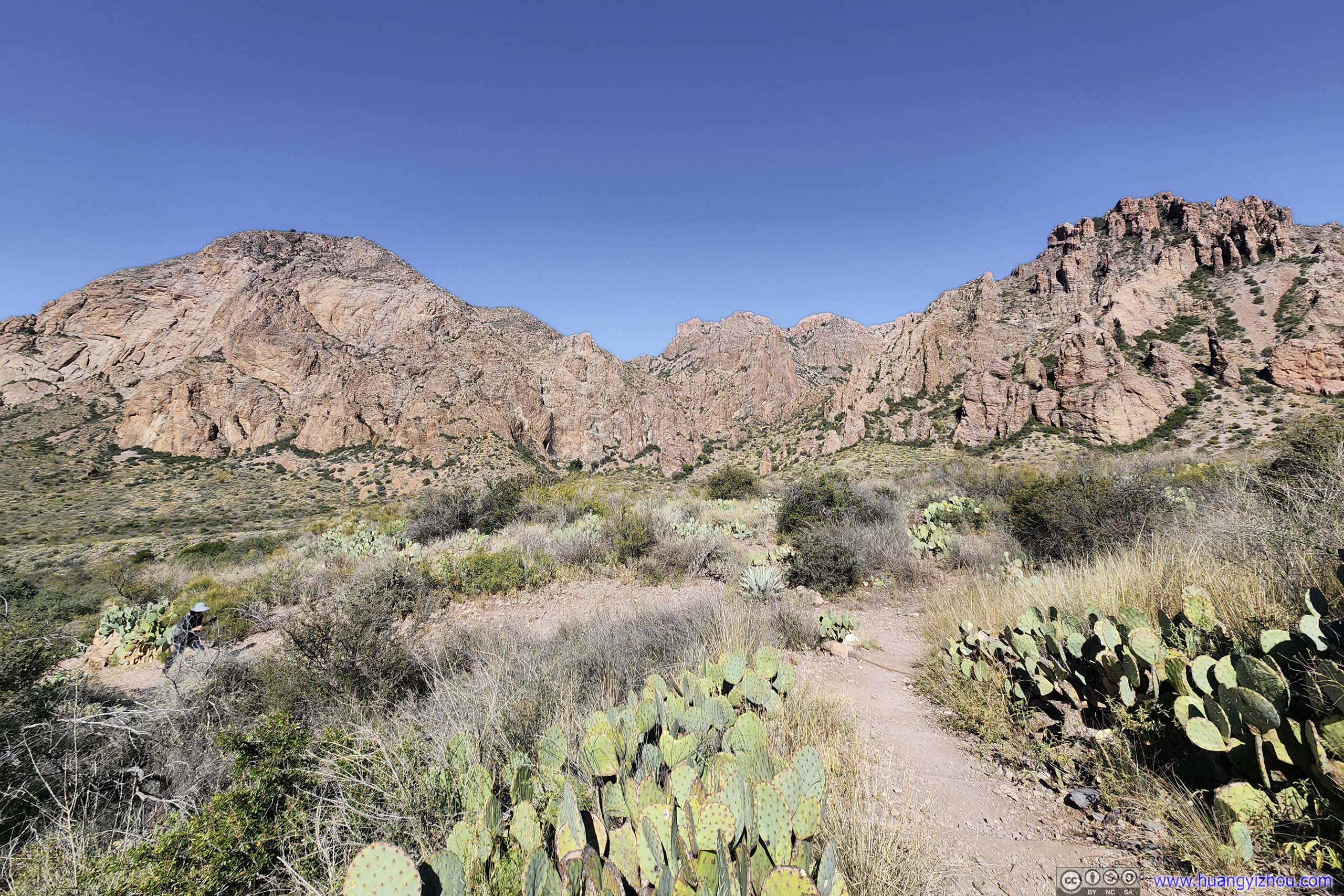
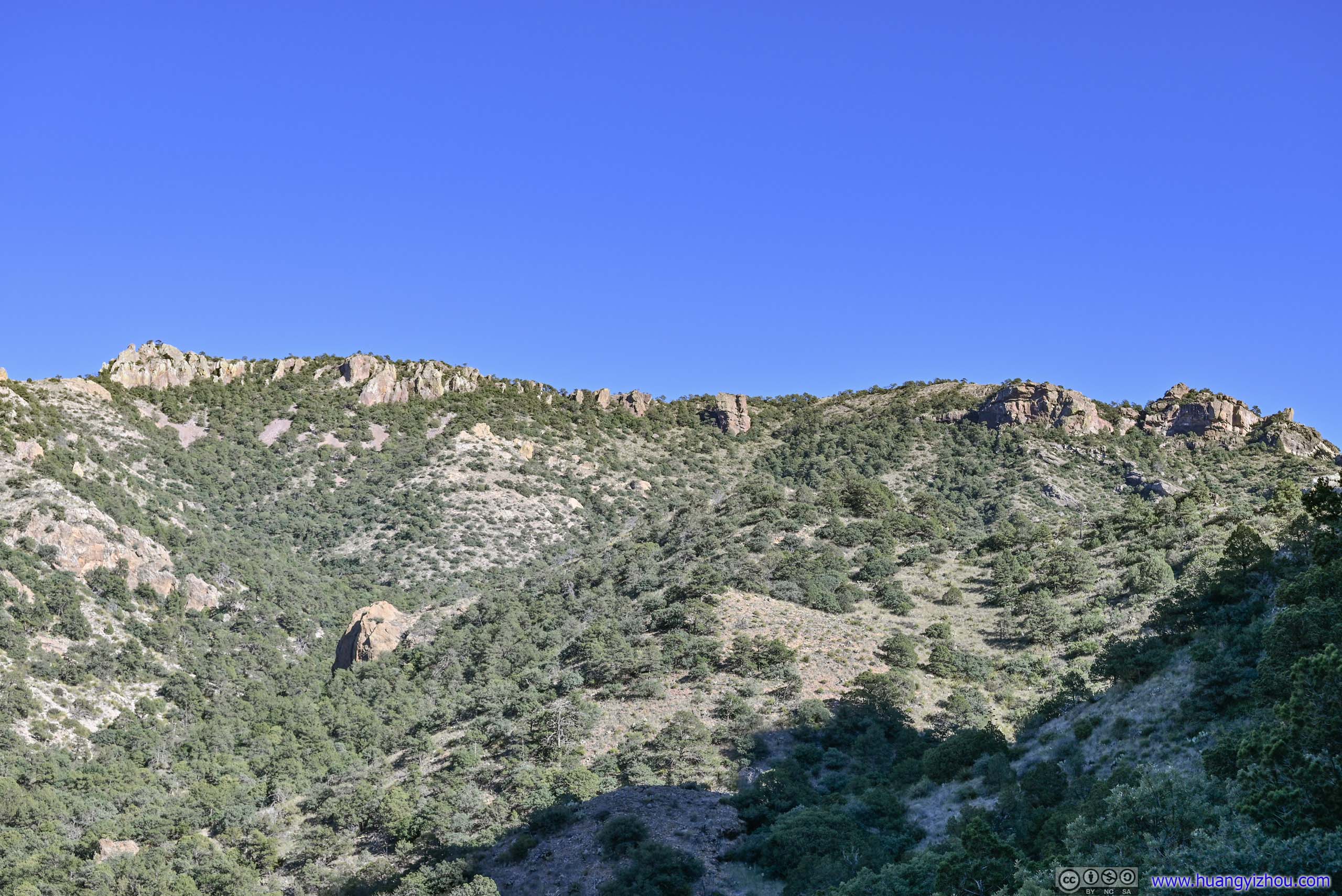
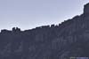
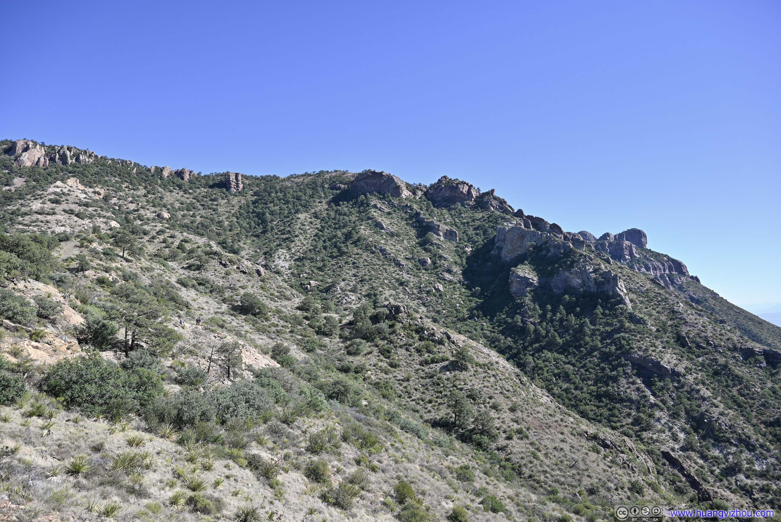
So at about 9am in the morning, I set off onto the trail. The initial part of the trail was along the southern slope of Vermon Bailey Peak, with the rising sun lifting its boulders and crevasses from shadows.
 Trail before Vernon Bailey Peak
 Trail
Trail Trail
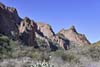
Trail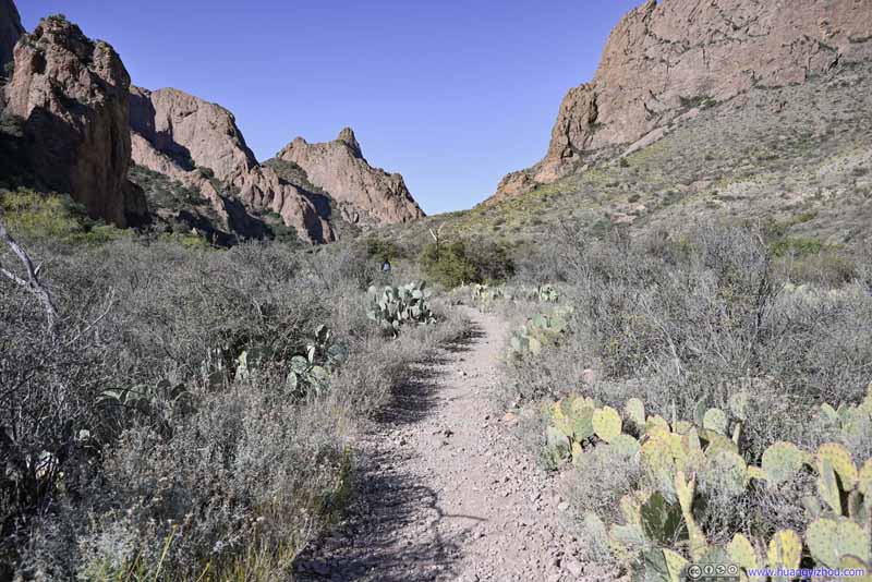 TrailTowards the open gap between the two hills in the center.
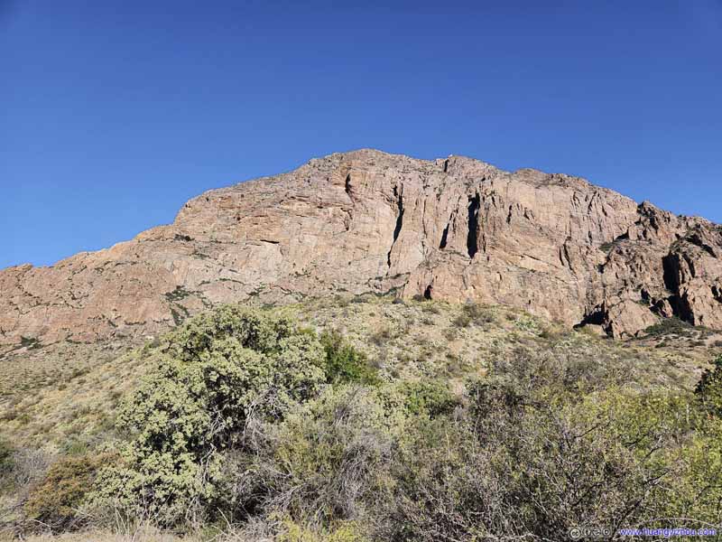 Vernon Bailey Peak
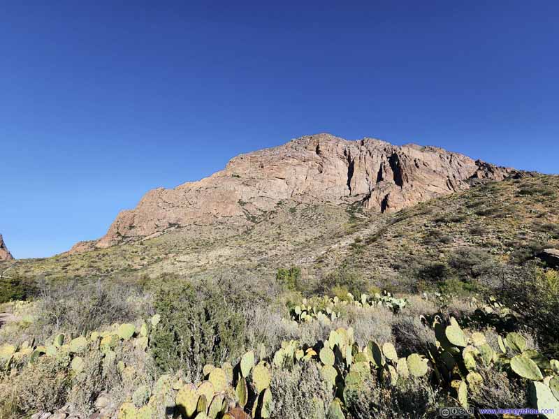 Vernon Bailey Peak


Click here to display photos of the slideshow
Trail before Vernon Bailey Peak
Trail

Trail

TrailTowards the open gap between the two hills in the center.
Vernon Bailey Peak
Vernon Bailey Peak
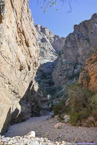
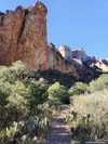
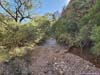
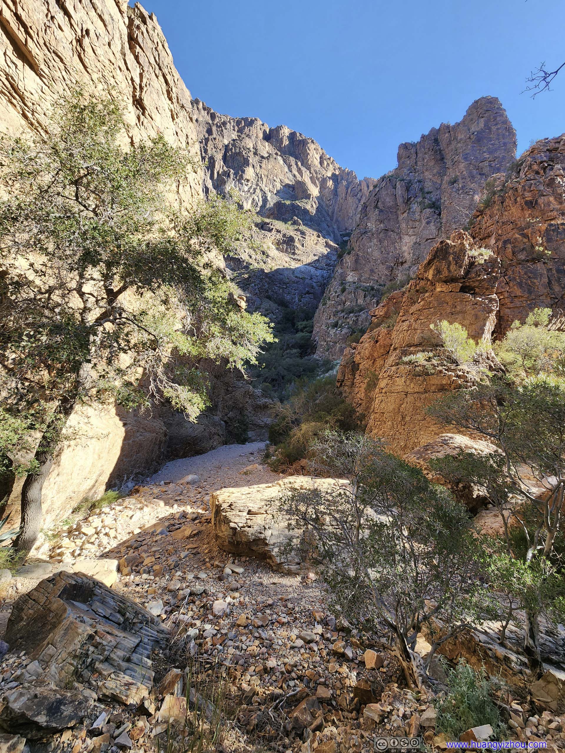
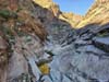
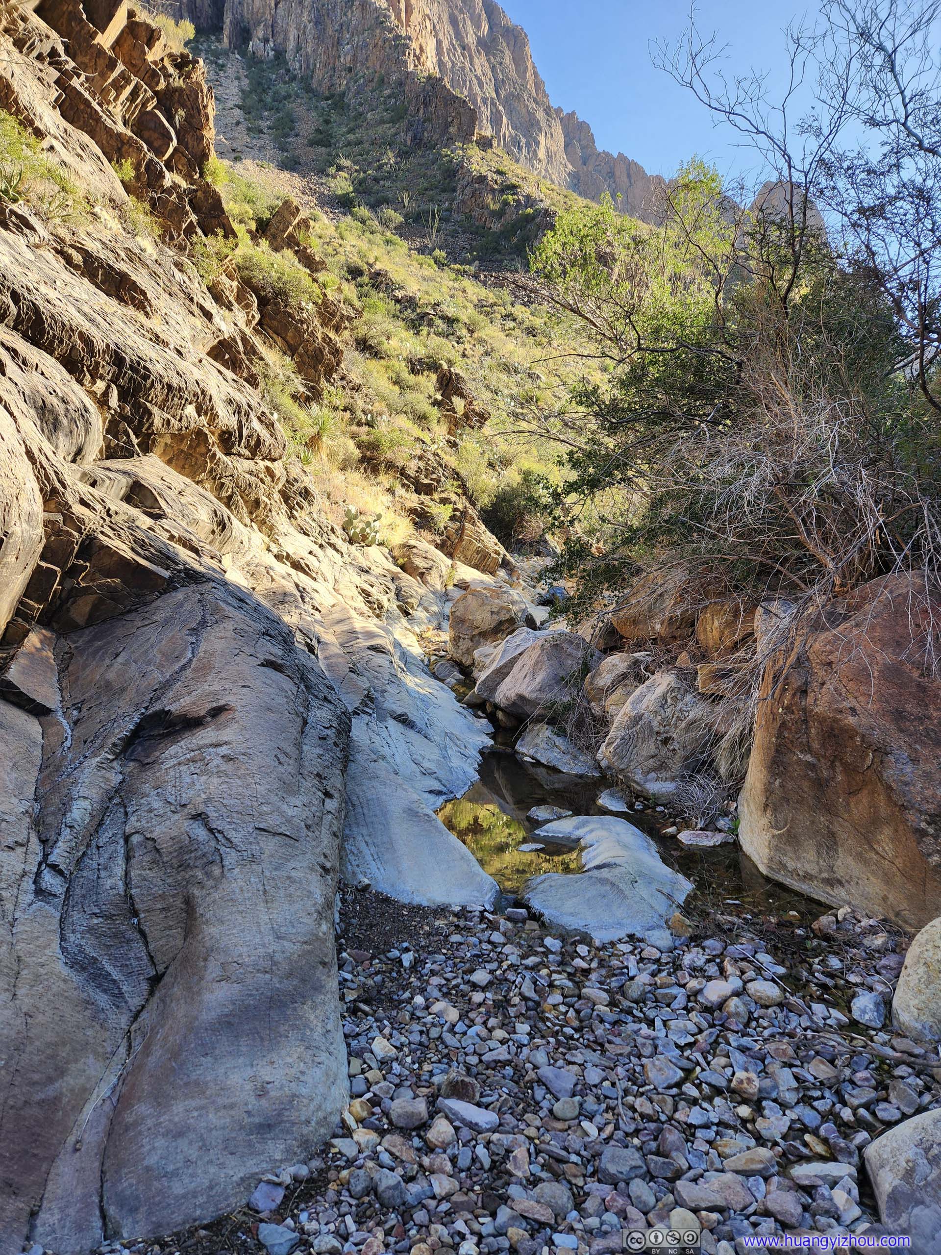
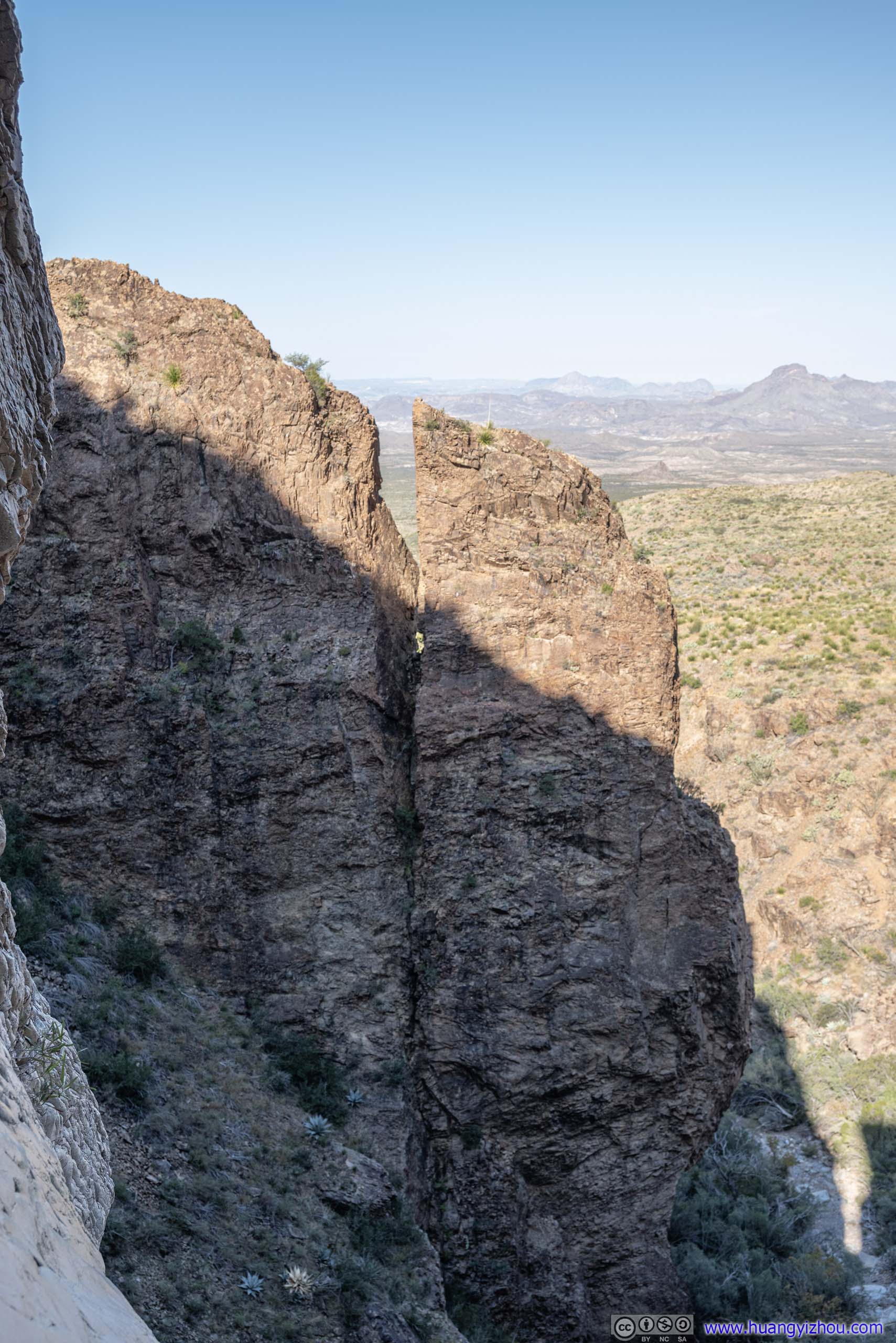
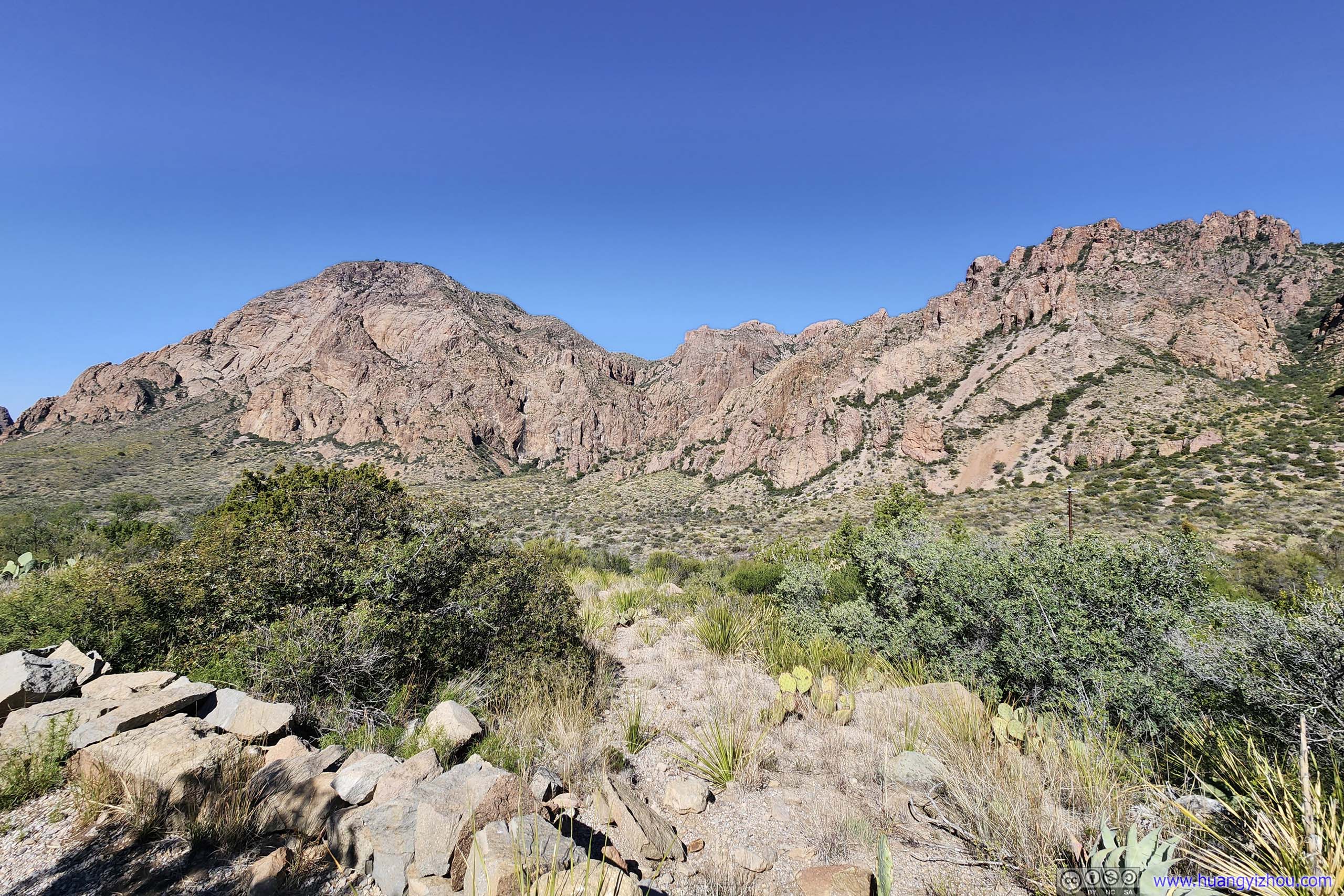
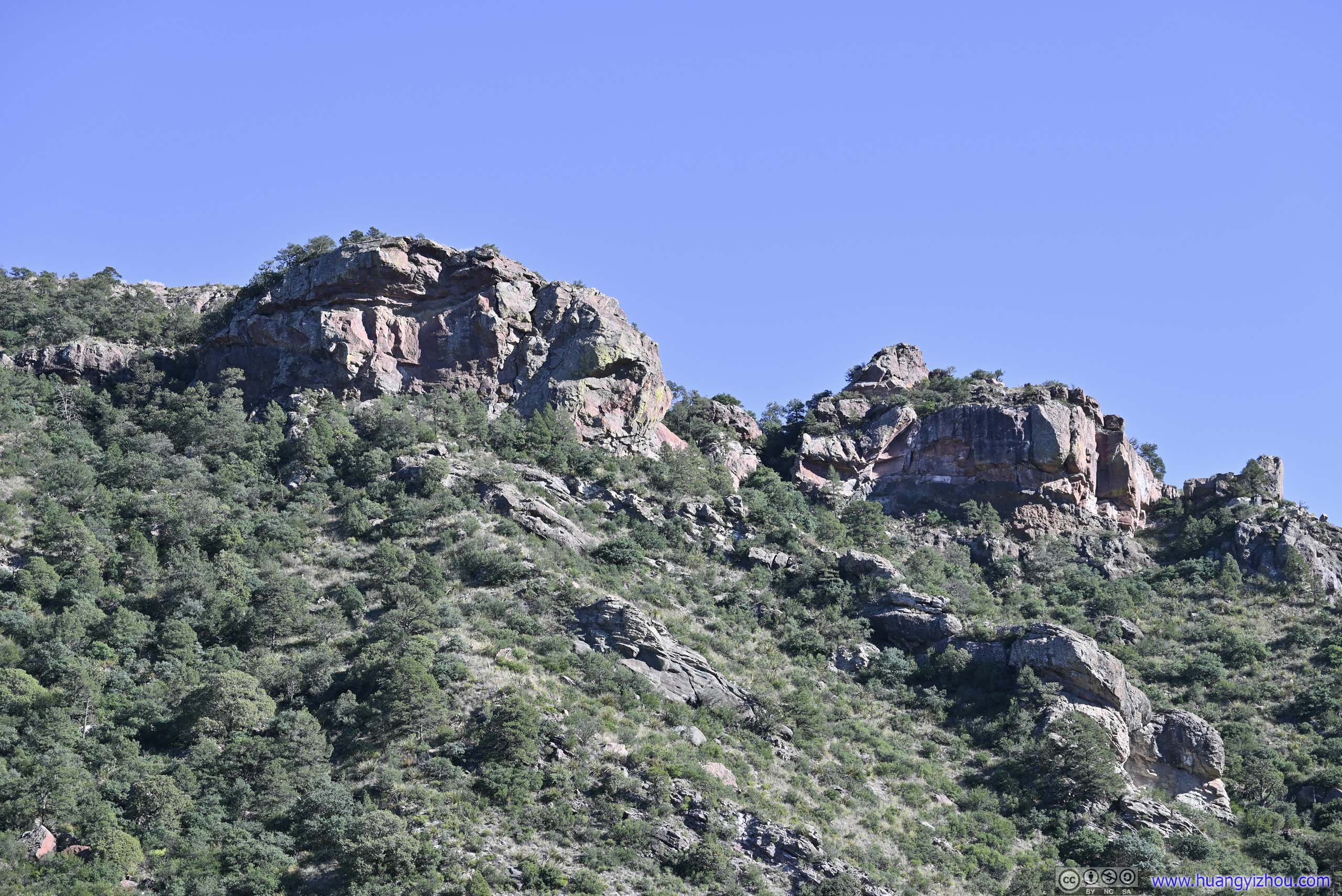
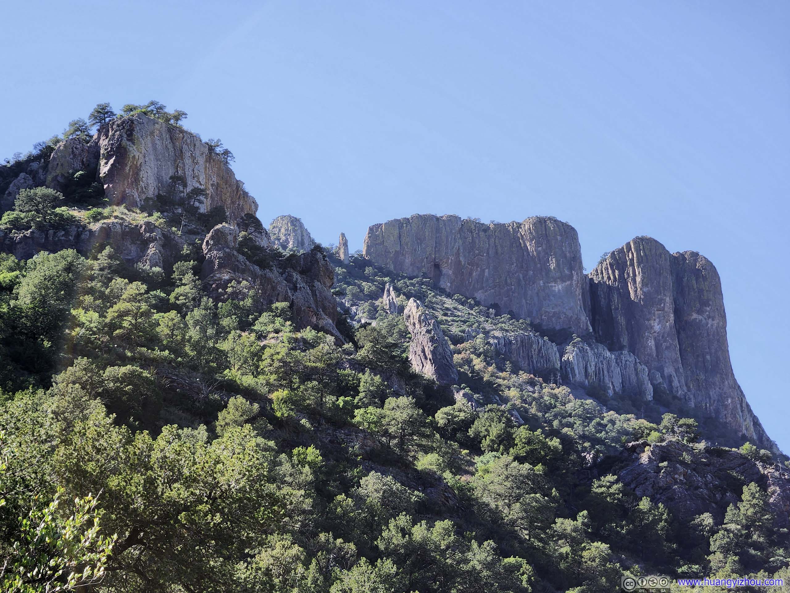
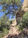
“The Window” was formed by a seasonal occasional creek (“Oak Creek”) eroding a valley in between the mountains (Vernon Bailey Peak to the north and Carter Peak to the south). Further along the trail, it’s more obvious that the “valley” was getting more and more narrow, and in places, just a few meters wide. The dry river bed of that creek was also visible from time to time.
 TrailFarther west, among soaring boulders.
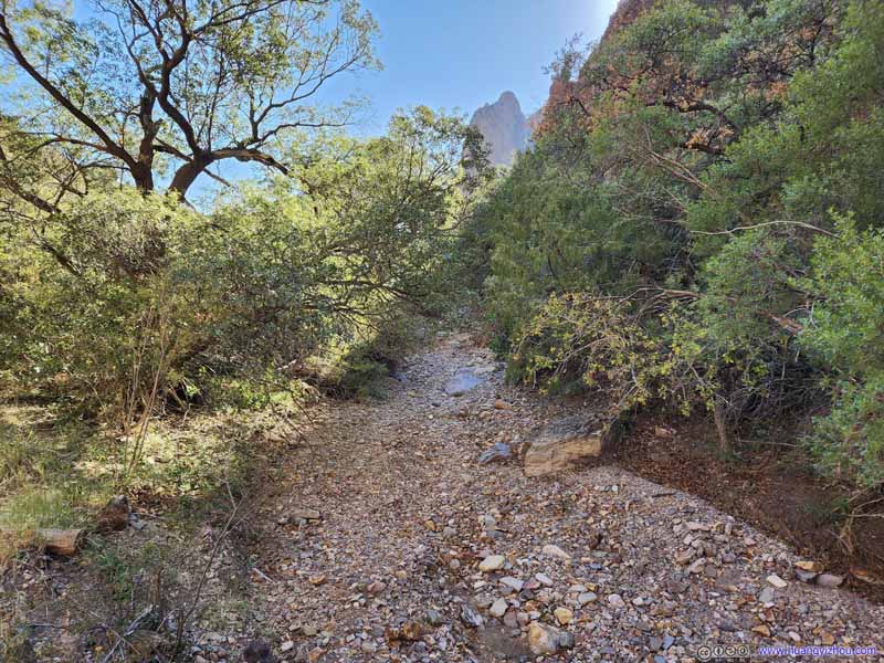 Dry CreekA creek that in wet season, may flow towards the Window.
 CanyonWhere the trail made a narrow twist.
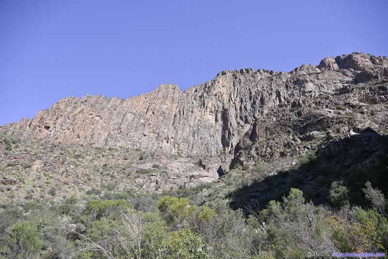 Southern Slope of Vernon Bailey Peak
 Trail
Trail

Click here to display photos of the slideshow

 TrailFarther west, among soaring boulders.

Dry CreekA creek that in wet season, may flow towards the Window.
 CanyonWhere the trail made a narrow twist.
Southern Slope of Vernon Bailey Peak

 Trail
Trail
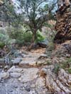
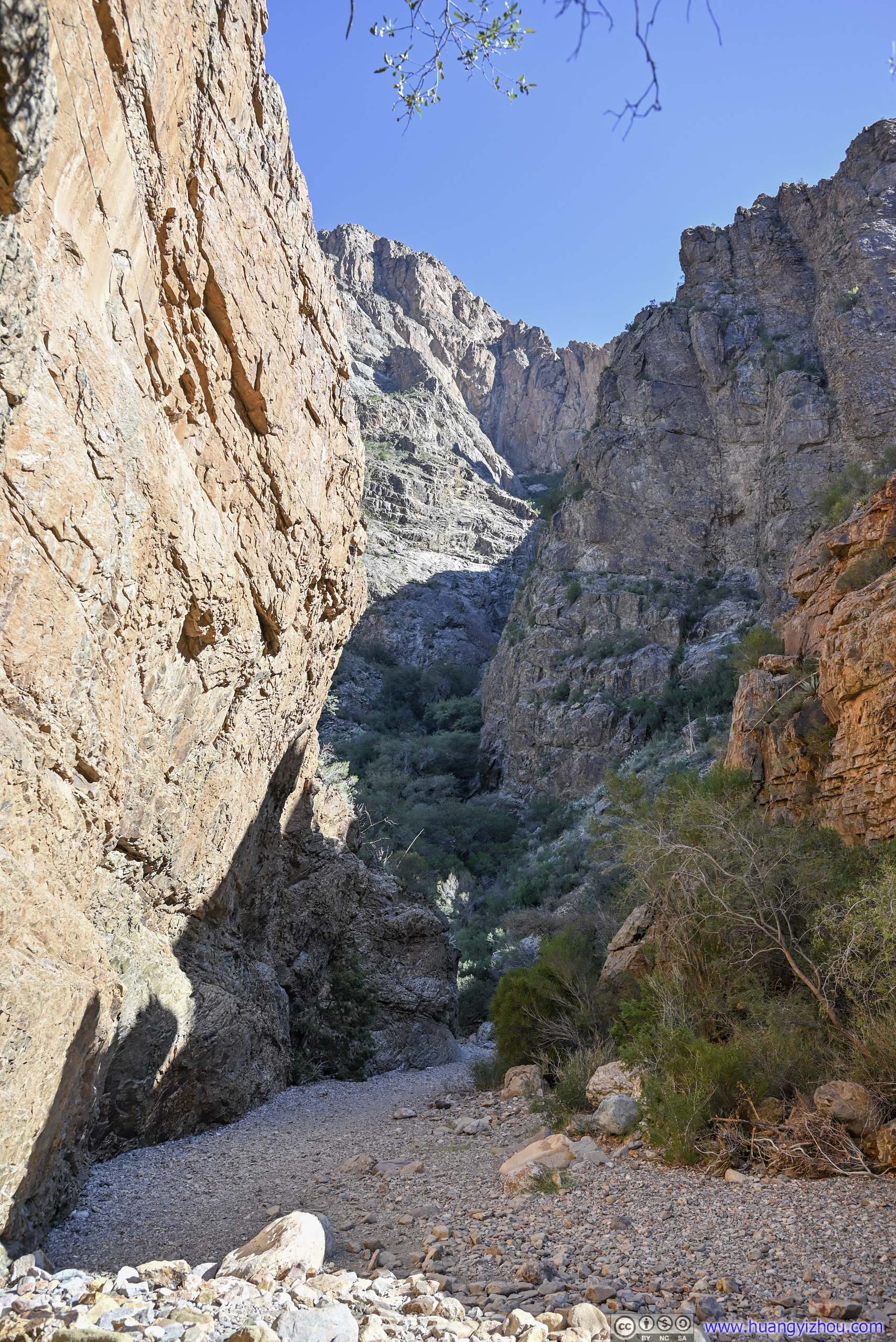
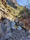
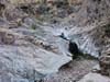
500m from destination, the trail reached an intersection where the other branch would head down the Chisos Mountain to Ross Maxwell Scenic Drive. Not long afterwards, the trail entered a narrow slickrock canyon with pools and puddles, obviously created by that seasonal creek and thanks to the canyon’s shade, the water seemed to be present year-round.
Since it’s a canyon, the trail inevitably went up and down some rocks, which in my opinion was marginally technical. With stairs carved into and around some of the most difficult sections, I would rate that as YDS class 1.
 Pools and Puddles
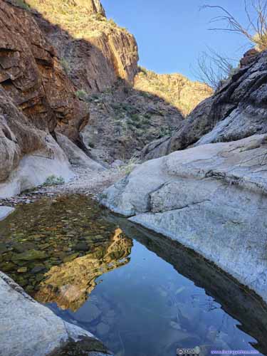
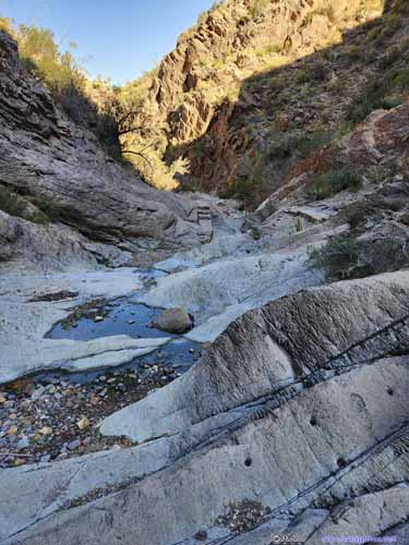 Pools and Puddles
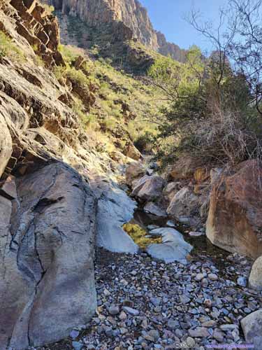
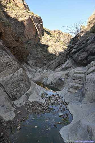 Pools and Puddles
 Trail in Canyon

Click here to display photos of the trail in a canyon.

Pools and Puddles

 Pools and Puddles
 Pools and Puddles

Trail in Canyon
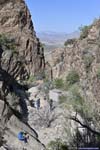
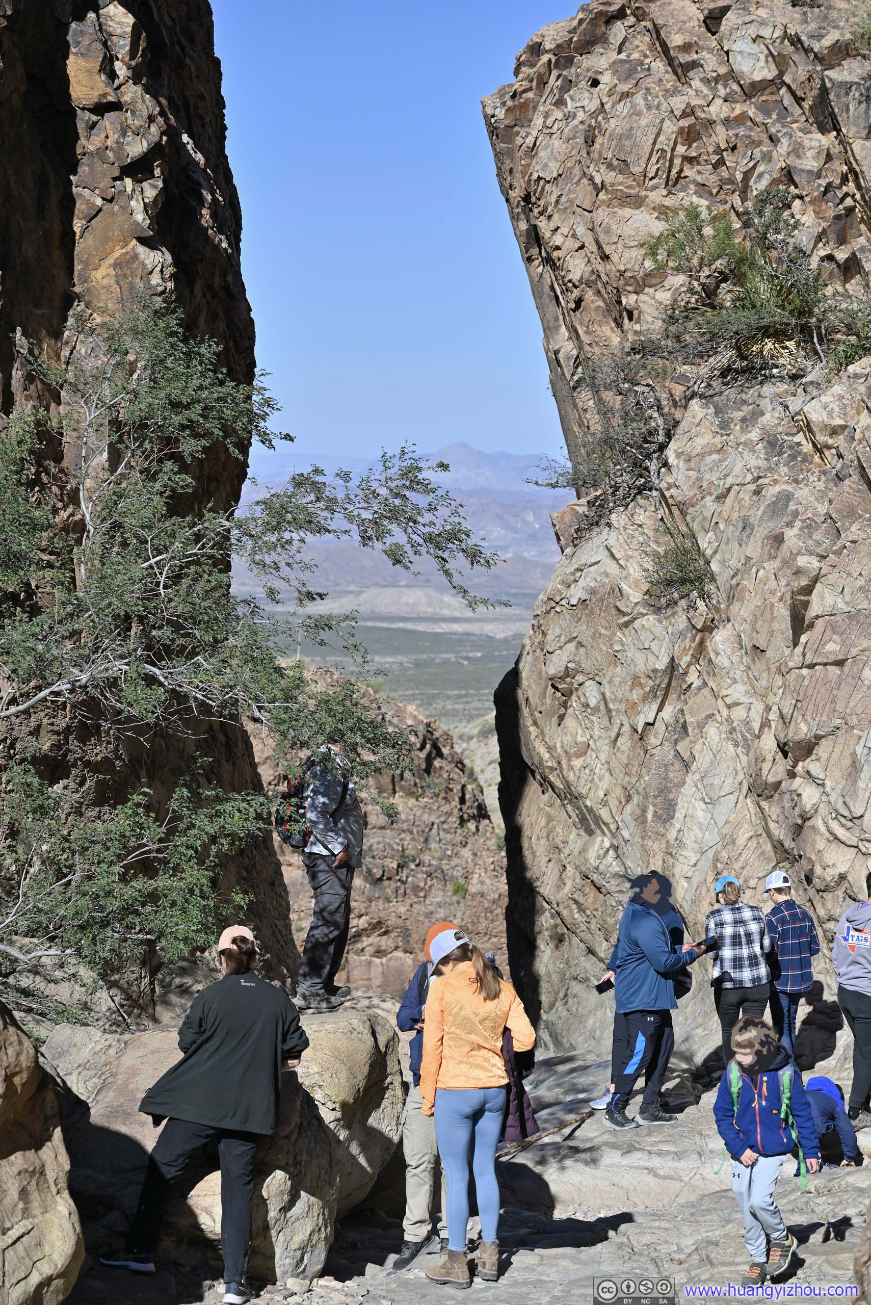
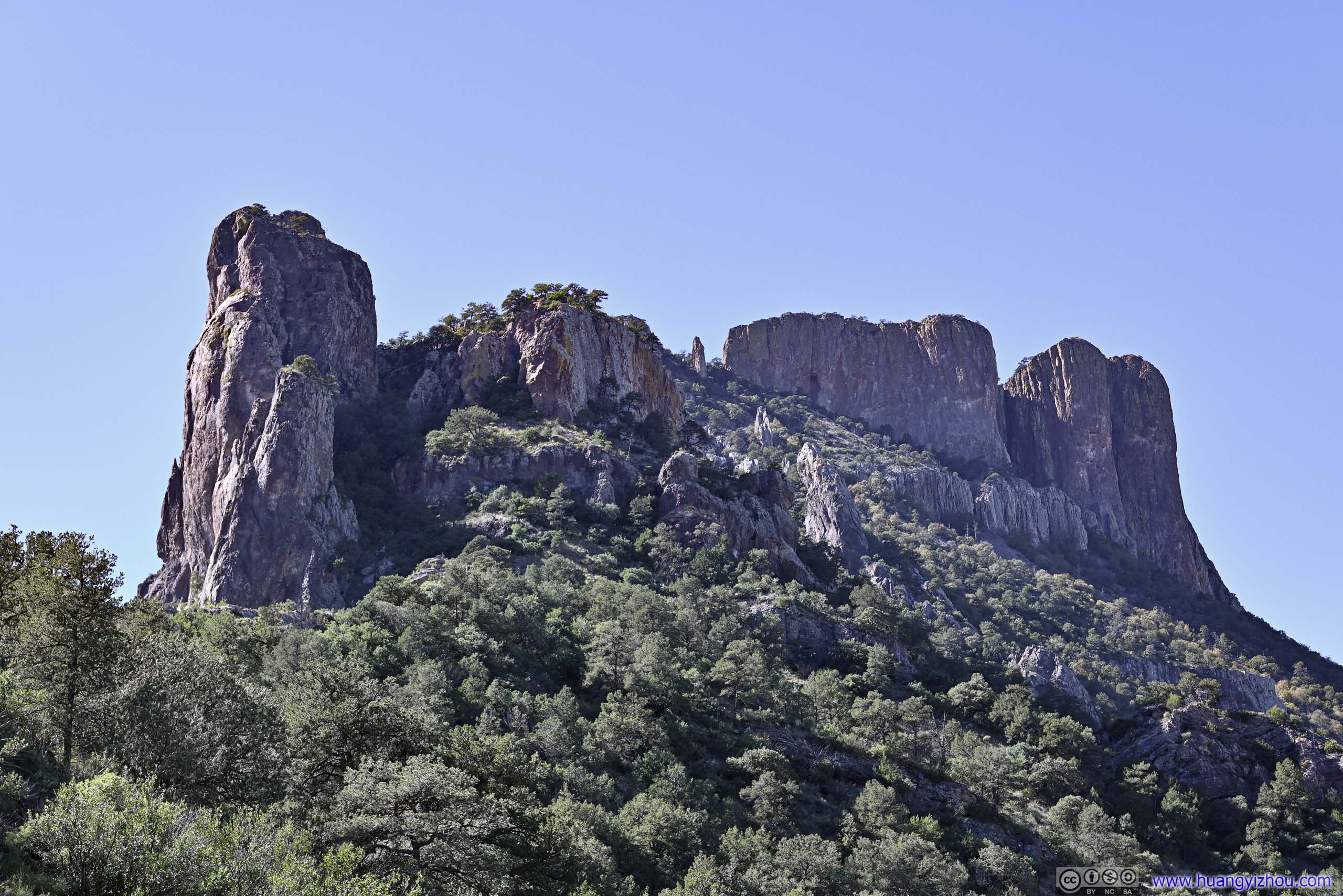
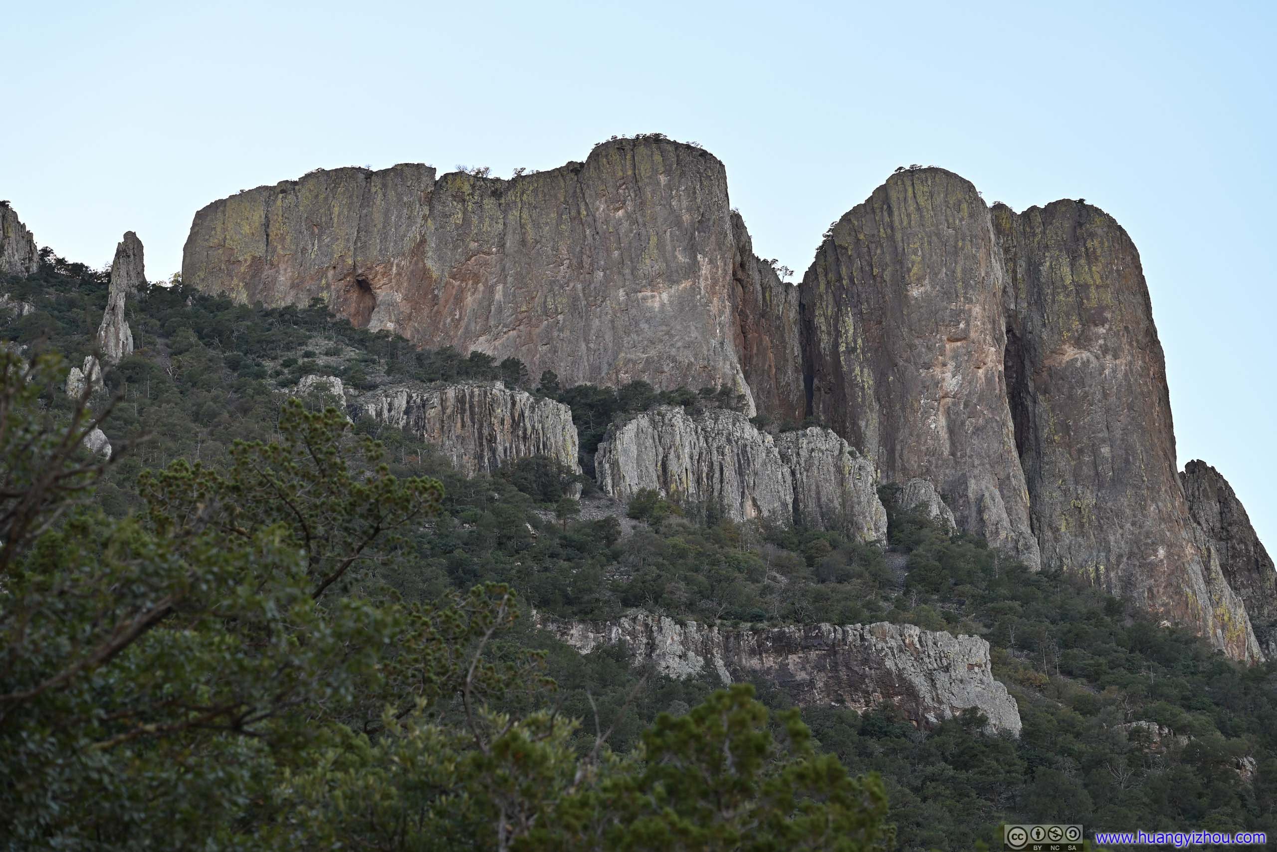
Finally, at around 10am, about an hour after I started, I was at The Window.
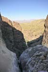
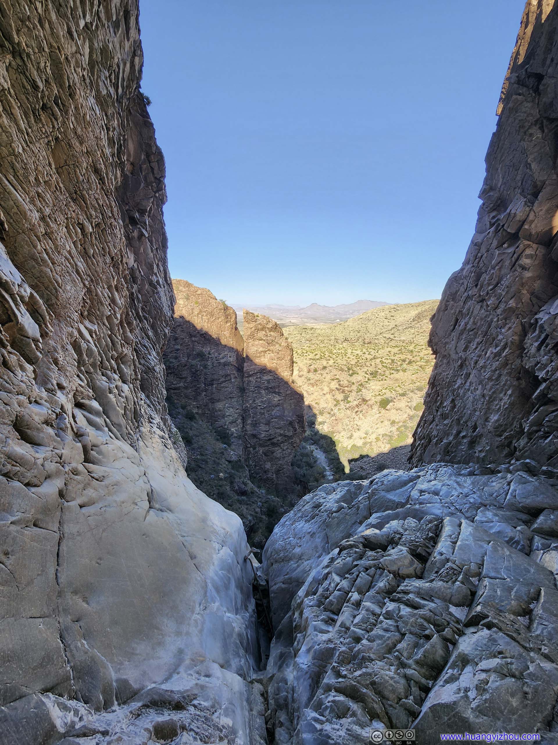
It’s an opening about 2-3 meters wide, between two giant rock cliffs, probably the canyon at its narrowest. It appeared to be a steep drop beyond The Window (maybe the site of a spectacular waterfall after intense rainfall).
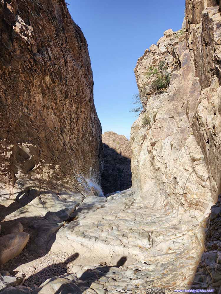 The Window
 The WindowWater would flow through the narrow slit in the foreground when it’s wet.
 The WindowWater would flow through the narrow slit in the foreground when it’s wet.
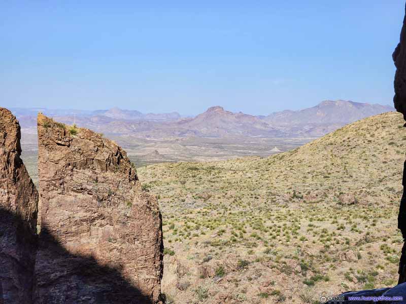
 View from The Window
 Boulders beyond The WindowAnother slit between some giant boulders, like a mini version of the Window.
 The WindowAn opening between two rocky walls, with some crowds this morning.
 Overlooking The WindowFrom a place farther up the canyon.


Click here to display photos from The Window.

The Window
The WindowWater would flow through the narrow slit in the foreground when it’s wet.

The WindowWater would flow through the narrow slit in the foreground when it’s wet.
 View from The Window
Boulders beyond The WindowAnother slit between some giant boulders, like a mini version of the Window.
The WindowAn opening between two rocky walls, with some crowds this morning.

Overlooking The WindowFrom a place farther up the canyon.
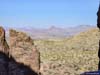
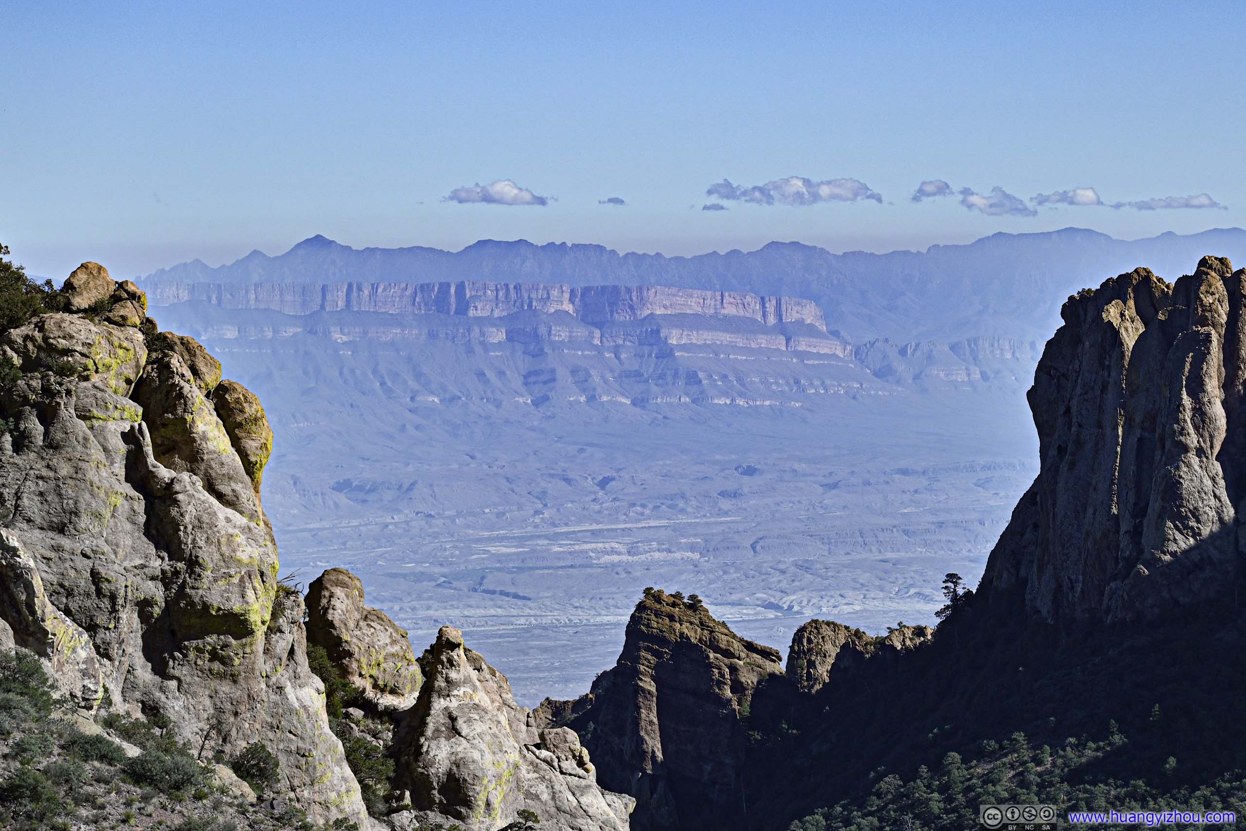
Beyond The Window, there were views of various mountains, notably the Christmas Mountains. However, since The Window was pretty narrow, the distant views were pretty obscured, not remarkable compared to Lost Mine Trail later today. Instead, highlight of The Window trail should be the rocky walls of its canyon landscape.
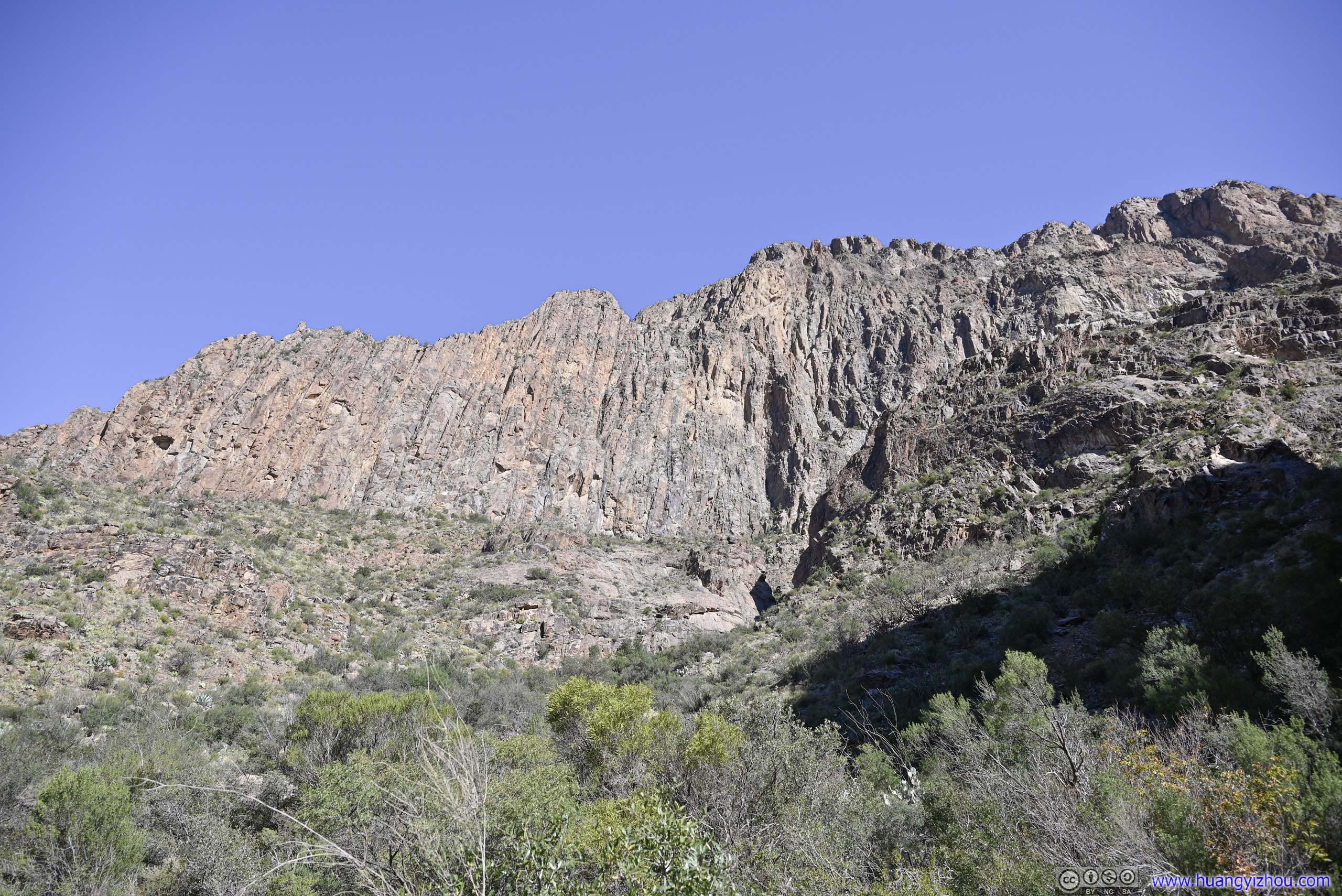
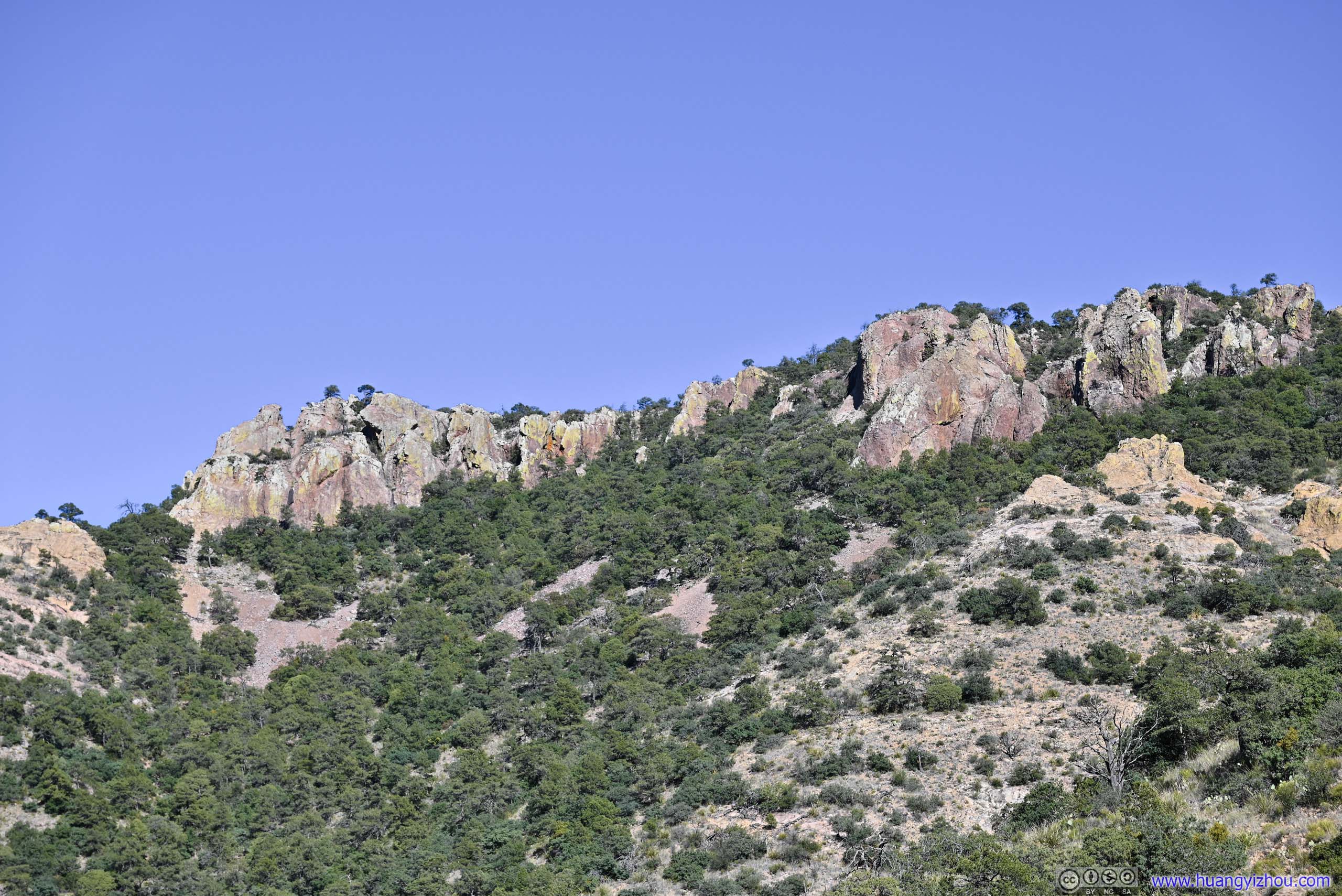
I took a longer than usual snack break at The Window, and started to head back at 10:40am. This time, the sun was completely out, with the nearby mountains, in particular Vernon Bailey Peak to the north, in full splendid glory.
Later today, I learned from the visitor center that water for the entire Chisos Basin was pumped from a spring to the west of Chisos Mountains, where the pipe followed a similar route as The Window trail. The pump station was visible from portions of the trail.


 Vernon Bailey Peak
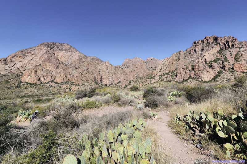
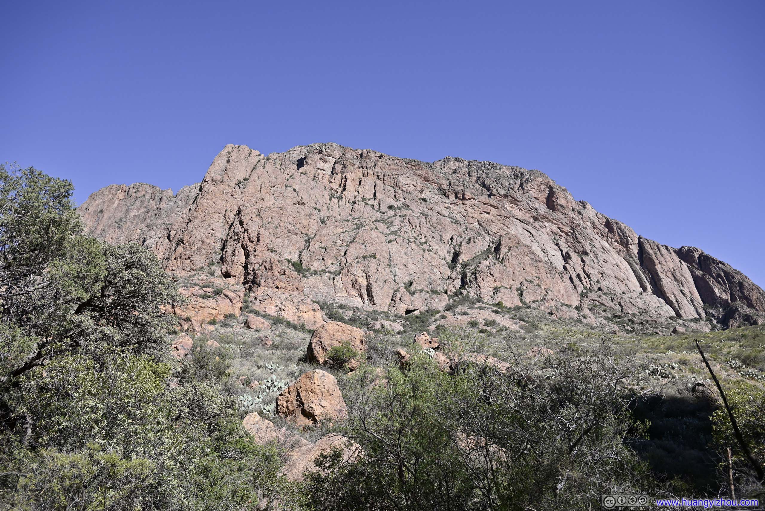
 Hills to the NorthVernon Bailey Peak (left) and a slope (right) with rocks of various shapes and sizes.
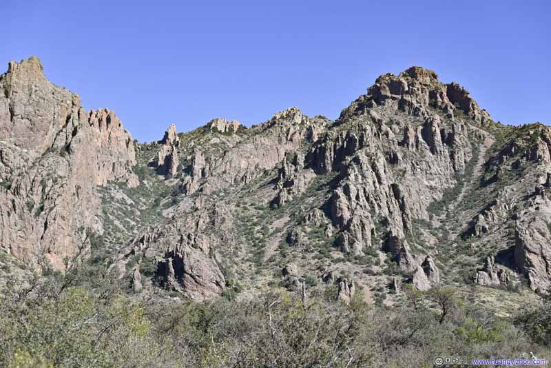
 Rocks next to Vernon Bailey Peak
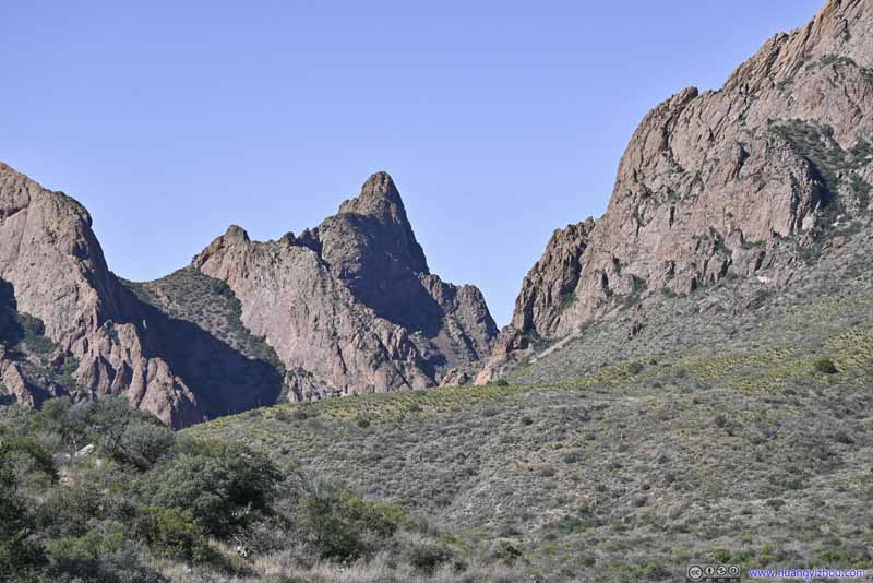 Carter PeakThe peak to the south of The Window.
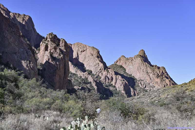 Hills to the south of The Window


Click here to display photos of the slideshow
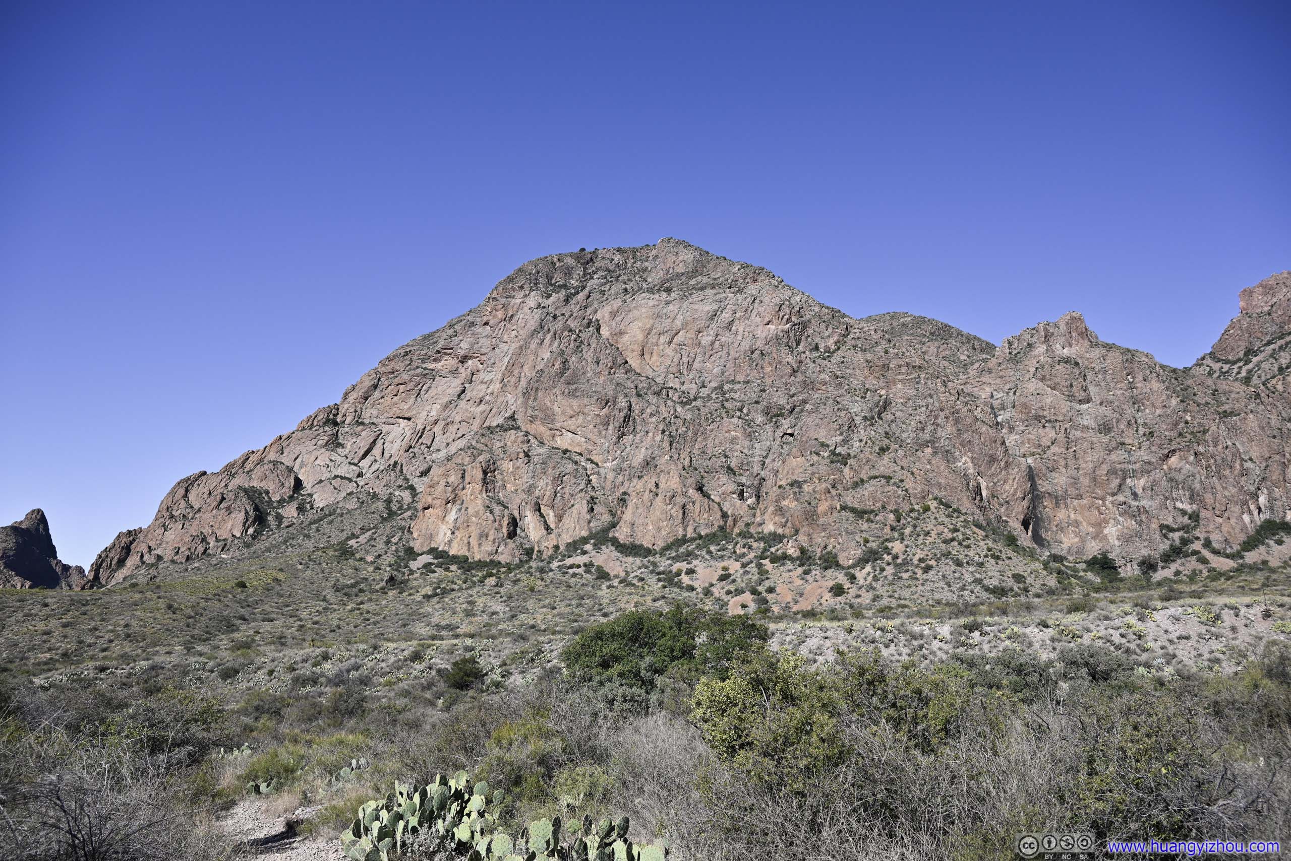
 Vernon Bailey Peak

 Hills to the NorthVernon Bailey Peak (left) and a slope (right) with rocks of various shapes and sizes.

 Rocks next to Vernon Bailey Peak
Carter PeakThe peak to the south of The Window.

Hills to the south of The Window
An hour later, at 11:40am, I got back to the campground, concluding this hike to The Window.
Lost Mine Trail
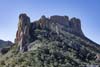
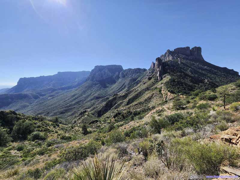
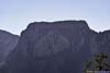
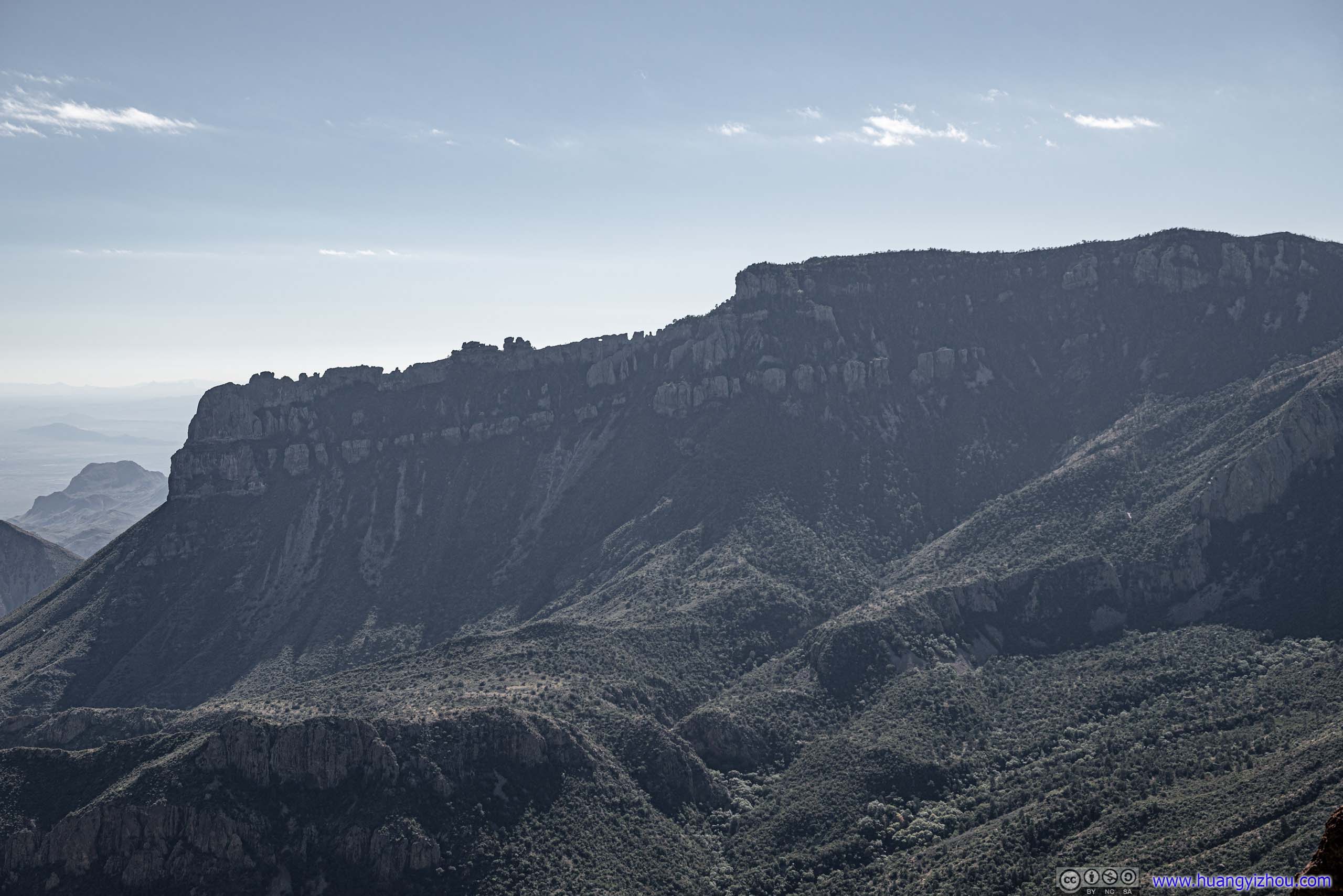
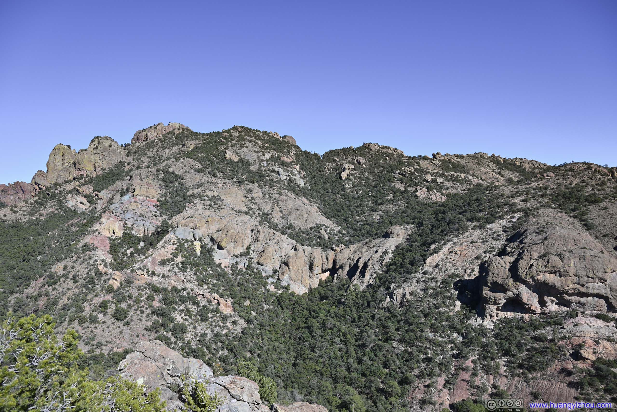
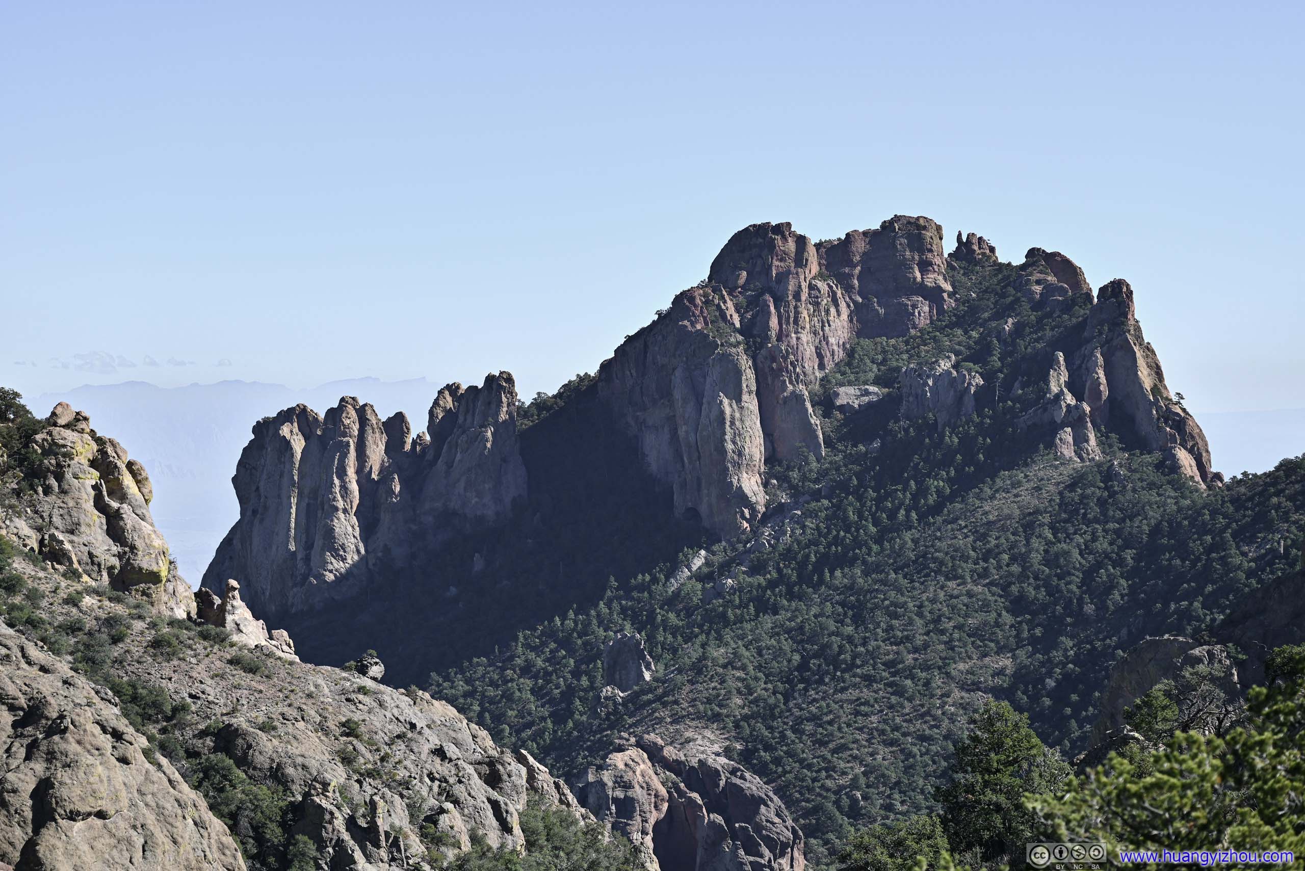
Despite its name, Lost Mine Trail only climbed to the side of Lost Mine Mountain, but it nonetheless offered great views of Juniper Canyon and the northeast rim of Chisos, together with Toll and Casa Grande mountains. On this aspect the trail was like a center stage in a theater of mountains.
Lost Mine Peak was named for the legend that Spanish explorers discovered precious metal in these mountains, and enslaved native Chizo people for its extraction. The Spanish would blindfold the Chizo people on their way to and from work so as to keep the location of the mine secret. After the Chizo people revolted and the Spanish were driven out and the mine entrances sealed, the mine was thus “lost”. National Park Services believed this was a legend as no ore bearing rocks were discovered among these mountains nowadays.
The trailhead to Lost Mine was located at the crest of the road leading from Panther Junction to Chisos Basin. One thing to note was that parking at the trailhead was extremely limited. I believed the two small lots held no more than 20 cars together. As a result, some people opted to park at the few (even smaller) turnouts towards Chisos Basin and hike up the mountain. I believed parking was most limited in the morning as that’s (in my opinion) the best time to visit Lost Mine. After lunch, I arrived at the trailhead at 12:40pm, and luckily pulled into the final available spot. (I just had great luck with parking these days.)
Officially, the trail was 7.7km roundtrip distance 345m elevation. Here’s GPS tracking:
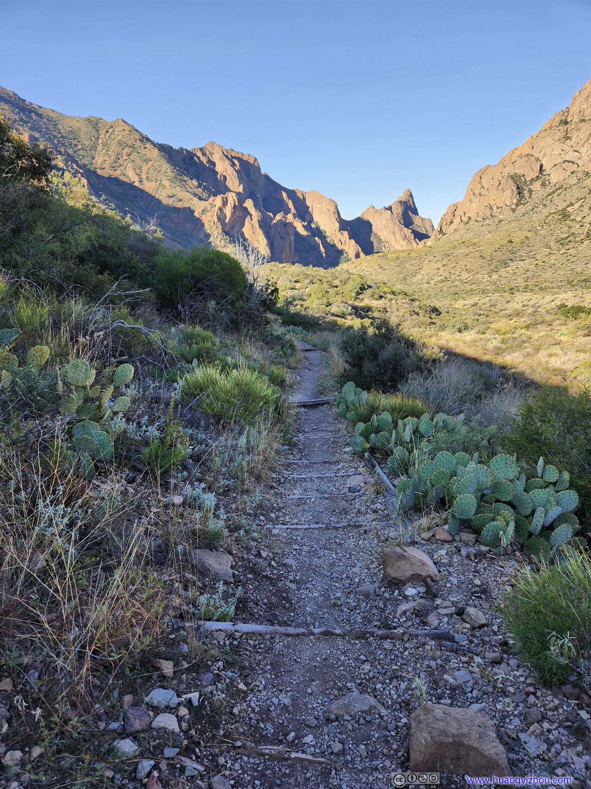
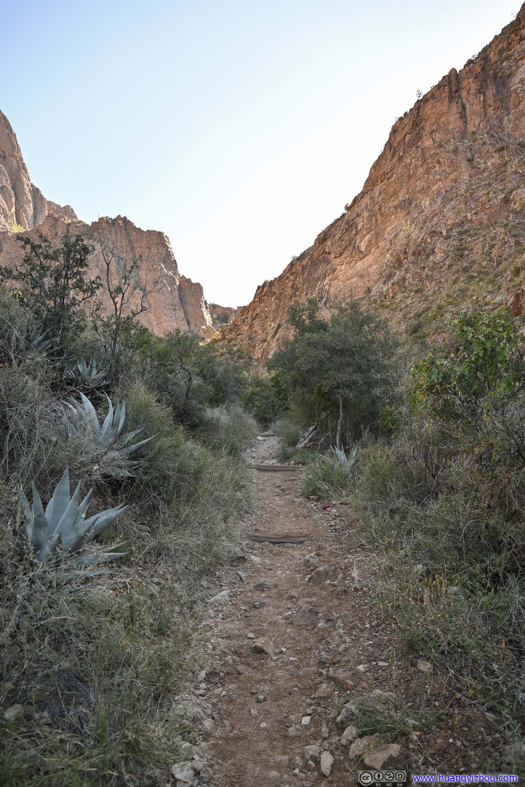
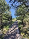
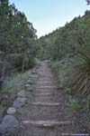
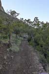
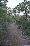
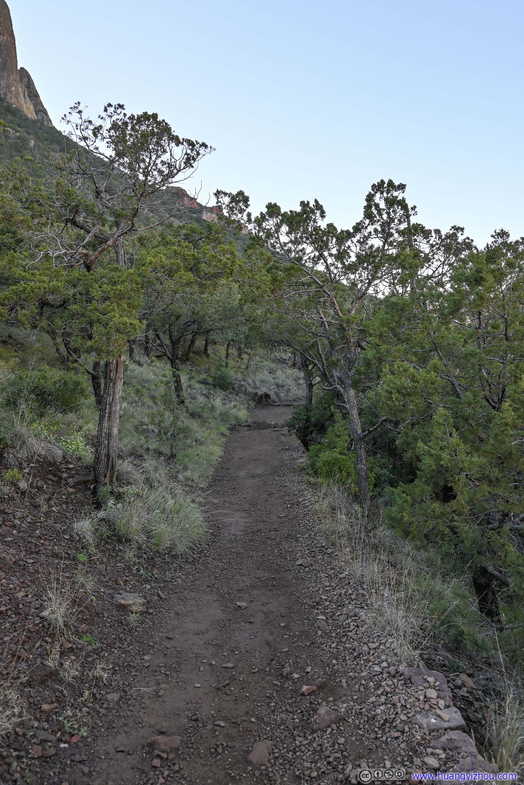
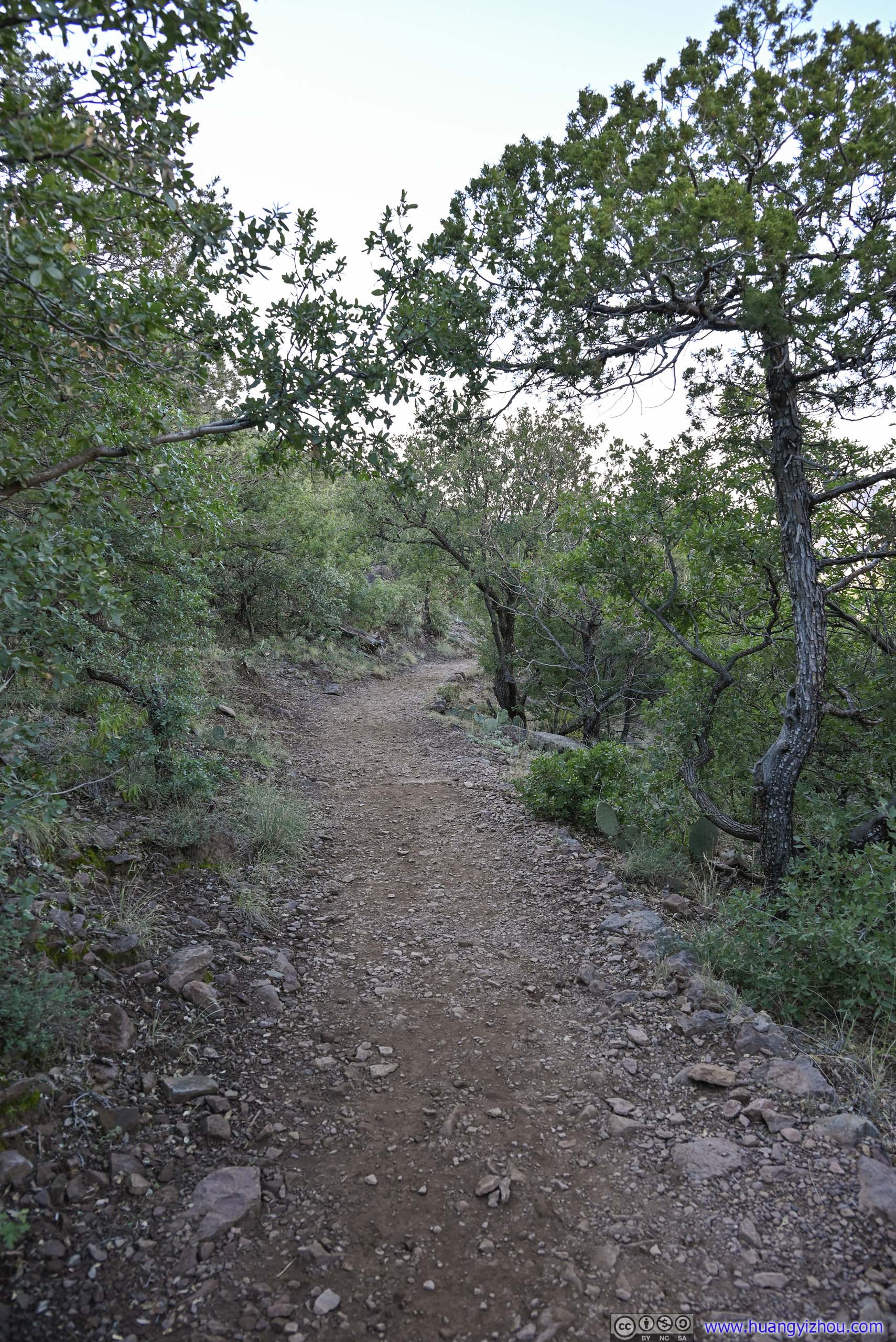
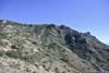
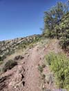
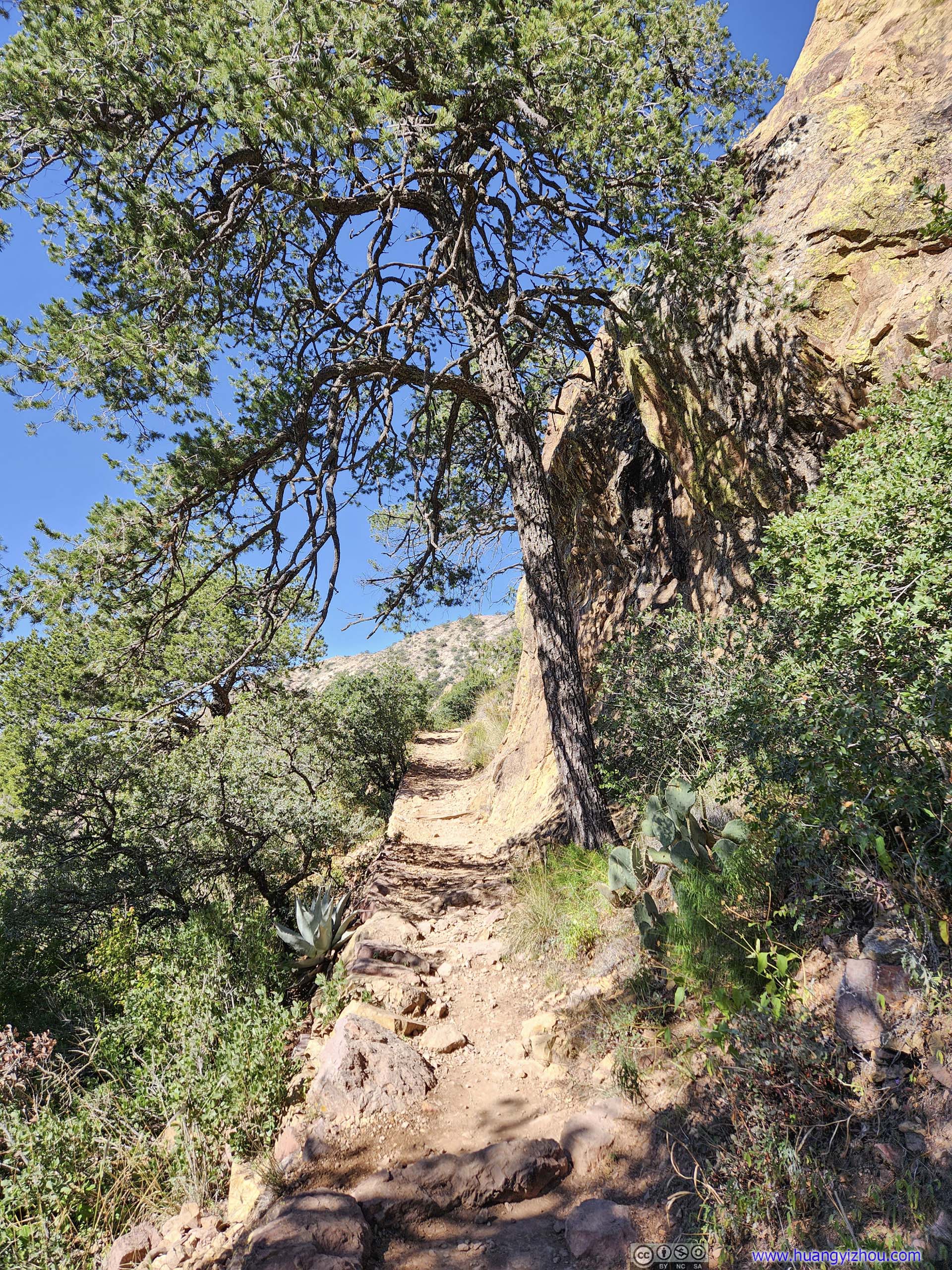
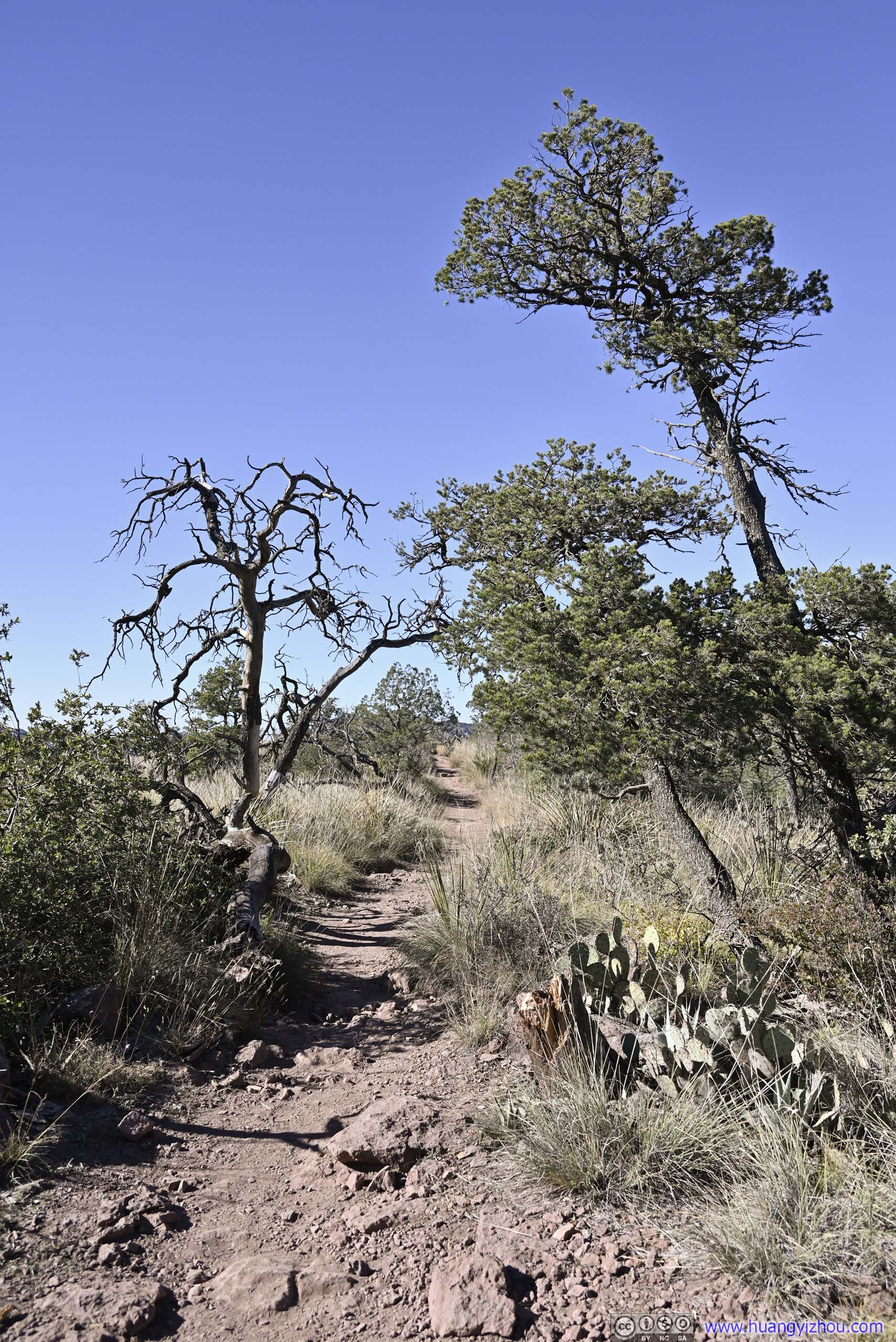
Right off the parking lot, the trail went on a gentle incline towards Lost Mine Peak.
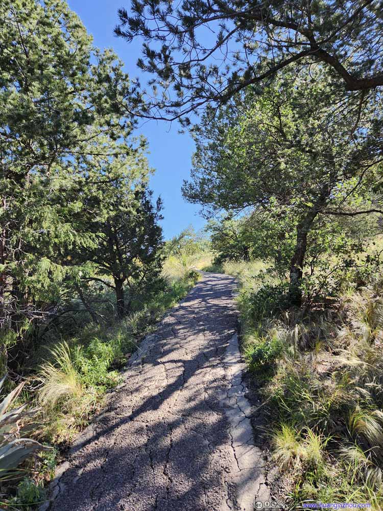 TrailPavement only extended for a short section from the parking lot.
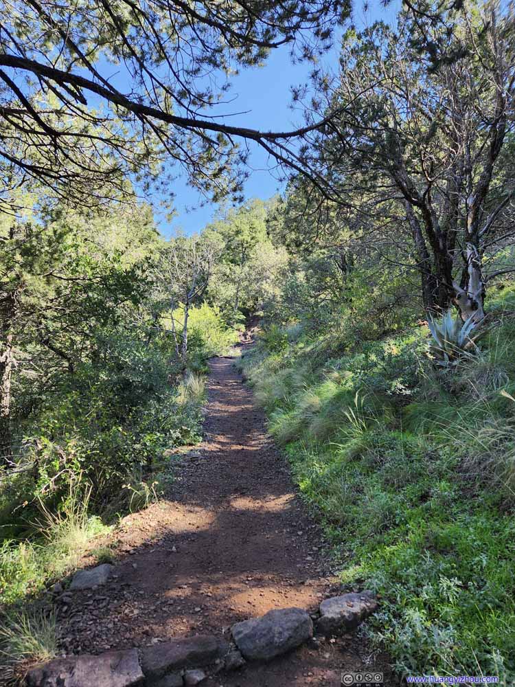 Trail
Trail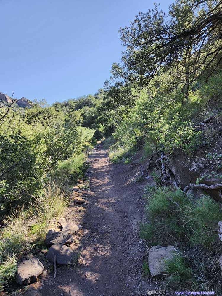 Trail
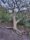
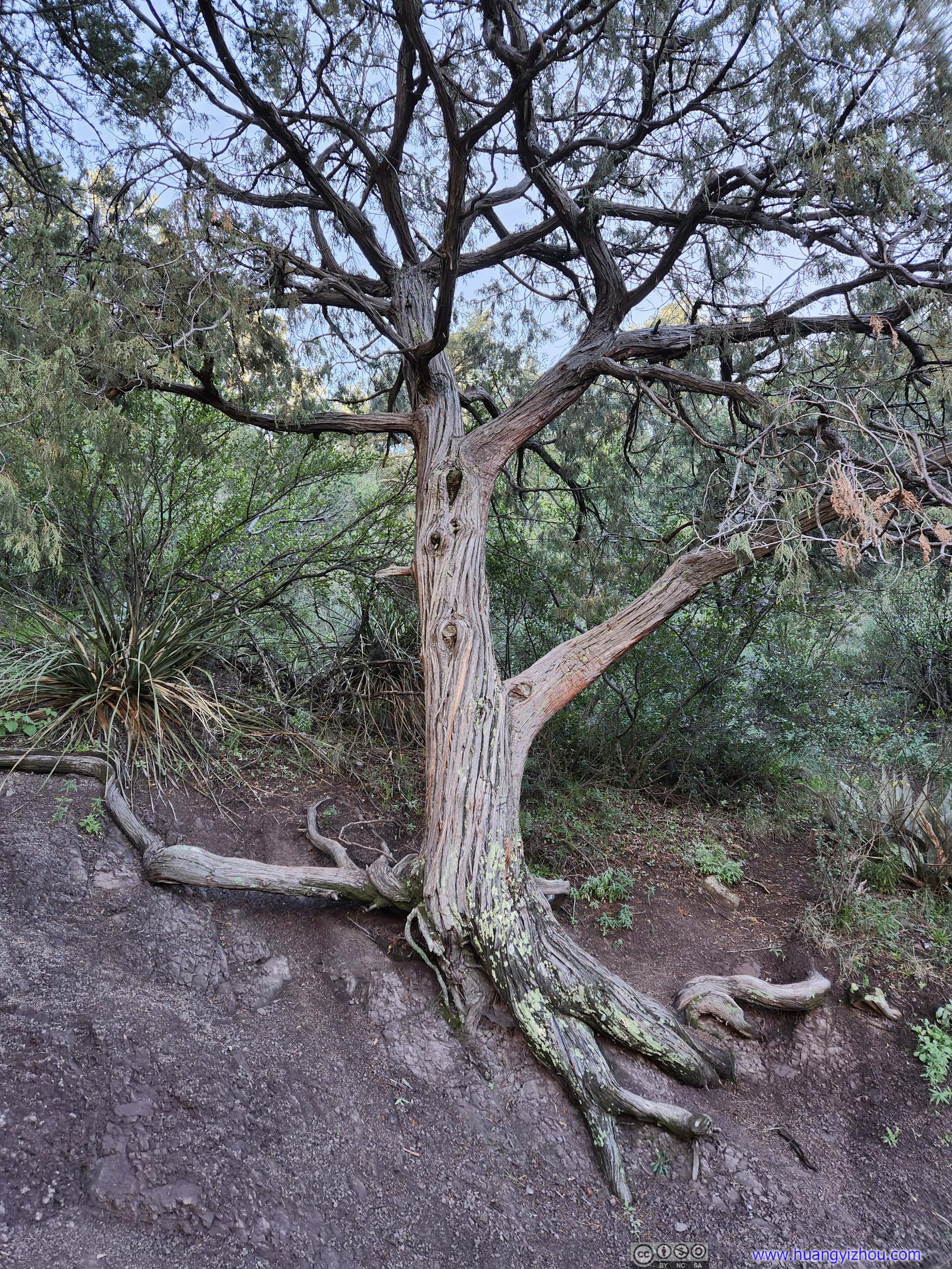
Trail Tree on Slope
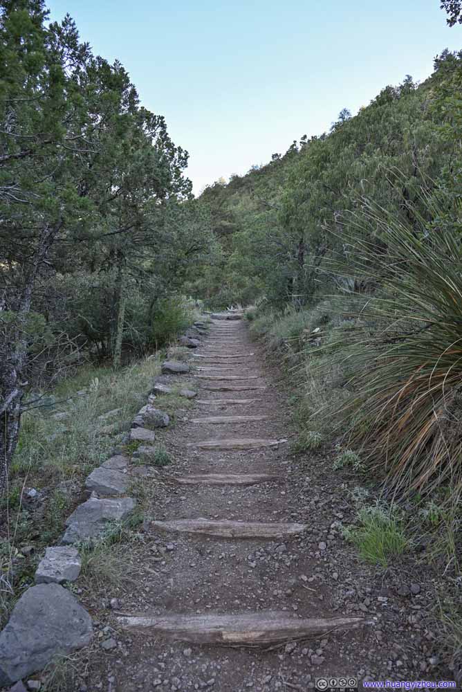 Trail
Trail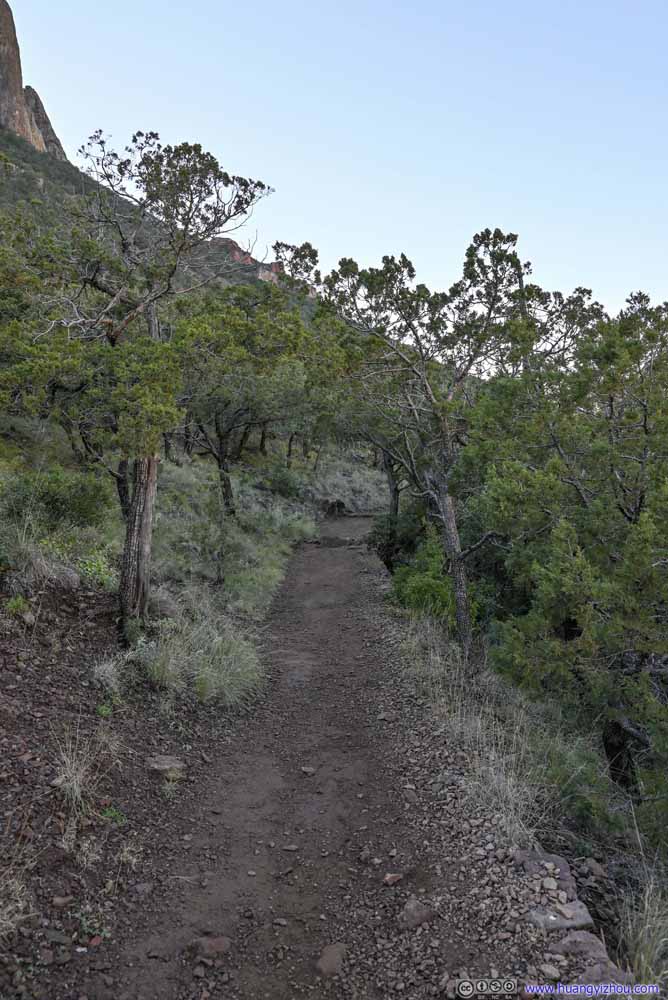 Trail
Trail Trail
Trail

Click here to display photos of the trail.

TrailPavement only extended for a short section from the parking lot.

Trail

Trail
Tree on Slope

Trail
Trail
Trail
Right off the trailhead, there were great views of a series of mountains to the north. In particular, the road connecting Chisos Basin and Panther Junction passed through a giant gap in between the mountains, like a macro version of “The Window” that I visited earlier.
 Gap in MountainsBetween which a road connects Chisos Basin to Panther Junction.
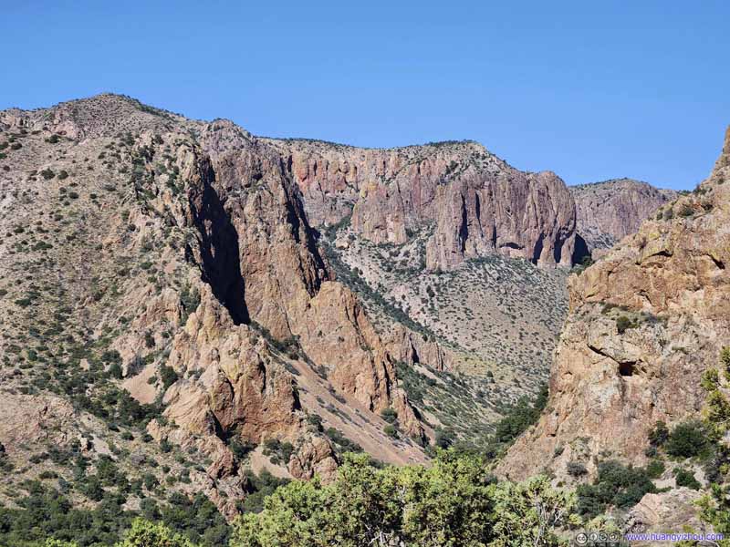 Gap in MountainsMount Huffman and Pulliam Peak.
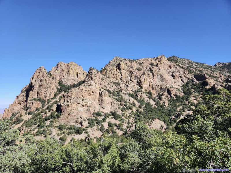 HillTo the east of the previous gap.
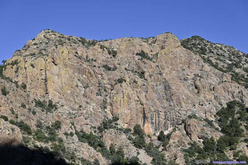 HillTo the east of the previous gap.
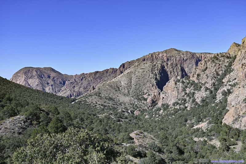 Distant MountainsVernon Bailey Peak, Pulliam Peak and Mount Huffman.
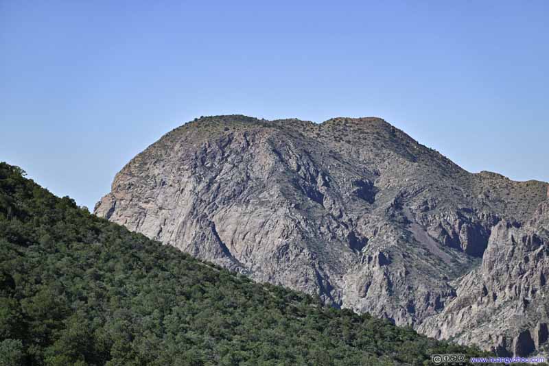 Vernon Bailey PeakA constant sight this morning.
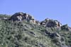
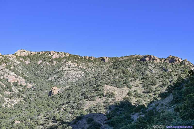 Boulders on Hilltop
Where I was heading to. The trail ascended this hill on the right of this photo. The right-most rock was where the trail ended.
Boulders on Hilltop
Where I was heading to. The trail ascended this hill on the right of this photo. The right-most rock was where the trail ended.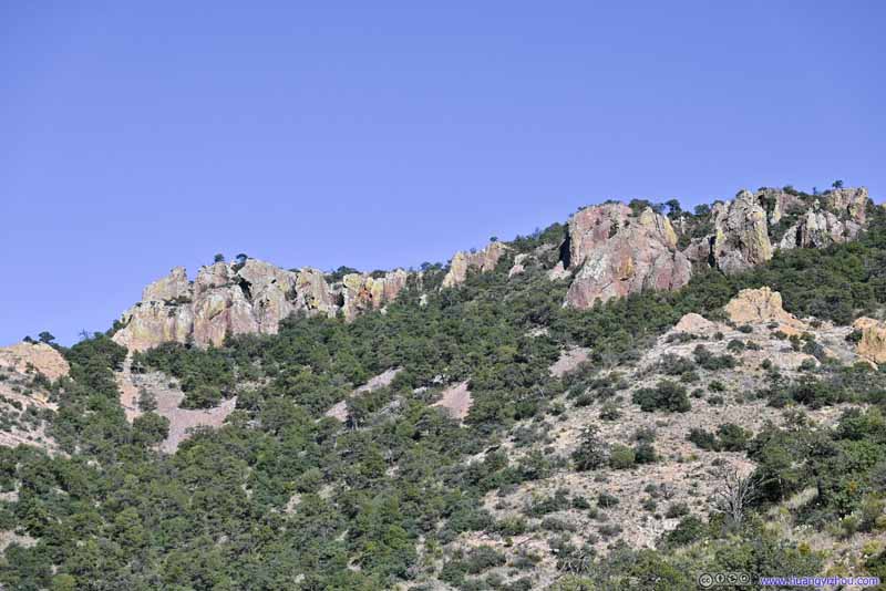 Boulders on HilltopSome interestingly shaped rocks, in opposite direction of the trail.

Click here to display photos of the mountains.
Gap in MountainsBetween which a road connects Chisos Basin to Panther Junction.
Gap in MountainsMount Huffman and Pulliam Peak.

HillTo the east of the previous gap.

HillTo the east of the previous gap.

Distant MountainsVernon Bailey Peak, Pulliam Peak and Mount Huffman.
Vernon Bailey PeakA constant sight this morning.
Boulders on Hilltop
Boulders on HilltopSome interestingly shaped rocks, in opposite direction of the trail.
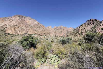
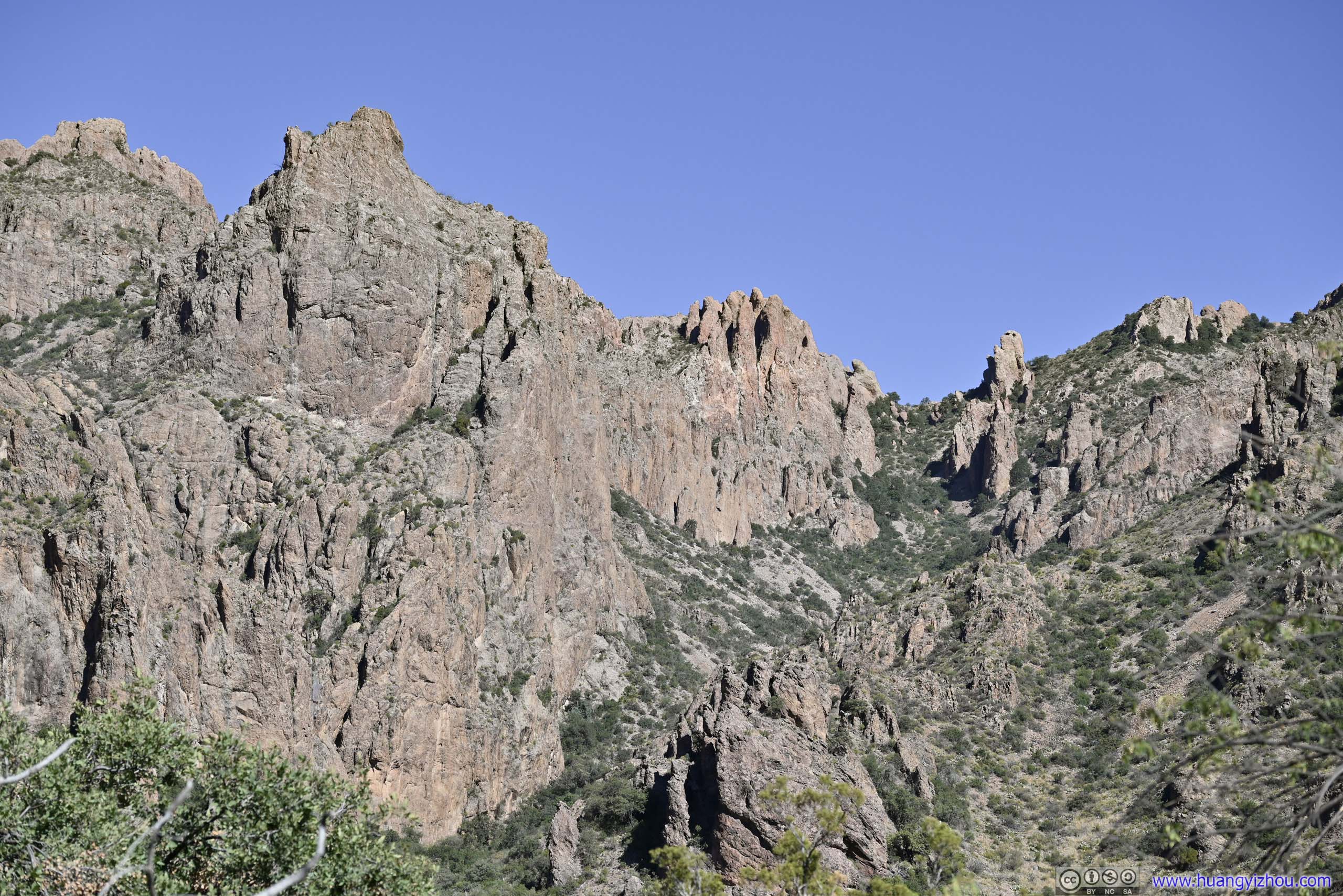
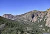
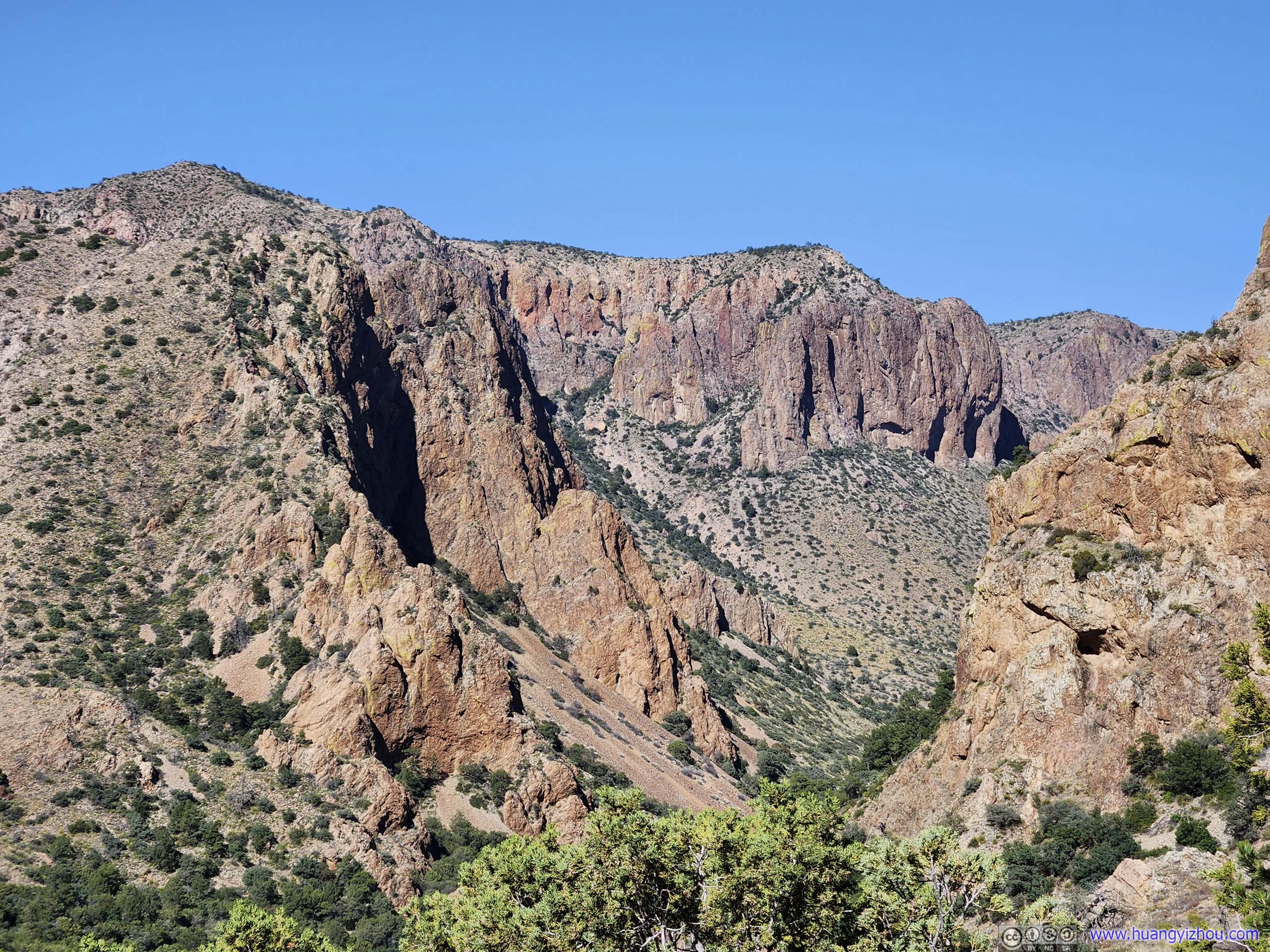
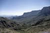
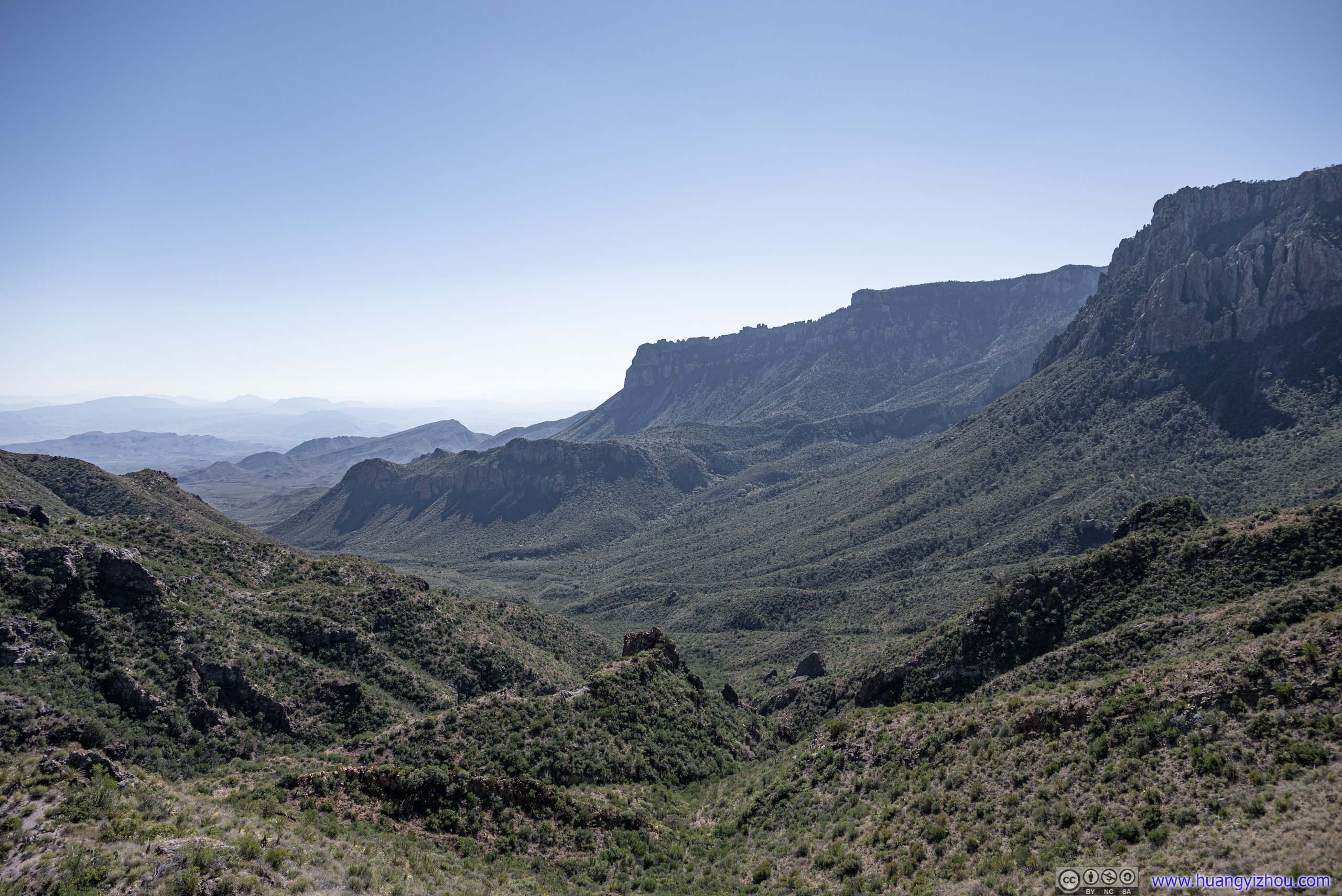
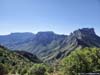
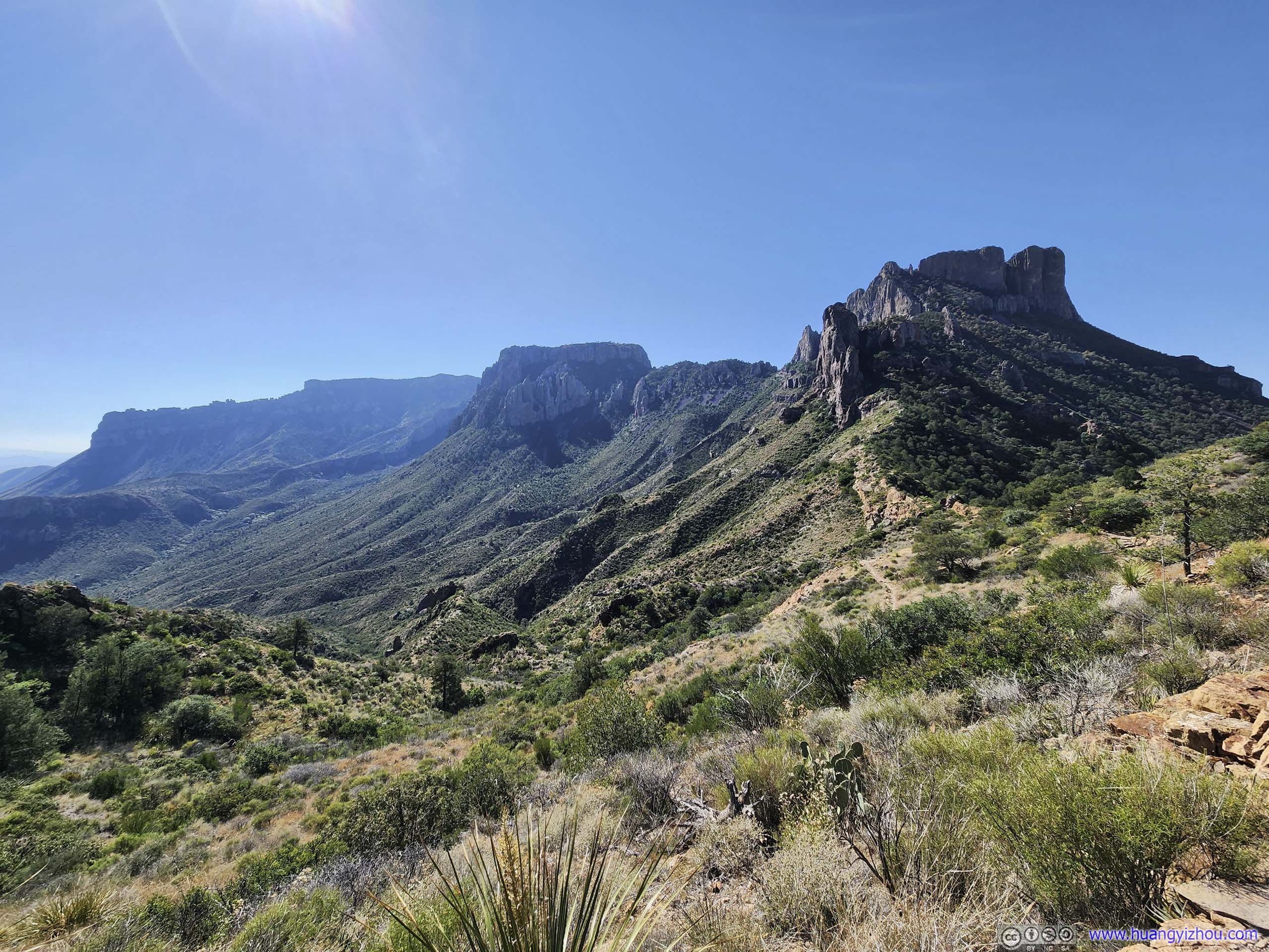
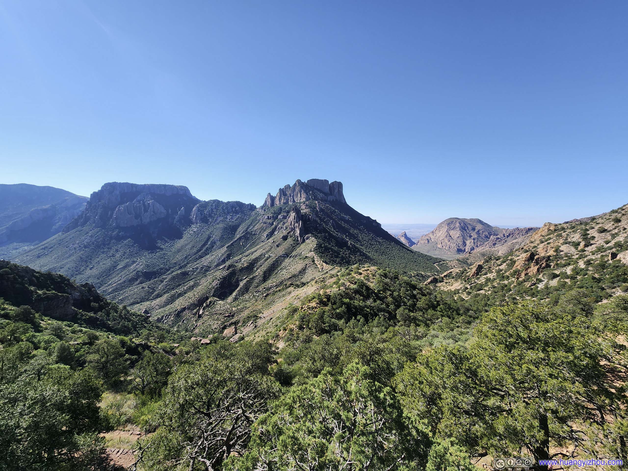
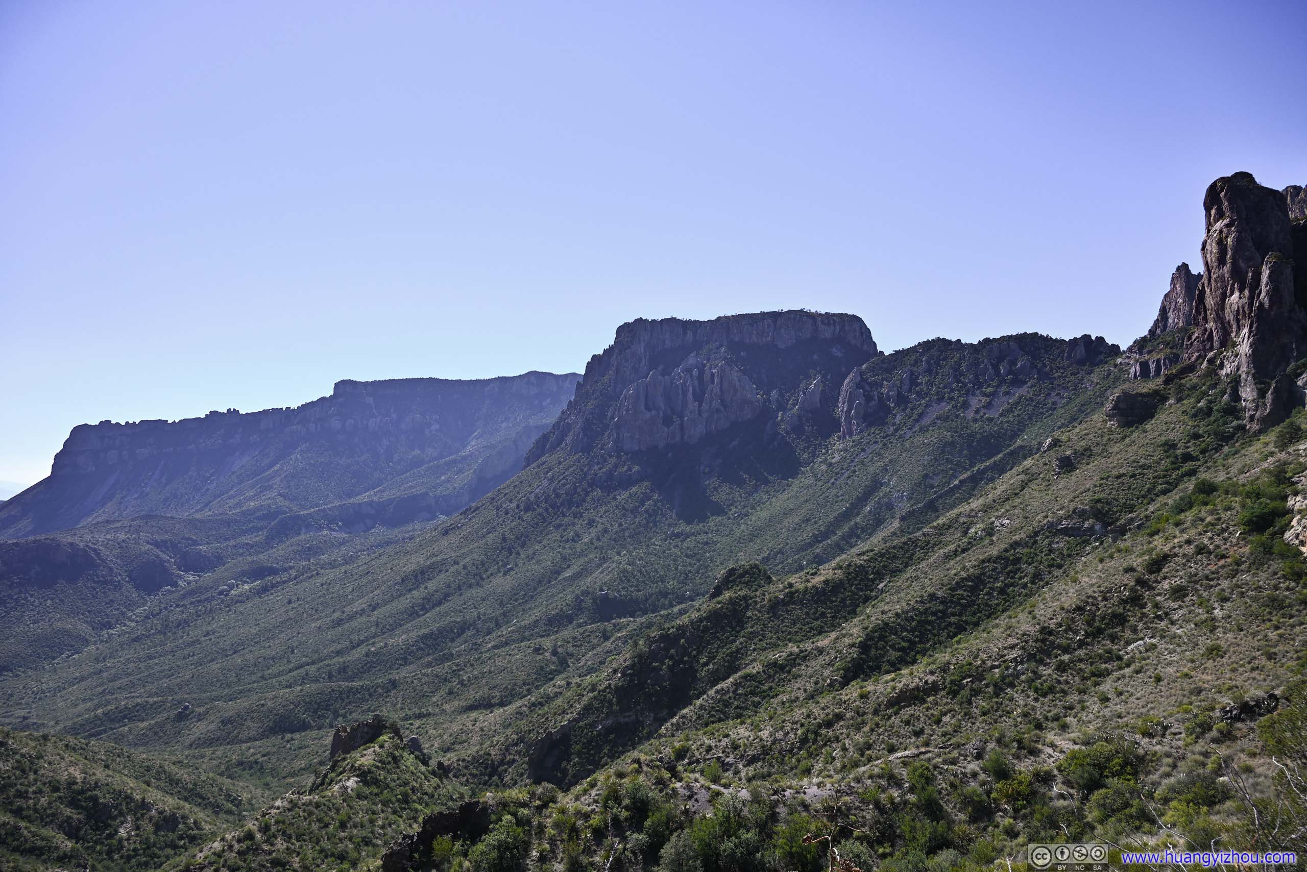
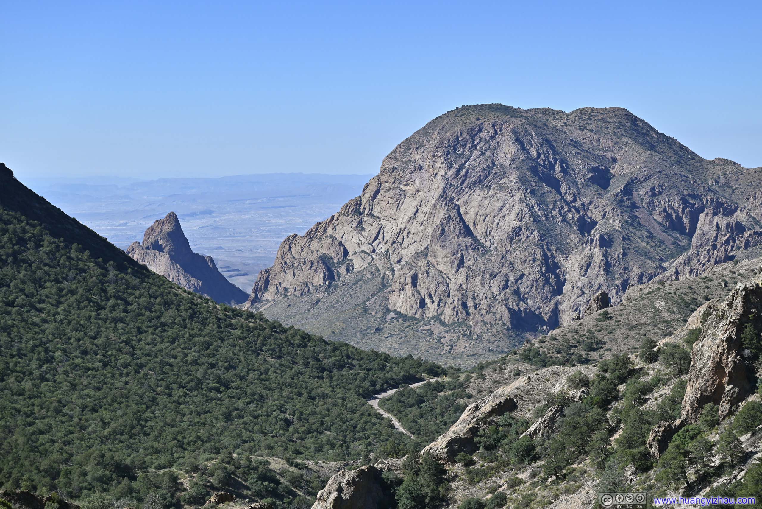
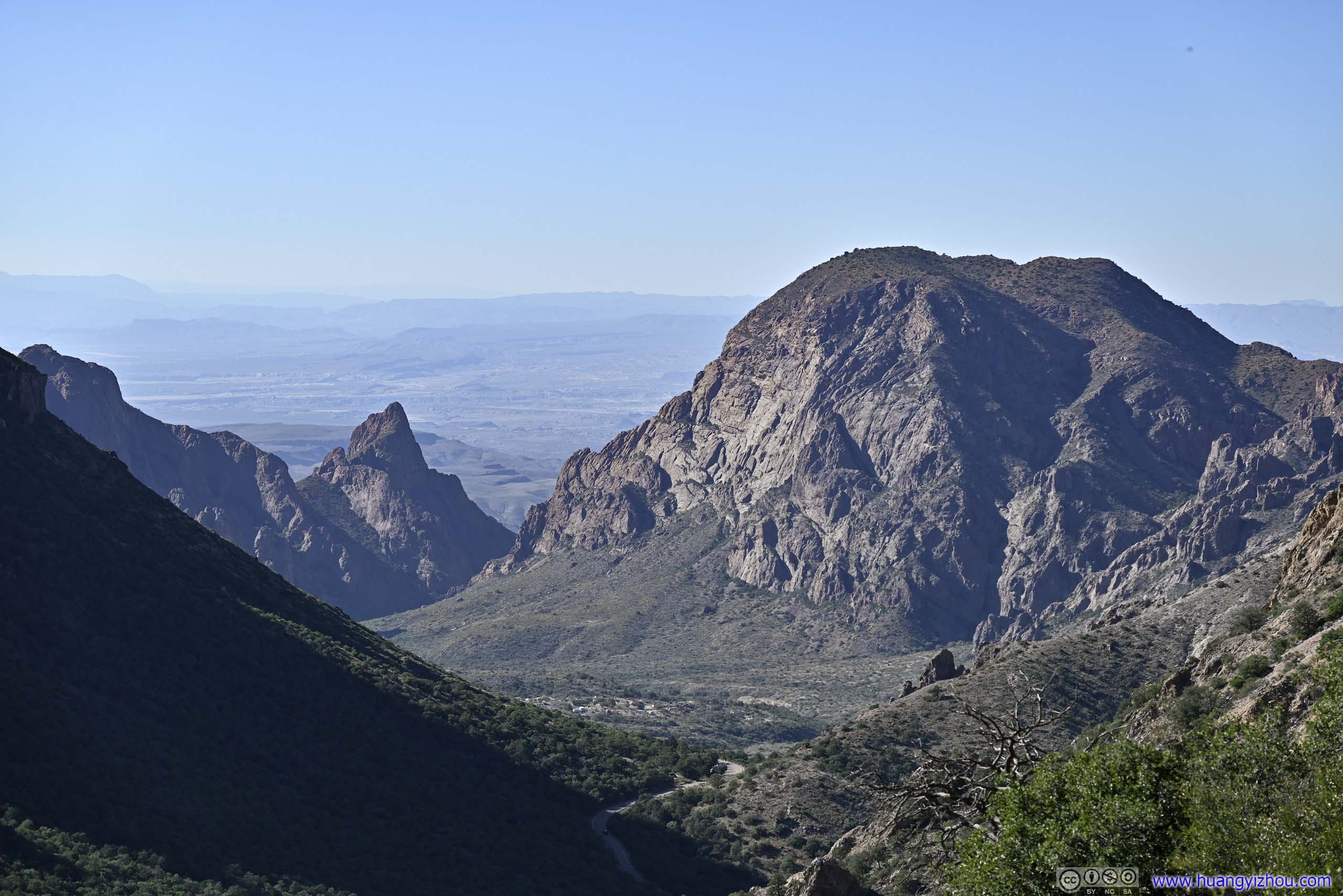
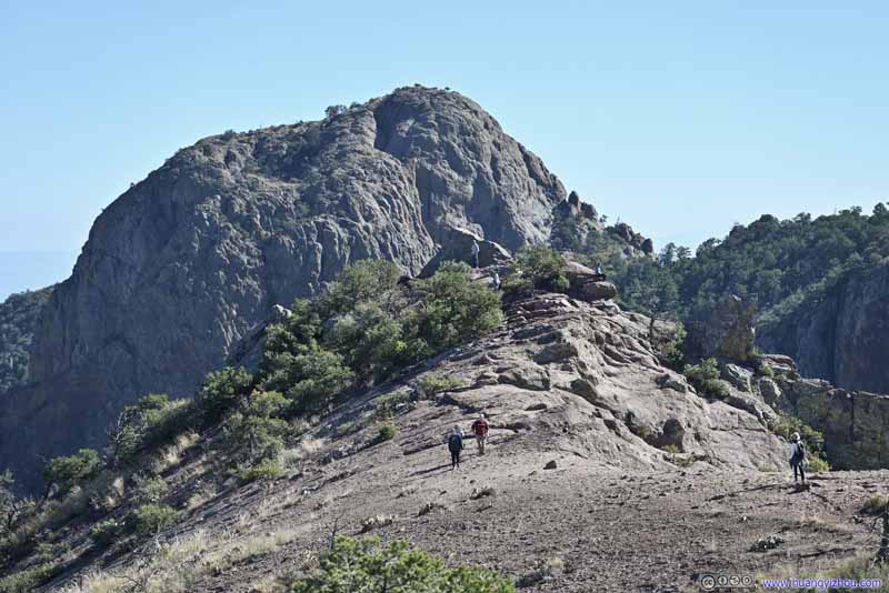
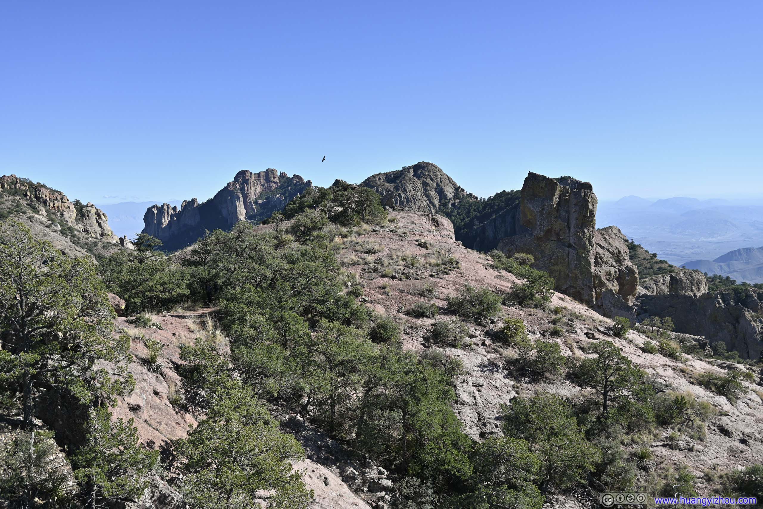
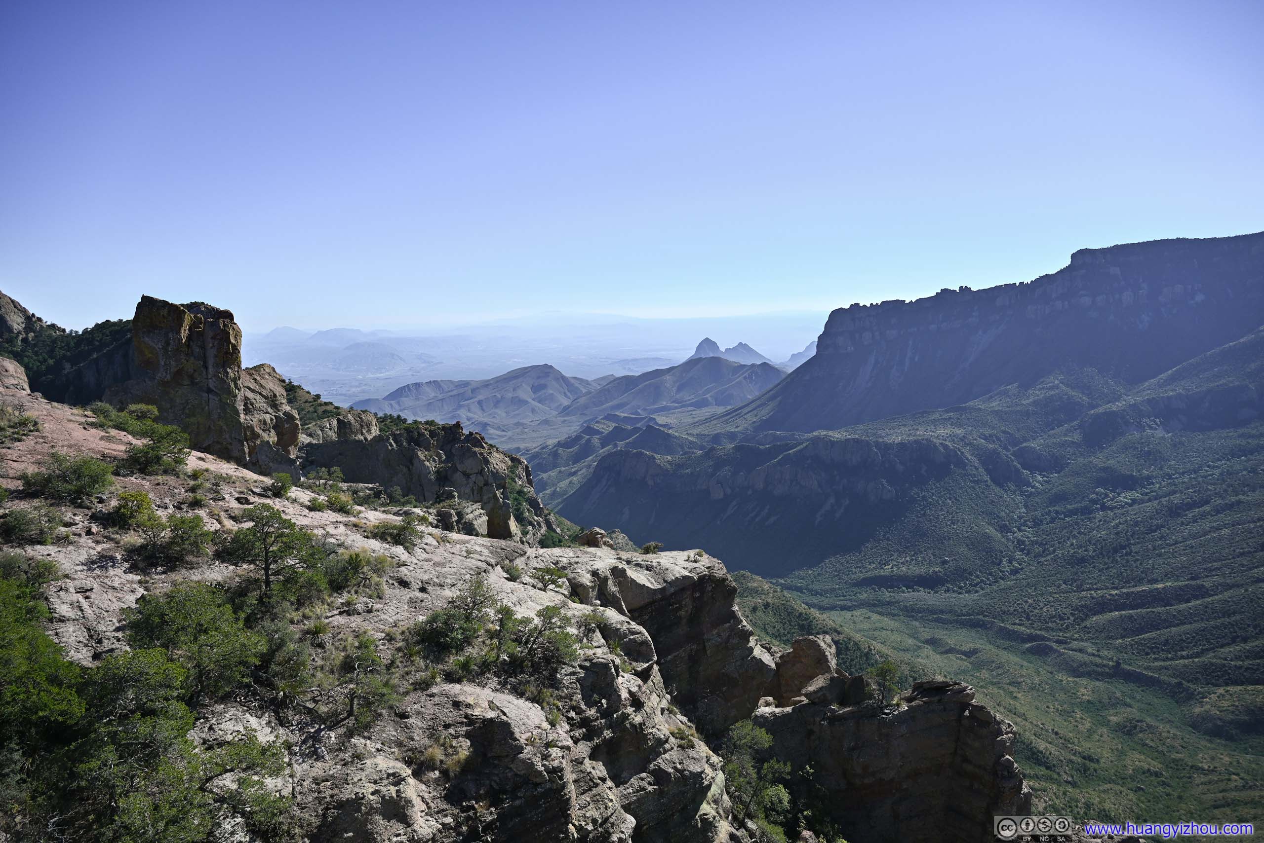
Roughly 1.3km from trailhead, the trail reached the saddle point between Lost Mine Peak and Casa Grande Peak. It’s like crossing a mountain pass, where I was greeted with spectacular views of Juniper Canyon in front and the few mountains that lined its side. The sight was so spectacular that I took a brief stop here just for its appreciation.
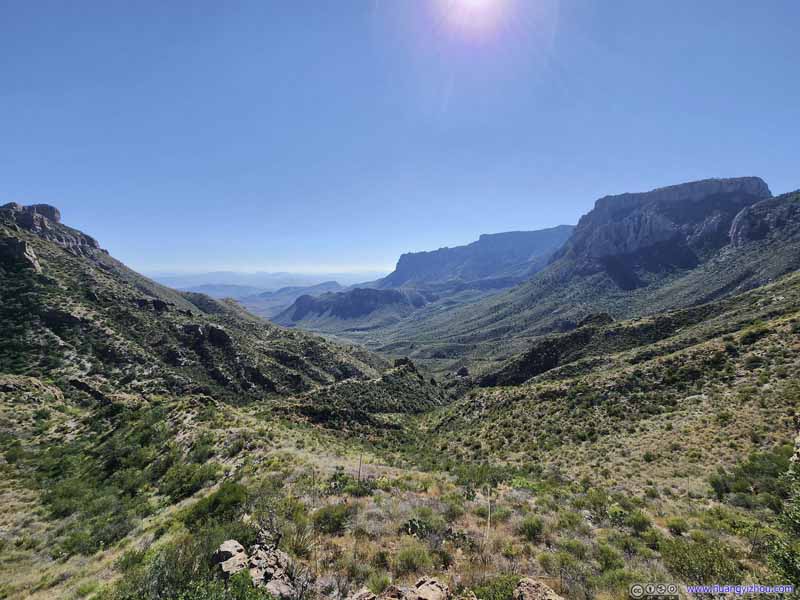 Juniper Canyon
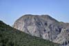
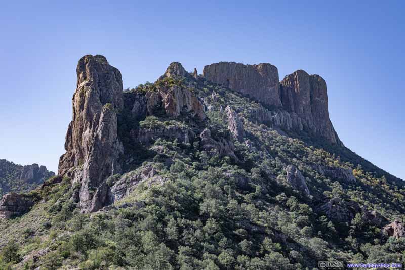 Casa Grande Peak
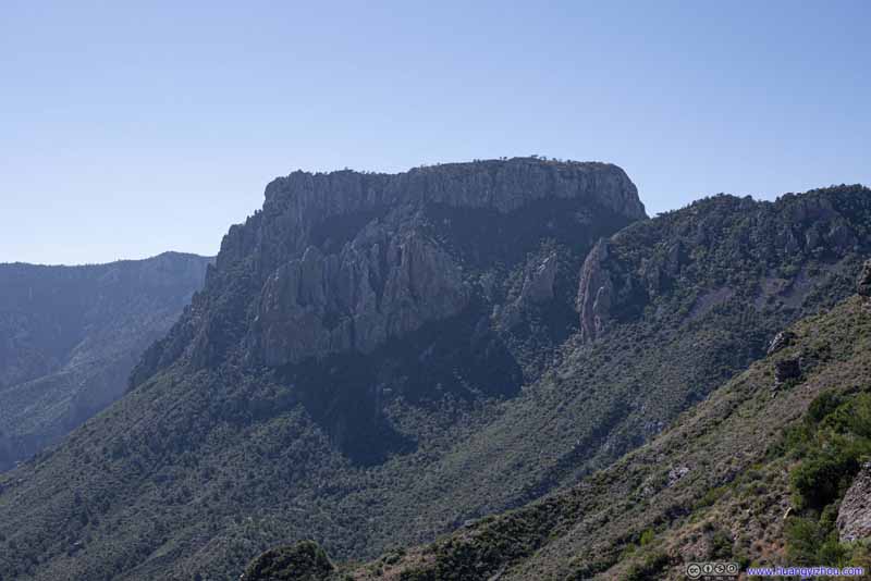 Toll Mountain
 Juniper Canyon
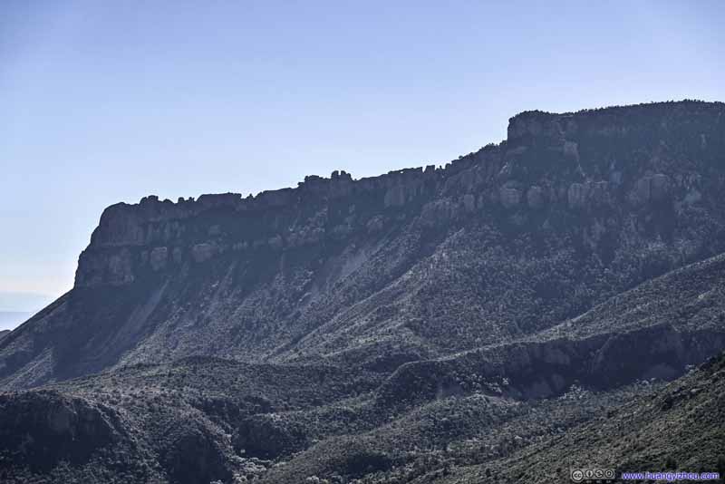 South Rim
 Rocks along South RimAn arch-like rock in the middle.
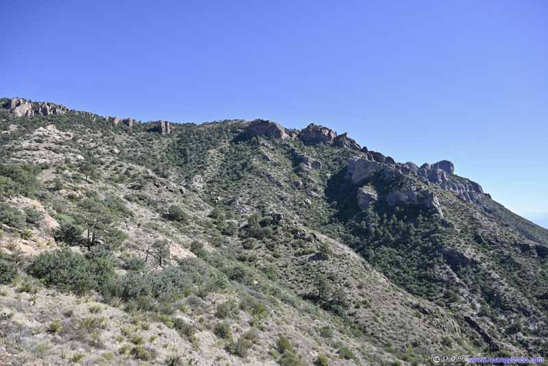 HillsideWhere the trail would ascend onto.
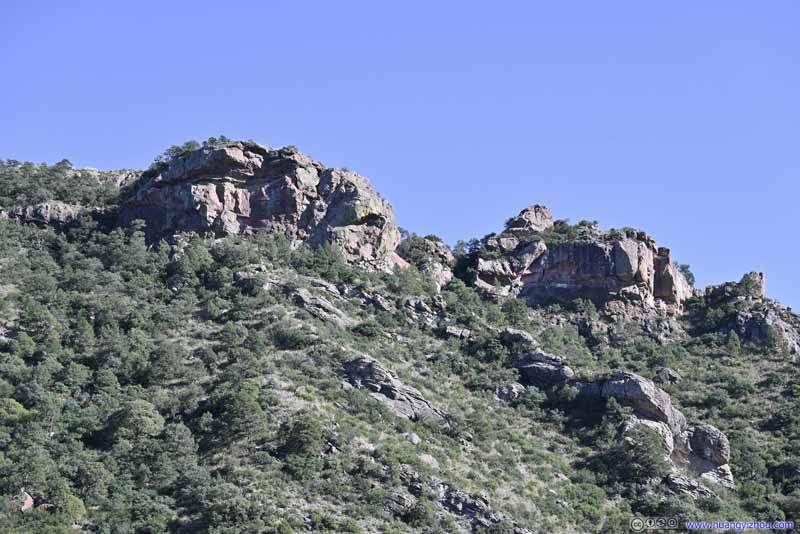 HillsideRoughly the place where the trail ended.
Click here to display photos at saddle point of Lost Mine Peak and Casa Grande Peak.
Juniper Canyon

Casa Grande Peak
Toll Mountain
Juniper Canyon

South Rim
Rocks along South RimAn arch-like rock in the middle.
HillsideWhere the trail would ascend onto.
HillsideRoughly the place where the trail ended.
A few steps off the trail to the west and there’s an arete with lots of room to sit around, that’s where I rested and took the photos above. Continuing on this arete it should be the easiest path to climb Casa Grande Peak to the west. It also offered a preview of where Lost Mine Trail would ascend to.
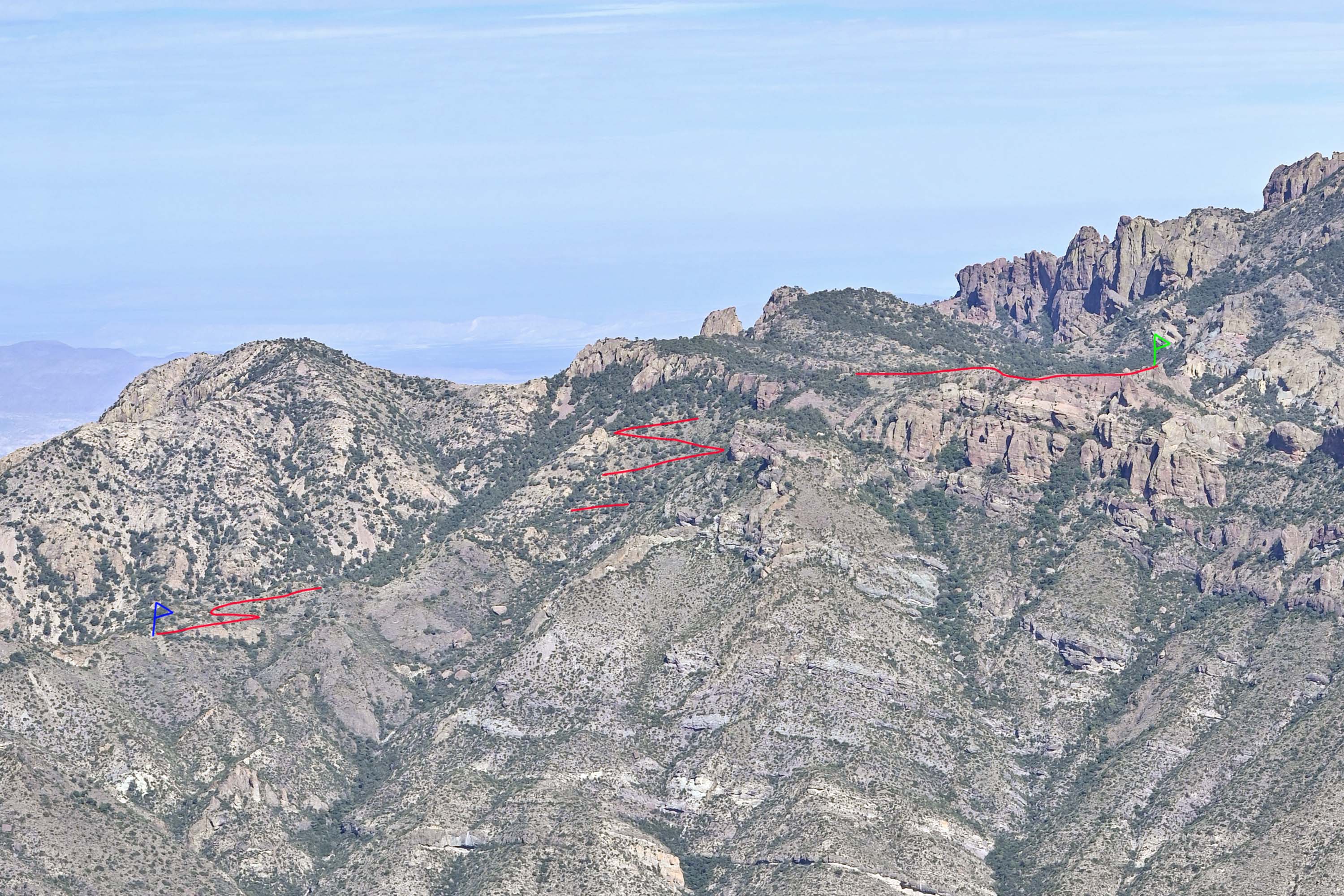
Lost Mine Trail after Saddle Point
After about 10 minutes at the saddle point, I continued onward, and the great views of the mountains continued.
 Chisos Mountains
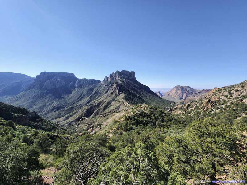 Chisos Mountains
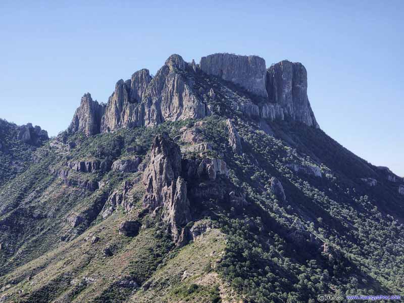 Casa Grande Peak
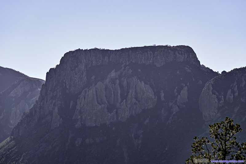 Toll Mountain
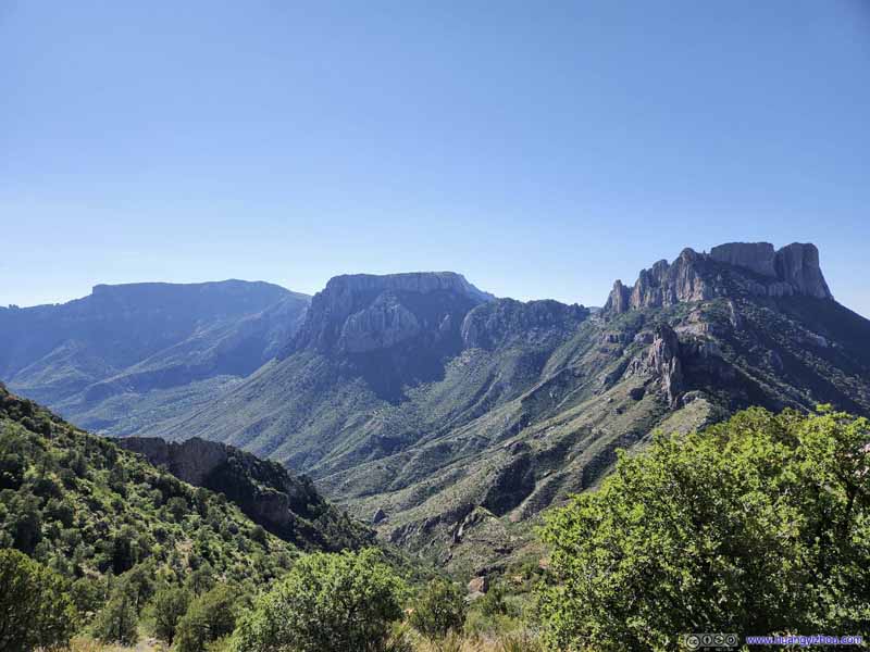 Chisos Mountains
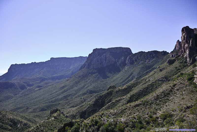 Chisos Mountains
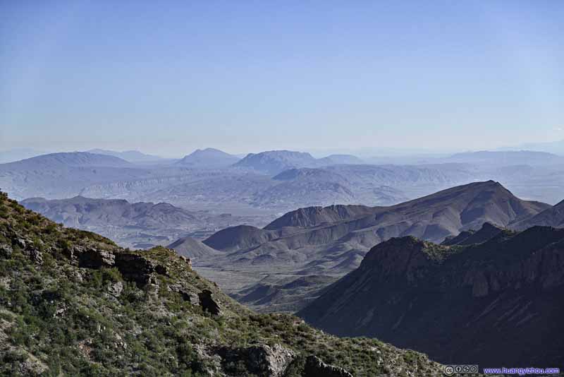 Distant Fields
Click here to display photos of the slideshow
Chisos Mountains
Chisos Mountains
Casa Grande Peak
Toll Mountain
Chisos Mountains
Chisos Mountains
Distant Fields
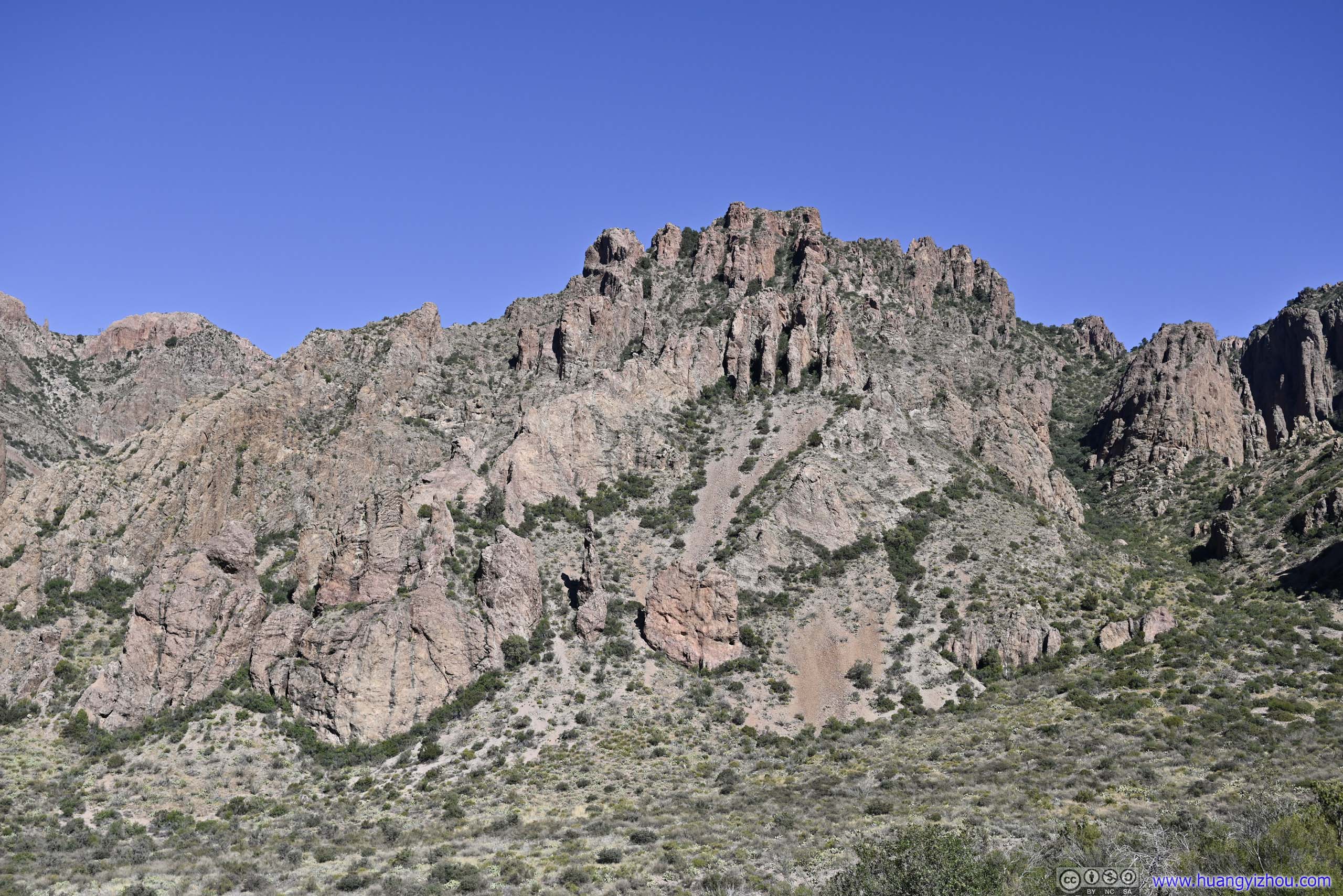
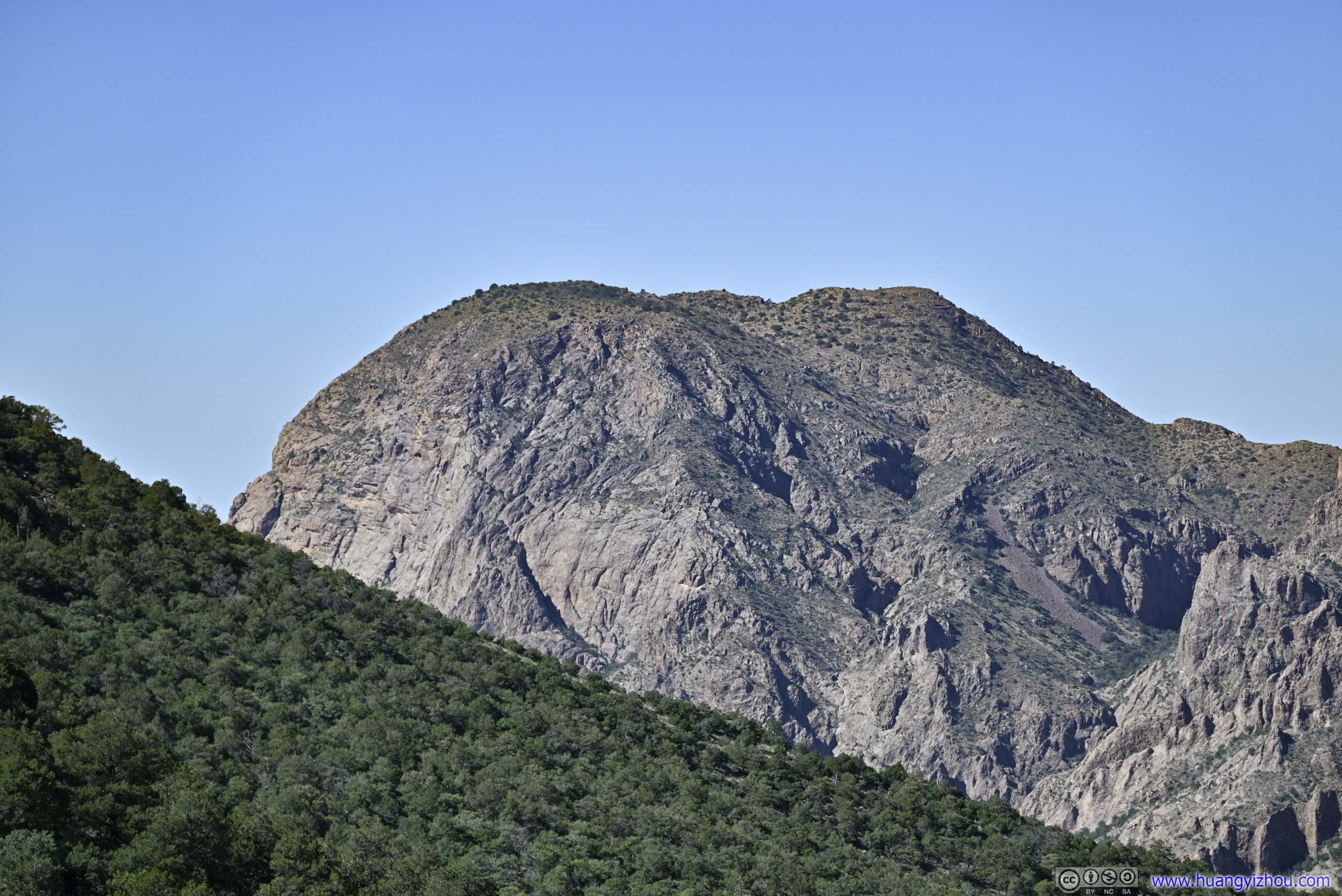
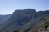
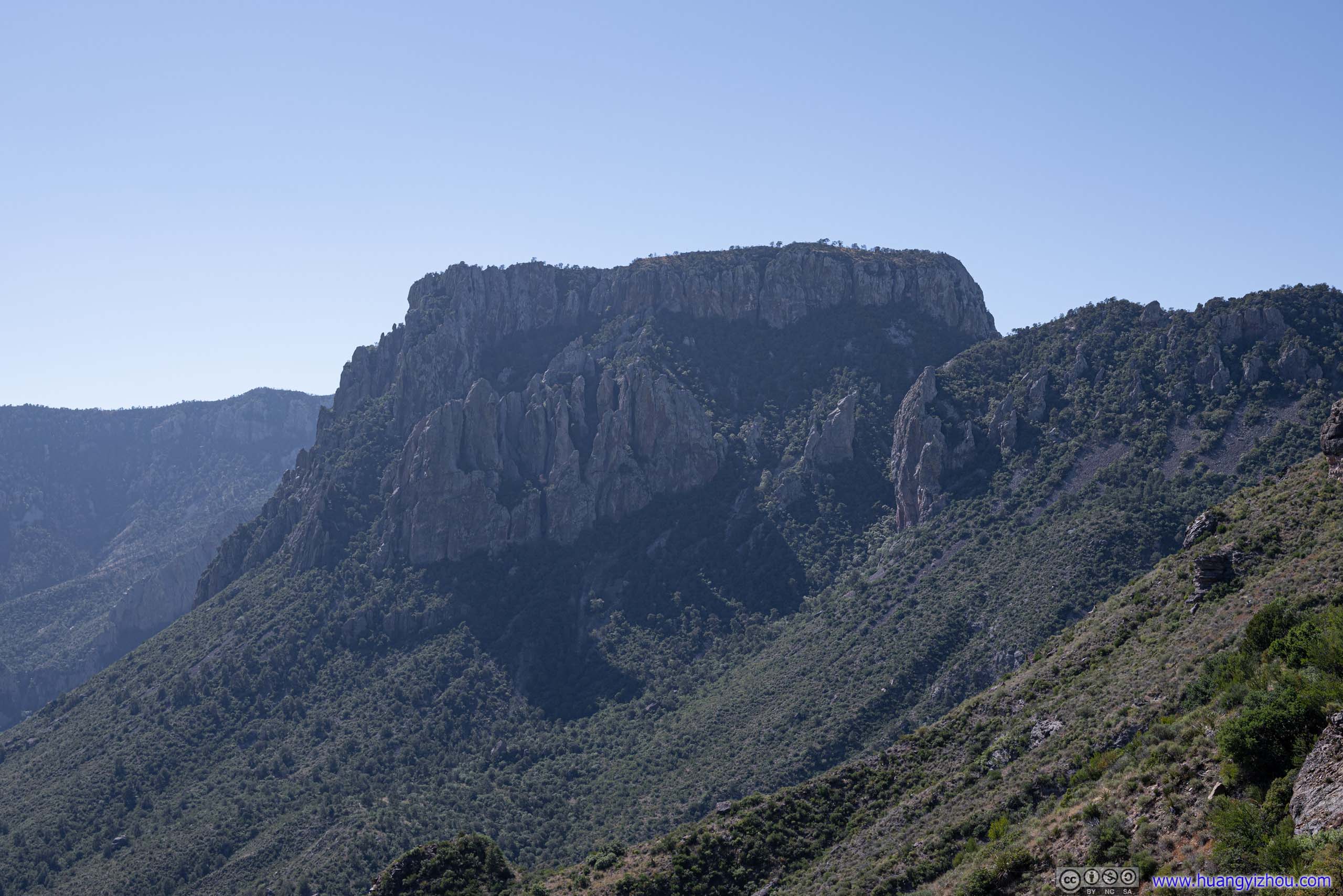
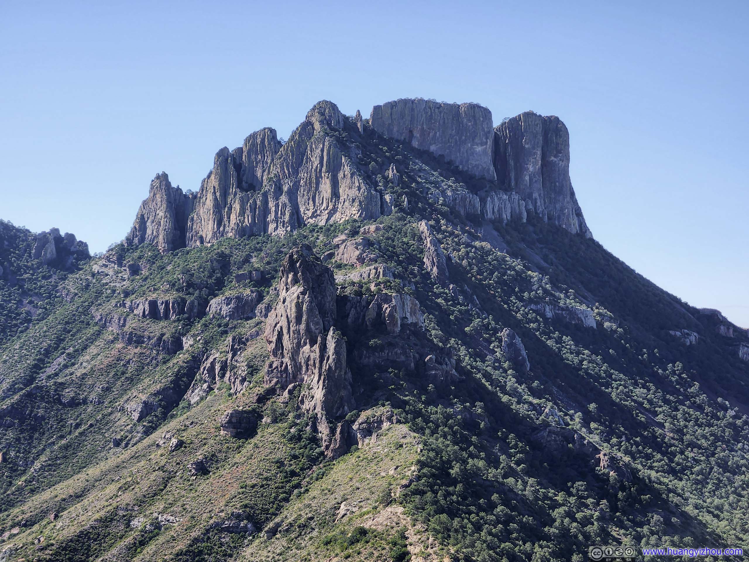
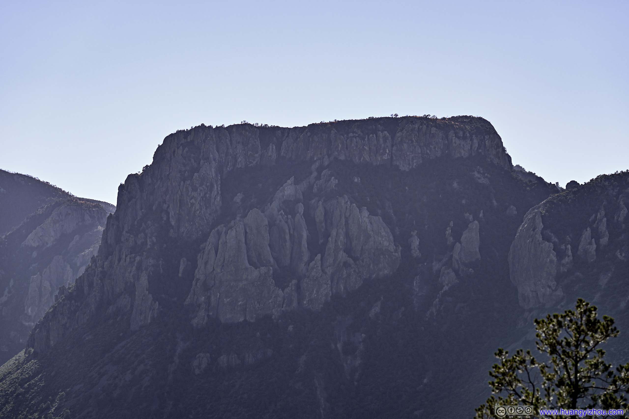
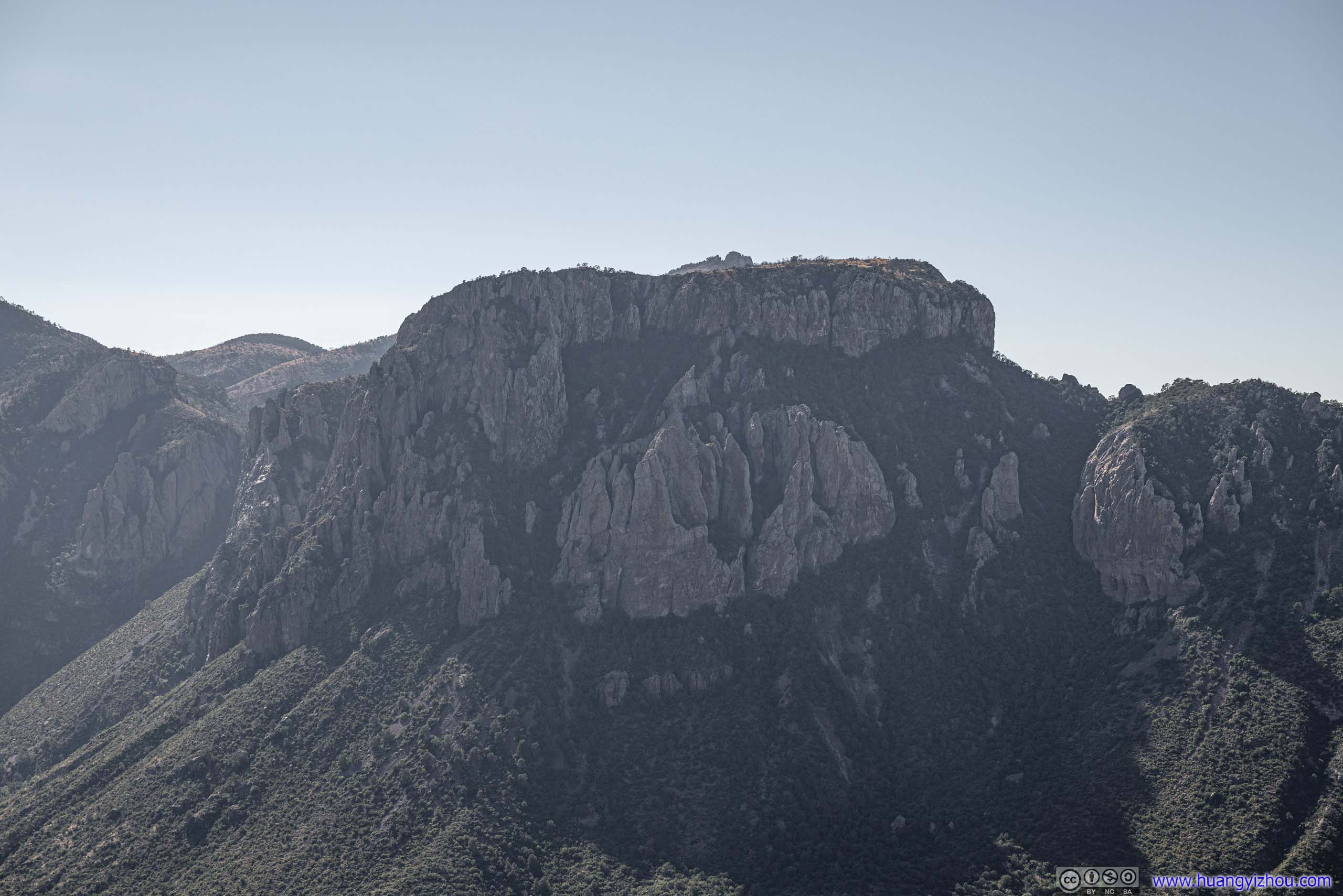
In particular, Casa Grande Peak was constantly visible along the trail but had been evolving between different facets, from its rocky walls (below) viewed in the shade, to its rocky arete in the sun (above).
 Casa Grande Peak
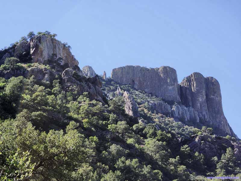 Casa Grande Peak
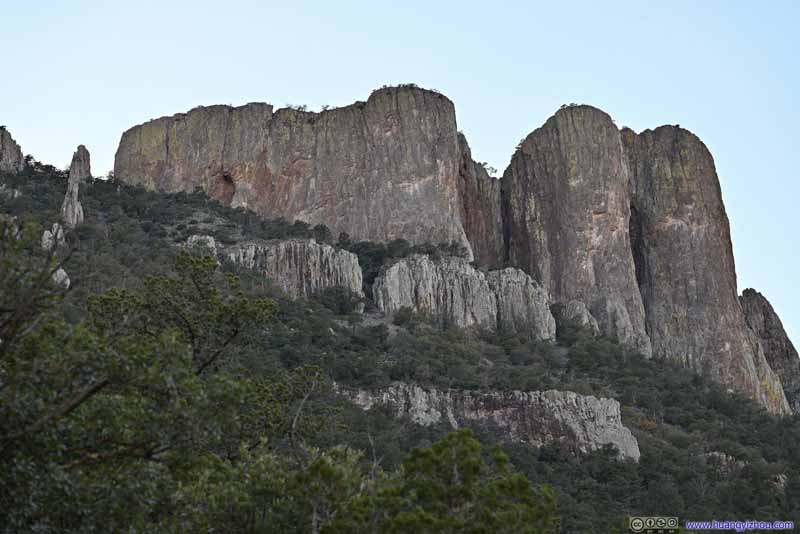 Casa Grande PeakTaken later in the day when the light’s softer.
 Vernon Bailey Peak
Farther up the trail, it’s a great shot of Vermon Bailey Peak with the road leading into Chisos Basin in the foreground. Taken during my ascent.
Vernon Bailey Peak
Farther up the trail, it’s a great shot of Vermon Bailey Peak with the road leading into Chisos Basin in the foreground. Taken during my ascent. Vernon Bailey PeakTaken about 1.5 hours later during my descent. More of the mountains were in the shade.

Click here to display photos of the slideshow
Casa Grande Peak
Casa Grande Peak
Casa Grande PeakTaken later in the day when the light’s softer.
Vernon Bailey Peak
Vernon Bailey PeakTaken about 1.5 hours later during my descent. More of the mountains were in the shade.
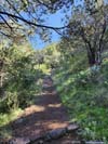
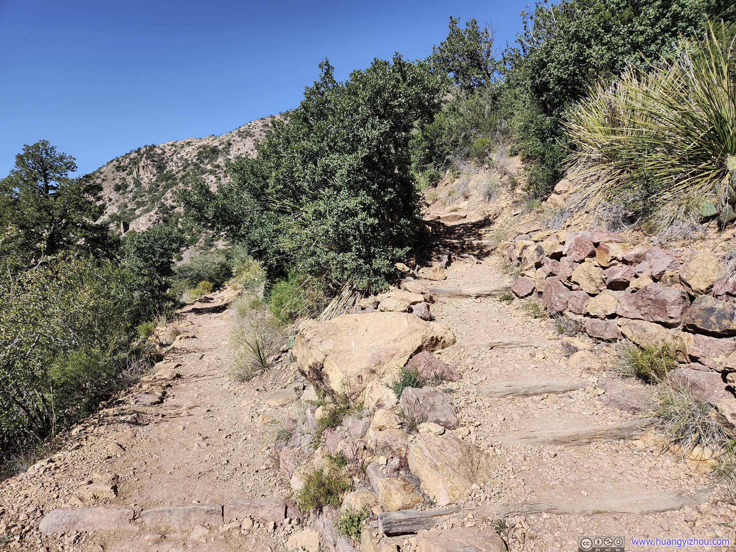
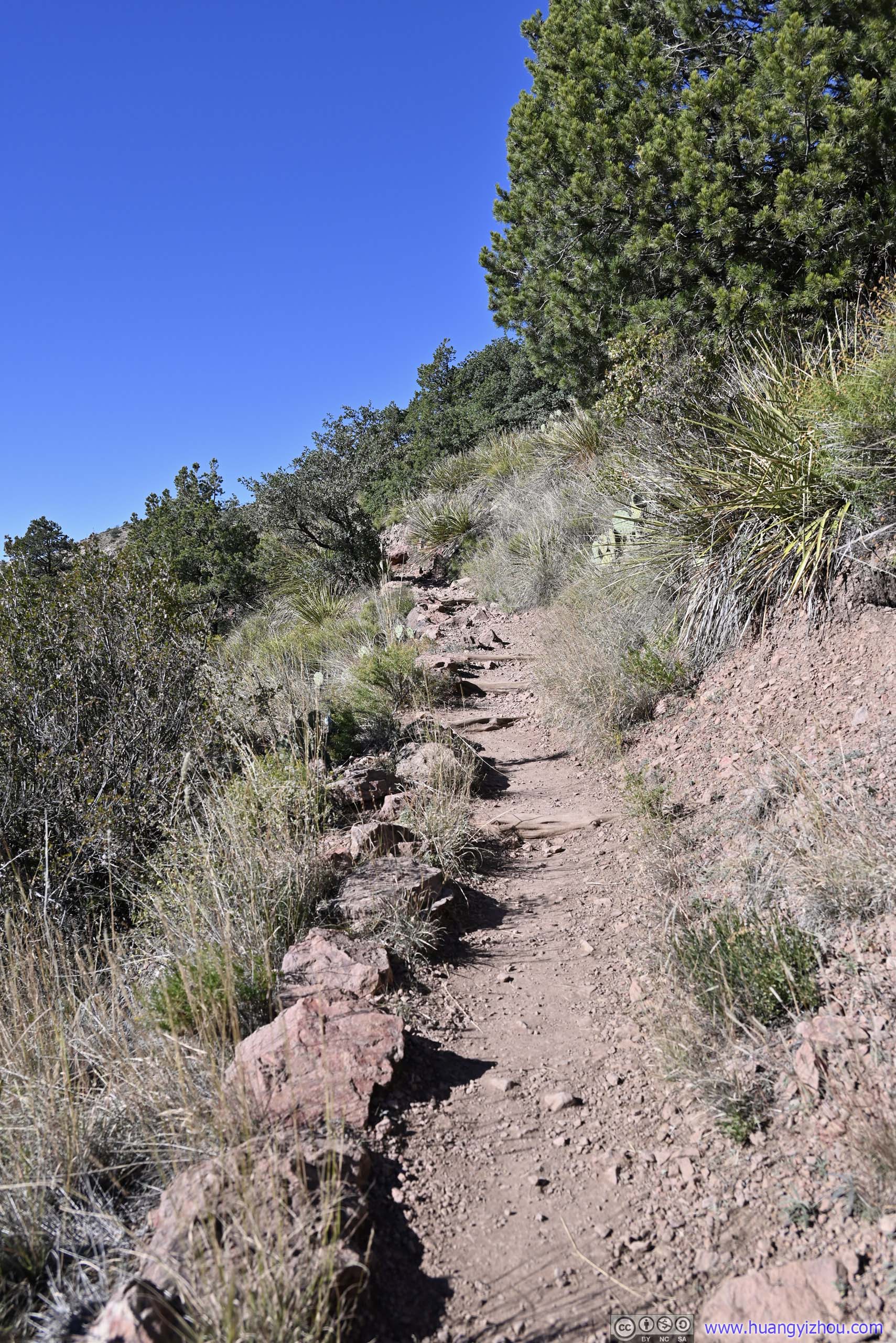
 Trail
Trail Trail
Trail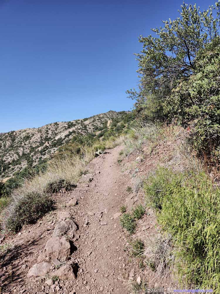 Trail
Trail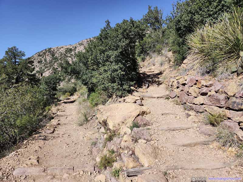 Trail Switchback
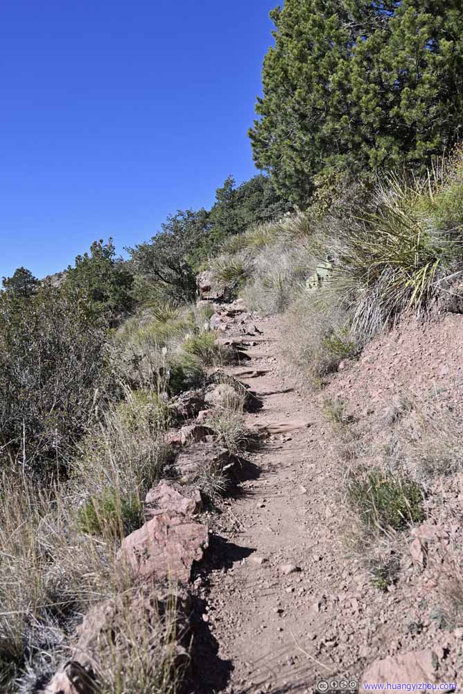 Trail
Trail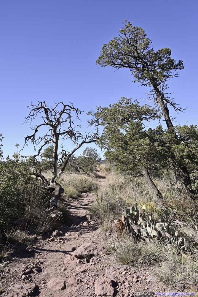 TrailAlmost at the end where the trail became flat.


Click here to display photos of the trail.

Trail
Trail

Trail
Trail Switchback
Trail
TrailAlmost at the end where the trail became flat.
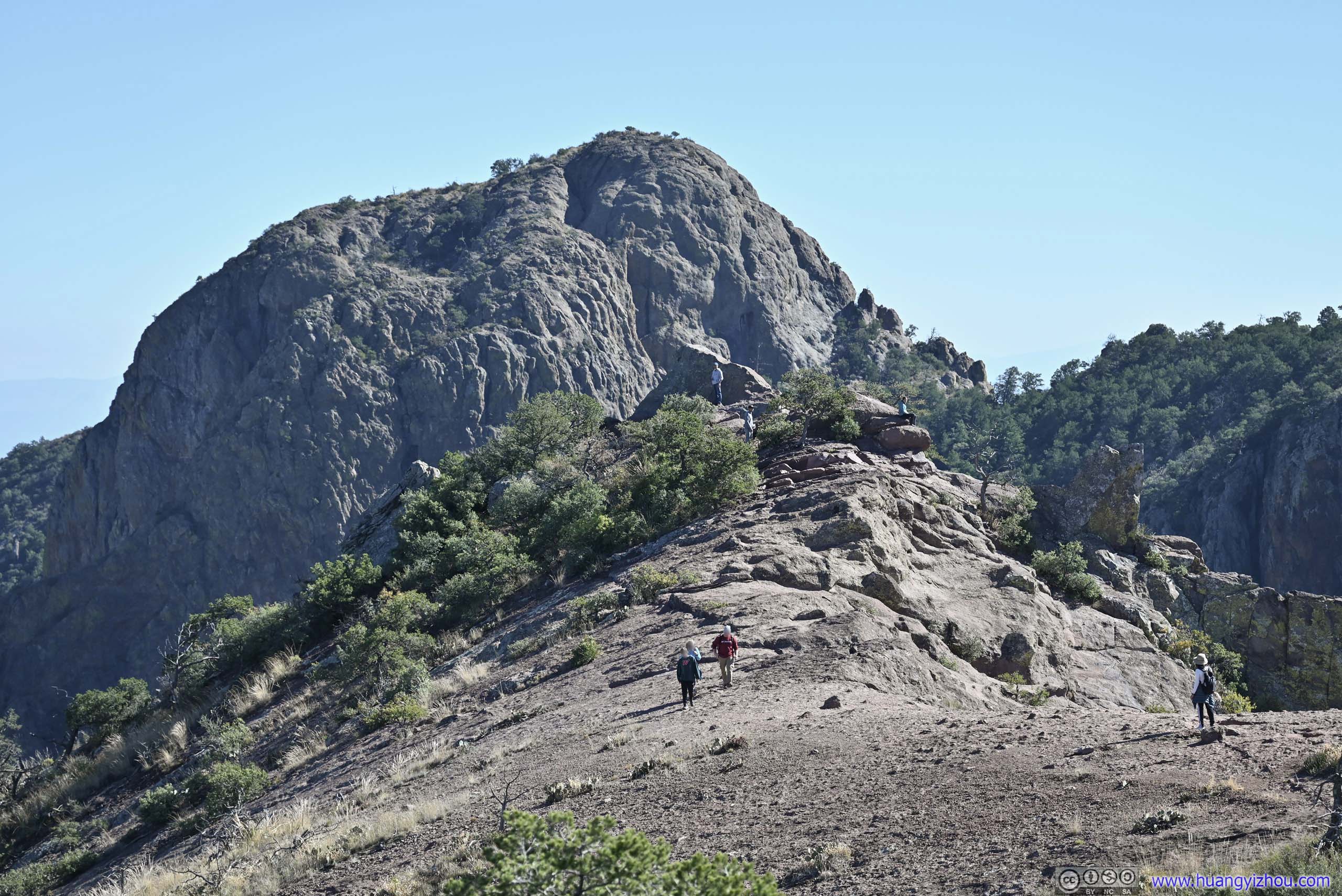
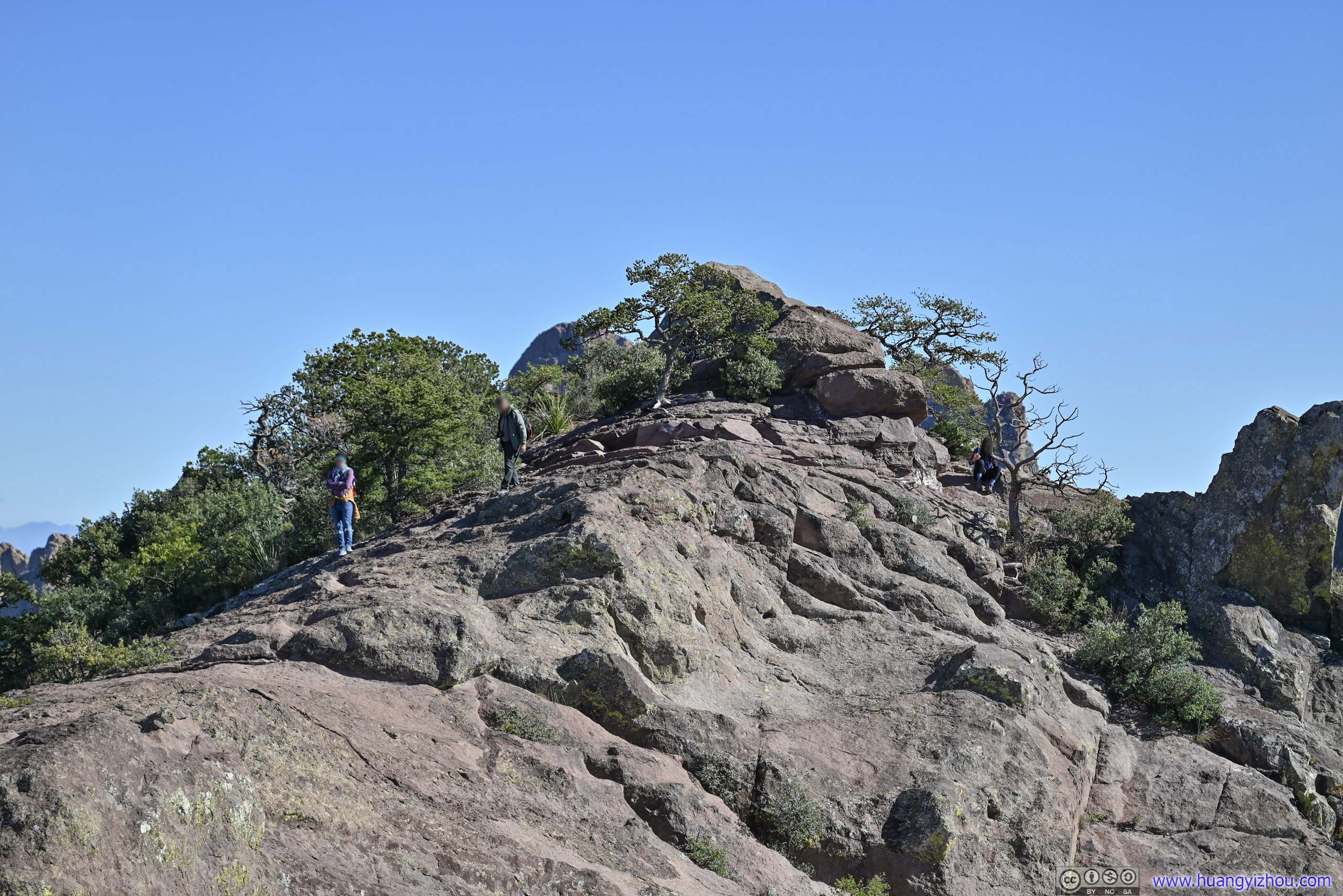
The near-constant but gradual elevation gain ended about 3.3km from the trailhead, after which the trail made a turn south and followed a flat ridge for the final 450m before it ran out of room.
 Lost Mine Trail
Near its end (roughly where the gentleman in white shirt was standing), with Crown Mountain in the background. The trail crossed a relatively open and flat ridge in the foreground.
Lost Mine Trail
Near its end (roughly where the gentleman in white shirt was standing), with Crown Mountain in the background. The trail crossed a relatively open and flat ridge in the foreground.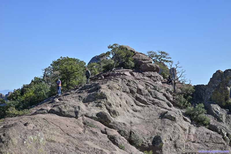 Lost Mine TrailThe final few steps.
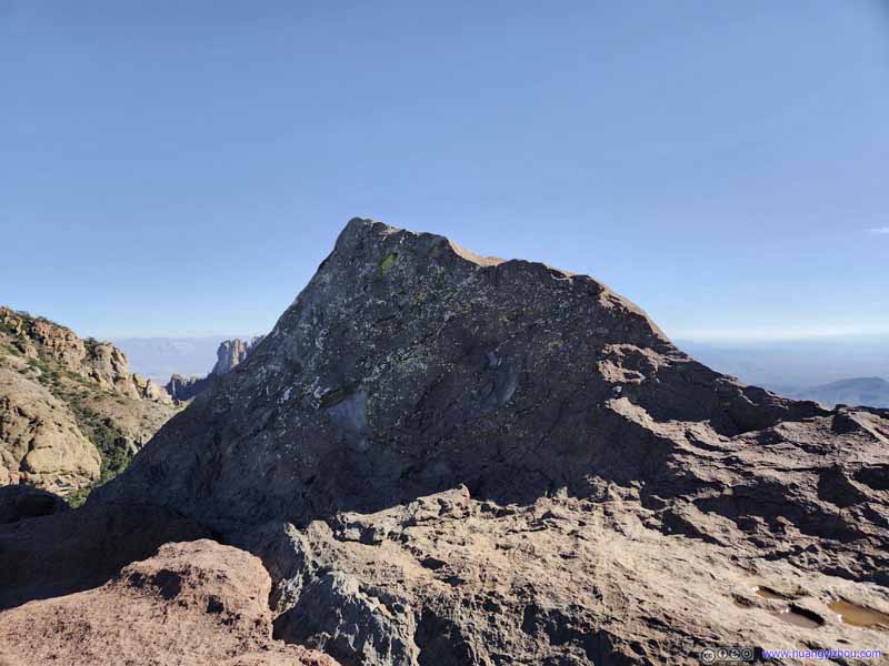 End of Official Trail
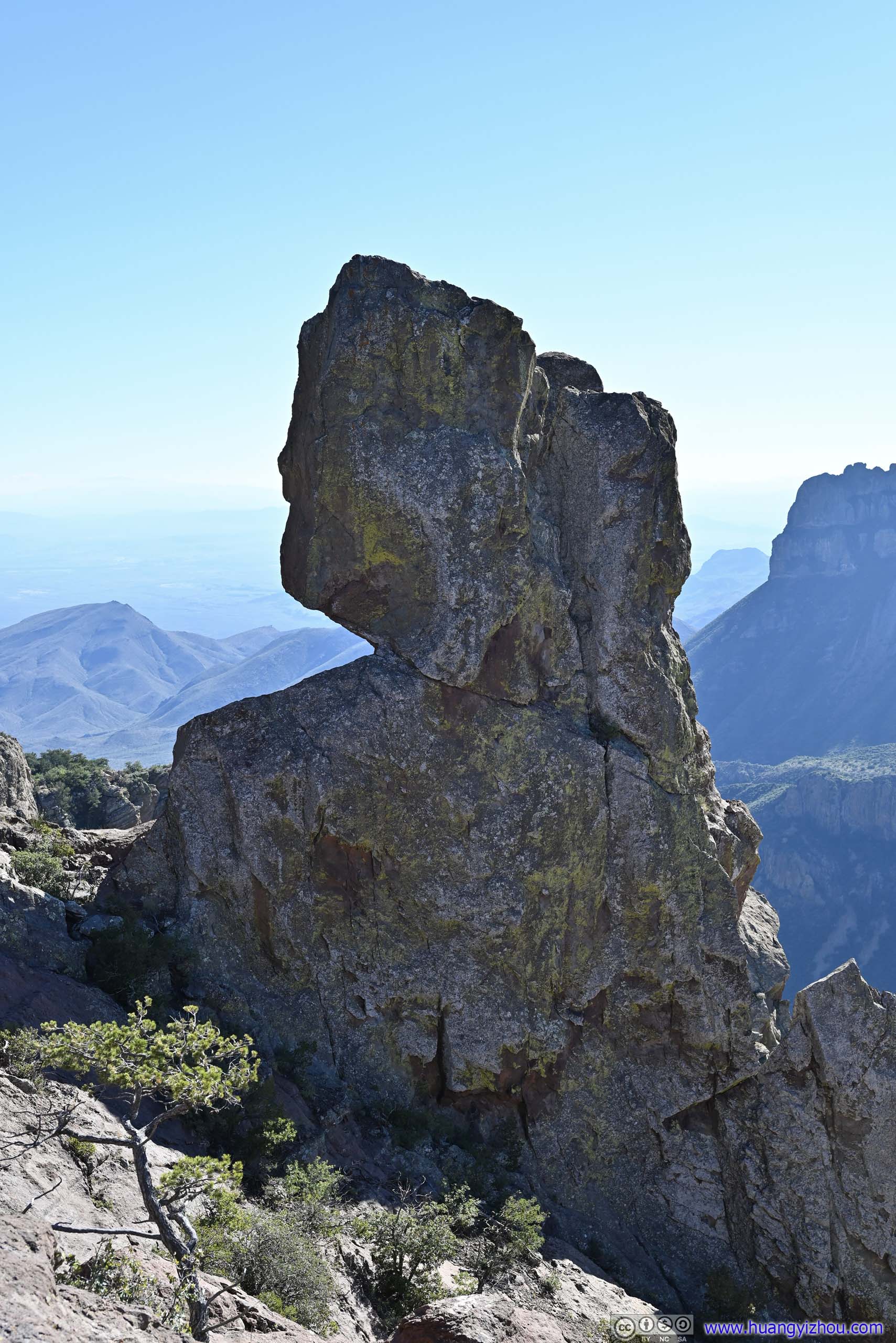
It took some courage and scrambling skills to climb onto this rock with its slanted top surface, on top which the views weren’t that much better.
End of Official Trail
It took some courage and scrambling skills to climb onto this rock with its slanted top surface, on top which the views weren’t that much better. Lost Mine TrailLooking back at the previous ridge, and its steep western slope.
 BoulderOf distinctive shape, next to the trail.
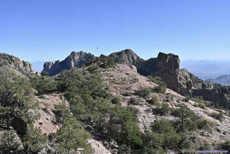 Lost Mine TrailThe final part from a wider angle.


Click here to display photos of final part of the trail.
Lost Mine Trail
Lost Mine TrailThe final few steps.

End of Official Trail

Lost Mine TrailLooking back at the previous ridge, and its steep western slope.
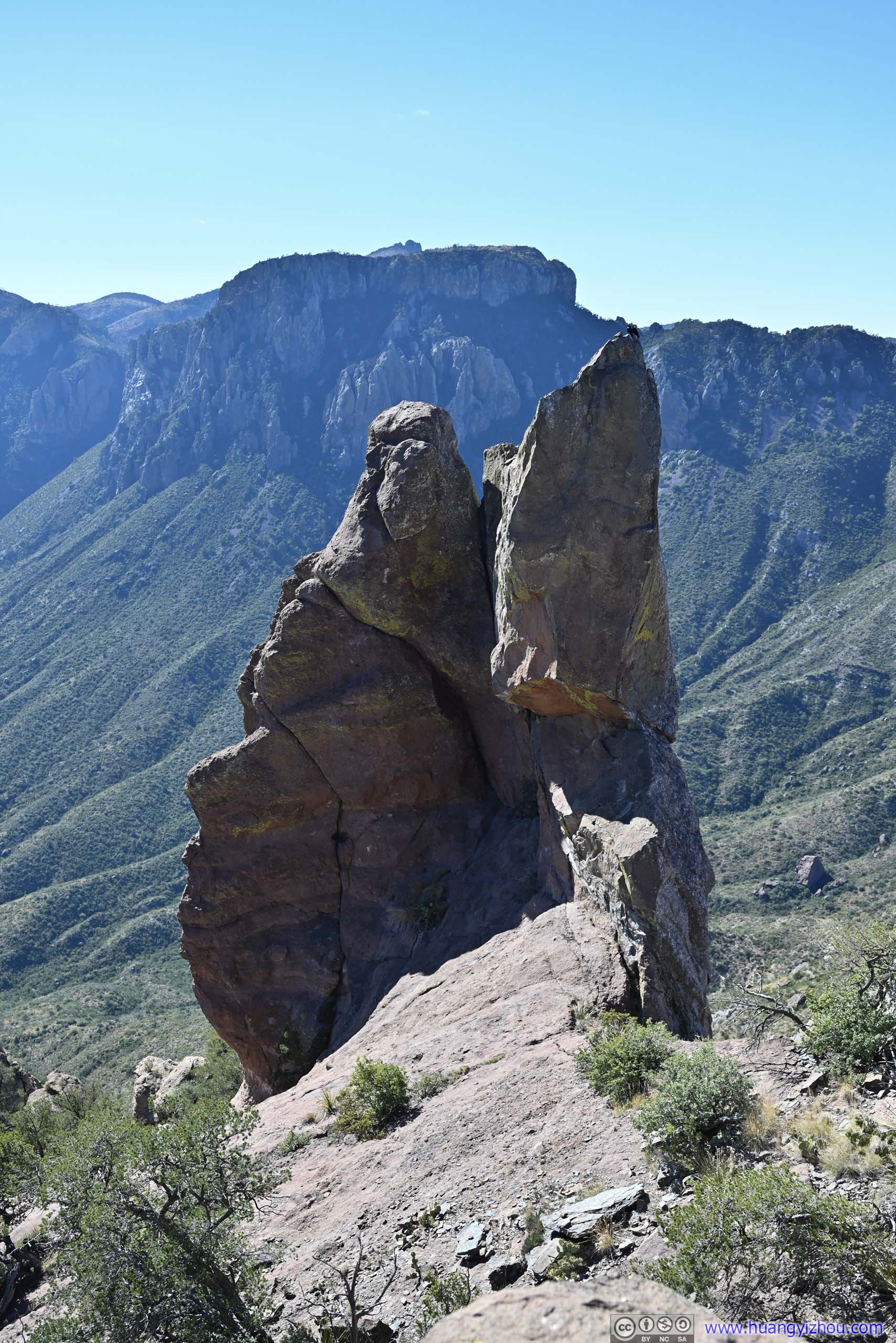
 BoulderOf distinctive shape, next to the trail.
Lost Mine TrailThe final part from a wider angle.
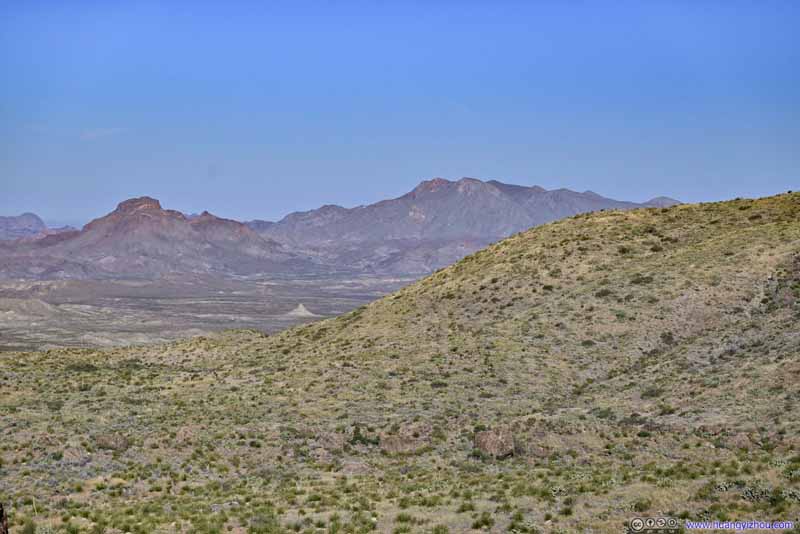
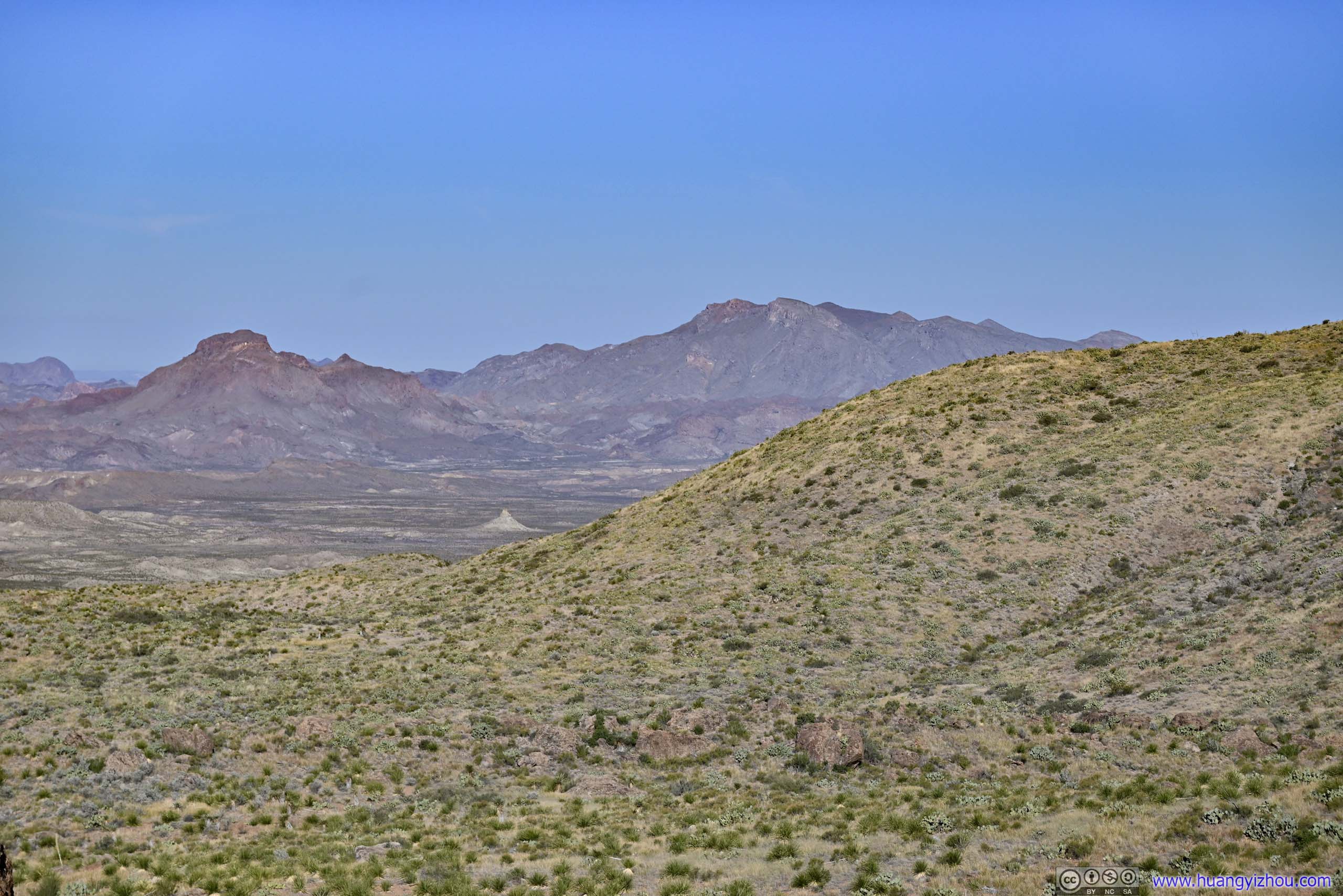
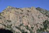
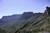
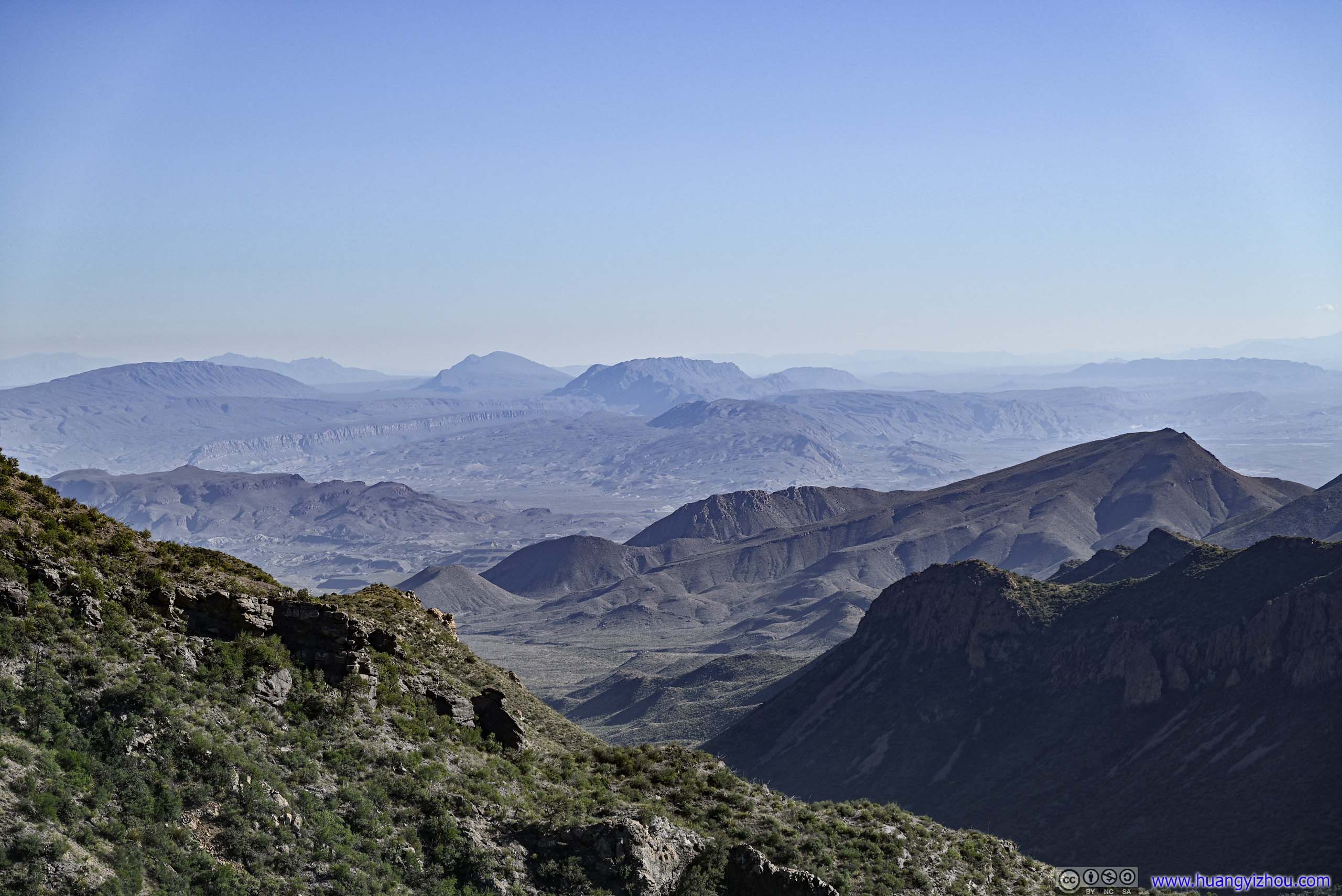
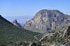
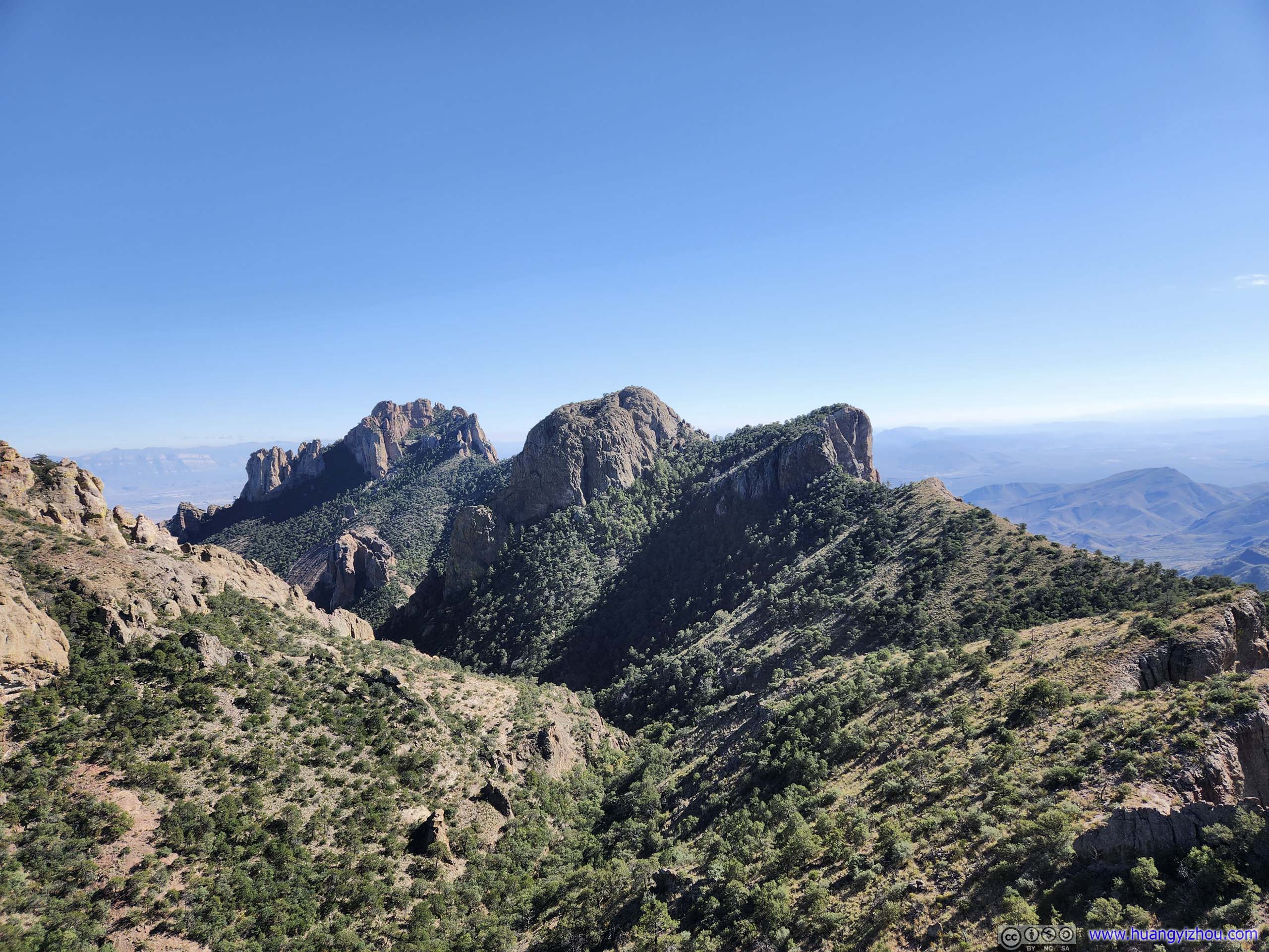
The views at the end of the trail were a certain highlight of the day. In addition to Juniper Canyon, one got to view the southern extension of Lost Mine Peak, and parts of Pine Canyon to the southeast, with traces of the striking Sierra del Carmen mountains.
 Mountains beyond Trail’s End
 Fields to the South
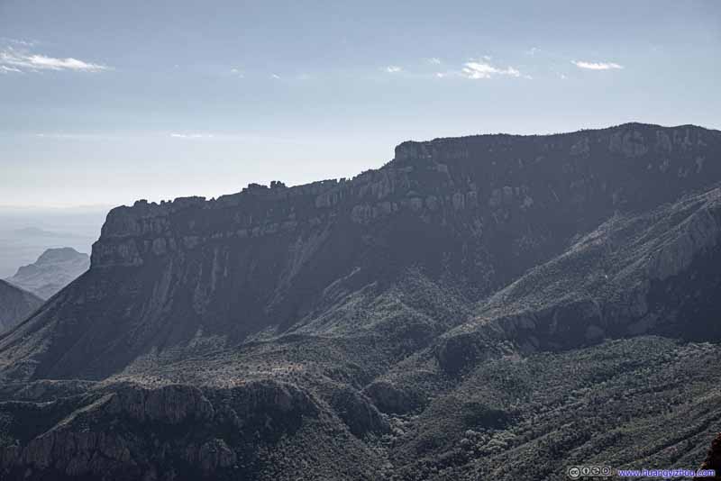 South Rim
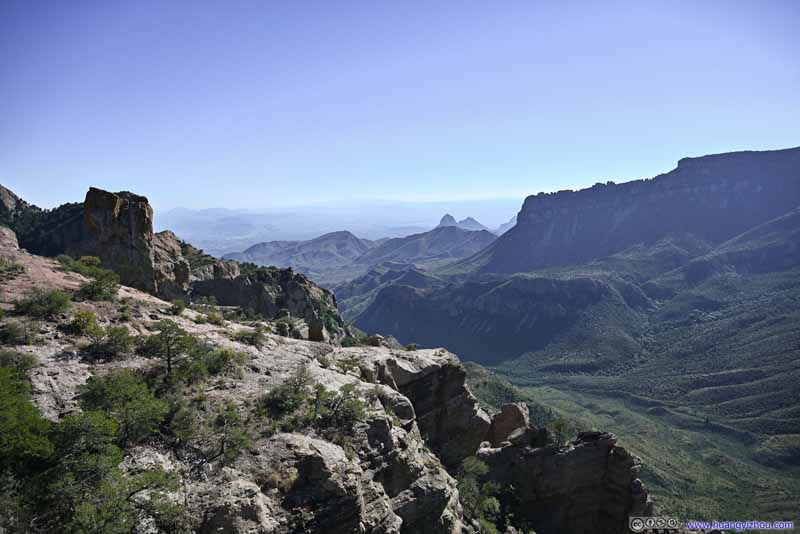 Juniper Canyon and South Rim
 Toll MountainA tiny bit of Emory Peak popped up behind Toll Mountain.
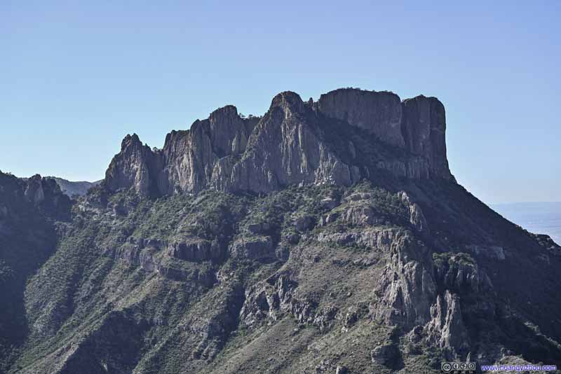 Casa Grande Peak
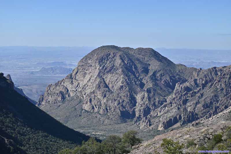 Distant Vernon Bailey PeakThe end of Lost Mine Trail was higher in elevation than this imposing mountain from the morning.
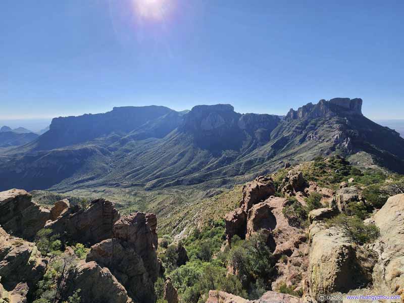 Chisos Mountains


Click here to display photos of the mountains.
Mountains beyond Trail’s End
Fields to the South
South Rim
Juniper Canyon and South Rim
Toll MountainA tiny bit of Emory Peak popped up behind Toll Mountain.

Casa Grande Peak
Distant Vernon Bailey PeakThe end of Lost Mine Trail was higher in elevation than this imposing mountain from the morning.
Chisos Mountains
Chisos Mountains from Lost Mine Trail
I believed the best time to visit Lost Mine Trail was in the morning, where the Chisos Mountains to the west were in the light, with their impressive vertical rocky walls. I visited during the afternoon so instead the side of Lost Mine Mountain was in the light, which wasn’t that much disappointing since I got to appreciate its vividly colored rocks that complement the palette of trees.
Lost Mine Peak from Lost Mine Trail
 Lost Mine Peak
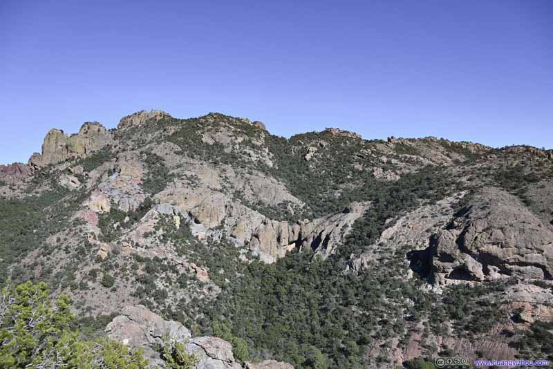 Lost Mine Peak
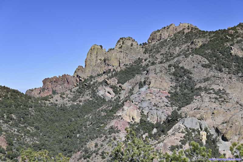 Lost Mine PeakThe boulders in vivid colors.
 Distant Sierra del CarmenIts striking cliffs were always awesome.
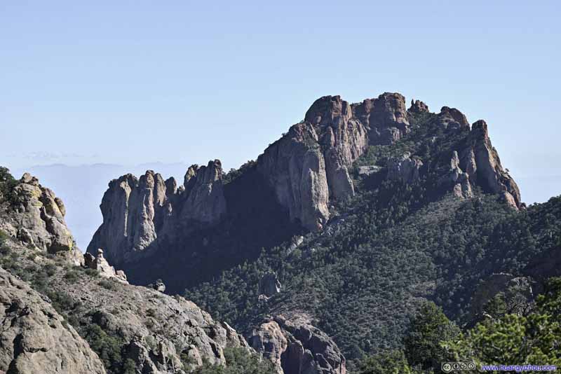 MountainTo the south of Pine Canyon, some uniquely shaped rocks.
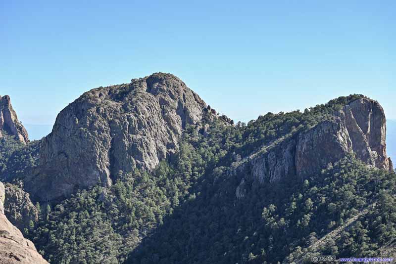 Crown Mountain


Click here to display photos of Lost Mine Peak and surrounding mountains.

Lost Mine Peak
Lost Mine Peak

Lost Mine PeakThe boulders in vivid colors.
Distant Sierra del CarmenIts striking cliffs were always awesome.
MountainTo the south of Pine Canyon, some uniquely shaped rocks.
Crown Mountain
Unlike The Window, the end of Lost Mine Trail was relatively spacious so that people could spread out. It may also have to do with the midday heat (and the limited parking size) that there weren’t that many people to begin with. Overall, it’s a greatly enjoyable experience hiking Lost Mine Peak.
It took me just under 1.5 hours to reach the end of trail just before 2pm. After 35 minutes at the top, I started to head back, which took me just over an hour.
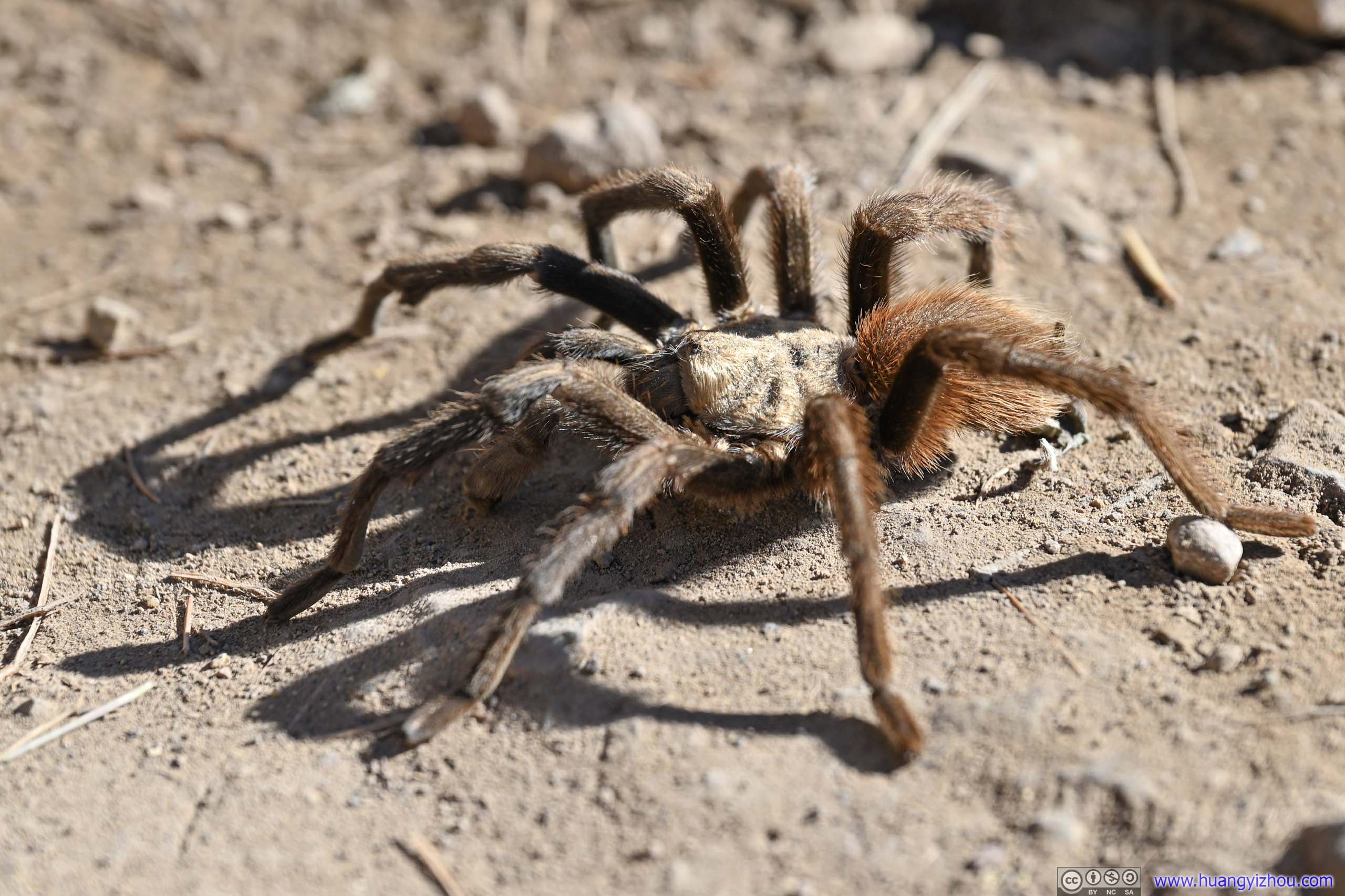
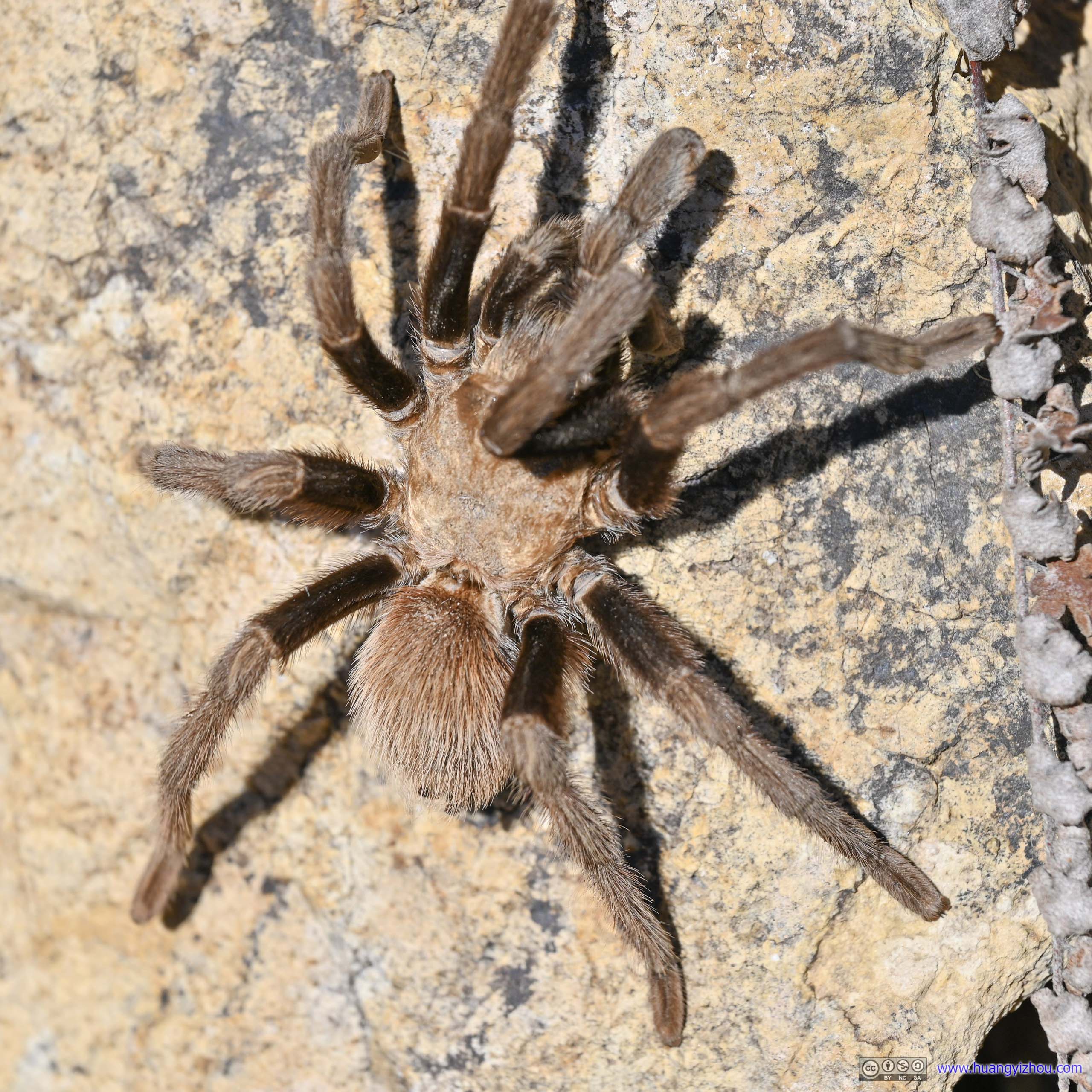
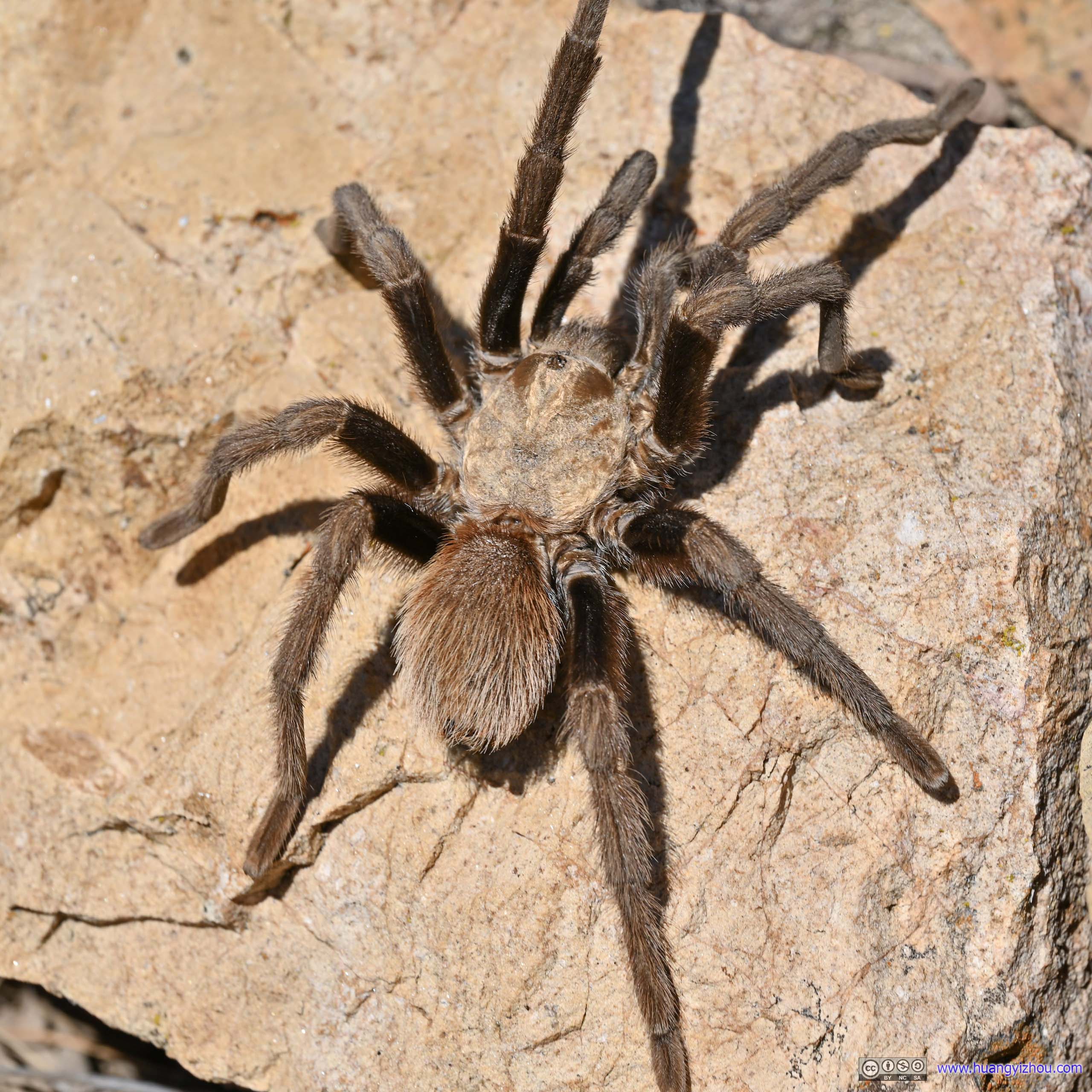
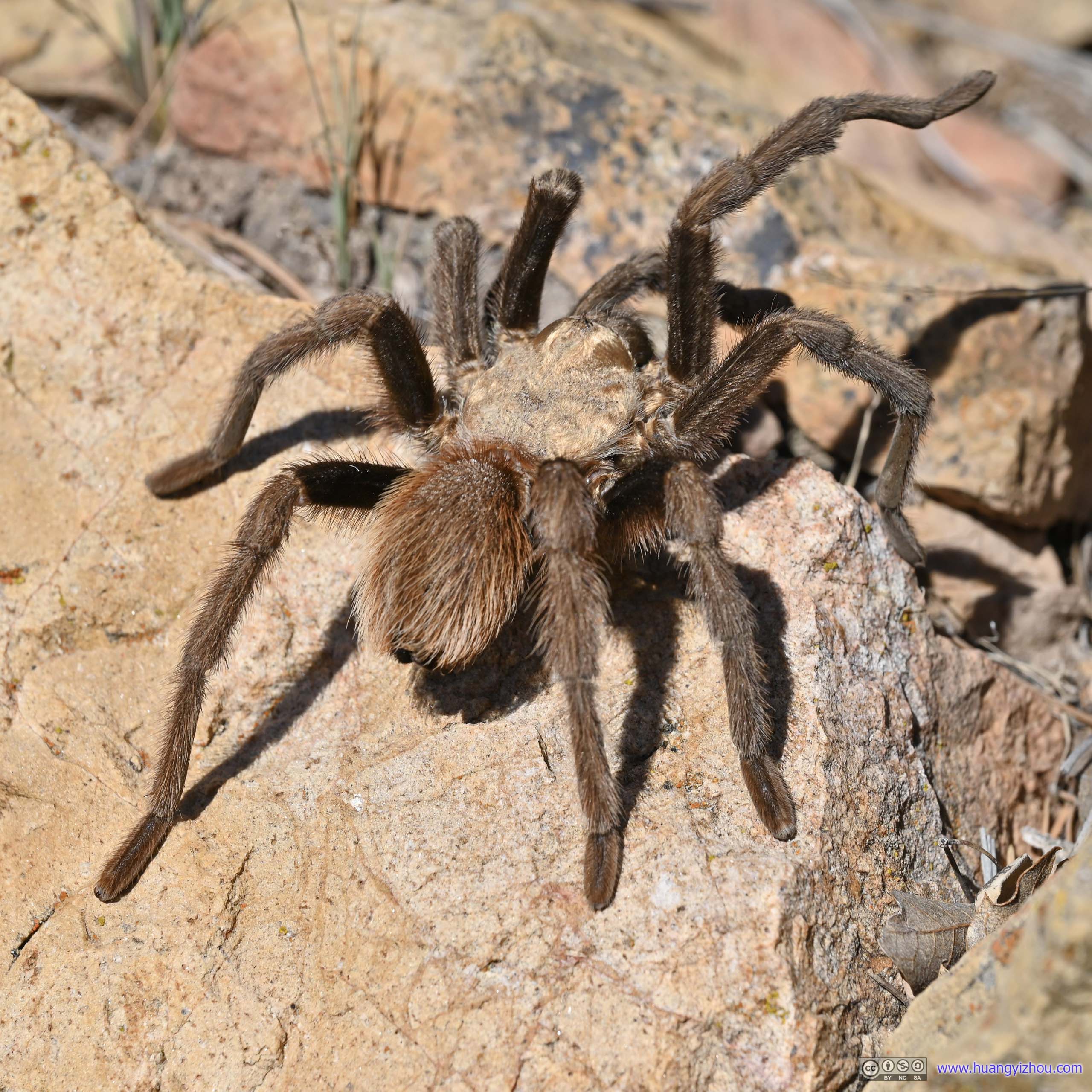
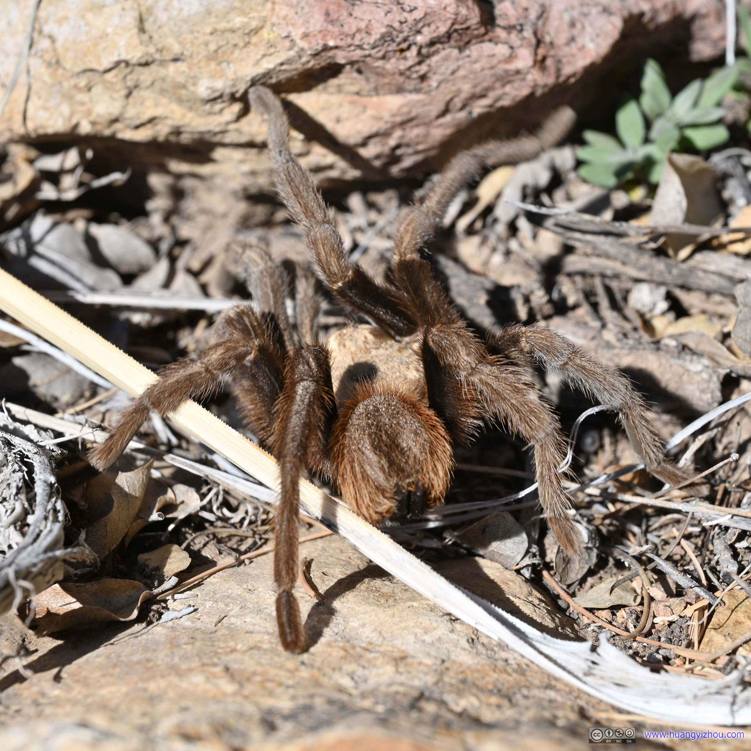
On my way back, I ran into a spider along the trail, and it’s certainly the largest spider I had seen so far. Since it’s very visible, it didn’t give me the usual scare when I ran into insects, and I got in the mood to take a few photos to record the moment as it disappeared into the bushes.
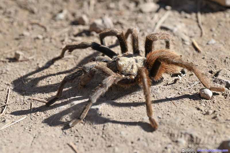 Spider
 Spider
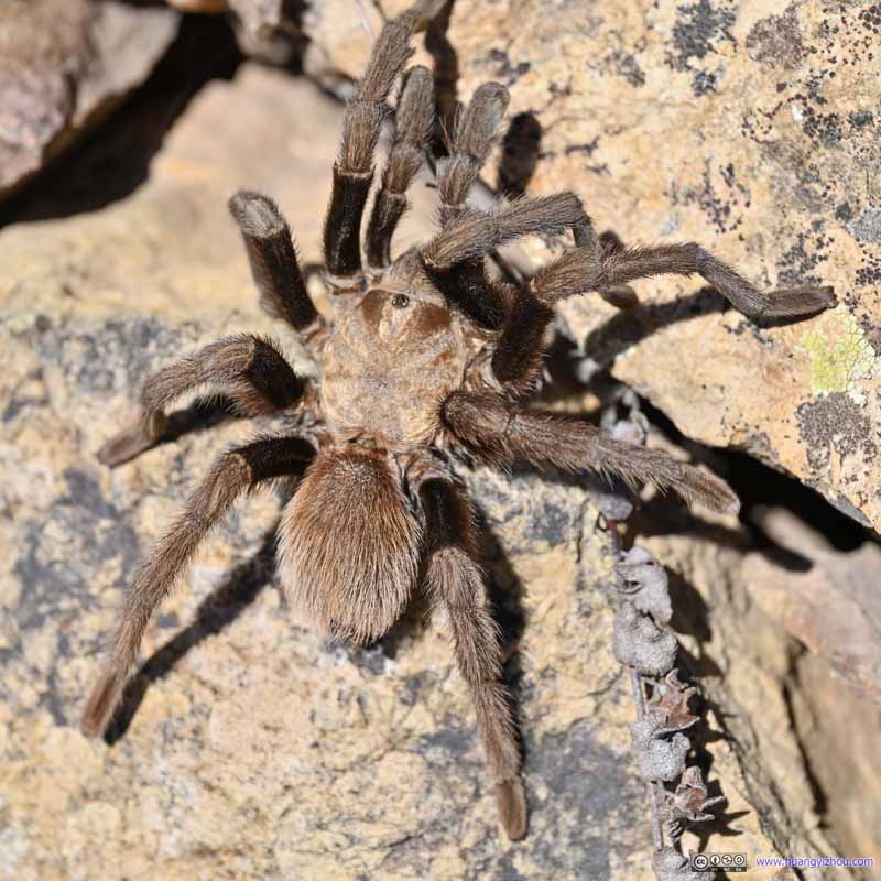 Spider
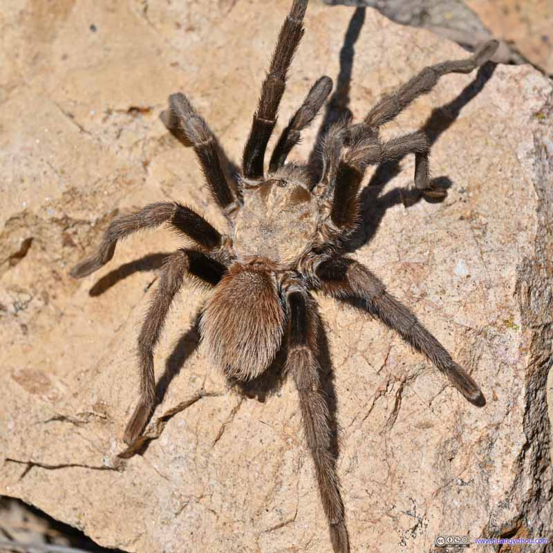 Spider
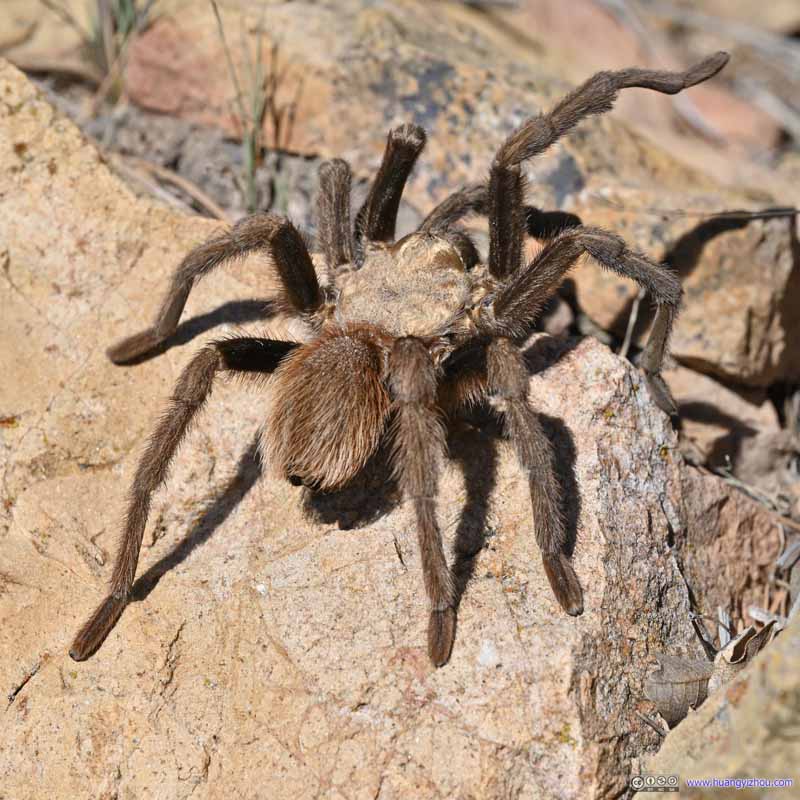 Spider
 Spider


Click here to display photos of a spider on the trail.
Spider
Spider

Spider
Spider
Spider
Spider
Finally, I got back to the trailhead at 3:45pm, a good early end of the day for my epic trip to South Rim and Emory Peak the following day.
END
![]() Day 3 of 2022 Big Bend National Park Trip, The Window and Lost Mine Trail by Huang's Site is licensed under a Creative Commons Attribution-NonCommercial-ShareAlike 4.0 International License.
Day 3 of 2022 Big Bend National Park Trip, The Window and Lost Mine Trail by Huang's Site is licensed under a Creative Commons Attribution-NonCommercial-ShareAlike 4.0 International License.