
Updated on November 12, 2023
Day 3 of May 2023 Trip to West Virginia, New River Gorge
Third day of my 2023 Memorial Day trip to West Virginia as I continued my tour of New River Gorge National Park. With rain in the weather forecast, I focused mostly on short hikes and overlooks for the day, in addition to the nearby Babcock State Park.
Turn of New River
With rain in the weather forecast today, I planned all the major hikes in New River Gorge National Park (Long Point, Kaymoor Mine, Diamond Point) the previous day. These hikes were all located in the Fayetteville vicinity. However, I stayed the previous and this night near the town of Beckley where hotels were cheaper, so that served me well. After getting up this morning, I decided to check out the Grandview area of New River Gorge National Park (that’s closer to Beckley), which featured mostly overlooks and short hikes, allowing me the flexibility in case rain was to hit.
New River Gorge National Park
Grand View Overlook
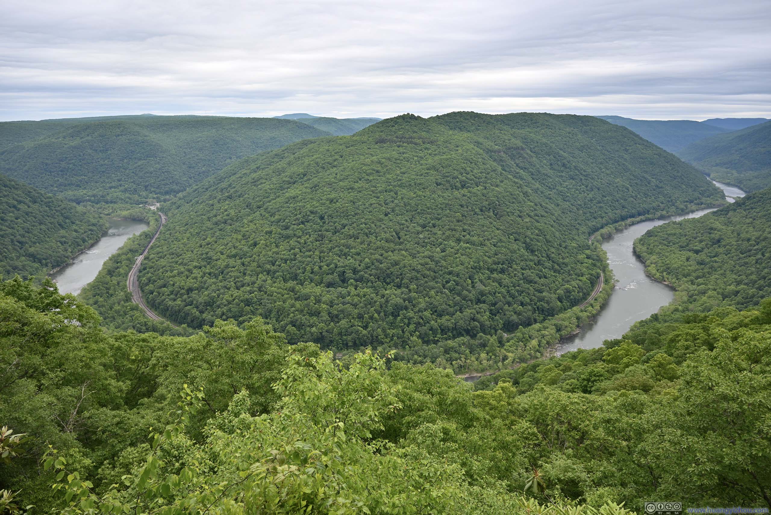
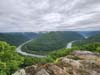
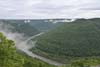
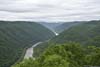
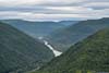
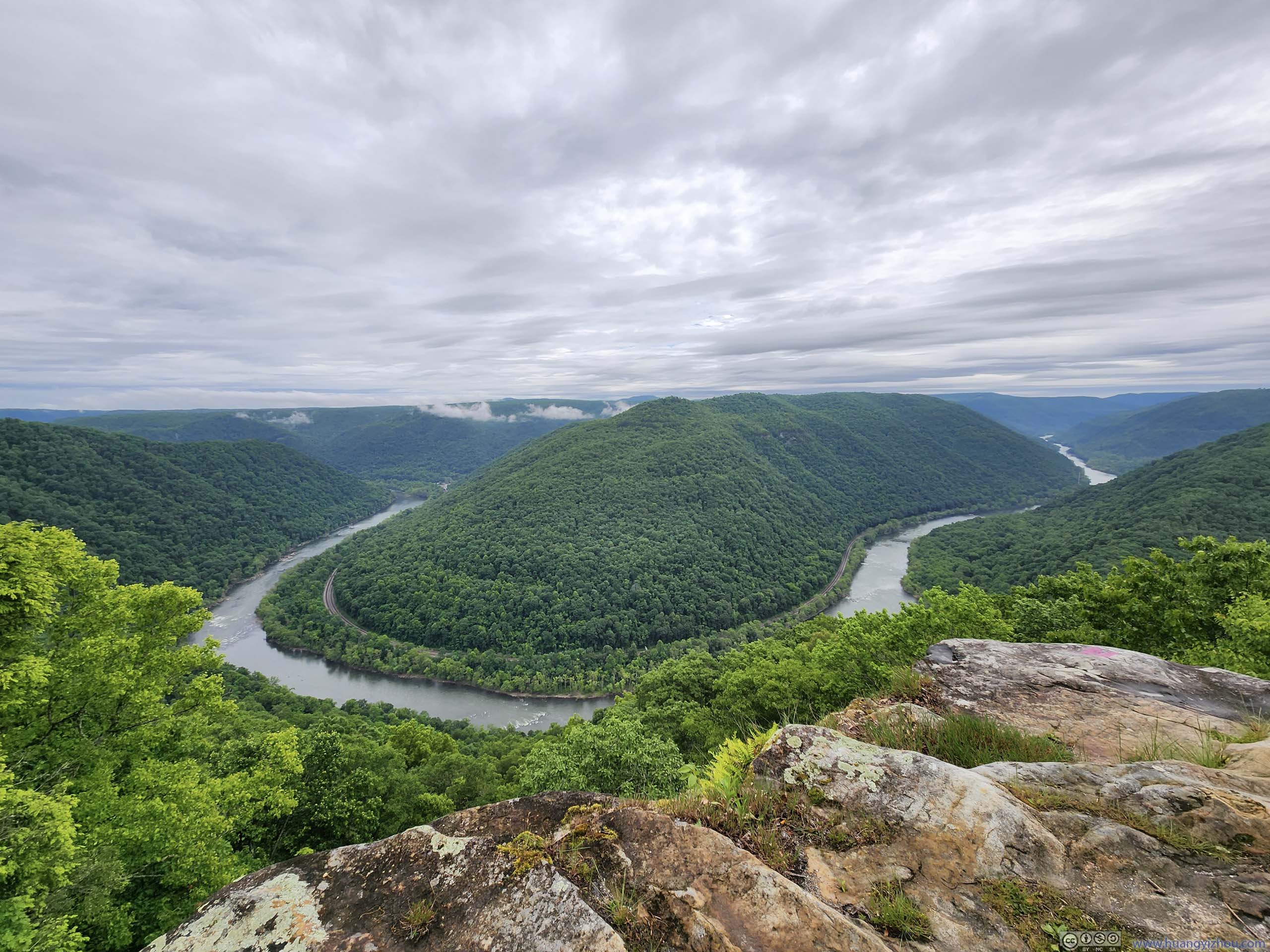
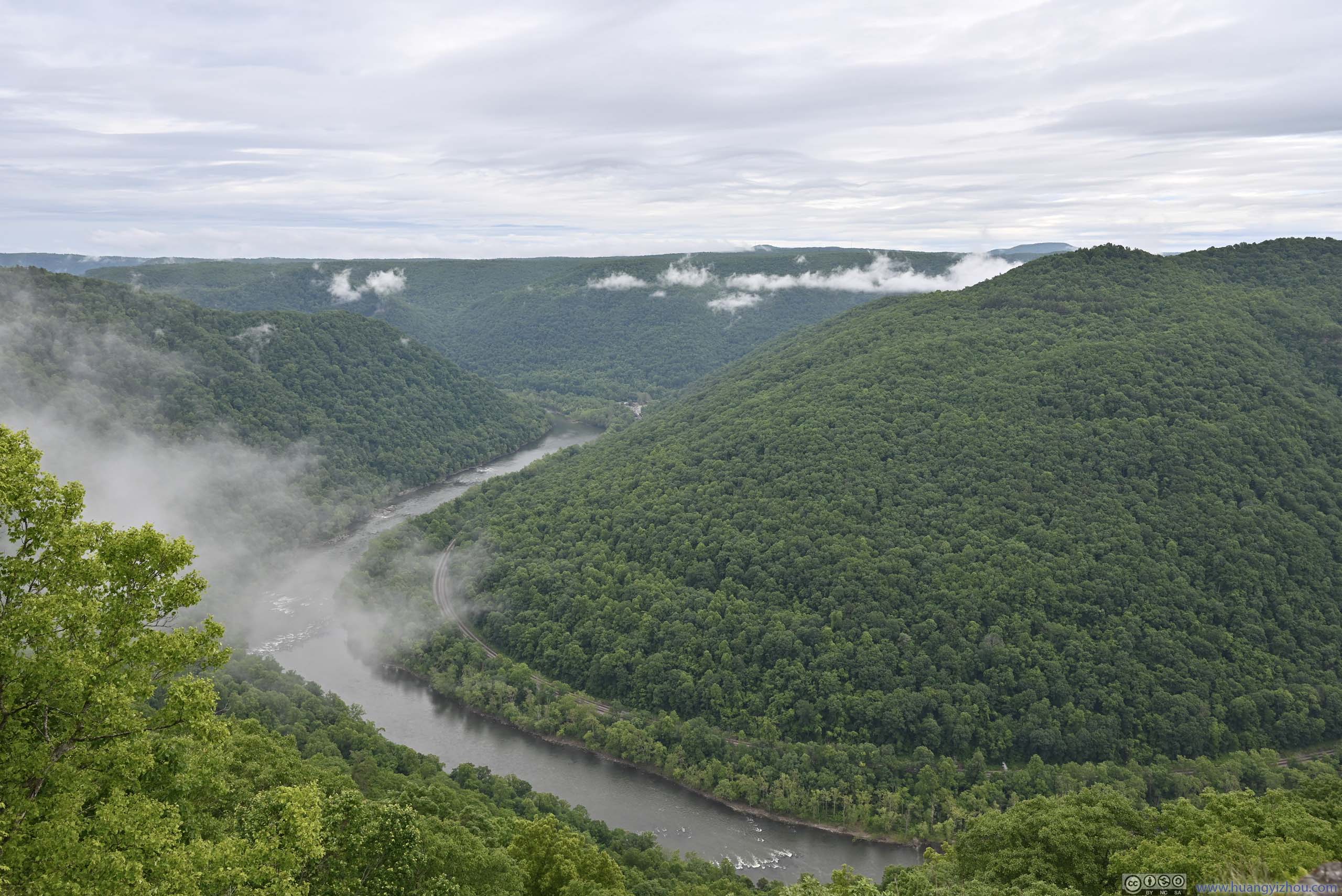
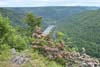
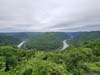
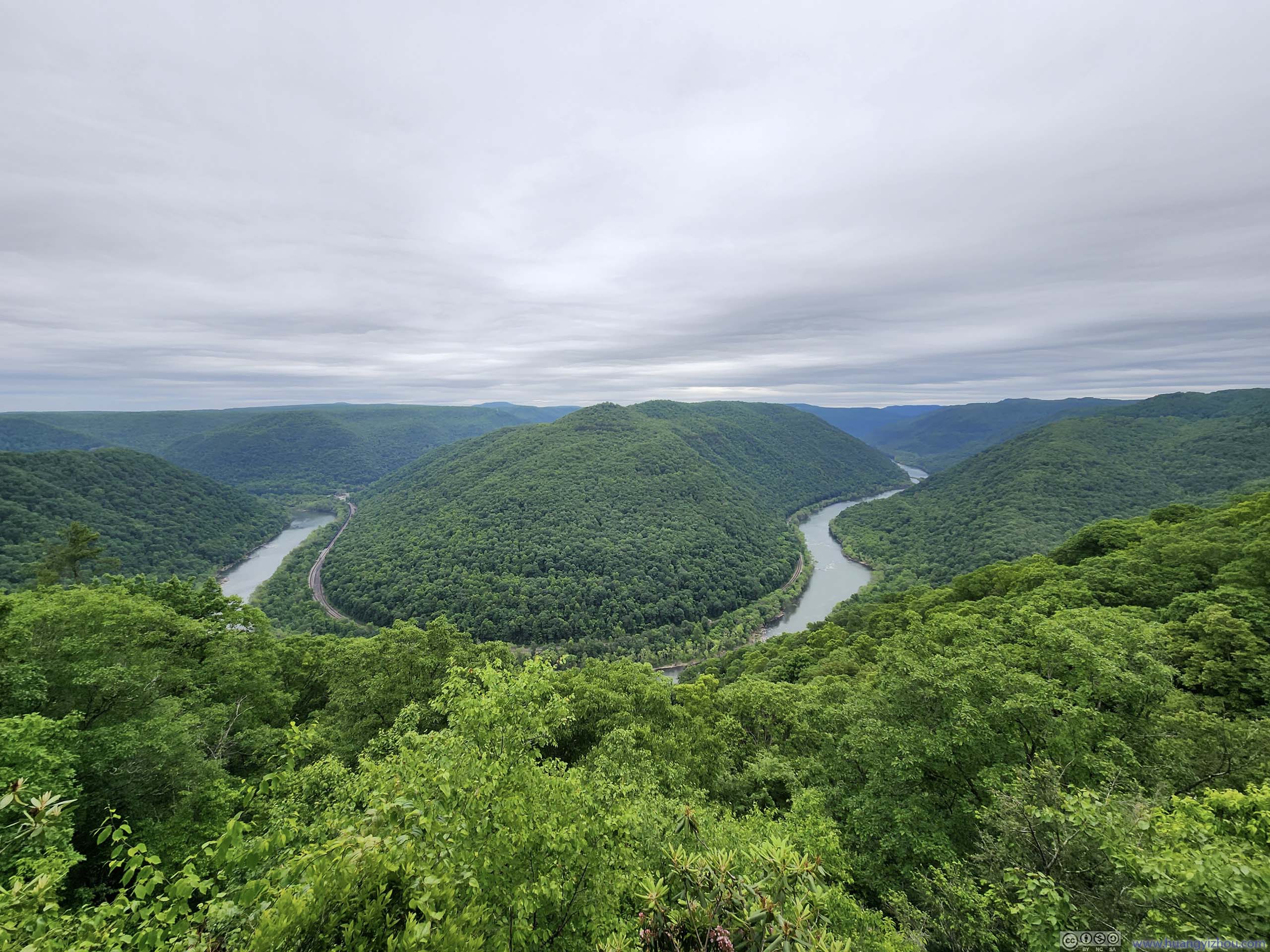
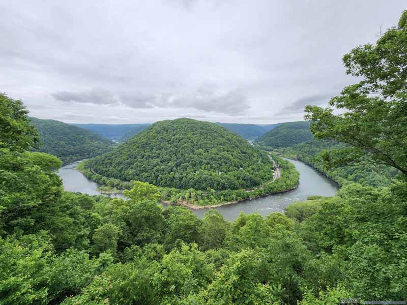
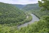
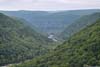
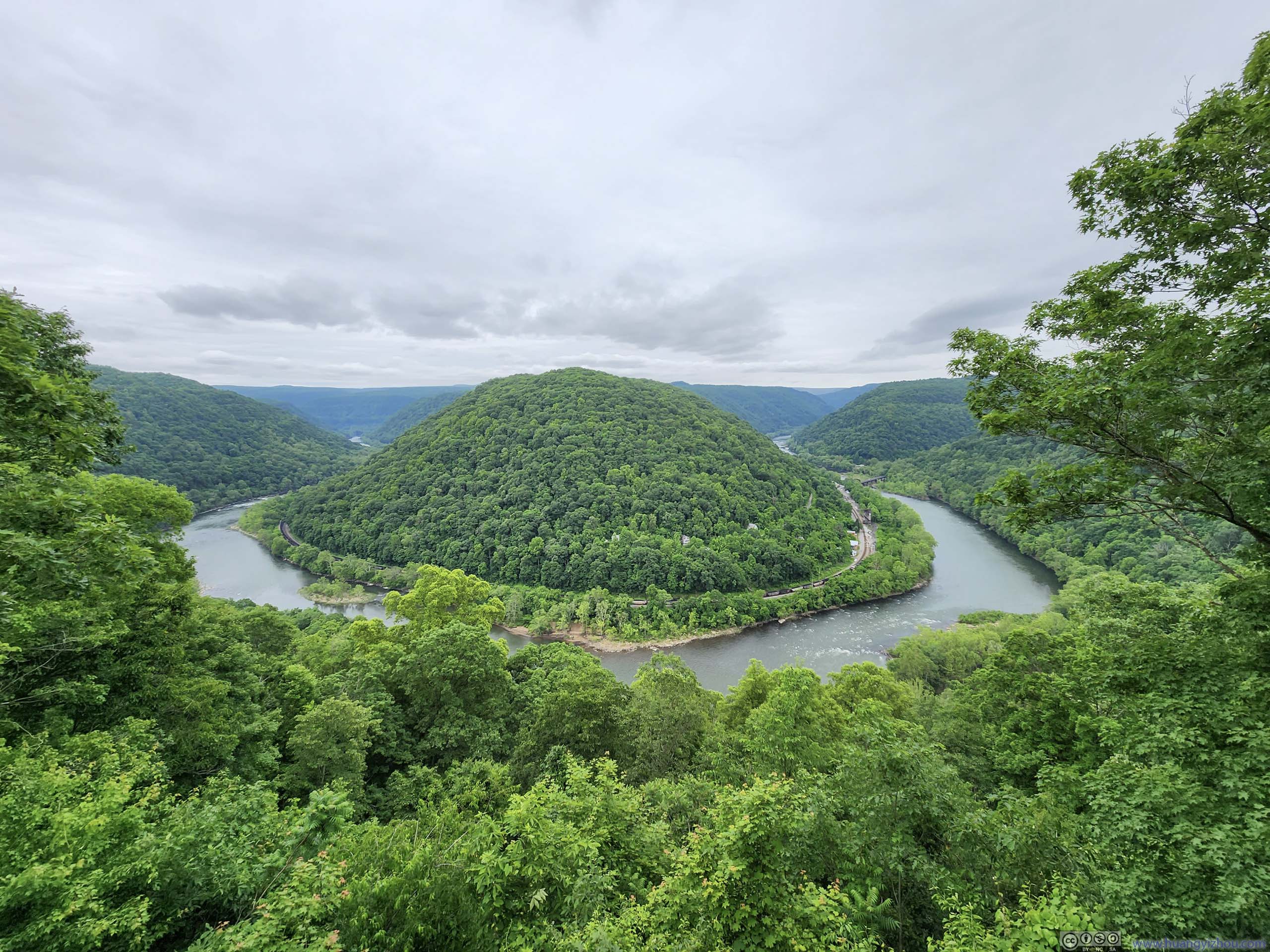
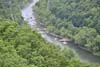
This was the highest point in the park, overlooking New River 1400ft below where it made a hairpin turn. It’s almost 11am by the time I arrived, but a few morning clouds still lingered in the gorge, adding some mystic characteristics to the view.
 New River from Grandview Overlook
 New River from Grandview Overlook
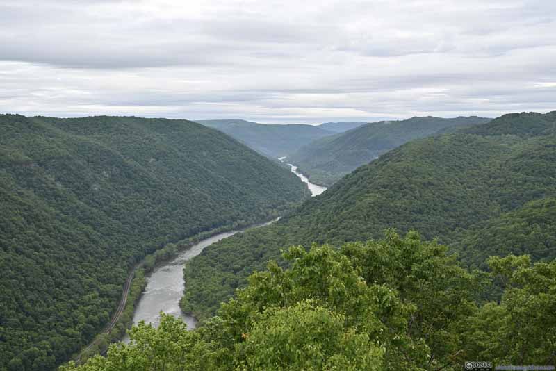 New River from Grandview Overlook
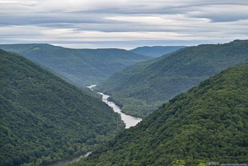 New River from Grandview OverlookRemanent of Glade Creek Bridge in the center.
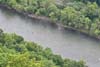
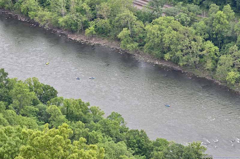 Kayakers in New RiverMust be fun following the cascades.
Click here to display photos from Grand View Overlook.
New River from Grandview Overlook
New River from Grandview Overlook
New River from Grandview Overlook

New River from Grandview OverlookRemanent of Glade Creek Bridge in the center.
Kayakers in New RiverMust be fun following the cascades.
View of New River Gorge from Grandview Overlook
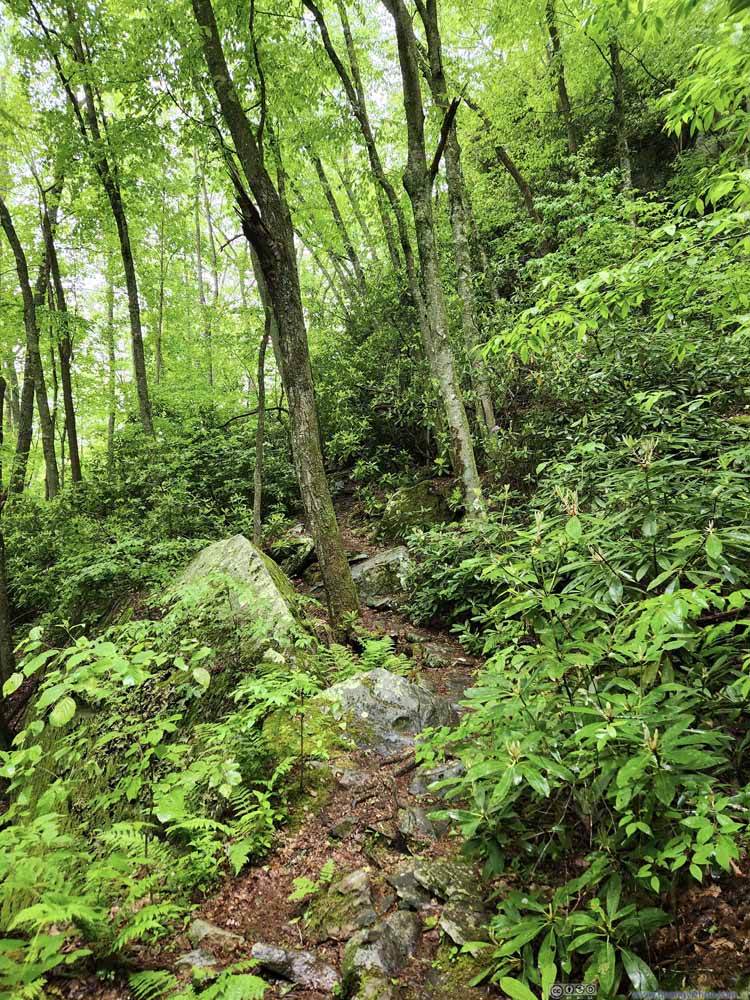
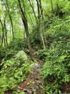
Castle Rock Trail
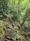
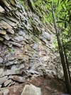
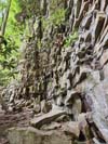
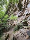
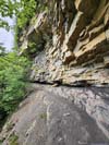
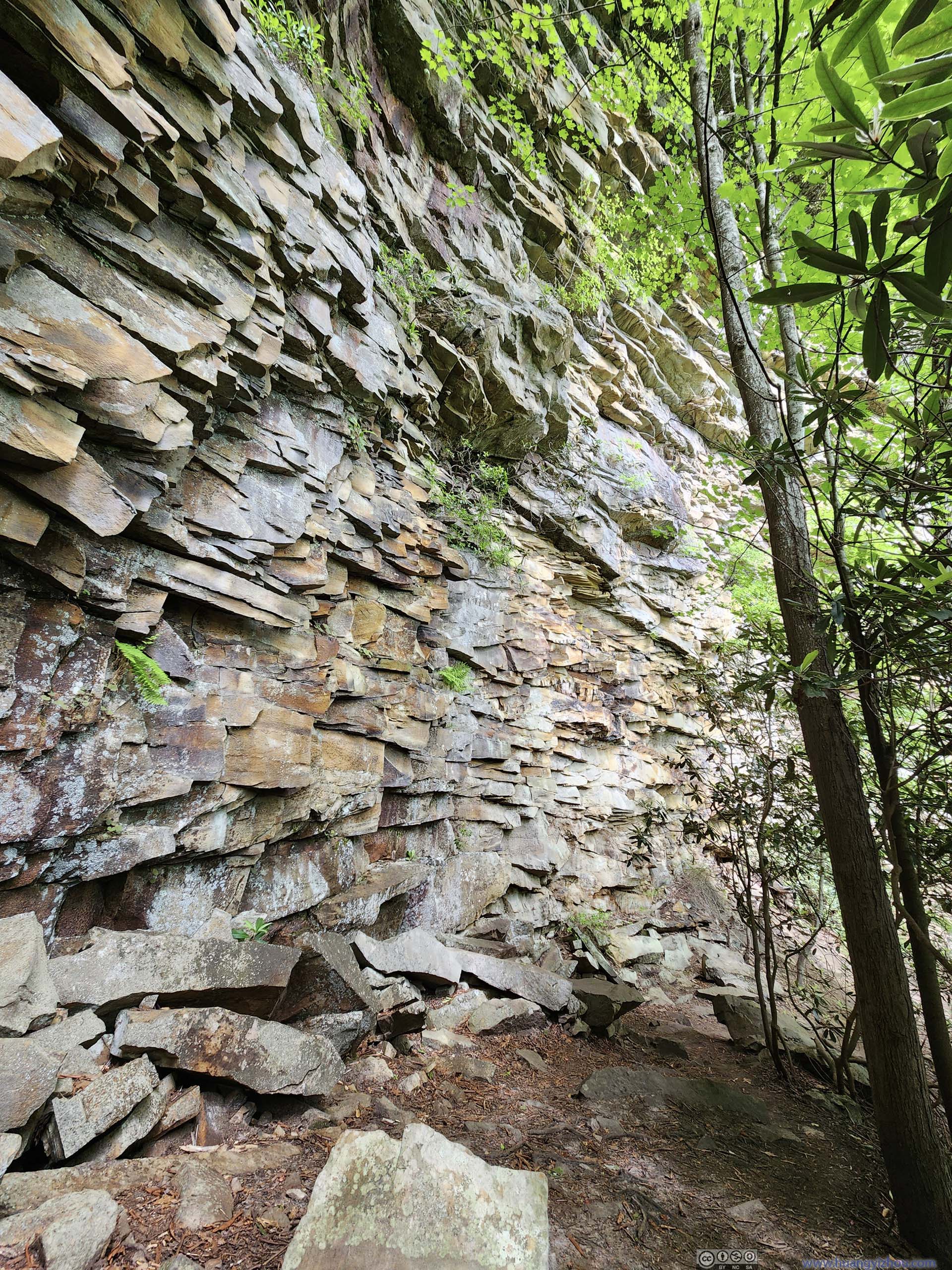
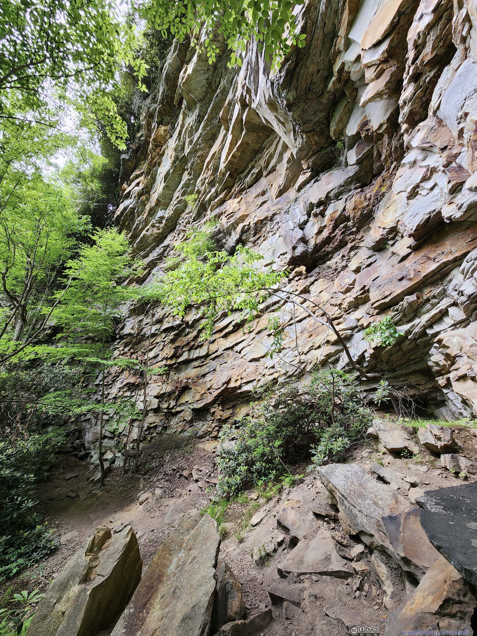
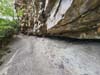
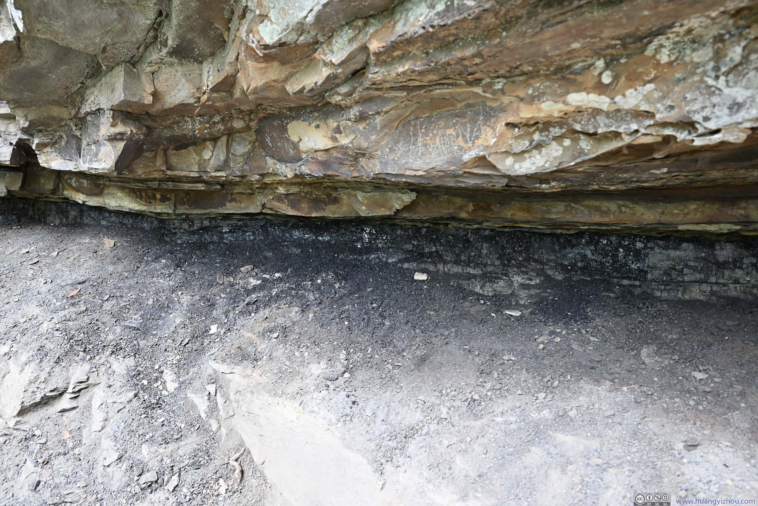
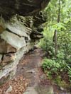
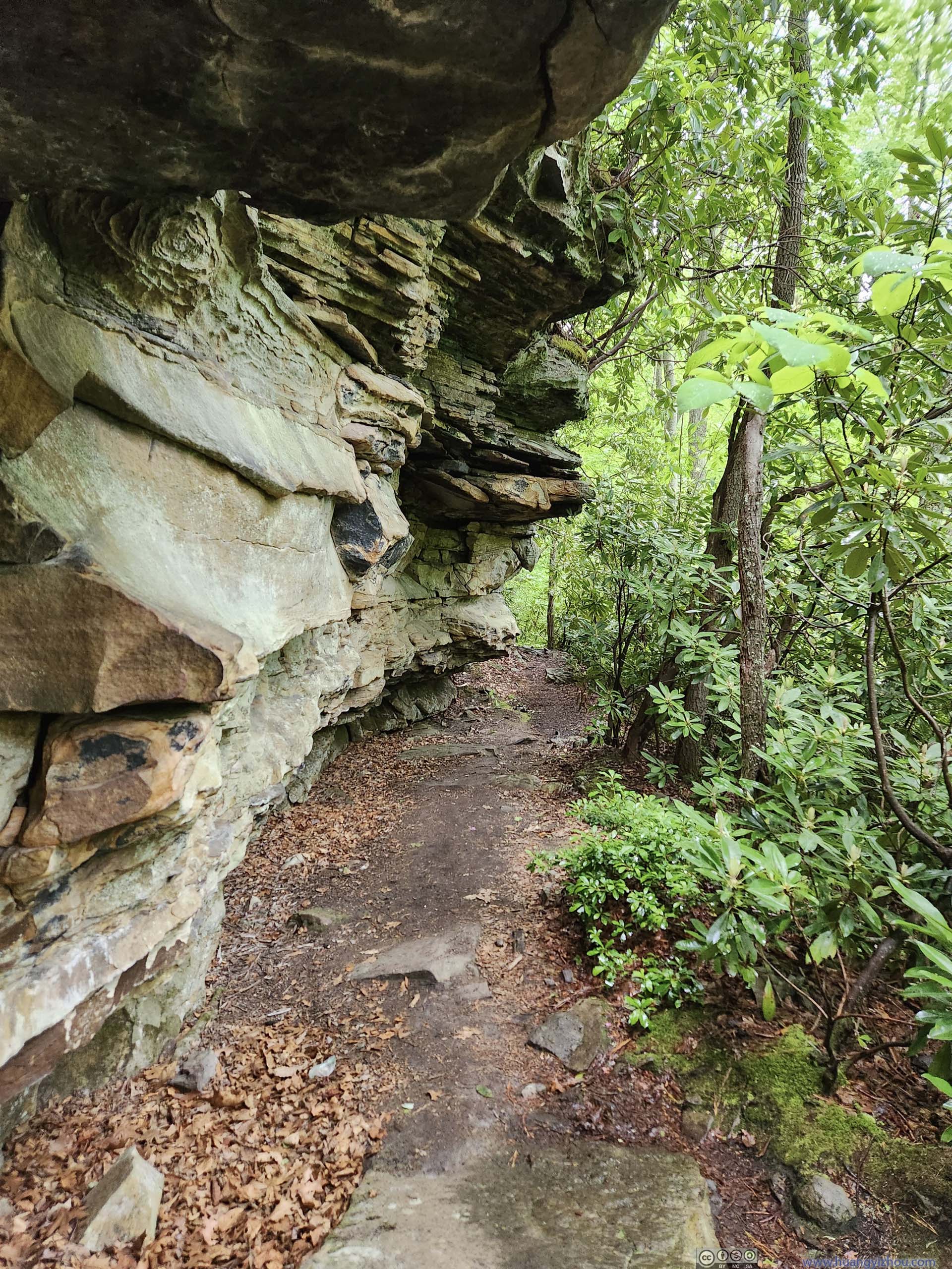
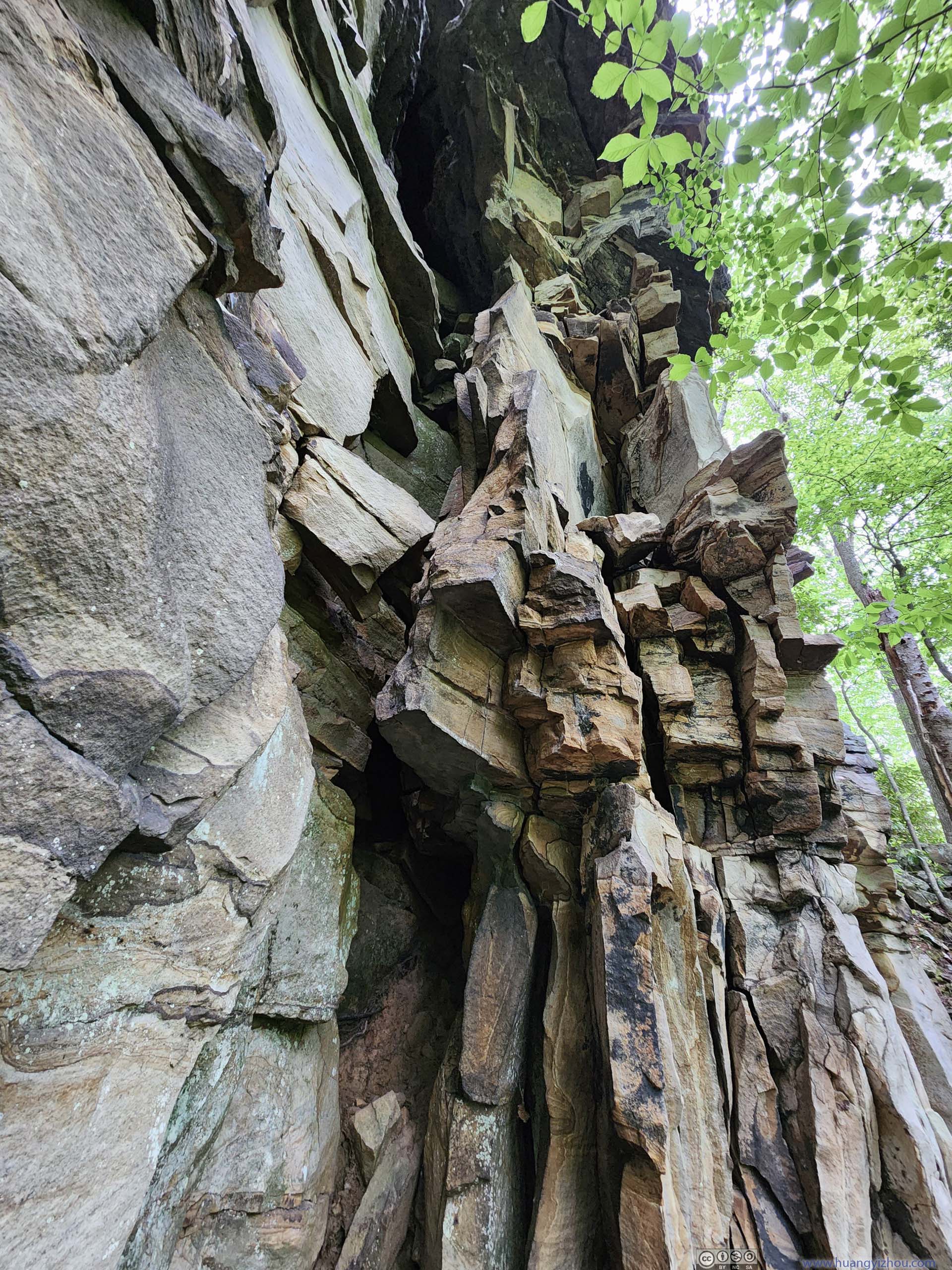
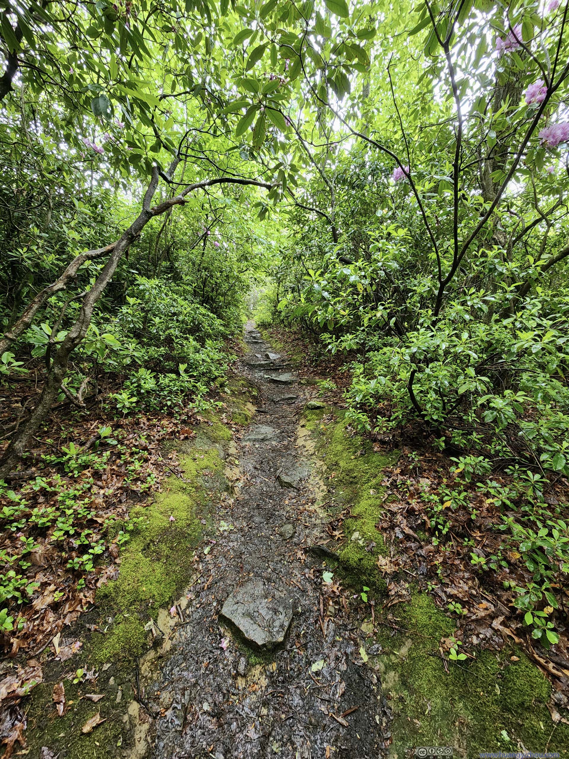
The Grandview Overlook was just a short walk from the parking lot. Nearby, “Castle Rock Trail” was a (relatively) popular trail. At 1.8km roundtrip, it formed a loop where half the trail traversed some rocky terrain (YDS class 1) beneath some overhanging cliffs, with coal deposits visible showcasing the region’s geology; the remaining half was through lush forest on mostly level ground.
 Trail
Trail Rock Wall Next to Trail
 Rock Wall Next to Trail
 Rock Wall Next to Trail
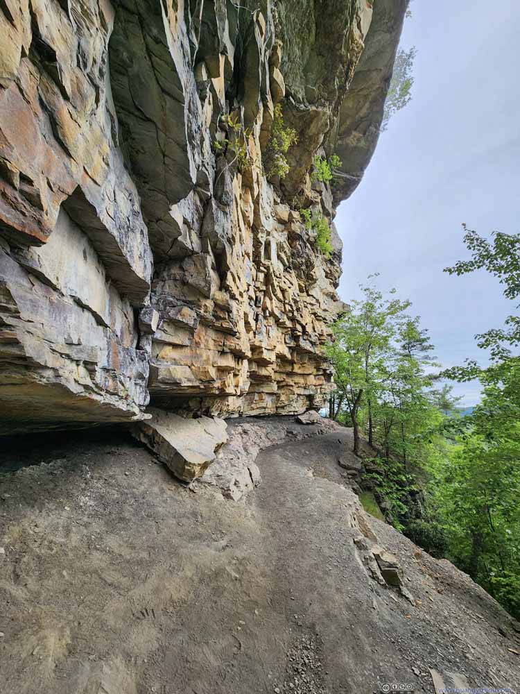 Rock Wall Next to Trail
 Rock Wall Next to Trail

Click here to display photos of the slideshow

Trail
Rock Wall Next to Trail

Rock Wall Next to Trail
Rock Wall Next to Trail

Rock Wall Next to Trail

Rock Wall Next to Trail
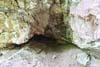
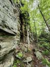
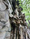
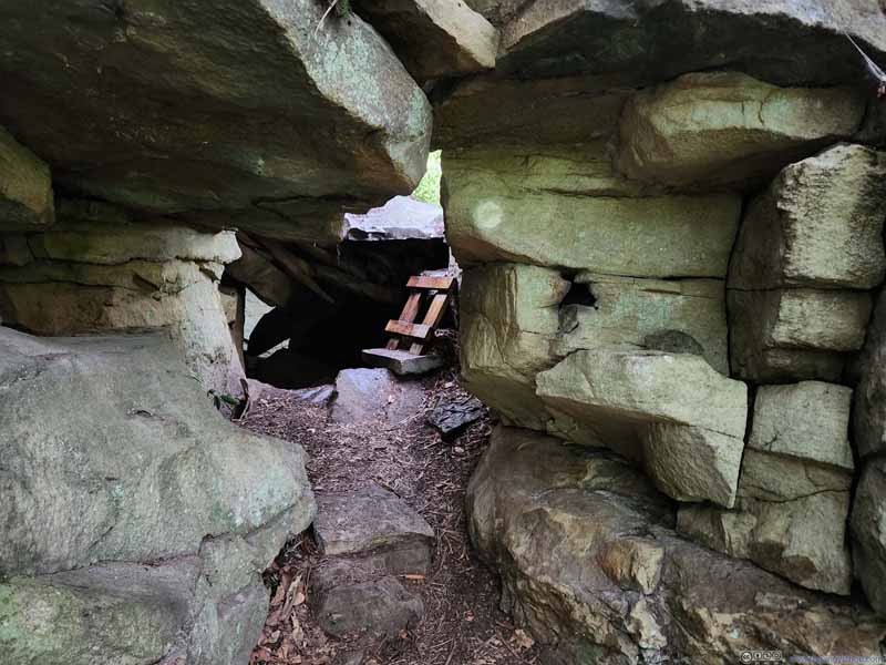
Before embarking on the trail, I didn’t know about the coal deposits so I was in a mixture of surprise and awe when I found out about the glittering black crystals. In addition, not far from the trail I also checked out a small cave a short detour away.
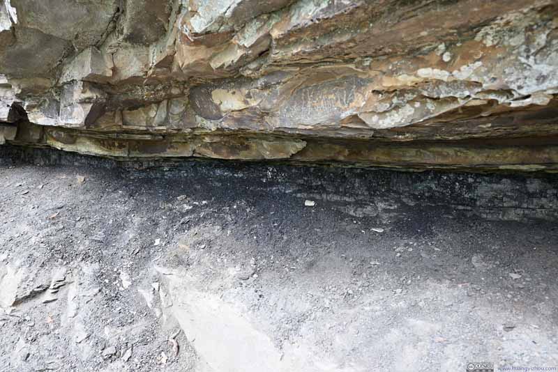 Blackish RockWhat I believed was coal deposits, attesting to the region’s rich coal mining history.
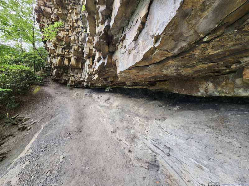 Overhanging RocksUnderneath which was, in my opinion, coal deposits.
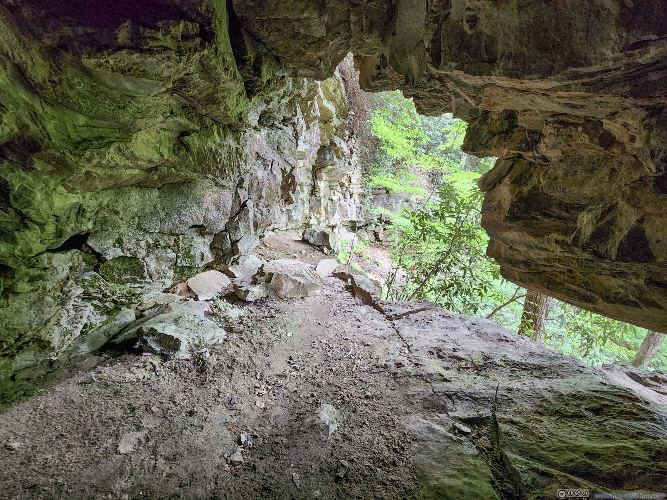
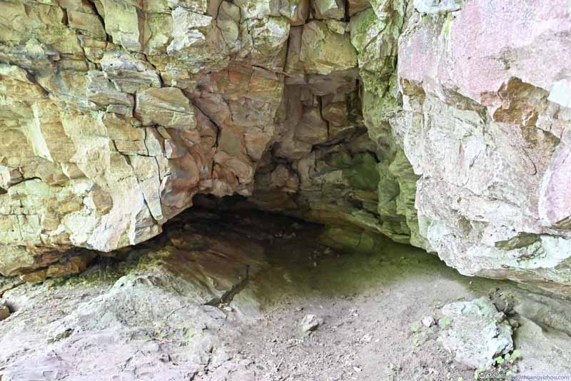 Small CaveA few minutes later I found a small cave up the hillside.
 Small Cave
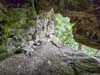
 Mountain Laurels

Click here to display photos of the slideshow
Blackish RockWhat I believed was coal deposits, attesting to the region’s rich coal mining history.

Overhanging RocksUnderneath which was, in my opinion, coal deposits.

Small CaveA few minutes later I found a small cave up the hillside.
Small Cave
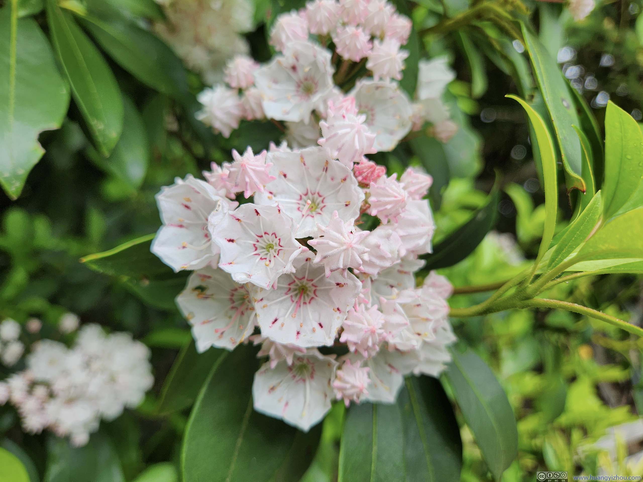
Mountain Laurels
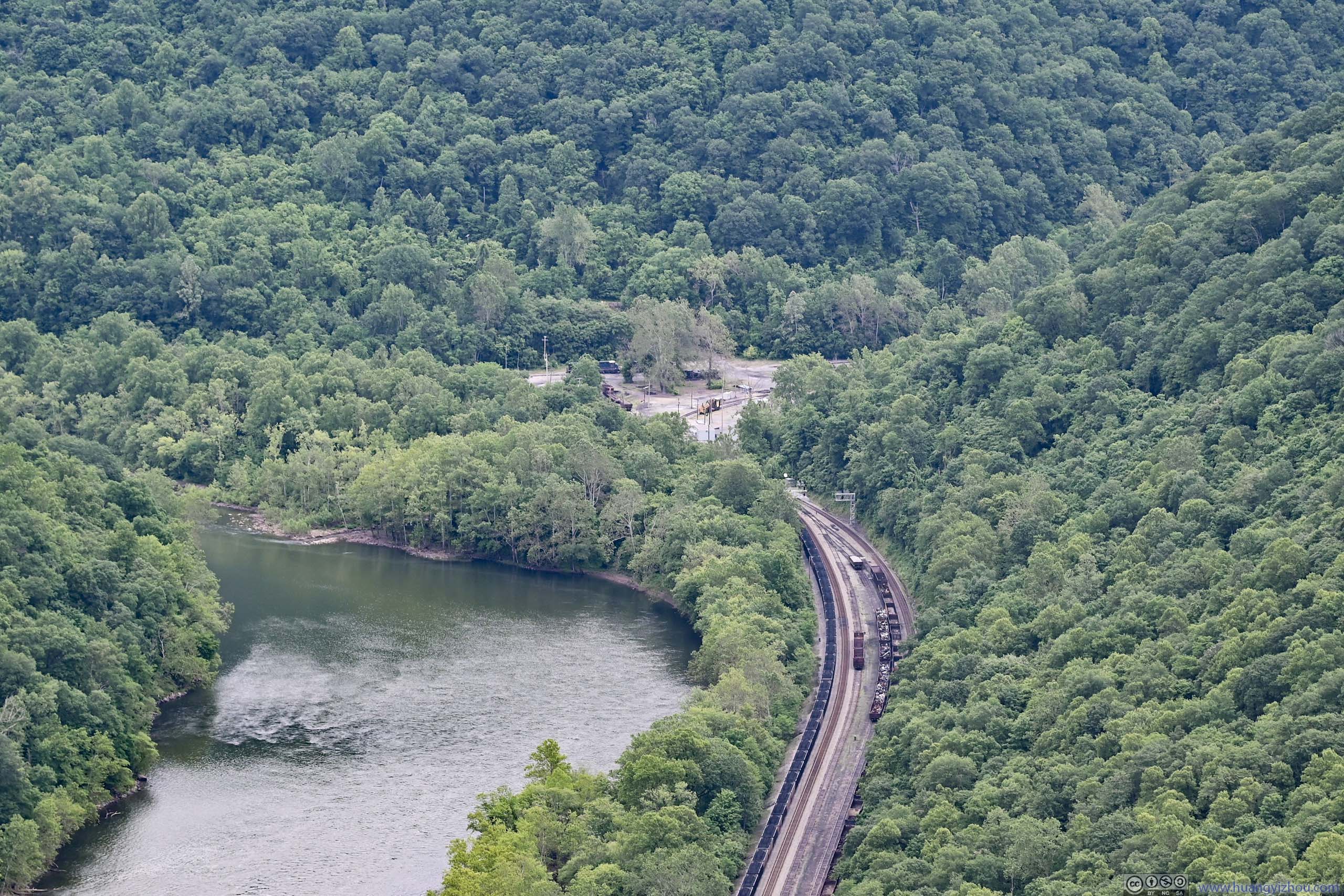
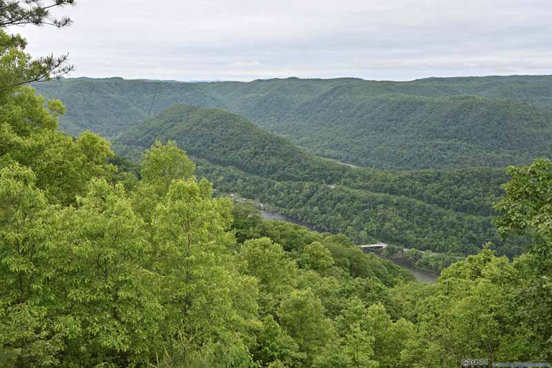
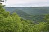
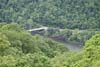
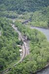
Along the second part of the trail up the cliffs, there were occasionally a few overlooks. Some offered views of the town of Quinnimont downstream, which was named for the five mountains in its surroundings. It was the oldest European settled town in the New River Gorge that experienced boom and bust with the region’s coal mining industry. Nowadays a trainyard was (mostly) all that’s left of the town.
 Quinnimont
 Overlooking New River beyond Mountain Laurels
 New River
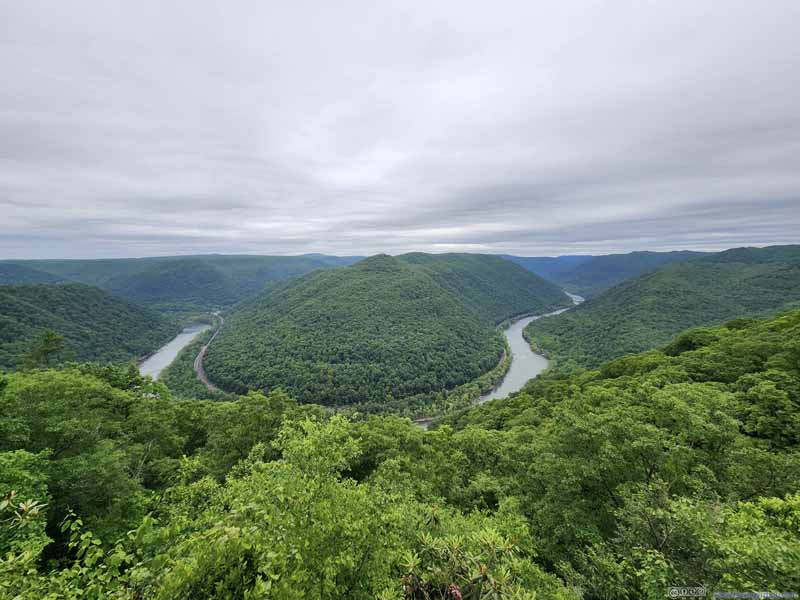 Turn of New River


Click here to display photos of the slideshow
Quinnimont

Overlooking New River beyond Mountain Laurels
New River
Turn of New River
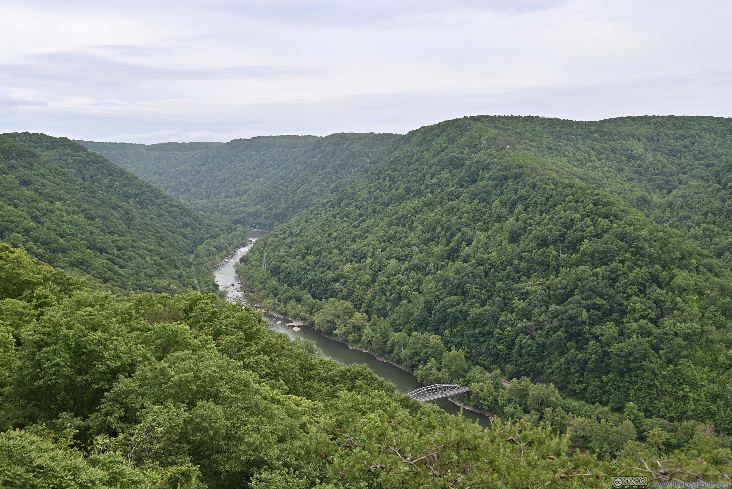
Turkey Spur Overlook
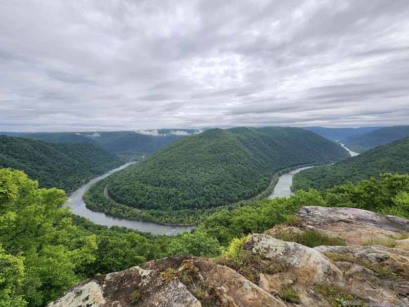
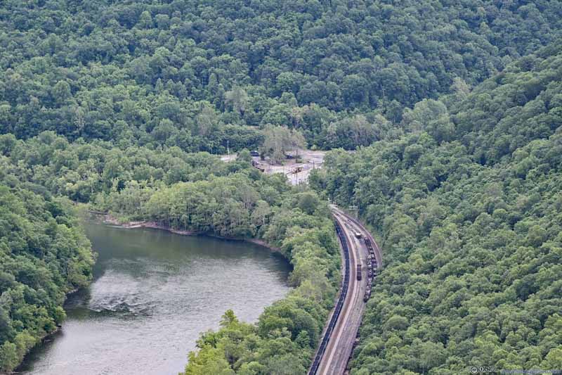
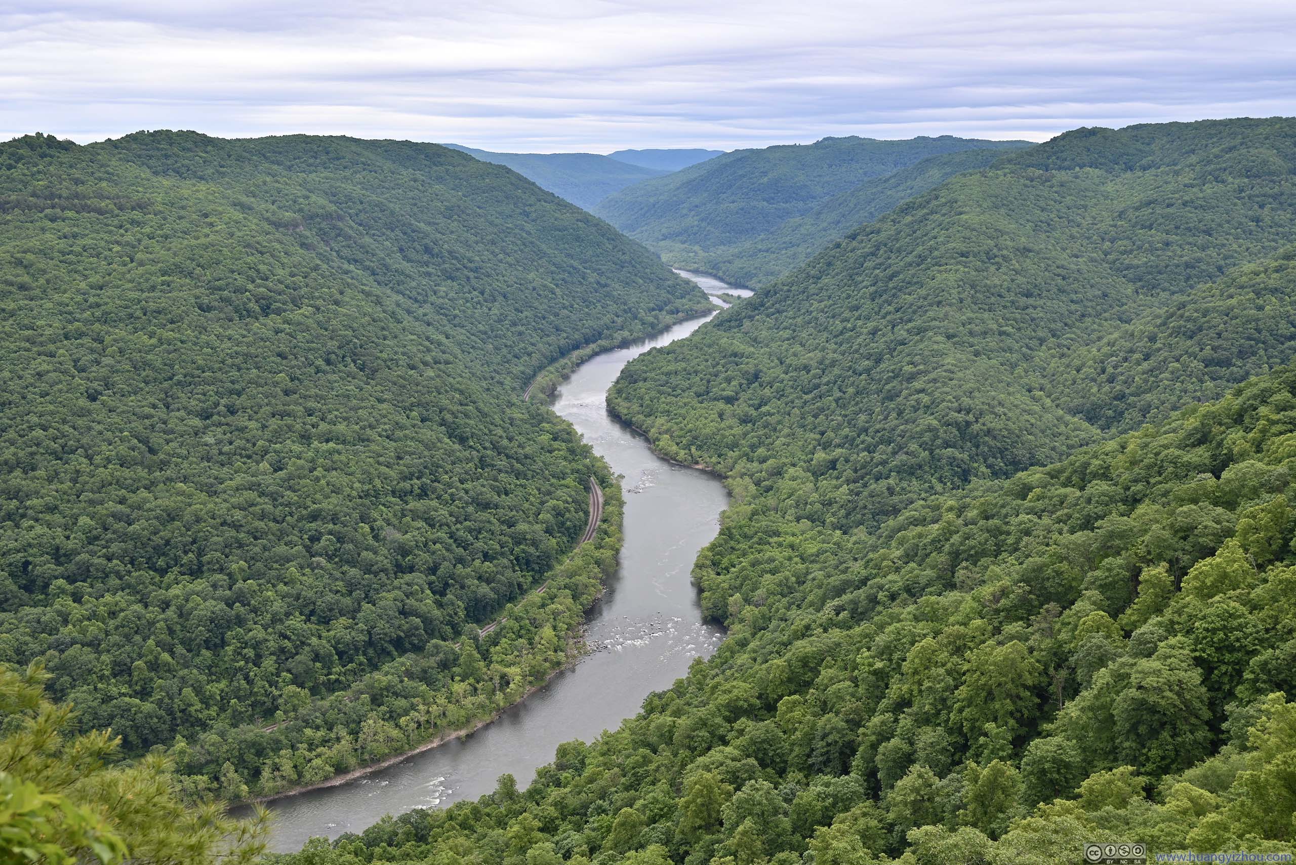
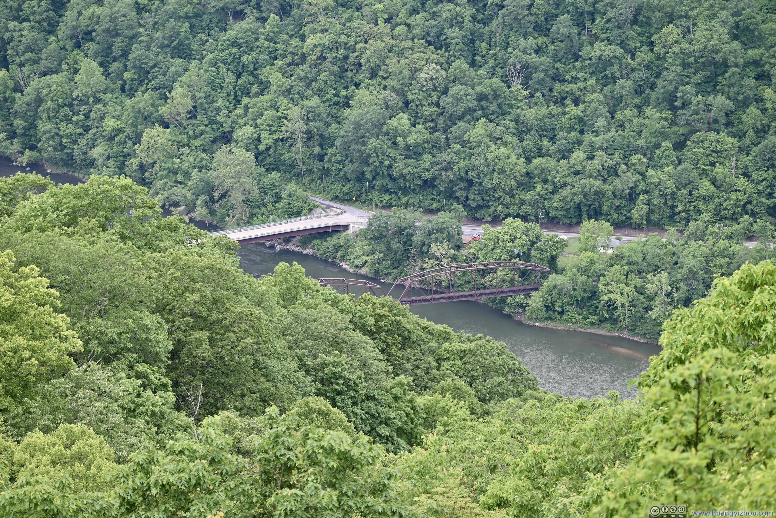
After leaving Grandview, I drove towards Turkey Spur as the other overlook in the region. The overlook was located a short hike (and some stairs) from a parking lot, with views of two sections of New River in parallel but flowing in opposite directions, separated by Stretcher Neck (as OpenStreetMap called this hill). The river made a hairpin turn (not visible), connecting the two sections.
 View from Turkey Spur Overlook
Where New River made a hairpin turn, flowing leftwards in the foreground and rightwards in the background.
View from Turkey Spur Overlook
Where New River made a hairpin turn, flowing leftwards in the foreground and rightwards in the background. Bridges across New RiverNear the village of Prince.
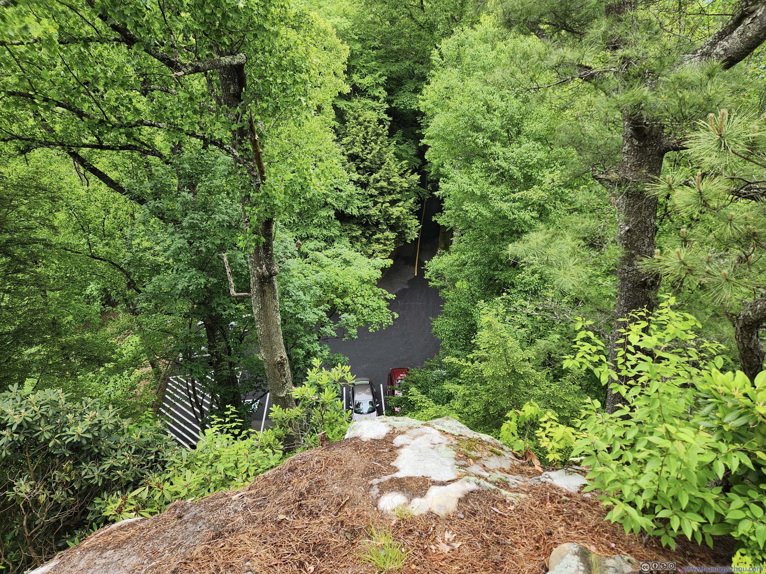
 Overlooking Parking LotThe scenic overlook was horizontally very close to its parking lot.

Click here to display photos from Turkey Spur Overlook.

View from Turkey Spur Overlook
Bridges across New RiverNear the village of Prince.
Overlooking Parking LotThe scenic overlook was horizontally very close to its parking lot.
The area was named for the number of wild turkeys roosting there. In my opinion, the views were certainly novel but hardly impressive, so I didn’t linger long.
Concho Rim Overlook
My next stop of the day was Concho Rim Overlook, located on private land by ACE Adventure on the national park border but open to the public. The last mile before the overlook was on gravel road.
 Turn of New River
 New River from Concho Rim
 New River Downstream
 ThurmondWhat used to be a railway town for the region’s mines.
Click here to display photos from Concho Rim Overlook.
Turn of New River
New River from Concho Rim

New River Downstream
ThurmondWhat used to be a railway town for the region’s mines.
The view here was to some degree similar to the one earlier from Grandview: a hairpin turn of New River. Even more, they both feature a small village that had seemed better days (Thurmond here). A notable difference was that, Concho Rim Overlook was a bit lower than the surrounding mountains so it had a more “inside the gorge” feeling, while Grandview Overlook was more like overlooking the gorge from the top.
View of New River Gorge from Concho Rim Overlook
Canyon Rim Visitor Center
My next stop of the day was the park’s Canyon Rim Visitor Center, together with the few overlooks on its doorstep. If not for the forecast of rain today, I would visit these overlooks the previous day, and check out Diamond Point (which required some hiking) today, so as to balance the two days’ physical efforts.
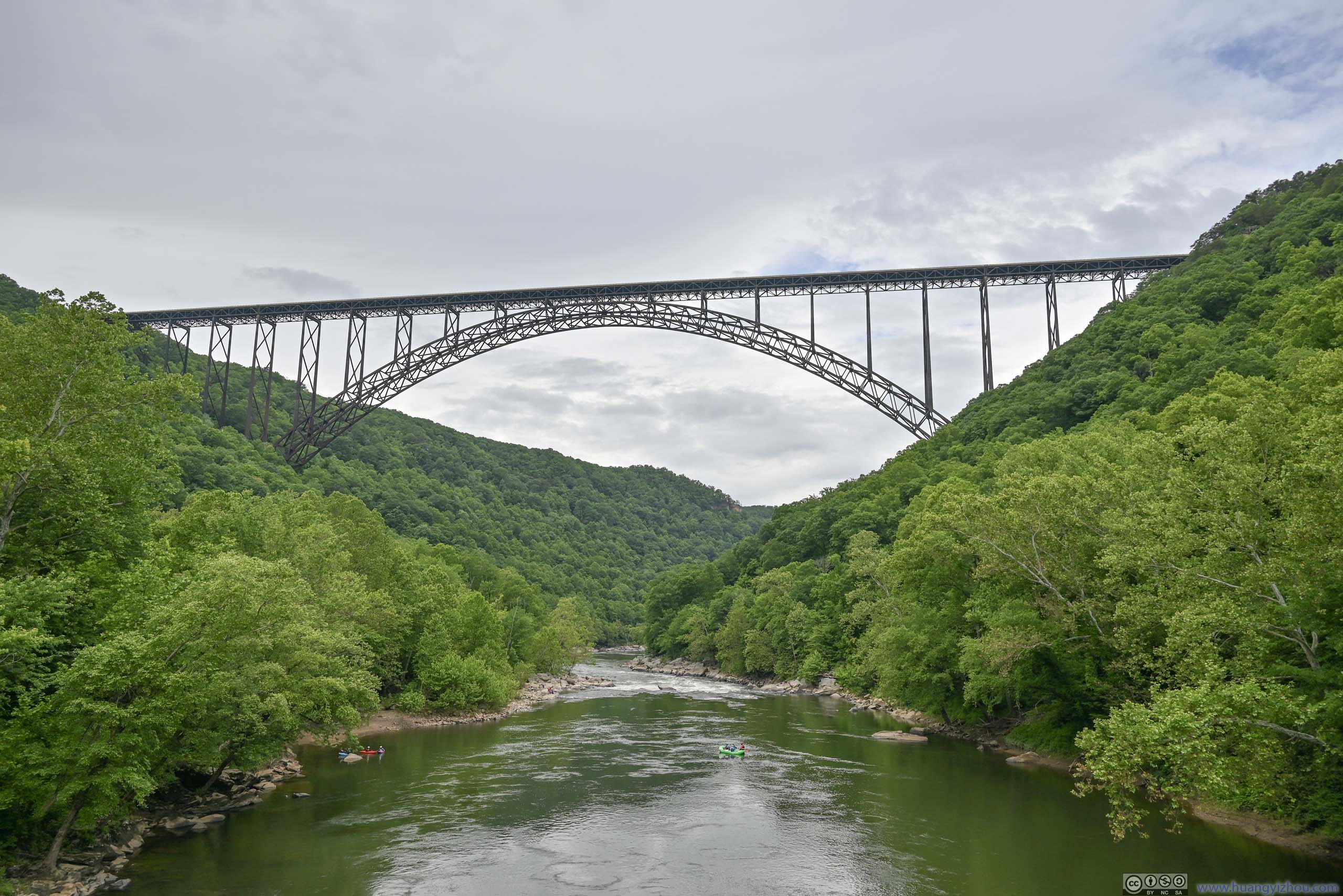
Apart from the constant sight of New River throughout the day, two major sights from Canyon Rim Visitor Center were Long Point across the river, where I was the previous day, and the magnificent gorge bridge.
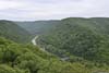
 New River Gorge
 Long Point Overlook across New River Gorge
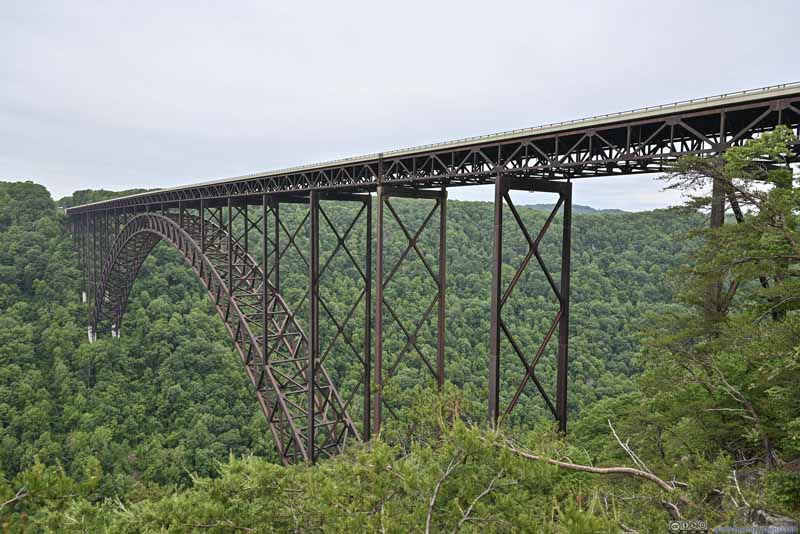 New River Gorge Bridge
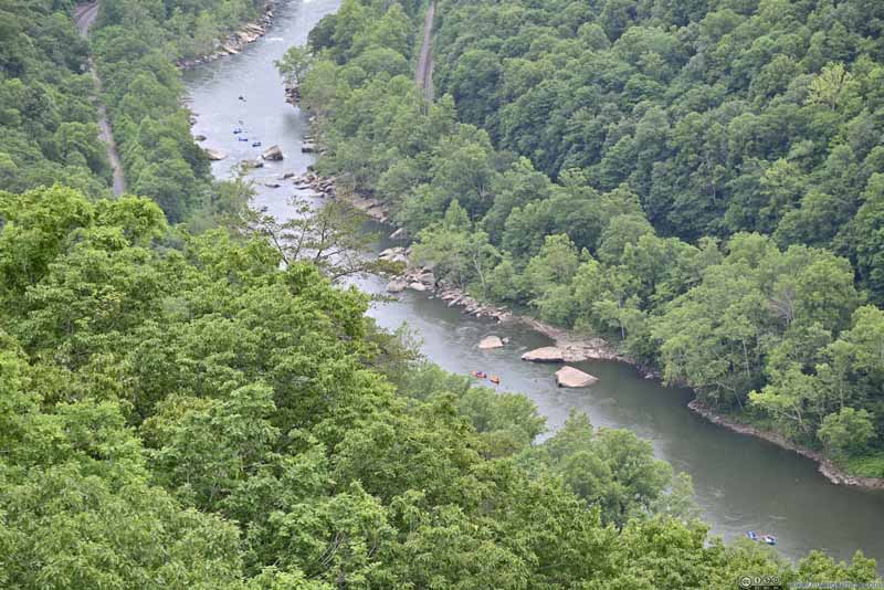 New River with Kayakers

Click here to display photos of the slideshow
New River Gorge
Long Point Overlook across New River Gorge

New River Gorge Bridge
New River with Kayakers
View of New River Gorge and Bridge
While the weather forecast indicated chances of rain for the entire day, I had been blessed with its absence until past 2pm, where I was at the overlooks next to Canyon Rim Visitor Center. Even then, it only started as an on-and-off drizzle, allowing me to continue the day’s activities.
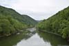
Fayette Station Road
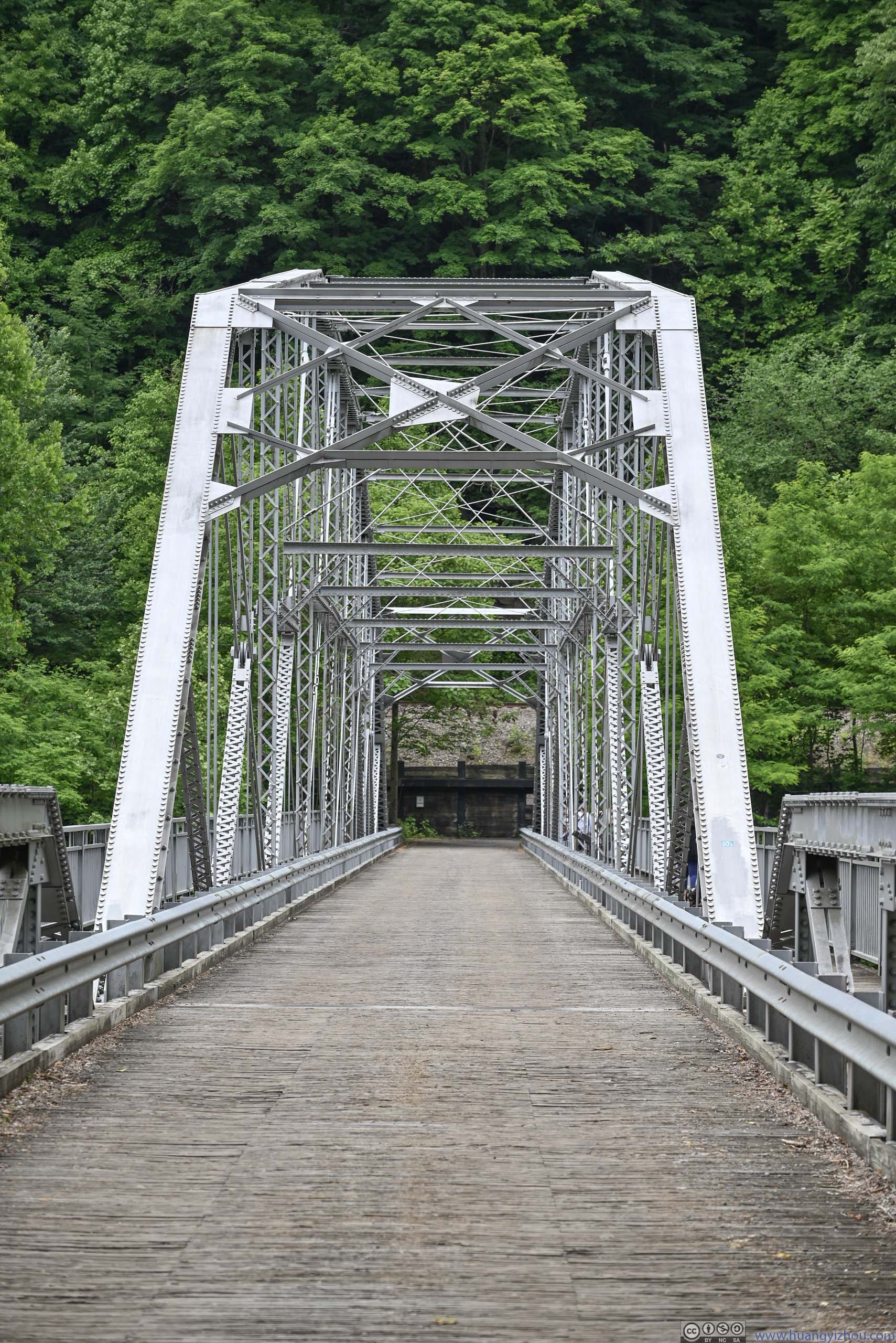
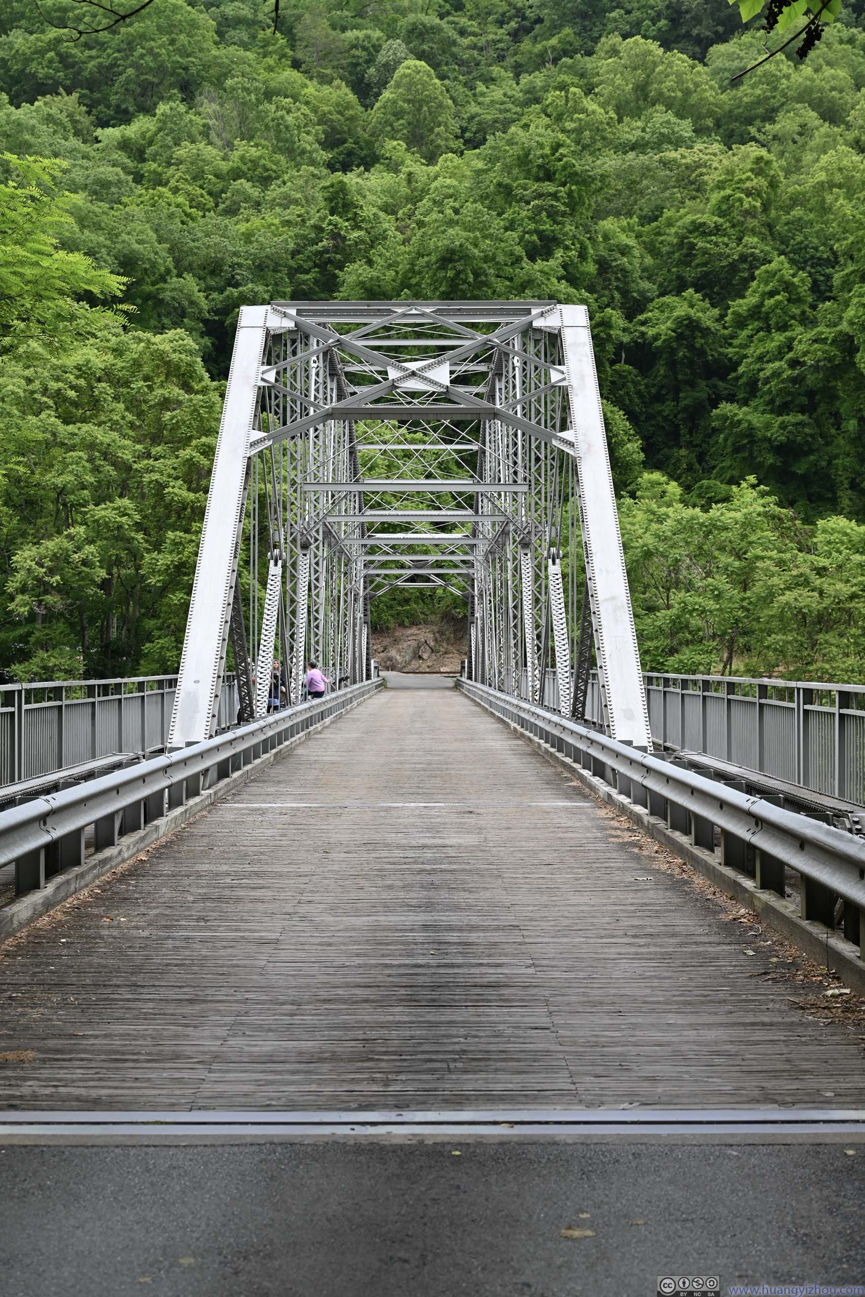
This was a one-way road leading from Canyon Rim Visitor Center down the gorge, crossing Tunney Hunsaker Bridge and climbing back up the mountain before reaching Fayetteville. Before the construction of New River Gorge Bridge, this was how people crossed New River. The bridge cut a 20-minute drive down to under 2 minutes.
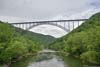
 New River Gorge Bridge
 New River Gorge
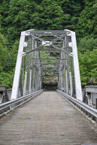
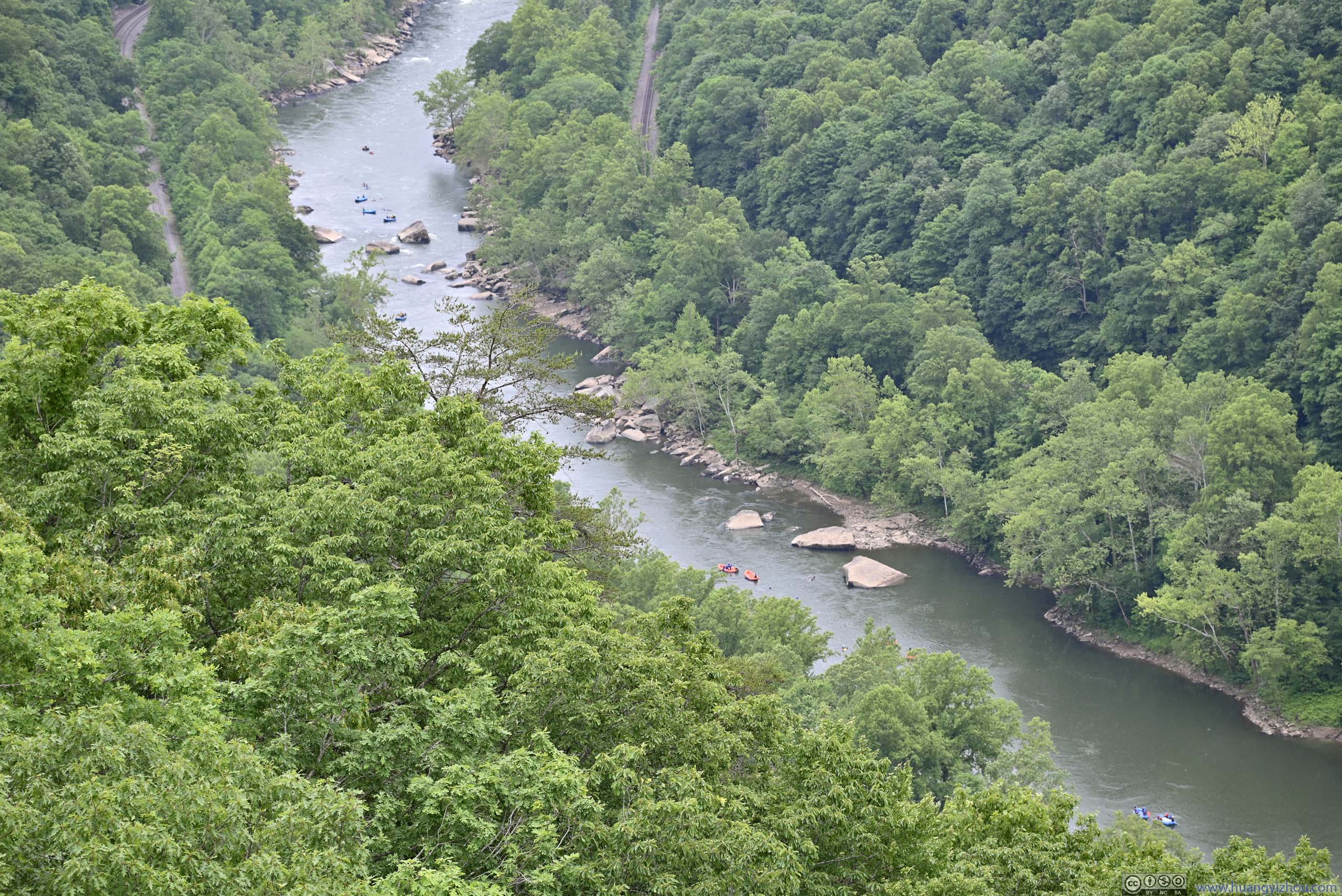
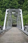
 Tunney Hunsaker Bridge
Before the construction of New River Gorge Bridge in 1977, this bridge at the bottom of the gorge was the only way for people in the vicinity to cross the river.
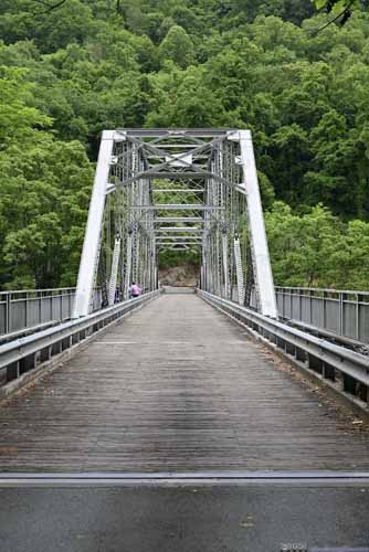
Tunney Hunsaker Bridge
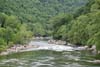
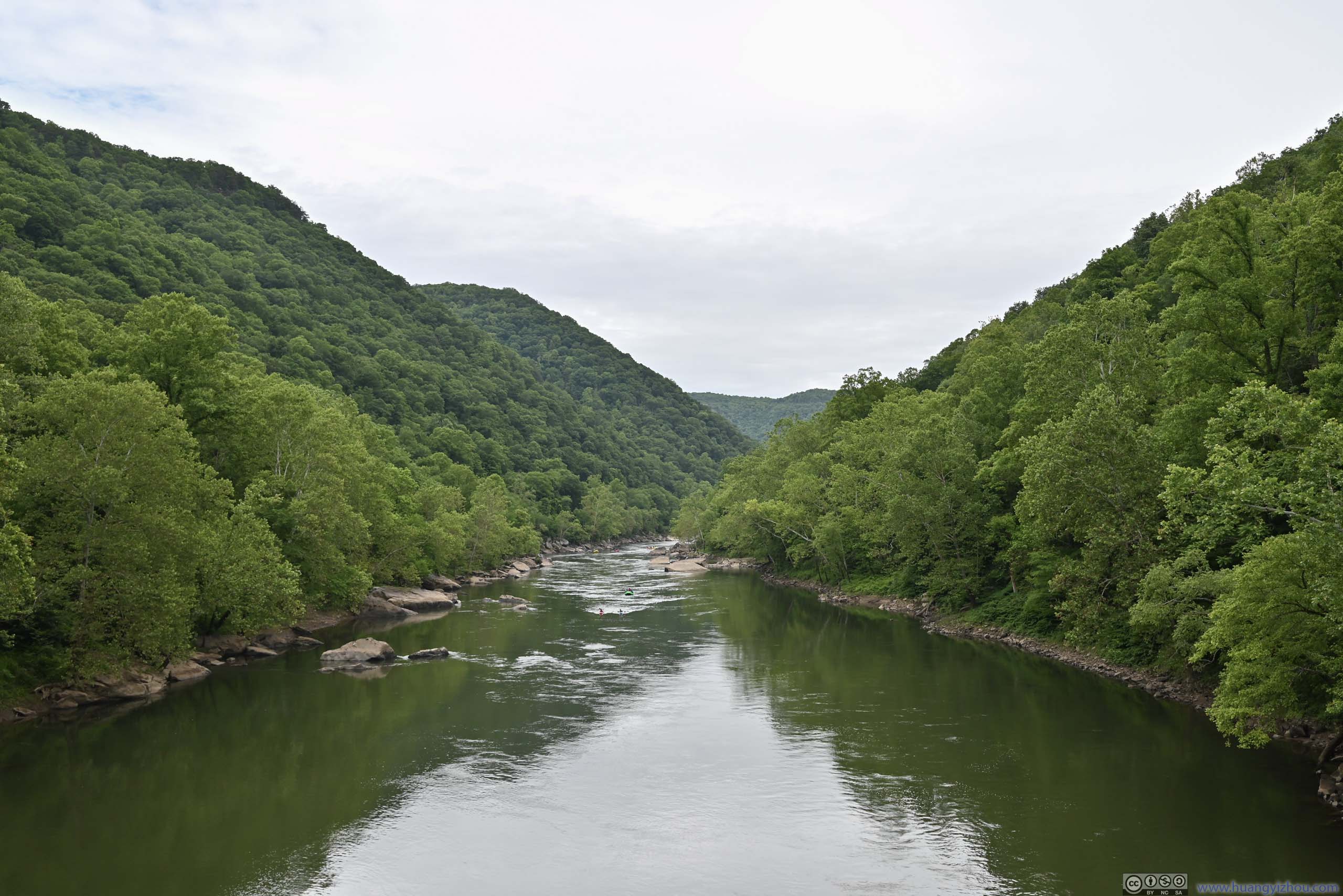
Before the construction of New River Gorge Bridge in 1977, this bridge at the bottom of the gorge was the only way for people in the vicinity to cross the river.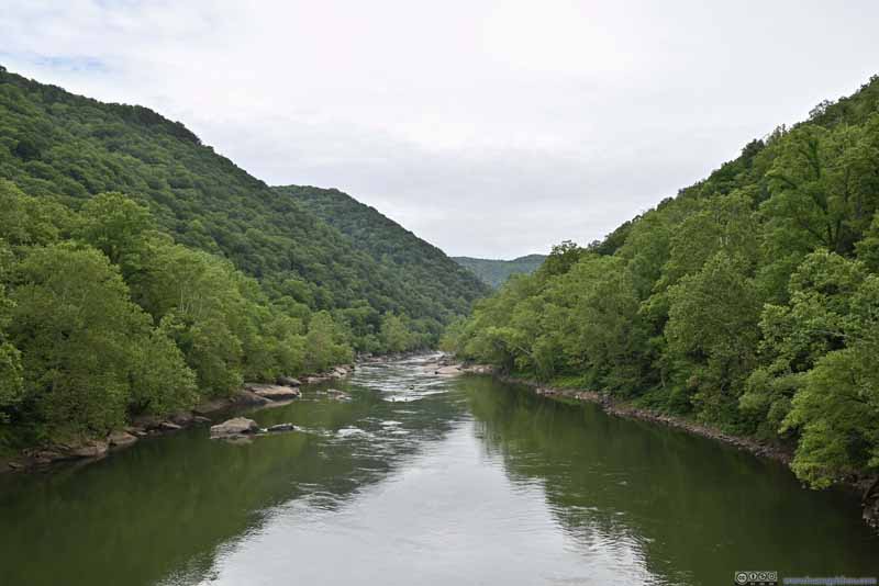 New River Upstream
 New River DownstreamGiven the torrents ahead, most of the rafting trips terminate at the beach in the left.
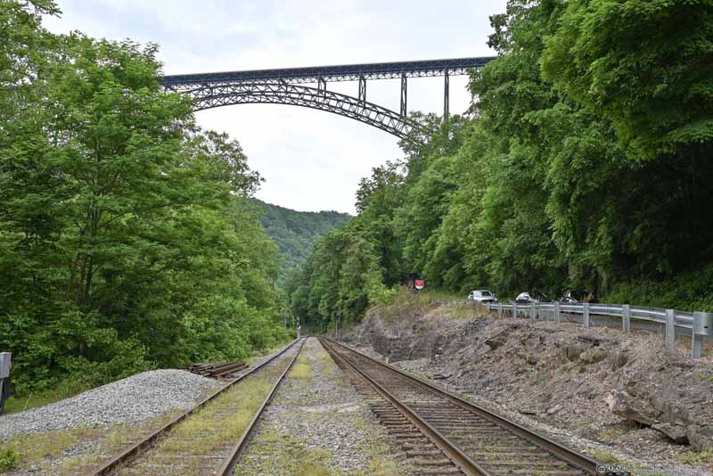 Railways

Click here to display photos of the slideshow
New River Gorge
 Tunney Hunsaker Bridge
New River Upstream

New River DownstreamGiven the torrents ahead, most of the rafting trips terminate at the beach in the left.

Railways
By the time I left Fayette Station Road, it’s 3:30pm. With still enough daylight left, I decided to visit Babcock State Park.
Babcock State Park
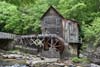
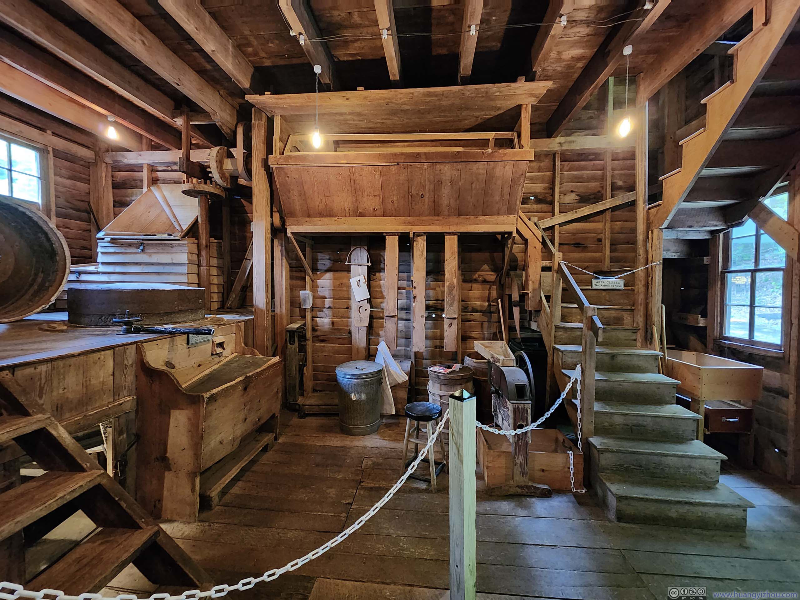
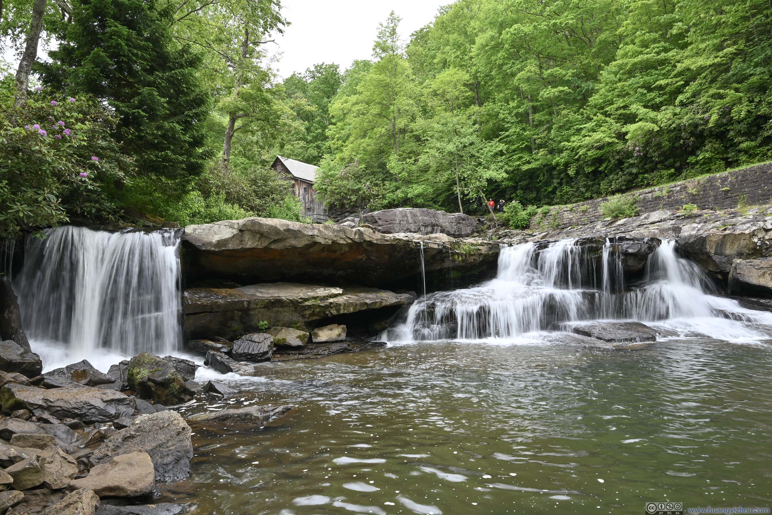
The likely only attraction of the park was Glade Creek Grist Mill, with the current one constructed in 1976 “as a monument to the over 500 mills which thrived in West Virginia at the turn of the century”. The mill was still functional. Even more interestingly, the nearby gift shop had on sale ground corn powder that’s manufactured from the mill. I was very tempted to grab one, only to find out the recommended recipes included too many ingredients that I didn’t have.
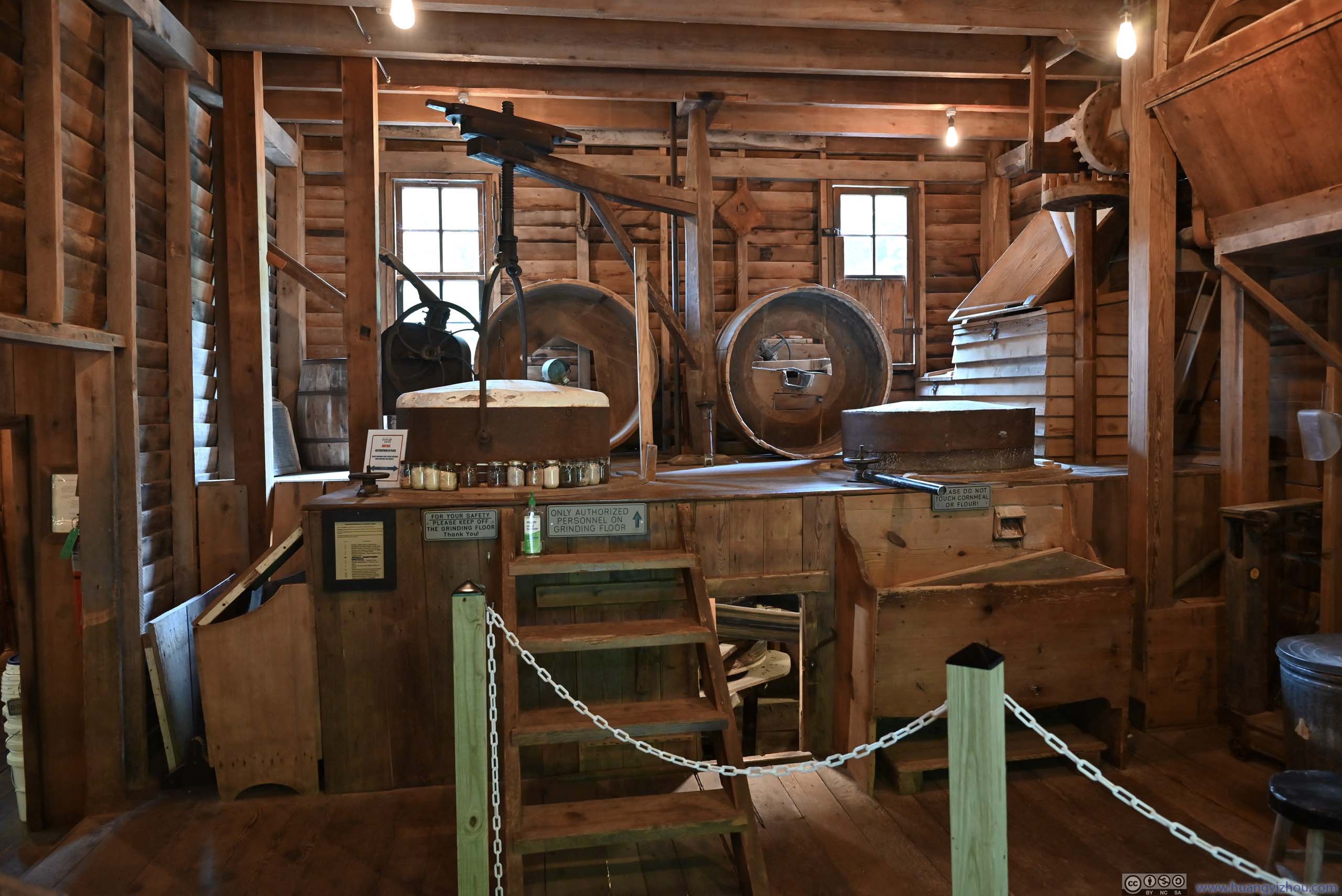
 Glade Creek Grist Mill
 Mill Interior
 Mill Interior
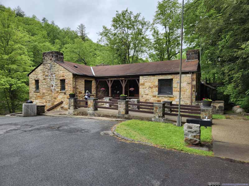 Gift Shop


Click here to display photos of the Glade Creek Grist Mill.

Glade Creek Grist Mill
Mill Interior
Mill Interior

Gift Shop
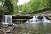
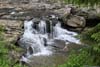
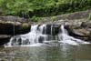
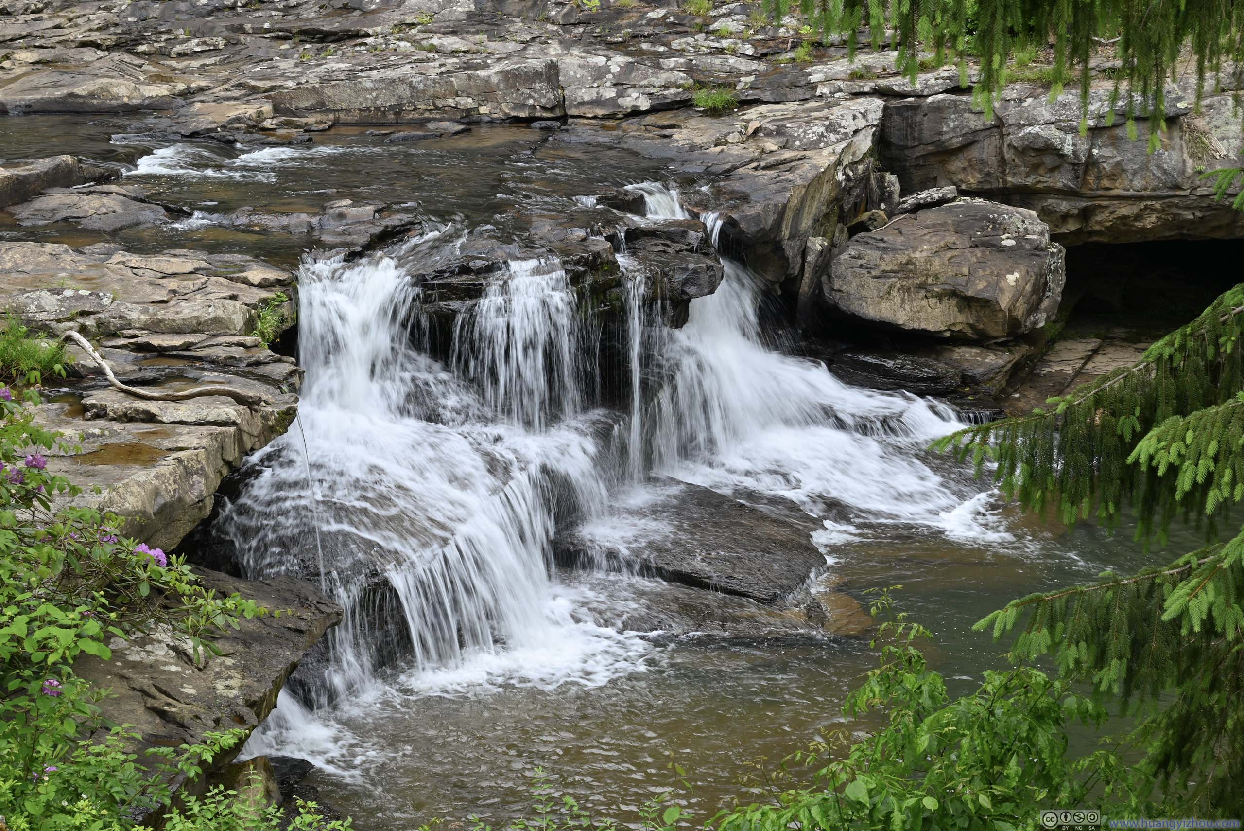
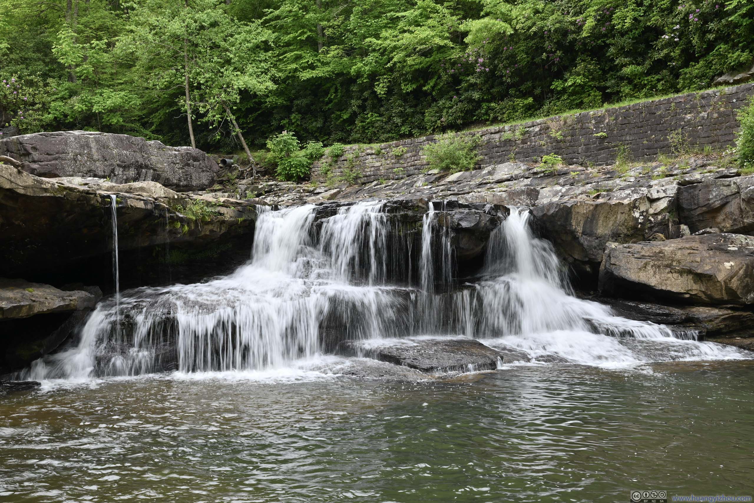
Next to the mill, there was a series of waterfalls along Glade Creek. Both the mill and the waterfalls were just a short walk from the parking lot.
 Waterfall
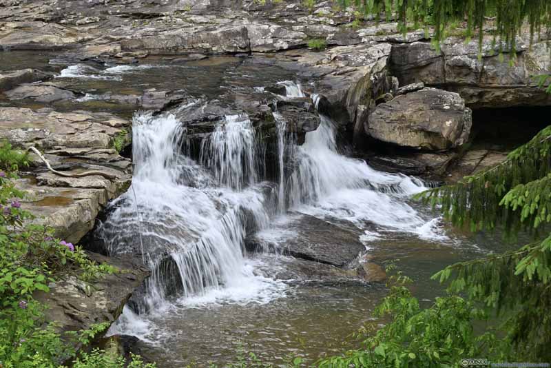 Waterfall
 Waterfall
Click here to display photos of the waterfalls.
Waterfall
Waterfall
Waterfall
By the time I was in Babcock State Park, the rain picked up. So I spent some time in my car on snacks for the rain to pass, before embarking on a short hike of “Island in the Sky Trail”.
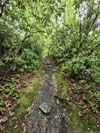
Island in the Sky Trail
Combined with the park road, this was a short loop trail, about 1.2km in length. Portions of the trail followed underneath some cliffs. the rock formations were similar to “Castle Rock Trail” earlier today from the national park. Unfortunately, there wasn’t much view along the trail, not to mention the spectacular sights of coal deposits from Castle Rock Trail that weren’t here.
 Trail
Trail Trail along Rock Wall
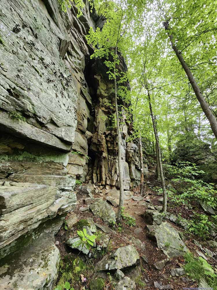 Trail along Rock Wall
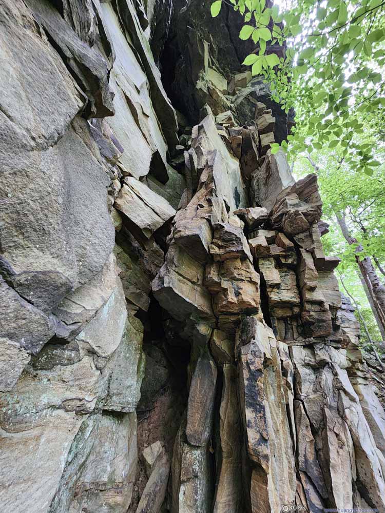 Rock Wall
 Trail
Trail
Click here to display photos of the slideshow

Trail
Trail along Rock Wall

Trail along Rock Wall
Rock Wall
Trail
To make things worse, halfway into the hike, the rain started again. After some very minimal scrambling, I reached what I thought was a vista, but the views were very mediocre (p3 below).
 Rock TunnelVery minimal scrambling.
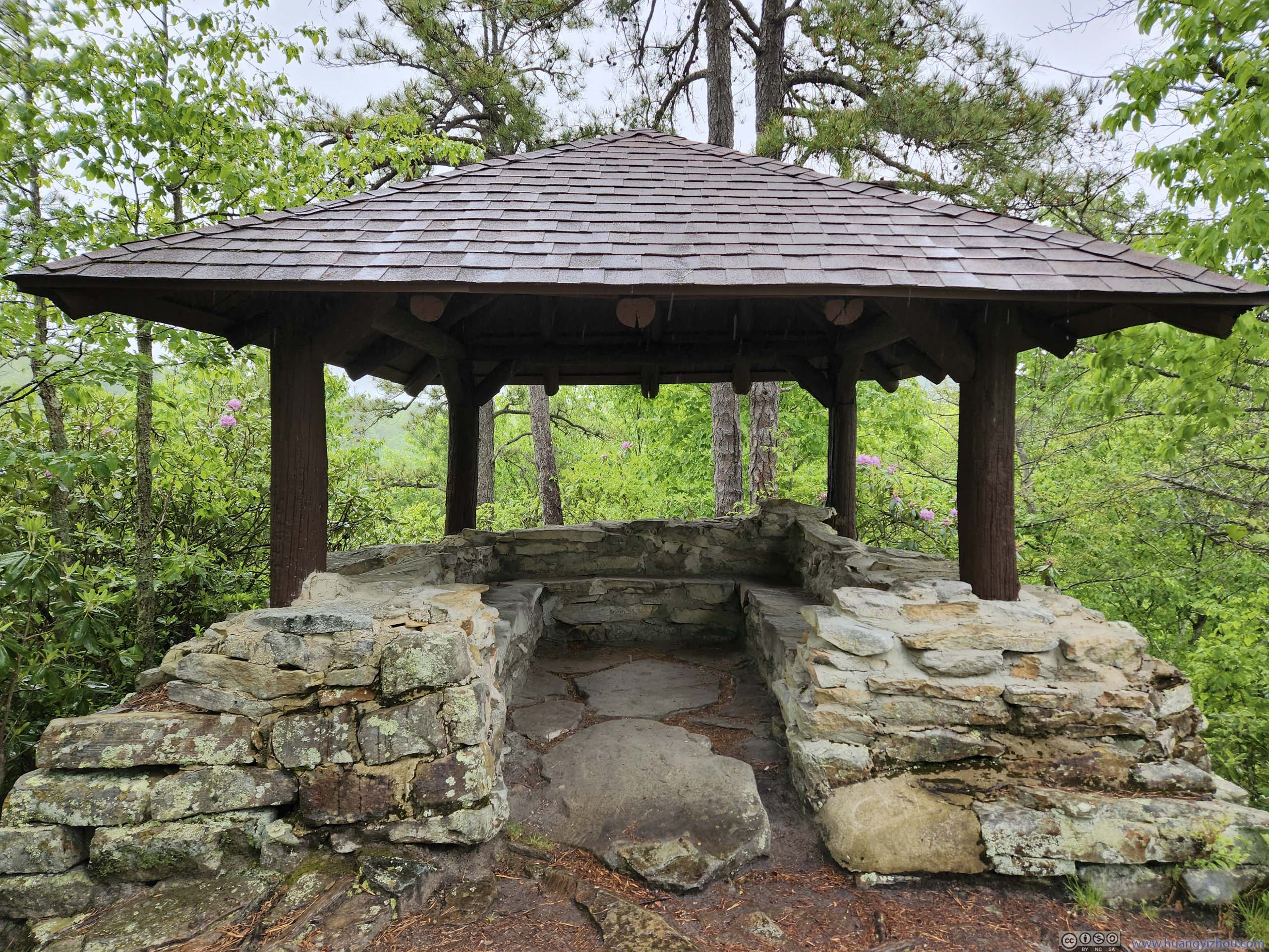
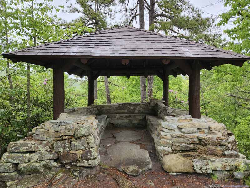 Pavilion
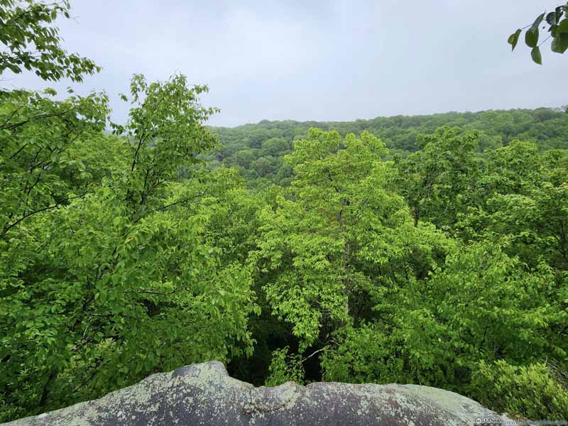 View from PavilionI didn’t find this view remotely exciting.
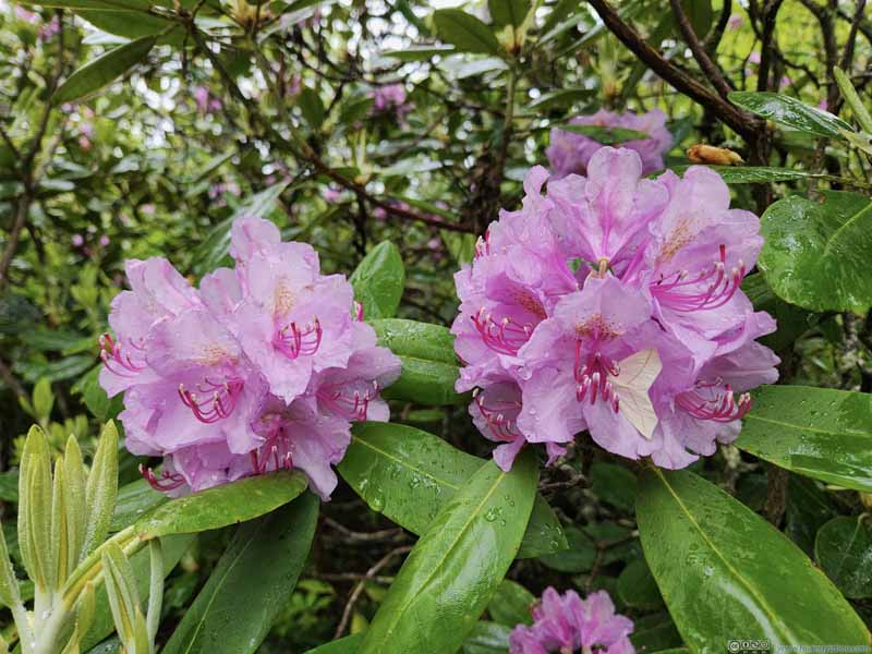 Flower


Click here to display photos of the slideshow

Rock TunnelVery minimal scrambling.
Pavilion

View from PavilionI didn’t find this view remotely exciting.

Flower
In the end, I felt Babcock State Park was located very out of the way (25 minutes from Fayetteville, 45 minutes from Beckley), and it really had few sights to offer.
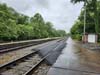
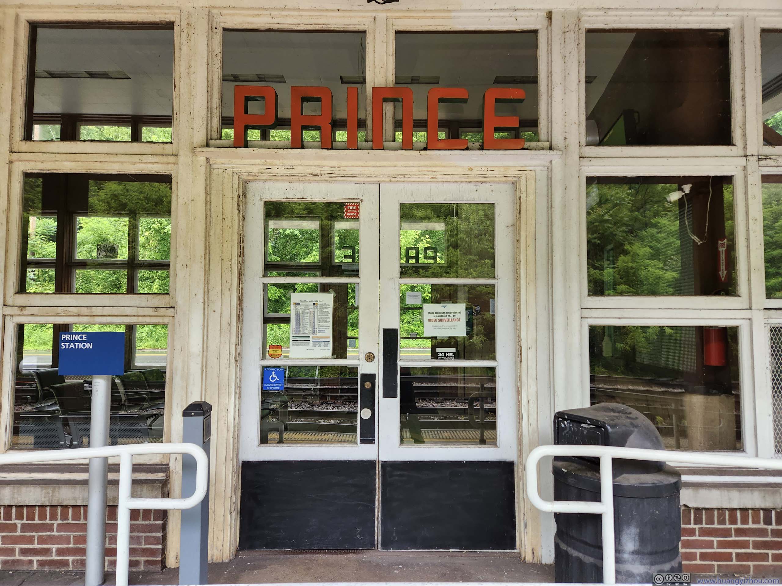
After leaving Babcock State Park, I took WV-41 through the heart of New River Gorge National Park back to my hotel in Beckley. This route would take me through the towns of Quinnimont and Prince, visible earlier today from the Grandview area of the national park. That’s when I found out the village of Prince had a train station where Amtrak’s Cardinal service (between New York and Chicago) operated three times per week in each direction. I checked out the station just under an hour before the westbound train’s scheduled arrival, and was greeted by both the station’s manager and some other people waiting to pick up their friends.
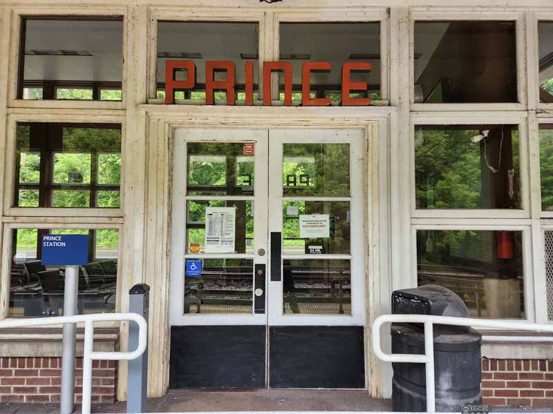 Prince Station EntranceA pretty dated facade.
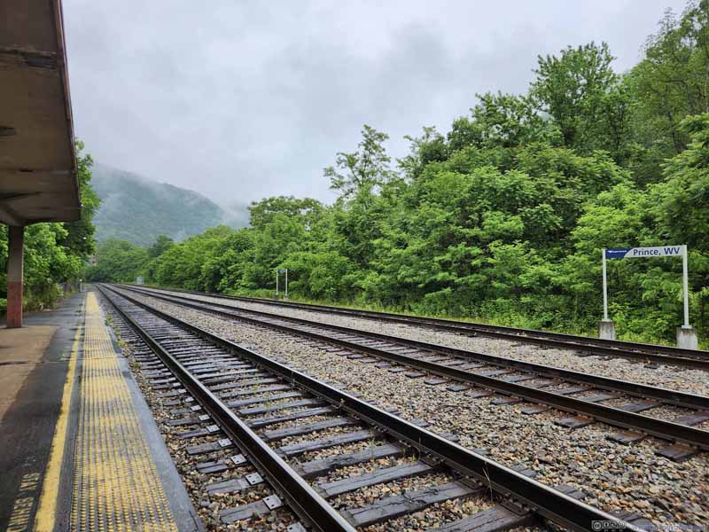 Prince WV Train Station
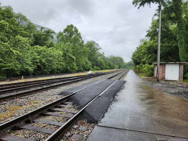 Prince WV Train Station


Click here to display photos of the slideshow
Prince Station EntranceA pretty dated facade.

Prince WV Train Station

Prince WV Train Station
After grabbing some more photos at the bottom of New River Gorge, this time as rain and mist had it covered, I headed back to the hotel and called it a day.
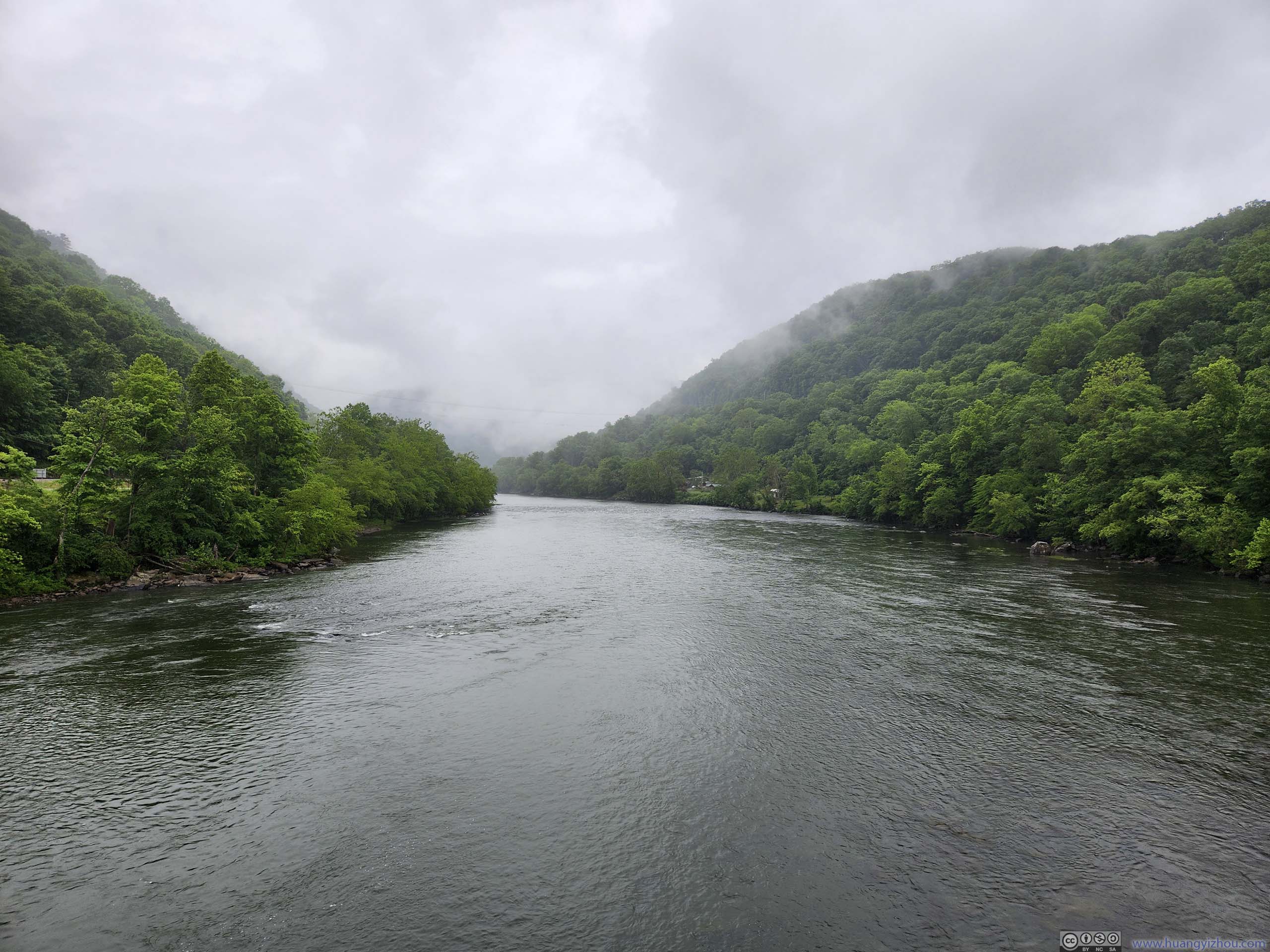
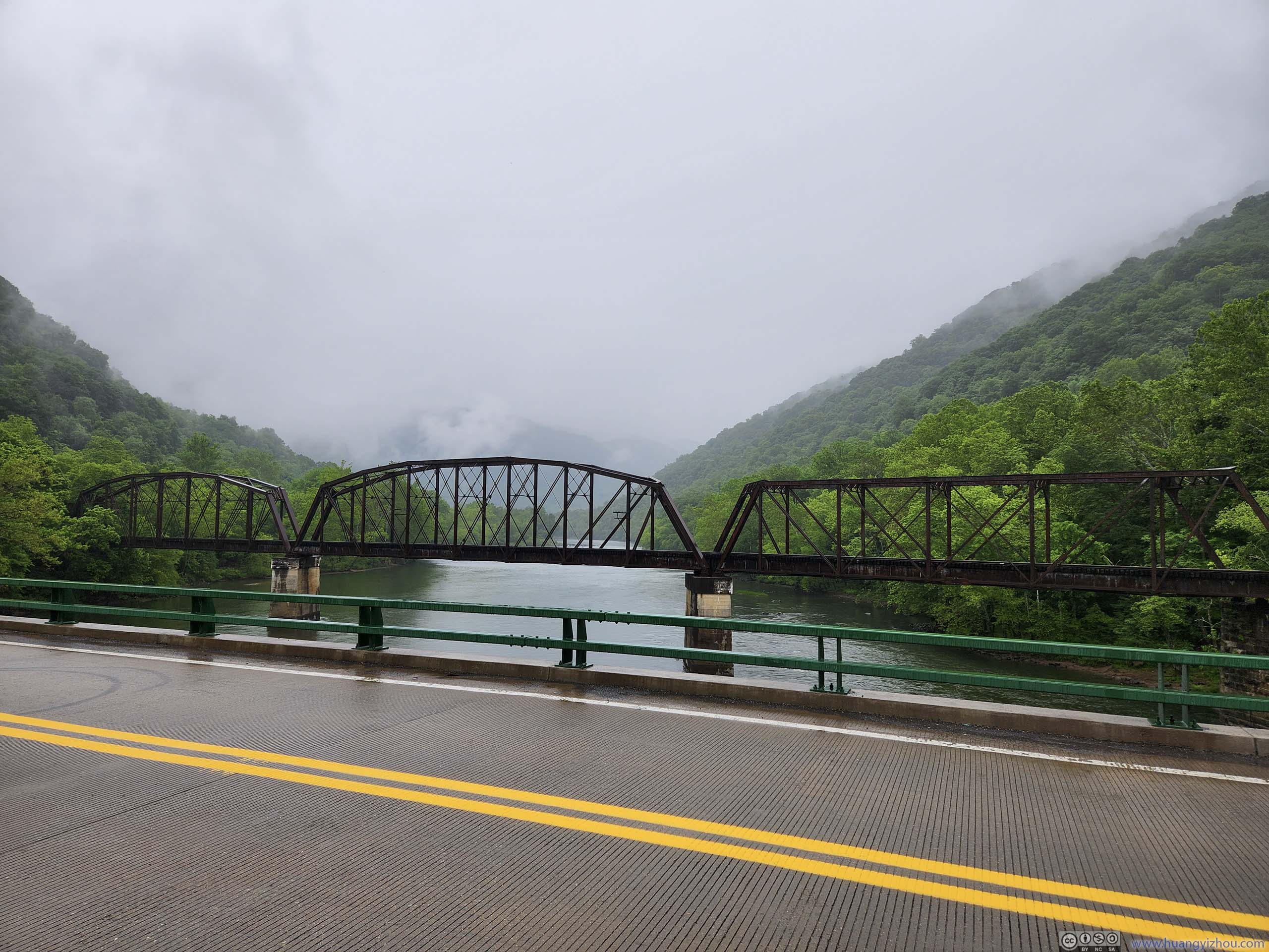 New River and Bridge over it
END
![]() Day 3 of May 2023 Trip to West Virginia, New River Gorge by Huang's Site is licensed under a Creative Commons Attribution-NonCommercial-ShareAlike 4.0 International License.
Day 3 of May 2023 Trip to West Virginia, New River Gorge by Huang's Site is licensed under a Creative Commons Attribution-NonCommercial-ShareAlike 4.0 International License.