Updated on November 14, 2023
Day 4 of May 2023 Trip to West Virginia, Sandstone Falls and Roaring Run
Fourth and last day of my 2023 Memorial Day trip to West Virginia. I checked out of the hotel in Beckley this morning and started my drive back home to Washington DC, stopping at Sandstone Falls of New River Gorge National Park and Roaring Run Furnace in Virginia along the way.
The final day for my 2023 trip to New River Gorge. Google predicted it would take under 5 hours for my drive home, leaving me enough time in the day for some sightseeing. Among New River Gorge National Park, Sandstone Falls were the only part that I hadn’t visited yet.
To begin, Sandstone Falls weren’t conveniently accessible. Despite it’s only a short distance from I-64, there was no ramp on the western side of New River. Instead, the waterfall was only accessible through the town of Hinton, about 8 miles to the south. Going from Beckley WV, I ended up taking WV-3, which was a twisty road through West Virginia’s endless mountains.
Sandstone Falls
Rain was still in the forecast today, just like the previous day with periods of rain and clouds. It was dry when I had breakfast in the hotel, wet when I moved luggage onto my car.😥 It’s a light drizzle when I drove towards Sandstone Falls (the last section was narrow, but paved throughout), but by the time I got to the parking lot, the rain picked up.
As a result, I spent about half an hour in the car working on my laptop, hoping the rain would abate, which it didn’t. Nonetheless, with an umbrella in my hand, I decided to start my tour of Sandstone Falls.
(It turned out that I didn’t wait long enough. An additional half hour later when I returned to the car, it’s dry.)
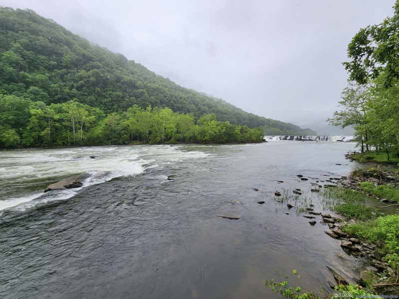
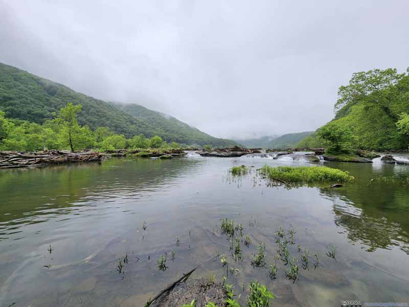
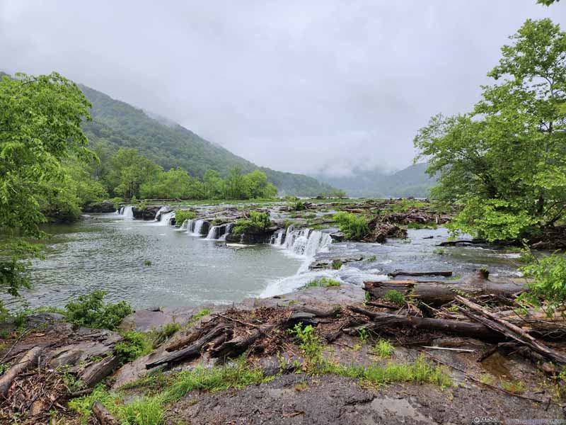
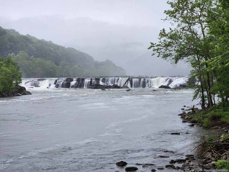
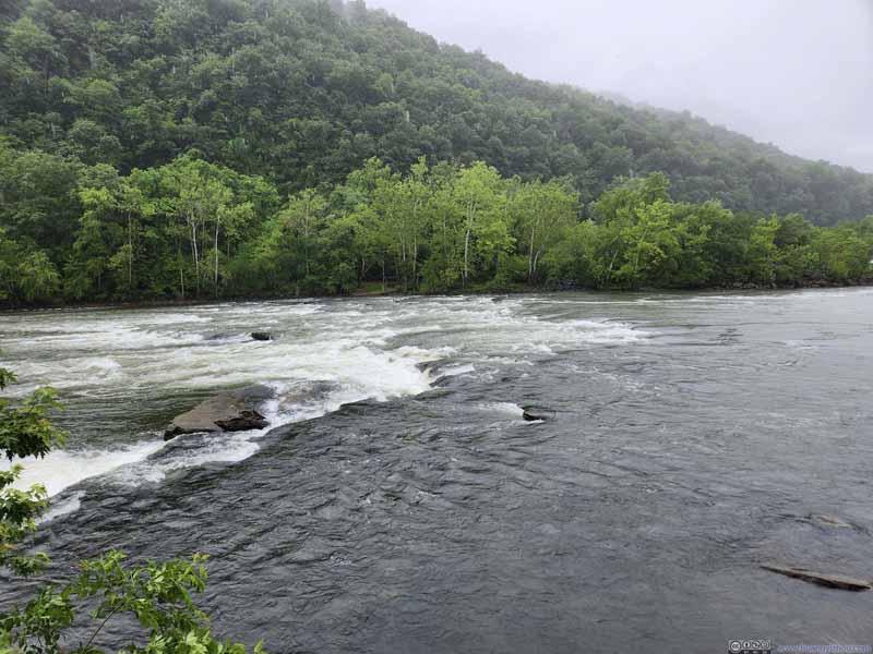
Sandstone Falls area featured a 0.4km one-way boardwalk to a vista. The waterfall lined the entire width of New River upstream so it can be viewed from multiple places along the boardwalk. One could also add the nearby “Island Loop Trail” to make it 1.6km in total. With the rain going on, the rocks along “Island Loop Trail” seemed rather slippery, so I didn’t attempt that.
Click here to display photos of the slideshow
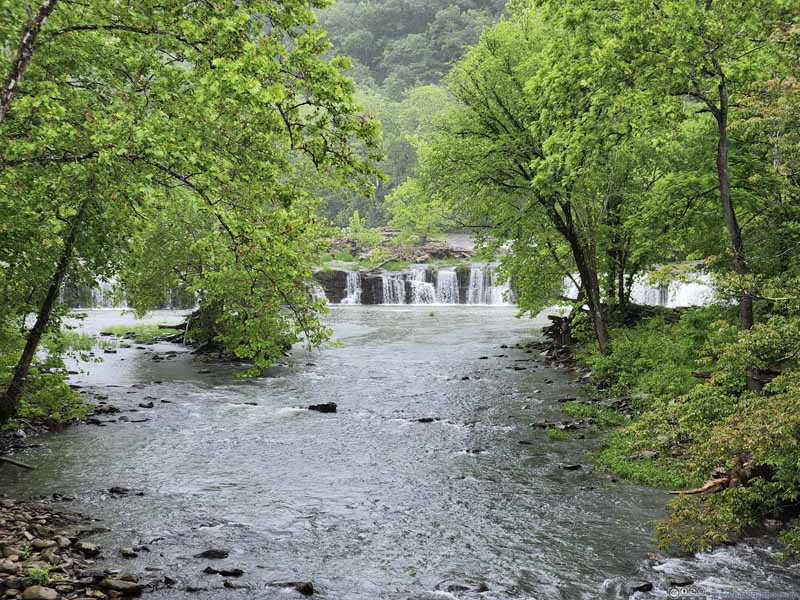
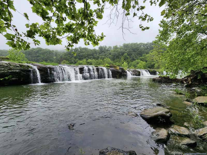
Next to the vista at the end of the boardwalk, a community trail led into the woods where the waterfalls could be viewed from a close distance. Among the entire width of the waterfall it’s not the most spectacular sight, but the feeling of proximity and seclusion was enjoyable on its own.
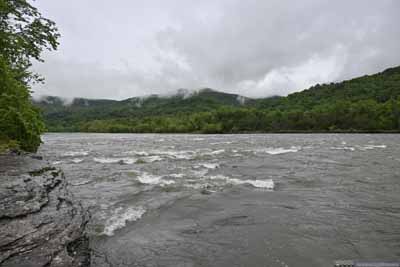
Confluence of Greenbrier and New River
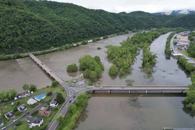
While I could cross New River at Hinton, I chose to make a small detour and cross at Bellepoint, which sat at the confluence of Greenbrier and New River. Next to the confluence was a boat ramp, which I thought would be a great place to launch my drone for an aerial tour.
Click here to display photos of the slideshow
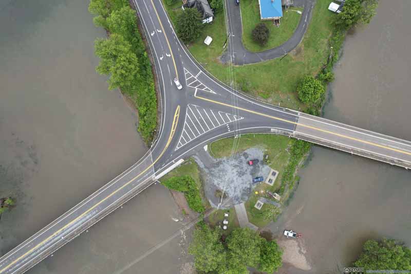
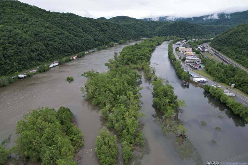
Overlooking Confluence of Greenbrier River and New River
Here’s a short video showing the boat ramp at the confluence of the two rivers before the town of Bellepoint.
11 seconds, 2160p30fps, 9Mbps/14MB for H265, 10.5Mbps/15MB for H264.
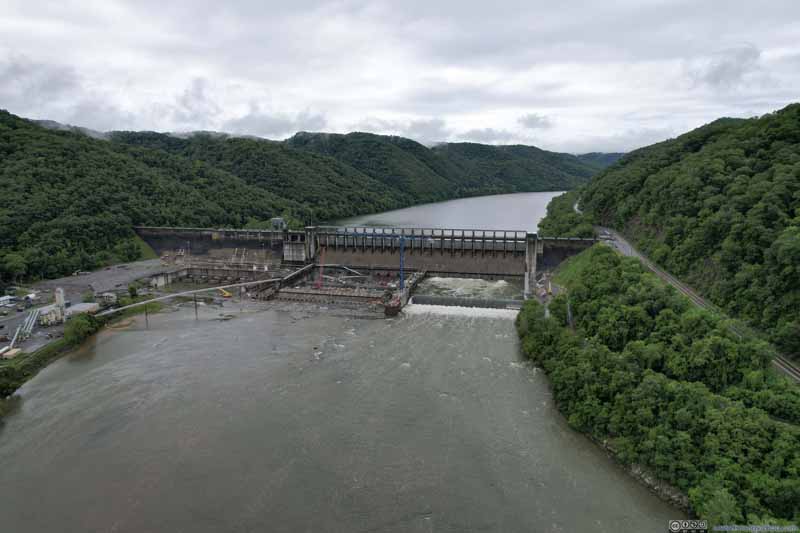
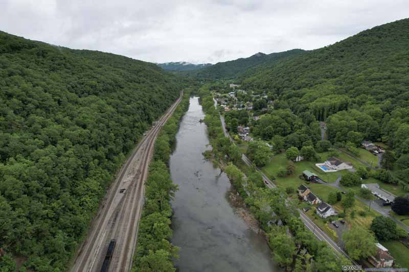
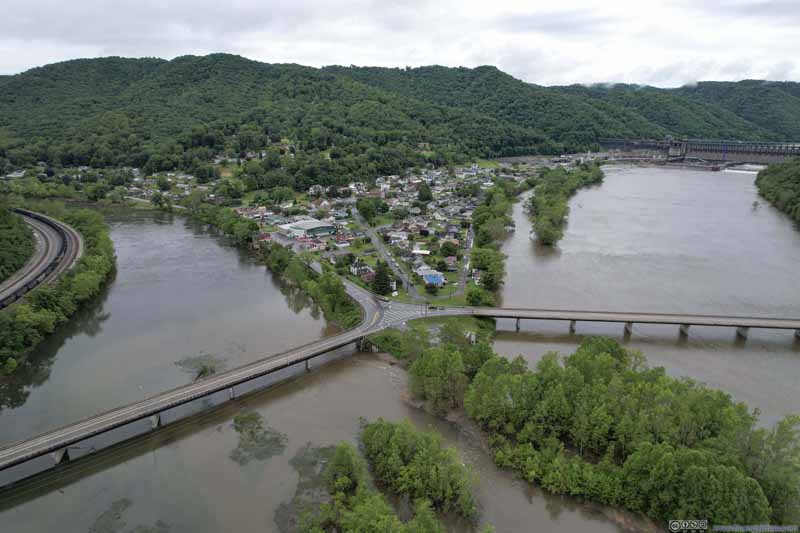
Here the typical landscape of West Virginia was showcased, of a river or creek cutting through rolling hills, where small patches of land closest to the water was habitable. Downstream, a few islands continued their attempt to separate New and Greenbrier Rivers. Maybe their confluence was a lot downstream millions of years ago.


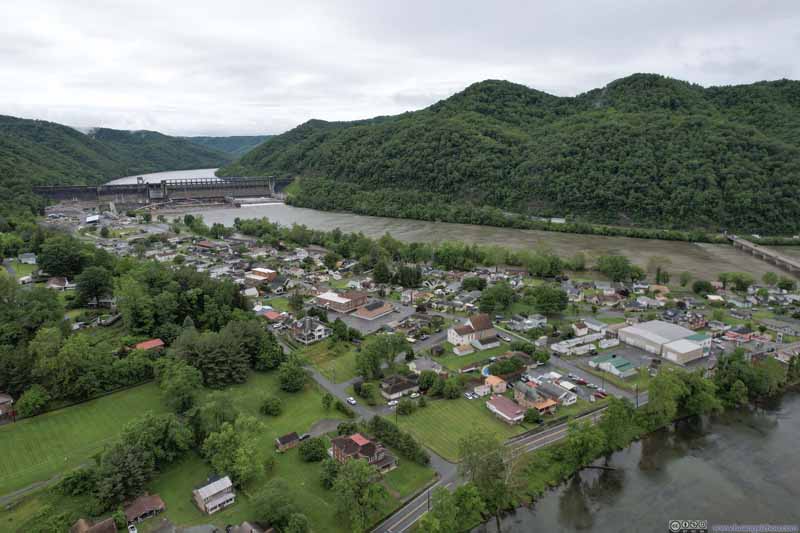
 Overlooking New RiverNear Bluestone Dam (top), near confluence with Greenbrier River (middle) and near South Hinton (bottom)
And here’s a video:
By the time I left Hinton, it’s 1:30pm. With still enough time left in the day, I decided to check out Roaring Run, a popular hiking trail in the western part of Virginia.
Roaring Run
After getting off I-64 at Low Moor, it’s a 17-minute drive along twisty mountain roads to reach its trailhead, located in Jefferson National Forest. The trail I was about to embark on was a 2.7km loop with 93m elevation gain. Taking it in the clockwise direction, the trail followed Roaring Run on its way up, passing a few smaller waterfalls before ending at a major waterfall. The return trip would have me up the hill and deep in the forest, passing the remains of an iron furnace before returning to the trailhead.
Just like the rest of the day, this hike was in on-and-off rain. I experienced the heaviest rain at the beginning and end of the hike, closest to the trailhead.
Click here to display photos of the slideshow
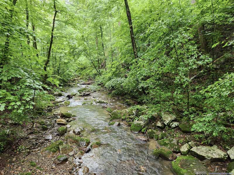
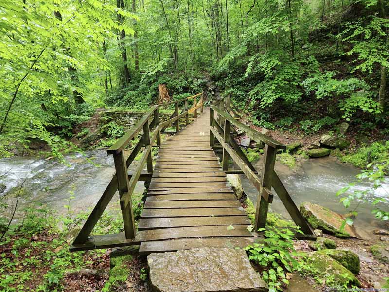
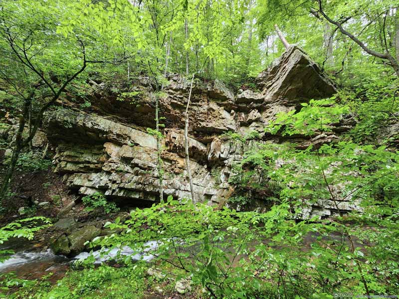
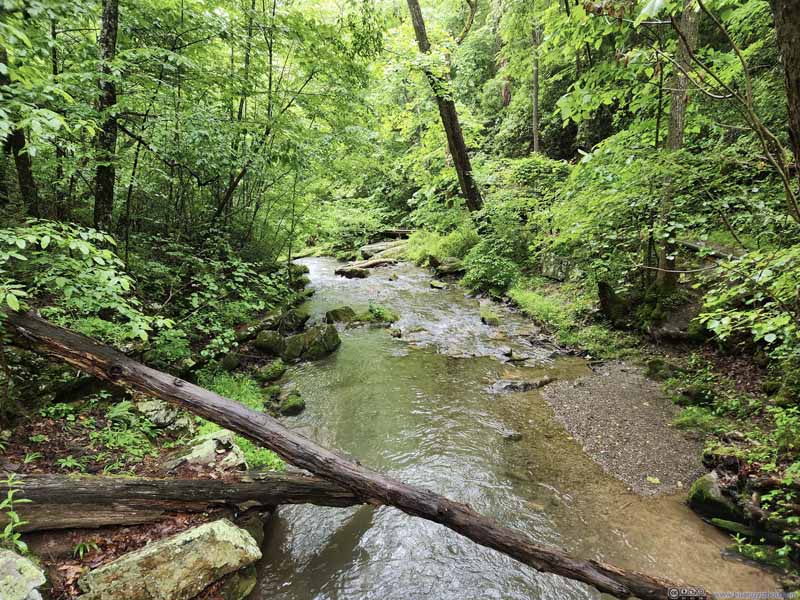
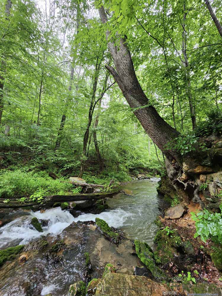
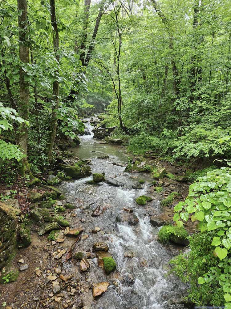
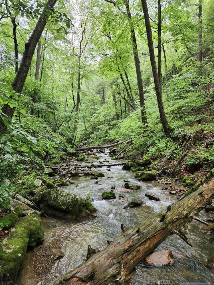
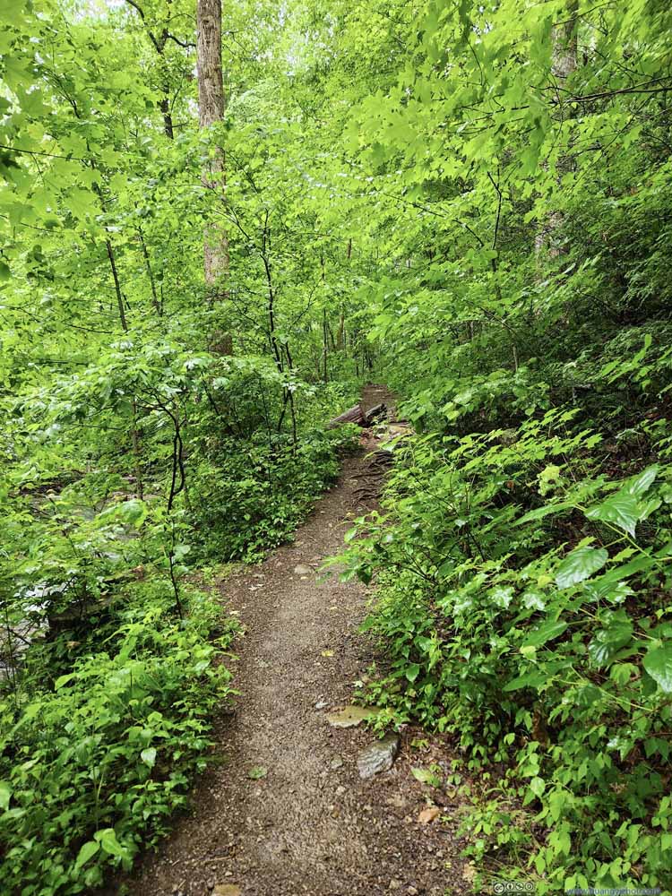
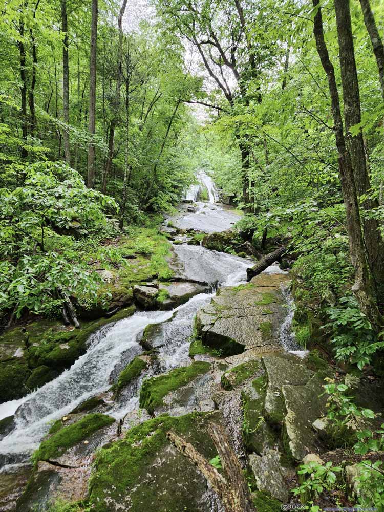
It was a pleasant stroll following Roaring Run upstream. The trail was wide enough in most places that I didn’t encounter too many difficulties holding an umbrella. The cheerful sound of the creek was a rather pleasant companion.
Click here to display photos of the slideshow
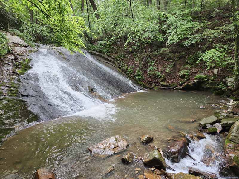
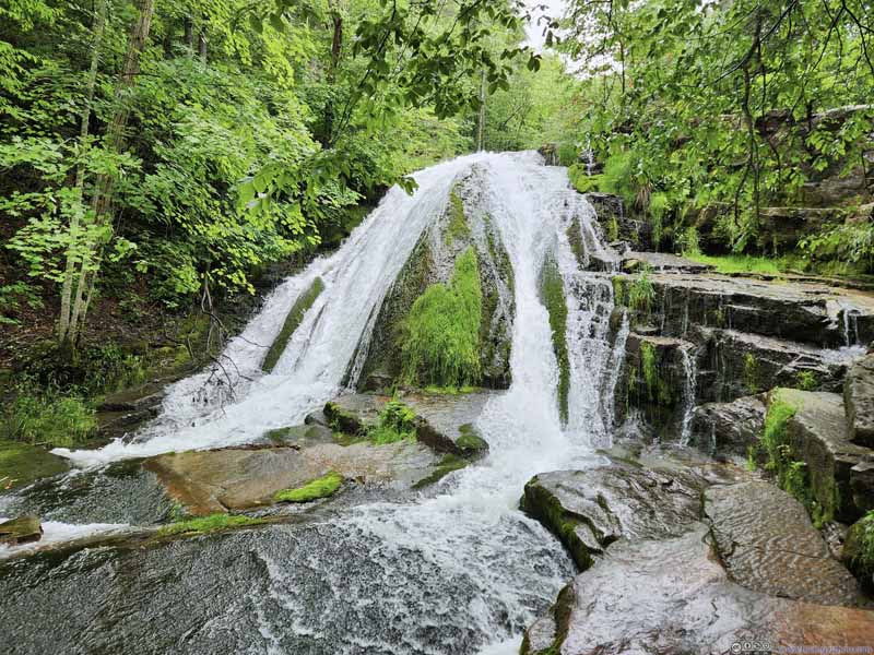
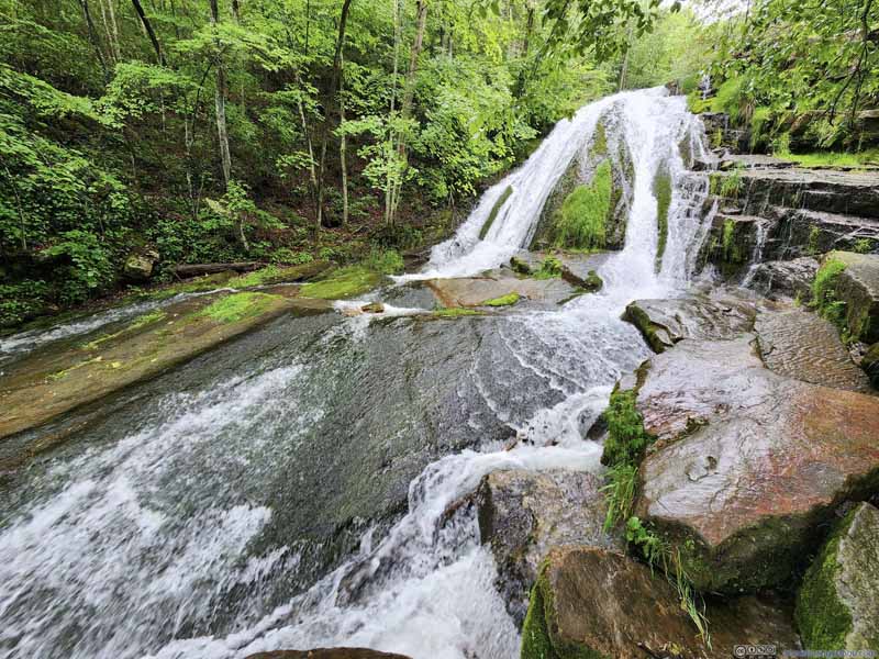
The end of the trail was a giant waterfall, “giant” in a relative sense. The water followed some incline, so it’s far from a free fall. Unfortunately, the established trail ended a safe distance away from the waterfall as it couldn’t find its way through the boulders of the narrowing gorge.
Since all the rocks were wet from the rain, I couldn’t find a place to sit and relax. Thus, I didn’t linger long at the end of the trail before heading back.
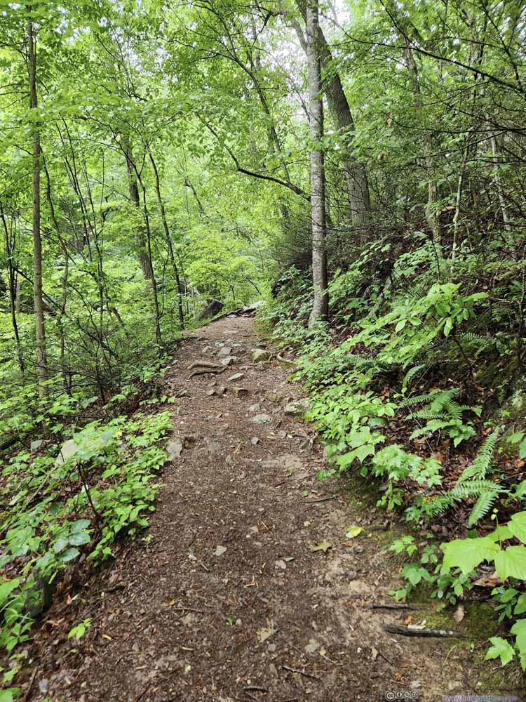
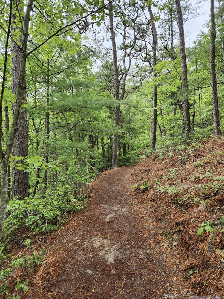
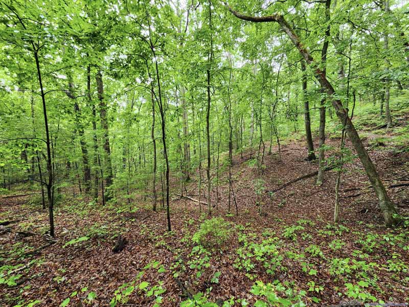
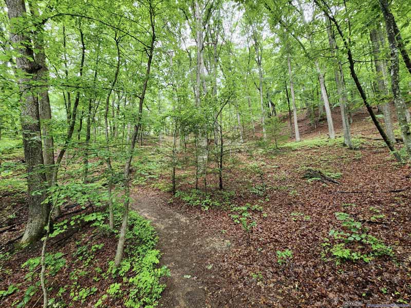
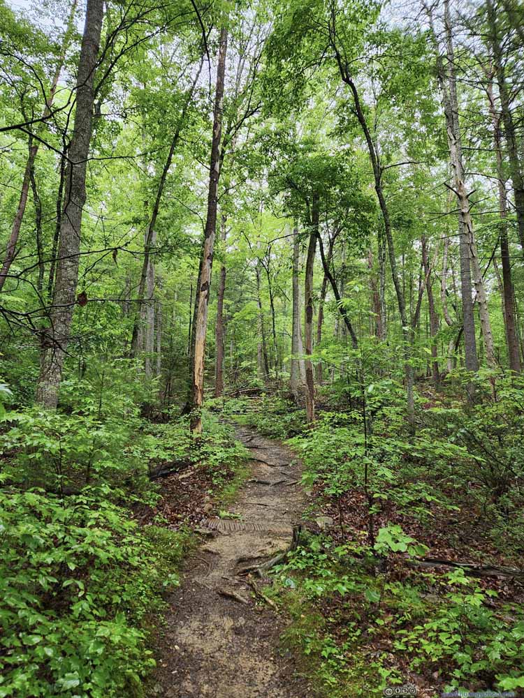
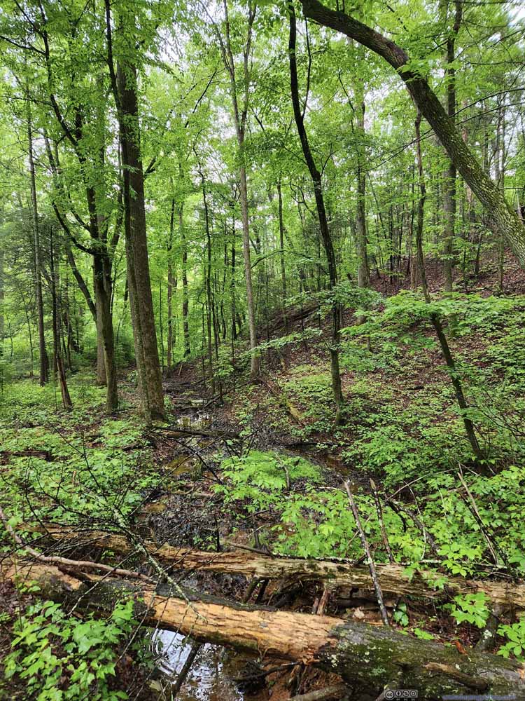
The trail back would take me on a hill above Roaring Run. Despite the map at the trailhead indicating an overlook along the way, I didn’t find any. A small section of the trail was muddy. It’s also longer in distance so I didn’t find this part that exciting.
Click here to display photos of the slideshow
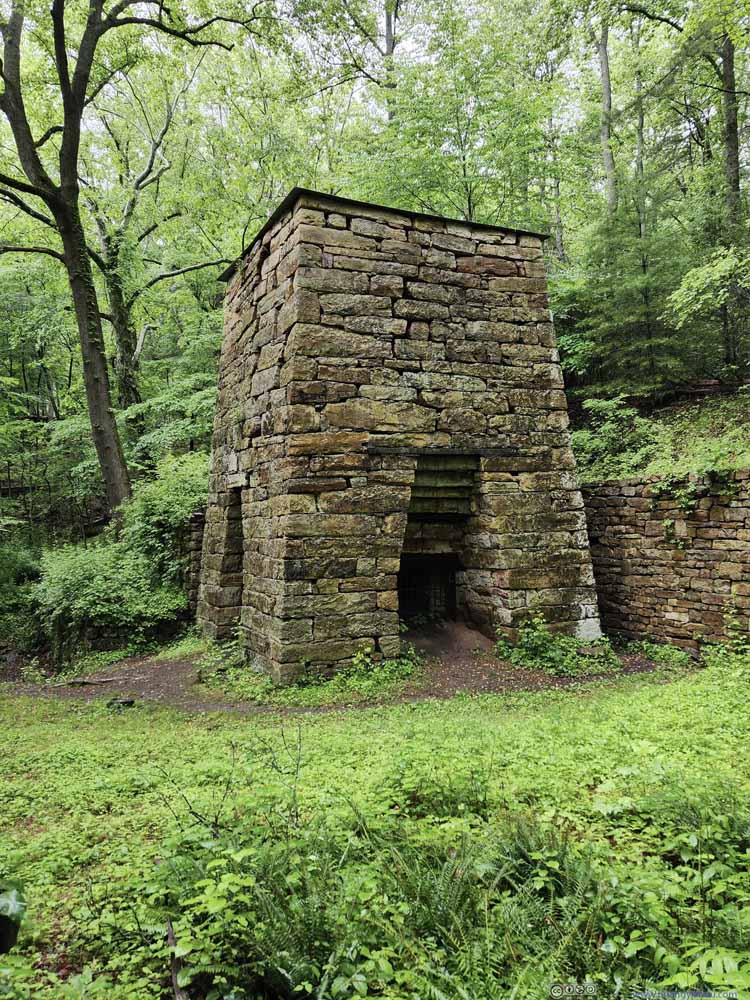
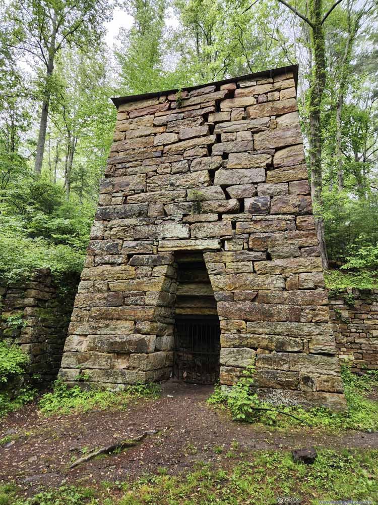
Towards the end, the trail passed by the remains of Roaring Run Furnace, which was constructed to manufacture iron as its ingredients, charcoal (from trees), iron ore and limestone were readily available in the surrounding. Water from the creek was used to drive bellows to melt the ingredients. Despite being almost two centuries old, the furnace survived pretty well except for a few cracks.
In the end, I got back to my car at 4:30, then started my drive back home near Washington DC. With dinner along the way, I got back home at 9pm, finishing this trip to West Virginia.
END
![]() Day 4 of May 2023 Trip to West Virginia, Sandstone Falls and Roaring Run by Huang's Site is licensed under a Creative Commons Attribution-NonCommercial-ShareAlike 4.0 International License.
Day 4 of May 2023 Trip to West Virginia, Sandstone Falls and Roaring Run by Huang's Site is licensed under a Creative Commons Attribution-NonCommercial-ShareAlike 4.0 International License.

