
Updated on December 7, 2023
Day 1 of 2023 Independence Day Trip, Grandfather Mountain
During Independence Day 2023, I made a trip to North Carolina. This post would be the first actual day of activities where I had some fun hiking/climbing in Grandfather Mountain.
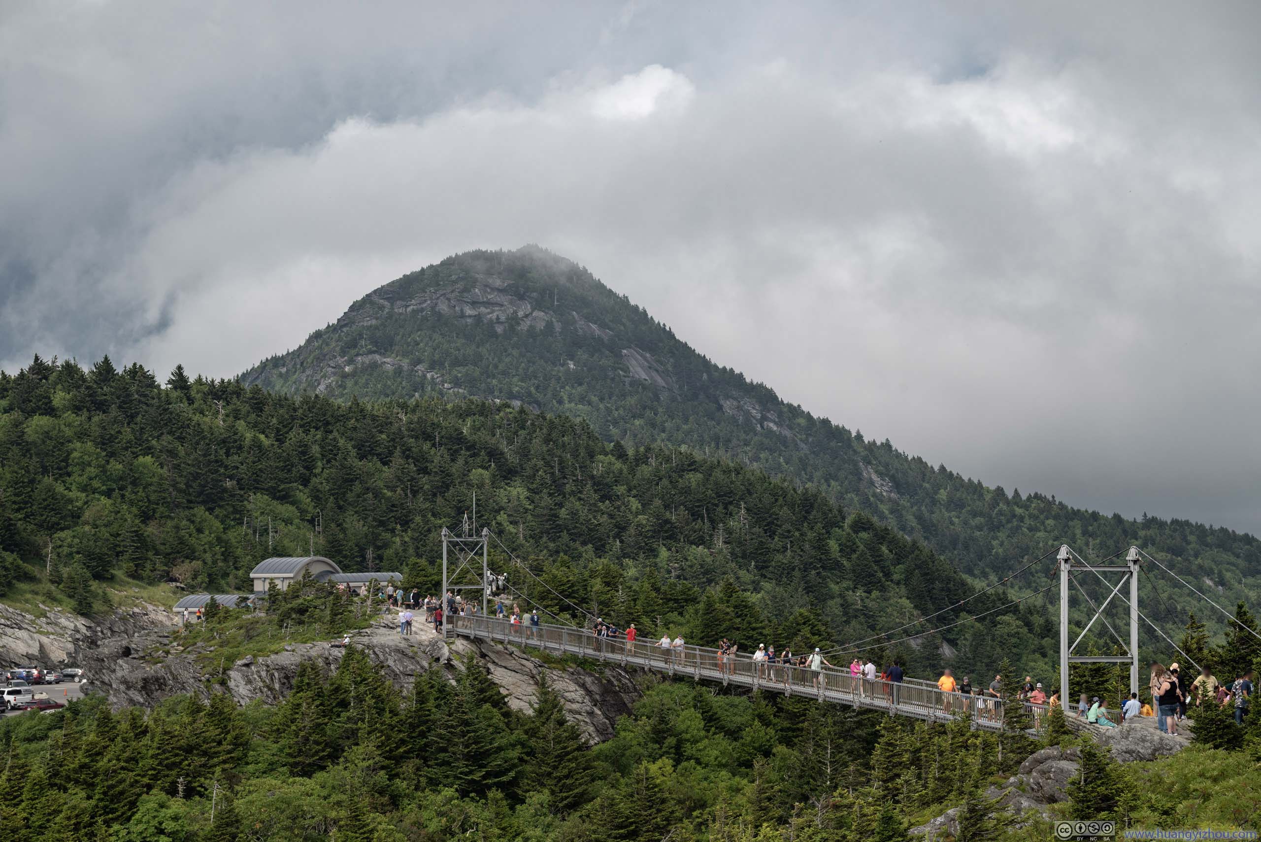
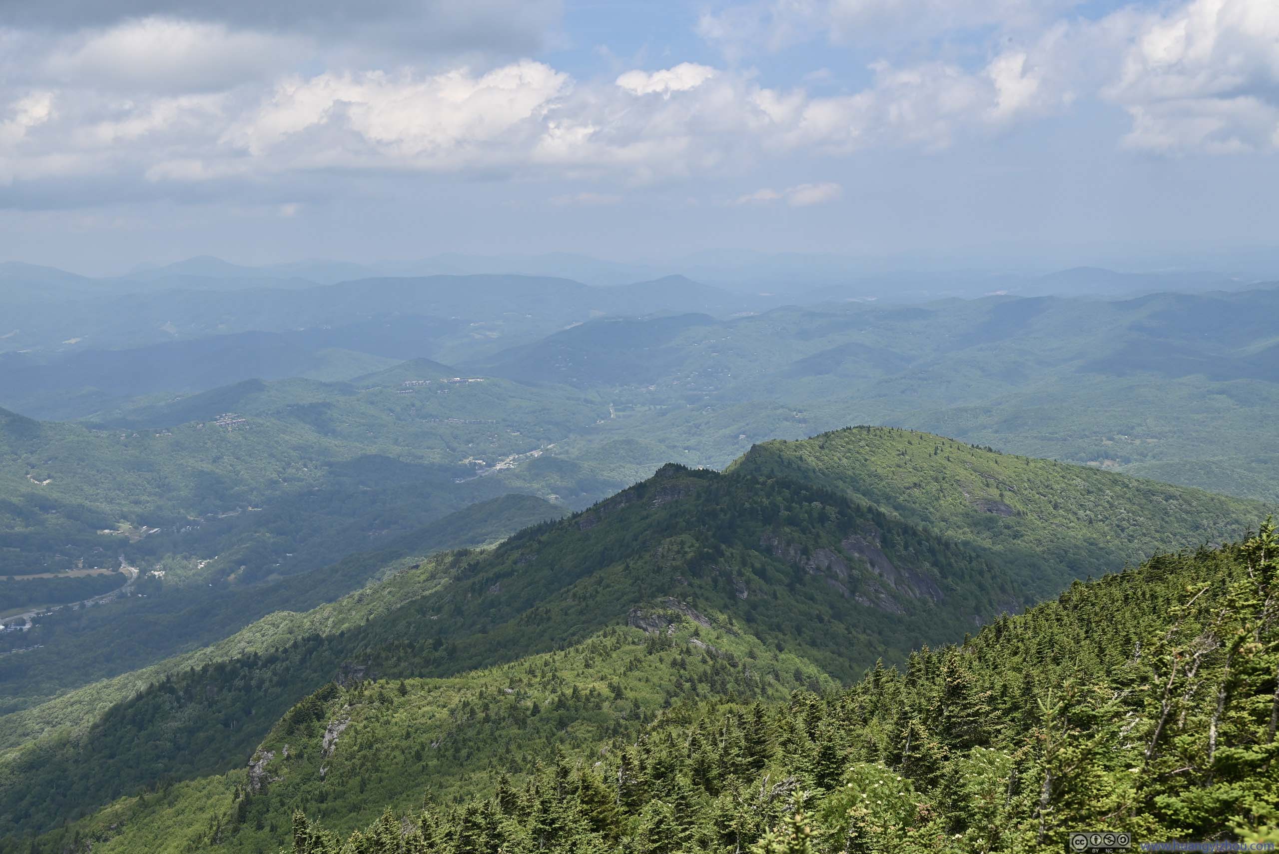
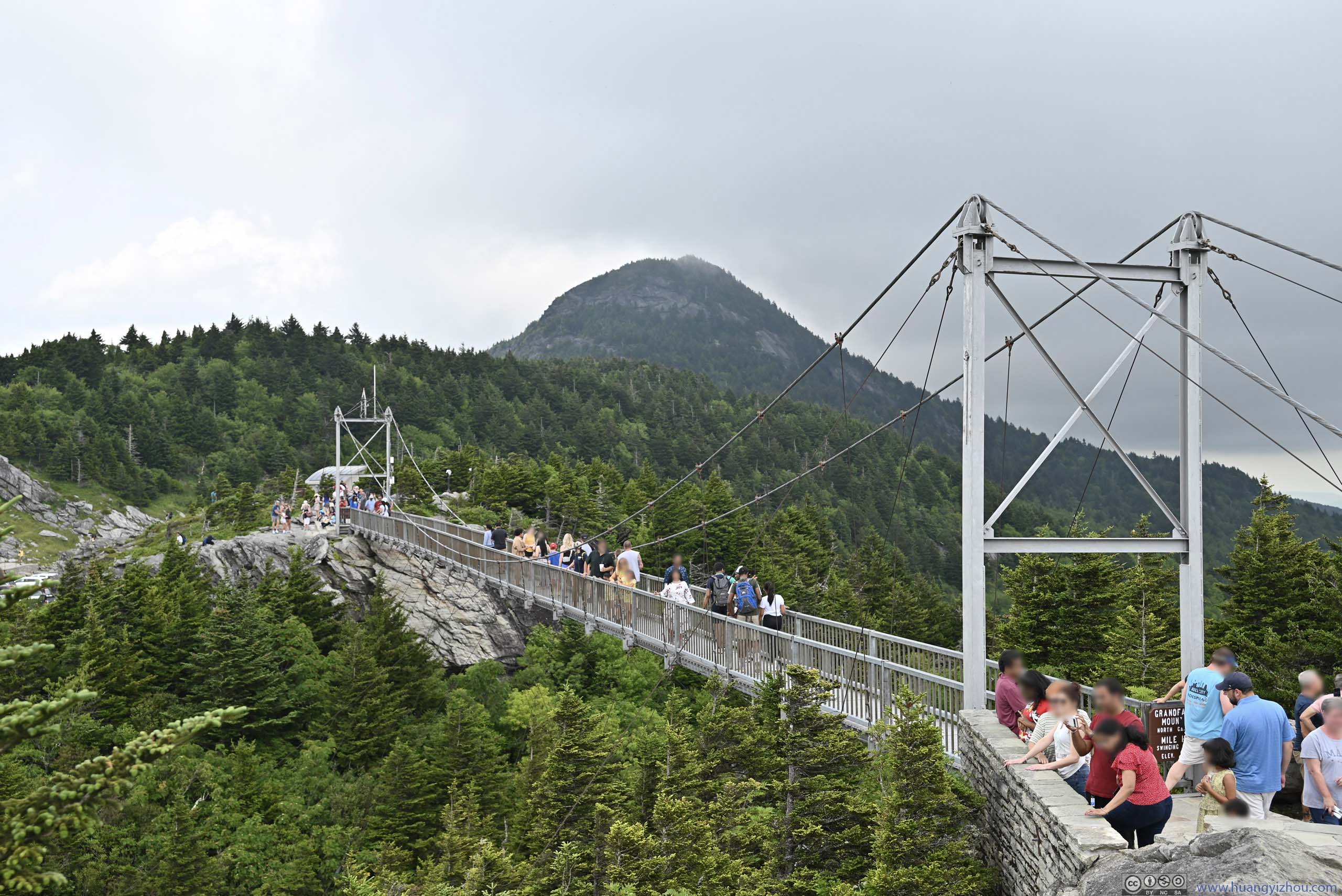
Mile High Swinging Bridge before MacRae Peak
For 2023’s Independence Day holiday, I had an opening to take a slightly longer trip in the eastern US. For that, my options were between Adirondack mountains in upper New York State, and the Blue Ridge mountains in North Carolina. The former were renowned for their expansive spread and magnificent appearances, as depicted by numerous painters from the early days of US civilization, when they sought refuge from the cities’ moral degeneration. The latter, I visited Blue Ridge Parkway last autumn at peak foliage. Unlike Virginia where the mountains felt very linear to me, there was much more to explore in North Carolina.
In the end, the weather forecast in the Adirondack mountains didn’t look good, so I picked North Carolina.
Previous Day at Taubman Museum of Art
I left home on the morning of Saturday July 1st. 10 minutes into my drive and while I was filling up at a gas station, I realized I left my hiking shoes at home. For most if not all of my trips, I always left something behind. I felt lucky this time I found out early enough. After I went back home and fetched them, it’s almost 11am.
It’s the Saturday of a holiday weekend and traffic was not light even along I66. Heading onto I81 I would describe it as “hopeless”. Despite traffic moving at highway speed most of the time, there was hardly any gap between cars. And from time to time, there were slowdowns, phantom congestions that were likely caused by trucks on the left lane that were slow when it came to hill-climbing.
I had long believed the entirety of I81, between I66 and I77 should have three lanes in each direction. The state of Virginia had much to improve when it came to its interstate highways.
With lunch along the way and some detours around the I66/I81 intersection to avoid the heaviest traffic, I reached Roanoke at 4pm. I had passed this town a few times before. This time, I got time to check out Taubman Museum of Art, which was a free art museum located in its downtown.
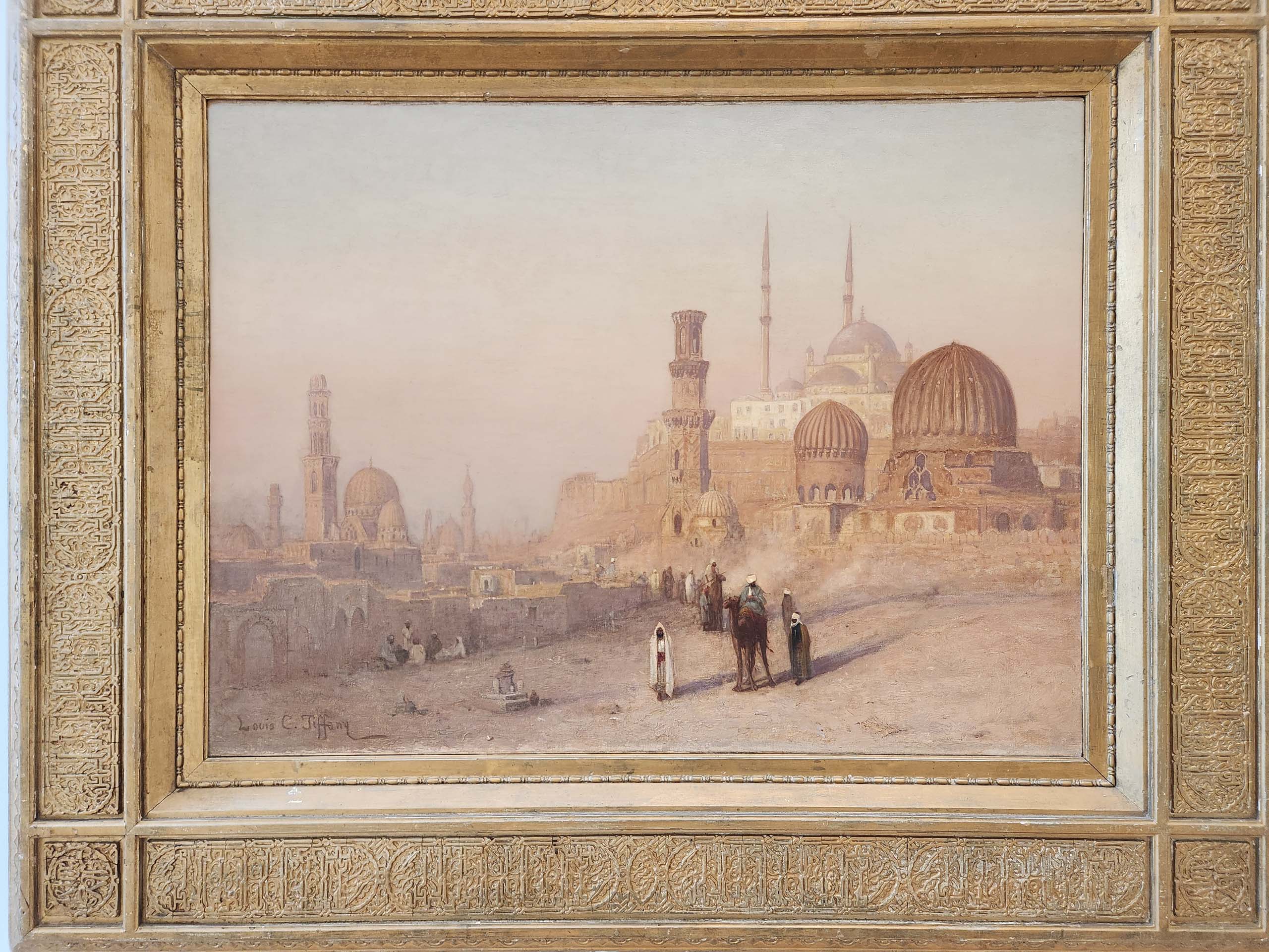
 View of CairoBy Louis Comfort Tiffany.
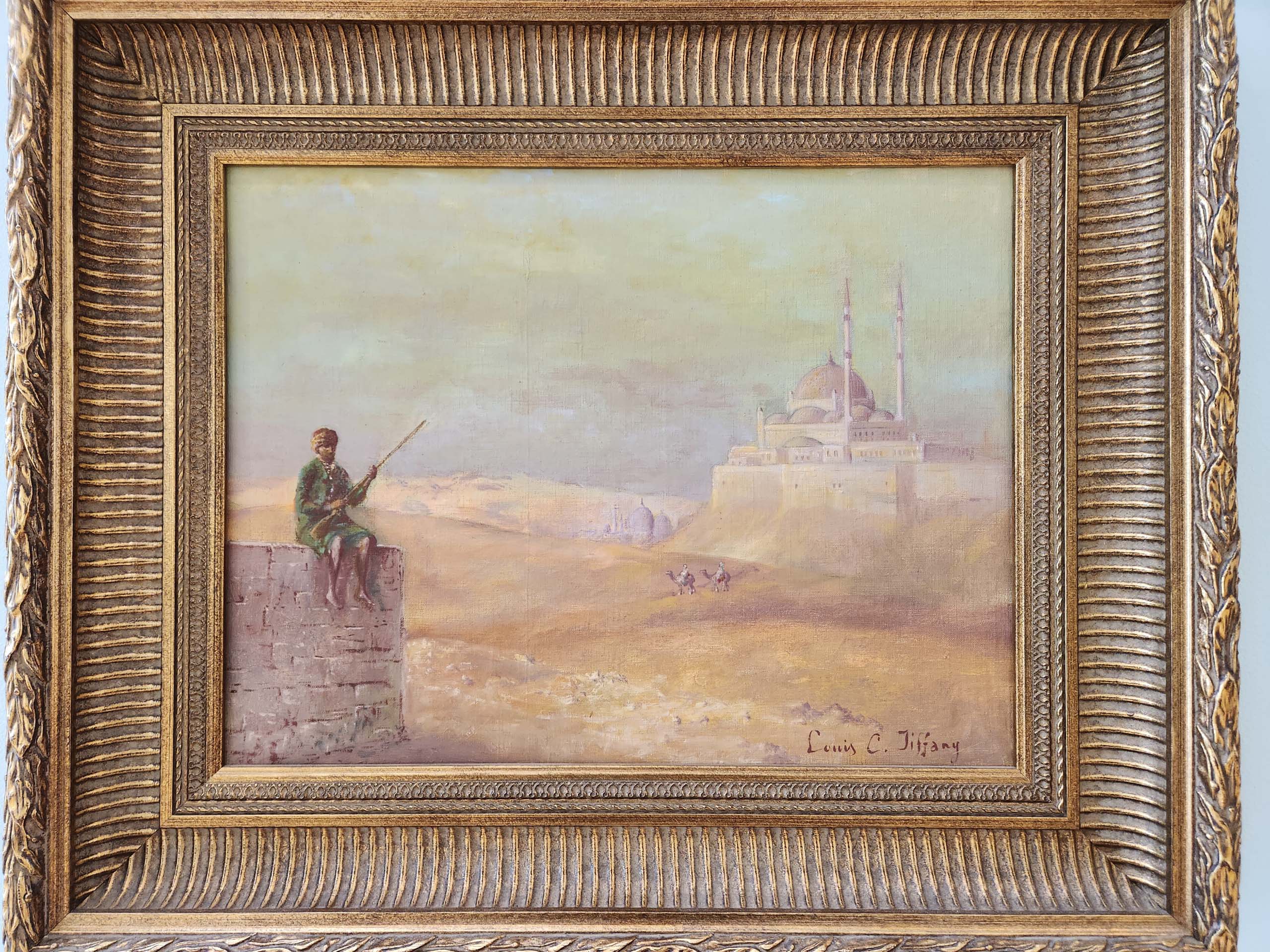
 Sentinel at Entrance of CairoBy Louis Comfort Tiffany.
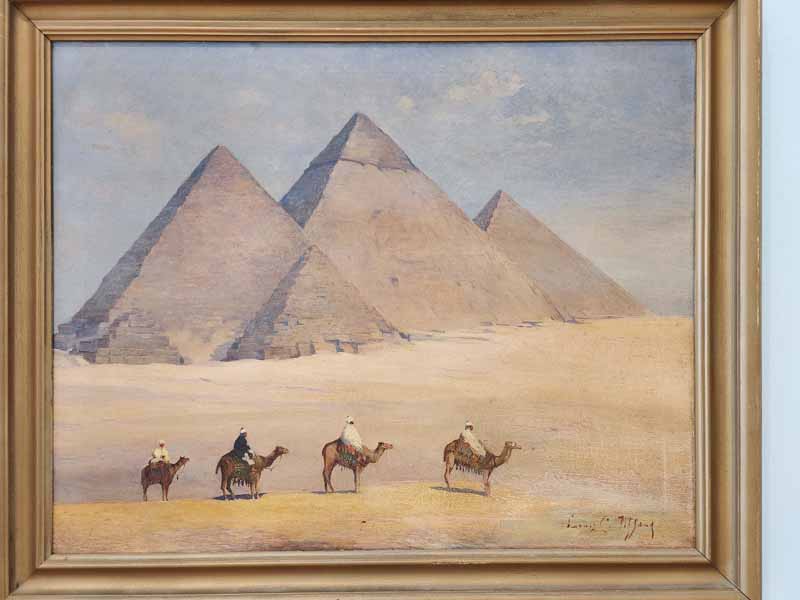 Pyramids at GizaBy Louis Comfort Tiffany.
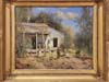
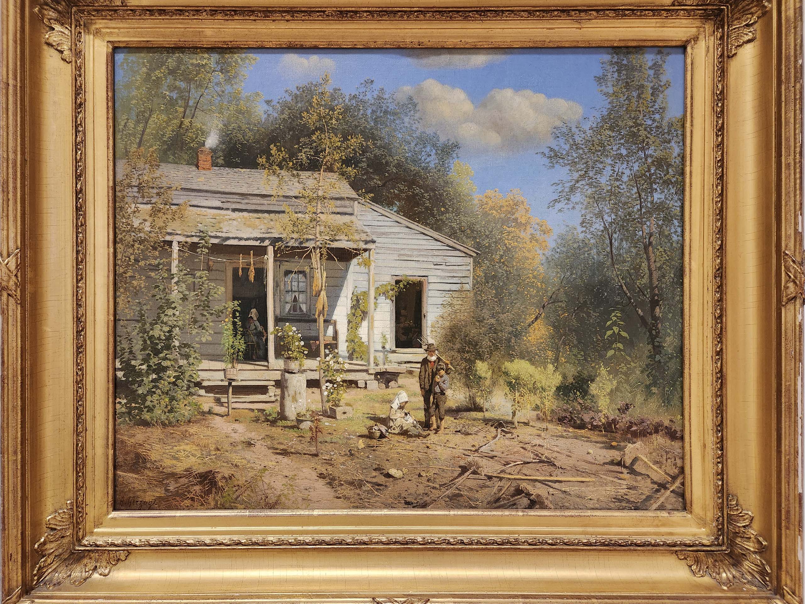
 Country Cabin, AutumnBy Hermann Herzog.
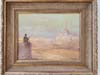
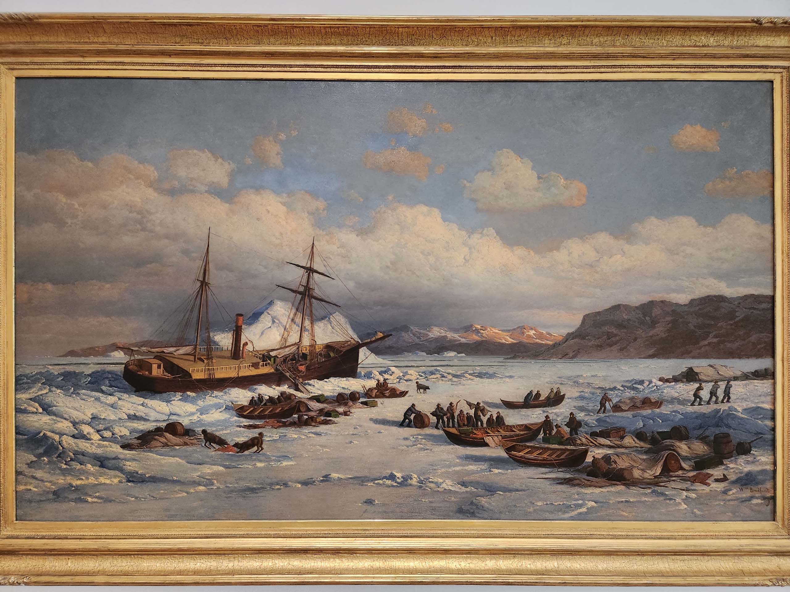
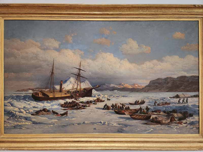 Voyage of the PolarisBy William Bradford, 1875.
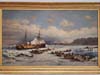
 Eye in the CenterBy John Kuhn

Click here to display photos from Taubman Museum of Art.
View of CairoBy Louis Comfort Tiffany.
Sentinel at Entrance of CairoBy Louis Comfort Tiffany.

Pyramids at GizaBy Louis Comfort Tiffany.
Country Cabin, AutumnBy Hermann Herzog.
Voyage of the PolarisBy William Bradford, 1875.

Eye in the CenterBy John Kuhn
A quick conclusion of the museum, apart from stained glasses, Louis Comfort Tiffany wasn’t bad when it came to oil on canvas.
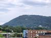
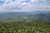
The museum also had a viewing platform, with views of Mill Mountain Star, the surrounding downtown (mostly train yard) and distant Blue Ridge Mountains.
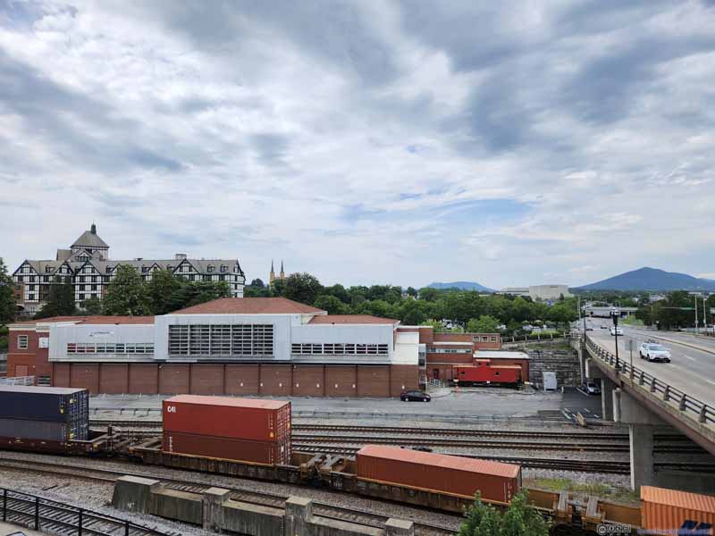 Train Yards in Roanoke
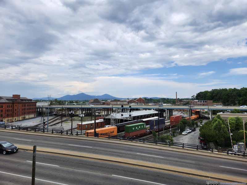 Train Yards and Distant Mountains
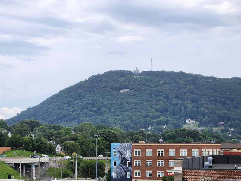 Mill Mountain Star

Click here to display photos from the viewing platform at Taubman Museum of Art.

Train Yards in Roanoke

Train Yards and Distant Mountains

Mill Mountain Star
After the museum closed at 5pm, I had dinner in a nearby restaurant, before continuing towards my overnight lodge around the town of Abingdon, VA. Partly due to it getting late in the day, traffic conditions along I81 greatly improved.
The next morning, I continued towards Grandfather Mountain. The drive took me briefly into Tennessee, through a town called “Mountain City” where I checked out a McDonald’s for breakfast. It was my first time in many years seeing the dining room of a McDonald’s being filled with people (mostly twice my age) as they had their casual chat on a Sunday morning.
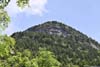
Grandfather Mountain
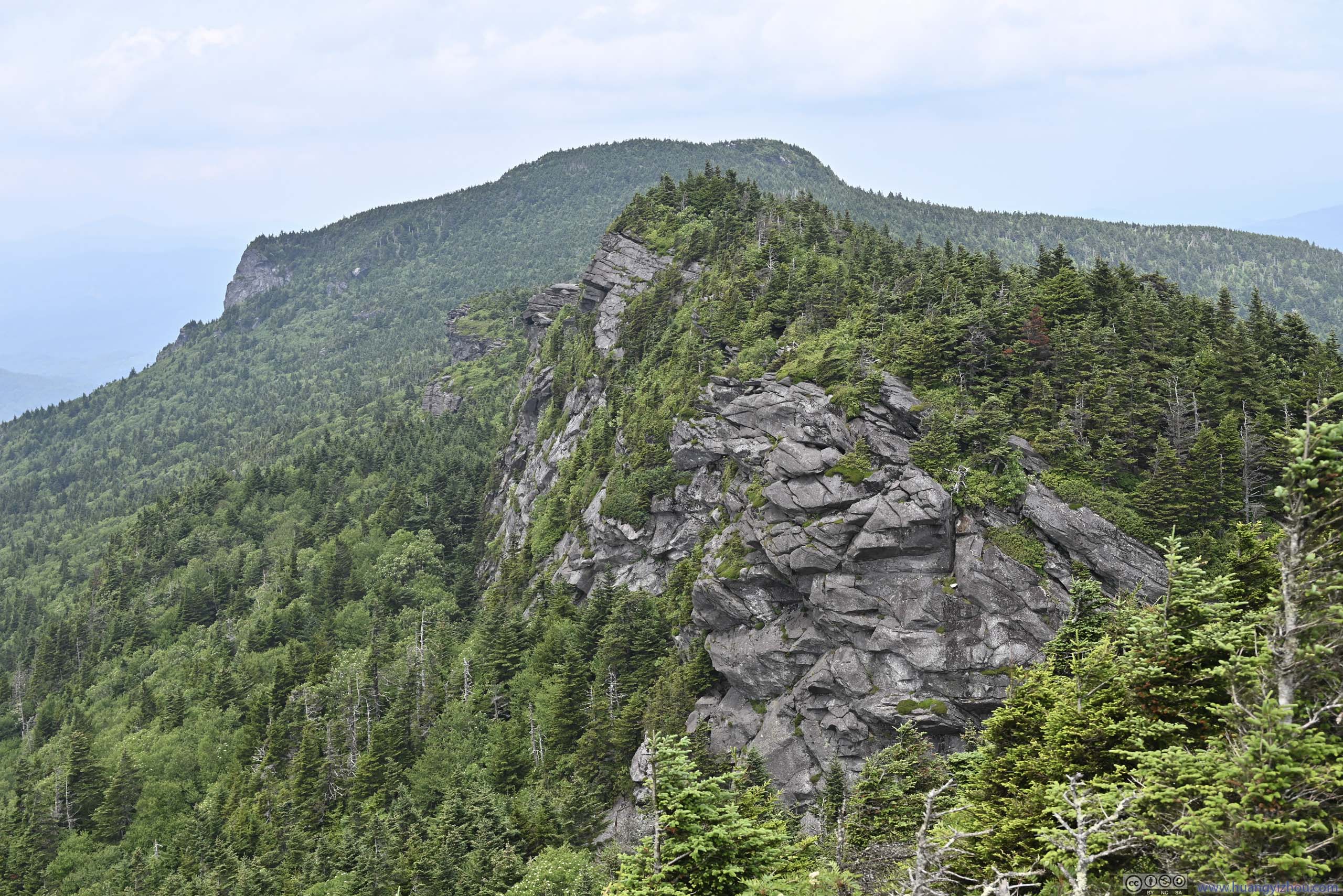
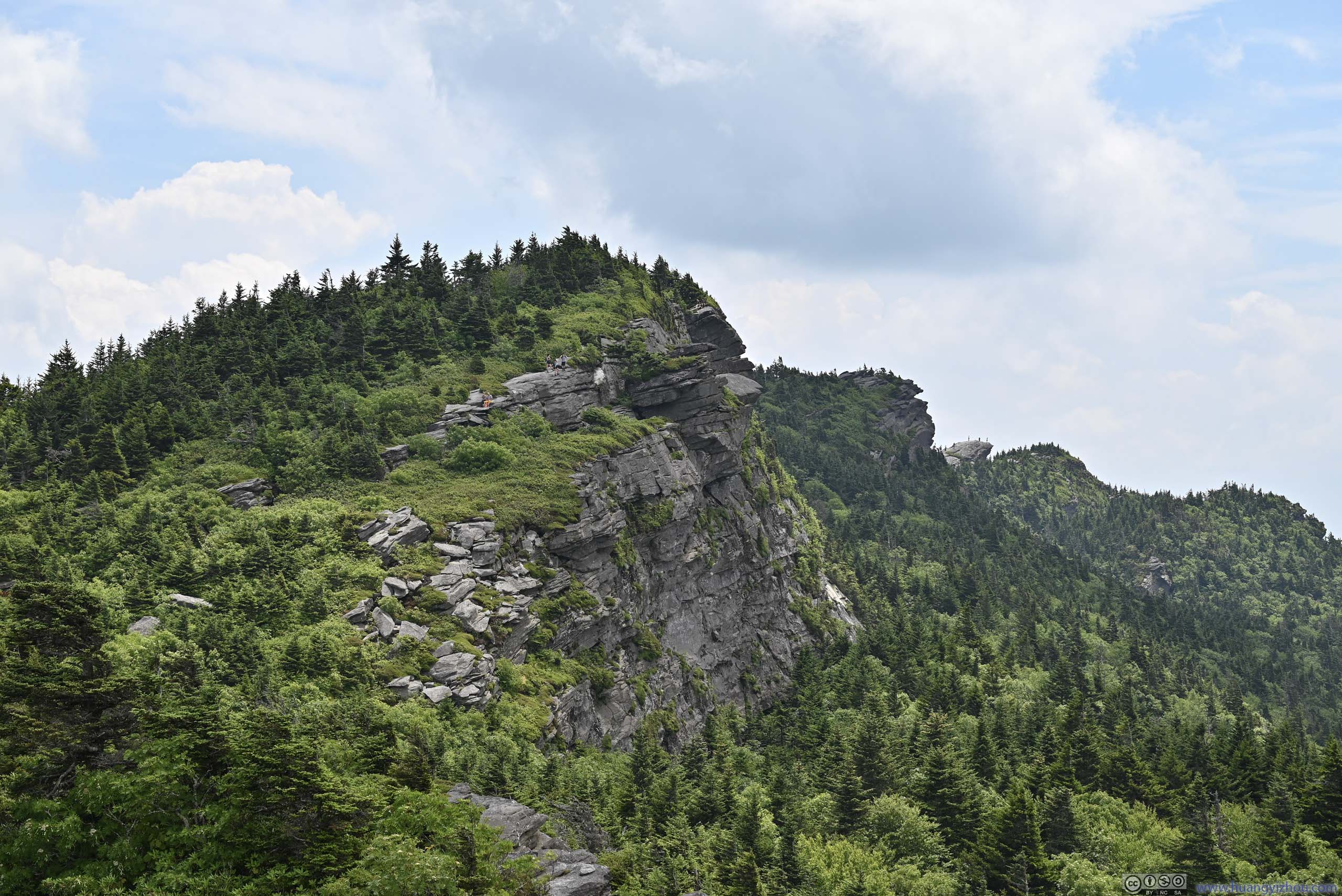
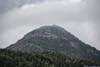
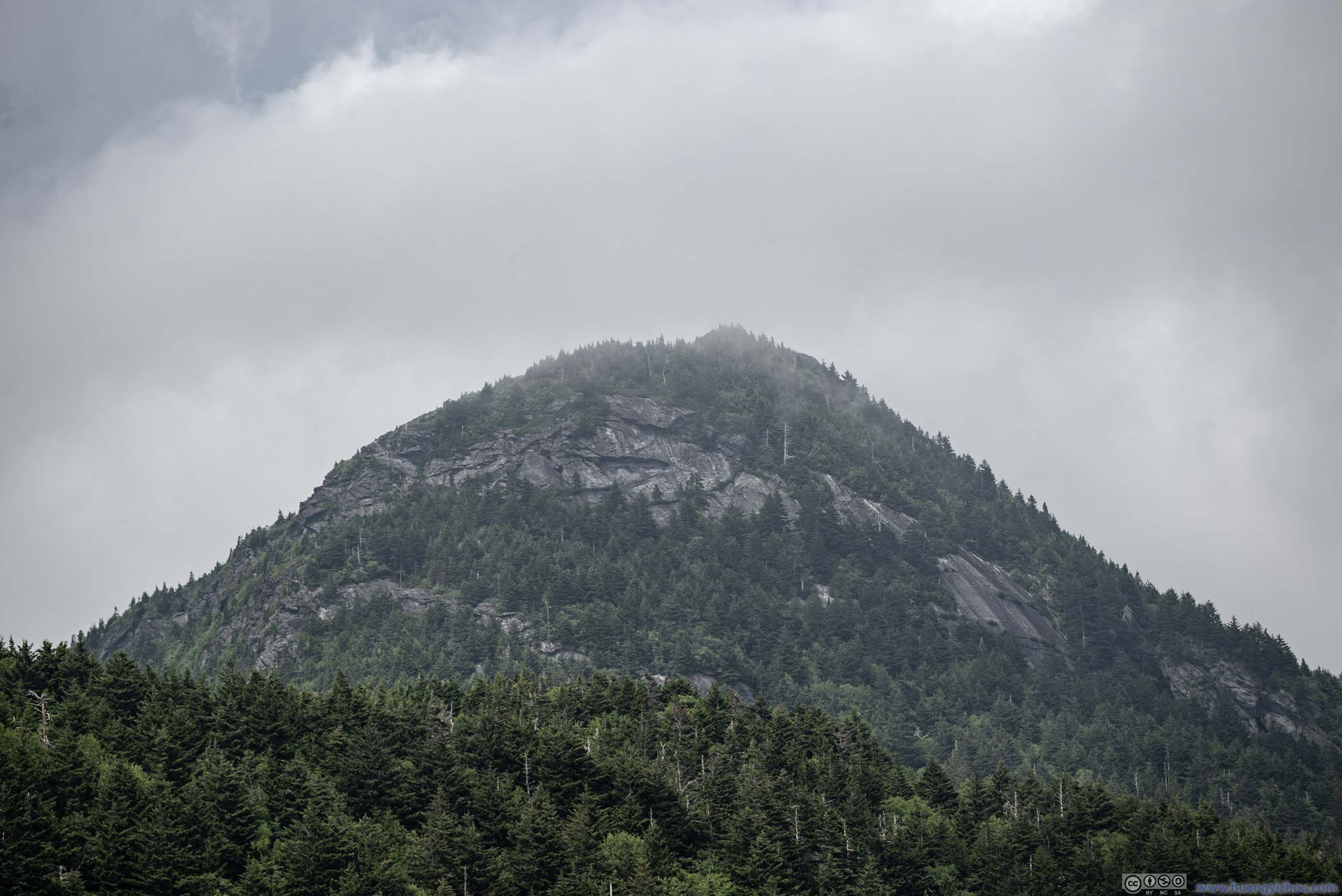
Grandfather Mountain was an area encompassing a series of mountains, including the highest peak on the eastern escarpment of the Blue Ridge Mountains (Calloway Peak). The “grandfather” name came from pioneers who recognized the face of an old man in one of the cliffs, which I couldn’t comprehend. Unlike most other mountains in the region, it featured exposed rocks, steep cliffs, that were worthy of an adventure.
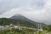
Approaching Grandfather Mountain, I felt the area, between Banner Elk and Boone, was very developed, with vacation villas that dotted the mountainside. It certainly didn’t have the typical mountain wilderness feeling that I experienced in other parts of the US.
I reached the entrance station of Grandfather Mountain just before 11am. Technically Grandfather Mountain had limited quotas for timed entries, during my visit they didn’t seem filled.
Hike
Today I would be checking out Calloway Peak and MacRae Peak via Grandfather Trail. This was the shortest (and likely most scenic) route to Calloway Peak, but it involved both rock scrambling and ladder-climbing, so it’s one of the more challenging hikes in eastern US. Given it’s a holiday weekend, workers in Grandfather Mountain required all hikers to park at the lower “Black Rock Parking”, so that the upper parking lot could be left to visitors to Mile High Swinging Bridge, who usually didn’t stay as long.
After some warmup, I started the hike at 11:15am.
Here’s GPS tracking:
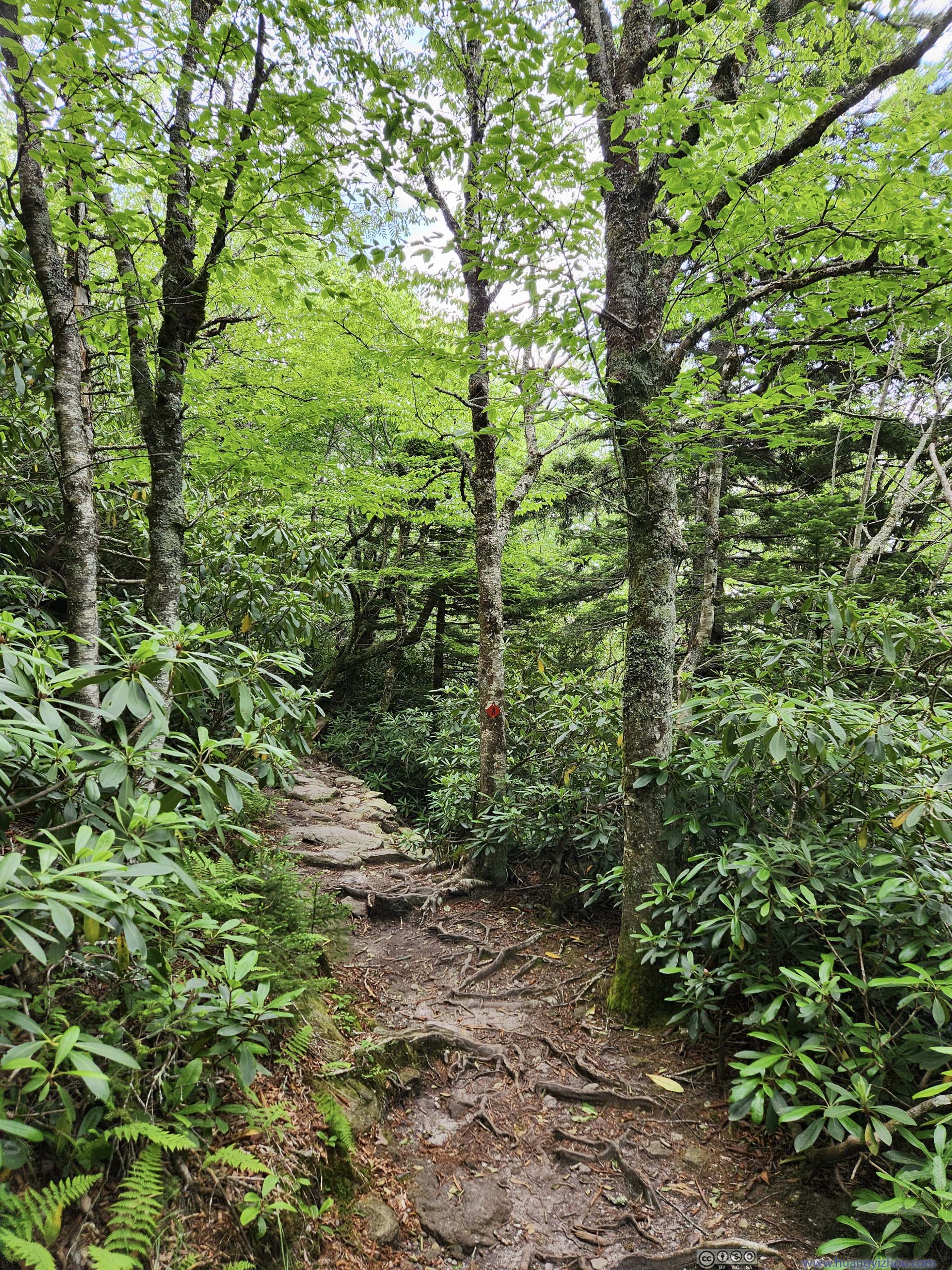
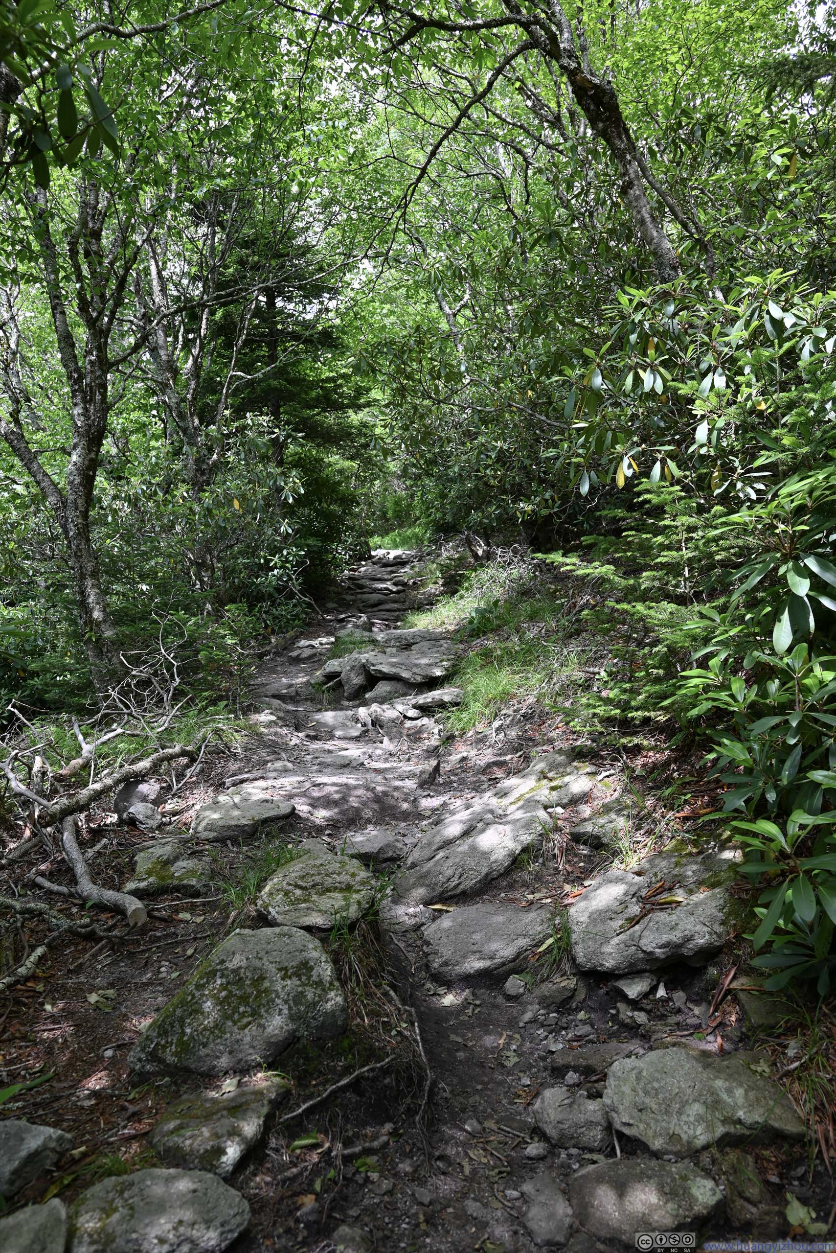
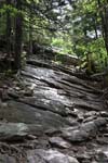
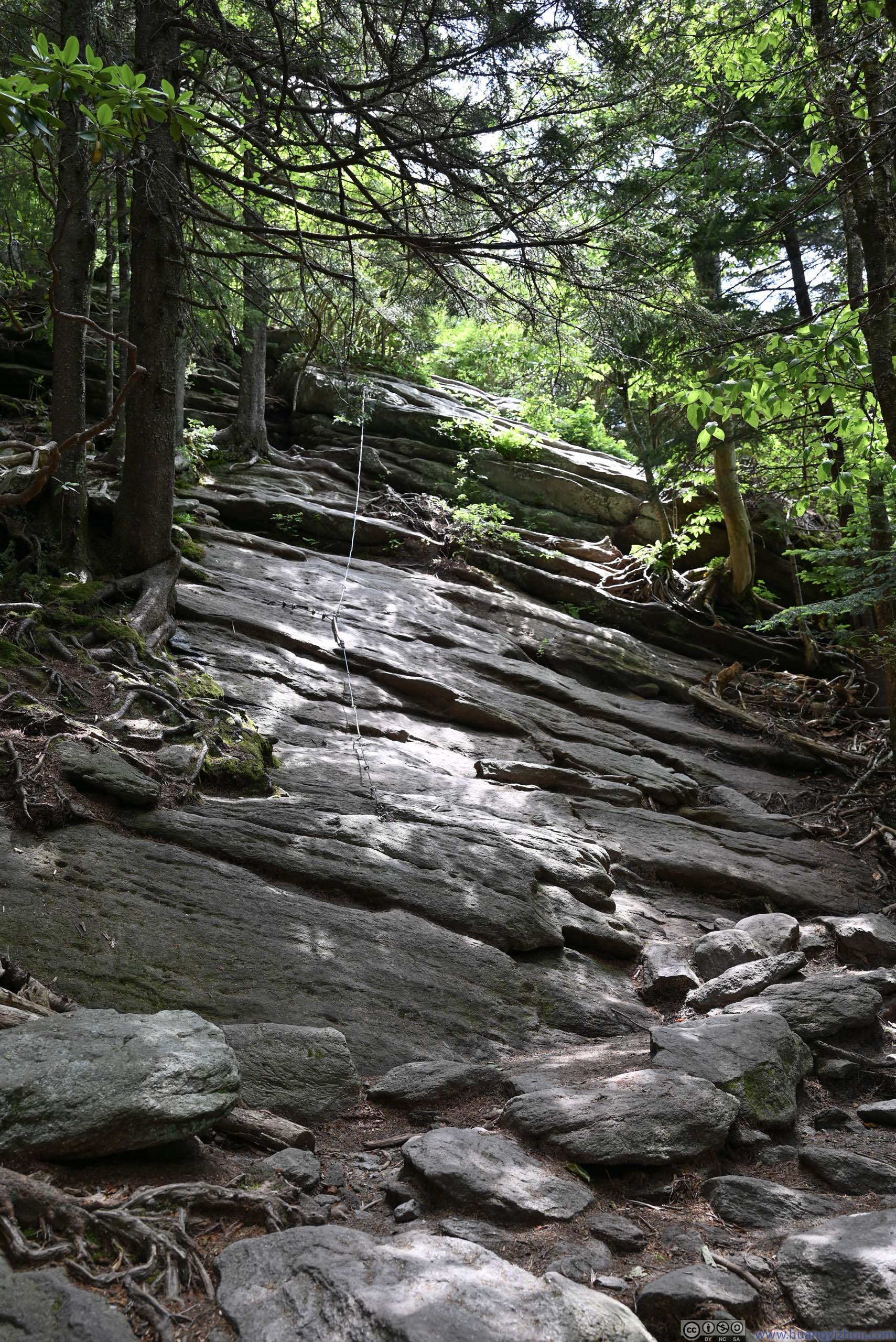
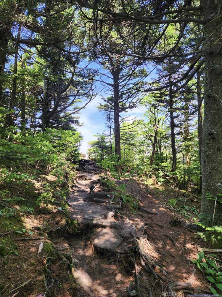
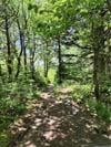
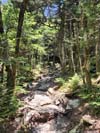
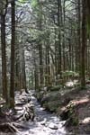
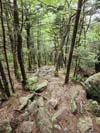
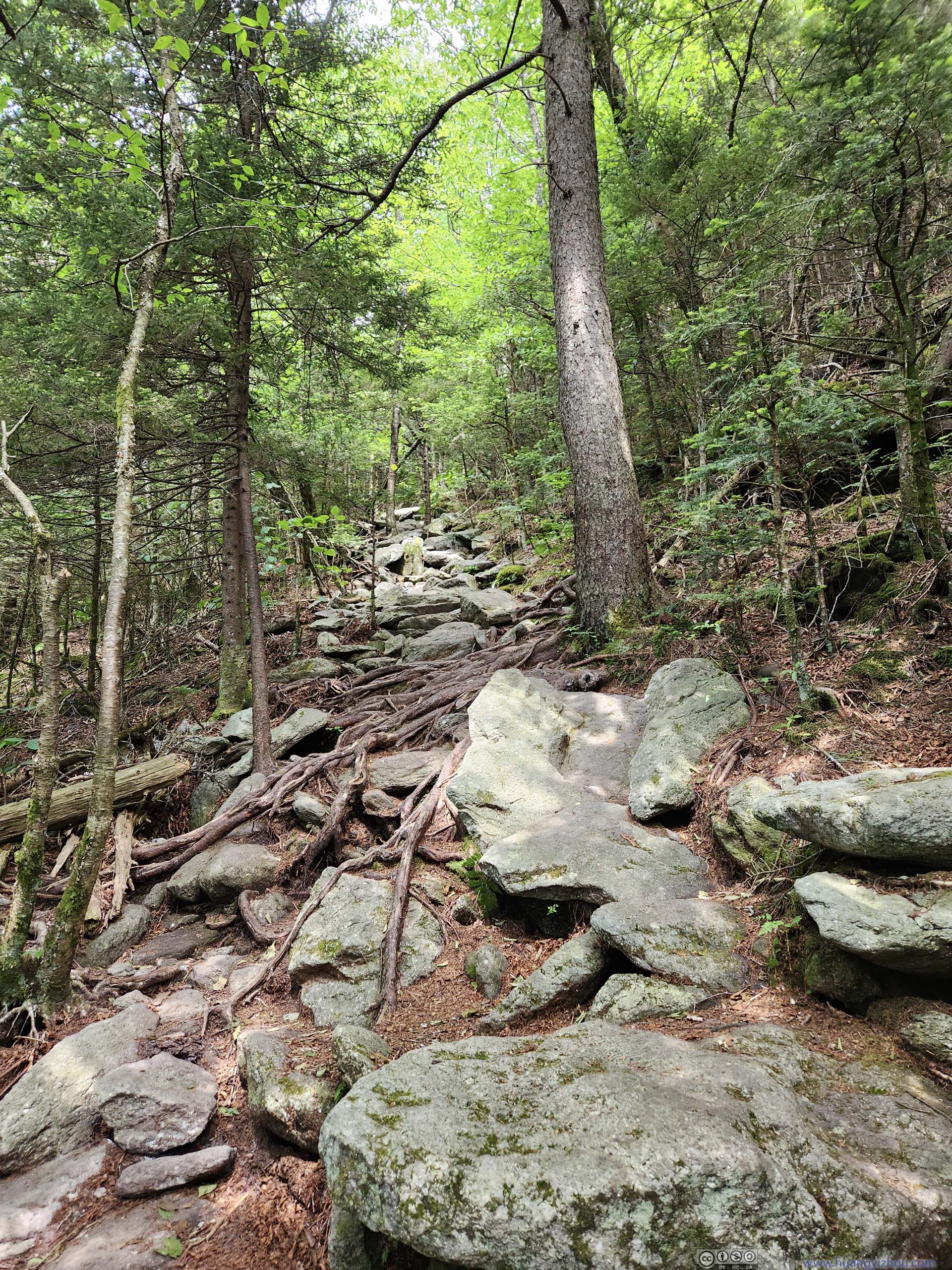
First, I took the “Grandfather Extension Trail” as I started from the lower parking lot. This portion was largely in the woods, not very remarkable.
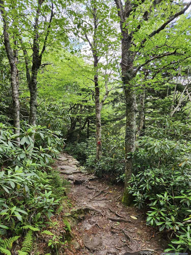 Trail
Trail Trail
Trail Trail
Trail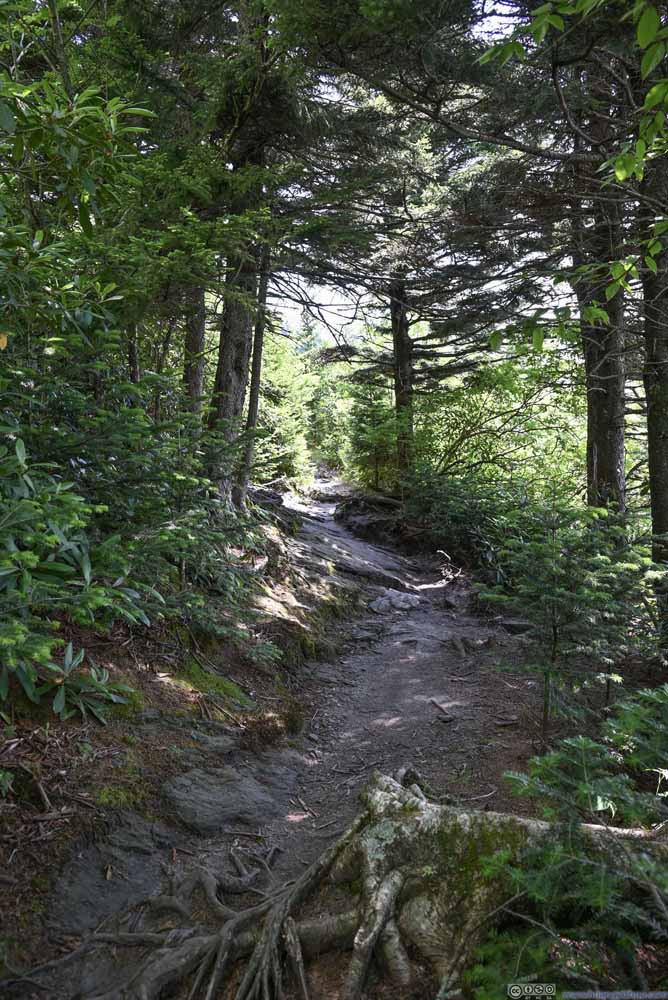 Trail
Trail

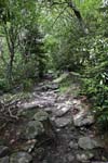


Click here to display photos of Grandfather Extension Trail.
Trail
Trail
Trail
Trail
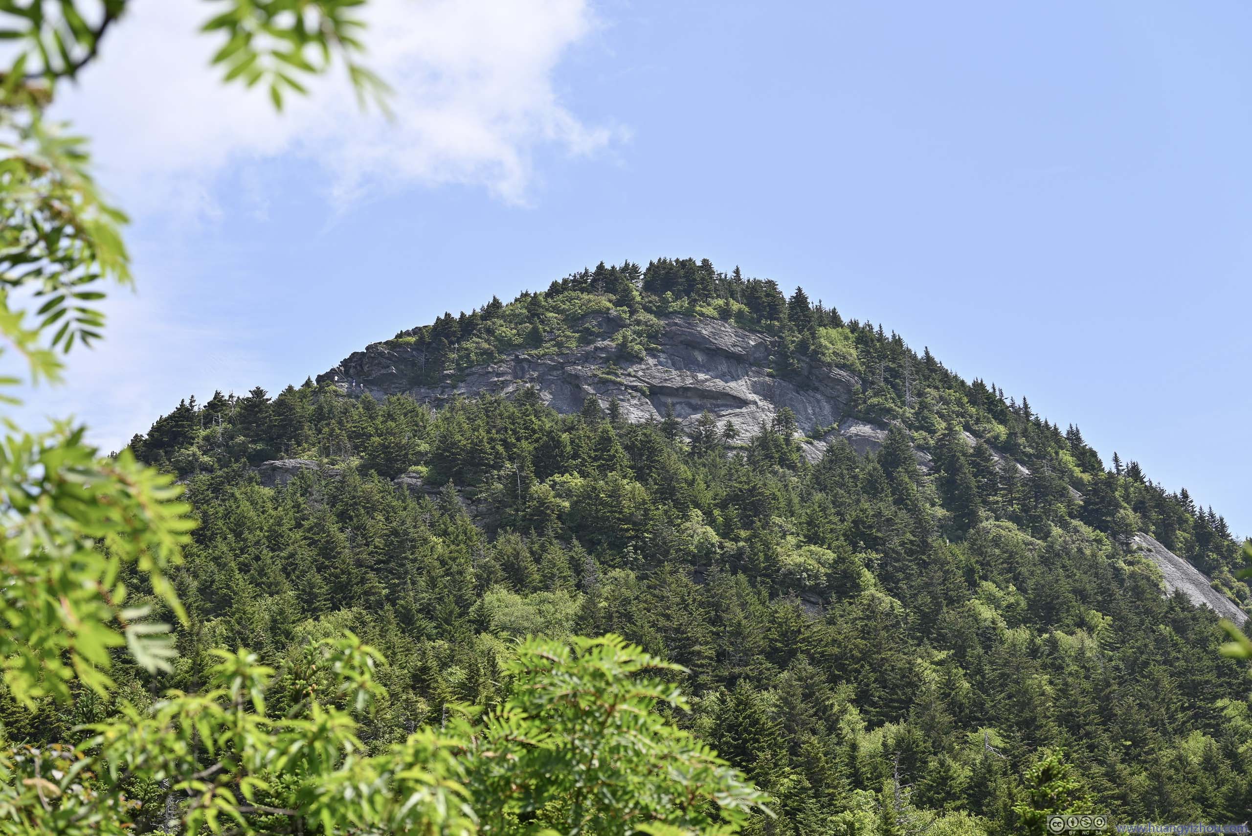
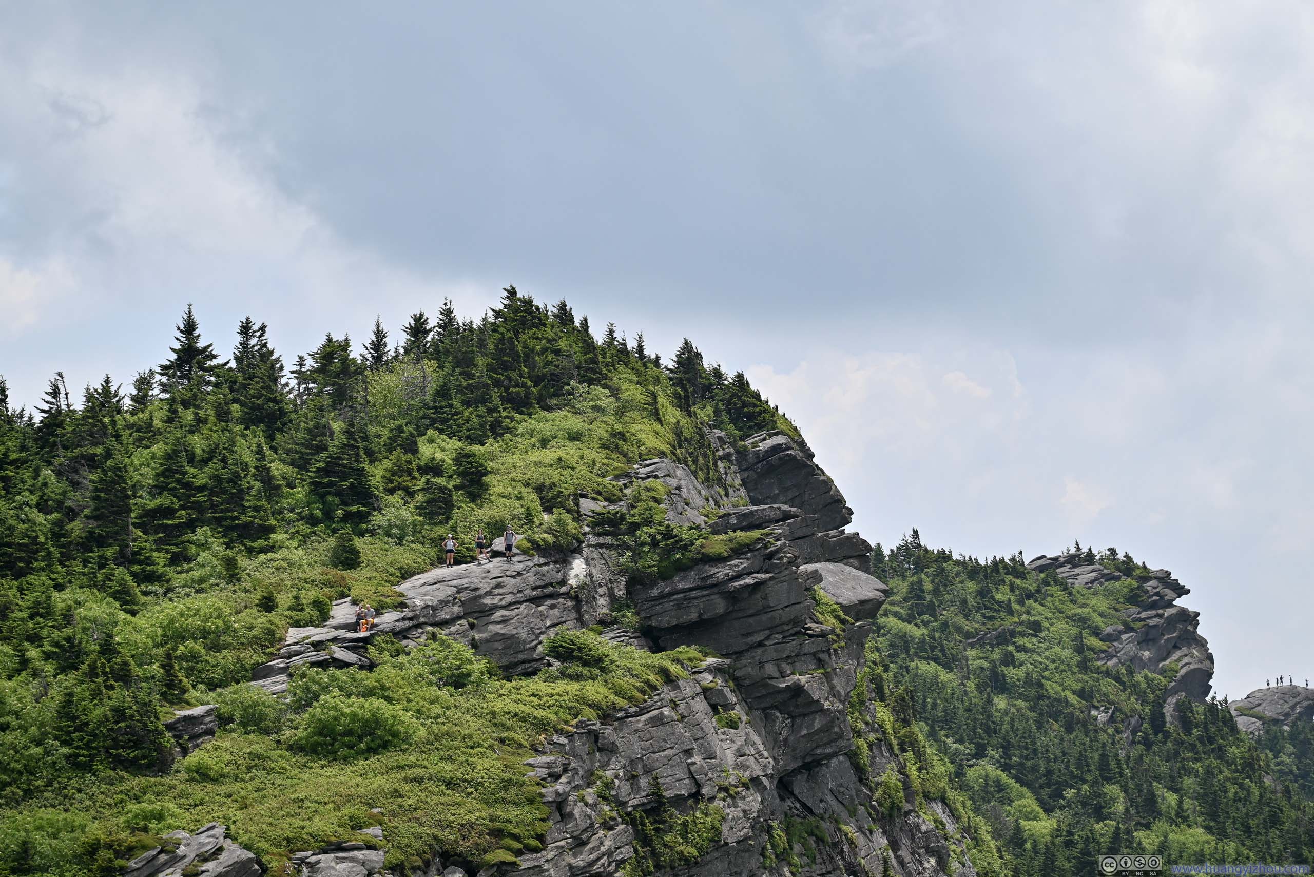
After I got onto the main Grandfather Trail, it passed “Grandfather Gap”, before it forked into two branches. The main trail continued through challenging/exciting landscape onto MacRae Peak, while “Underwood Trail” bypassed MacRae Peak in a more gentle landscape. Since I wanted to check out MacRae Peak, I followed the former.
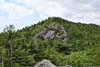
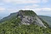
 MacRae PeakWhen “Grandfather Extension Trail” met the main trail, first sight of MacRae Peak from the trail.
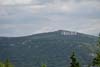
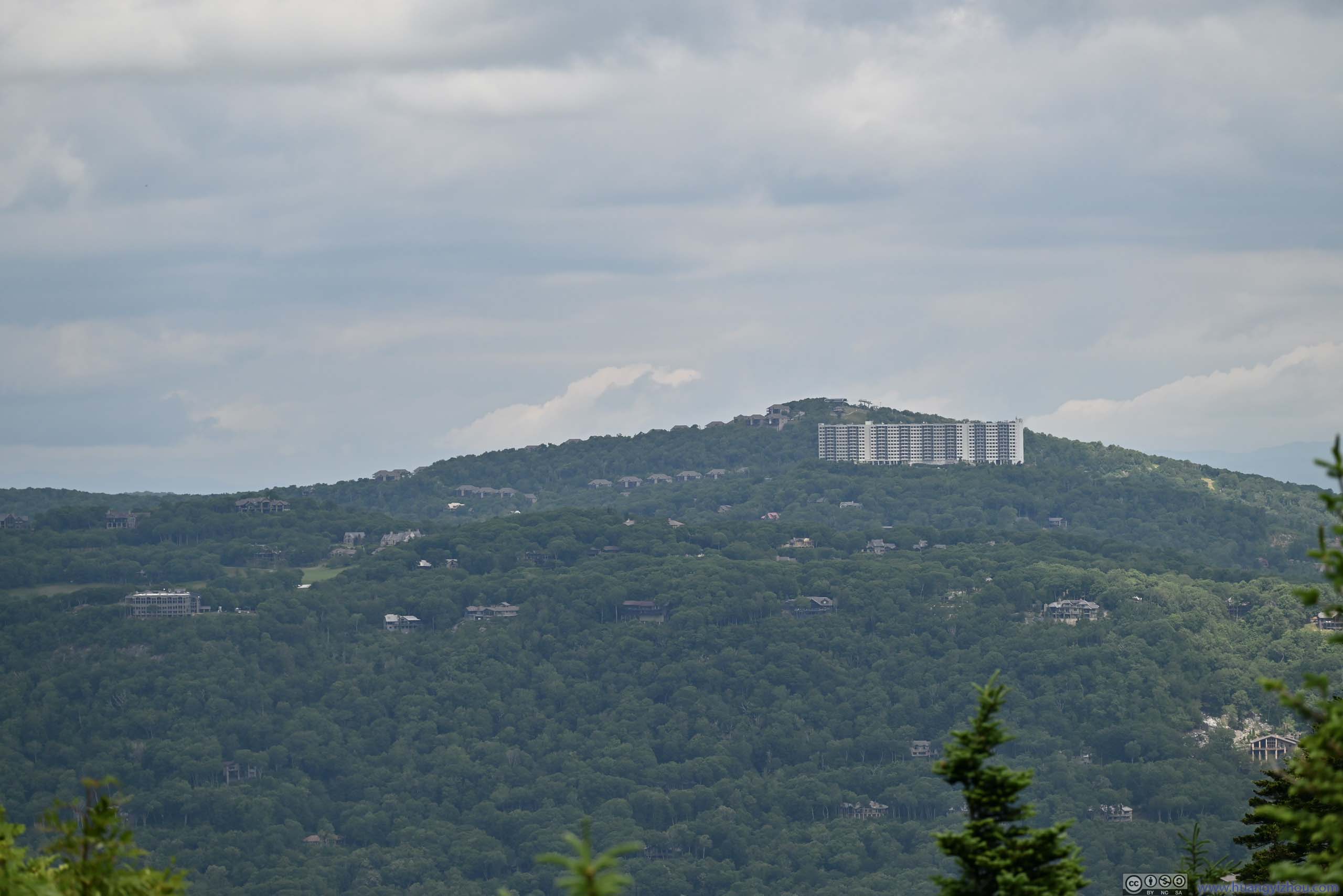
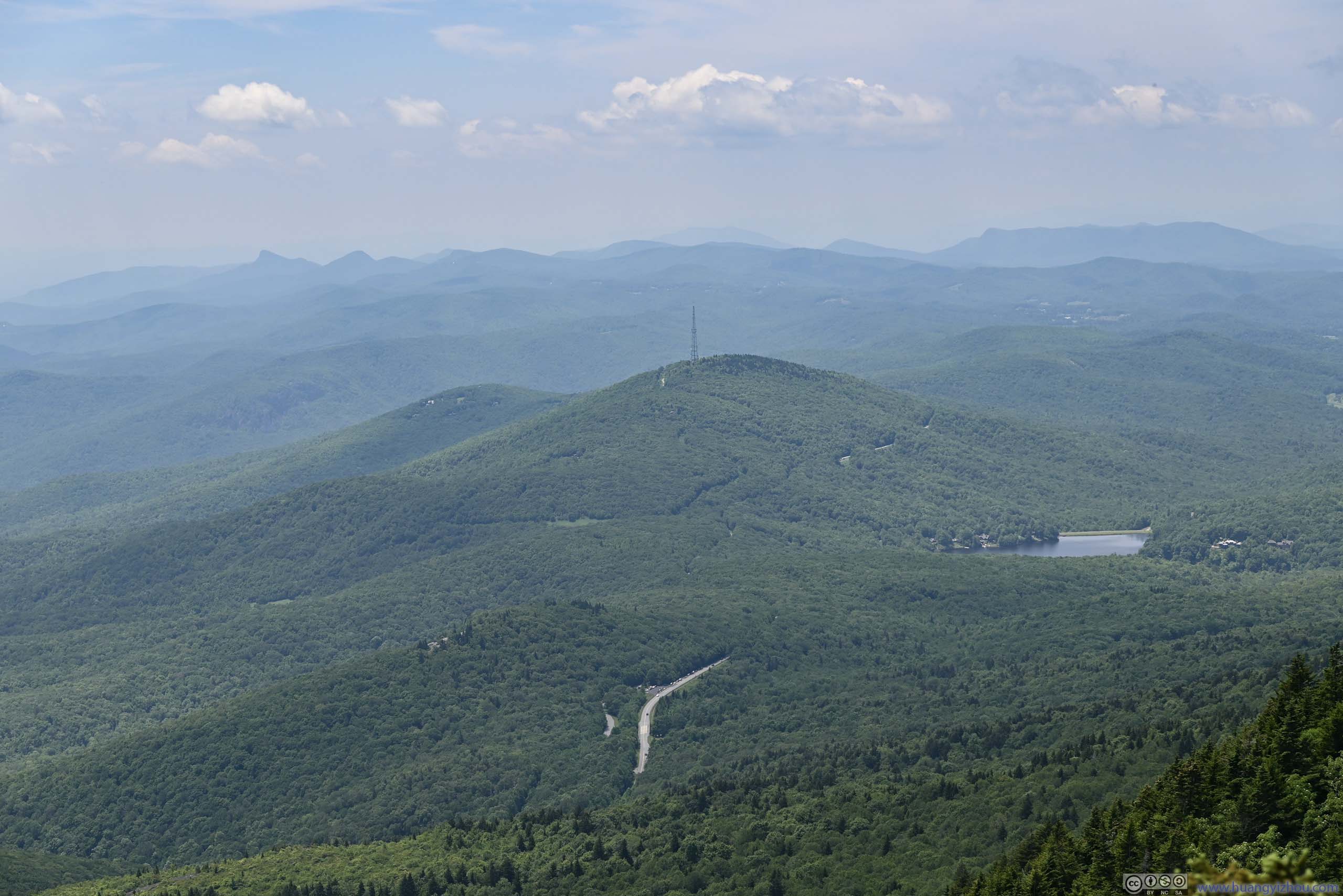
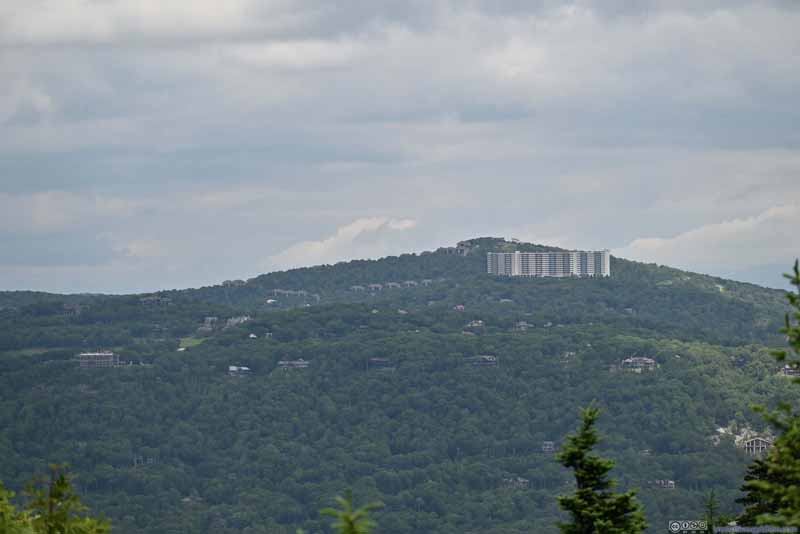 Sugar Top Resort
A condominium next to a ski resort. Since its construction, North Carolina had passed “Ridge Law” preventing such structure from being constructed in the future.
Sugar Top Resort
A condominium next to a ski resort. Since its construction, North Carolina had passed “Ridge Law” preventing such structure from being constructed in the future. HillLooking back towards the trailhead.
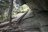
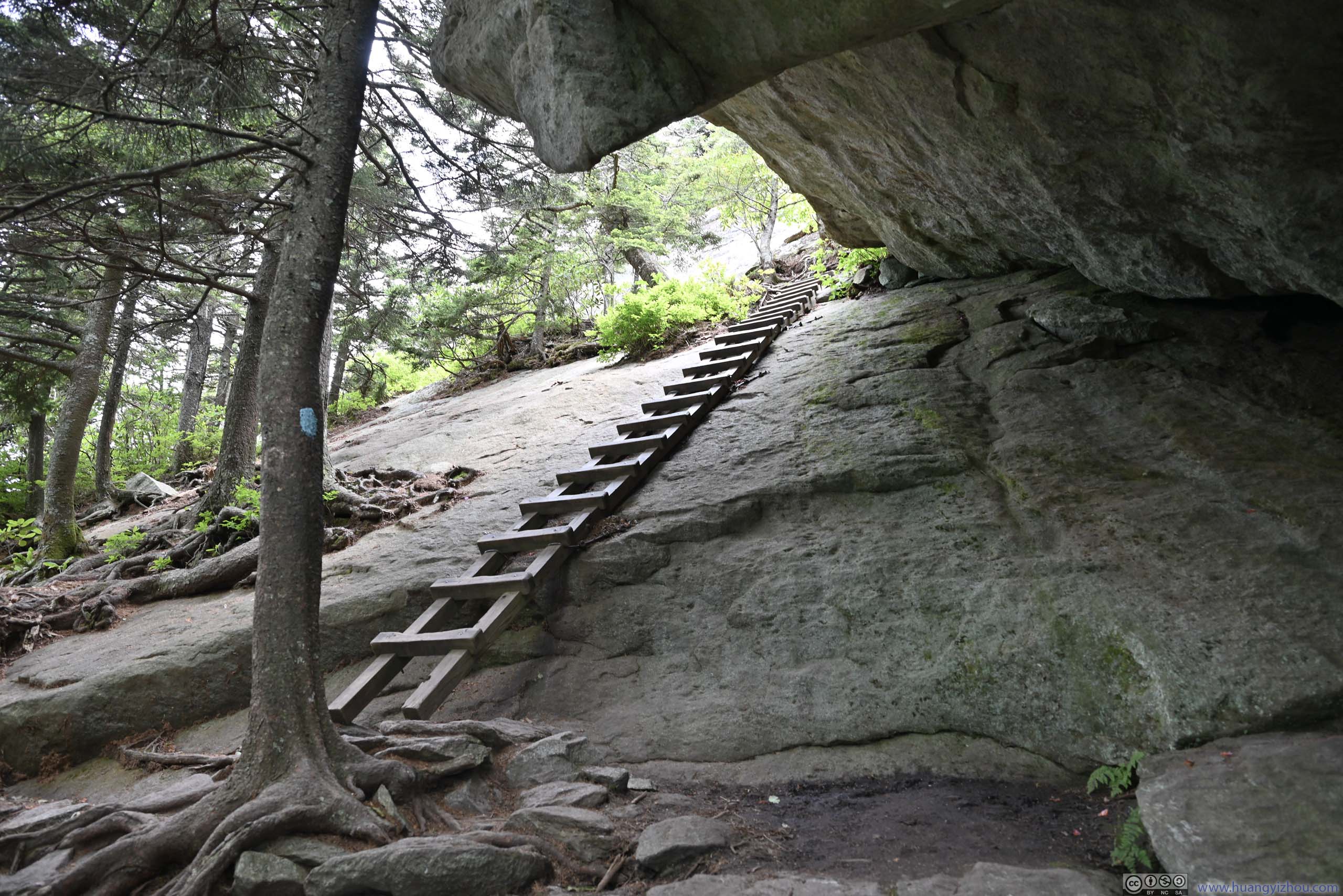
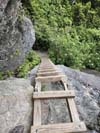
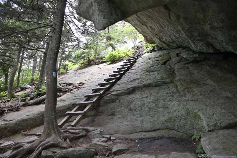 LadderOn a steep slope.
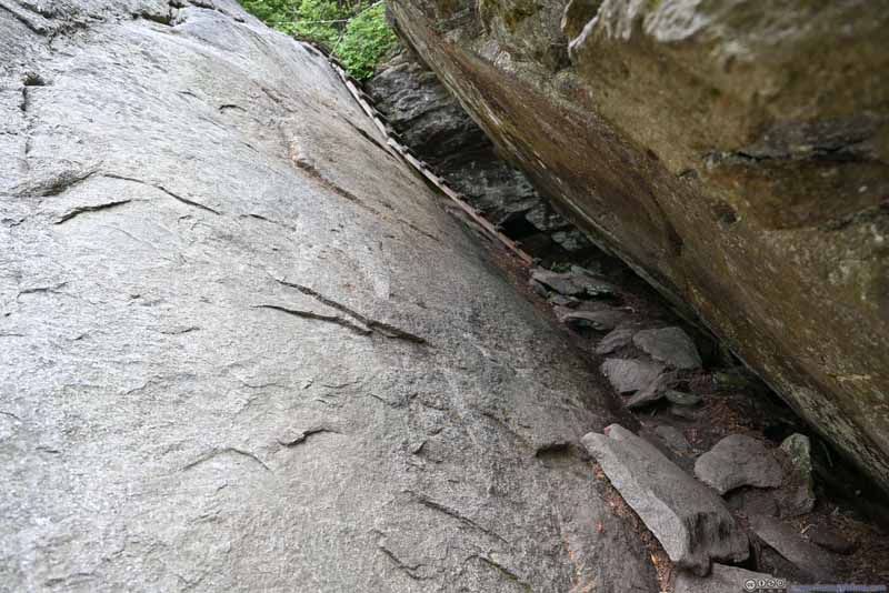 Passage between Two BouldersFollowed by a ladder.
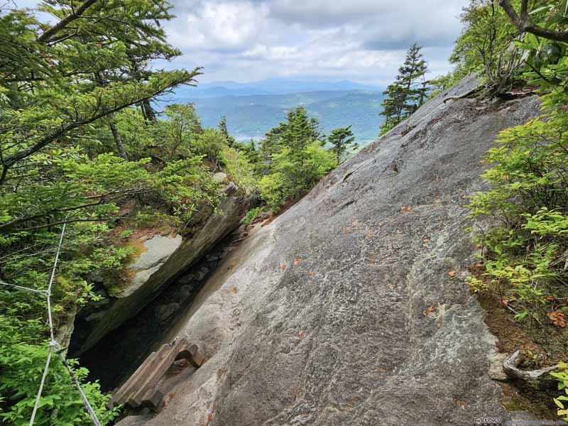 Passage between Two BouldersLooking back from the top of the ladder.

Click here to display photos of the slideshow
MacRae PeakWhen “Grandfather Extension Trail” met the main trail, first sight of MacRae Peak from the trail.
Sugar Top Resort
HillLooking back towards the trailhead.
Ladder on Steep Slope

Passage between Two BouldersFollowed by a ladder.

Passage between Two BouldersLooking back from the top of the ladder.
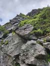
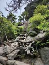
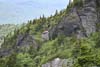
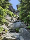
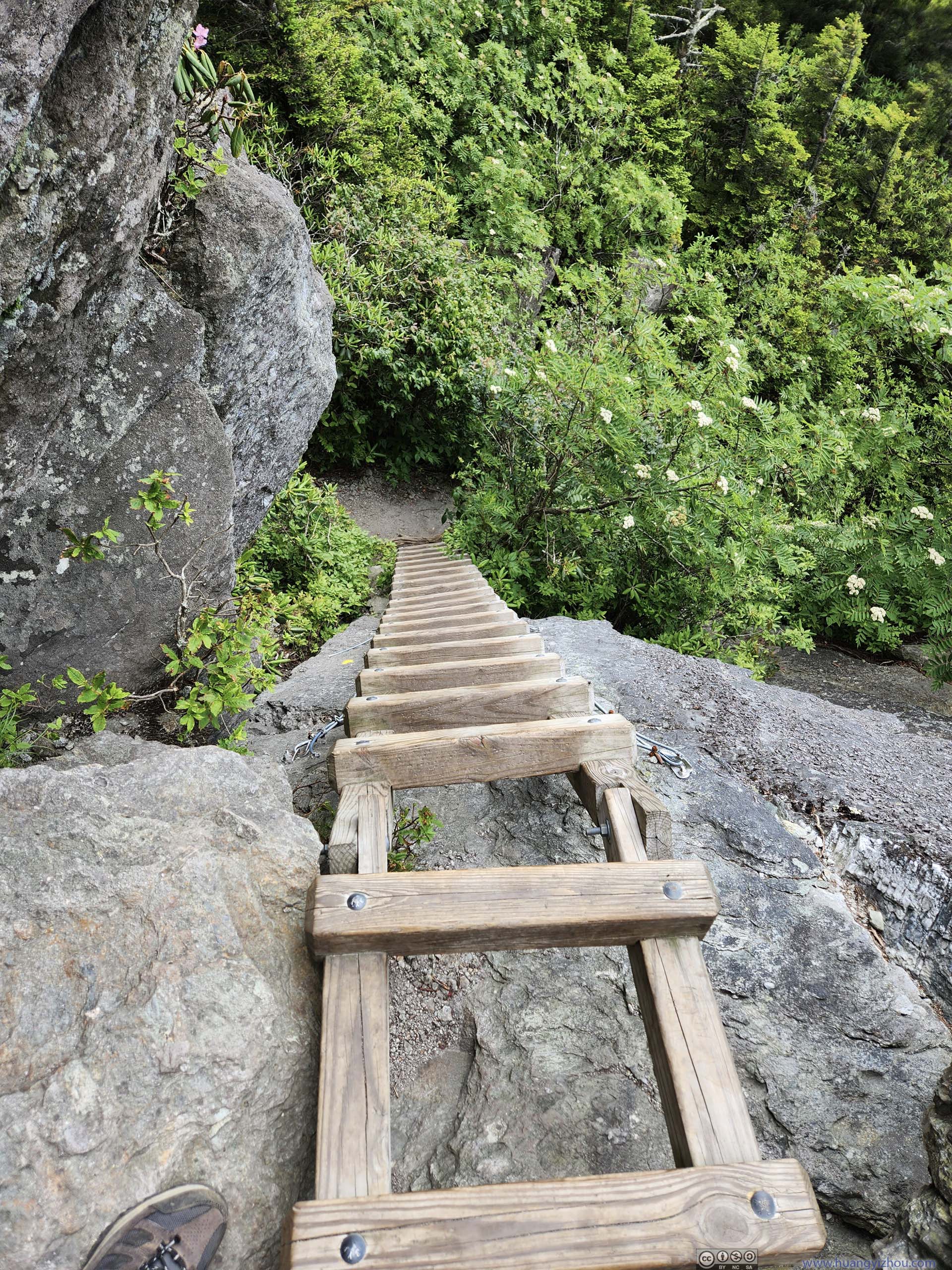
Not long after leaving the intersection, the trail started to enter some rocky terrain. From satellite image, the western face of MacRae Peak was very steep. With the help of a series of ladders, the trail made its way up MacRae Peak.
 Trail on Rocks
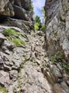
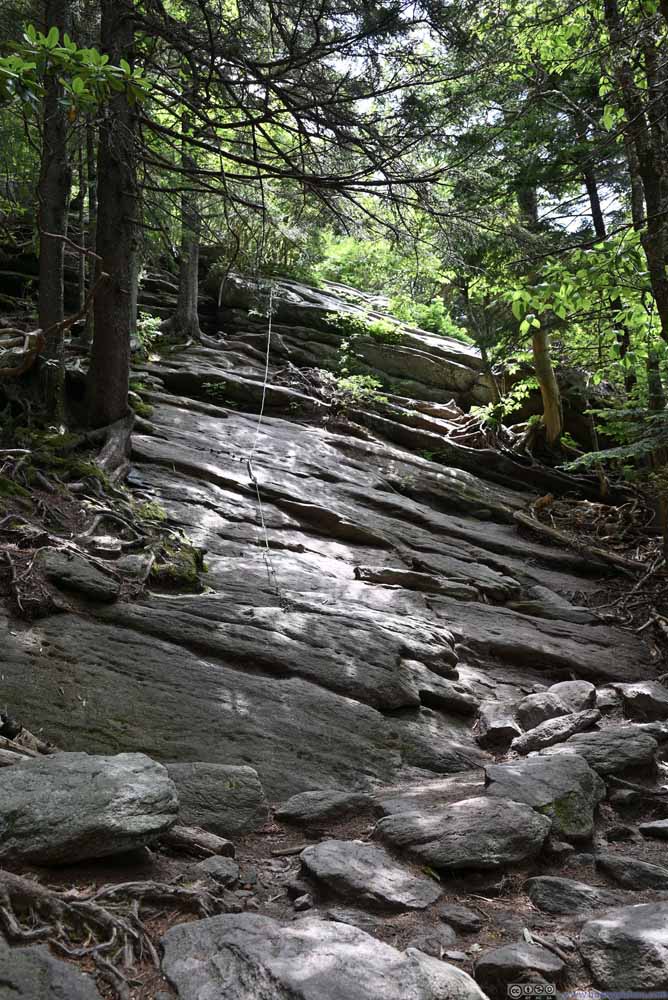 Trail with Rope
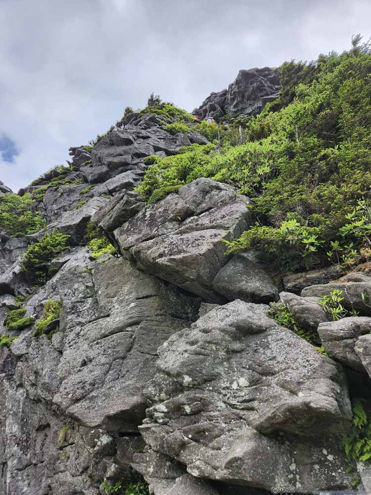 Looking Up to MacRae PeakThis was probably the most exciting portion of the trail.
 LaddersA series of ladders leading up to the side of MacRae Peak.
Click here to display photos of the trail and ladders.

Trail on Rocks
Trail with Rope

Looking Up to MacRae PeakThis was probably the most exciting portion of the trail.
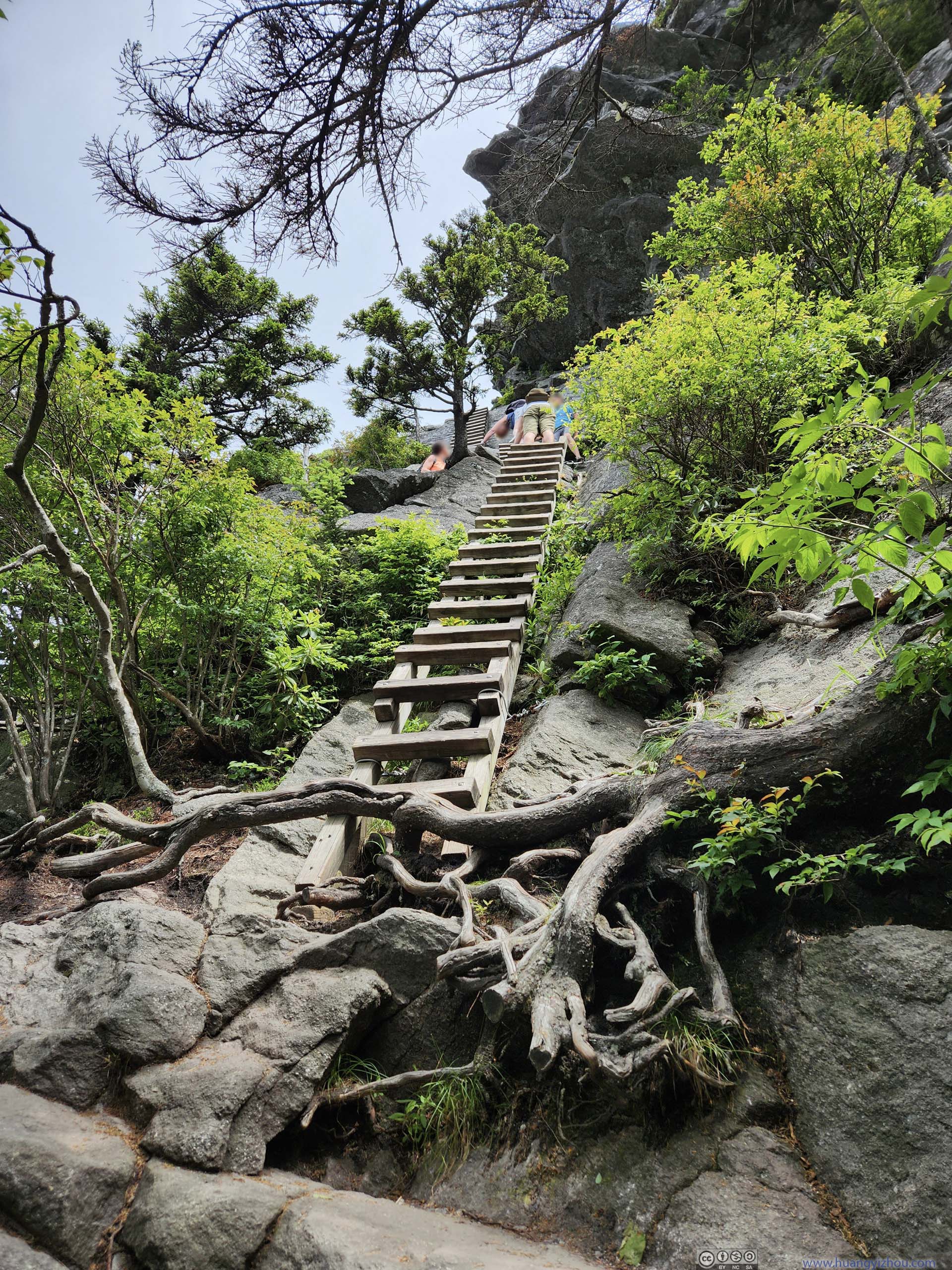
LaddersA series of ladders leading up to the side of MacRae Peak.
On top of a series of ladders was what felt to me like the summit plateau of MacRae Peak, with the first proper views of the day. I joined many others who had just finished the exciting ladder climb to enjoy both the breeze and the view.
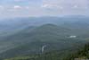
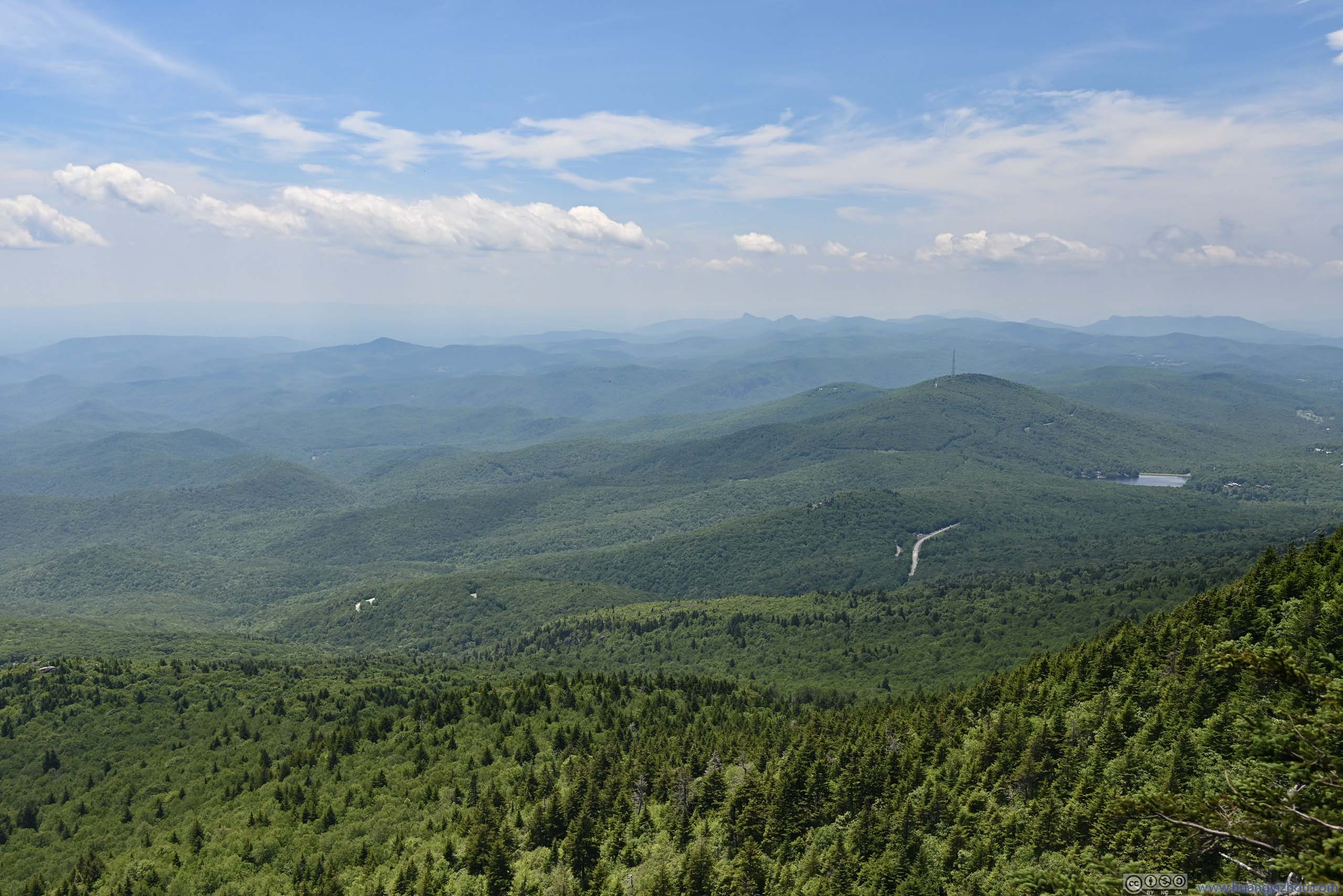
 Mountains to the West
 Linville Peak and Mile High Swing BridgeFor most visitors to Grandfather Mountain, this was the top attraction on their list.
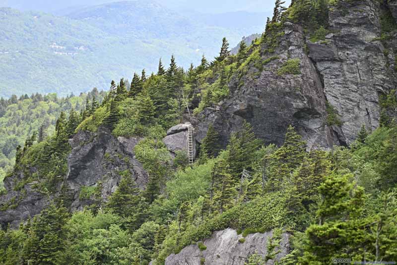 Ladder along Underwood Trail
Underwood Trail bypassed MacRae Peak on its way to Calloway Peak. This was the only ladder along an otherwise not-very-exciting trail.
Ladder along Underwood Trail
Underwood Trail bypassed MacRae Peak on its way to Calloway Peak. This was the only ladder along an otherwise not-very-exciting trail.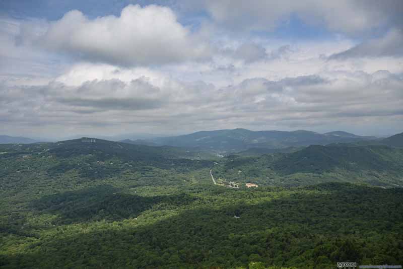 Mountains to the North
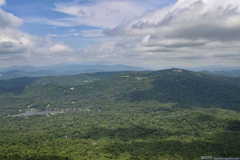 Mountains to the Northwest
Click here to display photos of the slideshow

Mountains to the West
Linville Peak and Mile High Swing BridgeFor most visitors to Grandfather Mountain, this was the top attraction on their list.
Ladder along Underwood Trail
Mountains to the North
Mountains to the Northwest
 View from MacRae Peak Summit Plateau
After that, I continued towards MacRae Peak which was just a short distance away.
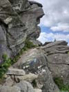
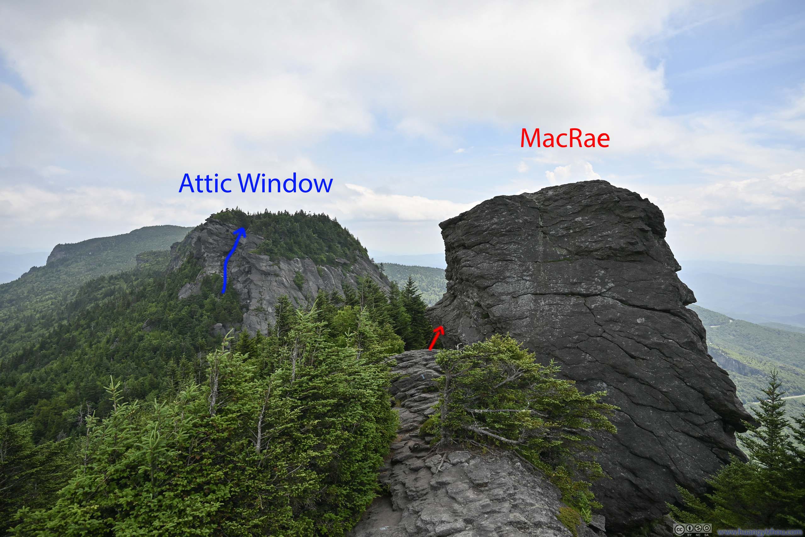
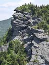
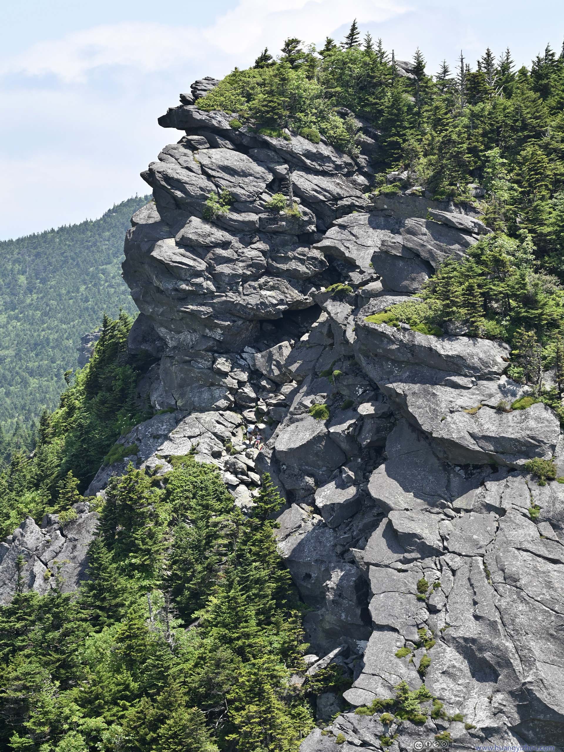
 Routes
Despite its precarious look, MacRae Peak was accessed via a ladder (red arrow) in the back. In the background, it took some scrambling along the path (blue arrow) to reach Attic Window Peak.
Routes
Despite its precarious look, MacRae Peak was accessed via a ladder (red arrow) in the back. In the background, it took some scrambling along the path (blue arrow) to reach Attic Window Peak. Ladder to MacRae Peak
 Attic Window PeakThe next peak along the trail, looking gorgeous from this angle.
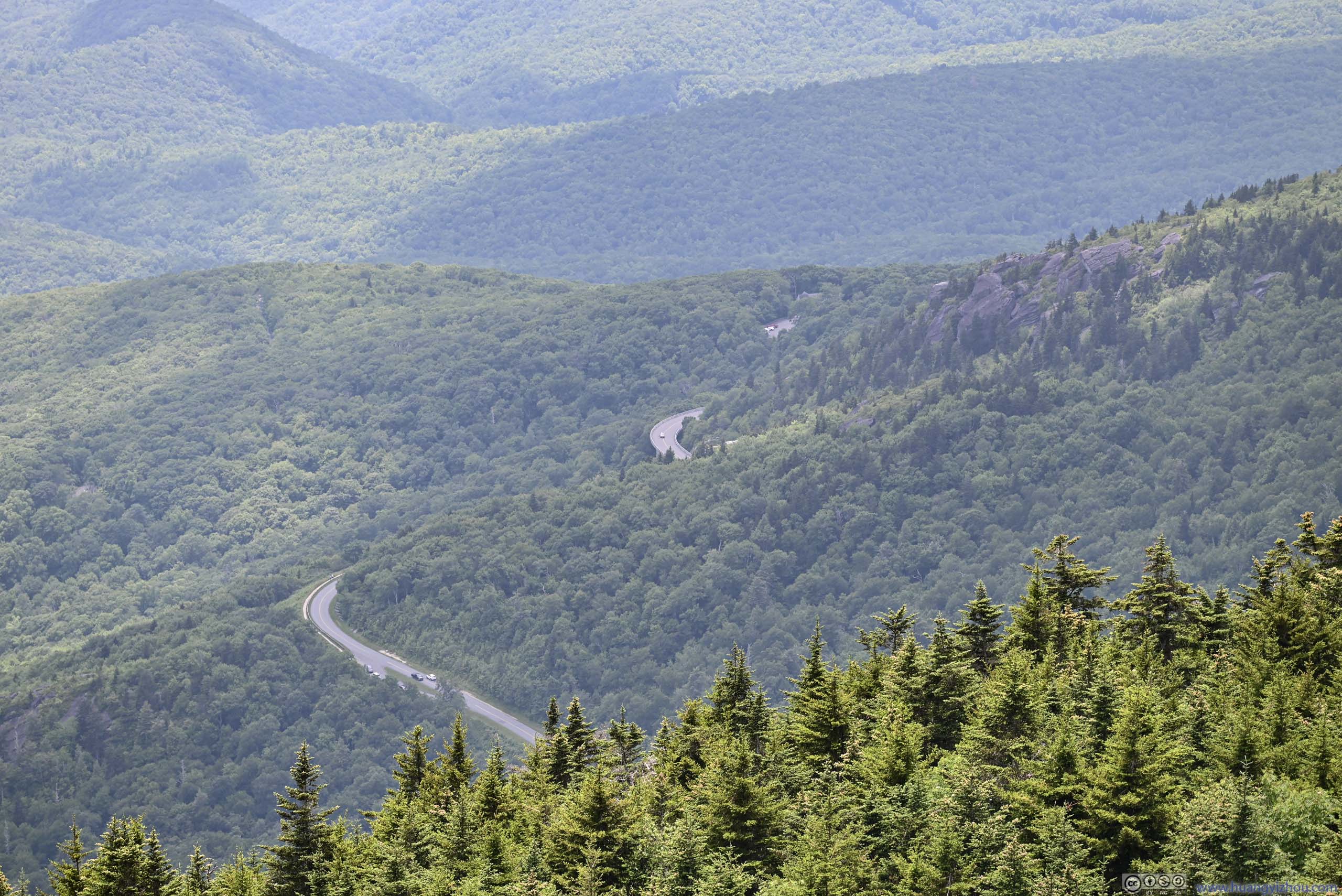
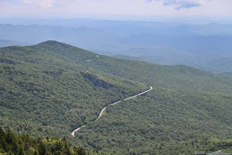 Blue Ridge ParkwayUnfortunately, there weren’t views of the famous portion of Linn Cove Viaduct.
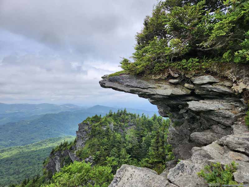 Overhanging Rocks
Captured earlier along the trail. I was surprised to find soil and vegetation on top of this rocky outcrop.
Overhanging Rocks
Captured earlier along the trail. I was surprised to find soil and vegetation on top of this rocky outcrop.


Click here to display photos of the slideshow
Routes
Ladder to MacRae Peak
Attic Window PeakThe next peak along the trail, looking gorgeous from this angle.
Blue Ridge ParkwayUnfortunately, there weren’t views of the famous portion of Linn Cove Viaduct.
Overhanging Rocks
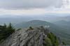
After a ladder climb and a few steps with minimal exposure (there was a rope providing handhold though), I reached the summit of MacRae Peak, with an unobstructed 360-degree view. To put it in simple terms, this was the best view of the day, with rolling hills extending as far as eyes could see down the horizon. It was a pity that the wind was rather strong on top of MacRae Peak, so I couldn’t stay there for longer while enjoying some snacks.
View from MacRae Peak Summit
And here’s a panoramic video that I took on top of MacRae Peak. The wind was very audible.
20 seconds, 2160p30fps, 10Mbps for both H264/H265 for a total size of 26MB.
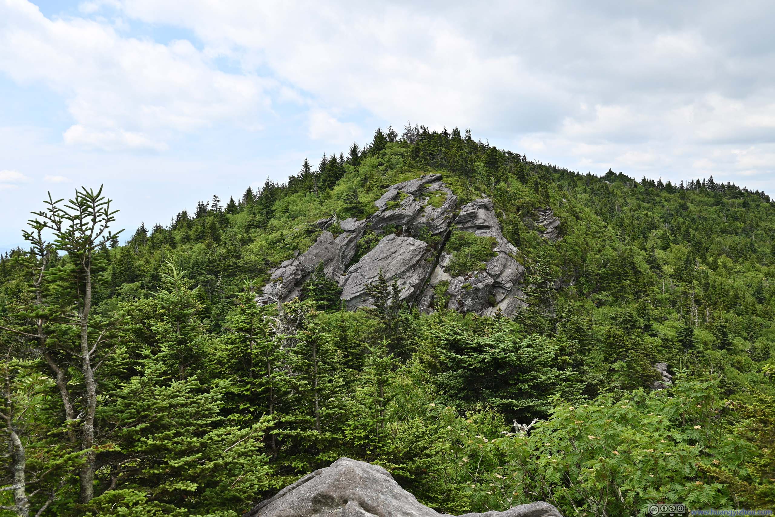
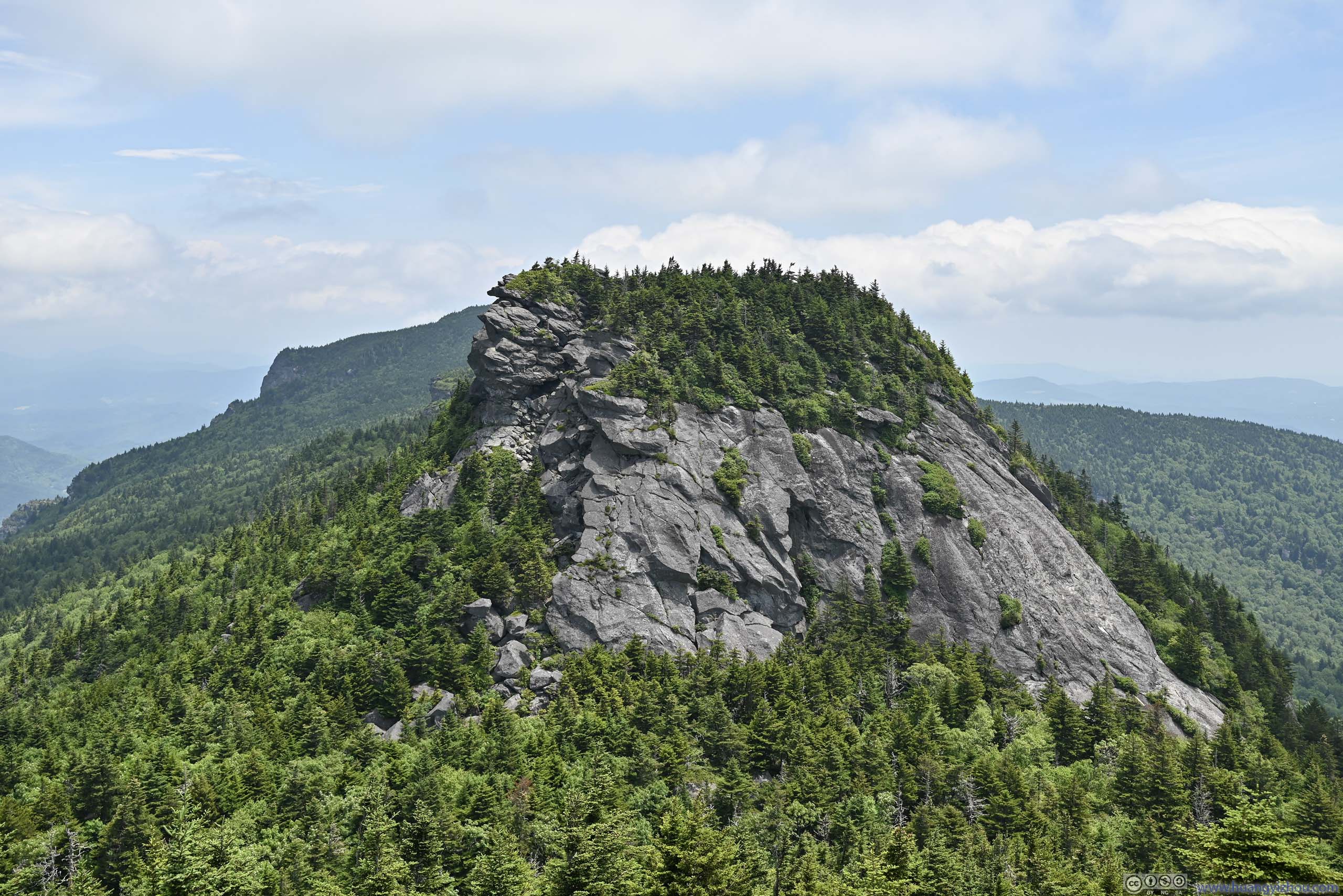
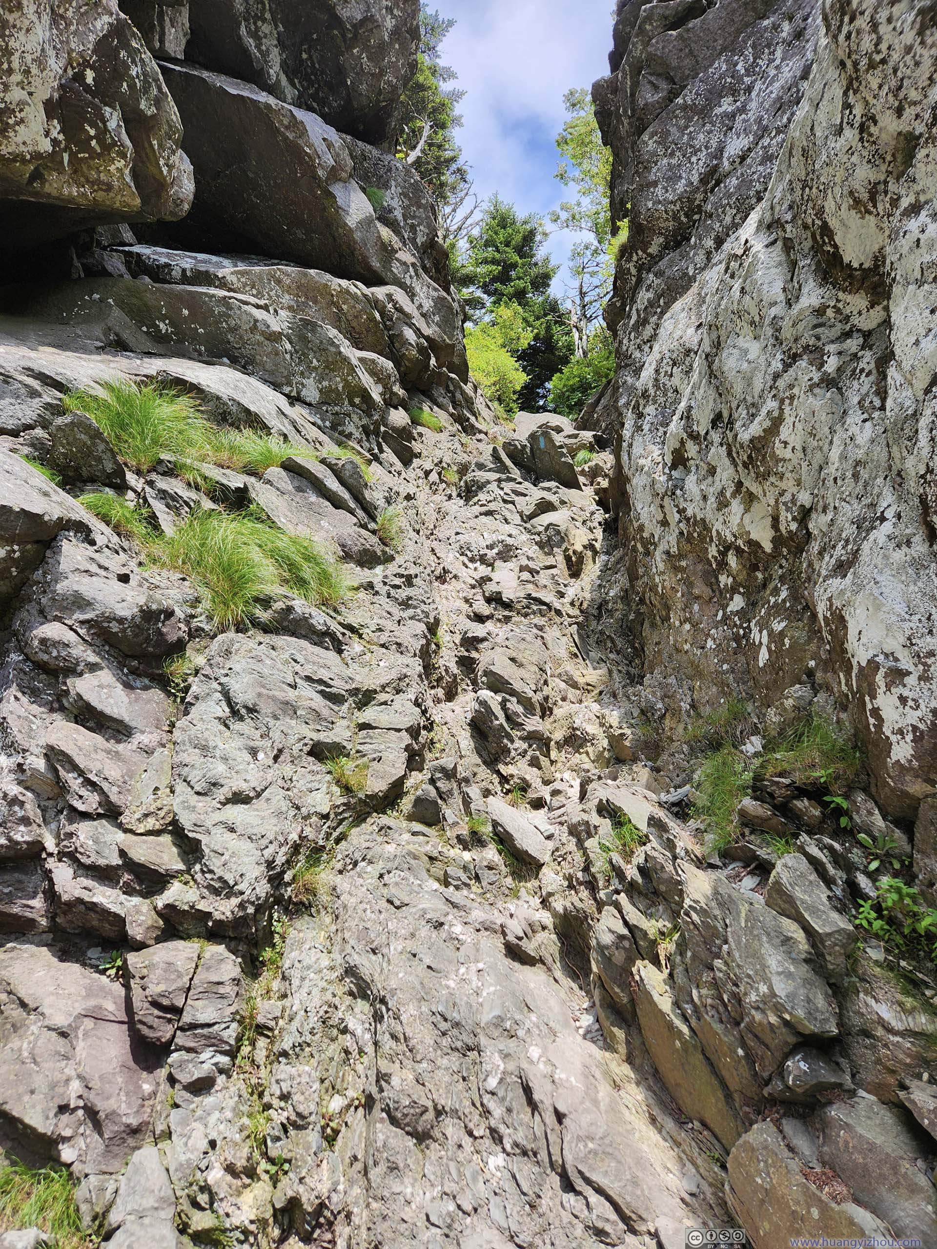
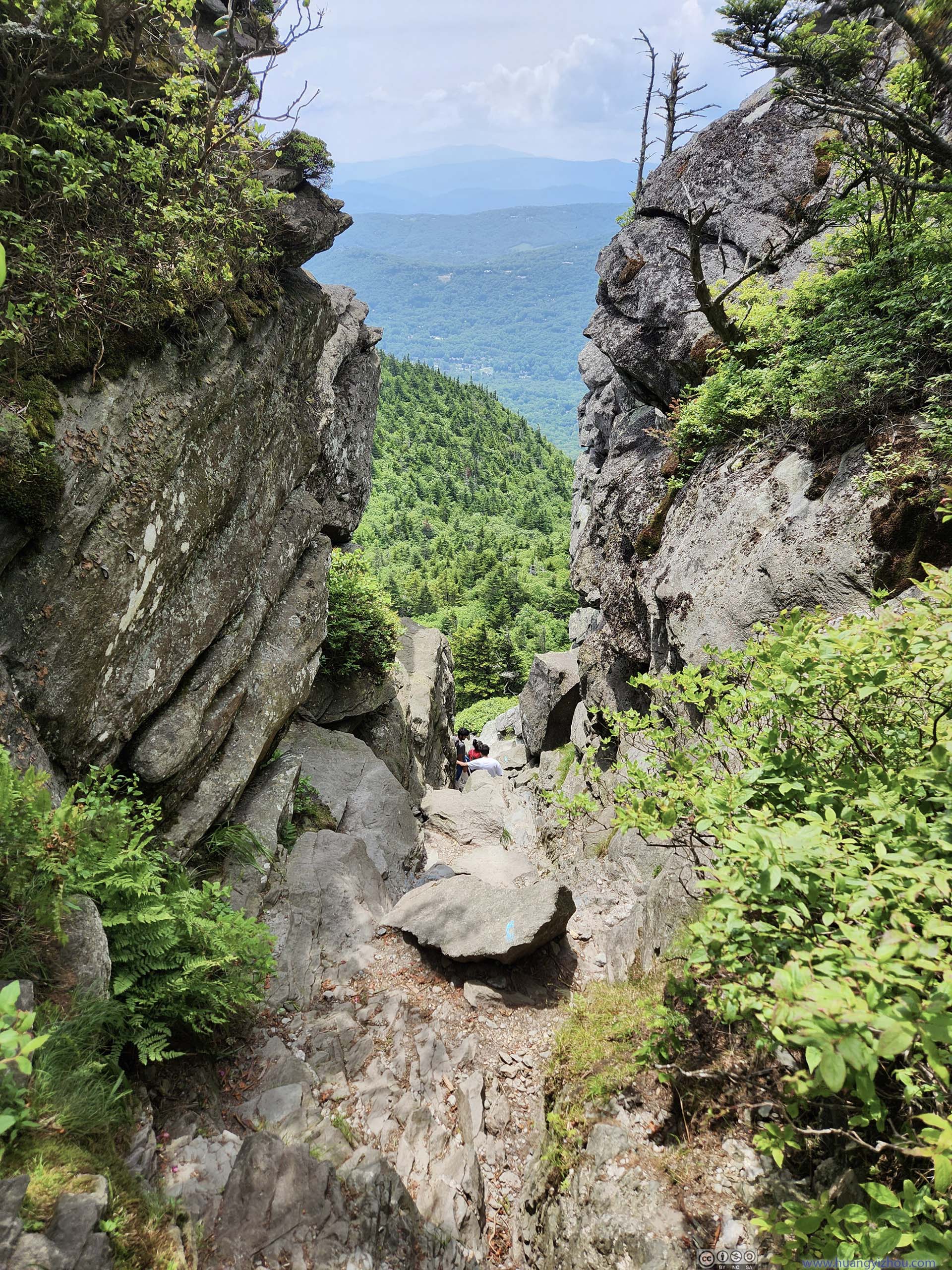
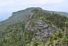
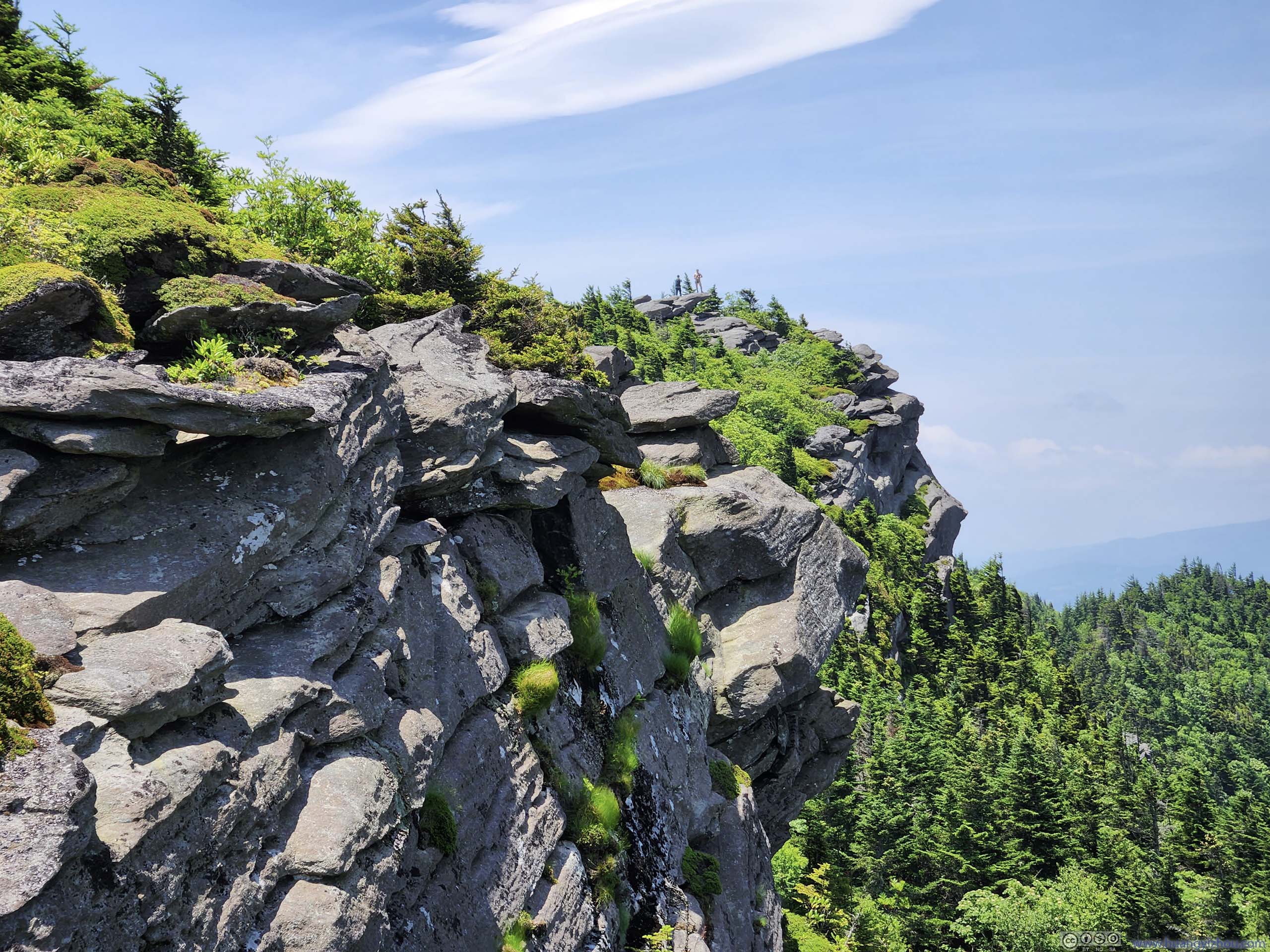
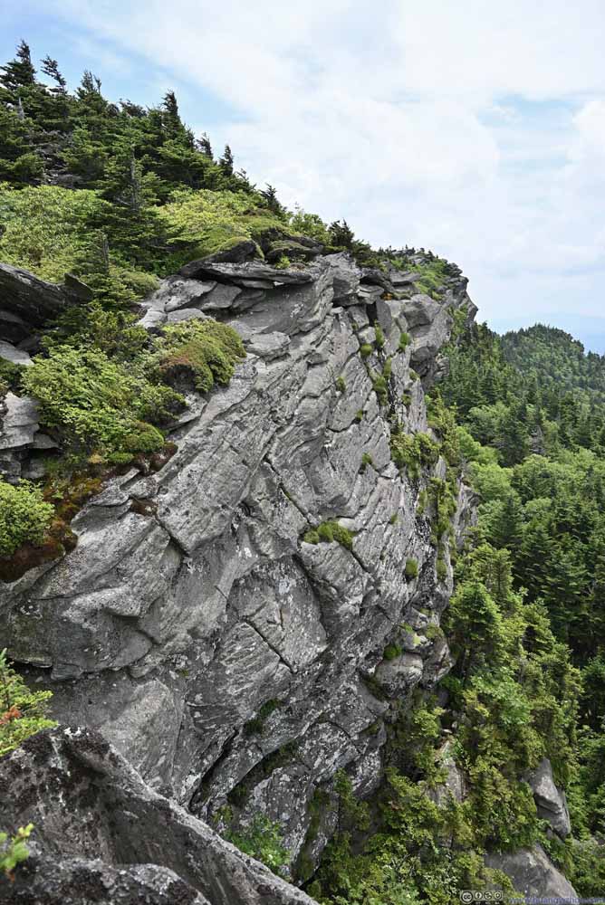
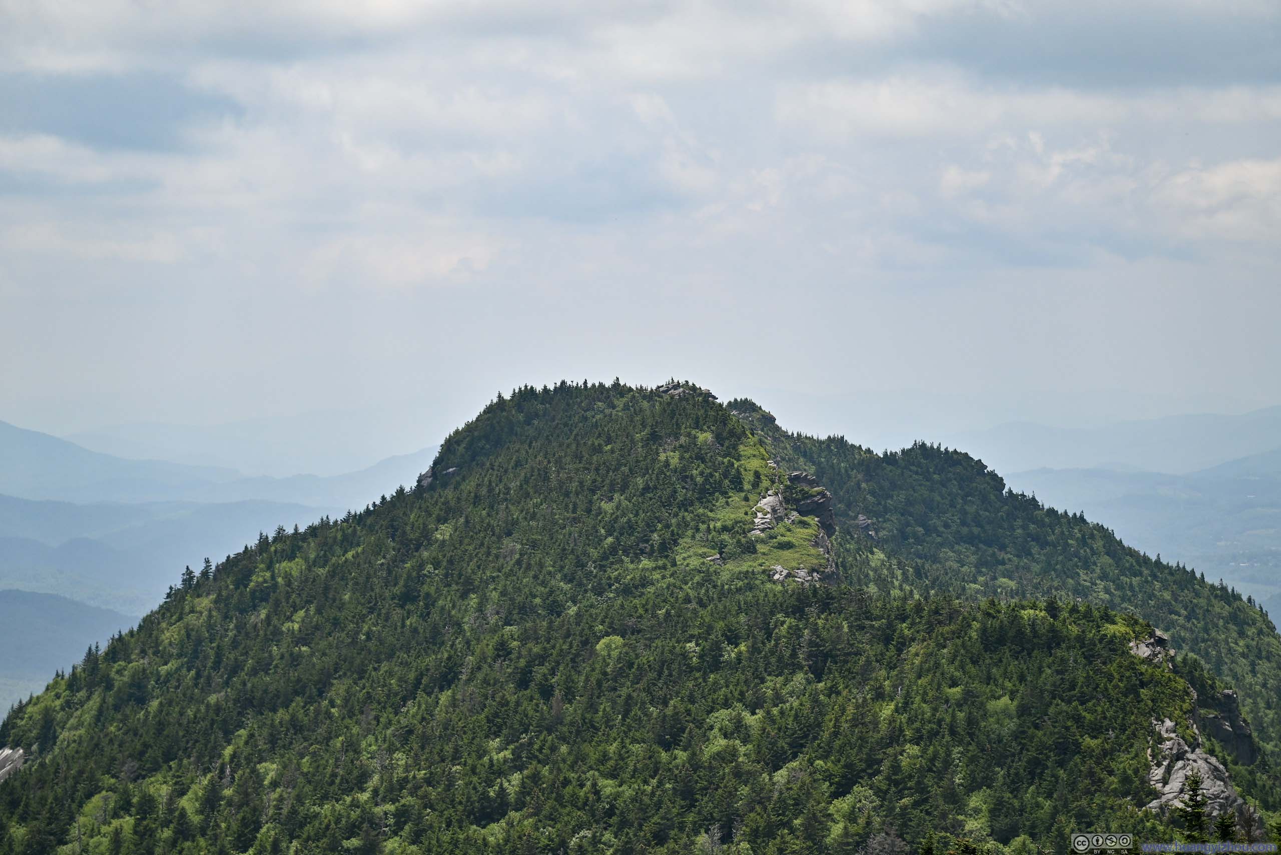
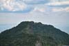
Next stop, it was Attic Window Peak. From the summit of MacRae Peak, the rugged west face of Attic Window Peak looked like a sheer dropoff with its exposed rocks. However, a trail found its way amid a steep gully (called “The Chute”) that somehow made its way atop the mountain. From MacRae Peak, it was a sight both awesome and frightening.
Leaving MacRae Peak, the trail first went through a relatively steep descent (aided by ropes), merged with Underwood Trail, before going up along “The Chute”. There were a few YDS class 3 moves along “The Chute”, however, in my opinion exposure was very minimal along “The Chute” (despite p1 of the following slideshow looked pretty scary).
 Path up Attic Window Peak
Captured earlier from the summit of MacRae Peak. A pair of hikers visible in the center of this photo.
Path up Attic Window Peak
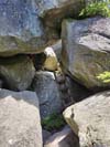
Captured earlier from the summit of MacRae Peak. A pair of hikers visible in the center of this photo. Rock TunnelsAt the bottom of The Chute.
 The Chute
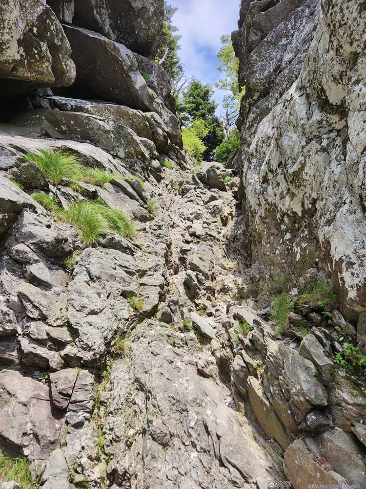 The Chute
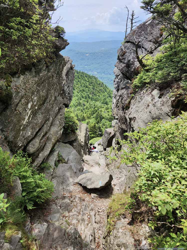 Looking Down The Chute
Click here to display photos of the “The Chute”.
Path up Attic Window Peak

Rock TunnelsAt the bottom of The Chute.

The Chute
The Chute
Looking Down The Chute
After climbing “The Chute”, a right turn would lead one to a campsite (marked on maps), with limited views to the south; a left turn would lead to the summit of Attic Window Peak (not marked on maps), where views were better.
 Mountains to the South
 Grandmother Mountain
On top of which was WUNE-TV transmitter tower. Didn’t look that impressive compared to Grandfather Mountain.
Grandmother Mountain
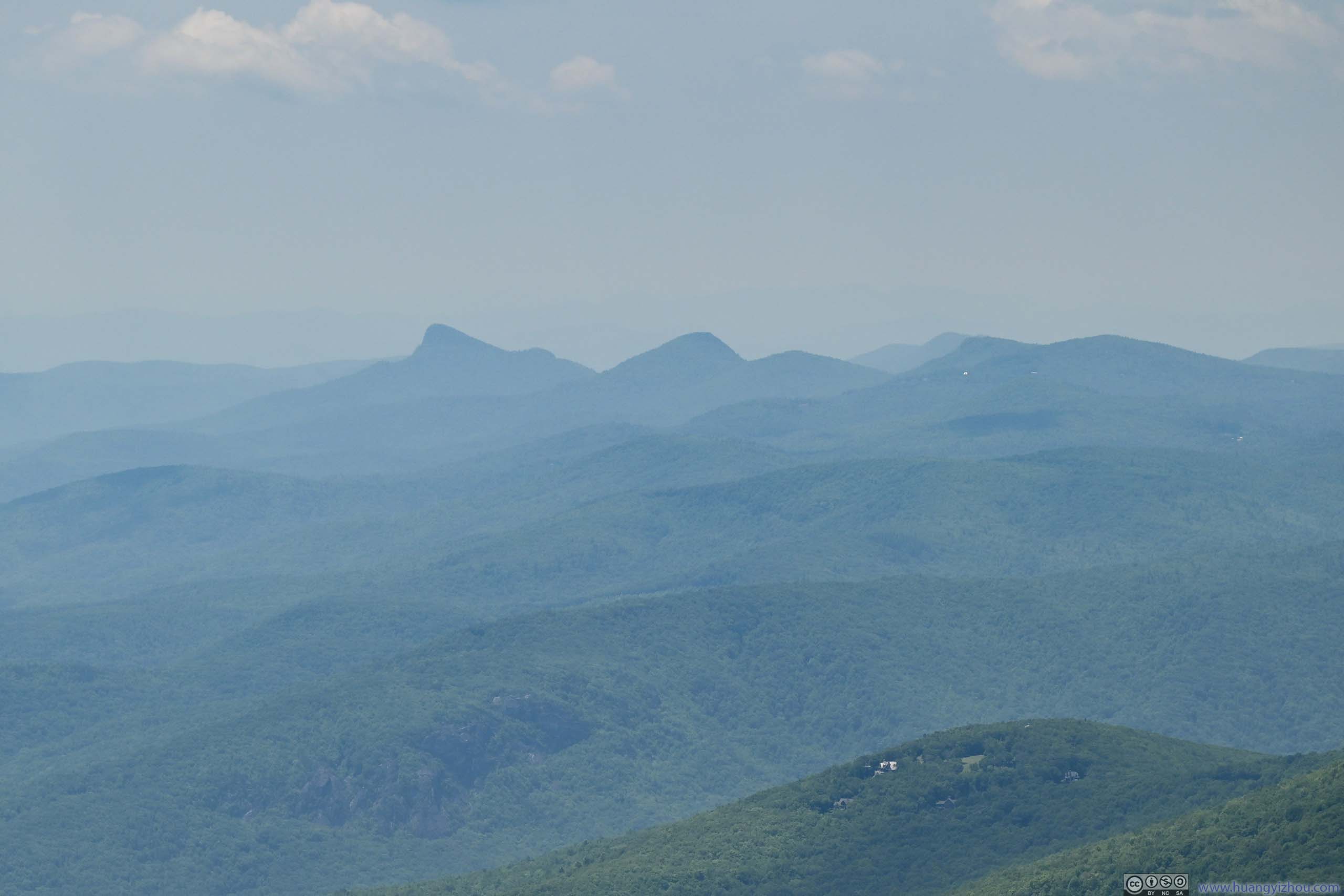
On top of which was WUNE-TV transmitter tower. Didn’t look that impressive compared to Grandfather Mountain.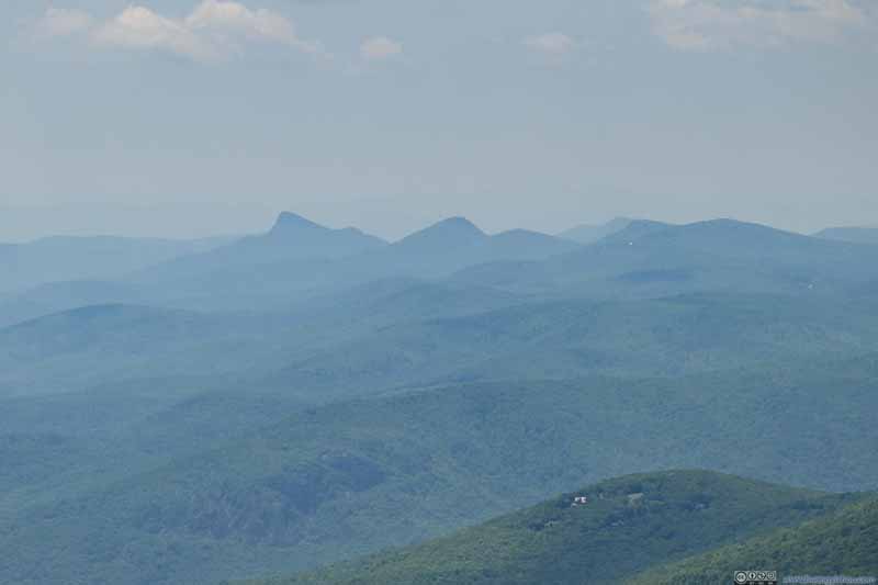 Distant Mountains
Along the eastern rim of Linville Gorge. Their distinctive shapes were often seen around the region.
Distant Mountains
Along the eastern rim of Linville Gorge. Their distinctive shapes were often seen around the region.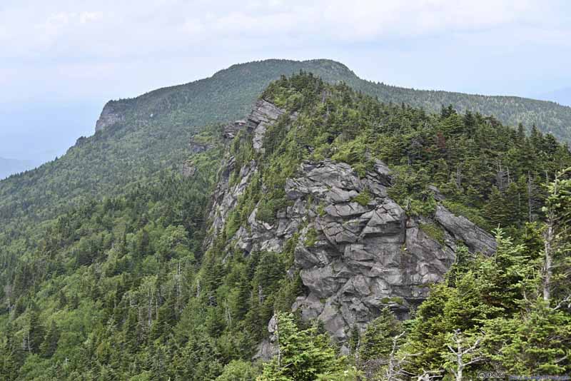 Cliff towards Calloway PeakThe trail found its way along this cliff onwards.
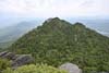
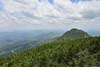
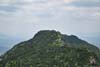
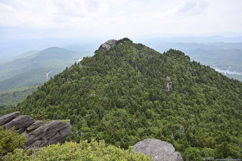 MacRae Peak
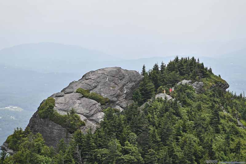 Summit of MacRae PeakA front seat view from Attic Window Peak.

Click here to display photos around the summit of Attic Window Peak.
Mountains to the South
Grandmother Mountain
Distant Mountains
Cliff towards Calloway PeakThe trail found its way along this cliff onwards.

MacRae Peak

Summit of MacRae PeakA front seat view from Attic Window Peak.
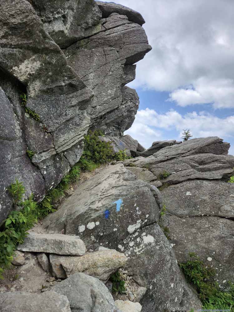
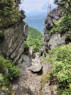
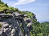
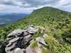
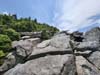
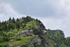
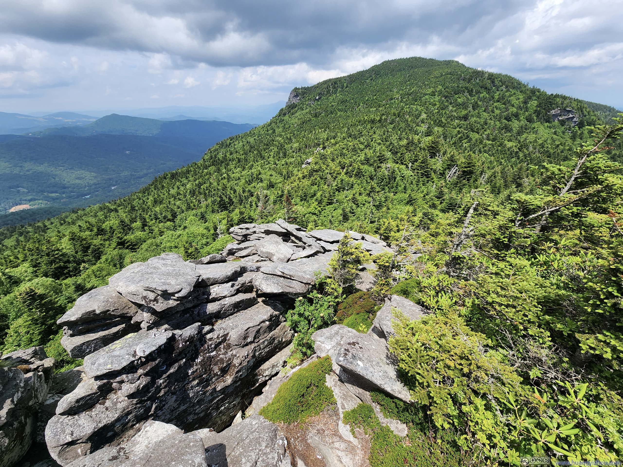
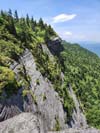
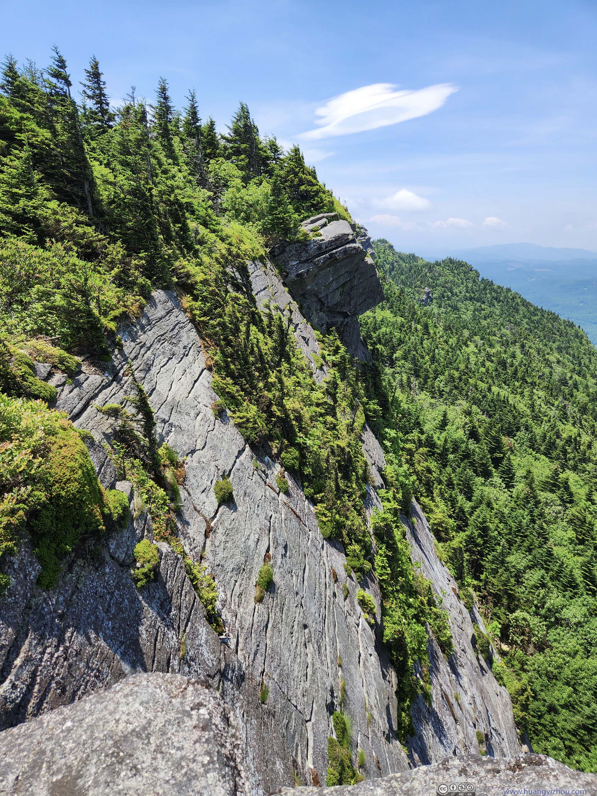
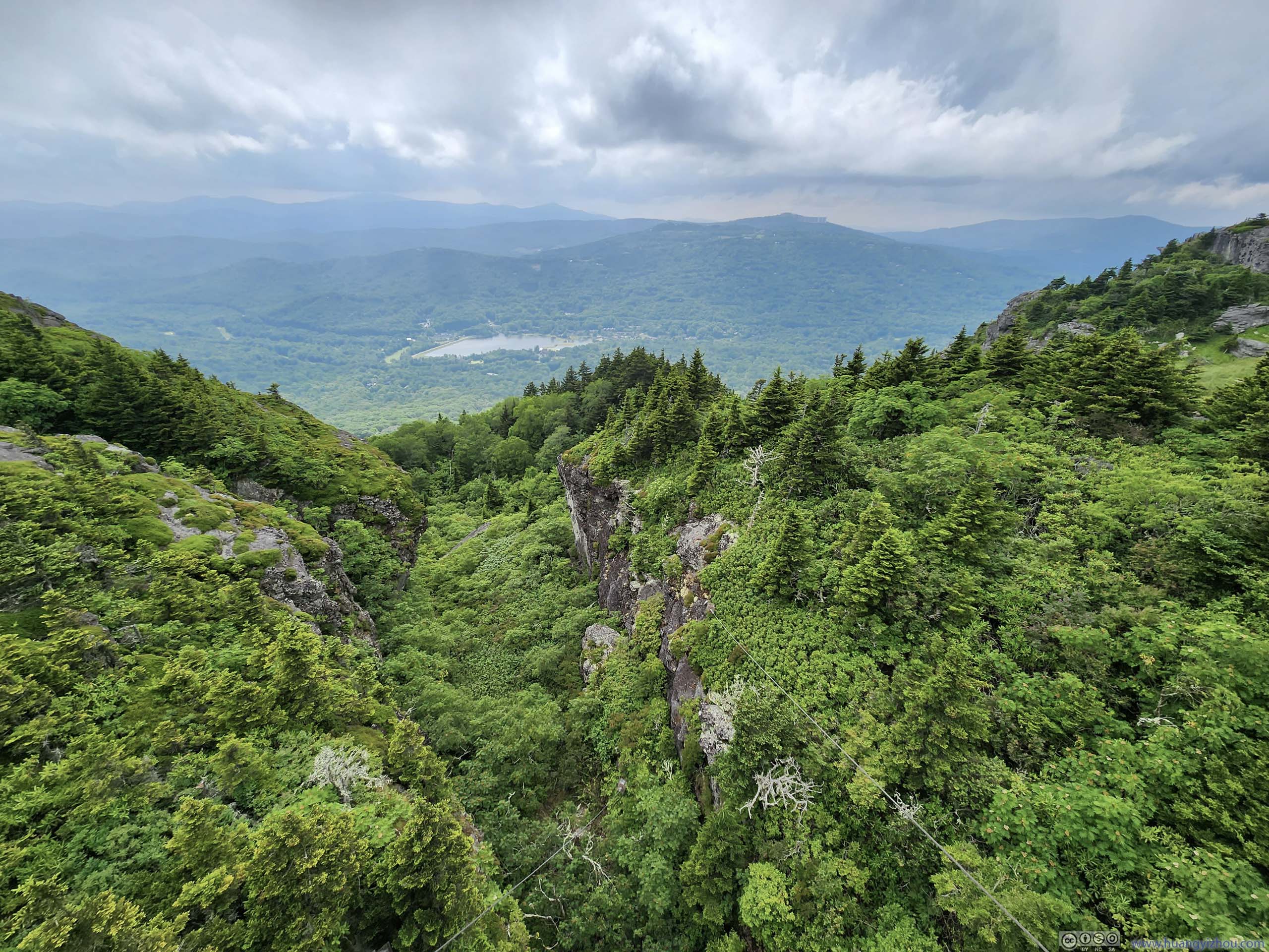
Continuing on, from Attic Window Peak, portions of the trail were on rocks that closely tracked the northwestern cliff of Attic Window Peak. Despite the looks from the photos below, I believed these portions had no exposure as long as one didn’t venture off trail.
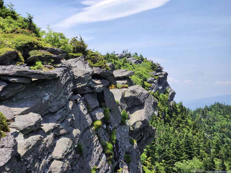 Cliff
Cliff Trail on RocksThe trail led to Calloway Peak, in the background.
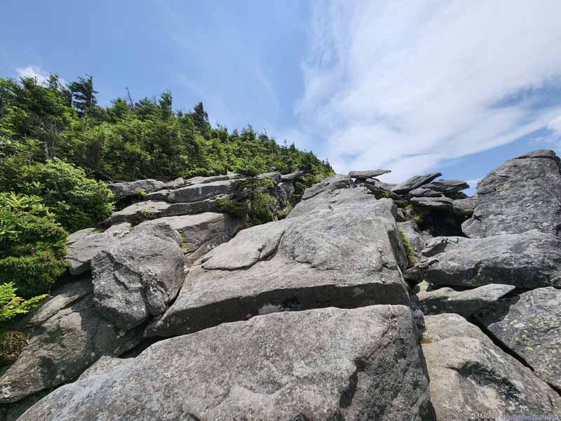 Trail on Rocks
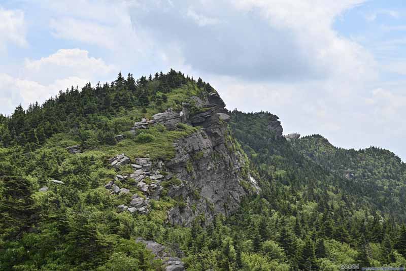 CliffLooking back towards Attic Window Peak. MacRae Peak also in the background.
 Trail along Cliff
Some hikers taking a rest on their way towards Calloway Peak. In the background right, a few people on MacRae Peak.
Trail along Cliff
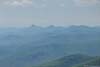
Some hikers taking a rest on their way towards Calloway Peak. In the background right, a few people on MacRae Peak.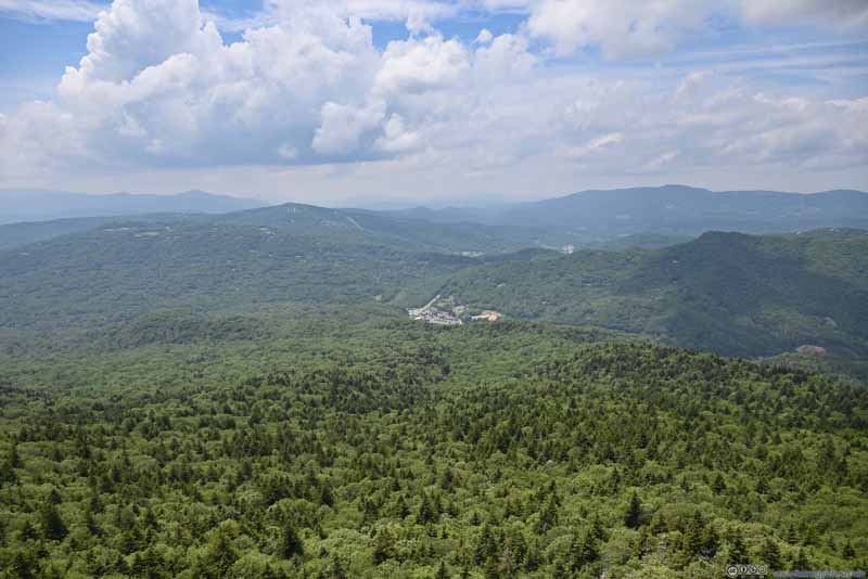 Mountains to the NorthwestGreat visibility for the day.

Click here to display photos of the slideshow
Cliff
Trail on RocksThe trail led to Calloway Peak, in the background.
Trail on Rocks
CliffLooking back towards Attic Window Peak. MacRae Peak also in the background.
Trail along Cliff
Mountains to the NorthwestGreat visibility for the day.
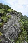
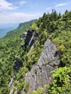
 Cliff
Cliff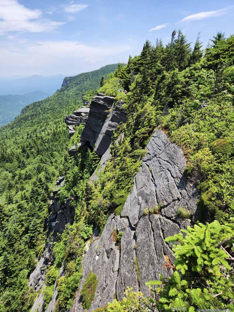 Cliff
Cliff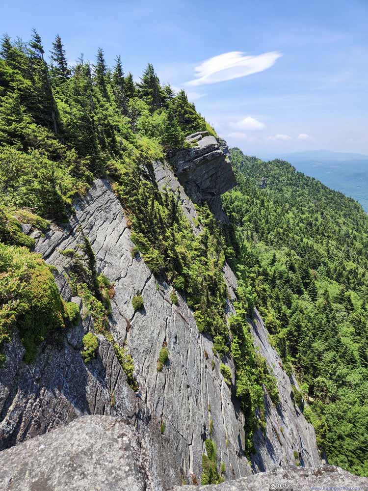 Cliff
Cliff Trail on Rocks
Click here to display photos of the slideshow

Cliff

Cliff
Cliff
Trail on Rocks
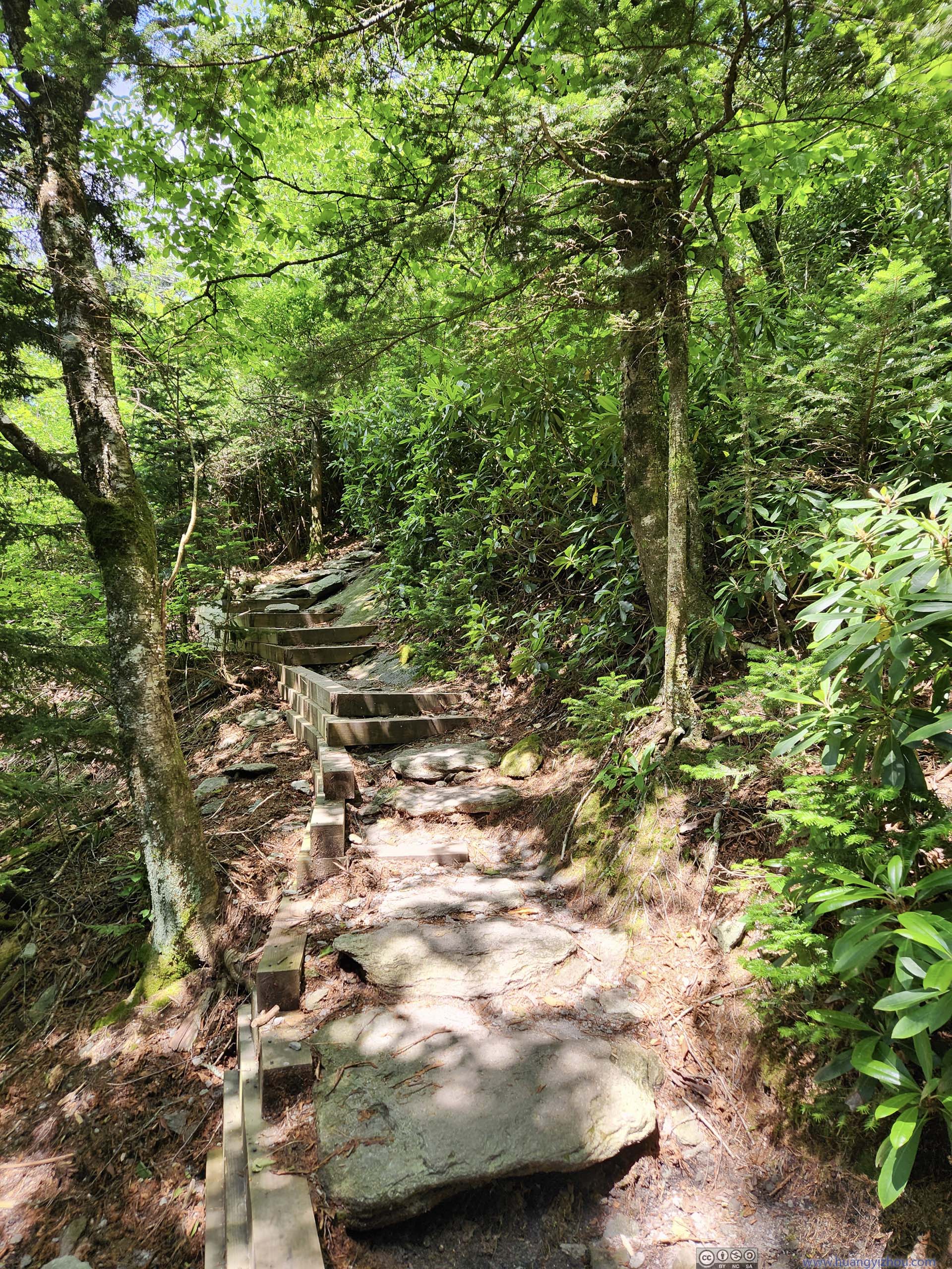
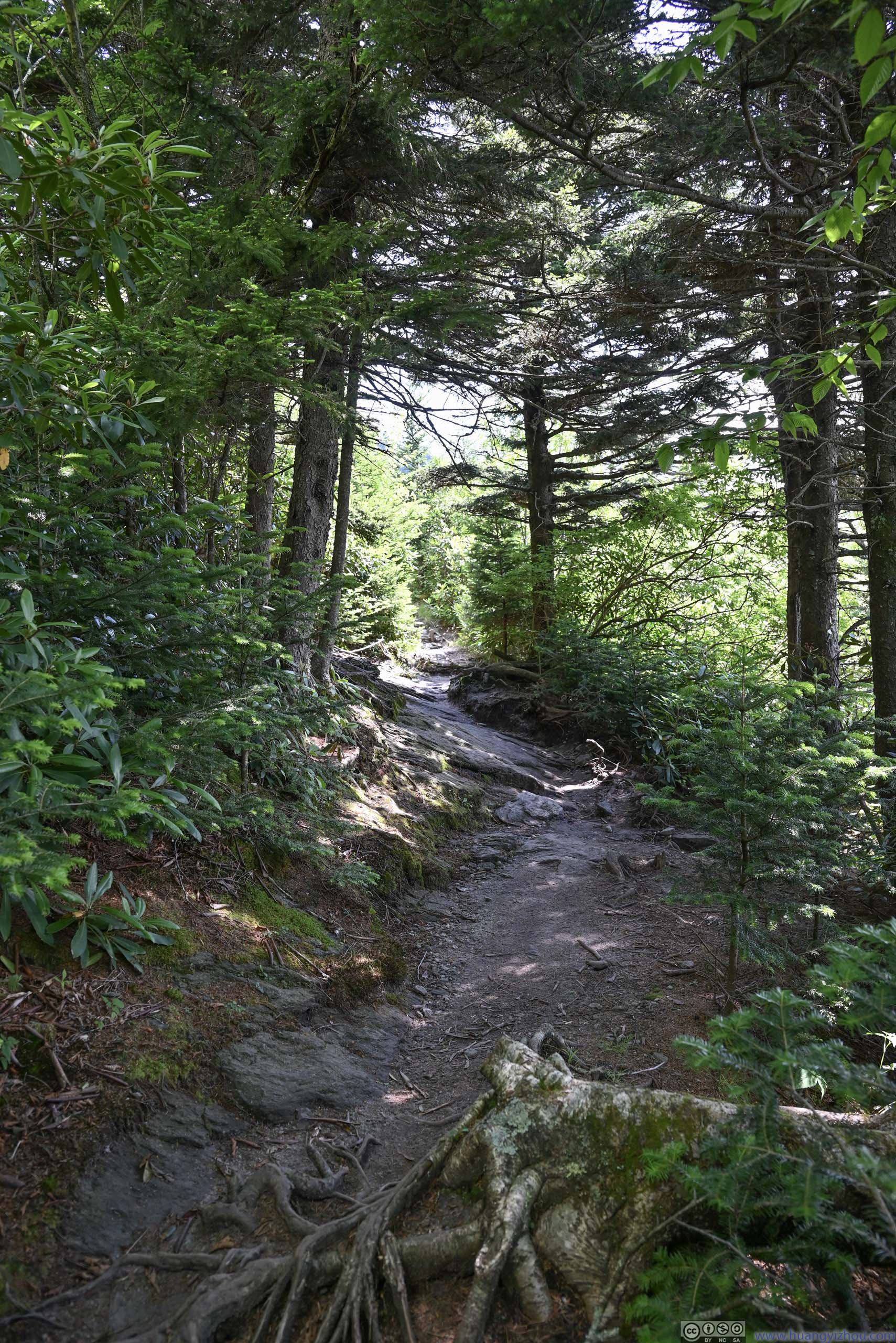
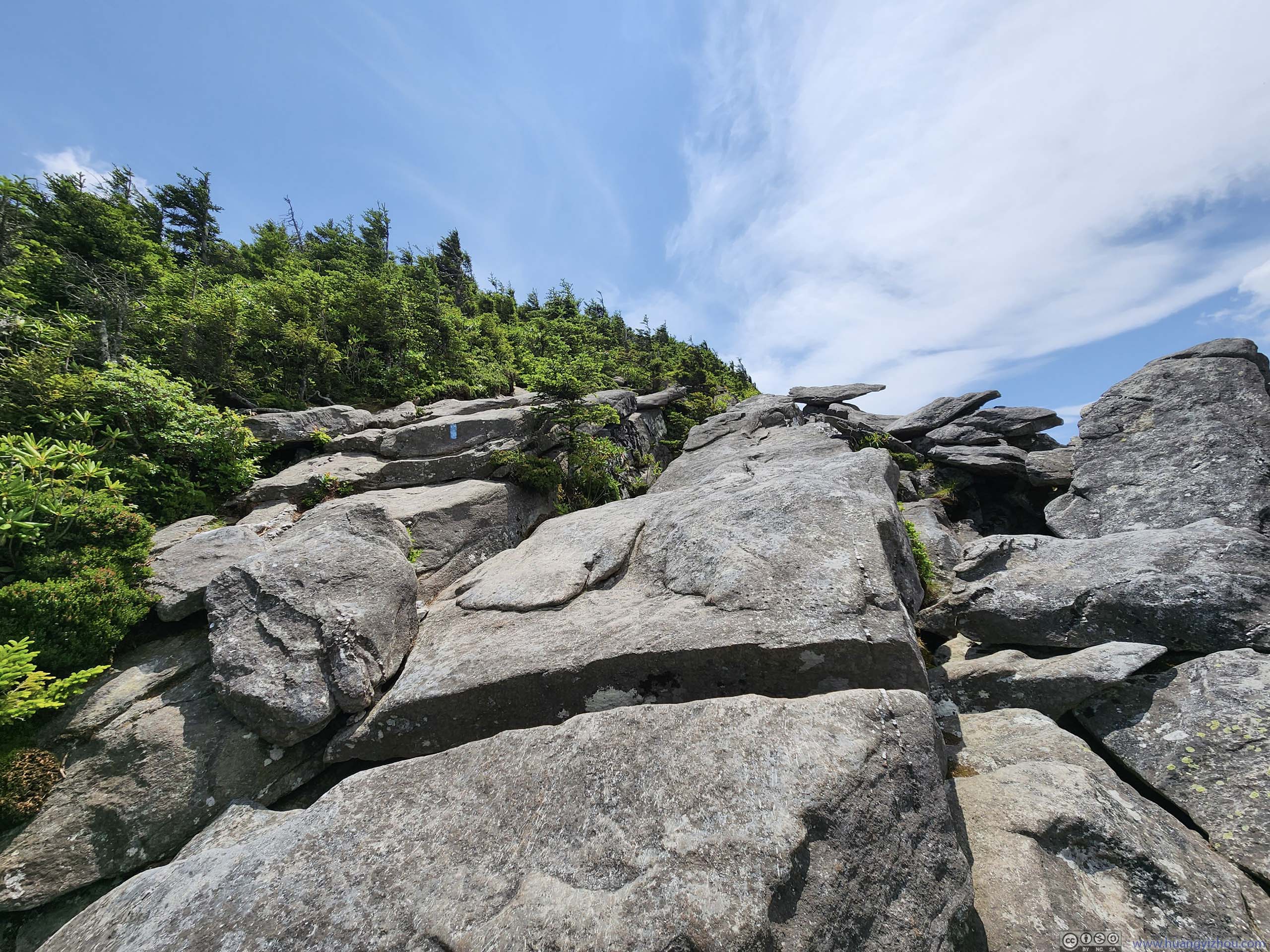
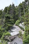
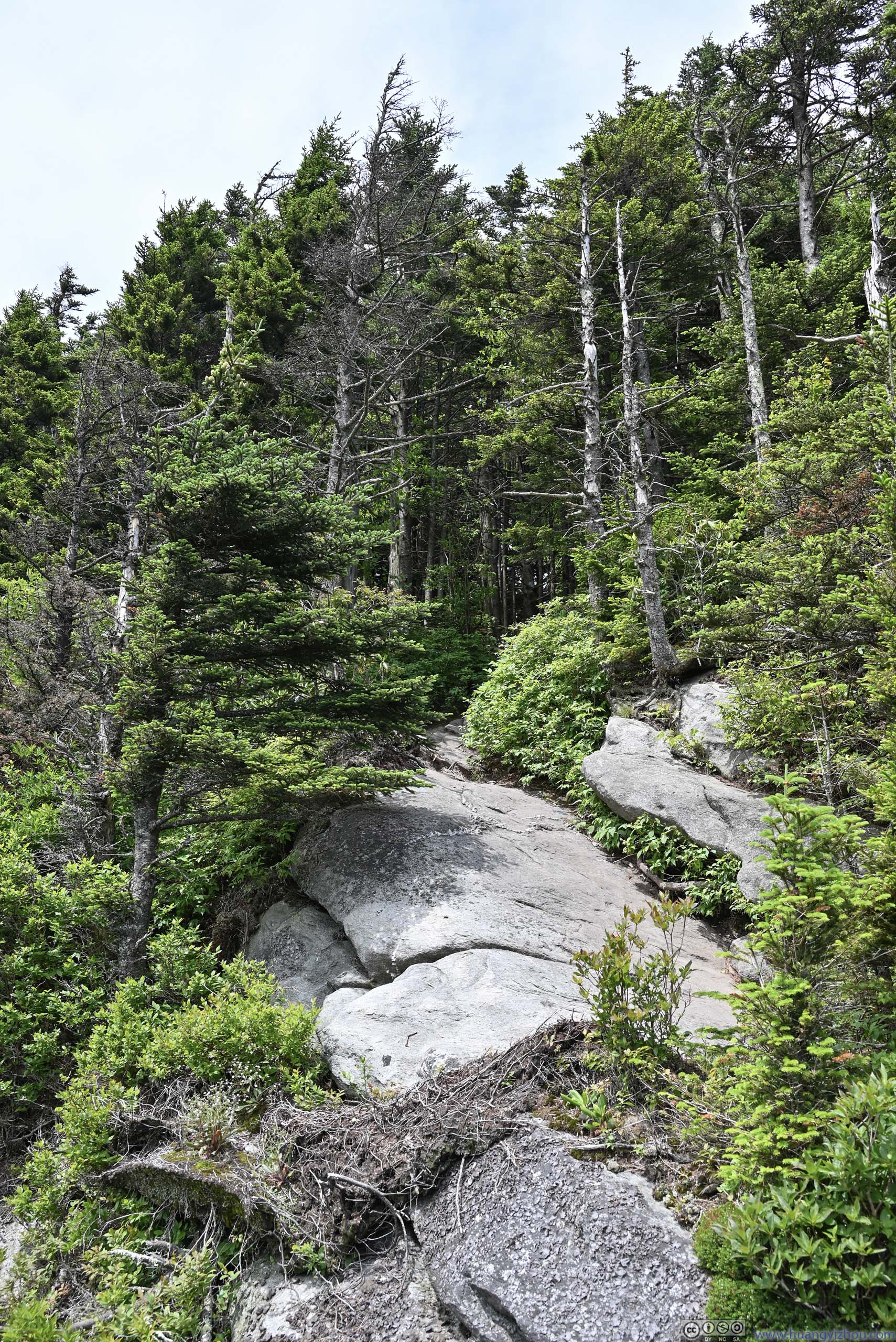
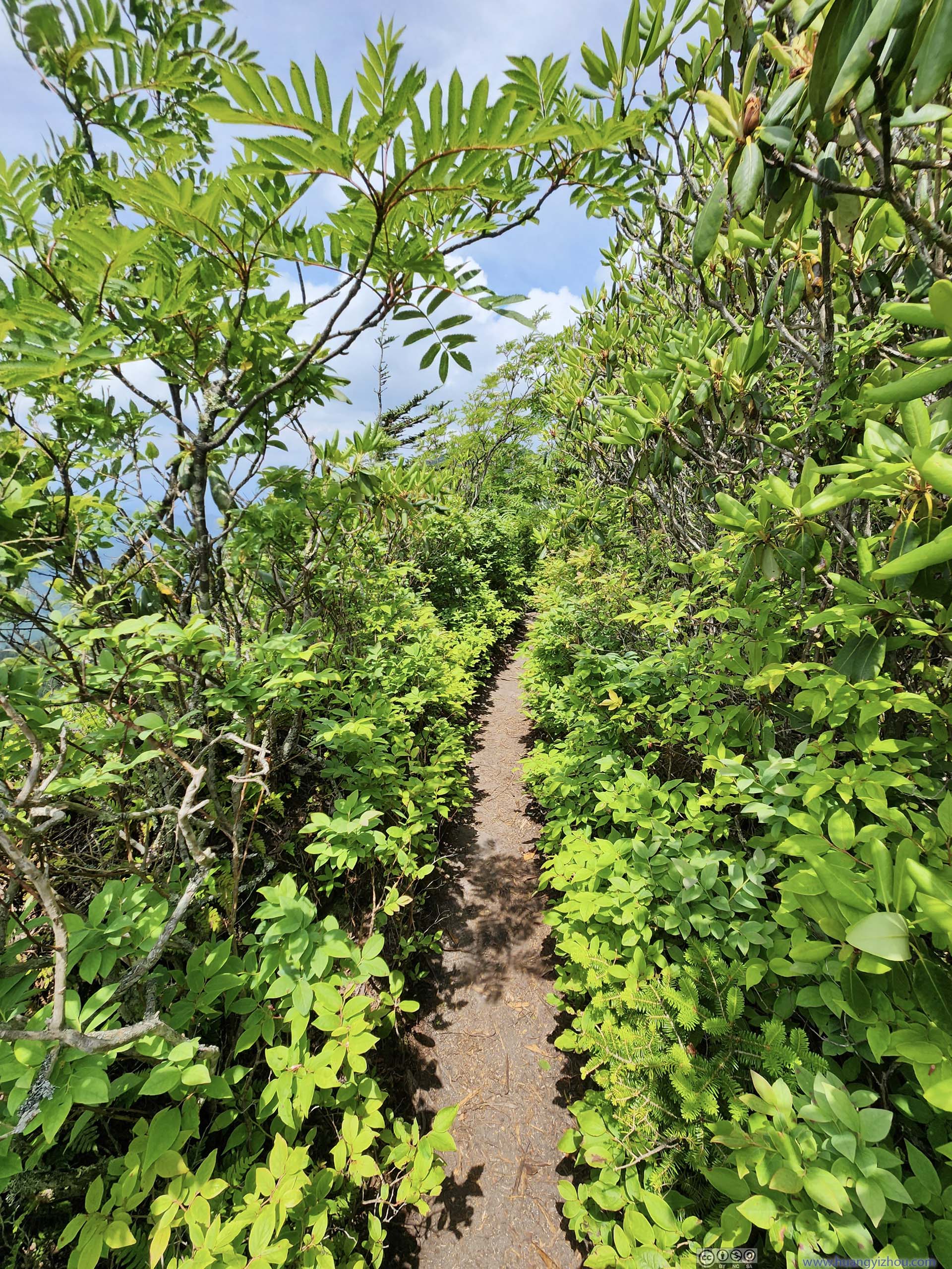
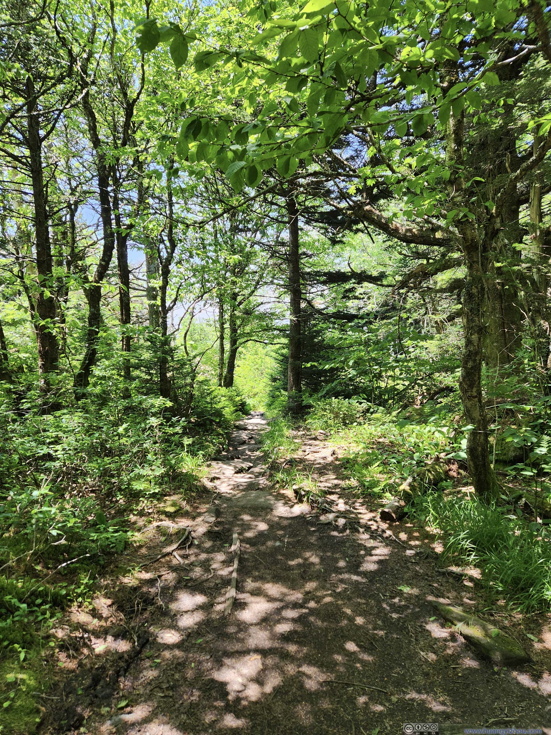
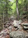
Apart from the rocks and cliffs, the remaining portions of the trail remained in woods, especially after the intersection with “Profile Trail” for the home stretch towards Calloway Peak.
 Trail
Trail Trail
Trail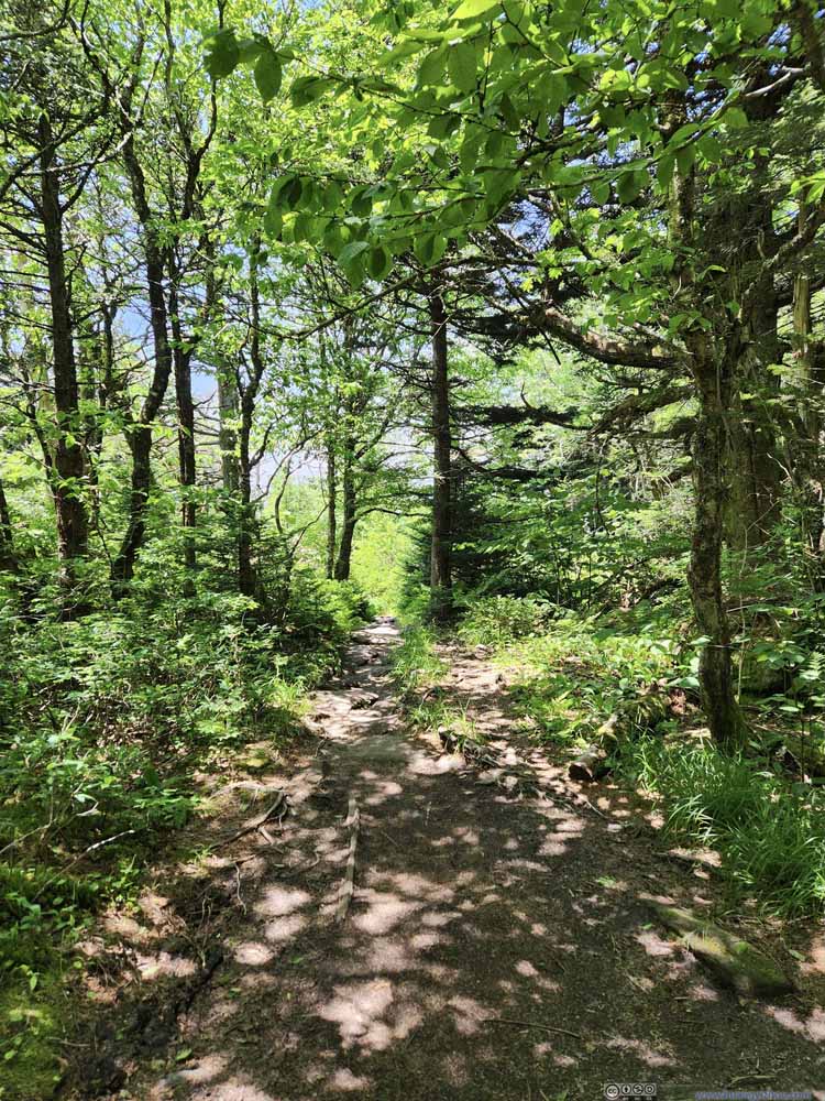 Trail
Trail Trail
Trail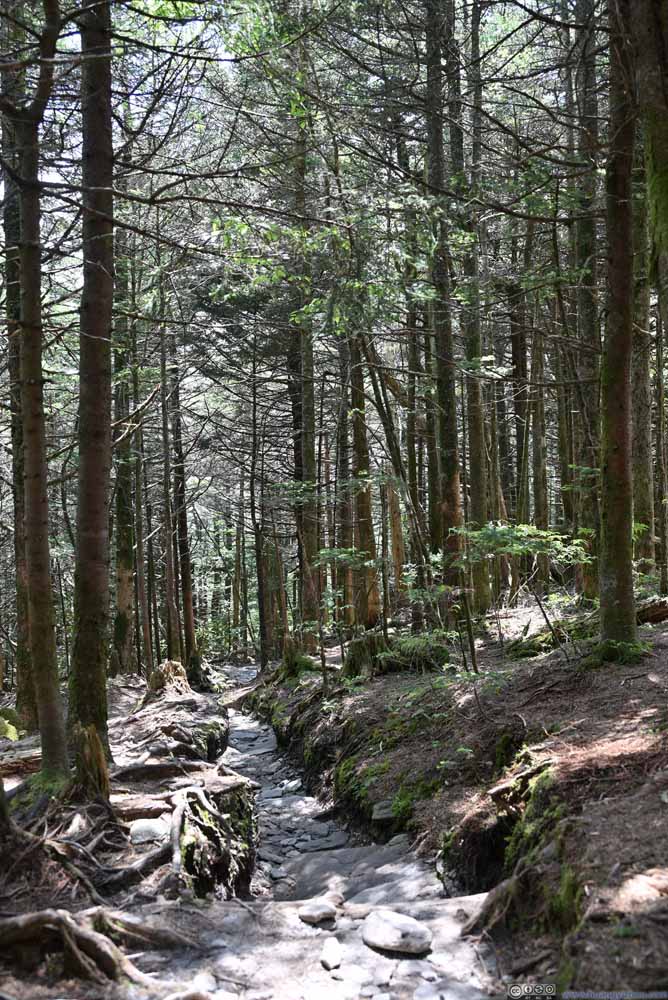 Trail
Trail


Click here to display photos of the slideshow

Trail
Trail
Trail

Trail

Trail
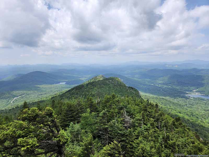
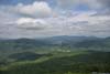
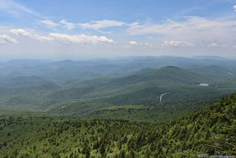
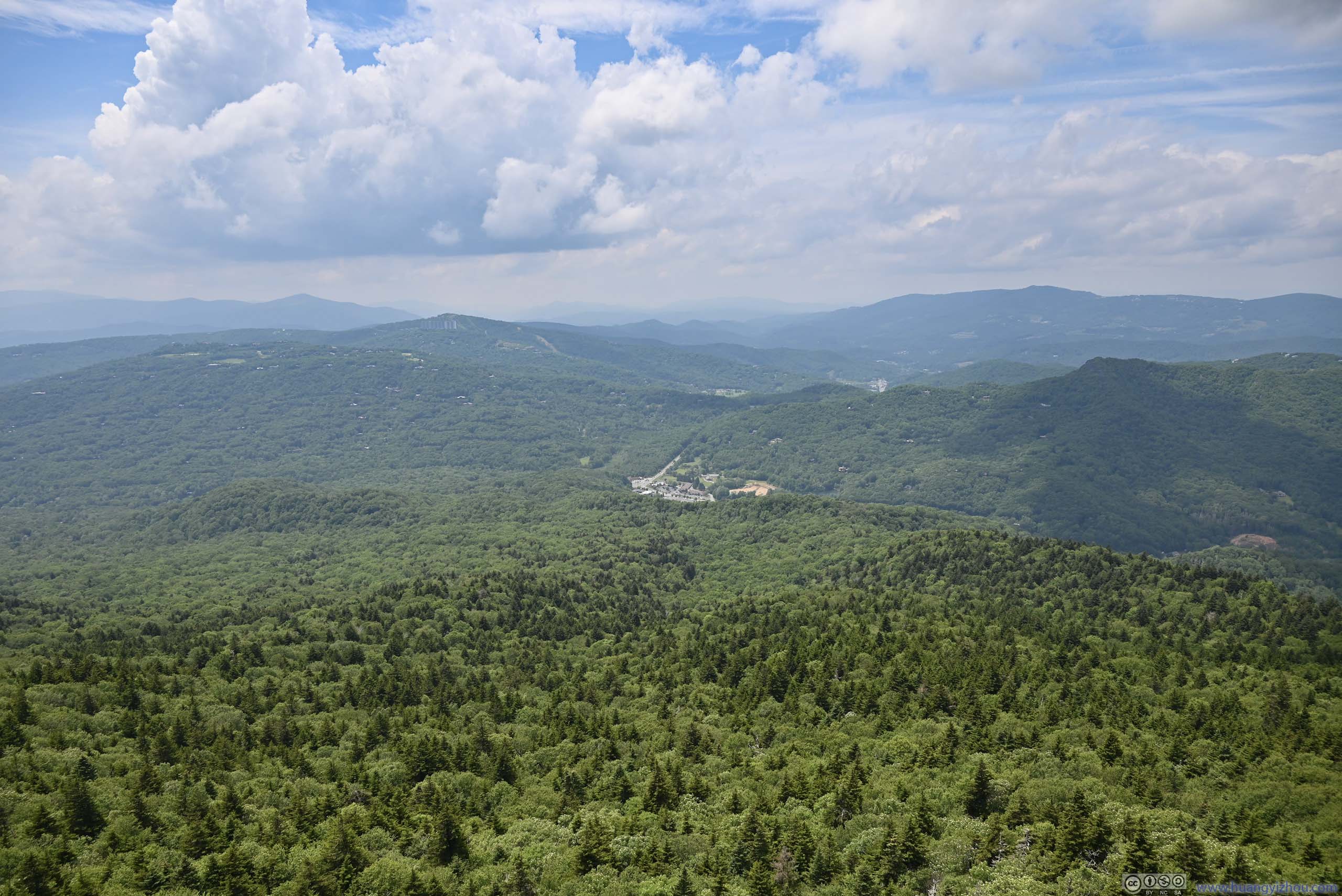
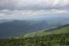
It turned out that the summit of Calloway Peak was very inconspicuous. It wasn’t well marked, it didn’t come with towering views (as the case from MacRae Peak). It was just a giant boulder that happened to be higher than the surrounding trees. The views (slideshow below) were limited, mostly to the southwest.
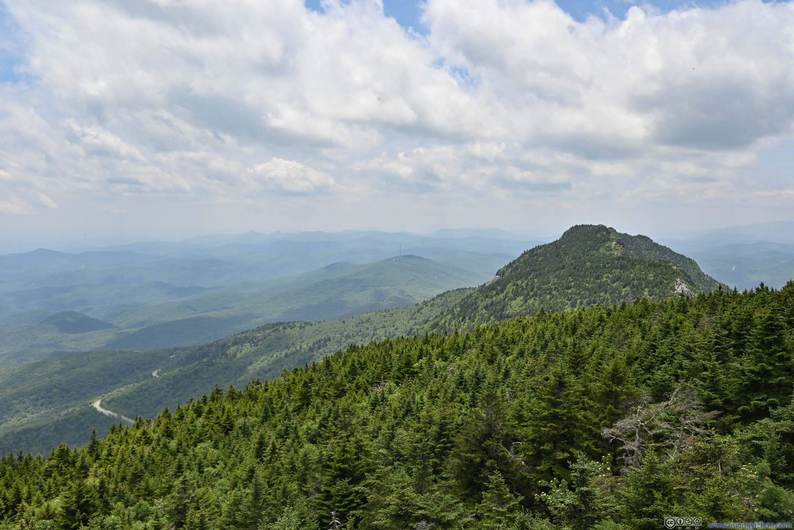
 Mountains to the West
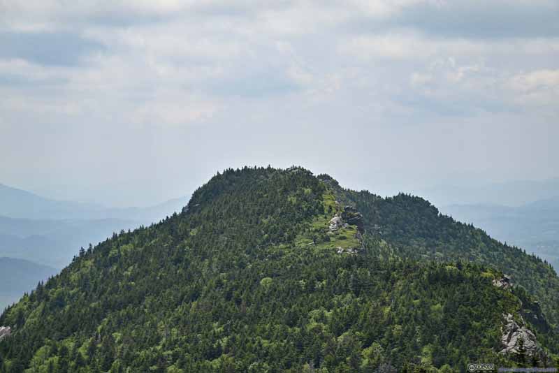 Attic Window PeakMacRae Peak hidden behind it.
 Linn Cove ViaductYonahlossee Overlook in the lower-left, visitor center in the upper center.

Click here to display photos from Calloway Peak.
Mountains to the West
Attic Window PeakMacRae Peak hidden behind it.
Linn Cove ViaductYonahlossee Overlook in the lower-left, visitor center in the upper center.
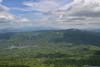
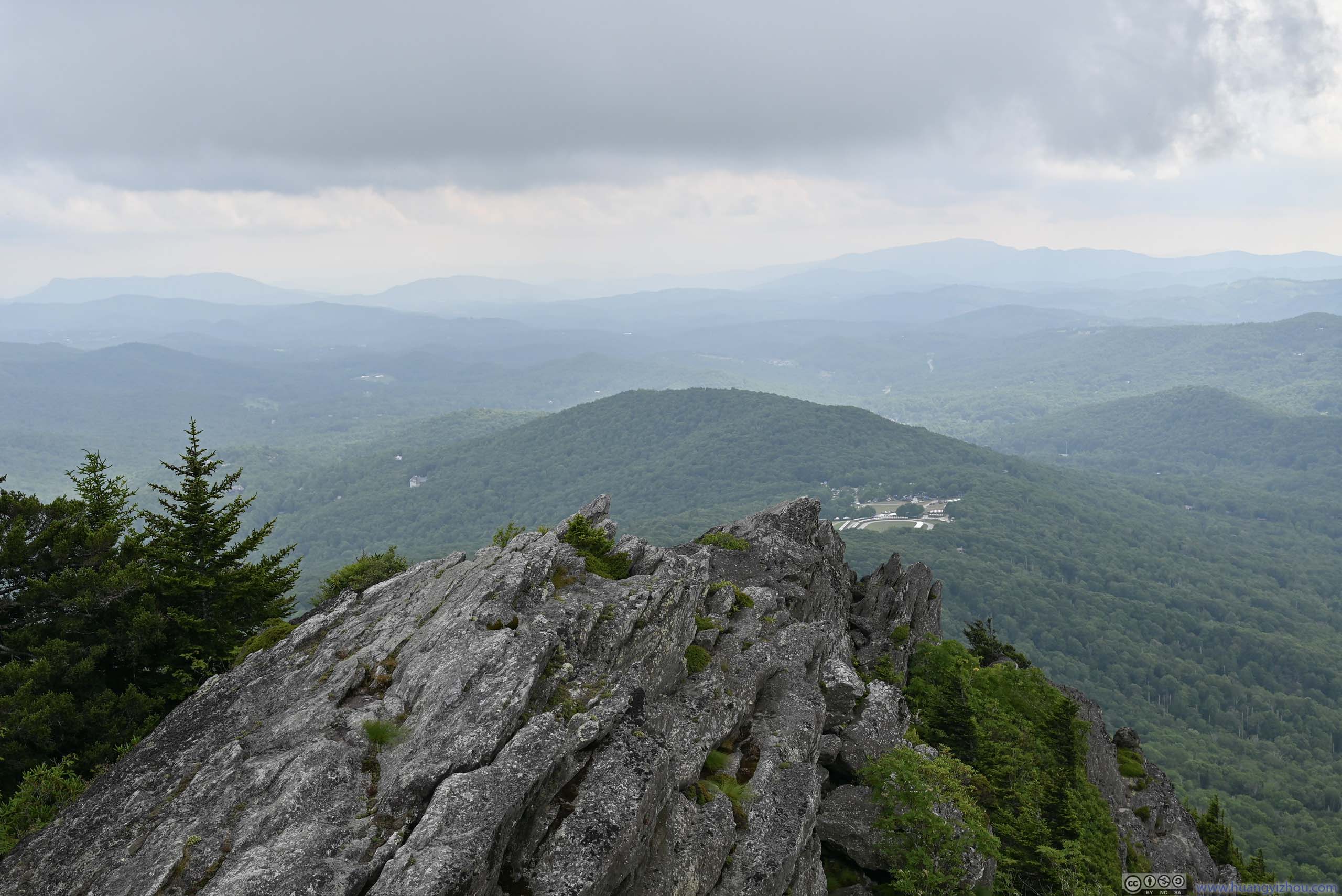
I reached Calloway Peak at 1:30pm and stayed for a total of 15 minutes, with most of the time spent on snacks. After that, I decided to check out the nearby Watauga View, which was a marked viewpoint on maps.
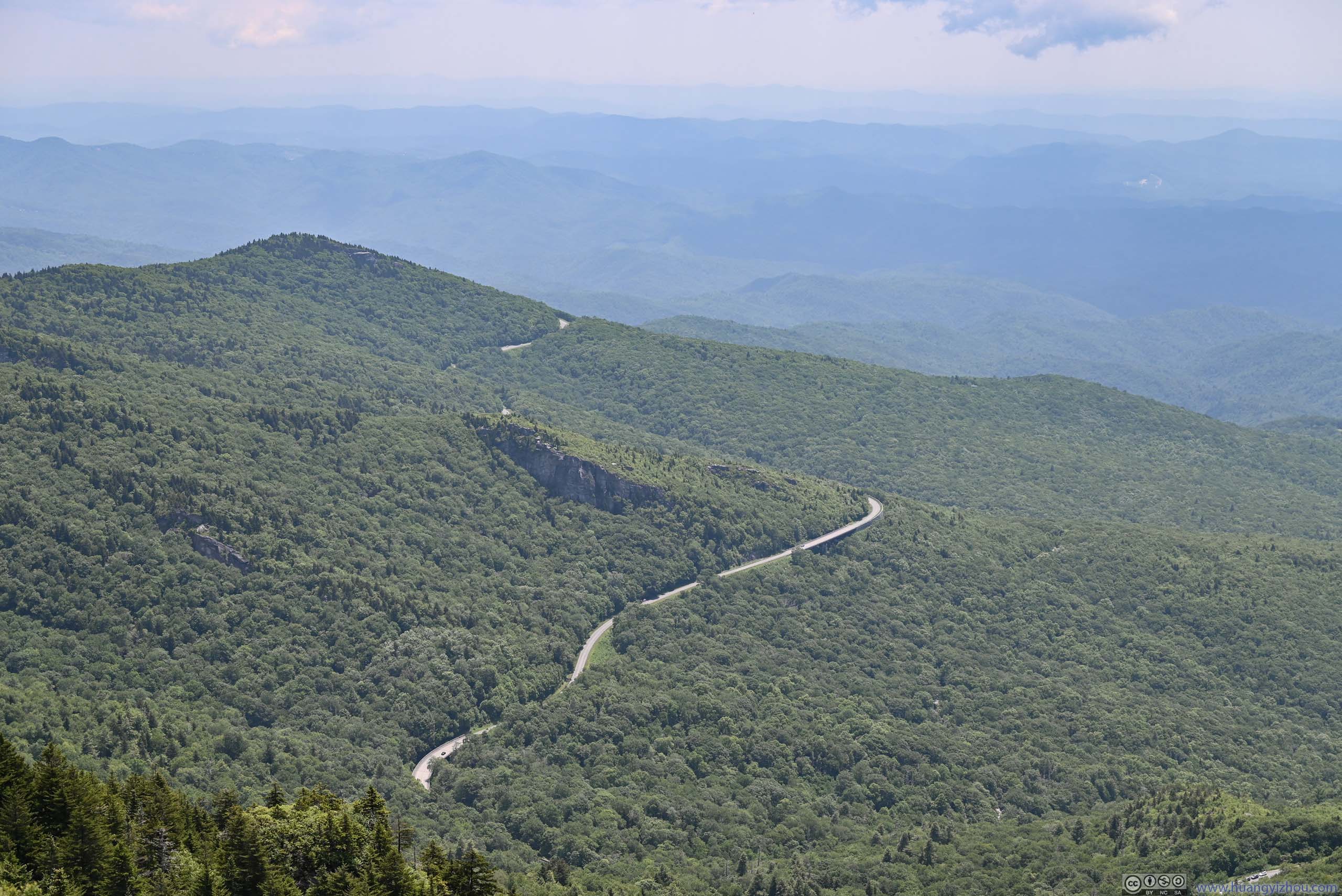
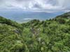
It turned out the views were much better from Watauga View, covering the entire valley to the north, including the few peaks that I visited earlier today, and many outstanding boulders along the ridge of Grandfather Mountain extending towards the northeast.
 Mountains to the Northeast
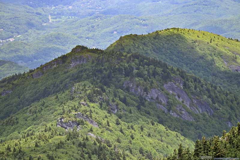 Hills with Rocky CliffsSort of like an extension of Grandfather Mountain, just in lower elevation.
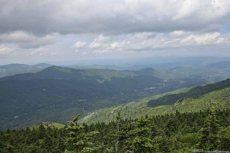 Valley
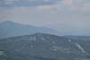
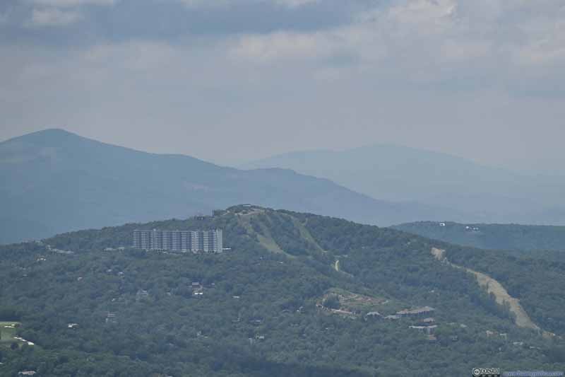 Sugar Mountain Resort
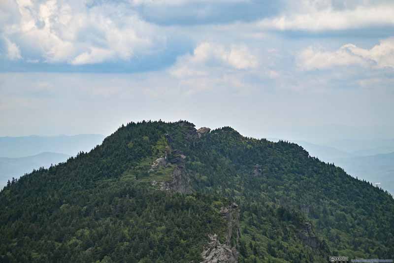 Attic Window Peak and MacRae Peak
Trail from Attic Window Peak followed the cliff in this photo, behind them, the summit of MacRae Peak was pretty crowded at this moment.
Attic Window Peak and MacRae Peak
Trail from Attic Window Peak followed the cliff in this photo, behind them, the summit of MacRae Peak was pretty crowded at this moment.
Click here to display photos from Watauga View.
Mountains to the Northeast
Hills with Rocky CliffsSort of like an extension of Grandfather Mountain, just in lower elevation.

Valley
Sugar Mountain Resort

Attic Window Peak and MacRae Peak
Mountains from Watauga View
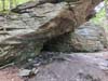
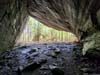
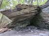
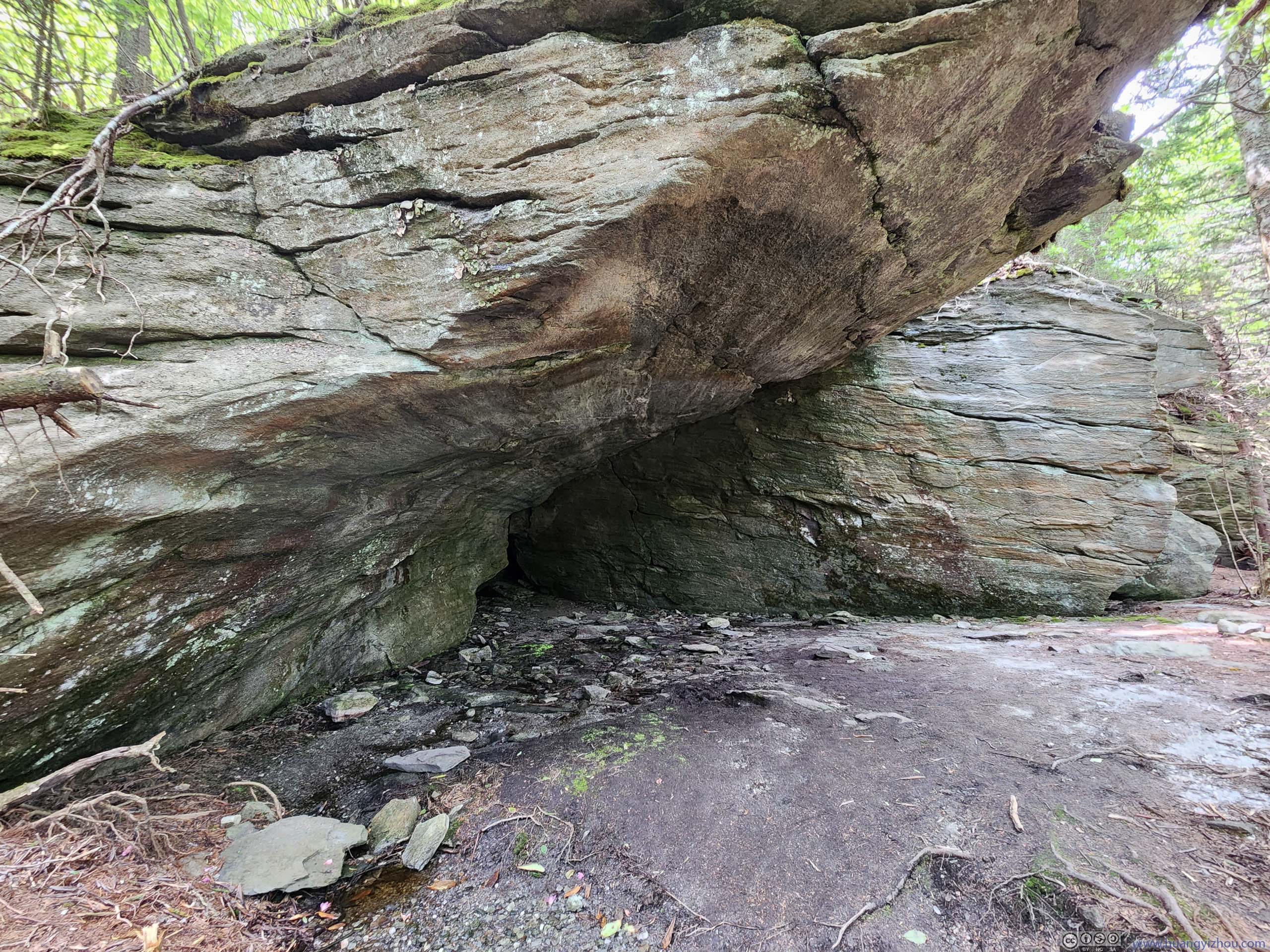
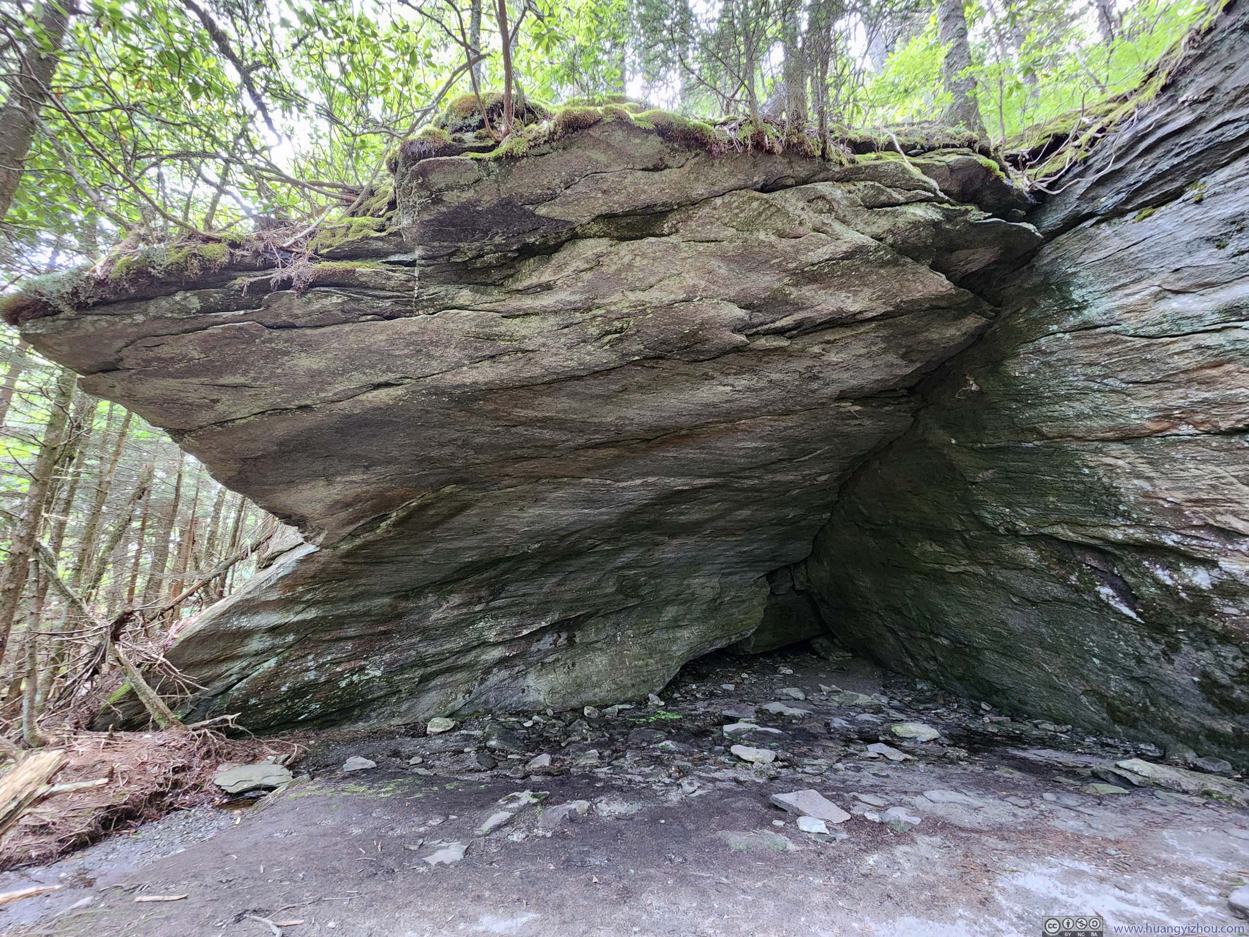
I left Watauga View at around 2:10pm. On my way back, I checked out an “Indian House Cave” just before reaching Attic Window. This was located on a short detour away from the main trail. Despite its name, it was a giant alcove, about the size of a classroom. Looking from above, the “roof” of the “house cave” was like anywhere else in the forest, with trees and bushes growing. It’s hard to imagine there’s a hollow “cave” beneath it.
 Indian House Cave
 Indian House Cave
 Indian House Cave
Click here to display photos of the Indian House Cave.
Indian House Cave

Indian House Cave
Indian House Cave
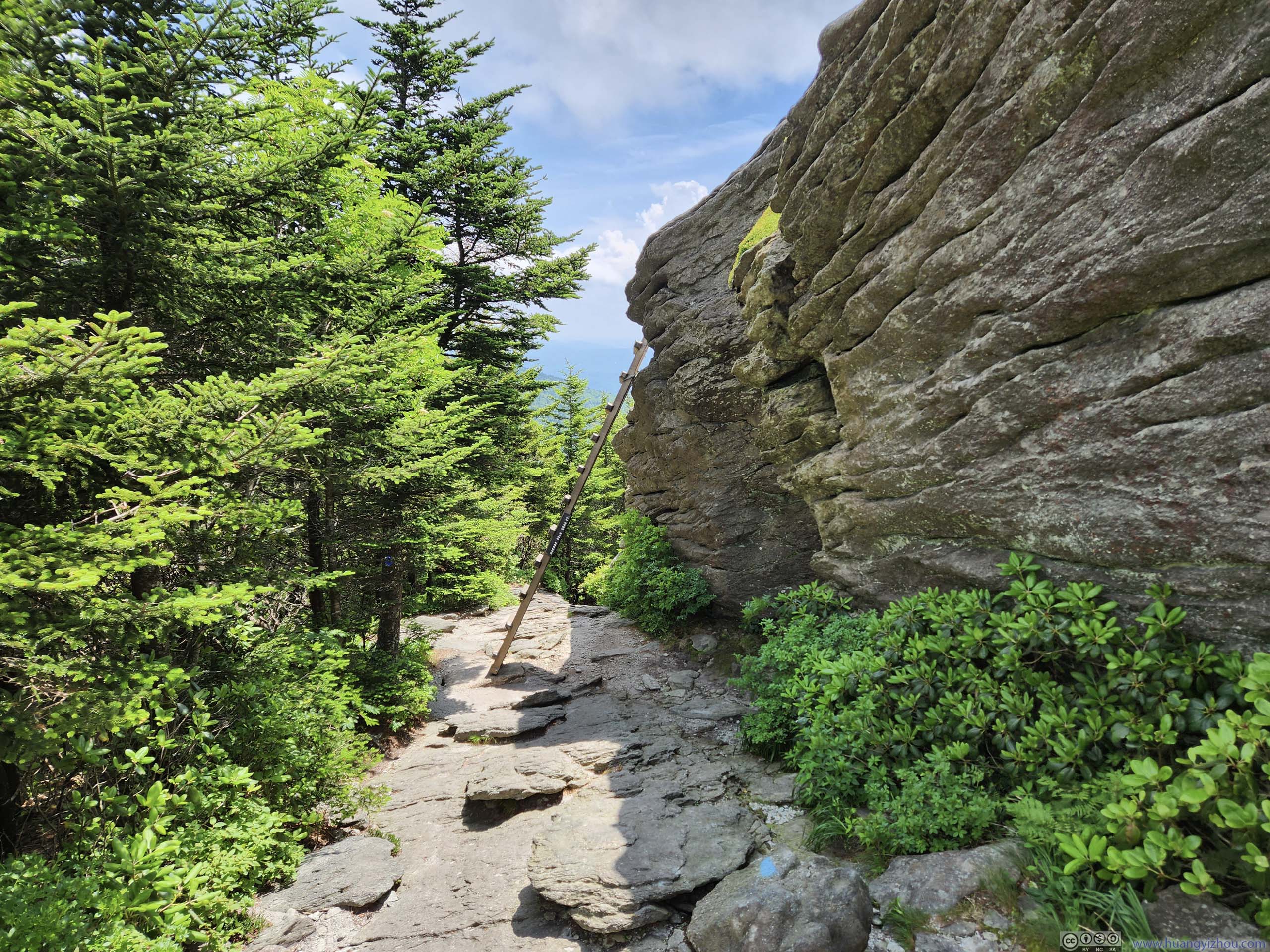
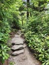
After scrambling back down “The Chute”, I felt I was running slightly late as Grandfather Mountain required all hikers to be off trail by a certain time. So I decided to take the “Underwood Trail”, bypassing MacRae Peak on my way back. As its name suggested, the trail was deep in the woods. Apart from one ladder section (p1 below) there was no view along the trail, for a constant downhill on rocks.
 Ladder
The only section of ladder along Underwood Trail. This happened to be the longest downclimb on ladder that I had to tackle for the day.
Ladder
The only section of ladder along Underwood Trail. This happened to be the longest downclimb on ladder that I had to tackle for the day.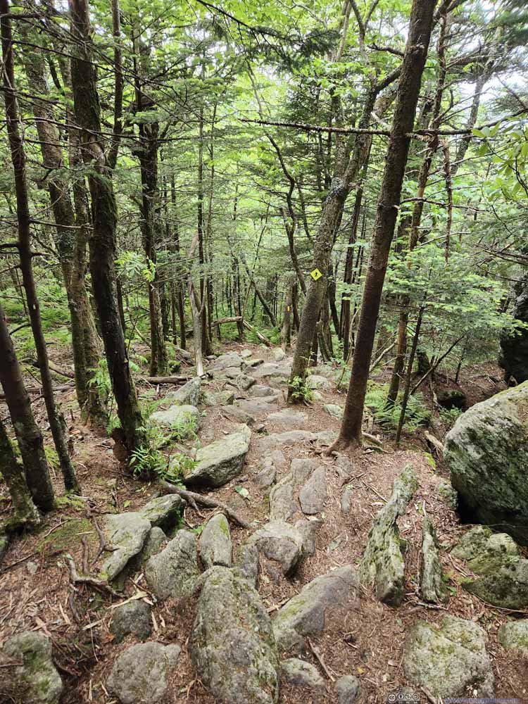 Underwood TrailSignificant portion of the underwood trail was constant downhill.
 Underwood TrailSignificant portion of the underwood trail was constant downhill.
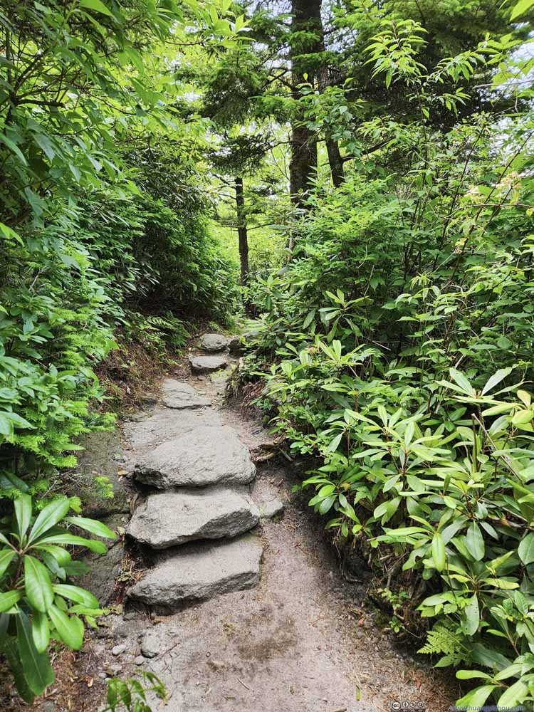 TrailThe final part before the trailhead.
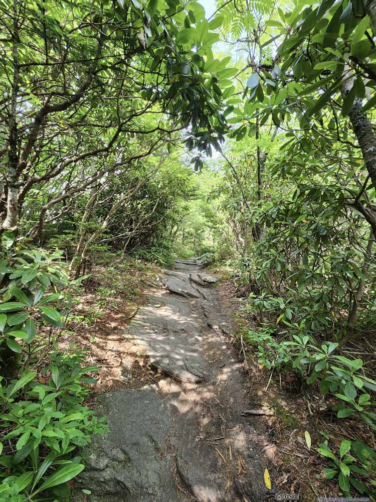 TrailThe final part before the trailhead.

Click here to display photos of the trail.
Ladder

Underwood TrailSignificant portion of the underwood trail was constant downhill.
Underwood TrailSignificant portion of the underwood trail was constant downhill.

TrailThe final part before the trailhead.

TrailThe final part before the trailhead.
Before returning to my car, I decided to check out the “Mile High Swinging Bridge”. That meant I followed the main trail towards the upper trailhead, which I reached just after 4pm. Along the way, I passed “The Patio View”, which was a viewpoint marked on maps. I didn’t feel there’s anything worth viewing at that spot.
Quick Review of the Hike
If I were to nominate a trail in each of the states along the Atlantic coast that’s accessible and provides some decent scrambling experience, then I would go for Breakneck Ridge in New York, Old Rag in Virginia, and this hike in North Carolina. Scrambling experience was rare on the east coast, but this trail delivered.
For its other aspects, apart from the beginning and the end, the trail was rocky throughout. I ran into lots of bugs for the day which wasn’t pleasant, thankfully they didn’t bite.
While there’s not much overall elevation change, the trail involved more steep sections (both up and down) than I anticipated, so it was a constant workout.
Probably due to the per-person entrance fee to the non-state-park portion of Grandfather Mountain, I ran into a fair number of people summitting Calloway Peak and even MacRae Peak from the north (Profile Trail) and the east (Daniel Boone Scout Trail). These were longer approaches with more elevation gain, I wasn’t sure how rocky or fun they were.
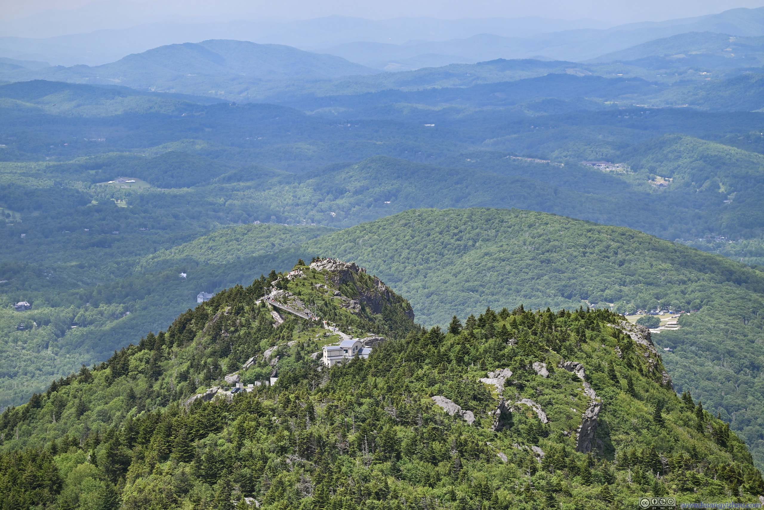
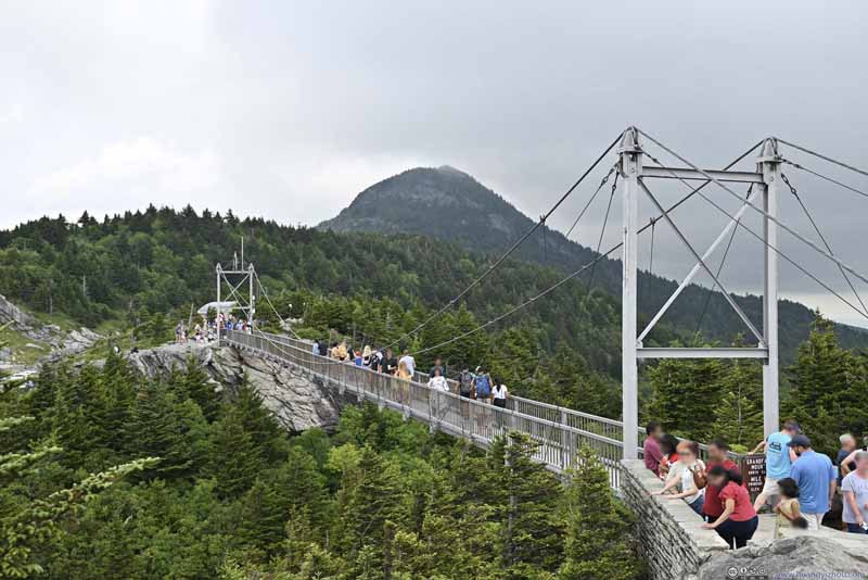
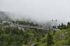
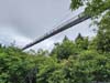
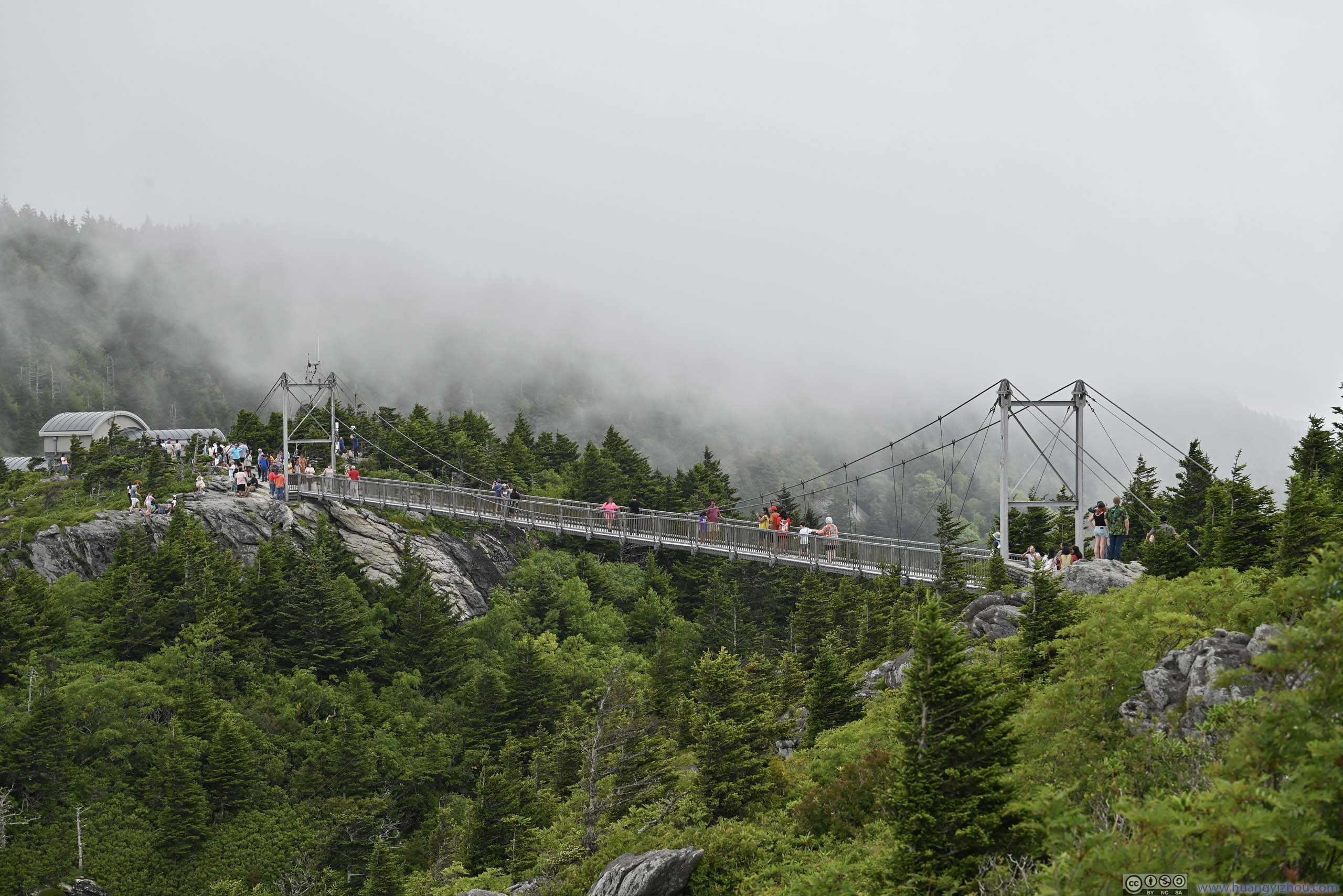
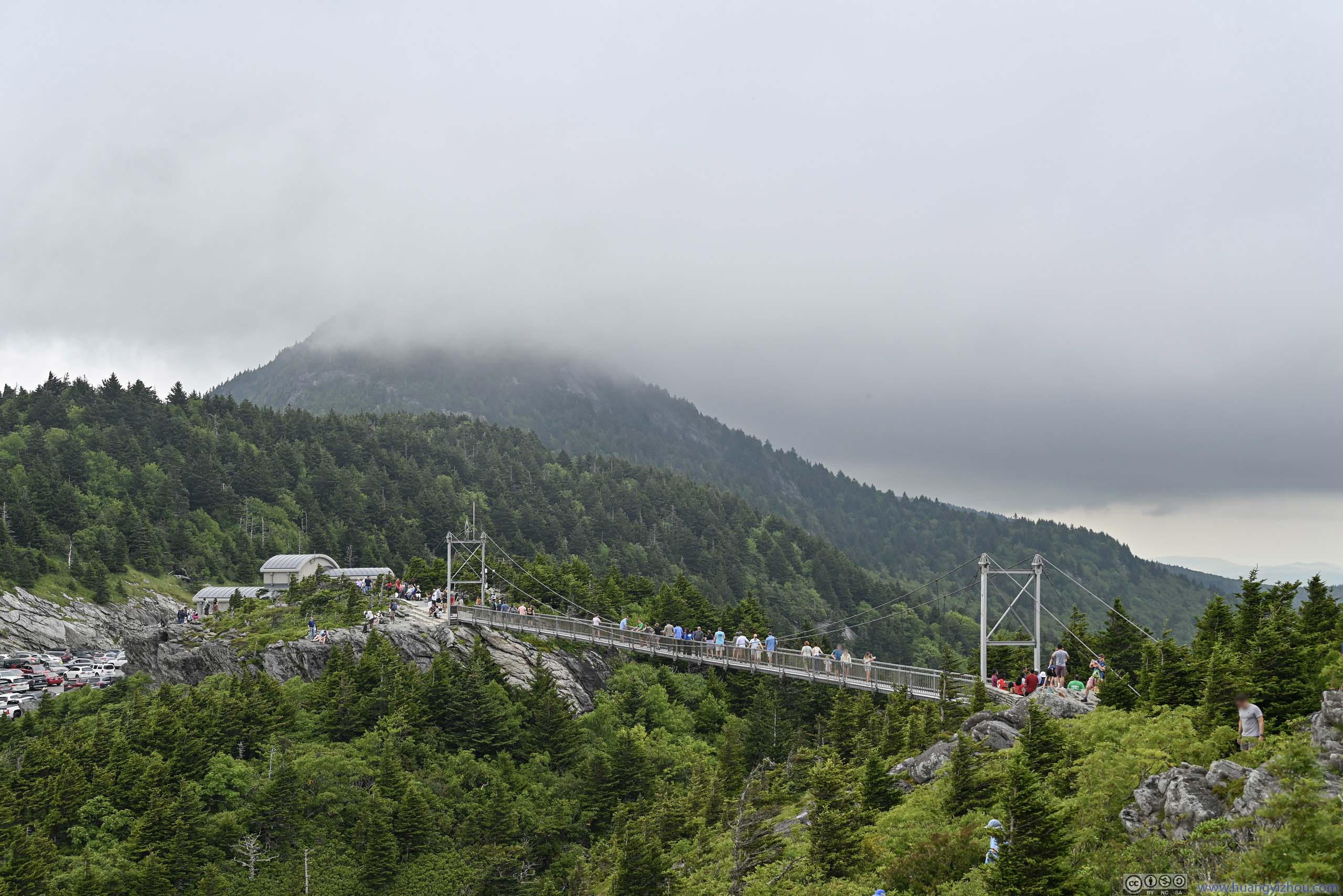
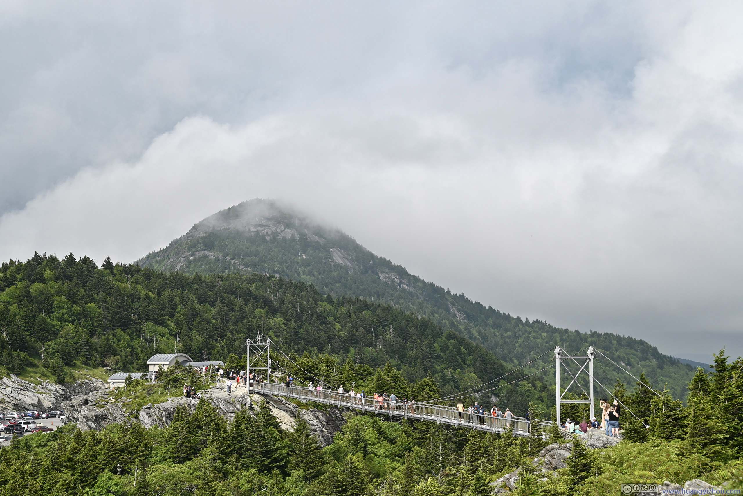
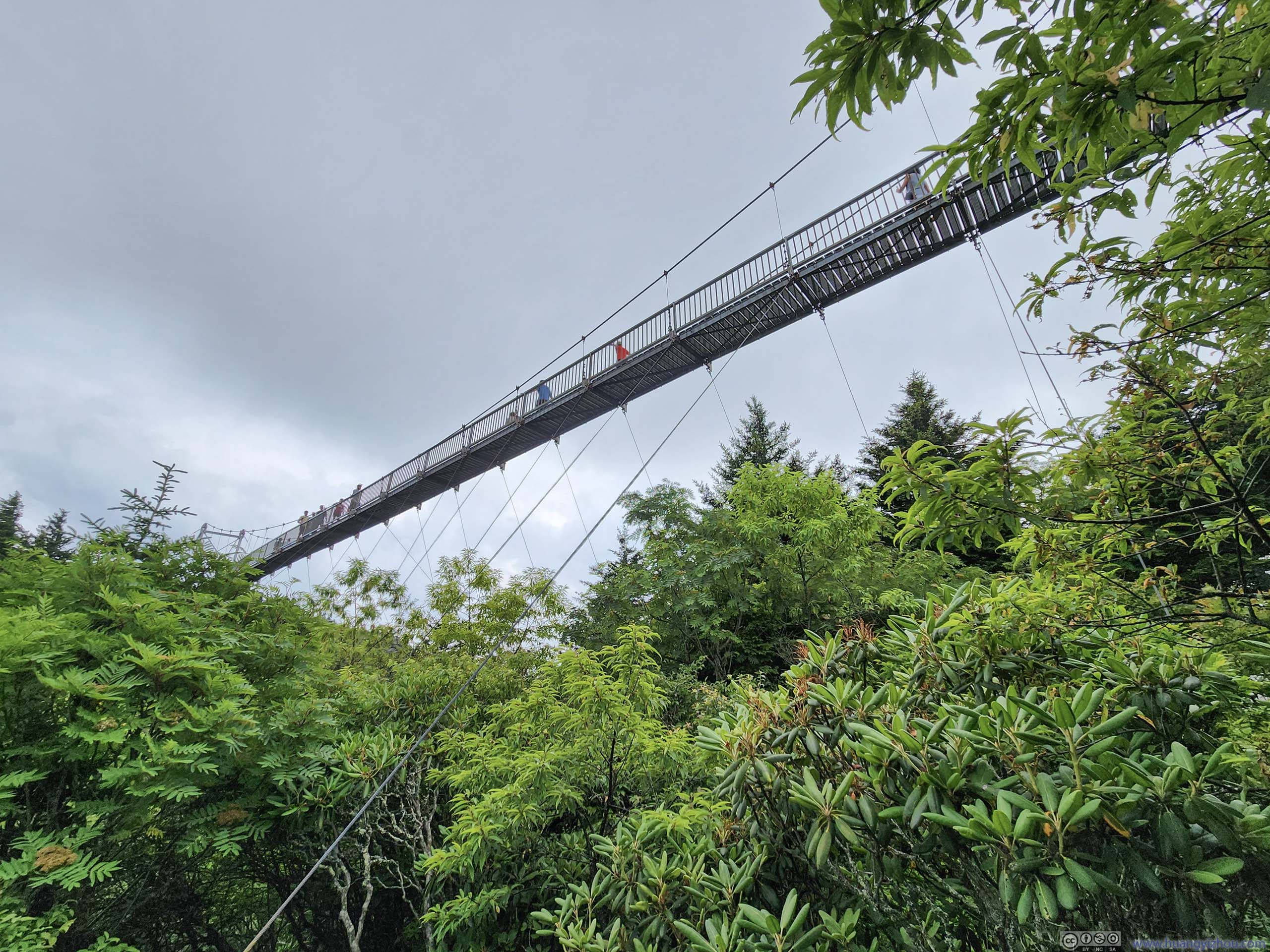
Mile High Swinging Bridge
Then it’s the major attraction of Grandfather Mountain (for most people), Mile High Swinging Bridge. This bridge spanned across a valley between the parking lot and Linville Peak to the west. Somehow, it was constructed at exactly one mile above sea level, hence the name. During my visit, the bridge and the nearby Linville Peak was very crowded.
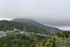
I took some time resting from the day’s workout at Linville Peak, while appreciating the passing clouds that thinly veiled the imposing boulders along MacRae Peak. It also helped that I had cellular coverage at Linville Peak.
 Mile High Swinging Bridge
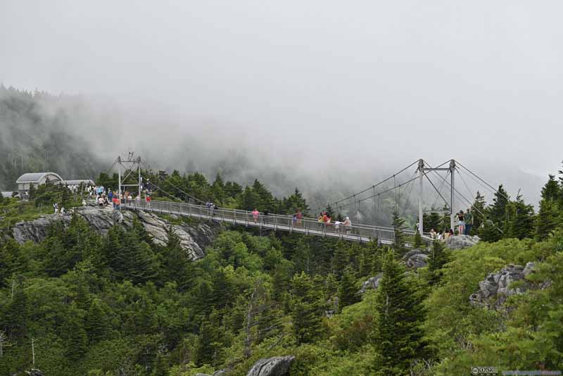 Mile High Swinging BridgeFor a moment, the passing clouds reached as low as the swing bridge.
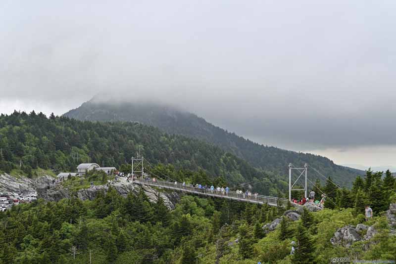 Mile High Swinging Bridge before MacRae PeakMost of the time, MacRae Peak was covered in clouds.
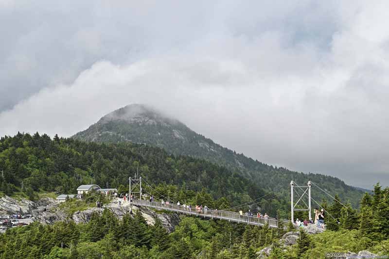 Mile High Swinging Bridge before MacRae Peak
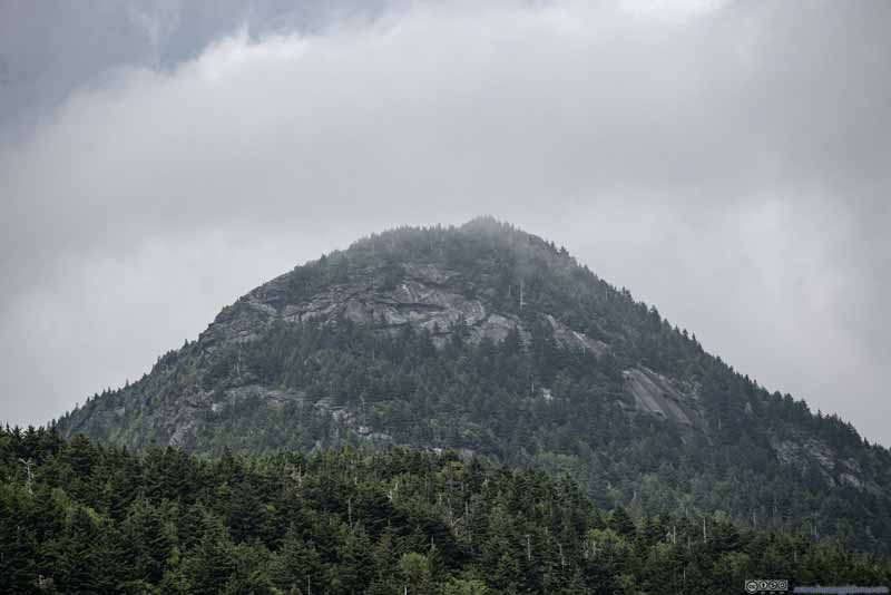 MacRae PeakThere were brief moments when MacRae Peak emerged from the clouds.
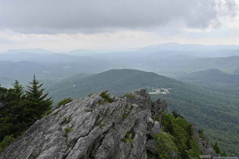 Linville Peak and Mountains to the West
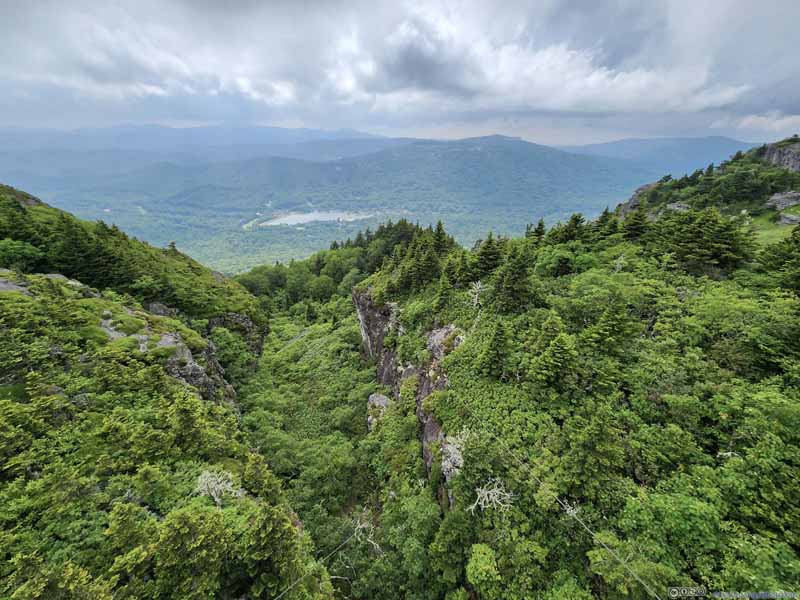 ValleyThe swing bridge spanned across this valley.
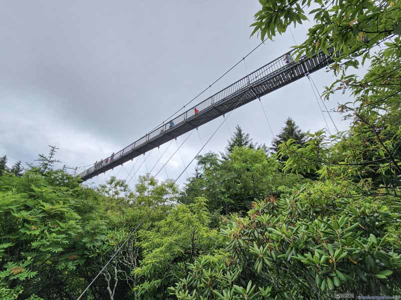 Mile High Swinging Bridge from Below
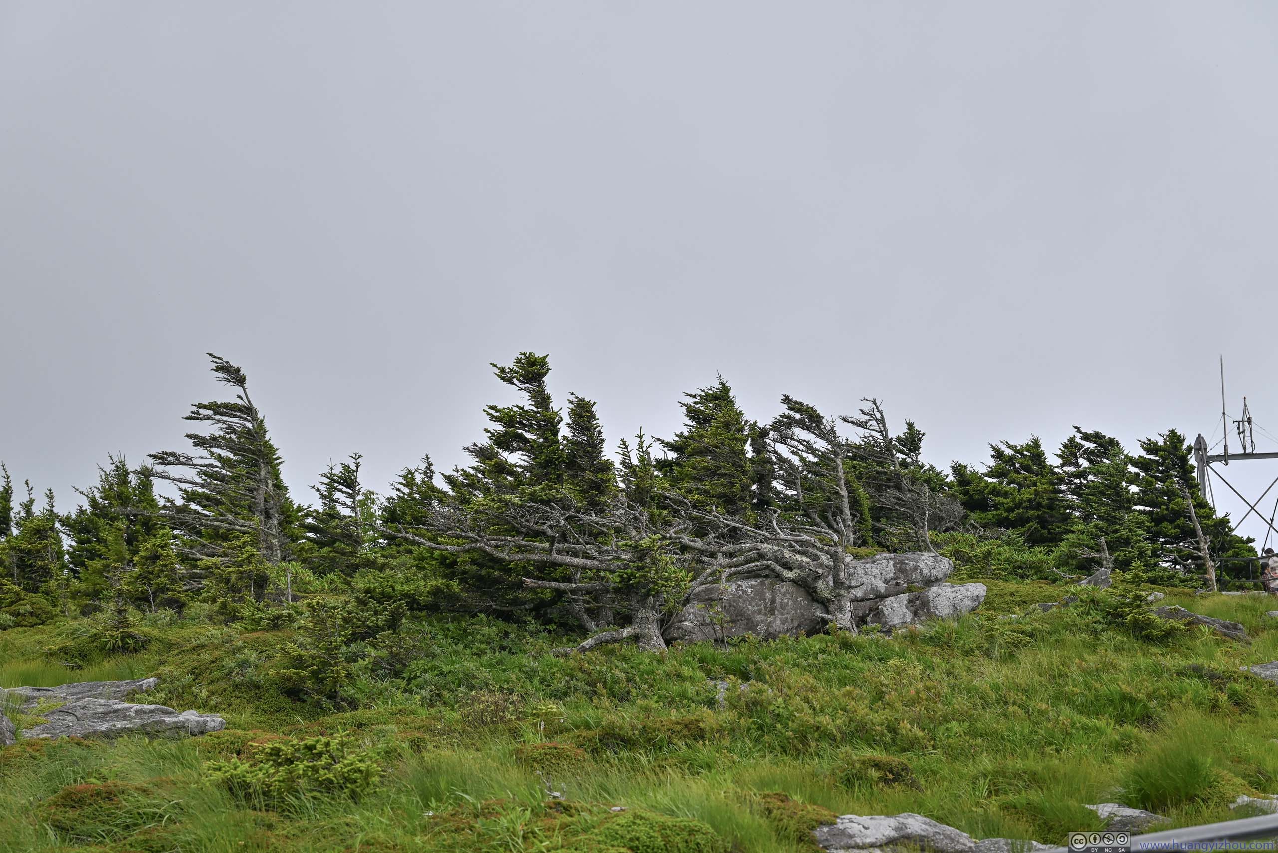
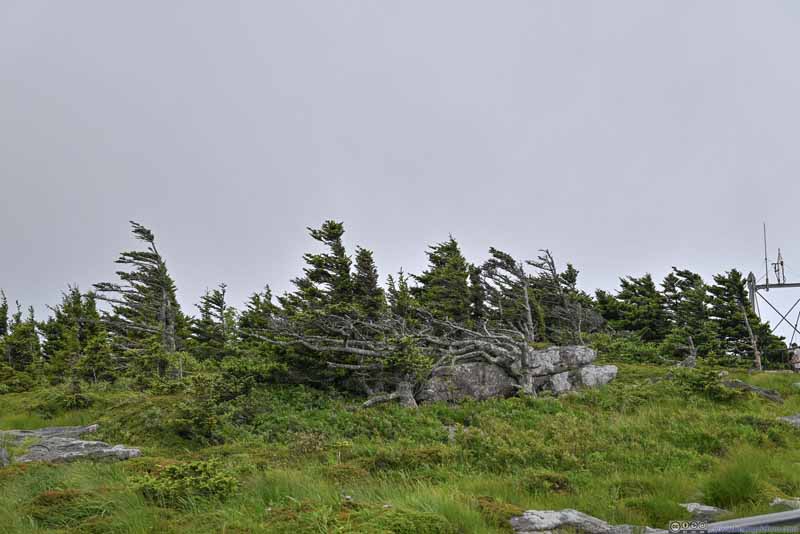 TreesAs if the branches were blown by the wind to one direction.
Click here to display photos of the slideshow
Mile High Swinging Bridge
Mile High Swinging BridgeFor a moment, the passing clouds reached as low as the swing bridge.
Mile High Swinging Bridge before MacRae PeakMost of the time, MacRae Peak was covered in clouds.
Mile High Swinging Bridge before MacRae Peak
MacRae PeakThere were brief moments when MacRae Peak emerged from the clouds.
Linville Peak and Mountains to the West
ValleyThe swing bridge spanned across this valley.
Mile High Swinging Bridge from Below
TreesAs if the branches were blown by the wind to one direction.
Finally, I left Linville Peak just before 5pm. It’s another short hike to the lower parking lot where I was parked.
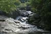
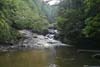
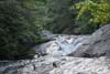
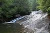
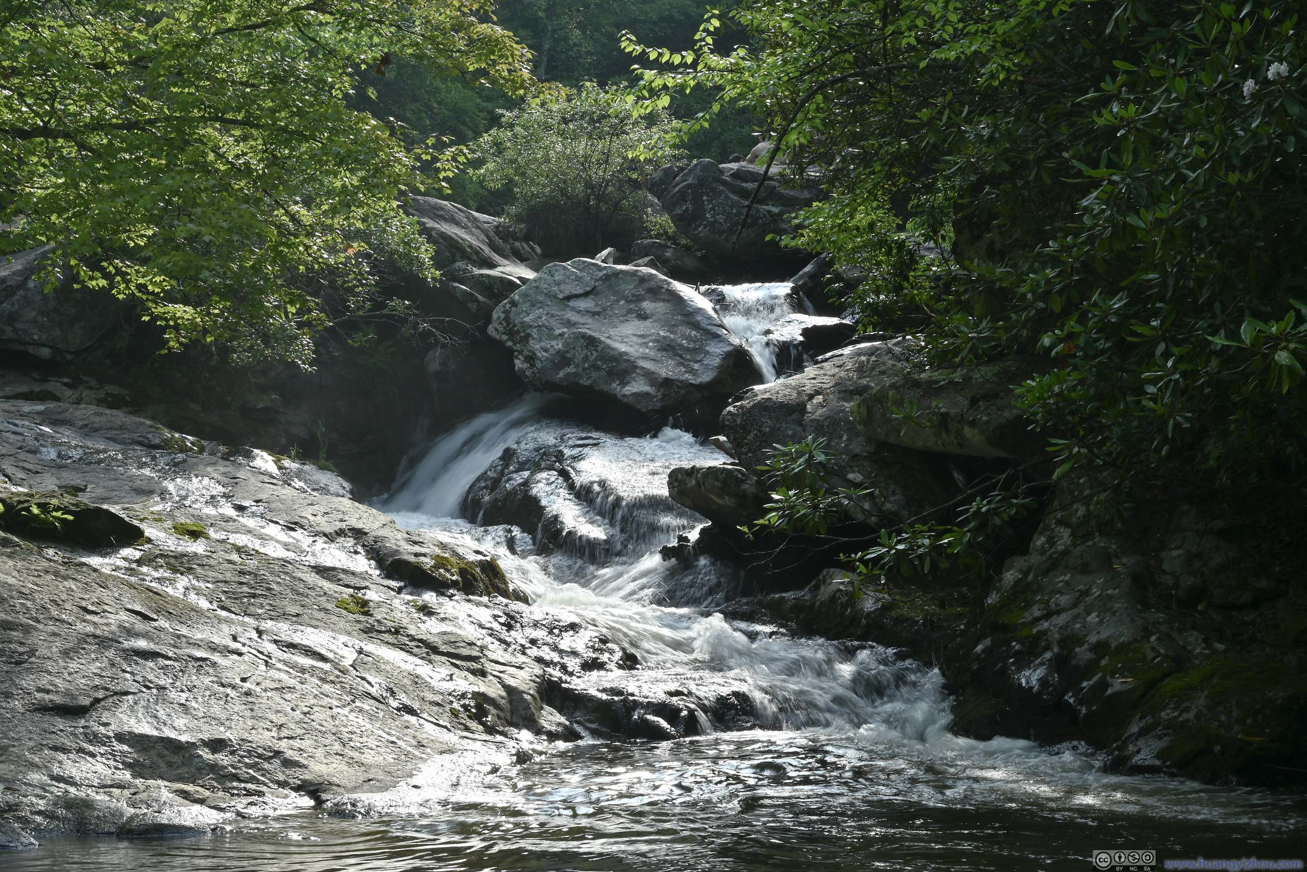
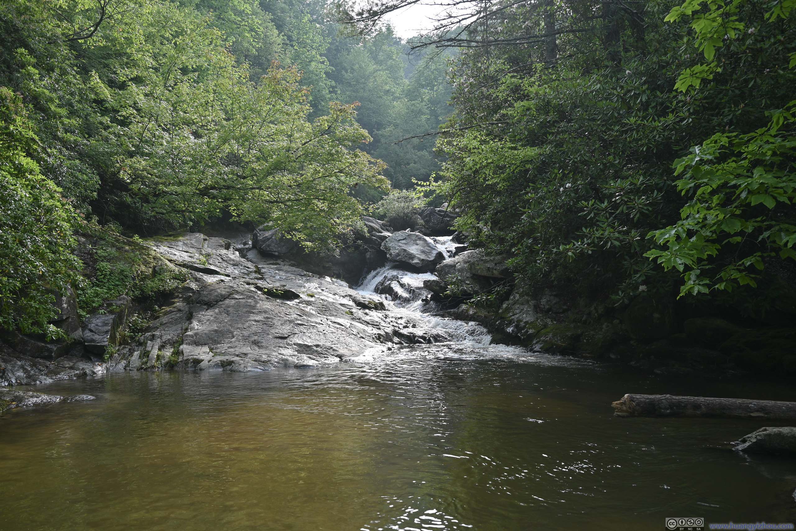
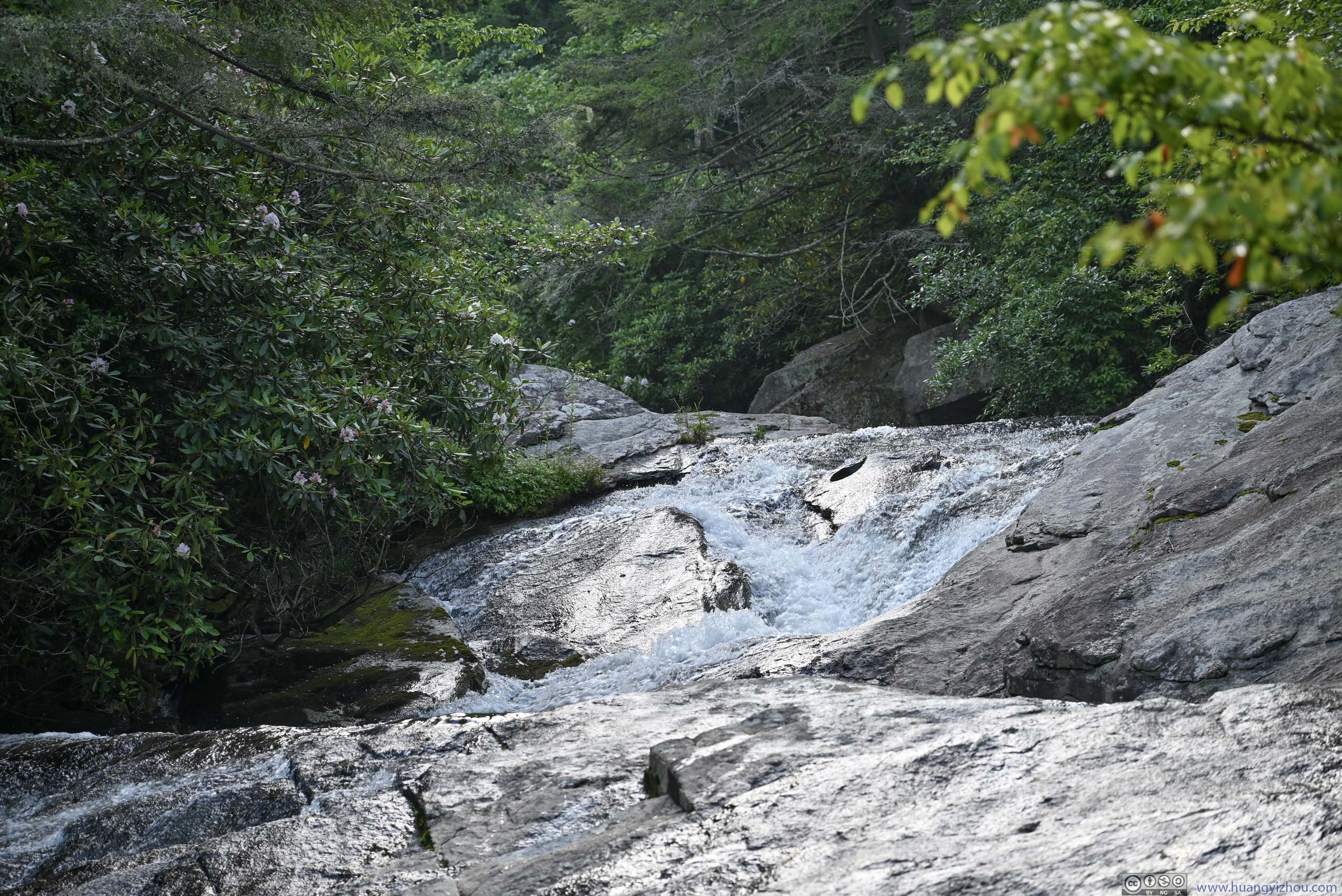
Upper Creek Falls
My overnight hotel was in Morganton NC. I figured I could check out Upper Creek Falls, which was along NC-181, on my way to Morganton.
It turned out that the trail in the region wasn’t mapped properly. It actually followed the green tracks on AllTrail page, instead of the black lines on the map.
In addition, Upper Creek Falls was a series of waterfalls/torrents/slides. Compared to the scenery of waterfalls, most people were using them as a swimming spot amid the summer heat. On that part, there were a few natural waterslides that sure provided enough fun.
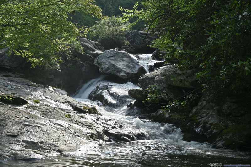 Upper Creek Falls
 Upper Creek Falls
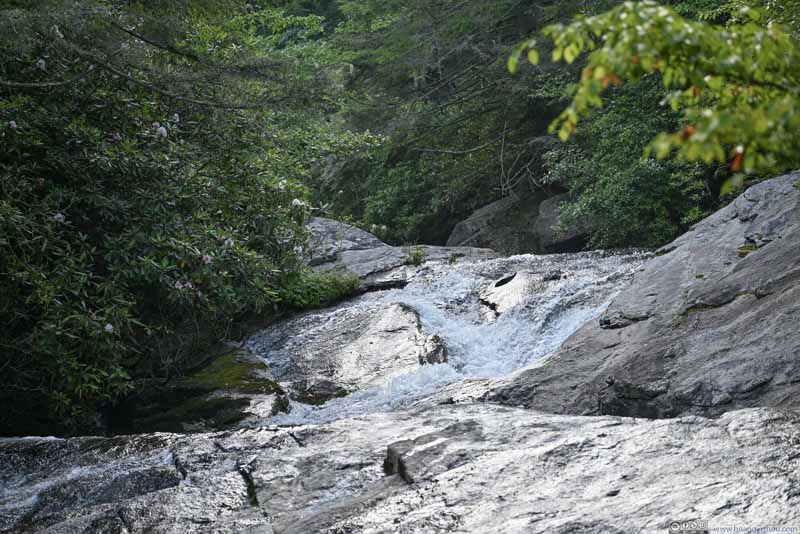 Upper Creek Falls
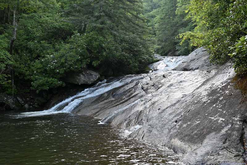 Upper Creek Falls
Click here to display photos of Upper Creek Falls.
Upper Creek Falls
Upper Creek Falls
Upper Creek Falls

Upper Creek Falls
Unfortunately, I wasn’t in swimming gear, and I didn’t want to get myself (or my camera) wet. So I didn’t stay long in the area before continuing onto Morganton.
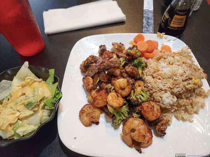 Dinner
At a restaurant in downtown Morganton NC. I was surprised that this dish was only priced at 10.99 USD on the menu.
Dinner
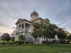
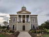
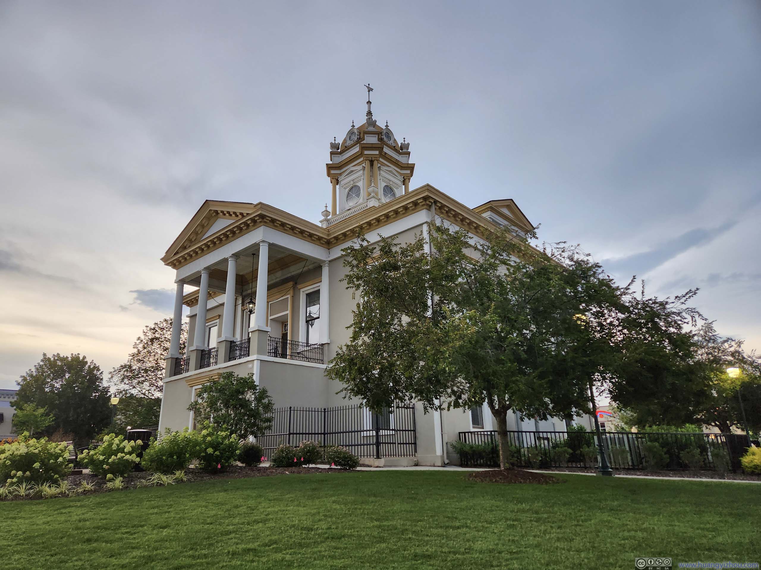
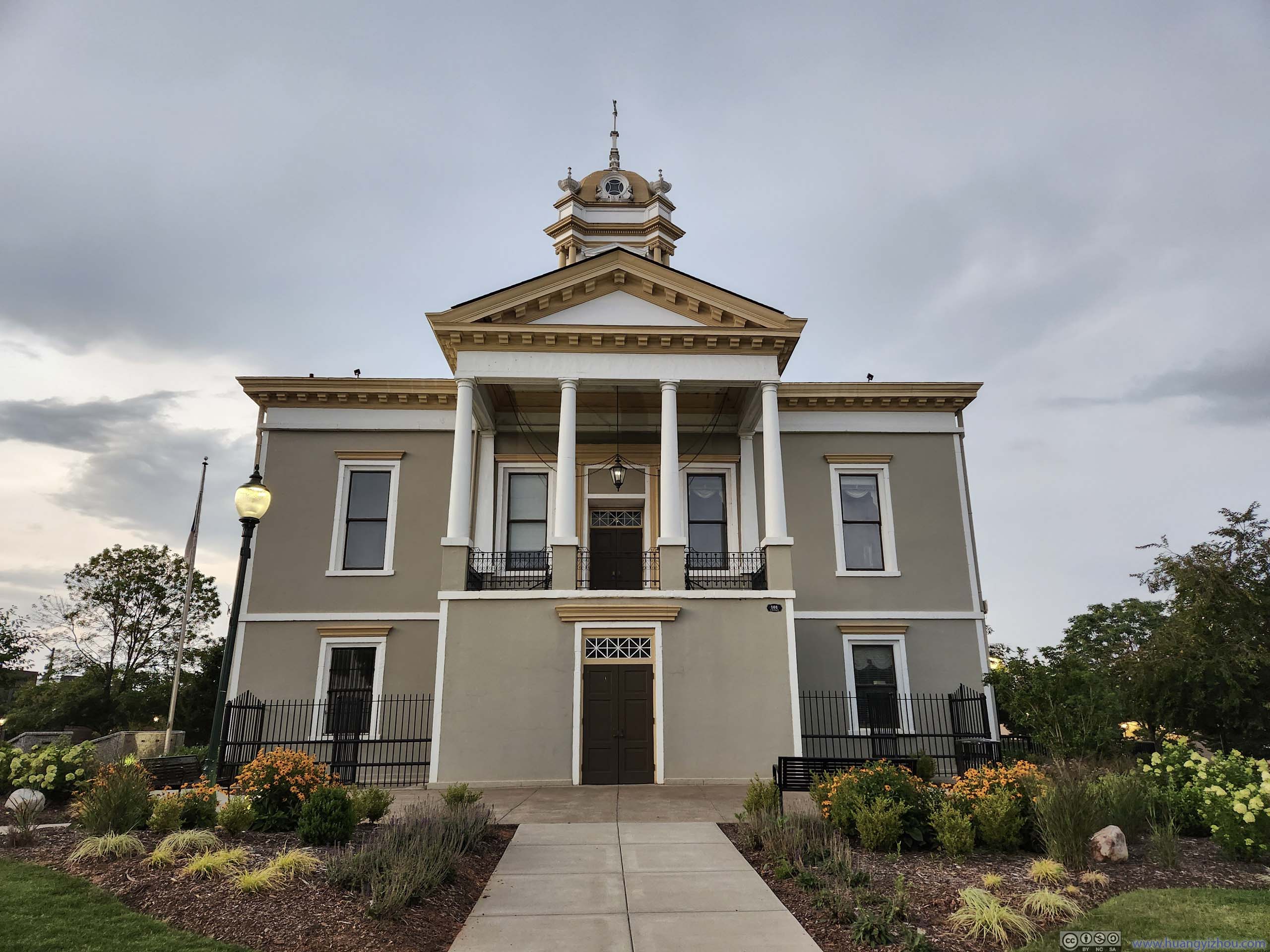
At a restaurant in downtown Morganton NC. I was surprised that this dish was only priced at 10.99 USD on the menu.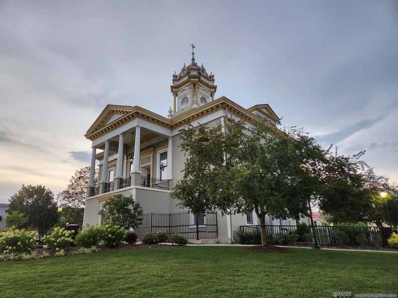 Historic Burke County CourthouseStroll/sightseeing after dinner.
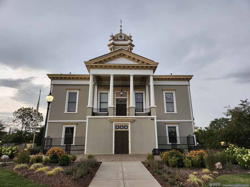 Historic Burke County CourthouseStroll/sightseeing after dinner.

Click here to display photos of the slideshow

Dinner
Historic Burke County CourthouseStroll/sightseeing after dinner.
Historic Burke County CourthouseStroll/sightseeing after dinner.
After being shocked with the low cost of living from prices on the restaurant menu (p1 above) in Morganton, I checked into my overnight hotel: Fairfield Inn & Suites Morganton.
I spent 15500 Marriott points for this night, which was a better deal compared to other hotels between Marion and Morganton, NC. I planned to check out the southern part of Linville Gorge the next day so this hotel was at a very convenient location. It also helped that the Walmart in Morganton had the cheapest fuel throughout this entire trip.
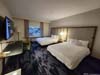
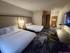
As for the hotel room, it’s fairly new hotel so I certainly enjoyed the modern decor. Morganton was a small town and it was rather quiet at night, I didn’t use my earplugs for the night.
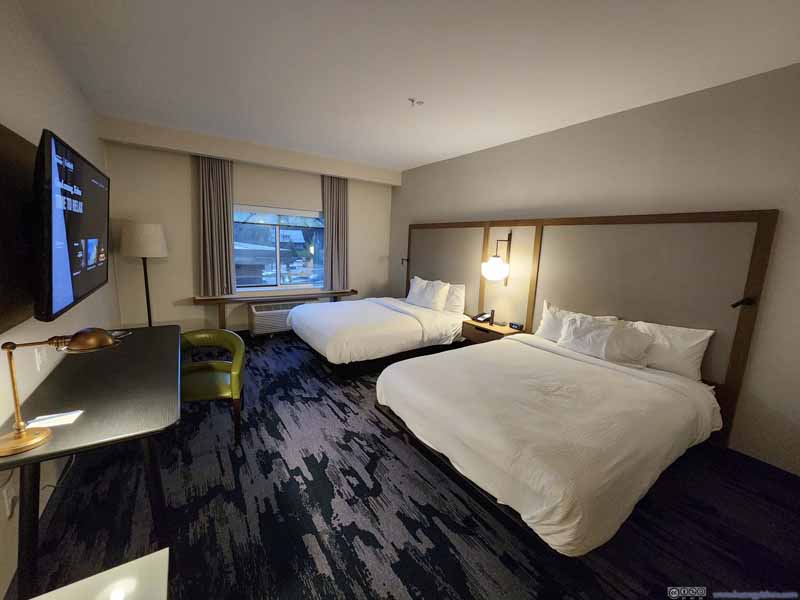 Hotel Room
 Hotel Room
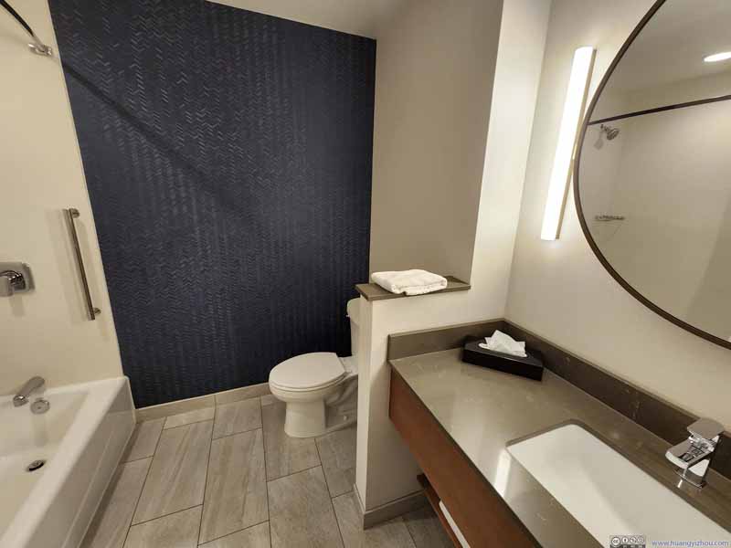 Bathroom

Click here to display photos of the hotel room.

Hotel Room

Hotel Room

Bathroom
And that concluded the day.
END
![]() Day 1 of 2023 Independence Day Trip, Grandfather Mountain by Huang's Site is licensed under a Creative Commons Attribution-NonCommercial-ShareAlike 4.0 International License.
Day 1 of 2023 Independence Day Trip, Grandfather Mountain by Huang's Site is licensed under a Creative Commons Attribution-NonCommercial-ShareAlike 4.0 International License.