
Updated on April 13, 2024
Climbing Mount Si outside Seattle
First day of my July 2023 trip to western US. I climbed Mount Si, a prominent mountain on the western flank of Cascade Mountains, overlooking Snoqualmie Valley.
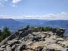
Summit of Mt Si
While my errands in Seattle were over the weekend of July 29-30, I arrived two days earlier to take advantage of a cheaper flight. I had never hiked in Cascade Mountains in the summer (if Suicide Rock near Idyllwild, CA back in 2021 didn’t count), so this would be a great opportunity for me to check out the outdoors in the Pacific Northwest.
For today, I picked Mount Si outside the town of North Bend. Located on the edge of Cascade Mountains, it’s one of the first mountains along I90 from Seattle, so its summit offered views of both soaring peaks to the east, and flat rainforests to the west. Unlike Rattlesnake Mountain across I90, Mount Si was a challenging hike, featuring a YDS class 3 scrambling before its summit, so it’s right in my ballpark. AllTrails rated it at 12.7km out-and-back with 1035m elevation gain.
A Discover Pass is required to park at the trailhead.
I visited a grocery store to pick up both my breakfast and lunch along the way. That’s when I realized I left my sunscreen back at the Airbnb. (Unfortunately, my tradition of leaving things behind continued.) So I grabbed another one along with my lunch.
Probably because it’s a weekday, the trailhead parking lot was pretty empty. There were more than a few potholes in the parking lot driveway, but shouldn’t pose any issue for most cars if one take caution avoiding them.
After warming up, I started my hike at 10:40am. Here’s GPS tracking:
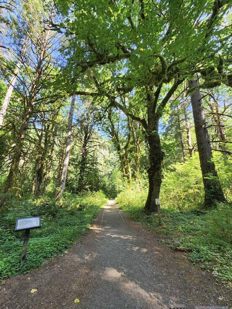
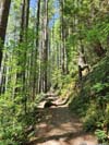
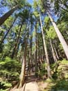
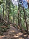
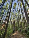
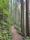
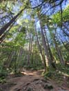
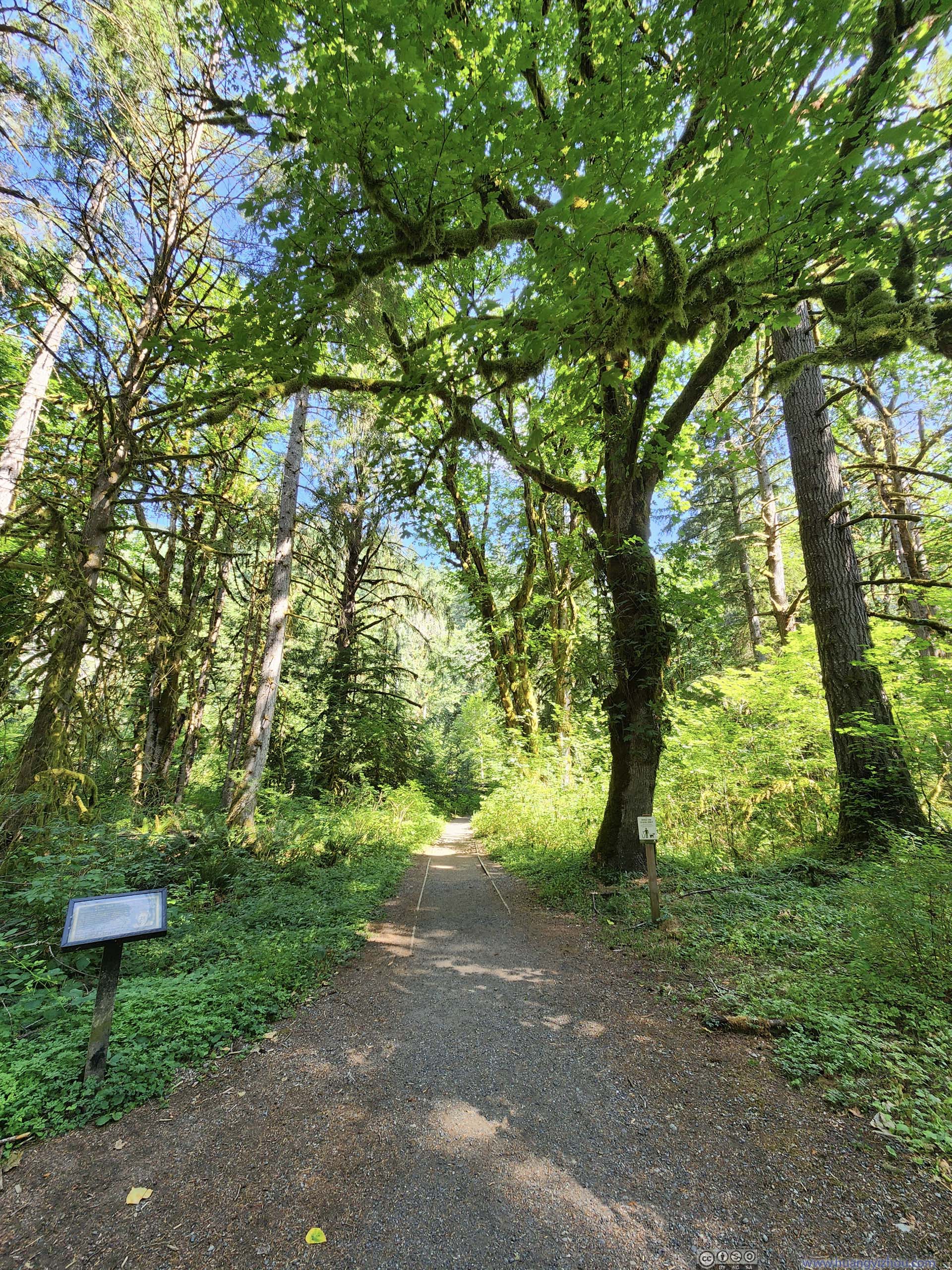
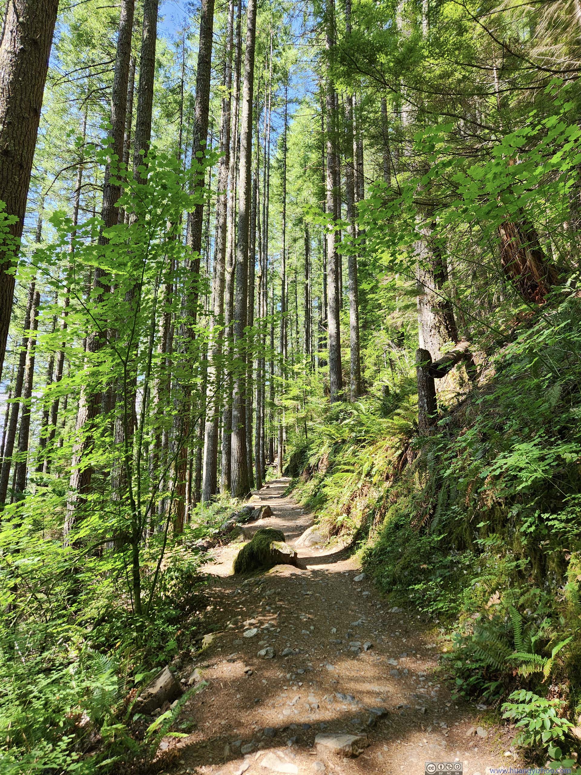
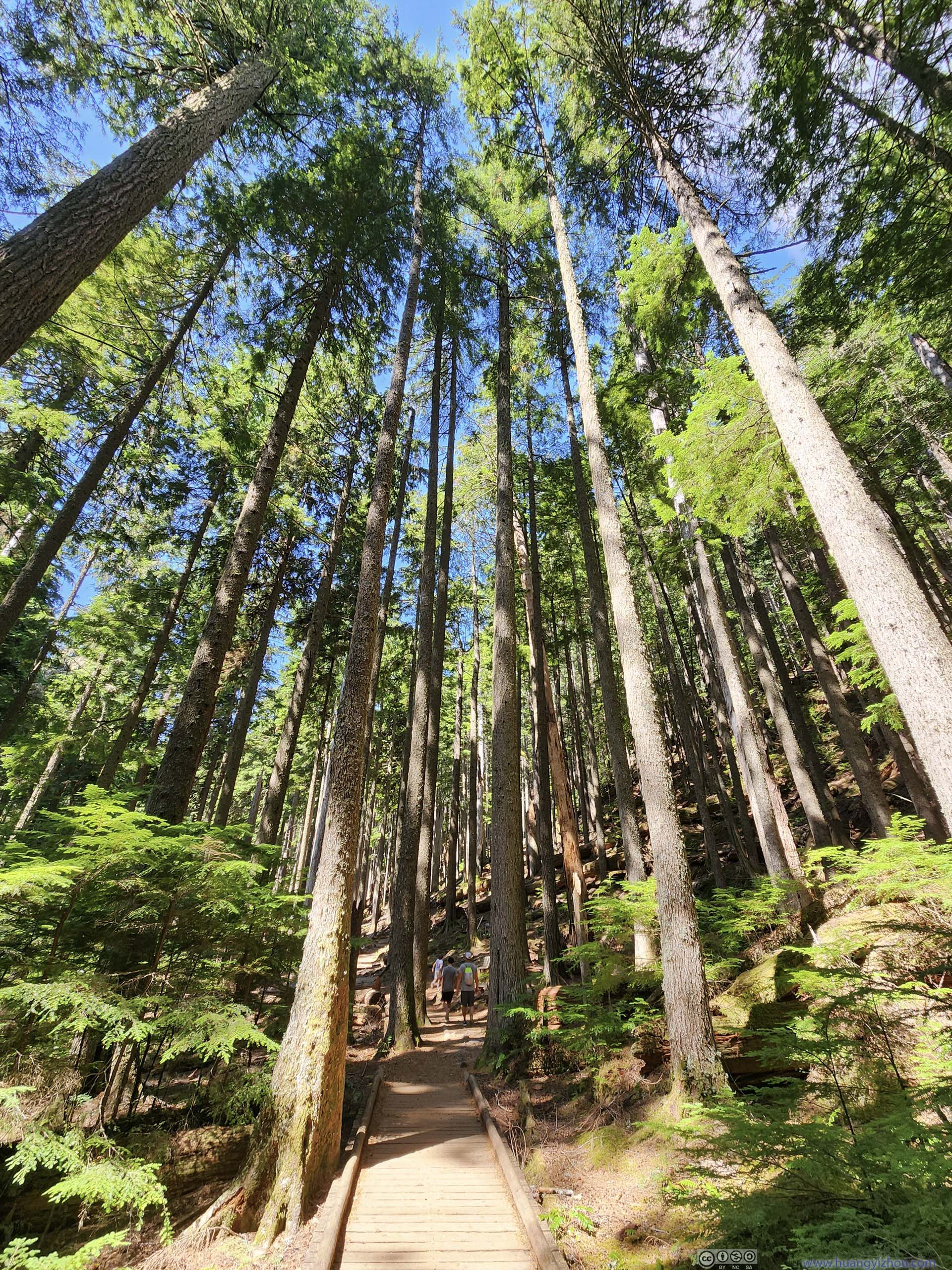
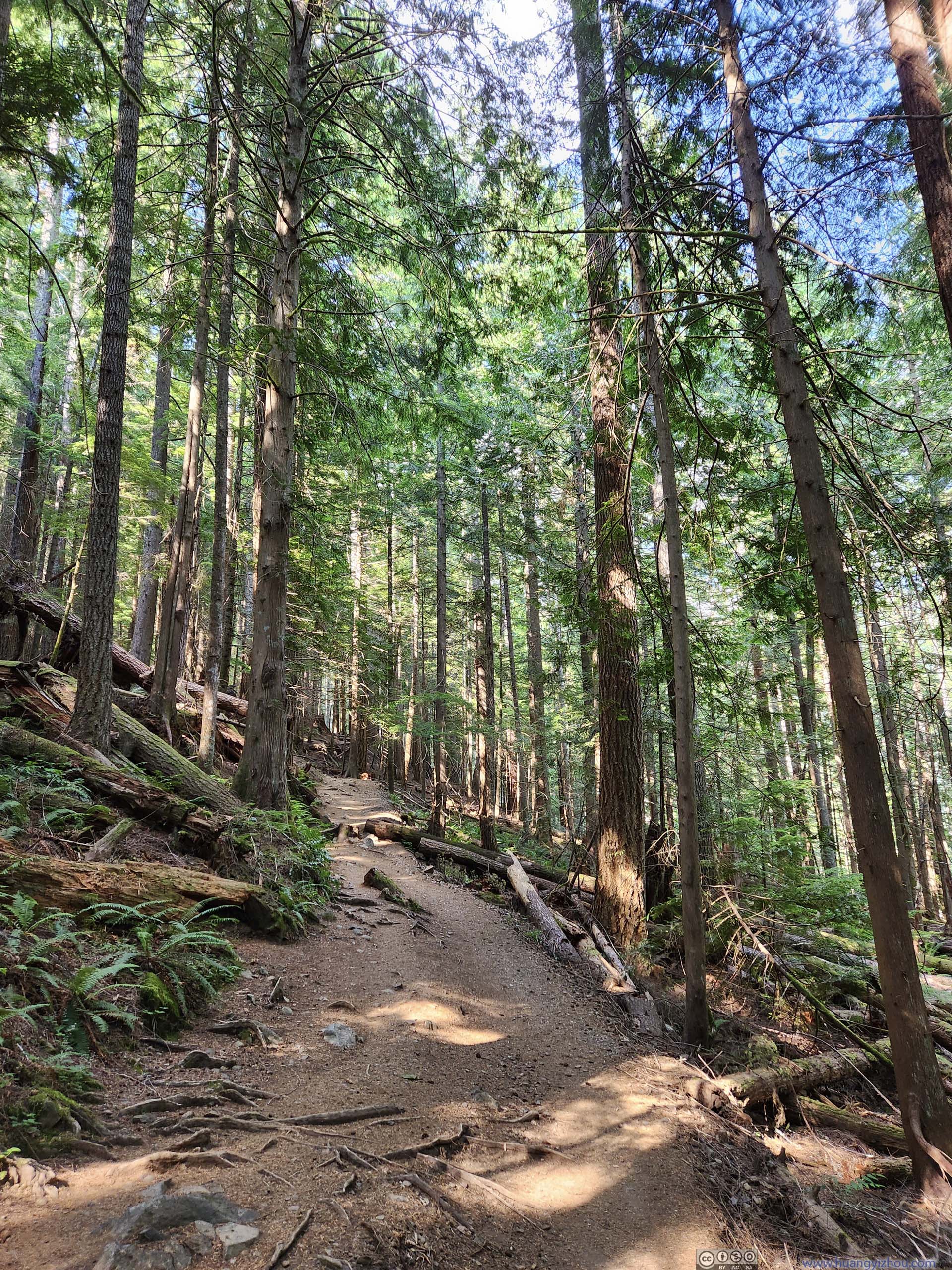
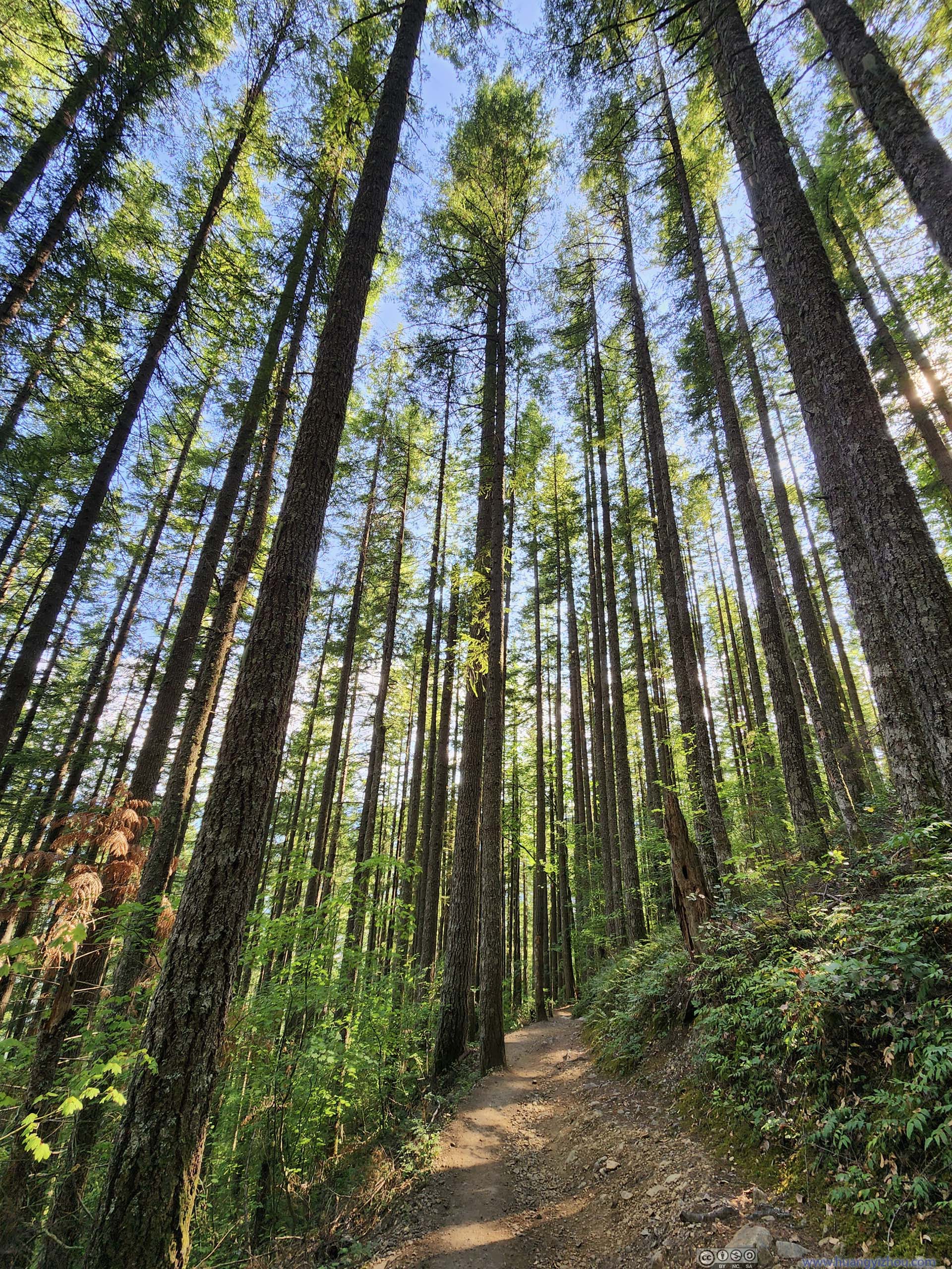
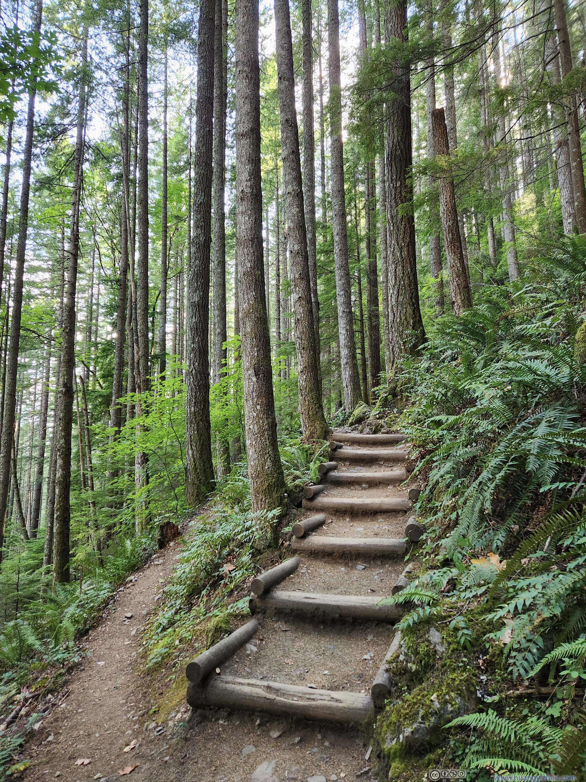
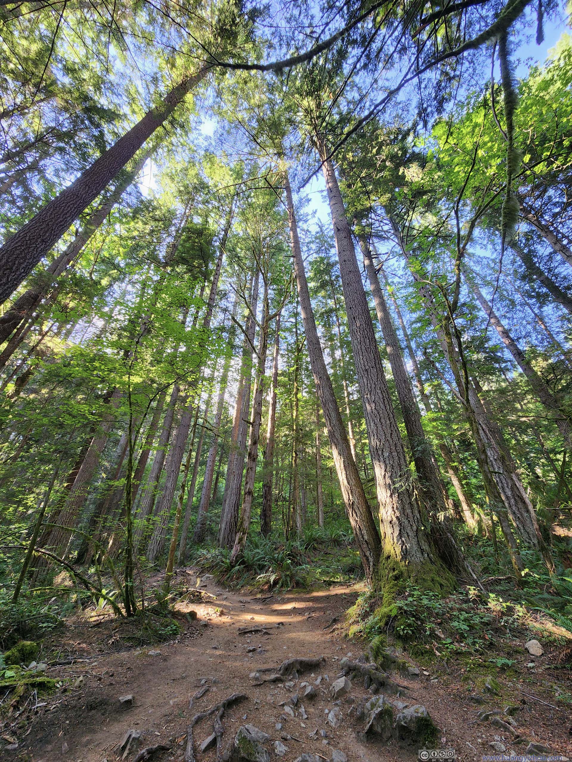
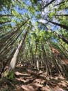
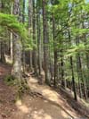
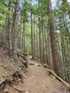
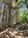
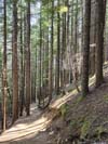
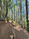
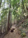
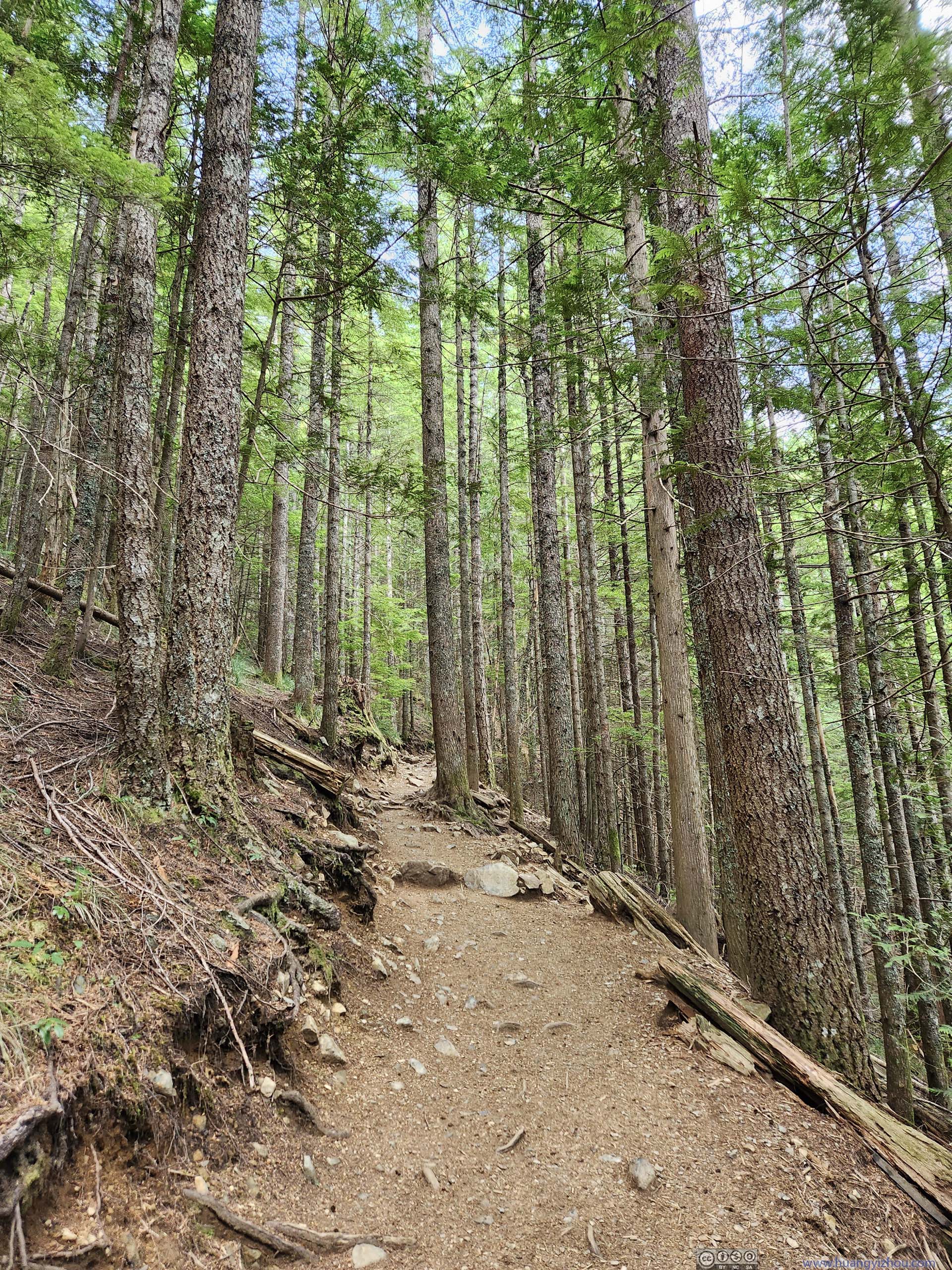
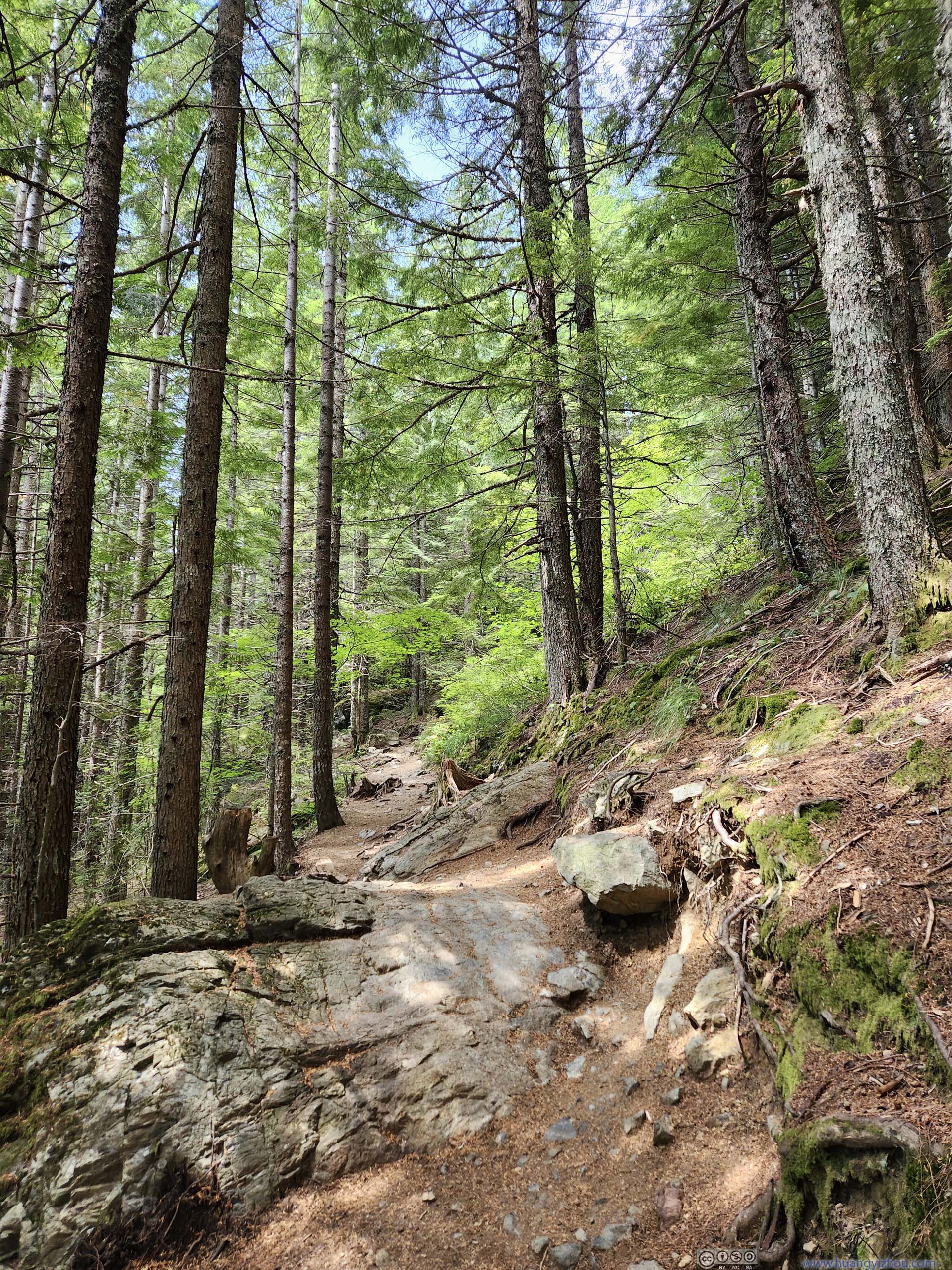
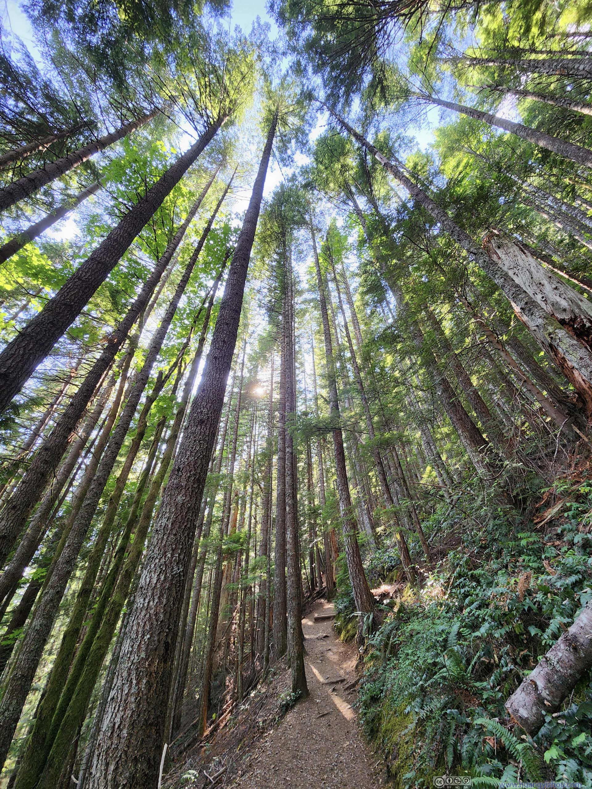
Immediately after stepping onto the trail, I found myself among a rainforest setting: soaring pine trees decorated by moss and ferns underneath them. The humid and refreshing scent of rainforest was an invigorating start for a moderately long hike. Unfortunately, with no wind in the woods, I soon started sweating as I felt the warmth.
 Trail
Trail Forest
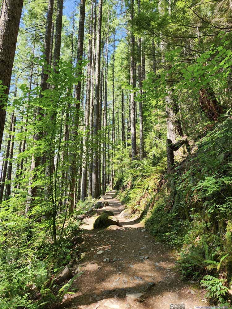 Trail
Trail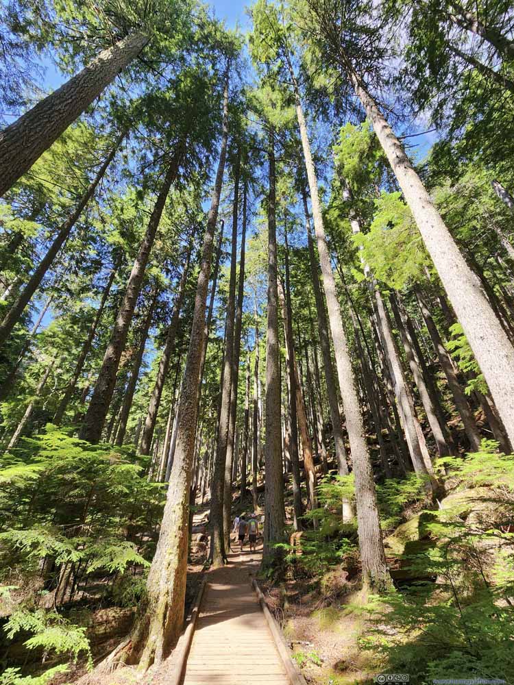 Trail
Trail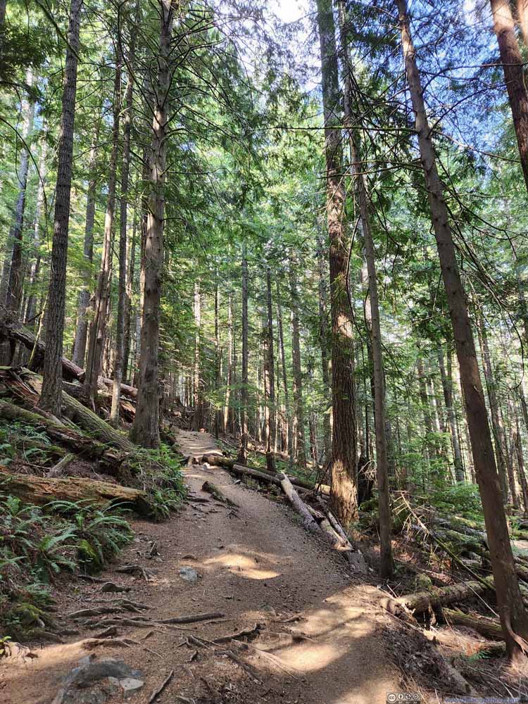 Trail
Trail Trail
Trail Trail
Trail Trail
Trail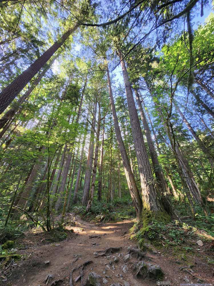 Trail
Trail

Click here to display photos of the trail.
Trail
Forest
Trail
Trail
Trail
Trail

Trail
Trail
Trail
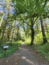
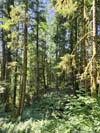
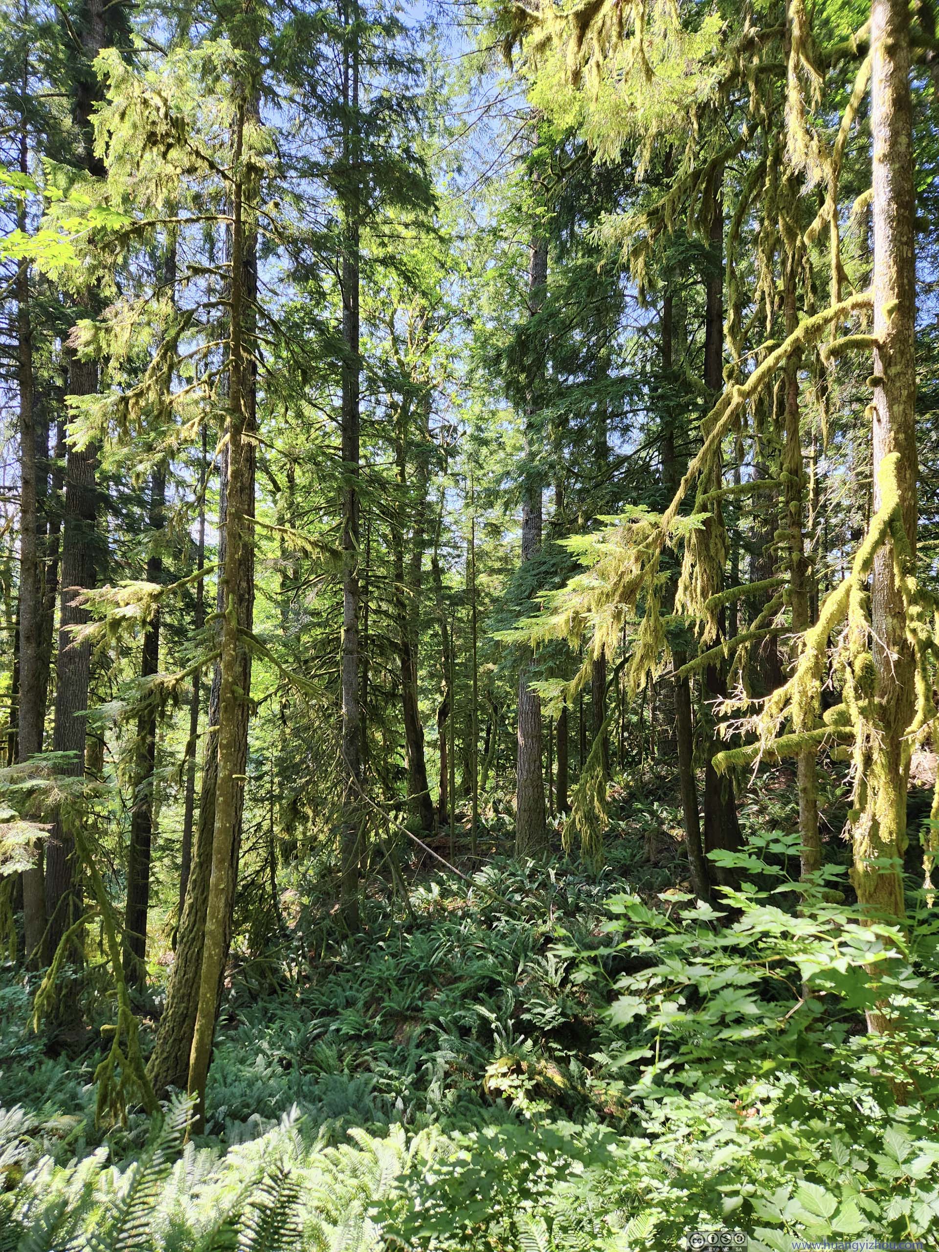
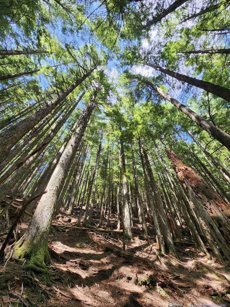
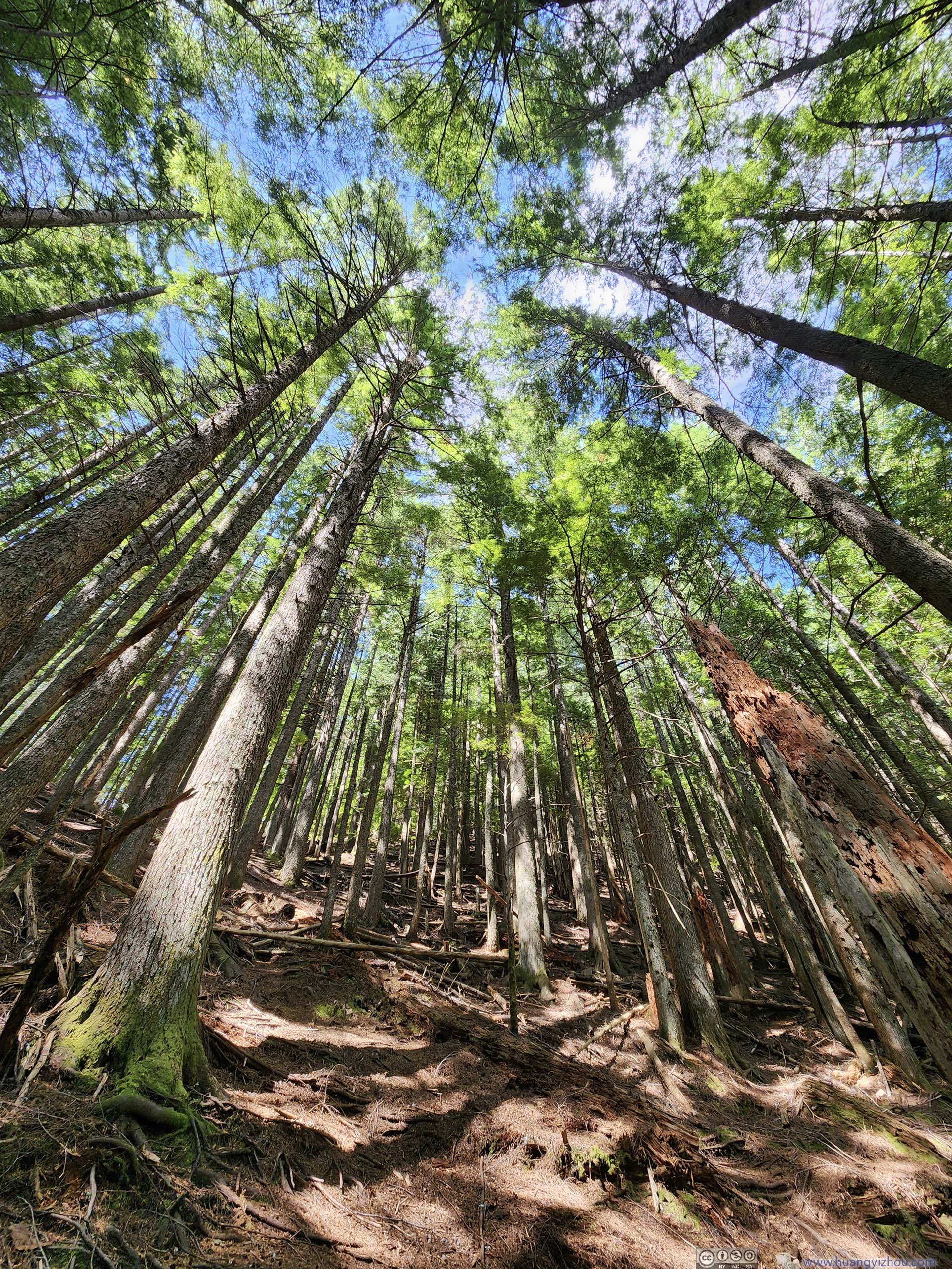
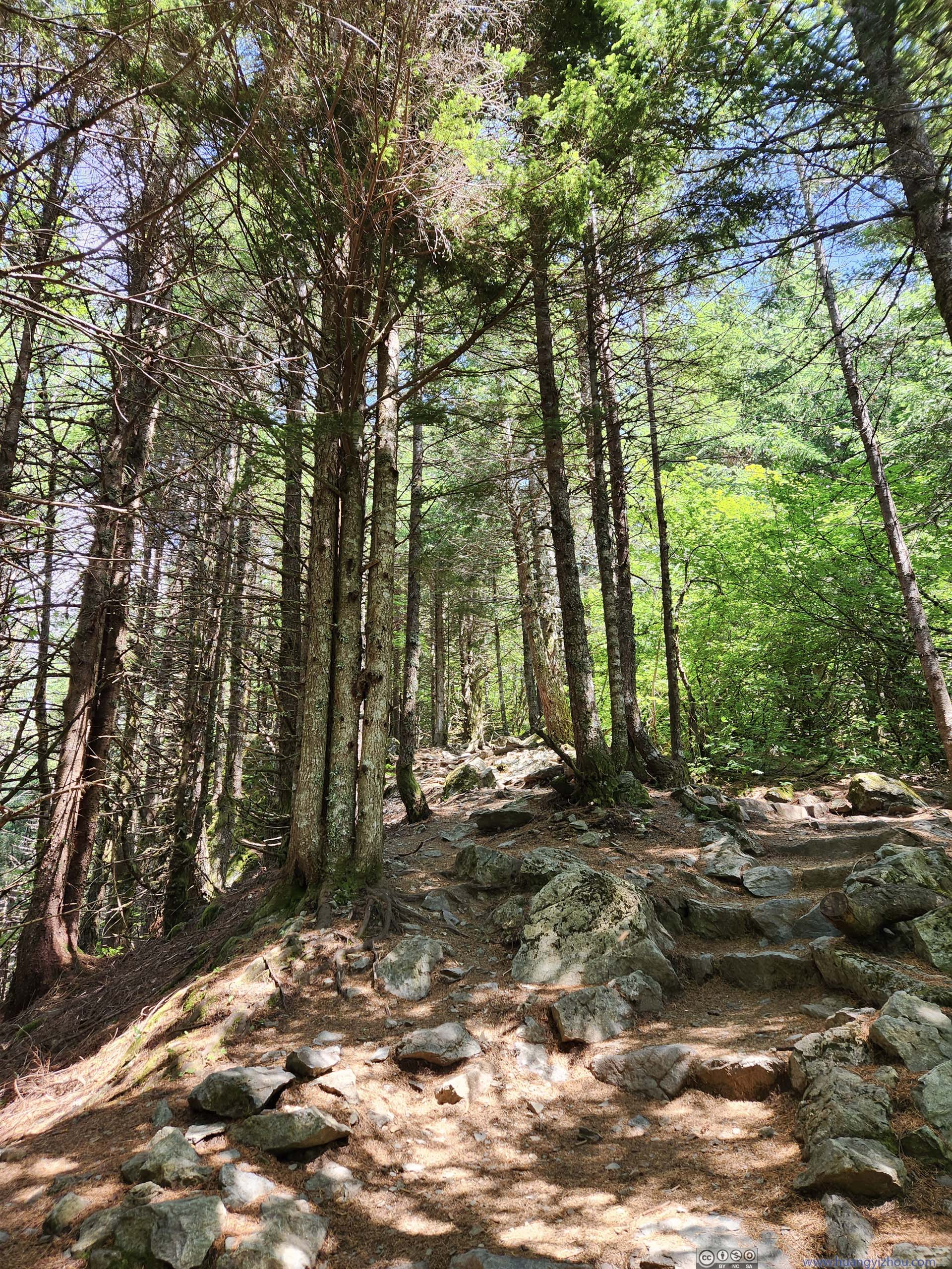
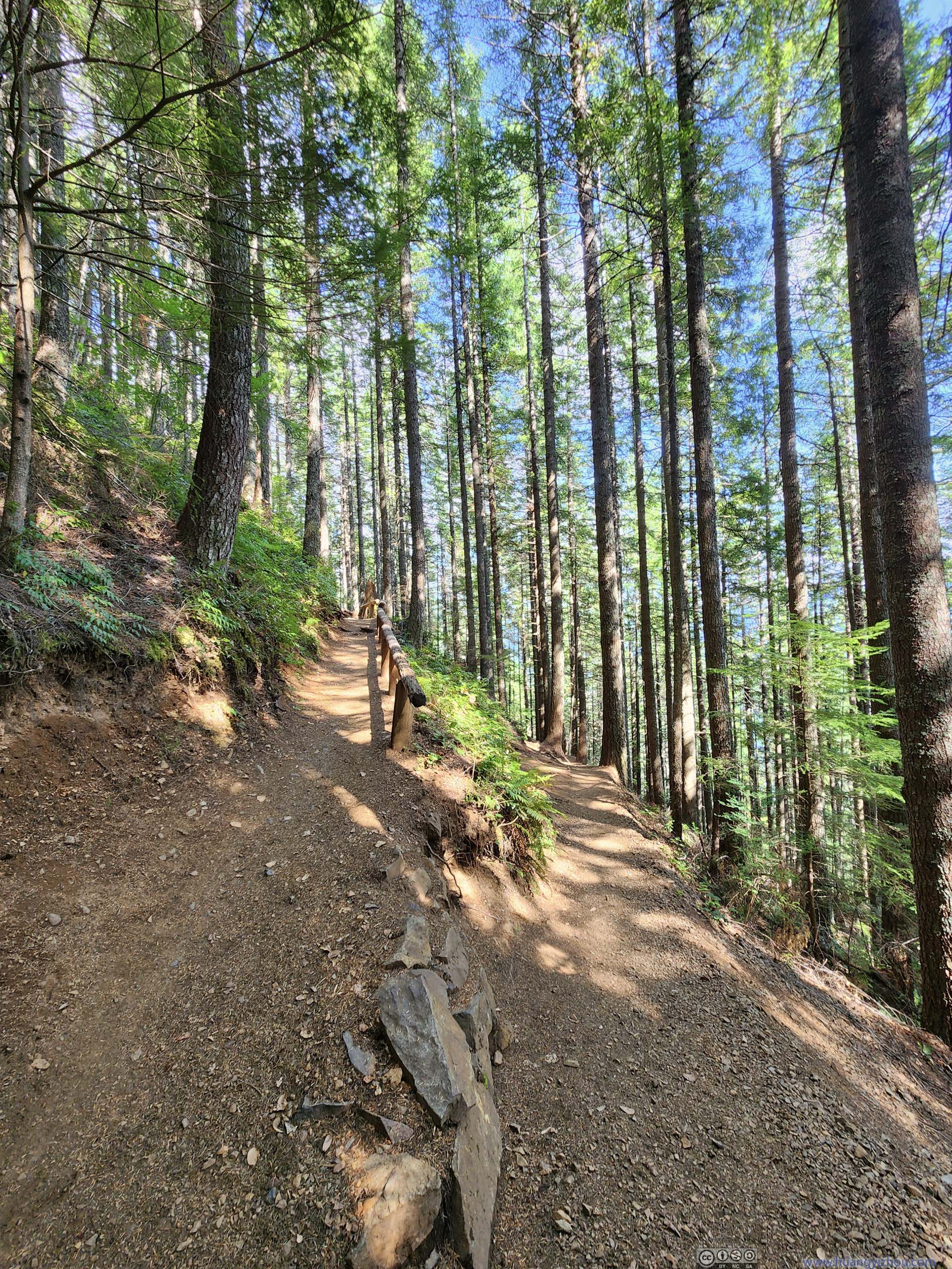
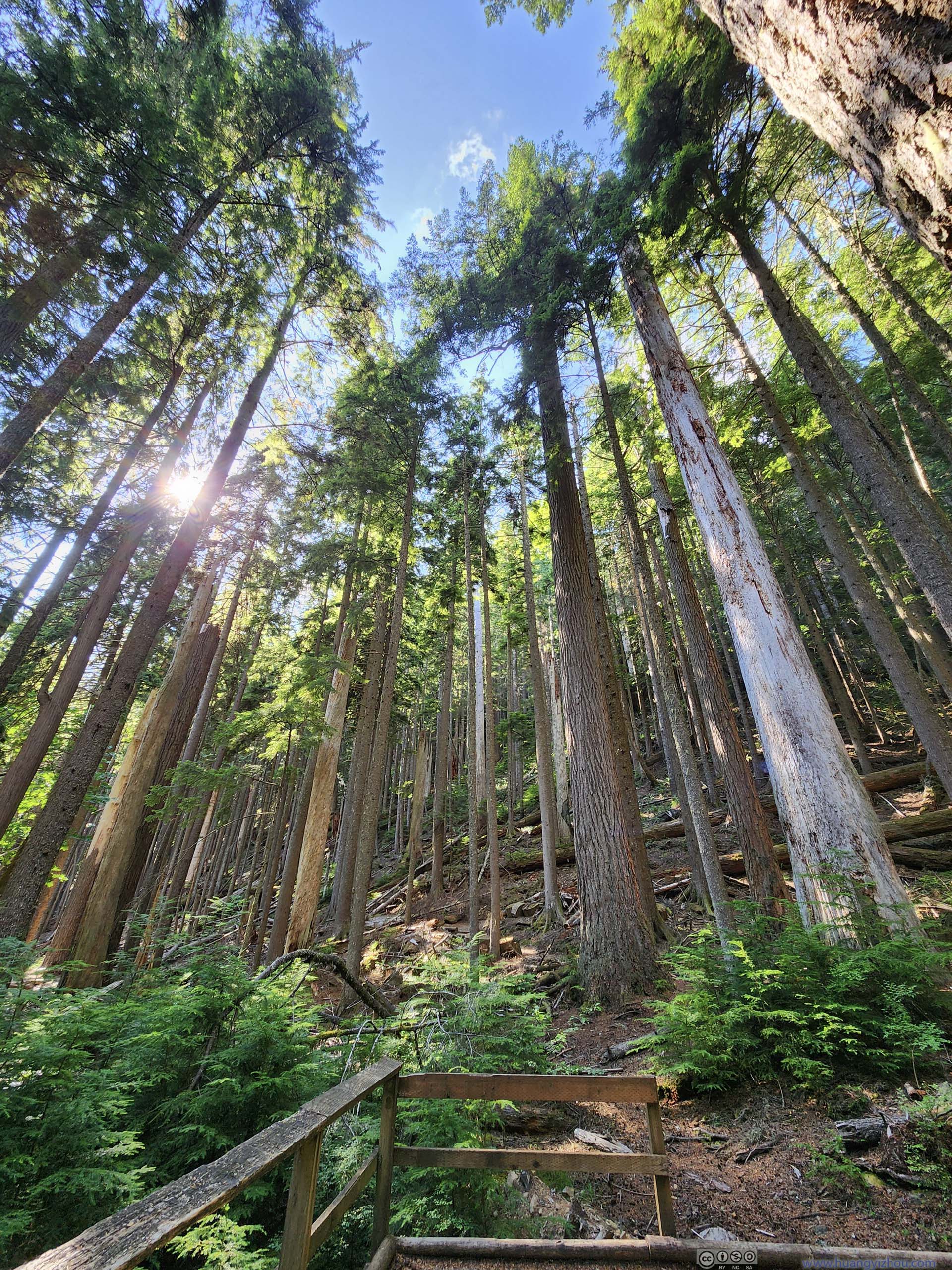
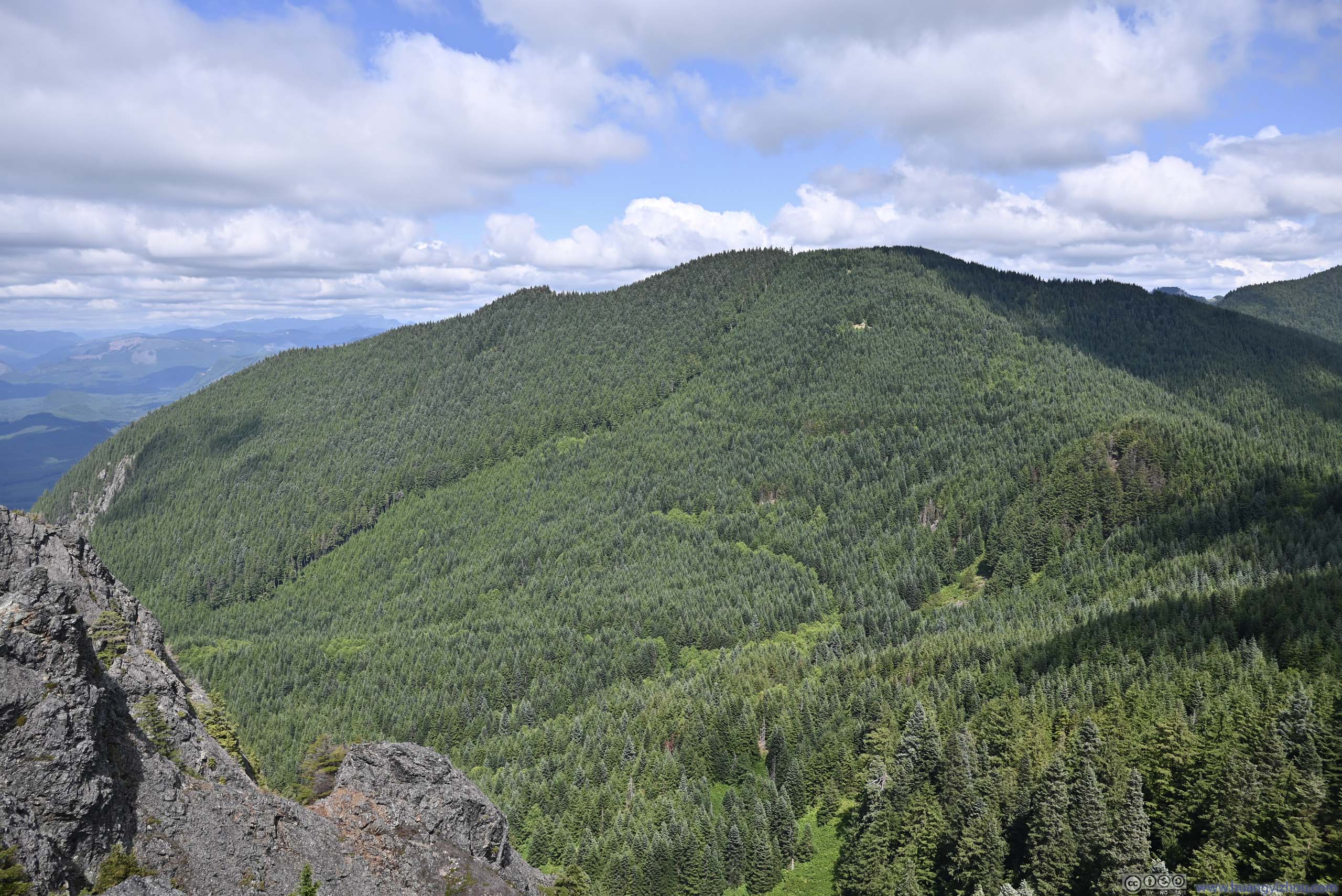
Overall, the trail to Mount Si was well-maintained, most of it at double-track width. The trail went through a few intersections and lots of switchbacks. As I went higher in elevation, the undergrowth gradually disappeared, but the pine forest sticked around for most of the hike.
 Forest
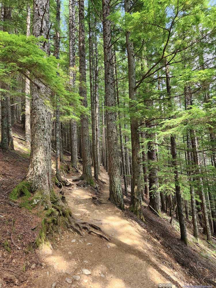 Trail
Trail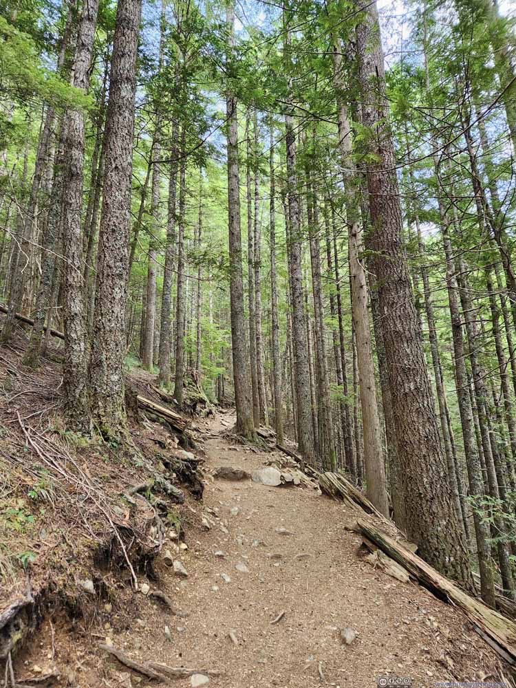 Trail
Trail Trail
Trail TrailThree trees grew together in parallel in the center left?
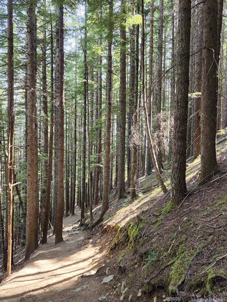 Trail
Trail Trail
Trail Trail
Trail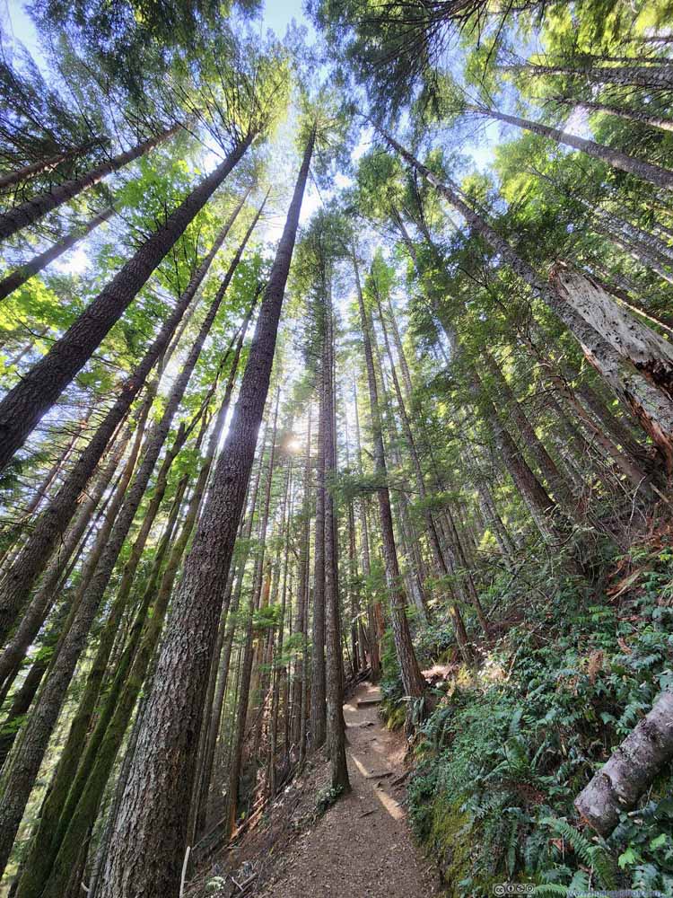 Forest
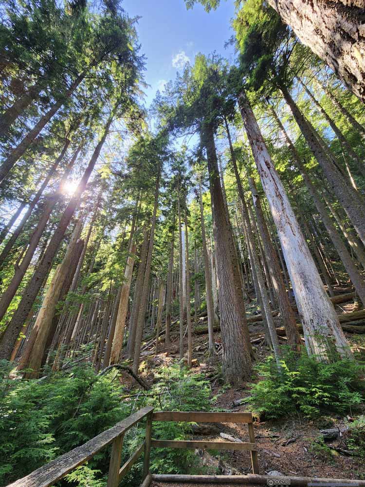 Forest


Click here to display photos of the trail.
Forest

Trail
Trail
Trail
TrailThree trees grew together in parallel in the center left?

Trail
Trail

Trail
Forest
Forest
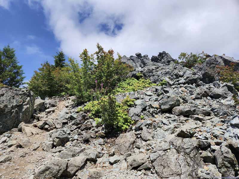
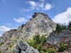
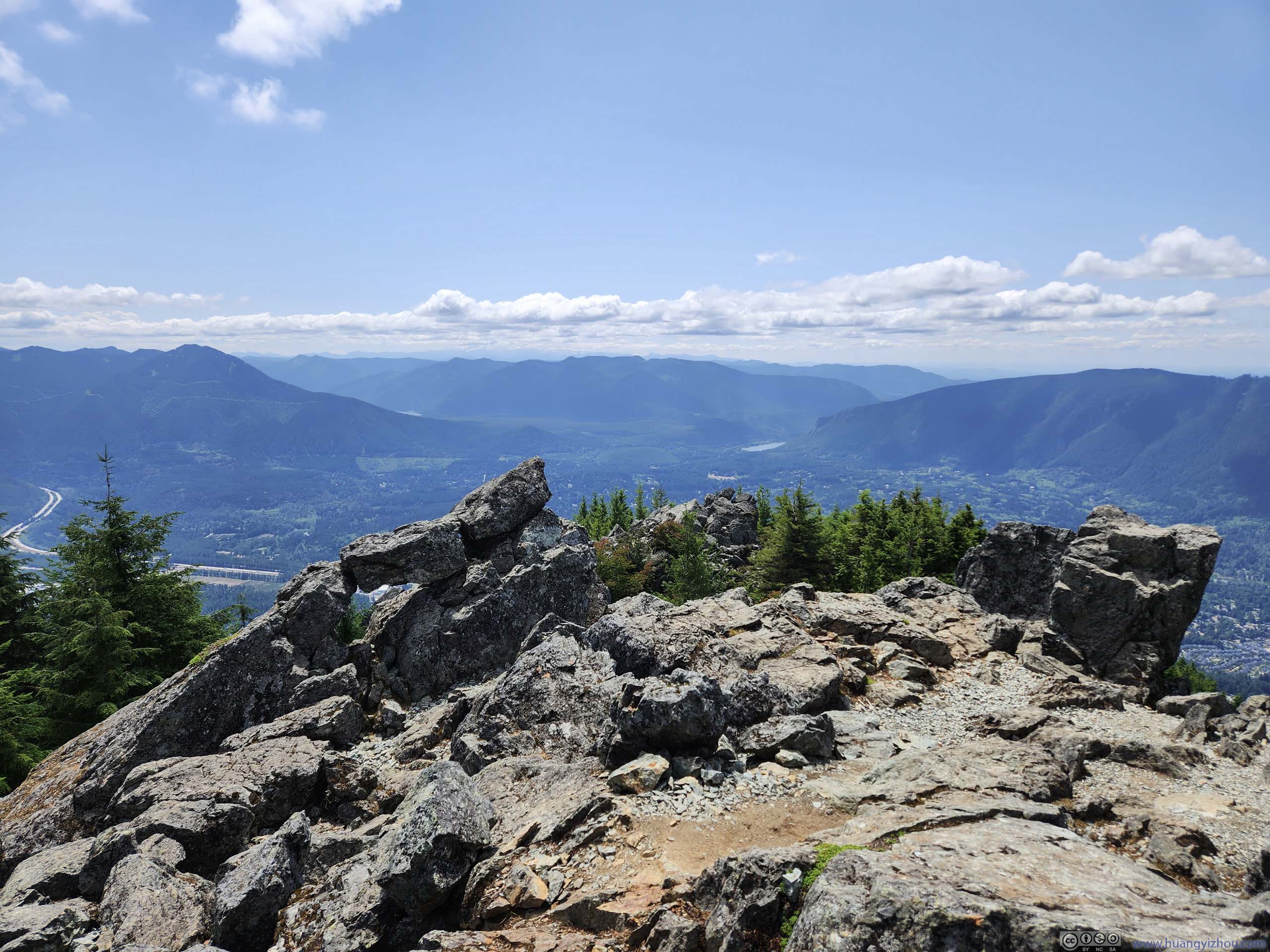
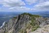
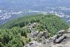
5.8km from trailhead and about 500m from the summit, the forest disappeared into a boulder field, where it’s hard to follow the trail. Navigating the boulder field required minor scrambling. Here one could choose to stay to the right/east, following the trail and avoiding the boulder field as much as possible; or stay to the left/west, where a few vistas (such as p2 below) were located. There one could also see the towering presence of Mount Si’s summit (p3 below) just slightly ahead. I believed a majority of people on the trail didn’t reach the actual summit of Mount Si, instead ending their hike at one of the few vistas along the boulder field.
 Rocks along TrailClose to the summit, where the trail first emerged from the forest.
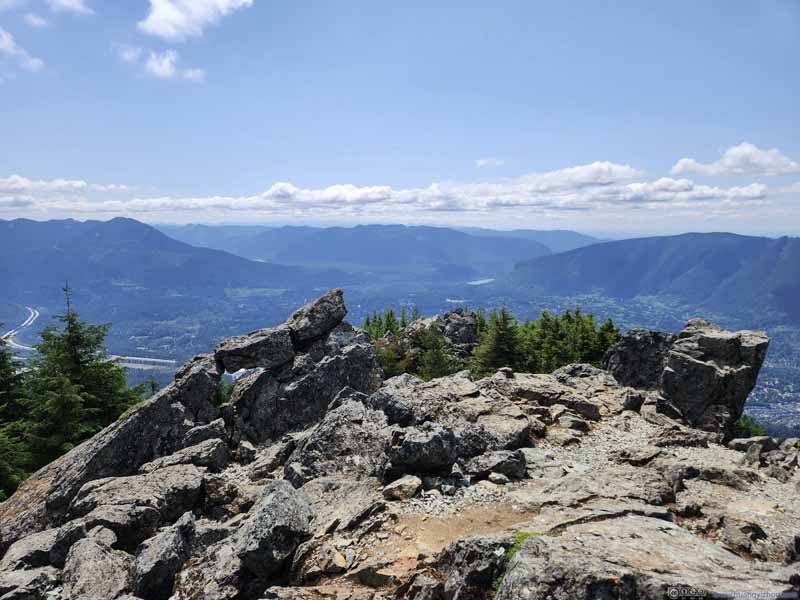 Scenic Overlook along TrailA good place to end the hike for those not into scrambling up Mount Si.
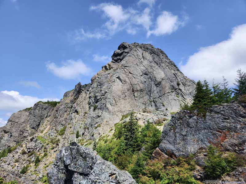 Southern Cliff of Mount Si
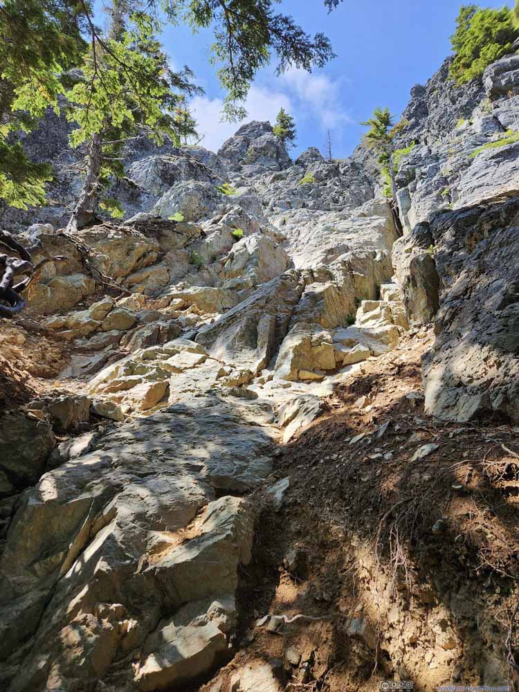 Haystack Rock from Below
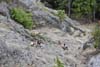
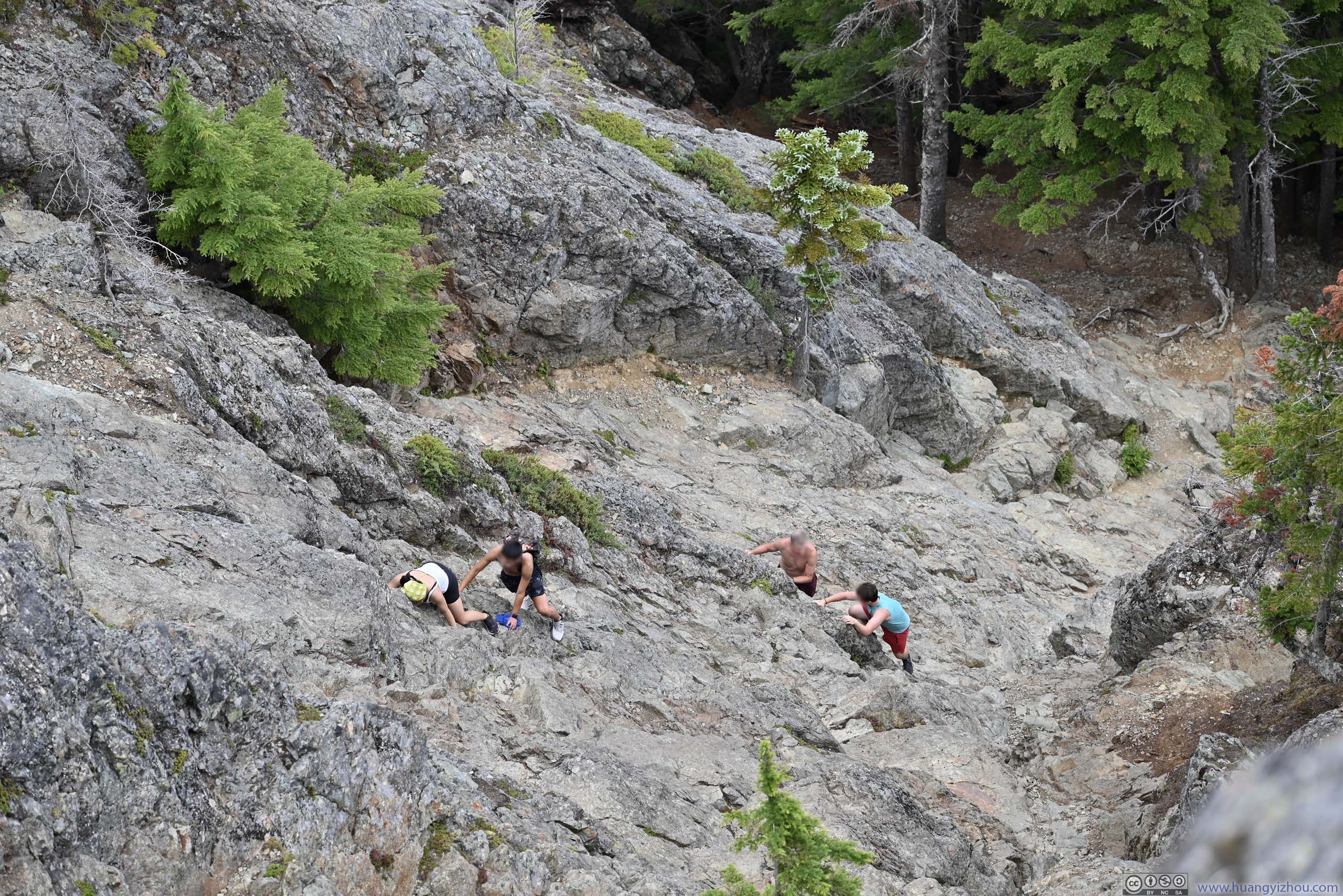
 Scrambling along Haystack RockLooking steep from this angle.
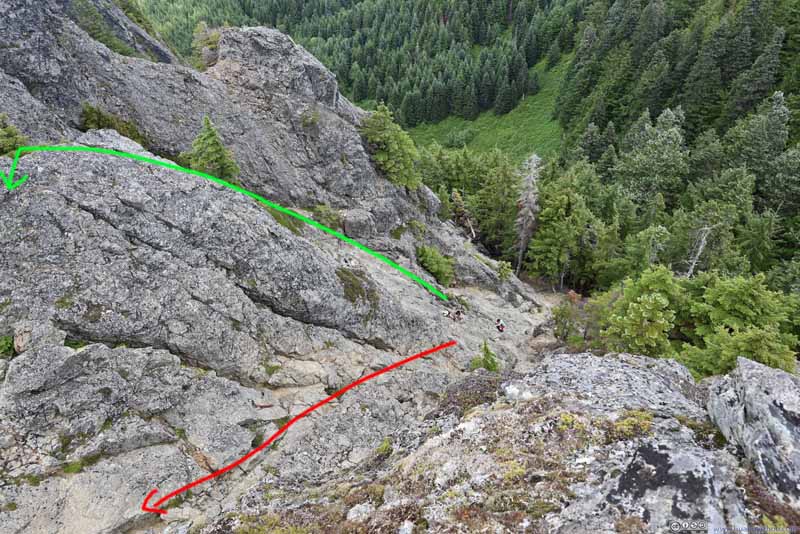 Scrambling along Haystack Rock
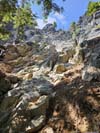
There were two routes/chutes up Haystack Rock. I picked the one further north (green), while most others behind me picked the more straightforward path (red) to the south. I believed the northern/green route is easier than the southern/red route.
Scrambling along Haystack Rock
There were two routes/chutes up Haystack Rock. I picked the one further north (green), while most others behind me picked the more straightforward path (red) to the south. I believed the northern/green route is easier than the southern/red route.

Click here to display photos of the slideshow

Rocks along TrailClose to the summit, where the trail first emerged from the forest.
Scenic Overlook along TrailA good place to end the hike for those not into scrambling up Mount Si.

Southern Cliff of Mount Si

Haystack Rock from Below
Scrambling along Haystack RockLooking steep from this angle.

Scrambling along Haystack Rock
A short distance ahead the trail reached an intersection with Blowdown Mountain / Mount Teneriffe. A left turn here and one was at the base of the “Haystack Rock” (p4 above), the home stretch before Mount Si.
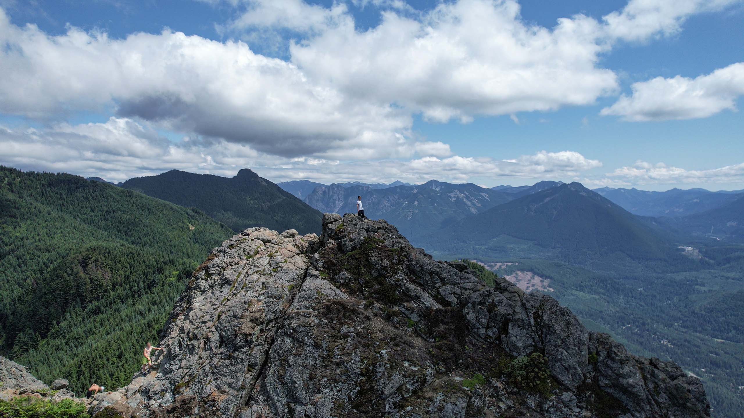
“Haystack Rock” was commonly rated as YDS class 3, but frankly it’s the steepest scramble I had had so far. It’s not super tall (p5-6 above), but it came with considerable exposure. The footholds and handholds were plenty, but the rocks more worn down compared to similar scrambles that I had in the Rocky Mountains, so it required caution.
Halfway into the scramble, there were two obvious paths forward following two separate chutes (p6 above). I followed the chute on the right/north and I felt from that point on, things got easier (since I had more handholds/footholds in the chute). People later in the day mostly followed the other path though.
With nobody above me, I launched my drone and intended to use its “follow” function to record my climb. A big disappointment was that, after setting up the drone and while putting its controller back into the backpack, I accidentally pressed the “record” button a second time. As a result, the drone “followed” me, but didn’t record anything. 😭
Nonetheless, following my tradition, I used the following drone video to commemorate my summitting of Mount Si:
15 seconds, 2160p60fps, 2x playback speed, about 39MB file size.
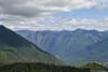
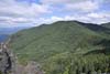
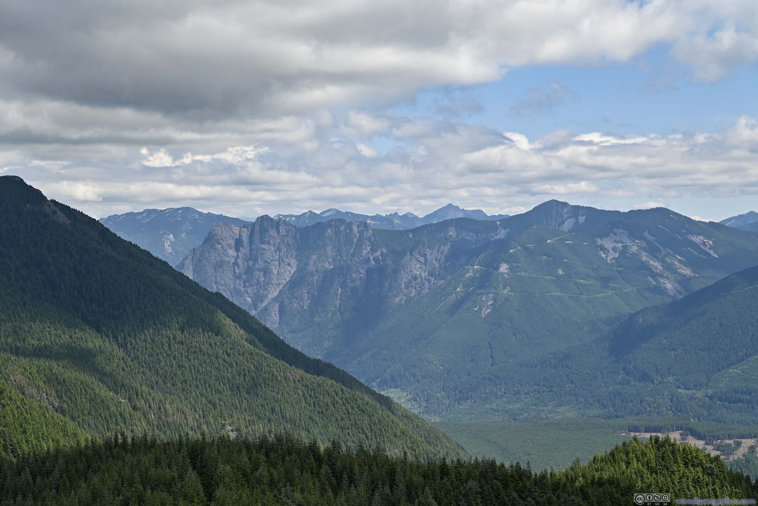
Then I took some time to soak in the views. Located at the edge of the Cascade Mountains, the surrounding mountains were largely covered in lush forests, a contrast to the rugged granite that I were to see the next day near the heart of the Cascade Mountains.
 ValleyTowards Snoqualmie Pass.
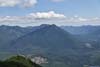
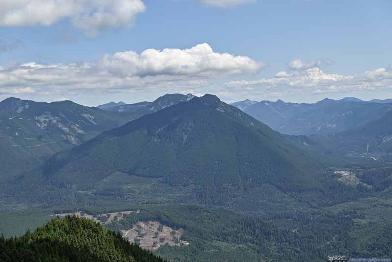 Mailbox PeakTo the east, the backup option for today.
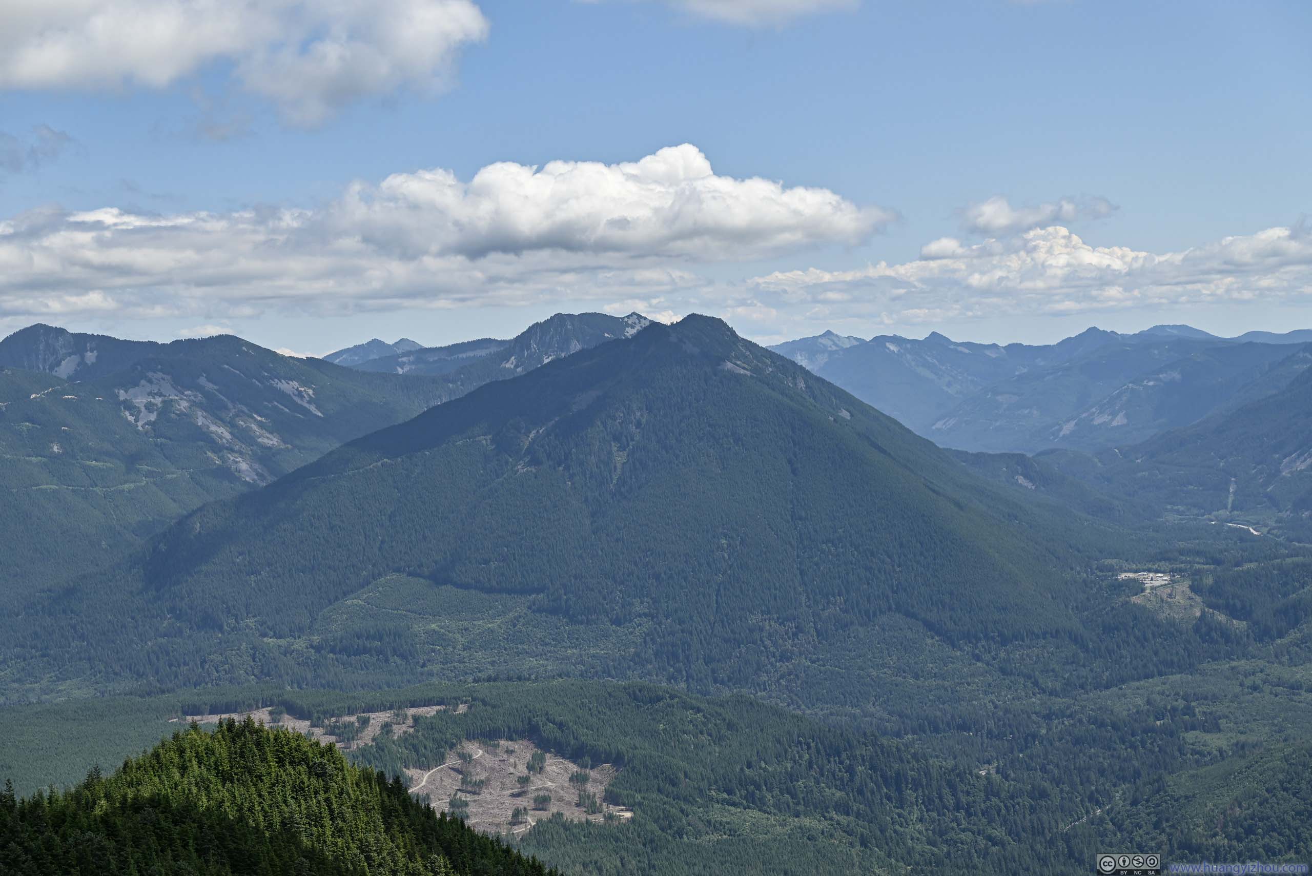
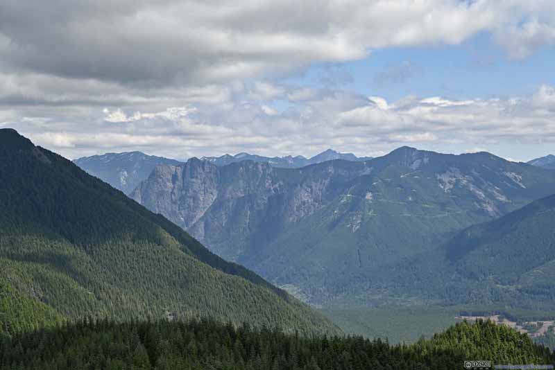 Russian Butte before Cascade Mountains
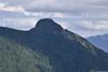
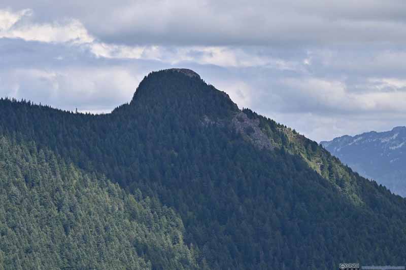 Mount Teneriffe
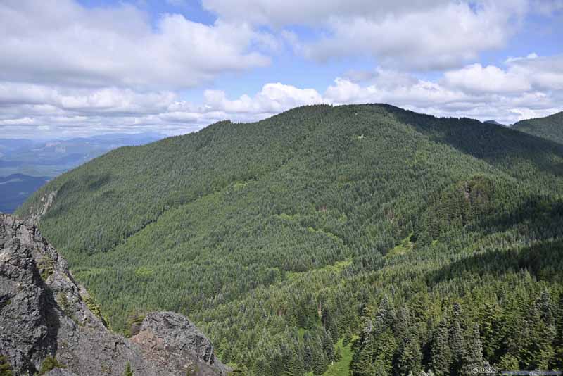 Blowdown Mountain
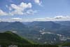
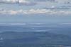
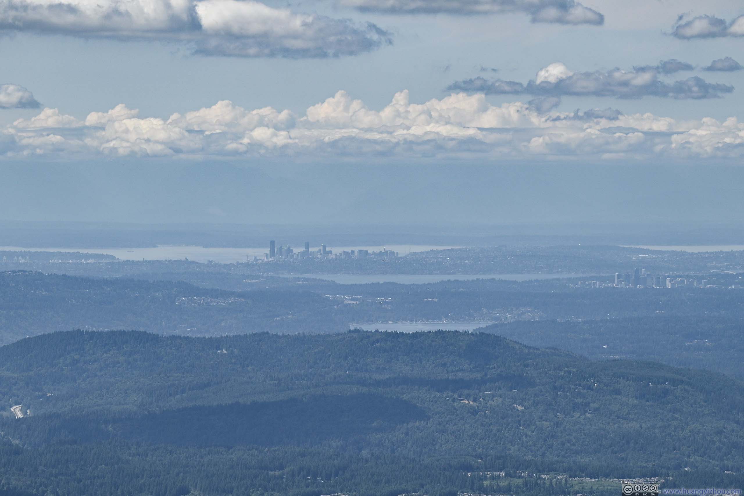
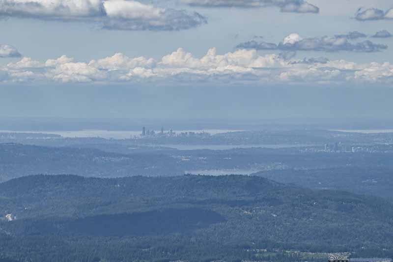 Distant Downtown SeattleLake Washington, Downtown Bellevue, and lake Sammamish also visible.
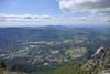
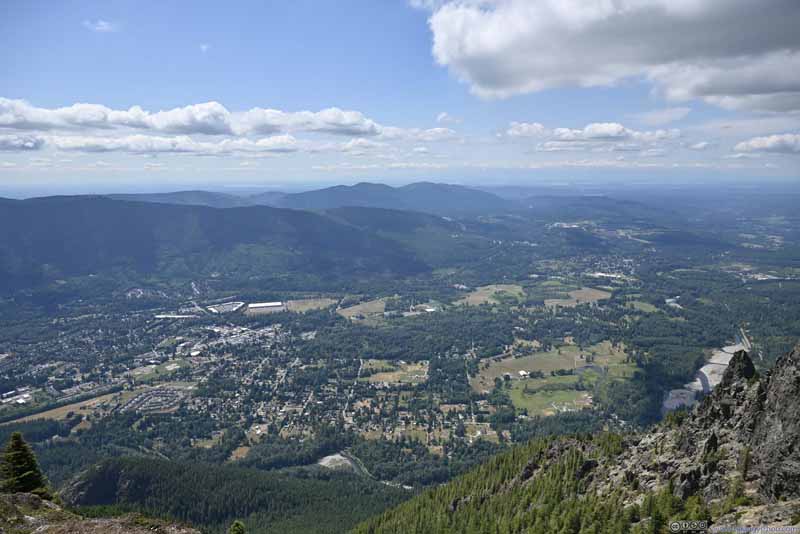 Overlooking Town of North Bend
Click here to display photos from the summit of Mount Si.
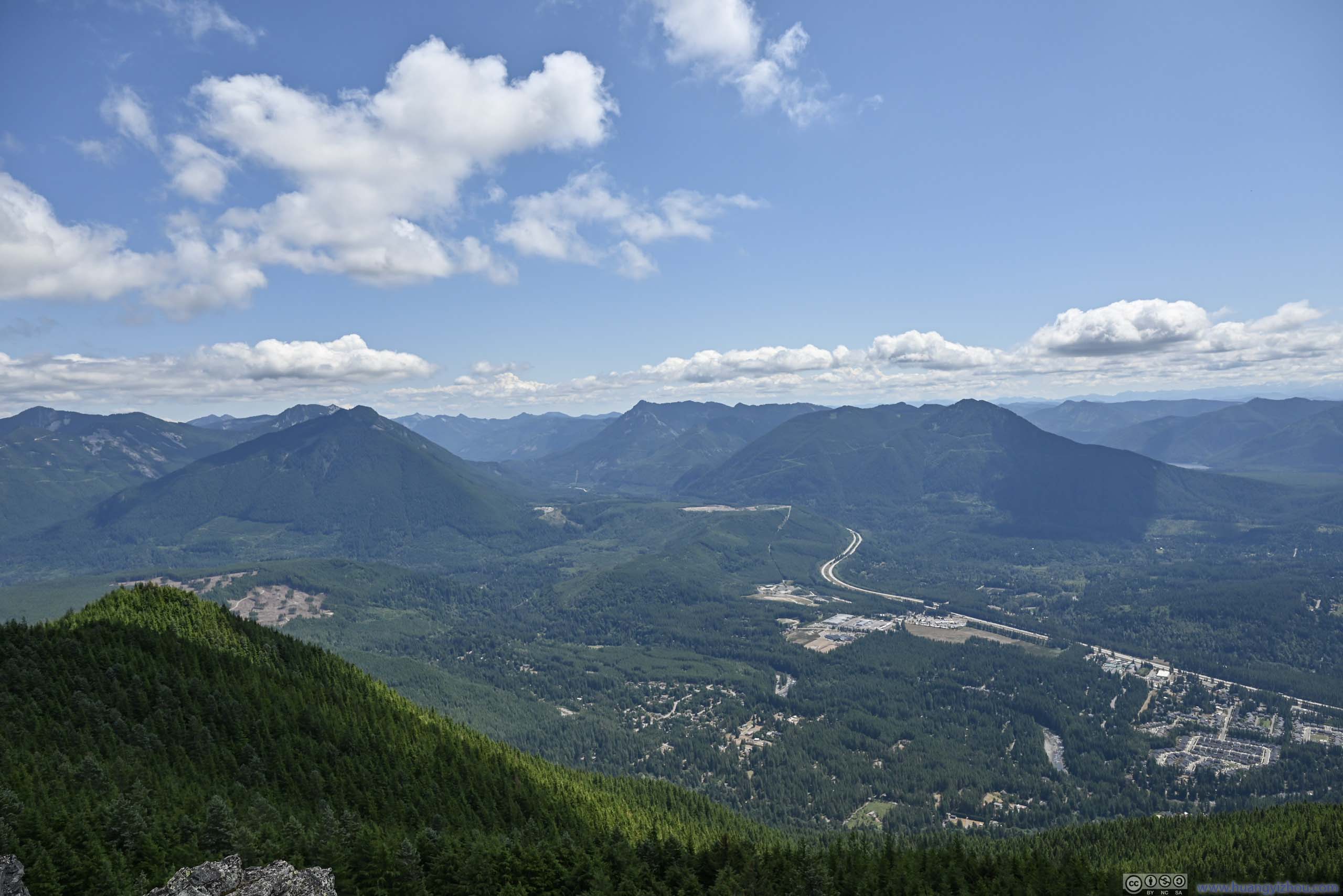
ValleyTowards Snoqualmie Pass.
Mailbox PeakTo the east, the backup option for today.
Russian Butte before Cascade Mountains

Mount Teneriffe
Blowdown Mountain
Distant Downtown SeattleLake Washington, Downtown Bellevue, and lake Sammamish also visible.
Overlooking Town of North Bend
View from Mount Si Summit
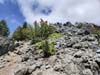
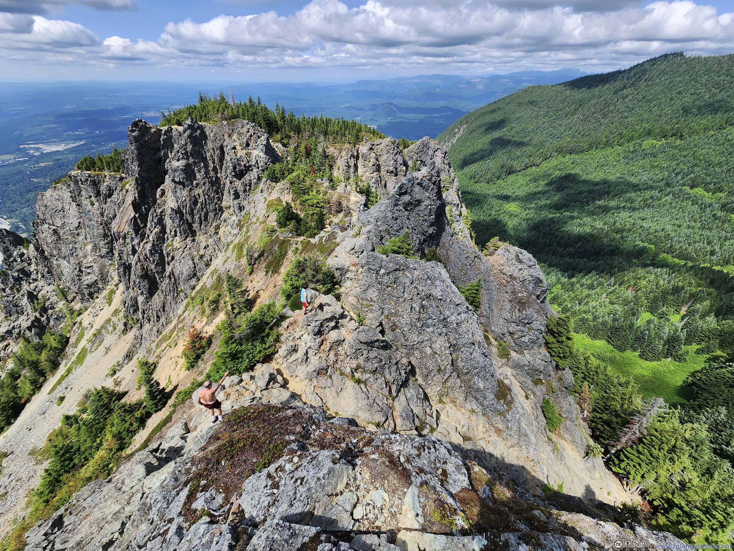
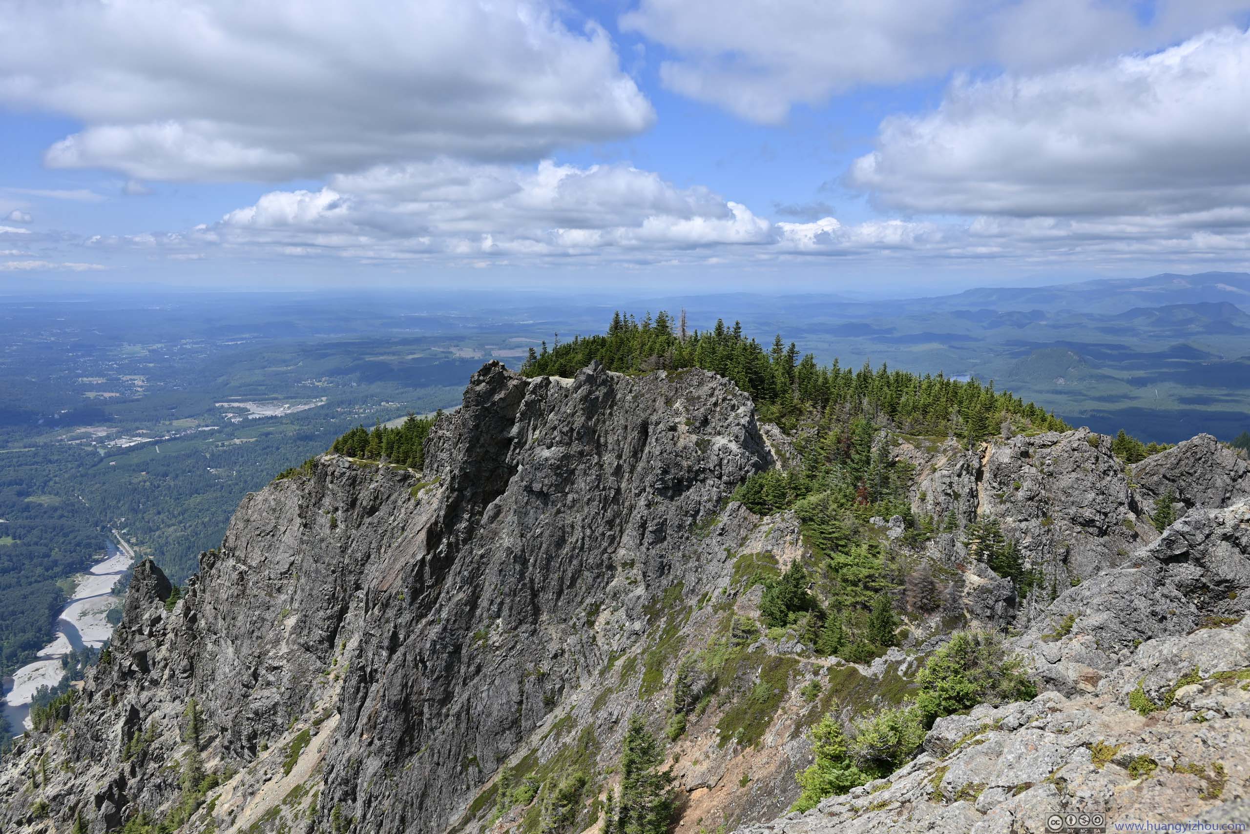
Nearby, the southern face of Mount Si was a sheer cliff (p3 below). To the north, the slope seemed gradual (p2 below), but there was no established trail to bypass the steep scrambling of “Haystack Rock”.
 Overlooking Haystack Rock
 Northern Part of Mount Si
 CliffThe south slope of Mount Si was very steep, like a cliff.
Click here to display photos from the summit of Mount Si.
Overlooking Haystack Rock
Northern Part of Mount Si

CliffThe south slope of Mount Si was very steep, like a cliff.
By the time I reached the summit of Mount Si, I had it all to myself. Then a few groups made their way up the Haystack, I even made friends with some of them. Adding a lunch, I stayed for almost 1.5 hours at the summit of Mount Si, before starting to head back down.
Once in the trees, I found most people seemed faster than me while descending. And by the time I reached the trailhead, it’s 5:30pm. Including time spent at the top, this hike took me almost 7 hours. After that, I headed back to town and called it a day.
END
![]() Climbing Mount Si outside Seattle by Huang's Site is licensed under a Creative Commons Attribution-NonCommercial-ShareAlike 4.0 International License.
Climbing Mount Si outside Seattle by Huang's Site is licensed under a Creative Commons Attribution-NonCommercial-ShareAlike 4.0 International License.