
Updated on April 13, 2024
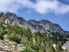
Climbing Snoqualmie Mountain outside Seattle
Second day of my July 2023 trip to western US. I climbed Snoqualmie Mountain today. Located in the center of Cascade Mountains, it is the tallest peak in the immediate vicinity of Snoqualmie Pass and Interstate 90, with a very steep approach to its summit.
Snow Lake before Cascade Mountains
After yesterday’s hike of Mount Si, today I decided to take on something different but nonetheless challenging. After some research I decided on Snoqualmie Mountain. It’s the tallest mountain in its vicinity, which should offer spectacular views. AllTrails rated it as 4.8km out-and-back with 950m elevation gain, so it’s very steep. With the help of hiking poles I thought the entire route remained within YDS class 1-2 (and it should be class 1 most of the time), with minimal exposure. It’s like climbing a long set of tall stairs, a different flavor of challenge compared to the scrambling towards the end of Mount Si the previous day.
After checking out of the Airbnb, I made it to the trailhead and started my hike at 11:15am. The parking lot was huge for a ski resort nearby in winter. In summer, most of the people used the lot to access Snow Lake.
Here’s GPS tracking:
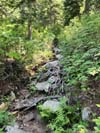
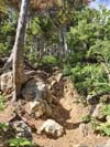
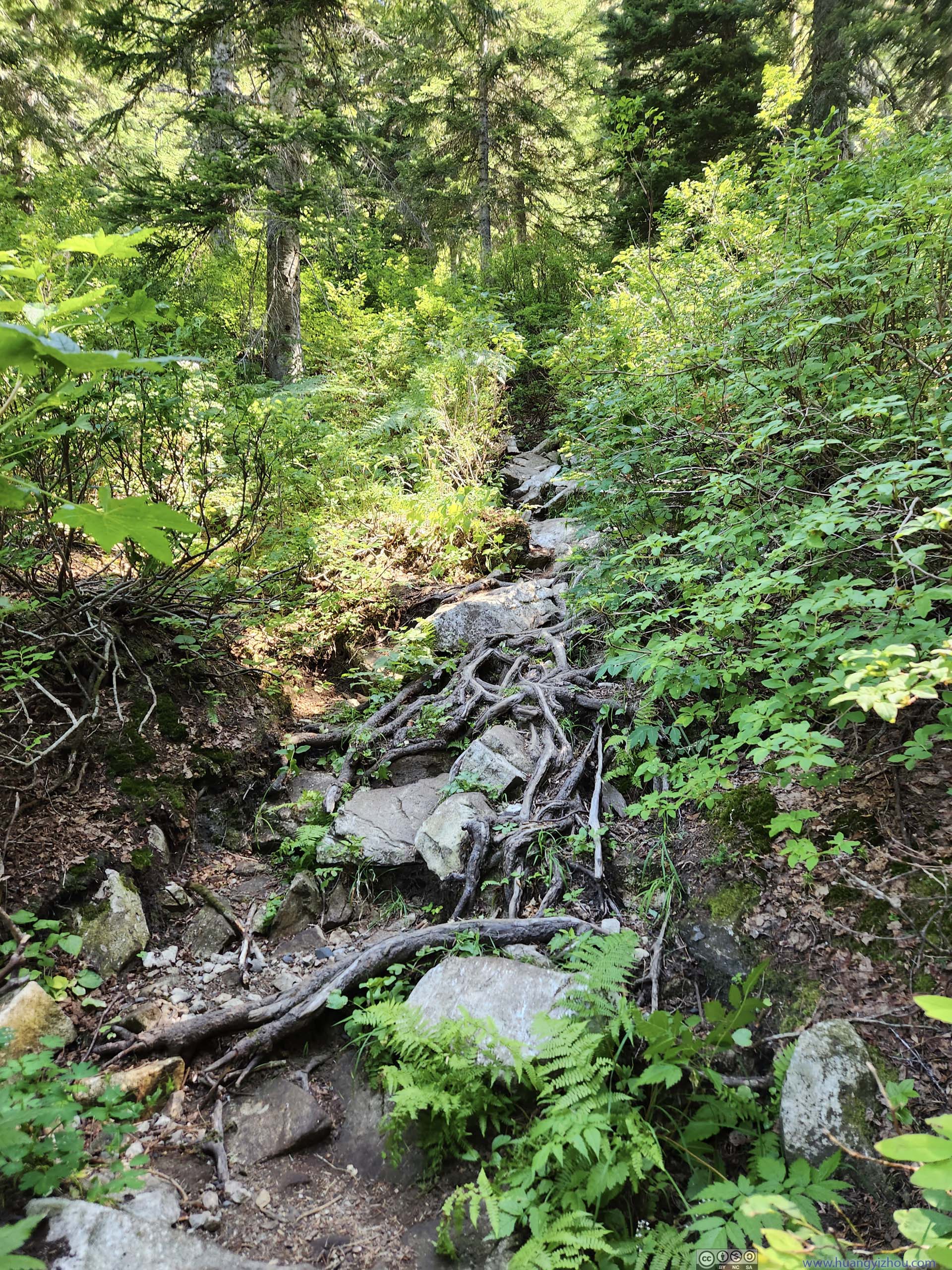
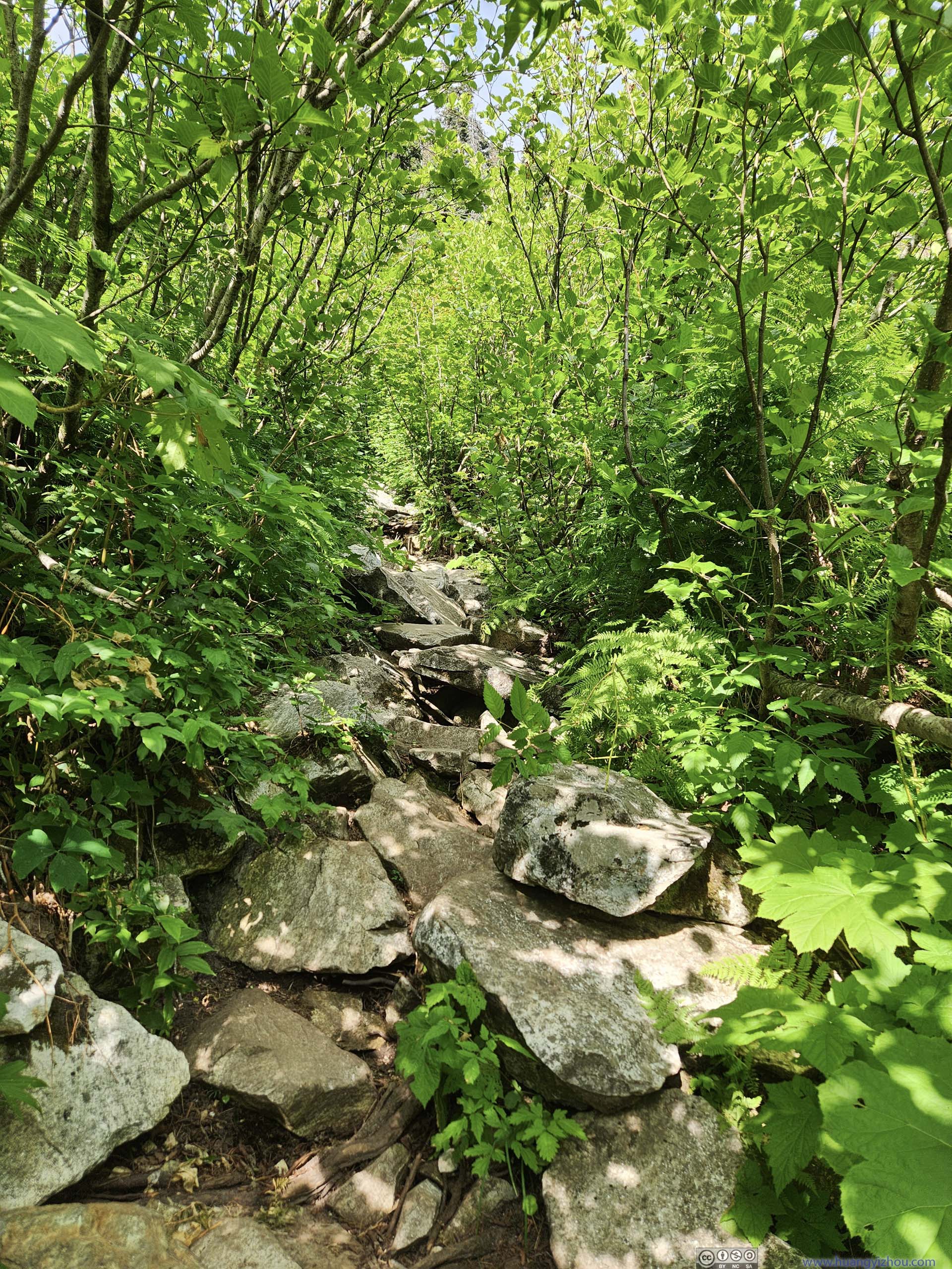
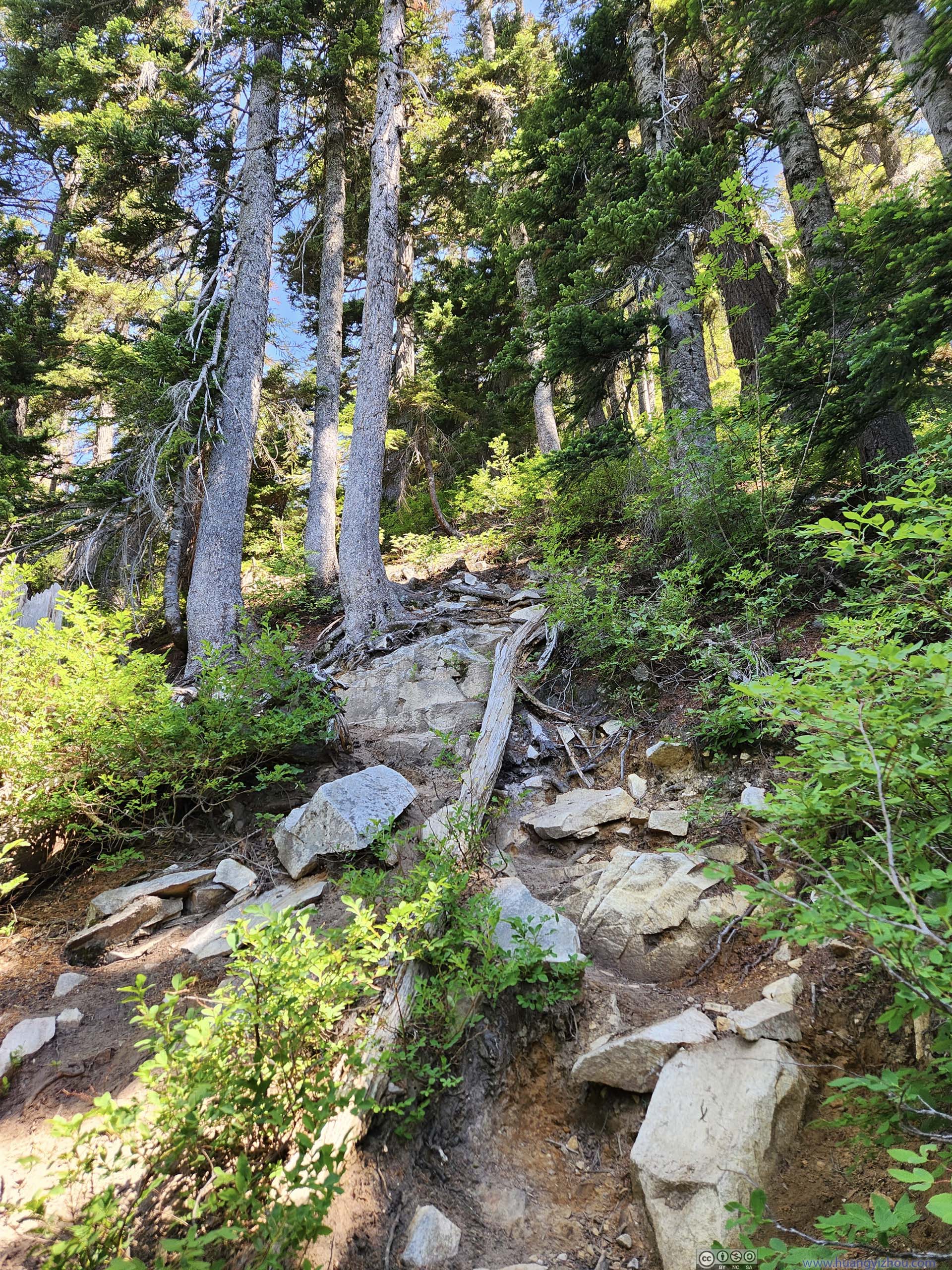
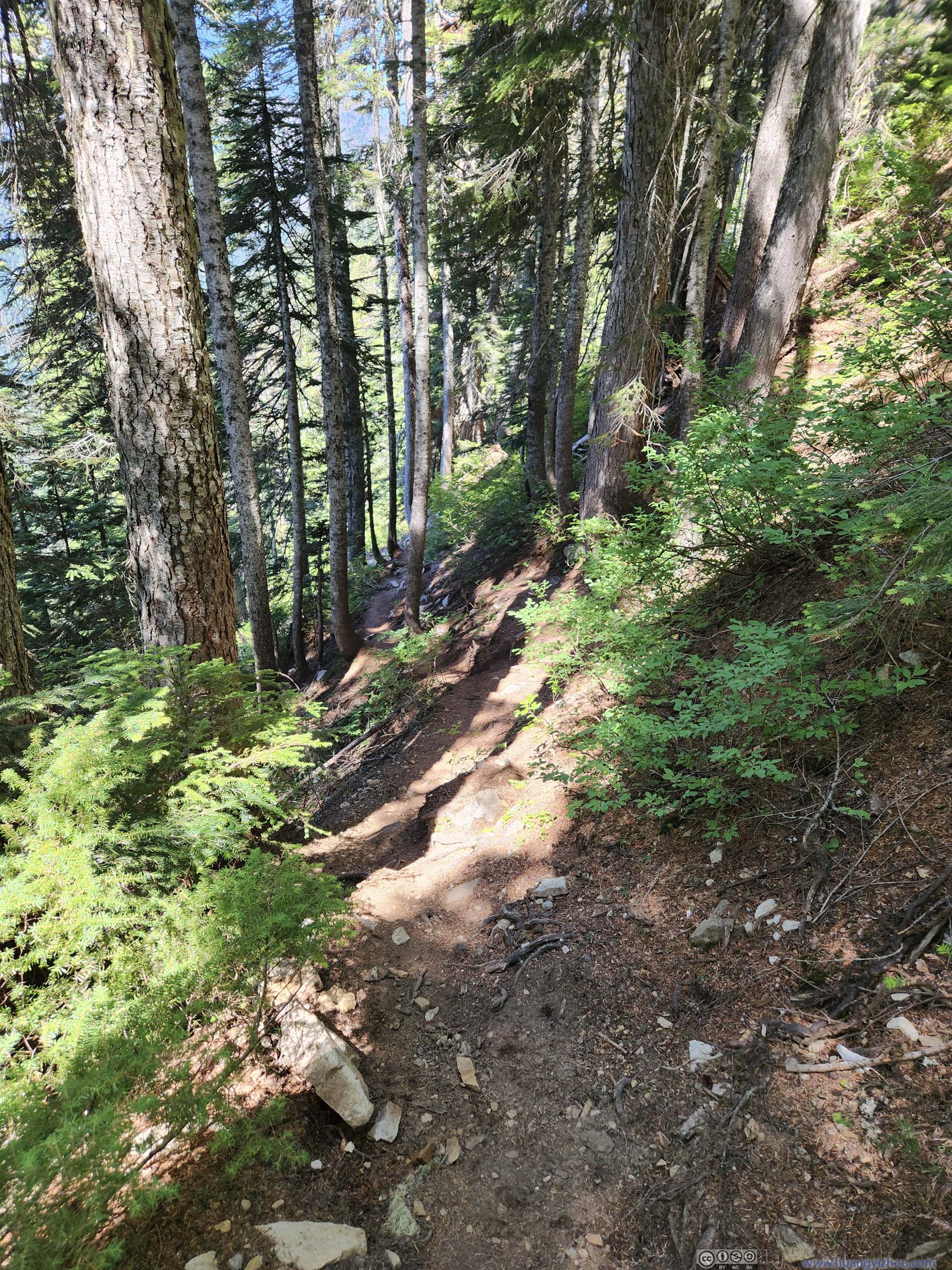
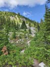
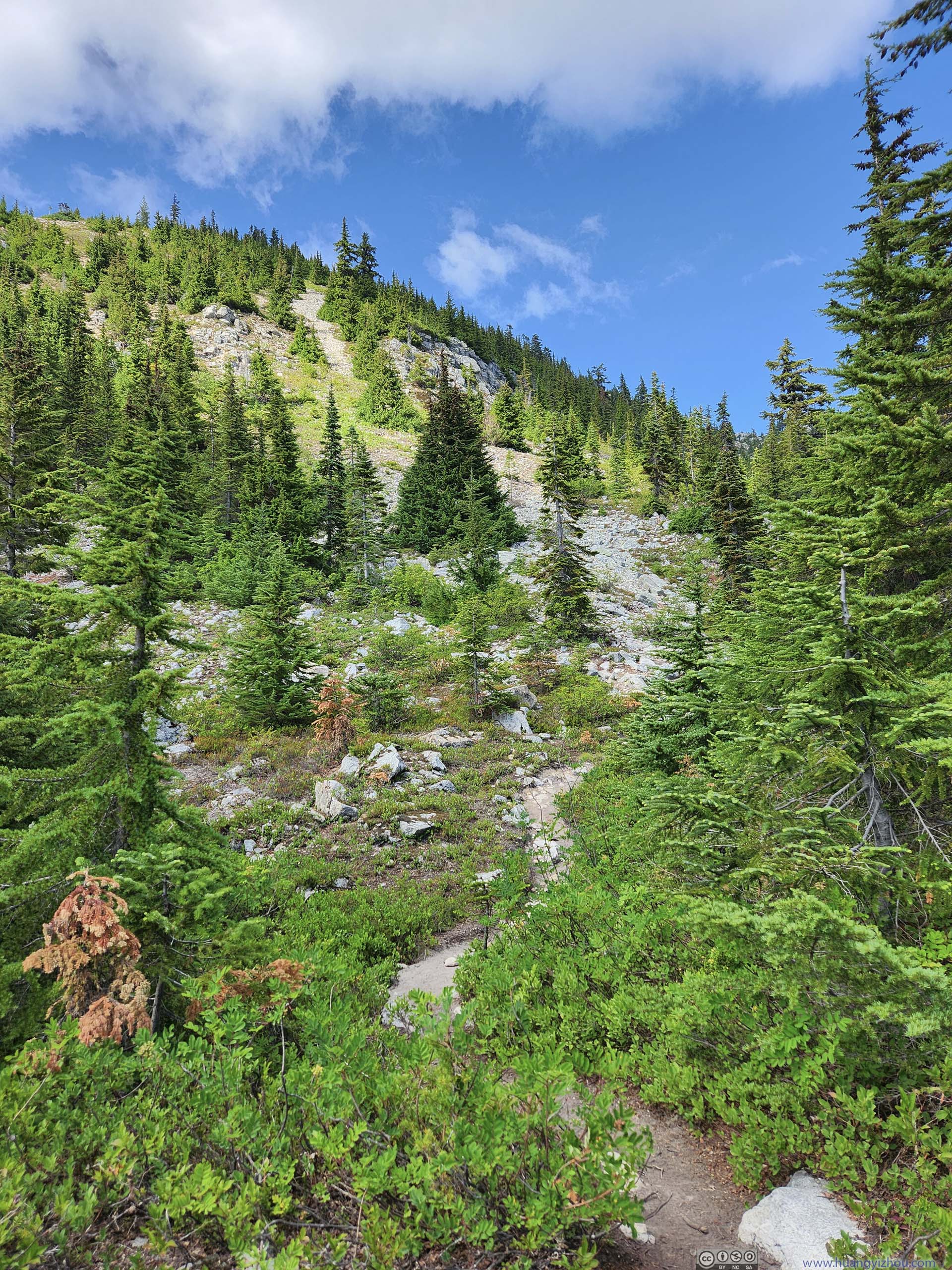
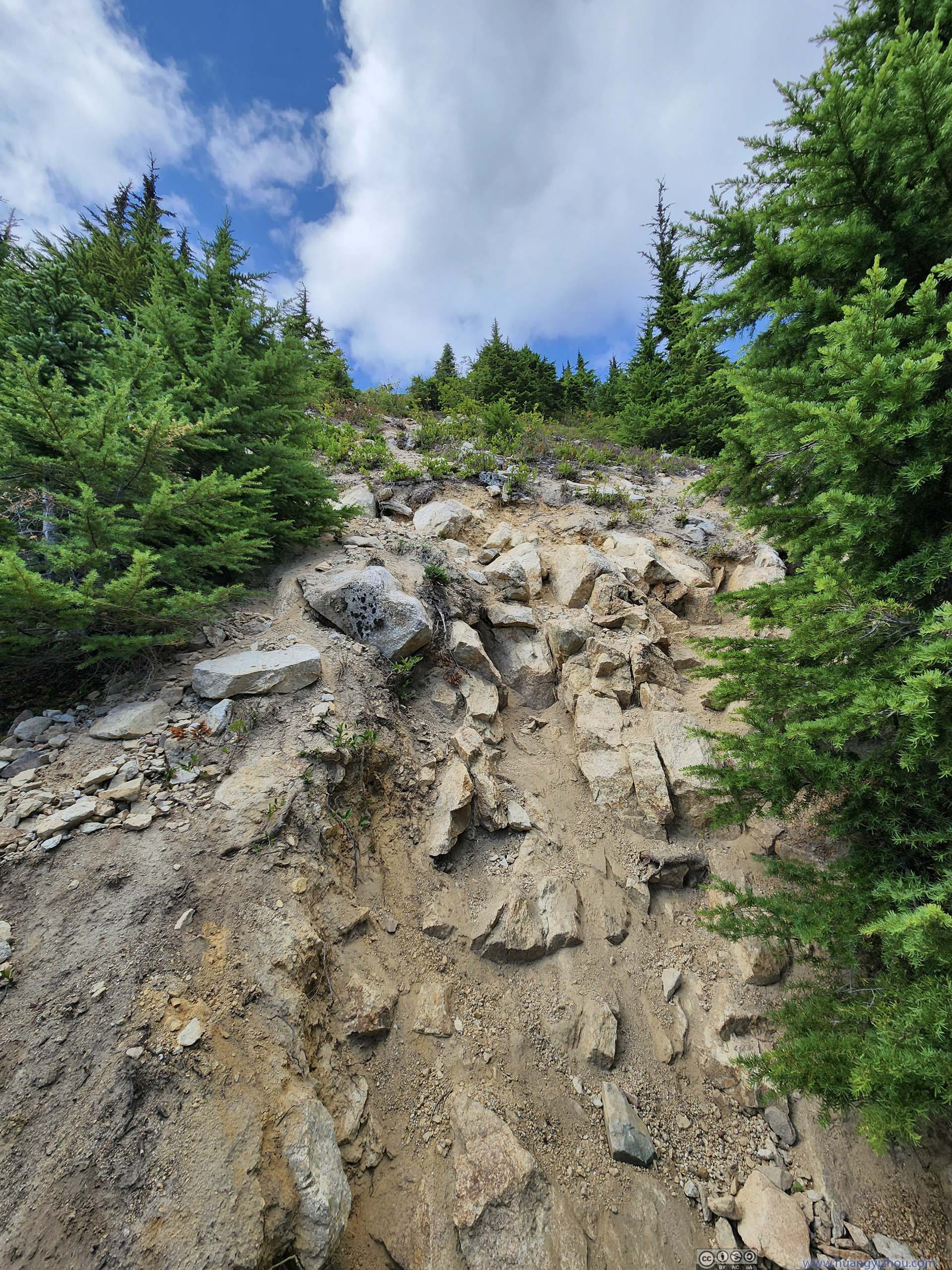
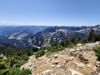
After a short walk in the meadow, the relentless elevation gain began. The trail was cleared out of dense vegetation/forest, so there was no traction issue, just that it was insanely steep.
 Trail
Trail Flowers along Trail
 Trail
Trail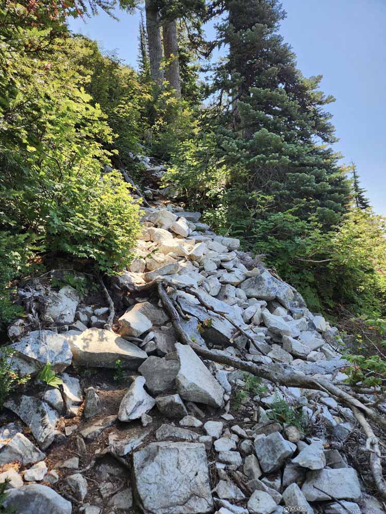 Trail
Trail Trail
Trail Trail
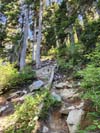
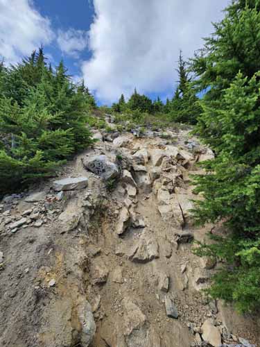
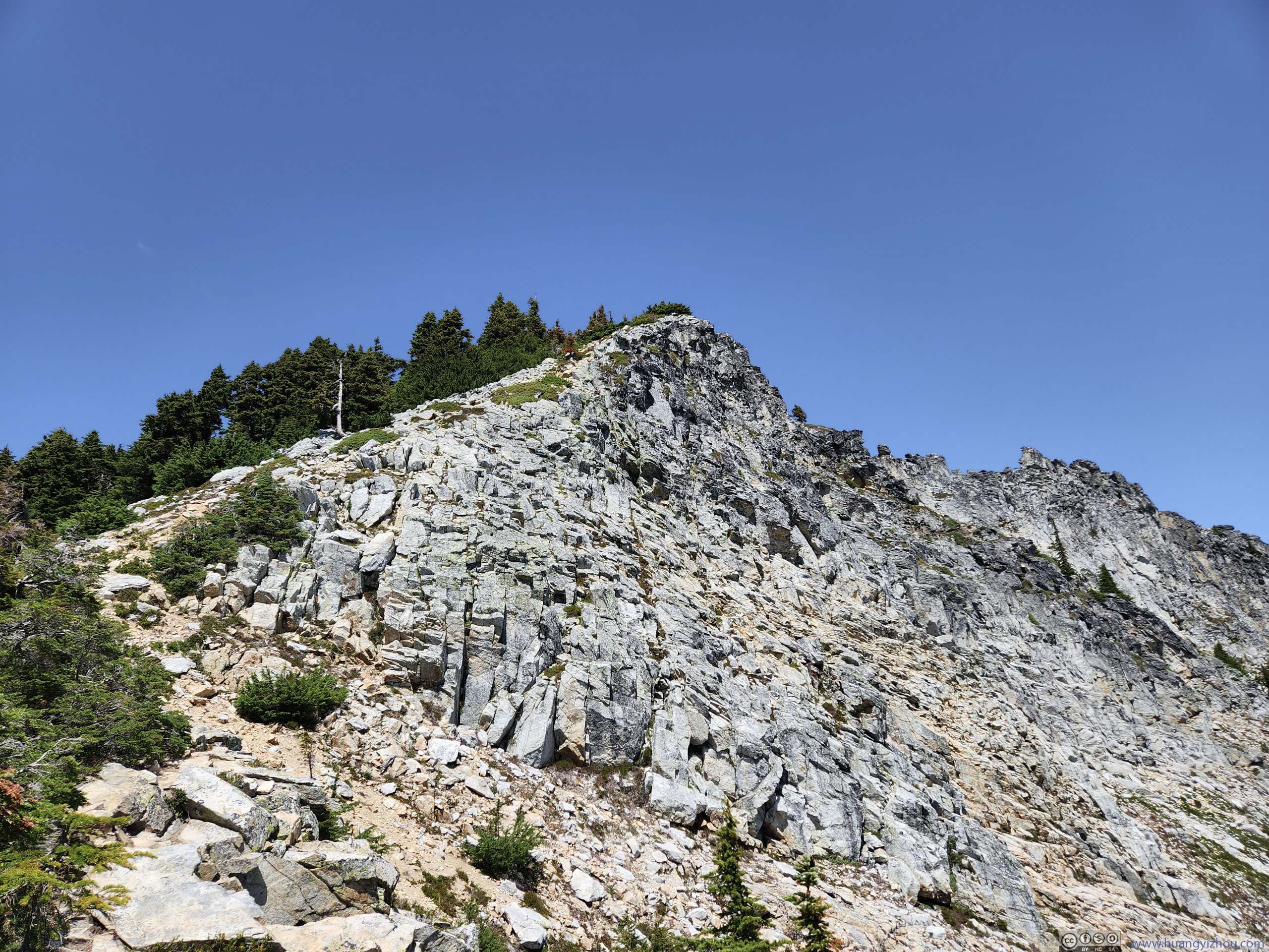
Trail Gully
Gully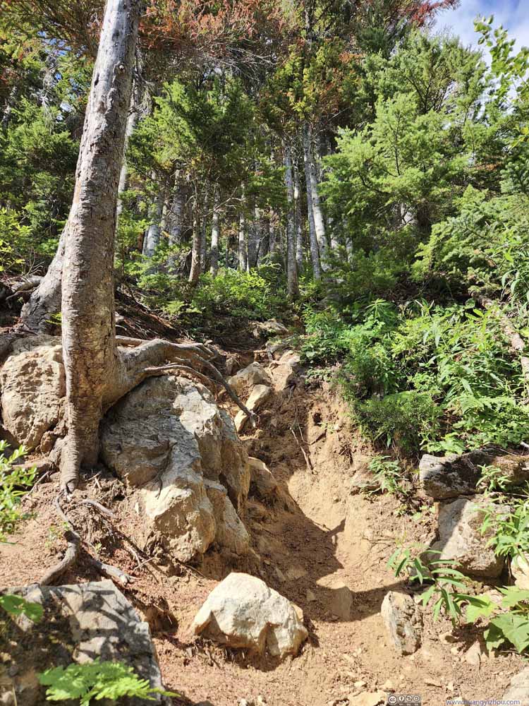 TrailThis was the worst part that required minor scrambling.
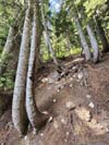
 Trees along Steep TrailSo steep that the trunk was twisted.


Click here to display photos of the trail.
Trail
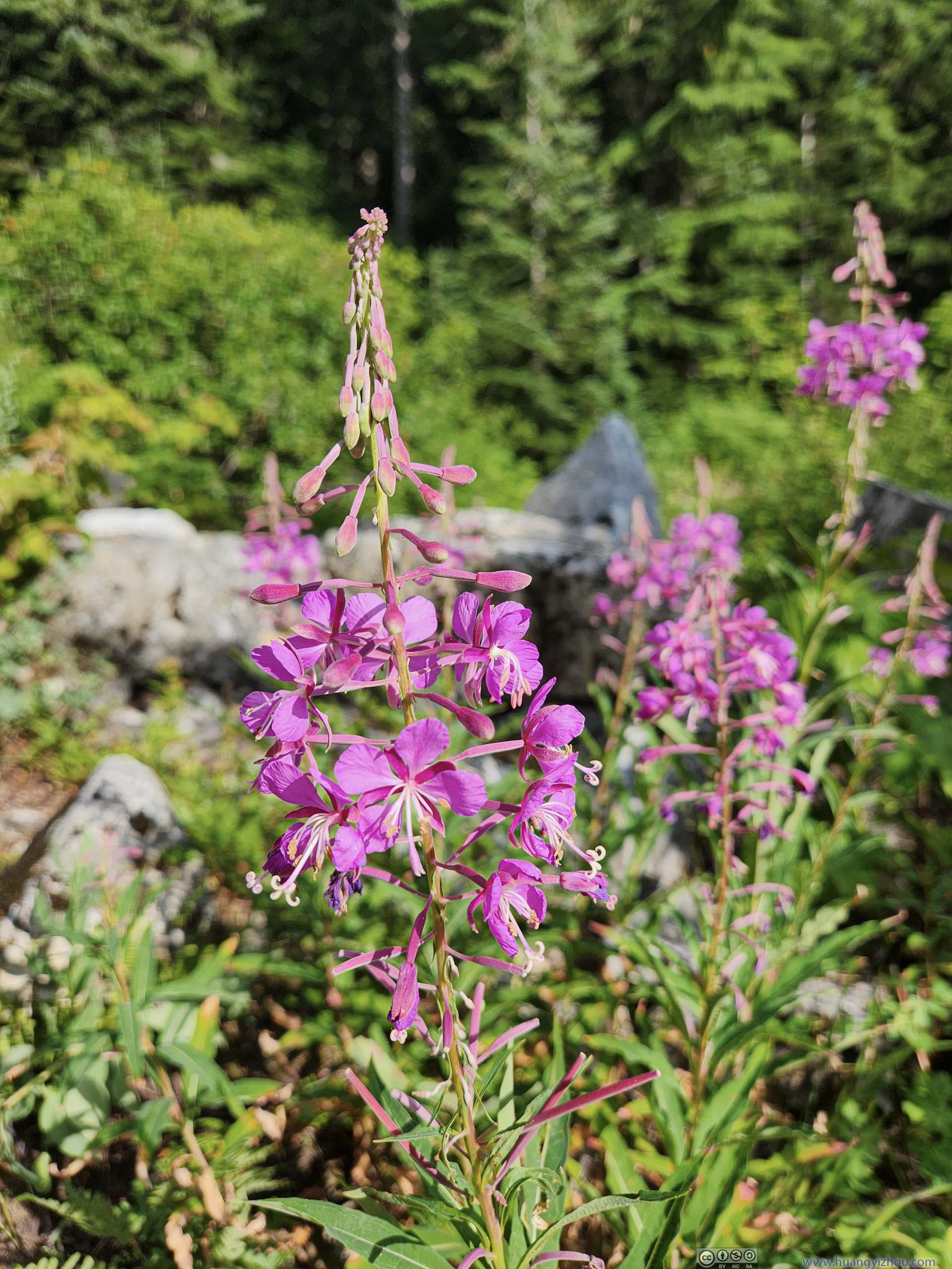
Flowers along Trail
Trail
Trail
Trail
Trail
Gully

TrailThis was the worst part that required minor scrambling.

Trees along Steep TrailSo steep that the trunk was twisted.
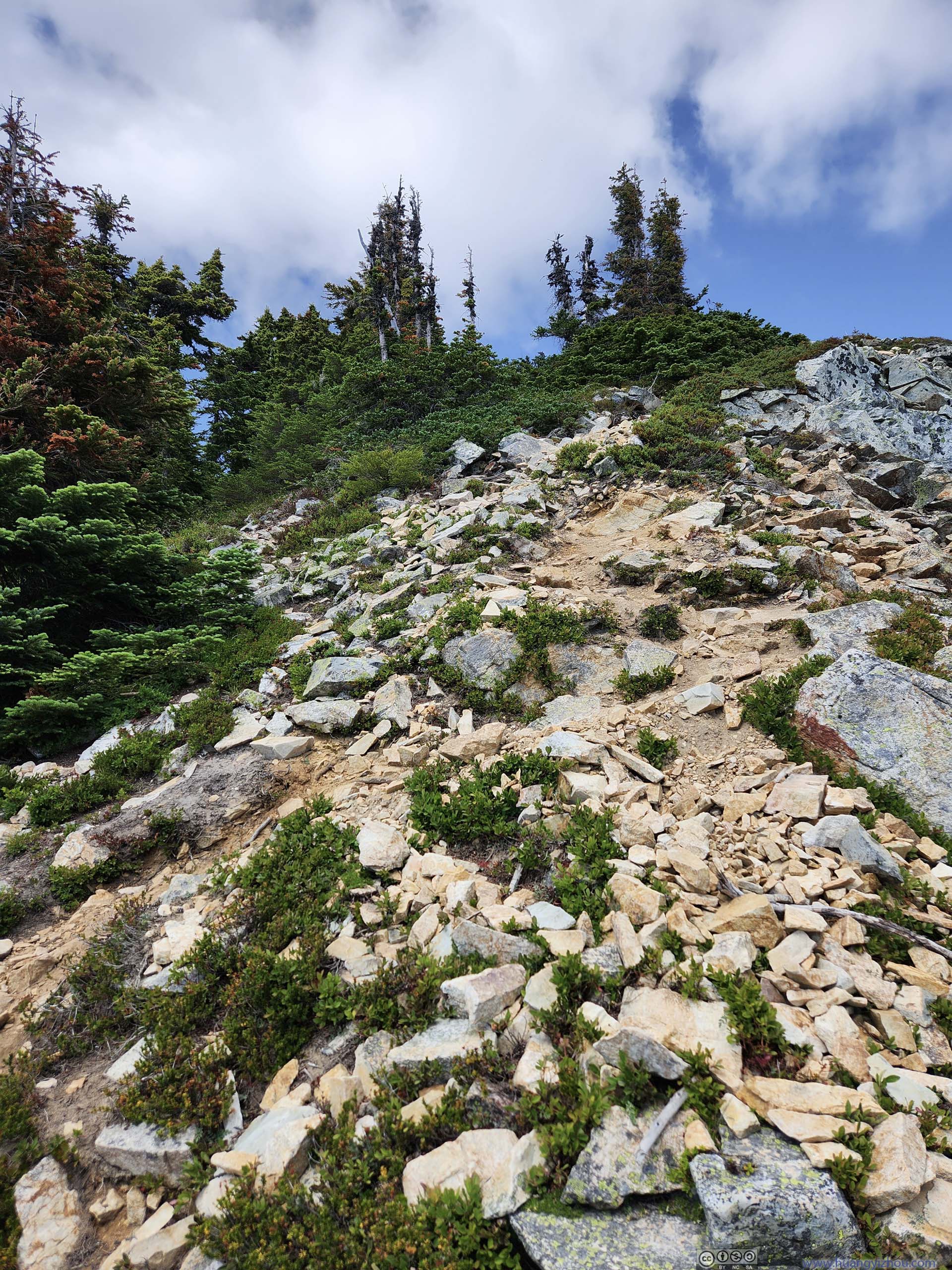
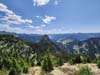
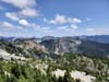
About two-thirds into the hike, the vegetation along the trail became sparser, and various mountains nearby popped into view.
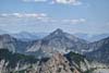
 Denny Mountain
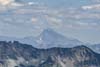
 Mountains to the SouthMount Rainier partially behind clouds.
 Trail to Snoqualmie Mountain
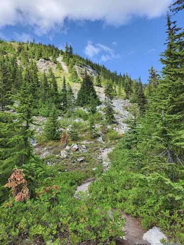
 Trail
Trail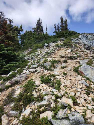
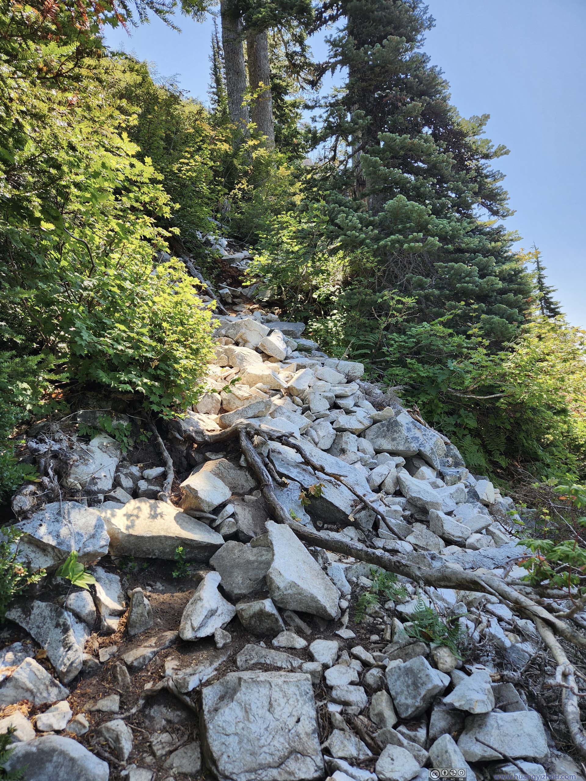
 Steep Trail
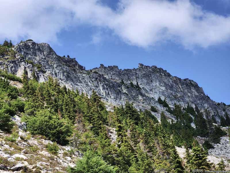 Ridge from Snoqualmie Mountain

Click here to display photos along the trail.

Denny Mountain
Mountains to the SouthMount Rainier partially behind clouds.
Trail to Snoqualmie Mountain
 Trail
Trail
 Steep Trail

Ridge from Snoqualmie Mountain
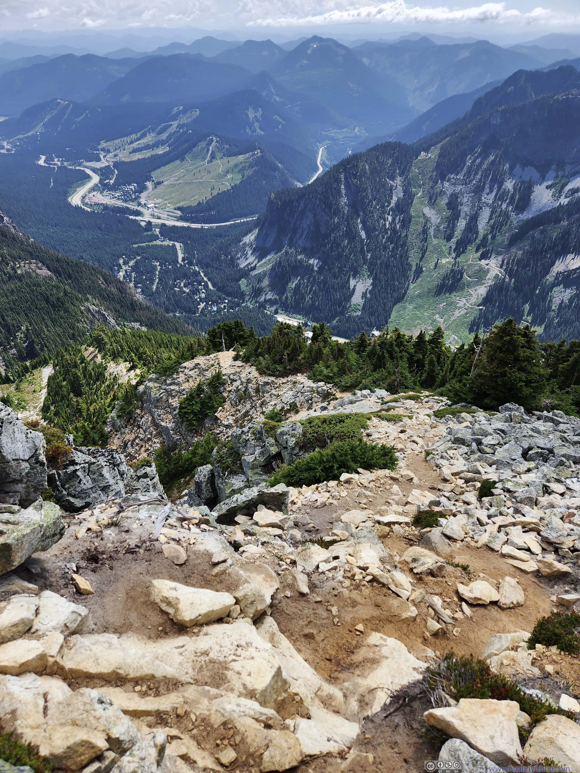
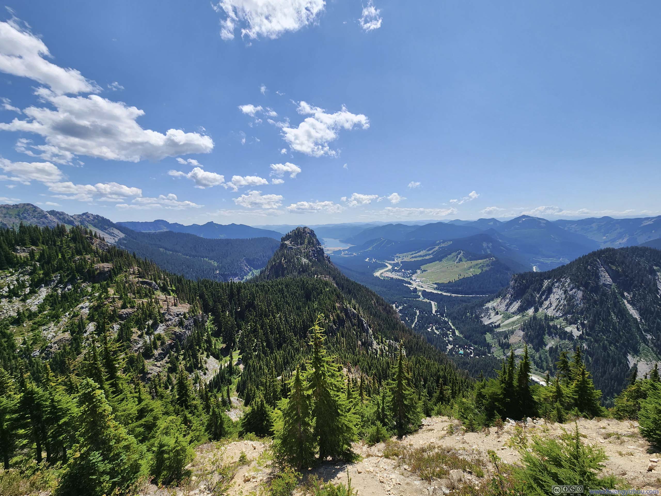
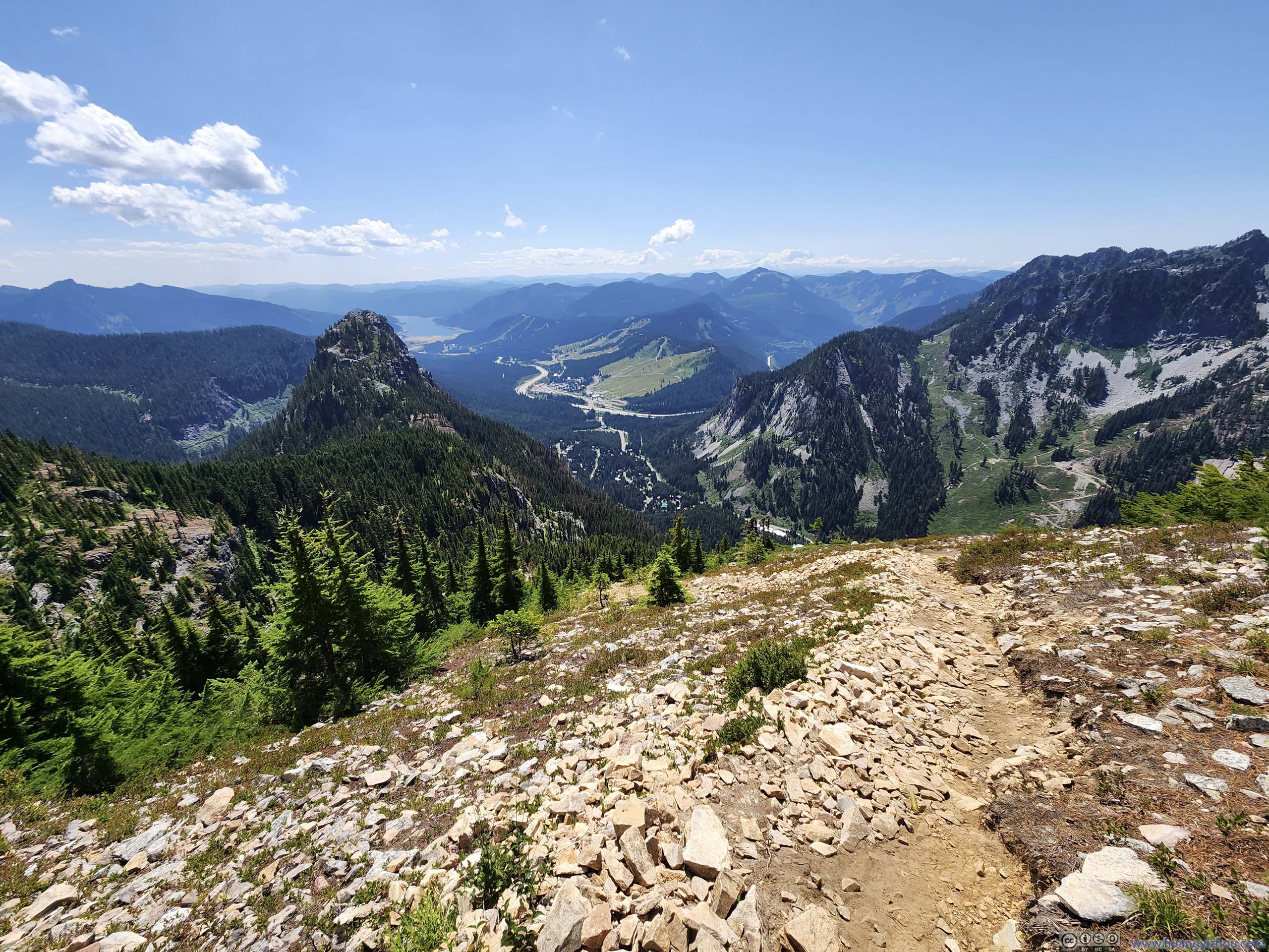
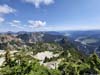
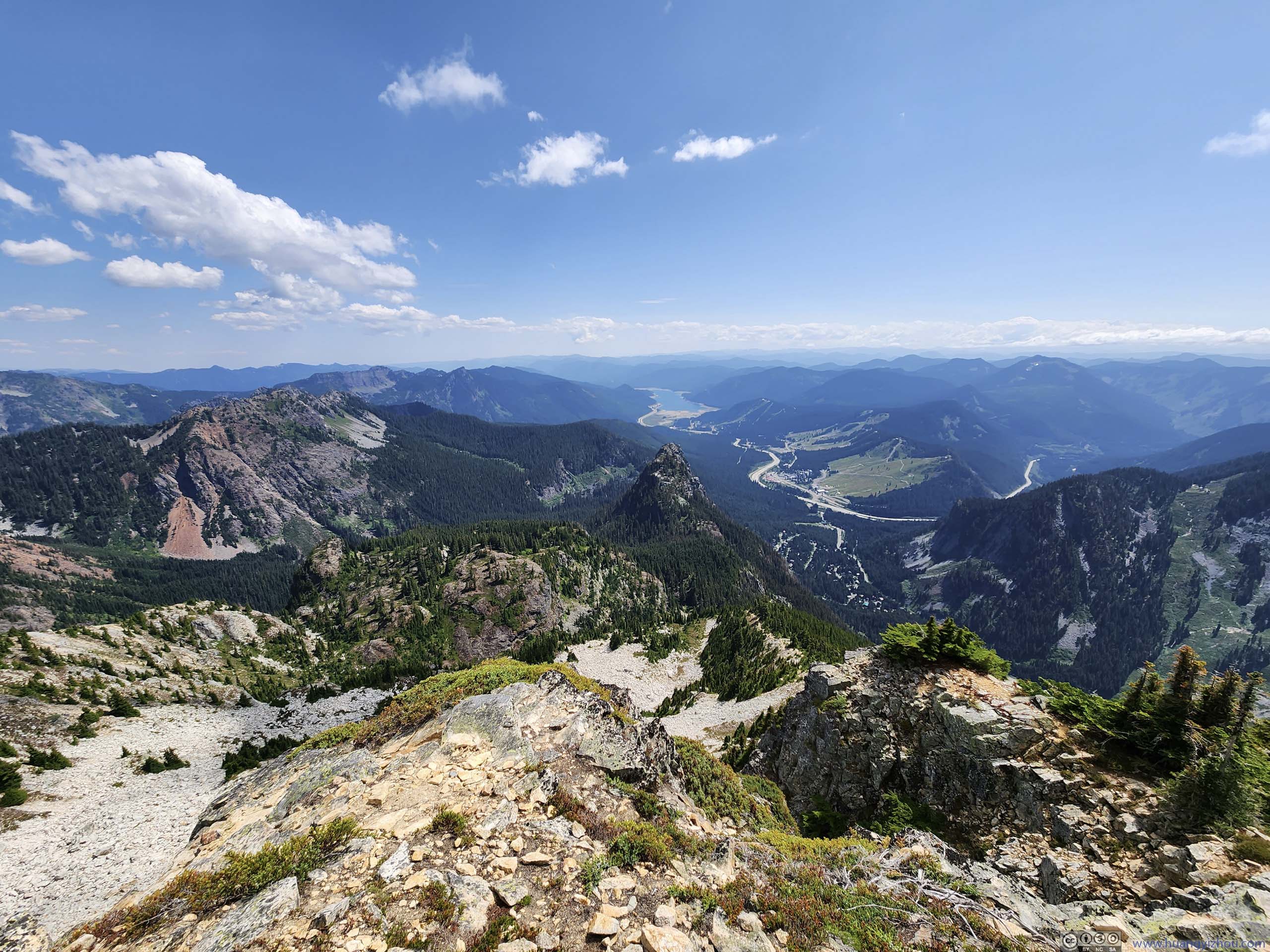
In particular, the steep gradient of the trail meant it had a towering view overlooking the trailhead and the nearby Snoqualmie Pass, bringing a sense of achievement to the relentless physical workout.
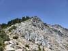
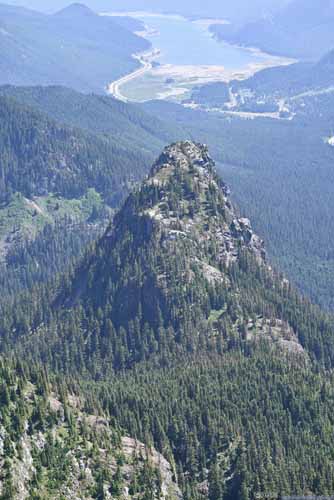
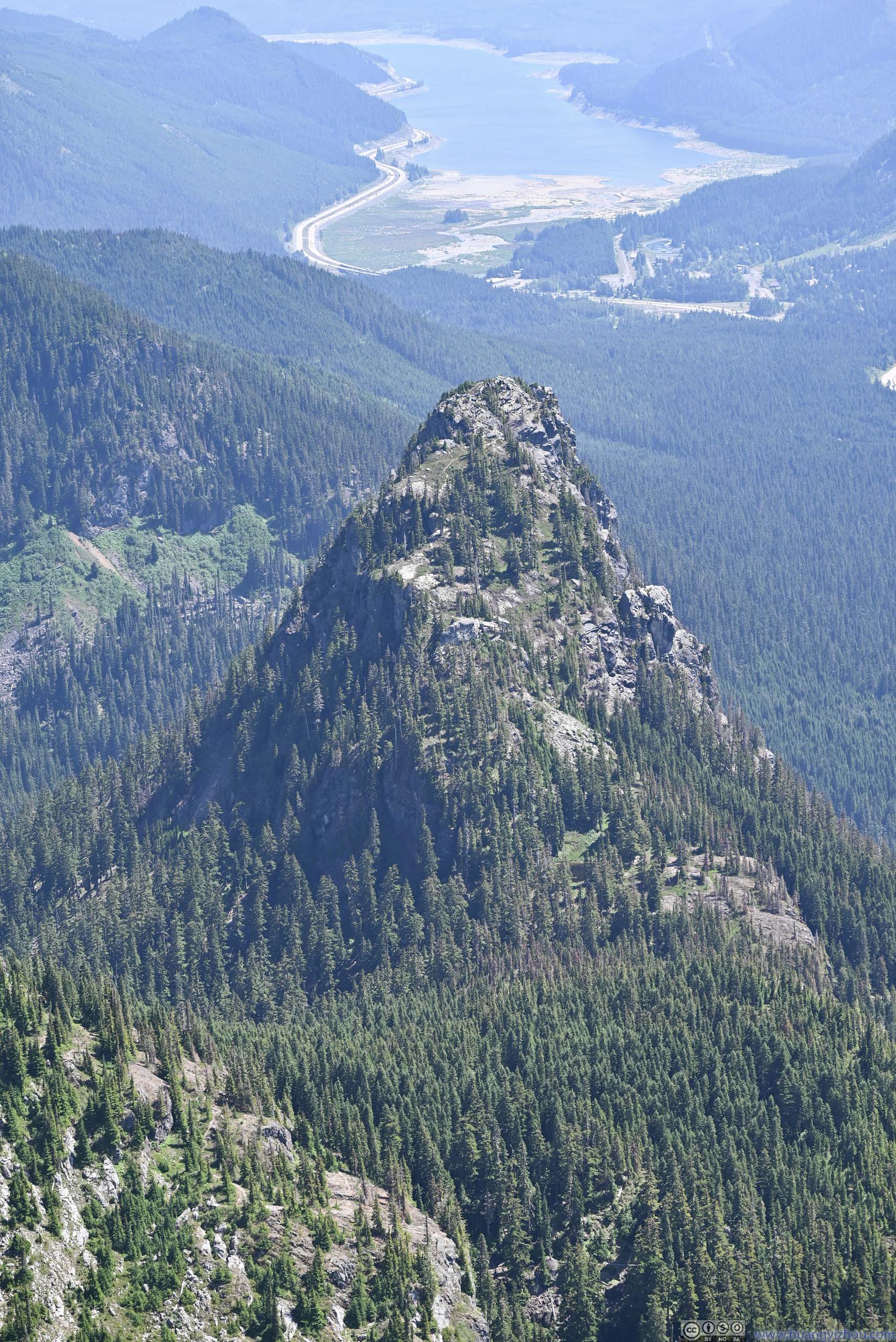
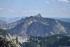
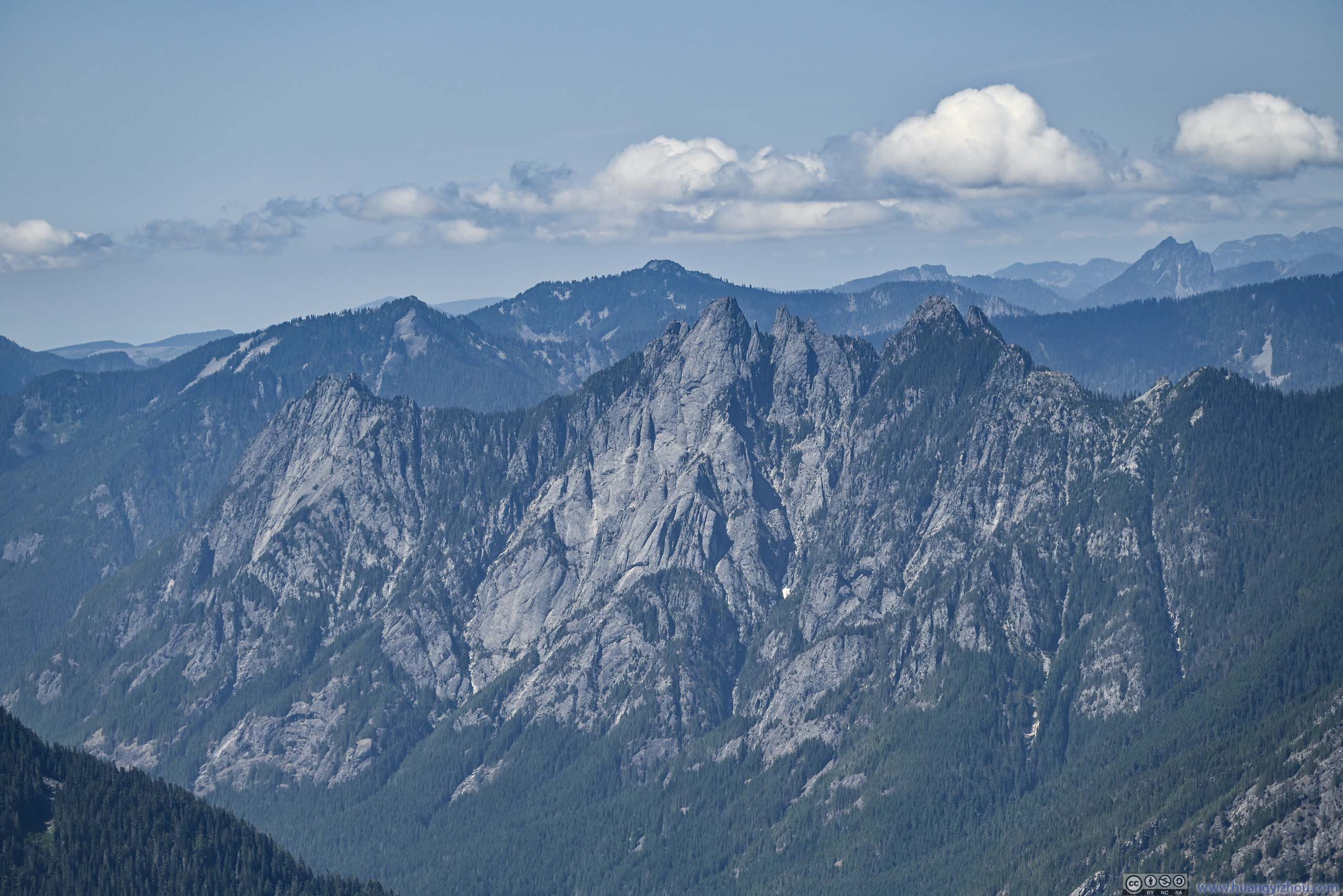
 Guye Peak
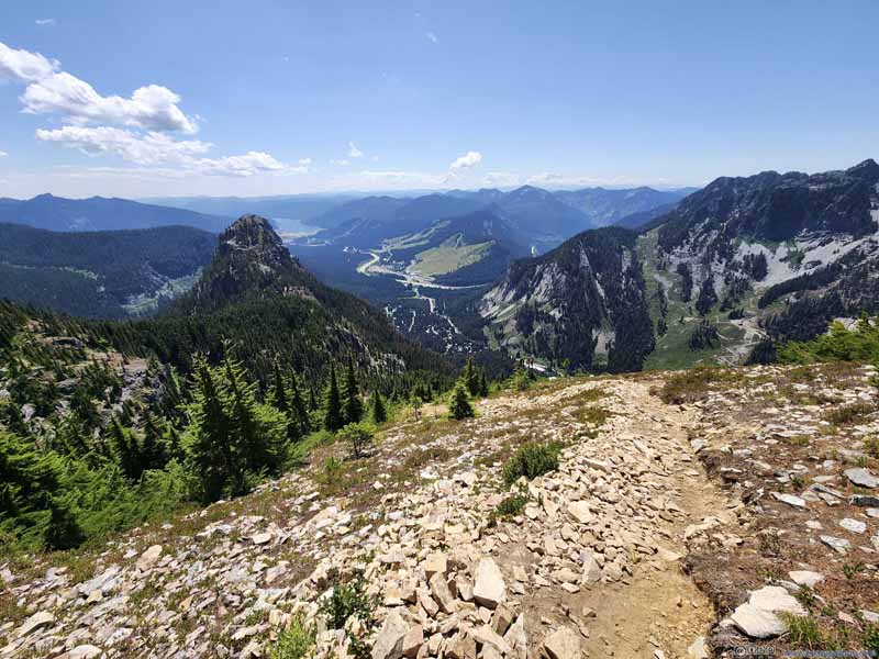 Trail overlooking Snoqualmie Pass
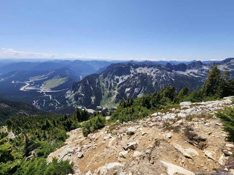 Trail overlooking Snoqualmie Pass

Click here to display photos overlooking Snoqualmie Pass.
Guye Peak
Trail overlooking Snoqualmie Pass

Trail overlooking Snoqualmie Pass
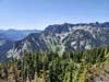
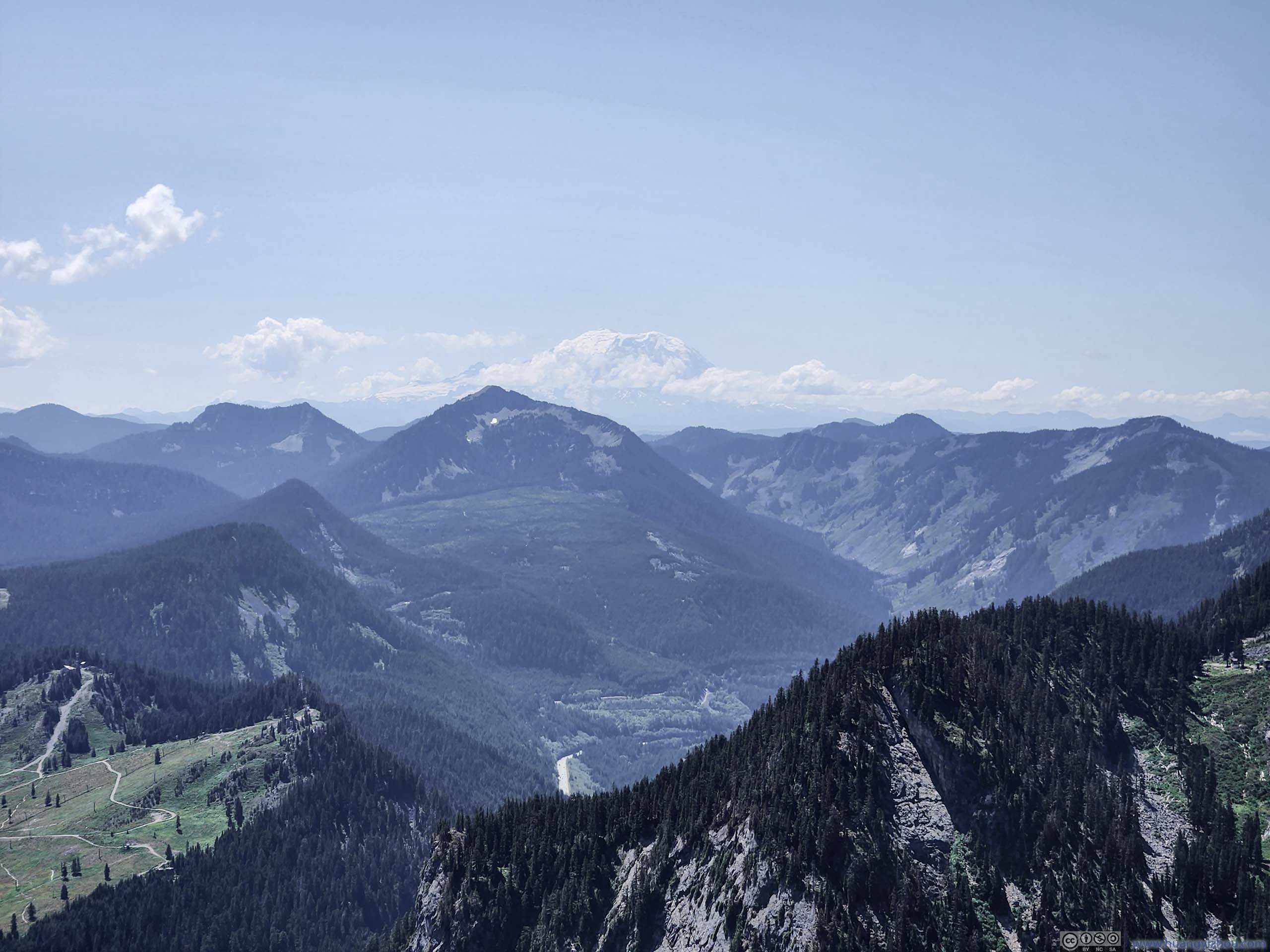
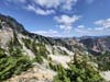
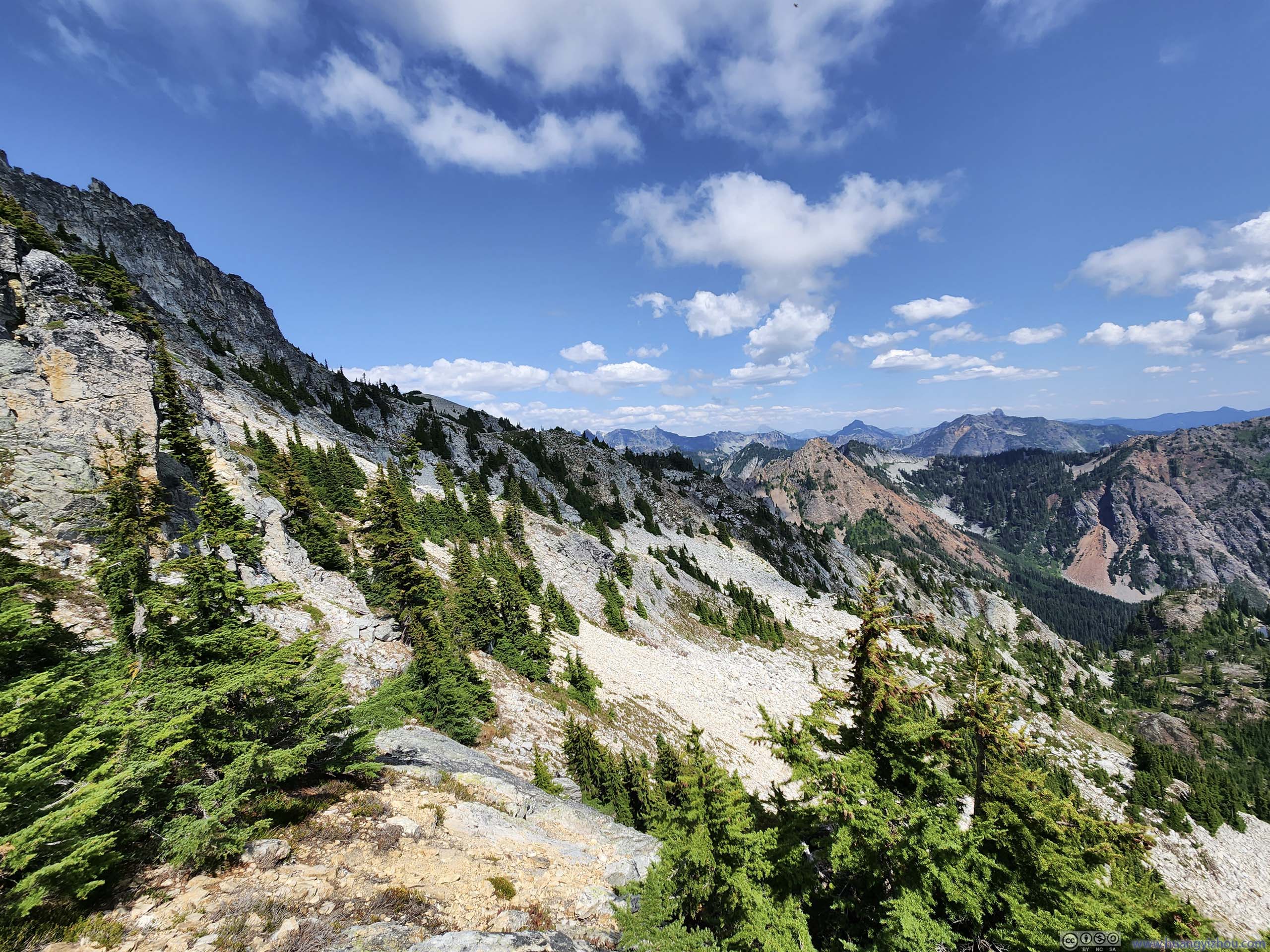
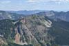
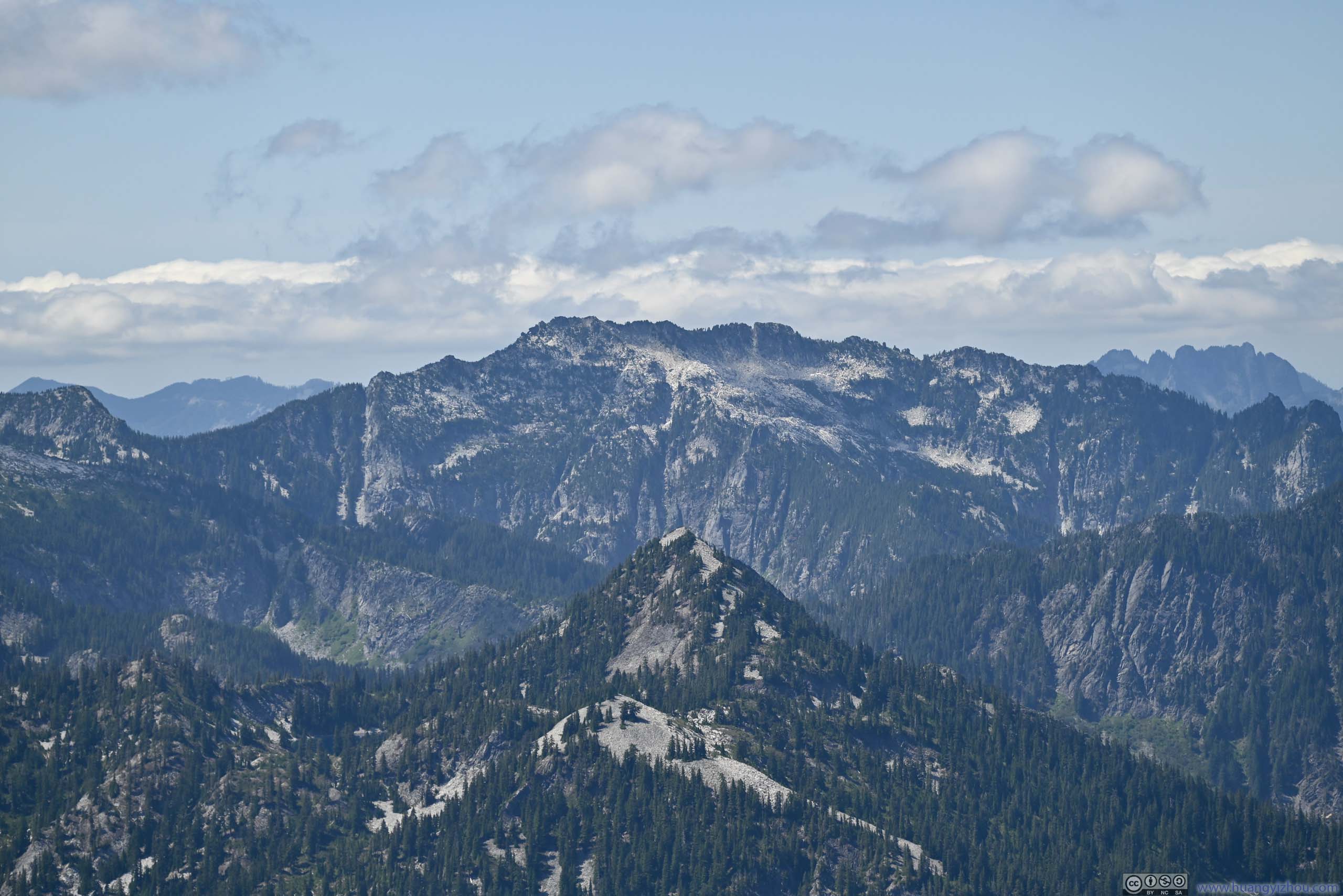
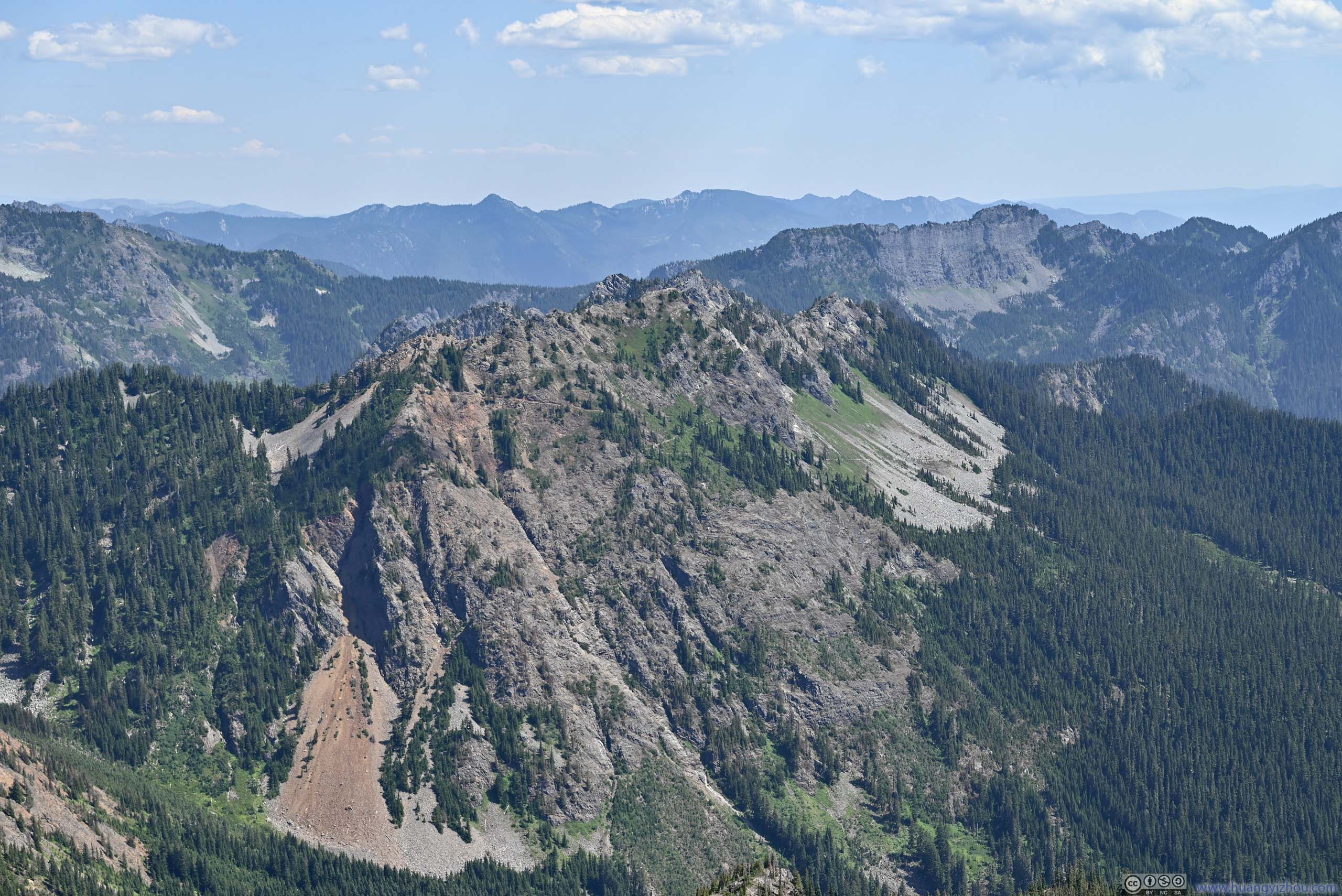
In addition to that, the Cascade Mountains further east was a pleasant sight.
 Mountains from Trail
 Mountains from Trail
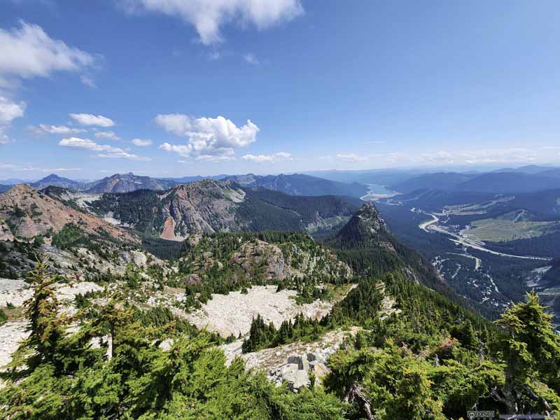 Mountains from Trail
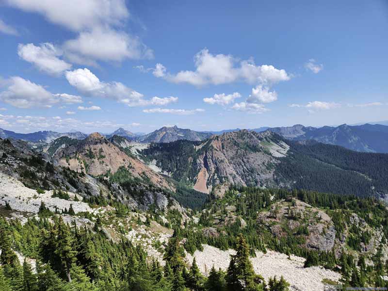 Mountains from Trail

Click here to display photos of the Cascade Mountains.
Mountains from Trail
Mountains from Trail

Mountains from Trail
Mountains from Trail
Finally, I reached the summit of Snoqualmie Mountain at 1:40pm, almost 2.5 hours after I left the parking lot.
The views were stellar from the top. Unlike yesterday at Mount Si, the top of Snoqualmie Mountain had a proper alpine feeling, with views being a proper blend of pine trees, granite, alpine lakes and patches of snow. I wasn’t expecting snow for this hike so I was delighted to find them not too far away from me (p5 below).
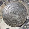
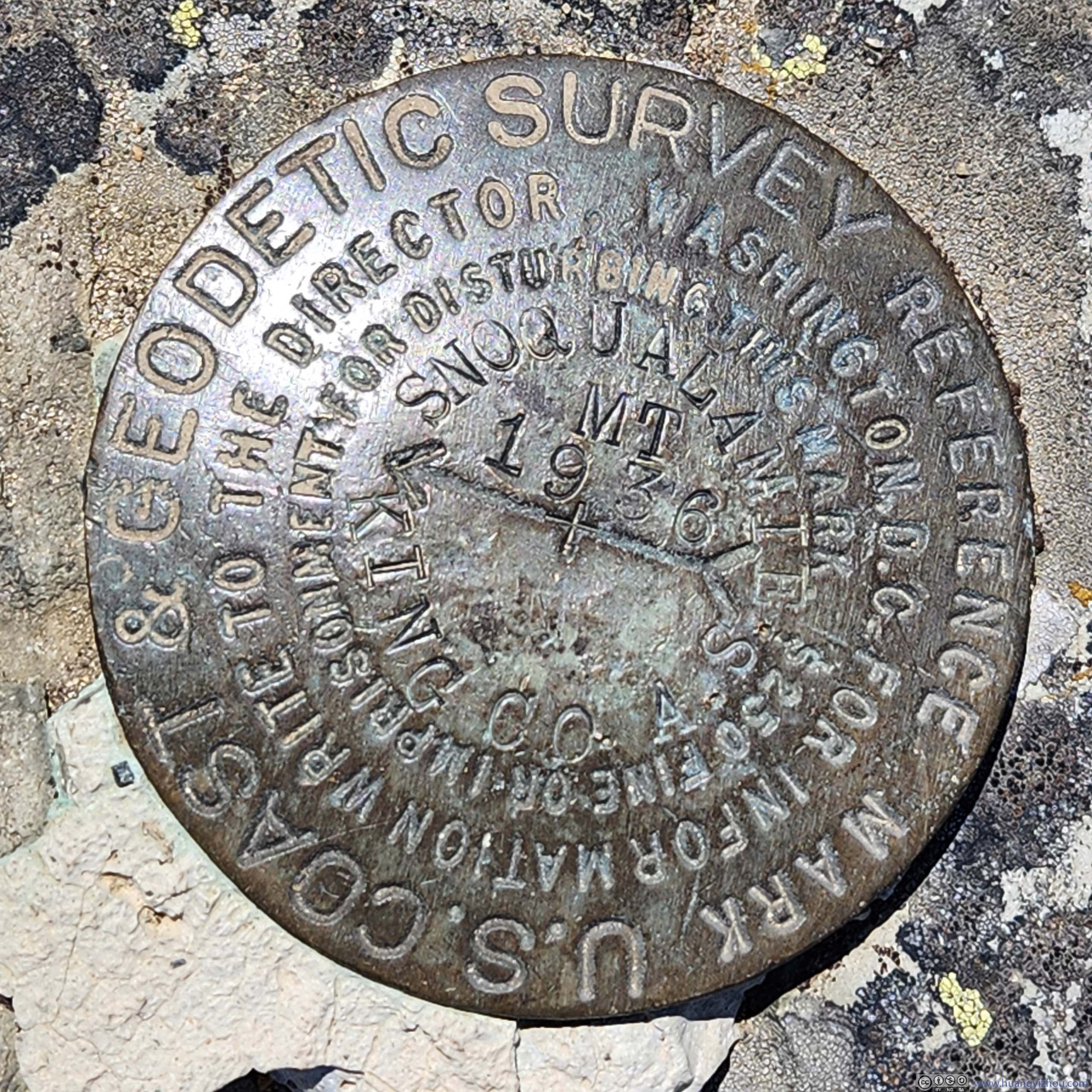
 Summit Survey Marker
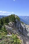
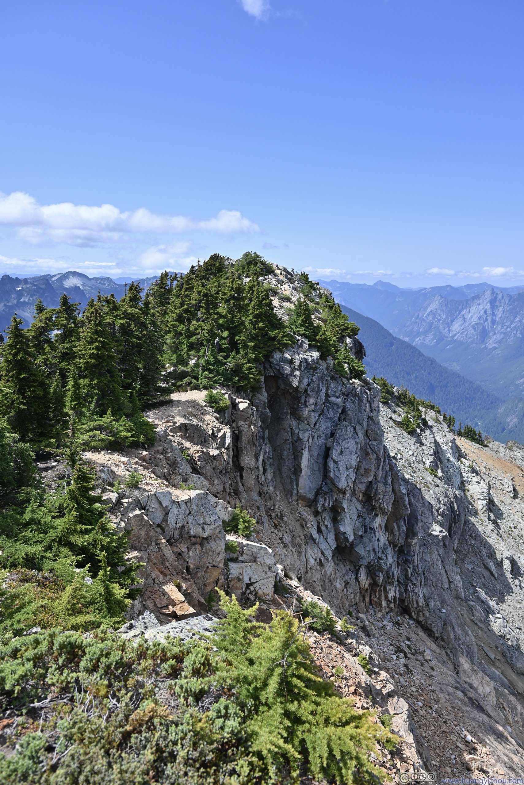
 Ridge at the Summit / Overlooking Guye Peak
 Ridge
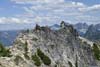
One that extended to the northeast from Snoqualmie Mountain. It looked rather exposed, but I saw someone scrambling through it.
Ridge
One that extended to the northeast from Snoqualmie Mountain. It looked rather exposed, but I saw someone scrambling through it.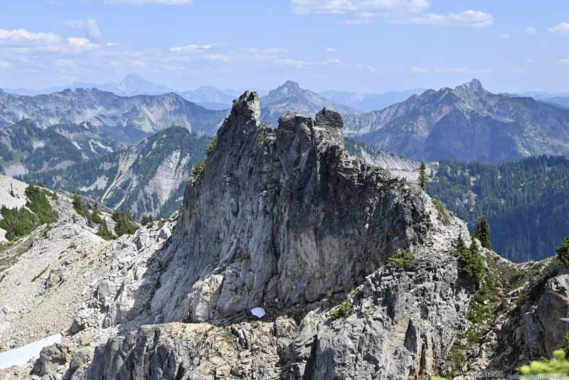 Ridge
One that extended to the northeast from Snoqualmie Mountain. It looked rather exposed, but I saw someone scrambling through it.
Ridge
One that extended to the northeast from Snoqualmie Mountain. It looked rather exposed, but I saw someone scrambling through it. Snow Patch beneath Cliff

Click here to display photos from the summit of Snoqualmie Mountain.
Summit Survey Marker
 Ridge at the Summit / Overlooking Guye Peak

Ridge

Ridge
Snow Patch beneath Cliff
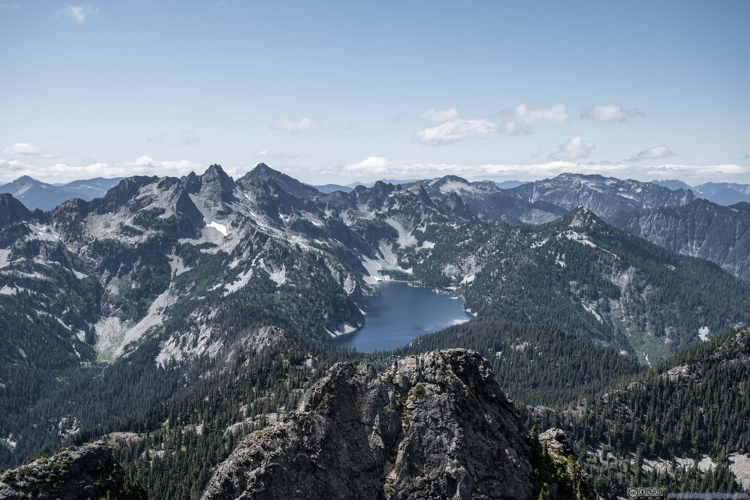
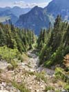
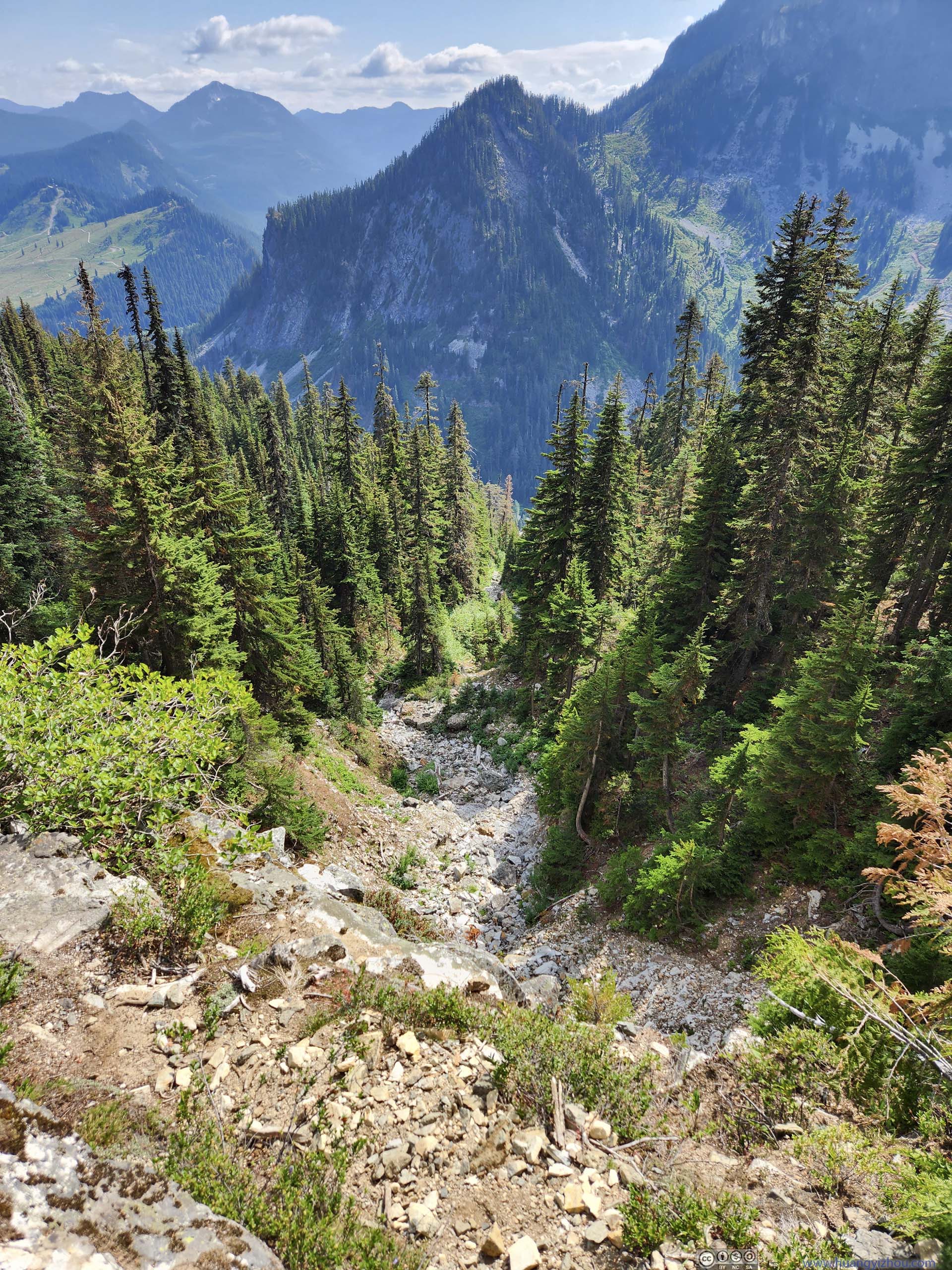
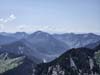
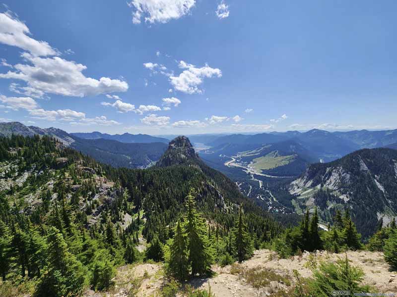
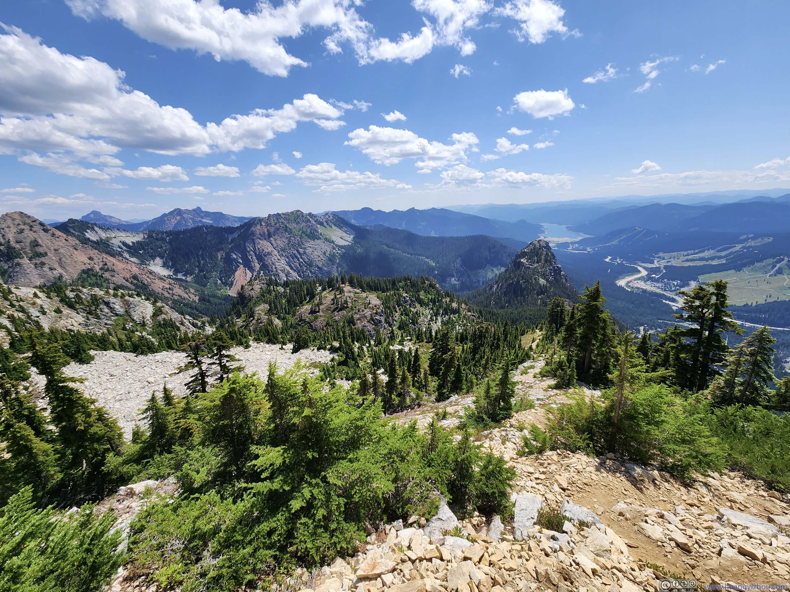
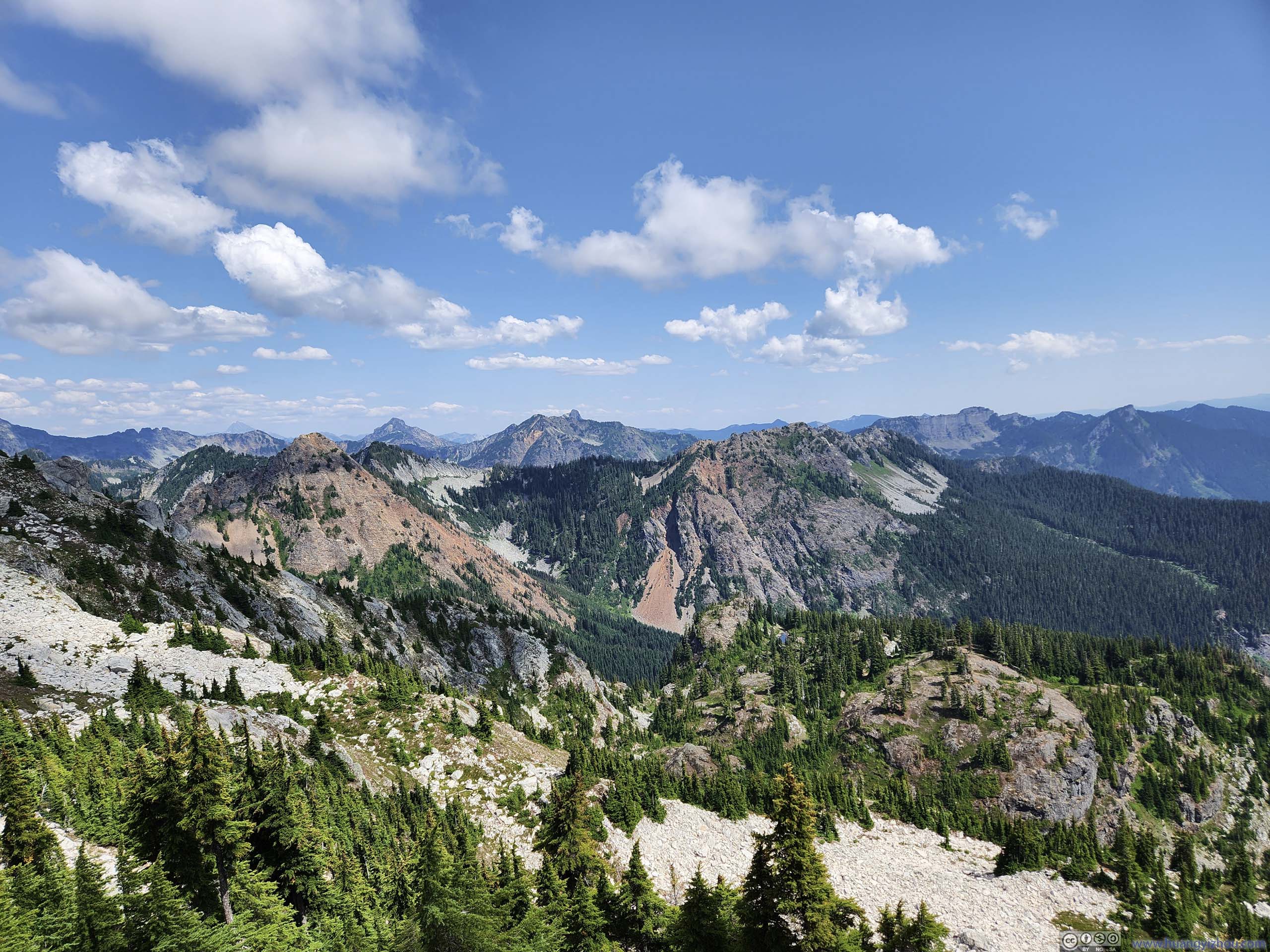
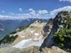
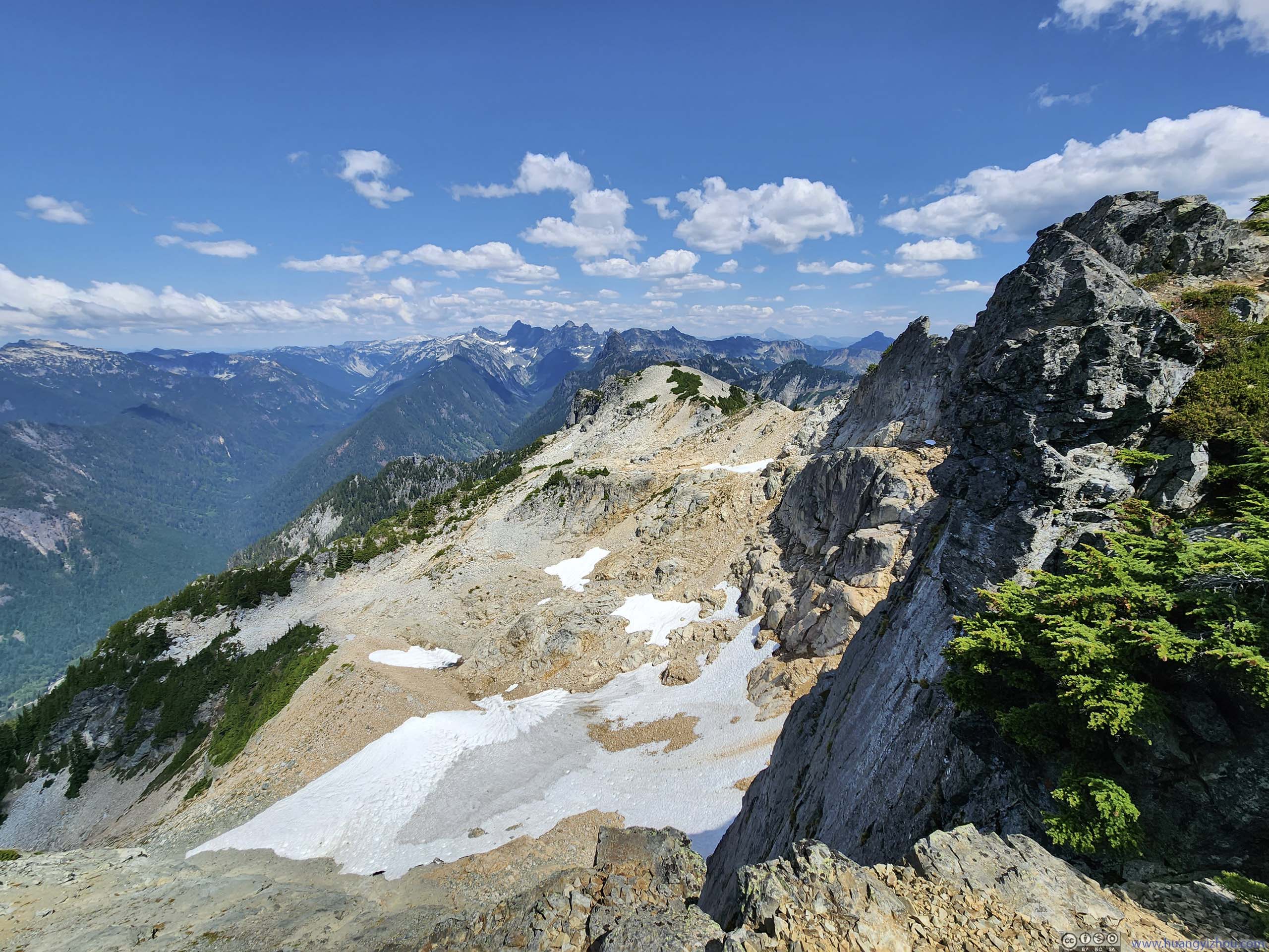
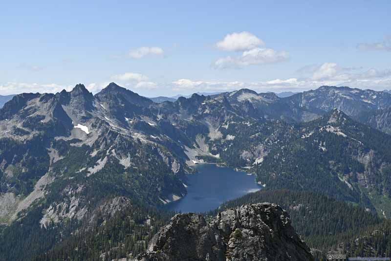
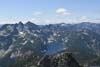
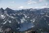
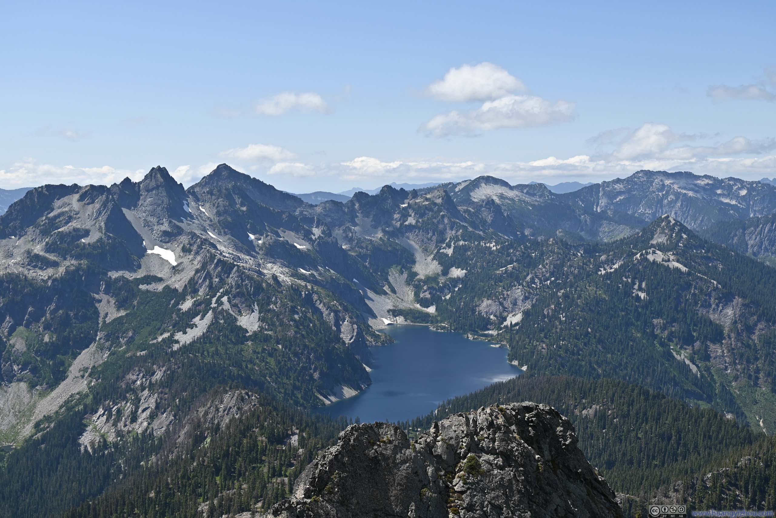
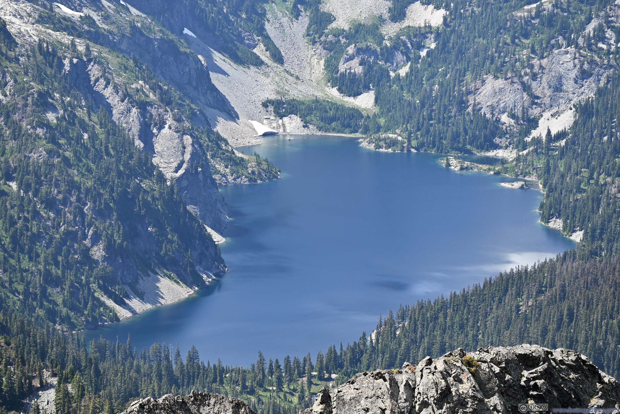
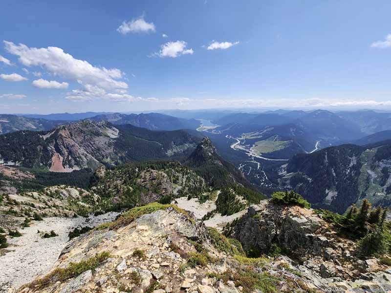
From the summit of Snoqualmie Mountain, a ridge led a short distance to the west, the end of which offered views of Snow Lake (slideshow below). It’s not hard to appreciate its beauty or popularity from this angle, the lake was a large body of water, like the stage of an amphitheater with the surrounding mountains being its audience. Its dark blue colors looked enchanting even from such a distance.
In addition, another more exposed ridge (p3-4 above) led northeast. During my ascent I only encountered another hiker that overtook me, who went on scrambling through that ridge, and I watched in awe staying safely behind.
 Snow Lake before Cascade Mountains
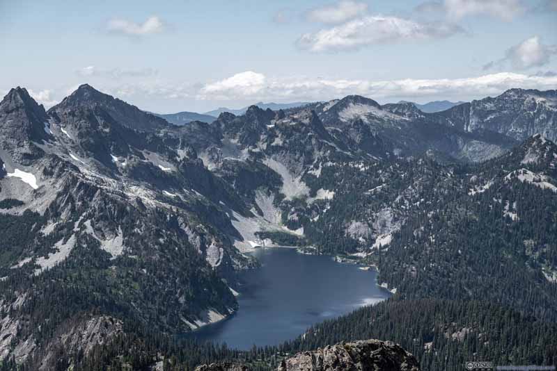 Snow Lake before Cascade Mountains
 Snow Lake
Click here to display photos of Snow Lake and surrounding Mountains.
 Snow Lake before Cascade Mountains
Snow Lake
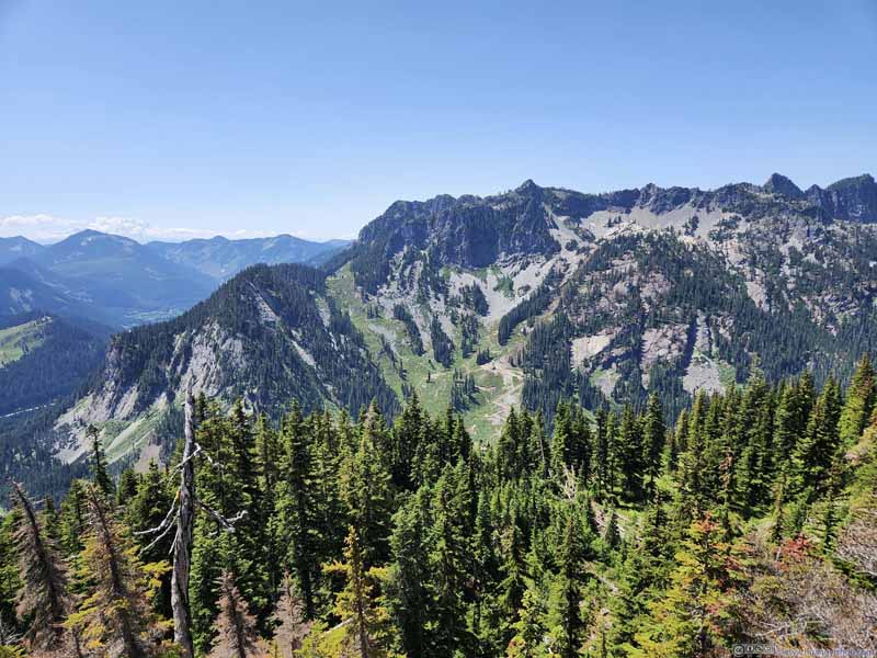
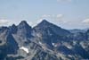
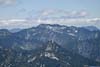
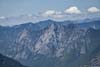
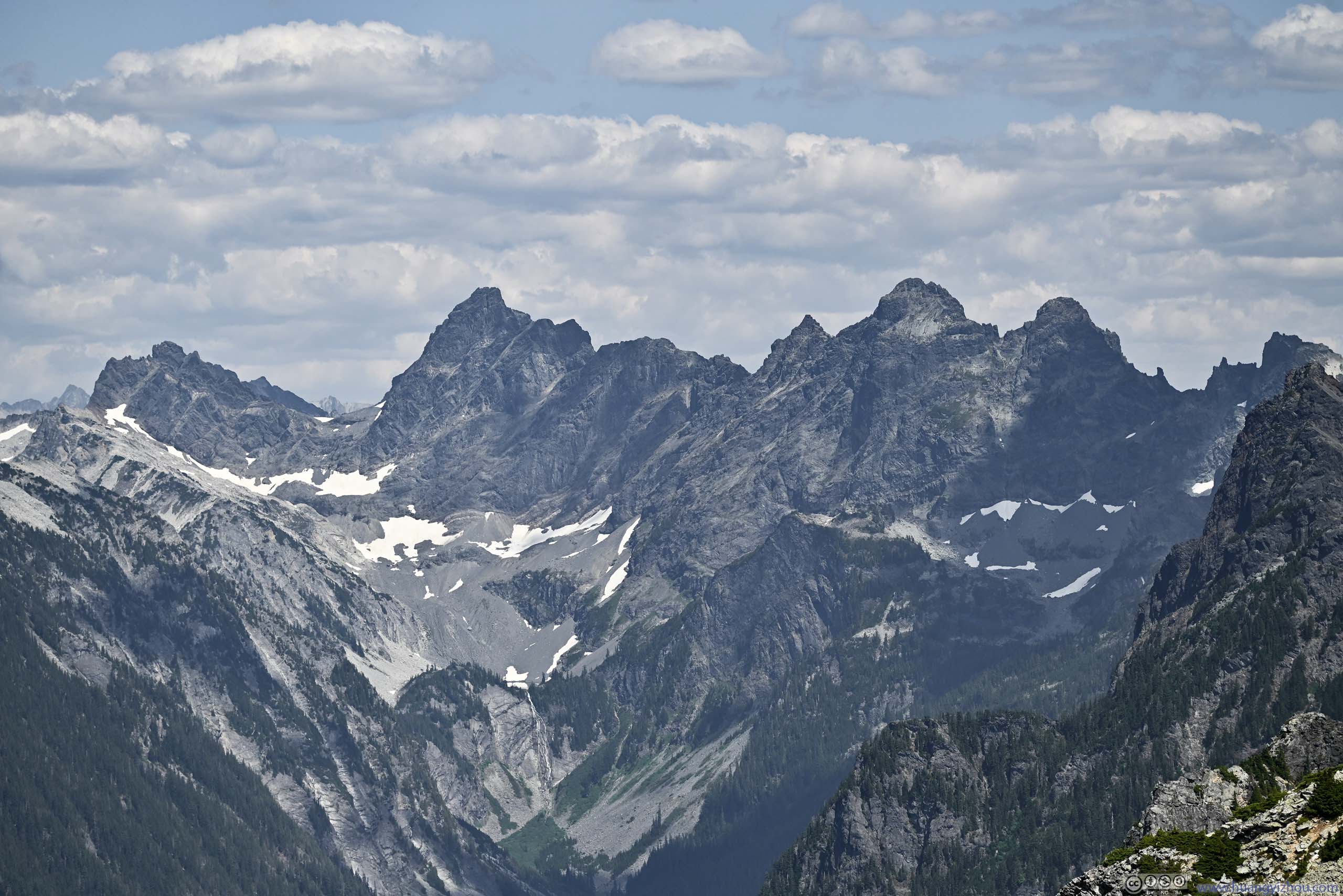
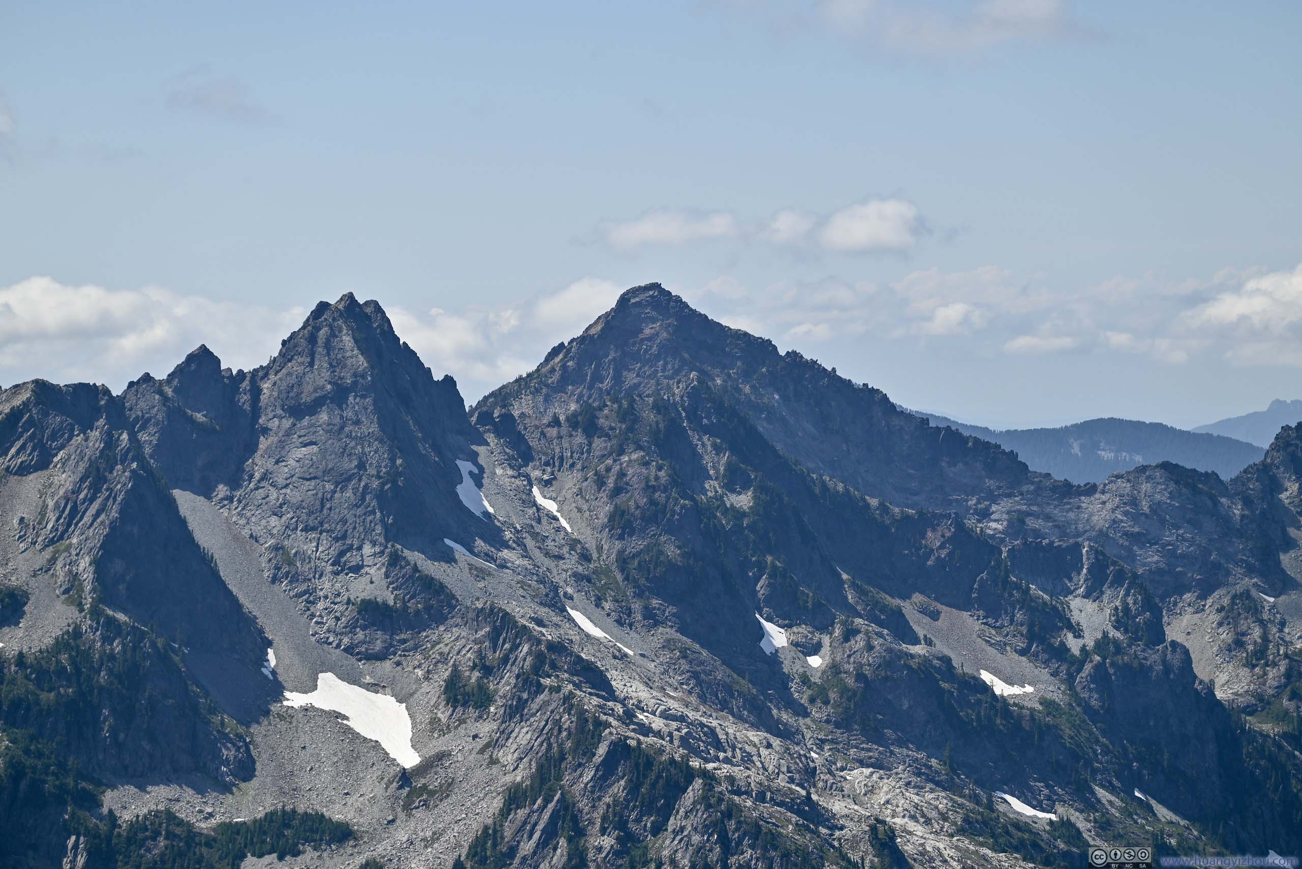
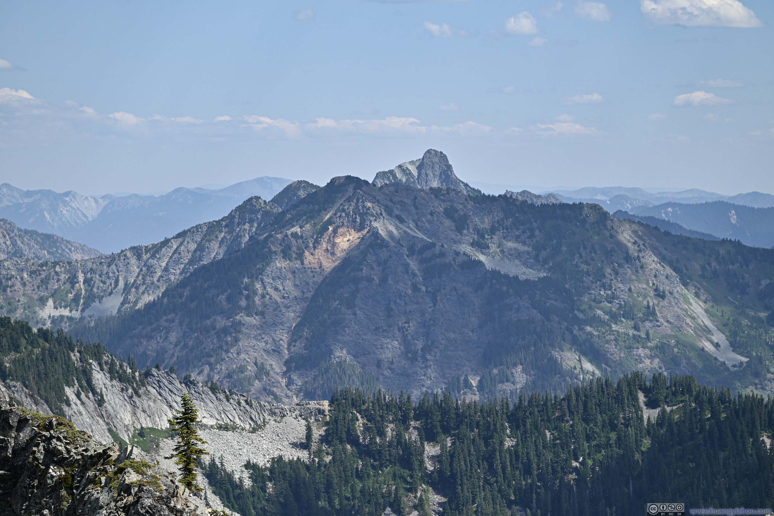
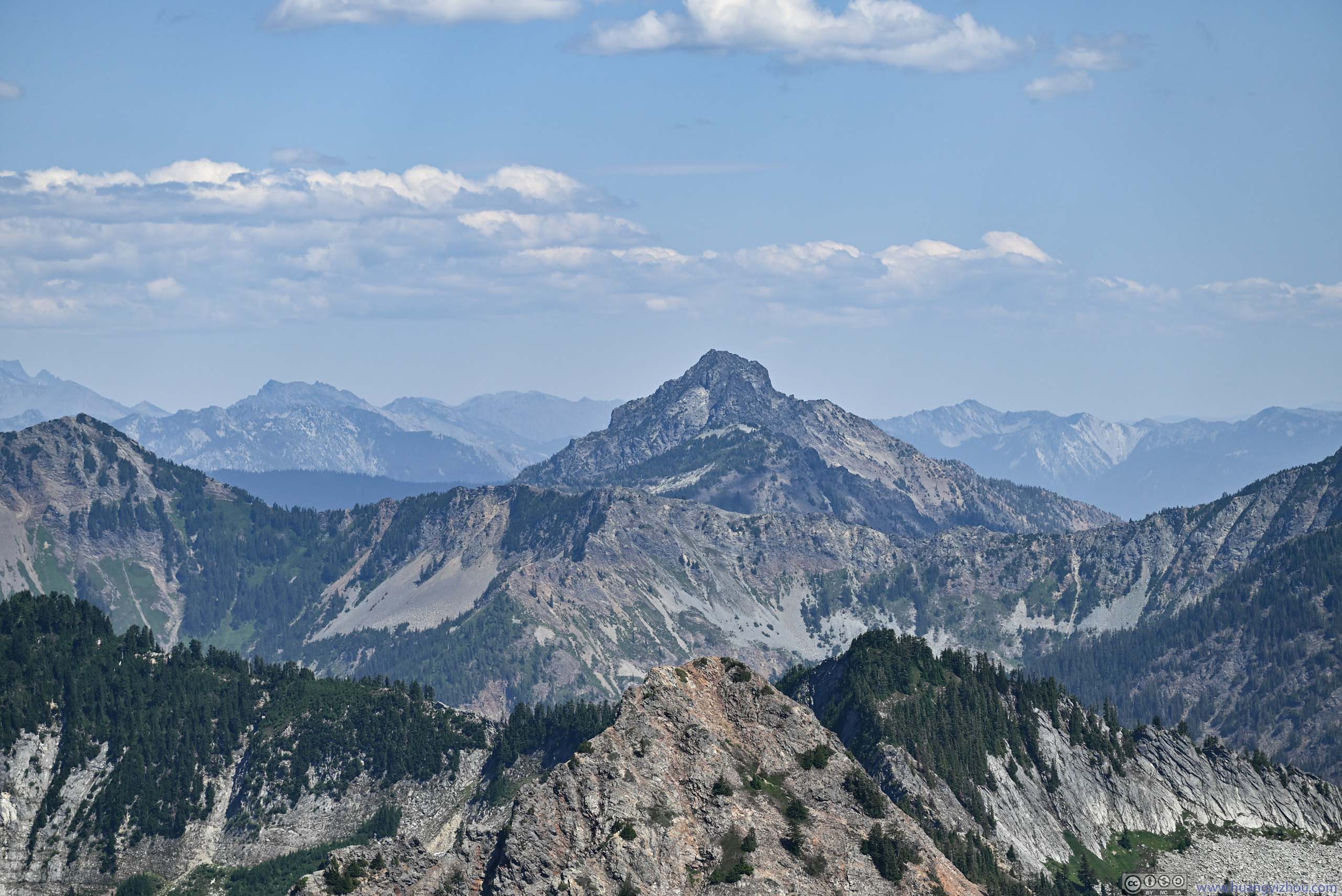
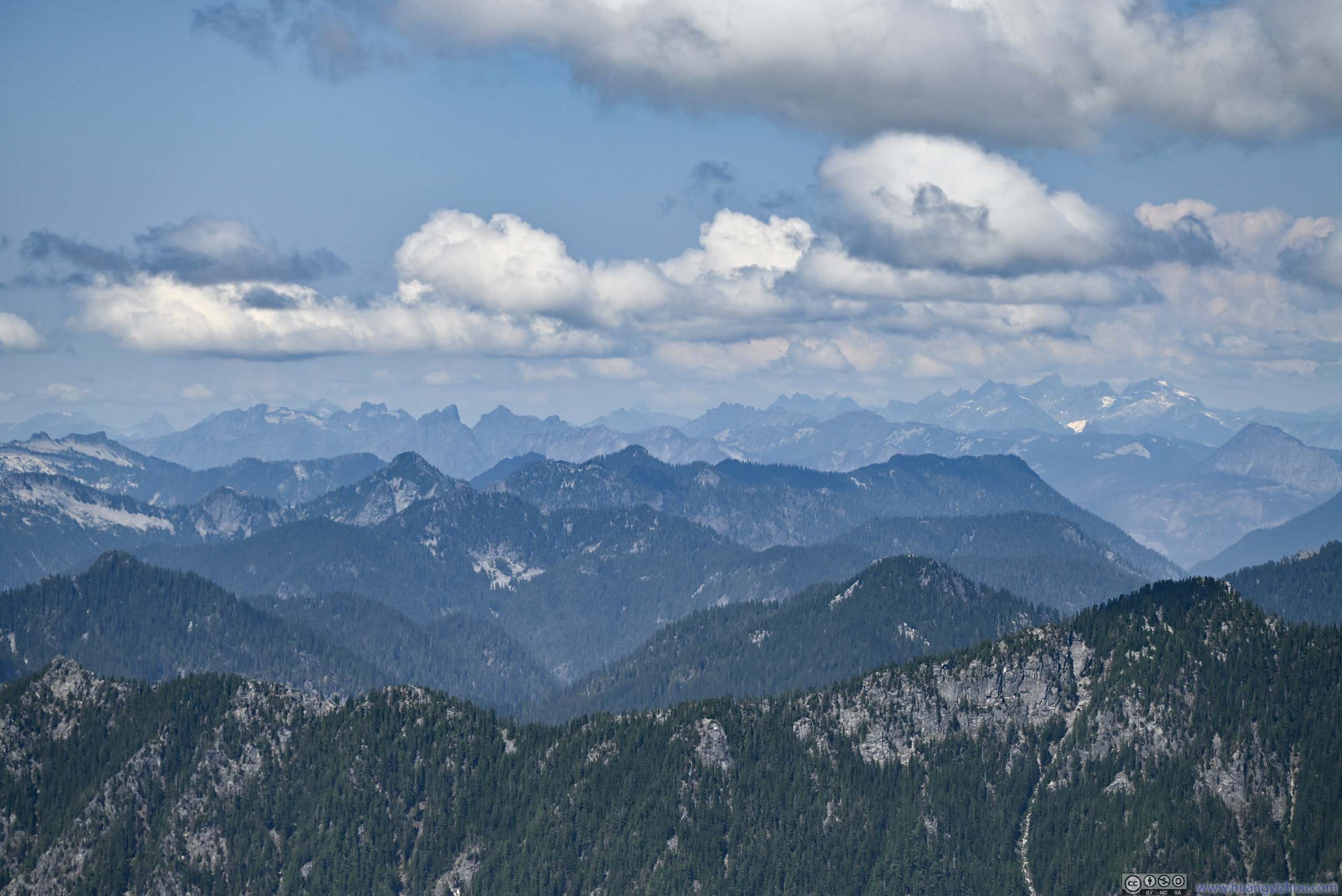
Visibility was great. Aided by PeakVisor, I picked up a number of peaks in the surrounding Cascade Mountains.
 Overcoat Peak and Chimney RockA waterfall in the lower center.
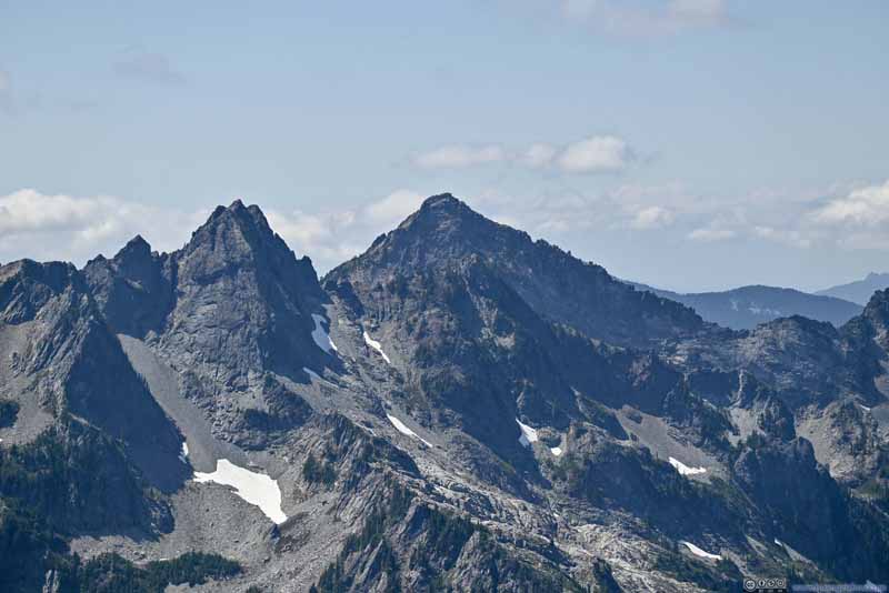 Chair Peak and Kaleetan PeakTwo peaks west of Snow Lake.
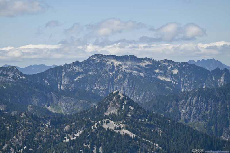 Wright Mountain before Preacher Mountain
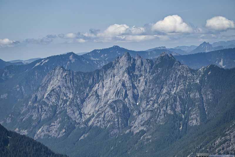 Garfield Mountain
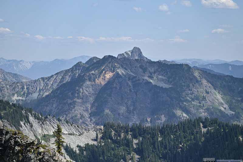 Alta Mountain and Hibox Mountain
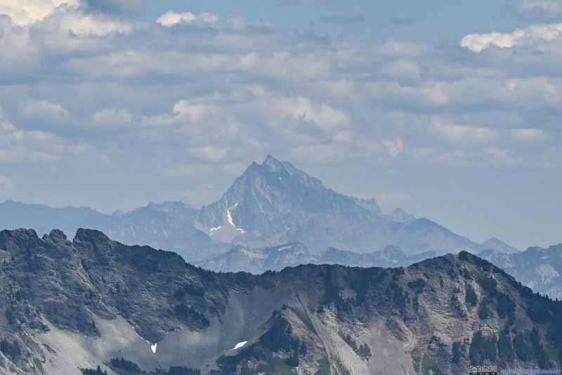 Distant Mount StuartHighest peak of Alpine Lake Wilderness.
 Three Queens Peak
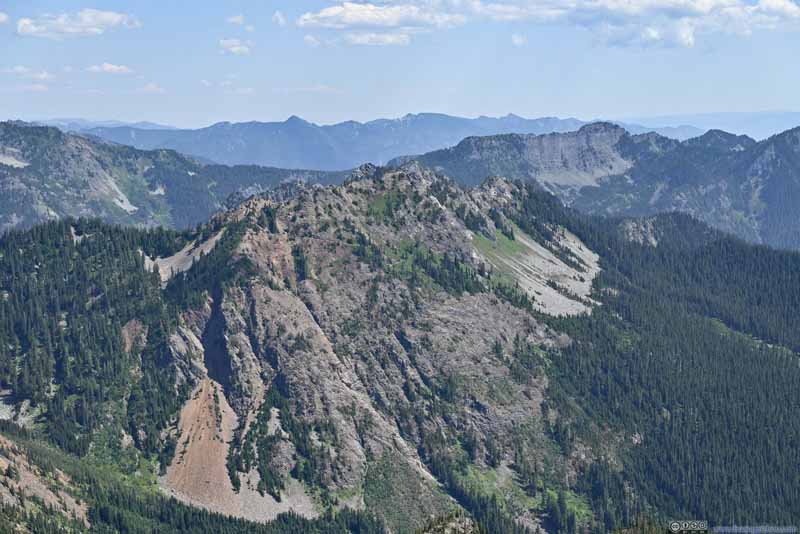 Alta Mountain

Click here to display photos of the distant Cascade Mountains.
Overcoat Peak and Chimney RockA waterfall in the lower center.
Chair Peak and Kaleetan PeakTwo peaks west of Snow Lake.
Wright Mountain before Preacher Mountain
Garfield Mountain
Alta Mountain and Hibox Mountain

Distant Mount StuartHighest peak of Alpine Lake Wilderness.
Three Queens Peak
Alta Mountain
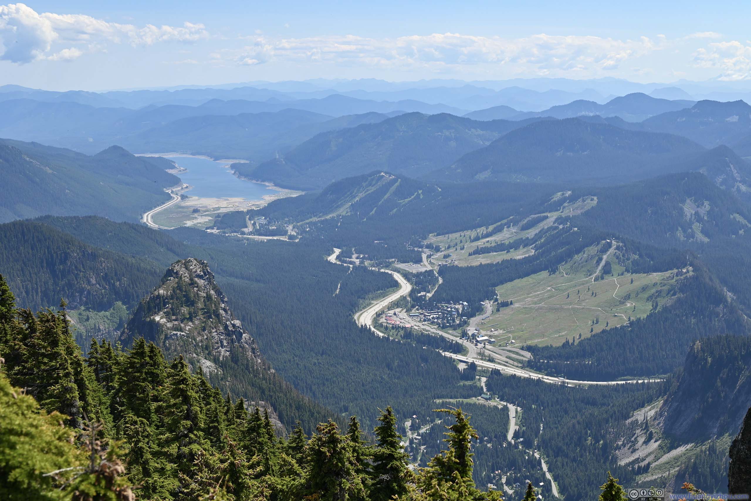
 Overlooking Snoqualmie Pass
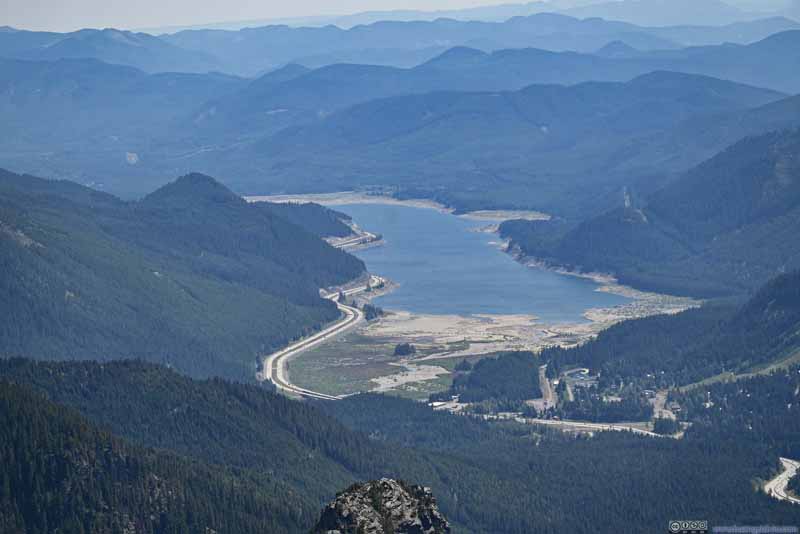 Keechelus Lake along I90
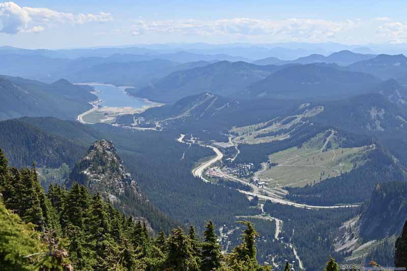 Valley to the Southeast
 Distant Cascade Mountains to the North


Click here to display photos of the slideshow
Overlooking Snoqualmie Pass
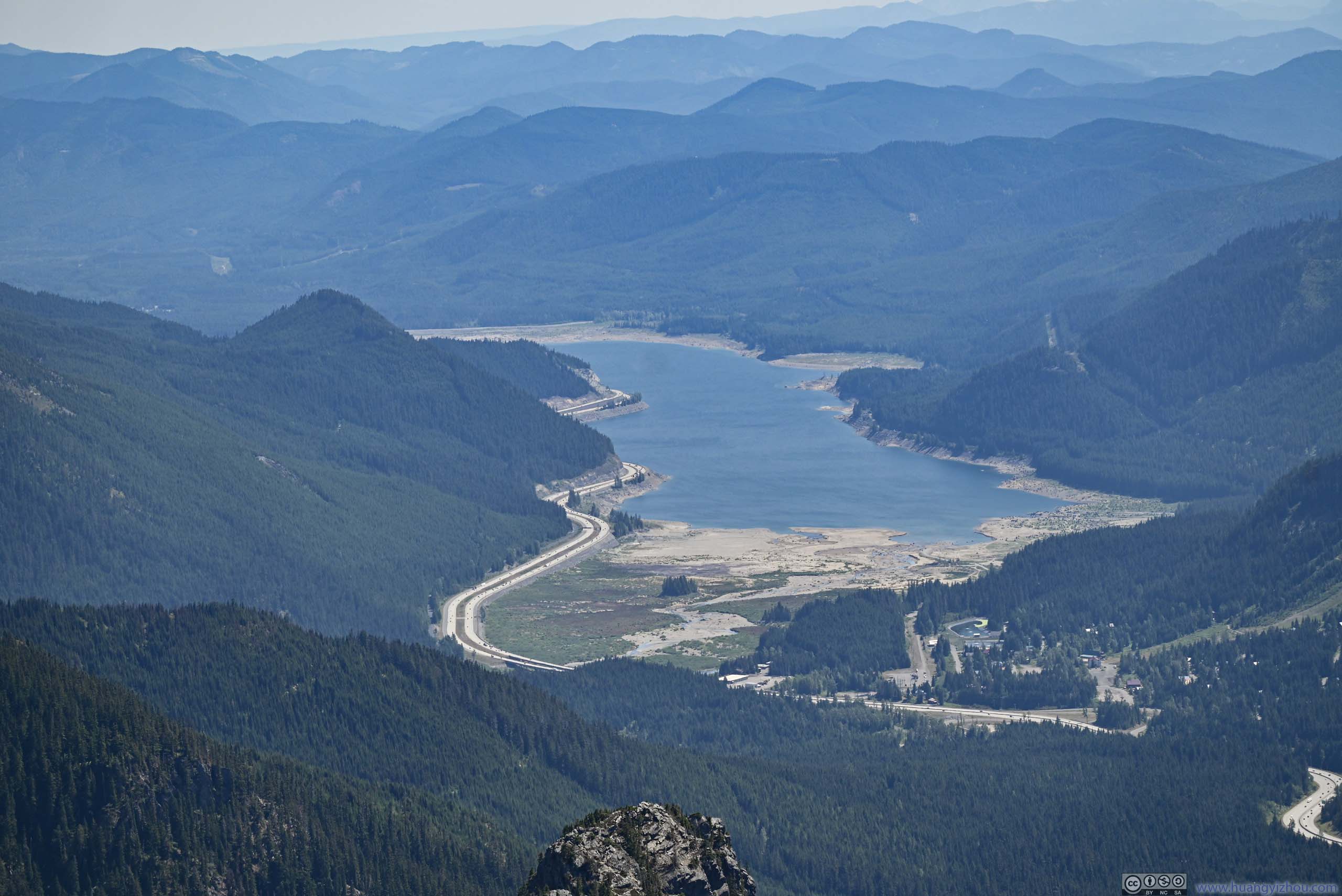
Keechelus Lake along I90
Valley to the Southeast
Distant Cascade Mountains to the North
One disappointment was that, there were some bugs at (and only at) the summit of Snoqualmie Mountain. Their annoying presence got into the way of my lunch and my appreciation of such majestic scenery.
 View from Snoqualmie Mountainto the west (top) and east (bottom).
In the end, I stayed just over an hour at the summit, before starting to head back down at 2:50pm.
The steepness of the trail meant it’s also physically demanding going down. To make matters worse, the orientation of the trail meant I found less shade from the afternoon sun, without wind in the woods it felt hot.
In the end, I made it back to the trailhead at 5:30pm. It seriously made me wonder how some people could do this hike in half my time, as reported by some AllTrails tracking.
END
![]() Climbing Snoqualmie Mountain outside Seattle by Huang's Site is licensed under a Creative Commons Attribution-NonCommercial-ShareAlike 4.0 International License.
Climbing Snoqualmie Mountain outside Seattle by Huang's Site is licensed under a Creative Commons Attribution-NonCommercial-ShareAlike 4.0 International License.