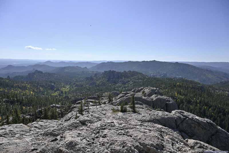
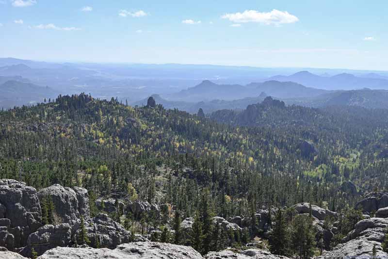
Day 3 of Autumn 2023 Trip to Mountain States, Black Elk Peak, Highest Point of South Dakota

The third day of my autumn 2023 trip to the mountain states. I focused the day on Custer State Park, hiked to Black Elk Peak, South Dakota’s highest peak, in addition to checking out Needles Highway, a scenic mountain road in the park.

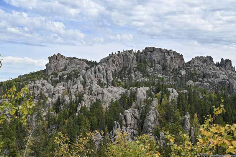
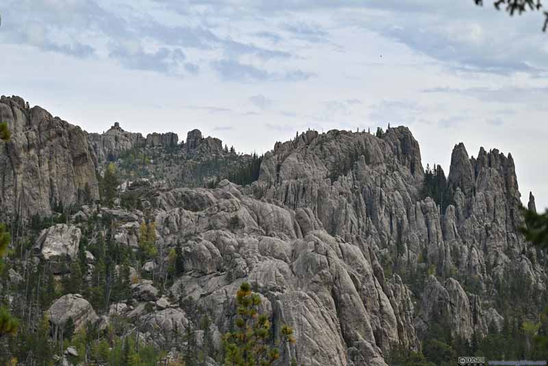
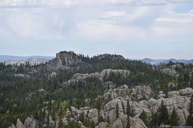
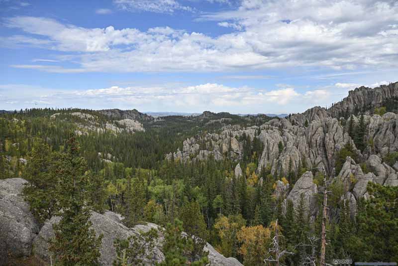
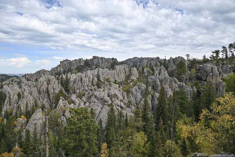
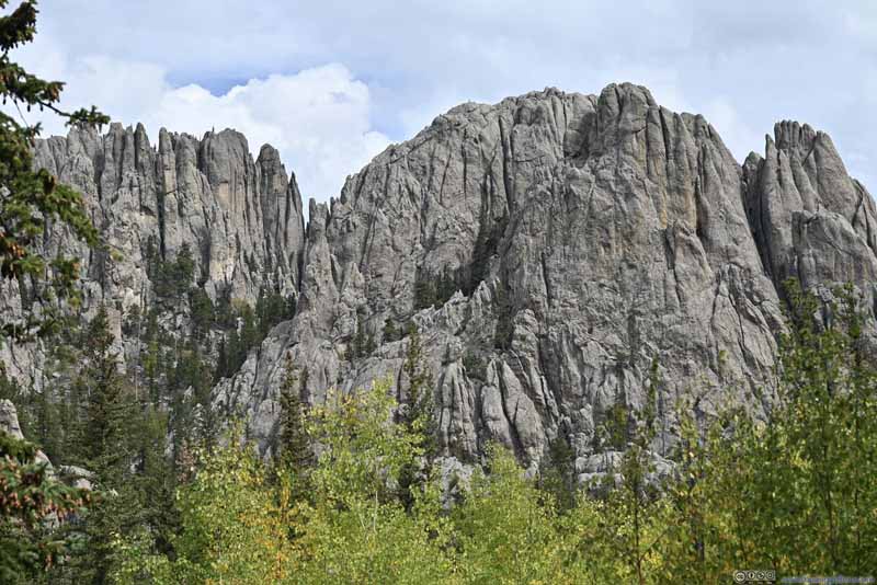
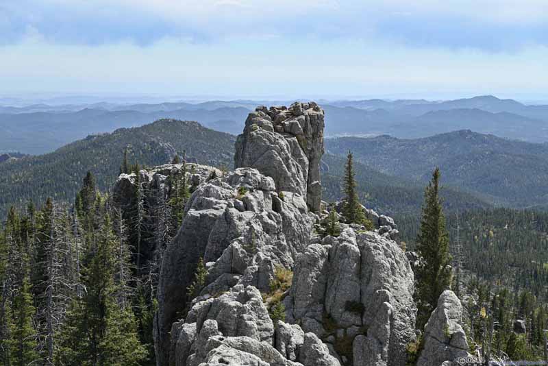
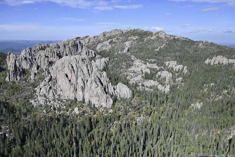
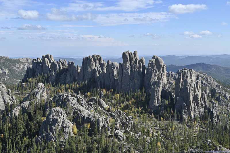
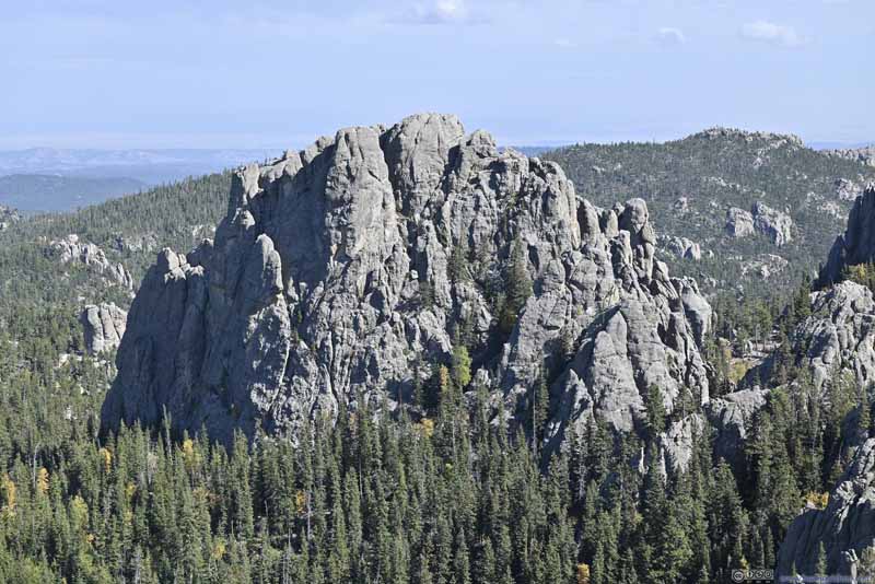
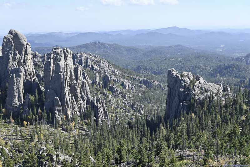
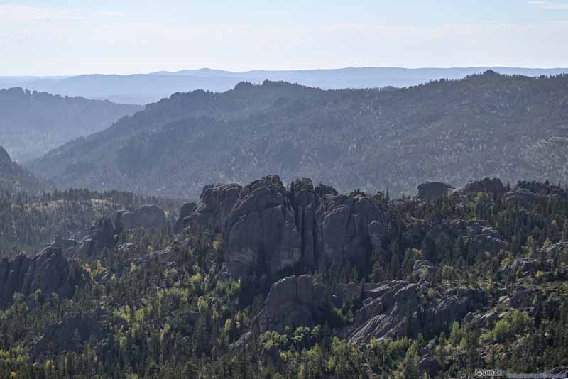
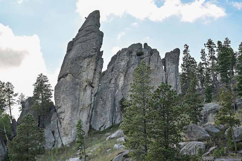
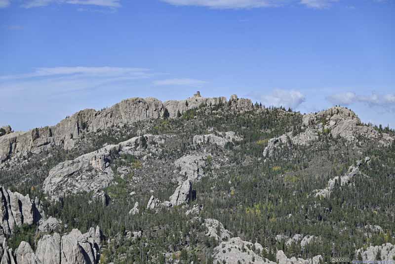
Black Elk Peak from Little Devil's Tower


Black Elk Peak from Little Devil’s Tower

At an elevation of 2208m (7244ft), Black Elk Peak was the highest natural point of South Dakota, and (to spice things up) the highest between Rocky Mountains in western US and Pyrenees Mountains that border France and Spain. At the same time, its summit was relatively easy to access, through a 11.4km/7.1mi loop trail that presented no technical challenges. The trail went through the heart of the Black Hills area, featuring eroded granite shaped like pillars and spires, that was locally referred to as “needles”. For this reason, a trip to Black Elk Peak had always been on my radar.

I planned to spend 3 nights in the Airbnb in Rapid City, giving me two days to explore the Black Hills. Weather forecast indicated chances of rain the next day, so I decided to take the hike to Black Elk Peak today.
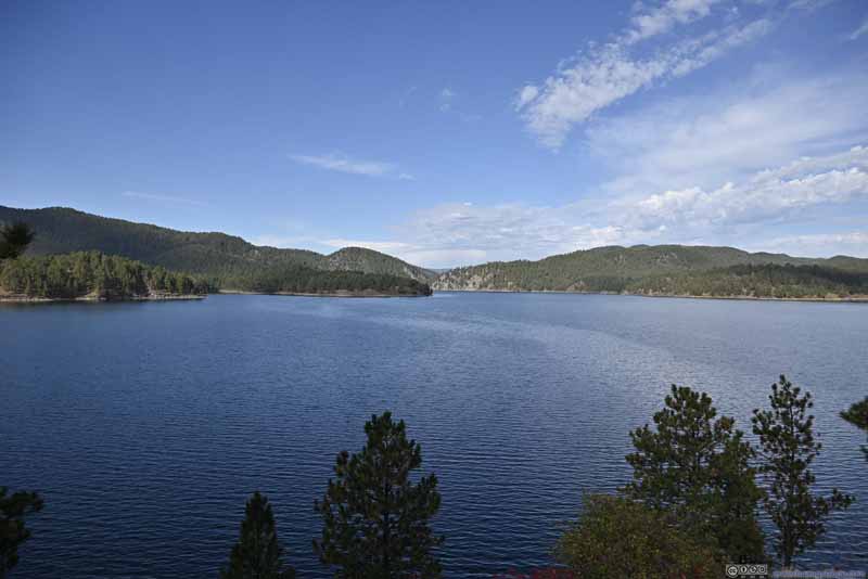
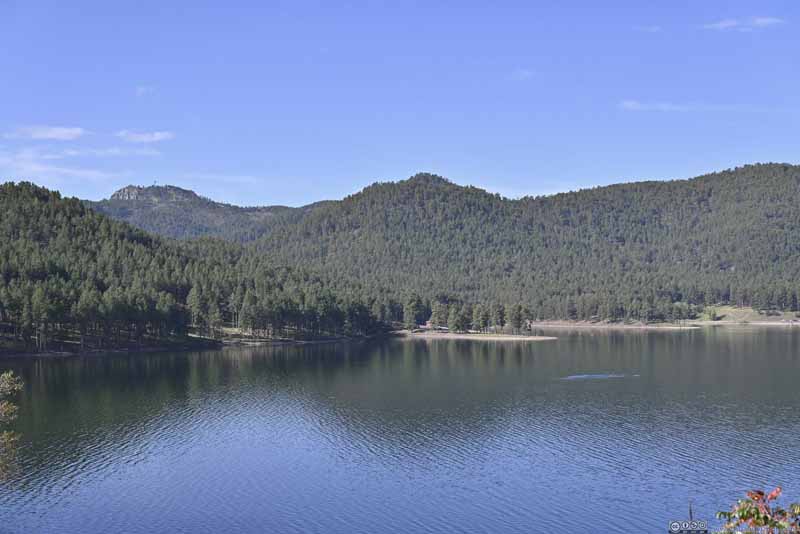
After leaving my Airbnb room at a leisurely 9am, I grabbed breakfast along the road, and made my way to Custer State Park. Along the way, I decided to take a detour to Pactola Lake, which was created by a reservoir and part of Rapid Creek, the namesake of Rapid City.

  • Pactola Lake
    Pactola Lake
  • Pactola Lake
    Pactola Lake
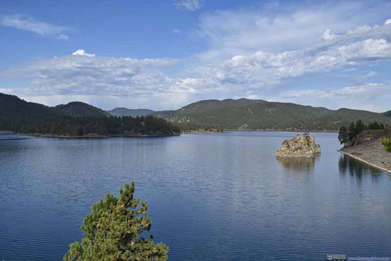
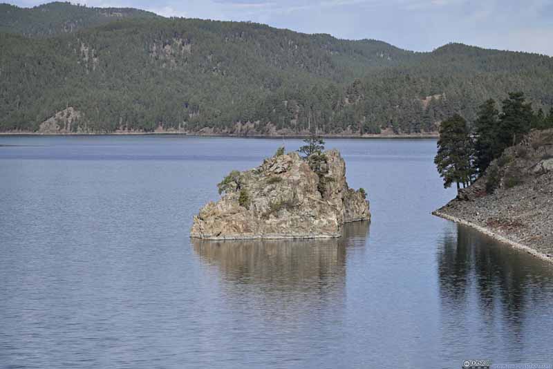
  • Island in Pactola Lake
    Island in Pactola Lake
  • Mountains beyond Pactola Lake
    Mountains beyond Pactola Lake
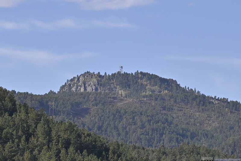
  • Scruton Mountain
    Scruton Mountain
    On top of which was Bullock Lookout Tower.
  • Pactola Lake
  • Pactola Lake
  • Island in Pactola Lake
  • Mountains beyond Pactola Lake
  • Scruton Mountain

Click here to display photos of Pactola Lake.
Pactola Lake


Pactola Lake

Pactola Lake


Pactola Lake

Island in Pactola Lake


Island in Pactola Lake

Mountains beyond Pactola Lake


Mountains beyond Pactola Lake

Scruton Mountain


Scruton Mountain
On top of which was Bullock Lookout Tower.


Wind created some wrinkles on the lake, but otherwise it’s a peaceful scene to start the day.

Black Elk Peak Loop Trail

Since I didn’t know how long the hike to Black Elk Peak would take, I decided to reach its trailhead near Sylvan Lake from the west, so that I would drive down the scenic (eastern) part of Needles Highway after the hike. With that, I reached the trailhead past 10:30am. The trailhead had a sizable overflow parking lot. After some warmup, I started my hike at 10:50am.

The trailhead was located within Custer State Park, which charged 20 dollars per vehicle per week admission. It’s arguably the only state park in South Dakota that’s worth visiting.

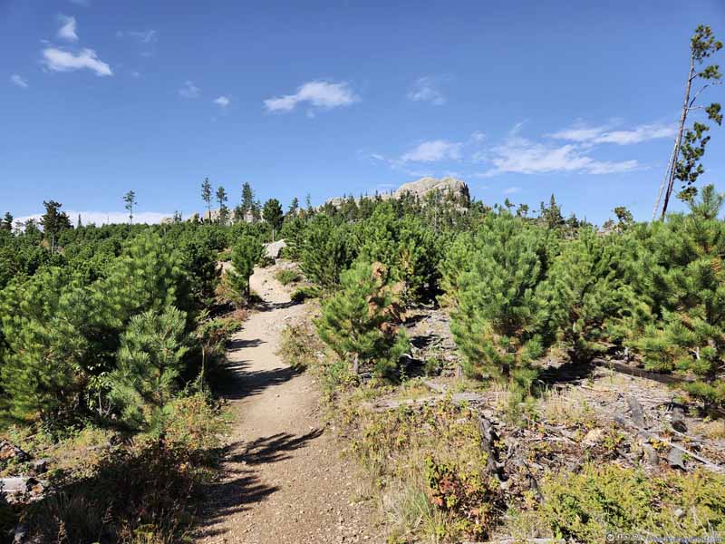
The trails in the area were succinctly named in numbers. The loop trail(AllTrails link) that I took consisted of trail 9 (upper-left) and 3&4 (lower-right). Between the two, trail 9 had better views (of Black Elk Peak and its surroundings). Since I started sort of late in the day, I decided to take 9 first, so as to enjoy the views with the best lighting conditions.

And here’s GPS tracking:

  • Trail
    Trail
  • Trail
    Trail
  • Trail
    Trail
  • Rocky Hill
    Rocky Hill
  • Rocky Hill
    Rocky Hill
  • Trail
  • Trail
  • Trail
  • Rocky Hill
  • Rocky Hill

Click here to display photos of the trail.
Trail


Trail

Trail


Trail

Trail


Trail

Rocky Hill


Rocky Hill

Rocky Hill


Rocky Hill


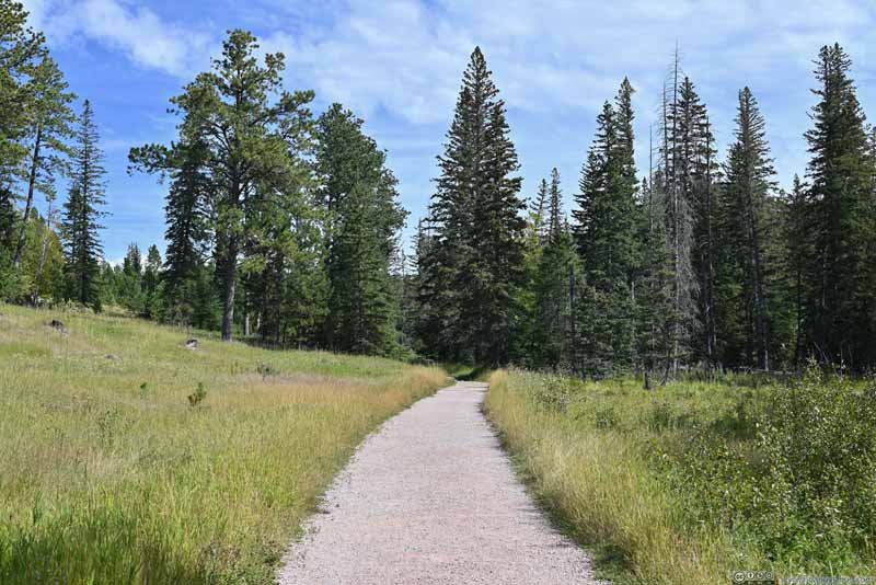
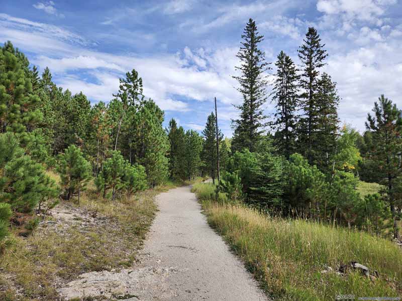
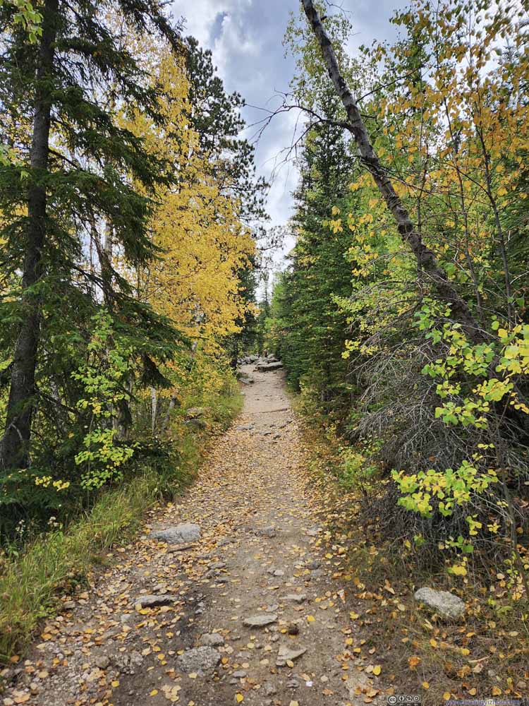
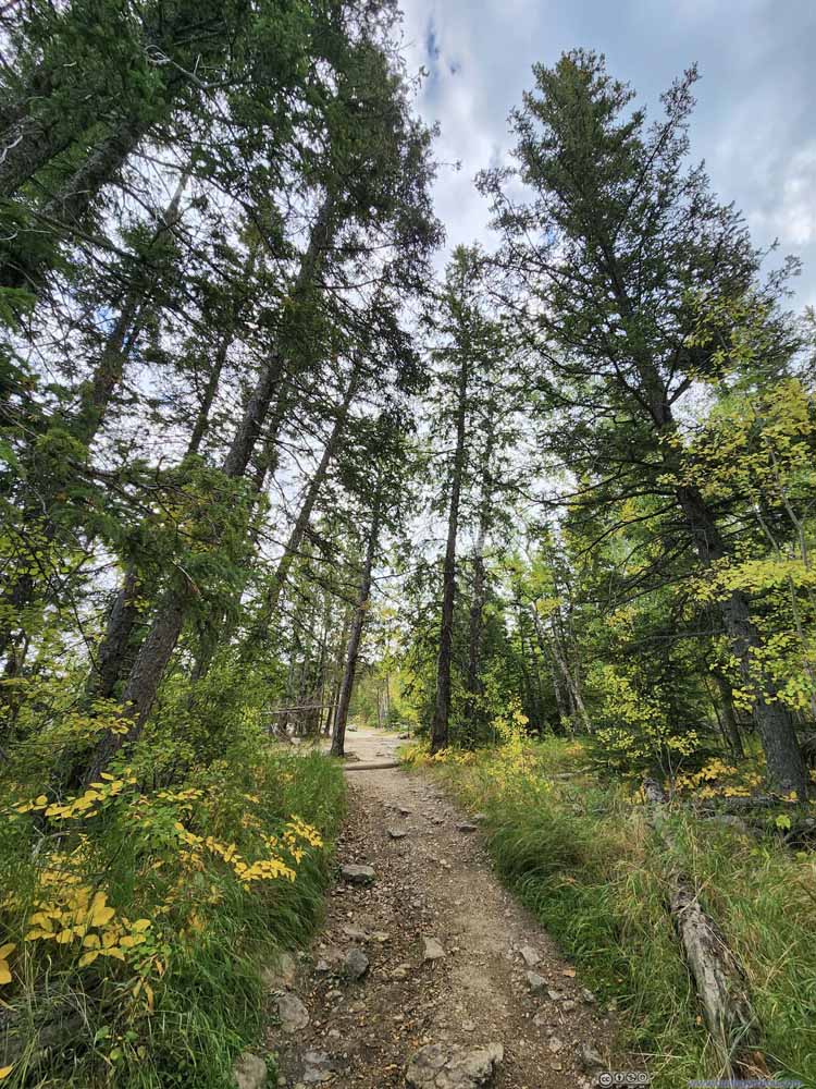
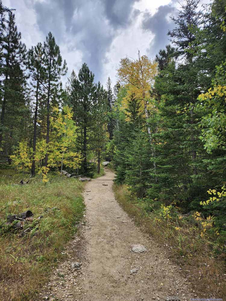
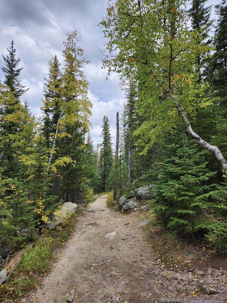
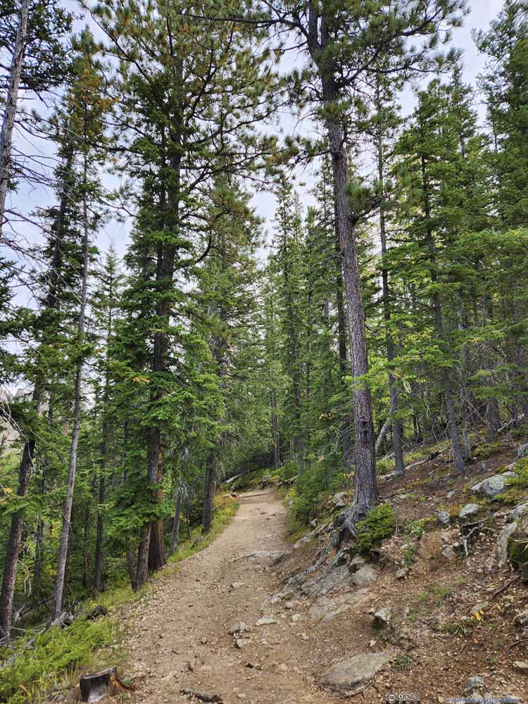
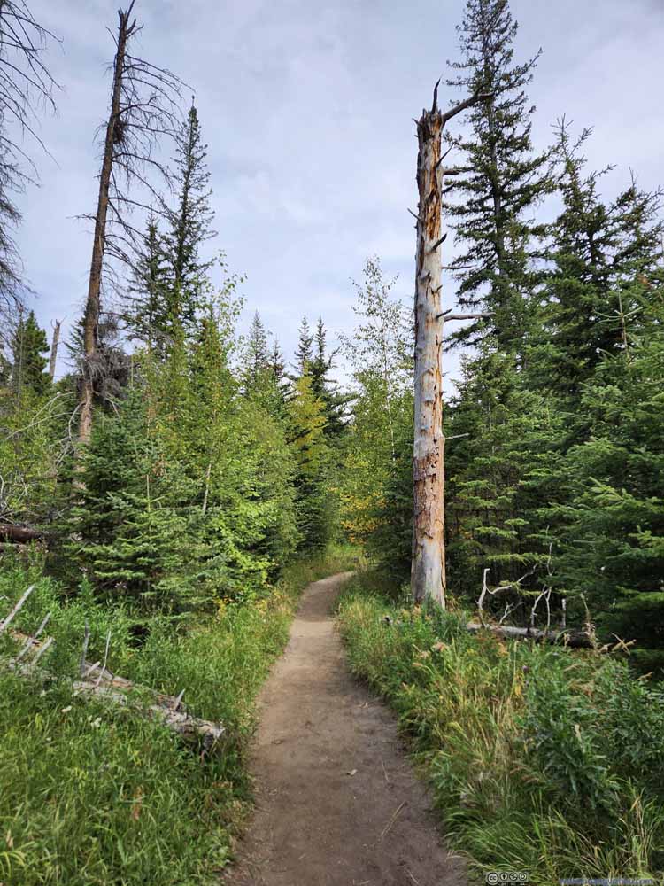
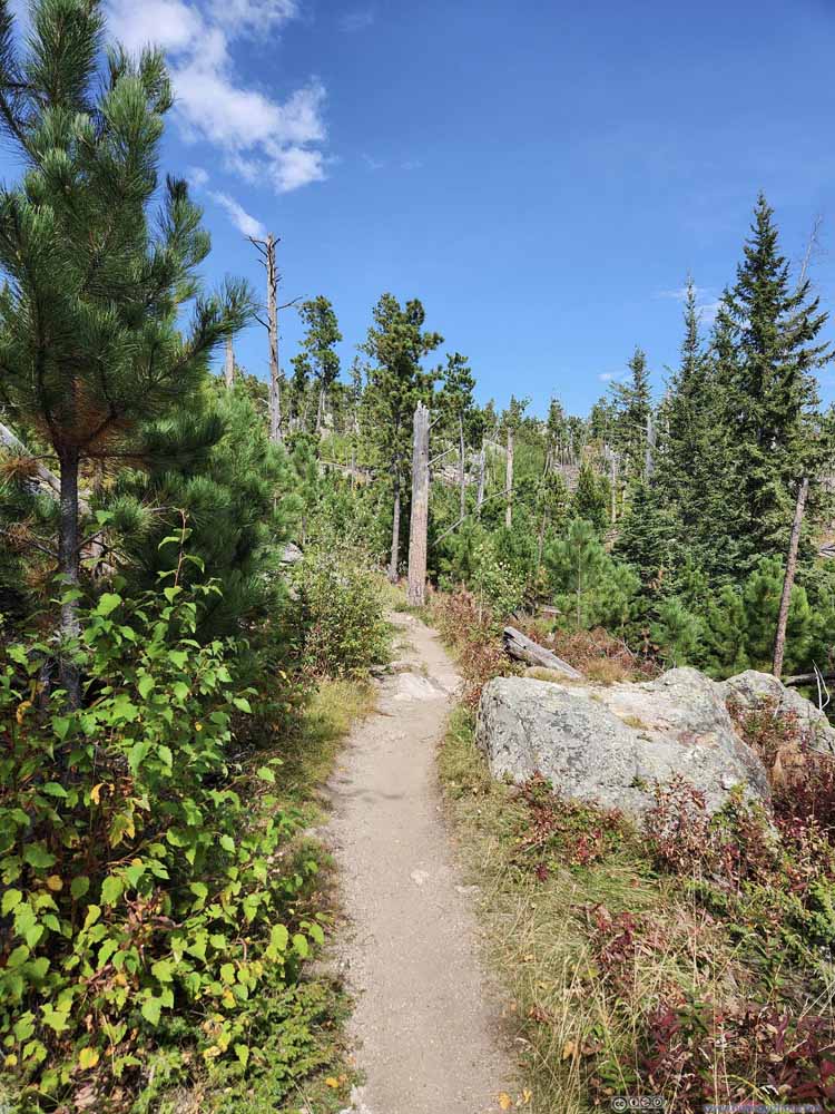
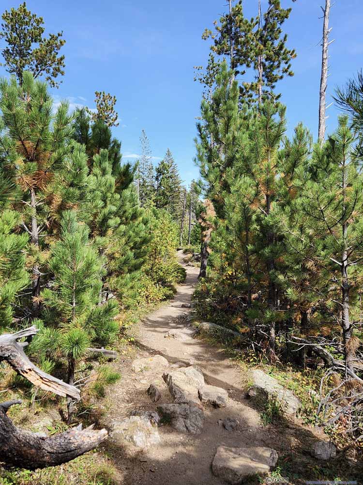
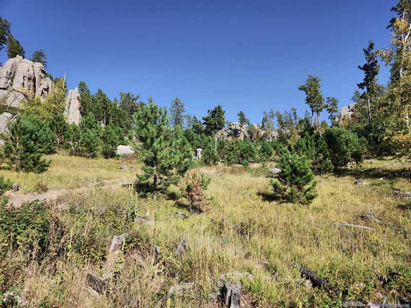
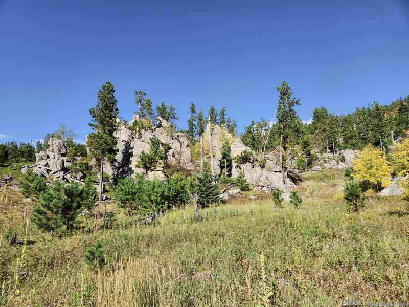
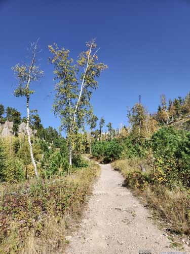
The trail started out as a comfortable stroll through sparse forest (above), where the earliest signs of foliage were visible on some of the trees. 1.2km into the hike, the trail reached an intersection with “Lost Cabin Trail”, where for the first time Black Elk Peak popped into view.
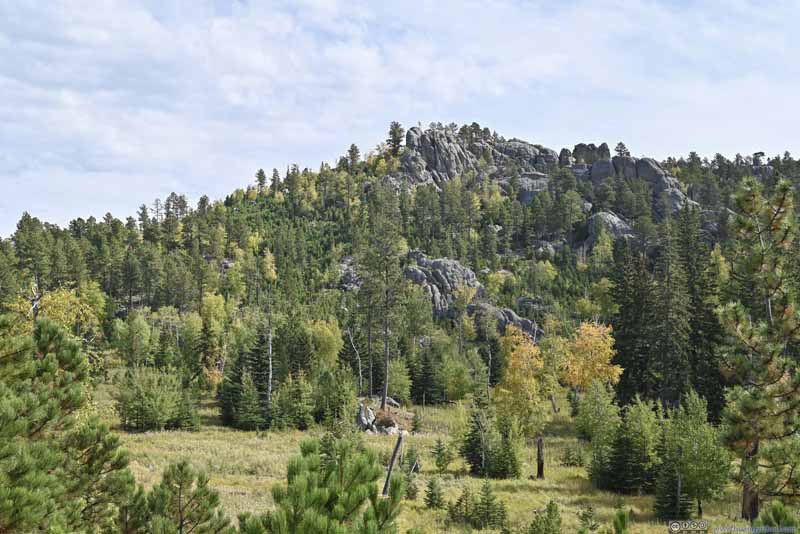
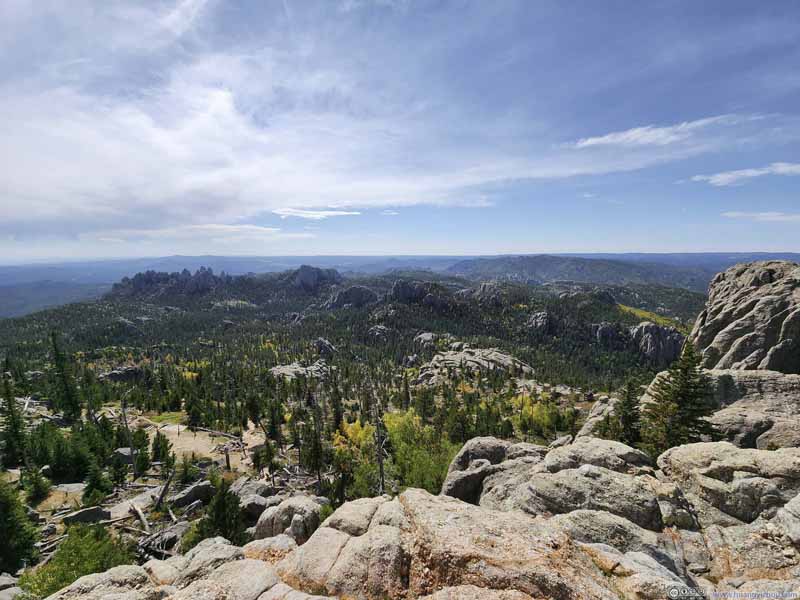
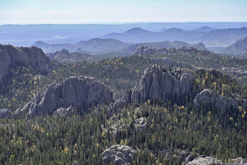
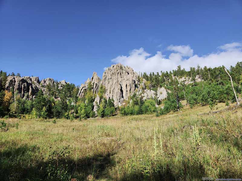
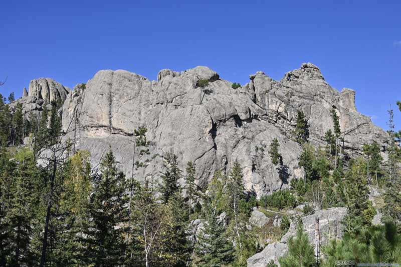
While the view at the intersection was sort of obstructed, 360m later the trail passed a proper overlook with wide open views. A feast of all the granite with their impressive vertical textures and cracks.

  • Black Hills
    Black Hills
    From the intersection of Trail 9 and Lost Cabin Trail, a preview of what’s to come next.
  • Black Hills
    Black Hills
    From the intersection of Trail 9 and Lost Cabin Trail, a preview of what’s to come next.
  • Black Hills
    Black Hills
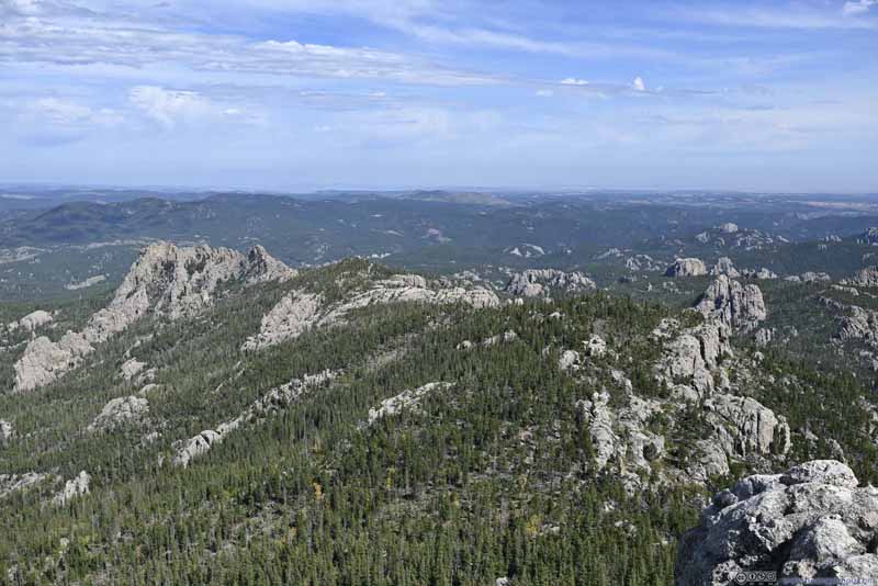
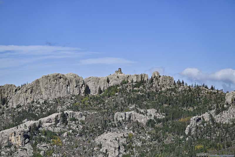
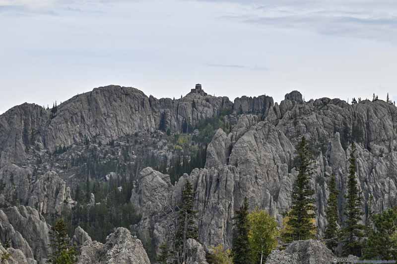
    From the proper overlooking along Trail 9. The summit observation tower of Black Elk Peak.
  • Black Hills
    Black Hills
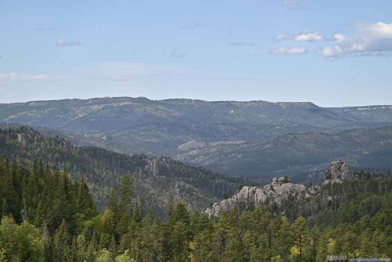
    From the proper overlooking along Trail 9.
  • Valley
    Valley
    From the proper overlooking along Trail 9.
  • Black Hills
    Black Hills
    From the proper overlooking along Trail 9.
  • Distant Mountains
    Distant Mountains
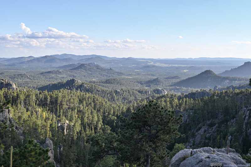
    After leaving the overlook, taken from a clearing of the trail with western part of Black Hills National Forest in view.
  • Rock Hills
    Rock Hills
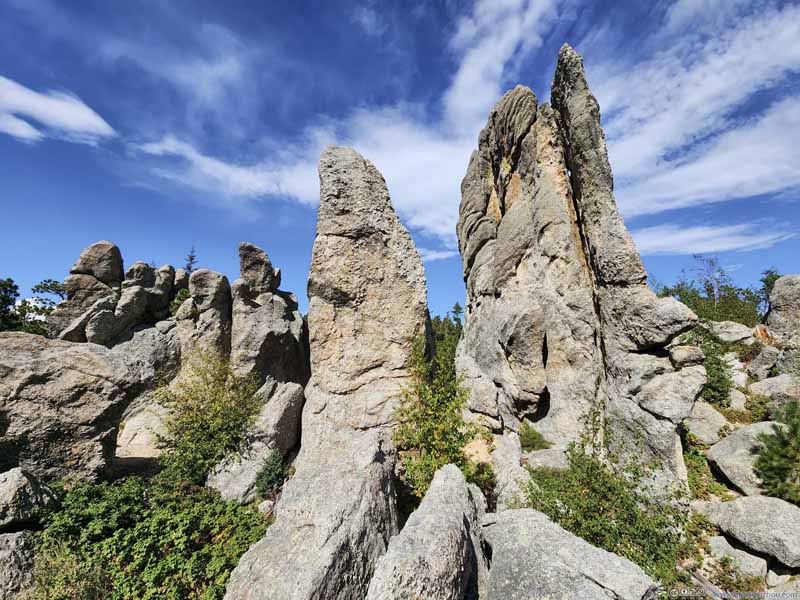
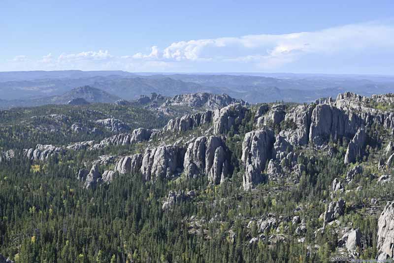
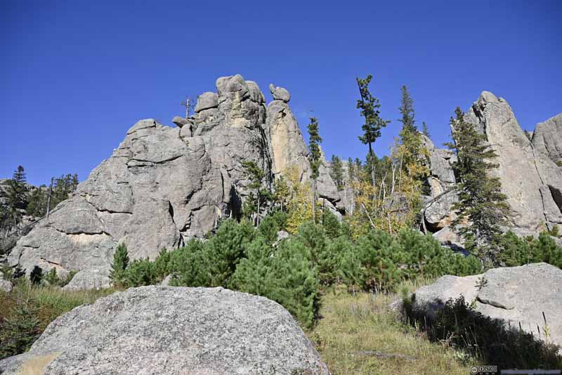
    Further into the trail. With vertical texture, like many “needles” were forming.
  • Black Hills
  • Black Hills
  • Black Hills
  • Black Hills
  • Valley
  • Black Hills
  • Distant Mountains
  • Rock Hills

Click here to display photos of the slideshow
Black Hills


Black Hills
From the intersection of Trail 9 and Lost Cabin Trail, a preview of what’s to come next.

Black Hills


Black Hills
From the intersection of Trail 9 and Lost Cabin Trail, a preview of what’s to come next.

Black Hills


Black Hills
From the proper overlooking along Trail 9. The summit observation tower of Black Elk Peak.
Black Hills


Black Hills
From the proper overlooking along Trail 9.

Valley


Valley
From the proper overlooking along Trail 9.

Black Hills


Black Hills
From the proper overlooking along Trail 9.

Distant Mountains


Distant Mountains

After leaving the overlook, taken from a clearing of the trail with western part of Black Hills National Forest in view.

Rock Hills


Rock Hills
Further into the trail. With vertical texture, like many “needles” were forming.


View of Black Hills along Trail


View of Black Hills from Overlook along Trail 9

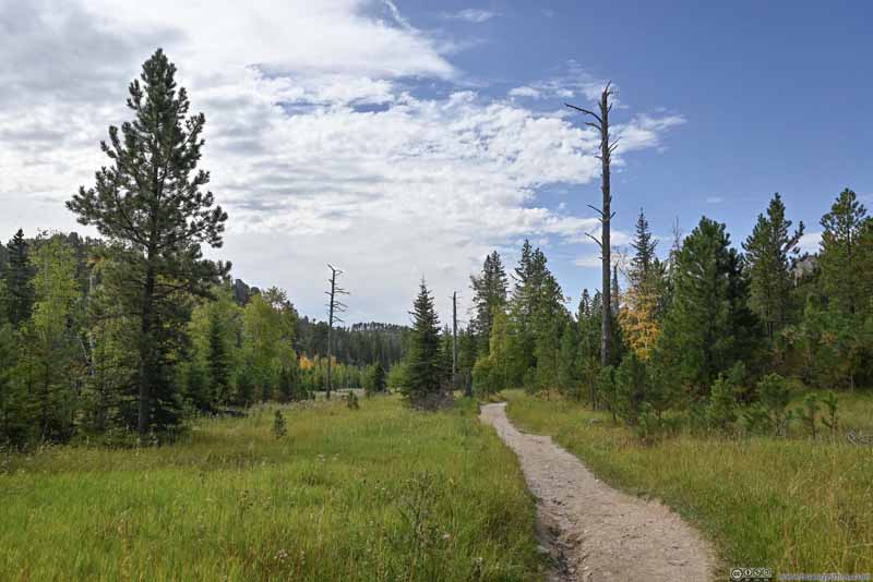
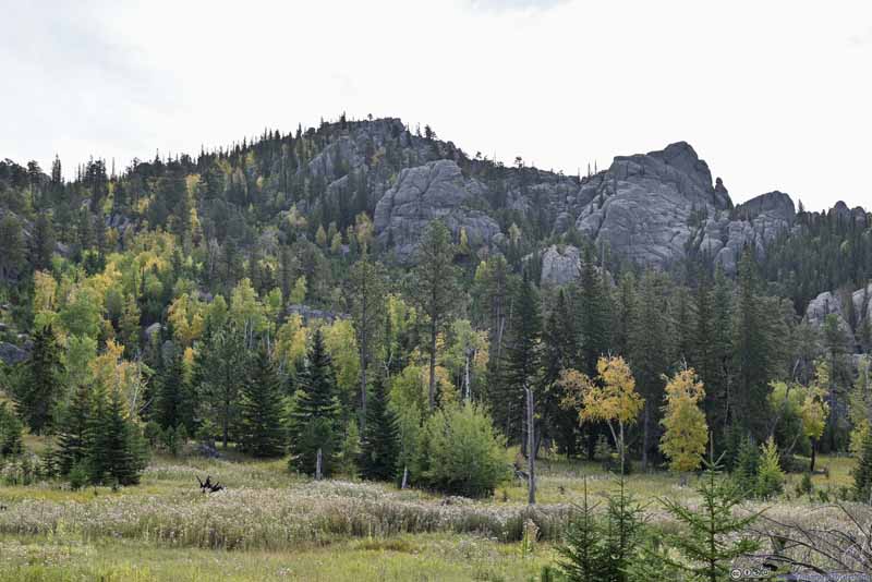
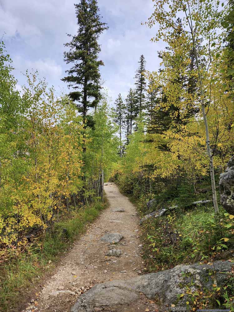
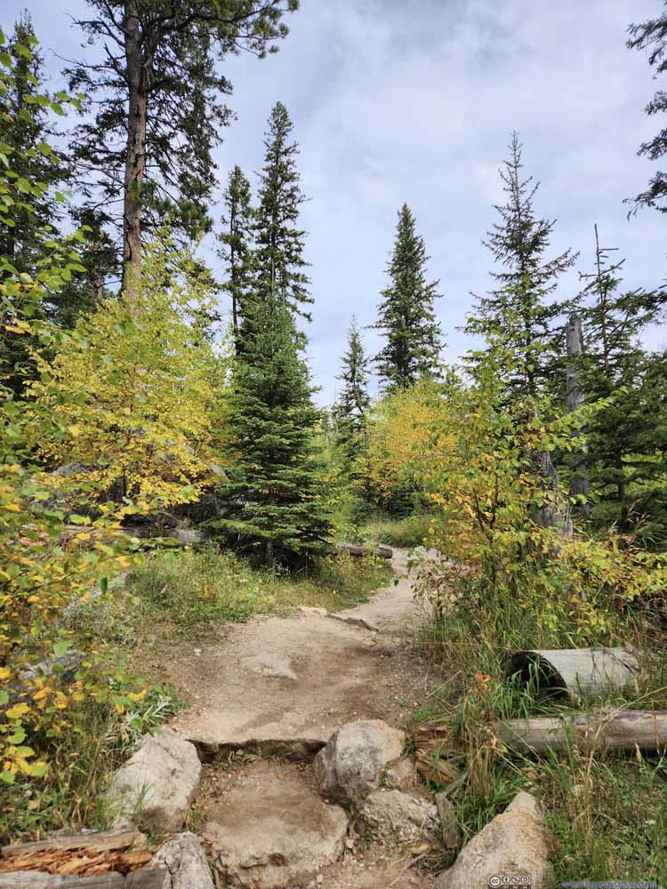
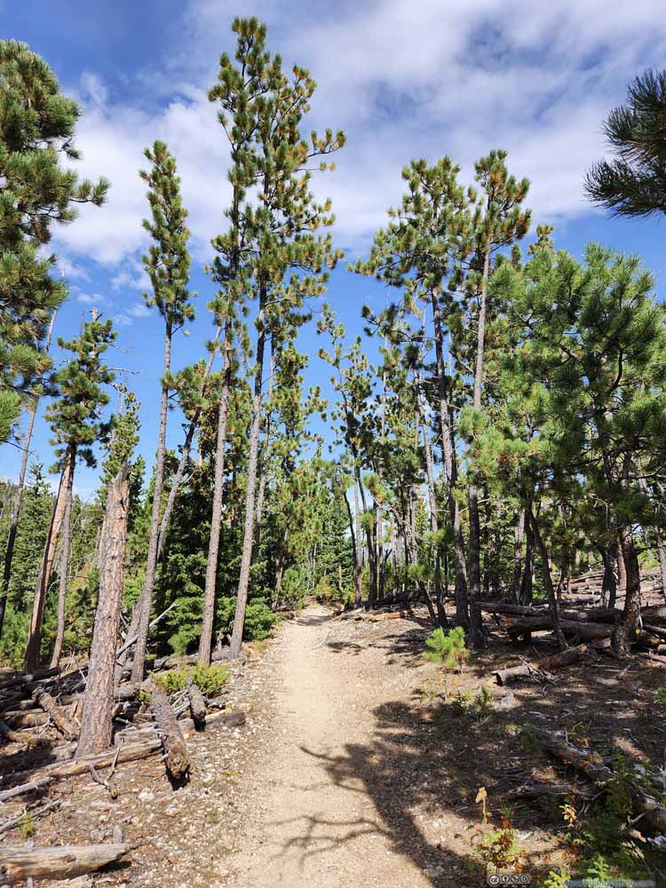
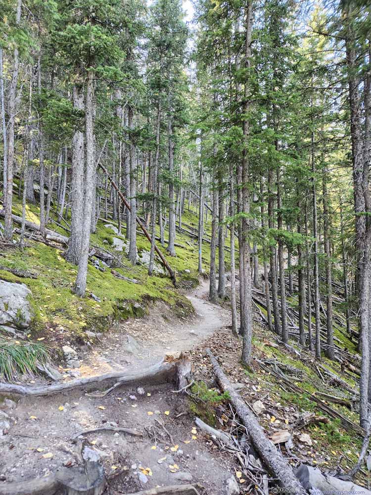
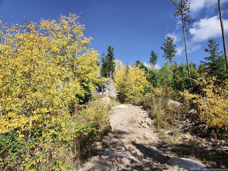
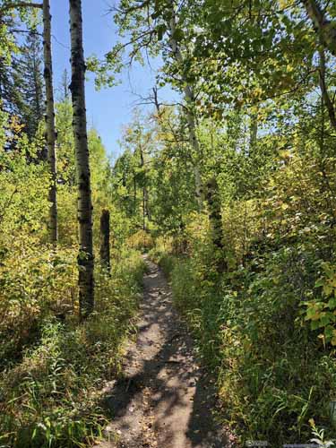
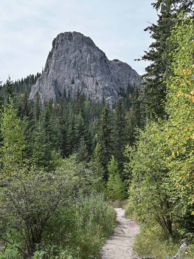
Continuing on, views of granite hills turned into forest in autumn colors as the trail entered Black Elk Wilderness.

  • Trail
    Trail
  • Trail
    Trail
  • Trail
    Trail
  • Trail
    Trail
  • Trail
    Trail
  • Trail
    Trail
  • Little Devil's Tower
    Little Devil’s Tower
    Looking back, I found an impressive rock cliff. Upon checking the map I learned it’s Little Devil’s Tower, which I would visit later today.
  • Trail
    Trail
  • Trail
    Trail
  • Trail
  • Trail
  • Trail
  • Trail
  • Trail
  • Trail
  • Little Devil's Tower
  • Trail
  • Trail

Click here to display photos of the slideshow
Trail


Trail

Trail


Trail

Trail


Trail

Trail


Trail

Trail


Trail

Trail


Trail

Little Devil's Tower


Little Devil’s Tower

Looking back, I found an impressive rock cliff. Upon checking the map I learned it’s Little Devil’s Tower, which I would visit later today.

Trail


Trail

Trail


Trail


At 12:15pm, I reached the intersection with Trail 3. After that, it’s a 800m spur to the summit of Black Elk Peak.
A not-so-pleasant feature was that, after the intersection, portions of the trail had animal droppings scattered around.

Cathedral Spires and Little Devil's Tower

 Mountains to the South
Mountains to the South
Views along the trail before reaching summit.

  • Trail under Rocks
    Trail under Rocks
    Since the nearby Needles Highway was so famous for tunnels, it’s only appropriate that the trail to Black Elk Peak also featured one.
  • Spiral Stairs
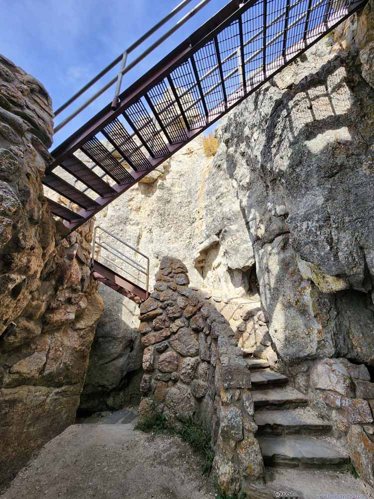
    Spiral Stairs
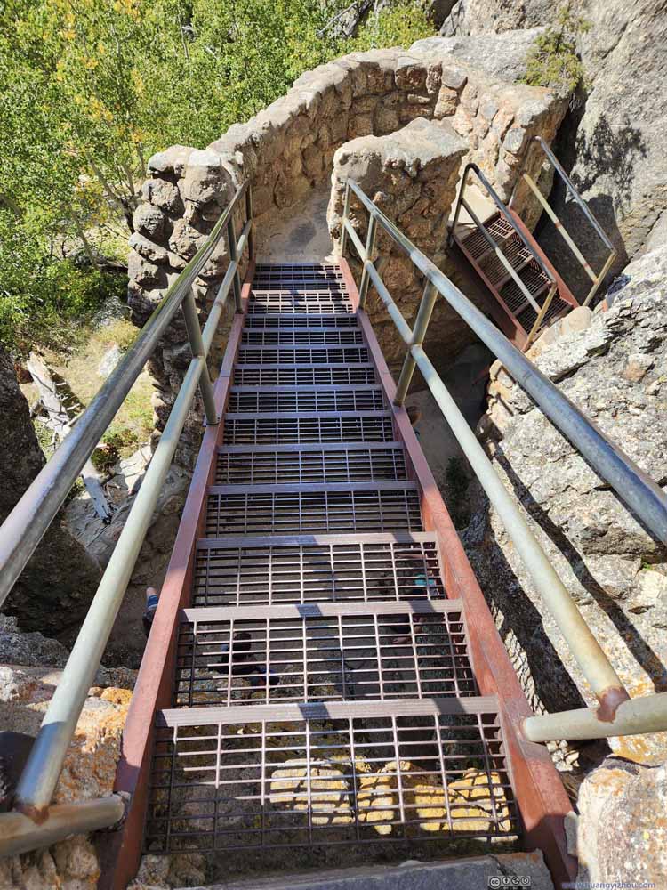
    After the rock tunnel there was this set of spiral stairs, helping hikers overcome a steep cliff.
  • Stairs
    Stairs
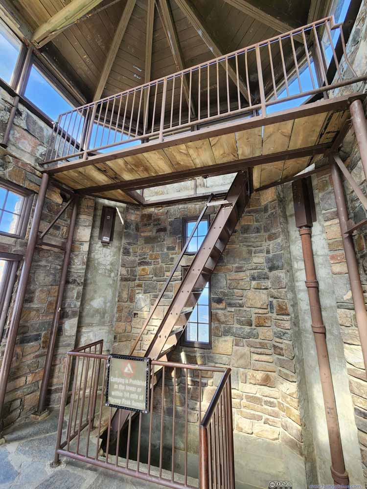
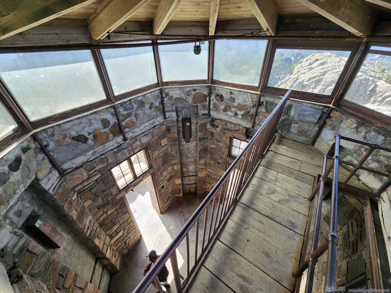
  • Interior of Black Elk Peak Fire Tower
    Interior of Black Elk Peak Fire Tower
  • Top Floor of Fire Tower
    Top Floor of Fire Tower
    The highest publicly accessible point of South Dakota. While it featured windows on all sides, unfortunately the views weren’t as the boardwalk didn’t cover the entire top floor. In addition, the windows were sort of dirty.
  • Trail under Rocks
  • Spiral Stairs
  • Stairs
  • Interior of Black Elk Peak Fire Tower
  • Top Floor of Fire Tower

Click here to display photos of the slideshow.
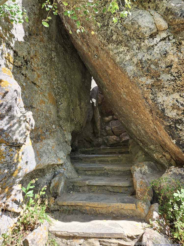
Trail under Rocks

Trail under Rocks

Since the nearby Needles Highway was so famous for tunnels, it’s only appropriate that the trail to Black Elk Peak also featured one.

Spiral Stairs


Spiral Stairs
After the rock tunnel there was this set of spiral stairs, helping hikers overcome a steep cliff.
Stairs


Stairs

Interior of Black Elk Peak Fire Tower


Interior of Black Elk Peak Fire Tower

Top Floor of Fire Tower


Top Floor of Fire Tower

The highest publicly accessible point of South Dakota. While it featured windows on all sides, unfortunately the views weren’t as the boardwalk didn’t cover the entire top floor. In addition, the windows were sort of dirty.


Black Elk Peak Summit

Finally, I reached the summit of Black Elk Peak at 12:35pm.

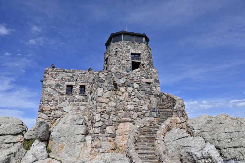
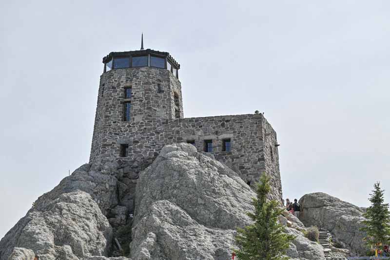
On top of the summit was a fire tower that was constructed in 1938 and in use until 1967. Much of the tower was still in good shape and open to hikers as a vista or emergency shelter. The tower was visible from much of the Black Hills region, and thus helped me easily identify Black Elk Peak during the rest of my trip.

  • Fire Tower
    Fire Tower
  • Fire Tower
    Fire Tower
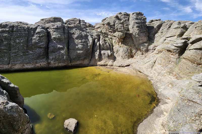
  • Pond
    Pond
    To the west of the fire tower. There’s a small building/room next to it. I guessed this pond provided water supply when the fire tower was in operation.
  • Fire Tower
  • Fire Tower
  • Pond

Click here to display photos of the fire tower atop Black Elk Peak.
Fire Tower


Fire Tower

Fire Tower


Fire Tower

Pond


Pond

To the west of the fire tower. There’s a small building/room next to it. I guessed this pond provided water supply when the fire tower was in operation.


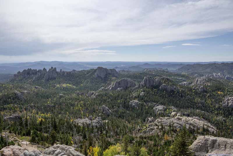
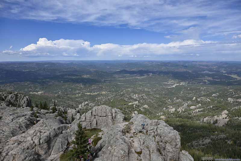
To the north and west of the fire tower, the granite fields were relatively flat, allowing people to spread out and appreciate the views.

  • Fields to the South
    Fields to the South
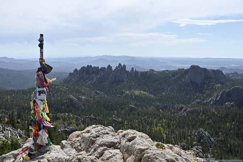
    Cathedral Spires, Little Devils Tower and other Rock Formations
  • Fields to the South
    Fields to the South
    Cathedral Spires, Little Devils Tower and other Rock Formations
  • Fields to the South beyond Prayer Flags
    Fields to the South beyond Prayer Flags
  • Mountains to the East
    Mountains to the East
  • Mountains to the East
    Mountains to the East
  • Mountains to the Northeast
    Mountains to the Northeast
  • Fields to the North
    Fields to the North
  • Fields to the South
  • Fields to the South
  • Fields to the South beyond Prayer Flags
  • Mountains to the East
  • Mountains to the East
  • Mountains to the Northeast
  • Fields to the North

Click here to display photos from the summit of Black Elk Peak.
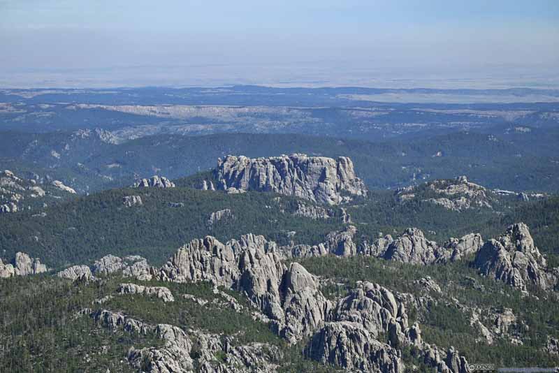
Fields to the South


Fields to the South
Cathedral Spires, Little Devils Tower and other Rock Formations

Fields to the South


Fields to the South
Cathedral Spires, Little Devils Tower and other Rock Formations

Fields to the South beyond Prayer Flags


Fields to the South beyond Prayer Flags

Mountains to the East


Mountains to the East

Mountains to the East


Mountains to the East

Mountains to the Northeast


Mountains to the Northeast

Fields to the North


Fields to the North


  • Little Devil's Tower
    Little Devil’s Tower
  • Cathedral Spires
    Cathedral Spires
  • Rock Hills
    Rock Hills
  • Rock Formation
    Rock Formation
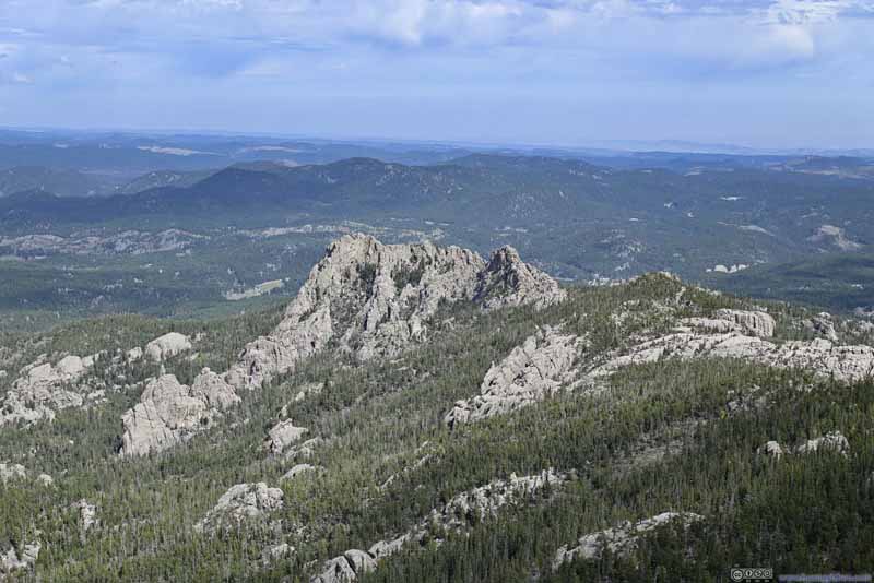
    To the south of the fire tower. I shall call it “Mini Devil’s Tower”.
  • Mount Rushmore
    Mount Rushmore
    The square-shaped hill in the center of this photo. Without the head statues it’s not as identifiable. Its parking lot to the right of this photo.
  • Elkhorn Mountain
    Elkhorn Mountain
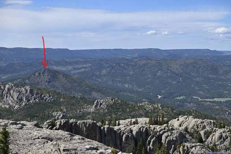
  • Mountains to the Northwest
    Mountains to the Northwest
    Western part of Black Hills National Forest. Saint Elmo Peak indicated by the red arrow, which I would climb tomorrow.
  • Little Devil's Tower
  • Cathedral Spires
  • Rock Hills
  • Rock Formation
  • Mount Rushmore
  • Elkhorn Mountain
  • Mountains to the Northwest

Click here to display photos from the summit of Black Elk Peak.
Little Devil's Tower


Little Devil’s Tower

Cathedral Spires


Cathedral Spires

Rock Hills


Rock Hills

Rock Formation


Rock Formation
To the south of the fire tower. I shall call it “Mini Devil’s Tower”.

Mount Rushmore


Mount Rushmore

The square-shaped hill in the center of this photo. Without the head statues it’s not as identifiable. Its parking lot to the right of this photo.

Elkhorn Mountain


Elkhorn Mountain

Mountains to the Northwest


Mountains to the Northwest

Western part of Black Hills National Forest. Saint Elmo Peak indicated by the red arrow, which I would climb tomorrow.


View from Black Elk Peak towards the Southwest


View from Black Elk Peak towards the Southwest
Portions of this photo, near the left one-fourth point, were generated from content-aware fill.

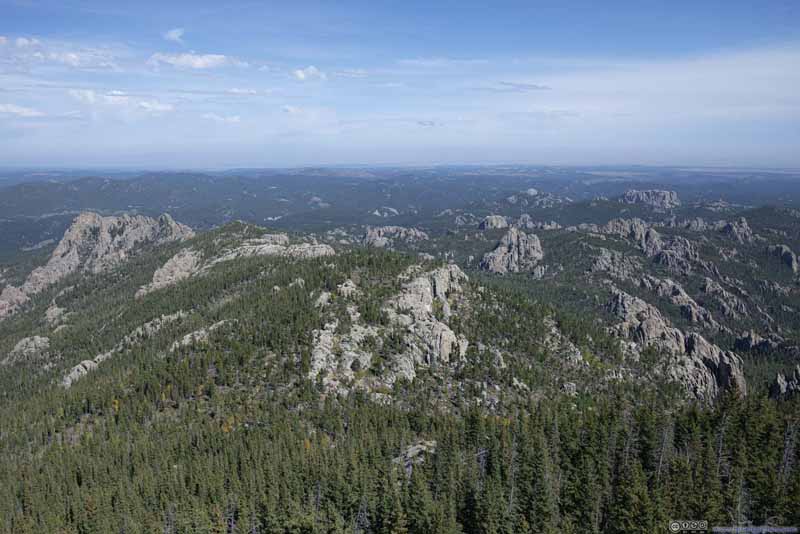
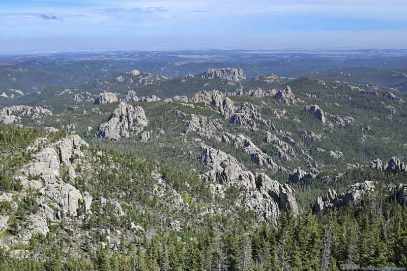
View from Black Elk Peak towards the North


View from Black Elk Peak towards the East
View from Black Elk Peak
Towards the north (top) and east (bottom).

Wind was relatively strong on top of Black Elk Peak (and later today on Little Devil’s Tower). But with an abundance of boulders around, it wasn’t hard to find a spot on the downwind side as shelter.

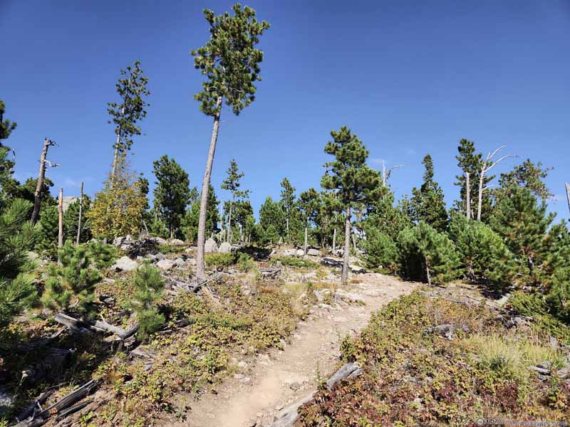
In the end, I spent about 45 minutes at the summit of Black Elk Peak, before starting my descent around 1:20pm. Past the intersection, I continued onto Trail 3 to finish the loop. The initial part of Trail 3 had little scenic value, to make things worse, I was bothered by some non-biting bugs at the higher elevations, so it was the least enjoyable part of the hike. (It was cloudy in the morning but largely sunny in the afternoon, which could partly explain why the bugs were more active.)

  • Trail
    Trail
  • Trail
    Trail
  • Trail
    Trail
  • Trail
    Trail
  • Trail
    Trail to Little Devil's Tower
    Trail to Little Devil’s Tower
  • Trail
  • Trail
  • Trail
  • Trail
  • Trail

Click here to display photos of the slideshow
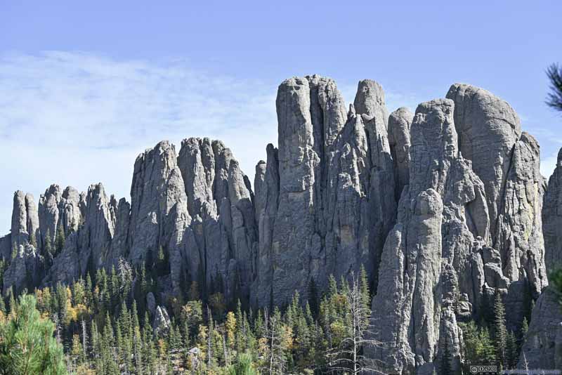
Trail


Trail

Trail


Trail

Trail


Trail

Trail


Trail

Trail


Trail to Little Devil's Tower
Trail to Little Devil’s Tower


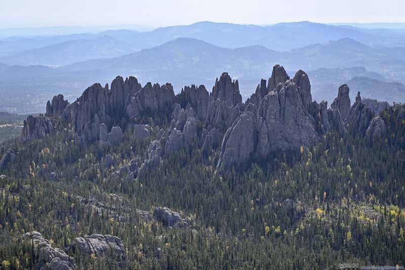
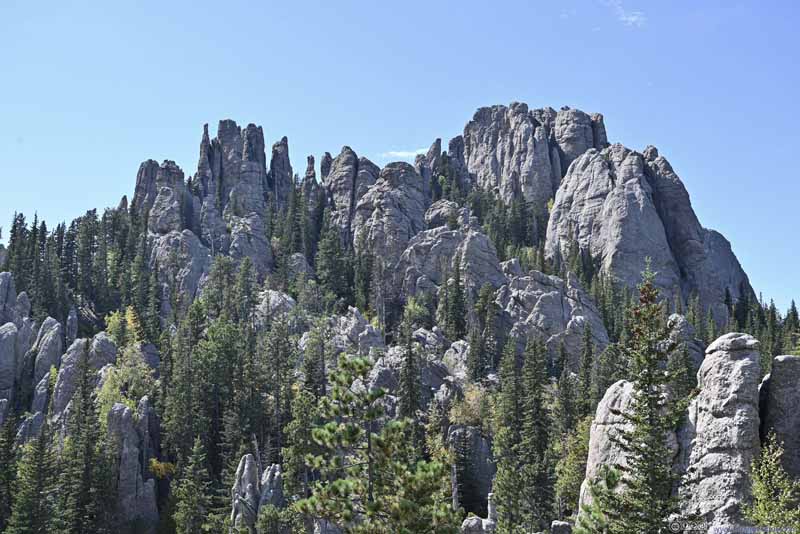
Not long after the intersection of Trail 3/4, I found some boulders (p1 below) a short detour from the trail. After finding a path through the boulders (that required minimal bushwacking), I reached a vista of Cathedral Spires (p2-3 below). Had it been in the morning, the rocks of Cathedral Spires would be in the light, which would make them look more picturesque.

After that, on both OpenStreetMap and AllTrails Map, there was a turnoff from Trail 4 serving as a shortcut to “Cathedral Spires Trail”. (OpenStreetMap marked it as “Old Harney Peak Trail”.) This would come in handy if I decide to check out “Needles Other Eye”. I scouted around the area, set a few steps into the bushes, but I couldn’t identify that trail. Even if it existed, I concluded the trail would be overgrown and hard to travel on. As a result, I remained on the main trail.

  • Boulders
    Boulders
  • Rock Hills
    Rock Hills
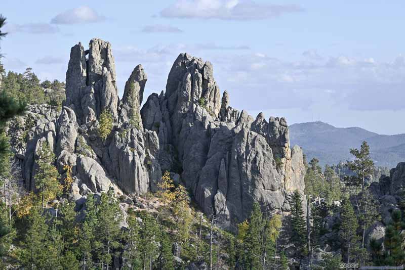
  • Cathedral Spires
    Cathedral Spires
  • Cathedral Spires
    Cathedral Spires
    Later along the trail, closer to Little Devils Tower, viewed from a different angle.
  • Boulders
  • Rock Hills
  • Cathedral Spires
  • Cathedral Spires

Click here to display photos of the slideshow
Boulders


Boulders

Rock Hills


Rock Hills

Cathedral Spires


Cathedral Spires

Cathedral Spires


Cathedral Spires
Later along the trail, closer to Little Devils Tower, viewed from a different angle.


Figuring there was still enough daylight left, I decided to check out Little Devil’s Tower, adding 1.2km to my hike. (Here came another advantage of the clockwise hike as I reached the spur to Little Devil’s Tower after summitting Black Elk Peak, so I could decide on whether to take on Little Devil’s Tower based on how I felt.)

Little Devil’s Tower
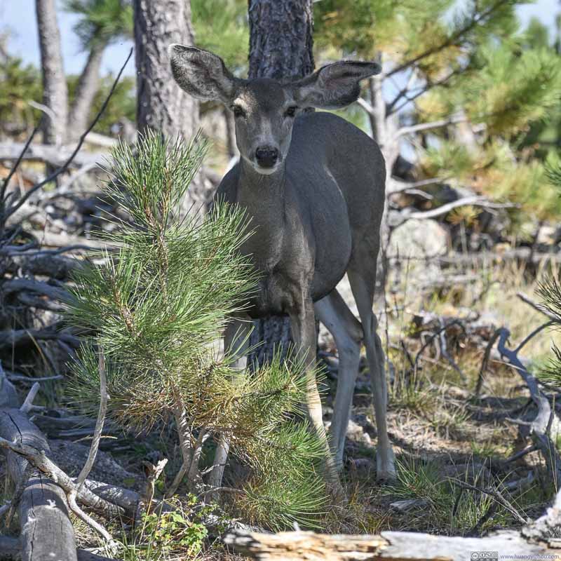
Deer near Trail

Deer near Trail

There were a few others deeper into the bush, this was the only one that showed the slightest interest in my camera.

Trail to Little Devil's Tower


Trail to Little Devil’s Tower

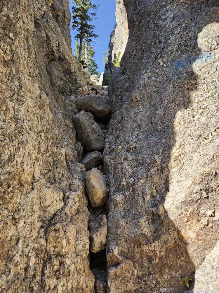
The final part of the trail to Little Devil’s Tower involved some scrambling, which I would rate as YDS class 2 (only one of the moves might be pushing YDS class 3). This was one of the (more) technical spots where one had to fit through the gap between boulders.

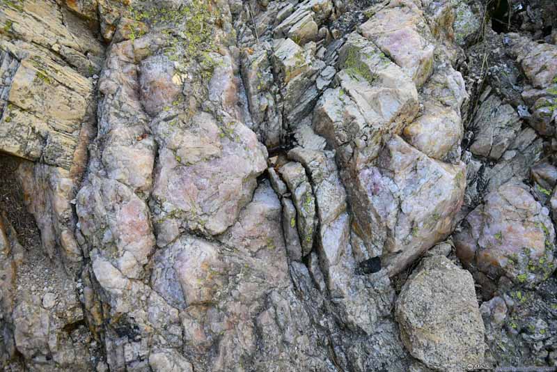
Rocks


Rocks
Along the trail. Maybe they were some mineral given their lovely pink colors.

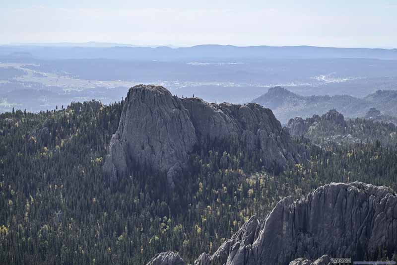
Named after its bigger brother in Montana (which I would visit in 2 days), Little Devil’s Tower only resembled a rock tower when looked from the north, and hence the word “little” in its name. But while Devil’s Tower in Montana required proper climbing gear / technique to summit, Little Devil’s Tower took just a simple hike (with minimal scrambling) to reach its top. Nonetheless, the scramble was the most technical part of the loop hike (which showed how easy it was to reach Black Elk Peak), so it wasn’t nearly as popular as Black Elk Peak. During my visit, I only shared Little Devil’s Tower with one other group.

As for the views, Little Devil’s Tower sure had some to rival the ones from Black Elk Peak. From its summit, Black Elk Peak towered above various granite rocks to the north, and Cathedral Spires were the prominent presence to the south. In my opinion this detour was totally worthwhile.

  • Black Elk Peak from Little Devil's Tower
    Black Elk Peak from Little Devil’s Tower
  • Black Elk Peak from Little Devil's Tower
    Black Elk Peak from Little Devil’s Tower
  • Hills to the Northwest
    Hills to the Northwest
  • Cathedral Spires
    Cathedral Spires
  • Hill
    Hill
    To the North of Cathedral Spires.
  • Rock Hills
    Rock Hills
    A giant gap to the west of Cathedral Spires,
  • Boulders to the West
    Boulders to the West
  • Mountains to the West
    Mountains to the West
  • Mountains to the Southwest
    Mountains to the Southwest
  • Black Elk Peak from Little Devil's Tower
  • Black Elk Peak from Little Devil's Tower
  • Hills to the Northwest
  • Cathedral Spires
  • Hill
  • Rock Hills
  • Boulders to the West
  • Mountains to the West
  • Mountains to the Southwest

Click here to display photos from Little Devil’s Tower.
Black Elk Peak from Little Devil's Tower


Black Elk Peak from Little Devil’s Tower

Black Elk Peak from Little Devil's Tower


Black Elk Peak from Little Devil’s Tower

Hills to the Northwest


Hills to the Northwest

Cathedral Spires


Cathedral Spires

Hill


Hill
To the North of Cathedral Spires.

Rock Hills


Rock Hills
A giant gap to the west of Cathedral Spires,

Boulders to the West


Boulders to the West

Mountains to the West


Mountains to the West

Mountains to the Southwest


Mountains to the Southwest


View from Little Devils Tower to the North


View from Little Devil's Tower to the East
View from Little Devil’s Tower
To the North (top) and East (bottom).

After about 25 minutes at Little Devil’s Tower, I started to head back. Foliage colors were abundant, but apart from that the remainder of the trail offered few views.

  • Forest
    Forest
  • Trail
    Trail
  • Forest
    Forest
  • Meadow and Boulders
    Meadow and Boulders
  • Trail Trail
    Trail
    Unlike earlier today, the views weren’t as great along this part of the trail.
  • Boulders
    Boulders
    Towards the end there were some giant boulders close to the trail. This one was particularly interesting as there was a small “needle hole” in the upper-right.
  • Boulders
    Boulders
    Towards the end there were some giant boulders close to the trail.
  • Forest
  • Trail
  • Forest
  • Meadow and Boulders
  • Trail
  • Boulders
  • Boulders

Click here to display photos of the slideshow
Forest


Forest

Trail


Trail

Forest


Forest

Meadow and Boulders


Meadow and Boulders

Trail

 Trail
Trail
Unlike earlier today, the views weren’t as great along this part of the trail.

Boulders


Boulders

Towards the end there were some giant boulders close to the trail. This one was particularly interesting as there was a small “needle hole” in the upper-right.

Boulders


Boulders
Towards the end there were some giant boulders close to the trail.


In the end, I got back to the trailhead at 4:05pm, finishing the hike in just over 5 hours.
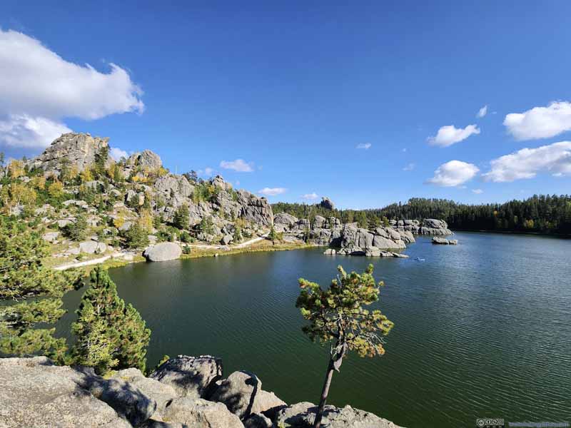
With enough daylight left, I decided to check out Sylvan Lake, located next to the trailhead. The loop trail around the lake was just over 1 mile long, a perfect option for those that were not into more strenuous hikes.

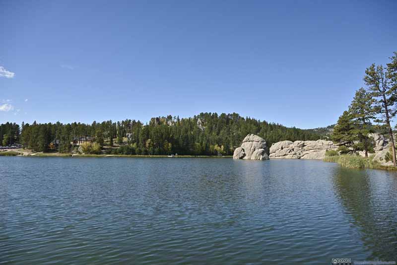
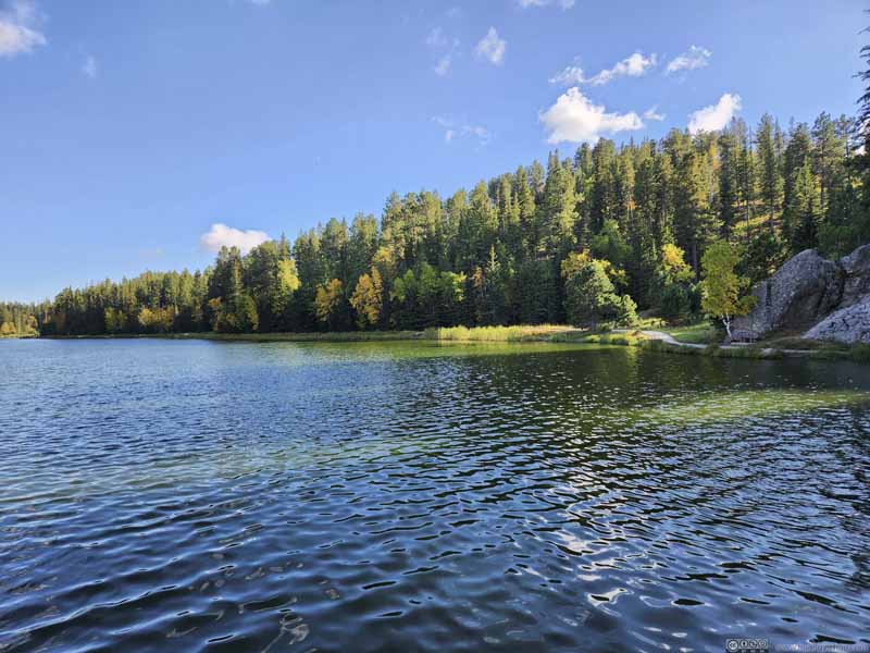
Sylvan Lake

  • Sylvan Lake
    Sylvan Lake
    Taken before my hike in the morning. The light was better looking west.
  • Sylvan Lake
    Sylvan Lake
  • Sylvan Lake
    Sylvan Lake
  • Sylvan Lake
    Sylvan Lake
  • Sylvan Lake
    Sylvan Lake
    Its southern shore wasn’t as rocky.
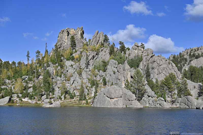
  • Rock Hill along Sylvan Lake
    Rock Hill along Sylvan Lake
  • Sylvan Lake
  • Sylvan Lake
  • Sylvan Lake
  • Sylvan Lake
  • Sylvan Lake
  • Rock Hill along Sylvan Lake

Click here to display photos of Sylvan Lake.
Sylvan Lake


Sylvan Lake
Taken before my hike in the morning. The light was better looking west.

Sylvan Lake


Sylvan Lake

Sylvan Lake


Sylvan Lake

Sylvan Lake


Sylvan Lake

Sylvan Lake


Sylvan Lake
Its southern shore wasn’t as rocky.

Rock Hill along Sylvan Lake


Rock Hill along Sylvan Lake


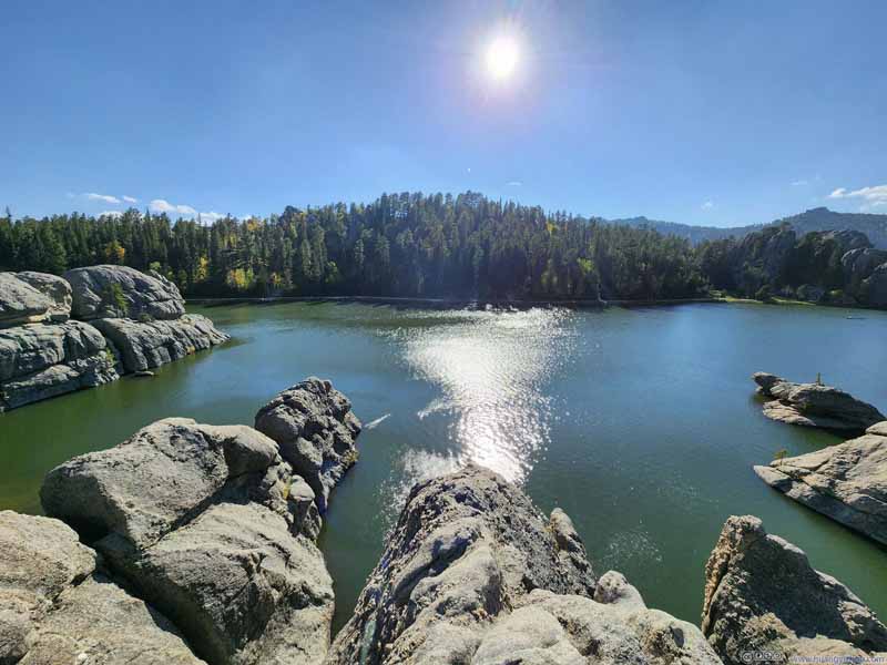
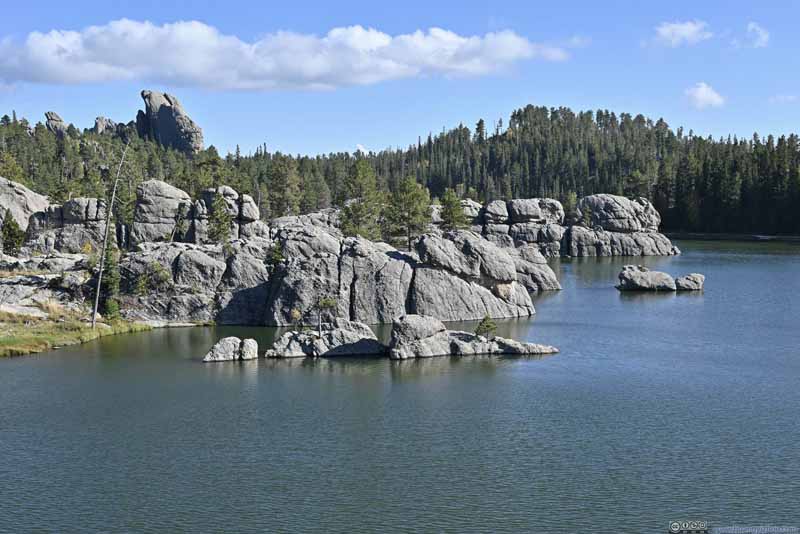
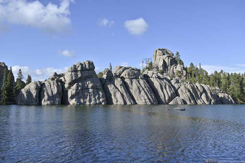
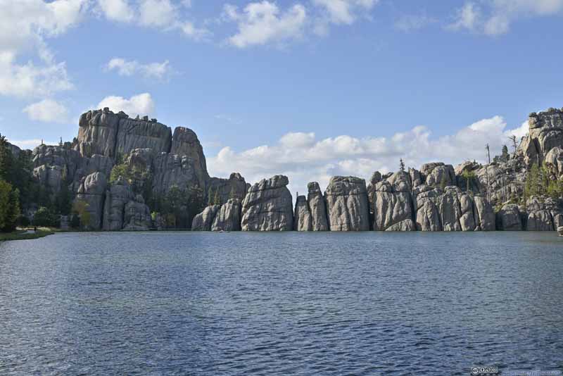
Portions of the lake’s shore, particularly the northern and northwestern part, were made of boulders that extended into the lake (like peninsulas). I found it a pleasure to rest on these boulders while enjoying the glittering wrinkles of the lake (together with my snacks).

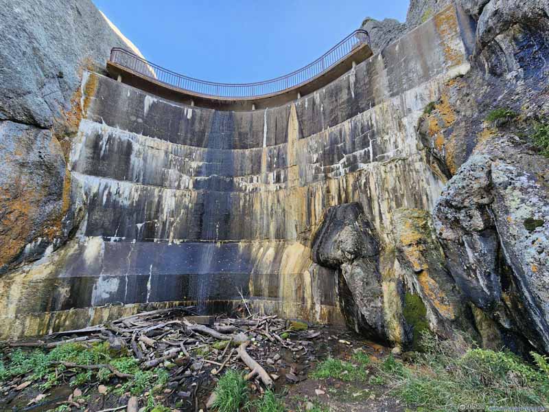
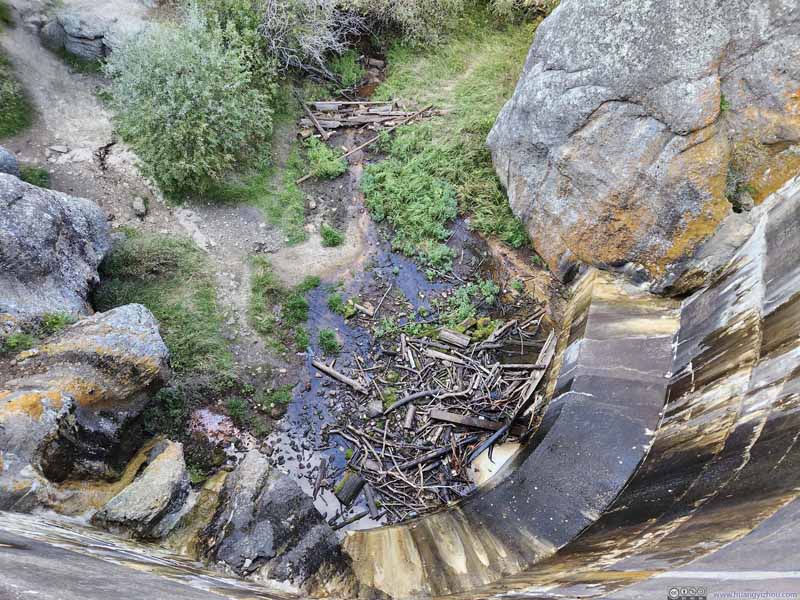
Some striking boulders (p1-2 below) defined the western boundary of the lake, beyond which it fed into Sunday Gulch Creek. In my opinion this was supposed to be controlled by a dam (p4 and p6 below), but interestingly, a small crack in the boulders (p3 below) allowed some water to escape.

  • Boulders along Sylvan Lake
    Boulders along Sylvan Lake
    Some giant boulders formed the western bank of Sylvan Lake.
  • Boulders along Sylvan Lake
    Boulders along Sylvan Lake
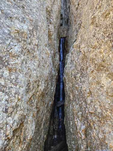
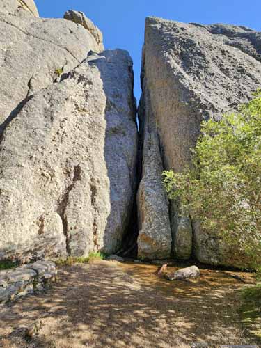
    In the center of this photo was a tiny gap between the boulders. I believed some water was leaking out behind that gap, forming a waterfall.
  • Small Waterfall Small Waterfall
    Small Waterfall
    Behind the boulders that formed the western bank of Sylvan Lake, where some water was leaking out. Viewed up-close (right) and from a distance (left).
  • Sylvan Lake Dam
    Sylvan Lake Dam
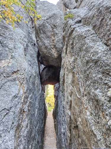
  • Small Rock Tunnel Small Rock Tunnel
    Small Rock Tunnel
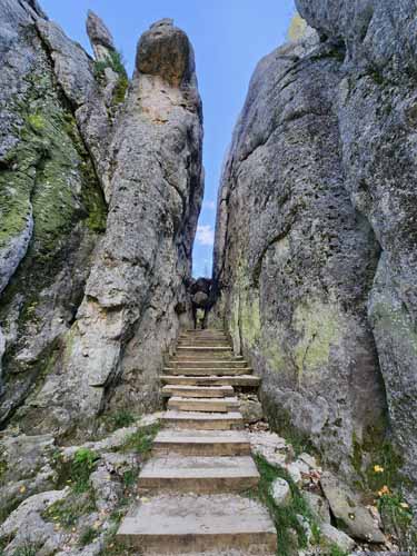
    I could fully appreciate how popular the region was with tunnels, the short loop trail around Lake Sylvan featured one.
  • Overlooking Sylvan Lake Dam
    Overlooking Sylvan Lake Dam
  • Boulders along Sylvan Lake
  • Boulders along Sylvan Lake
  • Small Waterfall
  • Sylvan Lake Dam
  • Small Rock Tunnel
  • Overlooking Sylvan Lake Dam

Click here to display photos of the boulders surrounding Sylvan Lake.
Boulders along Sylvan Lake

Boulders along Sylvan Lake
Some giant boulders formed the western bank of Sylvan Lake.

Boulders along Sylvan Lake

Boulders along Sylvan Lake

In the center of this photo was a tiny gap between the boulders. I believed some water was leaking out behind that gap, forming a waterfall.

Small Waterfall

 Small Waterfall
Small Waterfall

Behind the boulders that formed the western bank of Sylvan Lake, where some water was leaking out. Viewed up-close (left) and from a distance (right).

Sylvan Lake Dam


Sylvan Lake Dam

Small Rock Tunnel

 Small Rock Tunnel
Small Rock Tunnel

I could fully appreciate how popular the region was with tunnels, the short loop trail around Lake Sylvan featured one.

Overlooking Sylvan Lake Dam


Overlooking Sylvan Lake Dam


Sylvan Lake


Sylvan Lake

Needles Highway

Just before 5pm, I left Sylvan Lake and started driving east along Needles Highway. Below is a timelapse video from my windshield-mounted GoPro, recording my entire drive through Needles Highway for the day, starting from Pactola Lake in the morning.


12 minutes and 49 seconds, 2160p30fps, H265 only, 14Mbps/1.4GB.

  • 0:00 Leaving Pactola Lake Visitor Center.
  • 2:33 Hill City
  • 3:23 Entering Needles Highway from the west (US385).
  • 4:58 Hood Tunnel
  • 5:42 Ticket booth of Custer State Park, near Sylvan Lake.
  • The video continues after my hike to Black Elk Peak, as I continued east along Needles Highway.
  • 6:13 Needles Eye Tunnel. The only part of the video that’s not sped up.
  • 7:34 Cathedral Spires Trailhead
  • 8:23 Needles Scenic View. The last scenic overlook along Needles Highway (if heading east).
  • 9:36 Iron Creek Tunnel
  • 11:14 Leaving Needles Highway and onto South Playhouse Road (as I headed back towards Rapid City). A deer along the road causing some traffic jam.
  • 11:27 Spotted another deer crossing the road.
  • The video ends shortly after I headed onto North Playhouse Road from US 16A.

While I drove the portions of Needles Highway from US16 to Sylvan Lake in the morning, the highlight of Needles Highway was immediately to its east, at a place called “Needles Eye”.
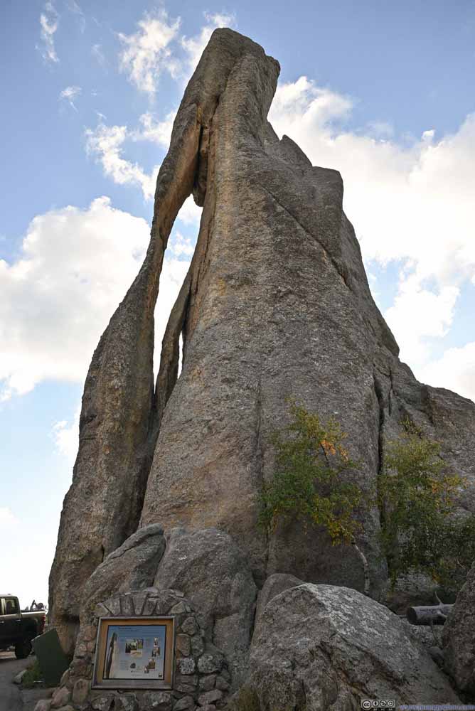
Here an elongated opening appeared in one of the “needles”, resembling the shape of a sewing needle and hence the name. If looked from the right angle (p3 below), one could find an additional smaller “eye” next to the big “eye”.
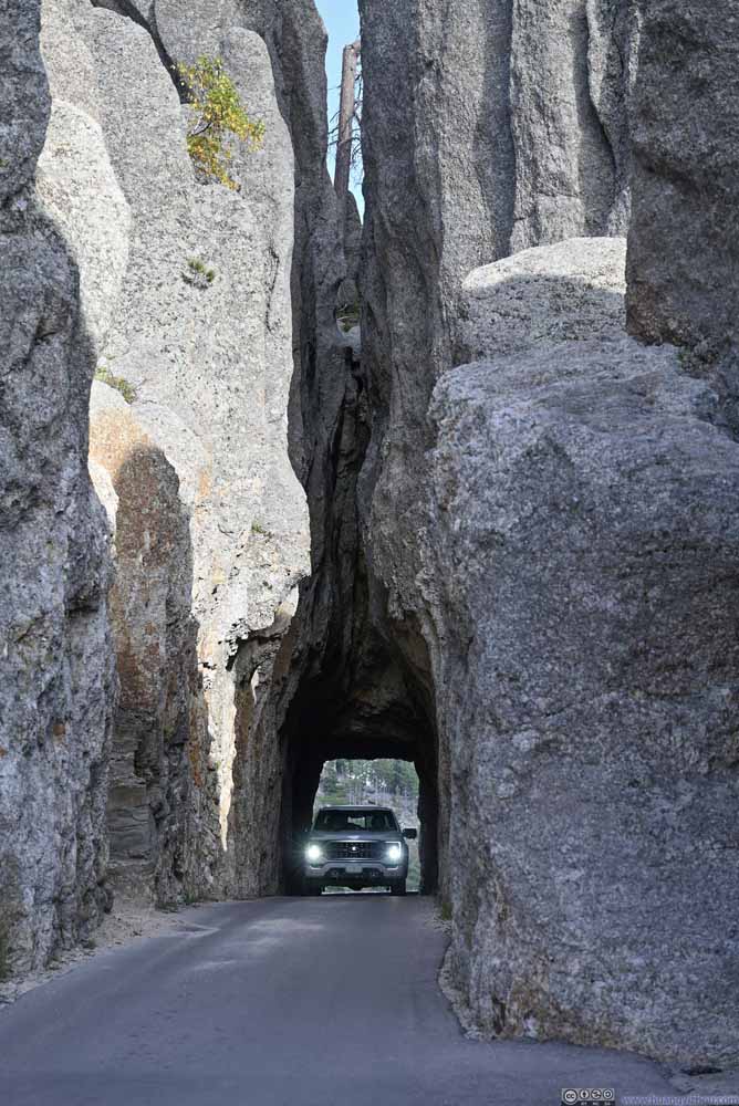
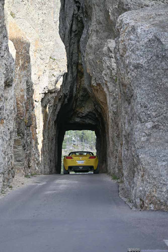
Next to the “Needles Eye” was “Needles Eye Tunnel”. This was the longest of three tunnels along Needles Highway; it also had the highest “needles” surrounding it. Given the popularity of “Needles Eye” it’s prone to traffic jams. Towards its west was a small parking lot where “Needles Eye” was just a few steps away.

  • Needles Eye Tunnel
    Needles Eye Tunnel
  • Needles Eye Tunnel
    Needles Eye Tunnel
  • Needles Eye
    Needles Eye
    There was a second smaller eye next to the big eye.
  • Needles Eye Tunnel
  • Needles Eye Tunnel
  • Needles Eye

Click here to display photos of the Needles Eye and Surrounding Tunnel.
Needles Eye Tunnel


Needles Eye Tunnel

Needles Eye Tunnel


Needles Eye Tunnel

Needles Eye


Needles Eye
There was a second smaller eye next to the big eye.


After crossing through Needles Eye Tunnel, there was an overlook to view its entrance from the east. Interestingly, I identified a few small openings in the surrounding boulders (p2-3 below).

  • Needles Eye Tunnel
    Needles Eye Tunnel
    Viewed from the east.
  • Boulders
    Boulders
    Another tiny needle eye in the upper-right.
  • Boulders
    Boulders
    The area just wasn’t short of holes in boulders. There was one in the upper-left.
  • Fields to the South
    Fields to the South
  • Needles Eye Tunnel
  • Boulders
  • Boulders
  • Fields to the South

Click here to display photos of the slideshow
Needles Eye Tunnel


Needles Eye Tunnel
Viewed from the east.

Boulders


Boulders
Another tiny needle eye in the upper-right.

Boulders


Boulders
The area just wasn’t short of holes in boulders. There was one in the upper-left.

Fields to the South


Fields to the South


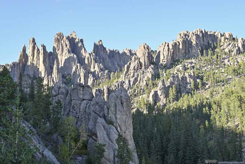
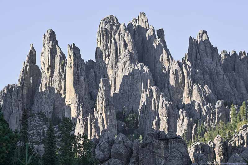
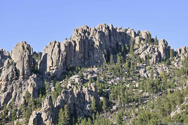
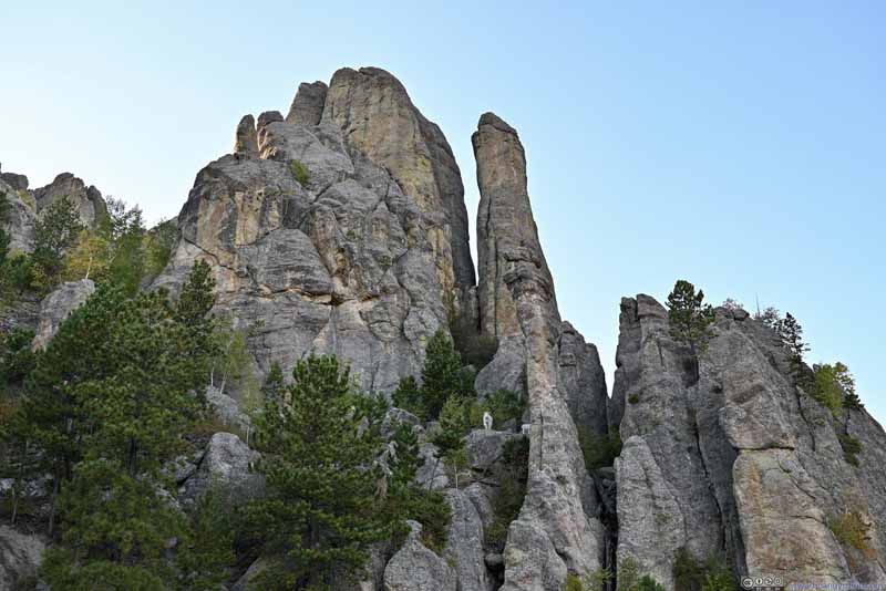
Next, I made a stop at “Cathedral Spires Trailhead”. If one was only interested in Cathedral Spires (not the full loop that I took today) then this was the most convenient trailhead. But it had very limited parking.

  • Cathedral Spires and Rocky Hill
    Cathedral Spires and Rocky Hill
  • Cathedral Spires
    Cathedral Spires
  • Rocky Hill
    Rocky Hill
  • Rock Spires
    Rock Spires
  • Cathedral Spires and Rocky Hill
  • Cathedral Spires
  • Rocky Hill
  • Rock Spires

Click here to display photos from Cathedral Spires Trailhead.
Cathedral Spires and Rocky Hill


Cathedral Spires and Rocky Hill

Cathedral Spires


Cathedral Spires

Rocky Hill


Rocky Hill

Rock Spires


Rock Spires


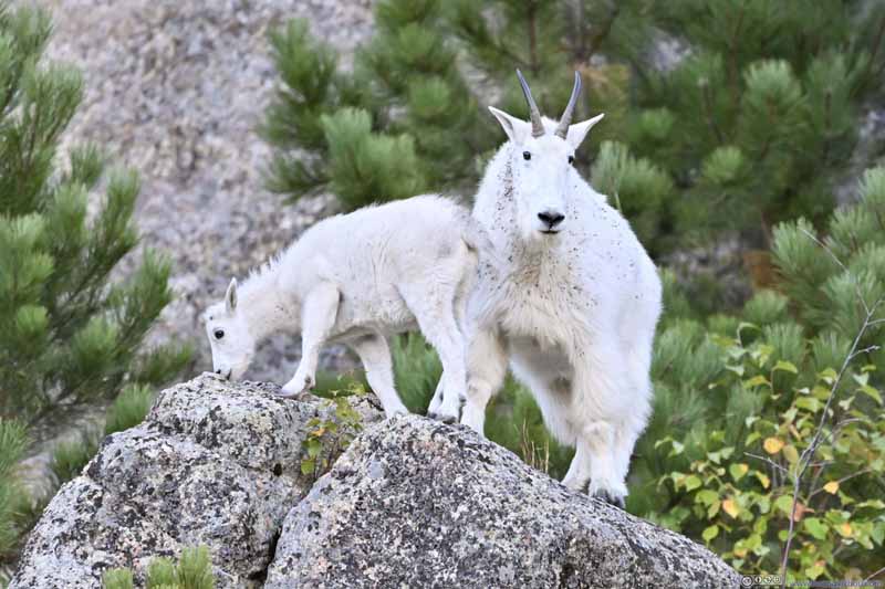
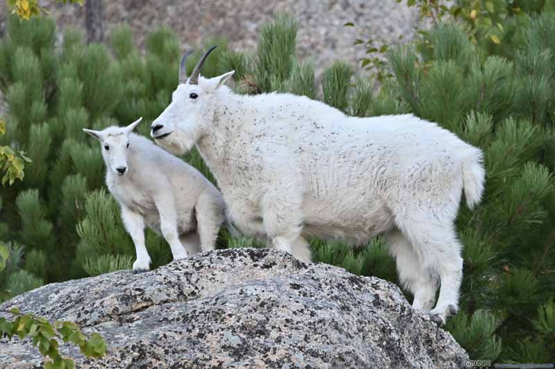
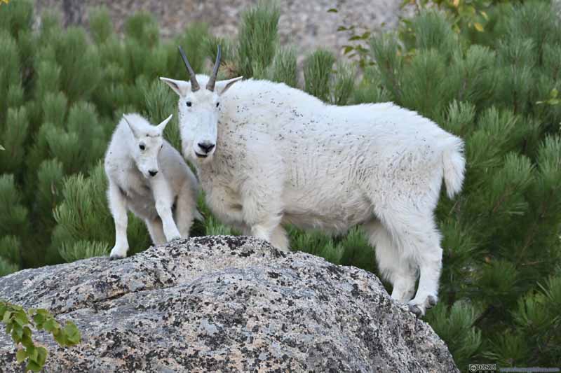
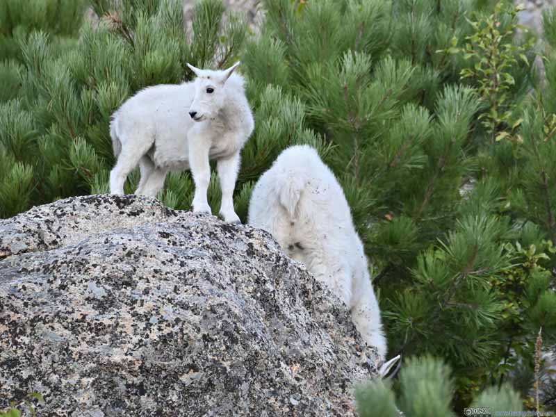
A few mountain goats were standing on top of one of the boulders, drawing a sizable crowd. This was the first time that I saw wild goats in years, so I naturally switched on my telephoto lens and joined the crowd. The following photos were cropped to 850mm equivalent.

  • Goats
    Goats
  • Goats
    Goats
  • Goats
    Goats
  • Goats
    Goats
  • Goats
  • Goats
  • Goats
  • Goats

Click here to display photos of the goats near Cathedral Spire Trailhead.
Goats


Goats

Goats


Goats

Goats


Goats

Goats


Goats


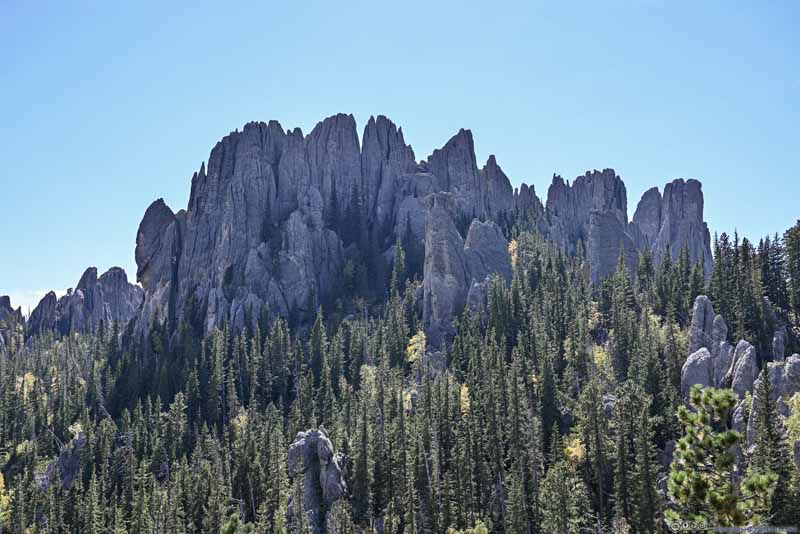
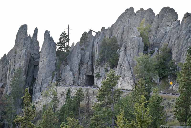
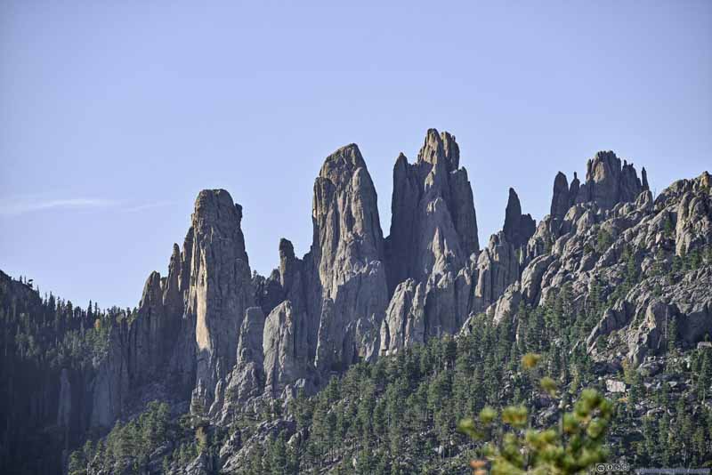
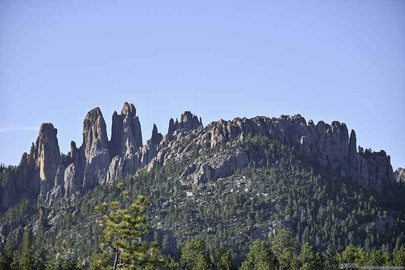
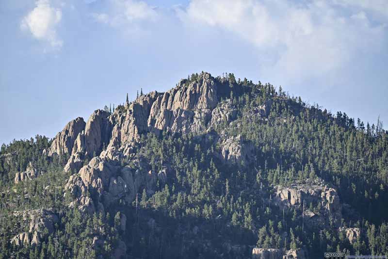
Leaving Cathedral Spire Trailhead, my final stop along Needles Highway was “Needles Scenic View”. In my opinion, this was the last (first if coming from the east) overlook with scenic views along Needles Highway. The views were sort of far as the following photos were still taken with my telephoto lens. From this angle, the Cathedral Spires looked like distinct rock slabs, instead of a continuous group of towering boulders as seen earlier today.

  • Distant Black Elk Peak
    Distant Black Elk Peak
  • Distant Cathedral Spires
    Distant Cathedral Spires
  • Distant Cathedral Spires and Nearby Rocky Hill
    Distant Cathedral Spires and Nearby Rocky Hill
  • Rocky Hill
    Rocky Hill
  • Distant Black Elk Peak
  • Distant Cathedral Spires
  • Distant Cathedral Spires and Nearby Rocky Hill
  • Rocky Hill

Click here to display photos from “Needles Scenic View”.
Distant Black Elk Peak


Distant Black Elk Peak

Distant Cathedral Spires


Distant Cathedral Spires

Distant Cathedral Spires and Nearby Rocky Hill


Distant Cathedral Spires and Nearby Rocky Hill

Rocky Hill


Rocky Hill


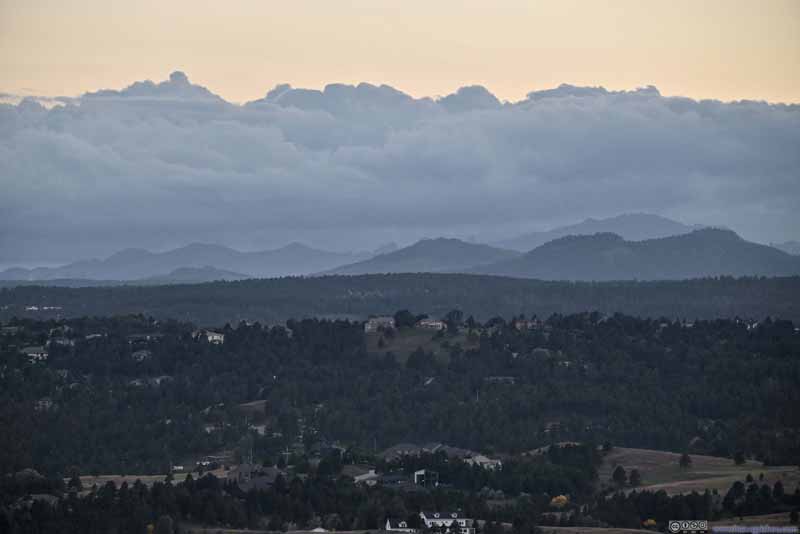
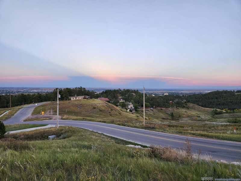
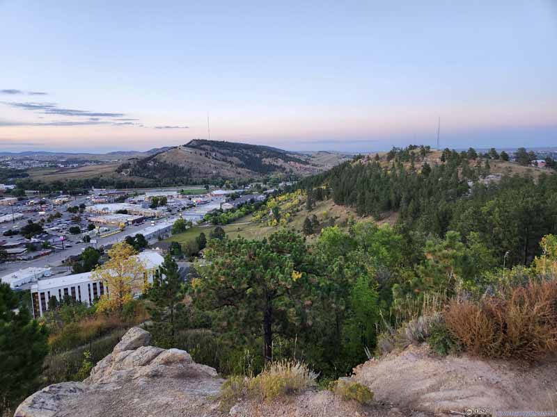
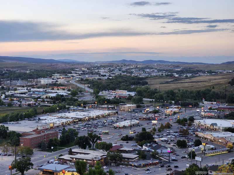
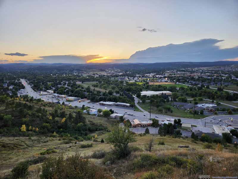
After that, I made my way back to Rapid City. It’s about sunset time as I approached its outskirts. To the southwest of downtown Rapid City, a road (Skyline Drive) followed a mountain ridge. So I turned onto that road and found an overlook (Stonewall Overlook Trailhead), with views of various rolling hills to the west. Unfortunately, clouds were thick this afternoon so I didn’t see the actual sun setting behind the mountains.

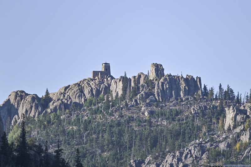
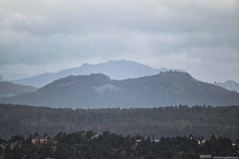
  • Distant Black Elk Peak
    Distant Black Elk Peak
    Almost 32km/20mi away, but I could still tell the distinctive shape of its fire tower.
  • Distant Mountains to the South
    Distant Mountains to the South
    The clouds felt rather thick from this angle.
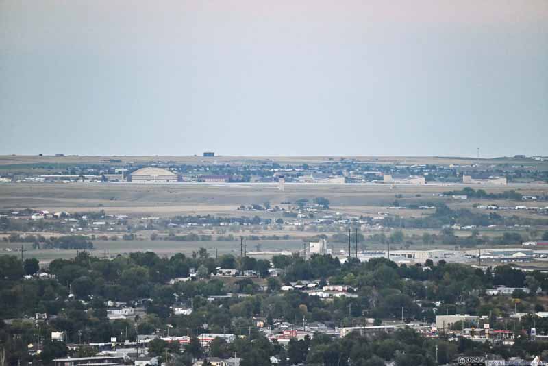
  • Ellsworth Air Force Base
    Ellsworth Air Force Base
    Not that hard to be a spy from Rapid’s City’s Skyline Park.
  • Twilight Glow on Eastern Horizon
    Twilight Glow on Eastern Horizon
  • Valley
    Valley
    A break in the ridgeline between which Rapid Creek flew through.
  • Baken Park Shopping Plaza
    Baken Park Shopping Plaza
  • Overlooking Western Rapid City
    Overlooking Western Rapid City
  • Distant Black Elk Peak
  • Distant Mountains to the South
  • Ellsworth Air Force Base
  • Twilight Glow on Eastern Horizon
  • Valley
  • Baken Park Shopping Plaza
  • Overlooking Western Rapid City

Click here to display photos of the slideshow
Distant Black Elk Peak


Distant Black Elk Peak
Almost 32km/20mi away, but I could still tell the distinctive shape of its fire tower.

Distant Mountains to the South


Distant Mountains to the South
The clouds felt rather thick from this angle.

Ellsworth Air Force Base


Ellsworth Air Force Base
Not that hard to be a spy from Rapid’s City’s Skyline Park.

Twilight Glow on Eastern Horizon


Twilight Glow on Eastern Horizon

Valley


Valley
A break in the ridgeline between which Rapid Creek flew through.

Baken Park Shopping Plaza


Baken Park Shopping Plaza

Overlooking Western Rapid City


Overlooking Western Rapid City


View from Stonewall Overlook


View from Stonewall Overlook

I didn’t want to change lens, so this panorama was taken with my telephoto lens at its widest 150mm, which was still a lot farther than what I was used to. As a result, only half of the panorama was shown here (south to east). The other half (east to north) lacked overlap between individual photos.

After that, I grabbed dinner along the way and concluded the day.
END

CC BY-NC-SA 4.0 Day 3 of Autumn 2023 Trip to Mountain States, Black Elk Peak, Highest Point of South Dakota by Huang's Site is licensed under a Creative Commons Attribution-NonCommercial-ShareAlike 4.0 International License.

Leave a Reply

Your email address will not be published. Required fields are marked *