
Updated on April 20, 2024
Day 4 of Autumn 2023 Trip to Mountain States, Black Hills
The fourth day of my autumn 2023 trip to the mountain states. I continued to focus the day on Black Hills, checked out Custer State Park’s wildlife loop in the morning before a tour of Jewel Cave, and hiked Saint Elmo Peak in the afternoon.
Black HillsA front-row view of the various granite rocks.
Weather forecast indicated periods of rain throughout the day in the Black Hills region. As a result, I arranged the longer hike of Black Elk Peak on the previous day. I planned the day with some more leisurely activities, such as a tour of Jewel Cave, and a driving trip along Iron Mountain Road.
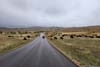
Wildlife Loop of Custer State Park
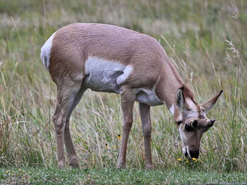
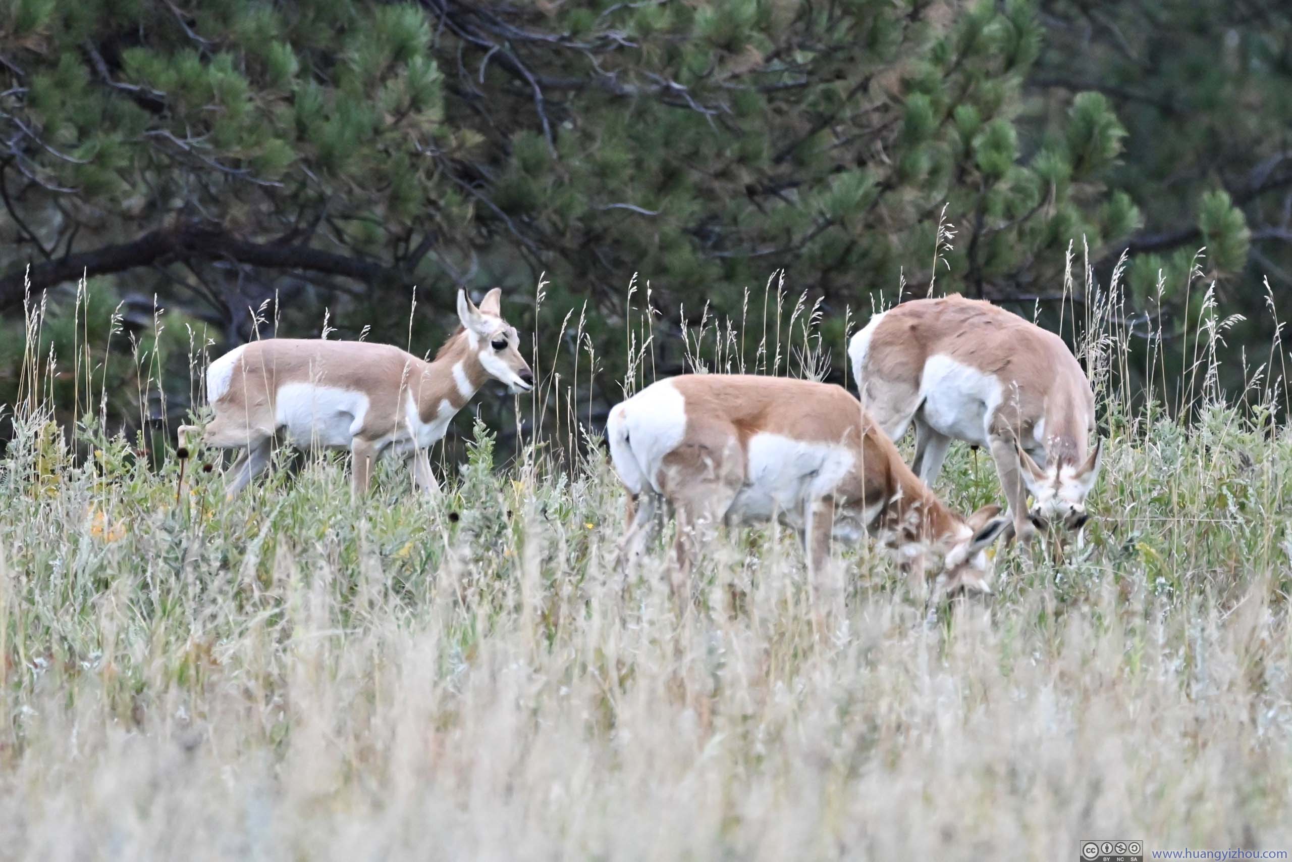
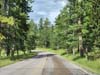
I booked the 10:45am tour of Jewel Cave National Monument. On my way to Jewel Cave from Rapid City I would pass the Wildlife Loop of Custer State Park. This was an 18-mile road that Custer State Park believed to abound with wild animals. Dawn and dusk were the times of day where animals were believed to be more active, so I planned on hitting the wildlife loop in the morning before my tour of Jewel Cave.
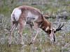
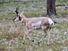
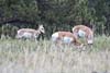
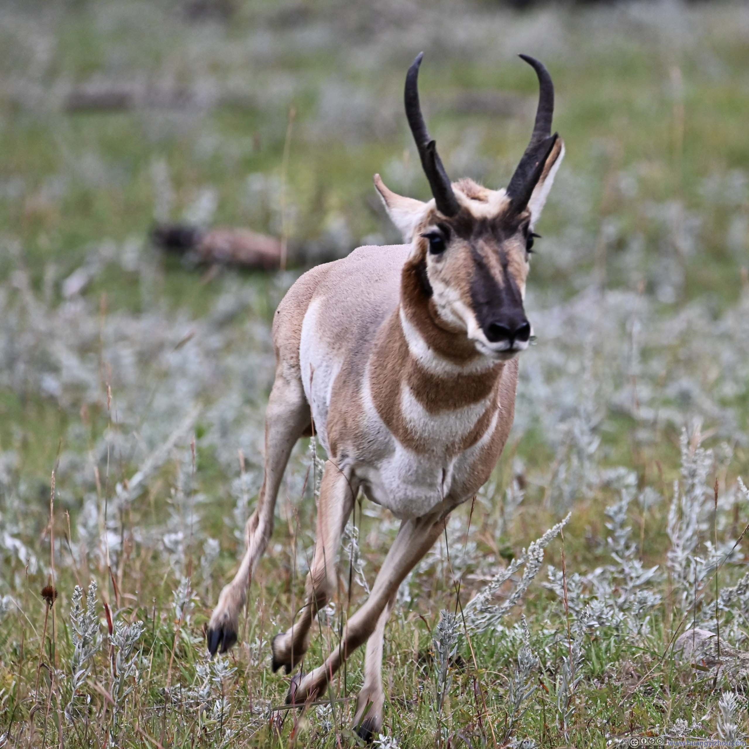
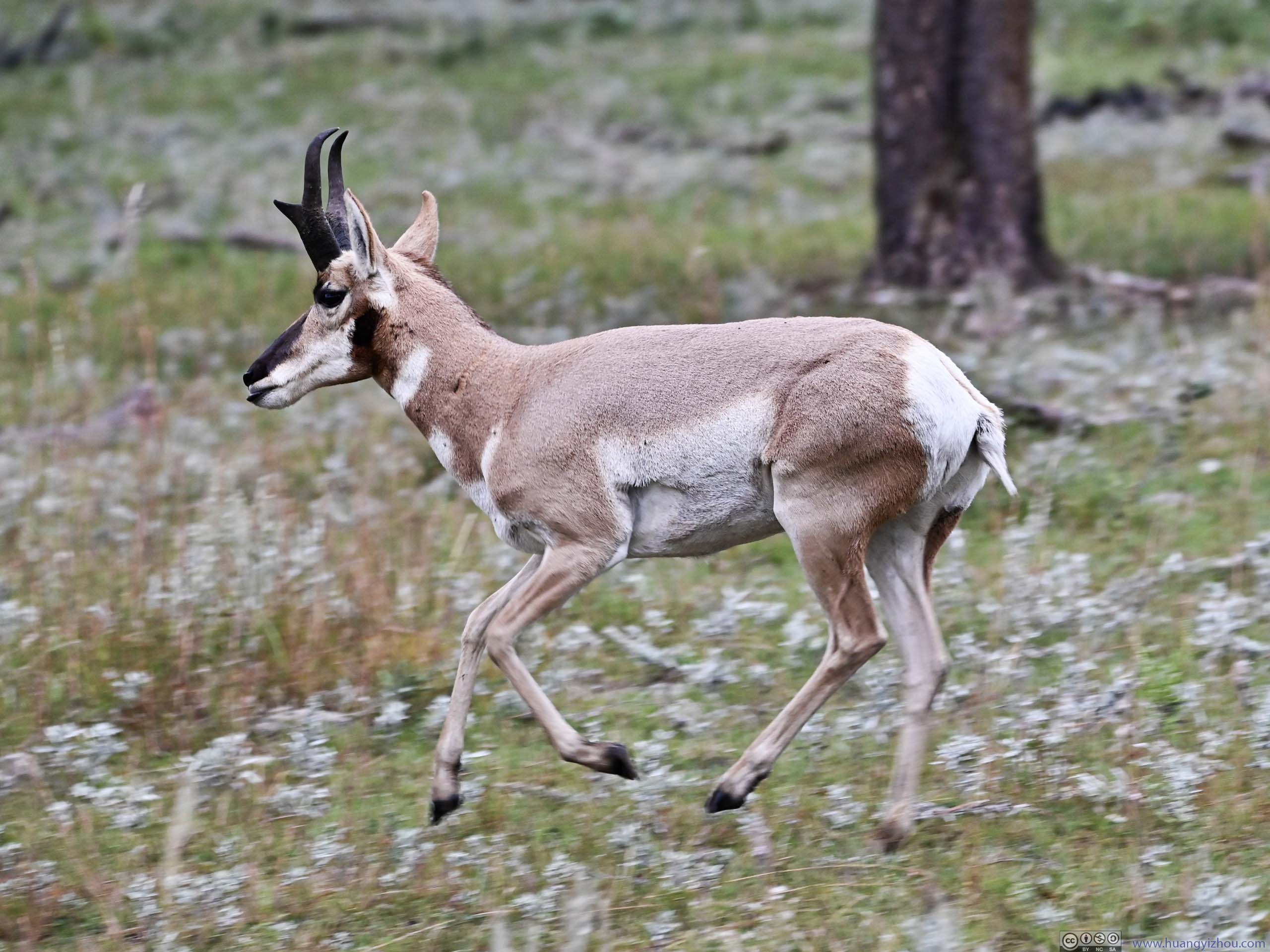
I entered the wildlife loop from the visitor center just before 8am. Immediately after that I spotted a few groups of deer not far from the road. A perfect test for my telephoto lens.
 Deer
Deer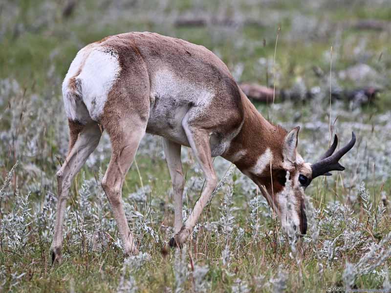 Deer
Deer Deer
Deer Deer
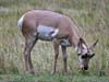
Deer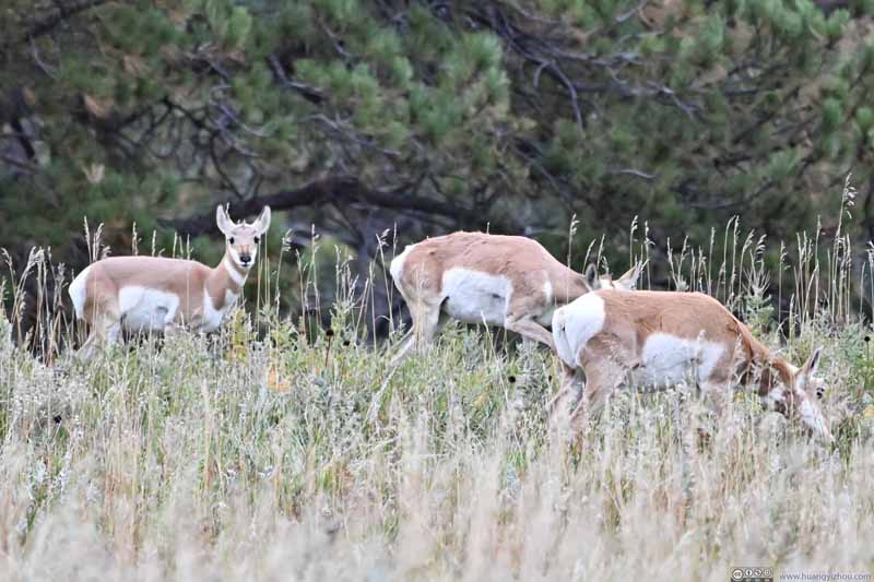 Distant Deer in BushesOne of them spotted my presence.
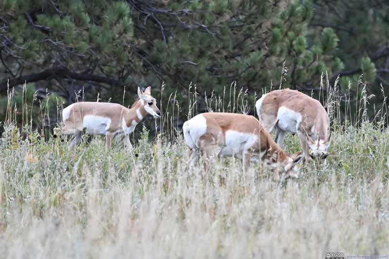 Distant Deer in Bushes
Seeing I was far away (this photo was cropped to 1000mm equivalence), they continued their business.
Distant Deer in Bushes
Seeing I was far away (this photo was cropped to 1000mm equivalence), they continued their business.

Click here to display photos of the deer in Custer State Park along wildlife loop.

Deer

Deer
Deer
Deer

Distant Deer in BushesOne of them spotted my presence.
Distant Deer in Bushes
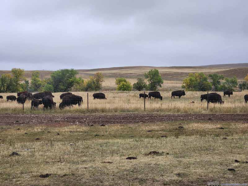
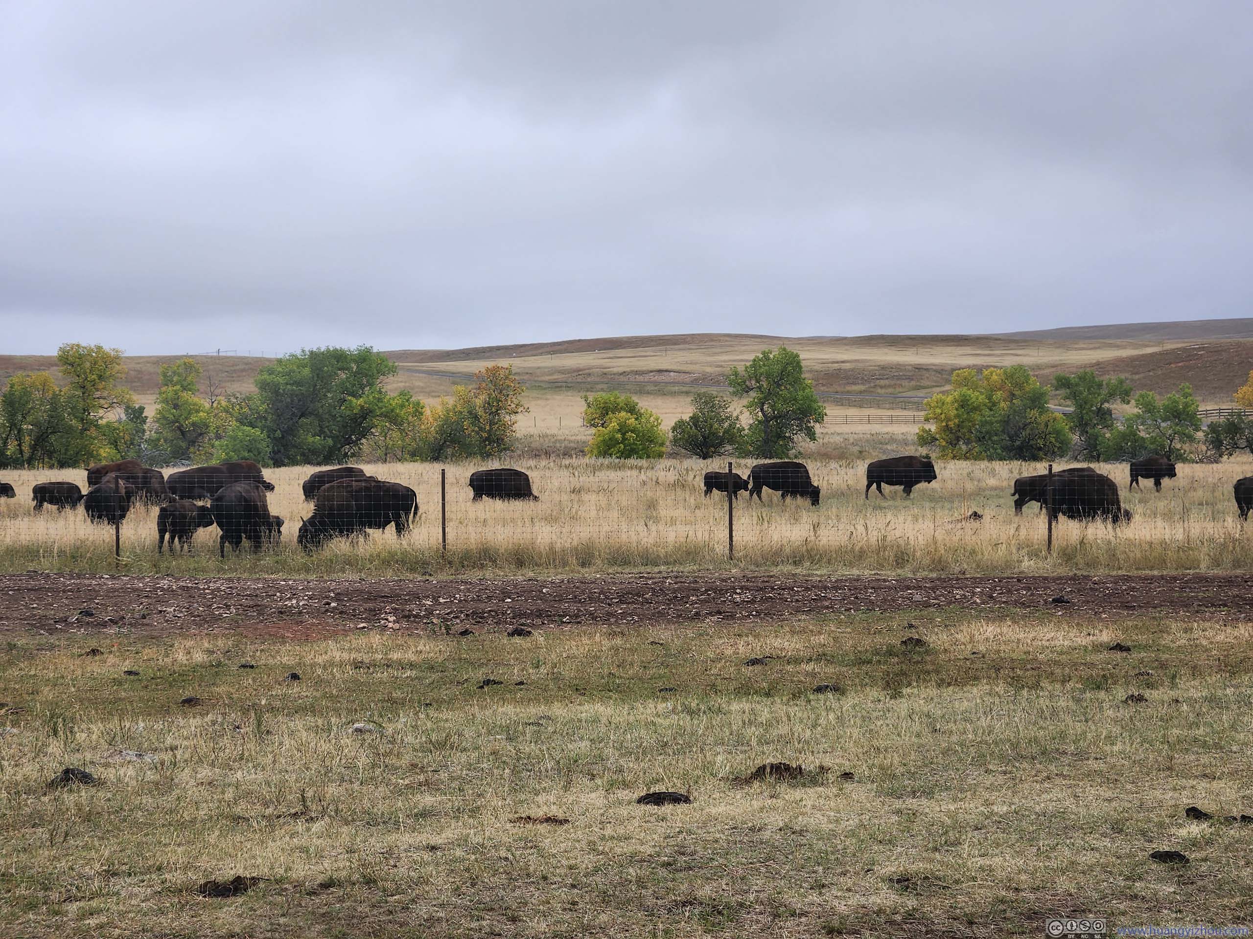
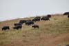
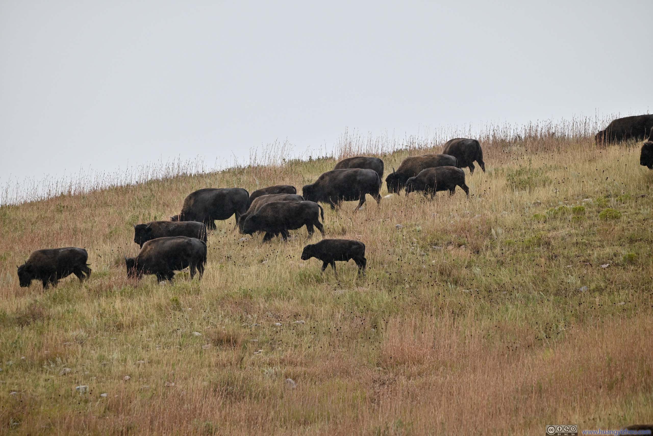
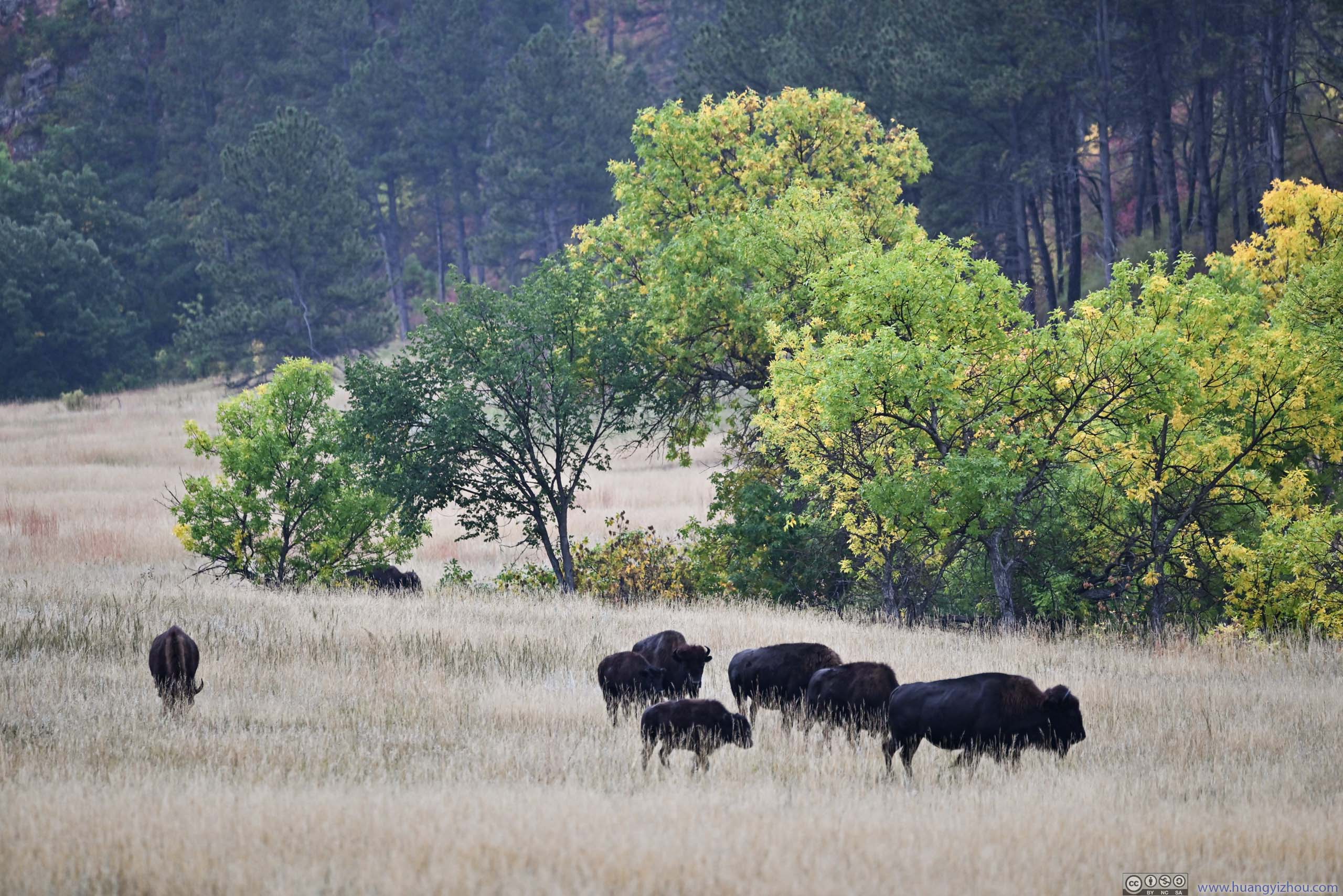
Unfortunately, while I had been keeping a keen eye on animals (especially bison, as the park should have a healthy population of them), I didn’t spot any more once I moved on from the entrance.
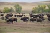
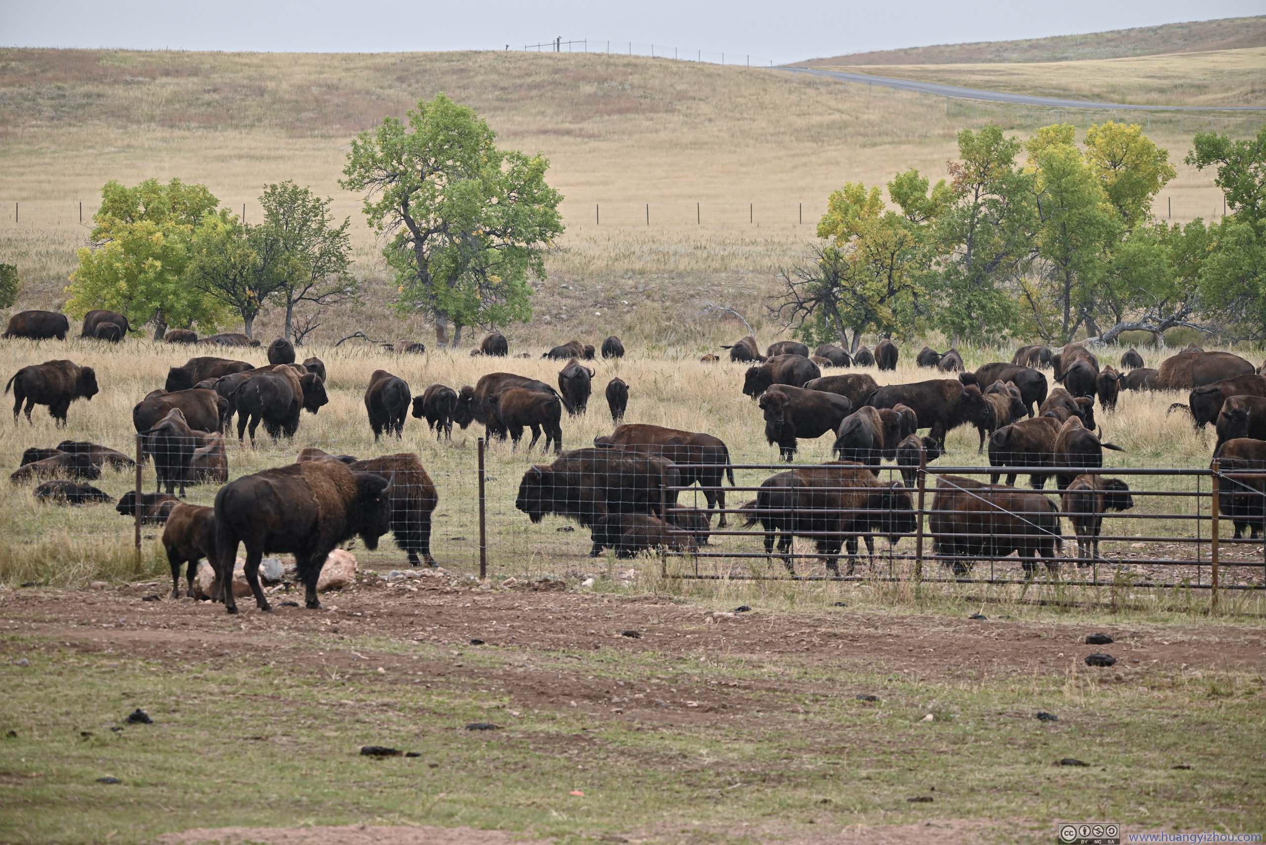
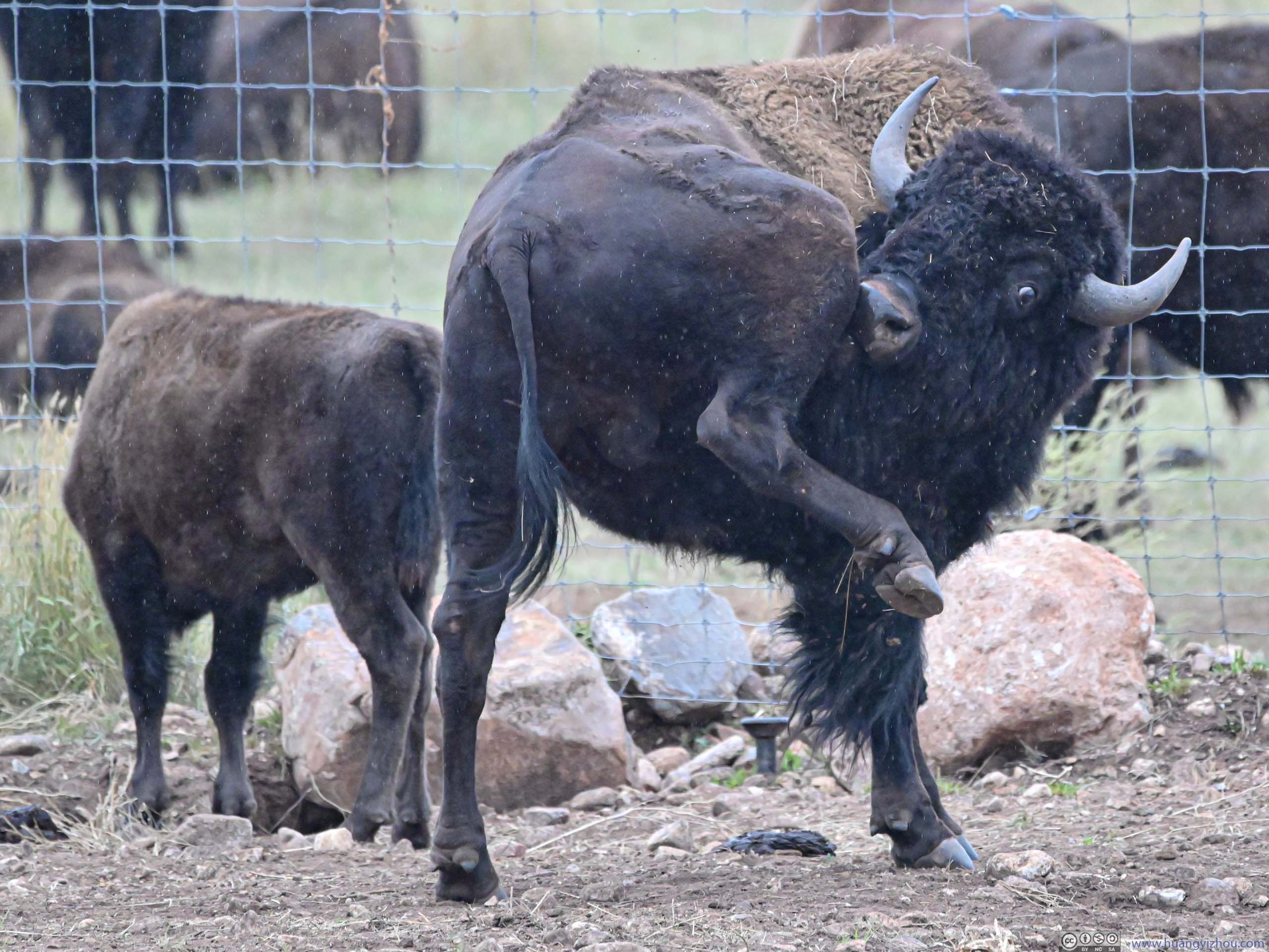
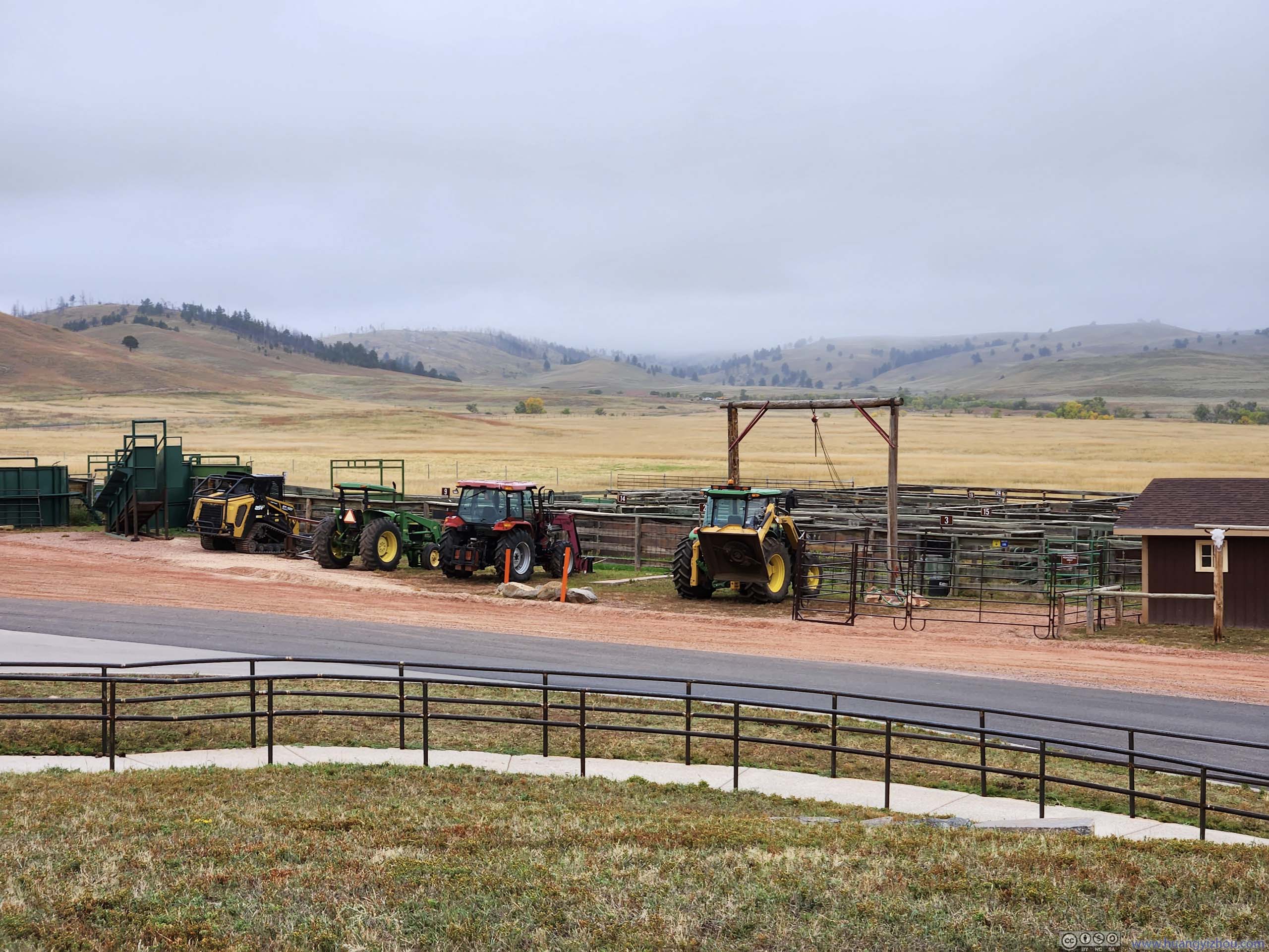
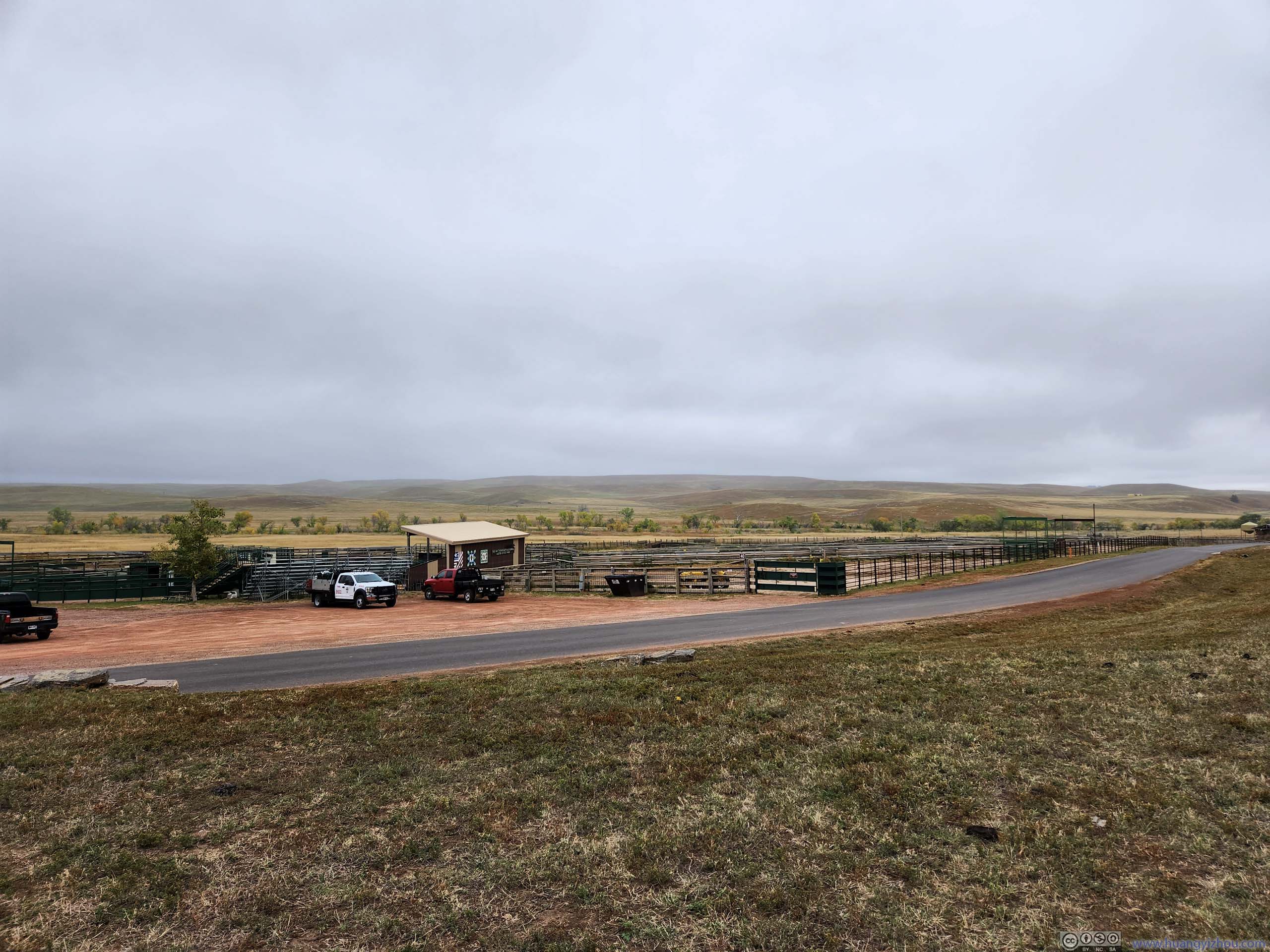
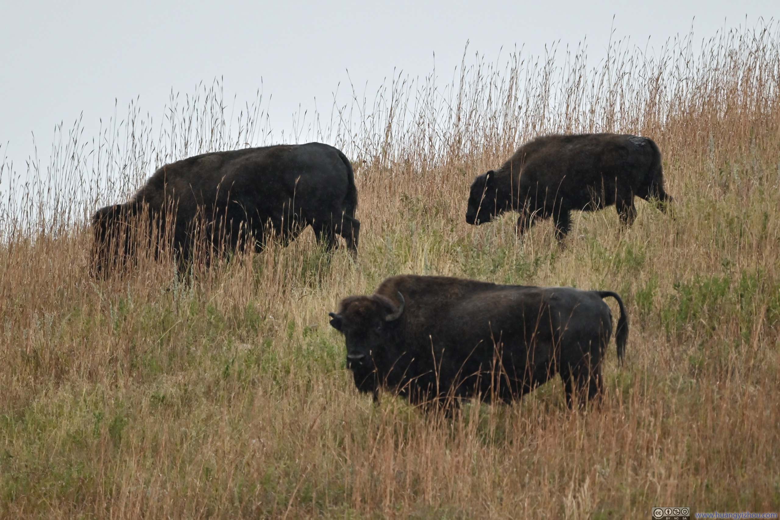
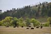
This frustration continued until I reached the spur towards “Bison Center”, as I found a healthy population of bison behind bars in corrals. I checked out the “Bison Center”, with exhibits of the park’s management efforts on its bison population. Essentially, the park rounded up its bison once per year, then auctioned some of them off to provide funding for the state park so that the population don’t outgrow the land. The official bison roundup happened in a week’s time, but as the park ranger at “Bison Center” told me, it’s a huge park and its bison couldn’t be rounded up in a day. As a result, they started “pushing” the population towards “Bison Center” a few days earlier, so that they could be “rounded up” in corrals on the roundup day. As a result, I didn’t see any of them outside the vicinity of “Bison Center”.
 Herd of Bison
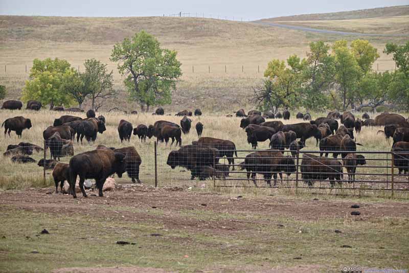 Herd of Bison
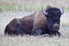
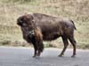
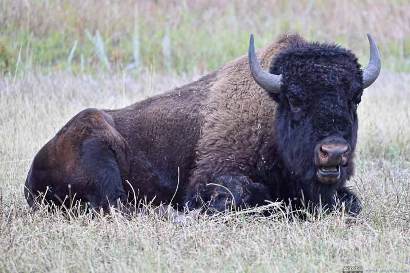 BisonFelt like an angry face to me.
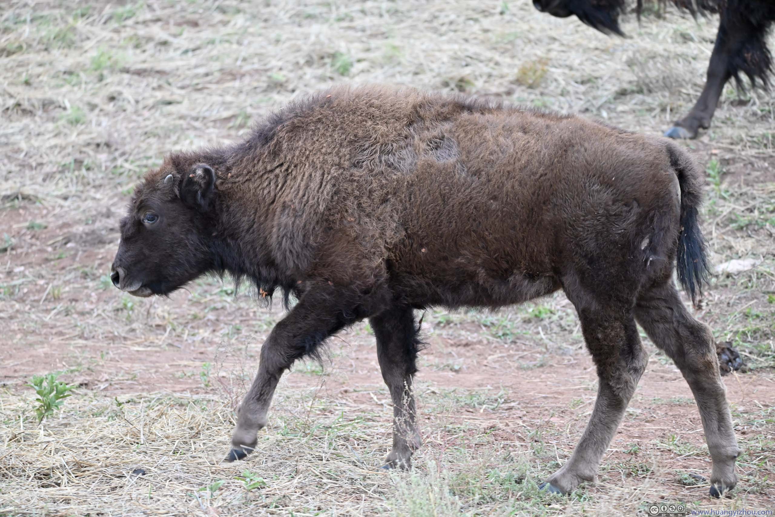
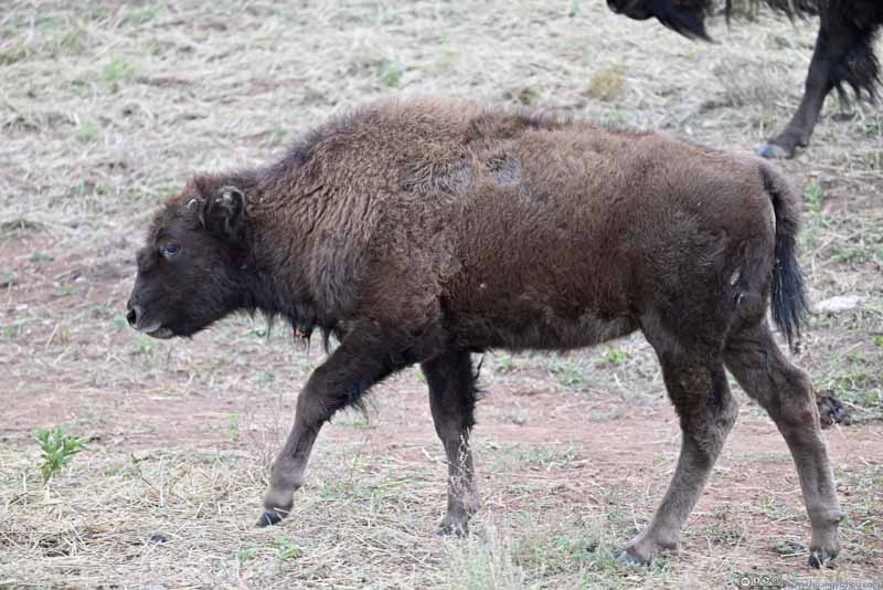 BisonThis was probably a “teenager”. Old enough to leave the parents, but still looked juvenile.
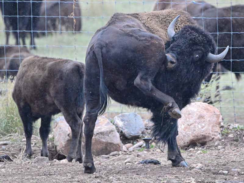 BisonI liked this facial expression.
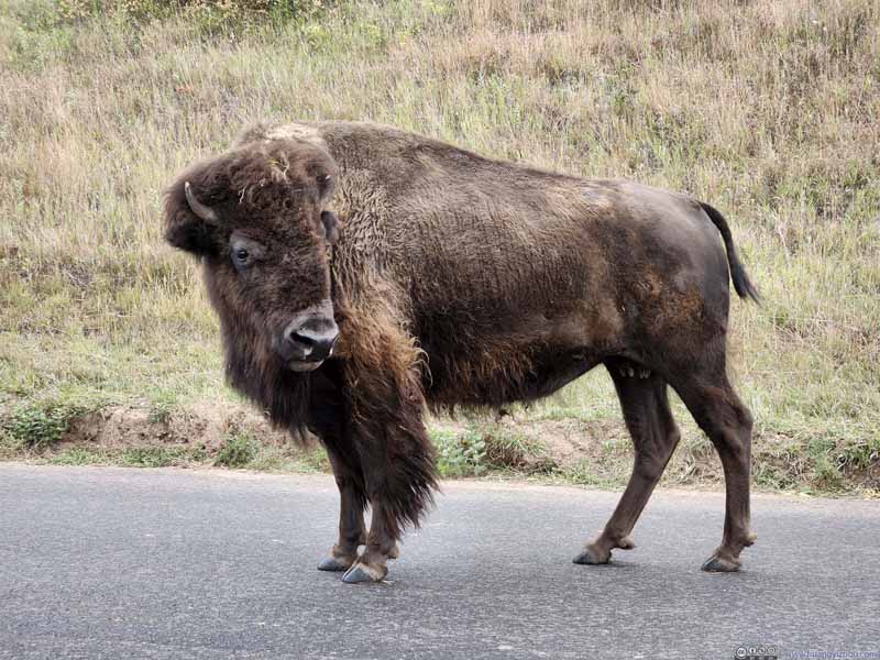 BisonThis one was close enough to my car.
Click here to display photos of the bison near Bison Center.
Herd of Bison
Herd of Bison

BisonFelt like an angry face to me.
BisonThis was probably a “teenager”. Old enough to leave the parents, but still looked juvenile.
BisonI liked this facial expression.

BisonThis one was close enough to my car.
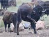
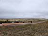
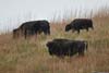
Outside the Bison Center, some of the corrals were already populated with bison. Meanwhile, the bison were kept “semi-wild” as it didn’t take too much effort for some of them to escape the corrals. (Nonetheless I still preferred fully wild animals.)
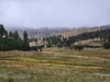
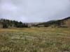
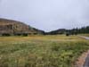
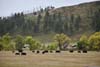
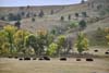
Below is a slideshow of sceneries along this Wildlife Loop, barring wildlife.
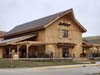
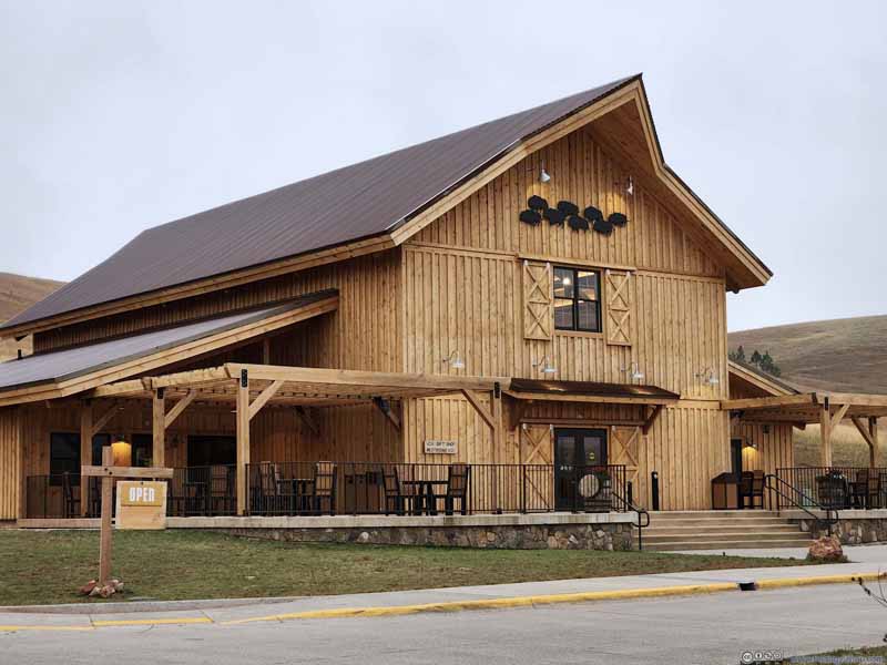 Bison Center BuildingA nice building with exhibits about the park and its bison herd.
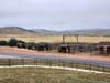
 Farm Equipment and StallsFor the upcoming bison roundup and auction.
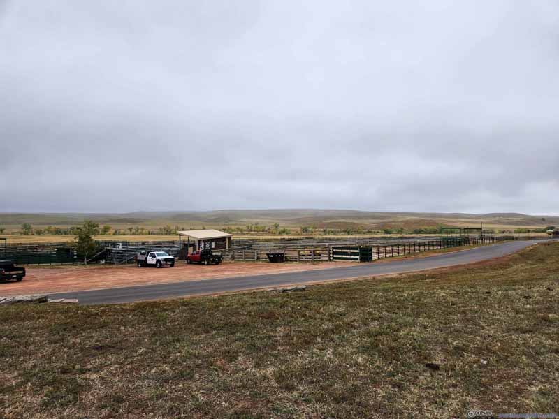 CorralsUsed to hold the bison for the upcoming roundup and auction.
 FieldsI found a scenic patch of land and snapped these photos before leaving Wildlife Loop.
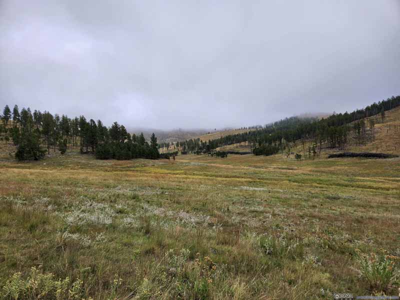 FieldsI found a scenic patch of land and snapped these photos before leaving Wildlife Loop.
 FieldsI found a scenic patch of land and snapped these photos before leaving Wildlife Loop.
Click here to display photos from Custer State Park’s wildlife loop.

Bison Center BuildingA nice building with exhibits about the park and its bison herd.
Farm Equipment and StallsFor the upcoming bison roundup and auction.
CorralsUsed to hold the bison for the upcoming roundup and auction.
 FieldsI found a scenic patch of land and snapped these photos before leaving Wildlife Loop.
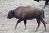
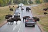
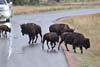
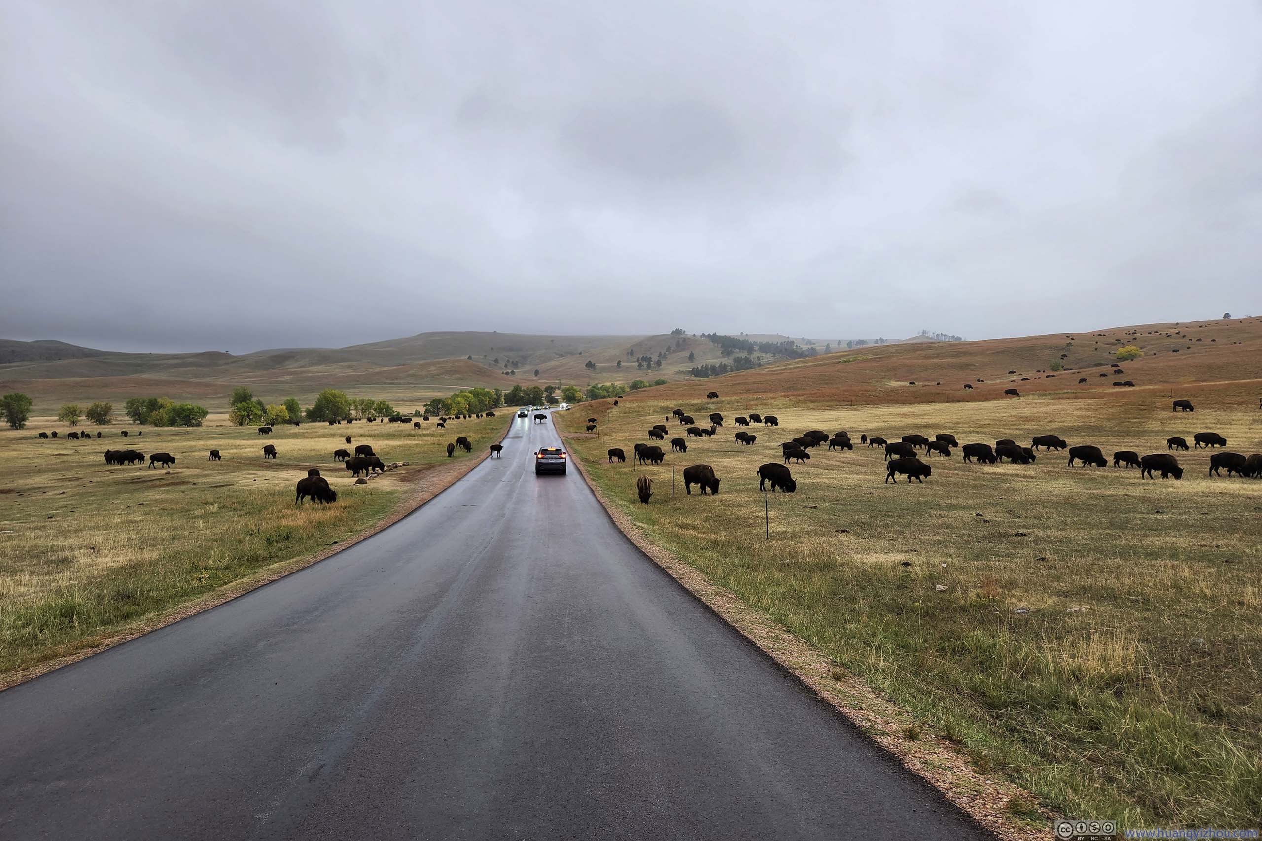
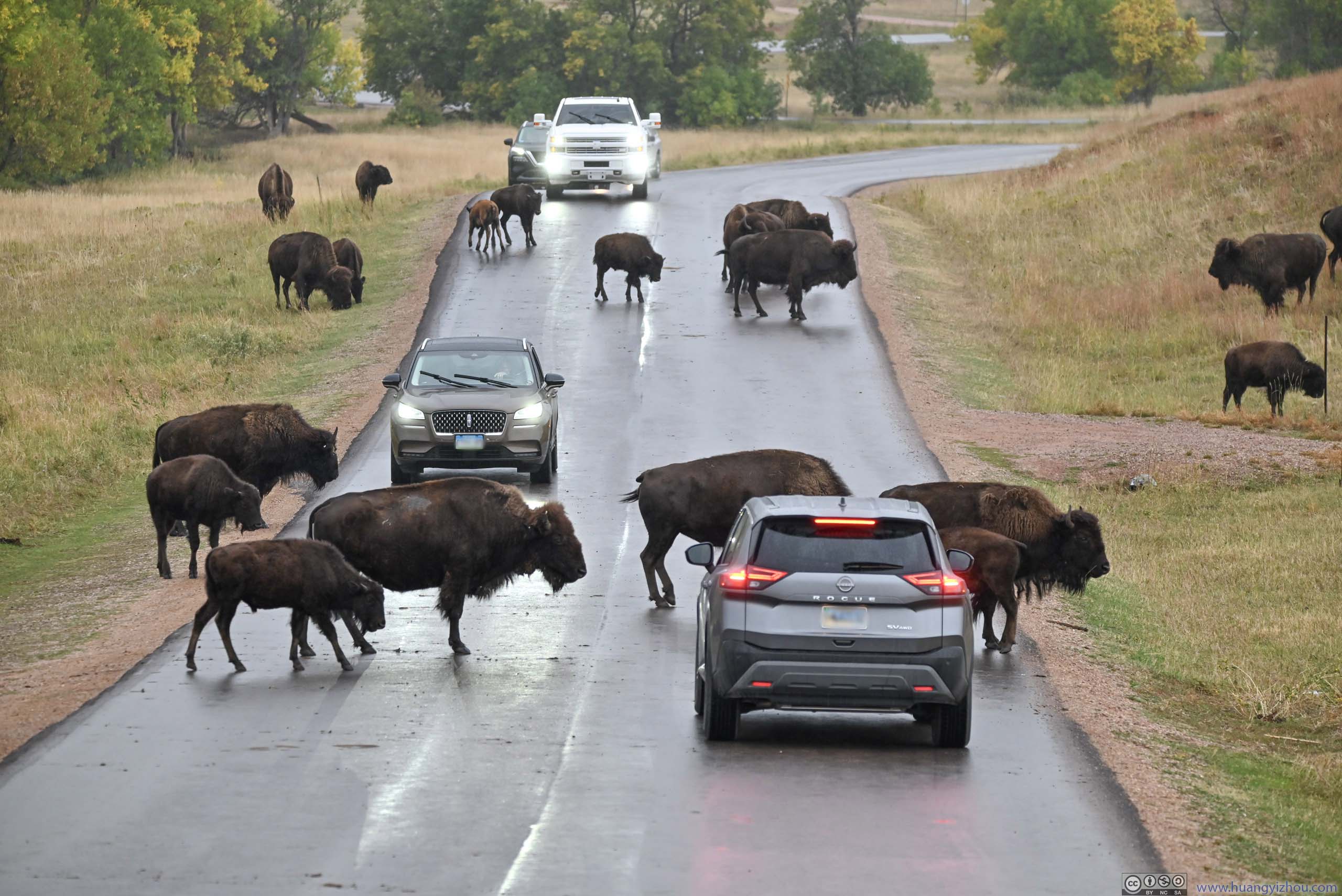
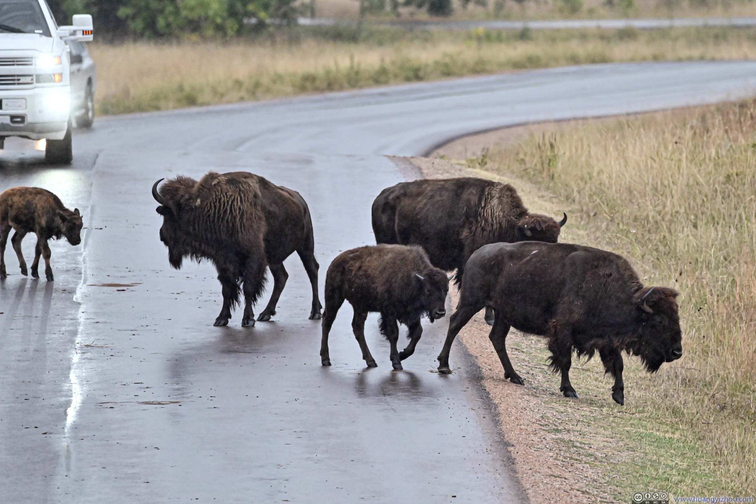
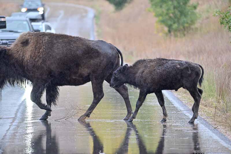
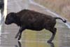
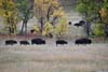
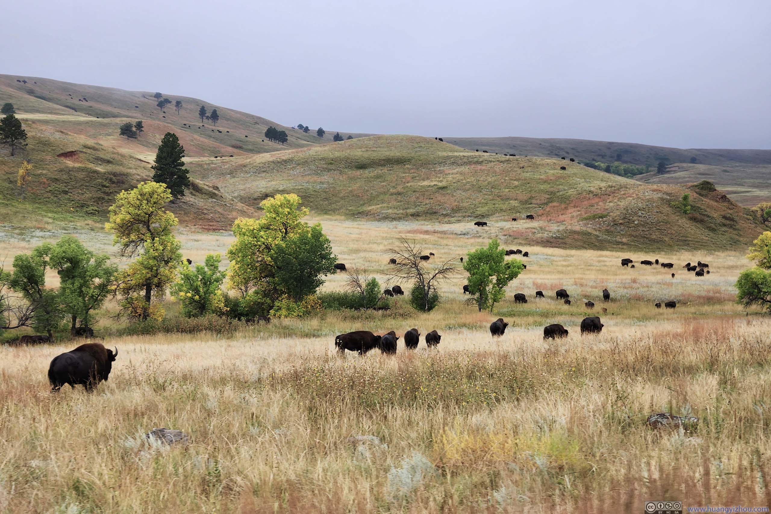
Just as I left the “Bison Center”, a steady rain arrived as expected. Luckily, I didn’t have to scout for animals nearly as hard, given the areas immediately west of “Bison Center” were swarmed by bison. (Unfortunately, the rain blurred vision through the windshield, so I needed to get out of the car to take most of the photos below.)
 Herd of Bison
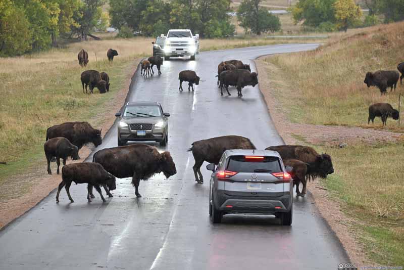 Bison Crossing Road
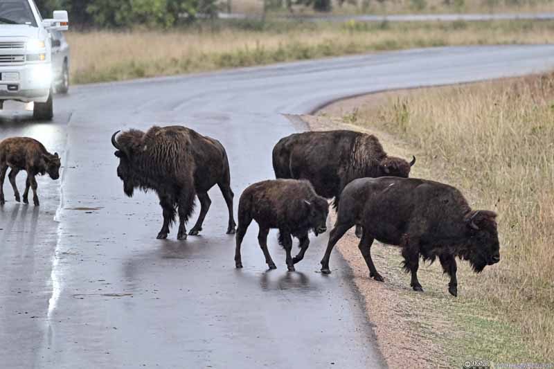 Bison Crossing RoadIt felt to me a mother was looking back, hurrying her child.
 Bison Crossing Road
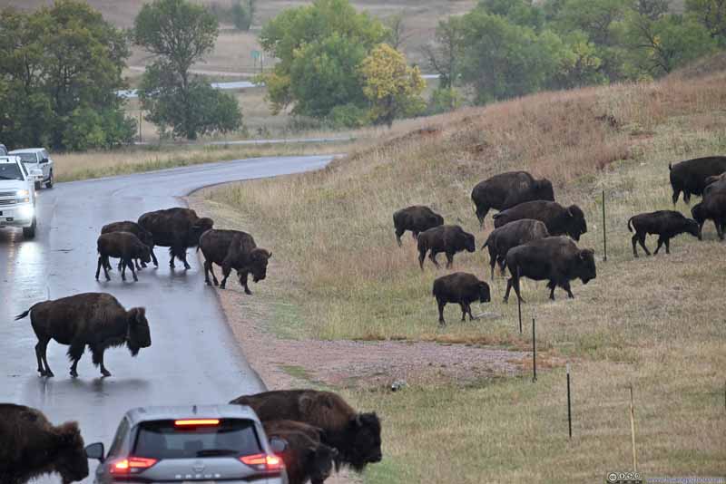 Bison Crossing Road
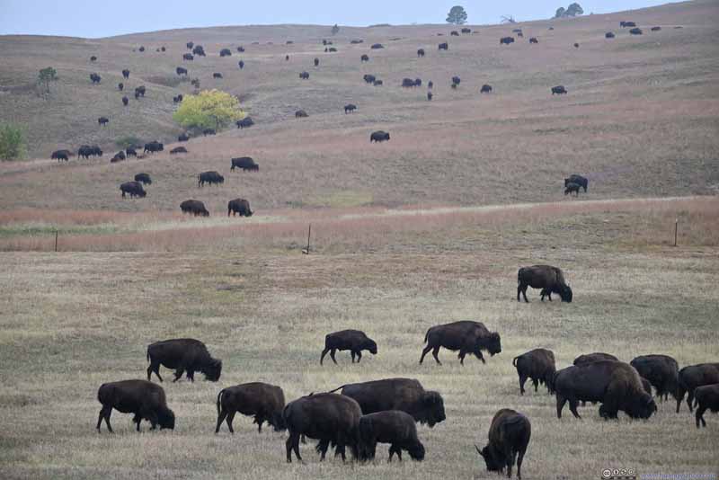 Herd of Bison


Click here to display photos of the bison in Custer State Park.
Herd of Bison
Bison Crossing Road
Bison Crossing RoadIt felt to me a mother was looking back, hurrying her child.
Bison Crossing Road

Bison Crossing Road
Herd of Bison
 Bison Crossing Road
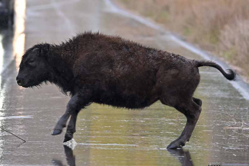 Bison Crossing RoadThis one was trying to catch the previous two and actually slipped.
 Bison on Hill
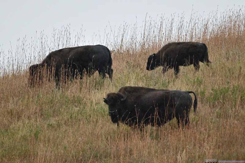 Bison on Hill
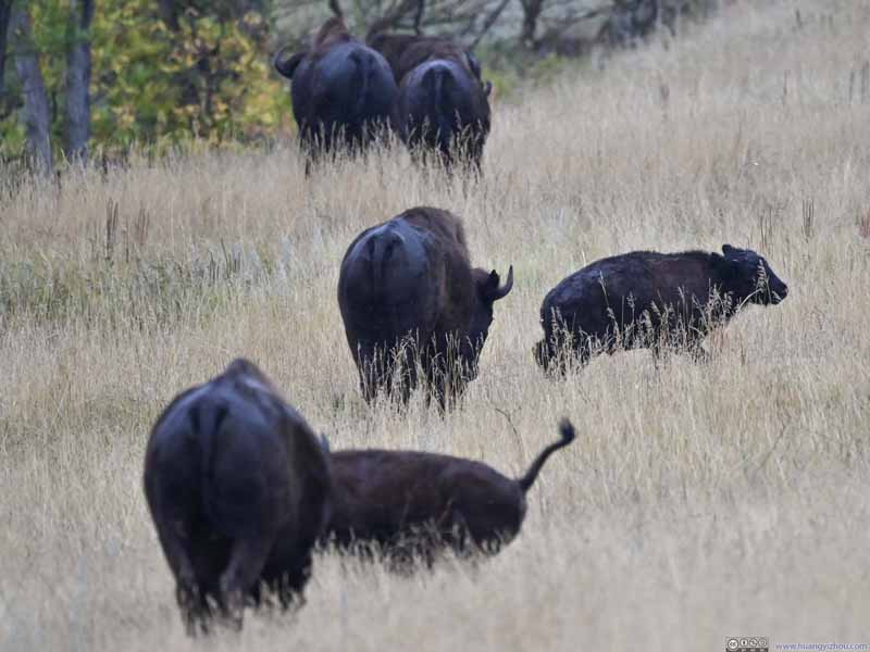 Bison Walking Away

Click here to display photos of the bison in Custer State Park.

Bison Crossing Road

Bison Crossing RoadThis one was trying to catch the previous two and actually slipped.
Bison on Hill
Bison on Hill

Bison Walking Away
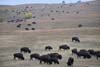
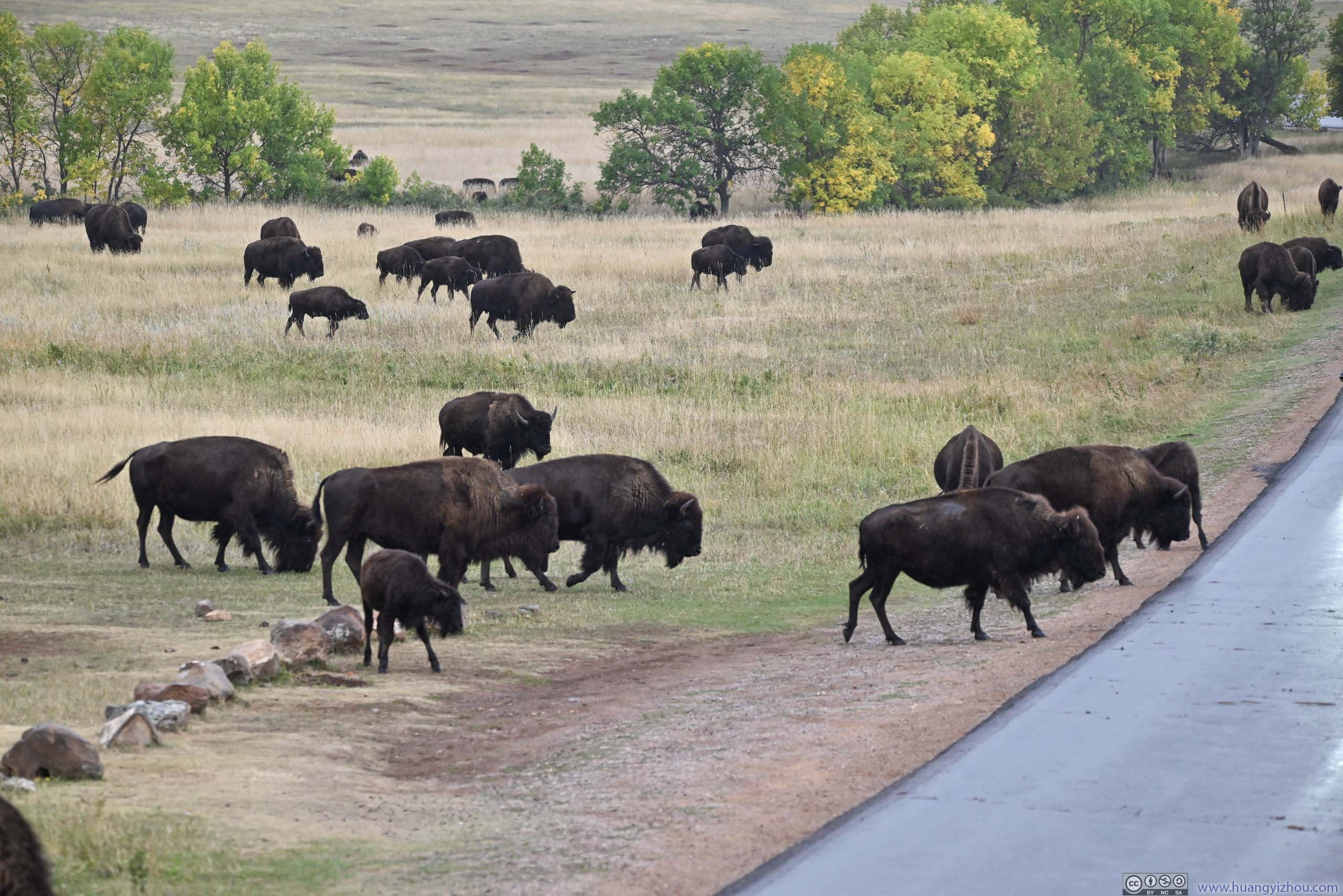
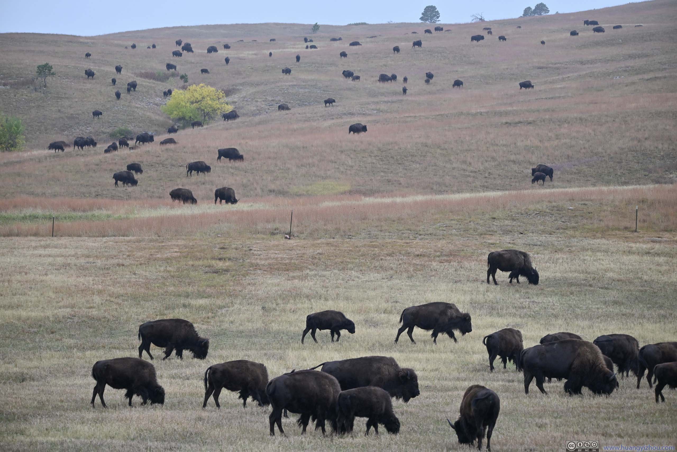
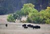
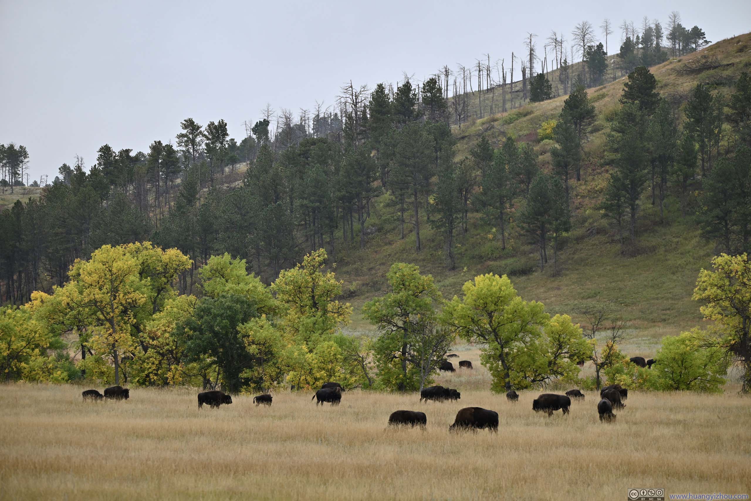
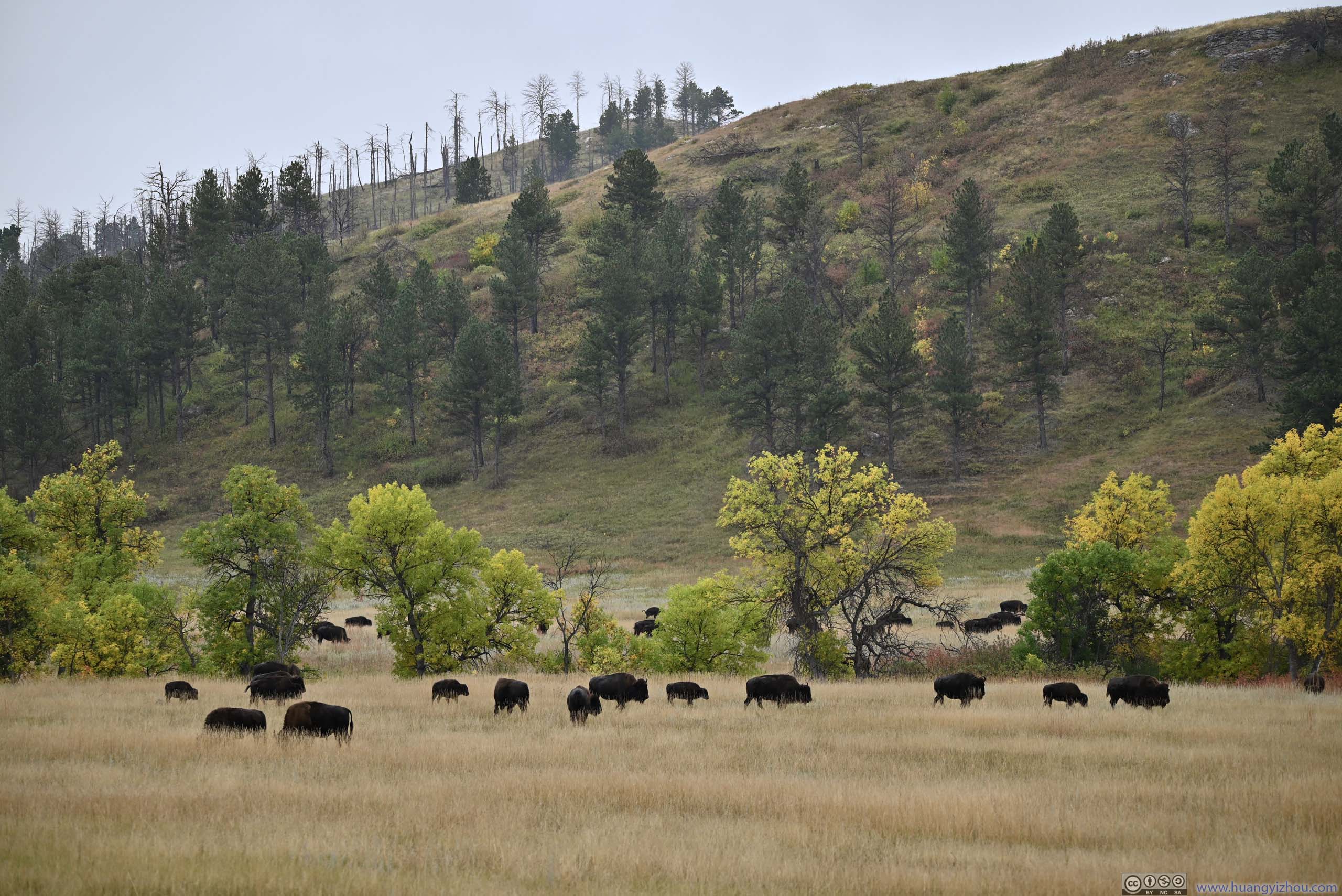
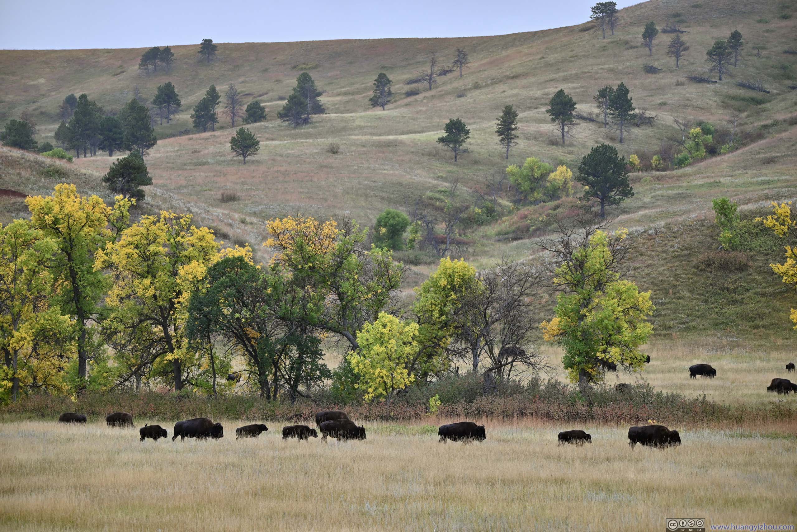
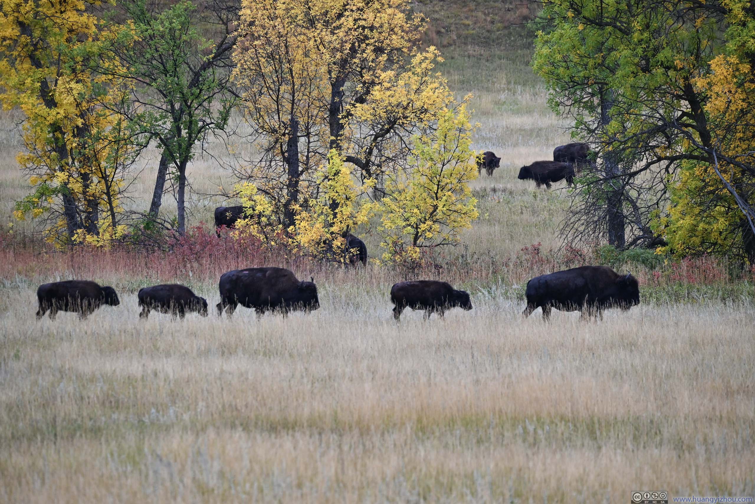
Further away, after making sure I wouldn’t be run over by bison crossing the road, I took an additional group of photos with bison in the distant field.
 Herd of Bison
 Herd of Bison
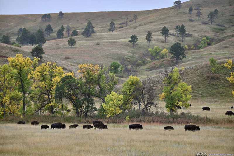 Herd of Bison
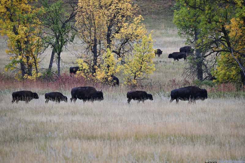 Herd of Bison
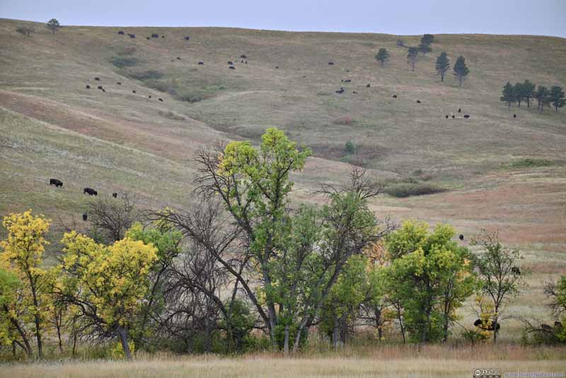 Bison on Hill
 Herd of Bison
 Bison in Field


Click here to display photos of the bison in Custer State Park.
Herd of Bison
Herd of Bison
Herd of Bison
Herd of Bison

Bison on Hill
Herd of Bison
Bison in Field
After that, I left the Wildlife Loop and headed towards Jewel Cave. Unfortunately, that meant throughout my entire trip to Custer State Park, I didn’t see a single bighorn sheep, which the area shouldn’t be short of.
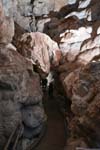
Jewel Cave Tour
The Black Hills were home to numerous caves. They even had a national park, “Wind Cave National Park”, dedicated to its unusual boxwork rock formations. Unfortunately during my visit, Wind Cave National Park was having elevator maintenance and not offering any tours. So for a cave tour, I had to settle for Jewel Cave National Monument. And this was the only time during the entire 2+ week trip that I used my 20mm F1.4 lens for its low-light conditions.
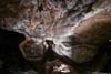
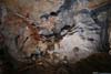
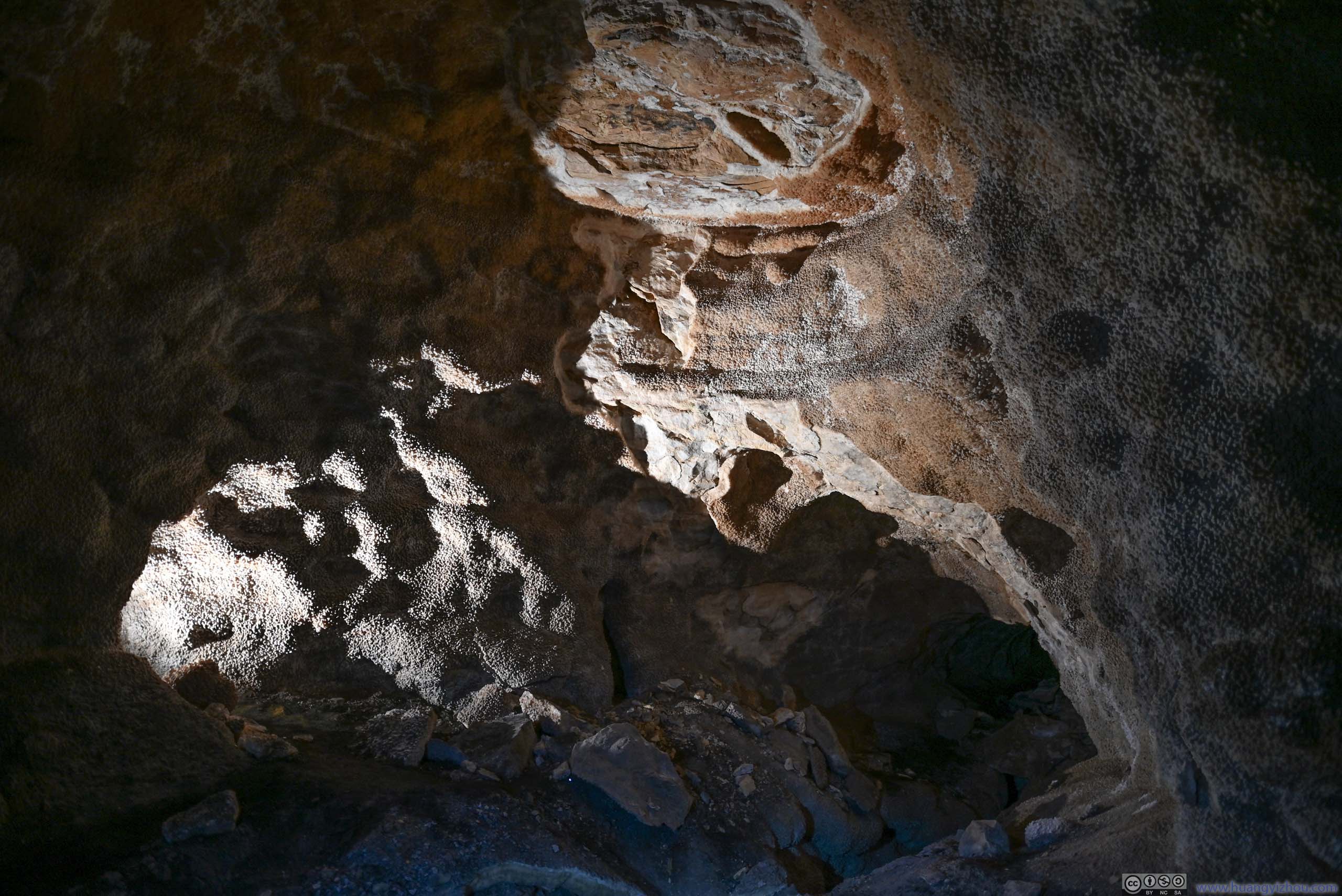
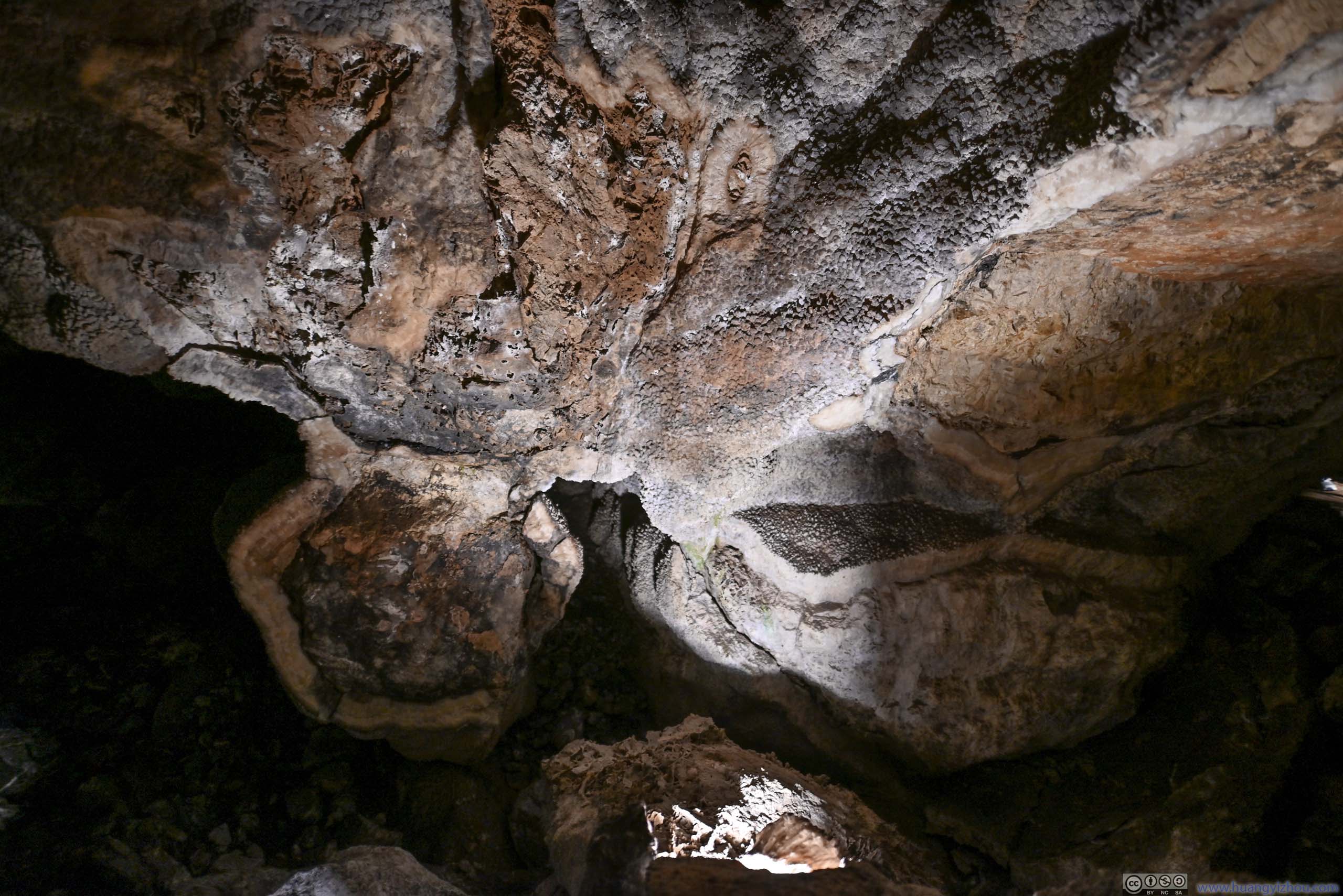
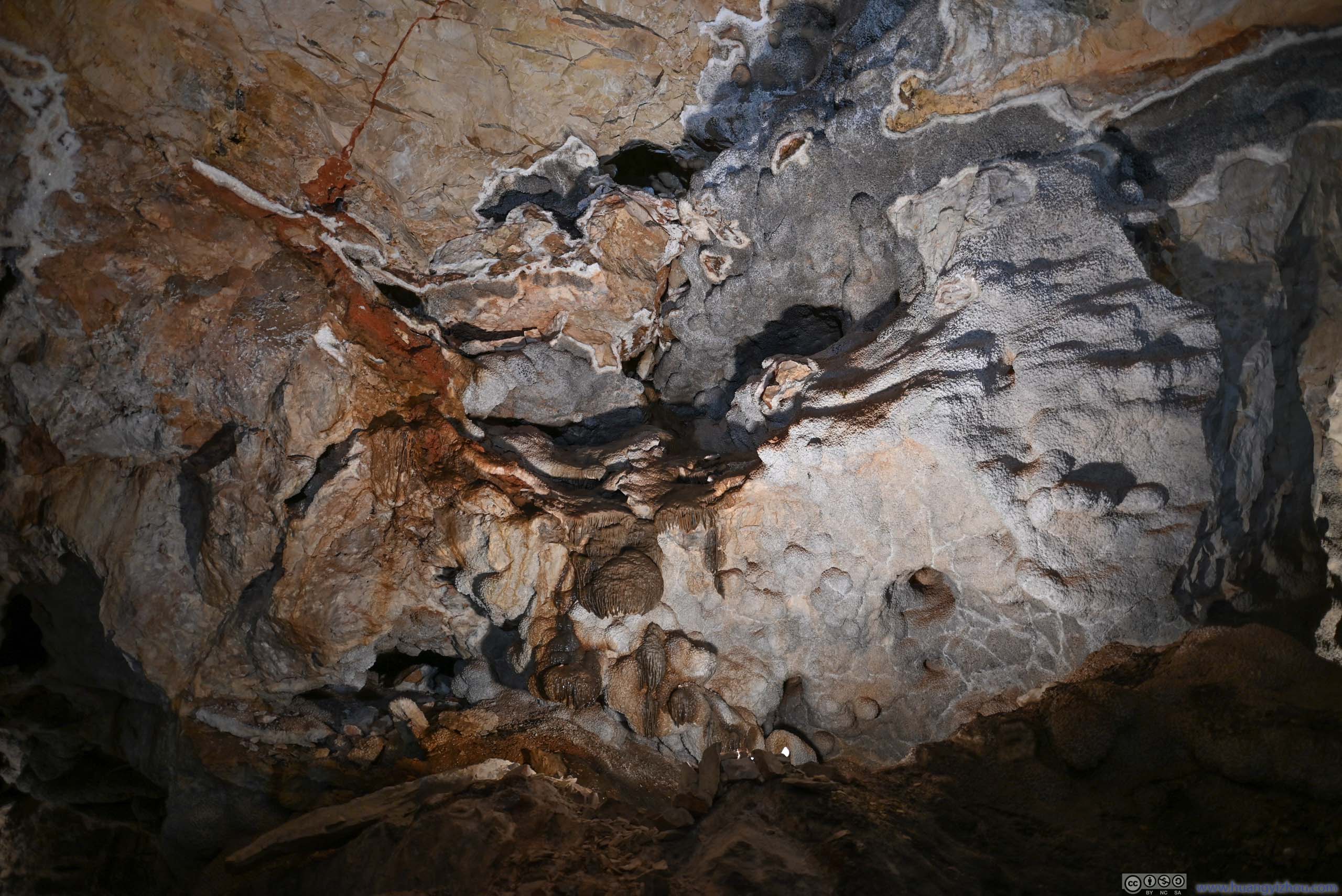
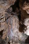
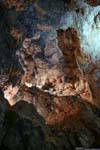
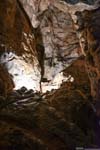
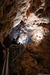
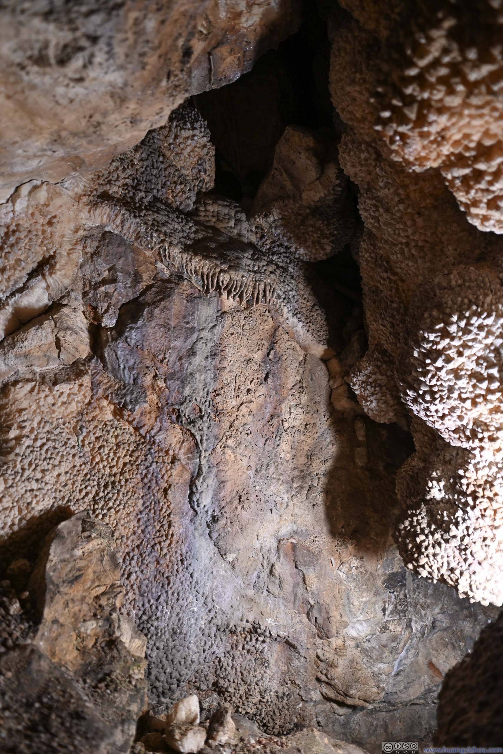
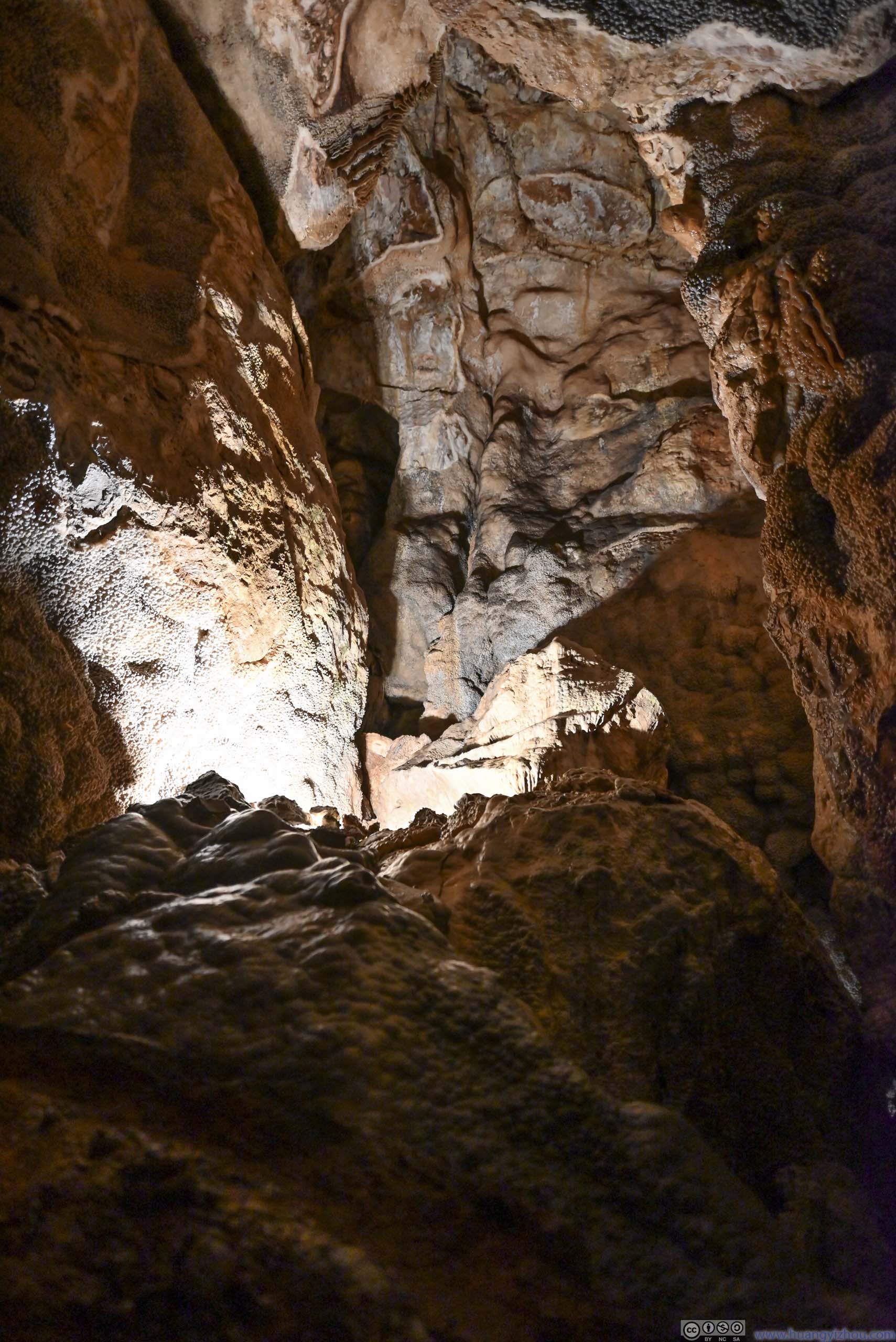
Jewel Cave is currently the world’s fifth longest cave. (Interestingly, the explored part of Jewel Cave was longer than that of the nearby Wind Cave.) I booked Jewel Cave’s “scenic tour” which felt like its “default” version of tour. The tour lasted over an hour, and was led by a ranger that went over the various rock formations of the cave together with its history.
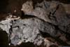
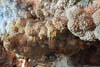
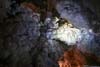
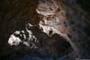
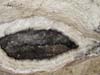
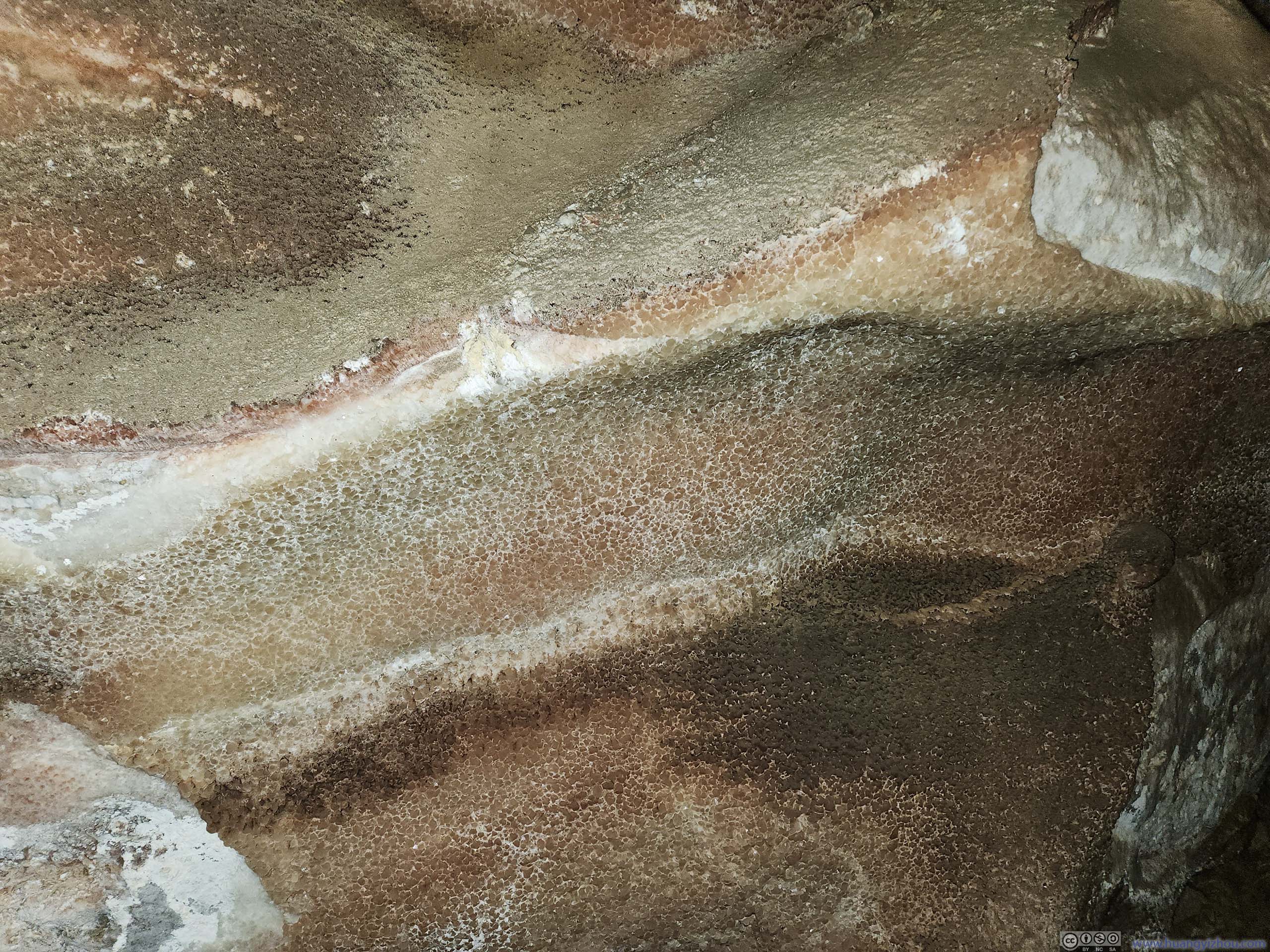
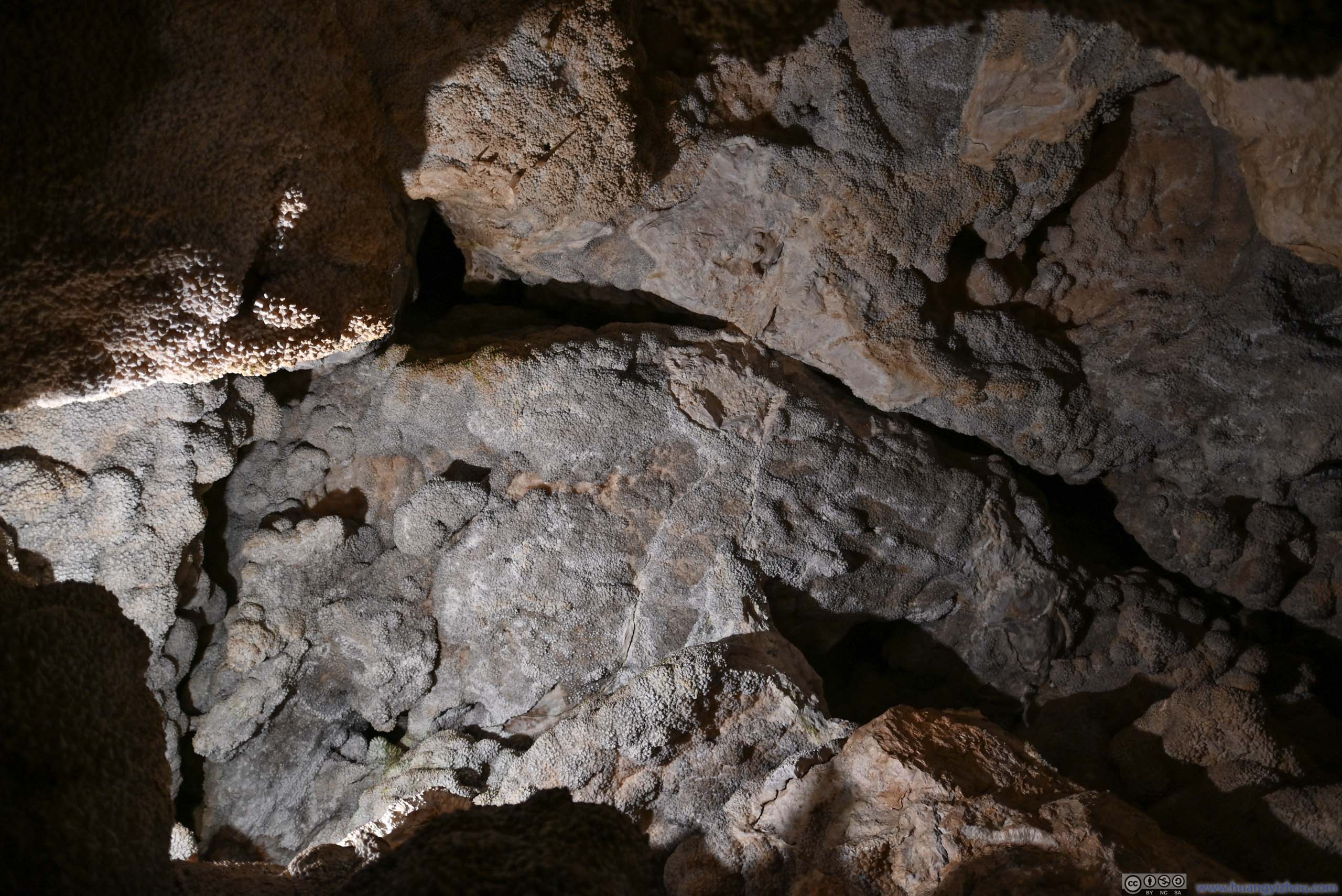
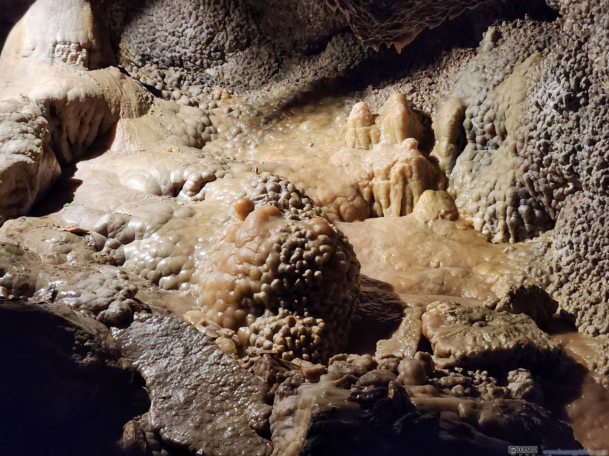
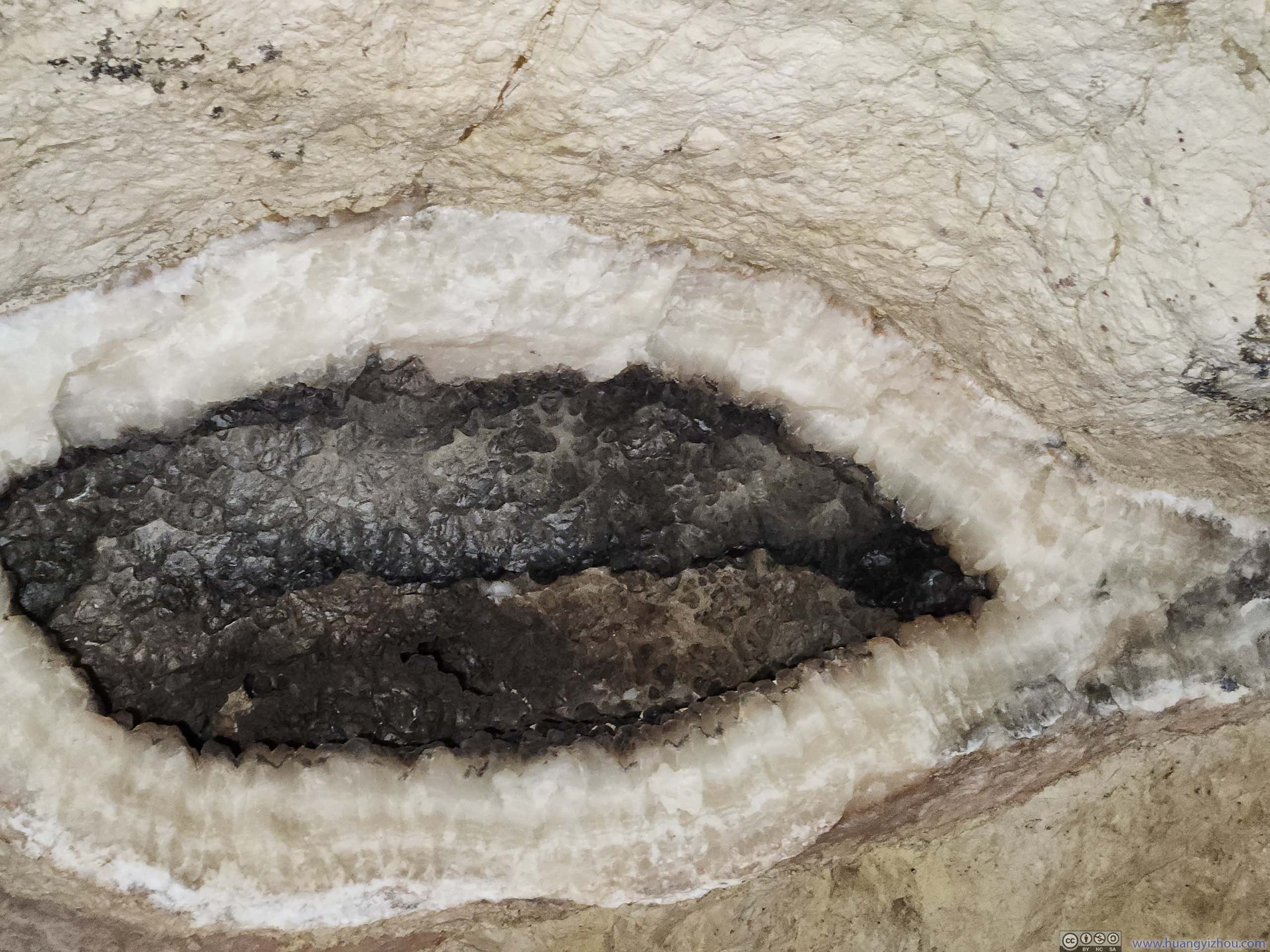
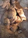
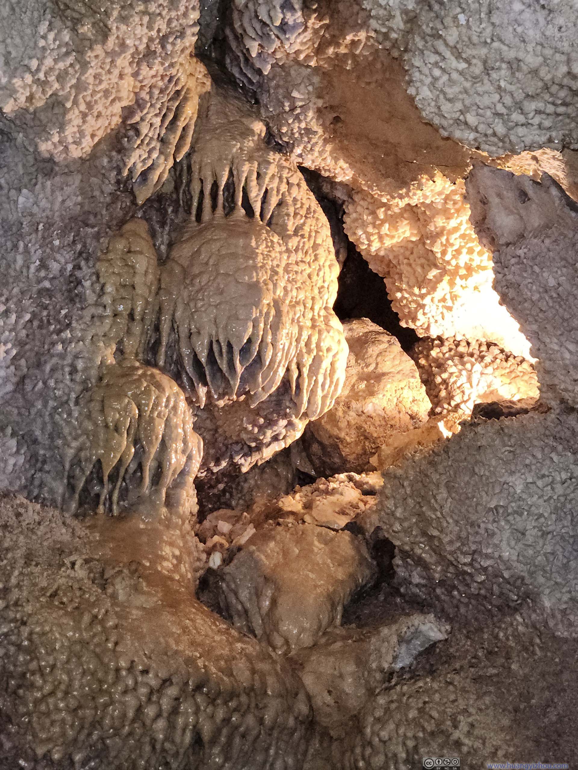
Some notable takeaways, the cave was considered as “dry cave” compared to my typical impression of a “wet cave”. That is, apart from one room in the cave (p6-8 below), one wouldn’t find water that formed stalactites and flowstones, as the erosion of rocks was considered “finished” at Jewel Cave. In addition, despite its name, there were no previous crystals or metals to be found in the cave. (The local prospectors that found Jewel Cave in the 1900s were hoping to find gold, which they didn’t.) Instead, “Jewel” referred to the spar (p2 below) that abounded in the cave, which was shaped like jewels.
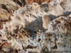
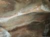
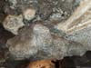
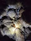
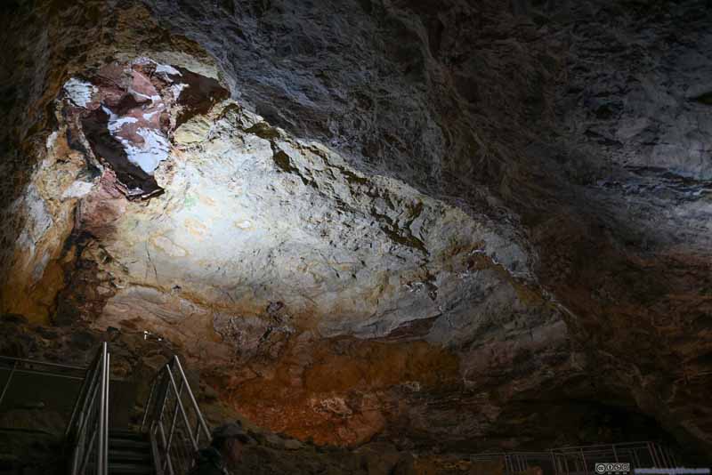 Ceiling
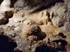
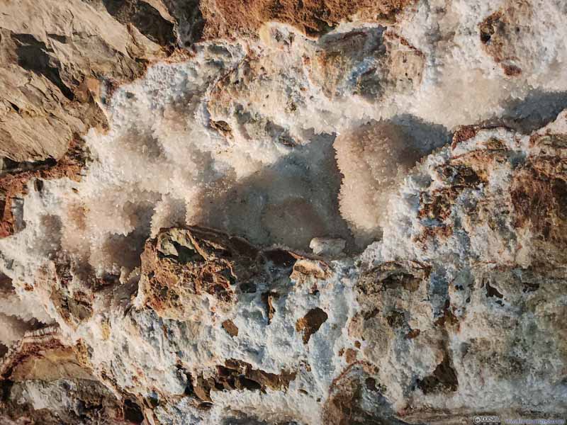 SparWhite crystals, commonly referred to as the “jewel” of Jewel Cave.
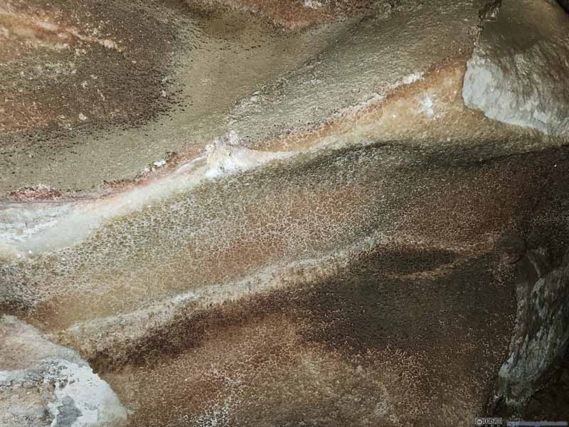 Crystals on Wall
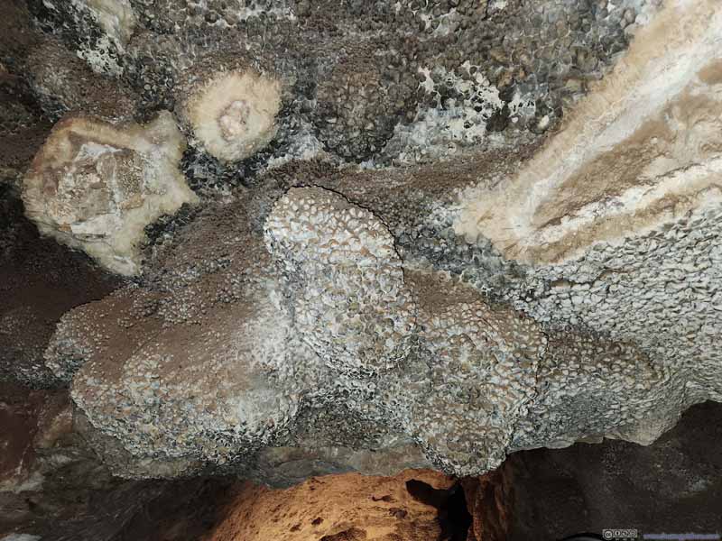 Calcite Crystal
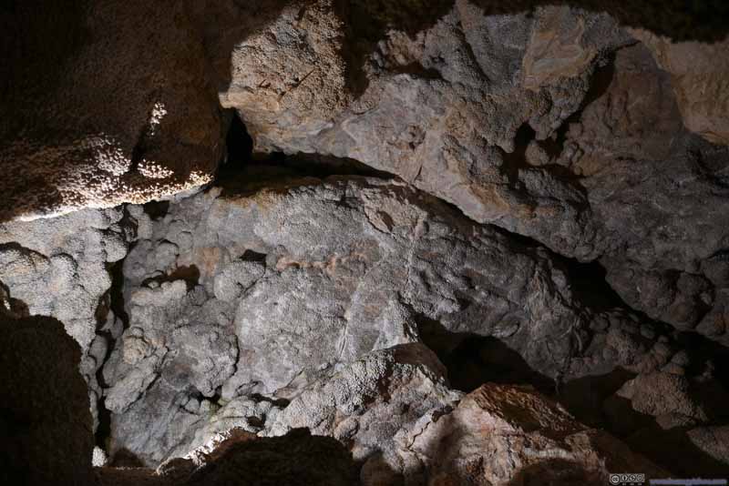 Black Crystals
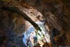
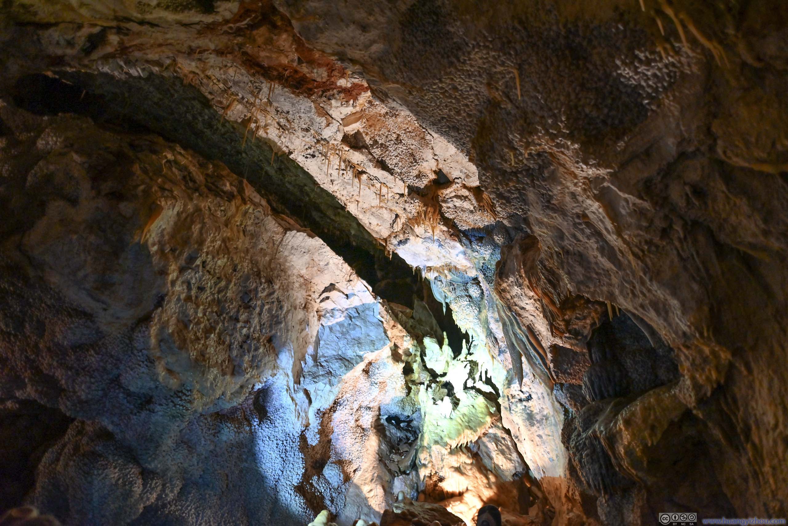
 Stalactites
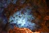
 Stalactites Glowing under Ultraviolet Light
 Wall of Flowstones
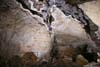
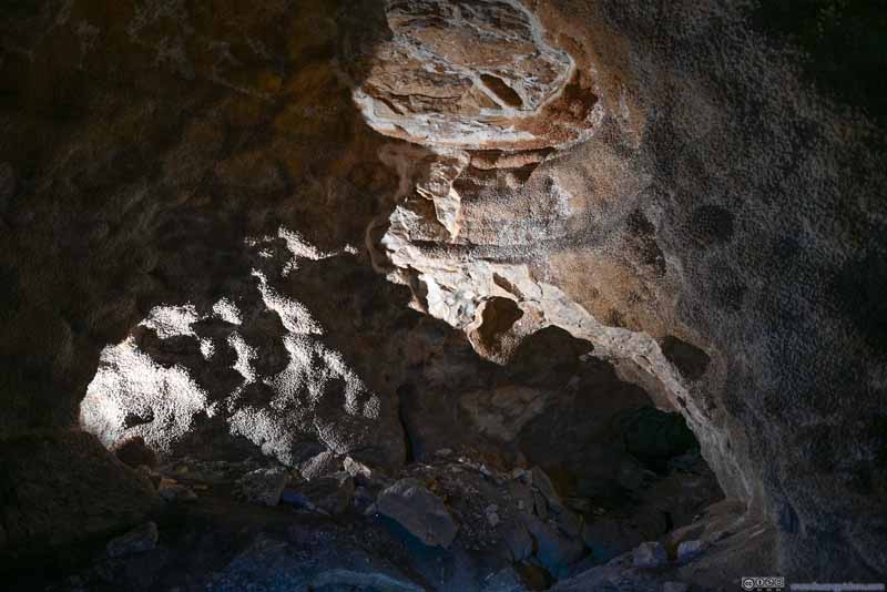 Alcove with Crystals
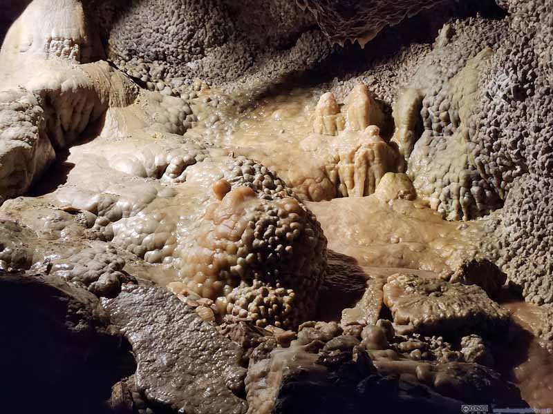 Flowstone
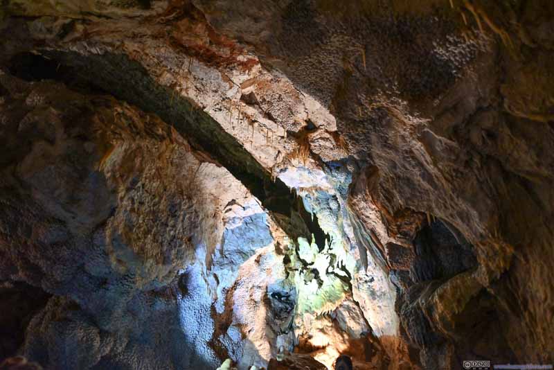 Gap between Boulders
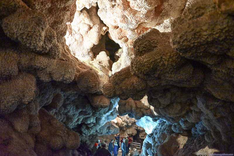 Ceiling with Crystals
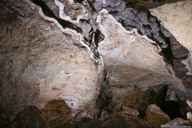 Wall with Crystals
 CtystalThis crystal formation was pretty common towards the latter half of the tour.
 Jewel Cave
 Wall with Flowstones
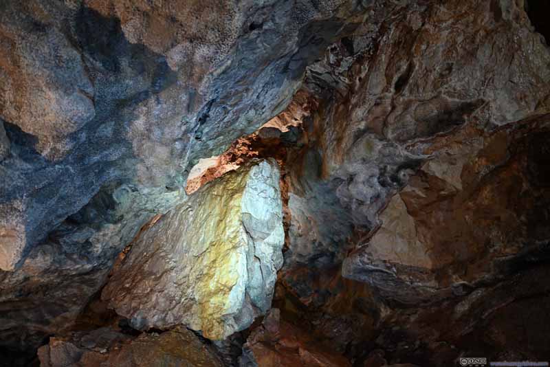 Boulder


Click here to display photos from Jewel Cave.

Ceiling

SparWhite crystals, commonly referred to as the “jewel” of Jewel Cave.
Crystals on Wall

Calcite Crystal
Black Crystals

Stalactites

Stalactites Glowing under Ultraviolet Light

Wall of Flowstones
Alcove with Crystals
Flowstone
Gap between Boulders

Ceiling with Crystals

Wall with Crystals
CtystalThis crystal formation was pretty common towards the latter half of the tour.
Jewel Cave
Wall with Flowstones

Boulder
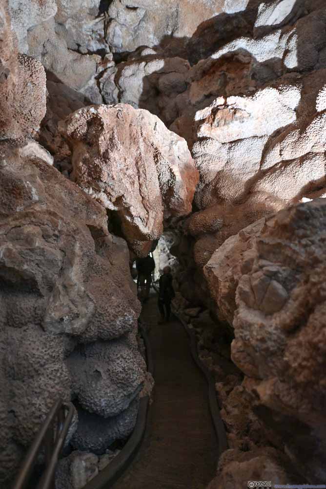 Passage underneath Boulder
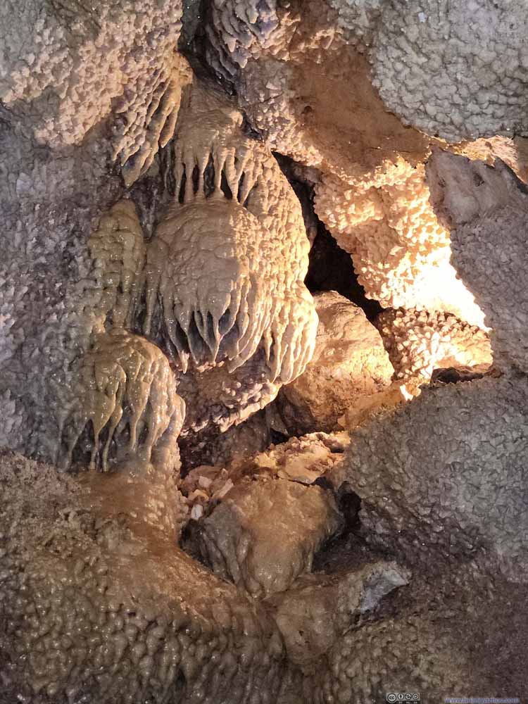 Flowstone
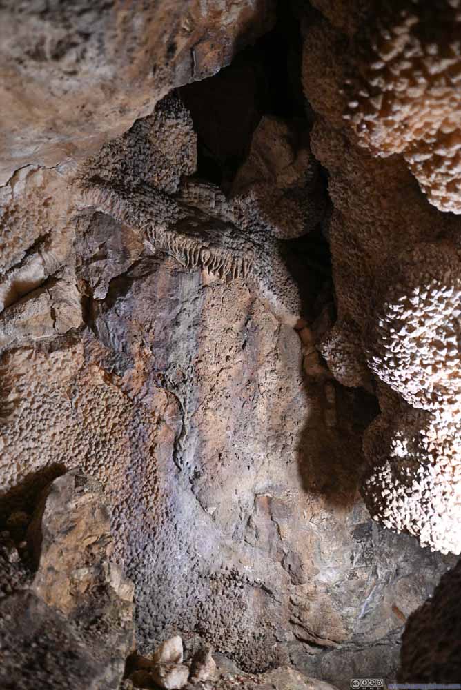 Wall with FlowstonesAn interesting combination of colors for this wall.
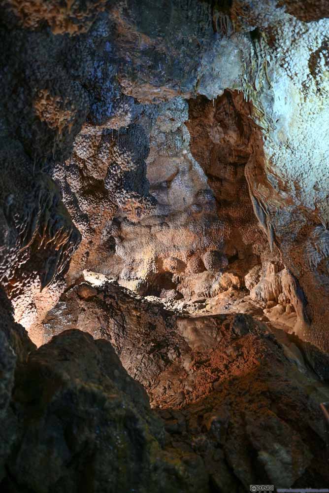 Ceiling with Crystals
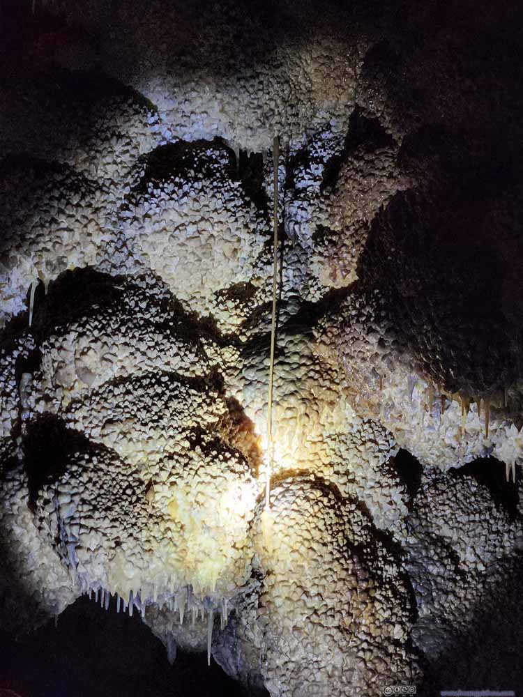 Long Stalactite
 Jewel Cave
 Passage
Click here to display photos from Jewel Cave.
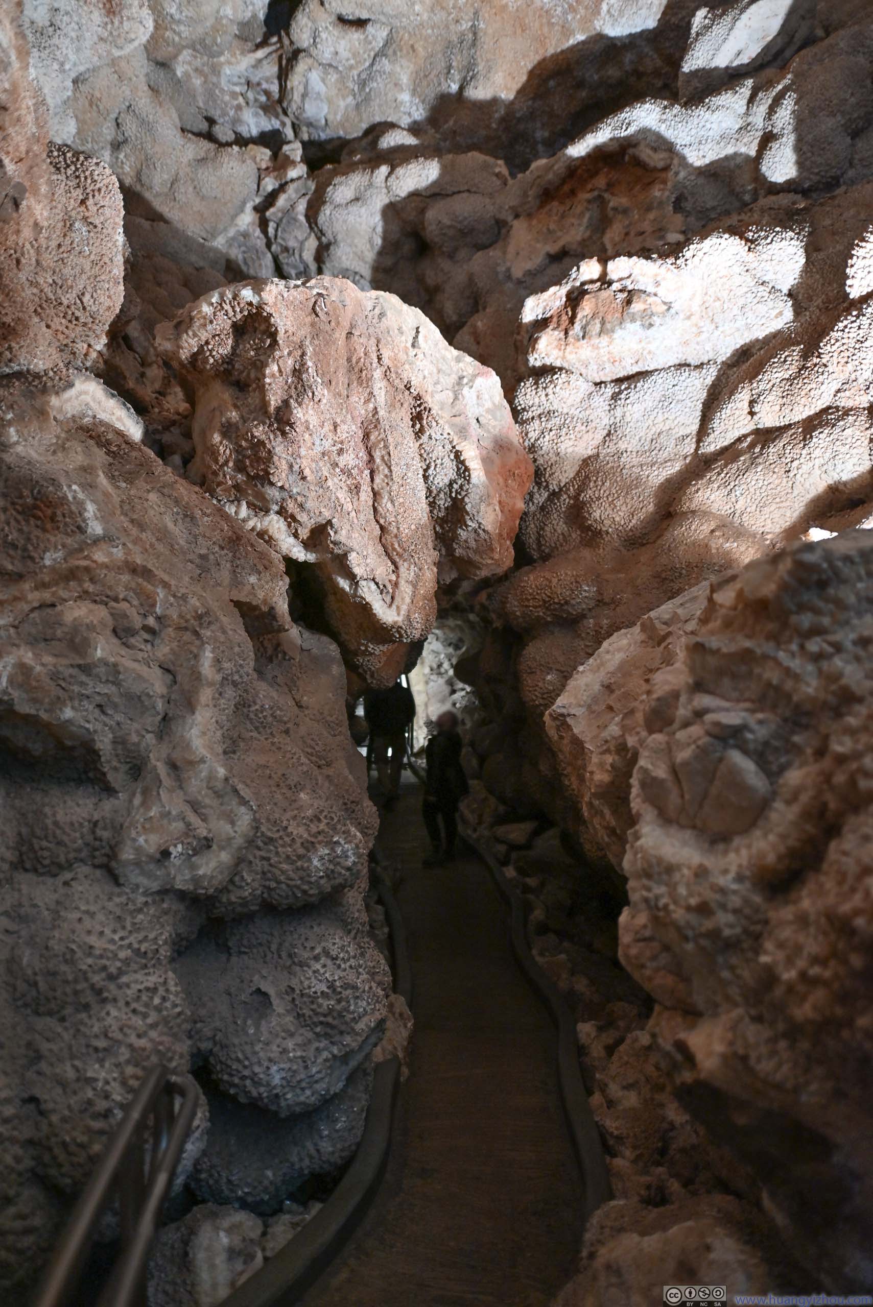
Passage underneath Boulder
Flowstone
Wall with FlowstonesAn interesting combination of colors for this wall.

Ceiling with Crystals

Long Stalactite
Jewel Cave

Passage
After touring Jewel Cave, the rain had stopped and it was a bright blue sky that greeted me out of the cave. I headed east to the town of Custer for lunch.
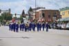
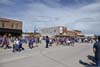
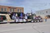
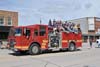
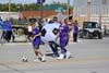
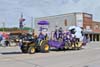
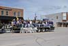
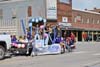
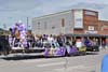
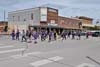
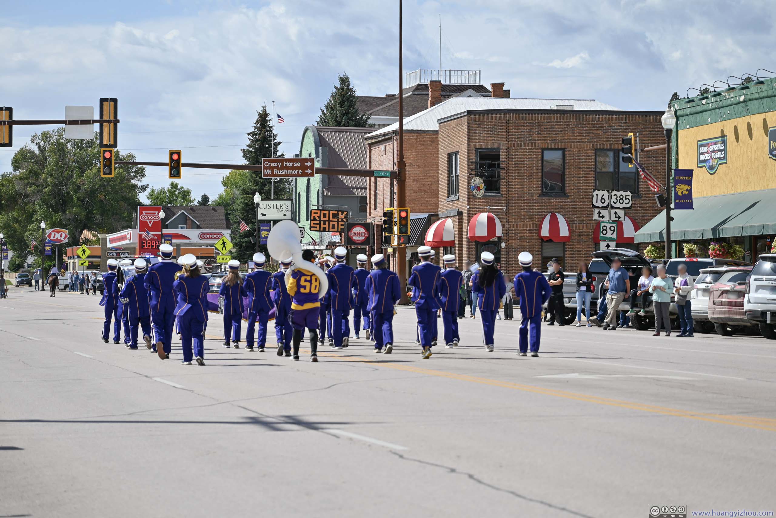
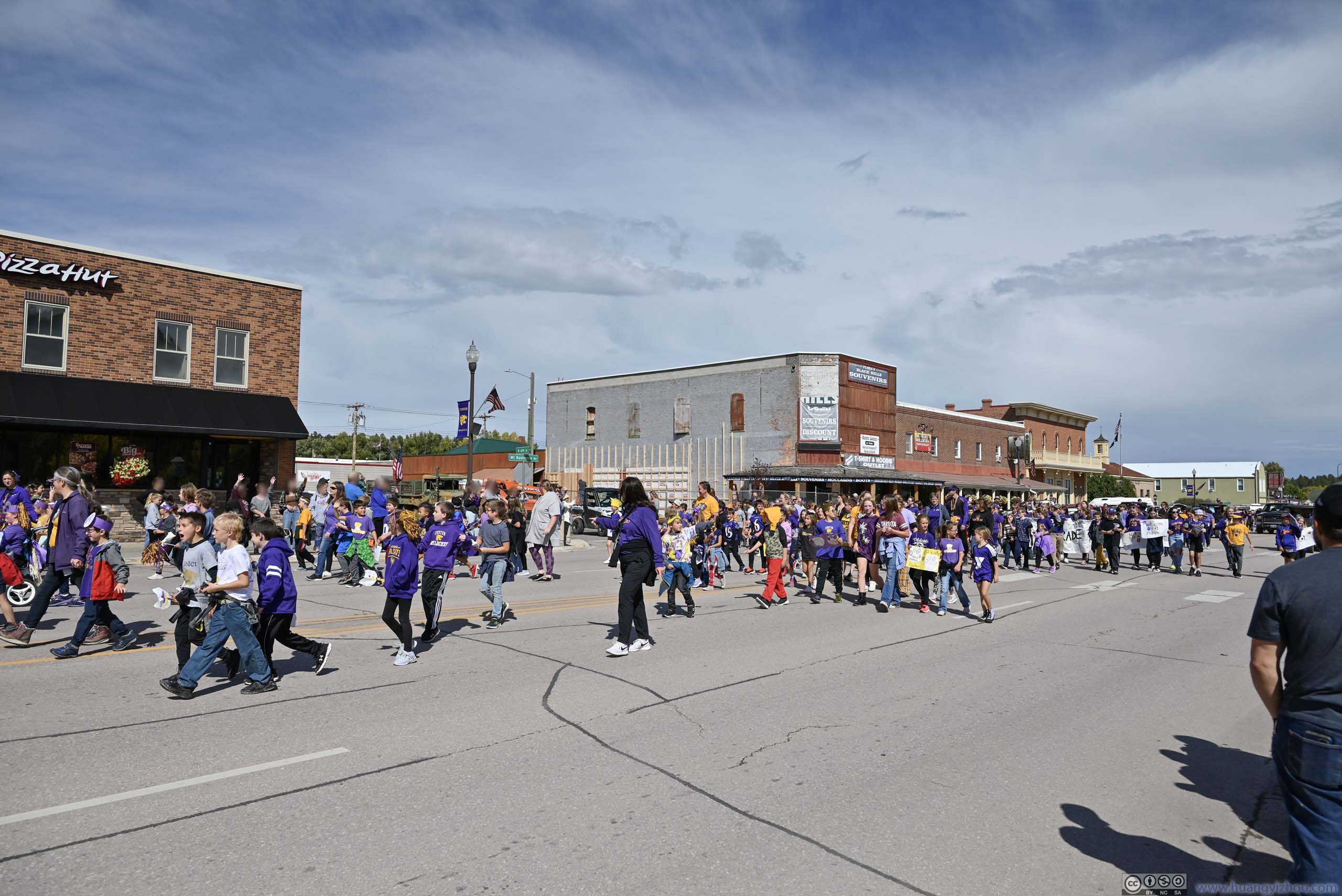
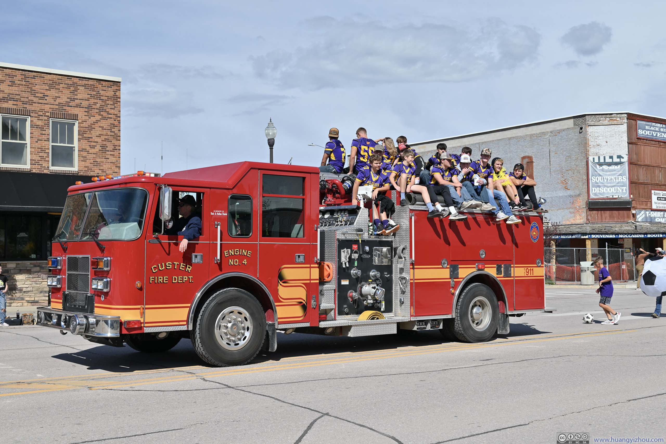
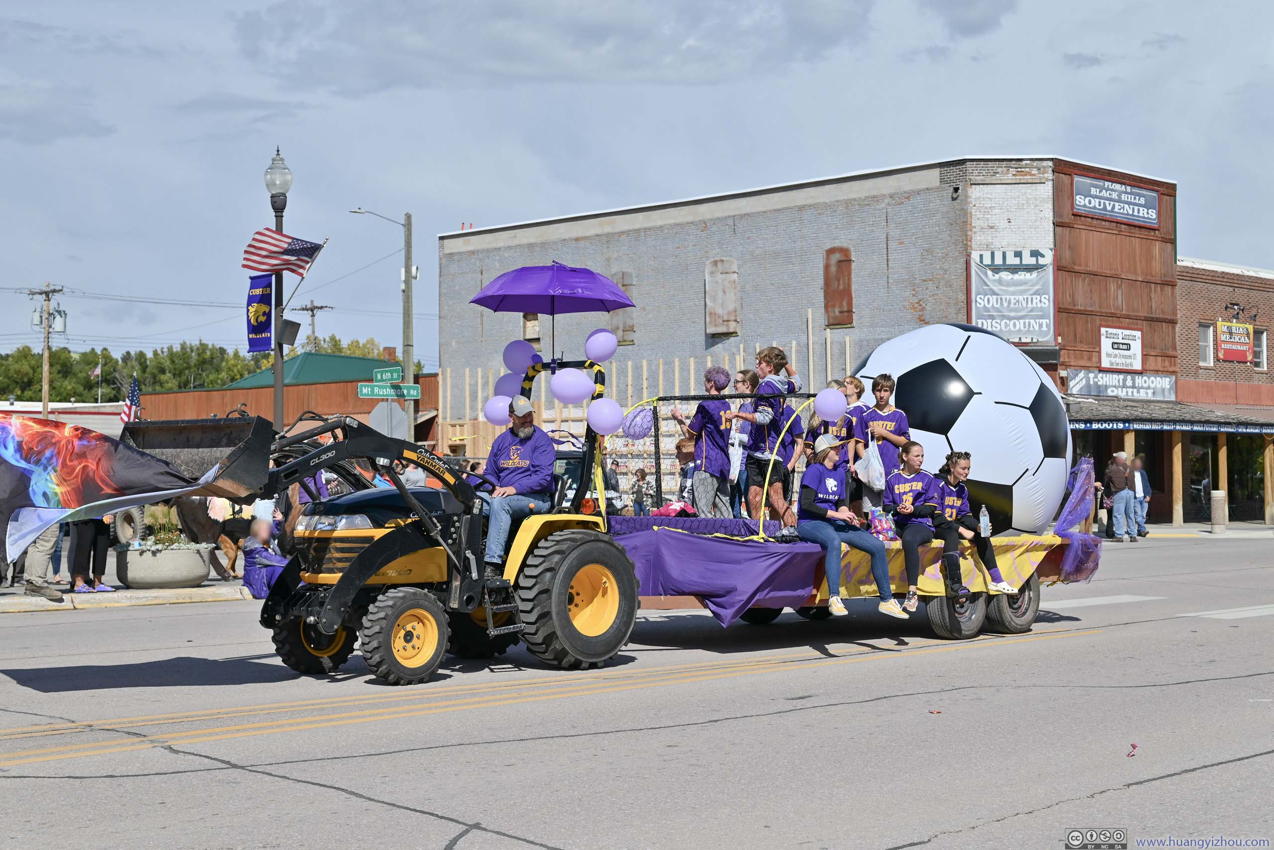
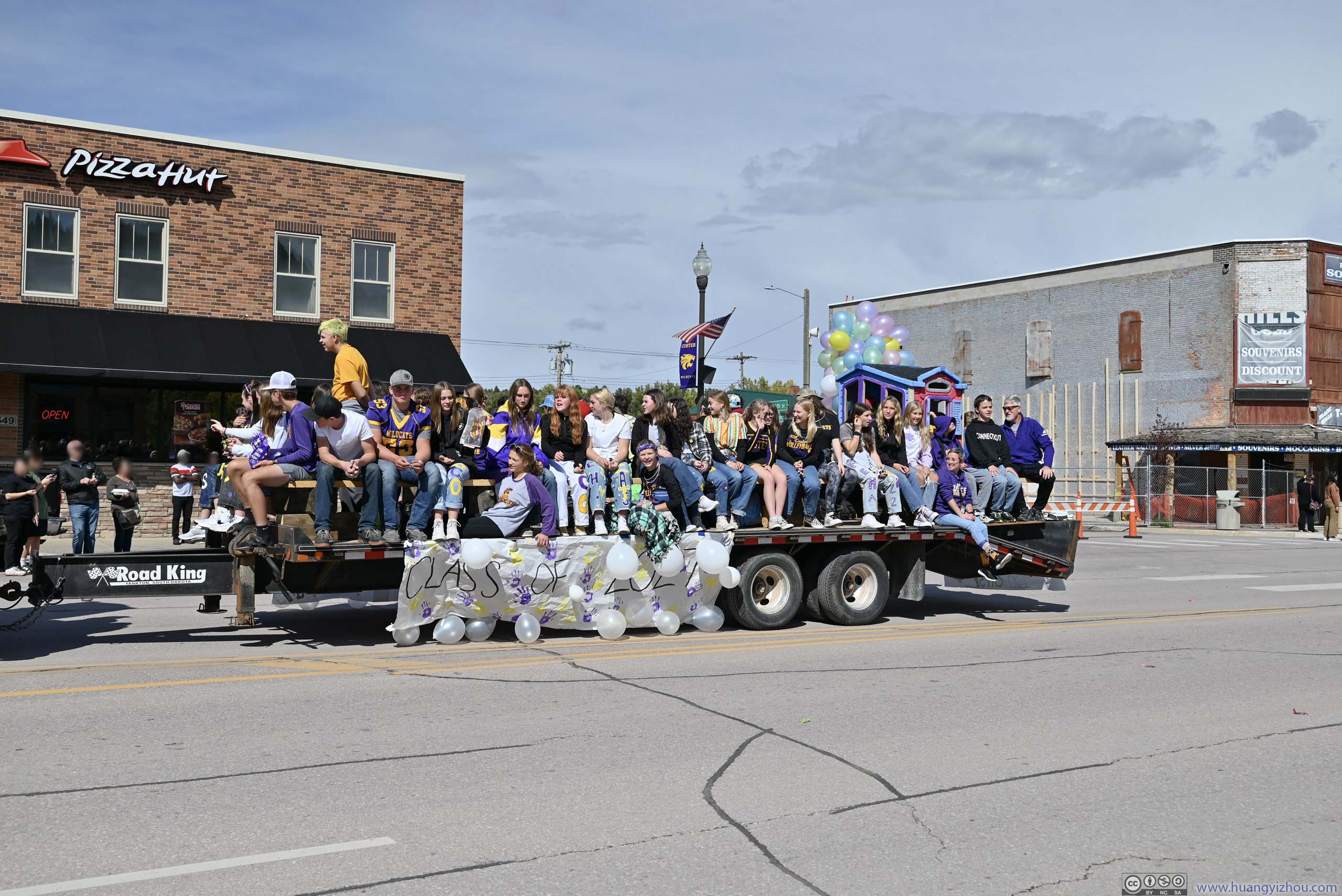
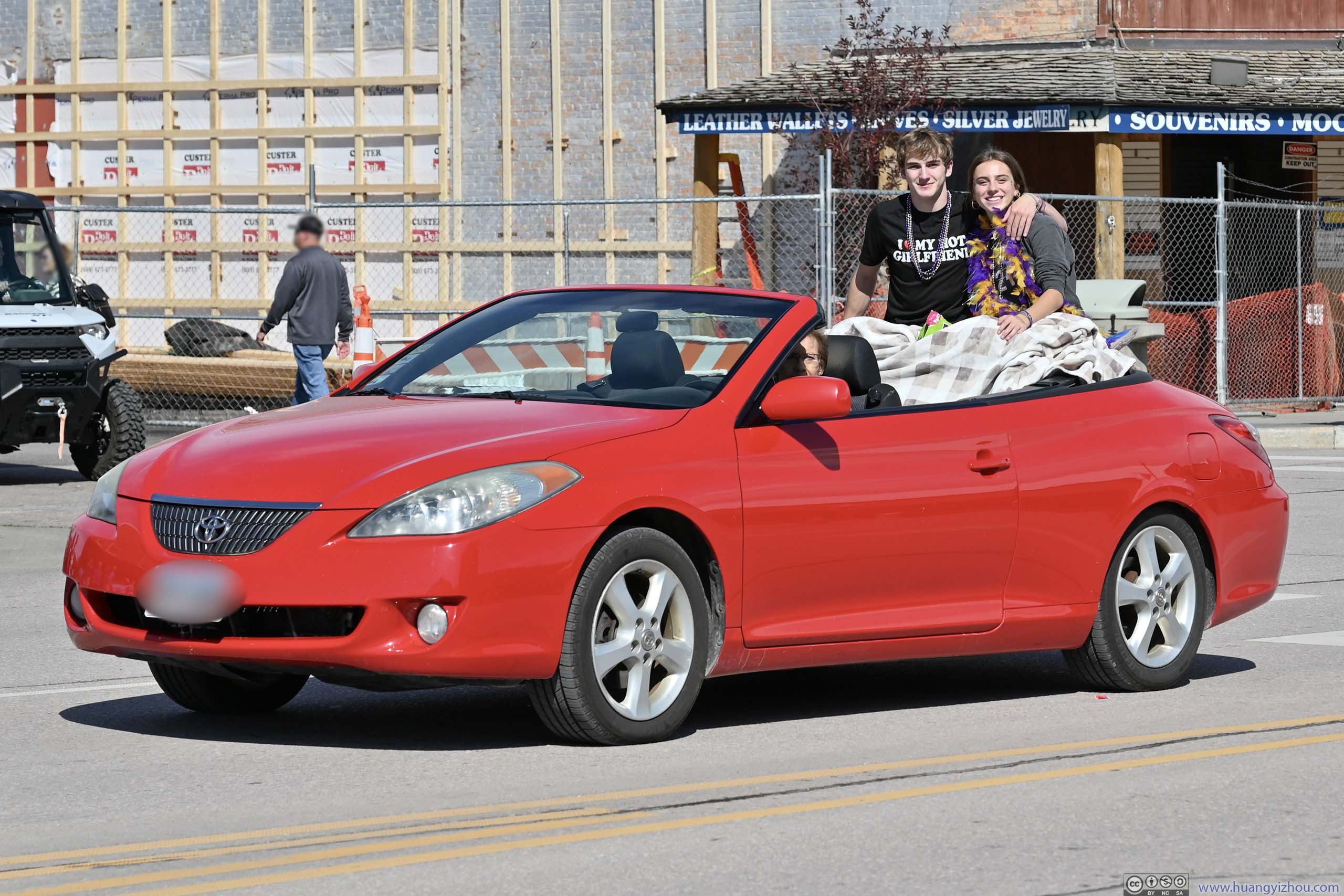
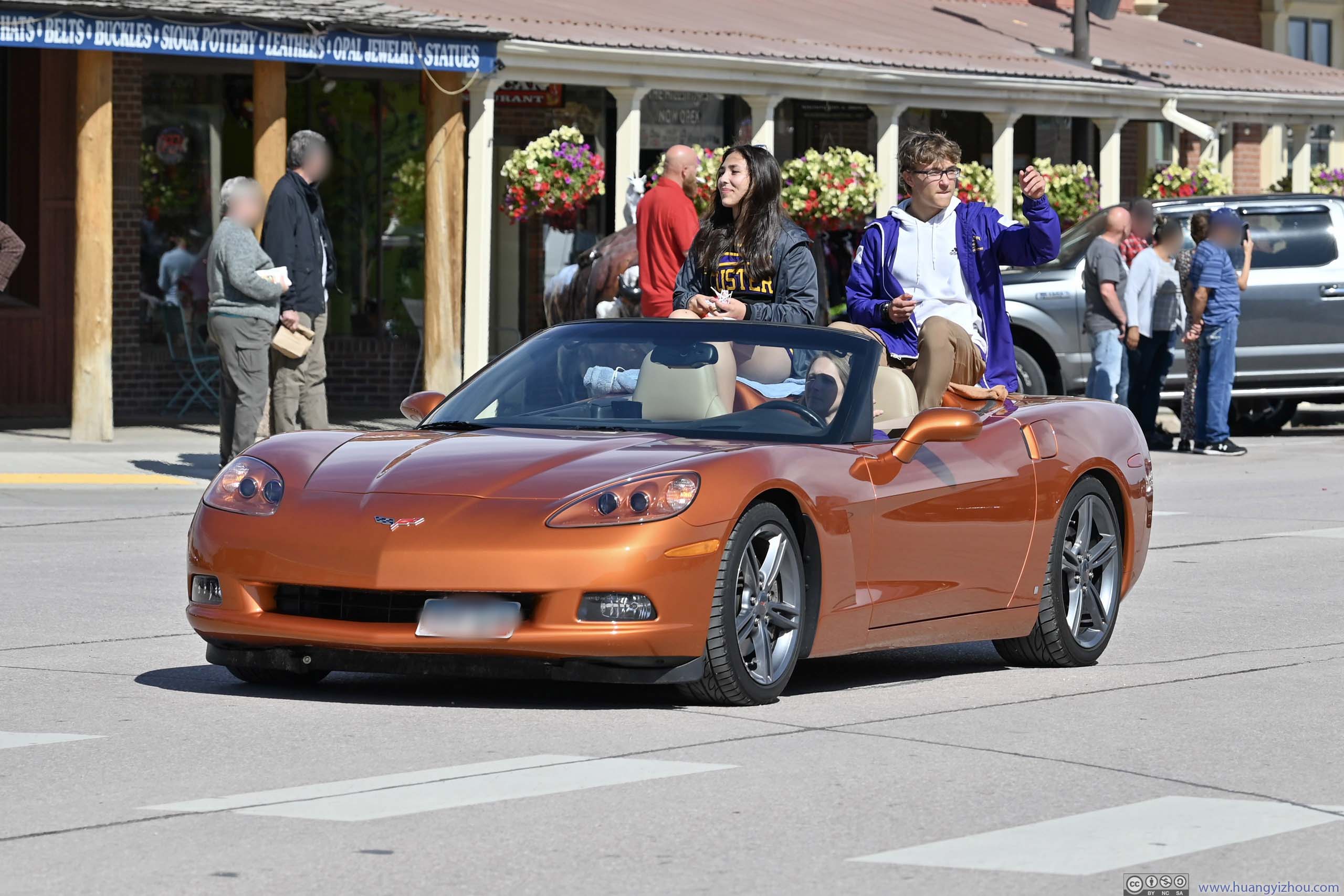
After lunch as I was trying to leave the town for the day’s remaining itineraries, I found the town was hosting a parade, and I was just in time for its start. I didn’t know what it’s for, but judging that the parade featured students of all grades and a giant inflatable soccer, I guessed it was to cheer the local elementary/middle school/high school soccer team, and the locals were very animated by their presence.
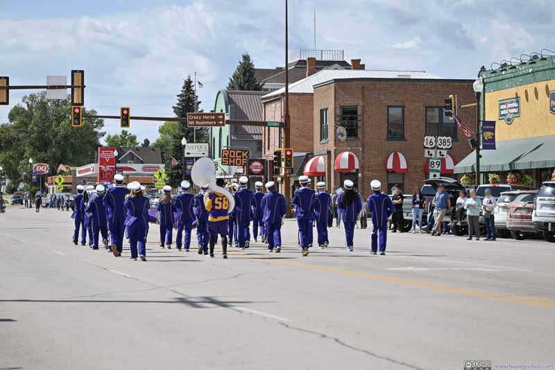 Parade
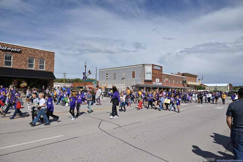 Parade
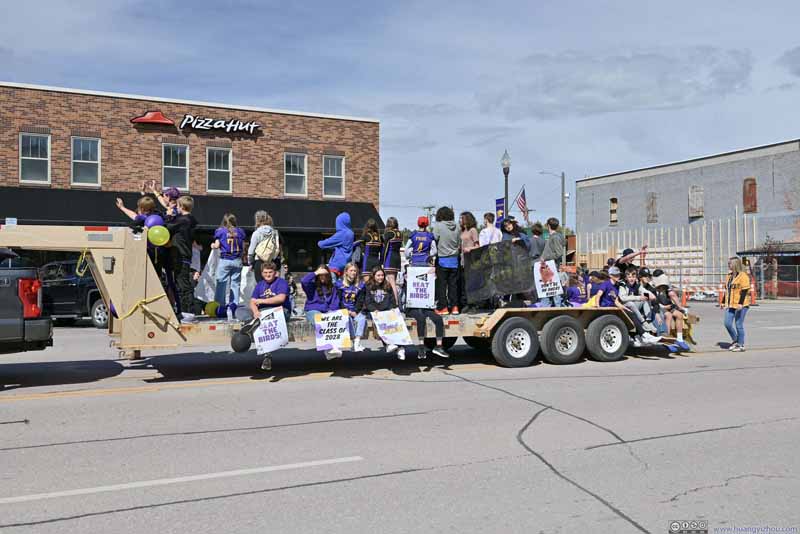 Parade
 Parade
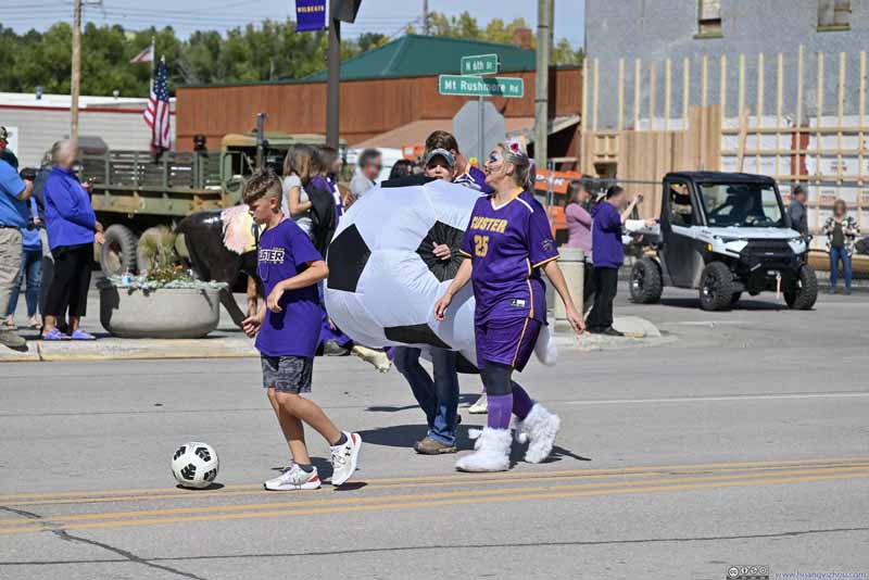 Parade
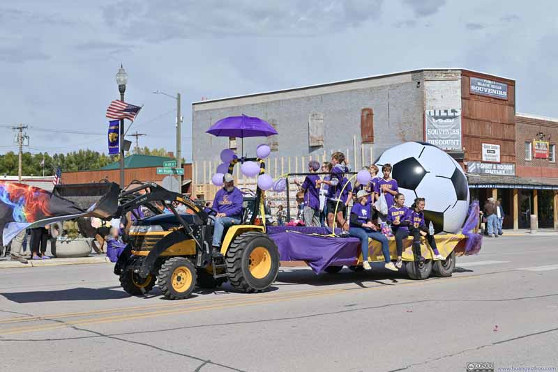 Parade
 Parade
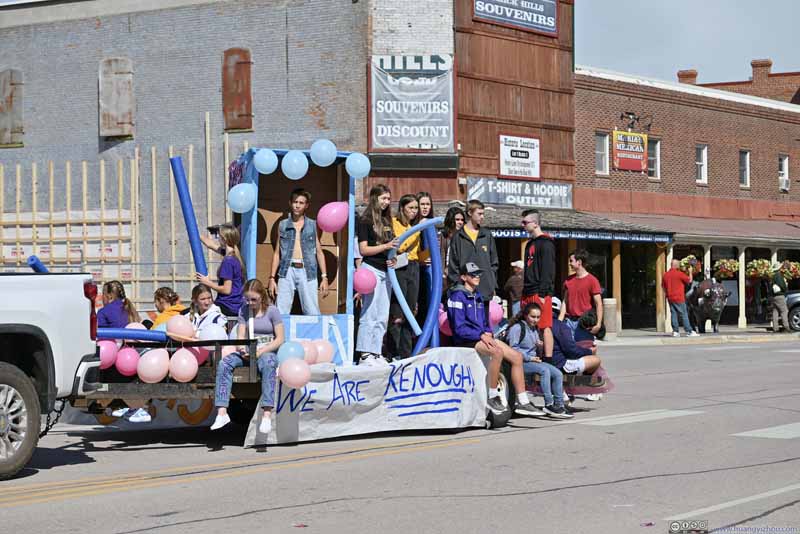 Parade
 Parade
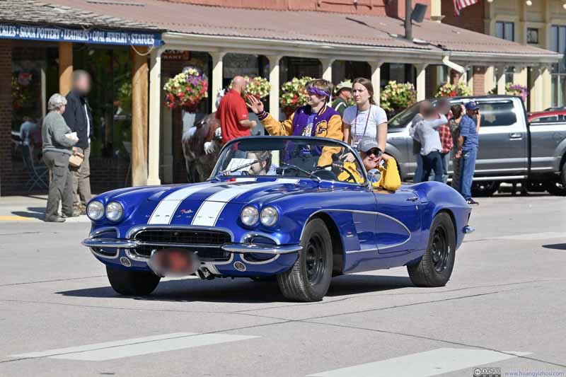 Parade
 Parade
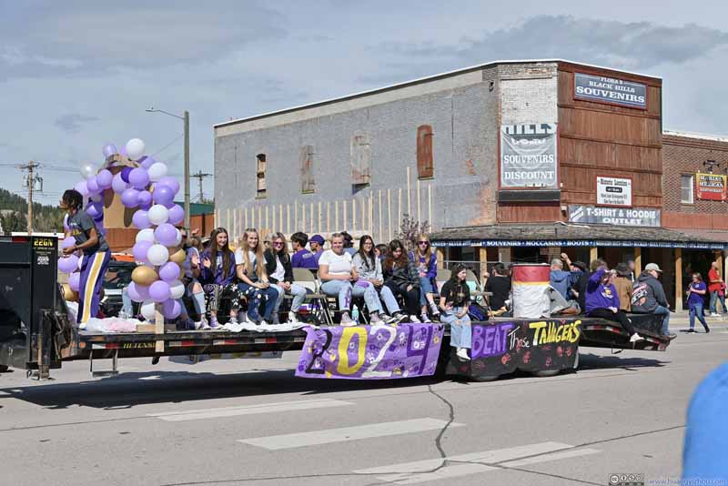 Parade
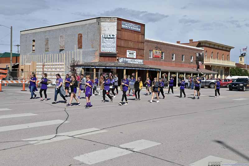 Parade

Click here to display photos of a parade in Custer, SD.
Parade
Parade

Parade
Parade

Parade
Parade
Parade

Parade
Parade

Parade
Parade

Parade

Parade
After the parade, I continued east. For a bit of the region’s history, I checked out Gordon Stockade Historic Site.
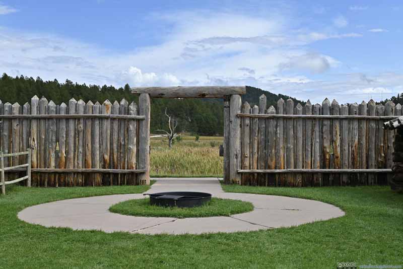
Gordon Stockade Historic Site
During the summer of 1874, US Army Lieutenant Colonel George Armstrong Custer led an expedition into the Black Hills searching for a suitable location to set up a military fort. (The nearby town of Custer was named after this Colonel.) The expedition reportedly found gold near French Creek. After the news broke out, gold miners swarmed to the region hoping to make a fortune, which was in violation of the 1868 Fort Laramie treaty as that treaty considered the Black Hills “unceded Indian territory”.
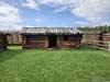
The Gordon Party was among the first gold miners in the region, building this stockade in December 1874, which provided some basic defense against the Indian tribes. Gold mining wasn’t as profitable and soon shifted north from French Creek. The structure today was a replica built in 2004.
 Camp Door
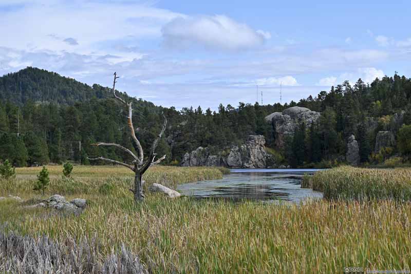 French Creek
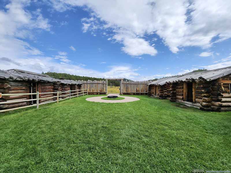 Courtyard
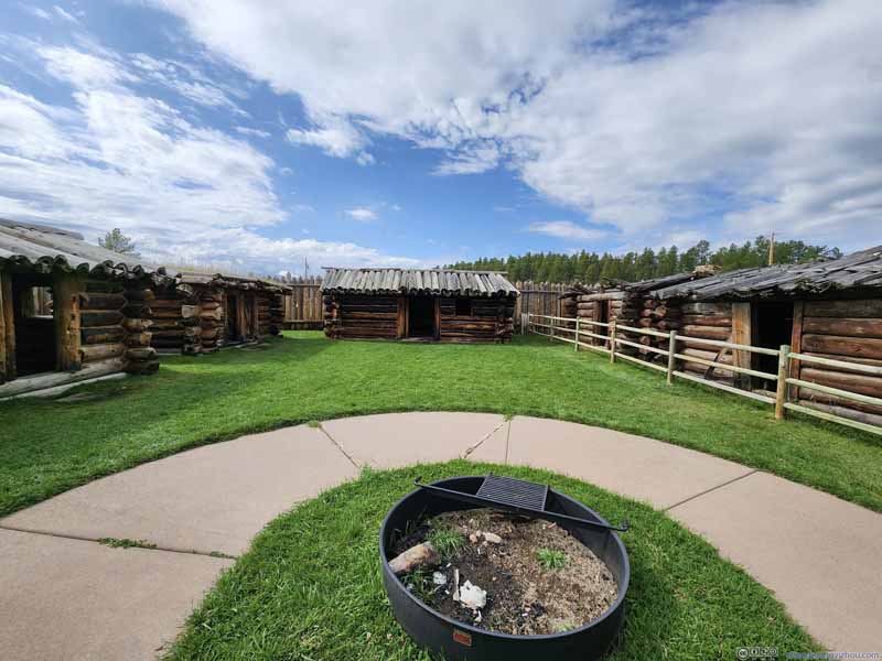 Camp Buildings
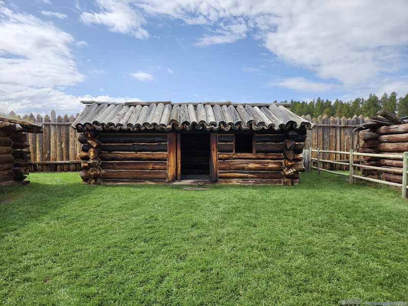 Camp Buildings

Click here to display photos in and around Gordon Stockade Historic Site./summary>
Camp Door
French Creek
Courtyard
Camp Buildings
Camp Buildings
Camp Door

French Creek
Courtyard
Camp Buildings

Camp Buildings
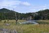
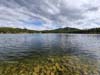
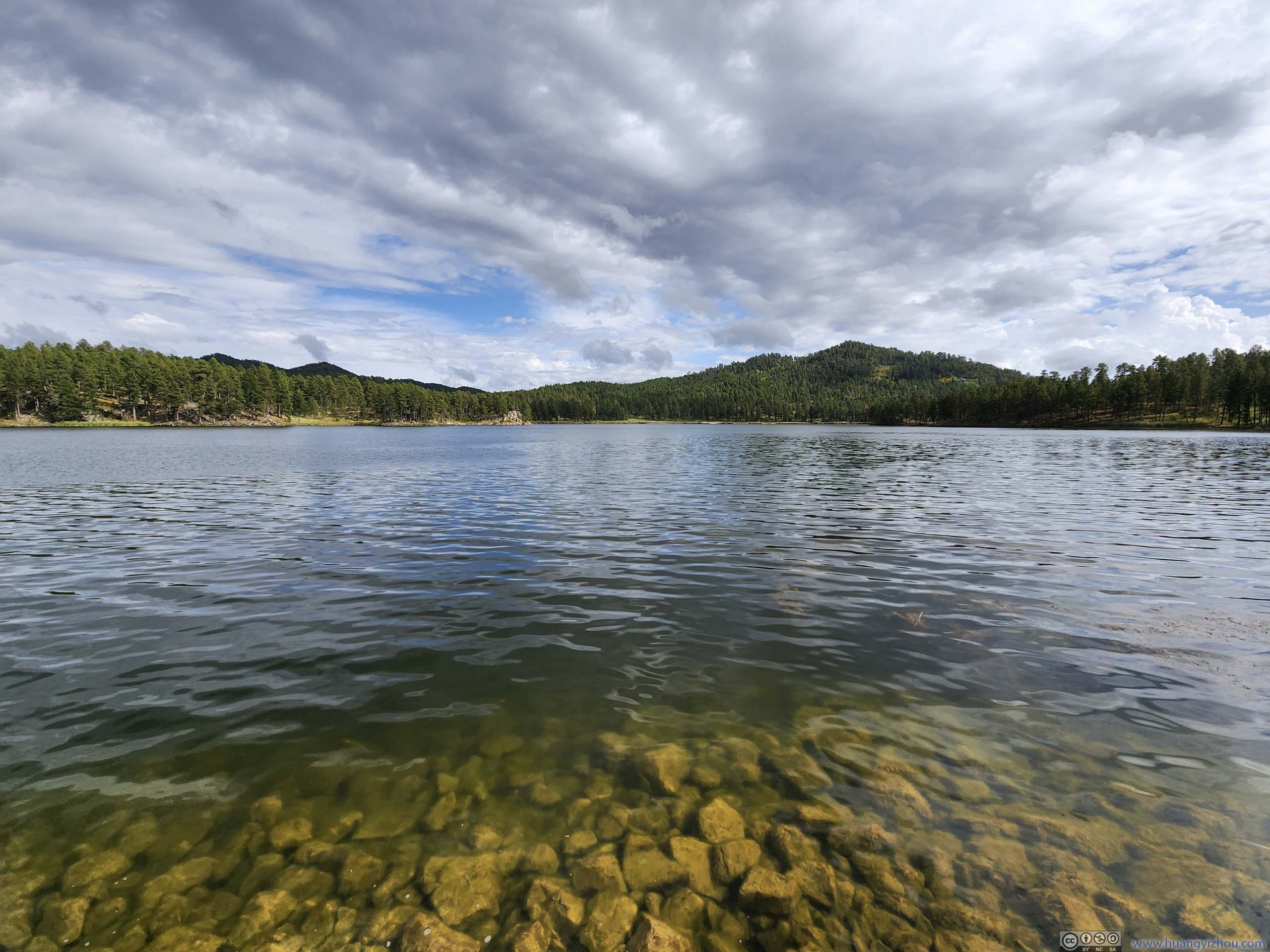
Stockade Lake
After leaving Gordon Stockade, I briefly checked out the nearby Stockade Lake, before continuing towards Iron Mountain Road.
 Stockade Lake
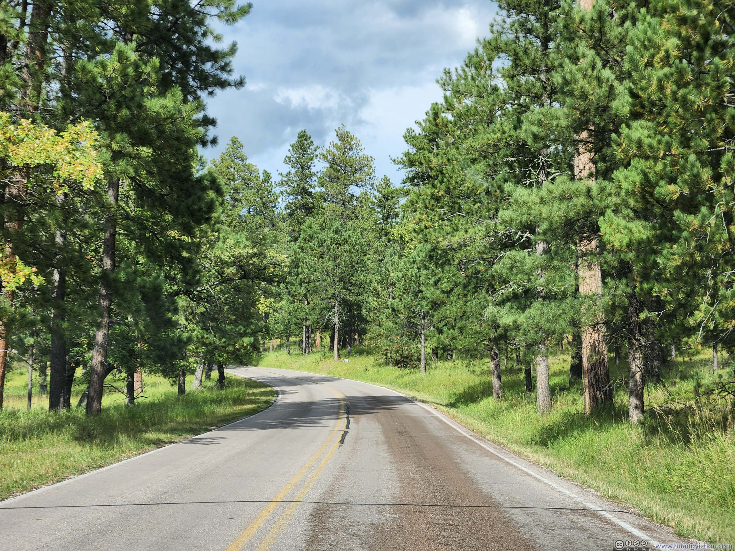
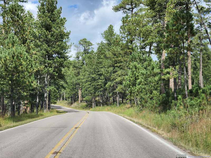 Needles Highway
The section that I didn’t travel yesterday. In the absence of granite, pine needles were living up to its name.
Needles Highway
The section that I didn’t travel yesterday. In the absence of granite, pine needles were living up to its name. Needles Highway
The section that I didn’t travel yesterday. In the absence of granite, pine needles were living up to its name.
Needles Highway
The section that I didn’t travel yesterday. In the absence of granite, pine needles were living up to its name.
Click here to display photos of the slideshow
Stockade Lake

Needles Highway
Needles Highway
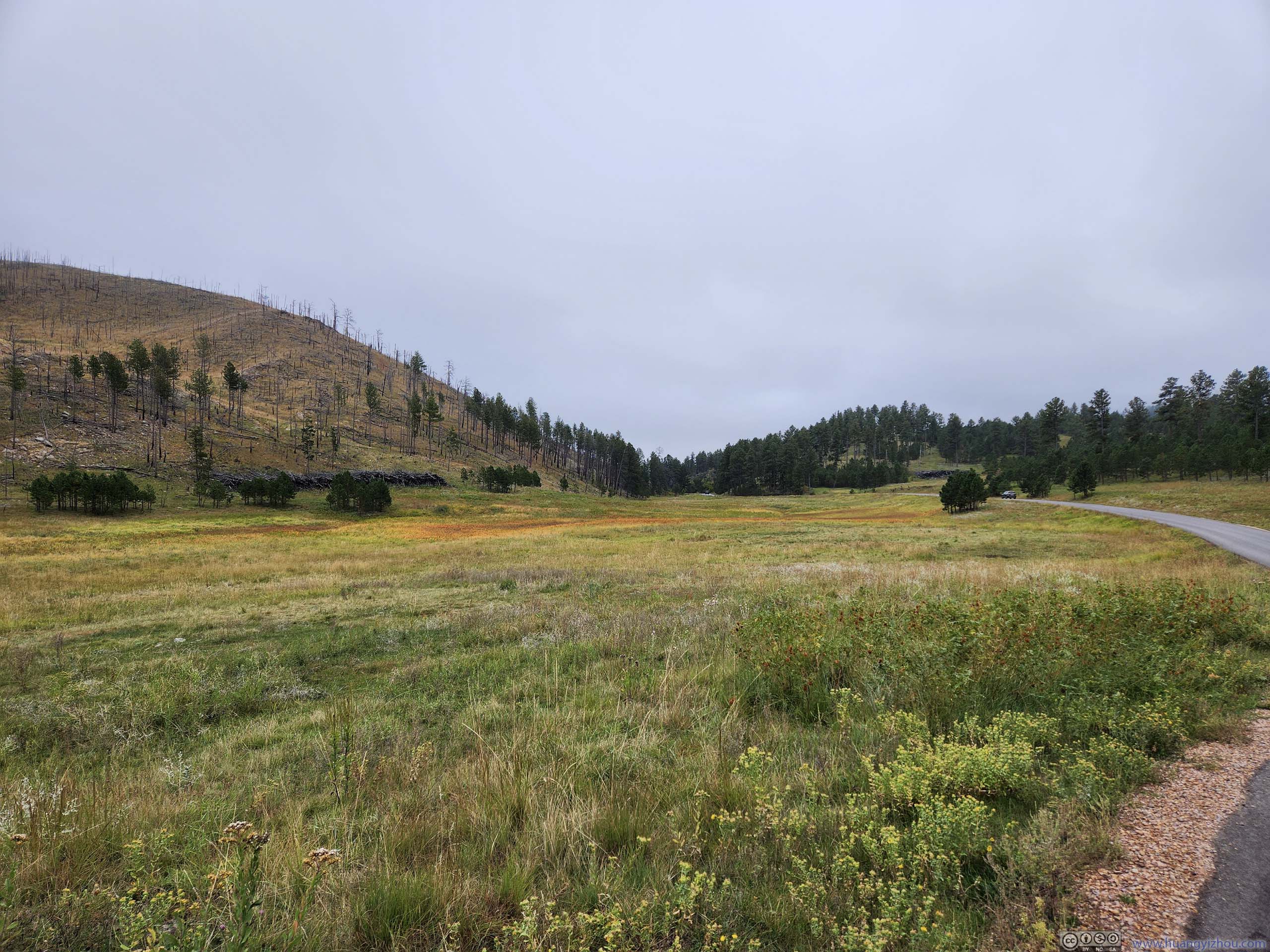
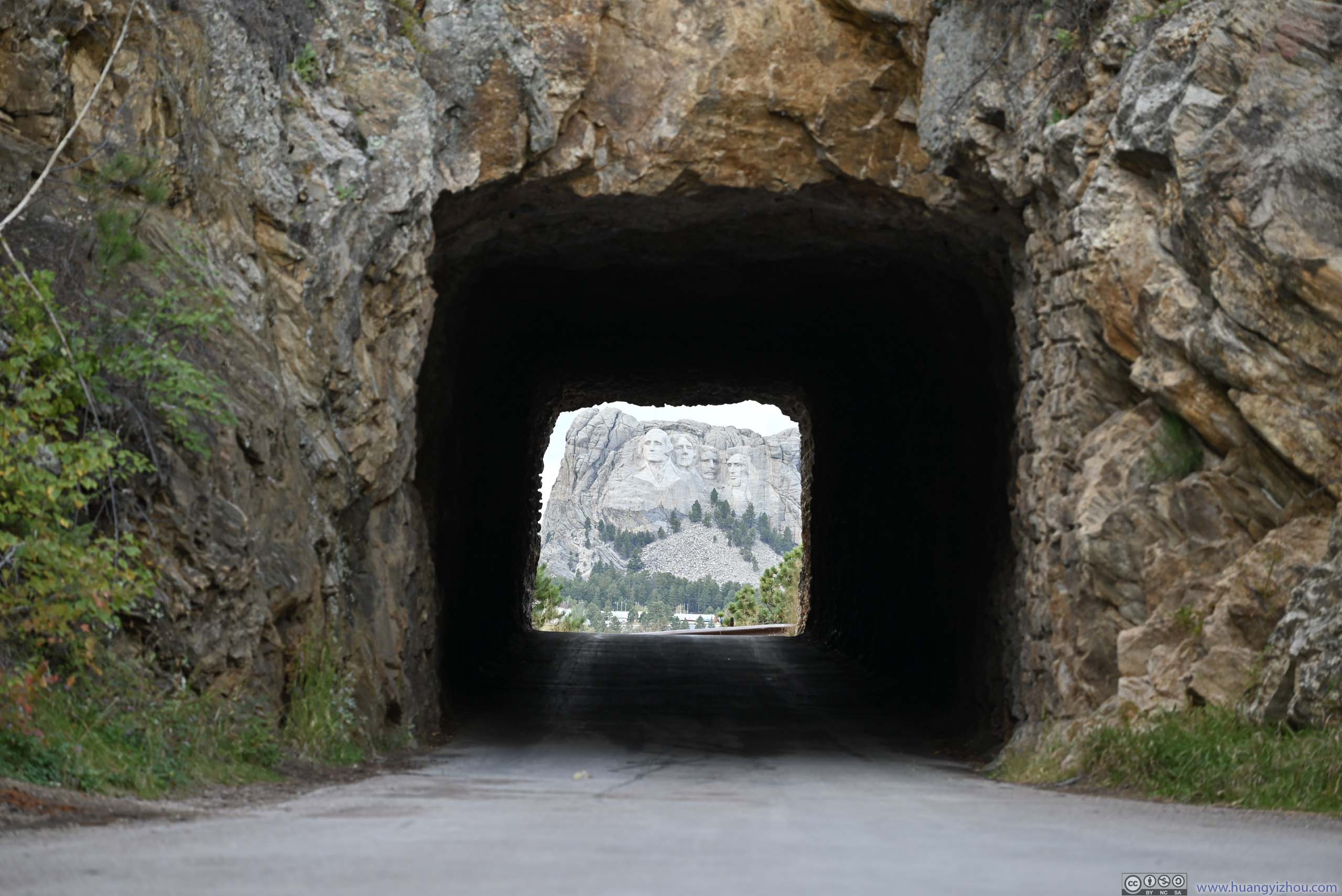
Iron Mountain Road
In addition to Needles Highway, Iron Mountain Road was the other scenic highway in the Black Hills. The road was designed deliberately for tourism, showcasing the region’s landscape and the most important attraction nearby: Mount Rushmore. I could attest that the road contained a fair number of twists and turns, and was certainly fun to drive.
On the other hand, probably because I had already been to the more exciting “Needles Highway” the previous day, I didn’t find Iron Mountain Road that appealing. It seemed to me that apart from views of Mount Rushmore, there’s nothing remarkable of this road. Yes it featured rock tunnels, the Black Hills were so famous for them that the road must feature some. Yes there were a few pigtail bridges, so iconic that if one searched the word “pigtail bridge” on Google Images, half of the first page were Iron Mountain Road. But somehow, I just wasn’t as thrilled by this road as I hoped I would have been.
Below is a timelapse video from my windshield-mounted GoPro, recording my entire drive through Iron Mountain Road and later around Mount Rushmore.
5 minutes, 2160p30fps, H265 only, 14Mbps/526MB.
- 0:00 Starts at Iron Mountain Road after the intersection with North Playhouse Road.
- 1:20 Scovel Johnson Tunnel. After that, it’s a series of switchbacks to the top of the mountain.
- 1:57 Parking lot of Norbeck Overlook near the top of the mountain. The only (official) overlook along Iron Mountain Road.
- 2:49 CC Gideon Tunnel. After that it’s a pigtail bridge.
- 3:16 Doane Robinson Tunnel, the one with views of Mount Rushmore. After which is another pigtail bridge.
- 4:12 Leaving Iron Mountain Road and onto SD Route 244 towards Mount Rushmore.
- 4:41 The entrance of Mount Rushmore.
- The video ends soon after that as rain arrived.
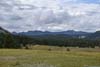
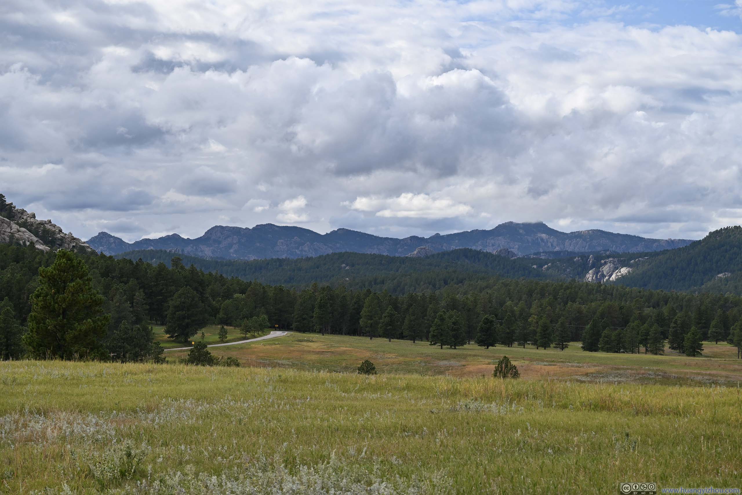
Below were the views from the first roadside turnout, immediately after leaving CR359/CR753.
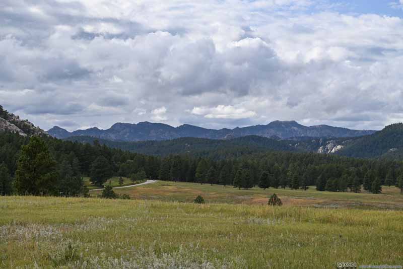 Meadow before Mountains
 Distant Mount Rushmore
 Distant Black Elk Peak

Click here to display photos of the slideshow
Meadow before Mountains
Distant Mount Rushmore
Distant Black Elk Peak
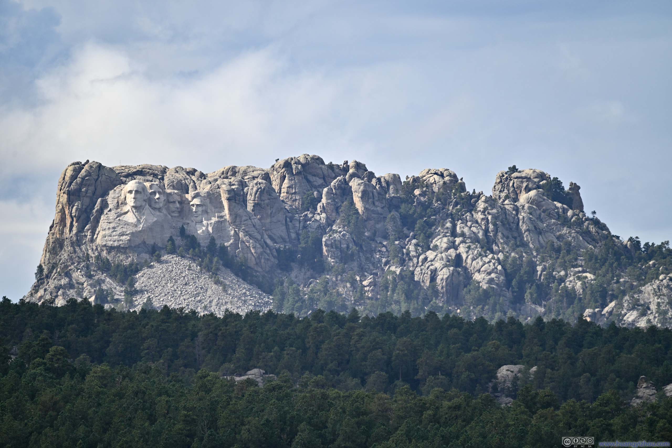
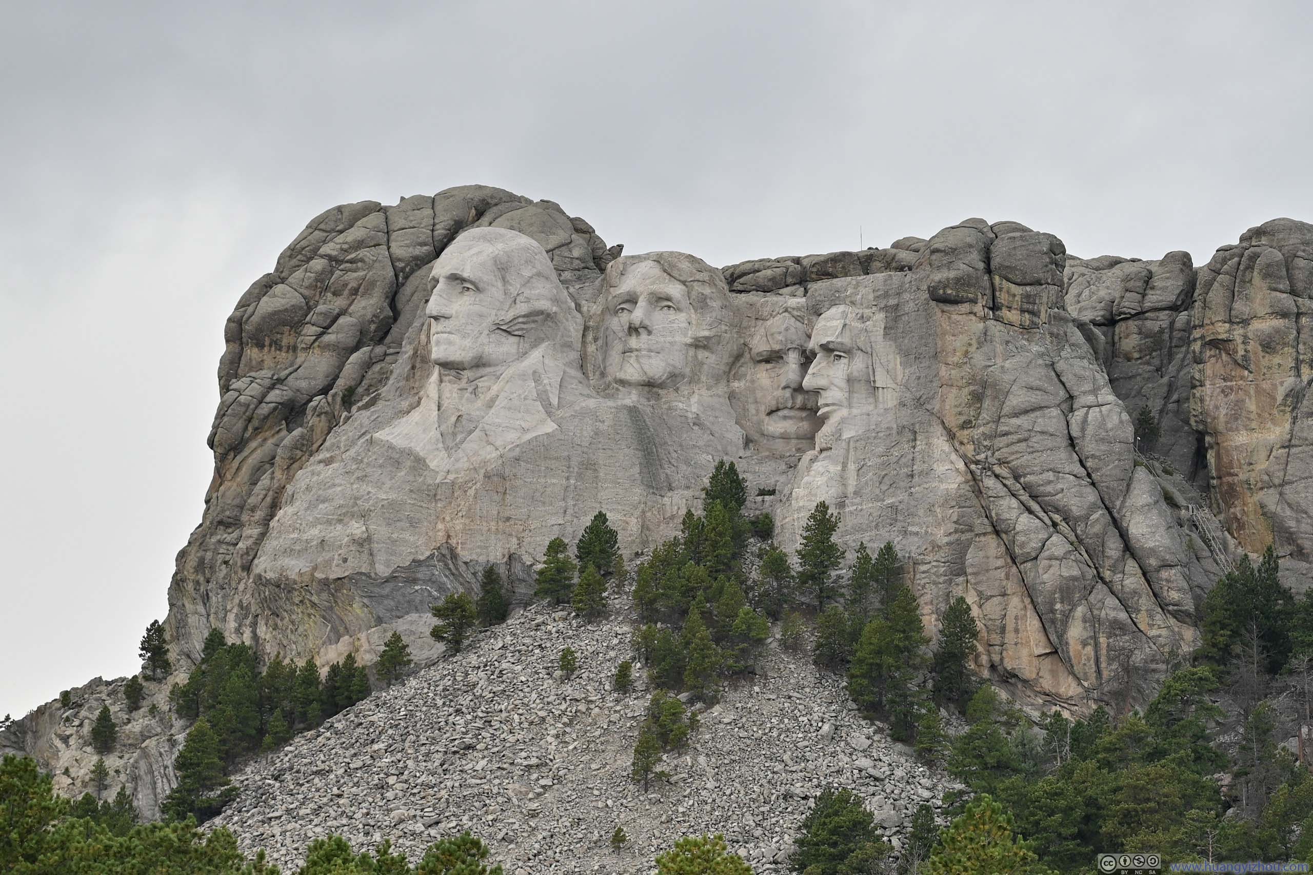
Then it’s Norbeck Overlook. Located close to the summit of Iron Mountain, the highest point of the road. It probably offered the best views of Mount Rushmore along the road.
 Mount Rushmore from Norbeck Overlook
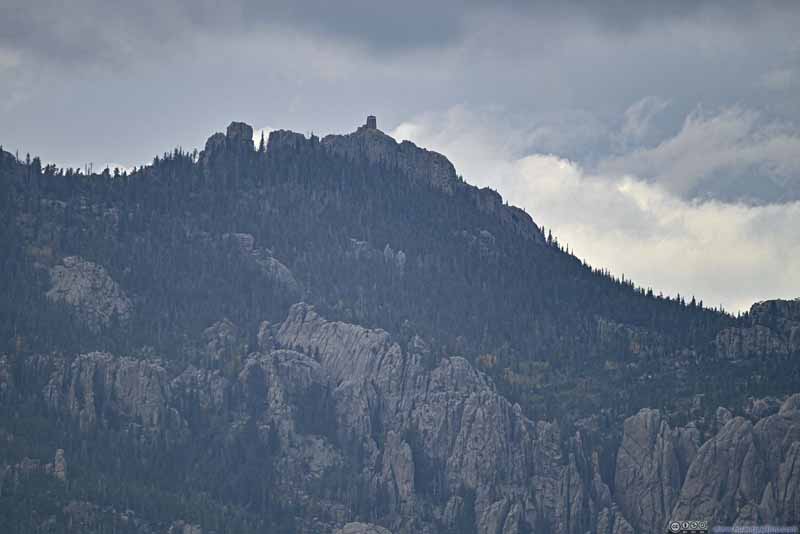 Distant Black Elk Peak
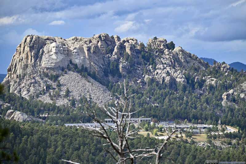 Mount Rushmore from Norbeck Overlook

Click here to display photos from Norbeck Overlook.
Mount Rushmore from Norbeck Overlook
Distant Black Elk Peak

Mount Rushmore from Norbeck Overlook
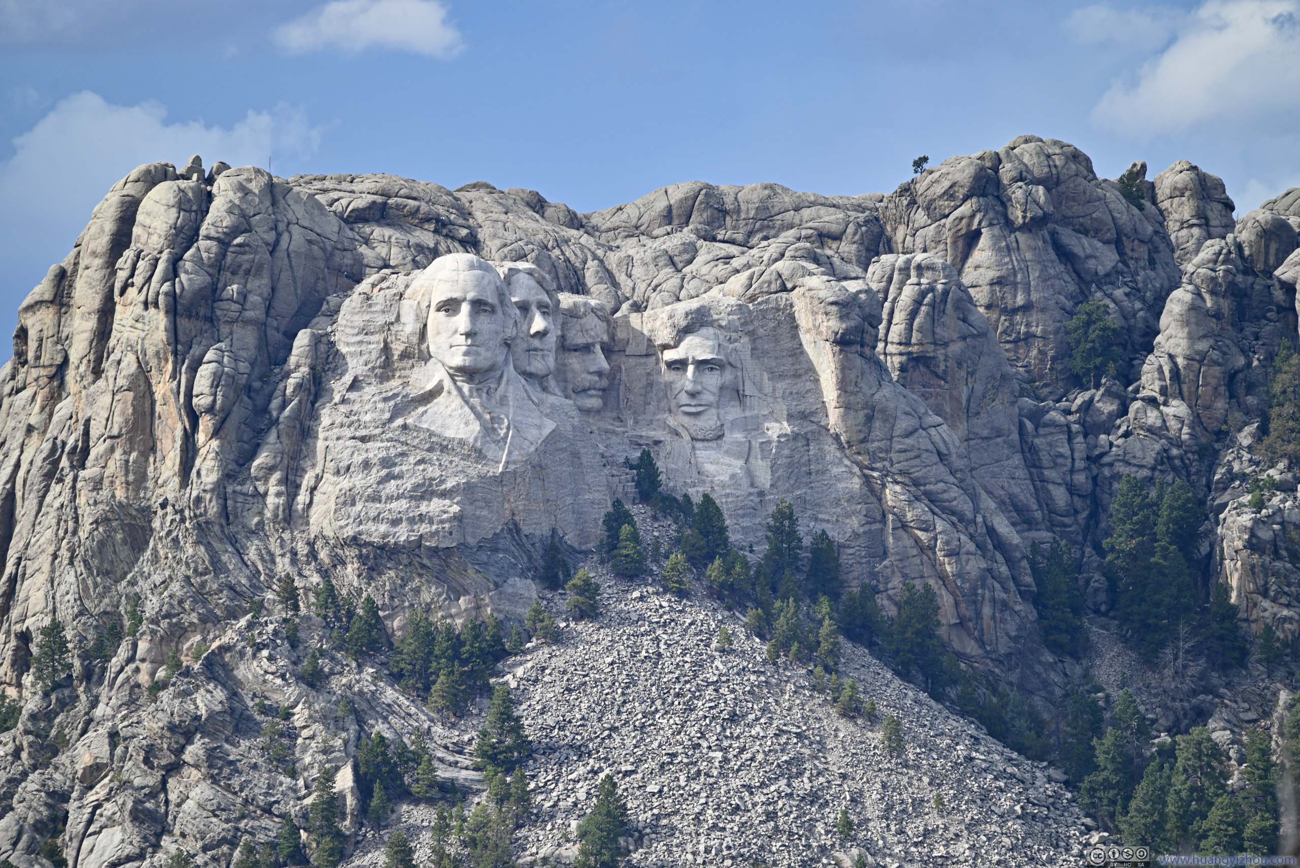
Mount RushmoreA final photo of Mount Rushmore for the day, along SD244.
Naturally, I should be visiting Mount Rushmore next. However, for reasons I don’t want to go into, I decided to skip Mount Rushmore, and checked out Saint Elmo Peak.
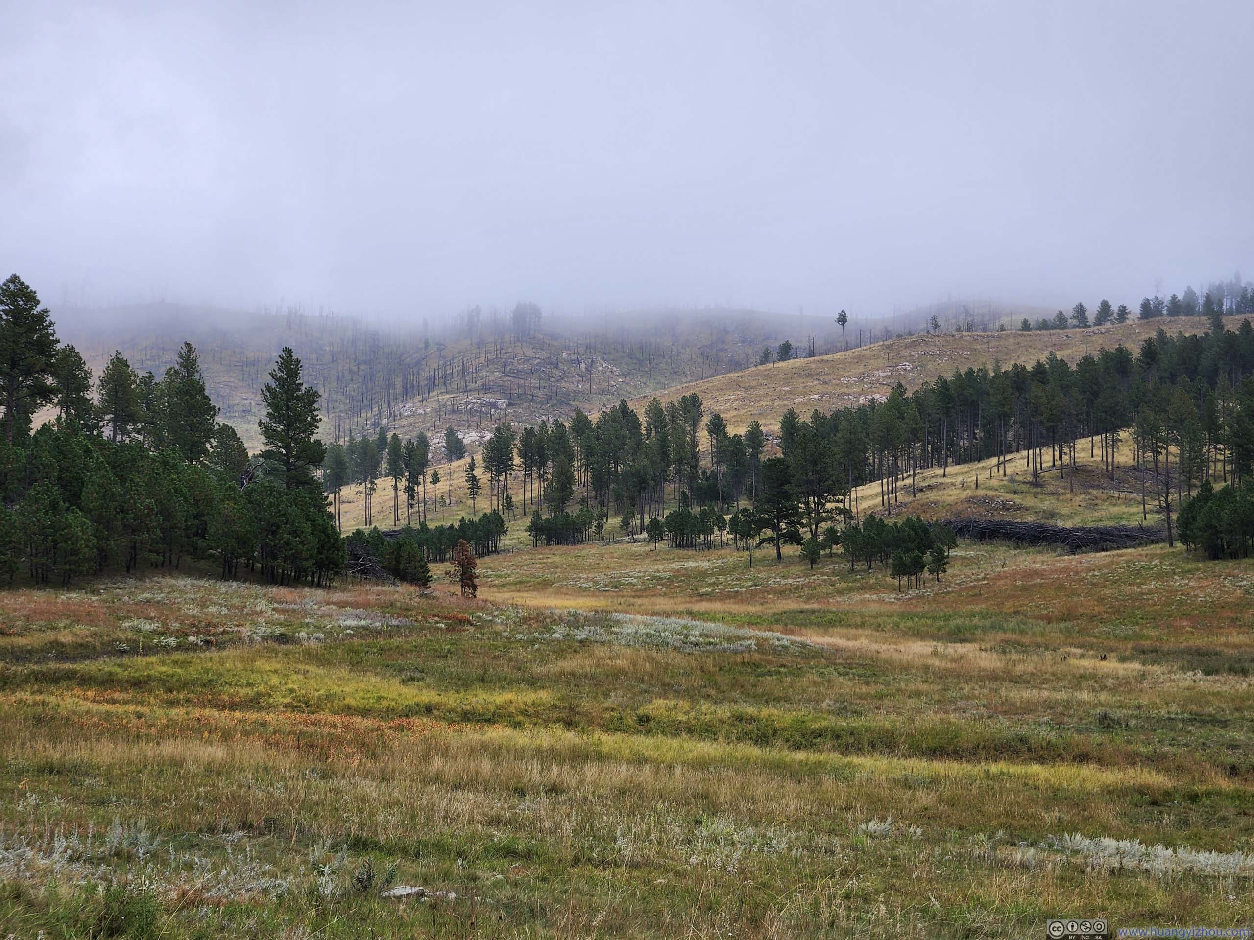
Saint Elmo Peak
This was a 2.9km out-and-back trail with 363m of elevation gain, a relatively short trail with great views of Black Hills at the end, including Little Devil’s Tower and Black Elk Peak.
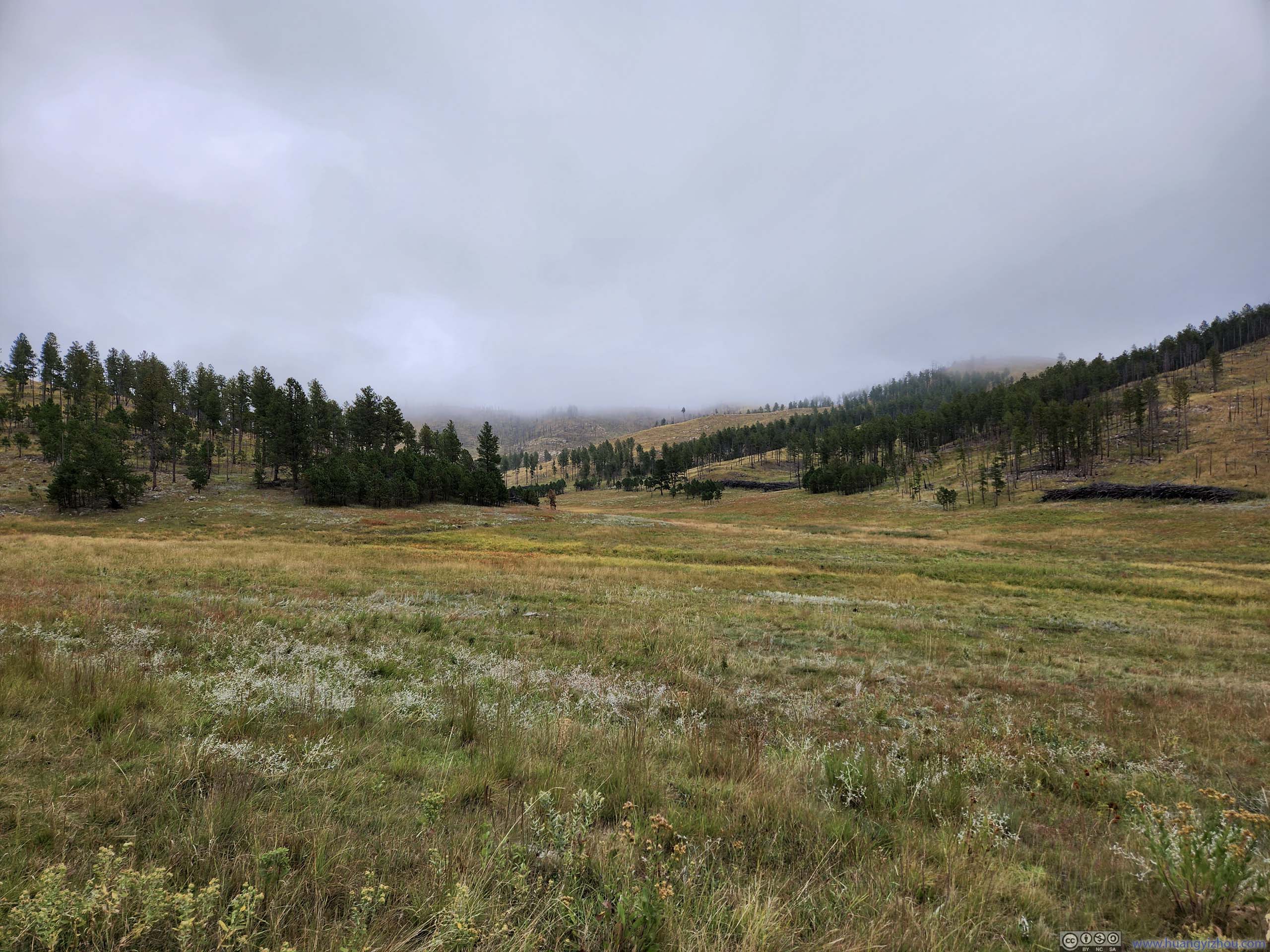
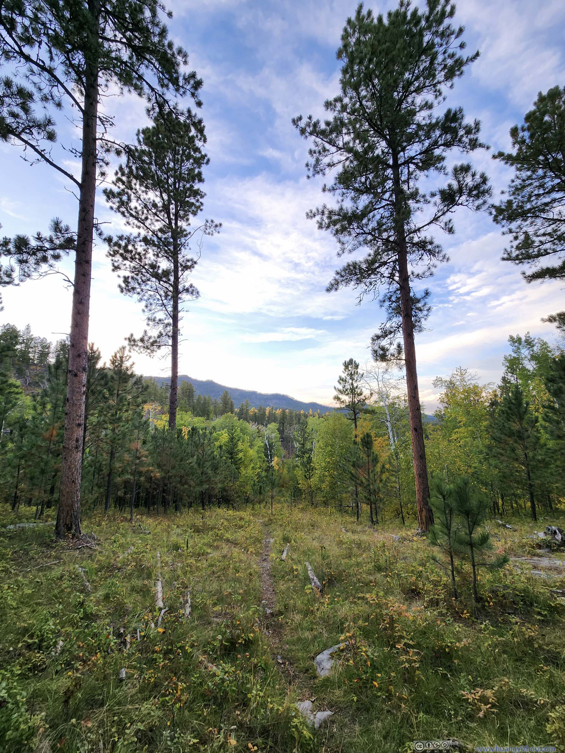
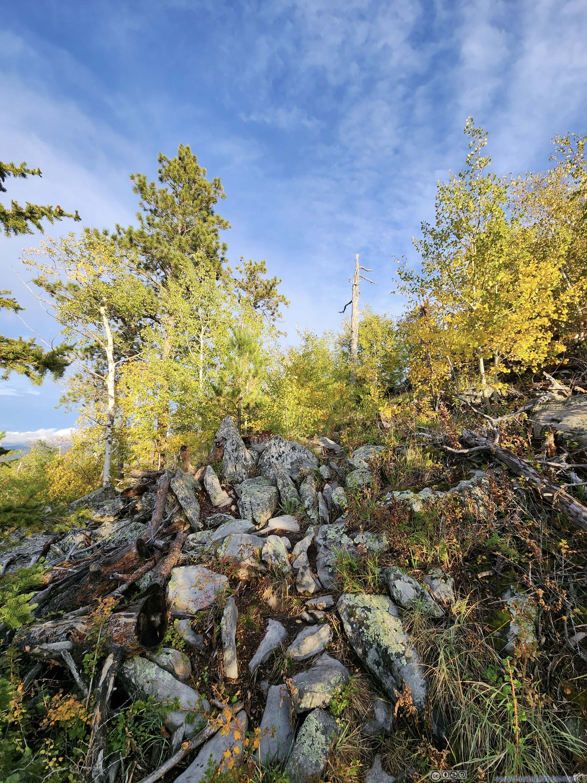
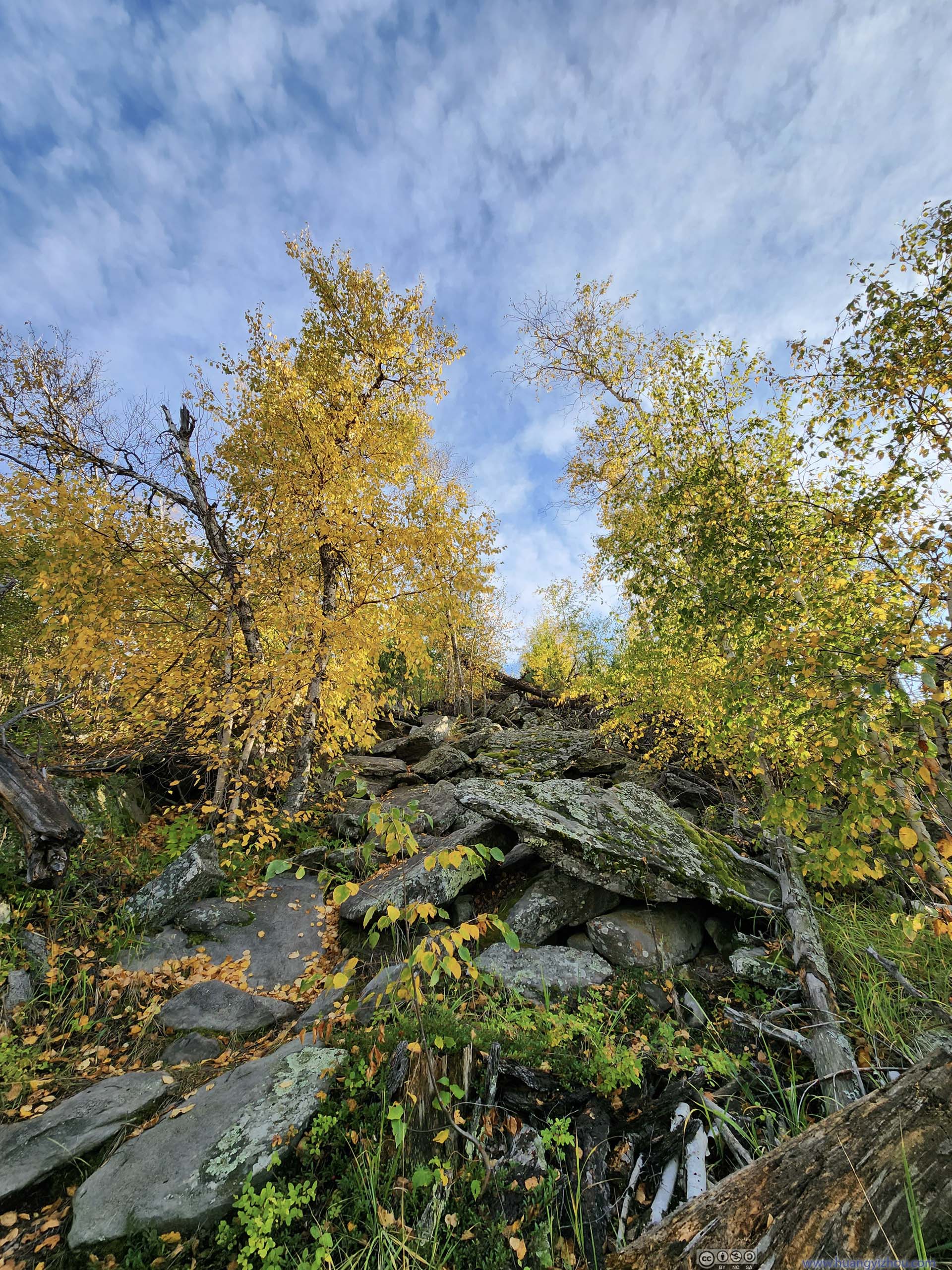
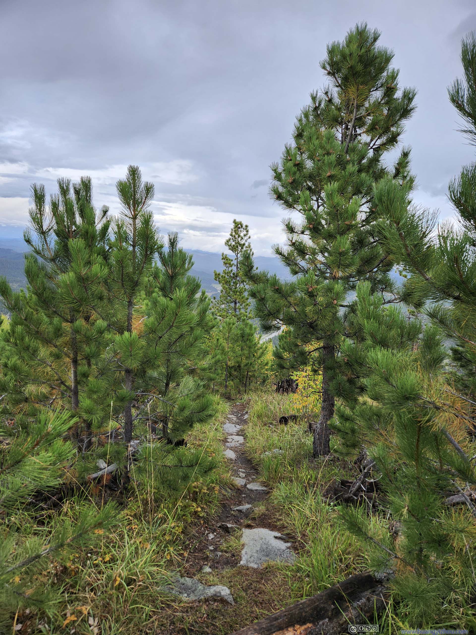
Dwarfed in popularity by the nearby Black Elk Peak, this trail didn’t see nearly as many visitations. During my visit I had the entire trail to myself. Probably as a result, the latter three-fourths of the trail was narrow and at times overgrown. To reach the summit I often had to push some tree branches aside, which given they were wet from the rain earlier today, wasn’t too pleasant. The trail crossed two primitive roads on its way up, the worst bushwacking was between the two primitive roads (and extending slightly beyond the second). Further up, vegetation became sparse so it wasn’t as bad.
Anyway, it could be worse: I drove through some rain on my way to Saint Elmo Peak from Mount Rushmore, but apart from some rain drops during my ascent, my entire hike was dry.
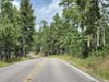
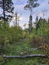
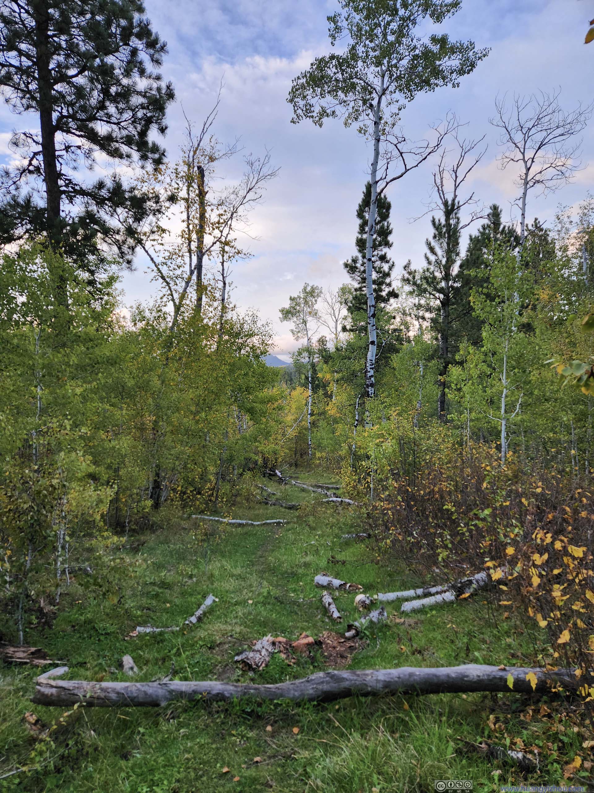
 TrailNot far from trailhead, the few branches that fell across the trail were like stairs.
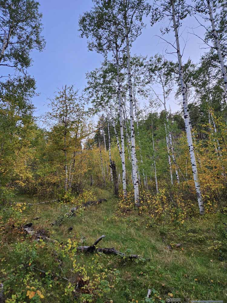 ForestLovely colors of autumn.
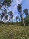
 Trail
Trail Trail
Trail Trail
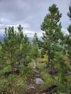
Trail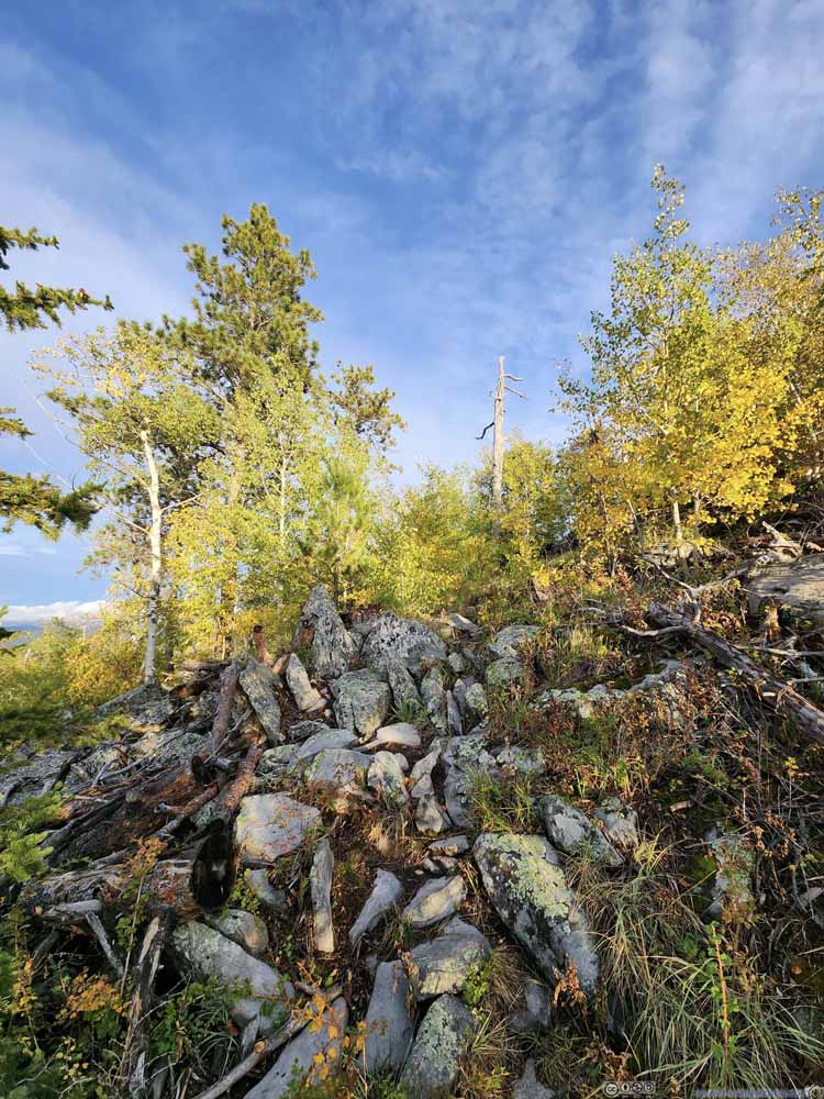 TrailNearing the summit, portions of the trail were on rocks.
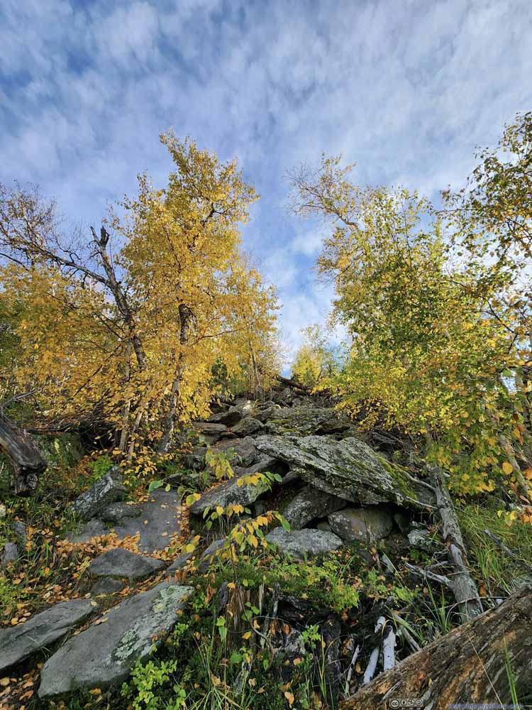 TrailNearing the summit, portions of the trail were on rocks.
 Trail
Trail
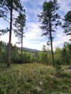
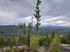
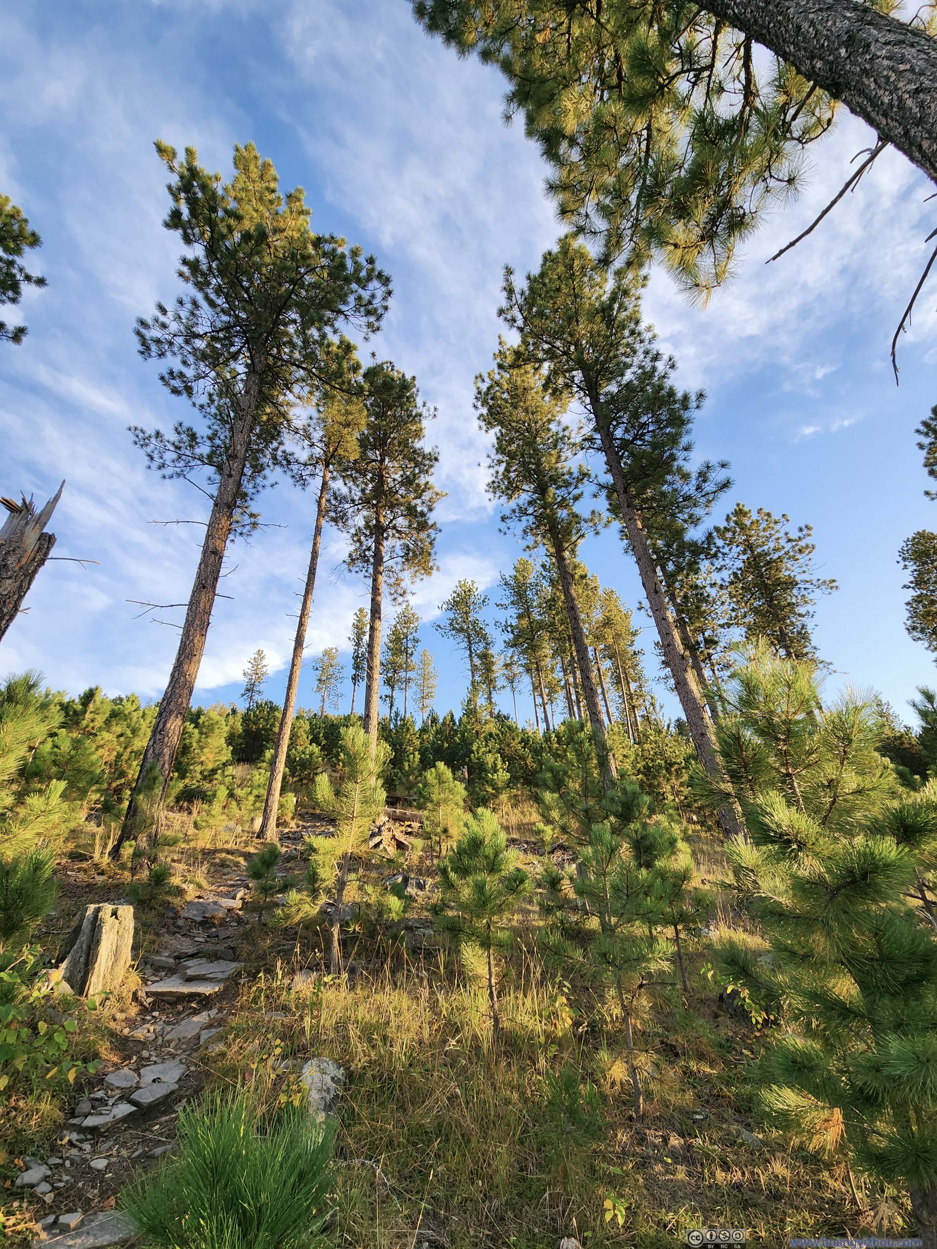
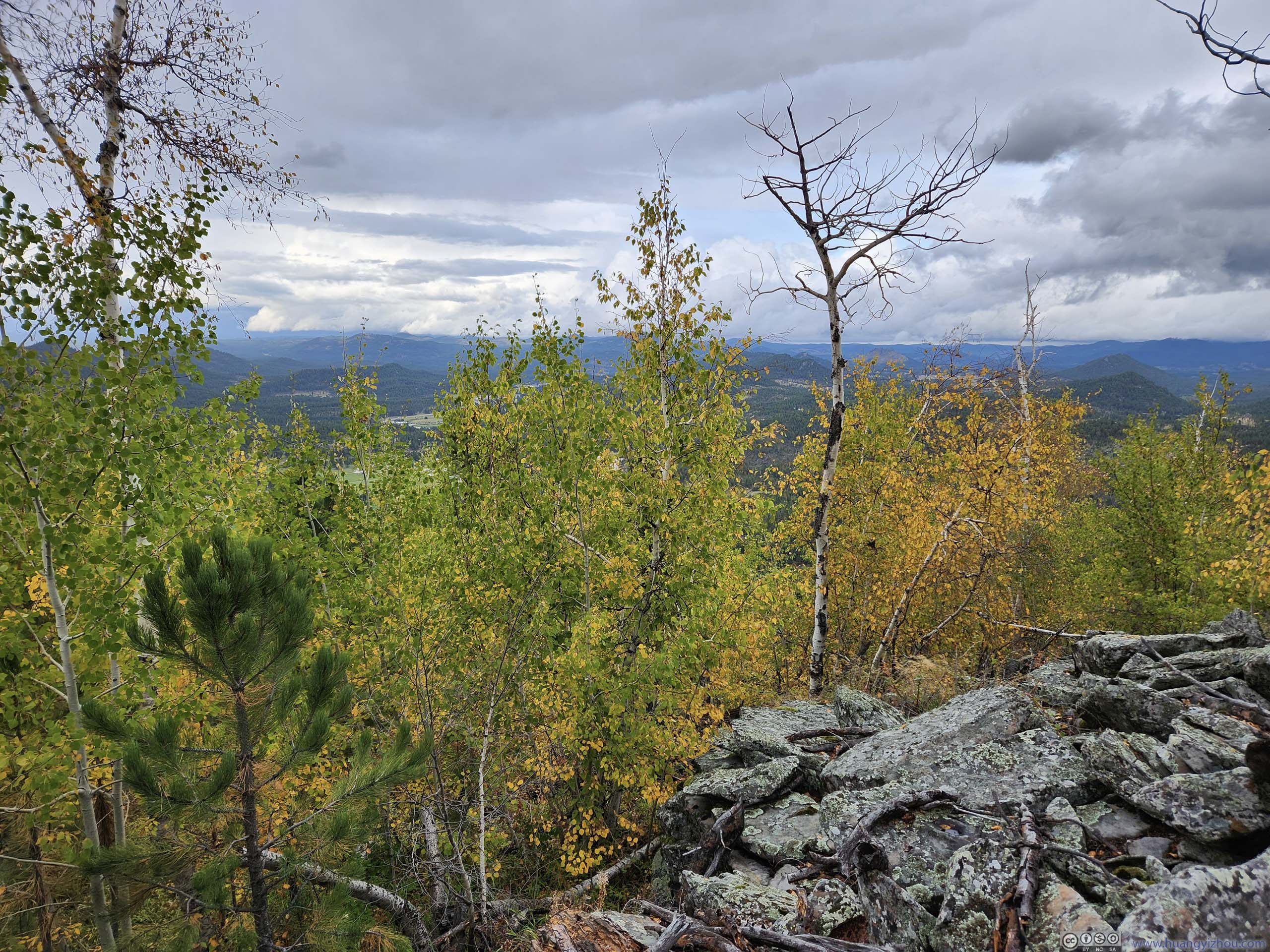
 Trees near Summit


Click here to display photos of the slideshow
TrailNot far from trailhead, the few branches that fell across the trail were like stairs.

ForestLovely colors of autumn.

Trail
Trail
Trail
TrailNearing the summit, portions of the trail were on rocks.
TrailNearing the summit, portions of the trail were on rocks.
Trail
 Trees near Summit
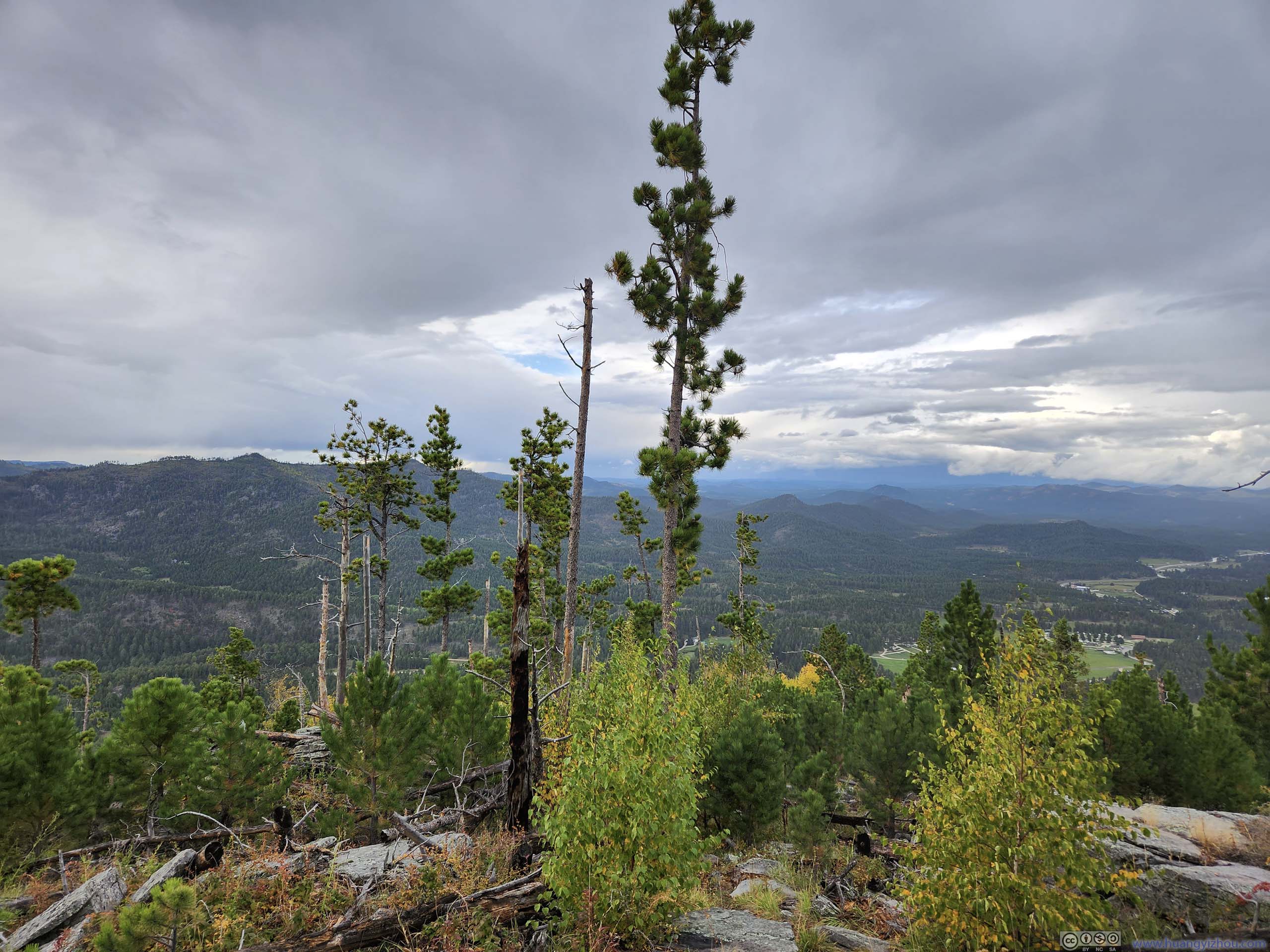
The trail climbed Saint Elmo Peak from its western slope, and was moderately steep from the elevation profile. Much of the trail was in woods and didn’t offer any views. Even when it did near the top, the view was towards the mountains to the north, partly obscured.
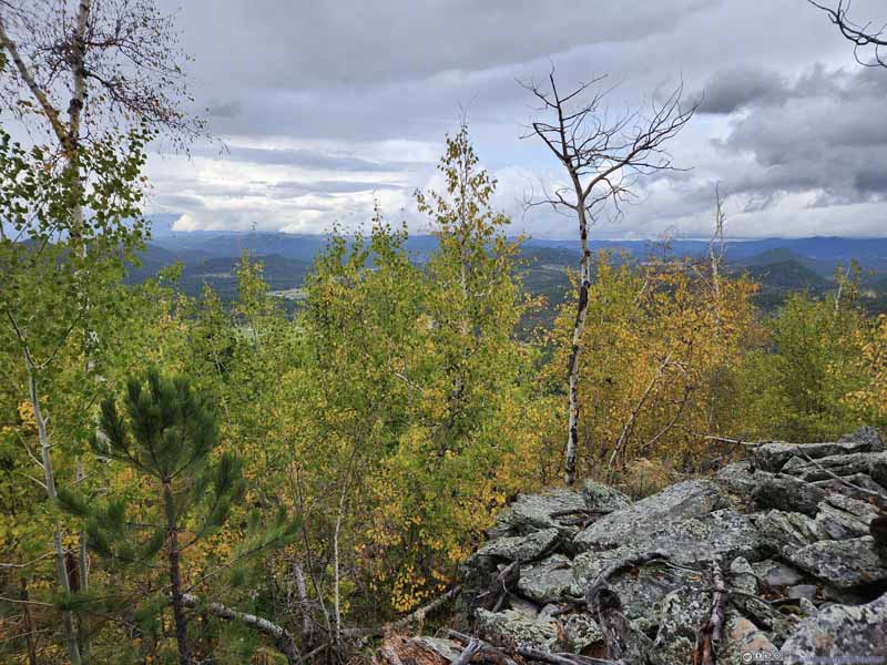
But all of that changed once I was at the top. The eastern slope of Saint Elmo Peka was a steep dropoff, meaning I got an unobstructed view to the east. The star of the show was certainly Black Elk Peak, holding central stage and accompanied by groups of rocky hills and spires. For almost an hour, I watched Black Elk Peak battled the passing clouds, and came up mostly on top. Lower down, patches of leaves already put on their autumn colors, contrasted by the evergreen conifers for a diverse audience watching the epic show higher up in elevation. To the south, I could also see Needles Highway winding up the mountain, the road that I took yesterday morning to reach Custer State Park.
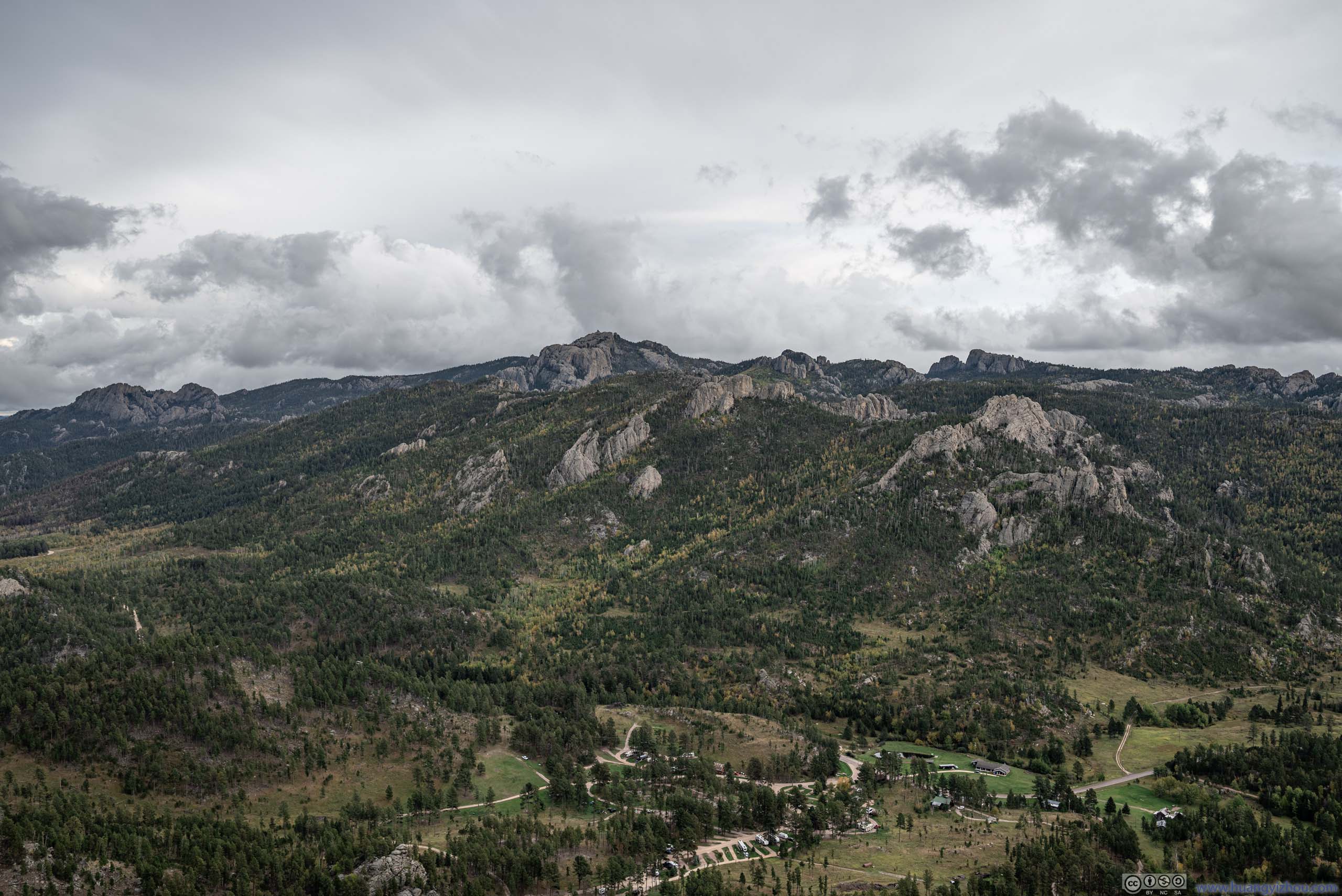
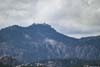
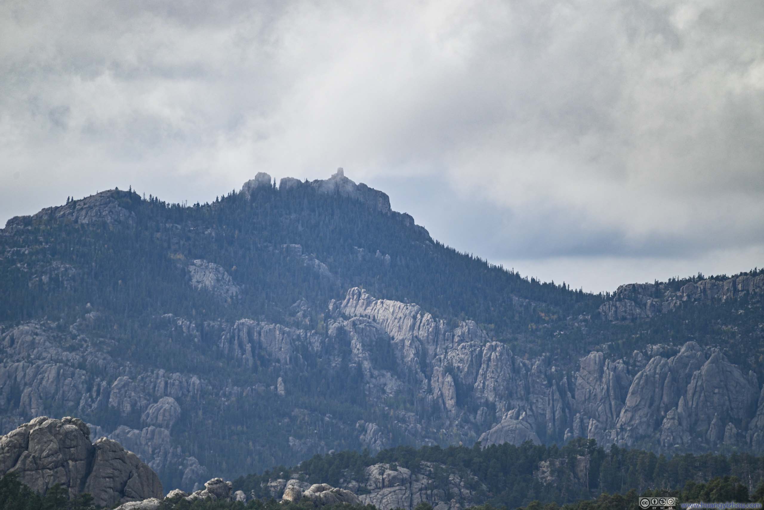
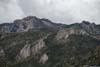
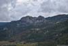
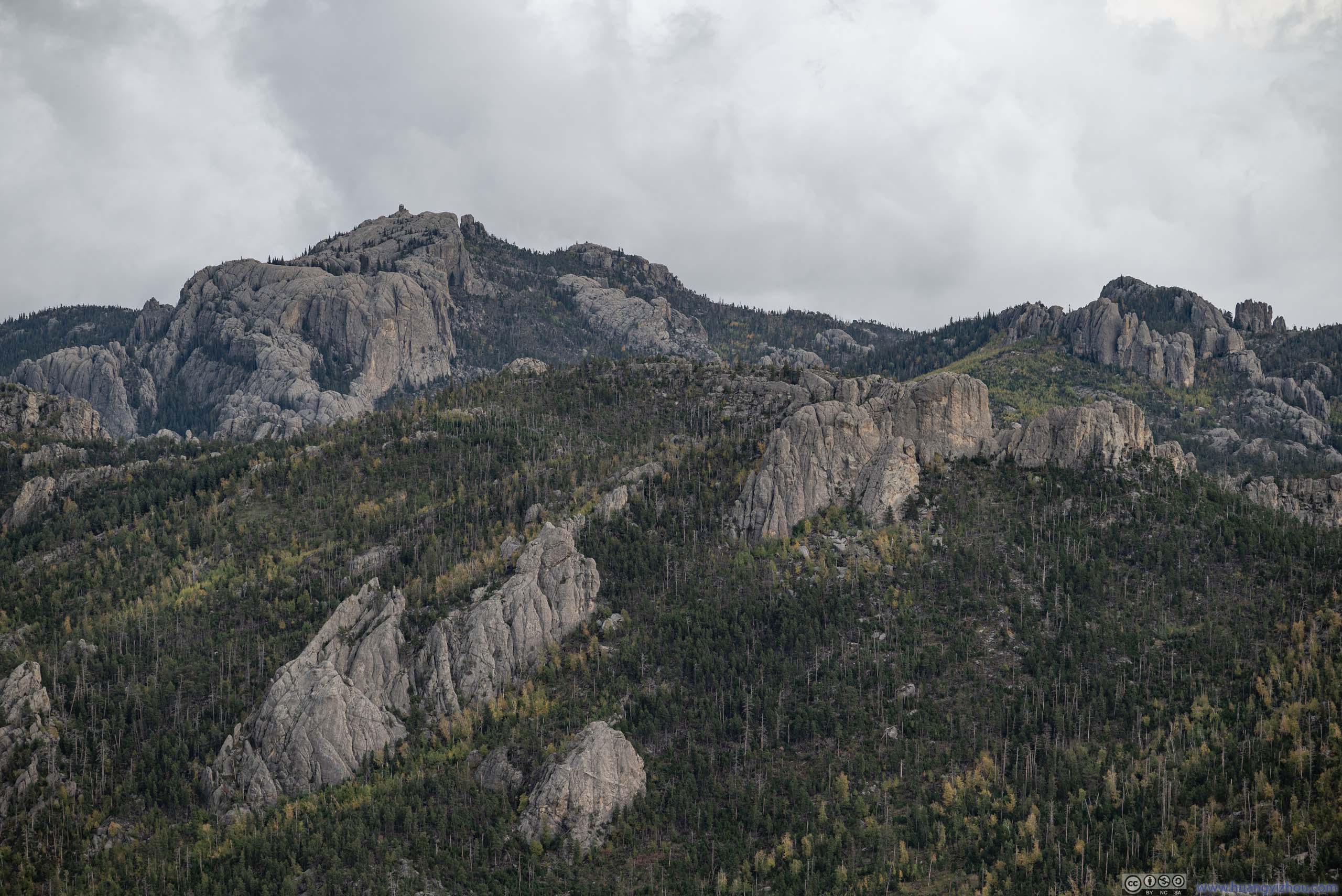
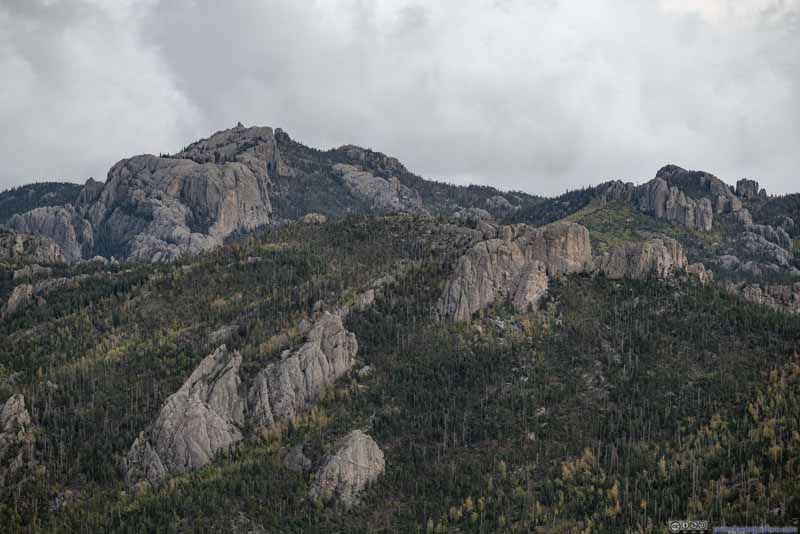 Black Hills
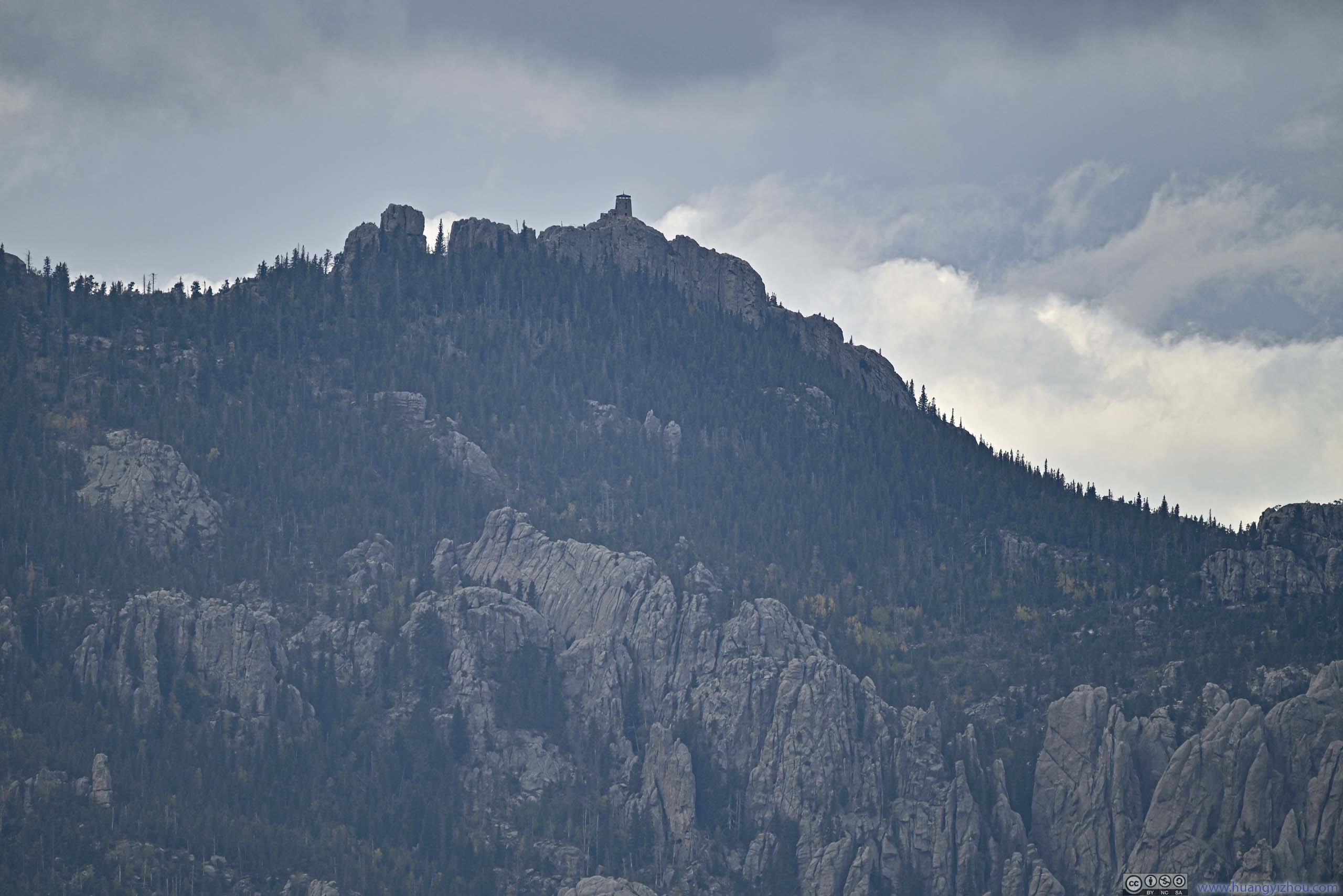
Black Elk Peak, highest peak of South Dakota, in the upper-left. Its fire tower was a very distinctive sight.
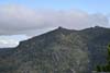
Black Hills
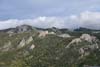
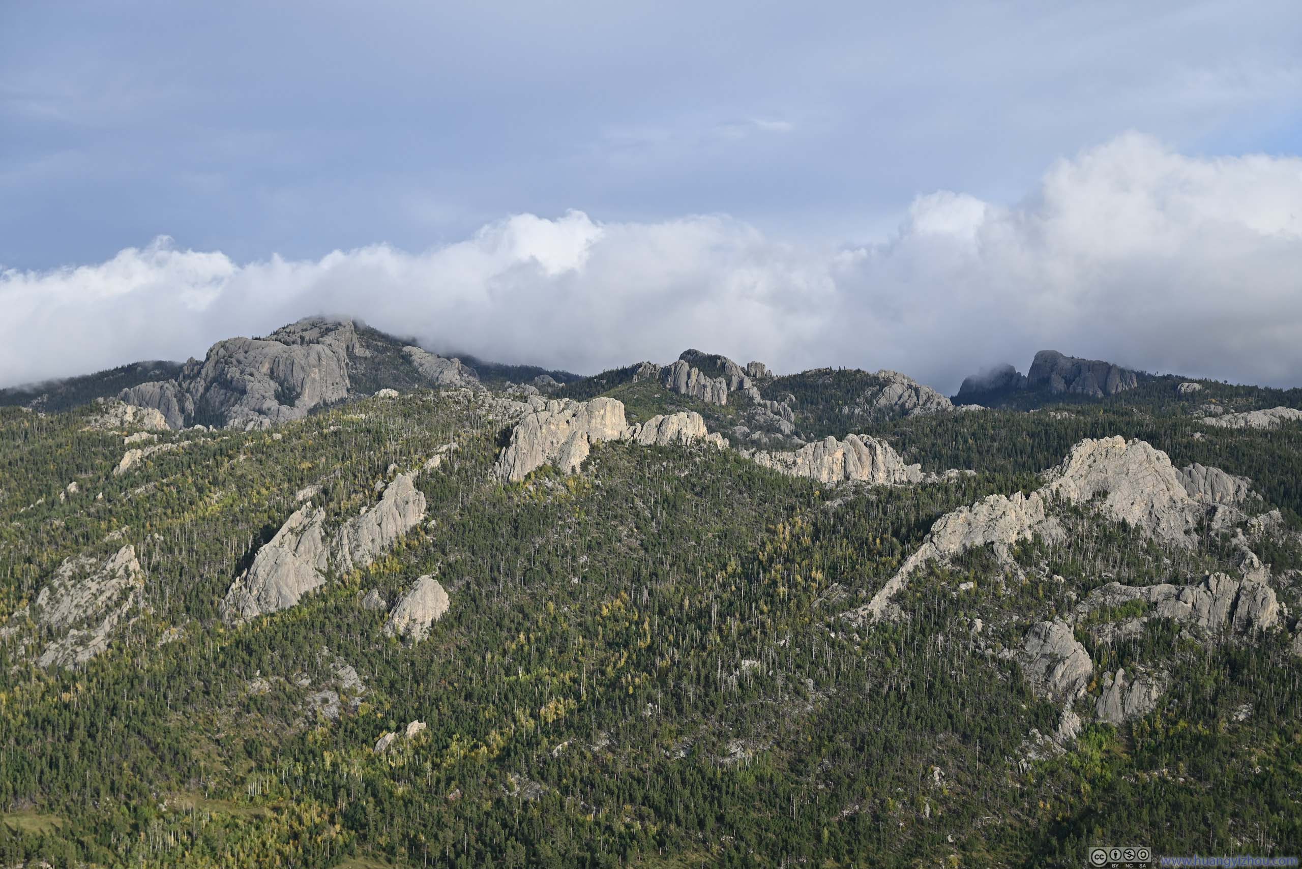
Black Elk Peak, highest peak of South Dakota, in the upper-left. Its fire tower was a very distinctive sight.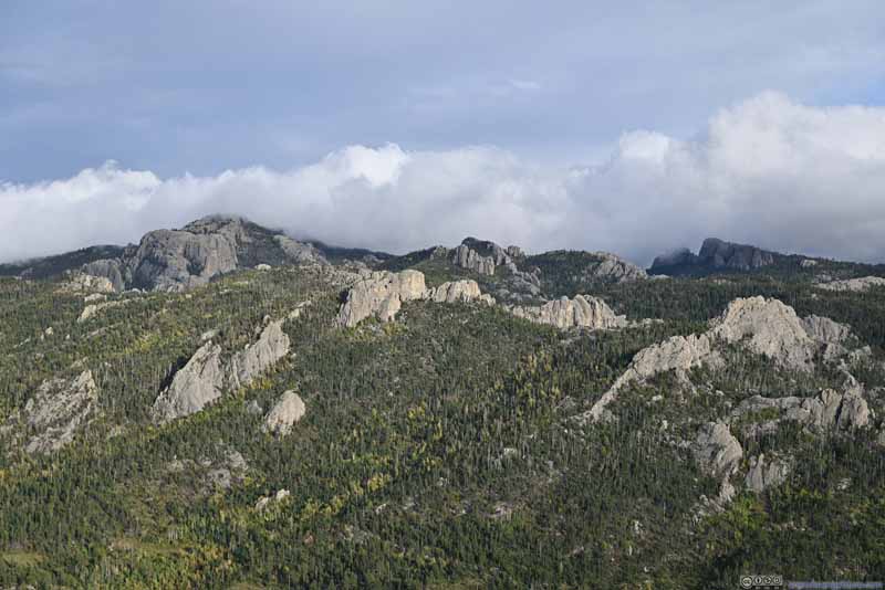 Black HillsLater, some clouds rolled in, concealing the highest peaks.
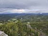
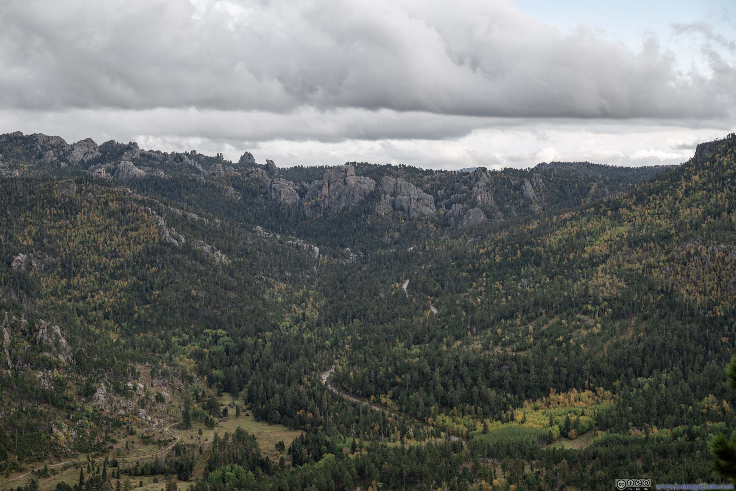
 Needles HighwayWinding its way up the mountain.
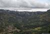
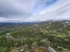
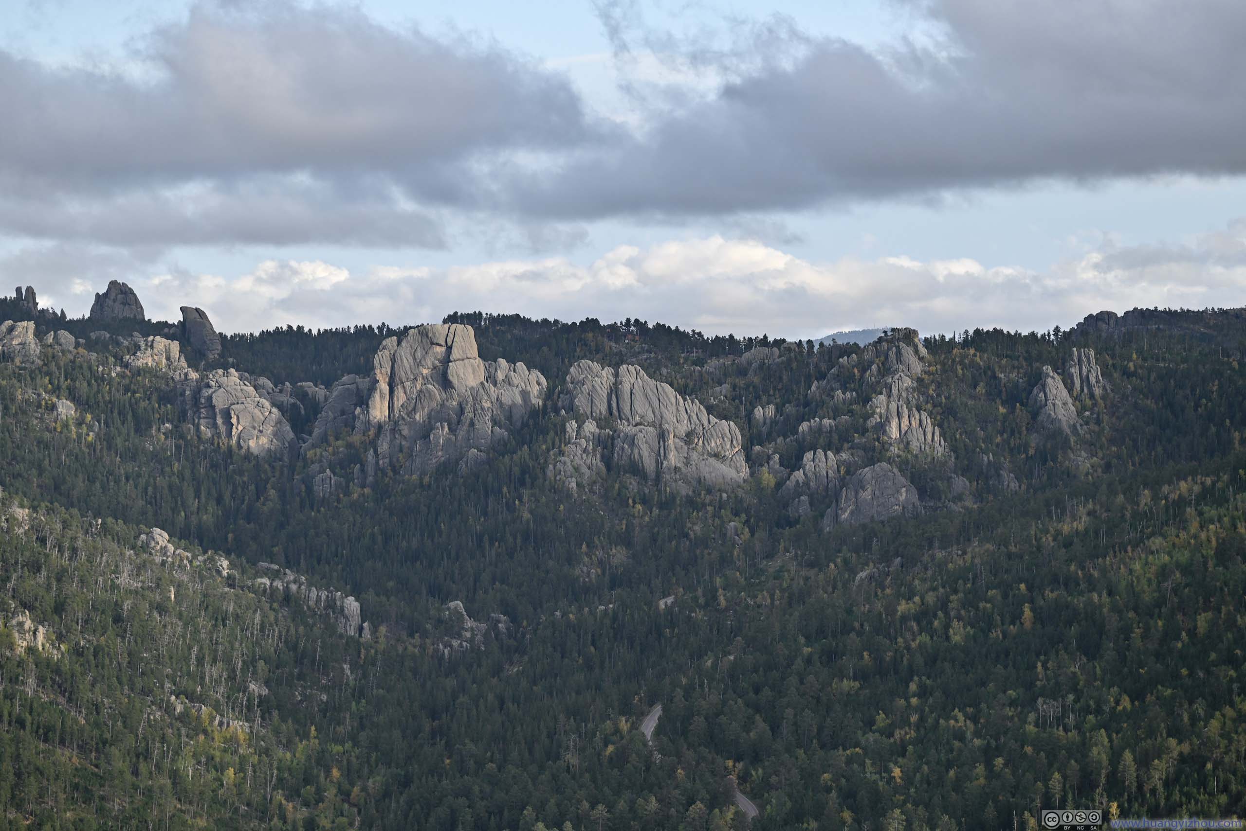
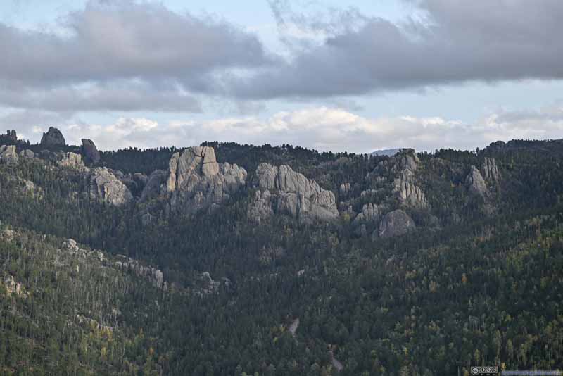 BouldersBehind the boulders in the center was Sylvan Lake, which I also visited the previous day.
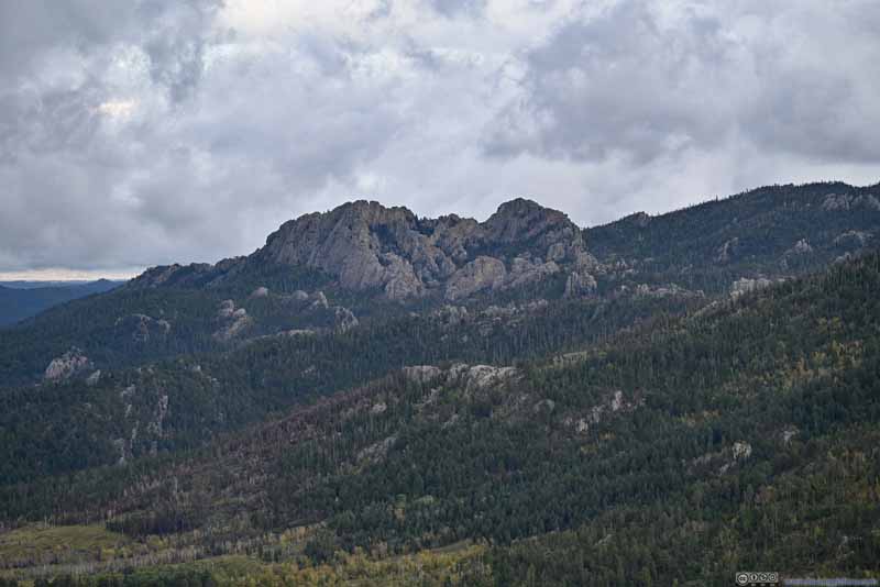 Elkhorn MountainThis group of boulders were more prominent than the ones scattered around, hence they were named.
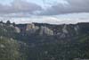
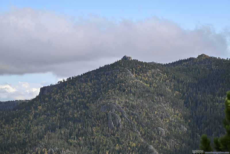 Sylvan Peak to the SouthThis one wasn’t as prominent, but still named.
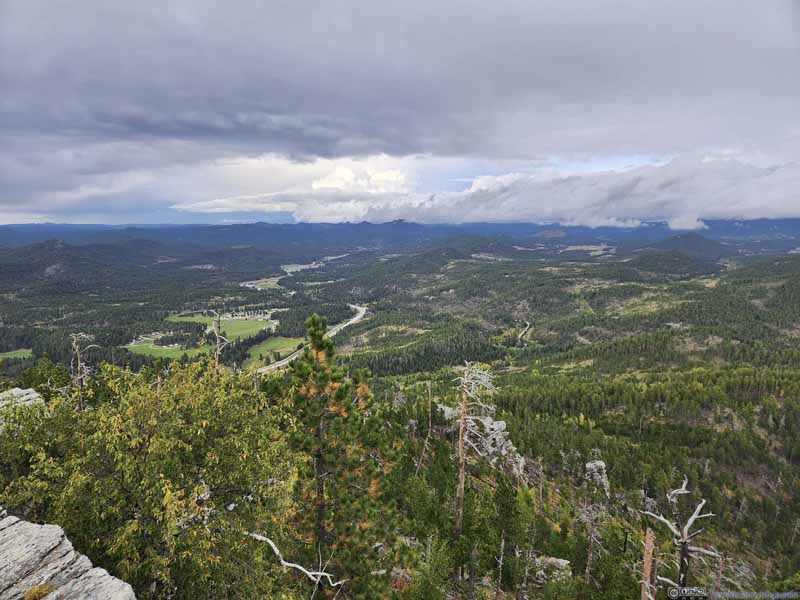 Hills to the North
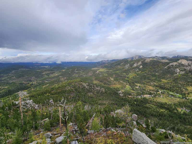 Hills to the Northeast
Click here to display photos from the summit of Saint Elmo Peak.
Black Hills
Black HillsLater, some clouds rolled in, concealing the highest peaks.
Needles HighwayWinding its way up the mountain.
BouldersBehind the boulders in the center was Sylvan Lake, which I also visited the previous day.
Elkhorn MountainThis group of boulders were more prominent than the ones scattered around, hence they were named.
Sylvan Peak to the SouthThis one wasn’t as prominent, but still named.
Hills to the North

Hills to the Northeast
In the end, I thought the views on top of Saint Elmo Peak could easily rival the ones from my hike to Black Elk Peak the previous day. The summit of Saint Elmo Peak had some trees so it wasn’t nearly as windy. Despite the bushwacking efforts required to reach it, the great views it offered still made it a worthwhile trip.
View from Saint Elmo Peak
After descending down from Saint Elmo Peak, I headed back to the overnight lodge in Rapid City and called it a day.
END
![]() Day 4 of Autumn 2023 Trip to Mountain States, Black Hills by Huang's Site is licensed under a Creative Commons Attribution-NonCommercial-ShareAlike 4.0 International License.
Day 4 of Autumn 2023 Trip to Mountain States, Black Hills by Huang's Site is licensed under a Creative Commons Attribution-NonCommercial-ShareAlike 4.0 International License.