
Updated on October 21, 2024
Day 5 of Autumn 2023 Trip to Mountain States, Spearfish Canyon and Devil’s Tower
The fifth day of my autumn 2023 trip to the mountain states. I left Rapid City today heading for Wyoming, watched foliage and waterfalls in Spearfish Canyon and checked out Devils Tower.
Devils Tower
Having spent three days sightseeing in the vicinity of Rapid City, I would move on towards Wyoming today. I used to plan the areas around Rapid City as a week-long trip, I guess I was really squeezing my itineraries this time. And nowhere was this more obvious than how I planned this day: Today, I would first check out Spearfish Canyon and then Devils Tower, before spending the night in Guernsey, WY.
My day got off to a late start as I was reluctant to get out of bed this morning. Adding that I had to pack up to leave the Airbnb room that I stayed in for the last three nights, I wasn’t on my way until 9:30am. After grabbing breakfast at the town of Sturgis, I headed west towards Spearfish Canyon.
Along the way, I first passed the town of Deadwood. Named by early settlers after the dead trees found in its gulch, the town was the center of Black Hills Gold Rush during the 1870s. And since the gold miners were doing so illegally under the 1868 Treaty of Fort Laramie, it shouldn’t be surprising that the town developed a reputation for lawlessness. But if one looked back nowadays, that lawlessness to some degree felt legendary, a perfect exemplification of the “wild west”. And probably because of that, the gold-rush era architecture was still preserved and the town designated as a National Historic Landmark District.
Since I was in a hurry for the day, I didn’t stop in the town of Deadwood. Instead, I continued towards Lead, SD, just minutes away.
Homestake Mine / Sanford Research Lab
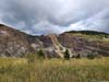
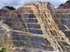
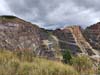
If Deadwood represented an anarchic state of the gold rush, Lead on the contrary was organized and practiced. Lead was founded as a company town by Homestake Mining Company. Looking at its satellite image, one could easily spot a giant open cut that’s literally the same size of the town. Underneath the cut was a network of tunnels that went as deep as 8000 feet (~2400 m).
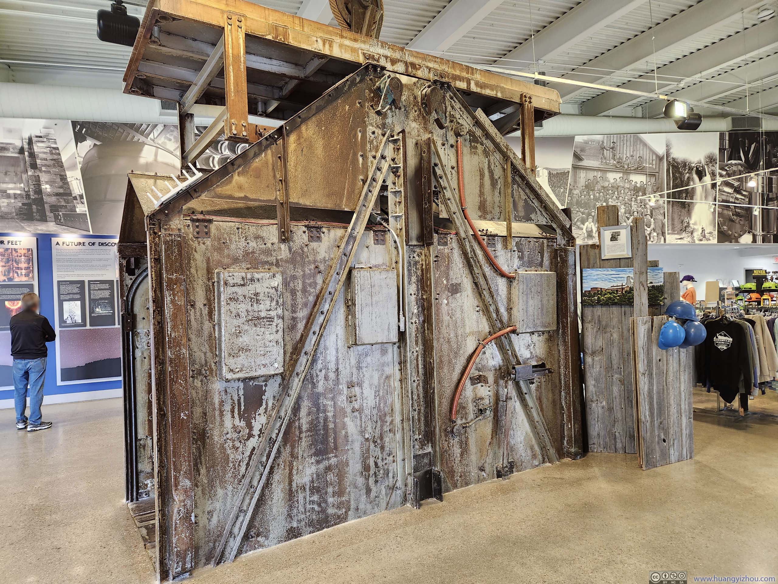
Poor ore quality and high operational costs meant the mine ceased operation in 2001. However, the deep underground tunnels turned out to be a suitable site for scientific research. The most notable of which was the Homestake experiment, conducted in the 1970s at 4850 ft beneath the surface, where solar neutrinos were first experimentally observed. Later this experiment won the Nobel Prize in 2002. A section of the experimental tanks was on public display (p5 below). Nowadays, a visitor center was built on the edge of the open cut, with views of the open cut and information display of the underground experiments.
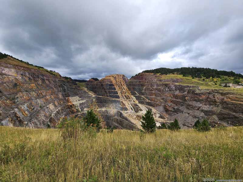 Open Cut of Homestake Mine
 Grains of Rocks
 Open Cut of Homestake Mine
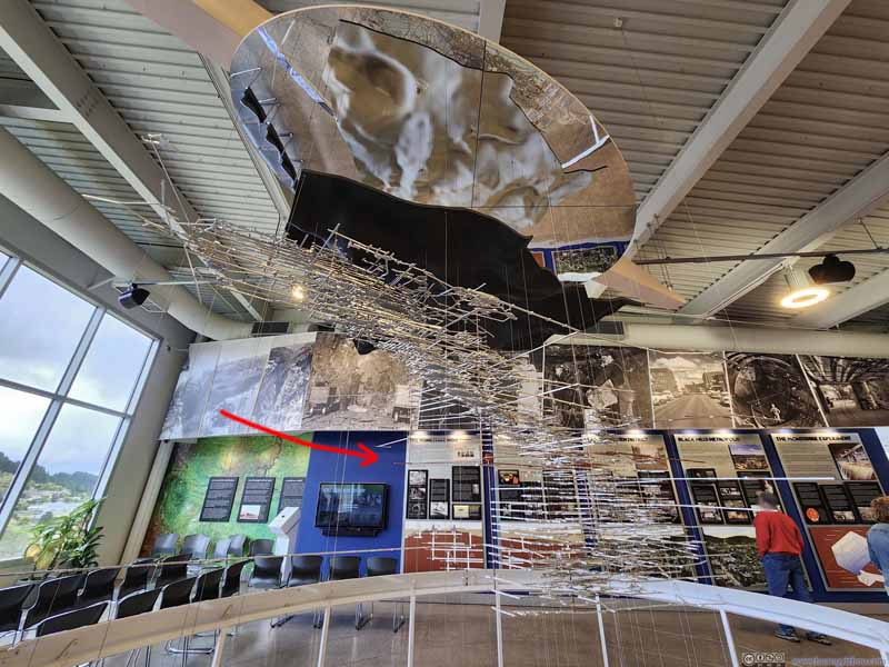 Model of Underground Structure of Homestake Gold Mine
 Elevator Car Used to Access Underground Mine
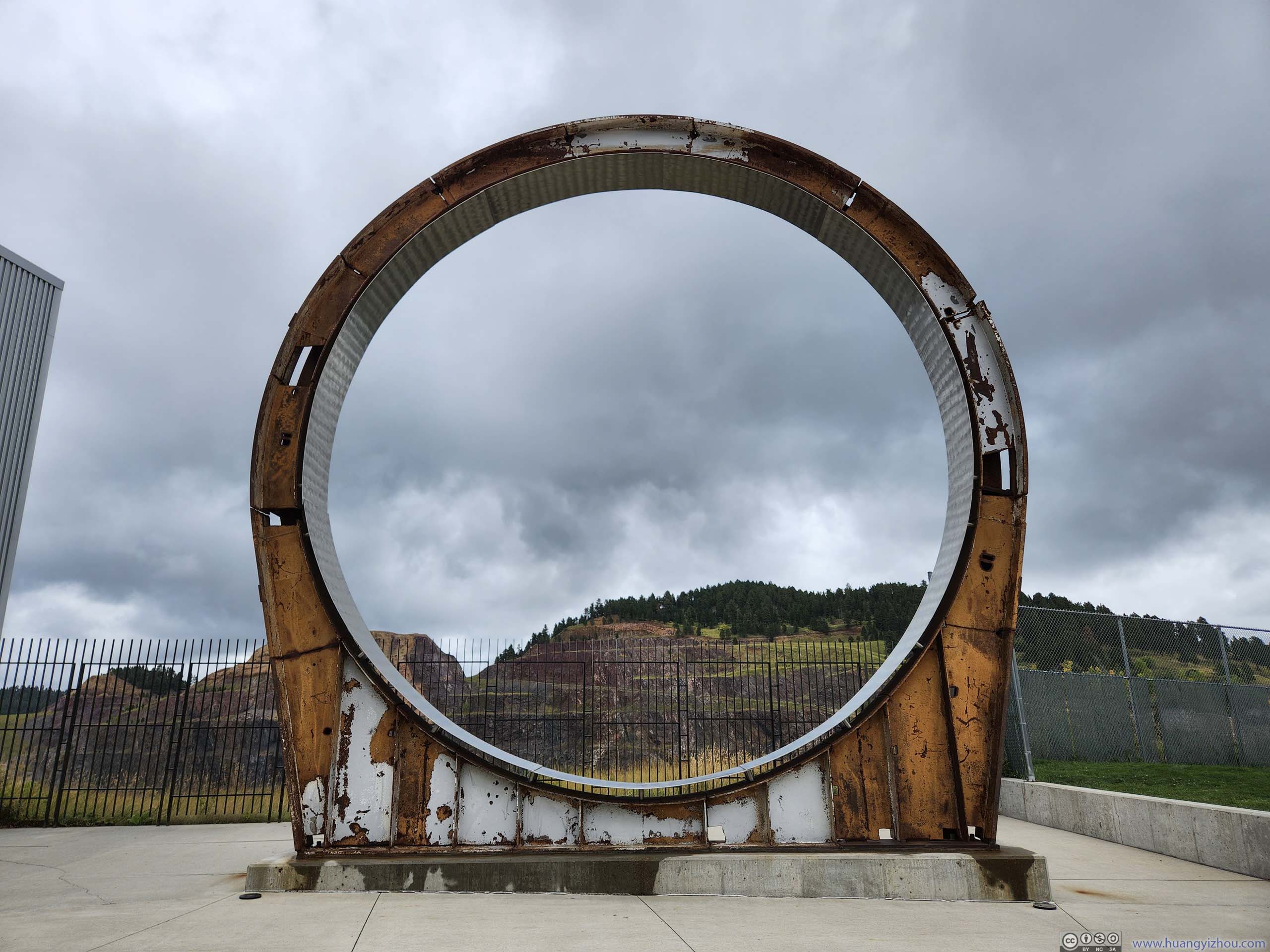
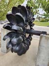
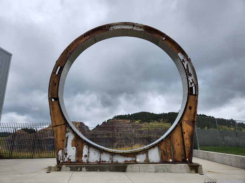 Ring Section from Tank Used in Homestake Experiment
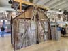

Click here to display photos of the slideshow
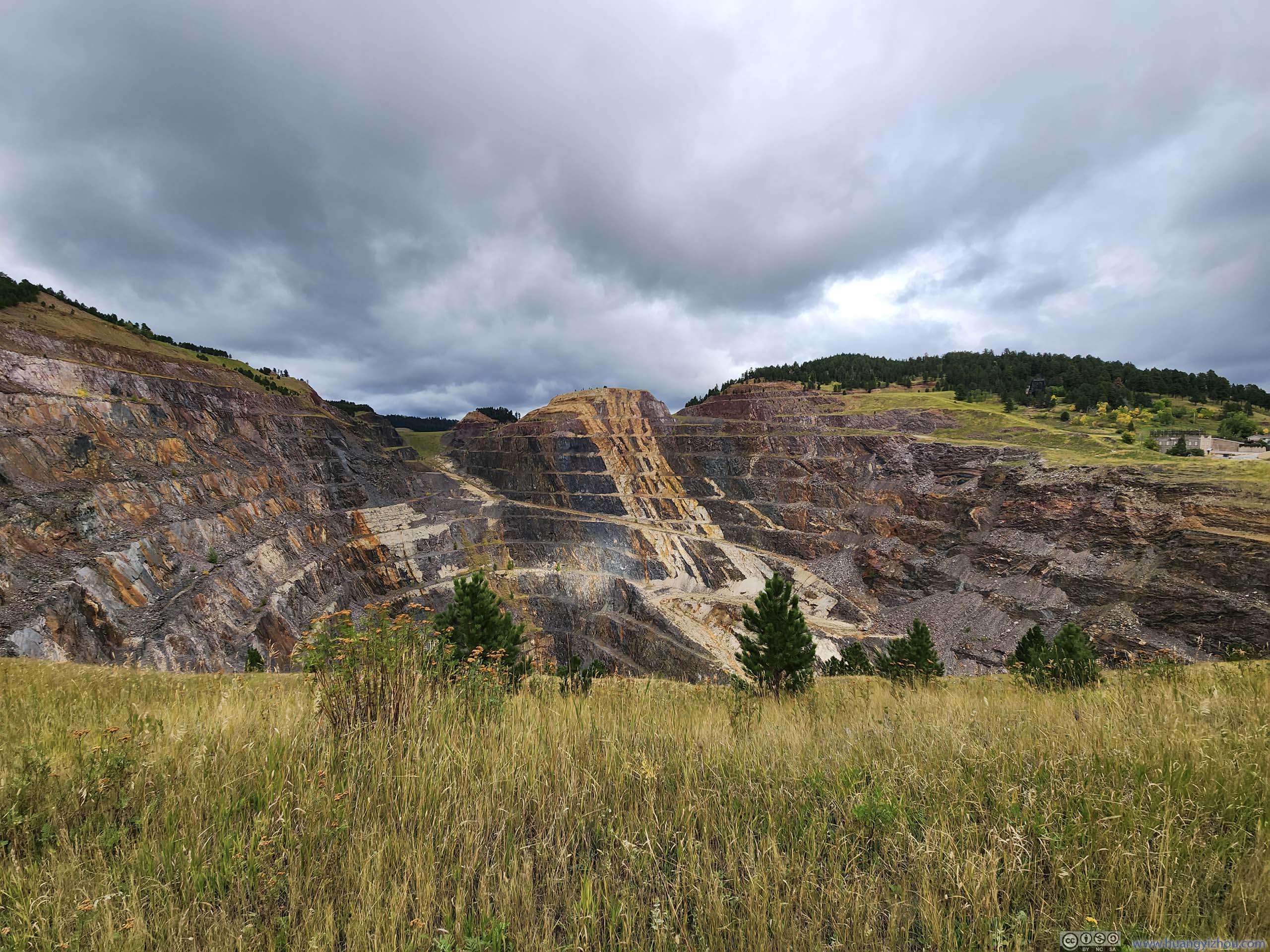
Open Cut of Homestake Mine

Grains of Rocks
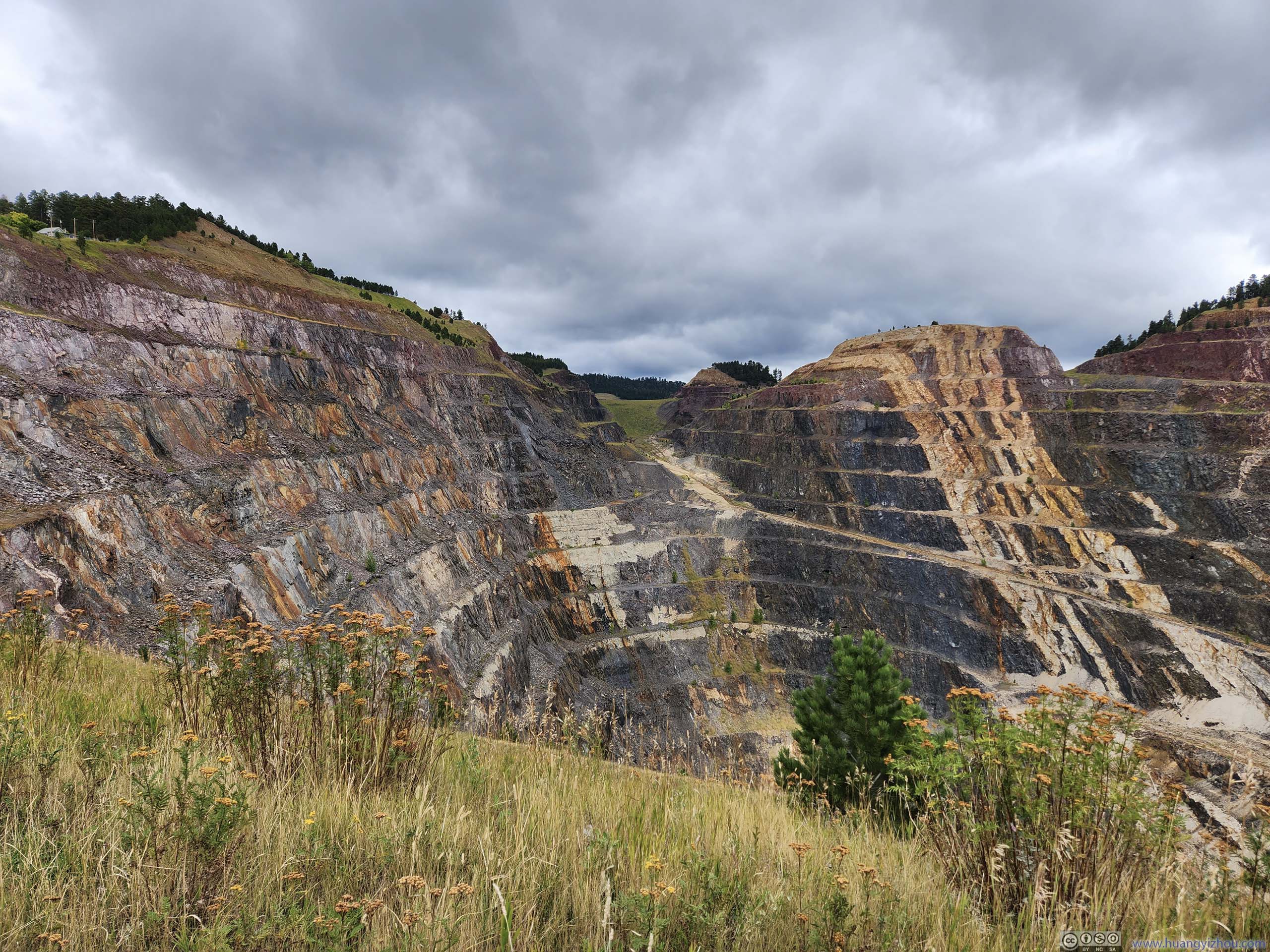
Open Cut of Homestake Mine
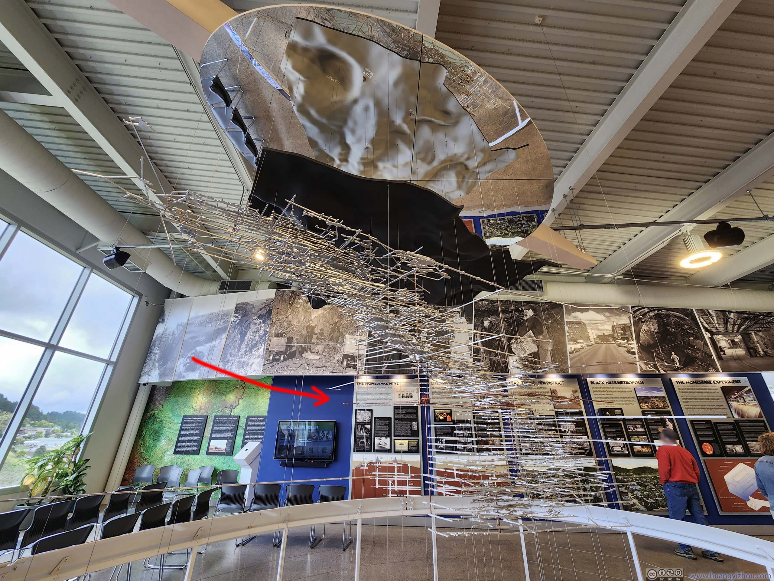
Model of Underground Structure of Homestake Gold Mine
Elevator Car Used to Access Underground Mine
Ring Section from Tank Used in Homestake Experiment
Outside the visitor center, some equipment from the Homestake Mine was on display.
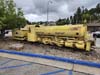
 Locomotive 1A for Homestake Mining CompanyPurchased in 1928, in use until 1961, powered by compressed air.
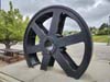
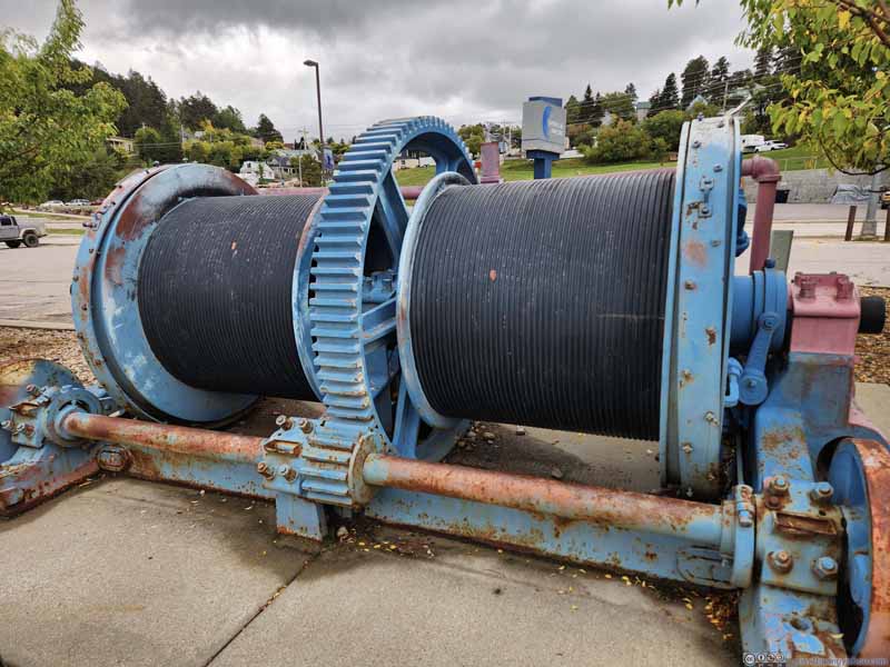 Double Drum Hoist for Homestake Mining Company
Two sets of cables for cargo and counterweight. This was a smaller hoist that was mostly used for exploration rather than standard mining operation.
Double Drum Hoist for Homestake Mining Company
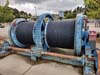
Two sets of cables for cargo and counterweight. This was a smaller hoist that was mostly used for exploration rather than standard mining operation.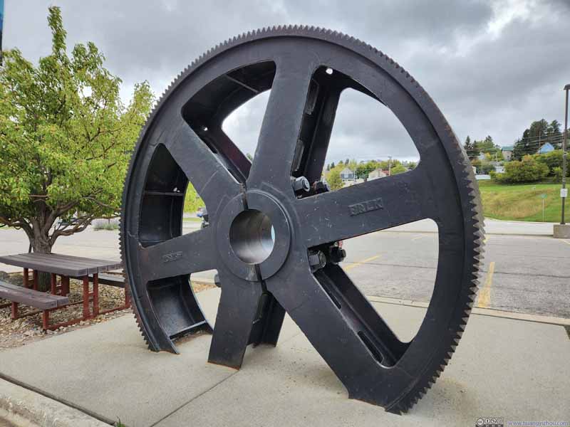 Shaft Hoist Gear
In use from 1950 to 1994 for one of the two main shafts. One can easily tell this was larger than the previous hoist.
Shaft Hoist Gear
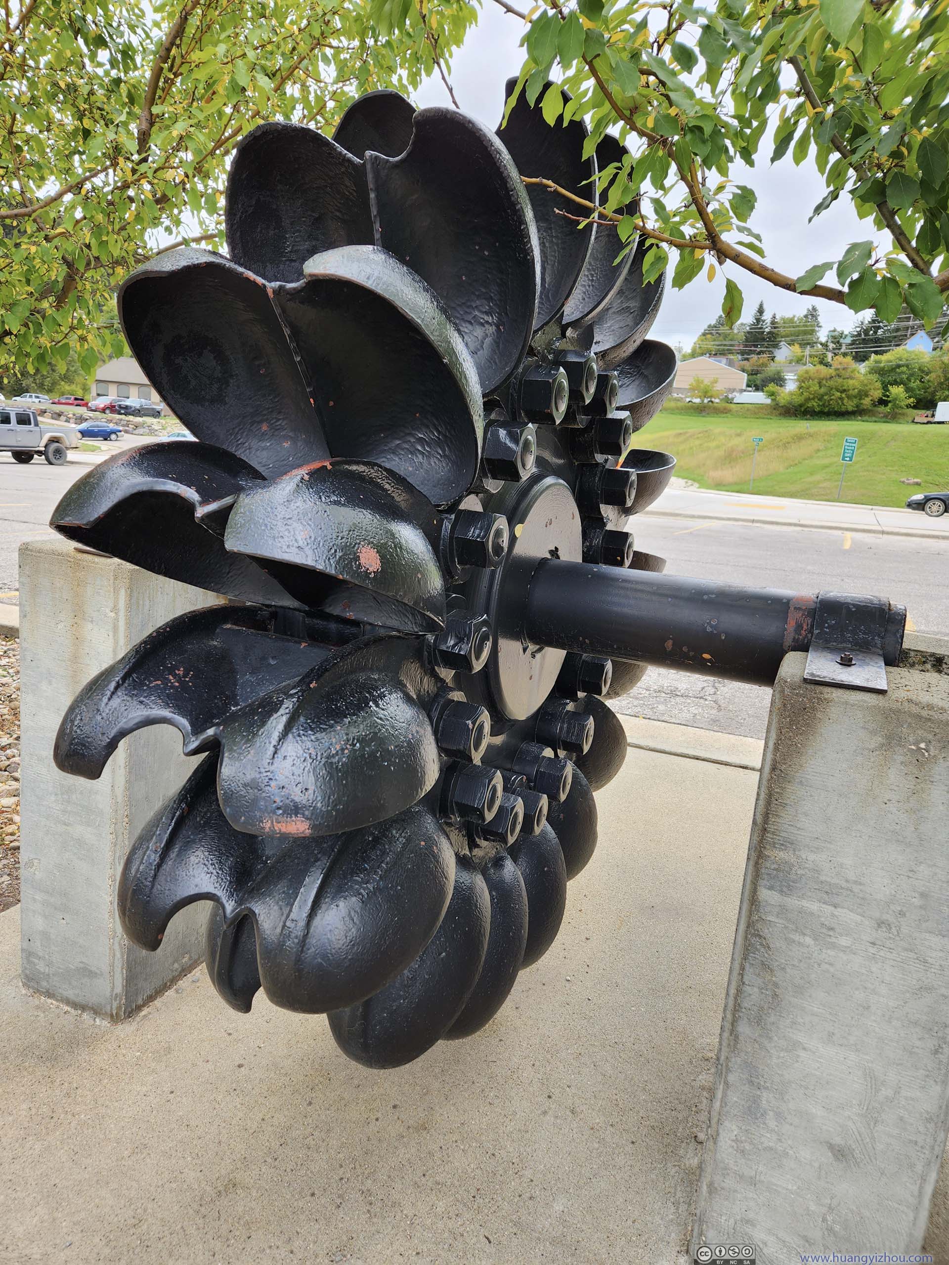
In use from 1950 to 1994 for one of the two main shafts. One can easily tell this was larger than the previous hoist.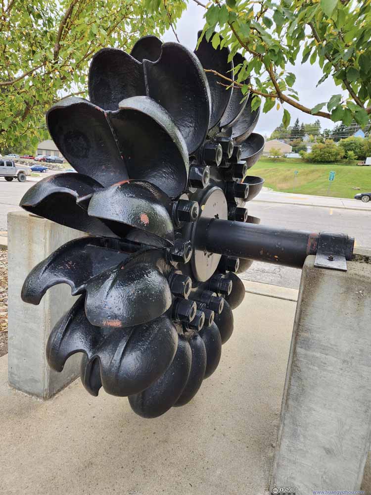 Pelton Water Wheel for Homestake Mining Company
With the buckets shaped to suit the high-pressure low-volume waterflow in western US. This water wheel was used by Hydroelectric Plant No.2 in Spearfish Canyon until 1978. (Plant No.1 was still in use today.)
Pelton Water Wheel for Homestake Mining Company
With the buckets shaped to suit the high-pressure low-volume waterflow in western US. This water wheel was used by Hydroelectric Plant No.2 in Spearfish Canyon until 1978. (Plant No.1 was still in use today.)
Click here to display photos of the slideshow
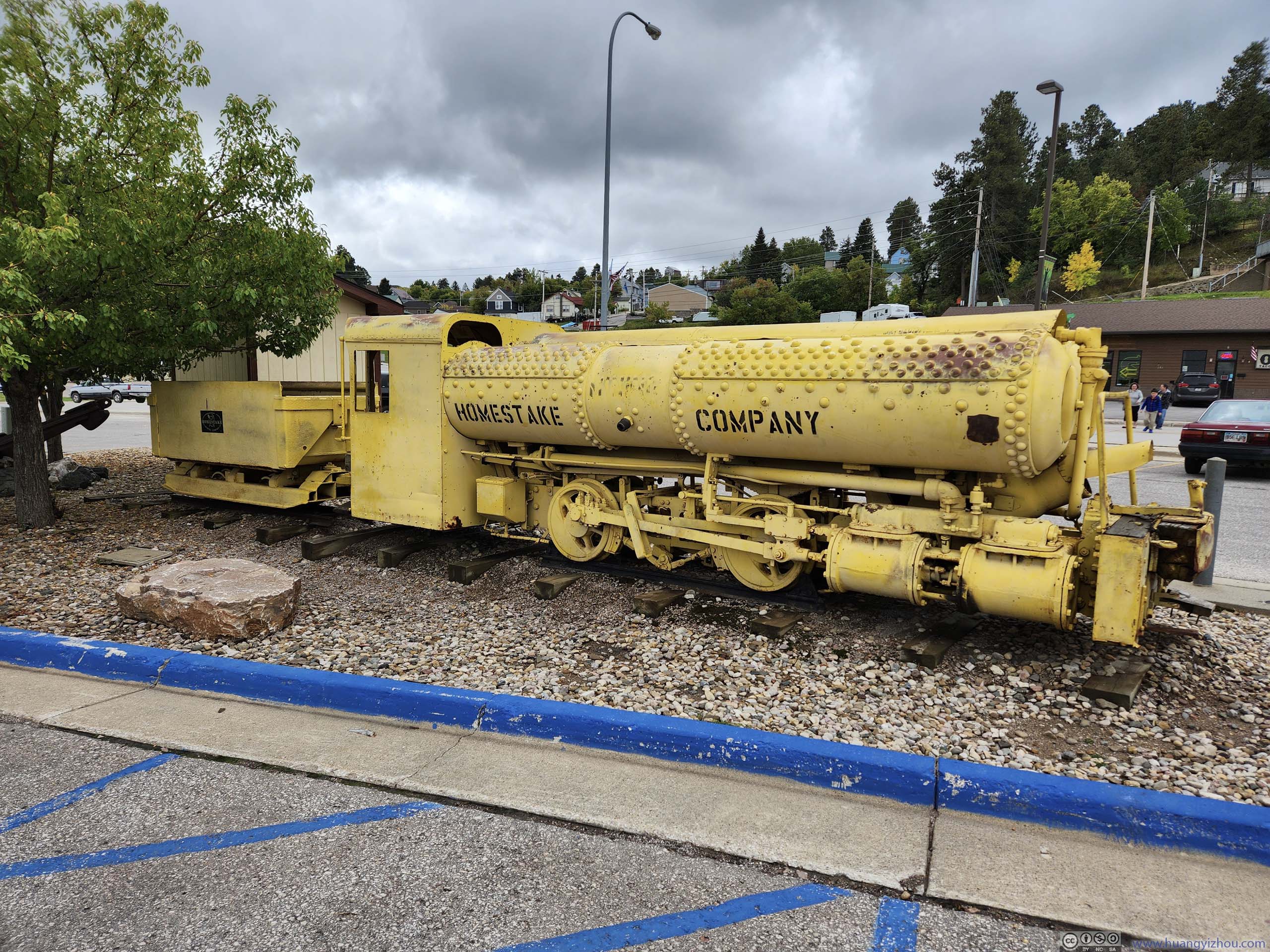
Locomotive 1A for Homestake Mining CompanyPurchased in 1928, in use until 1961, powered by compressed air.
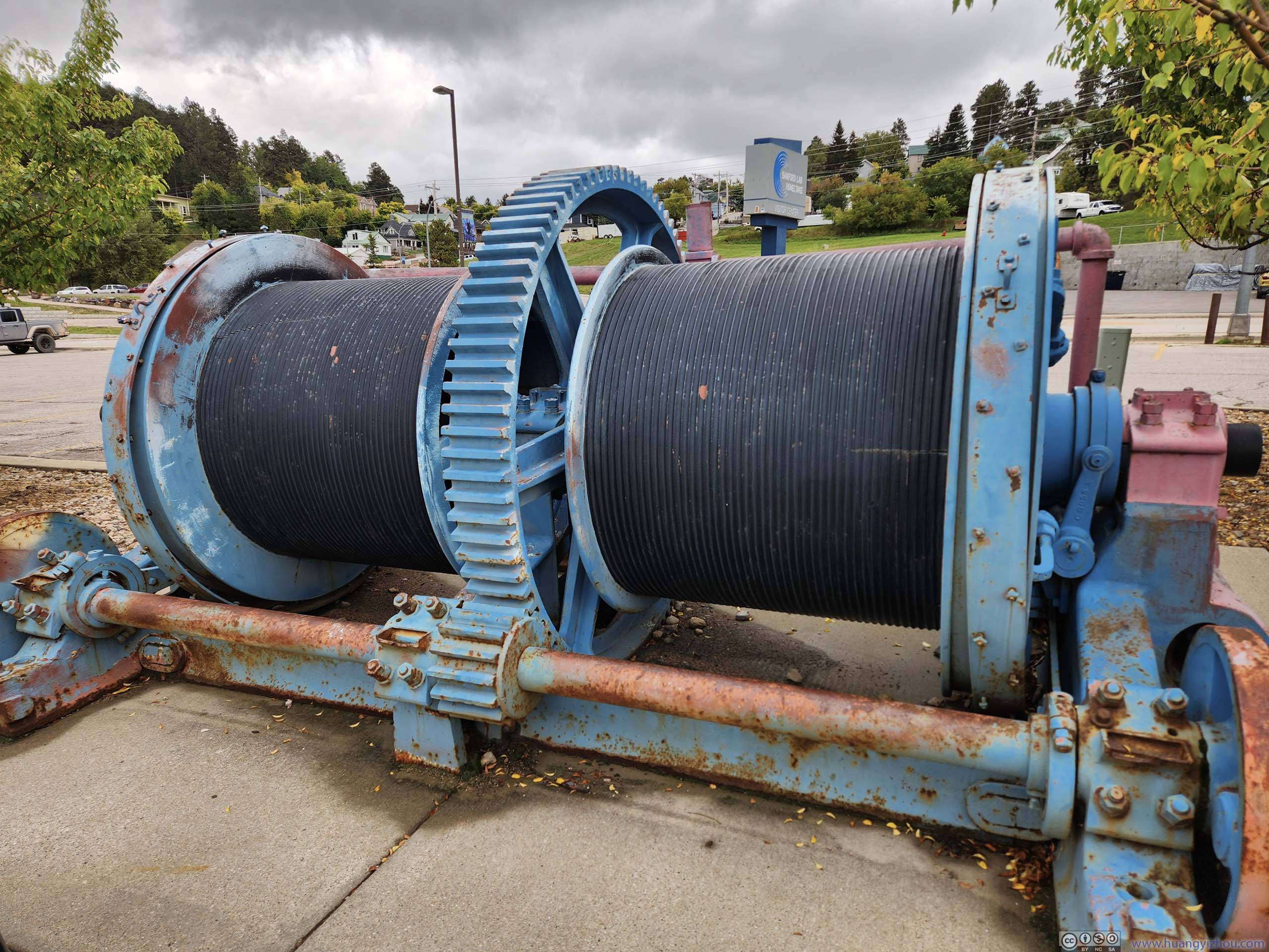
Double Drum Hoist for Homestake Mining Company
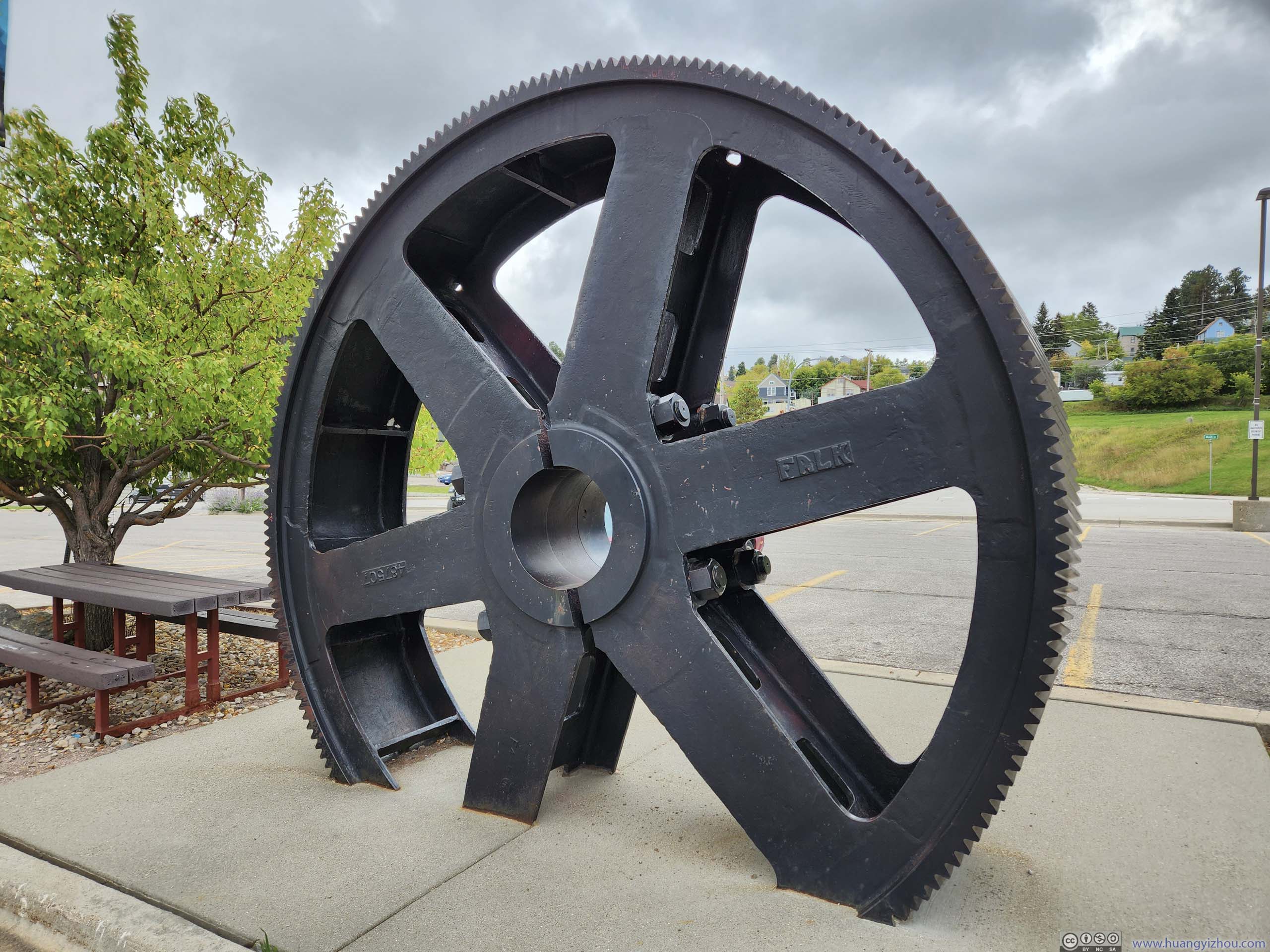
Shaft Hoist Gear
Pelton Water Wheel for Homestake Mining Company
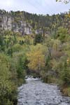
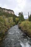
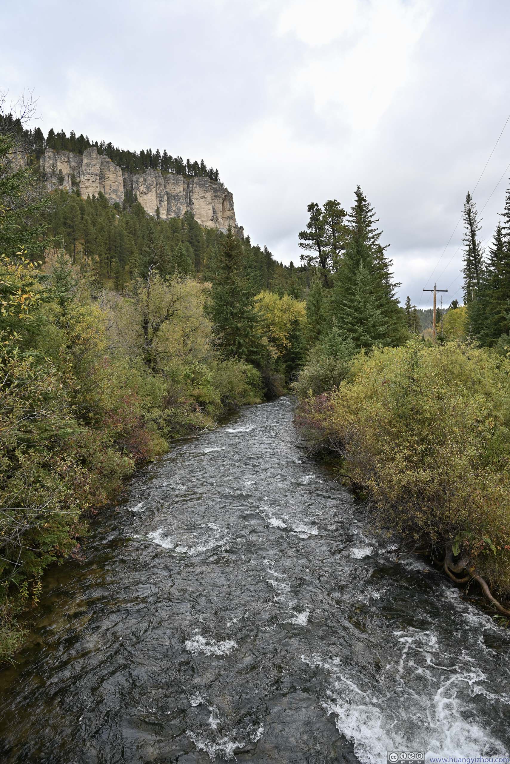
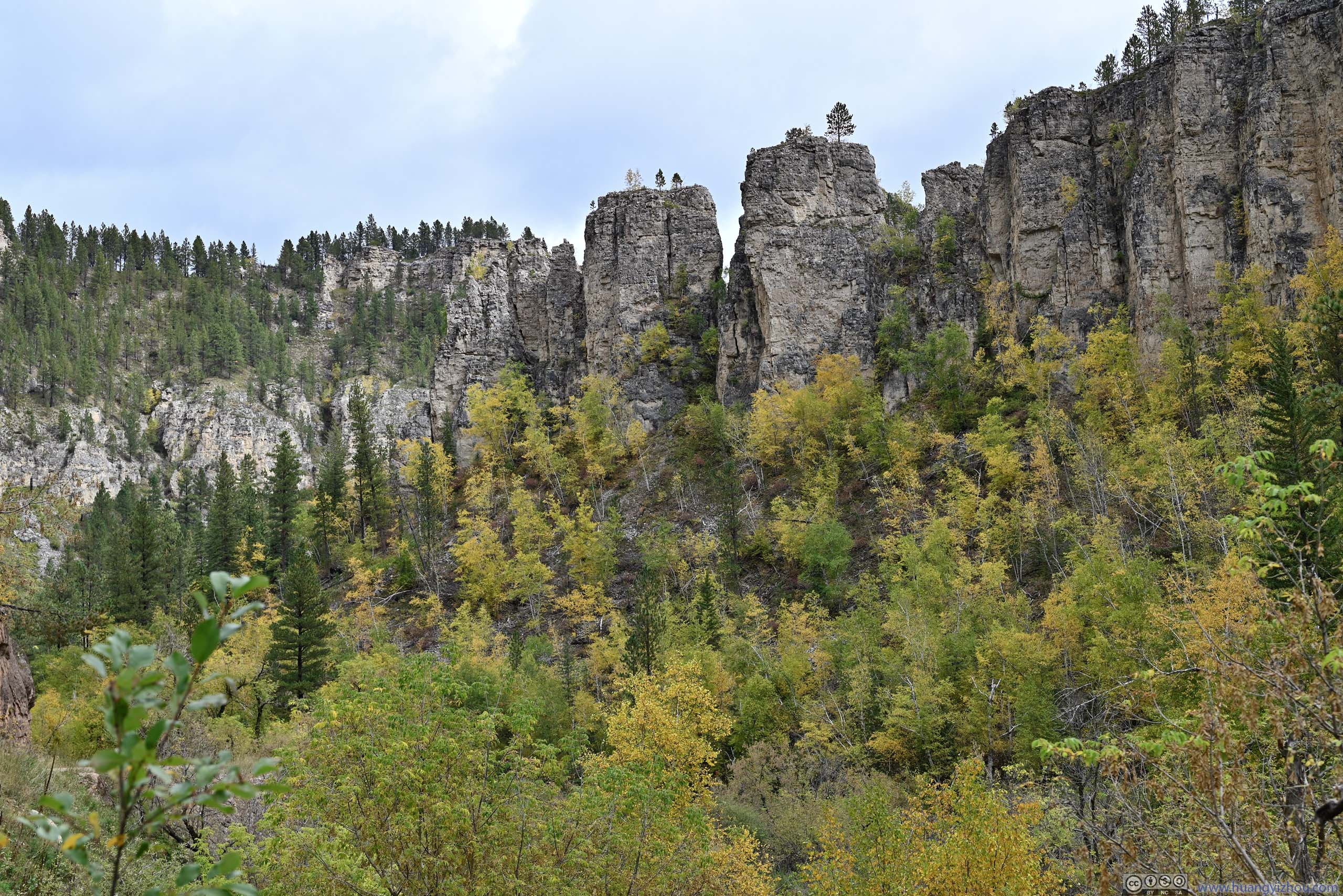
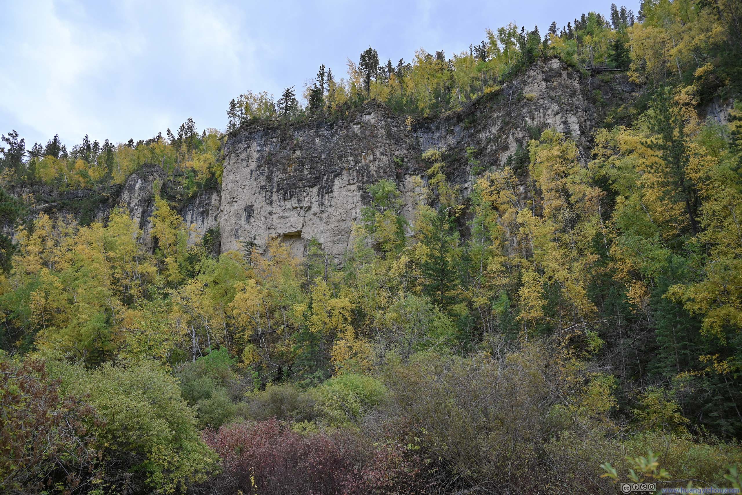
Spearfish Canyon
After leaving the visitor center of Sanford Lab, I headed towards Spearfish Canyon.
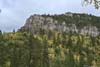
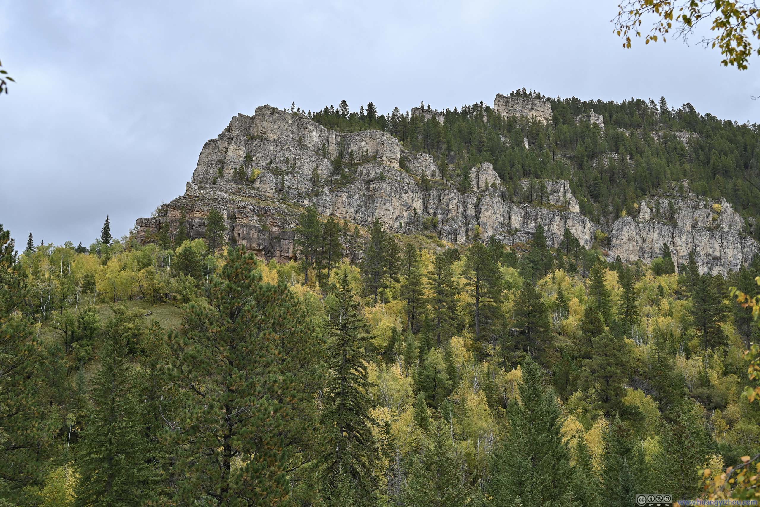
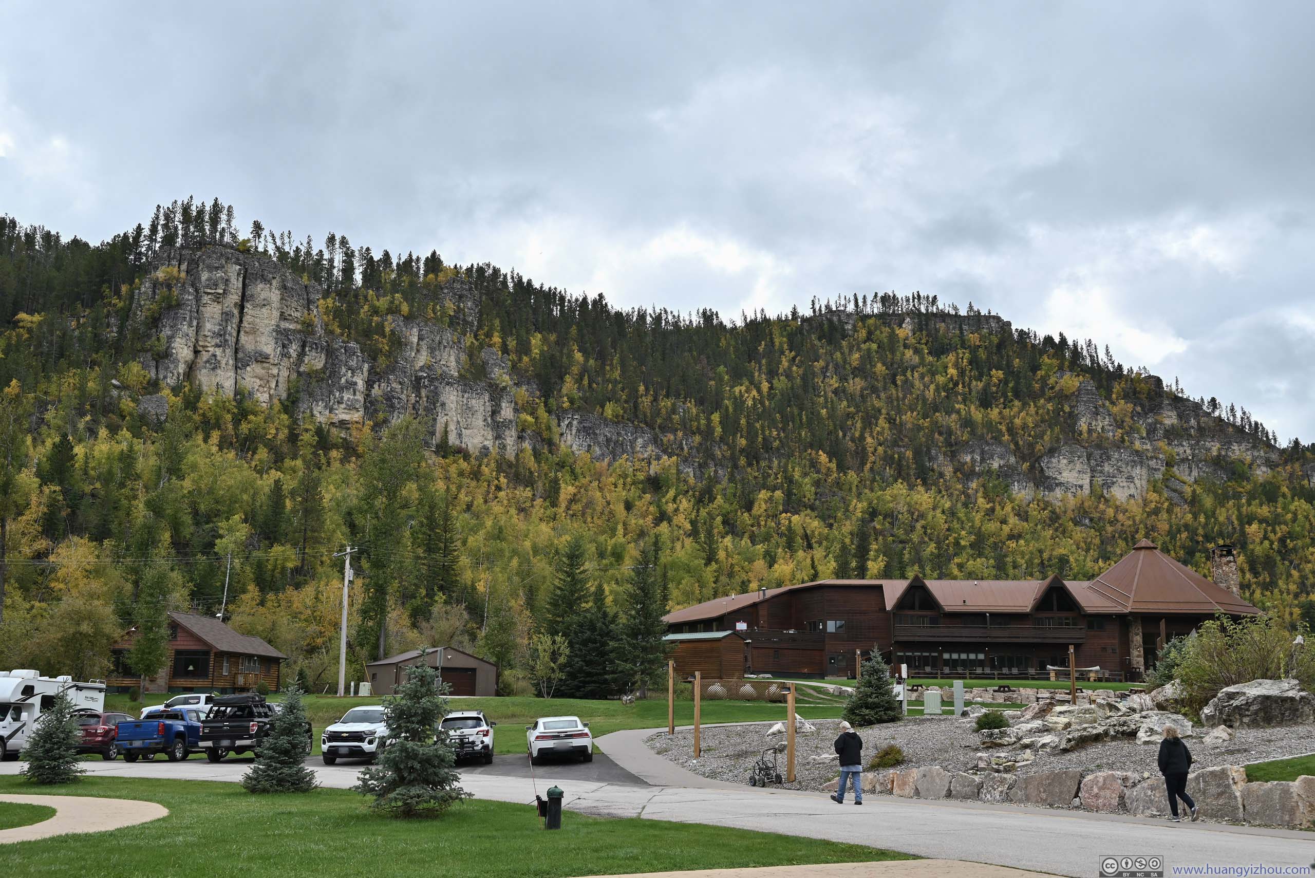
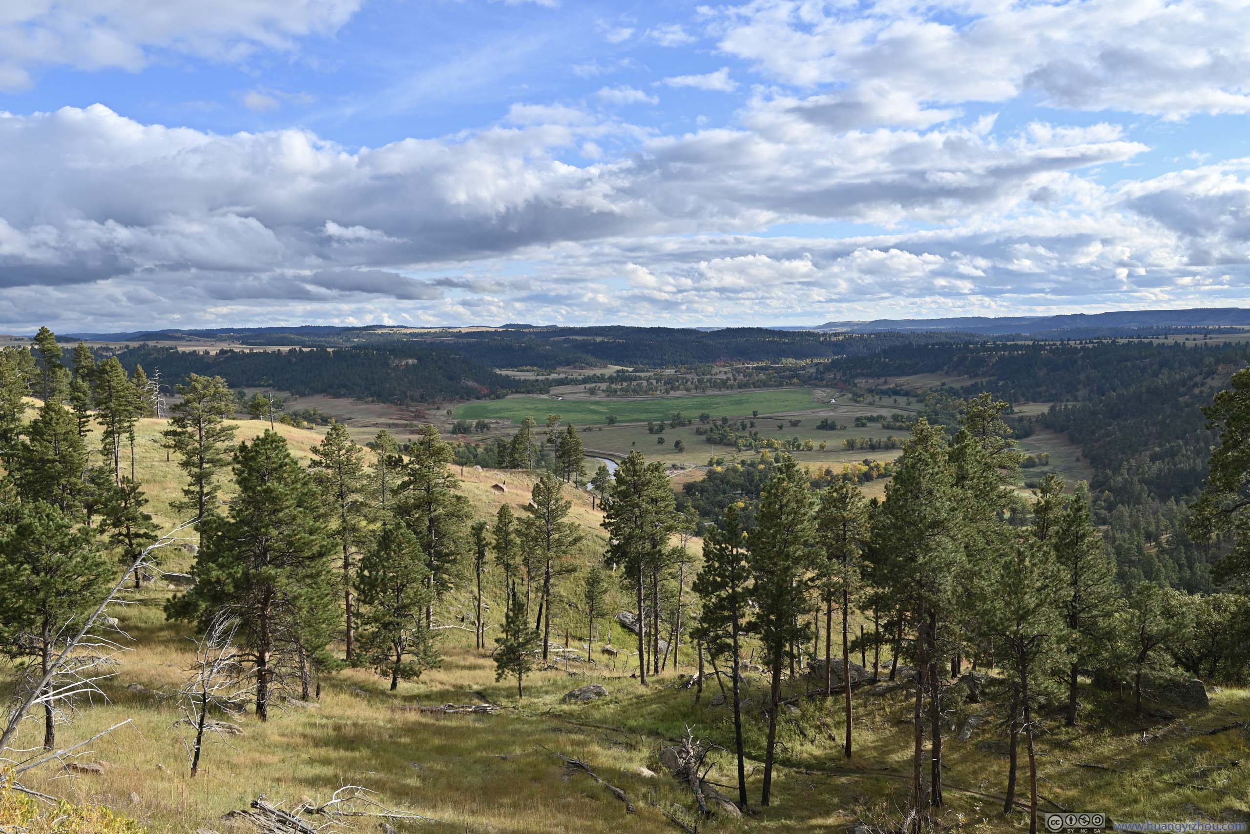
Overall, I would say this was a lovely canyon, especially its higher elevation parts in a palette of colors as foliage started to arrive. Lower down the canyon though it was still mostly green. The higher elevation parts also featured exposed rocks up along the canyon cliffs, giving it a proper canyon feeling, so it’s a constantly enjoyable sight to drive through.
Below is a timelapse video from my windshield-mounted GoPro, recording my drive from Sturgis, through downtown Deadwood and Lead and later Spearfish Canyon.
11 minutes and 26 seconds, 2160p30fps, H265 only, 14Mbps/1.26MB, playback speed between 4x and 8x.
- 0:00 The video start not long after leaving Sturgis, along US 14A.
- 1:30 Entering historic Main Street of Deadwood.
- 2:50 Leaving Deadwood, heading towards Lead.
- 3:47 Visitor Center for Sanford Lab, overlooking the open cut.
- 5:45 Entering Spearfish Canyon near “Cheyenne Crossing”.
- 7:10 Arriving at the parking lot for Spearfish Falls. The recording continues from the parking lot of Roughlock Falls.
- 8:00 Back to Spearfish Canyon.
- 9:23 Trailhead to Devils Bathtub, also remains of Homestake Mining Company Hydroelectric Plant No.2.
- 10:02 Parking Lot for Bridal Veil Falls.
- 10:16 Some mountain goats along the road.
- The video ends as I approached the town of Spearfish.
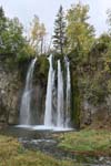
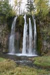
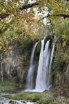
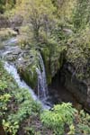
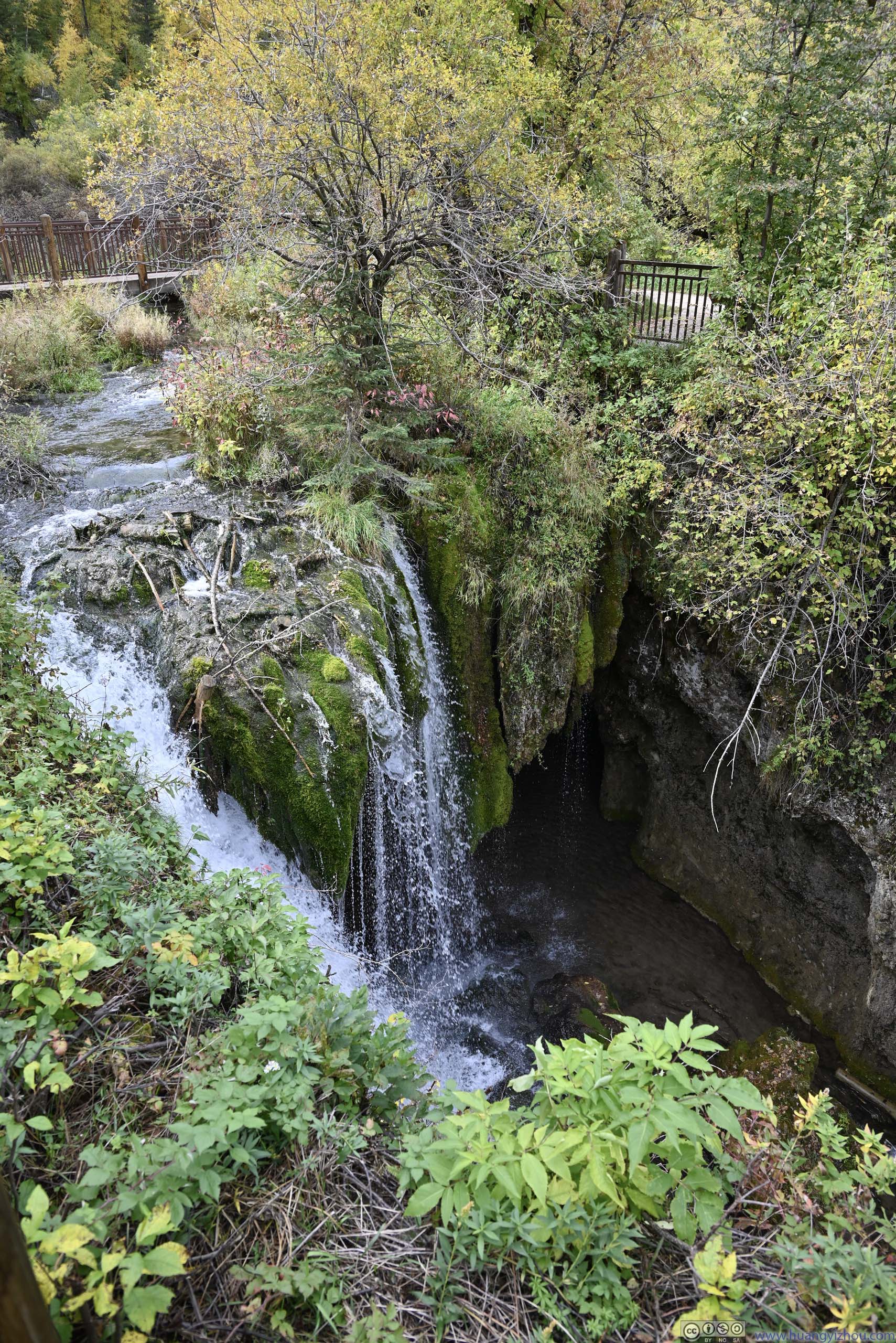
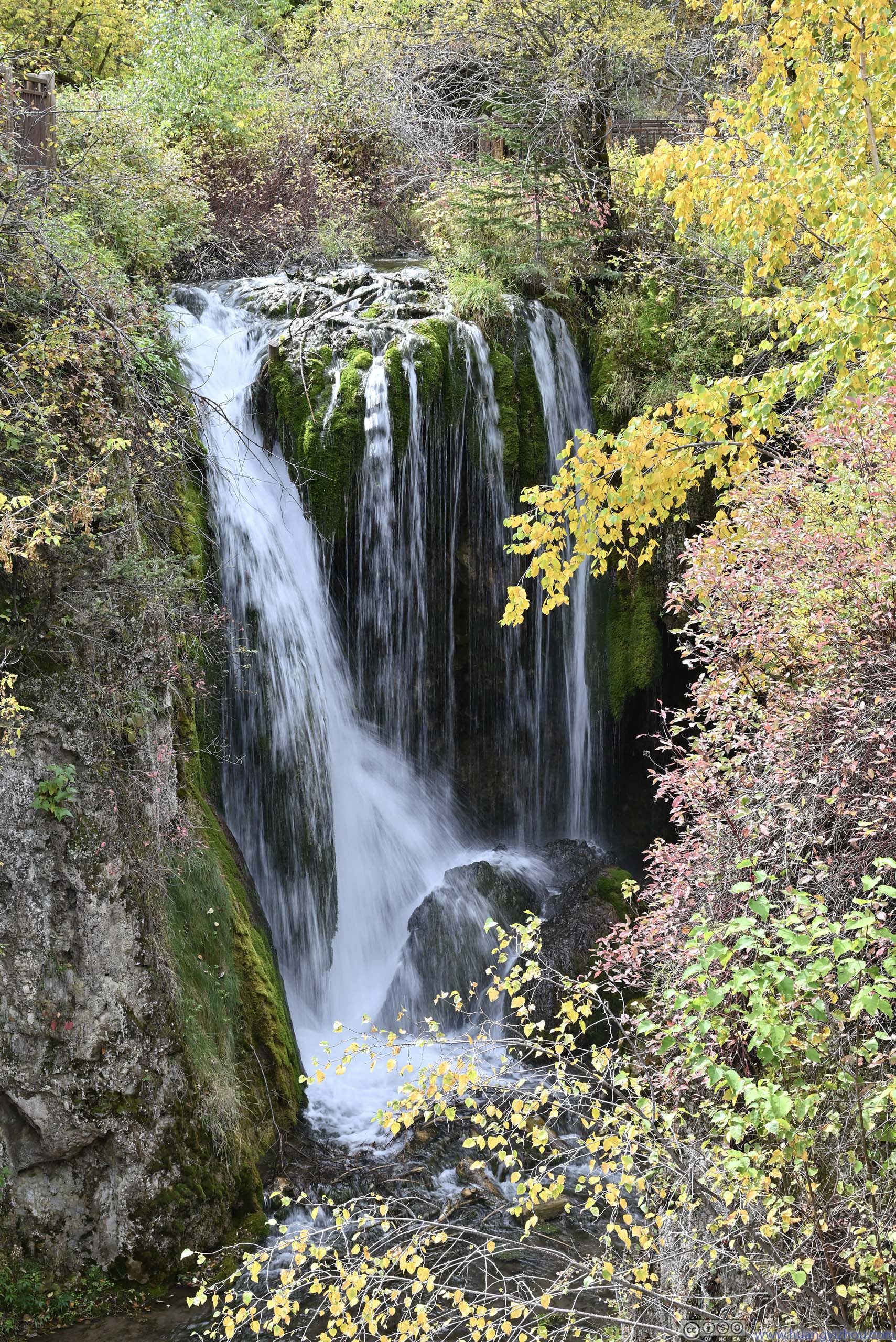
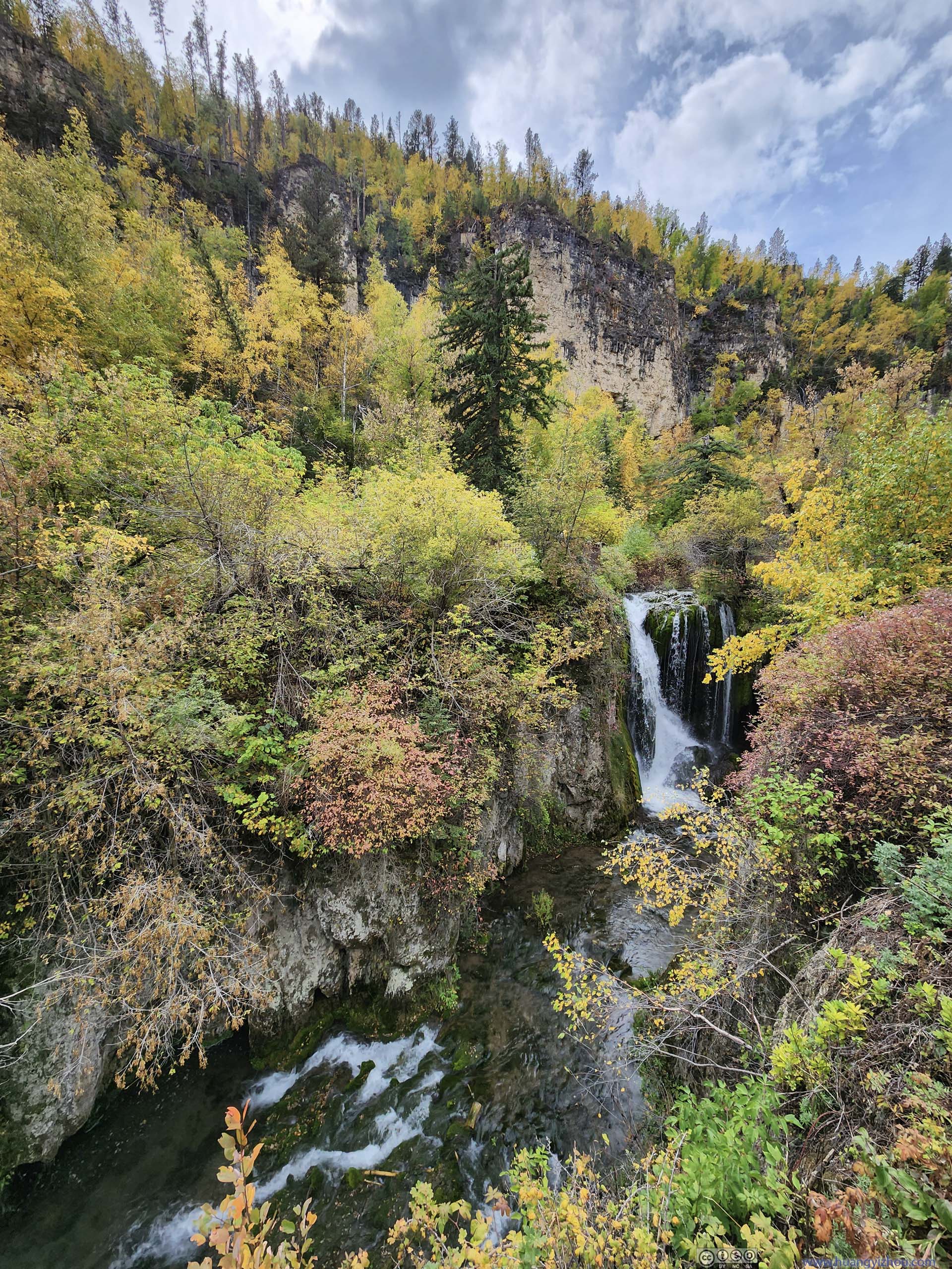
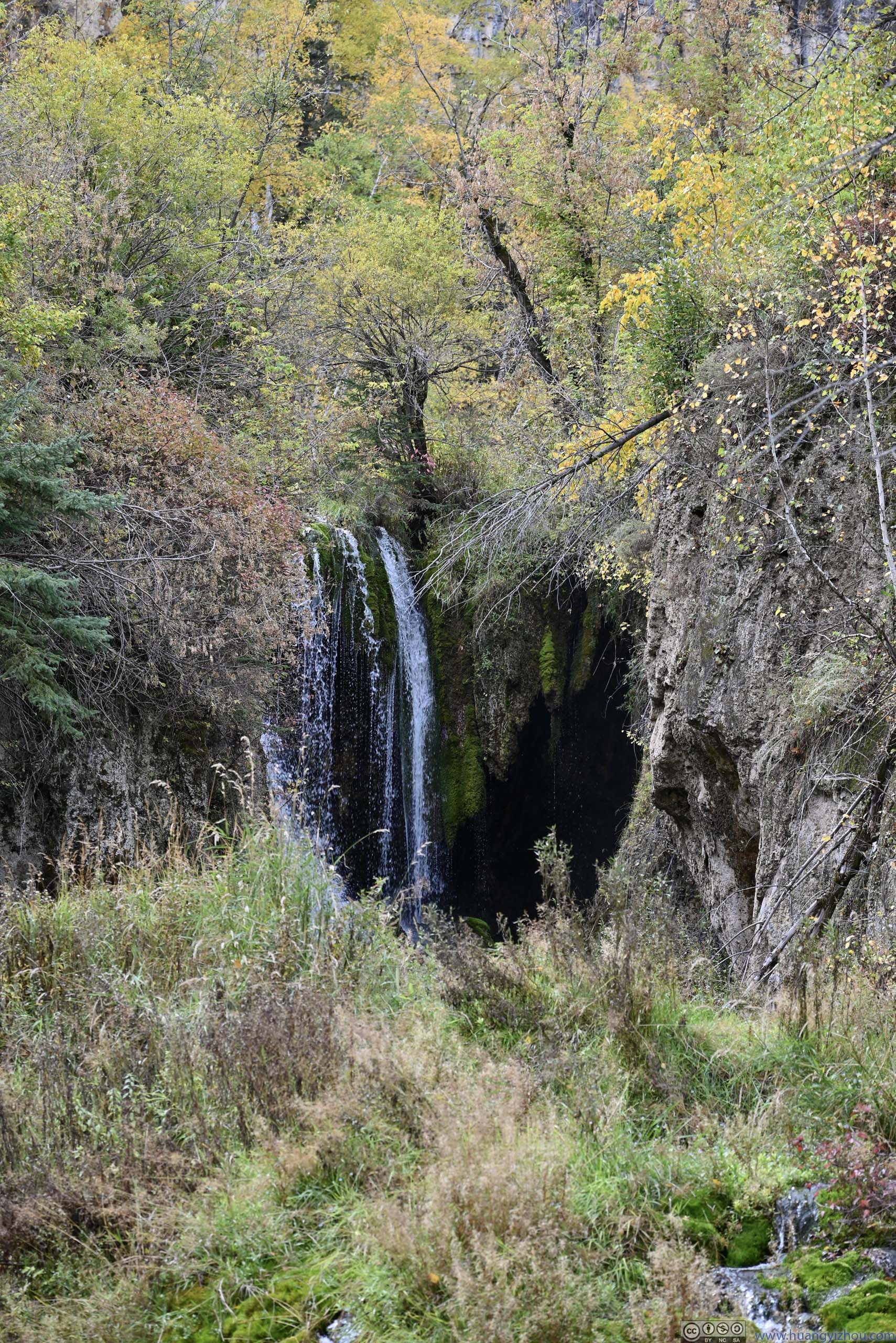
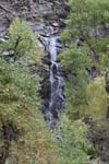
Spearfish Falls
The first stop that I made was Spearfish Falls, at a place called “Savoy” on the maps. (I could have made an additional stop at Old Spearfish Creek Dam earlier.) Despite its name, the waterfall was actually along “Little Spearfish Creek” before it merged into “Spearfish Creek”. From the parking lot, a short trail led down to the river with views of the waterfall.
 Spearfish Falls
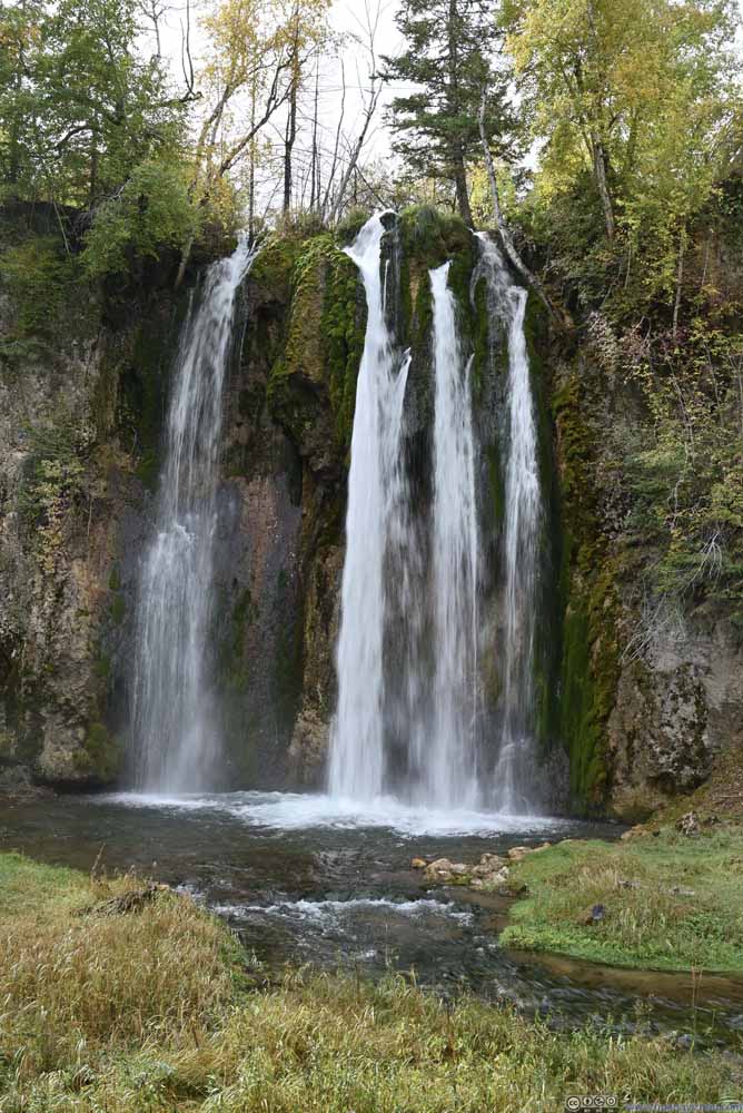 Spearfish Falls
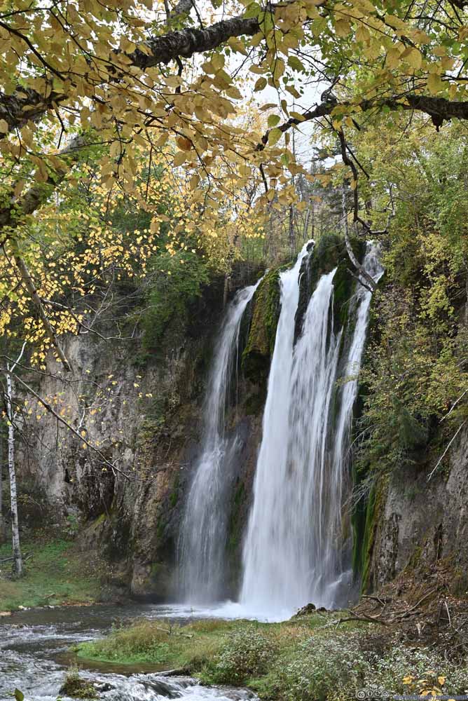 Spearfish Falls
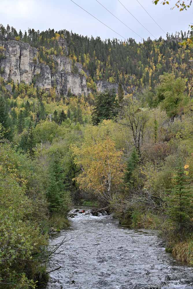 Spearfish Creek
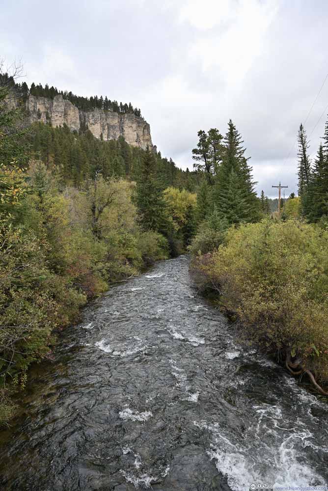 Spearfish Creek
Click here to display photos of the Spearfish Falls.

Spearfish Falls
Spearfish Falls

Spearfish Falls
Spearfish Creek
Spearfish Creek
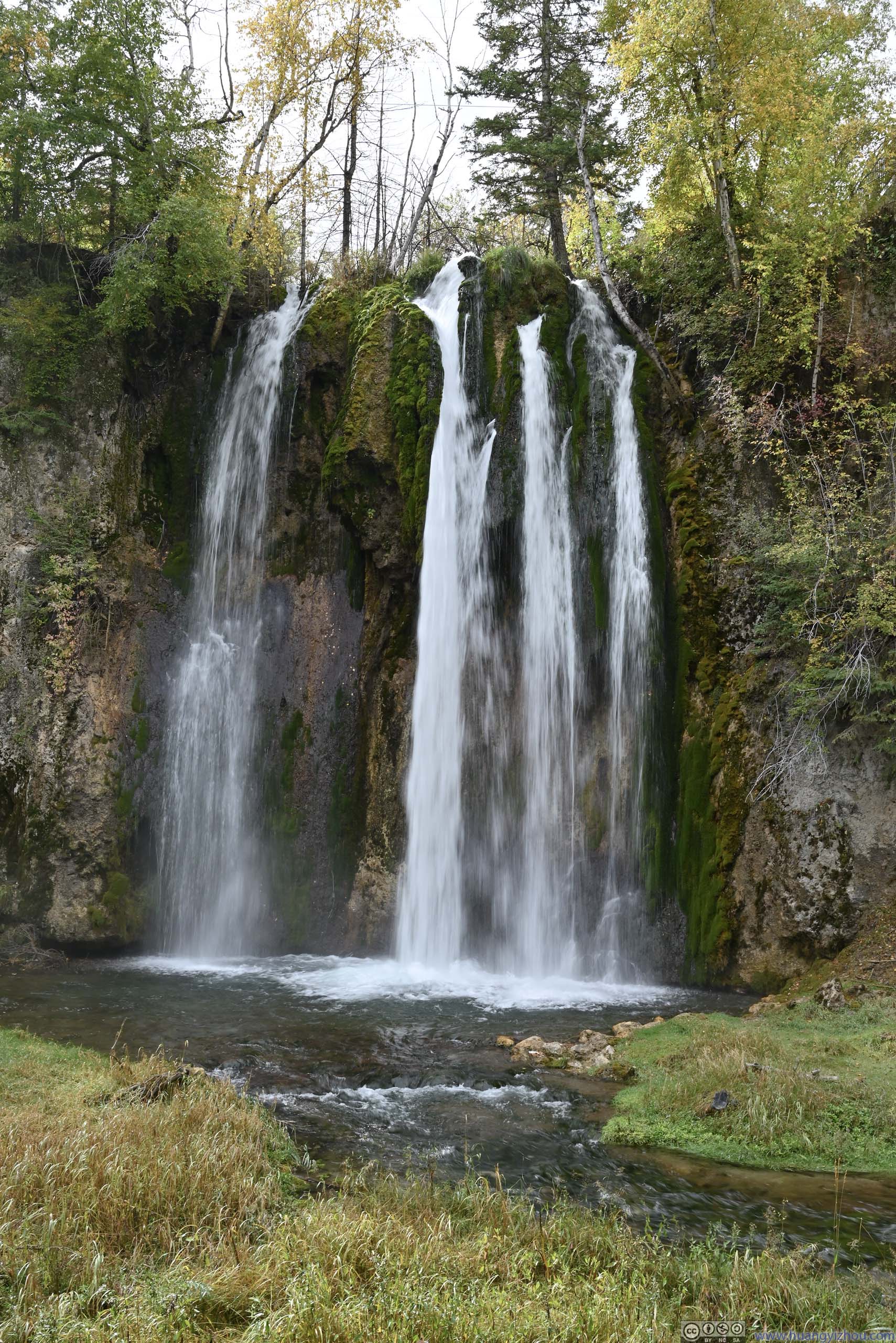
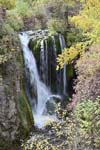
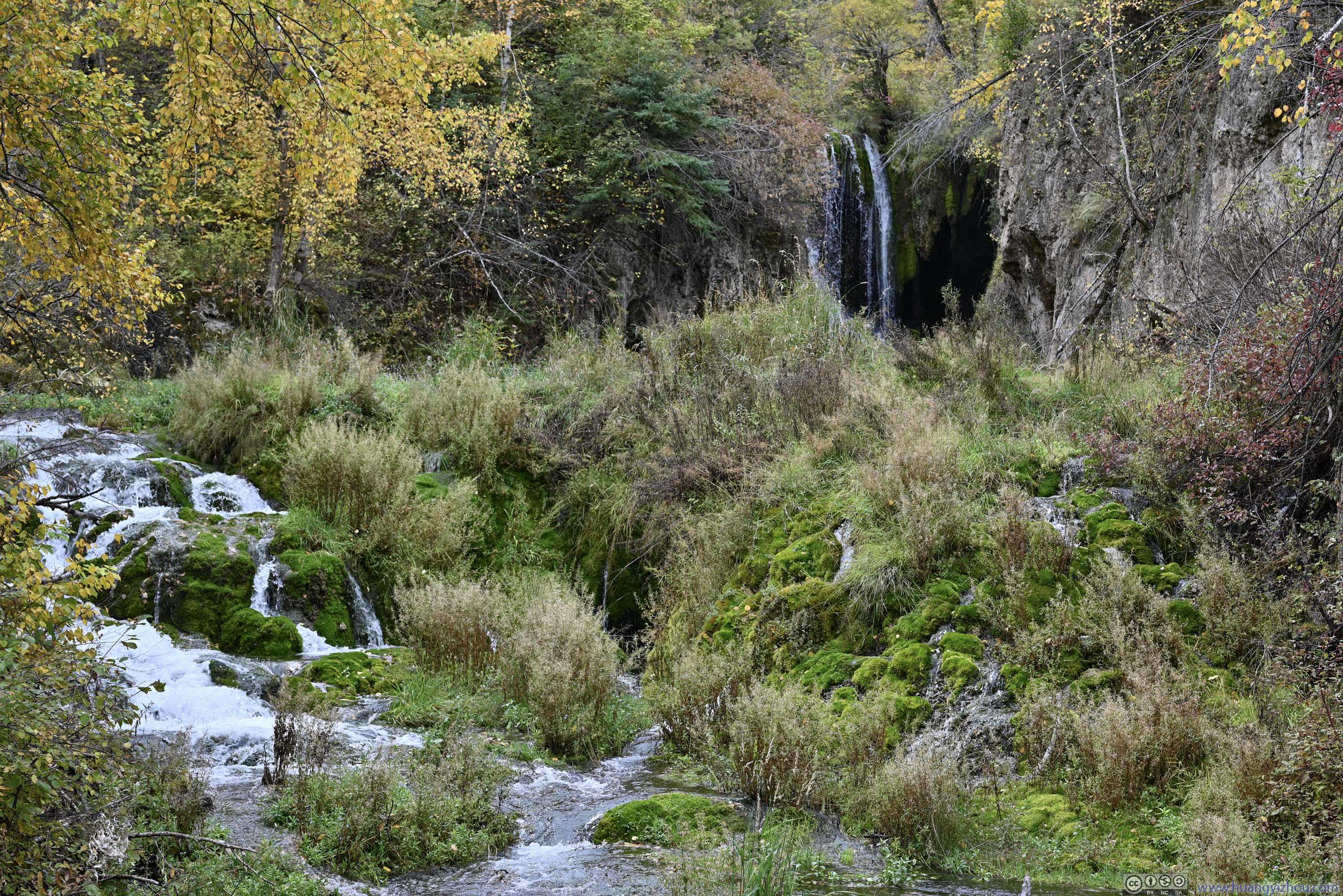
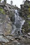
Roughlock Falls
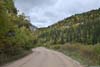
Following “Little Spearfish Creek” upstream, one entered another canyon that in my opinion felt narrower. “Roughlock Falls” were located one mile into that canyon. The road (Roughlock Falls Road) in that canyon was unpaved, and riddled with potholes, so should be taken with caution. After that, Roughlock Falls could be accessed through a short trail from its parking lot.
Roughlock Falls could be viewed from an upper overlook (p1 below), lower overlook (p4 below), or along the trail to the lower overlook (p2-3 below). I sort of felt the views along the trail were the best.
 Roughlock Falls
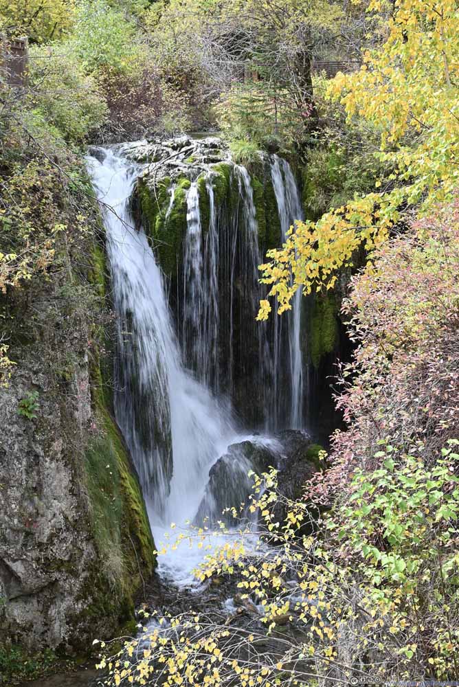 Roughlock Falls
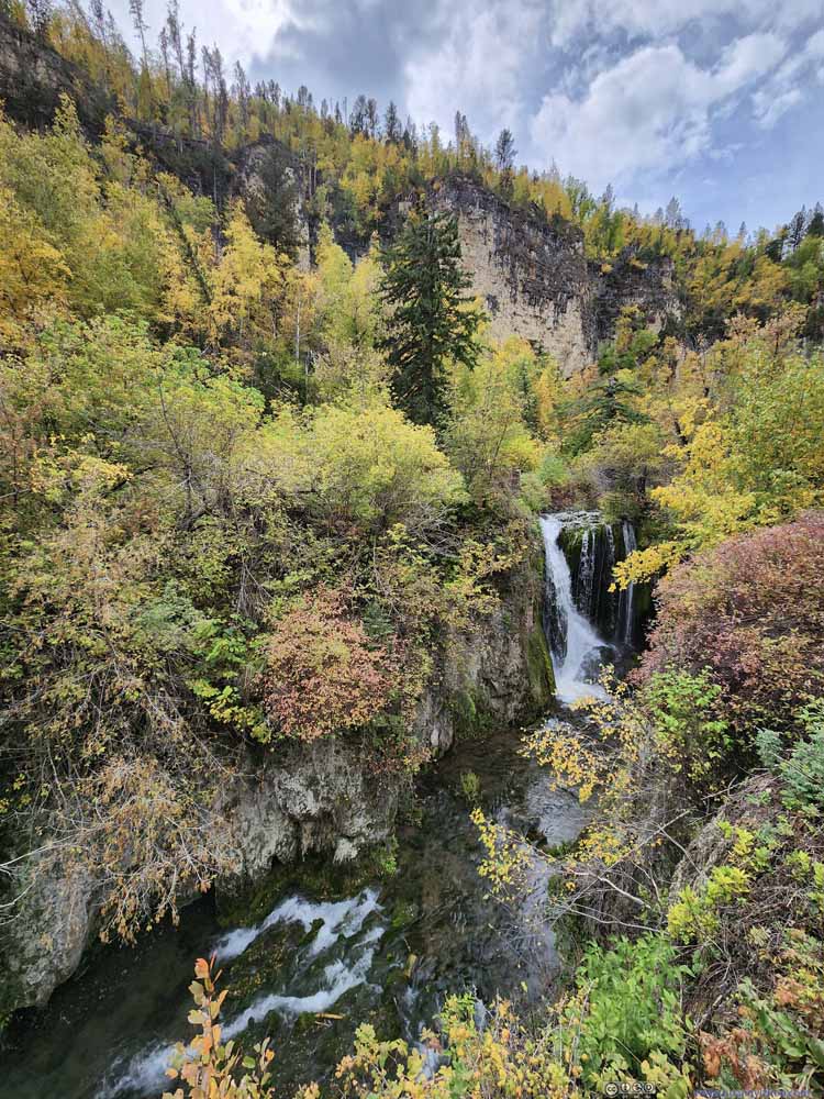 Roughlock Falls
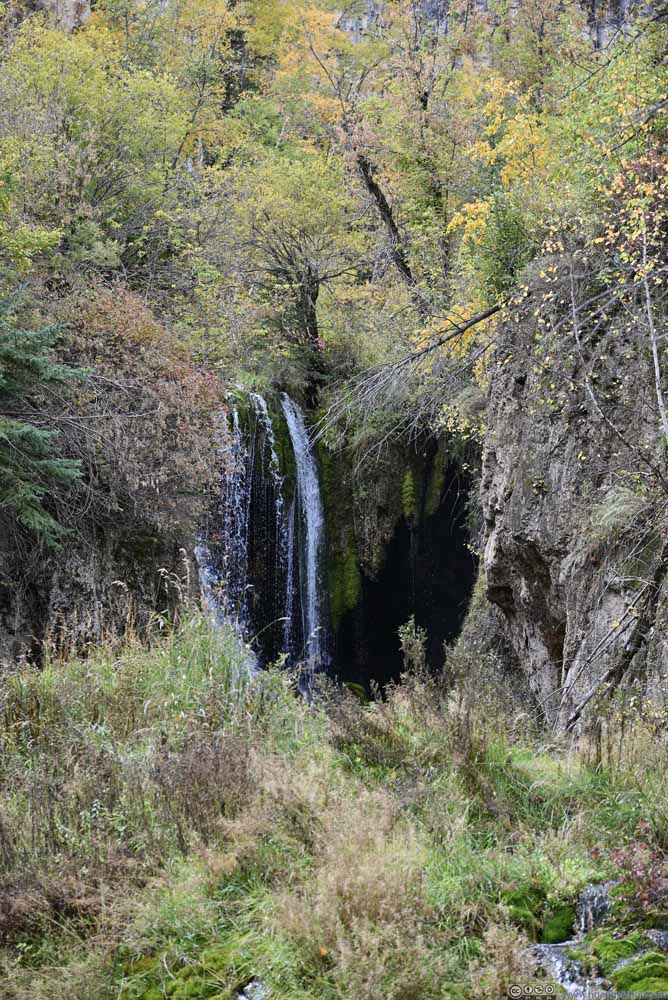 Roughlock Falls
Click here to display photos of the Roughlock Falls.
Roughlock Falls
Roughlock Falls
Roughlock Falls
Roughlock Falls
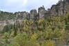
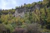
One also got some proper canyon views among great foliage.
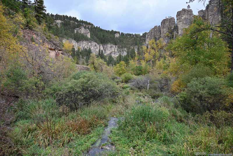 Little Spearfish Creek in Canyon
 Canyon Walls
 Canyon Walls
 Little Spearfish Creek and Roughlock Falls
 Little Spearfish CreekNext to a foot bridge, a vantage spot to watch the fish.

Click here to display photos of the slideshow

Little Spearfish Creek in Canyon
Canyon Walls
Canyon Walls
Little Spearfish Creek and Roughlock Falls
Little Spearfish CreekNext to a foot bridge, a vantage spot to watch the fish.
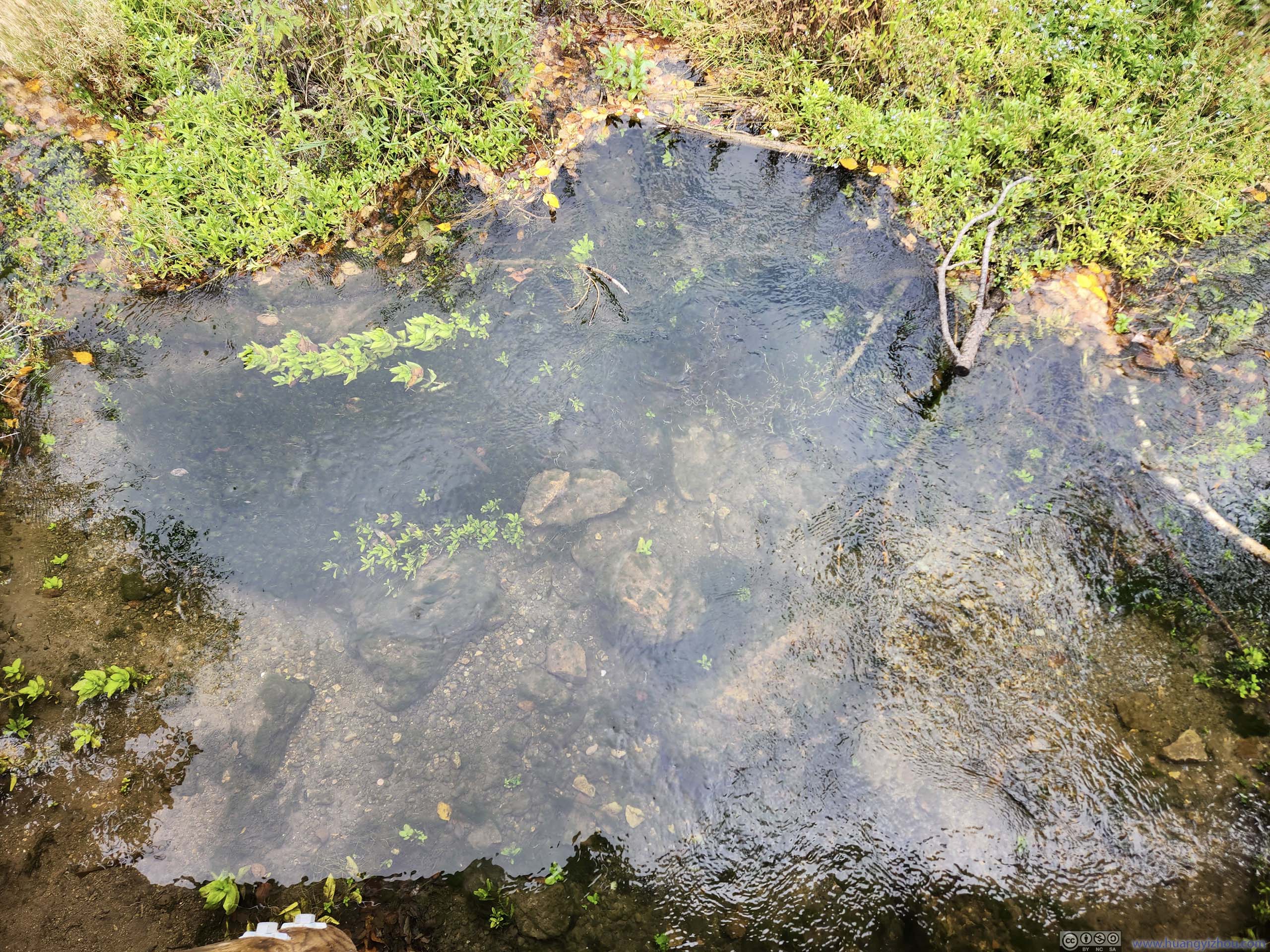
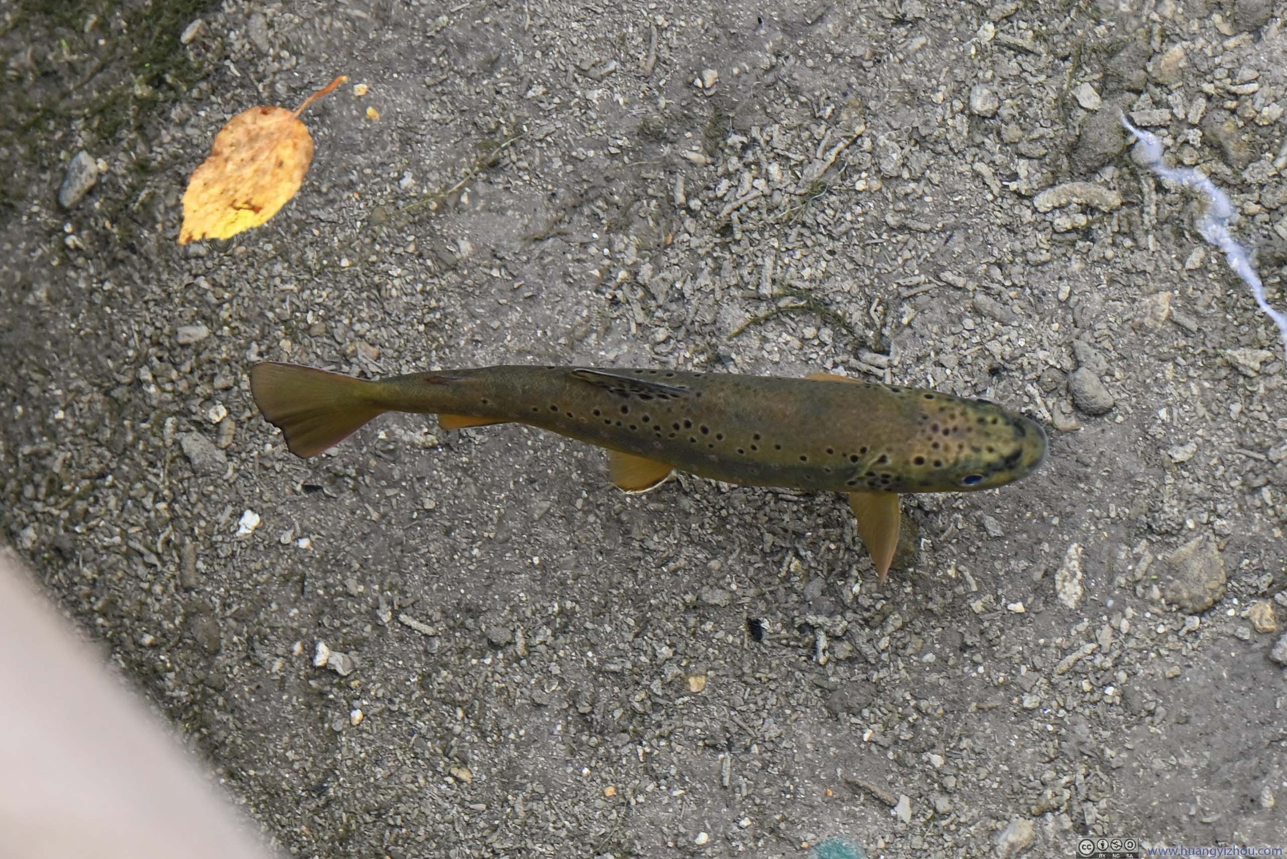
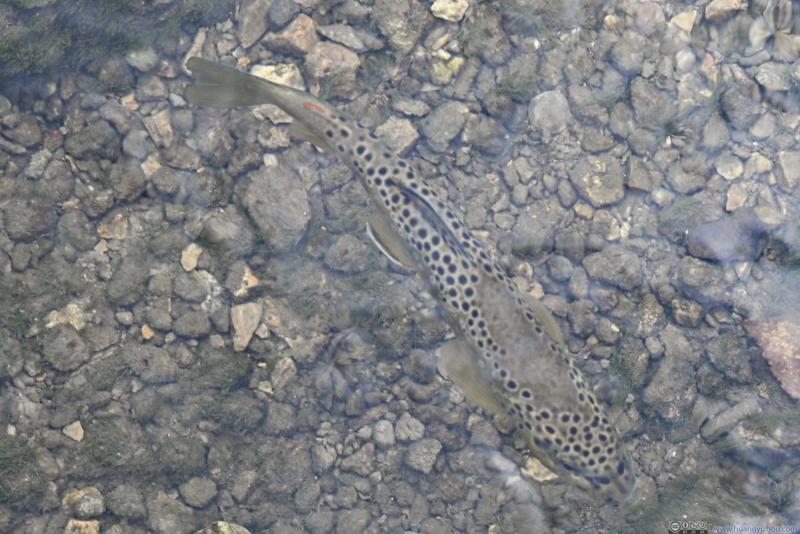
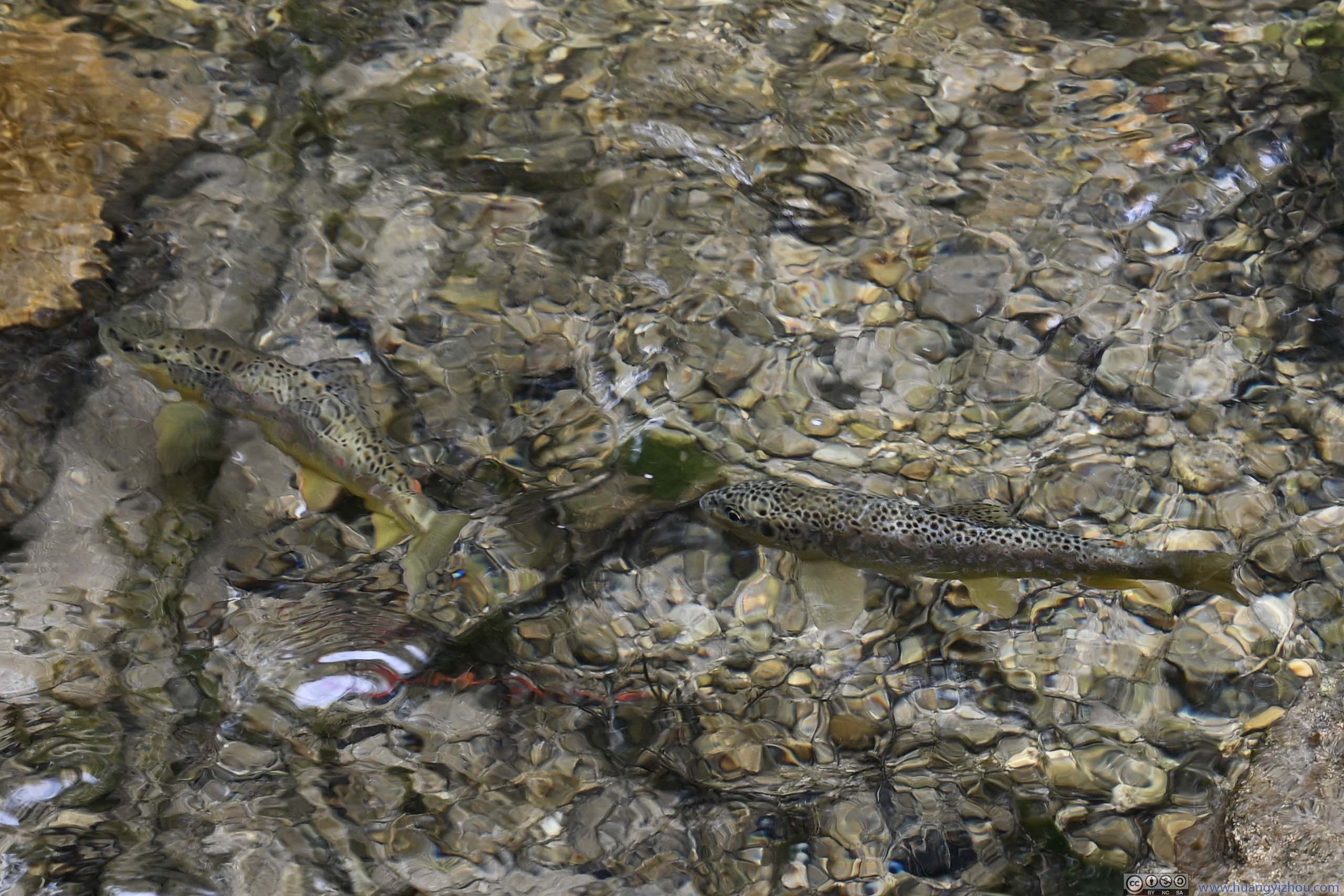
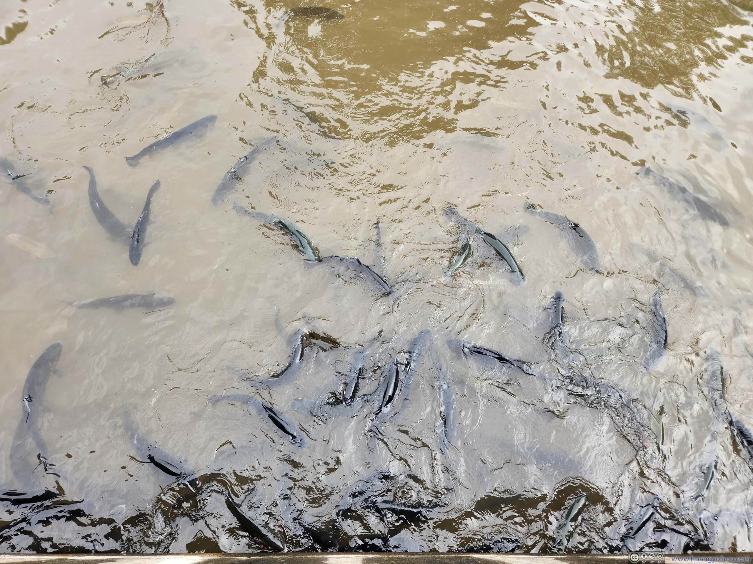
In addition, near both of the waterfalls, I could easily spot some fish (trout?) in the water. Maybe that had something to do with the fish hatchery down the stream?
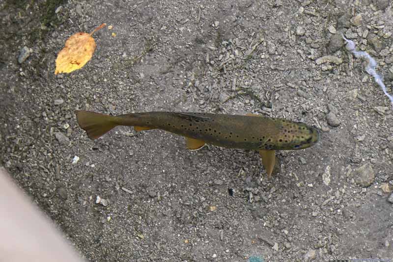 Fish in WaterFrom the trail to Roughlock Falls.
 Fish in WaterFrom the trail to Roughlock Falls.
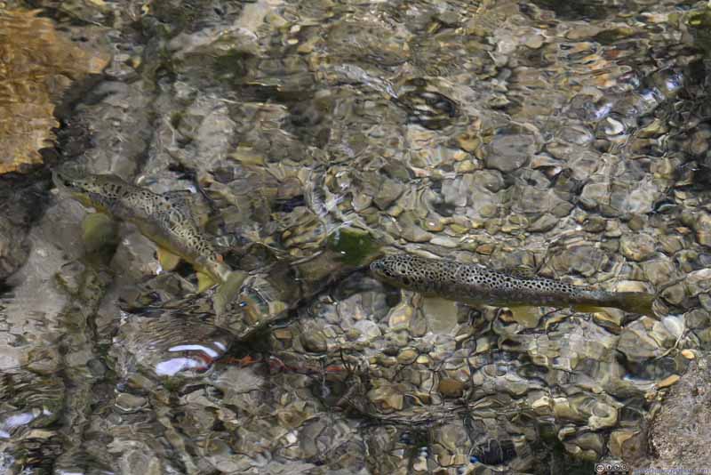 Fish in WaterEarlier from the trail to Spearfish Falls.

Click here to display photos of the fish in river.
Fish in WaterFrom the trail to Roughlock Falls.
Fish in WaterFrom the trail to Roughlock Falls.
Fish in WaterEarlier from the trail to Spearfish Falls.
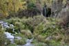
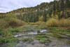
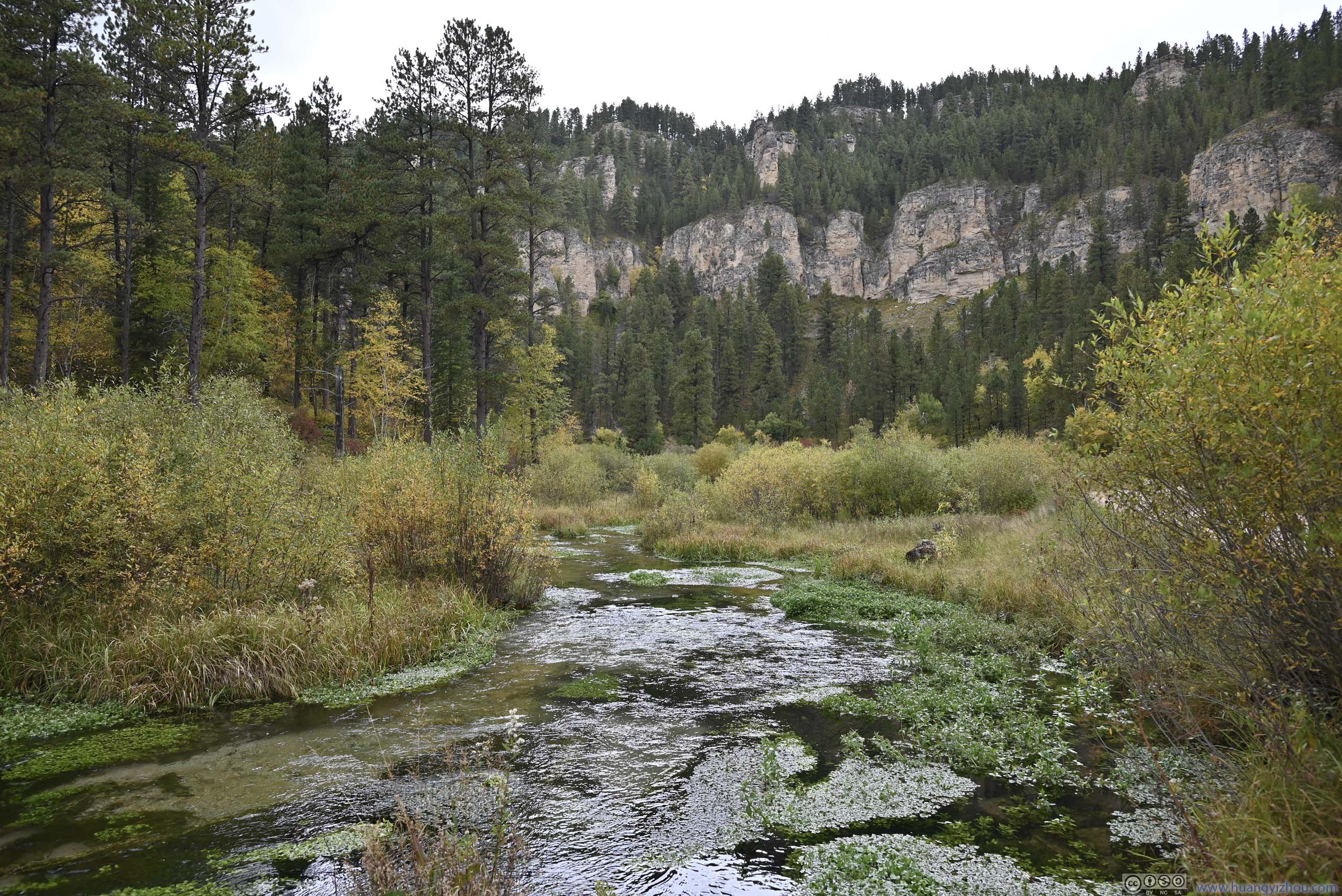
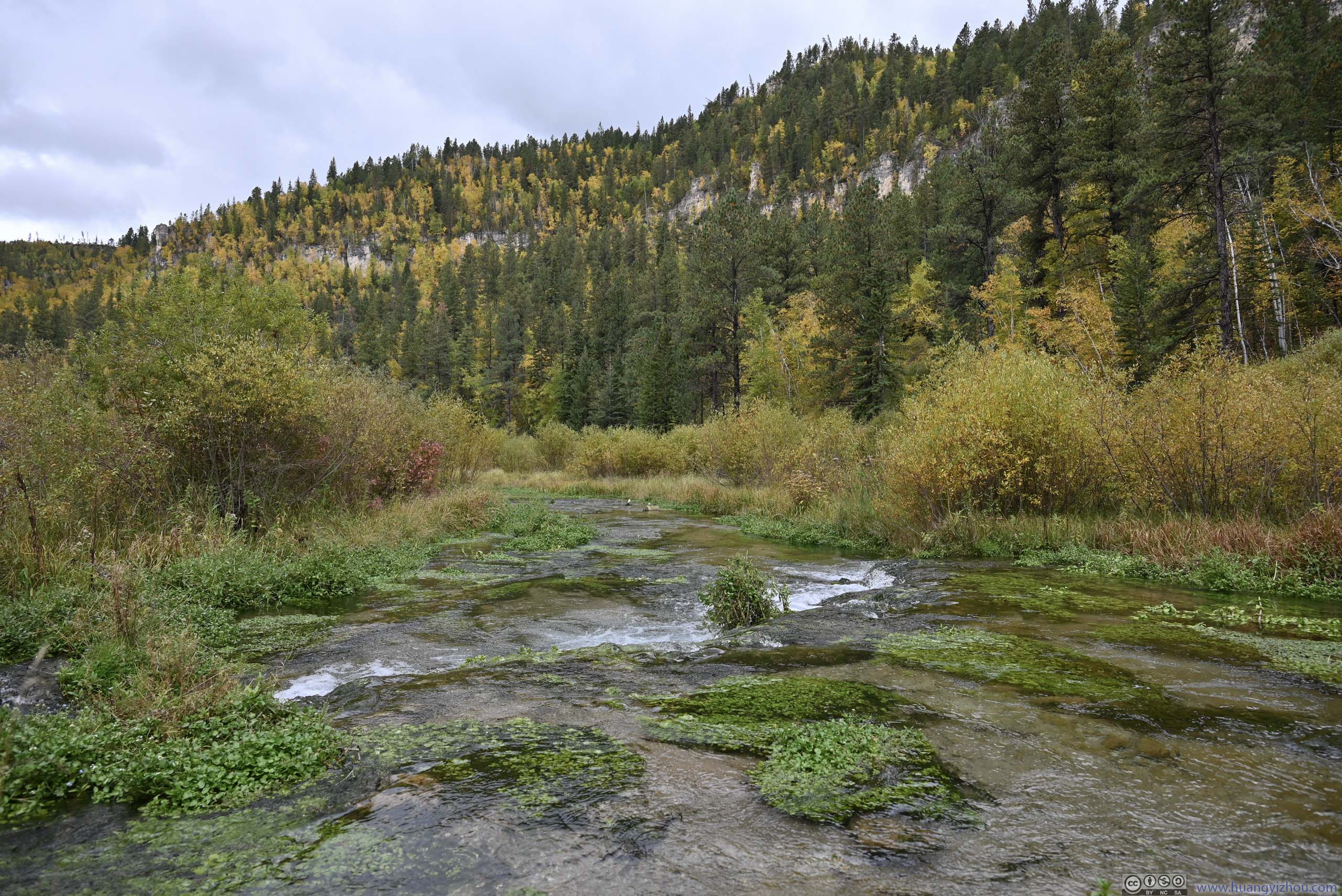
On my way out, I made a stop to check out Little Spearfish Creek, where the weeds seemed to form their own islands in the river (p1-2 below), amid the appealing foliage.
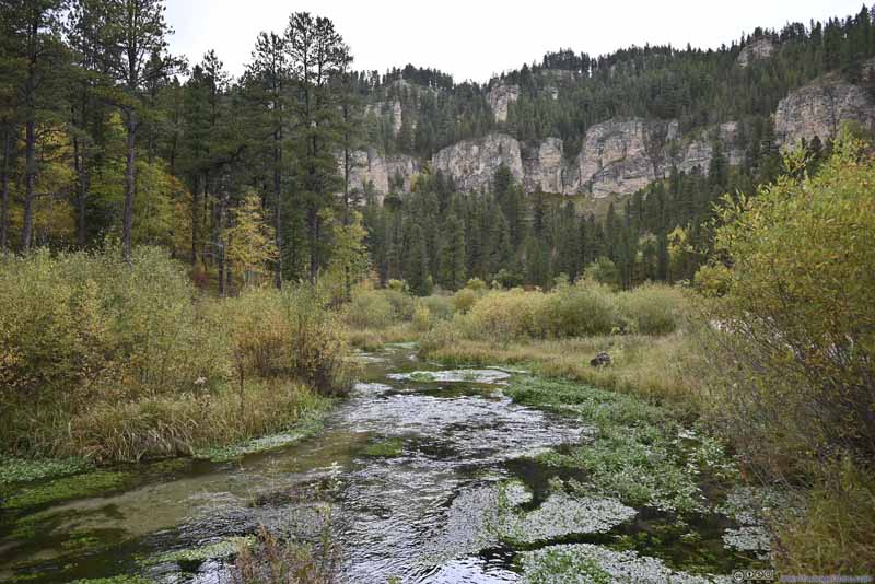 Little Spearfish Creek
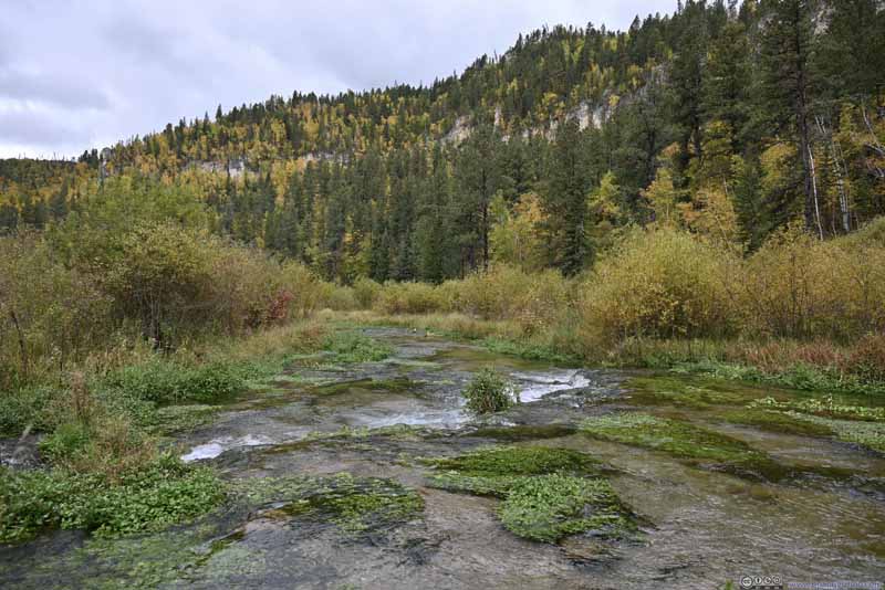 Little Spearfish Creek
 Road in Canyon
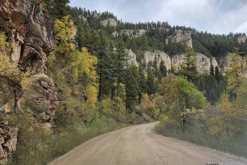 Road in Canyon
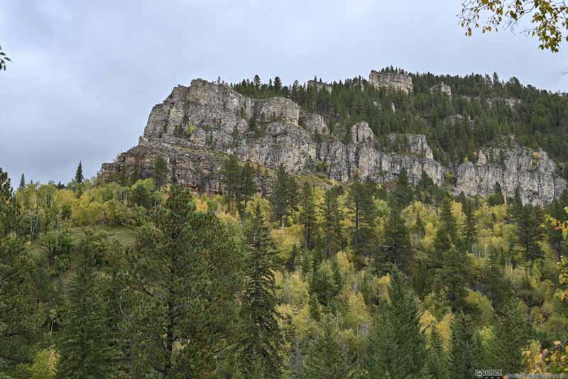 Wall of Spearfish Canyon
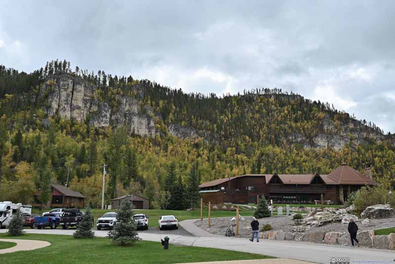 Wall of Spearfish Canyon


Click here to display photos of the slideshow
Little Spearfish Creek
Little Spearfish Creek

Road in Canyon

Road in Canyon
Wall of Spearfish Canyon
Wall of Spearfish Canyon
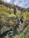
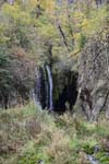
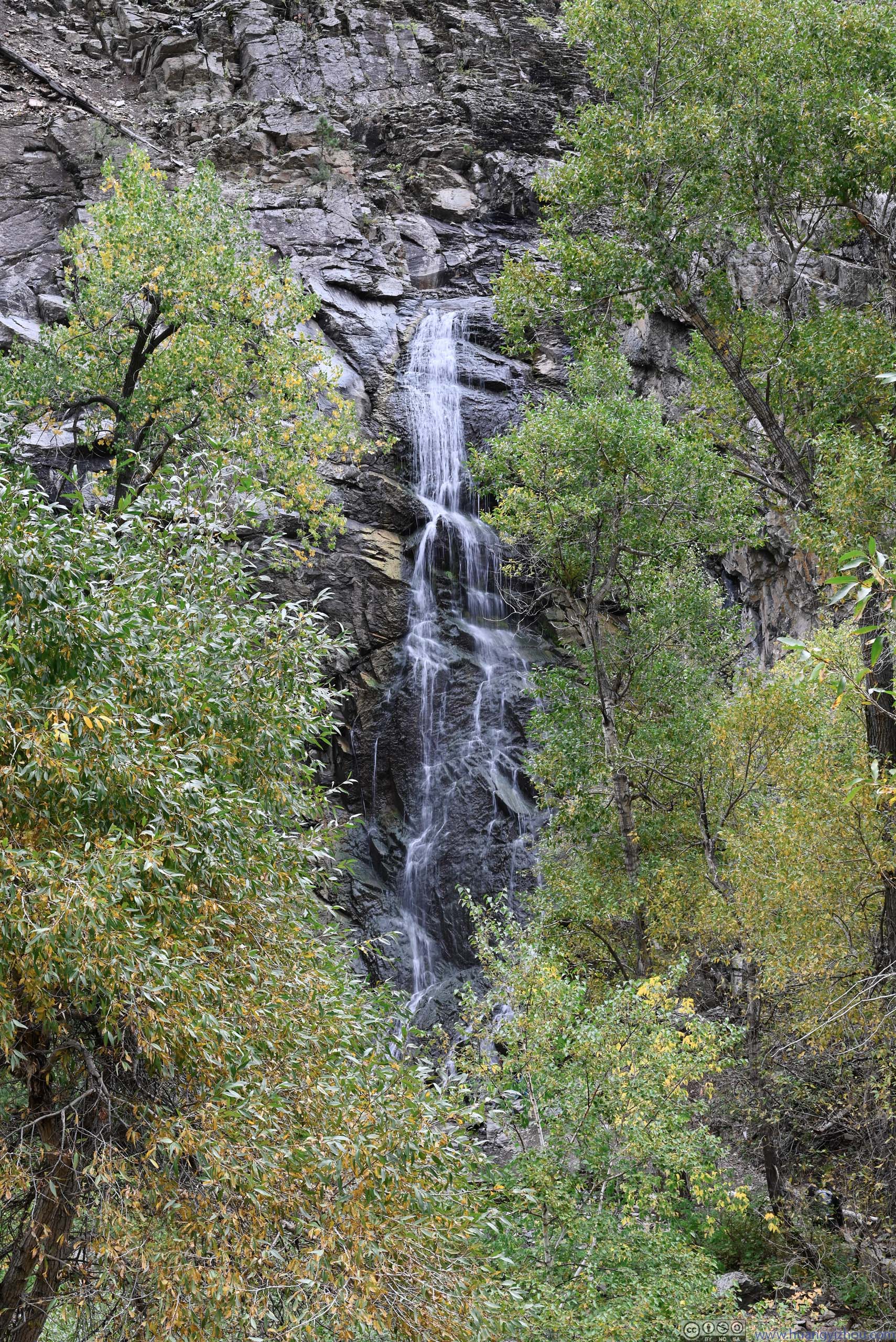
Bridal Veil Falls
My next stop along the canyon was Bridal Veil Falls. It seemed to me that a lot of states in the US had a waterfall with such name. It’s the highest waterfall that I visited during this trip. The waterfall could be viewed from a roadside observation deck (p1 below), or one could hop across Spearfish Creek and view it up close from below (p2 below). Just that fording the river required some balance, as I watched someone slip in front of me. The waterfall offered its best views in spring with melted snow water. The flow rate was still decent during my visit though.
 Bridal Veil Falls
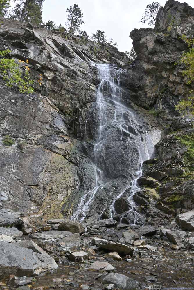 Bridal Veil Falls
Click here to display photos of Bridal Veil Falls.
Bridal Veil Falls

Bridal Veil Falls
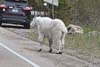
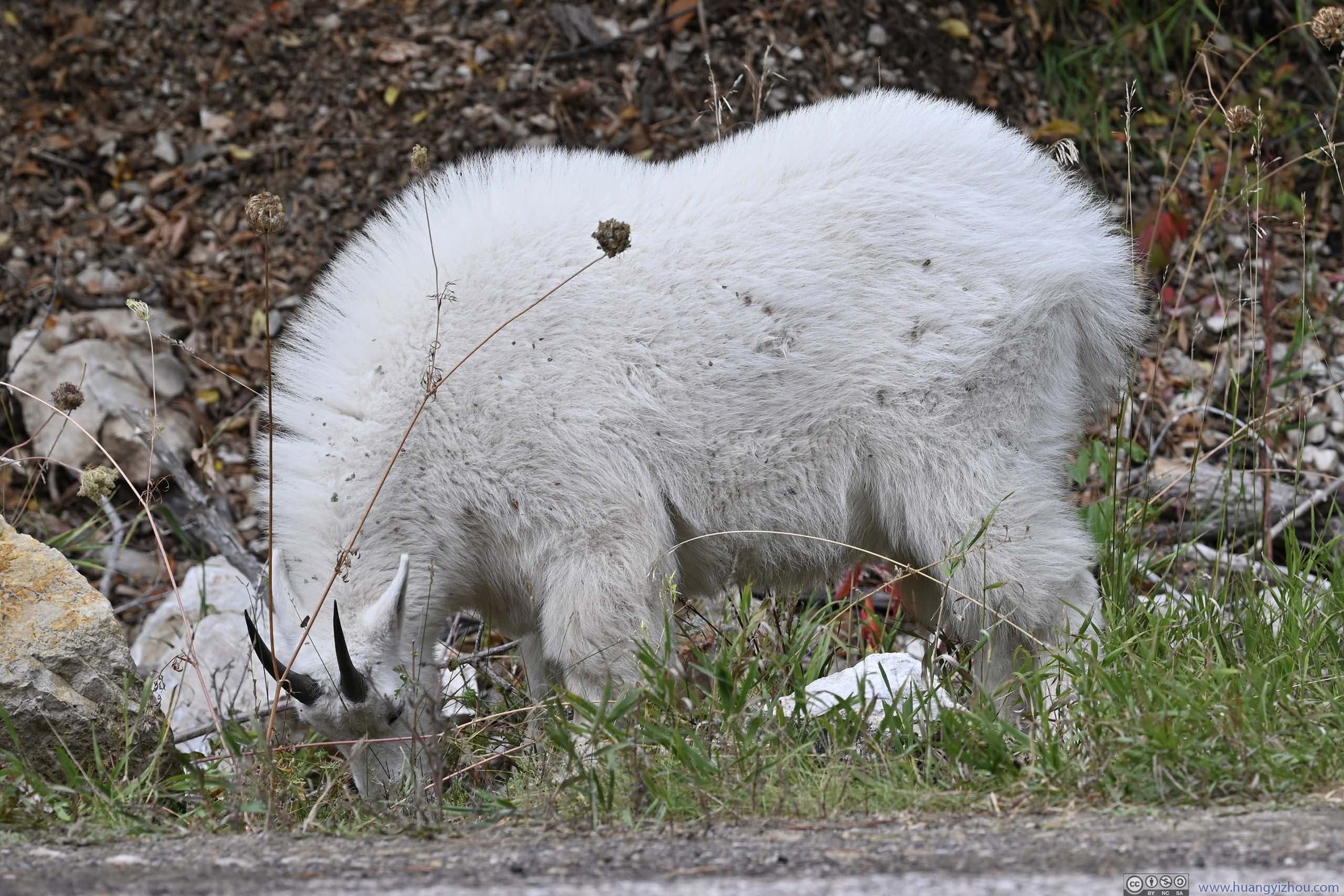
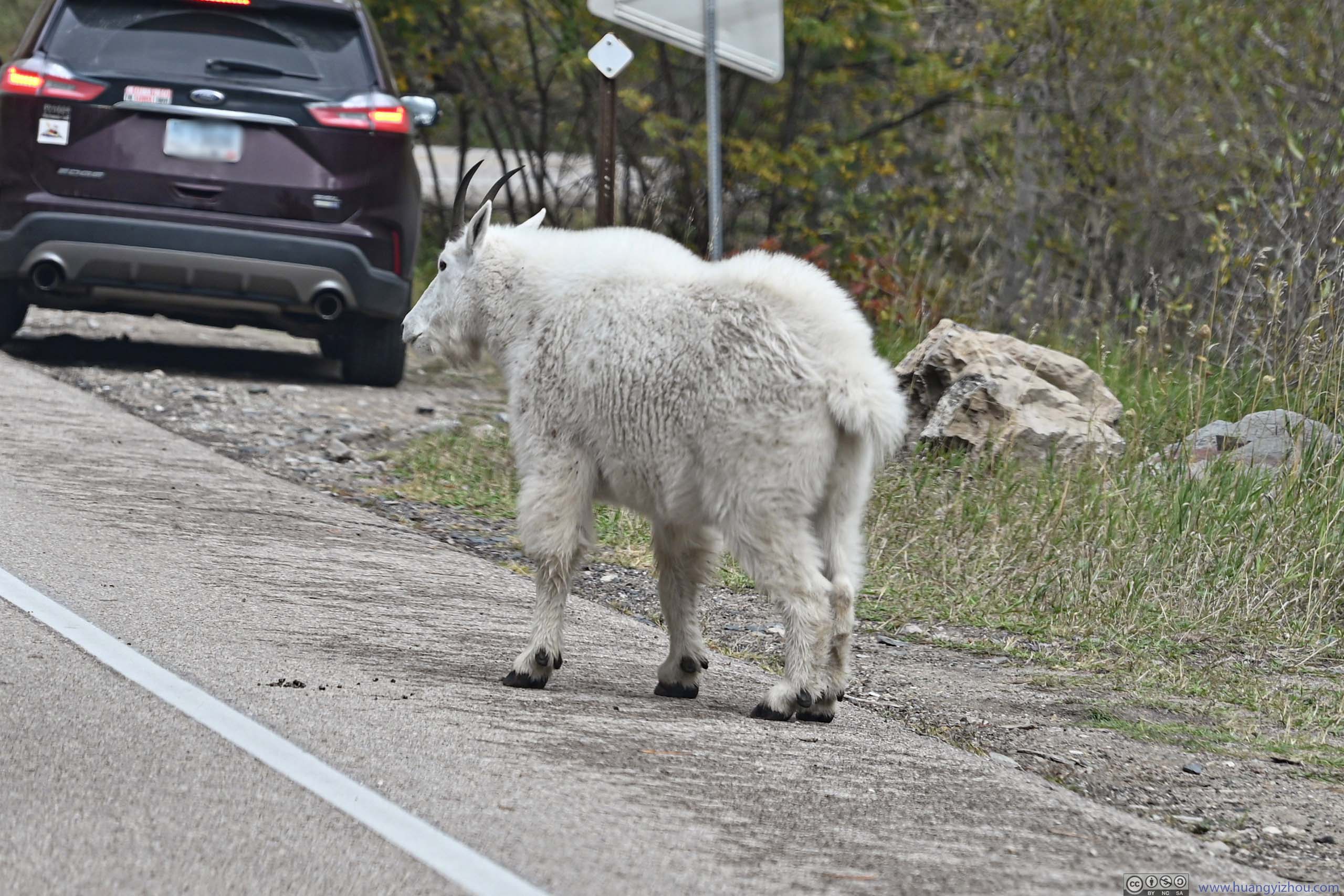
Further down the road, a group of goat grazing along the road caused a small traffic jam.
 Goat Next to Road
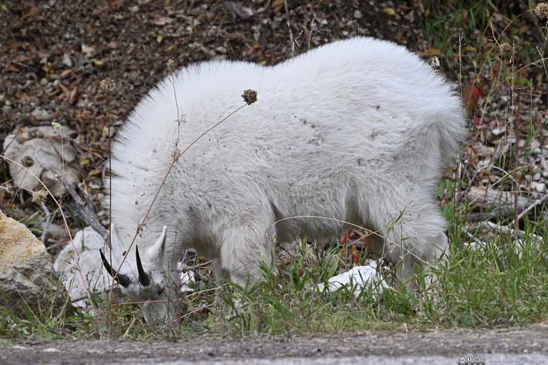 Goat Next to Road
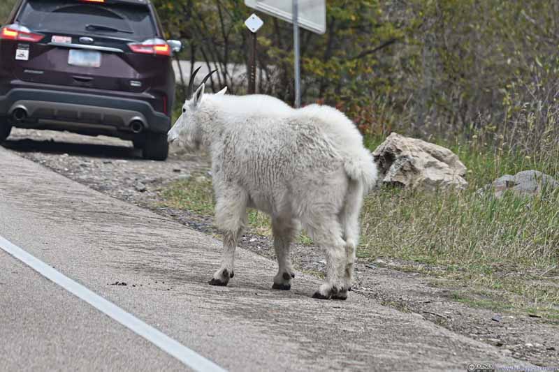 Goat Next to Road
Click here to display photos of the goats along the road.

Goat Next to Road
Goat Next to Road
Goat Next to Road
Originally, I wanted to check out Devils Bathtub, which was located in Spearfish Canyon. But minutes after I hit the trail, some returning hikers told me “Devils Bathtub” took “almost an hour” for them to reach. I didn’t pre-load offline maps for the region, so I had no way to track my progress, and “almost an hour” was certainly more time than I had, so I decided to skip it.
Further down Spearfish Canyon, my backup option was “Community Cave”, which was a shorter trail to an alcove(?). Unfortunately, I missed its trailhead parking which was on the opposite side of the cave. As a result, I headed straight out of Spearfish Canyon.
D.C. Booth Historic National Fish Hatchery
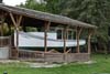
That meant I had some time to spare around the town of Spearfish, so I took my final backup option of “D.C. Booth Historic National Fish Hatchery”.
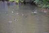
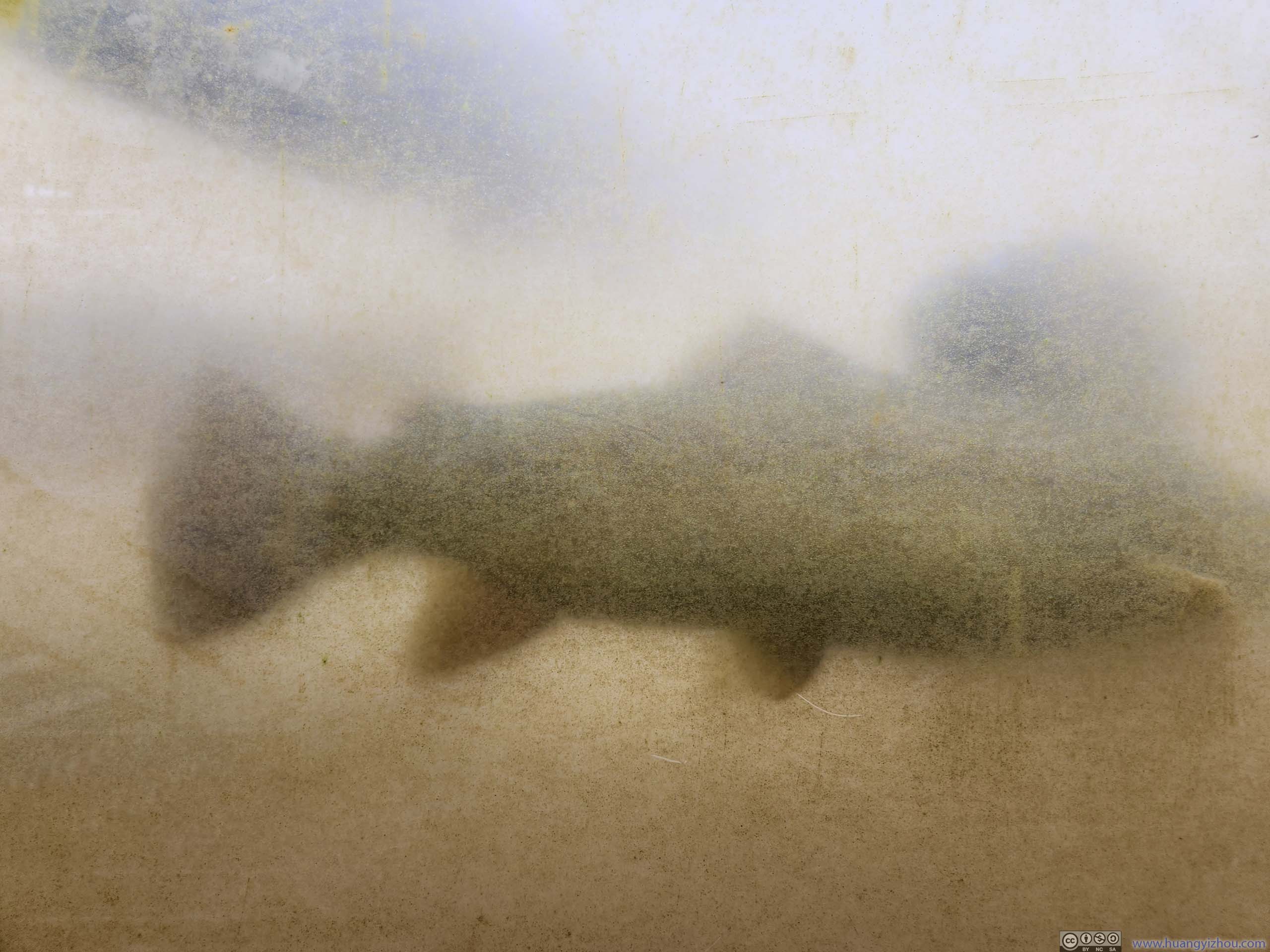
As the name suggested, this was the place where people raise small fish before releasing them into the wild. It featured different pools where fish in different stages of growth were kept. In addition, the pool that housed the largest fish featured an underwater observation window (p2 below), despite it’s rather dirty and barely offered any views.
 Main Hatchery PoolFor the largest fish, looking from above.
 Underwater Observation Window for Main Hatchery PoolHadn’t been cleaned for a long time (if ever at all).
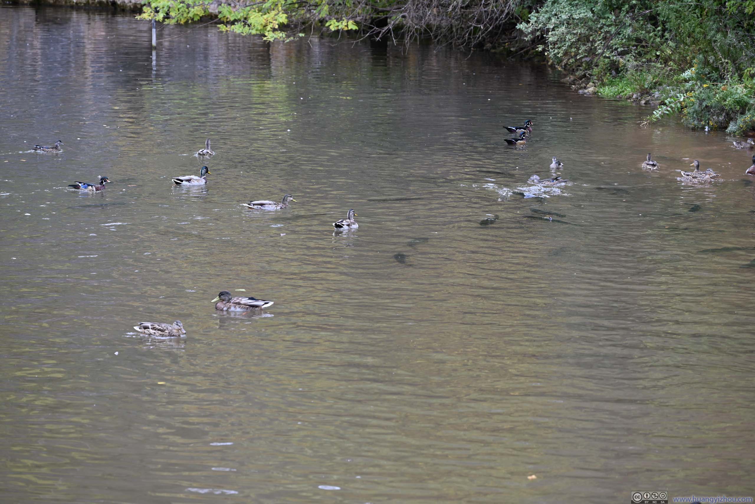
 Main Hatchery PoolIt’s actually easier to spot ducks in this pool than fish.
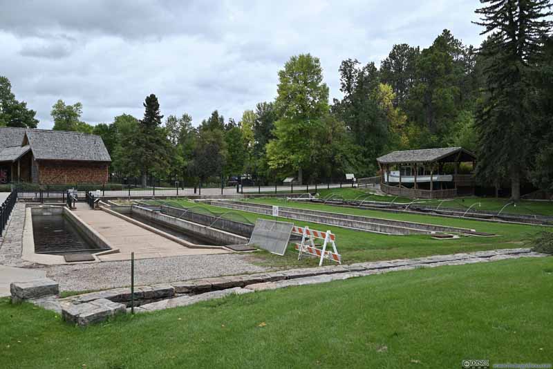 Hatchery PoolsFor smaller fish in their various stages of growth.

Click here to display photos of the slideshow
Main Hatchery PoolFor the largest fish, looking from above.
Underwater Observation Window for Main Hatchery PoolHadn’t been cleaned for a long time (if ever at all).
Main Hatchery PoolIt’s actually easier to spot ducks in this pool than fish.

Hatchery PoolsFor smaller fish in their various stages of growth.
There were also some educational materials about the founding of the hatchery, which I found pretty peculiar. First, unregulated fishing resulted in a decline of fish population in US waters at the end of the 19th century. But somehow, the US government thought back then “it was far better to make fish abundant and cheap so they could be fished with fewer restrictions than to just pass stricter laws to protect fewer and fewer fish”. So it’s the fishery’s job to hatch fish and release them into the rivers, so that they could be caught by the fishermen later on.😵 I guessed people back then weren’t familiar with the idea of “induced demand”.
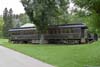
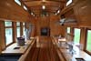
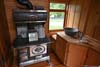
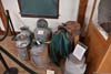
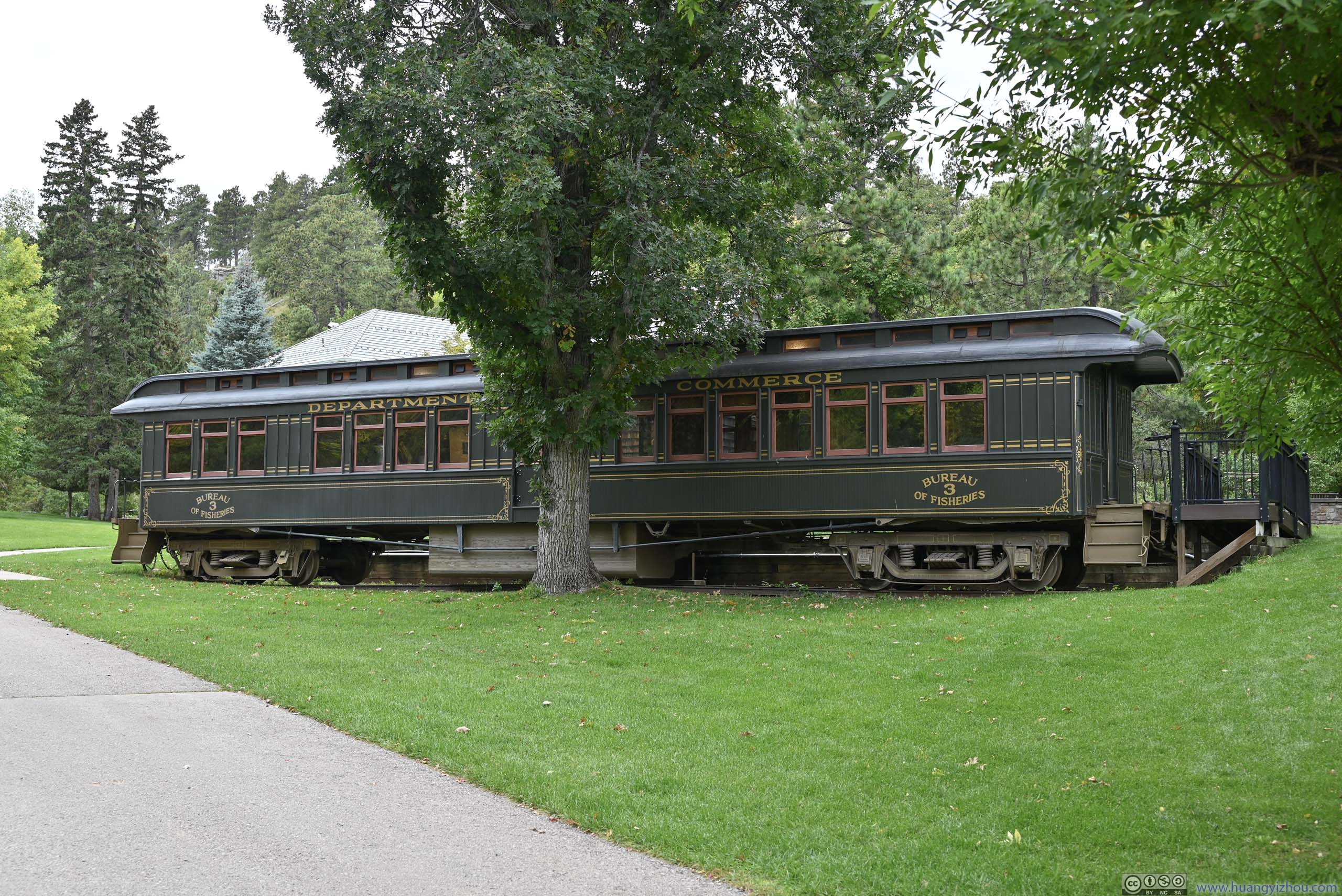
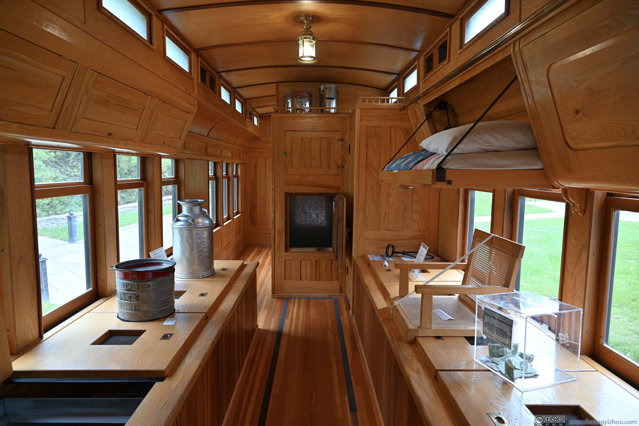
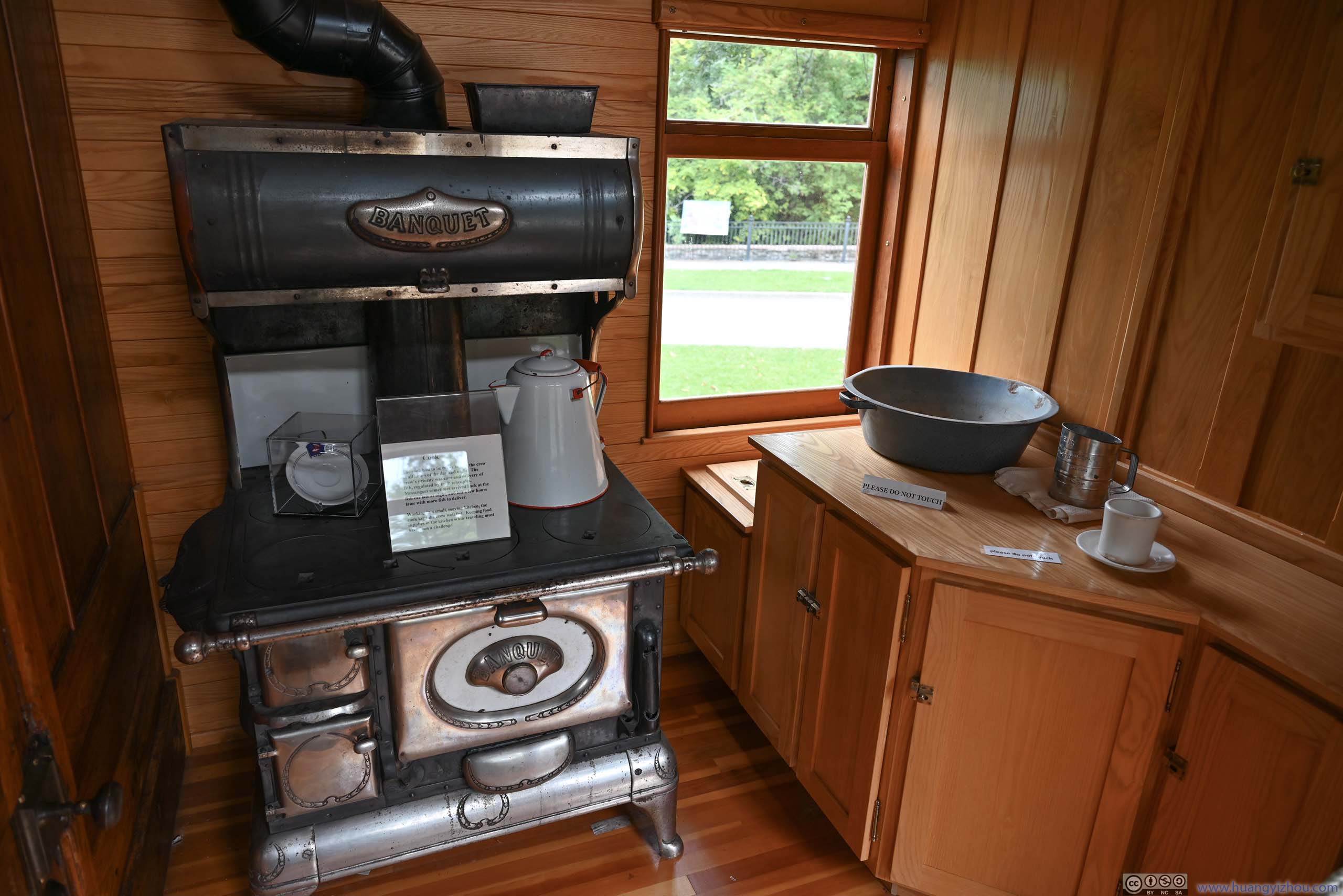
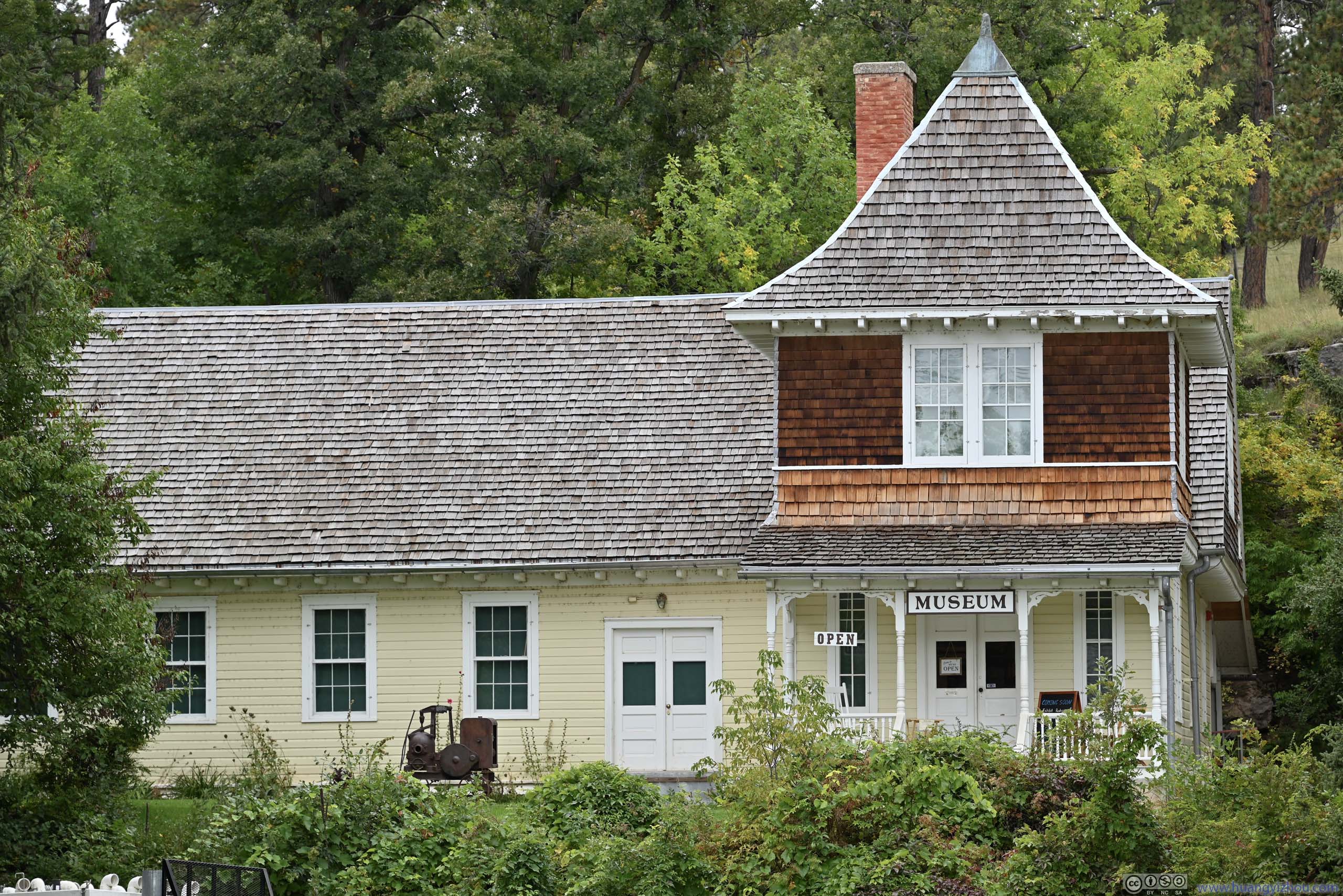
Also on display were a railcar and a boat, that were used to transport fish and fish eggs, which were first loaded onto containers (p7 below), then for example, onto wooden containers in the railcar (p2 below). On the hatchery ground there was also a museum with exhibits of its operation in early days.
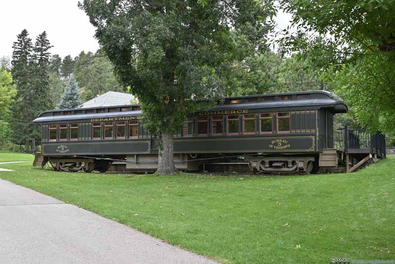 Fish Transport Railcar
 Fish Transport Railcar Interior
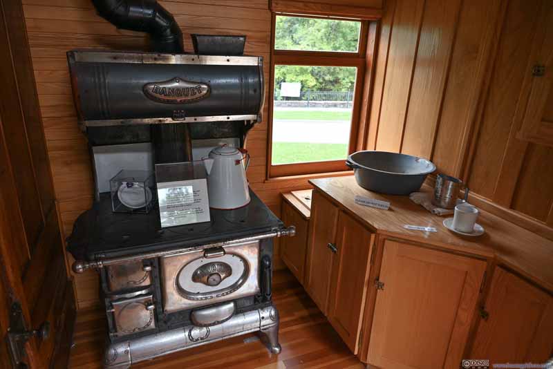 Kitchen in Fish Transport Railcar
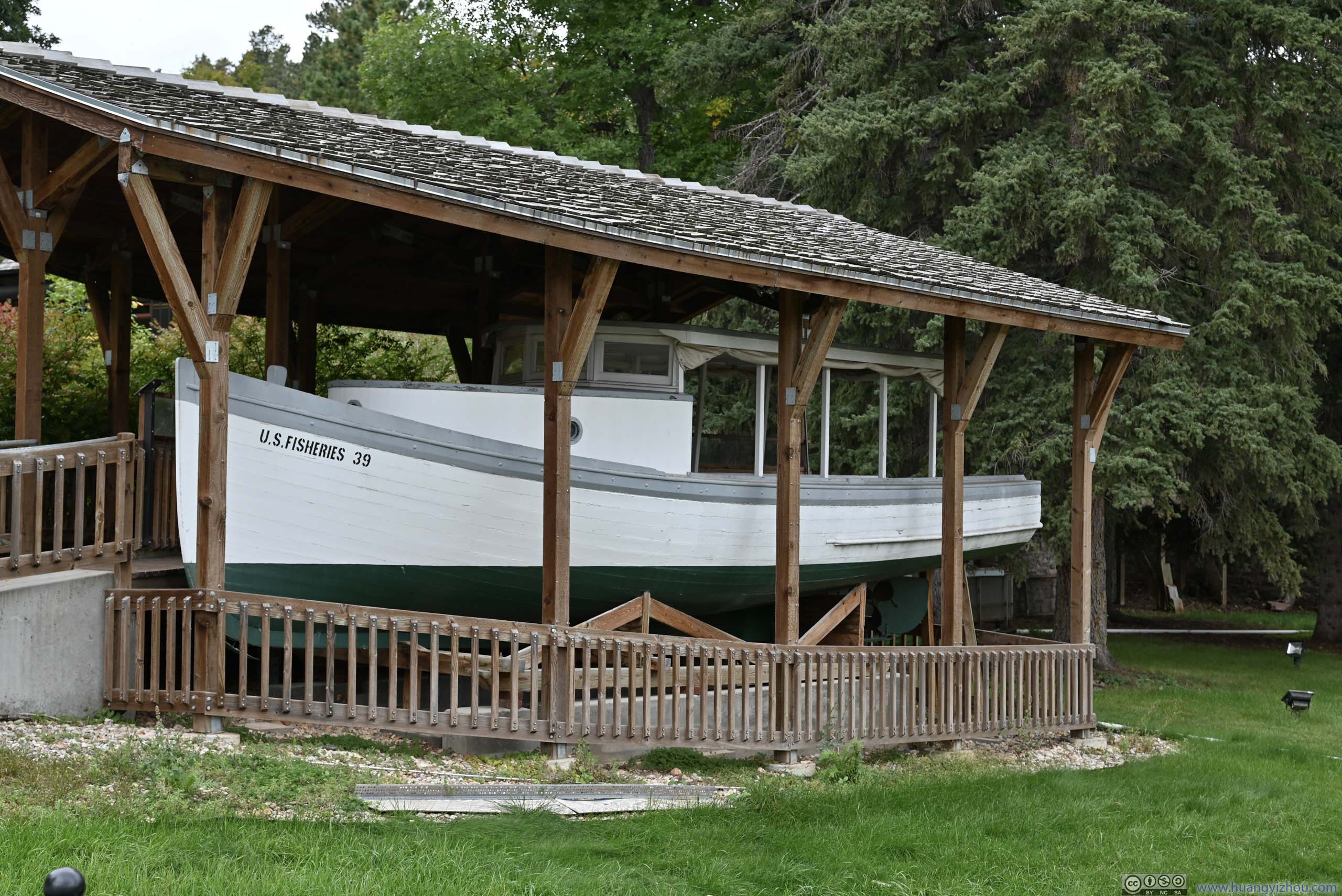
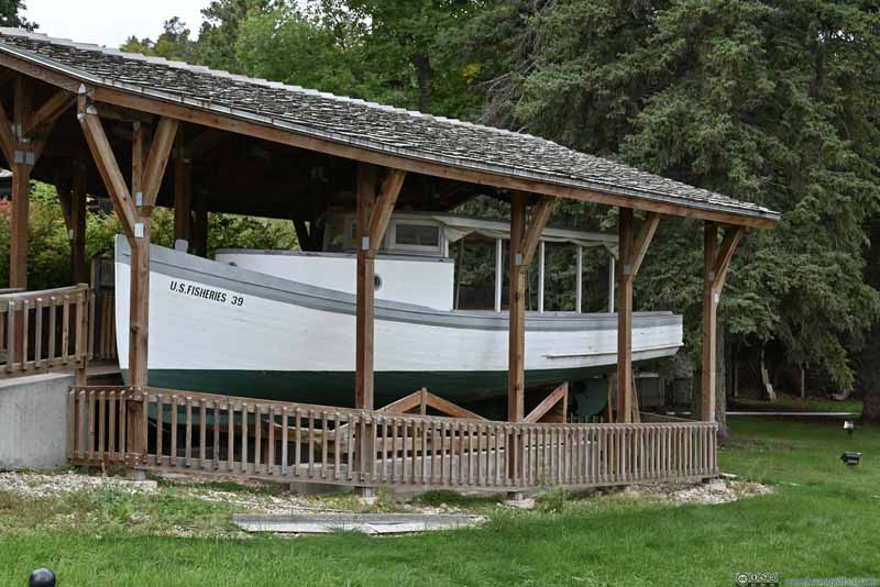 The Yellowstone Boat
Probably constructed in the 1920s and on display since 1996. The boat was styled for fishing boats on the Great Lakes, adopted for fish rescue operations on the upper Mississippi. Some of these boats were used in Yellowstone National Park.
The Yellowstone Boat
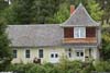
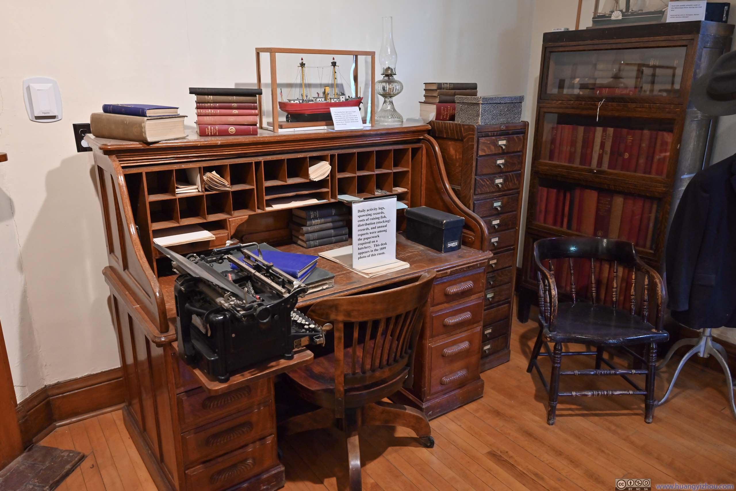
Probably constructed in the 1920s and on display since 1996. The boat was styled for fishing boats on the Great Lakes, adopted for fish rescue operations on the upper Mississippi. Some of these boats were used in Yellowstone National Park.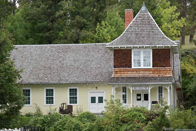 Museum Exterior
 Officer Desk
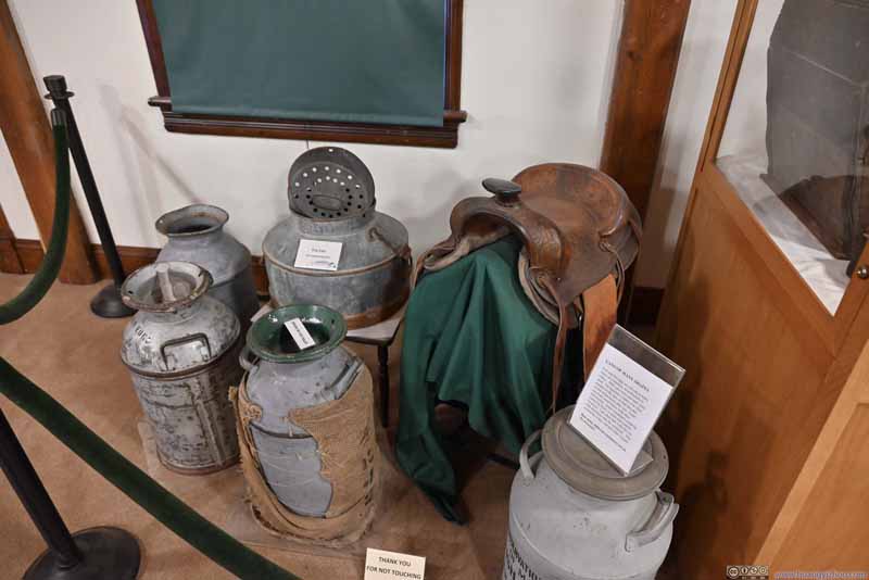 Transport Containers
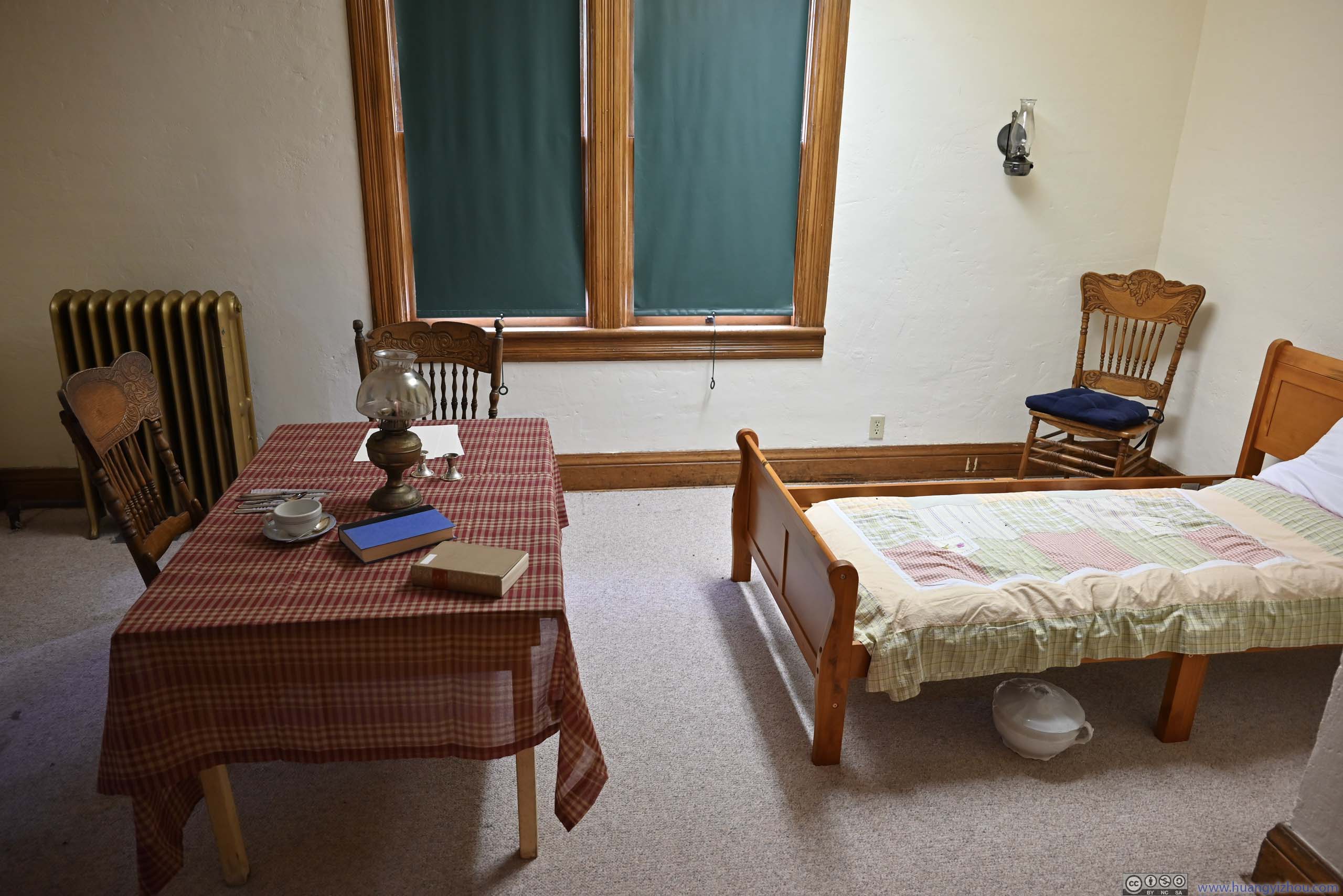
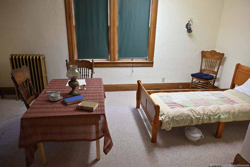 Officer Living Quarter


Click here to display photos of the slideshow
Fish Transport Railcar
Fish Transport Railcar Interior
Kitchen in Fish Transport Railcar
The Yellowstone Boat
Museum Exterior
Officer Desk

Transport Containers
Officer Living Quarter
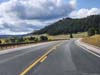
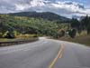
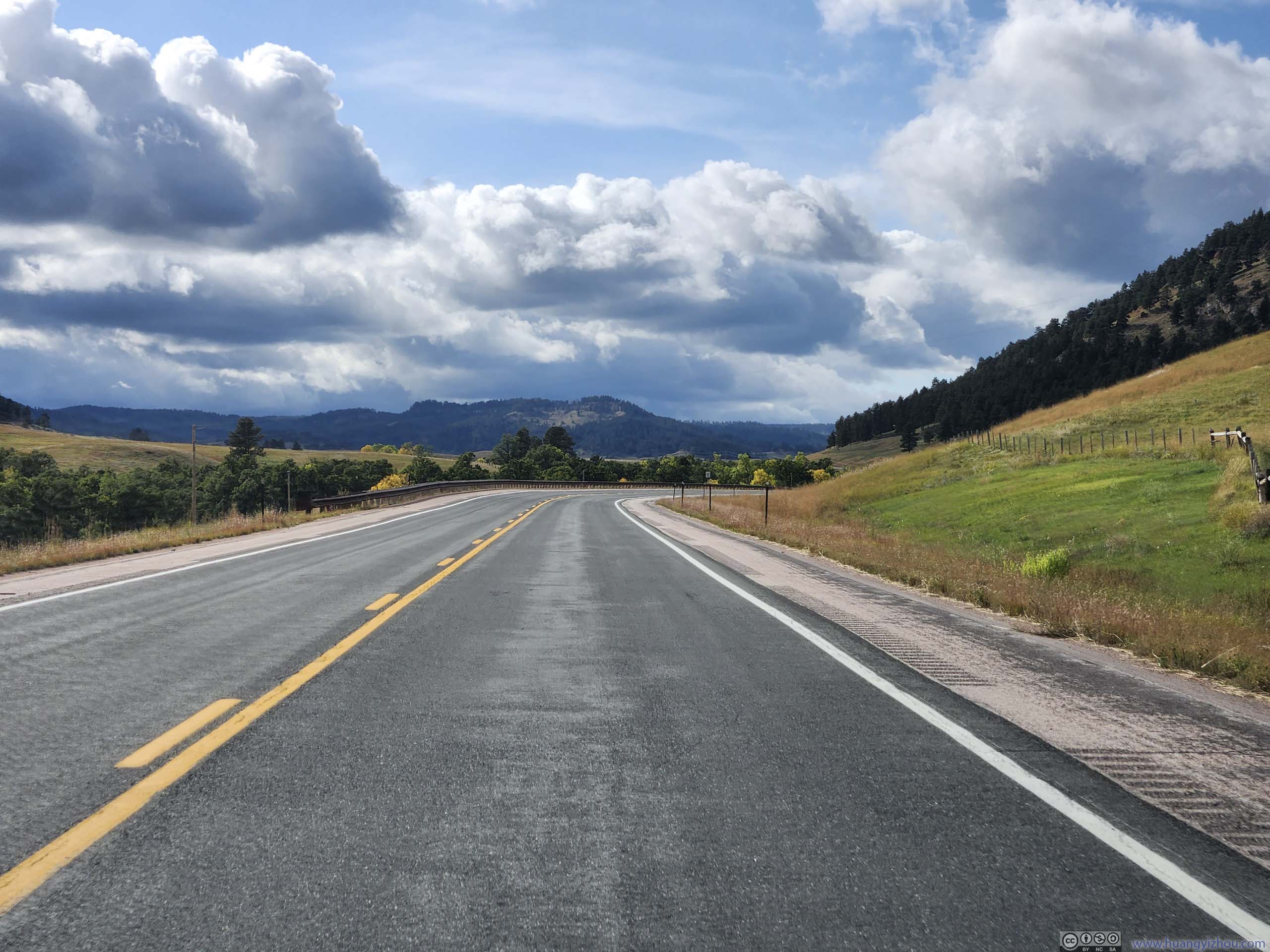
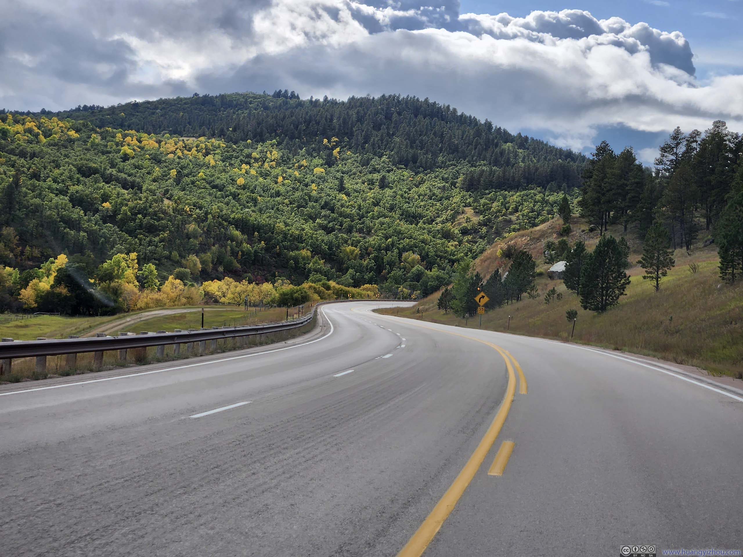
After that, I headed towards Devils Tower in Wyoming, passing through some beautiful landscape. For the first time in days, the views were once again wide open.
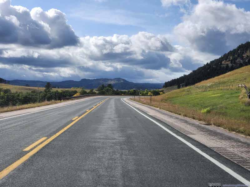 Road
Road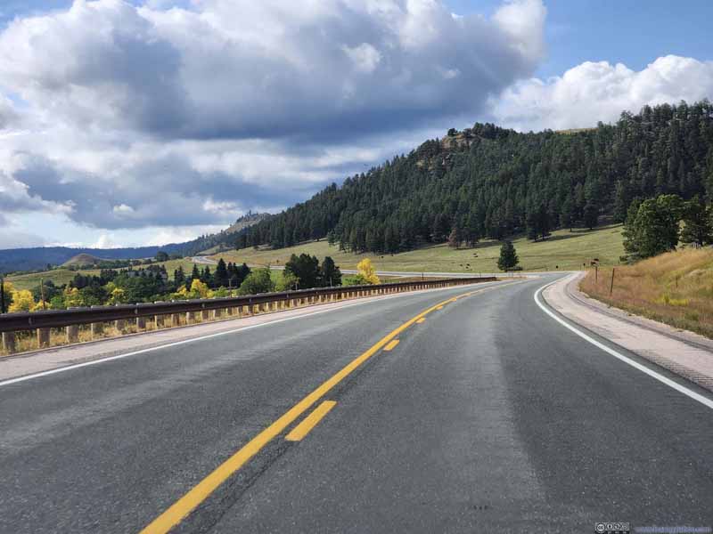 Road
Road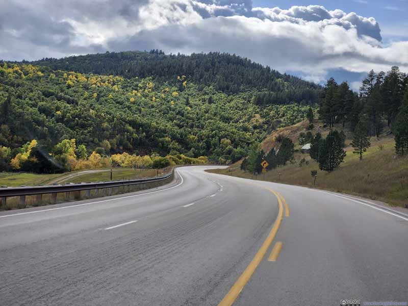 Road
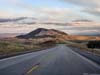
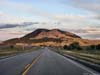
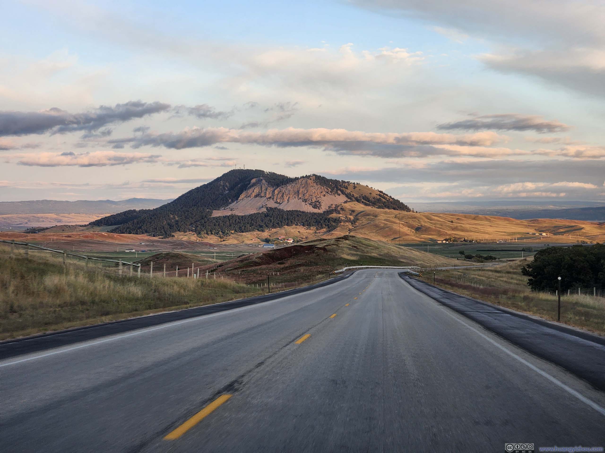
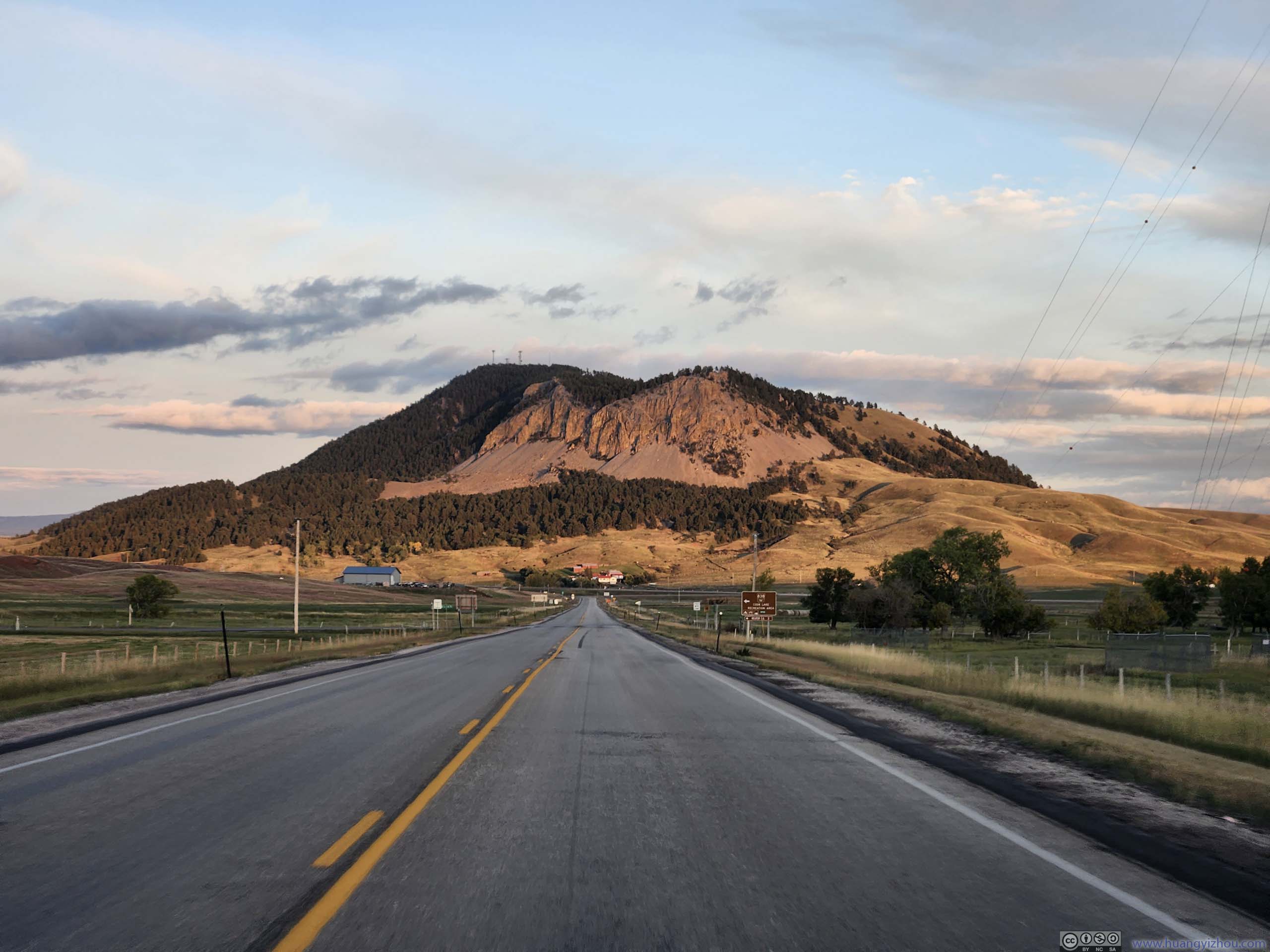
Road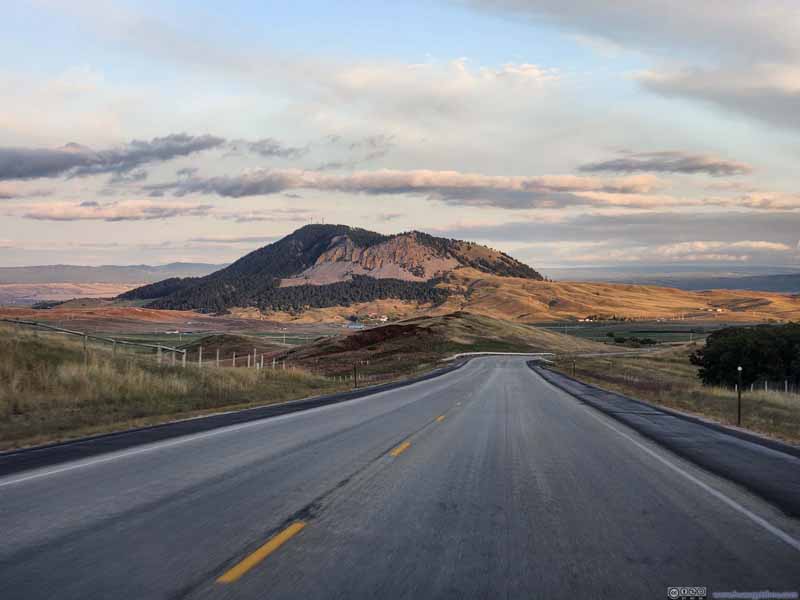 Sundance MountainTaken after I left Devils Tower.
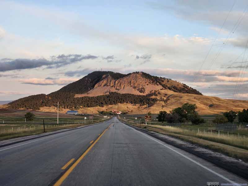 Sundance MountainTaken after I left Devils Tower.
Click here to display photos along the road.
Road

Road
Road
Sundance MountainTaken after I left Devils Tower.
Sundance MountainTaken after I left Devils Tower.
Devils Tower
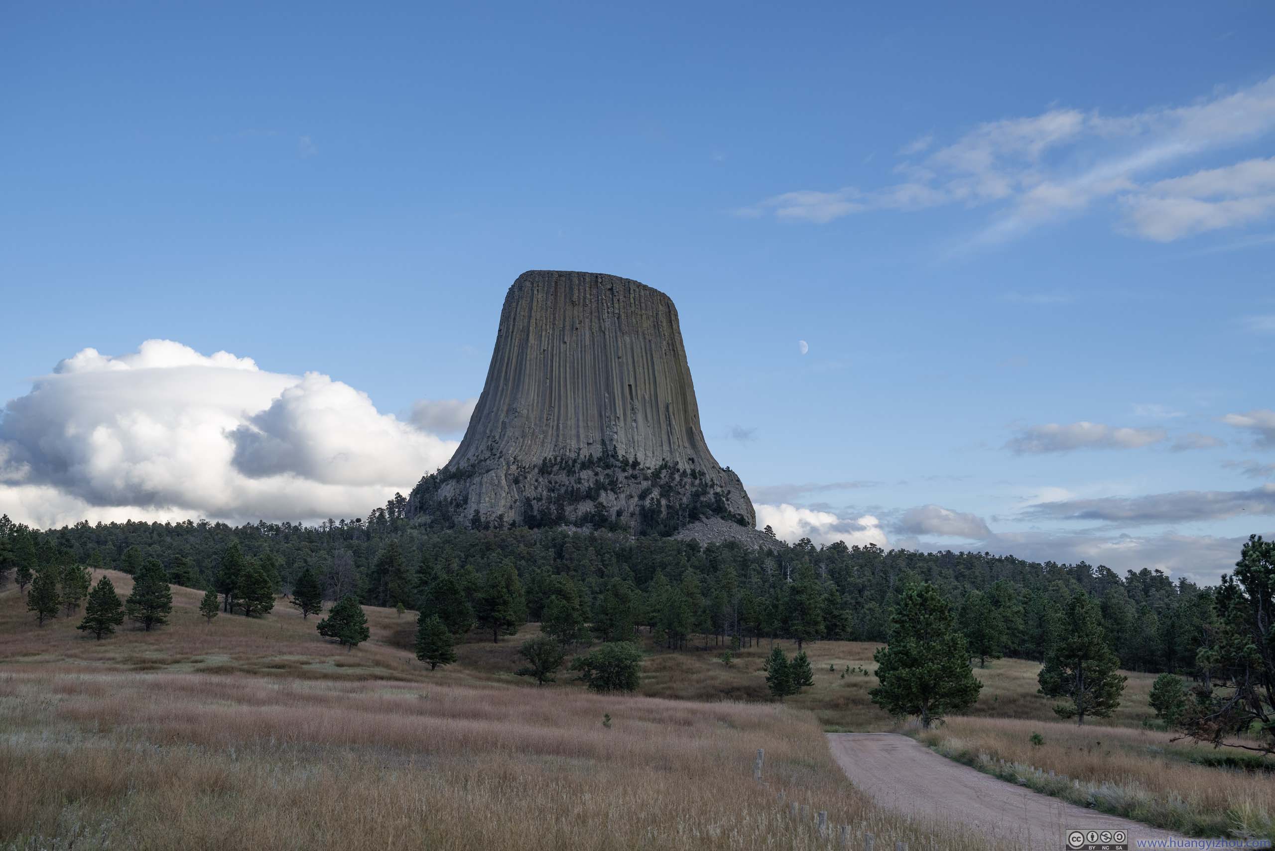
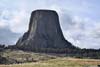
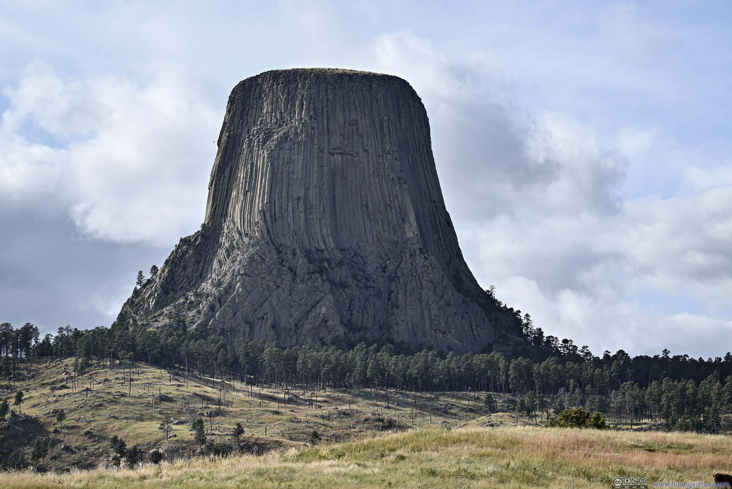
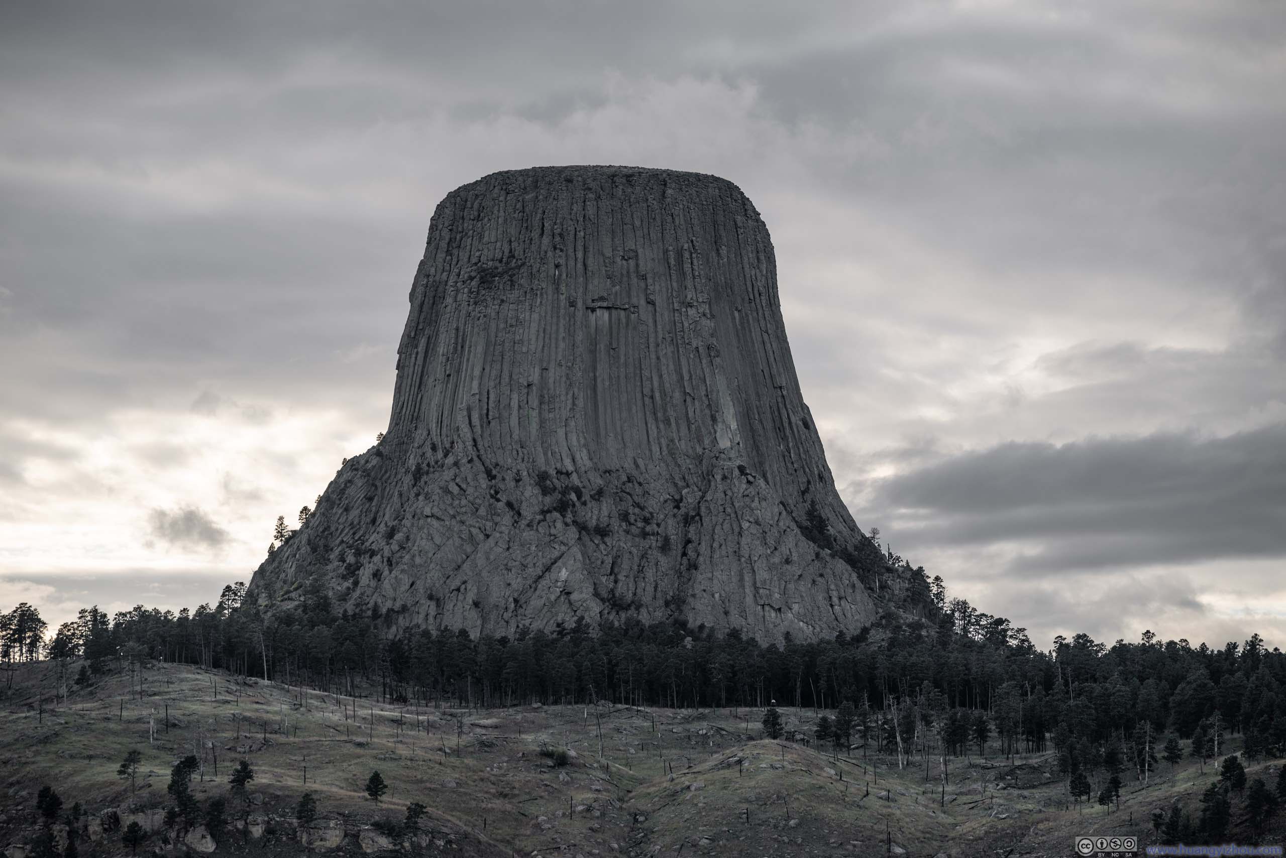
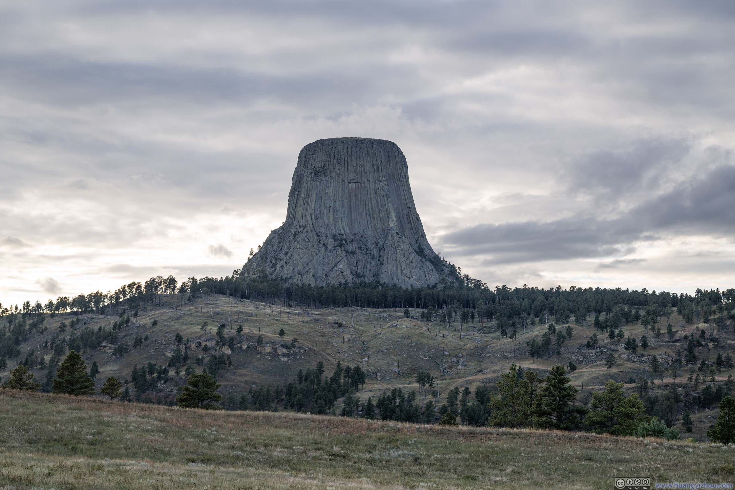
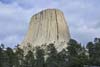
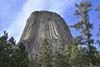
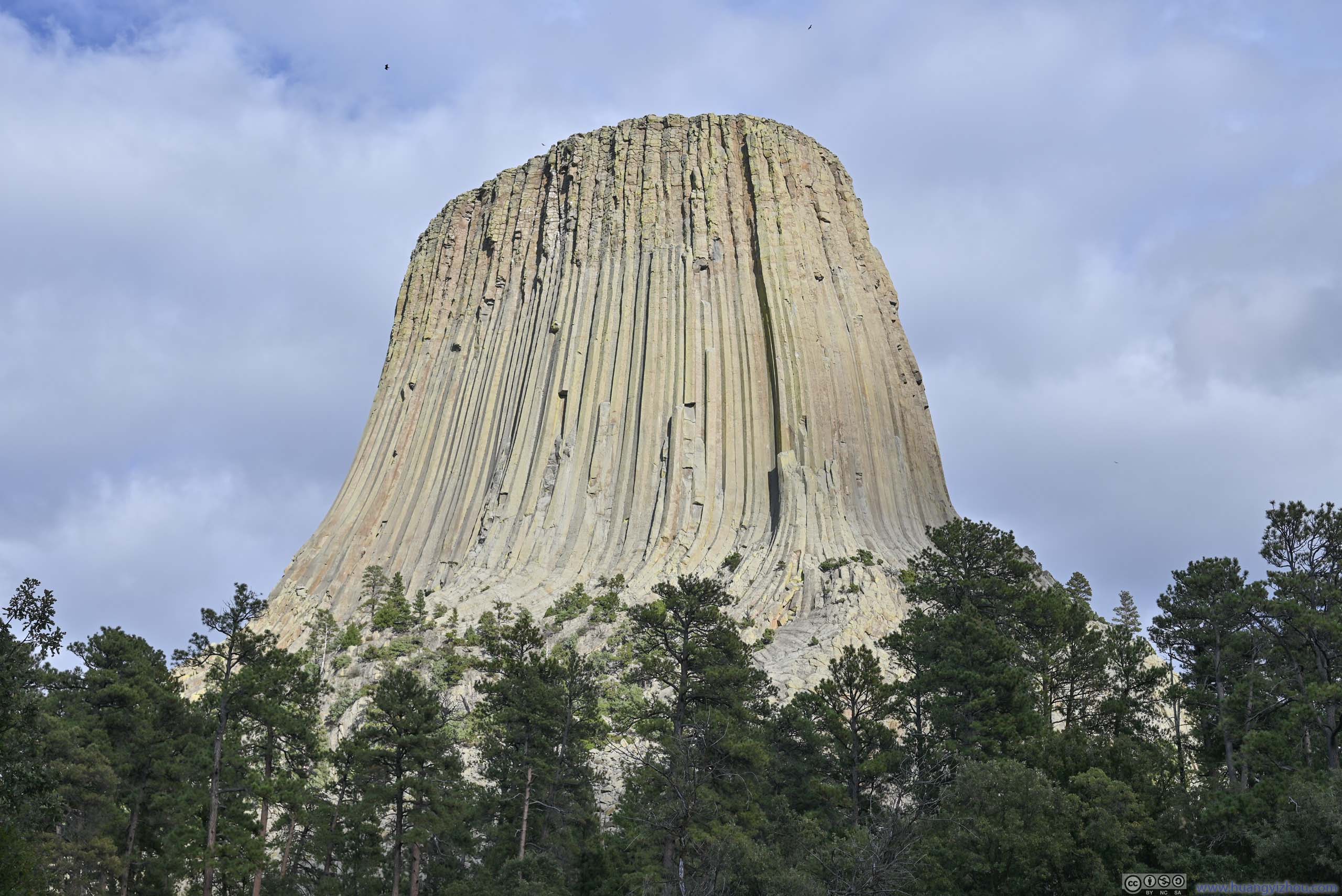
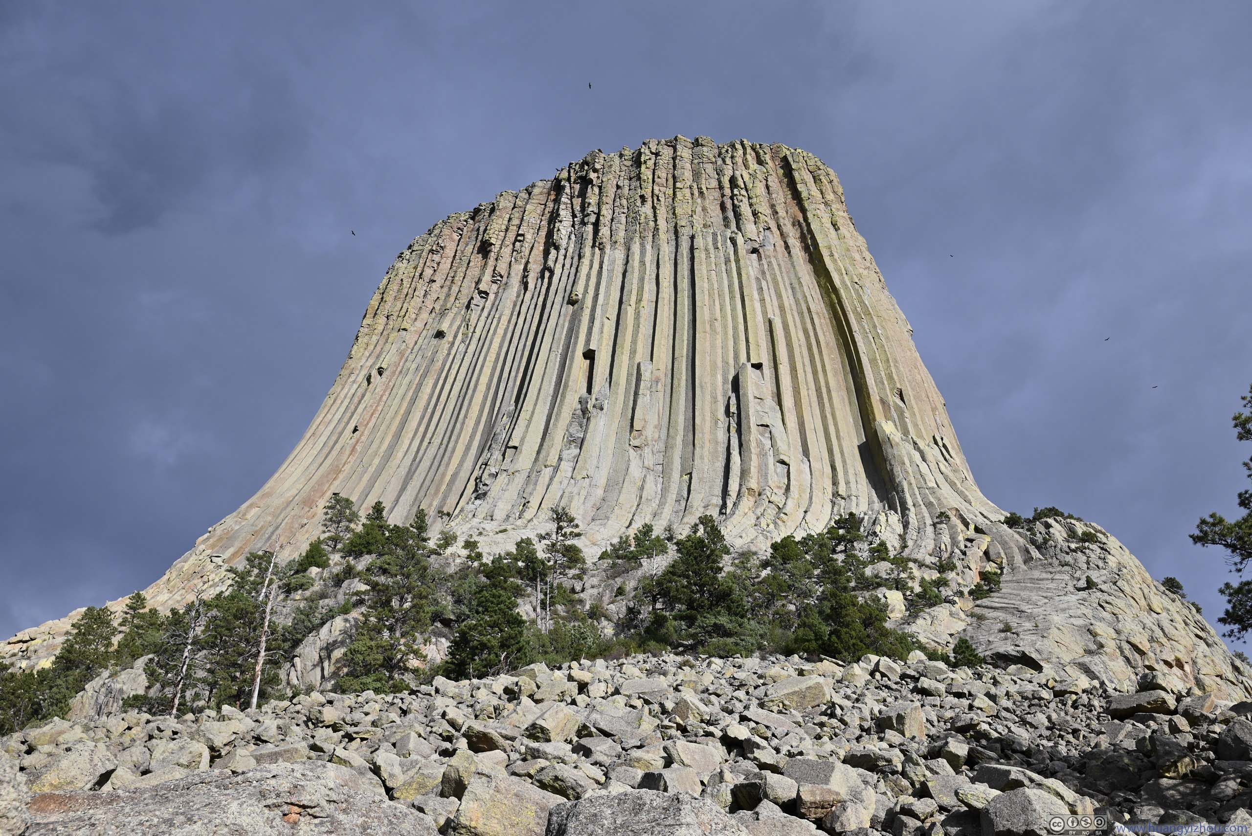
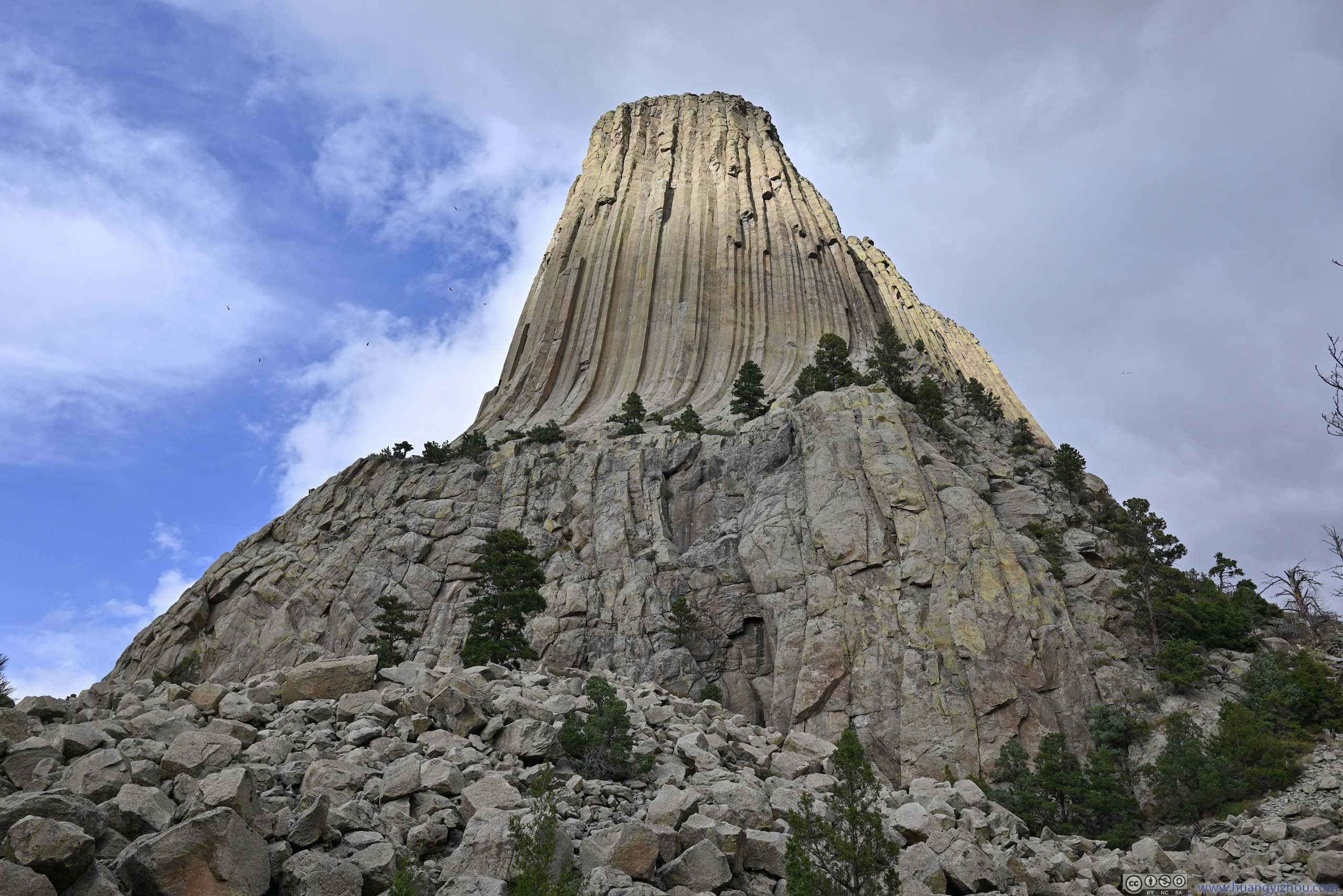
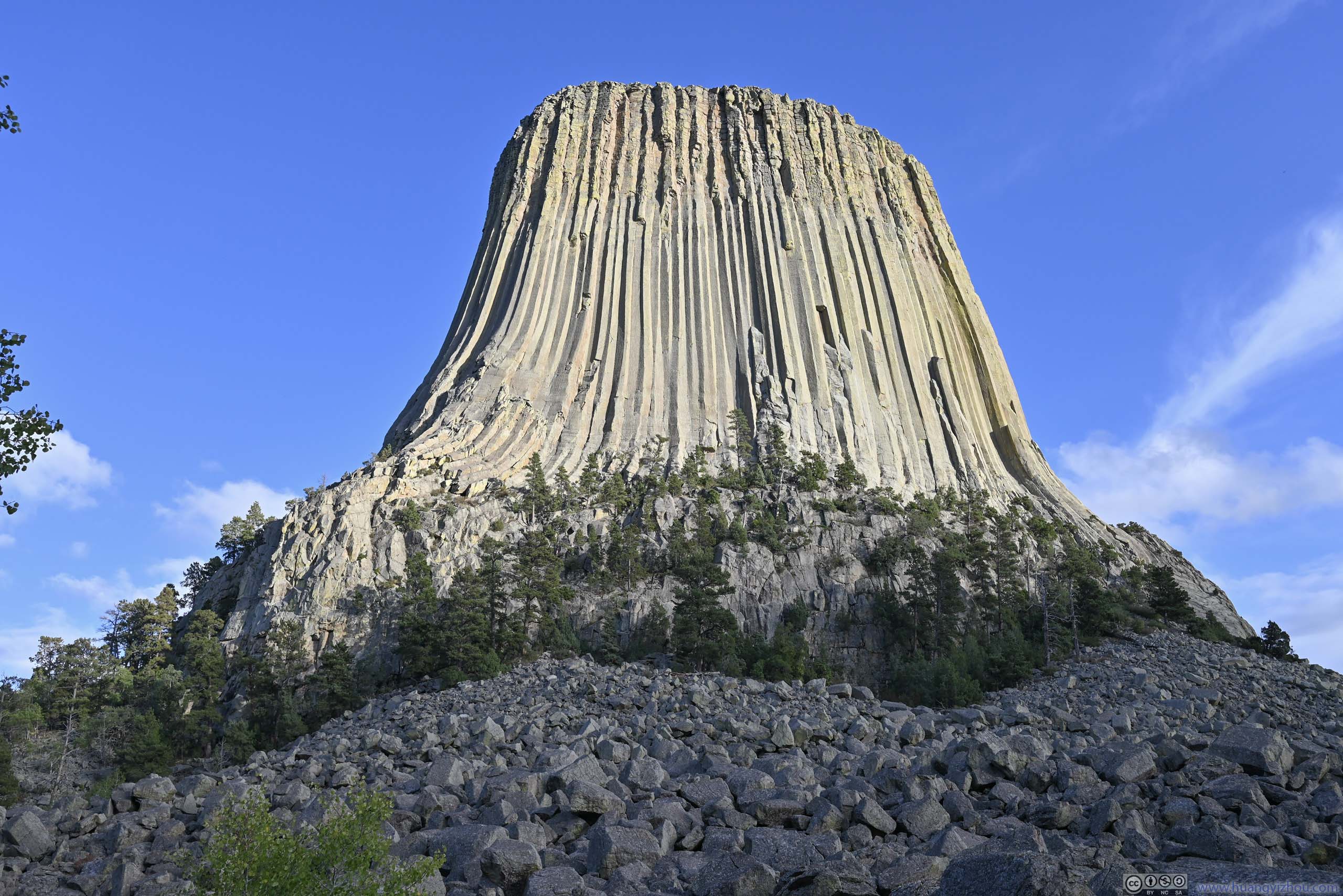
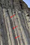
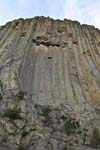
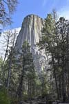
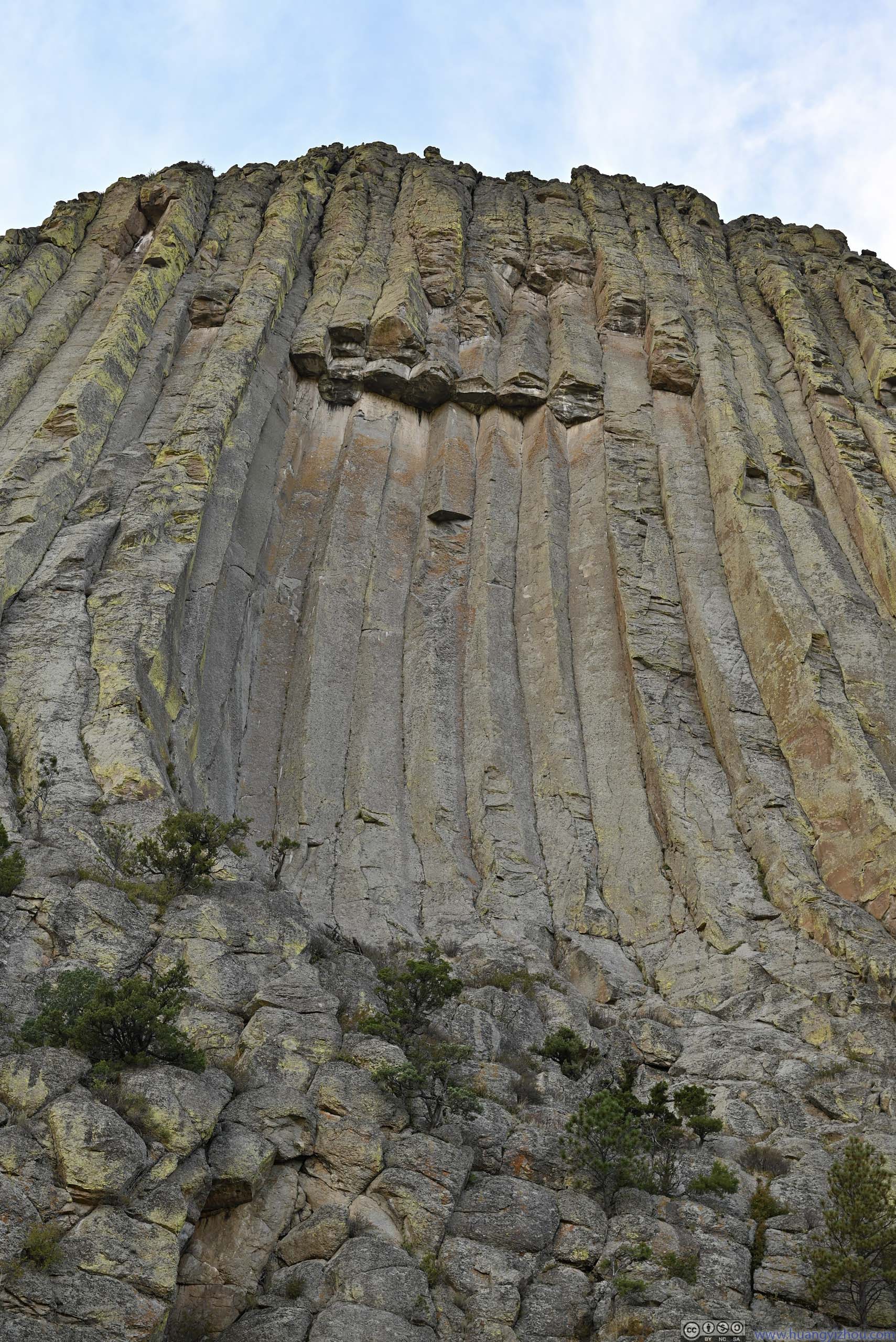
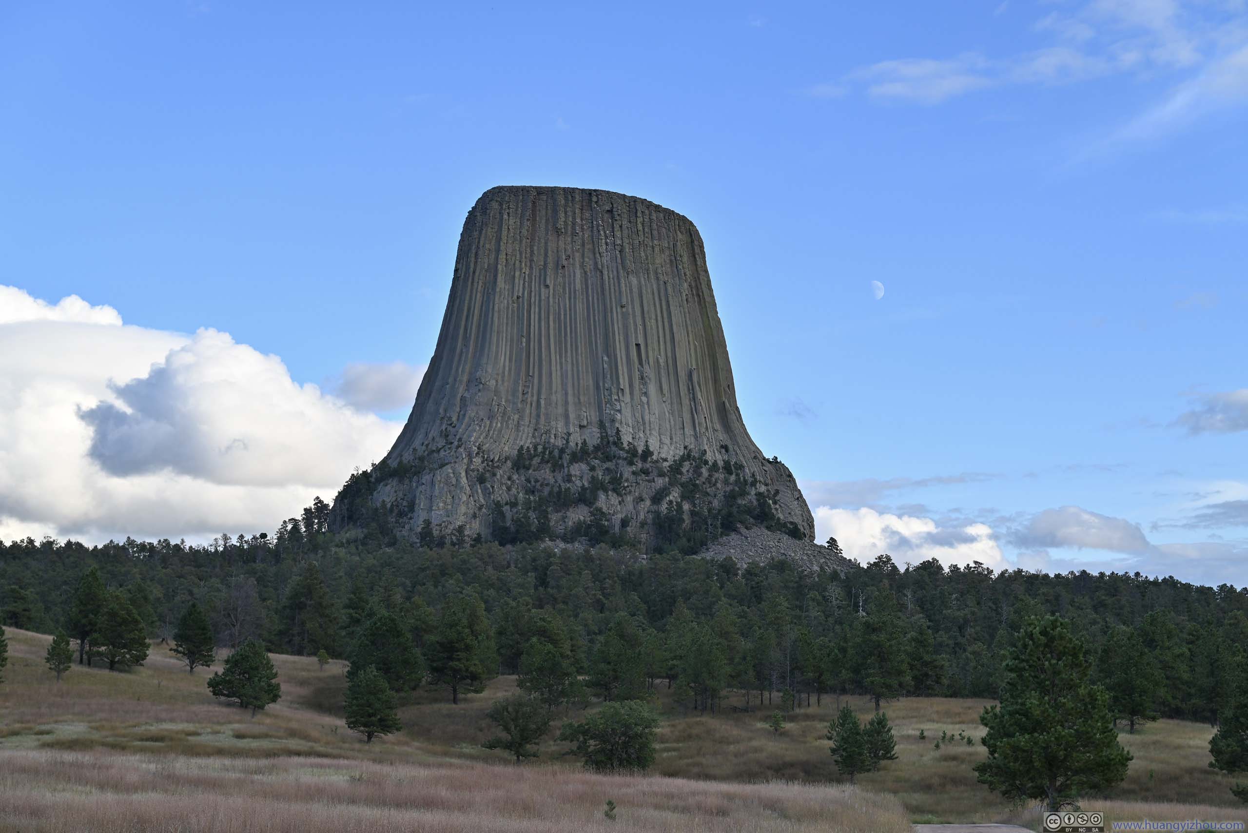
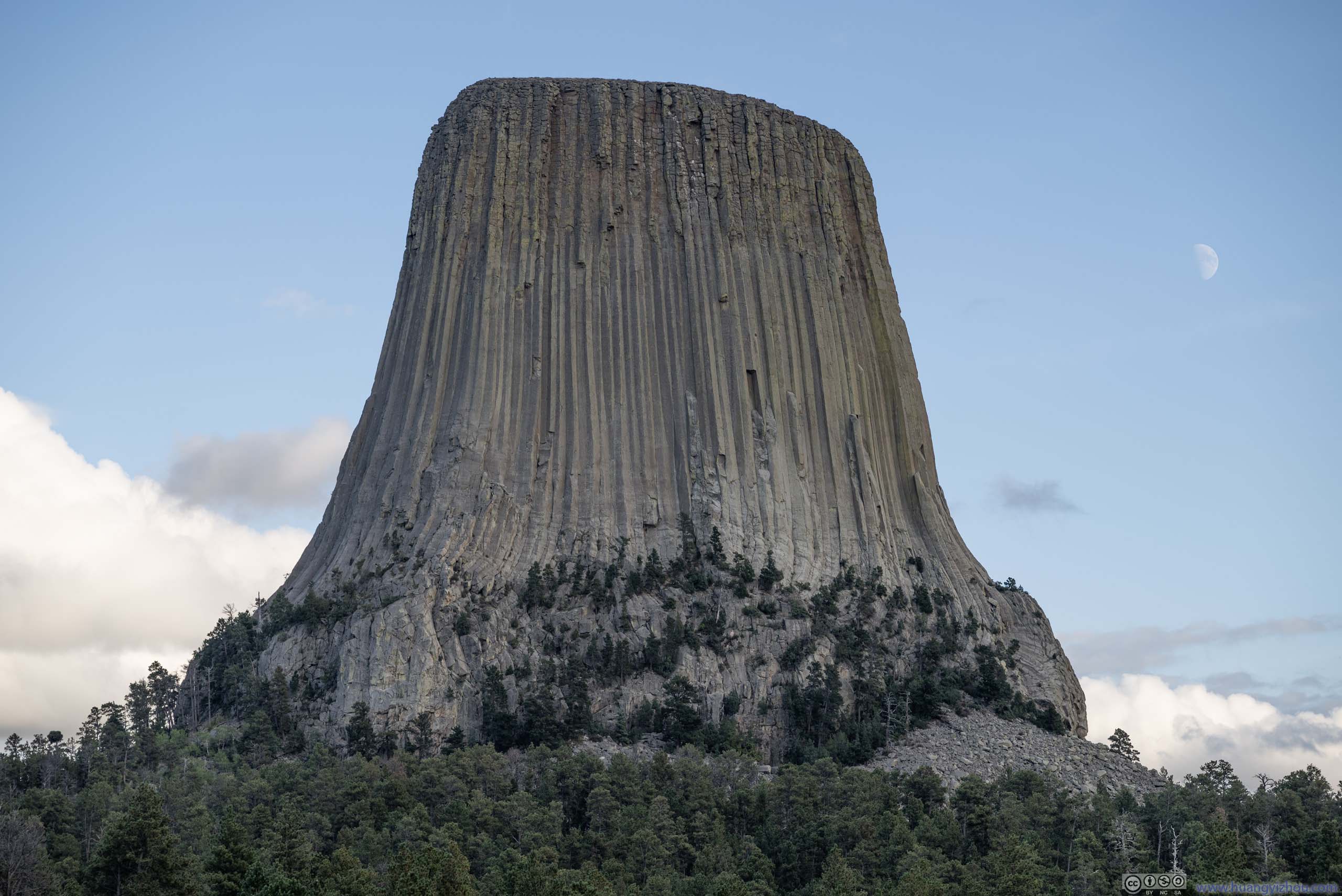
Devils Tower was a butte formed by magma (melted rock underground) that pushed upwards. After magma cooled, stress caused the formation of hexagonal columns, some of which broke off from the main tower. Nowadays, the tower was a striking sight against its surrounding fields that were relatively flat (it’s visible from far away as I drove towards it). The tower measured 867 feet (264 m) from summit to base. The tower was managed by the National Park Service, and “Devils Tower National Monument” was the first national monument established by the United States.
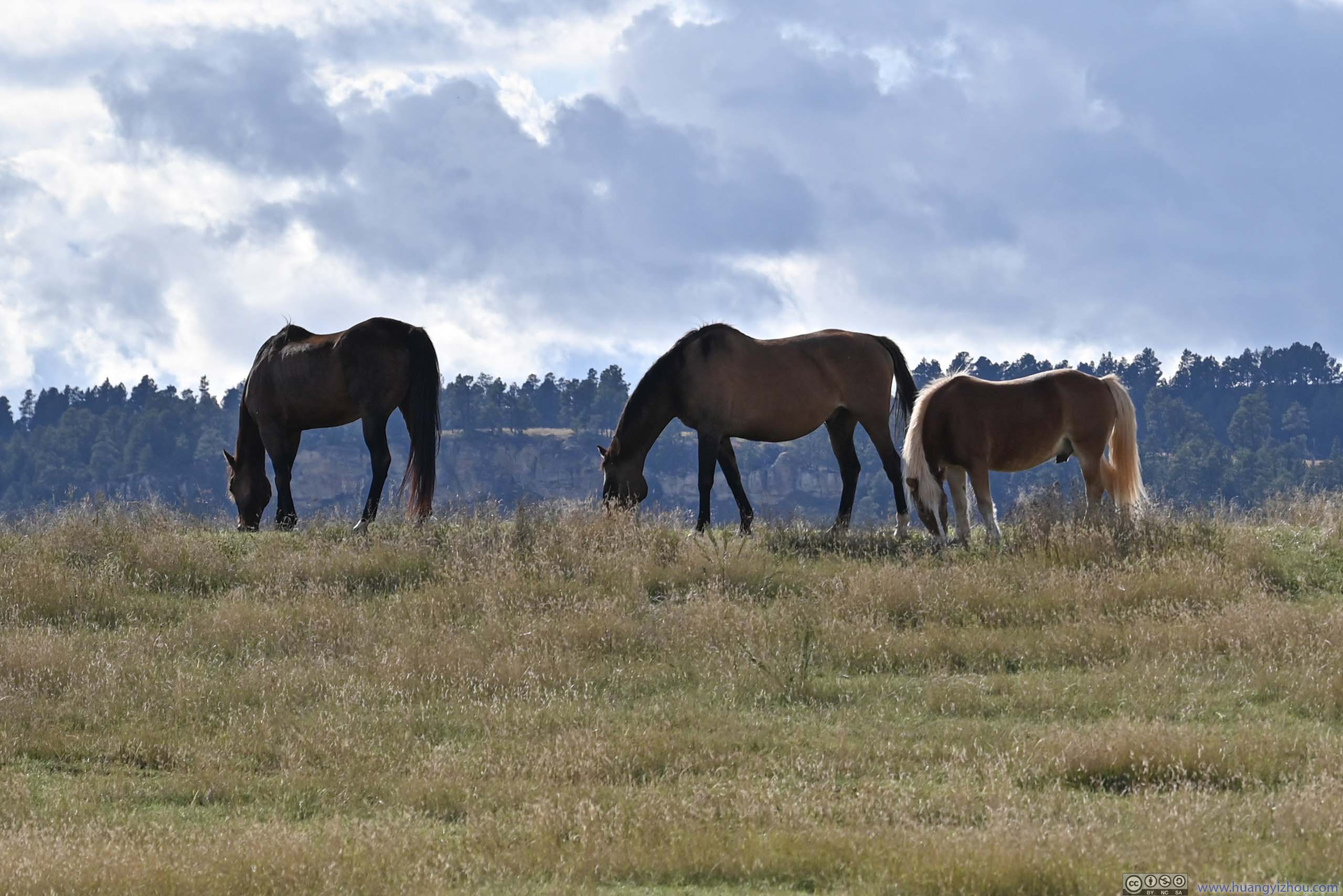
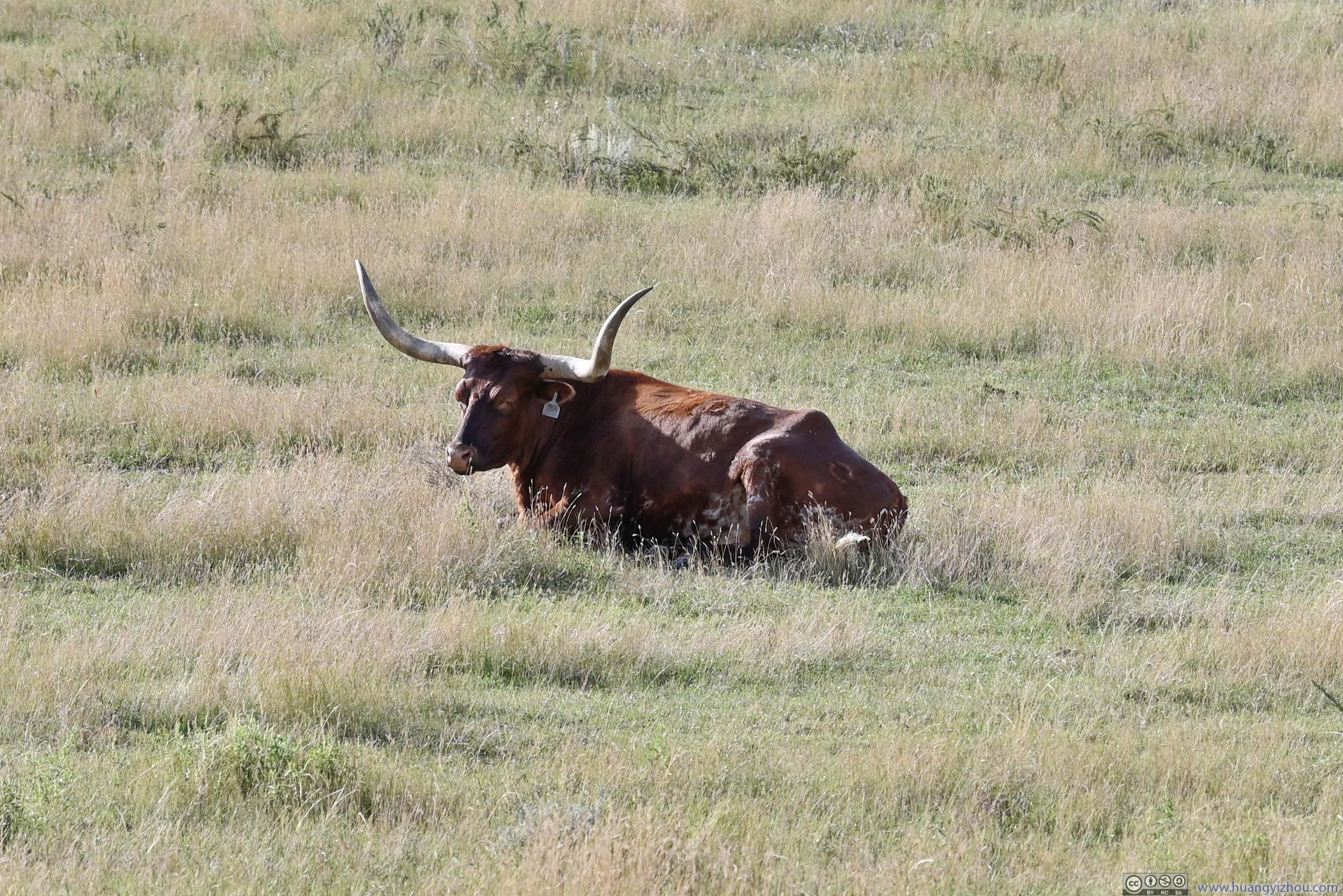
In my opinion, the best place to appreciate its “tower” shape was from a distance, for example, the following slideshow was taken just as I left WY24, outside the national monument boundary.
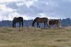
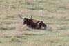
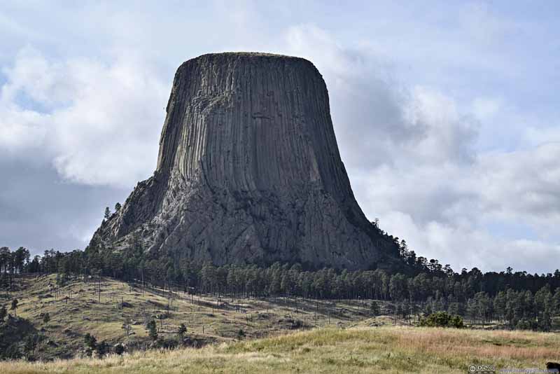 Devils Tower
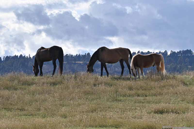 Horses
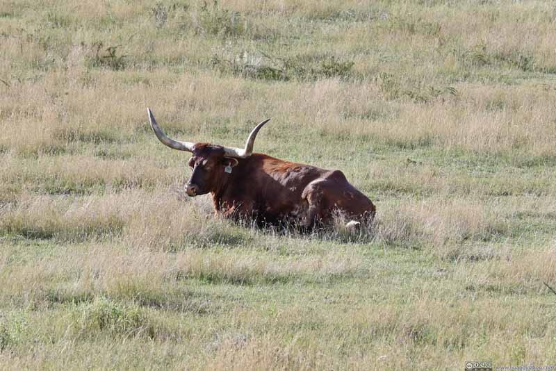 Cow
Cow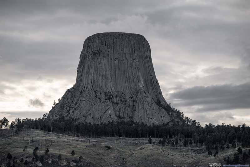 Devils Tower
 Devils Tower
Click here to display photos of the Devils Tower.
Devils Tower
Horses
Cow
Devils Tower
Devils Tower
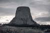
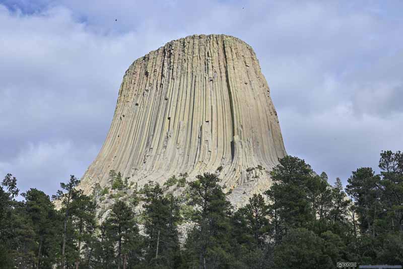
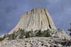
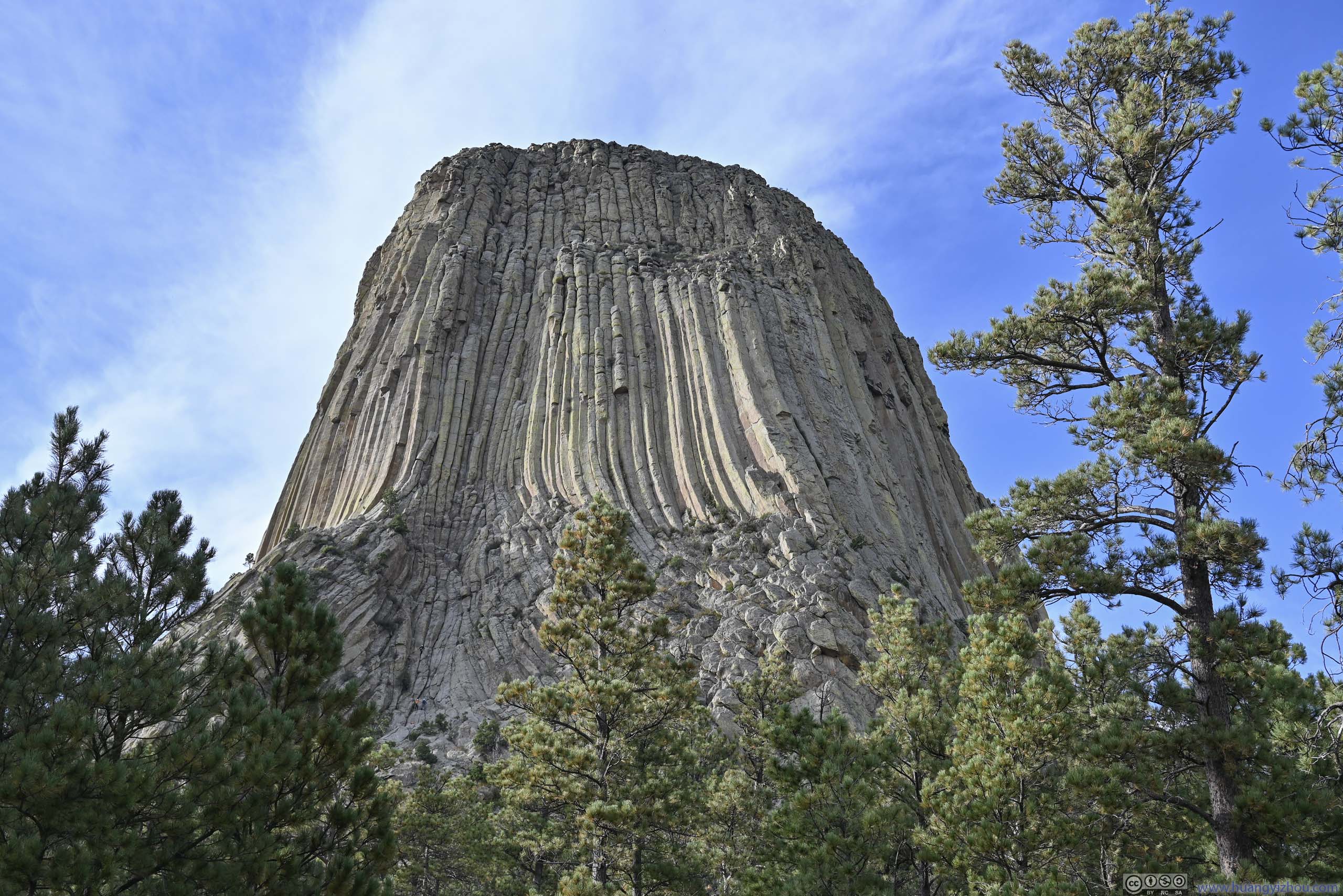
Up close, a 2.7km trail looped around Devils Tower, allowing people to view the tower from all around. From the trail, it’s easy to notice that the top quarter of the tower saw more erosion than the rest of the tower, indicating the tower may have risen above ground in parts.
Another sight I noticed up close was that, swarms of birds were flying close to the tower in circles, as if in some mystical form of ritual or worship. Maybe Devils Tower did have some supernatural powers to match its devious name.
 Devils TowerAs viewed from the parking lot.
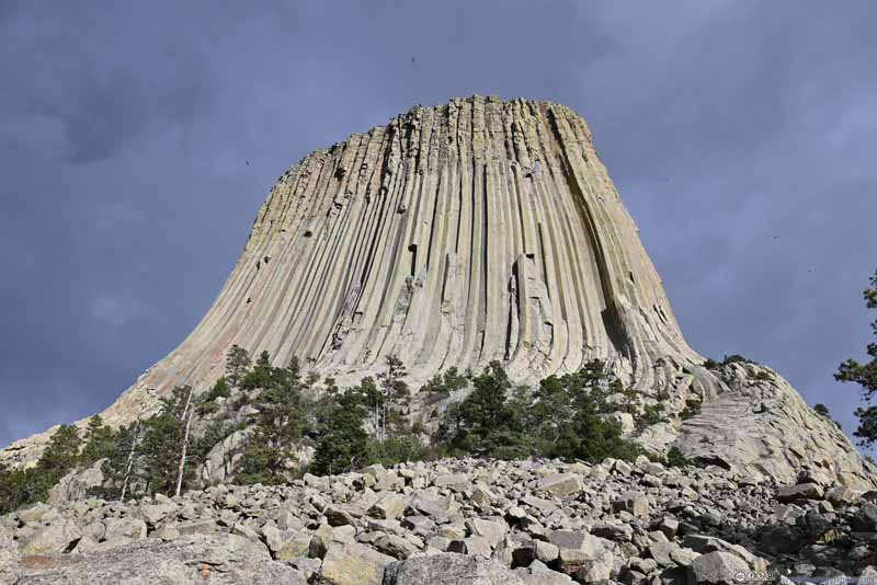 Devils TowerNot long after getting on the loop trail, I found myself at the foot of the boulder field.
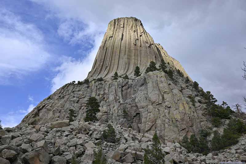 Devils TowerViewed from the southwest along the trail.
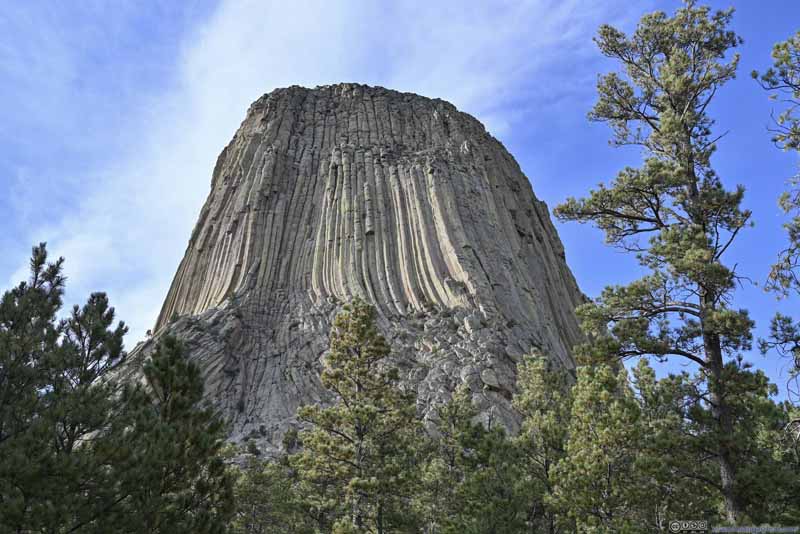 Devils TowerViewed from the south along the trail.
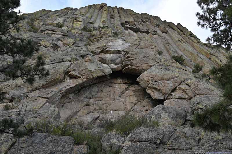 Arch FormingJust below the iconic Devils Tower window.
 Devils TowerFrom an overlook to the northwest of the tower.
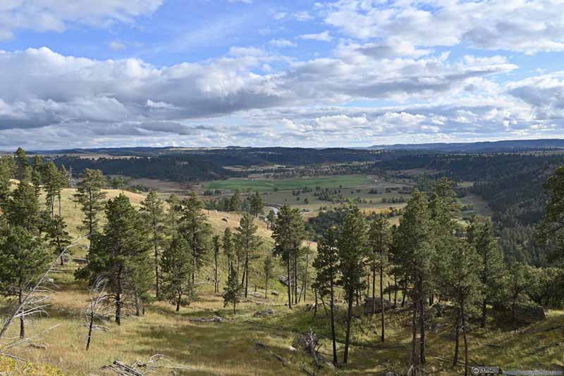 FieldsApart from the tower, some overlooks along the trail offered views to the south.

Click here to display photos of the slideshow
Devils TowerAs viewed from the parking lot.
Devils TowerNot long after getting on the loop trail, I found myself at the foot of the boulder field.
Devils TowerViewed from the southwest along the trail.
Devils TowerViewed from the south along the trail.
Arch FormingJust below the iconic Devils Tower window.
Devils TowerFrom an overlook to the northwest of the tower.
FieldsApart from the tower, some overlooks along the trail offered views to the south.
Walking along the trail, I had some difficulties associating the sight in front with the word “tower”. I felt from the trail, “Devils Pyramid” might be a more appropriate name, as the structure didn’t feel vertical to me. Part of that was attributed to the boulder field surrounding Devils Tower, giving it a wider base than when looked from afar.
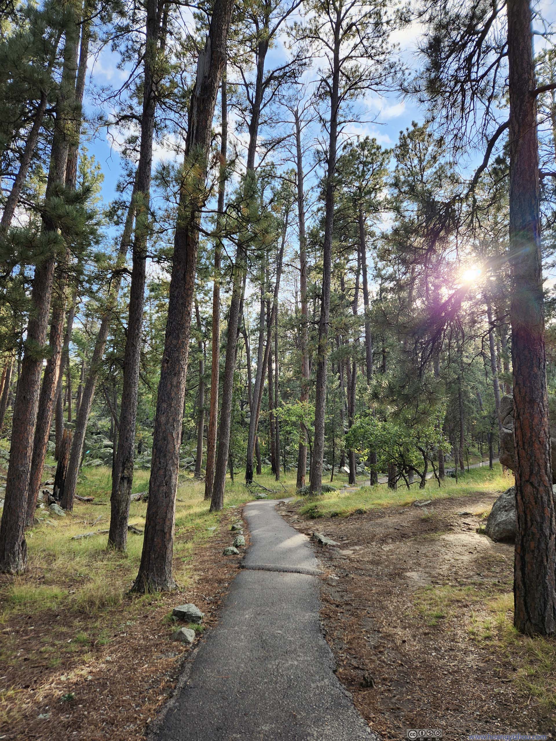
As for the trail itself, it’s paved throughout in great condition, but with many bumps so I wouldn’t consider it wheelchair-accessible. The best views of Devils Tower along the trail were from the south and west. From the north, the trail was farther back to the tower, with views largely obscured by pine trees.
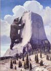
 Native American Painting for Origin of Devils Tower’s ColumnsAn interesting interpretation. I would have bought into this living in their time.
 Ladder on Devils TowerMade of wood to aid the first ascent of the tower in the late 19 Century. Now partially restored.
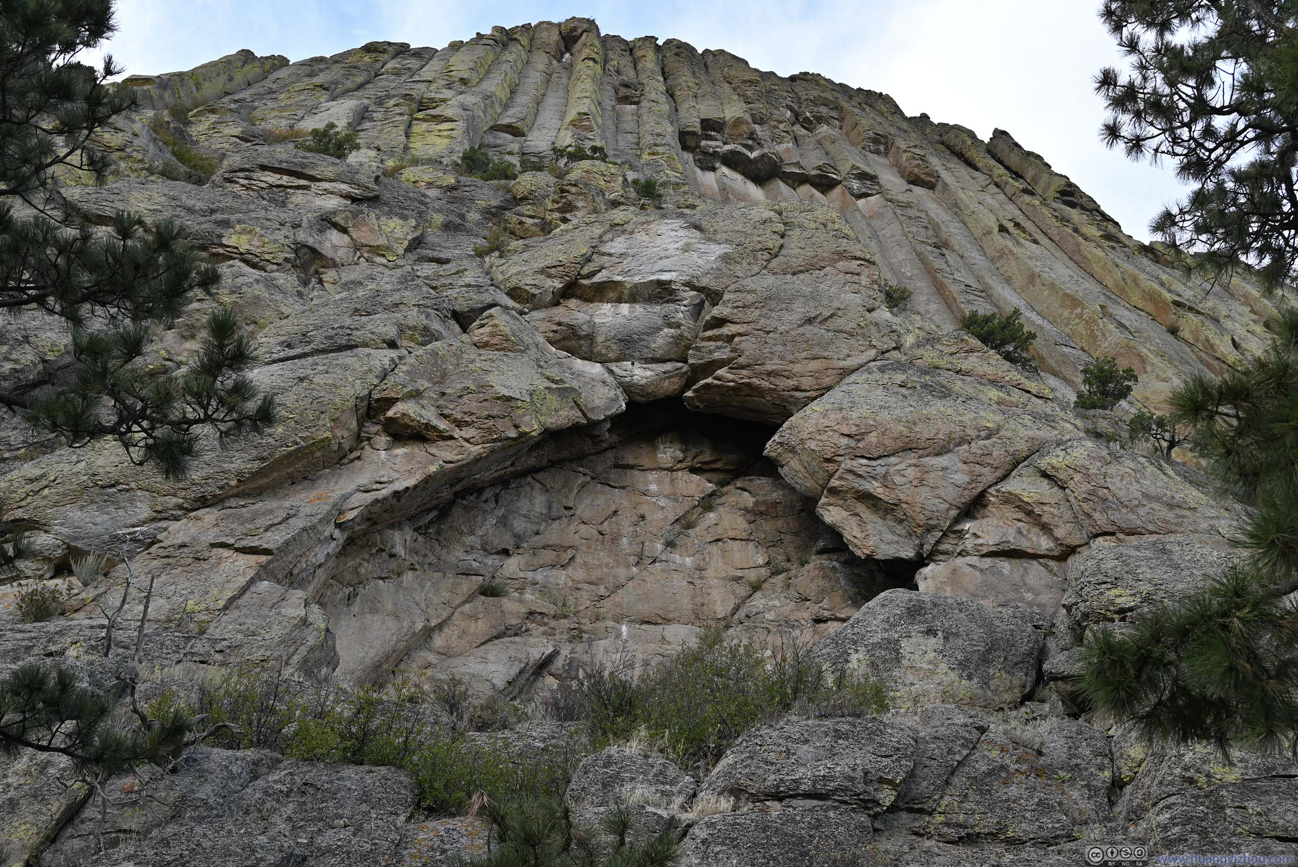
 The Window of Devils TowerA notable alcove on the tower’s east face.
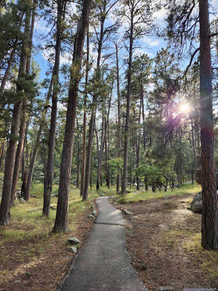 TrailTypical conditions.
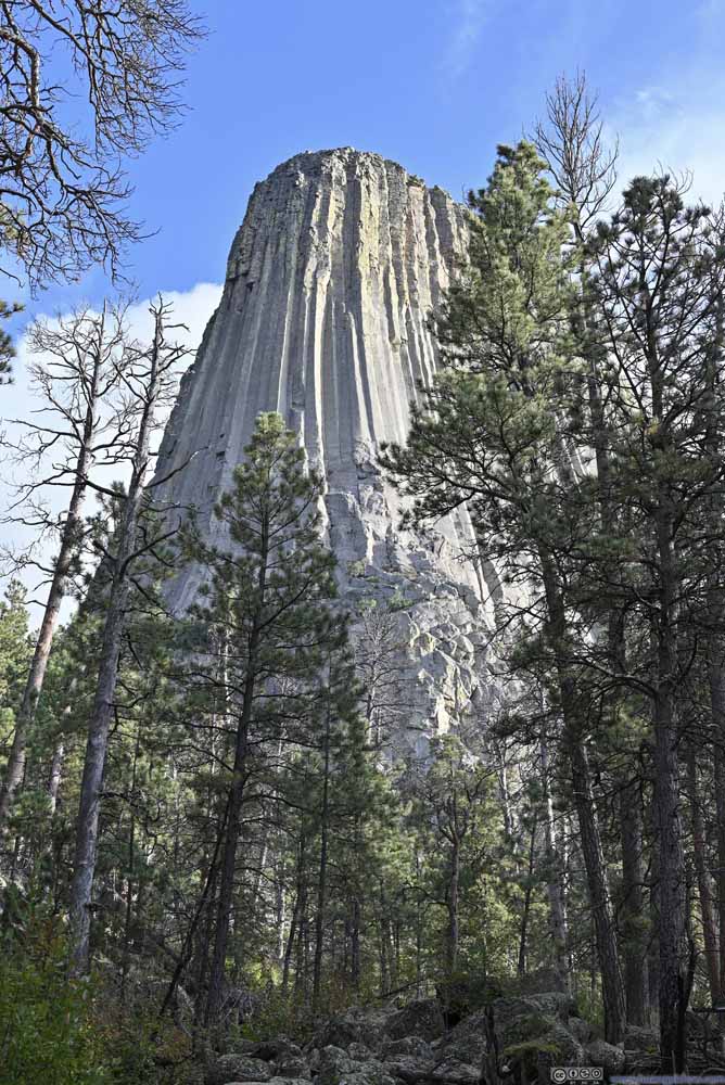 Devils Tower
The northern part of the trail was more laid back from the tower. And the views were often obstructed by trees.
Devils Tower
The northern part of the trail was more laid back from the tower. And the views were often obstructed by trees.
Click here to display photos of the slideshow
Native American Painting for Origin of Devils Tower’s ColumnsAn interesting interpretation. I would have bought into this living in their time.

Ladder on Devils TowerMade of wood to aid the first ascent of the tower in the late 19 Century. Now partially restored.
The Window of Devils TowerA notable alcove on the tower’s east face.
TrailTypical conditions.

Devils Tower
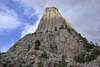
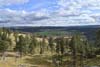
Away from the tower, “Joyner Ridge Trail” was voted favorite by the park rangers. I didn’t have time for the trail, but nonetheless checked out its trailhead, which offered distant views of Devils Tower beyond an open field. From such a distance, it once again resembled a tower to me.
The trailhead was accessed through a quarter-mile gravel road in poor condition though.
 Devils Tower
 Devils Tower
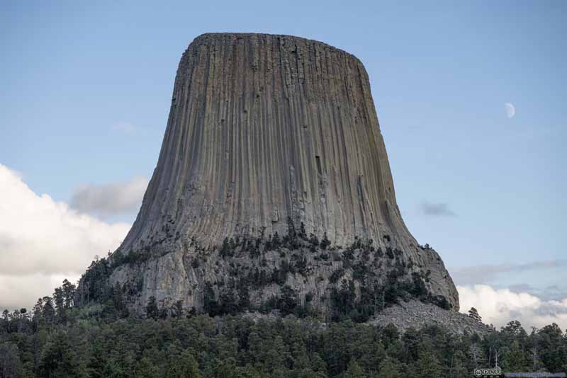 Devils Tower

Click here to display photos of Devils Tower from Joyner Ridge trailhead.

Devils Tower
Devils Tower
Devils Tower
By the time I left Devils Tower, it’s 6pm. I planned to climb Medicine Bow Peak the next day, so I booked my overnight lodge in the town of Guernsey, with more than 200 miles of driving ahead of me through Wyoming’s wilderness. Despite the empty roadways, I wasn’t enjoying the drive as much as I’d hoped. First, a section of US85 south of Four Corners had exposed roadbed waiting to be paved, which made for some really uncomfortable rides. Then after dinner in Newcastle, it’s completely dark, so I had to be on the constant lookout for animals that spawned from the bushes. (In fact I likely ran over a decently sized corpse.) But in the end, at around 10pm, I reached Guernsey in one piece.
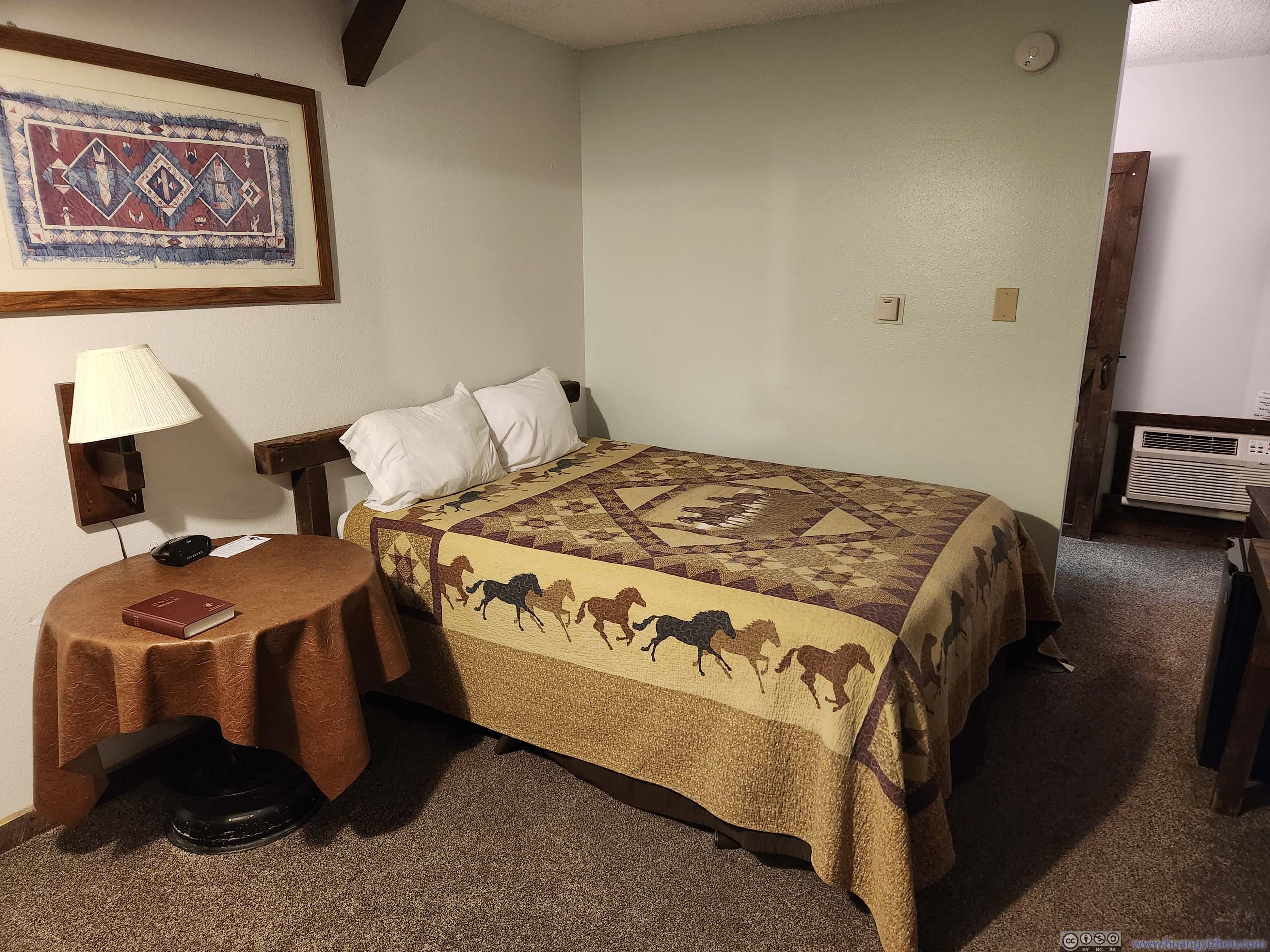
 Hotel Room
With that, I concluded a long day.
END
![]() Day 5 of Autumn 2023 Trip to Mountain States, Spearfish Canyon and Devil’s Tower by Huang's Site is licensed under a Creative Commons Attribution-NonCommercial-ShareAlike 4.0 International License.
Day 5 of Autumn 2023 Trip to Mountain States, Spearfish Canyon and Devil’s Tower by Huang's Site is licensed under a Creative Commons Attribution-NonCommercial-ShareAlike 4.0 International License.