
Updated on April 21, 2024
Day 6 of Autumn 2023 Trip to Mountain States, Medicine Bow Peak
The sixth day of my autumn 2023 trip to the mountain states. I hiked Medicine Bow Peak, a prominent mountain in southern Wyoming.
Snowy Range Mountains and Alpine Lakes
Plans for the Next Few Days
After spending a few days exploring western South Dakota (and venturing into Wyoming for Devils Tower), I had a few options on where to explore next. If I was short on time I could drive back to Chicago; Yellowstone was a natural next-step that could be reached within one day’s driving from Devils Tower; or I could check out the foliage in Colorado. Since I visited Yellowstone four years ago, and its popularity required much advanced planning, I instead decided on Colorado.
In particular, I planned on visiting Moab from Grand Junction, CO in 2020. Despite interrupted by COVID, I still made that trip from Salt Lake City, thus missing out the attractions around Grand Junction, such as Colorado National Monument and Black Canyon of Gunnison. I gladly added them onto my itinerary this time.
In addition, I would be in Colorado towards the end of September (around Sept 25-30), this was the tail of the hiking season and the beginning of the foliage season. Based on my experience, all but the highest mountains in Colorado were still snow-free and open to hiking during my visit. I wasn’t best geared for climbing mountains this time so I decided to limit my hiking to 4000m elevation, and I had some great hikes in San Juan Mountains in the coming days. As for foliage, I loved what I saw at higher elevation parts of Colorado, such as Grand Mesa and Million Dollar Highway between Ridgway and Coal Bank Pass. But in lower elevation parts, such as around Durango or Pagosa Springs, there wasn’t much foliage to see.
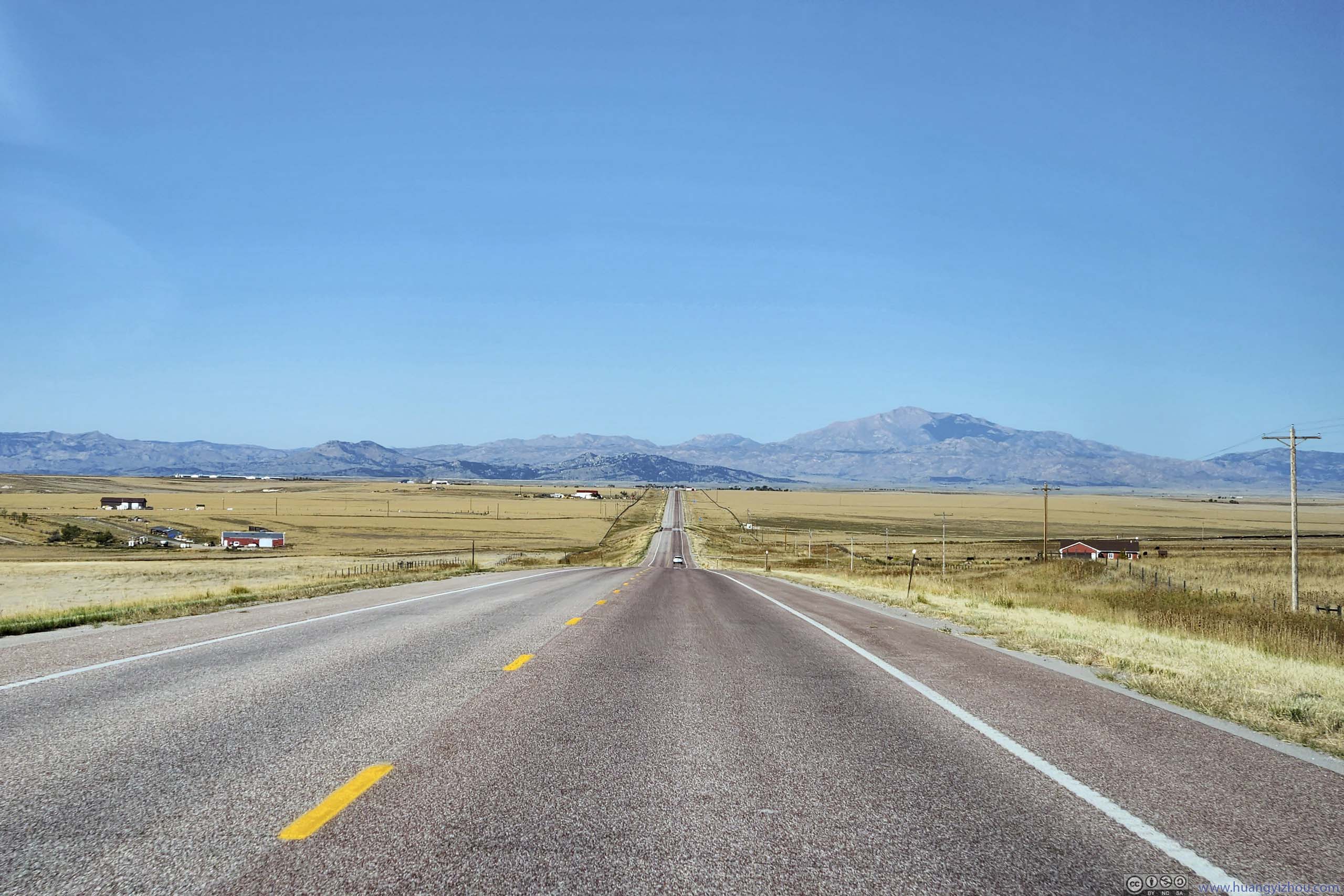
To reach Grand Junction, CO from Devils Tower, WY, there was the short-but-boring route of Gillette-Casper-Rawlins, or the long-but-exciting route of Fort Collins-Rocky Mountain National Park(!)-I70(!). I visited Denver and some of Colorado’s front range mountains last summer, so I opted for a compromise between these two, taking a small detour to Medicine Bow / Snowy Range.
Originally, I planned to reach Laramie/Centennial by today’s (Sept 24) end. However, I went through my itineraries in South Dakota’s Black Hills faster than I expected, so I reached the town of Guernsey, WY last night, which was only 2.4 hours from the trailhead of Medicine Bow Peak. Given the loop trail of Medicine Bow Peak (AllTrails Link) is only 11.1km long with a modest 523m of elevation gain, I figured I could leave Guernsey in the morning, hit the trail and make some progress towards Grand Junction at the end of the day.
Places around Guernsey
While I first perceived Guernsey, WY as a town to just spend the night, the super-friendly manager of Bunkhouse Motel, where I spent the previous night, informed me about some sights near the town.
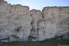
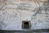
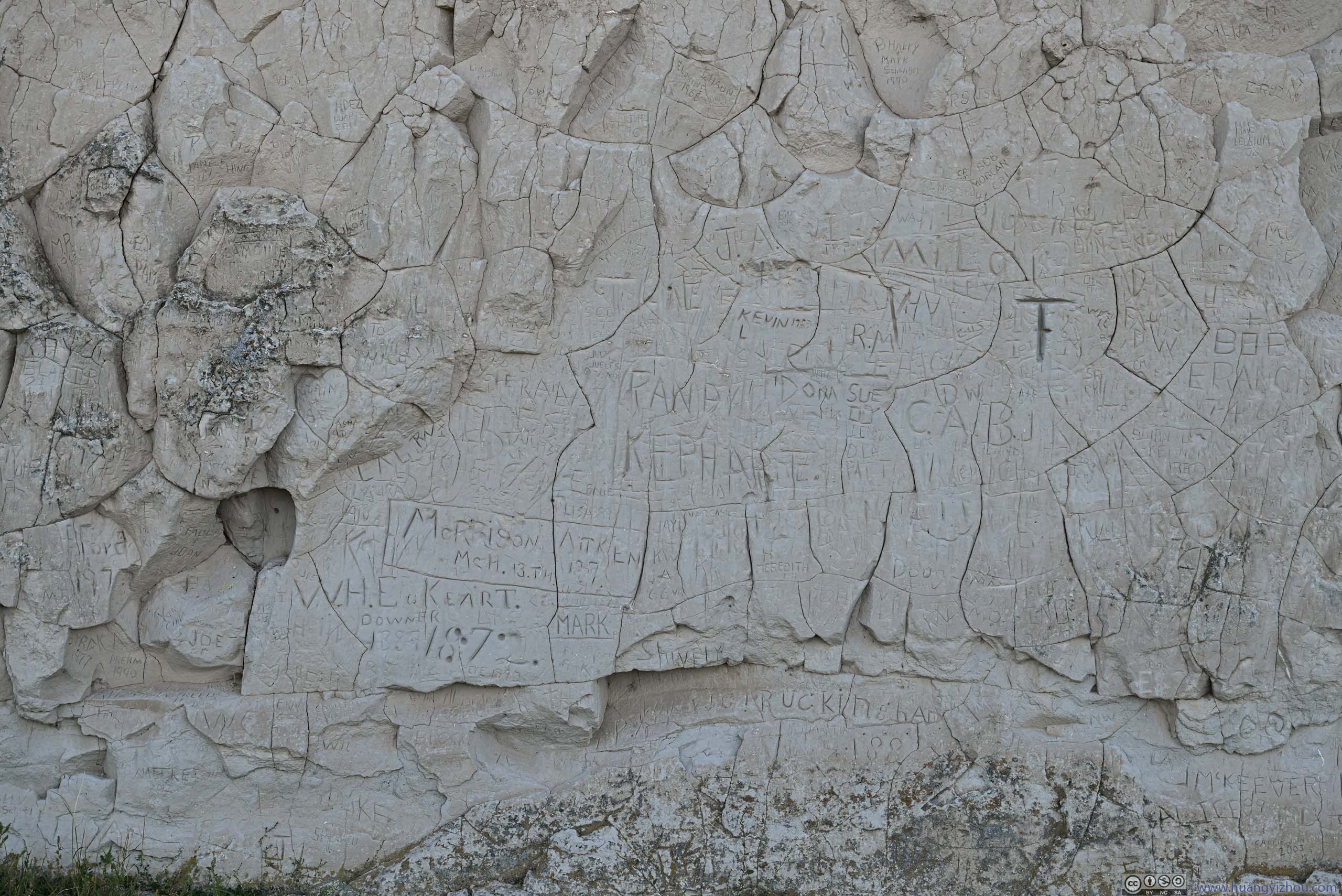
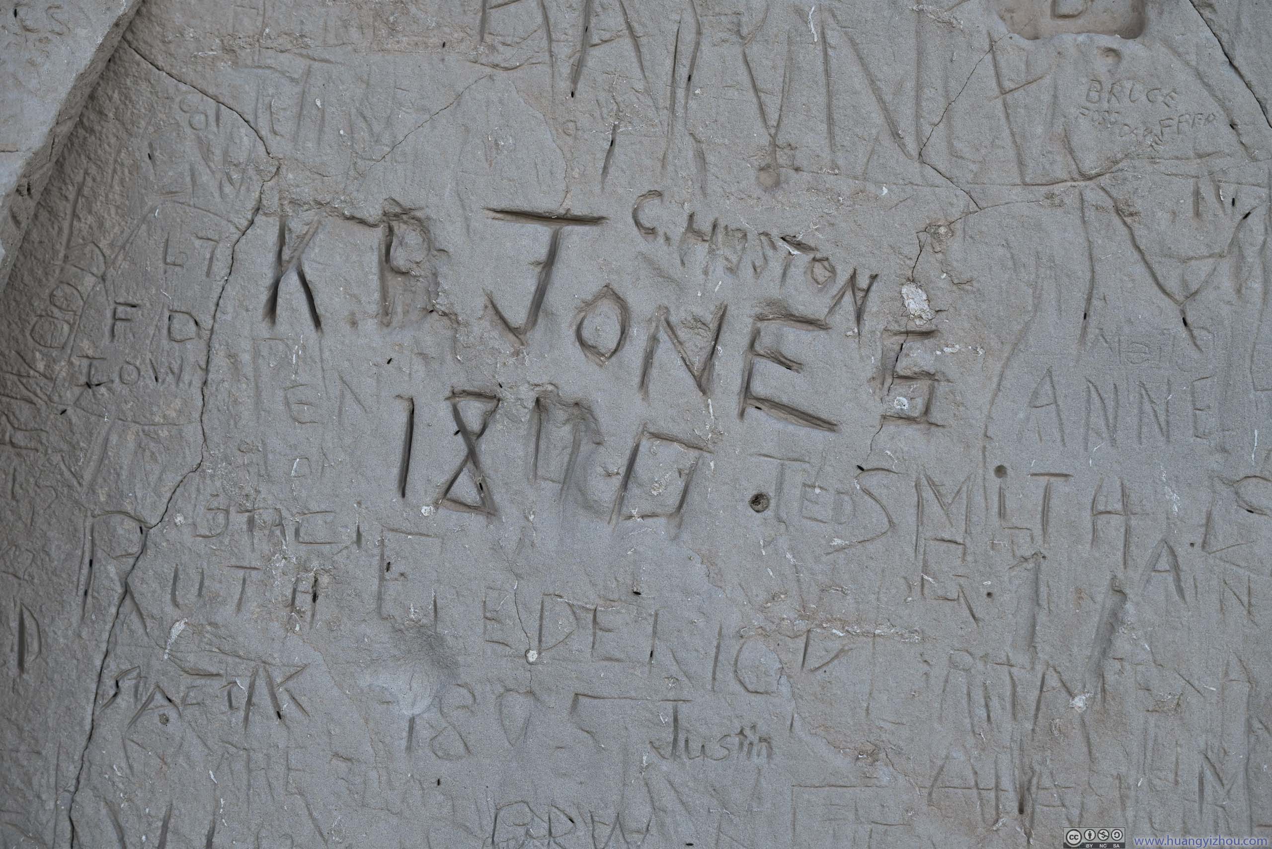
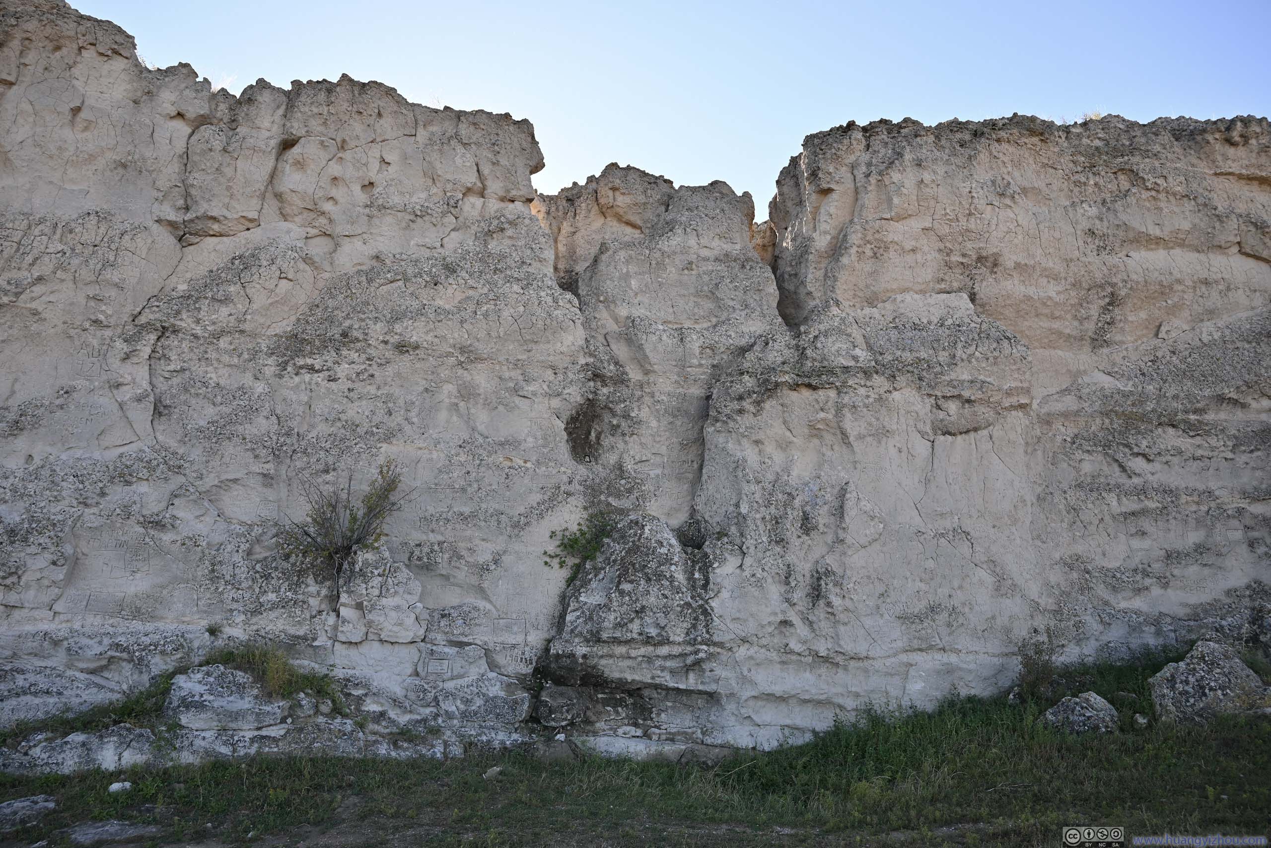
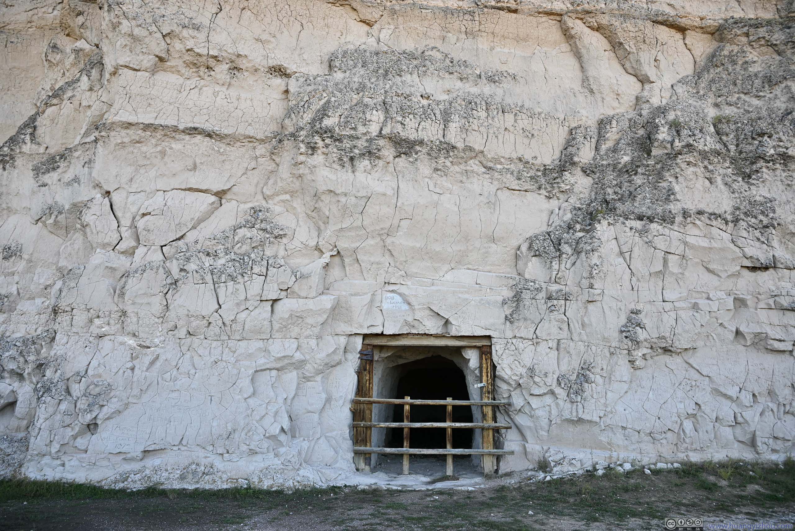
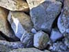
First it’s “Register Cliff”, an important checkpoint/rest stop along the historic Oregon Trail after leaving Fort Laramie. Here, immigrants to western US inscribed their names onto a sandstone cliff, in my opinion, so that they wouldn’t be forgotten in case they didn’t make it through the often treacherous Rocky Mountains. Most of the names inscribed here were during the 1840s and 1850s, at the height of the Oregon Trail, though it’s easier to pick up graffiti/vandalism much later.
To a frightening degree I feel for those immigrants, as I find myself on a similarly precarious journey that may or may not make it, and if I don’t, it’s as if I will be another inconspicuous name on a register of life.
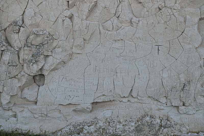 Carvings on Register Cliff
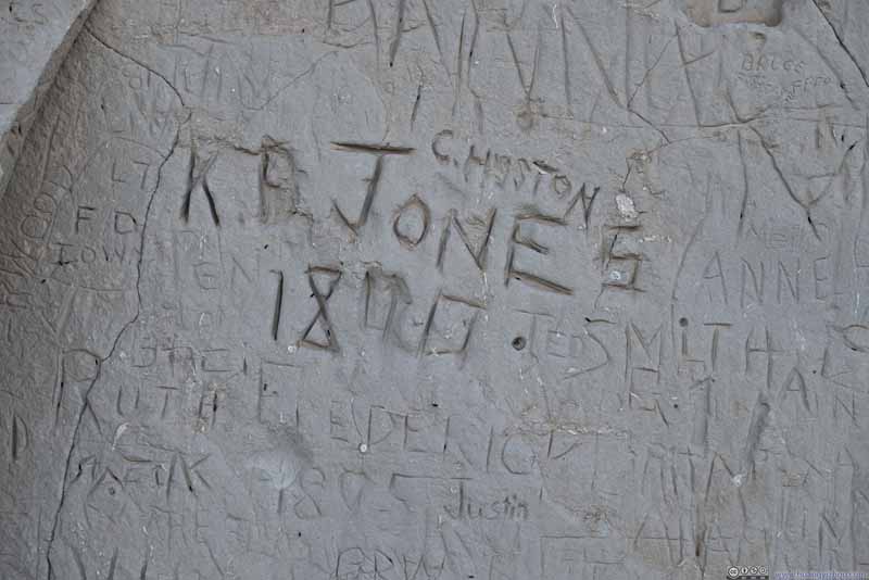 Carvings on Register Cliff
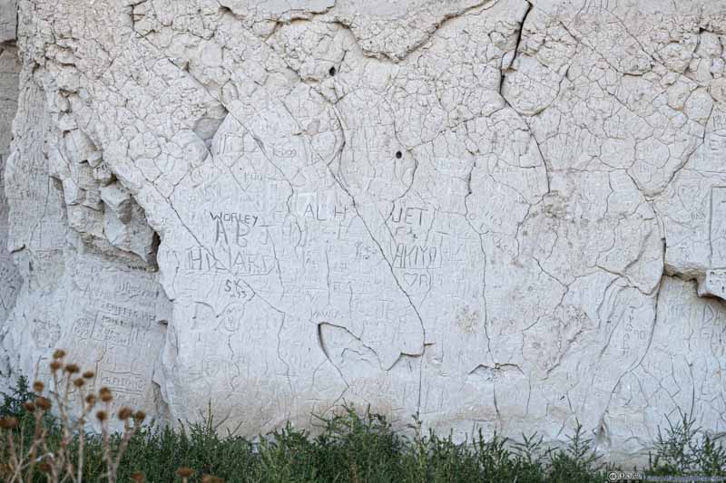 Carvings on Register Cliff
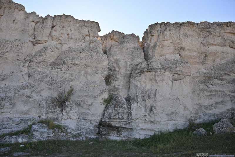 Register Cliff
 Register Cliff

Click here to display photos from Register Cliff.
Carvings on Register Cliff
Carvings on Register Cliff

Carvings on Register Cliff
Register Cliff
Register Cliff
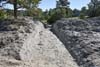
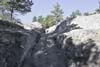
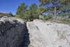
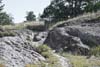
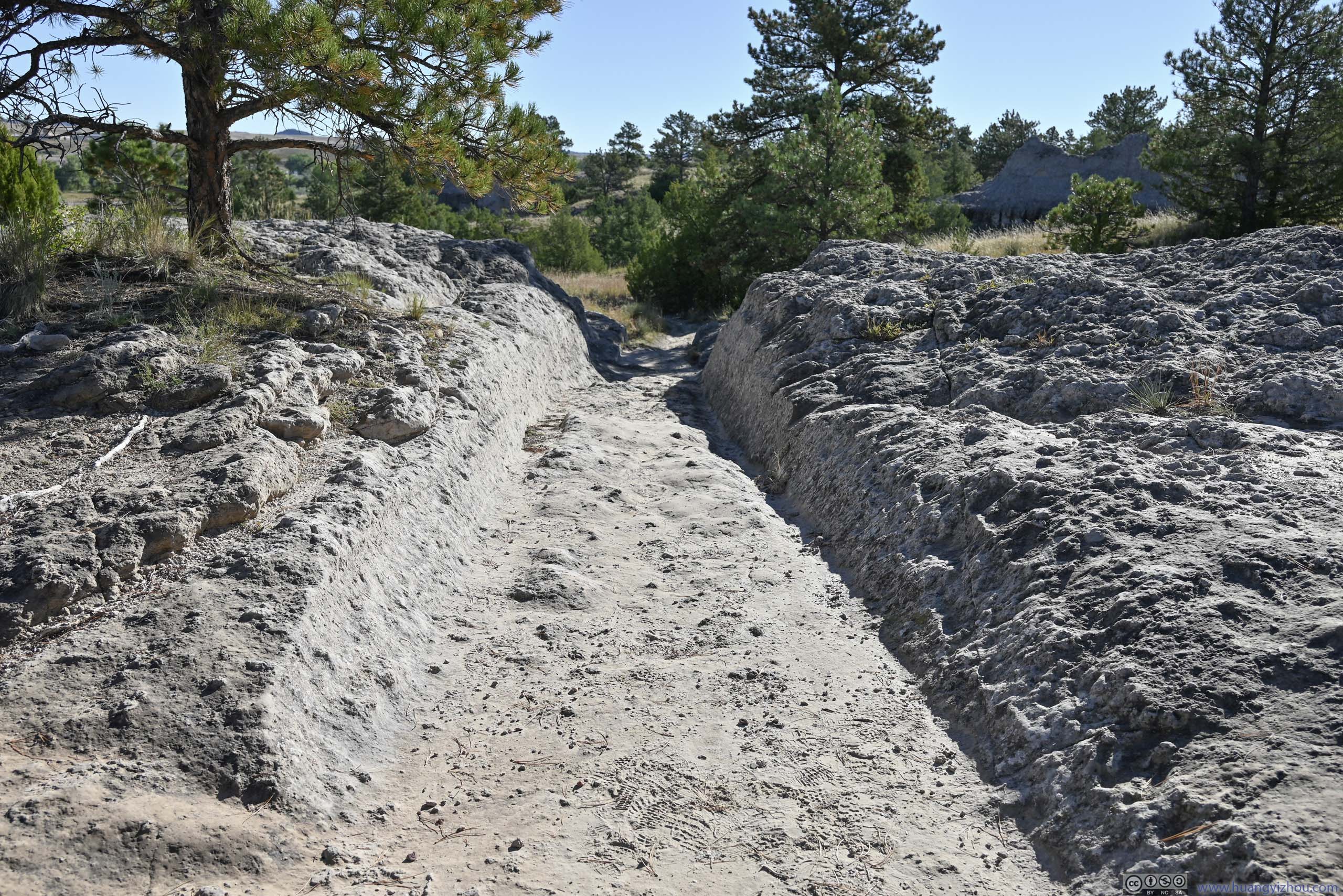
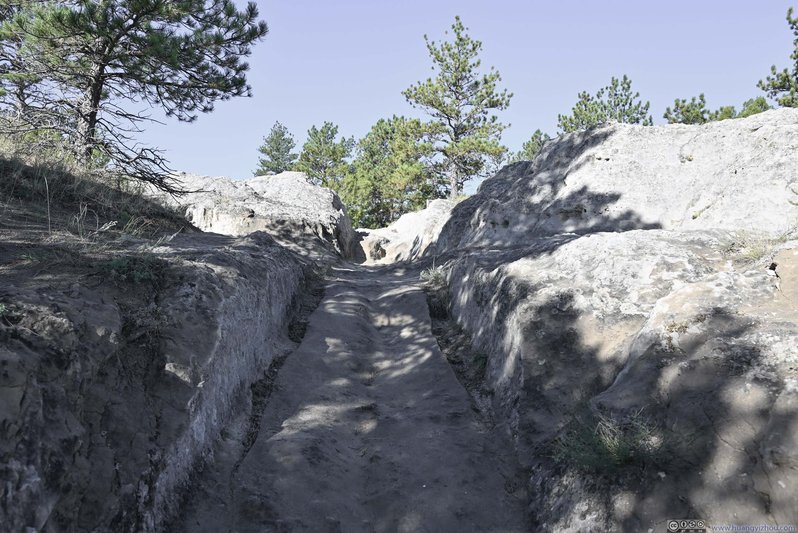
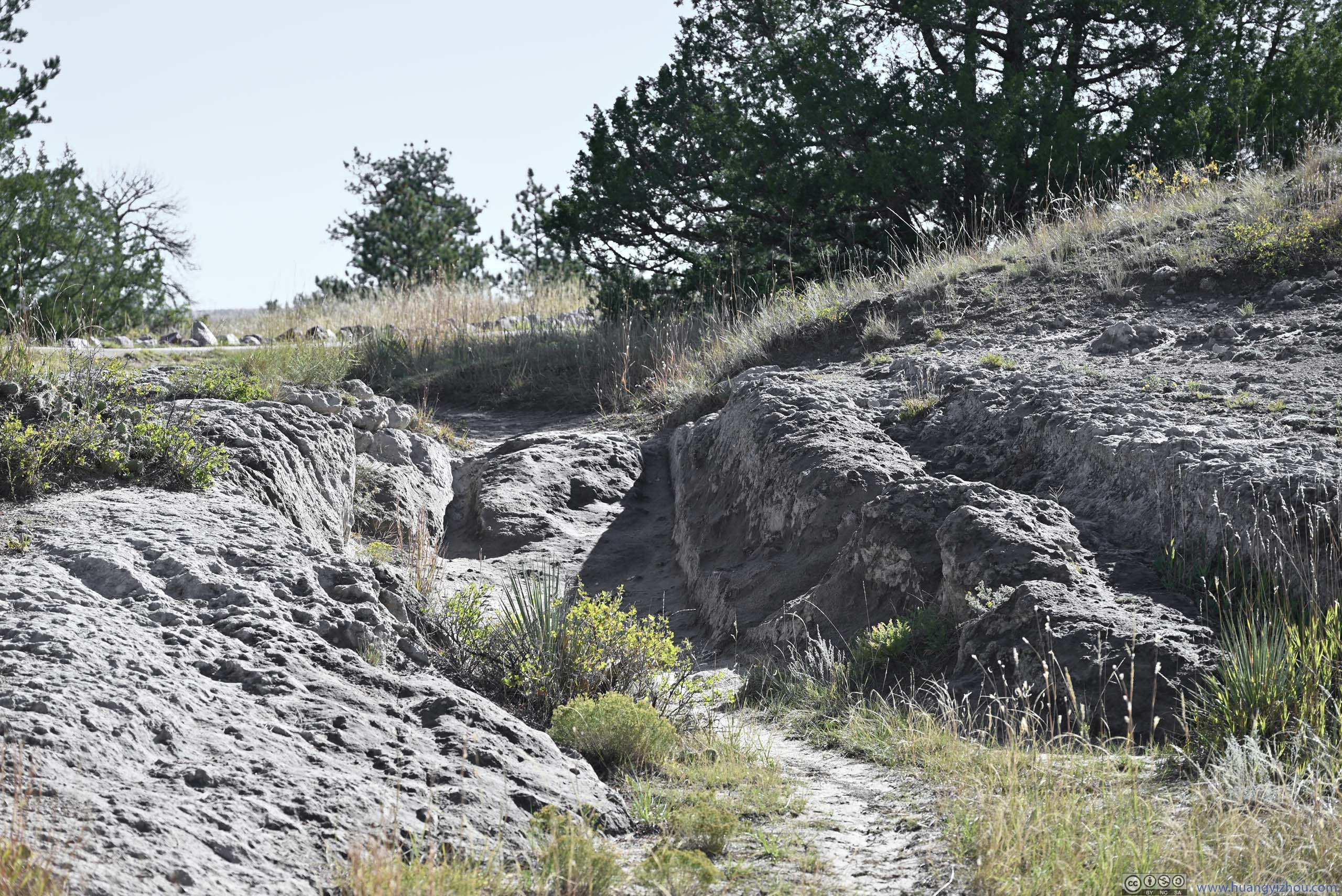
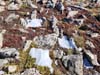
Next it was “Guernsey Ruts”. Here a short section of the Oregon Trail wore down a sandstone ridge, where the trail ruts were preserved. It felt very solid walking on the sandstone, so I could hardly imagine the number of wagons and the weight of their cargo that wore down such trail ruts, and the amazing fact that they were preserved till this day.
 Oregon Trail Ruts
 Oregon Trail Ruts
 Oregon Trail Ruts
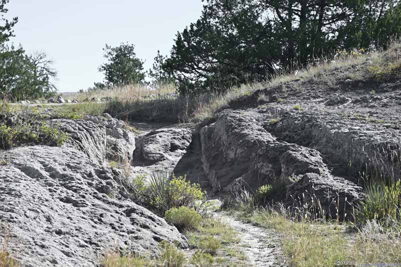 Oregon Trail Ruts
Click here to display photos of the Guernsey Ruts.
Oregon Trail Ruts
Oregon Trail Ruts

Oregon Trail Ruts
Oregon Trail Ruts
Both Register Cliff and Guernsey Ruts were accessed through a short section of gravel roads. After paying both sites a visit, I left Guernsey for Medicine Bow Peak at 9:40am.
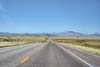
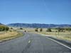
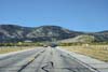
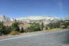
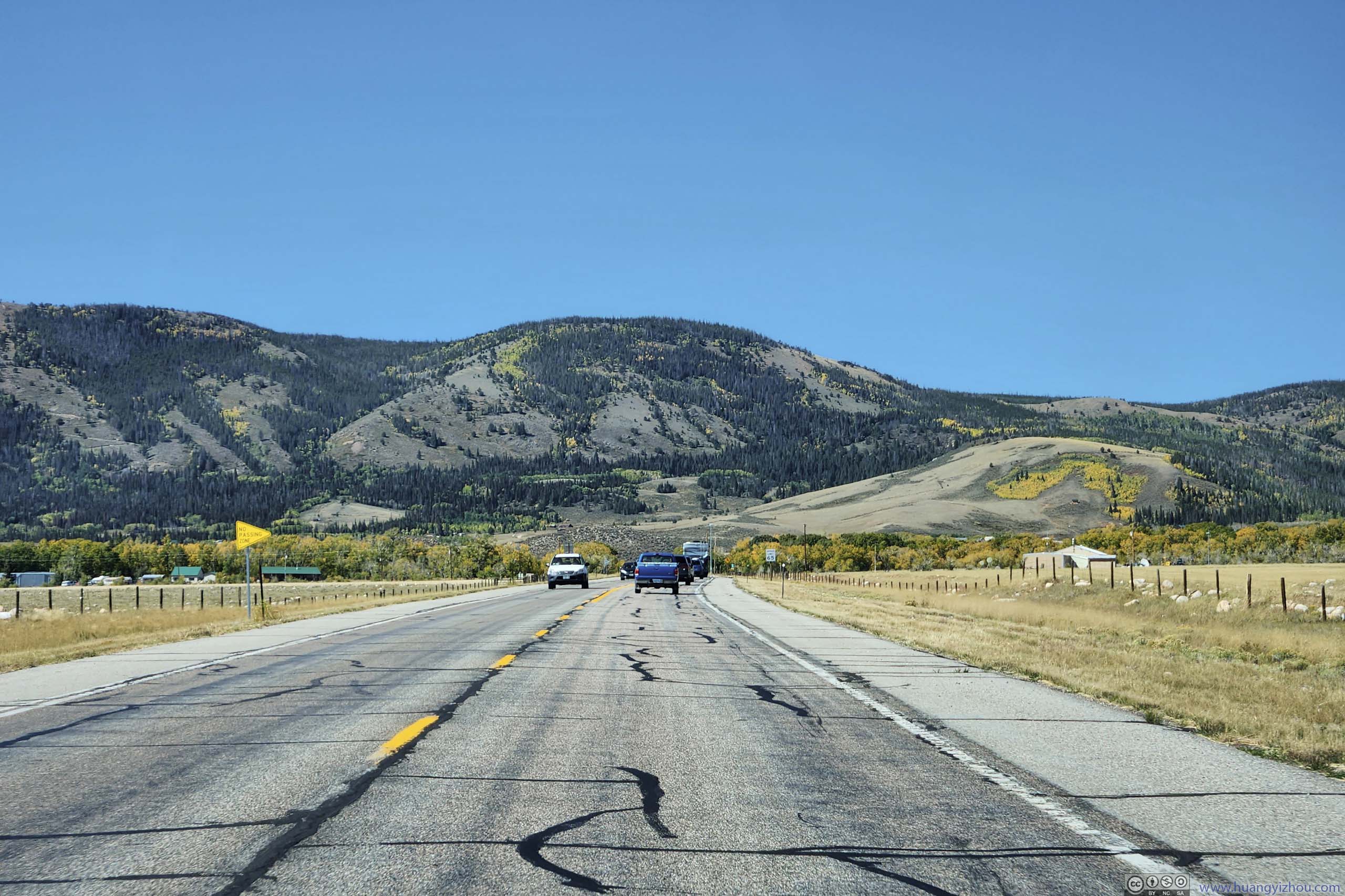
After an early lunch in the town of Laramie, the snowy range mountains were the defining backdrop during the 40-minute drive along WY-130. Just that despite its name, snow was barely visible on the mountains.
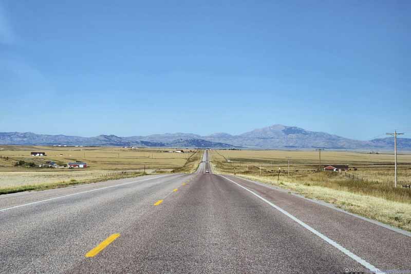 Laramie MountainsLaramie Peak (3132m), the highest mountain of Laramie Range, in the center right.
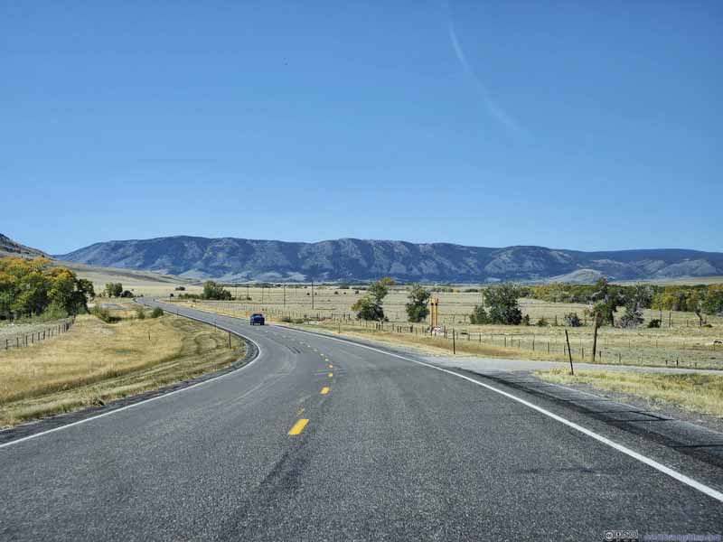 Country Road
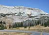
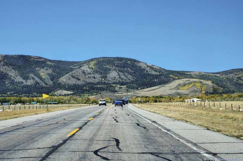 Country RoadTowards Medicine Bow Pass. The early foliage colors already arrived on the mountains.
 Snowy Range MountainsCaptured from WY130 just after Snowy Range Pass.
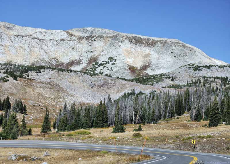 Medicine Bow PeakCaptured from WY130 just after Snowy Range Pass.
Click here to display photos of the slideshow
Laramie MountainsLaramie Peak (3132m), the highest mountain of Laramie Range, in the center right.

Country Road
Country RoadTowards Medicine Bow Pass. The early foliage colors already arrived on the mountains.
Snowy Range MountainsCaptured from WY130 just after Snowy Range Pass.
Medicine Bow PeakCaptured from WY130 just after Snowy Range Pass.
Medicine Bow Peak Hike
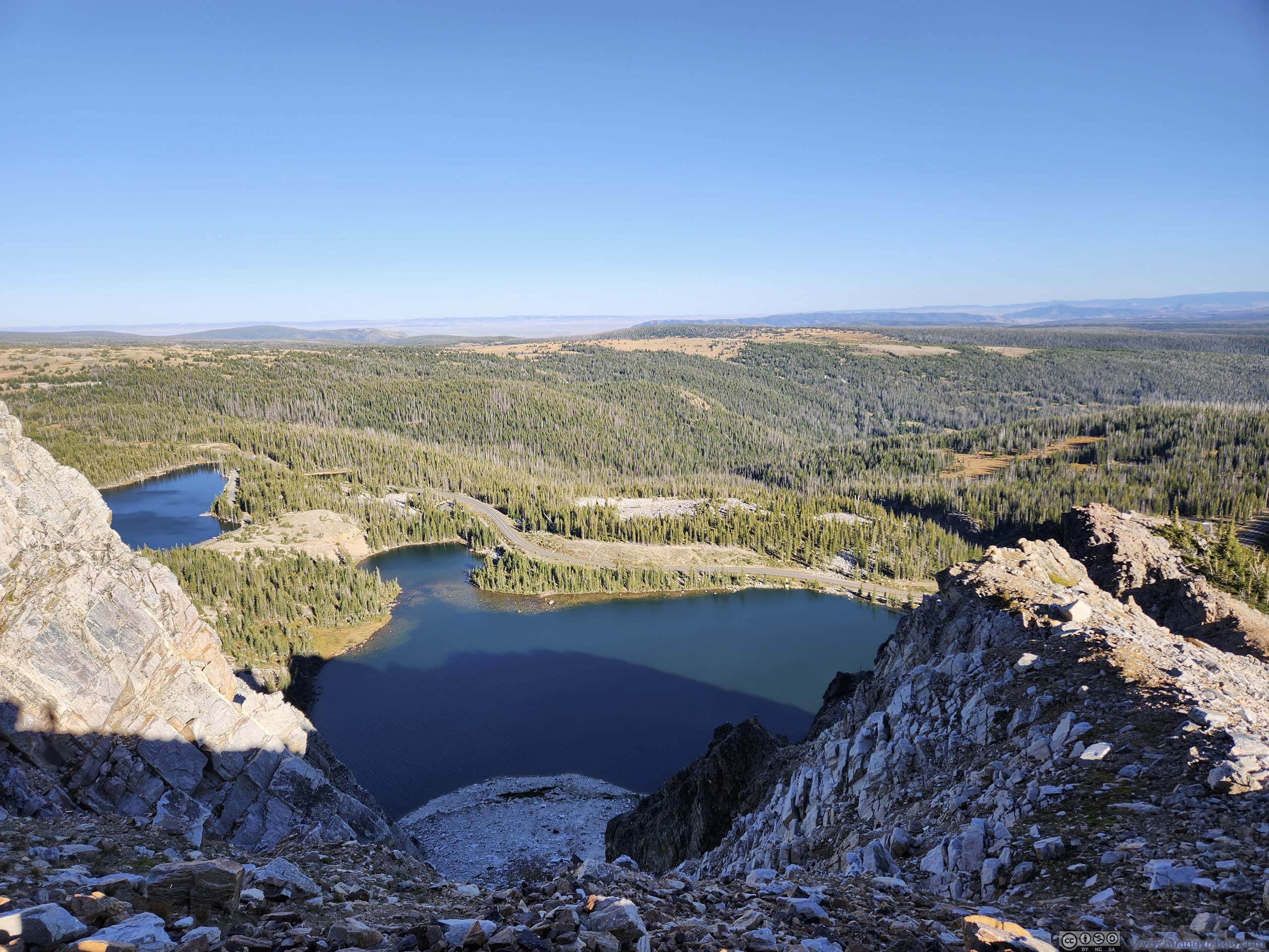
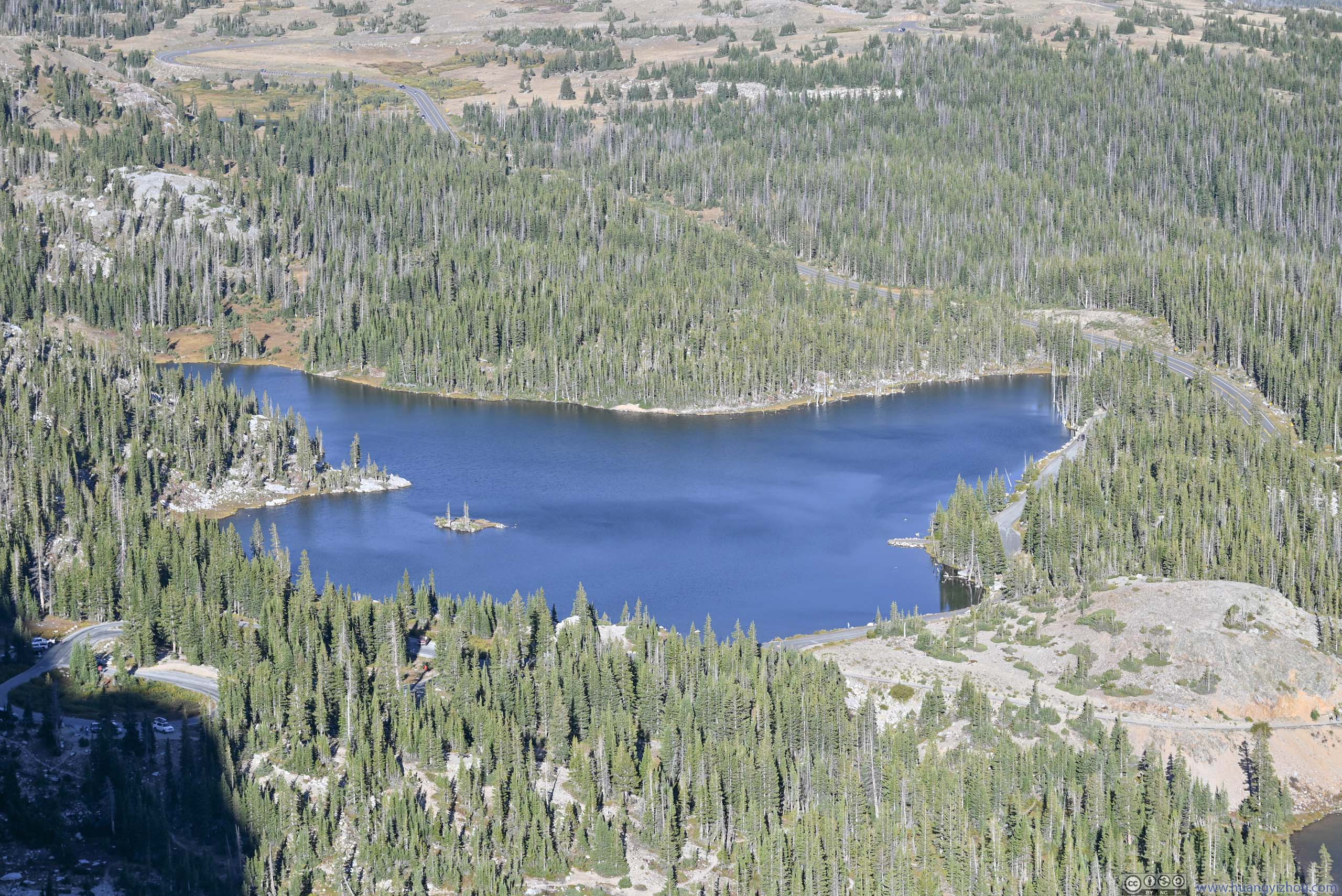
I reached Lake Marie West Trailhead just before 12:30pm. This was the default parking lot for the loop hike I was about to embark on. The parking lot had space for about 20 cars, which was popular as I pulled into the last available spot. However, “Lake Marie East Parking Lot” and “Mirror Lake Picnic Area” are both backup options that didn’t add distance to the hike.
Since I started relatively late in the day, I decided to take the hike in the counterclockwise direction. This way, the impressive cliffs of the snowy range mountains would be facing the sun while I hiked up the few alpine lakes (Lake Marie, Mirror Lake, Lookout Lake), with their majesty in full display.
And here’s GPS tracking:
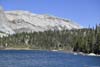
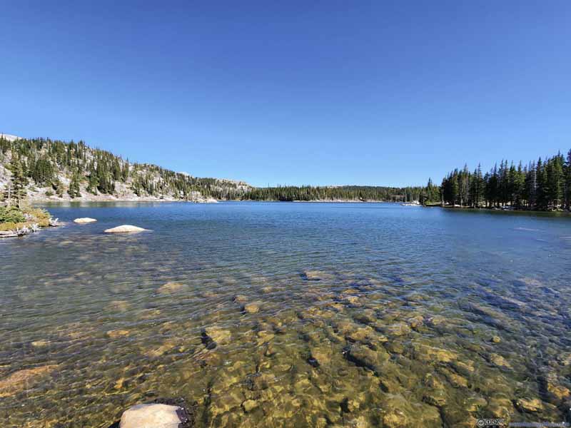
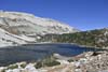
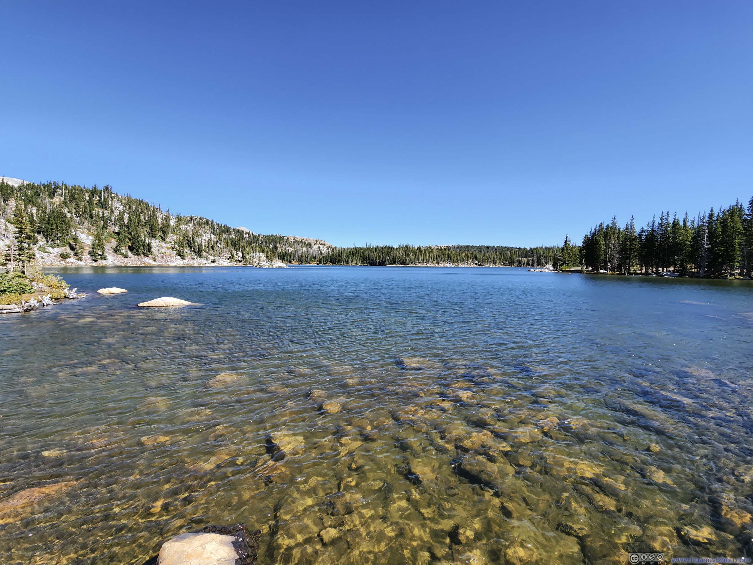
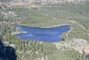
Right off the trailhead was Lake Marie, named after Mary Bellamy, the first woman elected to Wyoming Legislature who later helped the passage of the 19th amendment.
Lake Marie
 Lake Marie and Snowy Range Mountains
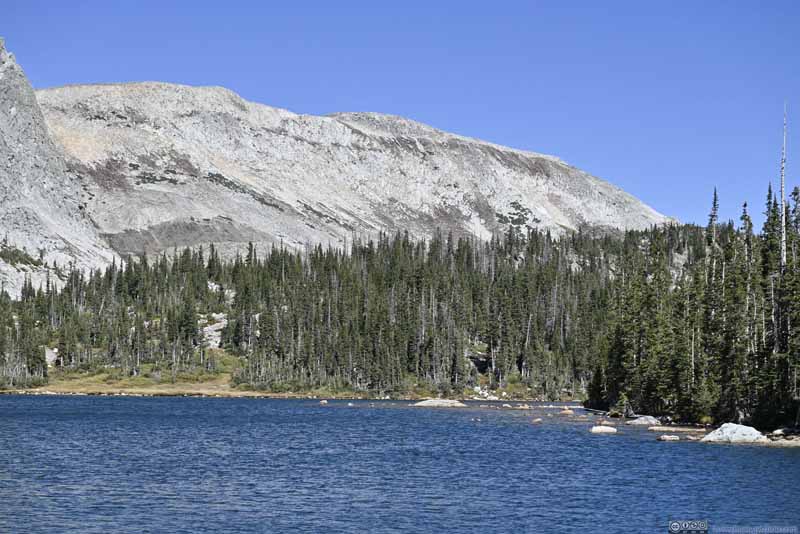 Lake Marie and Medicine Bow Peak
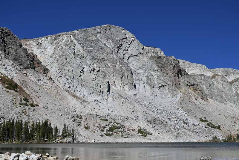 The Diamond Mountain
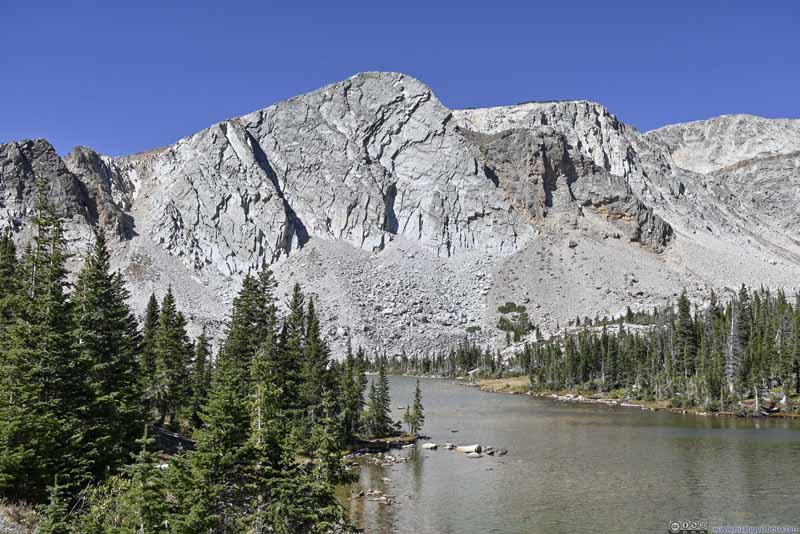 The Diamond Mountain
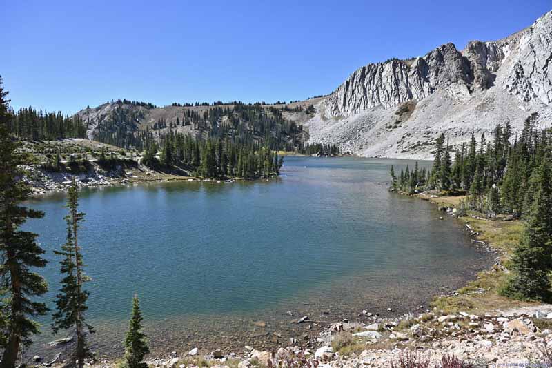 Lake Marie


Click here to display photos of Lake Marie.
Lake Marie and Snowy Range Mountains
Lake Marie and Medicine Bow Peak

The Diamond Mountain
The Diamond Mountain
Lake Marie
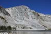
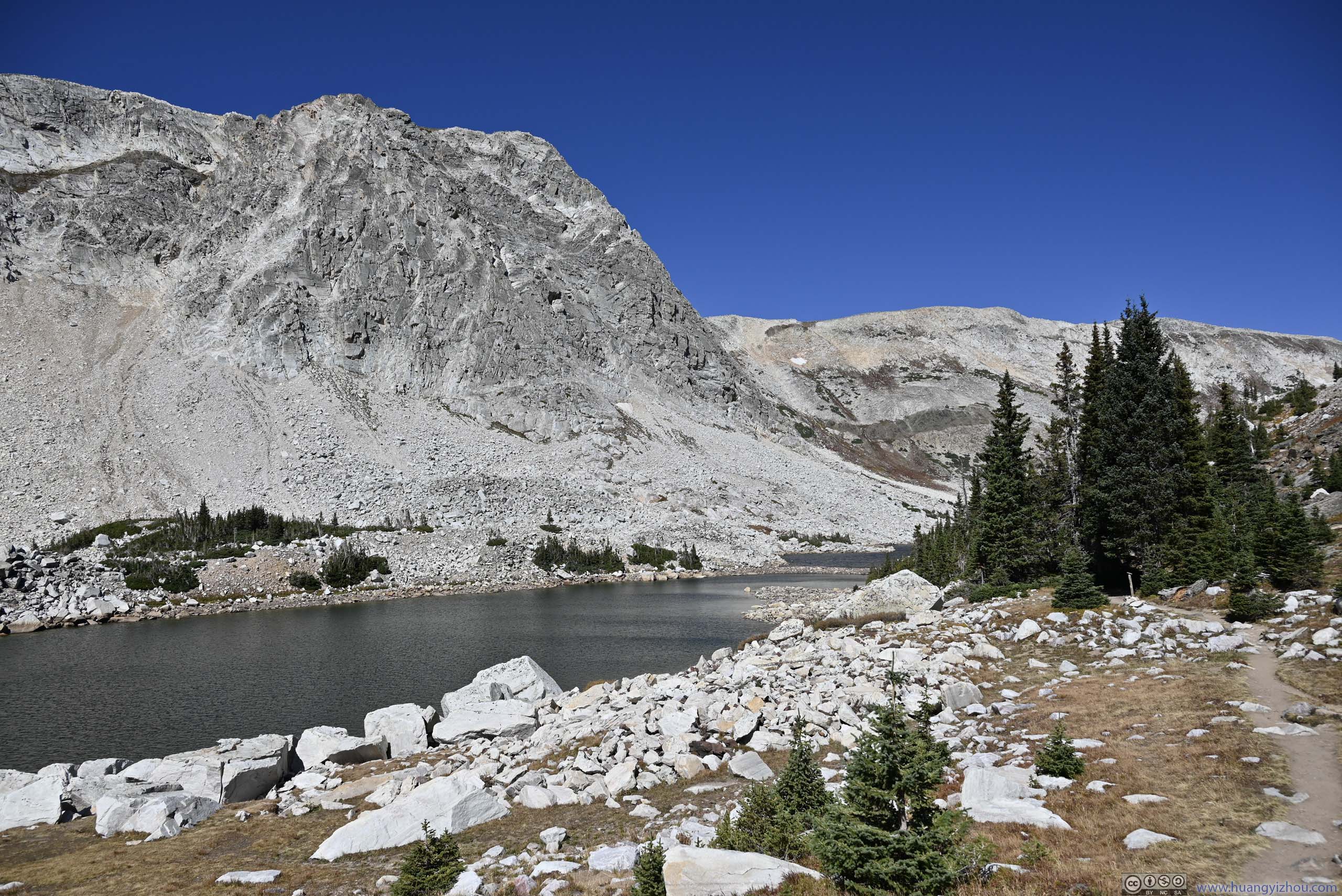
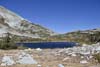
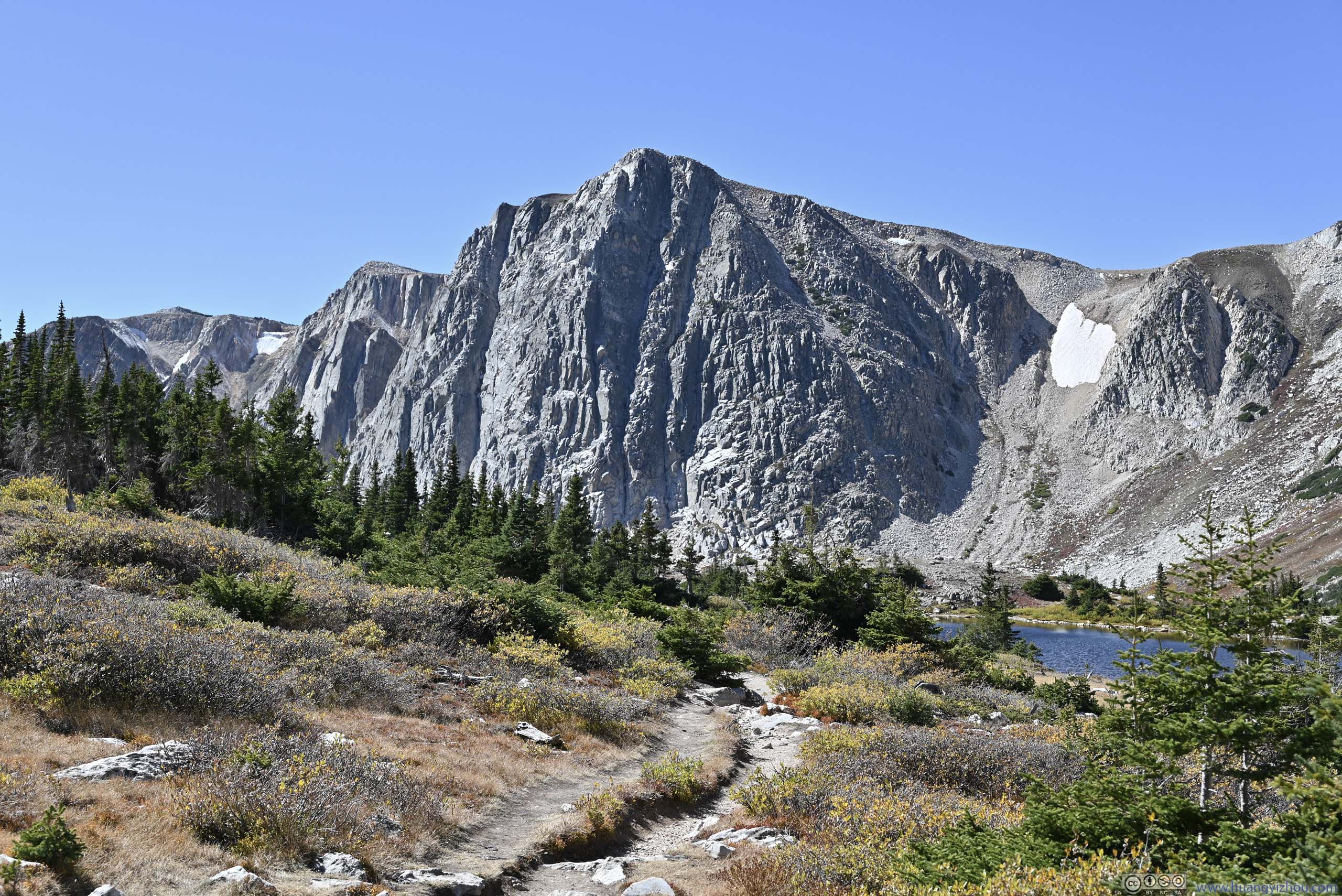
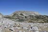
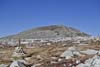
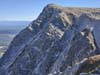
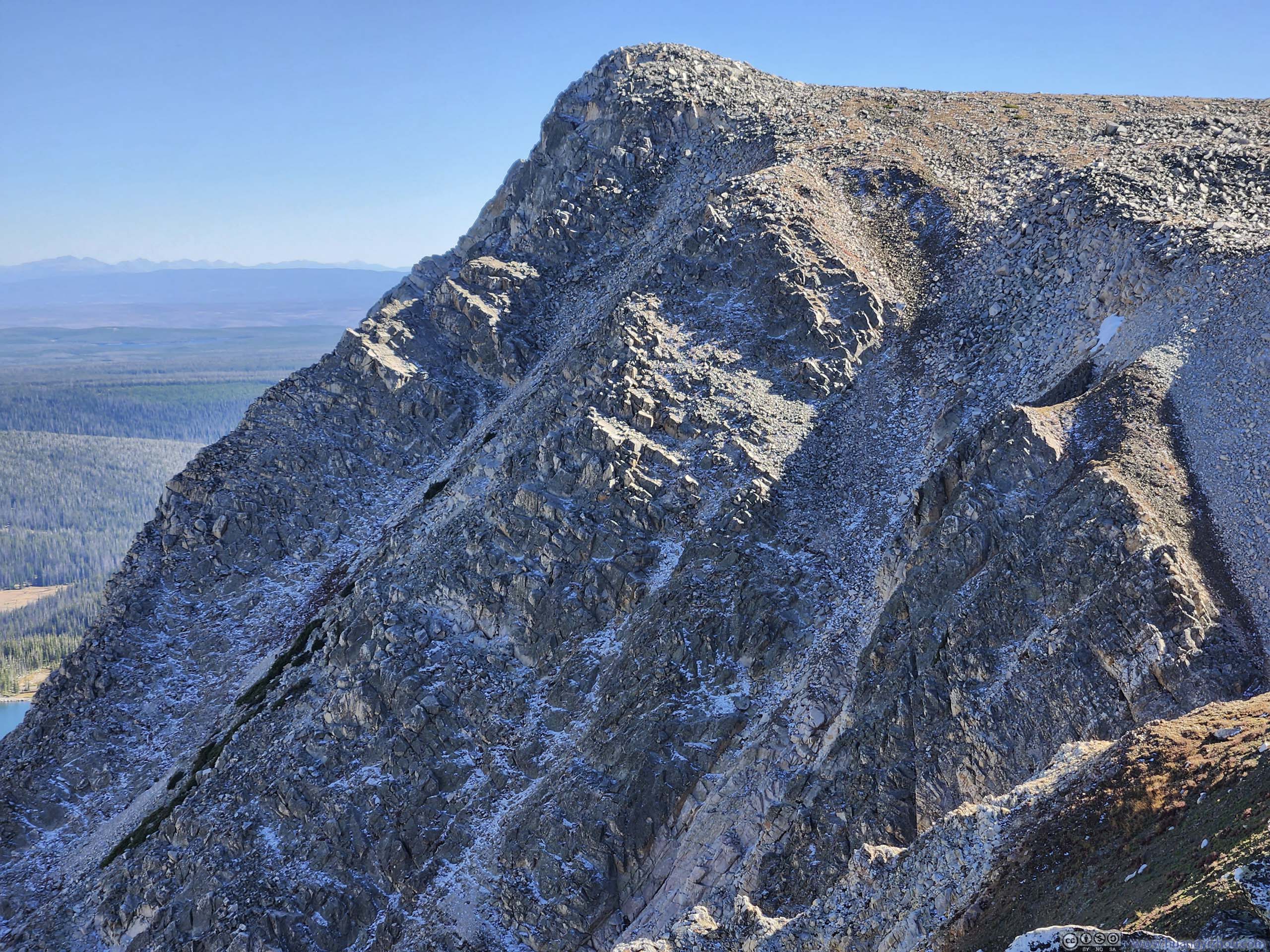
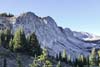
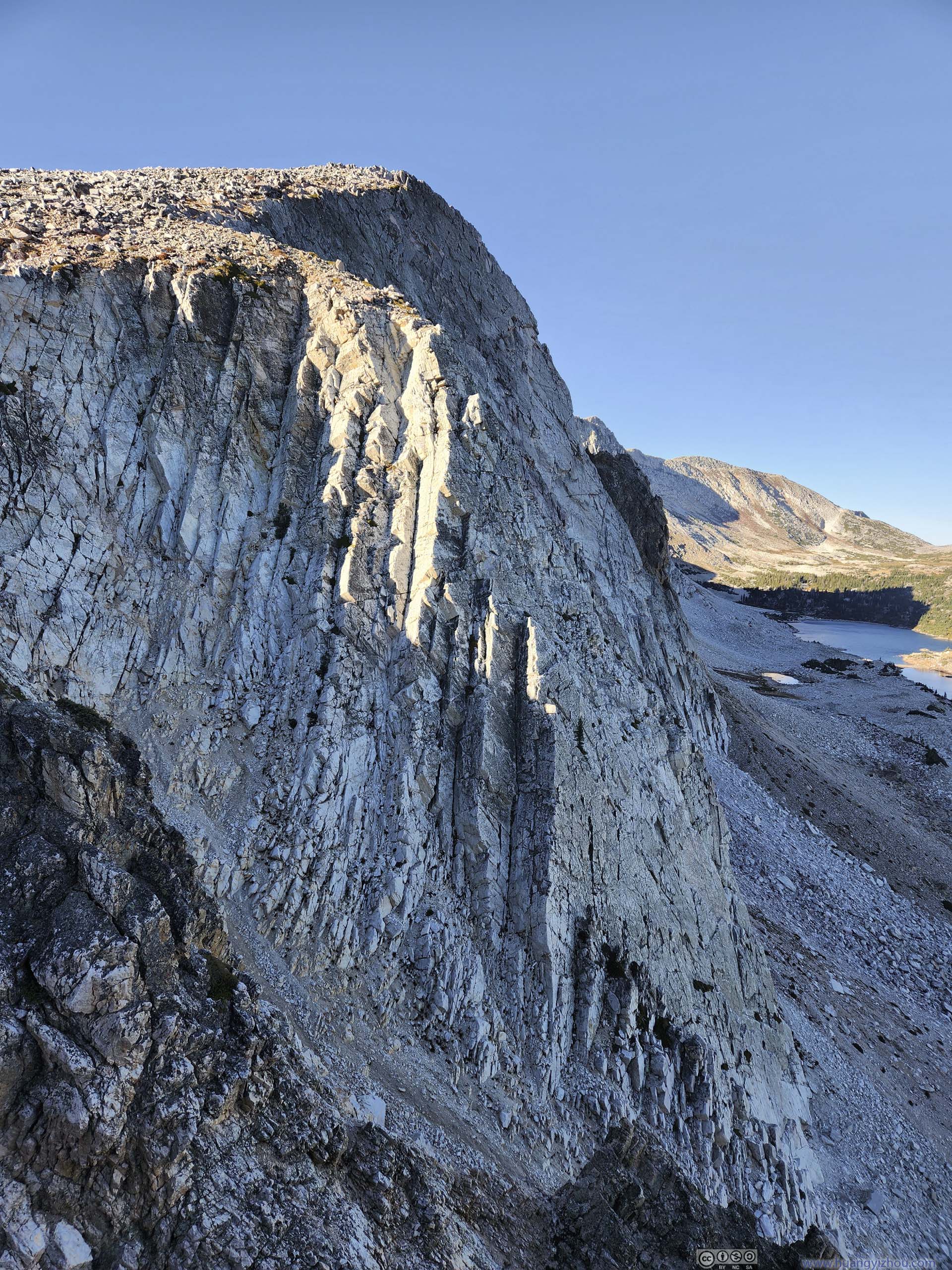
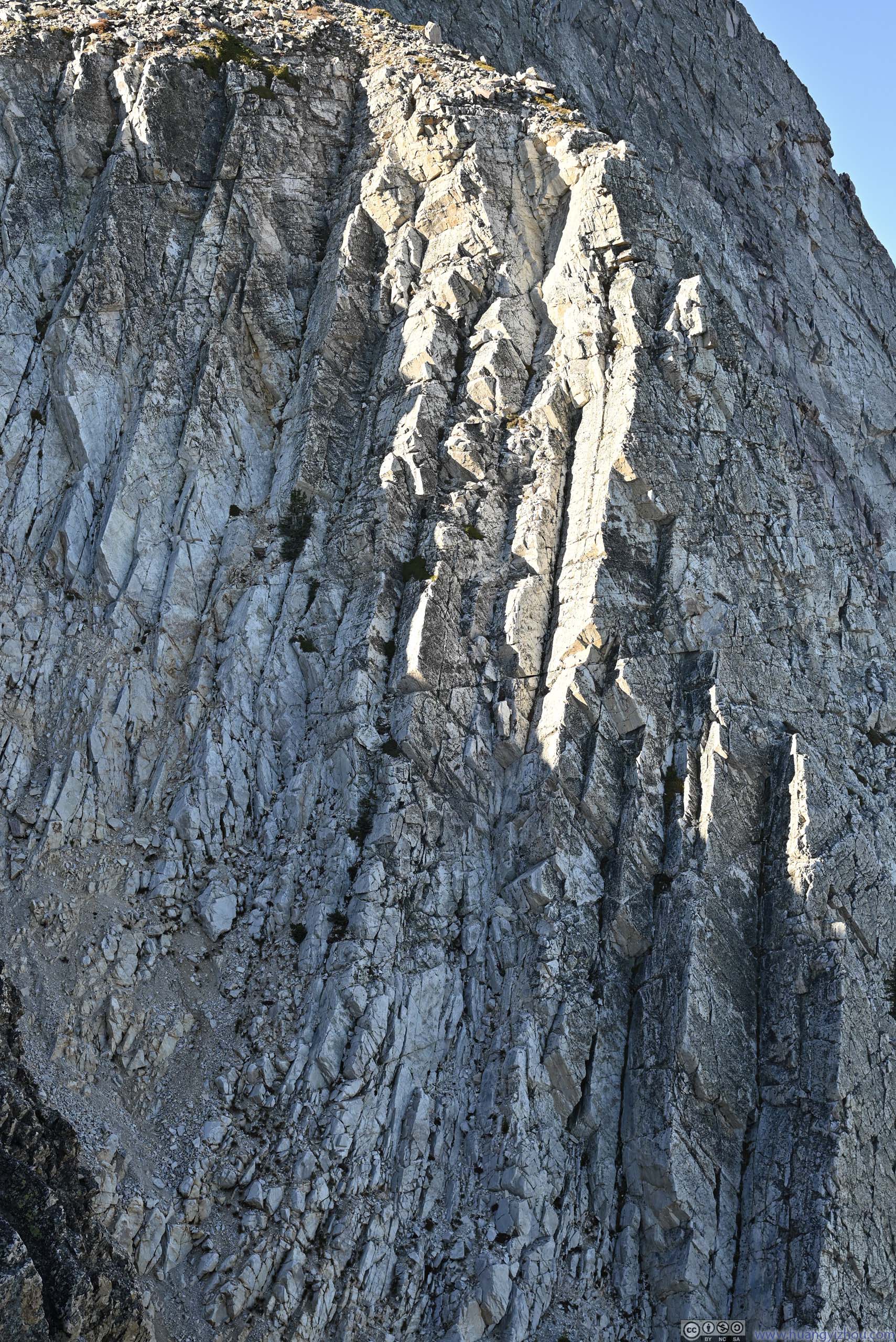
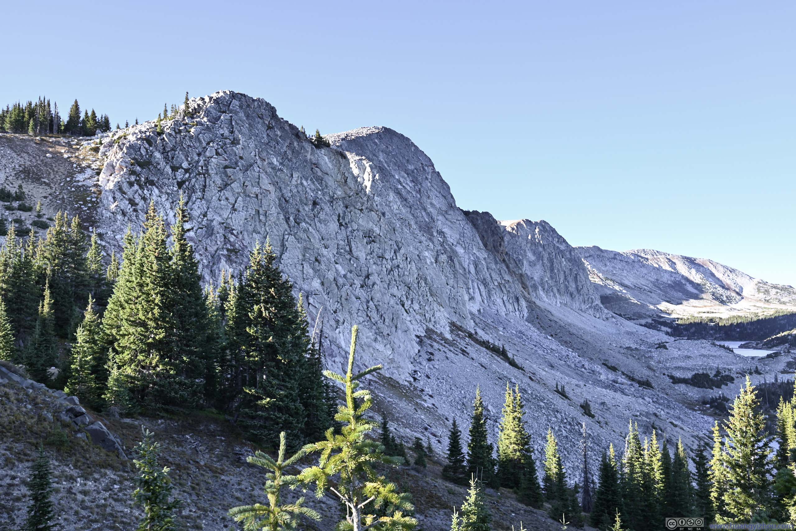
This part of the hike ran parallel to a ridgeline towards the northeast. The ridge was lined with a few imposing “peaks” with a steep dropoff to the southeast. The texture of those cliffs formed an awe-inspiring sight from the trail. In comparison, Medicine Bow Peak, the highest of the group, laid comfortable back and lacked excitement. Later I found out online that the few “peaks” were named, “The Diamond” closest to Lake Marie, and “Old Man” closest to Lookout Lake among them.
Mirror Lake
 Mirror Lake
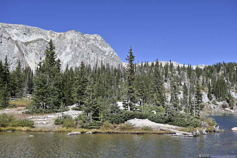 Shores of Mirror Lake
 Old Man Mountain next to Lookout Lake
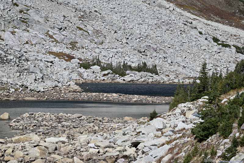 Lookout LakeThe lake was separated into two by a causeway when water level was low.
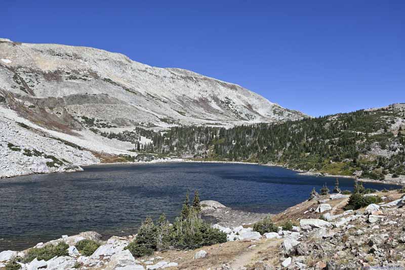 Lookout Lake and Medicine Bow Peak
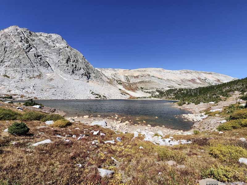 Lookout Lake and Snowy Range Mountains
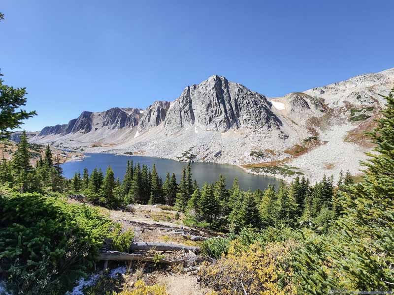 Lookout Lake and Snowy Range Mountains
 Old Man Mountain

Click here to display photos of the slideshow
Mirror Lake

Shores of Mirror Lake
Old Man Mountain next to Lookout Lake
Lookout LakeThe lake was separated into two by a causeway when water level was low.
Lookout Lake and Medicine Bow Peak
Lookout Lake and Snowy Range Mountains

Lookout Lake and Snowy Range Mountains
Old Man Mountain
 Snowy Range Mountains from Lookout Lake
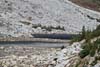
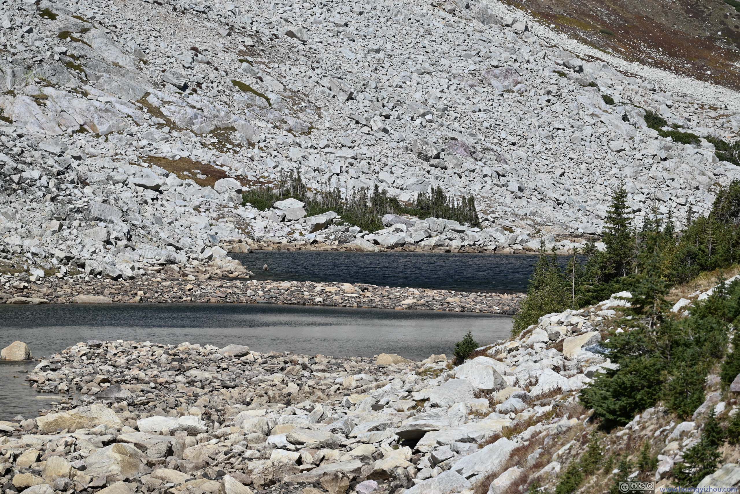
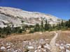
After passing the three named alpine lakes (Lake Marie, Mirror Lake, Lookout Lake), the trail continued on, towards the saddle between Medicine Bow Peak and Sugarloaf Mountain. I lost the trail briefly as it entered a switchback in the woods.😔 Once out of it, I gradually started to feel the high winds coming from the north. The strong wind continued throughout the rest of my hike, and made my nose quite uncomfortable.
 Trail
Trail Trail to Medicine Bow Peak
 Alpine Lake
 Trail against Backdrop of Old Man Mountain
 Trail to Medicine Bow Peak

Click here to display photos of the trail.
Trail
Trail to Medicine Bow Peak

Alpine Lake
Trail against Backdrop of Old Man Mountain
Trail to Medicine Bow Peak
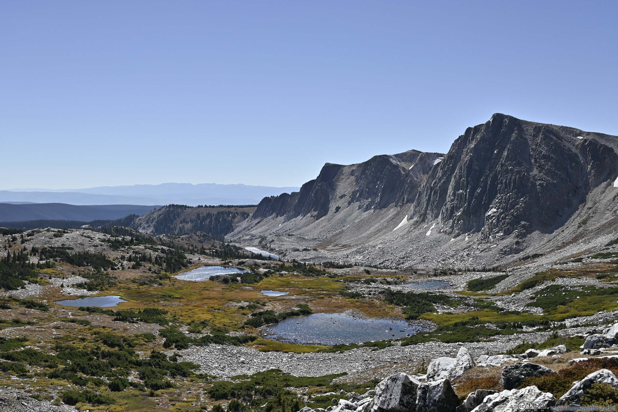
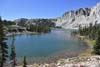
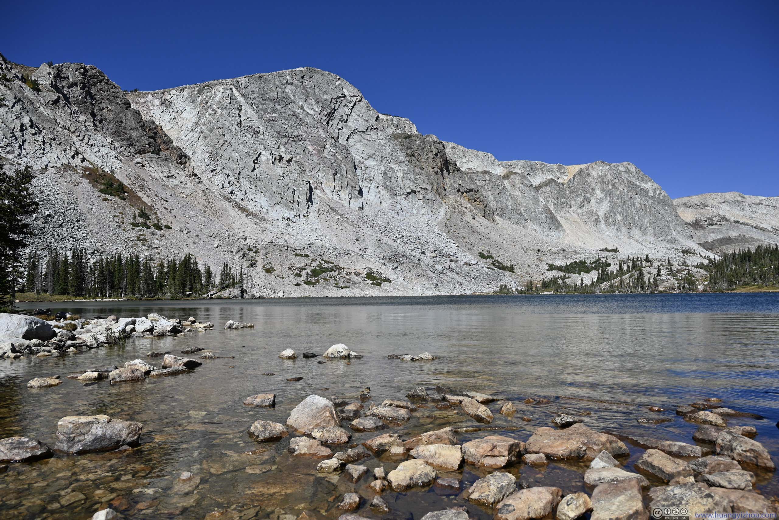
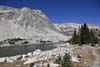
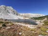
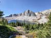
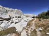
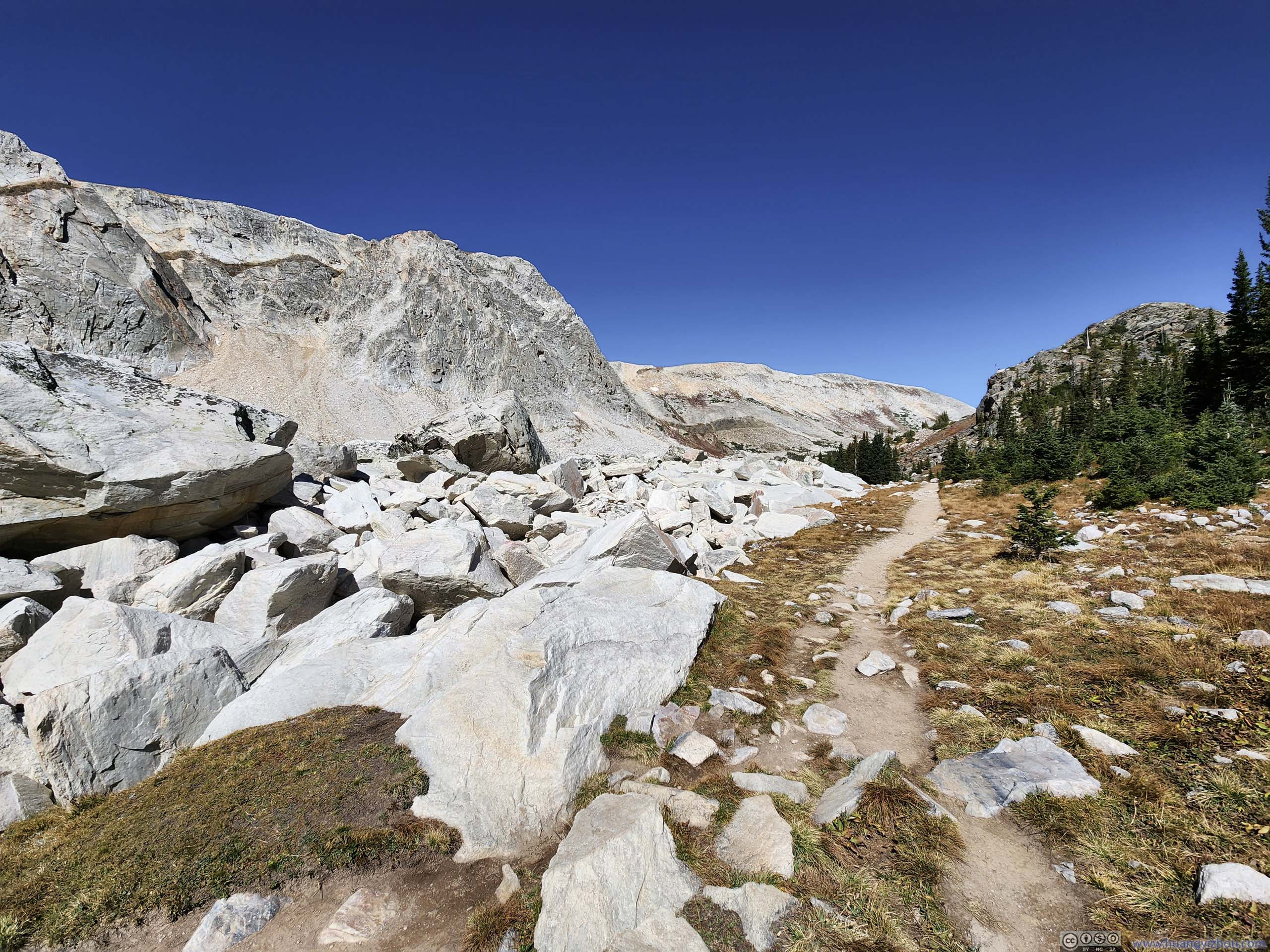
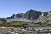
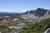
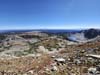
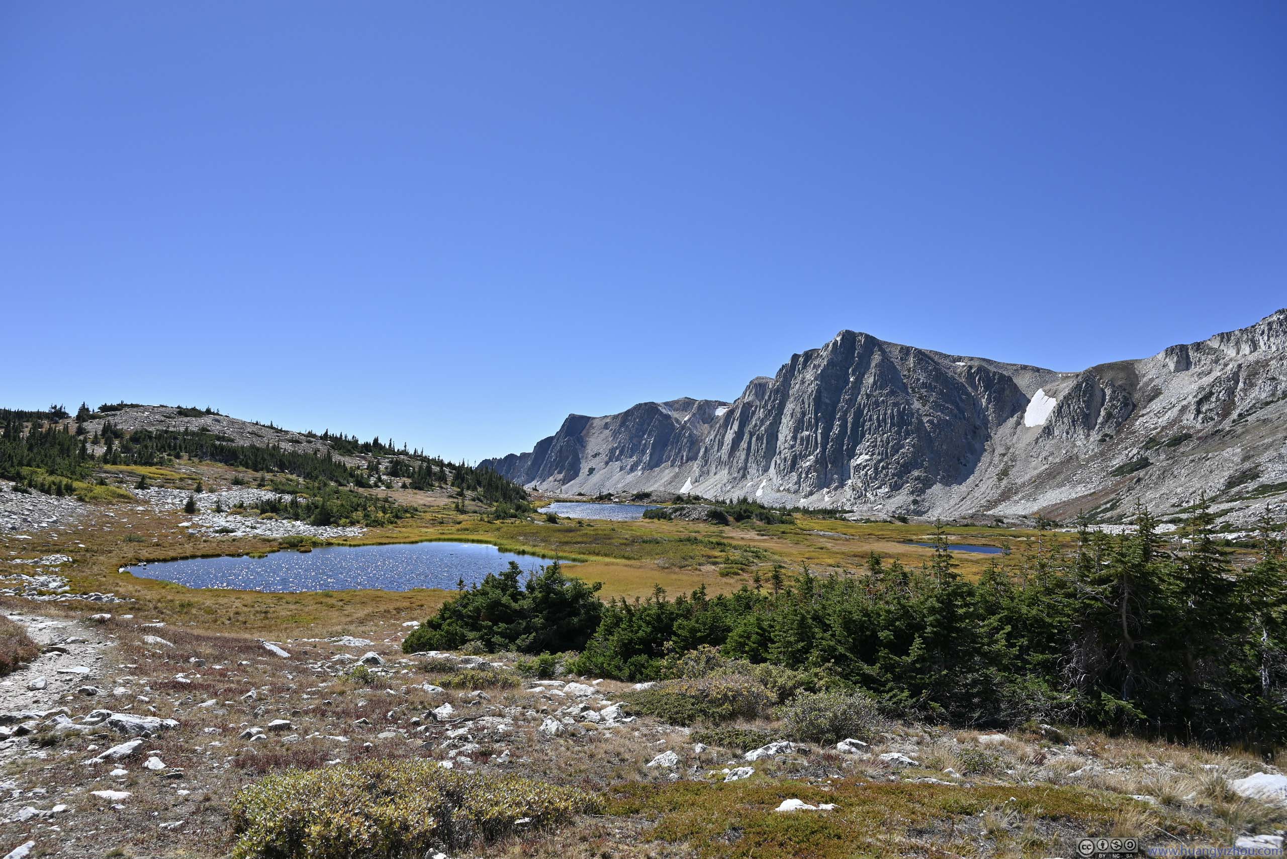
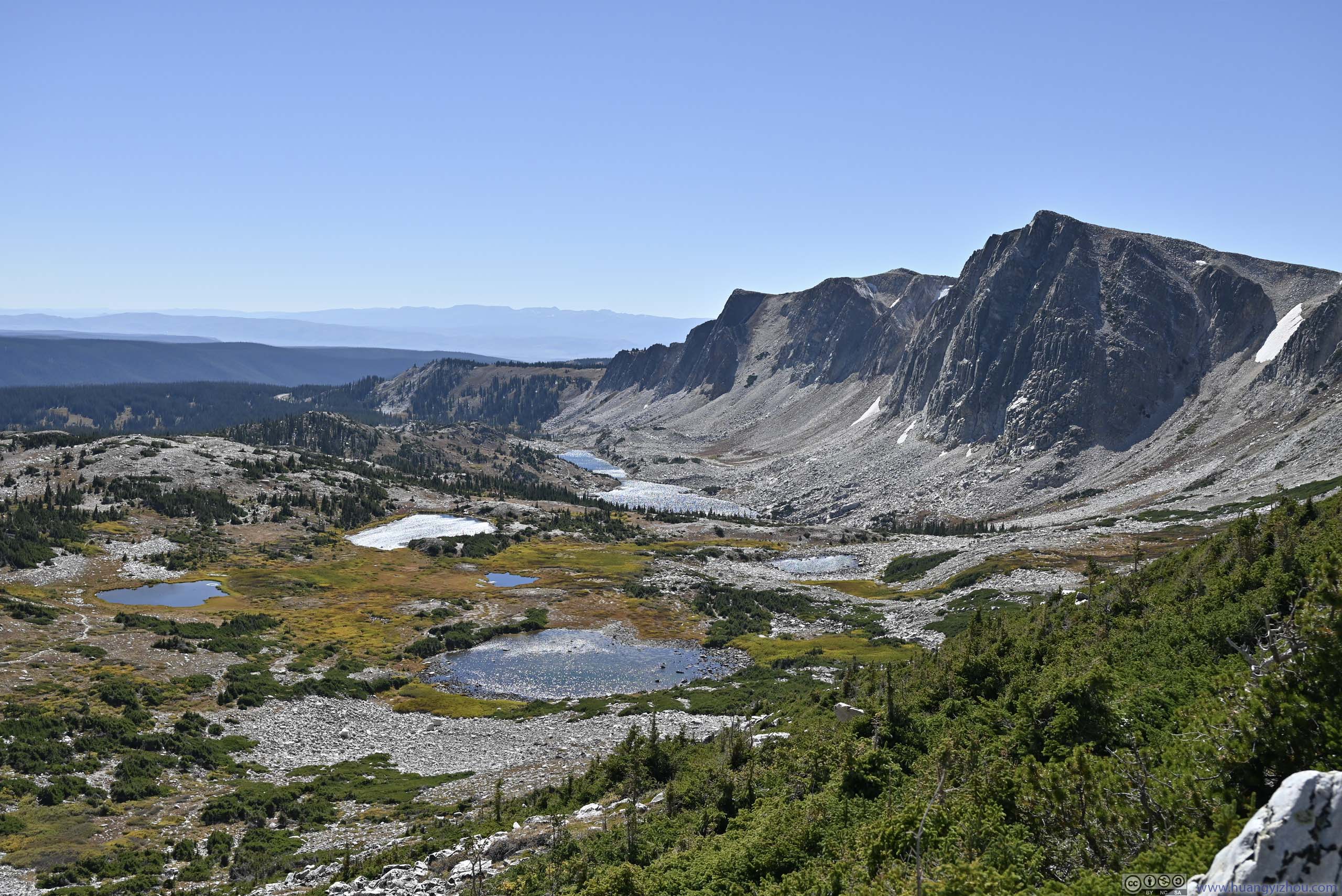
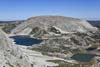
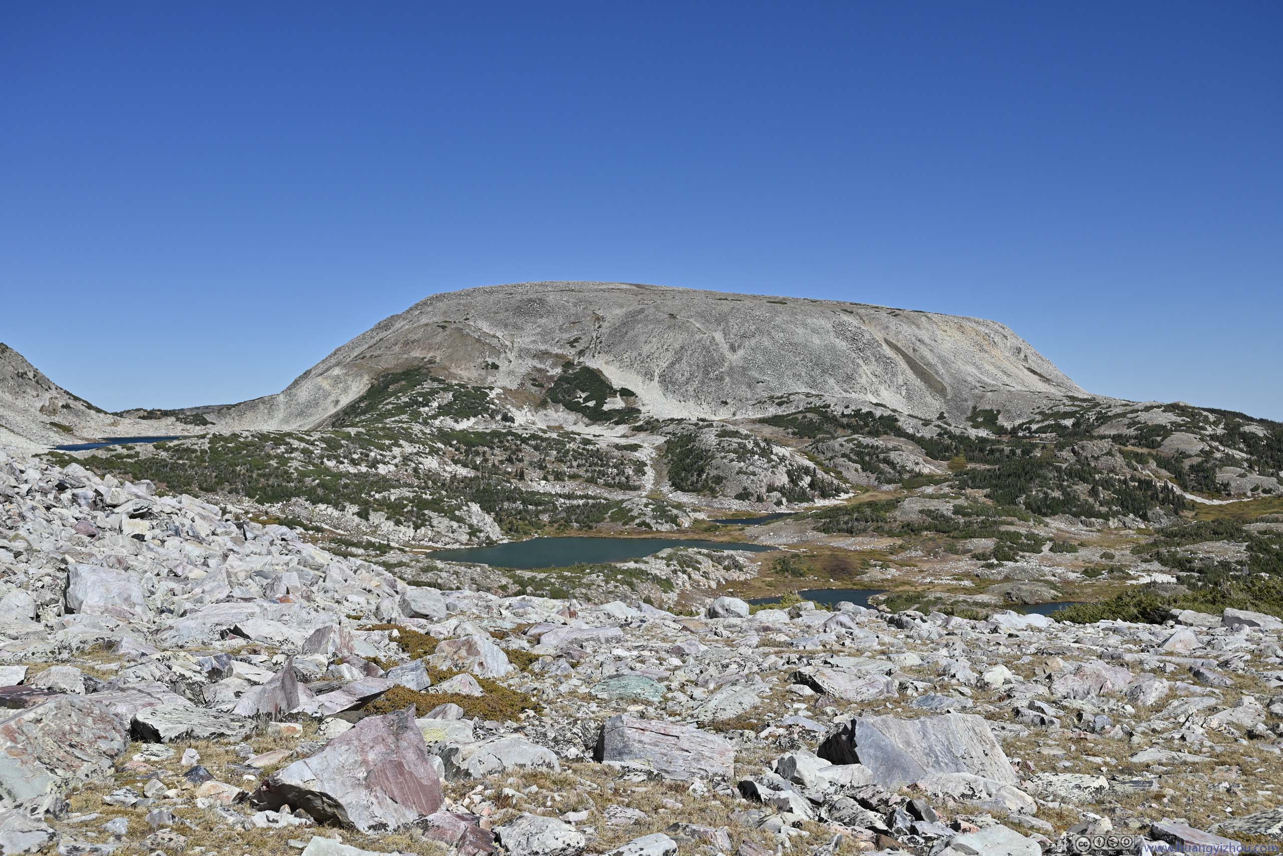
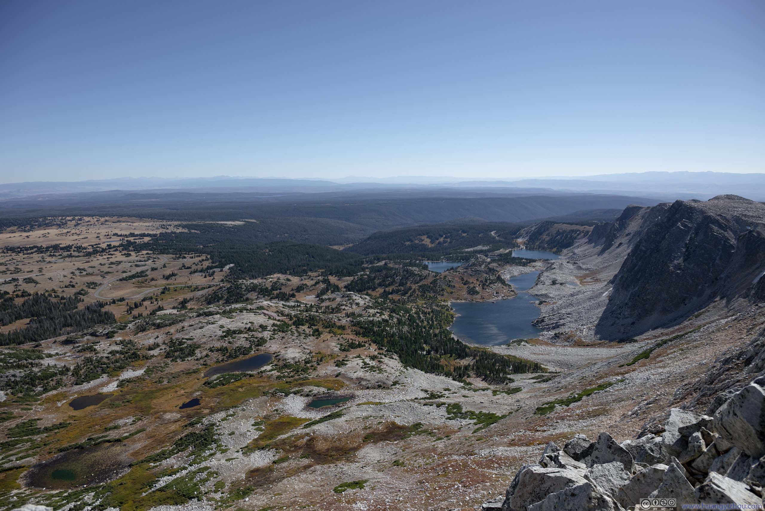
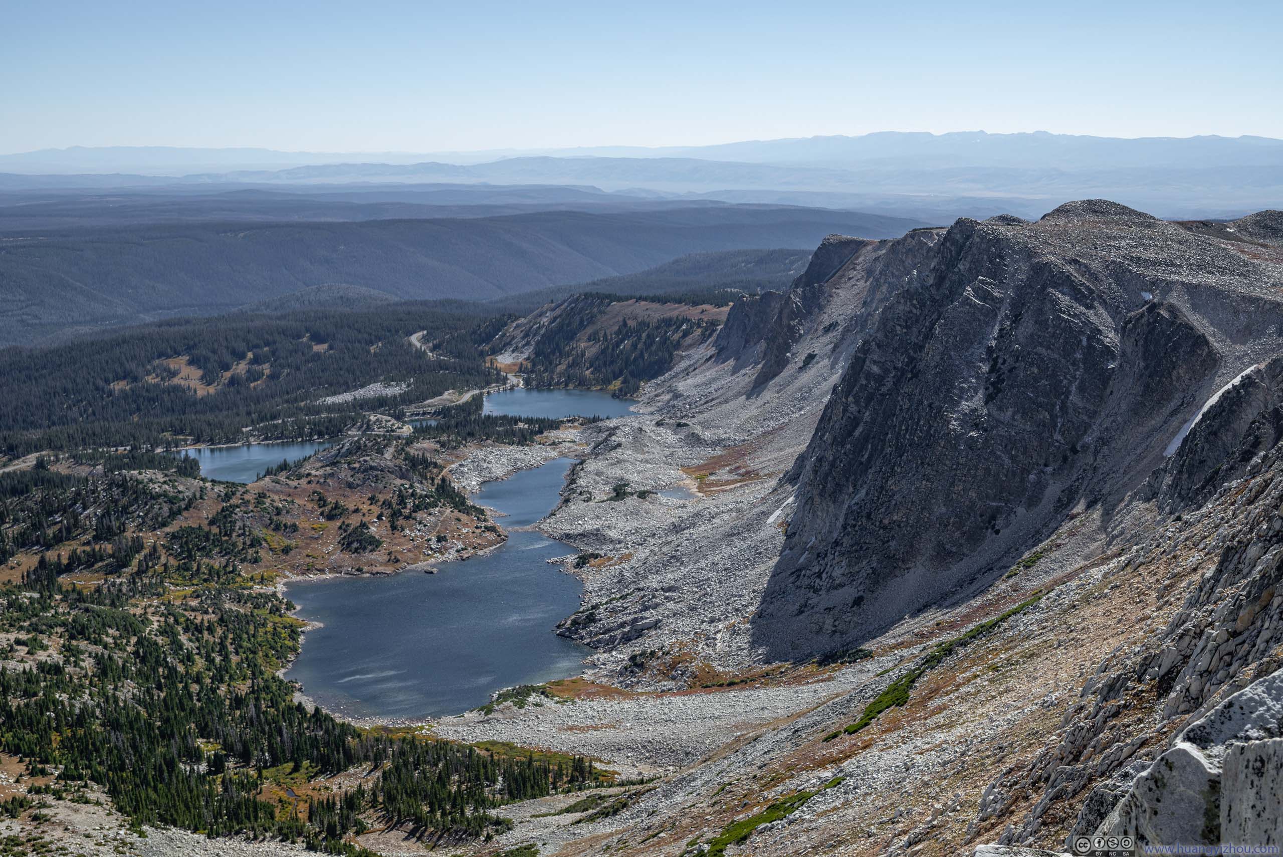
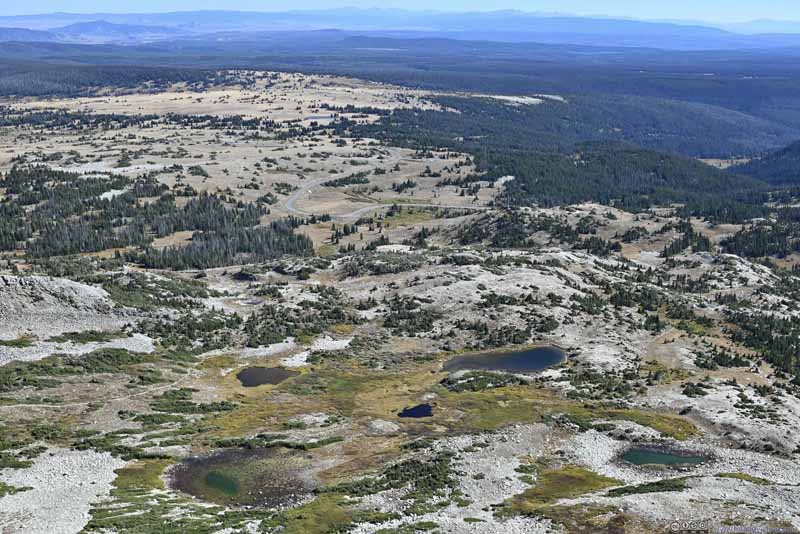
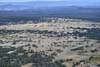
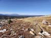
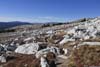
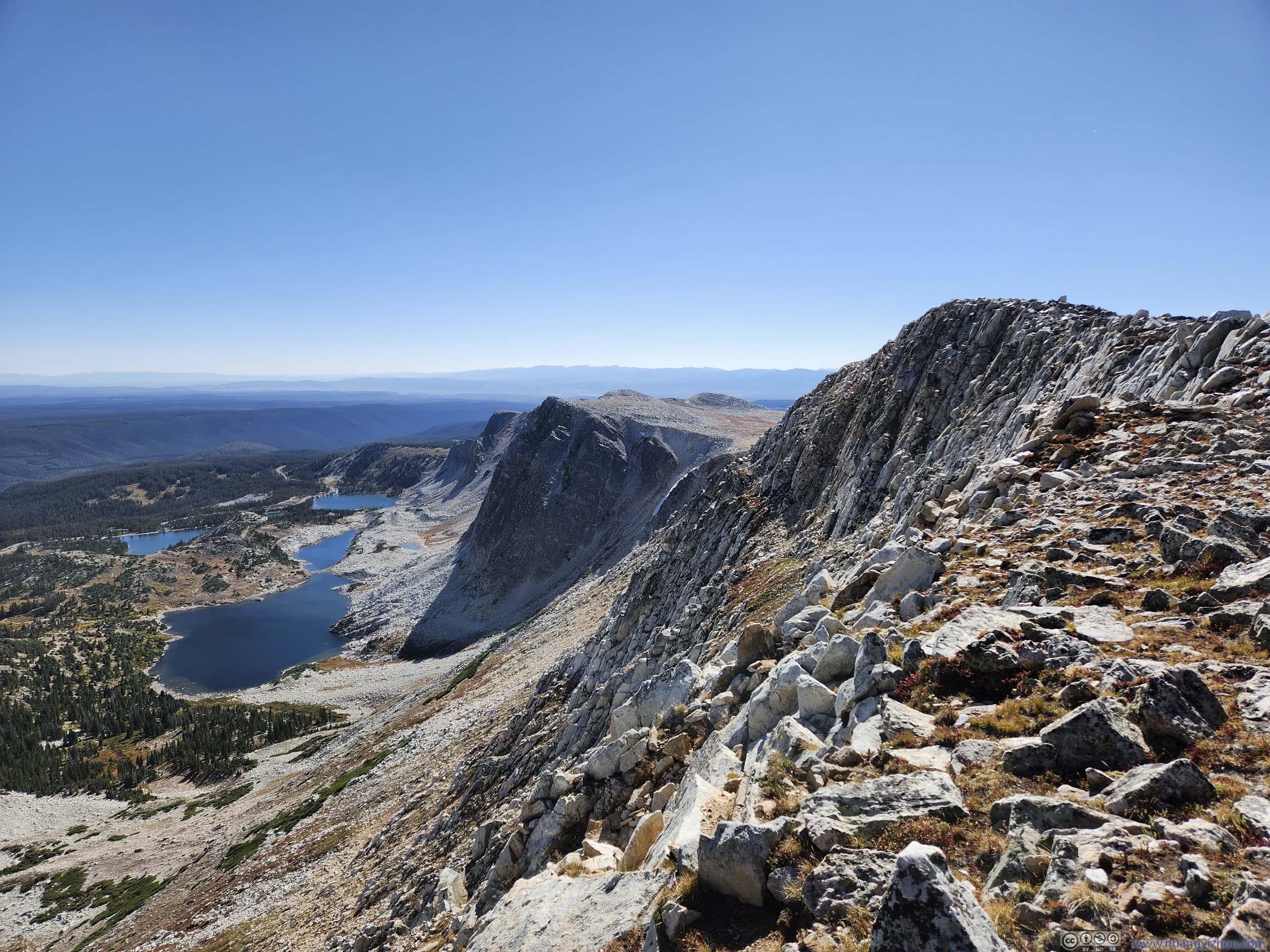
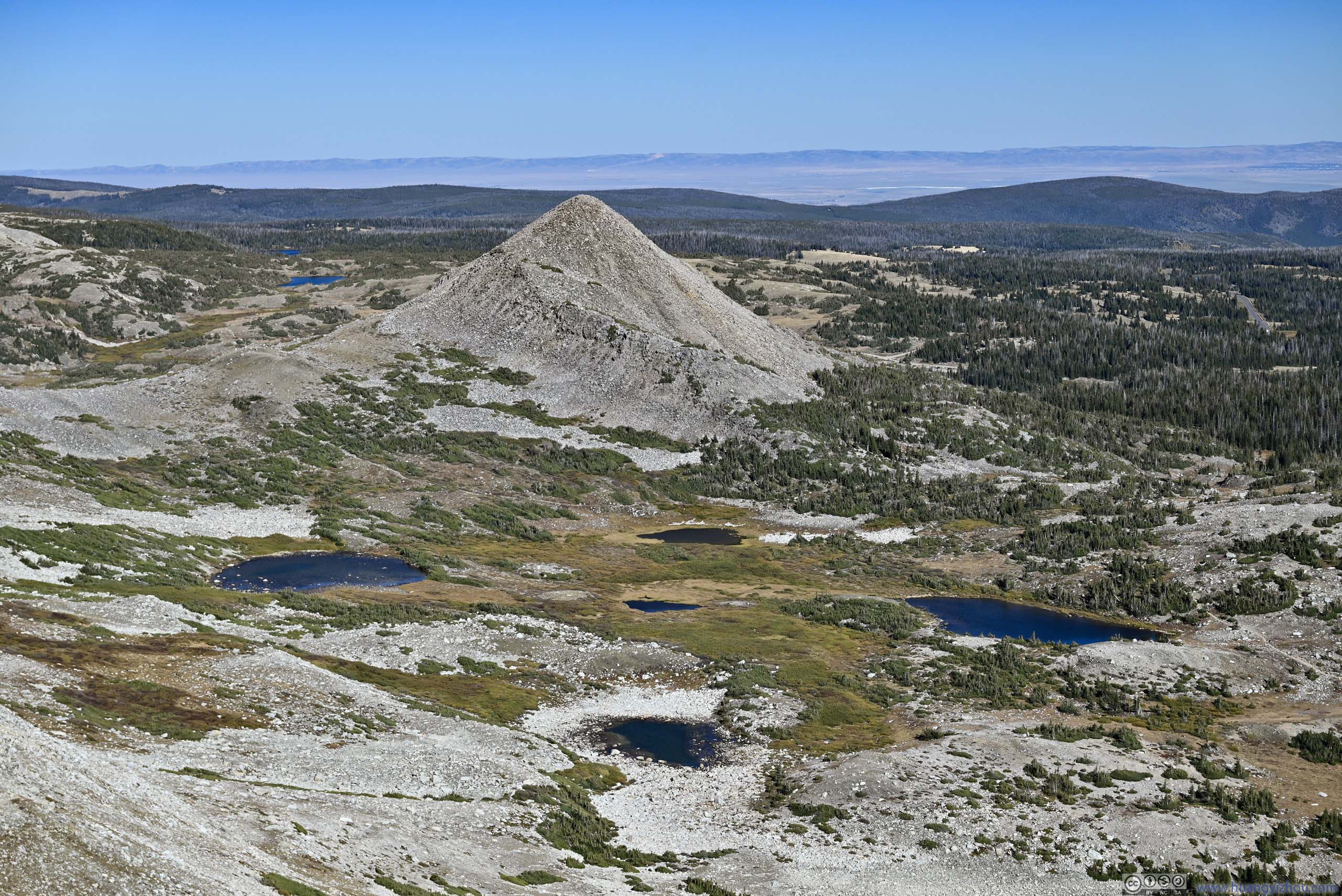
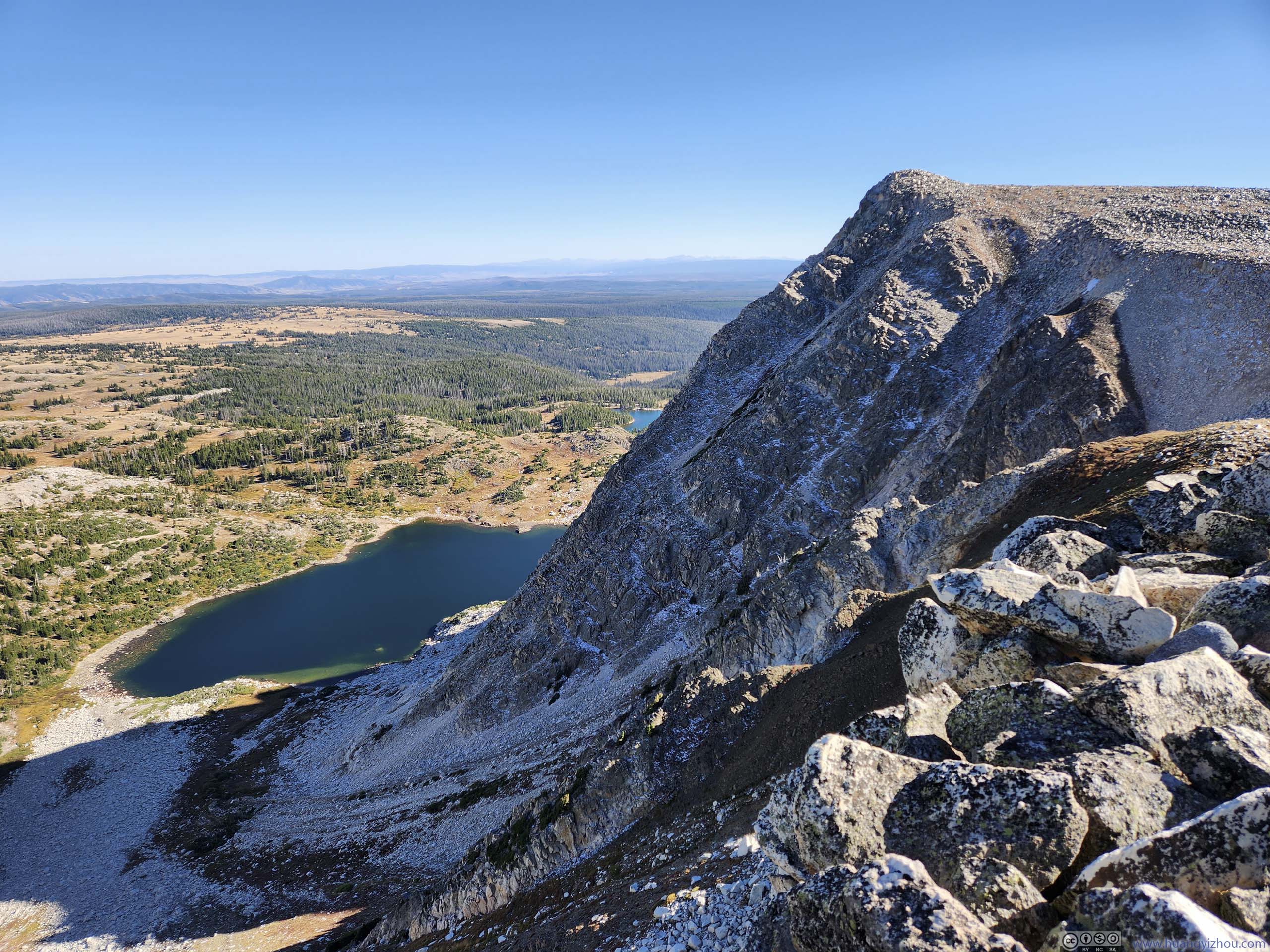
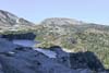
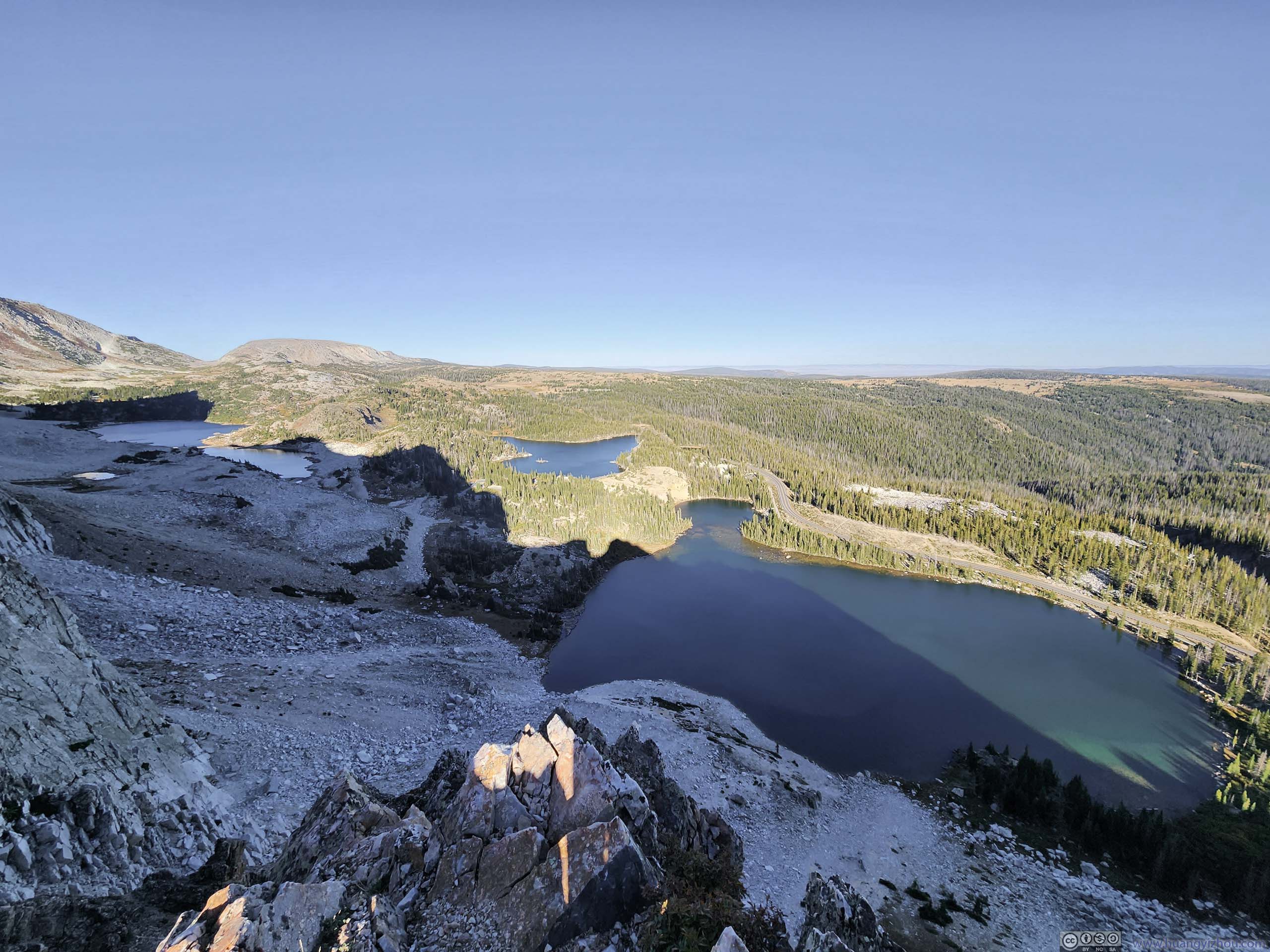
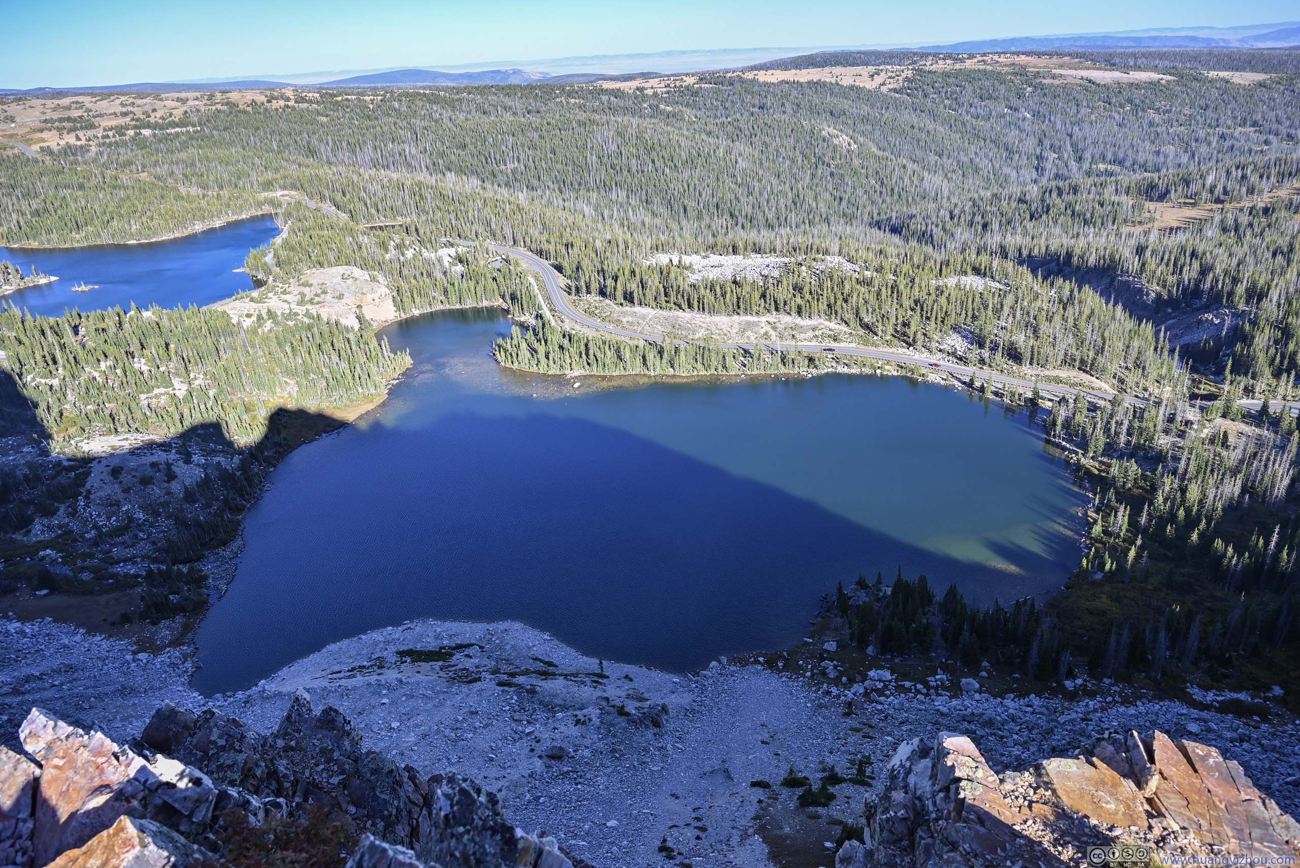
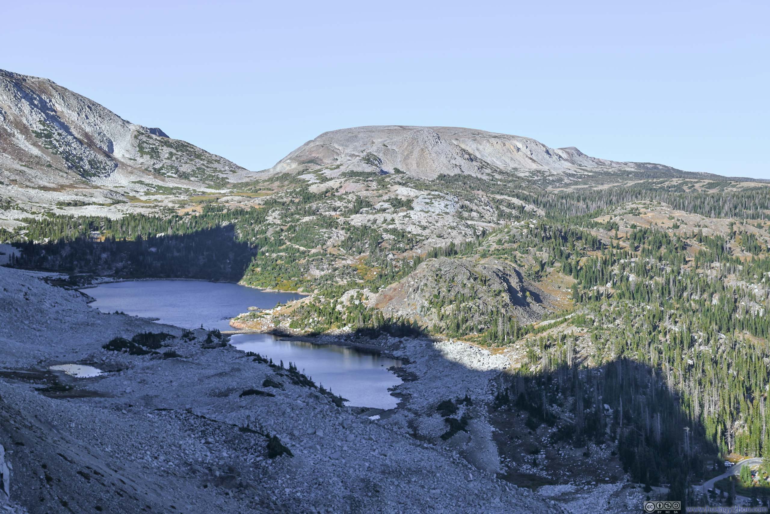
After Lookout Lake, the trail passed a series of smaller alpine lakes that dotted the landscape. The lakes were small and unnamed, but they made for some scenic foreground against the impressive cliffs of Snowy Range Mountains. The higher elevation meant those lakes were only surrounded by tundra grass, whose golden colors in early autumn complement the evergreen coniferous bushes that sprinkled the field. Even better, such scenery continued to accompany me as I made the steepest climb towards Medicine Bow Peak.
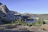
 Snowy Range Mountains and Alpine Lakes
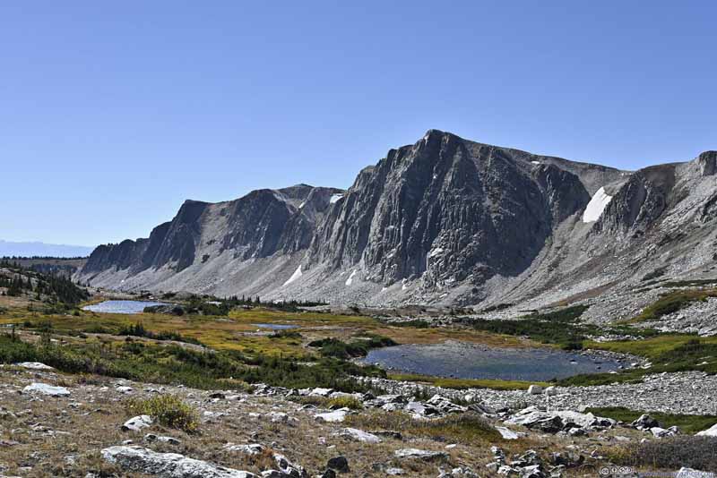 Snowy Range Mountains and Alpine Lakes
 Snowy Range Mountains and Alpine Lakes
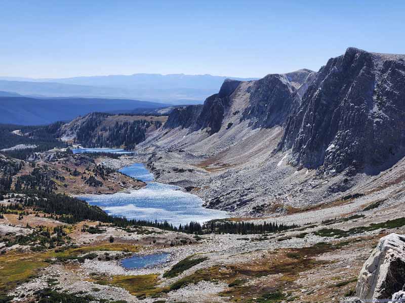 Snowy Range Mountains and Alpine Lakes
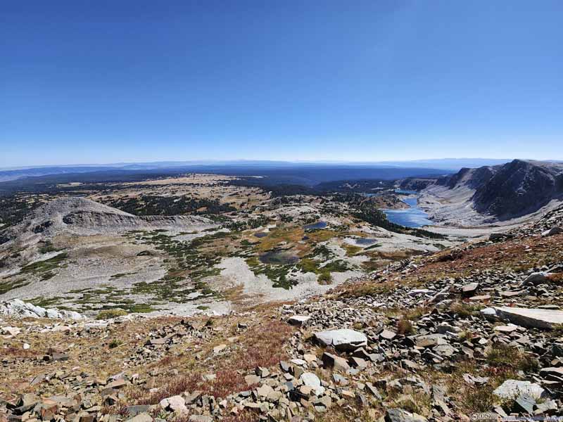 Snowy Range Mountains and Alpine Lakes

Click here to display photos of alpine lakes against Snowy Range backdrop.
Snowy Range Mountains and Alpine Lakes

Snowy Range Mountains and Alpine Lakes
Snowy Range Mountains and Alpine Lakes

Snowy Range Mountains and Alpine Lakes
Snowy Range Mountains and Alpine Lakes
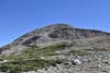
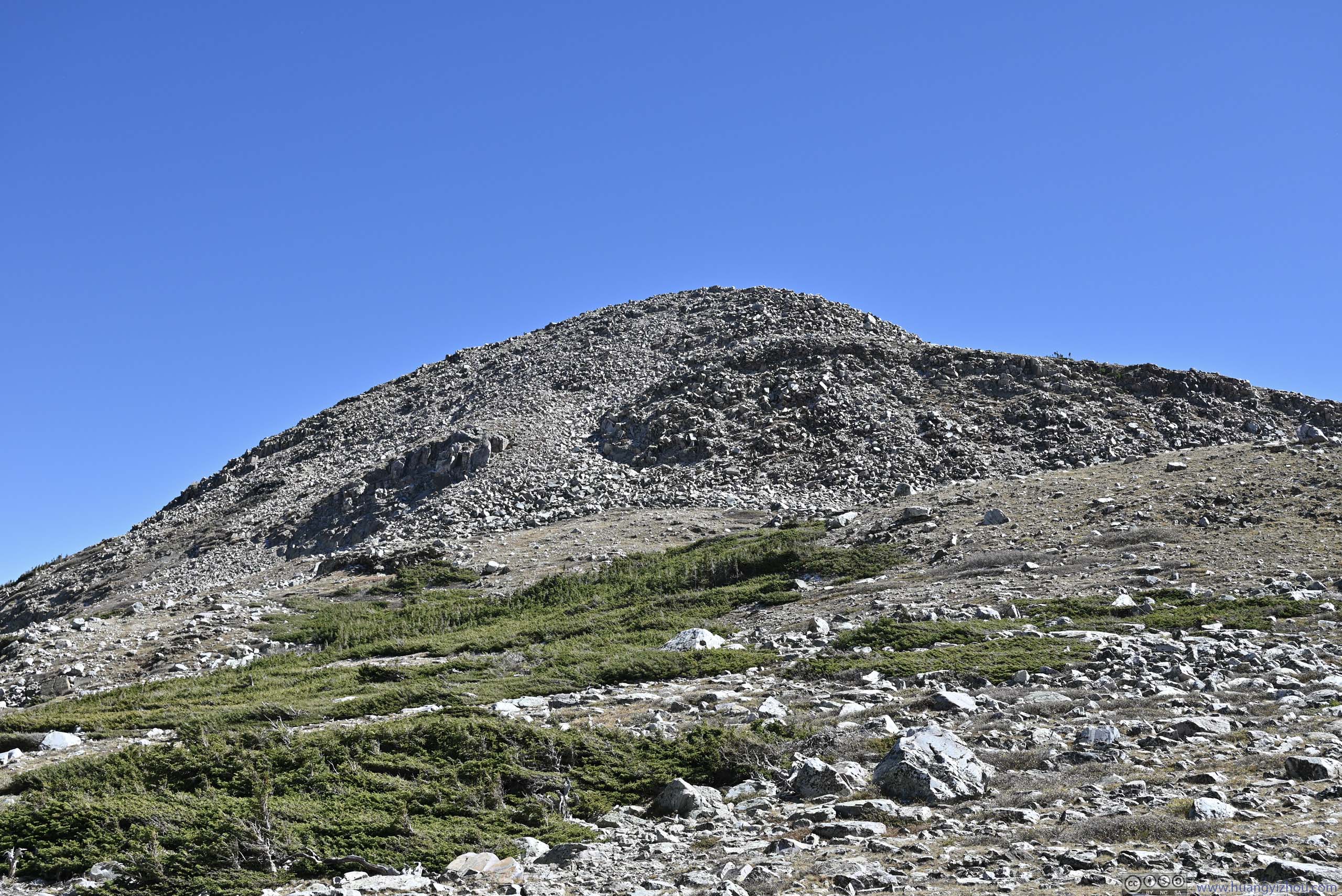
After the saddle point of Medicine Bow and Sugarloaf Mountain, I started the steepest climb of the hike, towards Medicine Bow Peak. There *might* be a few moves along this part that’s YDS class 2, but definitely on the easy side and I don’t think it presented any technical challenges. Along this part, the fields and mountains further north popped into view for the first time of the day (essentially, more alpine lakes).
 Browns Peak
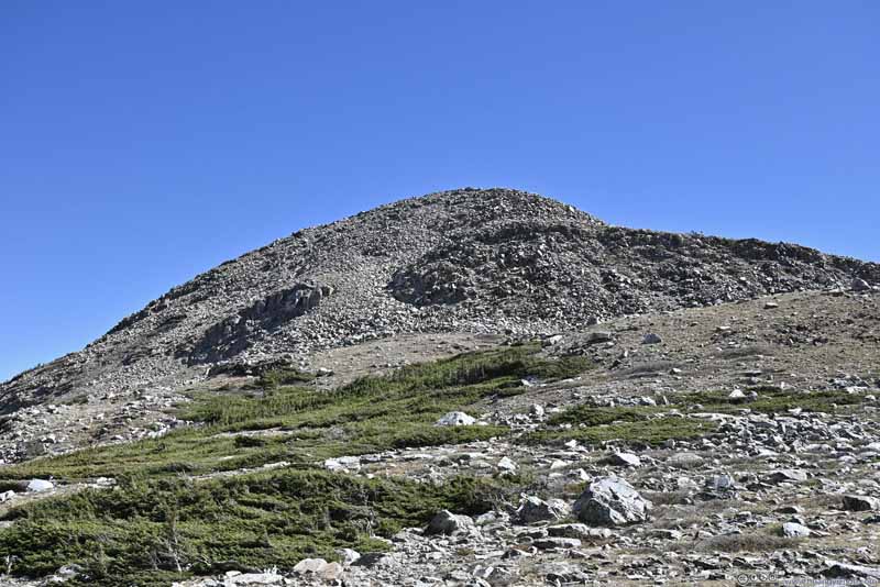 Sugarloaf Mountain
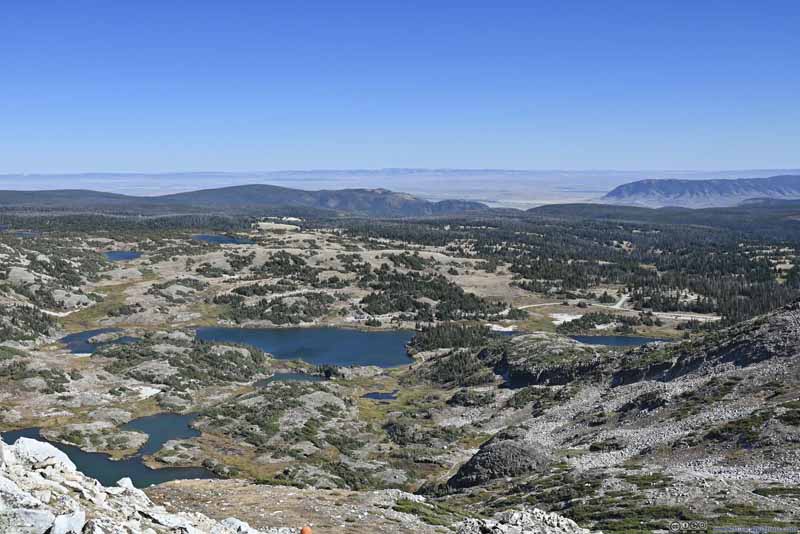 Alpine Lakes to the Northeast
 Browns Peak
Click here to display photos of the slideshow
Browns Peak
Sugarloaf Mountain

Alpine Lakes to the Northeast
Browns Peak
Summit
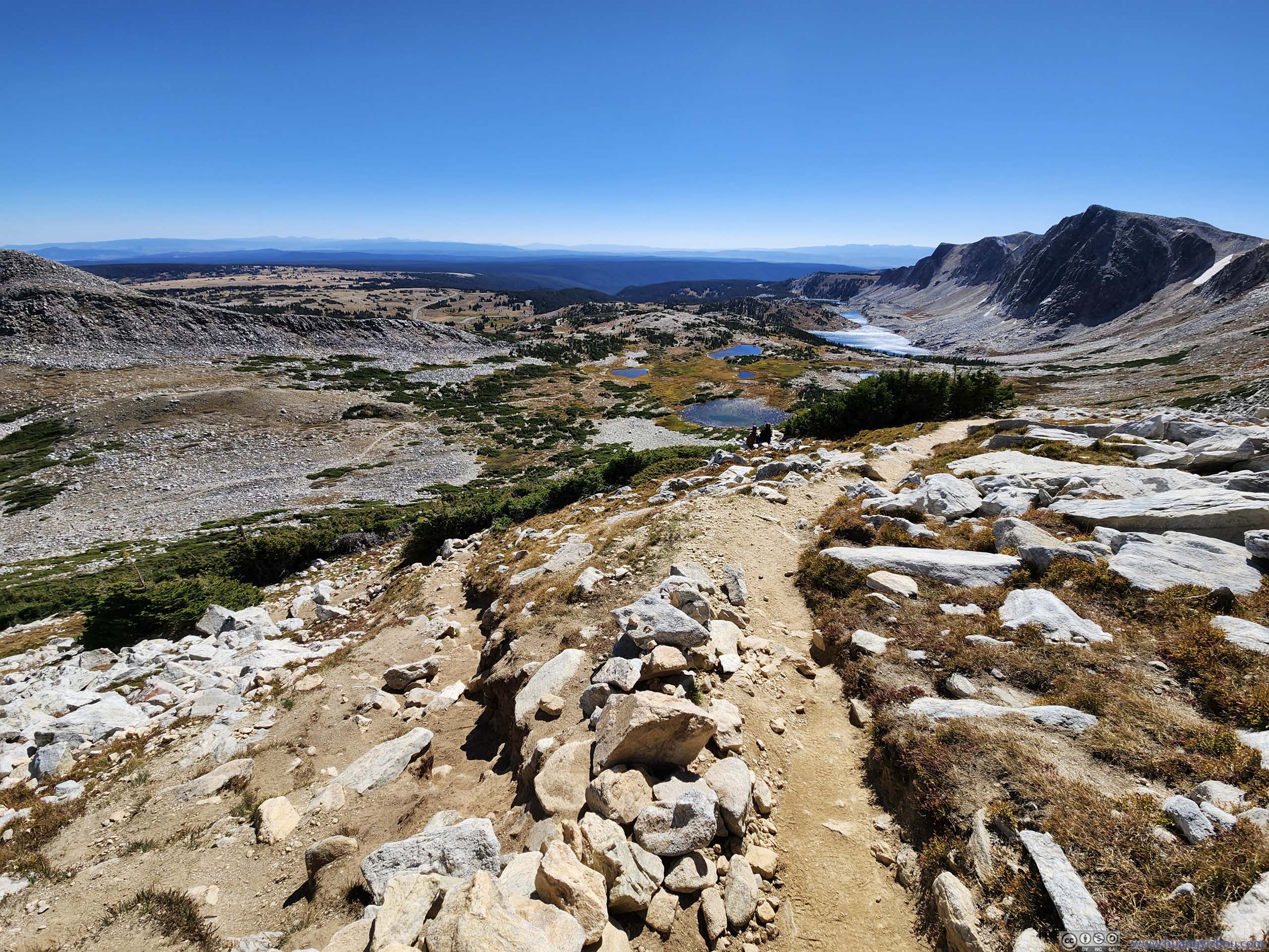
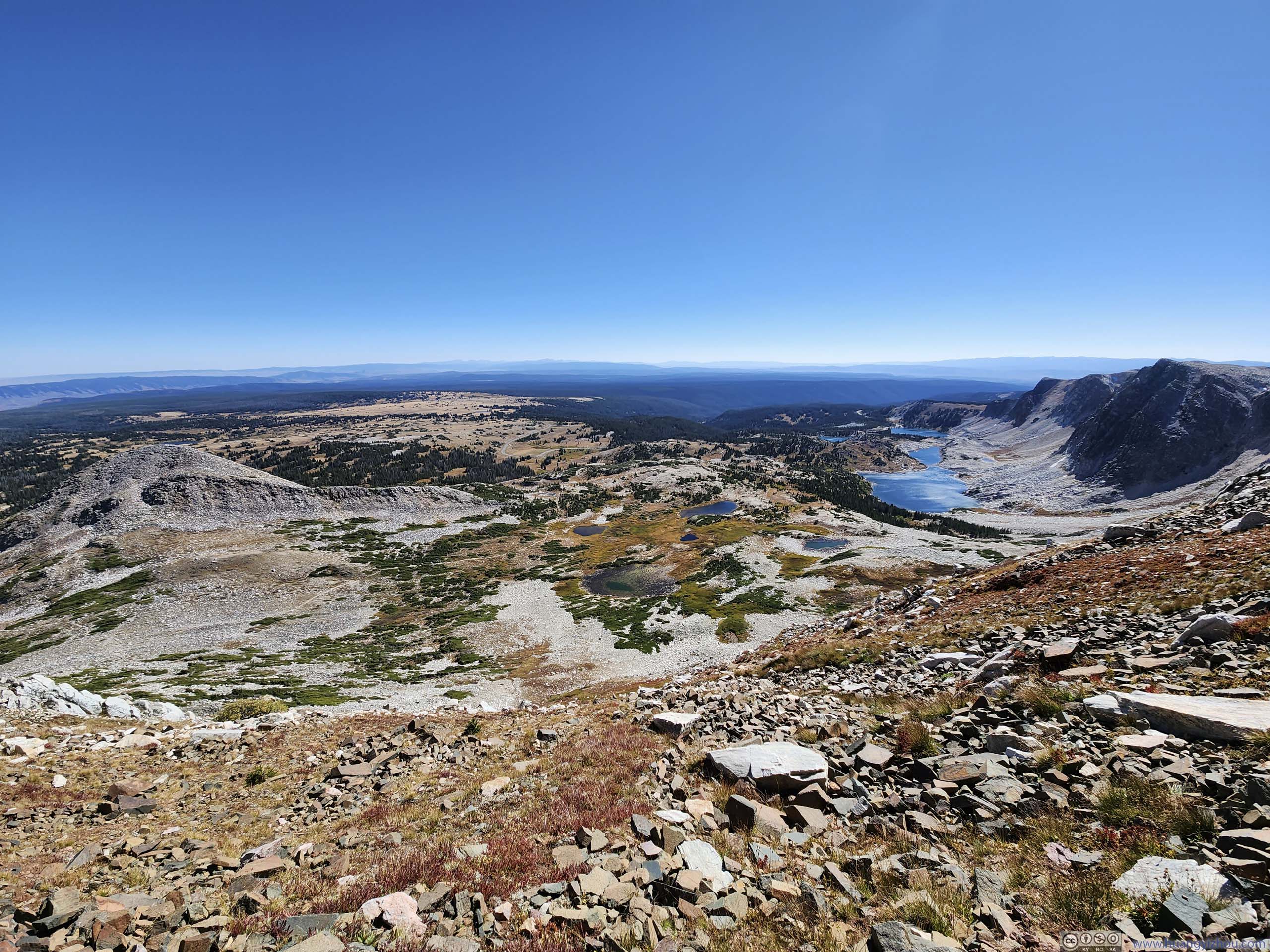
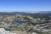
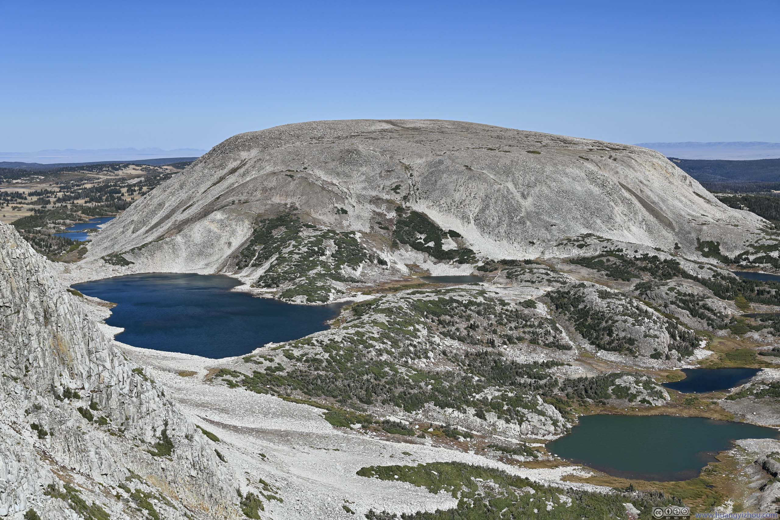
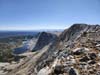
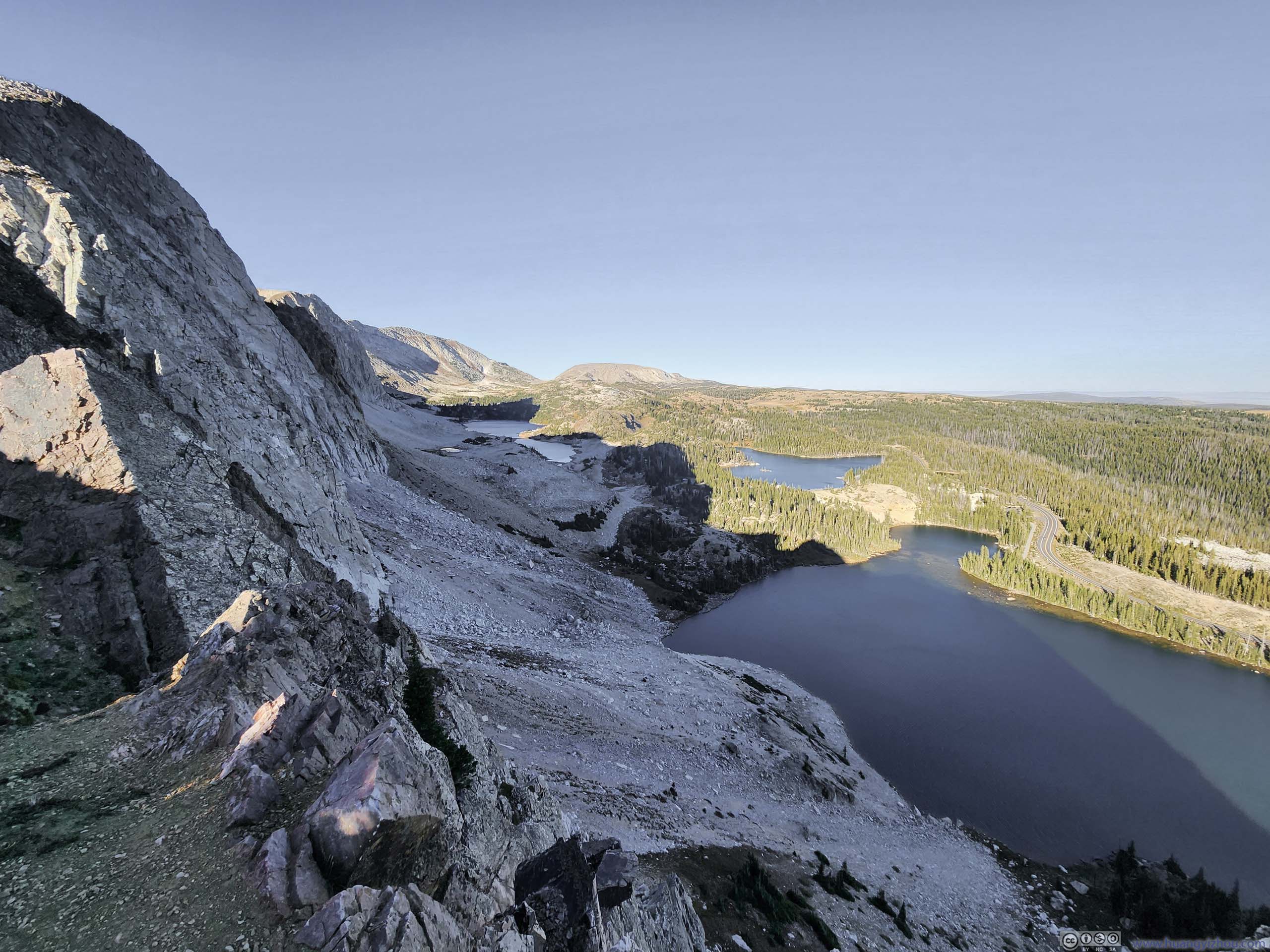
Finally, I reached the summit of Medicine Bow Peak at 2:45pm, just over 2 hours after I started. At an elevation of 3663m (12018ft), this is the highest peak of Snowy Range. The summit continued to offer the classic view of alpine lakes at the foot of the Snowy Range ridge. With a better angle of light, the brownish tundra foliage looked more vivid.
 Snowy Range Mountains and Alpine Lakes
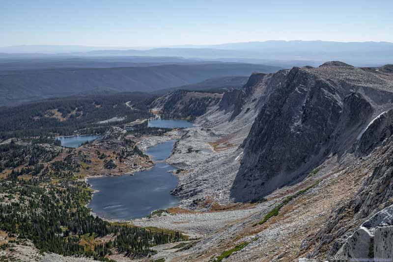 Snowy Range Mountains and Alpine Lakes
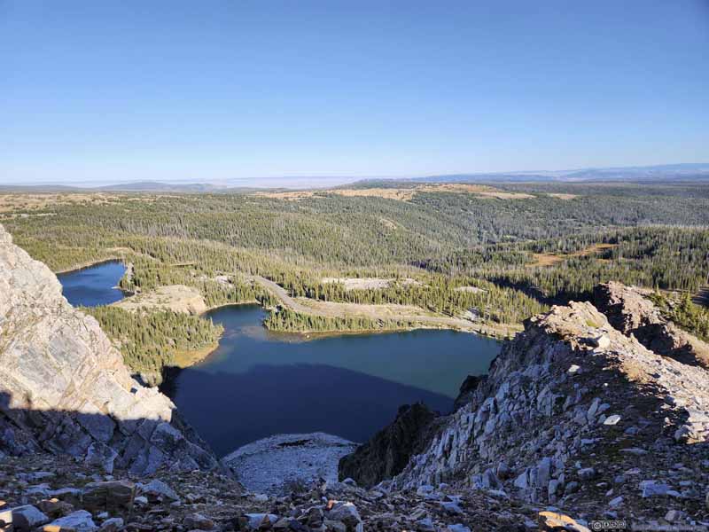
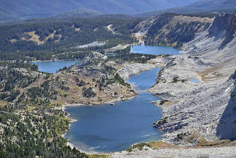 Alpine LakesLookout Lake, Mirror Lake and Lake Marie. The three named one that I hiked past.
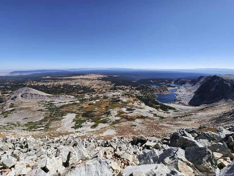 Snowy Range Mountains and Alpine Lakes

Click here to display photos from Medicine Bow Peak summit to the southeast.
Snowy Range Mountains and Alpine Lakes
Snowy Range Mountains and Alpine Lakes

Alpine LakesLookout Lake, Mirror Lake and Lake Marie. The three named one that I hiked past.

Snowy Range Mountains and Alpine Lakes
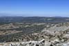
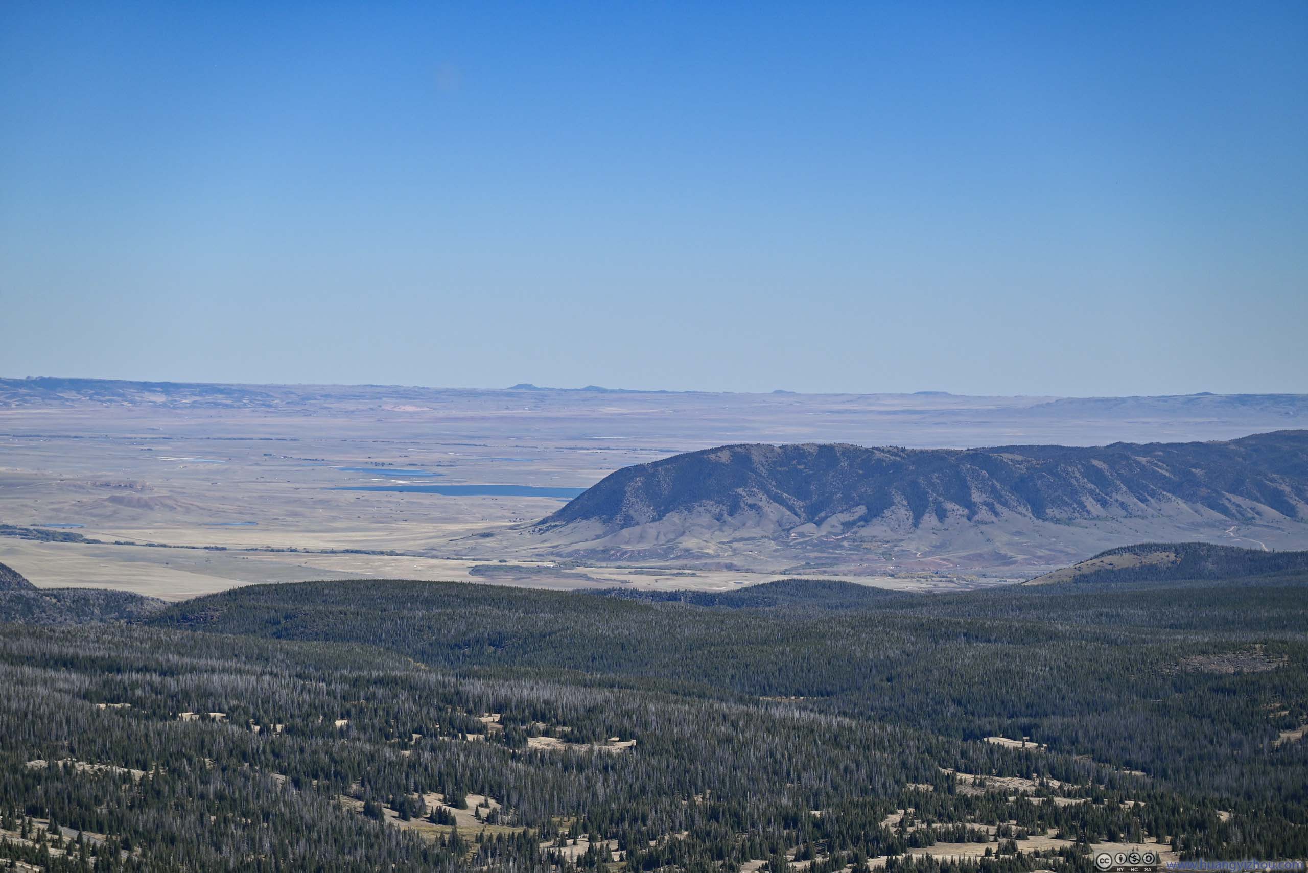
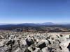
Of course it offered views to more angles, like for the first time of the day the fields and mountains behind the Snowy Range ridge came into view. They just didn’t look as exciting though.
 Overlooking Alpine Lakes
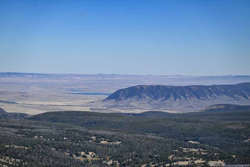 Sheep Mountain to the SoutheastOne that I drove past from Laramie.
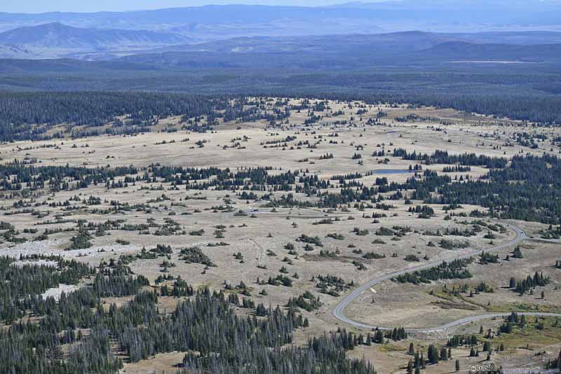 Snowy Range Pass and Libby Flats
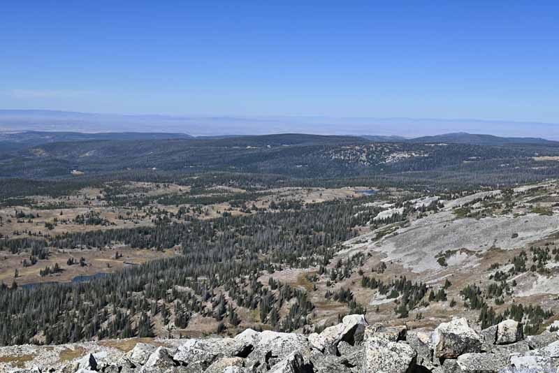 Rolling Hills to the North
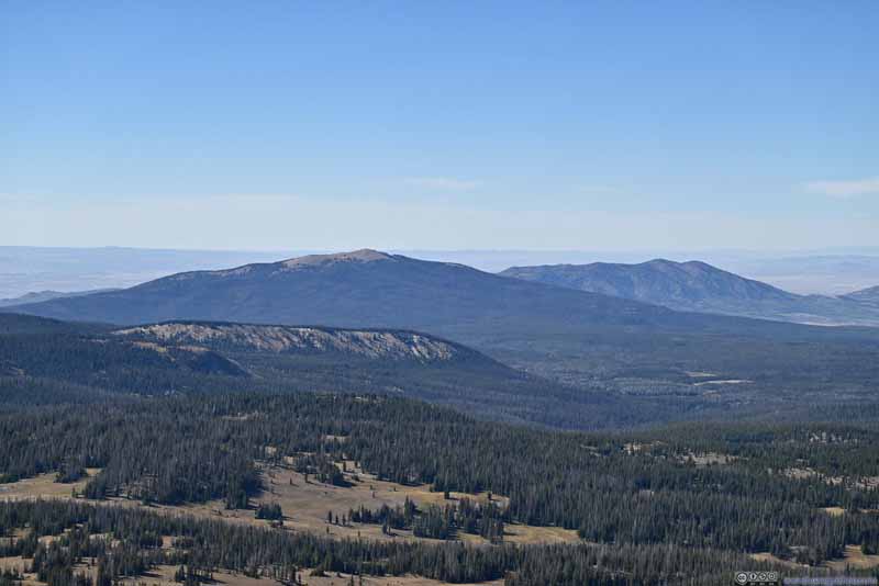 Mountains to the WestKennaday Peak (3295m) in the center.
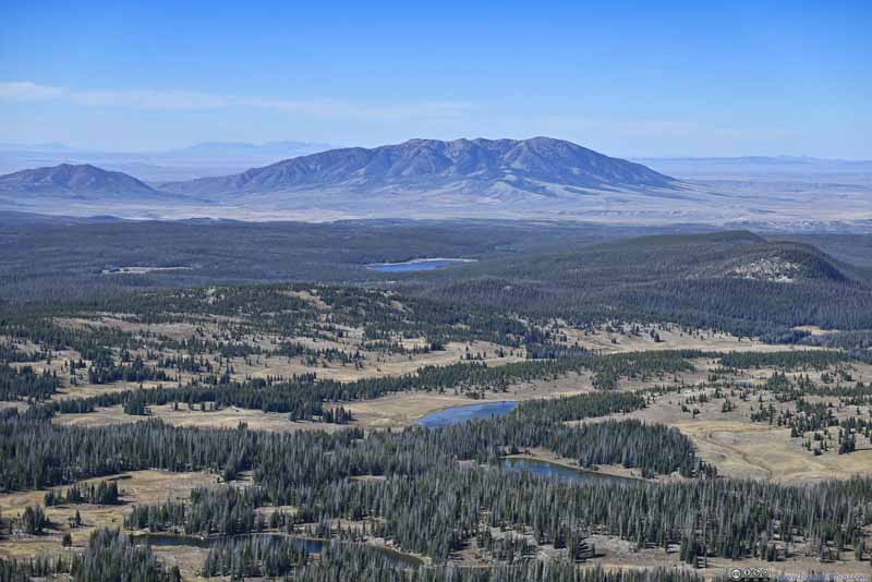 Mountains to the NorthwestElk Mountain (3400m) in the center.


Click here to display photos from Medicine Bow Peak summit.

Overlooking Alpine Lakes
Sheep Mountain to the SoutheastOne that I drove past from Laramie.
Snowy Range Pass and Libby Flats
Rolling Hills to the North
Mountains to the WestKennaday Peak (3295m) in the center.
Mountains to the NorthwestElk Mountain (3400m) in the center.
 View from Medicine Bow Peak Summitto the West (top) and East (bottom).
And here’s a panoramic video that I took at the summit.
20 seconds, 2160p30fps, 9Mbps for both H264/H265 for a total size of 22MB.
Distant Longs Peak
After staying about half an hour at the summit, I continued my hike at 3:15pm.
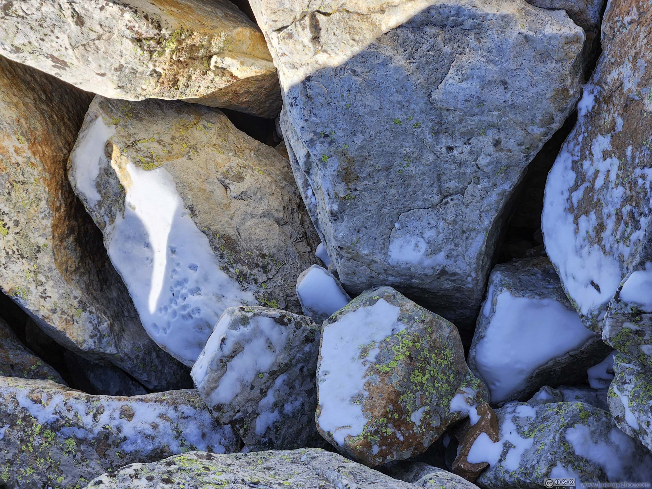
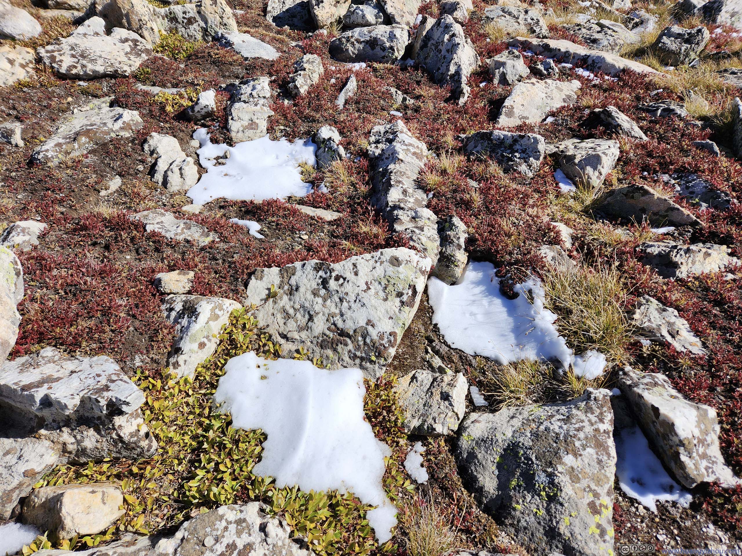
Given its name of “snowy” range, and some comments mentioned snowfall a few days ago, I was a bit disappointed that I hadn’t run into any snow for the day. (Only “a bit” since I didn’t have any snow gear.) Luckily, right next to the summit and in the shade of rocks, I found traces of snow (p2 below). Later during my hike, I ran into more snow (p4 and p8 below). They were the right amount to decorate the landscape, but not cause any traction issues.
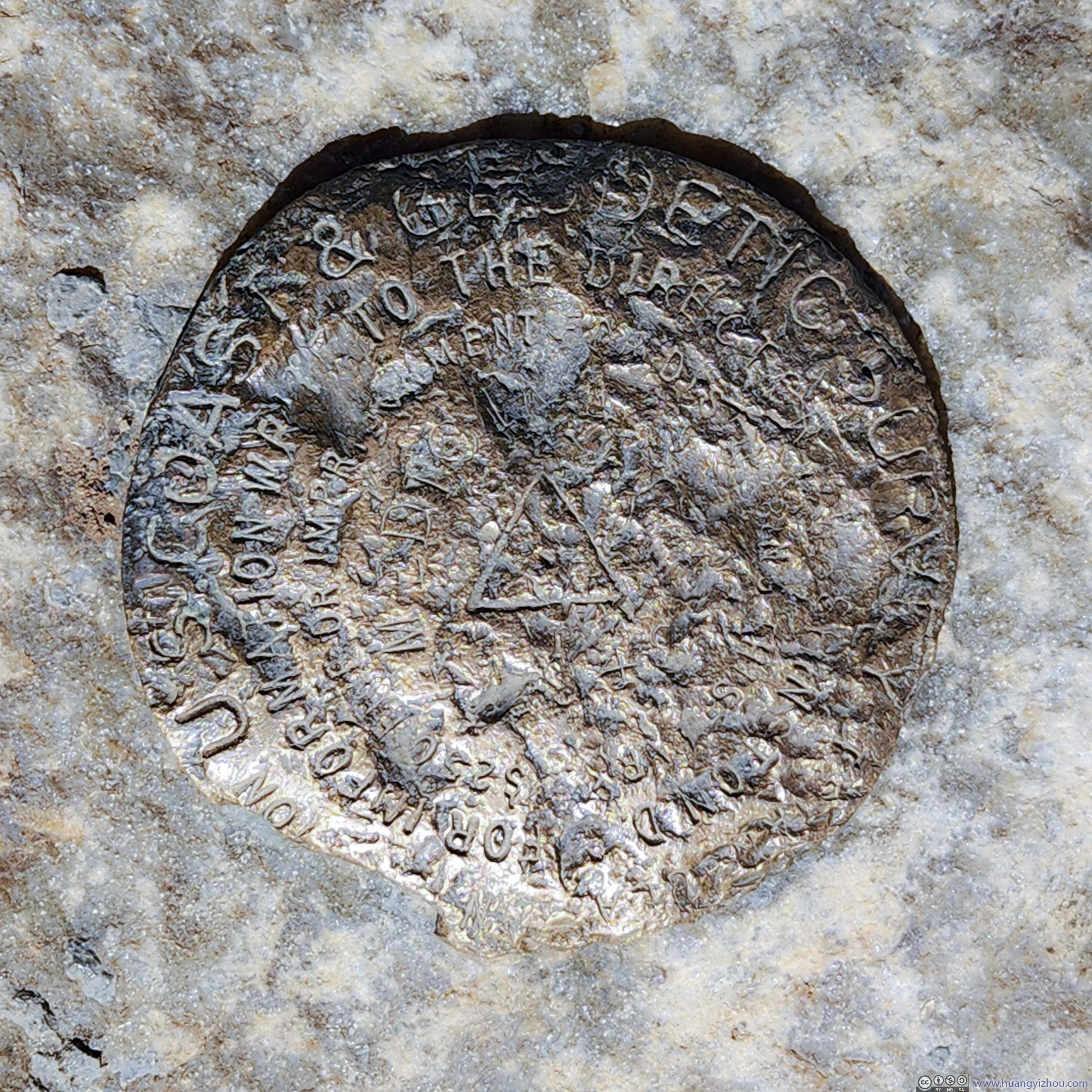
 Geological Survey Marker
 Snow in Shade
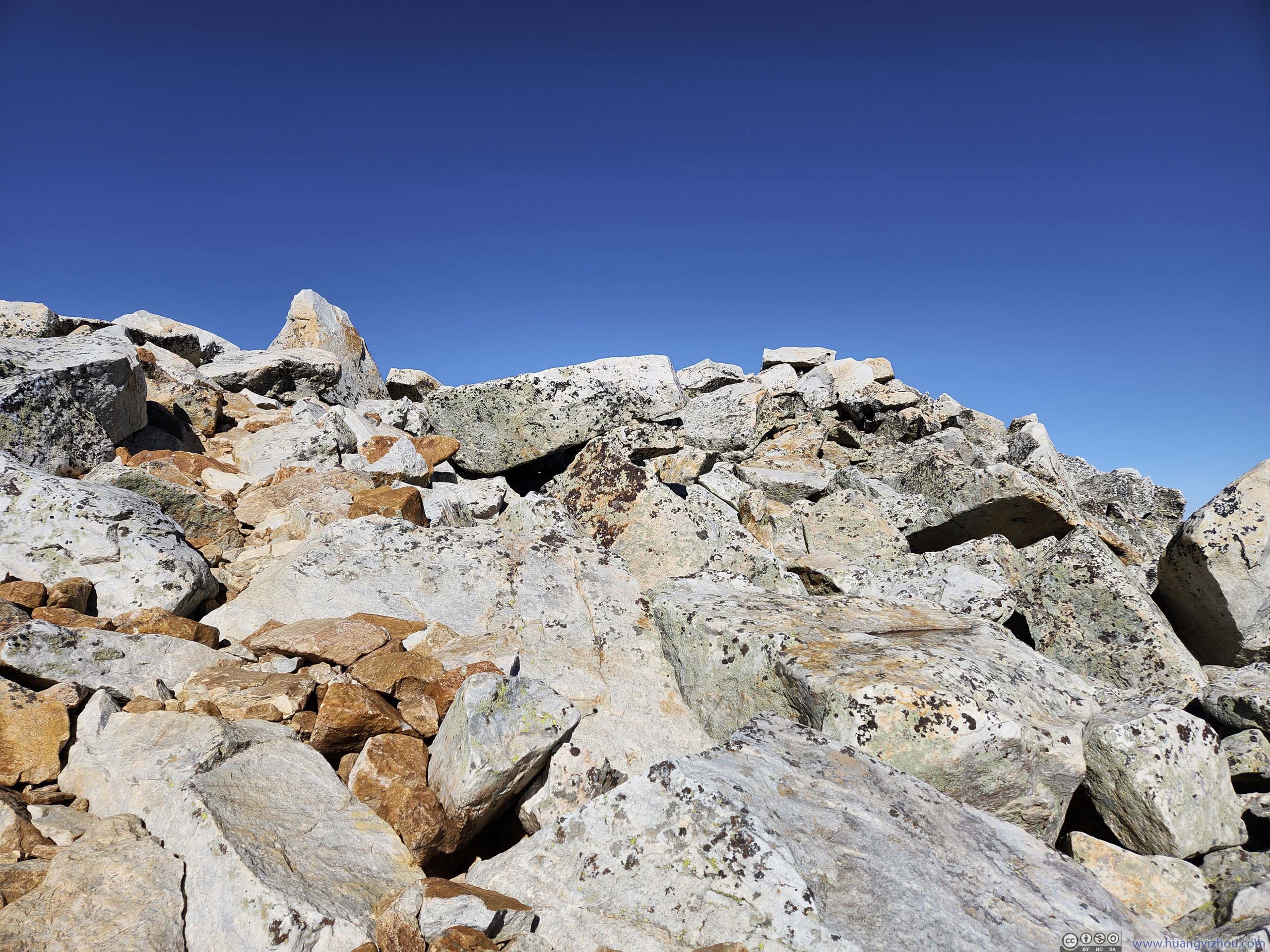
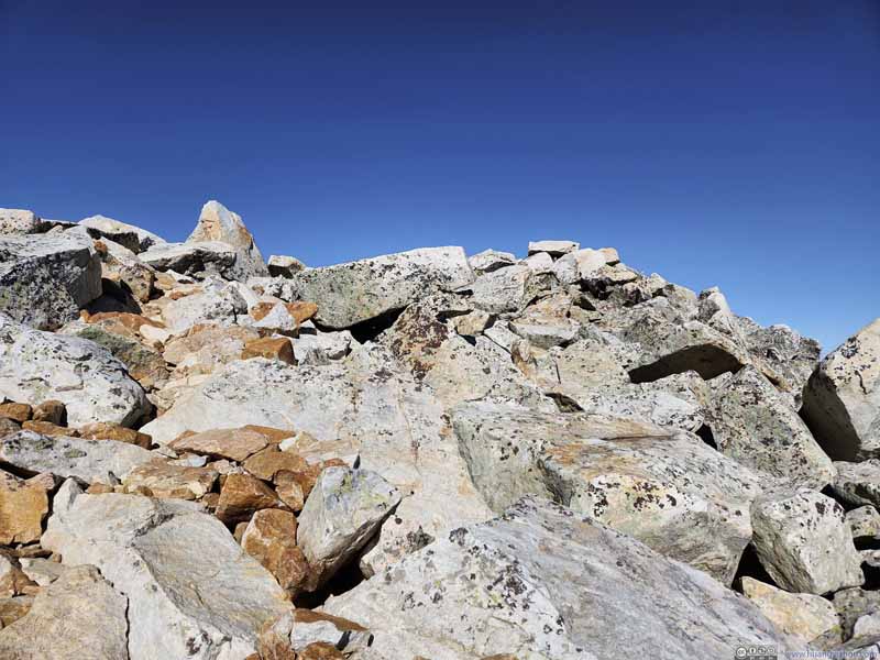 Trail on RocksThe part of trail closest to the summit was on rocks like these.
 Snow on Alpine Tundra
 Trail on Tundra
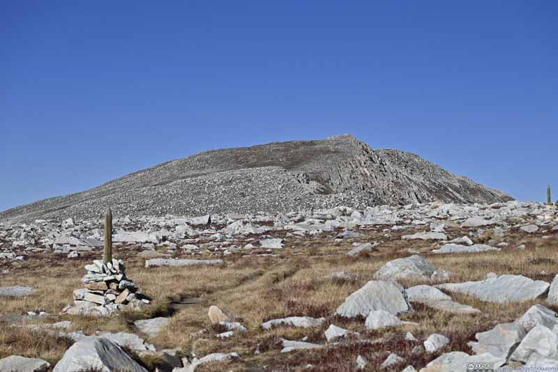 Trail from Medicine Bow Peak
 Trail on Tundra
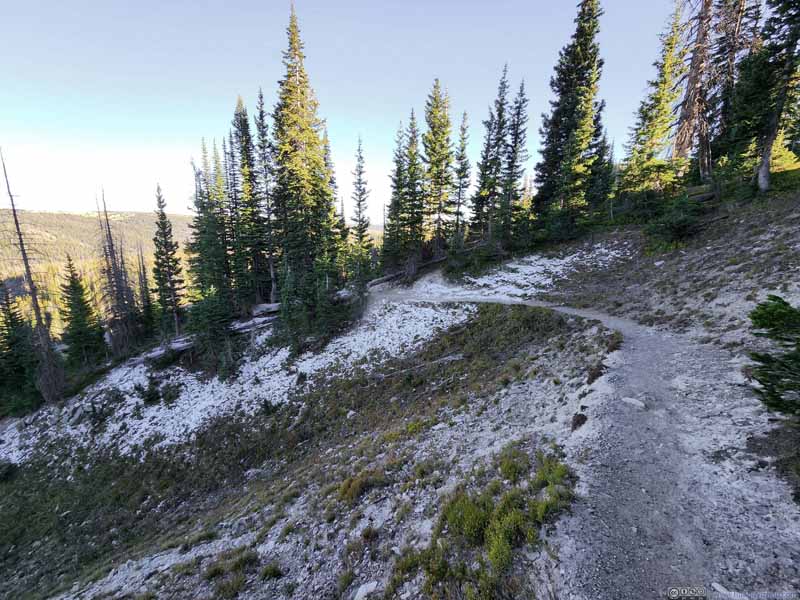 TrailPassing a patch of snow. Finally, towards the end of the day, “snowy range” lived up to its name.


Click here to display photos of the slideshow
Geological Survey Marker
Snow in Shade
Trail on RocksThe part of trail closest to the summit was on rocks like these.
Snow on Alpine Tundra
Trail on Tundra

Trail from Medicine Bow Peak
Trail on Tundra

TrailPassing a patch of snow. Finally, towards the end of the day, “snowy range” lived up to its name.
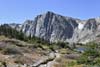
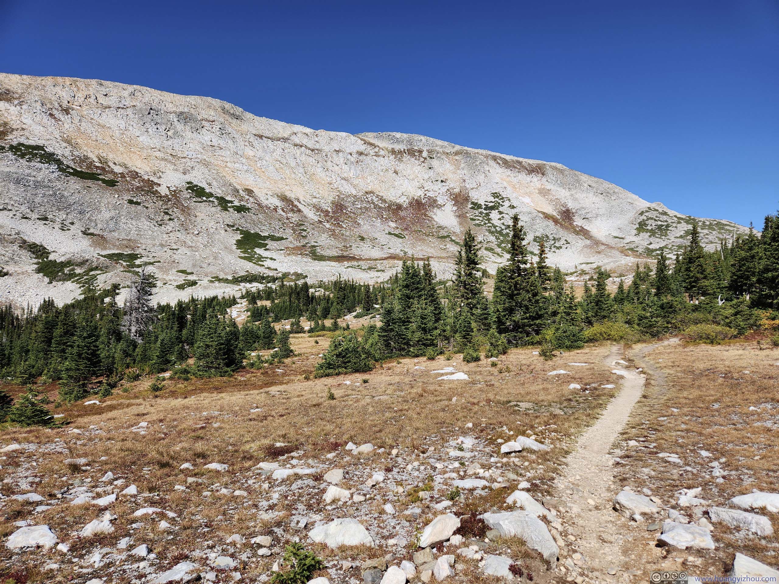
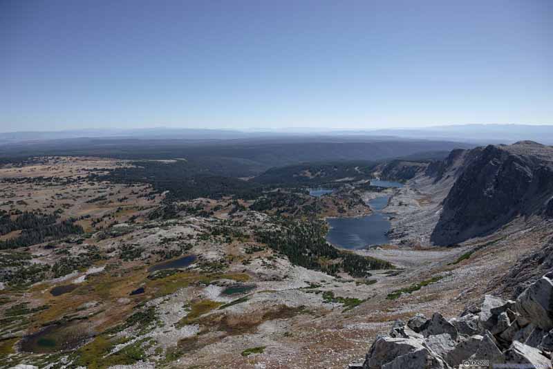
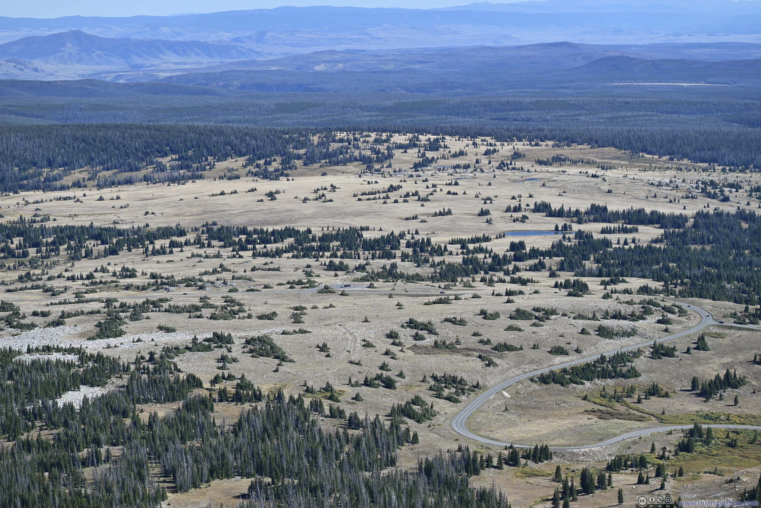
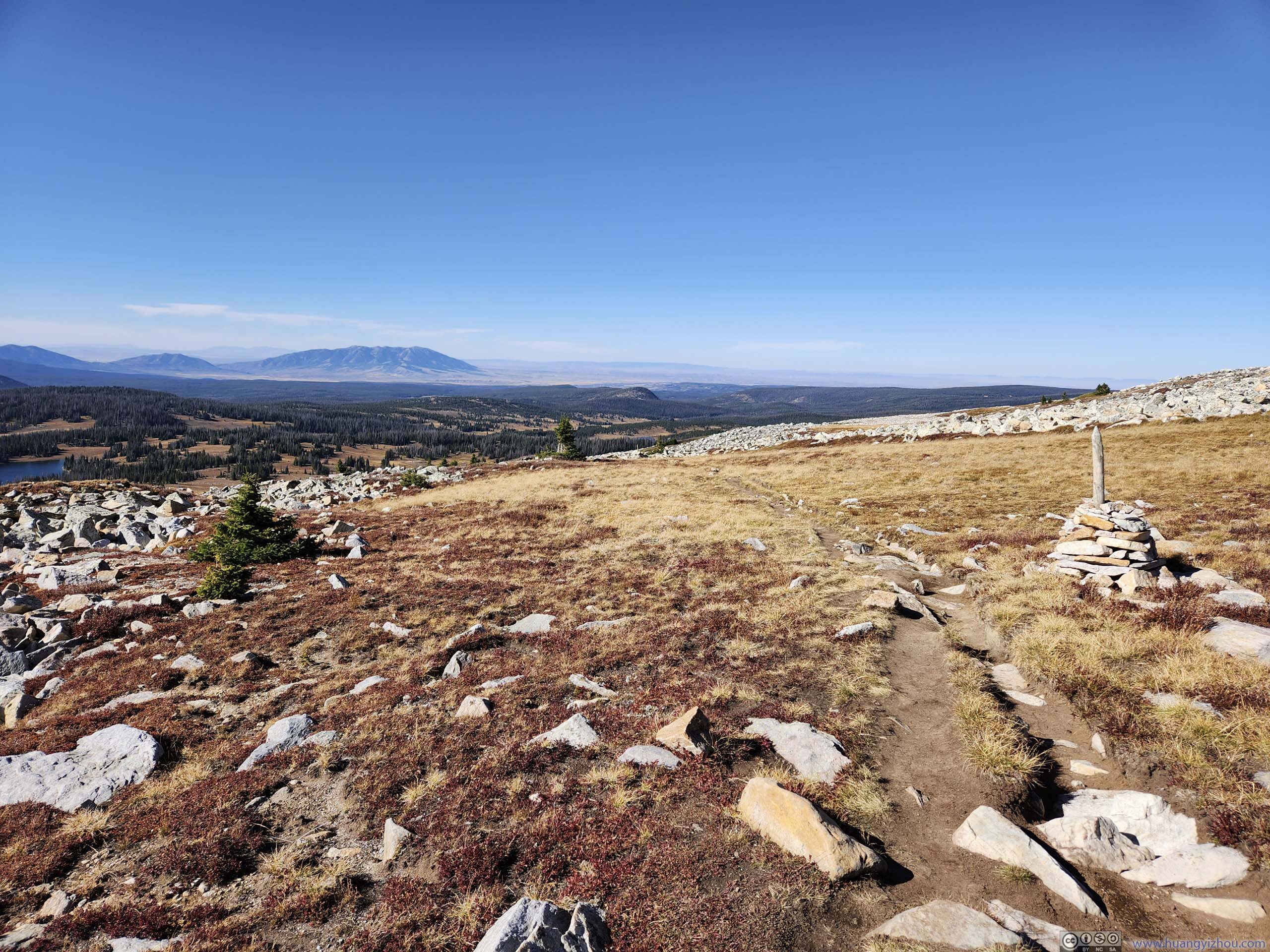
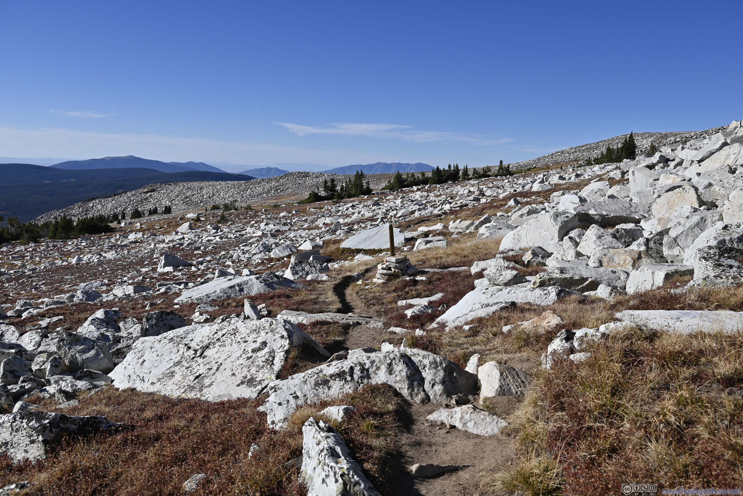
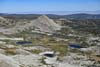
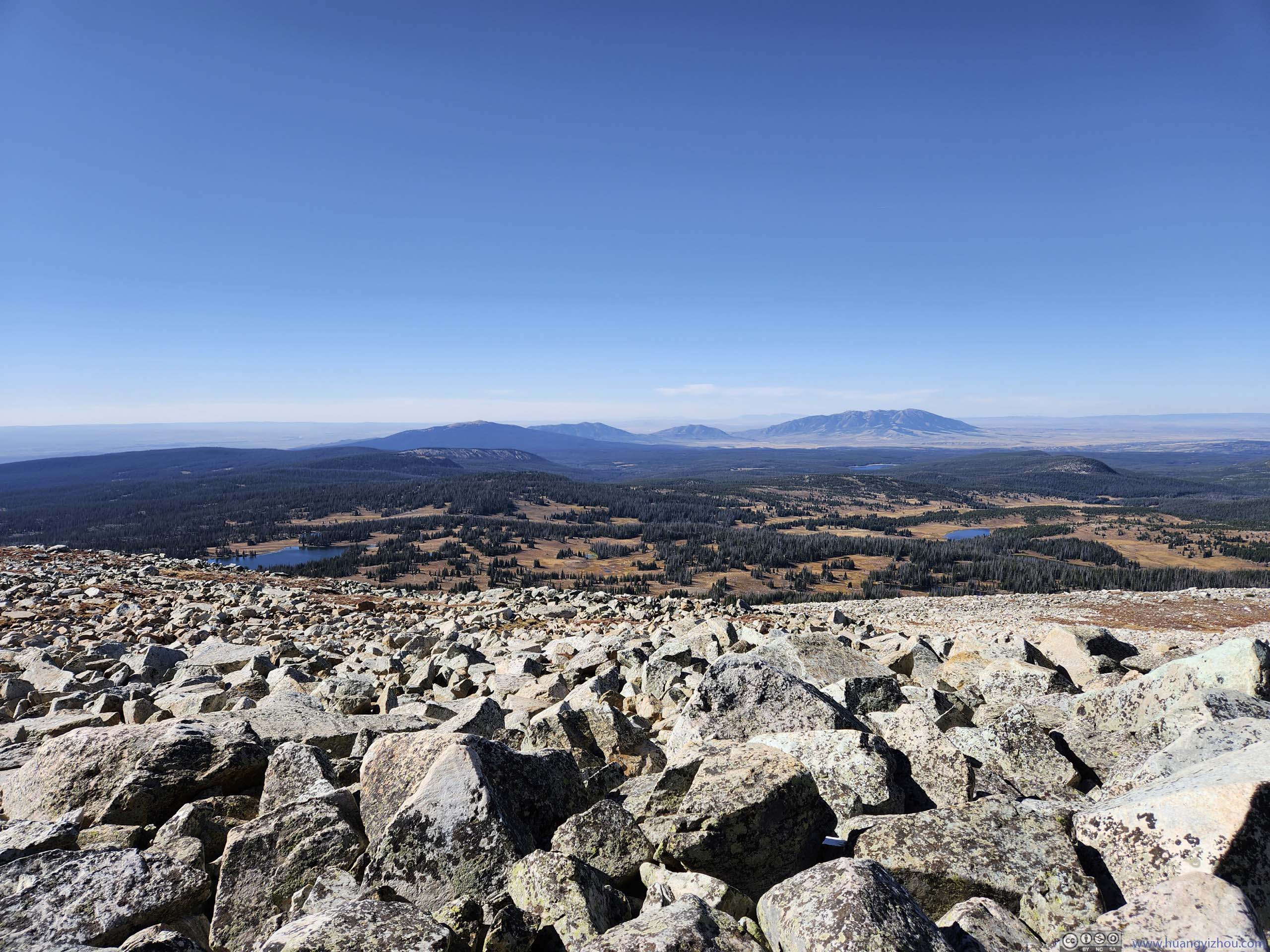
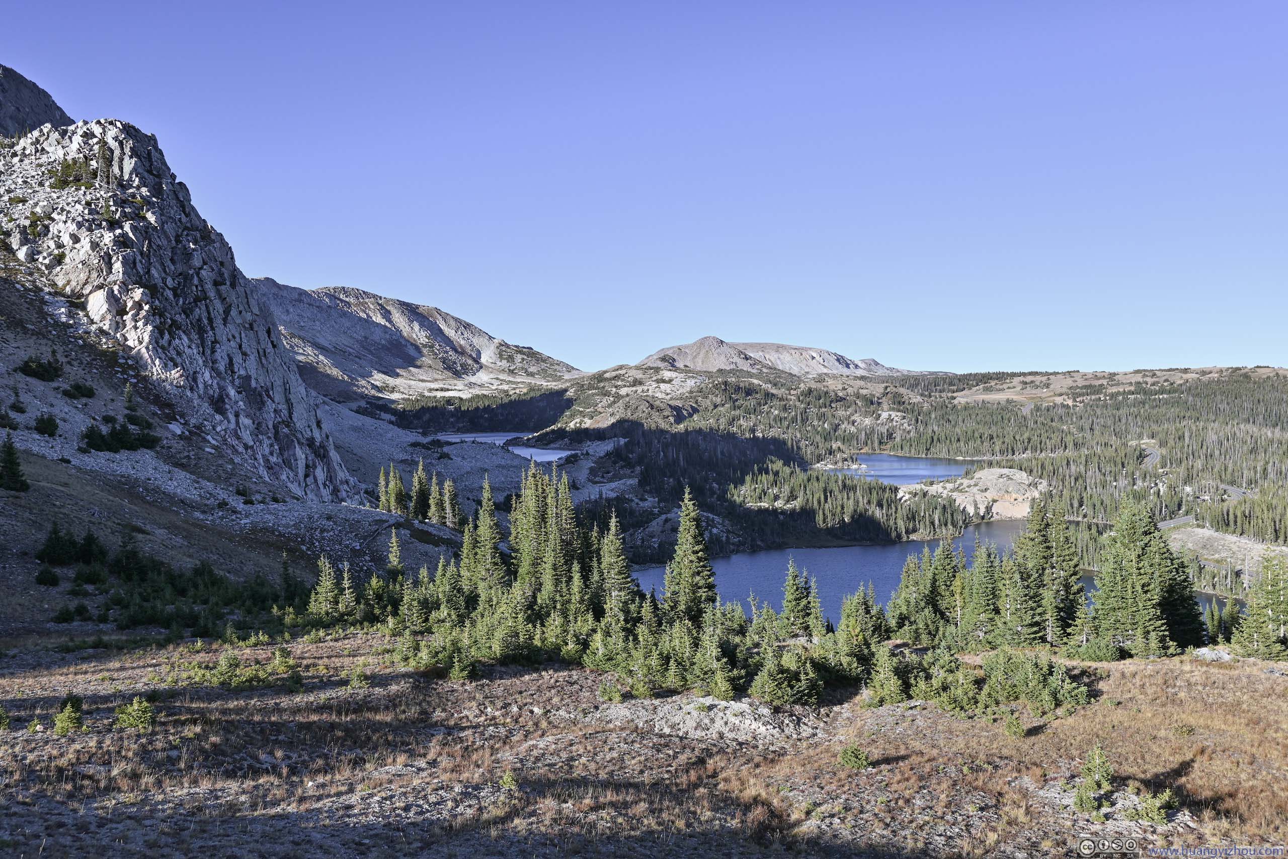
Leaving the summit, the trail followed the ridgeline to the southwest. While the southeastern face of the Snowy Range was steep and impressive cliffs, the northwestern face was a very gradual hill. As a result, most of the remaining trail was on alpine tundra, which looked lovely at first sight but lacked variation. As I previously mentioned, the views to the northwest weren’t particularly exciting. And I was constantly battered by the wind, so this was the less enjoyable part of the hike.
To cheer things up, for a few times, the trail passed close to the cliff of the ridge, where I caught some views overlooking the alpine lakes that I hiked past earlier in the day.
 Snowy Range Mountains
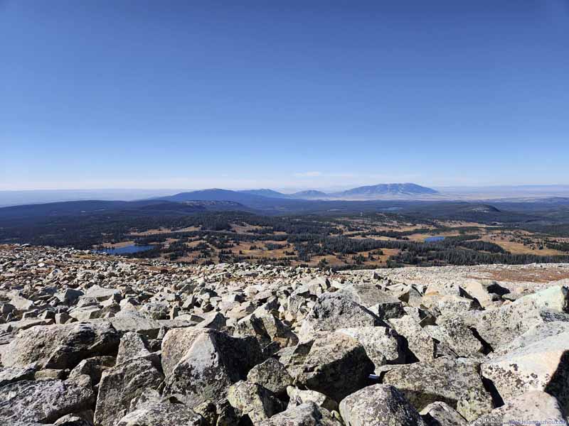 Fields and Mountains to the West
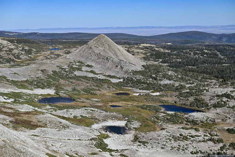 Alpine LakesSugarloaf Mountain in the background.
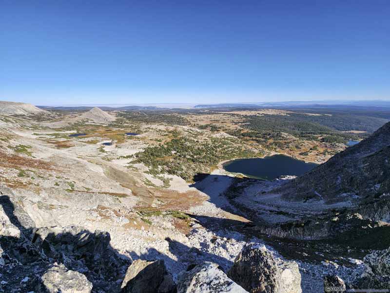 Fields to the East
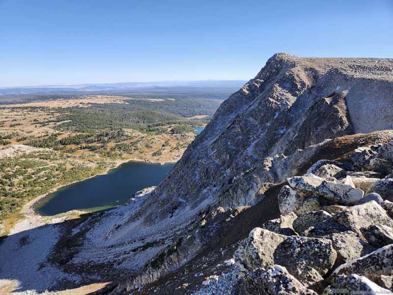 Old Man Mountain and Lookout Lake
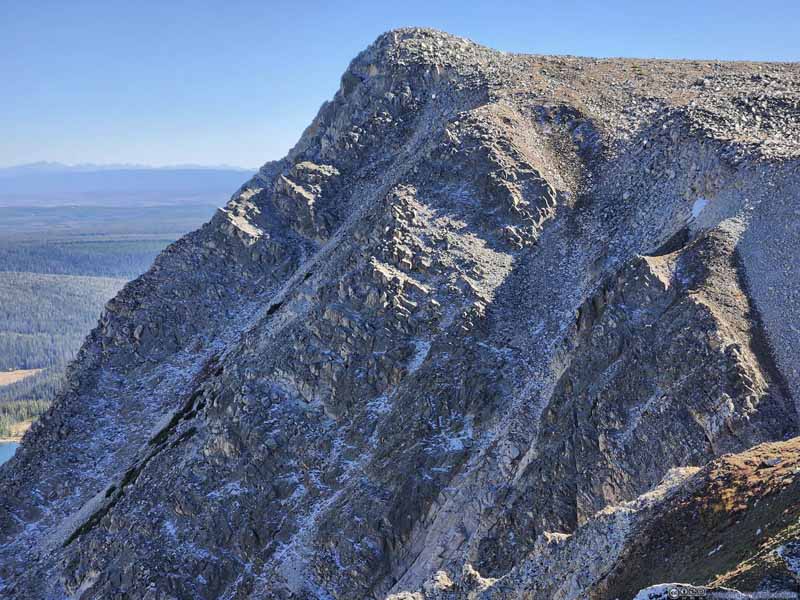 Old Man MountainTraces of snow left in the shade.

Click here to display photos of the slideshow
Snowy Range Mountains
Fields and Mountains to the West
Alpine LakesSugarloaf Mountain in the background.

Fields to the East
Old Man Mountain and Lookout Lake
Old Man MountainTraces of snow left in the shade.
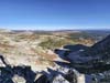
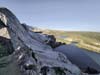
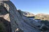
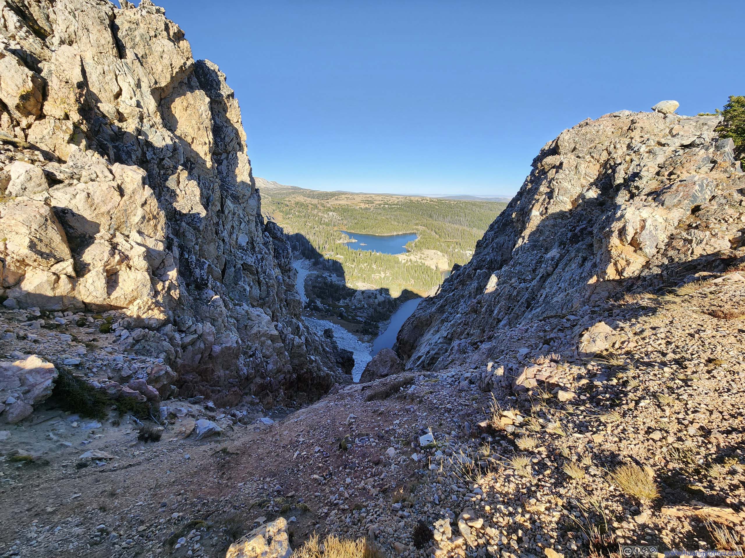
Towards the end, a few vistas were within steps from the trail, offering views of Snowy Range from the south. One of them (p3 below) was close enough to “The Diamond” that its texture felt so tangible.
 Overlooking Lake Marie
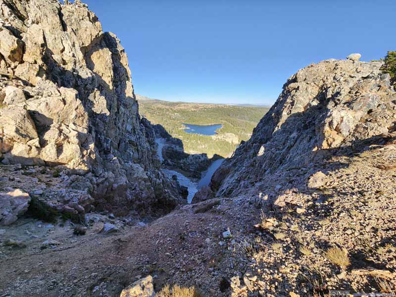 Gully
Gully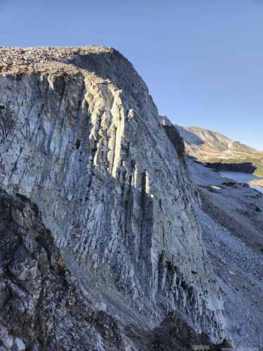
 Cliff of The Diamond Mountain
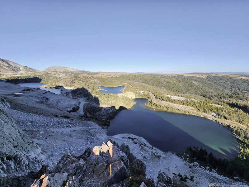 Overlooking Alpine Lakes
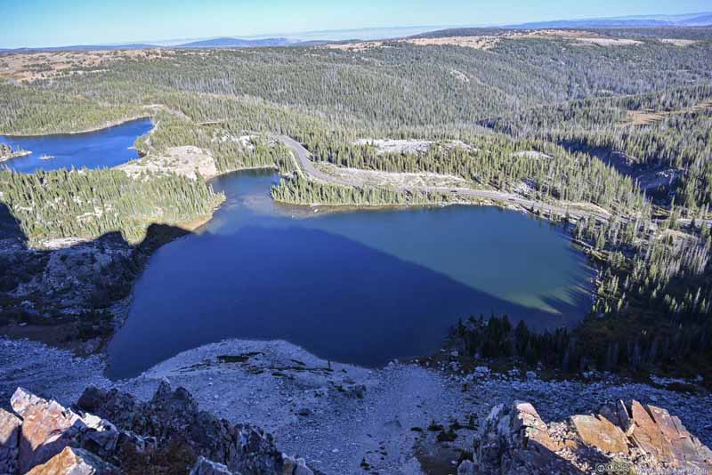 Overlooking Lake Marie
 Overlooking Mirror Lake
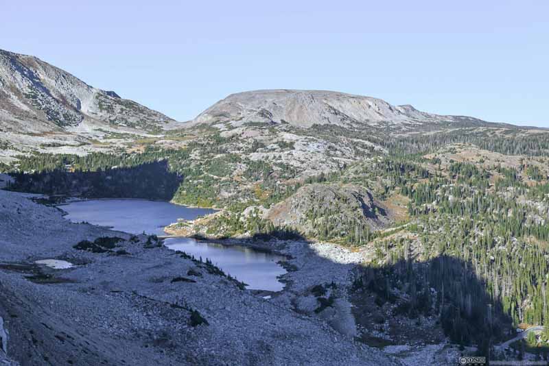 Overlooking Lookout Lake
 Cliffs of Snowy Range Mountains
 Cliffs of Snowy Range Mountains
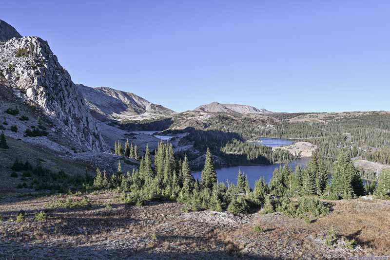 Alpine Lakes and Snowy Range Mountains
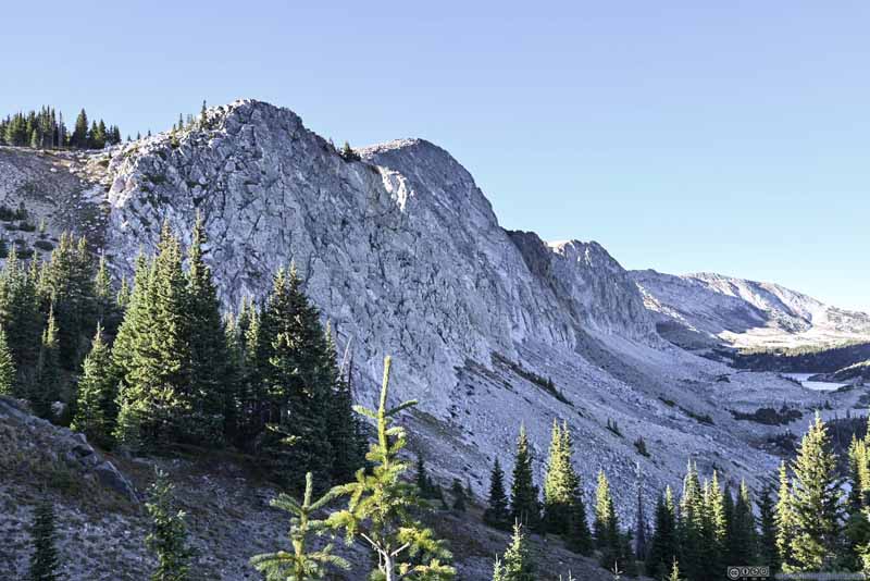 Snowy Range Mountains


Click here to display photos of the slideshow
Overlooking Lake Marie
Gully
 Cliff of The Diamond Mountain
Overlooking Alpine Lakes
Overlooking Lake Marie
Overlooking Mirror Lake
Overlooking Lookout Lake
Cliffs of Snowy Range Mountains

Cliffs of Snowy Range Mountains
Alpine Lakes and Snowy Range Mountains
Snowy Range Mountains
In the end, I got back to the trailhead just past 5:30pm. Including all rests and stops, this hike only took me 5 hours.
My overnight lodge was in the town of Saratoga, half an hour of driving away.
After taking the entire Snowy Range Scenic Byway, I felt there wasn’t much else to see in Medicine Bow National Forest, apart from the summit area that I checked out today. Lower in elevation, it’s endless forests of pine trees that hardly excited me. (Maybe things will be different in winter.)
 Saratoga Hot Spring
END
![]() Day 6 of Autumn 2023 Trip to Mountain States, Medicine Bow Peak by Huang's Site is licensed under a Creative Commons Attribution-NonCommercial-ShareAlike 4.0 International License.
Day 6 of Autumn 2023 Trip to Mountain States, Medicine Bow Peak by Huang's Site is licensed under a Creative Commons Attribution-NonCommercial-ShareAlike 4.0 International License.