
Updated on June 7, 2021
Day 3 of 2020 Lake Tahoe Trip, Snowshoing to Rose Knob Peak and Pats Knob in Mount Rose Wilderness
Third day of my Lake Tahoe trip. I decided to snowshoe to Rose Knob Peak on the Nevada side of the lake today.
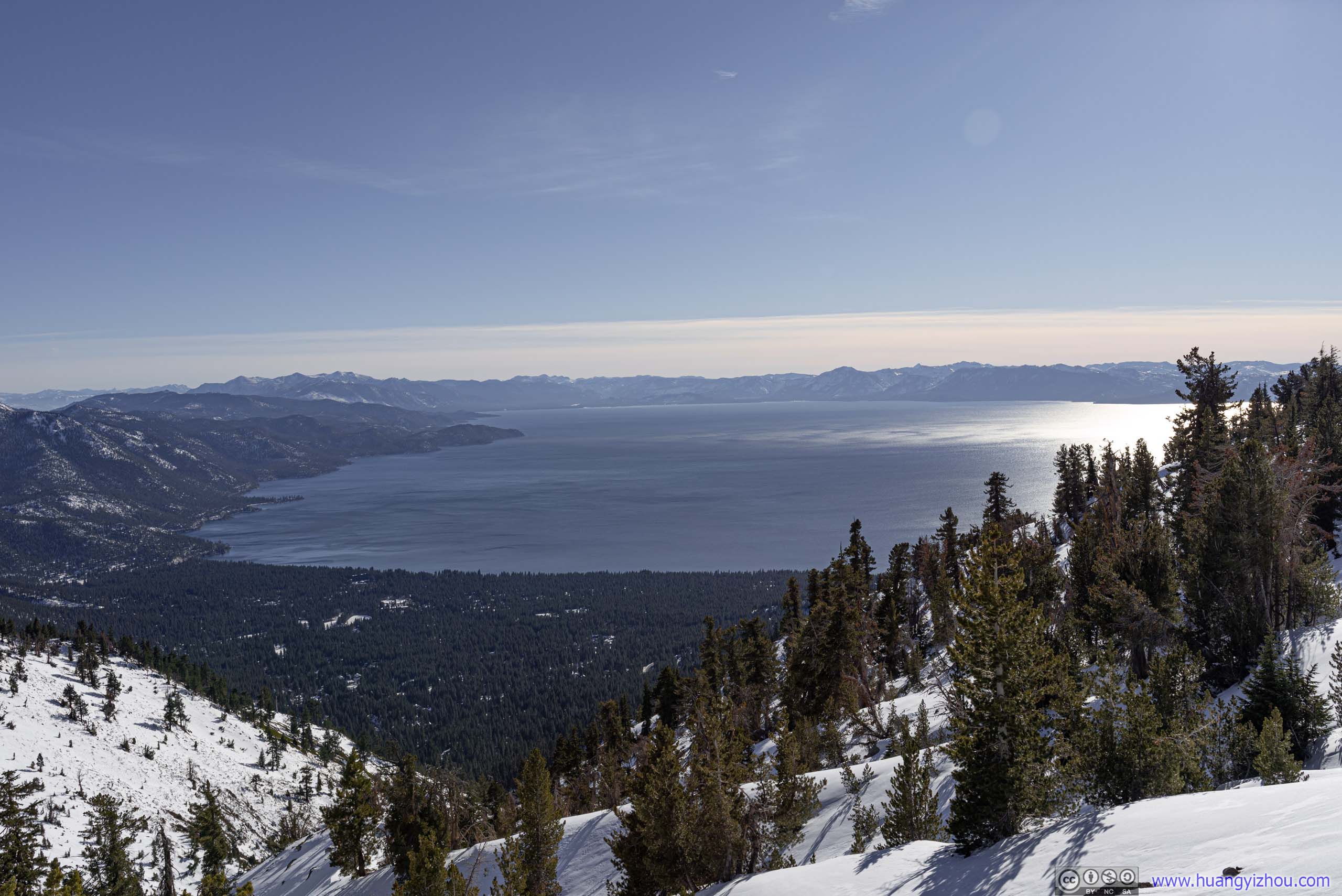
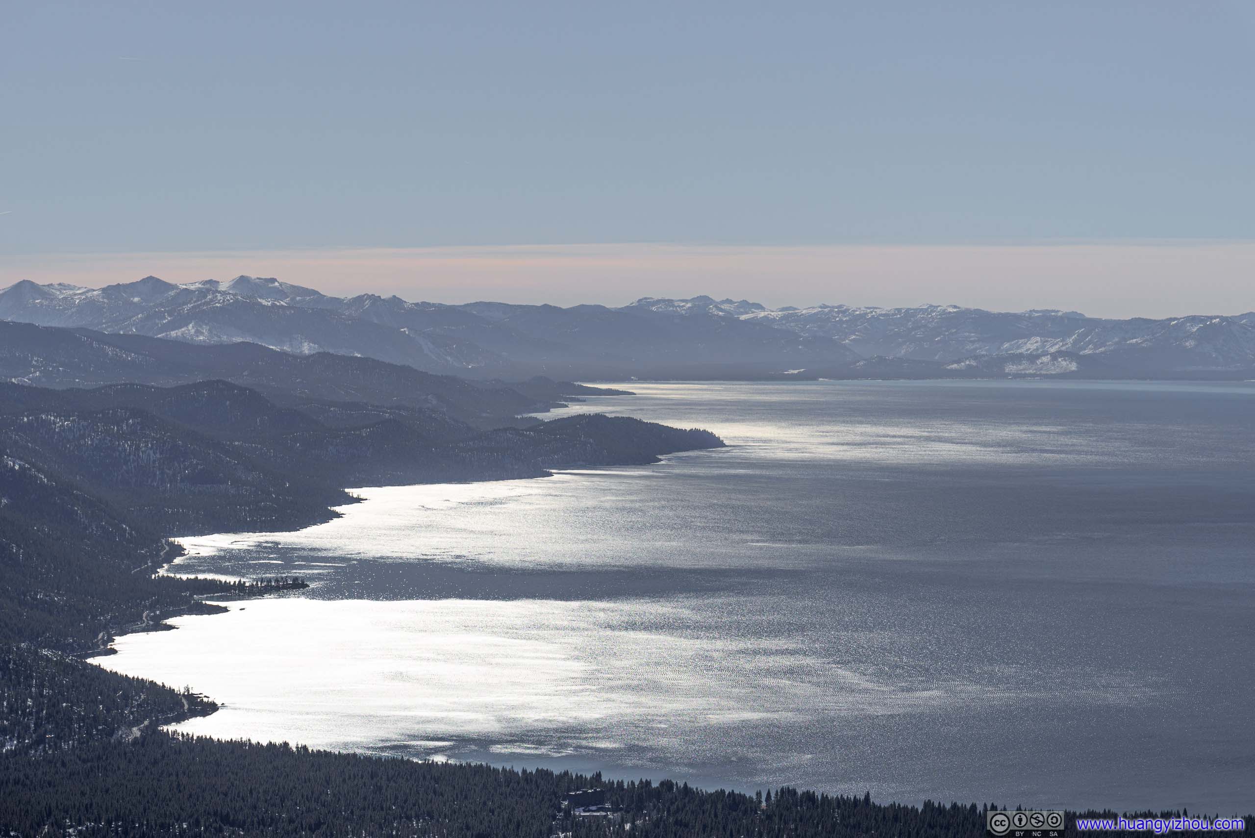
Overlooking Lake Tahoe
While weather was warm and sunny for the previous two days (I wasn’t even wearing the winter jacket that I brought), today it took a turn for the worse. On the bright side, the forecasted 30% precipitation rate did not result in any snowfall. However, wind was certainly the strongest I’d seen for the entire week. In anticipation of this not-too-cooperative weather, I opted to hike Rose Knob Peak, which was shorter than Roundtop Peak two days ago, and had even less elevation gain than Maggies Peak the previous day.
Rose Knob Peak Trail
At about 9:30am, I arrived at the trailhead by Tahoe Meadow / Incline Lake Road. After dressing and packing up, I ventured into the forest.
Here’s GPS tracking:
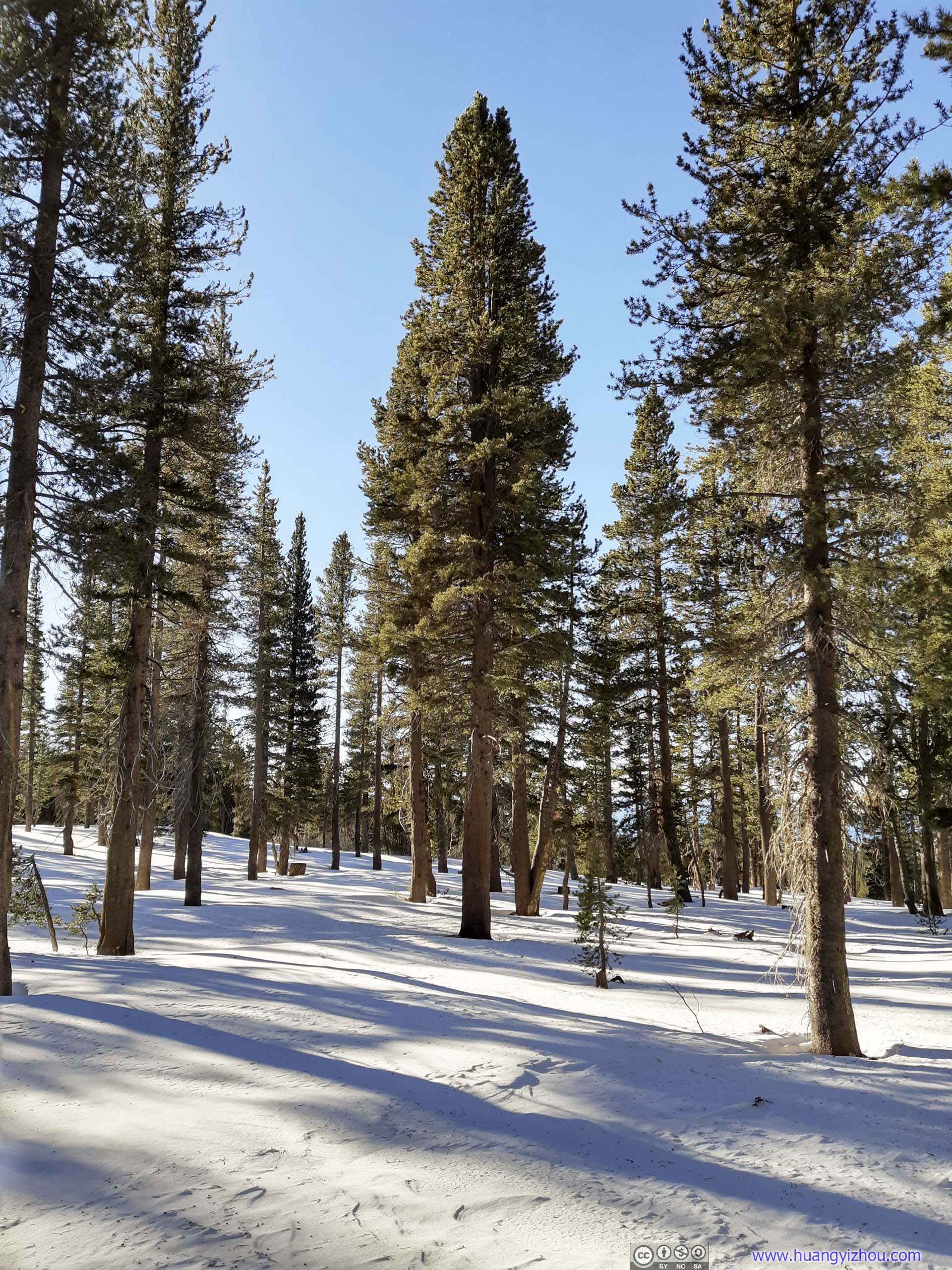
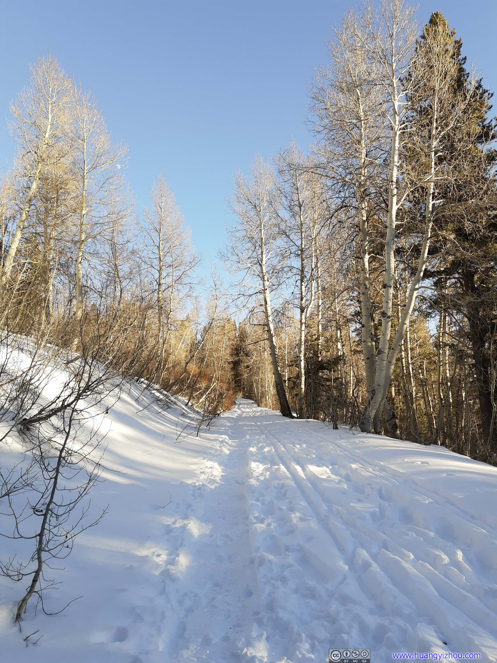
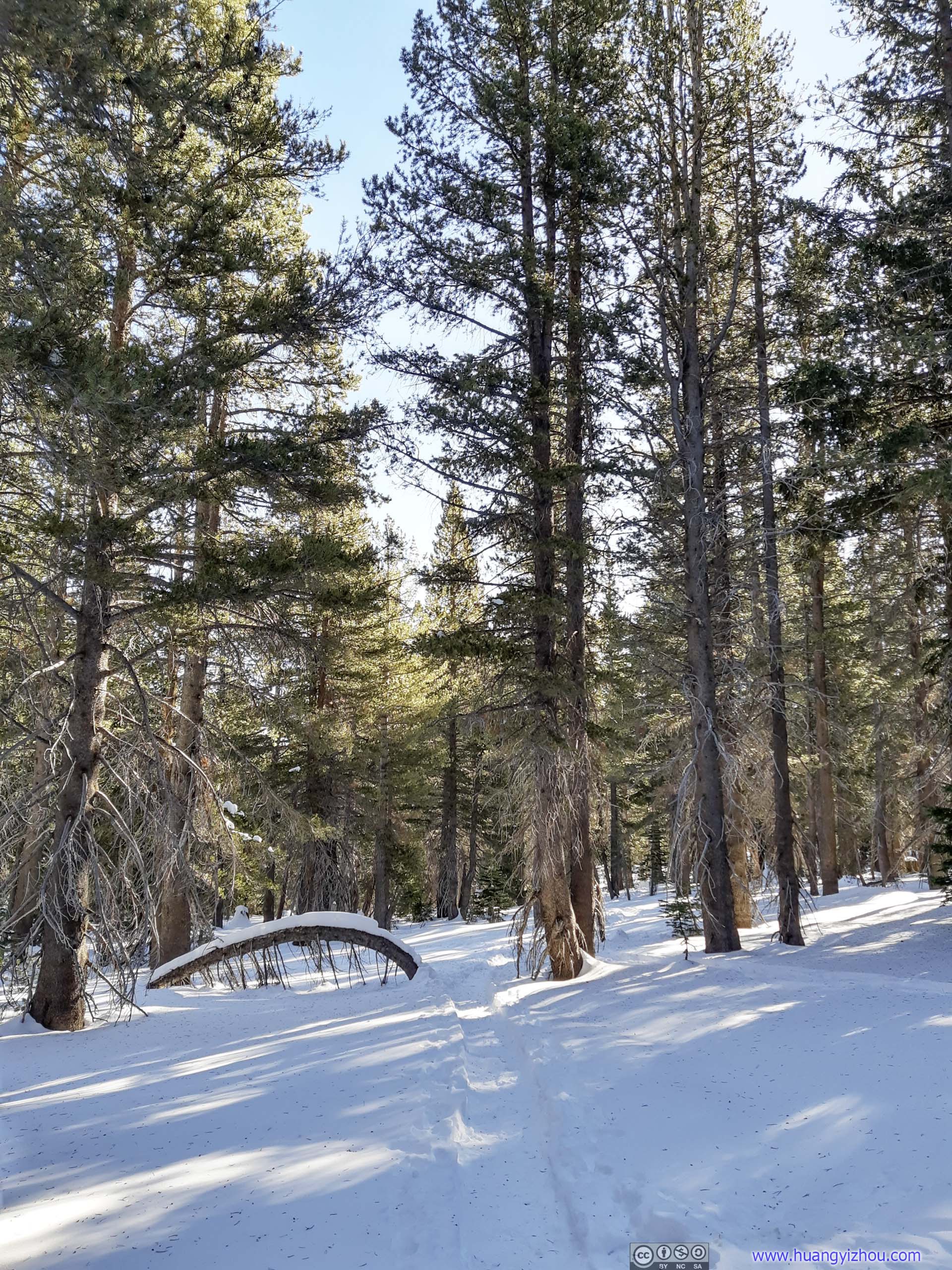
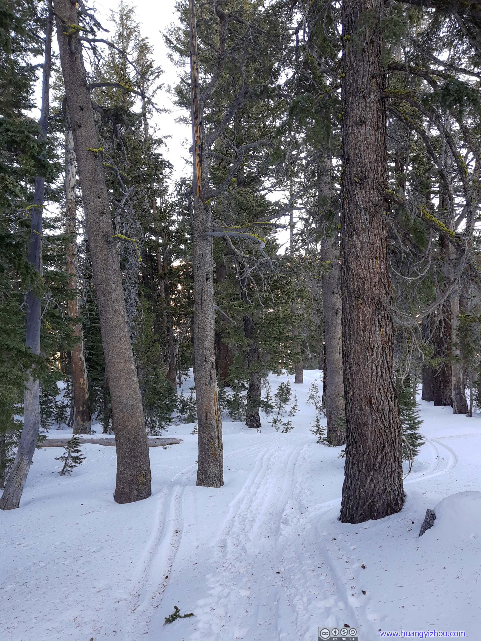
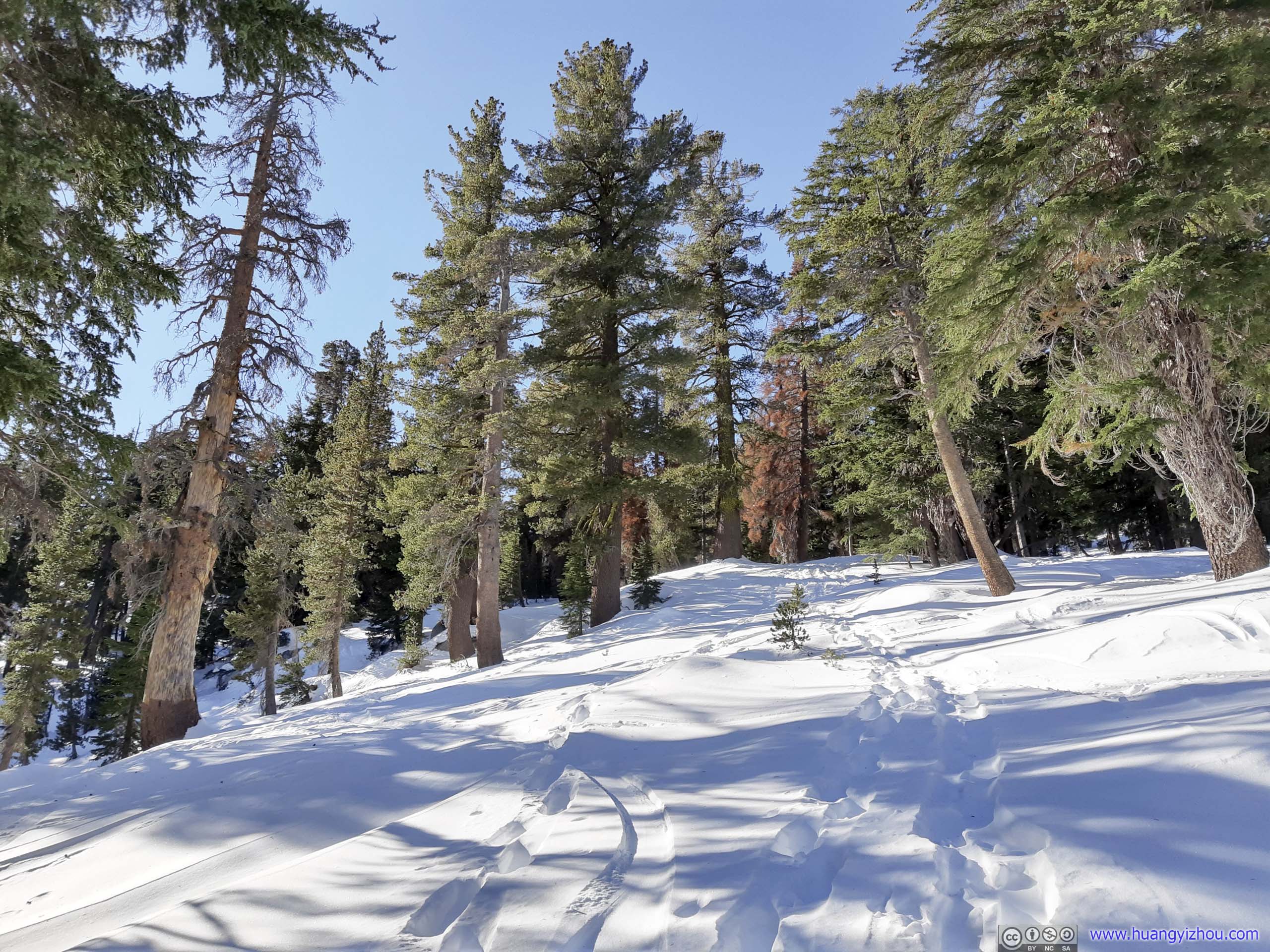
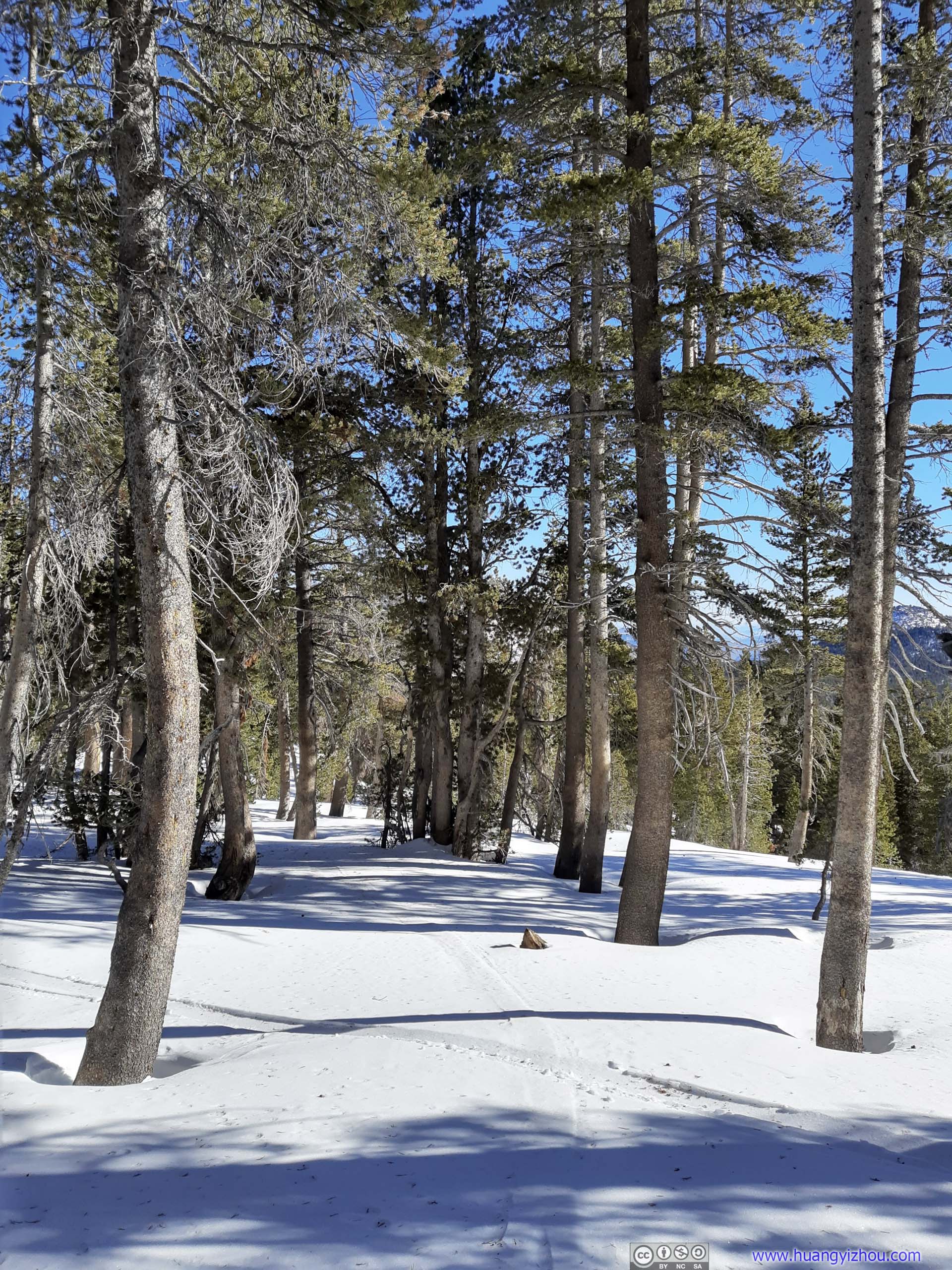
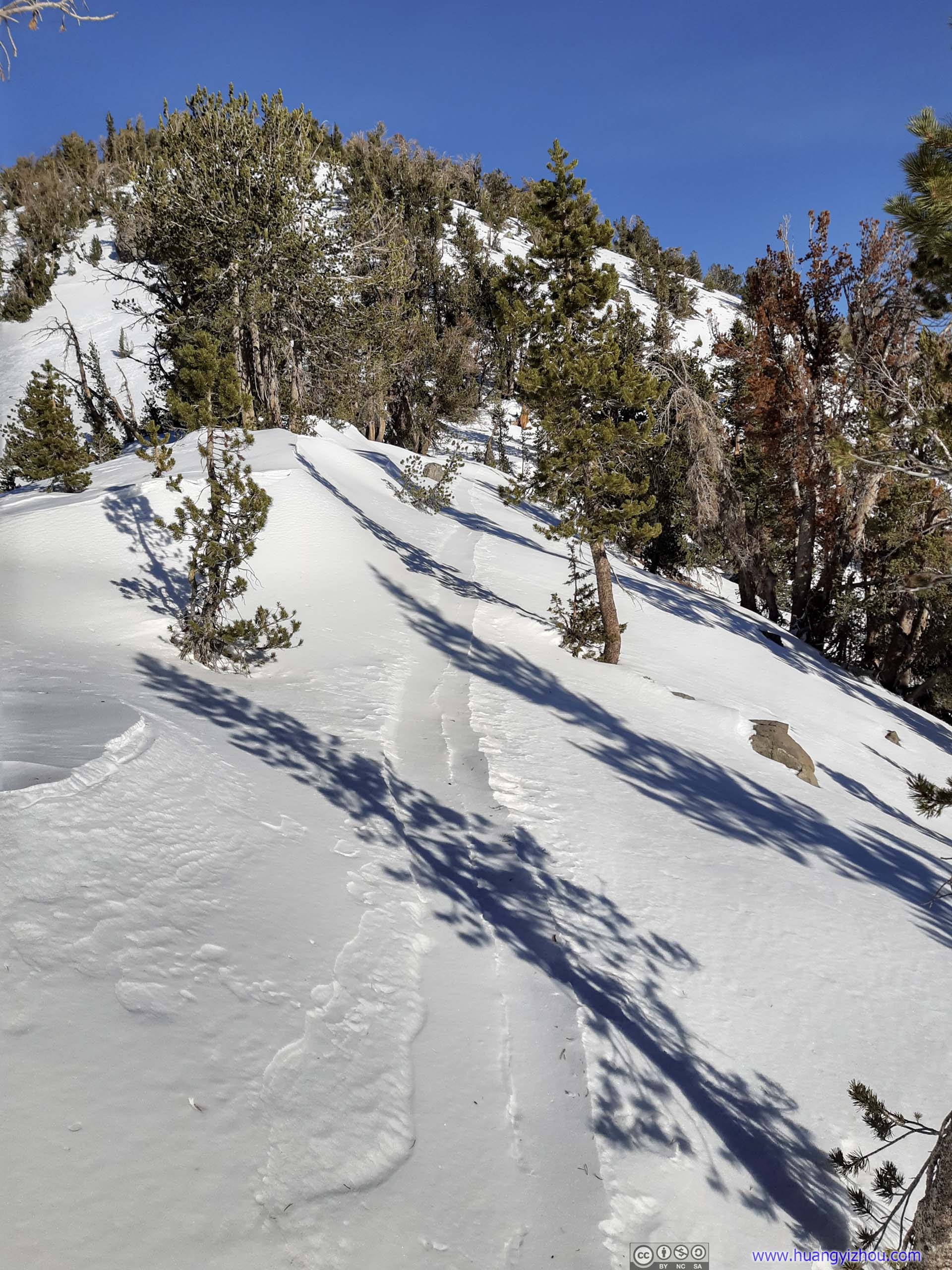
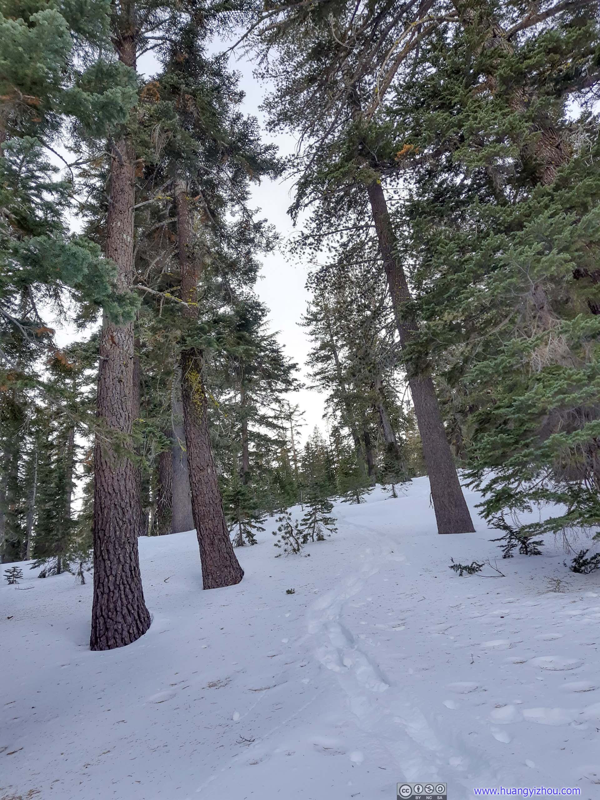
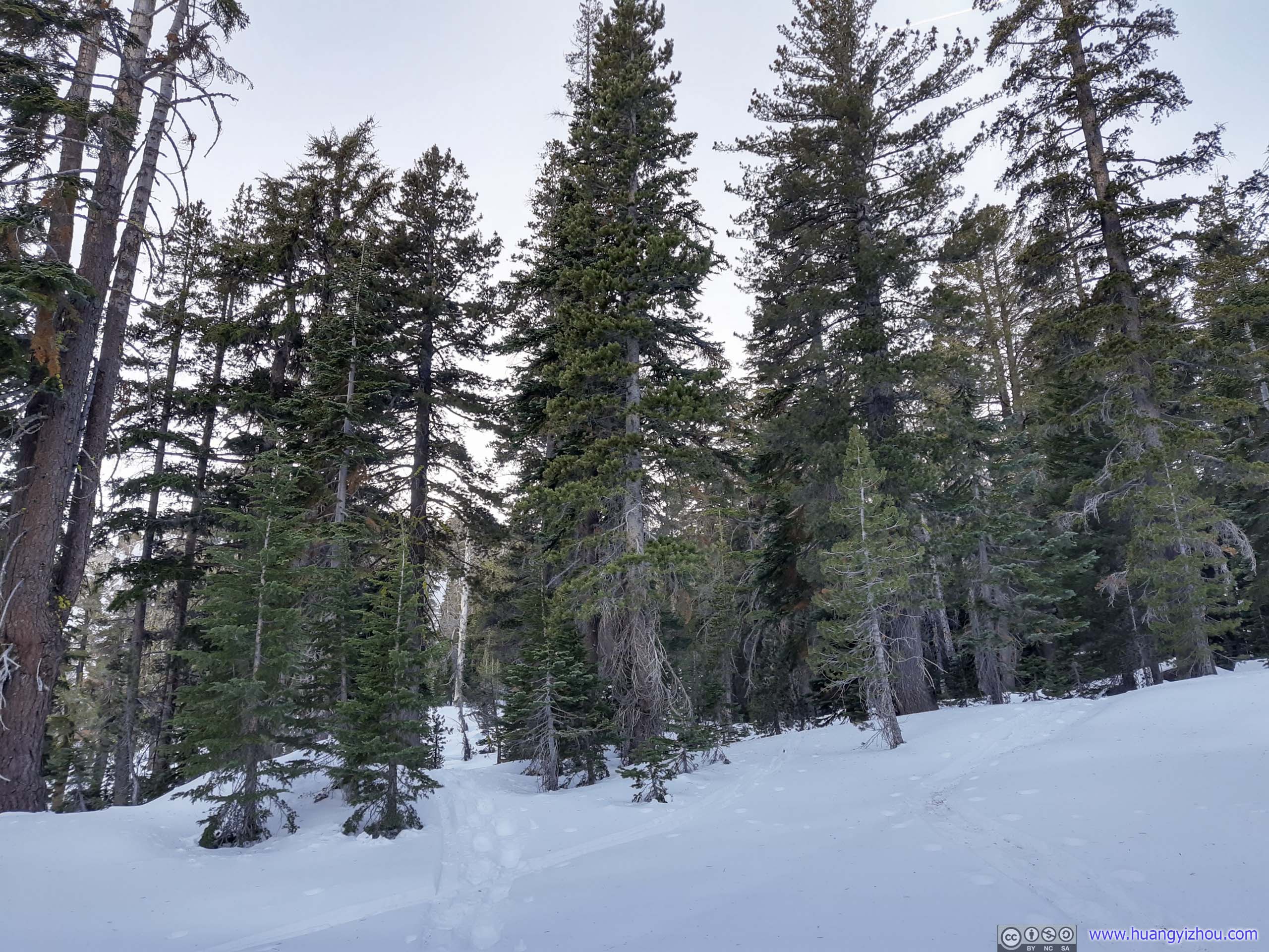
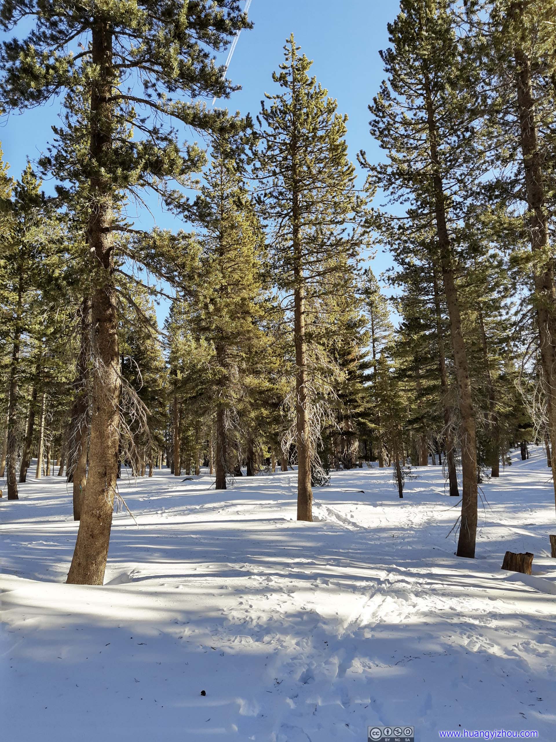 TrailFirst the trail cut through some forest.
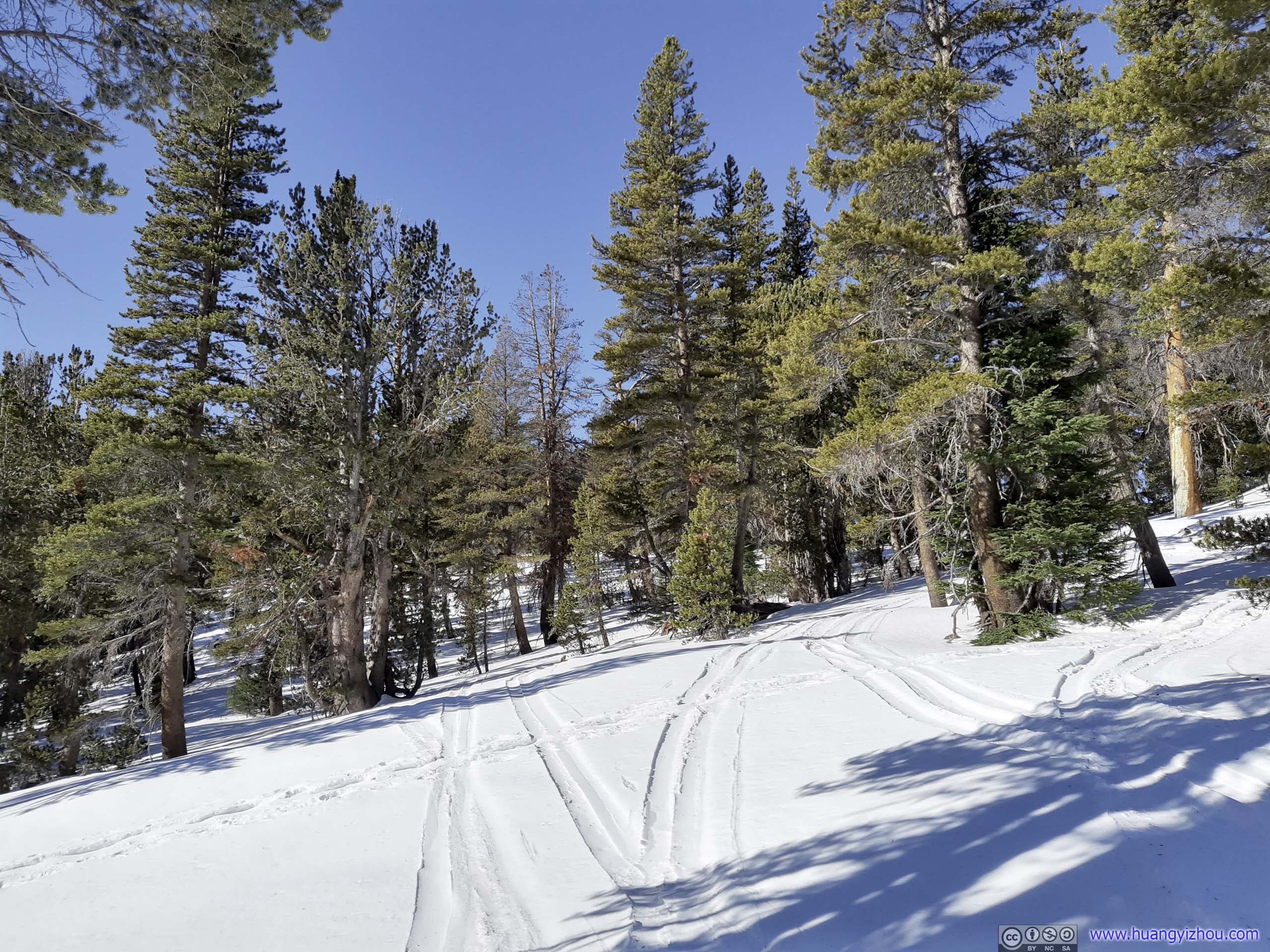
 Trail
Trail
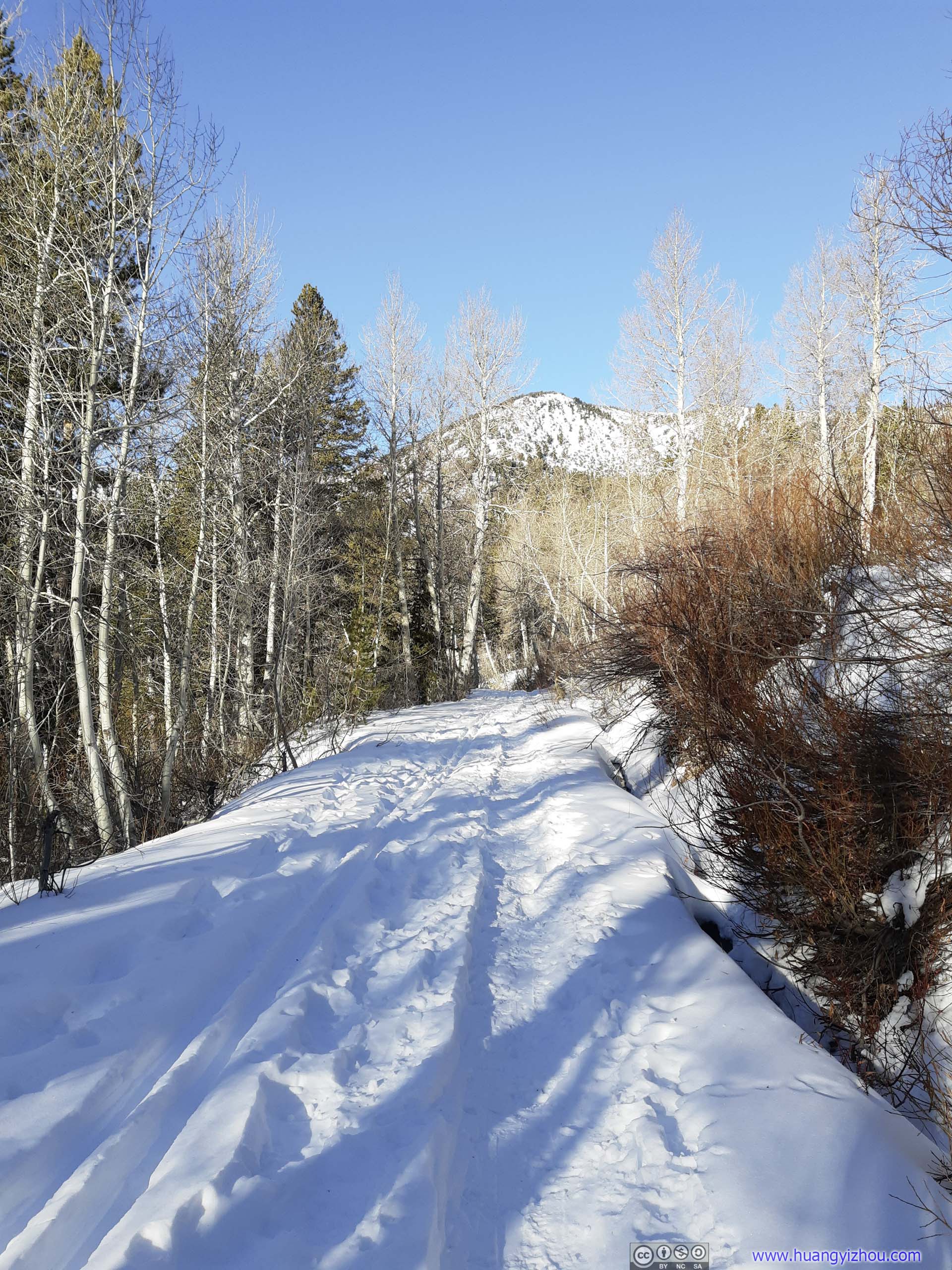
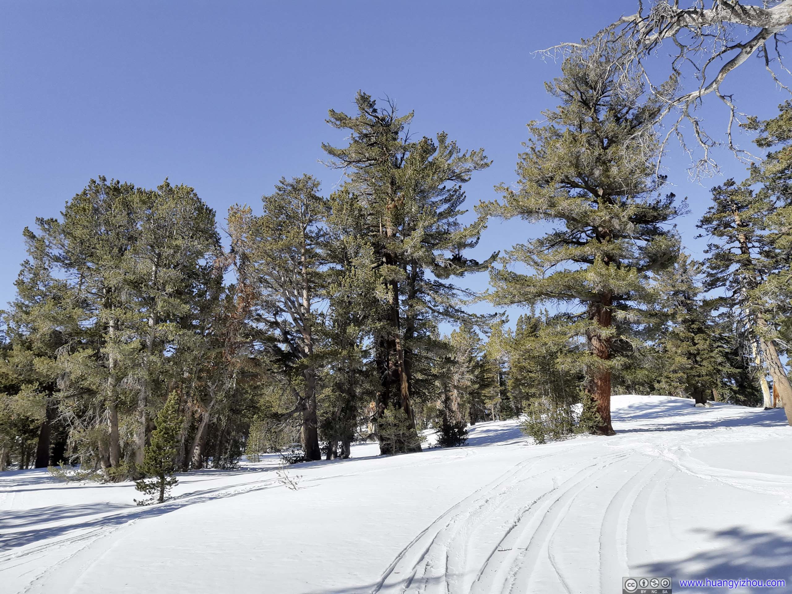
600m from trailhead, the trail broke away from “Incline Meadow Road” and entered backcountry.
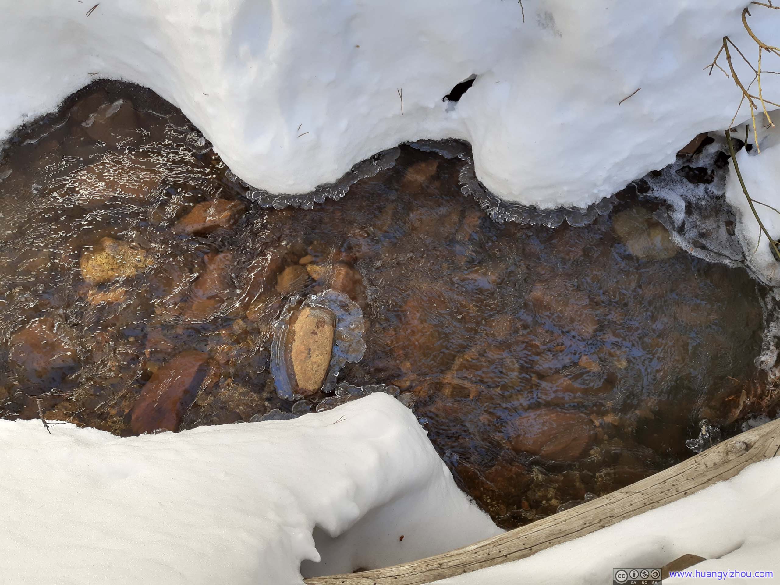
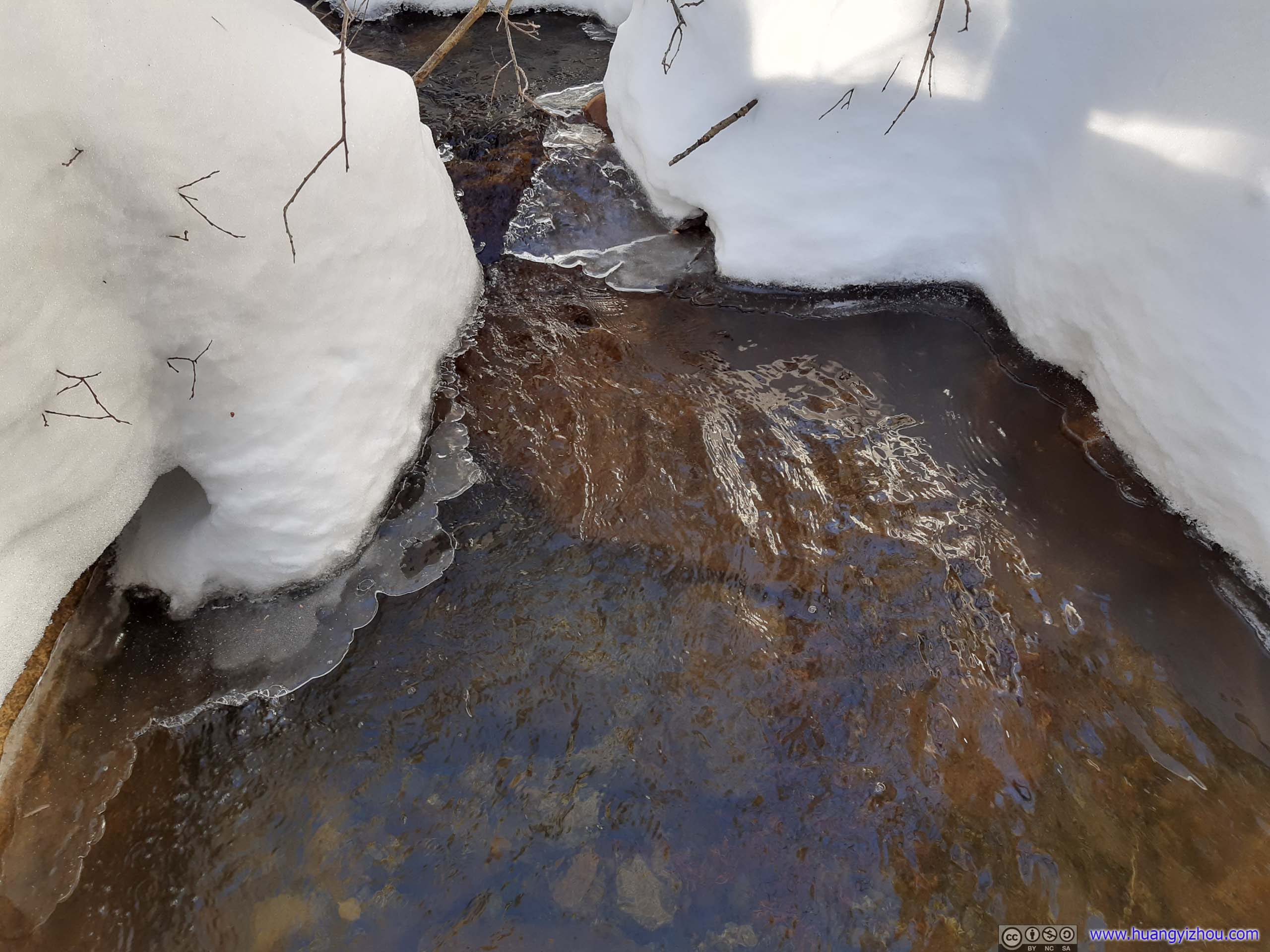 Creek
Creek
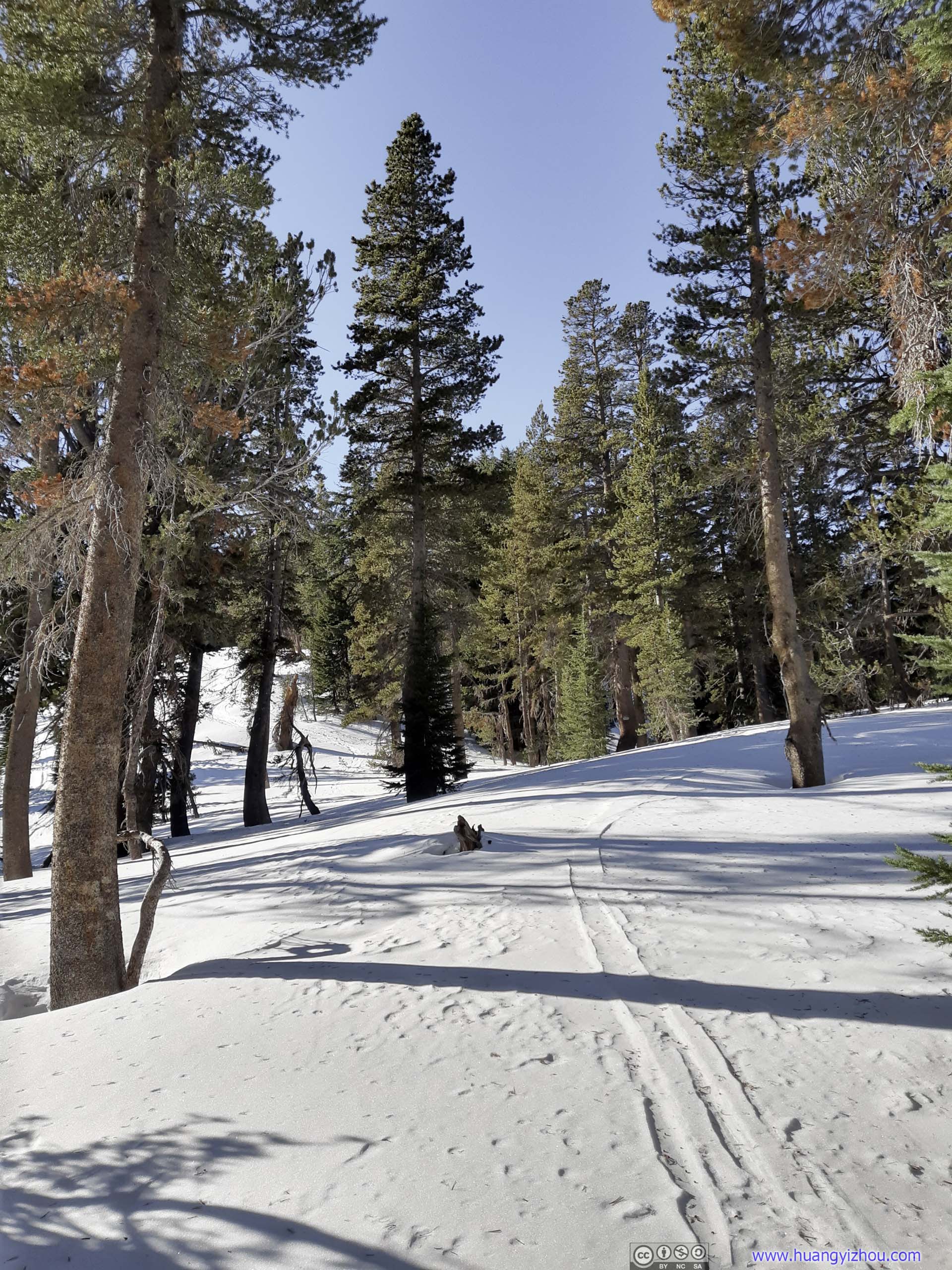
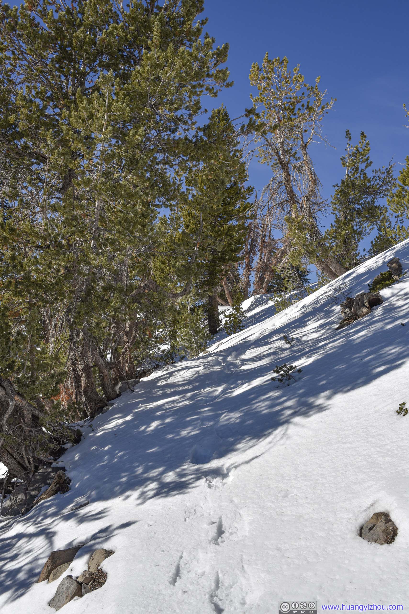
 Trail
Trail
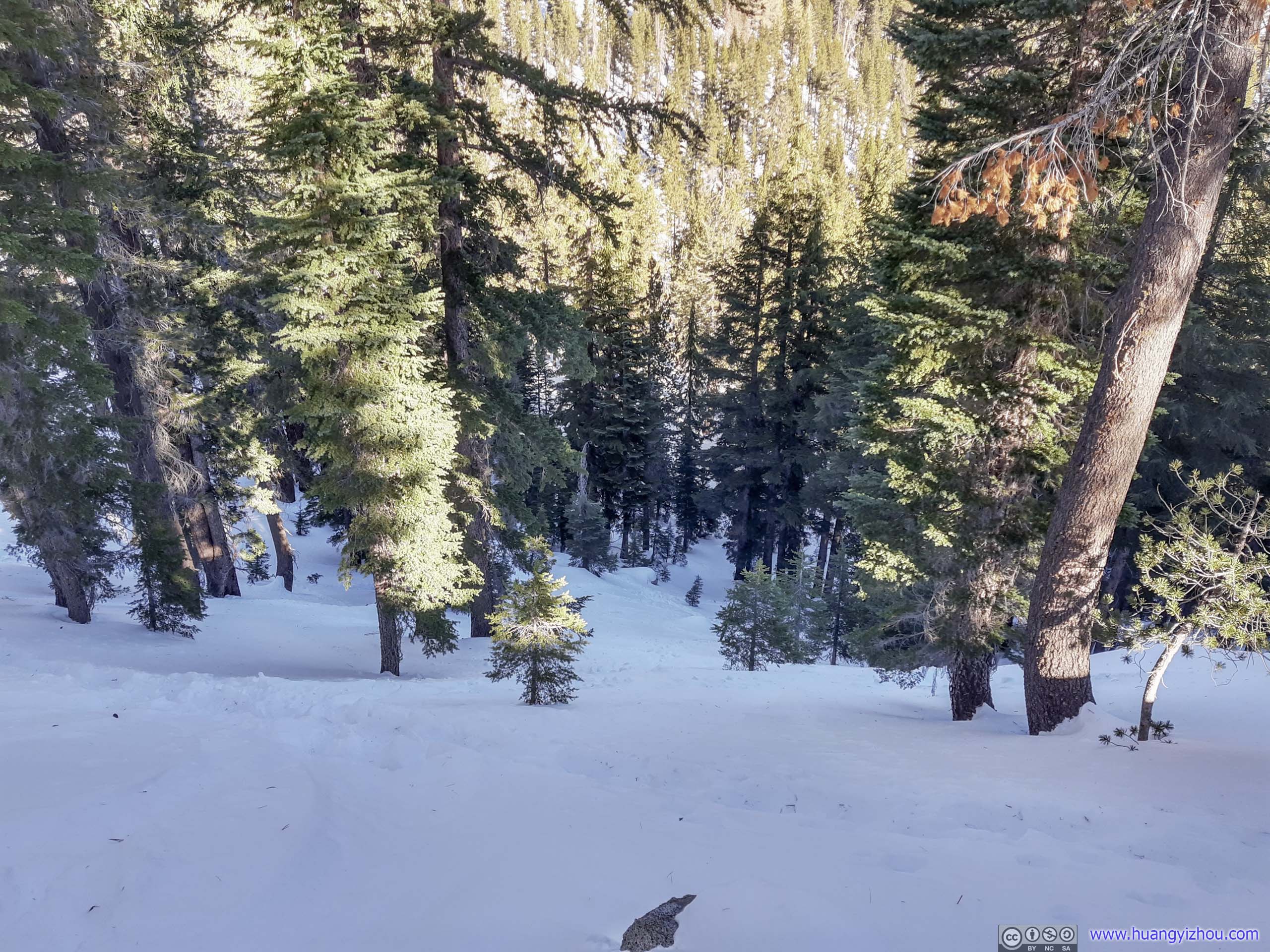
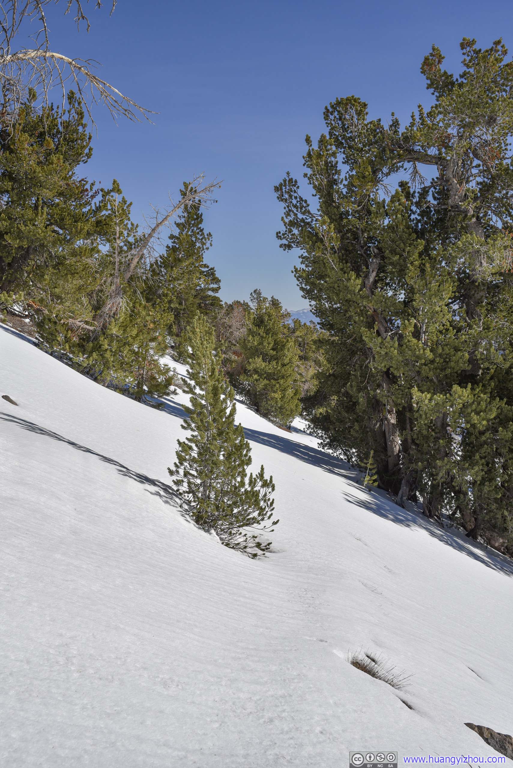
Slope

 Snow-covered Hill
 Tracks in Forest
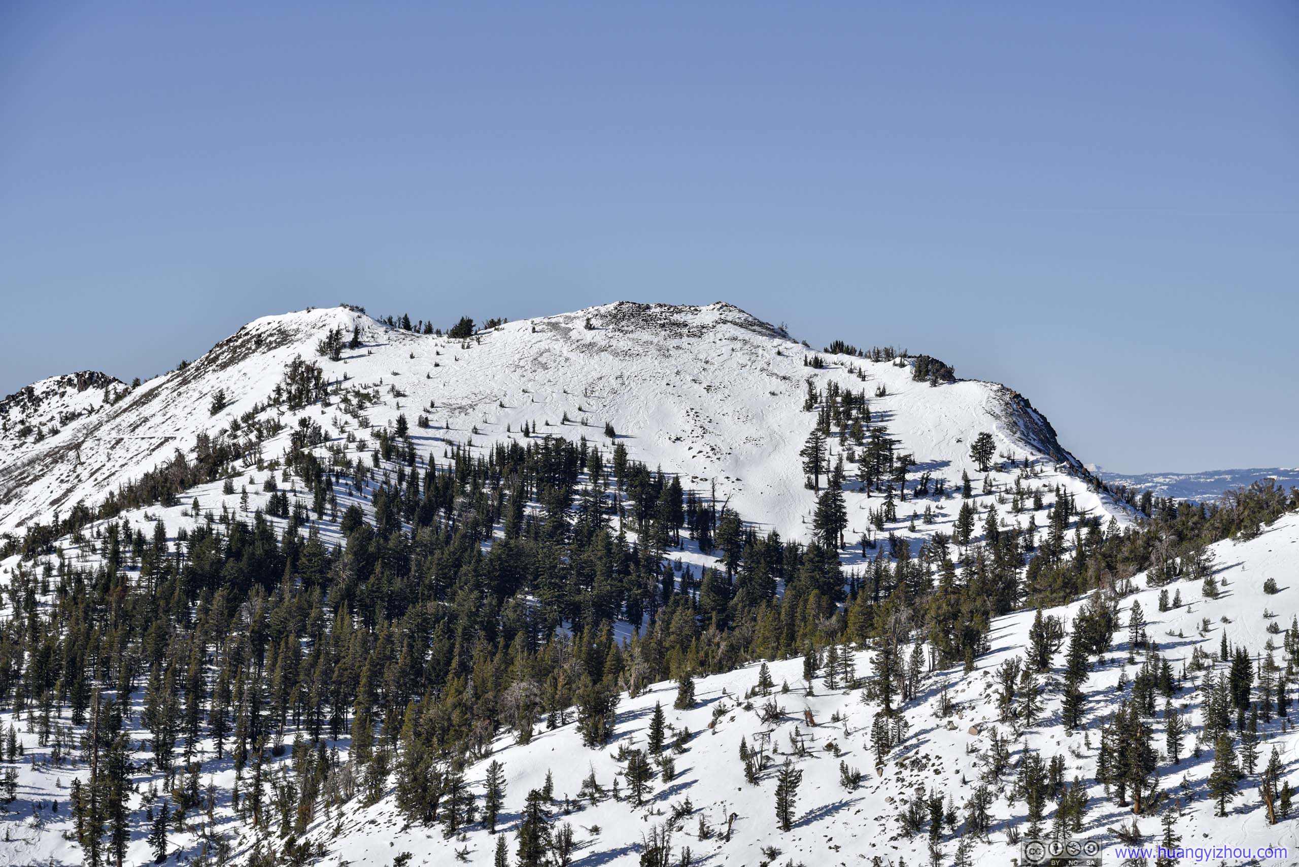
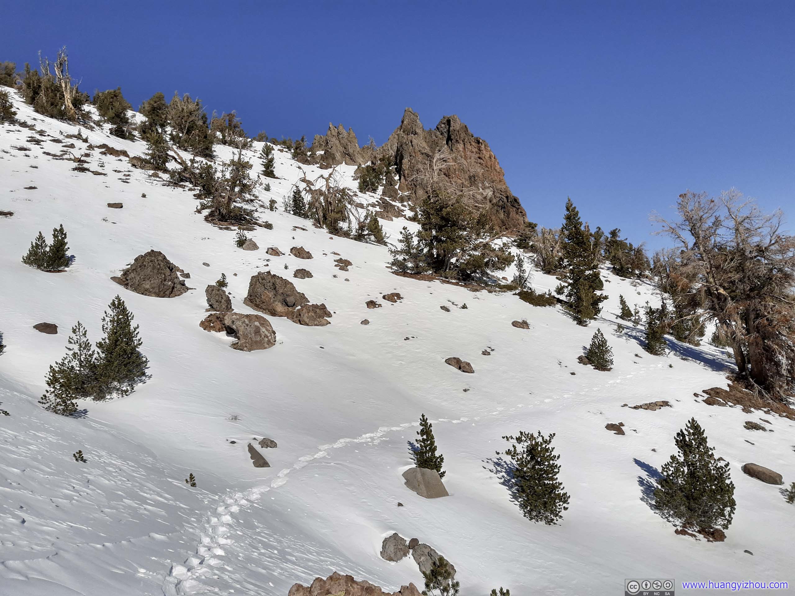
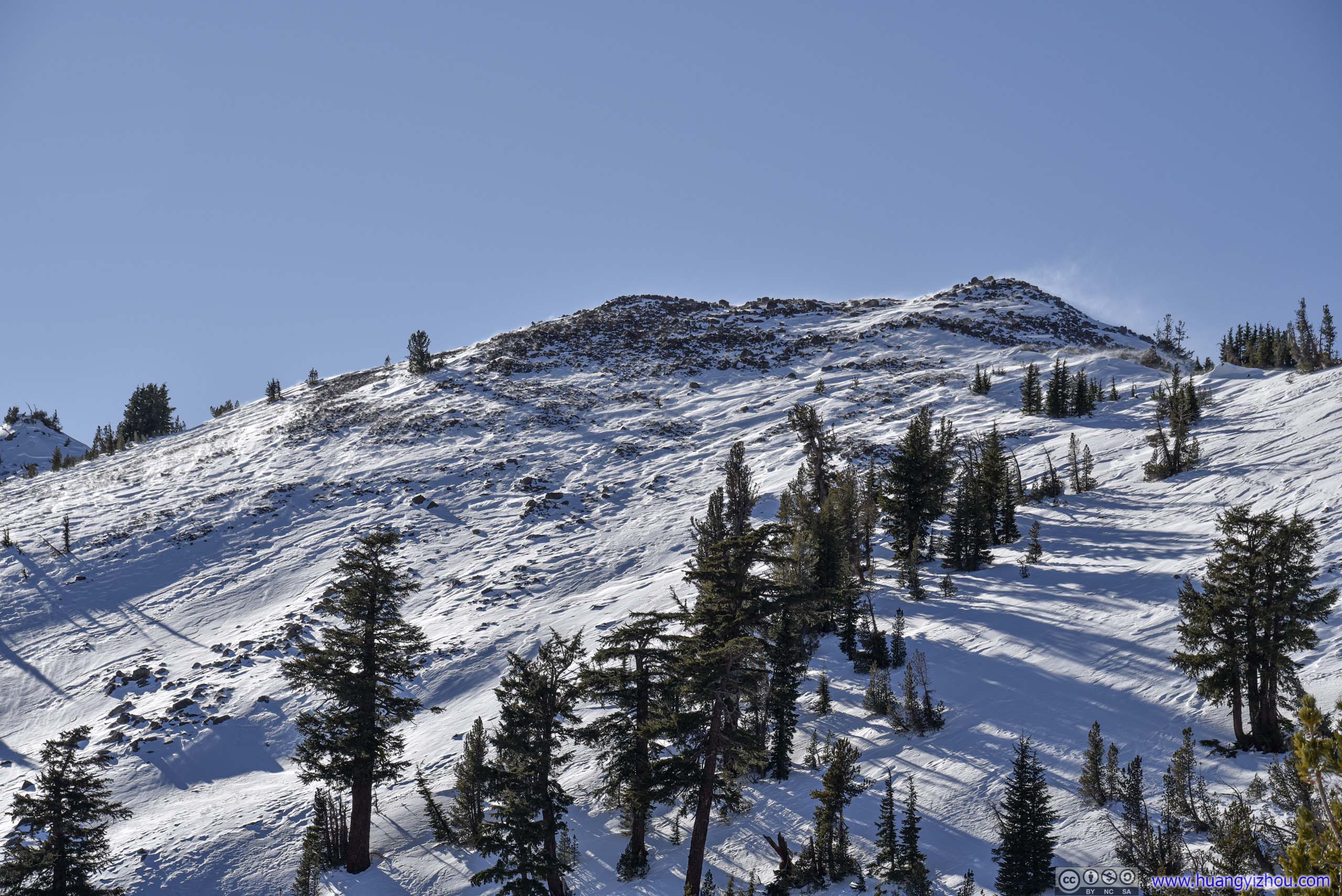
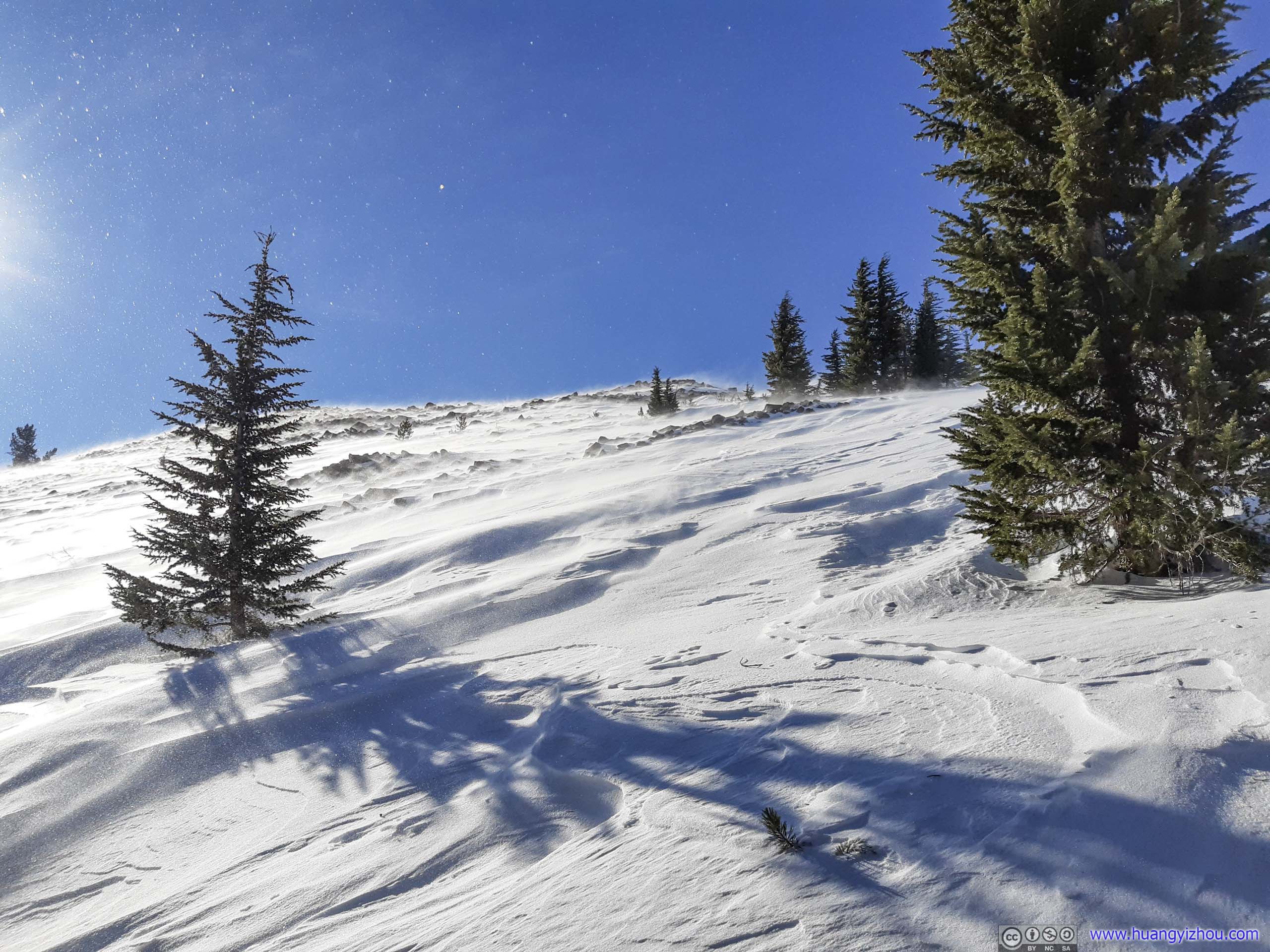
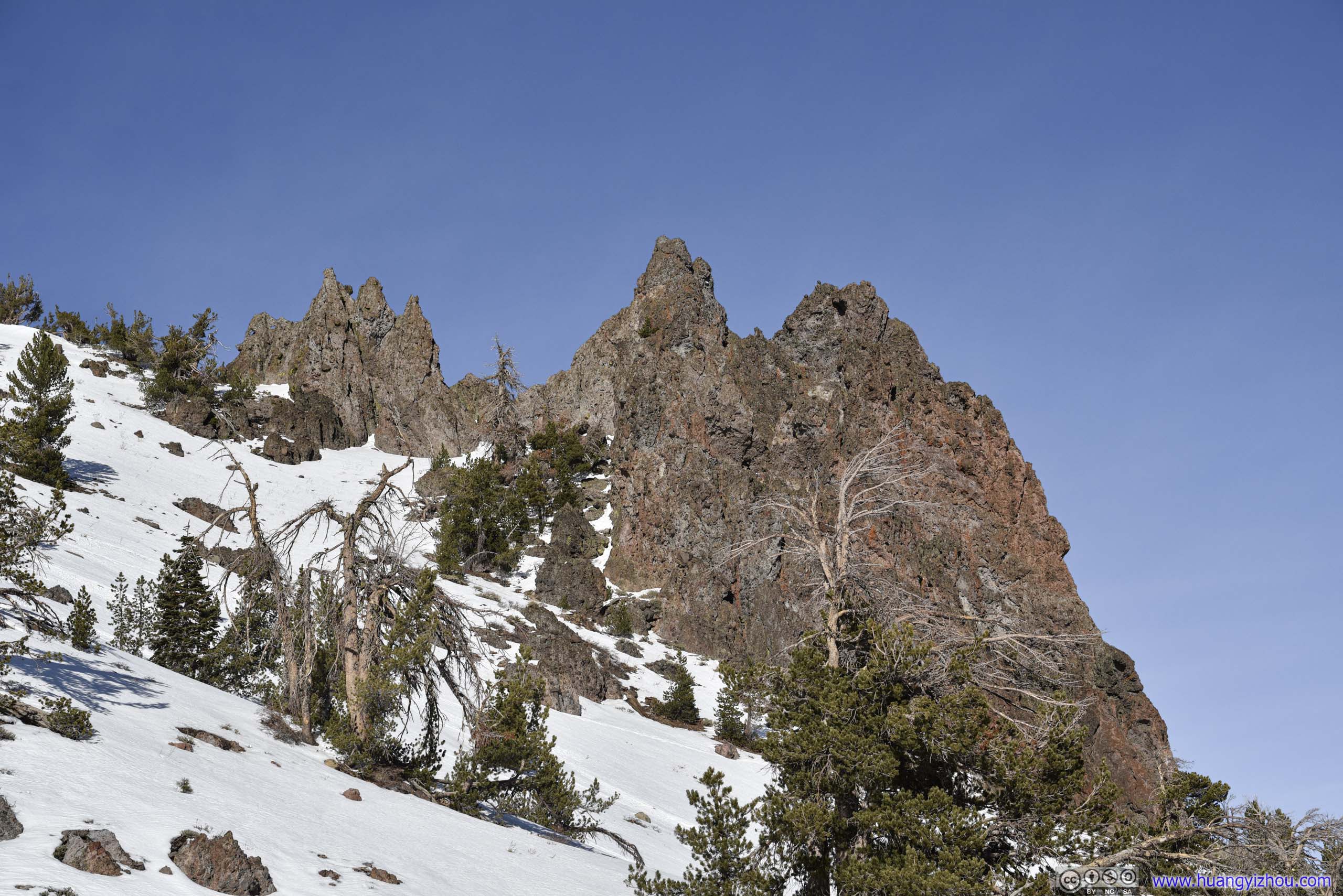
After that, I came out of the tree line into a giant steep slope.
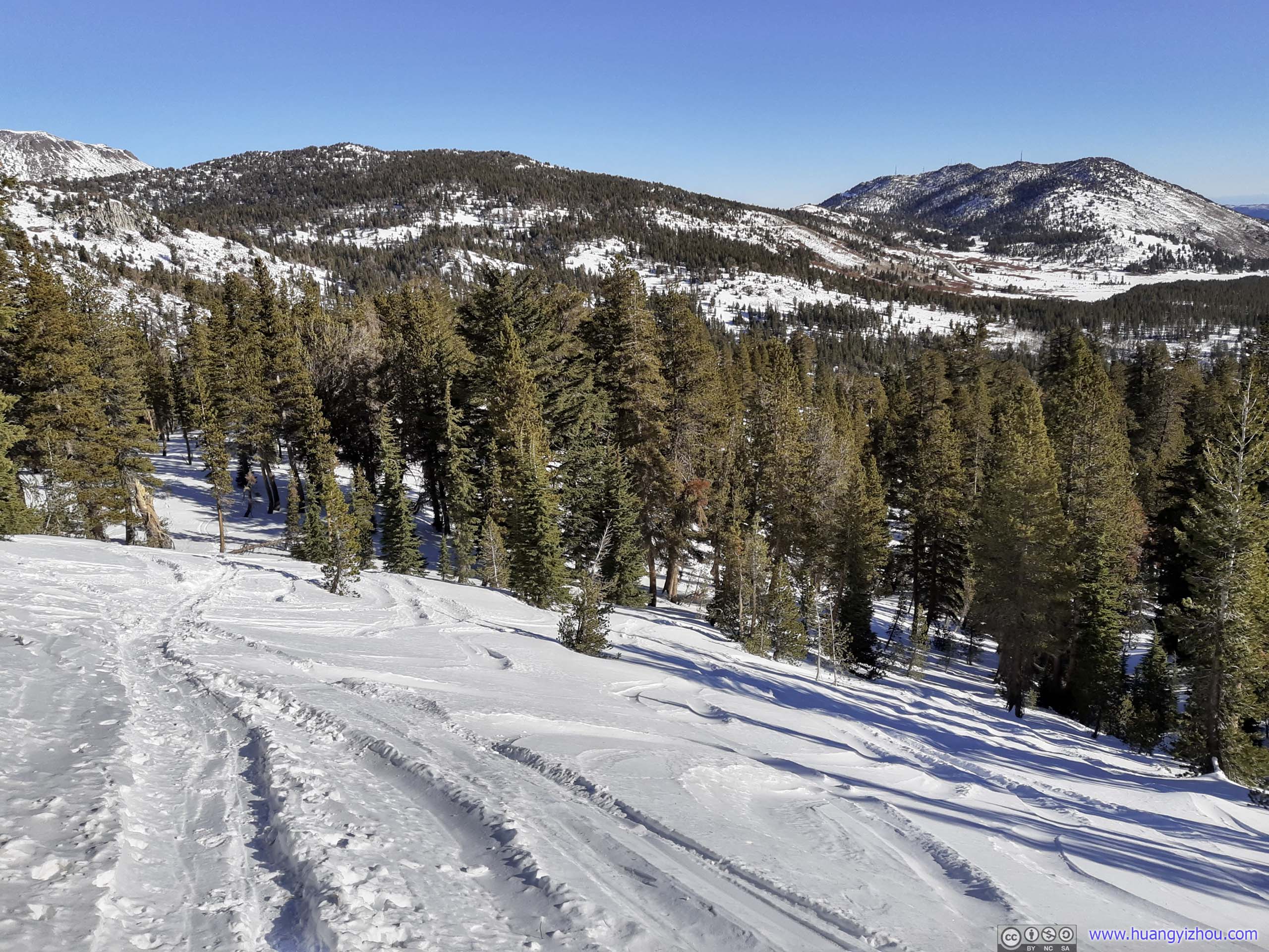
 Slope
Slope
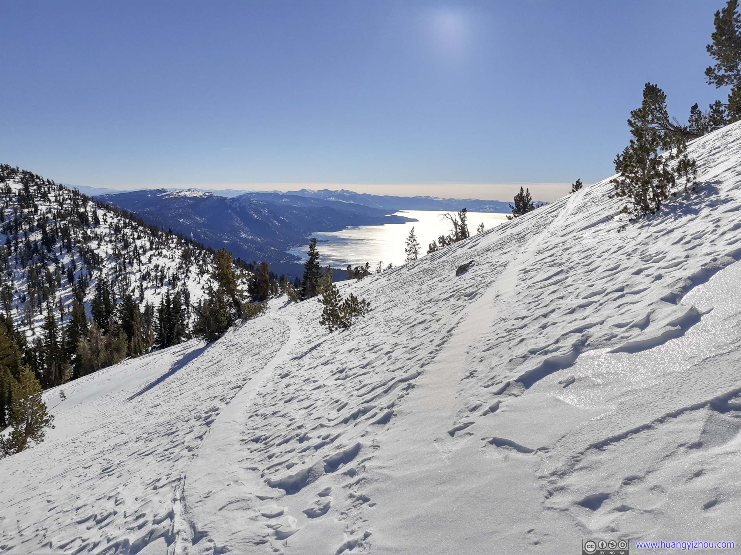
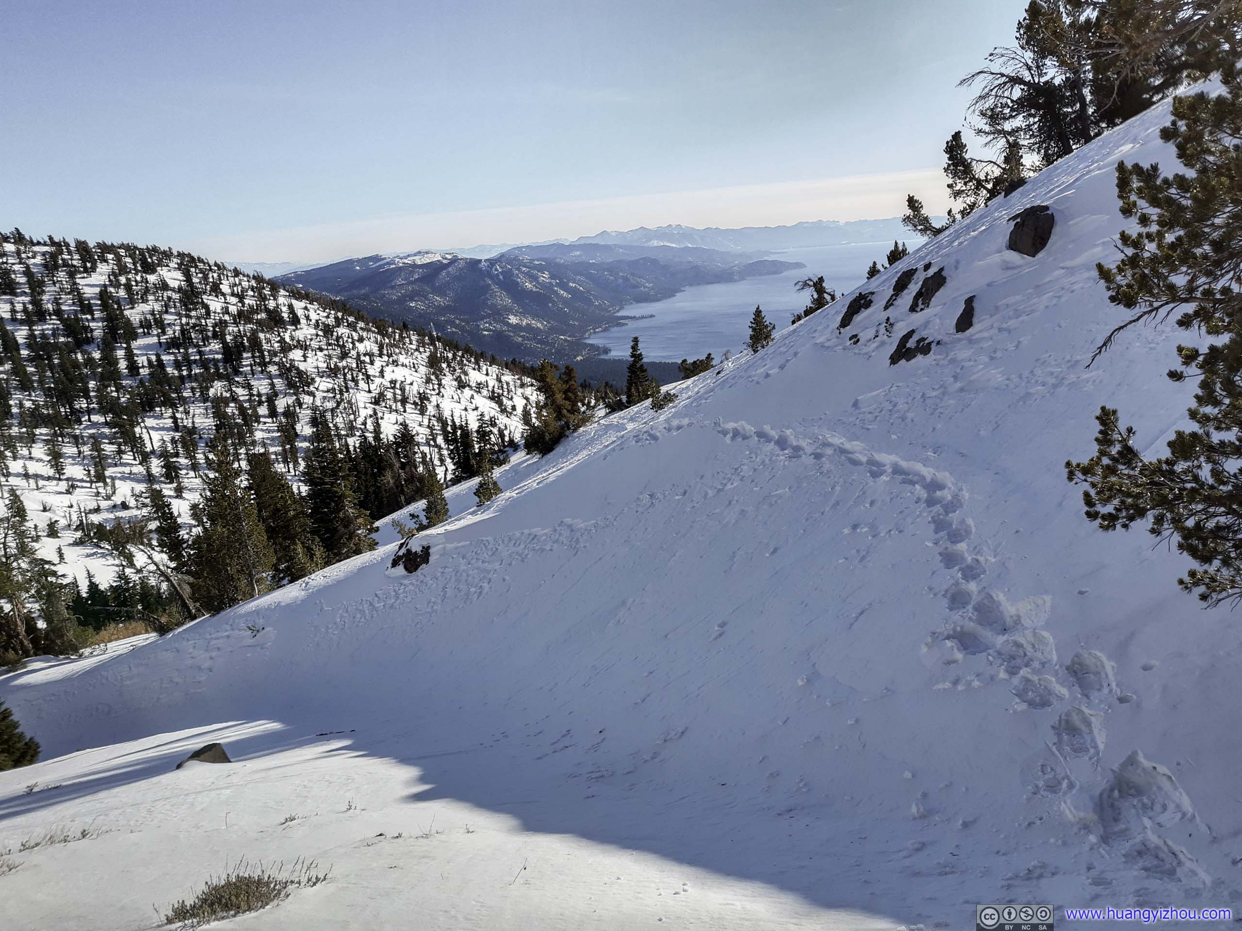
At 11:10am, I reached the top of this slope, that’s about halfway to Rose Knob Peak. Before continuing on, I chose to take a 400m one-way detour south to Pats Knob, directly overlooking Lake Tahoe.

Cross Country Skiers
Mountains to the EastCaptured from the ridge towards Pats Knob.
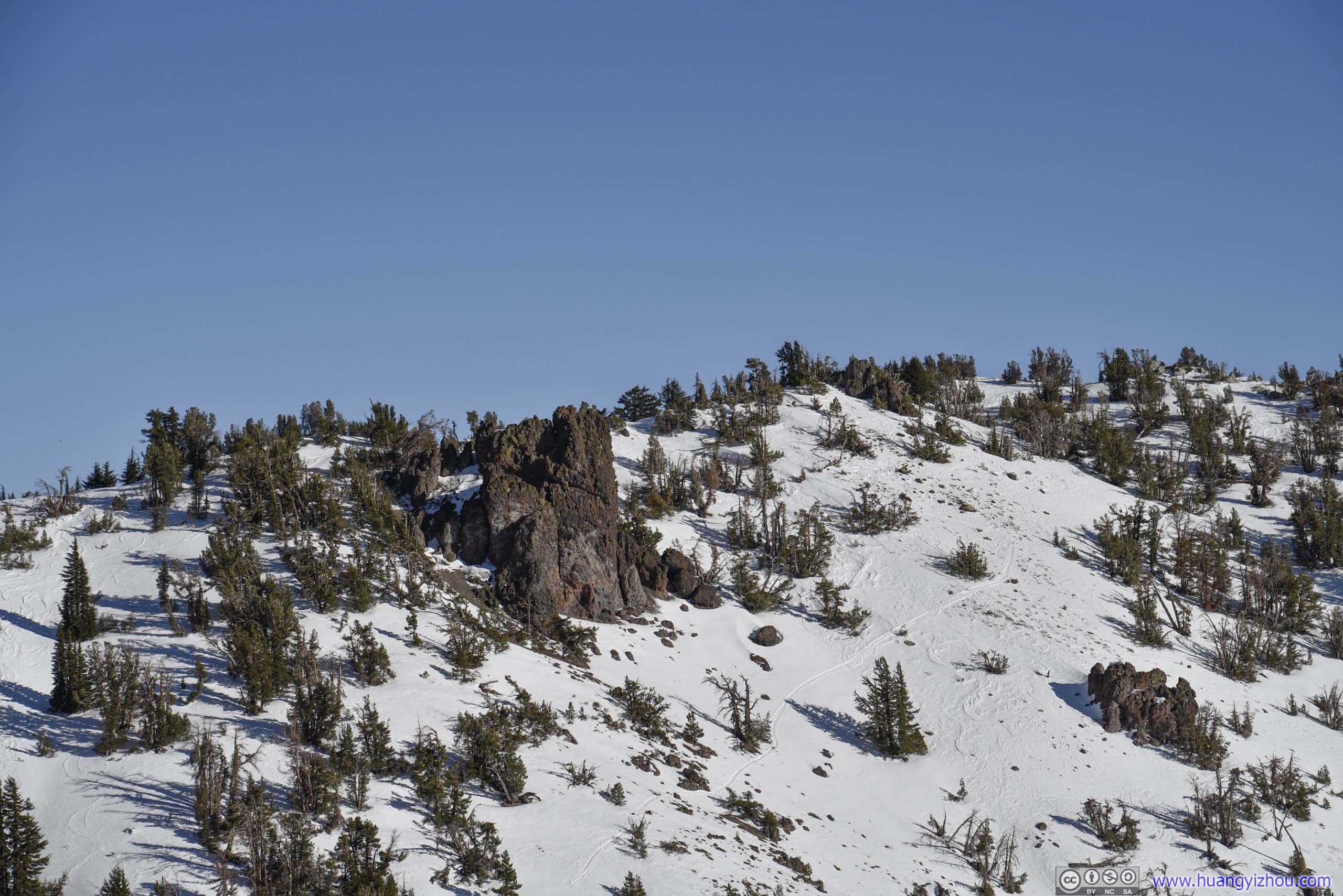
Pats Knob
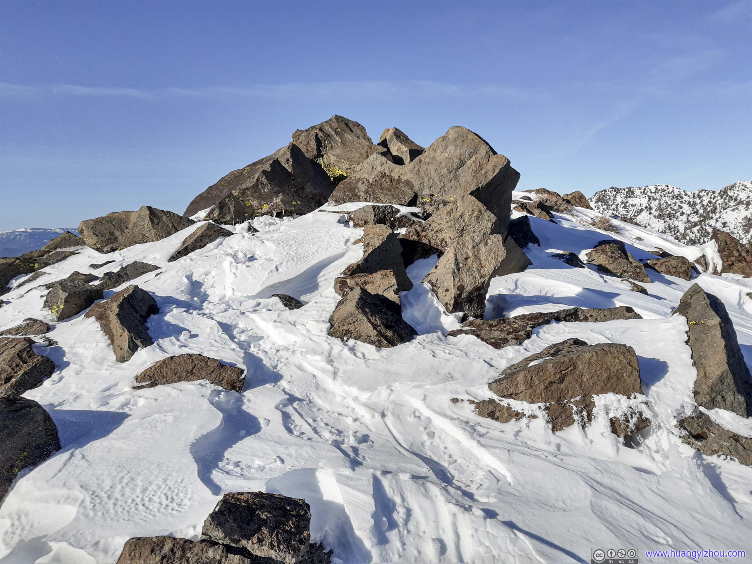
About 20 minutes later, I was at Pats Knob.
 Pats KnobA few rocks, surrounded by snow, with vantage views of Lake Tahoe in front.
While the towering views of Lake Tahoe in front would be magnificent, there was strong wind coming from the south. Unlike later in the day on top of Rose Knob Peak, the wind didn’t stop me from appreciating the scenery, and I was glad that I did.
Overlooking Lake Tahoe
Distant Mountains beyond Lake Tahoe
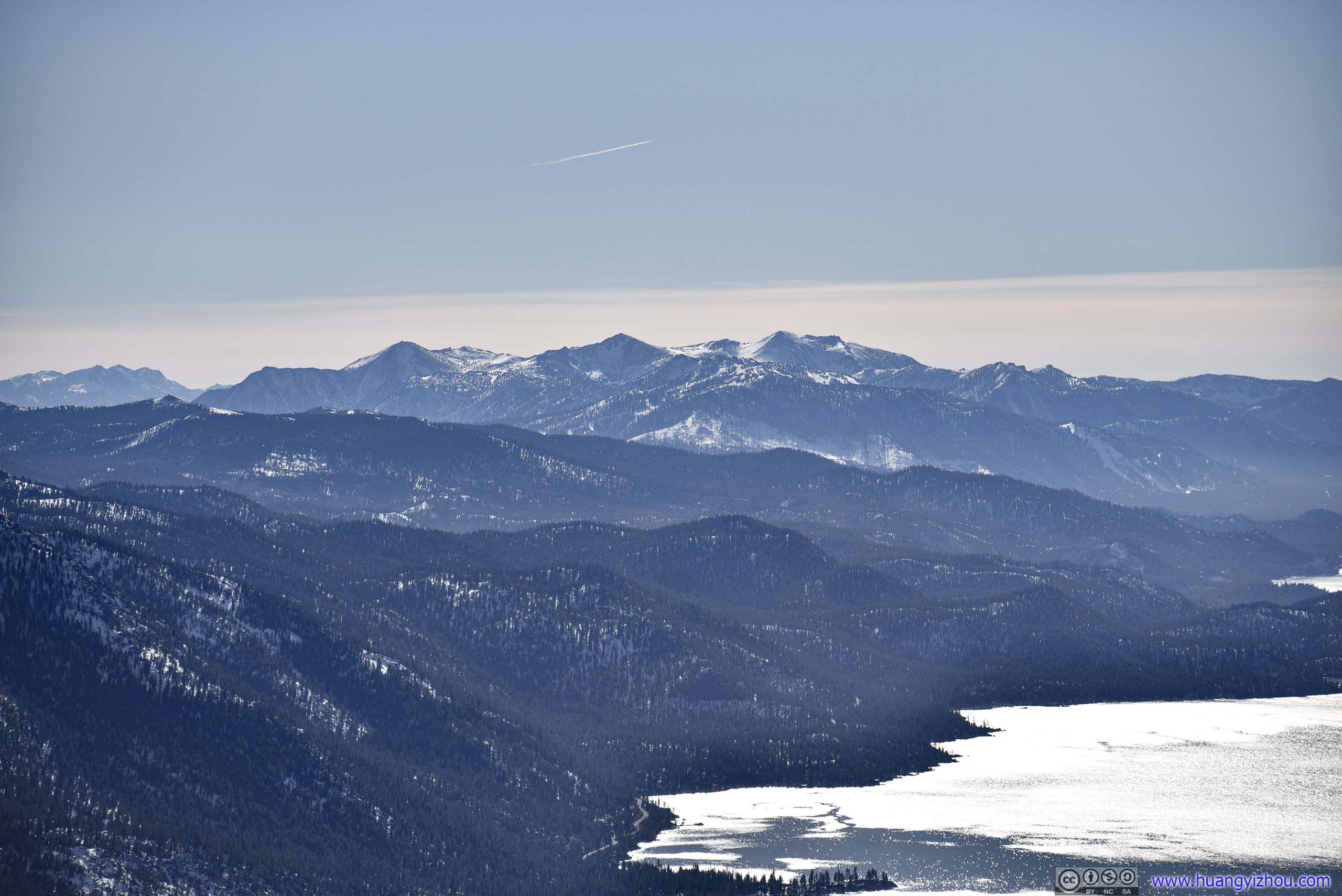
 Distant Mountains beyond Lake TahoeLeft : Freel Peak in Carson Range. Right : Pyramid Peak in Crystal Range.
Slide Mountain
Mount Rose to the NorthWhich I planned to summit the next day.
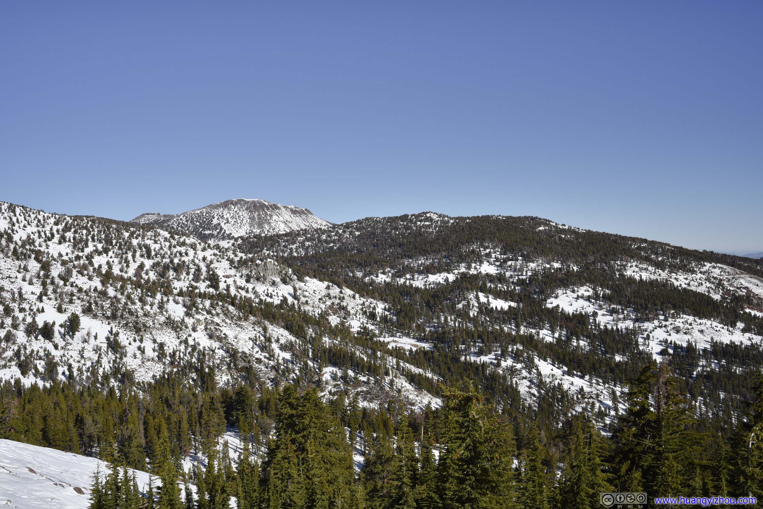
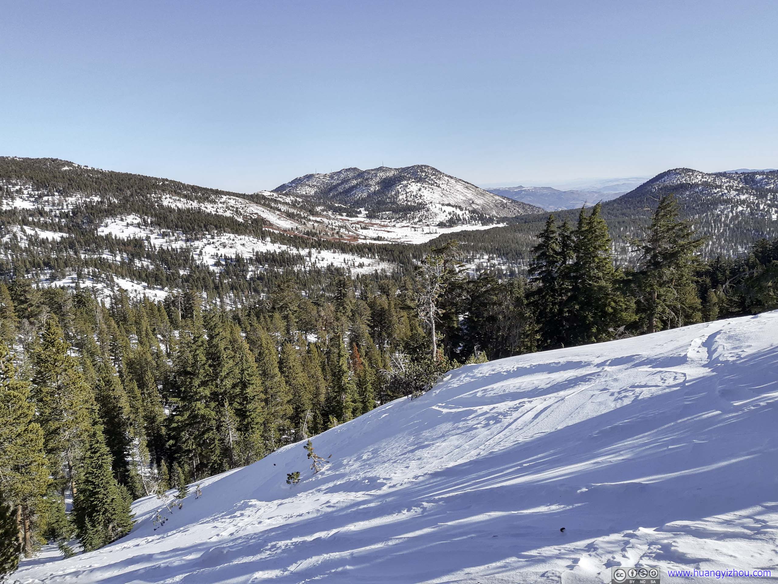
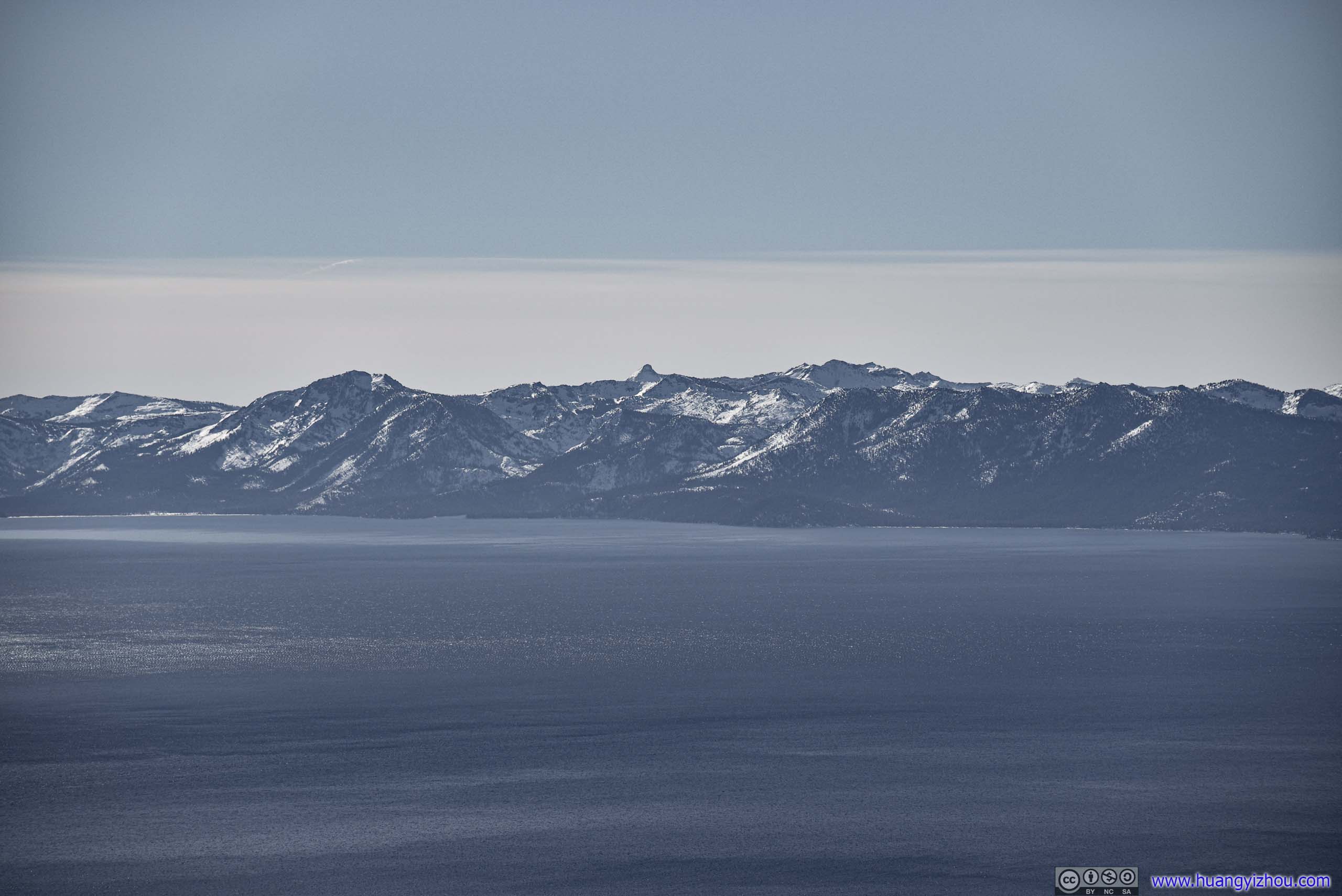
 Surrounding Mountains
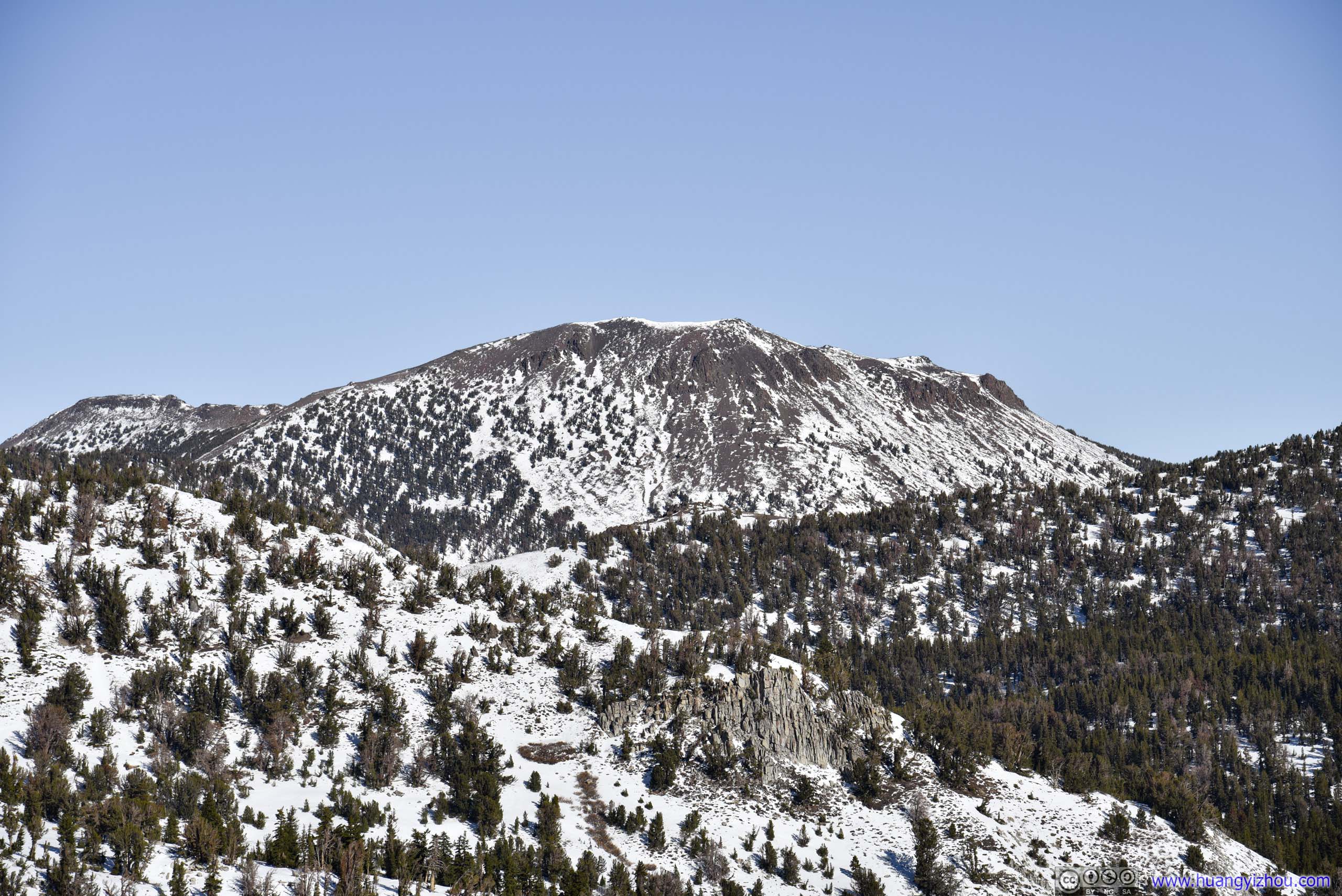
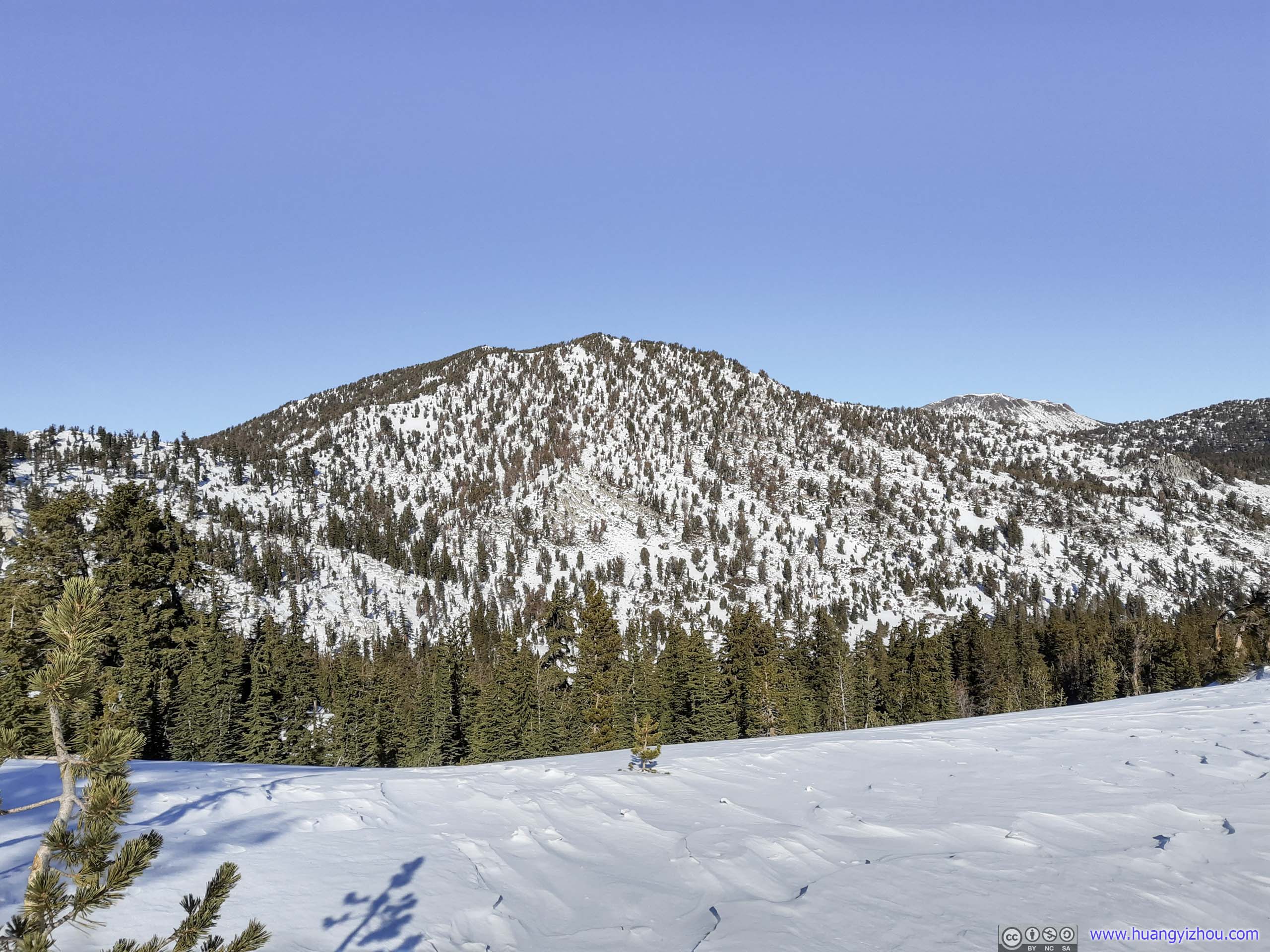
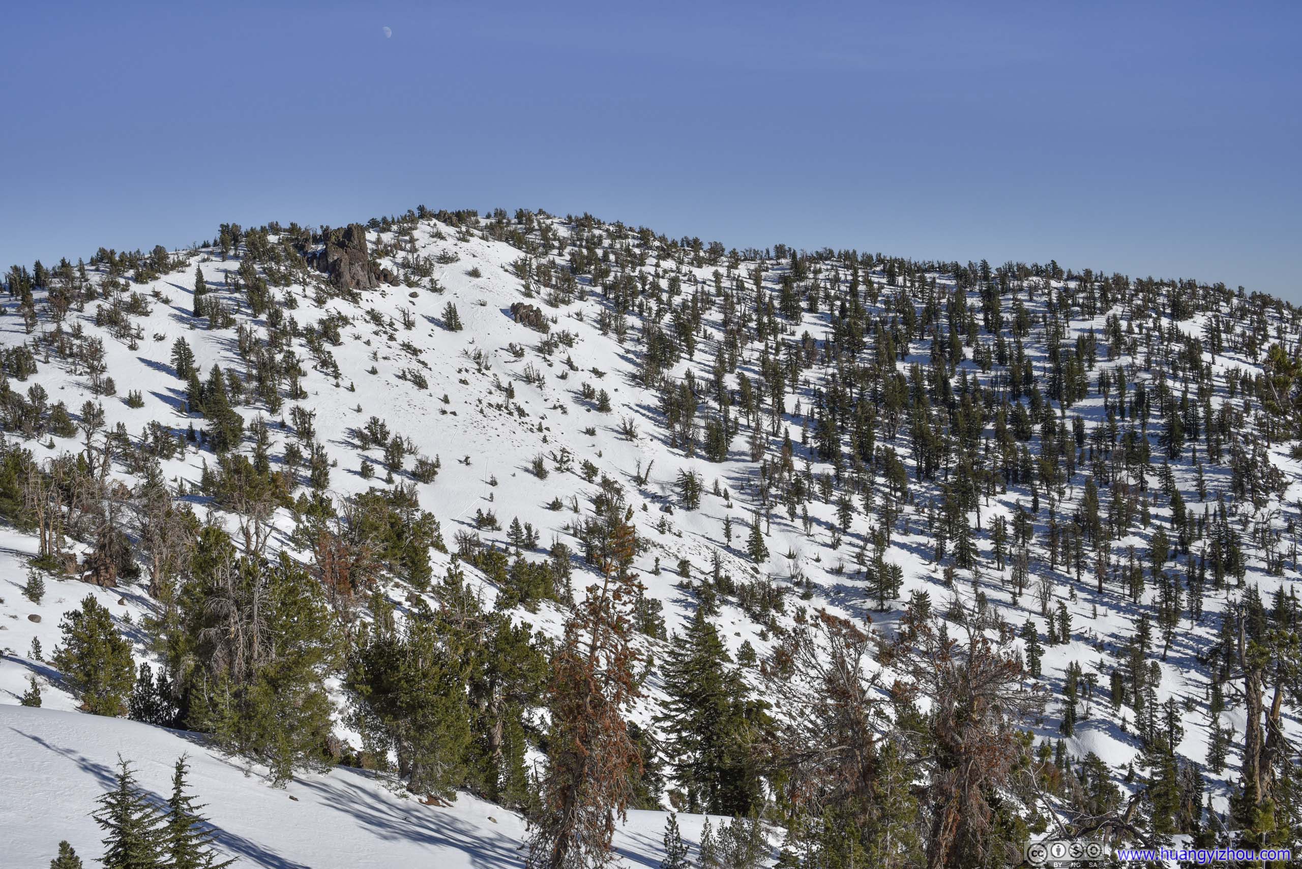
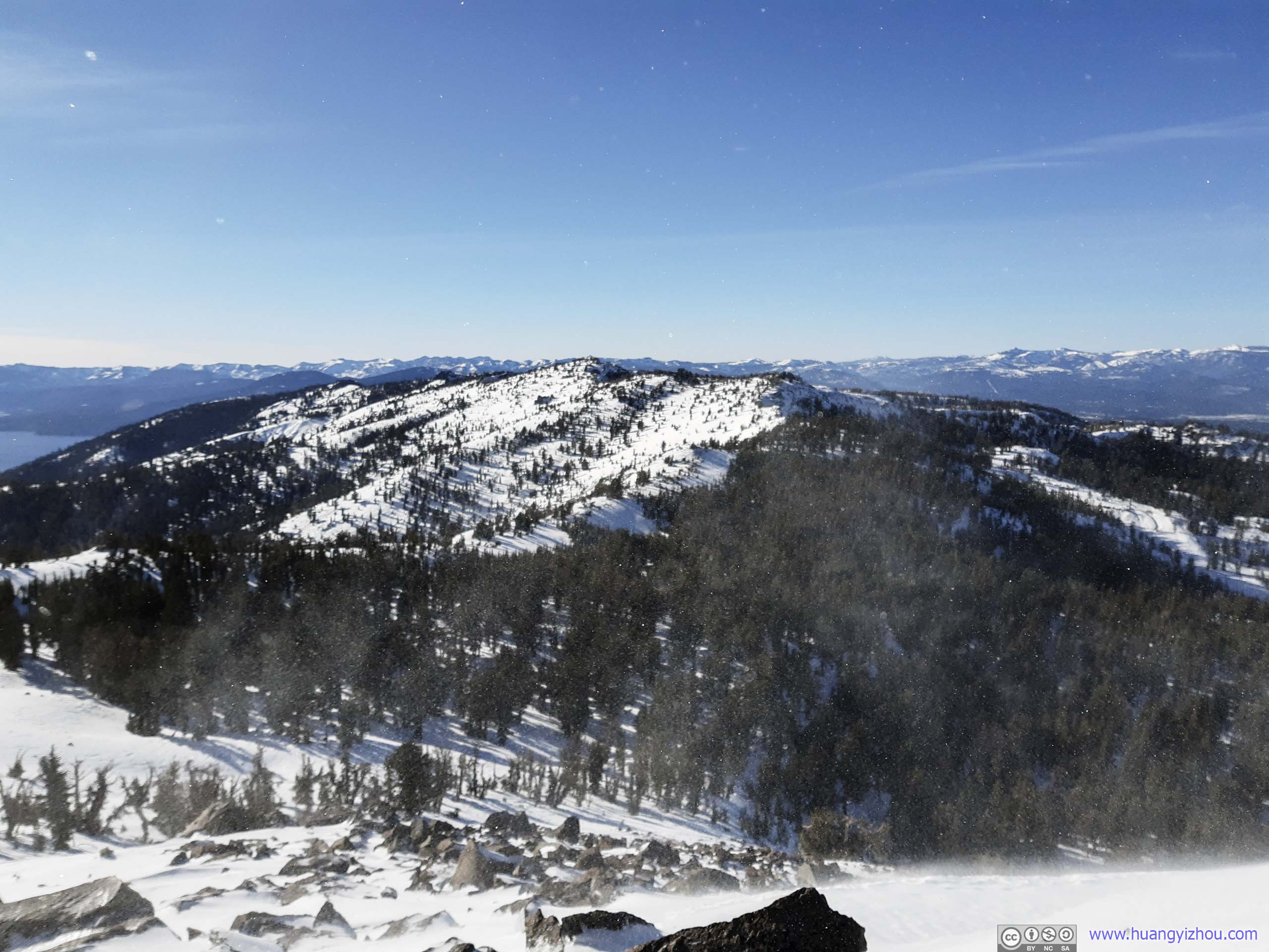
MountainWhich I would travel around on my way to Rose Knob Peak.
Rose Knob Peak from Pats KnobWhich I was about to summit, with great effort.
After that, I left Pats Knob and continued my way to Rose Knob Peak.

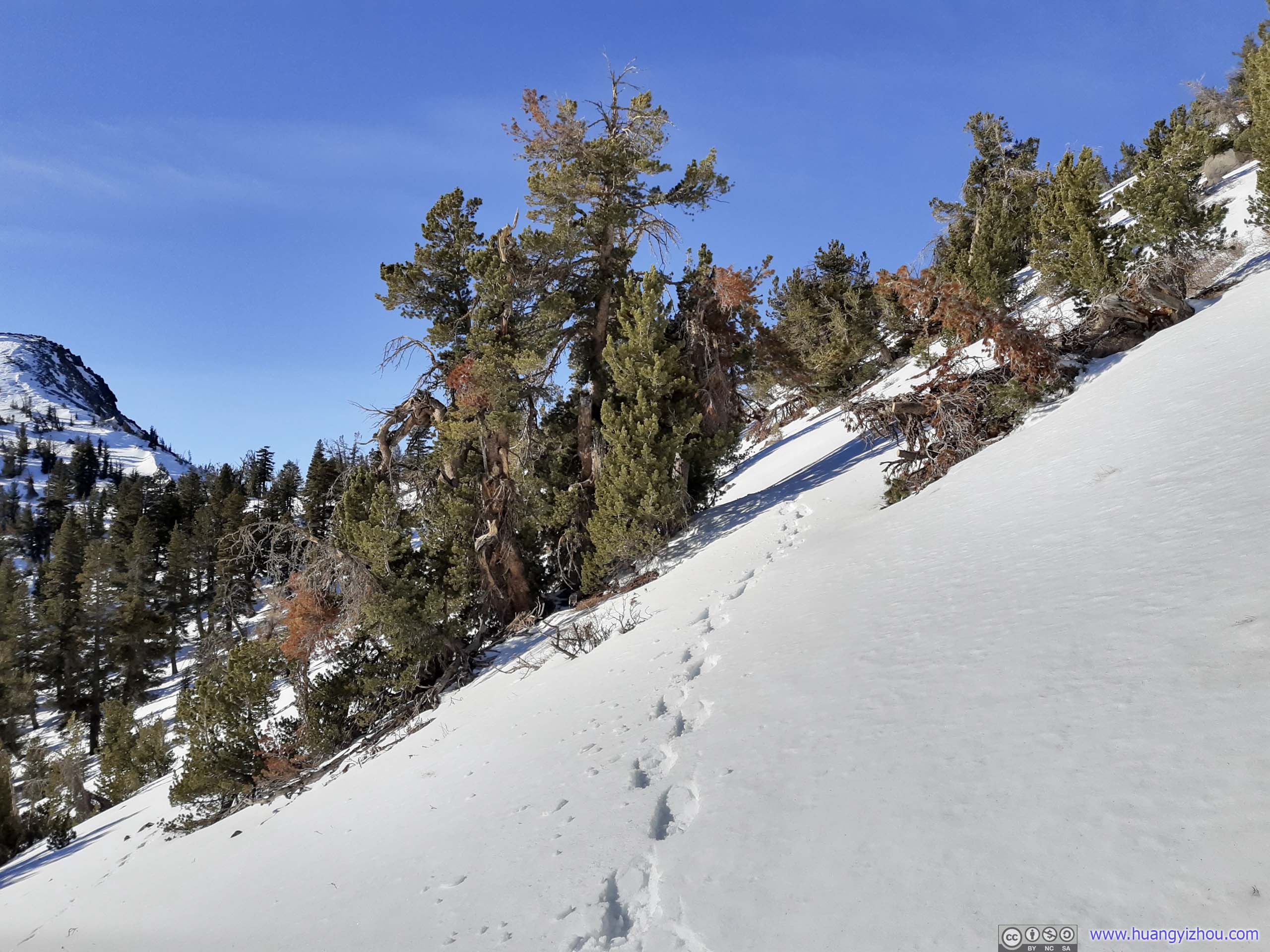
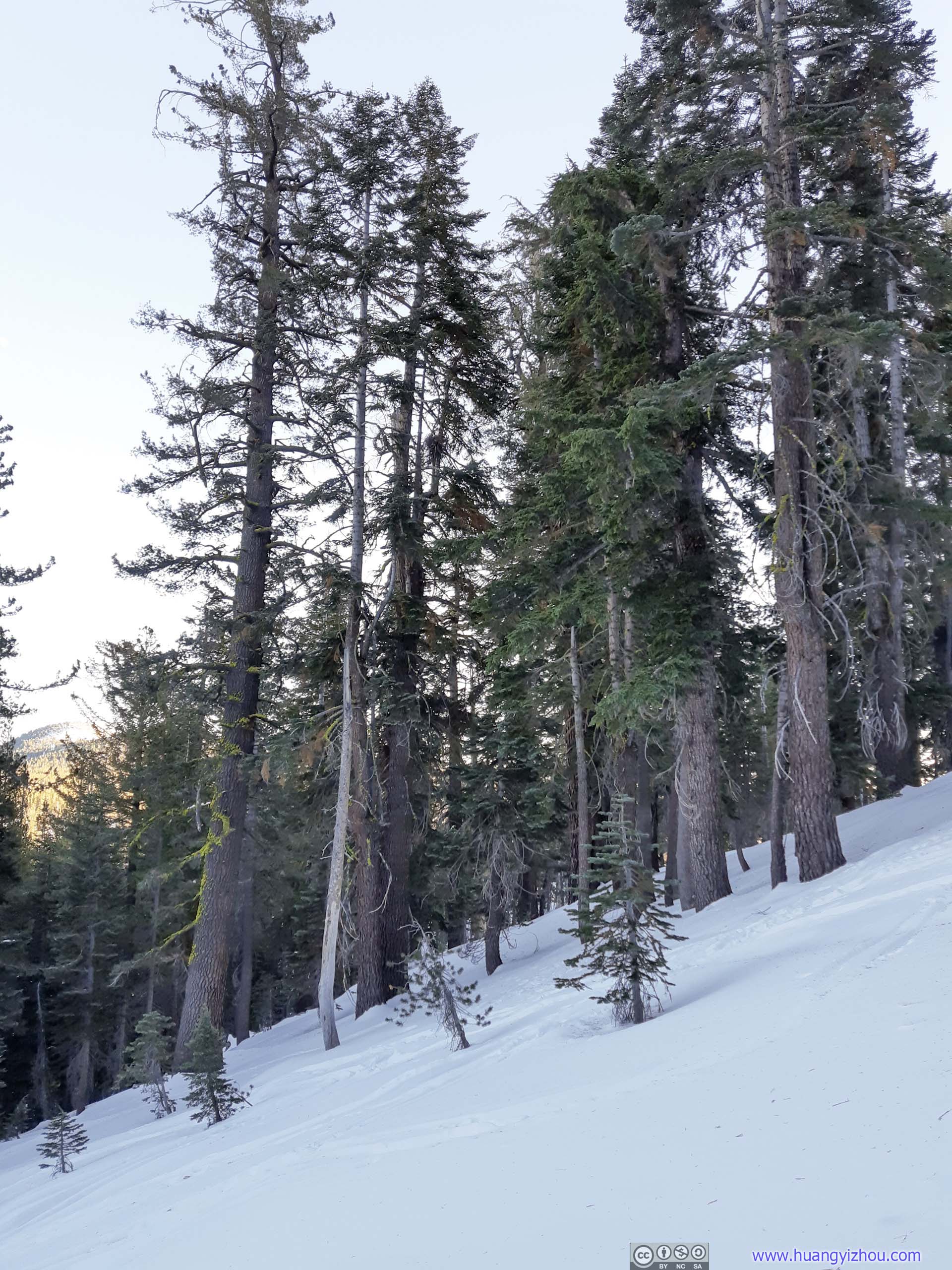
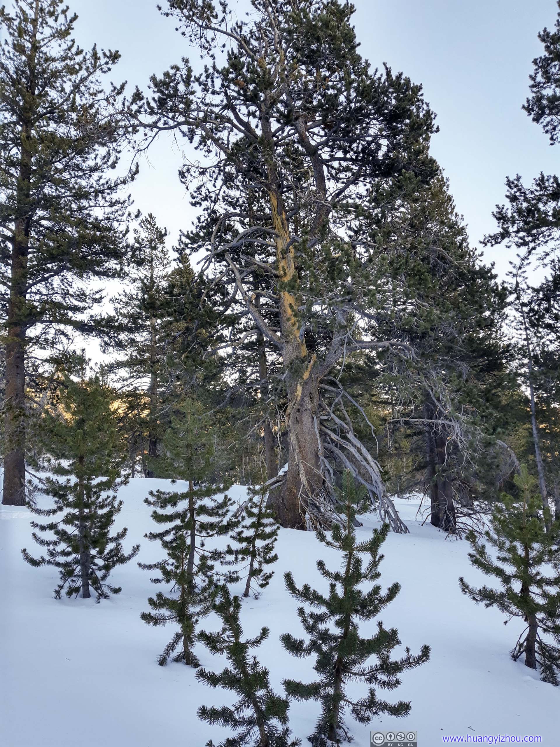
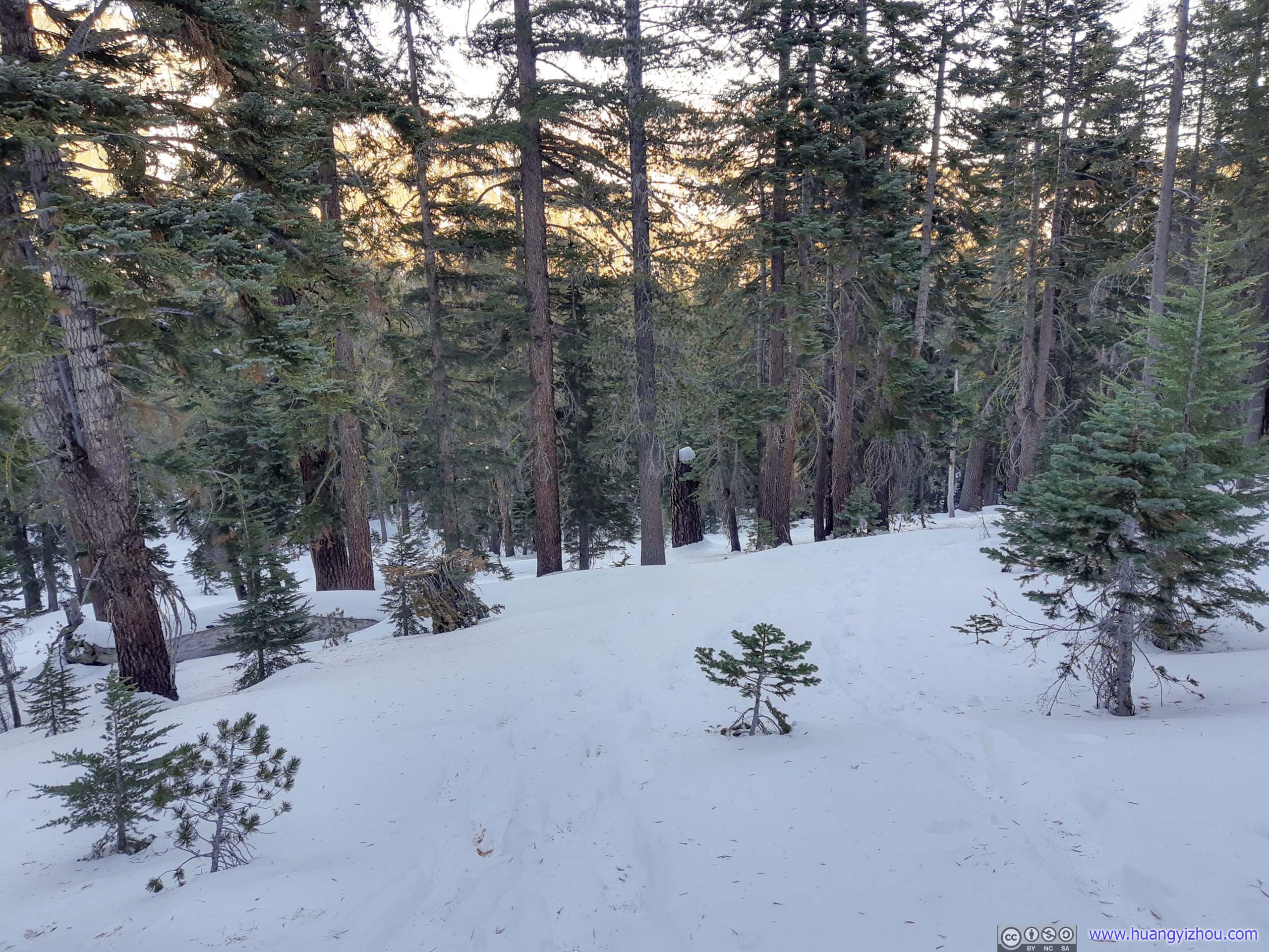
 Trees
Trees
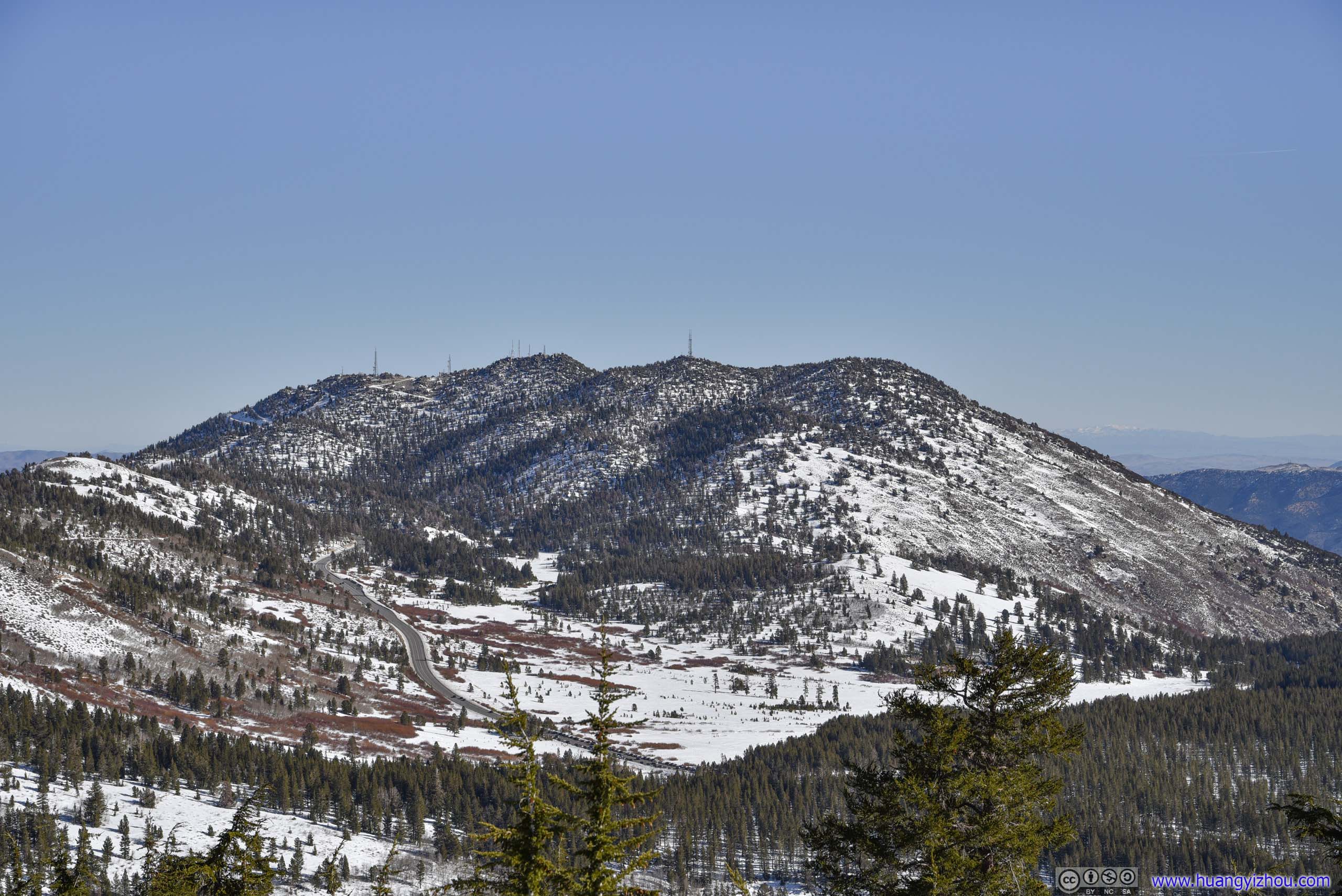
Relay Peak
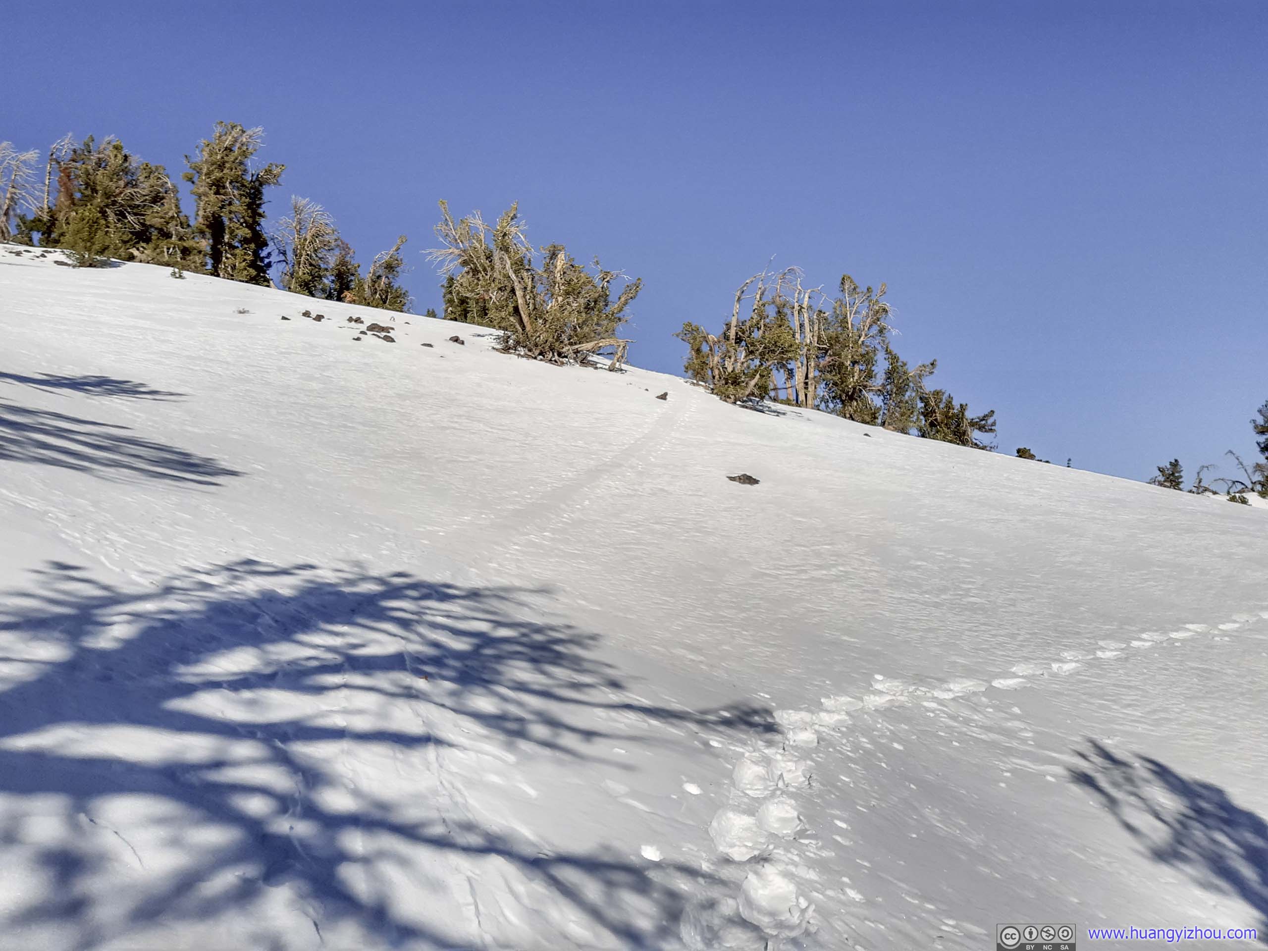
 TrailAfter Pats Knob the tracks on the snow was faint and at times invisible.
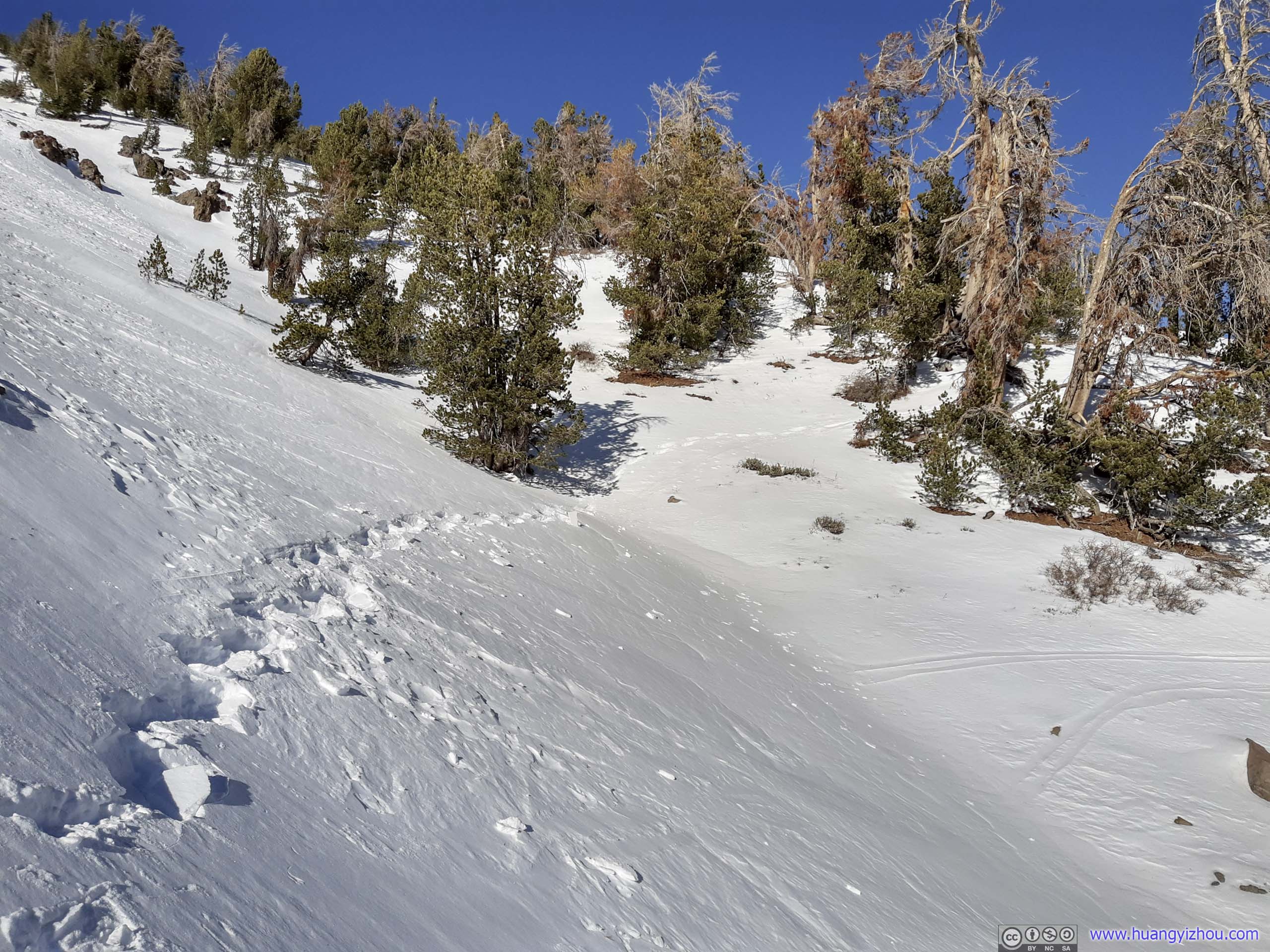
 Trail
Trail
Despite there wasn’t much elevation change, the angle of slopes that the trail covered until Rose Knob Peak made it a taxing journey.
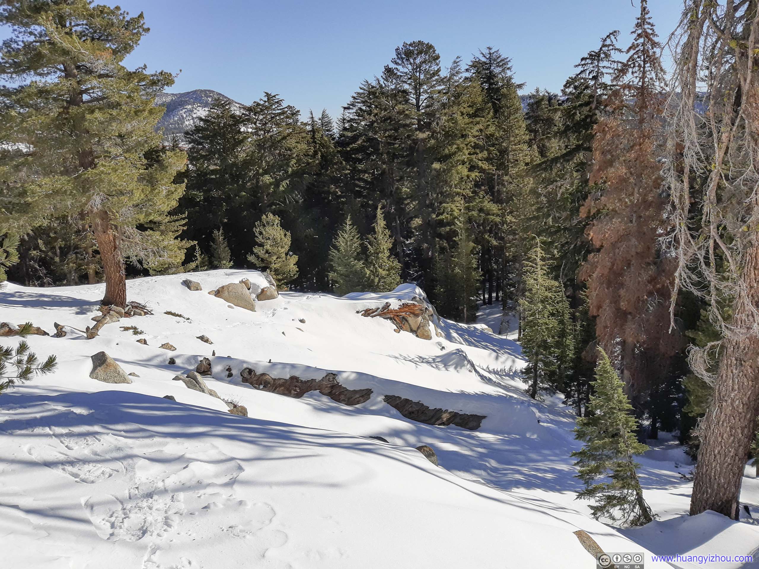
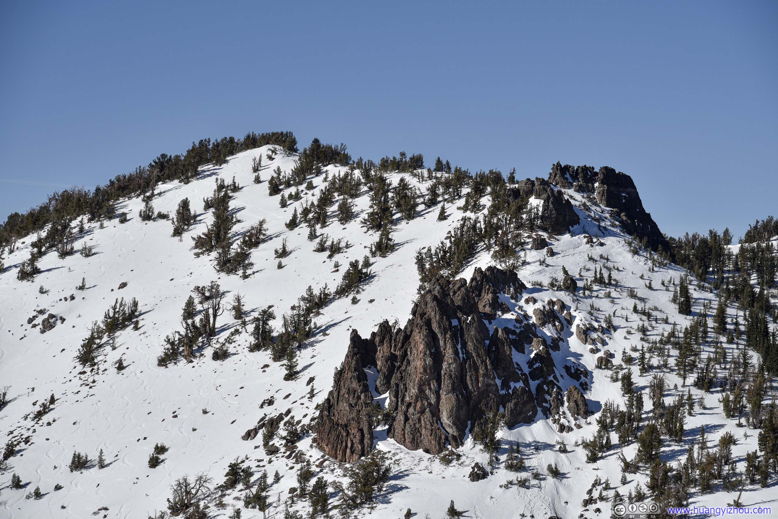
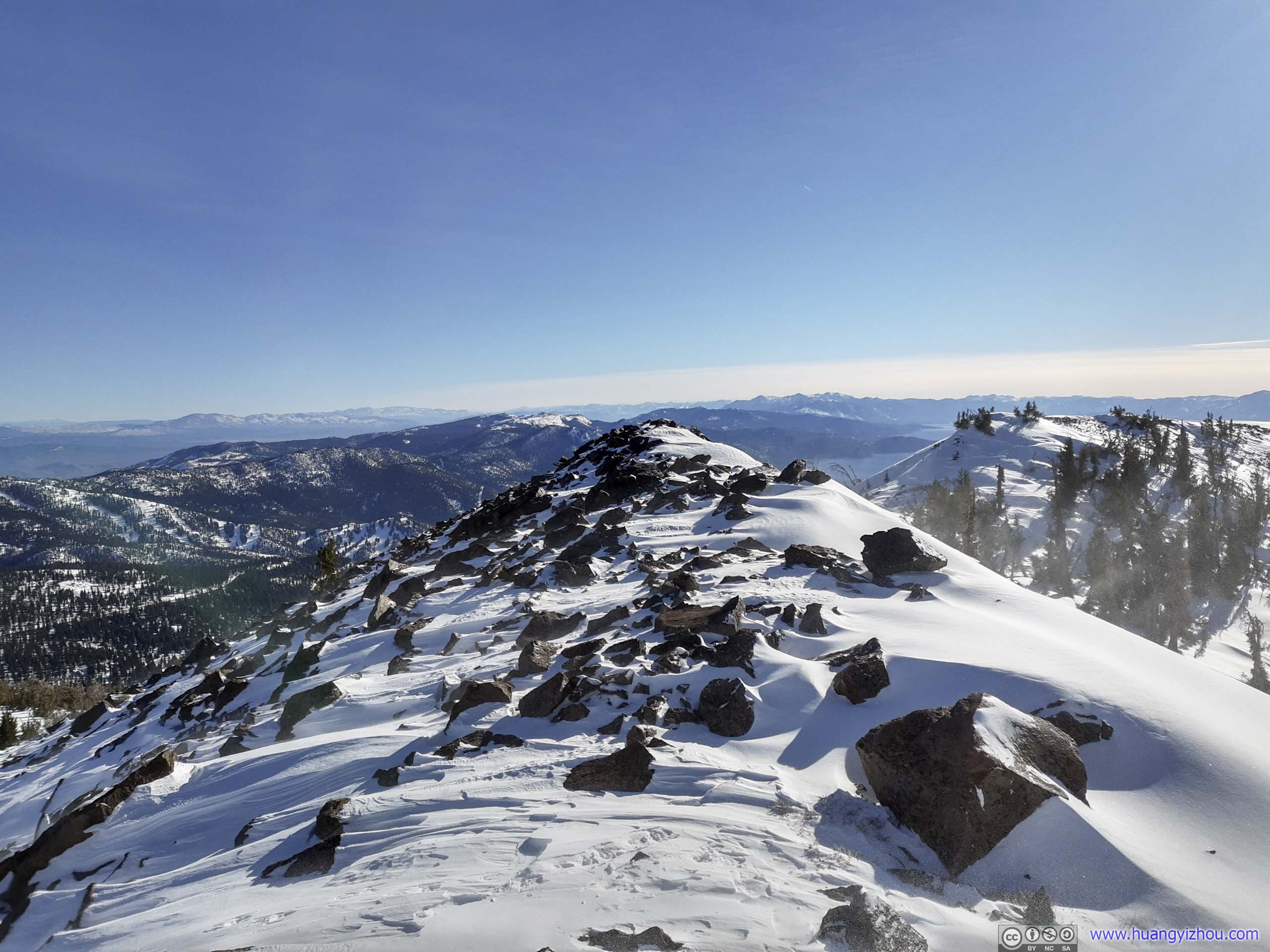
 Boulders on MountainAlong the ridgeline to Pats Knob.
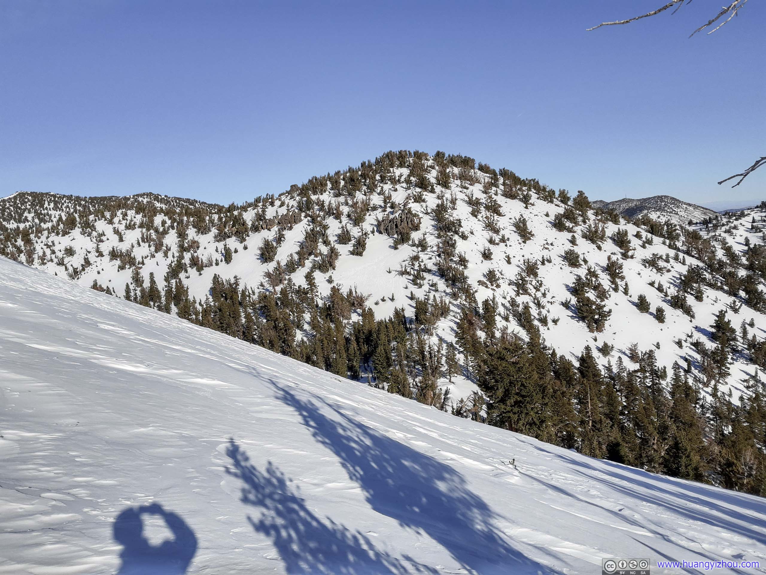
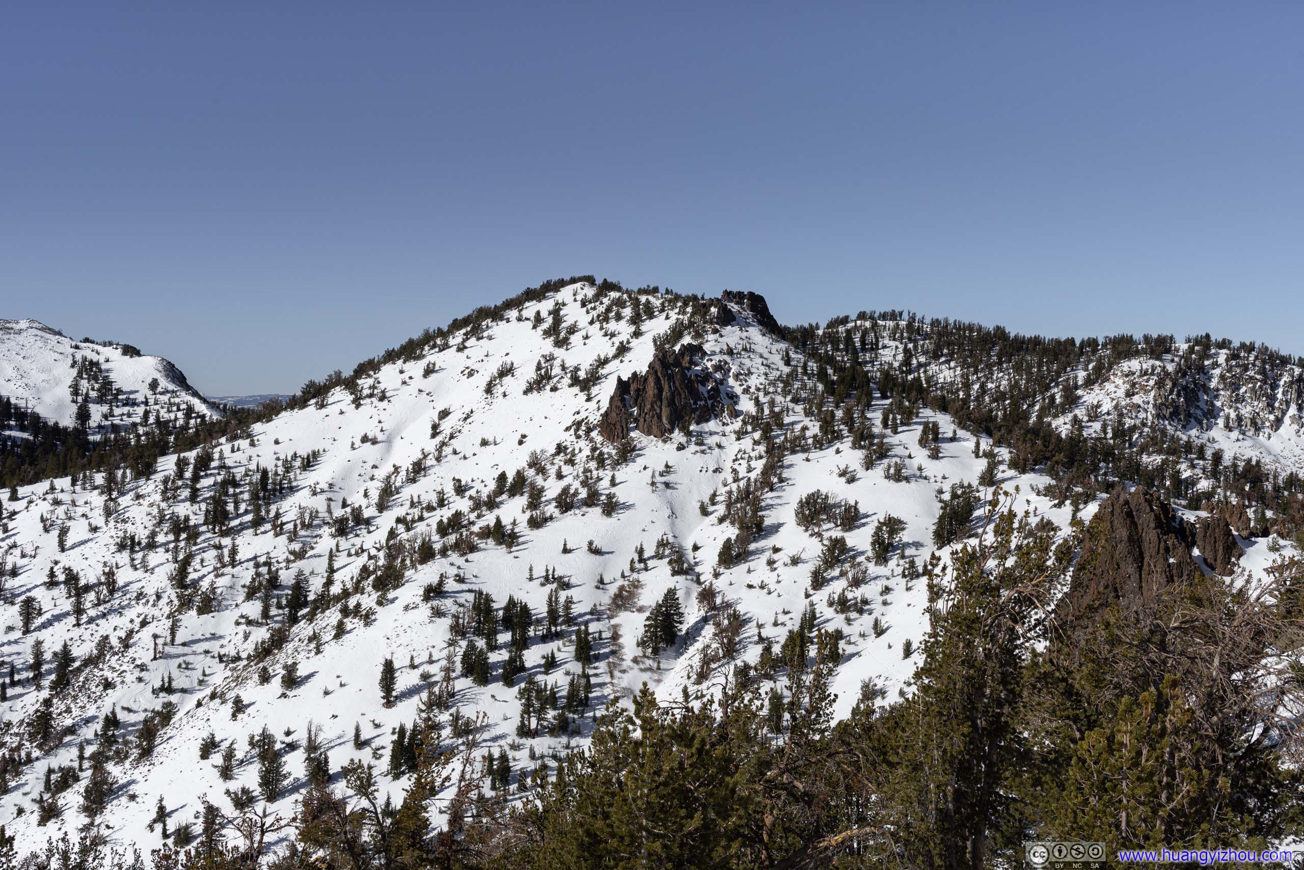
 MountainEast of Rose Knob Peak.
It’s 12:45pm by the time I reached the saddle point of Rose Knob Peak and another mountain to the east (photo’d above). With strong winds blowing from the south, I determined the north side of that saddle point was the only feasible place for me to have lunch.
Despite that it’s still a challenge to find a rock/branch on the snow field that’s sheltered from the wind. This probably turned out to be the most unpleasant field lunch I had for the year.
20 minutes later and after an unpleasant lunch, I pressed onward to Rose Knob Peak.

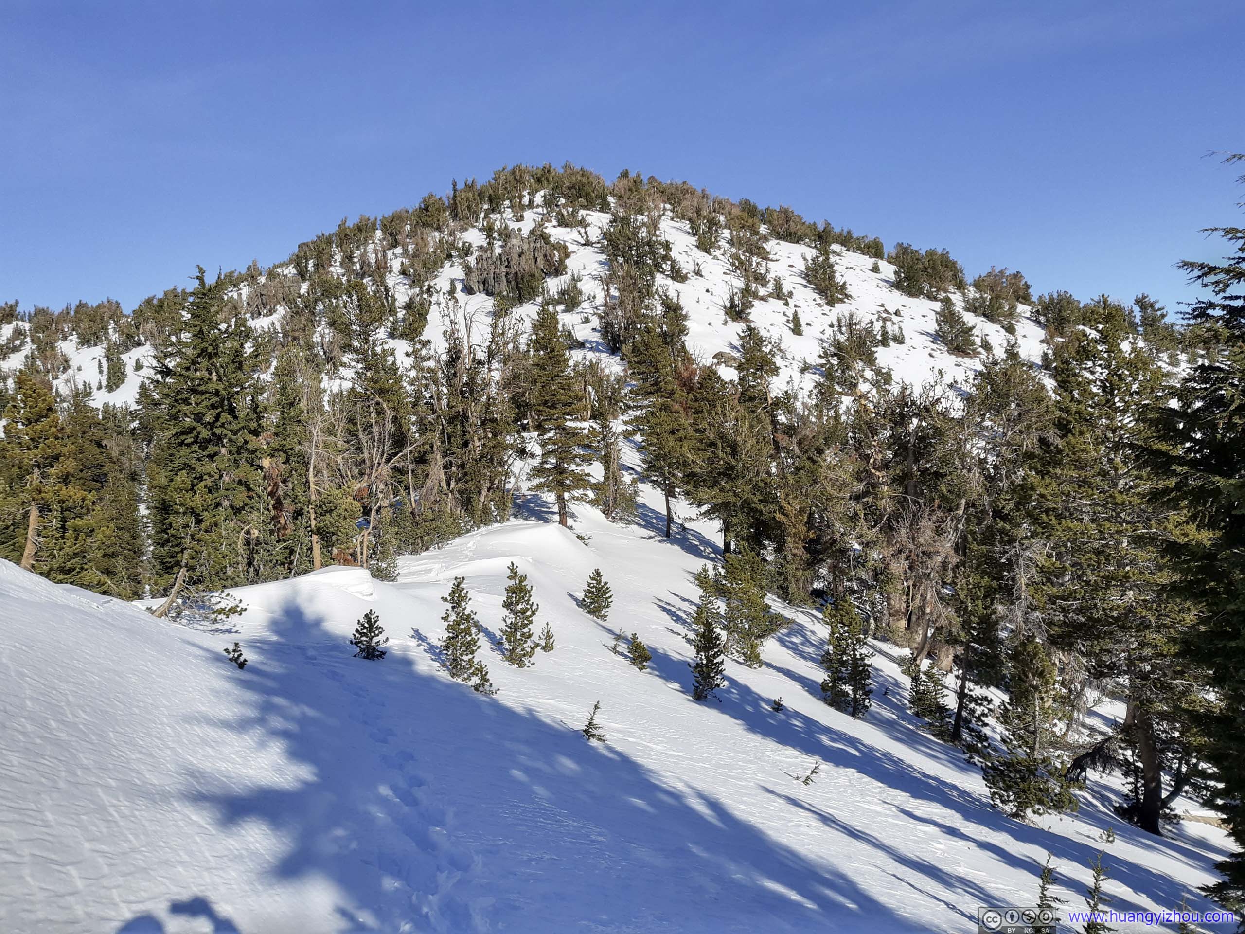
 Rose Knob Peak Ahead
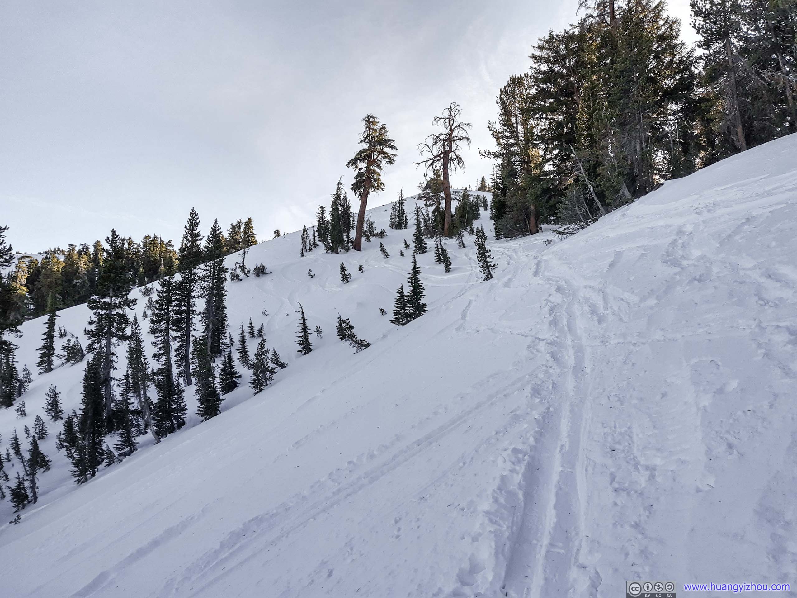
Final Stretch before Summit
Throughout the final stretch, it’s a daunting sight watching drifting snow carving out the rocks at summit. It’s an arduous journey climbing this steep slope to begin with, high winds meant I was in the cycle of “sheltering behind trees recovering” and “dashing towards the next tree in sight”. But nonetheless, 22 minutes later, I covered the final 300m and was at the summit of Rose Knob Peak.
Summit
Drifting Snow
Unfortunately, with my face constantly battered by the drifting snow, I couldn’t unleash my camera, nor was I in any mood to appreciate the scenery nearby. So I quickly snapped the following few photos to mark my presence.
 Rocks at Summit
Lake Tahoe from Rose Knob Peak
Mountains to the West
Mountains to the East
Rose Knob Peak
After spending a mere 7 minutes at the summit, I headed back down.

 Overlooking Mud Lake

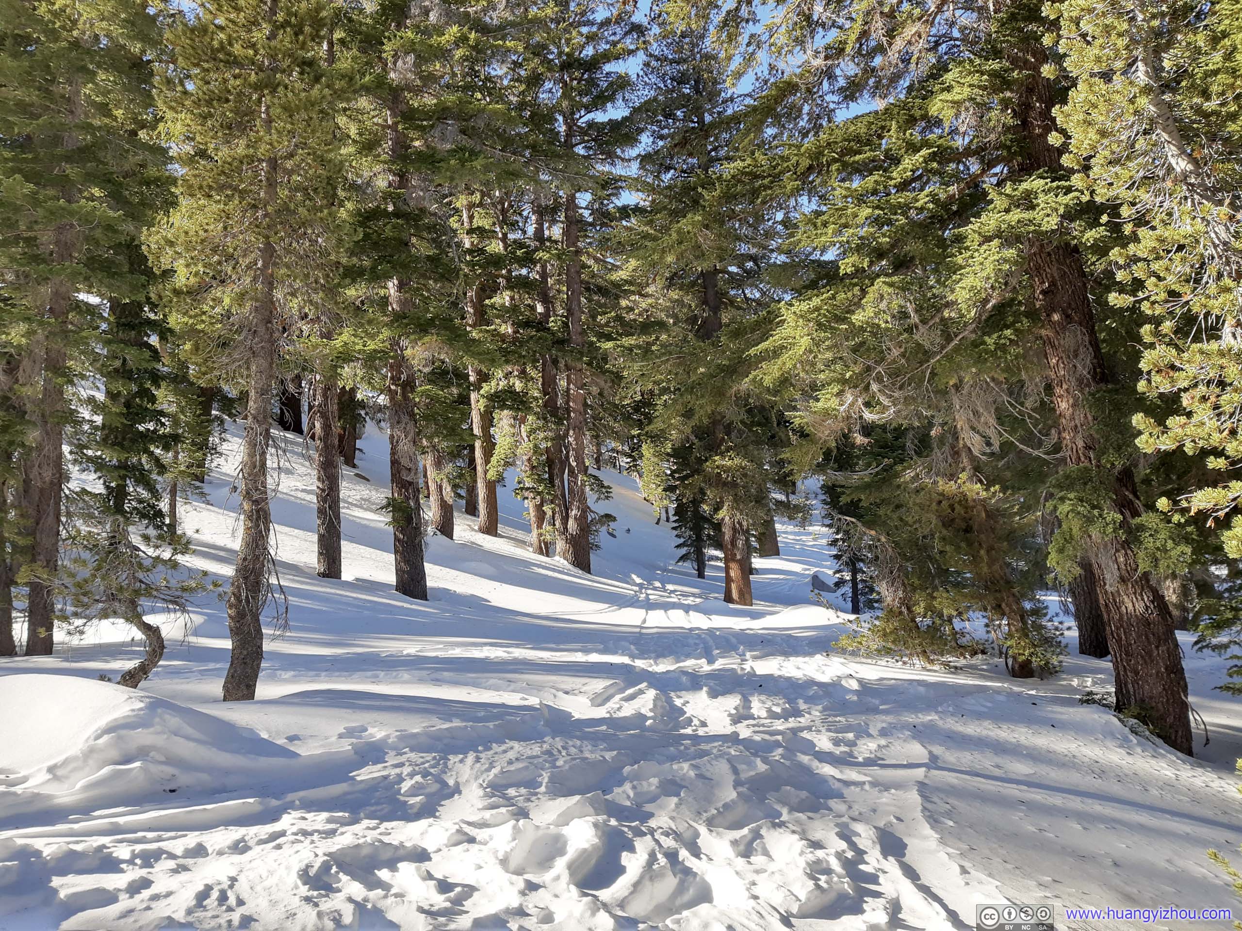
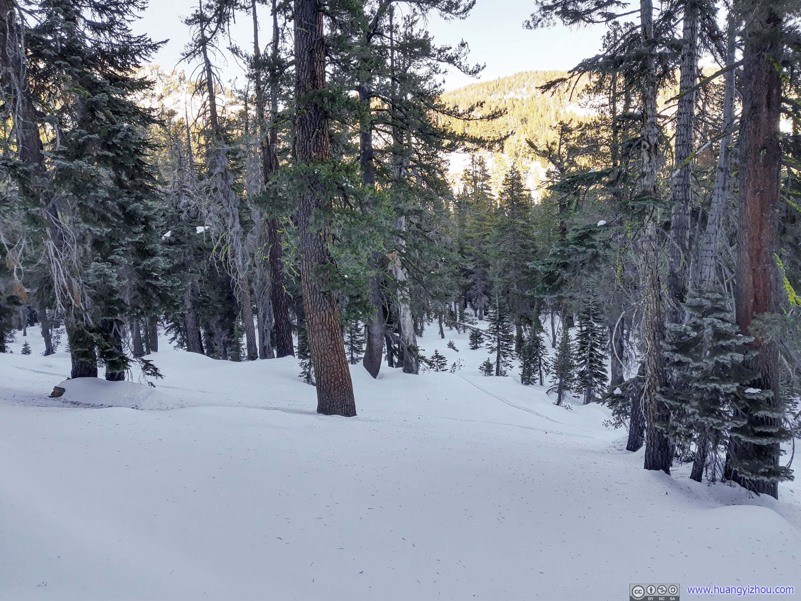
 Trail
Trail
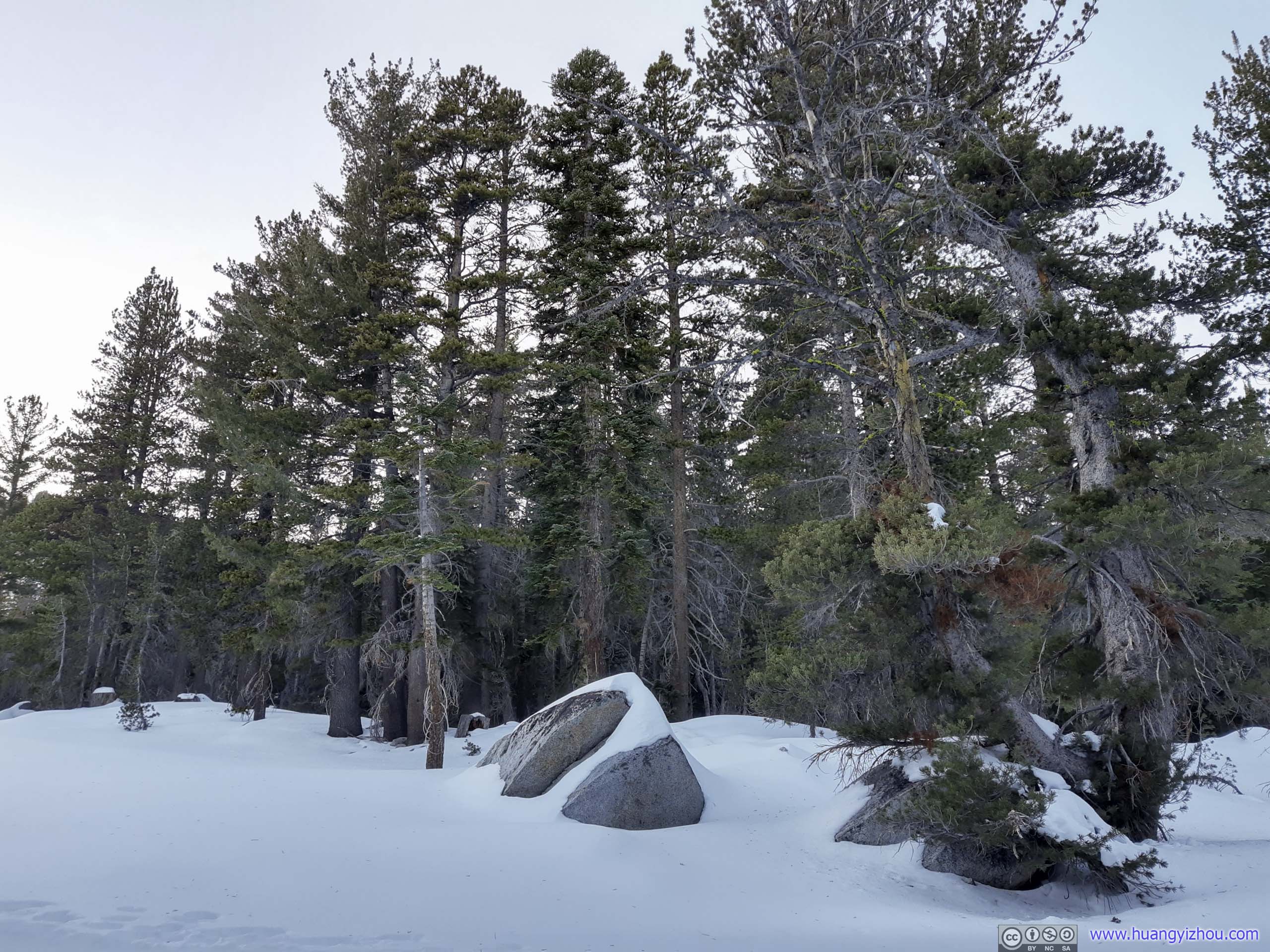
 Boulders

 Trail
Trail


 Trees
Trees
 Forest
Finally, at 3:45pm, I got back to the trailhead.
Tahoe Meadow
Since there’s still time till sunset, I decided to unleash my drone and take an aerial tour of surrounding Tahoe Meadow.
Mount Rose Highway
Overlooking Tahoe Meadow

Forests by Tahoe Meadow
Lake Tahoe from Tahoe Meadow
Distant Lake Tahoe
And here’s a video clip:
Sunset at Memorial Point
After that, it’s about 4:10pm, half an hour till sunset. I arrived relatively late at Memorial Point for sunset 3 days ago, so I decided to head there again today (since it’s on my way back to hotel).
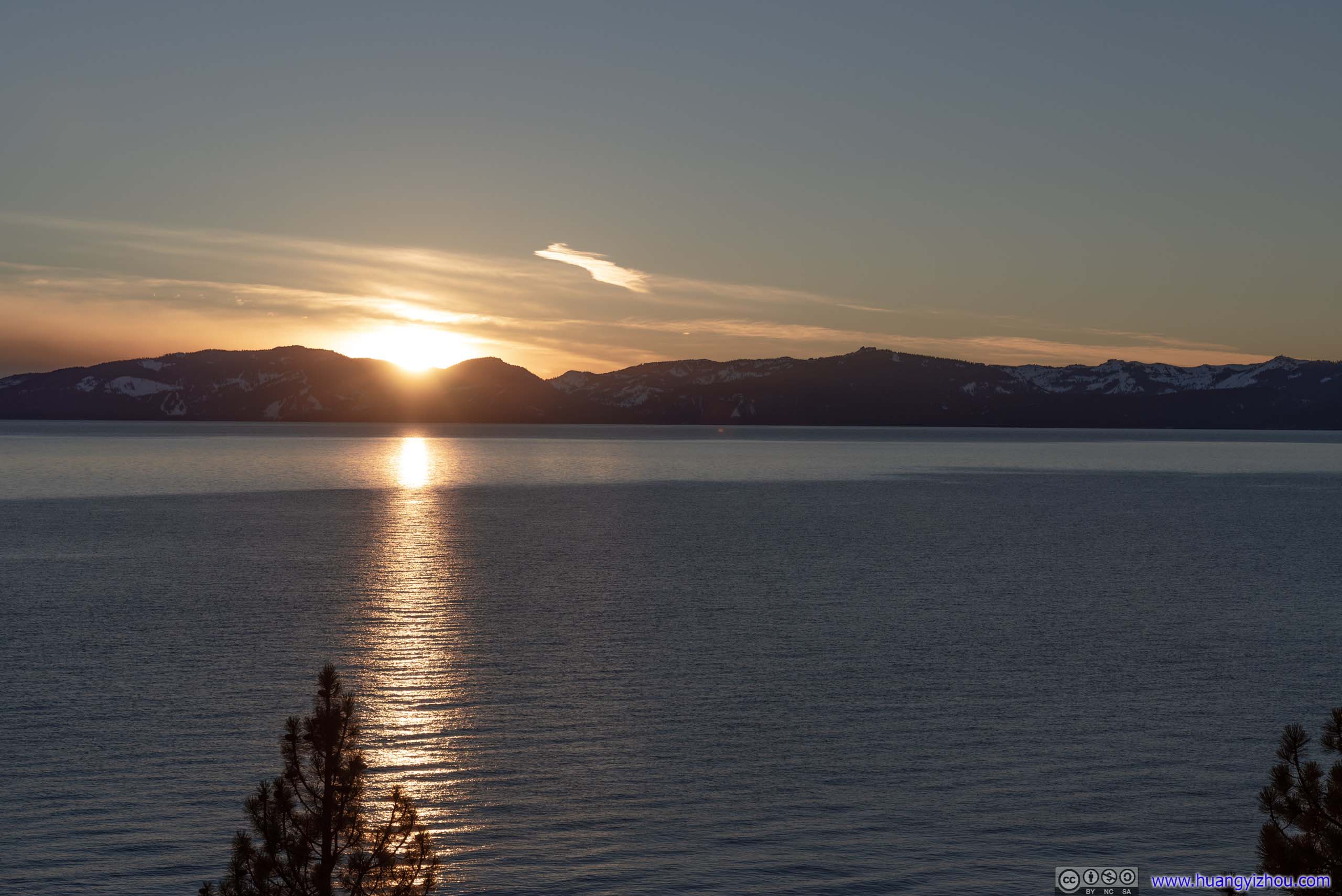
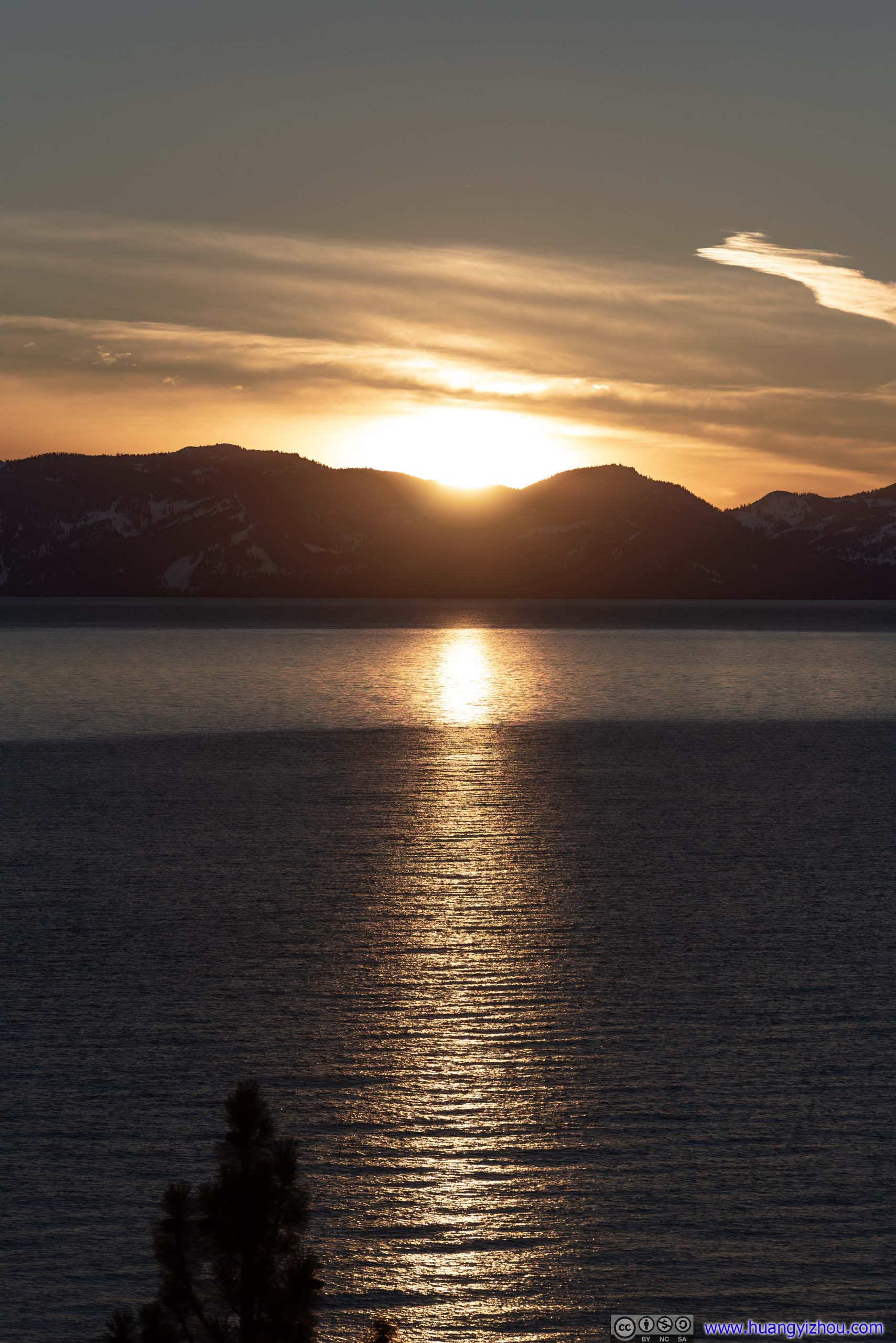 SunsetI certainly arrivd in time for these glittering waters.
This time, I also launched my drone, and flew it to the center of Lake Tahoe enough away from shore, snapping these panoramic sunset glows surrounding Lake Tahoe.

Sunset Glow over Lake Tahoe

Drone Panoramic View of Lake Tahoe
And here’s a video clip:
END
![]() Day 3 of 2020 Lake Tahoe Trip, Snowshoing to Rose Knob Peak and Pats Knob in Mount Rose Wilderness by Huang's Site is licensed under a Creative Commons Attribution-NonCommercial-ShareAlike 4.0 International License.
Day 3 of 2020 Lake Tahoe Trip, Snowshoing to Rose Knob Peak and Pats Knob in Mount Rose Wilderness by Huang's Site is licensed under a Creative Commons Attribution-NonCommercial-ShareAlike 4.0 International License.