
Updated on December 31, 2021
Day 1 of 2021 Alaska Trip, Matanuska Peak, Manifestation of Mental Perseverance
First day of my 2021 Alaska trip, I would be climbing Matanuska Peak outside the city of Palmer, a grueling day hike that tested both my physical and mental capabilities.

Trail to Matanuska Peak
I spent the final day of last year’s Alaska trip hiking Lazy Mountain, which was a small hill outside the city of Palmer but nonetheless challenging. From the top of Lazy Mountain, Matanuska Peak was like the bigger brother that shielded off much of the howling wind, that its magnificent presence had been a glamor throughout the entire hike. So this year, I decided to make Matanuska Peak my first stop on my revisit to Alaska.
In addition, I was planning on using Matanuska Peak as a warmup for the nearby South Pioneer Peak, which I planned to summit the next day if everything worked out fine. Unfortunately, today’s hike took too much of a toll on me that I had to take most of the following day off resting. Nonetheless, 3 days later I successfully summitted South Pioneer Peak. With this, I had to say I didn’t seem to have much good luck when it comes to warmup hikes, as I recalled my last year’s Idaho trip when I used Hyndman Peak as warmup for Borah Peak.
A brief description about the trail to Matanuska Peak. It’s a 15.9km out-and-back trail with 1701m elevation gain. It started out as a steady climb, then leveled off onto a meadow field, before quickly picking up steep elevation gain on the final leg before the summit. The final (horizontal) 1.1km before the summit had 600m of elevation gain, most of which on talus field involving YDS class 2 scrambling. It’s the tallest mountain among its neighbors so views on top were stunning.
After waking up on the morning of July 1, I grabbed a rental car in downtown Anchorage, checked out of the hotel and started to make my way to Palmer. During my visit which spanned July 4, the entire state of Alaska was completely booked out of rental cars, which threatened to derail this much anticipated trip. Fortunately, I planned early enough and played some tricks, which was a long story in its own but ended up in a confirmed rental car reservation. White catkins were flying in the air as I drove through their enchanting dances in the wind, a magical presence as if snow in July. After picking up some supplies at a Walmart, I arrived at the trailhead at about 11:10am. Matanuska Peak wasn’t a very popular trail, so the small trailhead parking lot, which held about 5 cars, was sufficient. After gearing myself up, I started my hike at 11:23am.
Here’s GPS tracking:
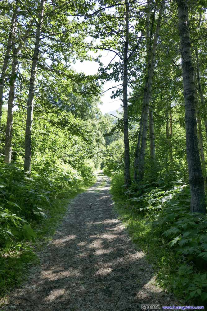
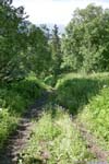
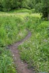
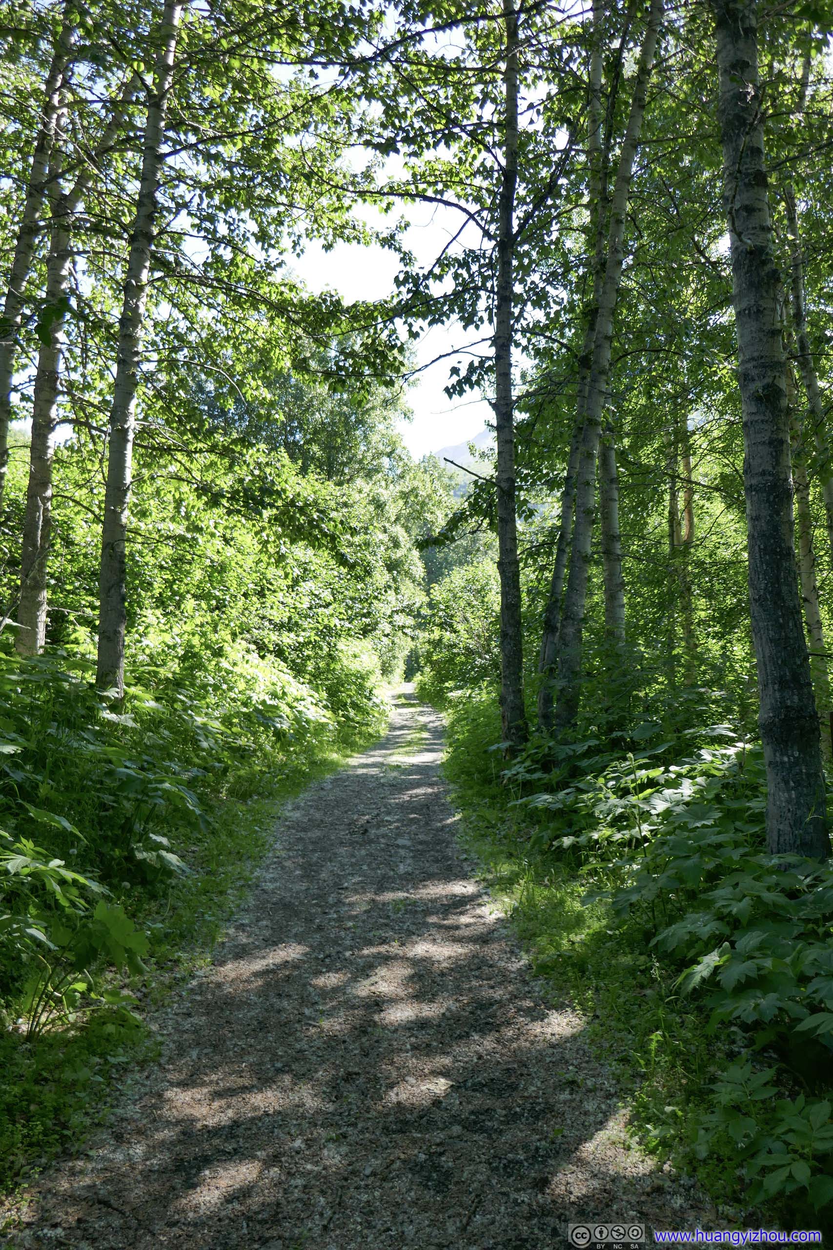
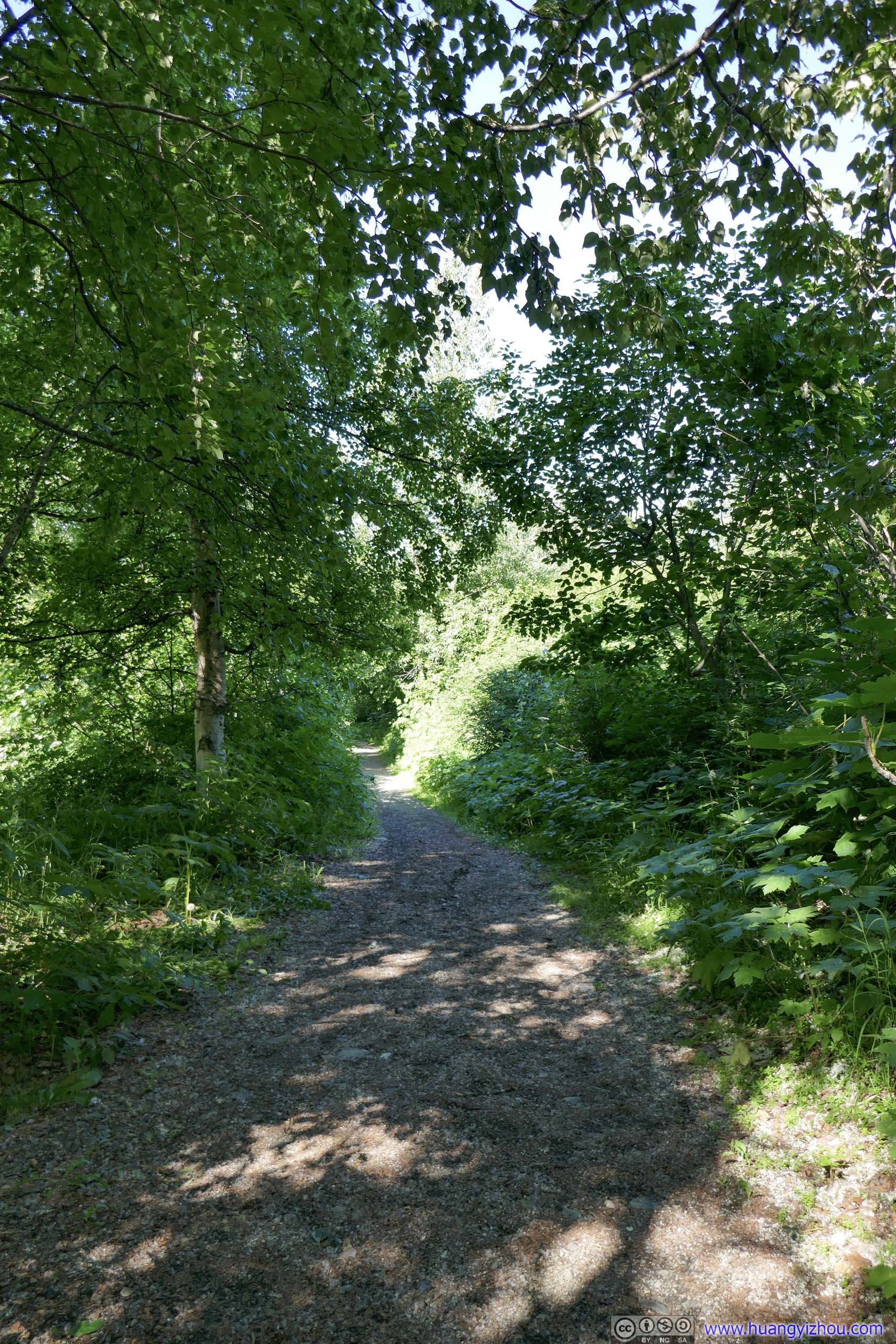
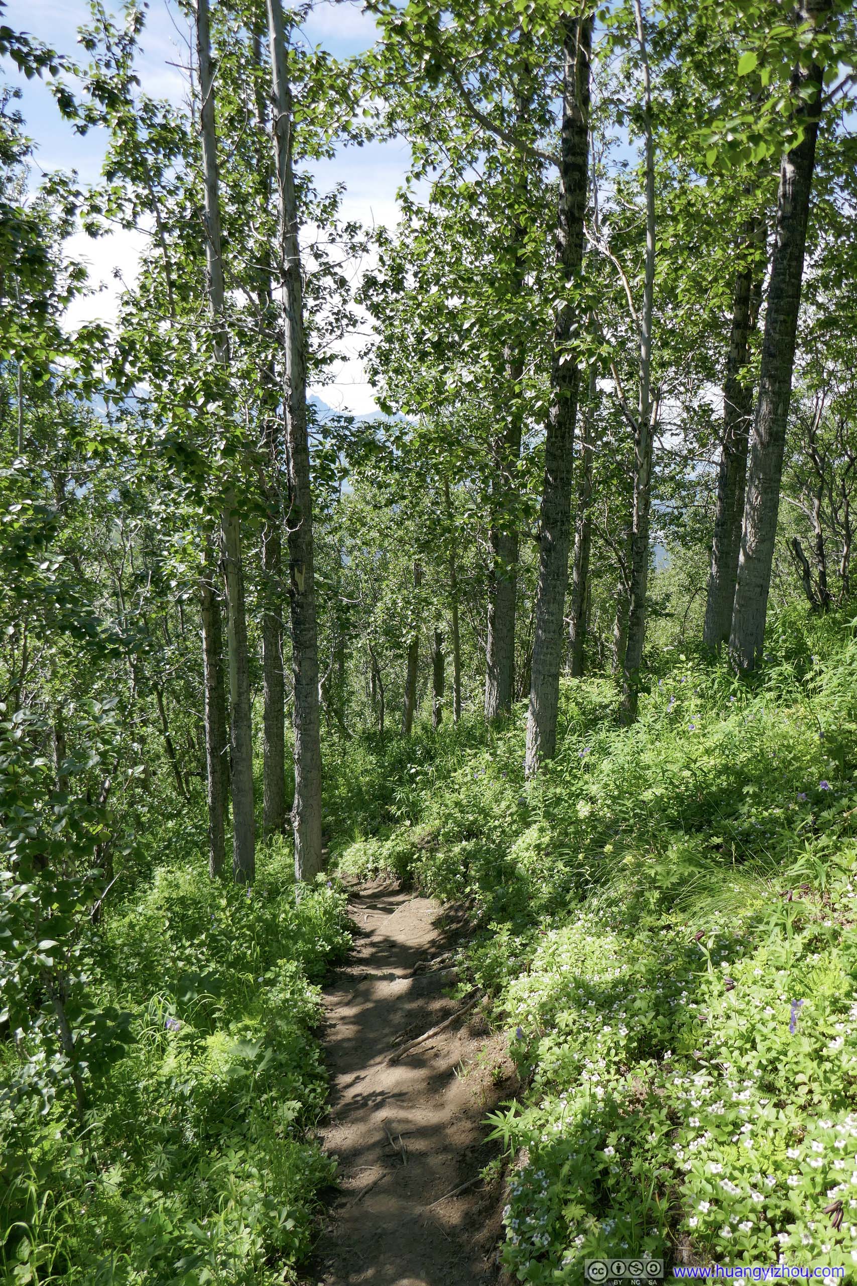
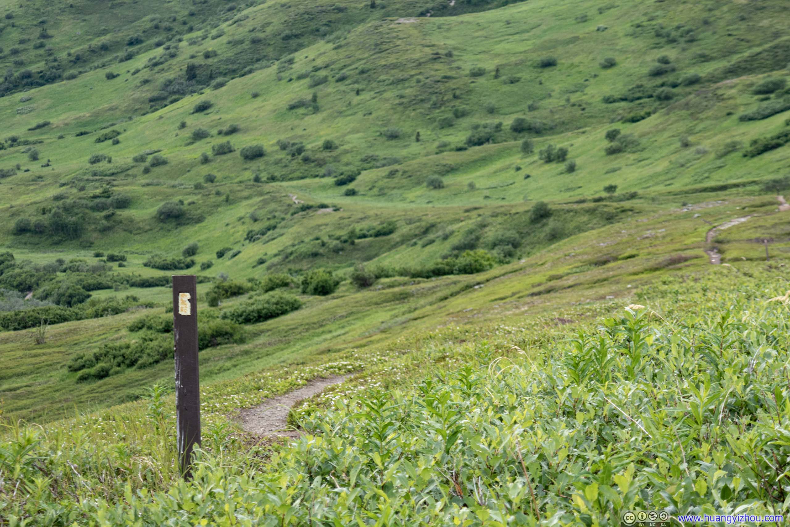
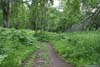
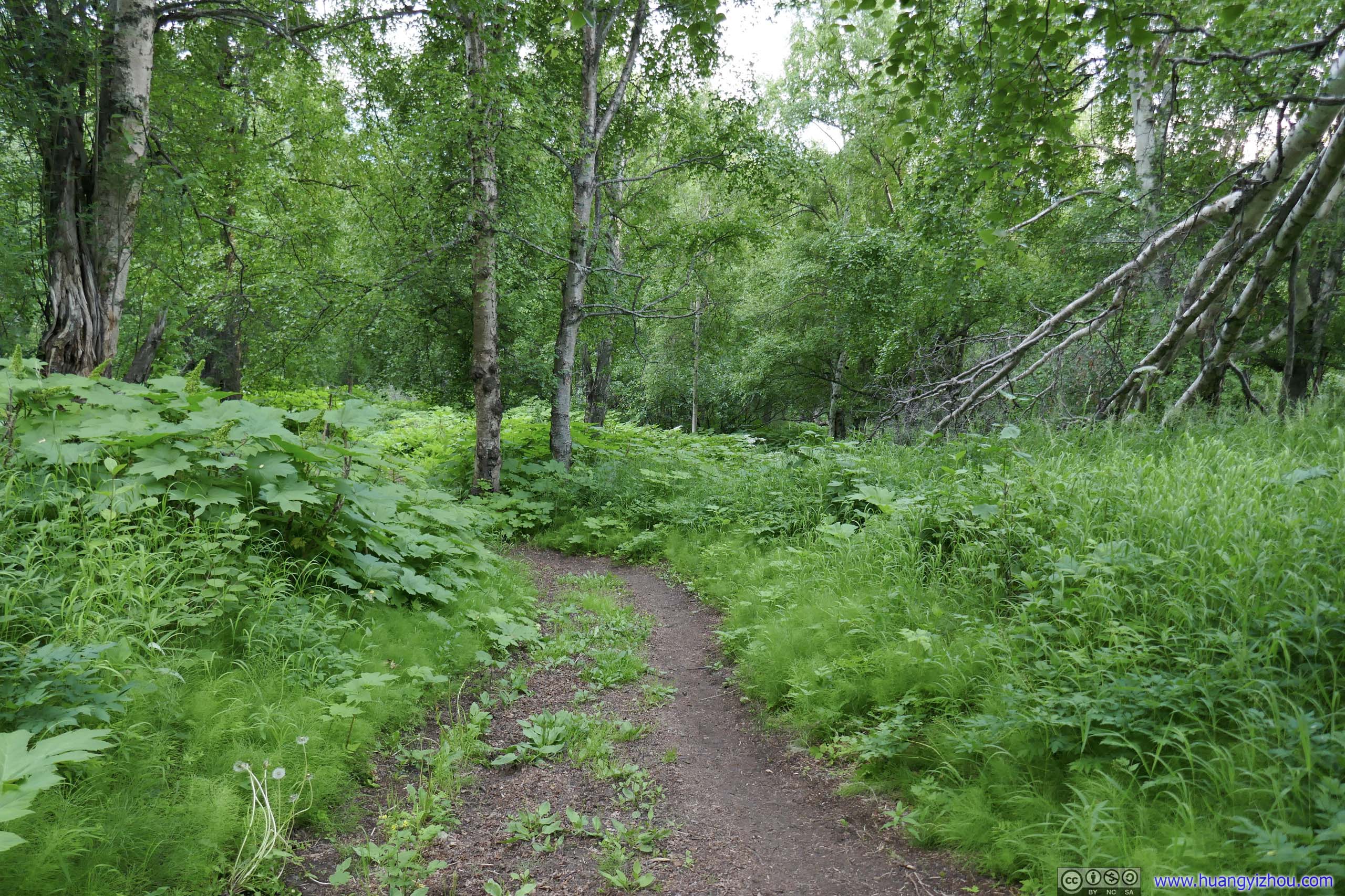
The trail started out in double-track width for about 400m, before it made a left turn and started to ascend through the woods. Later I learned that due to erosion, the trail to Matanuska Peak moved north to its current path. The original trail would continue on the double-track trail for longer. Just like the nearby Lazy Mountain, distance markers were frequent along the trail, reminding hikers of their progress before the smartphone age. It also explained why later the distance markers along the trail had two different numbers as the current path was slightly longer.
 Trail
Trail Trail
Trail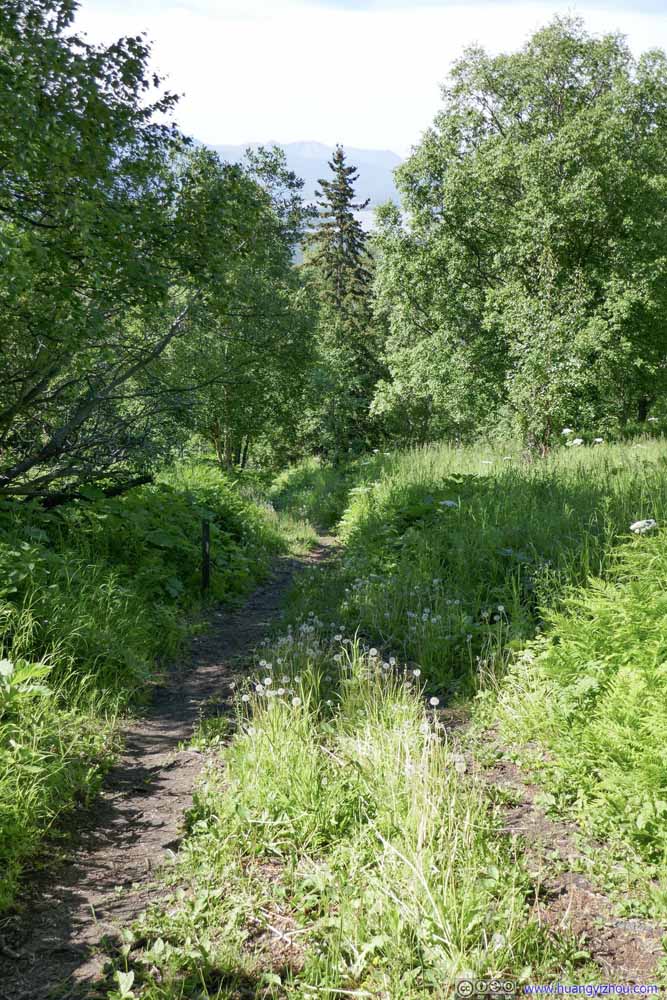 Trail
Trail Trail
Trail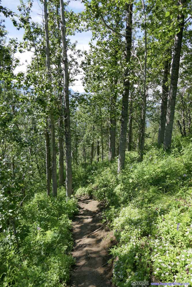 Trail
Trail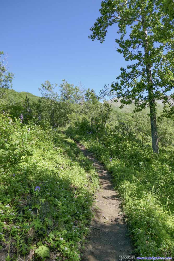 Trail
Trail Trail
Trail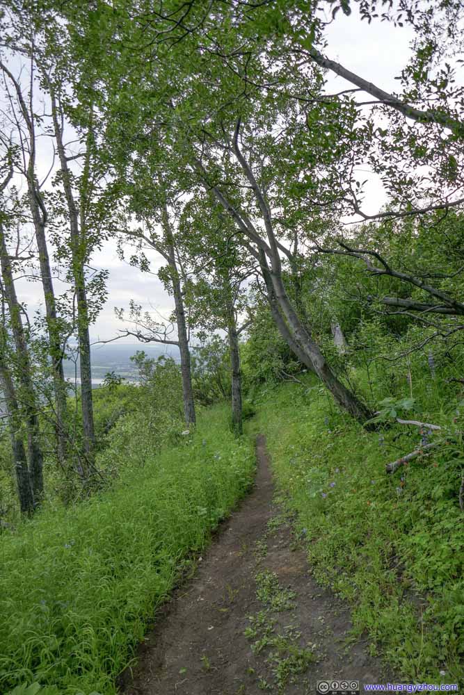 Trail
Trail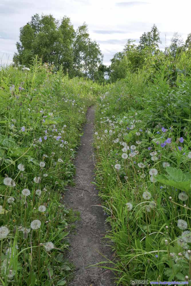 Trail
Trail Trail
Trail Trail
Trail


Click here to display photos of the slideshow
 Trail
Trail

 Trail
Trail
Trail

Trail
Trail

Trail

 Trail
Trail
Trail
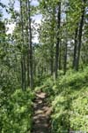
This section of the trail in the woods continued for about 3km in a steady elevation gain.
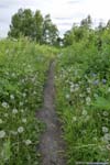
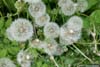
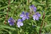
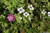
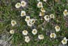
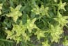
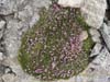
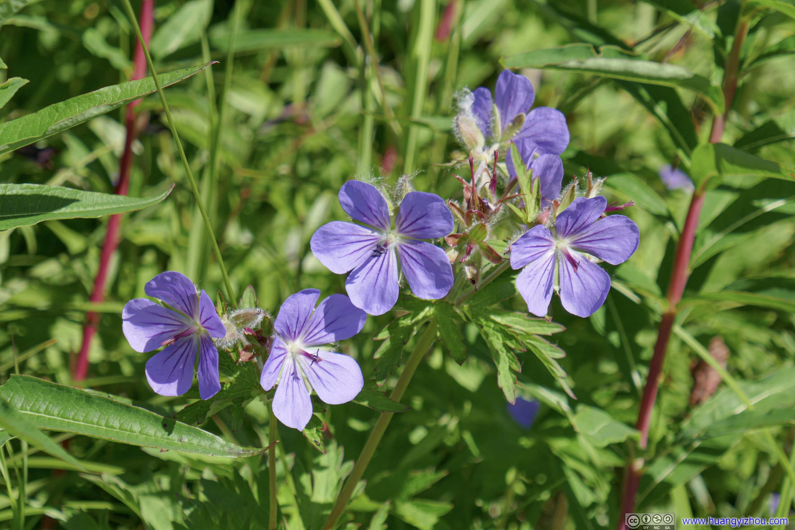
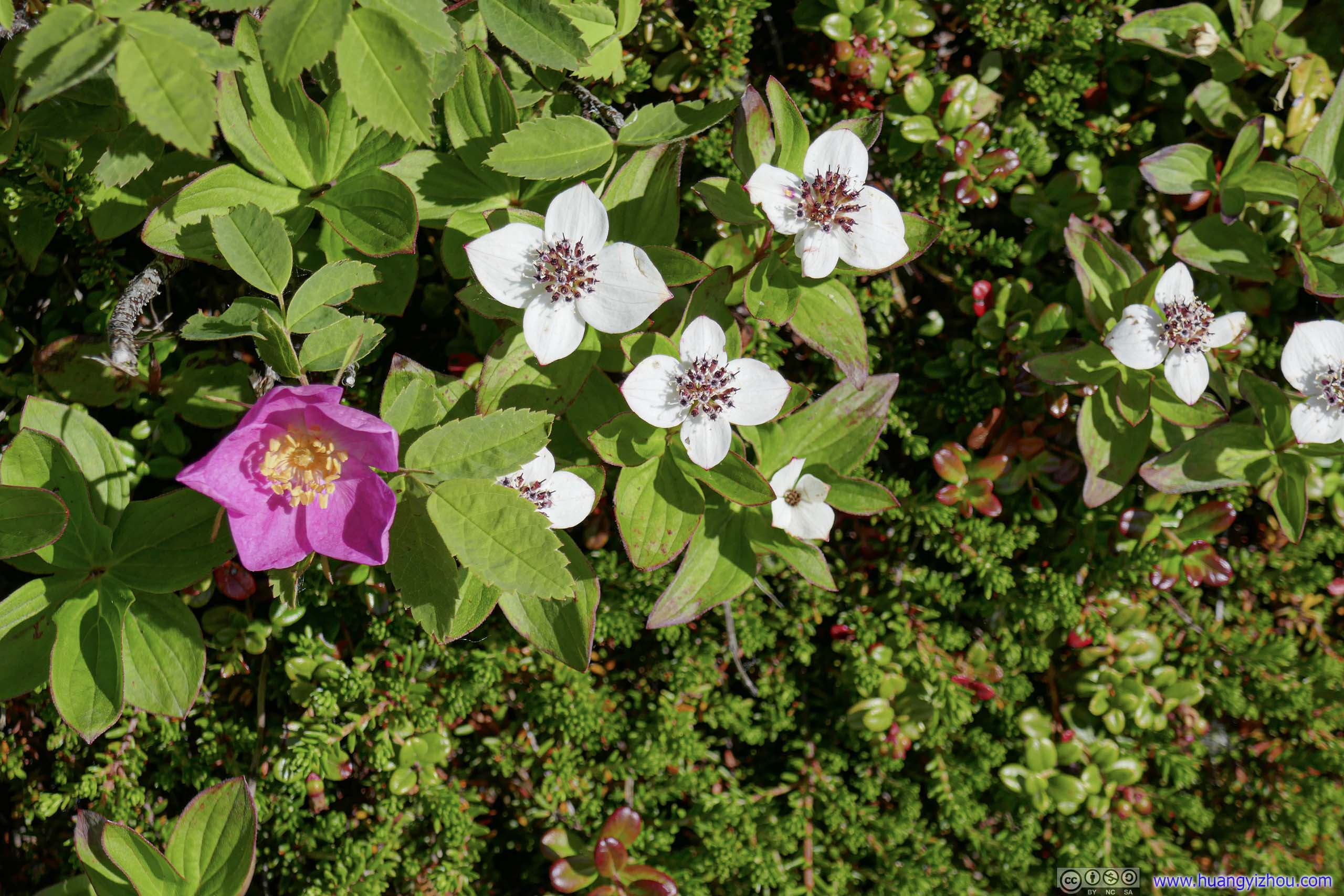
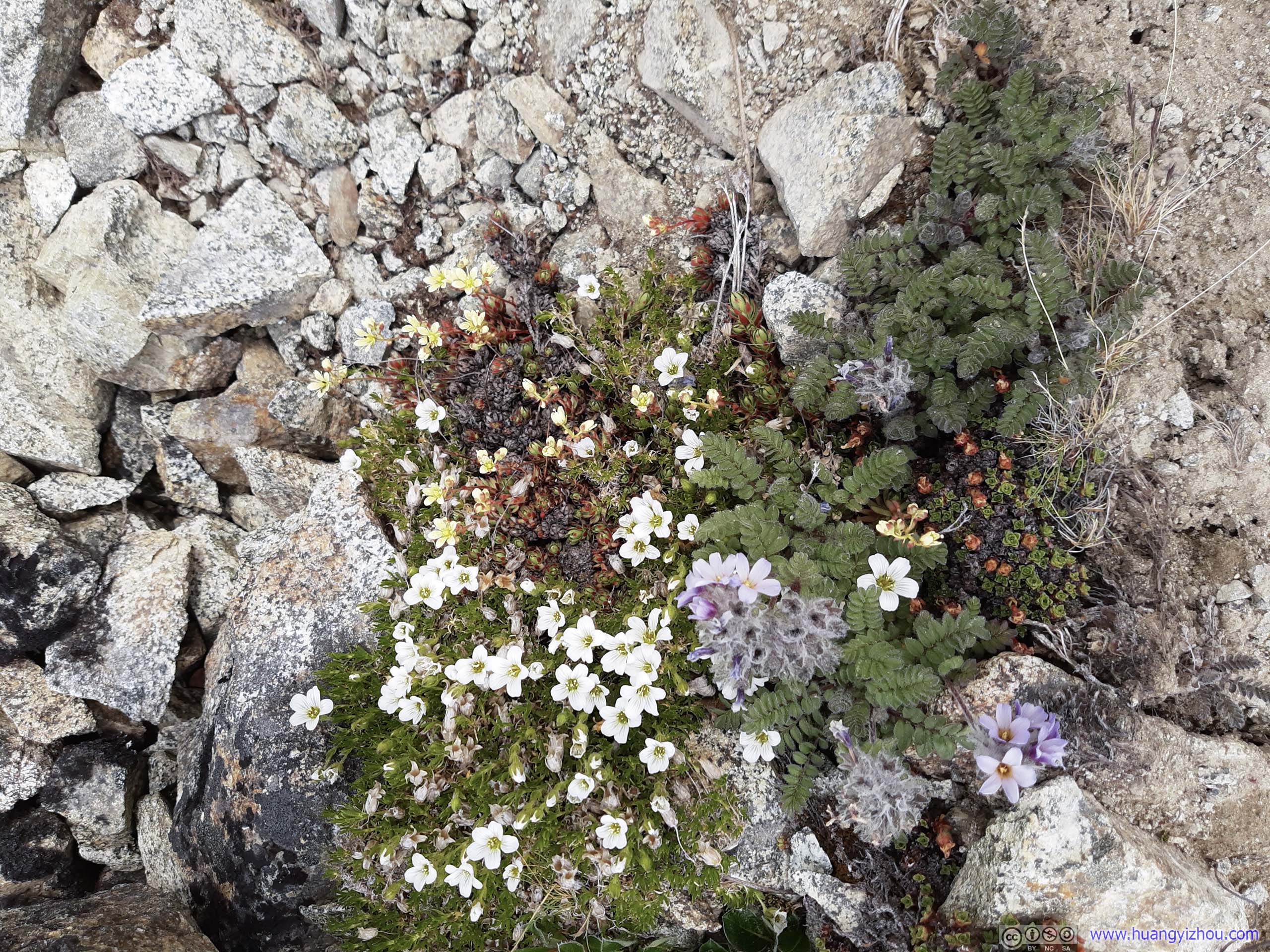
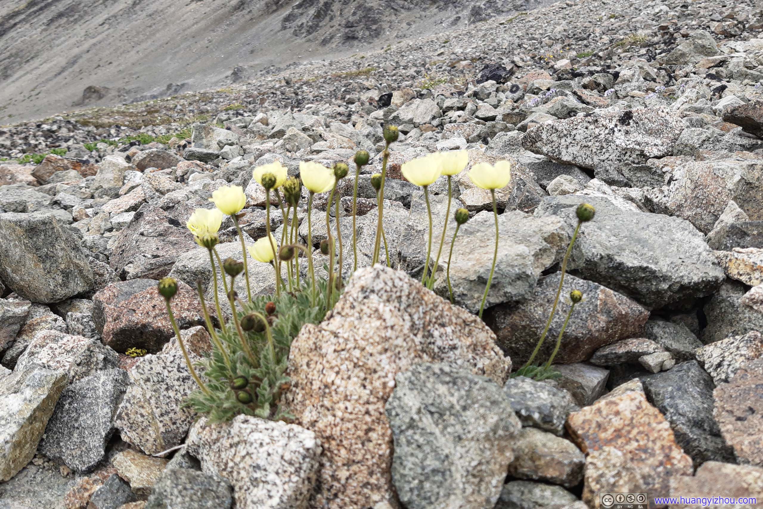
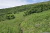
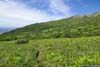
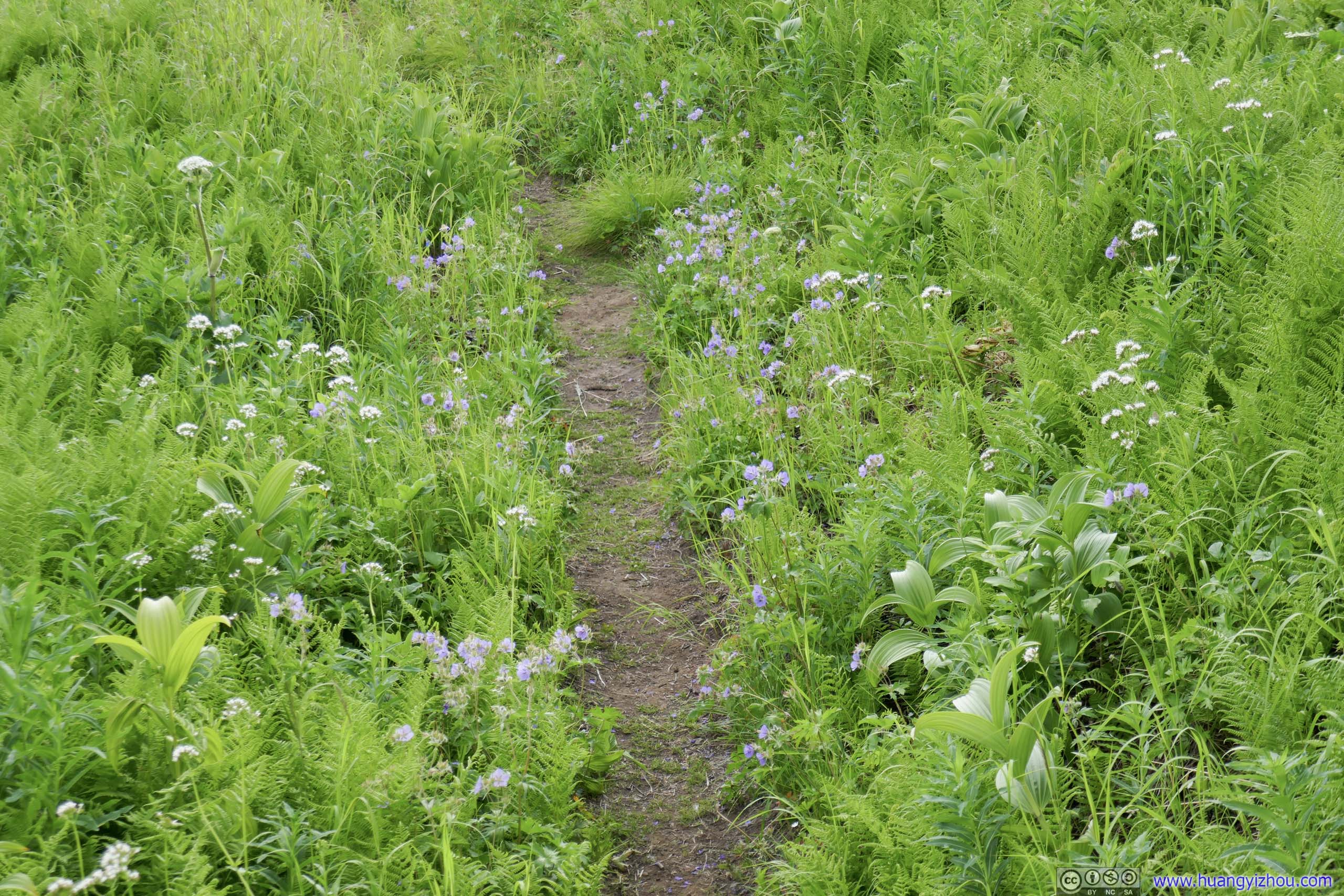
I liked that different plants were lining the trail so that I never got bored of the sight. They started from dandelions at lower elevations (p1) to other flowers which I couldn’t name at higher elevations (p2-6). At even higher elevations where rocks dominated the landscape, they could still find patches of habitable soil and thrive (p7-9).
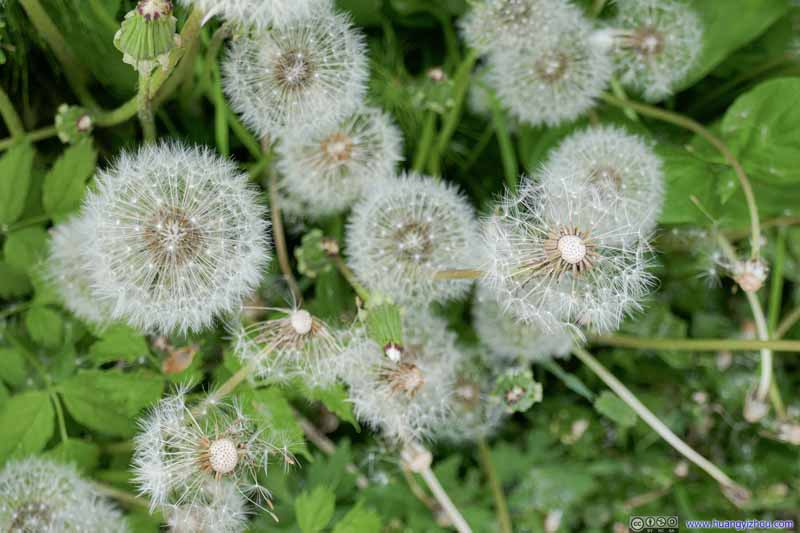 Dandelion
 Flowers
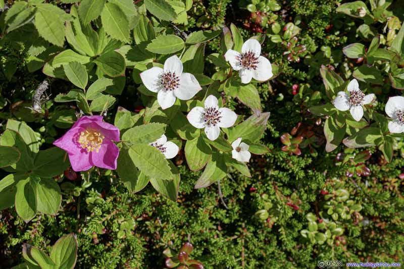 Flowers
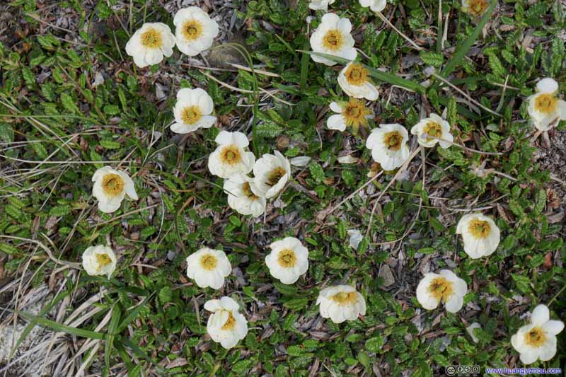 Flowers
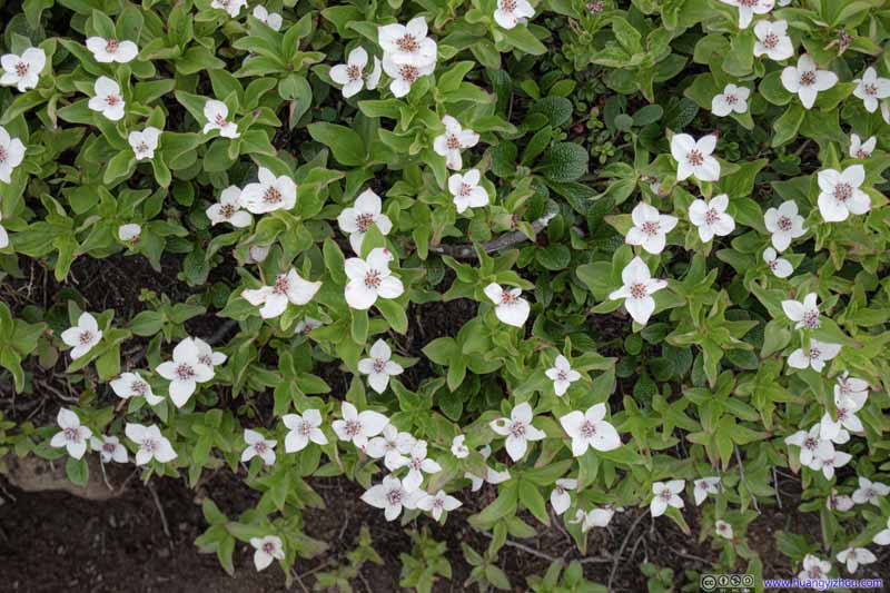 Flowers
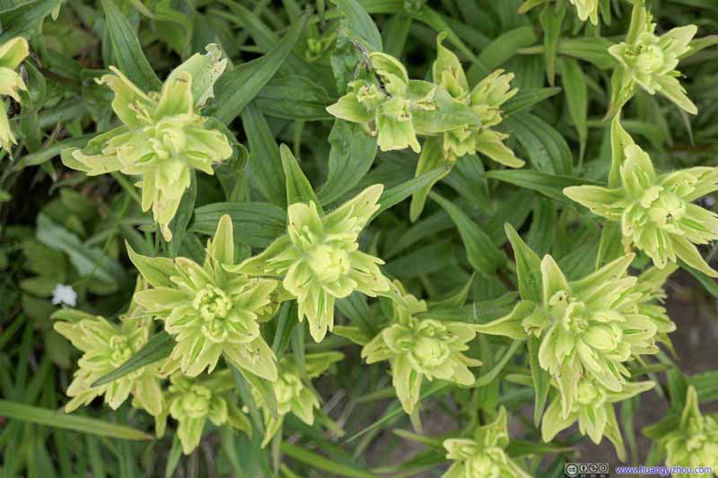 Flowers
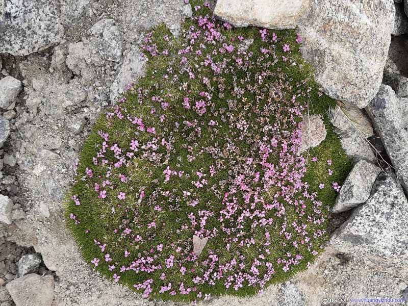 Patch of FlowersIt’s delighted to see them thriving at such uninhabitable places.
 Patch of FlowersIt’s delighted to see them thriving at such uninhabitable places.
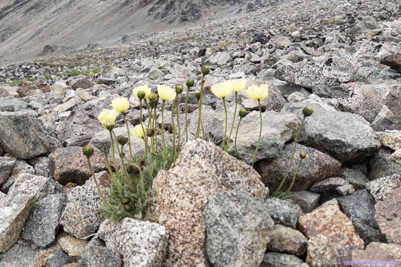 FlowersThey were able to spawn at the most unbelievable places.


Click here to display photos of the flowers.

Dandelion
 Flowers

 Flowers

 Patch of FlowersIt’s delighted to see them thriving at such uninhabitable places.
FlowersThey were able to spawn at the most unbelievable places.
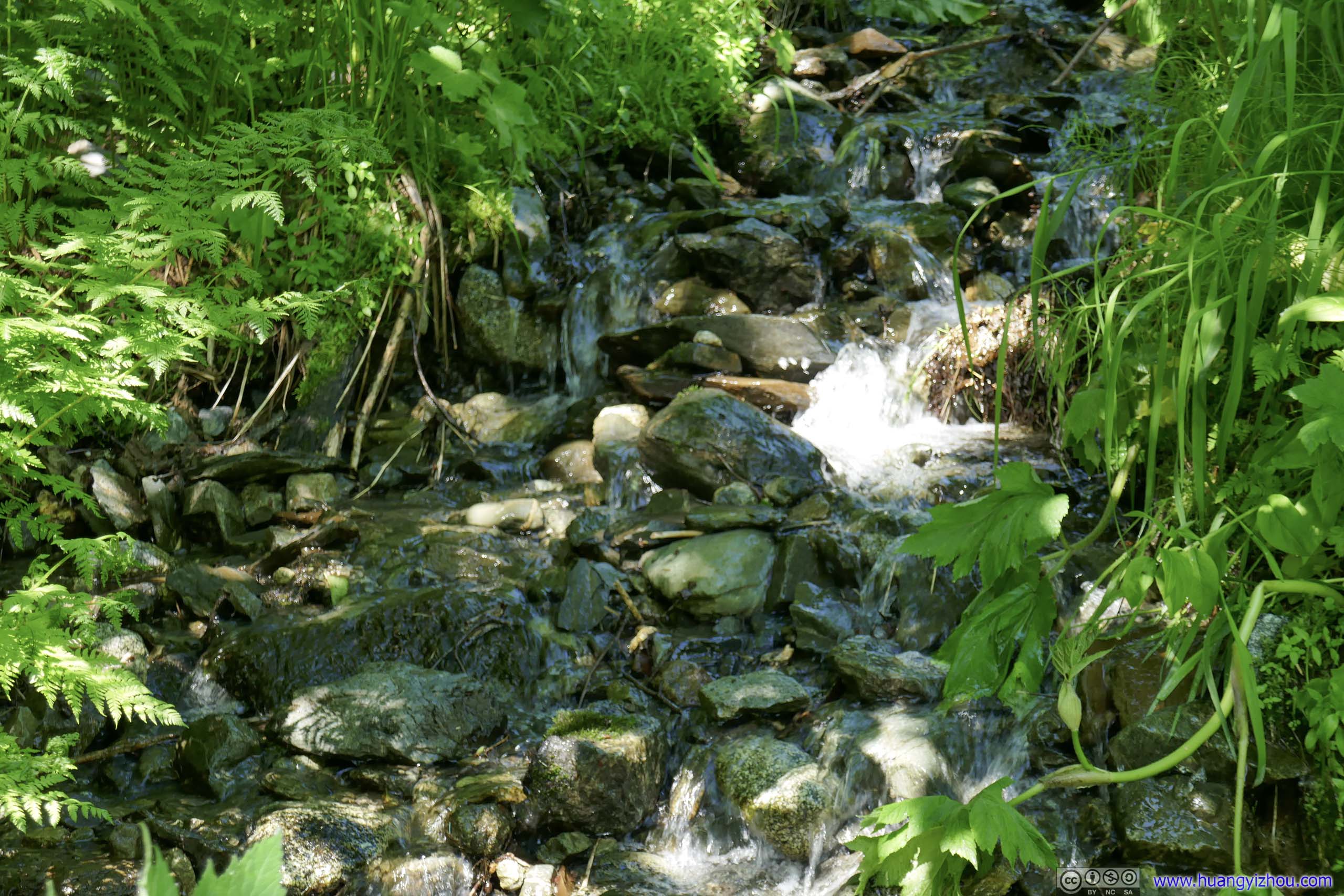
Creek
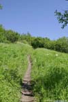
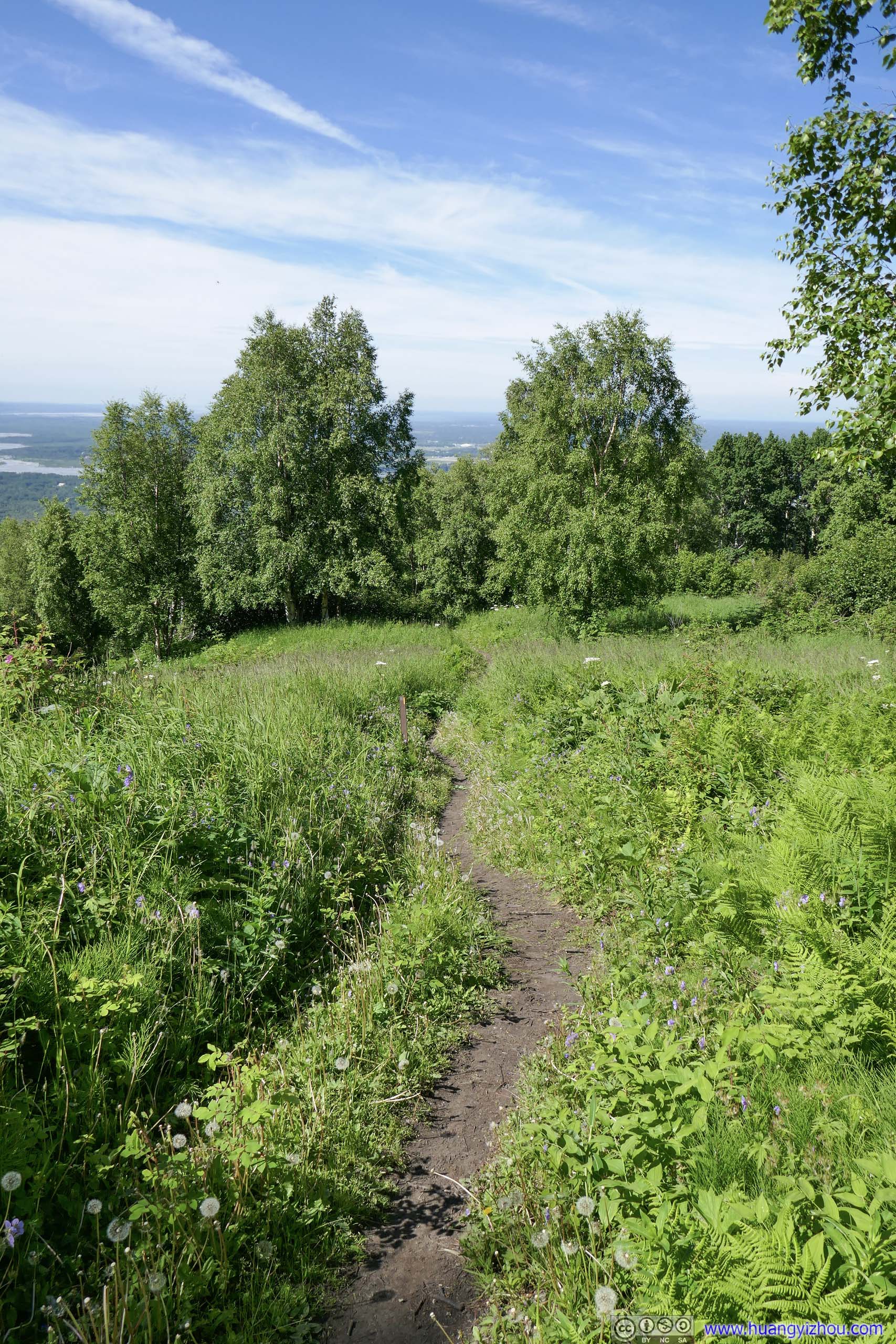
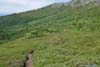
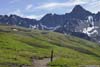
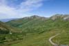
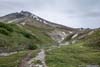
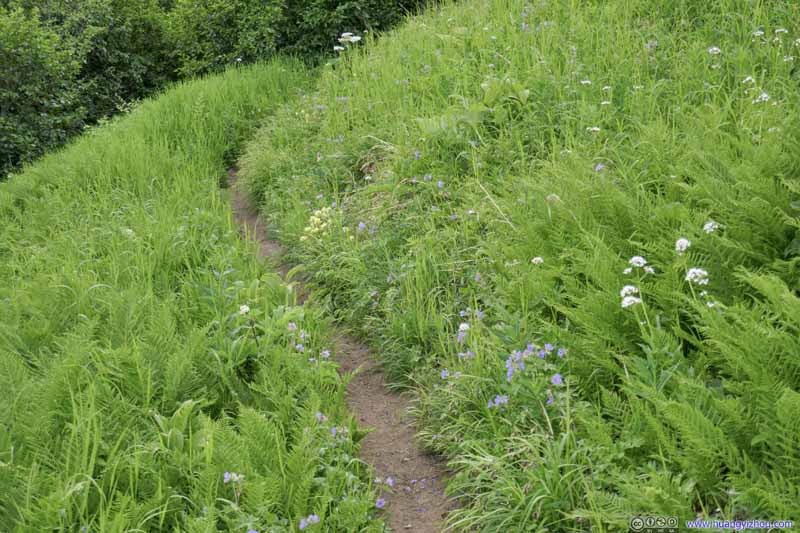
 Trail in MeadowTaken during final ascent of Matanuska Peak.
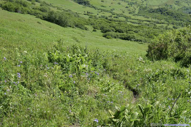 Trail in Meadow
 Trail in Meadow
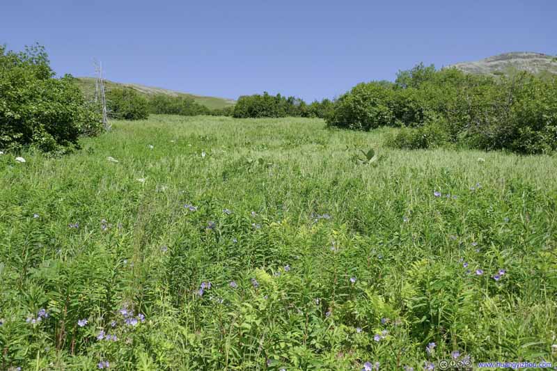 Meadow
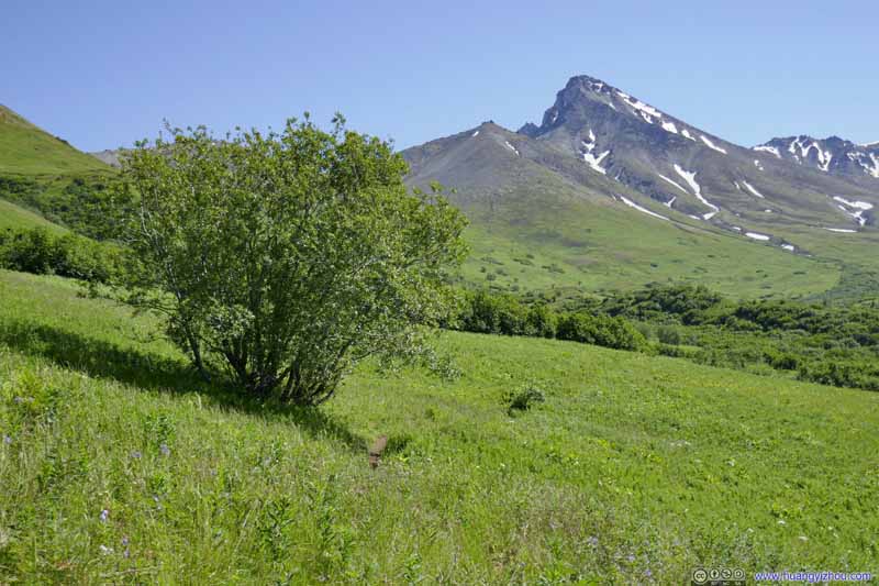 Trail in Meadow
 Trail in Meadow
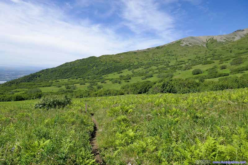 Trail in Meadow
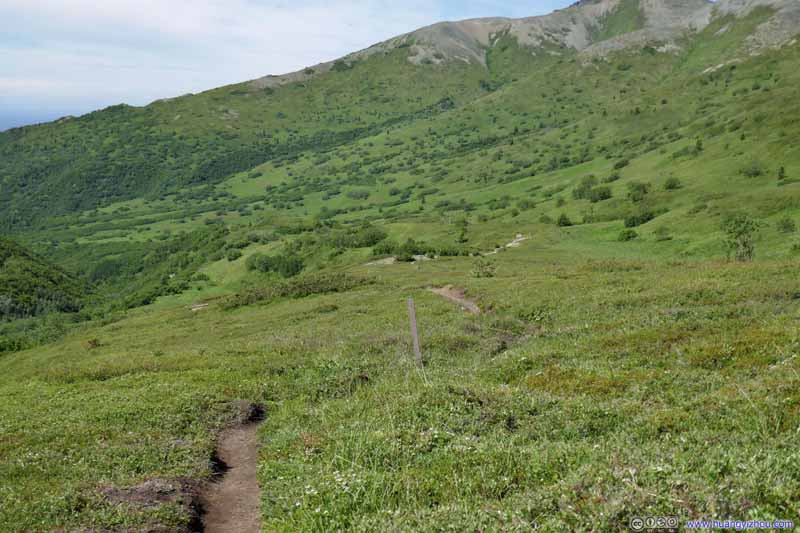 Trail in Meadow
Click here to display photos of the slideshow
Trail in MeadowTaken during final ascent of Matanuska Peak.

Trail in Meadow

 Trail in Meadow
Meadow


 Trail in Meadow
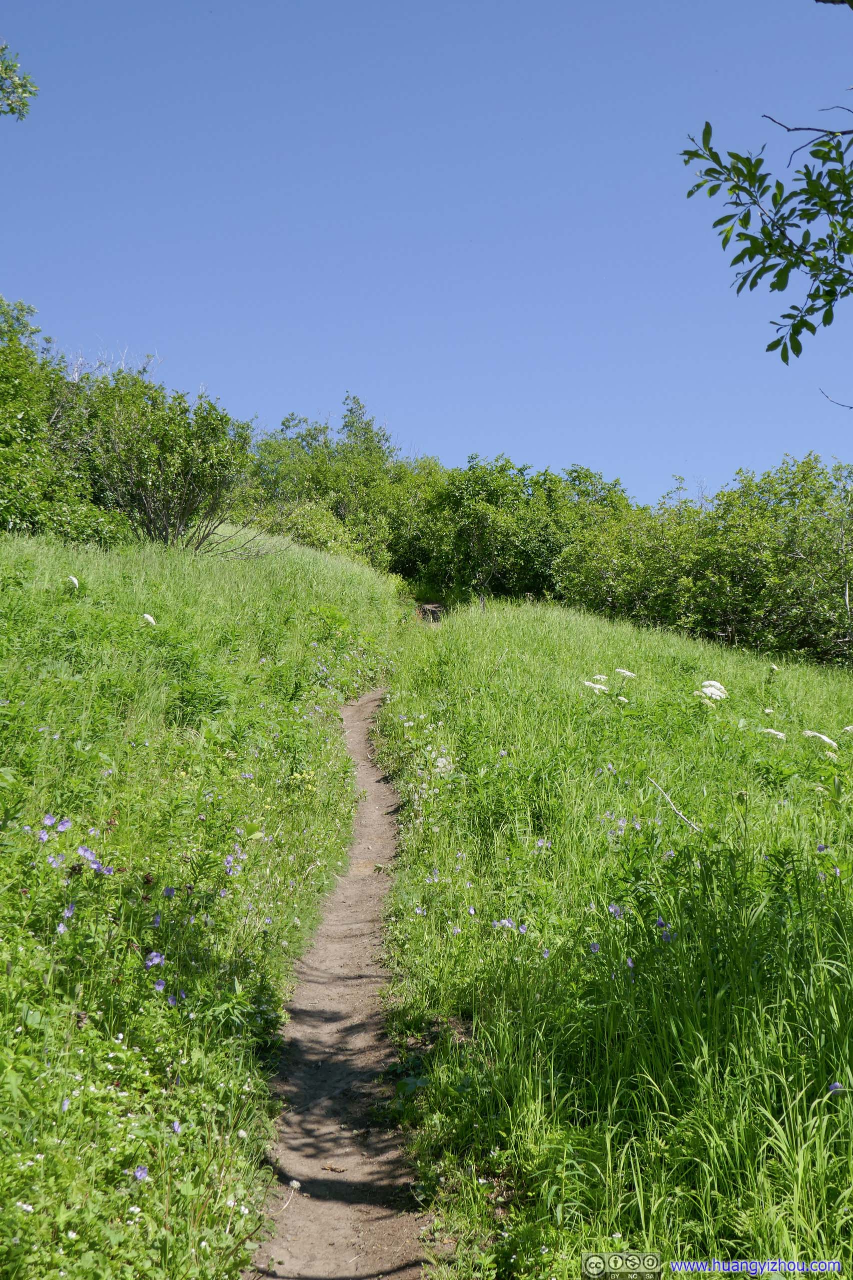
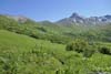
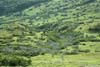
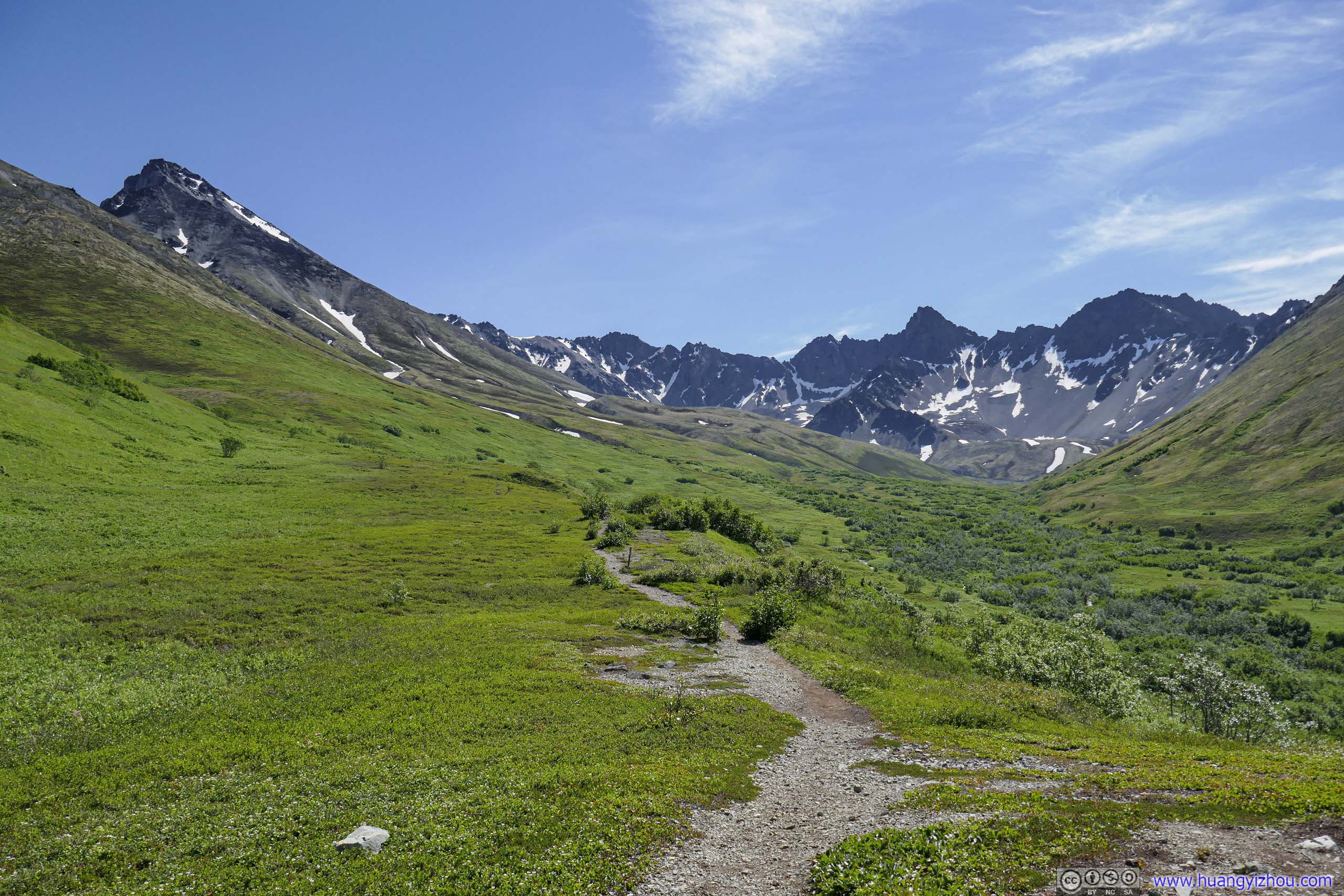
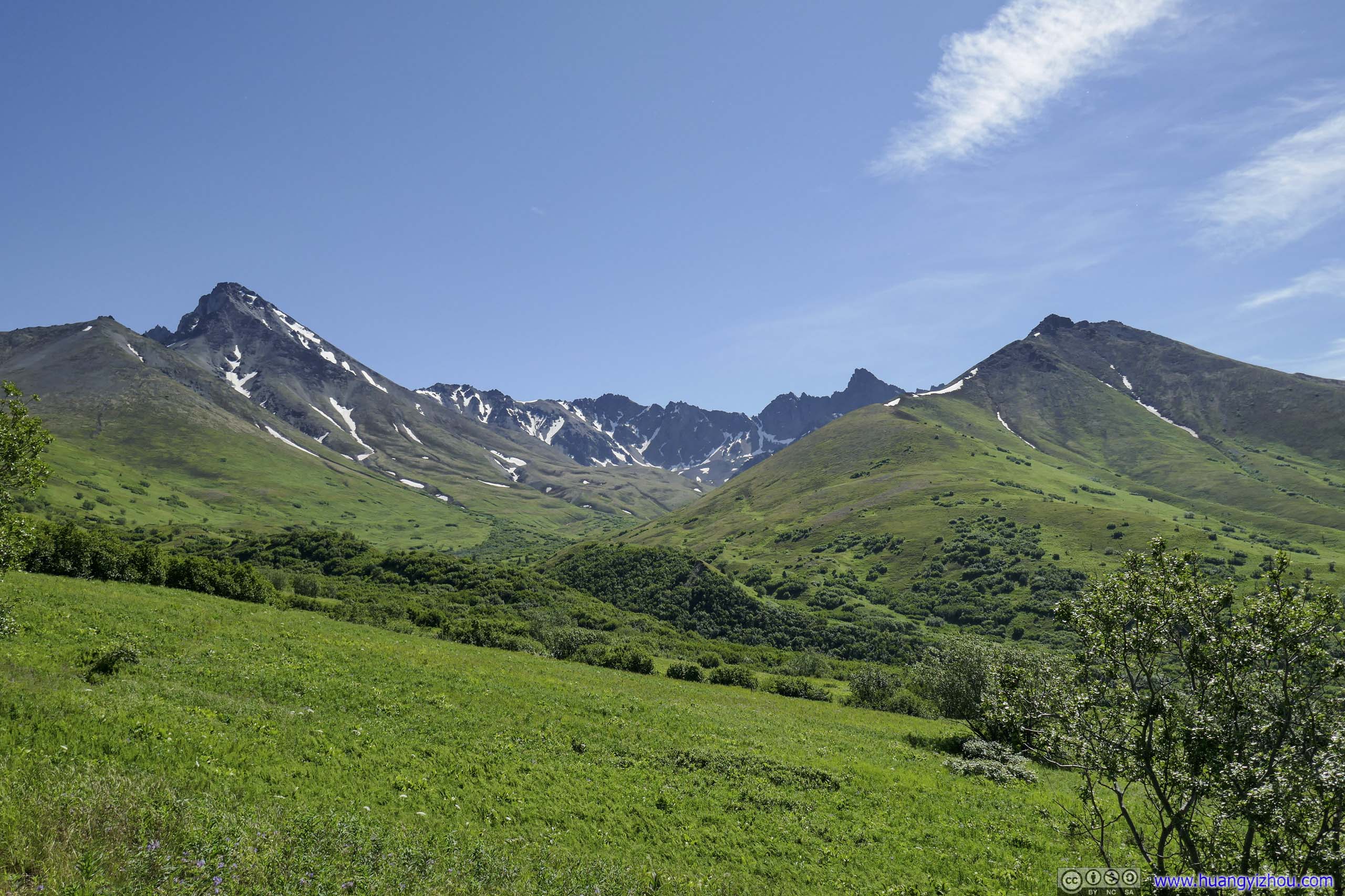
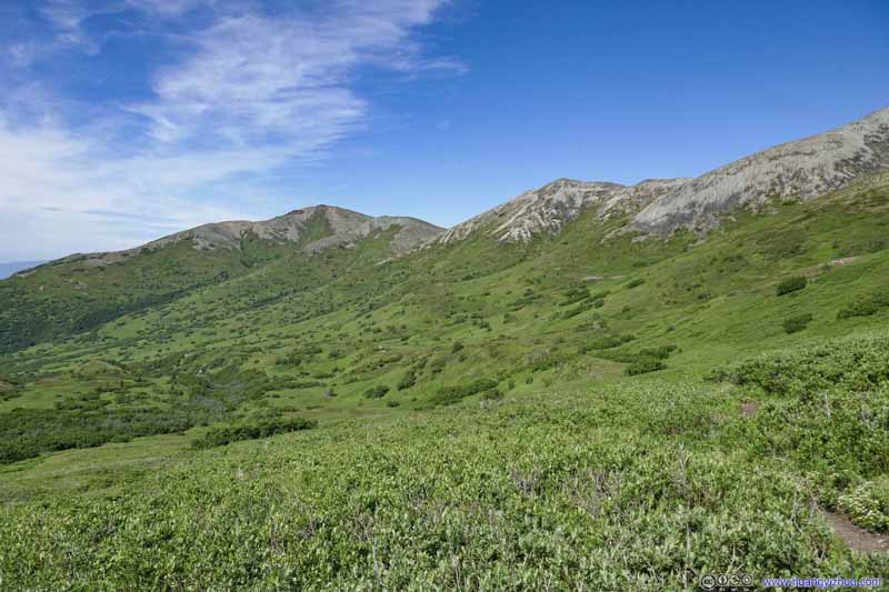
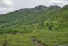
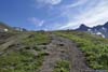
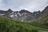
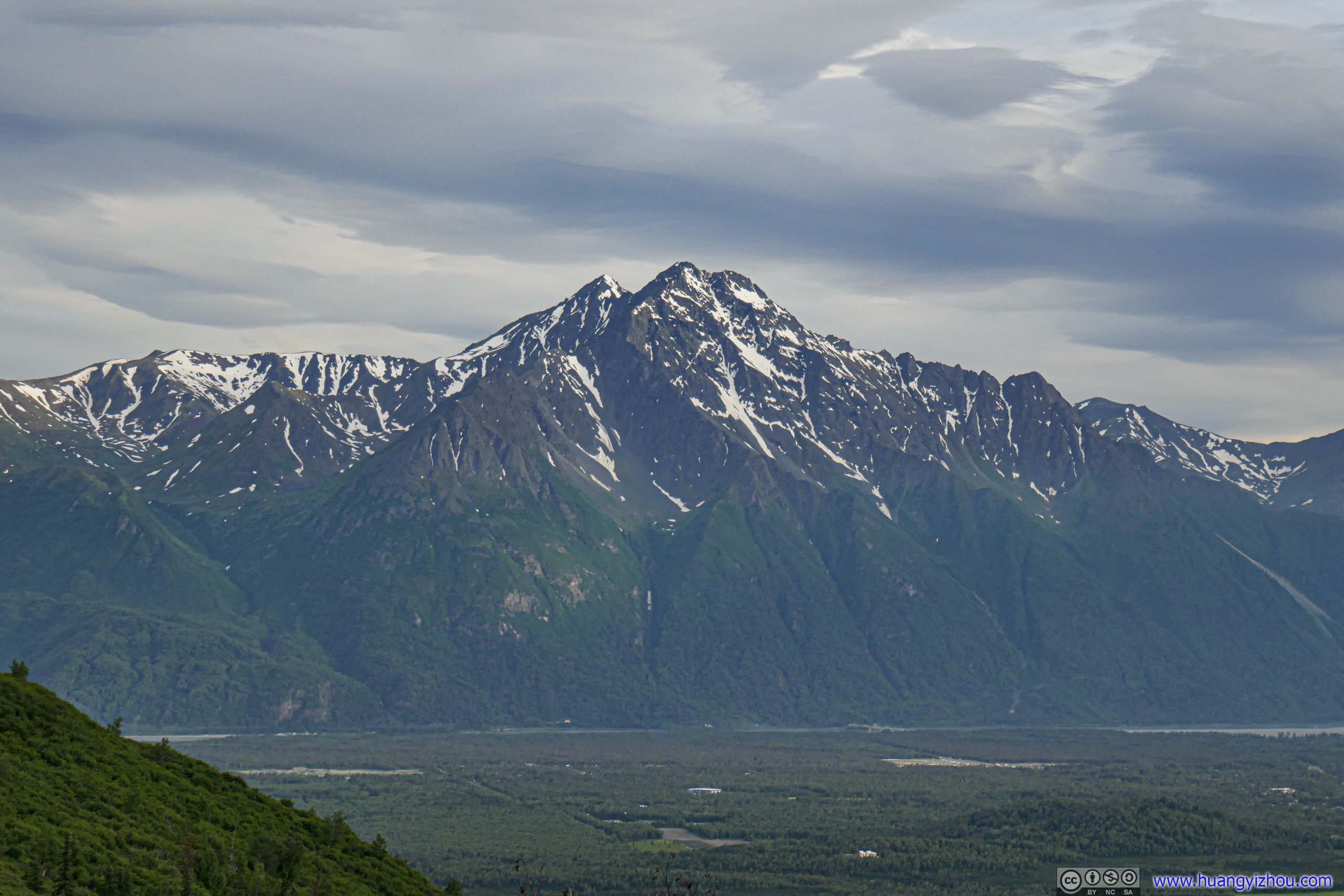
Once out of the woods, view of mountain peaks surrounding the trail came into sight. One of the more noticeable mountains was Lazy Mountain, which I summitted last year.
 Lazy Mountain
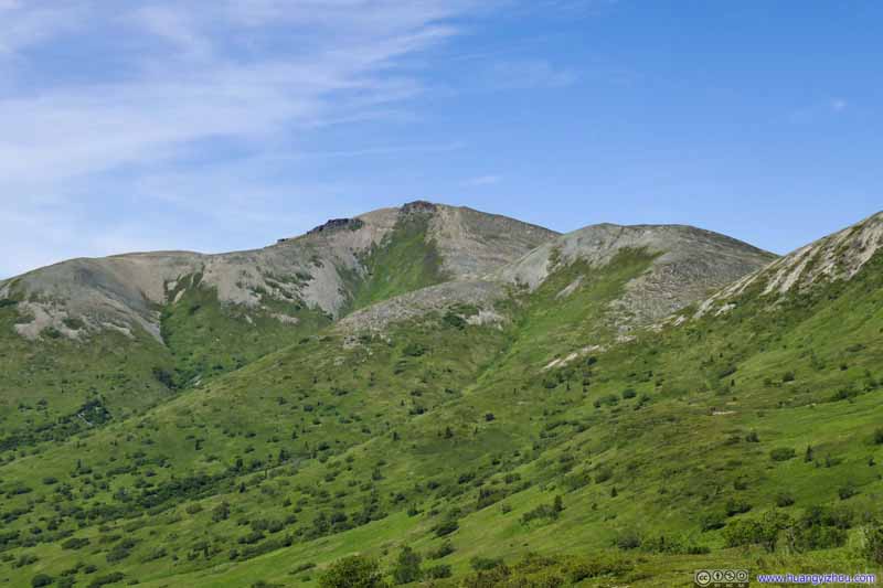 Lazy Mountain
 Hillside
 Hillside
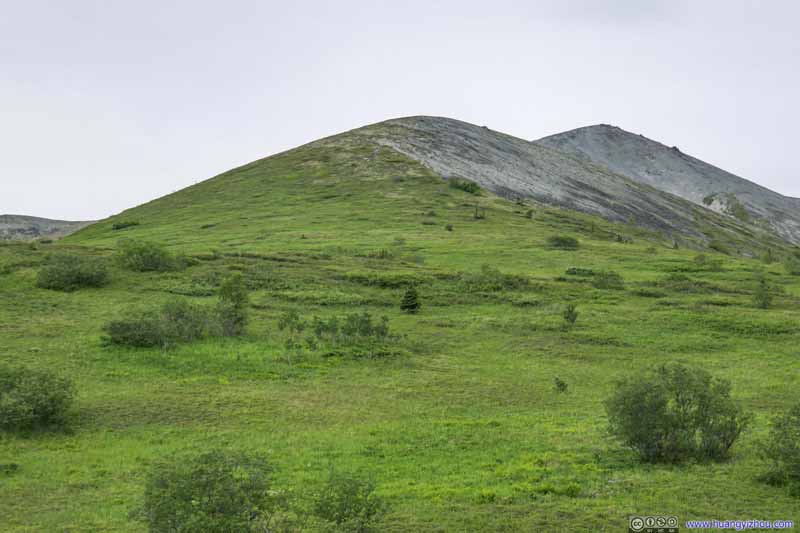 Hillside
Click here to display photos of the slideshow
Lazy Mountain

Lazy Mountain
 Hillside
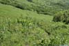
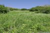
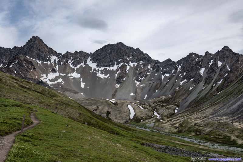
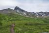
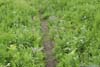
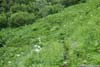
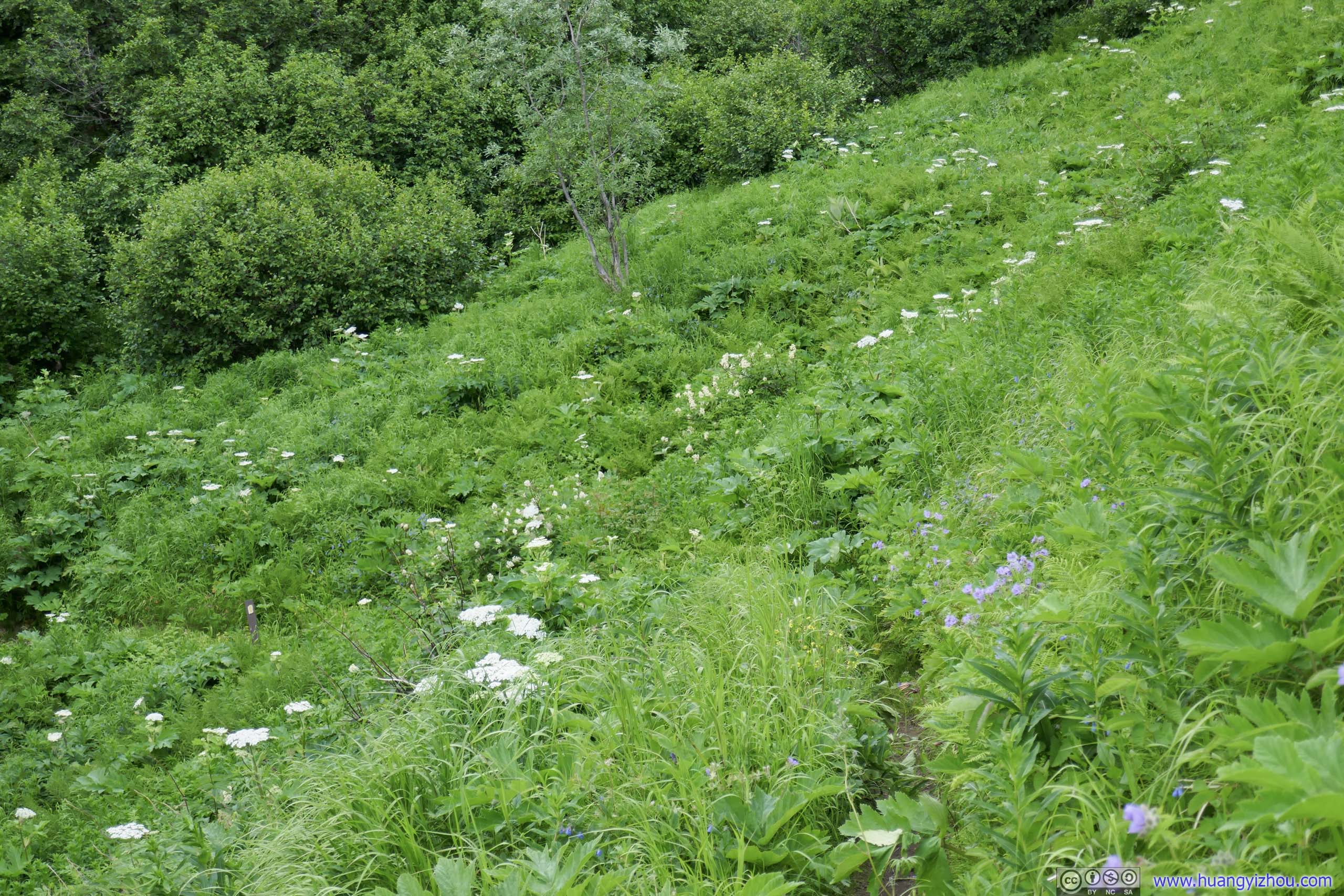
It’s worth noting that the trail was a bit overgrown at certain places, especially in the meadow area. It’s not as bad as 3 days later when I summitted South Pioneer Peak. My hiking poles still came in handy, otherwise one need to occasionally use legs (and very occasionally hands) to push some plants away to clear the trail.
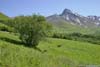
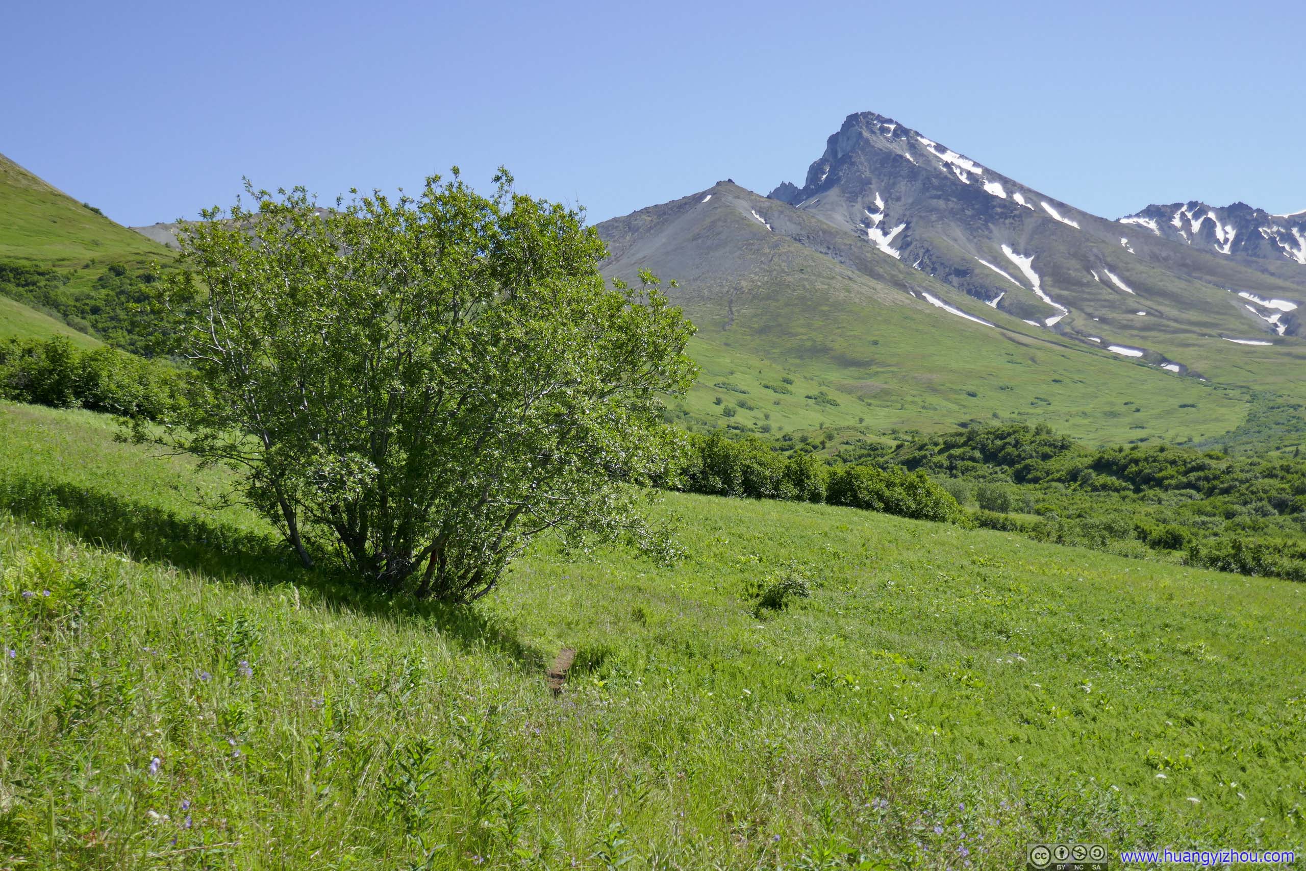
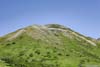
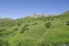
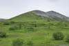
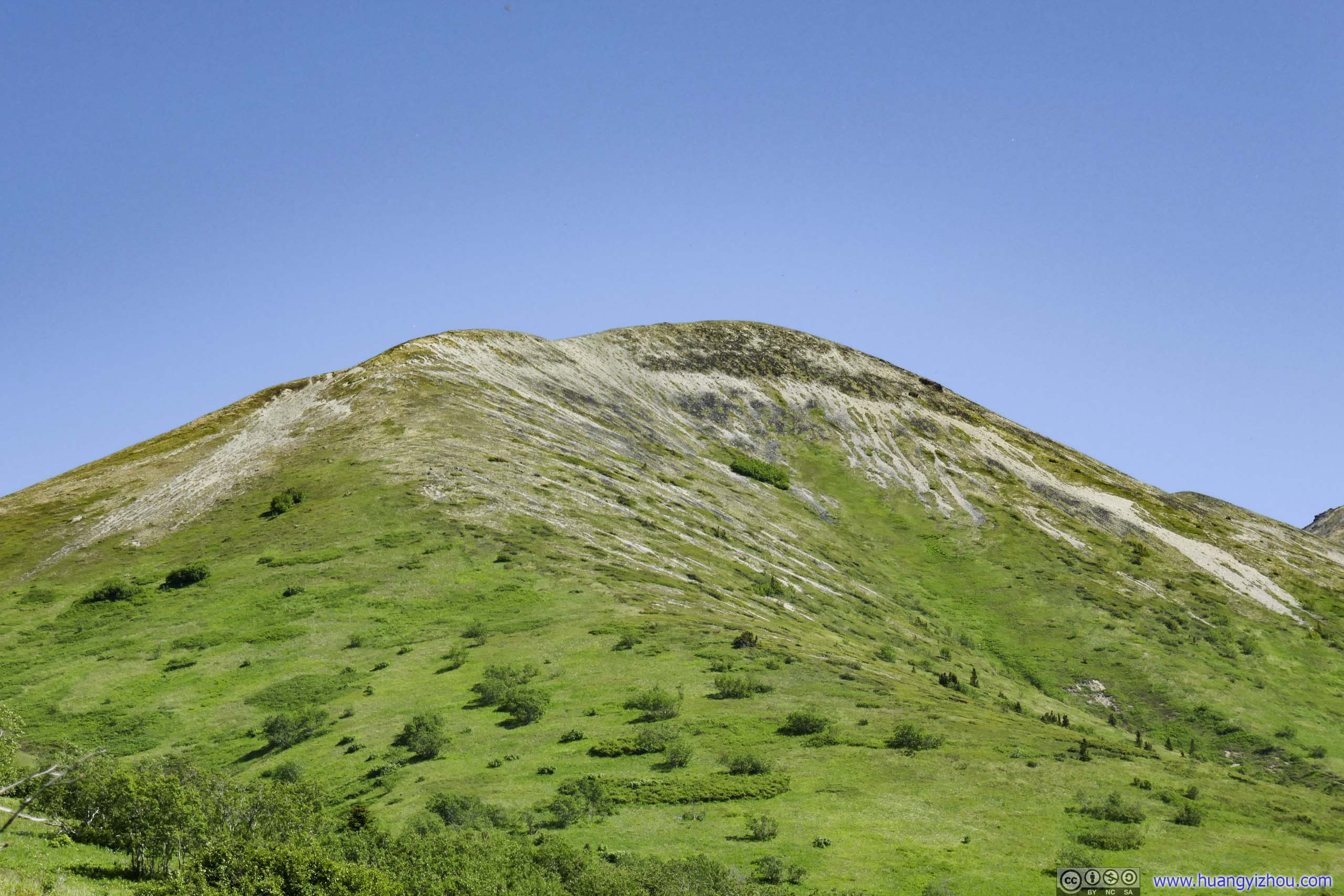
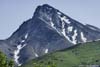
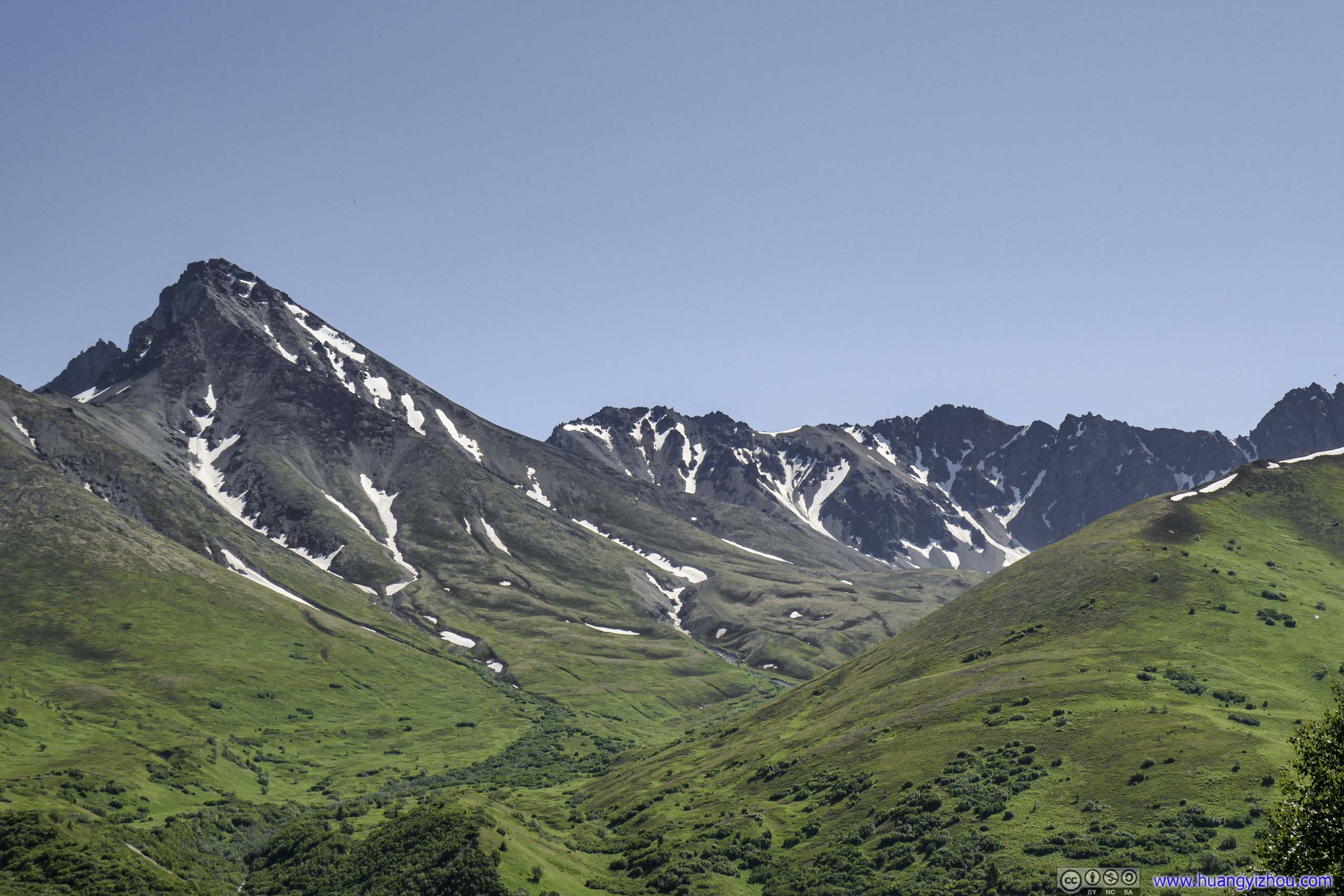
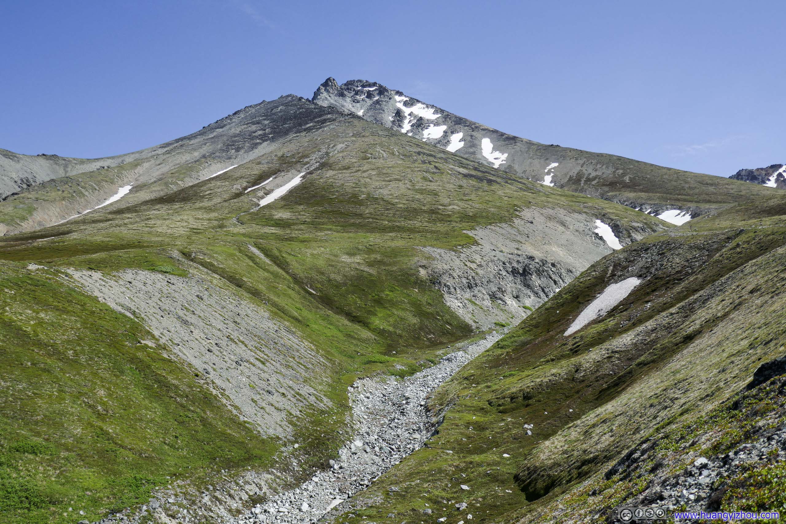
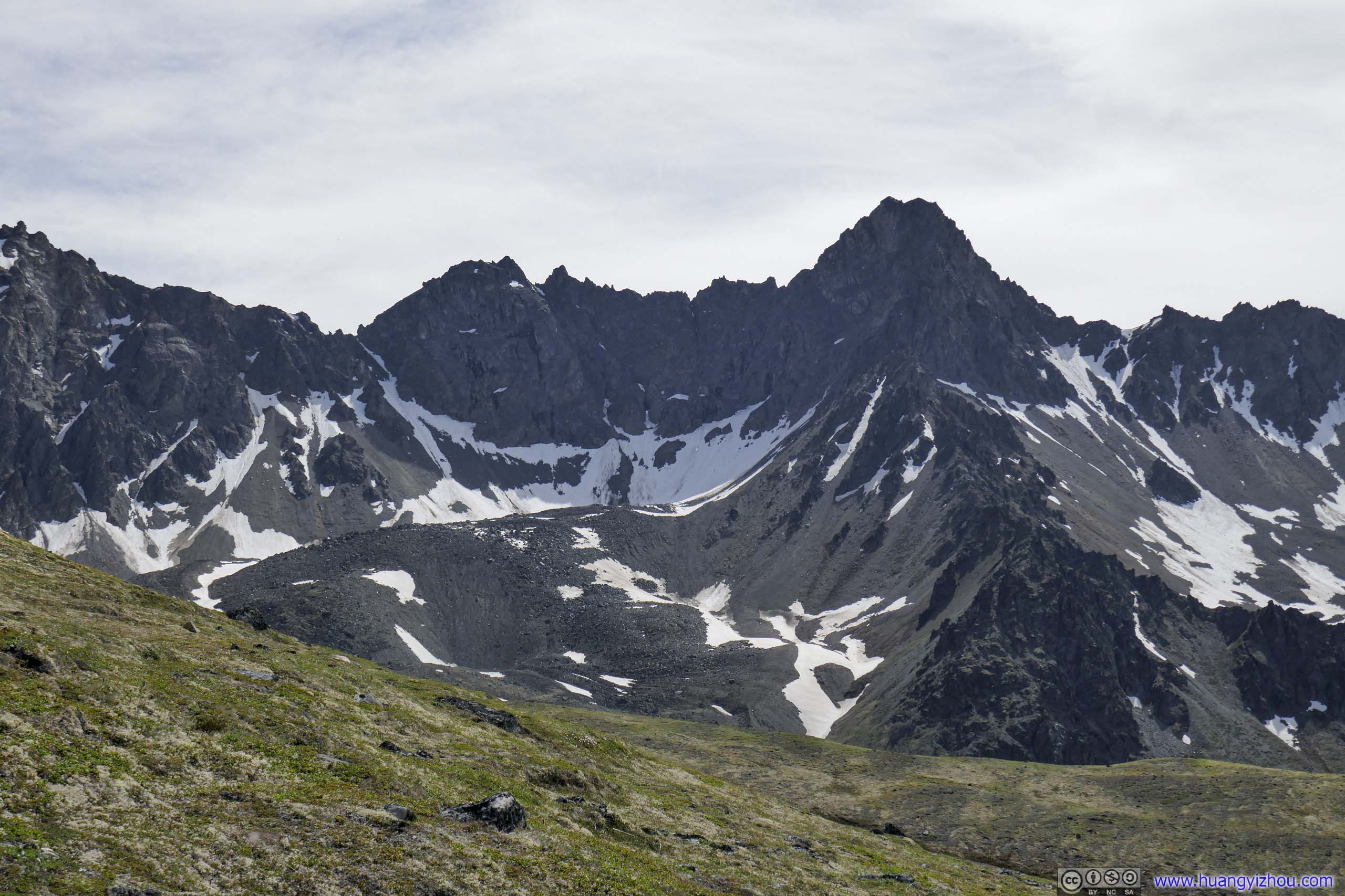
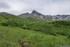
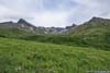
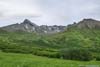
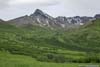
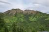
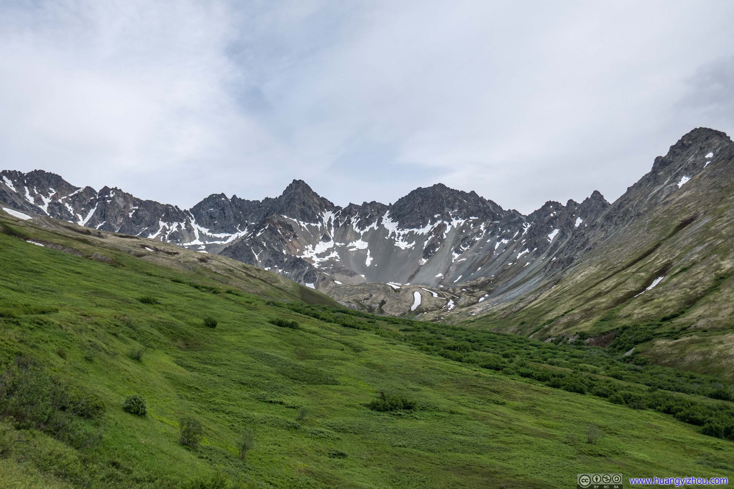
While in the meadow, the trail went around Matanuska Peak before it reached the summit ridge. As a result, I got to view this majestic peak from various angles.
Adding that the meadow portion of the trail was pretty flat and easily navigable, with destination in sight, it gave me a false sense of both assurance and imminence, that the end was not far away and I should reach it in no time. Later I ran into some mental challenges that were rooted in these thoughts.
 Matanuska PeakTaken during ascent.
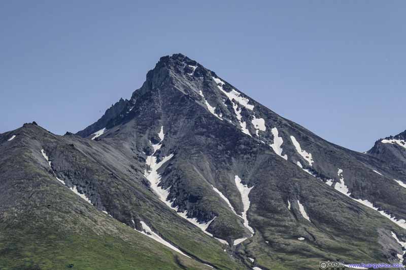 Matanuska PeakTaken during ascent.
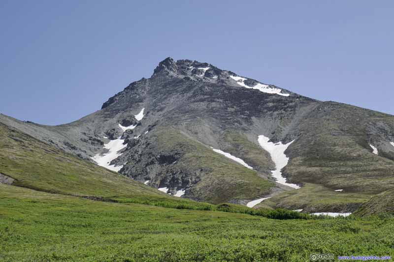 Matanuska PeakTaken during ascent.
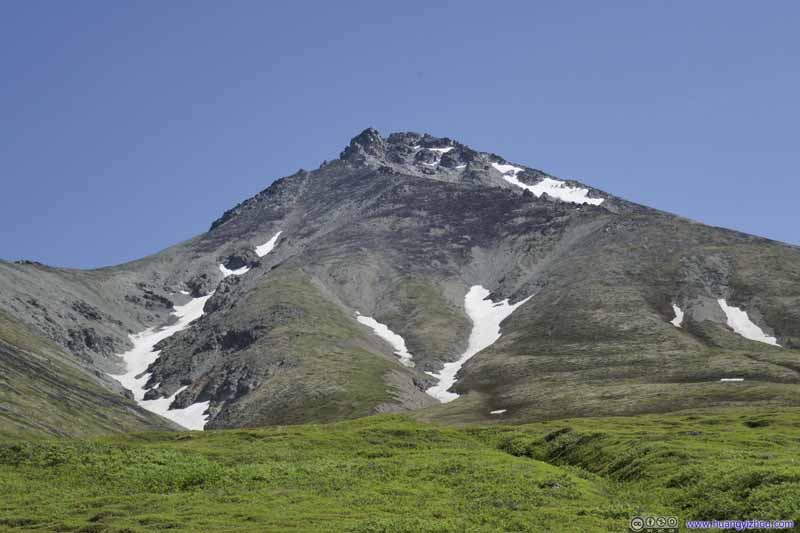 Matanuska PeakTaken during ascent.
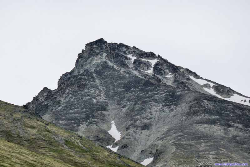 Matanuska PeakTaken during descent.
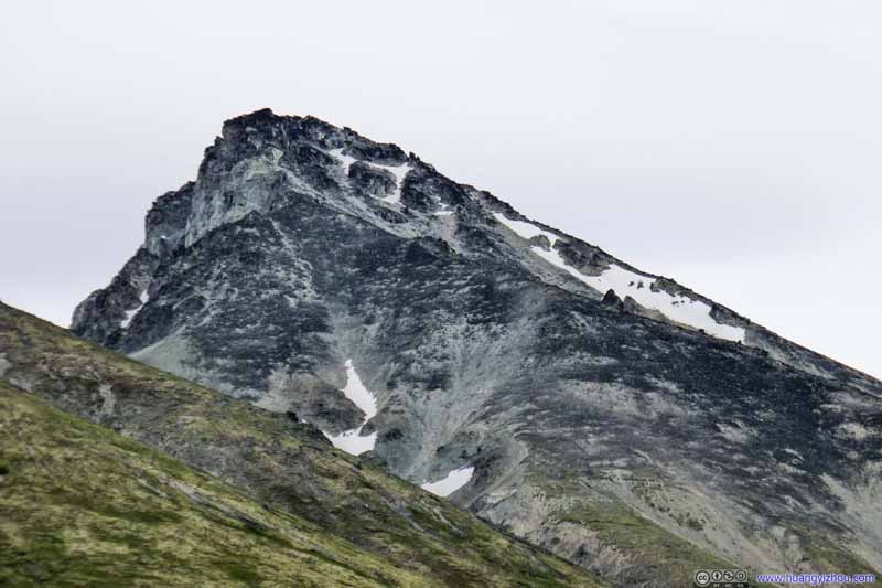 Matanuska PeakTaken during descent.
Click here to display photos of the slideshow


 Matanuska PeakTaken during ascent.

 Matanuska PeakTaken during descent.
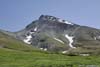
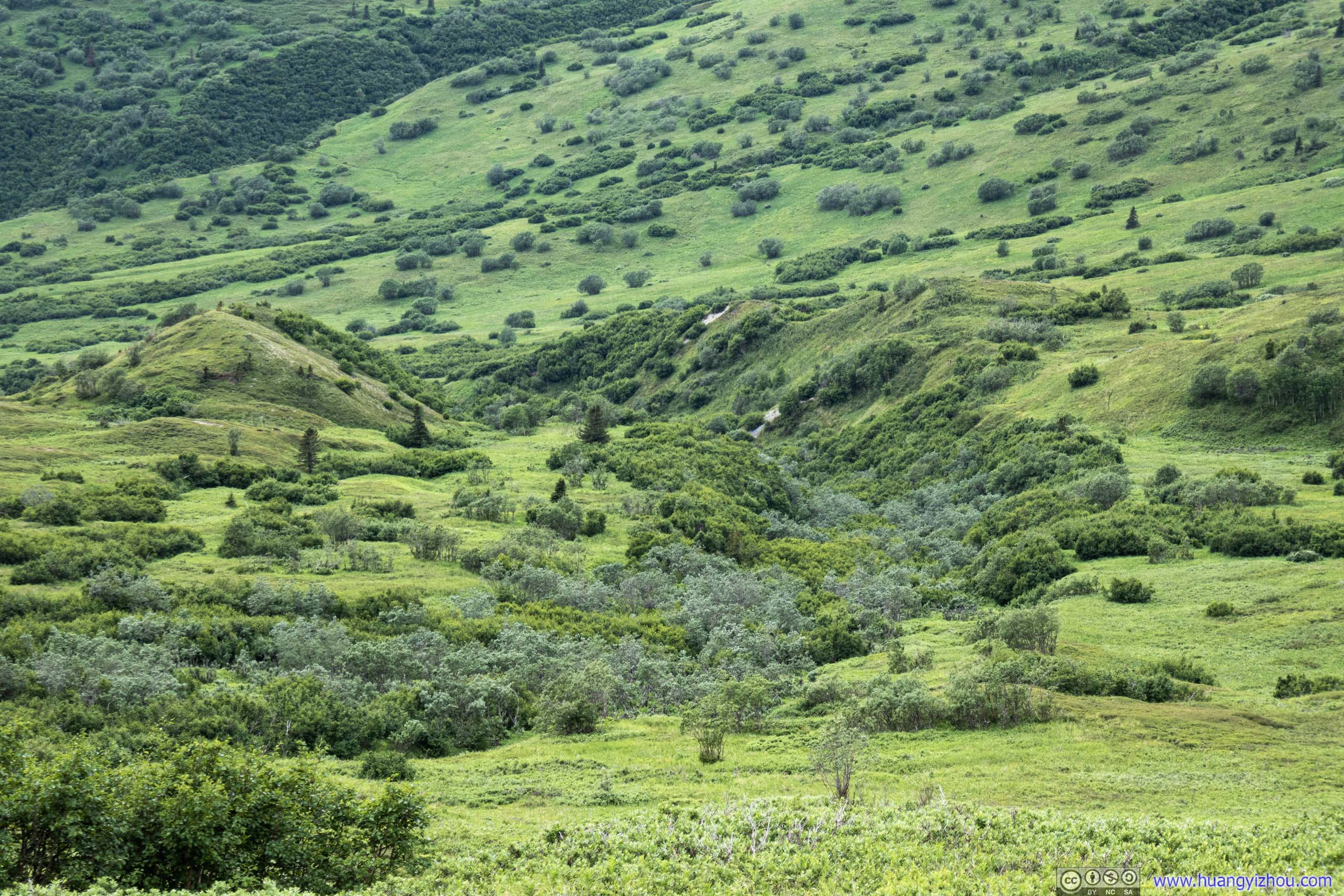
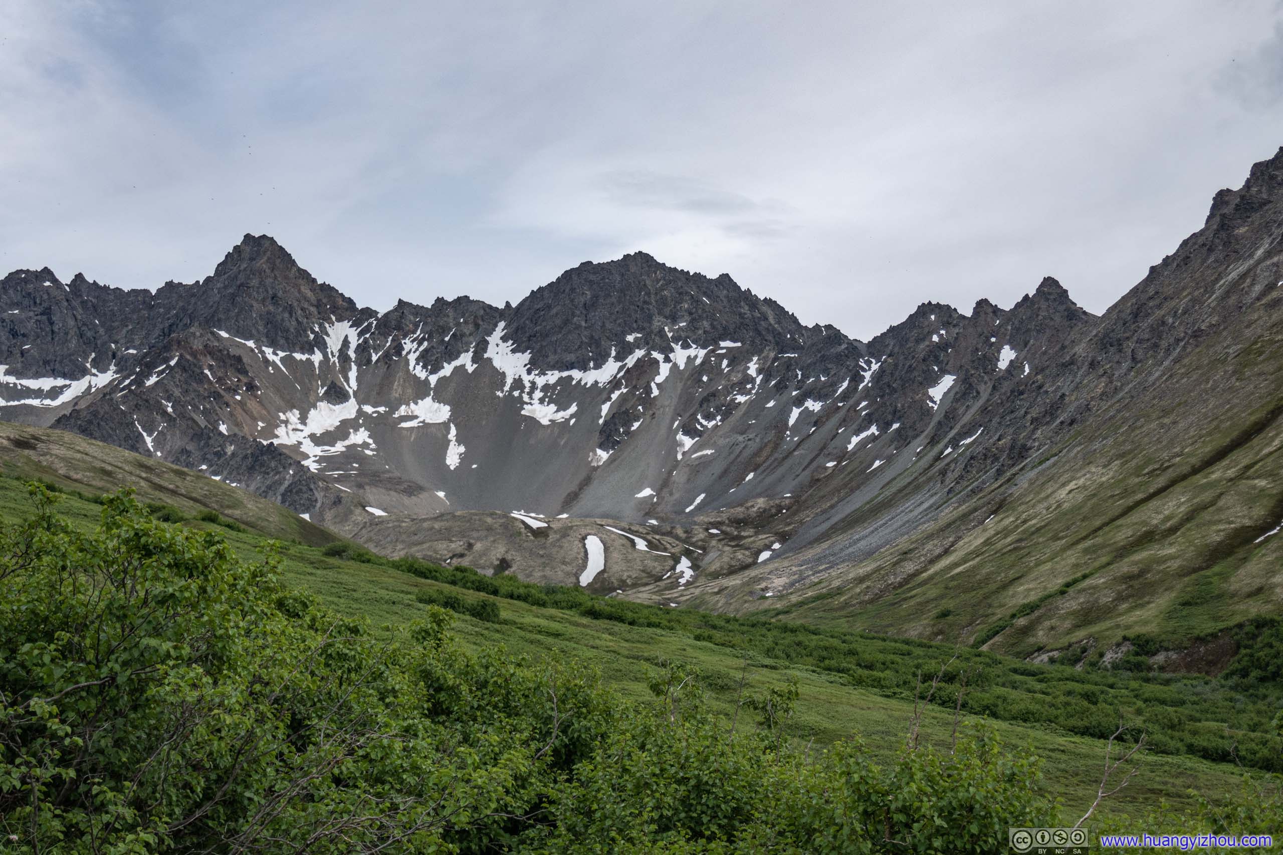
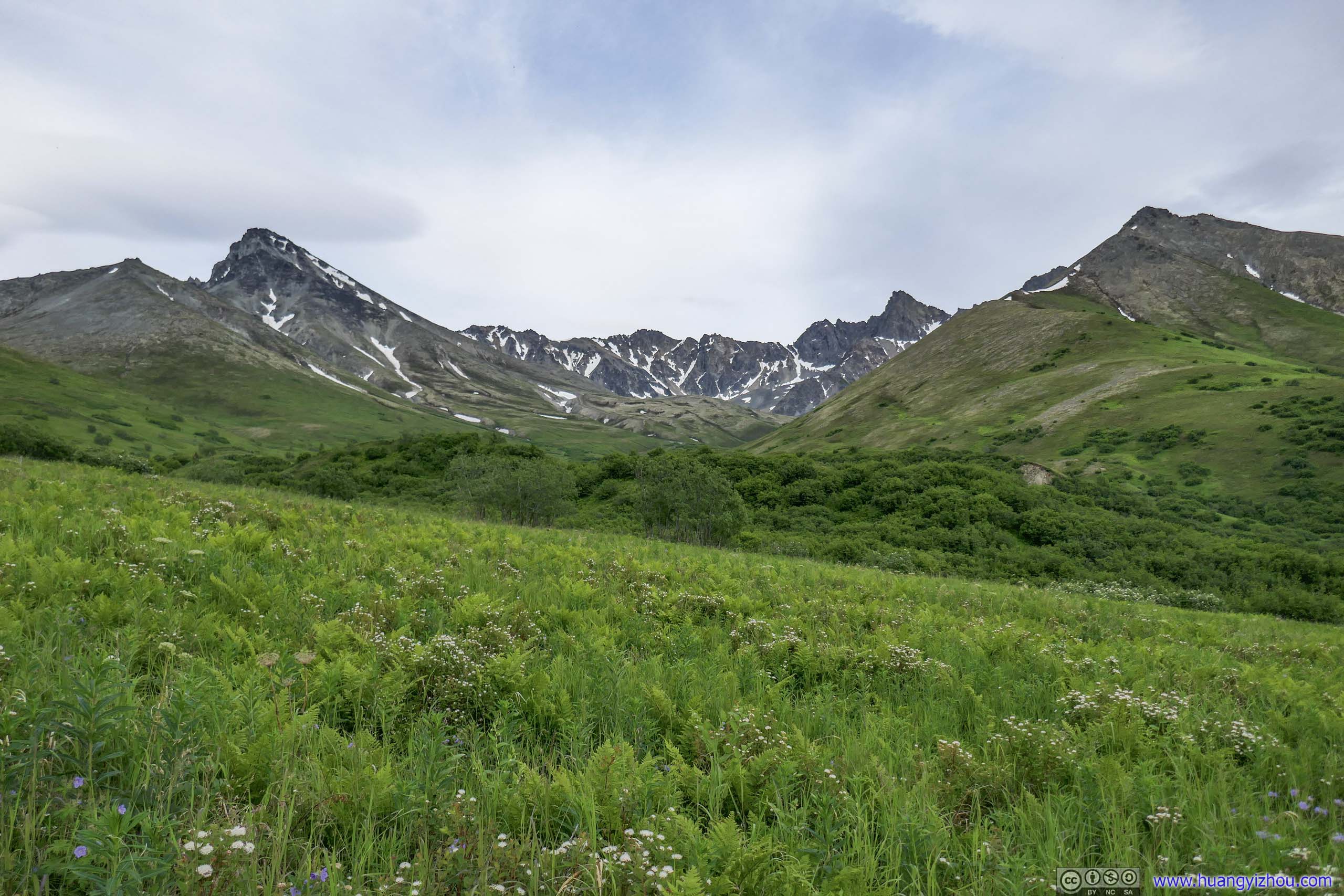
During my ascent it was mostly sunny with leaves on the plants glittering underneath the sunshine. In addition, I had been hearing songs of various birds pretty much the entire way, and saw the nimble hops of a few birds while crossing the meadow. My mood was as uplifting as the scene around me. I should say that I mistook the mating sound of a few squirrels as birds too. Unfortunately, just like the sight of destination, in hindsight this cheerfulness to some degree clouded my perception that there were still grueling challenges ahead.
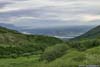
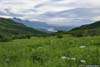
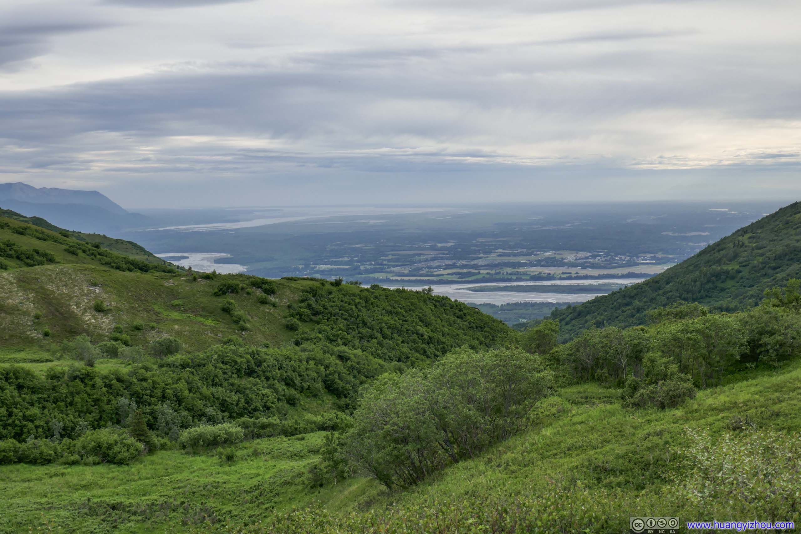
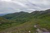
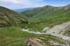
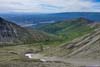
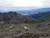
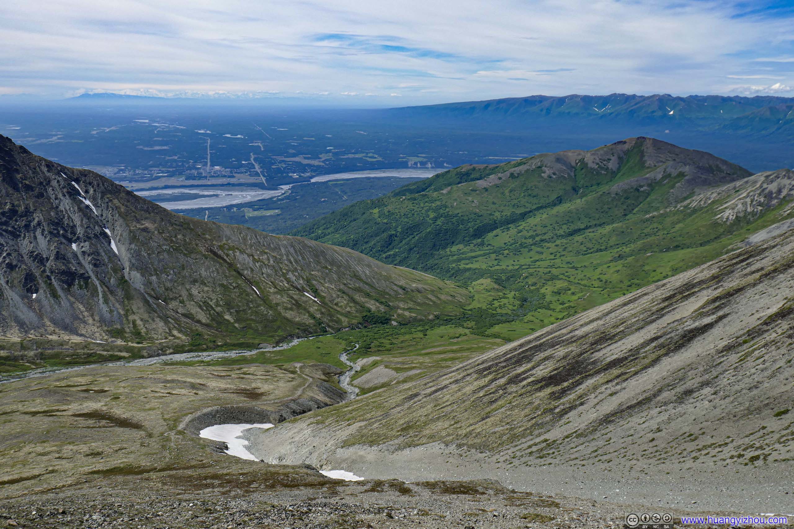
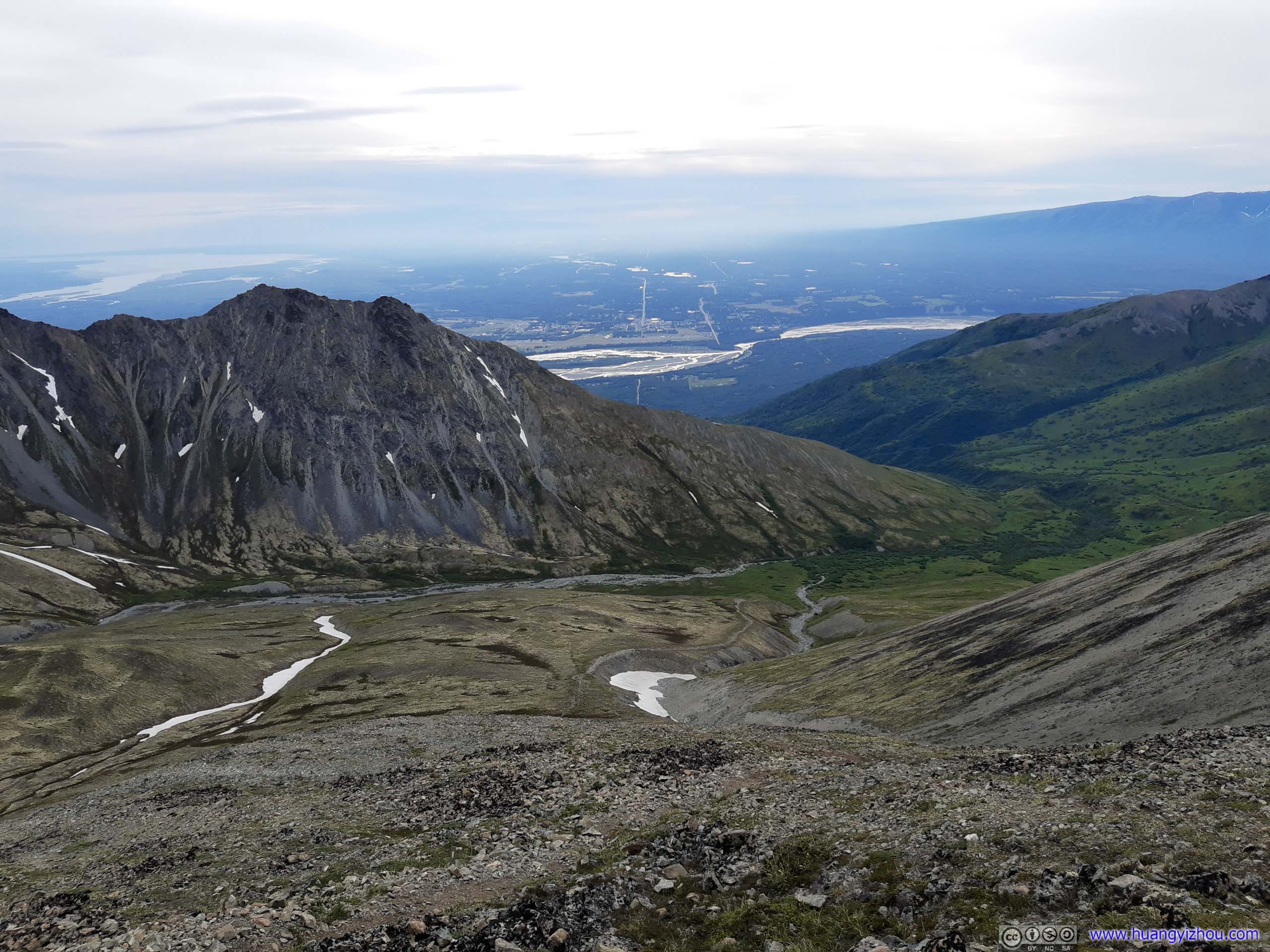
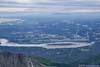
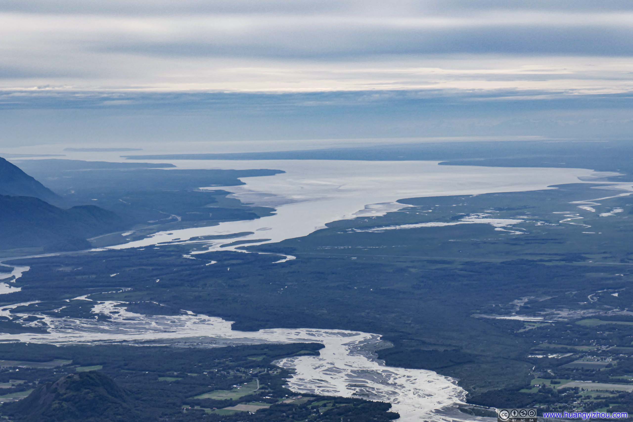
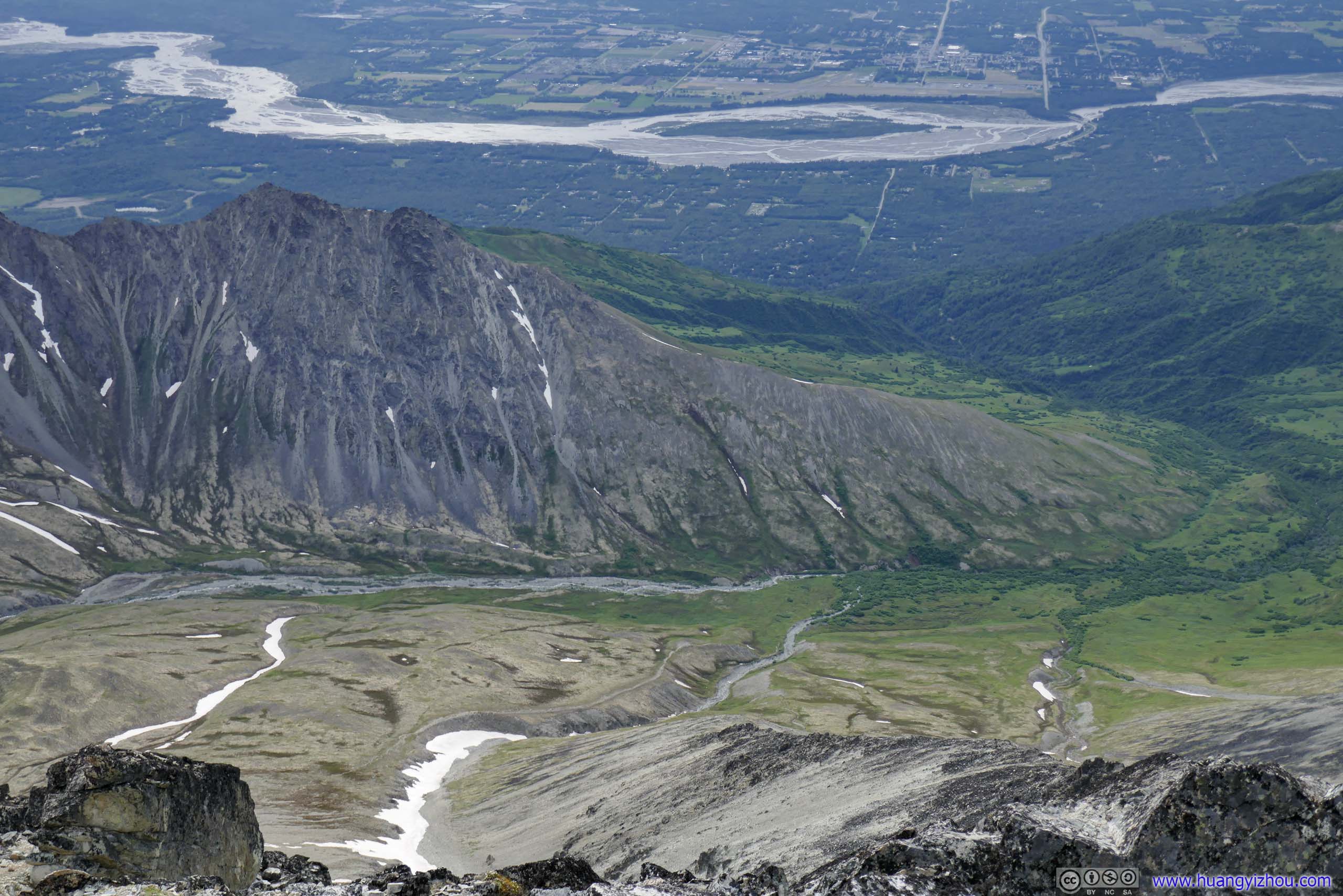
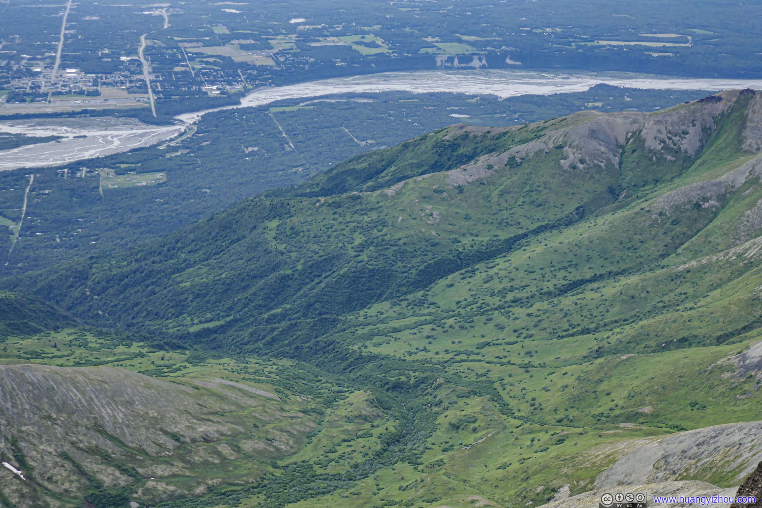
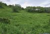
The meadow was in the center of a valley formed by various surrounding mountains, and while in its center, I got glimpses of the Matanuska River and town of Palmer across it. From the town of Palmer, Matanuska Peak was a soaring presence just on its doorstep, and I felt emboldened that I was climbing it with the town behind me watching.
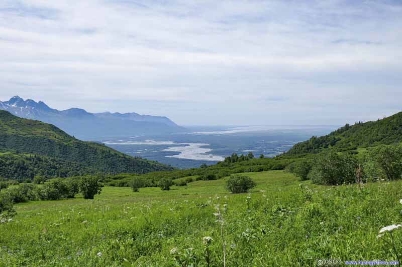 Matanuska River beyond Meadows
 Matanuska River beyond Meadows
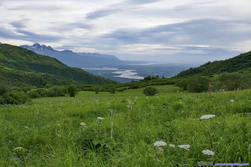 Matanuska River beyond Meadows
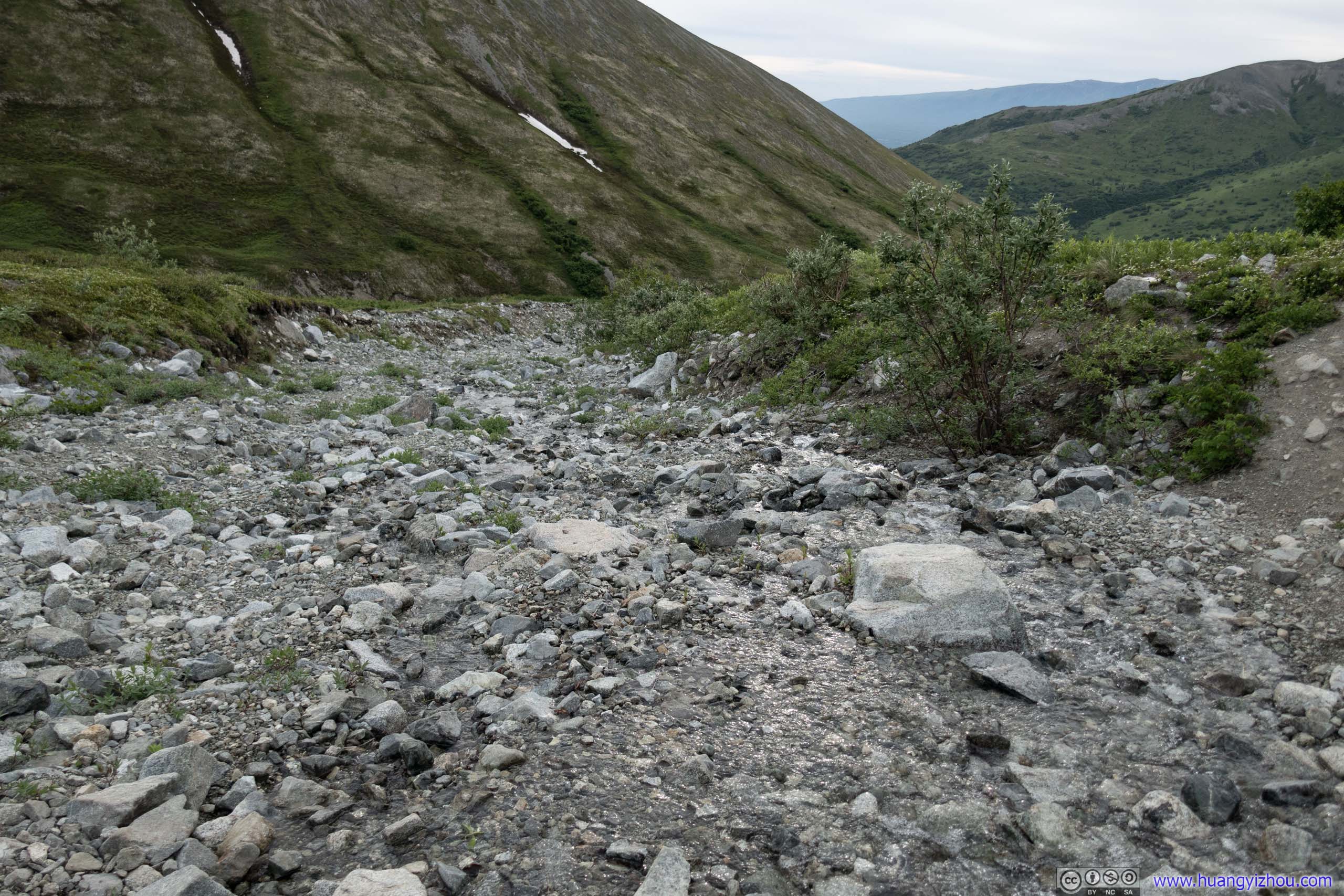
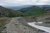
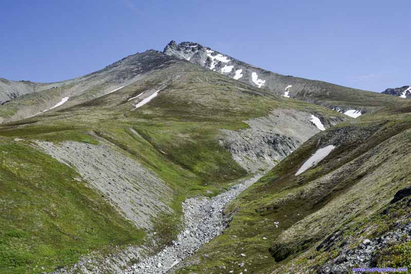
 GullyFollowing the landscape, where melted water from Matanuska Mountain flows downhill.
Click here to display photos of the slideshow

 Matanuska River beyond Meadows
GullyFollowing the landscape, where melted water from Matanuska Mountain flows downhill.
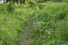
It’s wildflower season so I was accompanied by pleasing butterflies and annoying bugs most of the time, despite I carried DEET and re-applied multiple times trying to ward off the latter. The bugs didn’t seem to be that much a nuisance though (much better than last June in Utah). Except towards the end when I gave up on the bugs to focus on reaching the top, I didn’t get any mosquito bites.
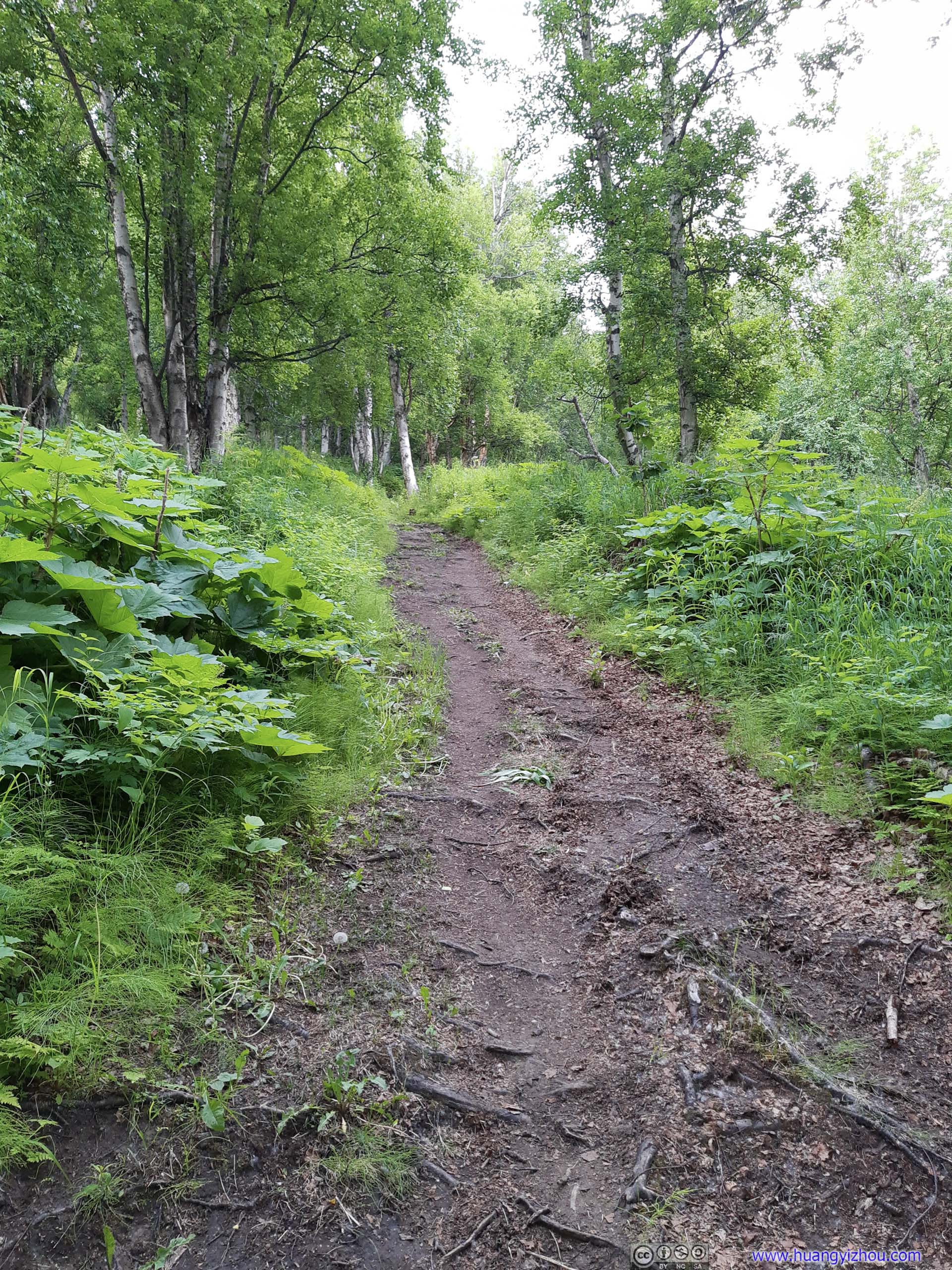
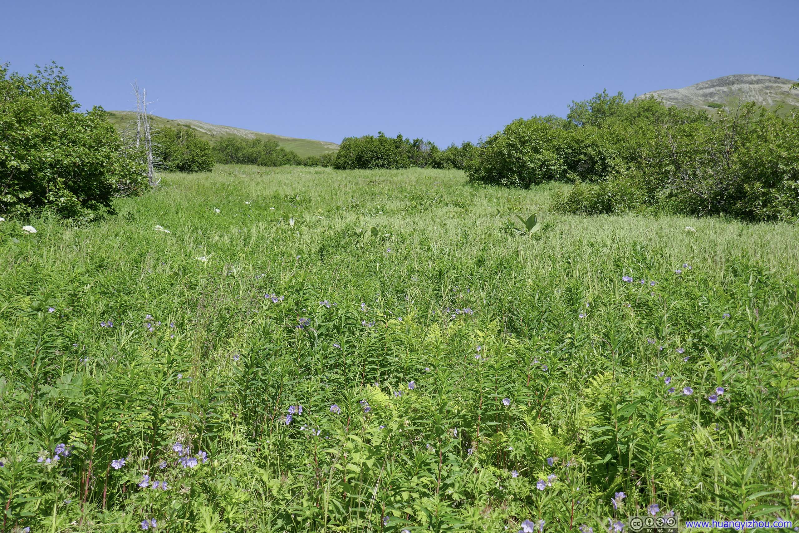
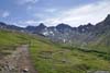
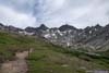
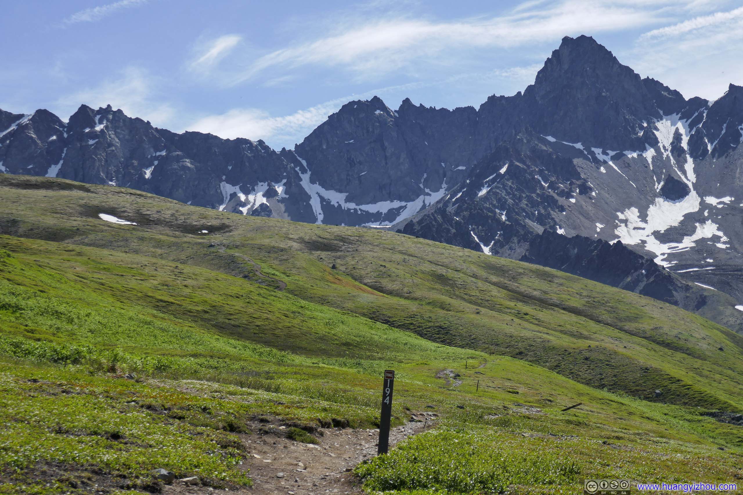
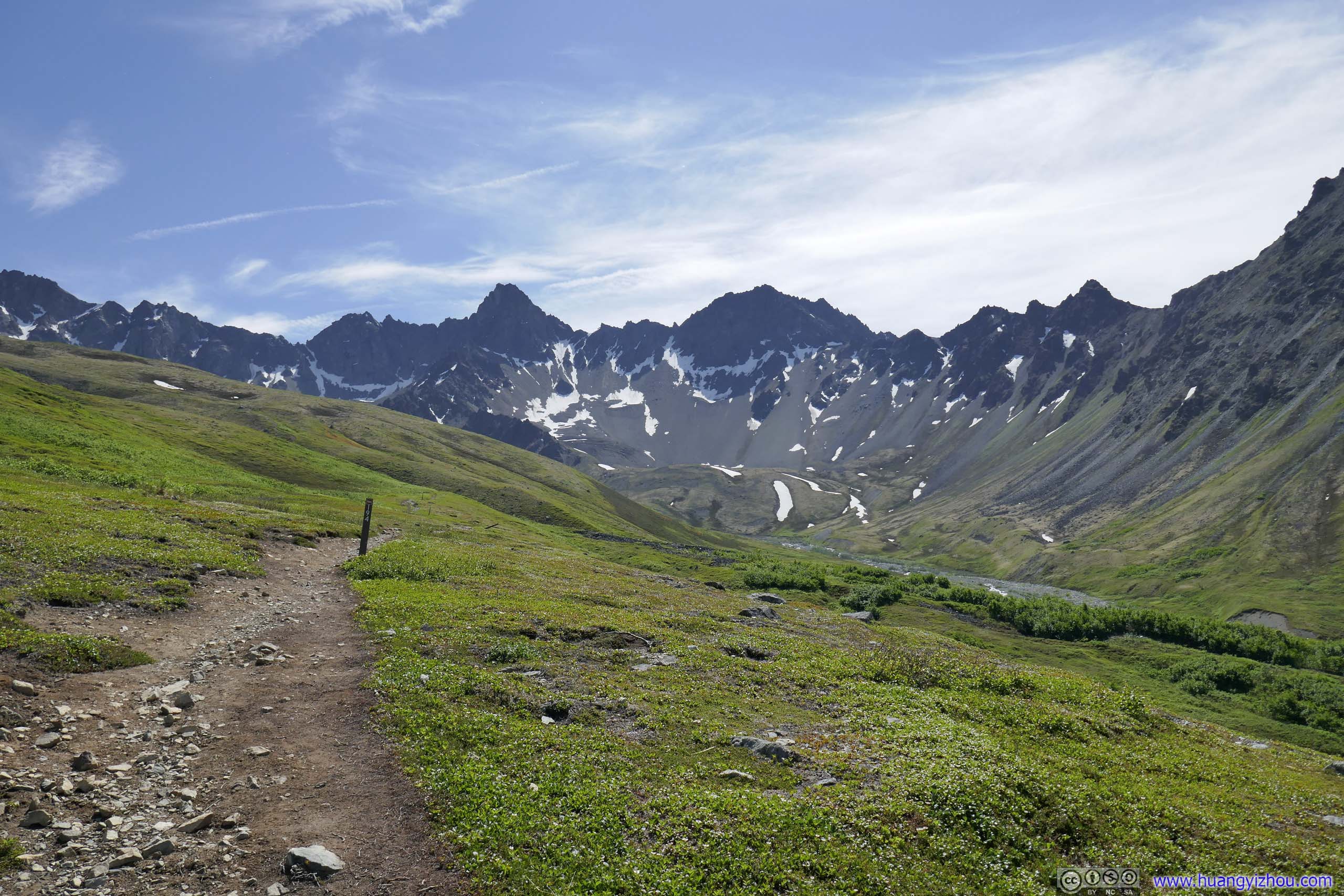
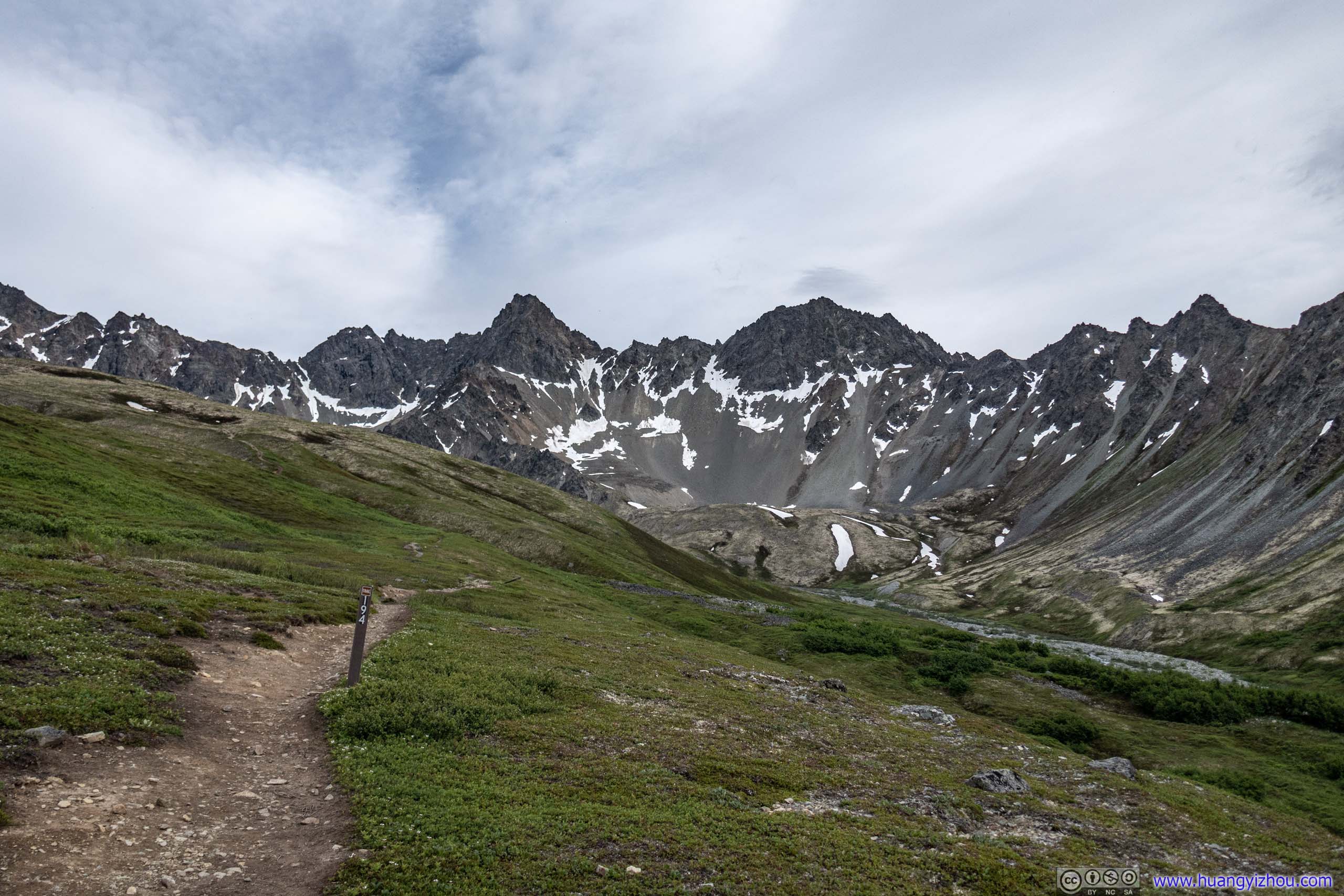
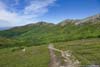
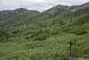
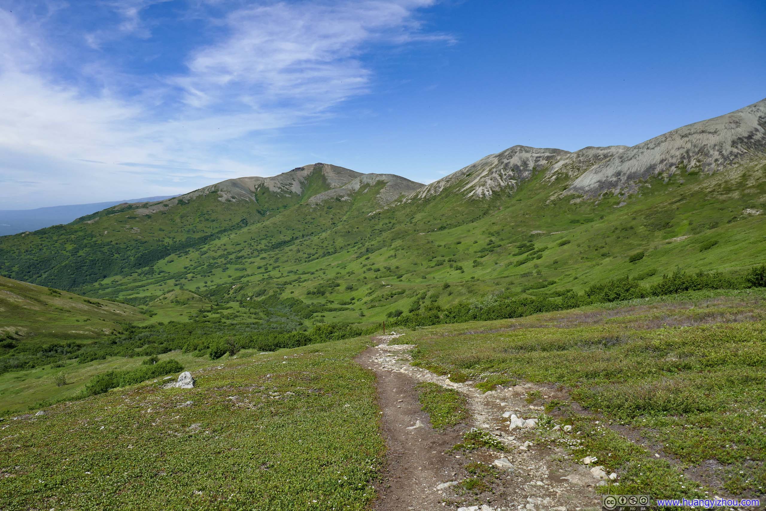
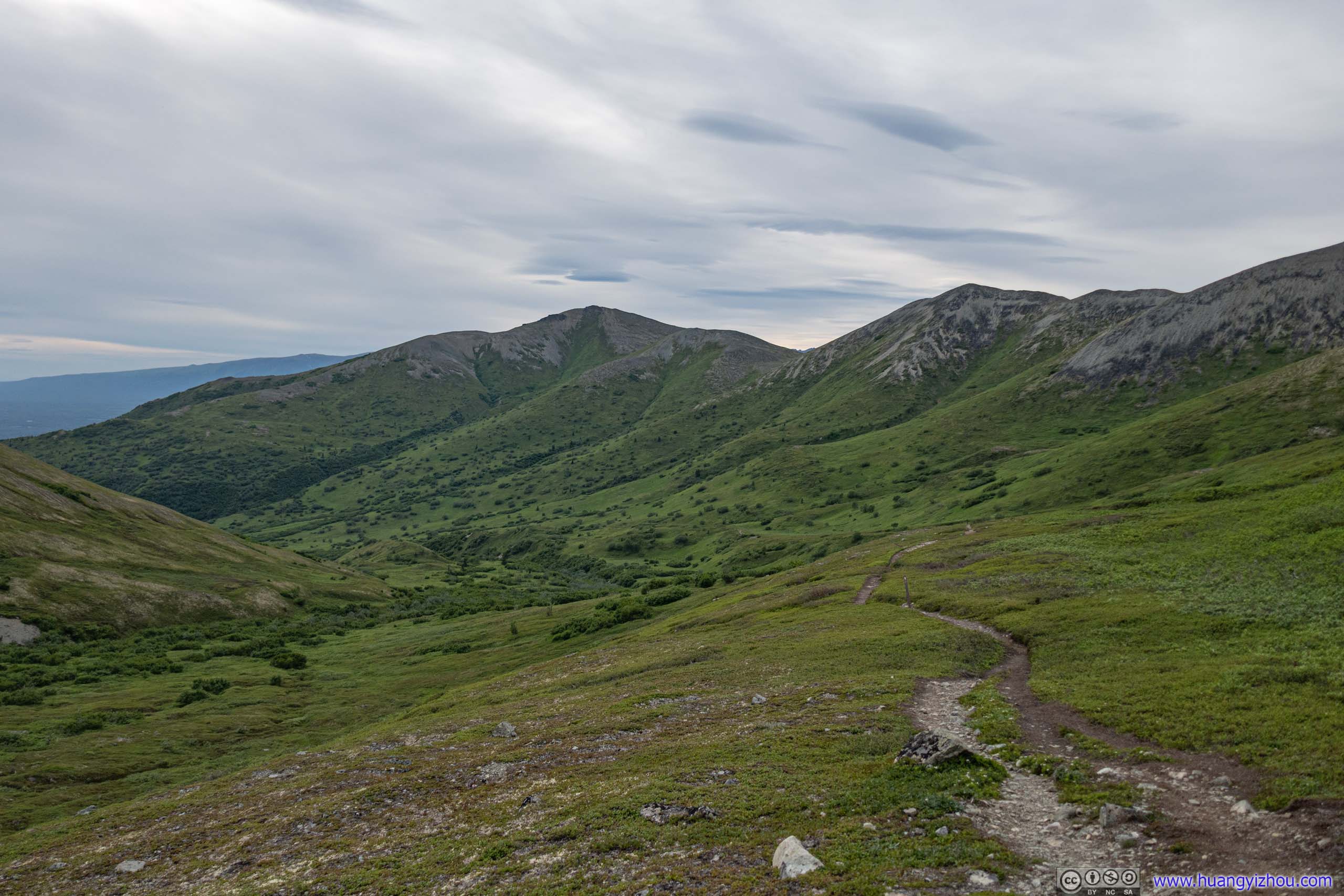
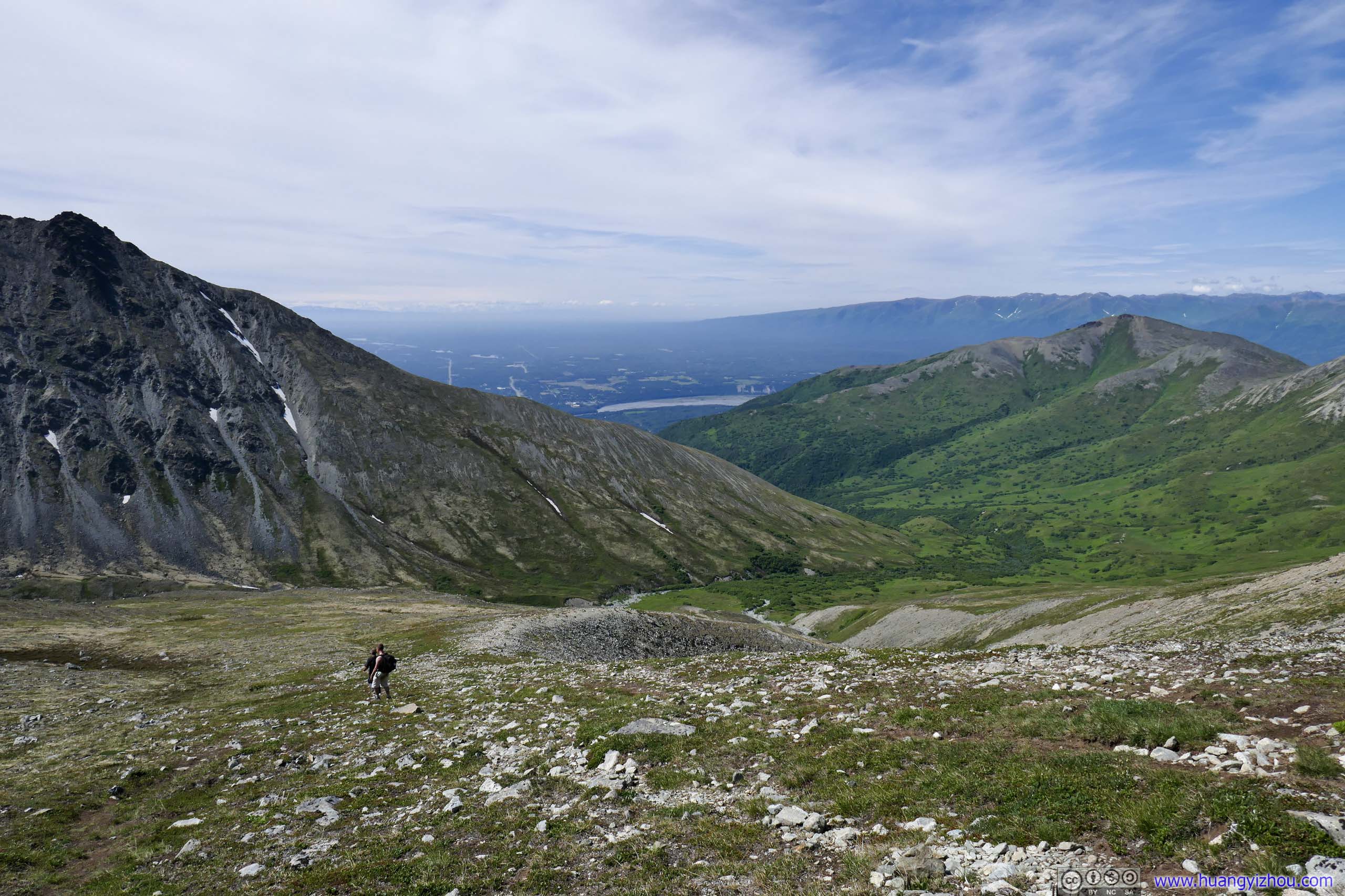
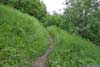
 Trail to Matanuska Peak
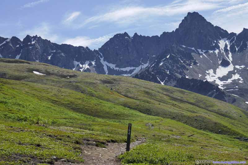 Trail into Wilderness
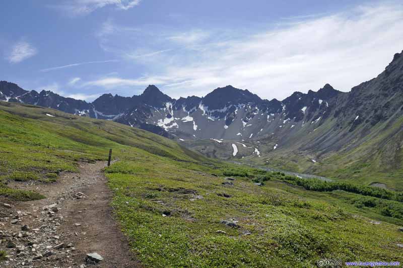 Trail into Wilderness
 Trail into Wilderness
Click here to display photos of the slideshow
Trail to Matanuska Peak
 Trail into Wilderness
Trail into Wilderness
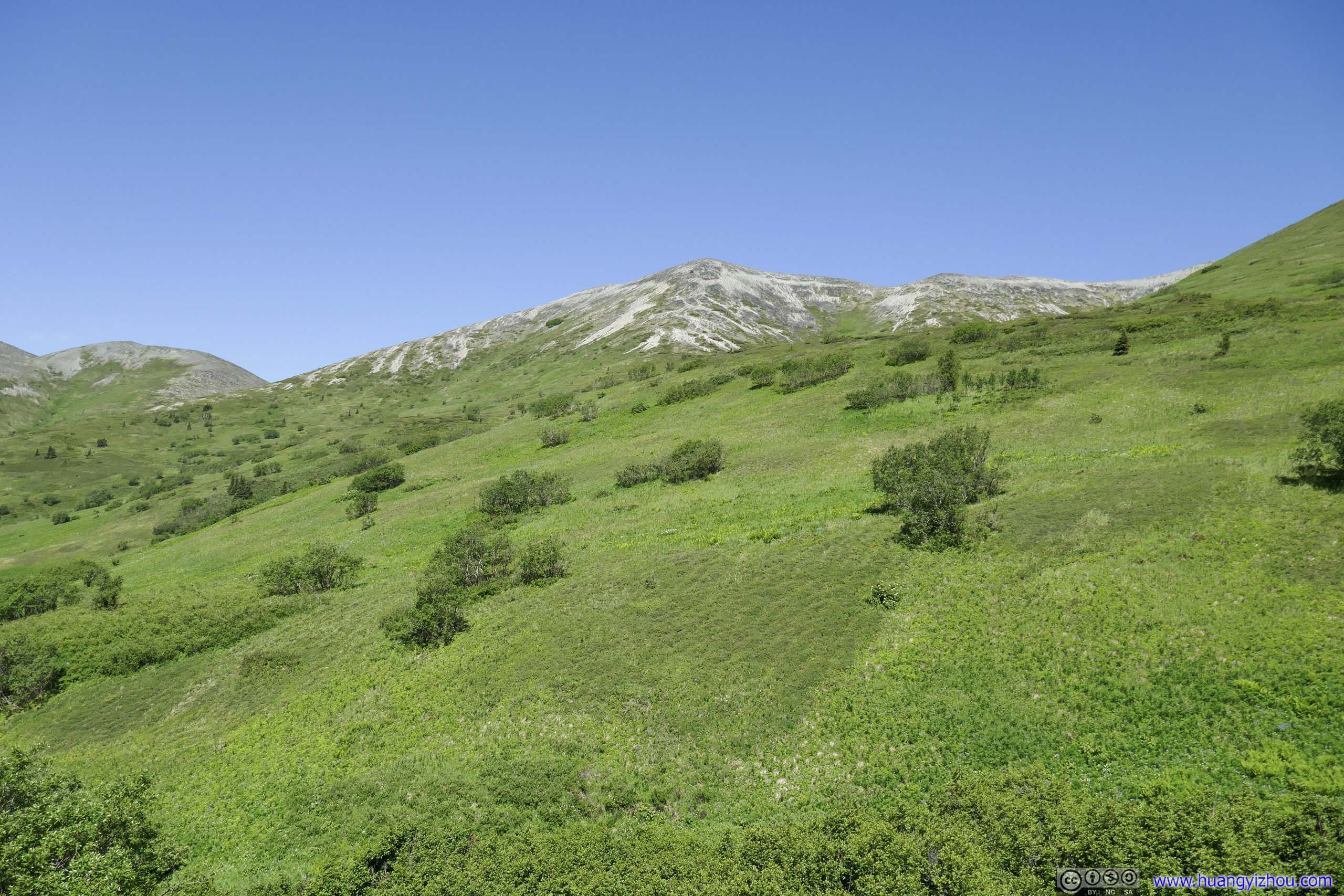
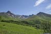
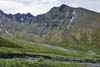
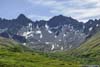
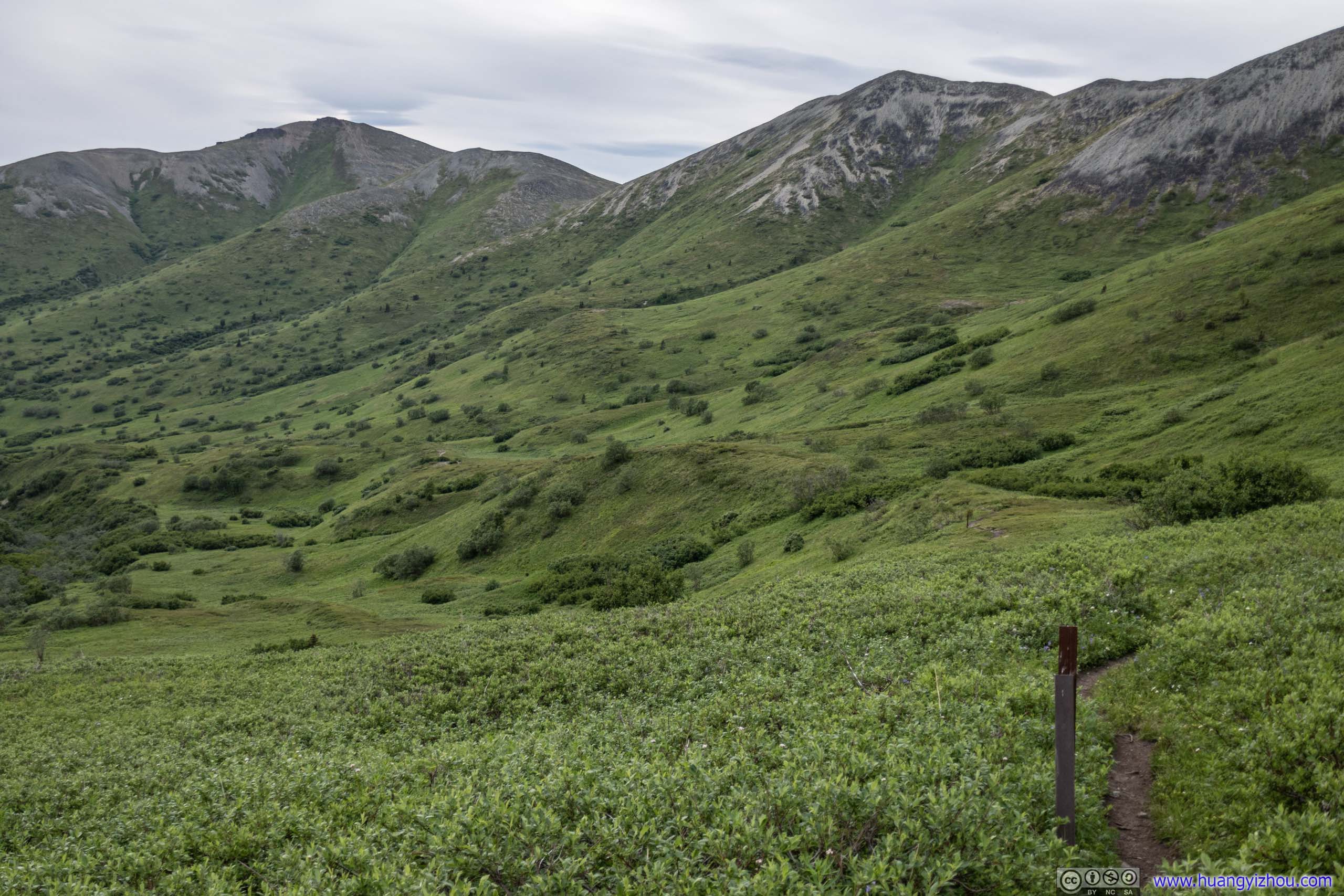
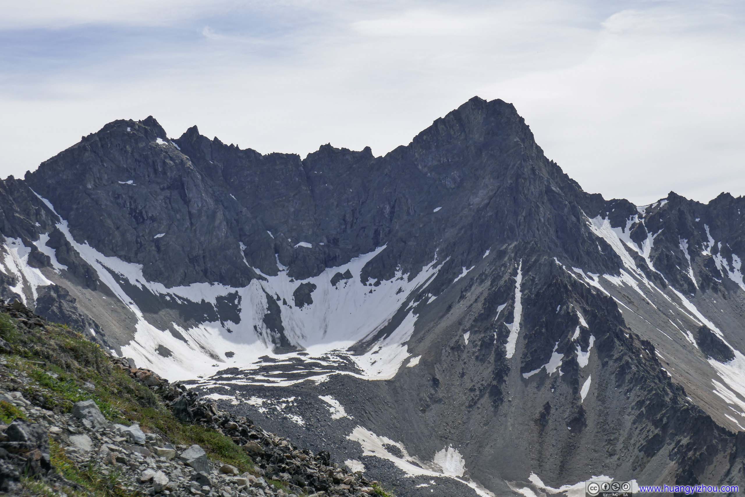
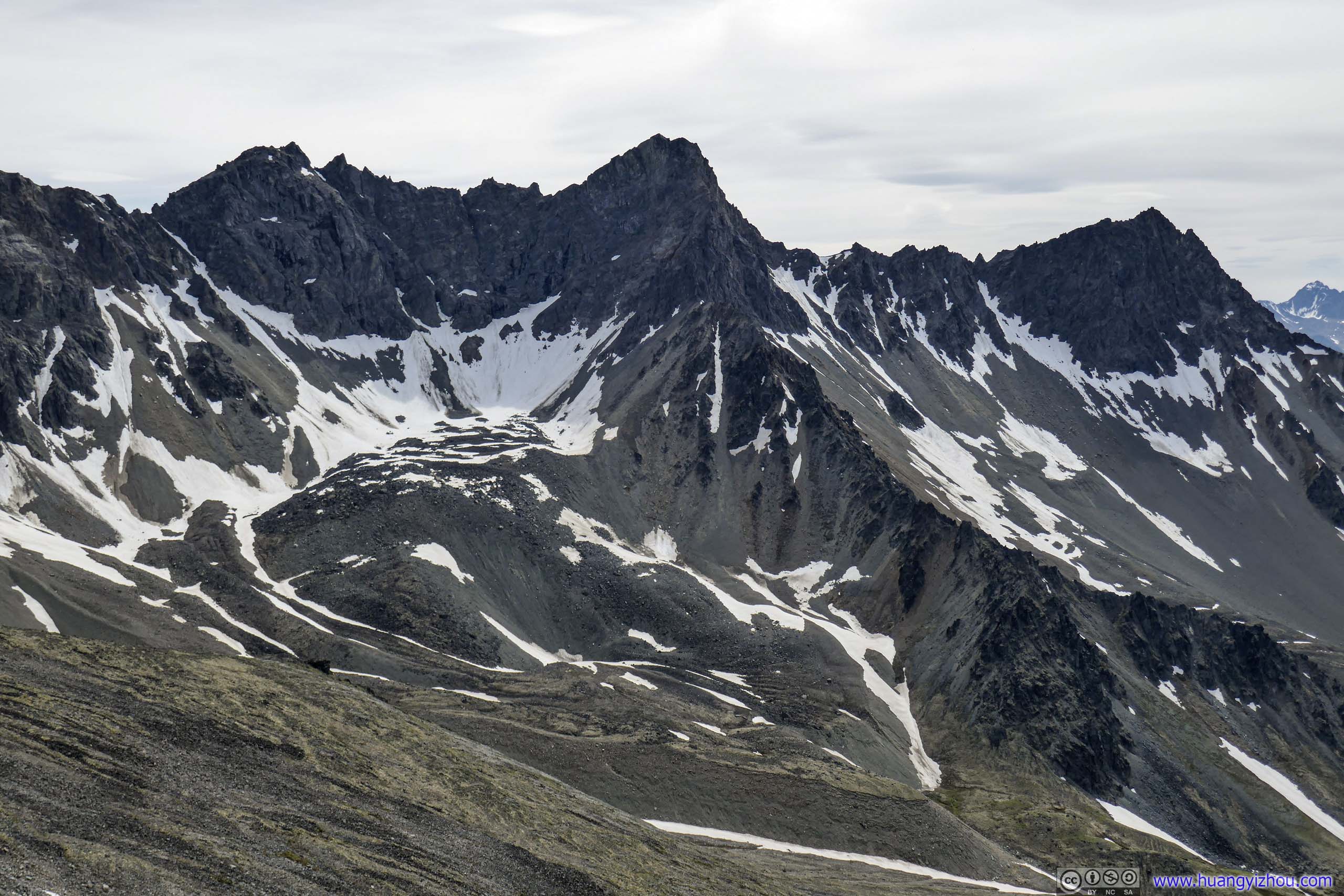
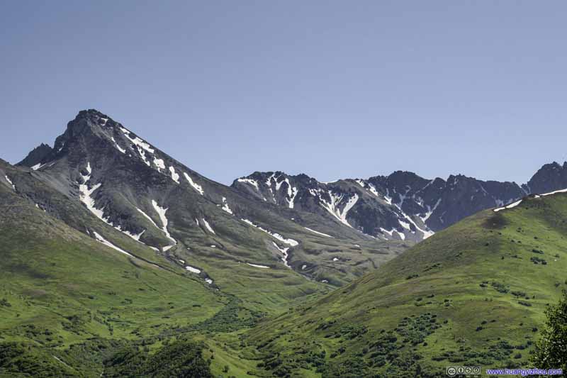 Matanuska Peak and Surrounding Mountains
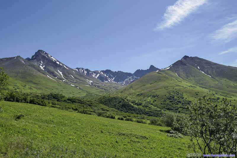 Matanuska Peak and Surrounding Mountains
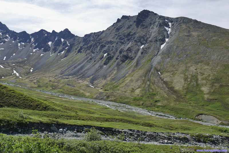 Peaks near Matanuska Peak
 Peaks near Matanuska Peak
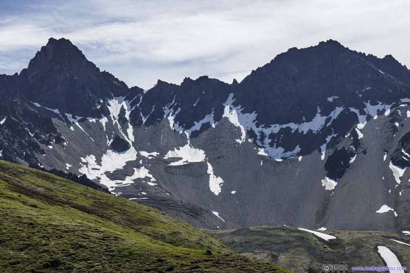 Peaks near Matanuska Peak

Click here to display photos of the slideshow
Matanuska Peak and Surrounding Mountains
Matanuska Peak and Surrounding Mountains
Peaks near Matanuska Peak
 Peaks near Matanuska Peak
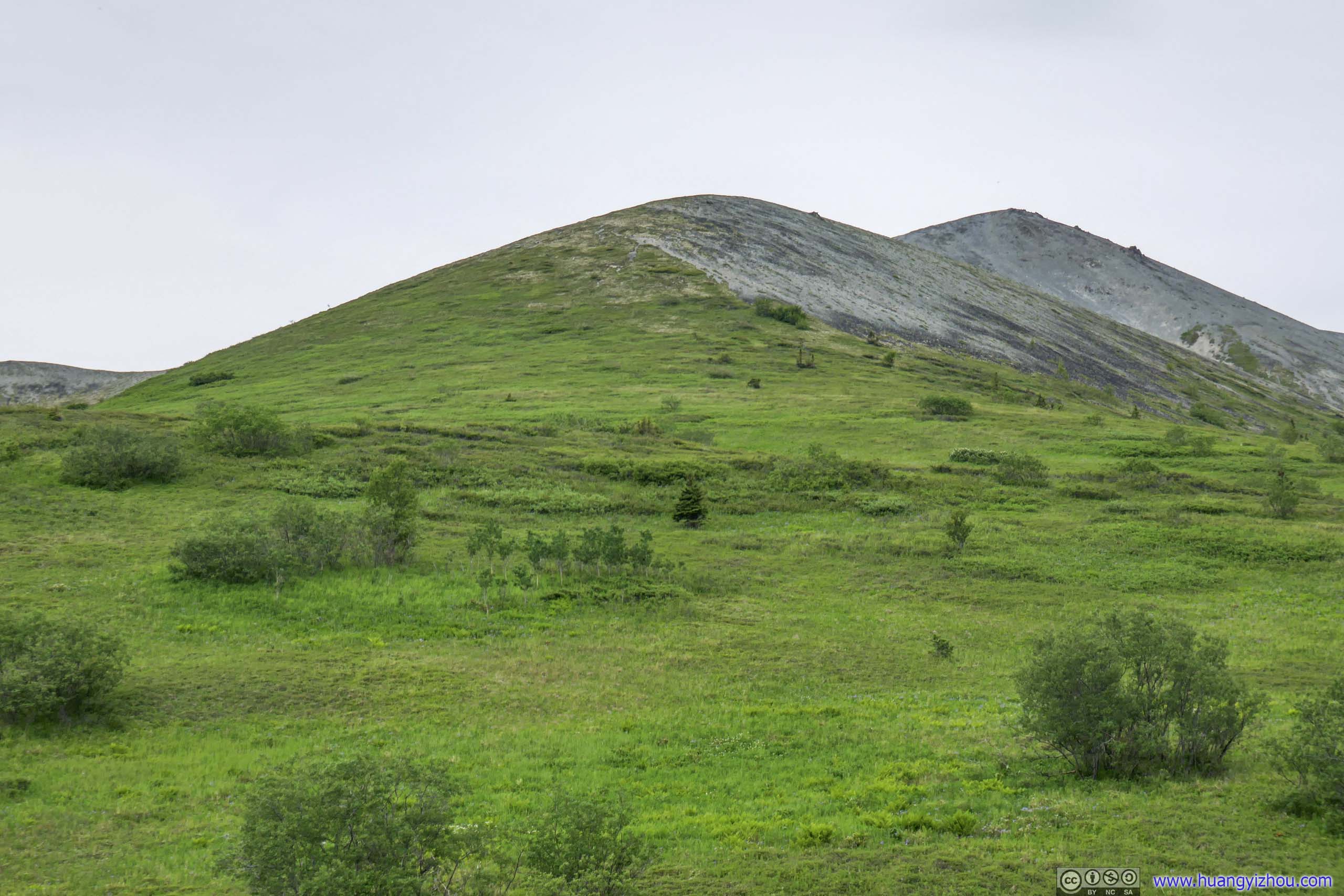
 Mountains BehindLazy Mountain in the left.
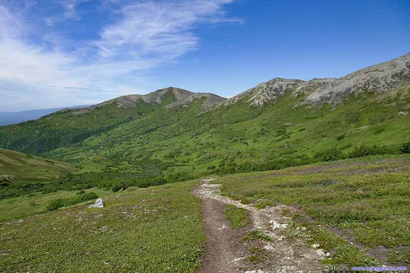 Mountains BehindLazy Mountain in the left.
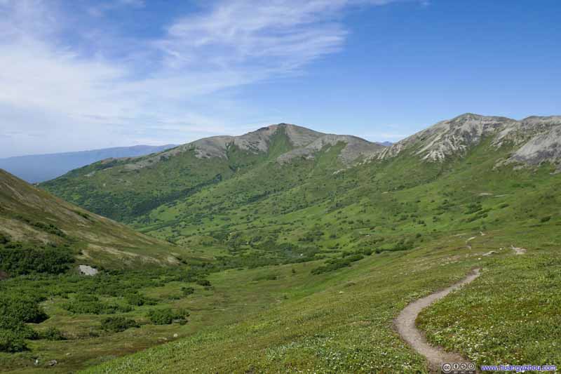 Mountains BehindLazy Mountain in the left.
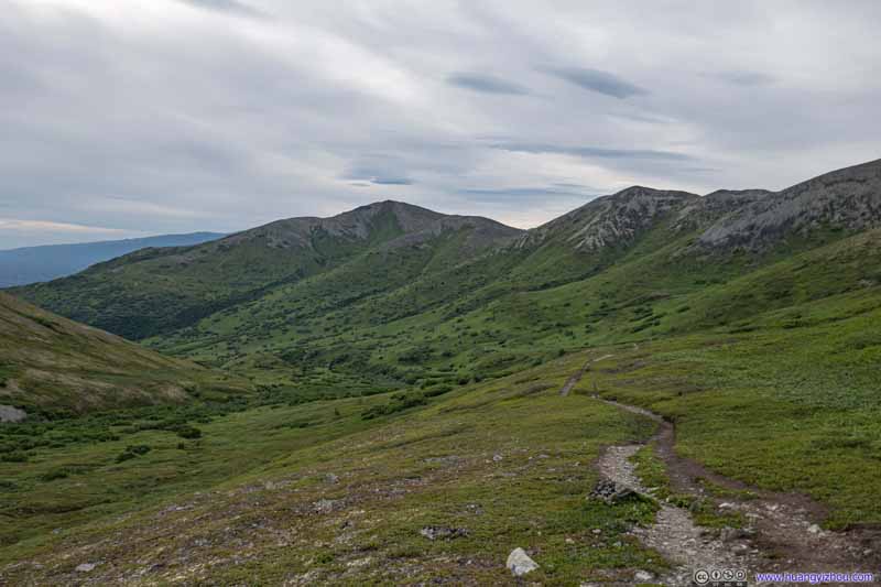 Mountains Behind
Taken near the same spot as the previous photo, in the evening on my descent when there were more clouds in the sky.
Mountains Behind
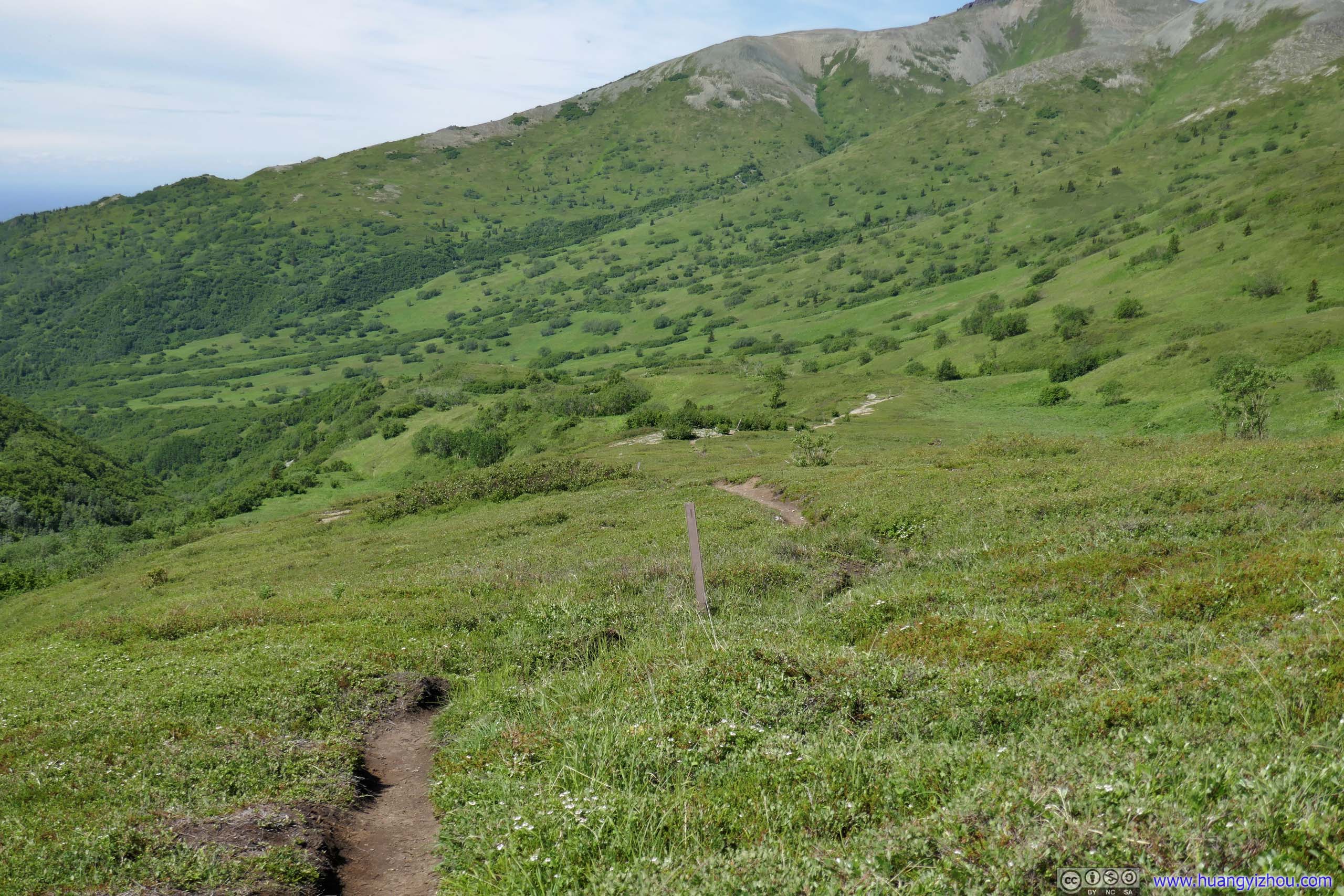
Taken near the same spot as the previous photo, in the evening on my descent when there were more clouds in the sky.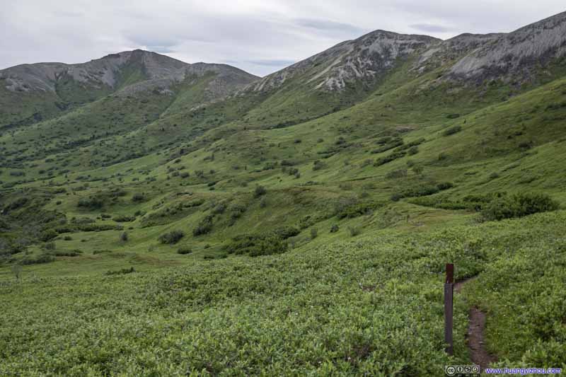 Trail Beneath Mountains
 Trail Beneath Mountains
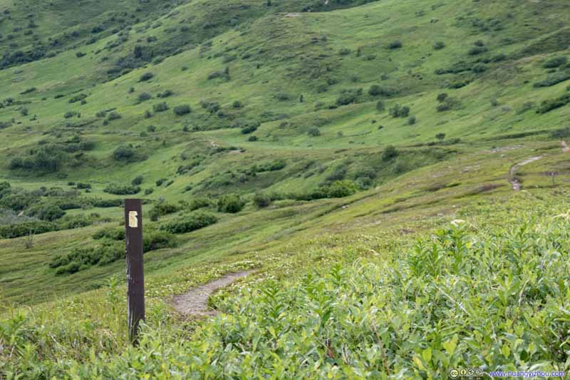 Trail
Trail
Click here to display photos of the slideshow

 Mountains BehindLazy Mountain in the left.
Mountains Behind
Trail Beneath Mountains

Trail Beneath Mountains
Trail
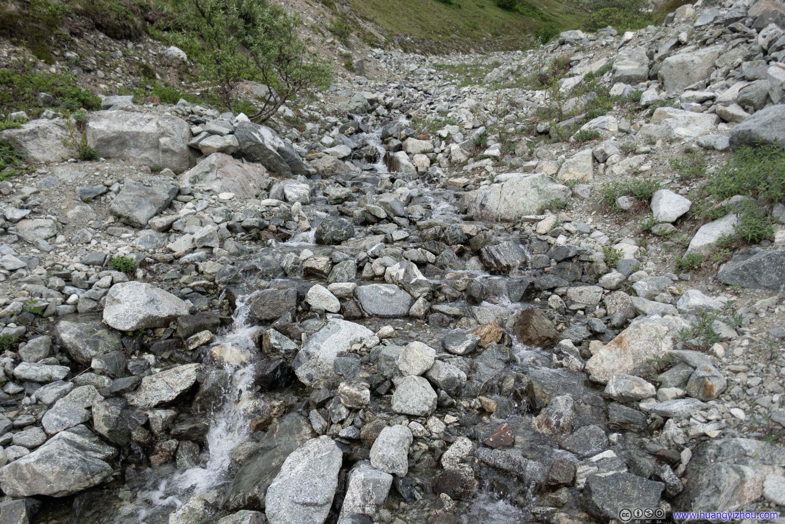
 Creek
Creek
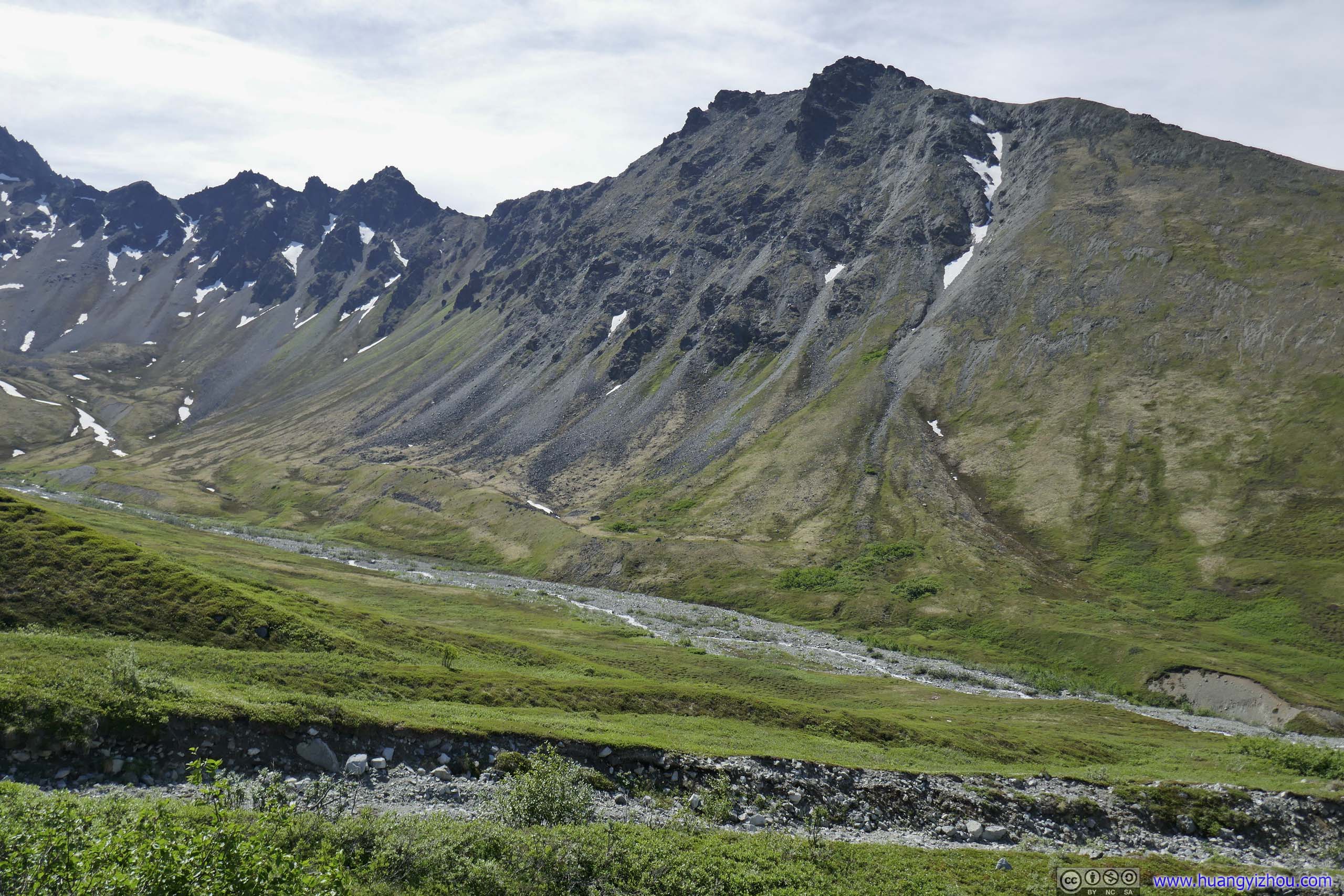
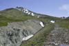
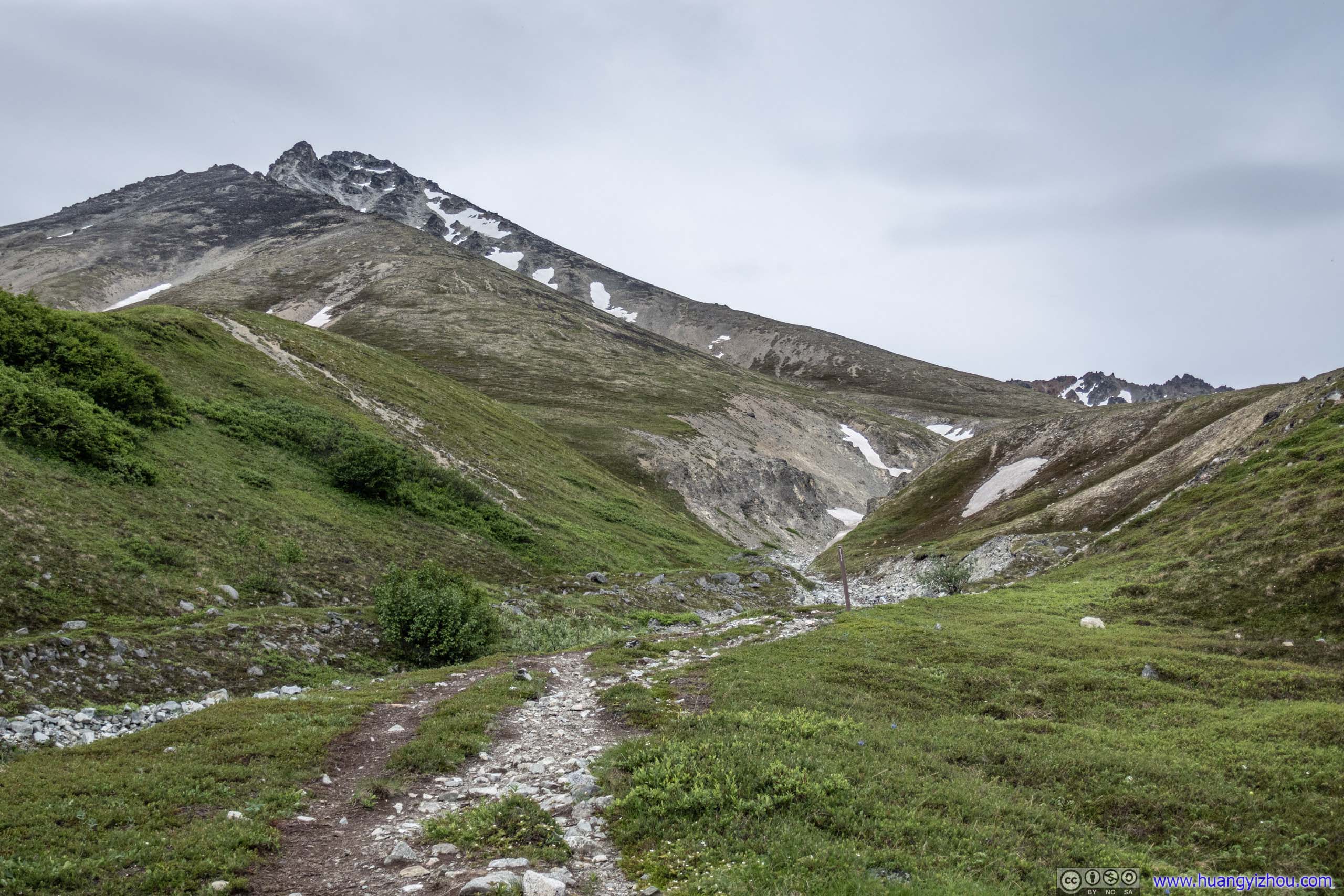
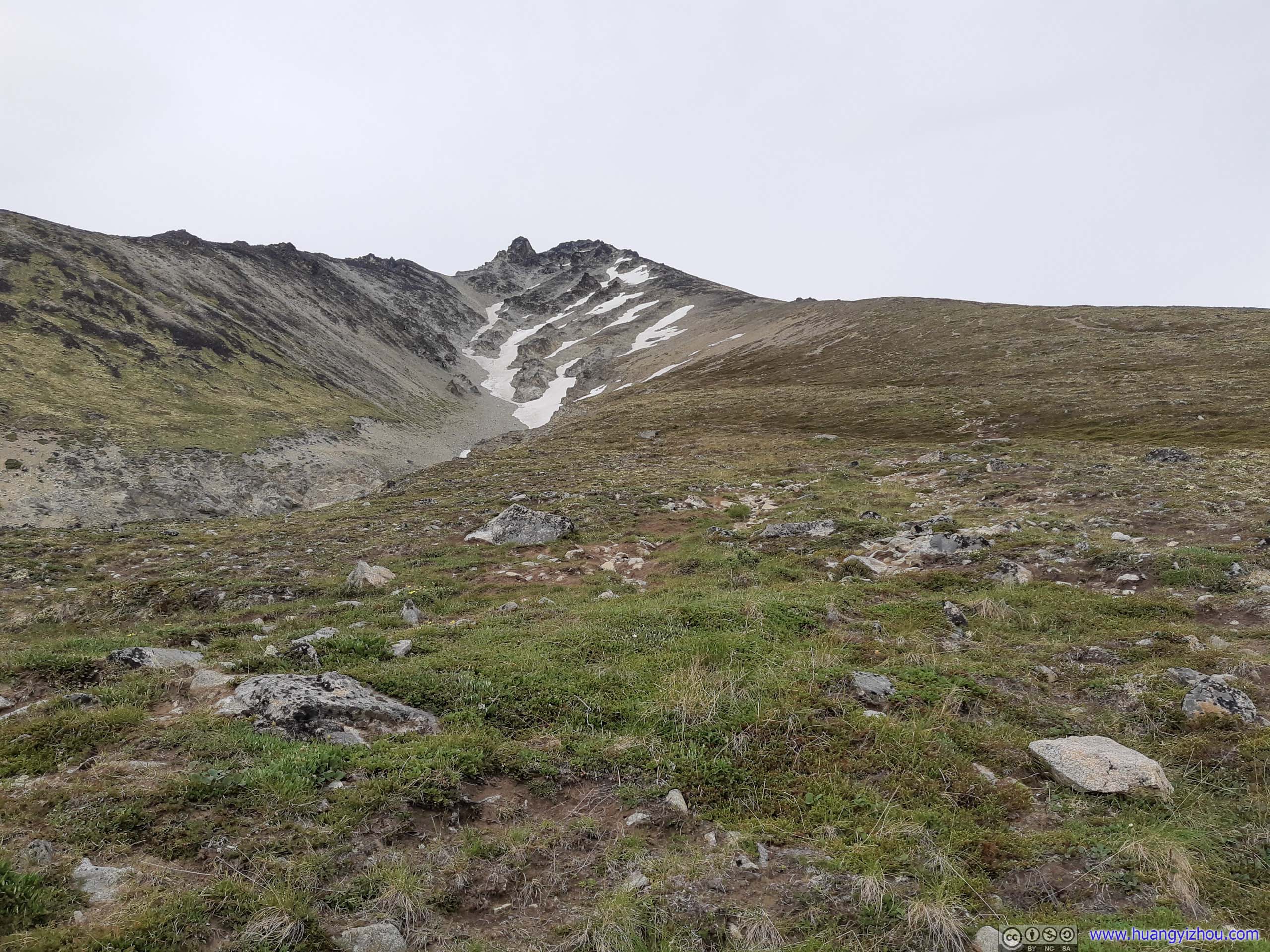
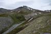
After crossing a creek formed by snow runoff, I left the meadows behind and started the final climb along the summit ridge, where the trail immediately picked up the pace of elevation gain. Summit was 2km horizontally and 950m vertically from this point.
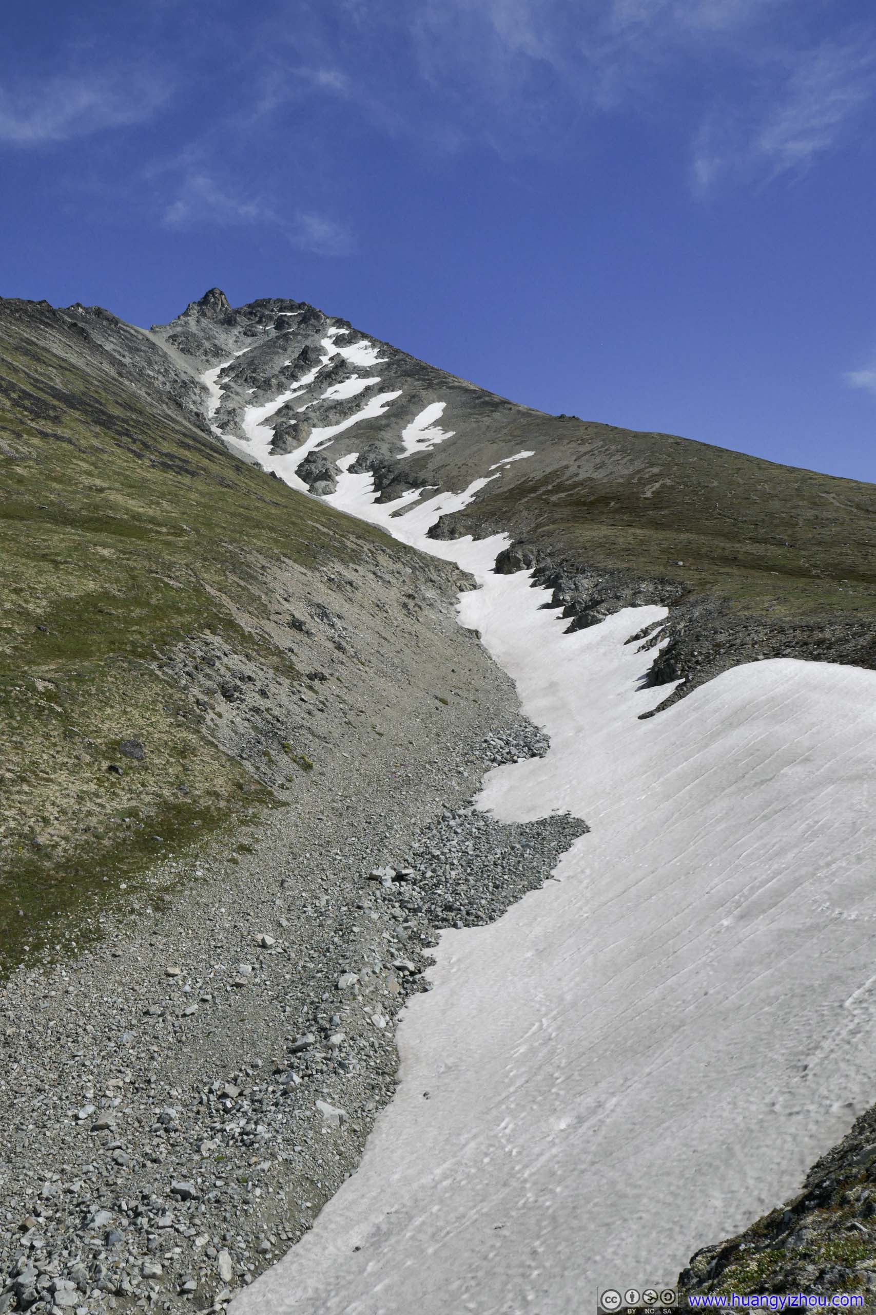
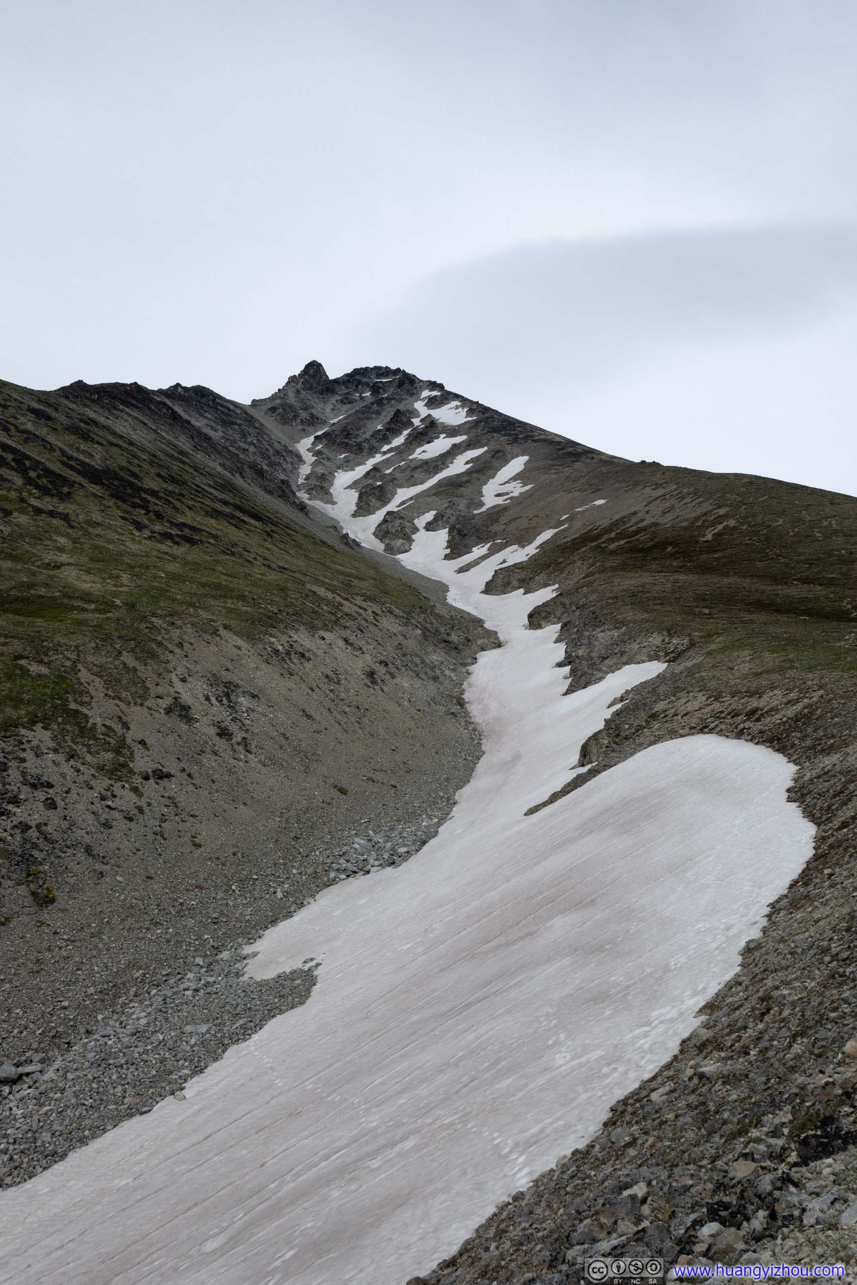 Patch of Snow

 Trail up Matanuska Peak
 Trail up Matanuska Peak
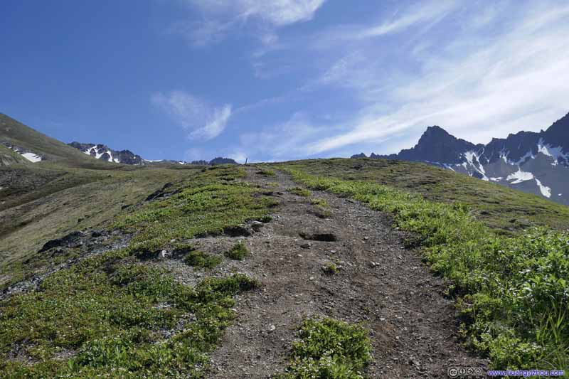 Trail up Matanuska Peak
 Trail up Matanuska Peak
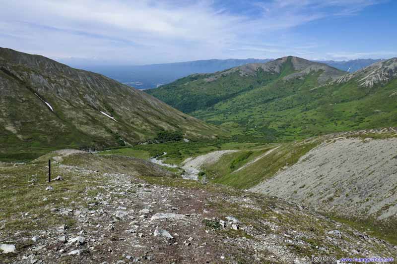 Trail up Matanuska Peak
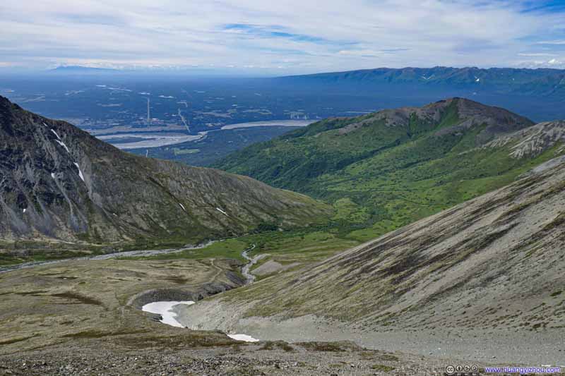 Trail up Matanuska Peak
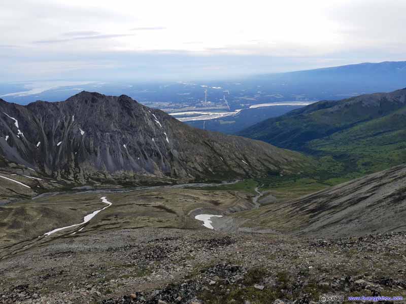 Trail up Matanuska Peak
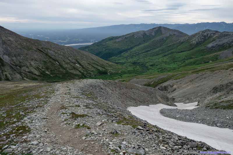 Trail up Matanuska Peak
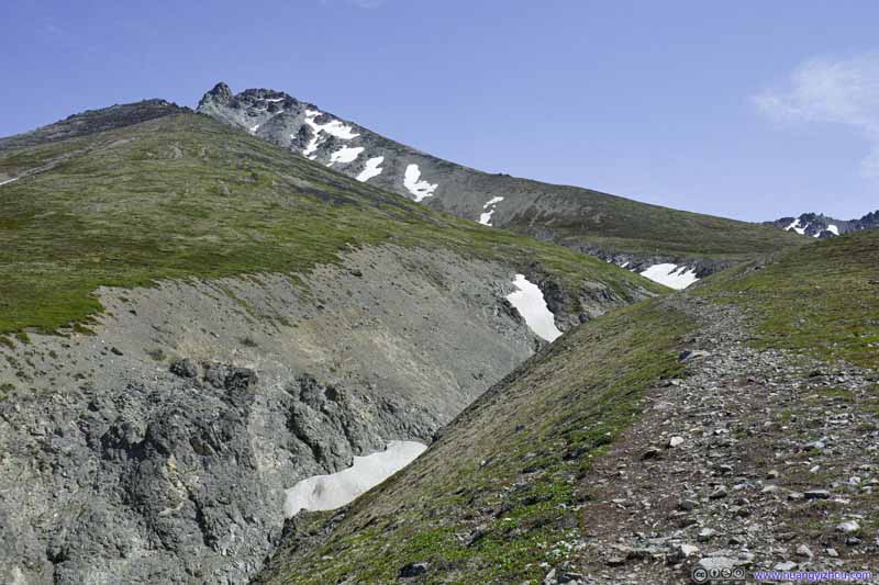 Trail up Matanuska Peak
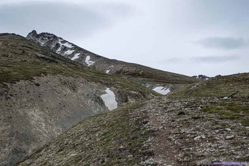 Trail up Matanuska Peak


Click here to display photos of the slideshow
Trail up Matanuska Peak

Trail up Matanuska Peak


 Trail up Matanuska Peak
Trail up Matanuska Peak

Trail up Matanuska Peak

 Trail up Matanuska Peak
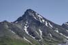
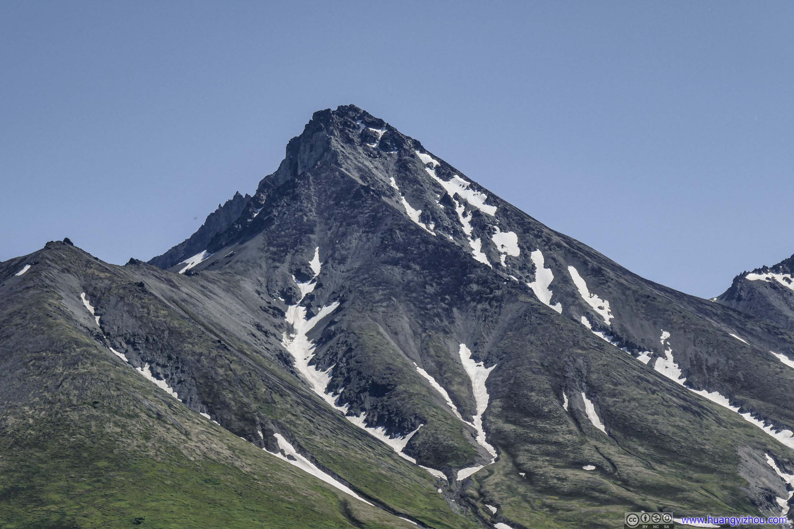
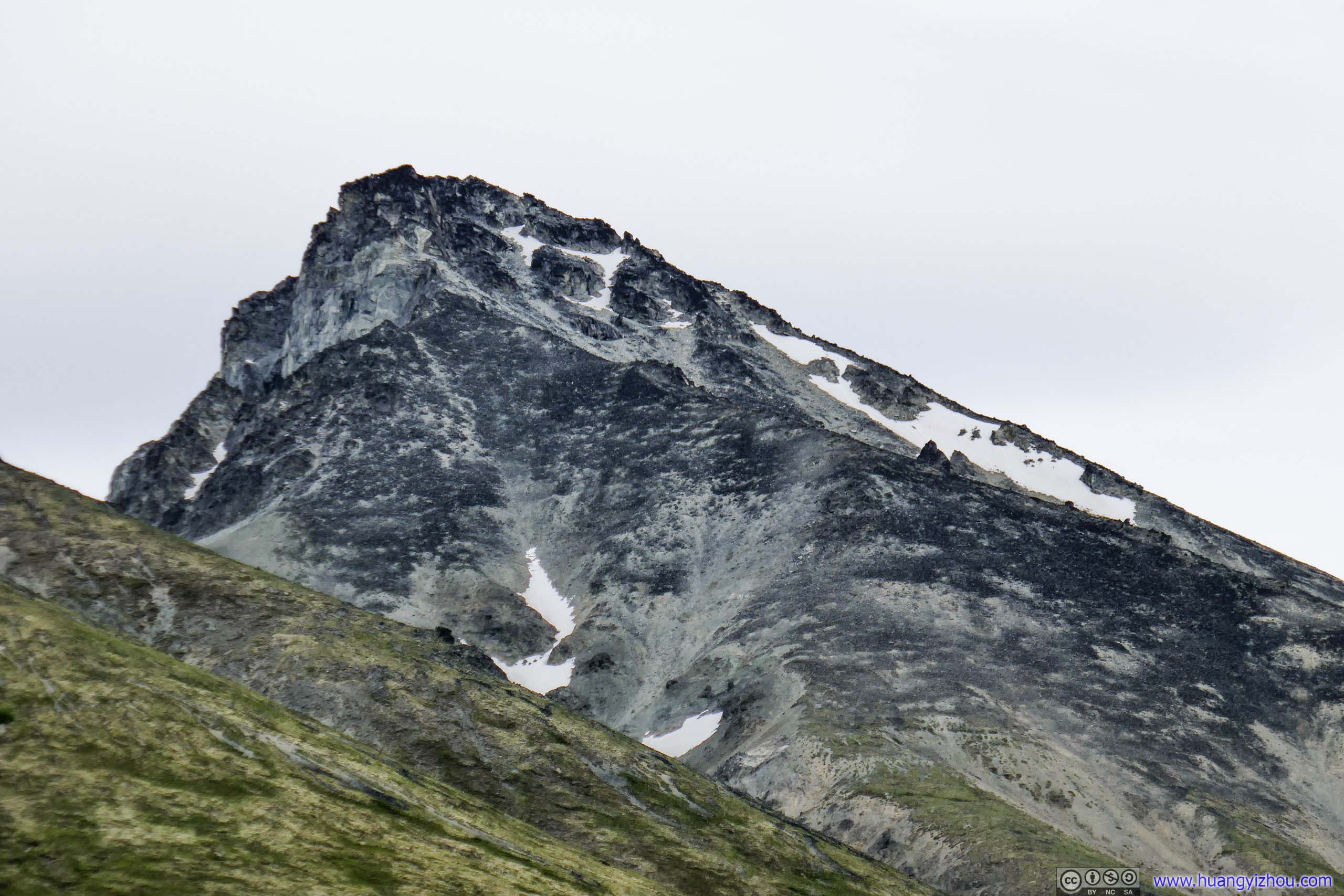
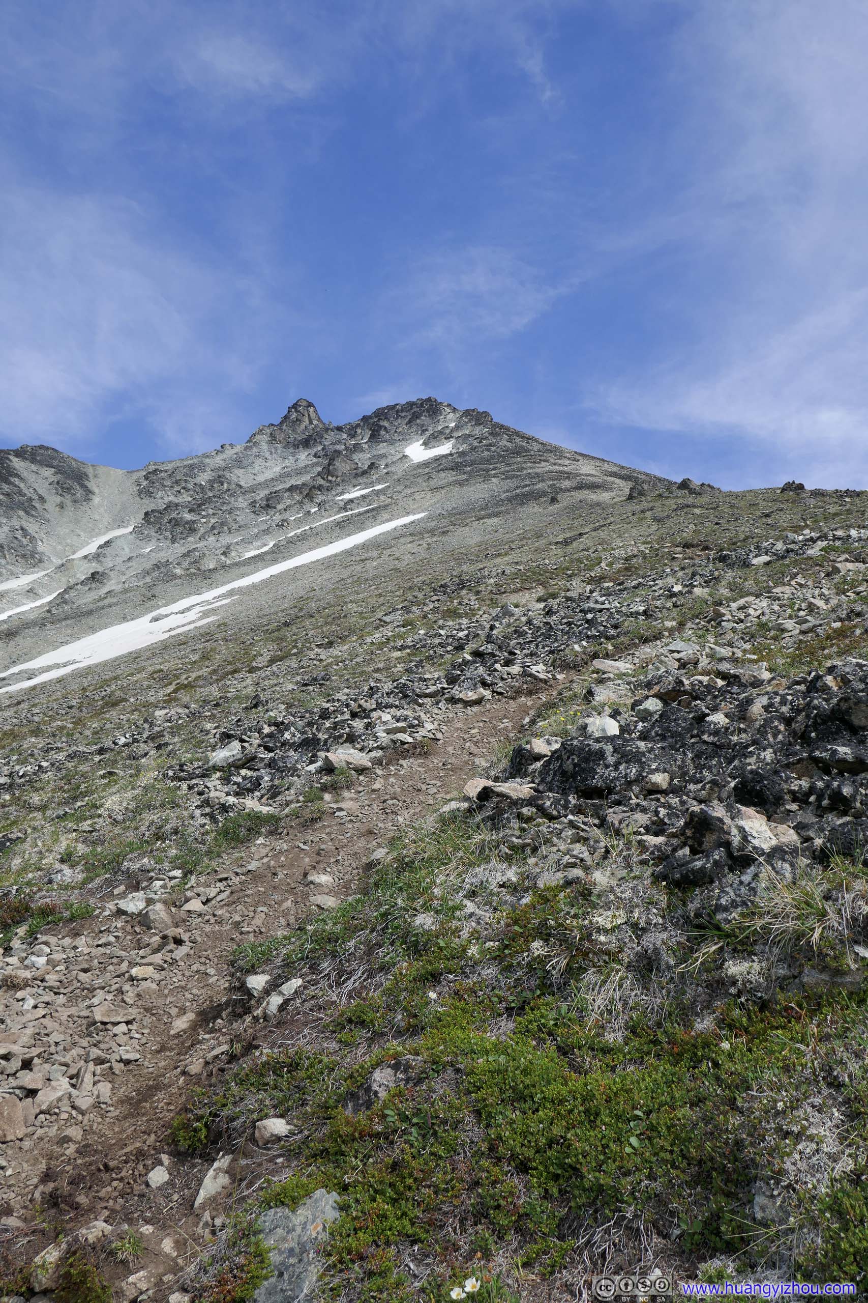
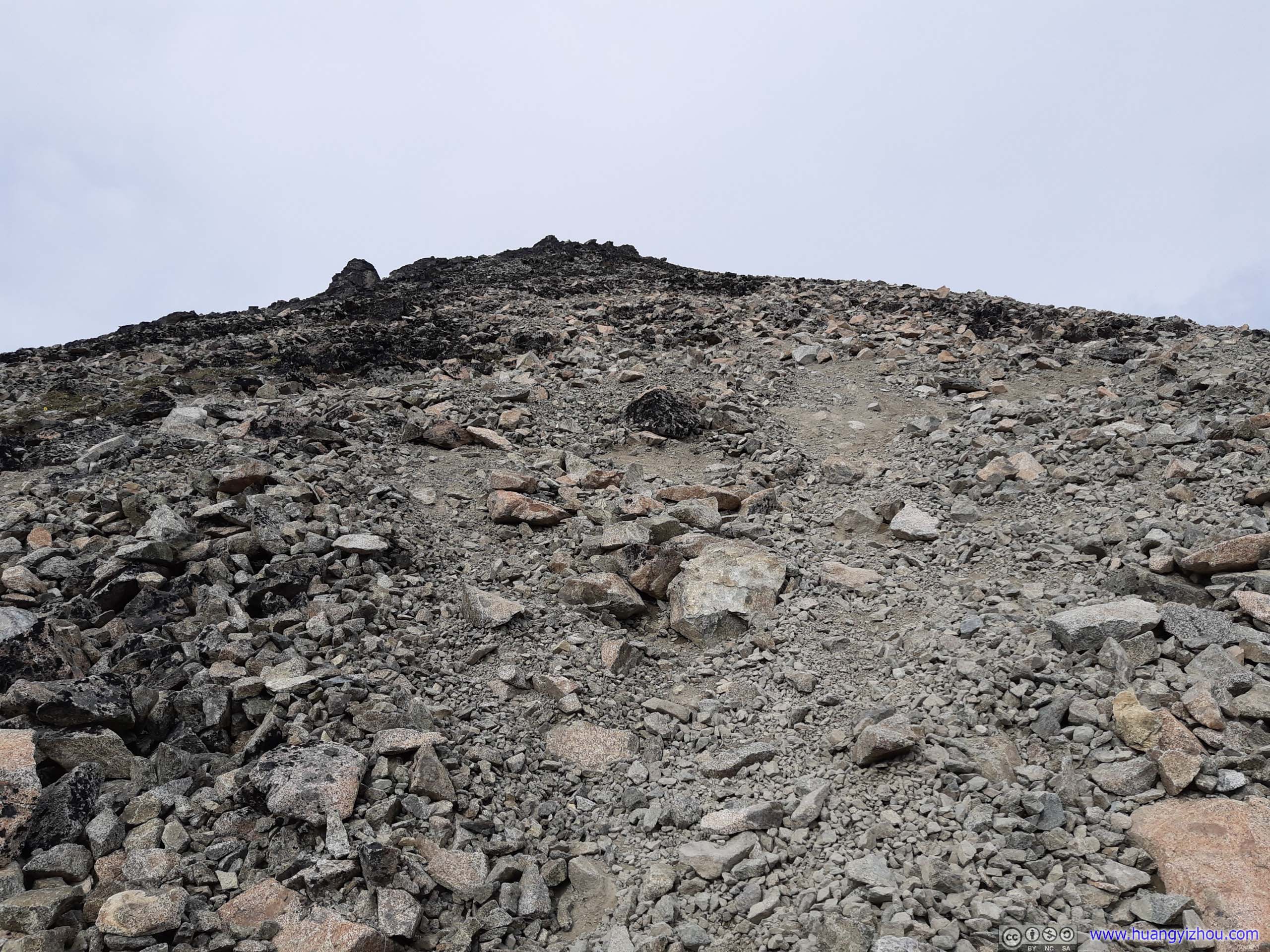
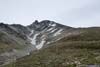
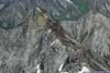
At about 2:20pm, 3 hours after I started, I covered 6.6km of trail and found a rock nearby where I took some rest. From that point, the summit of Matanuska Peak seemed to be just a short distance ahead (photo below). I had some snacks while sitting on the rock stretching my legs, contemplating that I only had 1.3km of (horizontal) distance to cover. So naively I thought I should be enjoying both stunning views and my bolstered ego from the summit in about half an hour, well that might require a sprint or two.
Matanuska PeakLooking deceptively close from where I sat. Later I realized what I saw from here was a false summit.
Anyways, Matanuska Peak had been in sight for pretty much the entire hike, that I felt acquainted with it and particularly from this point, it didn’t look as daunting or arduous.
Returning Hikers
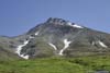
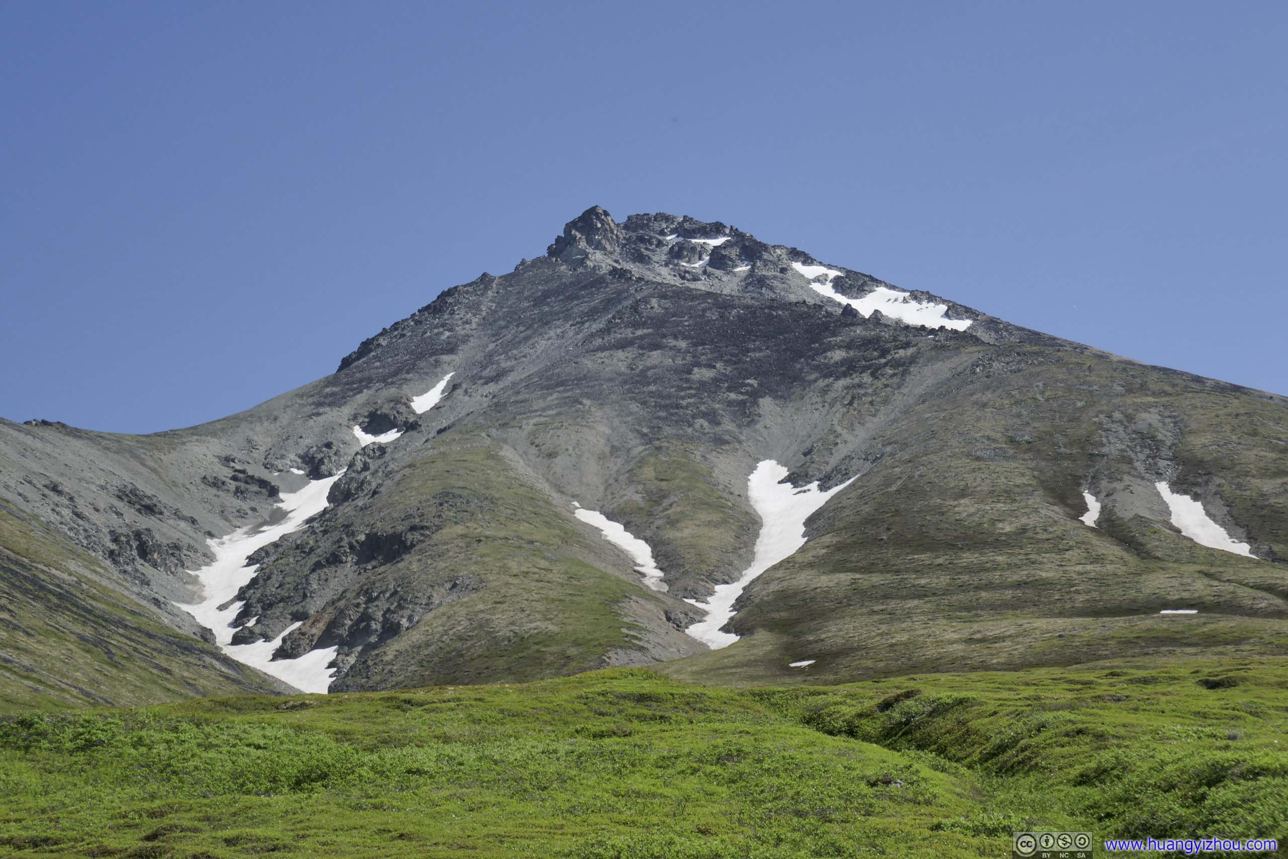
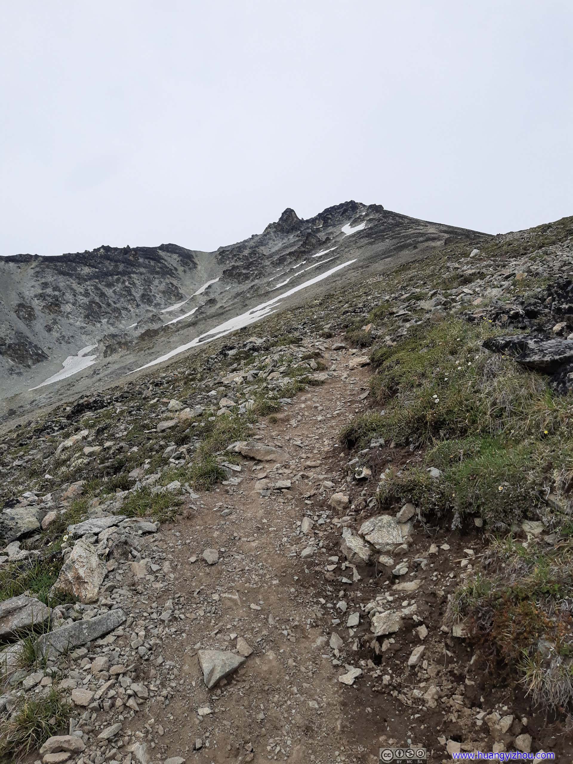
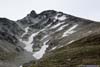
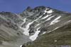
However, after I set off from that rock aiming for the summit, what I didn’t realize was that there was still 700m of elevation gain ahead of me. Soon I got frustruated that the summit was always down the sight, but not seeming to be getting any closer. I had hoped to use this hike to Matanuska Peak as a warmup for tomorrow’s hike to South Pioneer Peak, and it’s hard for me to accept the fact that Matanuska Peak was becoming this much hurdle to me. All in all, I was in a very bad mental state that I just wasn’t doing my physical best at hiking.
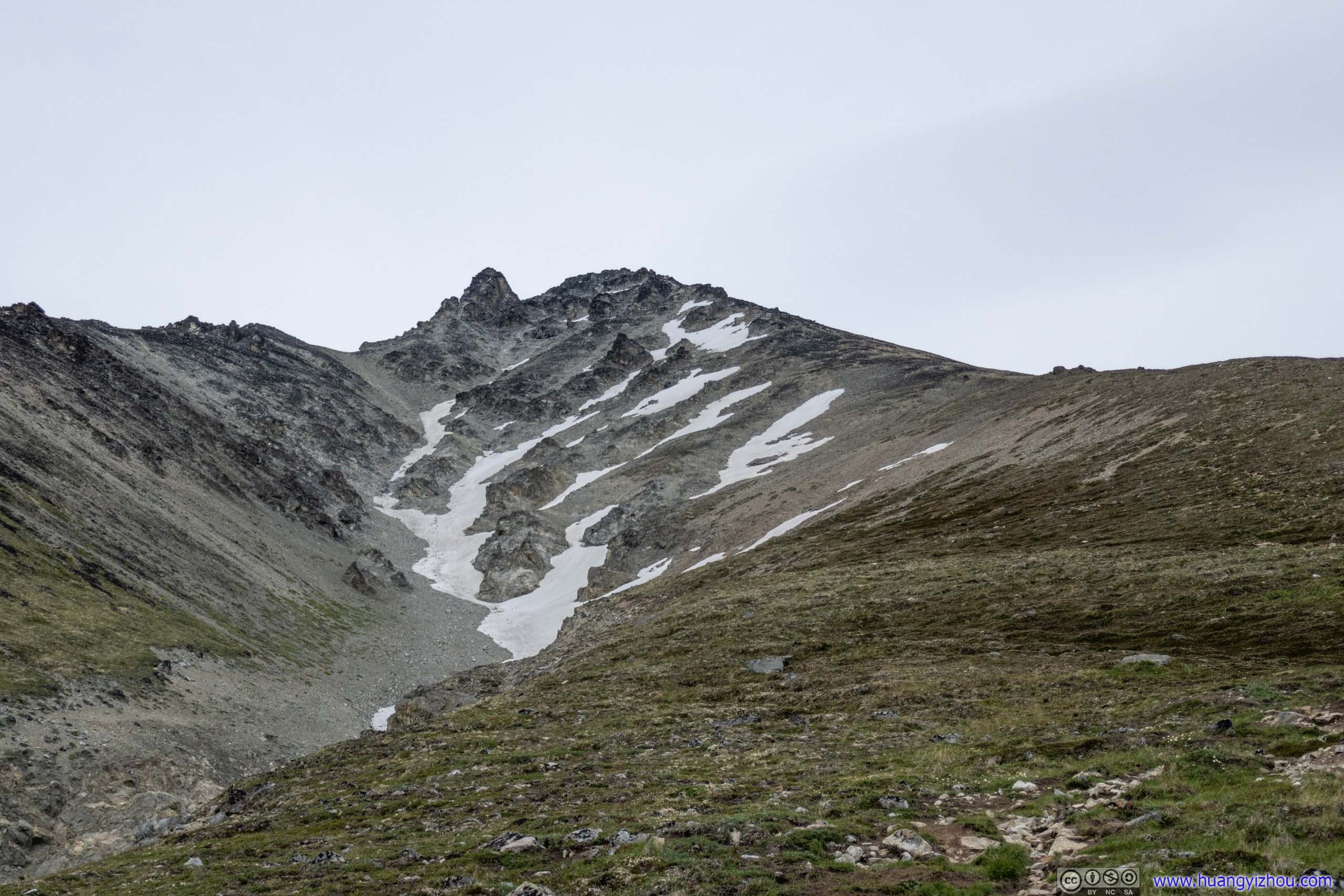
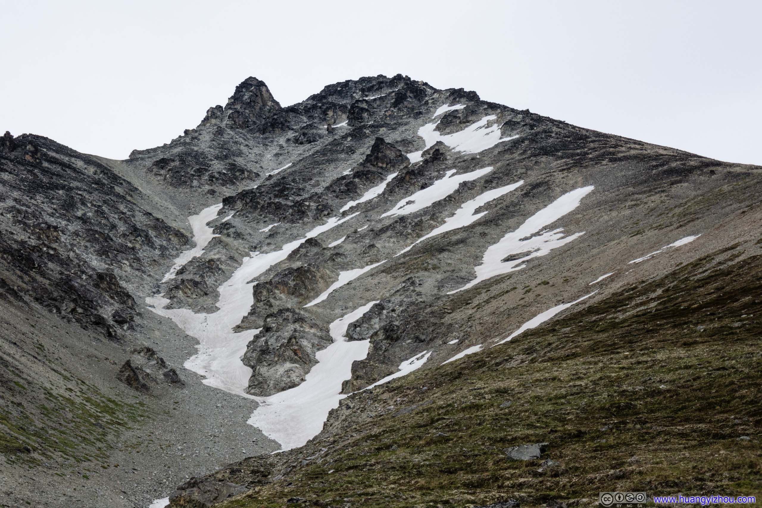
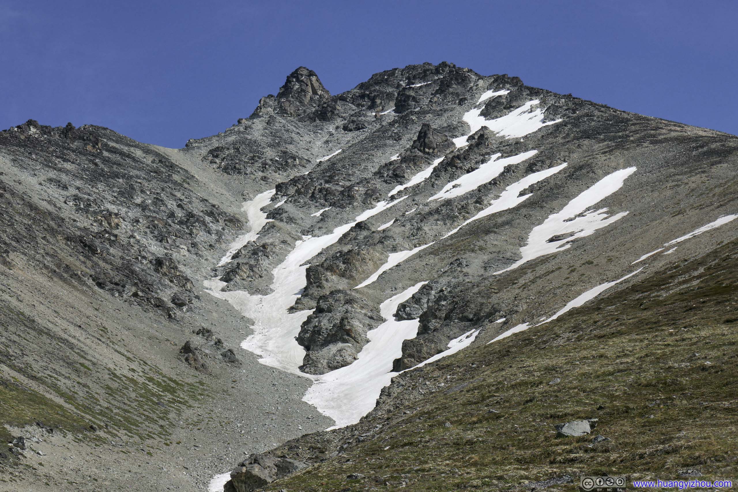
 Matanuska Peak
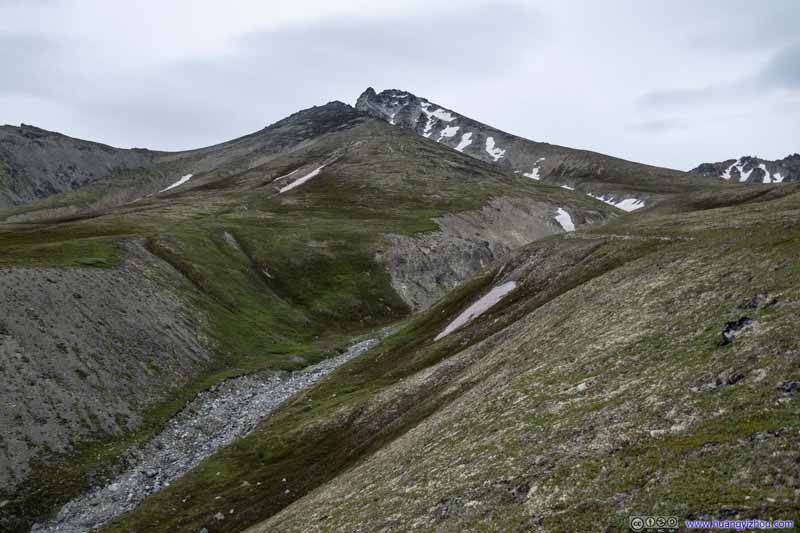 Matanuska Peak
 Matanuska Peak
 Matanuska Peak
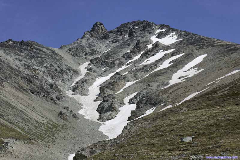 Matanuska Peak
Click here to display photos of the slideshow
Matanuska Peak

Matanuska Peak
 Matanuska Peak
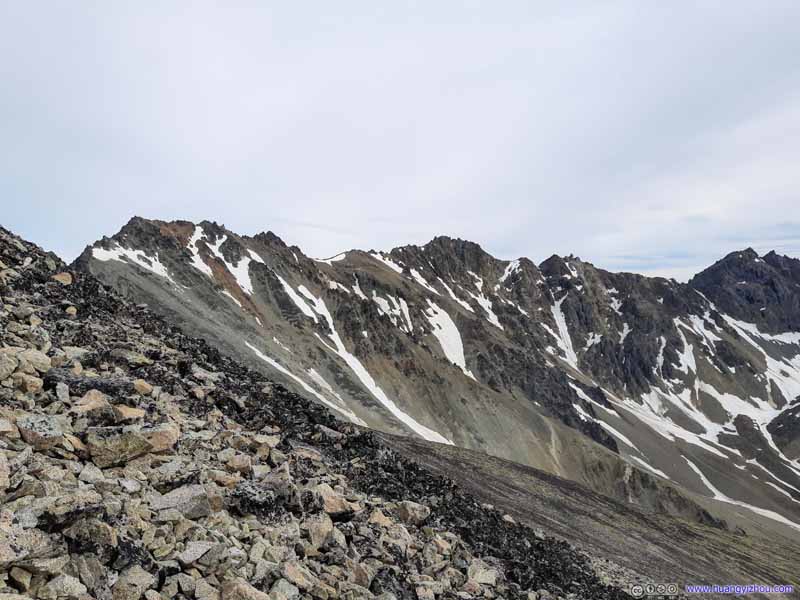
 Mountains to the South
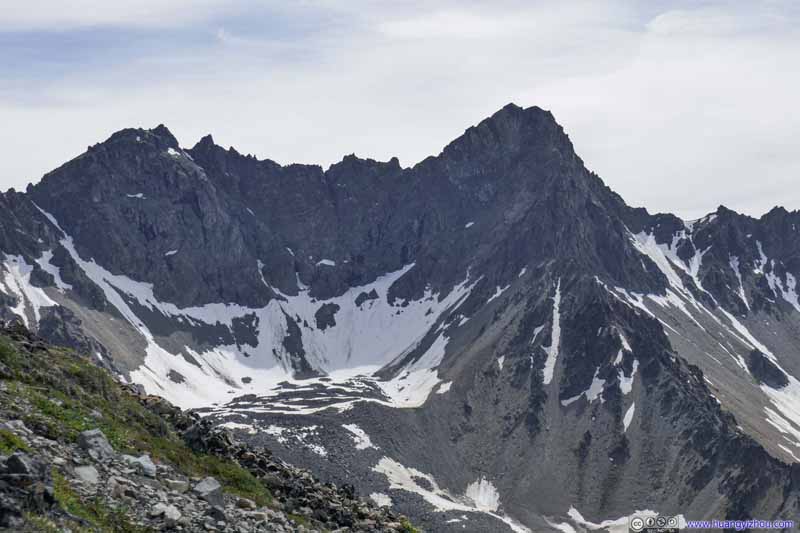 Mountains to the South
 Mountains to the South
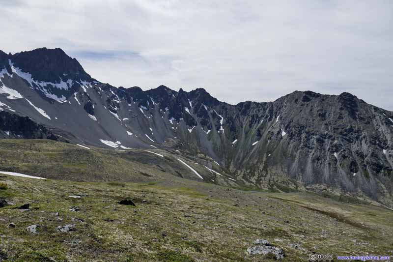 Mountains to the Southwest
Click here to display photos of the slideshow
 Mountains to the South

Mountains to the Southwest
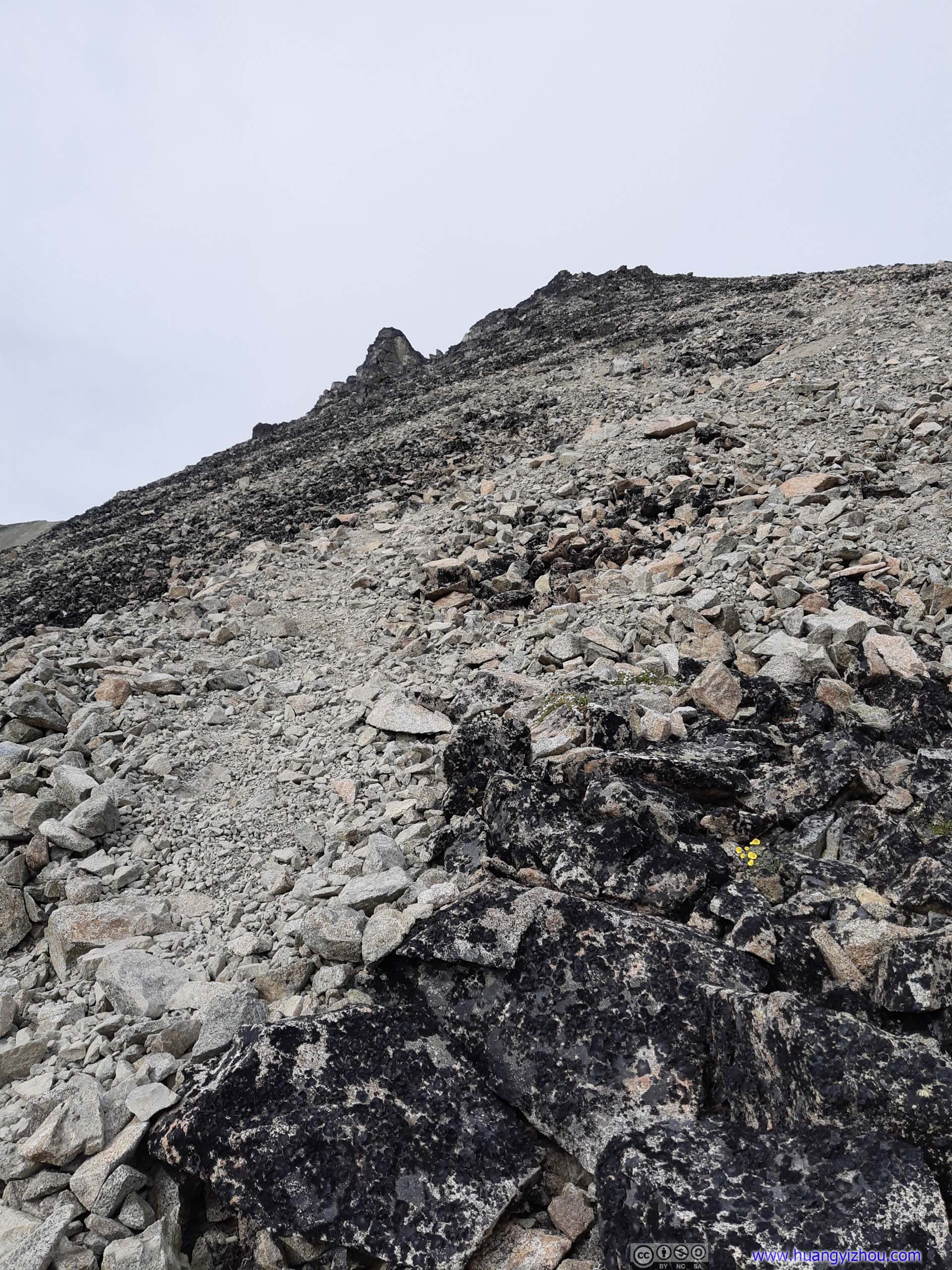
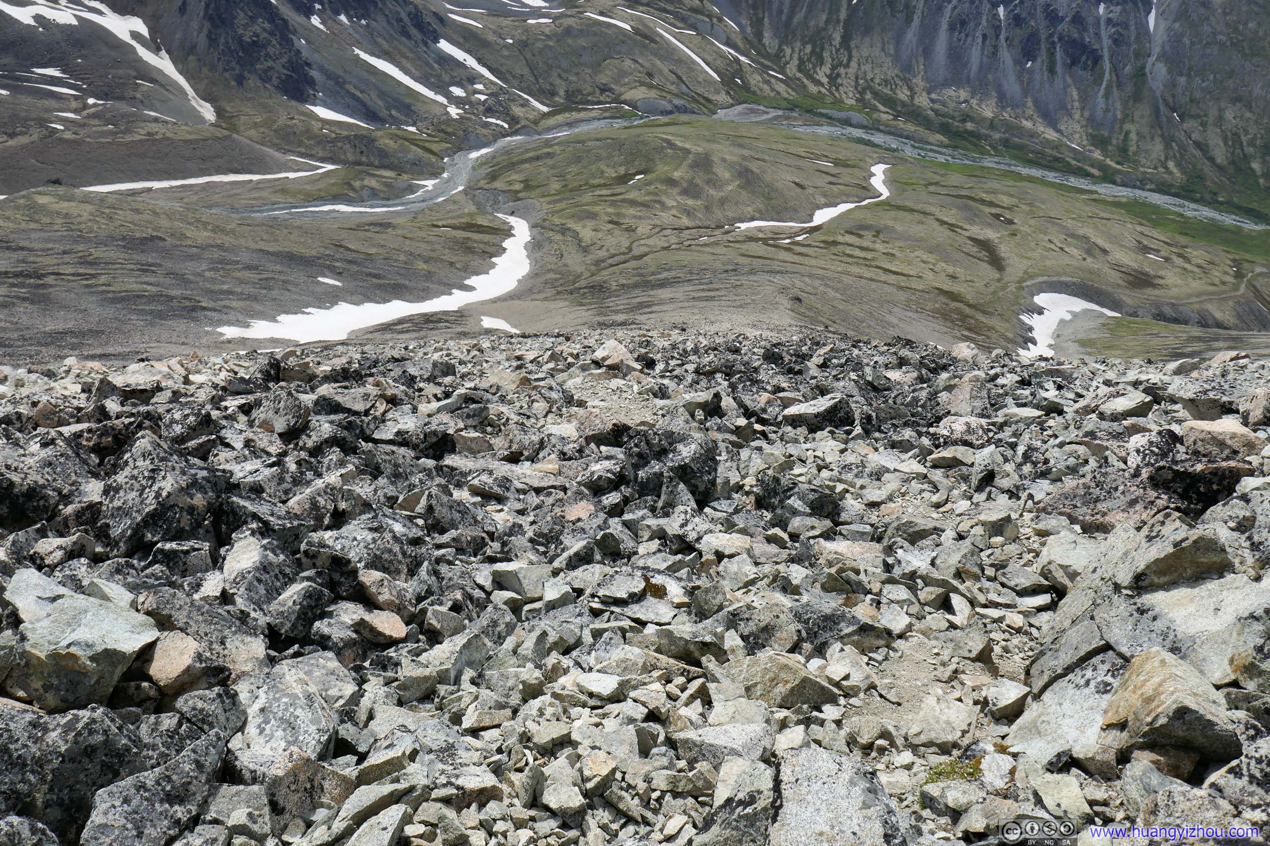
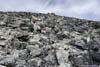
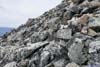
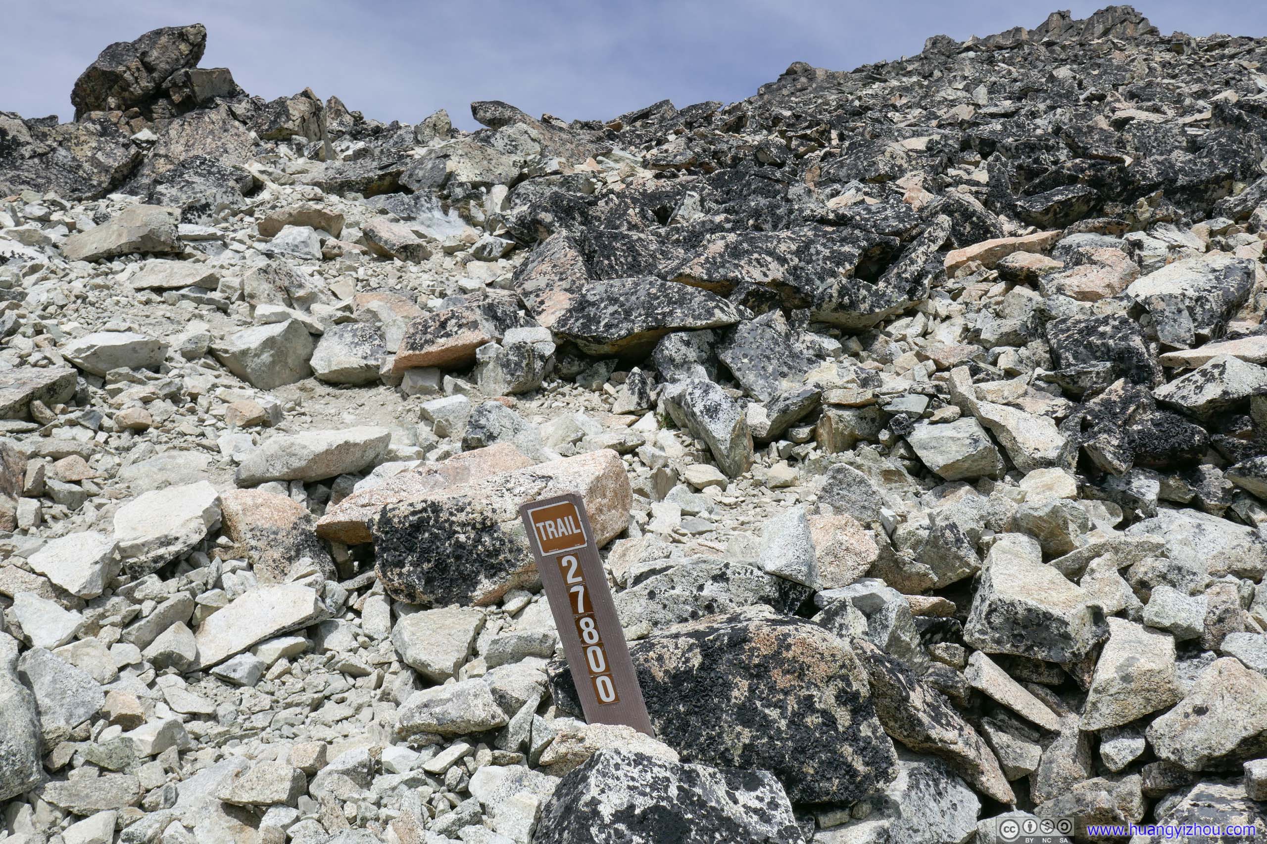
Adding to my problem, once vegetation faded into fields of scree, it’s hard to keep on the exact trail. Matanuska Peak was only a YDS class 2 peak, so going off trail didn’t present any safety issues, just that I had to pay extra attention that the rocks I stepped on wouldn’t slip, which slowed me down and wore down my patience.
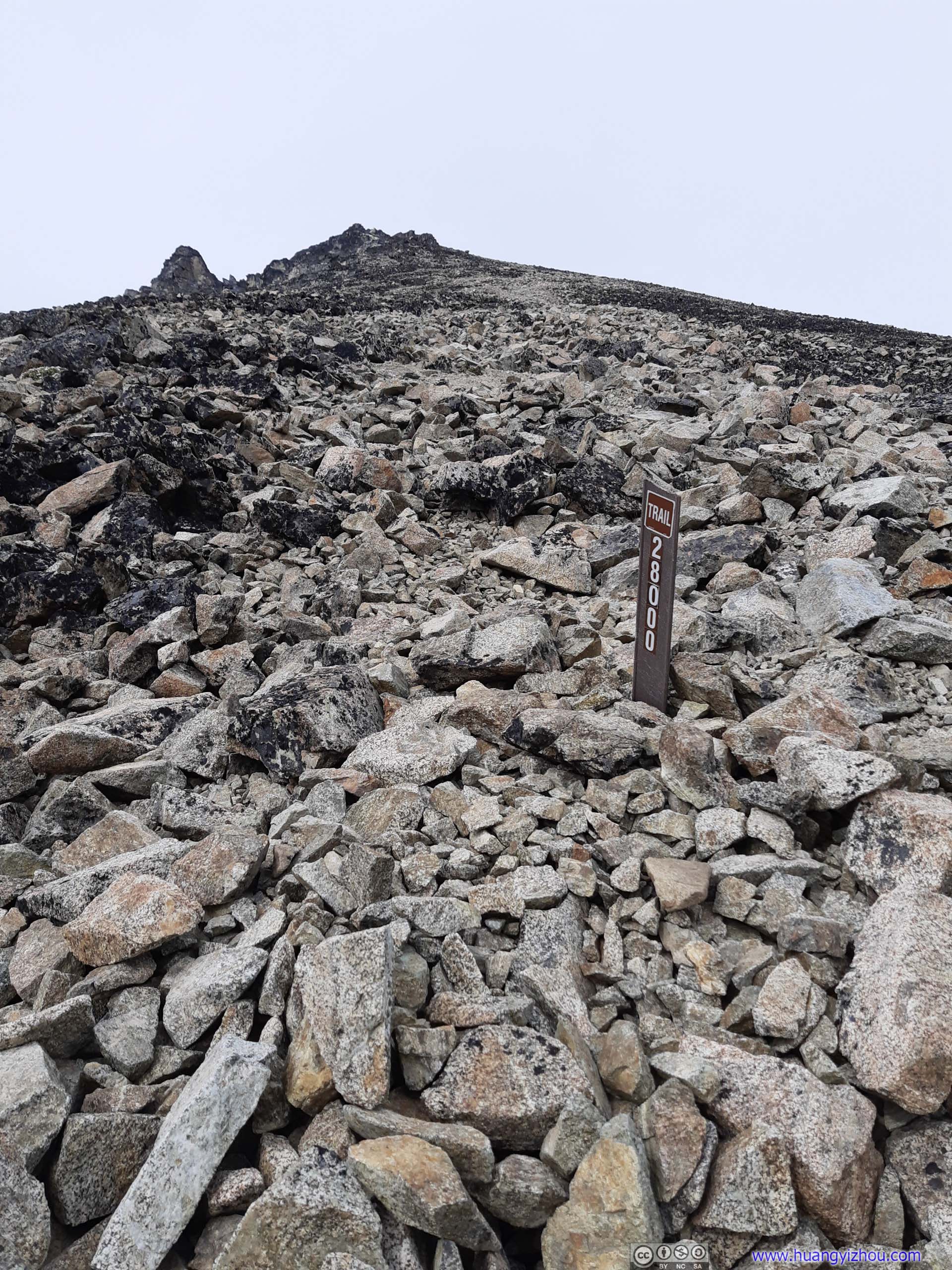
 TrailIf not for the distance marker I could hardly tell I was on the right path.
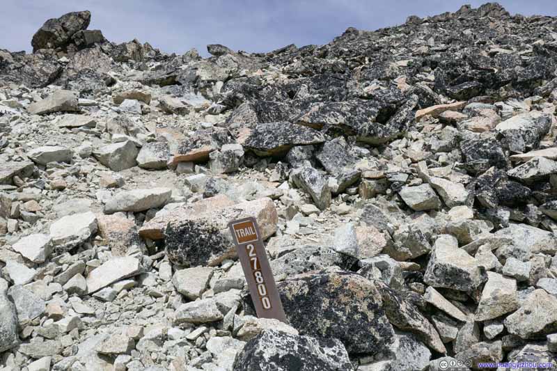 TrailIf not for the distance marker I could hardly tell I was on the right path.
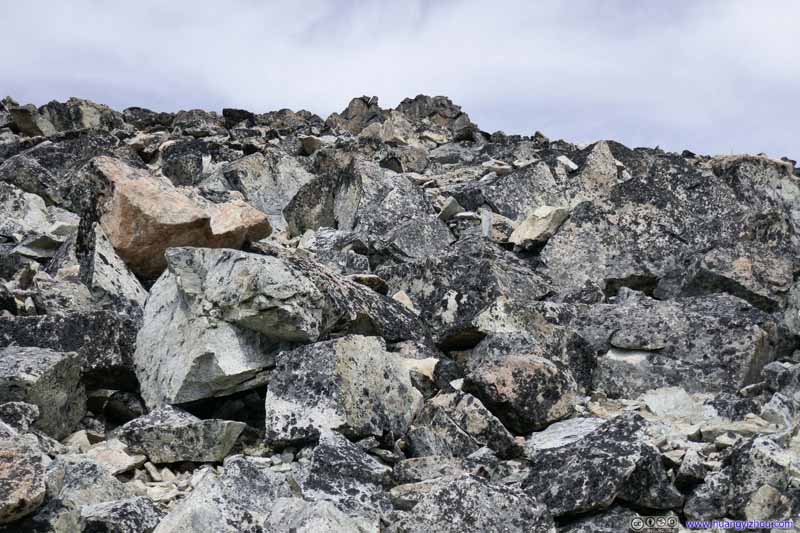 Trail on Rocks
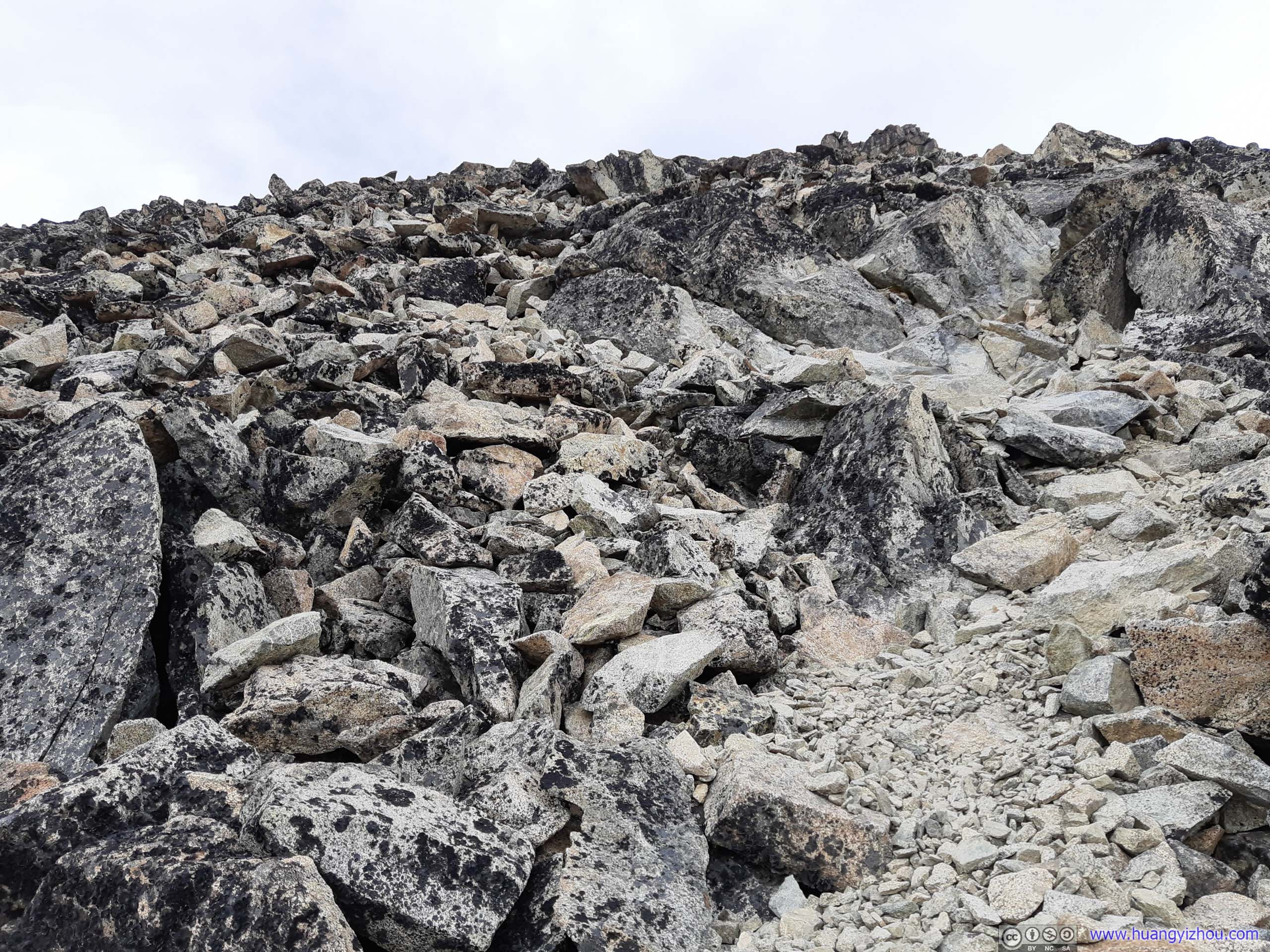
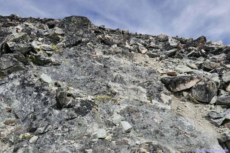
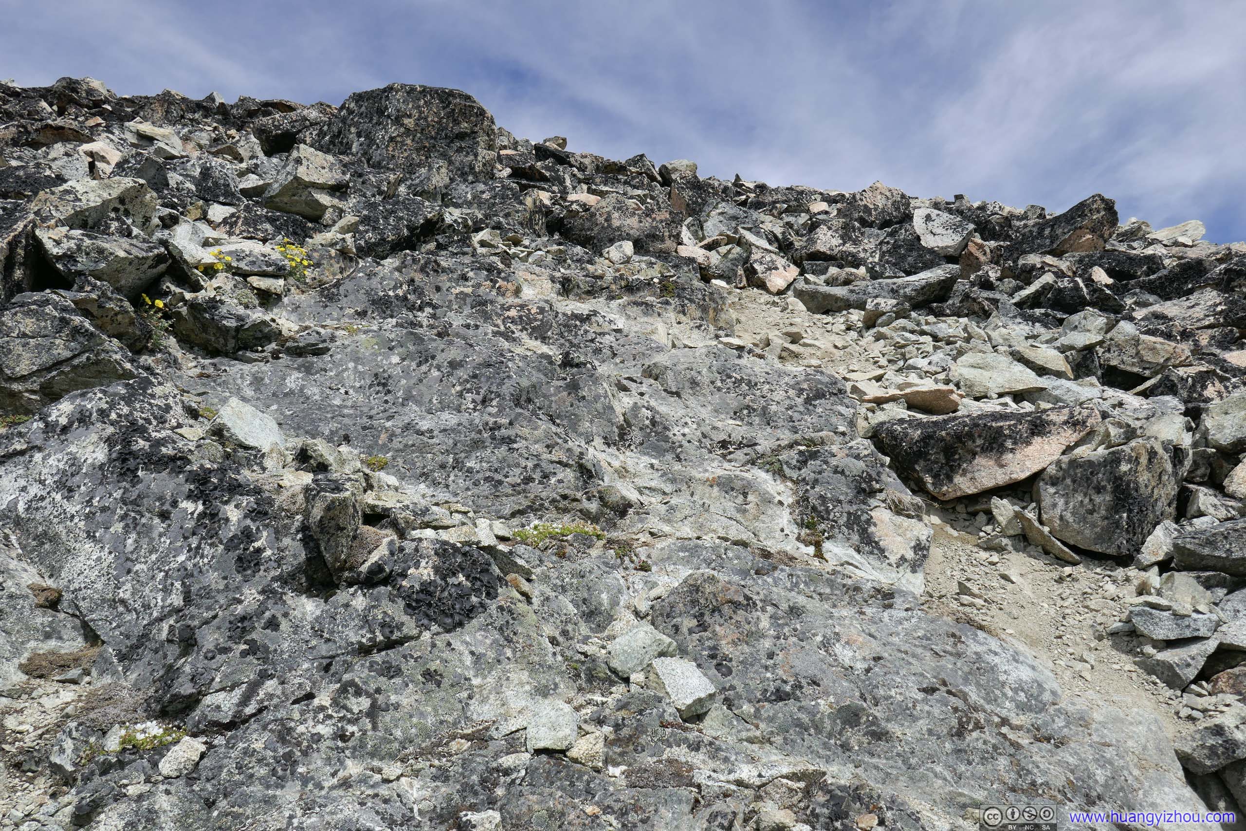
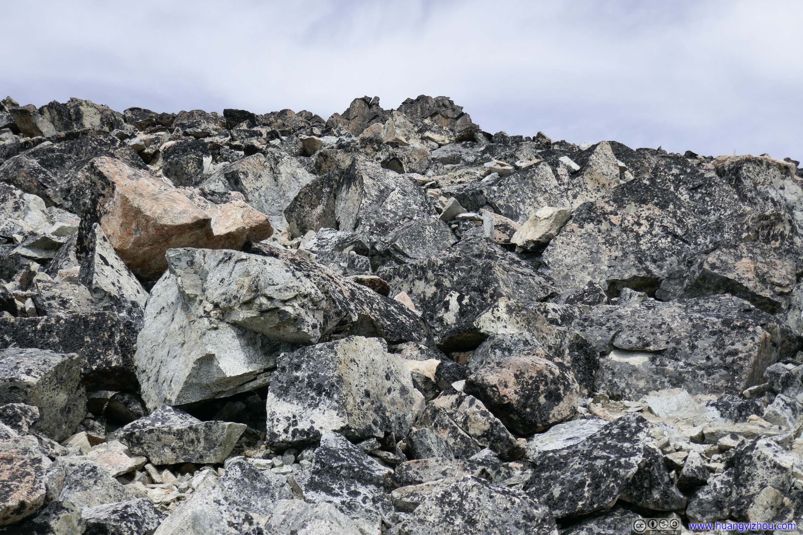
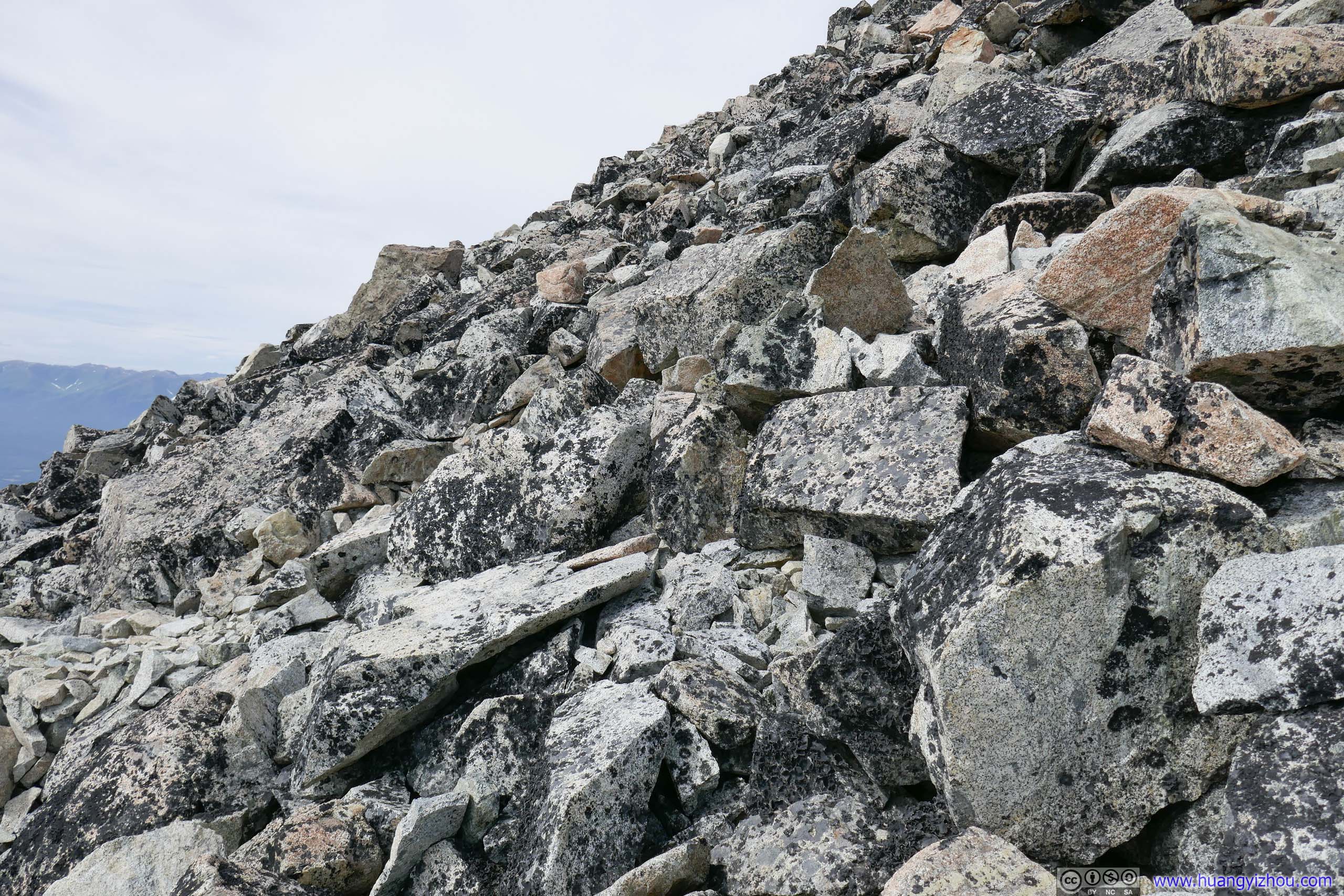
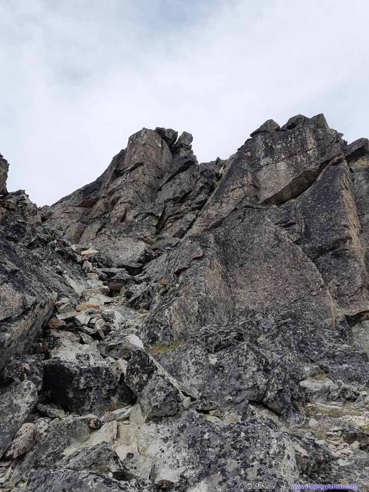
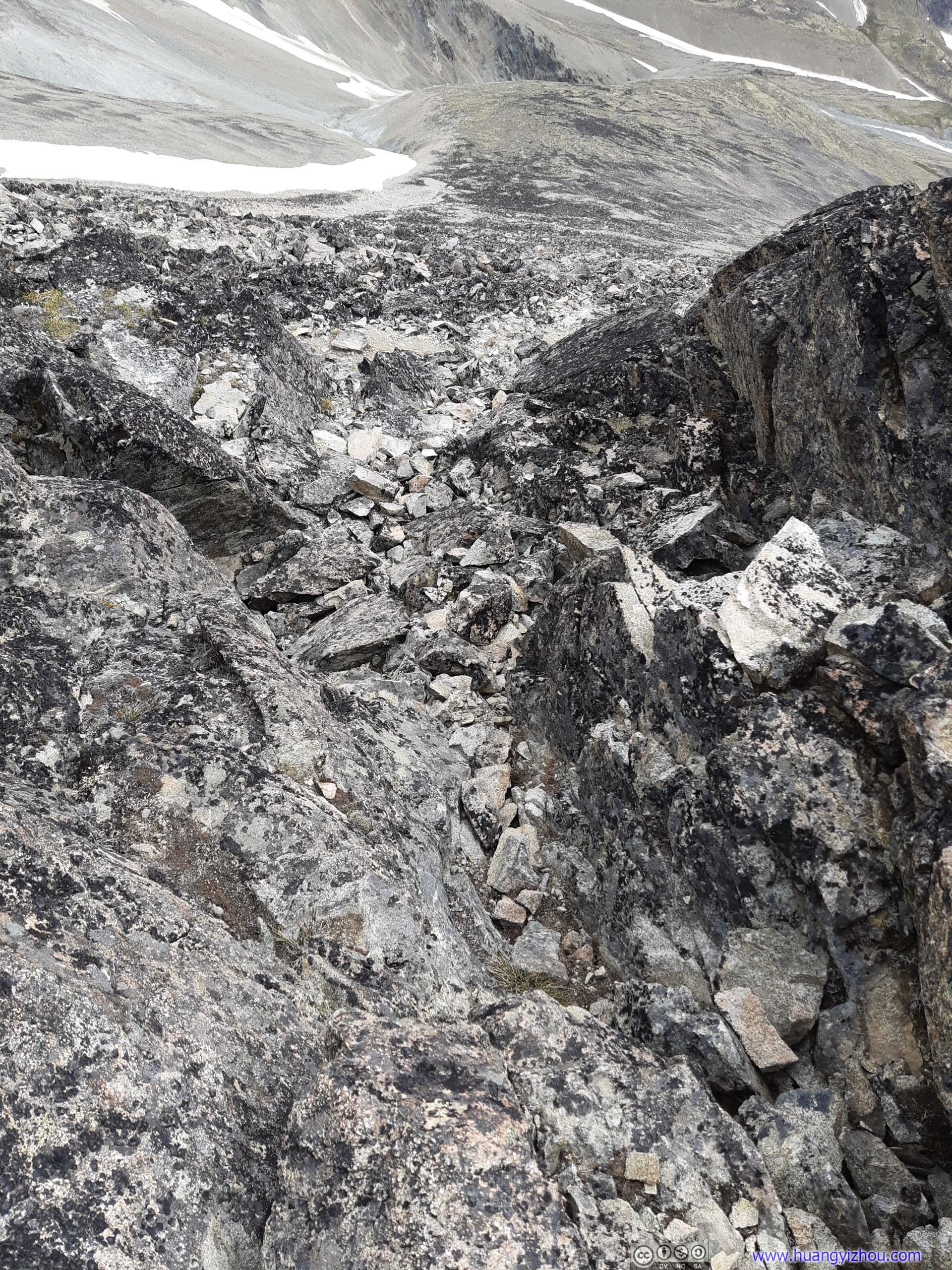
Approaching summit where larger rocks began to dominate the landscape. I completely lost the trail, and went rock hopping for the final stretch before summit.
Trail on Rocks
Approaching summit where larger rocks began to dominate the landscape. I completely lost the trail, and went rock hopping for the final stretch before summit.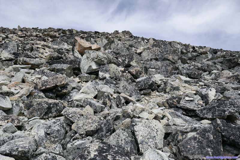 Trail on Rocks
Approaching summit where larger rocks began to dominate the landscape. I completely lost the trail, and went rock hopping for the final stretch before summit.
Trail on Rocks
Approaching summit where larger rocks began to dominate the landscape. I completely lost the trail, and went rock hopping for the final stretch before summit.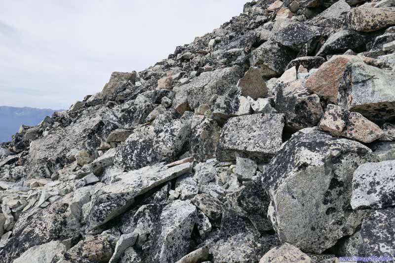 Trail on Rocks
Approaching summit where larger rocks began to dominate the landscape. I completely lost the trail, and went rock hopping for the final stretch before summit.
Trail on Rocks
Approaching summit where larger rocks began to dominate the landscape. I completely lost the trail, and went rock hopping for the final stretch before summit.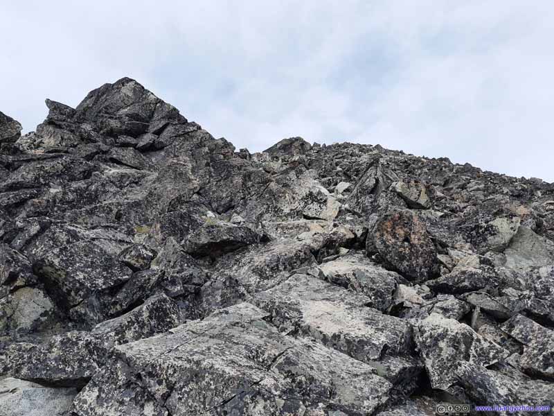 Trail on Rocks
Approaching summit where larger rocks began to dominate the landscape. I completely lost the trail, and went rock hopping for the final stretch before summit.
Trail on Rocks
Approaching summit where larger rocks began to dominate the landscape. I completely lost the trail, and went rock hopping for the final stretch before summit.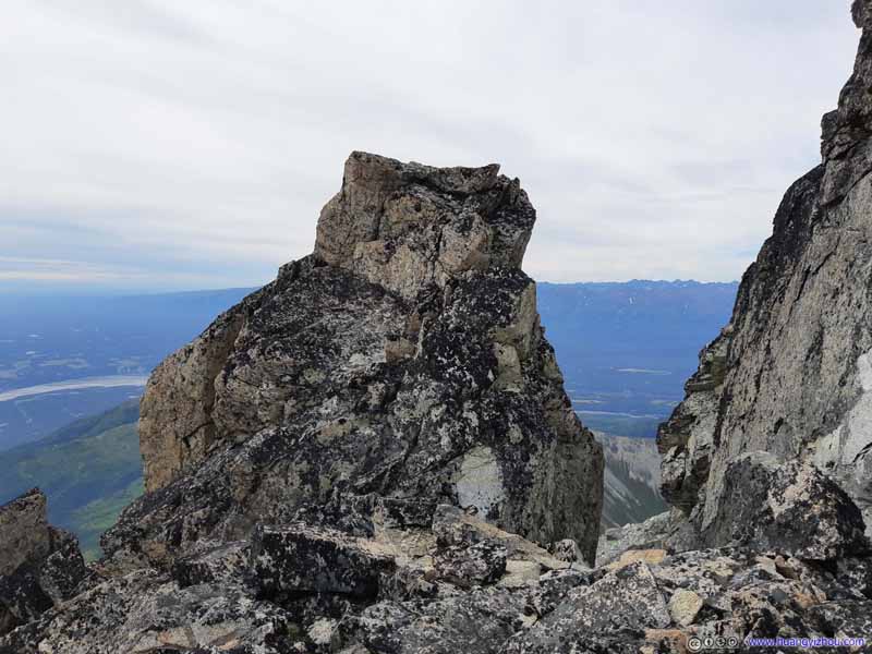 Boulder

Click here to display photos of the slideshow
 TrailIf not for the distance marker I could hardly tell I was on the right path.
 Trail on Rocks
Trail on Rocks
Trail on Rocks
Boulder
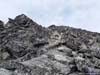
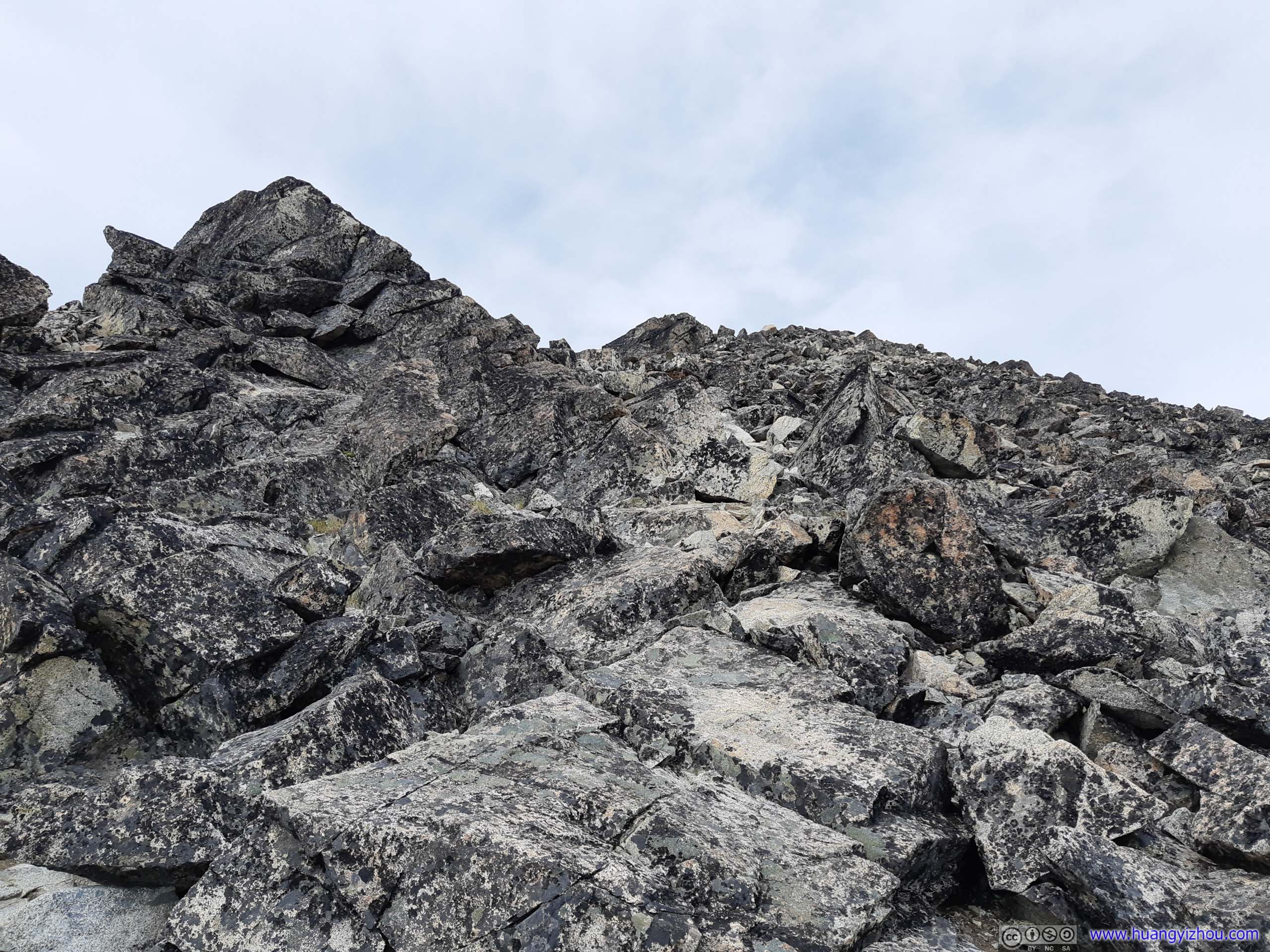
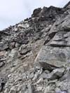
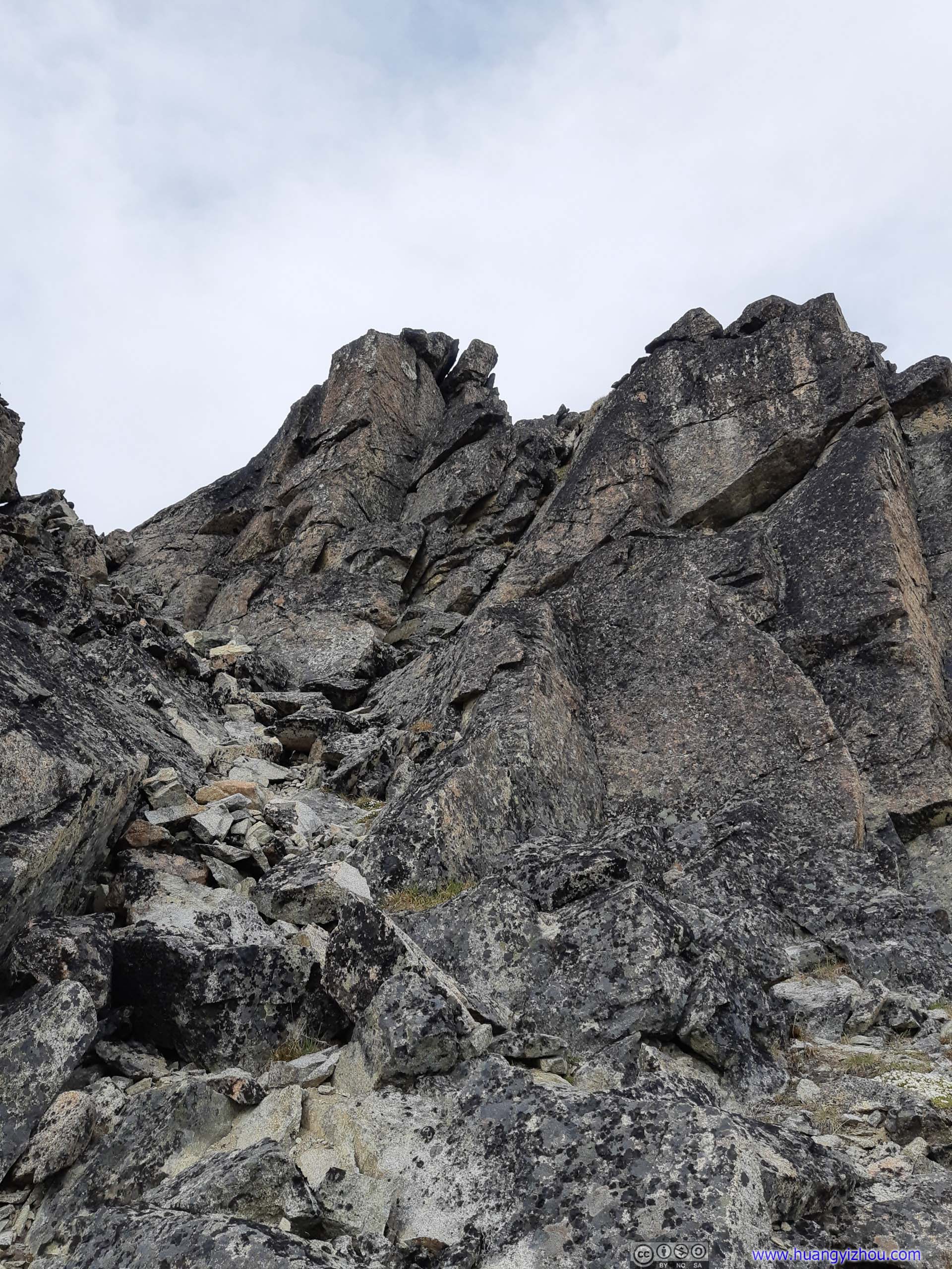
 TrailA very steep section that took me a few minutes to navigate through.
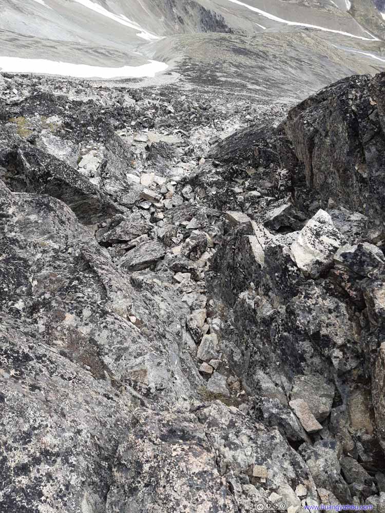 TrailA very steep section that took me a few minutes to navigate through.
 TrailA very steep section that took me a few minutes to navigate through.
 TrailA very steep section that took me a few minutes to navigate through.

Click here to display photos of the slideshow
TrailA very steep section that took me a few minutes to navigate through.
TrailA very steep section that took me a few minutes to navigate through.
TrailA very steep section that took me a few minutes to navigate through.
TrailA very steep section that took me a few minutes to navigate through.
The returning hike’s confession that it took about “2 hours” for the final stretch almost served like a curse to me, in denial of which I wasn’t in a very good mental state, (jet lag and limited rest last night probably played a role too,) and it took me 2 hours and 13 minutes from greeting them to reaching the summit of Matanuska Peak. Physically, I knew I was up to the challenge, and I proved it 3 days later when I summited the nearby South Pioneer Peak in much better shape, whose trail was longer, higher and more technical. So today’s experience on Matanuska Peak served as a brutal reckoning that mountaineering could be both physical and mental challenges.
Towards the end, I was both excited and desperate, that I used my drone to scout out the route ahead. After confirming summit was truly near, I recorded my last few hunderd steps before reaching the summit.
5 minutes 26 seconds, 2160p24fps, 9.5Mbps/378MB for H265, 10.9Mbps/603MB for H264.
Finally, I only made it to the summit of Matanuska Peak at 4:45pm, more than 5 hours after I started out.

Summit of Matanuska PeakOn top of this rock. I was a bit surprised that there weren’t any markings on it.
View from Matanuska Peak
There was some wind at the summit which made me feel a bit cold even after I put on an additional jacket. That’s contrast to earlier when I left the trailhead in T-shirt but still felt a bit hot during ascent.
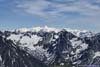
Distant DenaliHighest mountain in North America.
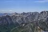
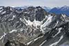
Once on top of Matanuska Peak, a few distant summits popped into view, the most striking of which being the distant Denali that soared into the clouds. Apart from that, here are a few other noticeable peaks, many of which were still covered in snow.
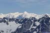
 Ice Cream Cone Mountain (2644m)22km away to the east.
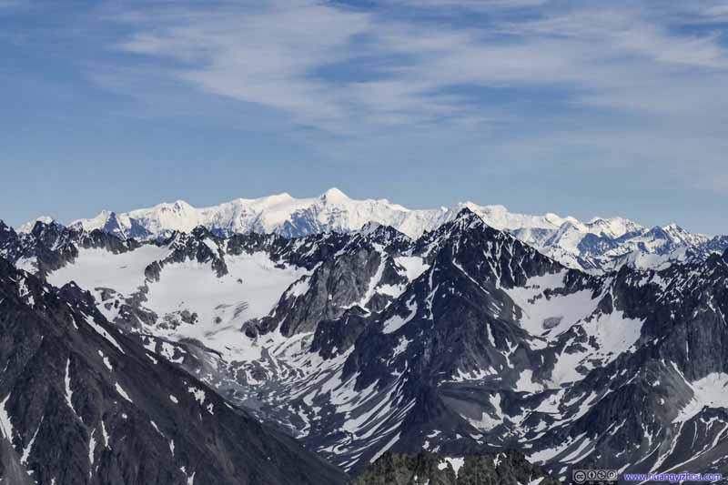 Mount Marcus Baker (4016m)The highest mountains in Chugach Mountain Range, beyond the ones in the foreground.
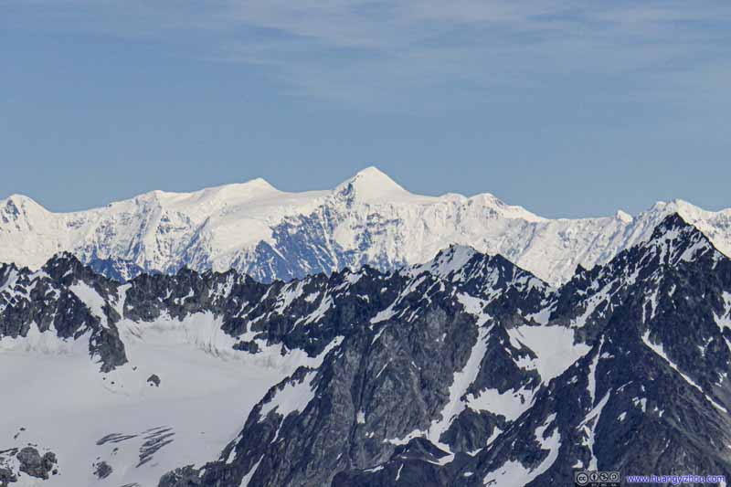 Mount Marcus Baker (4016m)63km away to the southeast.
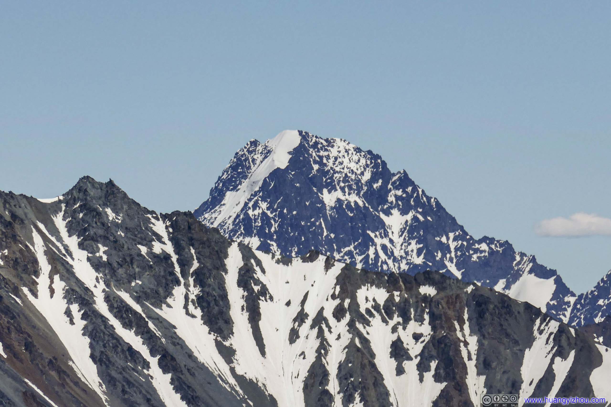
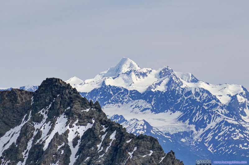 Mount Gilbert (2938m)58km away to the southeast.
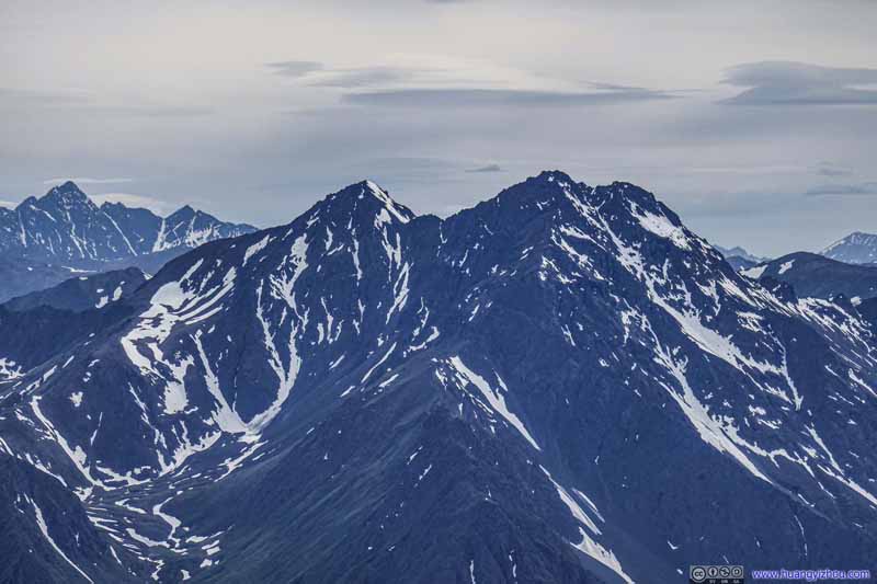 Pioneer PeaksI successfully summited South Pioneer Peak 3 days later.
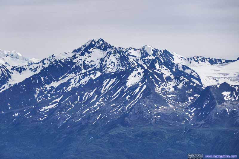 Mount PalmerHunter Creek Glacier to the right.
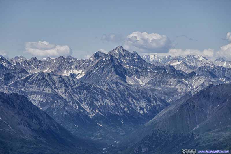 Distant MountainsIn Talkeetna Ranges.
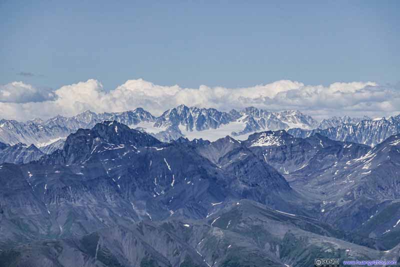 Distant MountainsIn Talkeetna Ranges.

Click here to display photos of the slideshow
Ice Cream Cone Mountain (2644m)22km away to the east.

Mount Marcus Baker (4016m)The highest mountains in Chugach Mountain Range, beyond the ones in the foreground.

Mount Marcus Baker (4016m)63km away to the southeast.

Mount Gilbert (2938m)58km away to the southeast.

Pioneer PeaksI successfully summited South Pioneer Peak 3 days later.
Mount PalmerHunter Creek Glacier to the right.
 Distant MountainsIn Talkeetna Ranges.
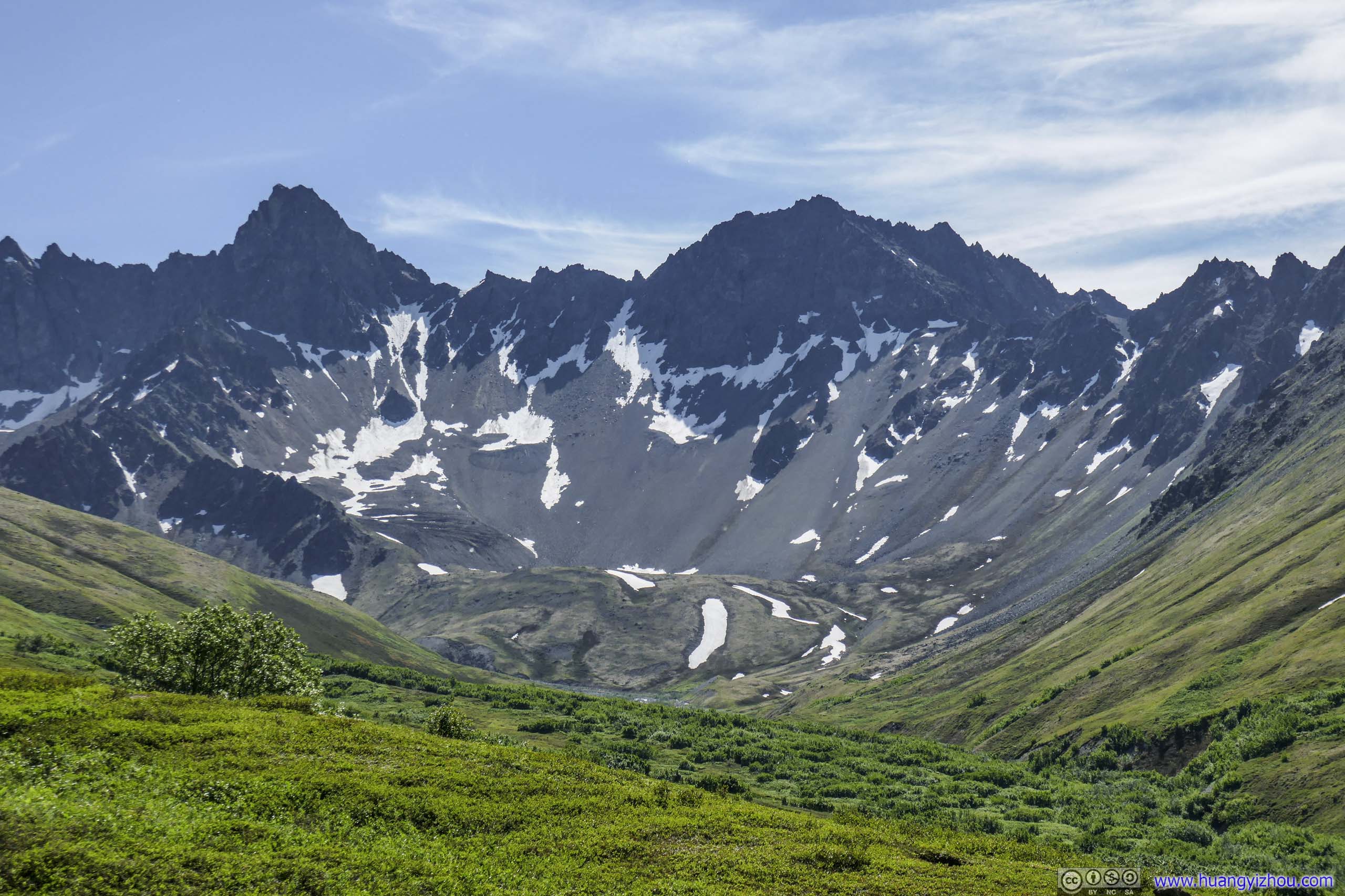
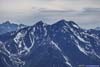
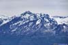
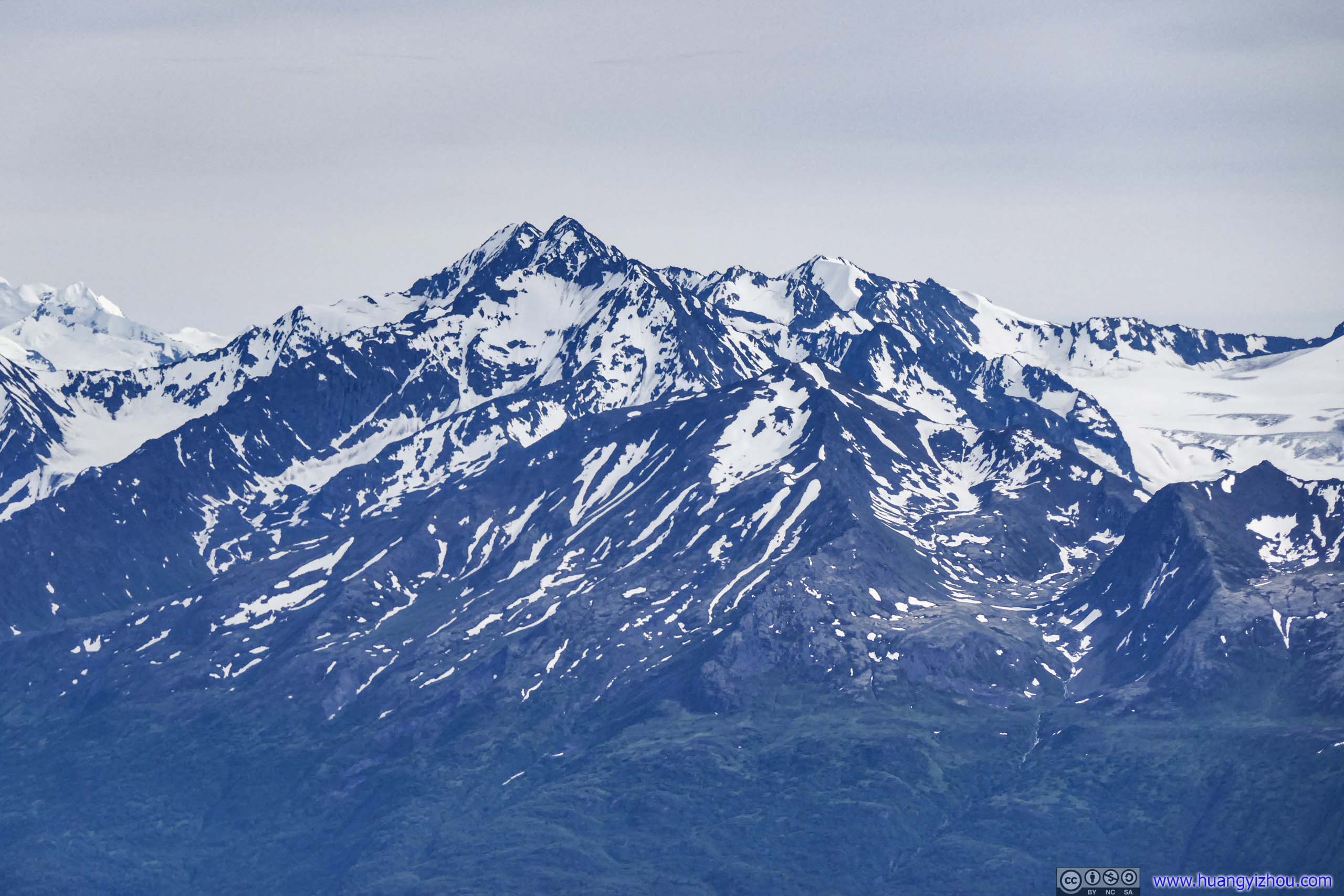
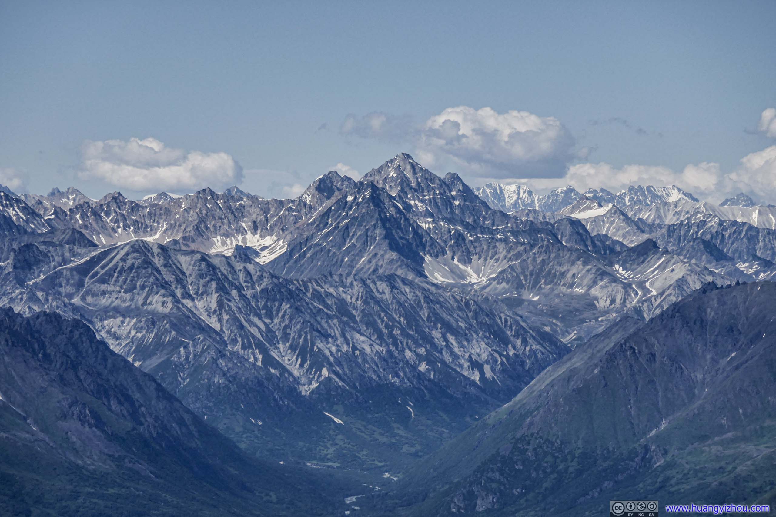
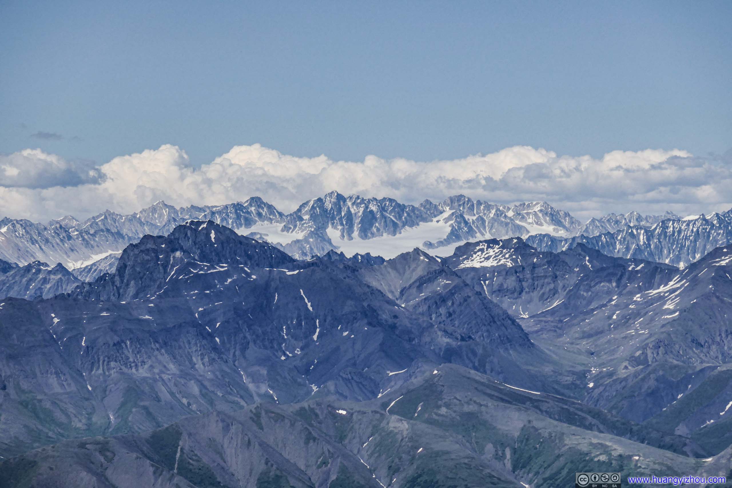
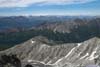
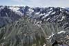
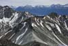
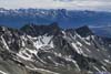
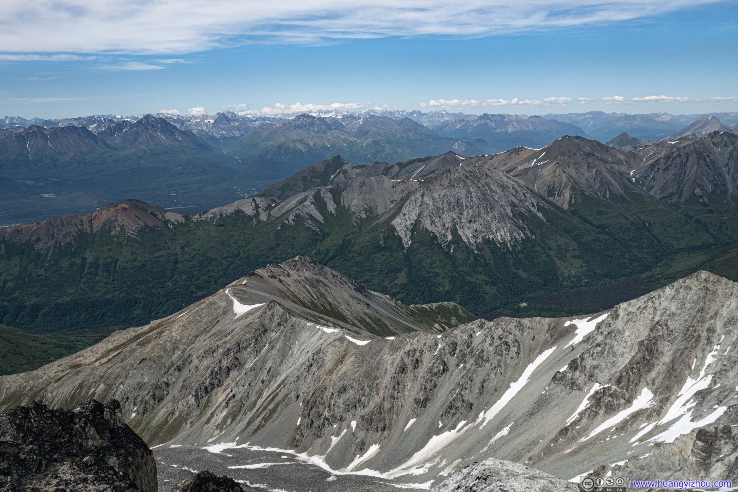
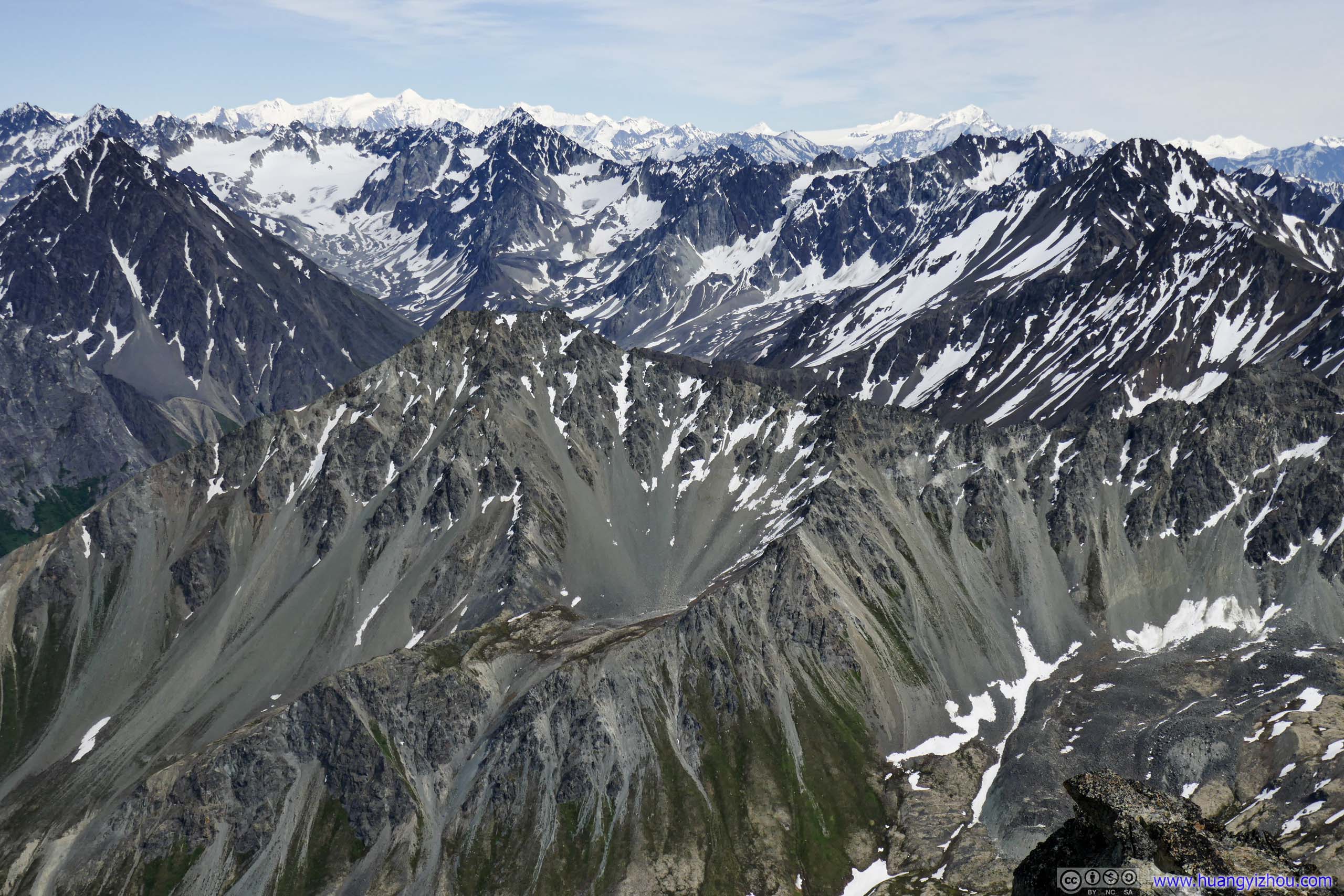
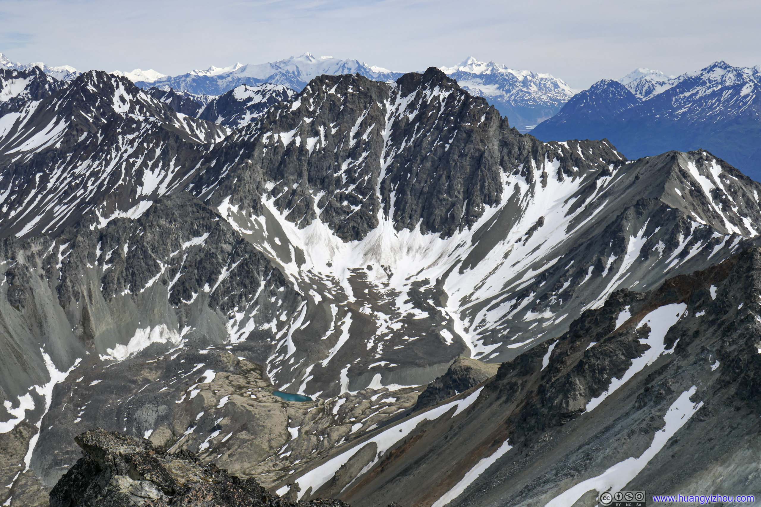
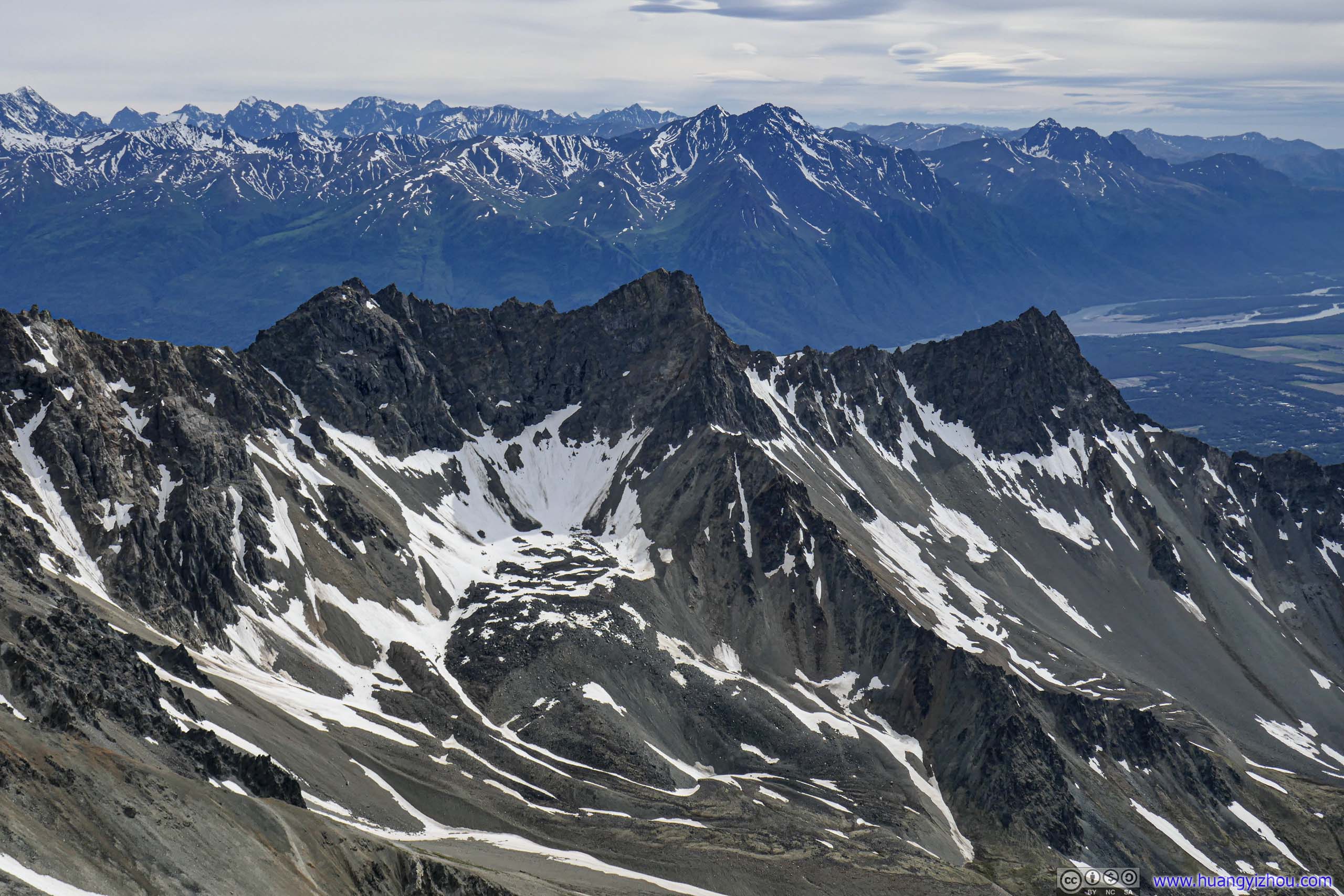
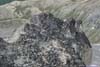
Apart from those outstanding peaks, Matanuska Peak was surrounded by rolling ranges of mountains on three sides, with patches of snow sprinkled around small valleys, giving the mountains a unique texture of the north.
 Mountains to the East
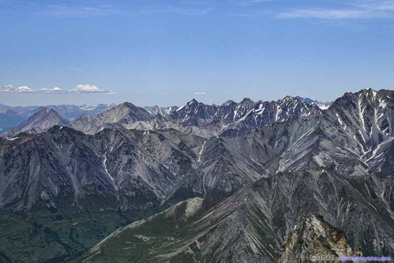 Mountains to the East
 Mountains to the Southeast
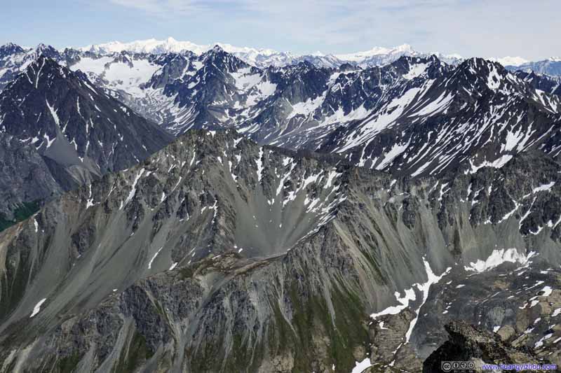 Mountains to the Southeast
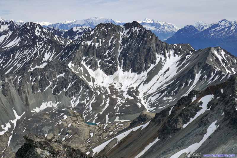 Mountains to the Southeast
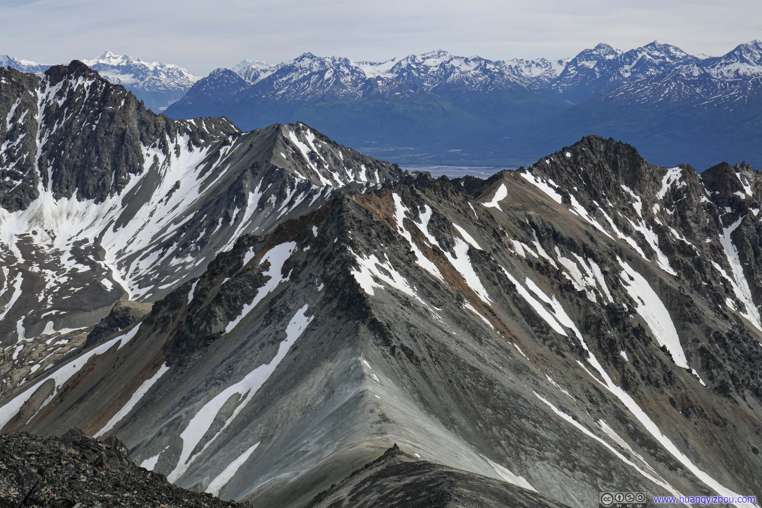
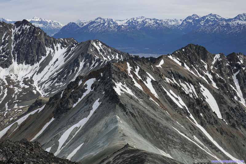 Mountains to the South
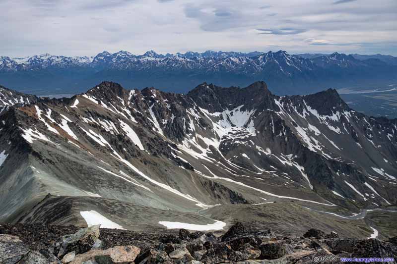 Mountains to the South
 Mountains to the South

Click here to display photos of the slideshow
Mountains to the East

Mountains to the East

 Mountains to the Southeast
Mountains to the South
 Mountains to the South
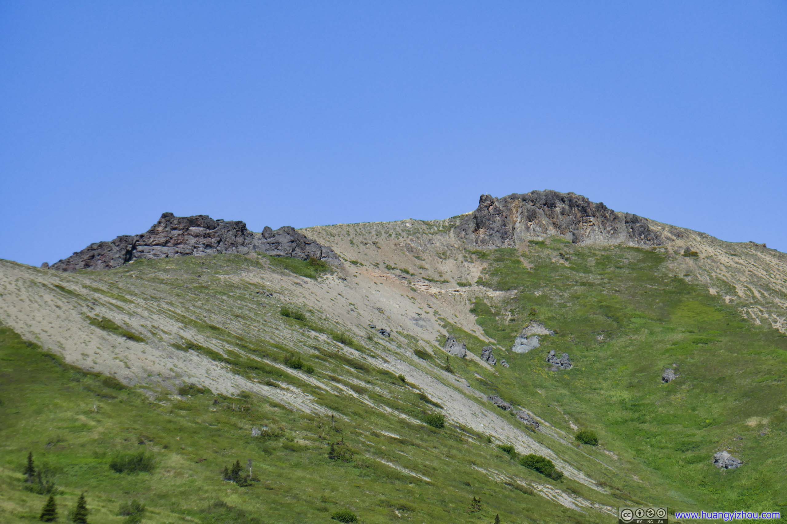
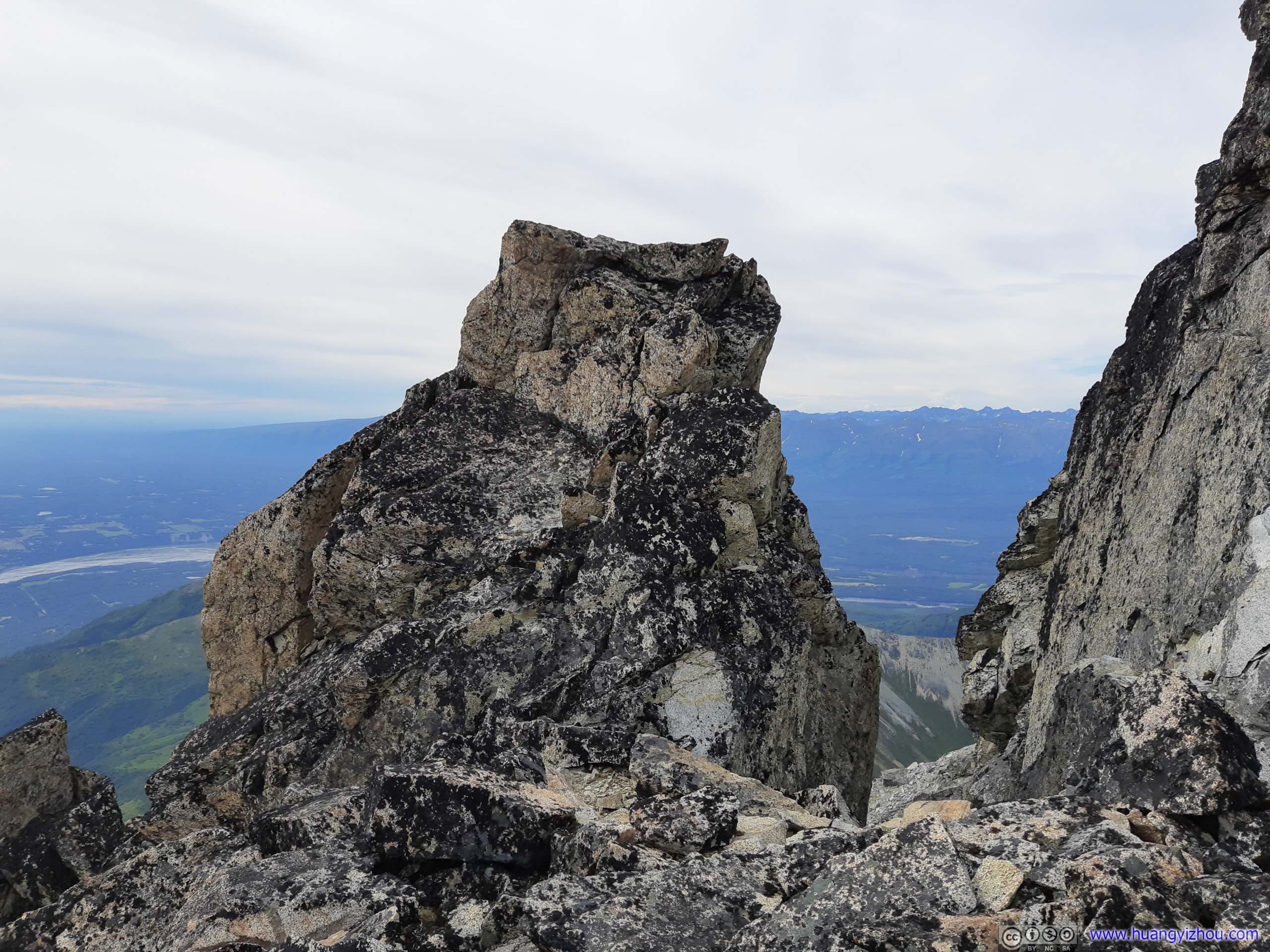
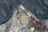
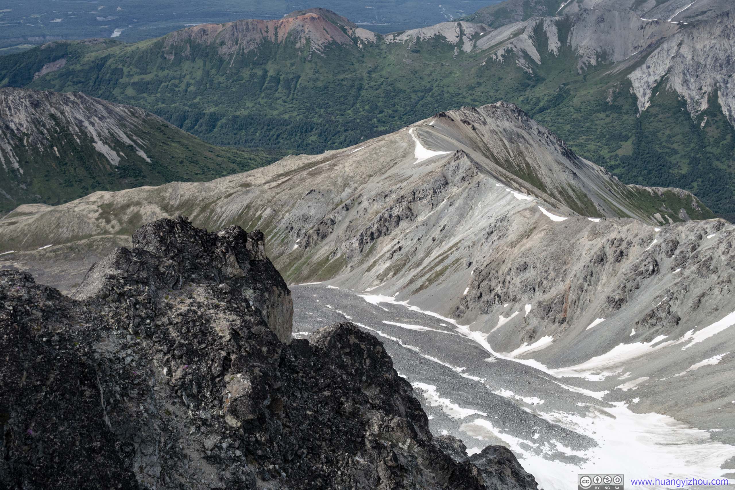
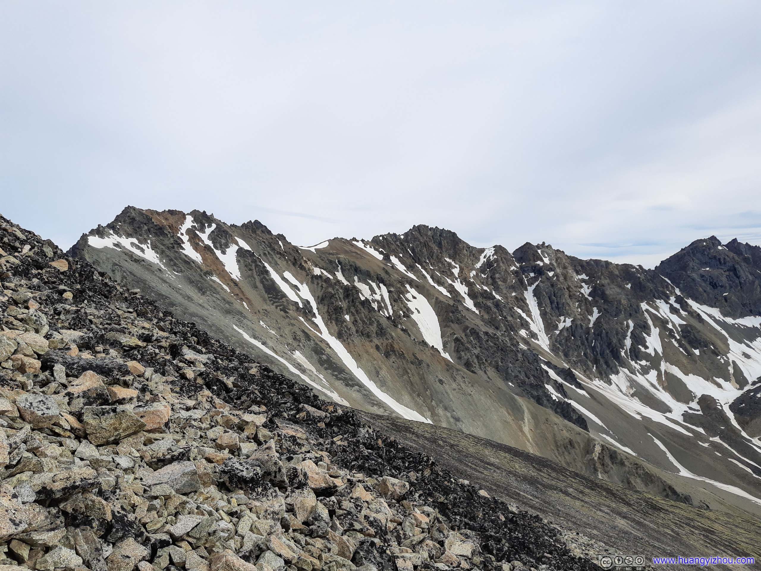
Looking BackThe steep rocky slope that I just conquered.
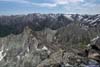
Setting my sight closer, I began to appreciate the geology of Matanuska Peak. I ascended it through its western ridge which was a steep but hike-able slope. Its eastern face, however, was a steep cliff. This resembled a lot to Hyndman Peak in Idaho which I summitted last year. Both were YDS class 2 peaks with talus fields on the west and cliff on the east, both were quite a challenge for me to summit.
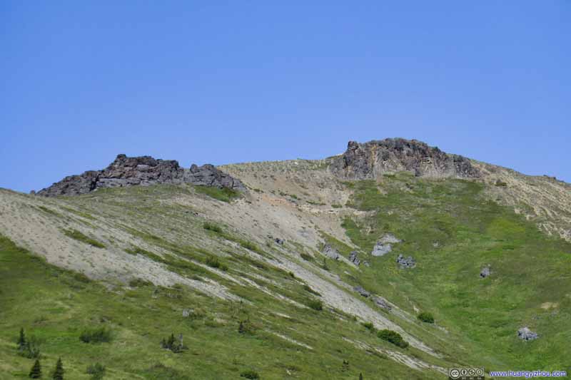
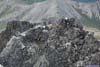
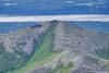
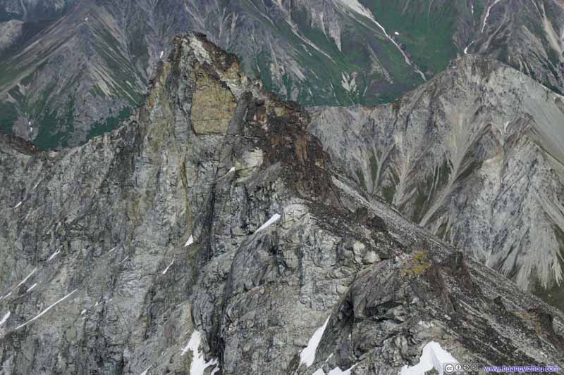 Ridge
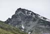
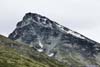
A small peak towards the east of Matanuska Peak. This peak had a similar geological structure as Matanuska Peak, a long steep slope on one side (right), and a steep drop off on another (left).
Ridge
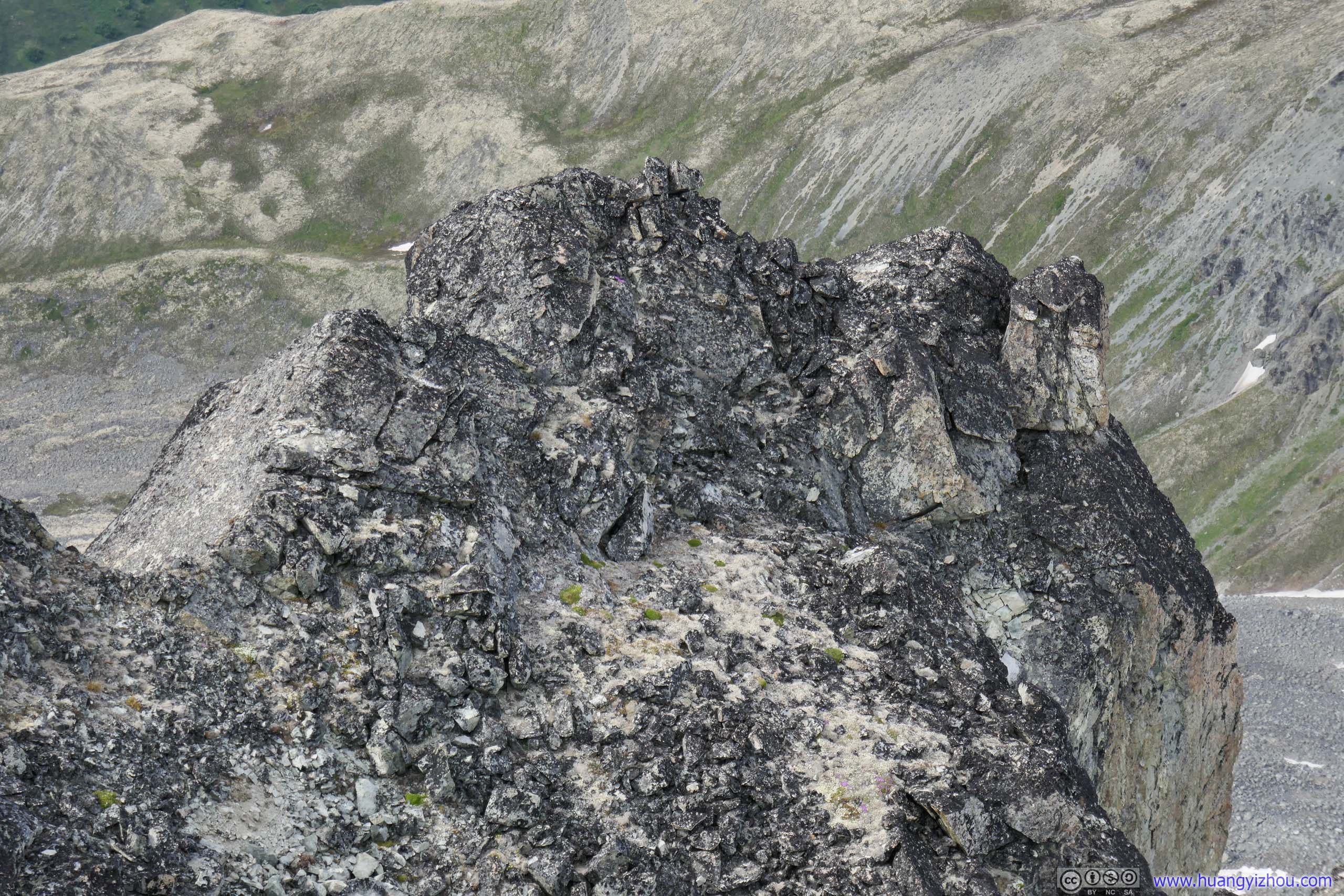
A small peak towards the east of Matanuska Peak. This peak had a similar geological structure as Matanuska Peak, a long steep slope on one side (right), and a steep drop off on another (left).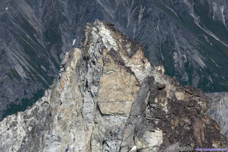 Boulders on Small Peak
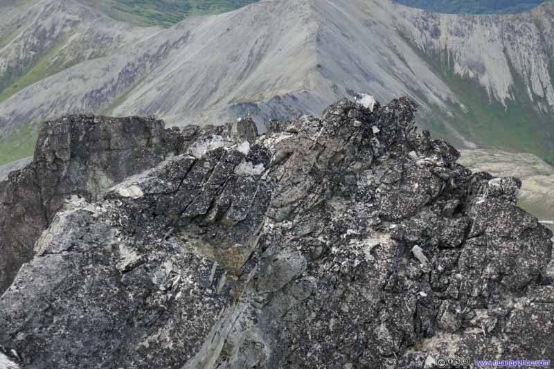 Boulders near Summit
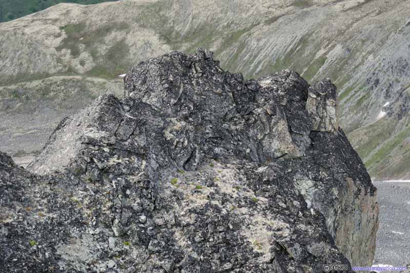 Boulders near Summit
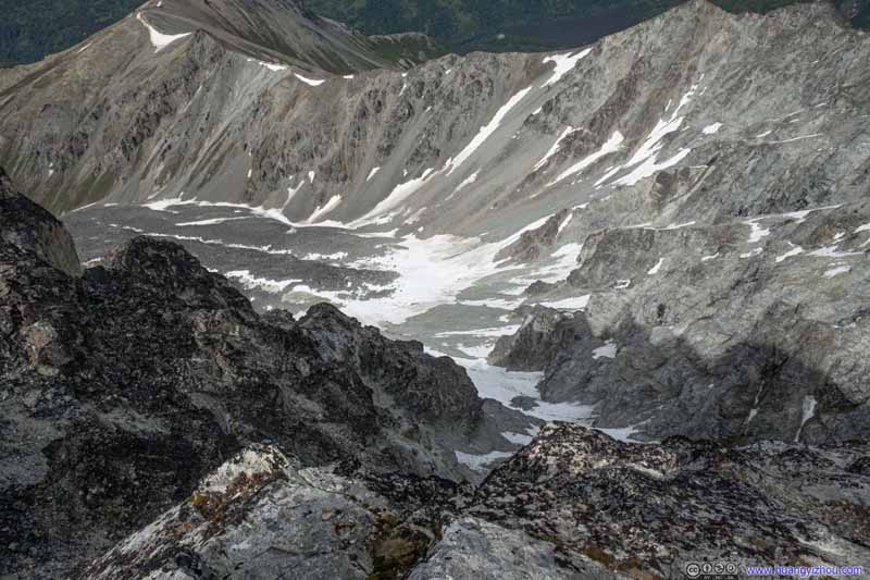 Mountains BelowThe eastern side of Matanuska Peak was a steep dropoff.
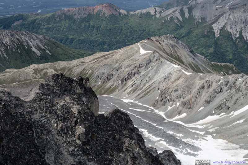 Mountains Below
Click here to display photos of the slideshow

Ridge

Boulders on Small Peak

 Boulders near Summit
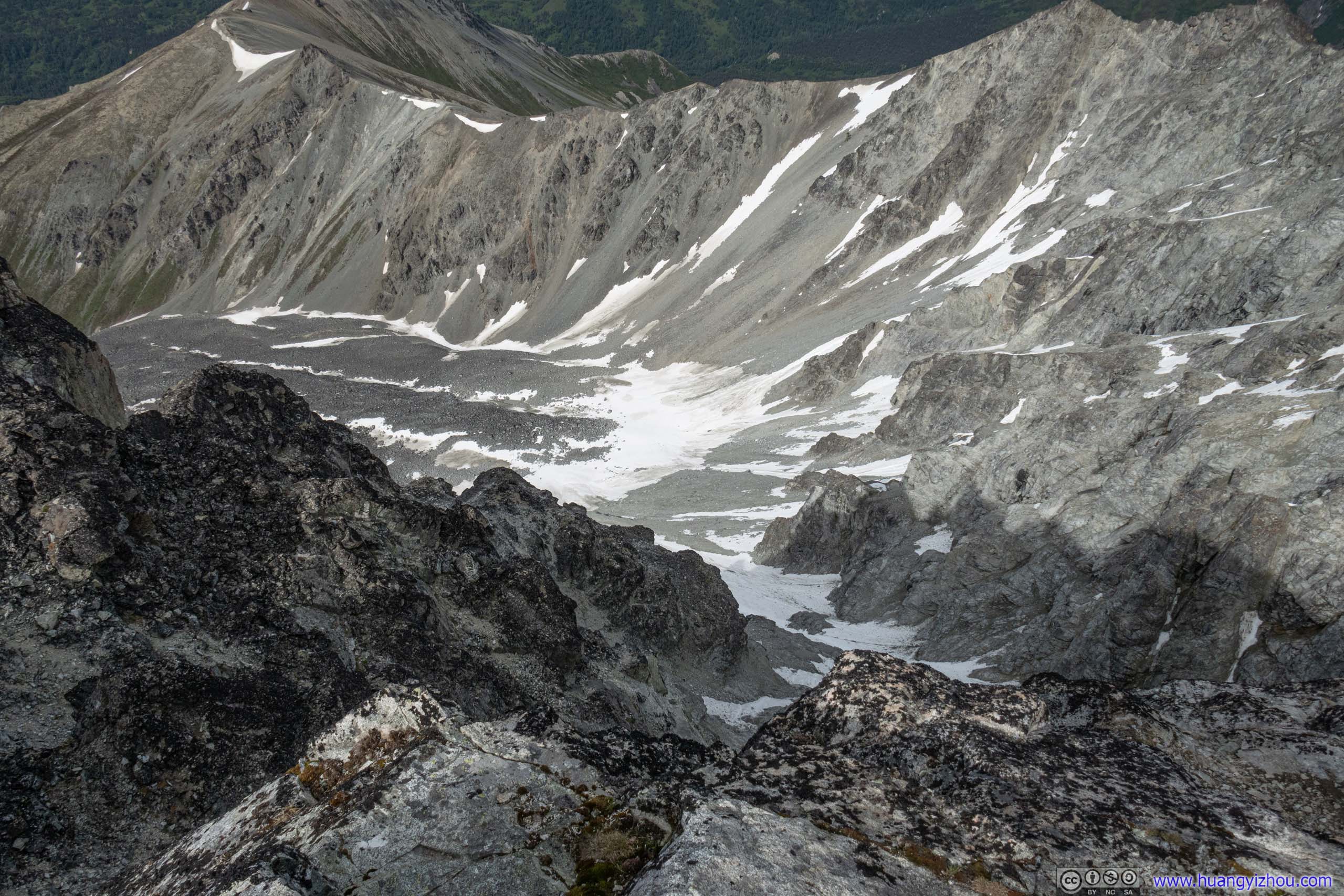
 Mountains BelowThe eastern side of Matanuska Peak was a steep dropoff.
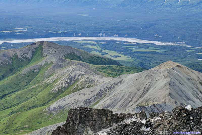
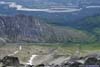
Towards the west, Lazy Mountain which I summitted last year and the city of Palmer not too far away were reassuring sights constantly reminding me of the achievements that I’d made.
 Ridge between Lazy Mountain and Matanuska Peak
There was a faint trail following the ridge, between Lazy Mountain and Matanuska Peak. It must be pretty strenuous following that trail to climb Matanuska Peak.
Ridge between Lazy Mountain and Matanuska Peak
There was a faint trail following the ridge, between Lazy Mountain and Matanuska Peak. It must be pretty strenuous following that trail to climb Matanuska Peak.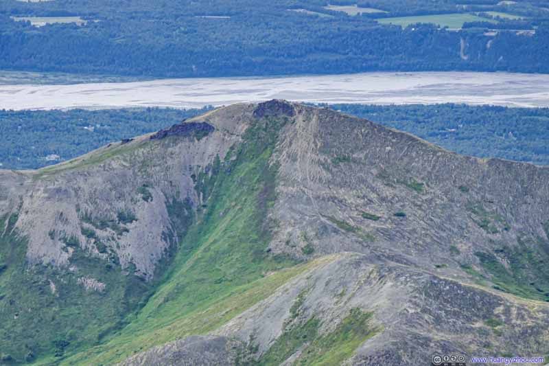 Lazy MountainWhich I summitted last year.
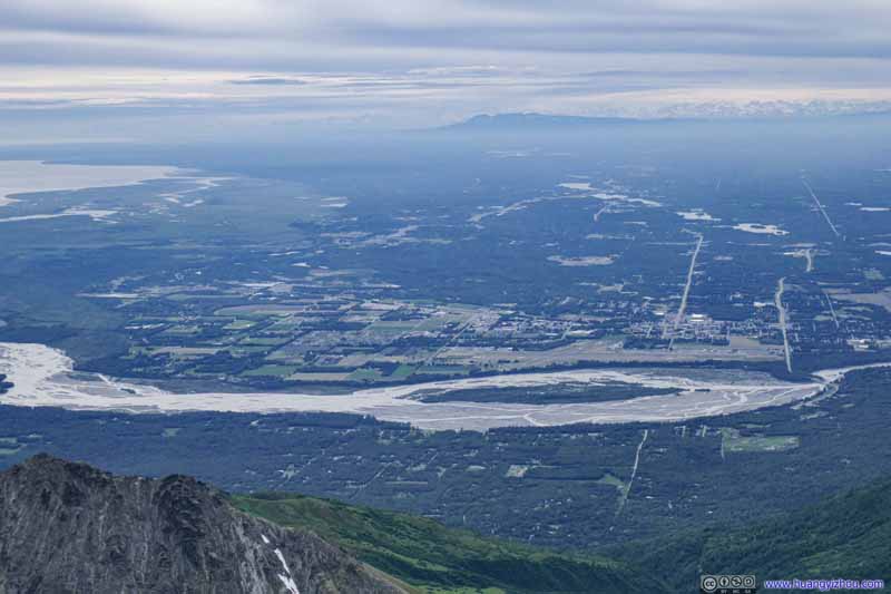 City of Palmer
 Knik Arm
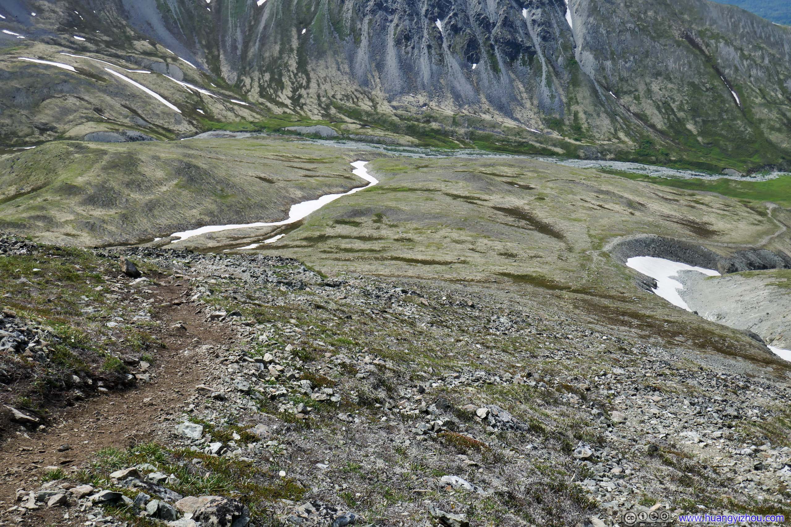
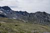
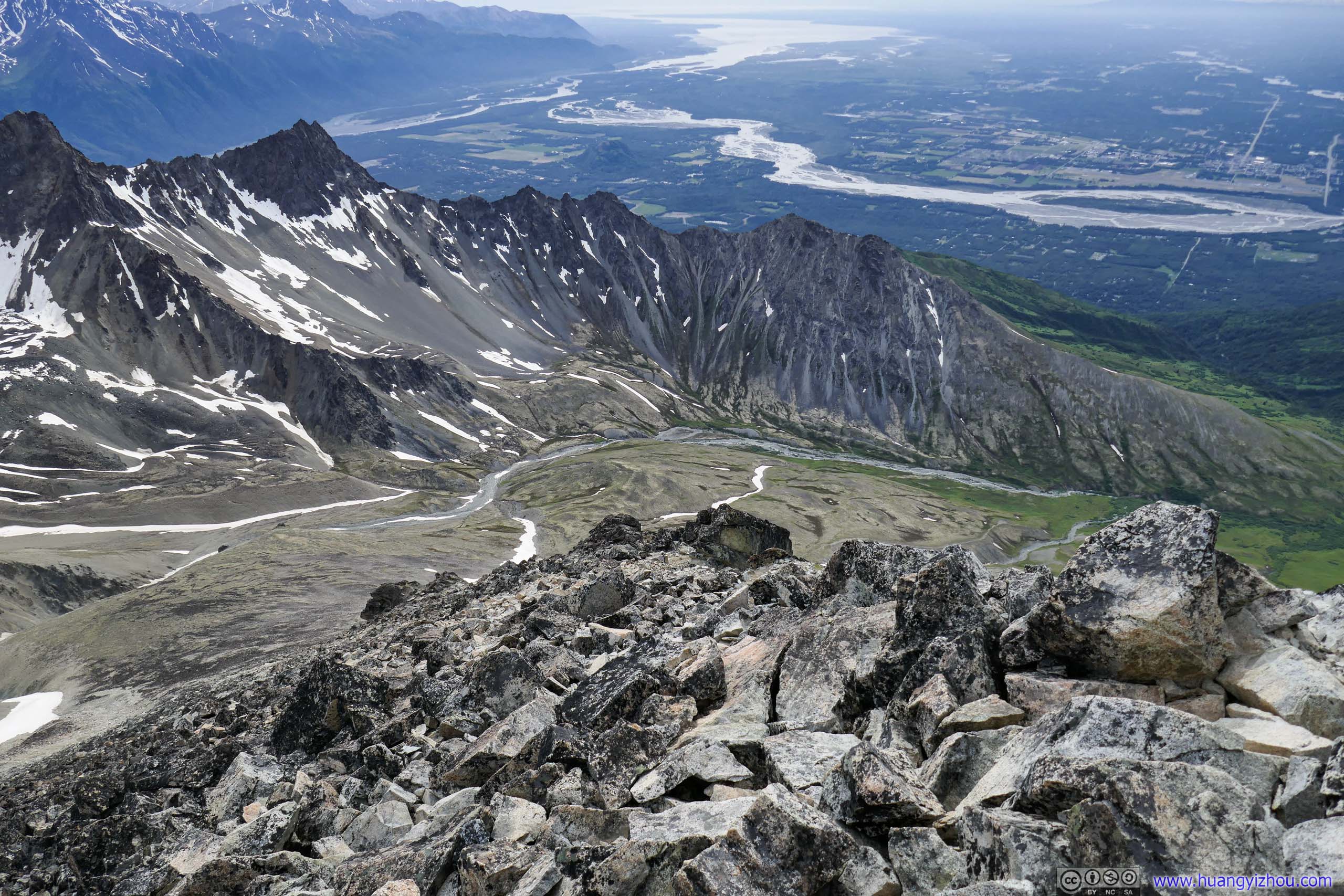
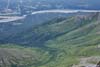
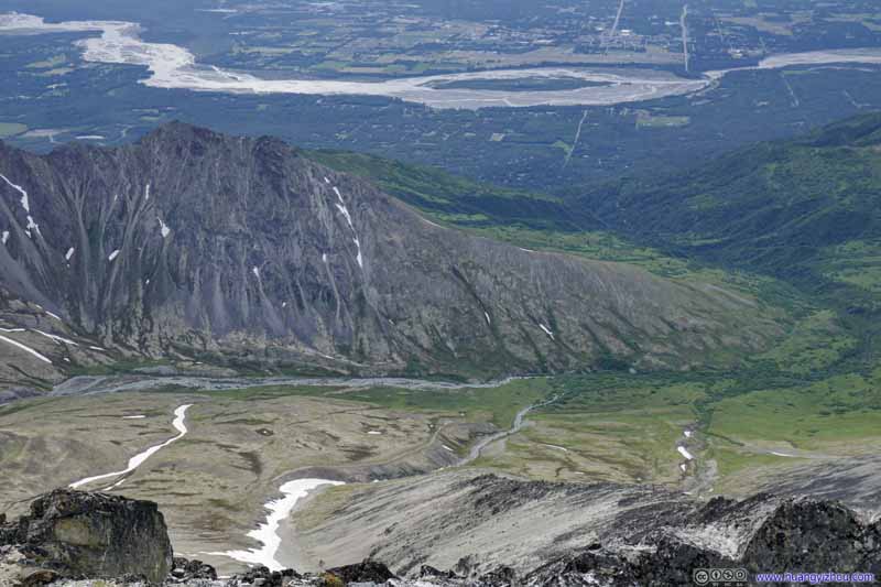 Valley
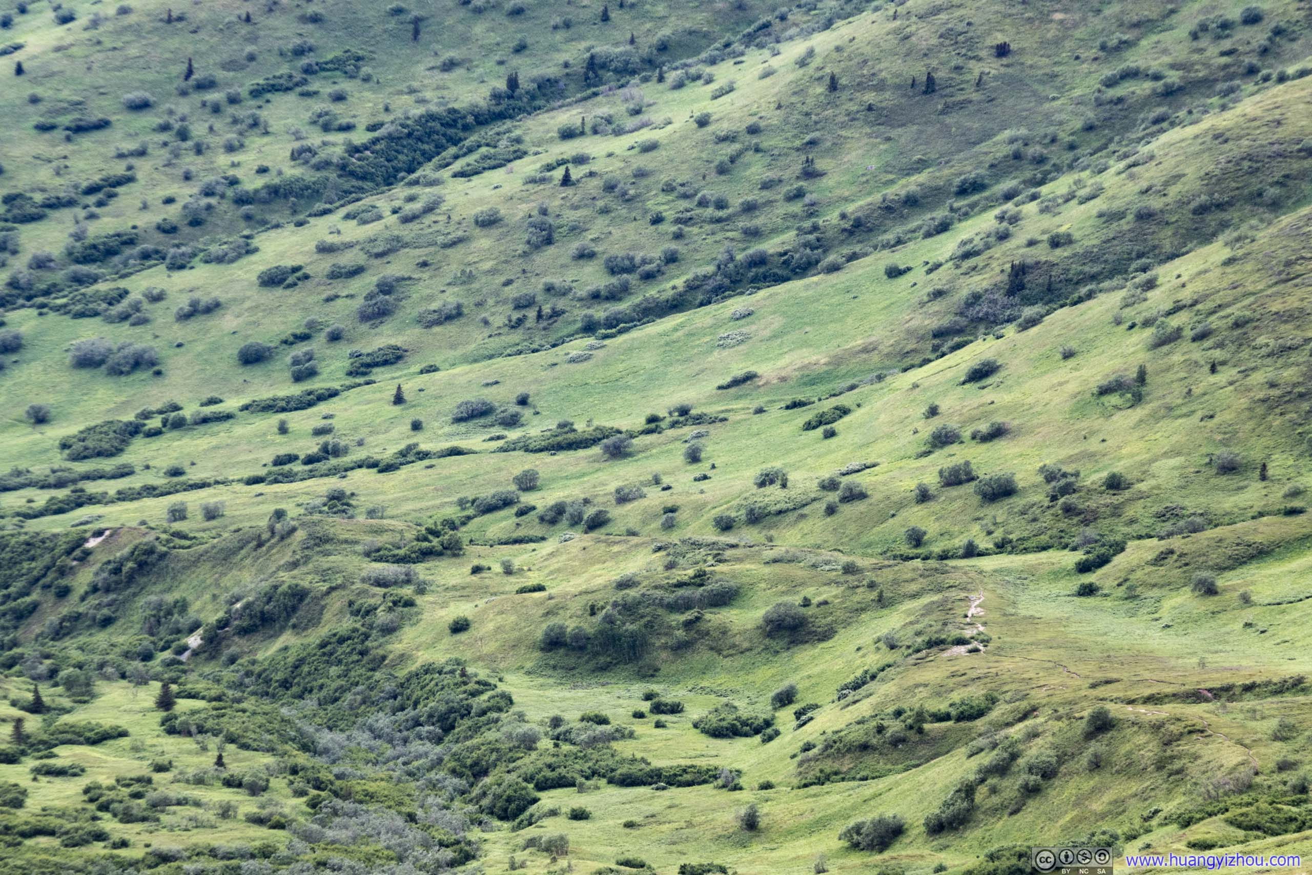
A faint hiking trial in the lower center which I followed on my way to Matanuska Peak. Snow runoff formed a few creeks down this valley.
Valley
A faint hiking trial in the lower center which I followed on my way to Matanuska Peak. Snow runoff formed a few creeks down this valley. MeadowWhich I passed through on my ascent.
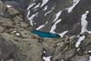
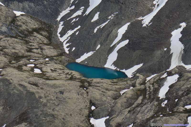 Alpine Lake


Click here to display photos of the slideshow

Ridge between Lazy Mountain and Matanuska Peak

Lazy MountainWhich I summitted last year.

City of Palmer
Knik Arm
Valley
MeadowWhich I passed through on my ascent.

Alpine Lake
Finally, in line with my tradition, I commemorated my successfully summitting with a drone video:
2x playback speed, 27 seconds, 2160p60fps, 15Mbps/50MB for H265, 16.5Mbps/57MB for H264.
After spending 45 minutes on top of Matanuska Peak, with stunning views interrupted by occasional bugs though, I started my descent at 5:30pm.
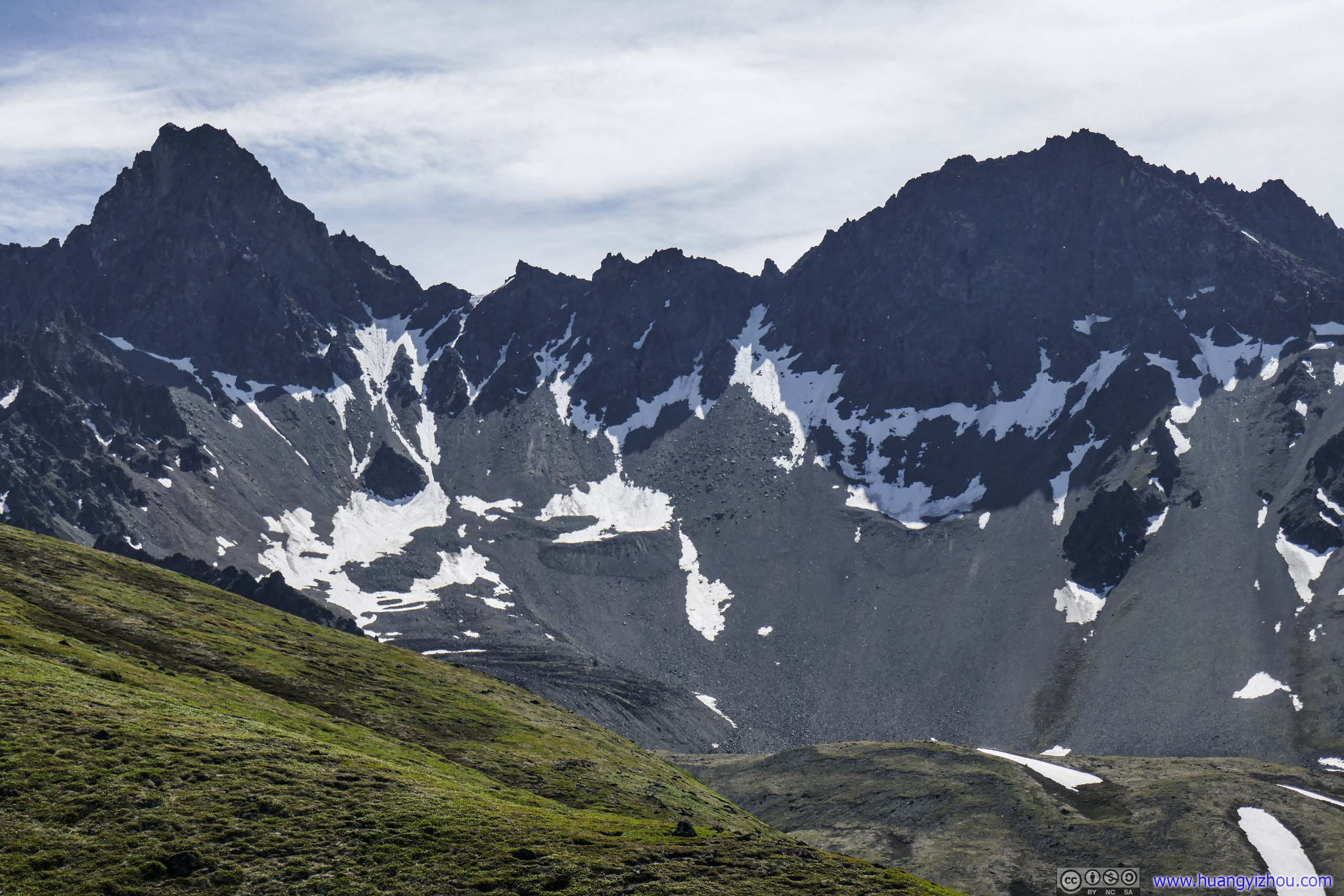
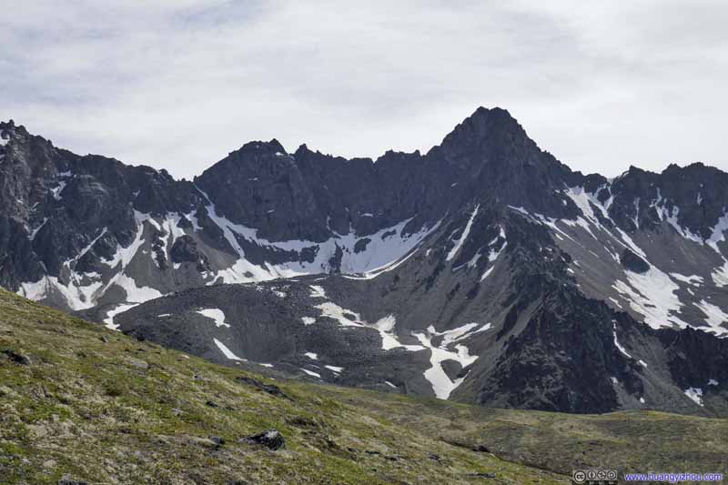
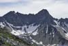
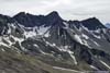
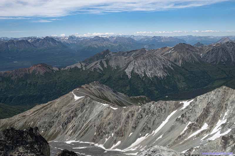
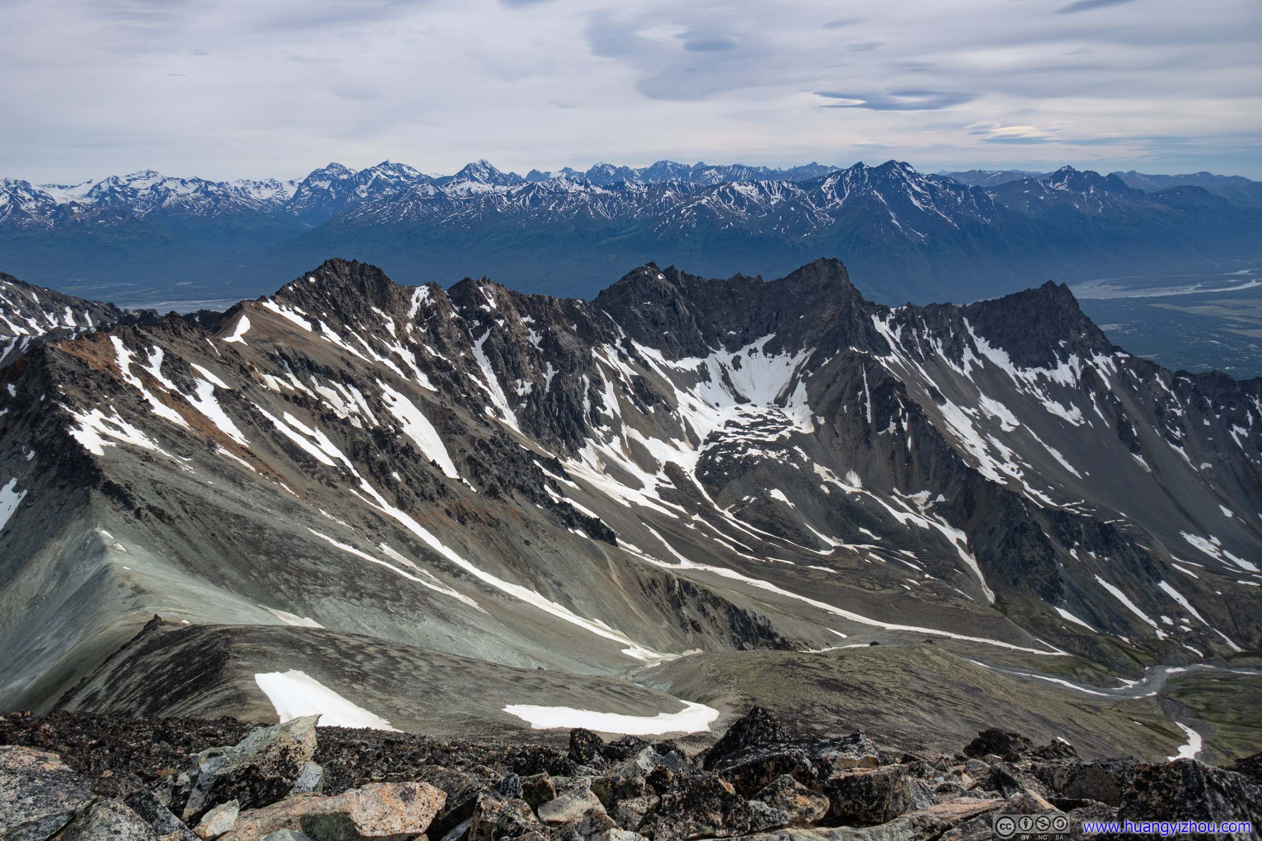
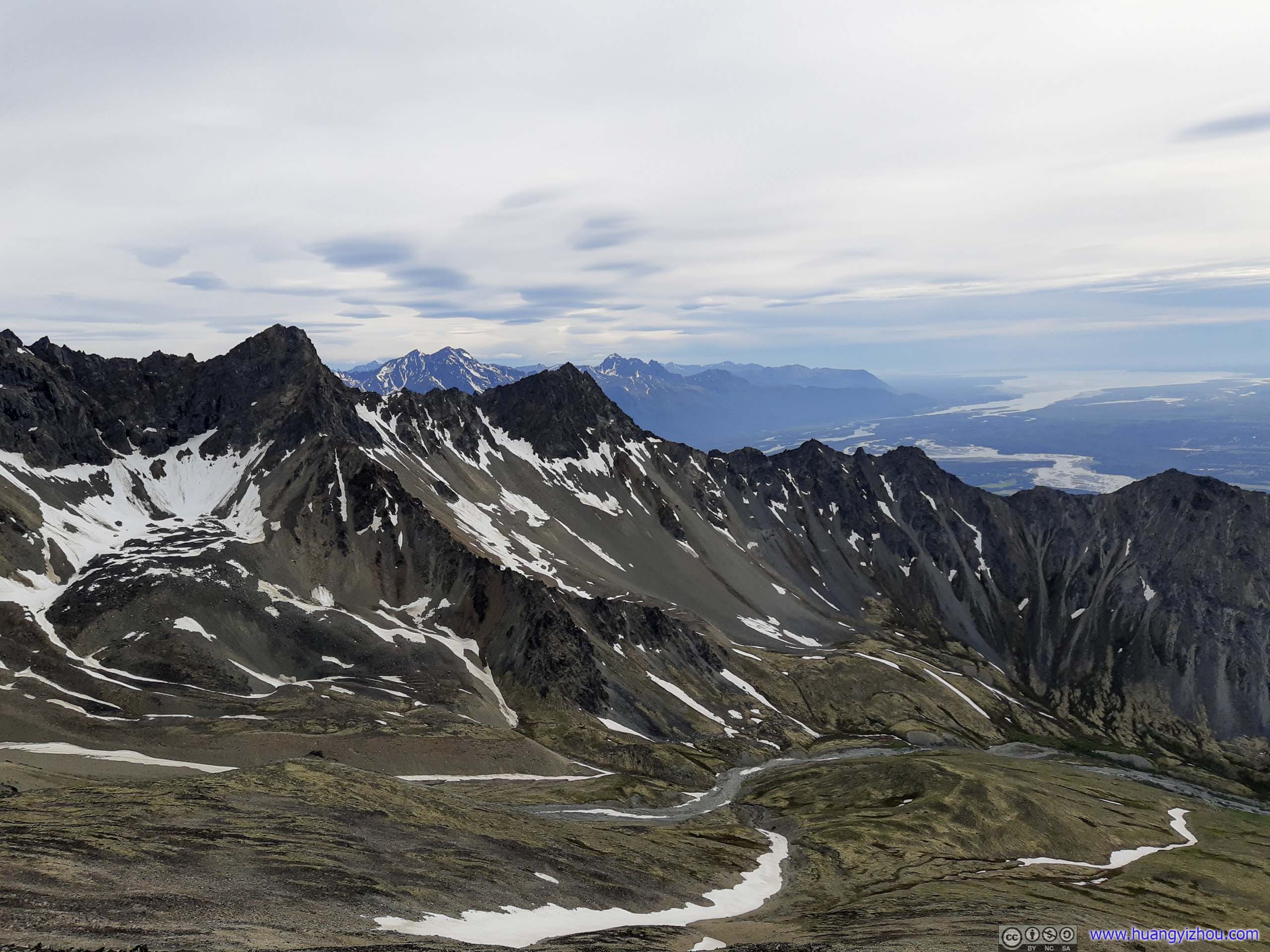
Weather had changed from mostly sunny during my ascent to overcast during my descent, so the mountains to the south, part of the semi-circular mountain chain (of which Matanuska Peak was the highest) extending to Lazy Mountain, appeared more approachable with their rock formations coming out of backlight.
 Mountains to the South
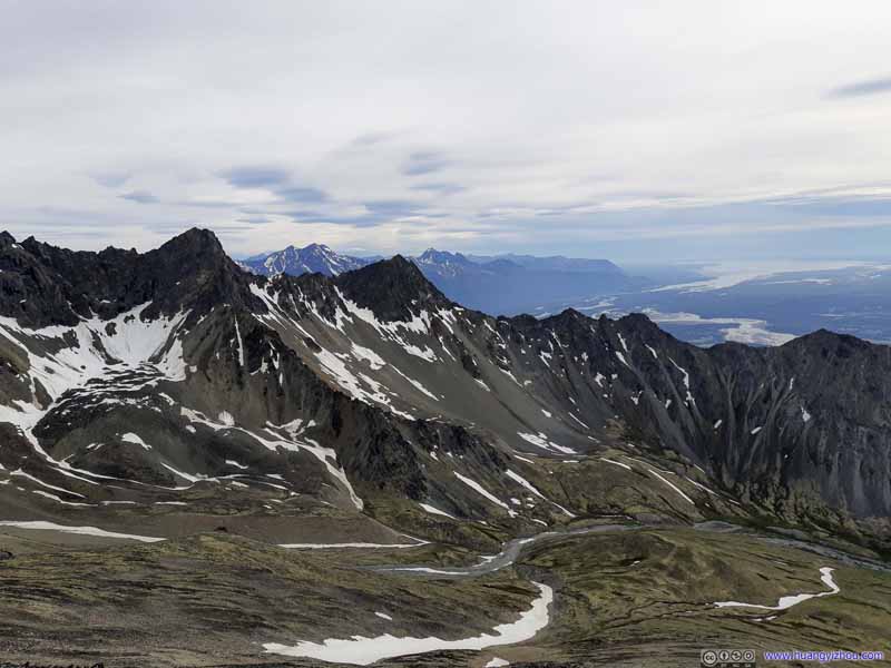 Mountains to the West
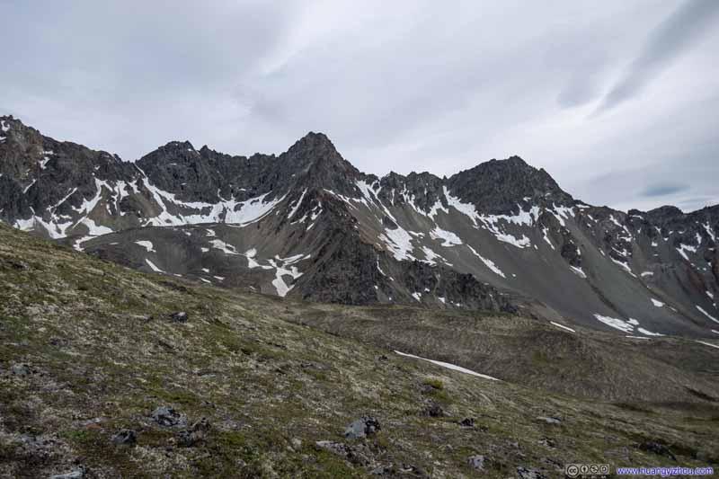 Mountains to the South
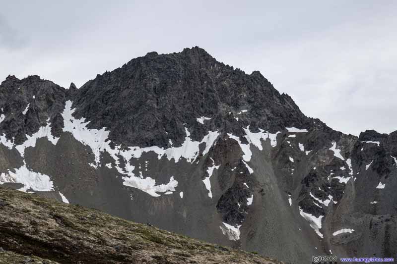 Mountains to the South

Click here to display photos of the slideshow
Mountains to the South
Mountains to the West
 Mountains to the South
The descent down the steep slope of Matanuska Peak was quite punishing on my legs (and my arms with hiking poles). With lots of short rests plus a long one on the rock where I greeted the returning hikers, I crossed the creek at 8:20pm and went back onto the meadow.
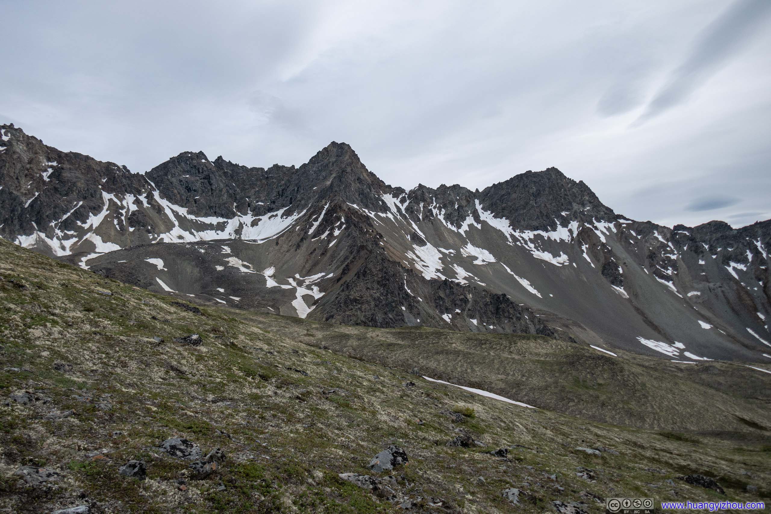
Looking back, the rocky slopes of Matanuska Peak seemed more vivid in color than in the morning, when against the backlight they appeared as a motionless iron-colored face. I took that as a celebration for my trip.
 Peaks near Matanuska Peak
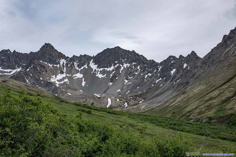 Peaks near Matanuska Peak
 Peaks near Matanuska Peak
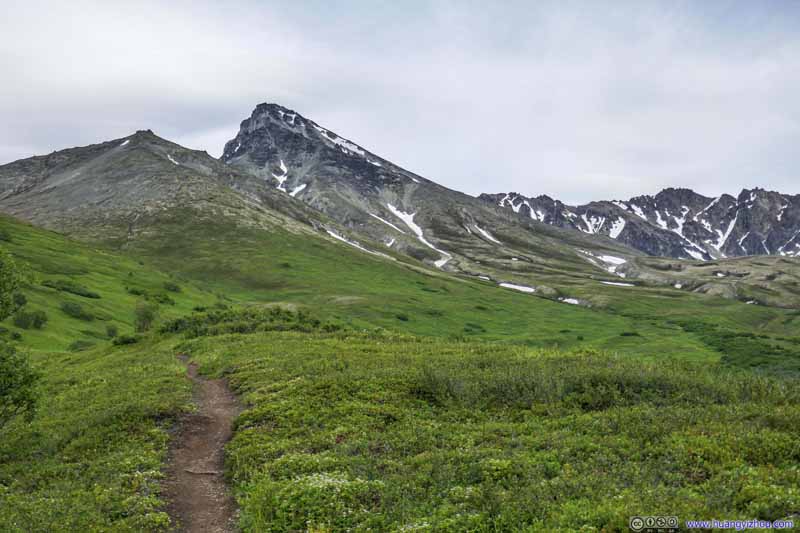 Matanuska Peak and Surrounding Mountains
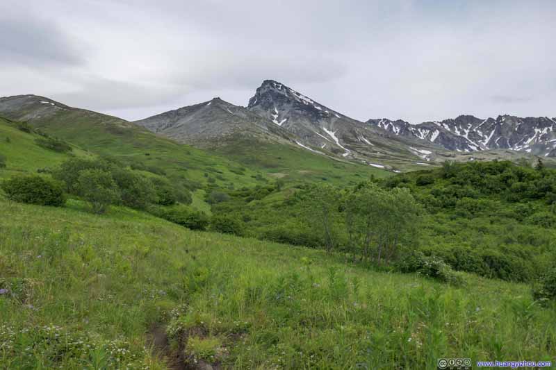 Matanuska Peak
 Matanuska Peak and Surrounding Mountains
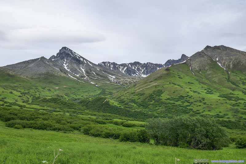 Matanuska Peak and Surrounding Mountains
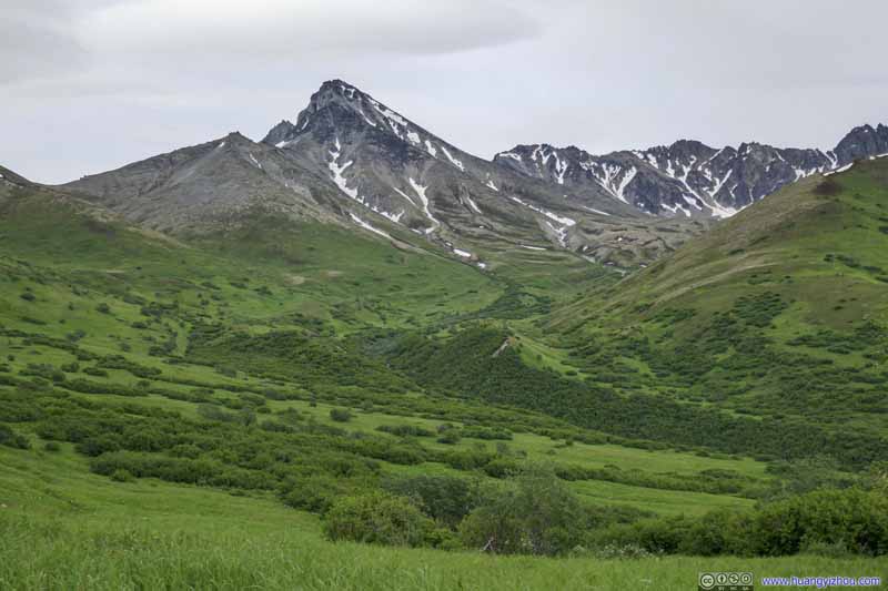 Matanuska Peak
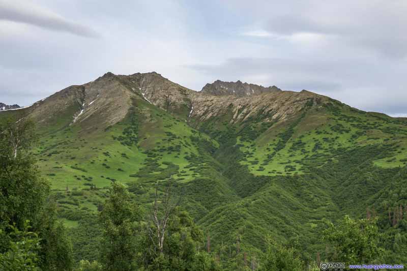 MountainsThe western end of the ring of peaks (mountain chain) extending to Matanuska Peak’s southwest.

Click here to display photos of the slideshow

 Peaks near Matanuska Peak

Matanuska Peak and Surrounding Mountains

Matanuska Peak
Matanuska Peak and Surrounding Mountains

Matanuska Peak and Surrounding Mountains

Matanuska Peak

MountainsThe western end of the ring of peaks (mountain chain) extending to Matanuska Peak’s southwest.
Pioneer Peaks
 Trail in Meadow
 Trail in Meadow
 Trail in Meadow
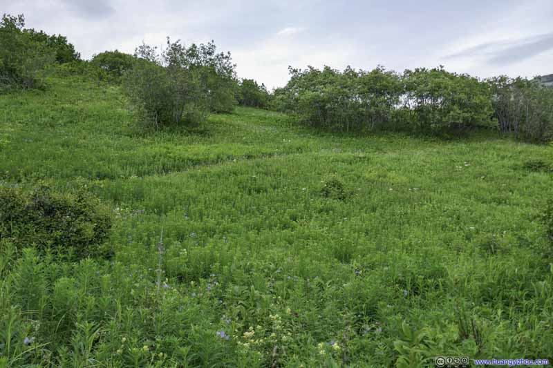 Meadow
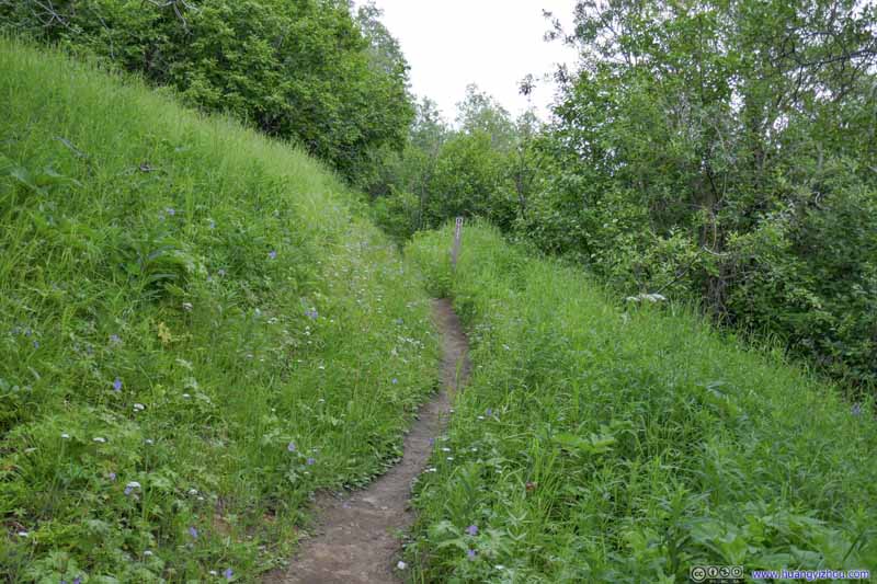 Trail
Trail Trail
Trail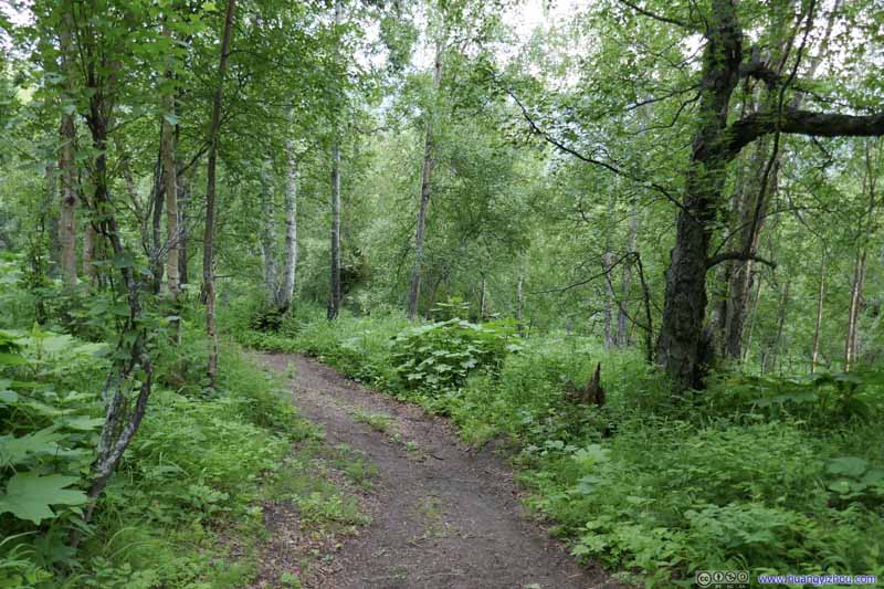 Trail
Trail Trail
Trail


Click here to display photos of the slideshow

 Trail in Meadow
Trail in Meadow

Meadow

Trail

Trail

 Trail
Trail
It’s worth noting that at around 4.6km from trailhead there was a giant rock where one could sit and stretch the legs. It’s the first (and last) place to properly sit and rest apart from trailhead. The lack of places to rest turned out to be a misery for me during my descent, as my legs were in pain from the distances covered today with no relief in sight. Luckily, my hiking poles came into some aid.
And finally, I got back to the trailhead at 10:20pm, 11 hours after I set off concluding this epic day.
END
![]() Day 1 of 2021 Alaska Trip, Matanuska Peak, Manifestation of Mental Perseverance by Huang's Site is licensed under a Creative Commons Attribution-NonCommercial-ShareAlike 4.0 International License.
Day 1 of 2021 Alaska Trip, Matanuska Peak, Manifestation of Mental Perseverance by Huang's Site is licensed under a Creative Commons Attribution-NonCommercial-ShareAlike 4.0 International License.