
Updated on July 17, 2022
Day 3 of May 2022 Virginia Trip, Grayson Highlands
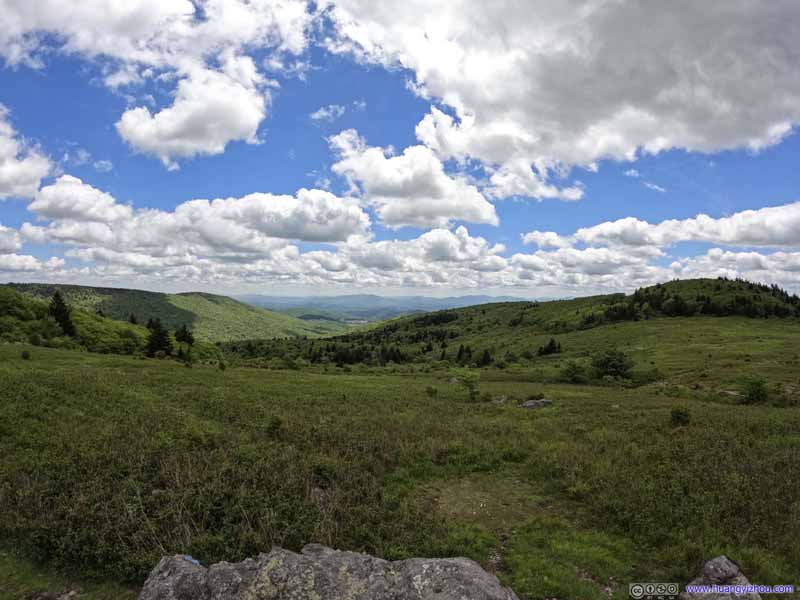
The third day of my 2022 Memorial Day weekend trip. I would be doing a long day hike in Virginia’s Grayson Highlands State Park and the nearby Jefferson National Forest, featuring Mount Rogers as Virginia’s highest elevation point, some fun on the rocks along Wilburn Ridge, and a combination of forests and open meadows which were not a common sight in Virginia. Unfortunately, just like the previous two days, I still had to battle with annoying mud for portions of the hike.
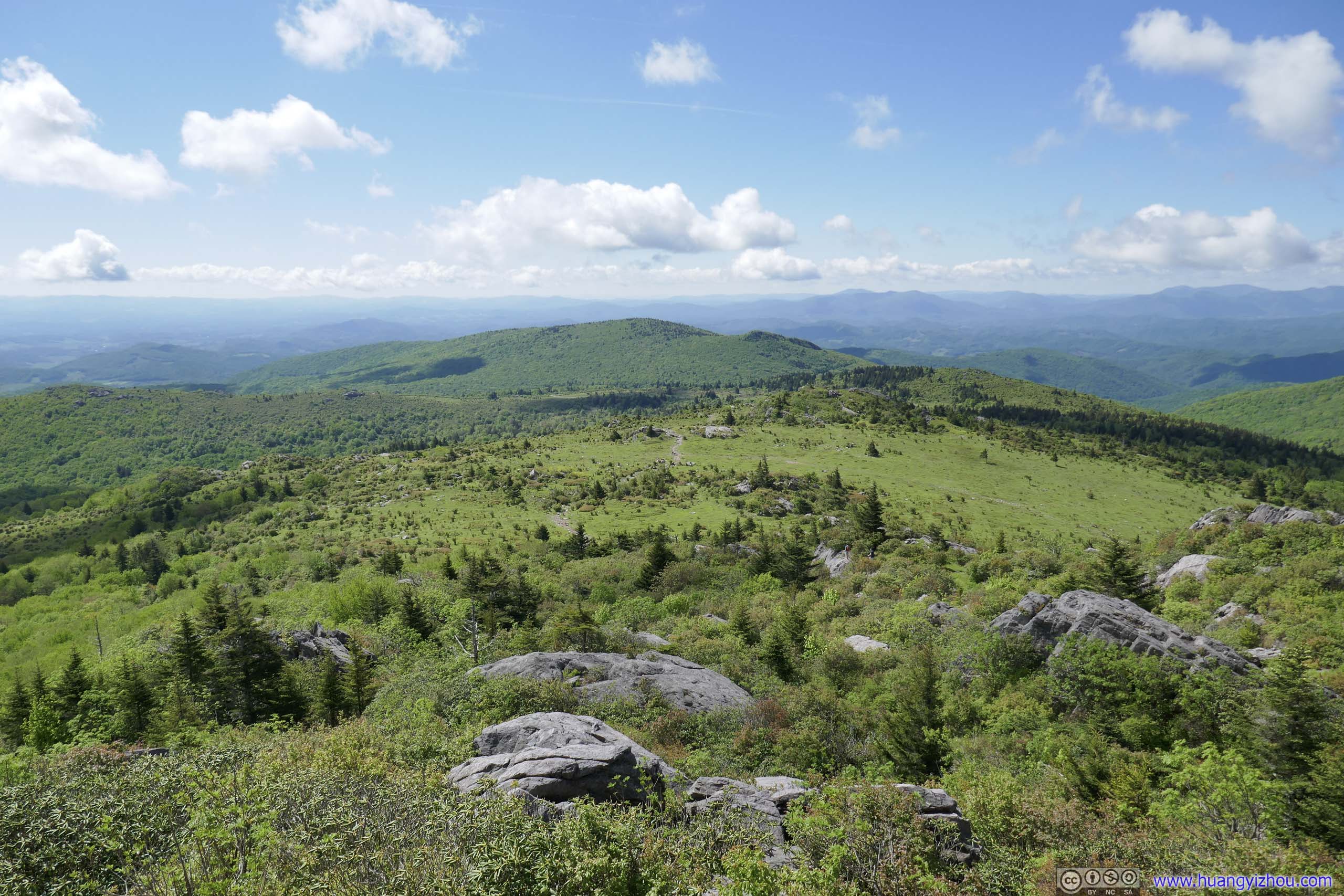
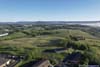
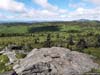
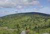
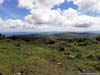
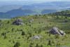
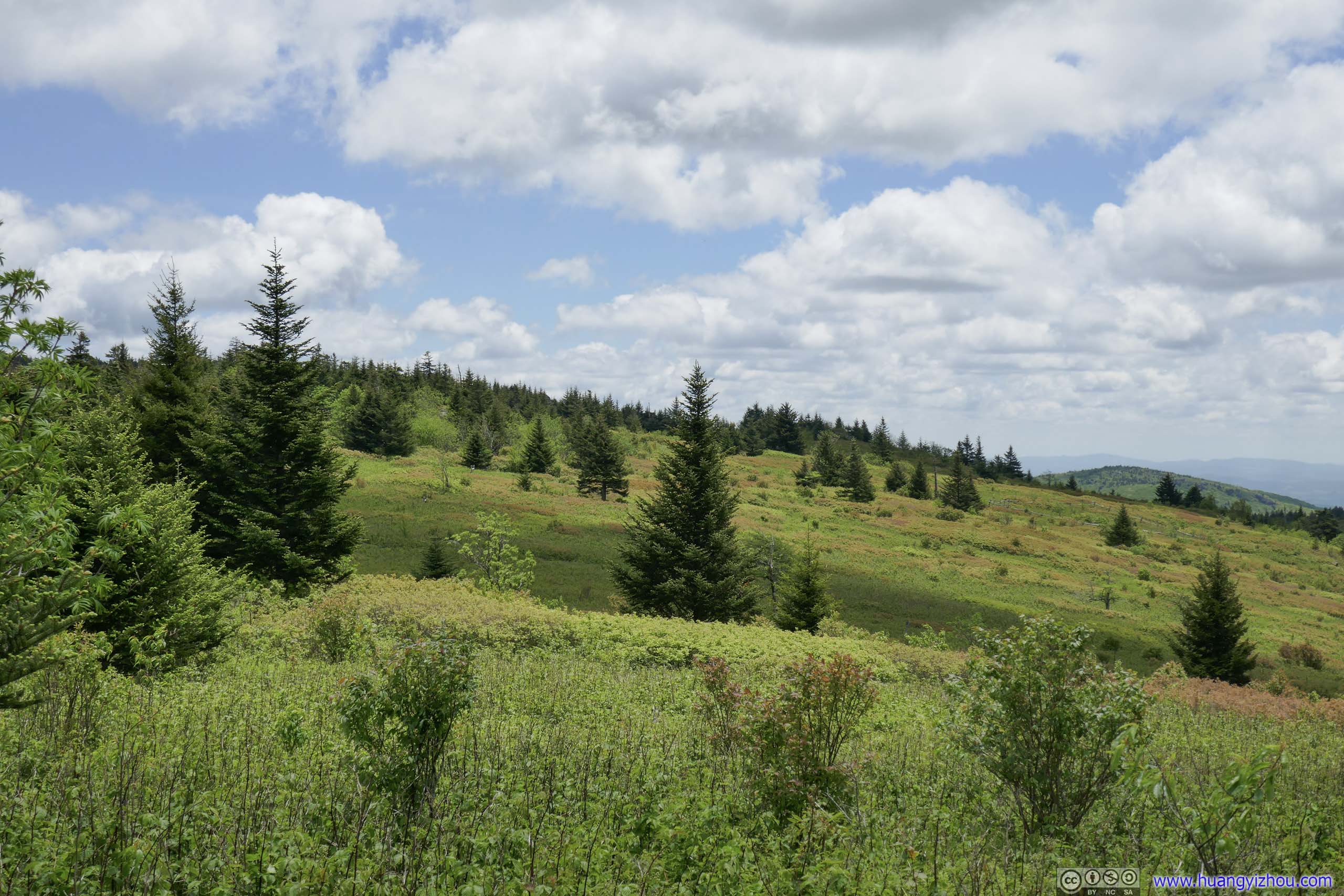
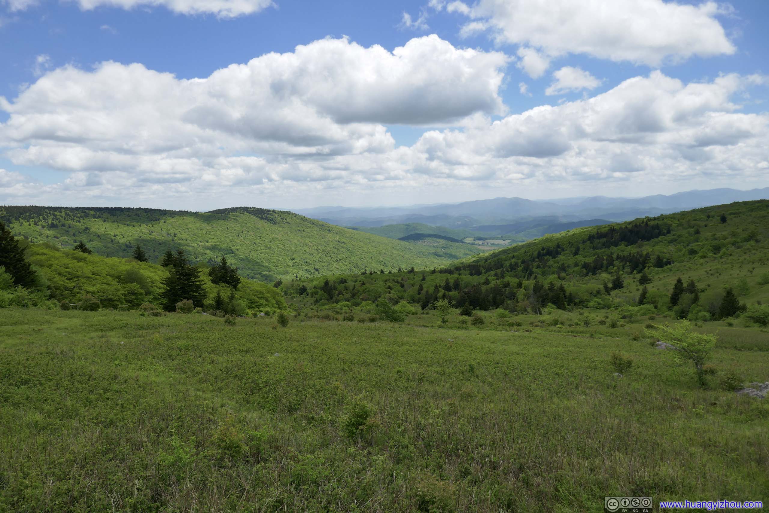
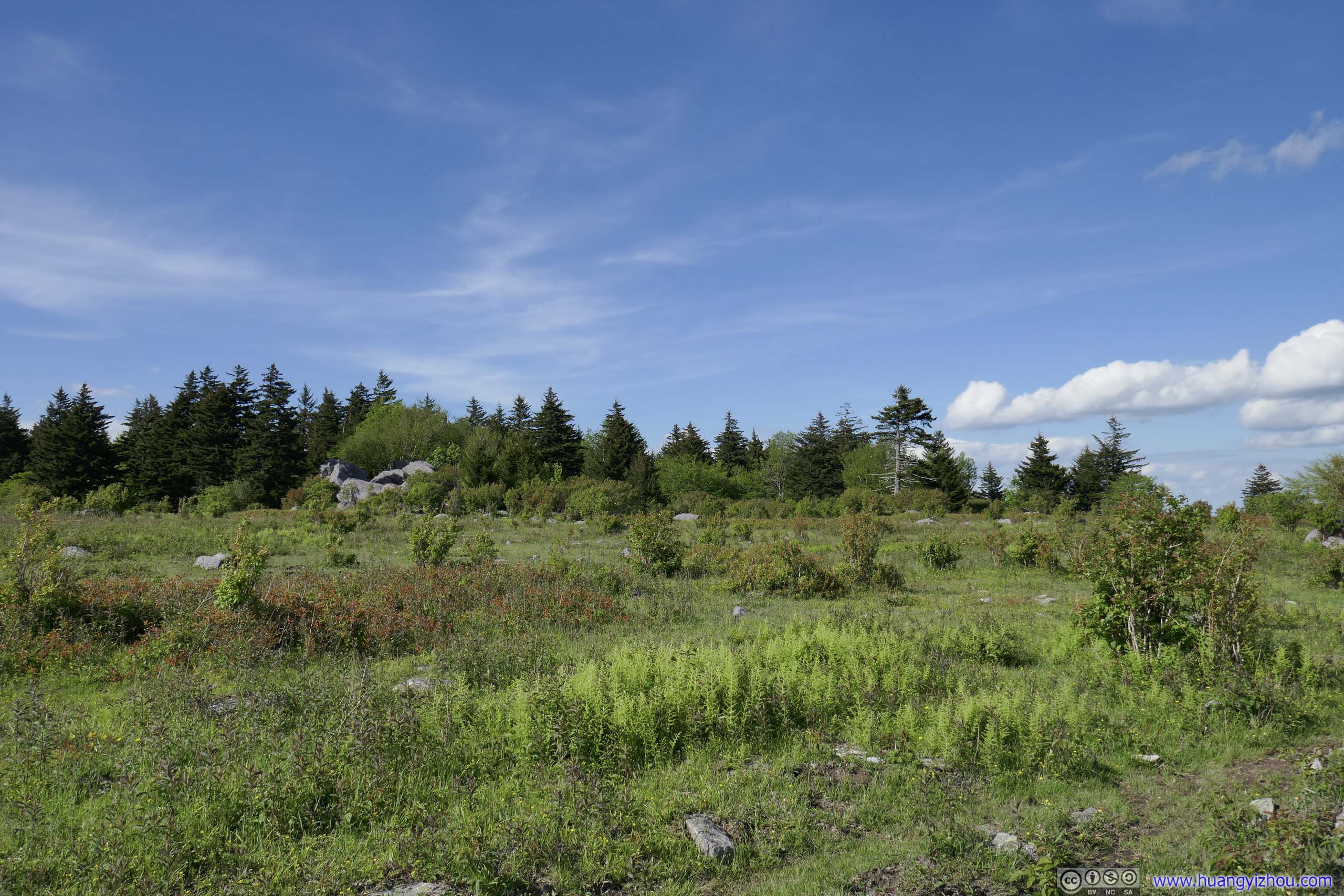
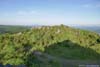
Fields from Wilburn Ridge
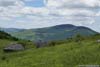
Morning Mist in Wytheville
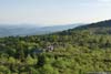
Mount Rogers/Grayson Highlands were located in a rural area in southern Virginia, while most of the hotels in reasonable proximity were along the I81 corridor. For my visit, I picked one in the city of Wytheville, which was just over an hour from the Grayson Highlands State Park.
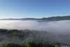
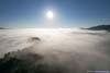
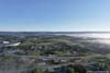
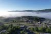
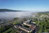
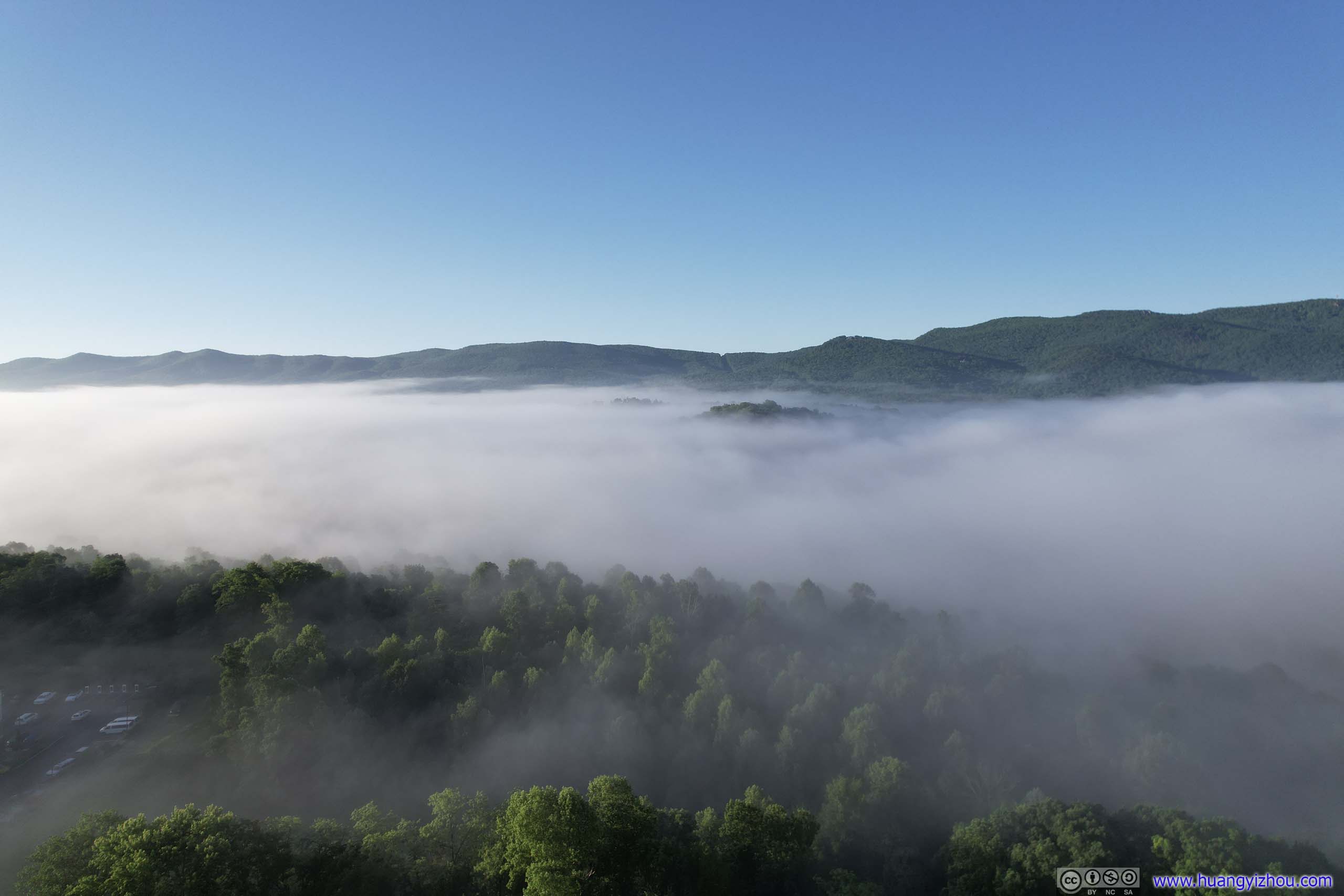
My hotel was on a small hill overlooking the city. As I woke up on this Sunday, I was thrilled to find most of the city was veiled behind a layer of morning mist, looking mystically charming. So before I set off for Grayson Highlands State Park, I launched my drone for an aerial tour.
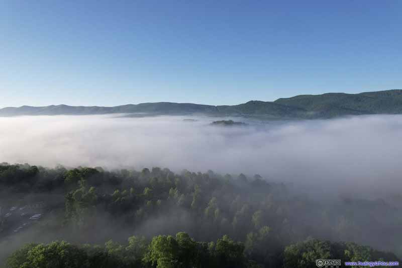 Mist over Wytheville
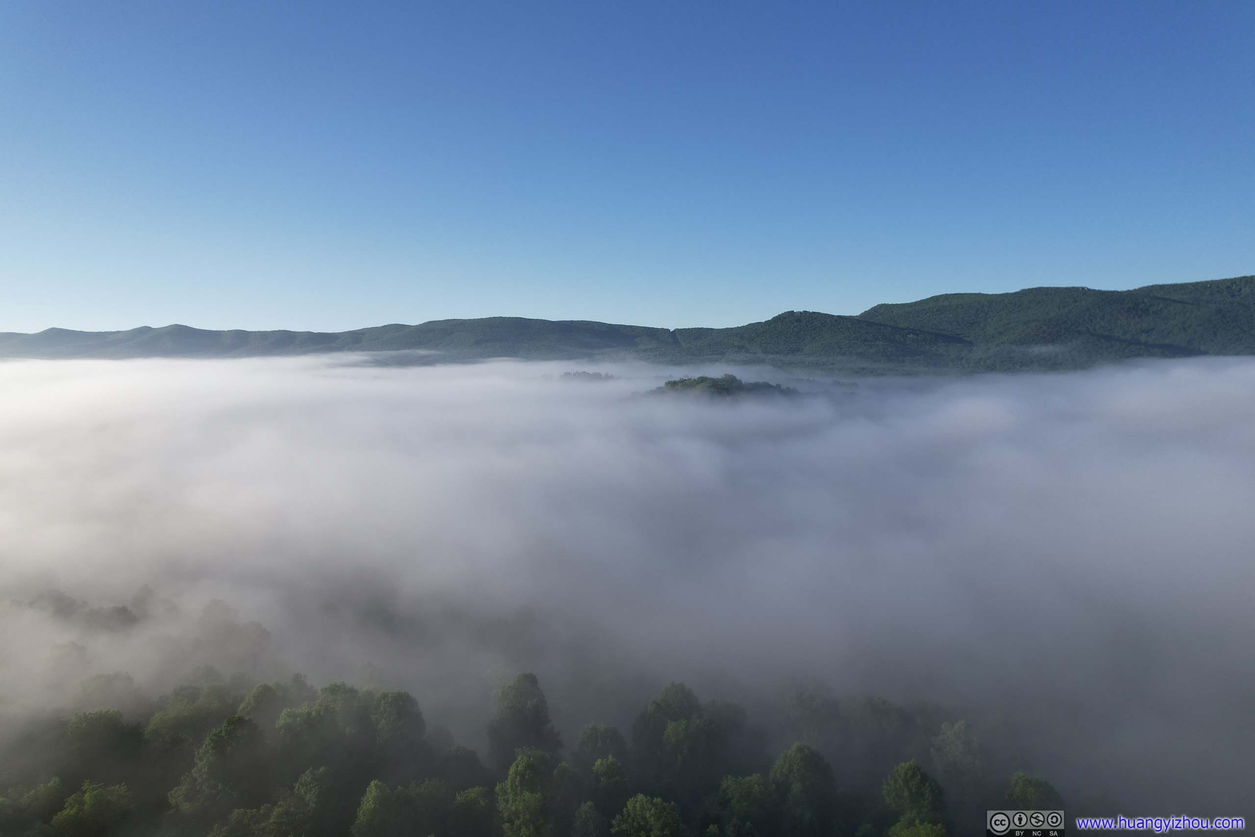
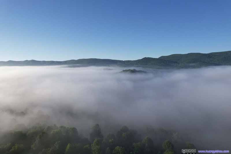 Mist over Wytheville
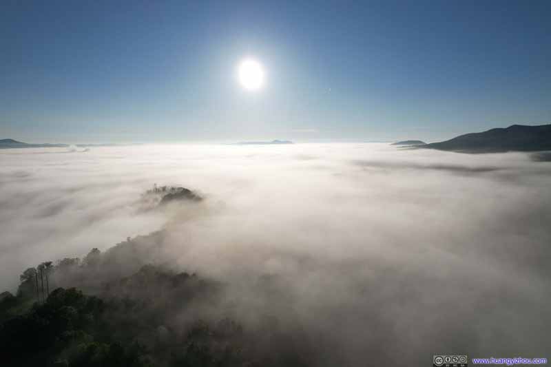 Mist over Wytheville
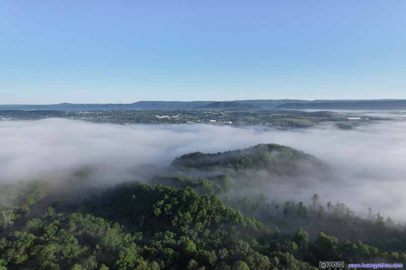 Mist over Wytheville
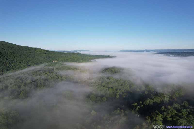 Mist over Wytheville
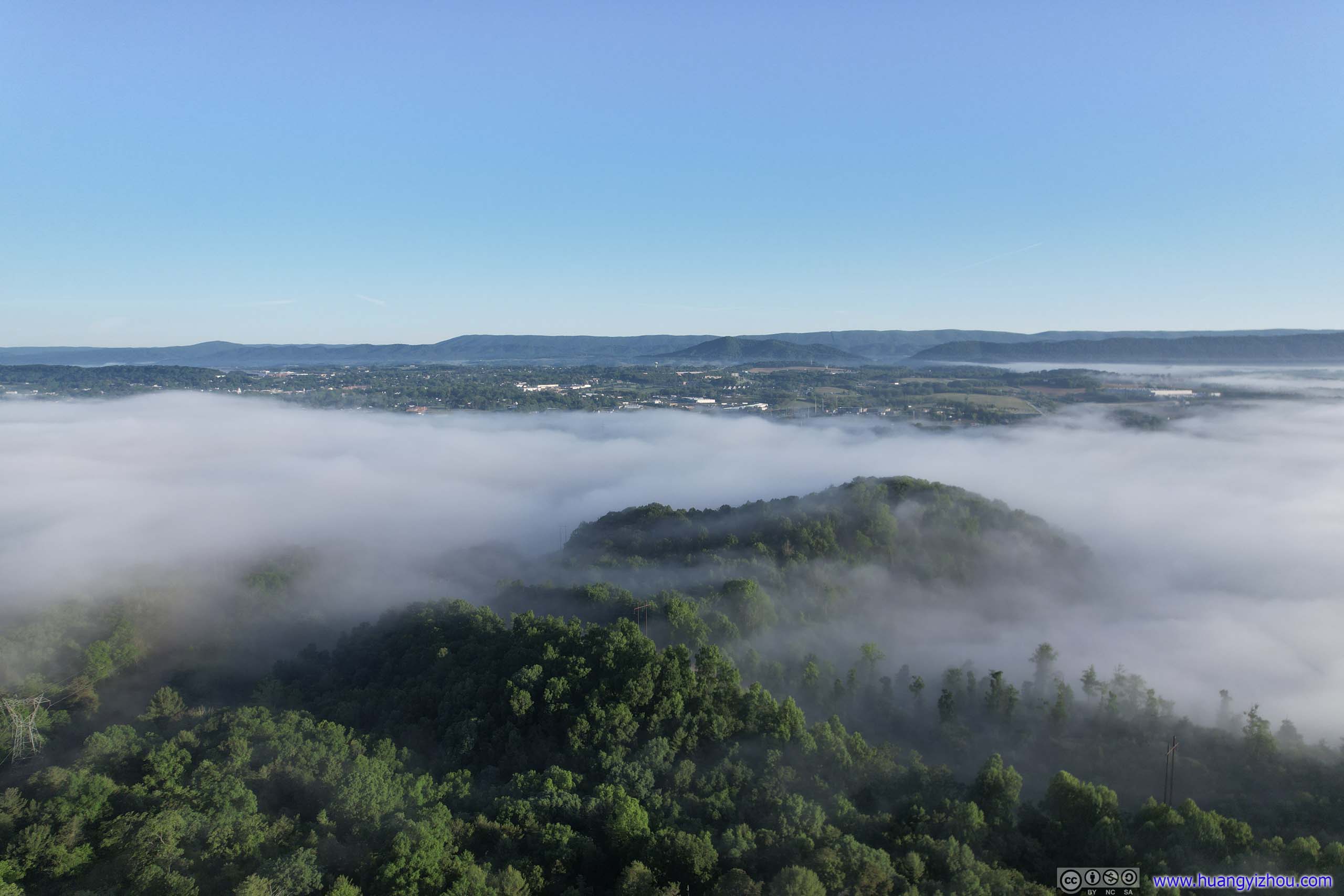
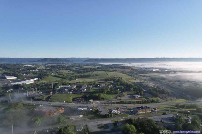 East Main Street
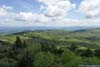
 FieldsSome open fields behind my hotel that’s not covered in mist.
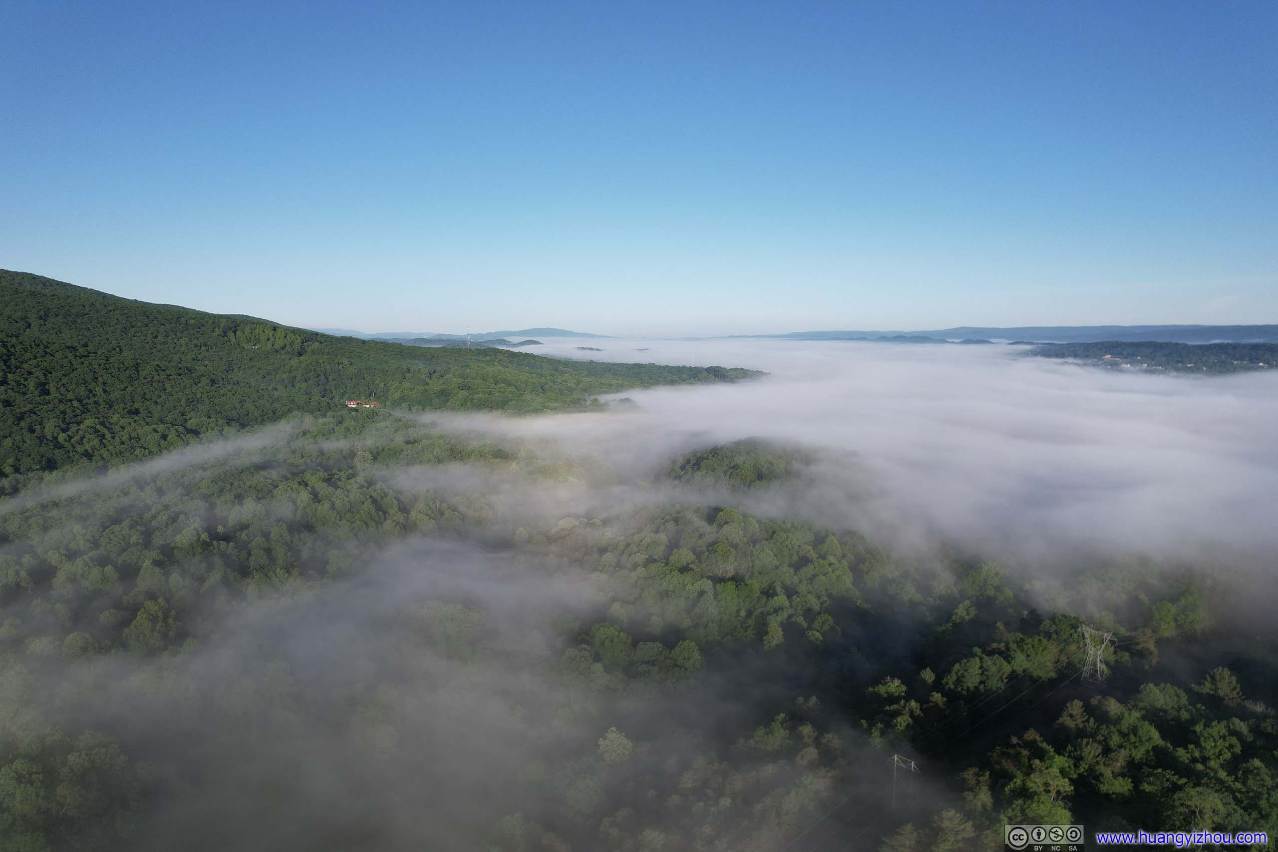
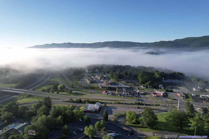 Mist over WythevilleAs seen from over my hotel.
 Mist over WythevilleAs seen from over my hotel.

Click here to display photos of Wytheville in mist.
 Mist over Wytheville

Mist over Wytheville
Mist over Wytheville
Mist over Wytheville
East Main Street

FieldsSome open fields behind my hotel that’s not covered in mist.

 Mist over WythevilleAs seen from over my hotel.
Overlooking Wytheville in Mist
And here’s a video:
Grayson Highlands Long Day Hike
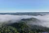
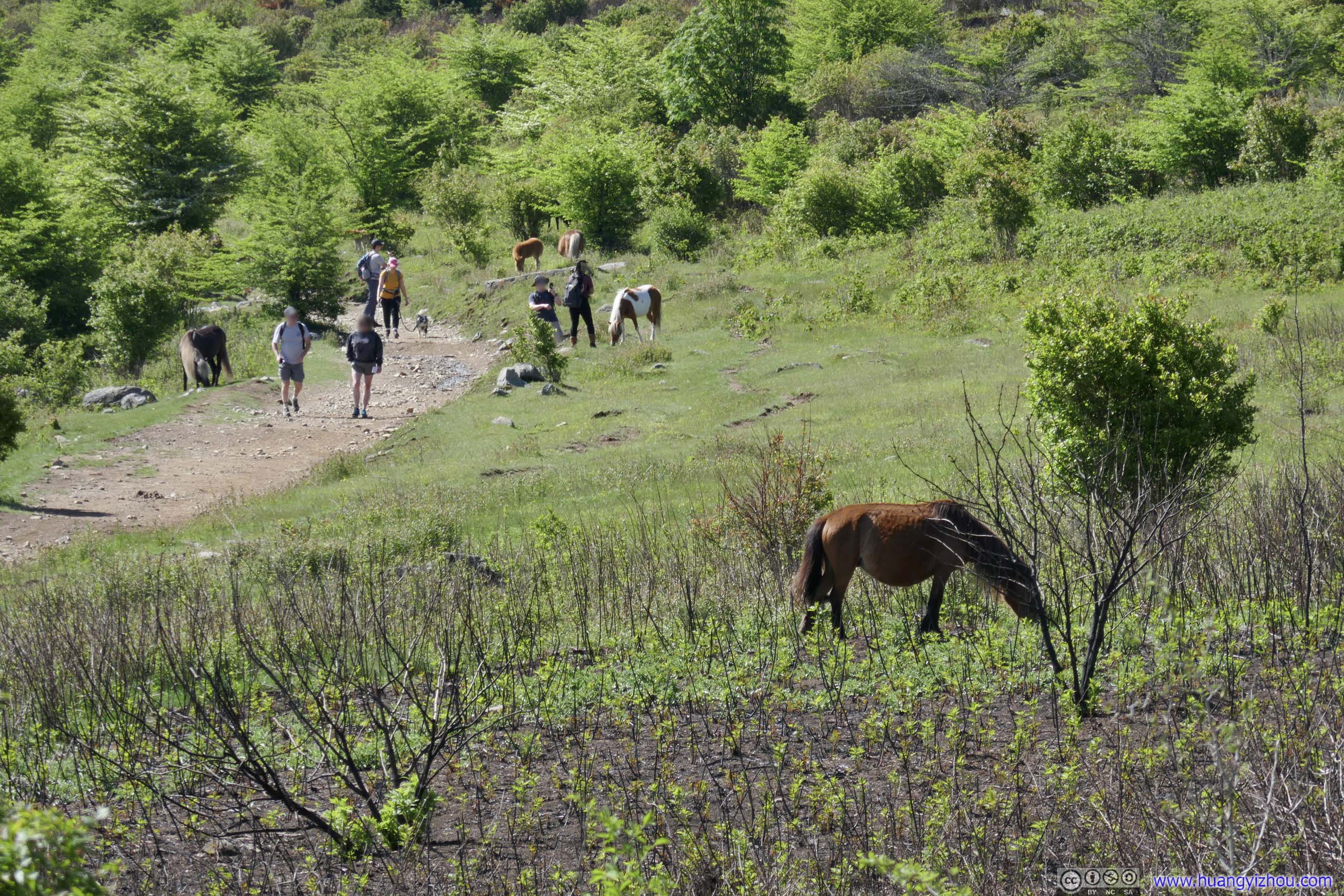
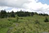
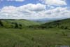
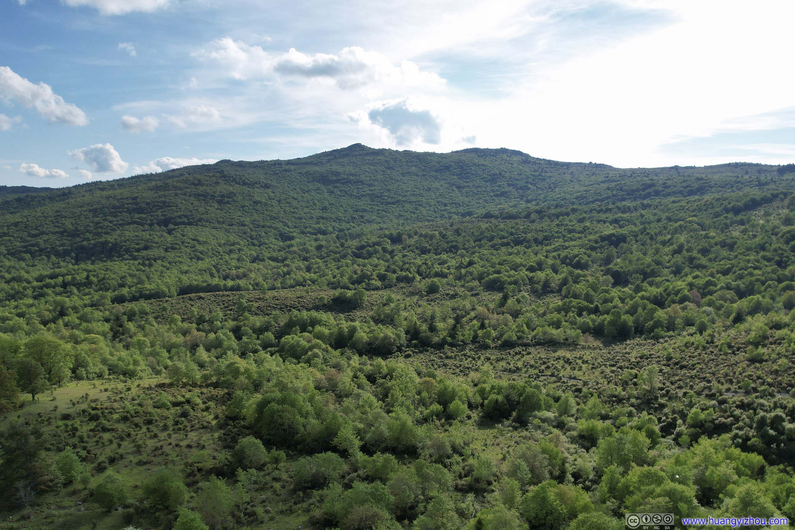
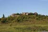
Apart from providing the easiest access to Mount Rogers (which, like most of my day’s hike, was actually located in the nearby Jefferson National Forest), the highest elevation point of Virginia, Grayson Highlands State Park was famous for its “wild” ponies that roamed its surrounding land. In the 19th century, extensive logging operations created patches of meadows that were used for cattle ranching in the early 20th century. After cattle ranching ceased with the creation of the state park, ponies were manually introduced to the area in 1975 to keep the meadow landscape trimmed. And my aesthetics certainly appreciated the meadow landscape as otherwise I was a bit bored with the ubiquitous forests of Blue Ridge Mountains.
Except that their droppings were occasionally visible on the trail.
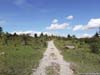
Grayson Highlands State Park opened at 8am in the morning. However, since I spent some time playing with my drone earlier, and with the mountain road of US58 being rather twisty and demanding, I only started my hike after 9am. It’s Memorial Day Sunday but the parking lot was far from full by the time I arrived.
Overview
Here is a map of my day’s hike, which I took in the clockwise direction:
Today’s Hike
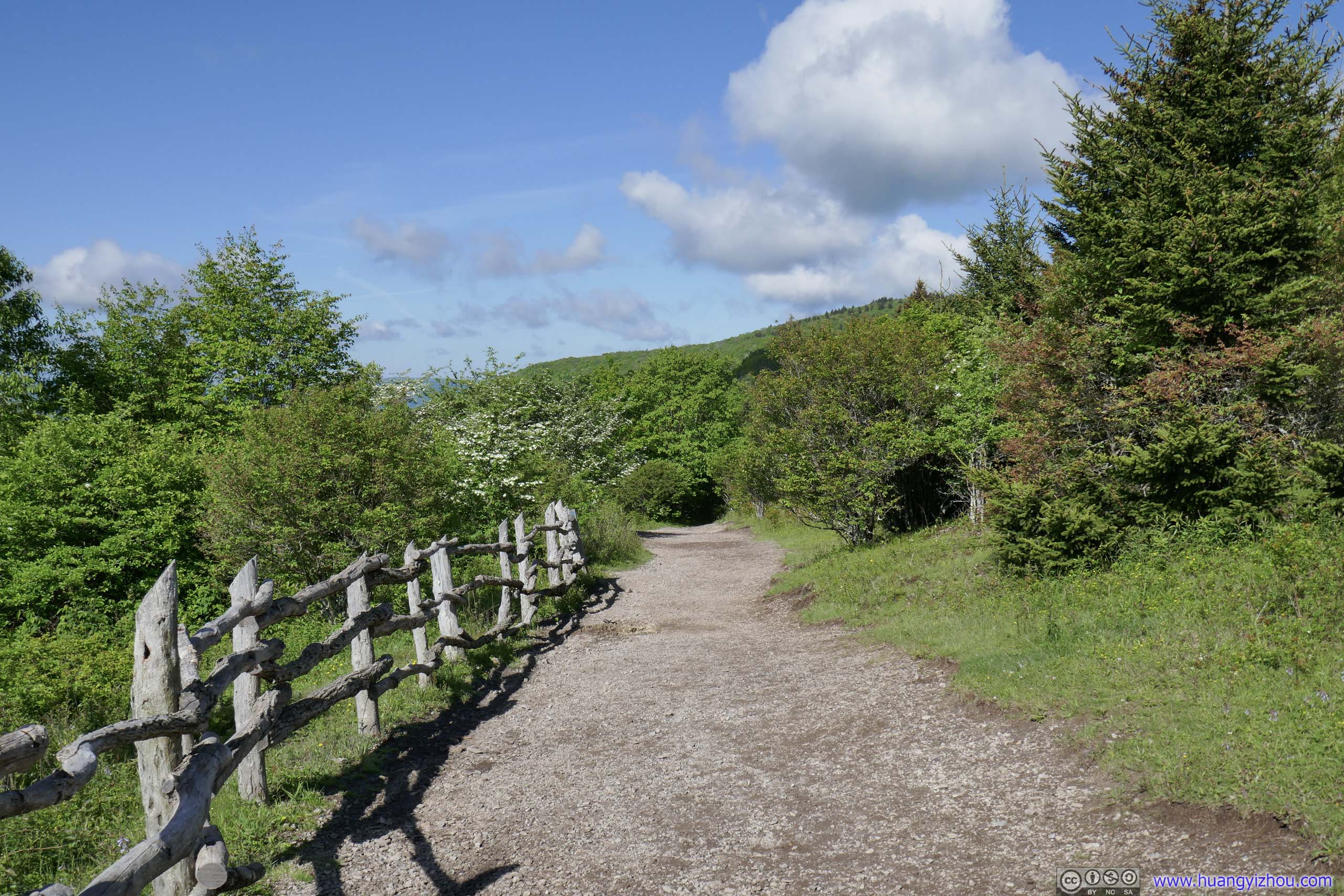
- Between trailhead and Pine Mountain, there were many community trails in parallel so there’s no worry of getting lost. I took the Wilburn Ridge Trail (dark blue) which involved some rock scrambling, but it also provided the best views on top of a few rocky mounds.
- After Pine Mountain I turned left onto the Appalachian Trail (red). This section was in great condition, with occasional views of vast fields and meadows to the south. There was a spring water source at Thomas Knob Shelter.
- The spur to Mount Rogers Summit (green) was 1mi/1.6km roundtrip, in what looked like rainforests. It’s the highest elevation point in the state of Virginia, unfortunately, no views at the summit.
- The subsequent Appalachian Trail (purple) was starting to get wet. At some open field, I planned to continue on Appalachian (dashed yellow), but went onto Virginia Highland Horse Trail (blue) instead.
- Mount Rogers Trail (brown) after that was narrower, wetter, and sort of boring.
- Lewis Fork Trail (cyan) was the worst part of the day. Probably because it’s on the northern slope of a mountain, it’s very wet and horrendously muddy. I talked with another group of hikers that took a different part of Lewis Fork Trail (dashed red), and they concurred it’s very muddy.
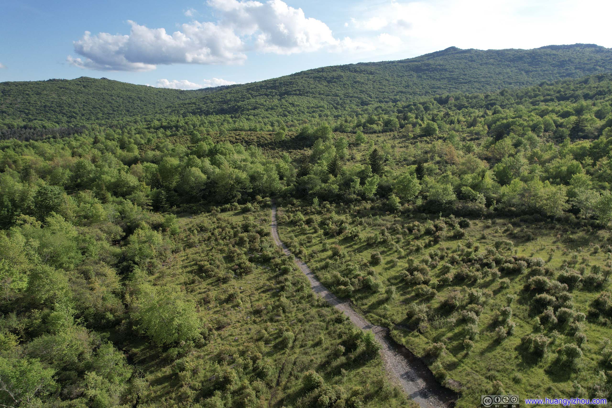
- Crest Trail (green) was decent, with views at certain places. It’s designed as a gravel vehicle road so conditions were mostly great, but with a few muddy spots. I ran into a few ponies along the trail.
- Scales Trail (purple) was a gravel vehicle road, but very wet (not necessarily muddy though) at places. Despite a few exposed rocks it’s still a struggle to stay dry. I planned to take the “Virginia Highland Horse Trail / Wilson Creek Trail” (dashed blue) which from my drone photos may not be as wet, but mistakenly went on Scales Trail.
- The remaining Appalachian Trail (cyan) was well-maintained, a typical walk in the woods like many other hikes in the Blue Ridge Mountains, not particularly exciting though. After reentering Grayson Highlands State Park there were a few rocky mounds offering decent views.
And here was a collection of GoPro videos that I took along portions of the trail. Warning: video playback at 8.3x speed, which could cause motion sickness to some audiences.
- 0:00 Introduction
- 0:05 Starting off (orange)
- 0:43 Appalachian Trail (orange), to state park boundary.
- 2:04 Wilburn Ridge Trail (dark blue), between the first overlook and actual “Wilburn Ridge”, crossing Rhododendron Gap Trail at 2:22.
- 3:43 Wilburn Ridge Trail, onto a small overlook near “Pine Mountain”.
- 4:27 Appalachian Trail, from “Pine Mountain” to the intersection of Crest Trail.
- 4:45 At the open field, following Virginia Highland Horse Trail (blue) into Lewis Fork Wilderness.
- 5:44 Crest Trail (green), onto Scales Campground.
And here’s GPS tracking for the day:
Wilburn Ridge
I opted to take the hike in the clockwise direction, so as to visit the most exciting Wilburn Ridge first.
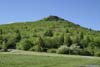
 Haw Orchard MountainAs seen from the trailhead.
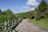
 TrailNear the trailhead, wide and well maintained.
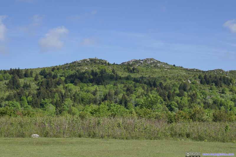 Wilburn Ridge
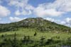
Two small hills made of rock that required scrambling to reach their tops. The one on the right was the actual Wilburn Ridge, while Wilburn Ridge Trail also passed the one on the left.
Wilburn Ridge
Two small hills made of rock that required scrambling to reach their tops. The one on the right was the actual Wilburn Ridge, while Wilburn Ridge Trail also passed the one on the left.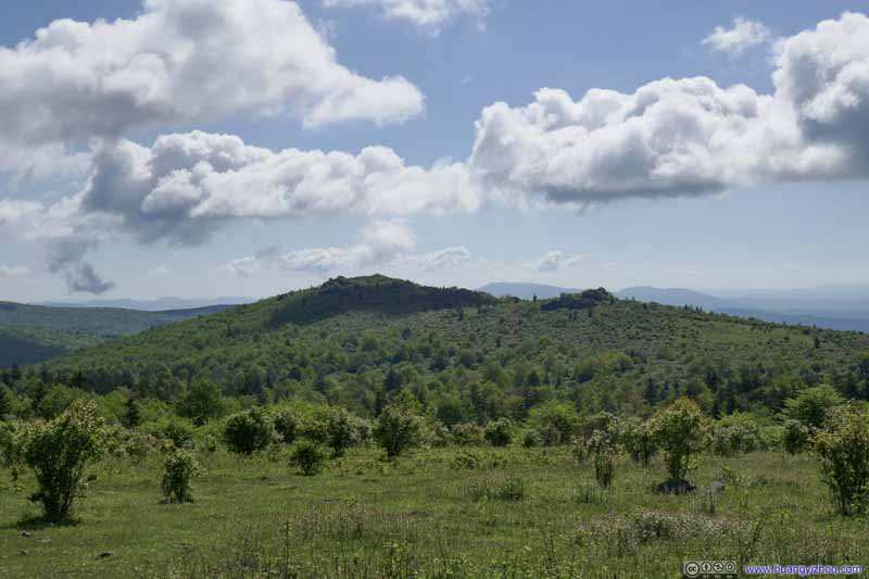 Hills to the EastA ridge with some stones on top. The Appalachian Trail passed along this ridge.
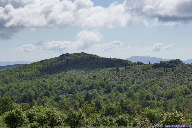 Hills to the EastA ridge with some stones on top. The Appalachian Trail passed along this ridge.
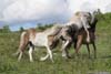
 Horses along Trail
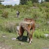
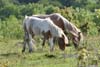
These wild horses happened to be on “Horse Trail North”. I took the Appalachian Trail parallel to it and missed them.
Horses along Trail
These wild horses happened to be on “Horse Trail North”. I took the Appalachian Trail parallel to it and missed them.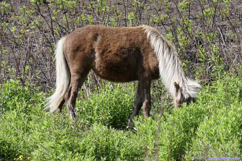 Horse
Horse
Click here to display photos of the slideshow
Haw Orchard MountainAs seen from the trailhead.
TrailNear the trailhead, wide and well maintained.

Wilburn Ridge

Hills to the EastA ridge with some stones on top. The Appalachian Trail passed along this ridge.

Hills to the EastA ridge with some stones on top. The Appalachian Trail passed along this ridge.
Horses along Trail

Horse
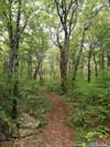
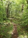
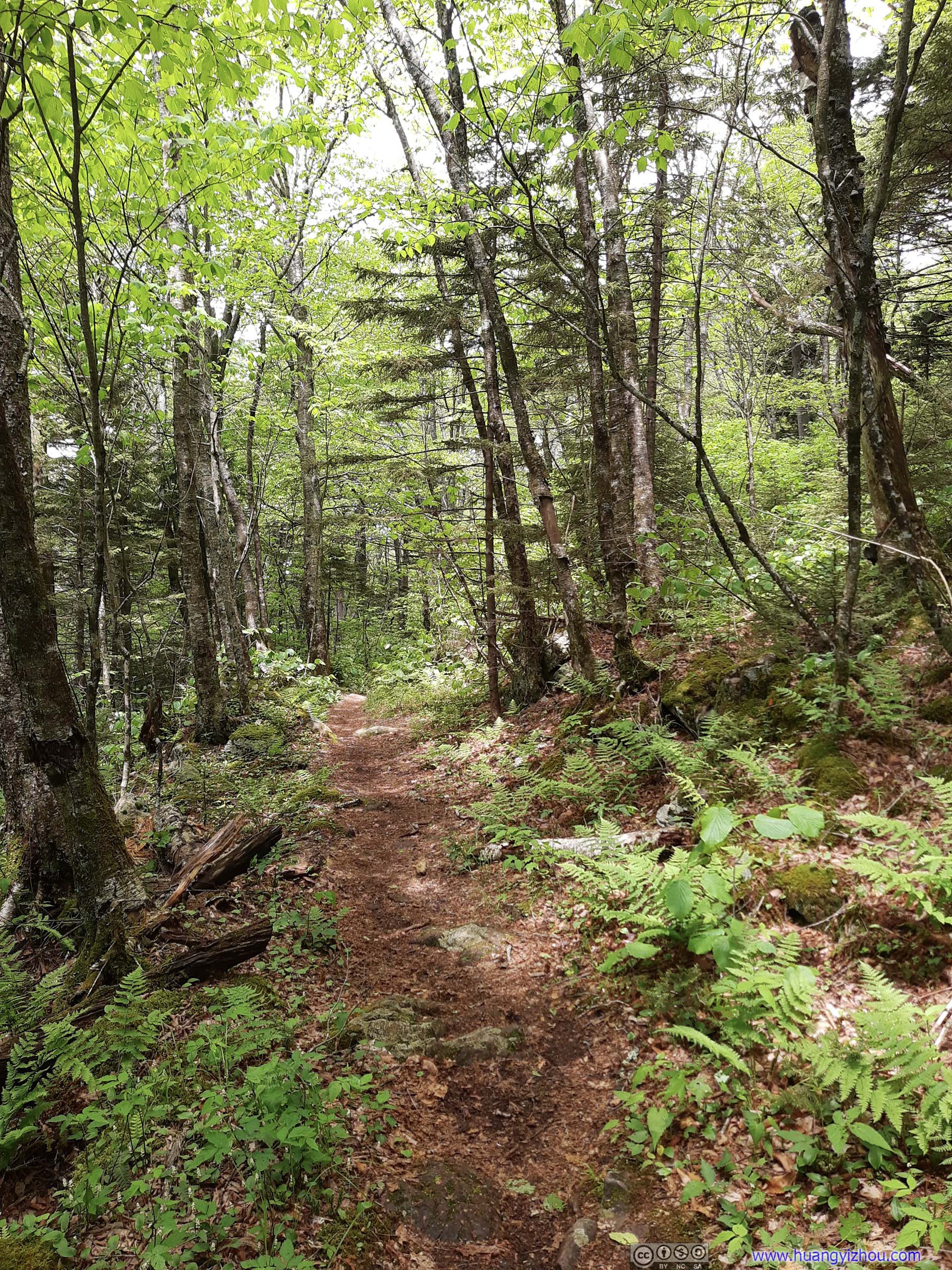
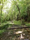
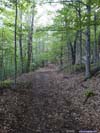
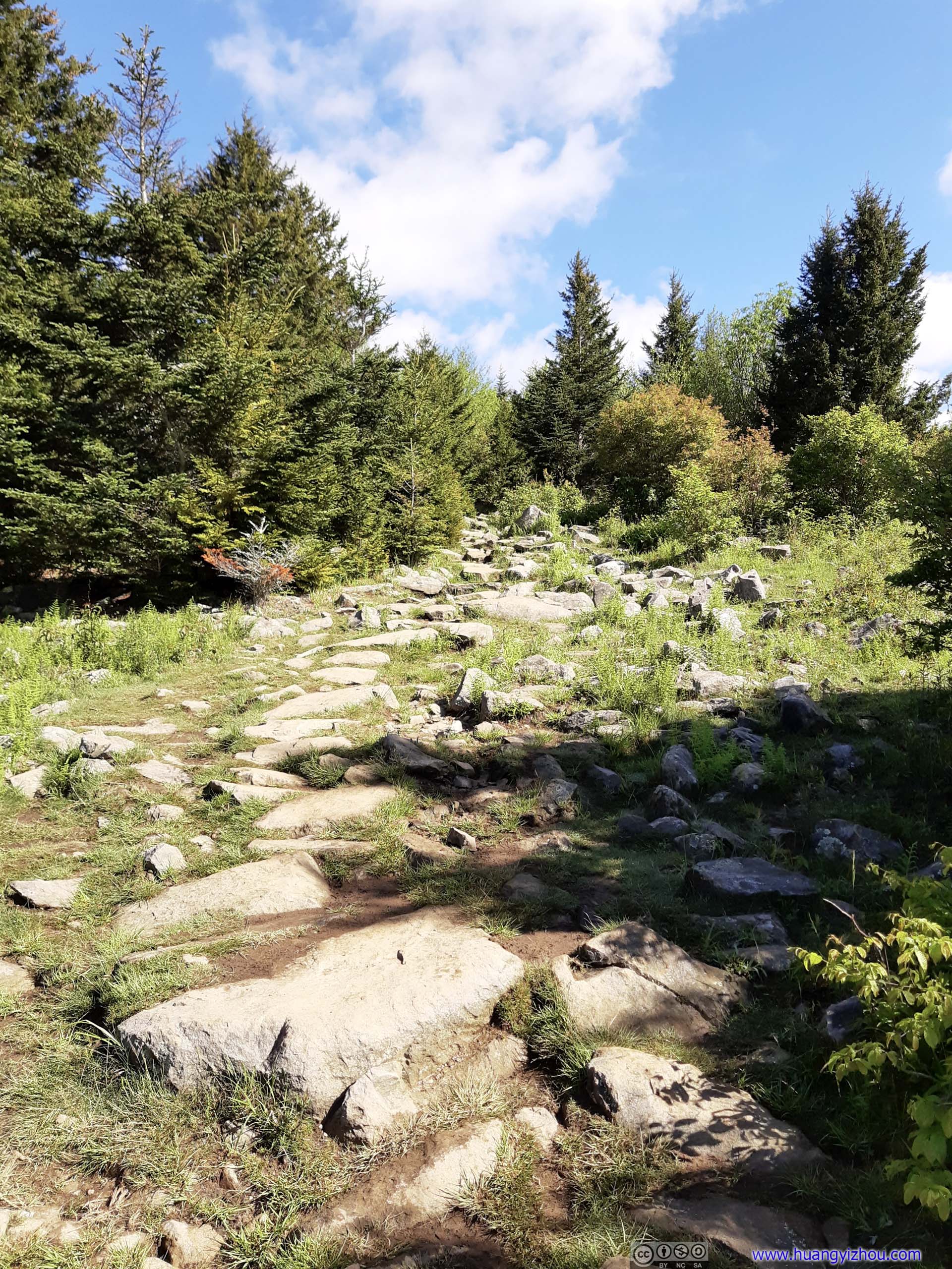 TrailTypical trail condition for this section of the Appalachian Trail.
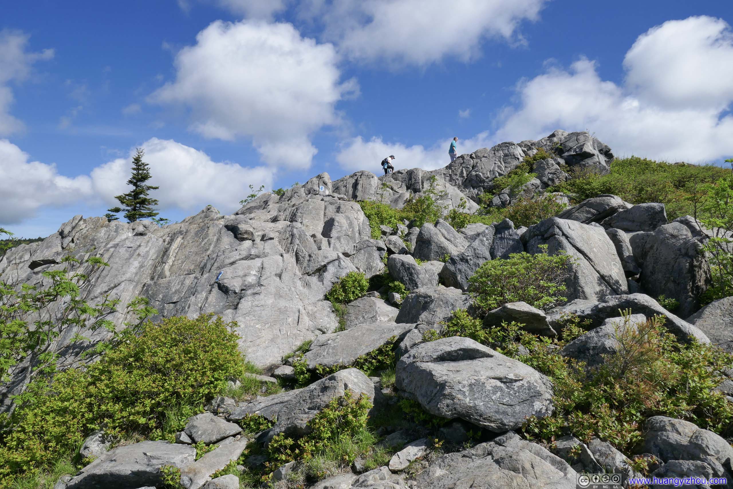
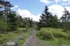
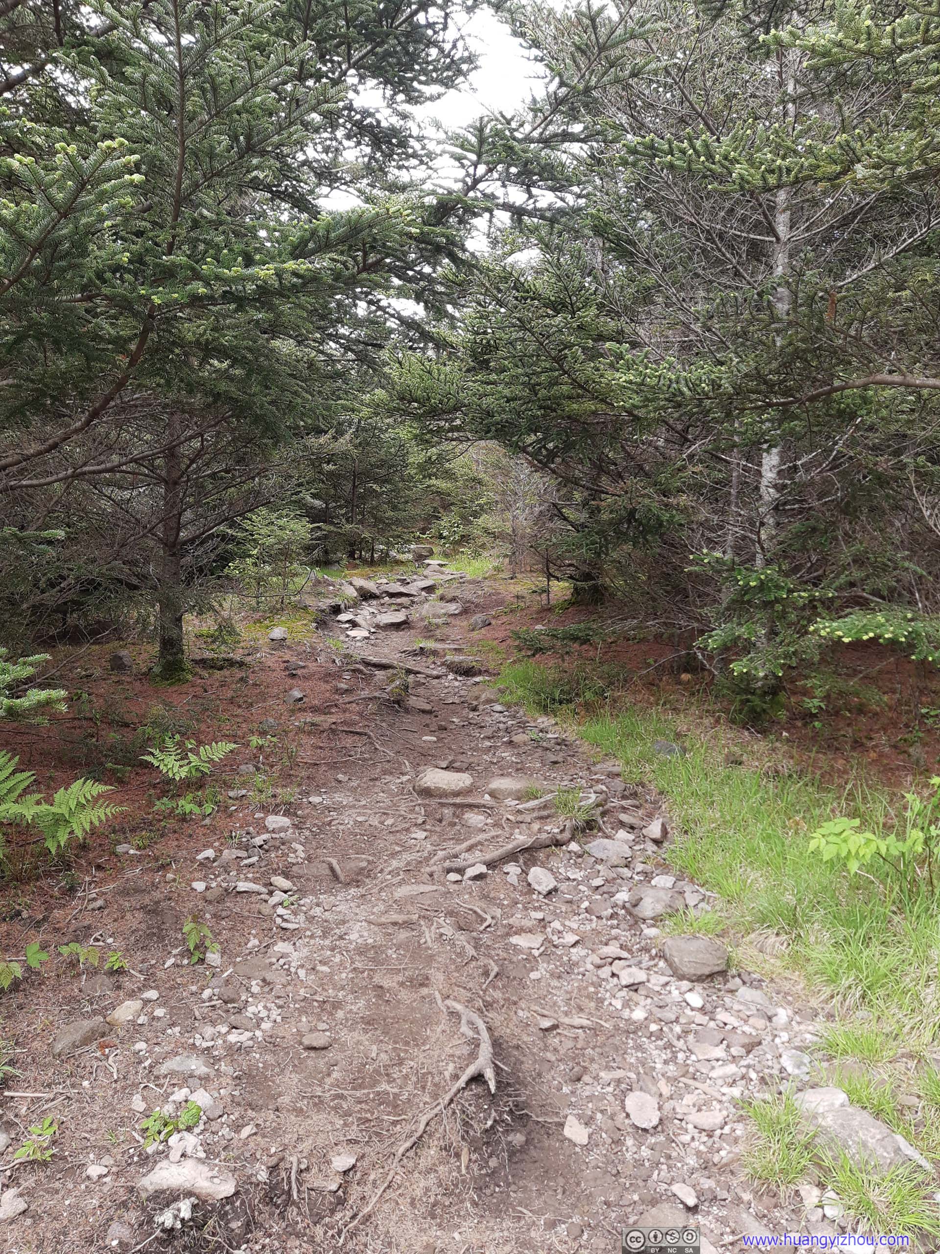
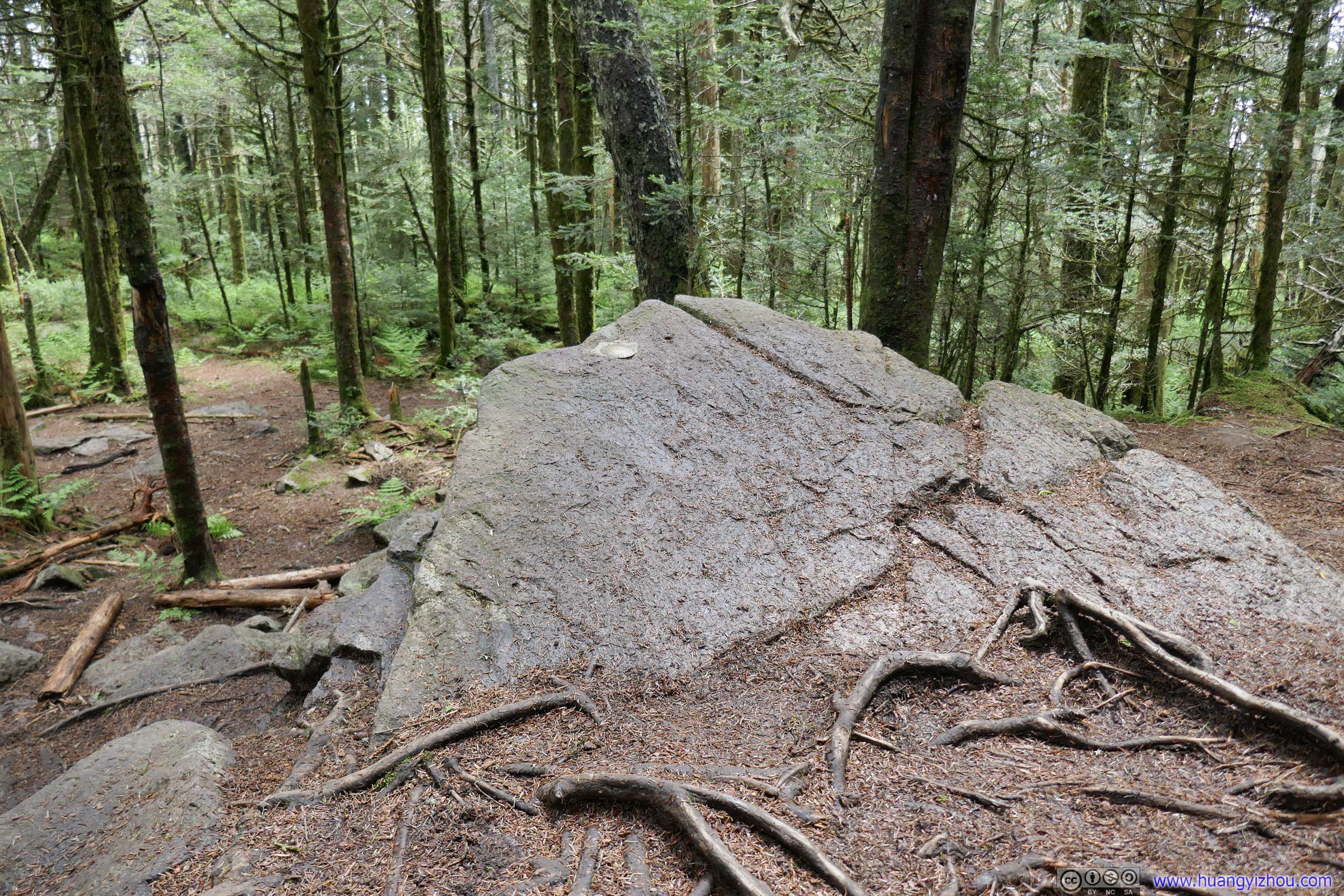
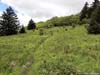
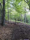
Not long after entering Jefferson National Forest, Wilburn Ridge Trail forked from the Appalachian Trail. First, the trail would ascend onto a small rocky mound, some sort of a preview of the rock scrambling to come.
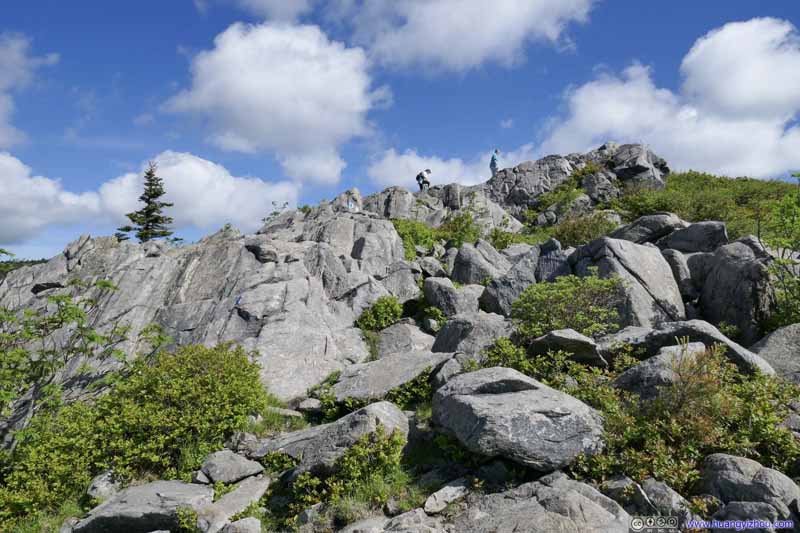 Trail on Rocks
This part of Wilburn Ridge Trail involved some rock scrambling, which I would rate as YDS class 2+.. The path was clearly marked by blue paint, so there was no worry of getting lost.
Trail on Rocks
This part of Wilburn Ridge Trail involved some rock scrambling, which I would rate as YDS class 2+.. The path was clearly marked by blue paint, so there was no worry of getting lost. Looking Back at Grayson Highlands State ParkAnother group of hikers tackling the rock scrambling section.
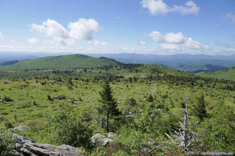 Looking Back at Grayson Highlands State ParkWhere I came from.
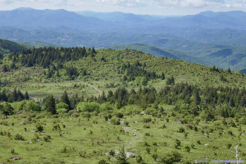 Looking Back at Grayson Highlands State ParkWhere I came from.
 Fields to the West
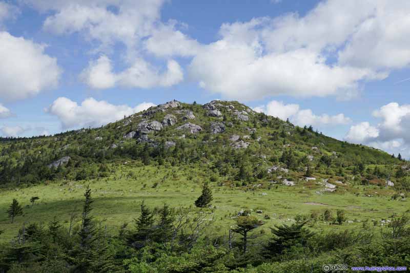 Wilburn RidgeThe actual Wilburn Ridge, which was another hill of rocks to the north, that was higher and larger.

Click here to display photos of the slideshow
Trail on Rocks
Looking Back at Grayson Highlands State ParkAnother group of hikers tackling the rock scrambling section.
Looking Back at Grayson Highlands State ParkWhere I came from.

Looking Back at Grayson Highlands State ParkWhere I came from.

Fields to the West
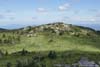
Wilburn RidgeThe actual Wilburn Ridge, which was another hill of rocks to the north, that was higher and larger.
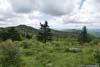
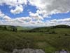
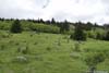
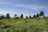
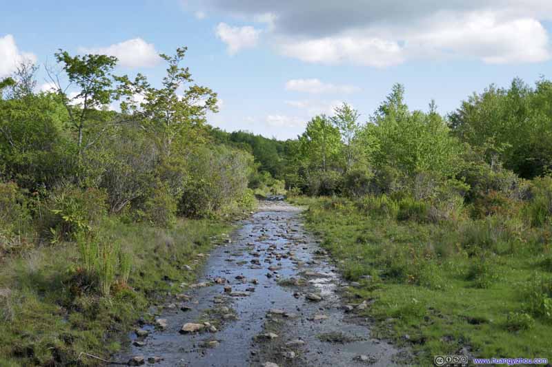
Fields
After descending down the previous rocky mound, Wilburn Ridge Trail crossed the Appalachian Trail again, then made its way up the actual Wilburn Ridge on maps, where the views (below) were better.
 Fields to the South
 Fields to the Southwest
 Fields
Intersection of many trails. The small hill in the center-right was the previous hill where I made a brief stop.
Fields
Intersection of many trails. The small hill in the center-right was the previous hill where I made a brief stop. Fields to the WestTowards Mount Rogers.
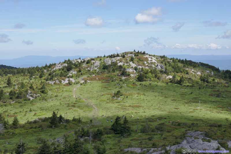 Hill
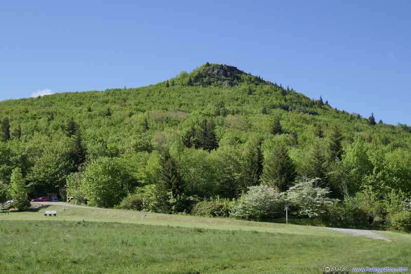
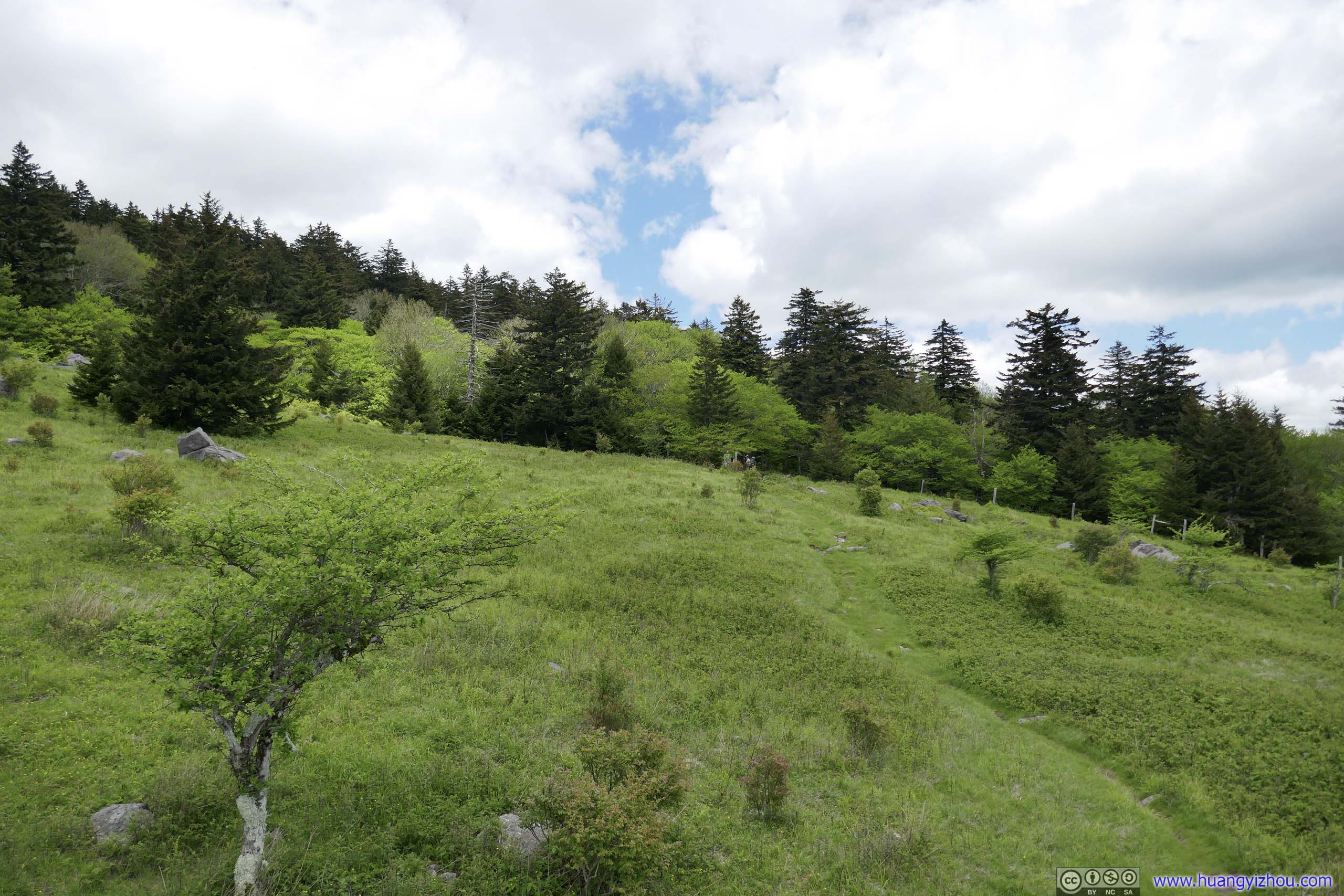
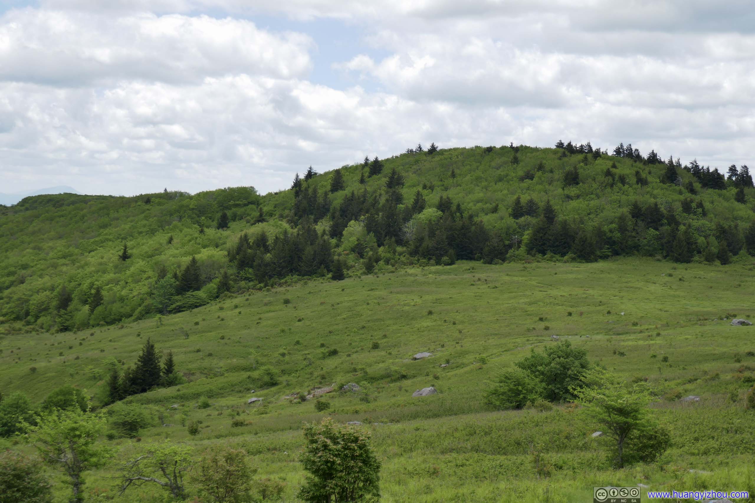
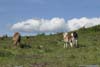
A small hill to the north, made of a bunch of rocks. On the map it’s called “Pine Mountain”, where I was heading next. A few horses were right next to the trail. Unfortunately, they were all gone by the time I walked past.
Hill
A small hill to the north, made of a bunch of rocks. On the map it’s called “Pine Mountain”, where I was heading next. A few horses were right next to the trail. Unfortunately, they were all gone by the time I walked past.
Click here to display photos of from Wilburn Ridge.
Fields to the South

Fields to the Southwest
Fields

Fields to the WestTowards Mount Rogers.
Hill
It’s also a more spacious mound where more people were resting.
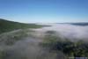
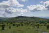
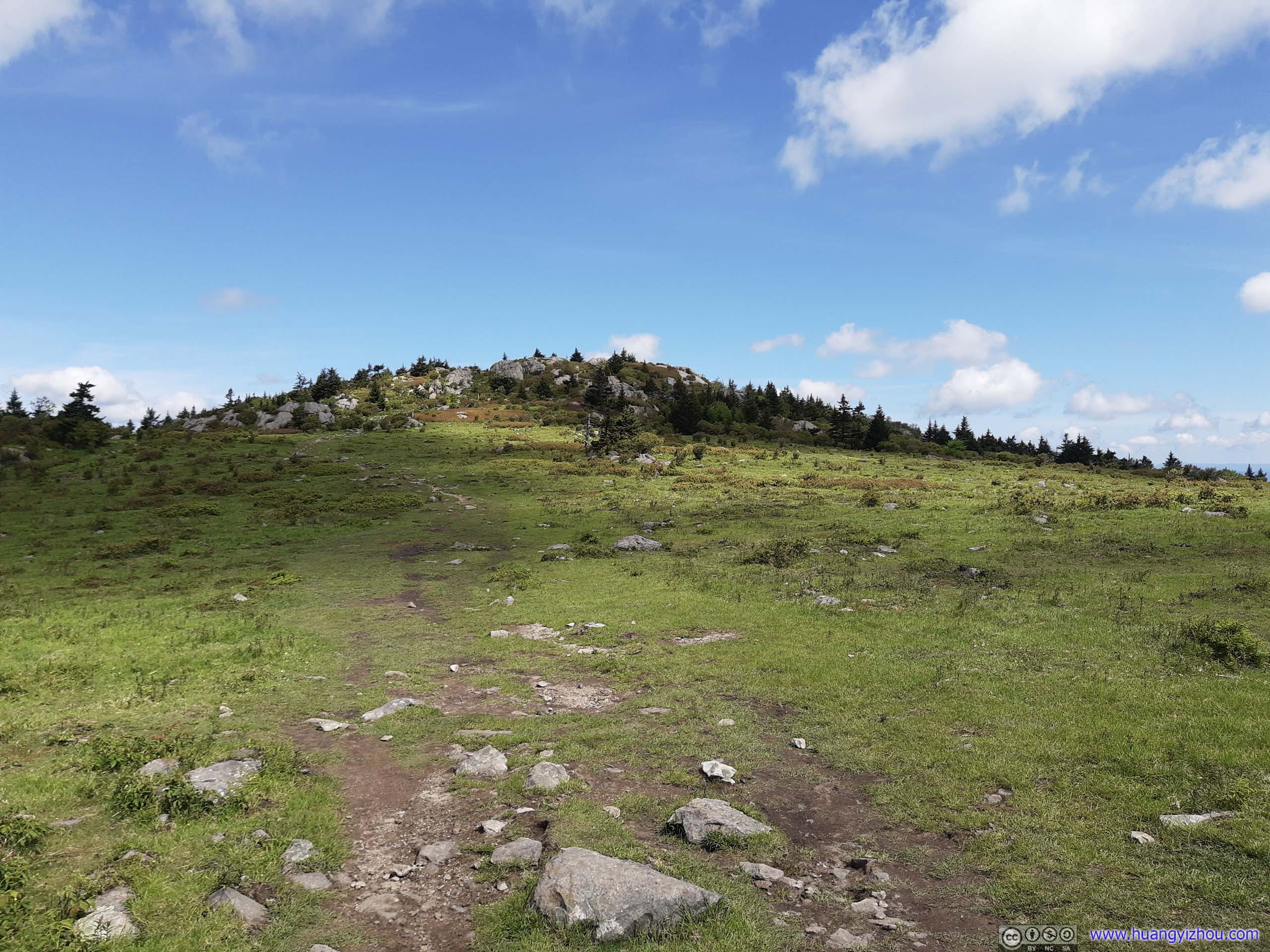
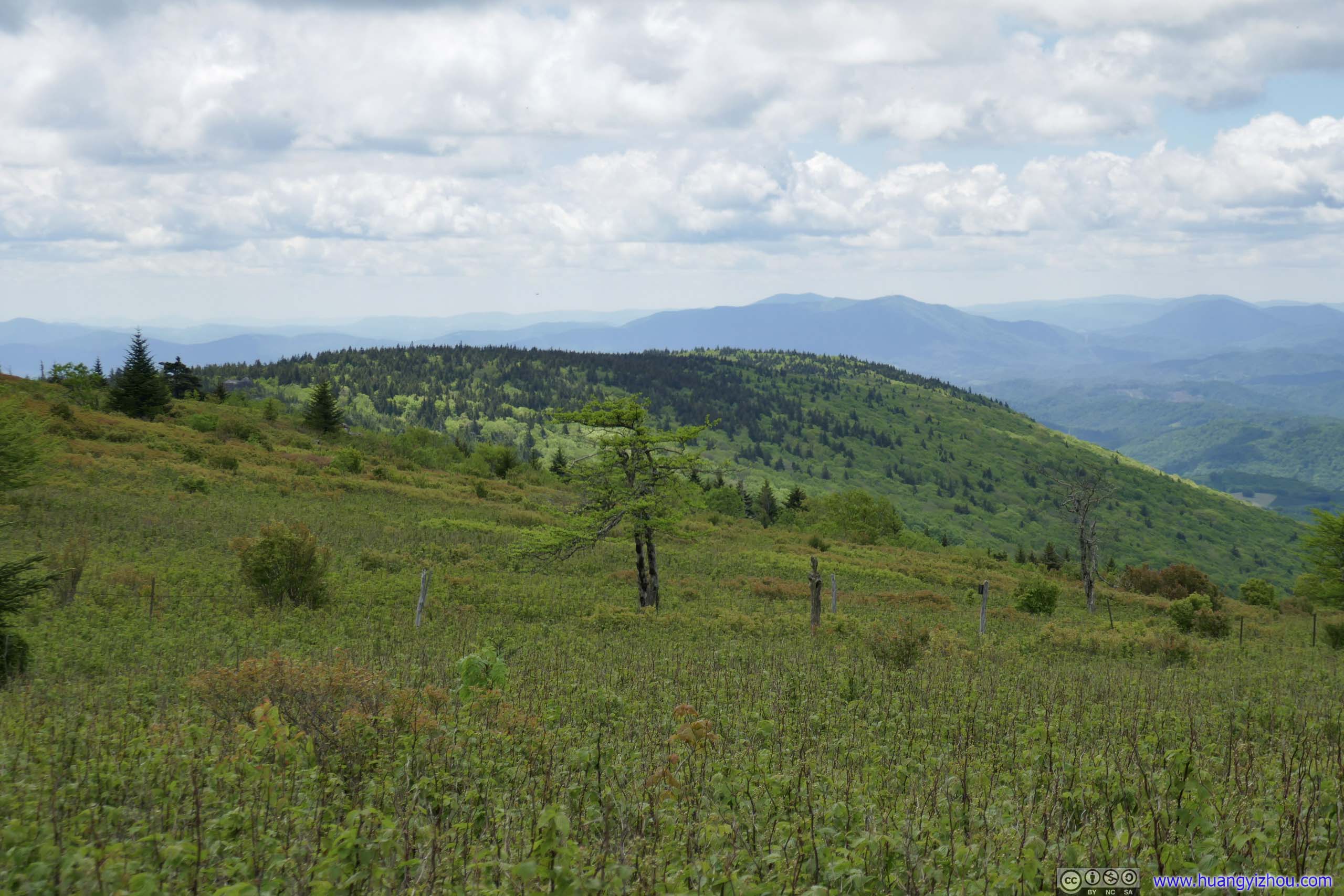
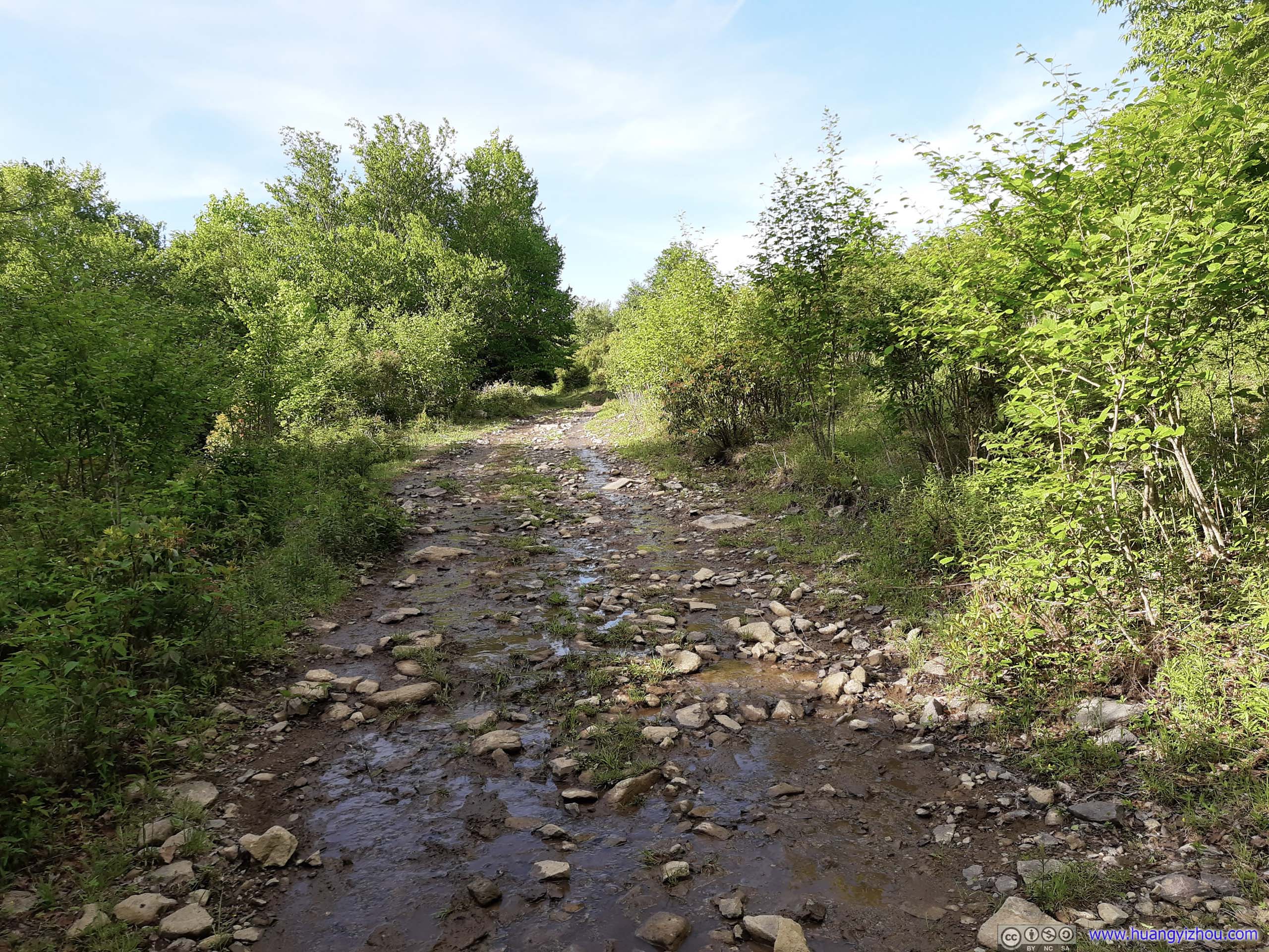
Fields from Wilburn Ridge
Leaving Wilburn Ridge, the trail ducked its way through shallow bushes until it reached the Appalachian Trail (not the most pleasant for tall people).
 Wilburn RidgeAs seen from directly below.
 Trail
Trail Wilburn RidgeAs seen from “Pine Mountain”.
 Fields
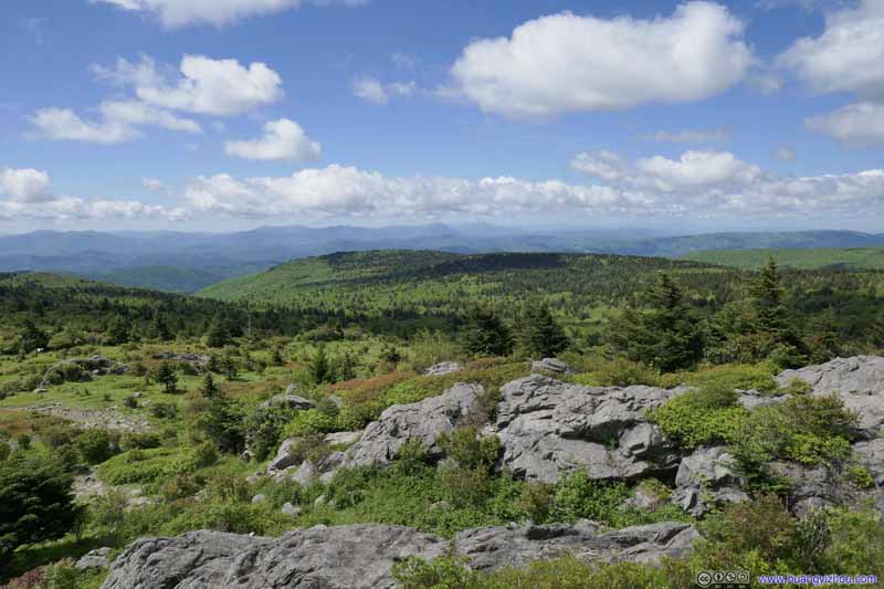 Fields


Click here to display photos of the slideshow

Wilburn RidgeAs seen from directly below.
Trail

Wilburn RidgeAs seen from “Pine Mountain”.

Fields
Fields
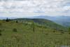
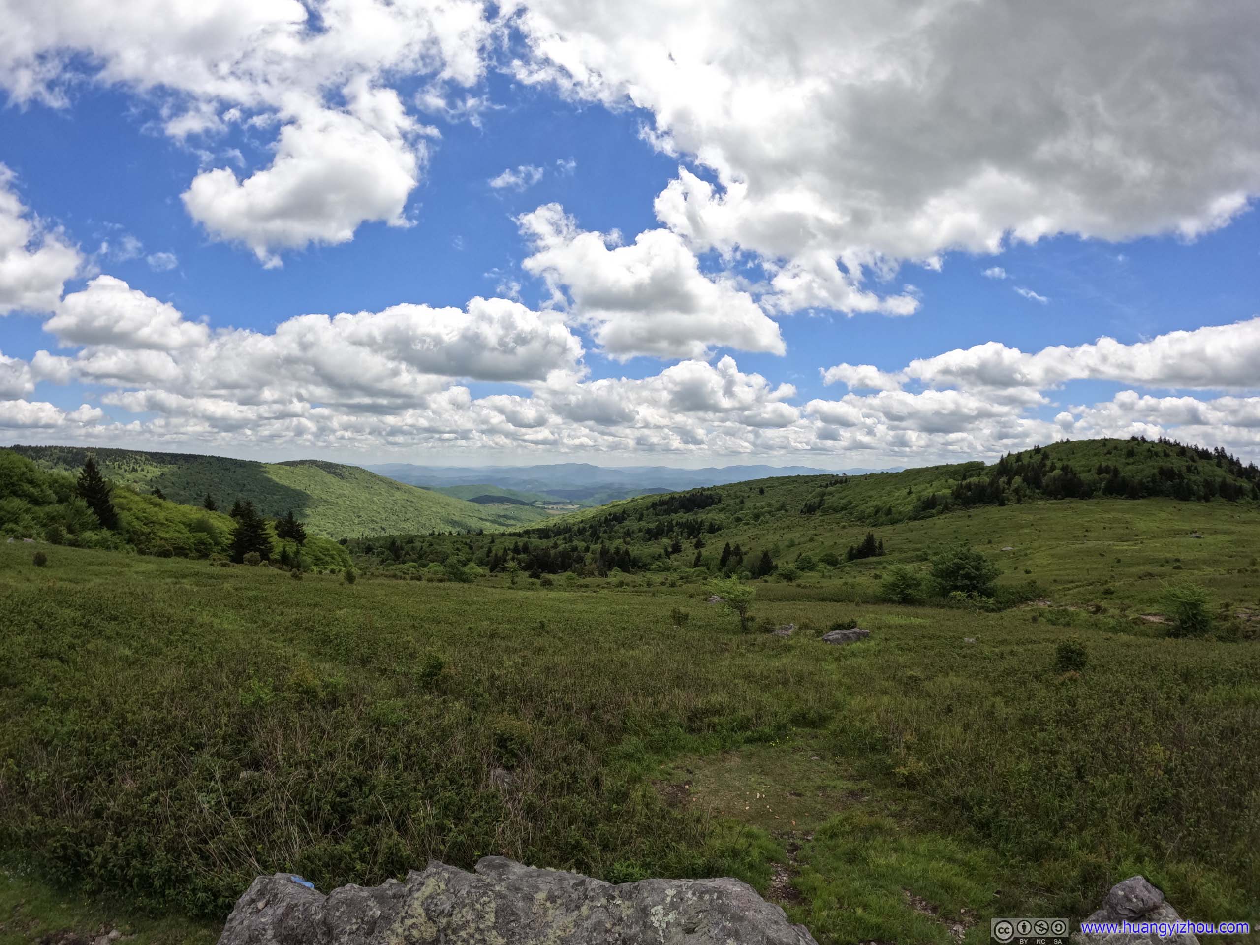
At “Pine Mountain”, I took a small detour from the trail and found a piece of rock with views to the east, where I enjoyed some solitude with snacks, the breeze and the view.
 Rock in Field
I enjoyed some great solitude on this rock, appreciating the sceneries, and watching the landscape under passing clouds.
Rock in Field
I enjoyed some great solitude on this rock, appreciating the sceneries, and watching the landscape under passing clouds. Fields to the East
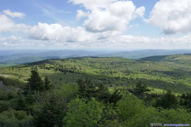 Fields to the East
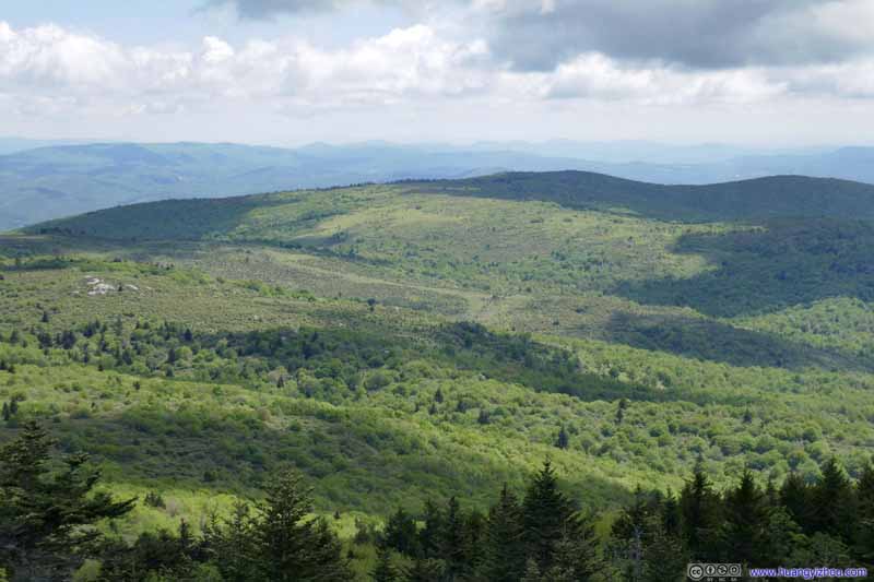 Fields to the East


Click here to display photos of the slideshow
Rock in Field
Fields to the East

Fields to the East

Fields to the East
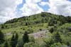
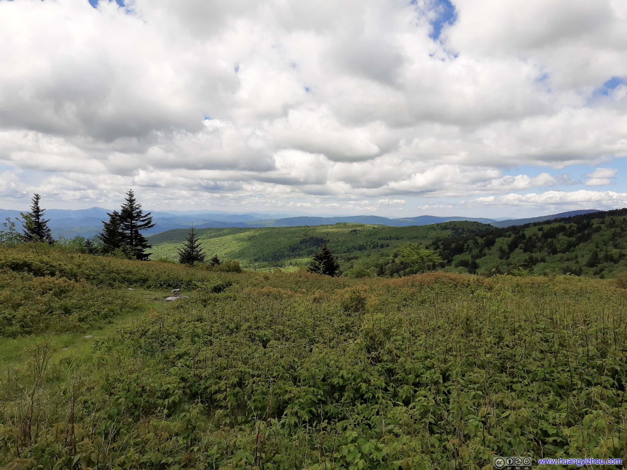
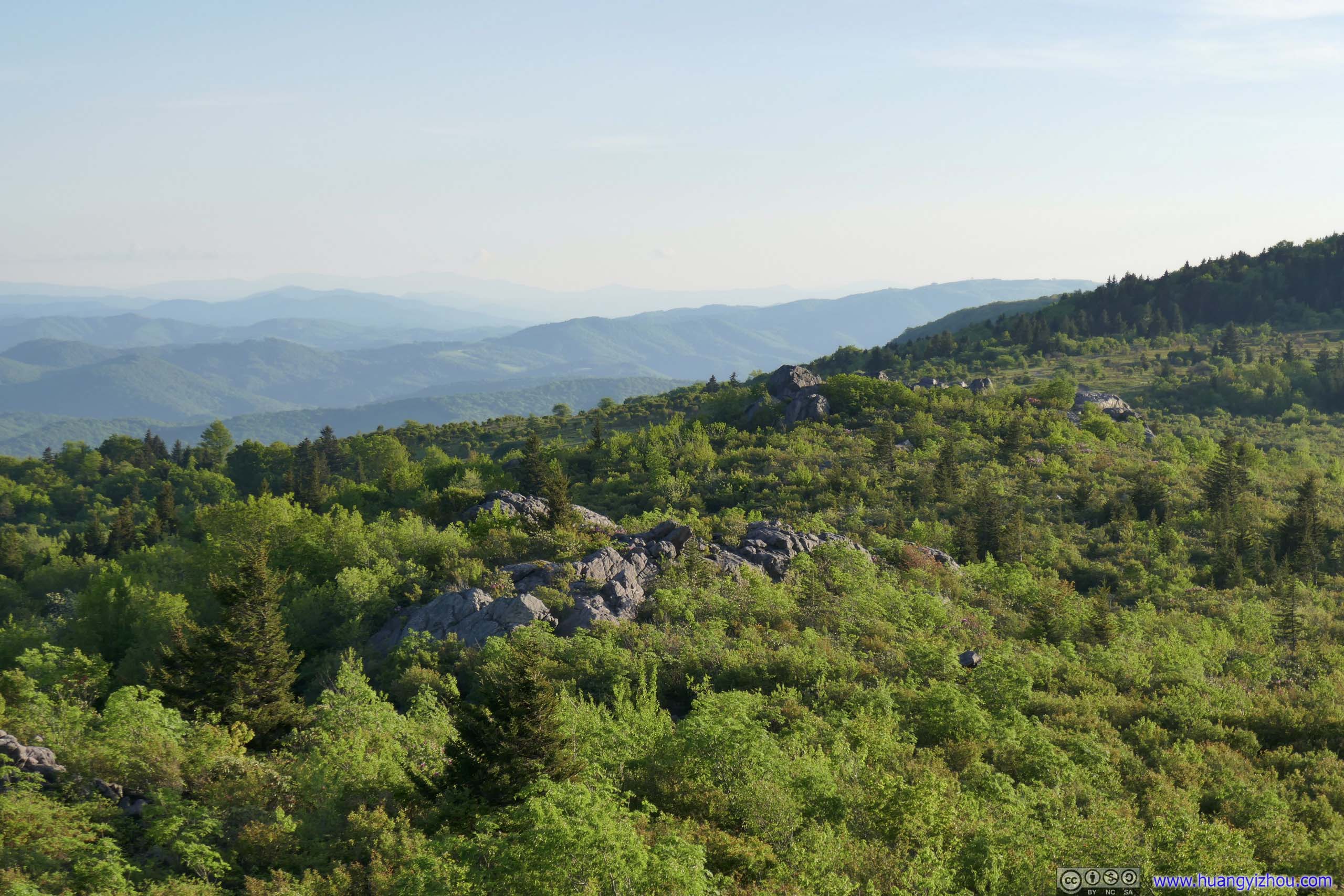
View to the East of Pine Mountain
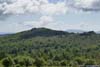
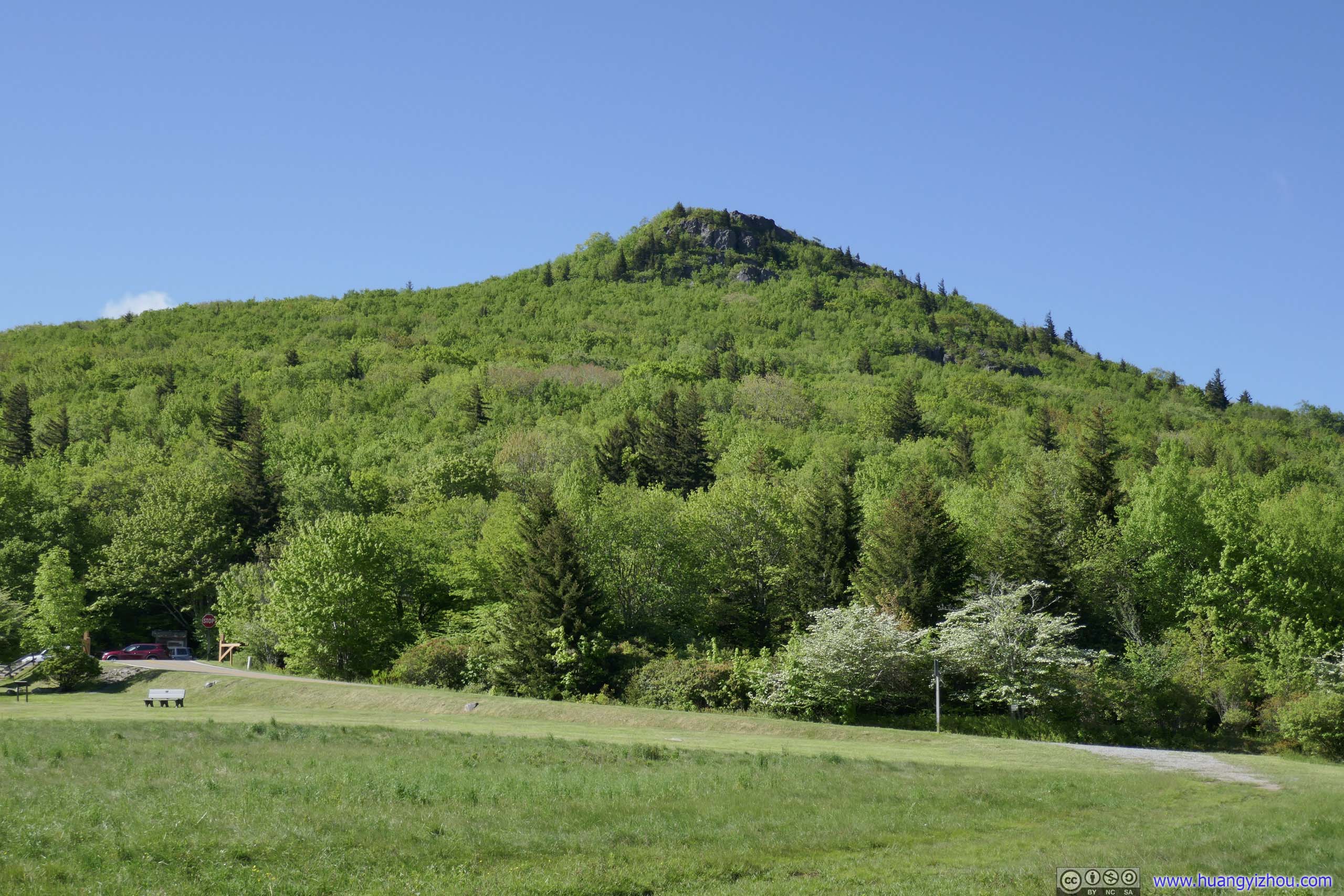
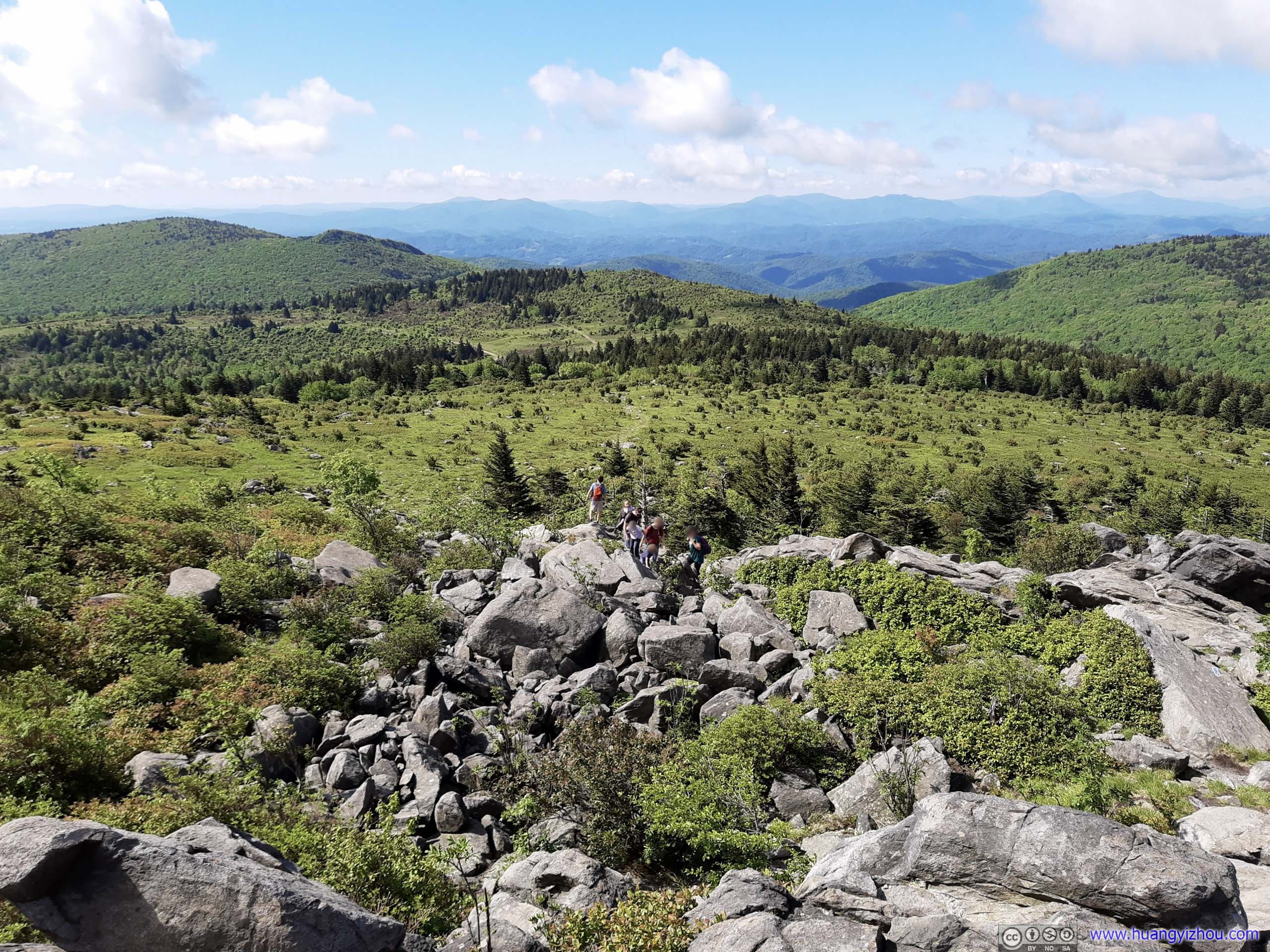
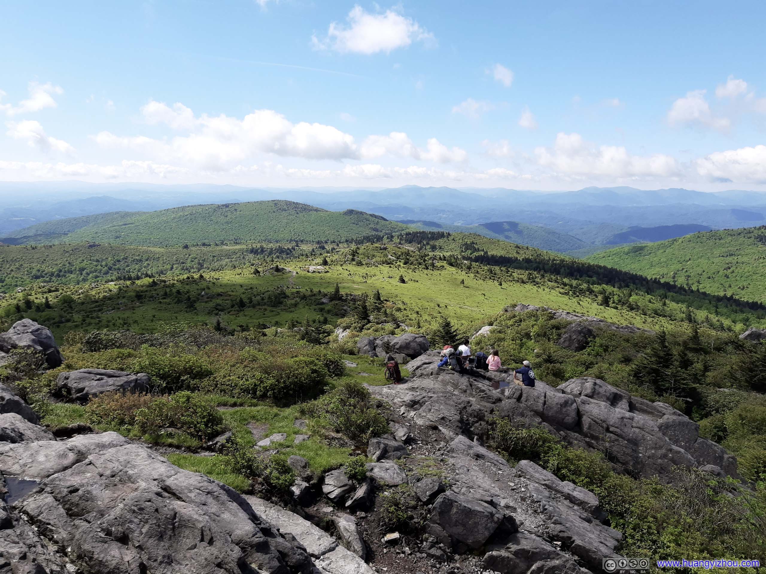
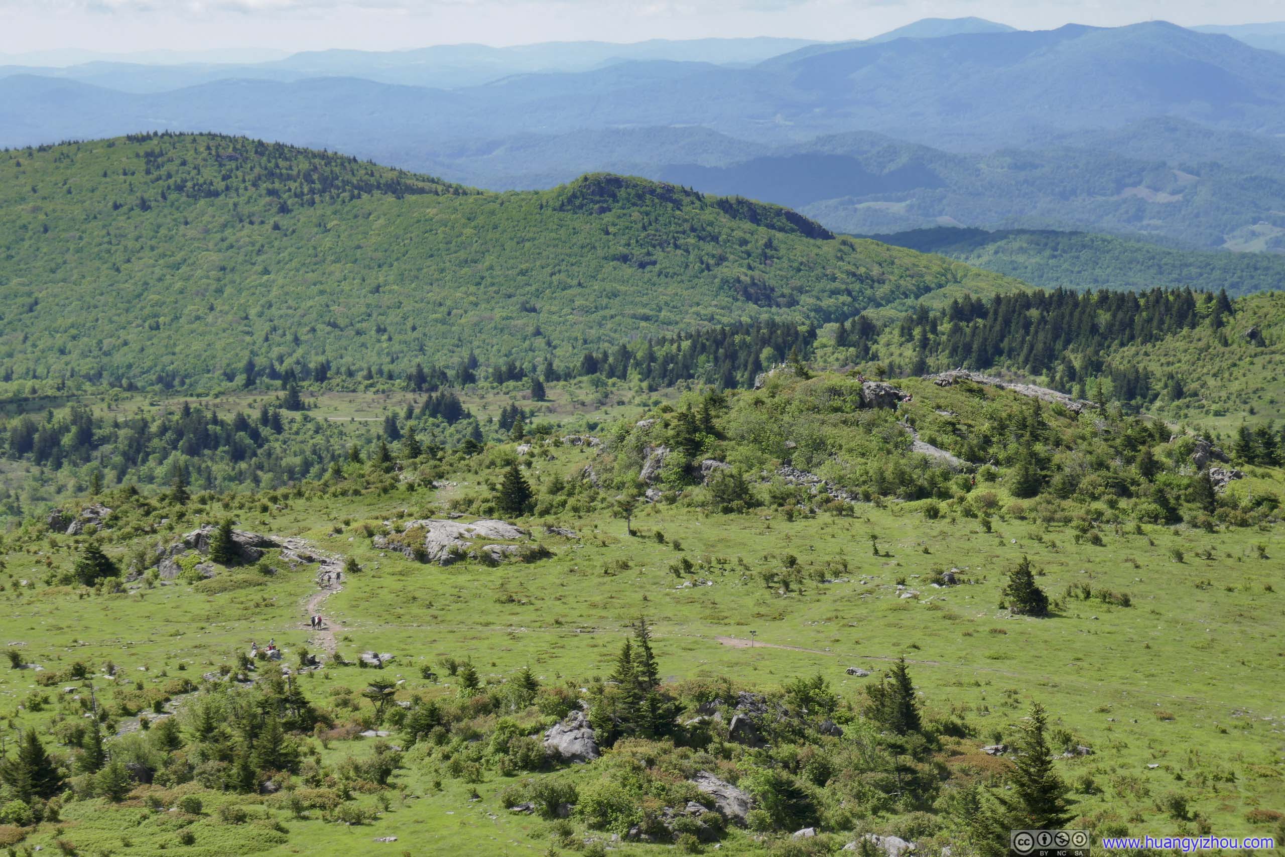
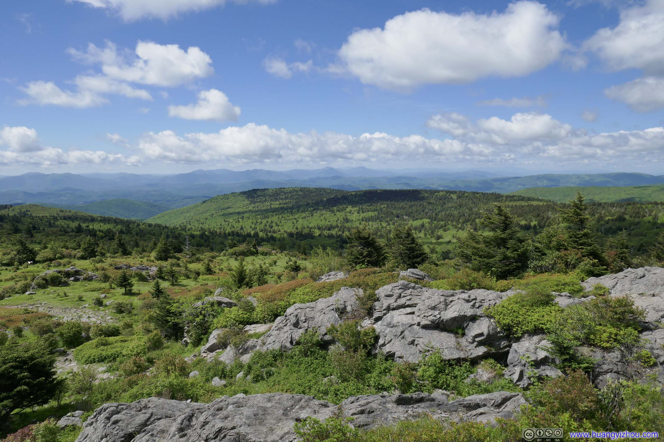
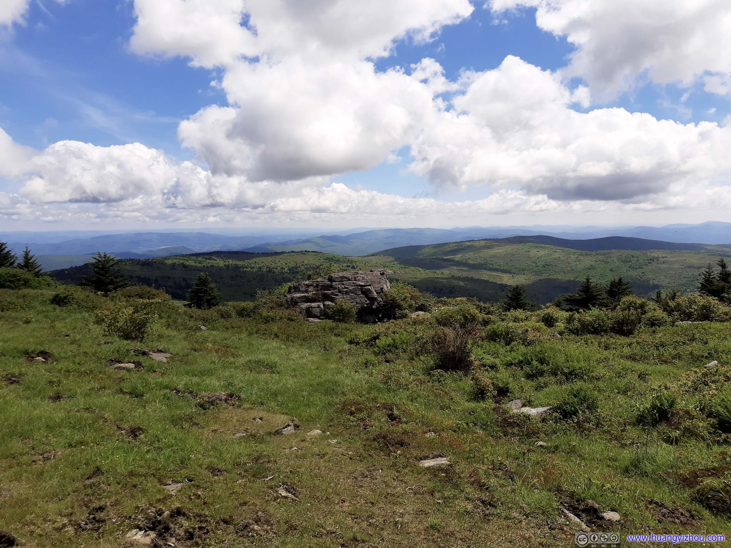
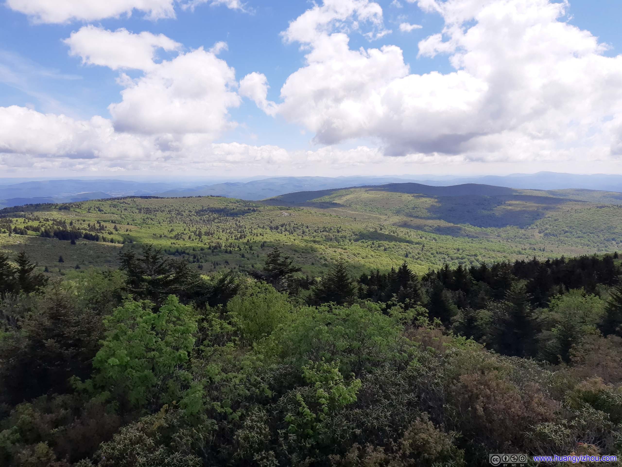
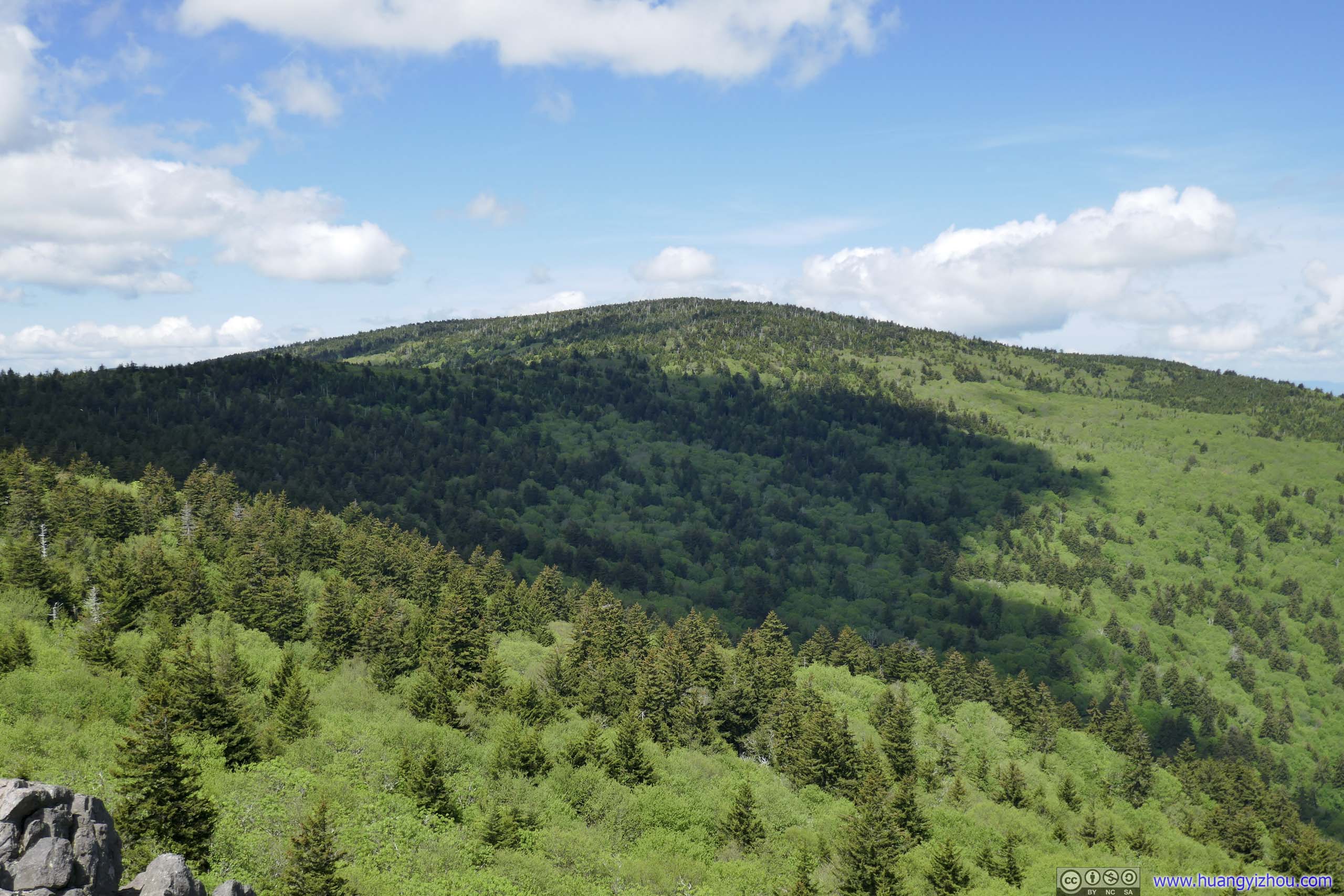
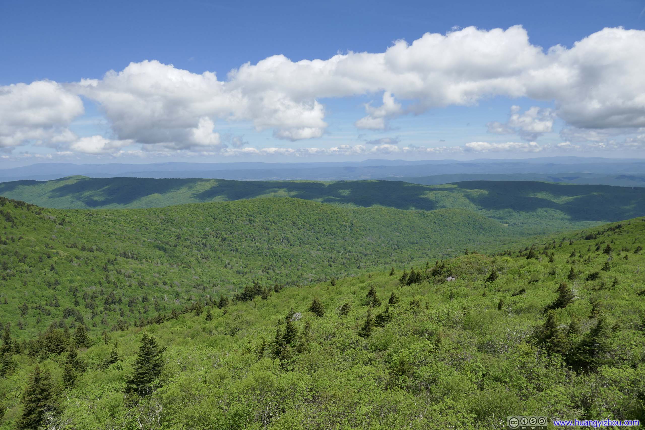
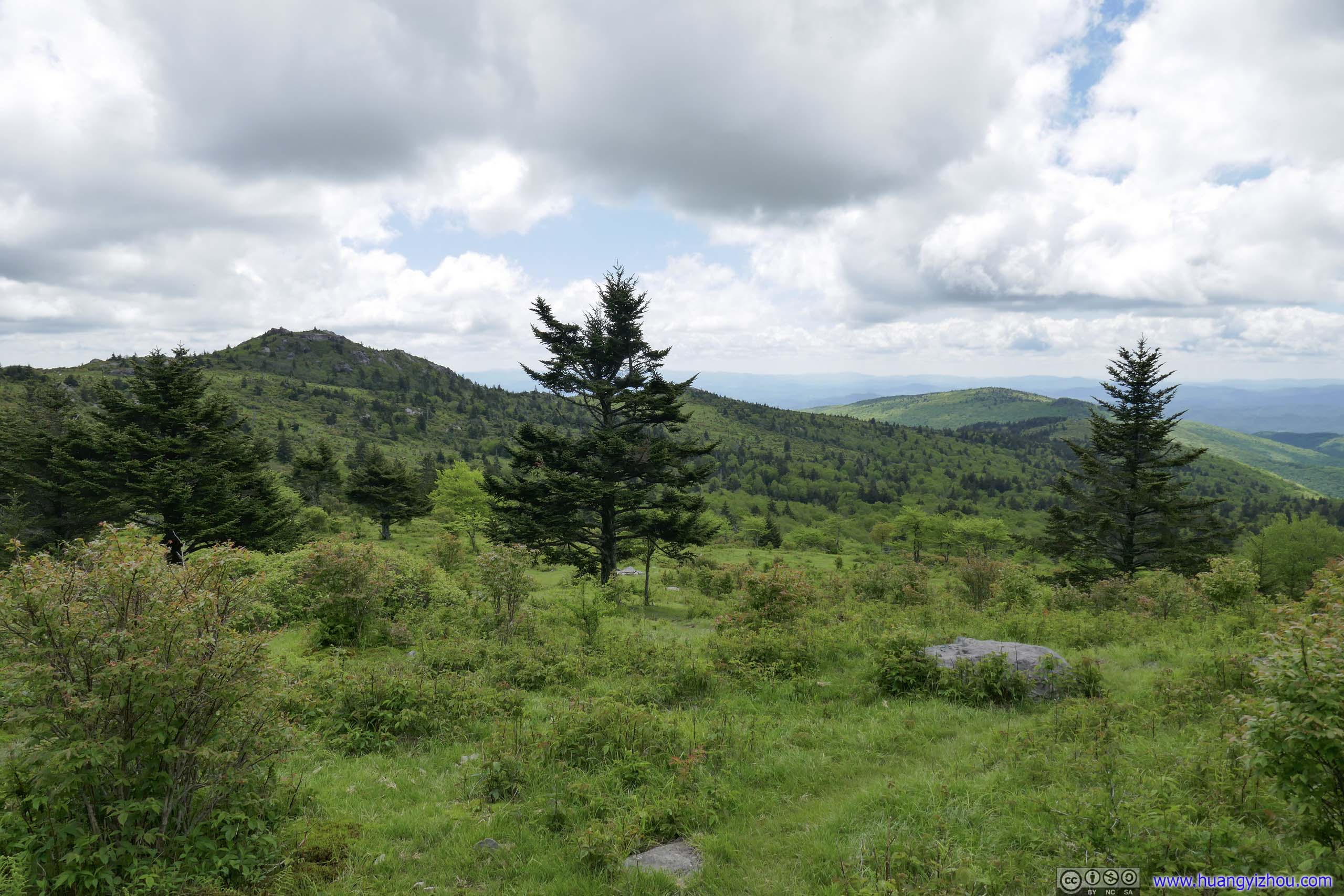
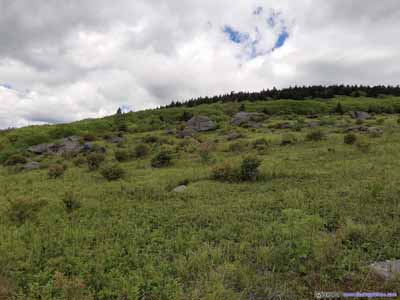
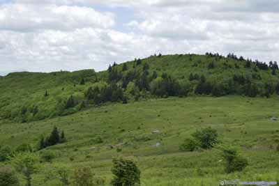
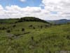
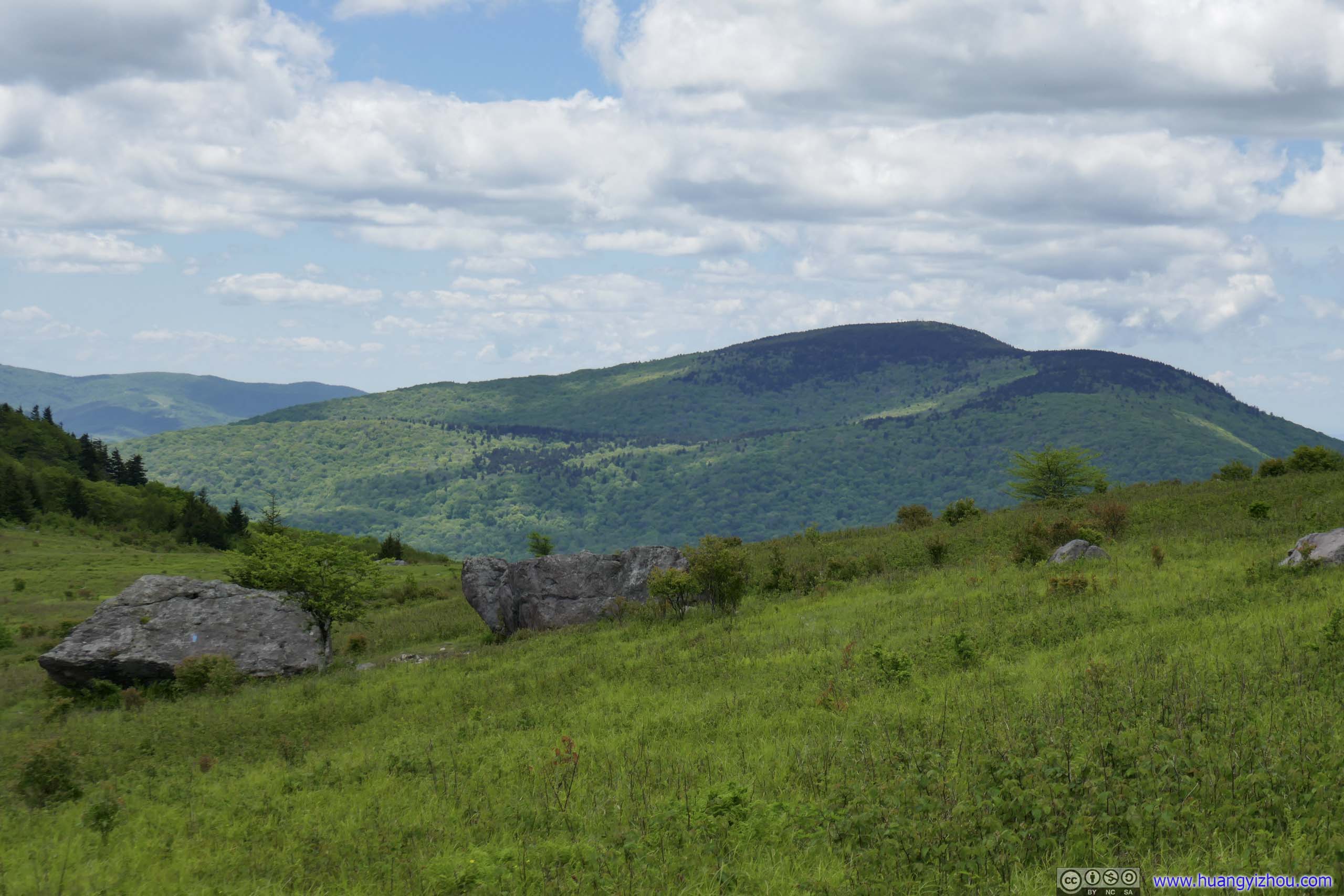
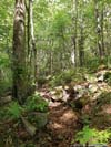
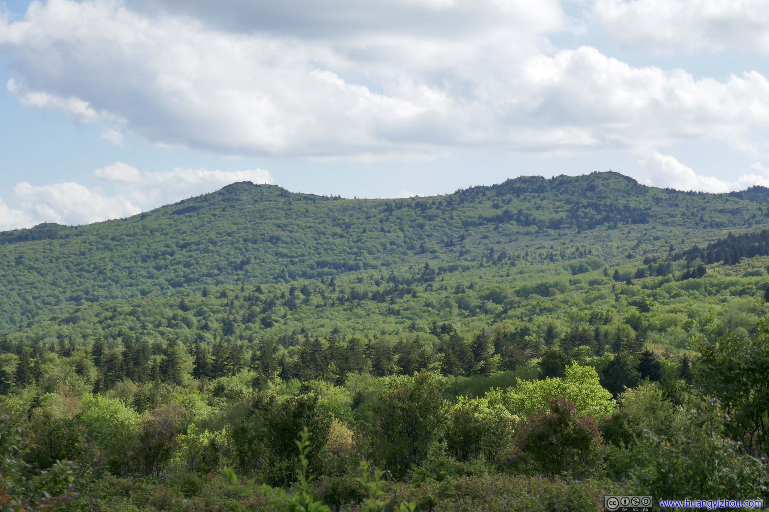
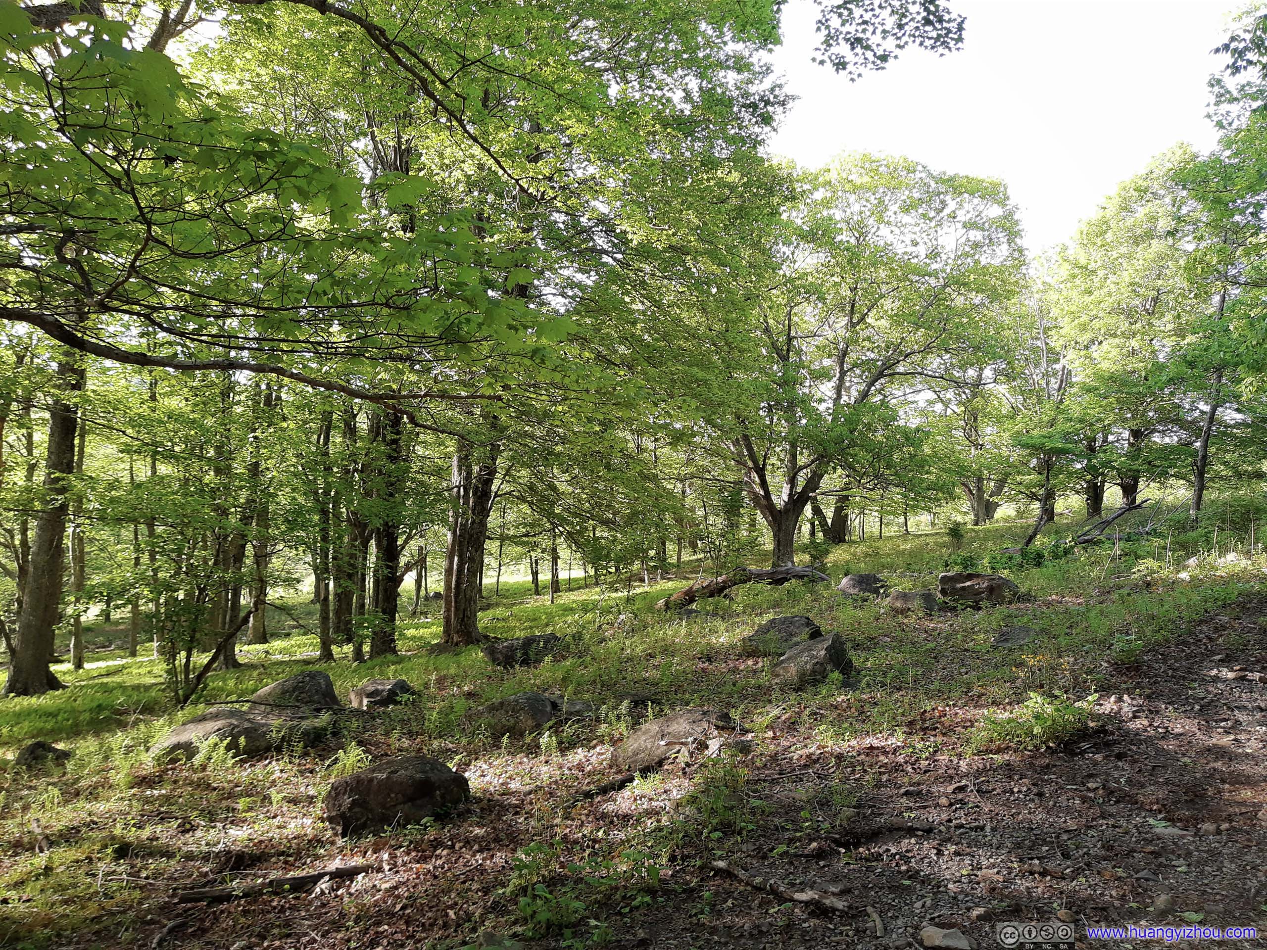
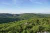
Finally, I reached the intersection of Crest Trail and the Appalachian Trail at 11:30am. Not far from the intersection, there were a few boulders which offered decent views. So in line with my tradition of the day, I climbed on top of them and grabbed a few photos. Unlike the previous rocks, here I got views of rolling forests to the north, typical of Blue Ridge Mountains.
 Mount Rogers
 Mountains to the North
 Fields to the East
 Boulders
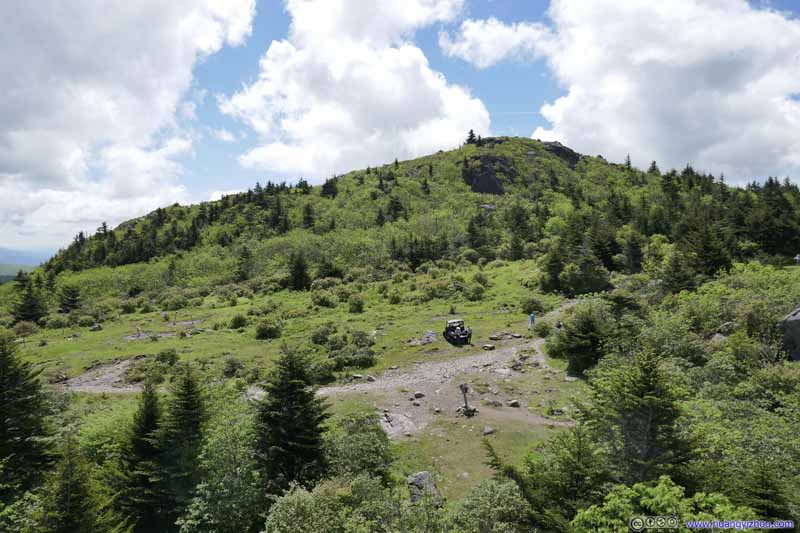 Hill to the South“Pine Mountain”. Two National Forest rangers in the foreground, providing information services.
Click here to display photos of the slideshow
Mount Rogers
Mountains to the North
Fields to the East

Boulders
Hill to the South“Pine Mountain”. Two National Forest rangers in the foreground, providing information services.
Mountains
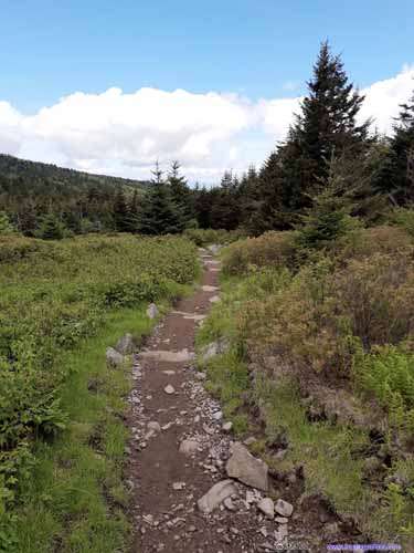
Appalachian Trail 1
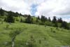
Up till this point, I had been having fun with the rocks and the scenery along Wilburn Ridge Trail. Hiking in open fields like this wasn’t typical in Blue Ridge Mountains, and I have been cherishing the moments.
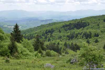
After that, I made a left turn and joined the Appalachian Trail towards Mount Rogers (red line on map). With occasional views of vast fields and meadows to the south, I still enjoyed this part of the hike.
 Fields
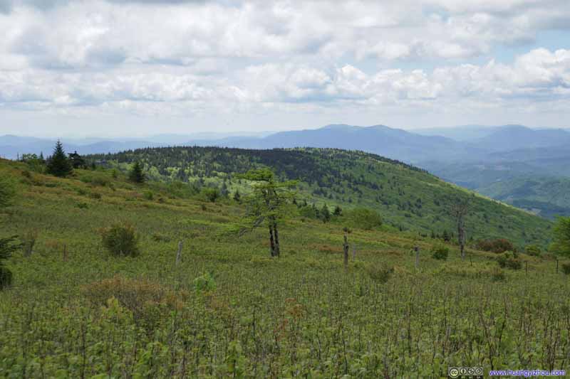 Fields
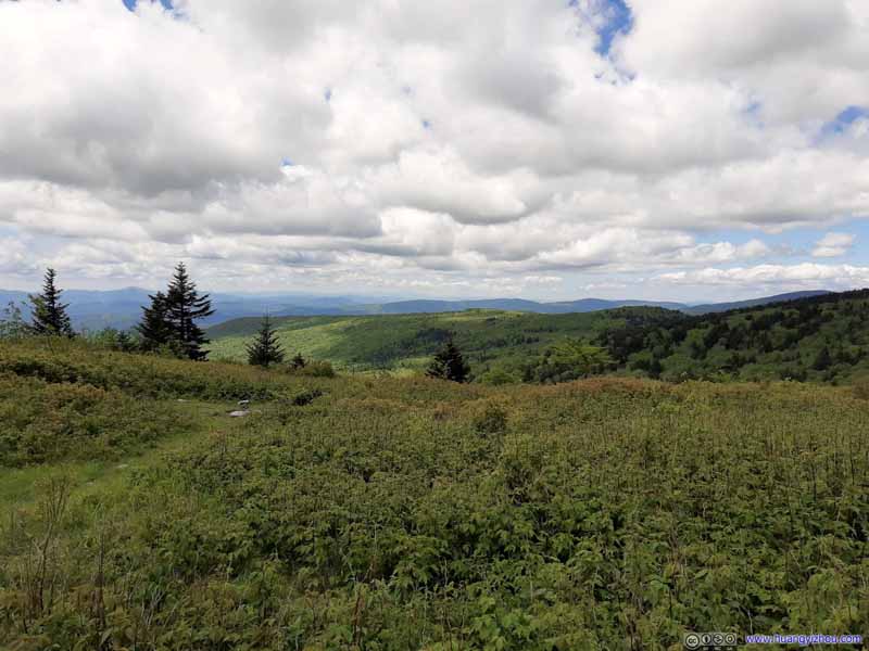 Fields
 Fields
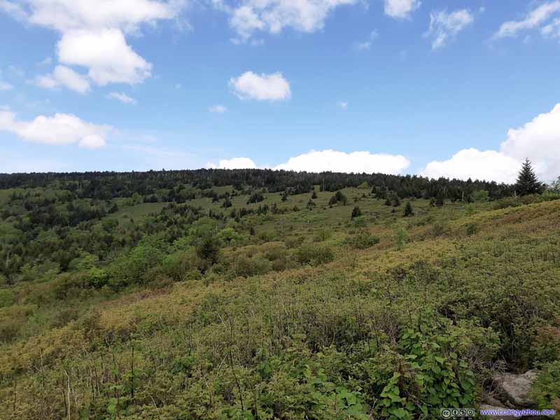 Fields
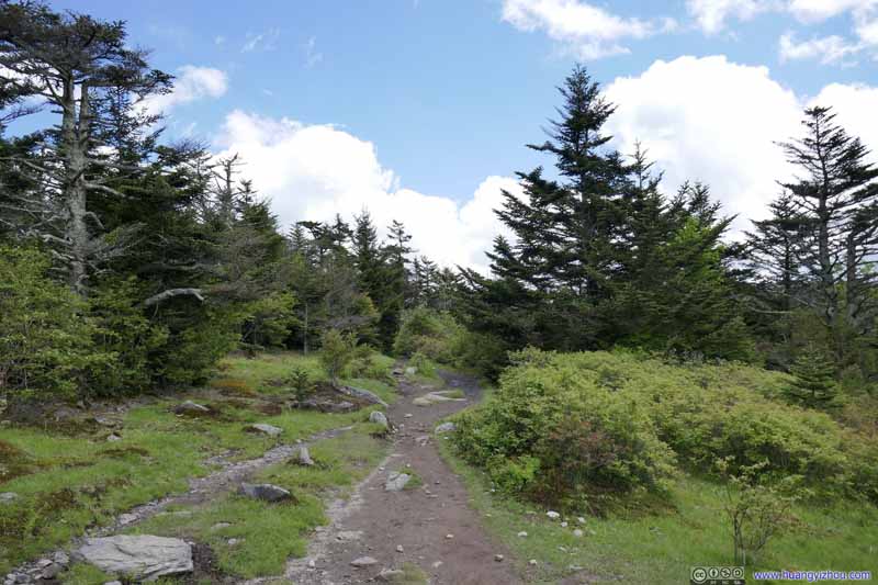 Trail
Trail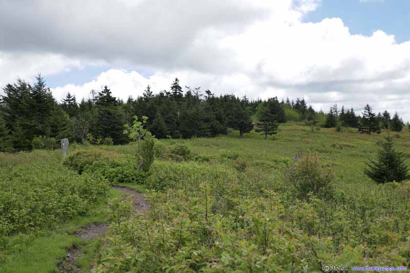 Trail
Trail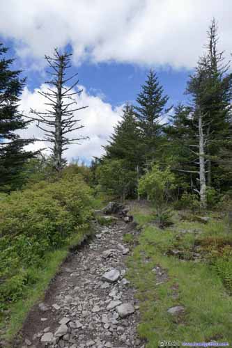
 Trail
Trail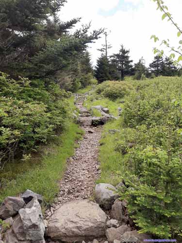
 Trail
Trail


Click here to display photos of the slideshow
Fields
Fields
Fields
Fields

Fields

Trail
Trail

 Trail
Trail
 Trail
Trail
Spring
Mount Rogers Summit
After that, I reached the intersection of Mount Rogers Spur at 12:15pm. Despite knowing there wouldn’t be any views at the summit, I still liked to add it to my state high points collection.
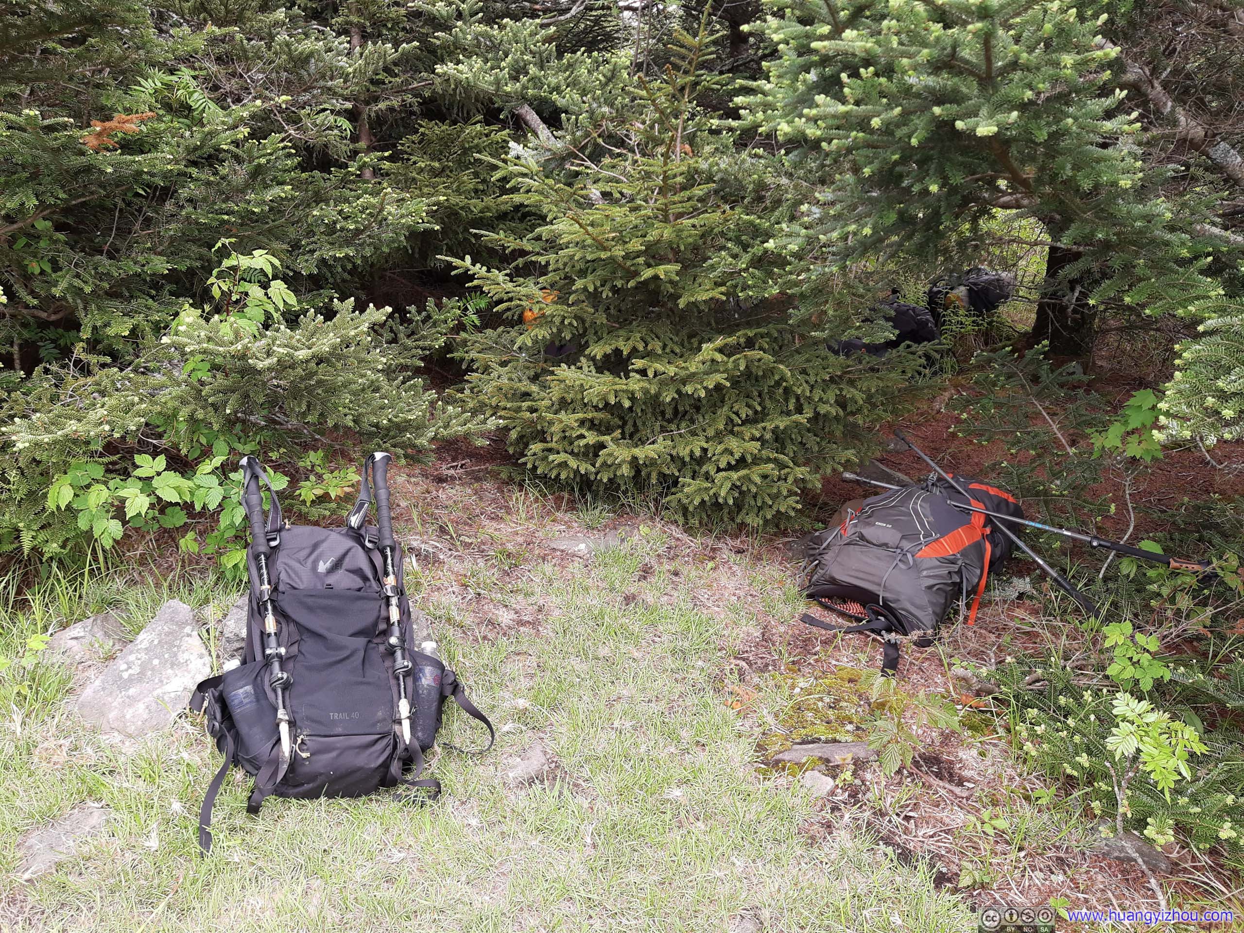
Bag Stashing
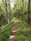
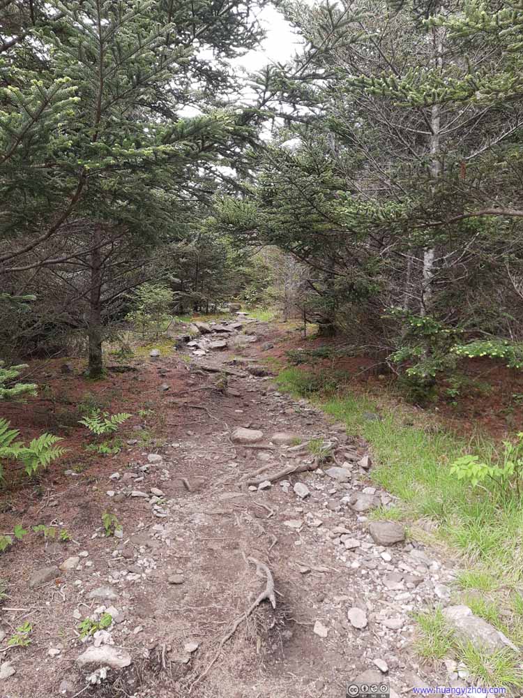 TrailTo begin, the trail looked not too different from earlier today.
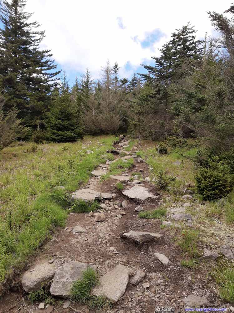 TrailTo begin, the trail looked not too different from earlier today.
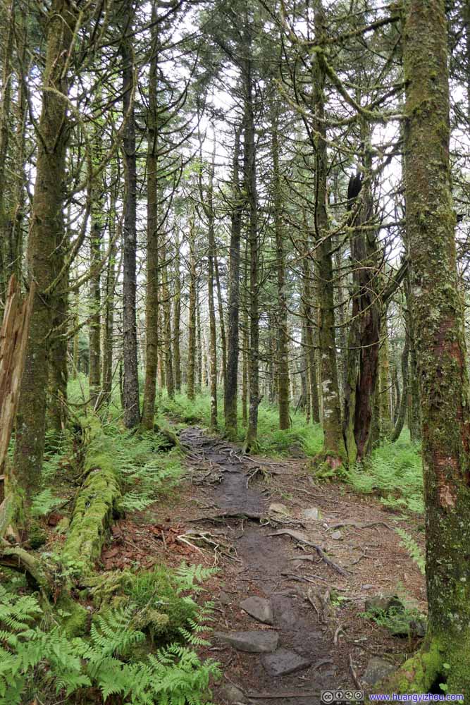 Trail
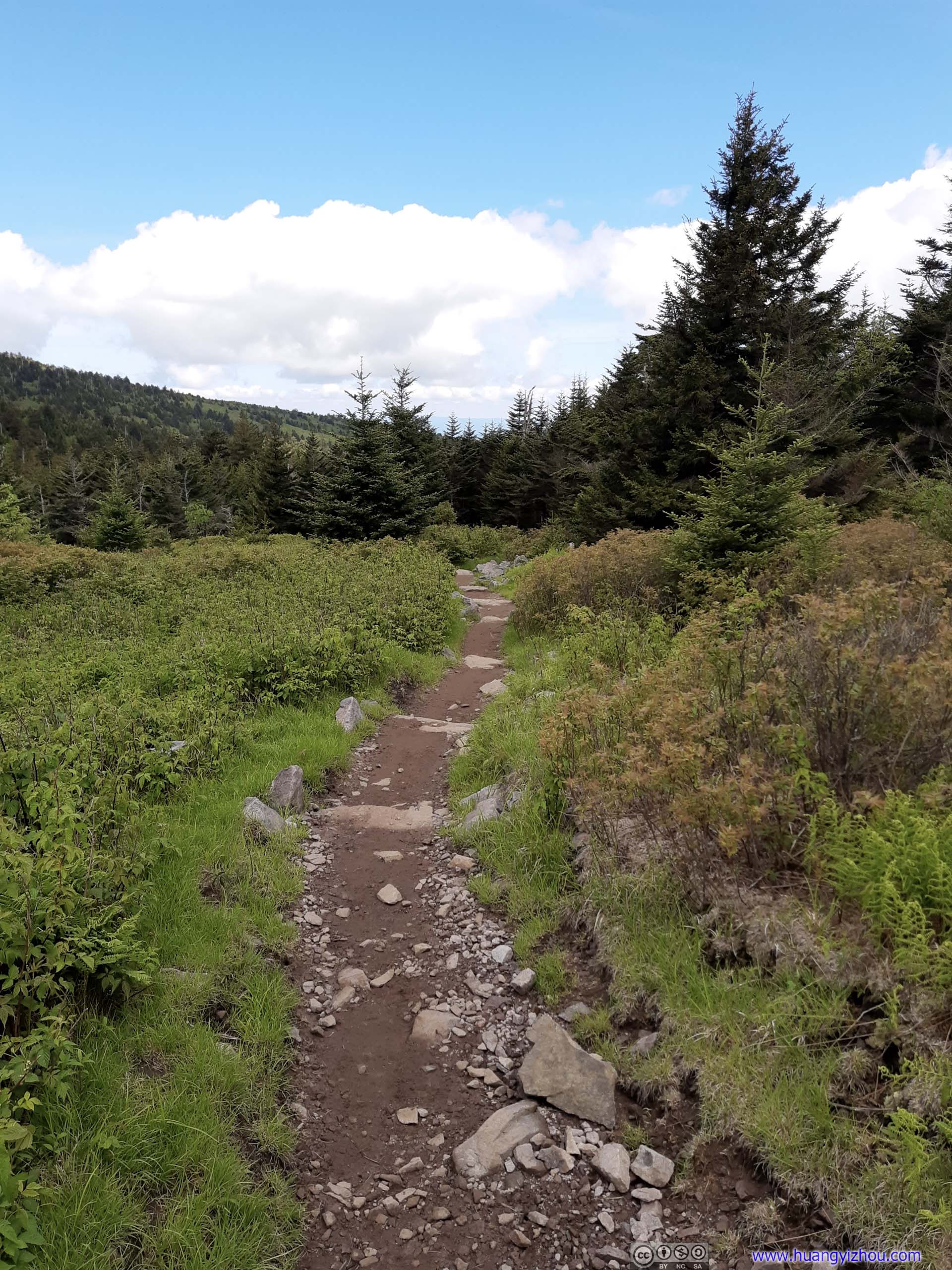
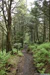
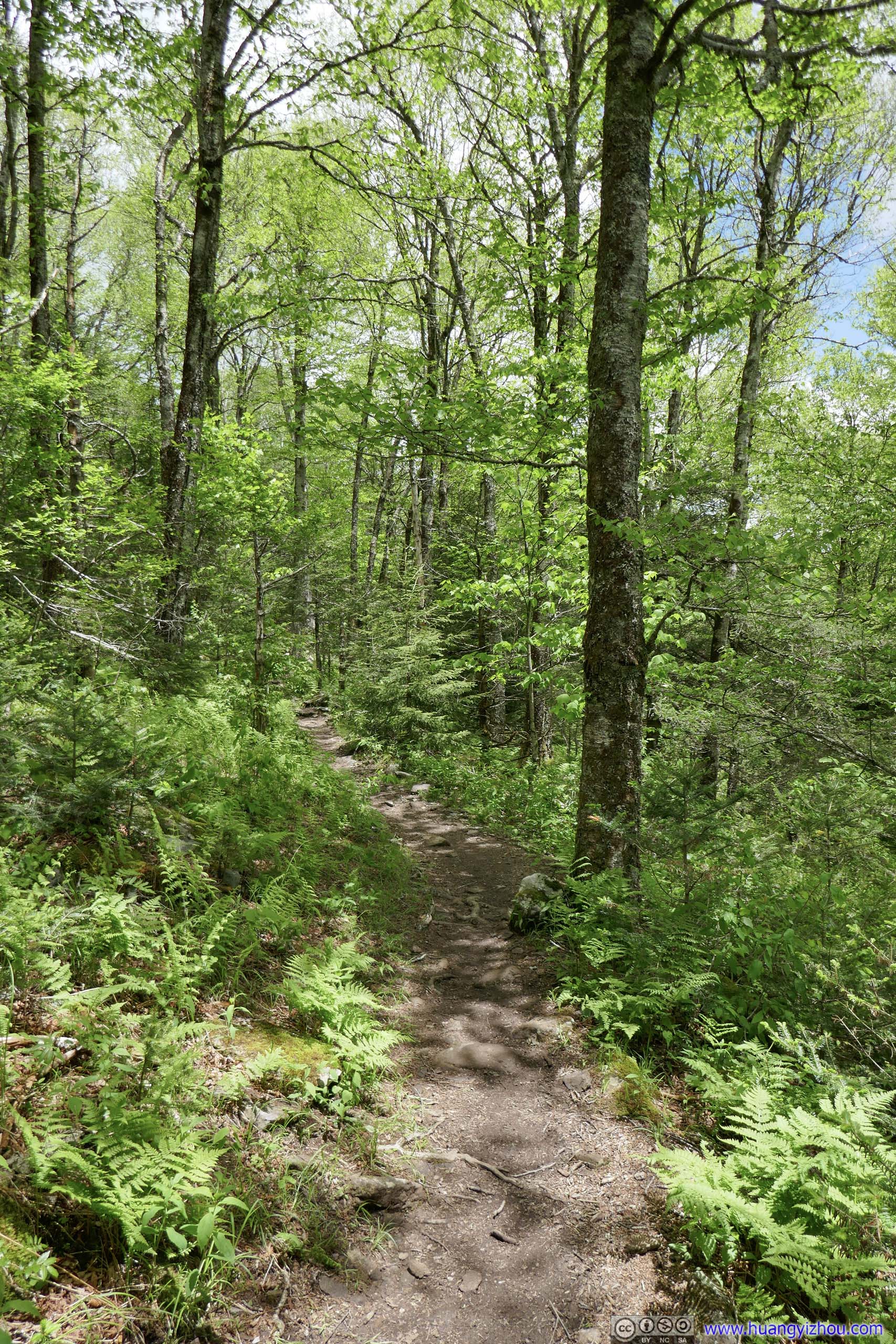
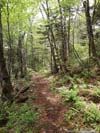
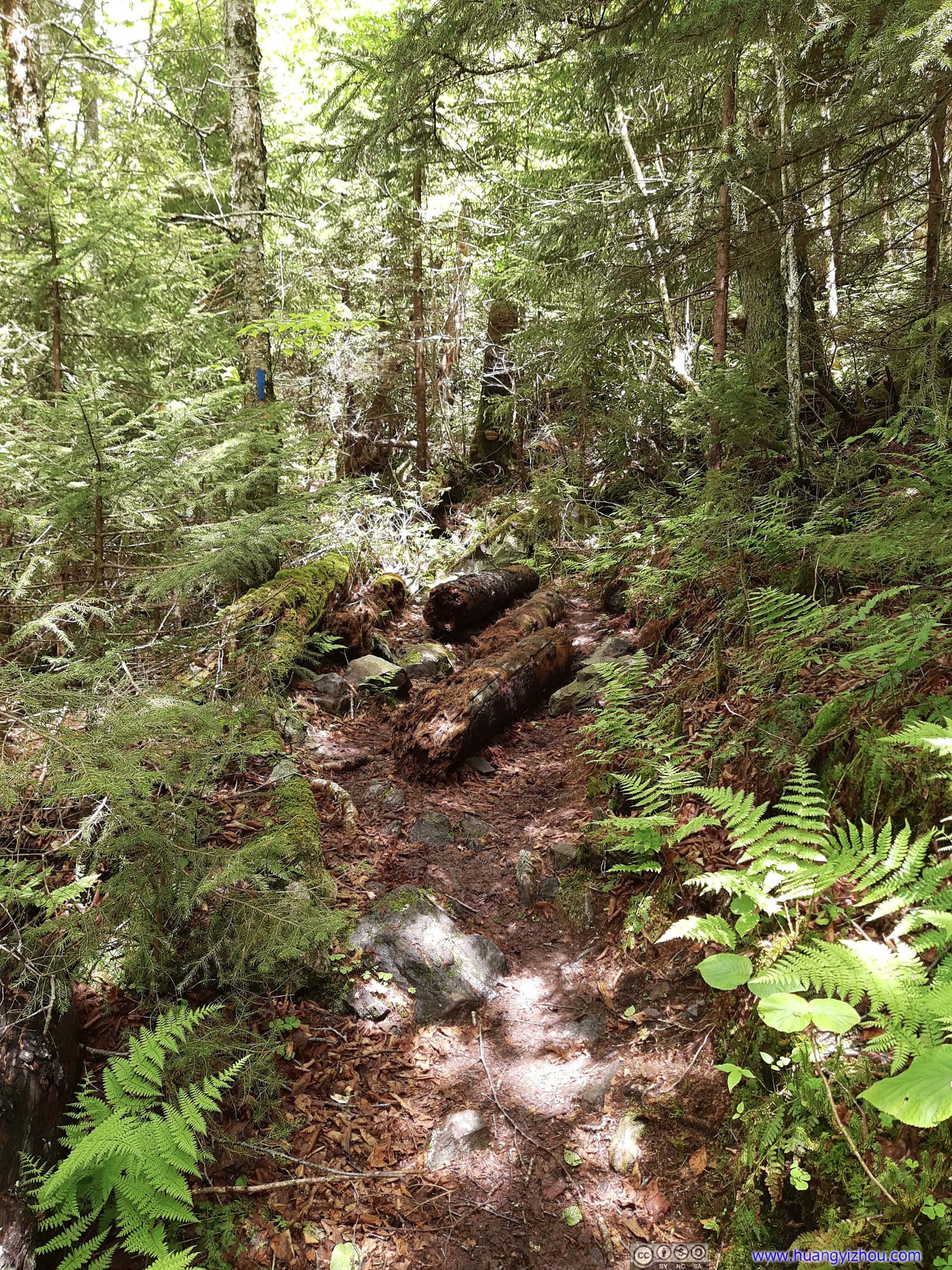
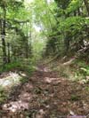
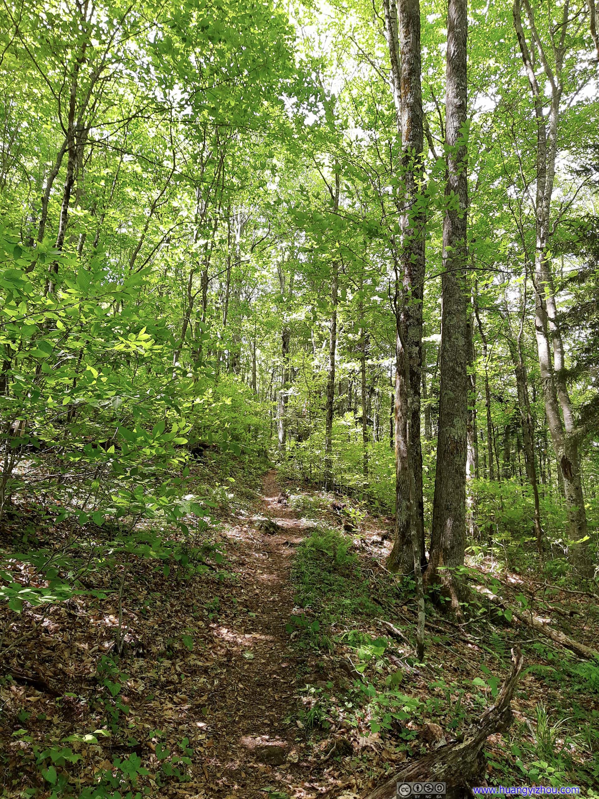
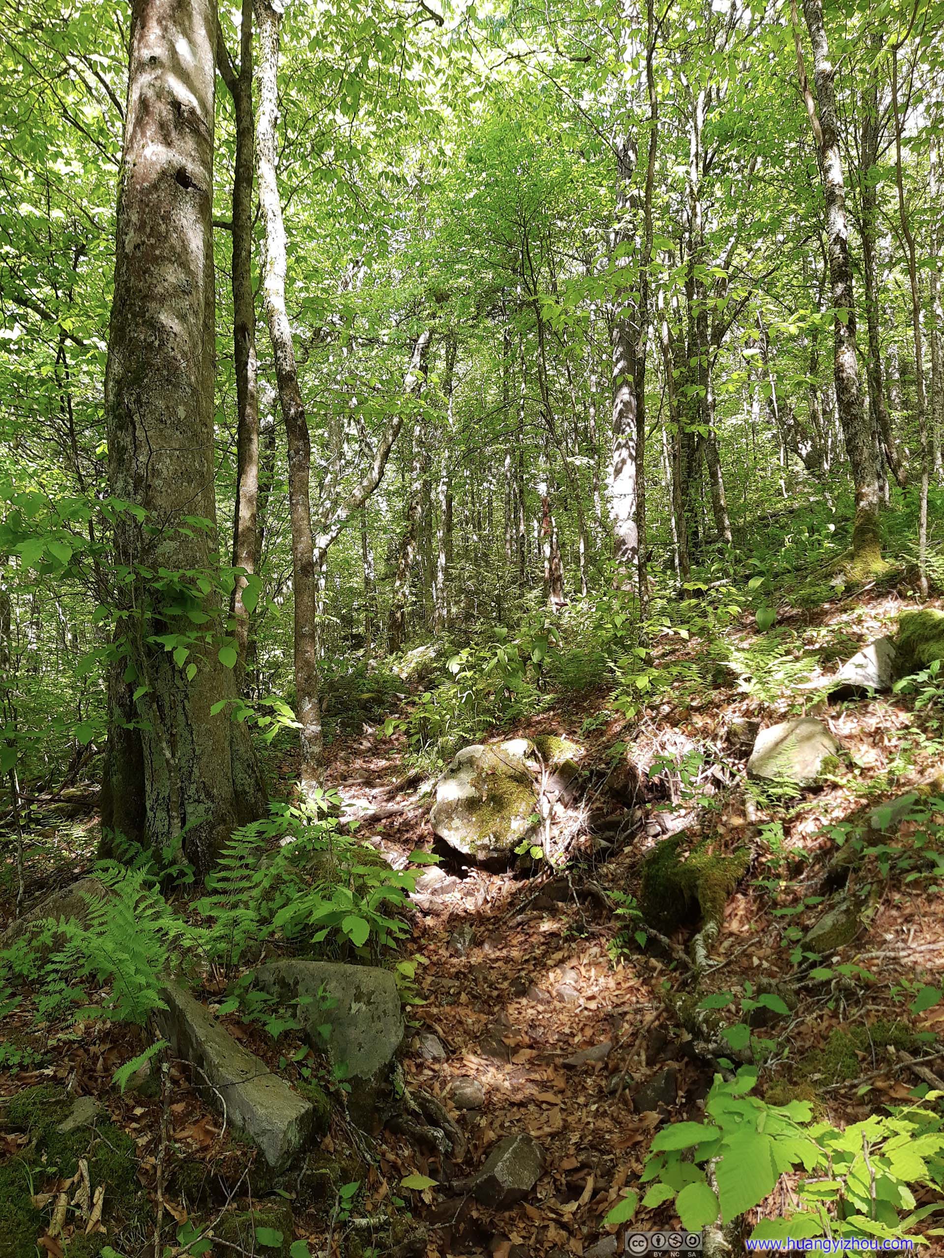
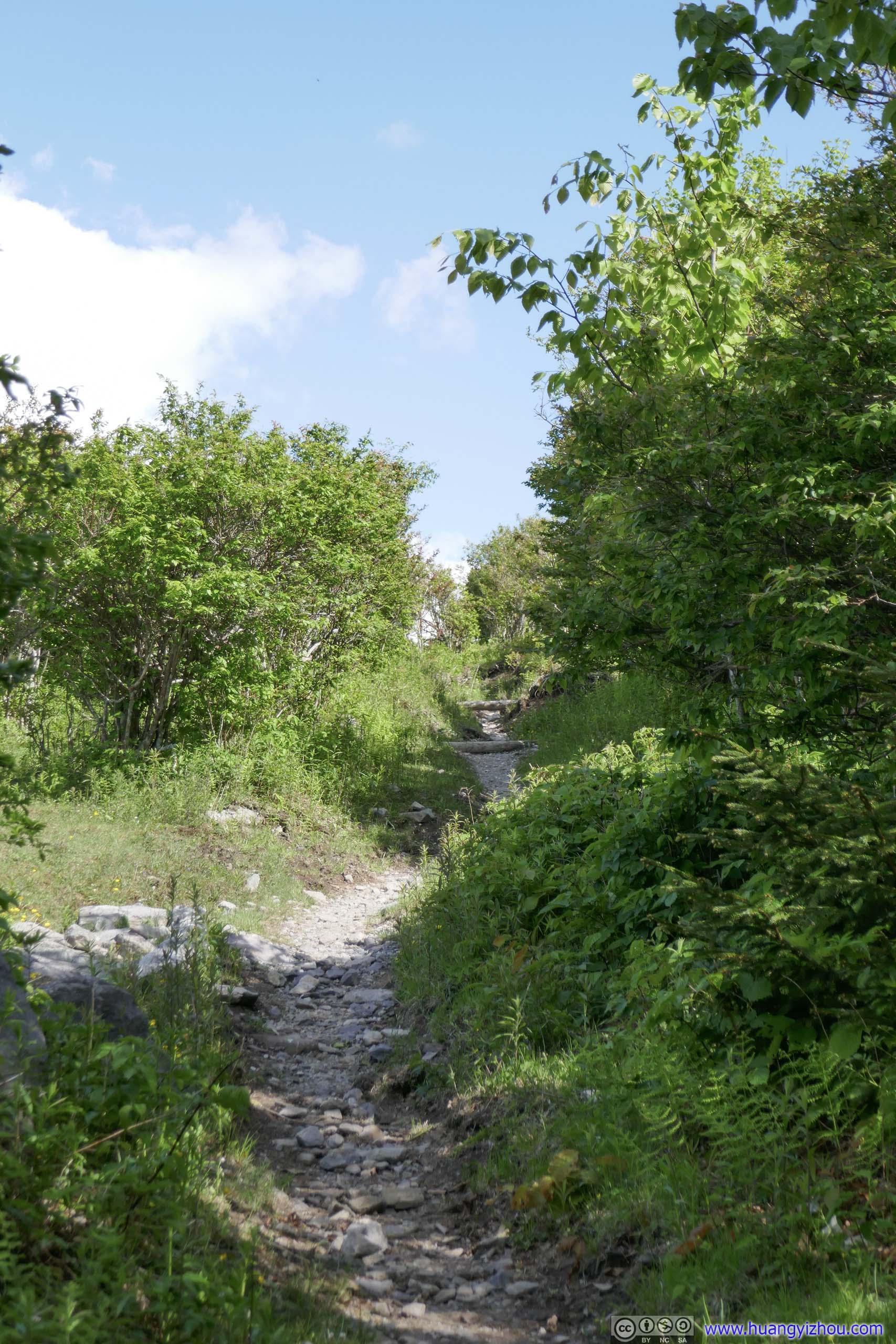
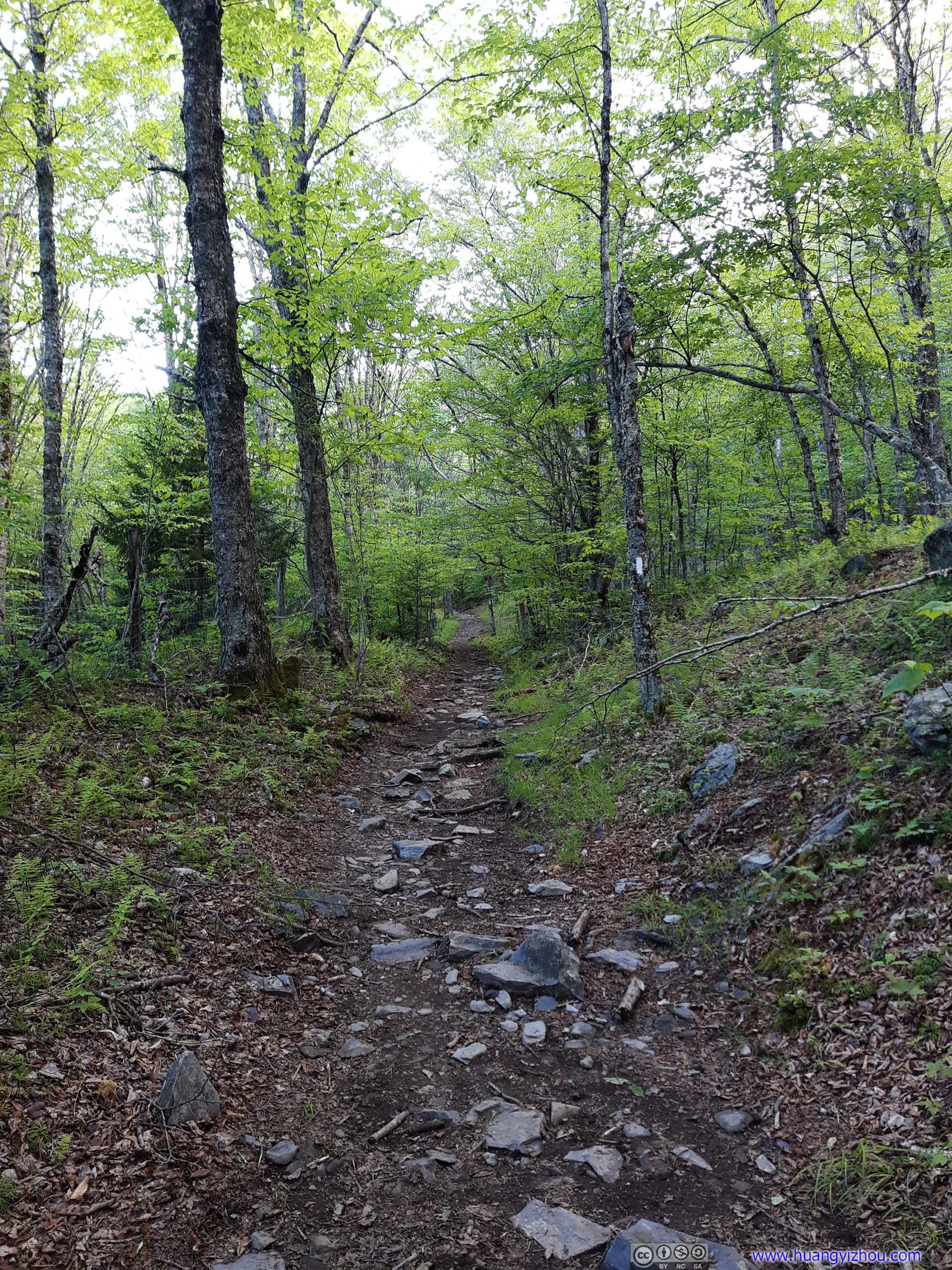
Then it seemed to enter what looked like a rainforest, which was unique from the landscapes I saw for the rest of the day.
Trail
Then it seemed to enter what looked like a rainforest, which was unique from the landscapes I saw for the rest of the day. Trail
Then it seemed to enter what looked like a rainforest, which was unique from the landscapes I saw for the rest of the day.
Trail
Then it seemed to enter what looked like a rainforest, which was unique from the landscapes I saw for the rest of the day.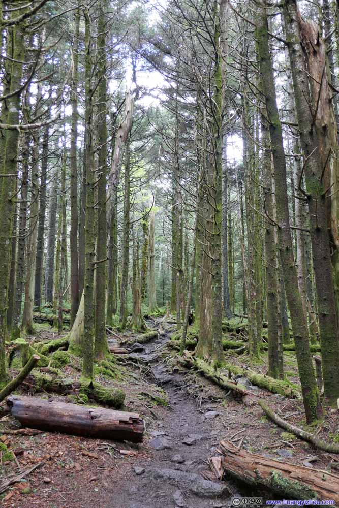 Trail
Then it seemed to enter what looked like a rainforest, which was unique from the landscapes I saw for the rest of the day.
Trail
Then it seemed to enter what looked like a rainforest, which was unique from the landscapes I saw for the rest of the day.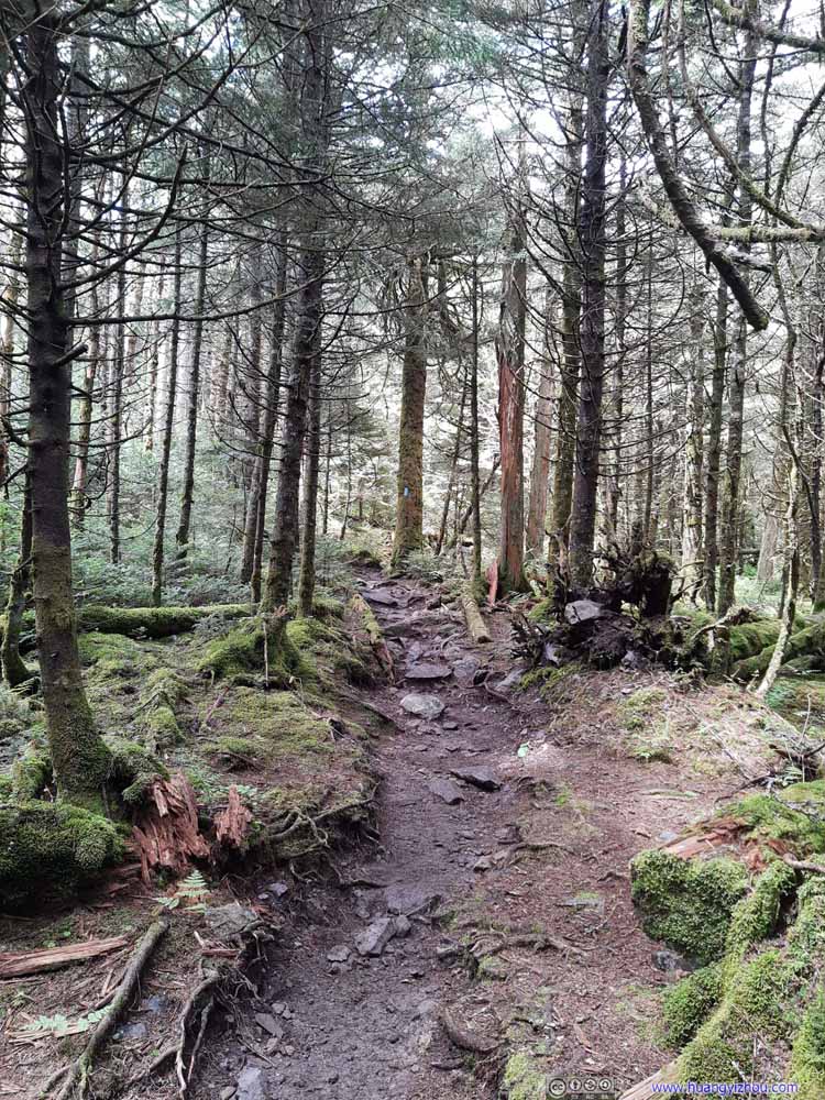 Trail
Then it seemed to enter what looked like a rainforest, which was unique from the landscapes I saw for the rest of the day.
Trail
Then it seemed to enter what looked like a rainforest, which was unique from the landscapes I saw for the rest of the day. Trail
Then it seemed to enter what looked like a rainforest, which was unique from the landscapes I saw for the rest of the day.
Trail
Then it seemed to enter what looked like a rainforest, which was unique from the landscapes I saw for the rest of the day.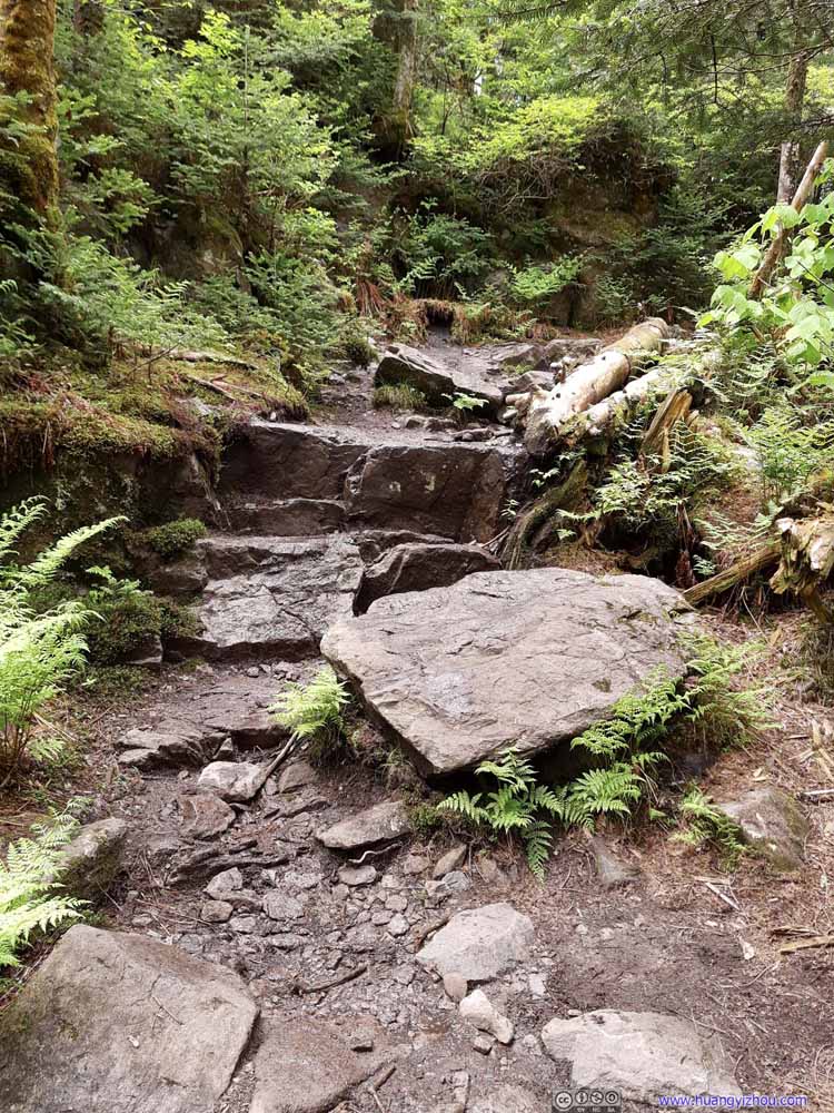 TrailSome stairs.


Click here to display photos of the trail to Mount Rogers Summit.
TrailTo begin, the trail looked not too different from earlier today.

TrailTo begin, the trail looked not too different from earlier today.
Trail
Trail

Trail

Trail
Trail

TrailSome stairs.
The sight of extensive mold on trees during the latter part of the trail was really refreshing to me, as an exciting novelty to the Blue Ridge Mountains.
At 1746m elevation, Mount Rogers is the highest elevation point in the state of Virginia. The summit was among similar landscapes like previous rainforests. Unfortunately the humid environment meant a few bugs were bothering me at the summit. So I spent about 7 minutes taking a few photos before heading back down.

Markers on Mt Rogers Summit
Summit of Mount RogersAs a result, I picked my favorite rock between the two, and decided to call it the summit.
Misery with Mud
After taking a short rest at the intersection, I continued onto the Appalachian Trail at 1pm. This time, I tried to circumvent Mount Rogers.
 FieldsViews like these quickly disappeared after leaving Mount Rogers.
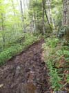
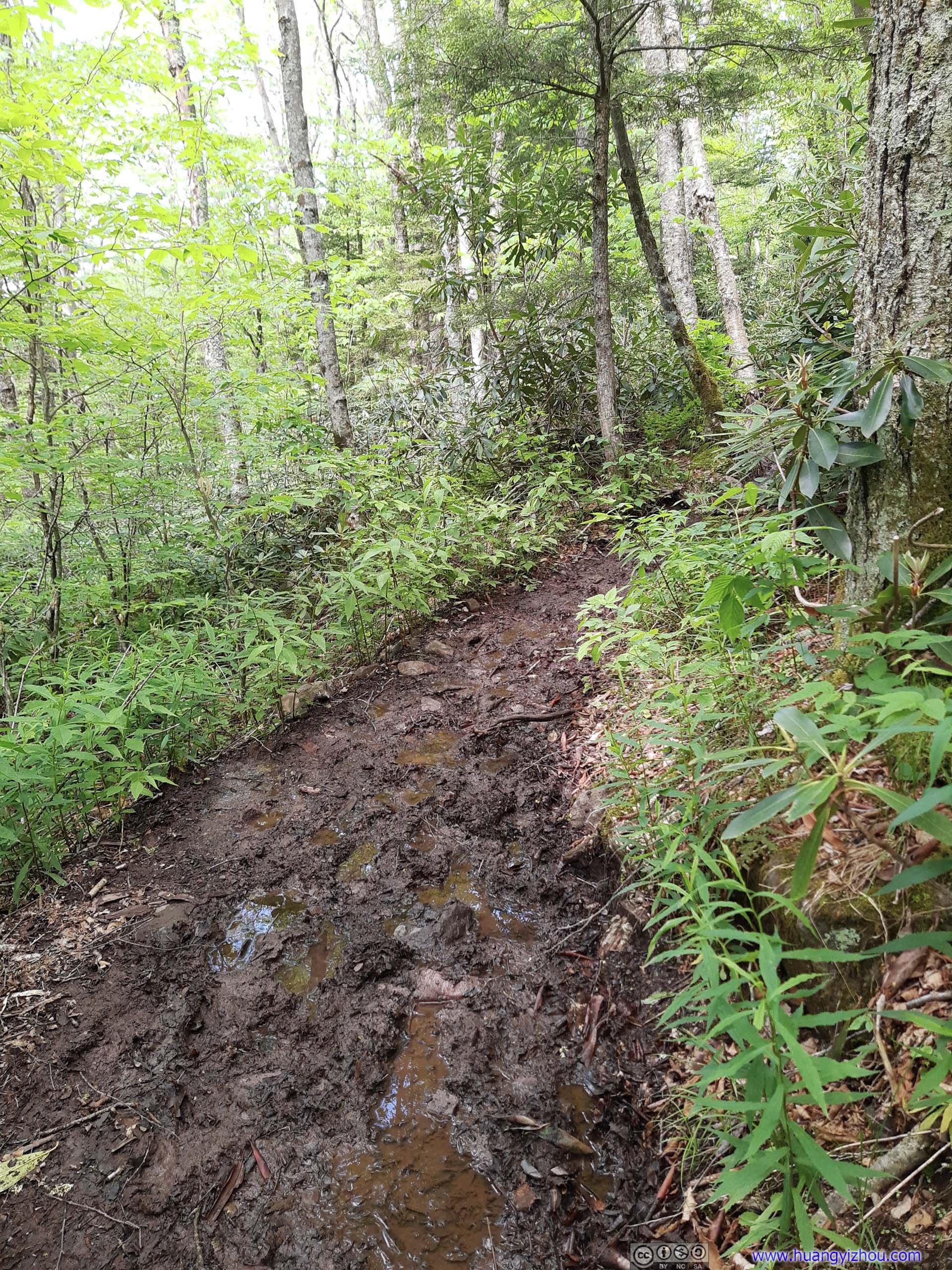
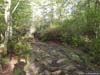
While going downhill, the conditions of the trail quickly deteriorated with the emergence of a few muddy spots.
 Trail
Trail Trail
Trail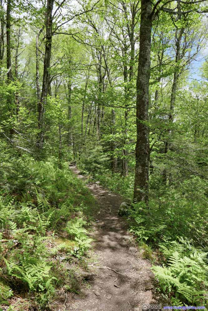 Trail
Trail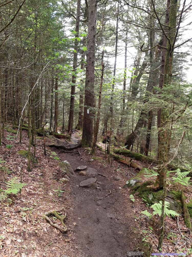 Trail
Trail Wet Trail
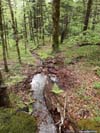
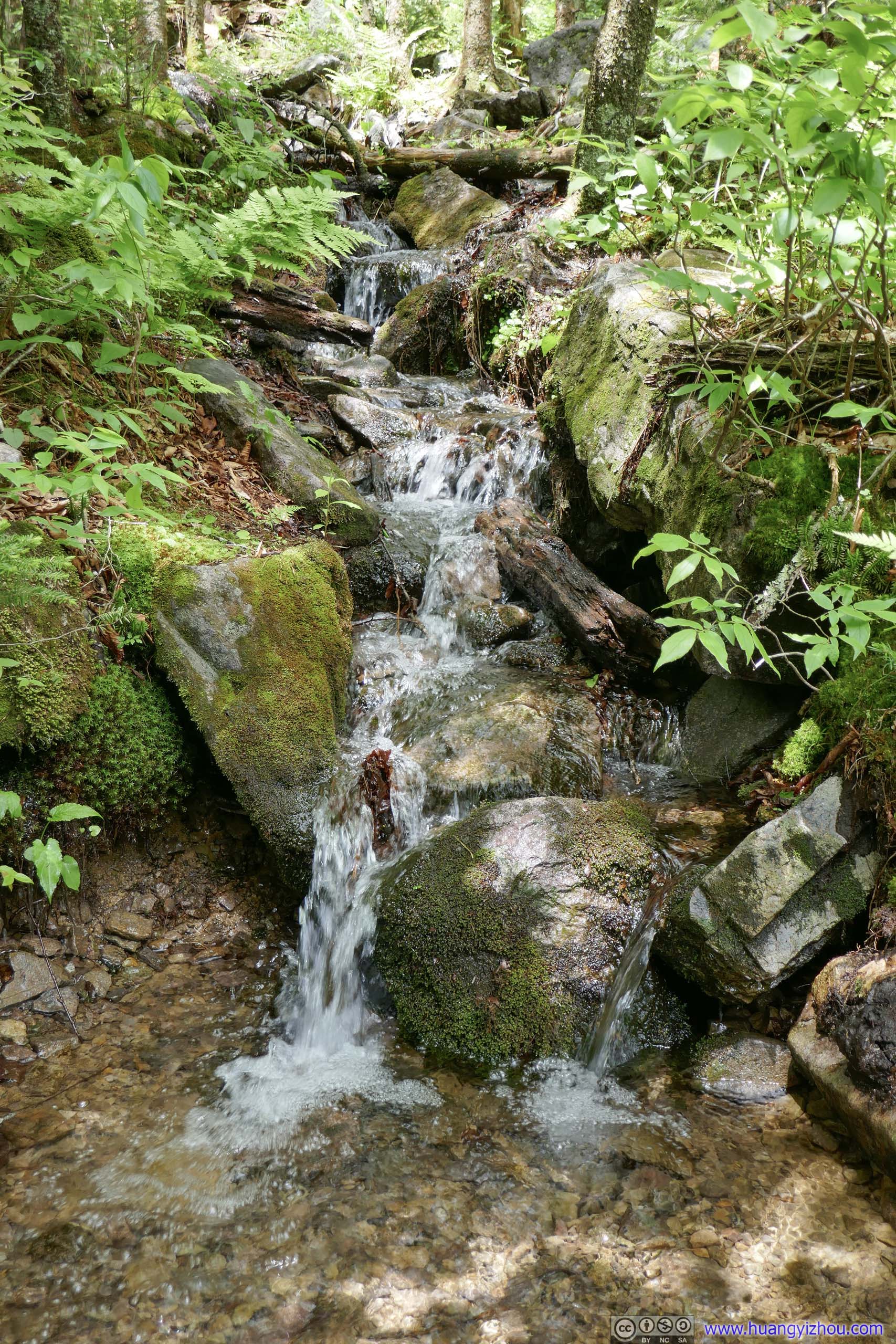
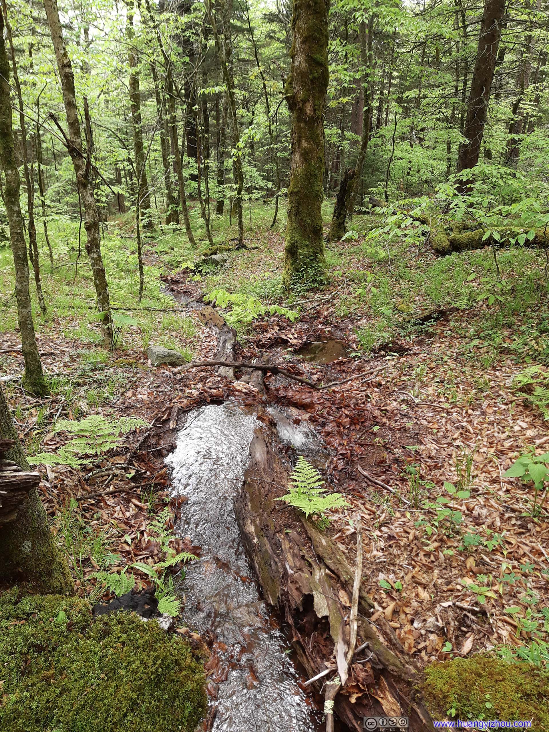
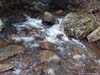
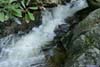
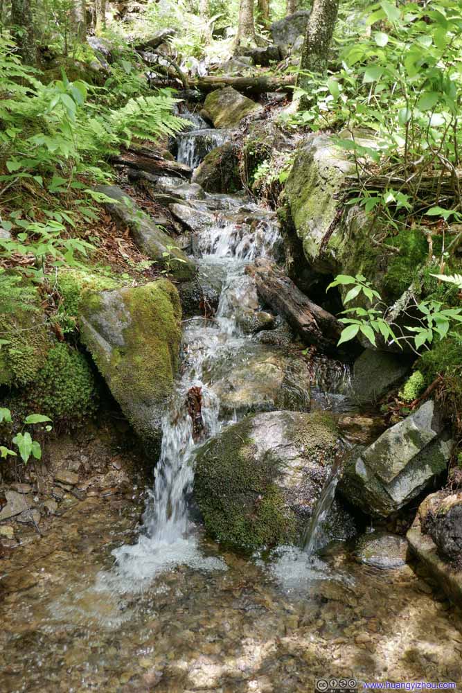 CreekThese creeks created a few water crossings, probably the culprit of all the mud along the trail.
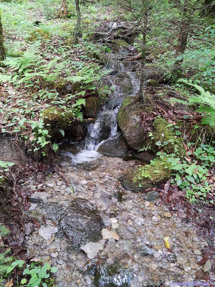 CreekThese creeks created a few water crossings, probably the culprit of all the mud along the trail.
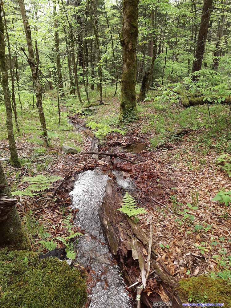 CreekThese creeks created a few water crossings, probably the culprit of all the mud along the trail.
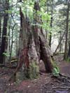
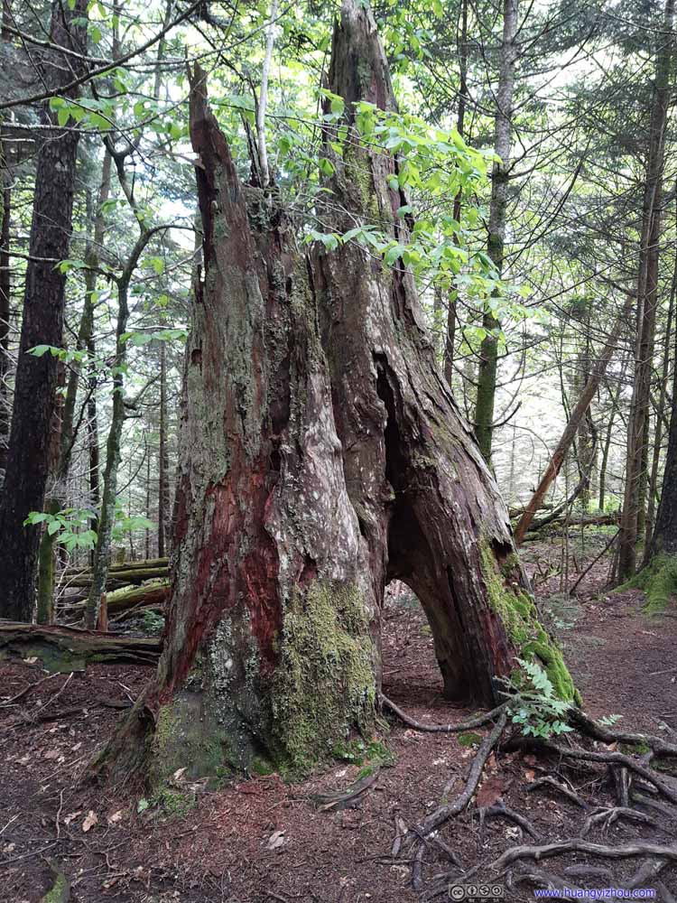 TreeI had no idea how it grew, or was cracked, into such shape.


Click here to display photos of the trail.
Trail
Trail
Trail

Trail

Wet Trail
CreekThese creeks created a few water crossings, probably the culprit of all the mud along the trail.

CreekThese creeks created a few water crossings, probably the culprit of all the mud along the trail.
CreekThese creeks created a few water crossings, probably the culprit of all the mud along the trail.

TreeI had no idea how it grew, or was cracked, into such shape.
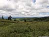
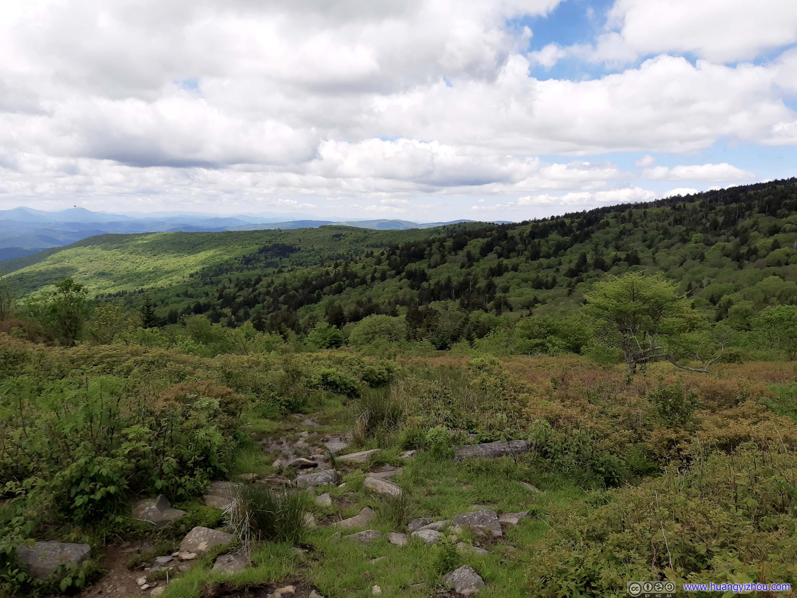
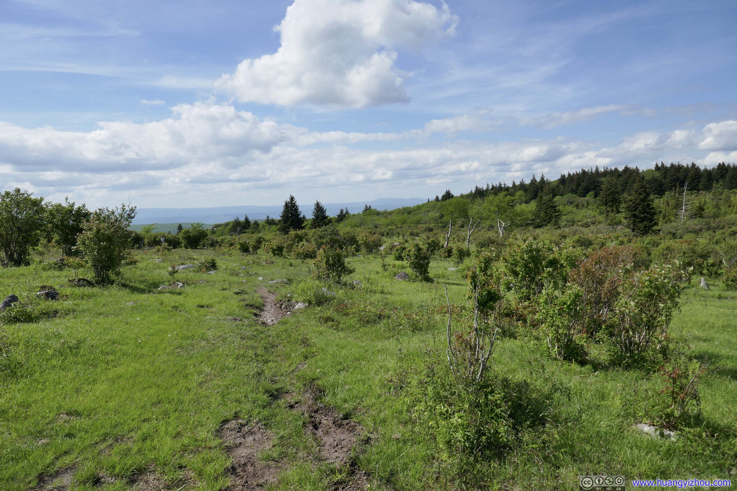
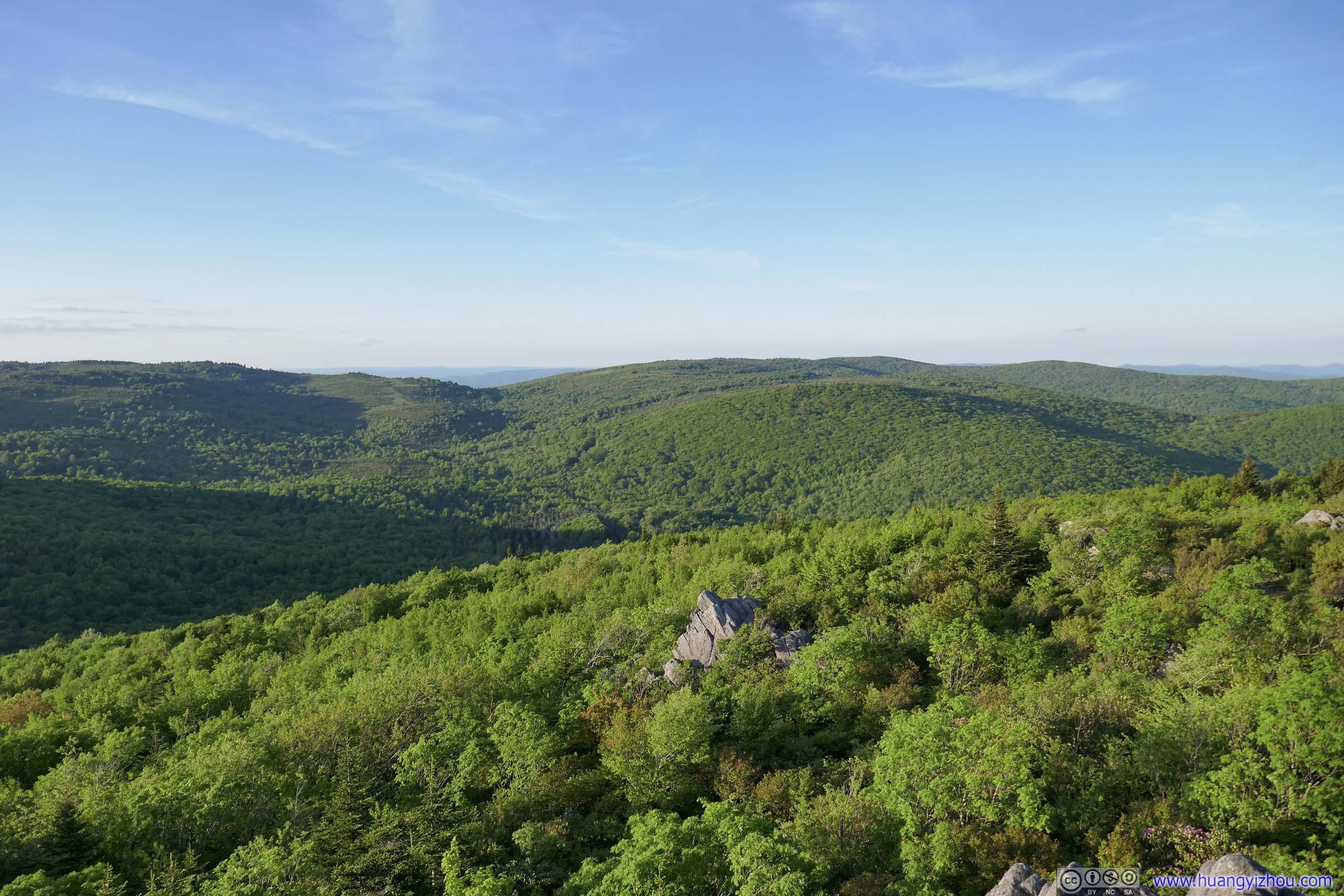
At about 1:30pm, I reached an open field (at the intersection of the purple and dark blue line in the trail map). Having endured the misery of mud, I was rather rejuvenated by the pleasant sceneries in sight.
 View of FieldsFrom the pile of rocks where I took a brief rest.
 Fields
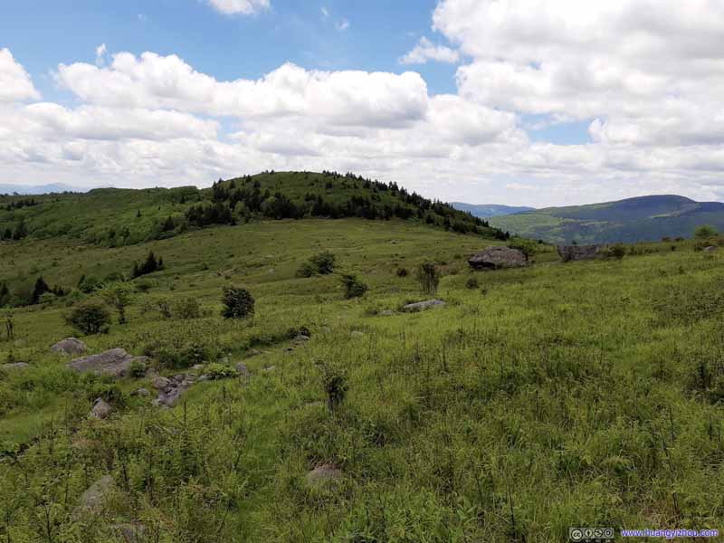 Fields
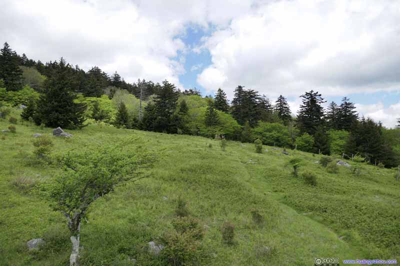 Fields
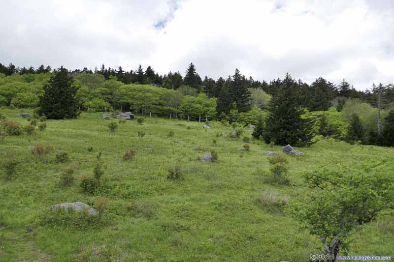 Fields
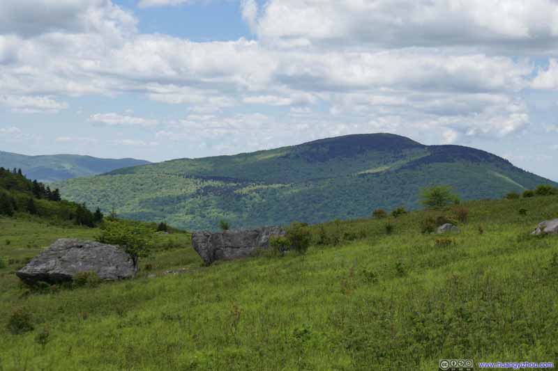 FieldsDistant Whitetop Mountain.
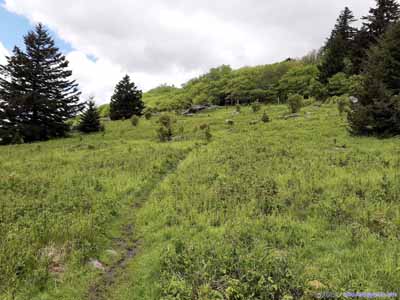
 Fields
Click here to display photos of the slideshow
View of FieldsFrom the pile of rocks where I took a brief rest.
Fields

Fields
Fields

Fields
FieldsDistant Whitetop Mountain.


 Fields
View of Fields
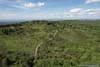
Originally, I planned to continue on Appalachian Trail (dashed yellow line on map), but I was a bit carried away by the scenery that I decided to wander around in such open meadows. As a result, I went onto the nearby Virginia Highlands Horse Trail (blue line on map). It’s not a big deal as the two trails went parallel to each other. After entering Lewis Fork Wilderness, the Horse Trail had a few wet spots, but its rocky surface meant staying dry was relatively easy.
 Virginia Highland Horse Trail
It’s still wet in certain portions. But with enough exposed rocks it’s not too hard to keep shoes dry.
Virginia Highland Horse Trail
It’s still wet in certain portions. But with enough exposed rocks it’s not too hard to keep shoes dry. Virginia Highland Horse Trail
It’s still wet in certain portions. But with enough exposed rocks it’s not too hard to keep shoes dry.
Virginia Highland Horse Trail
It’s still wet in certain portions. But with enough exposed rocks it’s not too hard to keep shoes dry.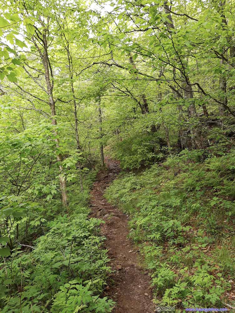 Virginia Highland Horse Trail
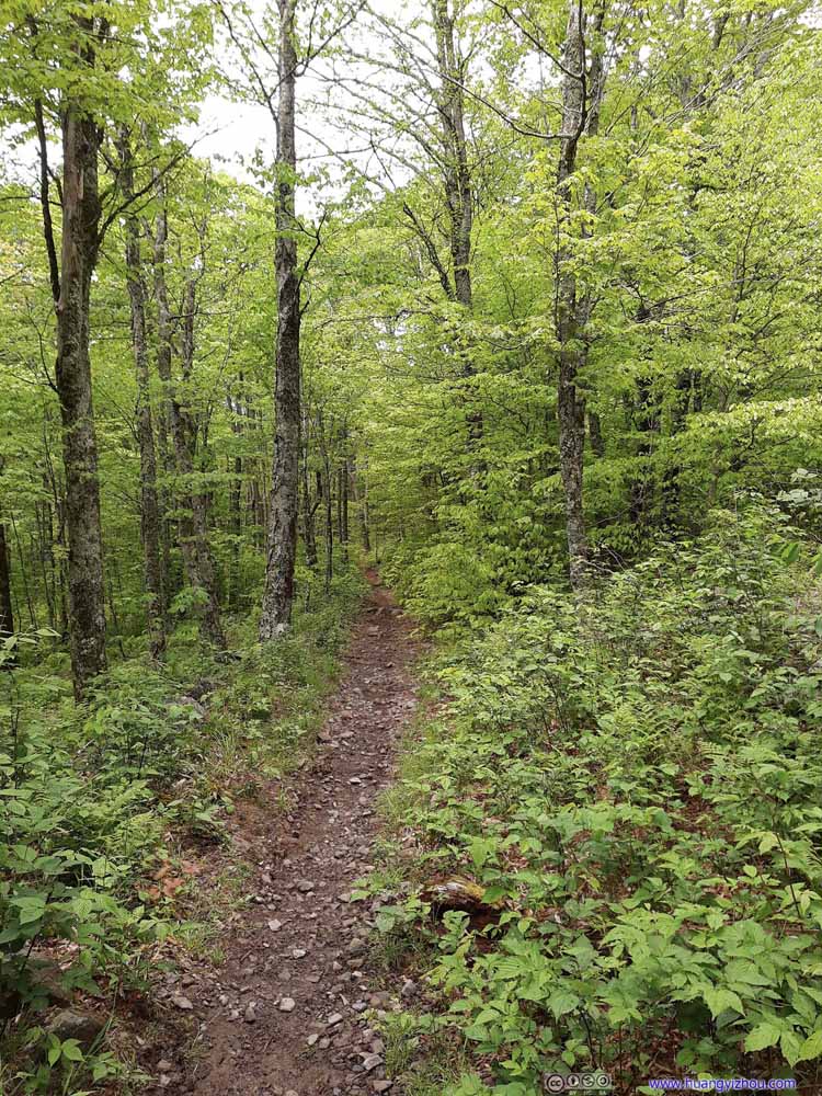 Virginia Highland Horse Trail
 Virginia Highland Horse Trail
 Appalachian Trail
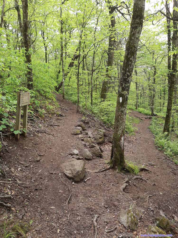 Intersection of Appalachian Trail
The two paths here were both Appalachian Trail. I should have come from the left, instead, I took a small detour onto Virginia Highland Trail and came from the right. Mt Rogers Trail started behind this photo.
Intersection of Appalachian Trail
The two paths here were both Appalachian Trail. I should have come from the left, instead, I took a small detour onto Virginia Highland Trail and came from the right. Mt Rogers Trail started behind this photo.


Click here to display photos of the slideshow

Virginia Highland Horse Trail

Virginia Highland Horse Trail
Virginia Highland Horse Trail
Virginia Highland Horse Trail

Virginia Highland Horse Trail

Appalachian Trail

Intersection of Appalachian Trail
 Mount Rogers Trail
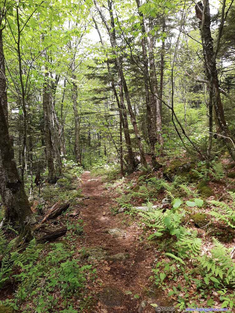 Mount Rogers Trail
 Mount Rogers Trail
 Mount Rogers Trail
 Mount Rogers Trail
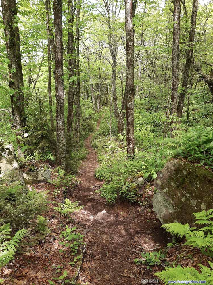 Mount Rogers Trail
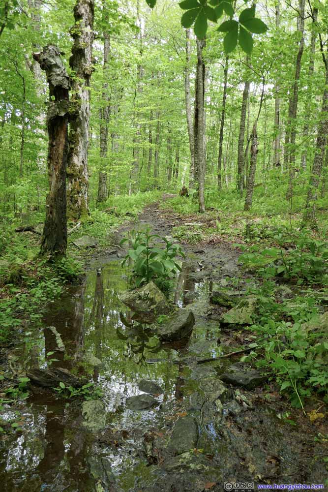 Mount Rogers TrailA few wet and muddy spots.
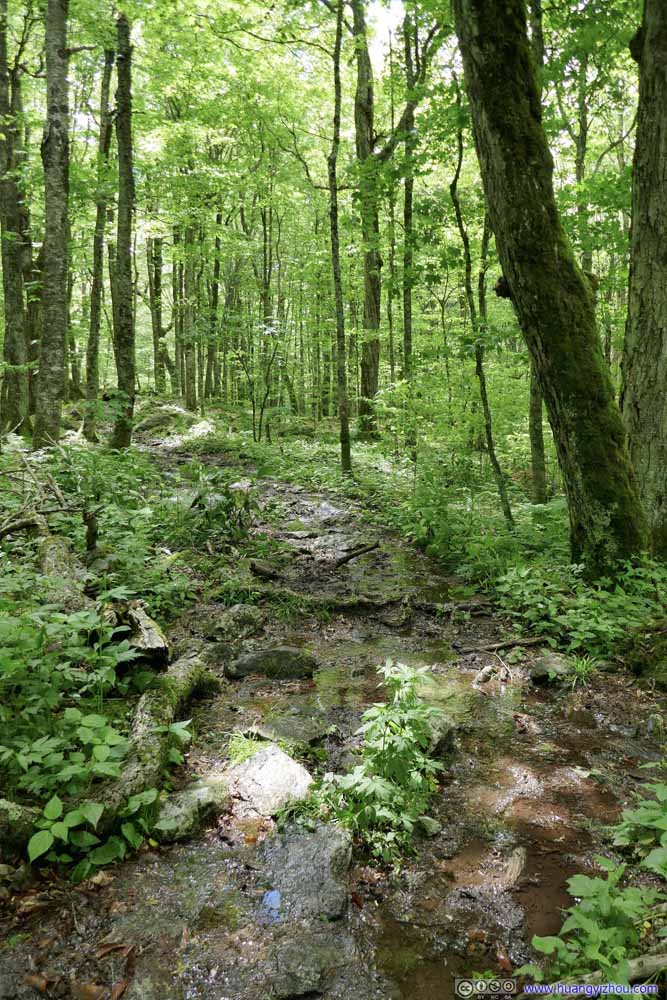 Mount Rogers TrailA few wet and muddy spots.
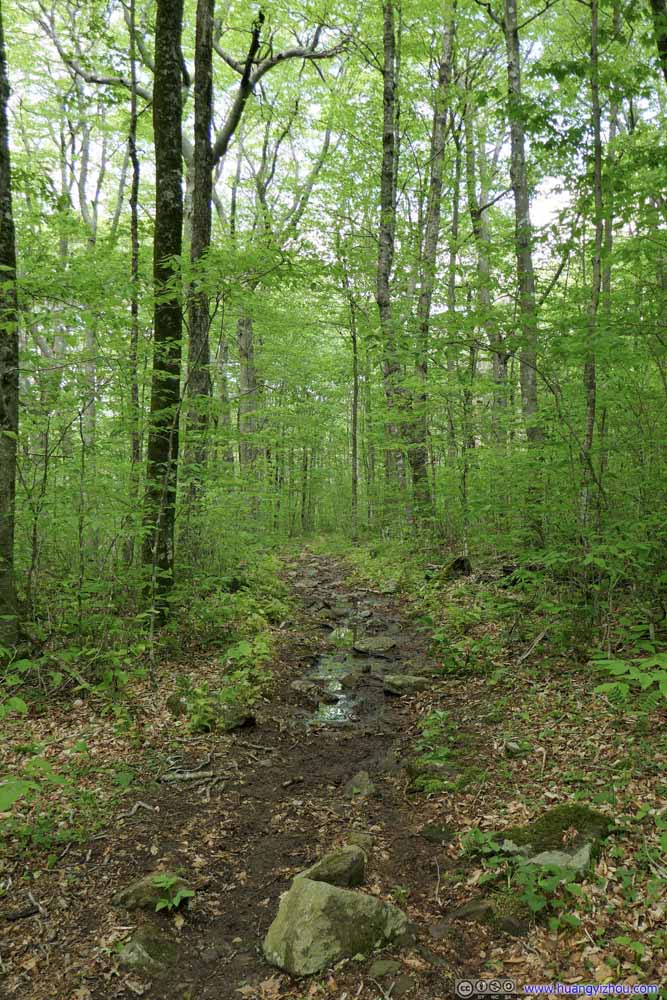 Mount Rogers TrailA few wet and muddy spots.
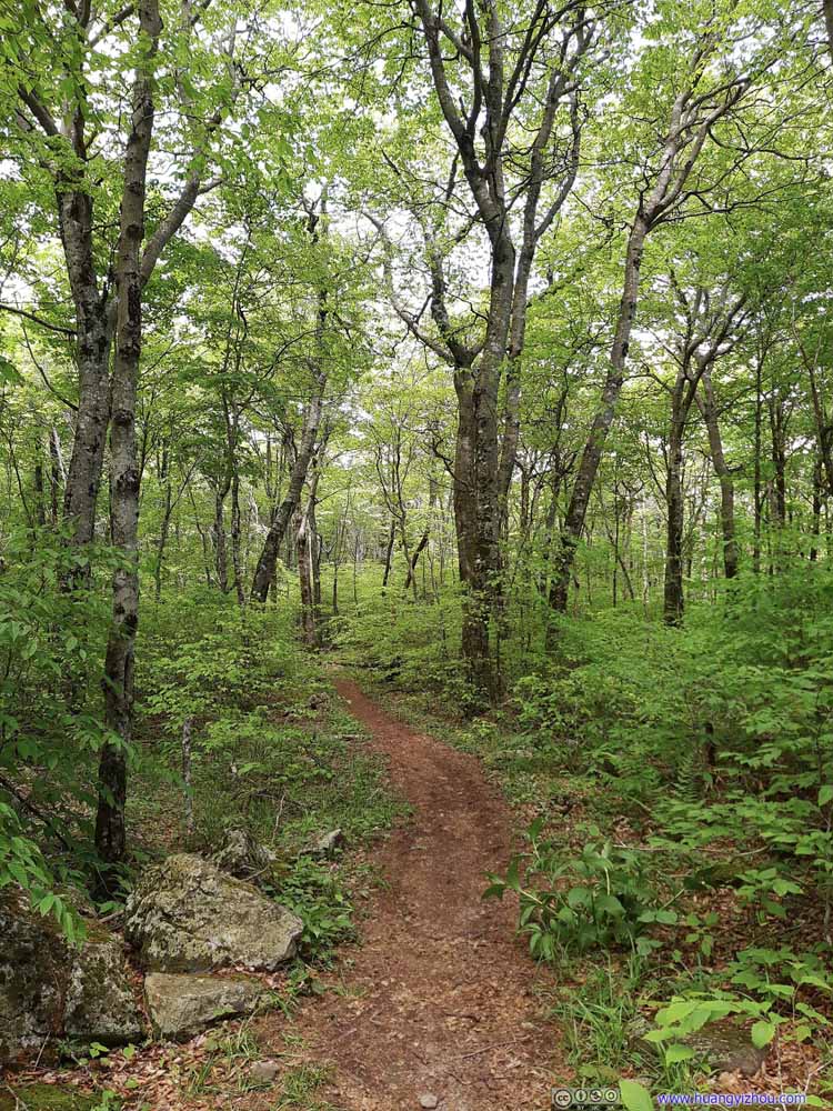 Mount Rogers Trail
 Mount Rogers Trail


Click here to display photos of the Mount Rogers Trail.
Mount Rogers Trail
Mount Rogers Trail
Mount Rogers Trail
Mount Rogers Trail
Mount Rogers Trail

Mount Rogers Trail

Mount Rogers TrailA few wet and muddy spots.

Mount Rogers TrailA few wet and muddy spots.

Mount Rogers TrailA few wet and muddy spots.
Mount Rogers Trail
Mount Rogers Trail
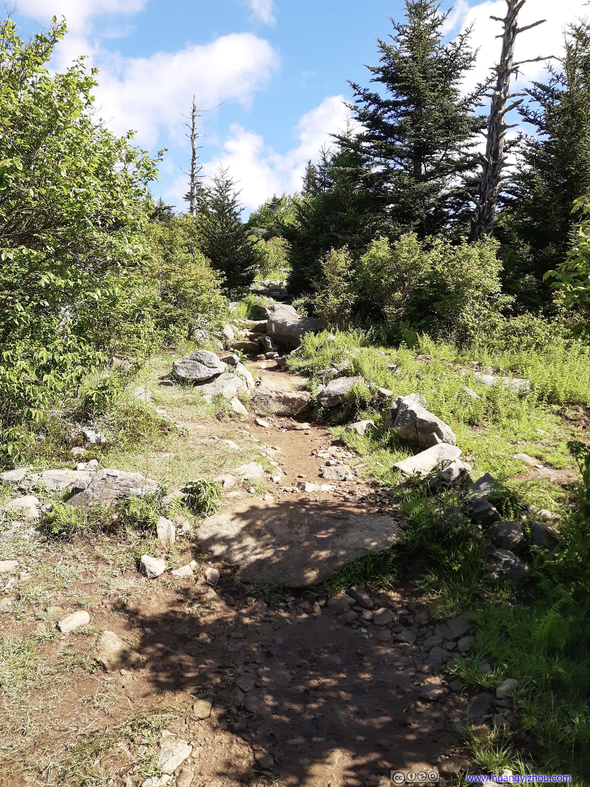
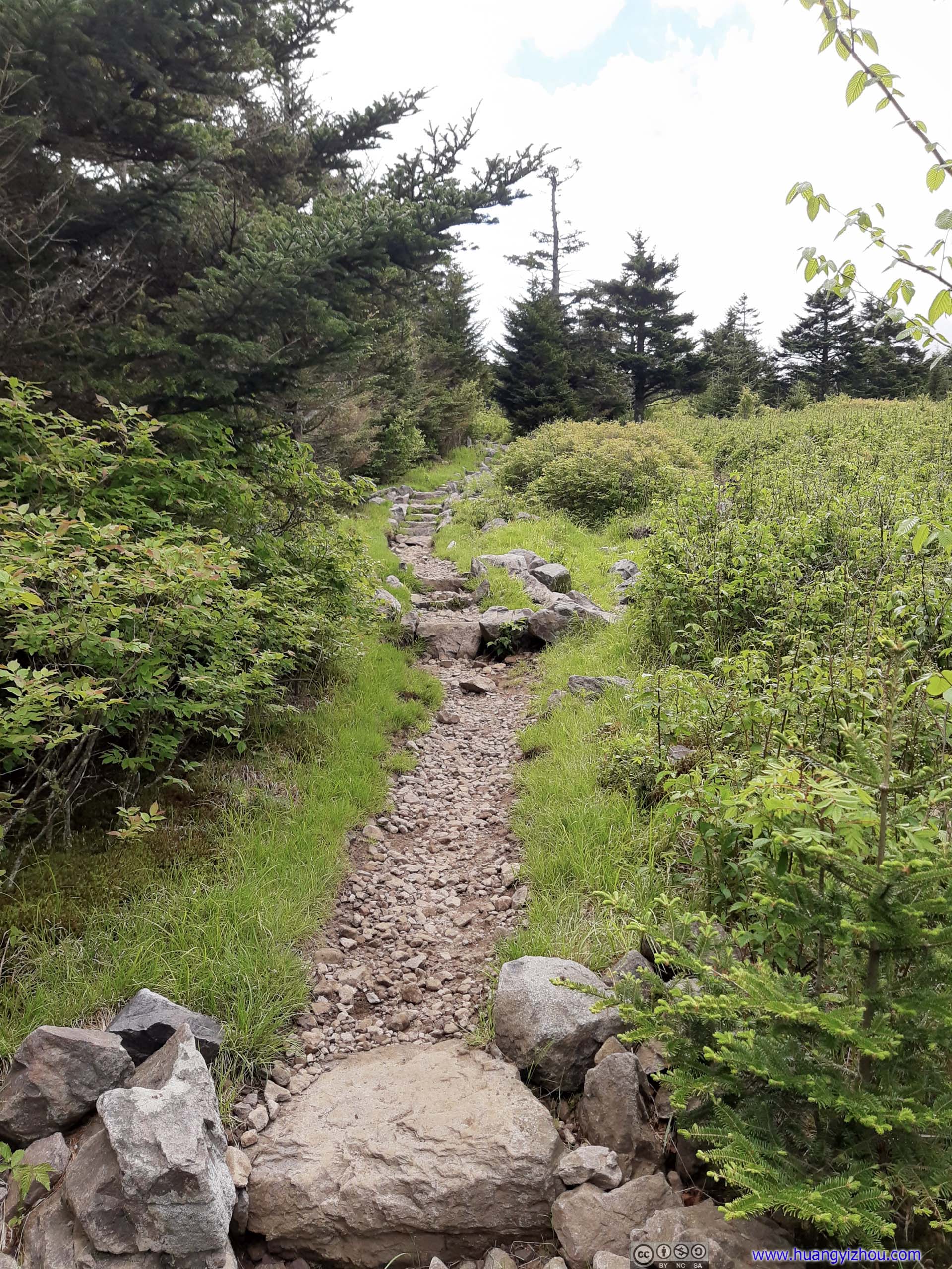
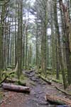
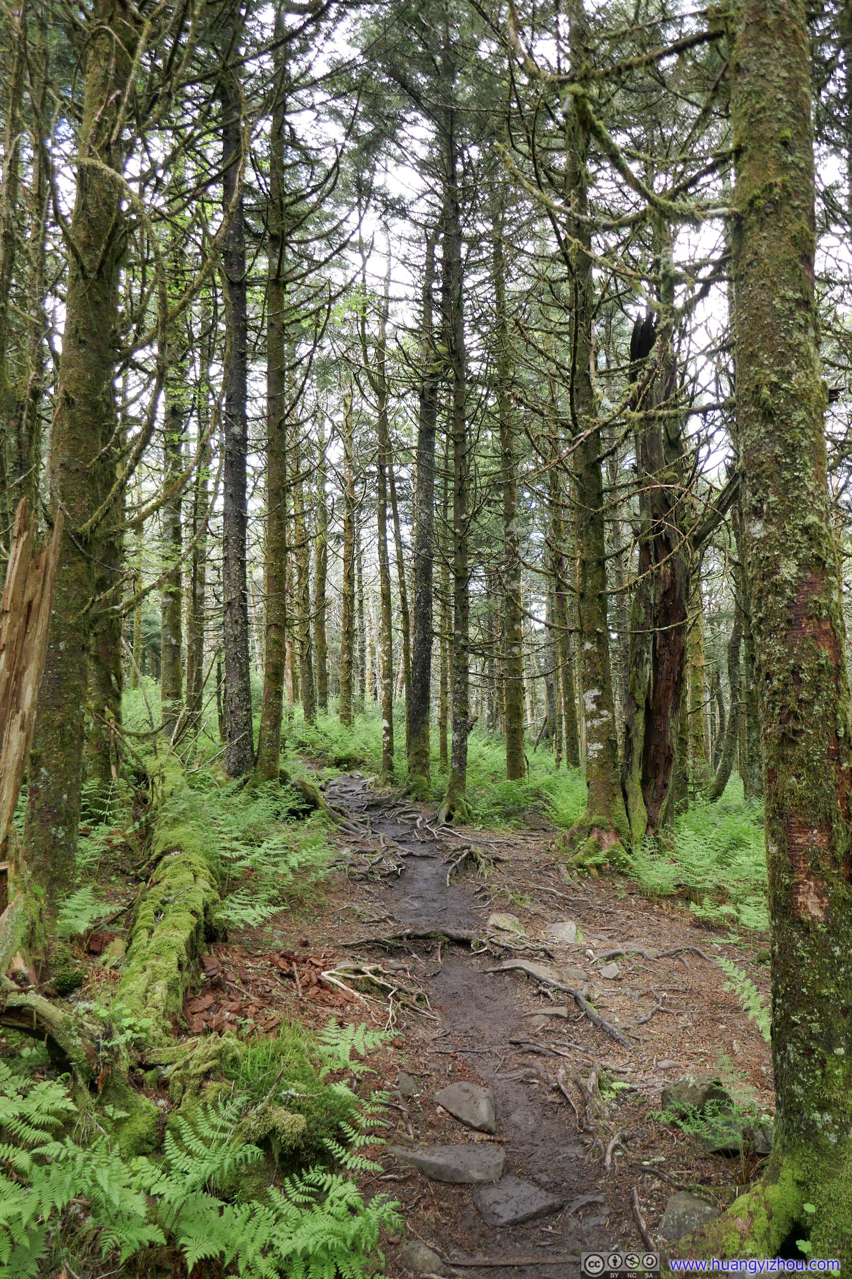
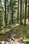
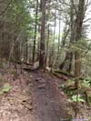
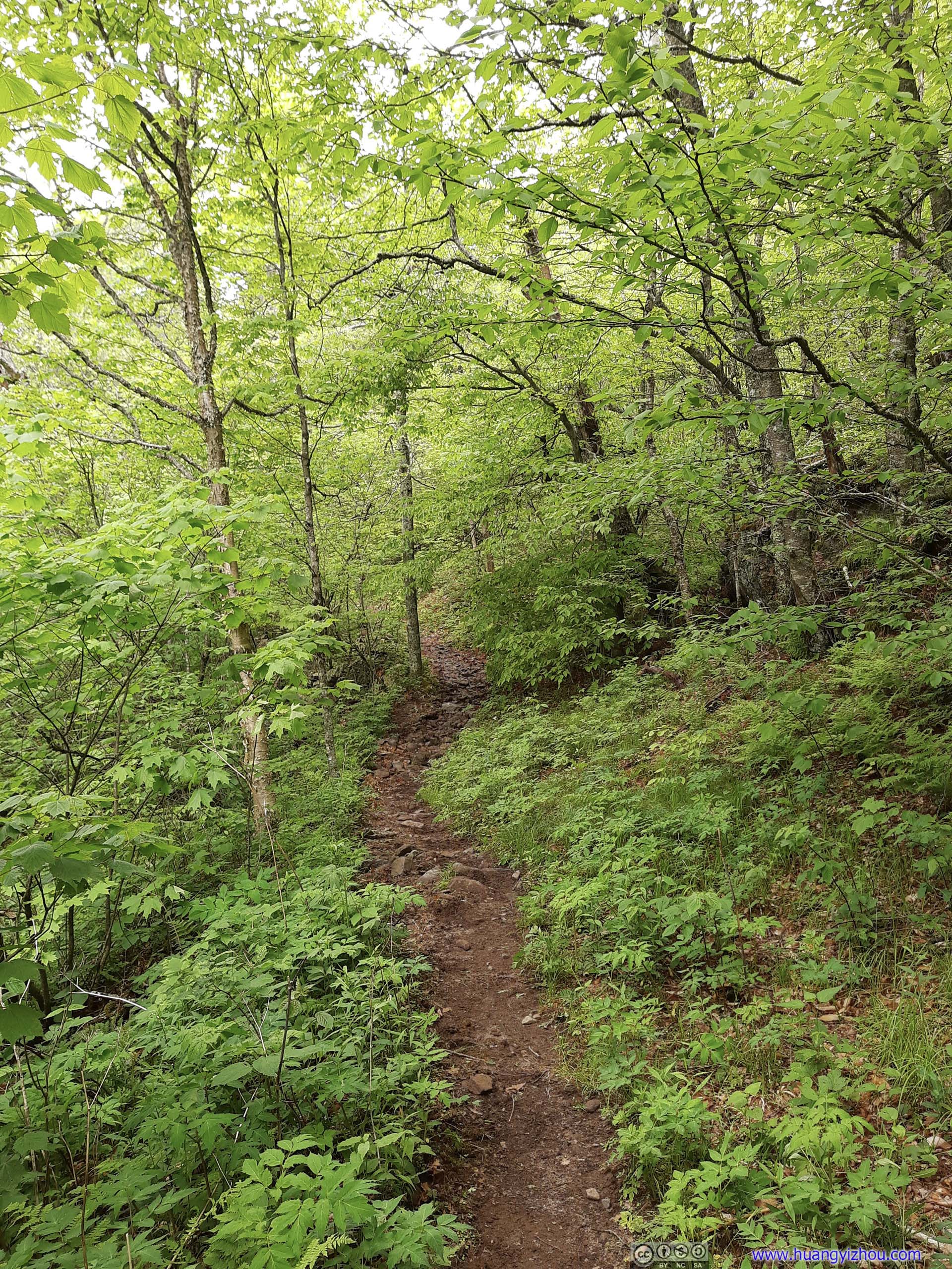
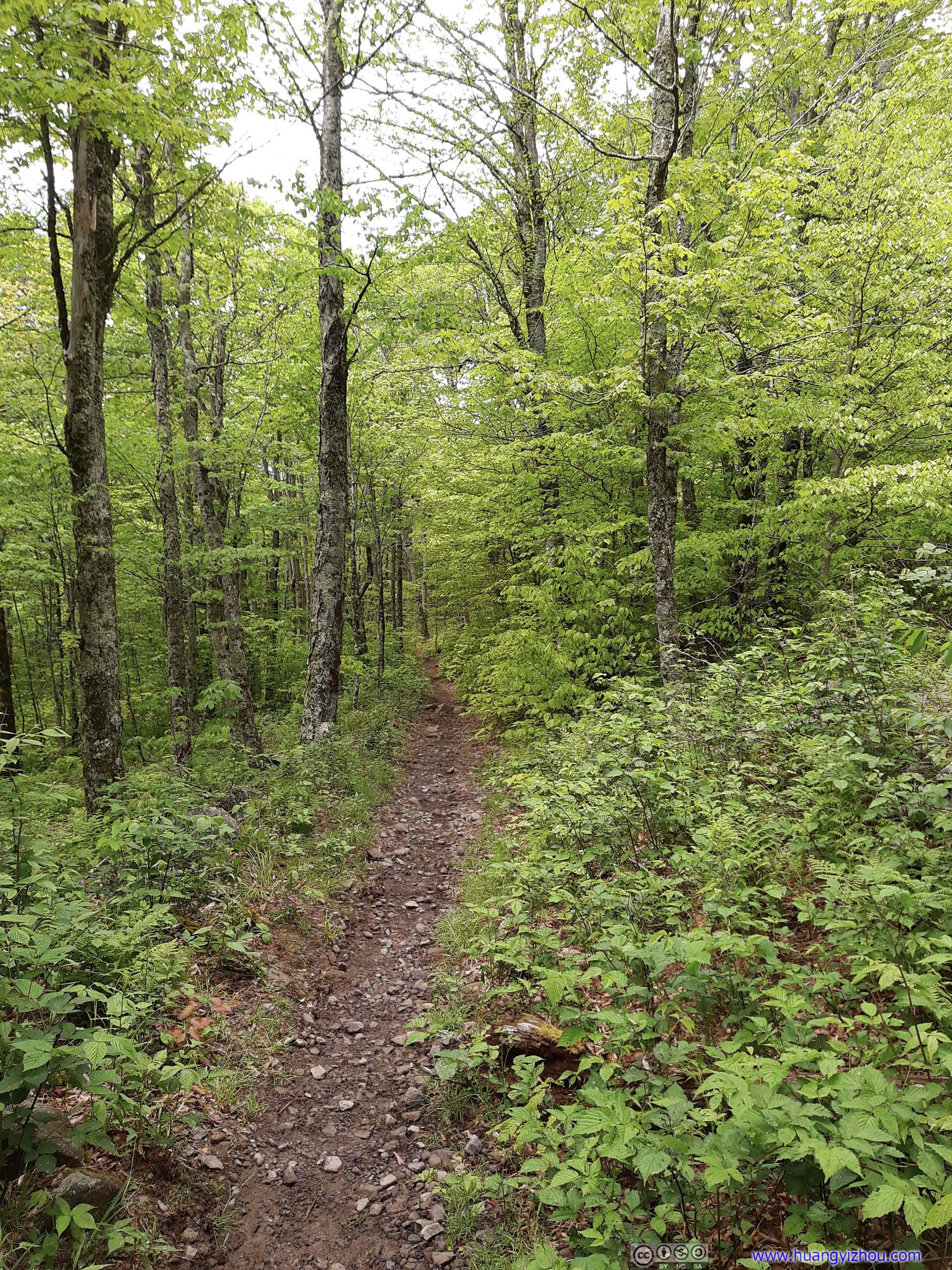
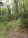
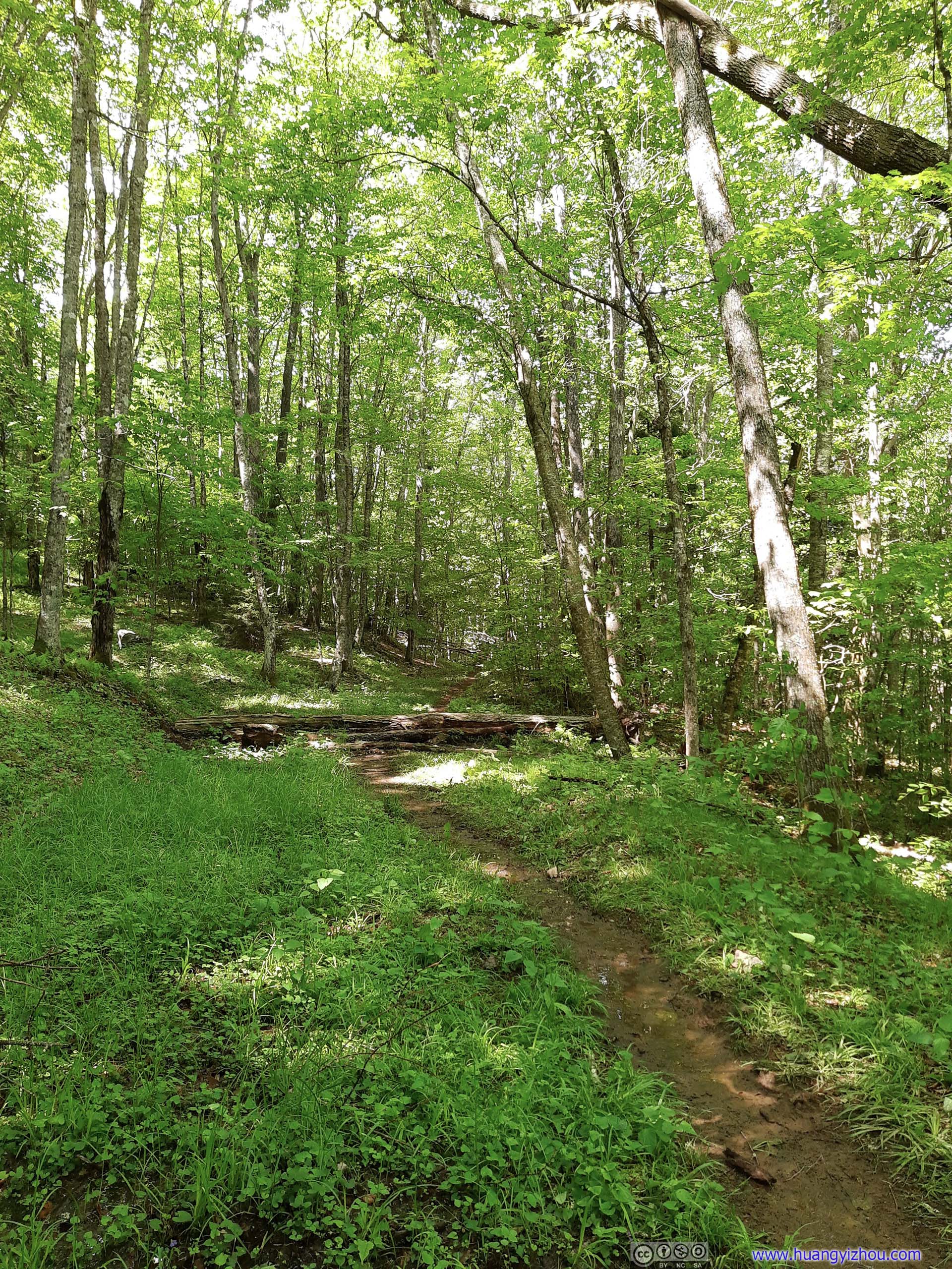
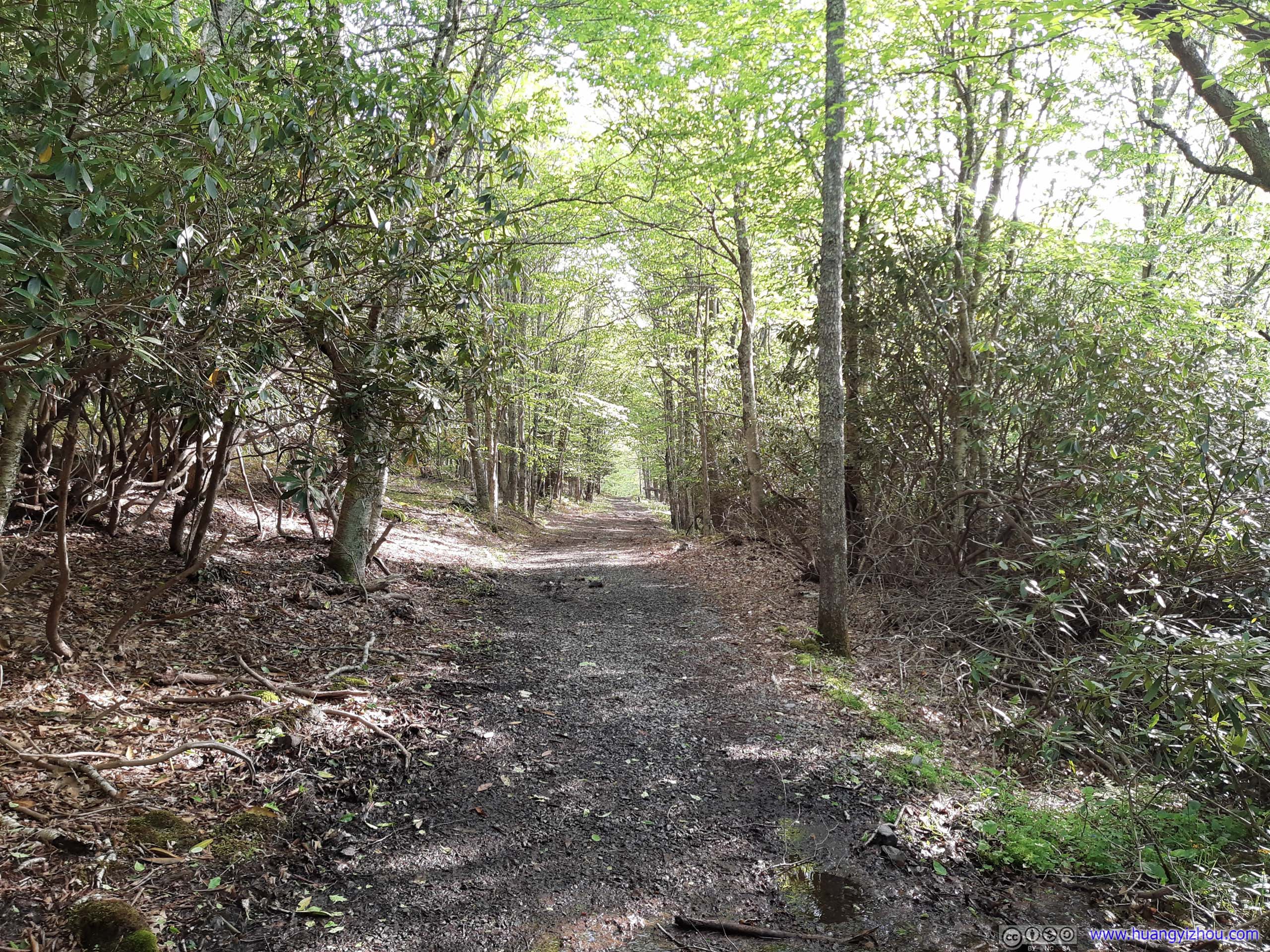
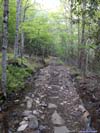
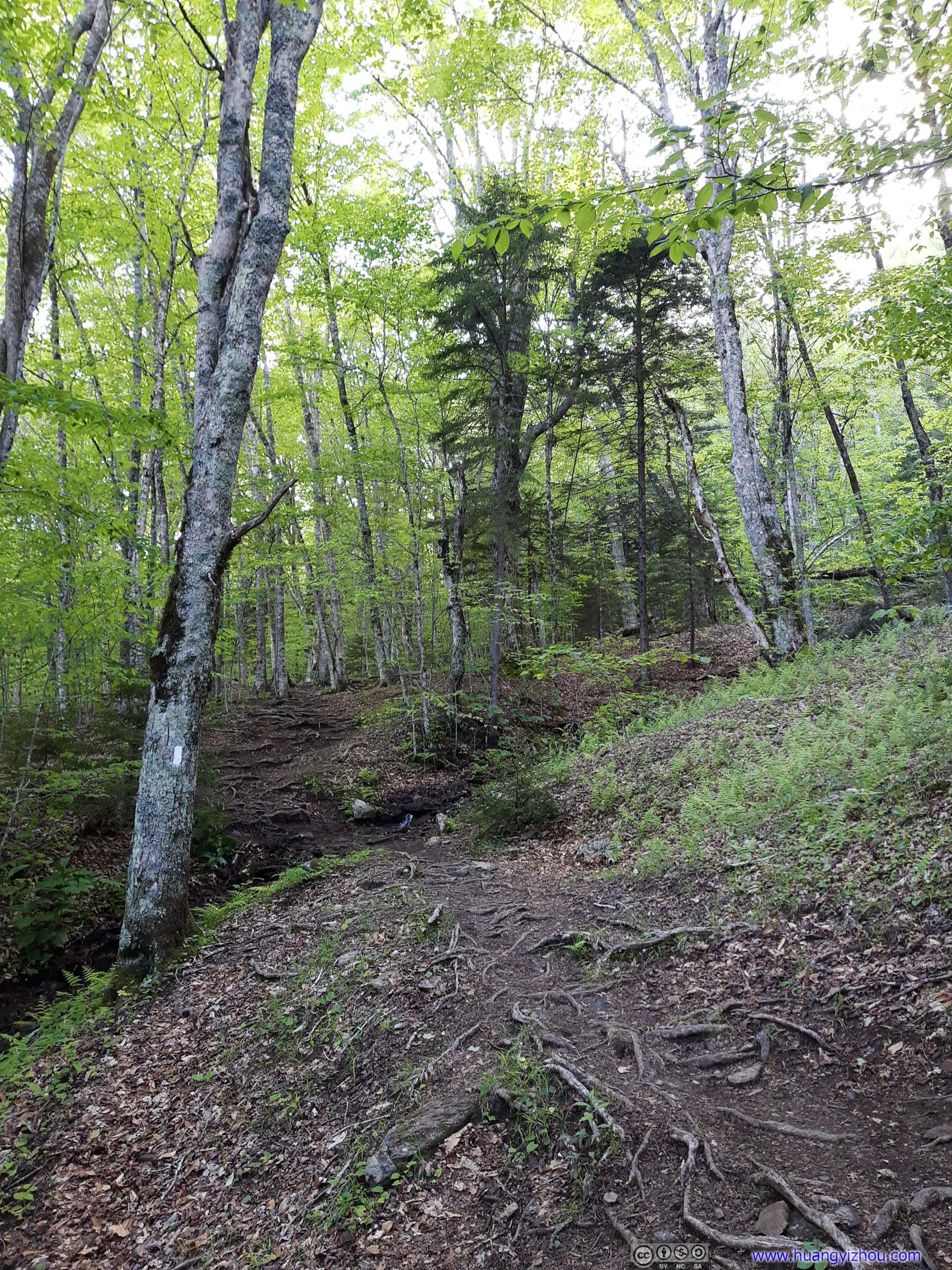
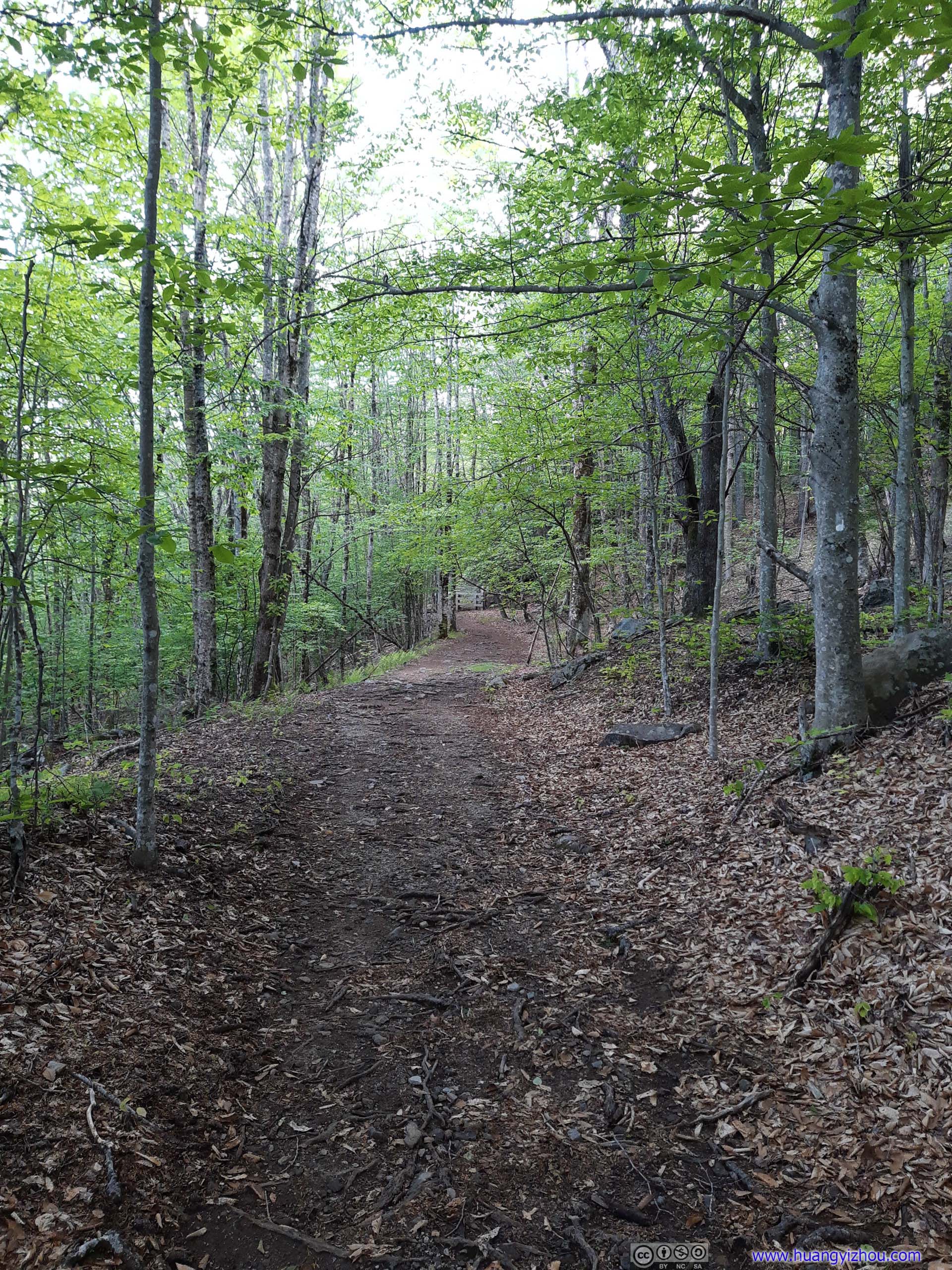
At 2:15pm, I went onto Mount Rogers Trail (brown on map). It’s much narrower, among a diverse forest landscape. There were quite a few muddy spots, especially towards the end, which was quite disheartening.
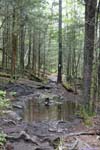
At 3:07pm, I reached the intersection of Mount Rogers and Lewis Fork Trail, where I could rest my legs on a few stumps (there weren’t any good spots to rest along Mount Rogers Trail). Here I ran into another group of hikers that were doing a similar loop as me but in reverse direction. They informed me that Lewis Fork Trail was “very very muddy”, which sunk my heart.
If there had to be some encouraging news, they took the “lower” part of Lewis Fork Trail (dashed red line on map, shorter but with more elevation gain), and I intended to take the “upper” part (cyan line on map). I consoled myself that things wouldn’t be as wet on higher elevations.
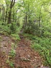
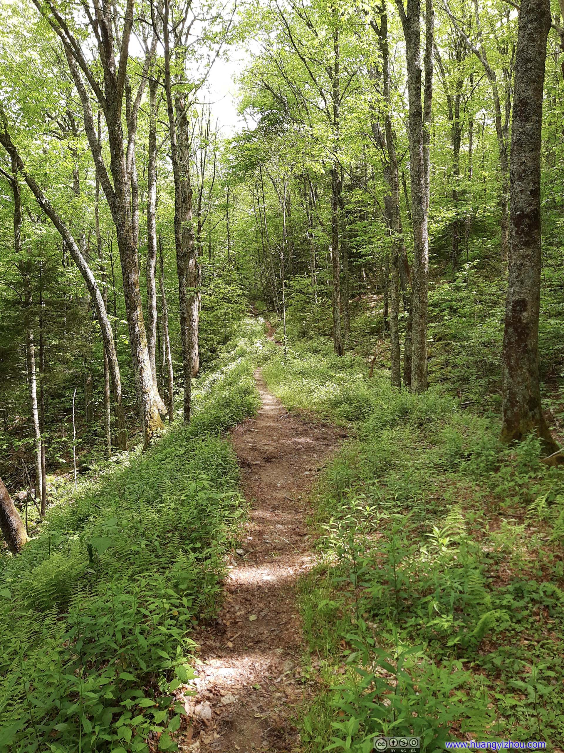
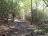
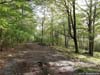
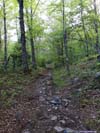
 Lewis Fork TrailThe trail began in great condition, a pleasant walk in the woods.
 Lewis Fork TrailThe trail began in great condition, a pleasant walk in the woods.
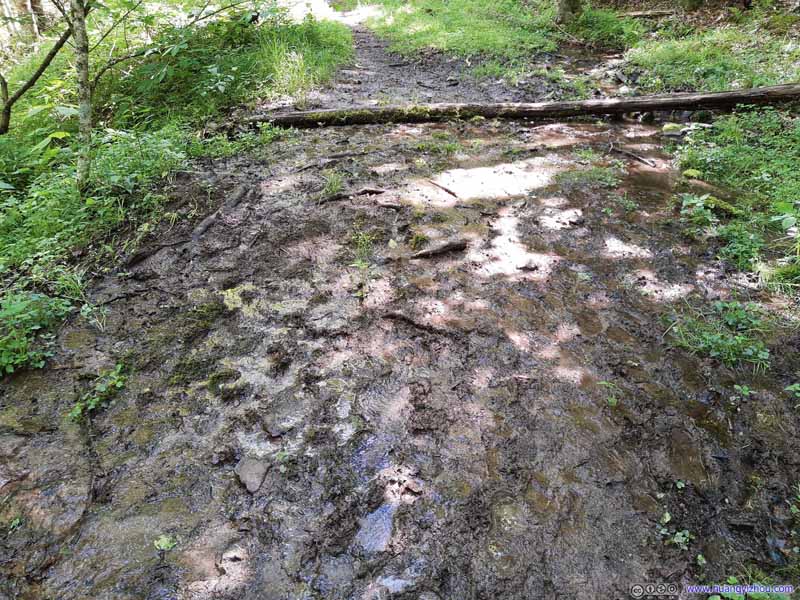
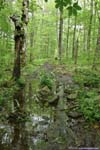
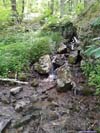
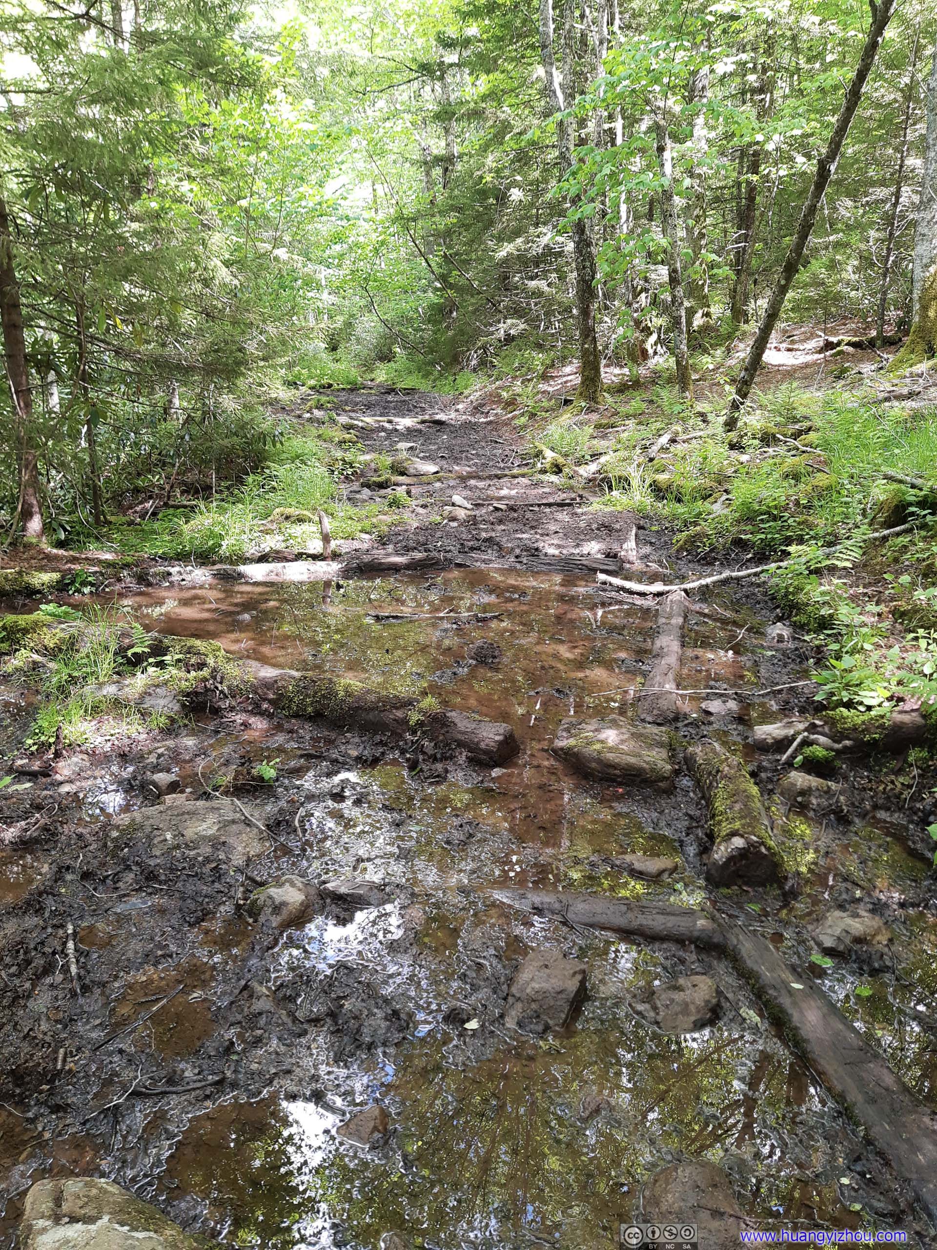
 Muddy Section of Lewis Fork Trail
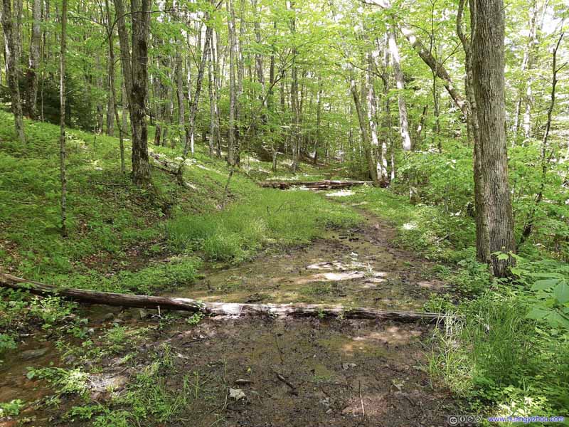
Then just before the intersection of upper and lower Lewis Fork Trail, it entered a very muddy section.
Muddy Section of Lewis Fork Trail
Then just before the intersection of upper and lower Lewis Fork Trail, it entered a very muddy section. Muddy Section of Lewis Fork Trail
Then just before the intersection of upper and lower Lewis Fork Trail, it entered a very muddy section.
Muddy Section of Lewis Fork Trail
Then just before the intersection of upper and lower Lewis Fork Trail, it entered a very muddy section. Lewis Fork TrailThe few sections that weren’t as wet.
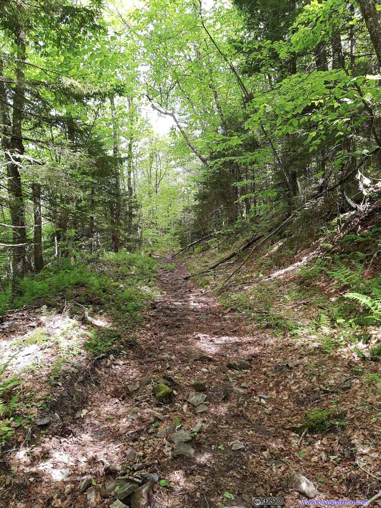 Lewis Fork TrailThe few sections that weren’t as wet.
Click here to display photos of the Lewis Fork Trail.
Lewis Fork TrailThe trail began in great condition, a pleasant walk in the woods.
Lewis Fork TrailThe trail began in great condition, a pleasant walk in the woods.

Muddy Section of Lewis Fork Trail

Muddy Section of Lewis Fork Trail

Muddy Section of Lewis Fork Trail
Lewis Fork TrailThe few sections that weren’t as wet.

Lewis Fork TrailThe few sections that weren’t as wet.
It turned out that sections of Lewis Fork Trail, especially the southern part, was muddy as hell. With the aid of hiking poles, my passage wasn’t that torturous. The previous group of hikers informed me that Lewis Fork Trail was mainly intended for horses, so there wasn’t as much incentive to construct drainage and improvements along it.
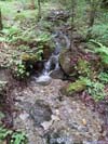
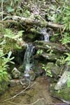
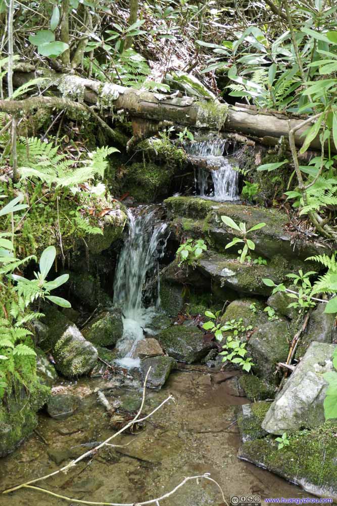 CreekA few creeks were flowing down the mountain, crossing the trail at various places.
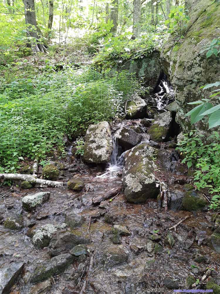 CreekA few creeks were flowing down the mountain, crossing the trail at various places.
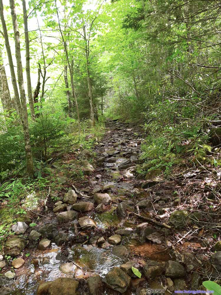 Wet Trail
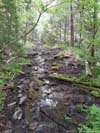
Unfortunately, instead of being channeled directly down the hill, the water from those creeks would often flow along the trail for some distance, and that created multiple wet sections like this.
Wet Trail
Unfortunately, instead of being channeled directly down the hill, the water from those creeks would often flow along the trail for some distance, and that created multiple wet sections like this.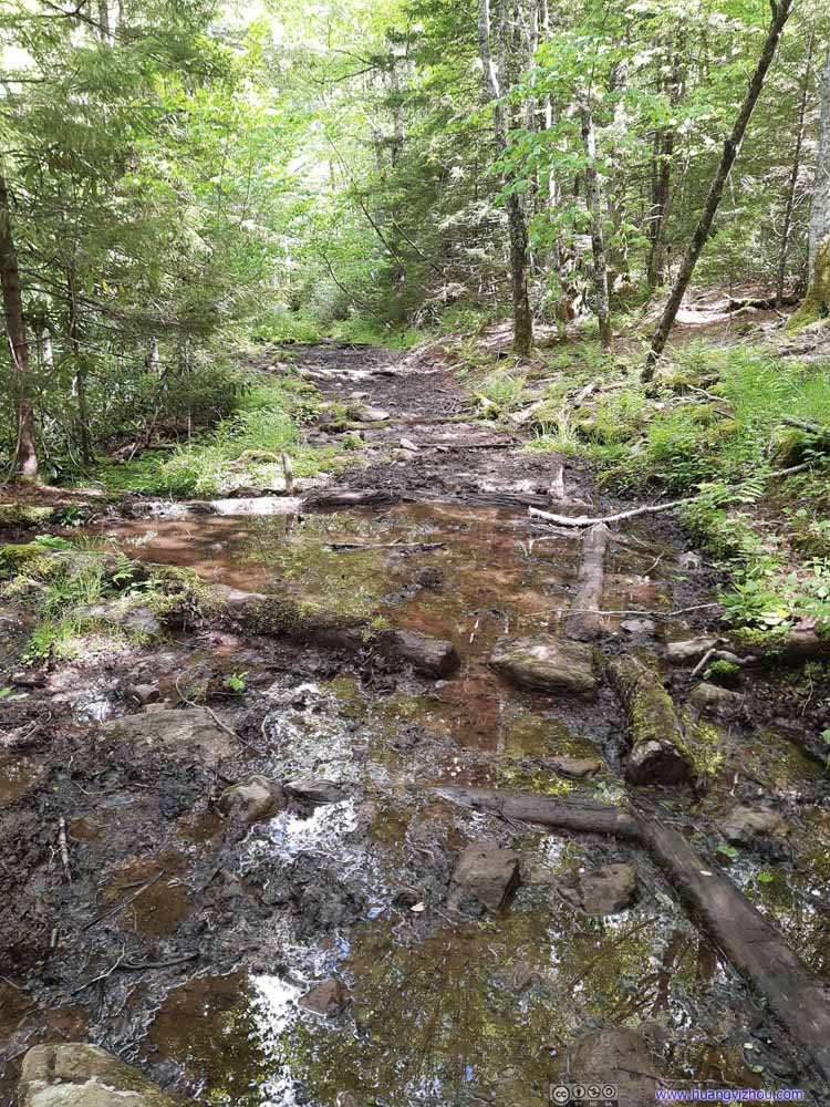 Wet Trail
Unfortunately, instead of being channeled directly down the hill, the water from those creeks would often flow along the trail for some distance, and that created multiple wet sections like this.
Wet Trail
Unfortunately, instead of being channeled directly down the hill, the water from those creeks would often flow along the trail for some distance, and that created multiple wet sections like this.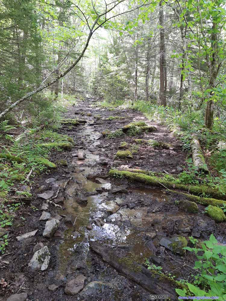 Wet Trail
Unfortunately, instead of being channeled directly down the hill, the water from those creeks would often flow along the trail for some distance, and that created multiple wet sections like this.
Wet Trail
Unfortunately, instead of being channeled directly down the hill, the water from those creeks would often flow along the trail for some distance, and that created multiple wet sections like this. Lewis Fork TrailThe few sections that weren’t as wet.
 Lewis Fork TrailFinally, Approaching Crest Trail, familiar landscape was coming up.


Click here to display photos of the Lewis Fork Trail.

 CreekA few creeks were flowing down the mountain, crossing the trail at various places.

Wet Trail
Wet Trail

Wet Trail
Wet Trail
Wet Trail
Lewis Fork TrailThe few sections that weren’t as wet.
Lewis Fork TrailFinally, Approaching Crest Trail, familiar landscape was coming up.
Crest Trail
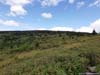
Finally, at 4:40pm, I came out of the miseries of mud along Lewis Fork Trail, and back to the sunlit Crest Trail.
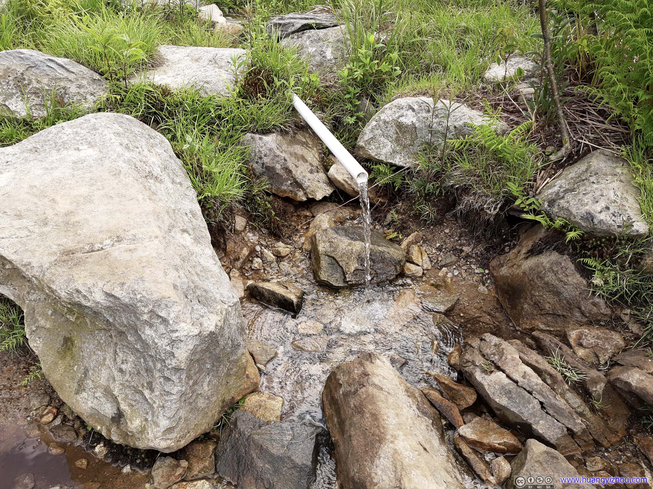
Nearby there was a campground and another water source, which I assumed to be untreated spring water. I had enough water in the backpack so I didn’t check it out.
 Looking back at Wilburn Ridge
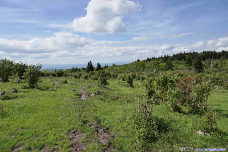 Fields
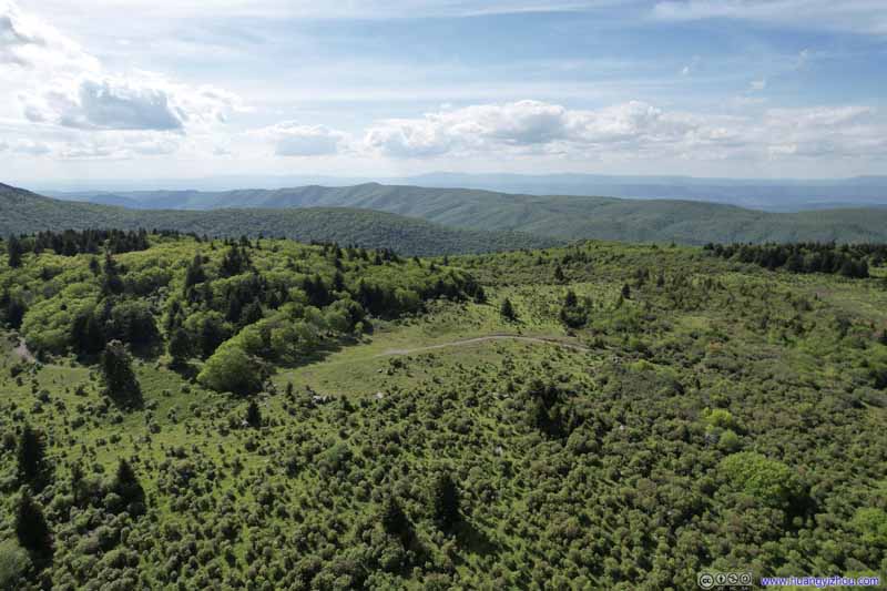 Overlooking Crest TrailWhere Lewis Fork Trail joined Crest Trail.
 Fields
 Fields
 Overlooking Crest Trail
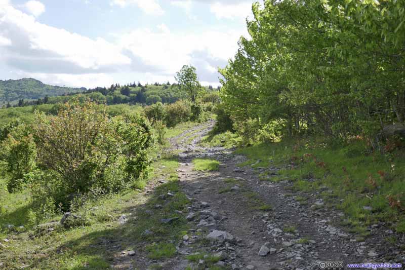 Crest Trail
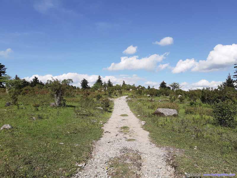 Crest Trail

Click here to display photos of the slideshow
Looking back at Wilburn Ridge
Fields
Overlooking Crest TrailWhere Lewis Fork Trail joined Crest Trail.
Fields
Fields
Overlooking Crest Trail
 Crest Trail
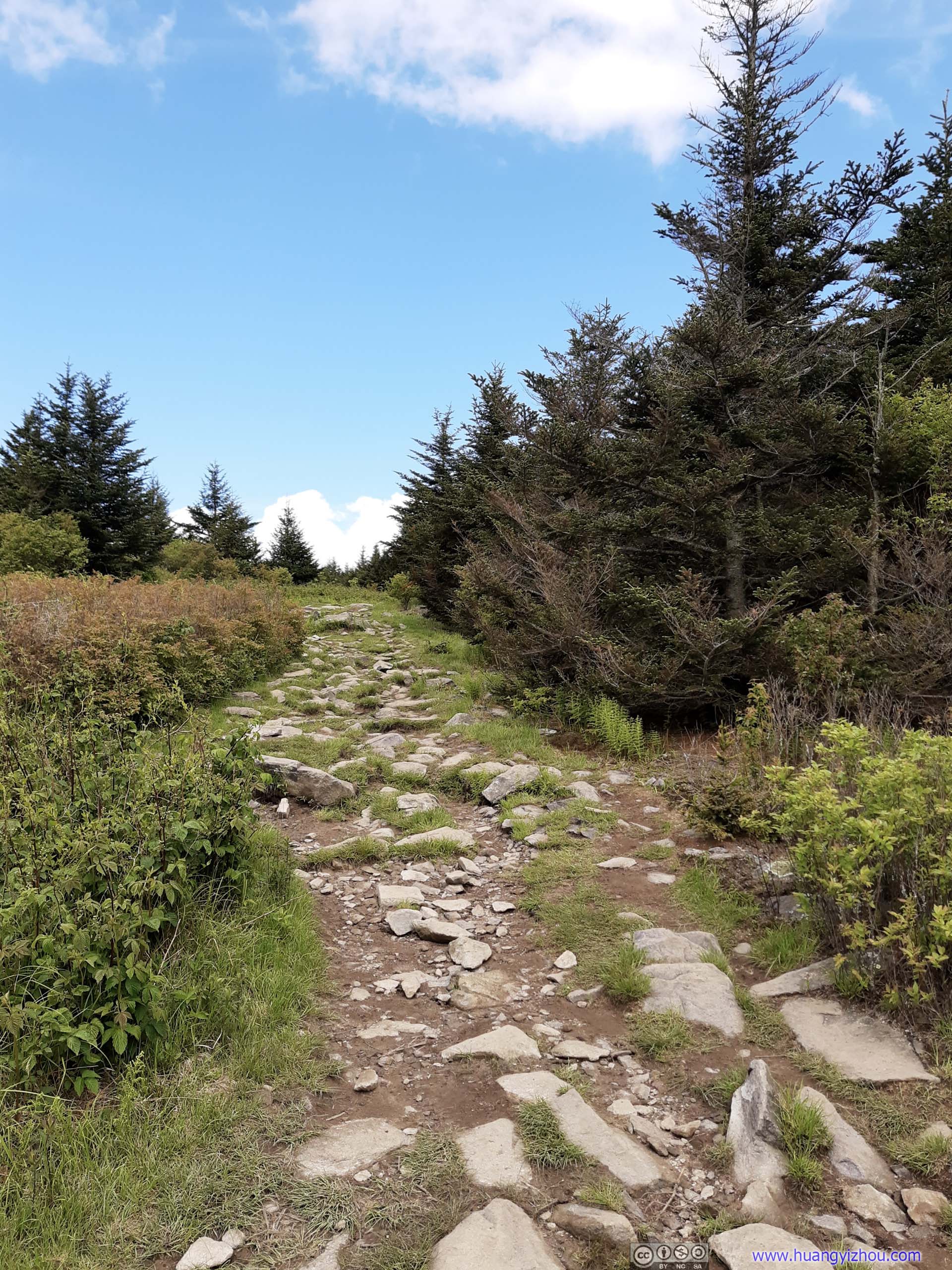
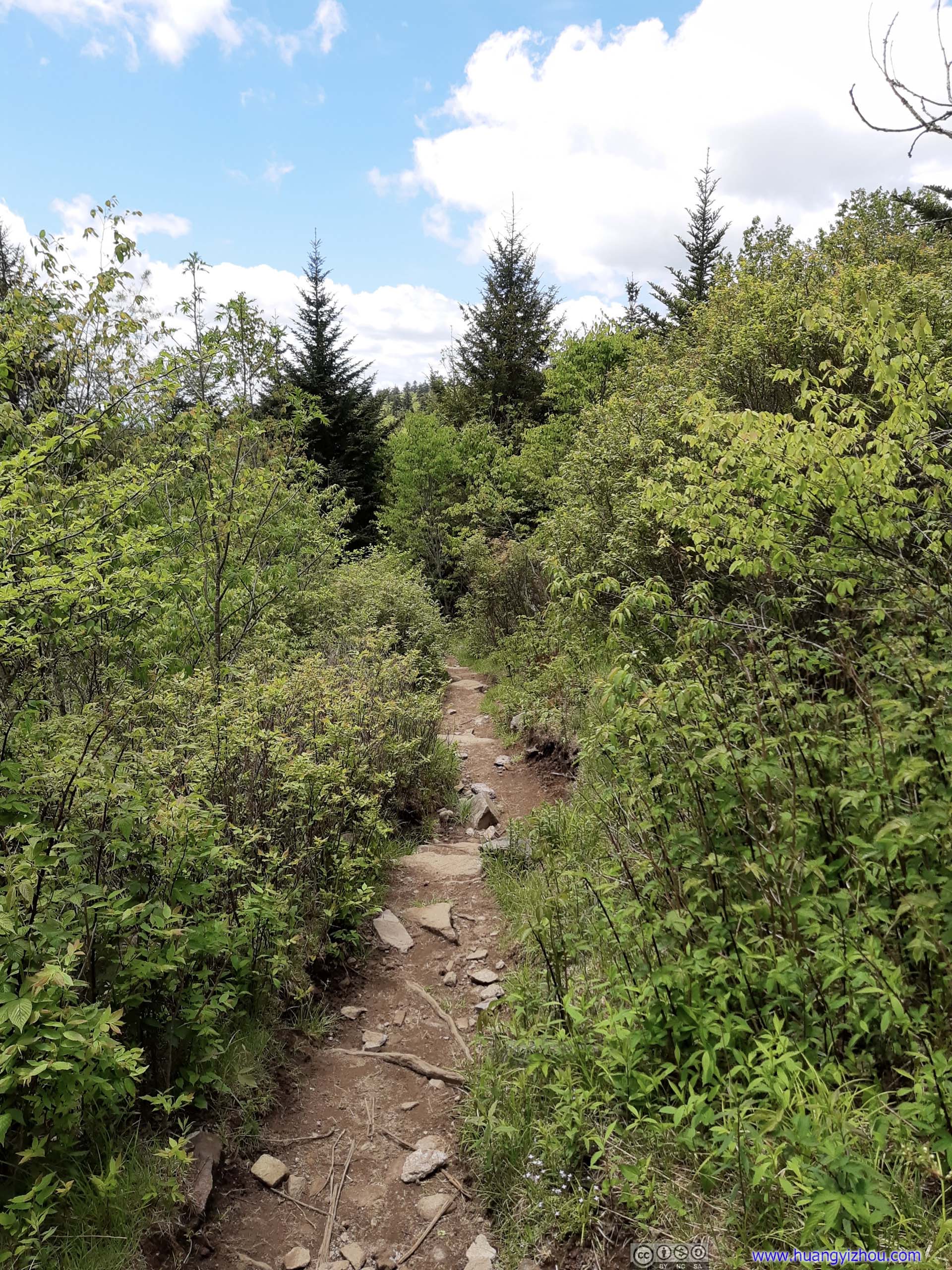
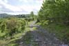
For Crest Trail, it’s rather a gravel road for forest rangers’ ATVs, so for hiking it’s actually in decent shape. Despite that, there were still a few muddy spots.
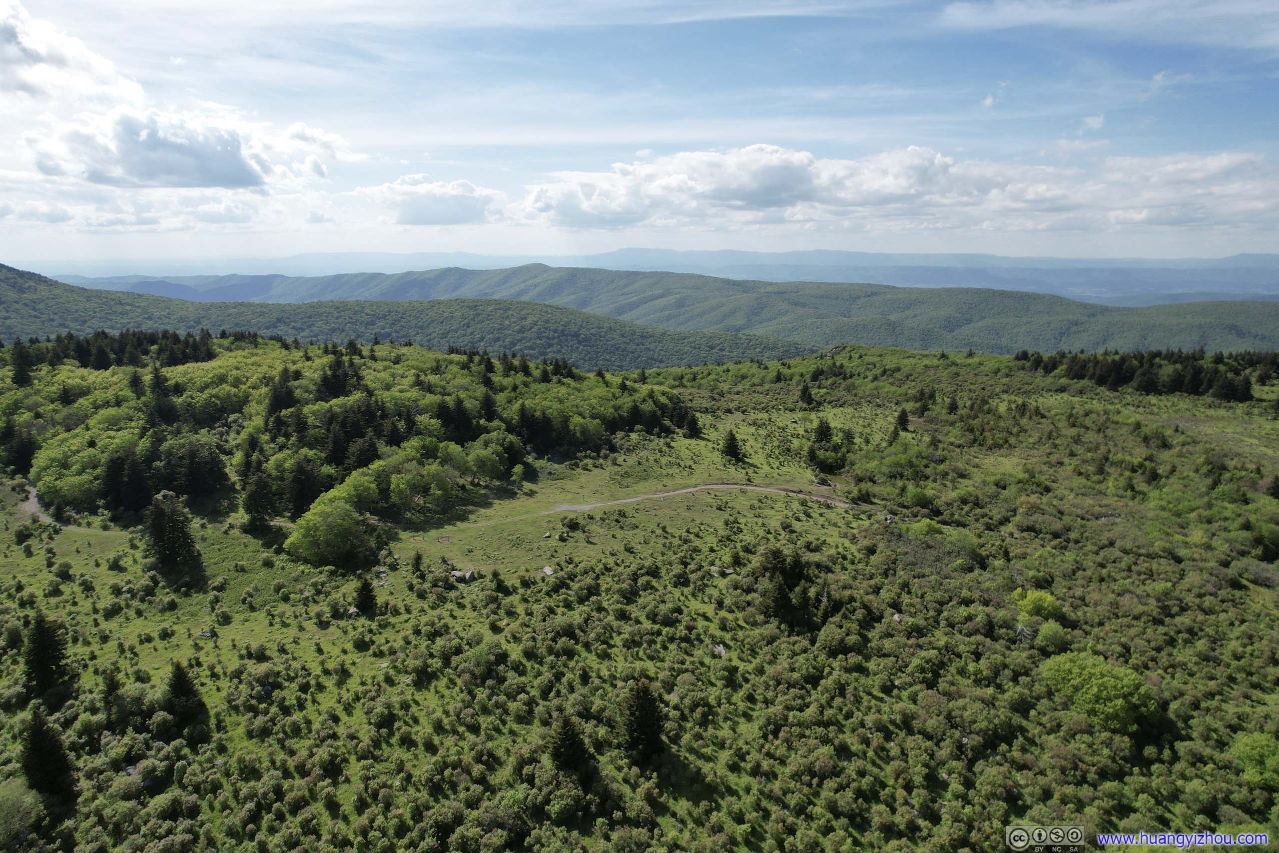
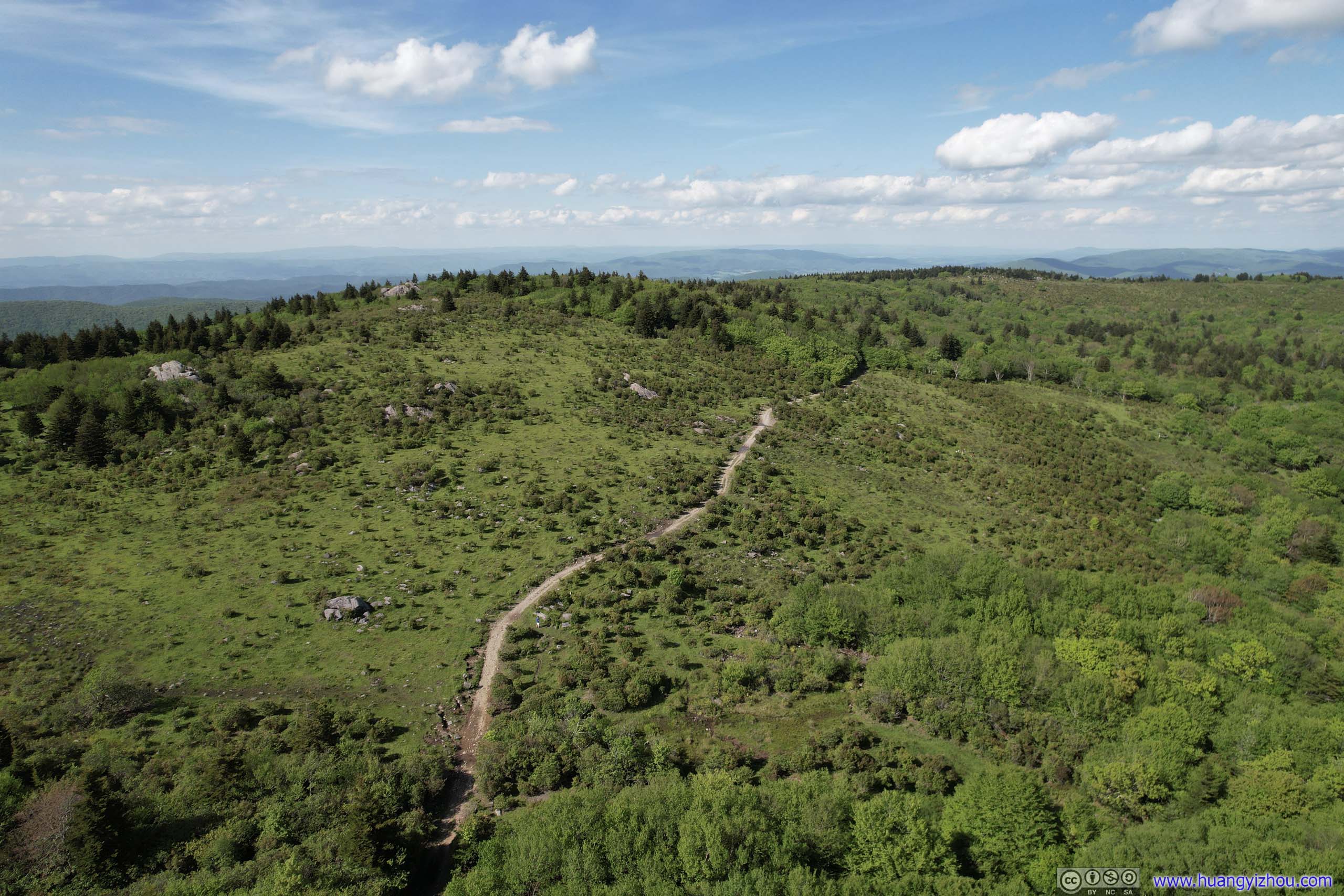
And with open fields surrounding Crest Trail, I launched my drone for an aerial tour. Here’s a video:
Overlooking Crest Trail
And I also tested out the drone’s “follow” feature, which worked great on such flat and open trail.
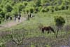
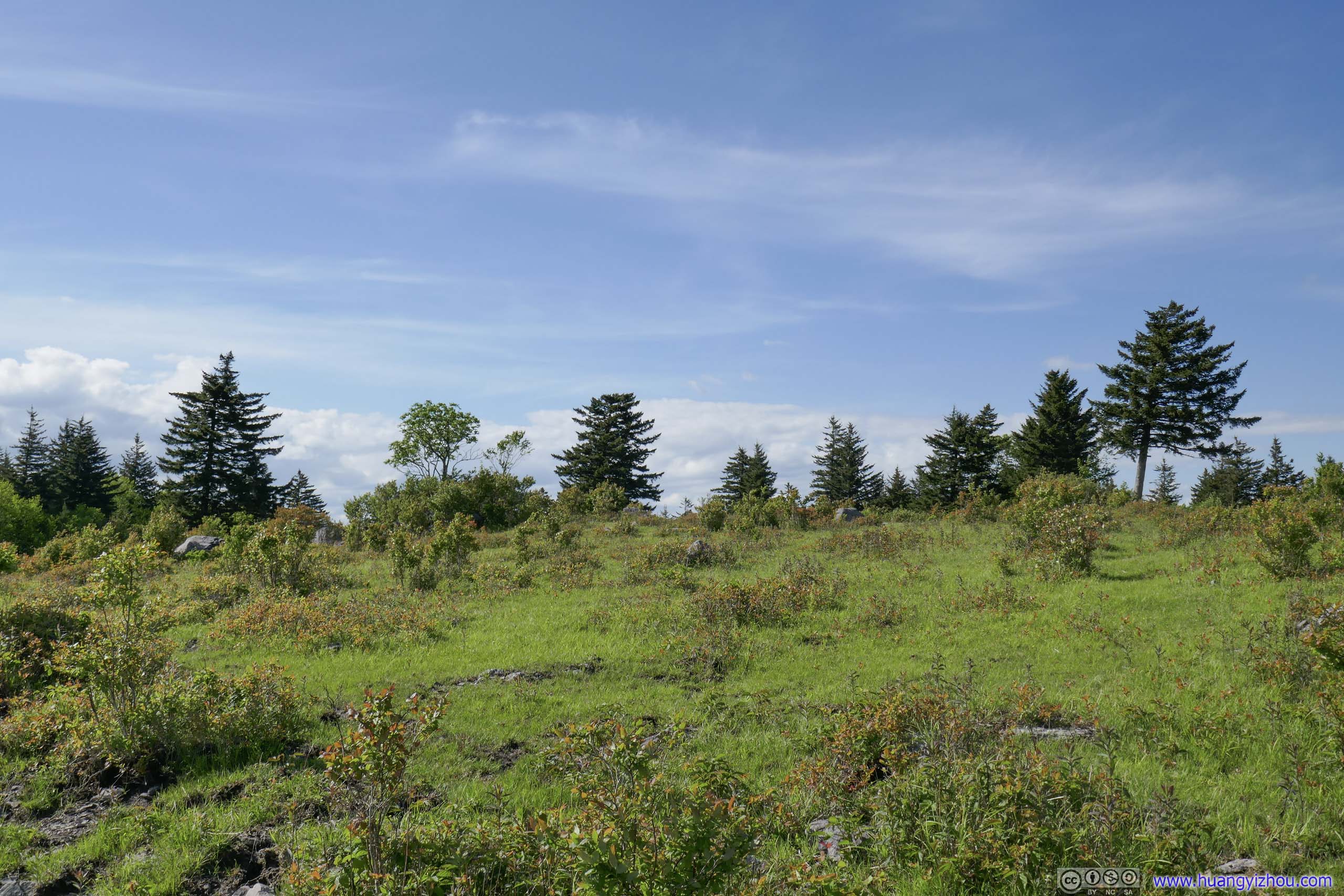
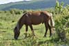
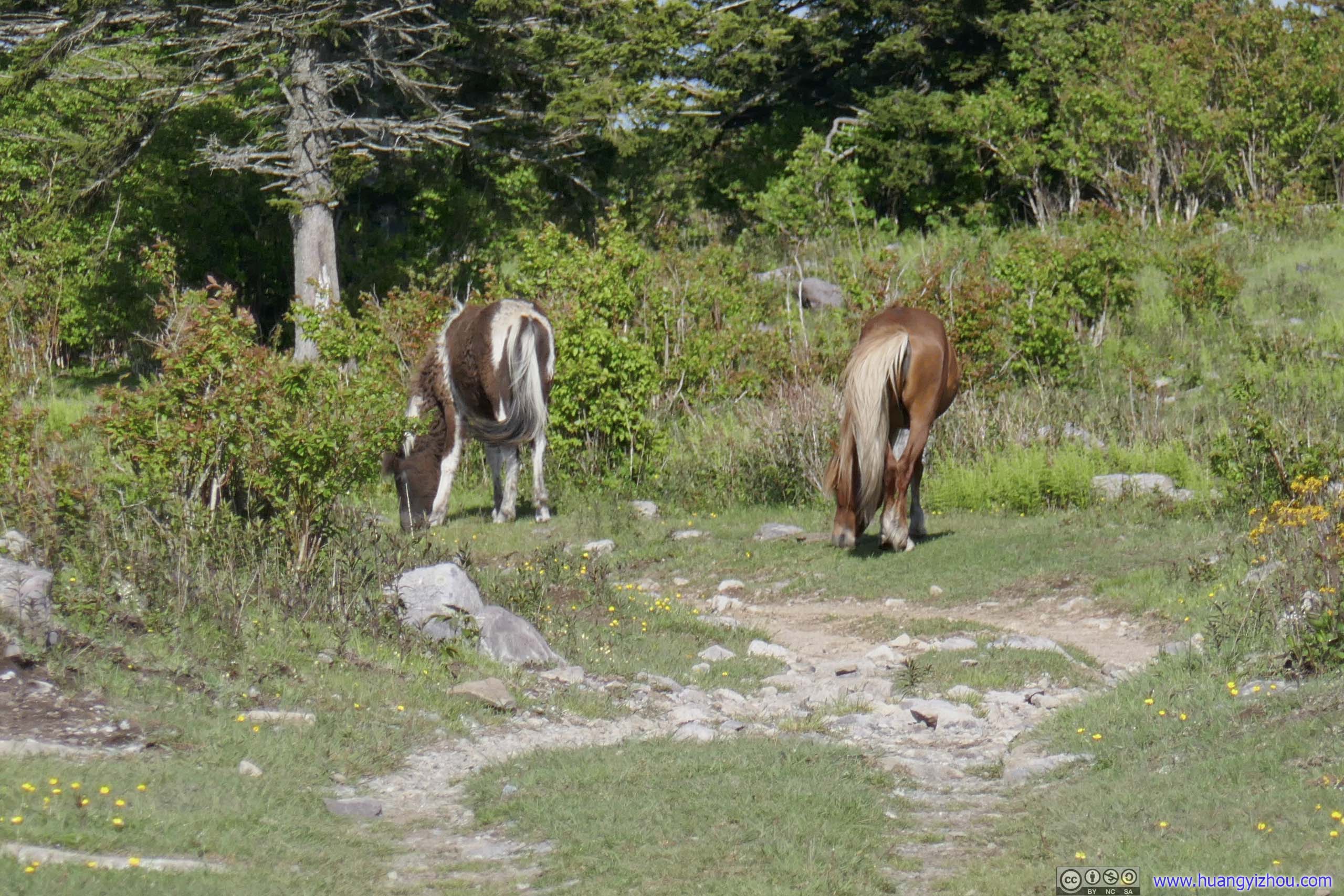
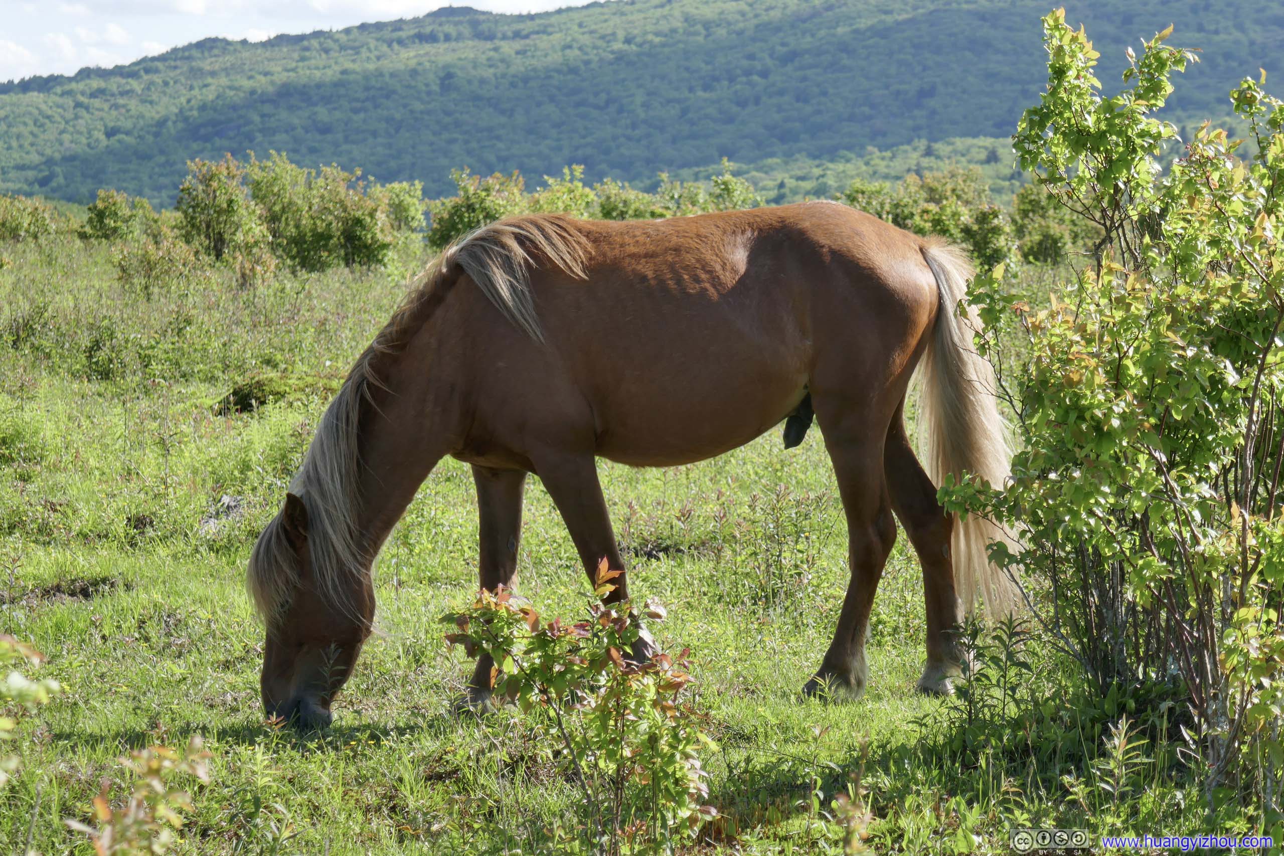
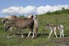
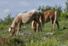
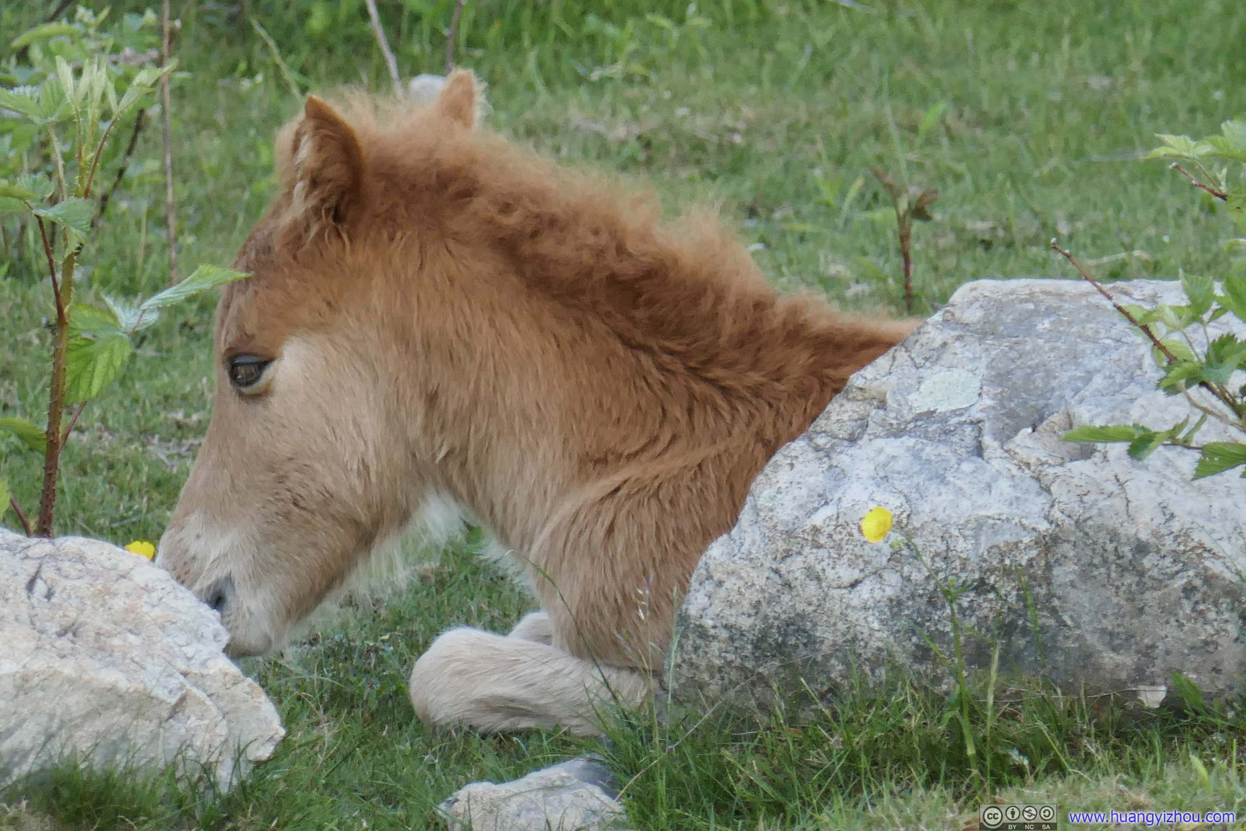
It’s also along Crest Trail that I ran into a few groups of ponies grazing. Otherwise, I would probably begin to doubt whether the ponies were really that popular since I saw few earlier today.
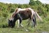
 Grazing HorsesAgainst the backdrop of Wilburn Ridge.
 HorsesAt first, they were grazing along the trail.
 HorsesUpon seeing my arrival, they retreated back to the fields.
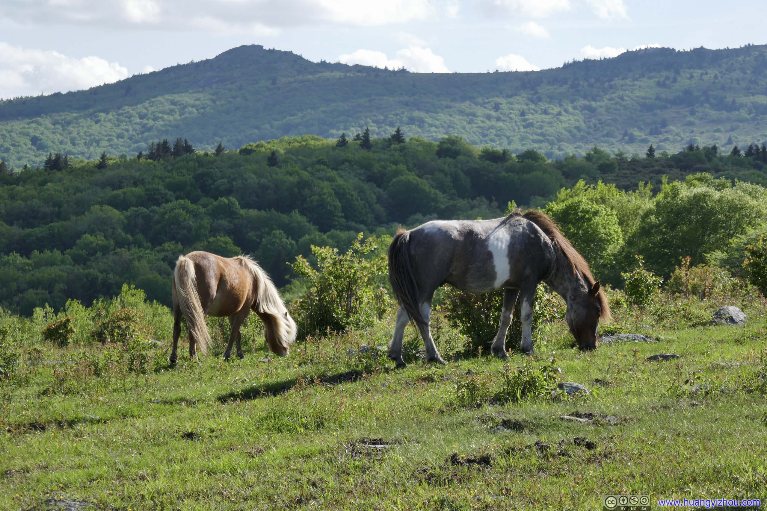
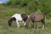
 HorsesThese two seem to be good friends of each other.
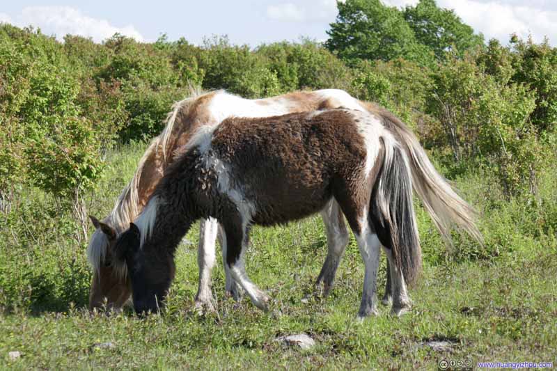 HorsesThese two seem to be good friends of each other.
 HorsesThen this one seemed to be deserted by the previous pair.
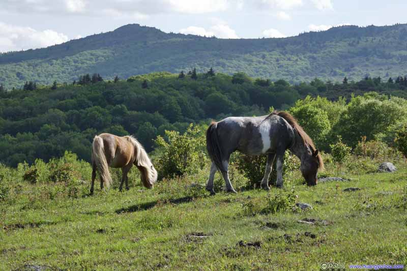 HorsesSome more horse sightings down the road.
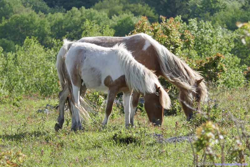 HorsesSome more horse sightings down the road.


Click here to display photos of the ponies.

Grazing HorsesAgainst the backdrop of Wilburn Ridge.
HorsesAt first, they were grazing along the trail.

HorsesUpon seeing my arrival, they retreated back to the fields.
 HorsesThese two seem to be good friends of each other.
HorsesThen this one seemed to be deserted by the previous pair.
 HorsesSome more horse sightings down the road.
At the end of Crest Trail it’s Scales Campground, reachable by car through a dirt road (FS613). It’s an enclosed campground, most likely to keep the horses from innocent campers.
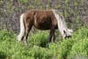
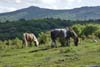
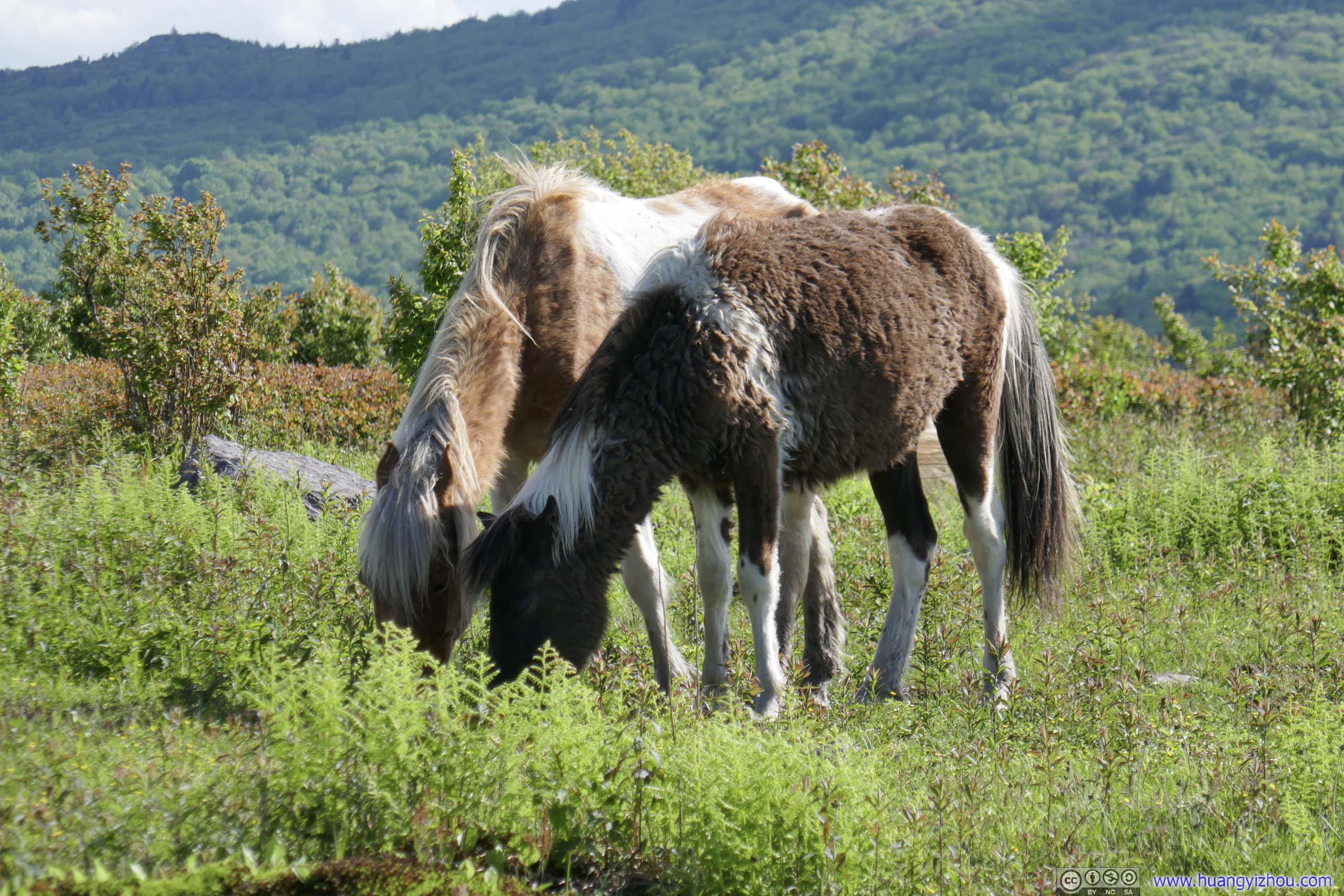
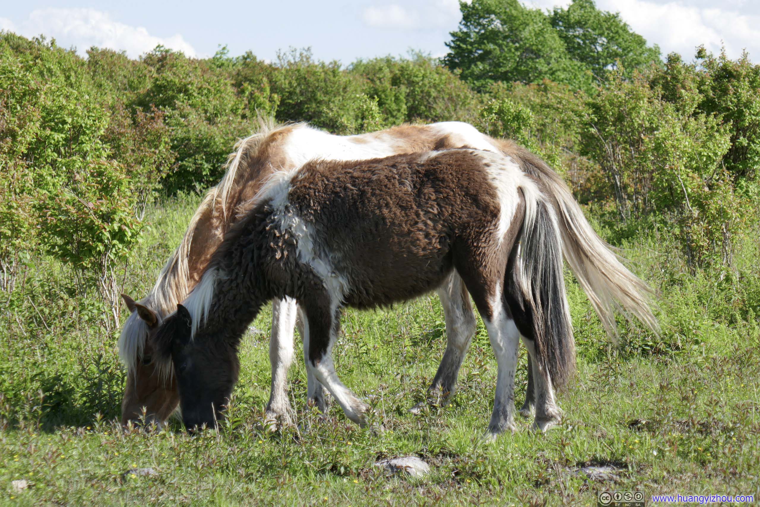
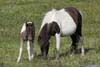
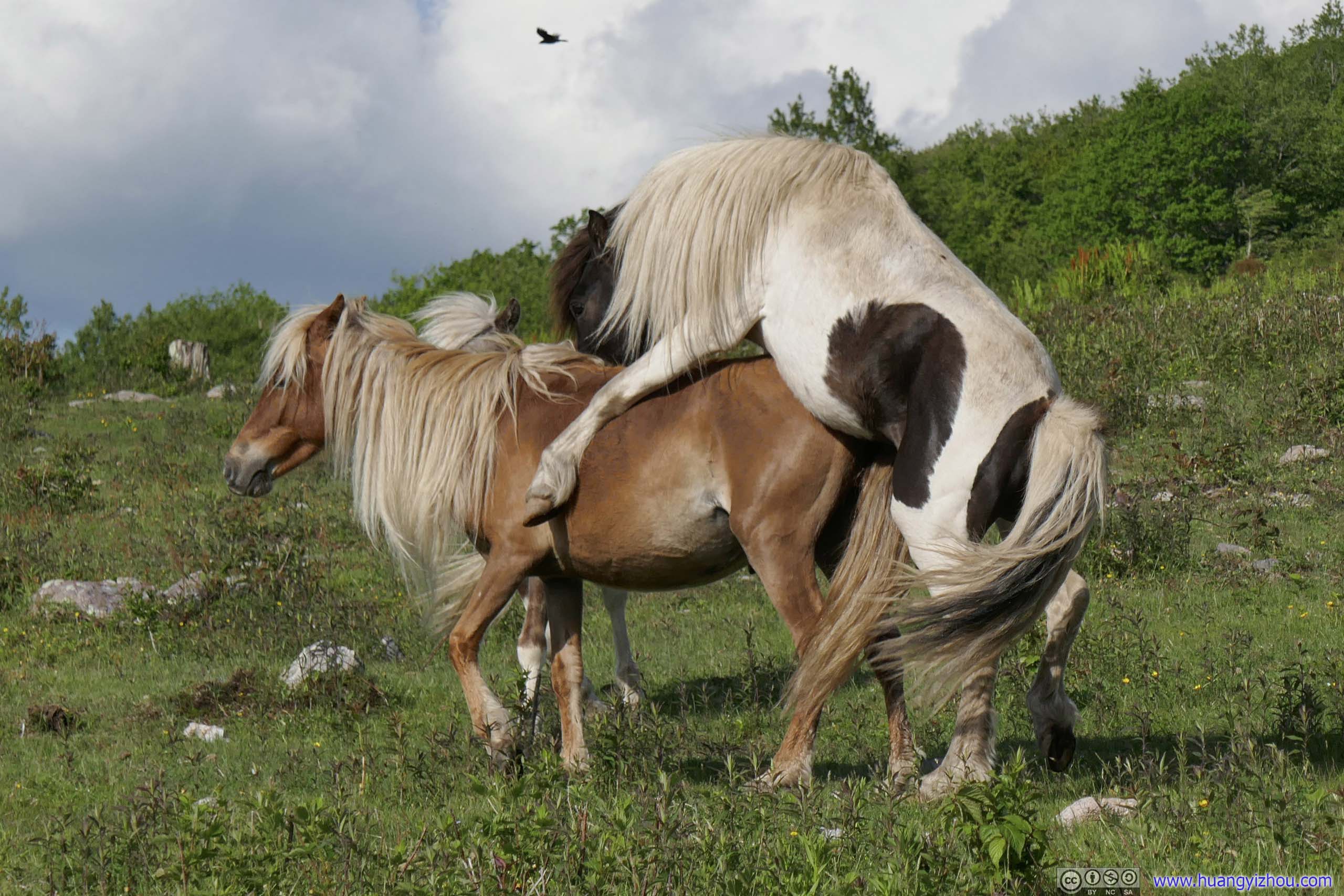
On a hill to the east of the campground, quite a few horses were grazing. I felt I hadn’t seen enough ponies for today, so I decided to check them out.
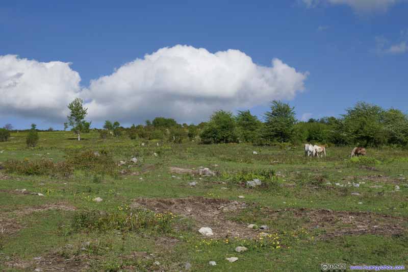 Hill off Scales CampgroundLots of horses were grazing on this patch of land.
 HorsesSome horse action scenes rated R.
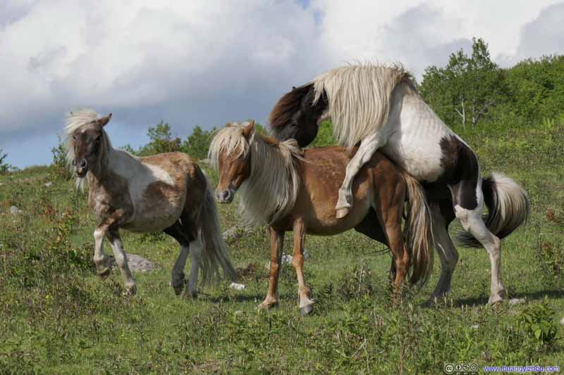 HorsesAnother male horse arriving at the scene. He certainly thought the brown horse was his lady.
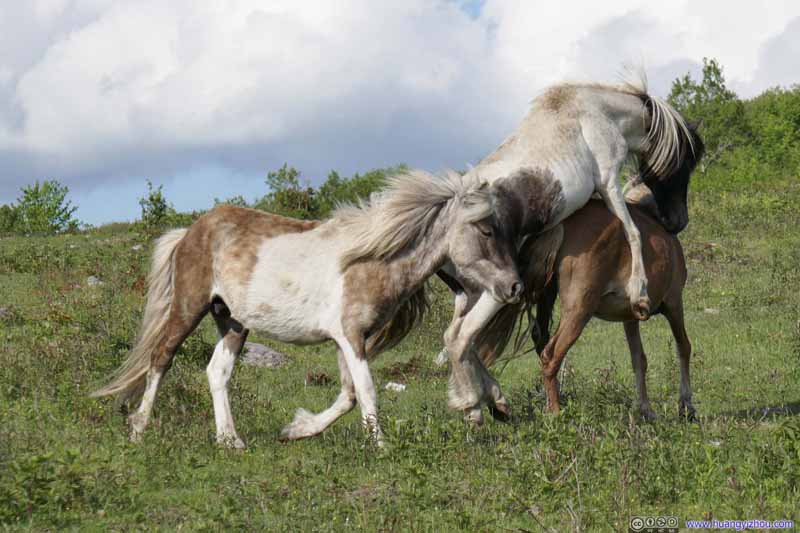 HorsesAnother male horse arriving at the scene. He certainly thought the brown horse was his lady.
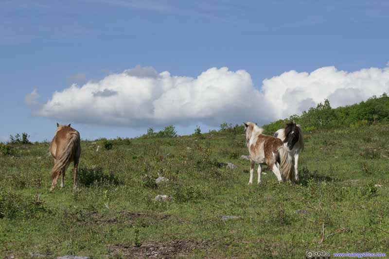 HorsesThe two males were having some words after the action.
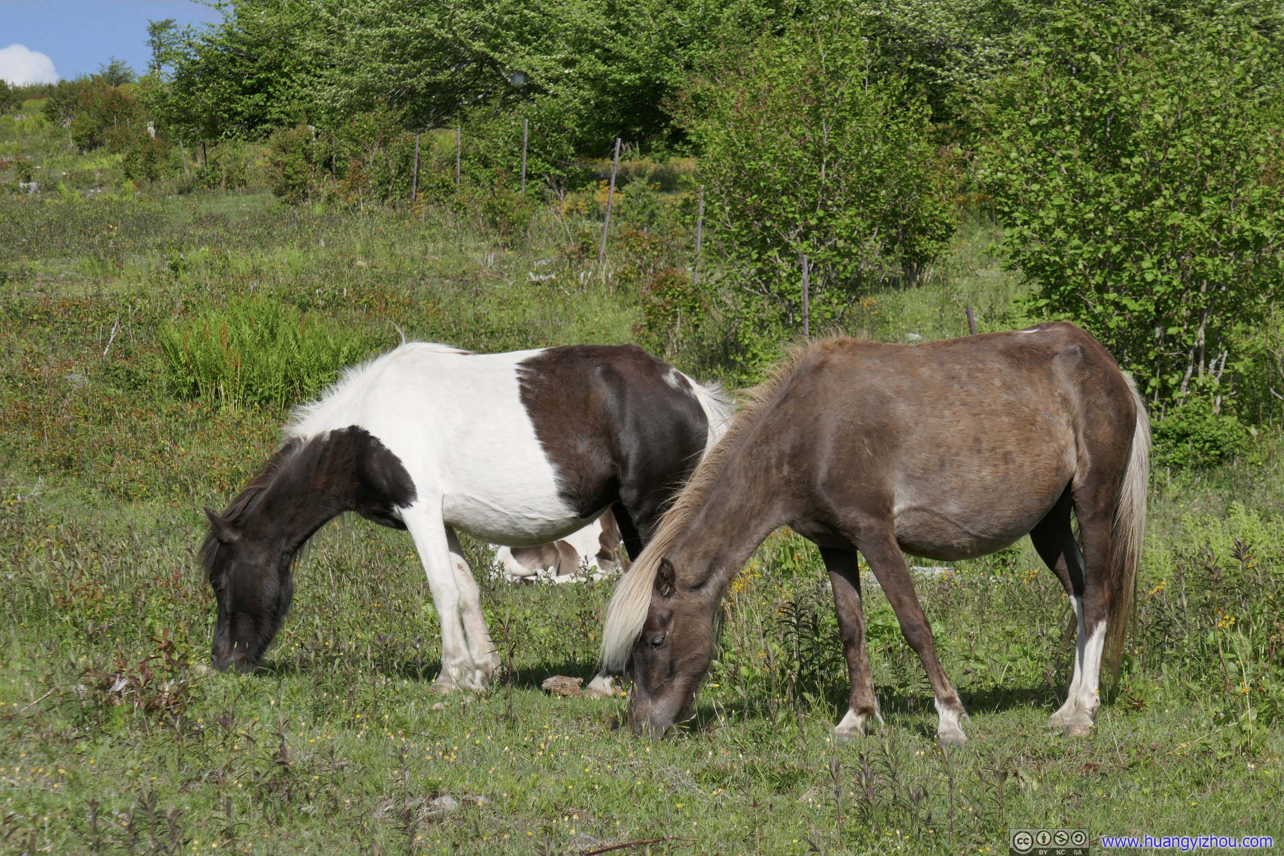
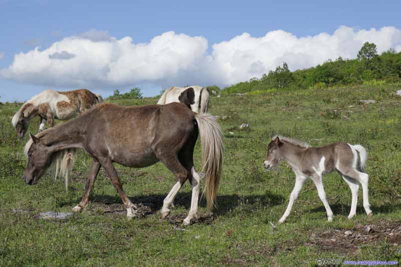 HorsesChange of subject for some family-oriented scenes.
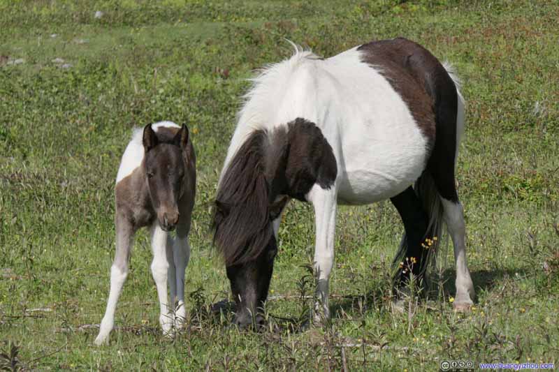 HorsesChange of subject for some family-oriented scenes.
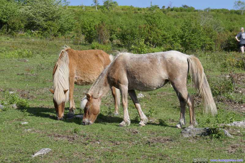 HorsesSome more tranquil scenes.
 HorsesSome more tranquil scenes.
 HorsesSome more tranquil scenes.


Click here to display photos of the slideshow

Hill off Scales CampgroundLots of horses were grazing on this patch of land.
HorsesSome horse action scenes rated R.

 HorsesAnother male horse arriving at the scene. He certainly thought the brown horse was his lady.

HorsesThe two males were having some words after the action.

 HorsesChange of subject for some family-oriented scenes.


 HorsesSome more tranquil scenes.
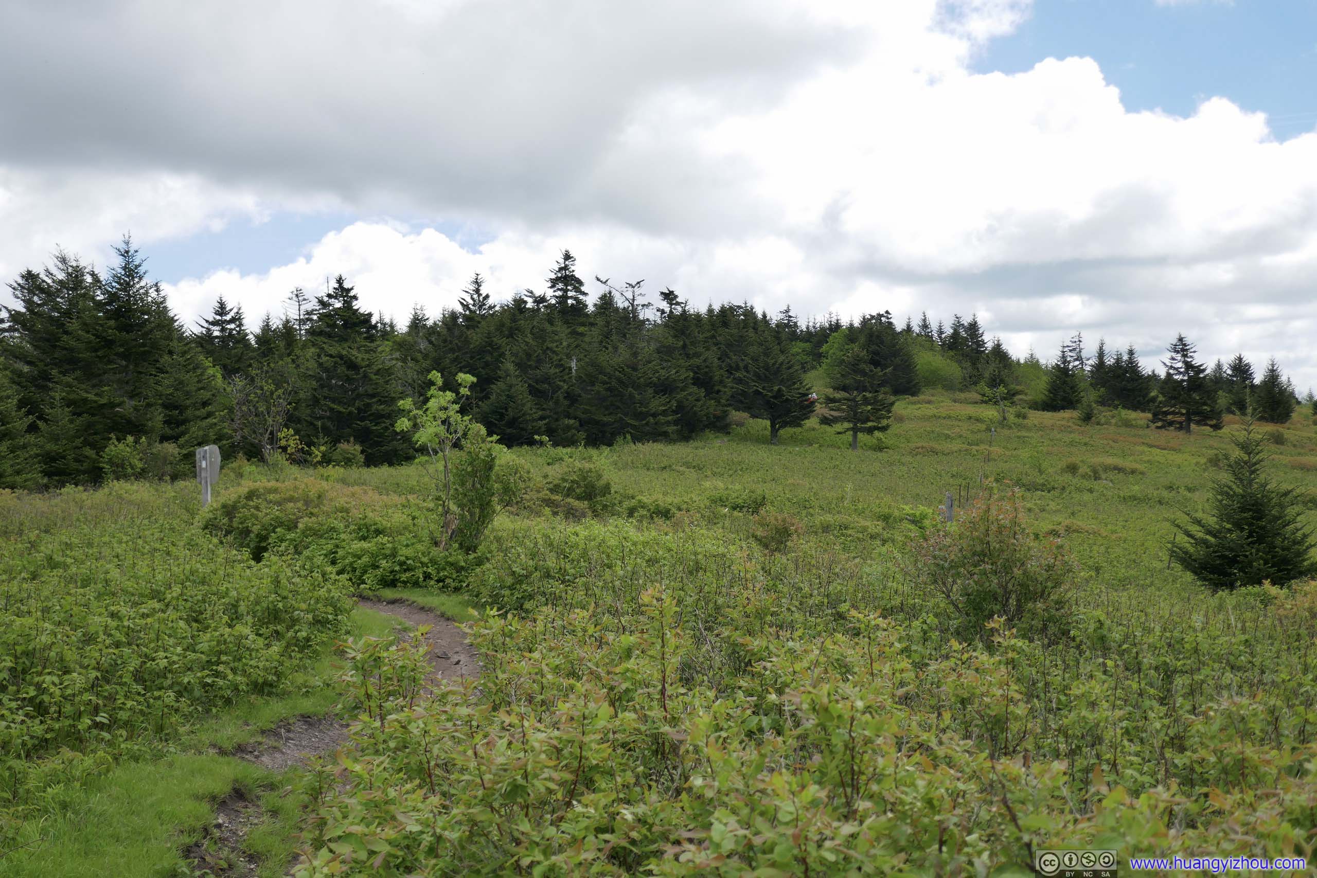
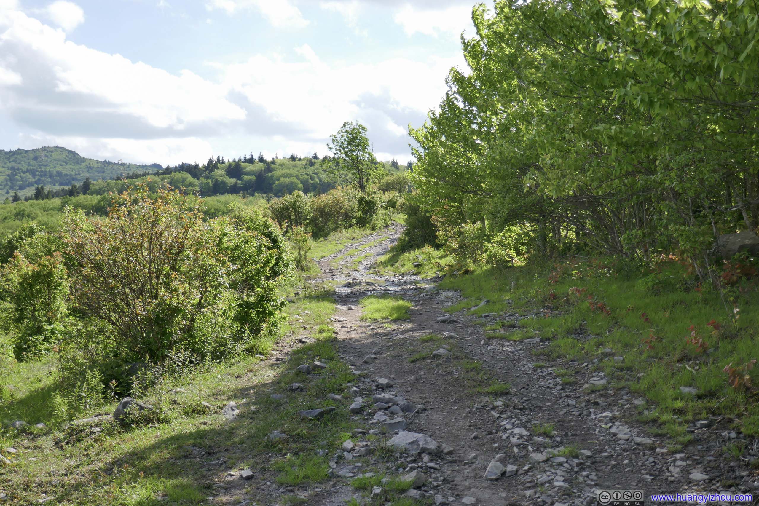
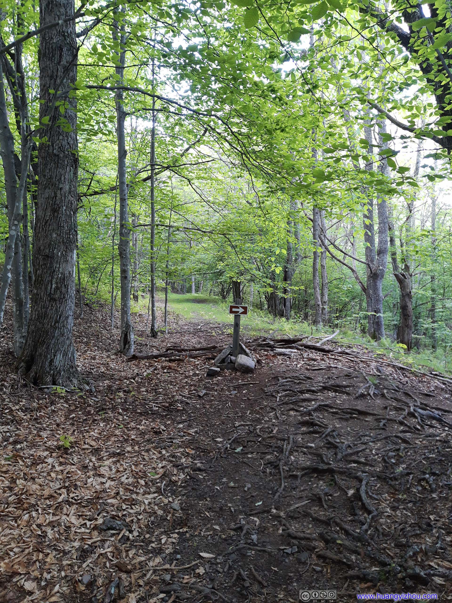
Scales Trail
Scales Campground was the intersection of a few trails, incluing Appalachian. So to go back to the trailhead, I had a few options. I ruled out the Appalachian Trail first since it’s a longer detour. I planned to take the combination of Virginia Highland Horse Trail and Wilson Creek Trail (dashed blue line on map), but instead went on the Scales Trail, since start of these two were very close to each other.
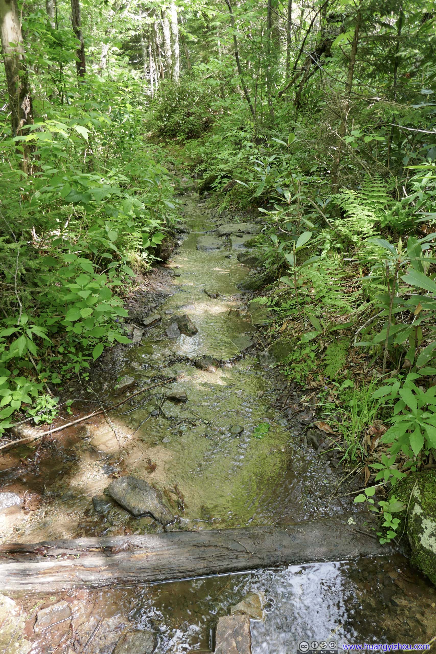
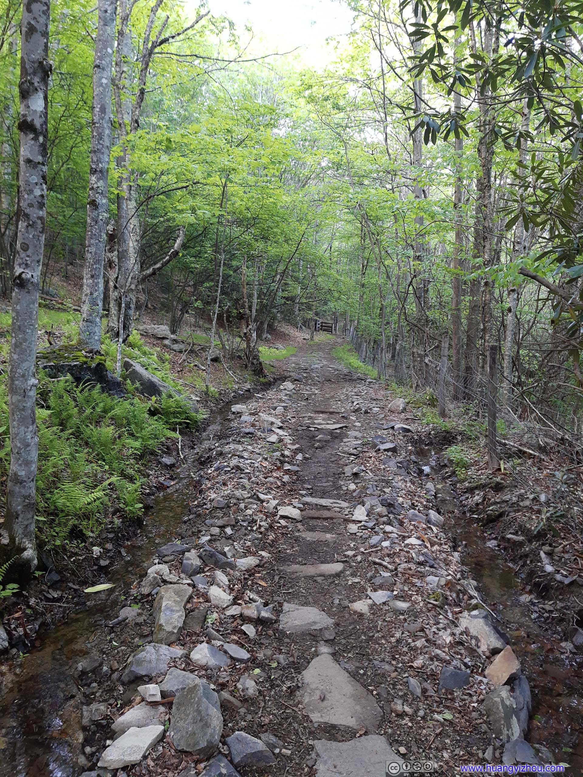
It ended up that Scales Trail was a gravel vehicle road, but it’s very wet, like a creek with a few exposed rocks. (In addition I believed the views along the other trail would be better.)
 Scales Trail
The initial part of Scales Trail was very wet. The few exposed rocks were making my passage easier, but it’s still an unpleasant experience trying to stay dry.
Scales Trail
The initial part of Scales Trail was very wet. The few exposed rocks were making my passage easier, but it’s still an unpleasant experience trying to stay dry. Scales Trail
The initial part of Scales Trail was very wet. The few exposed rocks were making my passage easier, but it’s still an unpleasant experience trying to stay dry.
Scales Trail
The initial part of Scales Trail was very wet. The few exposed rocks were making my passage easier, but it’s still an unpleasant experience trying to stay dry. Scales TrailThen the trail condition improved, just not for too long.
 Scales TrailThen the trail condition improved, just not for too long.
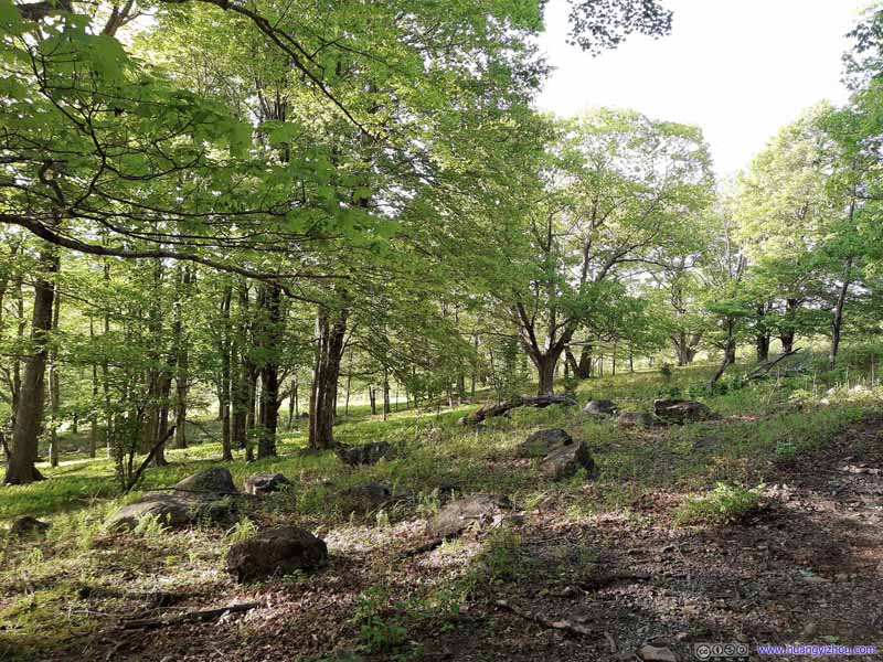 Forests along Trail
 Appalachian Trail
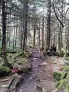
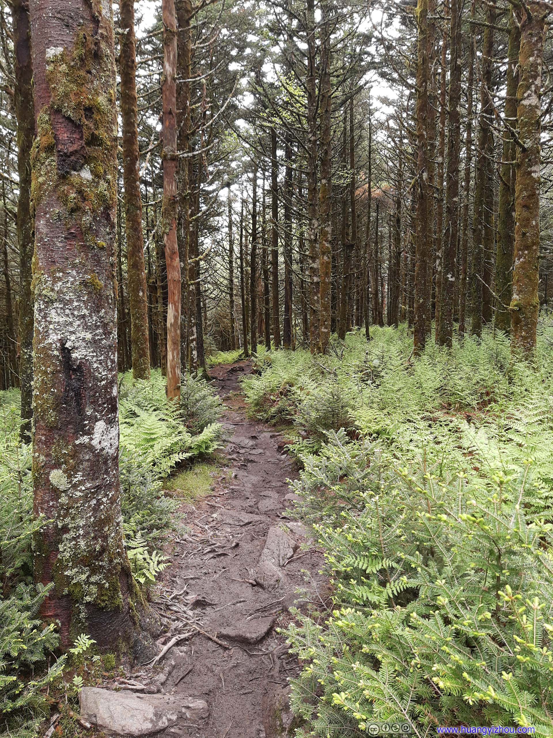
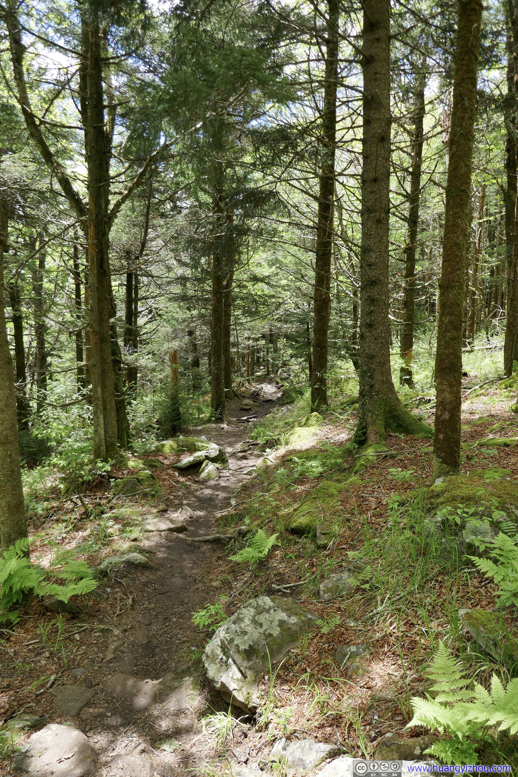
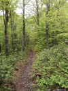
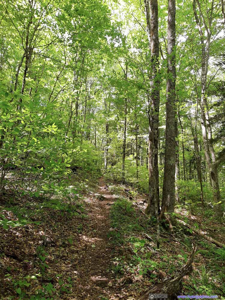
 felt more like a typical walk in the woods, not much altered by civil engineering.
Appalachian Trail
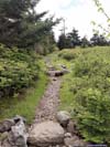
Appalachian Trail felt more like a typical walk in the woods, not much altered by civil engineering.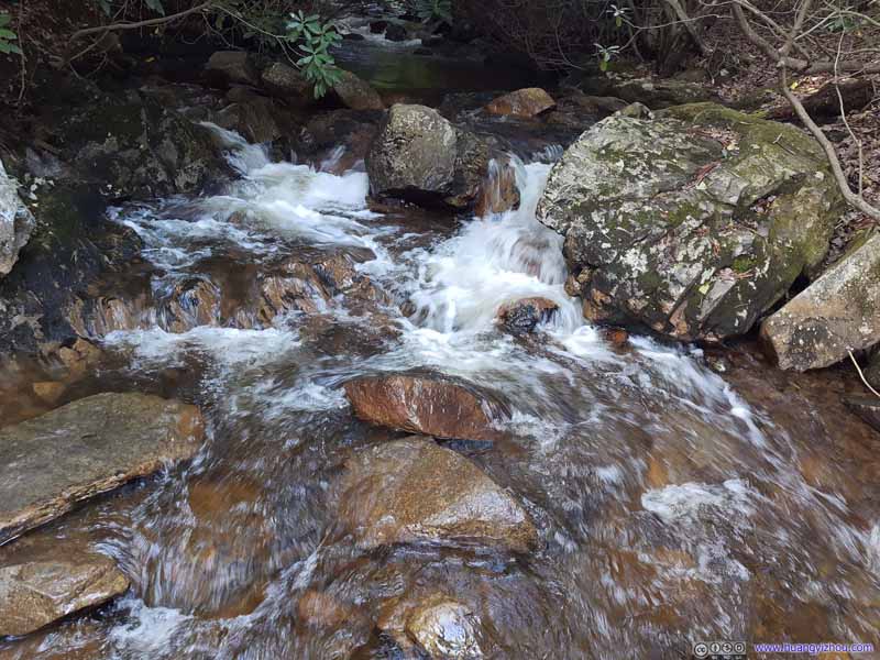 Wilson CreekThere were two subsequent water crossings, both with footbridges.
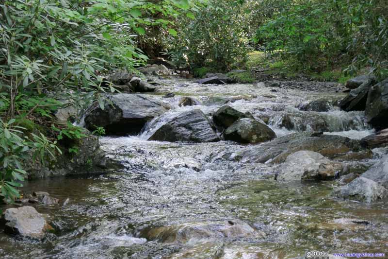 Big Wilson CreekThere were two subsequent water crossings, both with footbridges.
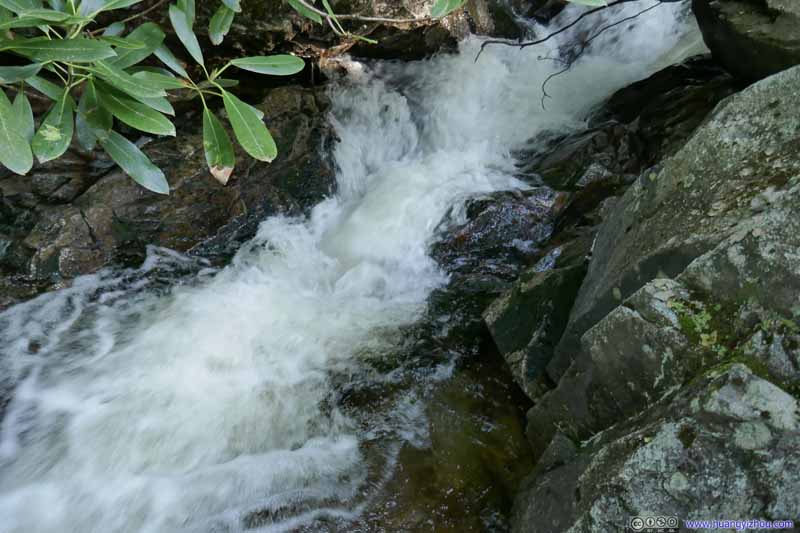 Big Wilson CreekThere were two subsequent water crossings, both with footbridges.


Click here to display photos of the slideshow

Scales Trail
Scales Trail
Scales TrailThen the trail condition improved, just not for too long.

Scales TrailThen the trail condition improved, just not for too long.
Forests along Trail

Appalachian Trail

Wilson CreekThere were two subsequent water crossings, both with footbridges.

Big Wilson CreekThere were two subsequent water crossings, both with footbridges.

Big Wilson CreekThere were two subsequent water crossings, both with footbridges.
Along the way, I launched my drone for some aerial tour.
 Distant Wilburn Ridge (left) and Wilson Creek Trail (right)The trail that I intended to take.
 Fields and Forests
And here’s a video from the fields around Wilson Creek:
Appalachian Trail 2
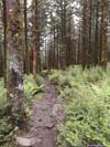
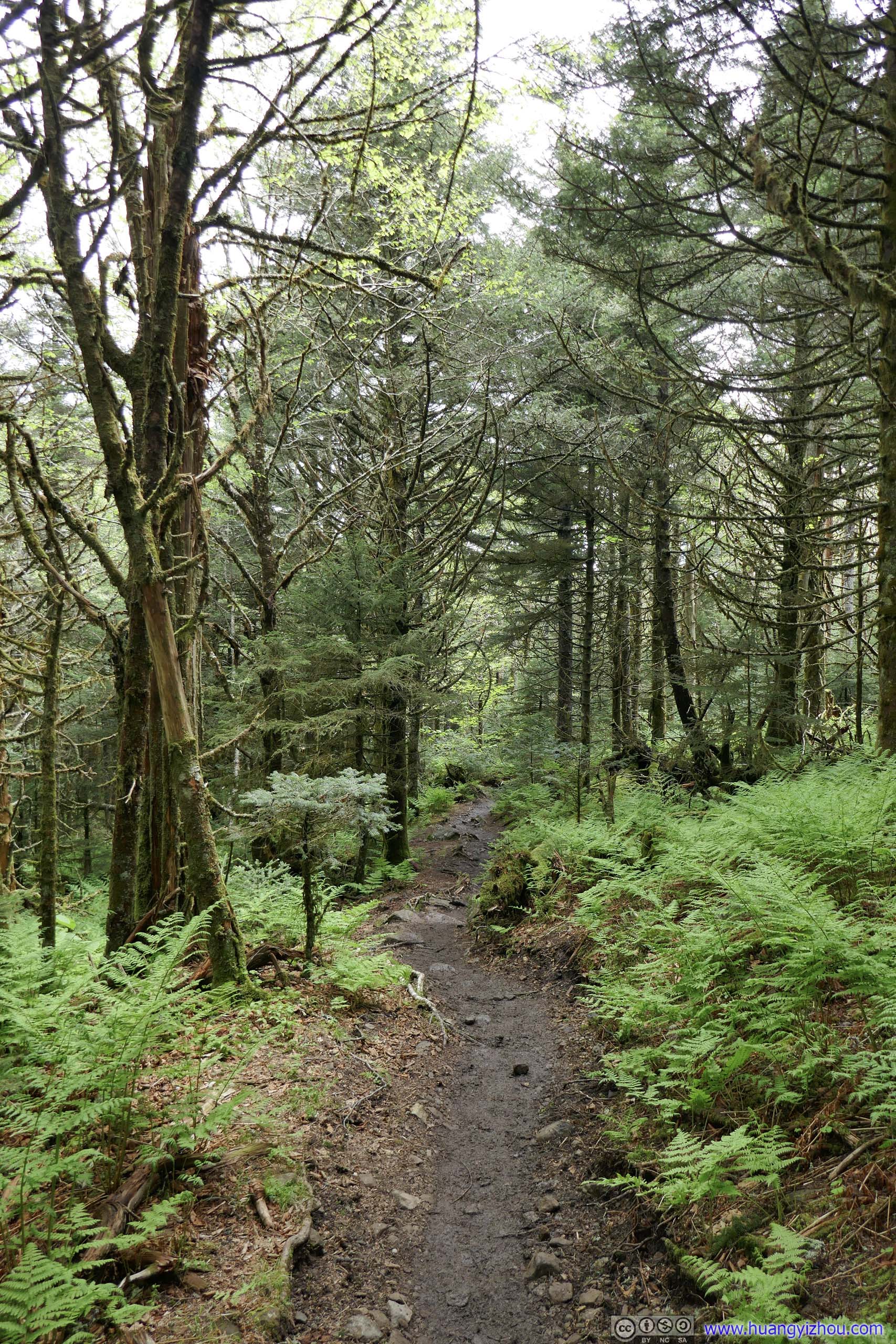
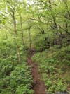
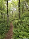
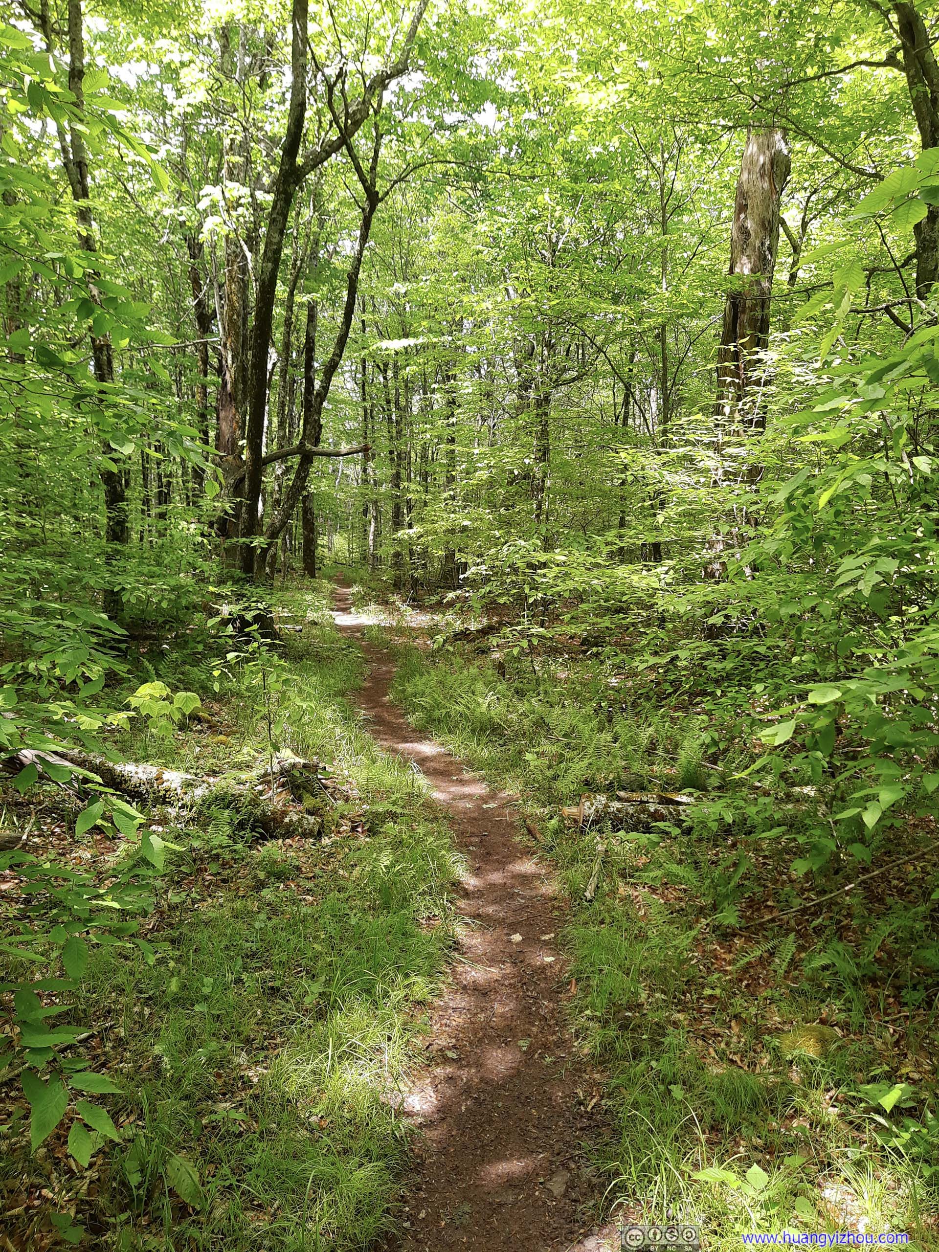
Finally, just before 7pm, I crossed both Wilson Creeks and got back to the Appalachian Trail (cyan on map). After that, it was a steady uphill back to Grayson Highlands State Park. This section felt like a walk in the woods, typical of Blue Ridge Mountains. It was getting dark so I raced through it without much delay.
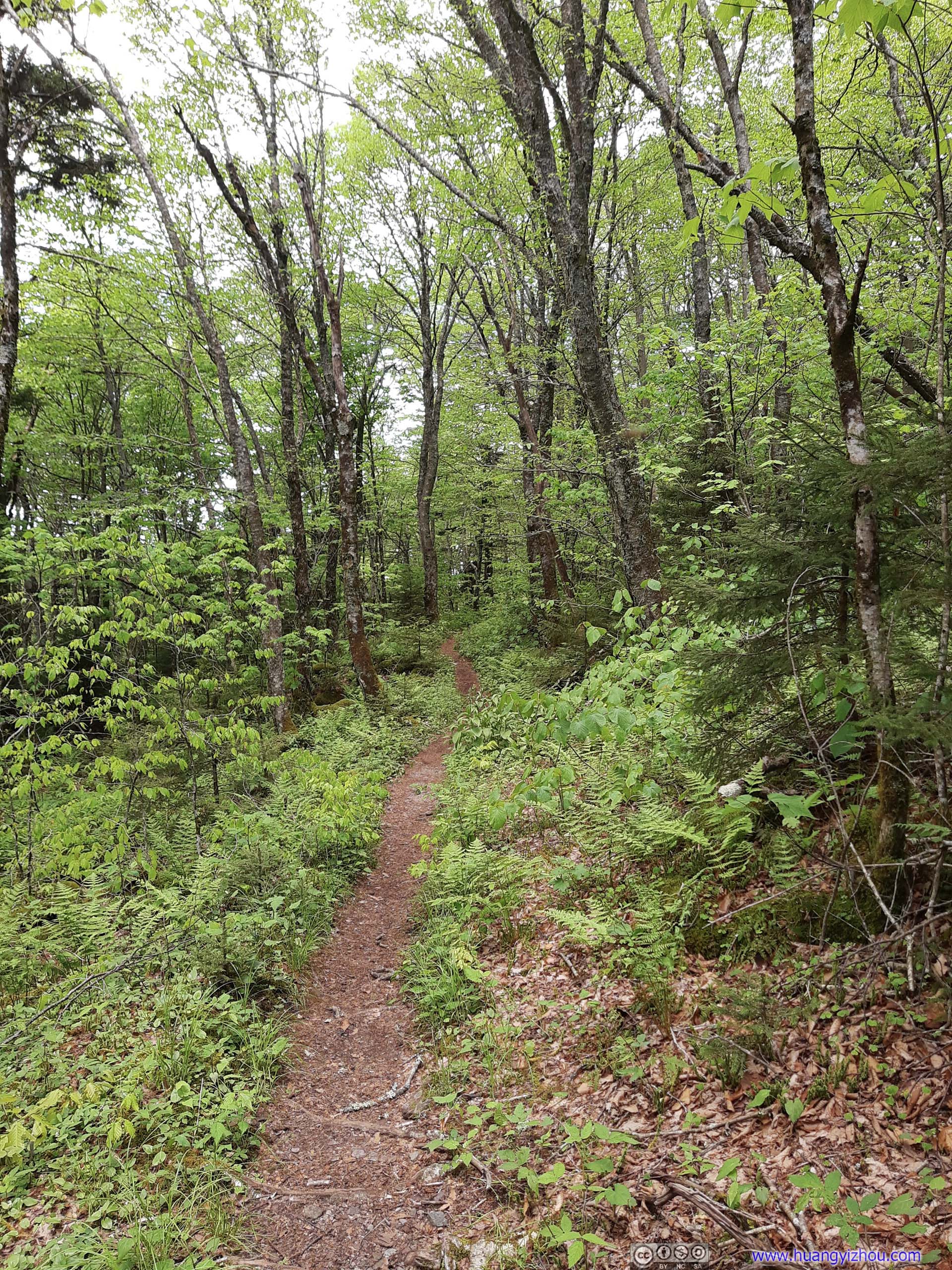
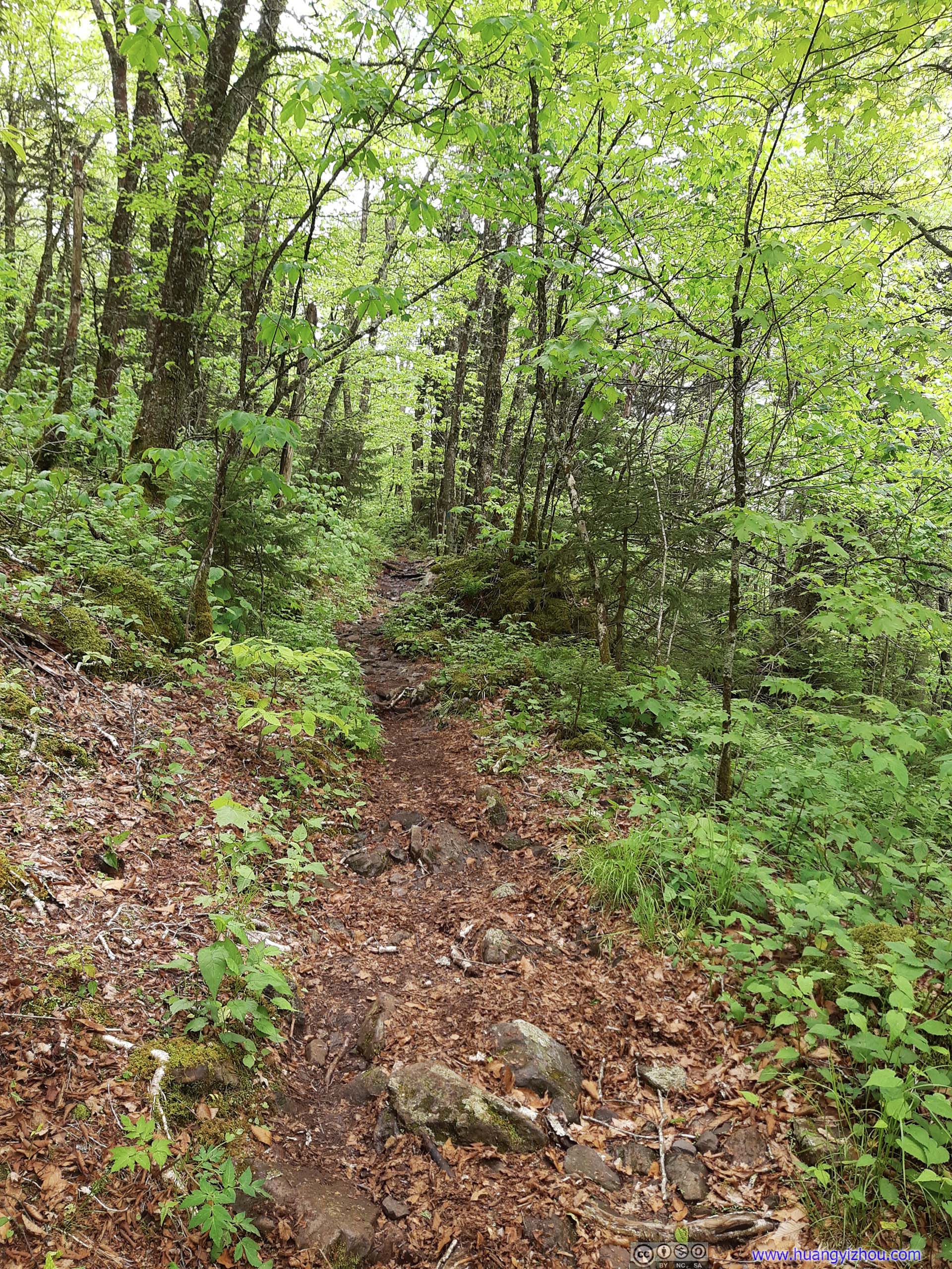
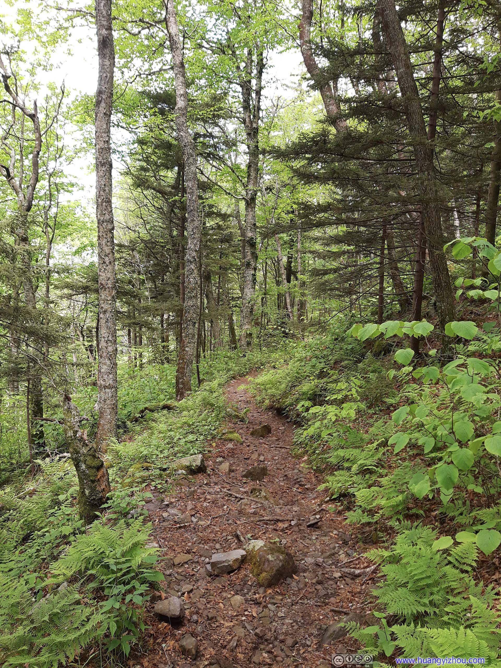
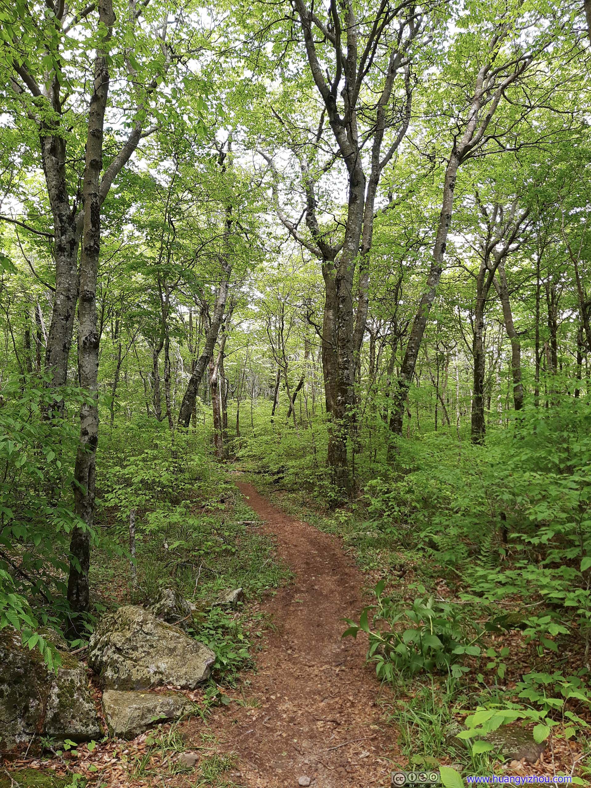
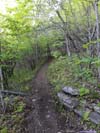
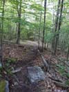
 Appalachian Trail
 Appalachian Trail
 Appalachian Trail
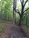
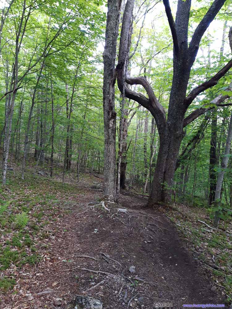 Appalachian TrailThe tree in the right in such an unusual shape.
 Appalachian Trail
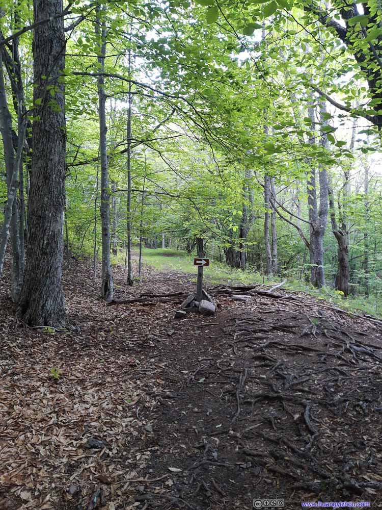 Appalachian Trail
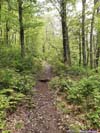
 Appalachian TrailAt least this part of the Appalachian Trail had decent drainage.
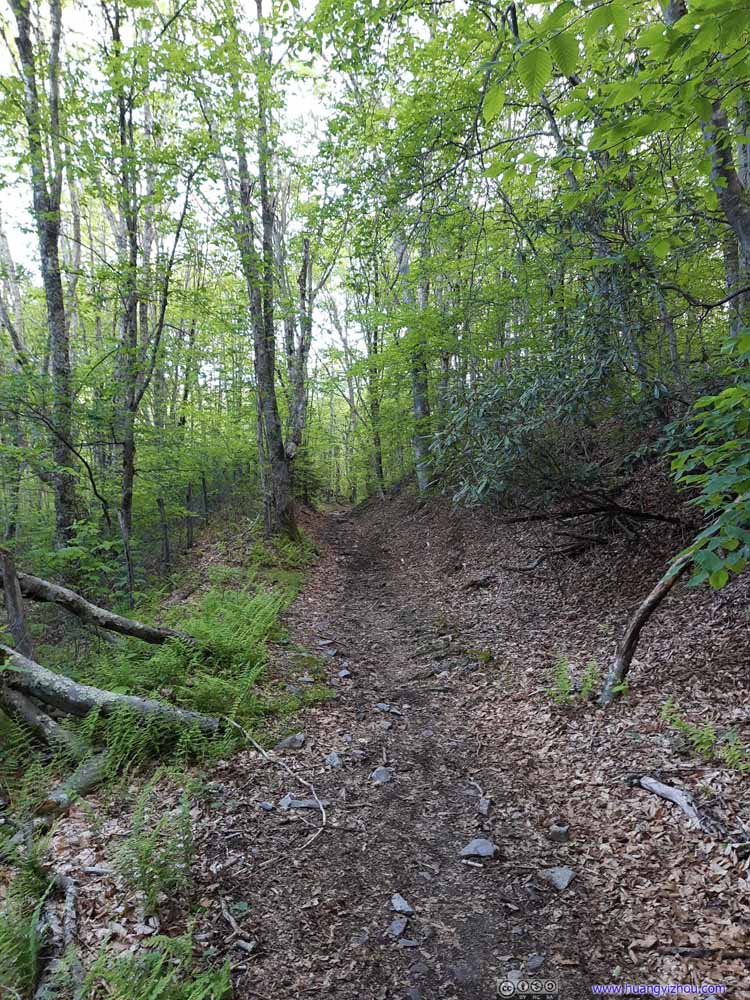 Appalachian Trail
 Appalachian Trail
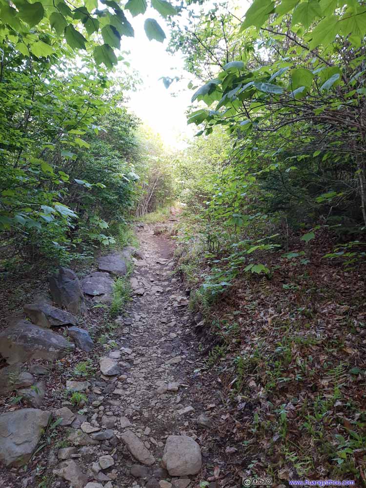 Appalachian Trail
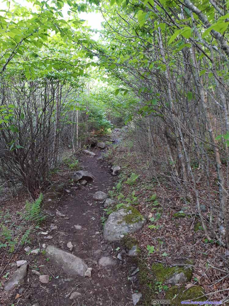 Appalachian Trail


Click here to display photos of the Appalachian Trail.

Appalachian Trail
Appalachian Trail

Appalachian Trail

Appalachian TrailThe tree in the right in such an unusual shape.
Appalachian Trail
Appalachian Trail
Appalachian TrailAt least this part of the Appalachian Trail had decent drainage.

Appalachian Trail
Appalachian Trail

Appalachian Trail

Appalachian Trail
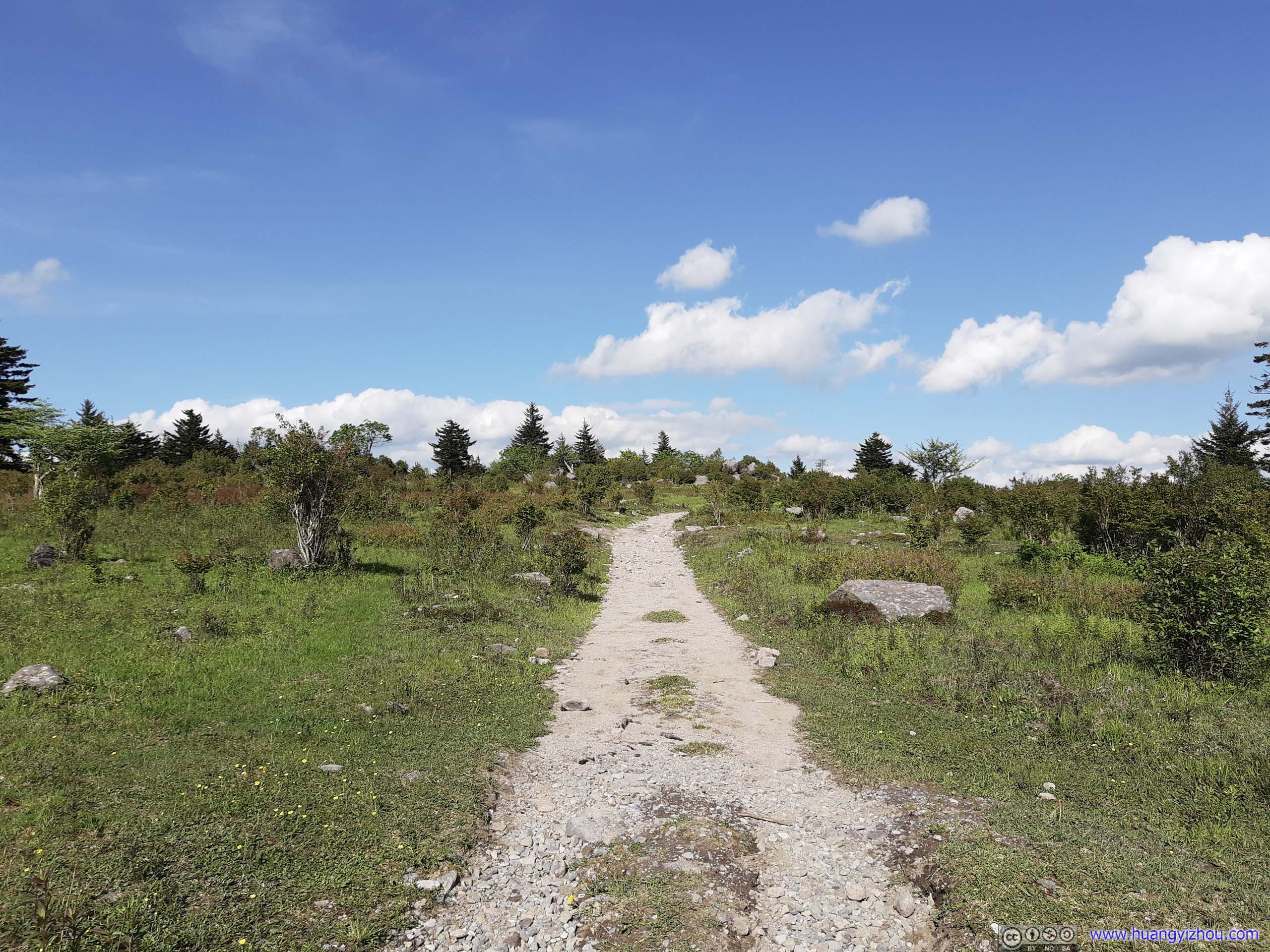
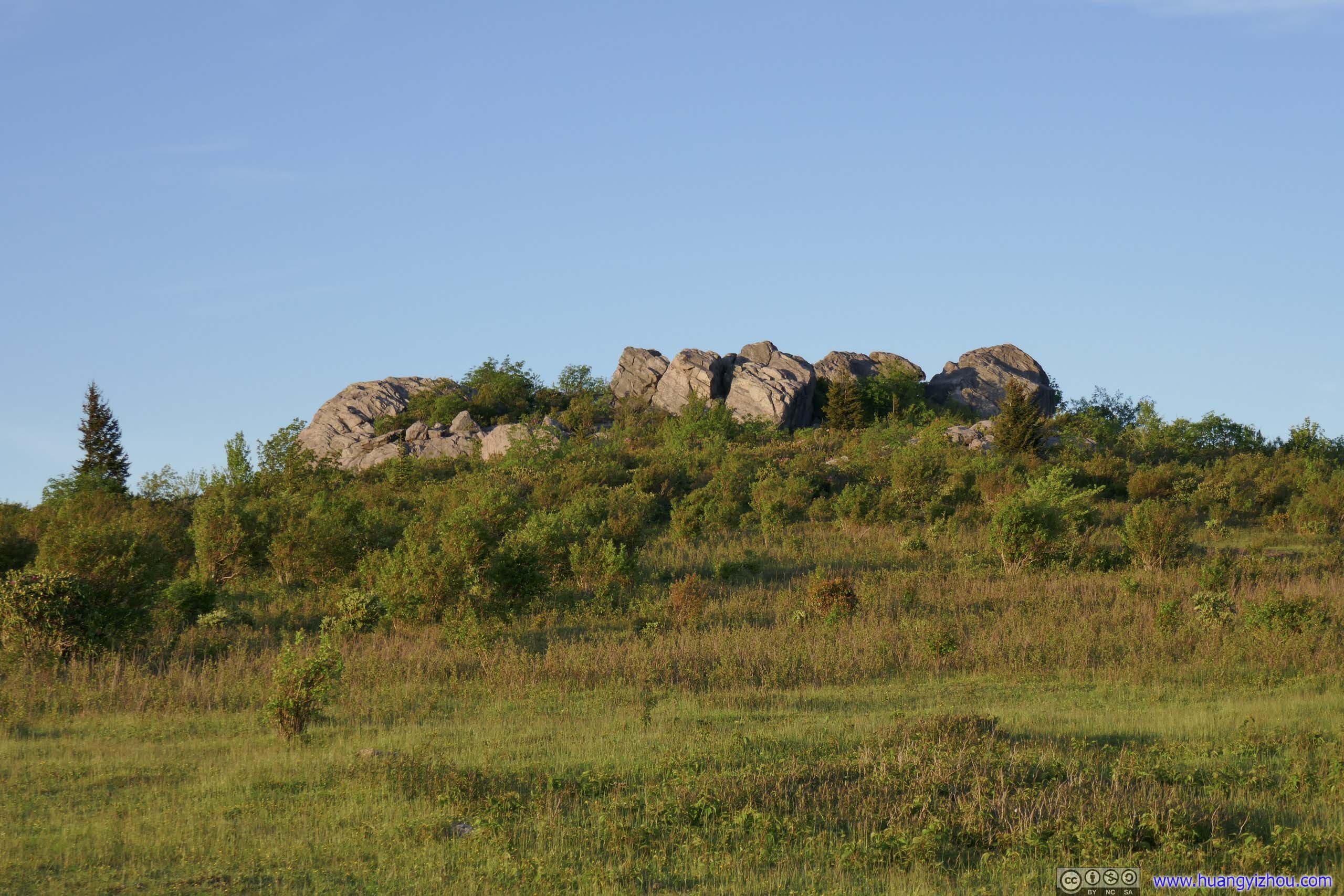
After the Appalachian Trail reaches the top of a ridge, it’s lined with groups of boulders. I climbed onto one of them for some views. Much to my surprise, I got cellular signal there.
 Mountains of Grayson HighlandAppalachian Trail passed through the open field in the foreground.
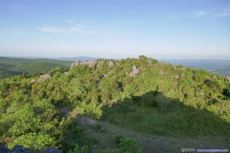 Boulders along Trail
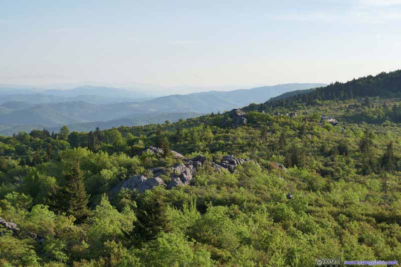 BouldersThe Appalachian Trail passed through the woods. Rolling mountains in the distant background.
 Mountains to the NorthWhere I hiked through earlier today.
 Hill of Boulders
Taken later where I closed the long loop at Horse Trail North. I was sitting on some boulders like this about 10 minutes ago.
Hill of Boulders
Taken later where I closed the long loop at Horse Trail North. I was sitting on some boulders like this about 10 minutes ago.
Click here to display photos of the slideshow

Mountains of Grayson HighlandAppalachian Trail passed through the open field in the foreground.

Boulders along Trail
BouldersThe Appalachian Trail passed through the woods. Rolling mountains in the distant background.
Mountains to the NorthWhere I hiked through earlier today.
Hill of Boulders

Mountains to the North from Appalachian Trail
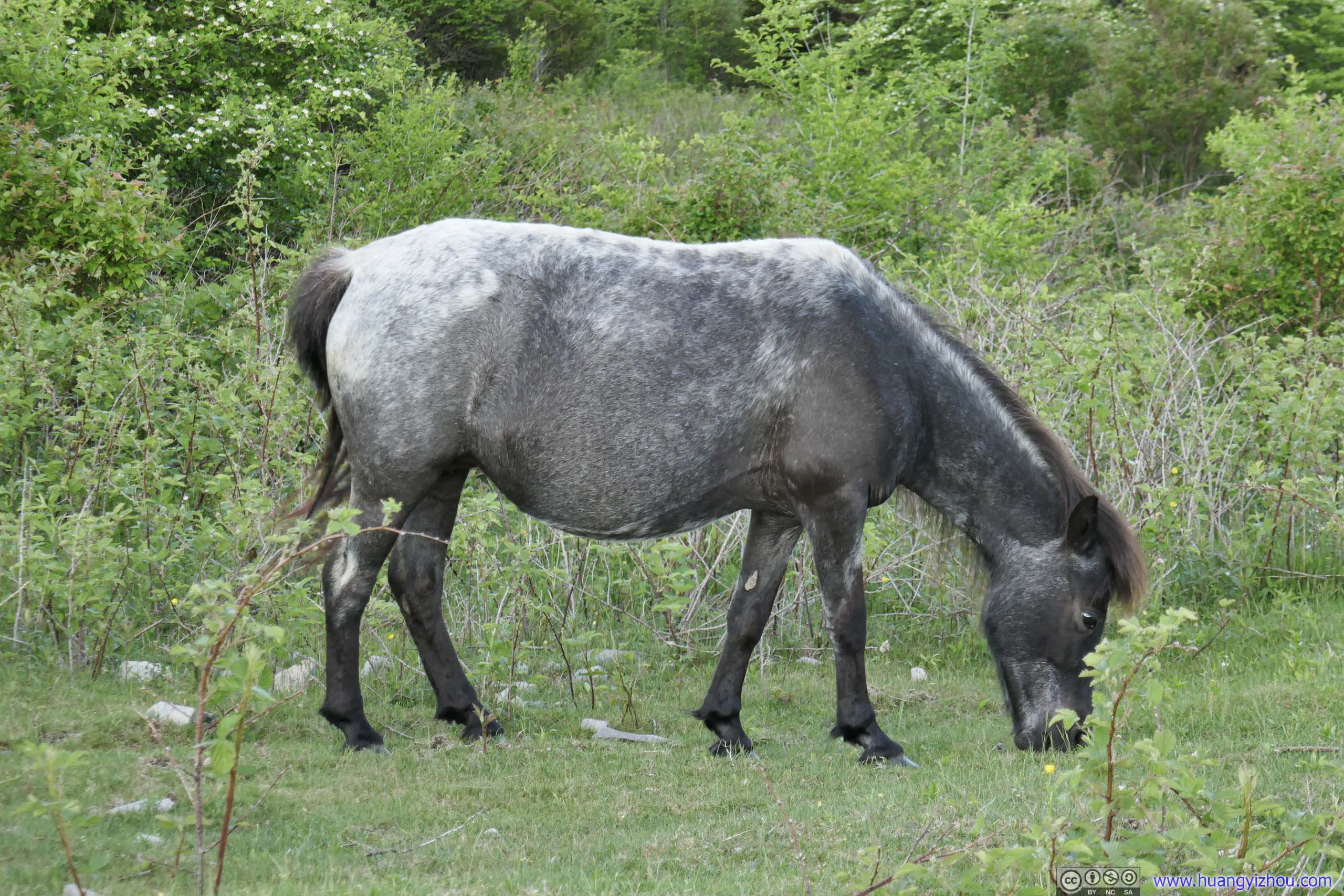 Horse
Horse
Finally, I got back to the trailhead at 8:20pm, 11 hours after I started, finishing this very long day.
END
![]() Day 3 of May 2022 Virginia Trip, Grayson Highlands by Huang's Site is licensed under a Creative Commons Attribution-NonCommercial-ShareAlike 4.0 International License.
Day 3 of May 2022 Virginia Trip, Grayson Highlands by Huang's Site is licensed under a Creative Commons Attribution-NonCommercial-ShareAlike 4.0 International License.