
Updated on July 18, 2022
Day 4 of May 2022 Virginia Trip, Blue Ridge Parkway and Sharp Top
The fourth and last day of my 2022 Memorial Day weekend trip. I would be driving from the town of Wytheville, Virginia back to my home near Washington DC. With me in no hurry for the day, I would take the scenic Blue Ridge Parkway, and hike Sharp Top Mountain along the way.
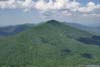
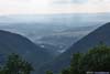
Harkening Hill
For my long day hike the previous day at Grayson Highlands State Park, I chose the town of Wytheville, Virginia as my overnight outpost, which served me well. Today, the only thing on my plan was to drive back home, which should take less than 5 hours if I take the interstate. However, driving along Blue Ridge Parkway had always been on my bucket list, so I planned a small detour by taking the parkway from Fancy Gap to Rockfish Gap.
After leaving Wytheville, it took me about half an hour to reach Fancy Gap and head onto Blue Ridge Parkway.
Here’s a compilation of my dashcam video for the day, between Fancy Gap and Rockfish Gap:
0:00 Entering Blue Ridge Parkway from Fancy Gap
3:08 Mabry Mill
4:16 Rock Castle Gorge Overlook
5:04 Rakes Mill Pond
6:10 Smart View Overlook
7:35 Devils Backbone Overlook
8:50 Leaving the parkway at Adney Gap, and reentering at US460. Skipping 30 miles of parkway due to closure.
9:47 Great Valley Overlook
10:08 Taylor Mountain Overlook
10:20 Montvale Overlook
10:54 Mills Gap Overlook
11:47 Sharp Top Trailhead parking
13:49 Terrapin Mountain Overlook
17:24 Buena Vista Overlook
21:05 20-Minute Cliff Overlook
22:58 Humpback Rocks Visitor Center and Picnic Area
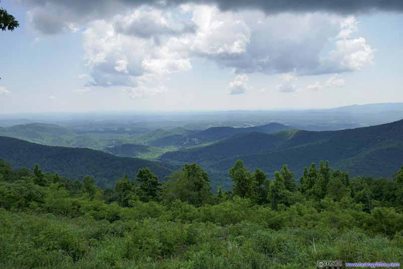
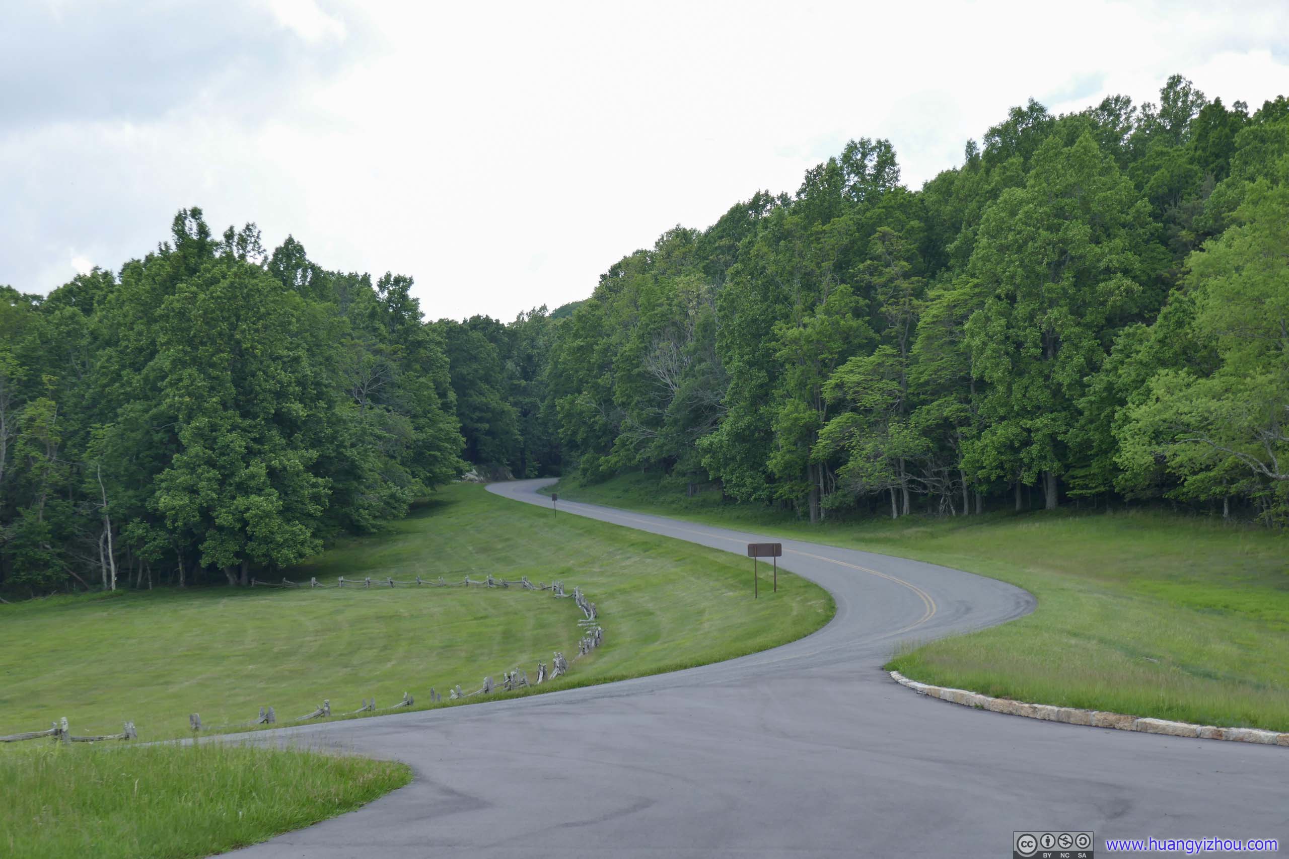
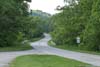
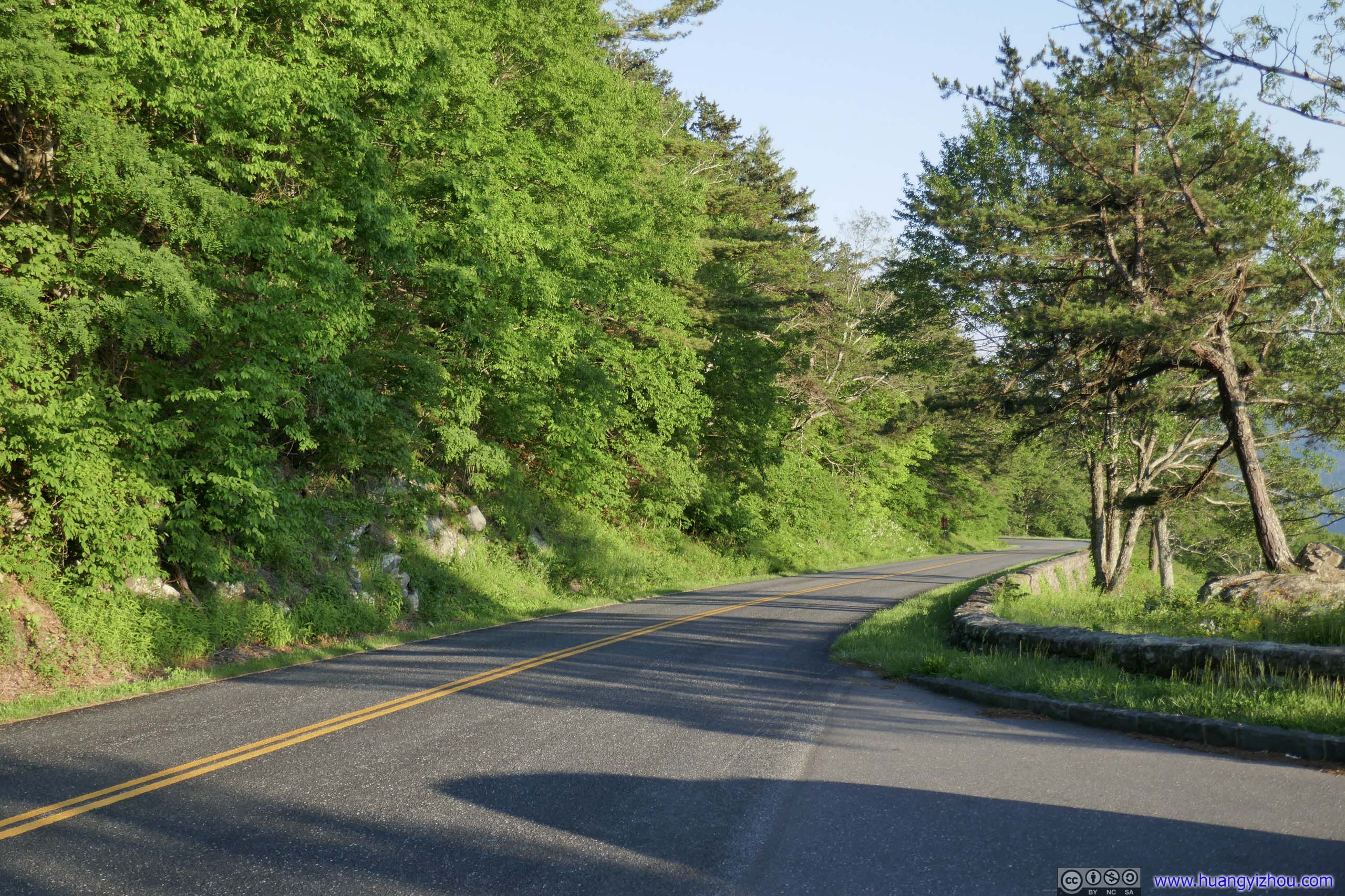
This section of Blue Ridge Parkway felt more like a typical road in the woods, smooth and uninterrupted by intersections. There were a few overlooks but most of the time, it didn’t feel “ridge” or “mountain” to me.
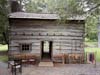
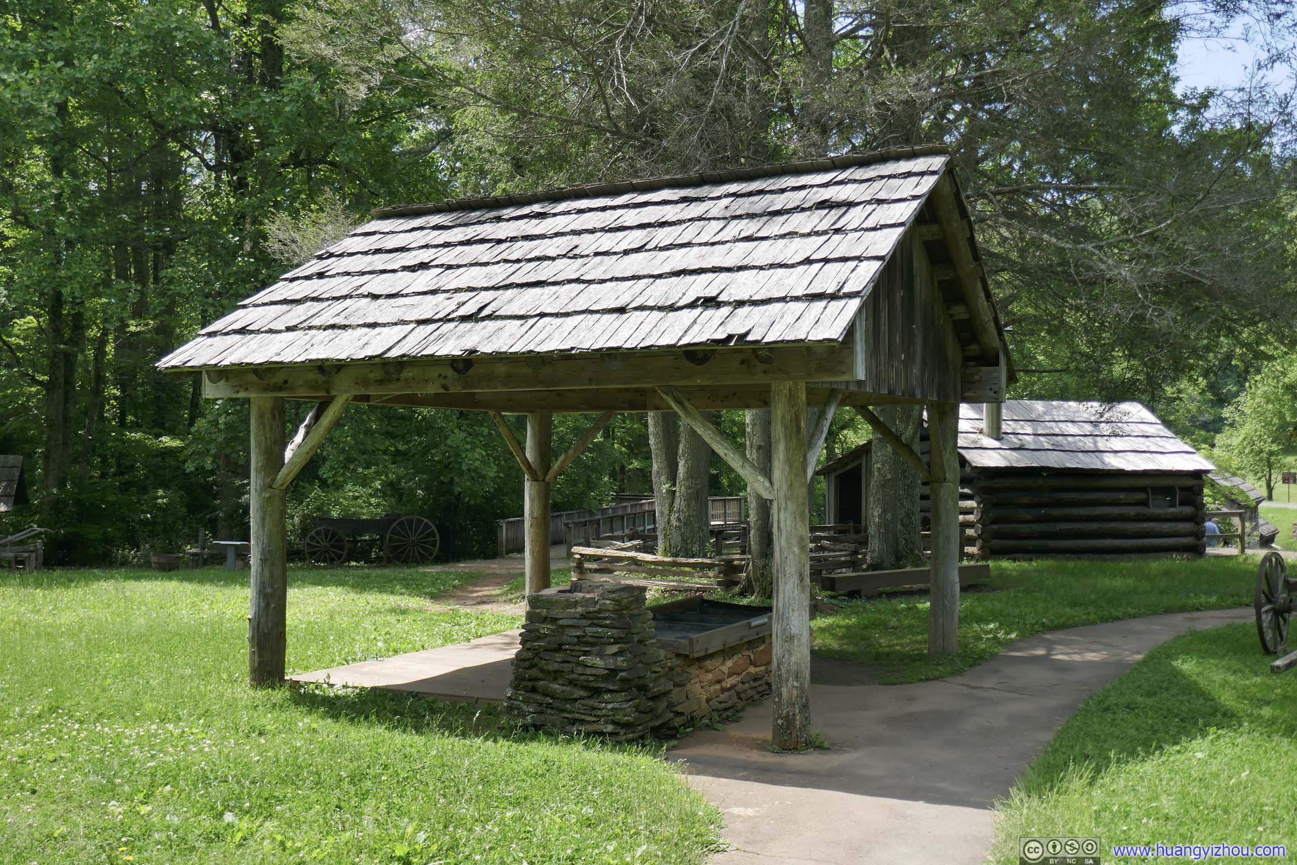
Mabry Mill
Mabry Mill was a major attraction along this section of the parkway. It was built around 1910 by Edwin Marby, a jack-of-all-trades who was a blacksmith, a farmer, a carpenter and so on. The mill remained functional until 1936 and was restored by the National Park Service in 1945.
 Mabry Mill
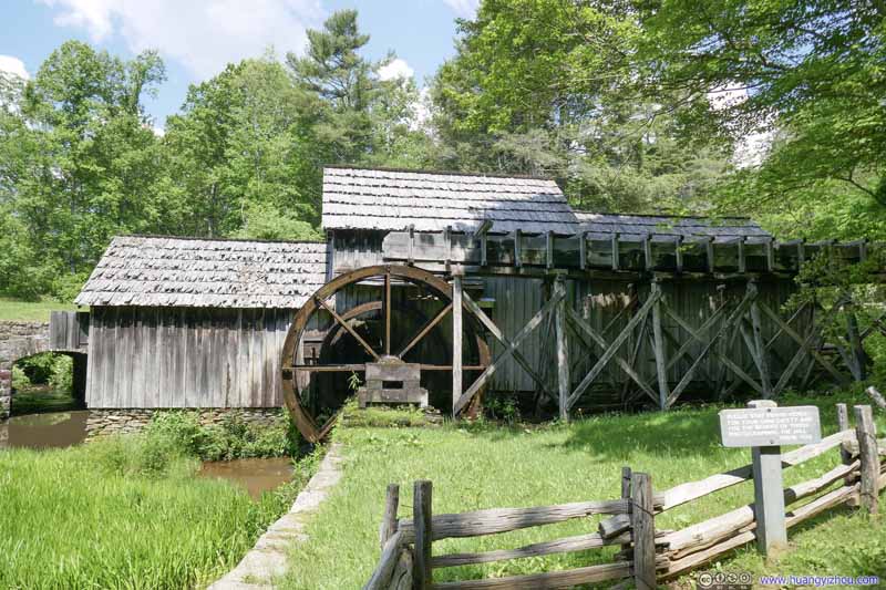 Mabry Mill
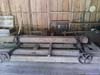
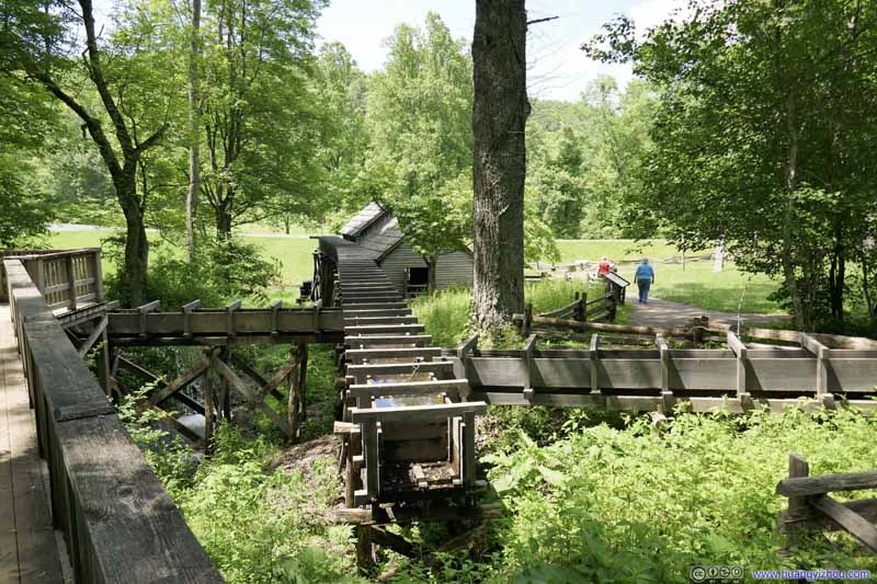 Water Channels
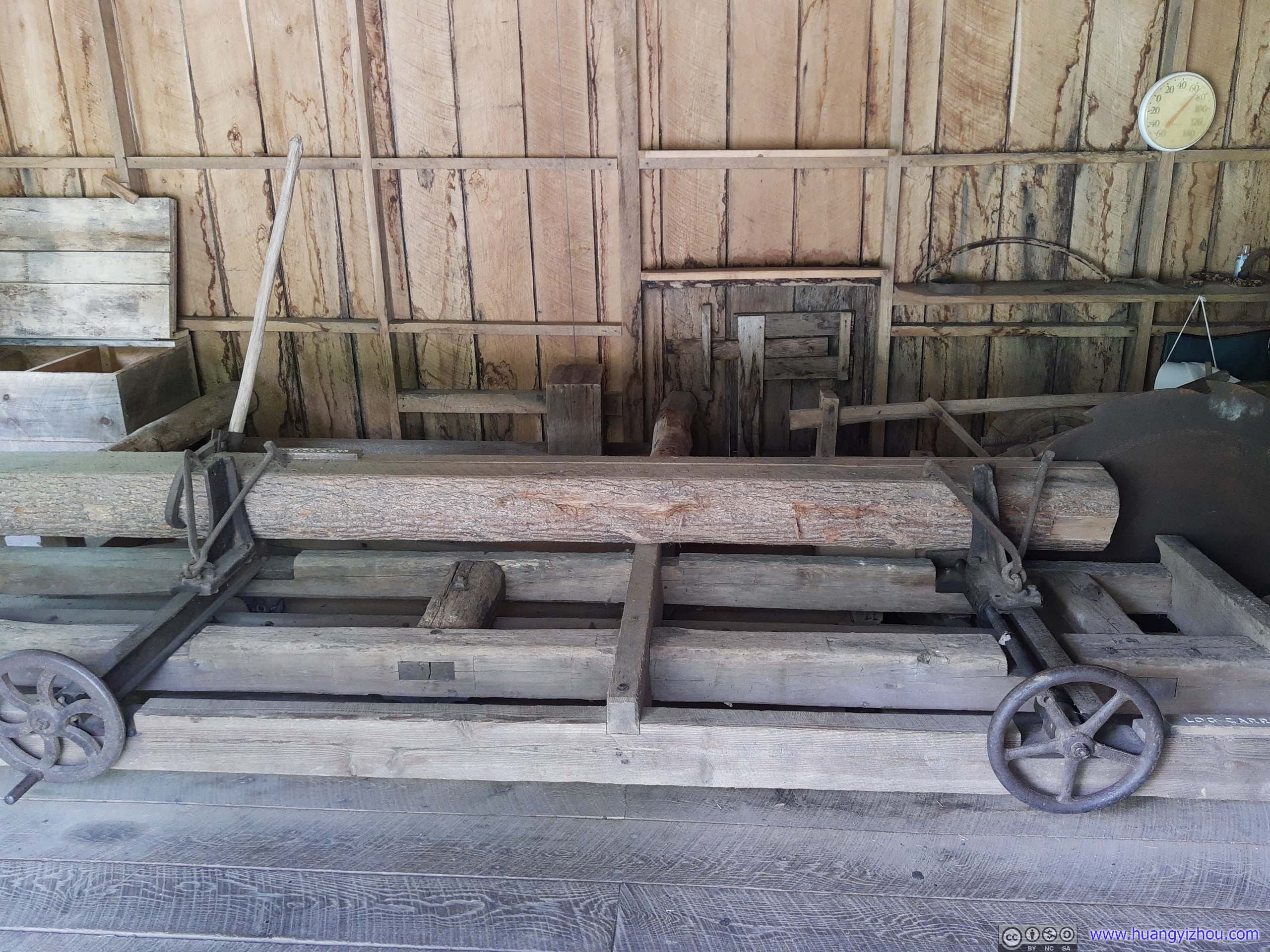
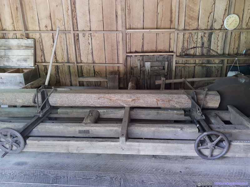 Log CarrierThe mill was also used to saw logs.
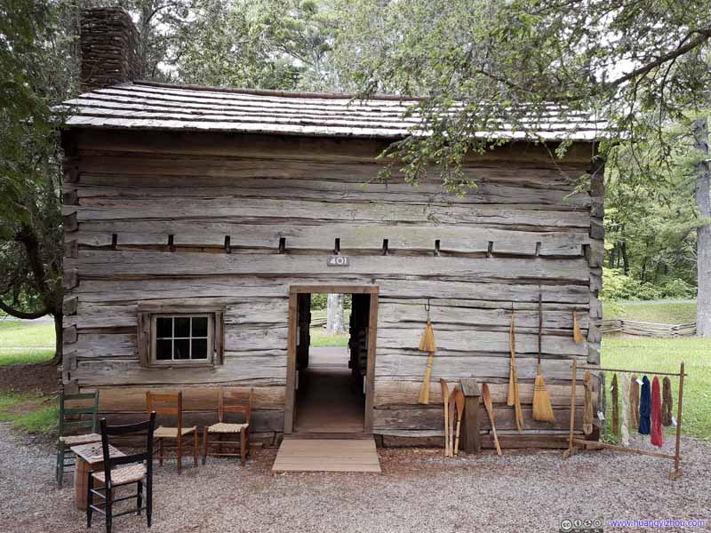 House
House Sorghum Making Equipment
A horse or mule walked in circles to turn the rollers of the sorghum mill, where juice was extracted from stalks.
Sorghum Making Equipment
A horse or mule walked in circles to turn the rollers of the sorghum mill, where juice was extracted from stalks.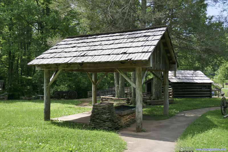 Sorghum Making EquipmentThe extracted juice was then cooked into syrup here.

Click here to display photos around Marby Mill.

 Mabry Mill

Water Channels
Log CarrierThe mill was also used to saw logs.

House

Sorghum Making Equipment
Sorghum Making EquipmentThe extracted juice was then cooked into syrup here.
And here were some photos I took along the numerous overlooks along the way.
 View from Rock Castle Gorge Overlook
 Blue Ridge Parkway
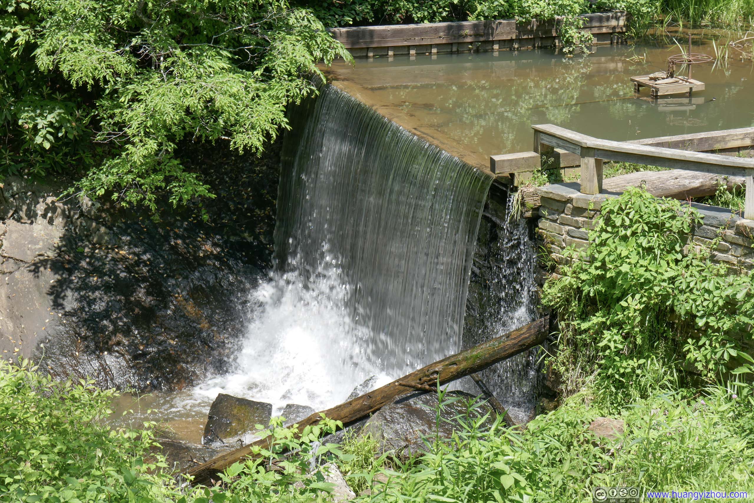
 Rakes Mill Pond
The stone facing of the nearby Mill Dam was built early in the 19th century by One Jarman Rakes, Miller. His operation was notable for a scheme of advertising that would credit a much later day. Rakes we are told allowed his customers the sole privilege of fishing for brook trout in his pond while they waited for their grist.
Rakes Mill Pond
The stone facing of the nearby Mill Dam was built early in the 19th century by One Jarman Rakes, Miller. His operation was notable for a scheme of advertising that would credit a much later day. Rakes we are told allowed his customers the sole privilege of fishing for brook trout in his pond while they waited for their grist.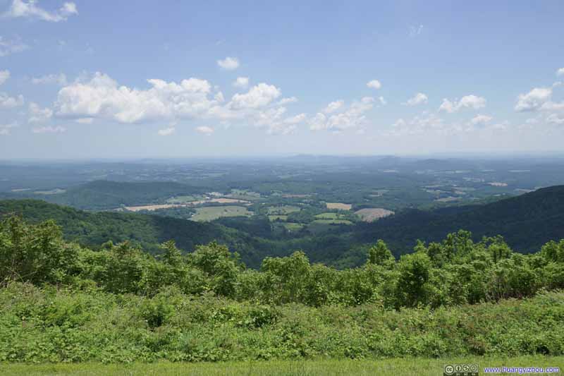 View from Devils Backbone OverlookOne of the broadest views along the way.
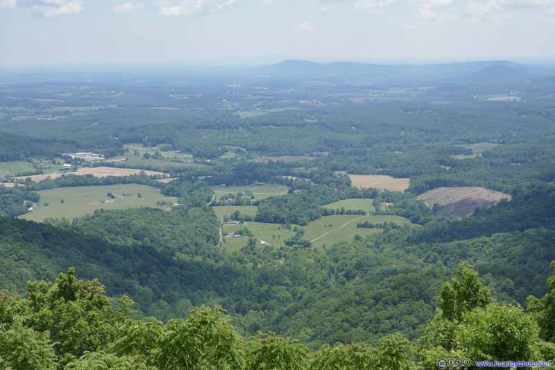 View from Devils Backbone OverlookI liked that the patches of farmland was shaped like an arrow or a shell.
 Cahas Mountain


Click here to display photos of the slideshow

View from Rock Castle Gorge Overlook
Blue Ridge Parkway
Rakes Mill Pond
View from Devils Backbone OverlookOne of the broadest views along the way.
View from Devils Backbone OverlookI liked that the patches of farmland was shaped like an arrow or a shell.
Cahas Mountain
A section of Blue Ridge Parkway outside Roanoke was closed, as a result, I took a detour into the suburbs of Roanoke, where I had my lunch.
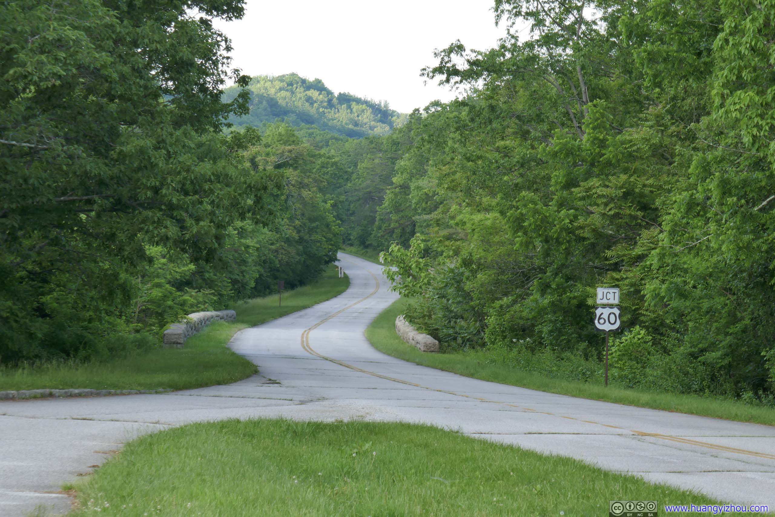
After that, I entered Blue Ridge Parkway again at US460. This section was actually following a mountain ridge, with overlooks on both sides, and a rather pleasing experience for driving.
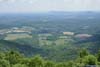
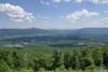
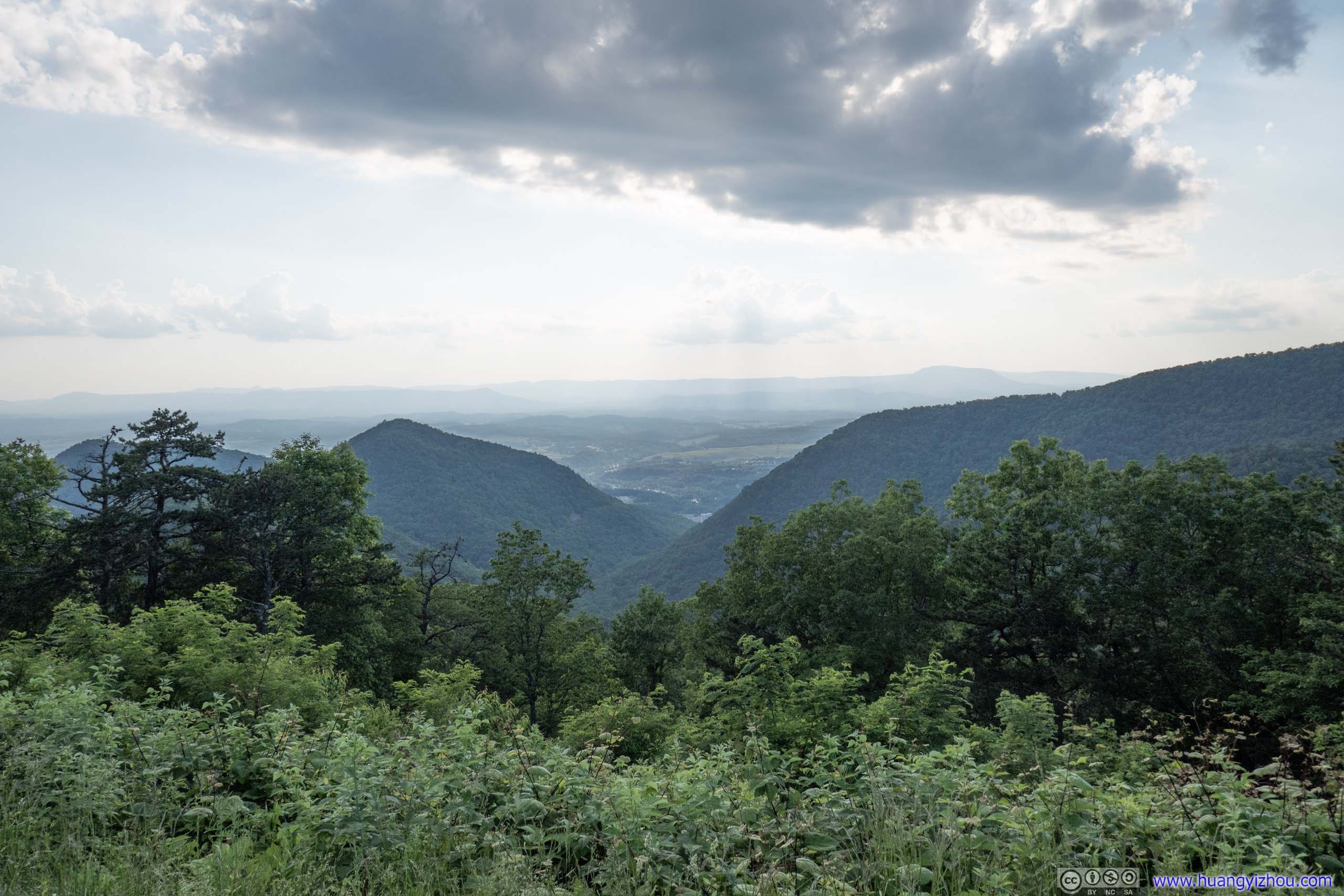
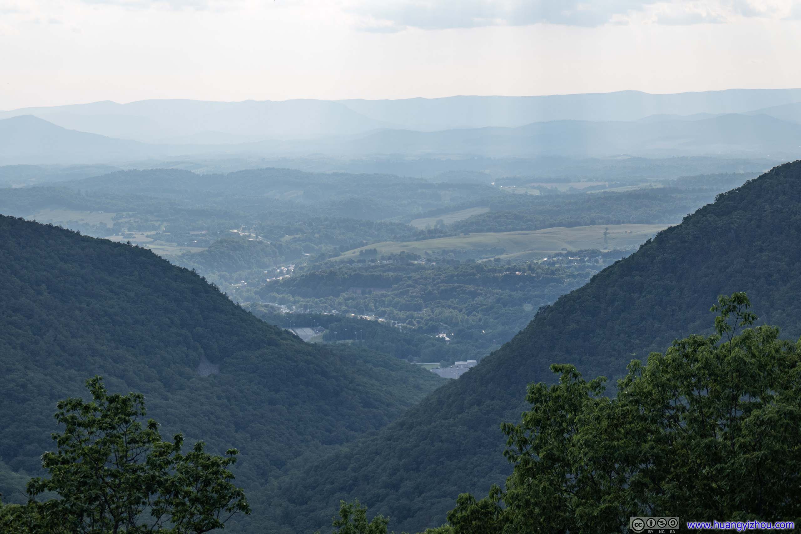
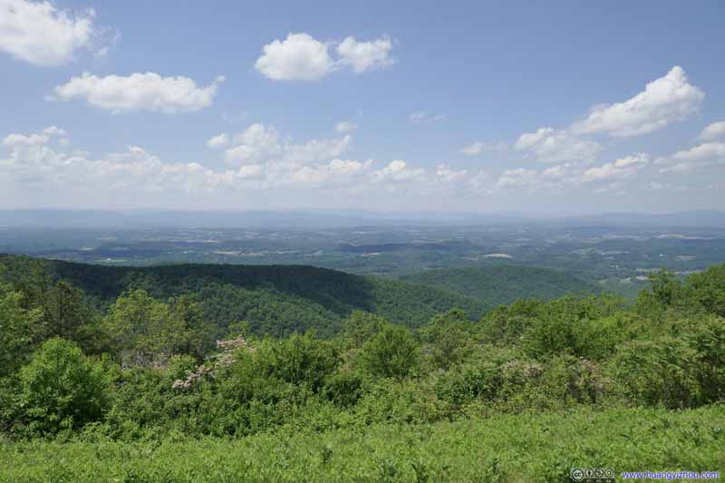 View from The Great Valley OverlookThe valley between Blue Ridge and Allegheny Mountains, vaguely visible in the distance.
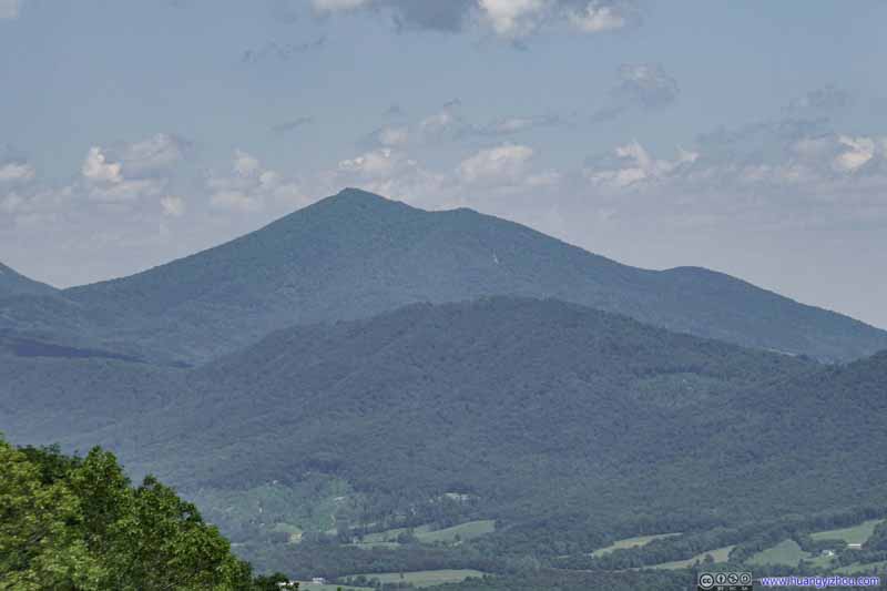 Sharp Top Mountain
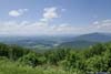
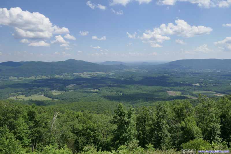 Fields to the EastFrom Montvale Overlook.
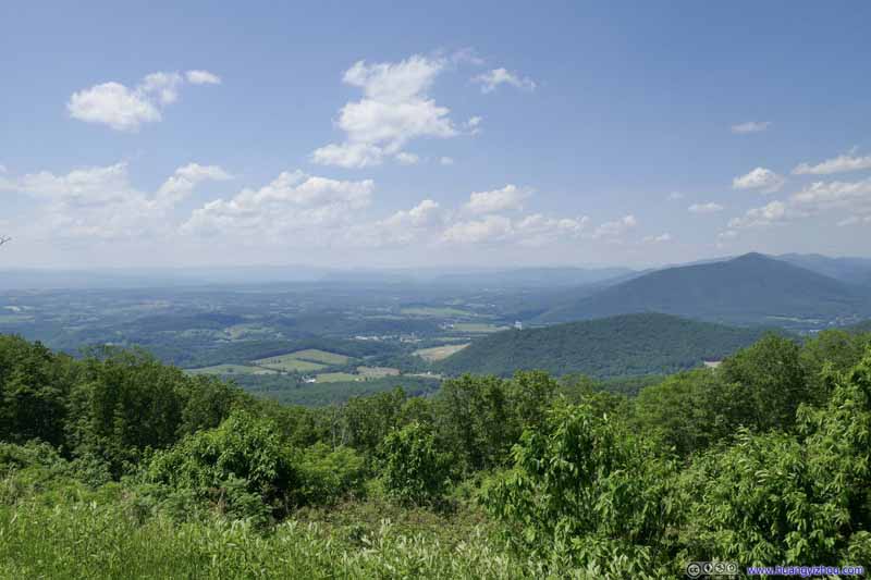 View from Mills Gap Overlook
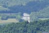
 James River
Click here to display photos of the slideshow
View from The Great Valley OverlookThe valley between Blue Ridge and Allegheny Mountains, vaguely visible in the distance.

Sharp Top Mountain
Fields to the EastFrom Montvale Overlook.
View from Mills Gap Overlook
James River
View from Montvale Overlook
Sharp Top Mountain
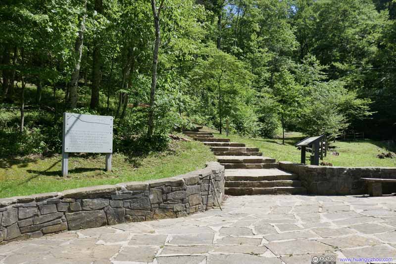
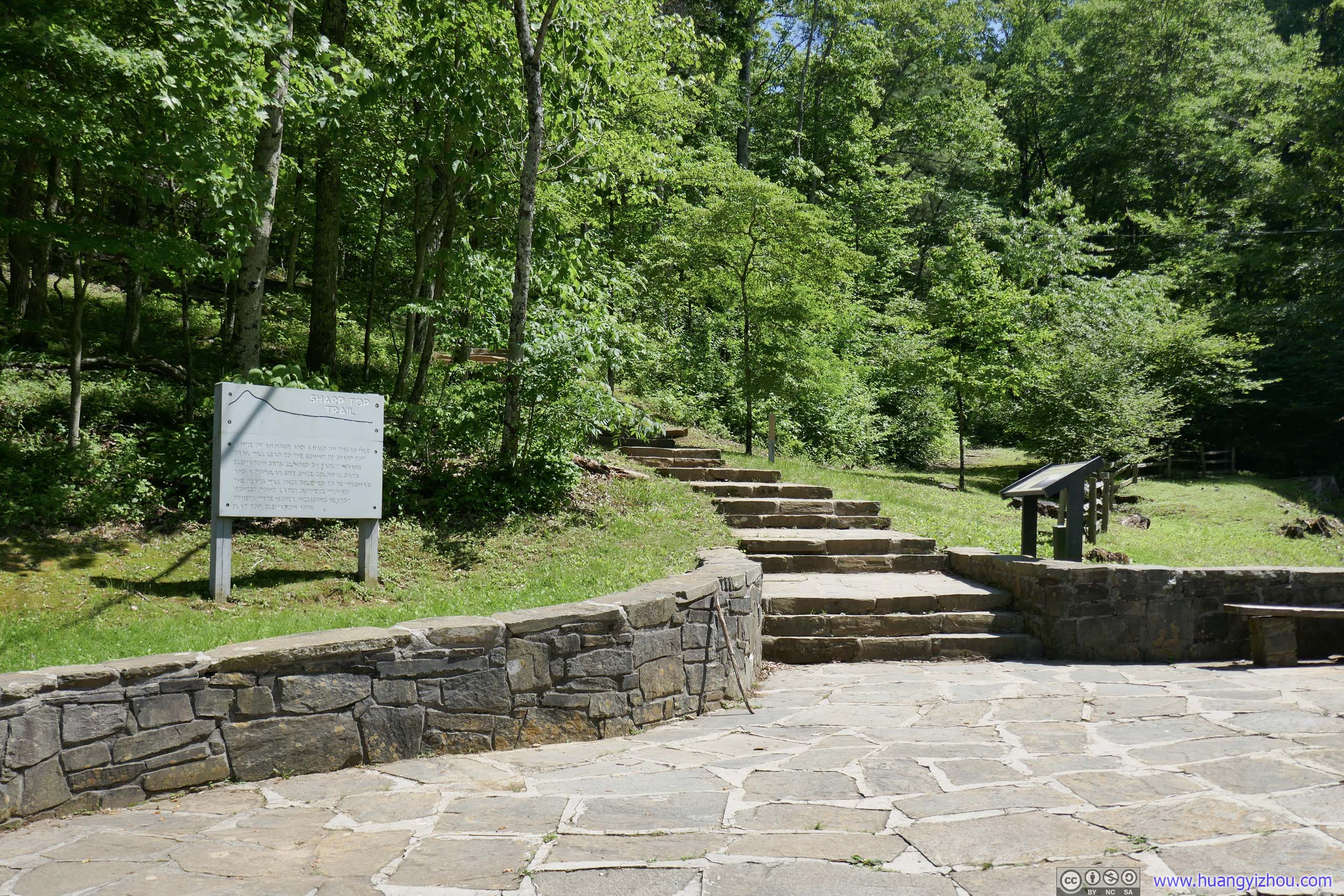
It’s only 3pm by the time I passed Sharp Top Mountain, arguably the most popular mountain in Virginia next to Blue Ridge Parkway. It’s a pretty developed site along the parkway, with a major visitor center, a lake, a campground and a hotel(!).
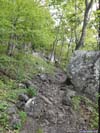
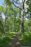
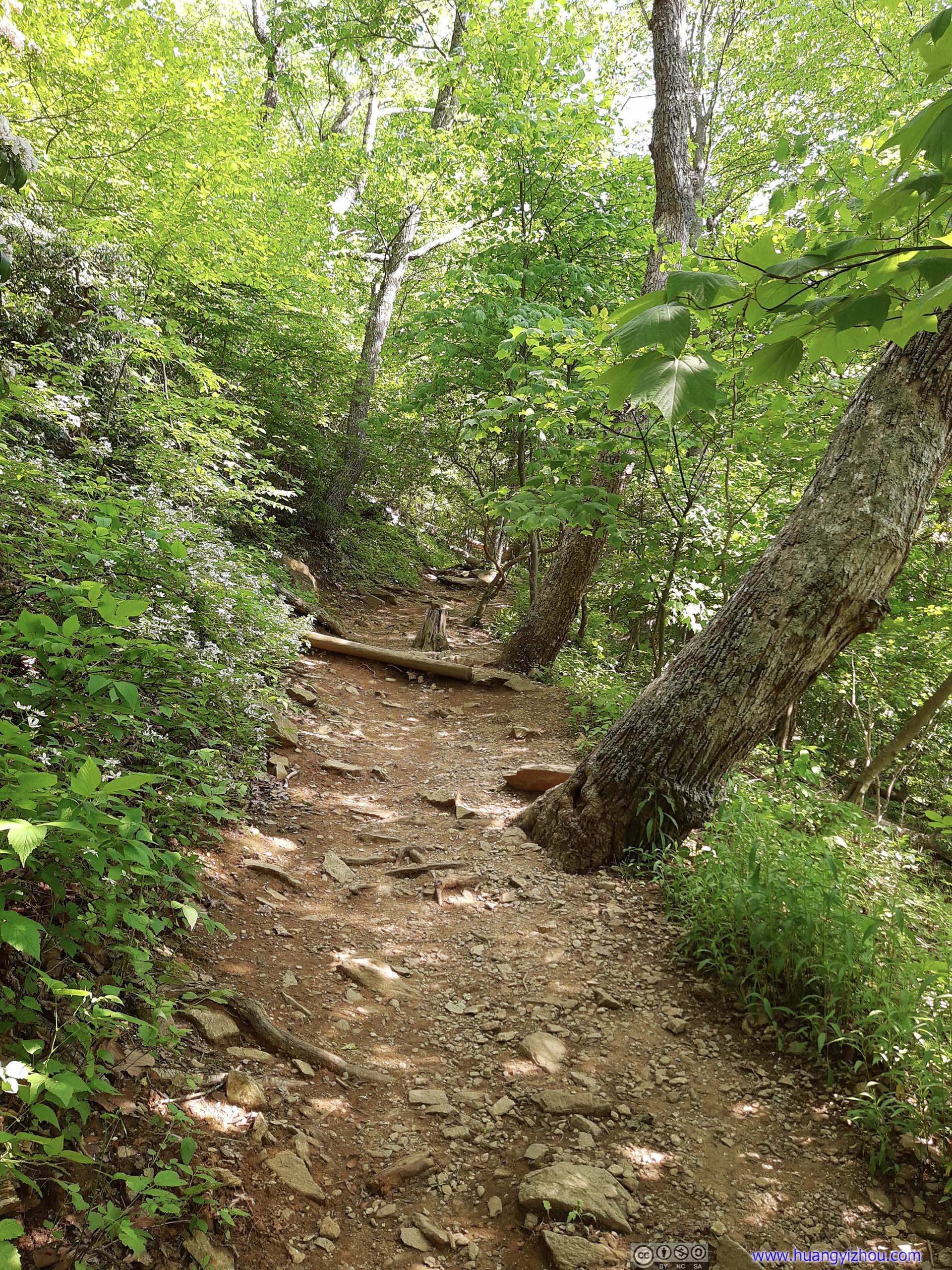
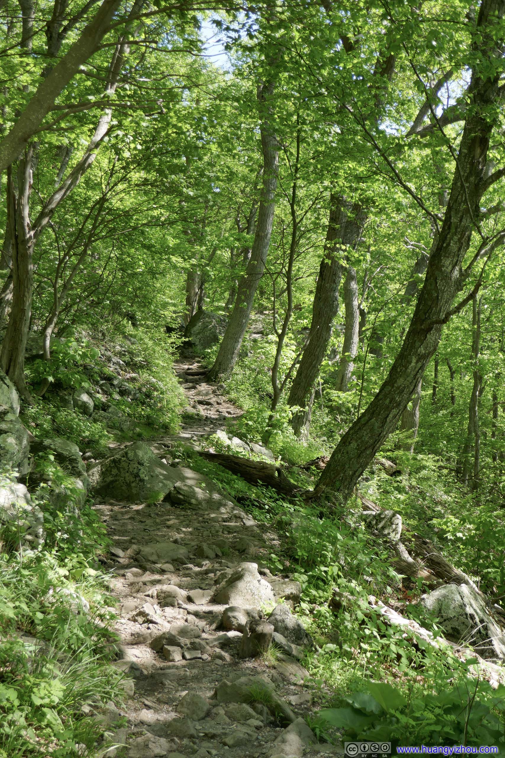
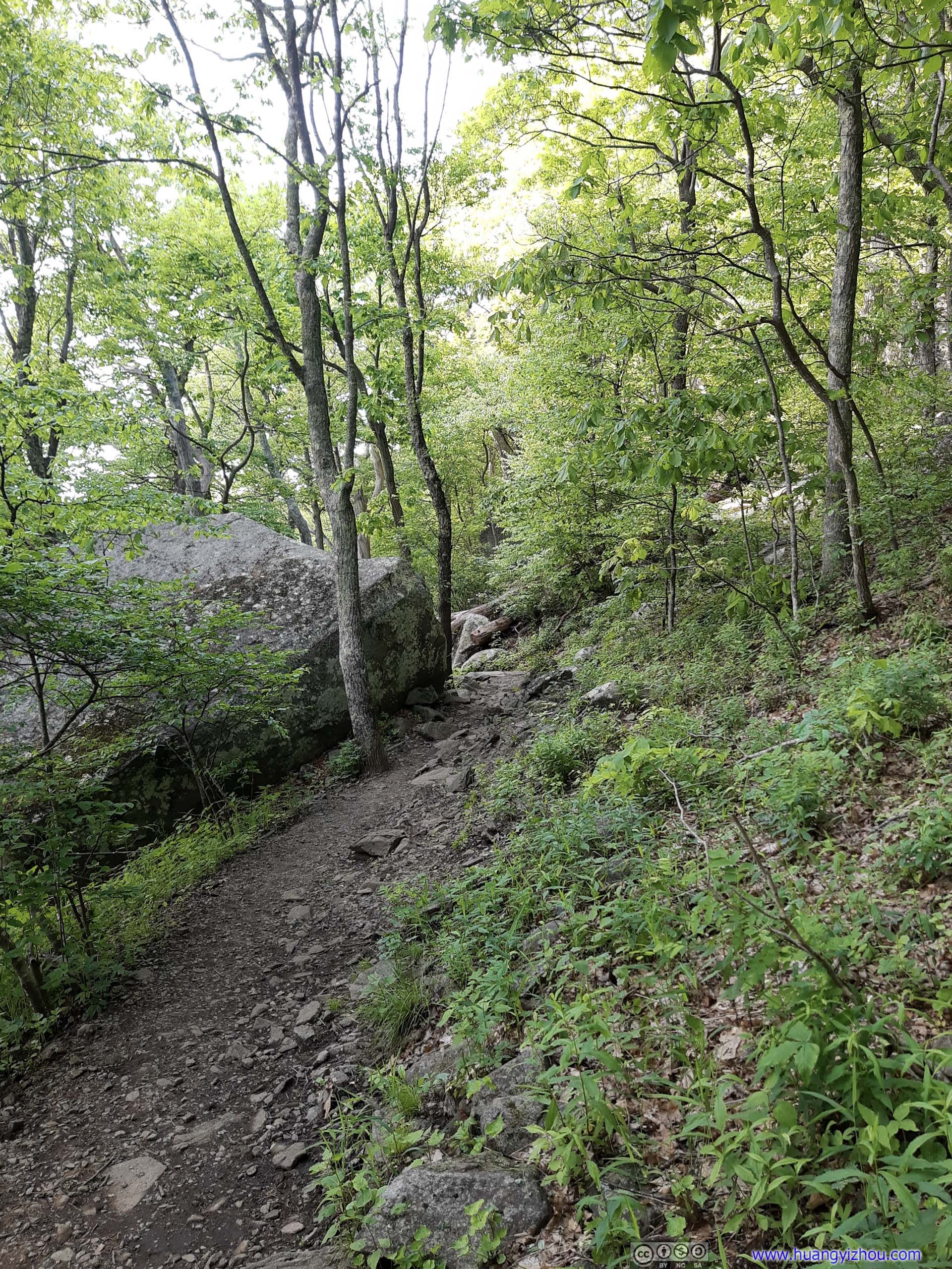
It’s a 5.3km out-and-back to the top of Sharp Top Mountain with 382m elevation gain, mostly in the shade. After the previous few days’ misery with mud, I breathed a huge sigh of relief that the trail was dry, and mostly in great shape.
Here’s GPS tracking:
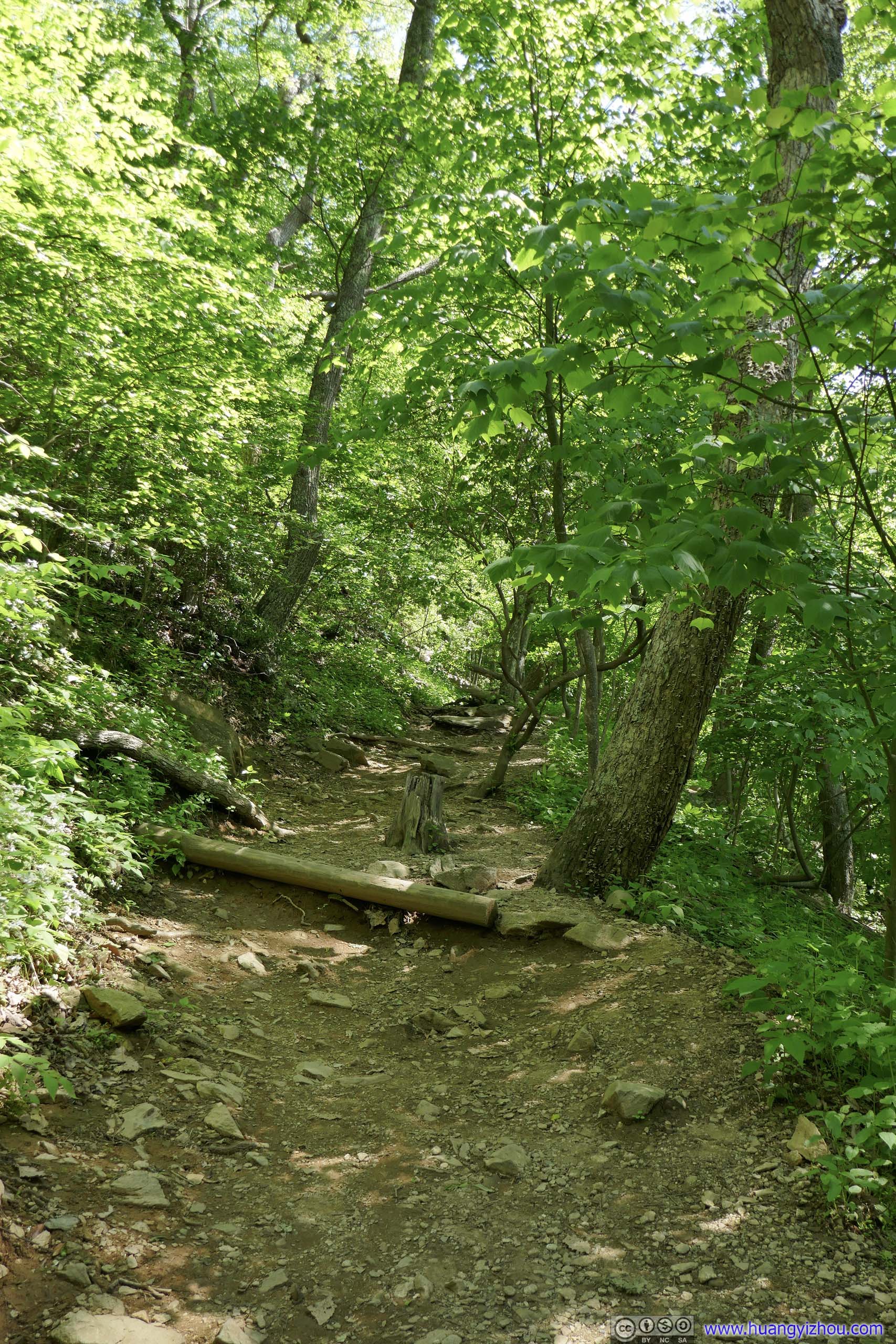
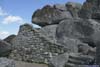
 Start of Sharp Top Trail
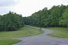
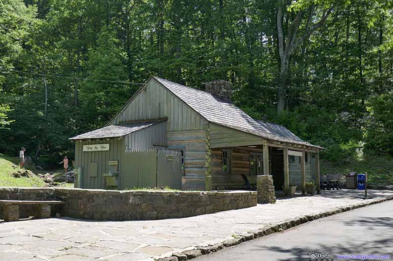
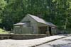
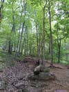
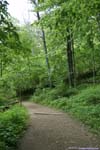
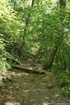
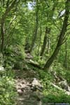
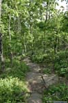
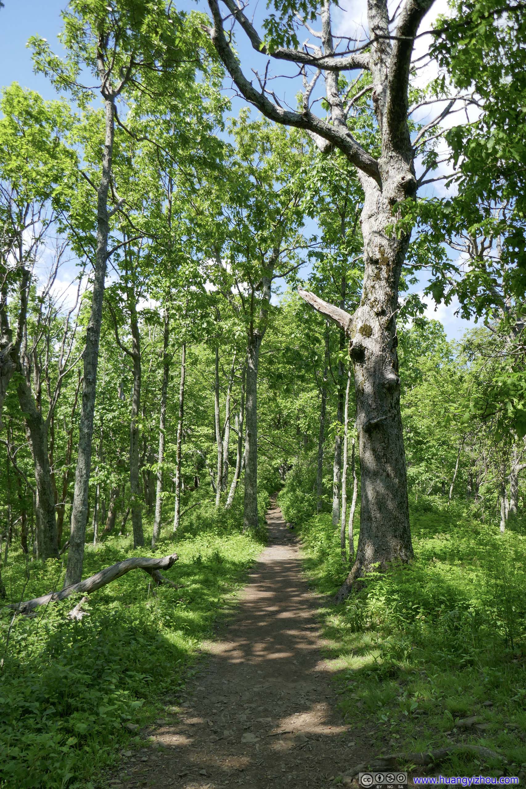
Right next to the trailhead was Sharp Top Store (top), with cold drinking water available. The trail appeared as paved stairs (bottom) at the trailhead, but only for a few meters before it degraded into raw dirt, but still in great shape though.
Start of Sharp Top Trail
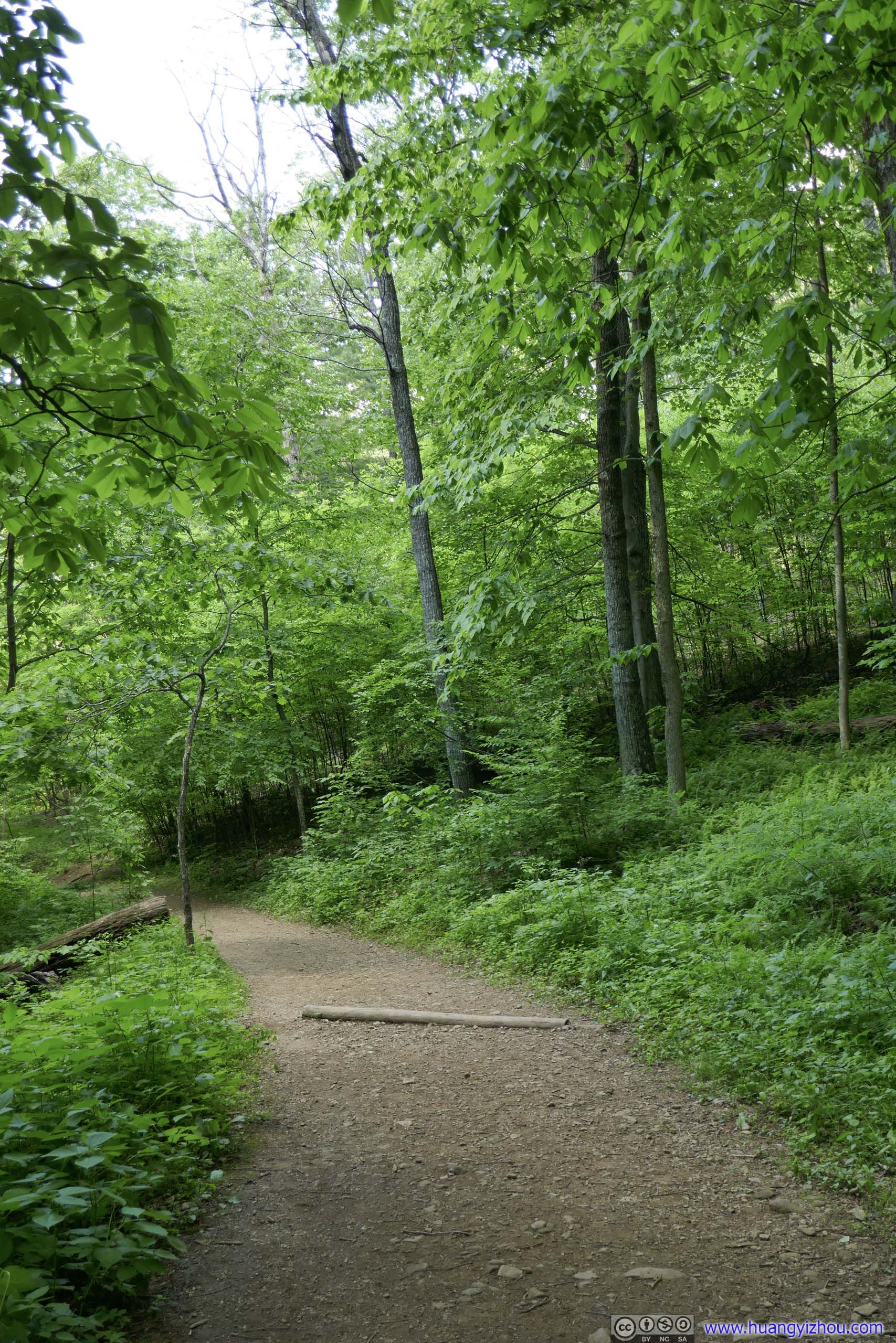
Right next to the trailhead was Sharp Top Store (top), with cold drinking water available. The trail appeared as paved stairs (bottom) at the trailhead, but only for a few meters before it degraded into raw dirt, but still in great shape though.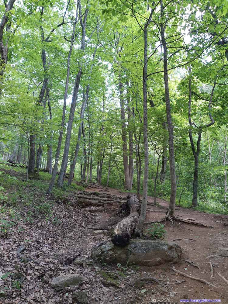 Trail
Trail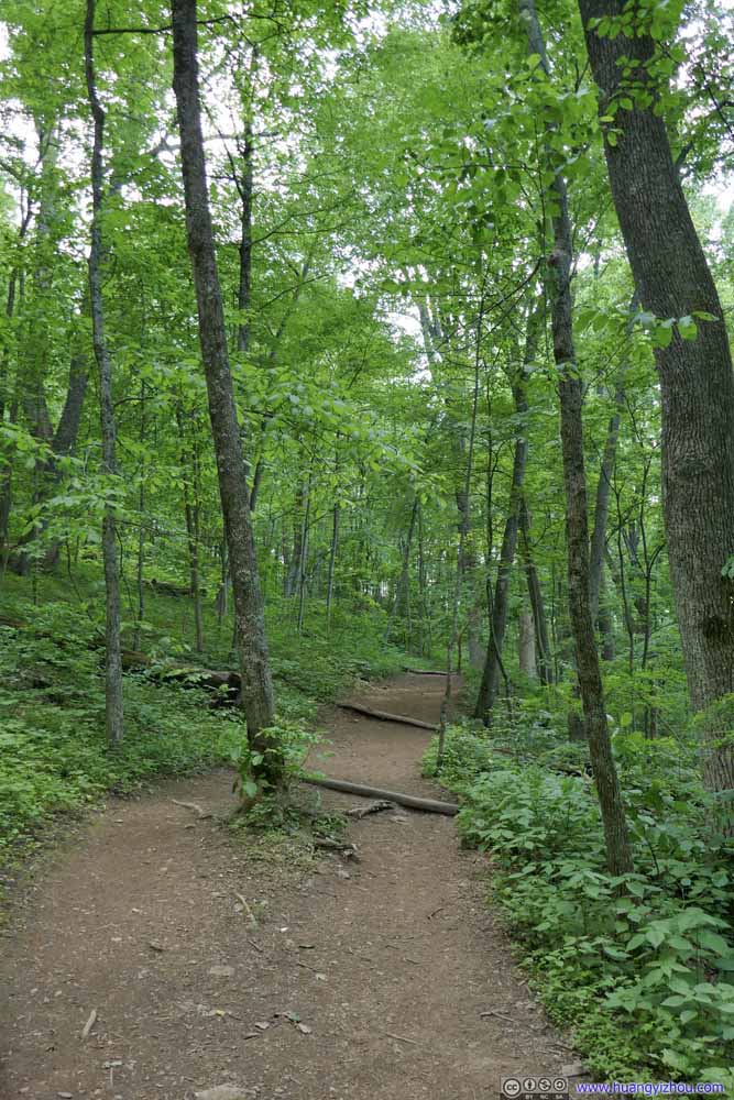 Trail
Trail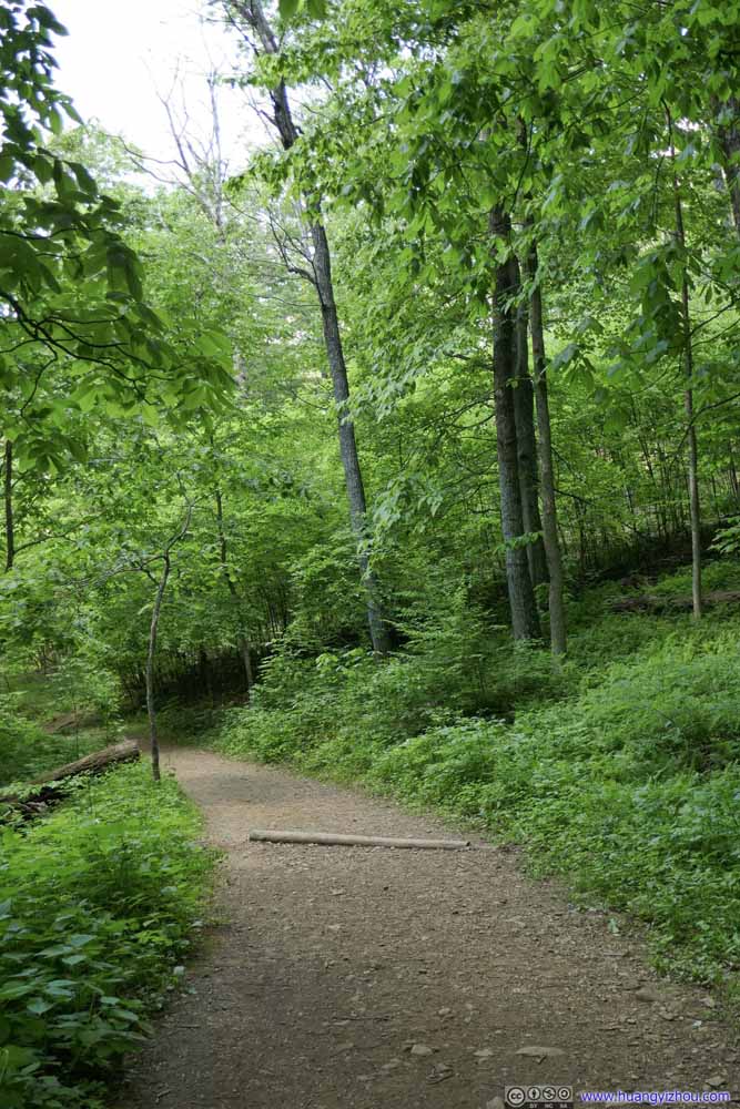 Trail
Trail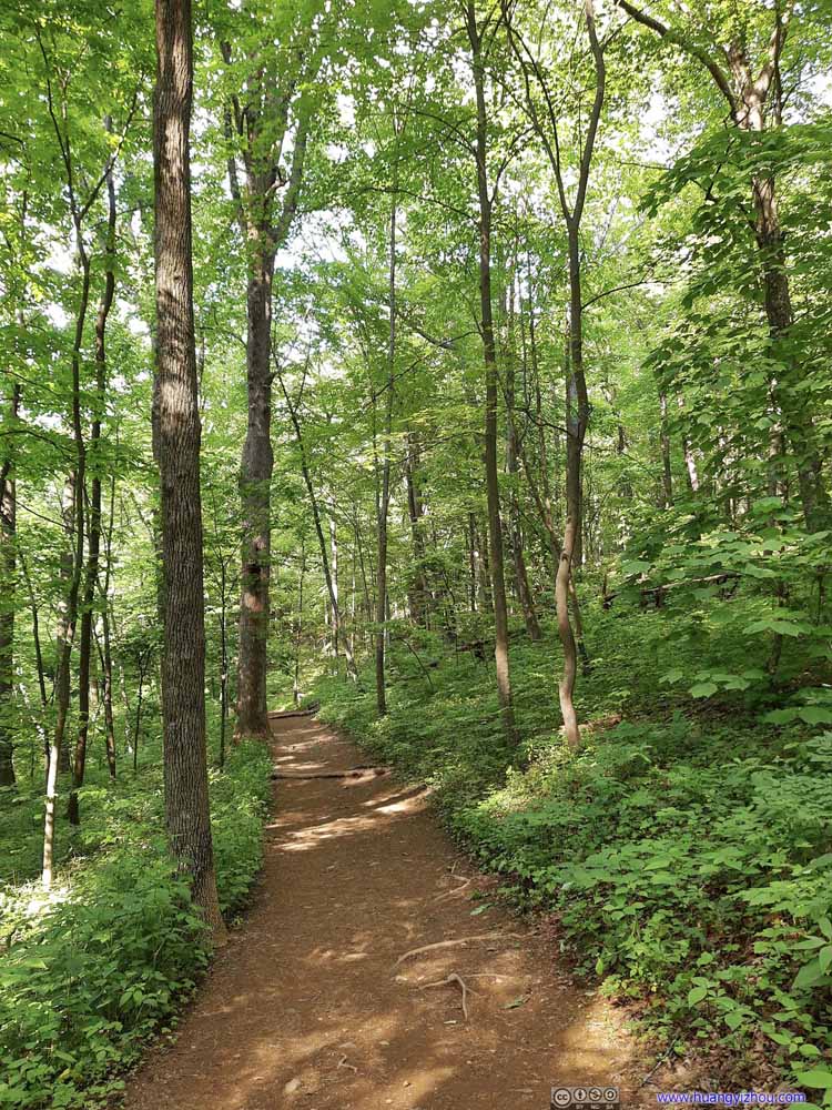 Trail
Trail Trail
Trail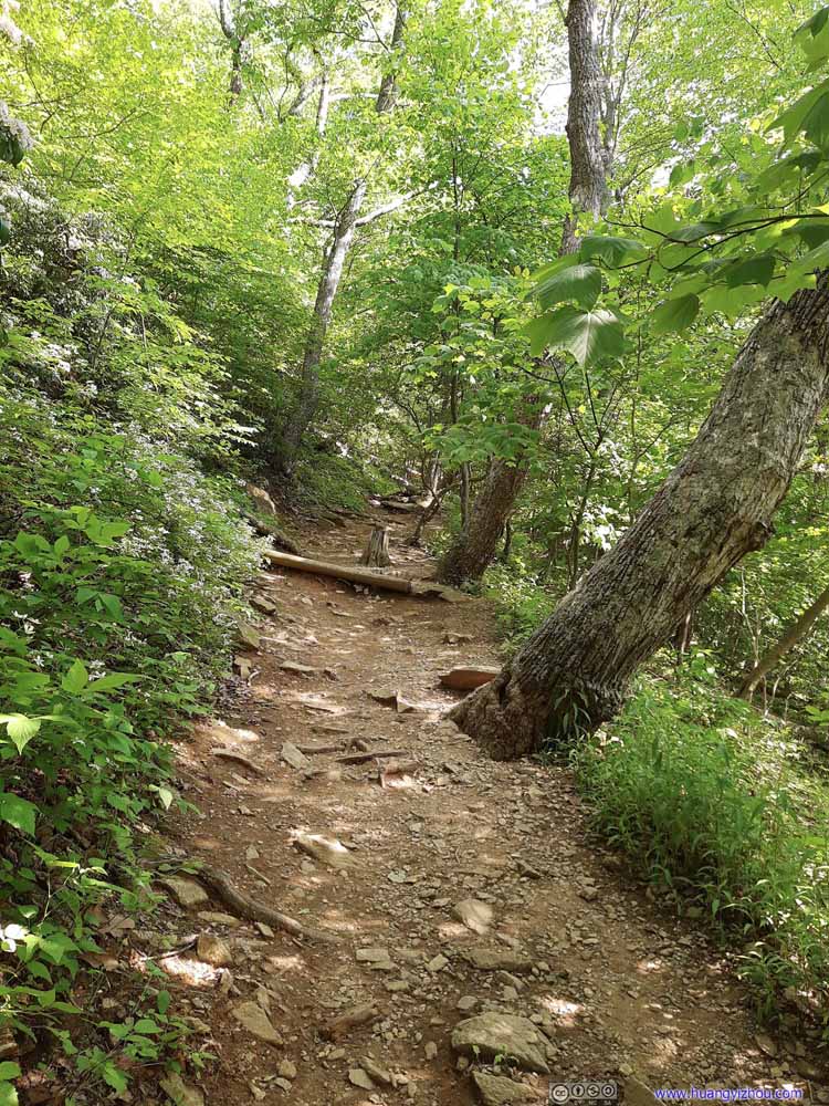 Trail
Trail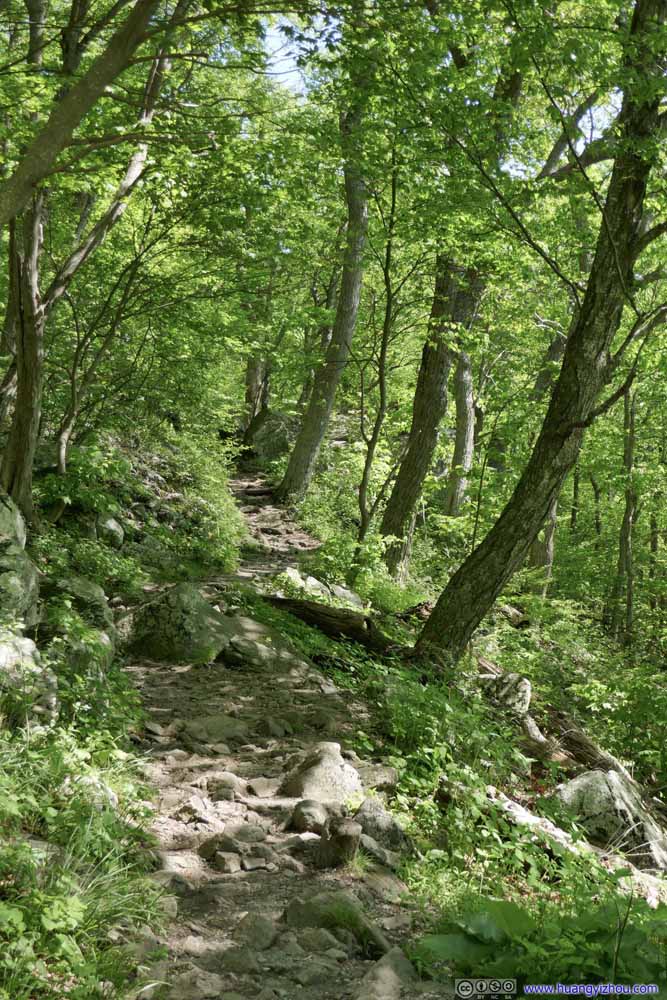 Trail
Trail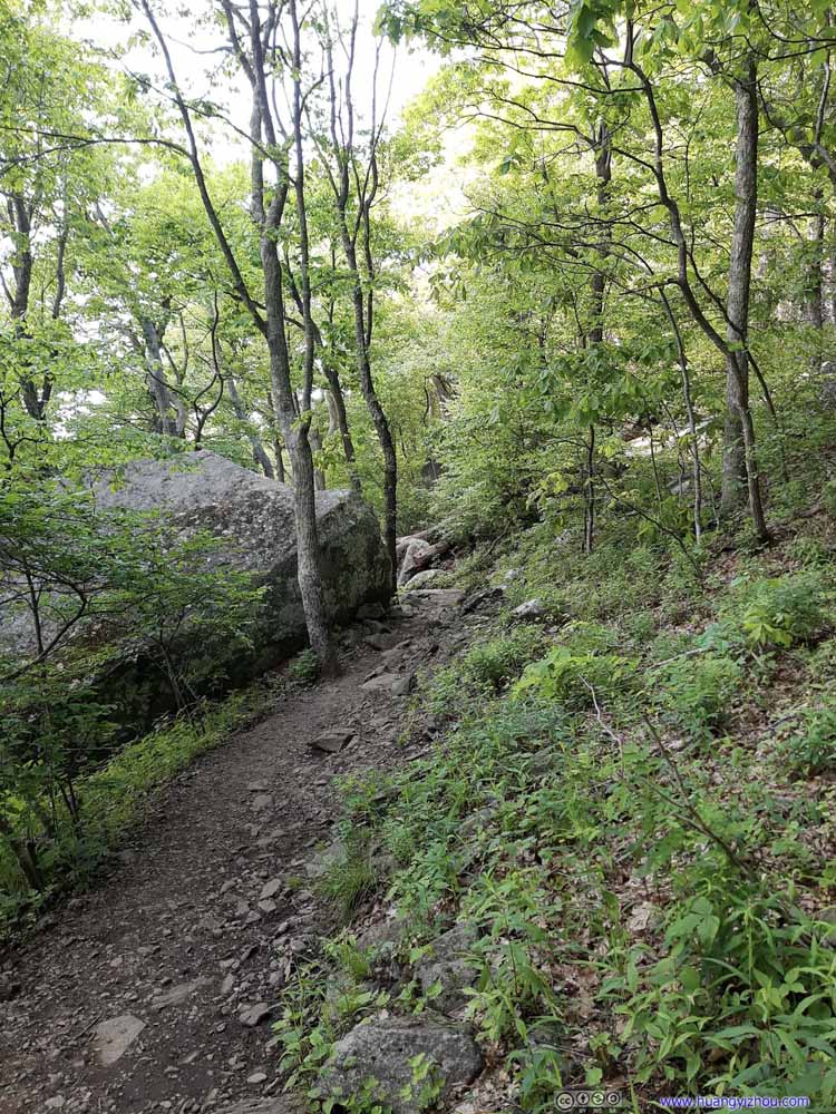 Trail
Trail Trail
Trail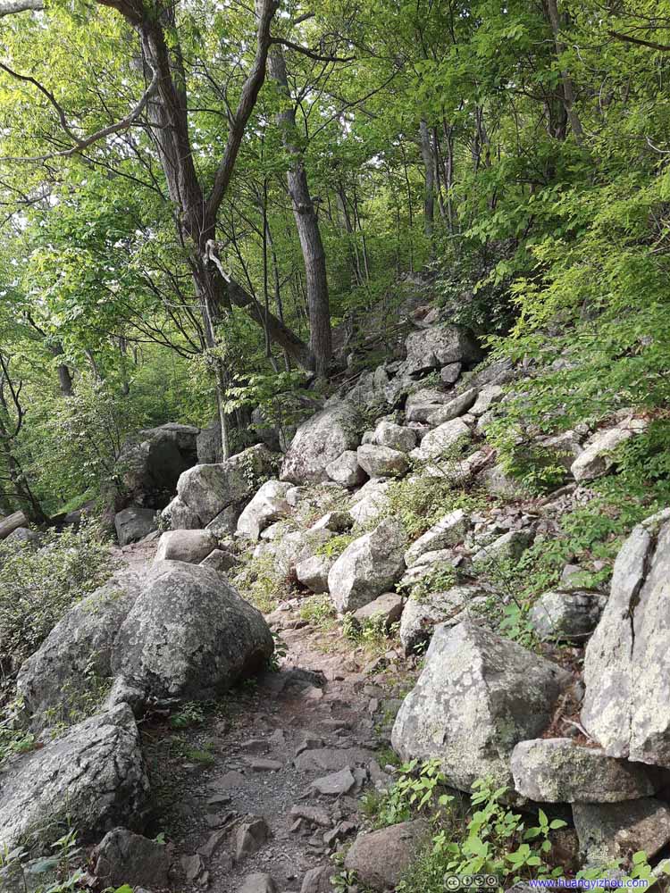 Trail
Trail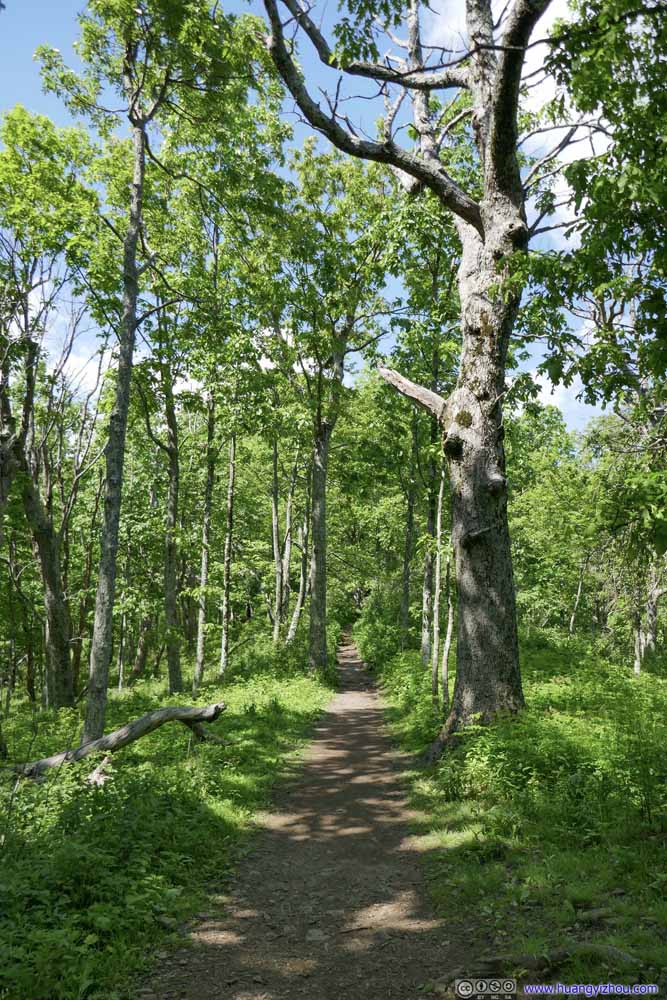 Trail
Trail Trail
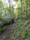
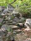
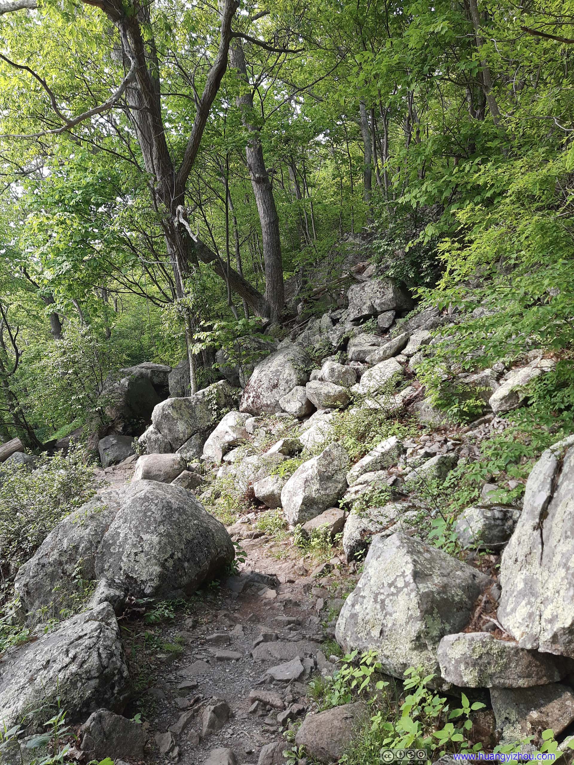
Trail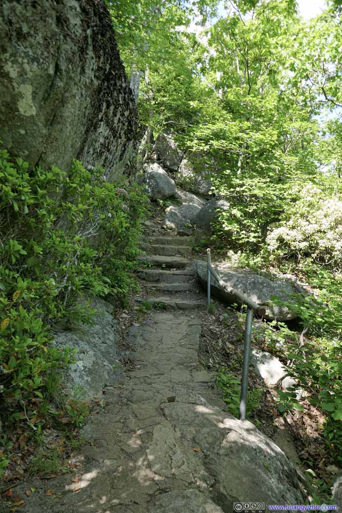 TrailTowards the top there were signs of improvement, like stairs and handrails.
 TrailTowards the top there were signs of improvement, like stairs and handrails.


Click here to display photos of the trail.

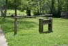
Sharp Top Store
Start of Sharp Top Trail

Trail

Trail
Trail

Trail
Trail
Trail
Trail
Trail

Trail
Trail
Trail

Trail

TrailTowards the top there were signs of improvement, like stairs and handrails.
TrailTowards the top there were signs of improvement, like stairs and handrails.
After 40 minutes on the trail, I was almost at the top. Here’s a video of my final steps onto the summit (at 5x playback speed):
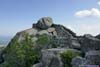
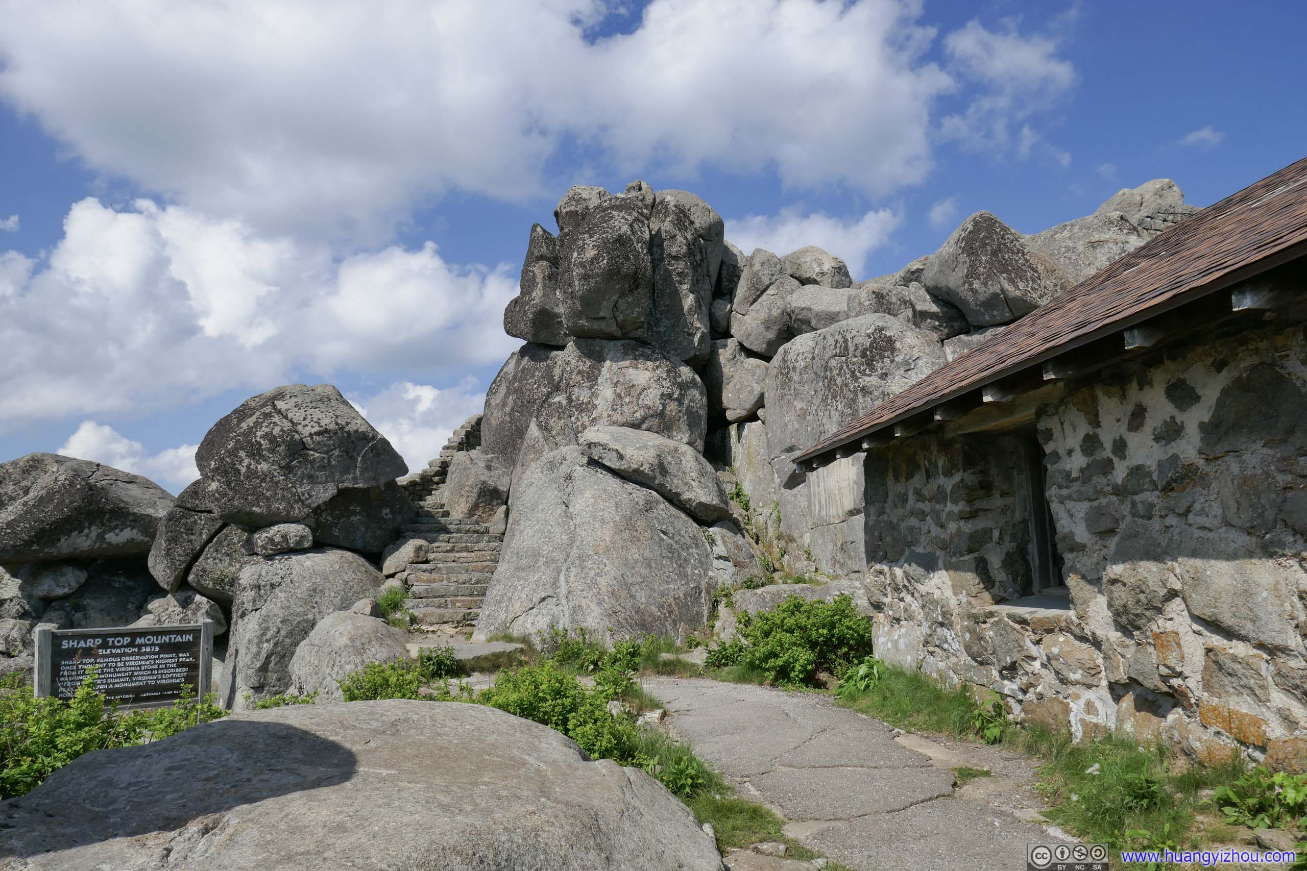
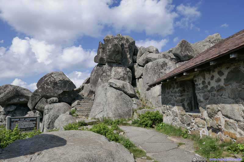 Sharp Top SummitA cottage on the right, most likely former fire watchman building.
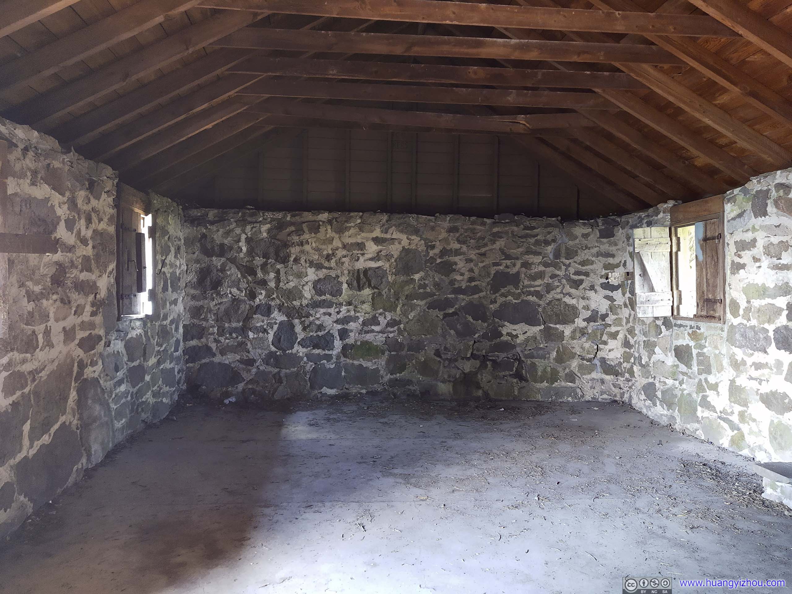
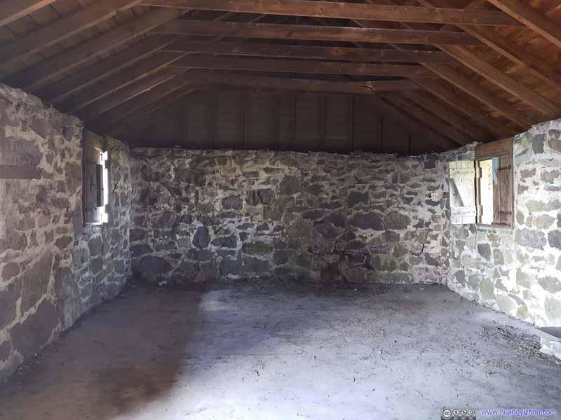 Cottage InteriorNow empty.
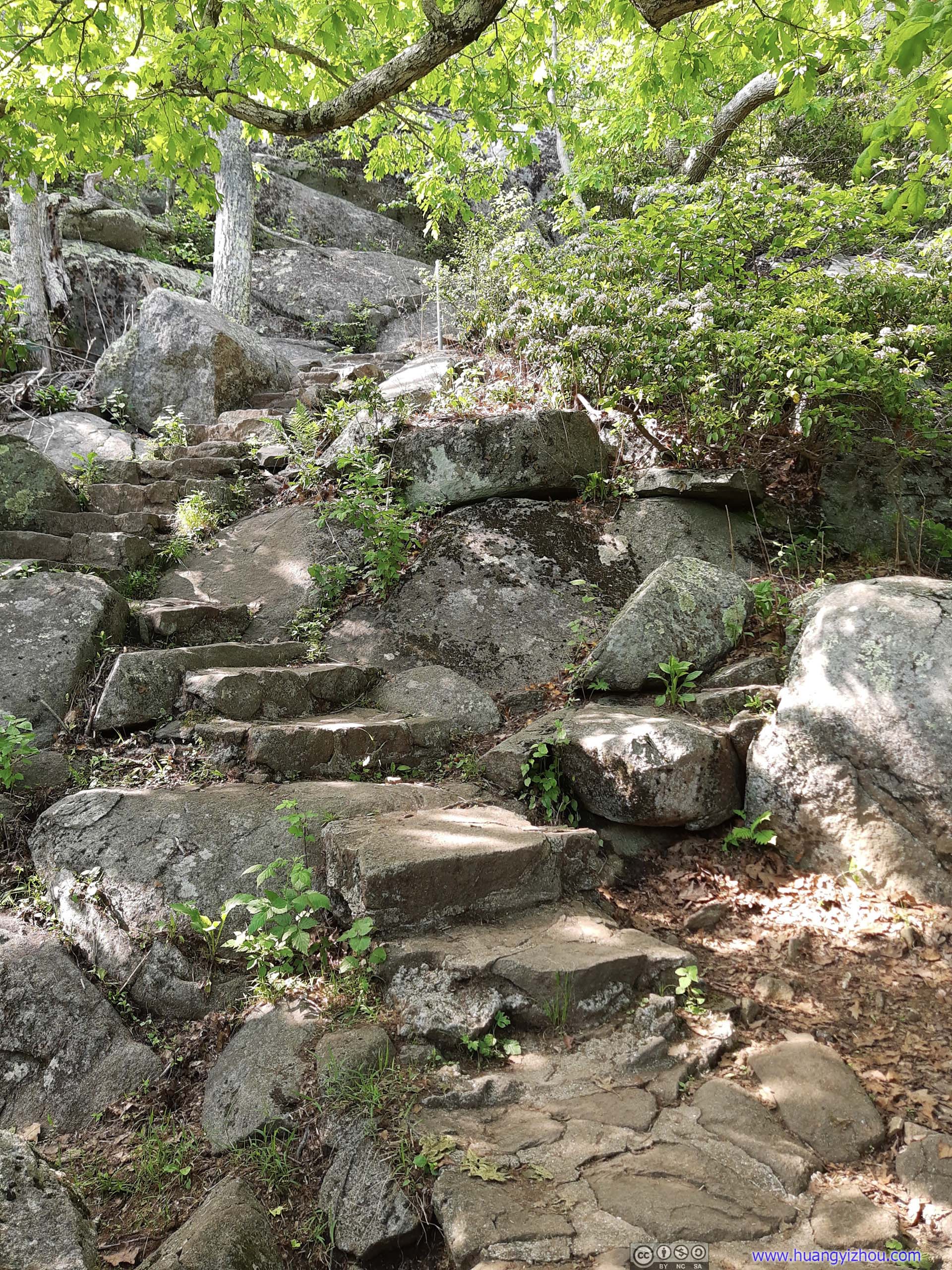
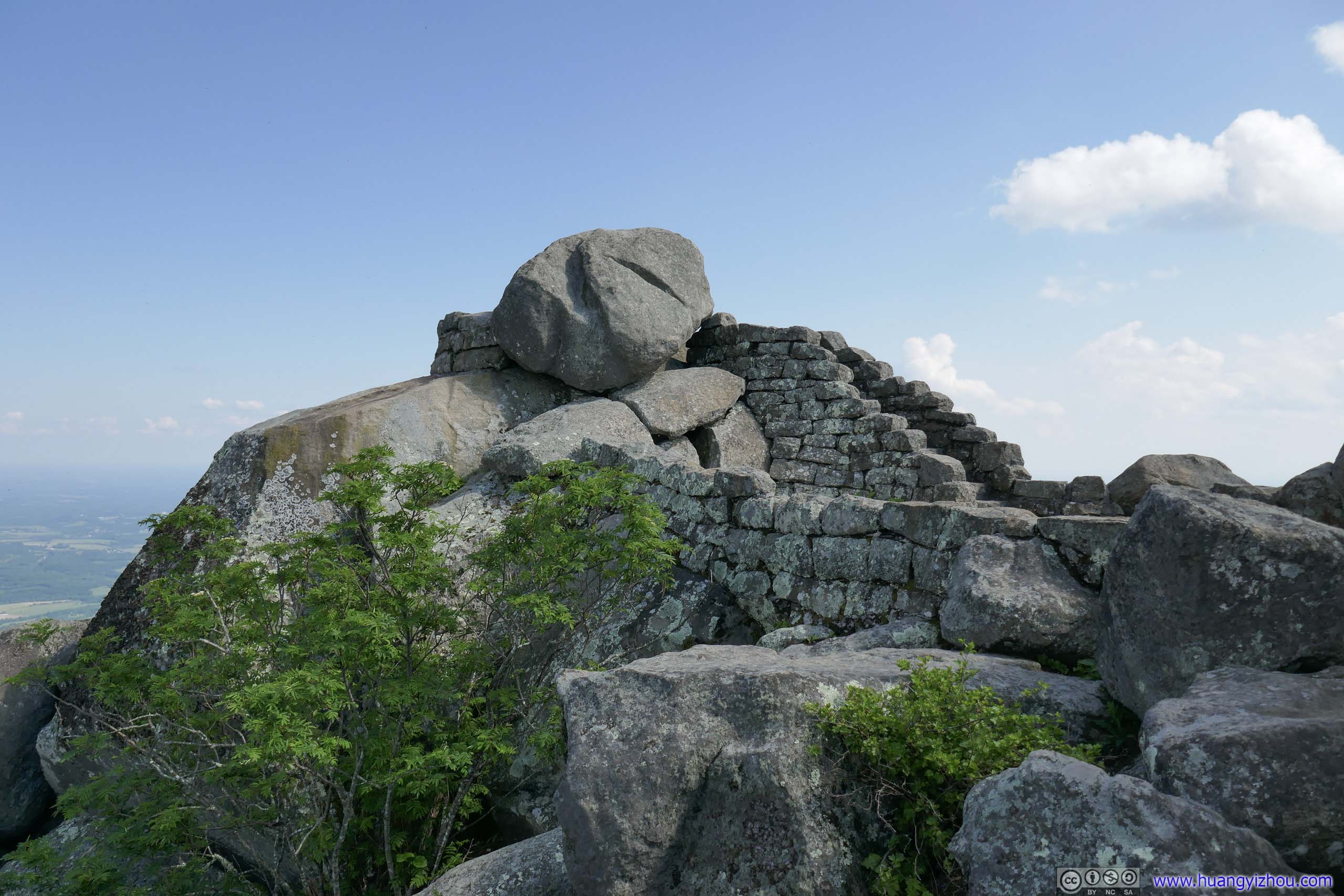
 Sharp Top SummitWell-constructed stairs leading onto the summit, no difficulties.
 Sharp Top SummitWell-constructed stairs leading onto the summit, no difficulties.
 Sharp Top SummitI believe this was the highest of the rocks.
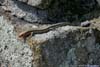
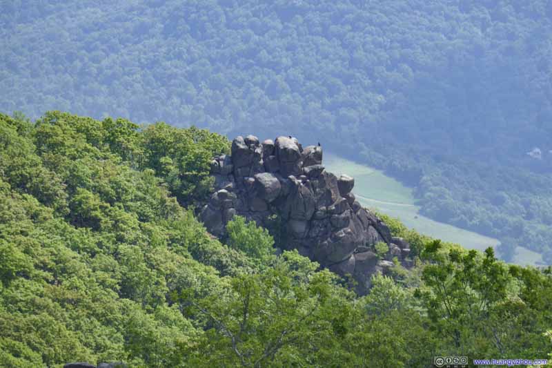 Buzzard’s Roost
Another pile of rocks to the south of Sharp Top. It’s also accessible through a short spur trail. I didn’t see a clear path onto these rocks so I skipped them.
Buzzard’s Roost
Another pile of rocks to the south of Sharp Top. It’s also accessible through a short spur trail. I didn’t see a clear path onto these rocks so I skipped them.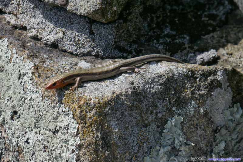 Lizard


Click here to display photos from the summit of Sharp Top Mountain.
Sharp Top SummitA cottage on the right, most likely former fire watchman building.
Cottage InteriorNow empty.

Sharp Top SummitWell-constructed stairs leading onto the summit, no difficulties.
Sharp Top SummitWell-constructed stairs leading onto the summit, no difficulties.
Sharp Top SummitI believe this was the highest of the rocks.

Buzzard’s Roost
Lizard
There were many rocks at the summit of Sharp Top, and I reasonably believed some of them were cut into the stairs for the final ~300m/1000ft of trail. Thus despite its steepness, the trail presented no technical difficulties.
The Washington Monument in the national’s capitol, completed in 1884, contained an engraved stone from Sharp Top.
From Otter’s summit, Virginia’s loftiest peak, to crown a monument to Virginia’s noblest son.
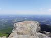
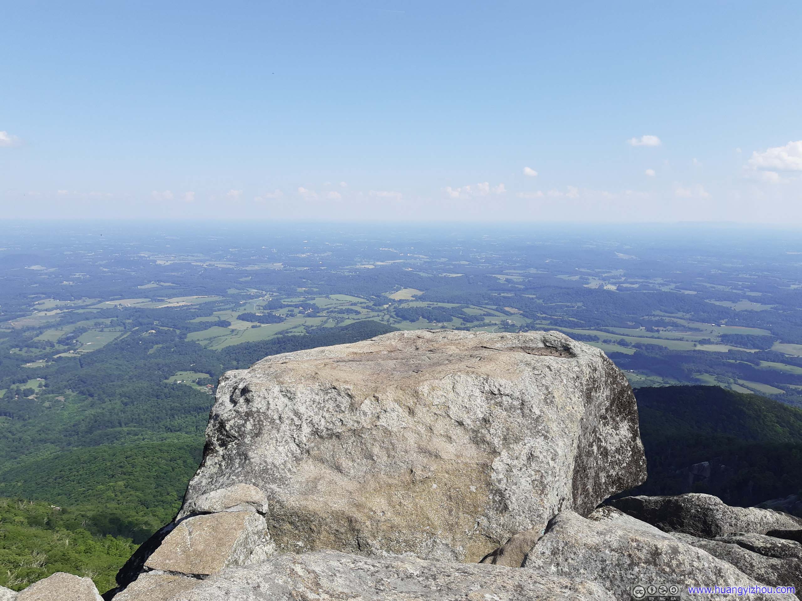
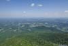
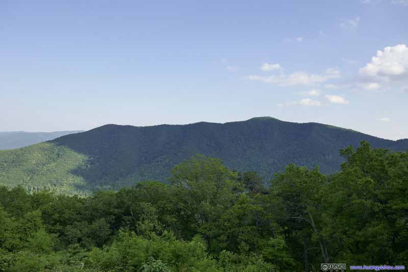
It seemed strange to me that at 1167m, Sharp Top didn’t even come close to Virginia’s tallest peak, which is Mt Rogers at 1746m that I visited the previous day. Even the nearby Flat Top Mountain to the north was taller than Sharp Top. But probably for its commanding view, Sharp Top reigned supreme among its peers.
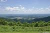
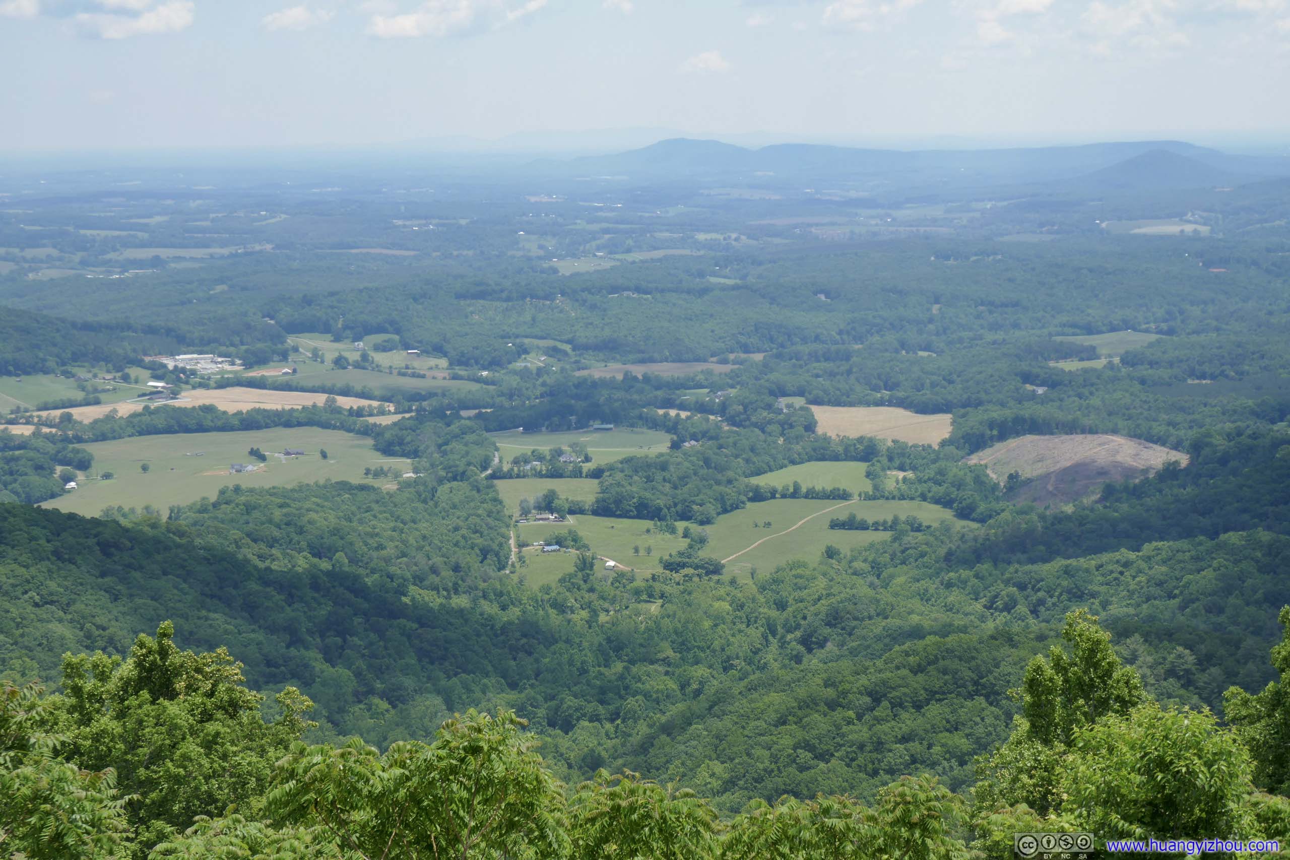
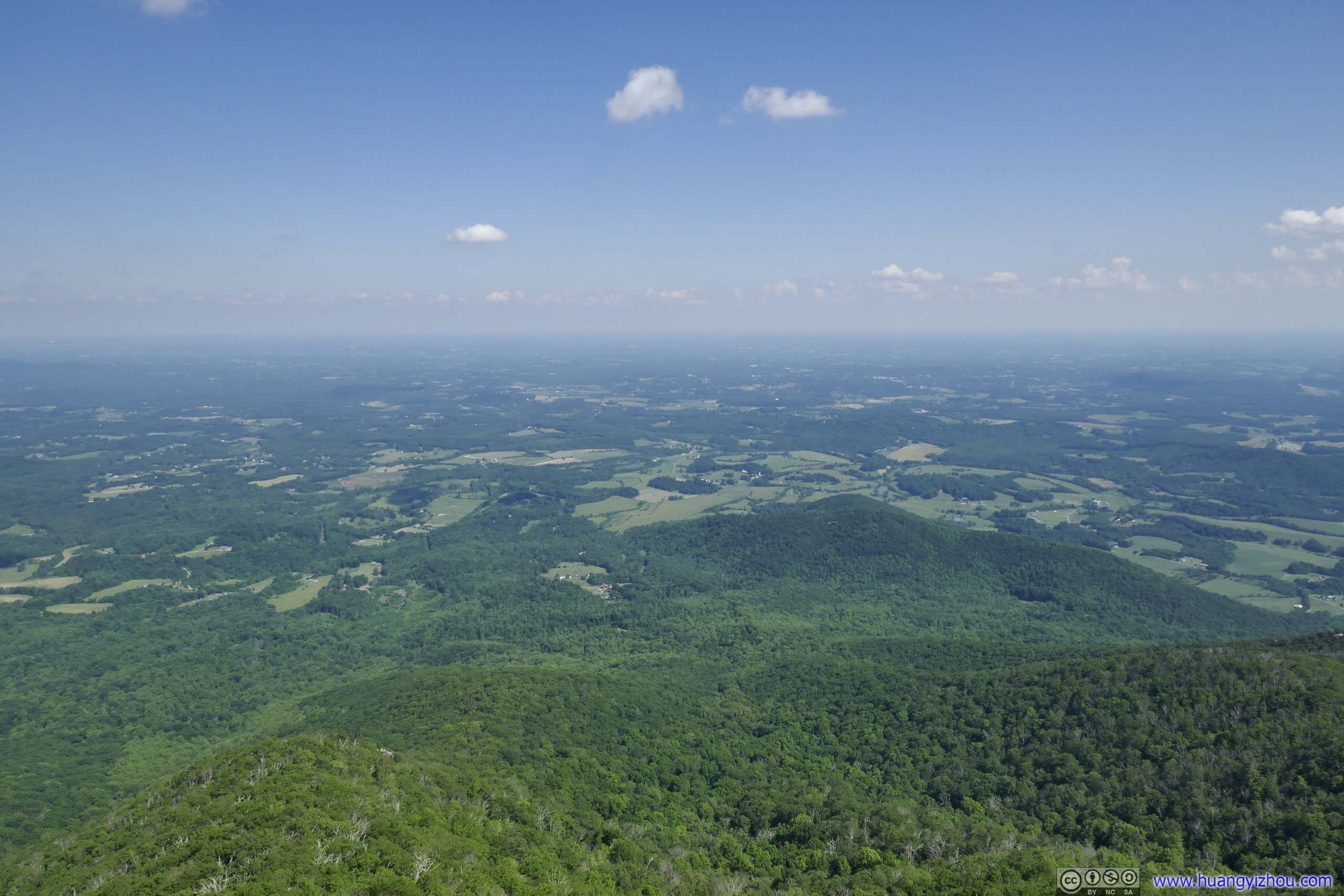
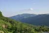
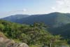
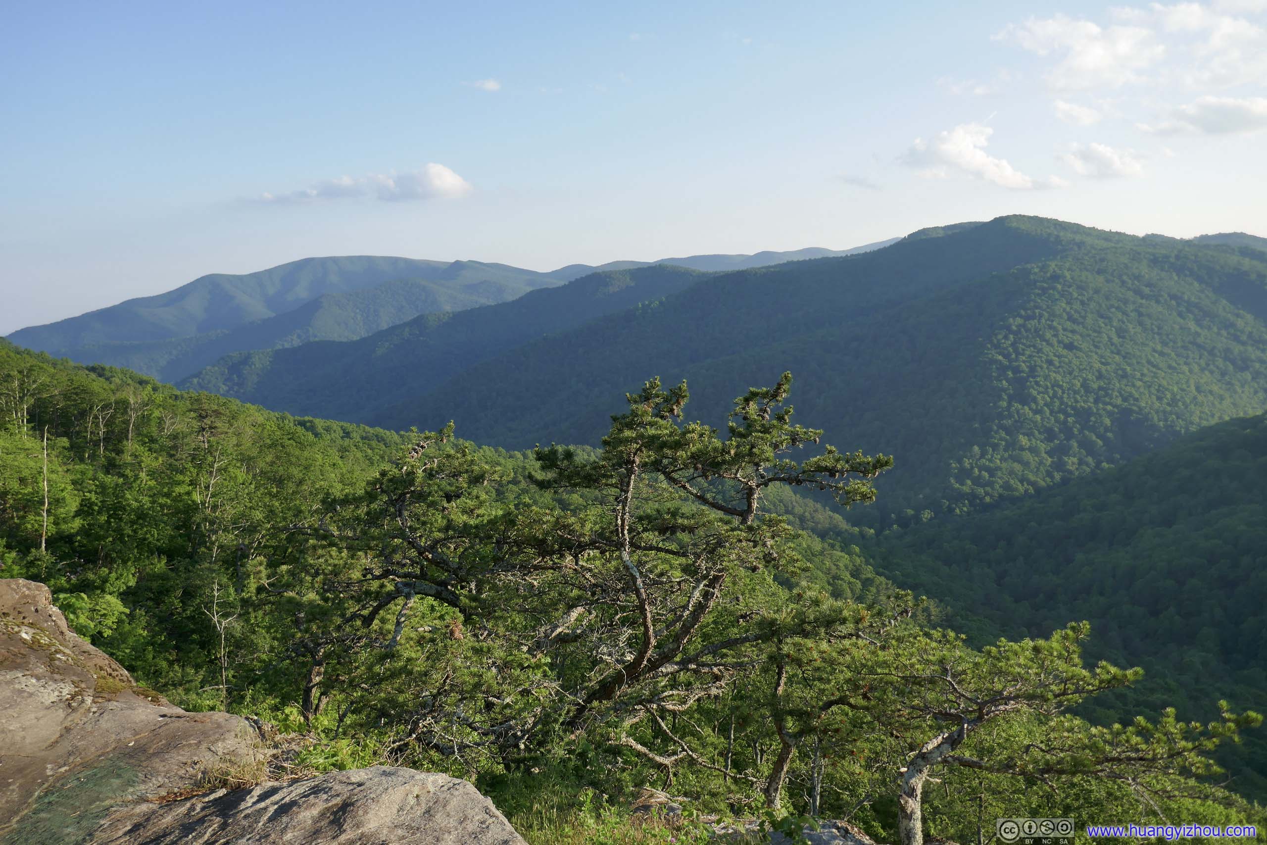
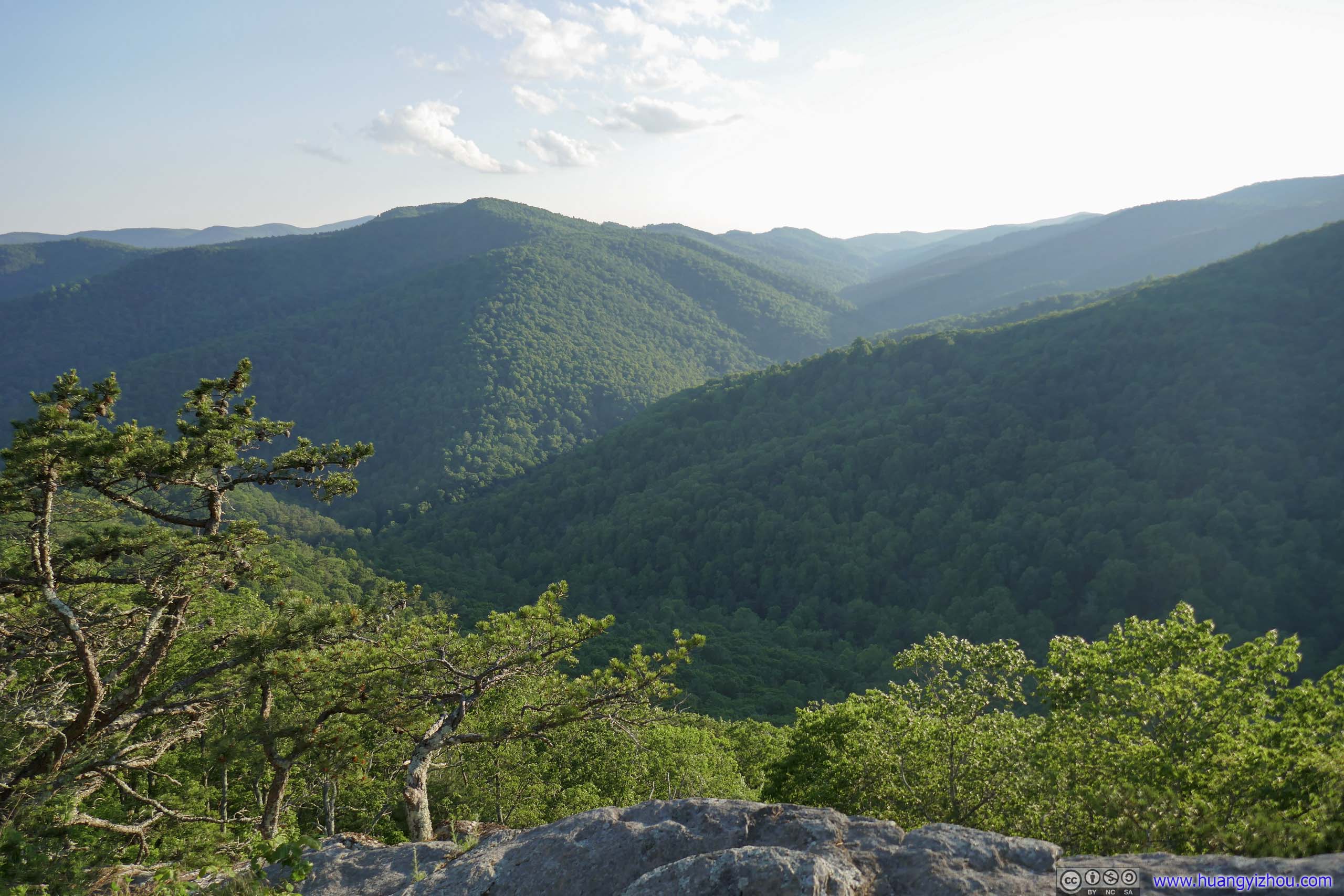
 Fields and Mountains from Sharp Topto the east (top) and to the west (bottom).
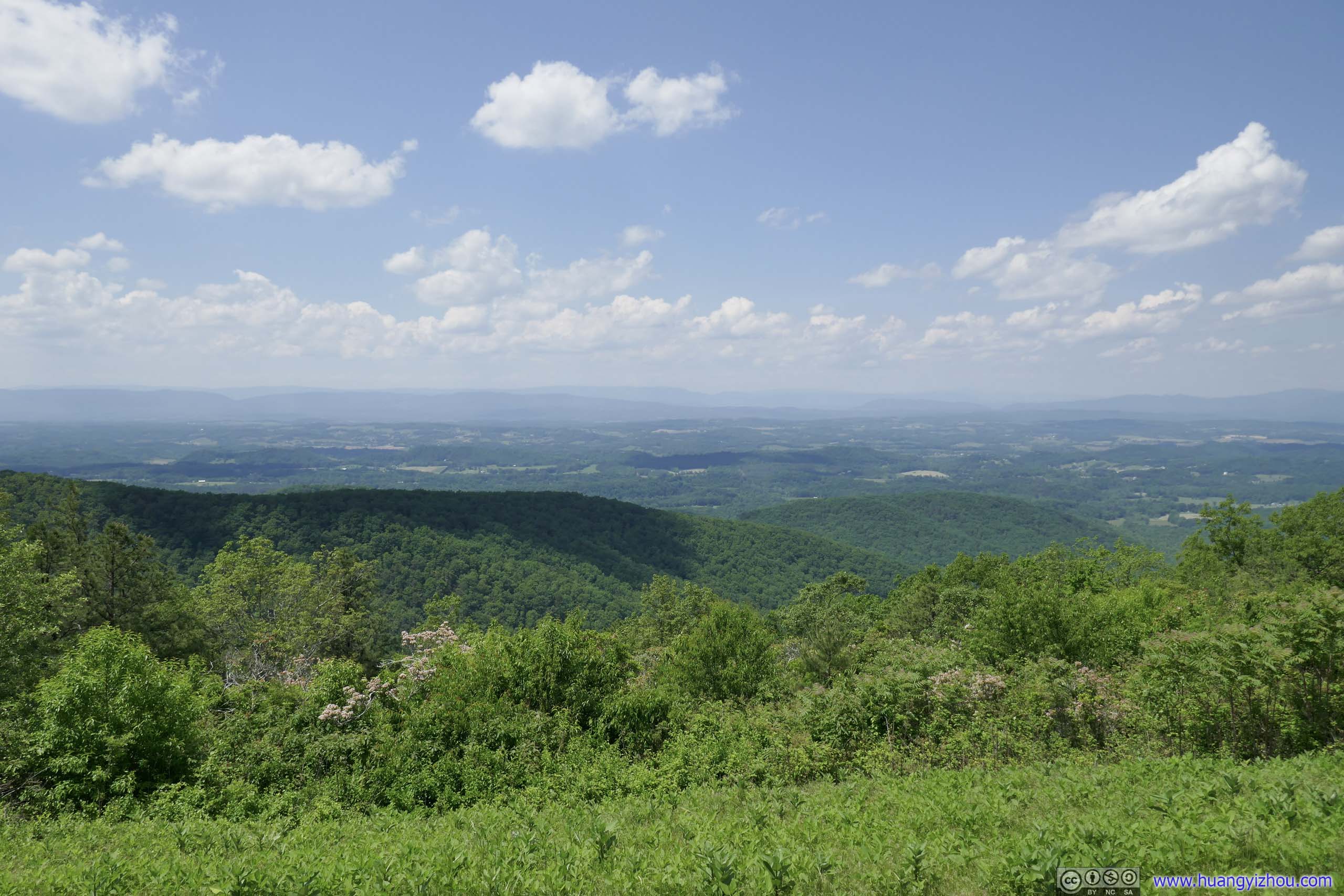
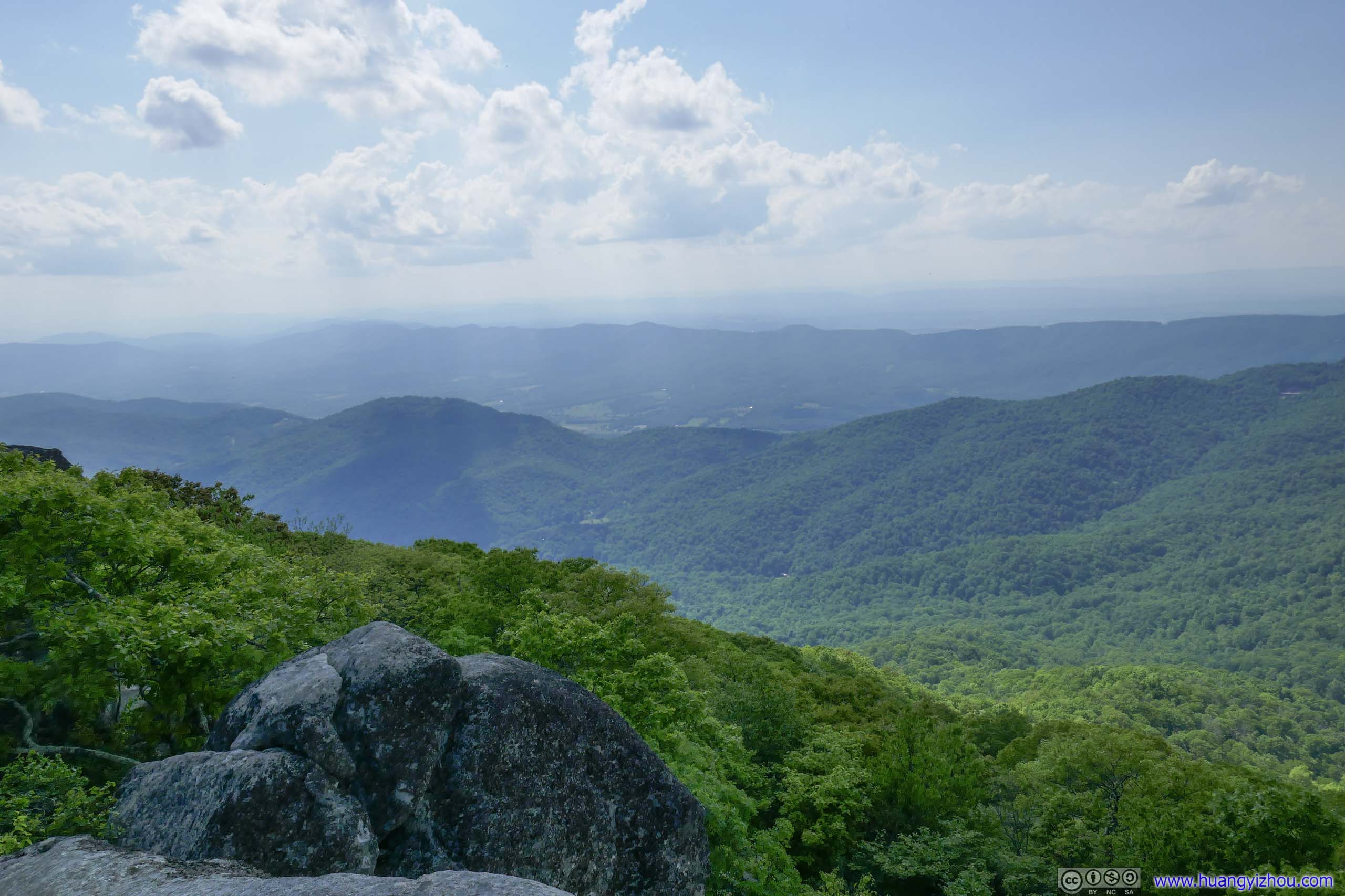
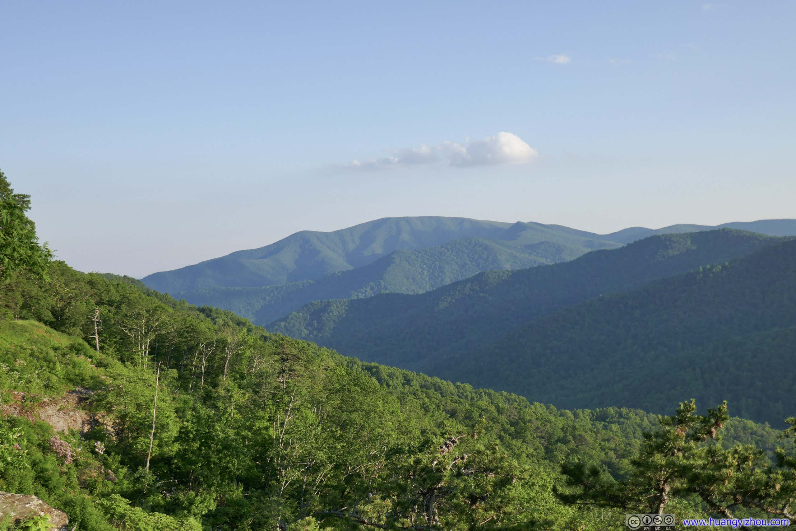
When it comes to views, due to its rocky summit, Sharp Top offers unobstructed panoramic views of the surrounding landscape, from the Piedmont farmland to the east to the Appalachian mountains to the west, and all the majestic sights in between. For aesthetics, it’s probably the best view of my entire 4-day trip.
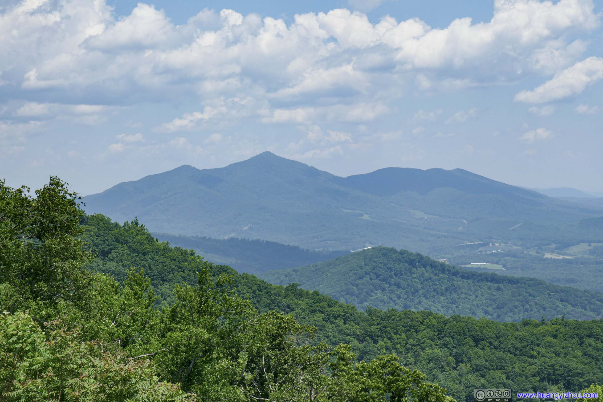
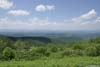
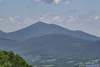
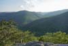
 Flat Top Mountain
 Flat Top Mountain
 Fields to the East
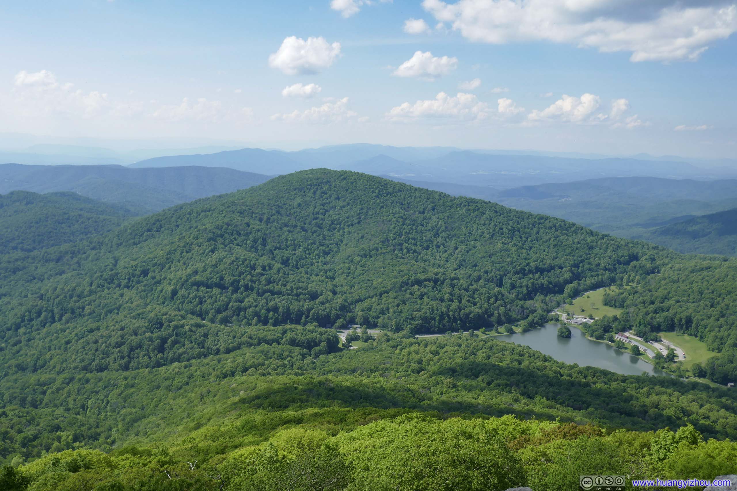
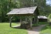
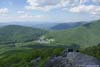
 Mountains surrounding Abbot Lake
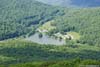
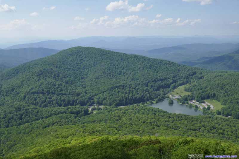 Harkening Hill
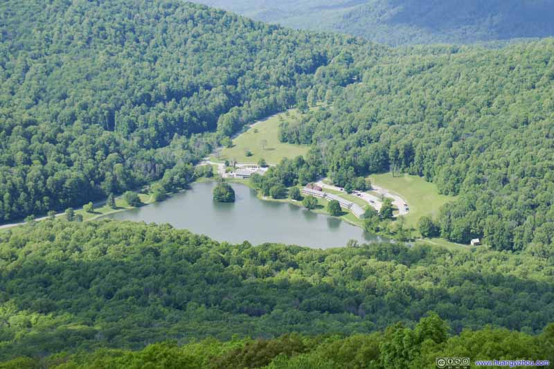 Abbot Lake
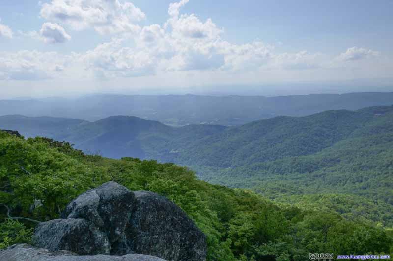 Mountains to the SouthwestBlue Ridge Parkway in the background.
Click here to display photos of the slideshow
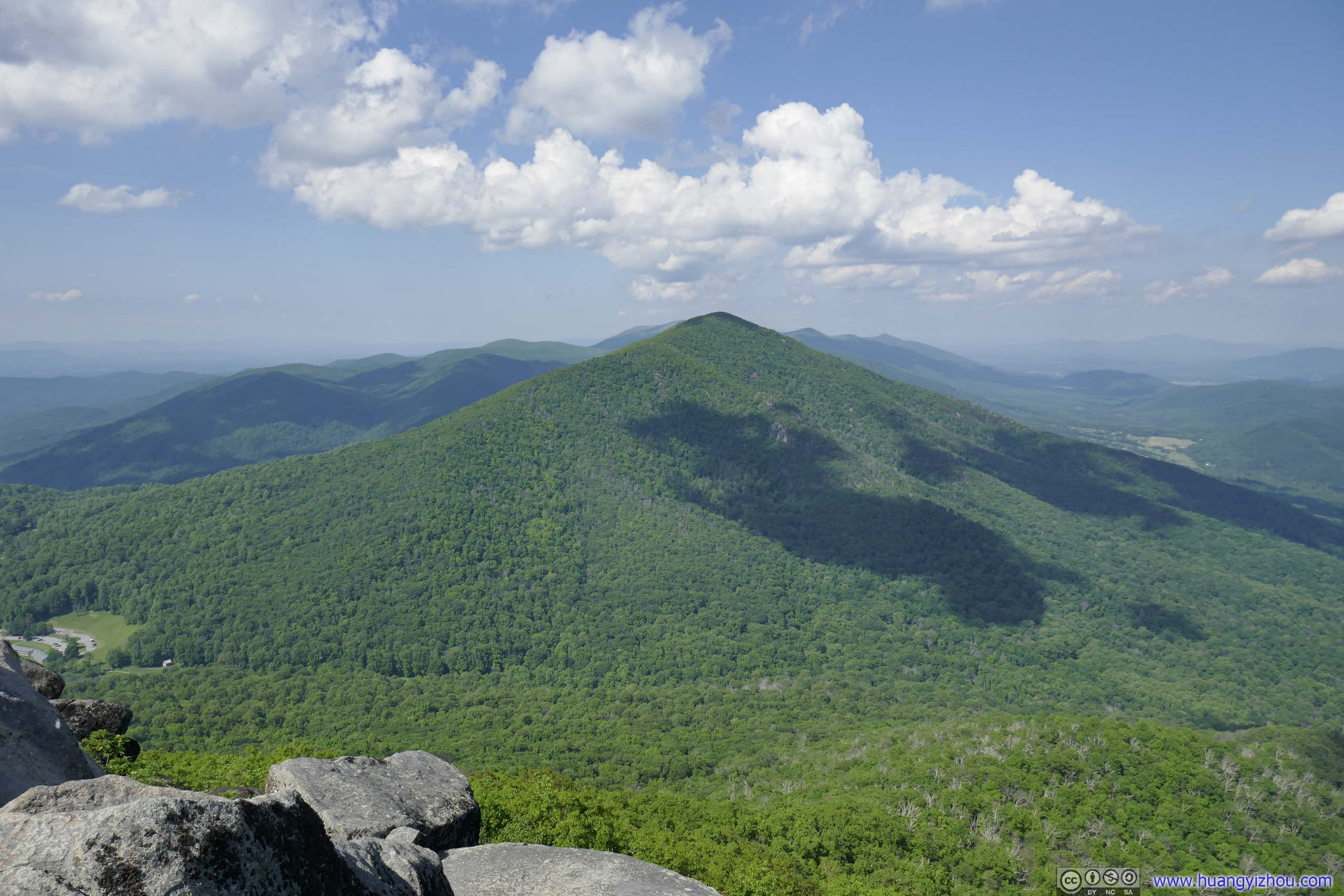
Flat Top Mountain
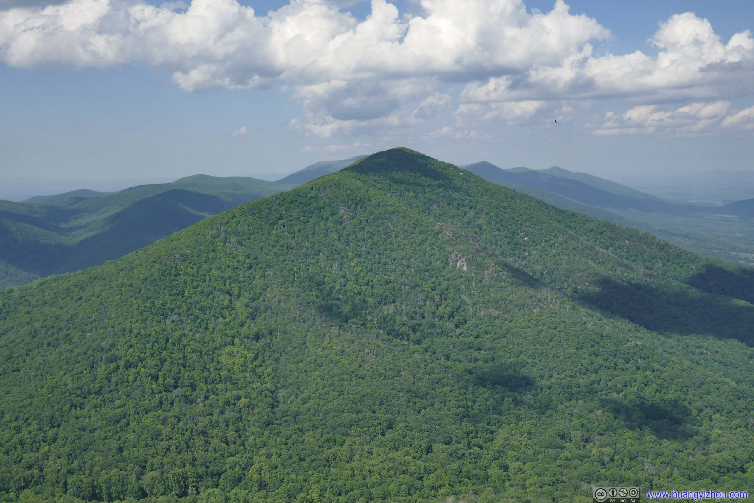
Flat Top Mountain
Fields to the East

Mountains surrounding Abbot Lake

Harkening Hill

Abbot Lake
Mountains to the SouthwestBlue Ridge Parkway in the background.
Unfortunately, during my visit, Sharp Top’s summit was inundated with bugs, swarms of them. The best of my deet couldn’t keep them at bay. Despite the gorgeous scenery, I couldn’t stay at the summit for long before they forced me back.
Then after a total of 2 hours on the trail, I was back with my car, and continued my road trip up Blue Ridge Parkway.
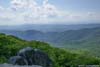
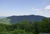
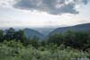
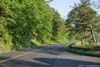
Here were some photos at the turnouts.
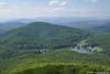
 Terrapin Mountain
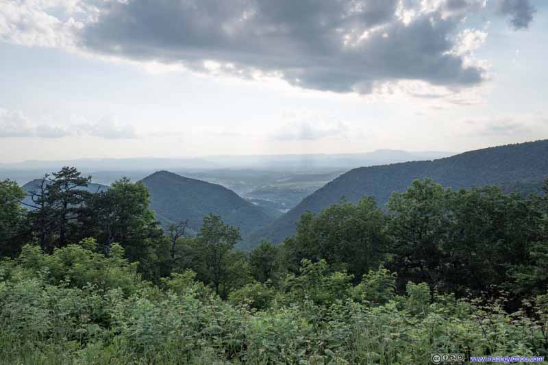 North Buena Vista
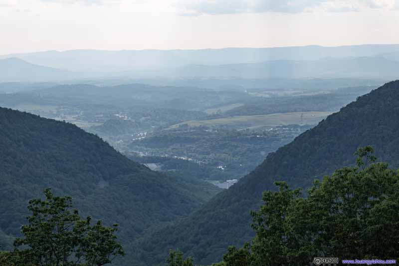 North Buena Vista
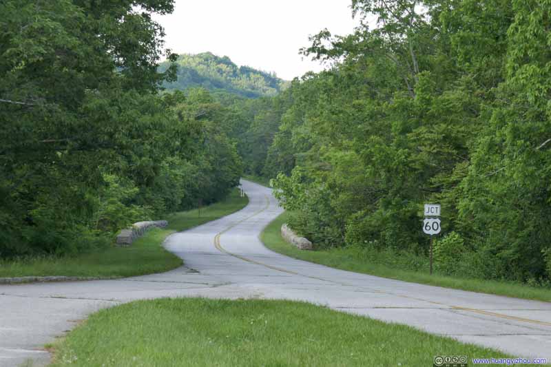 Blue Ridge Parkway
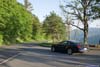
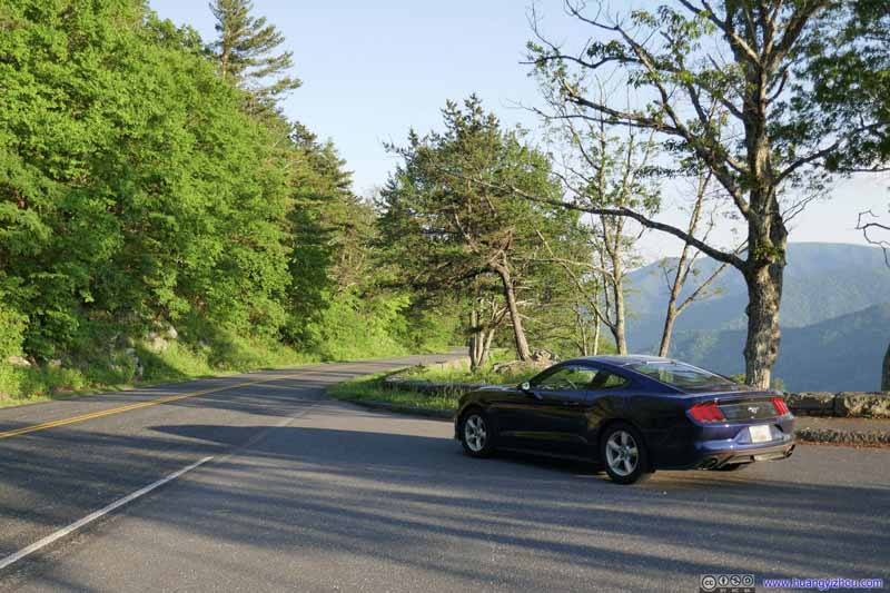 My Car at 20-Minute Cliff
I thought the place was called 20-Minute Cliff for its limited parking size, thus restricting parking to 20 minutes. It turned out the cliff served the White Rock community down the mountain as a time piece. In June and July during the corn-chopping season, 20 minutes after sunlight strikes the rock face, dusk would fall on the valley below.
My Car at 20-Minute Cliff
I thought the place was called 20-Minute Cliff for its limited parking size, thus restricting parking to 20 minutes. It turned out the cliff served the White Rock community down the mountain as a time piece. In June and July during the corn-chopping season, 20 minutes after sunlight strikes the rock face, dusk would fall on the valley below.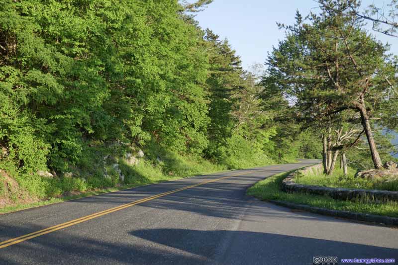 Blue Ridge Parkway
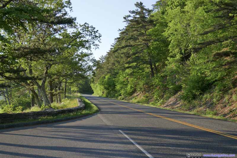 Blue Ridge Parkway
 The Priest Mountain
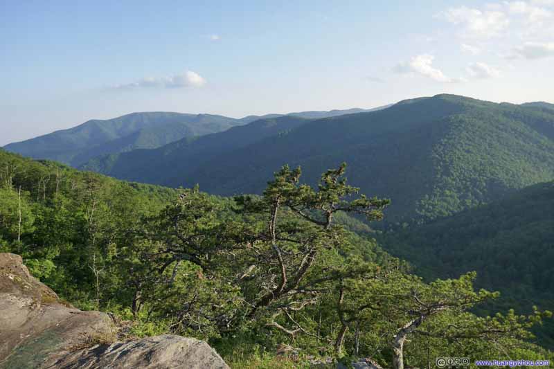 Mountains
 Mountains

Click here to display photos of the slideshow

Terrapin Mountain
North Buena Vista
North Buena Vista
Blue Ridge Parkway

My Car at 20-Minute Cliff
Blue Ridge Parkway

Blue Ridge Parkway
The Priest Mountain
Mountains
Mountains
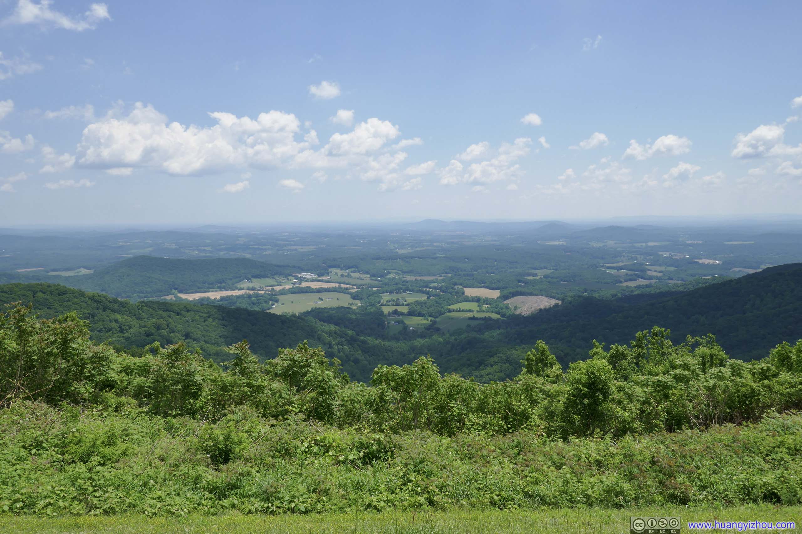
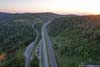
Rockfish Gap Overlook
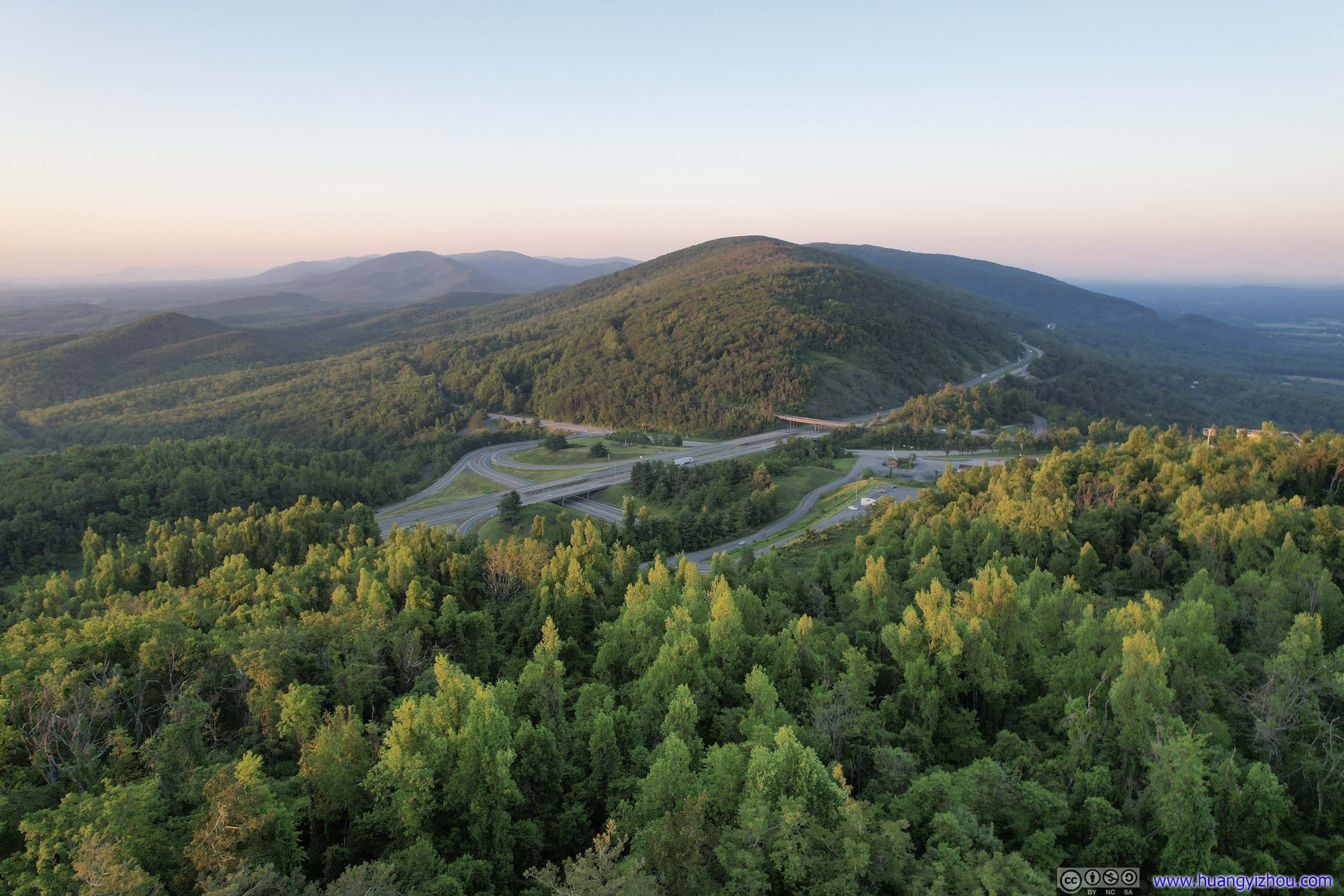
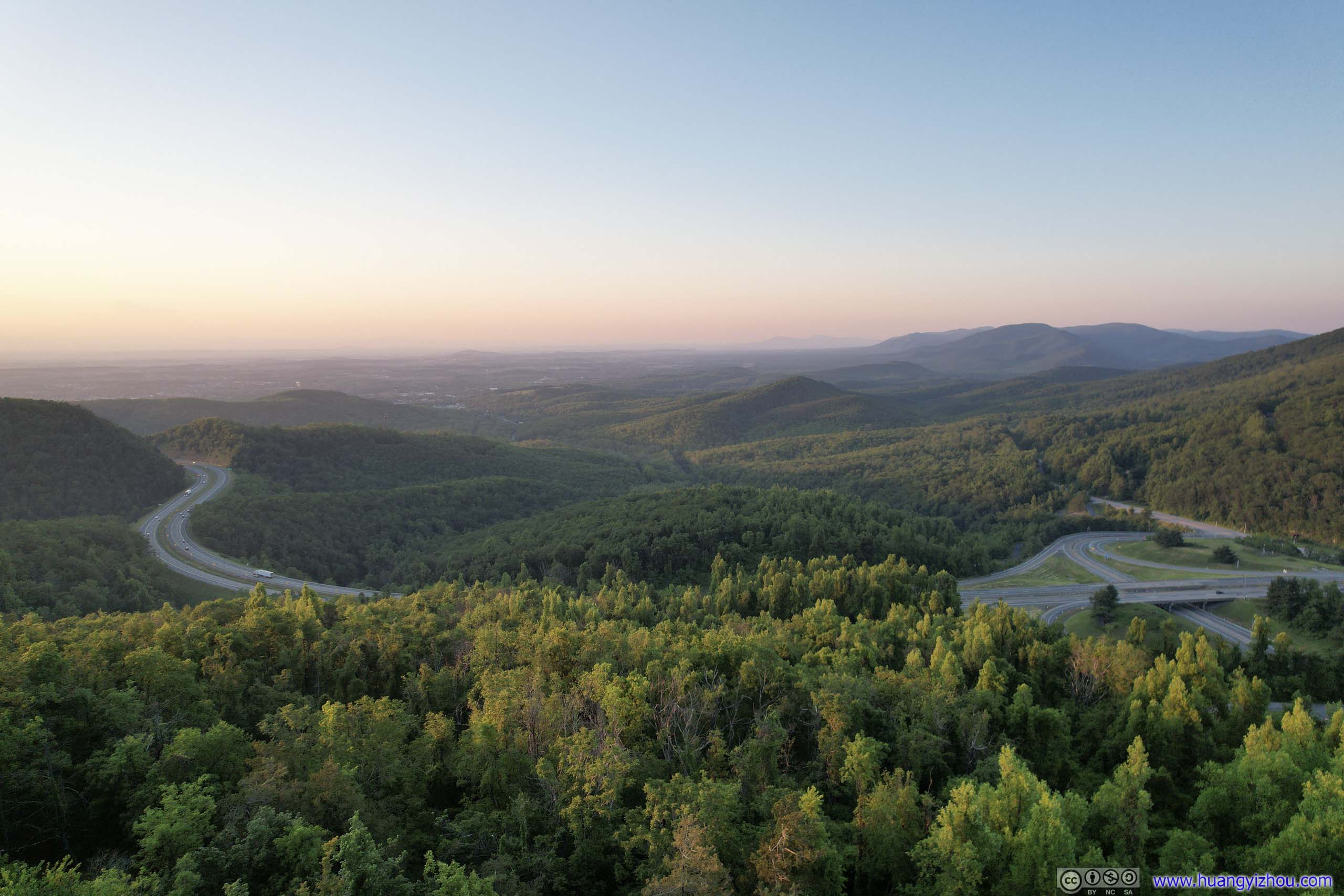
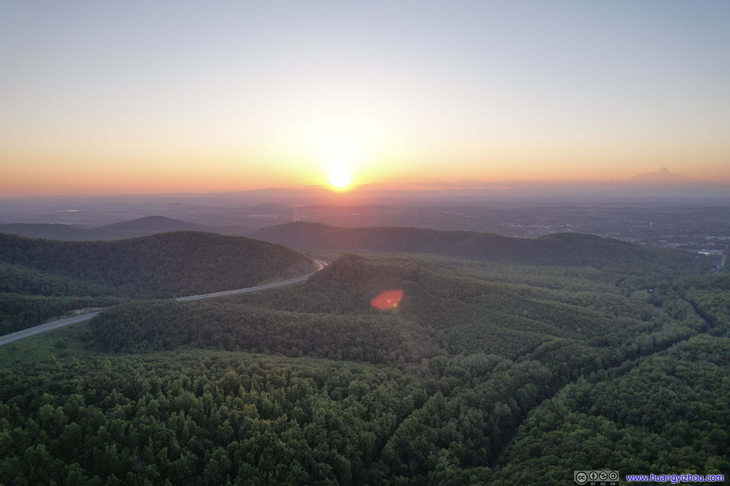
Finally, I left Blue Ridge Parkway at Rockfish Gap at 8pm. It’s about sunset time, and the distant horizons were glowing beautifully. I launched my drone at a roadside overlook for an aerial tour.
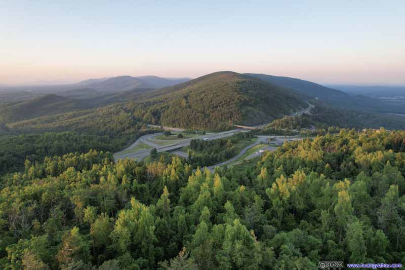 I64 at Rockfish Gap
 I64 at Rockfish Gap
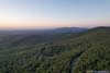
 Forests
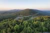
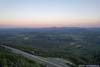
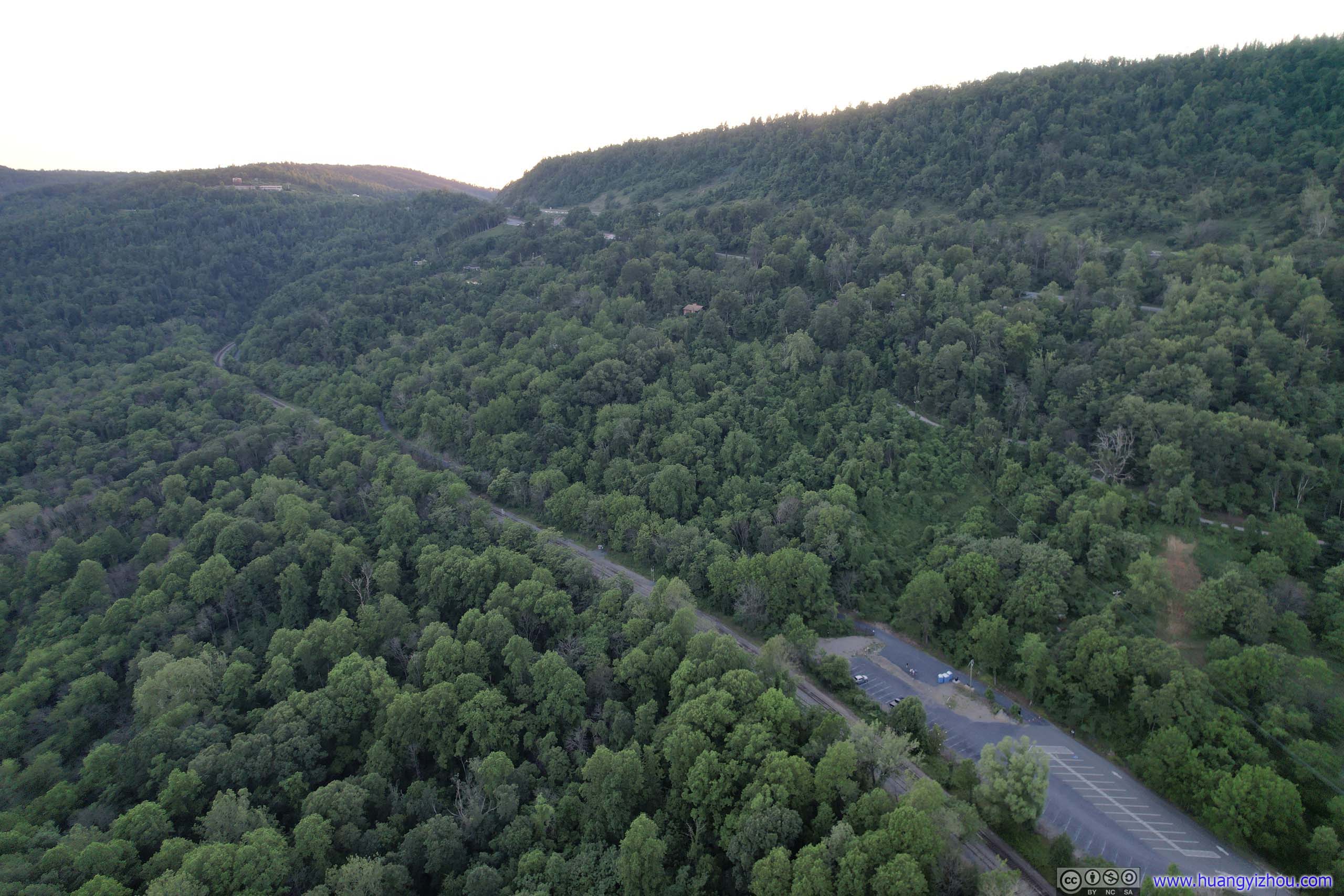
Parking lot for the eastern trailhead of Blue Ridge Tunnel Trail for the historic Crozet Tunnel. In parallel, North Mountain Subdivision Railroad.
Forests
Parking lot for the eastern trailhead of Blue Ridge Tunnel Trail for the historic Crozet Tunnel. In parallel, North Mountain Subdivision Railroad.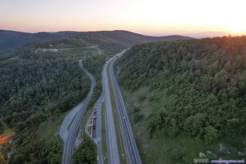 Interstate 64And the Rockfish Gap Turnpike on the left, both with a scenic overlook on the southern side.
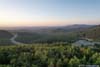
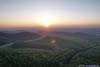
 Sunset
 Sunset GlowThe southern end of Shenandoah National Park.
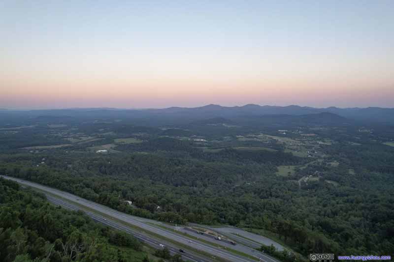 Sunset Glow over Fields
Click here to display photos of the slideshow
I64 at Rockfish Gap
I64 at Rockfish Gap
Forests

Interstate 64And the Rockfish Gap Turnpike on the left, both with a scenic overlook on the southern side.
Sunset
Sunset GlowThe southern end of Shenandoah National Park.
Sunset Glow over Fields
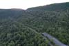
 Mountains and Villages at Sunset
And here’s a compilation of videos from my drone:
After that, it’s an uneventful drive back to Washington DC, concluding this weekend trip to Virginia.
END
![]() Day 4 of May 2022 Virginia Trip, Blue Ridge Parkway and Sharp Top by Huang's Site is licensed under a Creative Commons Attribution-NonCommercial-ShareAlike 4.0 International License.
Day 4 of May 2022 Virginia Trip, Blue Ridge Parkway and Sharp Top by Huang's Site is licensed under a Creative Commons Attribution-NonCommercial-ShareAlike 4.0 International License.