
Updated on December 25, 2023
Day 2 of 2023 Independence Day Trip, South Linville Gorge
Second day of my 2023 Independence Day trip to North Carolina. Today I hiked a trail to Shortoff Mountain, located on the southern part of Linville Gorge, before making my way to Asheville while checking out Mt Mitchell, the highest mountain in eastern US.
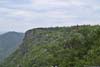
Linville Gorge
My plan of the day was to reach Asheville from Morganton, NC. In the morning, I would check out a popular trail with gorgeous views (Shortoff Mountain), located in the southern part of Linville Gorge. In the afternoon, I will check out Blue Ridge Parkway between Buck Creek Gap and Asheville, between which was Mount Mitchell. At an elevation of 2037m/6684ft, it is the highest mountain in eastern United States. I skipped this section of the Blue Ridge Parkway last October, so this would be my proper return.
Trail to Shortoff Mountain
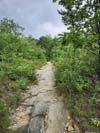
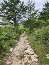
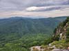
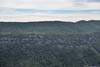
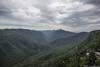
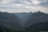
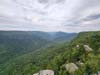
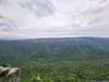
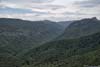
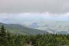
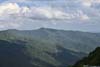
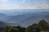
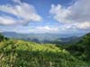
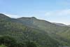
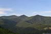
On AllTrails, this was a 7.2km out-and-back trail with 366m of elevation gain. Most of the elevation gain was during the first half where the trail ascended onto the eastern rim of Linville Gorge. After that, the trail passed a few overlooks with view of Linville Gorge. The trail sat at the southern gateway into Linville Gorge, with front-row views of many of the iconically-shaped mountains in the gorge, such as Table Rock Mountain and The Chimneys.
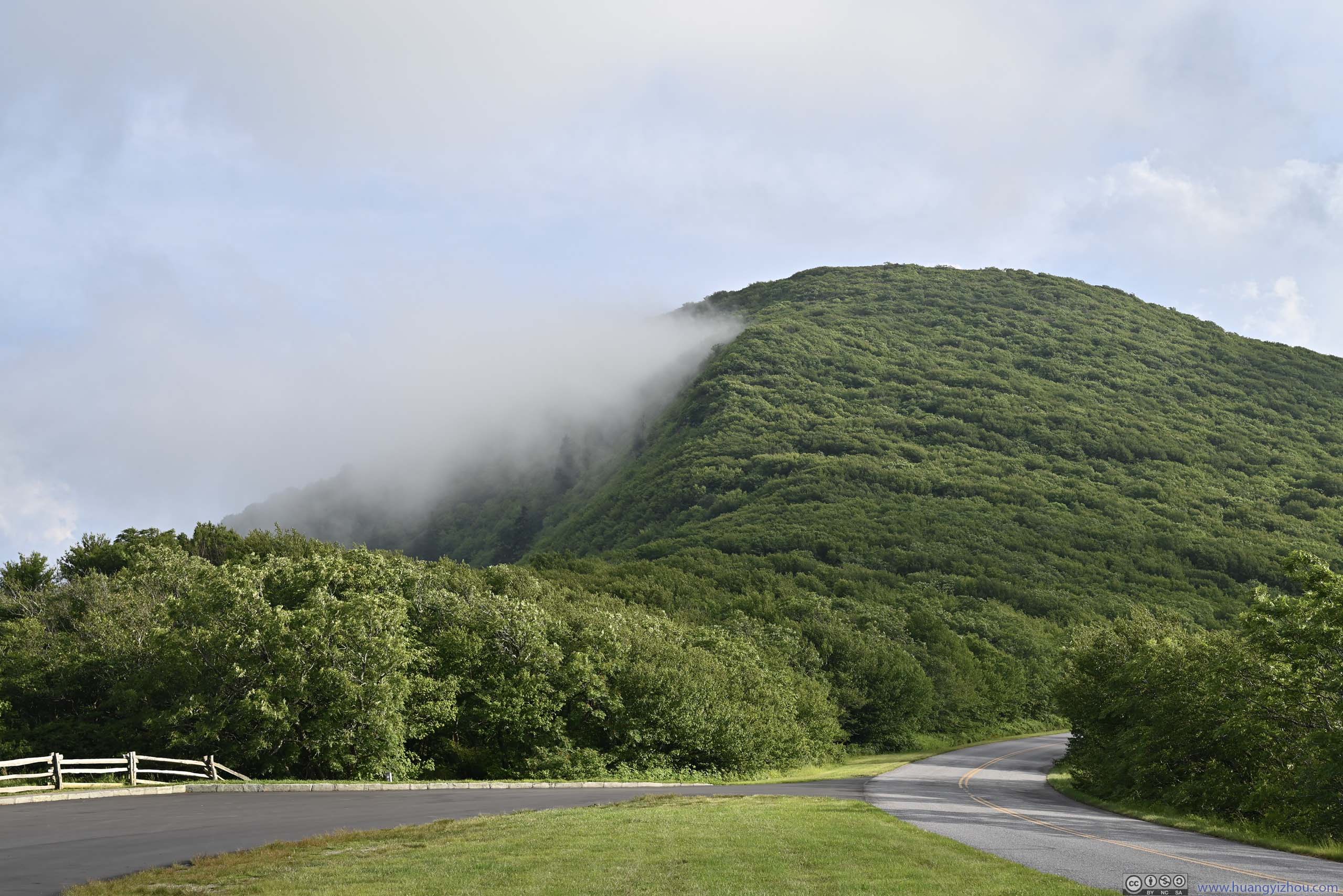
The trailhead was called “Wolf Pit Trailhead” on Google Maps. The last 2.4 miles of road towards the trailhead was unpaved. The first 1.4 miles of gravel road was in decent shape, and then it got worse. The last 300m had a high density of potholes that required extreme caution for low-clearance vehicles (think, Toyota Camry).
The actual trailhead was very limited in parking spaces. Instead, I parked 150m away in a pullout along the road. After some warmup, I started my hike at 10:30am.
Here’s GPS tracking:
 Trail
Trail Trail
Trail Trail
Trail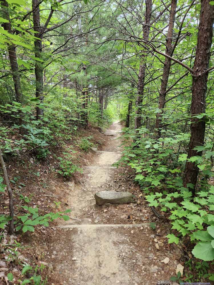 Trail
Trail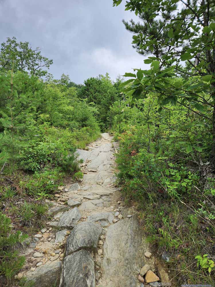 Trail
Trail Trail
Trail Trail
Trail
Click here to display photos of the trail.

Trail
Trail

Trail
Trail
Trail

Trail
Trail
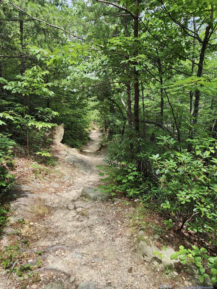
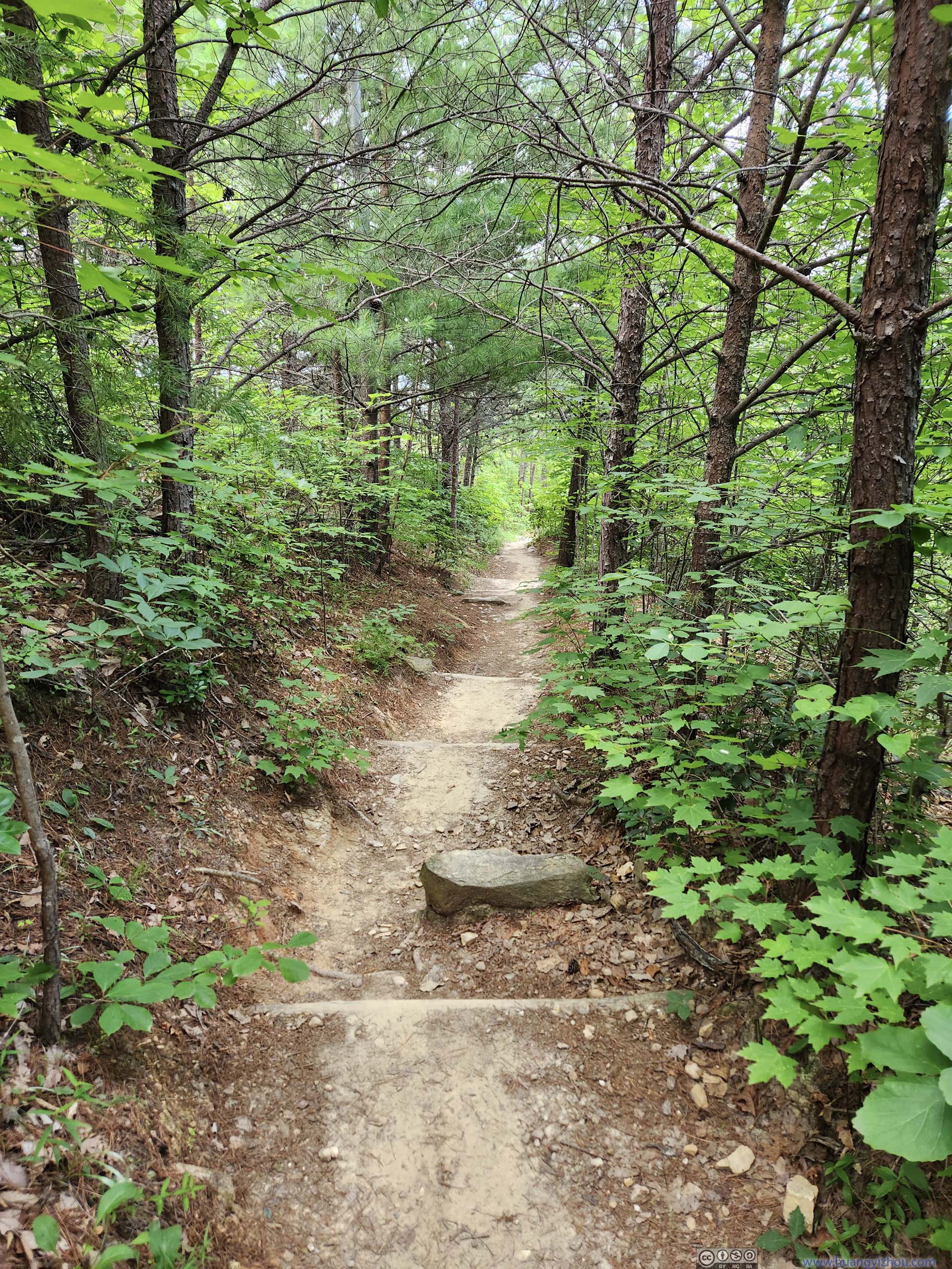
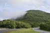
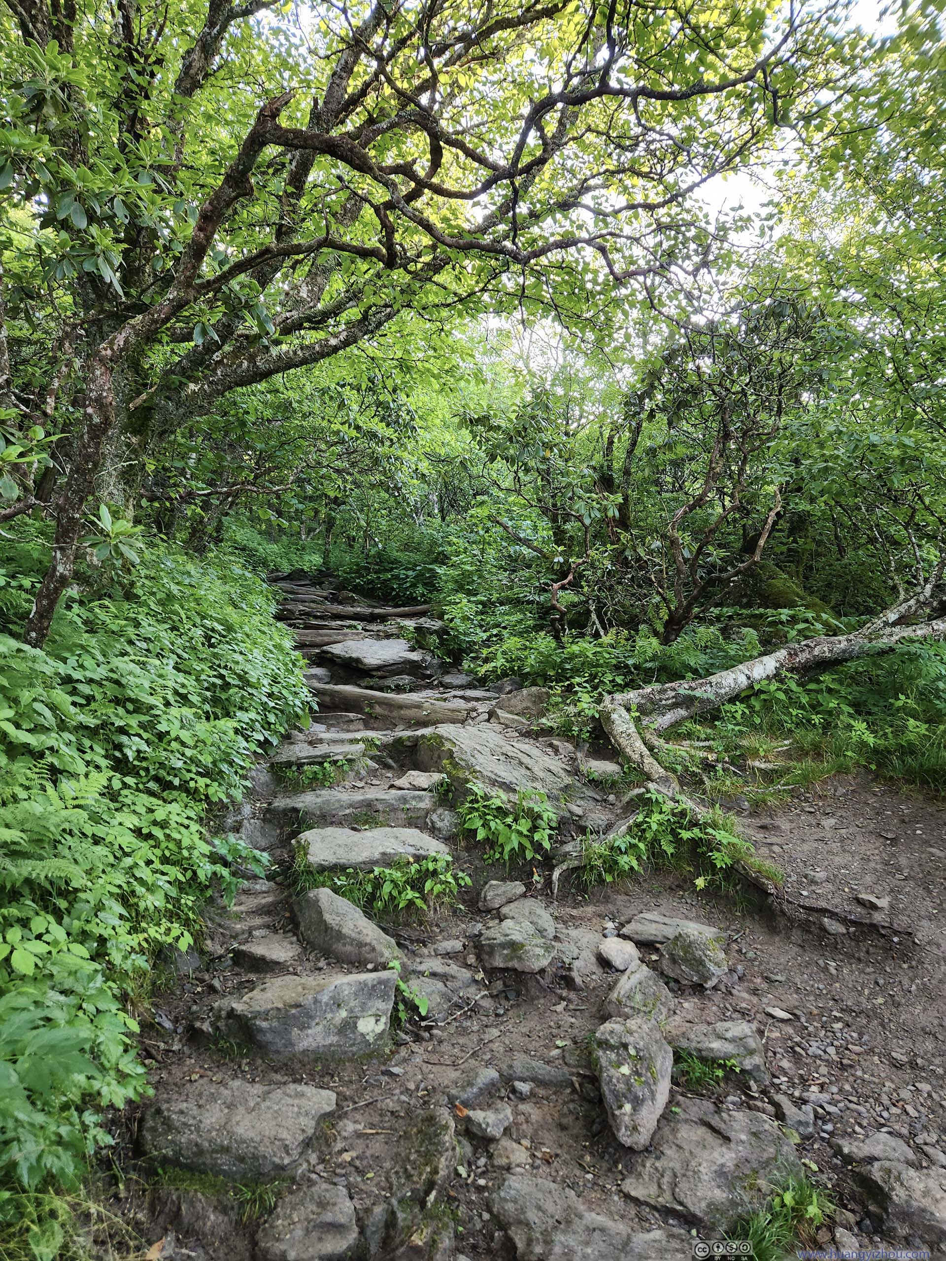
The start of the hike wasn’t the most enjoyable. I was bothered by some bugs at the parking lot, in addition to some light drizzle. Luckily, the bugs mysteriously disappeared once I was in the woods, and it turned out the majority of precipitation was further north, I was only experiencing its perimeters.
Nonetheless, the humidity made the initial uphill hike both physically demanding and water draining. And with the trail deep in the woods, there was no relief (in the form of wind) until the first overlook, about 2km from trailhead.
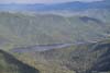
 Mountains to the WestLinville River flew in the foreground. Mt Mitchell in the background.
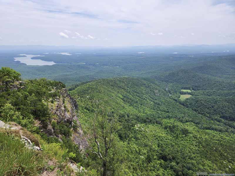 Linville River Flowing into Lake JamesThe cliff in the foreground was the last remanent of the western rim of Linville Gorge.
 Linville RiverFlowing out of the gorge into Lake James.
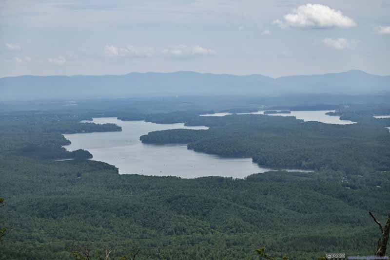 Lake JamesCreated by hydro-electric dams that were owned by Duke Power.
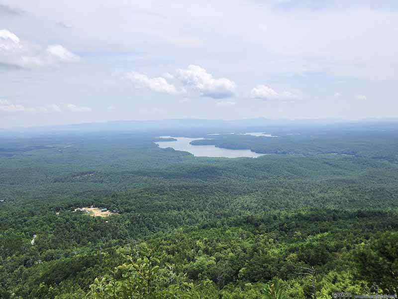 Fields to the South

Click here to display photos of the slideshow

Mountains to the WestLinville River flew in the foreground. Mt Mitchell in the background.
Linville River Flowing into Lake JamesThe cliff in the foreground was the last remanent of the western rim of Linville Gorge.
Linville RiverFlowing out of the gorge into Lake James.
Lake JamesCreated by hydro-electric dams that were owned by Duke Power.
Fields to the South
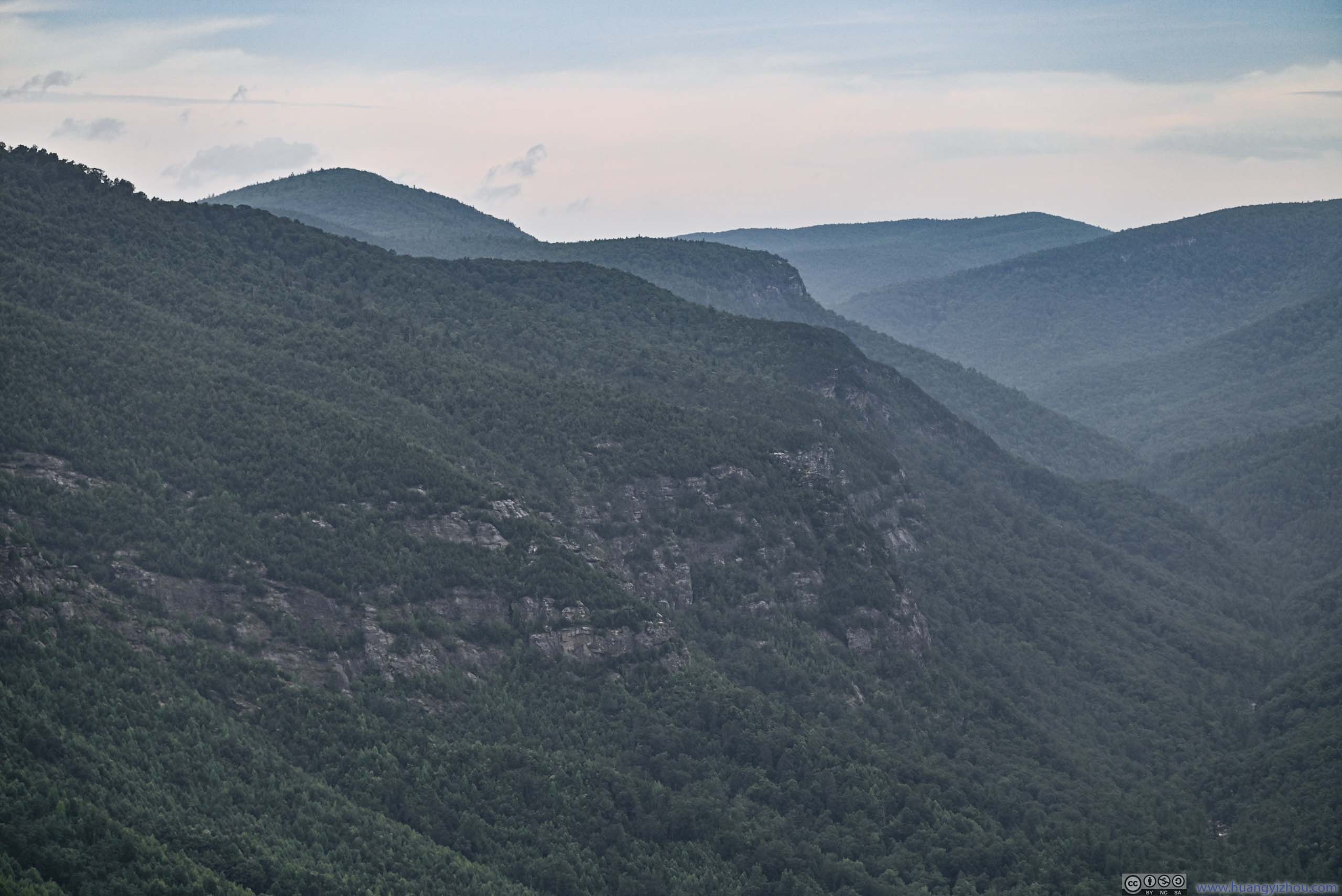
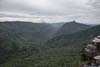
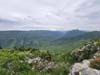
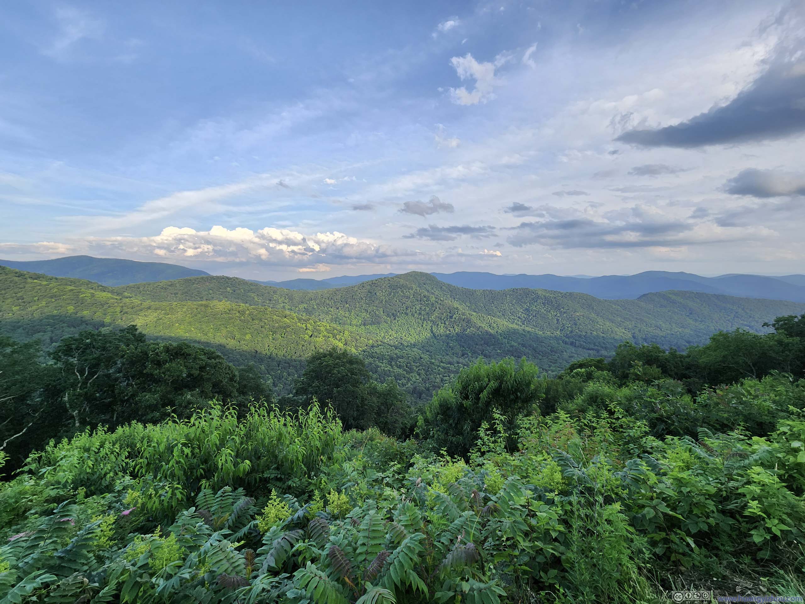
Southern End of Linville Gorge
The views from this overlook were mostly to the southwest. From there on, a series of overlooks dotted the trail, each with (slightly) different views of Linville Gorge. It’s also a good thing that most of the elevation gain was behind me, thus I could properly enjoy what this trail had to offer.
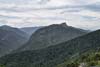
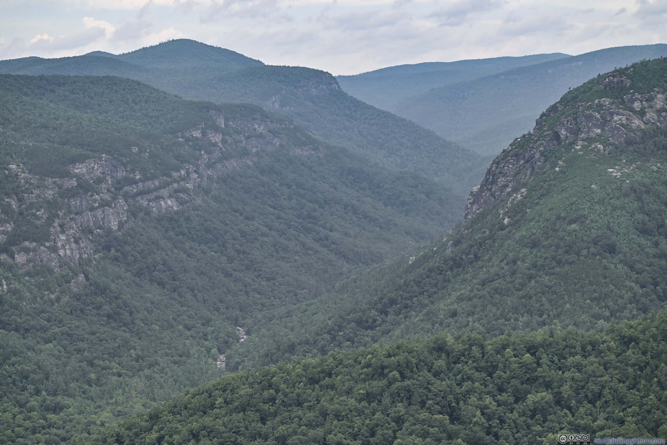
The next few overlooks were towards the west of the trail, still, near the southern end of Linville Gorge.
 Eastern Rim of Linville GorgeFollowing which, the trail continued on.
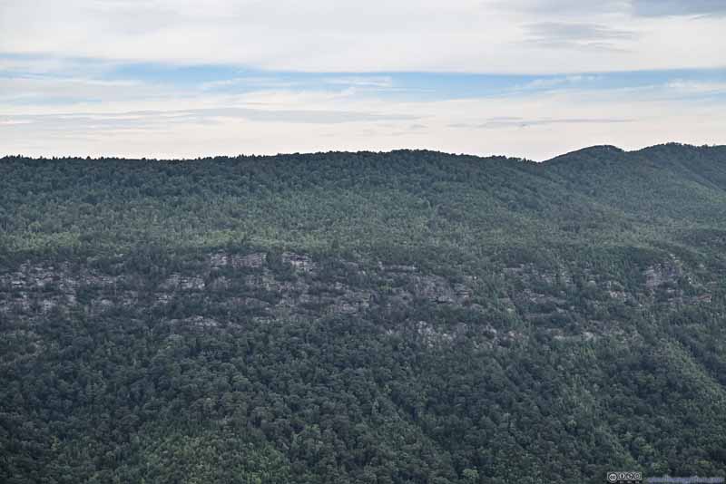 West Rim of Linville GorgeA band of rocky cliffs extending throughout the upper rim of the gorge.
 West Rim of Linville GorgeAn arch forming in the middle.
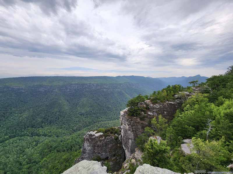 Linville Gorge
Click here to display photos of the slideshow
Eastern Rim of Linville GorgeFollowing which, the trail continued on.
West Rim of Linville GorgeA band of rocky cliffs extending throughout the upper rim of the gorge.
West Rim of Linville GorgeAn arch forming in the middle.
Linville Gorge
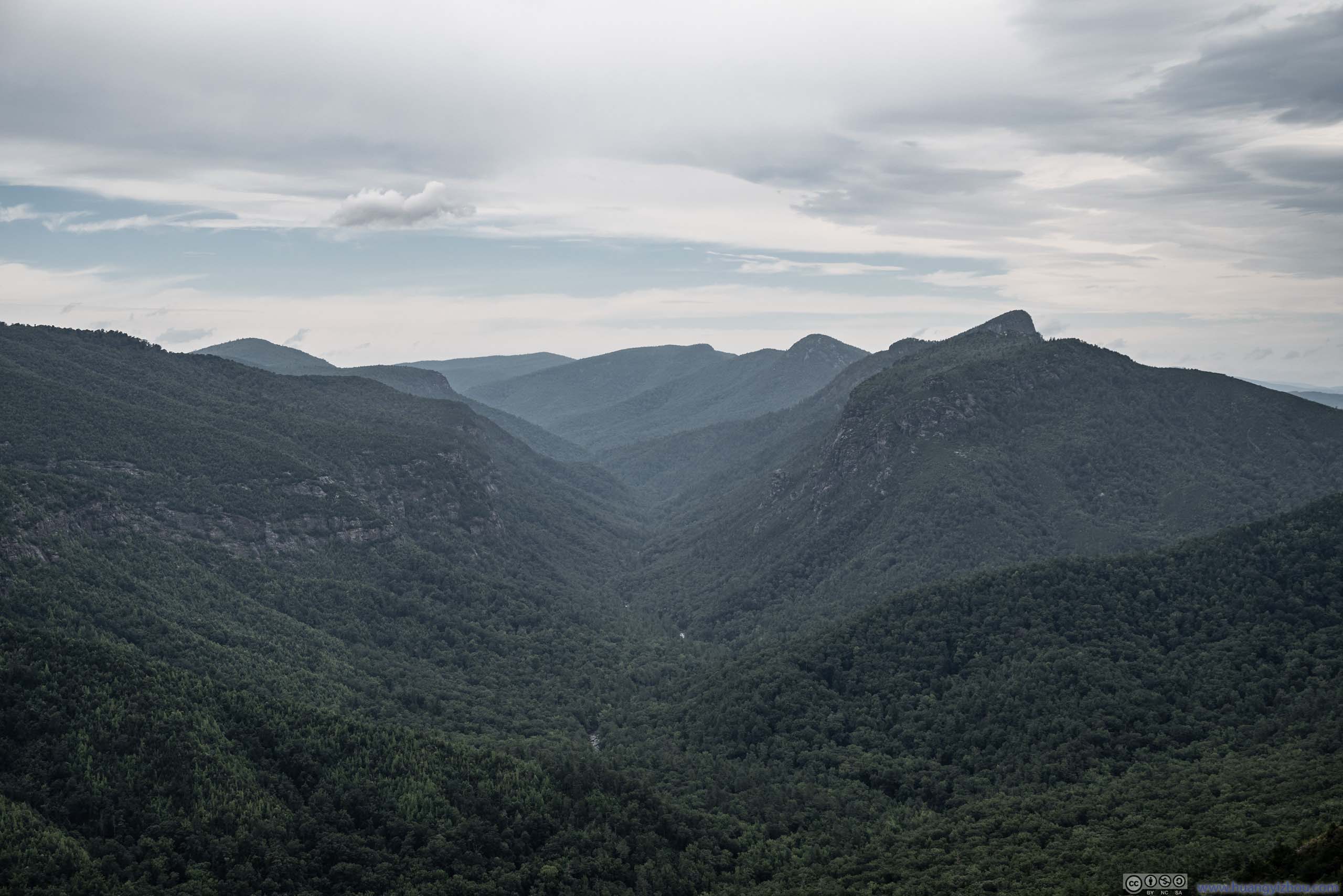
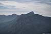
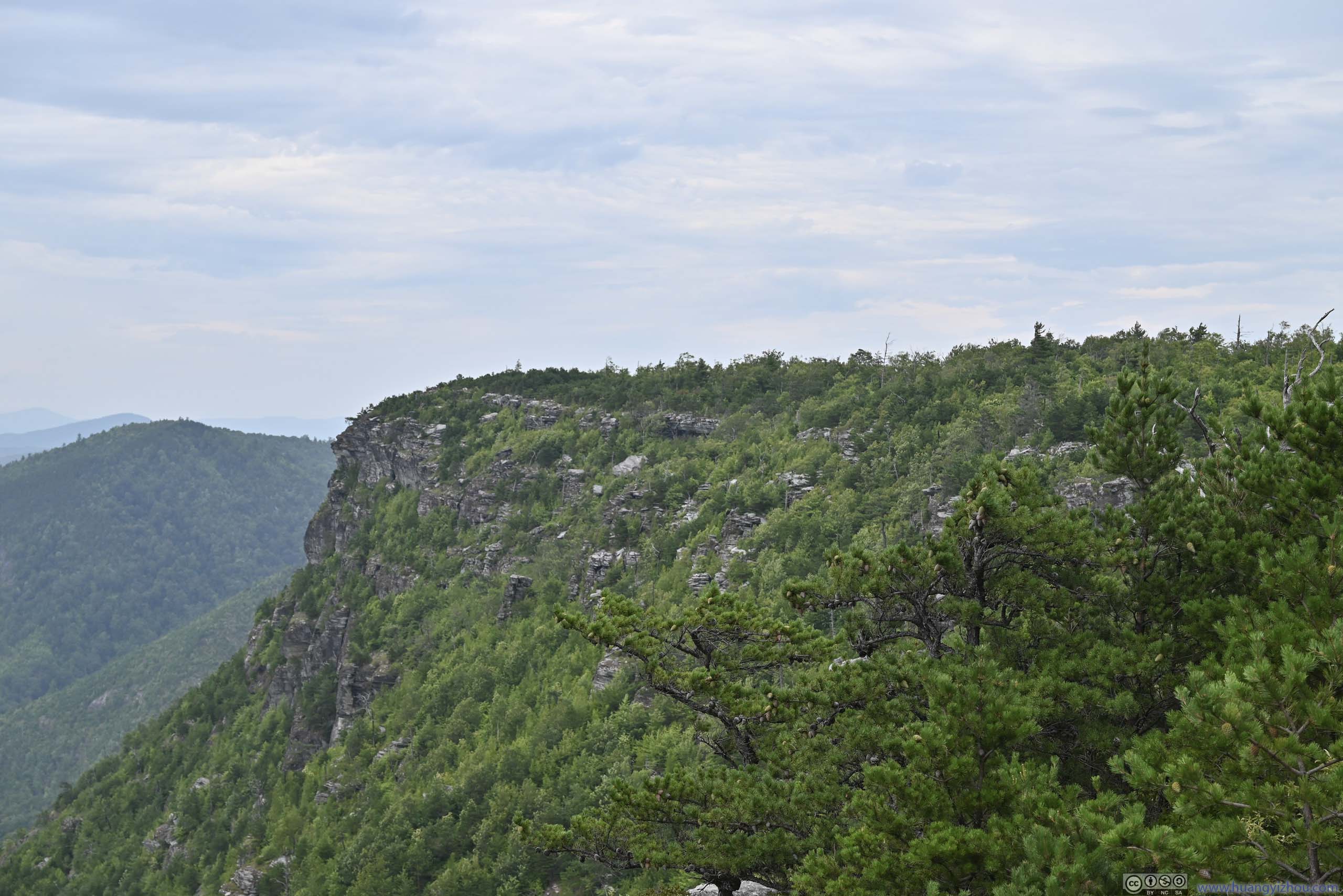
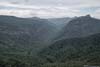
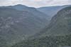
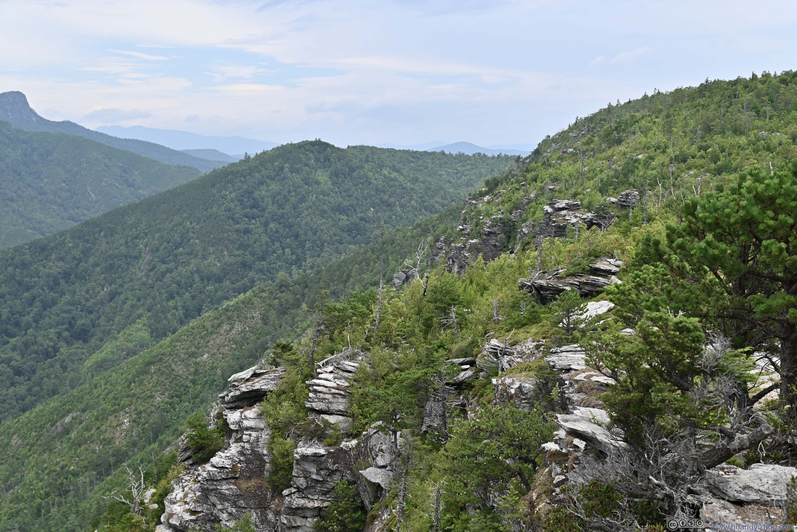
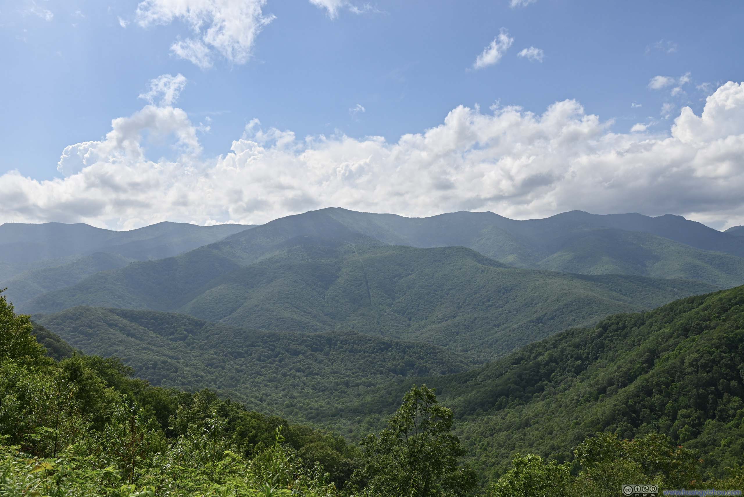
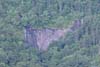
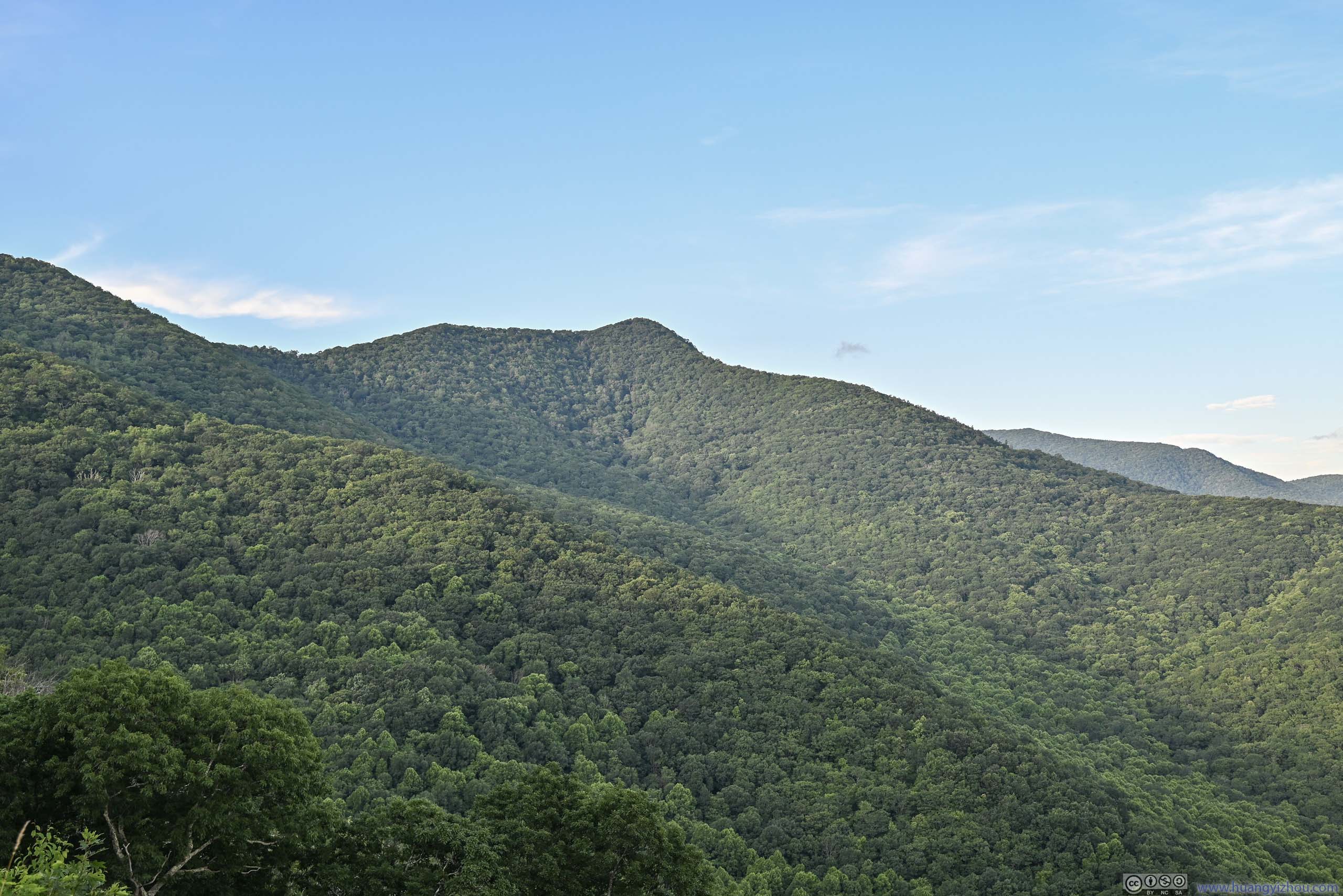
Linville Gorge near Southern End
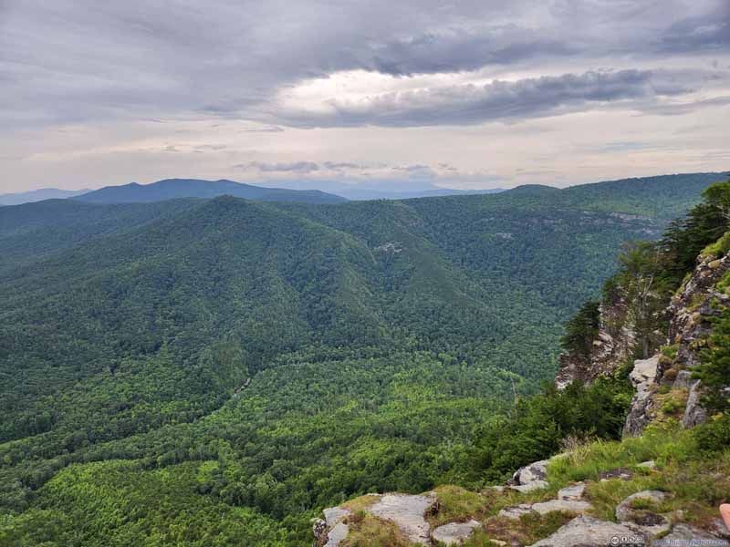
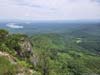
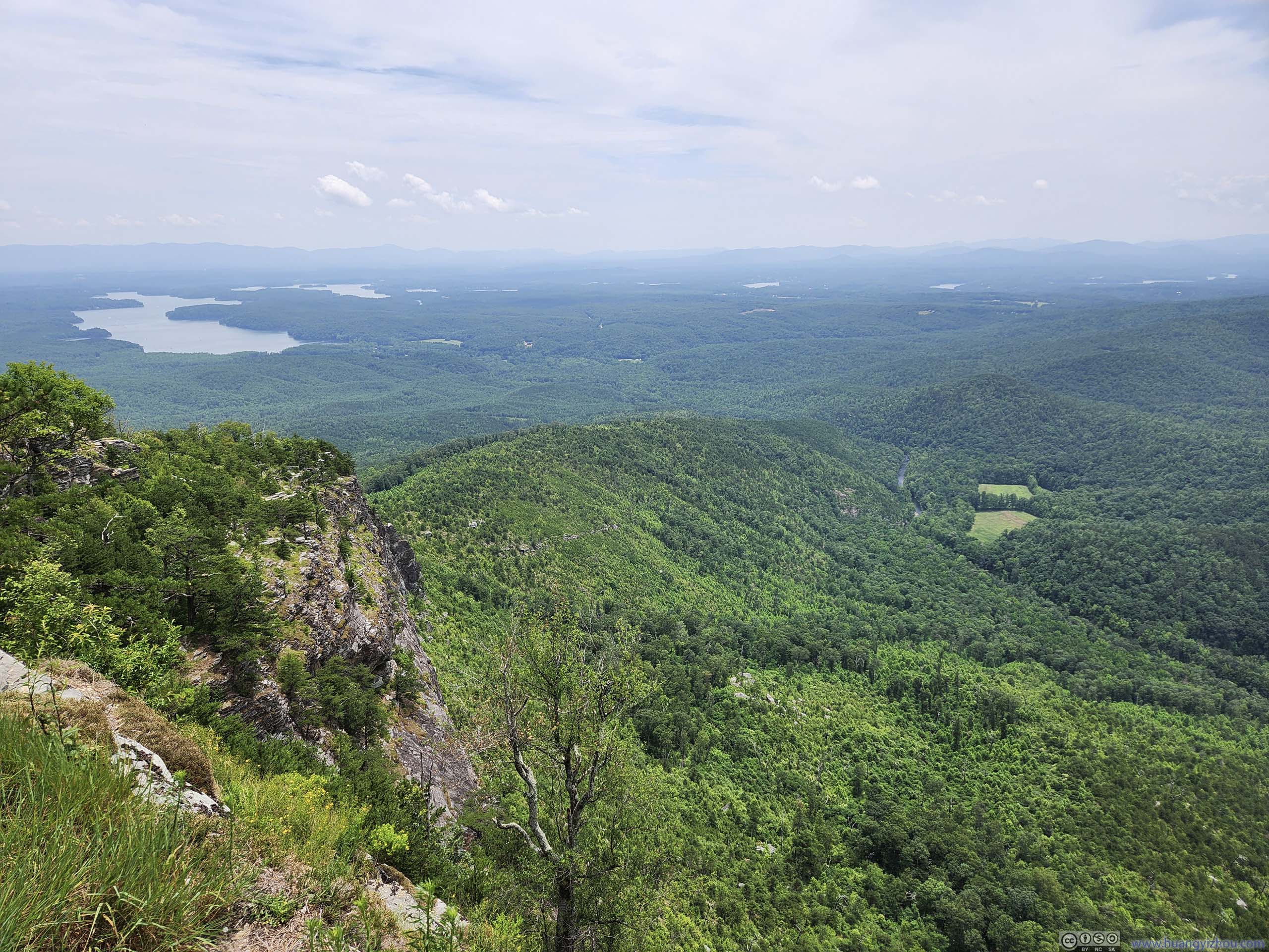
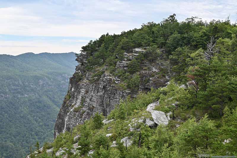
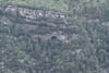
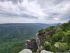
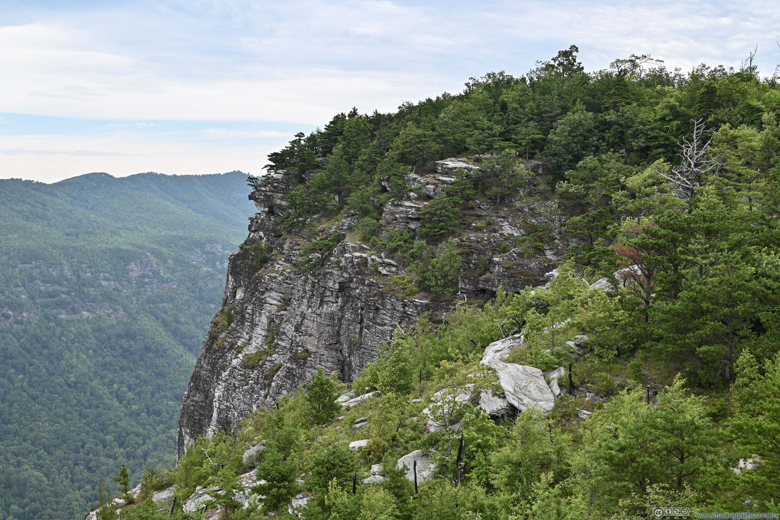
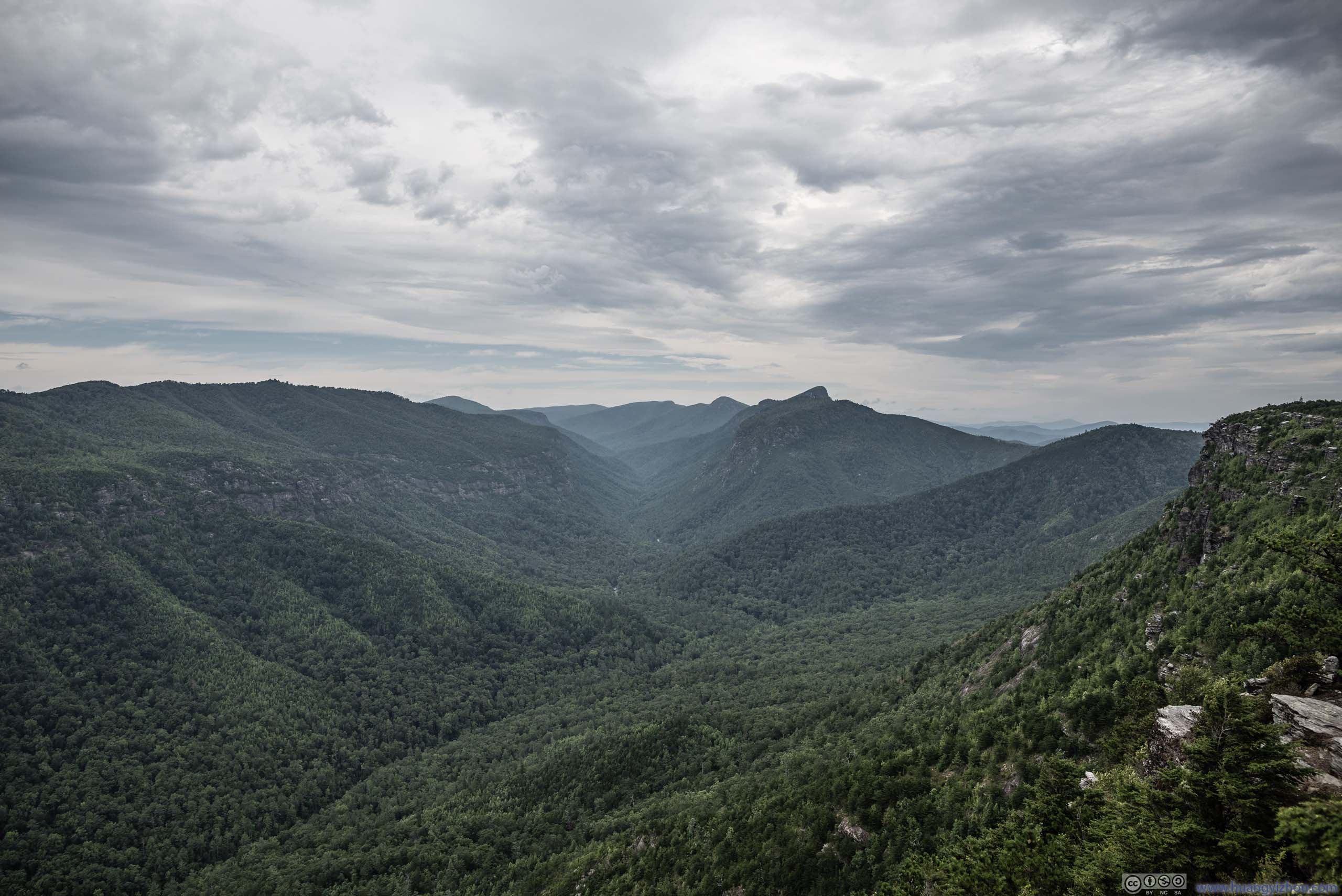
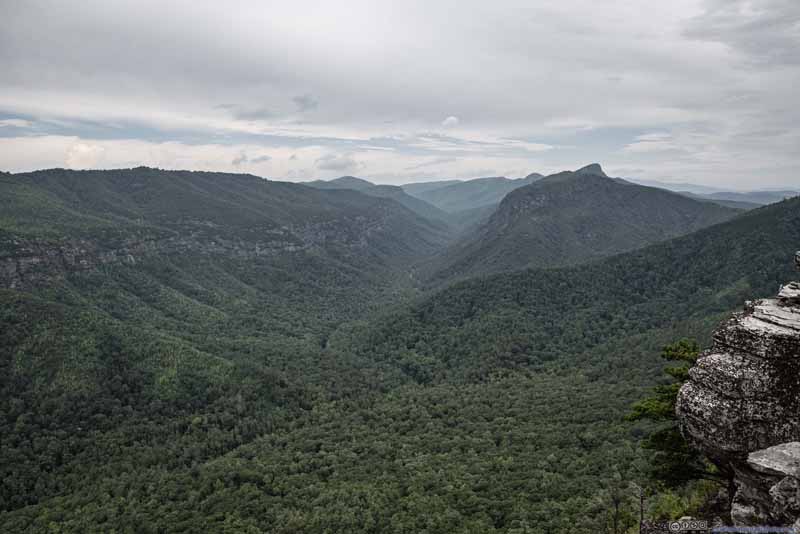
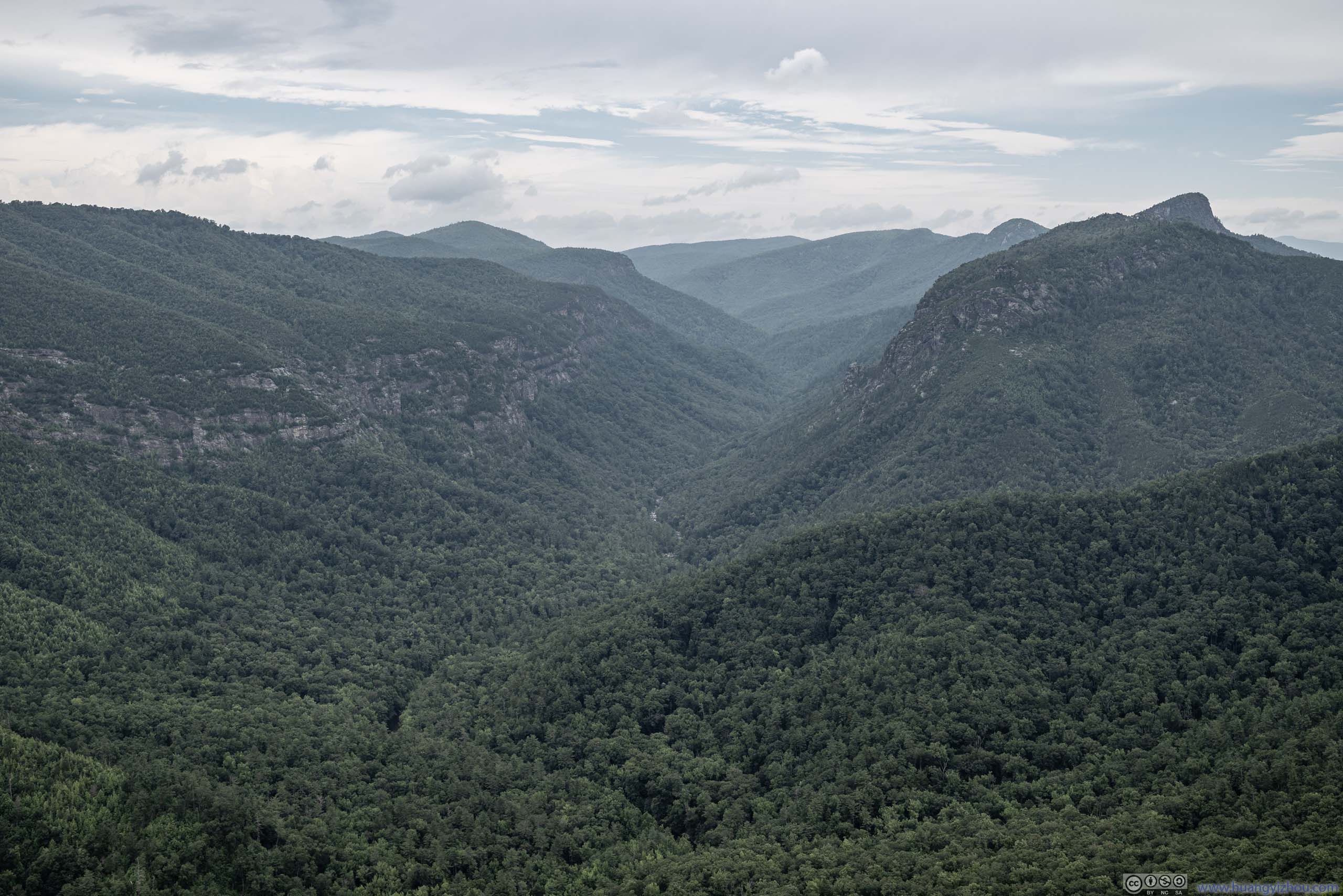
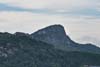
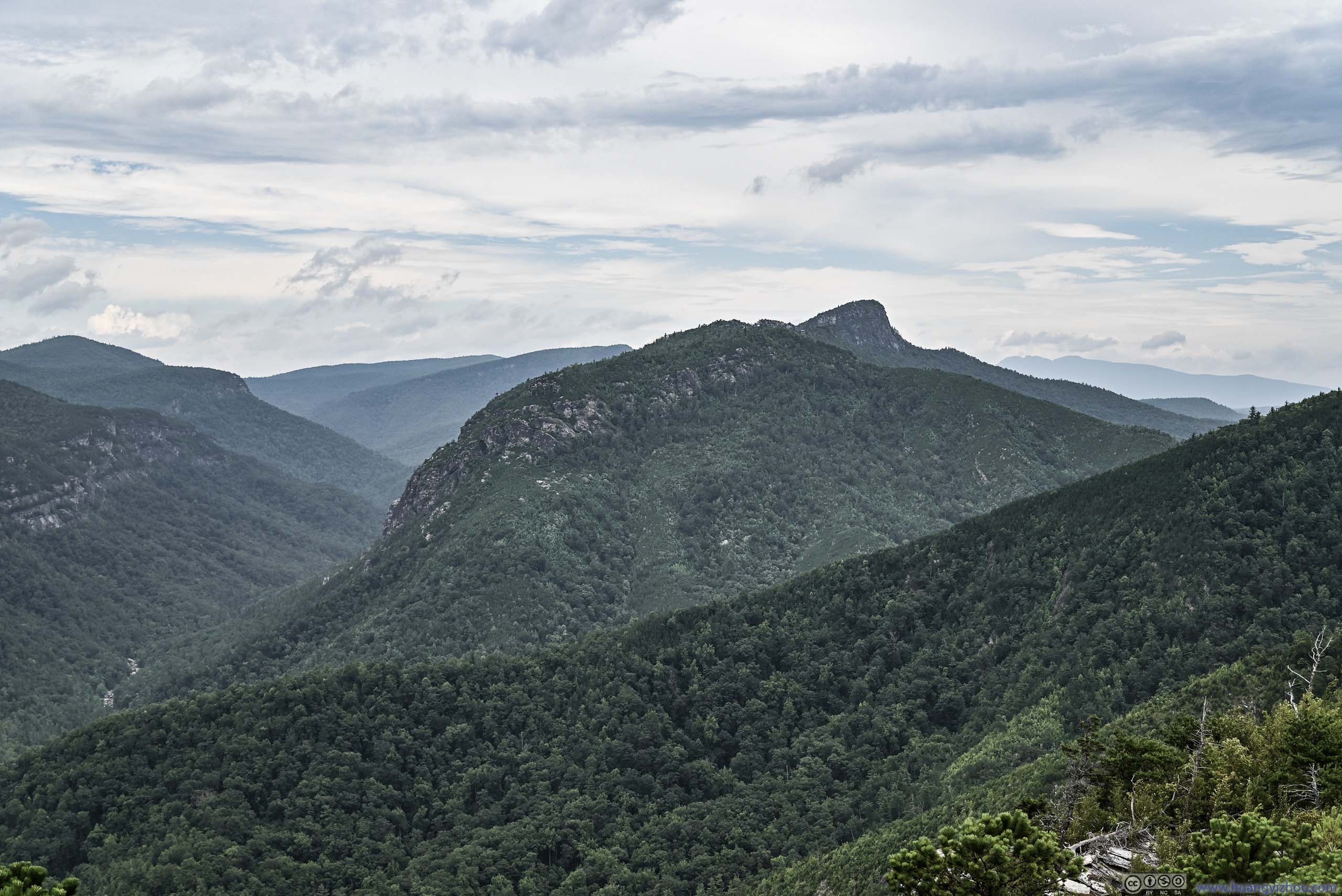
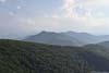
In my opinion, the overlook with the best views was the one where the trail made a 90-degree turn towards the east. This one was located a short distance off the trail. From this overlook, the heart of Linville Gorge, its narrowest part with most unique rock formations (Table Rock Mountain, The Chimneys) were front and center, and the hills on its rims almost symmetric along Linville River. Among all the overlooks, this was the one where I looked deepest into the gorge, and the gorge into me.
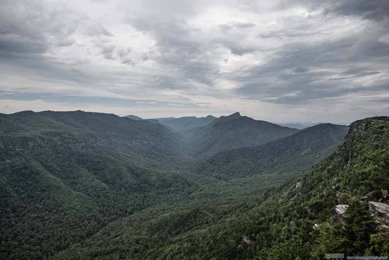 Linville Gorge
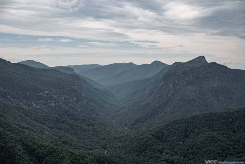 Linville Gorge
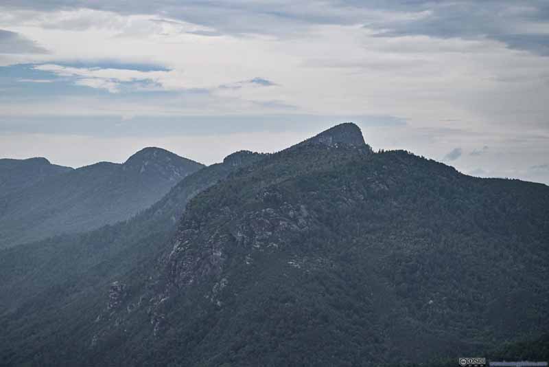 Table Rock Mountain
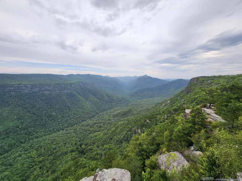 Linville Gorge
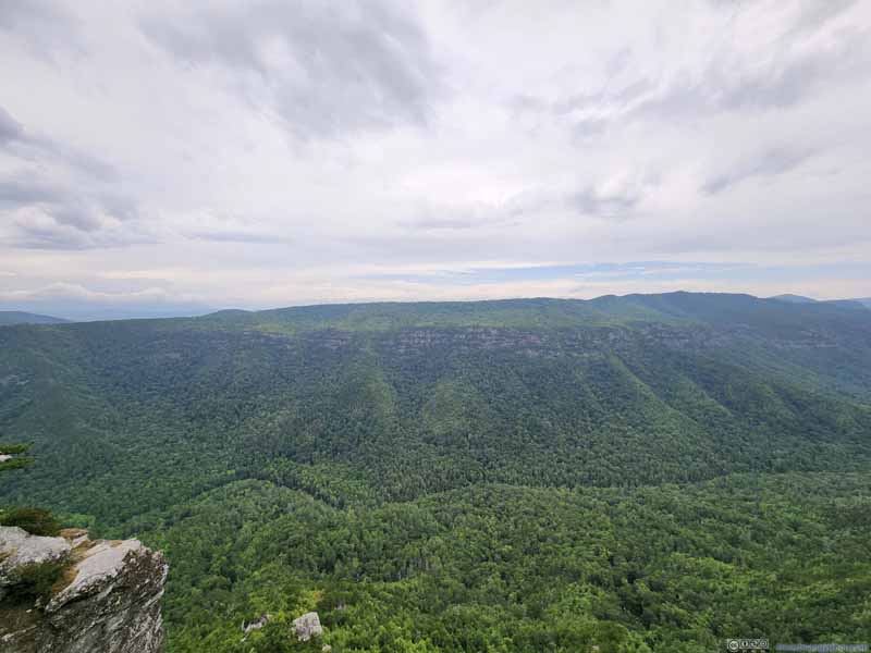 Western Rim of Linville Gorge
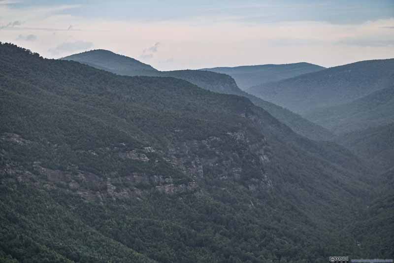 Western Rim of Linville Gorge
 Eastern Rim of Linville GorgeWhere I was heading next.
Click here to display photos of the slideshow
Linville Gorge
Linville Gorge

Table Rock Mountain

Linville Gorge
Western Rim of Linville Gorge
Western Rim of Linville Gorge
Eastern Rim of Linville GorgeWhere I was heading next.
Below is a video from that overlook. Wind and light drizzle can be felt, but they were no match for the stellar views.
10 seconds, 2160p30fps, 10Mbps for both H264/H265 for a total size of 11MB.
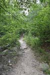
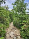
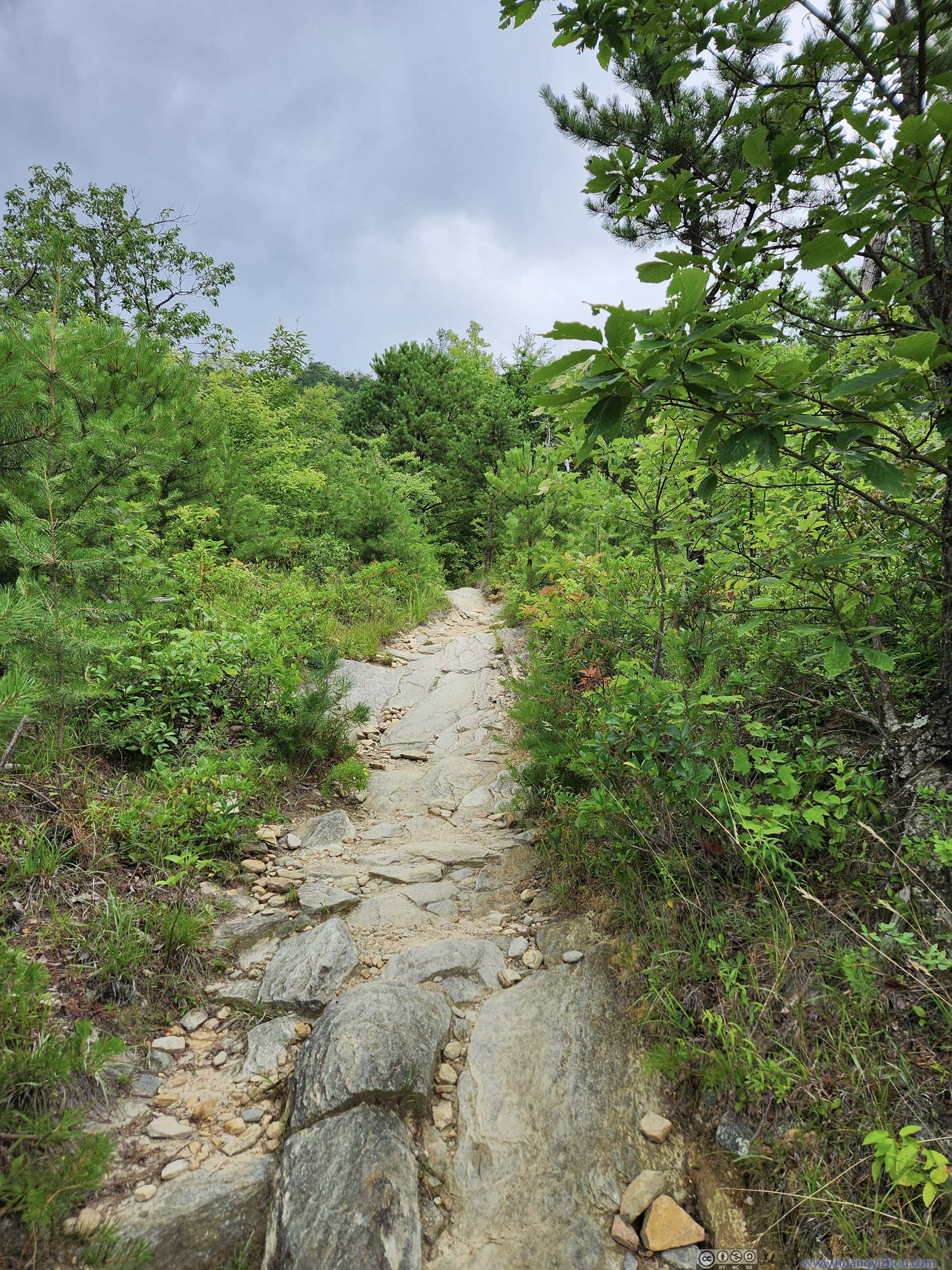
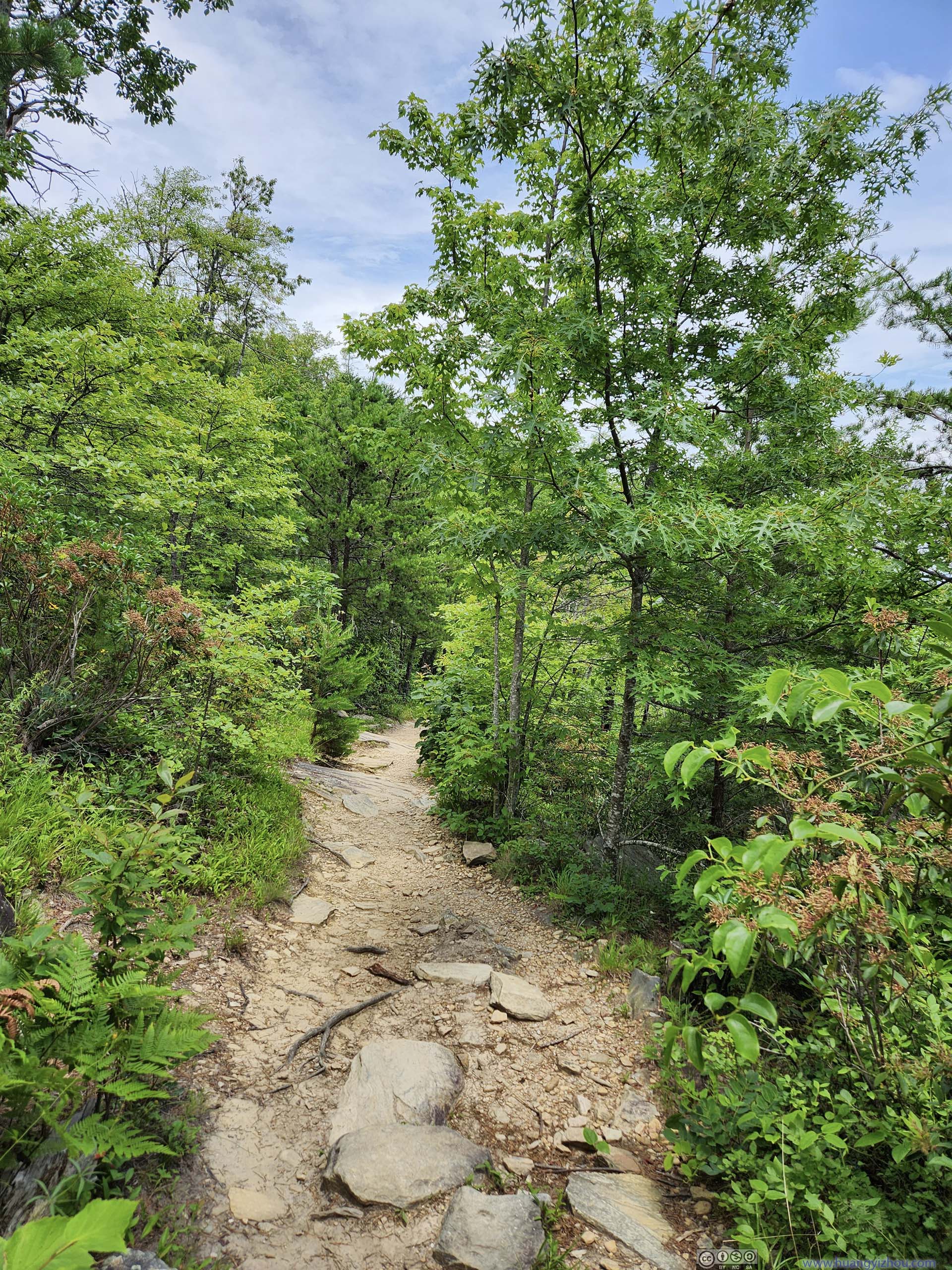
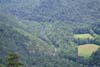
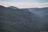
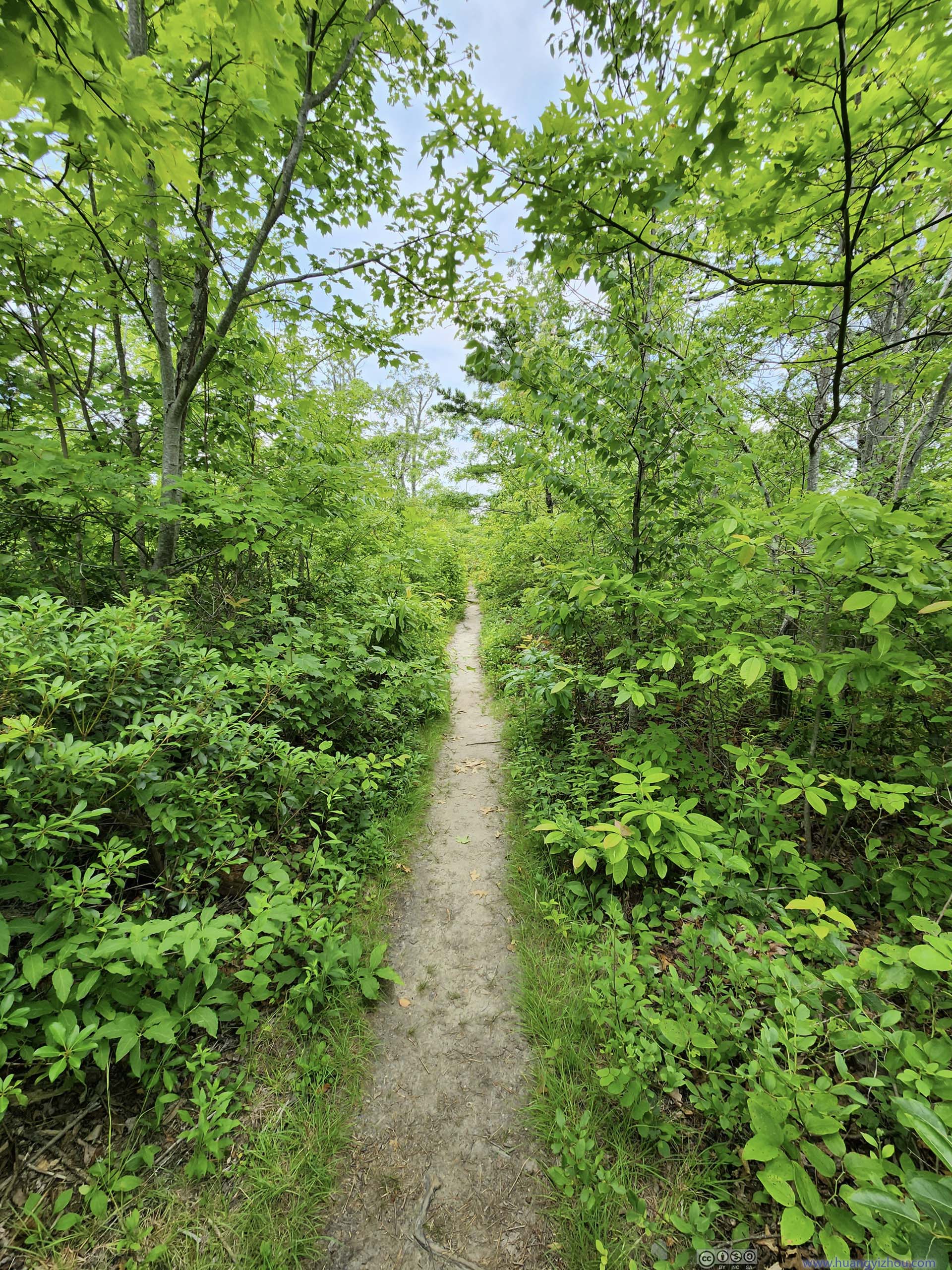
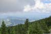
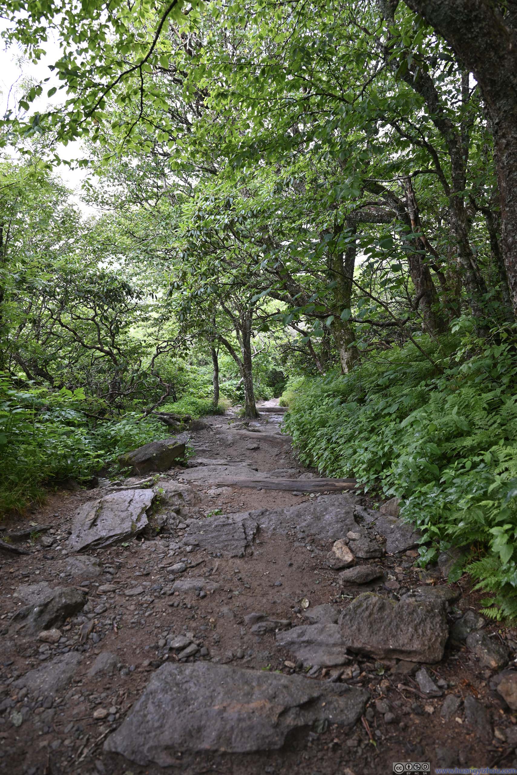
After that, the trail briefly left the rim of the gorge where it felt more like a typical walk in the woods. This part of the trail was occasionally overgrown. This continued for about 1km before view of Linville Gorge popped back into sight.
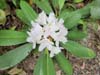
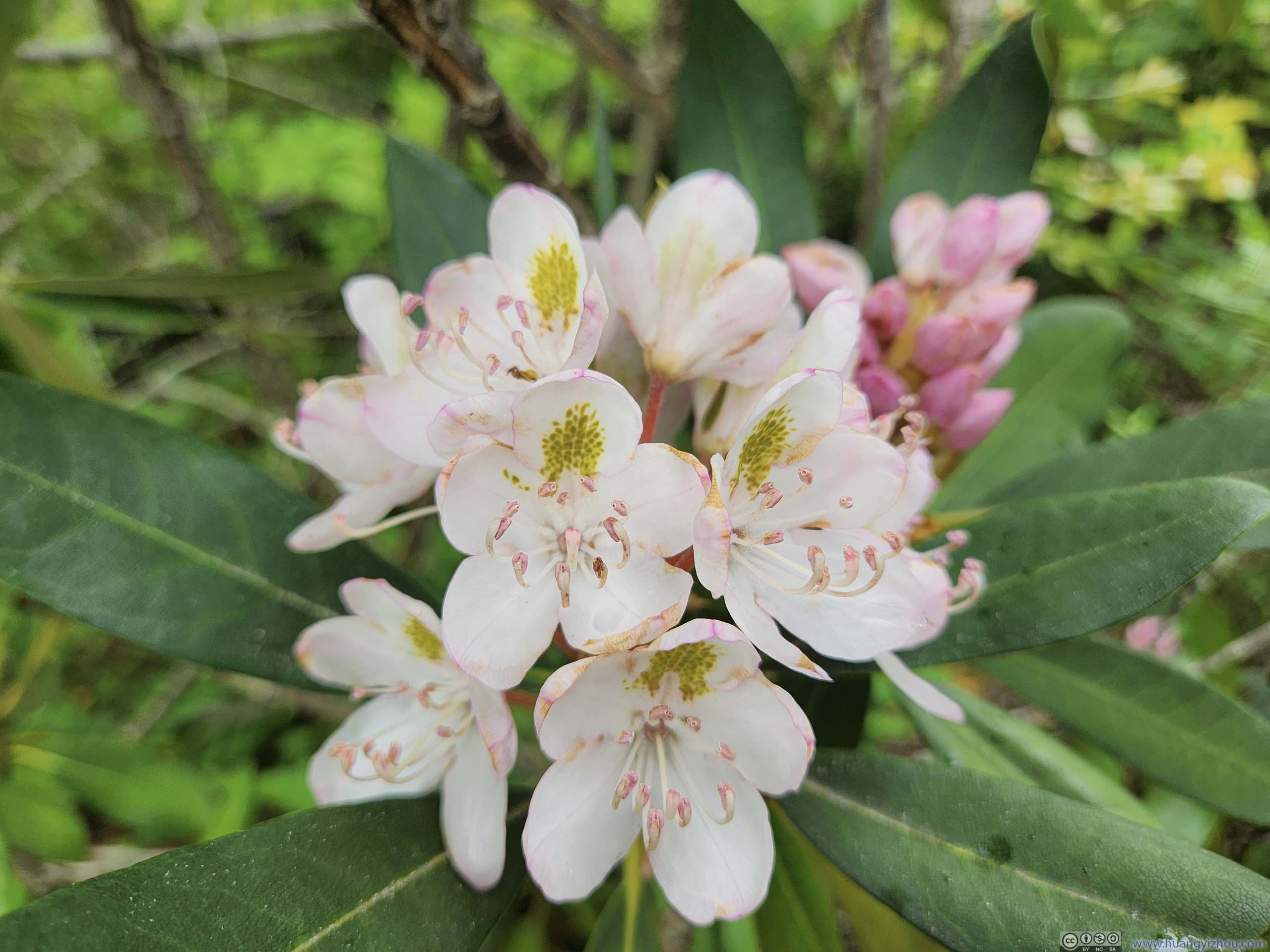
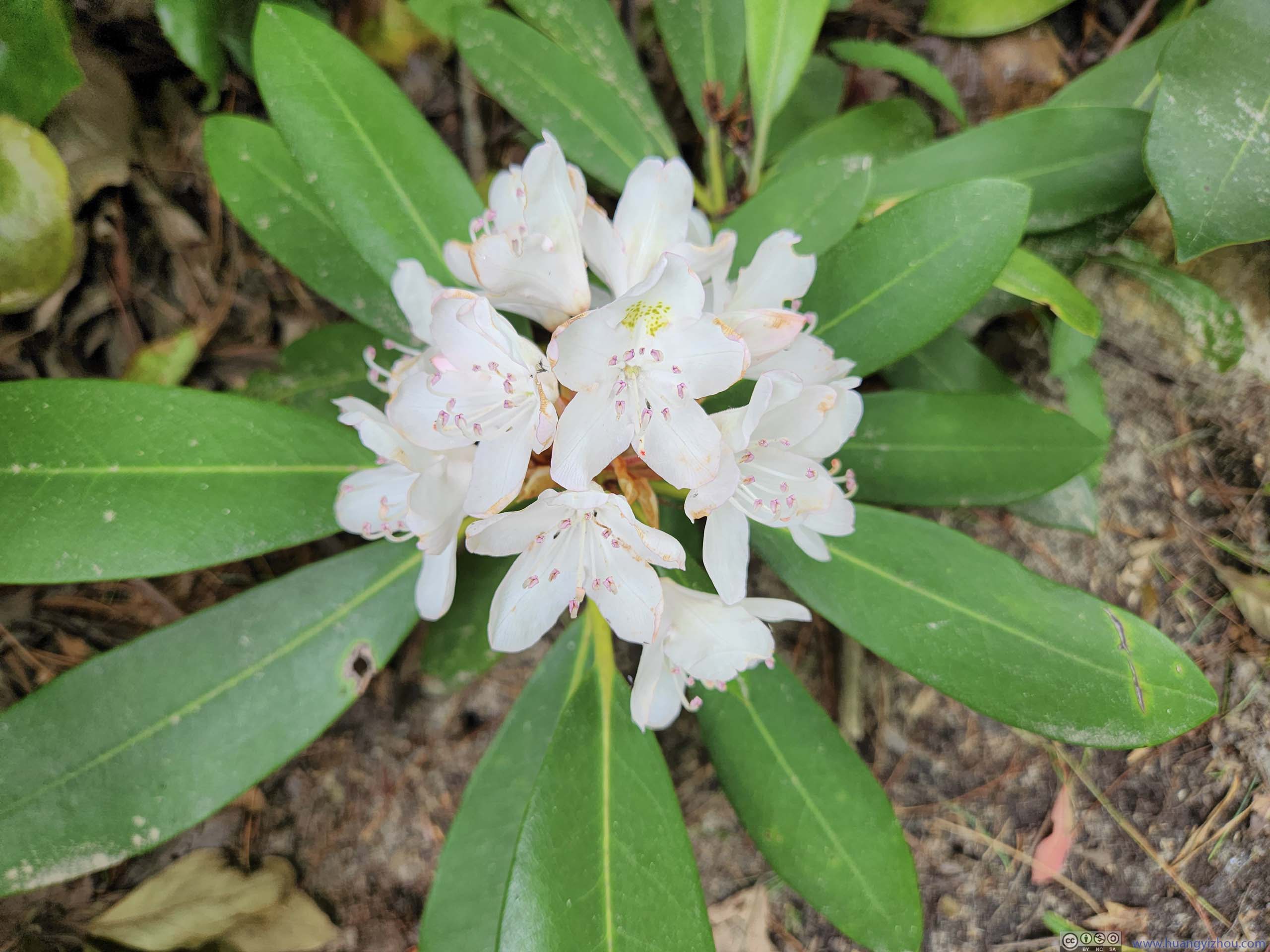
 Flower
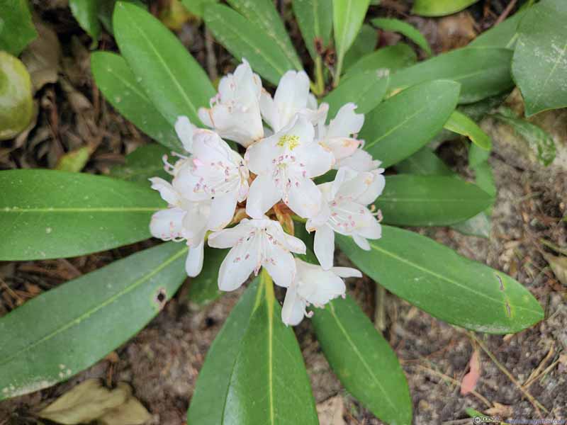 Flower
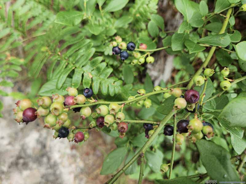 Berries
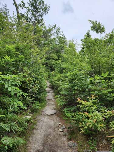
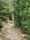
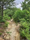
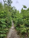
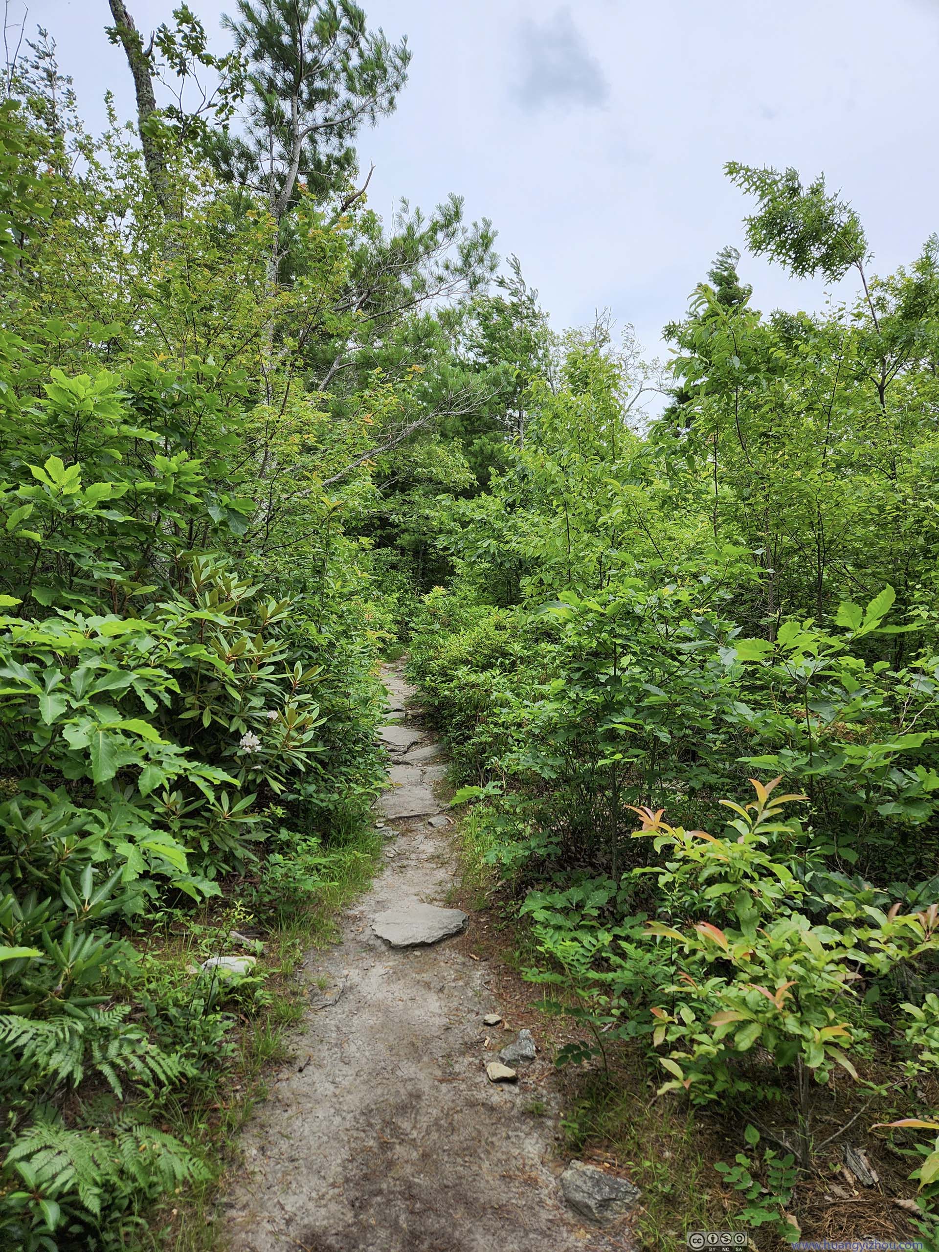
 TrailTypical condition once on top of the gorge, among trees and bushes.
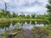
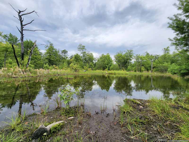 PondA nameless one, right next to the trail.
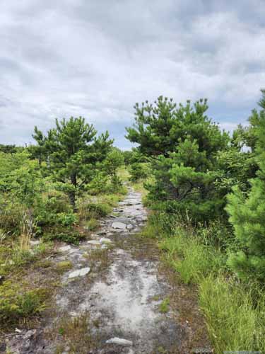
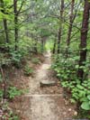
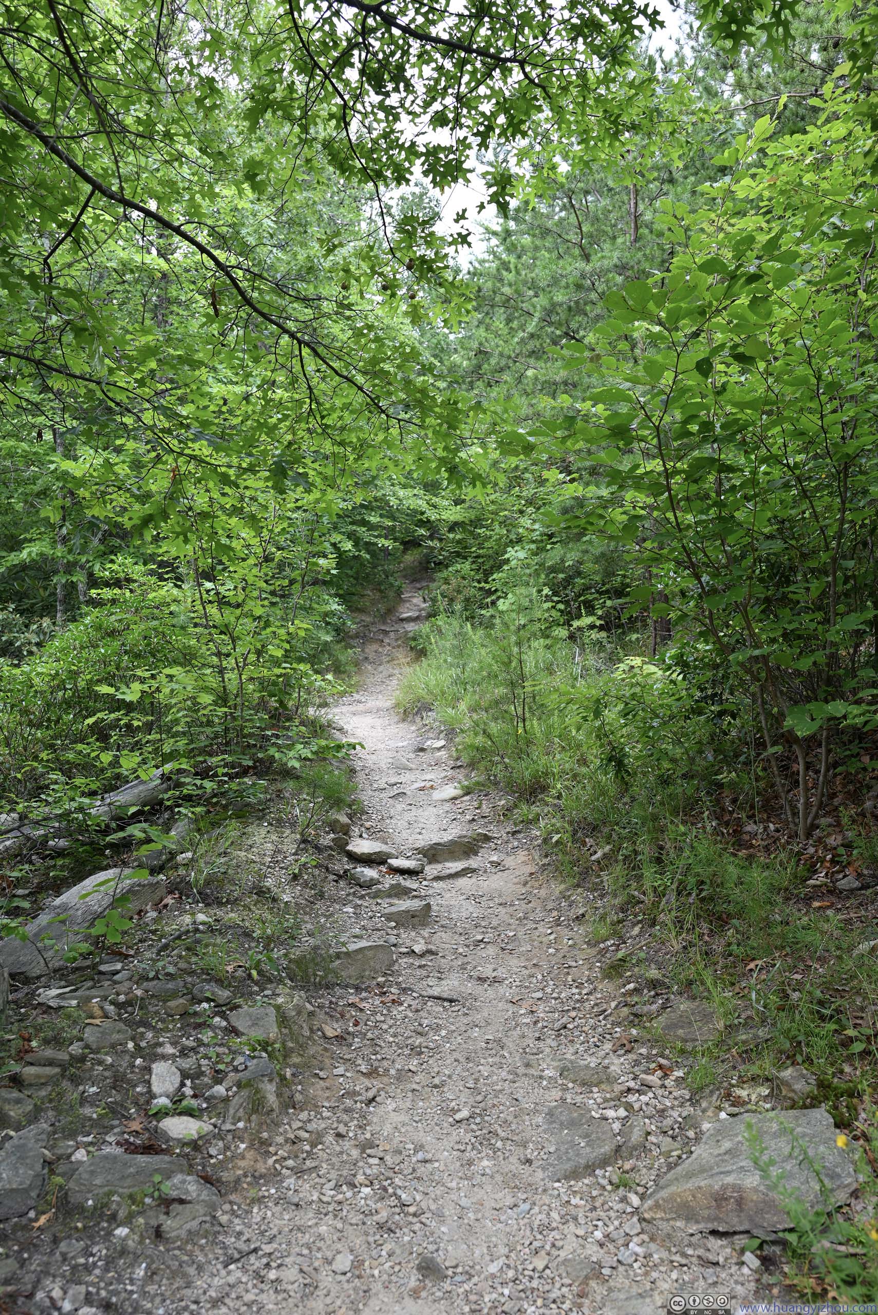
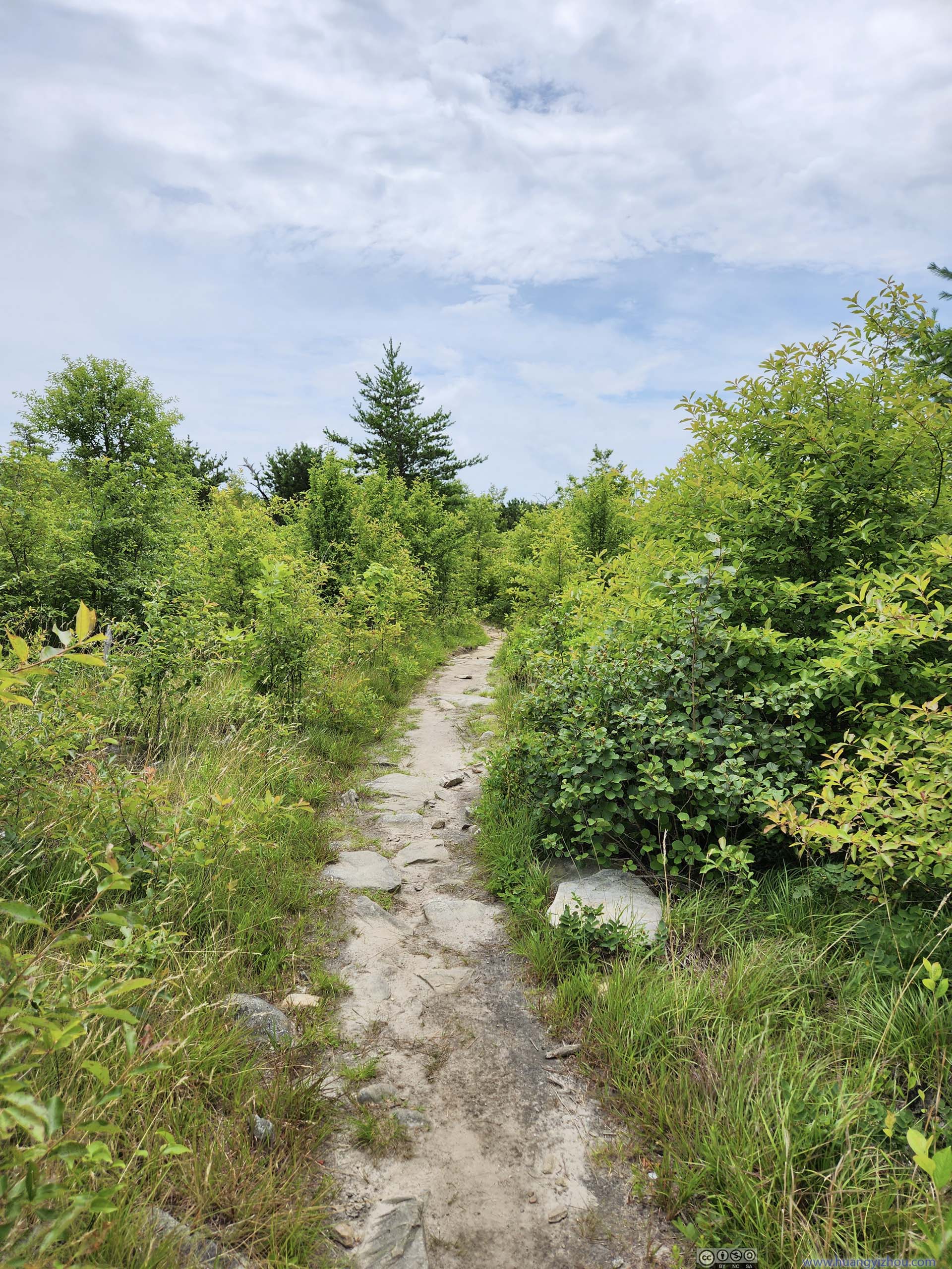
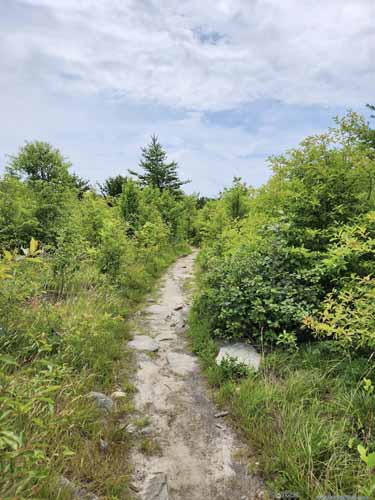 TrailTowards the end, the bushes grew shallower.


Click here to display photos of the slideshow
Flower
Flower

Berries
 TrailTypical condition once on top of the gorge, among trees and bushes.

PondA nameless one, right next to the trail.

 TrailTowards the end, the bushes grew shallower.
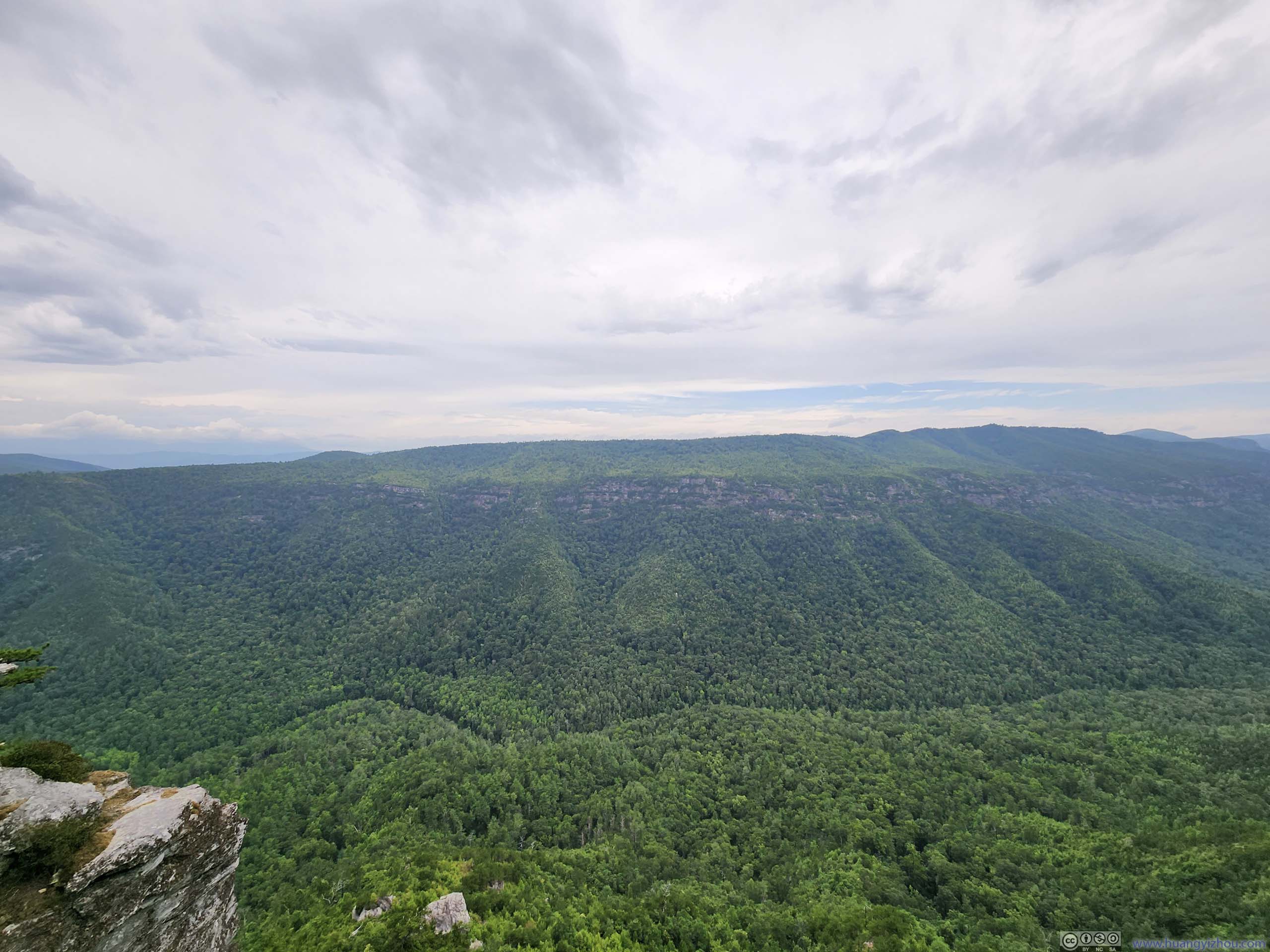
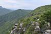
The first overlook after the trail emerged from the bushes was the end of “Shortoff Mountain Trail” as marked on AllTrails. Despite the name, the top of “Shortoff Mountain” was a short distance off the trail, in the bushes.
 Linville Gorge
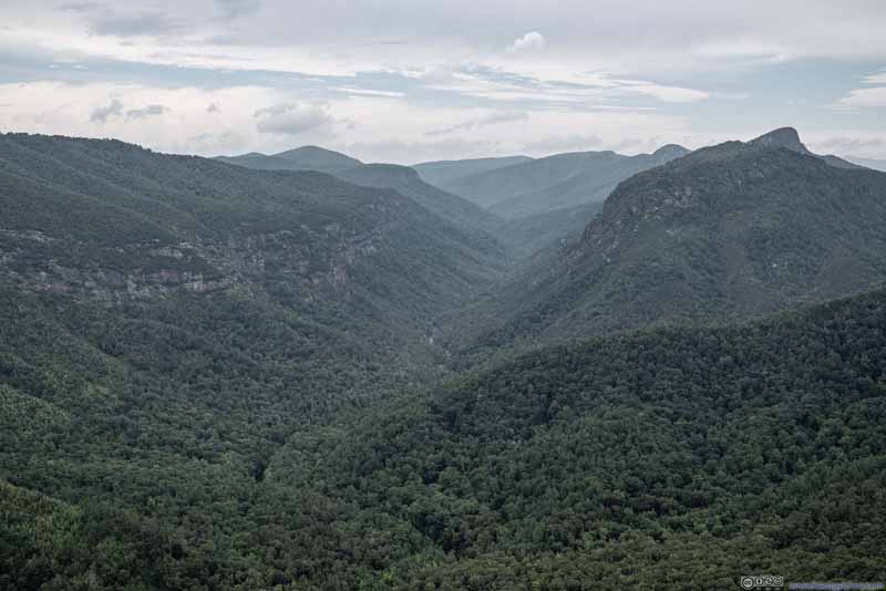 Linville Gorge
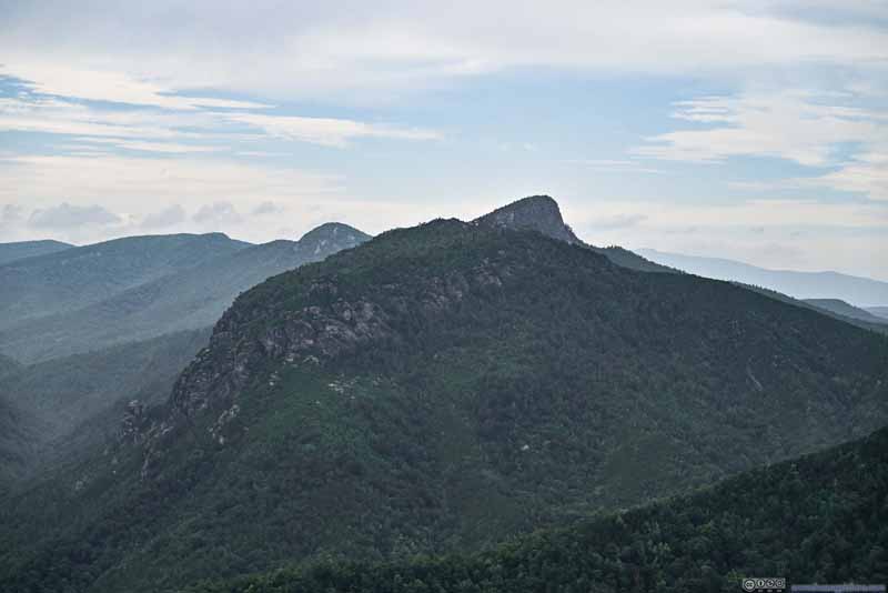 Table Rock Mountain
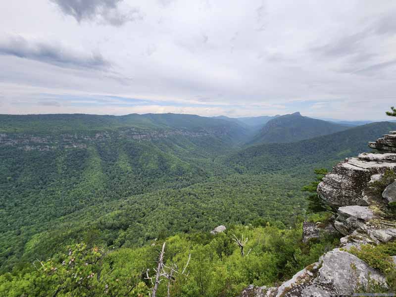 Linville Gorge


Click here to display photos of the slideshow

Linville Gorge
Linville Gorge
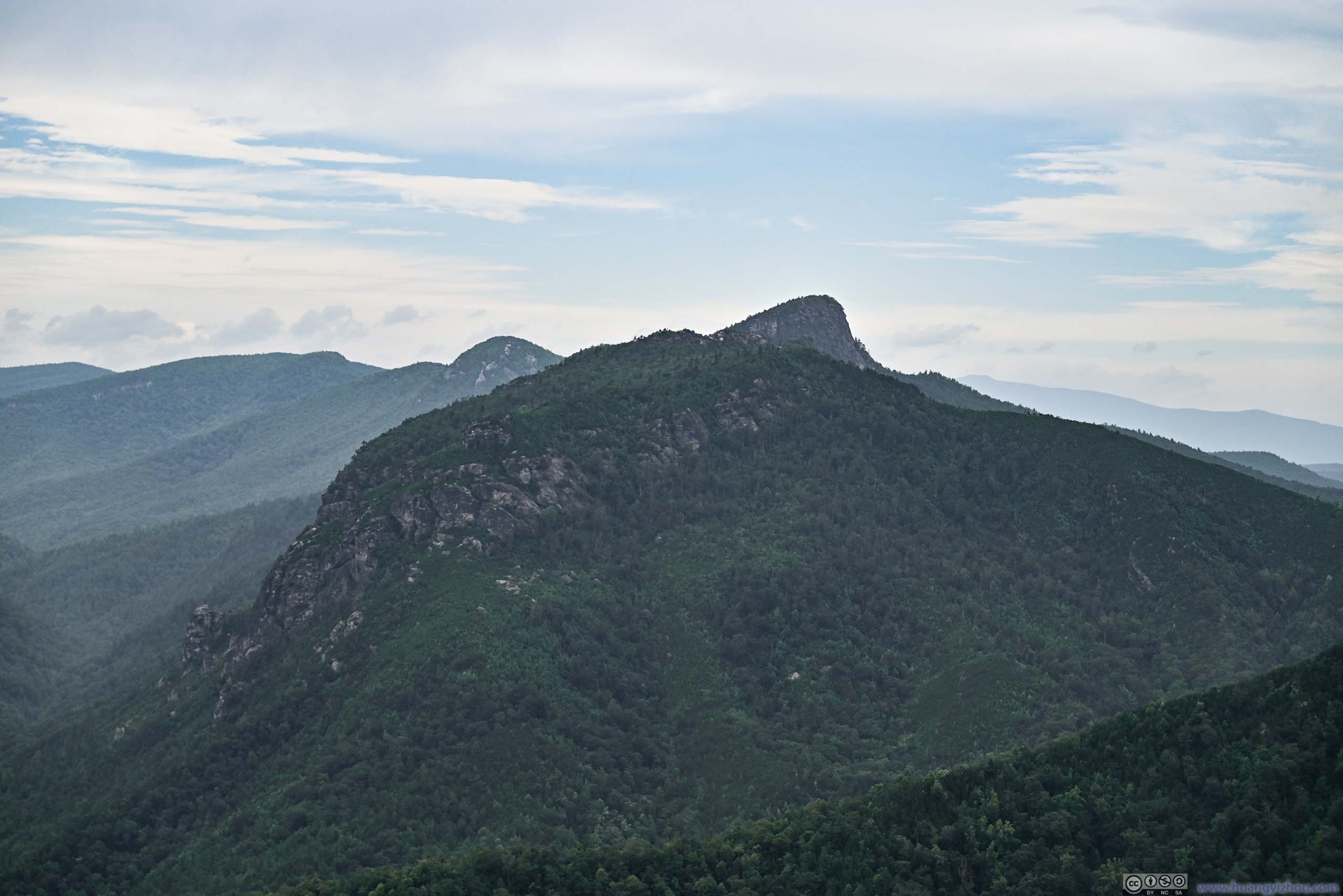
Table Rock Mountain

Linville Gorge
Linville Gorge
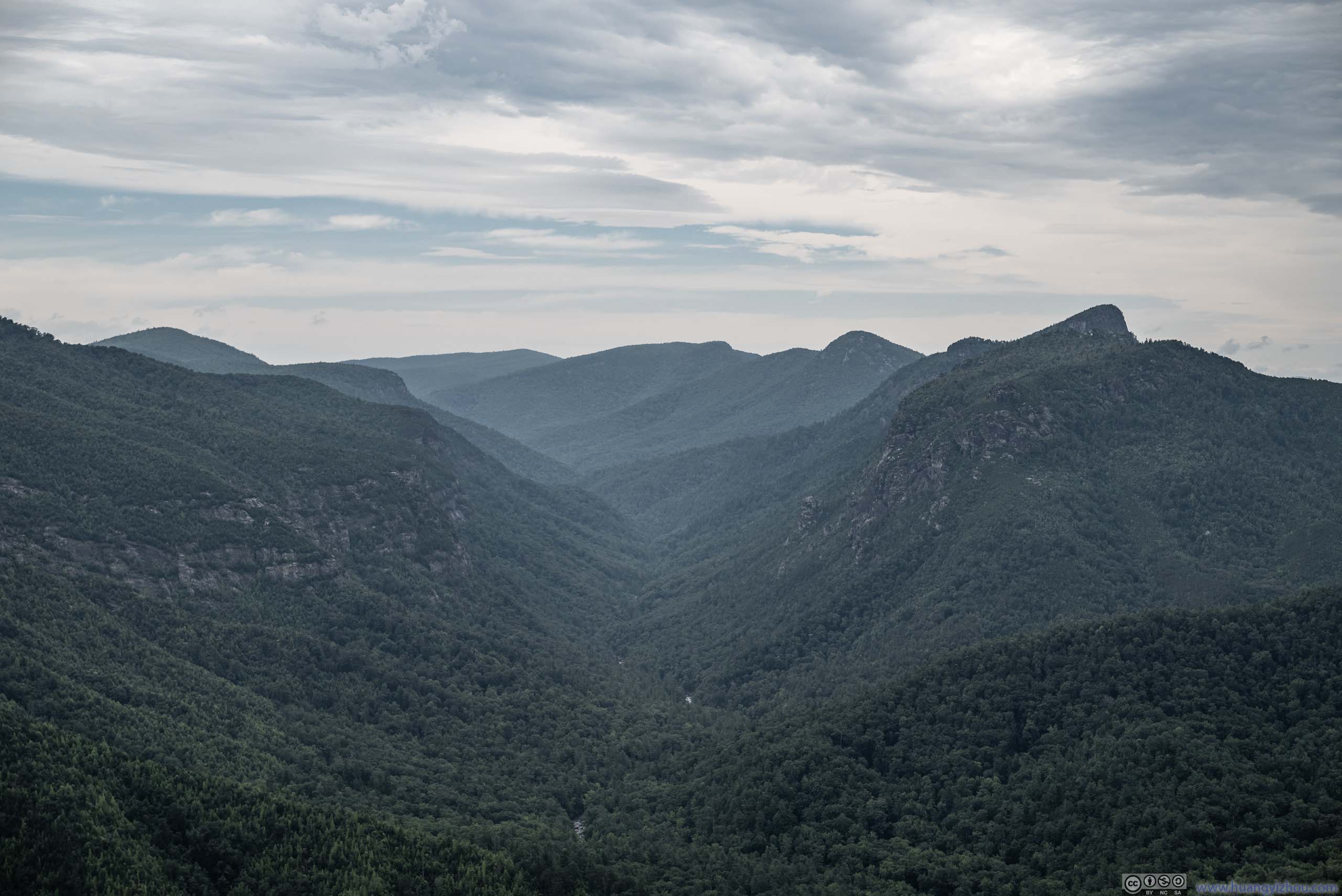
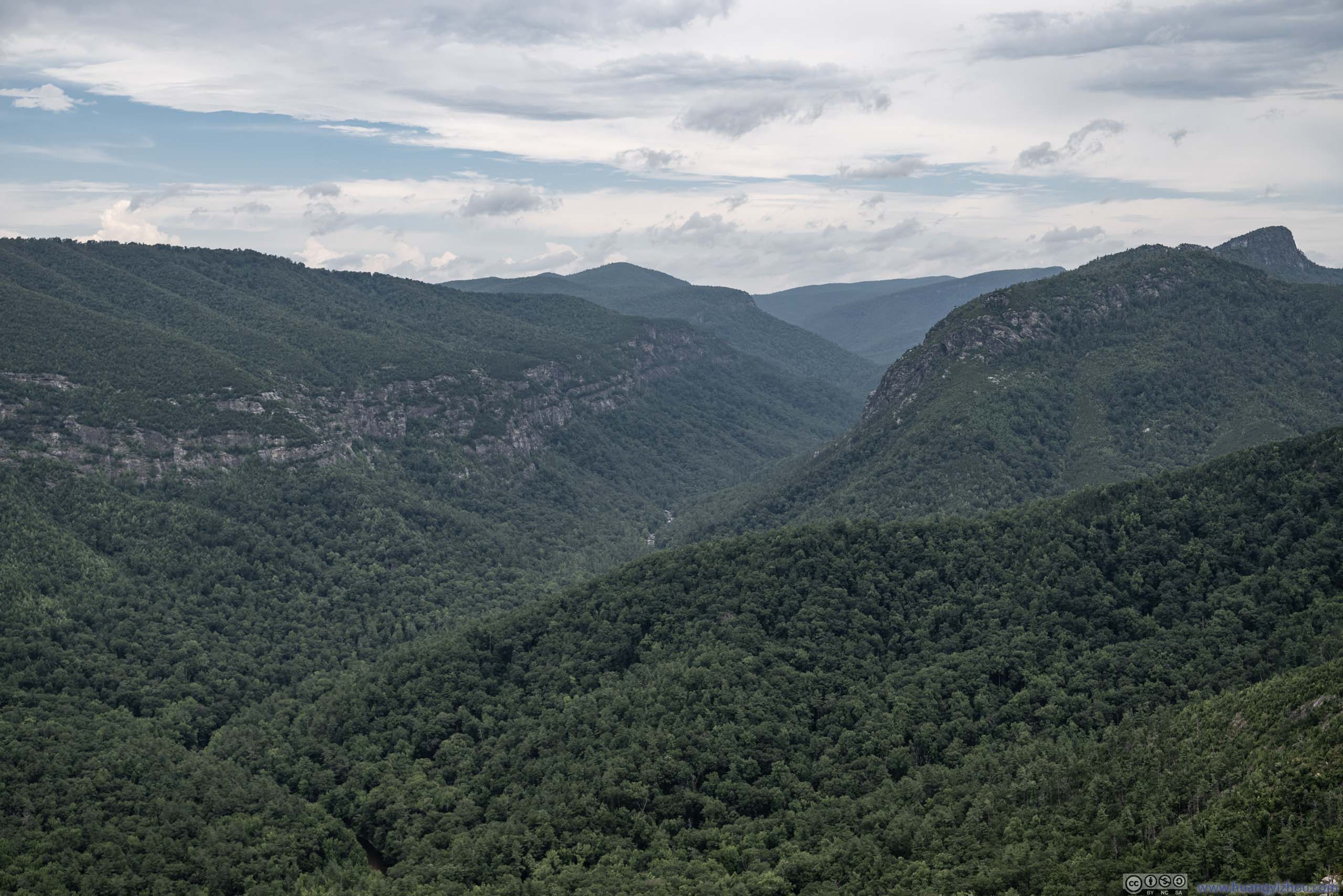
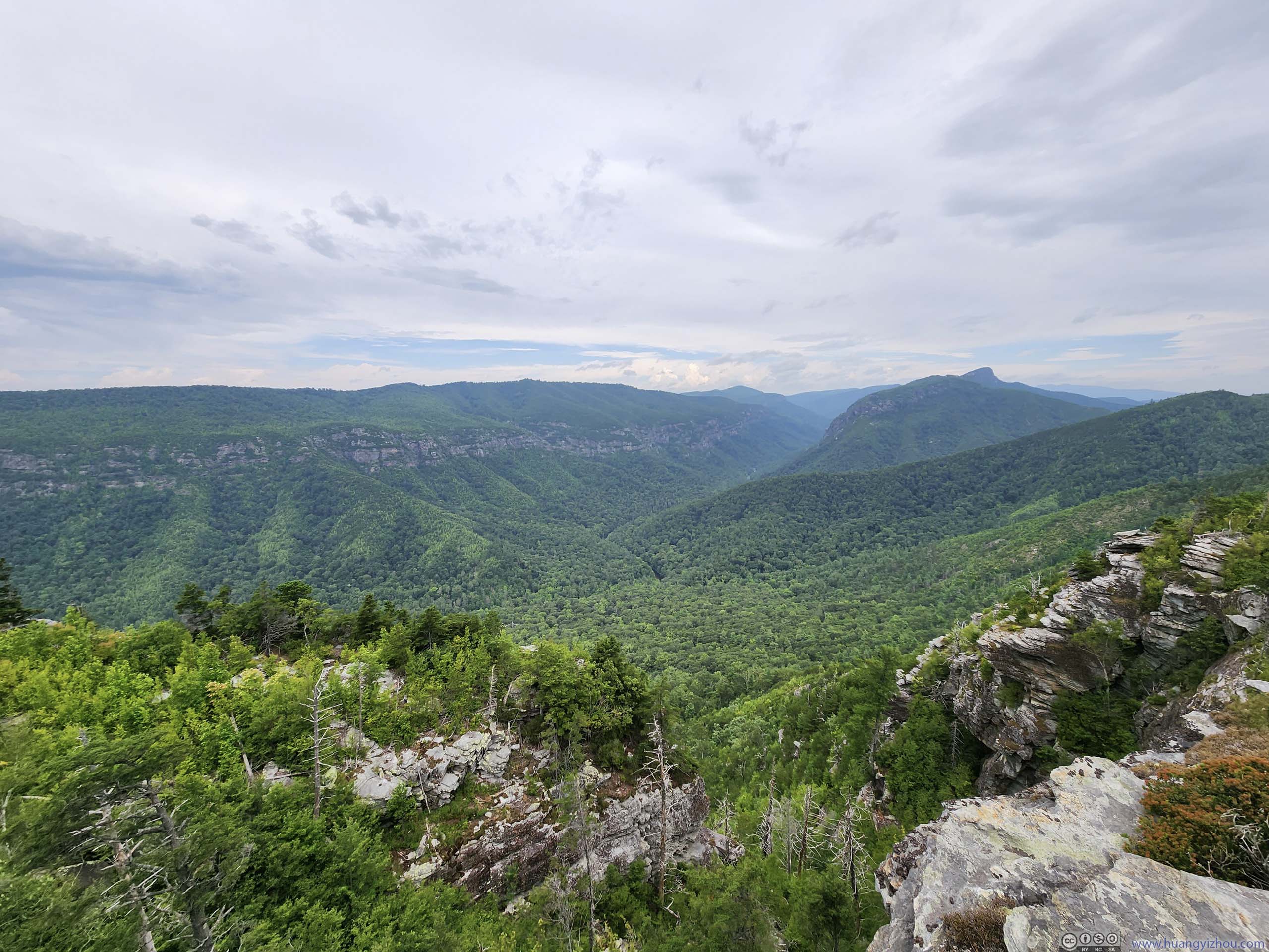
Despite that, the physical trail continued as “Mountains-to-Sea-Trail” deep into Linville Gorge. I didn’t pre-mark this spot on my navigation app, as a result, I continued on for about 450m before reaching another overlook, which I made the destination of my hike.
 Linville Gorge
 The Chimneys before Table Rock Mountain
 Table Rock Mountain
 Linville Gorge
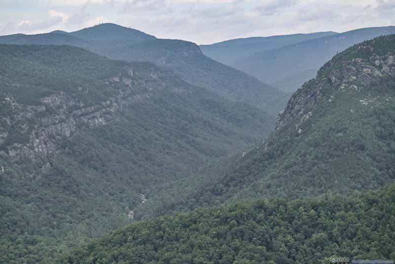 Linville River in Gorge
 Eastern Rim of Linville GorgeThe trail continued on along these rocky cliffs.
Click here to display photos of the slideshow
Linville Gorge
The Chimneys before Table Rock Mountain
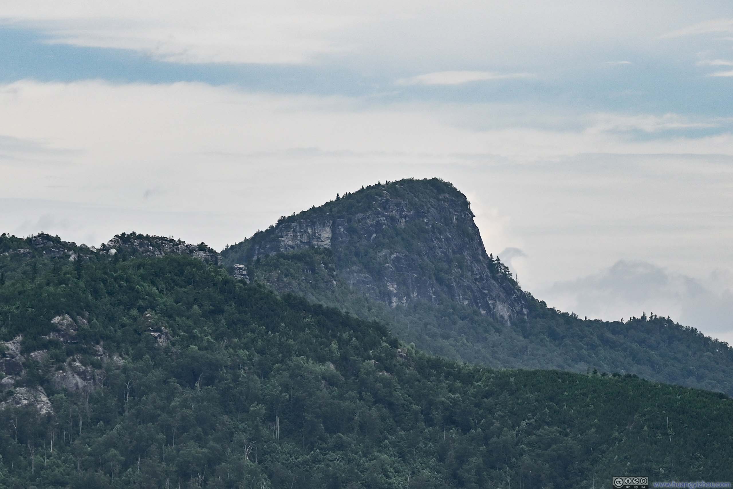
Table Rock Mountain
Linville Gorge
Linville River in Gorge
Eastern Rim of Linville GorgeThe trail continued on along these rocky cliffs.
I spent 30 minutes resting at this final overlook, enjoying the both the wind and the solitude. Beyond the end of trail on AllTrails, I enjoyed this rest undisturbed. The impressive size of the gorge in front created a sense of seclusion despite only for a brief moment.
After that, I started to trace my way back. The sun broke out from the clouds during my descent, dispersing the last anxiety for rain in my mind. I spent a fair amount of time appreciating the views at the overlooks, so in the end I was back at my car at 2:30pm, 4 hours after I started.
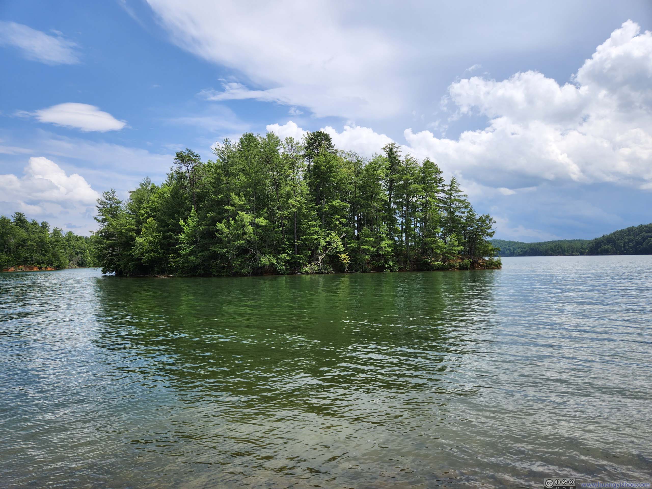
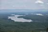
Lake James
After a brief rest by Lake James, I started driving towards Mt Mitchell, stopping at the town of Marion for a brief lunch. There wasn’t cellular coverage by Lake James, so I drove based on a rough direction, which ended up being a small detour.
Marion was the town where I spent the final night of my trip to Blue Ridge Parkway last October, so I was somewhat familiar with it, together with the twisty mountain road up Buck Creek Gap onto Blue Ridge Parkway.
Along Blue Ridge Parkway
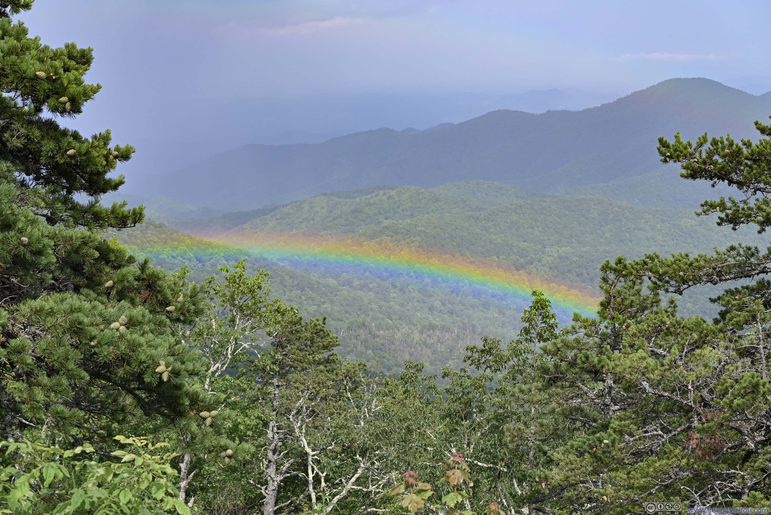
Once onto Blue Ridge Parkway, I could easily tell that it had been visited by rain just moments ago. This was more evident when I spotted a rainbow from Laurel Knob Overlook.
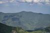
 Mountains to the Northwest from Hewat OverlookMt Mitchell in the center-left.
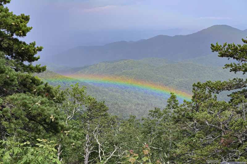 Rainbow
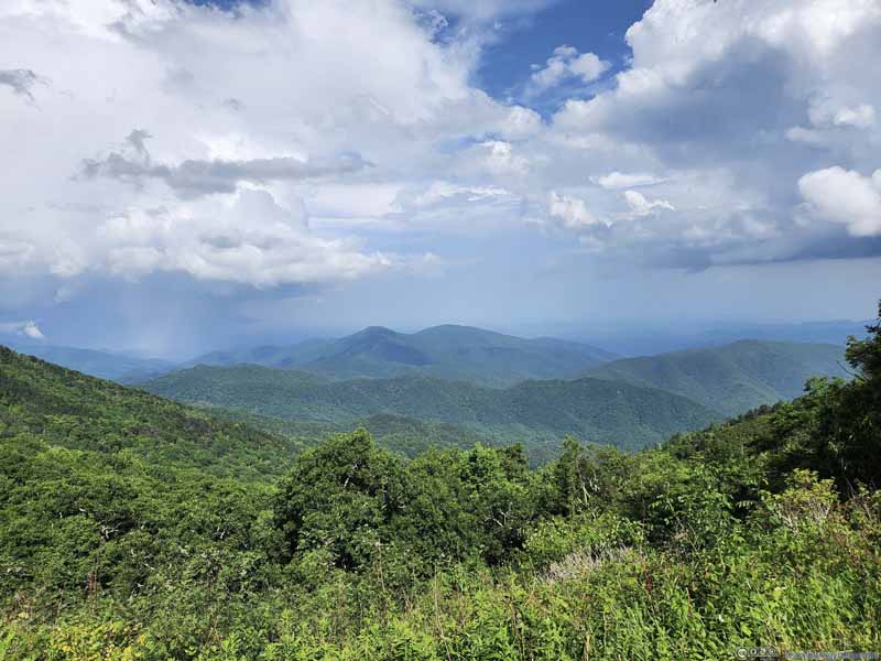 Mountains

Click here to display photos of the slideshow
Mountains to the Northwest from Hewat OverlookMt Mitchell in the center-left.
Rainbow

Mountains
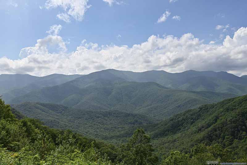
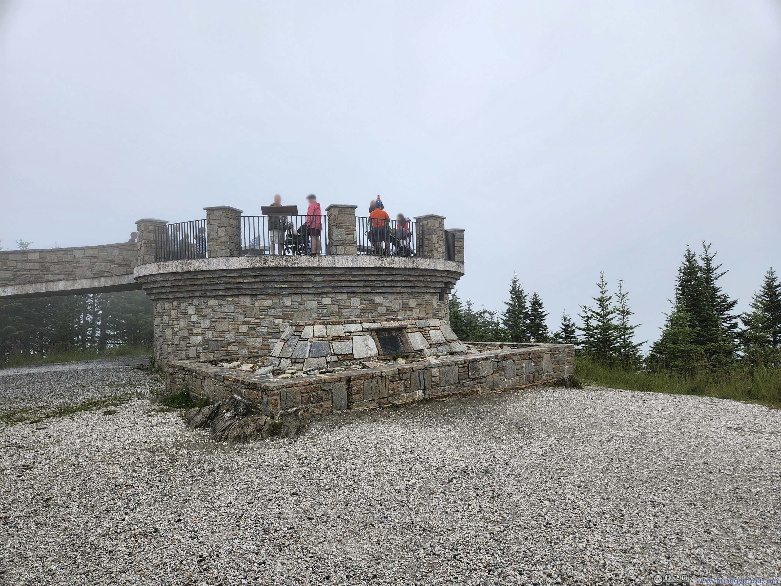
After that, it’s Mount Mitchell, the highest mountain in eastern US. Despite its height, the mountain was very visitor-friendly, with a paved road to a giant parking lot near its summit. The actual summit was 300m away along a paved walkway.
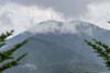
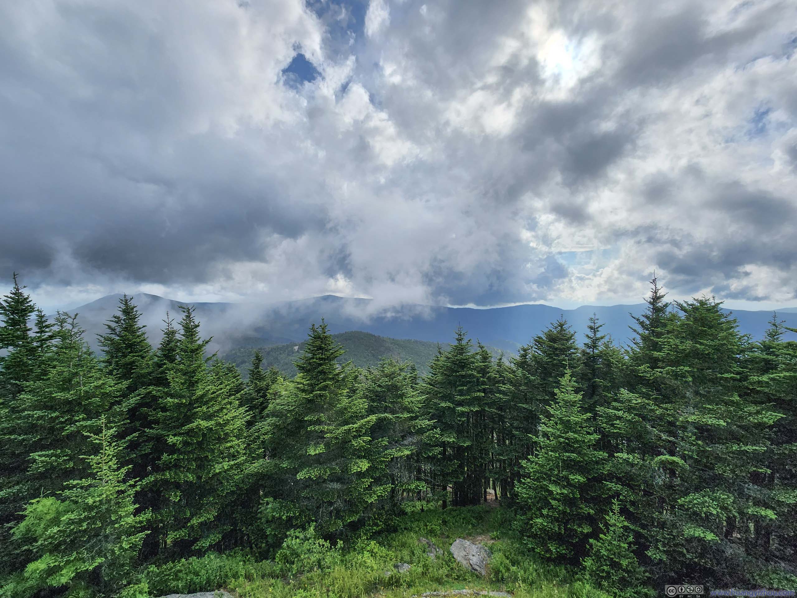
When I first arrived at Mt Mitchell’s parking lot at 5pm, the summit was in thick clouds (with occasional drizzle), and there was no view whatsoever. Not willing to give up, I waited in my car and checked out the summit again around 6pm. This time the clouds were higher, allowing me some views of the surrounding mountains. Unfortunately, with the summit observation deck barely above the surrounding trees, views were obstructed to begin with.
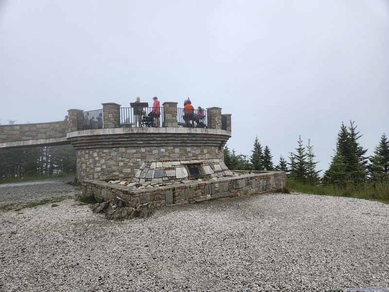 Observation Deck on Mt Mitchell
Unlike Clingmans Dome, this one was barely above the ground and surrounding trees, so the views were to some degree obstructed.
Observation Deck on Mt Mitchell
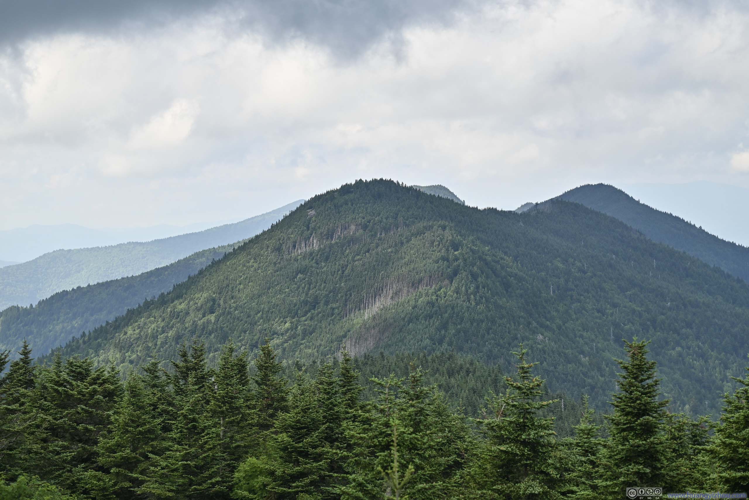
Unlike Clingmans Dome, this one was barely above the ground and surrounding trees, so the views were to some degree obstructed.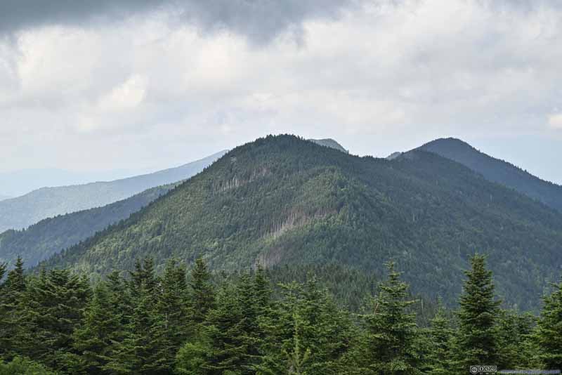 Mount Craig to the North
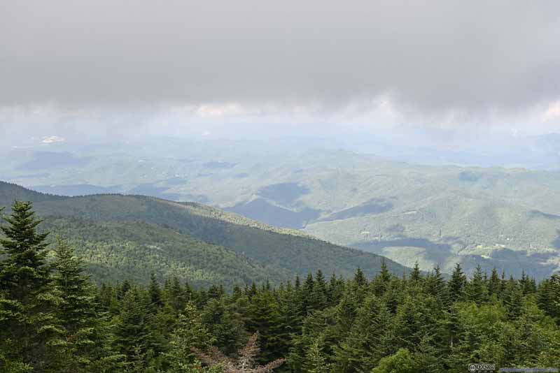 Mountains to the East
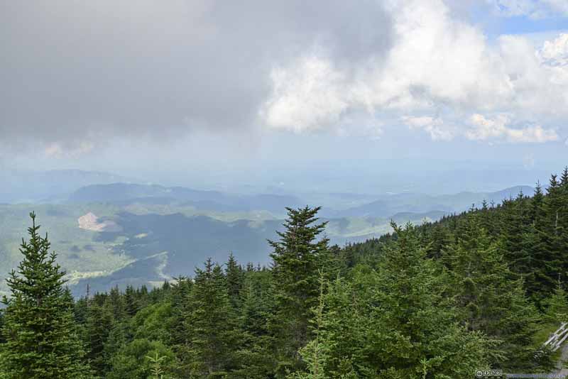 Mountains to the East
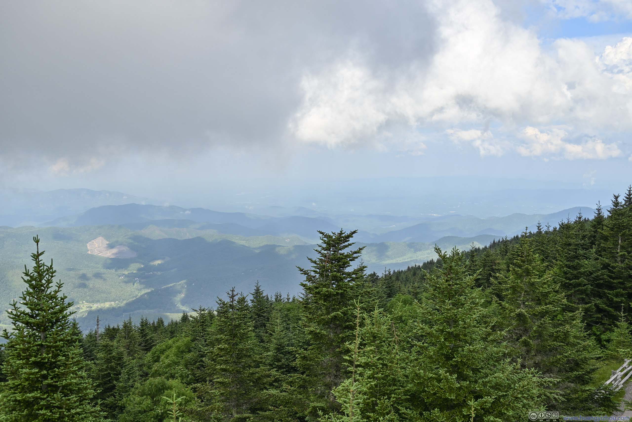
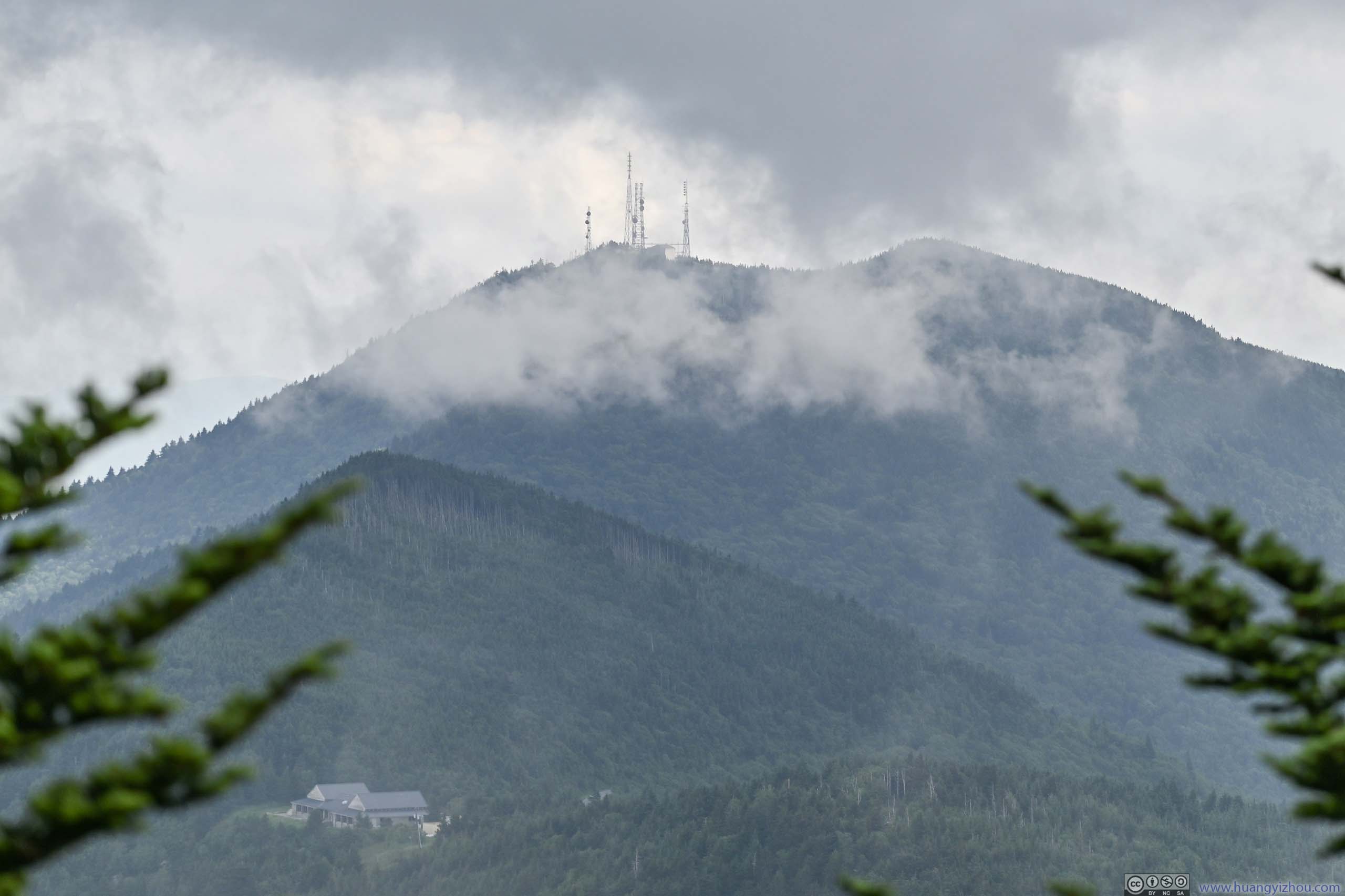
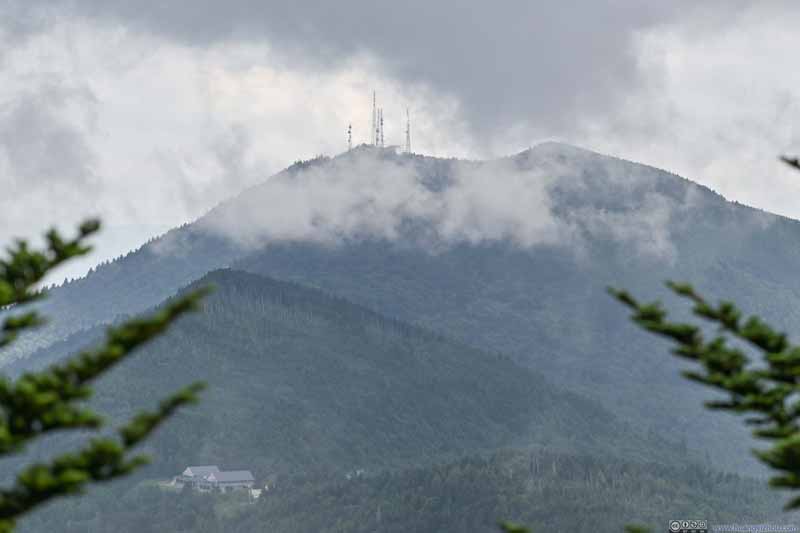 Clingmans Peak to the SouthWith some radio towers on top. In the lower part, Mt Mitchell State Park visitor center building.
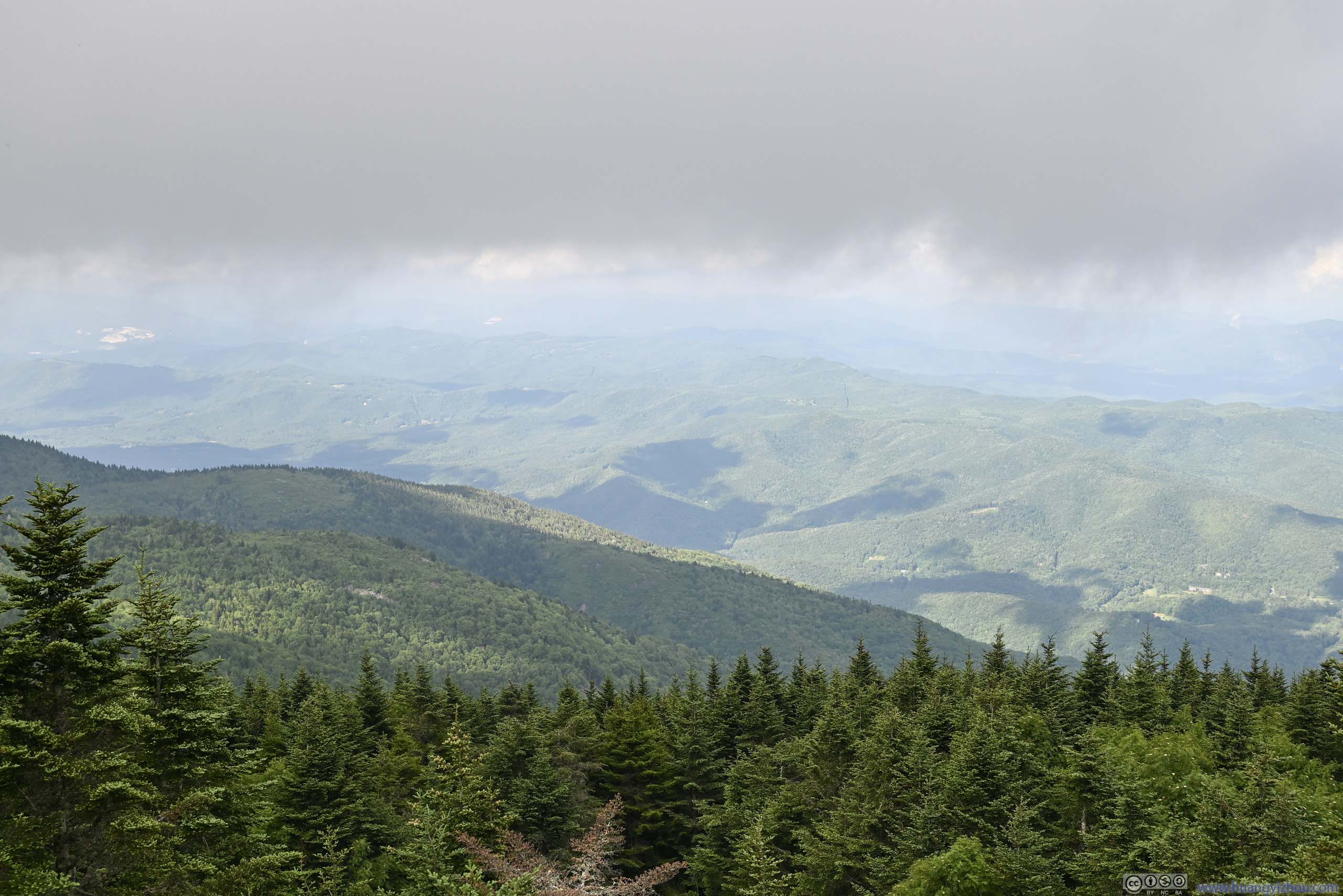
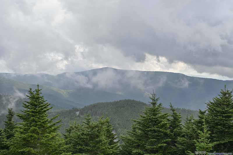 Mountains to the West
 Mountains to the West

Click here to display photos from the summit of Mount Mitchell.
Observation Deck on Mt Mitchell
Mount Craig to the North
Mountains to the East
Mountains to the East
Clingmans Peak to the SouthWith some radio towers on top. In the lower part, Mt Mitchell State Park visitor center building.

Mountains to the West
Mountains to the West
Below is a video that I took on top of Mount Mitchell, for a sense of the not-too-cooperative weather.
20 seconds, 2160p30fps, 10Mbps for both H264/H265 for a total size of 26MB.
Leaving Mount Mitchell, I stopped at two more overlooks (Glassmine Falls / Graybeard Mountain), before embarking on a final short hike of the day, Craggy Pinnacle.
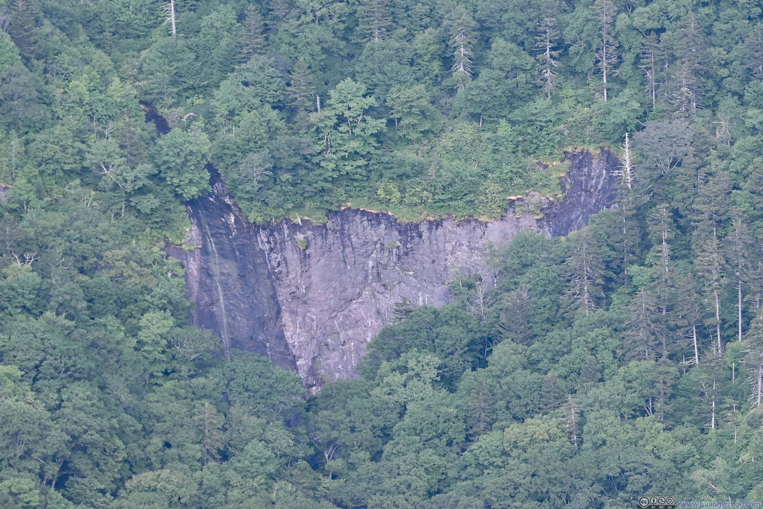
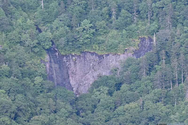 Glassmine FallsI wished there was more water but during my visit Glassmine Falls were barely a trickle.
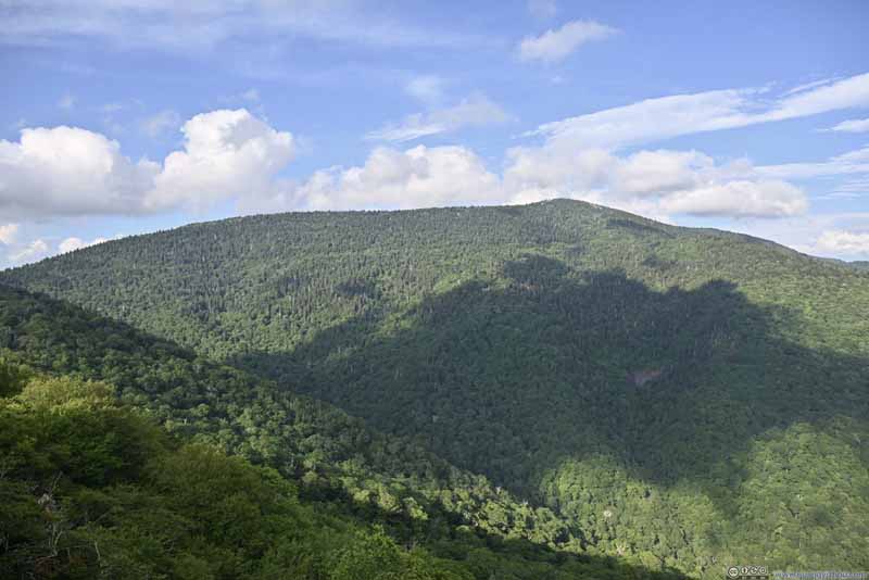 Blackstock Knobfrom Glassmine Falls Overlook.
 Graybeard Mountainfrom Glassmine Falls Overlook.
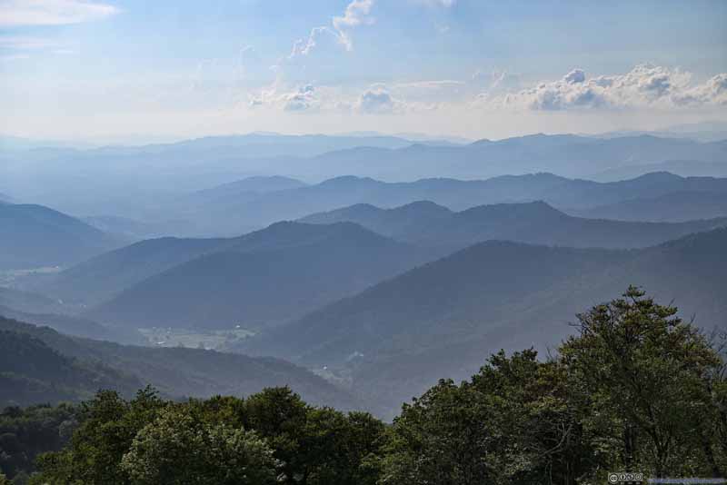 Mountains to the Westfrom Glassmine Falls Overlook.
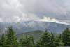
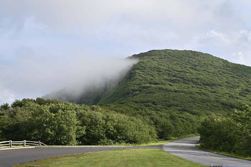 Mist along Side of Craggy Domefrom Graybeard Mountain View Overlook.
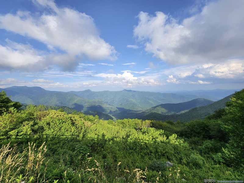 Mountains to the East

Click here to display photos of the slideshow
Glassmine FallsI wished there was more water but during my visit Glassmine Falls were barely a trickle.

Blackstock Knobfrom Glassmine Falls Overlook.
Graybeard Mountainfrom Glassmine Falls Overlook.
Mountains to the Westfrom Glassmine Falls Overlook.
Mist along Side of Craggy Domefrom Graybeard Mountain View Overlook.

Mountains to the East
Craggy Pinnacle Hike
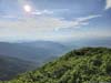
To the summit of Craggy Pinnacle, it was a 1.2km out-and-back with 70m elevation gain. From the summit one would enjoy 360-degree view of the surrounding mountains. The AllTrails map included a “Lower Overlook” which added some distance.
 Trail to Craggy PinnacleOn a steady and gradual incline, but pretty wide and remained in shades.
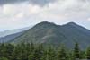
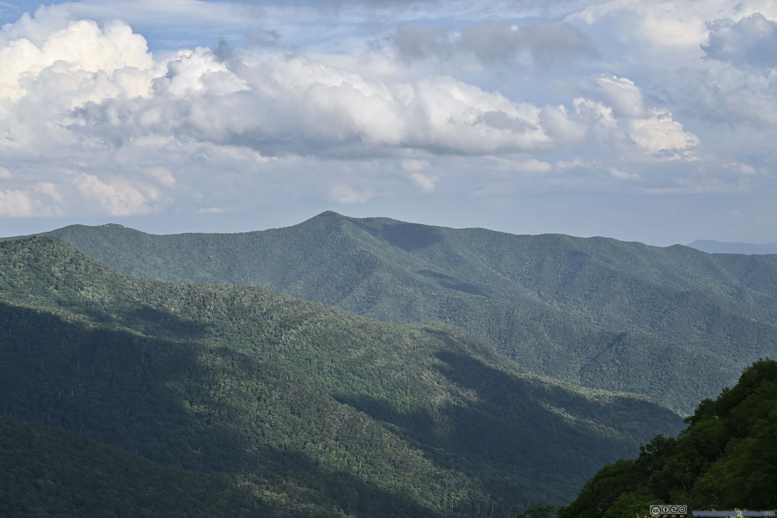
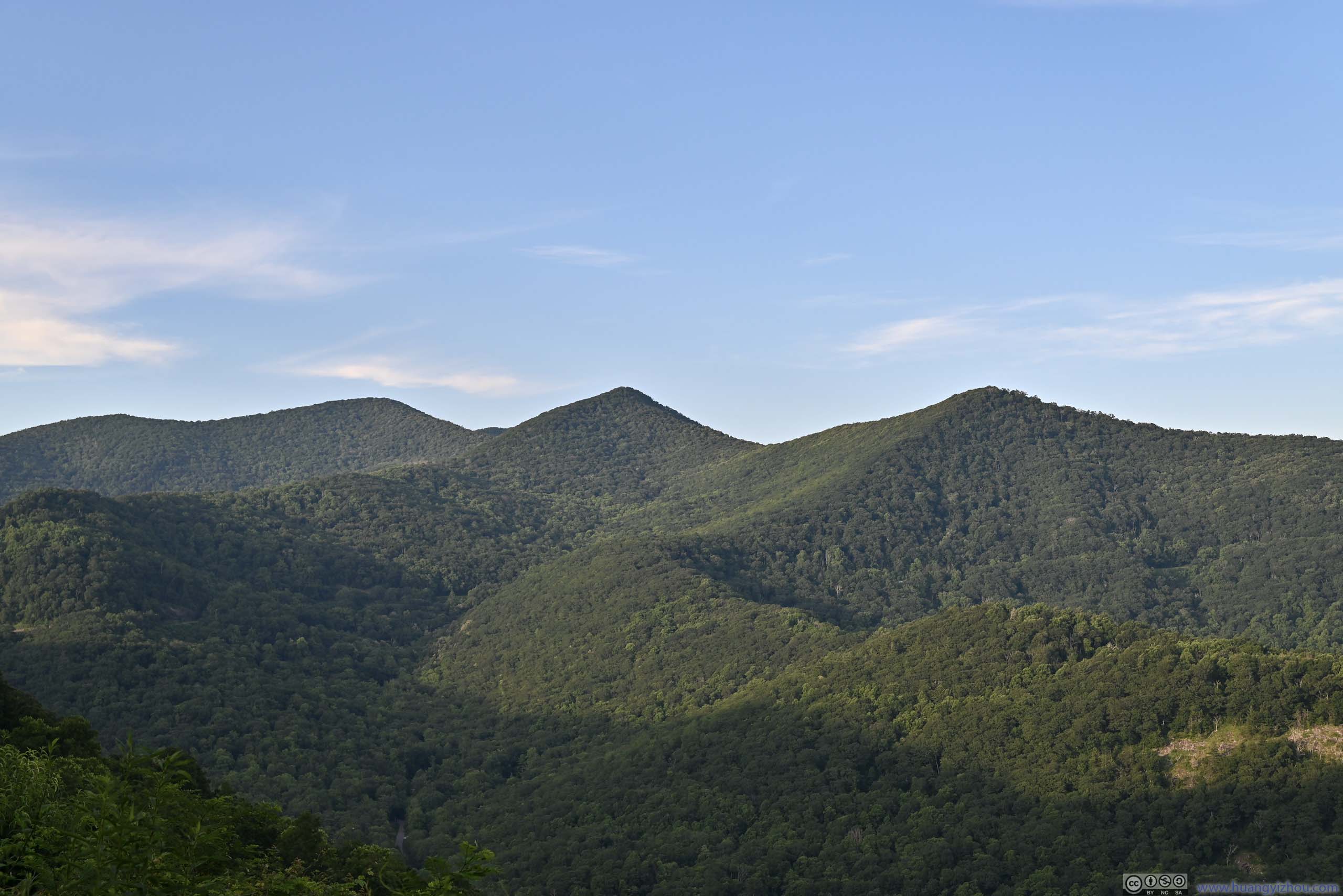
By the time I reached the summit of Craggy Pinnacle, the sun was completely out among broken clouds, so the best views were towards the east, of the ridgeline that extended south from Mount Mitchell, and Craggy Dome in the foreground. Later I found out Craggy Dome was higher in elevation than Craggy Pinnacle, despite the name “pinnacle” sounds more accomplished.
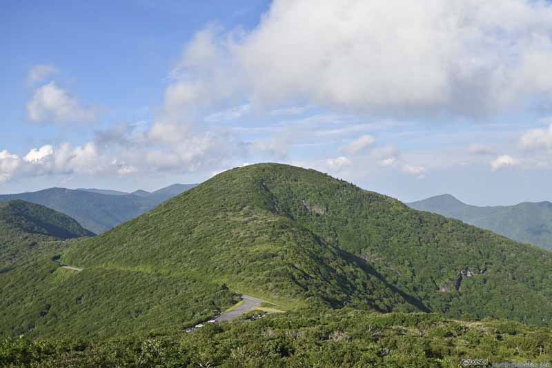 Craggy DomeThe parking lot for this hike (Craggy Pinnacle) also visible in the lower-center.
 Road along Cliff
 Graybeard Mountain (1635m)Among the ridge that extended south from Mt Mitchell.
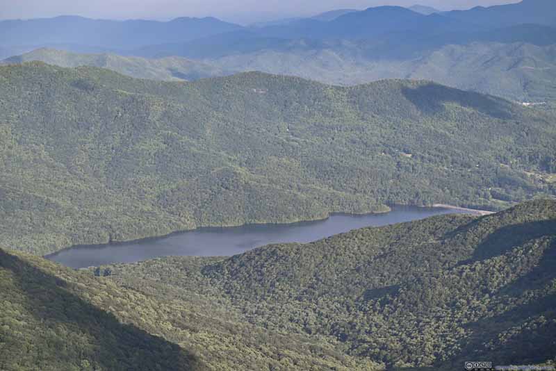 Burnett Reservoir
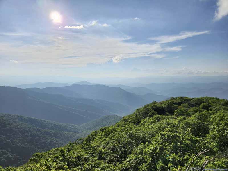 Mountains to the West
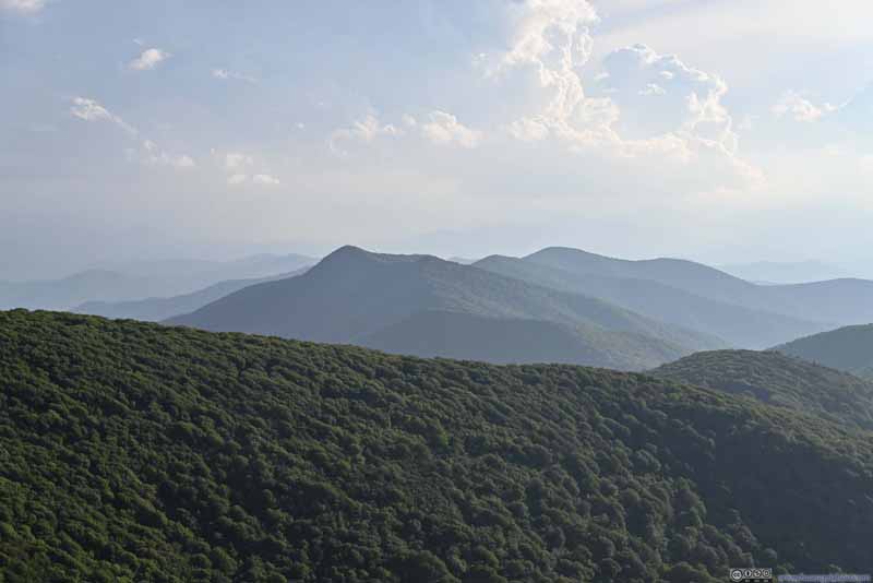 Mountains to the SouthwestLane Pinnacle (1583m) in the center.

Click here to display photos from the summit of Craggy Pinnacle.

Craggy DomeThe parking lot for this hike (Craggy Pinnacle) also visible in the lower-center.

Road along Cliff
Graybeard Mountain (1635m)Among the ridge that extended south from Mt Mitchell.
Burnett Reservoir

Mountains to the West
Mountains to the SouthwestLane Pinnacle (1583m) in the center.
View from Craggy Pinnacle Summit
After Craggy Pinnacle, I made two more stops along Blue Ridge Parkway, before turning onto to NC-694 as a shortcut towards Asheville.
 Lane PinnacleFrom Lane Pinnacle Overlook.
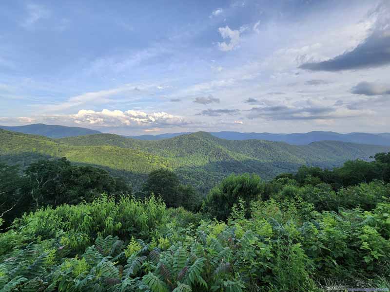 View from Lane Pinnacle OverlookFrom Lane Pinnacle Overlook.
 Rocky Knob (1433m) among MountainsFrom Tanbark Ridge Overlook.
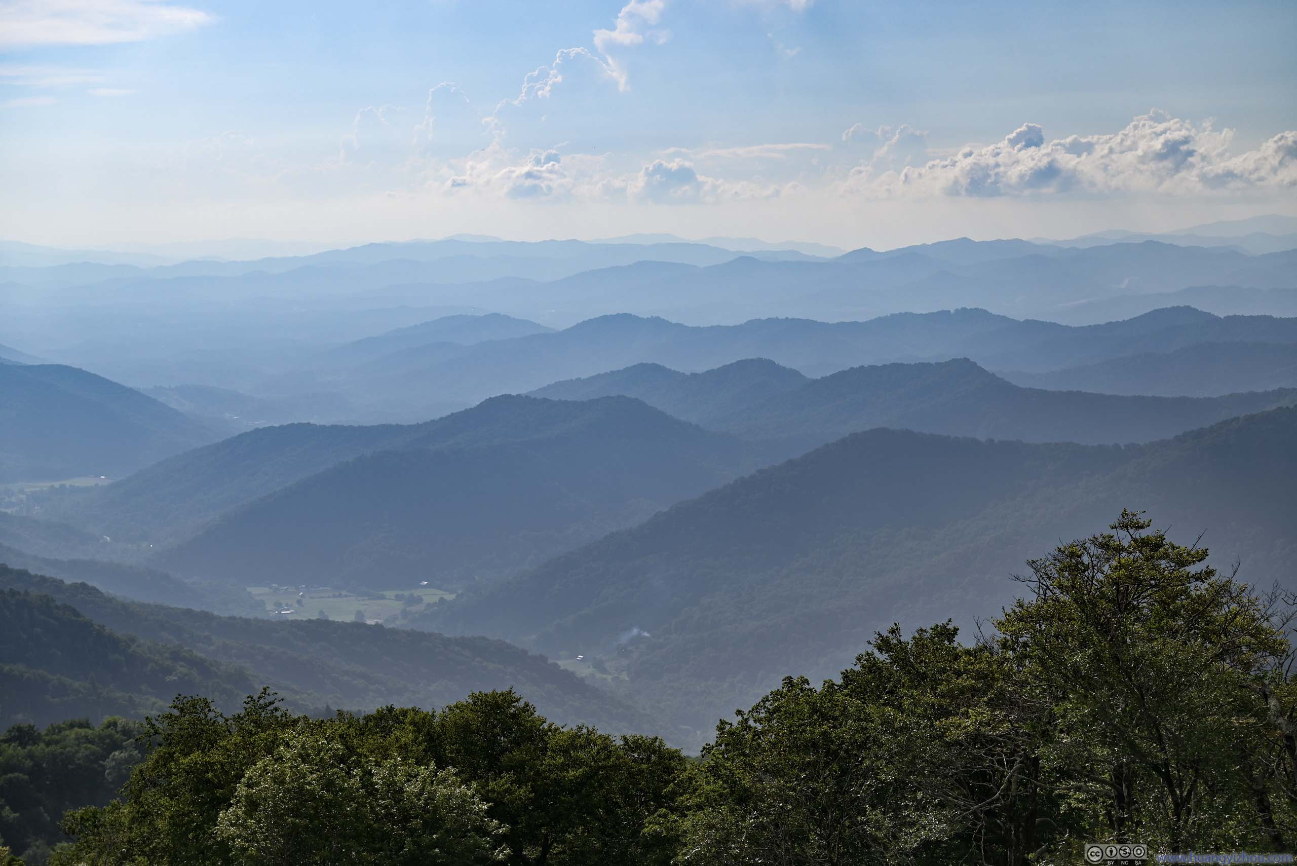
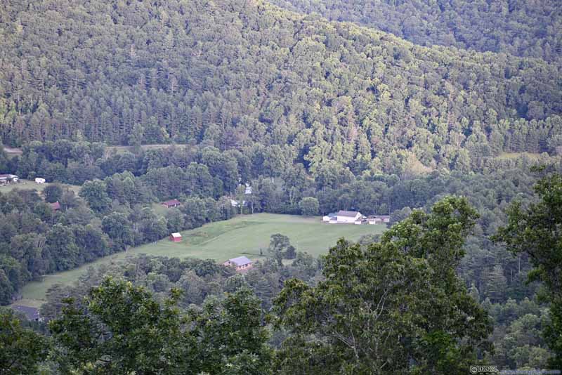 Farmland in ValleyFrom Tanbark Ridge Overlook.

Click here to display photos of the slideshow
Lane PinnacleFrom Lane Pinnacle Overlook.
View from Lane Pinnacle OverlookFrom Lane Pinnacle Overlook.
Rocky Knob (1433m) among MountainsFrom Tanbark Ridge Overlook.

Farmland in ValleyFrom Tanbark Ridge Overlook.
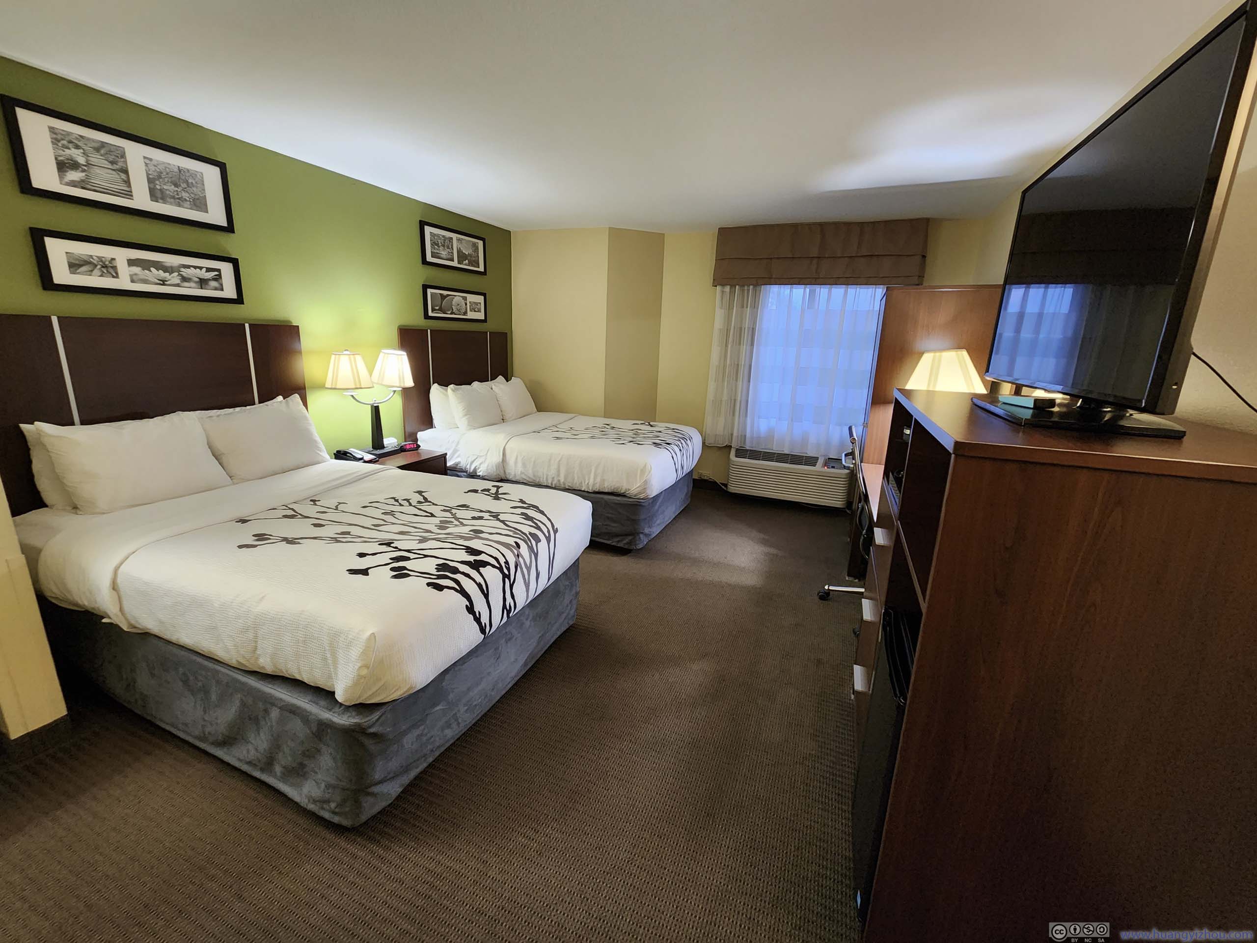
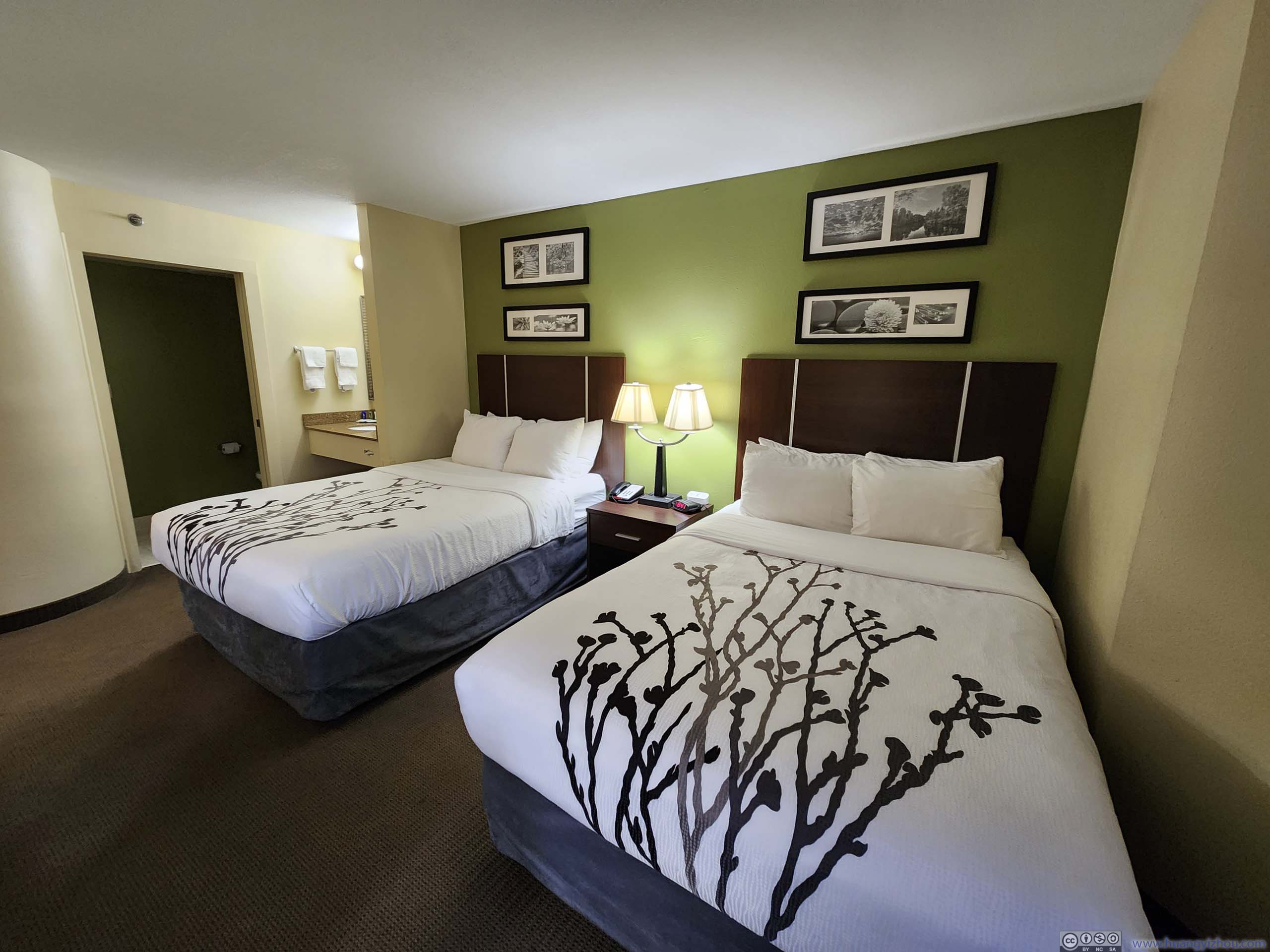
It’s 8:30pm by the time I checked into a hotel for the next two nights, Sleep Inn Asheville, just in time to watch the sunset lighting up the distant horizon. It’s hard for me to believe this hotel only cost me 156USD for two nights, including taxes.
 Hotel Room
 Hotel Room
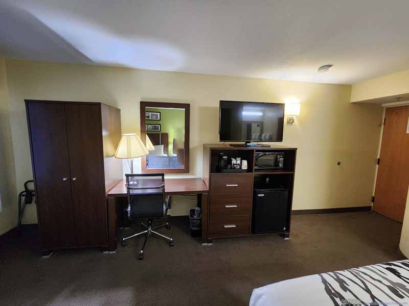 Hotel Room
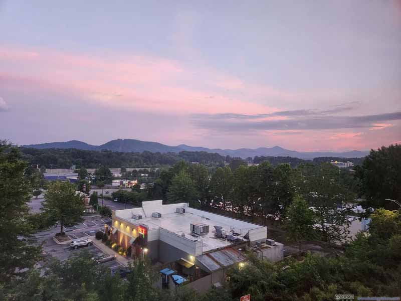 Sunset Glow from Hotel Room


Click here to display photos of the slideshow
Hotel Room
Hotel Room

Hotel Room

Sunset Glow from Hotel Room
END
![]() Day 2 of 2023 Independence Day Trip, South Linville Gorge by Huang's Site is licensed under a Creative Commons Attribution-NonCommercial-ShareAlike 4.0 International License.
Day 2 of 2023 Independence Day Trip, South Linville Gorge by Huang's Site is licensed under a Creative Commons Attribution-NonCommercial-ShareAlike 4.0 International License.